


Sky Meadows Overnighter
Distance
84 Mi.
(135 KM)Days
2
% Unpaved
67%
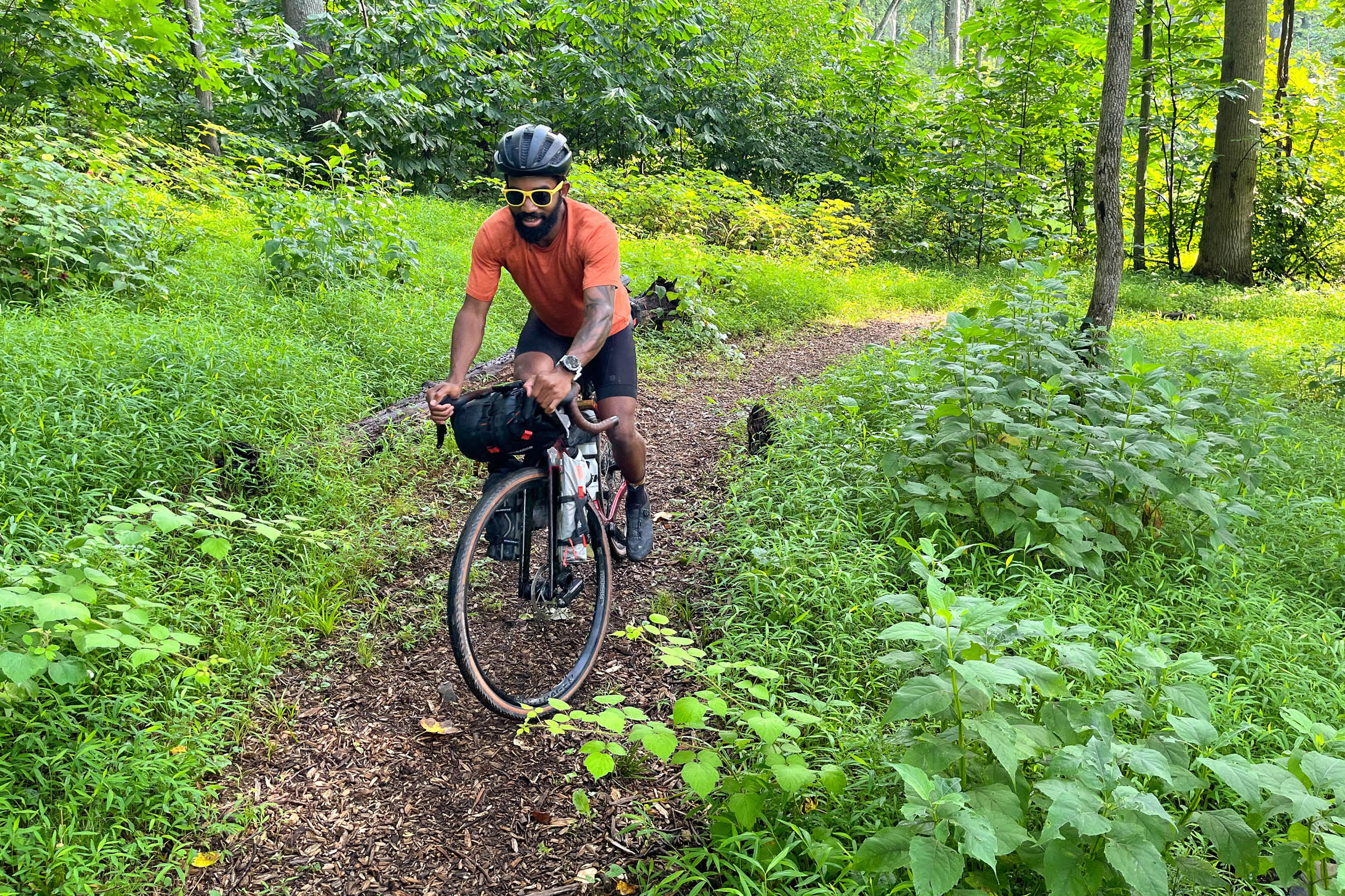
% Singletrack
2%
% Rideable (time)
99%
Total Ascent
5,926'
(1,806 M)High Point
924'
(282 M)Difficulty (1-10)
4?
- 5Climbing Scale Moderate71 FT/MI (13 M/KM)
- 2Technical Difficulty Easy
- 5Physical Demand Moderate
- 2Resupply & Logistics Easy
Contributed By

Eyal Li
Guest Contributor
Eyal grew up riding in and around the Washington, D.C. area. Now based in Berlin and working as an urban planner, Eyal spends his time playing ping pong and scouting off-road routes in nearby mountain ranges. Find more of Eyal’s photos on Instagram @EyalL_
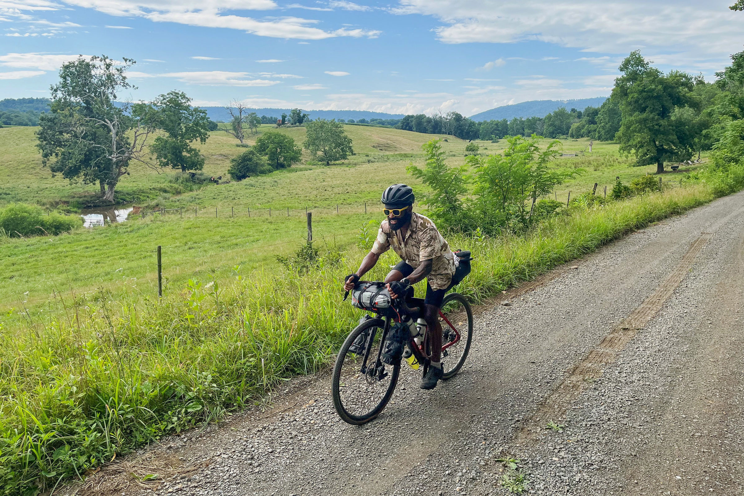
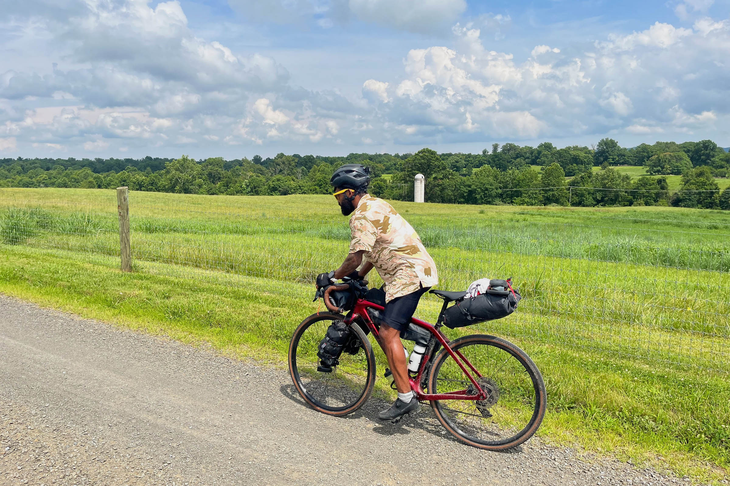
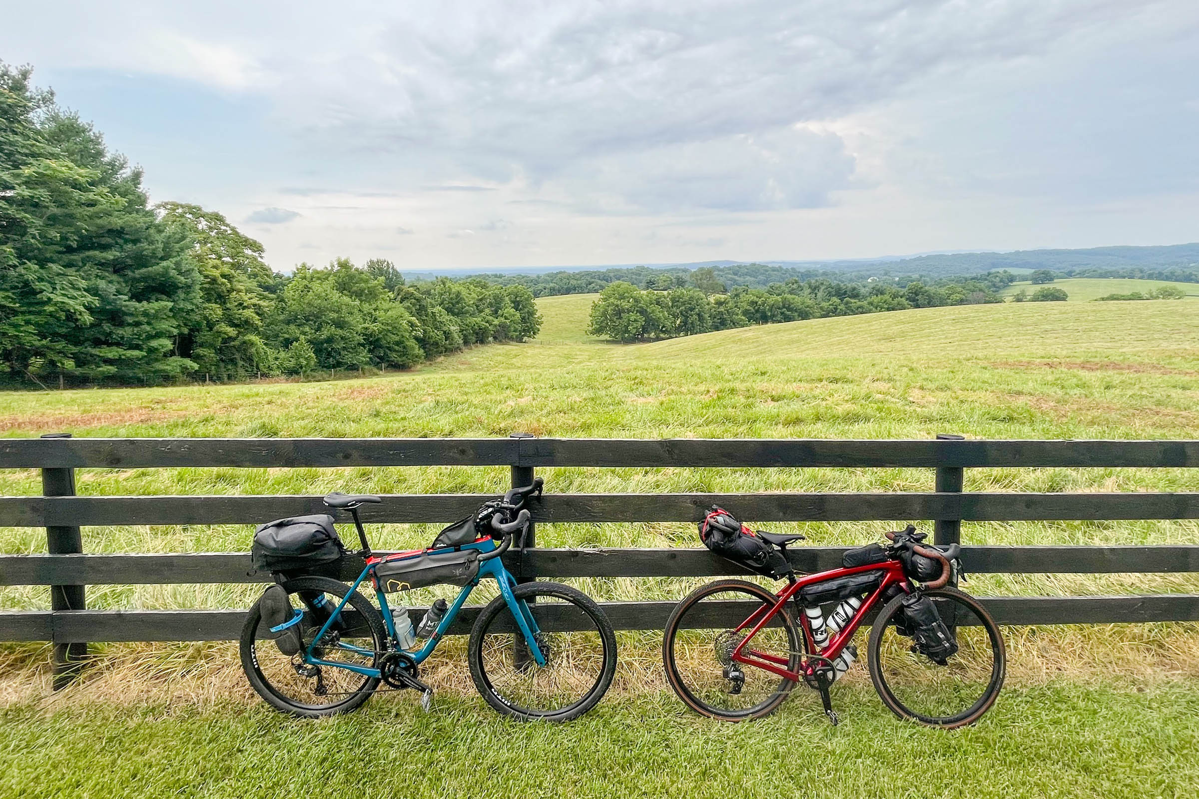
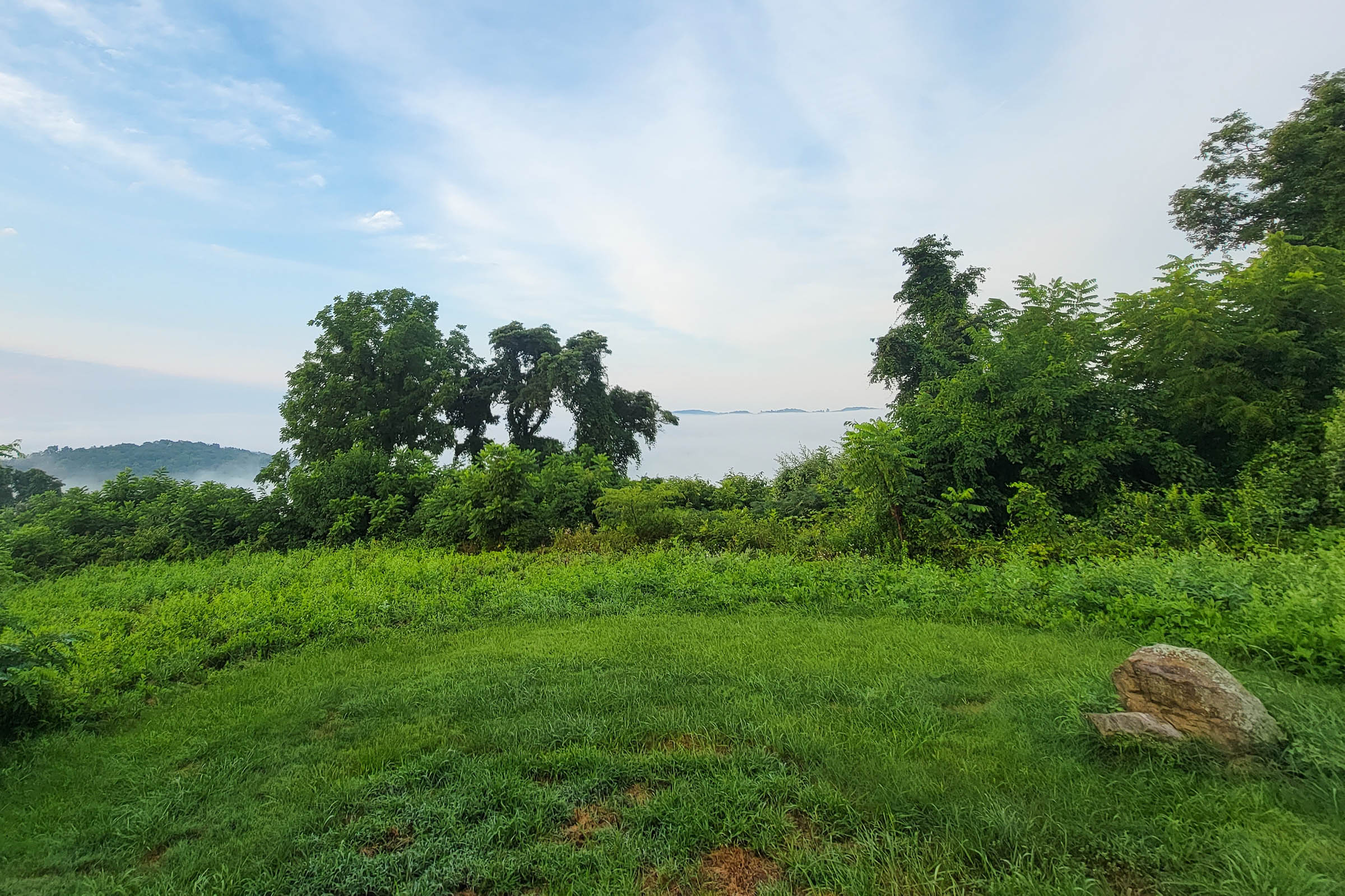
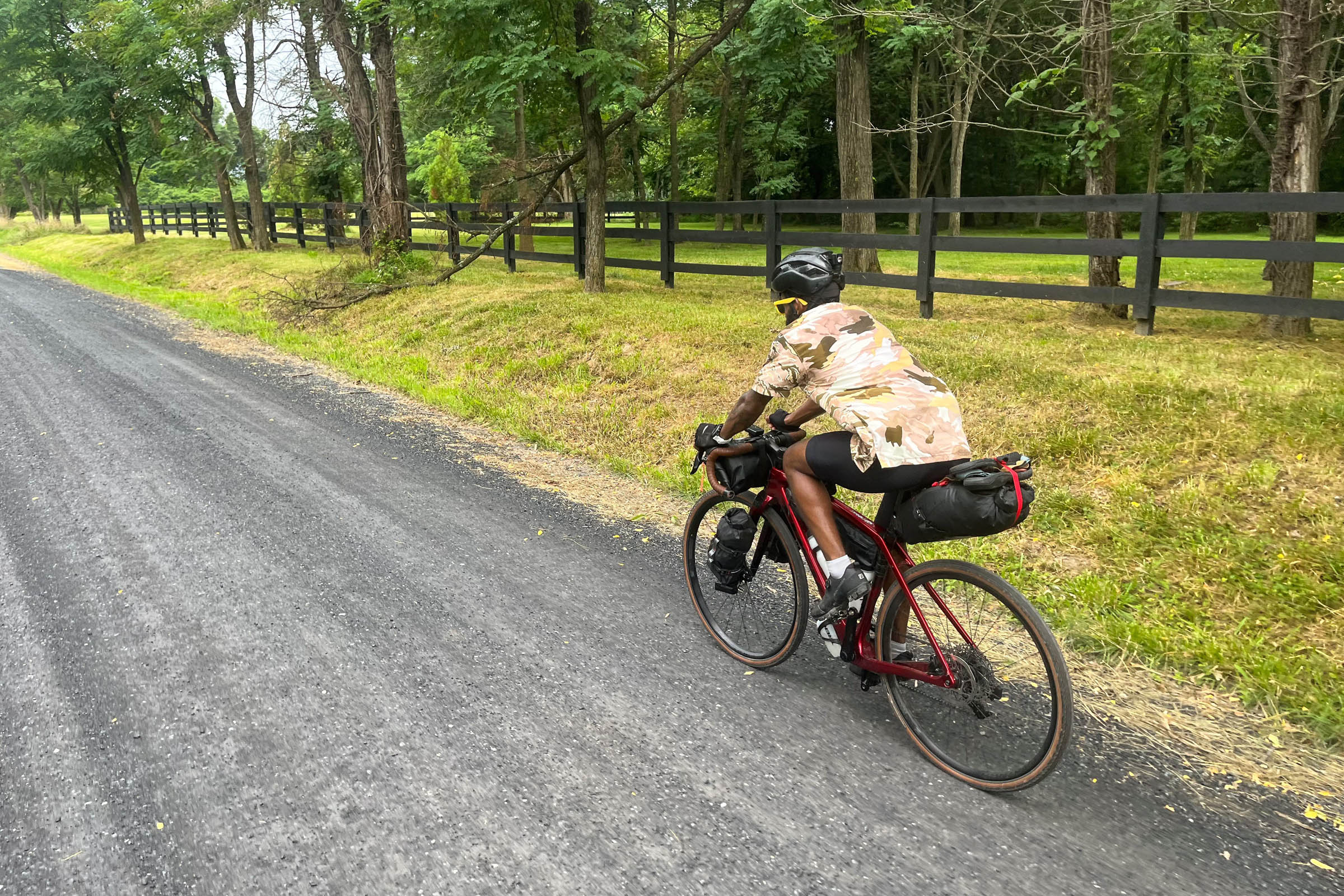
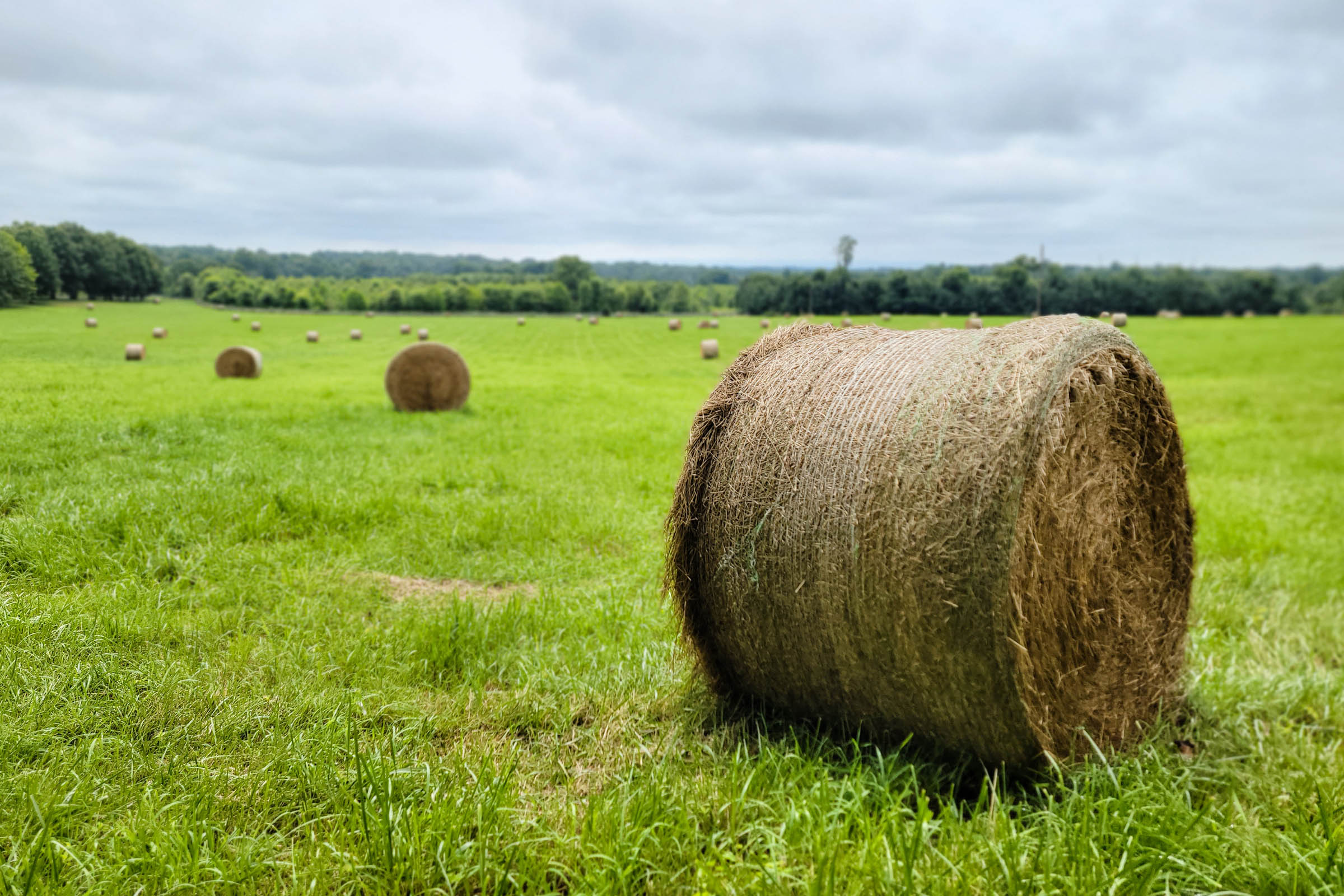
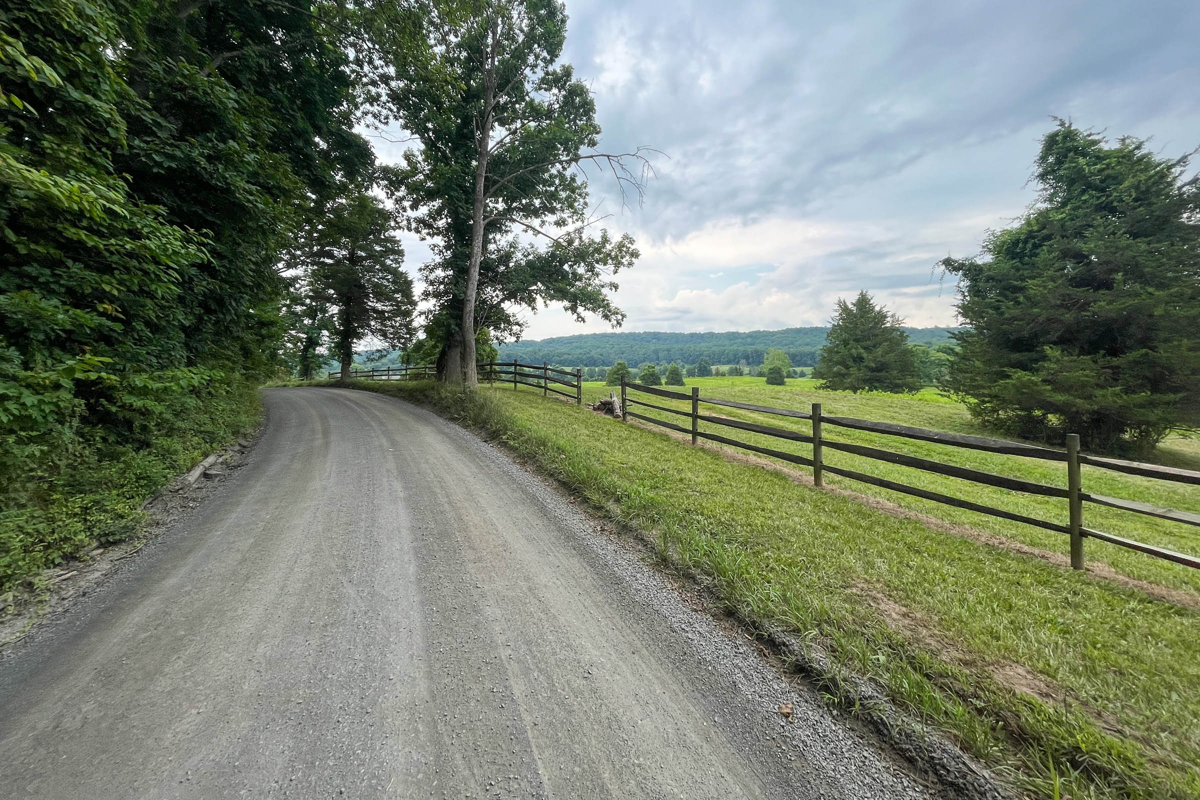
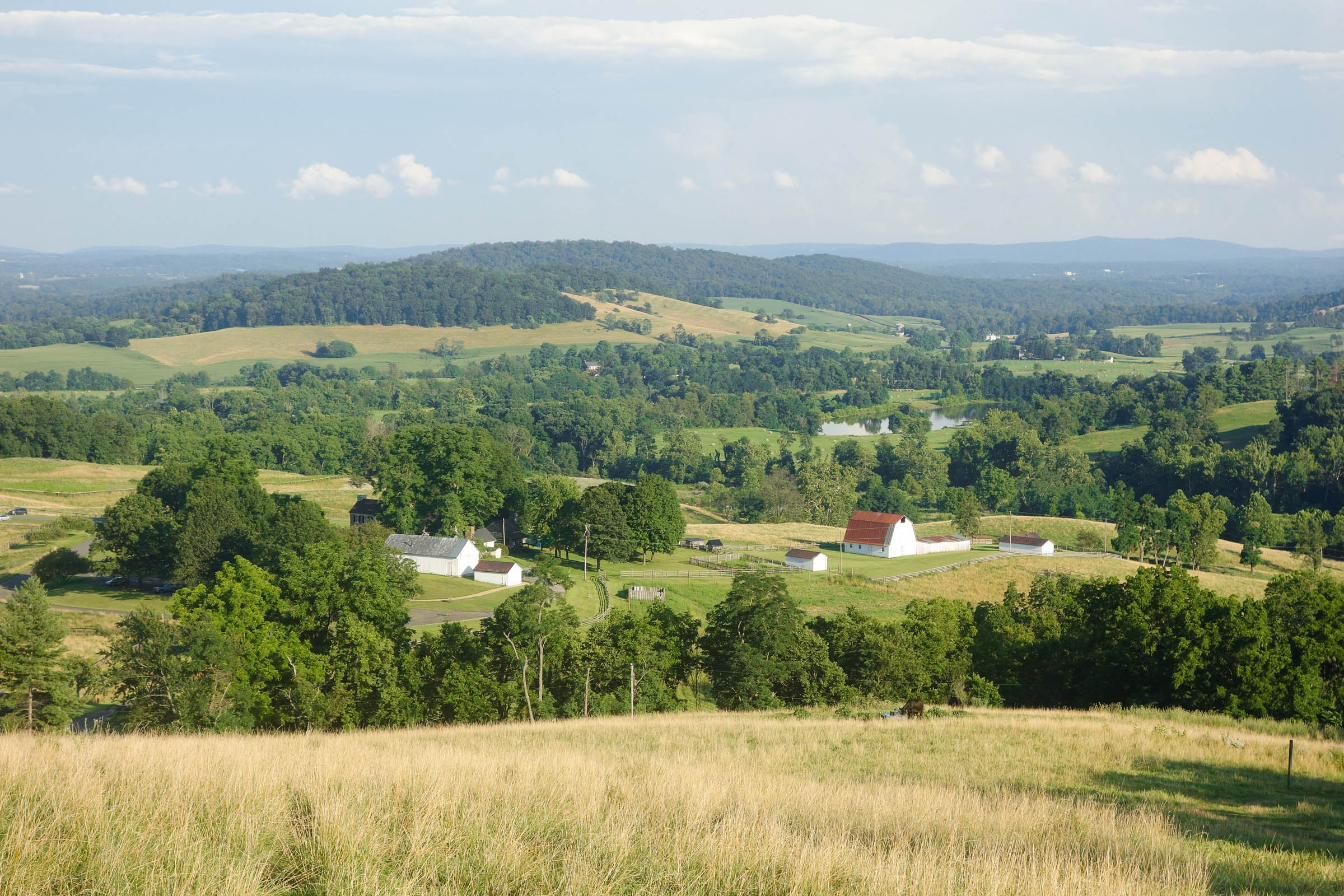
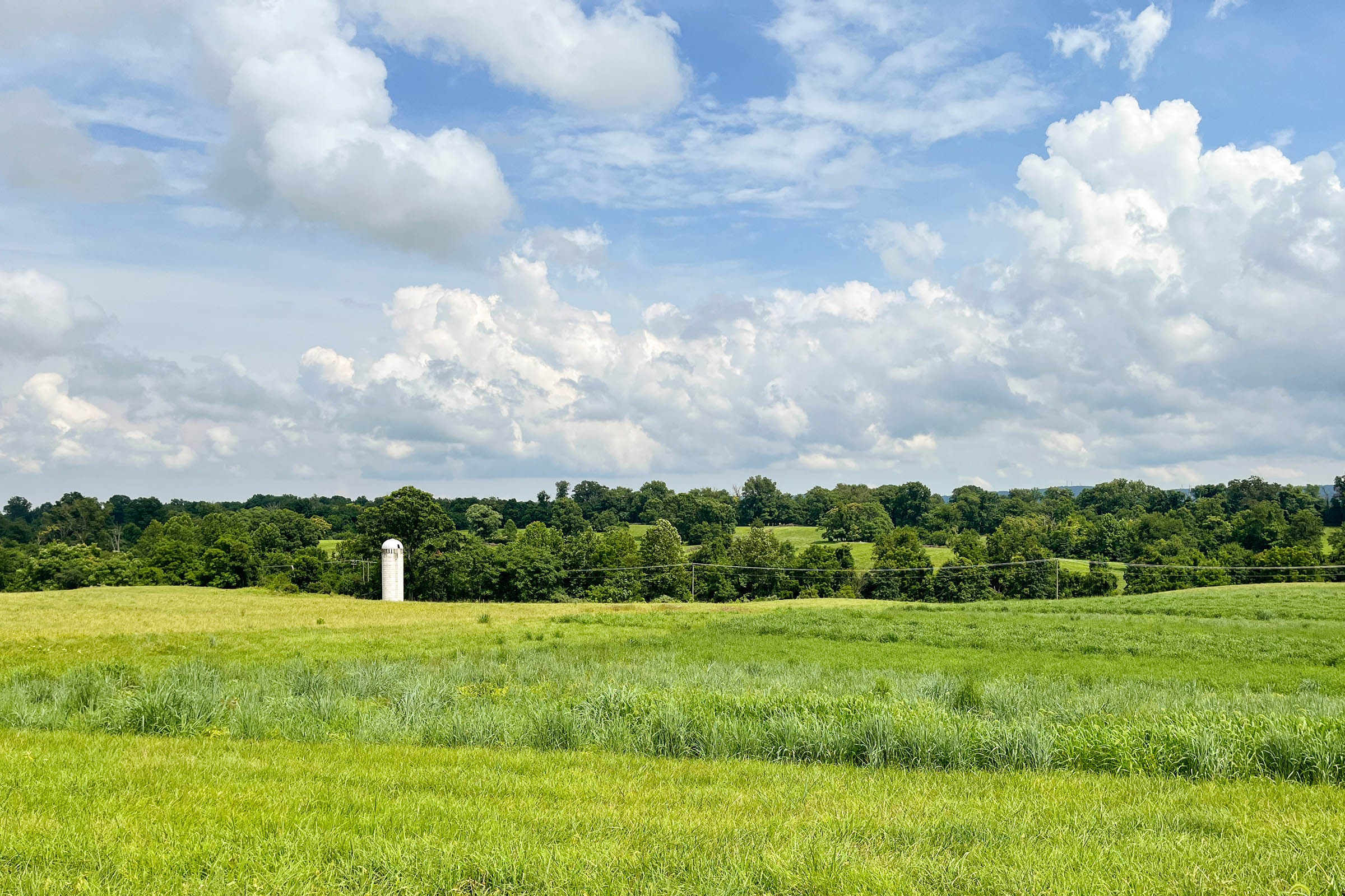
The smooth gravel roads on this route take you to Sky Meadows State Park in the foothills of the Blue Ridge massif in Delaplane, Virginia. The patchwork of rolling gravel roads in the Loudoun Valley is a playground for gravel cyclists looking for challenging riding in serene farm country flanked by mountains to the west. This loop strings together some of the more scenic locations in the valley with food and drink spots to make a fun and challenging overnighter route.
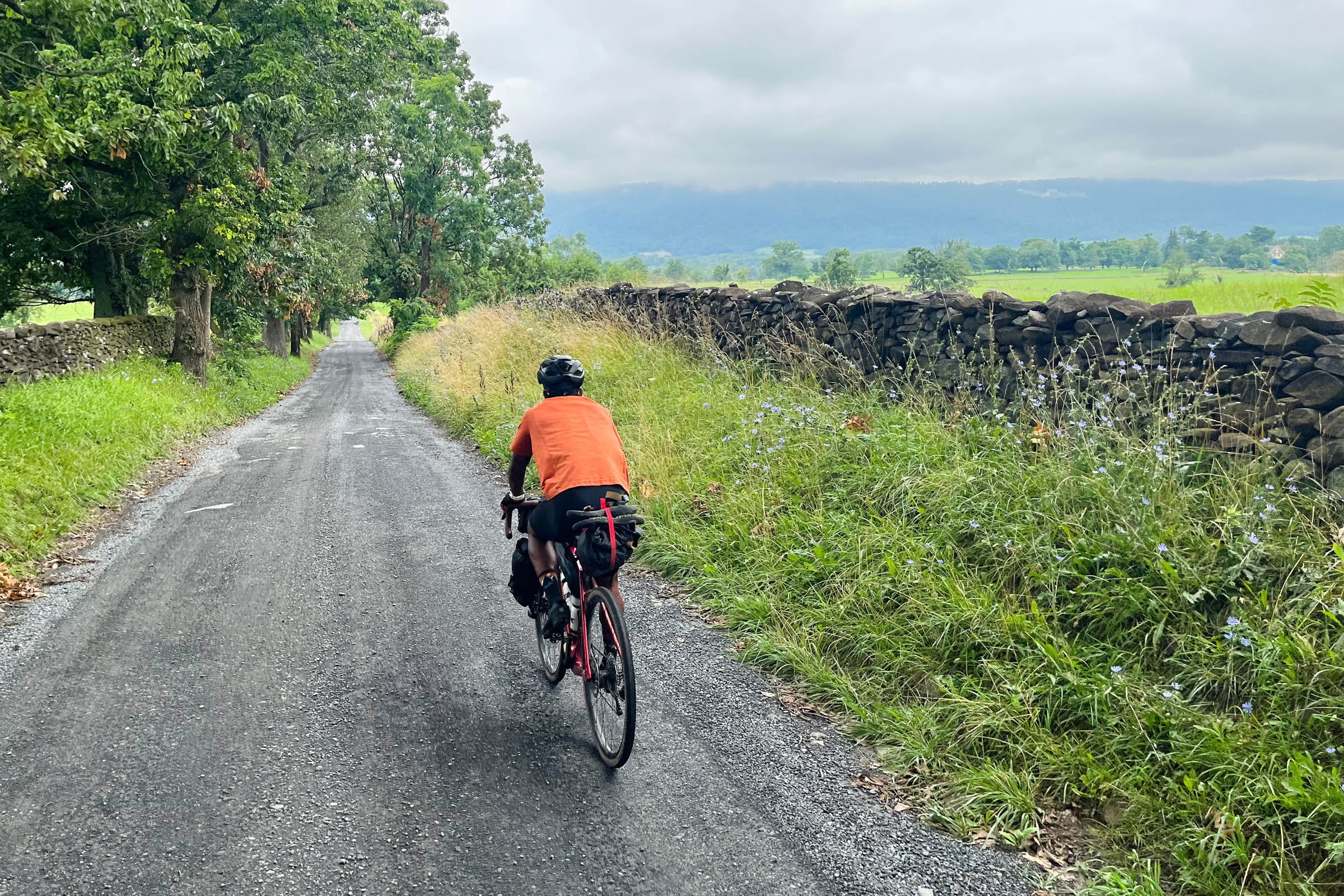
The Sky Meadows Overnighter takes you through an area steeped in Civil War history. Signposts standing beside 200-year-old stone fences detail bloody battles fought in the valley. Today, there is a conservation movement afoot to preserve these historic gravel roads in the face of development (and pavement) encroaching on the outer edges of Northern Virginia’s suburban sprawl. An article about the efforts to preserve the historic gravel roads in the Loudoun valley can be found at WAMU.org.
Route Difficulty
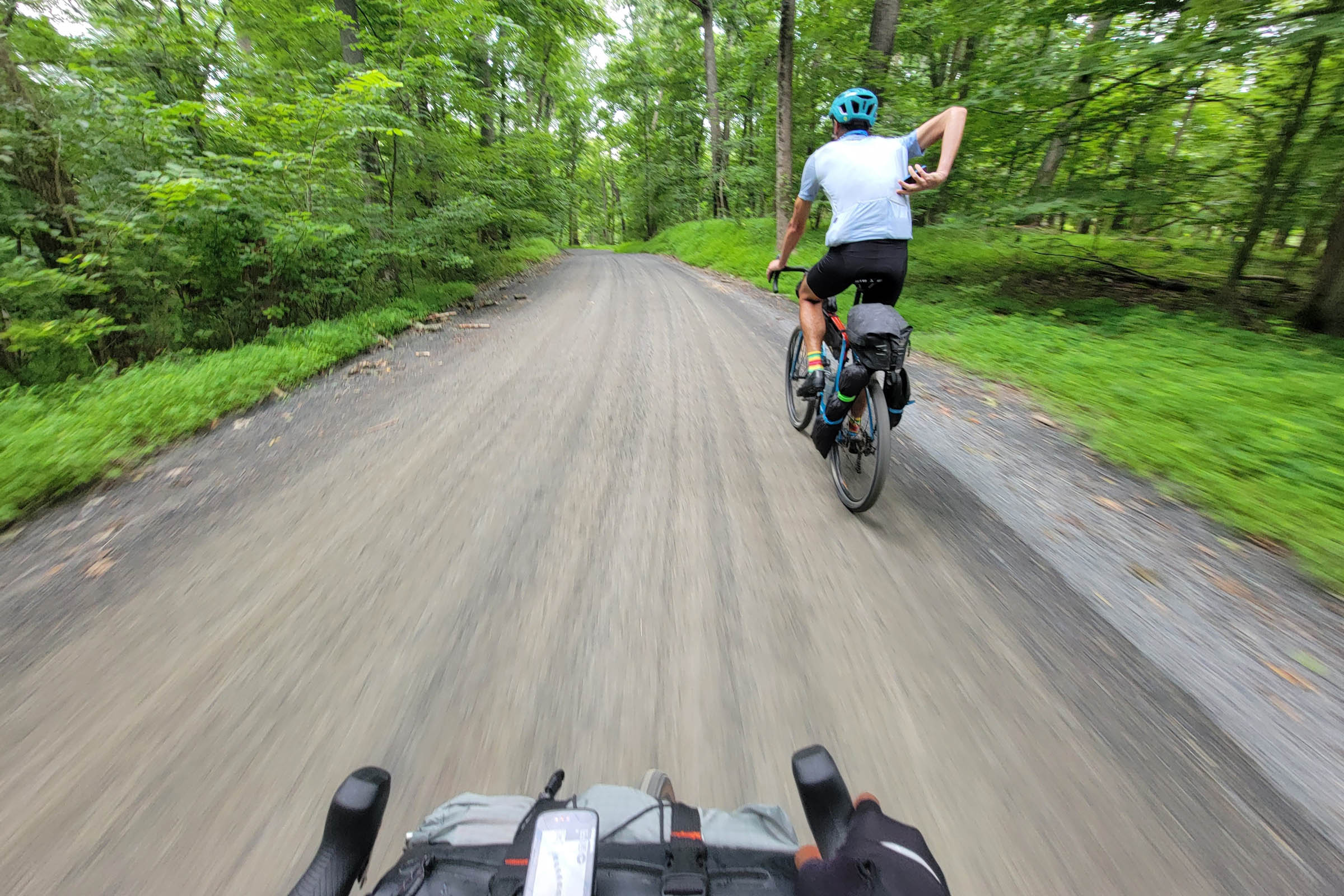
The route is assigned an overall difficulty of 4/10. This is largely due to the amount of climbing on the route, totaling nearly 6,000 feet over 84 miles, which can be challenging for people new to bikepacking. The resupply points are easy if planned out along the route. You don’t need to carry much food when starting. There is water in towns and shops along the route as well as at the campsite (see Food/H2O tab below). The technical difficulty is negligible—the gravel roads are well maintained and there is less than a mile of singletrack, most of which is on the path to get to the Sky Meadows campsite.
Route Development: The Sky Meadows Overnighter was developed by Eyal Li after several years of riding in this area. Thanks to Hugh Bayard, Geoff Patterson, Asa Rogers, and Bryan Hernandez for help scouting the route and for contributing their photography to the project.


Submit Route Alert
As the leading creator and publisher of bikepacking routes, BIKEPACKING.com endeavors to maintain, improve, and advocate for our growing network of bikepacking routes all over the world. As such, our editorial team, route creators, and Route Stewards serve as mediators for route improvements and opportunities for connectivity, conservation, and community growth around these routes. To facilitate these efforts, we rely on our Bikepacking Collective and the greater bikepacking community to call attention to critical issues and opportunities that are discovered while riding these routes. If you have a vital issue or opportunity regarding this route that pertains to one of the subjects below, please let us know:
Highlights
Must Know
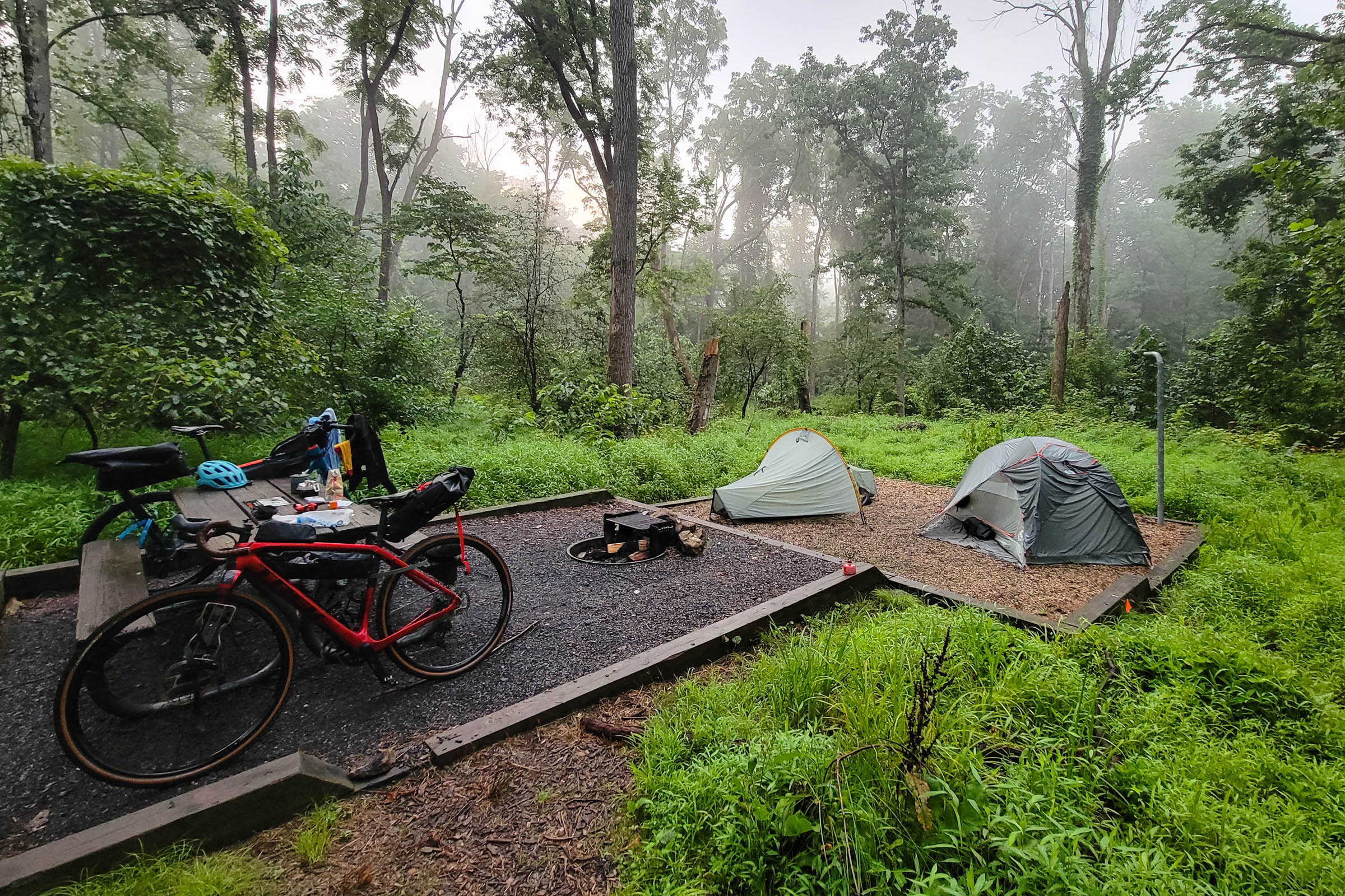
Camping
Food/H2O
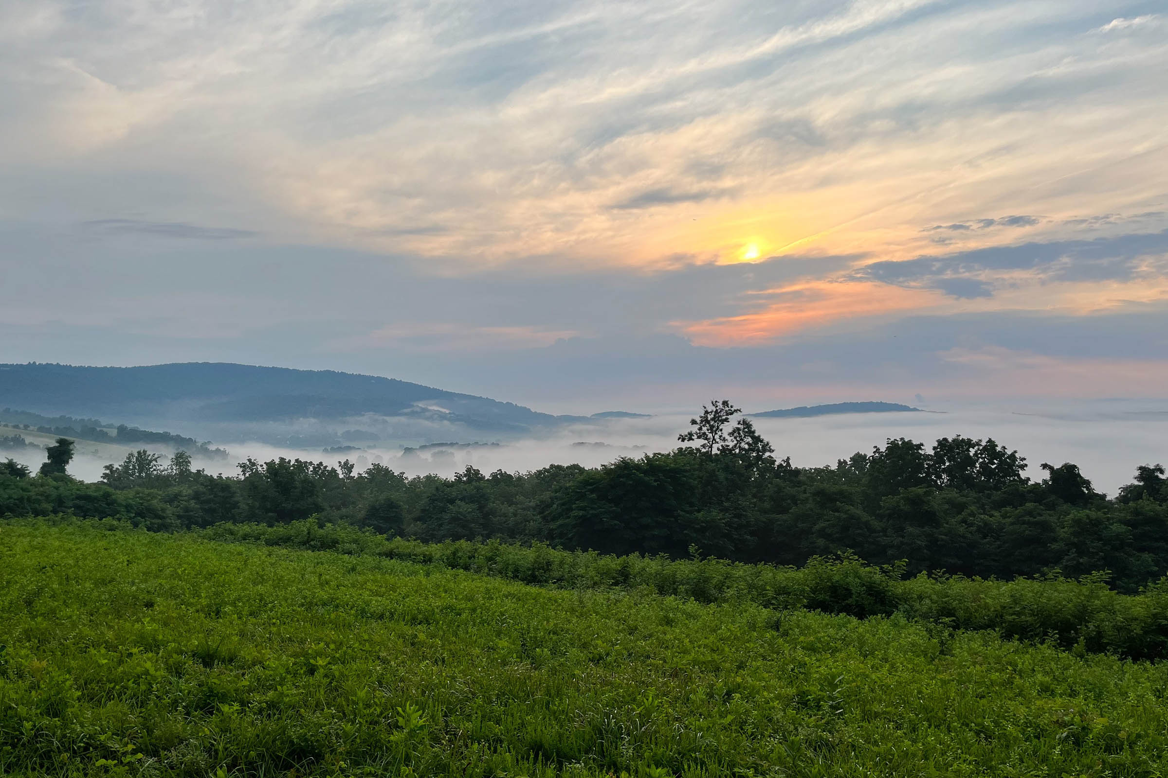
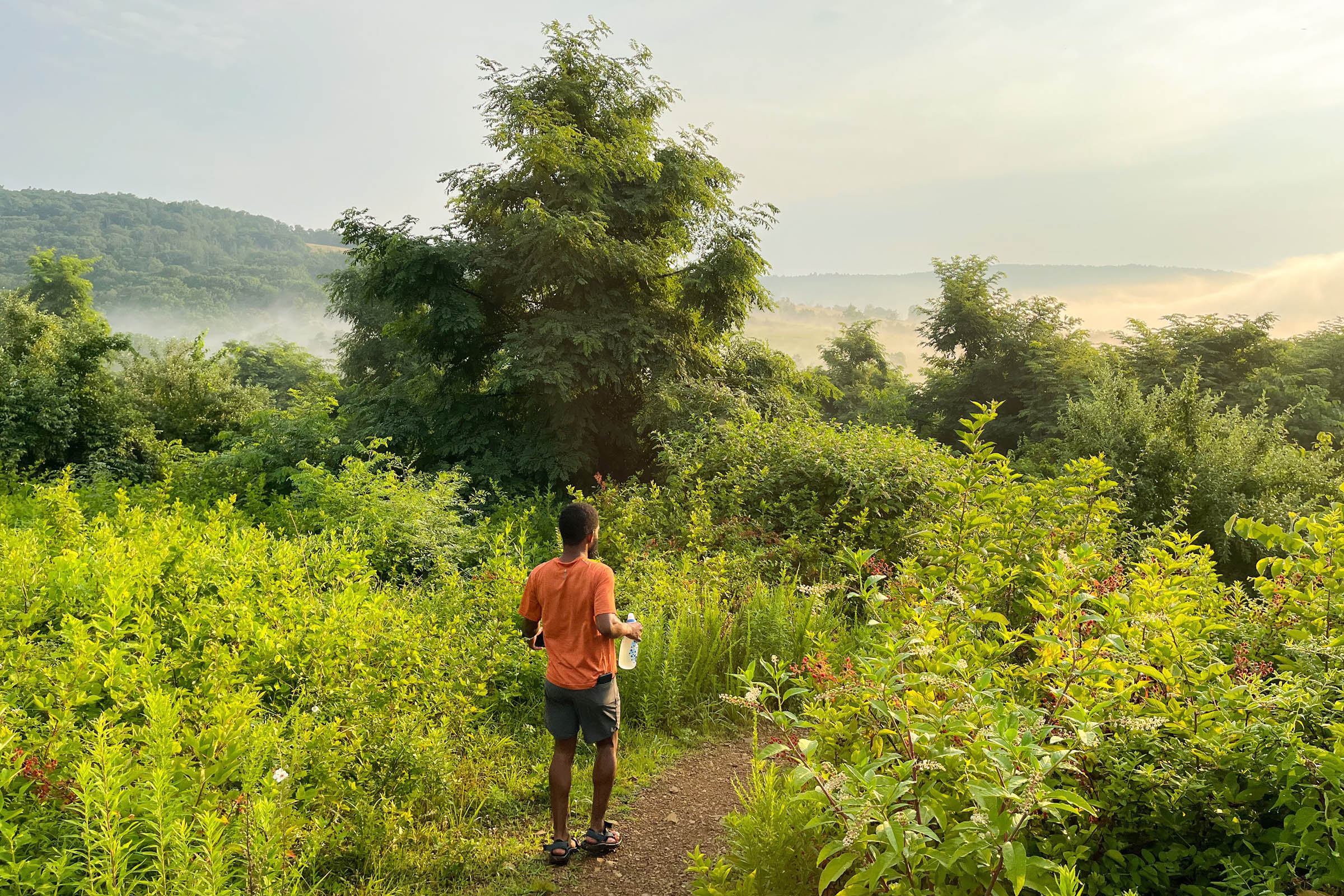
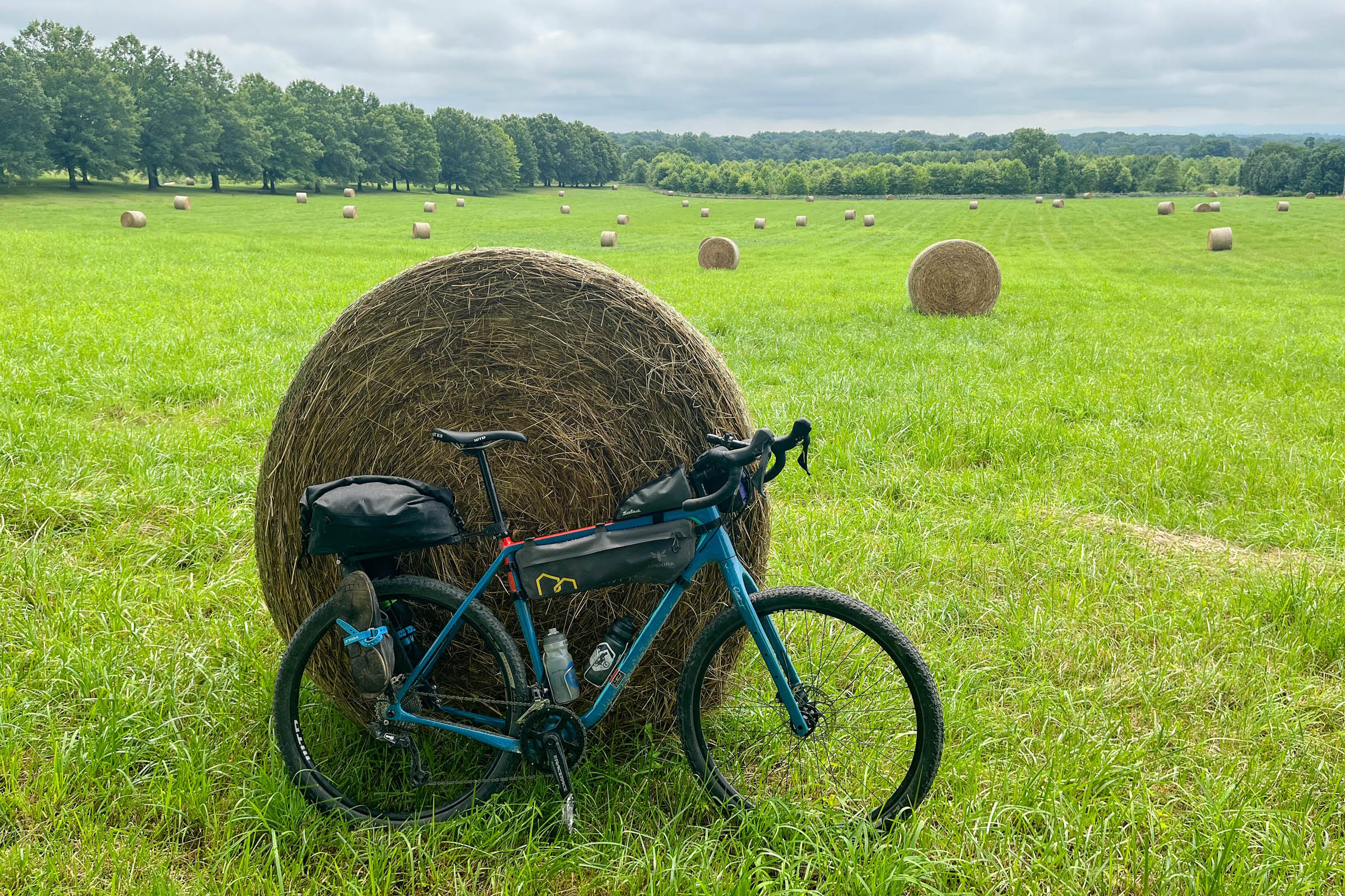
- Serene gravel roads through Northern Virginia farm country with views of the Shenandoah Mountains to the south on a clear day.
- Historic signposts recounting civil war history on the fields in the valley. See if you notice clear biases in the historical accounts of the war.
- Horse country around Middleburg. Remember to ride slowly around riders to avoid any jumpy horses.
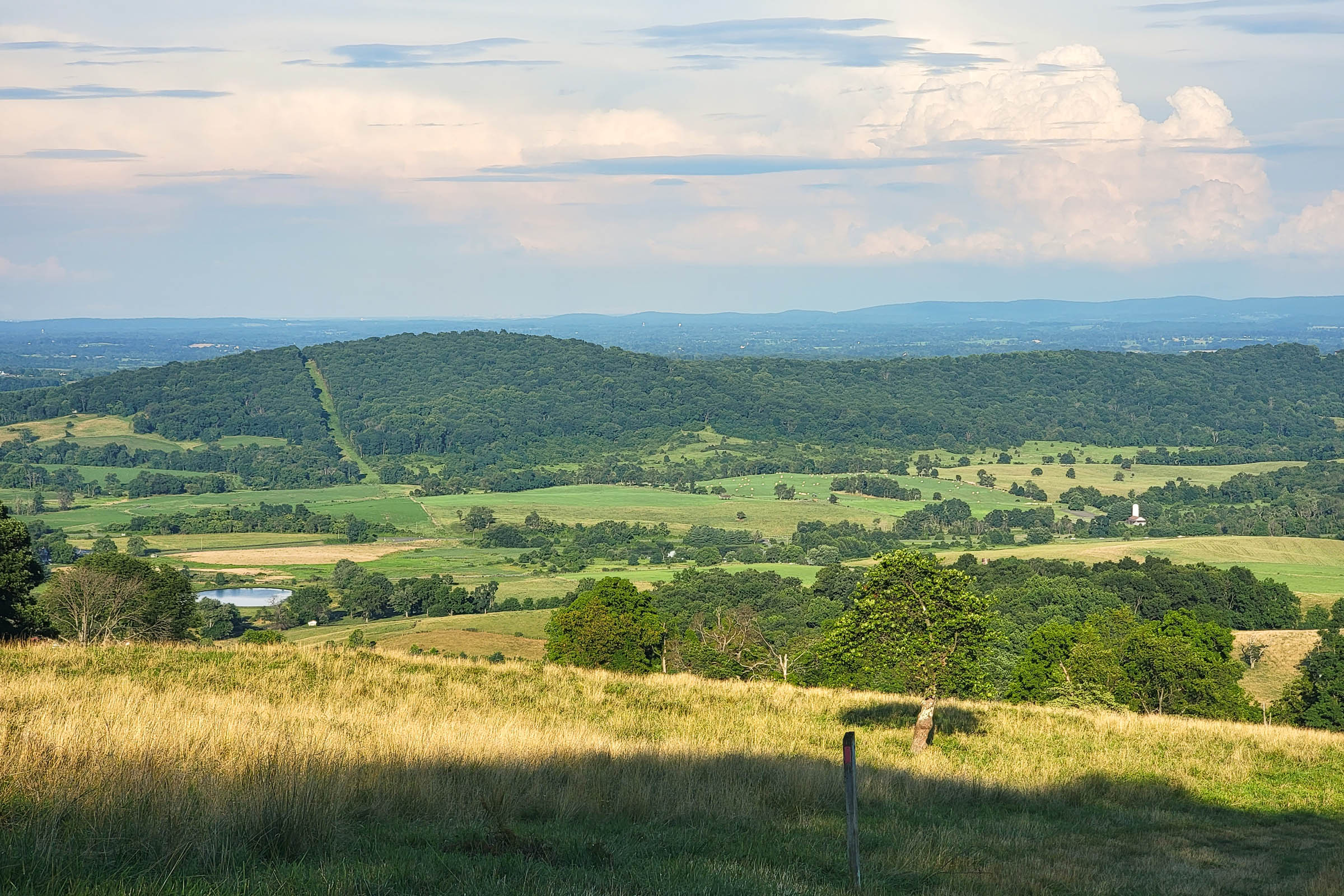
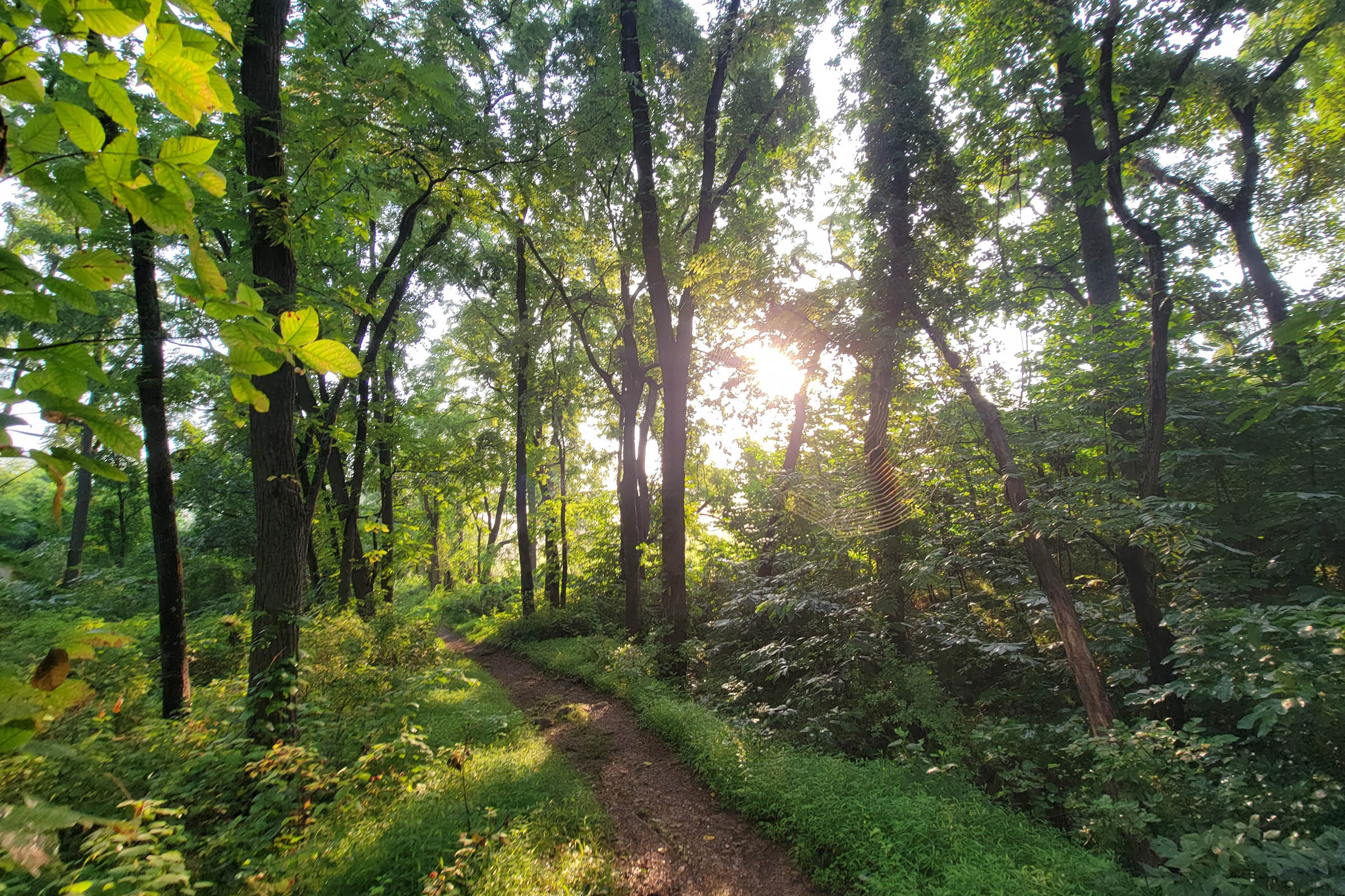
- The Lower Piedmont Overlook can be reached via a short hike from the campground. Close any gates you pass and watch out for cows. Continue up the trail to Upper Piedmont Overlook and Whitehouse Overlook if you want a longer hike.
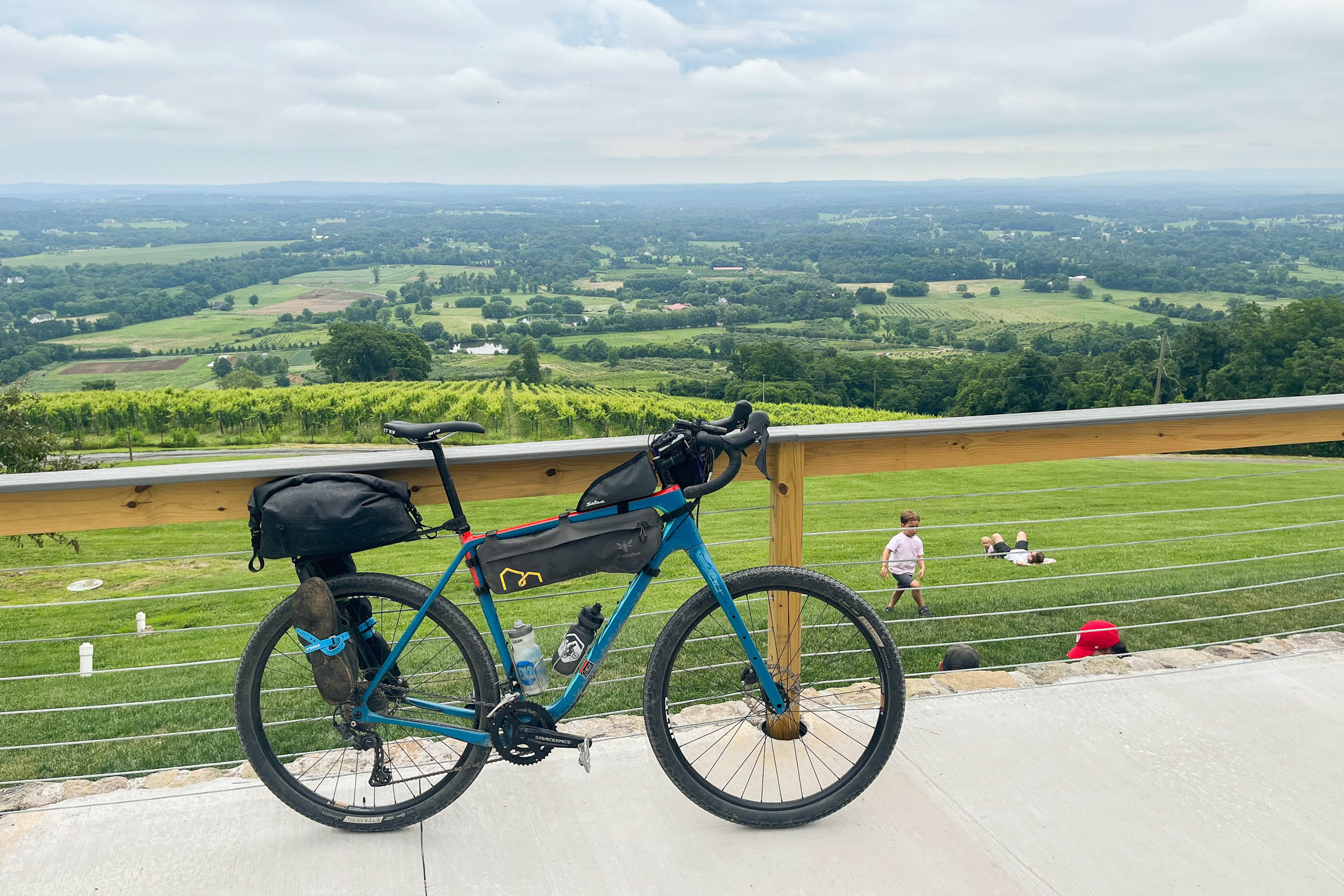
- Several breweries, wineries, and distilleries in Middleburg, Leesburg, and along the W&OD Trail.
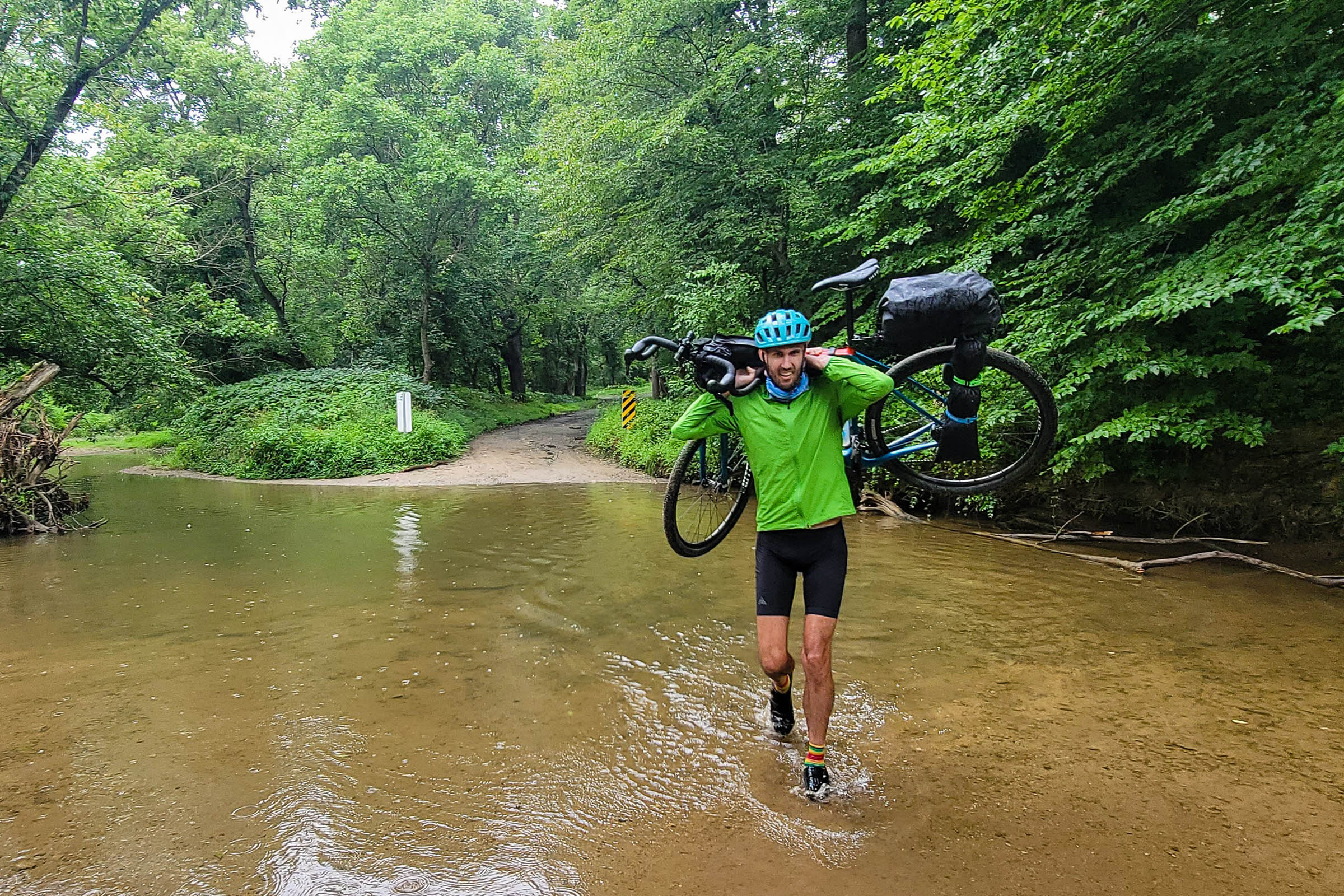
- The route is rideable year-round in dry conditions, though the stream crossing will be frigid between November and March.
- The route starts at Loudoun County High School, which is accessible via a short ride on the Washington and Old Dominion Trail from the western terminus of the Silver Line Metro. The school also has free weekend parking.
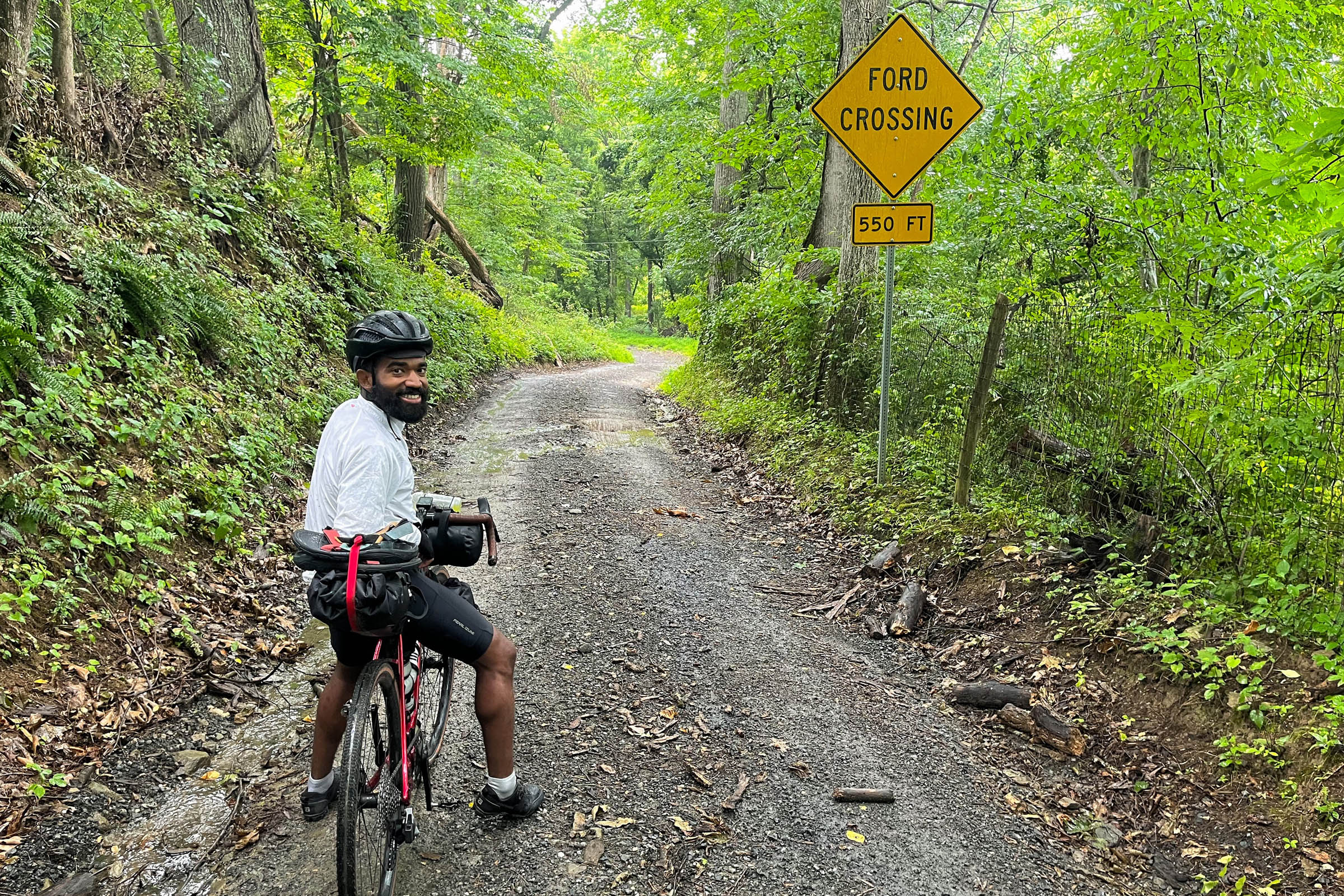
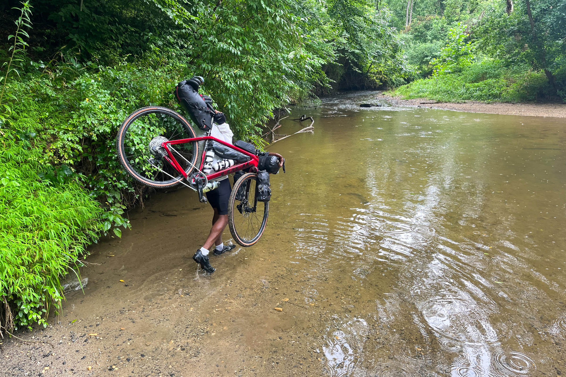
- There is a stream crossing at mile 13.5. This stream level is higher after rain and can be more challenging to cross in these conditions.
- The route is almost entirely rideable. The roads are smooth and generally well maintained. The path leading to the Sky Meadows campsite may have some chunky gravel and steeper grades than the rest of the route.
- Riders can choose to pedal to the start of the route in Leesburg from Washington, D.C. on the Washington and Old Dominion rail trail.
- The route crosses the Trans Virginia bikepacking race route, and riders can continue toward Shenandoah or west Virginia if you plan to use this route as a start to a longer tour.
- This route is based on camping at Sky Meadows State Park. This gorgeous park has campsites and scenic hiking trails in the foothills of the Blue Ridge Mountains north of Shenandoah National Park. It also provides access to the Appalachian Trail.
- Campsite reservations aren’t required for one night stays but are recommended as campgrounds often fill up on weekends. Reservations can be made here.
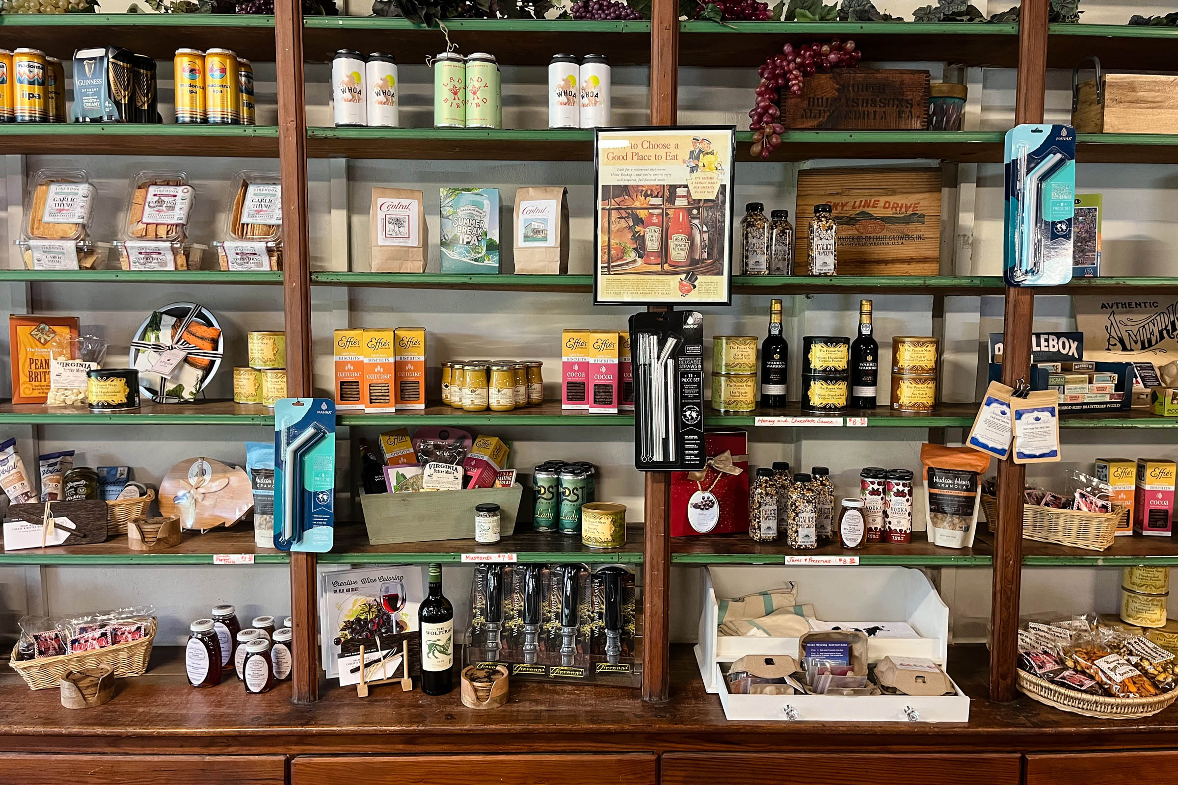
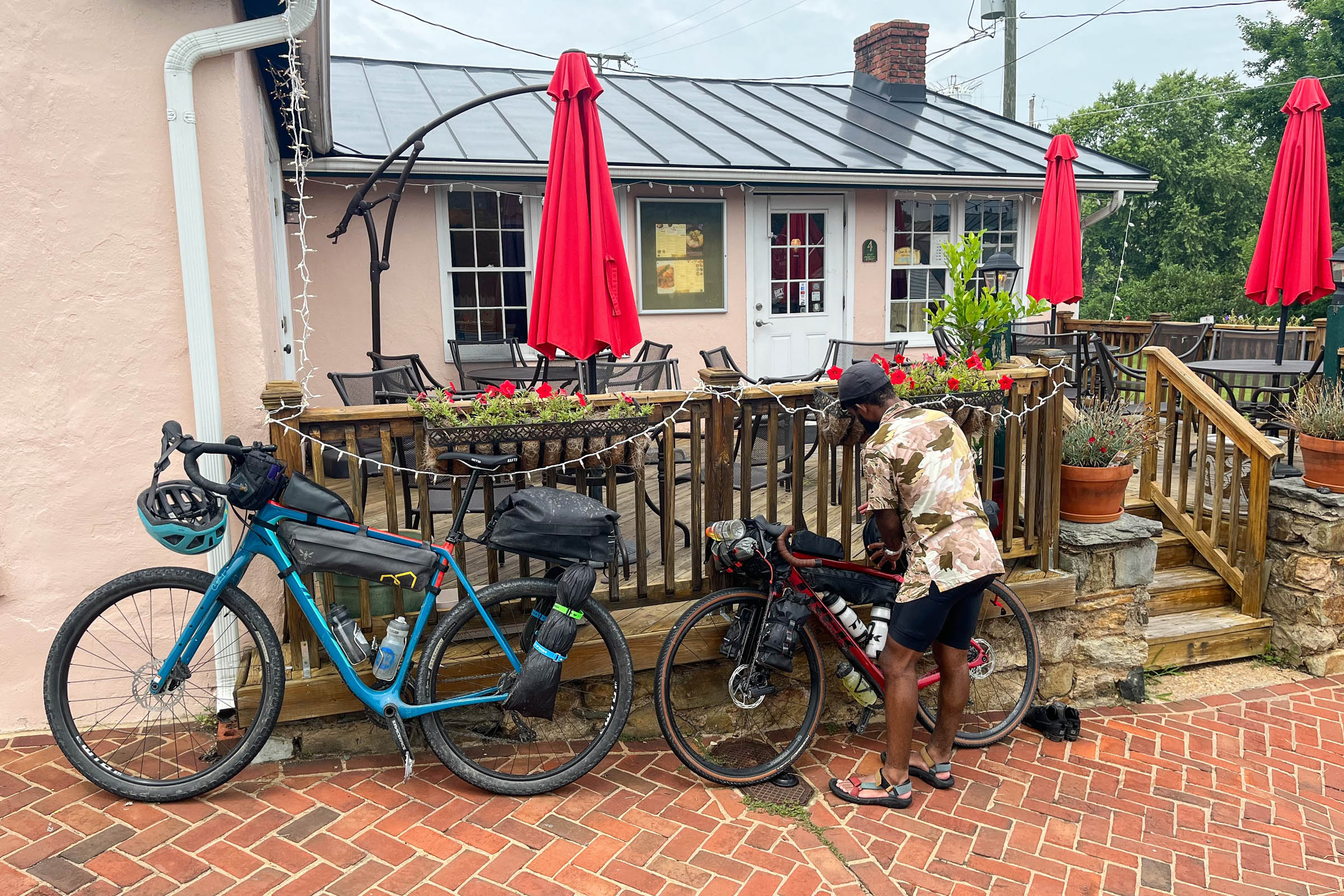
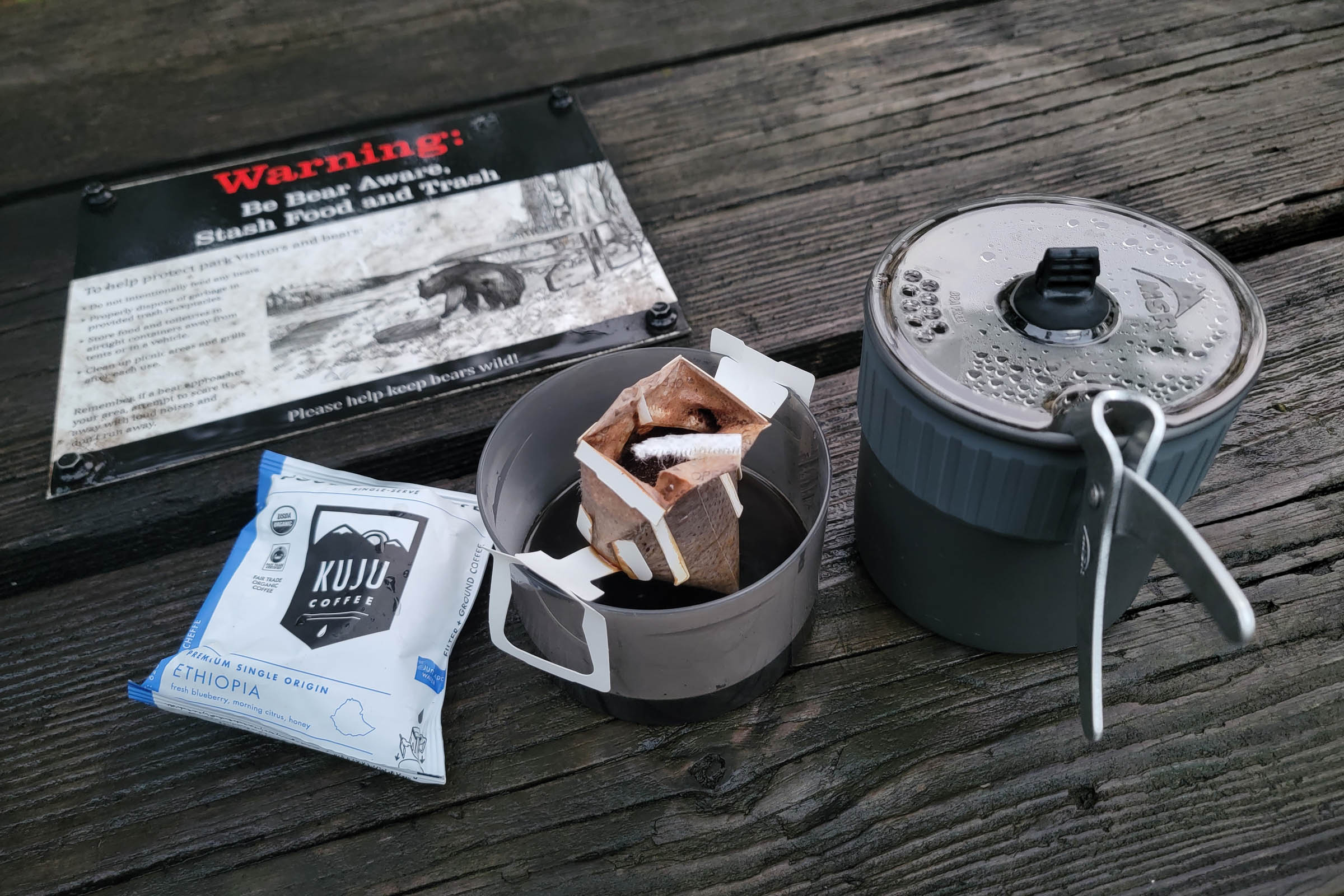
- Food is available at two country stores and in the towns along the route.
- There is water is available at the two stores mentioned above and there is a NON-potable water supply at Sky Meadow park campsites that needs to be filtered/treated before consumption. Either pack it in from one of the general stores, treat water from the campsite supply, or fill up at the park’s main bathroom (near the parking lot).
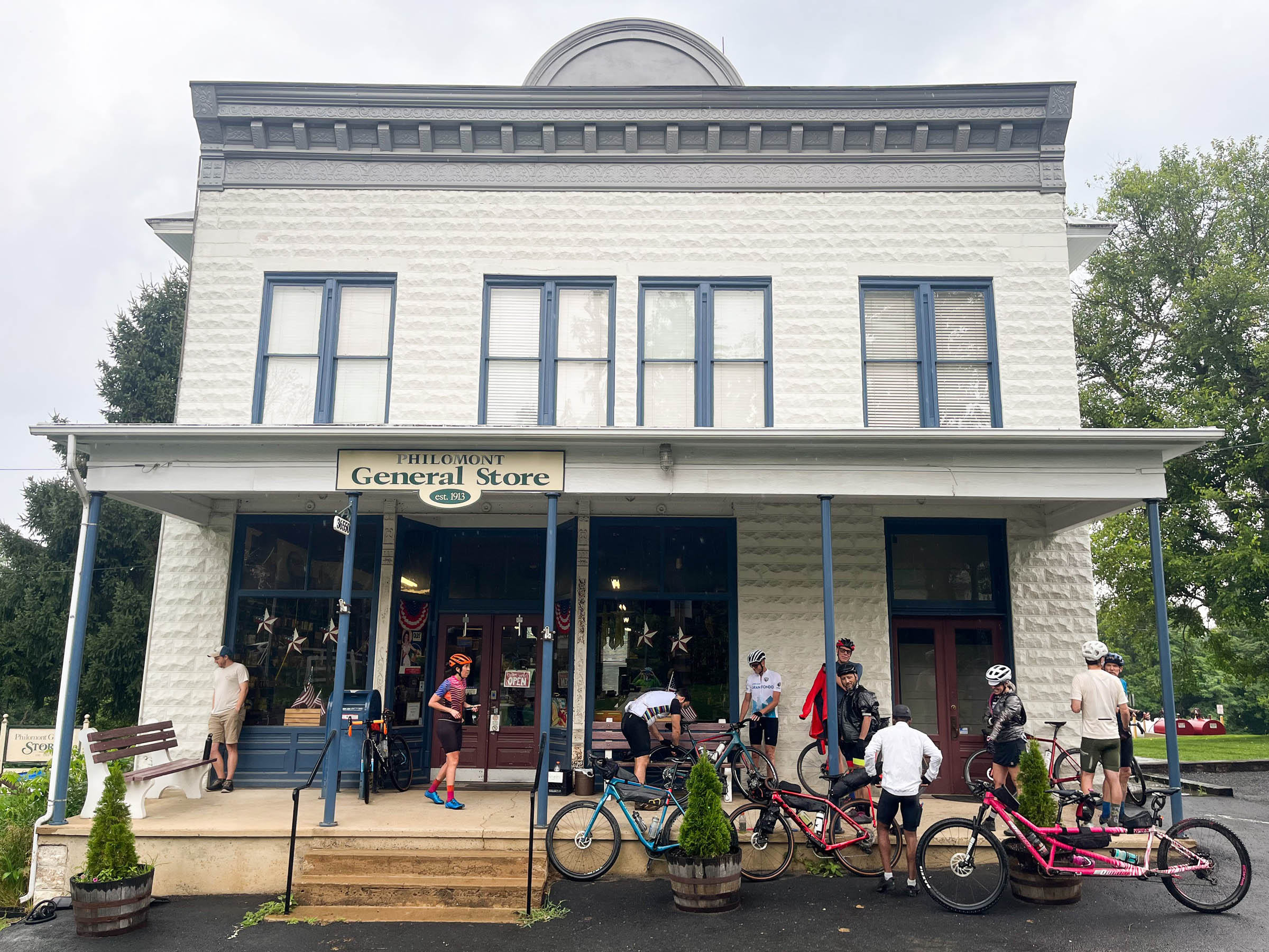
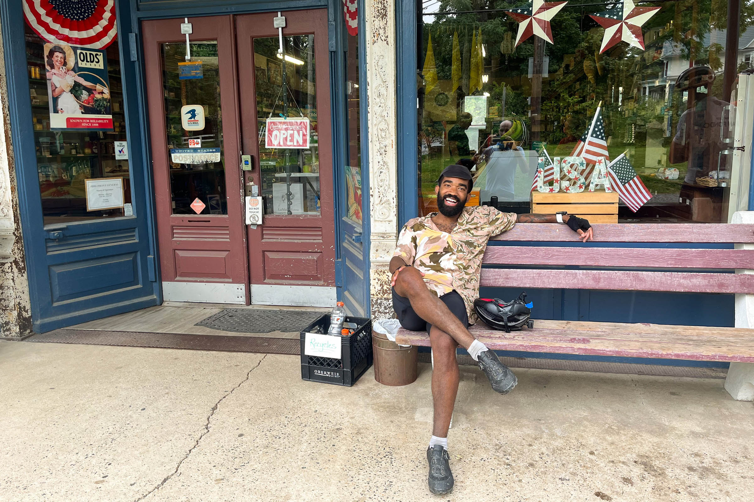
- The Philomont general store at mile 12.9 – the country ham sliders are delicious. They are closed on Sundays.
- The town of Middleburg at mile 25 has plenty of options for food and drink.
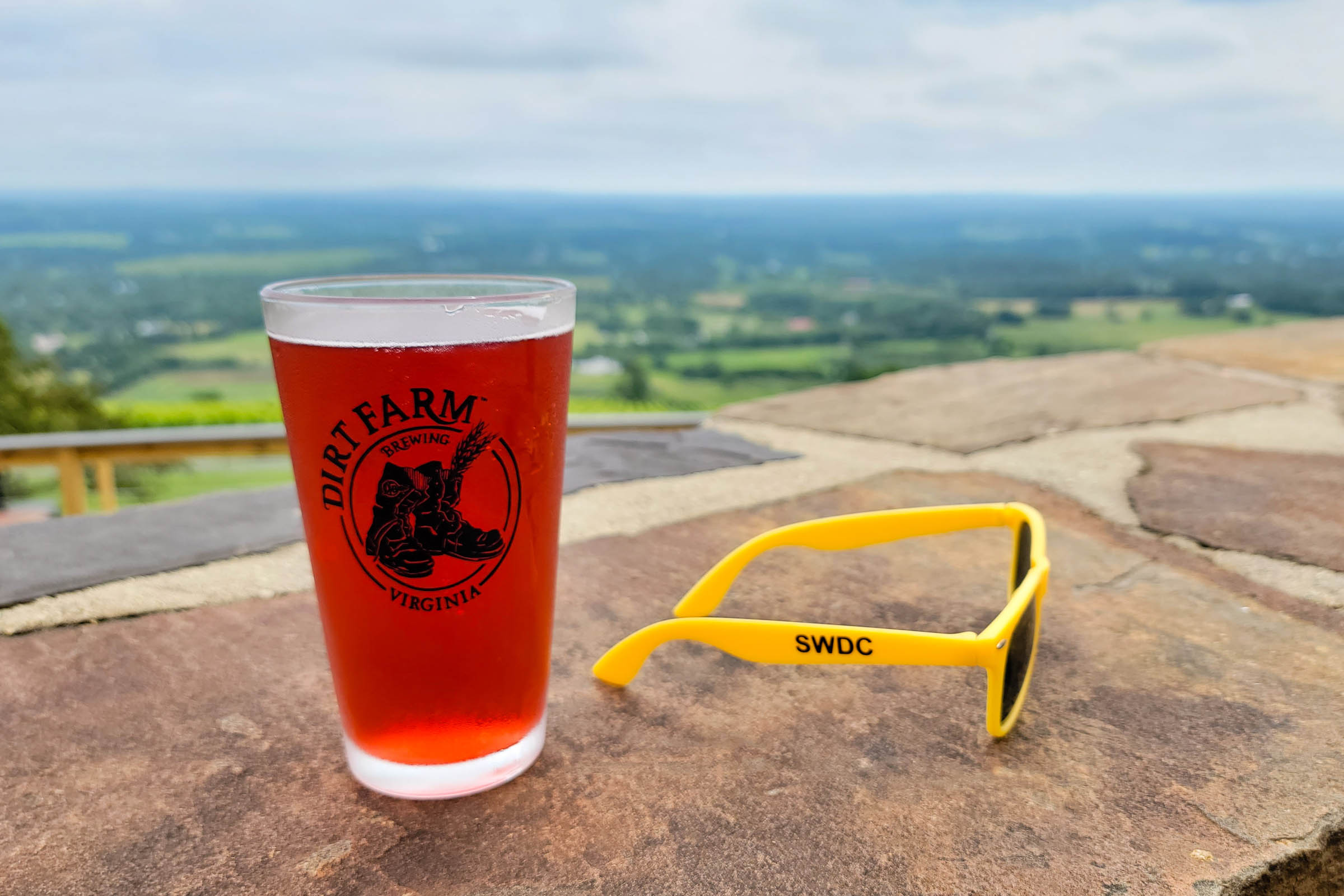
- Dirt Farm Brewing less than a half-mile off-route at mile 66.
- The Bluemont General Store about a mile off-route at mile 66 (they also have ham sliders). Open 7 days a week.


Terms of Use: As with each bikepacking route guide published on BIKEPACKING.com, should you choose to cycle this route, do so at your own risk. Prior to setting out check current local weather, conditions, and land/road closures. While riding, obey all public and private land use restrictions and rules, carry proper safety and navigational equipment, and of course, follow the #leavenotrace guidelines. The information found herein is simply a planning resource to be used as a point of inspiration in conjunction with your own due-diligence. In spite of the fact that this route, associated GPS track (GPX and maps), and all route guidelines were prepared under diligent research by the specified contributor and/or contributors, the accuracy of such and judgement of the author is not guaranteed. BIKEPACKING.com LLC, its partners, associates, and contributors are in no way liable for personal injury, damage to personal property, or any other such situation that might happen to individual riders cycling or following this route.
Please keep the conversation civil, constructive, and inclusive, or your comment will be removed.