


St James Loop
Distance
58 Mi.
(93 KM)Days
2
% Unpaved
100%
% Singletrack
25%
% Rideable (time)
95%
Total Ascent
4,466'
(1,361 M)High Point
4,312'
(1,314 M)Difficulty (1-10)
3?
- 5Climbing Scale Moderate77 FT/MI (15 M/KM)
- -Technical Difficulty
- -Physical Demand
- -Resupply & Logistics
Contributed By
Rory Mearns
Guest Contributor
Rory is a software developer based in Dunedin, New Zealand, who balances out his time in front of the computer with pedaling adventures around the country on his Surly Ice Cream Truck.
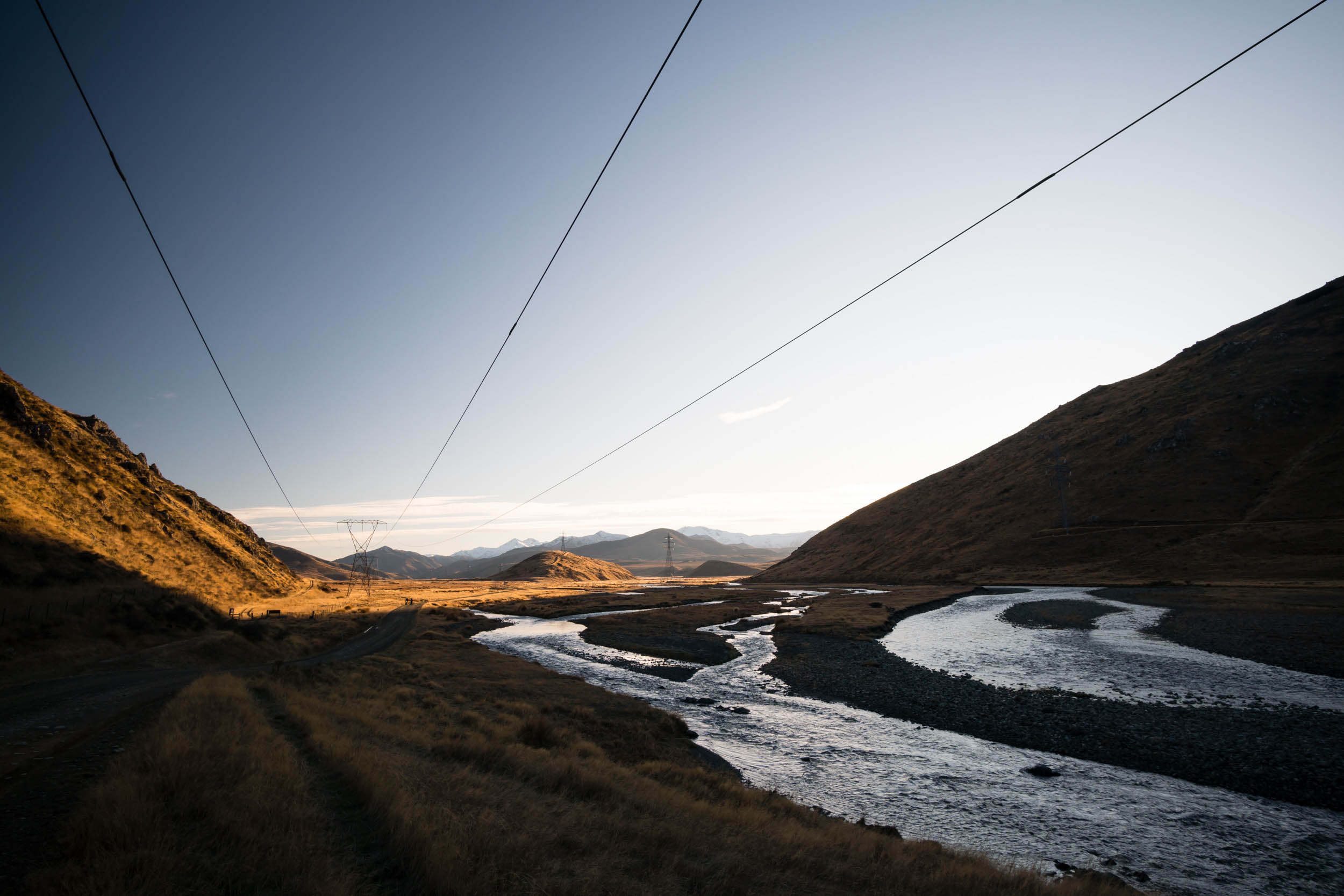
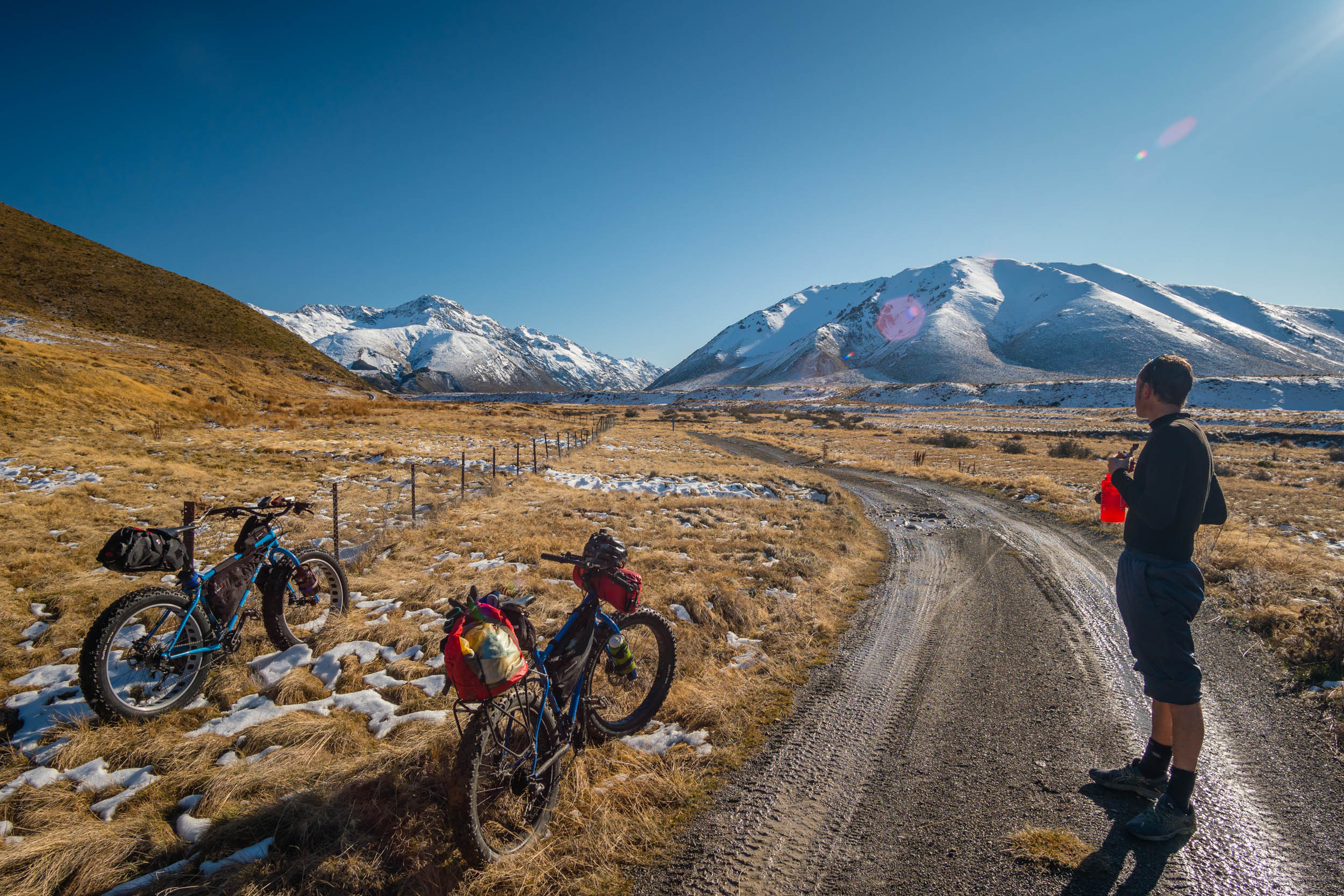
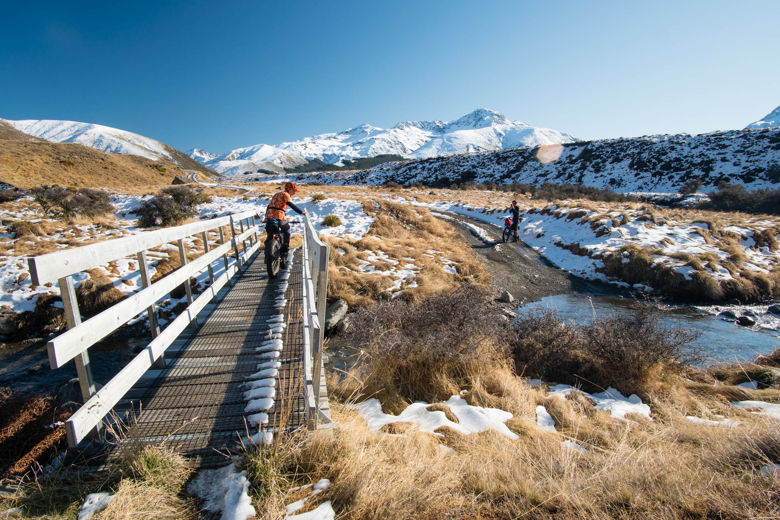
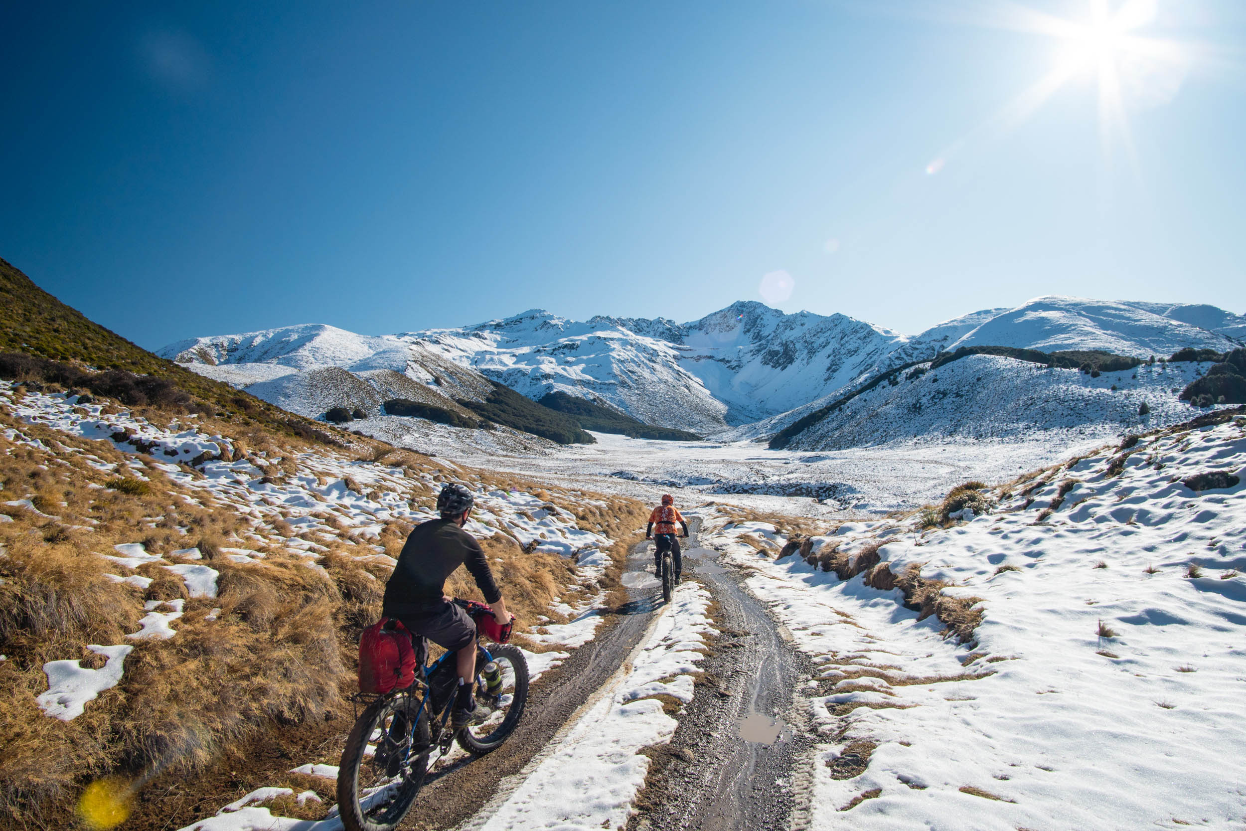
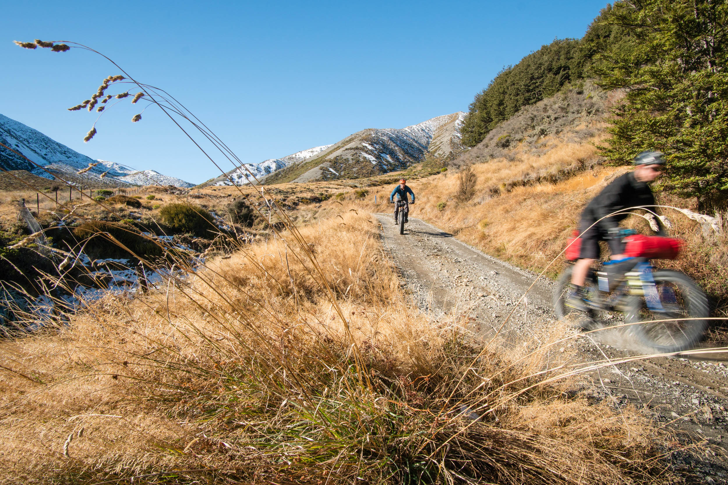
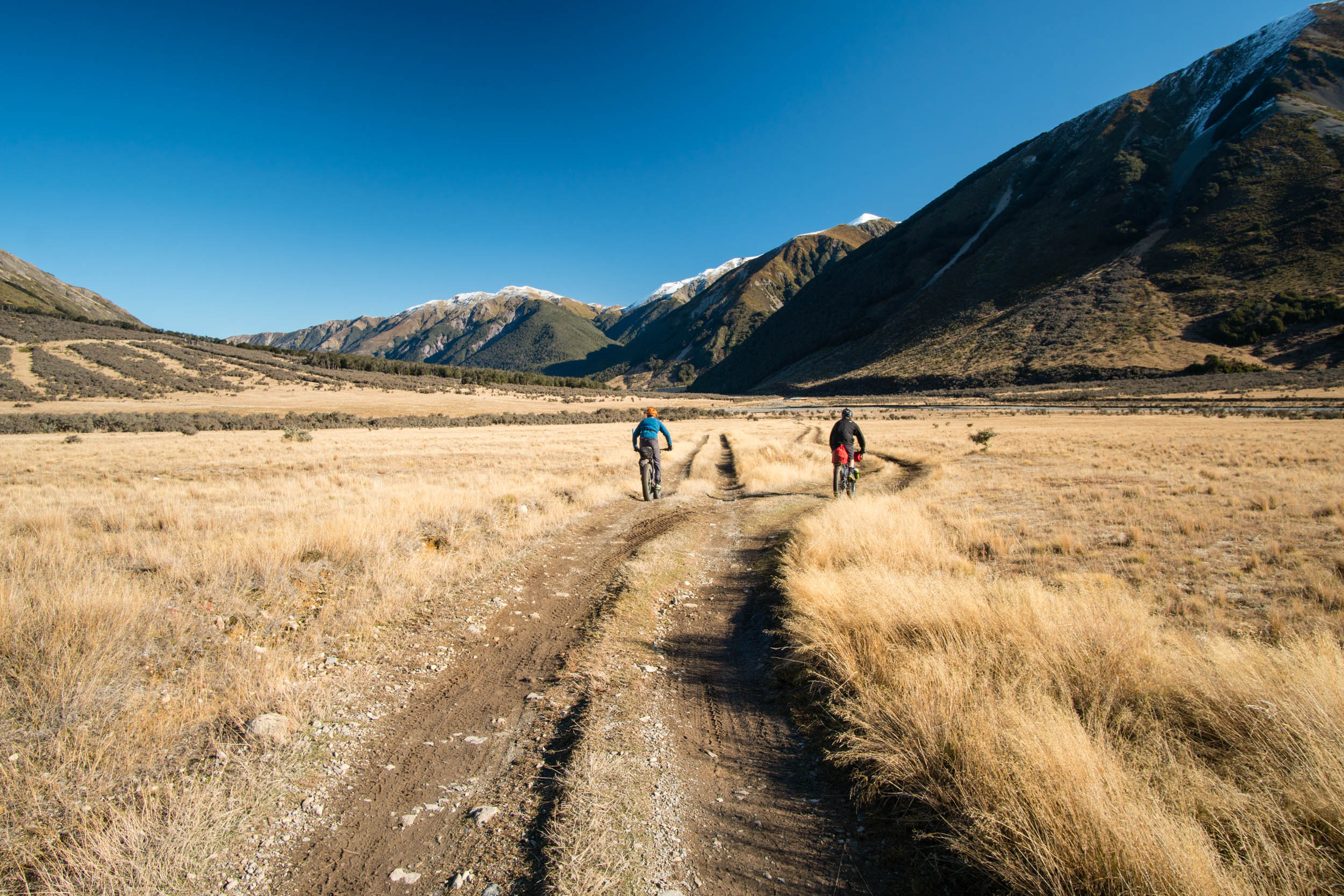
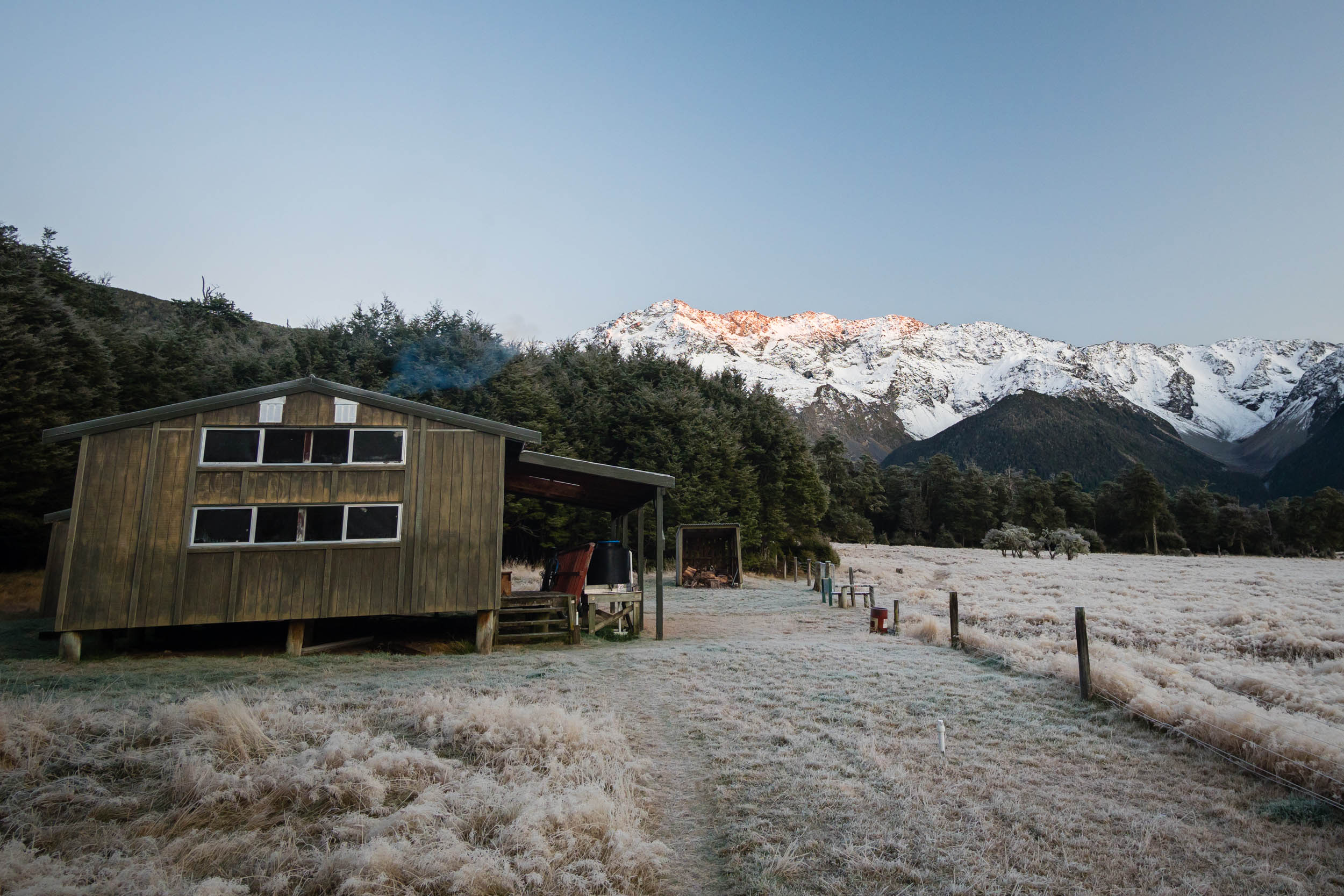
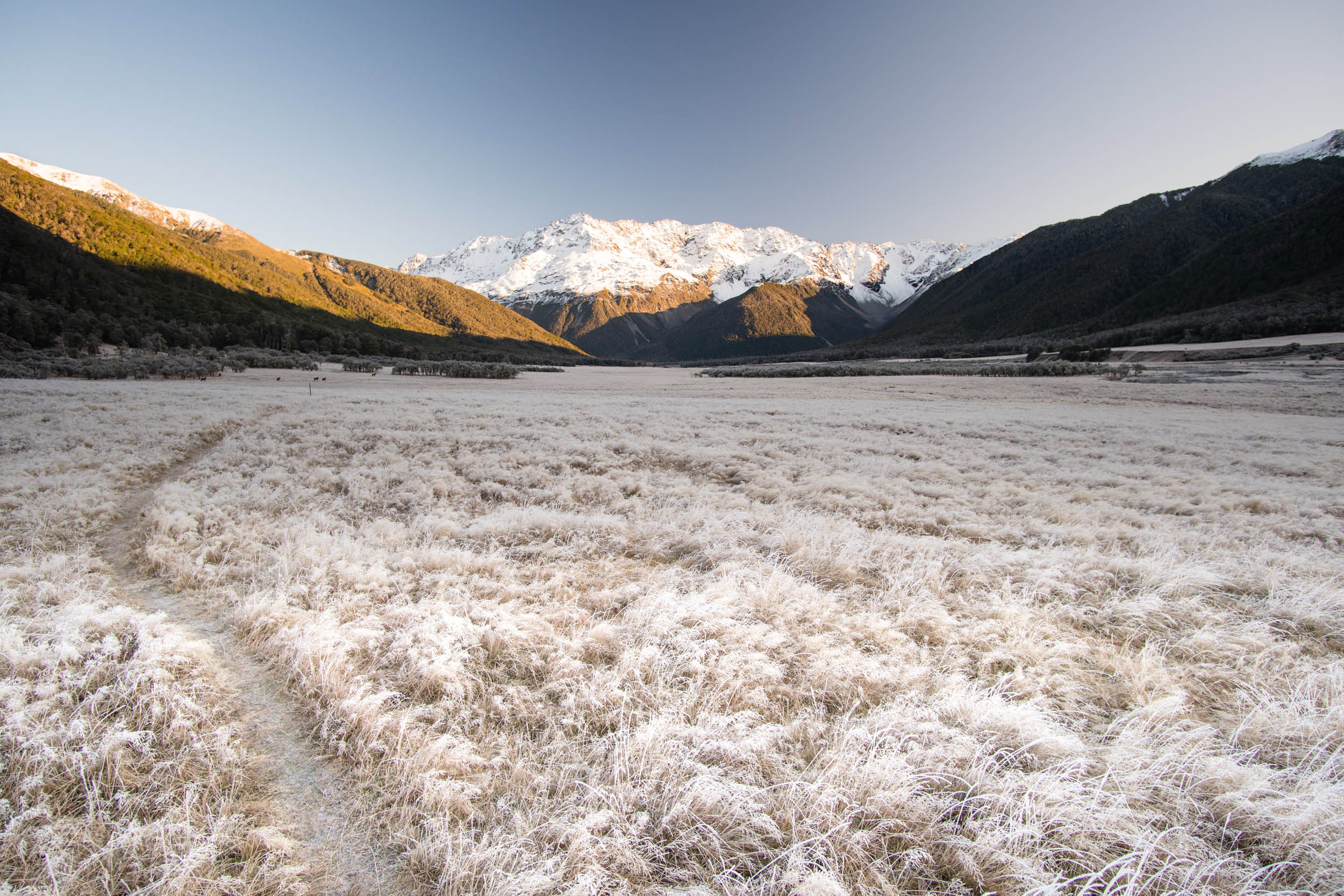
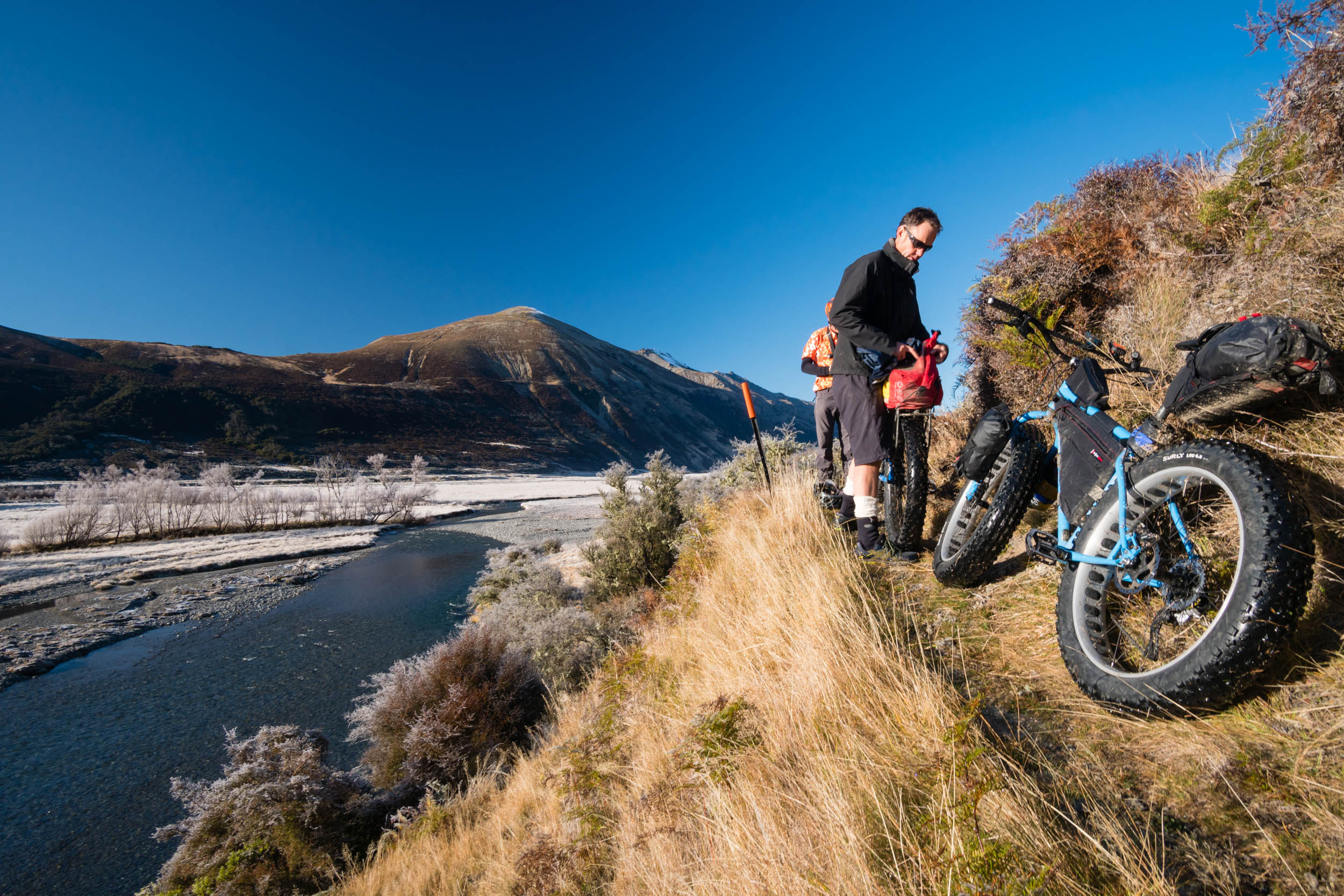
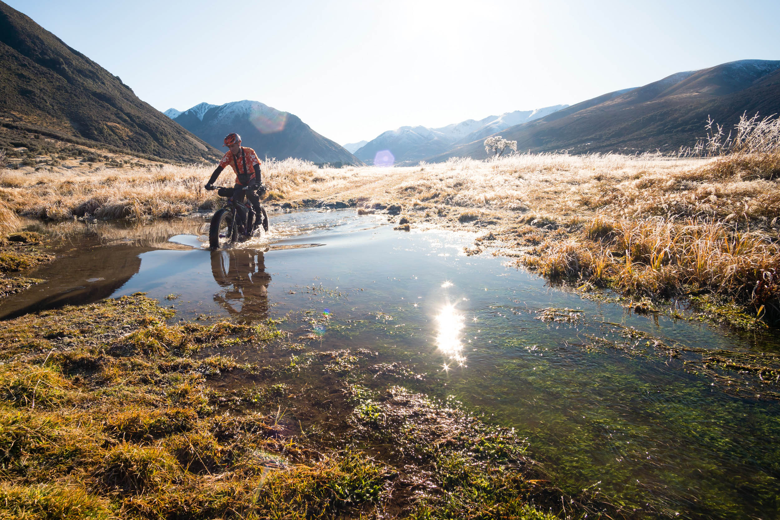
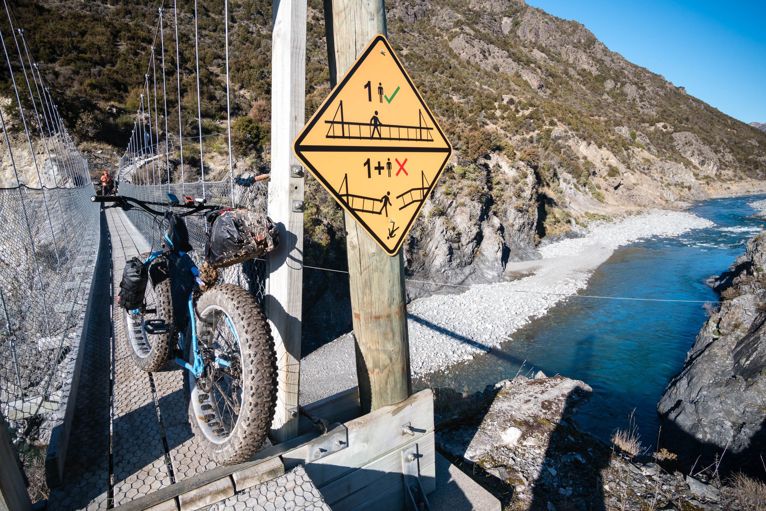
The St James Loop trail sets off on a gravel road, which quickly turns into a healthy mix of two track and single trail, with only a few short steep climbs or rocky sections requiring you to push your bike. The Clarence and Waiau valleys will have you stopping at every bend on this 58-mile ride: a crystal-clear river carves its way through the vast valley floor, flanked by towering snow-capped mountains.
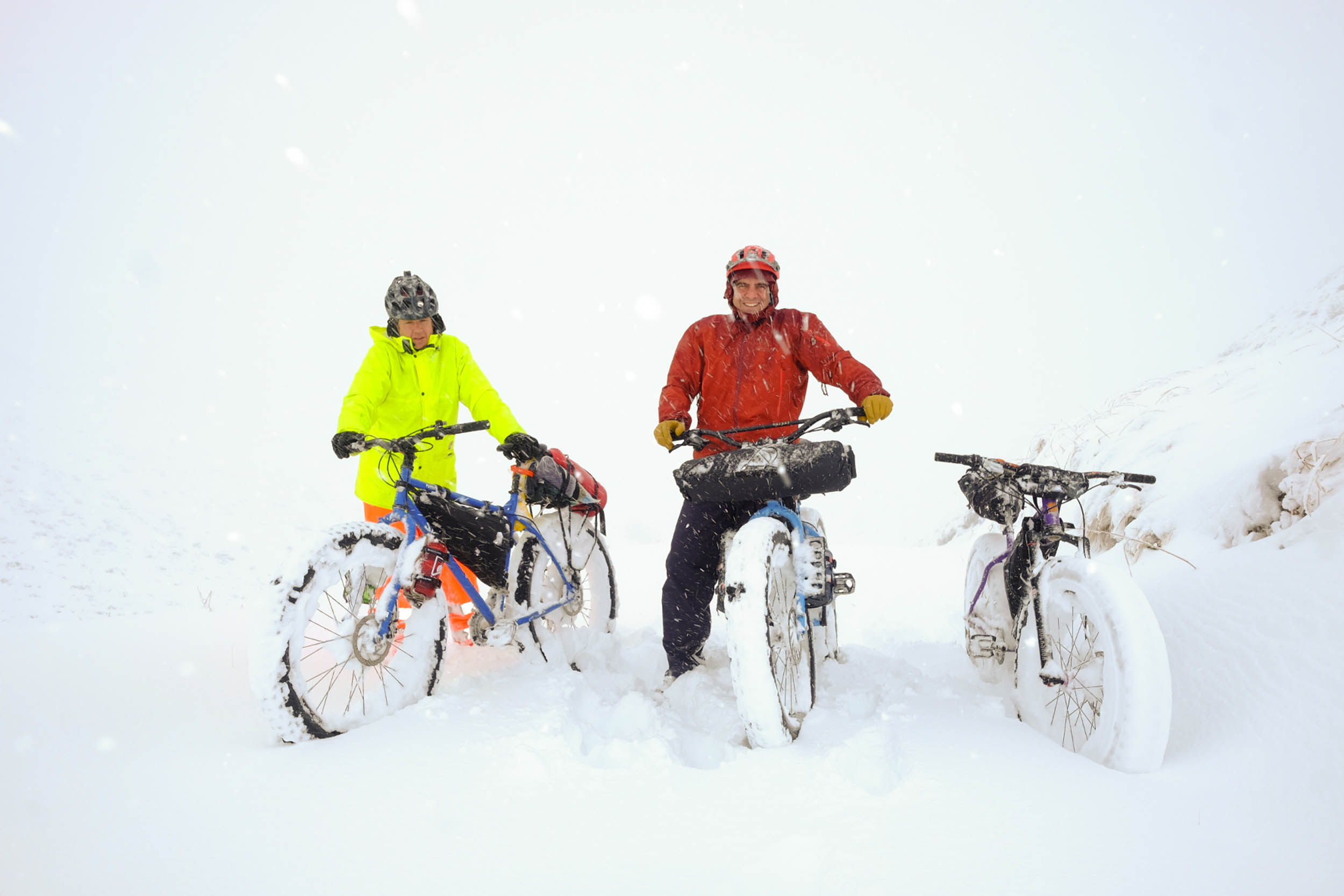
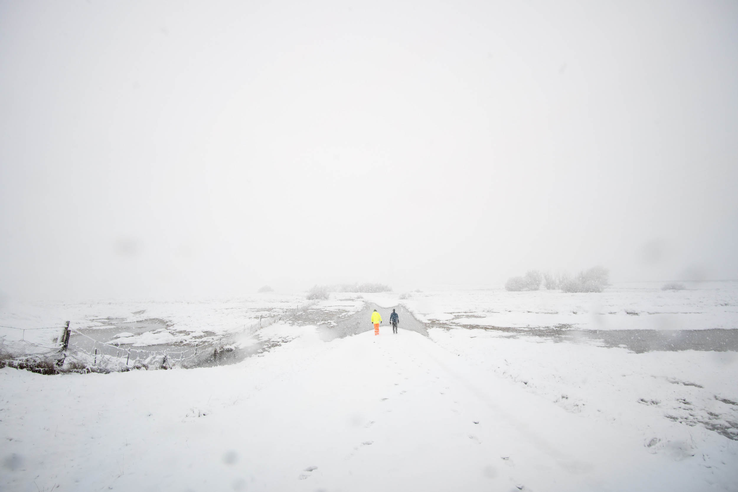
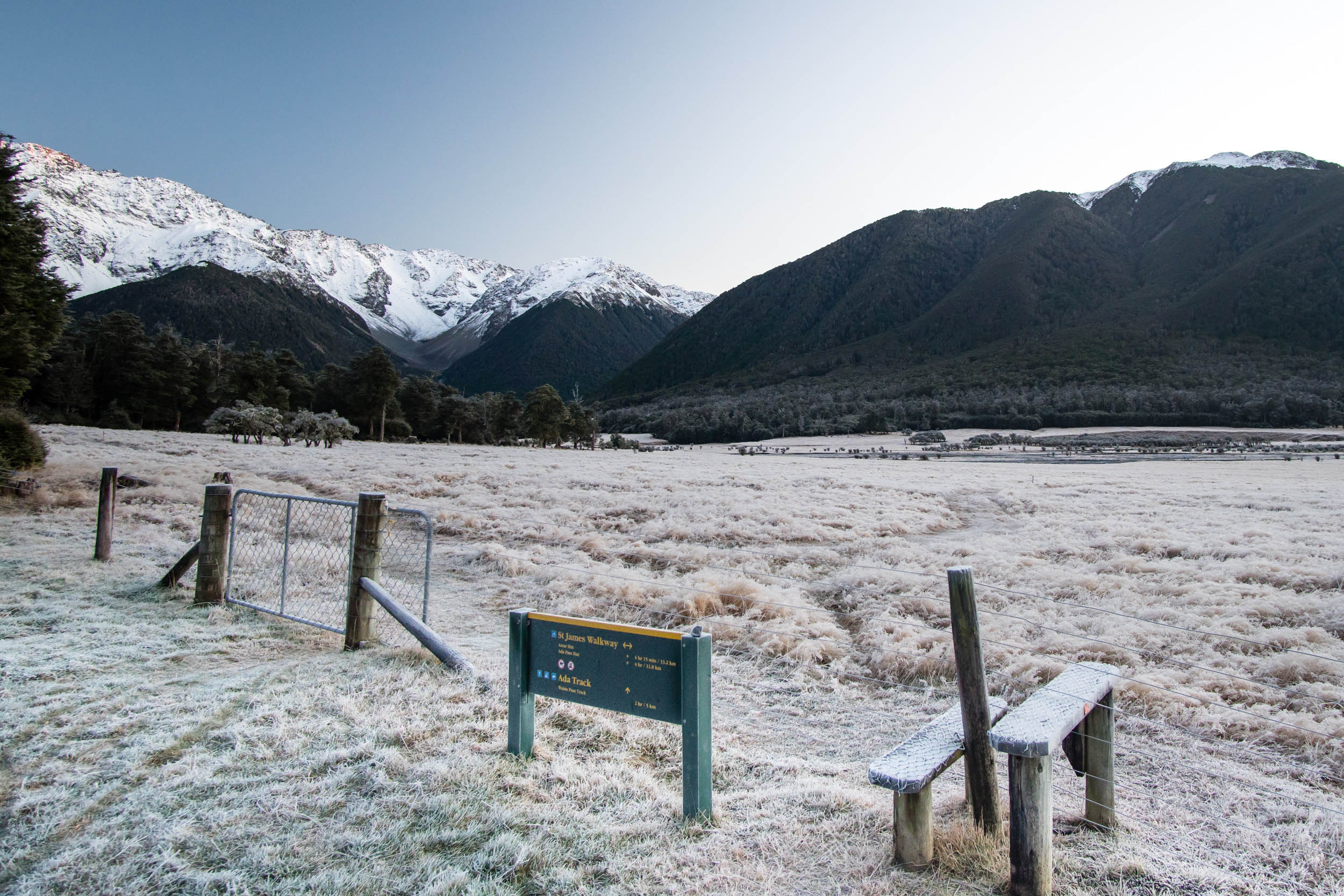
The St James cycleway is fast becoming a classic ride and it provides the perfect introduction to an area with near infinite adventure possibilities. The infamous Kennett Brothers recommend the Fowler’s Pass trail that cuts through the middle of this loop, which offers an alternative for those seeking a more technical ride (grade 5). If it’s the rivers you find more appealing, there are epic tales of packrafting adventures down the Waiau River (grade III to IV) that could be combined with a bikepacking trip. And then there’s the potential for a winter ride. We initially attempted the St James Loop in the winter, and while we were ultimately turned around by blizzard conditions, it is a trip that (for better or worse) has been etched into our minds.
This is a route that’s accessible enough to be enjoyed by anyone, but a big enough challenge for you to earn that sensational pork belly burger from the food caravan in Hanmer Springs.
Difficulty: The St James Loop is rated 3 out of 10 for difficulty, making it an ideal introduction to off-road bikepacking. Logistics are relatively simple, water is plentiful, and the well-formed trail makes for fairly easy riding. A few steep climbs and a reasonable distance to cover across two days are the two main factors to consider.


Submit Route Alert
As the leading creator and publisher of bikepacking routes, BIKEPACKING.com endeavors to maintain, improve, and advocate for our growing network of bikepacking routes all over the world. As such, our editorial team, route creators, and Route Stewards serve as mediators for route improvements and opportunities for connectivity, conservation, and community growth around these routes. To facilitate these efforts, we rely on our Bikepacking Collective and the greater bikepacking community to call attention to critical issues and opportunities that are discovered while riding these routes. If you have a vital issue or opportunity regarding this route that pertains to one of the subjects below, please let us know:
Highlights
Must Know
Camping
Food/H2O
Trail Notes
Resources
- Wild horses can be seen grazing in the meadows. We encountered them along the banks of the Ada River near Christopher Hut.
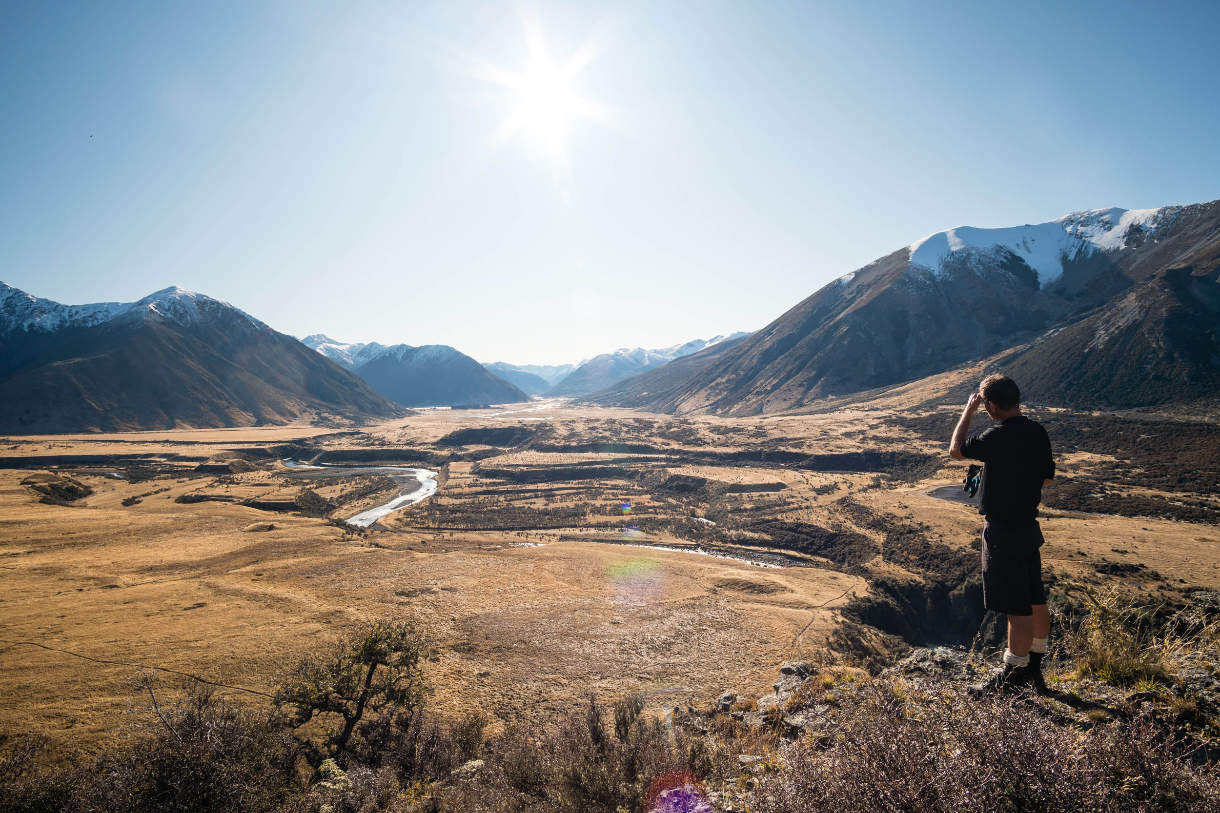
- Plan to have lunch at Maling Pass on day one. This marks the end of climbing for the day and provides spectacular views into the valley that will become your home for the night ahead.
- The Waiau Valley has panoramic views on an epic scale, where you find yourself surrounded by mountains that stand more than 3000 feet (1000 meters) above the valley floor.
- If you are passing through on a clear night, it would be hard to find a better place for stargazing under the southern sky.
- The majority of the Waiau River section is off limits to 4WD tourists, so your only company will be hikers and other cyclists.
- The St James Station was a large sheep and cattle station dating back to the late 1800’s. The remnants of this that still stand at the St James Homestead offer a glimpse into another time.
- If you’re traveling from afar plan to spend an extra day or two in nearby Hanmer Springs. They have a growing network of mountain bike trails and a natural thermal pool complex.
- November to April offer the best riding conditions.
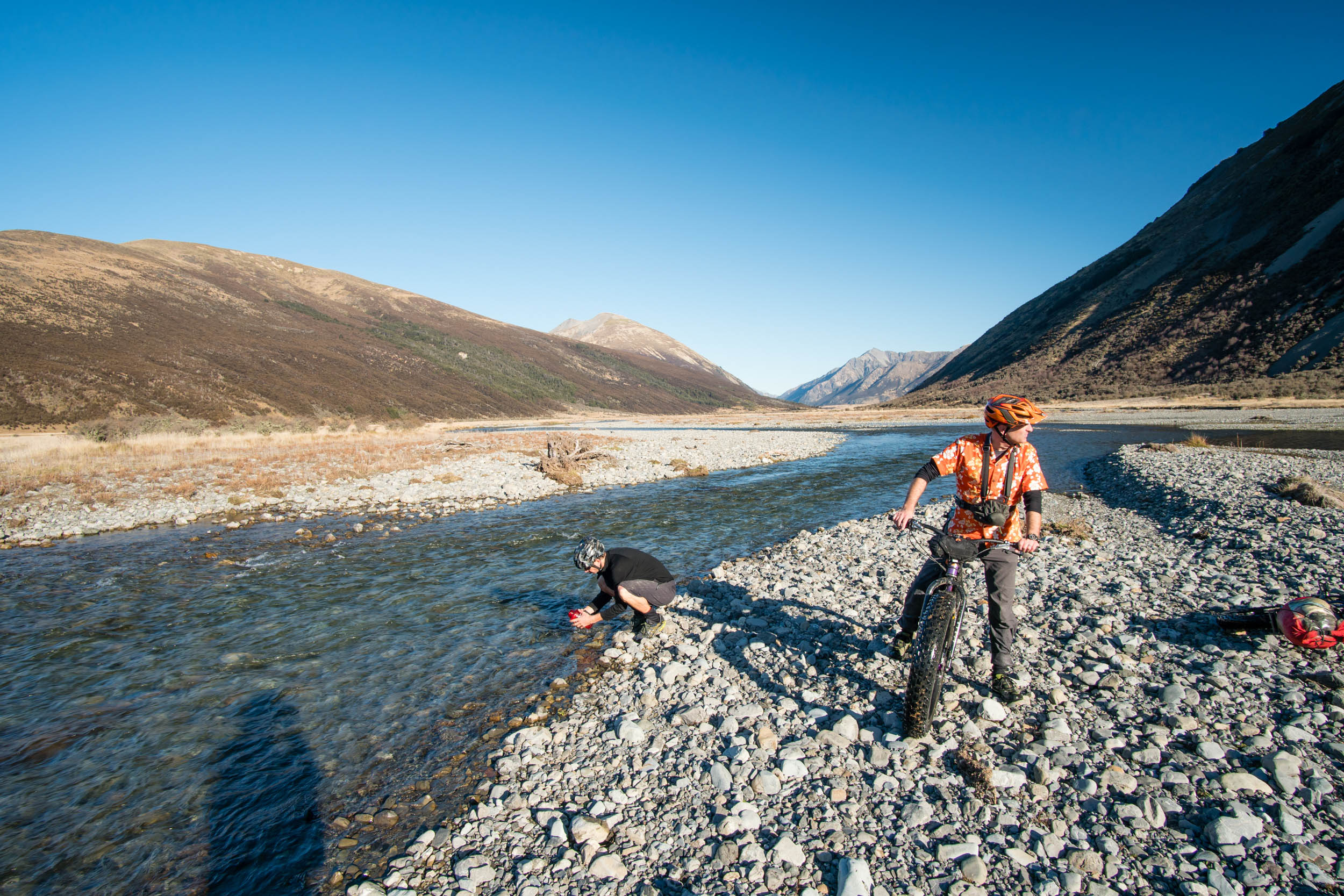
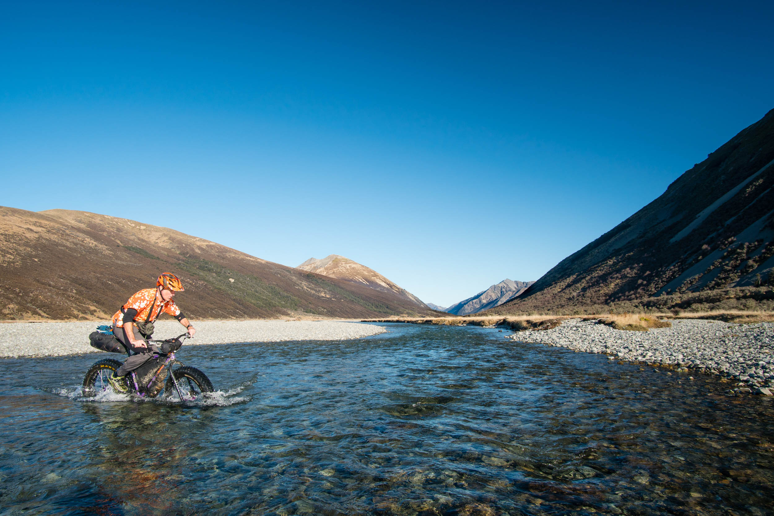
- Be sure to check the weather before you go as heavy rain can make river crossings dangerous.
- 4WD activity following heavy rain in the southern most stretches of the trail may result in muddy bogs that can prove tricky to navigate.
- From Christchurch, it’s a two and a half hour drive to the start of the trail at the St James homestead carpark. There are public transport options (intercity.co.nz) to get you from Christchurch to as far as Hanmer Springs.
- To get from Hanmer Springs to the carpark, it’s best to take Clarence Valley Road which can be driven in a regular 2WD vehicle, instead of Jollies Pass Road (the route Google Maps suggests) which is better suited for high clearance 4WD vehicles.
- If you’re attempting to ride in the cooler months, then an appropriate 4WD with snow chains may be the only way to access the area following snowfall.
- Expect to lose cell phone reception before arriving at the carpark.
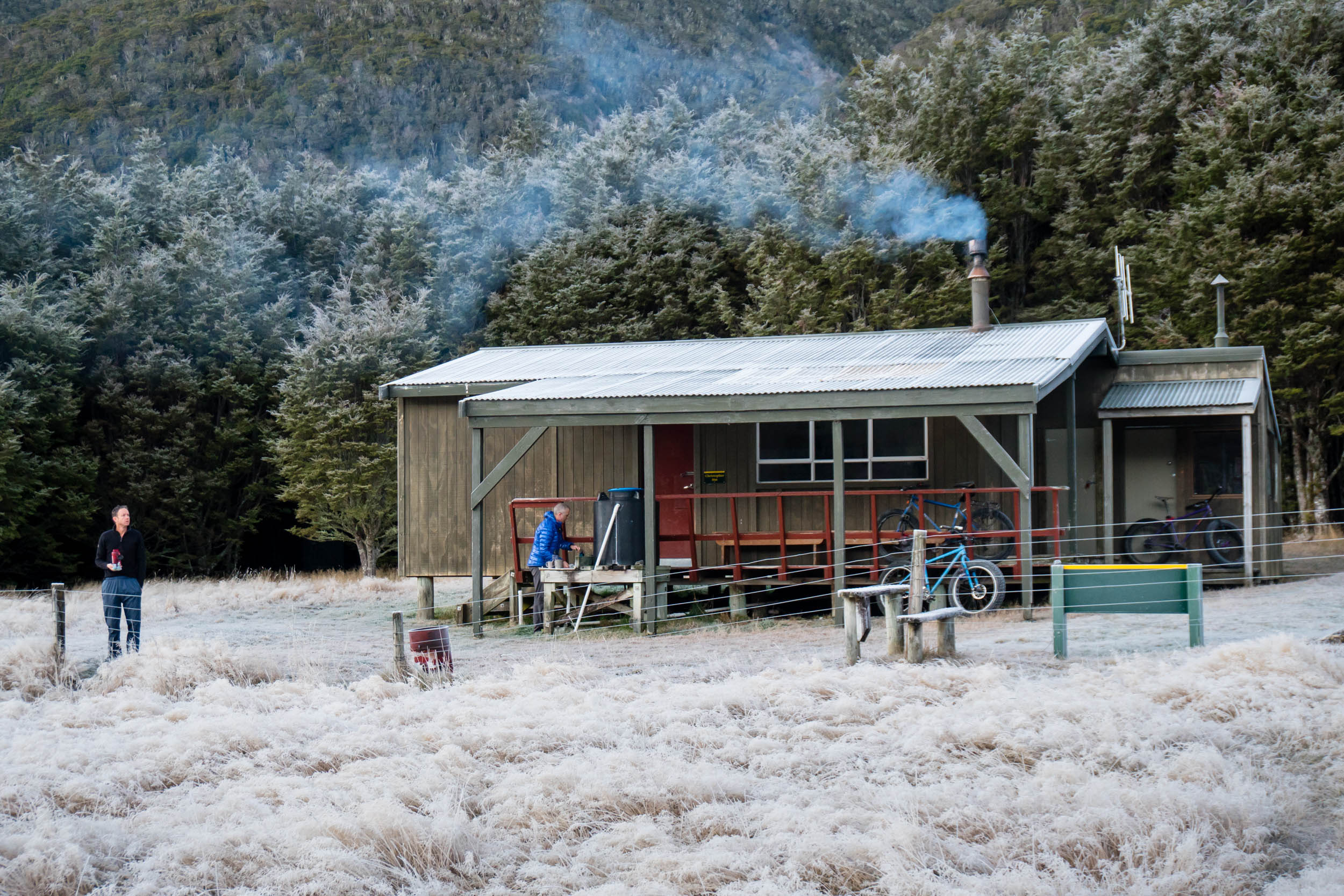
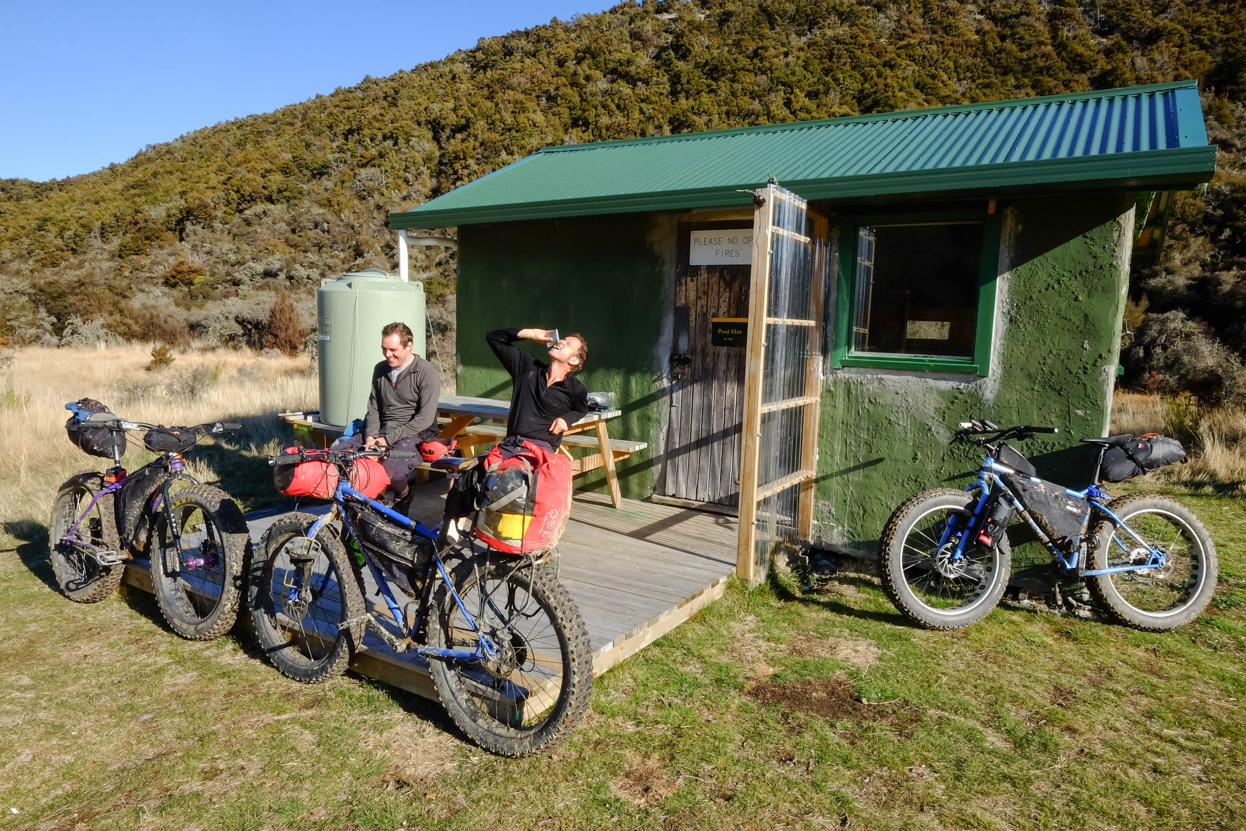
- The official route for the St James Trail suggests you stay at Lake Guyon Hut. The route proposed here makes a detour to the west up the Ada River which adds a few river crossings and a few extra miles, but rewards you with a much more comfortable stay in Christopher Hut (more beds, more space and a log burner for a warm night).
- Department of Conservation (DOC) huts are first-come-first-served and paid for using tickets. These can be purchased from any DOC office or from most outdoor and hunting stores around the country. They cost about $3.30 USD per night for a ‘standard’ hut (Lake Guyon Hut) or $10 USD per night for a ‘serviced’ hut (Christopher Hut).
- If you bring a tent, the trail along the Waiau River is on Department of Conservation land and there are numerous spots to camp. Remember to take out what you bring in and leave no trace.
- You will need to bring all of your own food and cooking equipment.
- More than one water bottle is not necessary as water is plentiful along the route. While most people consider it safe to drink straight from the rivers, it is advisable to treat it first. Avoid water from lakes and stagnant pools.
- Hanmer Springs is the last place to stock up on supplies before you head off, and should be the first place to stop for a cold beer when you’re done.
- Taking a left turn at Fowlers Hut onto Fowler’s Pass provides an alternative and more technical trail on day one.
- If you’re visiting from afar check out the Top of the South route that incorporates the St James trail, for a taste of what else is available in this part of the country.
- If you’re looking to incorporate packrafting into your adventure, you can paddle the Waiau River to as far south as State Highway 7. Expect to come across grade III to IV rapids along the way.
Additional Resources
- Department of Conservation resource – doc.govt.nz/parks-and-recreation
- Christopher Hut information – doc.govt.nz/parks-and-recreation
- Online topo maps of New Zealand for planning your adventure – topomap.co.nz


Terms of Use: As with each bikepacking route guide published on BIKEPACKING.com, should you choose to cycle this route, do so at your own risk. Prior to setting out check current local weather, conditions, and land/road closures. While riding, obey all public and private land use restrictions and rules, carry proper safety and navigational equipment, and of course, follow the #leavenotrace guidelines. The information found herein is simply a planning resource to be used as a point of inspiration in conjunction with your own due-diligence. In spite of the fact that this route, associated GPS track (GPX and maps), and all route guidelines were prepared under diligent research by the specified contributor and/or contributors, the accuracy of such and judgement of the author is not guaranteed. BIKEPACKING.com LLC, its partners, associates, and contributors are in no way liable for personal injury, damage to personal property, or any other such situation that might happen to individual riders cycling or following this route.
Please keep the conversation civil, constructive, and inclusive, or your comment will be removed.