


Taunus Storm Chase
Distance
129 Mi.
(208 KM)Days
3-4
% Unpaved
85%
% Singletrack
5%
% Rideable (time)
99%
Total Ascent
16,400'
(4,999 M)High Point
2,860'
(872 M)Difficulty (1-10)
5?
- 8Climbing Scale Strenuous127 FT/MI (24 M/KM)
- -Technical Difficulty
- -Physical Demand
- -Resupply & Logistics
Contributed By
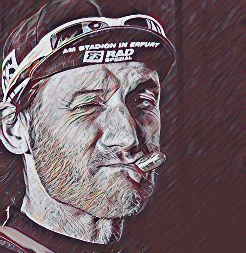
Lothar Linse
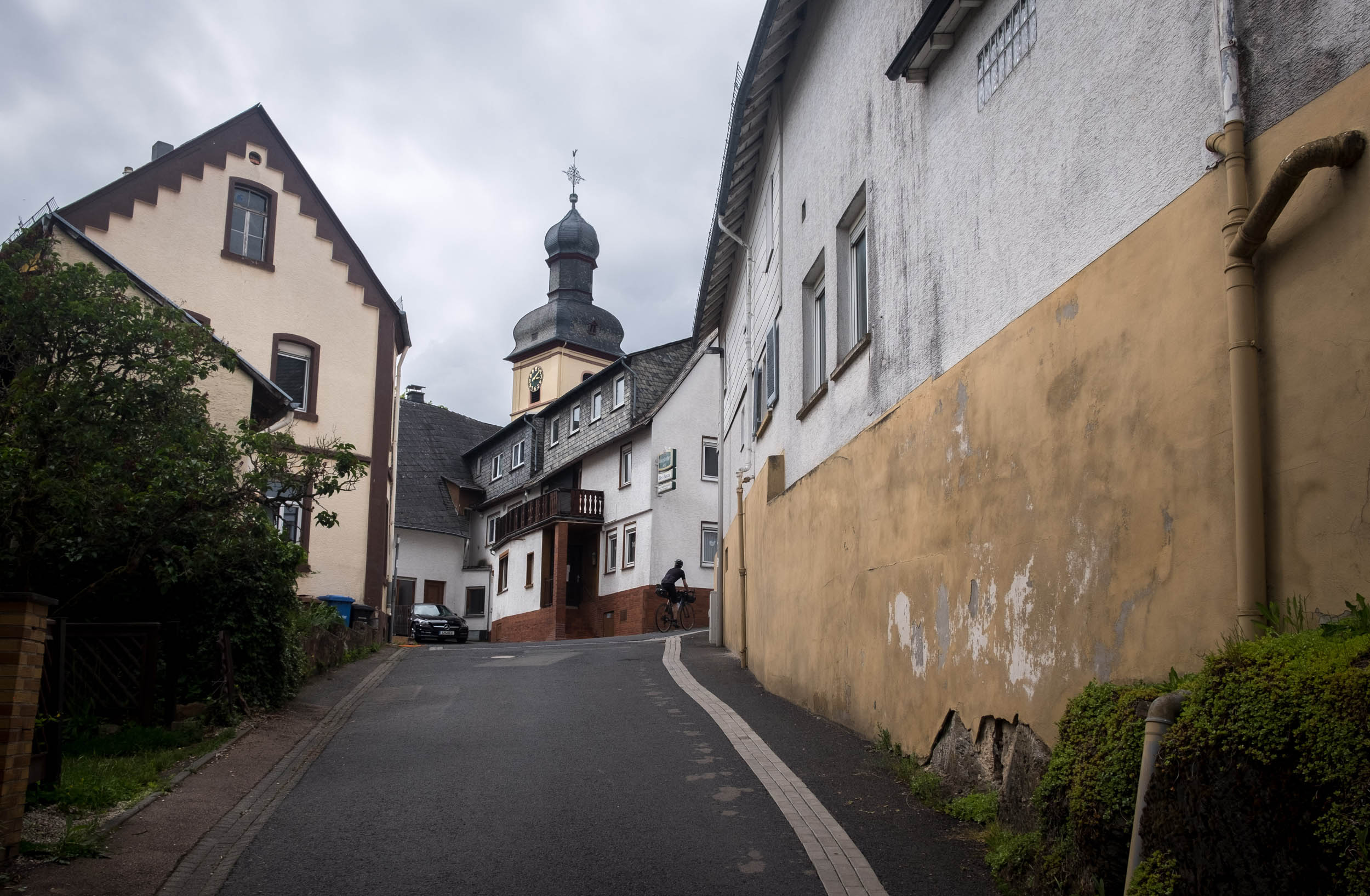
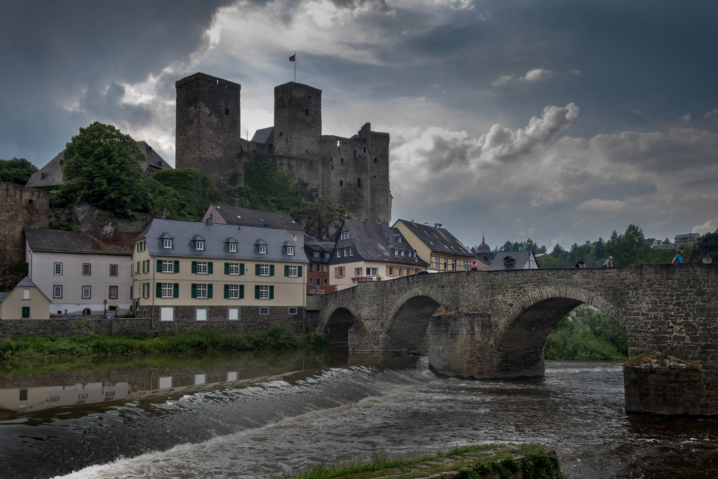
The Taunus Storm Chase begins and ends in the historic village of Runkel, which is well known for its castle built around 1200 AD, as well as its medieval houses. The village lies in the valley of the river Lahn, which separates the Westerwald and Taunus regions. The river offers many possibilities for sports activities such as fishing and kayaking.
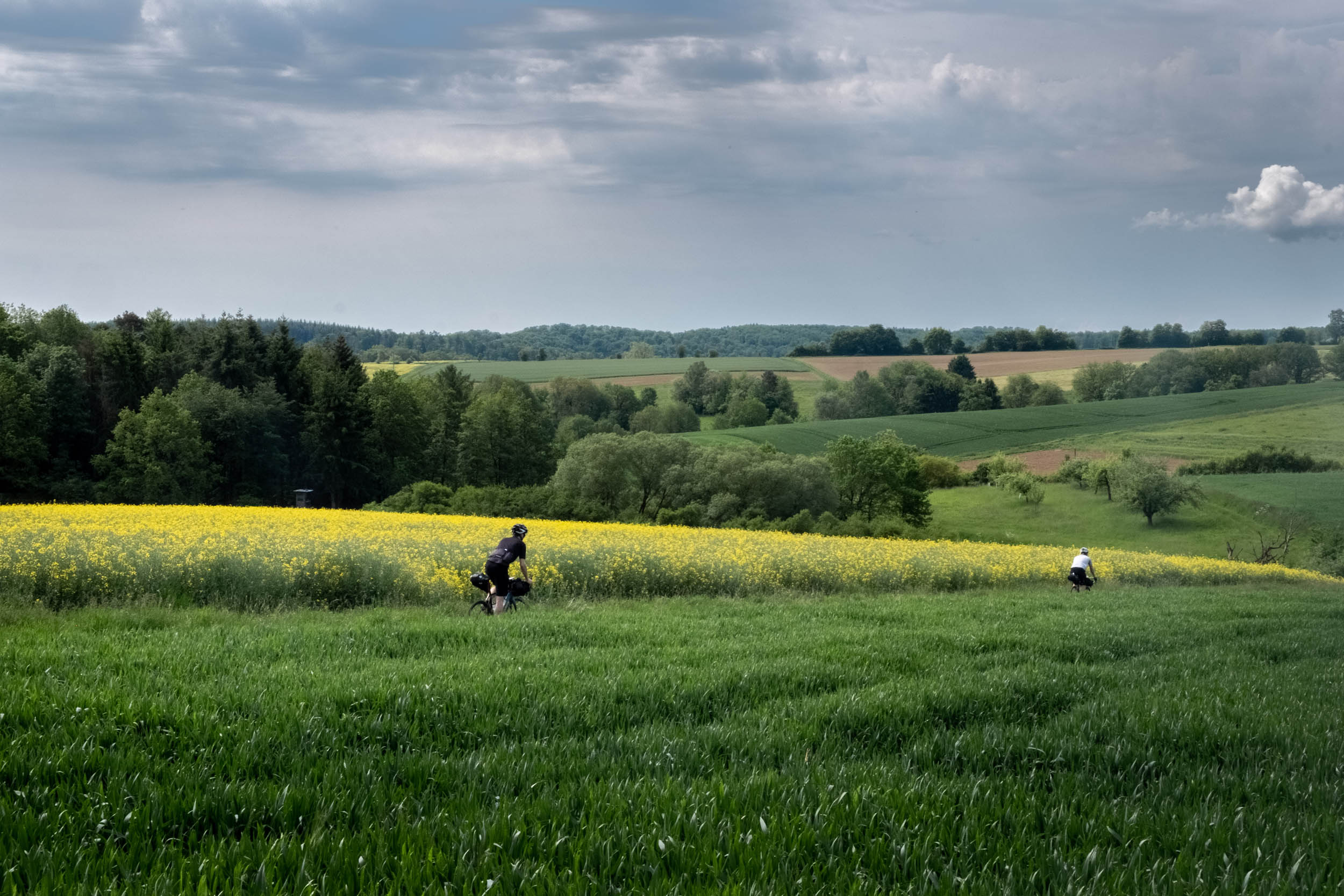
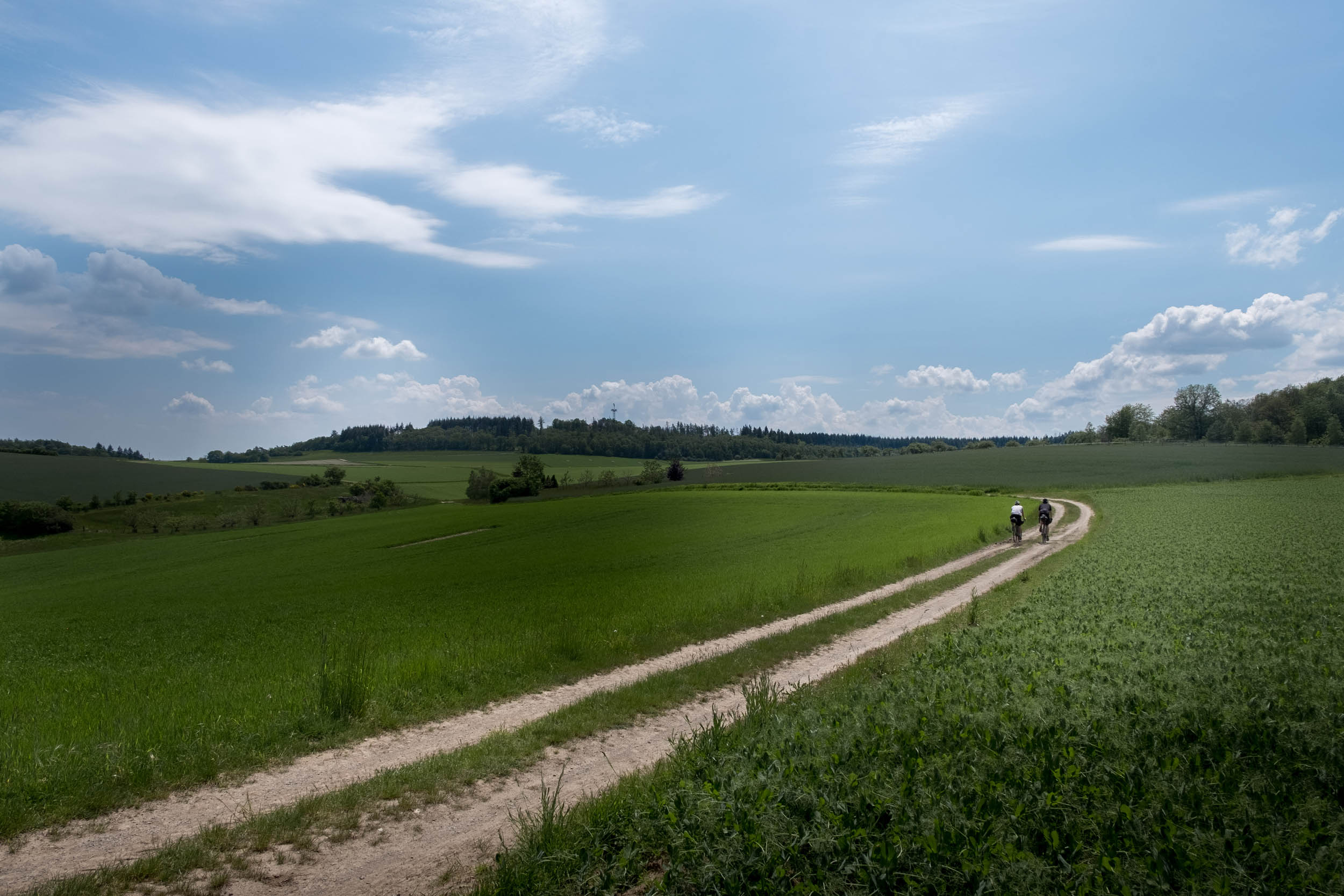
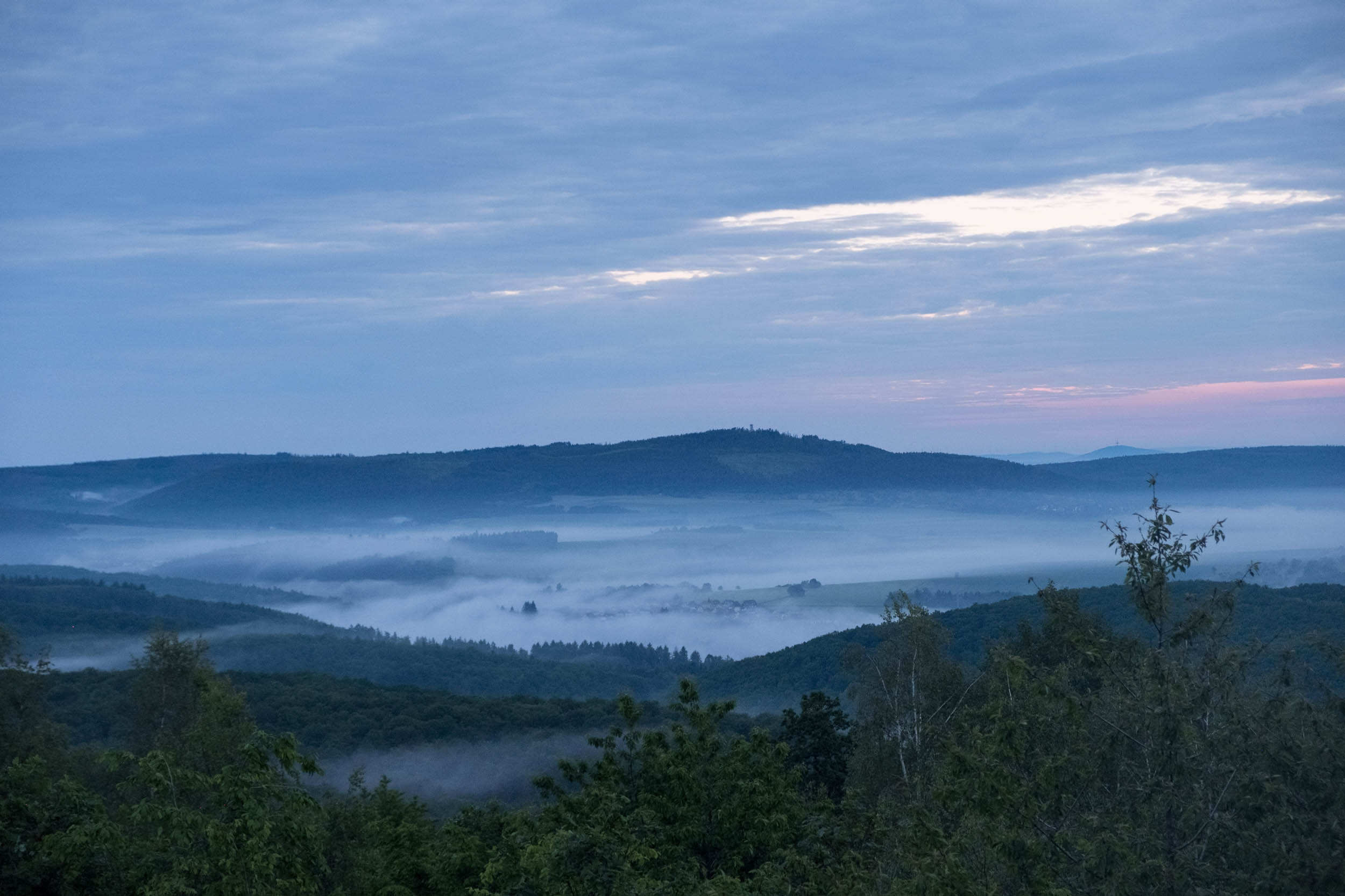
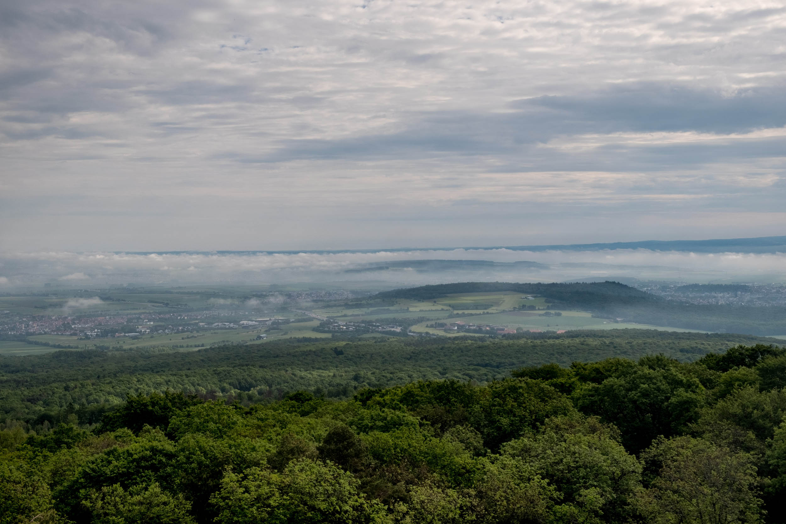
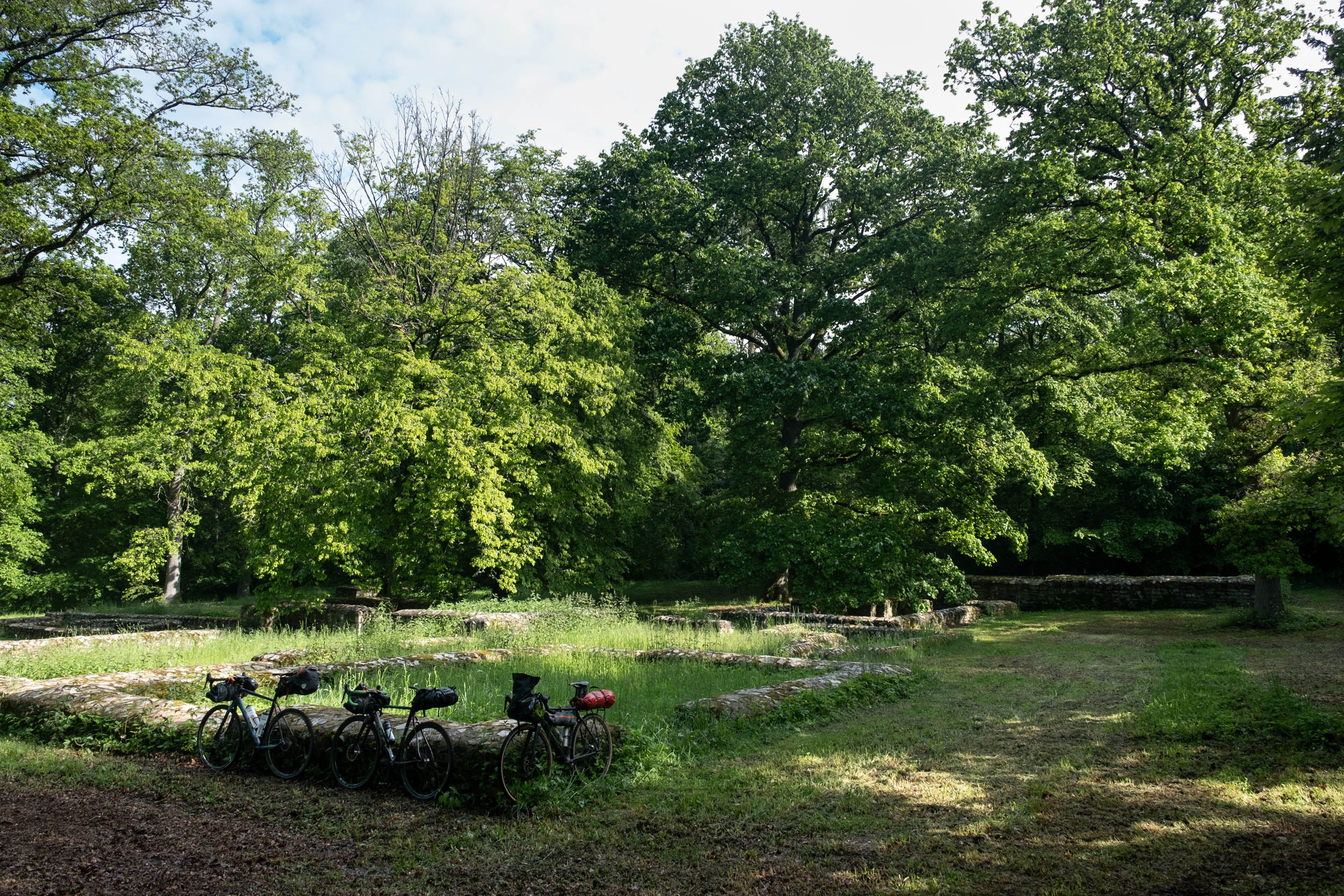
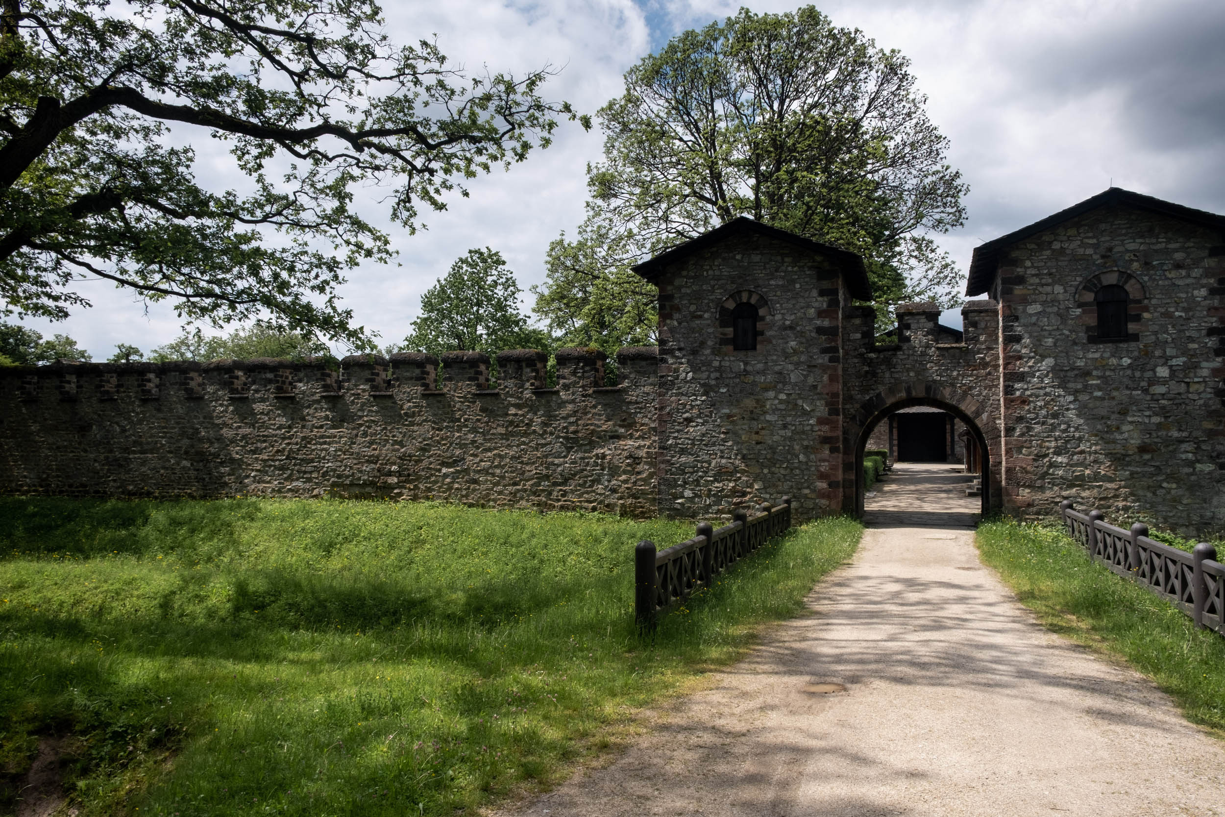
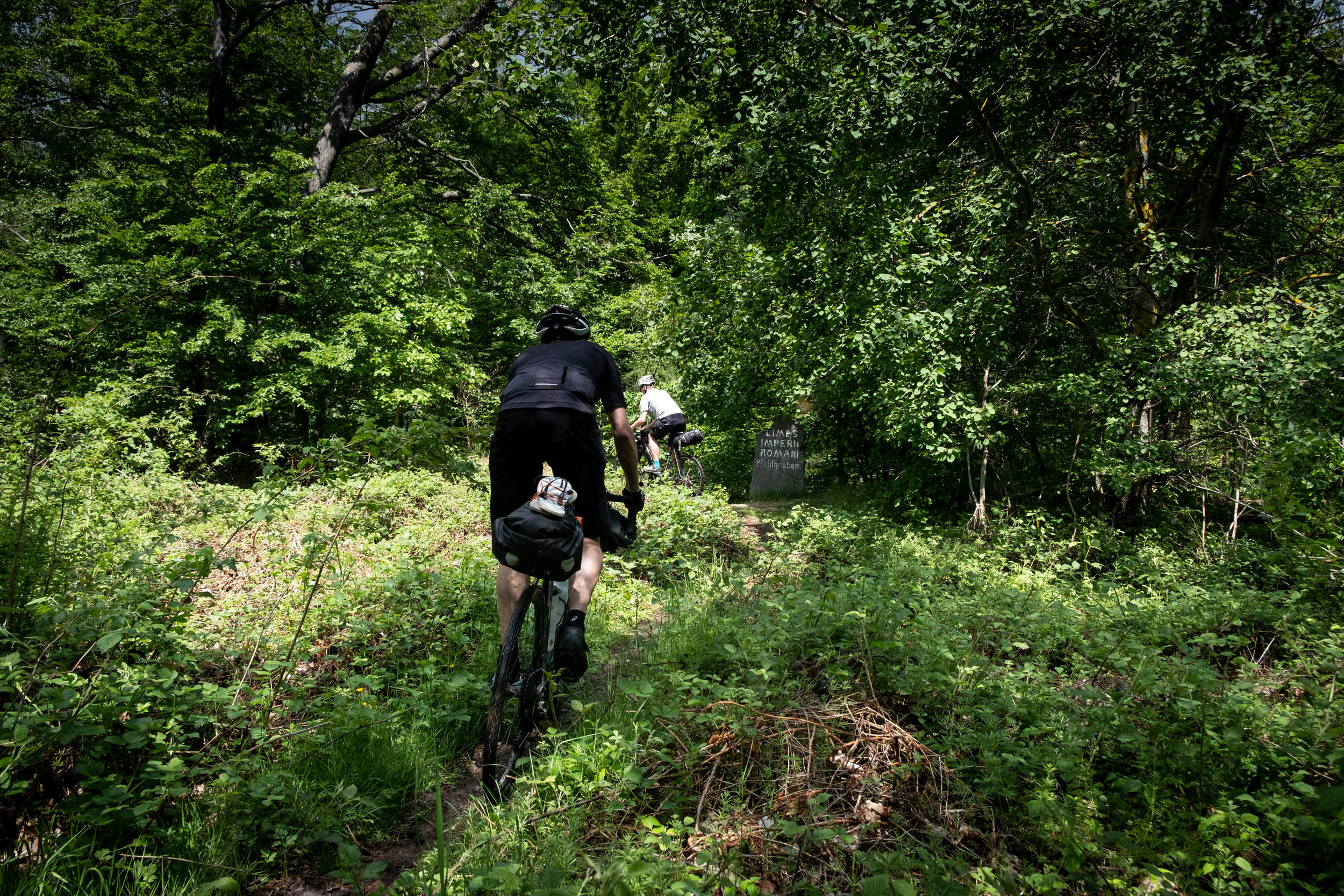
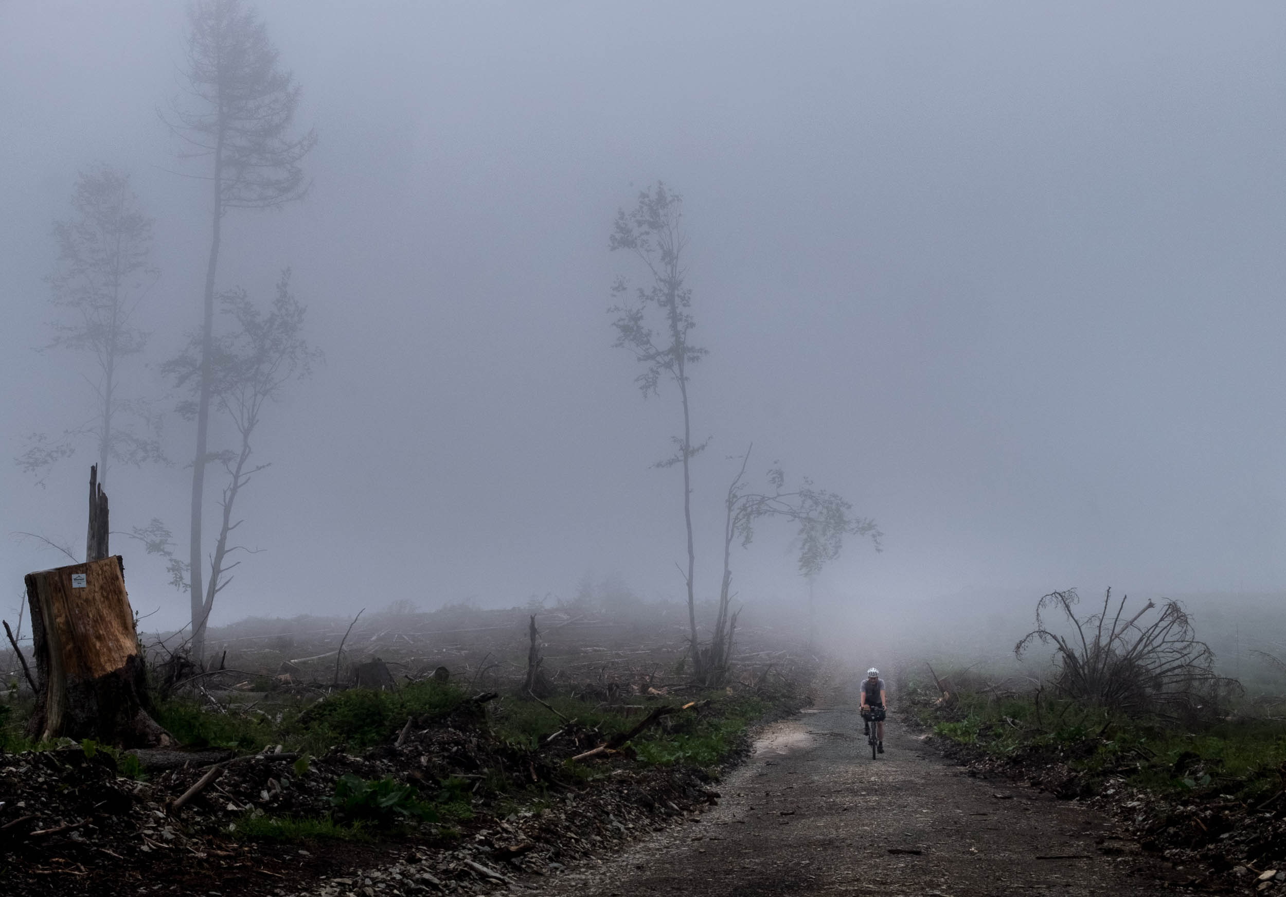
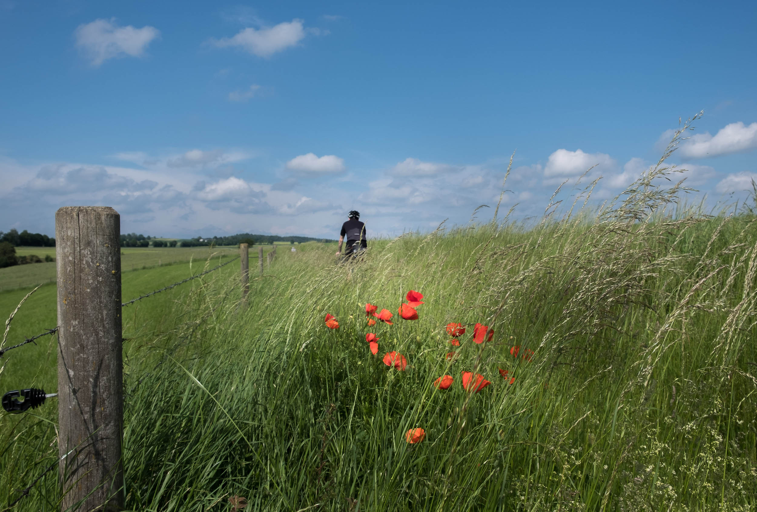
The Taunus region measures about 2,700 square kilometers and is characterized by rolling, forest-covered mountains. In ancient history, the region was known for its geothermal springs and mineral waters that attracted members of the European aristocracy. Nowadays it’s well known for its dense forests and sparse population, making ts popular for outdoor activities such hiking and biking. The Taunus is also known for its dense population of Roman ruins and ancient castles. Parts of the track follow the former Limes frontier (aka Germanic frontier) a line of fortifications that separated the Roman Empire and the Germanic tribes from the years 83 to about 260 AD.
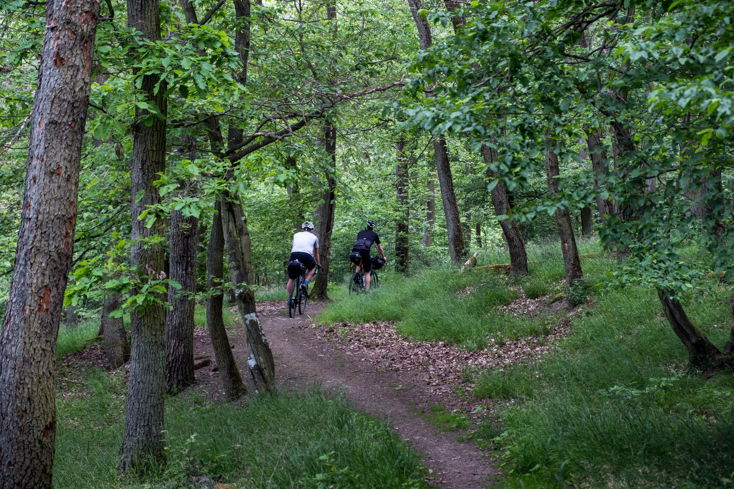
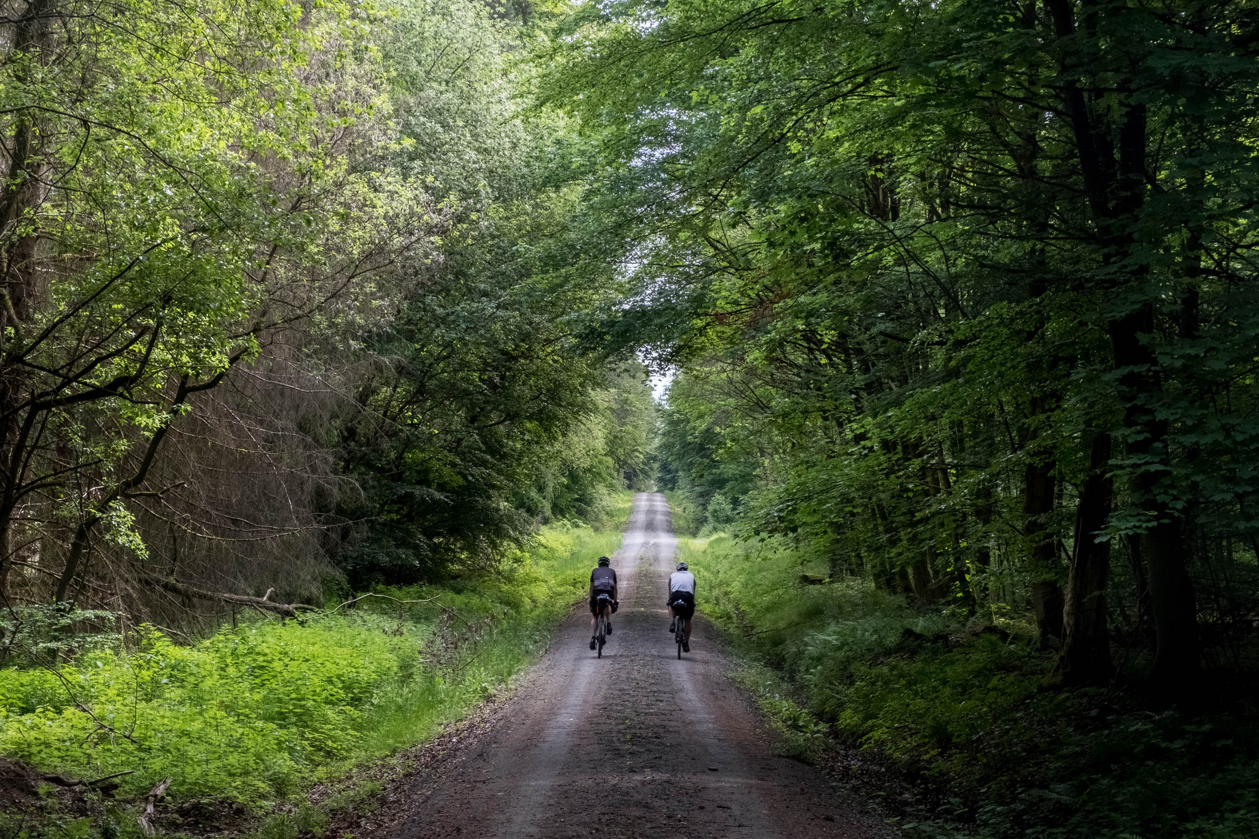
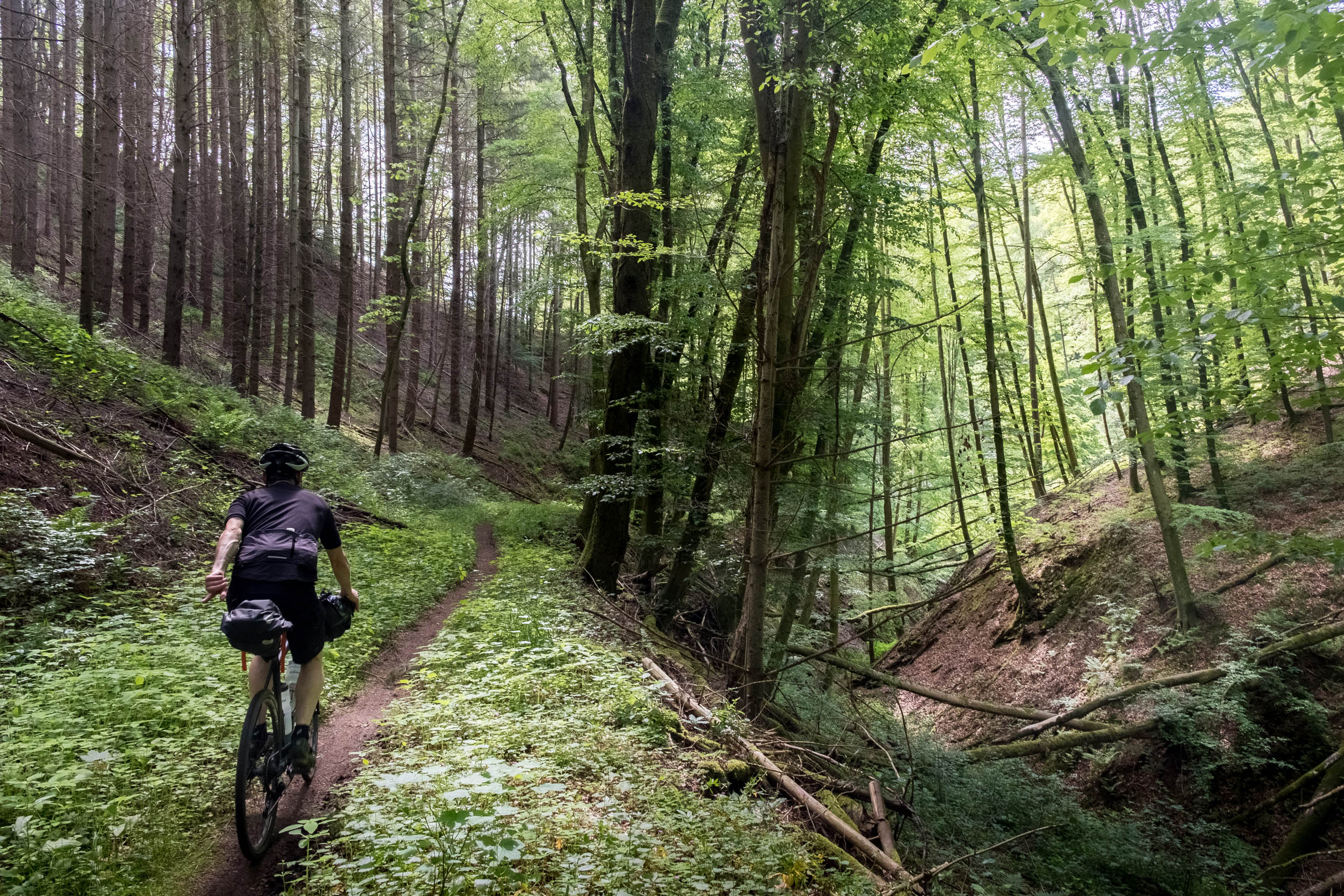
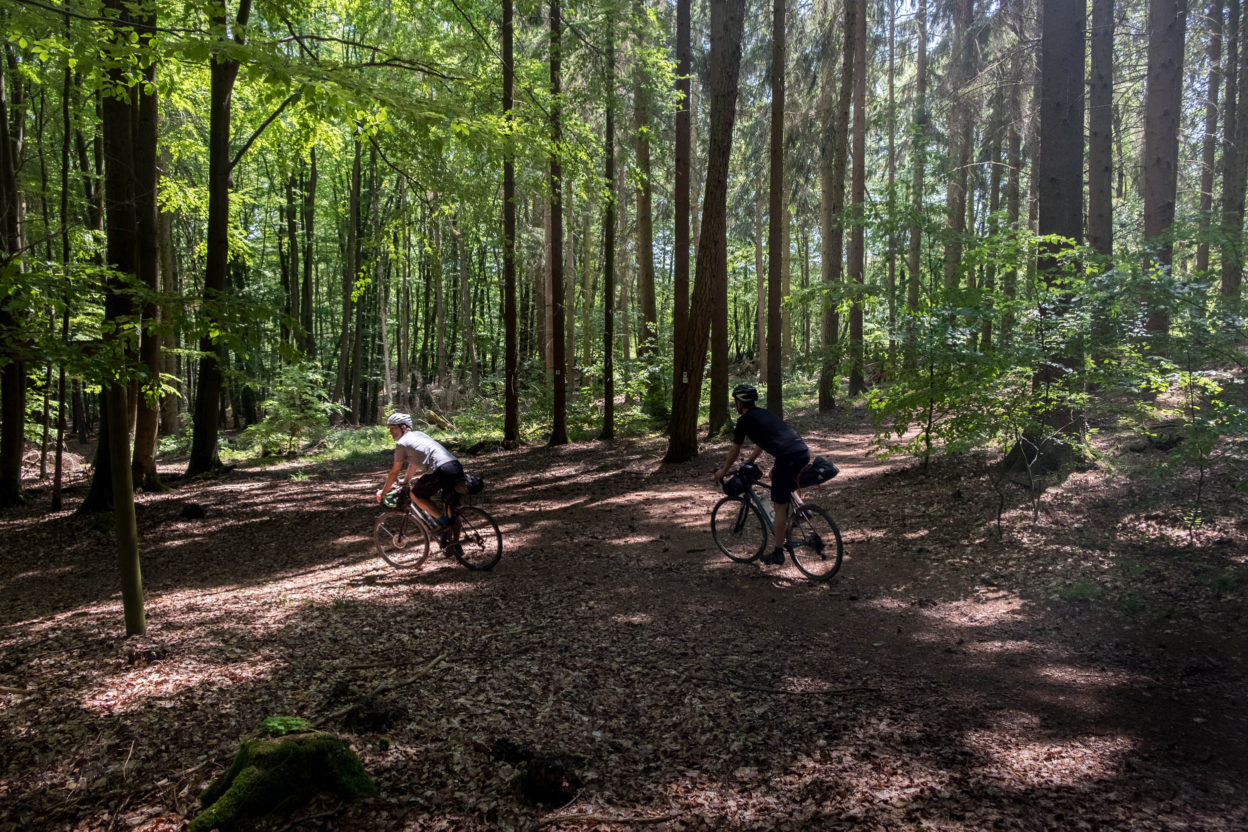
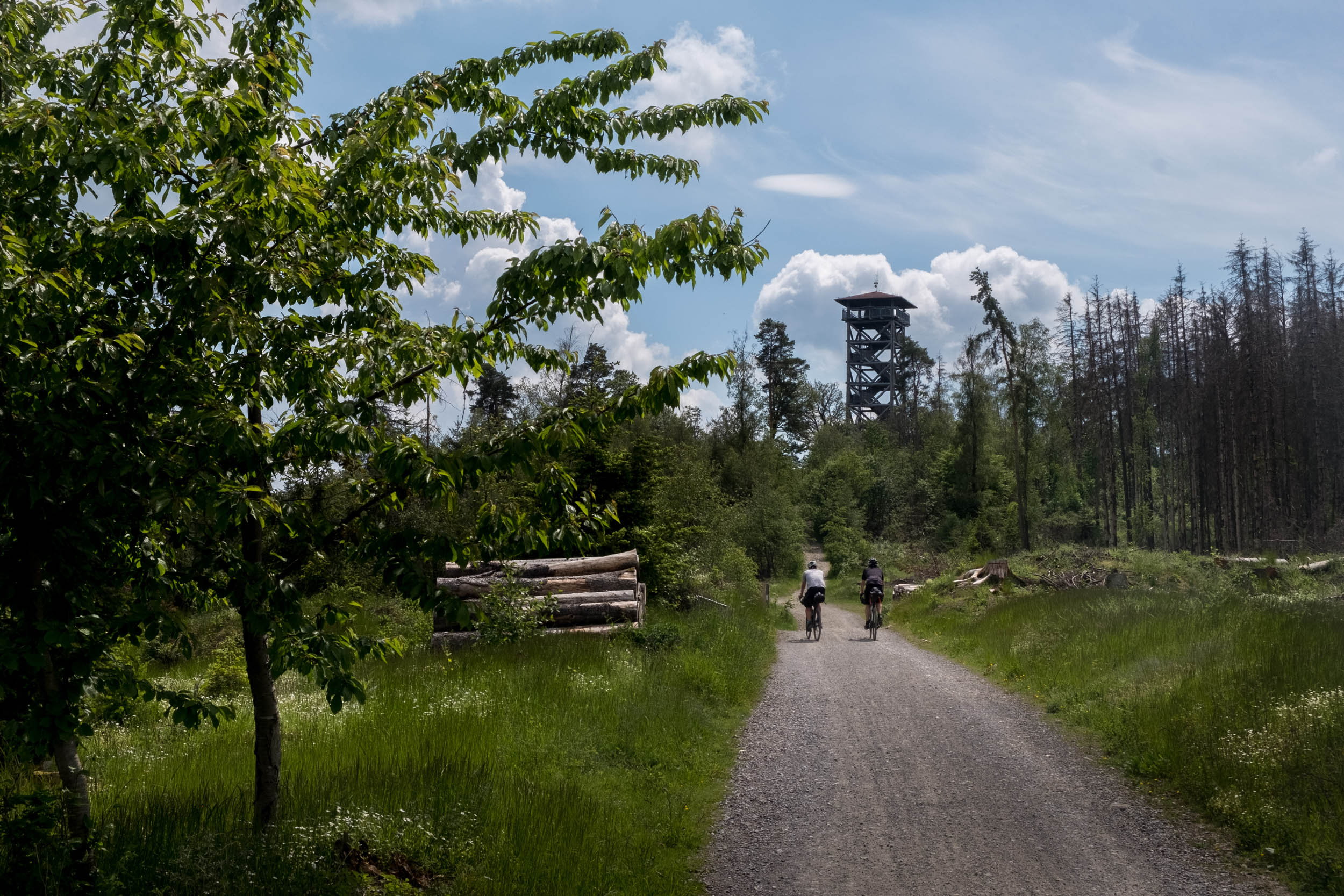
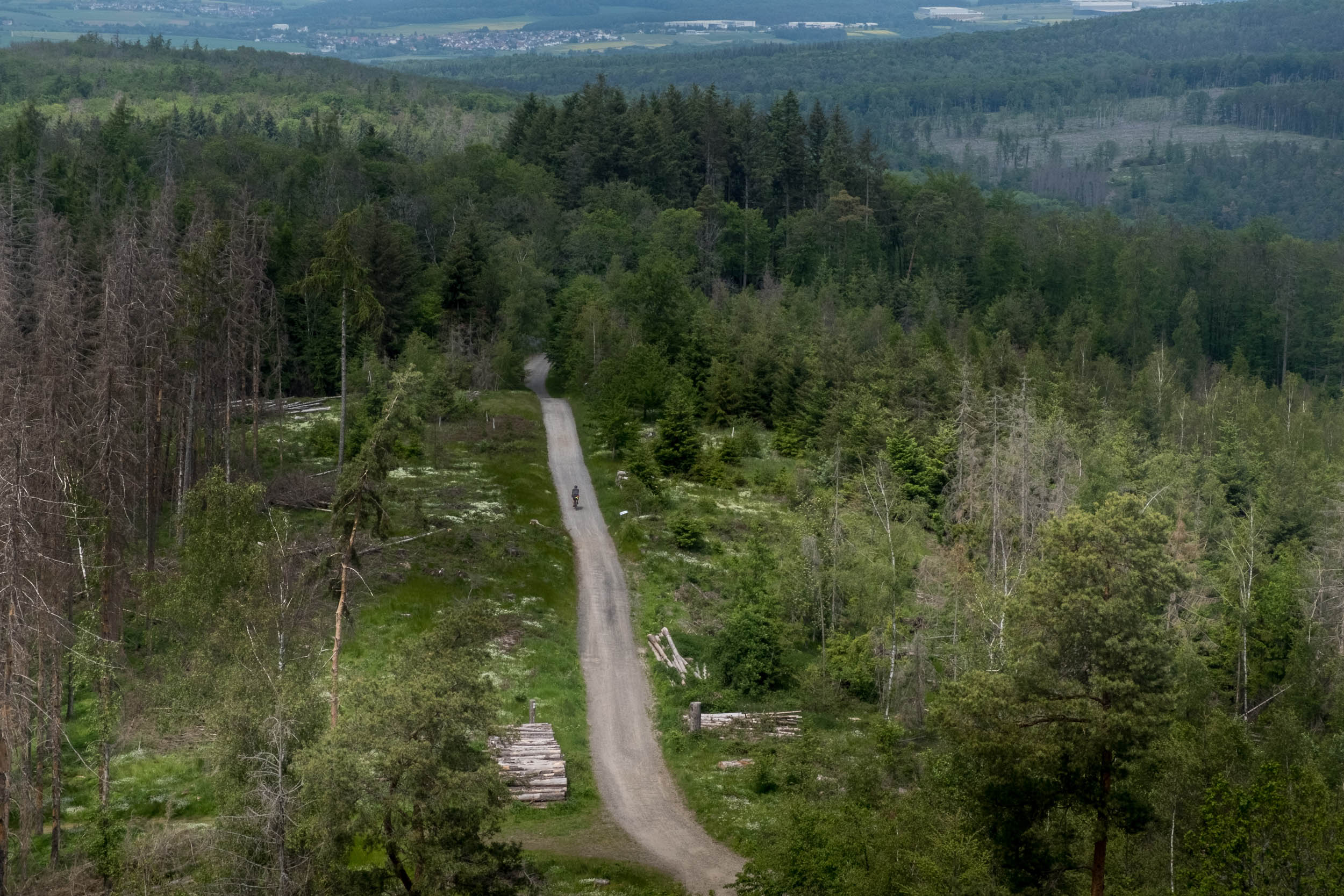
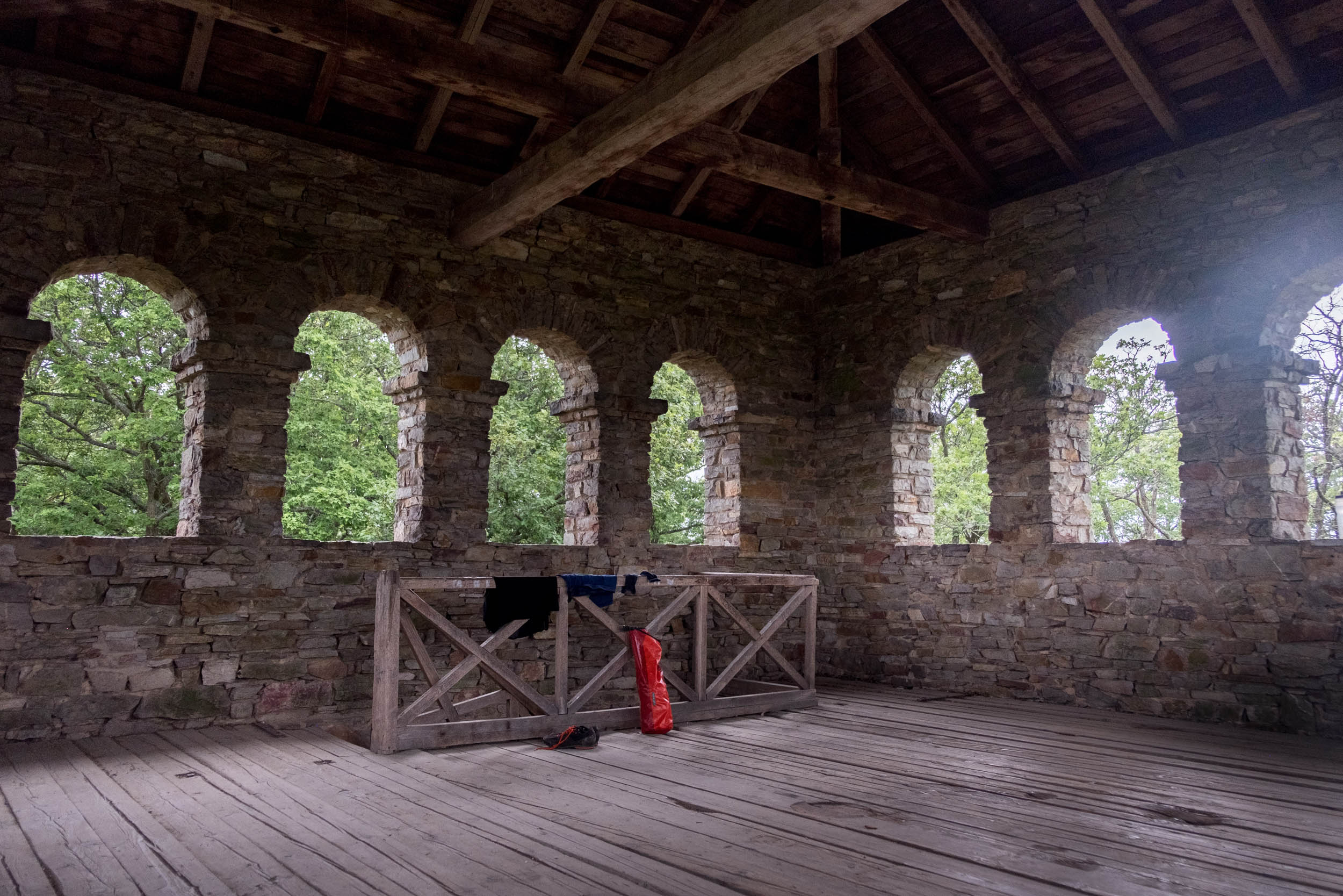
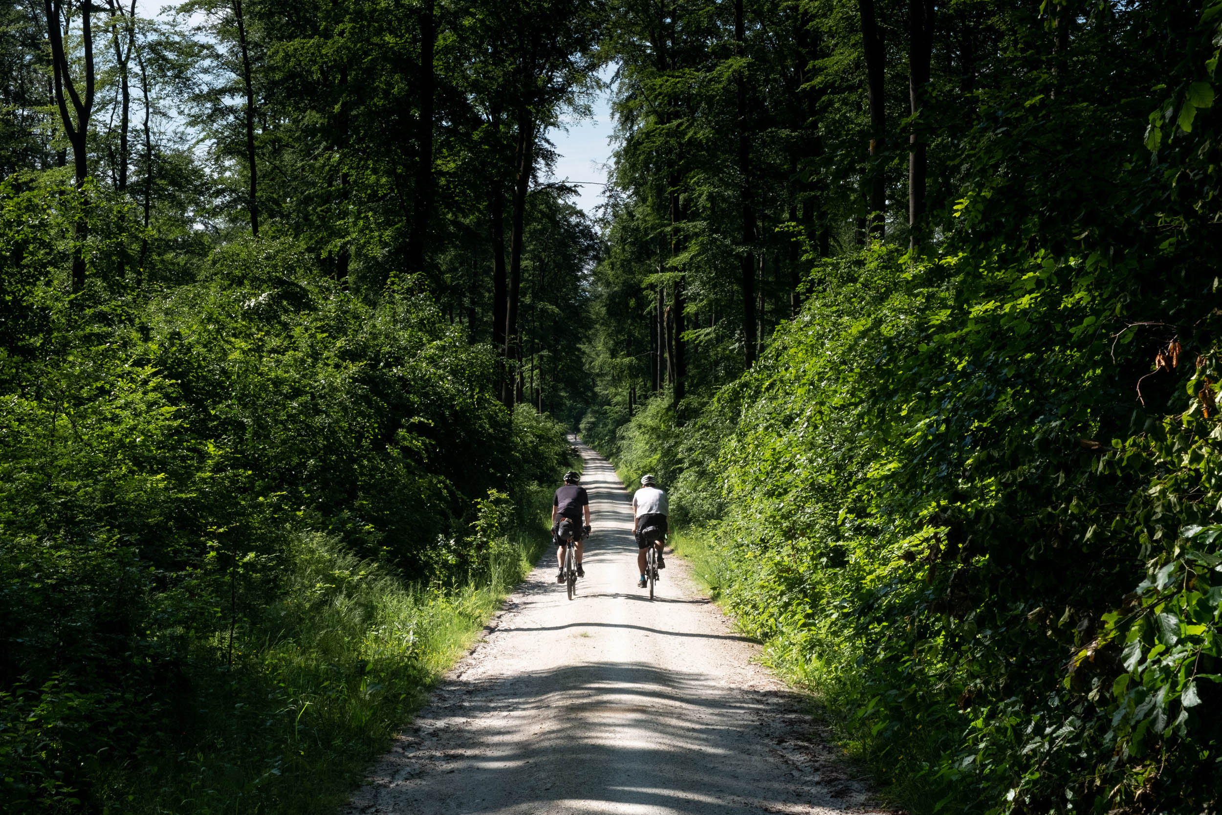
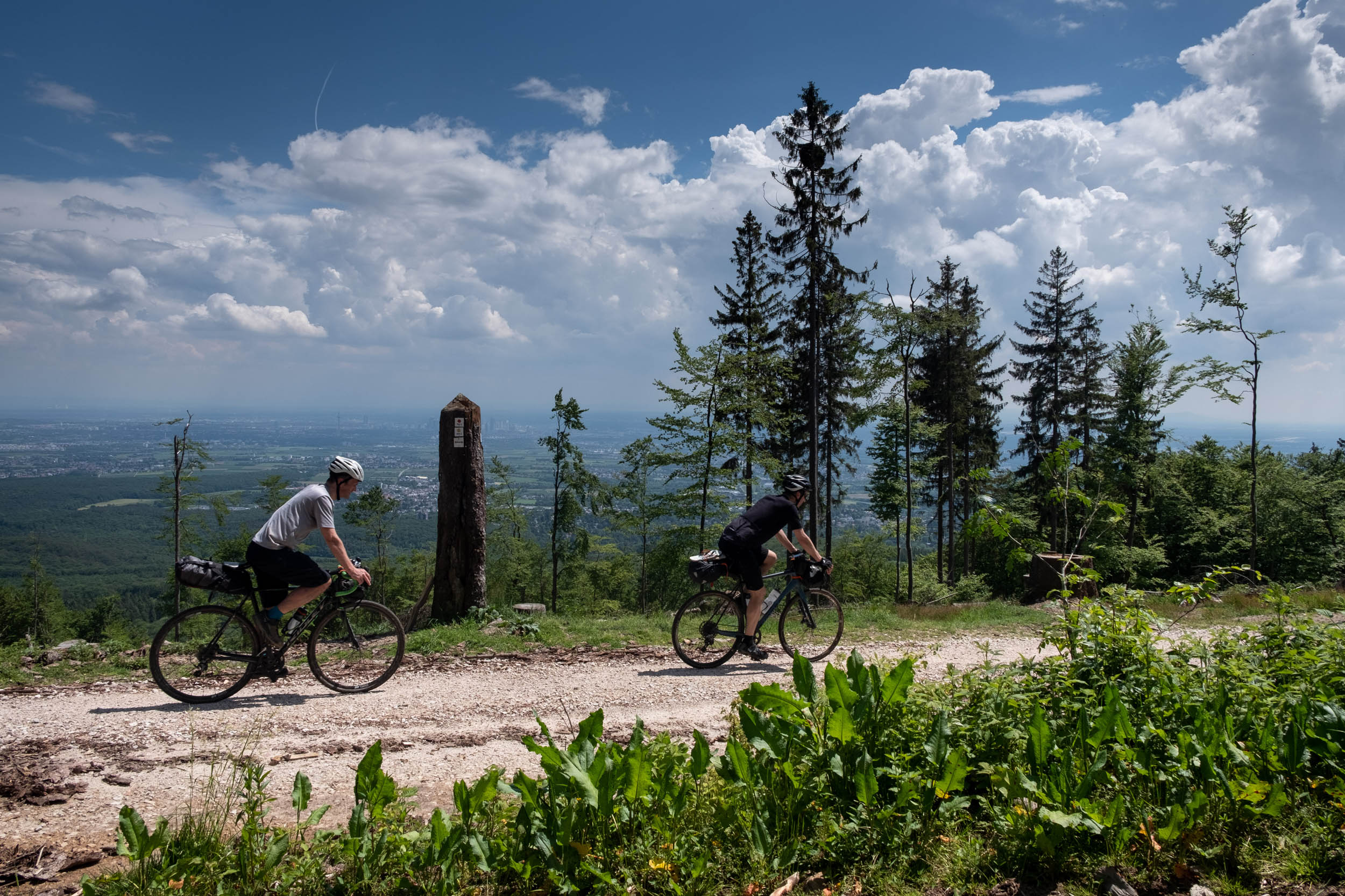
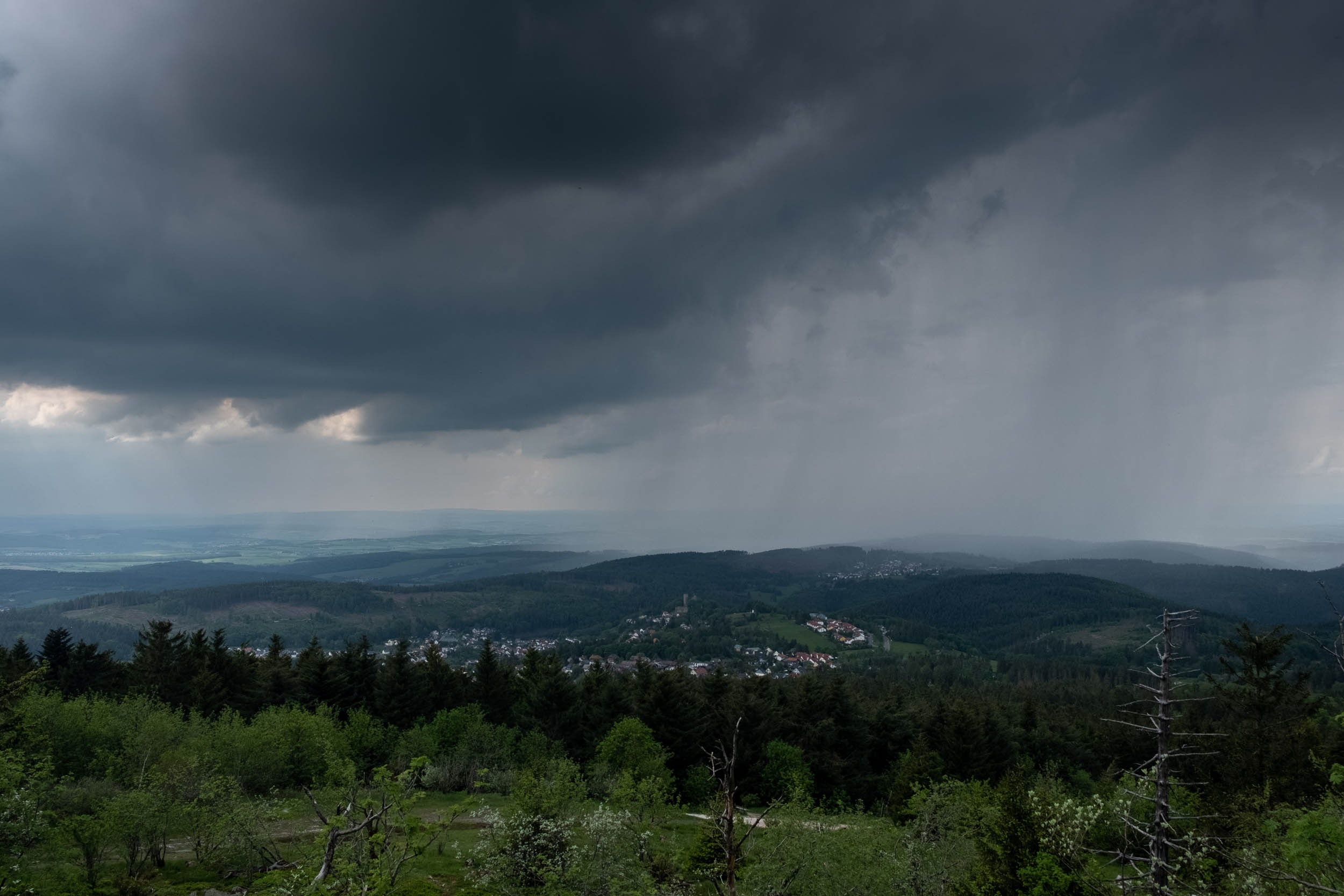
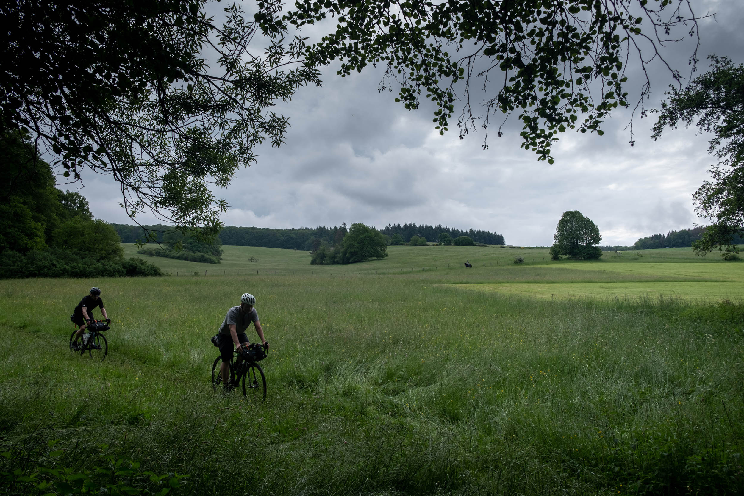
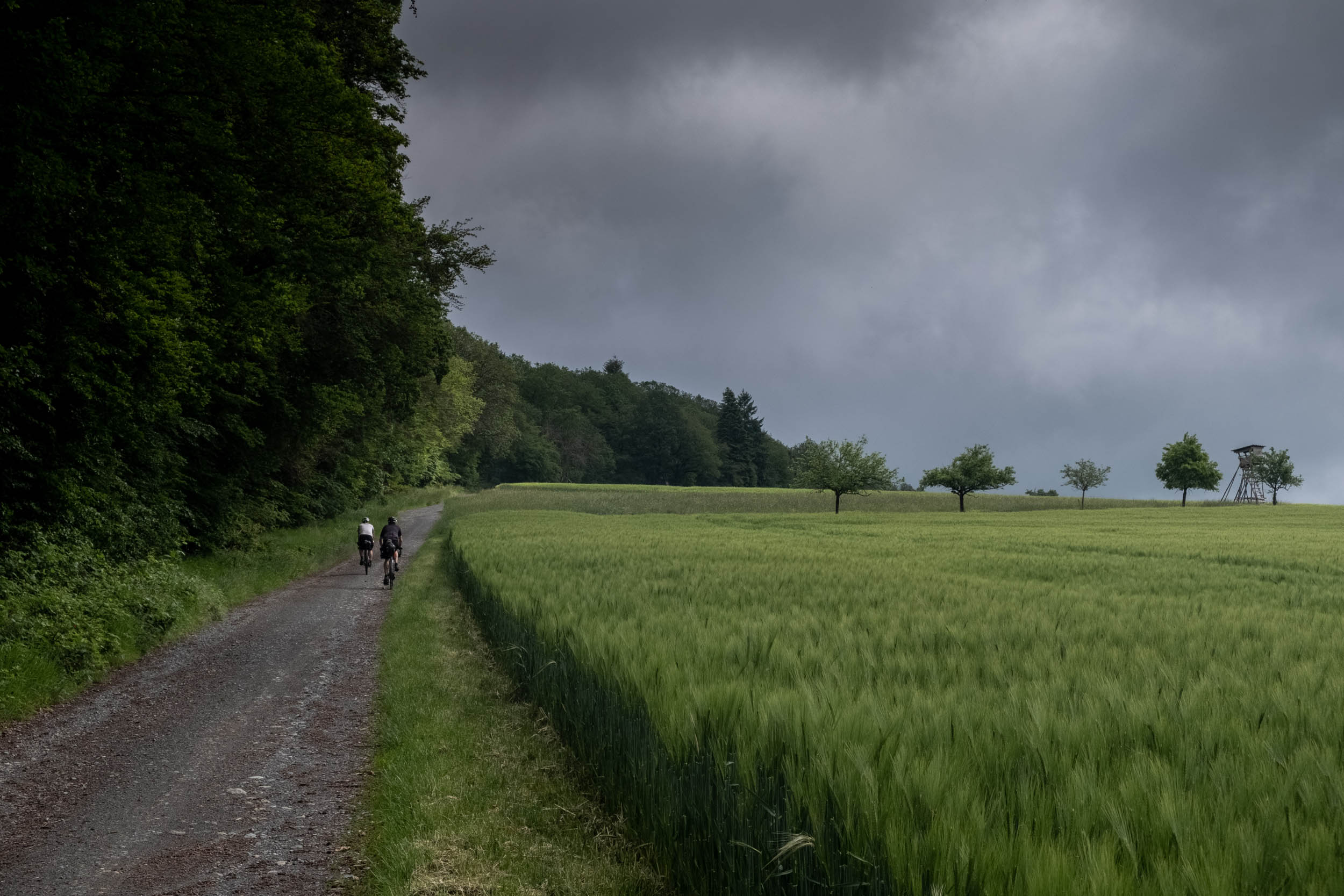
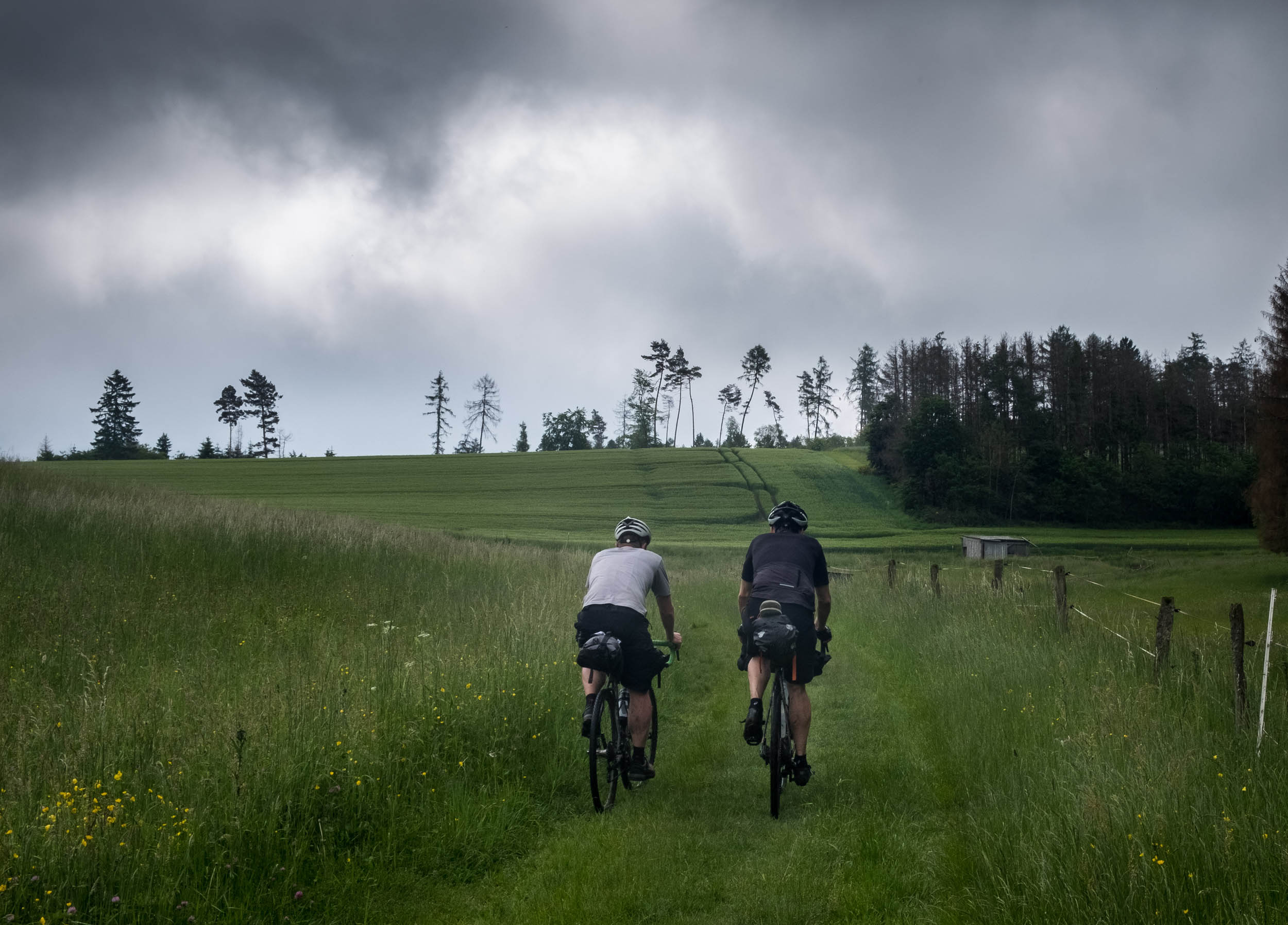
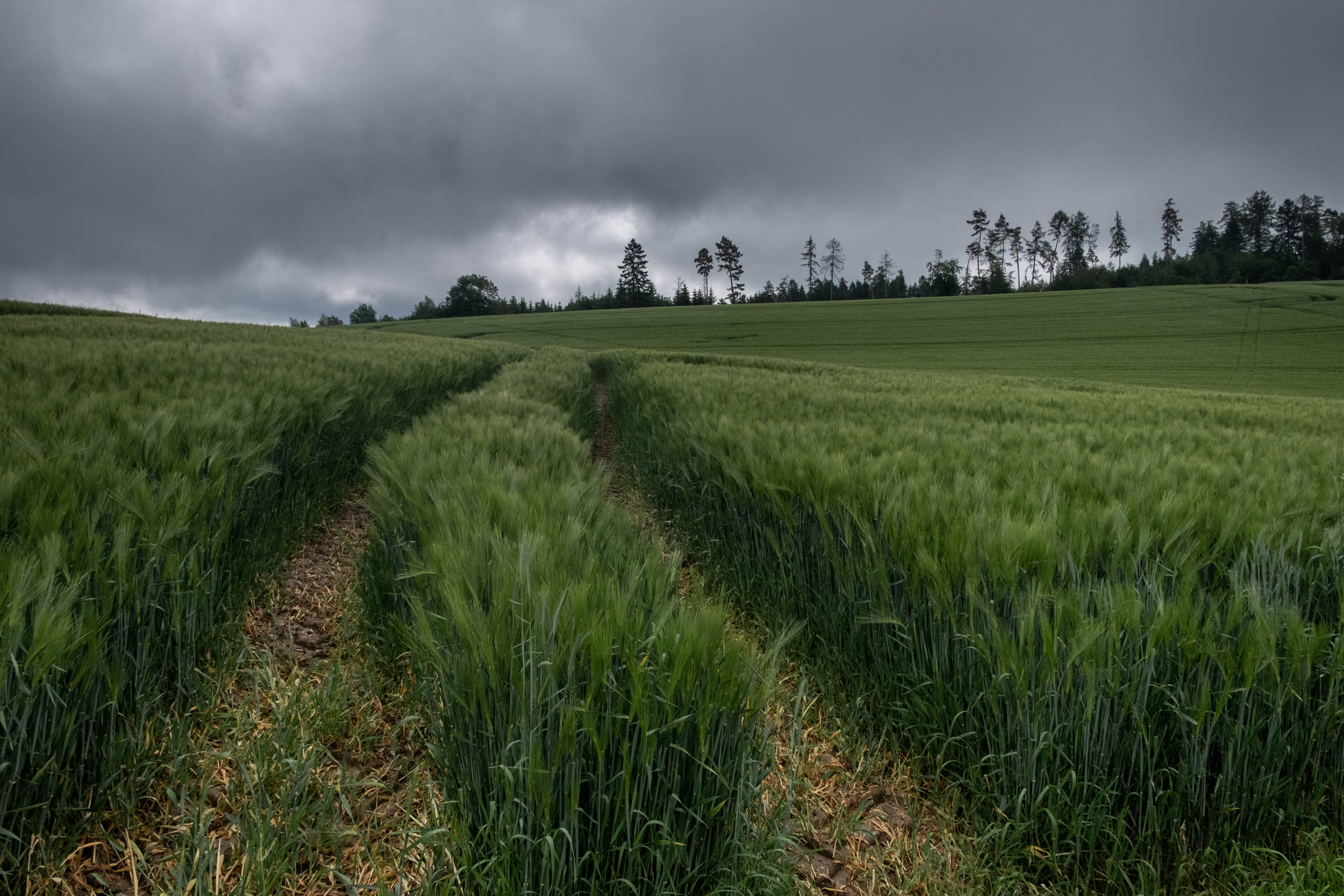
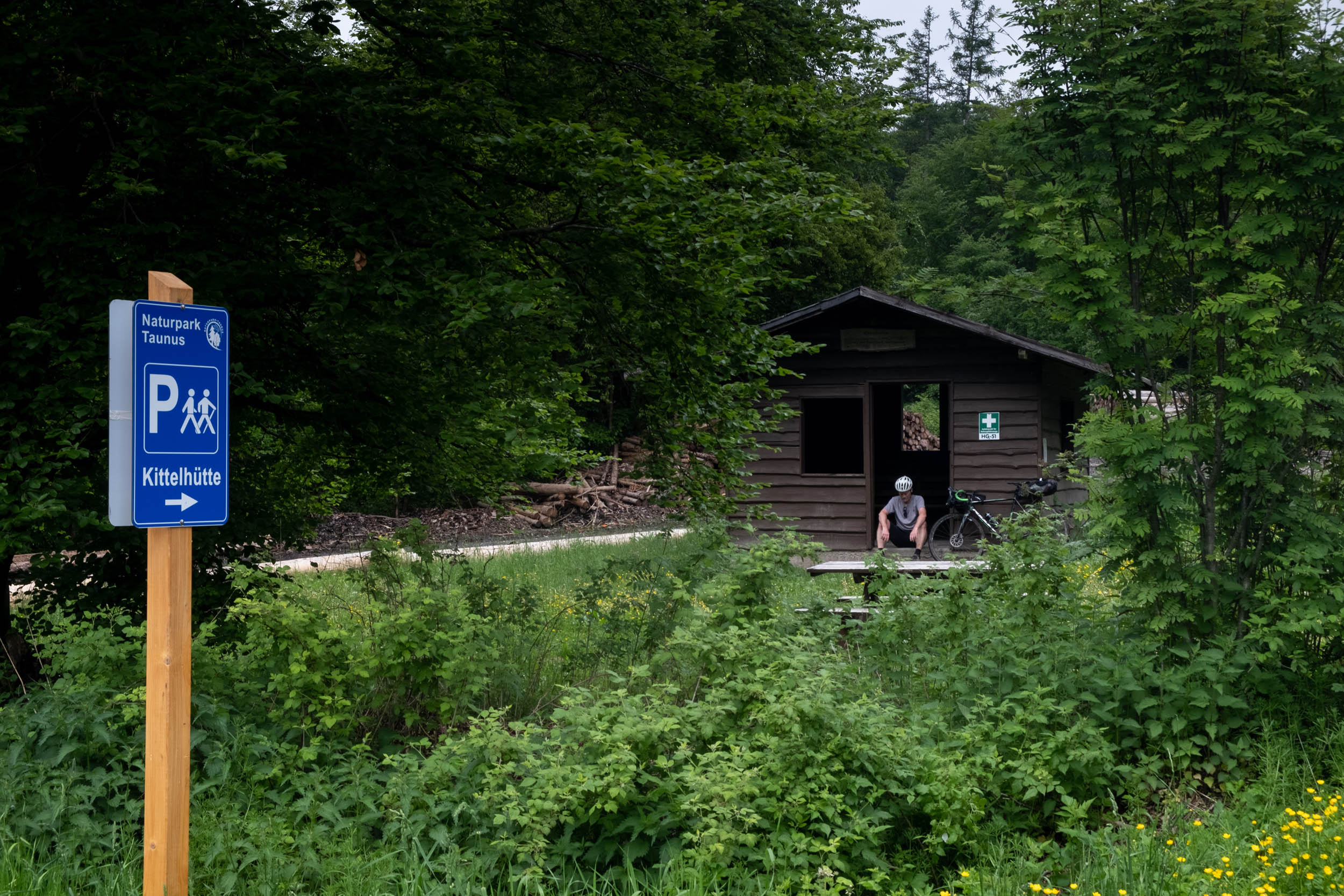
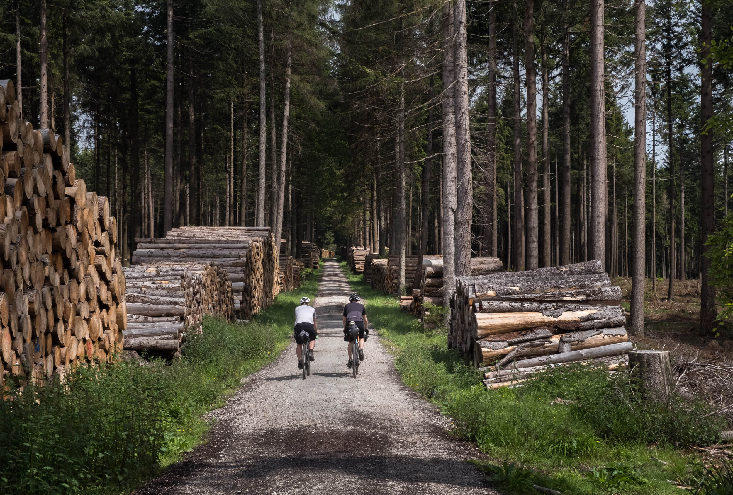
The loop takes place entirely in the Taunus mountain range, so it serves up a steady dose of up and down. Along with it, there are many scenic points that offer grand views of the landscape. There are also plenty of observation towers and shelter huts along the way that make nice spots for breaks. Some gravel road sections even have a strade bianche flair, and since the route is mostly comprised of good gravel roads, we chose gravel bikes to ride. If you like it a bit more comfortable, a hardtail mountain bike would also be fine, especially in rainy weather conditions.
Route Difficulty
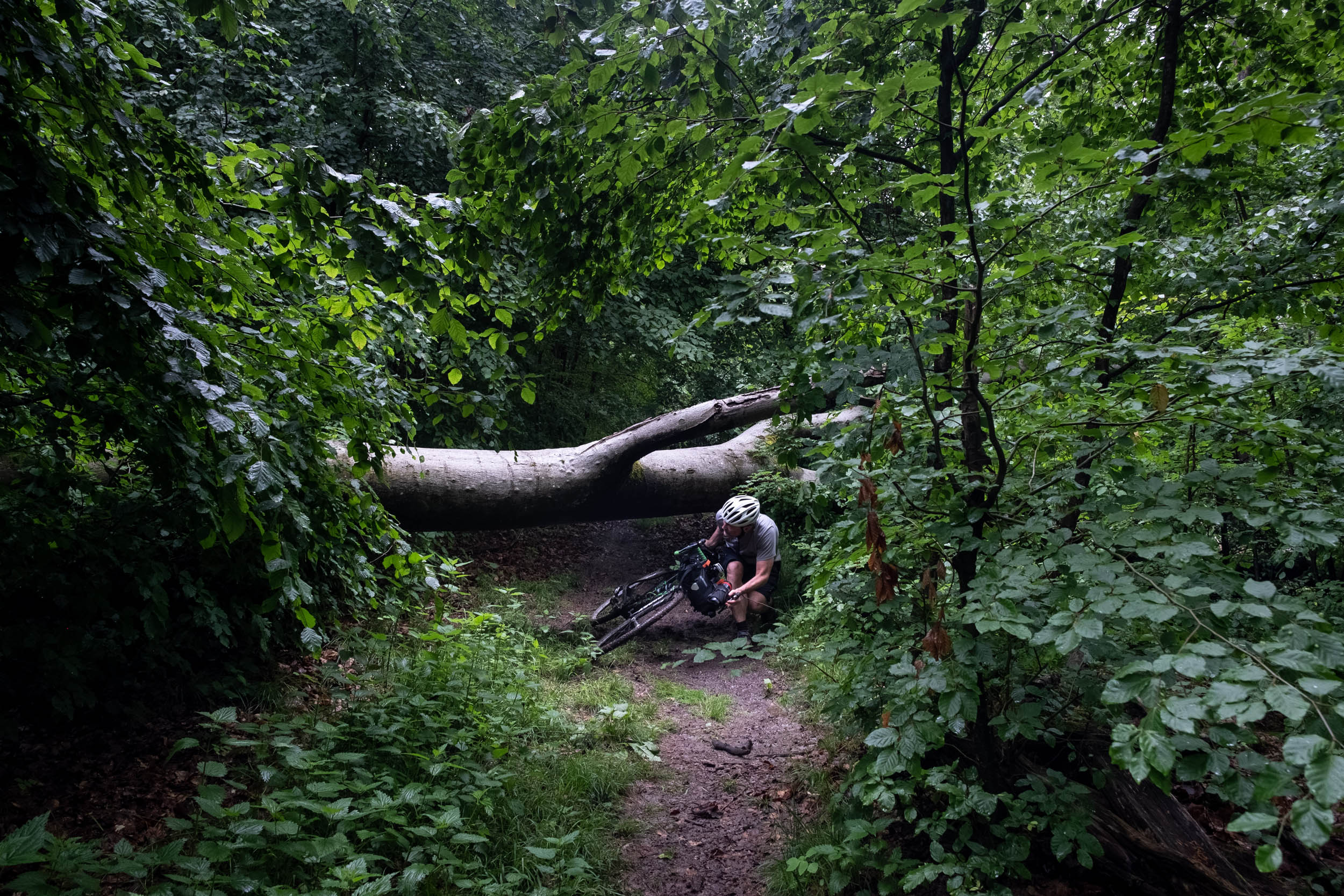
The route is rated 5 of 10 in terms of its difficulty. There are no particular logistical problems and civilization is almost always nearby. The route is more or less completely ridable by bike. You might have to push once or twice on steep ascents for a short while, but most climbs are easy to handle. The singletrack trails are not very technical, but you need some basic technical skills. You’ll also need decent physical fitness as the route is a steady up and down. To answer the inevitable question, yes, the Taunus Storm Chase is rideable on a gravel bike.


Submit Route Alert
As the leading creator and publisher of bikepacking routes, BIKEPACKING.com endeavors to maintain, improve, and advocate for our growing network of bikepacking routes all over the world. As such, our editorial team, route creators, and Route Stewards serve as mediators for route improvements and opportunities for connectivity, conservation, and community growth around these routes. To facilitate these efforts, we rely on our Bikepacking Collective and the greater bikepacking community to call attention to critical issues and opportunities that are discovered while riding these routes. If you have a vital issue or opportunity regarding this route that pertains to one of the subjects below, please let us know:
Highlights
Must Know
Camping
Food/H2O
- The ancient village of Runkel
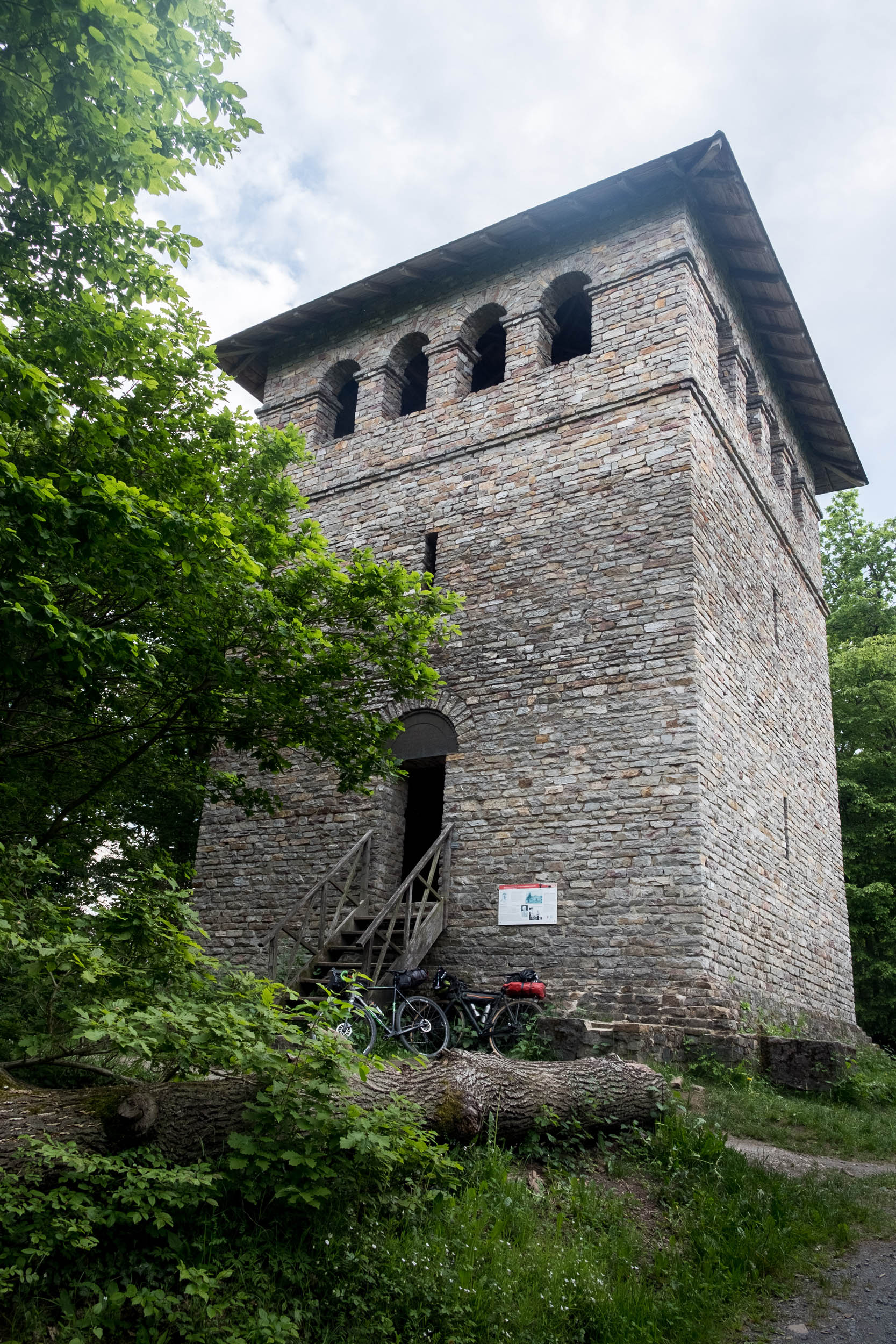
- Ancient Roman Towers all along the route
- Scenic Tower Winterstein
- Scenic Tower Hausbergturm
- Ruins of Roman Castle Kapersburg
- Roman Castle Salburg
- Multiple scenic points over the cultural landscape of the Taunus region
- Scenic view of “Mainhattan,” the skyline of Frankfurt
- Scenic tower Pferdekopfturm
- When planning the trip, Komoot calculated a total ascent of 4,400 meters. Once the data was transferred to Ride with GPS, the website calculated 4,025 meters. However, the actual ride showed 5,000 meters of total ascent on both our navigation systems. So, take that into account when planning the trip. We did the trip in two and a half days.
- The best time to ride this route is between May and October.
- The route consists mostly of gravel roads. Most of the ascents and descents are manageable with a gravel bike with a low gear ratio.
- Starting and ending in the village Runkel, there is plenty of parking next to the sporting ground of the village. There is also a camping place and a supermarket.
- The village also has a train station, where the “Lahntalbahn” stops (train between the cities Limburg and Wetzlar).
- You can also arrive by plane (as Frankfurt is one the biggest airports in Europe) or by train. The loop passes the village of Koenigstein, and you can start and end there.
- From Frankfurt, you can bicycle directly to the village Koenigstein, which is a distance of 25 km. Alternatively, you can take the train (called Hessische Landesbahn) from Frankfurt train station in 35 min to Königstein.
- We did this trip clockwise in early summer. We saw only a few people during the whole loop. But beware of hikers, especially on a sunny weekend at the highest point “grosser Feldberg.”
- Officially, wild camping is forbidden in Germany. When you plan a break, arrive late and leave early.
- We spent the first night near the village Langenhain-Ziegenberg and the second near the village Glashütte.
- You will find accommodation options in almost all of the larger villages.
- The scenic towers are good rest points. Please leave the places cleaner than you found them. The meadow shortly after the village Glashütte is also a good place for a break.
- You pass plenty of villages and farmhouses, so water is almost everywhere.
- Supermarkets are only in the bigger villages.
- There are some small rivers and creeks around. Filtering is recommended because of nearby cattle grazing.


Terms of Use: As with each bikepacking route guide published on BIKEPACKING.com, should you choose to cycle this route, do so at your own risk. Prior to setting out check current local weather, conditions, and land/road closures. While riding, obey all public and private land use restrictions and rules, carry proper safety and navigational equipment, and of course, follow the #leavenotrace guidelines. The information found herein is simply a planning resource to be used as a point of inspiration in conjunction with your own due-diligence. In spite of the fact that this route, associated GPS track (GPX and maps), and all route guidelines were prepared under diligent research by the specified contributor and/or contributors, the accuracy of such and judgement of the author is not guaranteed. BIKEPACKING.com LLC, its partners, associates, and contributors are in no way liable for personal injury, damage to personal property, or any other such situation that might happen to individual riders cycling or following this route.
Please keep the conversation civil, constructive, and inclusive, or your comment will be removed.