


The Alpine Loop: A Ride in The Clouds
Distance
80 Mi.
(129 KM)Days
2
% Unpaved
85%
% Singletrack
0%
% Rideable (time)
100%
Total Ascent
7,800'
(2,377 M)High Point
12,855'
(3,918 M)Difficulty (1-10)
5?
- 6Climbing Scale Moderate98 FT/MI (18 M/KM)
- -Technical Difficulty
- -Physical Demand
- -Resupply & Logistics
Contributed By
Christophe Noel
Overlander
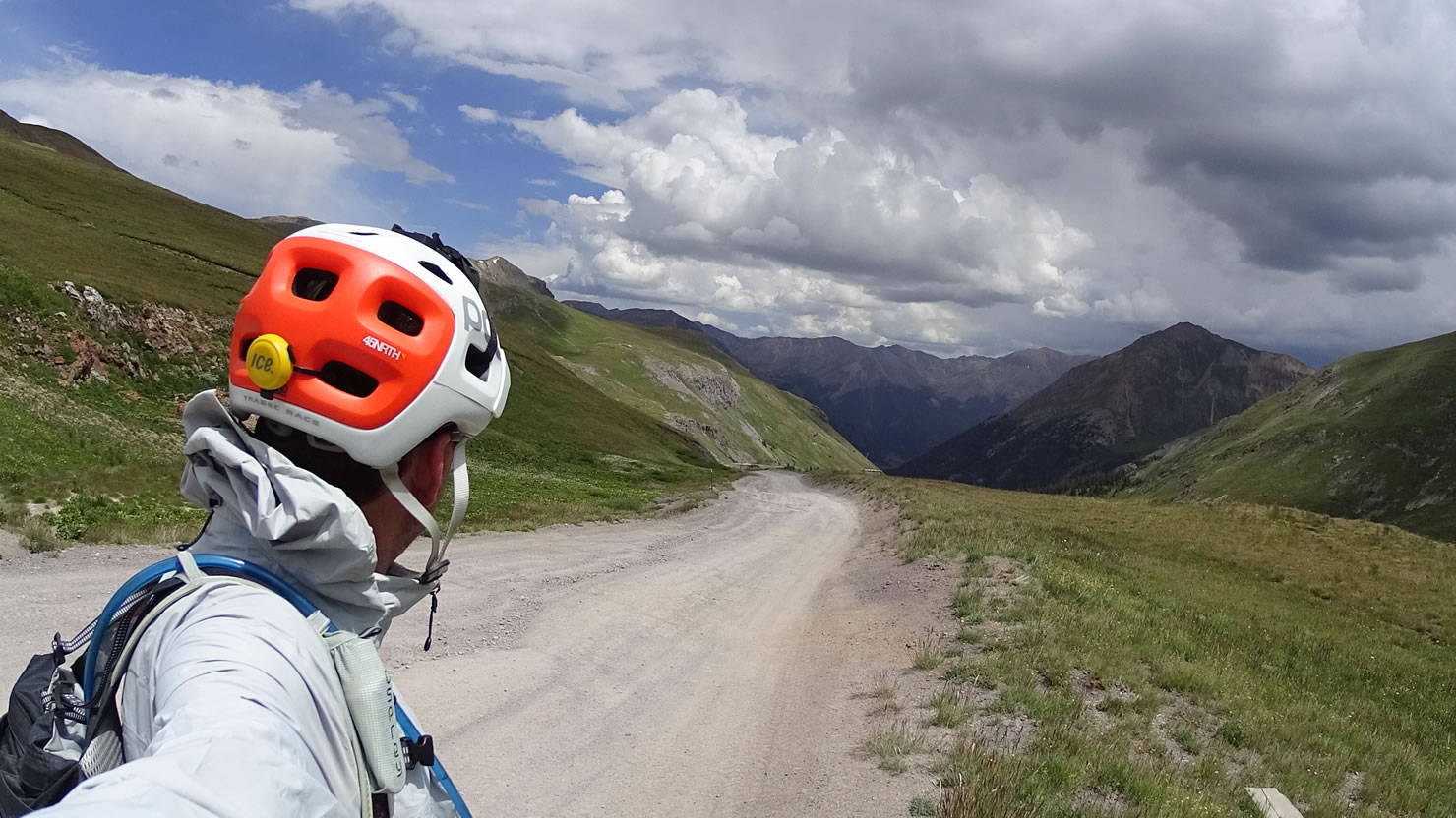
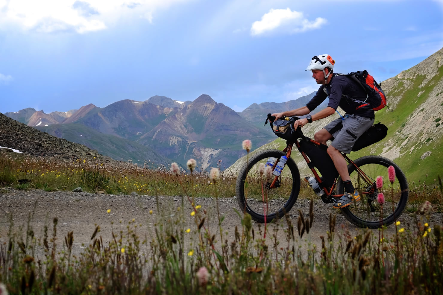
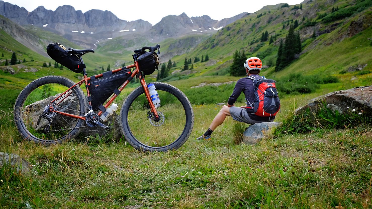
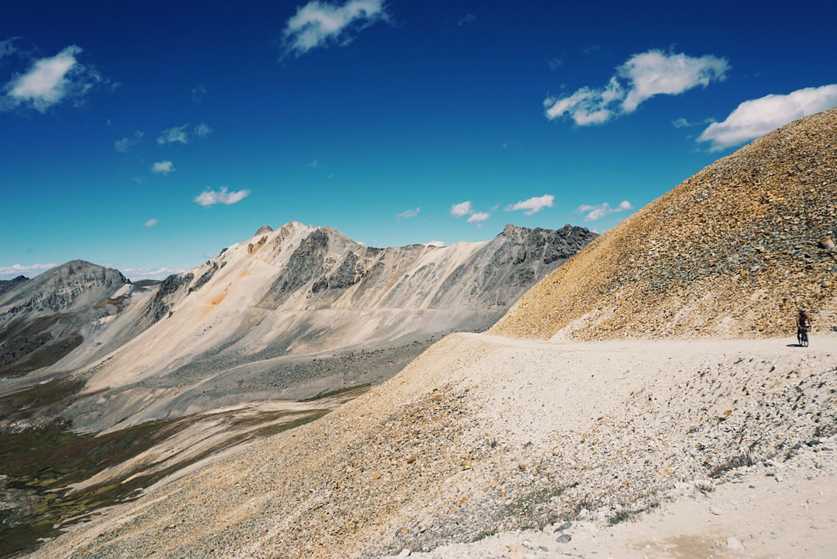
With its starting and ending point in the colorful mining town of Silverton, this short overnight escape is flanked by craggy peaks, many of which top 14,000 feet. It is a journey through ghost towns and abandoned mines where a lucky few struck it rich and many more lost it all.
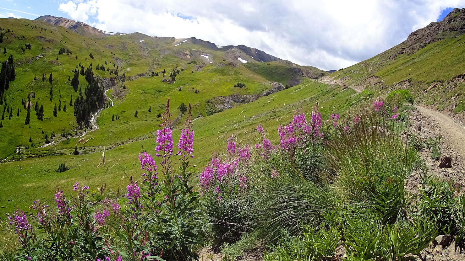
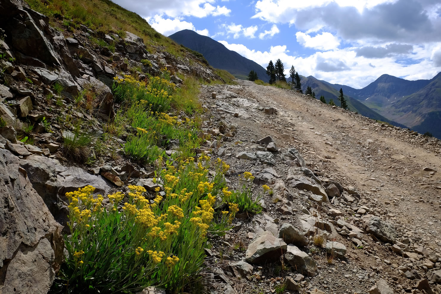
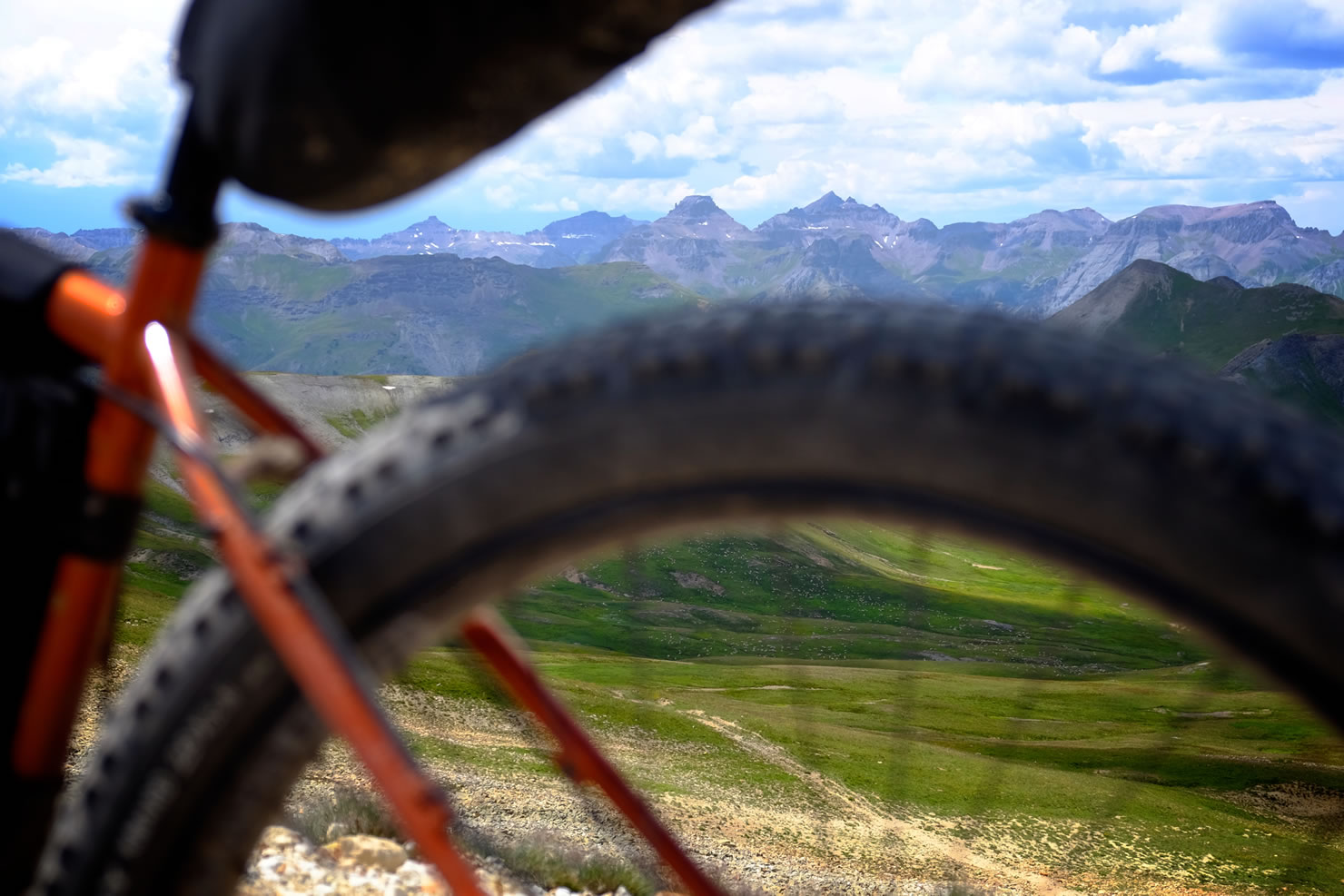
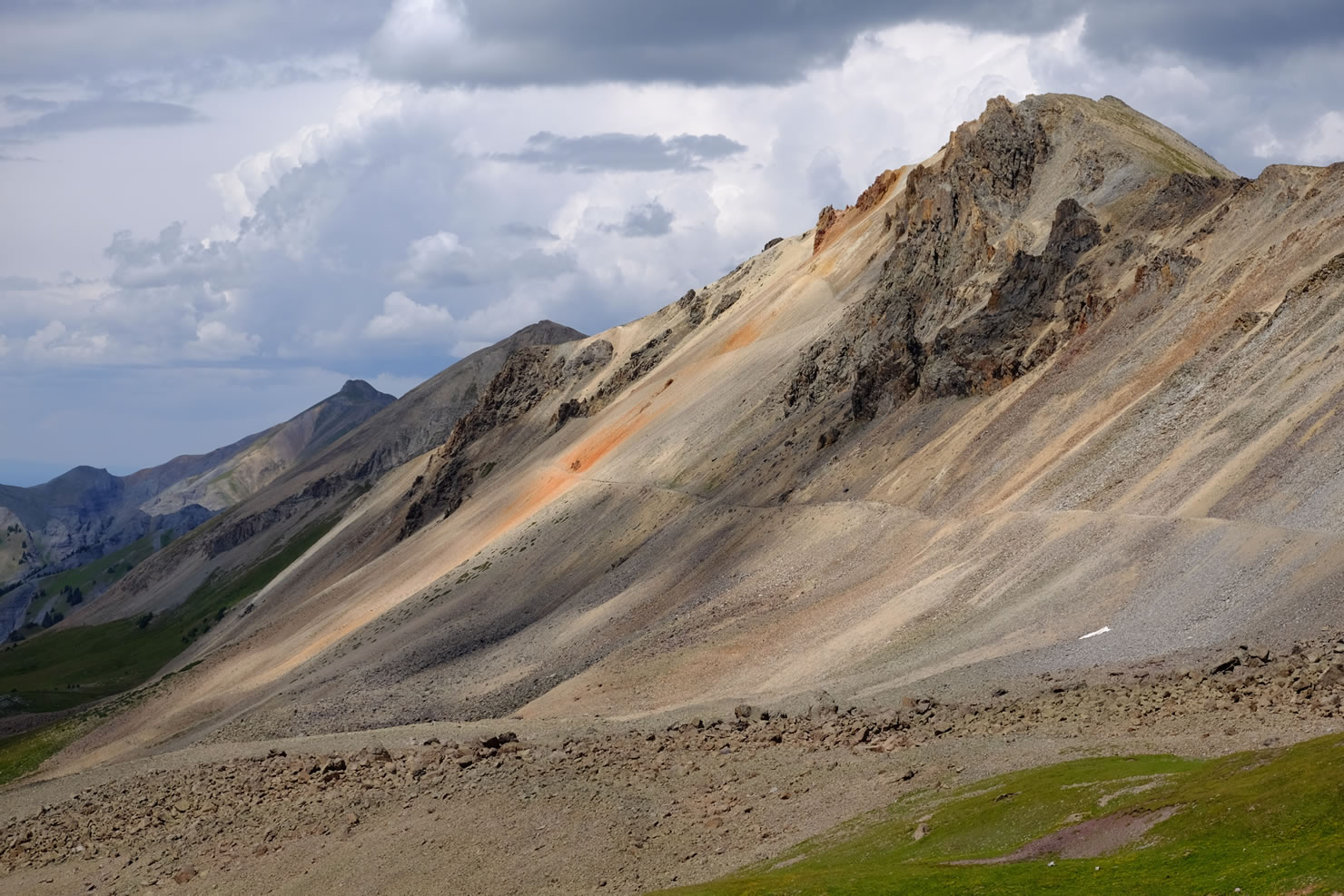
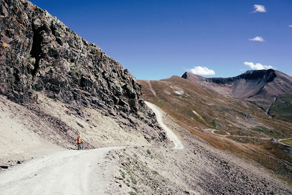
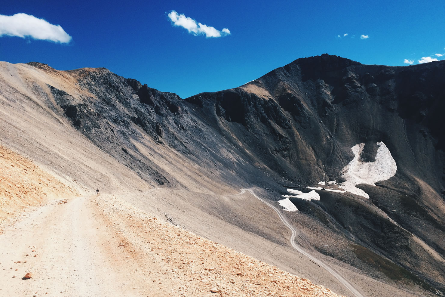
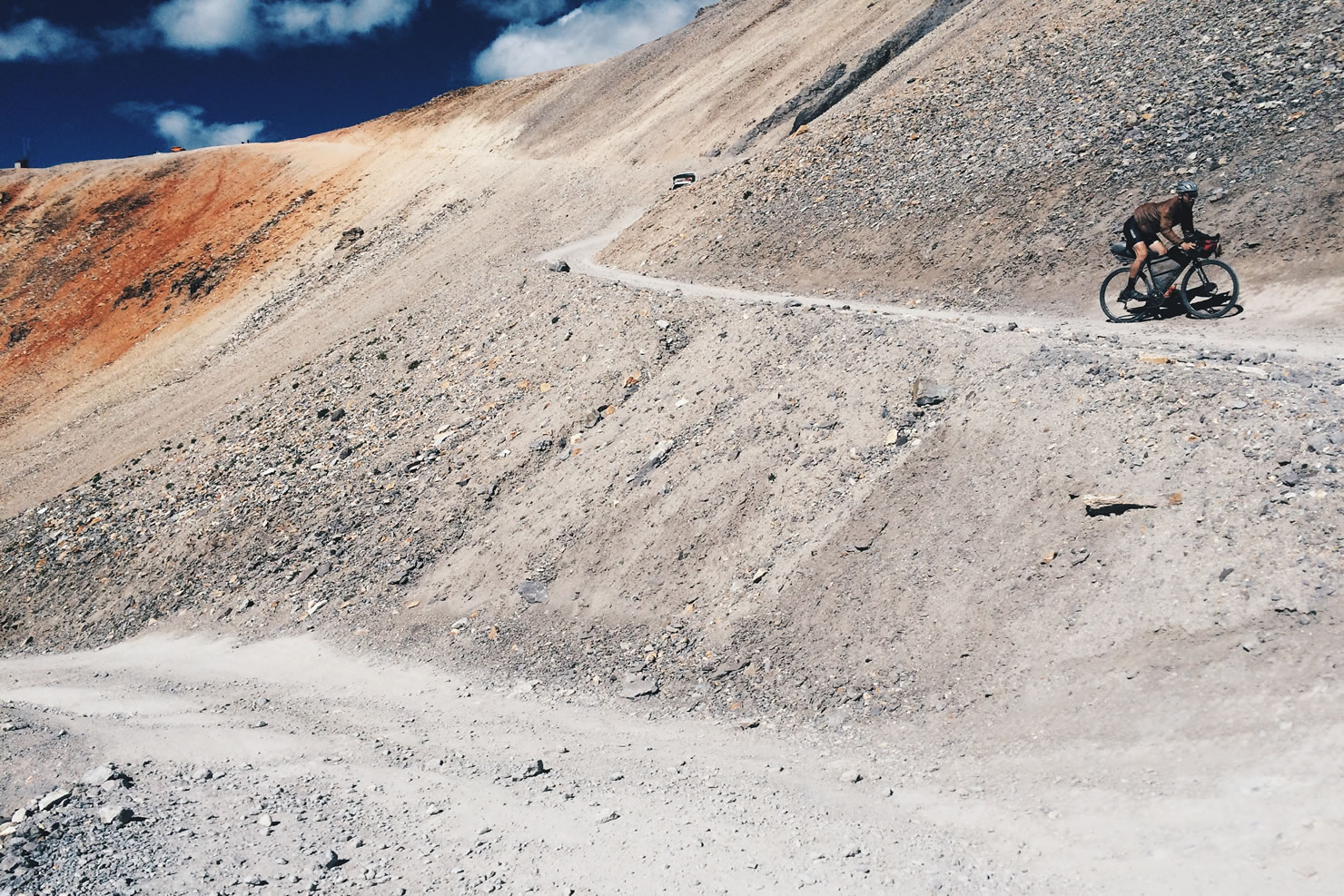
Listed as one of Colorado’s 26 Scenic and Historic Byways, the Alpine Loop winds a serpentine route through some of the most majestic mountains in the country. The road itself is predominantly well maintained, but with rugged sections near the two high passes which are most frequented by high-clearance four wheel drive vehicles. At just 80 miles in length, most riders will elect to complete the ride in two days. The two major climbs ascend to staggering heights and are all-day affairs.
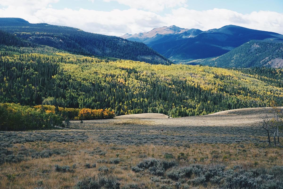
Given the altitudes involved, the road is only open for a few months of the year, typically cleared of snow by the first week of July, but the first winter storms can arrive as early as September. To escape peak summer crowds and to catch the aspen trees at their full color, mid to late August is an ideal time to complete the ride.
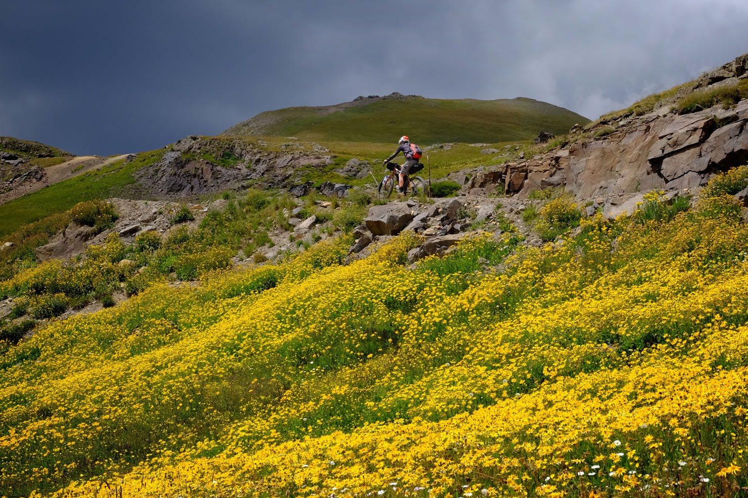
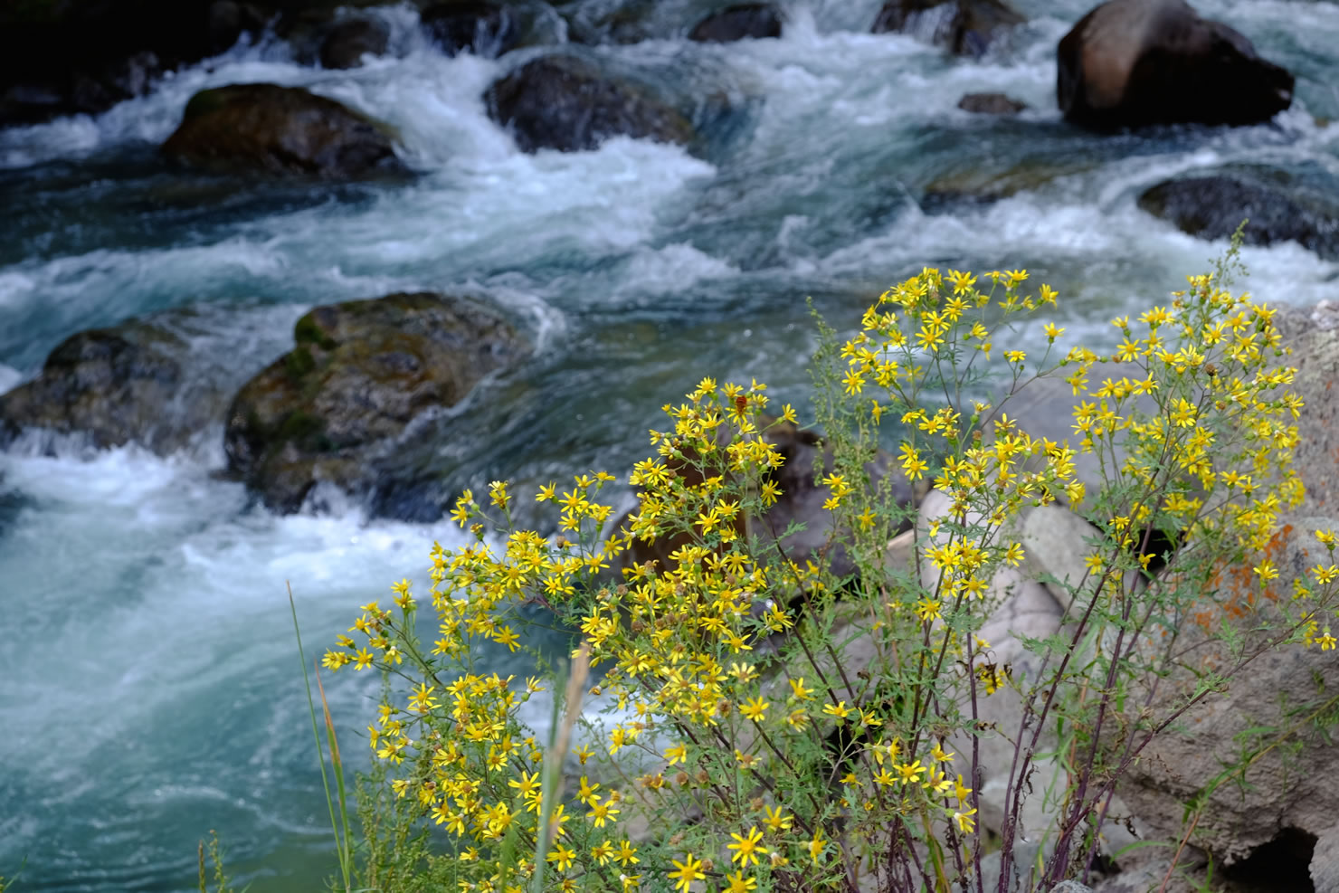
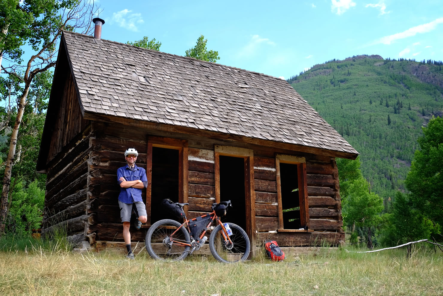
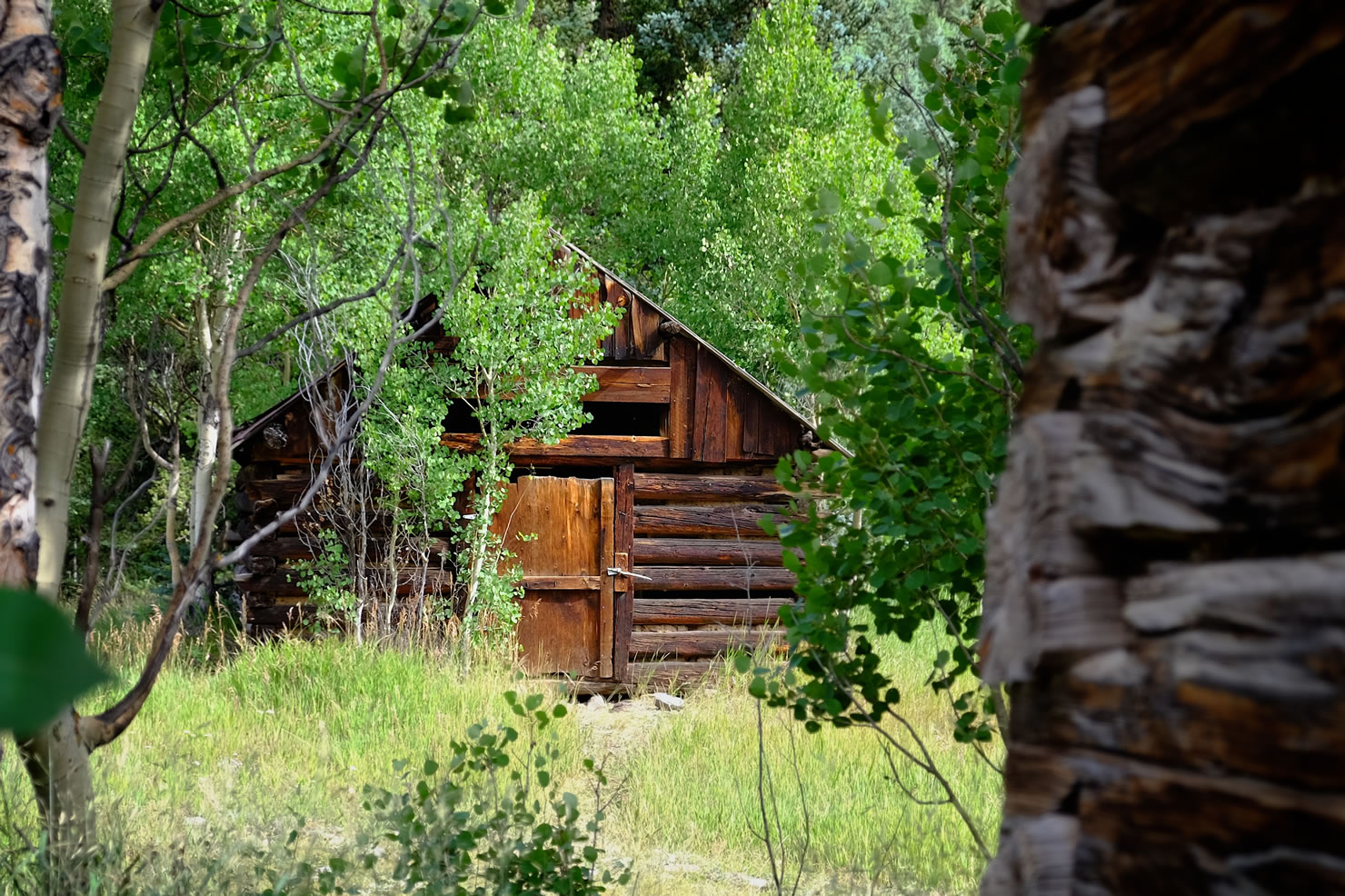
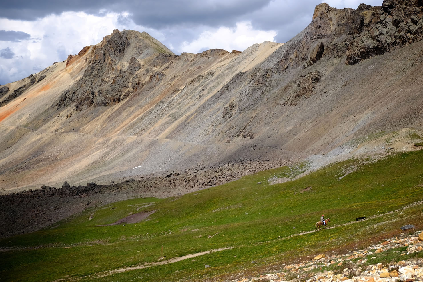
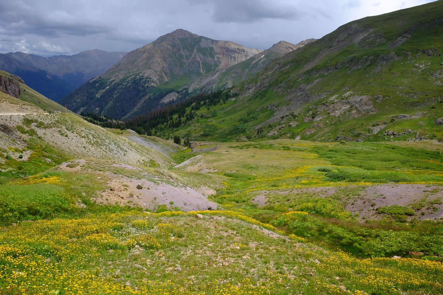
For history buffs, the Loop passes through several vestiges of Colorado’s mining past, the largest and best preserved ghost town is Animas Forks nestled below Cinnamon Pass. At the farthest point on the route is the small but bustling town of Lake City. One of many points of interest along the way is the alpine meadow at American Basin, celebrated as the best place to enjoy wildflowers in all of the Rockies.
It isn’t a long ride, nor is it terribly difficult despite the scale of the topography, but it is beautiful. For a more ambitious route, there are adjacent roads to be explored and additional loops to Ouray and Telluride are possible (see Trail Notes). Bring your camera and your best set of climbing legs, you’ll need them.


Submit Route Alert
As the leading creator and publisher of bikepacking routes, BIKEPACKING.com endeavors to maintain, improve, and advocate for our growing network of bikepacking routes all over the world. As such, our editorial team, route creators, and Route Stewards serve as mediators for route improvements and opportunities for connectivity, conservation, and community growth around these routes. To facilitate these efforts, we rely on our Bikepacking Collective and the greater bikepacking community to call attention to critical issues and opportunities that are discovered while riding these routes. If you have a vital issue or opportunity regarding this route that pertains to one of the subjects below, please let us know:
Highlights
Must Know
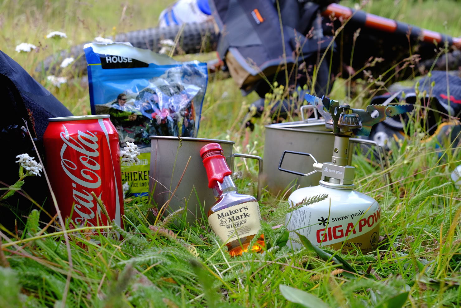
Camping
Food/H2O
Trail Notes
- American Basin is one of the most beautiful corners of Colorado and worth the short 1/2 mile detour off the main route (mile 17.5 on GPS).
- Historical markers dot the landscape and tell of the rich history of the San Juan Mountains.
- The views from Engineer Pass are ample reward for a day’s climbing.
- If you’re inclined to pony up to an old fashioned bar for a mug of suds, Silverton and Lake City offer a chance to wet your whistle during or after your big effort.
- The Alpine Loop is a hotspot for tourists. Frequently overrun with Jeeps and swarms of rented quads, it is best to time your trip during weekdays, ideally after school is in session and family vacations concluded.
- Mountain storms in the high peaks can arrive without warning and bring with them heavy rain and lightning. Be off the summits during afternoon storm hours and keep an eye on the sky.
- These roads are closed for snow in the winter and may be covered through June; the best time to ride is June through September (depending on snow cover and how early the first winter storms pass through).
- Parking can be found in Silverton with no problem.
- The best camping opportunities are on the eastern side of Cinnamon and Engineer Passes. There are three developed campsites along the route and even hotel accommodations in Lake City for those who want to travel as light as possible.
- Once within a few miles of Lake City, the route passes through large sections of private property with few opportunities for dispersed camping.
- Silverton and Lake City have ample opportunities to purchase supplies, but as small rural towns their businesses close early, and may not be open on Sundays.
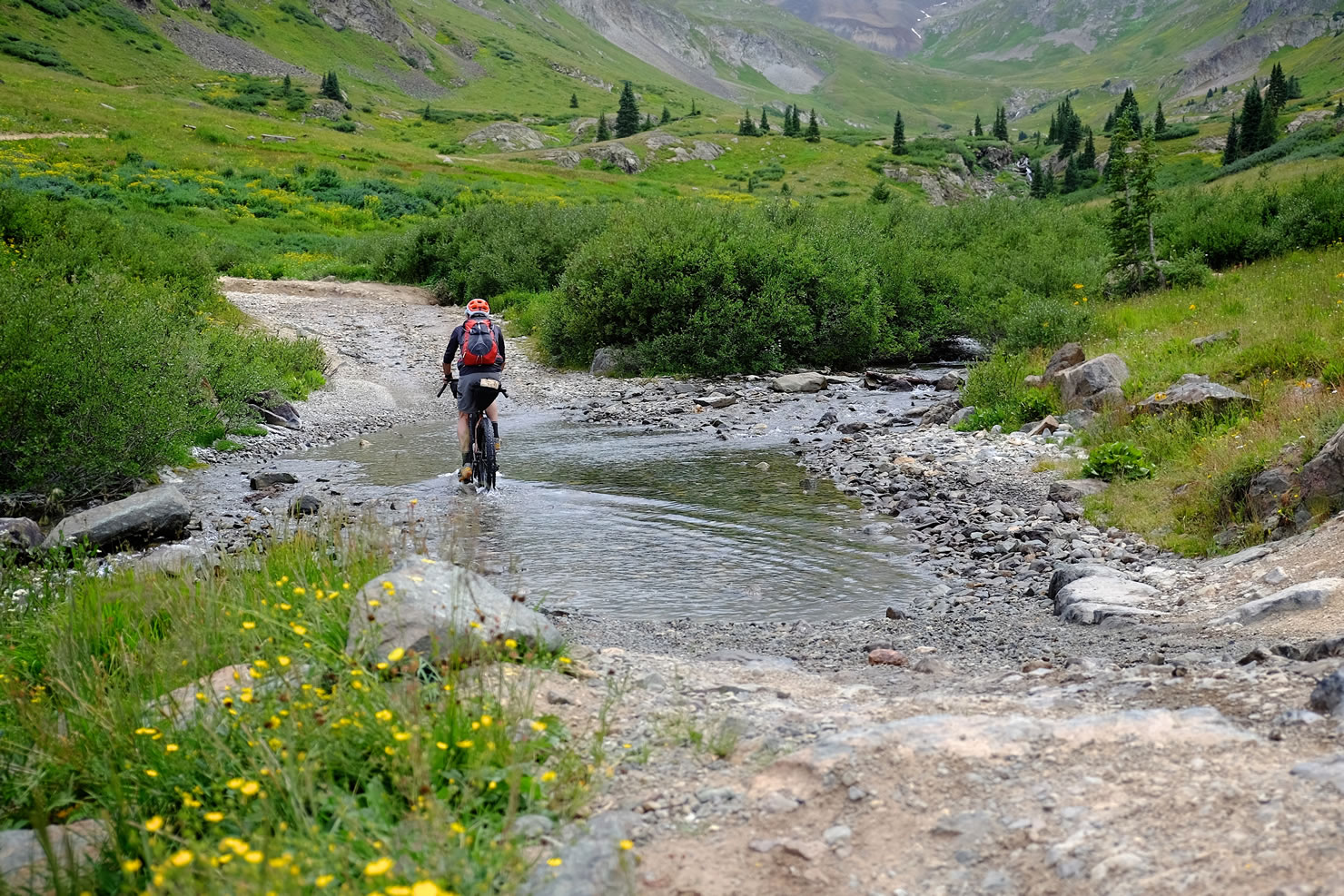
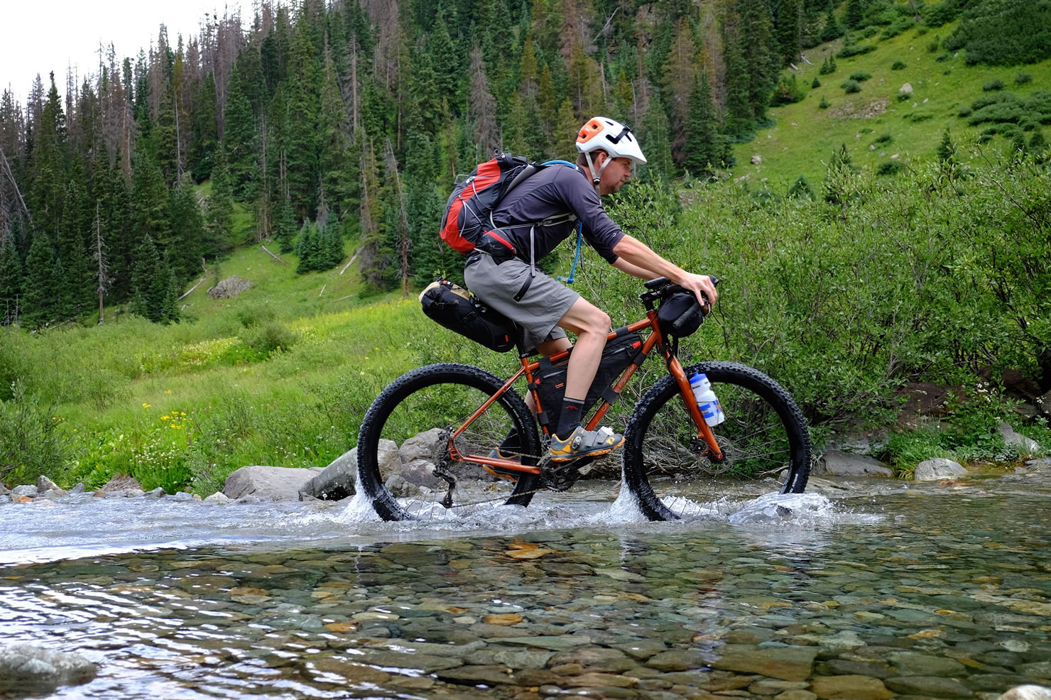
- Water is abundant along the route which follows two large streams and intersects with countless smaller water sources, even at the higher elevations.
Long Version
For a longer 3-4 day version, check out this option through Ouray and Telluride:


Terms of Use: As with each bikepacking route guide published on BIKEPACKING.com, should you choose to cycle this route, do so at your own risk. Prior to setting out check current local weather, conditions, and land/road closures. While riding, obey all public and private land use restrictions and rules, carry proper safety and navigational equipment, and of course, follow the #leavenotrace guidelines. The information found herein is simply a planning resource to be used as a point of inspiration in conjunction with your own due-diligence. In spite of the fact that this route, associated GPS track (GPX and maps), and all route guidelines were prepared under diligent research by the specified contributor and/or contributors, the accuracy of such and judgement of the author is not guaranteed. BIKEPACKING.com LLC, its partners, associates, and contributors are in no way liable for personal injury, damage to personal property, or any other such situation that might happen to individual riders cycling or following this route.
Please keep the conversation civil, constructive, and inclusive, or your comment will be removed.