The Lanna Kingdom
Distance
244 Mi.
(393 KM)Days
8-9
% Unpaved
50%
% Singletrack
5%
% Rideable (time)
90%
Total Ascent
27,417'
(8,357 M)High Point
5,645'
(1,721 M)Difficulty (1-10)
7?
- 7Climbing Scale Strenuous112 FT/MI (21 M/KM)
- 6Technical Difficulty Moderate
- 8Physical Demand Difficult
- 6Resupply & Logistics Moderate
Contributed By
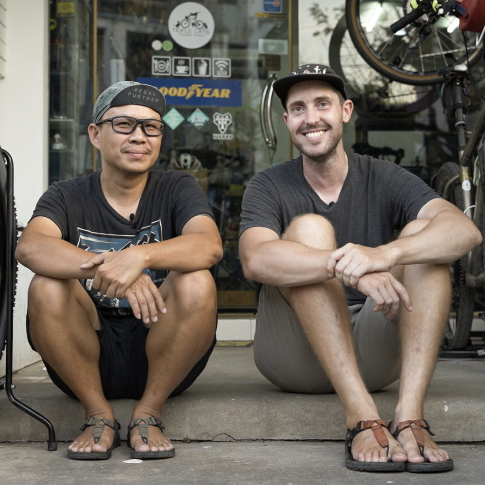
Sam Rice & Nu Chaijinda
Guest Contributor
Sam is a writer, adventure photographer, and explorer. Inspired by the natural world and the people who bring it to life, he crafts stories that ignite a sense of adventure and passion for the great outdoors. Nu Chaijinda is the owner and mechanic at Triple Cats Cycles. Hailing from Chiang Mai, Thailand, Nu is an invaluable part of the Thai bikepacking community and knows Northern Thailand like no one else. You can connect with Sam on Instagram @adventuresbycycle and with Nu on @triplecatscycle.
Idolised by generations of travellers, Thailand needs little introduction. For many, “the land of smiles” is synonymous with tropical beaches, bustling cities, and full-moon parties. But, away from the tourist trappings, the mountains of Northern Thailand are emerging as one of bikepacking’s best-kept secrets.
Home to the smallest mountain in the Himalayas, Northern Thailand is a tantalising mix of mud, colour, and culture. No doubt, you’ve heard of the Himalayan giants like Everest, Lhotse, and Makalu, which tower above the land some 8,500+ metres. But, surprisingly, the foothills of the Himalayas continue into China and Laos before finally ending Doi Inthanon, Thailand’s highest peak at 2,565 metres above sea level. Located roughly 85 kilometres from Chiang Mai (Northern Thailand’s largest city), its landmass stretches for 500 kilometres, in turn creating a bountiful network of hills, valleys, and farmland that’s perfect for bikepacking.
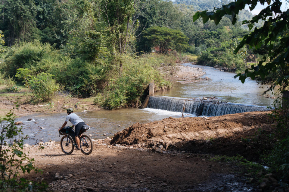
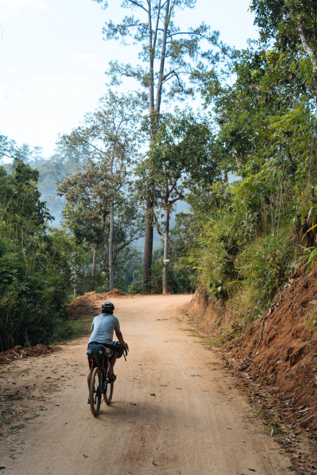
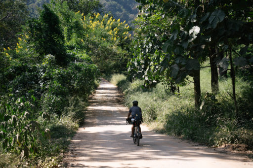
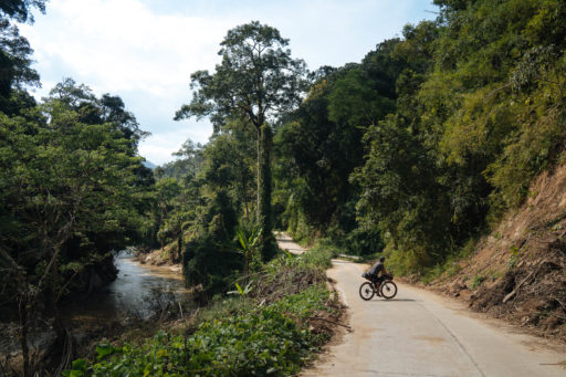
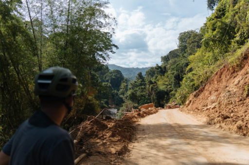
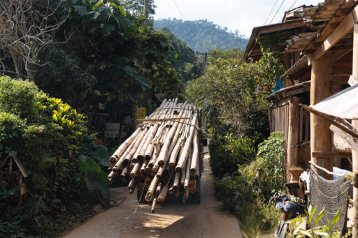
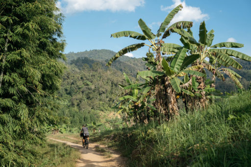
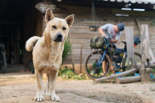
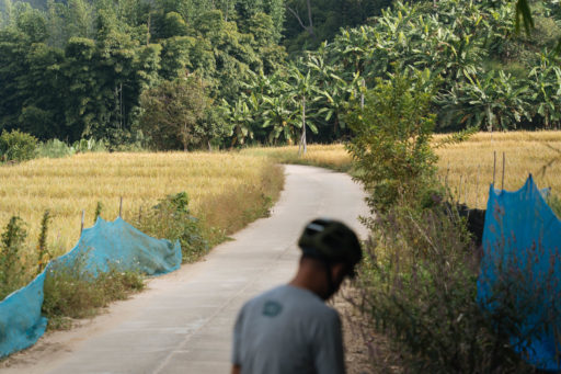
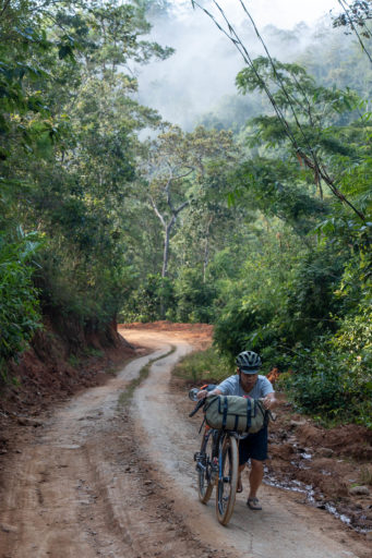
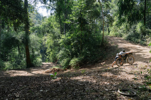
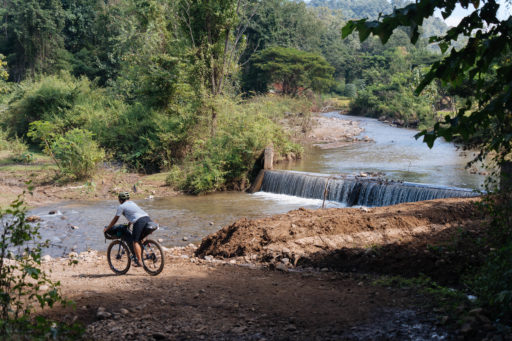
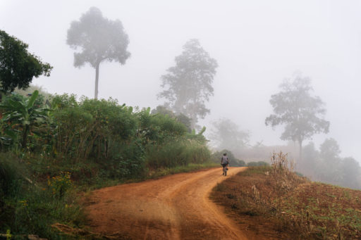
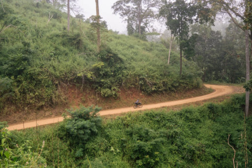
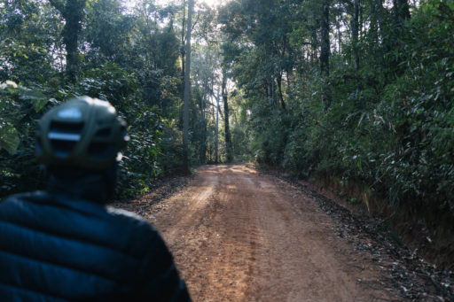
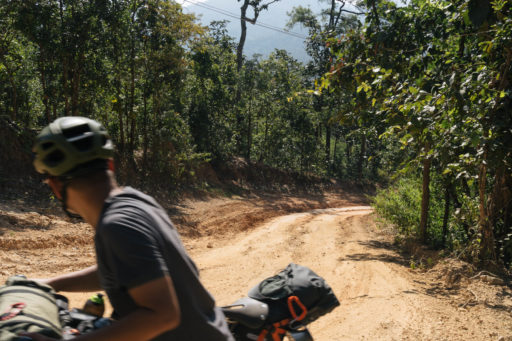
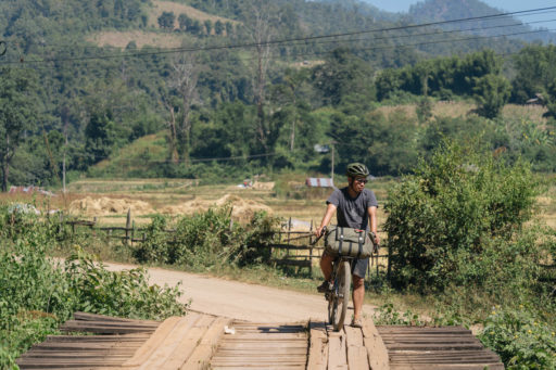
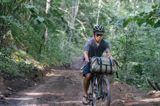
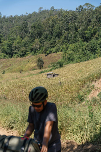
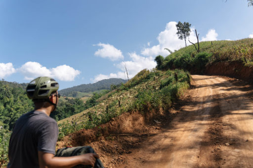
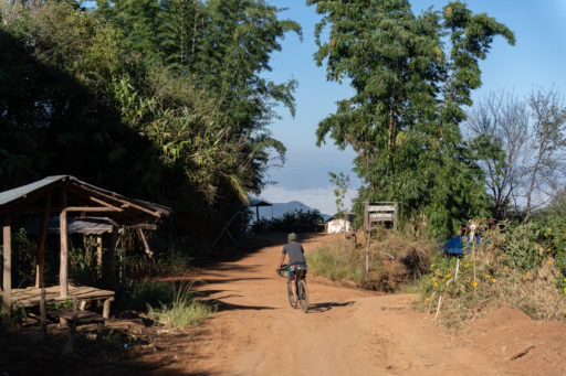
The Lanna Kingdom route forms a lasso around Chiang Mai, where it starts and ends. Leaving the hustle of the city behind, the main roads give way to small riverside pathways. Flower farms, golden rice paddies, and street food vendors punctuate the landscape, offering eyes and bellies plenty of distractions as you settle into the ride. Peeling away from the pavement, the route then follows 150 kilometres of doubletrack dirt roads and old elephant migration trails. Put in place by local farmers and rural villagers, these dirt roads make up the majority of the riding, and although they’re not technical, they can be steep, remote, and gnarly in places.
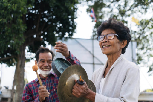
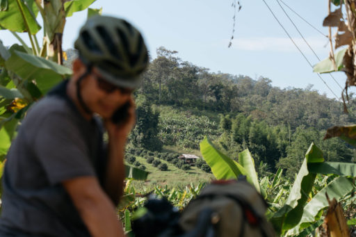
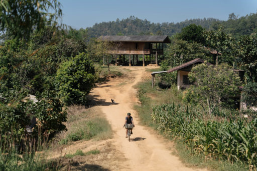
Flowing through the tropical fauna and flora, you’ll experience all the wonders of rural Thailand. Through the hiss of the jungle, you’ll pass banana plantations, mango trees, and wild papayas. A quick “Sa Was Dee” will open a floodgate of smiles and curious questions – but mainly, “Why aren’t you riding a motorbike?” We’ll leave you to explain that one.
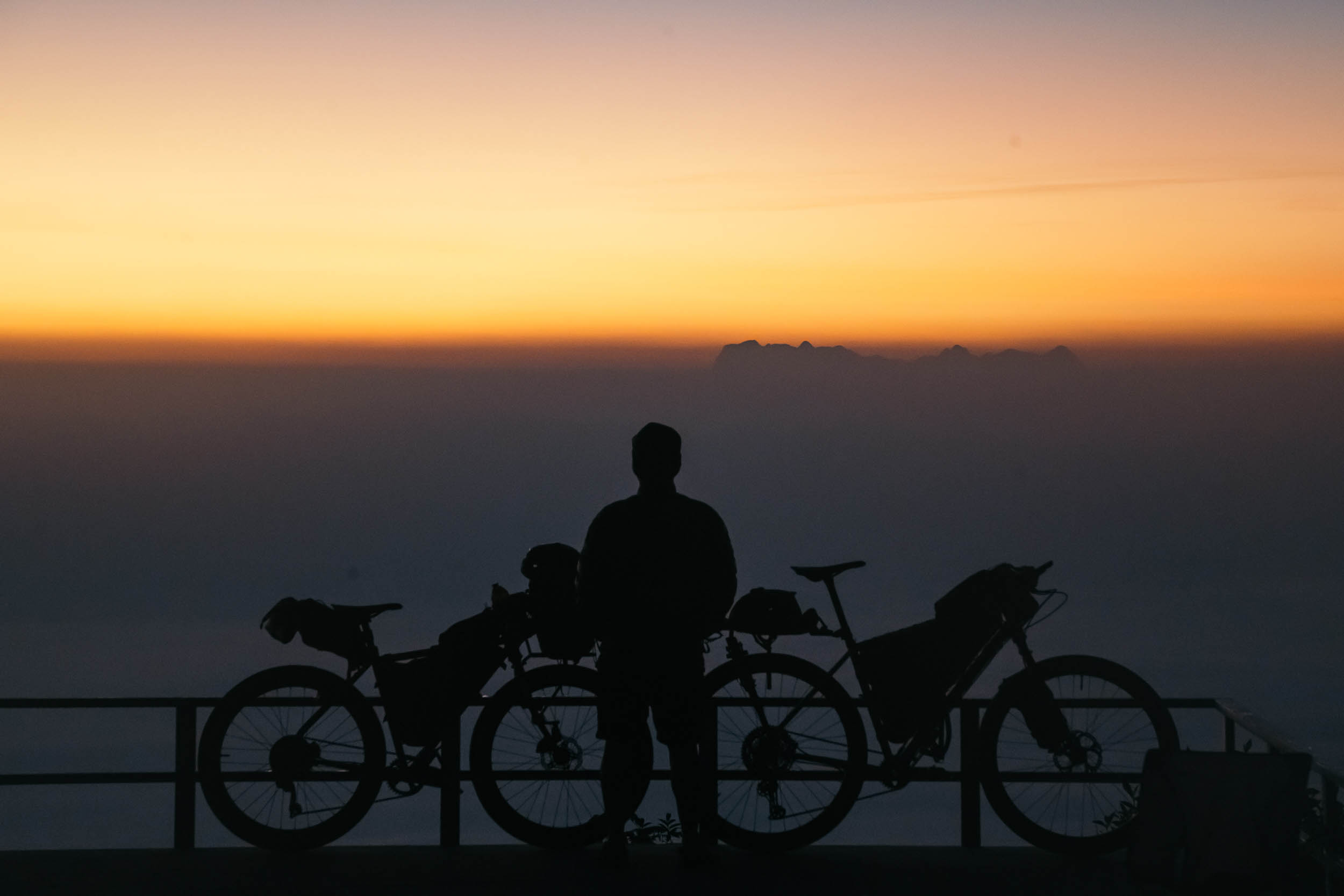
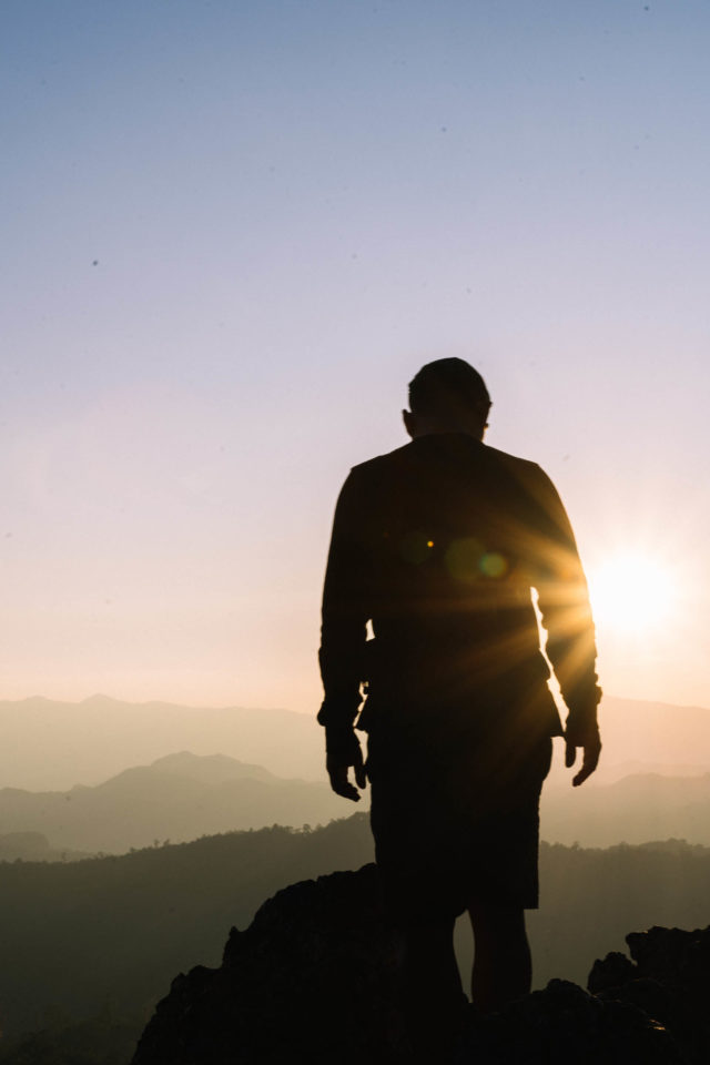
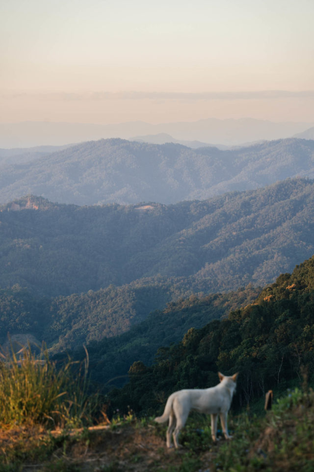
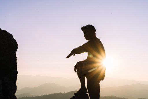
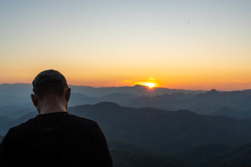
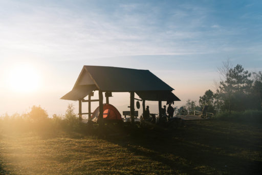
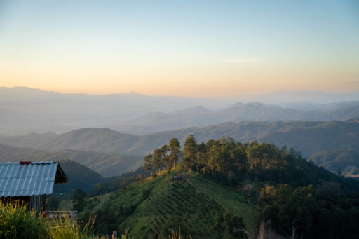
The two highpoints of the ride, Doi Dam (1,720 metres) and The Royal Project (1,570 metres) both offer jaw-dropping scenery and opportunities for world-class sunset/sunrise. From up high, the valleys overflow with dense clouds as changing tropical temperatures cause vast cloud inversions. As you gaze at the horizon, what feels like a million mountains dance in the distance. It’s a truly unmissable sight, even if you have to wake up at 4 a.m. and pedal in the dark for an hour.
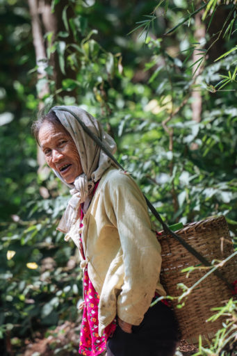
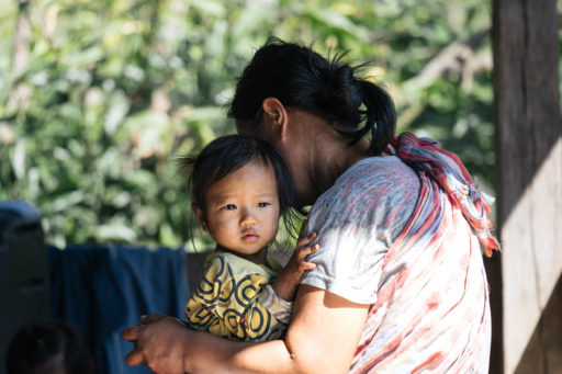
Amongst the many Thai people you’ll encounter along the way, the route also passes through regions that are home to a unique range of hill tribe cultures. Originally immigrating from China, Laos, and Myanmar hundreds of years ago, the Karen, Hmong, Lisu, Mien, Palaung, Akha, and Lahu are now integral parts of rural Thai communities. One of the guest houses on the route, Thung Yua Homestay, is owned and operated by Ping (a Lahu farmer) who will be happy to talk about the different tribes in the area.
Suitable for both gravel bikes (with high volume tyres) and mountain bikes (rigid or suspended), we designed the route for maximum bike inclusivity. We want as many people as possible to experience the magic rural Thailand, but the route isn’t for the fainthearted. With 6,600 metres of climbing, we recommend a good level of fitness and as light a pack as possible. This is a challenging route with plenty of climbing, but it’s no exaggeration to say that The Lanna Kingdom is a world-class bikepacking route. Welcome to Thailand!
Route Difficulty
Overall, route difficulty is 7/10. Even though there’s quite a bit of climbing, the riding isn’t super technical, and the singletrack sections are very brief. The main challenges are the heat and – if you don’t speak Thai – the language barrier. Another main consideration is the season and weather. Thailand’s winter is between November and February. This is 100% the best time to ride, with December and January being ideal. Cooler temperatures, dry weather, and early sunrises make for dreamy riding conditions.
Resupply points are plentiful, and we’ve deliberately steered the route through a few larger towns, including Muang Khong, Wiang Haeng, and Pai. All of these towns offer accommodation, food, and markets. There are, however, some sections of the route where buying lunch/dinner and carrying extra food and water are essential, so look out for those cues in the day-by-day breakdown.
Though straightforward, there are some unique logistical considerations to plan for when riding The Lanna Kingdom. In order to see Doi Dam at sunrise, you’ll need to camp at a ranger station and therefore call ahead to let them know how many people will be arriving. You can skip this section, although we highly recommend doing it if time permits, it’s a highlight of the ride! Also staying at The Royal Project is better on weekends, as it’s officially closed and less busy. But, there’s a ranger post next door that’ll let you stay there without hassle any day of the week. The relevant contact information is all noted in the GPX and the trail notes. It’s quick and easy to organise as all the permissions have already been arranged, but make sure you read everything thoroughly and plan ahead. We’d strongly suggest making a note of the days on which you’ll need to organise permissions and the relevant contact details, as well as downloading or printing out the trail notes to bring along with you.
Route Development
I first pedalled Thailand in 2019 whilst cycling from Australia to the UK with my partner Bec (@becbycycle). Originally on classic touring rigs, we met Nu at his shop (@triple_cats_cycle) and quickly became close friends. He inspired us to get off the busy roads, switch our bikes over to rigid MTBs and explore rural Thailand. That’s when we caught the bikepacking bug, and we’ve been living on the road ever since.
Enamoured with Thailand and its bikepacking potential, Bec and I vowed to return and help put the country on the map. In 2022, we enlisted the help of Nu, and, together, designed what will be the country’s first long-distance bikepacking route. In truth, Nu is the mastermind behind the route and an invaluable part of the bikepacking community in Thailand. He has an incredible knowledge of all the best roads, trails, and tracks across the country, as well as friends in all the places we needed to make it a success. A huge thank you (kob-khun-khrap) goes to him and all his effort!
Submit Route Alert
As the leading creator and publisher of bikepacking routes, BIKEPACKING.com endeavors to maintain, improve, and advocate for our growing network of bikepacking routes all over the world. As such, our editorial team, route creators, and Route Stewards serve as mediators for route improvements and opportunities for connectivity, conservation, and community growth around these routes. To facilitate these efforts, we rely on our Bikepacking Collective and the greater bikepacking community to call attention to critical issues and opportunities that are discovered while riding these routes. If you have a vital issue or opportunity regarding this route that pertains to one of the subjects below, please let us know:
Highlights
Must Know
Camping
Food/H2O
Trail Notes
Resources
- Journey through diverse landscapes with jaw-dropping scenery every day
- Immerse yourself in Thai culture and nature
- Relax and enjoy the picturesque town on Mueang Khong
- Challenge yourself with steep climbs and ripping descents
- Eat, learn, and stay with a unique hill tribe family in Tung Yua
- Ride some of best dirt roads in Northern Thailand
- Experience a crimson sunrise and cloud inversion like no other at Doi Dam
- Marvel at the kindness and compassion of Thailand’s people
- Camp at The Royal Project and witness a sunset that’ll blow your socks off
- Stay at some truly unbelievable homestays and campsites with unparalleled views
IMPORTANT CONSIDERATION
Though straightforward, there are some unique logistical considerations to plan for on The Lanna Kingdom. In order to see Doi Dam at sunrise, you’ll need to camp at a ranger station and therefore call ahead to arrange with the local rangers. Nu can help with this before leaving, but we’d strongly recommend planning for this as it’s a brilliant experience and a major highlight of the route.
Weather and When to Go
The best time of the year to ride is Thailand’s winter, between November and February. The monsoon season has ended, the trails are dry, and the temperatures are cooler. For the very best conditions, we’d suggest riding in December or January. You can also ride in Thailand’s summer (June-August), but expect it to be very hot and humid, with some rain.
Dangers and Annoyances
- Mosquitos: With the route being deep in the jungle, mosquitos are more than just an itchy annoyance. Although the risk of Malaria is fairly low in this area, it’s still near the border of Myanmar and in turn, cases do pop up. We recommend completely covering up and taking a good quality mosquito spray or taking anti-malaria medication if you’re really concerned about it.
- Khoon (Black Fly): These tiny insects may be small, but their bite is extremely itchy and can cause allergic reactions in some people. You’ll likely only encounter them at Doi Dam, and similar to mosquitos the best way to mitigate bites is to cover up. But mosquito repellent does a pretty good job too.
- Leeches: In the rainy season, leeches live on the trails, usually in the long elephant grass. We didn’t encounter any when we rode the route, but we’ve caught a few little blood suckers on other trails in the area. They’re pretty small, and you’ll probably not feel their bite, but just something to be aware of if you’re riding in shoulder seasons.
Travel Basics
- Learn the key phrases! It’s great tip for general travel, but learning enough of the local language is essential in our opinion. We’re not talking about becoming fluent, but we found that day-to-day, you tend to have the same/similar interactions (hotels, markets, restaurants), and so learning phrases to introduce yourself, ask for the price of a room, and basic numbers will really go a long way in helping you save precious cash.
- Money matters: Thai Baht is the currency in Thailand, and cash reigns king. Outside of the cities, paying for anything with a credit card is generally impossible. So, make sure to take ample cash with you on the ride (depending on your daily budget, etc.), and try to favour smaller notes where possible.
- The mountains can be cold: don’t make the mistake of assuming that – being in Thailand – it’s always hot. During the day, temperatures will be 25-30°C (77-95°F) but once the sun cools off, mountain temperatures can get down to 6-12°C (42-53°F).
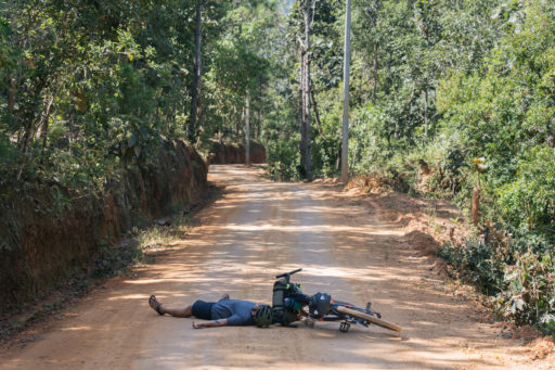
- Red Bus Emergency Bail Out: Both Wiang Haeng and Pai have a red minibus service that will transport you and your bikes back to Chiang Mai if needed. So, if you experience a major mechanical or fall, get to the nearest village, or flag down a passing pickup truck, and they’ll help you get to safety in the next town.
What Bike?
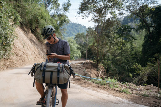
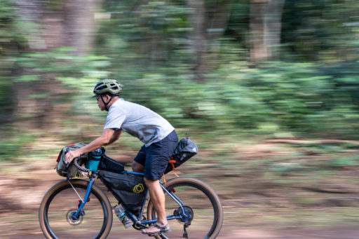
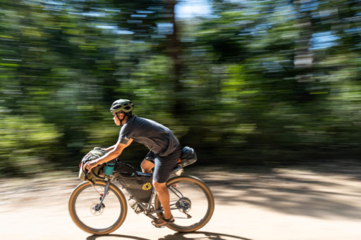
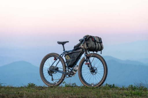
- Designed to be a bike-inclusive route: we intentionally tackled The Lanna Kingdom on a mix of rigs. Nu rode a gravel bike with 650 x 47s and wide drop bars, and I rode a rigid MTB with 29 x 2.2s and a flat bar.
- Rigid is cool, suspension would be fun too: although we completed the route on rigid bikes, we think a hardtail would also be fun on the route. Especially for people who won’t enjoy some of the rougher sections. Don’t ride on a full-sus, it’s overkill.
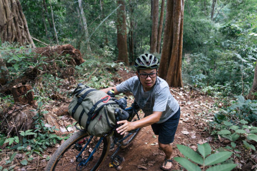
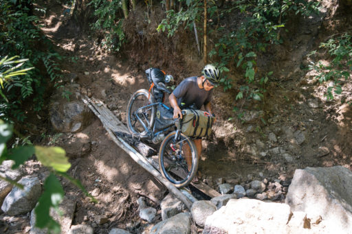
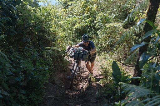
- Thailand is STEEP AF: Pack your climbing legs, the appropriate gearing to match, and no ego. I rode 1×11 (10-52 rear/30T front) and Nu 1×11 (11-40 rear/36T front) No matter the rider, you will 100% push some of the route as gradients in places are 34% with low traction. Don’t believe me – check out this post from Sofiane Sehili.
- High volume tyres = friends: I was running 29×2.2s, and although they were good, at times, I really wished I had something in the 2.4-2.6 range for extra floatation and suppleness. If you’re riding a hardtail, 2.0-2.25 is great, but if rigid, consider a slightly wider tyre.
- A tubeless set up is highly recommended: If you can’t run tubeless, make sure you bring enough spare tubes and patches or buy some before you head out.
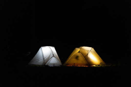
- Camping considerations in Thailand: With stunning national parks, unique forests, and sprawling jungles, camping is easy, extremely safe, and highly recommended in Thailand. The route is littered with campsites, as well as ranger stations to camp in, plus most villages will allow you to stay in schools, monasteries, and police stations if you’re in a pinch.
- The mountains can be cold: Don’t make the mistake of assuming that, being Thailand, it’s always hot. During the day, temperatures will be 25-35°C (77-95°F) but once the sun cools off, mountain temperatures can get down to 6-12°C (42-53°F).
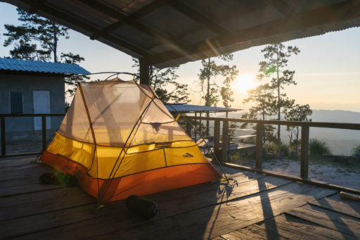
- Tent, Bivvy, or Hammock: Due to the remoteness of some sections, a shelter of some sort is essential. Depending on your personal preference (and tolerance for mosquitos), choose either a lightweight freestanding tent, hammock, or bivy bag. For some, a simple bivvy under the stars is a dream come true. For others, the refuge of a tent with full mesh walls to keep the bugs out is worth the extra weight.
- Lightweight but warm: Whilst a lot of ultra-light gear won’t keep you warm in most wintry landscapes around the world, the winter months in Thailand offer a perfect opportunity to pack light. We both carried light down jackets, a shell, warm clothes to sleep in, and a summer-rated sleeping bag. My favourite piece of gear was the Mont UL sleeping bag, which weighed 300g and packed to the size of a Nalgene. It’s like it was made for Thailand – perfect!
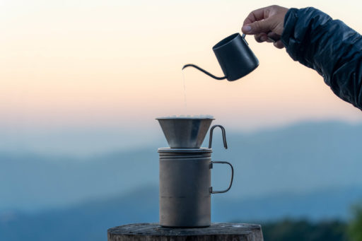
- Beat the heat: In Thailand, your best bet is to wake early and beat the heat of the day. We set our alarm for 5:30 a.m. each morning, packed down the tent, made coffee, and left by 6:30 a.m.
- Accommodation is inexpensive and awesome: With a night at a homestay (complete with a hot shower, dinner, and breakfast) usually costing $12-15 USD. The Lanna Kingdom has been designed to balance both home comforts and camping adventures. Although shelter is essential on the route, a couple of days in homestays will offer an insight into local cultures and Northern-style food. Plus, they’re a great way to wash up, clean your clothes, and have a beer. See trail notes for recommended homestays en route.
- Food is affordable and abundant along the route: But in some sections, it’s essential to pack a lunch/dinner as some of the campsites aren’t near villages. Look for these in the trail notes.
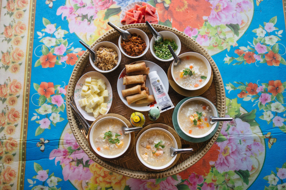
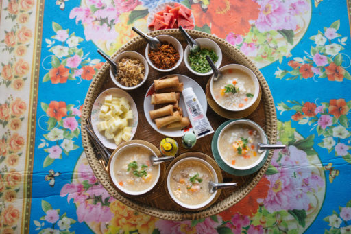
- Thai food is awesome: With simple dishes like Kra-prao Moo (fried holy basil with chilli and pork), Khao Kai Jeow (Thai style omelette), Pad See Ew (thick noodles with Chinese broccoli and soy), or (Khao Niew Gai Tod) sticky rice with fried chicken abundant in every village. You will very rarely be given a menu, especially in remote areas. So, it’s best just to ask what they have available. If you’re unsure, default to Google translate.
- Shops and supermarkets: Outside Chiang Mai, these tend to be stocked only with basics, but you can always pick up staples such as rice and a variety of packet noodles. Hot tip: Tom Yum is the nation’s favourite!
- Water capacity: You should have sufficient capacity to carry at least 2-3 litres of water, as there are a few slightly longer stretches without resupply. That said, as long as you make sure to refill your bottles at every opportunity, 2-3 litres will be sufficient. You can always refill your water at shops and restaurants. You will never need to carry more than a day’s worth of food, as restaurants and shops are generally plentiful. Even in the most remote sections, you will still see a town or village at least once per day.
- A water filter is a safe choice: Most of the time, you won’t need to use it, but in some of the more remote villages, clean water is hard to come by. I’d advise packing a filter or some purification tabs.
NOTE: For the best experience on The Lanna Kingdom, we suggest you allow 10 days to complete the route. Due to visa restrictions and a busy shop to manage, Nu and I rode the route in six days. On reflection, part of the magic (for us) was spending time in the mountains and enjoying the time off bike. So, below you’ll find a suggested day-by-day itinerary for 10 days, which you can flex up and down to suit your needs:
Day 1 : Chiang Mai – Kaeng Kued (60km)
An easy start to the route that’ll see you exit the city on small roads. Within the first 20 kilometres, Chaing Mai will be a distant memory, and you’ll be cruising on riverside bike paths with coffee, flower gardens, and rice paddies to keep you entertained. The terrain is completely flat, and it’s a brilliant route to keep you away from the busy highways. Leave early in the morning to beat the heat, and be sure to stop for food and coffee en route!
Kaeng Kued is a pretty little village and has plenty of guesthouses and campgrounds to choose from. A popular one is Saun Aui Tha Campground: (+66835797458) Facebook page. Depending on your time of arrival, you might share the road with some elephants too.
Day 2 : Kaeng Kued – Ban Tung Yua Homestay (20km)
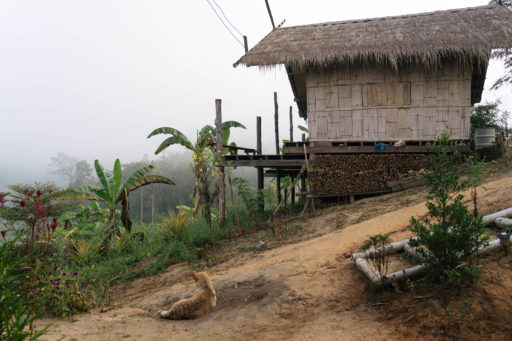
A short day on the bike, but an incredible cultural and food experience that’s well worth the time. Owned and operated by Ping, Tung Yua Homestay offers a unique insight into the delicious food of the Lahu hill tribe. After a good push to get to the top, you’ll spend the night in a rustic wood lodge 800 metres above sea level with stunning views across corn fields and banana plantations.
Dinner, breakfast, and lodging are included in the price, plus there are warm showers, beers, and snacks. Ping’s family will cook for you, but feel free to help, and you’ll get to spend the evening learning traditional Lahu cooking methods. We helped make Lhaam Kai (Chicken cooked in bamboo over the fire) – what will you get treated to?
Contact: Ping (+66903301207) – Tung Yua Homestay (message him in advance so he can make sure there are provisions for dinner!)
Day 3 : Ban Tung Yua – Mueang Khong (25km)
After a big breakfast and a good night’s sleep at Tung Yua, The Lanna Kingdom’s riding really begins. Out of the village, the road quickly turns to a dirt doubletrack shrouded in jungle. Expect some punchy climbs, dreamy descents, and stunning scenery along the way. Be sure to take some snacks and enough water for the ride.
Mueang Khong is a special village that has good restaurants, coffee, and accommodation. There are small shops for resupply if you need. It’s also a good place to take a day off and enjoy the scenery if you feel like it.
Day 4 : Mueang Khong – Ban Haui Yasai (25km) or Wiang Haeng (30km)
NOTE: Before leaving town, grab some food that travels well, like dry noodles (Pad See Eiw), bready snacks, or packet ramen, as there’s no places to stop en route.
Leaving Mueang Khong, you’ll rejoin the dirt roads and be immersed in the jungle once more. The riding is similar to day three in terrain and climbing. Expect some climbs, but also some nice forest flats and uninterrupted downhill. As you follow the dirt road, you’ll spot the first forest ranger post (113km). Soon after (116km), there’s a steep downhill section that we advise you to walk. It’s 26%, with loose gravel, and can be dangerous – so take care. Finally, you’ll hit the second ranger post (118km).
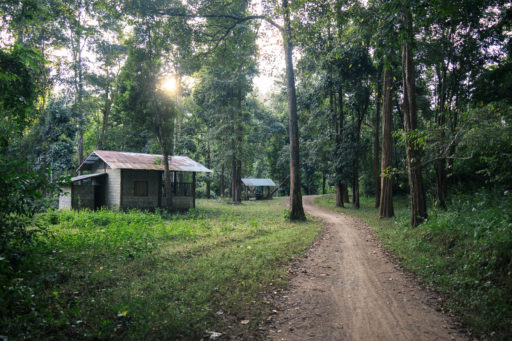
Sleeping options: Either stop at the first or second ranger station. Neither have water or electricity – so you’ll have to make food or eat what you packed earlier in the day. Alternatively, if you’re still feeling good, you can continue onto Wiang Haeng, a major town where you’ll be able to find hotels and restaurants.
Day 5 : Ban Haui Yasai/Wiang Haeng – Doi Dum Ranger Station (30km/35km)
PERMISSION REQUIRED TODAY FOR CAMPING: Assuming you stay at a ranger post, you’ll start the day with low-hanging fog and a beautiful ride through the village. Then, you’ll hit Wiang Haeng, where it’s advised to resupply. There’s a 7Eleven, Tesco Lotus, and lots of restaurants. Pack some extra food with you for dinner as well. Fried chicken with sticky rice or something similar is a good bet.
After you leave Wiang Haeng, there’s a 700-metre climb to the next ranger post before Doi Dam (a highlight you won’t want to miss). The climb is 50/50 road and off-road. The gradients aren’t too bad, but you’ll definitely feel it. You should plan to arrive at the ranger post around 2 p.m. and have the afternoon to rest. The rangers are very kind and will offer you food, drink, and a shower. They have drinking water too.
Recommended Sunset/Sunrise itinerary:
Sunset: Once you’ve arrived and chatted with the rangers, set up camp early and put anything you need to on charge. Around 5 p.m., head down the Pai road (there’s a big signpost) until you reach a small turn-off on the right-hand side (around the 149km mark on the route). You’ll see some fallen trees and an obvious car pull-in area. Follow the singletrack route through the forest, and you’ll hit some rocks and a beautiful view. This is the best spot for sunset. So, take a camera and enjoy!
Sunrise: Doi Dam is famous for its sunrises and cloud inversions. It’s a beautiful experience, and on a clear day, you can see the next mountain in the range (Chiang Dao) on the horizon, glowing in the crimson morning sun.
In order to catch the sunrise, you’ll need to wake at roughly (4:30-5:00 a.m.) or an hour and a half before sunrise and ride up the remaining 250 metres in the dark. Leave your tents up and pack only what you need: lights, and/or a headtorch, a down jacket, and some coffee, etc. It’s not a hard ride up to the top, and the views are world-class. We thoroughly recommend it!
After sunrise, head back down to the ranger post, pack up, have breakfast, and follow the route to Pai.
Contact Details: To arrange permission at the ranger post, call Sgt. King at +66999098211 or ask Nu to help you arrange this ahead of time.
Day 6+7: Doi Dam Ranger Station – Pai (45km)
After leaving the ranger station, you’ll follow the Pai road for the whole day. It starts with a big descent on wide-open dirt roads that are smooth and fast-rolling. This section’s a lot of fun. Halfway through the day (just in time for lunch), you’ll hit a small village called Mueang Noi. Head over the bridge and find the noodle soup shop. It’s really good and exactly what you’ll need. Fuel up because when you rejoin the route, there’s a bit of climbing until you descend into the major town of Pai. It’ll be a hard day, but once you hit Pai, any pain will be quickly relieved.
Some thoughts on Pai:
The outskirts of Pai are full of beautiful rice paddies and picturesque scenery. The main town is a backpackers haven full of bars, restaurants, and nightclubs. You’ll find plenty of places to stay here, and we recommend a day or even two rest, a couple of massages, and maybe a beer or two. You’ve earned it!
Day 8 : Pai – Ban Mae Ya Noi Royal Project (30km)
NOTE: The Royal Project is closed from Friday – Sunday, which makes it the perfect place to camp. If you arrive mid-week, don’t sweat it, you’ll still be able to stay, but we advise calling ahead to let the owner know you’re coming. Also, you’ll need to pack lunch and dinner today, as resupply spots are few and far between. We advise buying lunch from a restaurant (fried rice, etc.) and taking some ingredients to cook at night.
After a good rest, good food, and a massage in Pai, you should be feeling pretty renewed. But be ready for today – it’s a tough one. Although not a huge distance (30km), you’ve got quite a bit of climbing and a small section of hike-a-bike. We encourage you to leave early and pack some lunch from a local shop/restaurant/street food vendor.
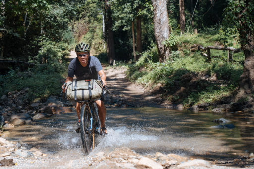
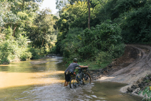
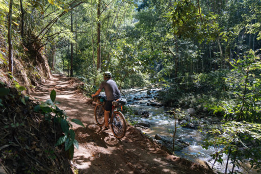
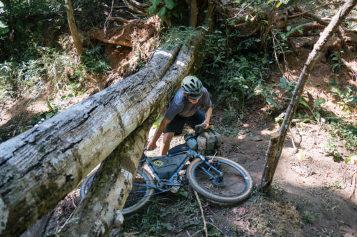
The first section is on the road as you leave Pai. There’s a naughty asphalt climb to get out of the valley, but soon after, you’ll turn off the road and hit a section of glorious forest trail. Just laid down by local farmers, this brand-new section follows the babble of a running river and is a joy to ride. With six or seven small river crossings, we advise riding in sandals. Stop and enjoy the forest. Breathe it all in. As you reach the end of the forest trail, the route follows a small piece of singletrack that can get a little overgrown. Push your bike through this section for safety, and trust the GPS. It’s a short section (less than a kilometre), but due to enduro motorbikes, the terrain can be quite rough. A short push later, you’ll pop out onto a dirt road and continue riding toward The Royal Project.
A mix of dirt roads and random splatterings of asphalt, the next section is quite a tough one. With a decent amount of climbing ahead of you, make sure you’ve got water and snacks on hand. You’ll climb up to Mae Ya Noi, through small villages and past a plethora of fruit gardens. When we were there, it was orange season, and the farmers filled our frame bags with sweet, juicy oranges. Follow the route to The Royal Project, where you’ll be able to camp and enjoy some of the most idyllic views in Thailand.
Contact: Khun Boy at +6685-708-8313 – he will be more than happy to help.
Day 9 : Ban Mae Ya Noi – Pa Pae (43km)
From the Royal Project, you’ll descend through the local village and out onto quiet roads through the countryside to Pa Pae. There are a couple of climbs to prepare for, but the majority of the riding is on smooth roads where traction shouldn’t be an issue.
When you arrive in Pa Pae, you’ll have your pick of hotels, guesthouses, and restaurants. If you’re looking for somewhere to camp, you can always stay at the Pa Pae Sub District Administration Organization (town hall). Just ask permission when you arrive.
Day 10: Pa Pae – Chiang Mai (69km)
The final day. You’ll mostly descend off the mountain and rejoin the route you left Chiang Mai on. You’ll be back in the hustle and bustle now, with plenty of options to eat and drink. Grab an ice cream at 7/11 and follow the route back to the city!
Congratulations! You successfully made it through The Lanna Kingdom.
In this video interview, the route creators Sam and Pnuc talk about what to expect from the route, some of their personal highlights, and what makes Thailand such an awesome place to ride.
Terms of Use: As with each bikepacking route guide published on BIKEPACKING.com, should you choose to cycle this route, do so at your own risk. Prior to setting out check current local weather, conditions, and land/road closures. While riding, obey all public and private land use restrictions and rules, carry proper safety and navigational equipment, and of course, follow the #leavenotrace guidelines. The information found herein is simply a planning resource to be used as a point of inspiration in conjunction with your own due-diligence. In spite of the fact that this route, associated GPS track (GPX and maps), and all route guidelines were prepared under diligent research by the specified contributor and/or contributors, the accuracy of such and judgement of the author is not guaranteed. BIKEPACKING.com LLC, its partners, associates, and contributors are in no way liable for personal injury, damage to personal property, or any other such situation that might happen to individual riders cycling or following this route.
Please keep the conversation civil, constructive, and inclusive, or your comment will be removed.


