


The Pictish Trail
Distance
462 Mi.
(744 KM)Days
9
% Unpaved
60%
% Singletrack
10%
% Rideable (time)
99%
Total Ascent
27,478'
(8,375 M)High Point
1,948'
(594 M)Difficulty (1-10)
6?
- 4Climbing Scale Fair59 FT/MI (11 M/KM)
- 5Technical Difficulty Moderate
- 7Physical Demand Difficult
- 6Resupply & Logistics Moderate
Contributed By
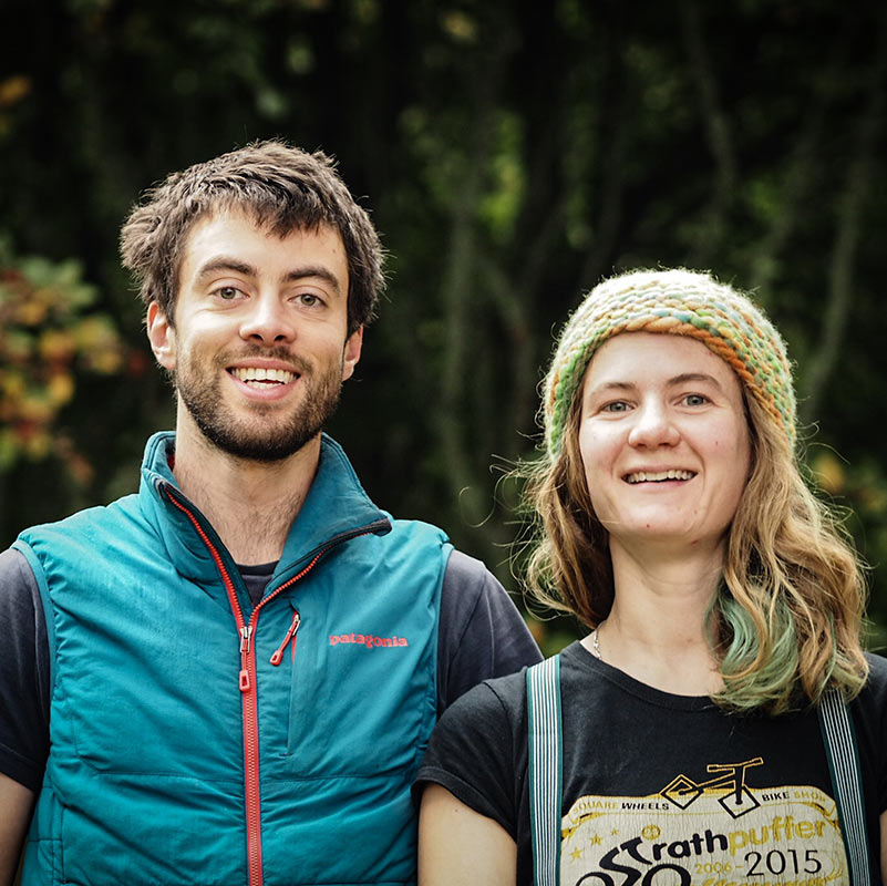
Huw and Annie
Topofests and A Girl Outside
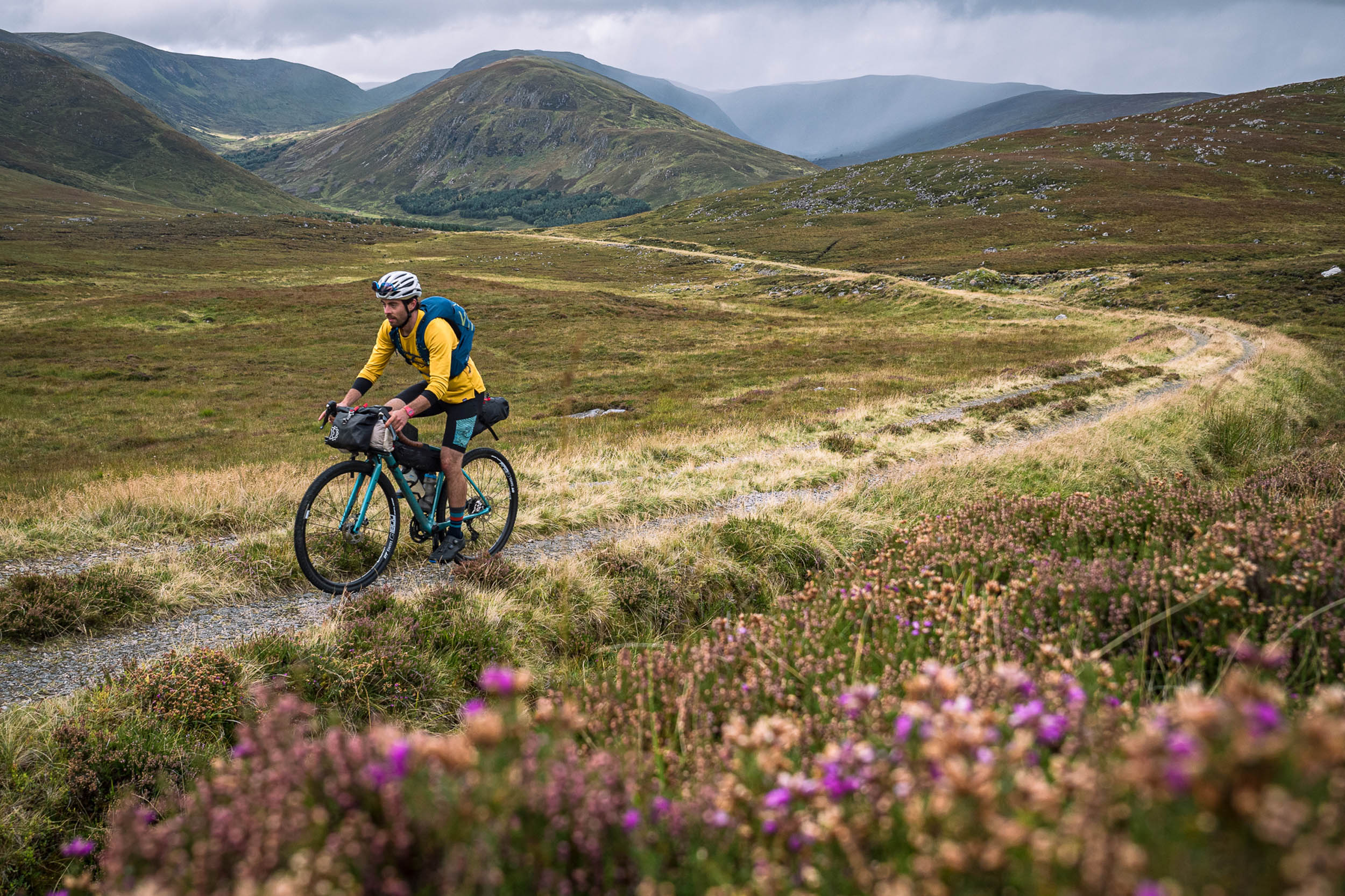
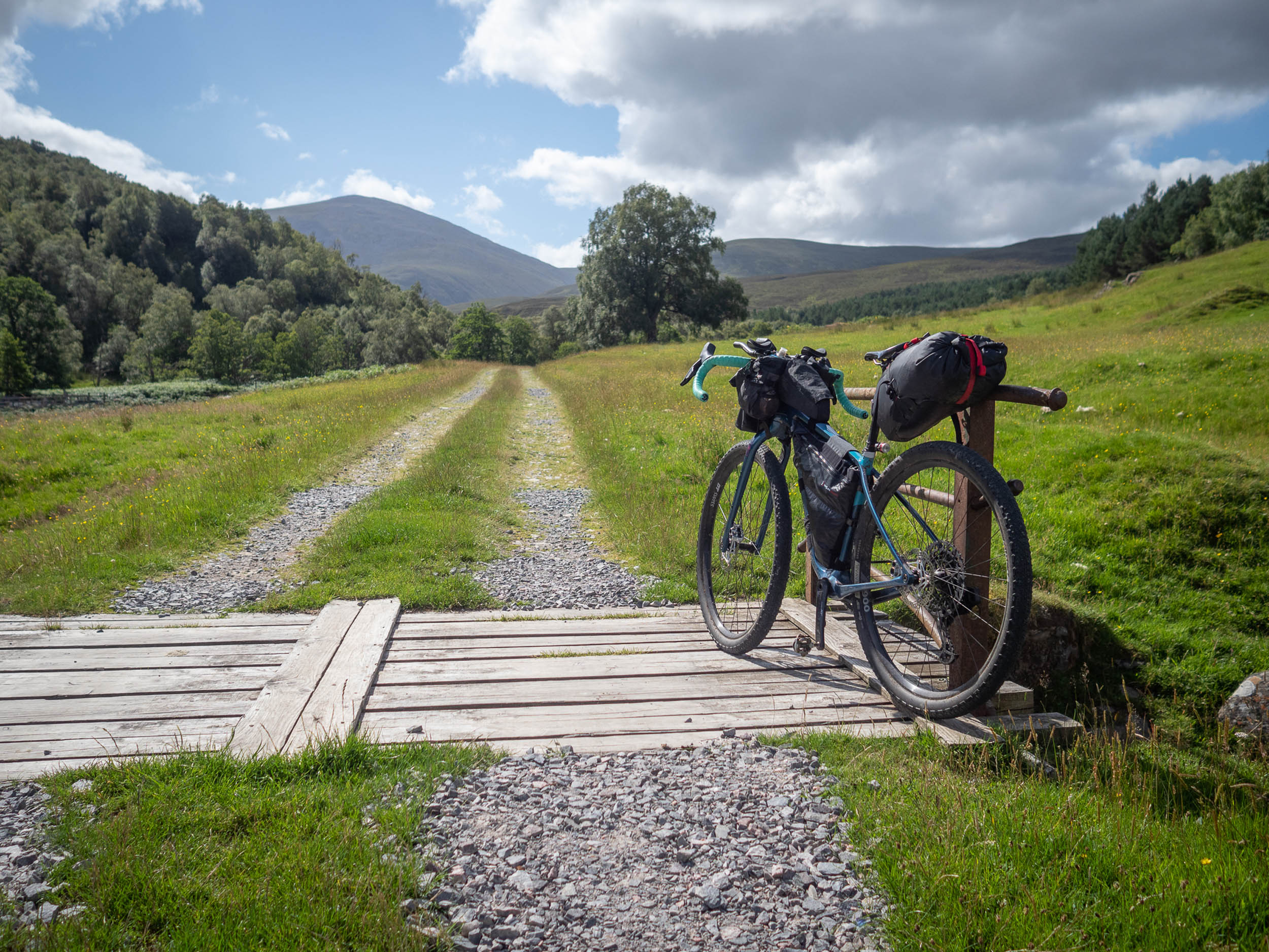
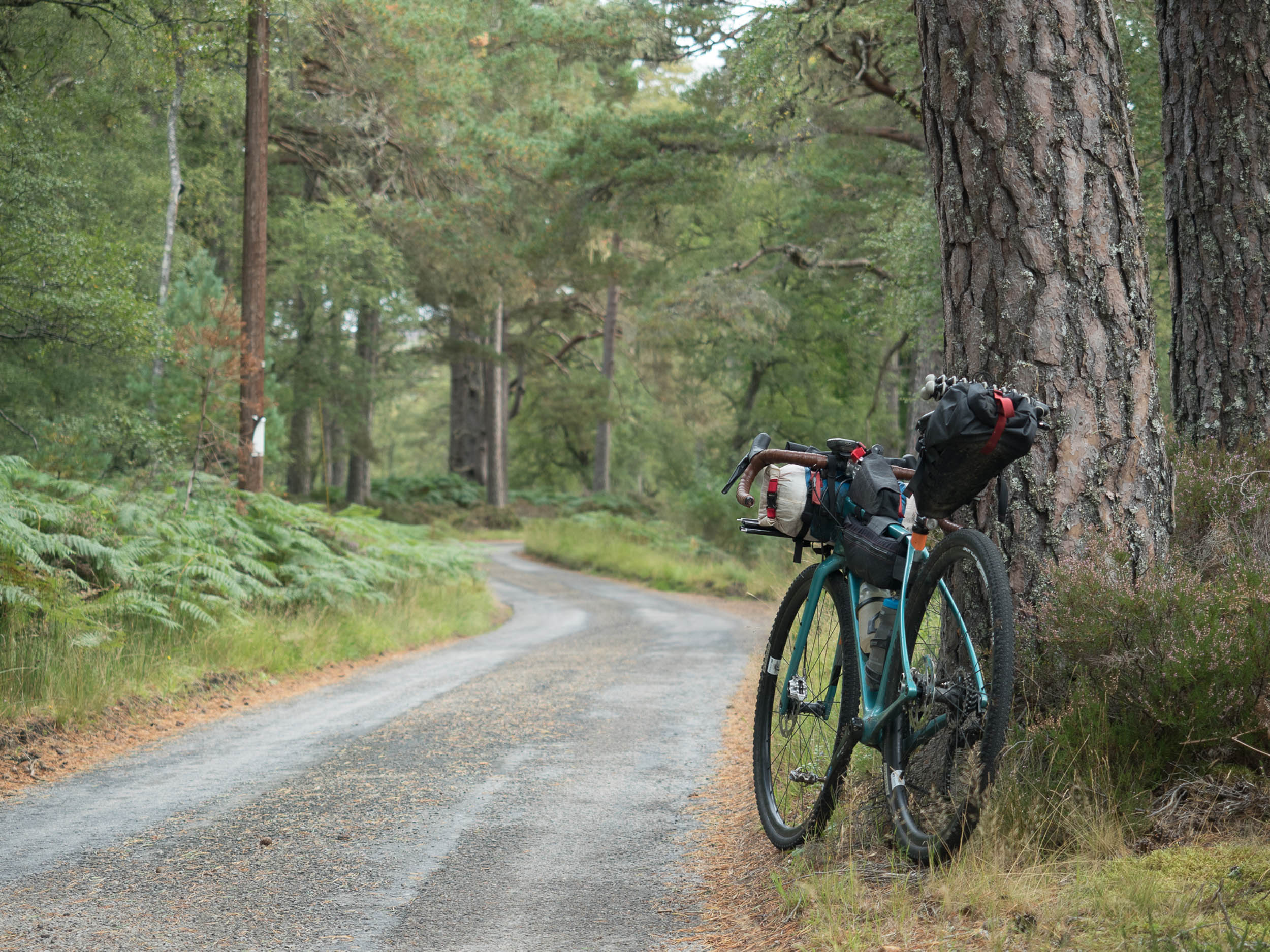
Scotland is well-known in the bikepacking world as a diverse, challenging, and reliably rewarding place to ride your bike. While the majority of existing bikepacking routes twist and turn their way through the dramatic, rugged terrain of the west coast, the Pictish trail is a new route that aims to give the east its due. Over the course of 750 kilometres of mixed-terrain riding, it traverses Scotland’s ancient Pictish kingdoms, weaving between the present, the past, the mountains, and the coast, linking the most northerly point of the mainland with Scotland’s capital, Edinburgh.
After setting out from Dunnet Head, the Pictish Trail weaves through the long and lonely glens of the far north, crossing the wide expanses of the Flow Country on pristine gravel tracks that lead to the rugged east coast and the villages of Helmsdale, Brora, and Golspie.
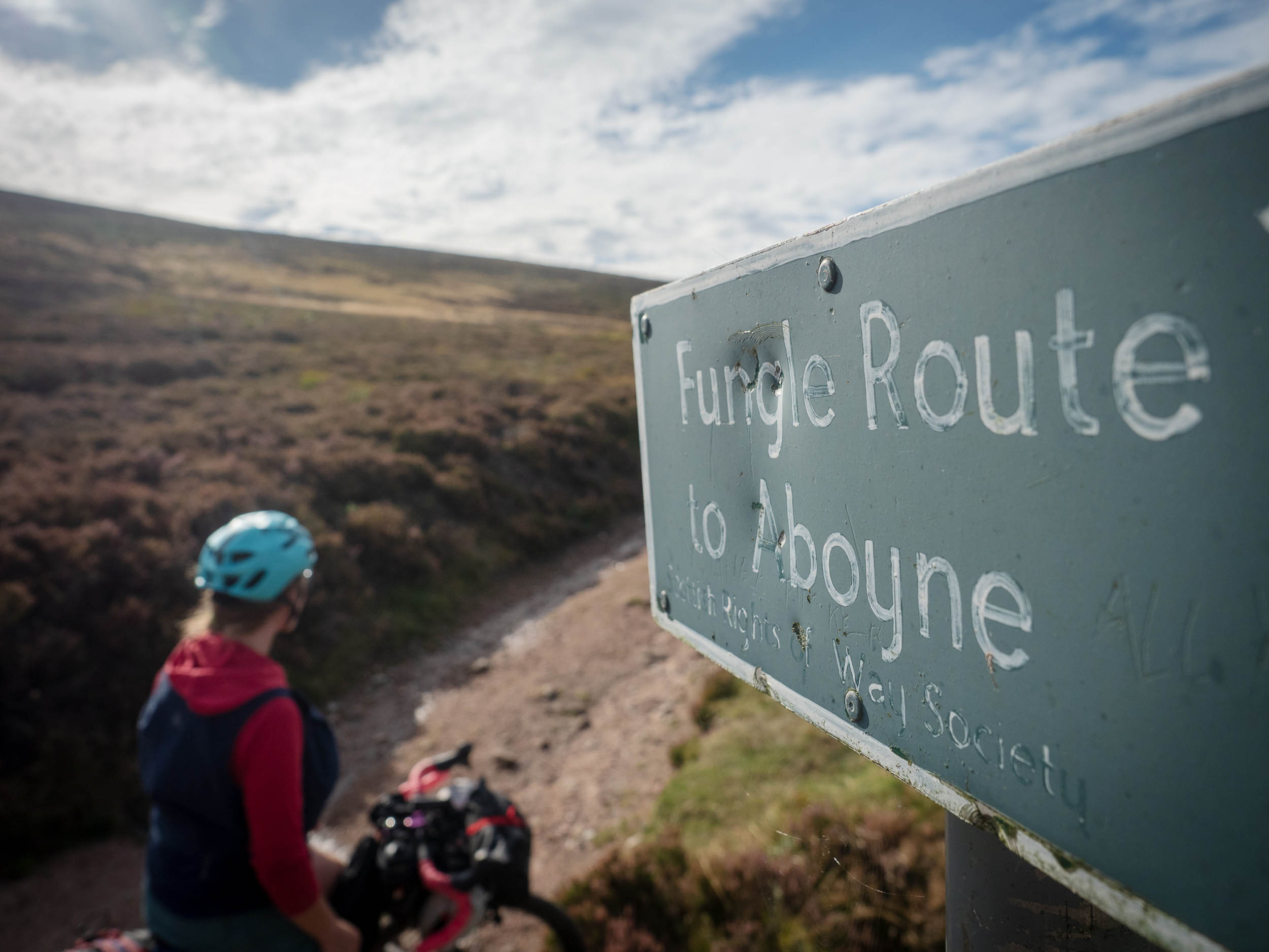
The terrain becomes more mountainous as you press south to Easter Ross, with a highlight being the long off-road section from Glencalvie to Evanton as riders skirt the southern edge of the Ben Wyvis massif and on towards Inverness. The forests and moors of Moray slide into the high granite shoulders of the Cairngorms as an 18th-century military road crosses into Deeside and passes Balmoral Estate. The intriguingly named Fungle Road lifts the route out of Deeside and into the Angus Glens and on to Arbroath.
After following the coast to Dundee and crossing the Tay Road Bridge, the Kingdom of Fife holds some of the best gravel riding you’ve never heard of, and the elevation of the Lomond Hills gives the first glimpses of the Forth Rail Bridge and Edinburgh Castle.
Route Difficulty
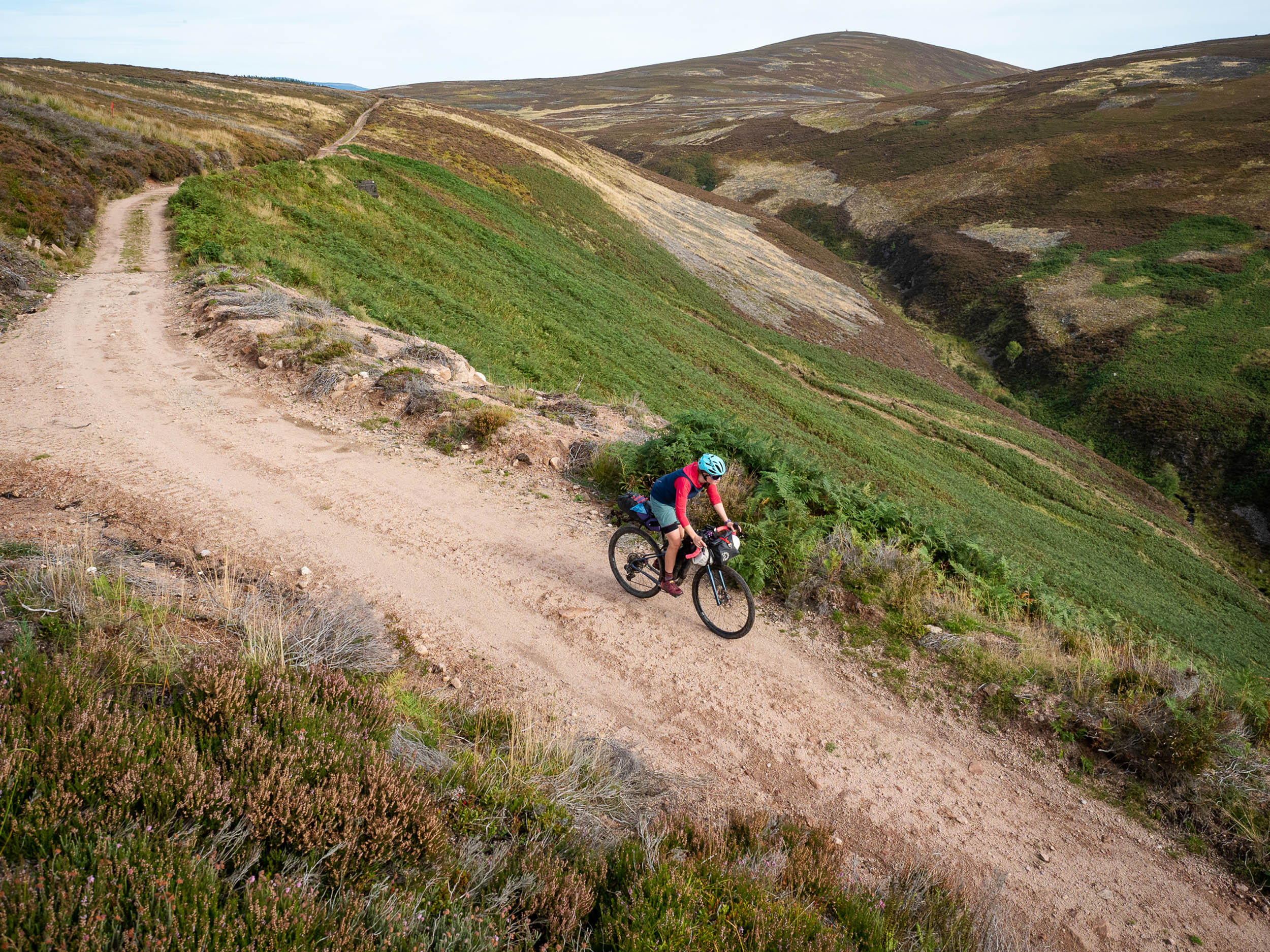
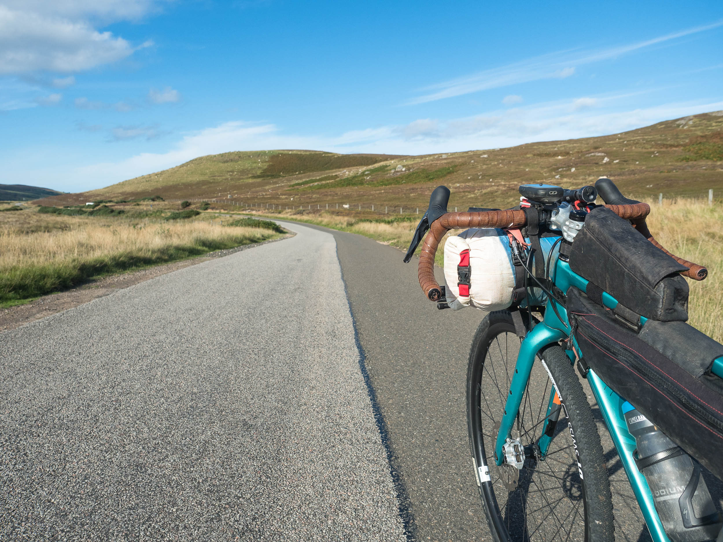
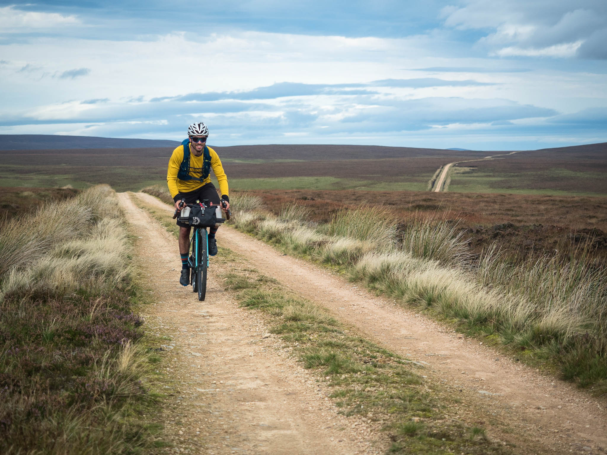
The route is rated a 6/10 in terms of overall difficulty. While some sections are rougher than others, the Pictish Trail is designed as a mixed-surface route, where anything from a gravel bike to a fast-rolling mountain bike will work just fine. Elevation gain is moderate and technicality is generally low; around 50-80 kilometres per day would make a comfortable touring pace for most folks.
It is fairly remote at times in the Flow Country and the Cairngorms, but outside of those sections, towns with cafés and food shops are never that far away. The longest stretch between resupplies is the 110 kilometres between Thurso and Helmsdale. Railway connections are frequent, meaning that riding sections between stations (or bailing out if things don’t go to plan) is far easier than it is in the west, and the route length can easily be adjusted with little or no added transport complication.

Submit Route Alert
As the leading creator and publisher of bikepacking routes, BIKEPACKING.com endeavors to maintain, improve, and advocate for our growing network of bikepacking routes all over the world. As such, our editorial team, route creators, and Route Stewards serve as mediators for route improvements and opportunities for connectivity, conservation, and community growth around these routes. To facilitate these efforts, we rely on our Bikepacking Collective and the greater bikepacking community to call attention to critical issues and opportunities that are discovered while riding these routes. If you have a vital issue or opportunity regarding this route that pertains to one of the subjects below, please let us know:
Highlights
Must Know
Camping
Food/H2O
Trail Notes
Resources
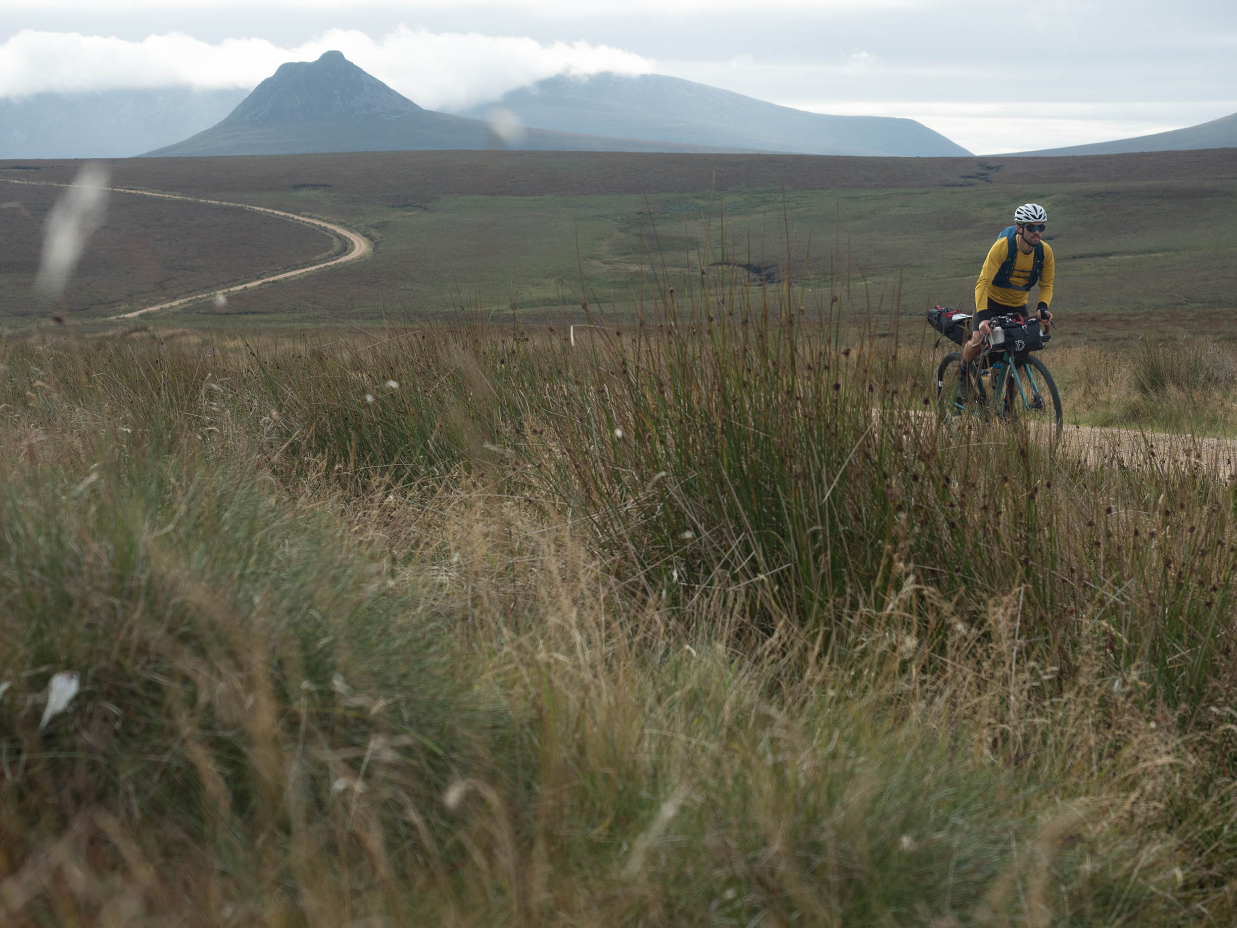
- The plunging sea cliffs of Dunnet Head at the top of the British mainland and views across the Pentland Firth to the Orkney Isles.
- The huge skies and smooth-rolling gravel tracks of the bleak yet beautiful Flow Country (the most intact and extensive blanket bog in the world, just so you know!).
- Vegan stovies from Jamieson Bakery in Thurso — we’re not saying it’s Michelin-starred, but if you want a classic Scottish café experience to get you started on the route, this is it.
- Endless sandy beaches at Nairn and Culbin Forest (where the dunes once swallowed an entire village).
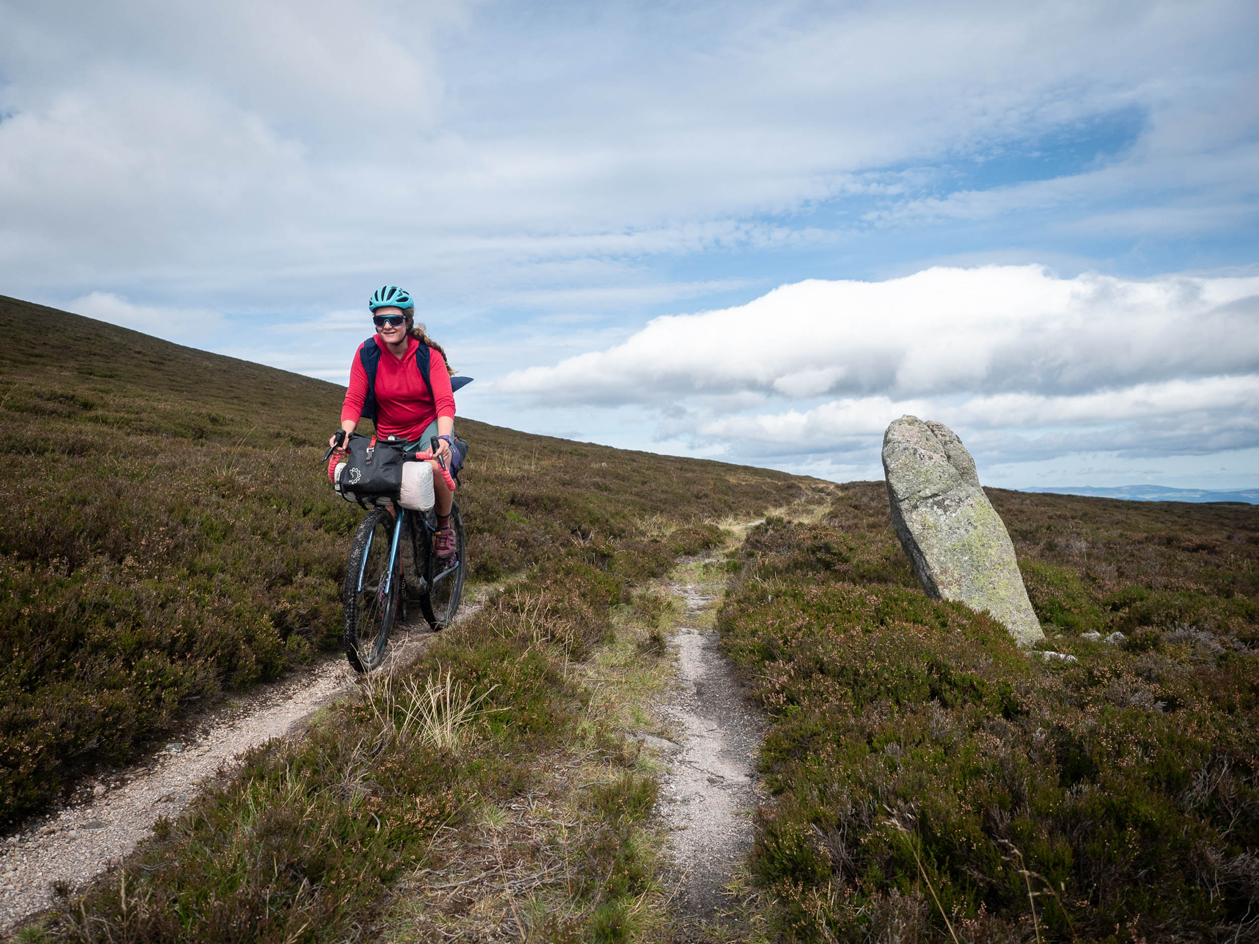
- The scattered evidence of the enigmatic Picts, who left behind the huge drywall brochs that can be spotted beside the route, especially in the north (e.g. Ousdale Broch).
- Crossing the southern Cairngorms via the ancient Fungle Road.
- Riding right into the centre of Scotland’s capital city and up to Edinburgh Castle on a cycle-friendly route.
- The hugely varied landscape and surfaces, from the wild north coast to the mountains of Easter Ross and the Cairngorms, to the farmland of Fife and the big city lights of Edinburgh.
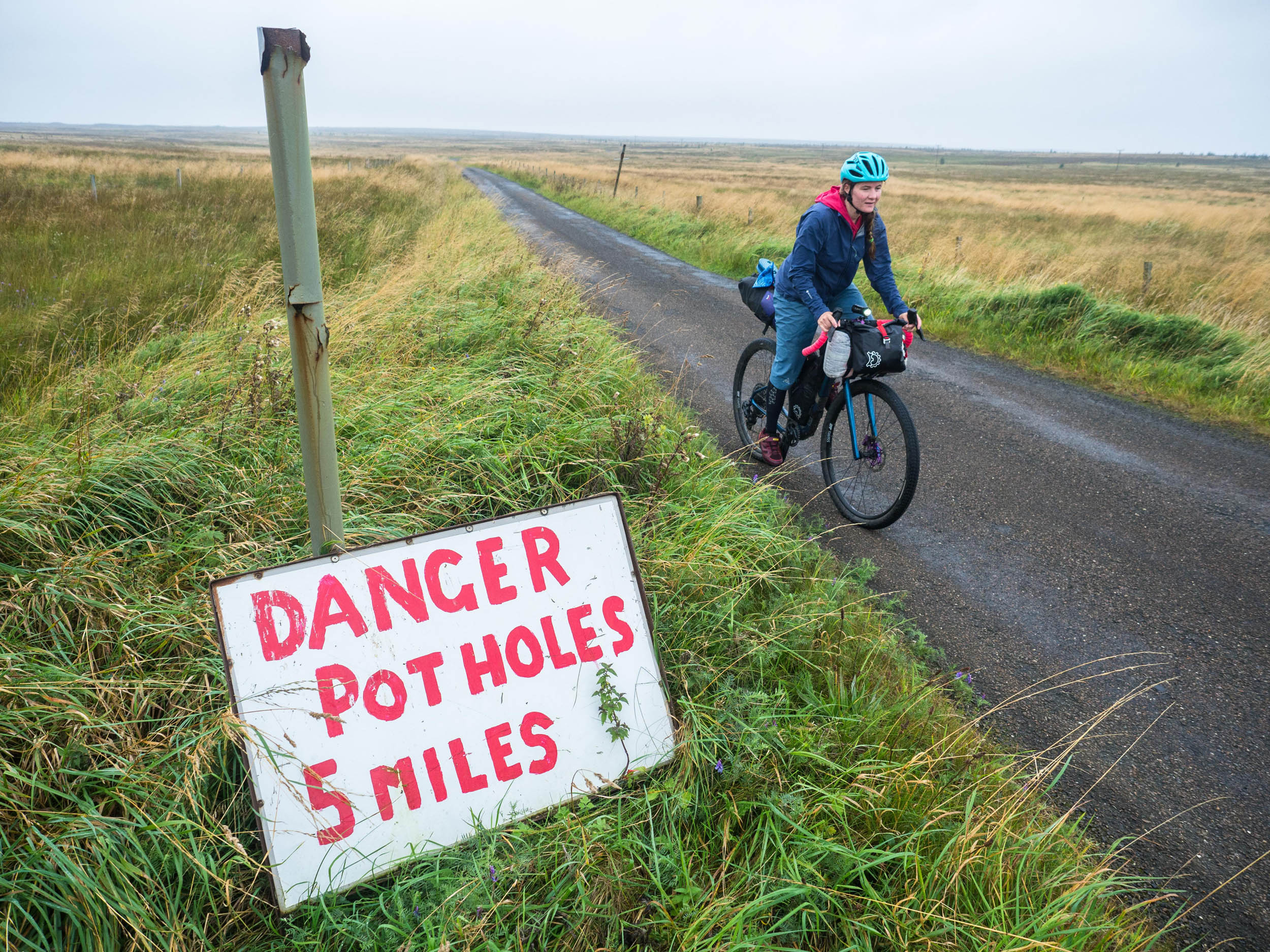
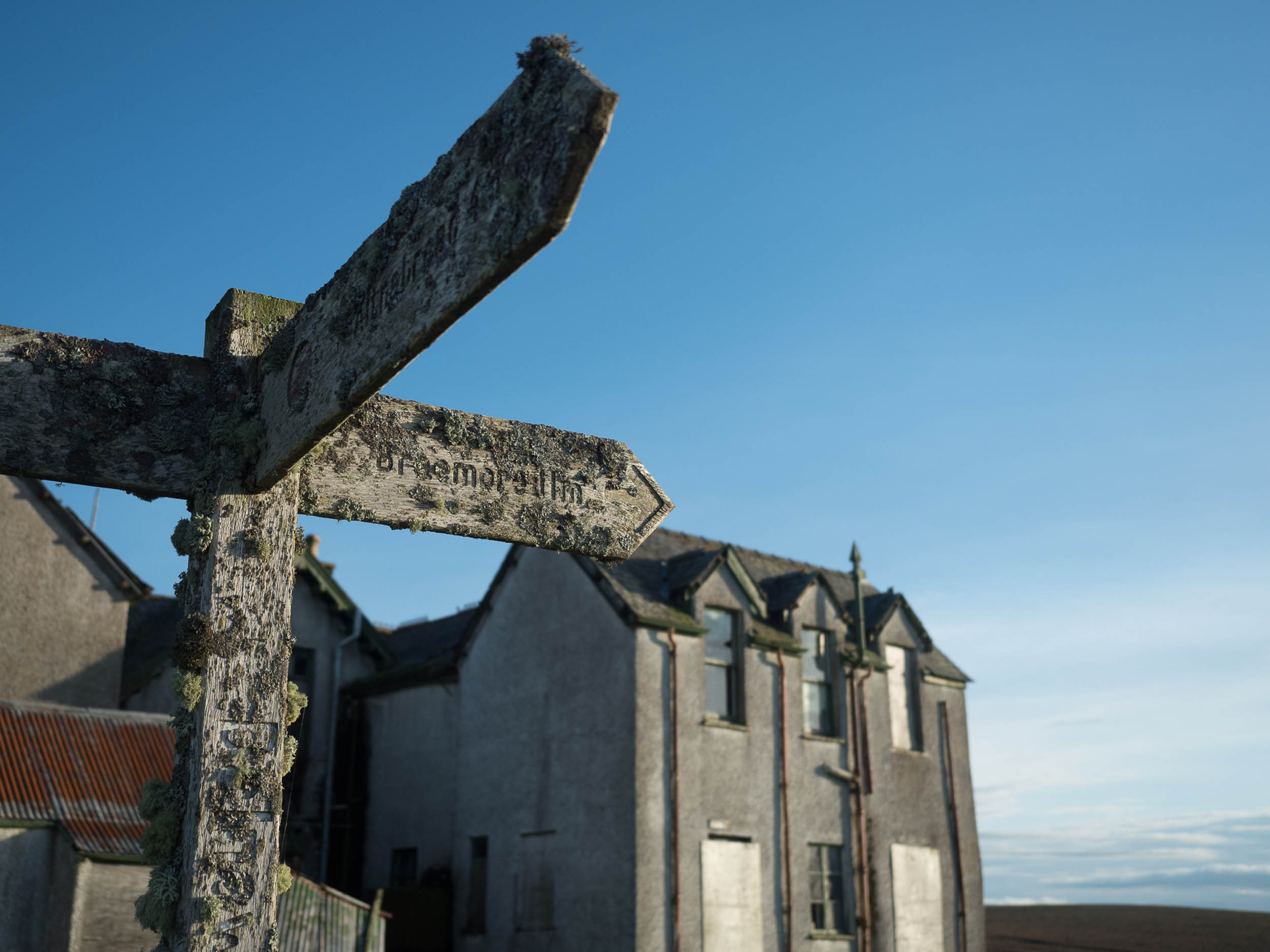
- The route is not marked. A lot of it uses what were once important routes through the country, but which have been relegated to byways and backroads. Virtually all of it is on the map, but a GPS device is by far the easiest way to navigate. If you’re a paper map person, Ordnance Survey Landranger 1:50000 series maps are the most useful, but you’ll need quite a few of them.
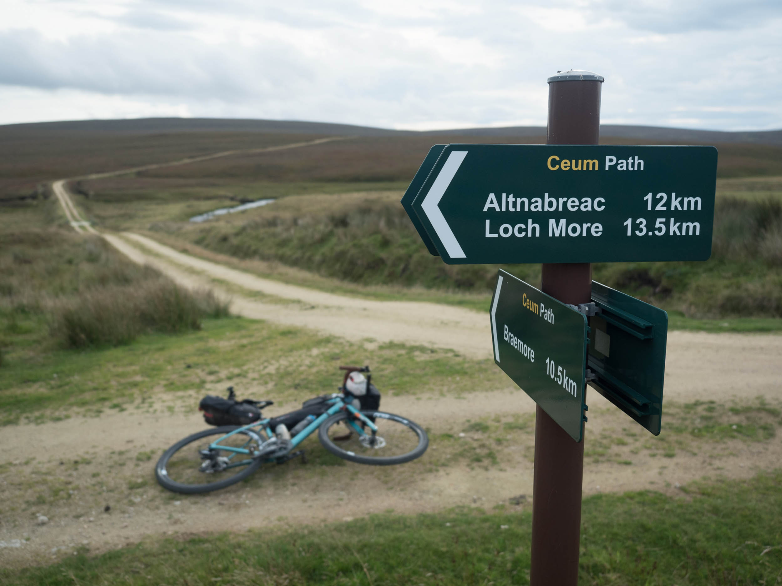
- Train access to the route is very good. In fact, there’s even a station at Altnabreac, which has no road access at all! Getting a bike on a train in the UK can be hit-and-miss, but to avoid disappointment, it’s always worth reserving a bicycle space when you buy your ticket. Train stations are marked on the route map and make it easy to tackle the route in sections.
- There is one (just one!) ‘adventure secteur’ for five kilometres along the Berriedale Water towards Berriedale. In the dry, it is rideable but may involve a little pushing. It’s short and sweet, and worth it for the excellent camping beside the river, quiet glen, and reducing time spent on the A9.
- The route does unavoidably use sections of the A9 between Berriedale and Helmsdale, approaching Brora and then leaving Golspie. They are as short as possible, but if riding during the summer holidays in July and August, the road can be fairly busy. Make sure to wear visible clothing, and take a bright(!) rear light. The road is fairly wide, has good sightlines, and is nowhere near as busy as it is south of Tain.
Trains
- Luckily, the Pictish Trail is well served by railway stations despite the remote sections of terrain, and these are marked on the route map. As ever, the subject of taking bikes on trains provokes all manner of anecdotal horror stories. Experiences on the ground certainly vary, but in general, it isn’t too much of a faff to get your bike on the train, although you will need to reserve a space for most train lines serving this route. The well-spaced train stations also mean that this is a great route for breaking down and tackling in smaller sections when you get the chance.
Buses
- As with trains, getting a bike on a bus depends on a winning smile, a sympathetic driver, and a little luck. In general, getting one on a long-distance coach is a goer, but the lack of clear answers is as frustrating as ever. Stagecoach, who operate a lot of longer journeys in Scotland, are relatively enthusiastic. Their X99 route connects Inverness and Thurso, but they also operate between major towns and cities across Scotland.
Airplanes
- The airports of most use to Pictish Trail travellers are Edinburgh and Inverness. Edinburgh airport is served by the tram system, which is a helpful way to get into town, but keep your bike in its bag or box. Inverness airport is just to the east of the city but can be a useful way to get straight to the north if you’re coming from far afield.
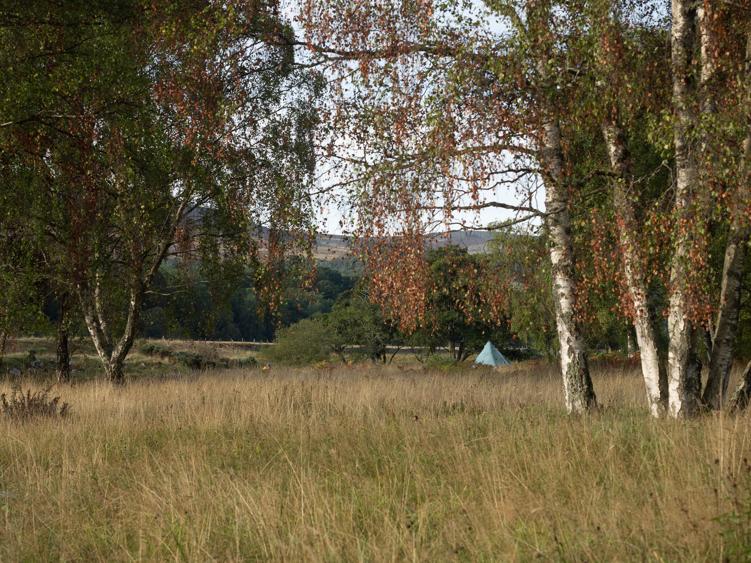
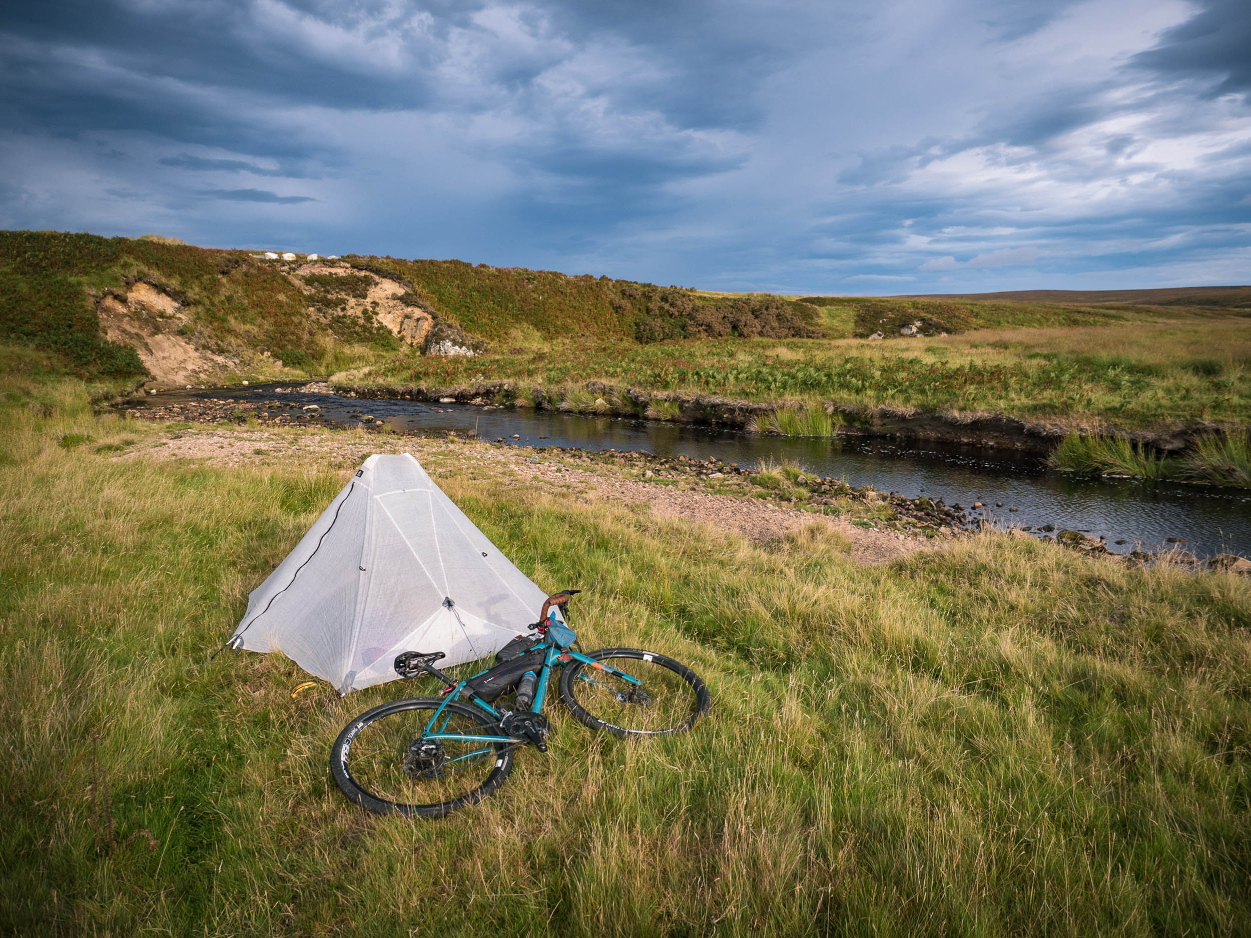
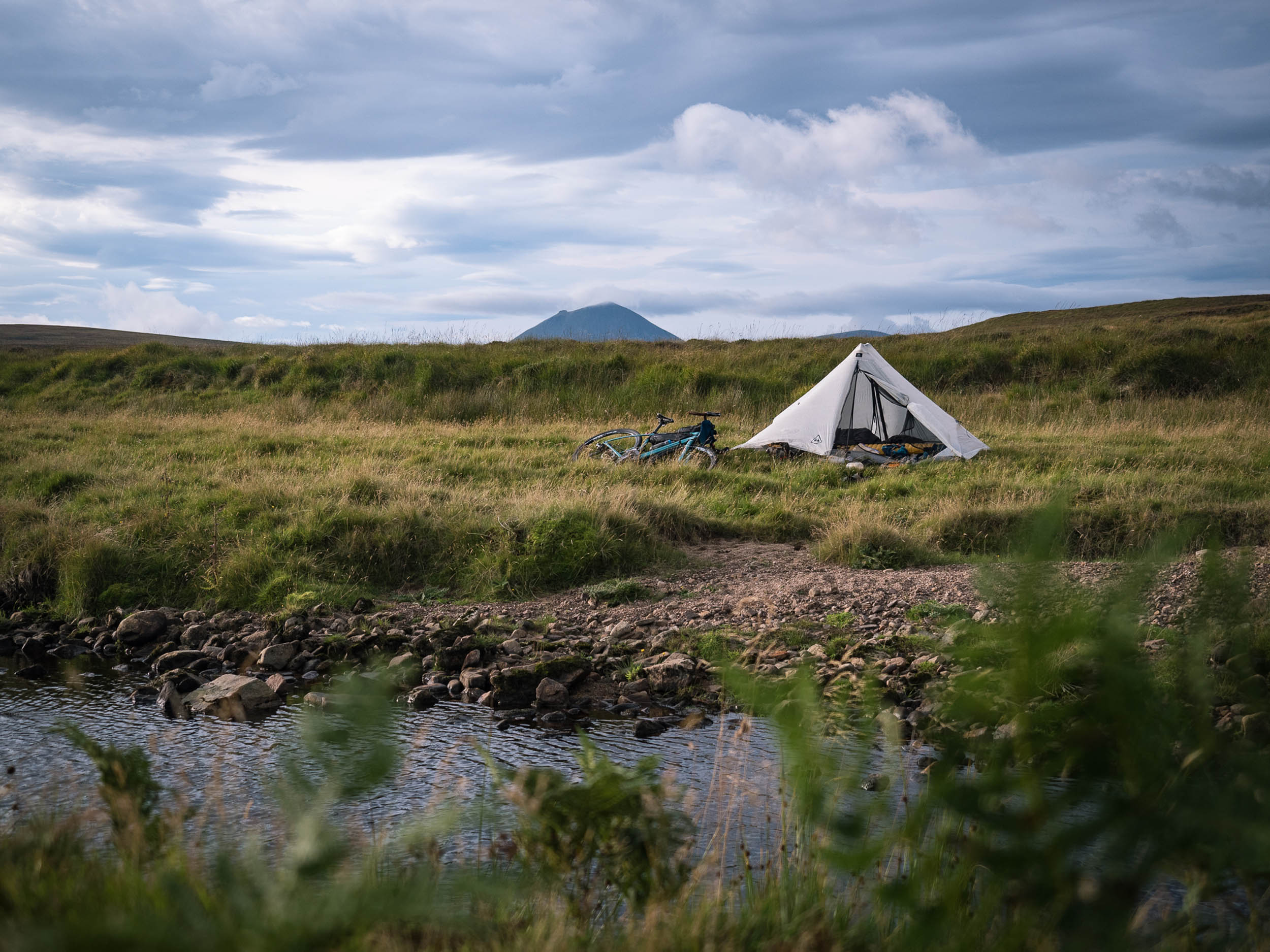
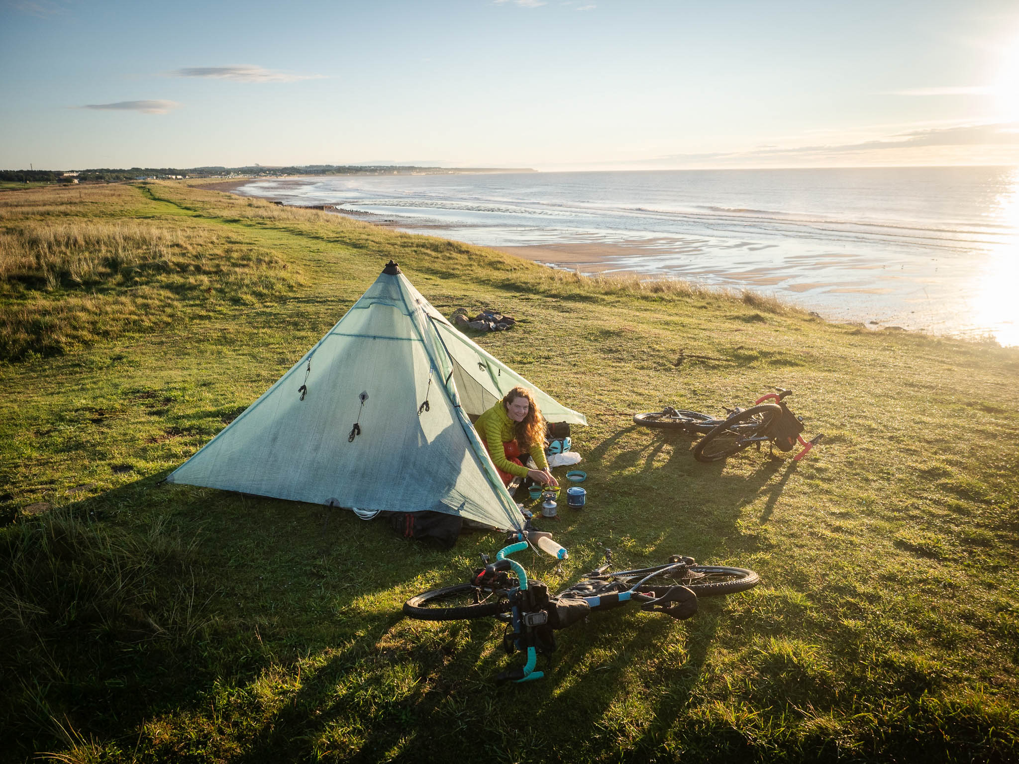
- There is easy wild camping along the length of the route. Scotland has a fantastic right of access that includes wild camping, which relies on all of us exercising that right responsibly. Look here for advice on how to camp responsibly in Scotland.
- If you can’t find suitable wild camping or just want a shower and to recharge your gadgets, some pay campsites are marked on the route map.
- There are no bothies along the route. You will pass locked estate bothies and lodges but no open shelters.
- In the Highlands, water in the burns is often potable, but give thought to what is upstream from you and check for nearby livestock. If in doubt, either filter or purify it. Further south in Angus and Fife, pubs and cafés are frequent enough to suffice.
- The Tesco supermarket in Thurso is the easiest place to stock up to start your ride, and Thurso also has a Lidl (think of the pastries). Heading south, the next shop is all the way down in Helmsdale. Aside from that initial stretch, food shops are frequent, and useful ones are marked on the route map.
- Cocoa Skye in Brora is a particularly nice café (you can stand a spoon up in the hot chocolate).
- Capaldi’s ice cream shop in Brora and Golspie is not to be missed.
- Sticking with the ice cream theme, Basil Harbour café in Nairn is worth a stop too.
- One more for luck. Do not pass Loulou’s in South Queensferry, and good luck choosing just one flavour ice cream to try.
- Perhaps try an Arbroath smokie while passing through. It’s only a smokie if it comes from the town, otherwise, it’s just sparkling smoked haddock.
- Spider on a Bicycle in Aboyne and Velocity in Inverness are two cycle-friendly cafés well worth a quick sit down while you pass by.
Dunnet head to Golspie – 170km
Pictish Kingdom: Cait
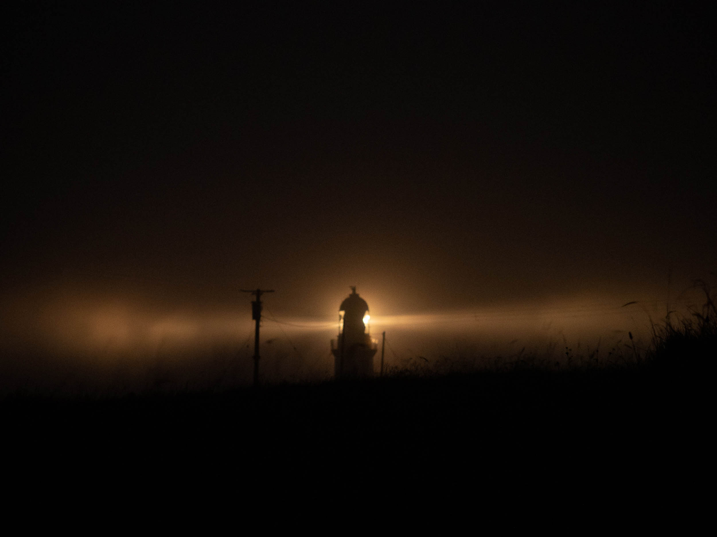
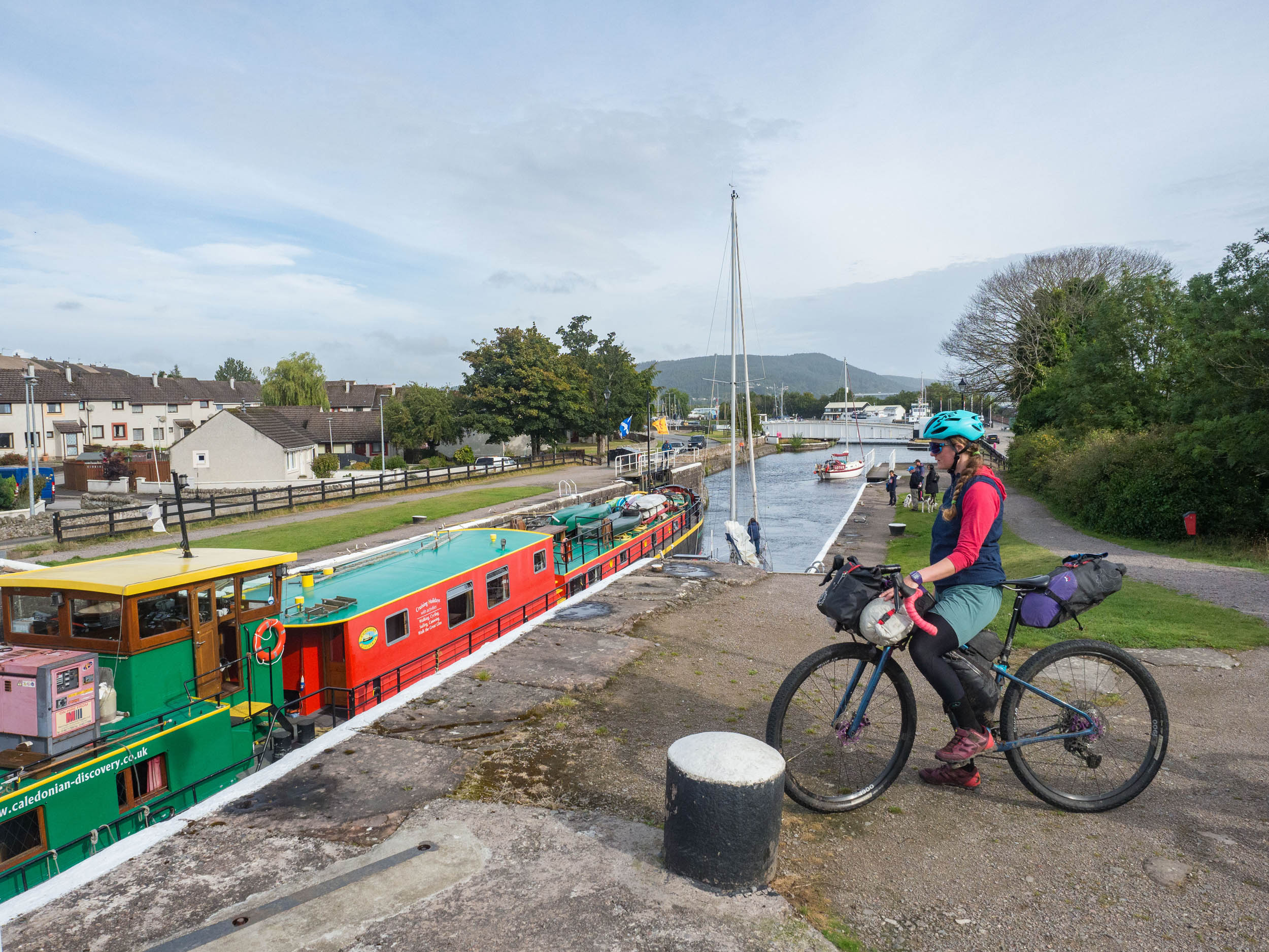
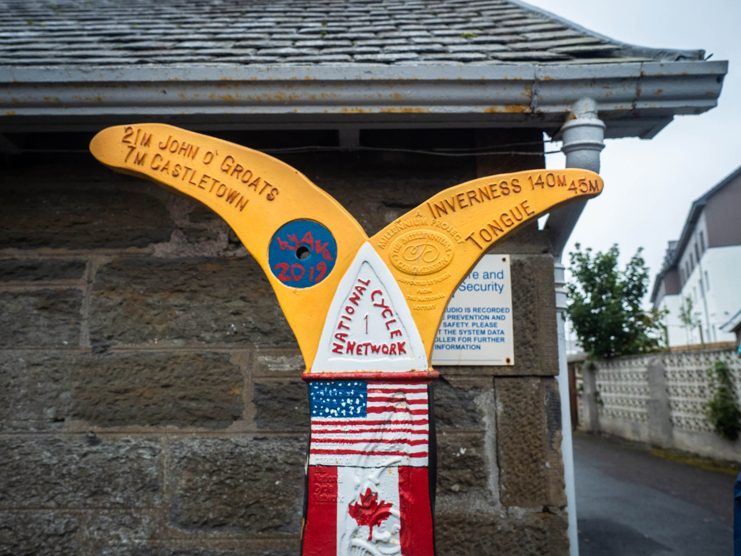
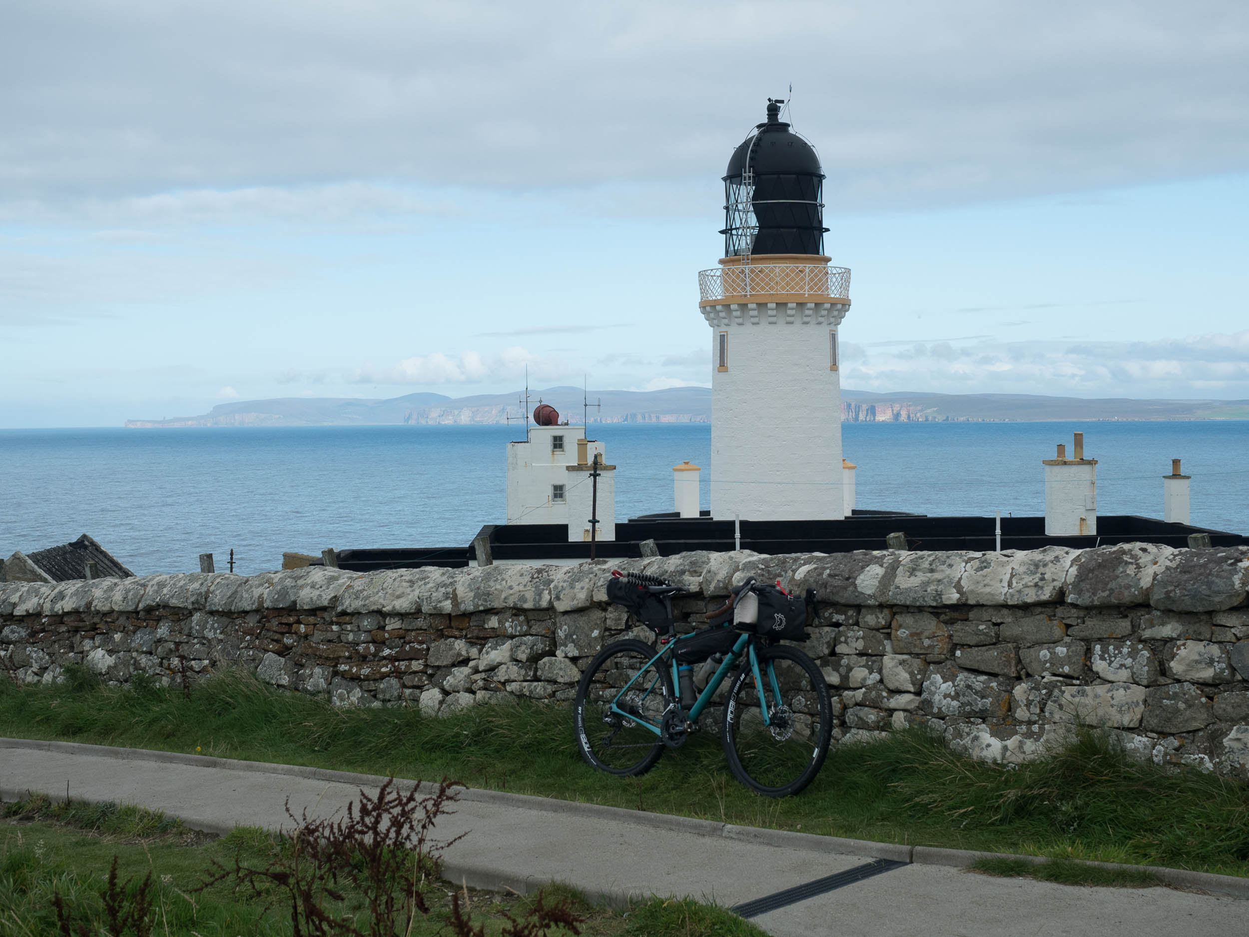
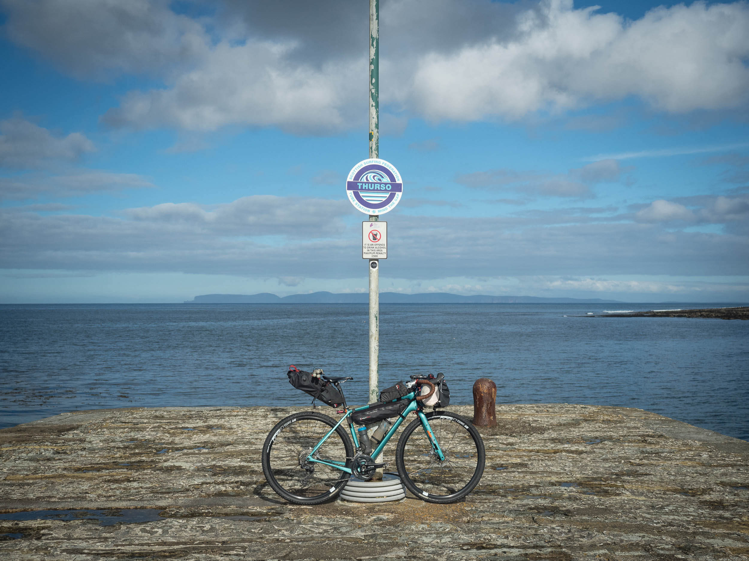
The route begins from the most northerly point of the British mainland at Dunnet Head before returning to Thurso and starting the journey south. You can’t come this far and not visit the lighthouse and cliffs! It’s an easy 20-kilometre road spin out to Dunnet Head itself, assuming you’ve arrived in Thurso by train. There is a campsite at Dunnet Links, around halfway between the two, and various accommodation in Dunnet village.
Make sure to top up food supplies back in Thurso, as the next section is the most remote of the route, with the next shop being 110 kilometres away in Helmsdale. Initially, the surface is tarmac, using quiet lanes to reach Reay (a stone’s throw from Dounreay nuclear power plant) and then a short section of the scenic A836 before you turn south down Strath Halladale on singletrack road. There are multiple roadside chambered cairns and brochs on this section, all marked on the 1:50000 Ordnance Survey maps.
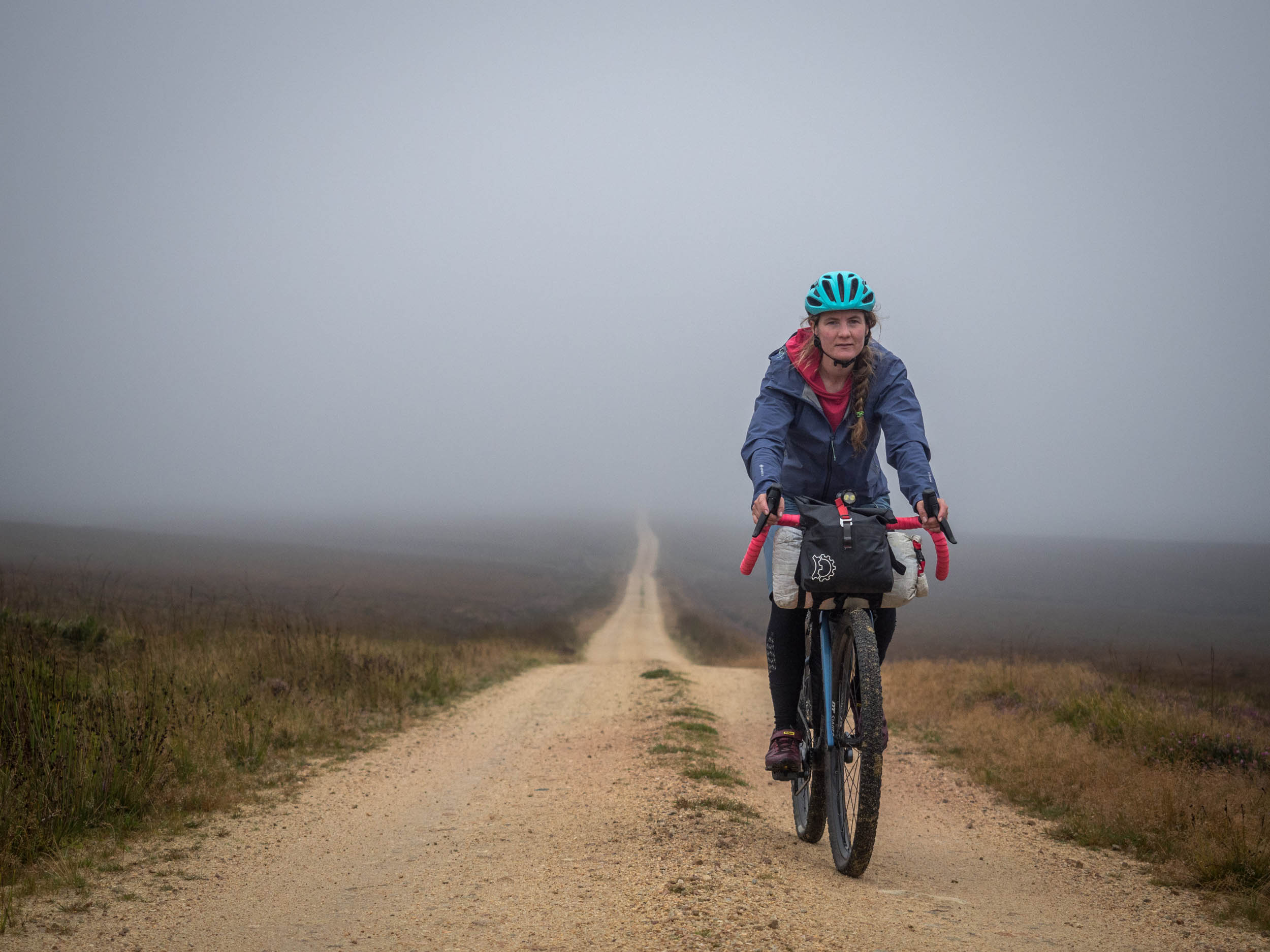
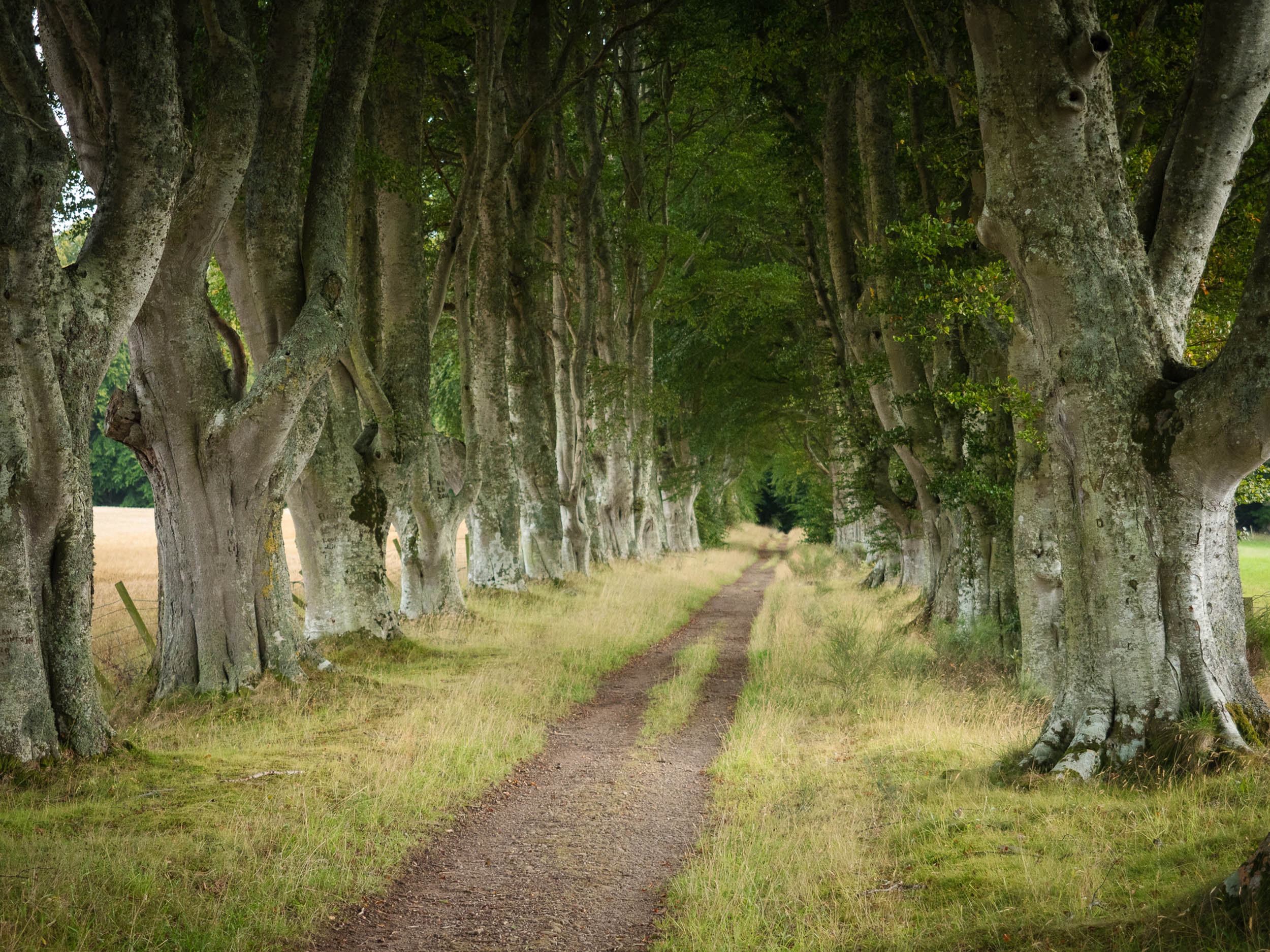
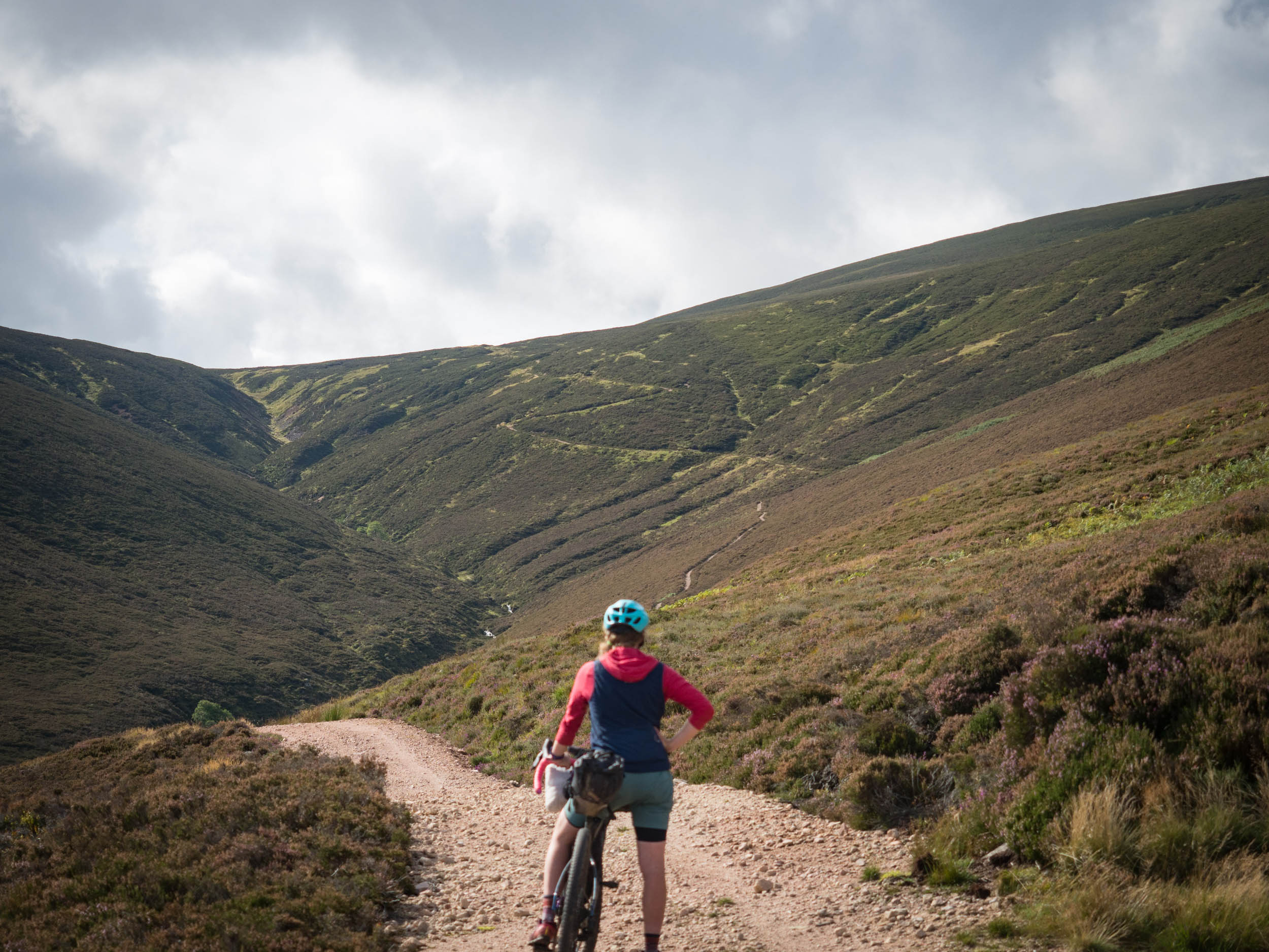
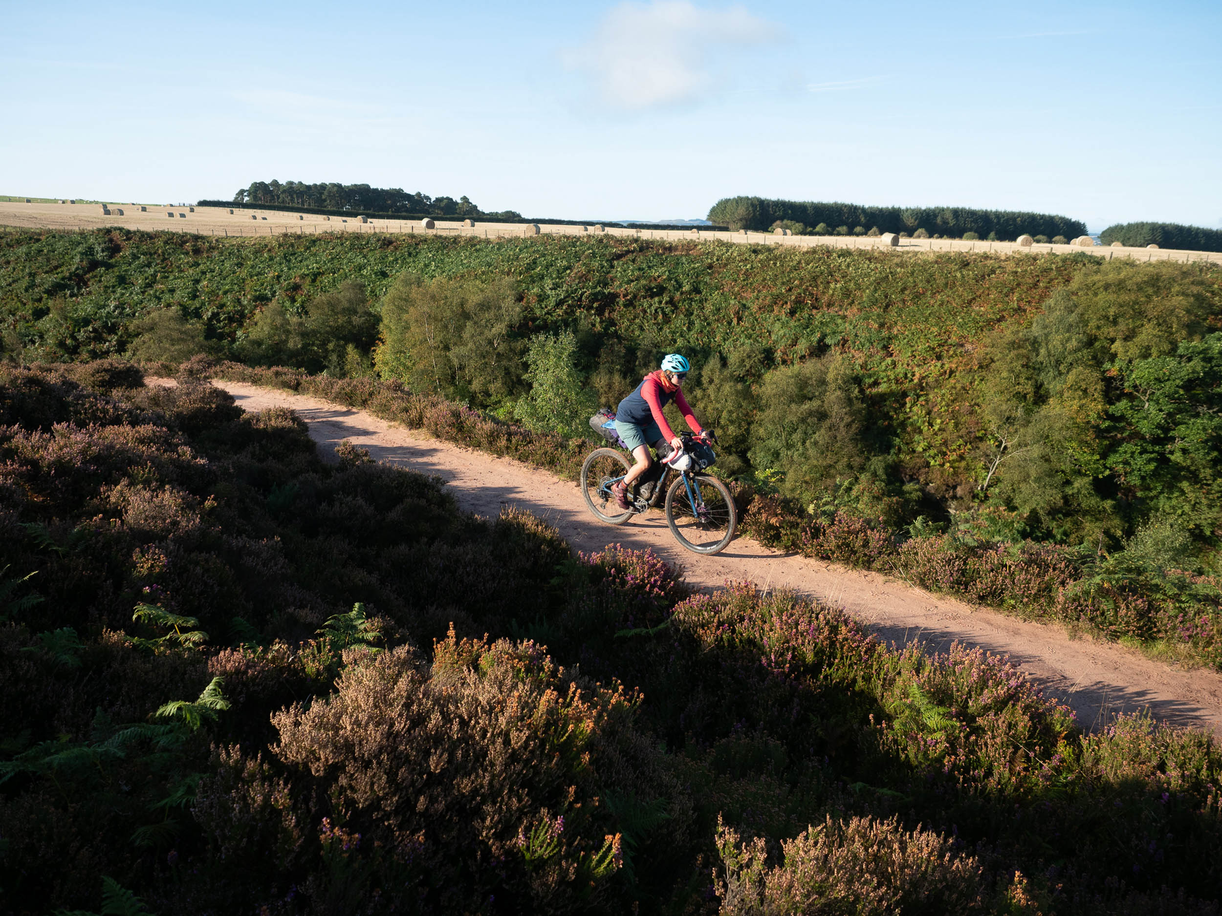
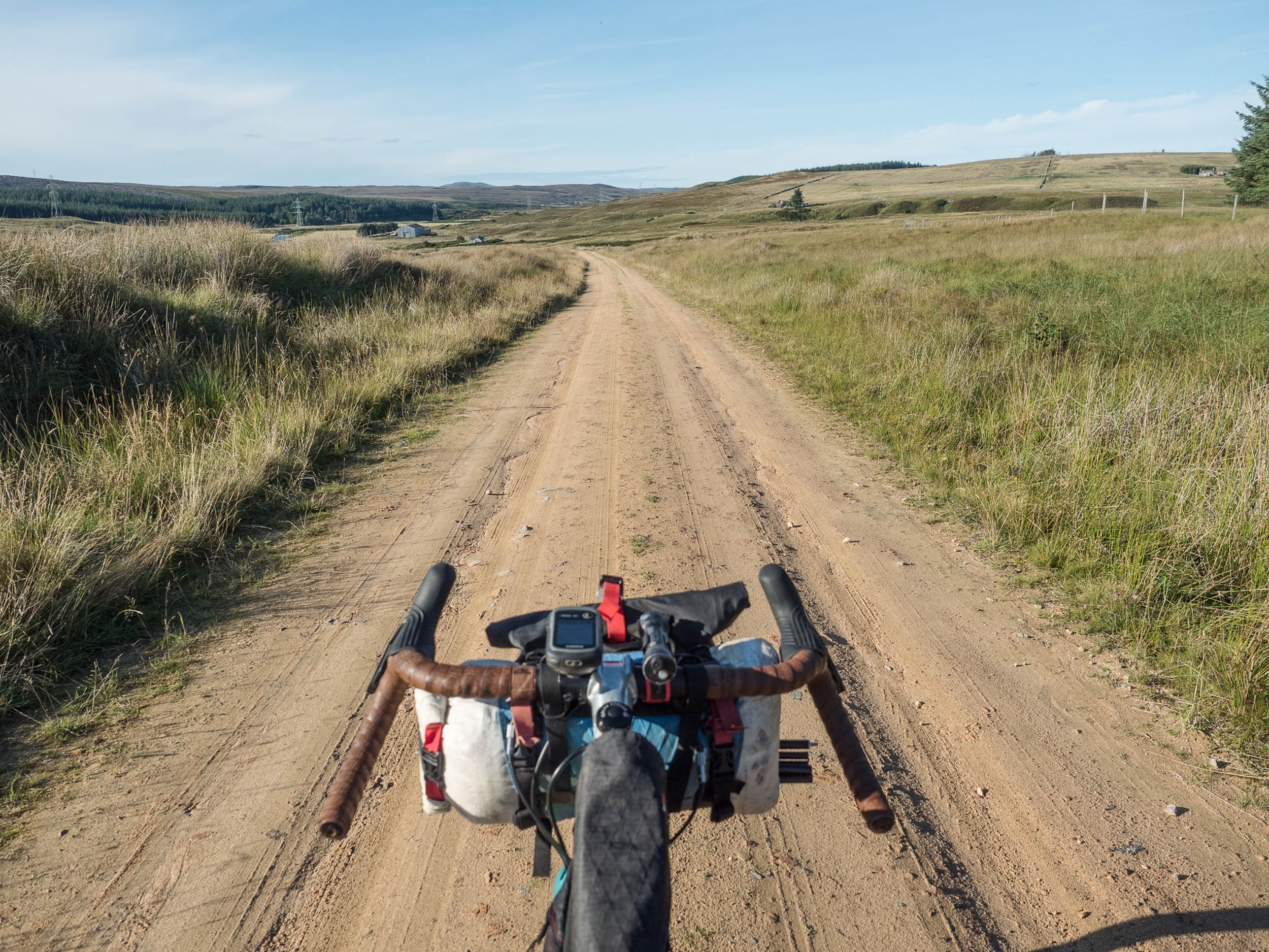
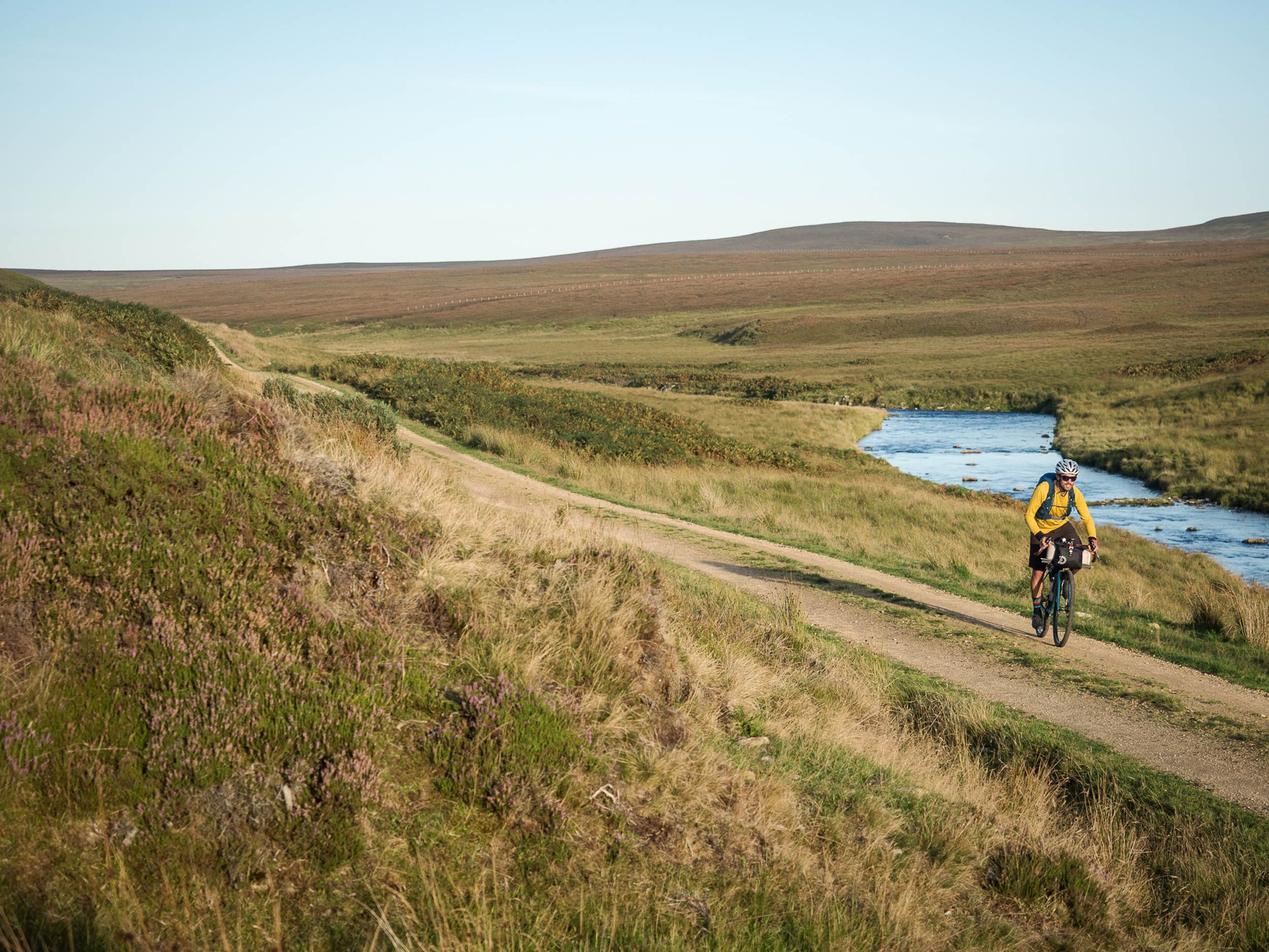
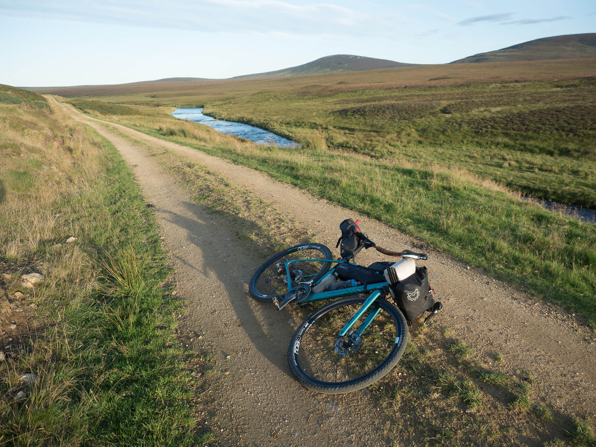
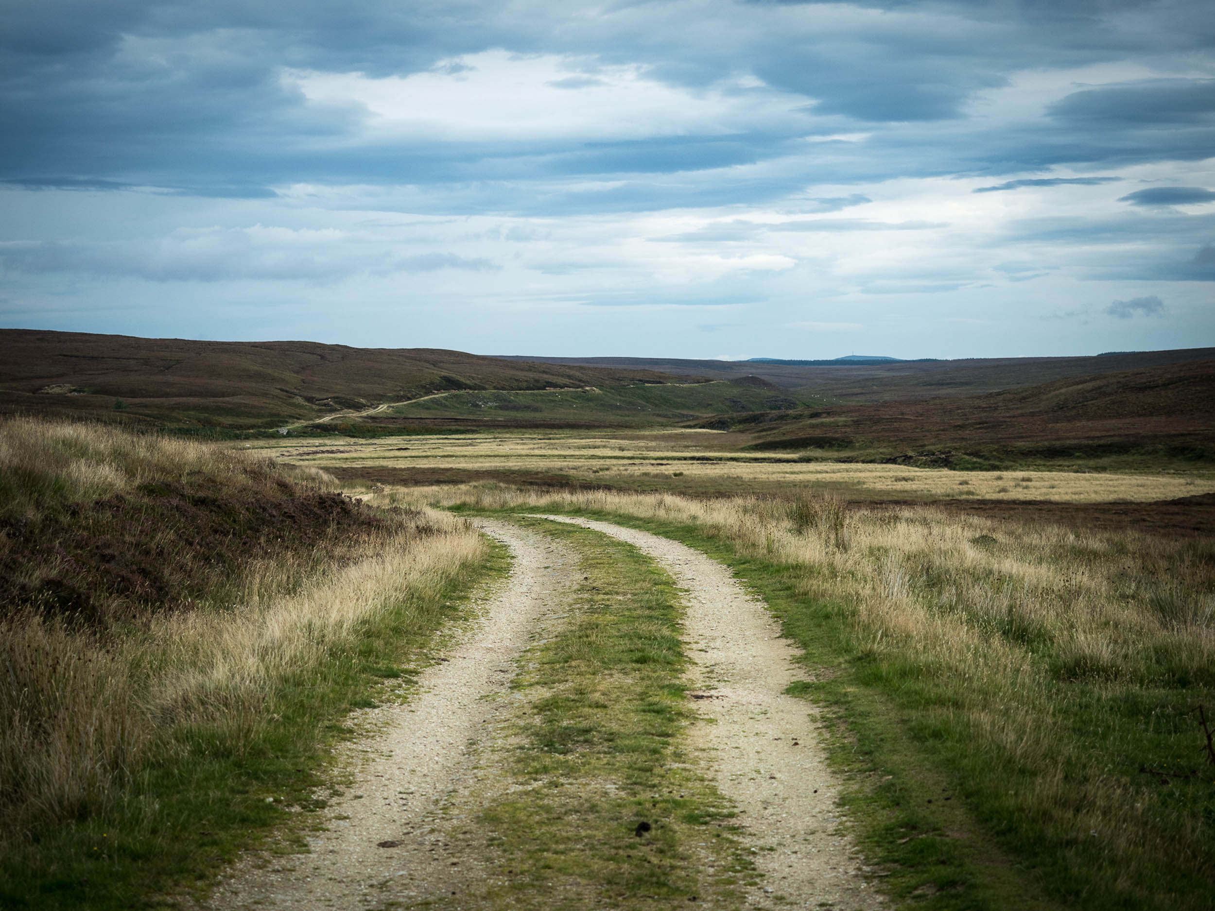
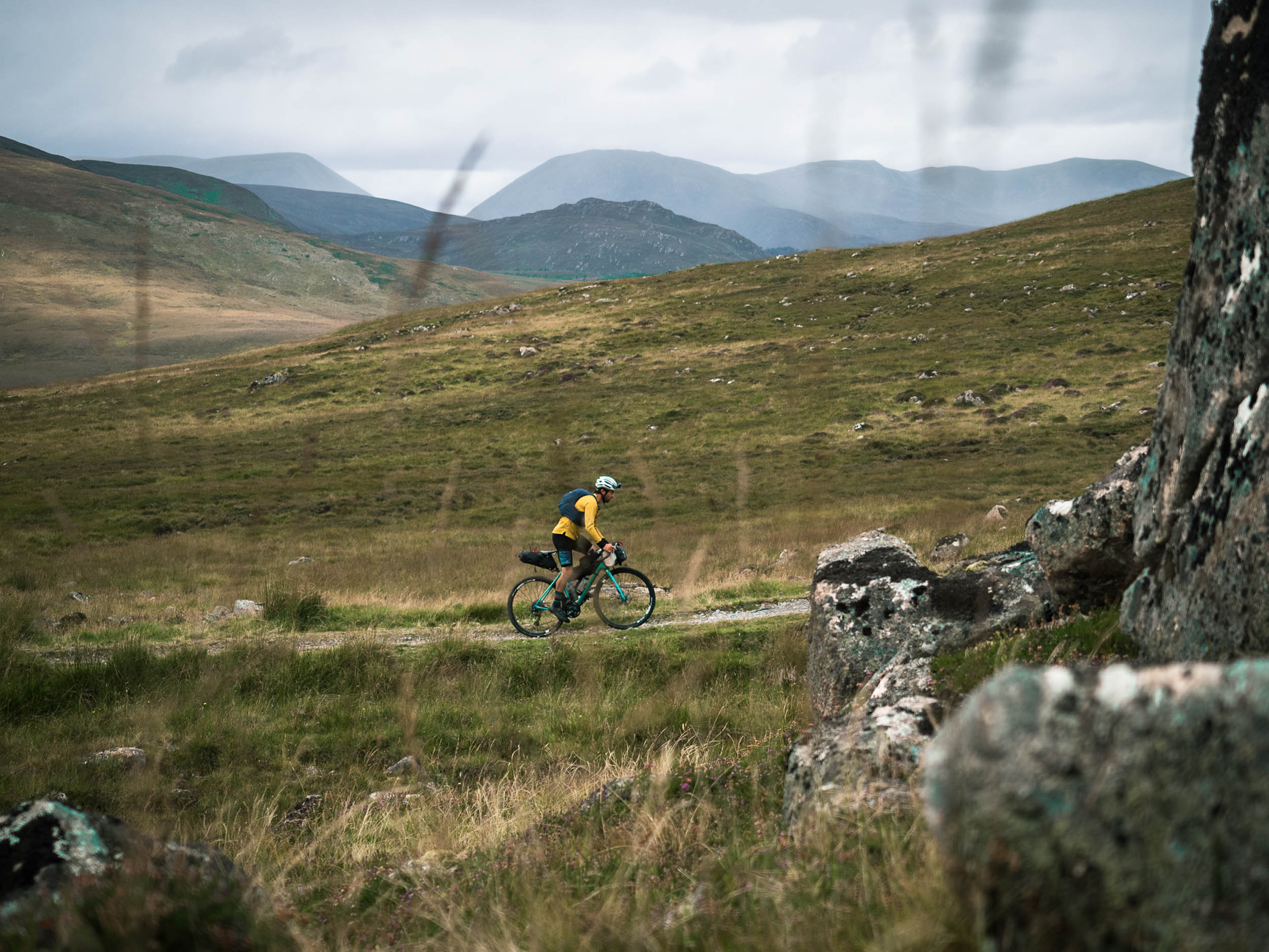
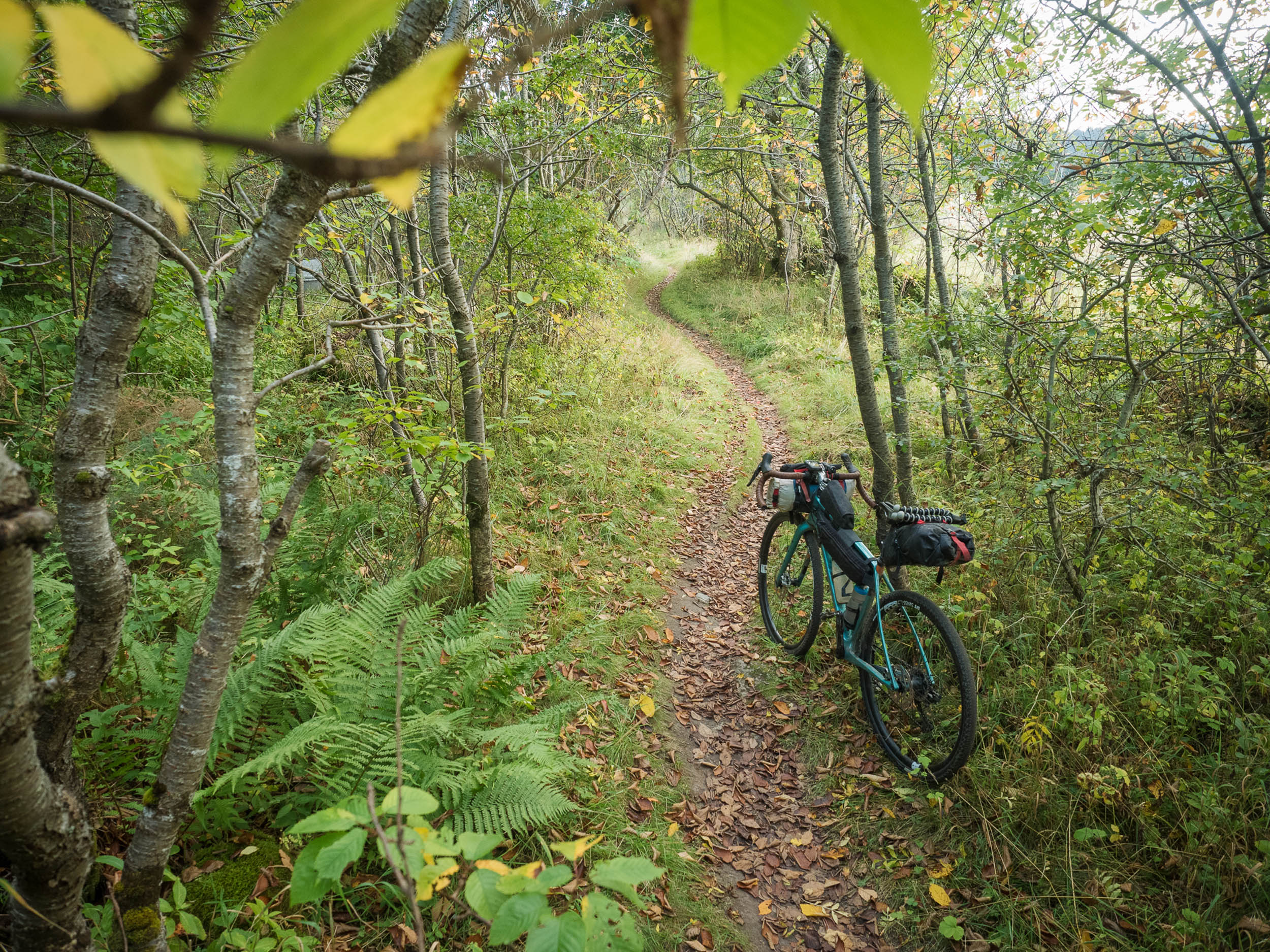
After a short ride up the glen, you leave tarmac and enter the Flow Country section. The Flow Country is a vast area of 200,000 ha of blanket peat bog. It’s remote, exposed to the weather, and, surprisingly, the riding here is some of the best on the route! Local sandstone has been used to create a network of estate tracks used in managing the land, and they provide a smooth, fast-rolling surface that even skinnier gravel tyres will be quite at home on.
Despite the peaty surroundings, the tracks are well-drained and generally dry, so you can concentrate on the expansive views across to the distinctive shapes of Scaraben and Morven on the North Sea coast. Water is plentiful, and there are frequent camp spots throughout this section beside the rivers. A night out in such a quiet spot is recommended.
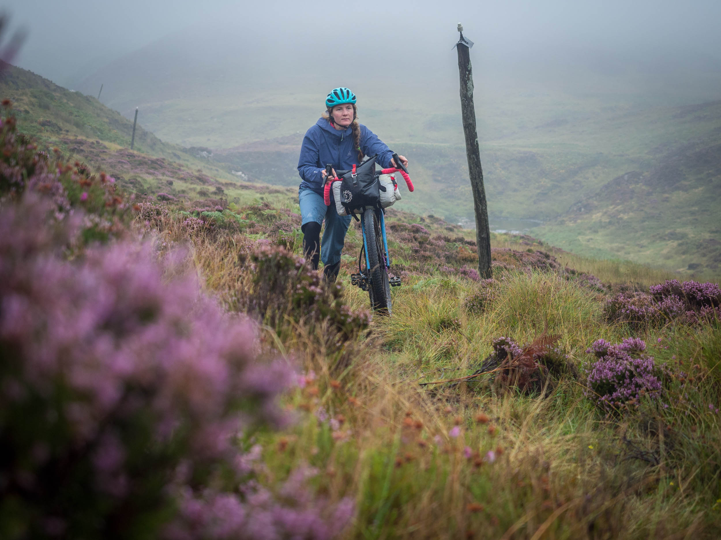
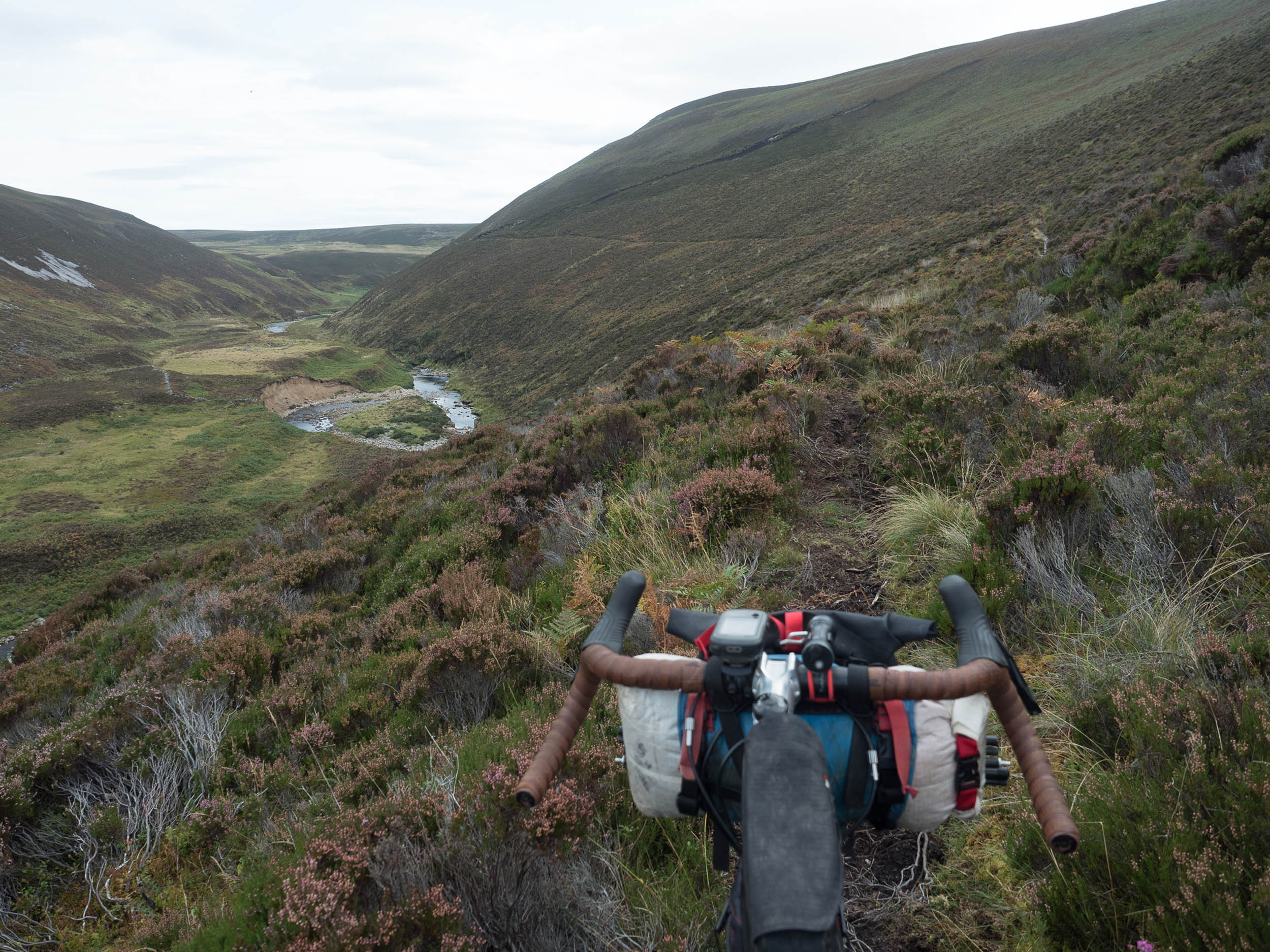
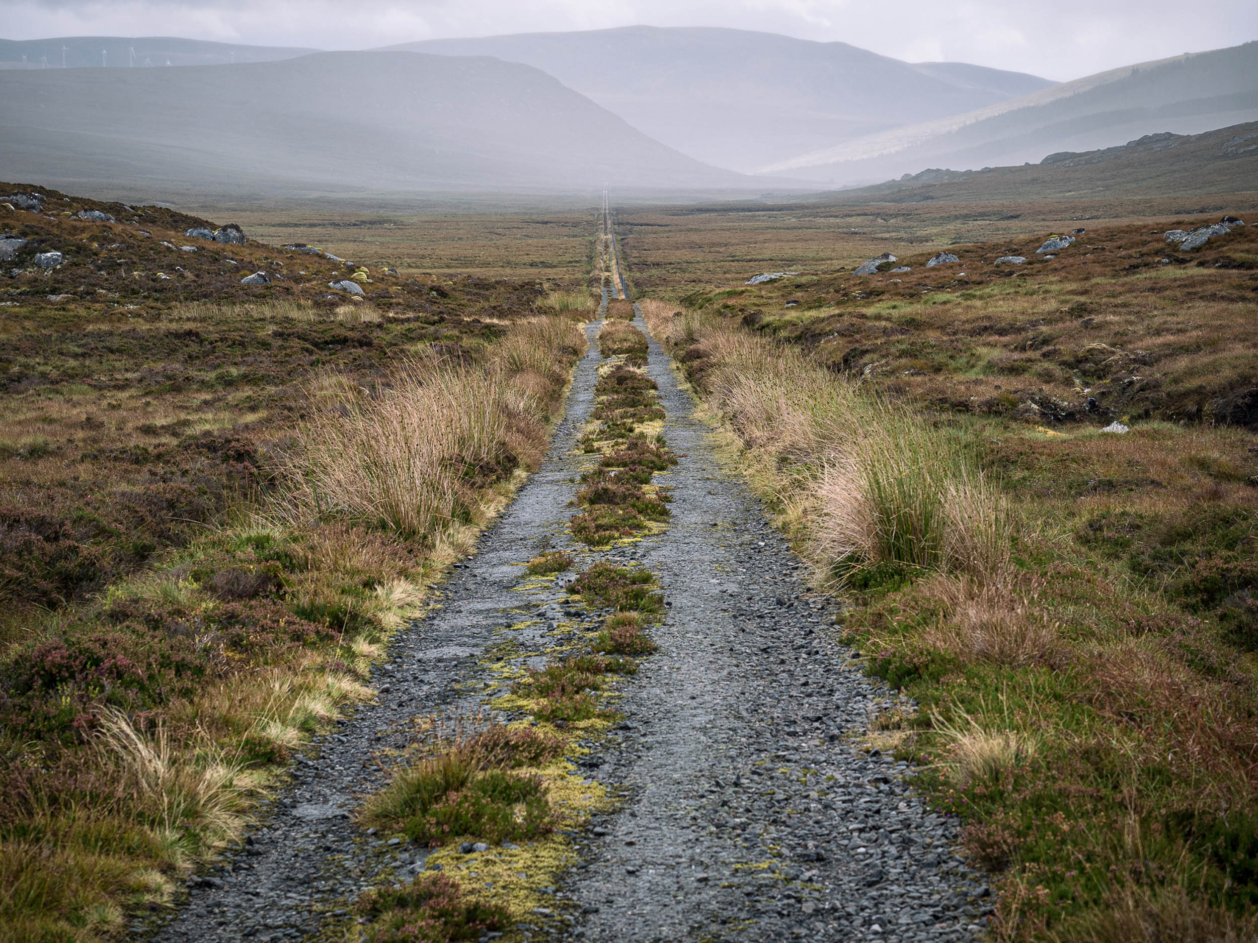
A heads up: the Flow Country section comes to an end at Braemore, from where we follow the Berriedale Water down its narrow glen to the coast. This avoids spending unnecessary time on the A9, but the first four kilometres of the glen are quite rough and boggy, which you may or may not find helpful to know beforehand. The good news is that it’s short and immediately followed by good camp spots and some beautiful riding out to Berriedale itself.
From Berriedale, the route inevitably takes the A9 for some 20 kilometres towards Helmsdale. In peak summer season (July and August), this section of road can be reasonably busy, particularly in the middle of the day. However, as an upgraded, modern road, it’s wide and has good sightlines, so it’s relatively easy to be visible and feel safe. If you’re really unkeen, travelling early in the day after a camp up the Berriedale Water would make sense. The road also passes Ousdale Broch, which is well worth stopping at to admire the monumentally thick drystone walls that made up these Iron Age towers.
Helmsdale is home to welcome services, from accommodation to meals and a small shop. After riding up Strath Ullie on singletrack road, you cross the river and begin a steep gravel climb that transitions to moss-covered tarmac, climbing the shoulder of Beinn Dhorain and dropping into Glen Loth. Keep an eye out for the standing stones lower down in the glen.
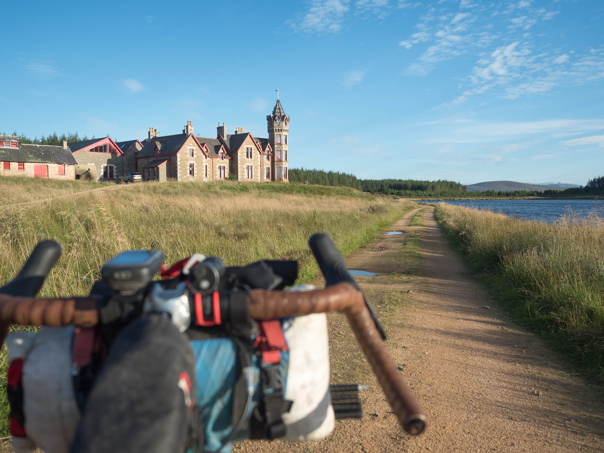
After a short spin along the coast to Brora (and maybe a hot chocolate in Cocoa Skye café), the off-road section to Golspie is a blast, using long-forgotten roads and finally a section of flowy singletrack to drop in to the north end of the village near the entrance to Dunrobin Castle. You can’t miss the enormous (and controversial) statue of the Duke of Sutherland standing watch from Ben Bhraggie above the town. He was one of the charming individuals who played a role in the Highland Clearances of the 18th and 19th centuries.
Golspie to Inverness – 160km
Pictish Kingdoms: Cait, Fidach, and Fortriu
We leave Golspie through Loch Fleet nature reserve before crossing The Mound at the mouth of the loch and climbing Strath Carnaig on a mostly deserted lane. After dropping into Bonar Bridge (which has a shop, café, and restaurant), we head away from the coast and begin another long, mostly off-road section to Evanton, 65 kilometres away. After the initial tarmac, we pass Glencalvie Estate with its amazing treehouse and climb on a surprisingly smooth bit of gravel onto the shoulder of the Ben Wyvis massif. The next section traverses Strath Rusdale, Loch More, and Glen Glass to finally follow the incredibly deep, narrow incision of Blackrock Gorge to the village of Evanton.
Dingwall is reached from Evanton via the old ‘high road’ above the new A9, which gives great views over the Cromarty Firth and its shoals of floating North Sea oil rigs. Dingwall is also the largest town since Thurso, with plenty of services. From there, you take the new Peffery Way, which links Dingwall to Strathpeffer via a disused railway line. The local community has worked incredibly hard to create this new off-road link, and it shows in the new gates and carefully maintained track. As a reward, stop by the deli in Strathpeffer village square for a breather. Shops and cafés are frequent along this section, so food and water are unlikely to be a problem.
Backroads take you south to Muir of Ord and then Beauly (where there’s a campsite nearby) and Kirkhill before one final climb (albeit a big one) up the Aird stands between you and Inverness. This is fairly demanding, and after beginning on tarmac it becomes a forest track among stunted spruce trees that give the riding a remote, Scandinavian feel. Once on top, you join the final flowing section of the Great Glen Way to traverse Dunain Hill and descend to the Caledonian Canal and then the River Ness itself towards the hump of Inverness Castle, standing on its mound. The city centre is compact, and it’s relatively easy to find everything you need. Unless you’re treating yourself to a night indoors, you will need to head out of the city to find camping.
Inverness to Ballater – 170km
Pictish Kingdoms: Fortriu and Ce
From Inverness, the route traverses eastwards along the Moray coast, and on a clear day, you can see your progress all the way to Morven and Scaraben. After weaving through the suburbs of Smithton and Culloden, you pick up fast forest tracks that head east to Cawdor to find a meandering section of riverside singletrack beside the River Nairn, following it all the way to Nairn and the sea. This section can be slippy after wet weather and gets a little overgrown in late summer. However, it’s generally worth the slower moving speed. If you really want to get to Nairn and have that ice cream, an obvious road detour exists to save some time.
From Nairn, the route enters the expanse of Culbin Forest and its dune system. This huge area of sand is ever-changing, and a storm in 1694 shifted so much that it buried the entire village of Culbin. Only the chimney of the manor house remains poking above the sand’s surface. The current forest of Scots pine trees was planted in the 1940s to stabilise the area.
Forres is another good place to stock up on supplies, as the only other shop between here and Ballater is Tomintoul. The long climb away from the coast begins on the Dava Way, another disused railway line, before heading into the moorland and forest that then drops down to the Spey at Knockando. After another section of railway line on the Speyside Way, you follow the Avon on a mixture of lanes and rough farm tracks. Pay close attention to the GPS on this section. After spells of very wet weather, it might be worth taking the road on the east side of the River Avon at this point, although in summer, it’s generally fine.
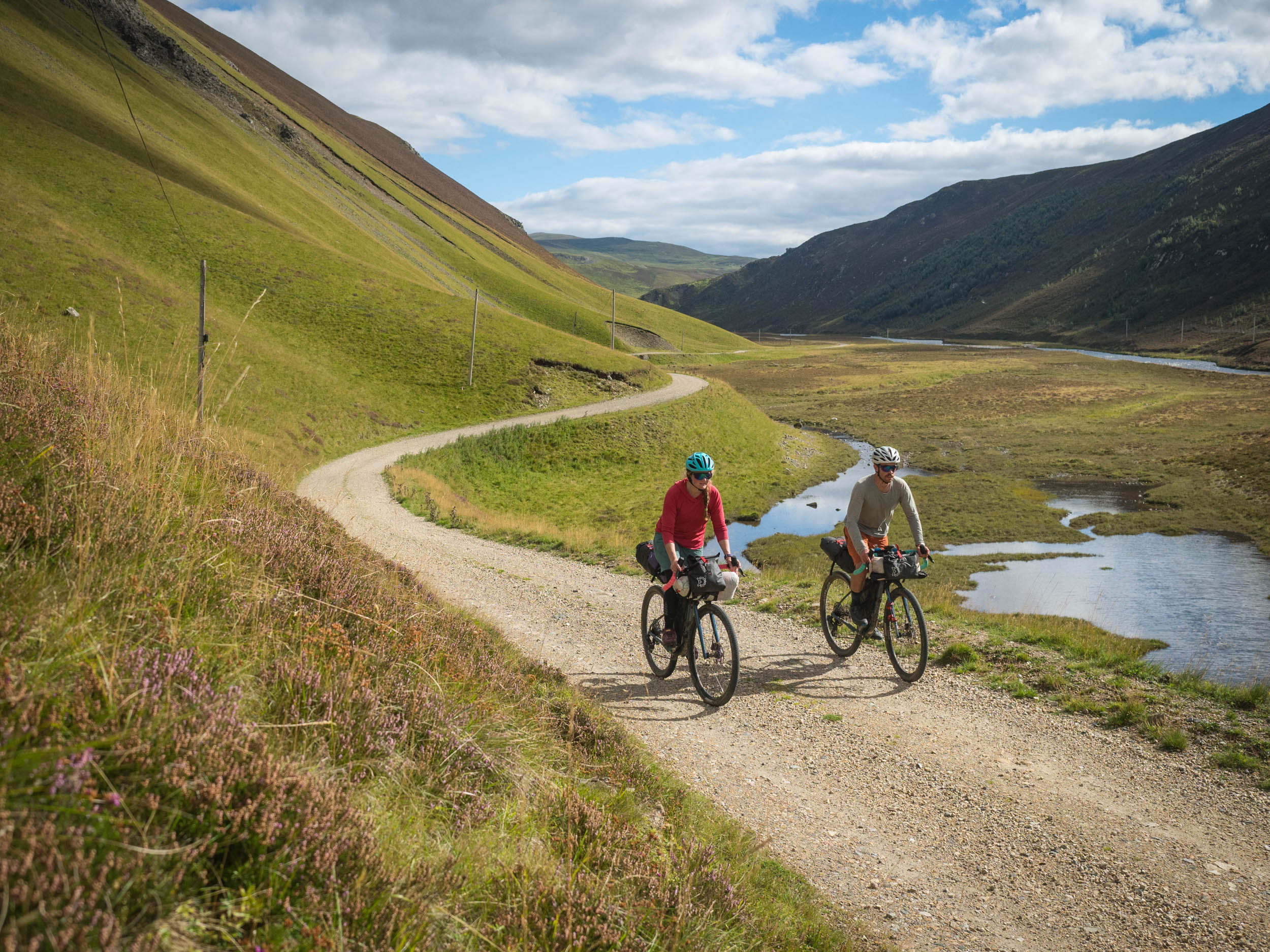
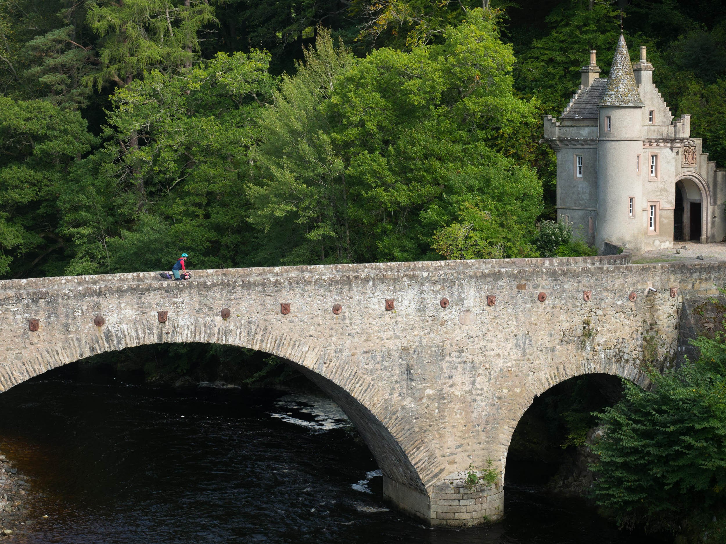
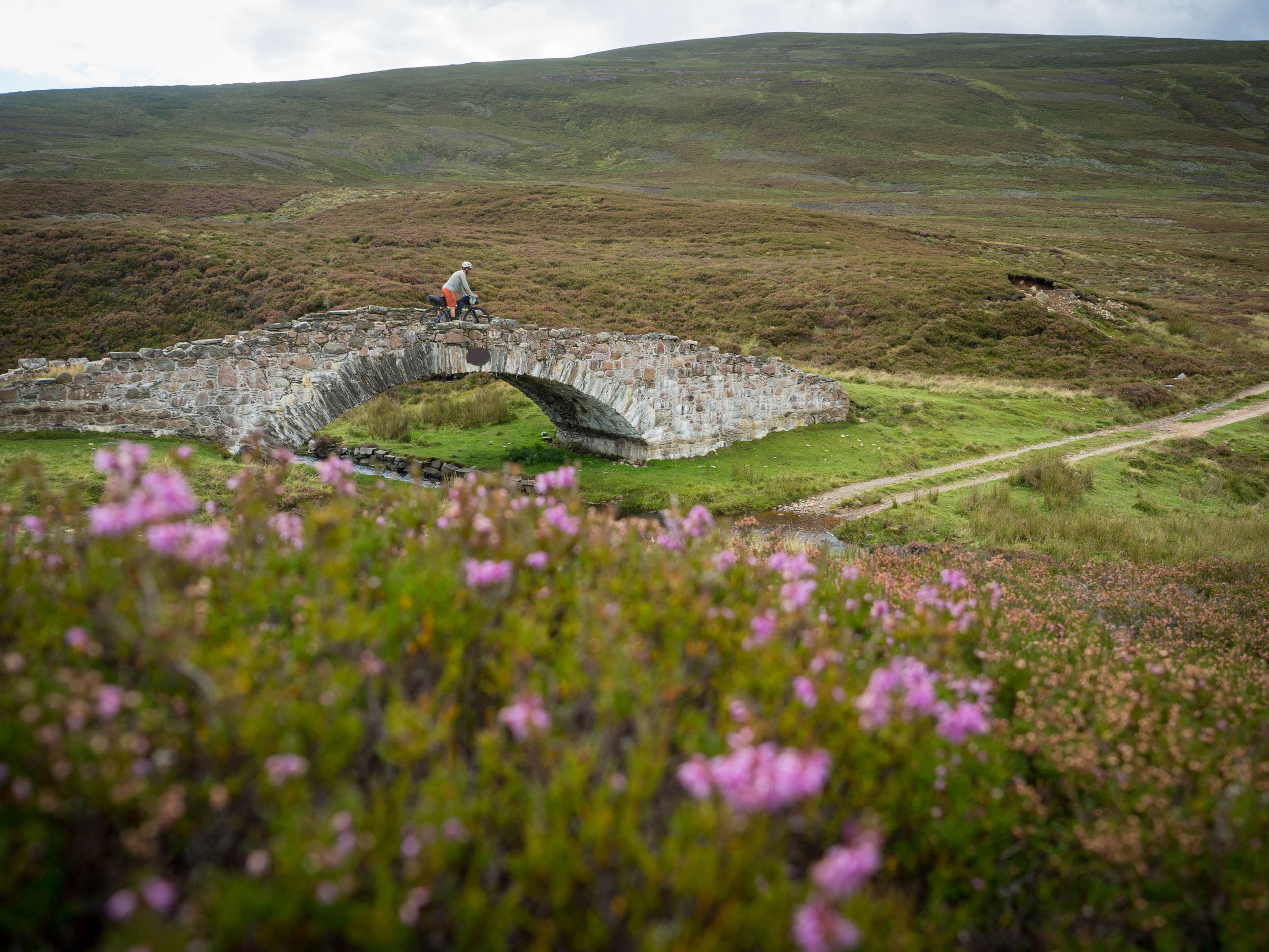
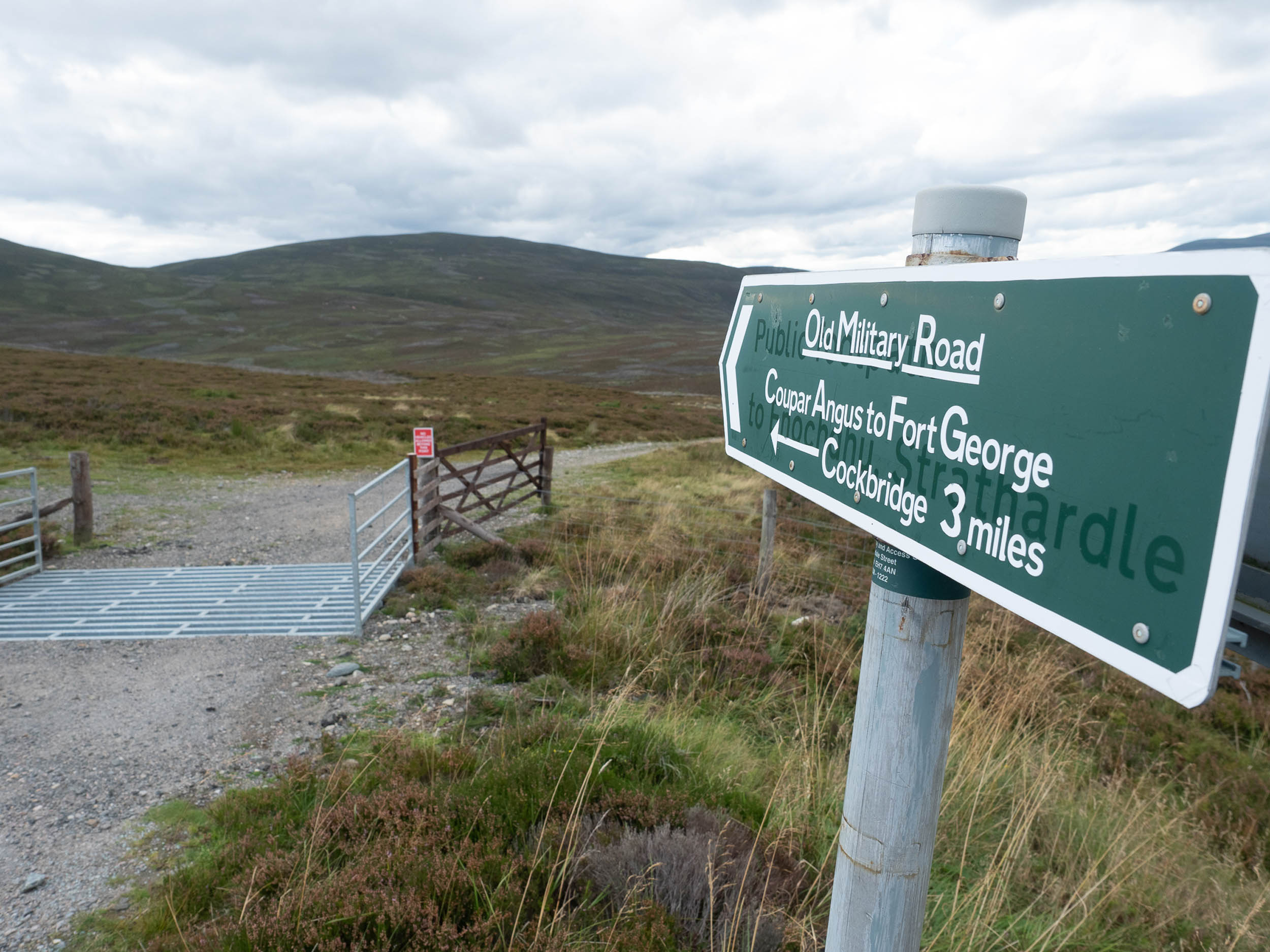
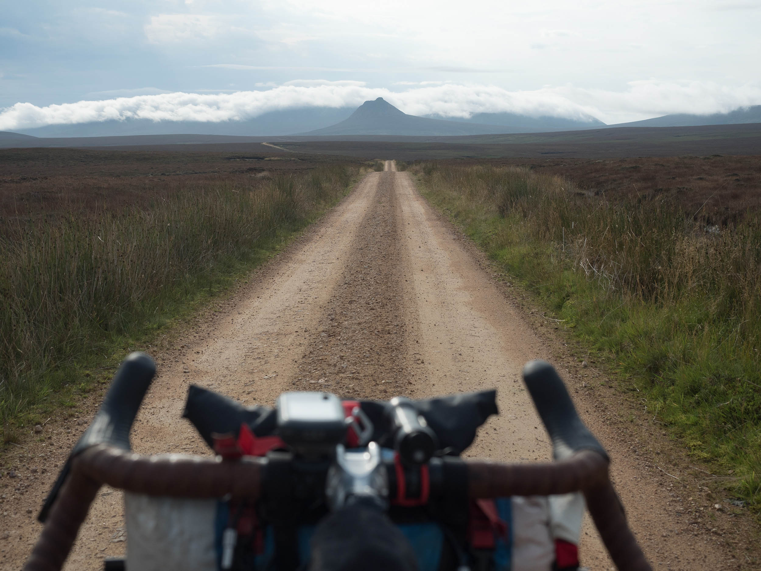
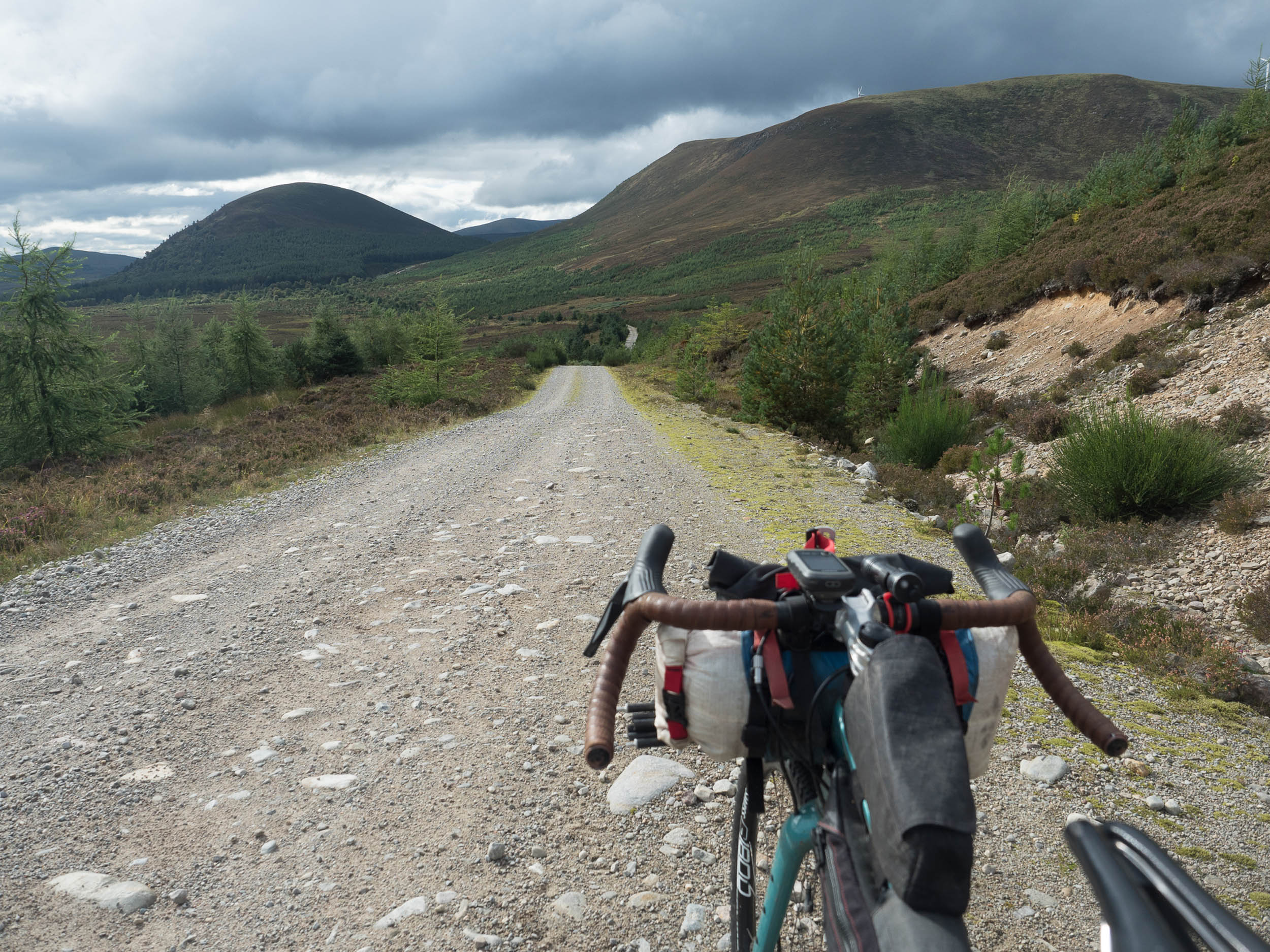
Tomintoul is a small ‘planned’ village founded in 1775 by the local landowner in the hope that a permanent settlement would reduce the amount of cattle theft and illegal whisky distilling in the area. It has a few cafés, pubs, a shop, and accommodation. You leave the village by continuing up the Avon as it flows out of the high Cairngorms plateau before leaving it at Inchrory and heading east to the River Don at Corgarff Castle. The route to Ballater uses the remains of one of Major Caulfield’s military roads from the 18th century, climbing on a rough but firm trail to join the A939 before dropping into Deeside and Glen Gairn on the final spin to Ballater.
This section also contains plentiful wild camping spots away from settlements, but as it encounters more hill grazing areas, it’s worth giving thought to clean water supplies and carrying a filter or other purifying treatment.
Ballater to Dundee – 130km
Pictish Kingdoms: Ce and Circind
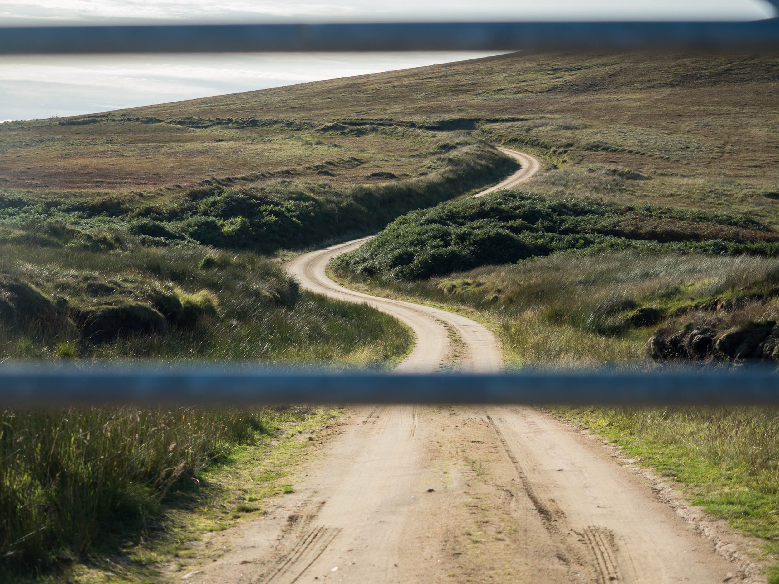
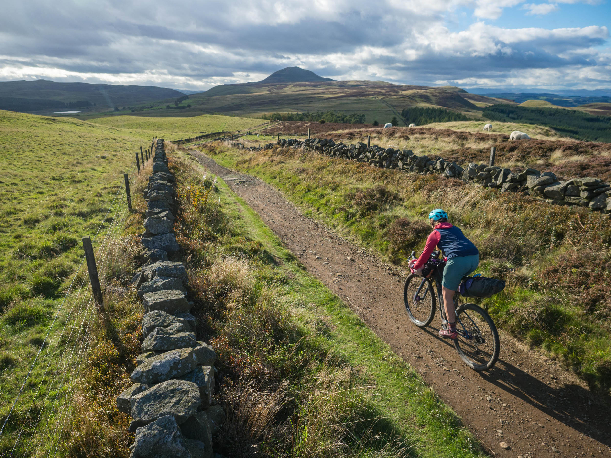
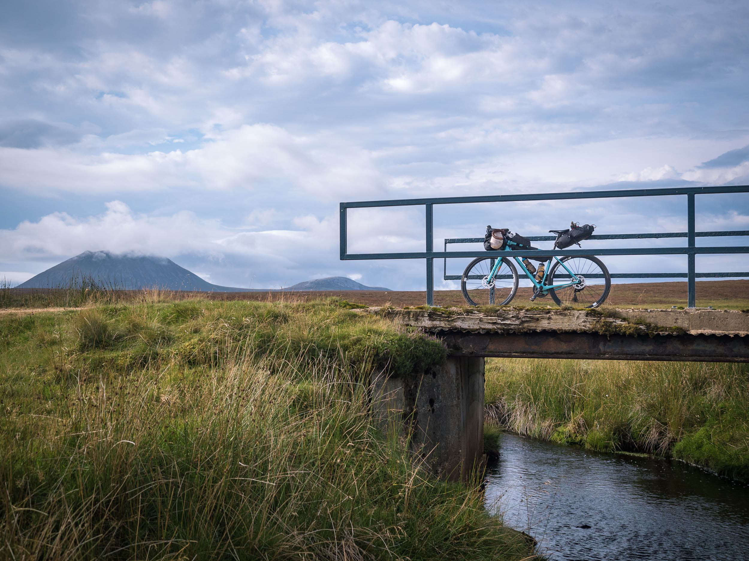
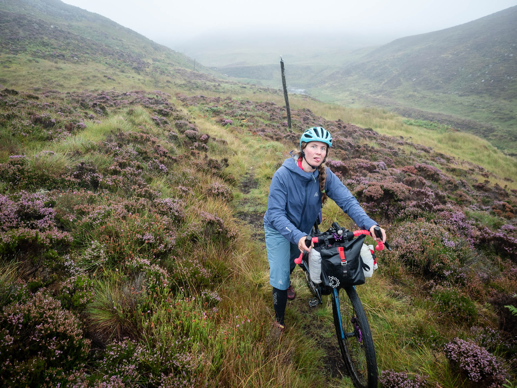
The route from Ballater to Edzell is almost entirely offroad. The Deeside Way from Ballater to Aboyne takes things easy beside the river for 20 kilometres, which is a good point at which to make sure you have plentiful supplies, as the next section crosses one of the ‘Mounth Roads’ across the hills to Angus (45 kilometres to the next shop/café in Edzell). The Fungle Road is one of several historic routes that crisscross the high plateau of the southern Cairngorms, and it marks the high point of the route at around 600 metres above sea level. That might not sound much to folks from more elevated places, but the weather can be significantly less friendly than it is at lower levels, and it often deteriorates rapidly. Make sure to follow the singletrack around the southwest of Birse Castle rather than following the estate track.
Dropping into Glen Esk gives a welcome break from any weather that’s around, and the riverside trails on the west side can be made a little faster by sticking to the tarmac on the east side if time isn’t on your side. After Edzell, lanes take you through Brechin and on towards the coast again at Arbroath (where you can get your smoked haddock or ‘Arbroath Smokie’). Camping gets a little trickier in Angus, but just on the southern side of Arbroath, the dunes provide a peaceful spot once you’re a little way out of town without being too far away to nip back in for a coffee and some breakfast in the morning.
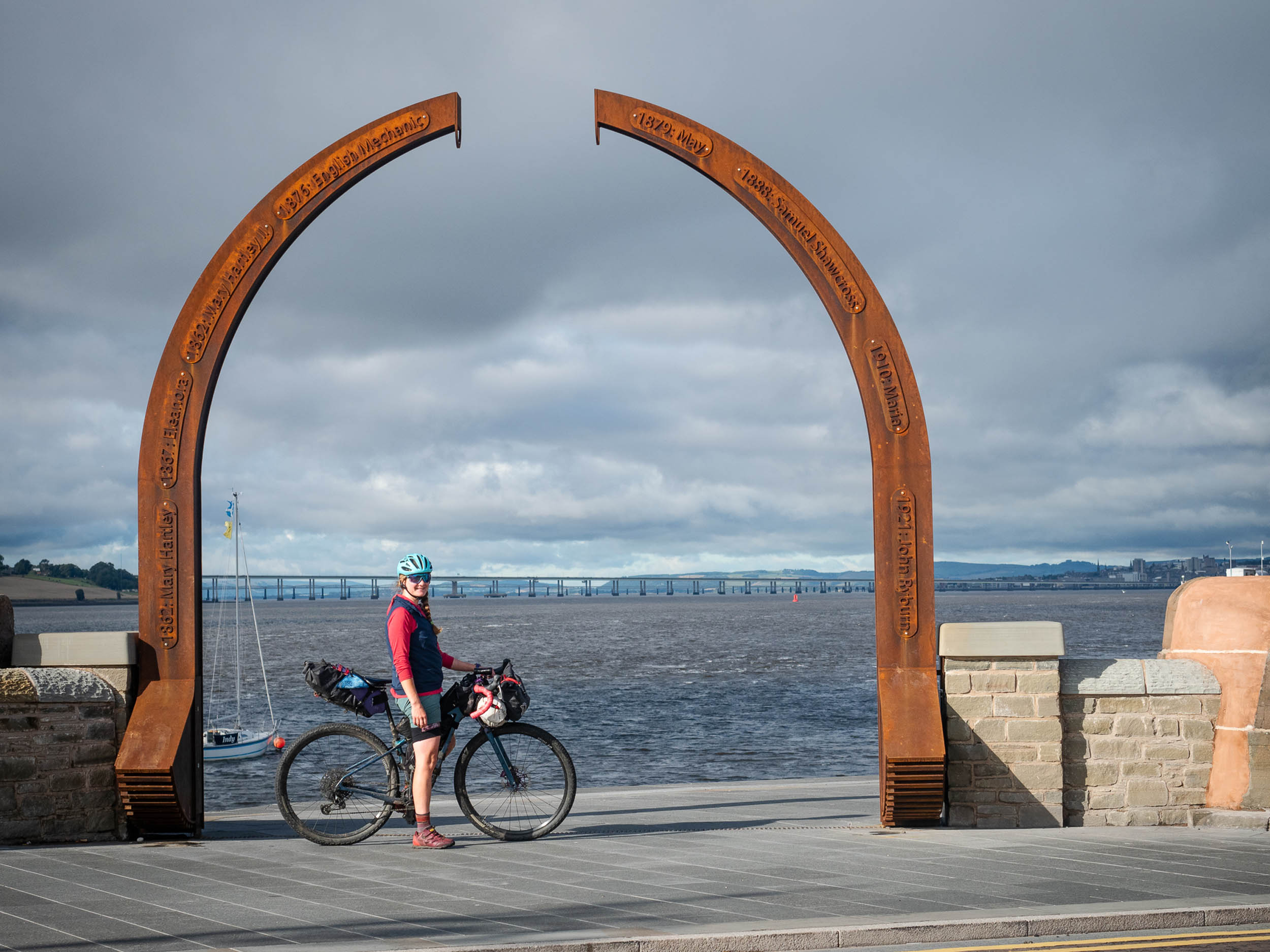
The final stretch to Dundee follows the coast on a fast cycle path, with the entrance to the Firth of Tay on your left and the Tay bridges ahead once you round the corner at Broughty Ferry.
Dundee to Edinburgh – 115km
Pictish Kingdoms: Fib and Gododdin
Once across the Tay Road Bridge via its central cycle lane, you arrive in the Kingdom of Fife (or ‘Fib’, to give it its proper Pictish name). Sandwiched between the firths of Tay and Forth, Fife is as good an example as anywhere else of Scotland’s different histories lying side by side.
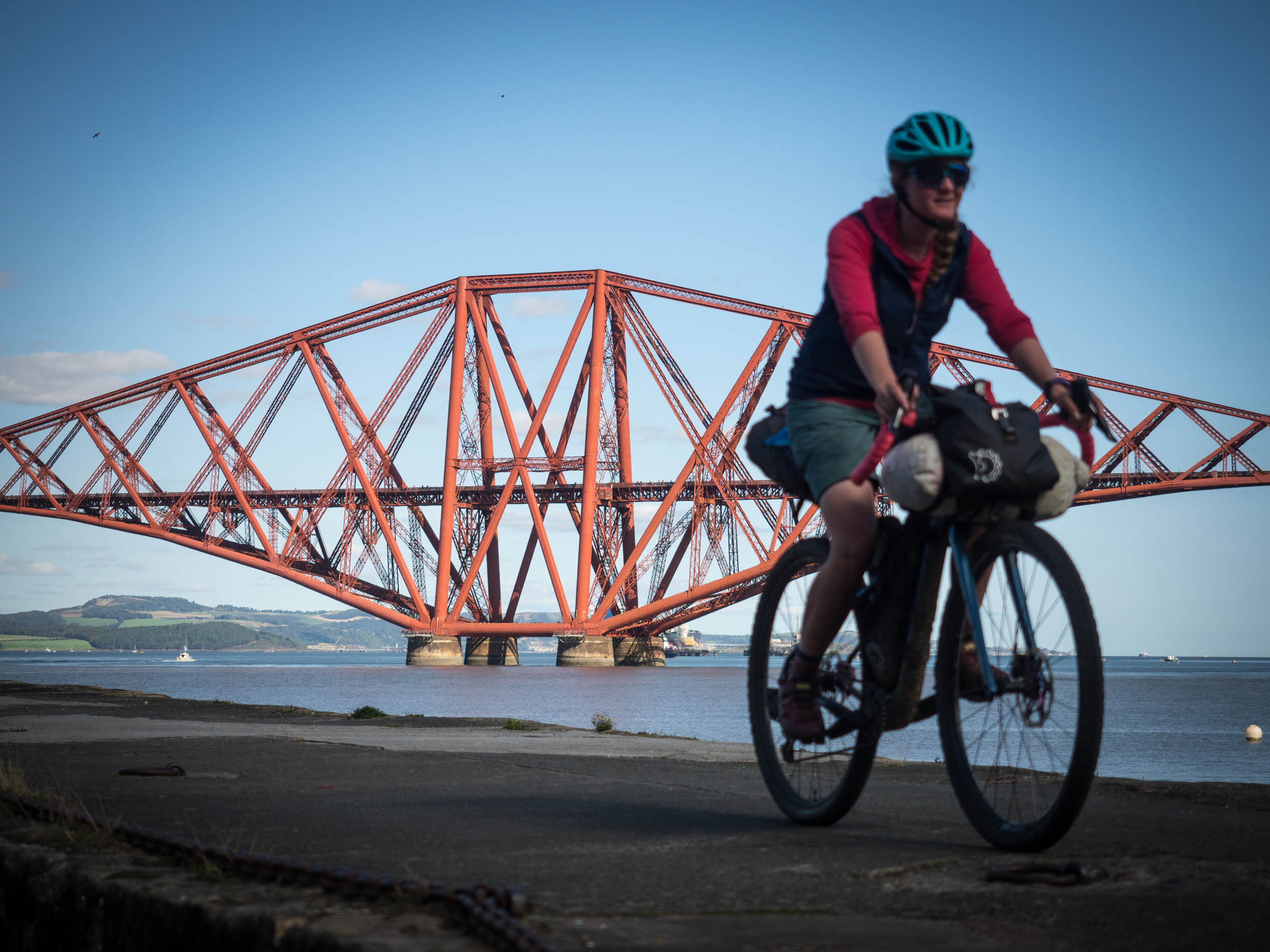
The first hill climbs the side of Norman’s Law, a prominent lookout that’s crowned by an Iron Age hill fort. A mixture of singletrack on the Fife Coastal Path, farm tracks, and lanes takes you on toward another hill fort on top of the prominent Lomond Hills, but not before passing near the old royal palace at Falkland. From the traversing trail that runs across the Lomonds, you begin to see the more modern Scotland: the coal mining towns of south-east Fife, the shipyards at Rosyth, and the unmistakable, rust-red silhouette of the Forth Rail Bridge. Thanks to the construction of the new road bridge, cyclists can use the old bridge to cross the Firth of Forth, with plenty of traffic-free space to check out the views back to the Fife coast and onward to the finish point at Edinburgh Castle, which sits on top of the dark hump of Castle Rock above the rest of the city.
Camping in Fife is trickier than it is on the rest of the route due to the amount of agricultural land and the corresponding lack of fresh drinking water. There are spots where it’s possible, but make sure to stick to the Scottish Outdoor Access Code. There are several paying campsites, guesthouses, and B&Bs in the various towns and villages.
The remainder of the route on the south side of the Forth is one of the most pleasant ways you could imagine to ride right into the centre of a country’s capital city. Rather than follow the busy A90, the cycle route takes the coast around Hound Point, passing right underneath the massive riveted girders of the rail bridge and passing through North Queensferry (where I dare you not to stop for a break once you see the menu on the ice cream shop). It then takes you through Dalmeny Park, opposite Cramond Island, before heading up the River Almond a wee way and heading east on disused railway line that delivers you to Haymarket, just a few streets away from Princes Street, the Mound, and the final approach up to the castle itself.
Once you’ve arrived, Waverley Station is just down the hill and around the corner, so onward travel is simple. Just make sure to book a bike spot when you book your train ticket unless you’re travelling on one of the commuter trains.


Terms of Use: As with each bikepacking route guide published on BIKEPACKING.com, should you choose to cycle this route, do so at your own risk. Prior to setting out check current local weather, conditions, and land/road closures. While riding, obey all public and private land use restrictions and rules, carry proper safety and navigational equipment, and of course, follow the #leavenotrace guidelines. The information found herein is simply a planning resource to be used as a point of inspiration in conjunction with your own due-diligence. In spite of the fact that this route, associated GPS track (GPX and maps), and all route guidelines were prepared under diligent research by the specified contributor and/or contributors, the accuracy of such and judgement of the author is not guaranteed. BIKEPACKING.com LLC, its partners, associates, and contributors are in no way liable for personal injury, damage to personal property, or any other such situation that might happen to individual riders cycling or following this route.
Please keep the conversation civil, constructive, and inclusive, or your comment will be removed.