


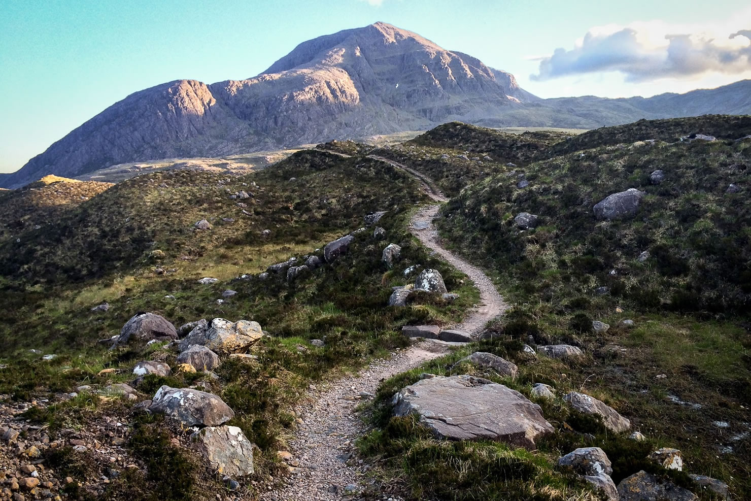
The Wildcat
Distance
311 Mi.
(501 KM)Days
7
% Unpaved
70%
% Singletrack
20%
% Rideable (time)
95%
Total Ascent
23,559'
(7,181 M)High Point
2,018'
(615 M)Difficulty (1-10)
6?
- 5Climbing Scale Moderate76 FT/MI (14 M/KM)
- 6Technical Difficulty Moderate
- 7Physical Demand Difficult
- 6Resupply & Logistics Moderate
Contributed By
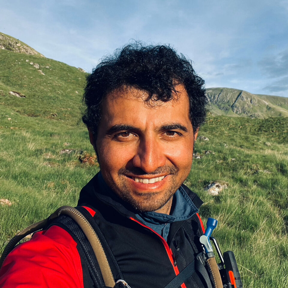
Nima Khorshidi
Guest Contributor
Nima is a bike mechanic and a cycle trainer in Glasgow. He started cycling and going on long day trips in Iran at a very young age, and it soon became his passion. In Scotland, Nima has cycled most of the established bikepacking routes and is now enjoying exploring new routes and sharing them with fellow bikepackers. Follow Nima’s rides on Instagram at @milesandwheels.
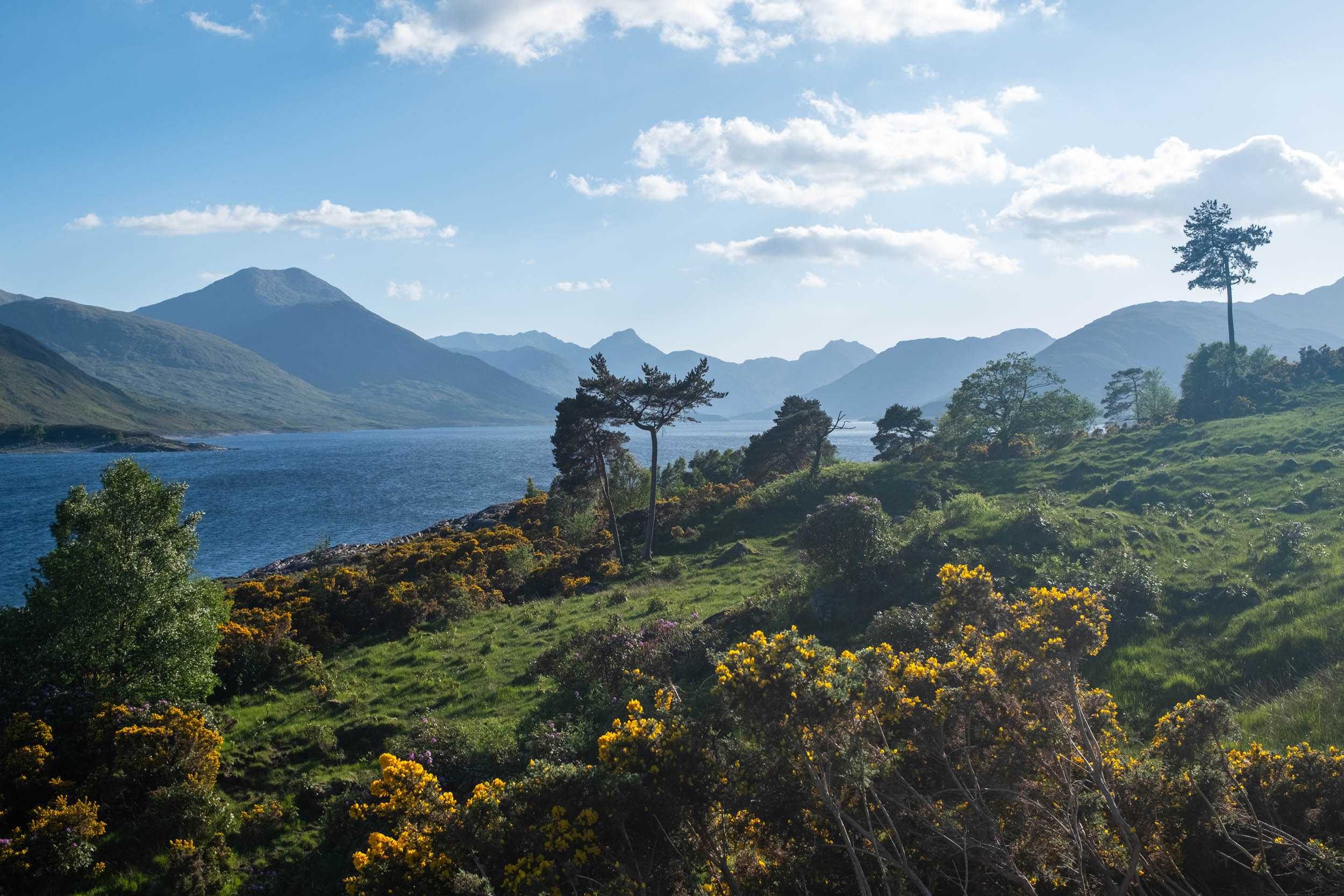
Known as the “Highland Tiger,” Scottish wildcats are descendants of European wildcats that crossed from the continent into Britain at the end of the last Ice Age, around 9,000 years ago. Once widespread, the species is now on the brink of extinction as a result of centuries of persecution and habitat loss. In addition to playing a crucial role in Scotland’s ecosystem, wildcats have a rich history in Scottish culture and mythology, being revered by many Highland clans and embodying the wild nature of the Scottish Highlands. This route passes through the Cairngorms National Park, where partnership project Saving Wildcats, based at Highland Wildlife Park, is breeding and releasing wildcats into the wild.
The Wildcat is a bikepacking route with two versions: long and short. The long version is shown on the main map below, and the statistics above reflect this version. The short version has a lesser degree of difficulty and a greater percentage of rideability. At the start of the Trail Notes below, you can see the statistics of the short version, along with a link to its map.
The route has straightforward logistics, making it possible to start or finish the rides in different locations. The intersections of the long and short versions also create two additional loops. The route has been developed in a way that makes it possible for riders to get creative with different sections and tailor their trip(s).


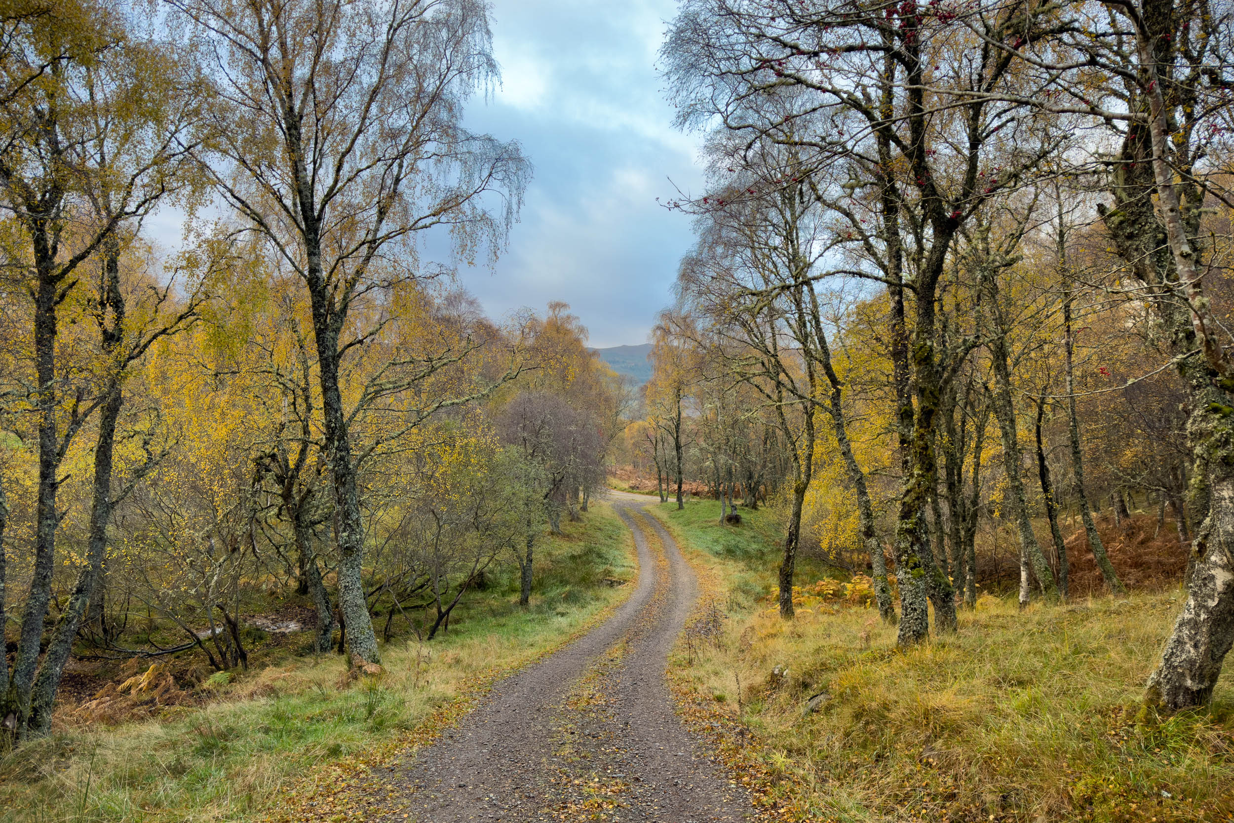
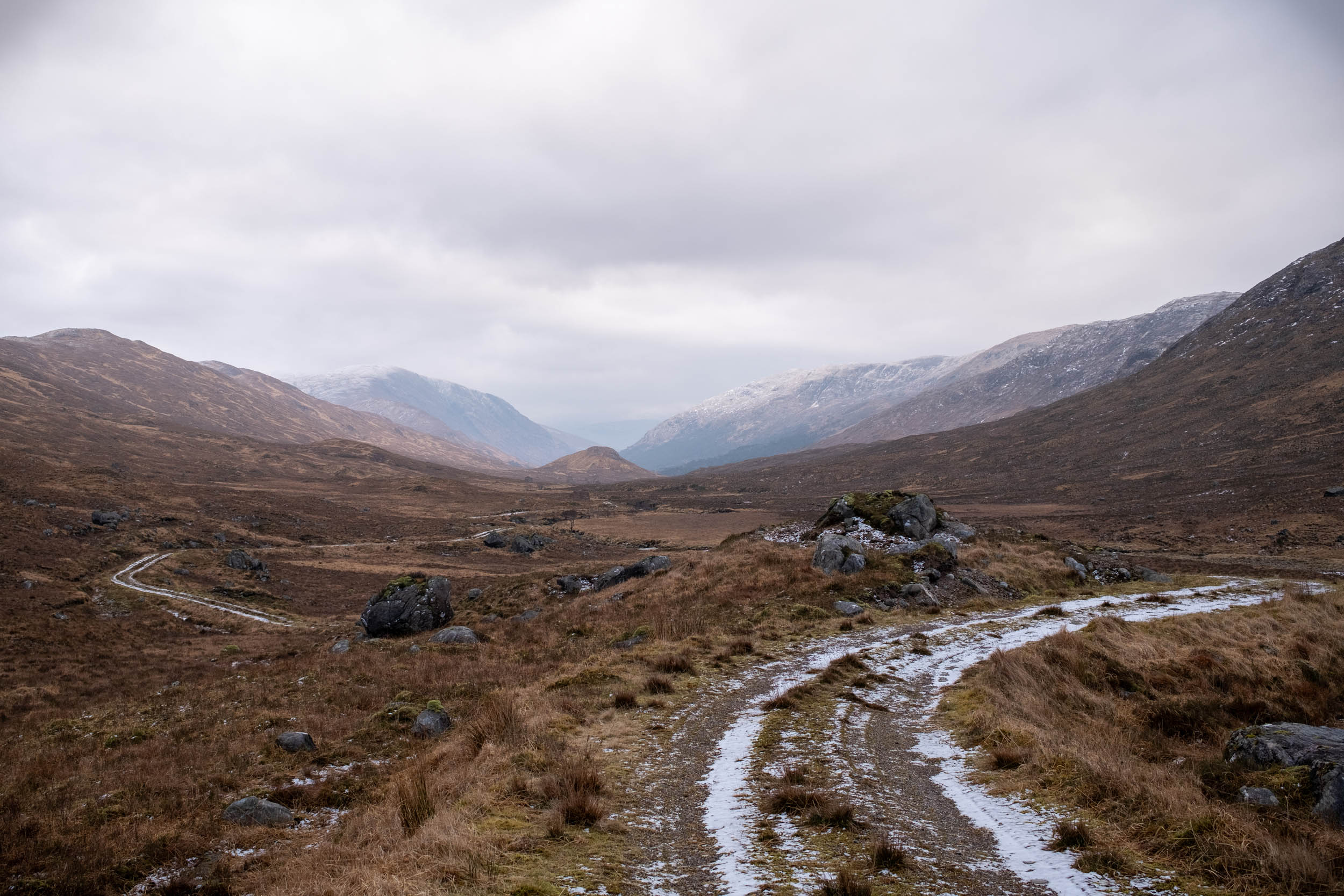
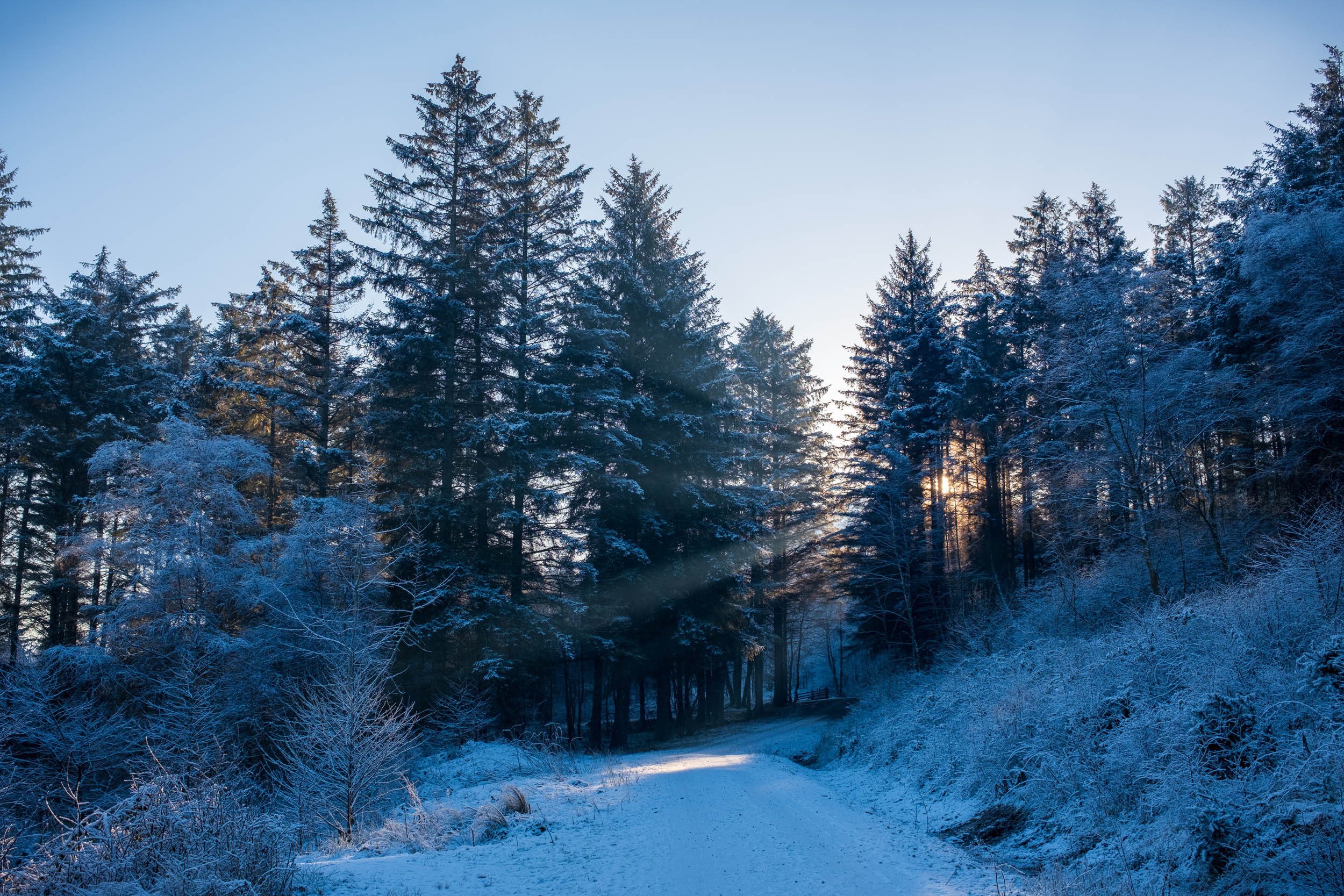
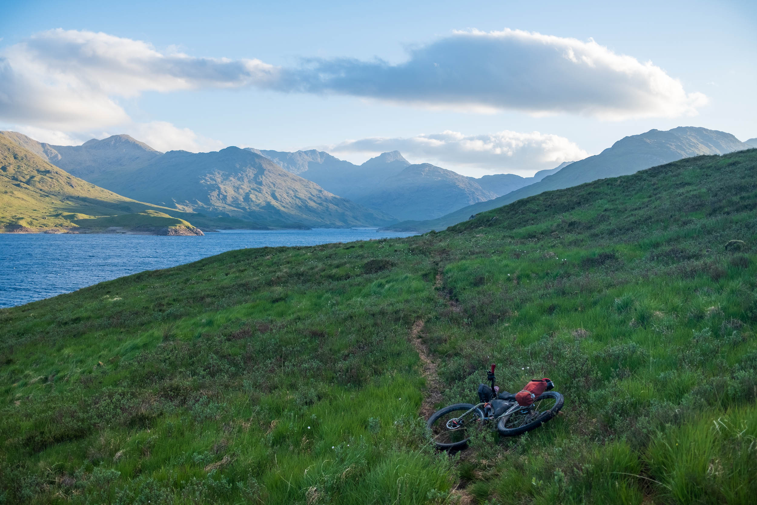
The loops travel over gravel roads, singletracks, and paved roads taking bikepackers on a journey circling the central Highlands. With more than 70 percent unpaved tracks in both long and short versions, the route passes through forests and glens, past lochs and over moorlands. It takes riders through Fort William and Inverness, the two capitals of the Highlands; Carrbridge, hosts of the World Porridge Making Championships; and Inverie, a village with the Guinness National Record for remoteness in the UK.
There is no road access to Inverie in the Knoydart peninsula, but the long version of this route will take riders there by one of the best possible ways, requiring some hike-a-bike. The reward for this challenging section is not only being surrounded by some of the finest scenery Scotland has to offer, but also enjoying a well-earned drink in the Old Forge, the most remote pub in mainland Britain.
The route hosts miles of rideable singletrack, traverses beautiful Scottish glens, travels along the majestic River Spey, River Findhorn, and River Beauly, and meets the silver sands of Morar. There are many great places to eat on the way, with plenty of restocking points, and lots of good camp spots. Whatever way riders choose to ride the Wildcat, they’ll have an adventure packed with stunning Scottish scenery and classic Highland landmarks.


This route is dedicated to the endangered Scottish wildcat, whose homeland you will be a guest in. To help ensure the wildcat doesn’t disappear from our shores, bikepackers of the Wildcat are encouraged to educate themselves about these beautiful animals by visiting the Saving Wildcats website and, if possible, give a gift to wildcat conservation in Scotland. Please note that Scottish wildcats are shy and elusive, and most active at dawn and dusk, so you are unlikely to spot them. However, if you’re lucky enough to see a wildcat, please record your sighting on the national database.
Thanks and credit to Saving Wildcats, who provided the photos of the wildcats featured in the gallery. Saving Wildcats has also suggested wildcat-related spots and activities that you can learn about in the Highlights section of the route page.
ROUTE DIFFICULTY
The long version of the loop has an overall difficulty of 6 out of 10. Physical demand is a 7. The 23,559 feet of climbing over 311 miles gives the long version a moderate climbing scale. However, the distance, hike-a-bikes, and the fact that some of the climbs are on rough ground add up to physical demand. Technical difficulty 5.5, which reflects the singletracks and some of the downhills. Resupply and Logistics 5.5. Although the loop is logistically very accessible, at points, you will find yourself miles away from resupply and public transport. The short version of the loop has an overall difficulty of 5 (Physical demand 6. Technical difficulty 5. Resupply and logistics 4).
ROUTE DEVELOPMENT
My extensive research and scouting for this route resulted in finding many miles of rideable trails and tracks to link up. This led me to develop a group of loops in a route that can be accessed at different points and ridden in many variations. Although the Scottish Outdoor Access Code grants the public responsible access rights, during my work on this route, I kept meeting locked gates, which caused several rerouting trips. The route unavoidably comes on main roads at points; this was after I tried every possible and reasonable alternative, none of which worked.
However, I have tried hard to ensure road sections are as minimal as possible. Sections of the route overlaps with established bikepacking routes such as Highland Trail 550. During the course of working on this route, I learned about Scottish wildcats and the incredible efforts of the people who are involved in saving this beautiful species. I decided to name this route the Wildcat in recognition of this, and I hope it contributes to raising awareness about them and their need for protection in Scotland.


Submit Route Alert
As the leading creator and publisher of bikepacking routes, BIKEPACKING.com endeavors to maintain, improve, and advocate for our growing network of bikepacking routes all over the world. As such, our editorial team, route creators, and Route Stewards serve as mediators for route improvements and opportunities for connectivity, conservation, and community growth around these routes. To facilitate these efforts, we rely on our Bikepacking Collective and the greater bikepacking community to call attention to critical issues and opportunities that are discovered while riding these routes. If you have a vital issue or opportunity regarding this route that pertains to one of the subjects below, please let us know:
Highlights
Must Know
Camping
Food/H2O
Trail Notes
Resources
Wildcat-Related Spots and Highlights
- Highland Wildlife Park, Kincraig. You can see wildcats here and learn more about the conservation project.
- Uath Lochans, Glenfeshie. When you cycle to the hilltop, there’s a great view over the Cairngorms Connect wildcat release site.
- Drake’s Bothy, Inshriach. Releases have taken place near here, and wildcats are regularly spotted in this area. Plus, it’s a nice place to have a rest!
- Glenmore Forest Park (accessible by a detour). Wildcat releases have taken place near the forest park, and wildcats are regularly spotted in this area.
- Cairngorm Brewery, Aviemore. You can toast a Wildcat Beer here to the end of Stage 1.
- Speyside Wildlife Hide (need a booking ahead). A released wildcat visits the hide regularly
- Wildcat Centre, Newtonmore. The route passes over parts of the Wildcat Walking Trail. Keep your eyes out here for life-size model wildcats; there are over 100 to find around the village and along the trail.
- Clan MacPherson museum, Newtonmore. Spot the wildcats on Newtonmore’s signage. The Clan MacPherson museum is here, with wildcats on the Clan’s crest
Highlights
- Plodda Falls and Birthplace of Golden Retrievers: Coming out of Glen Affric and on the way to Cougie, you will pass by the ruins of a mansion called Guisachan House, where the popular dog breed Golden Retriever originated. There is a five-yearly gathering celebrating the breed and its ancestral home. A few miles further on, you’ll find the Plodda Falls, one of the most spectacular waterfalls in the Highlands (which is still a hidden gem).
- Knoydart and The Old Forge Pub (Long): Knoydart peninsula is referred to as “Britain’s last wilderness,” unconnected to the UK road system. Heading through Knoydart, you will see some of the wildest and most beautiful scenery of the Highlands. The Old Forge in Inverie (Knoydart’s main village) is community-owned and is renowned for being Britain’s most remote mainland pub.
- Loch Quaich and Glen Barrisdale (Long): The ride and hike-a-bike along Loch Quaich is one of the most amazing sections of this route. It starts with a ride on a quiet paved road alongside the loch, then you will hike-a-bike to reach Glen Barrisdale. The views in this section only keep getting better and better.
- Ride by the River Dulnain (Short): A particularly beautiful stretch of the short version is the cycle along the River Dulnain, through the native Scottish forests. This ride can start after a night’s stay at a bothy marked on the map and will end by a turn taking you over the hills to River Findhorn.
- Carrbridge World Porridge Championships: The route passes through many villages, each of which has its own unique features. One to note, since oats play an important role in bikepacking meals, is the village of Carrbridge, which hosts the World Porridge Making Championships in October every year. If you’re able to time your trip to coincide with this annual event, you’ll leave very well fueled with the world’s best porridge and a healthy dose of Scottish culture.
- Glen Affric: Glen Affric is known to be one of Scotland’s most beautiful glens. Riding through it is a definite highlight of this route.
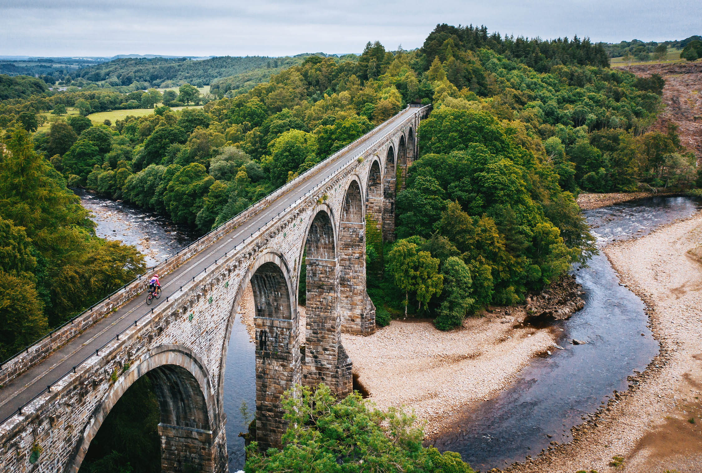
- Glenfinnan Viaduct (Long): Glenfinnan Viaduct, a railway viaduct on the West Highland Line, is an impressive feat of engineering built in the late 1800s. It is a popular tourist hotspot, famous in recent years for its appearance in the Harry Potter films and commemoration on the Bank of Scotland £10 note.
- When to Go: The route is rideable all around the year. April to October are the best months.
- Bike Type: This route was developed riding a rigid mountain bike fitted with 29 x 2.6-inch tyres and a drivetrain suitable for steep climbs. Bikes with tyre widths of 2.3 to 2.6 inches would be most suitable for this route.
- Logistics: This route is logistically very sound with the possibility of starting or finishing in different locations. The two major cities on the way are Fort William and Inverness, which both have regular train services. The route also passes through many other villages with train stations. If you are travelling from abroad, VisitScotland is a good website for gathering information about your visit.
- Weather and emergency plan: Scotland’s weather can change very quickly, which makes it necessary to have the right kit and strategy
- Scottish Outdoor Access Code: “Access rights extend to cycling. Cycling on hard surfaces, such as wide paths and tracks, causes few problems. On narrow routes, cycling may cause problems for other people, such as walkers and horse riders. If this occurs, dismount and walk until the path becomes suitable again. Do not endanger walkers and horse riders: give other users advance warning of your presence and give way to them on a narrow path. Take care not to alarm farm animals, horses and wildlife. Use a gate where one has been provided and leave it as you find it. Do not climb over gates, fences, dykes, or hedges unless there is no reasonable alternative nearby. If you have to climb over a fence, avoid causing any damage by doing so near a post. Climb a gate at the hinge end.”
- Deer Management: Stalking and fencing are the main deer management methods currently used in Scotland. Red deer stag (male) stalking currently takes place between July 1st and October 20th, with increasing activity from August. The first three weeks of October are the busiest time of the stag stalking season and a key period of the year to achieve reductions in deer numbers. Red deer hind (female) stalking takes place from October 21st to February 15th, with the end of the season often being a key period when deer managers work hard to achieve their cull targets. General advice for visiting the hills during this period is to plan ahead and pay close attention to signage on arrival and throughout your visit and use established roads and tracks. The Wildcat only uses established routes.
There is no shortage of good camping spots on the way. I have marked the ones I recommend on the map. The Right to Roam in Scotland means that wild camping is legal on most unenclosed land.
Bothies and Shelters
- There are four bothies on the way, all marked on the map (three of these need a diversion to get to): Dalnashallag Bothy, Drake’s Bothy (Inshriach), Hunting Lodge (short version), Corryhully Bothy with electricity (long version).
- There are several shelters marked on the map using the camping icon. These are basic shelters; just a roof over your head. You might find some of these locked.
- All of the villages and small towns that the trail passes through offer a variety of lodgings, including hostels, hotels, and bed and breakfasts.
Caravan Parks
The following caravan parks on the way offer camping spots and showers:
Food
- There are many resupply points on the route. The Spar convenience store in Cannich is your last resupply point for 65 miles to Inverie in the long version, and 75 miles to Fort William in the short version. Otherwise, you’ll find shops in the villages and towns that you pass through. Most of these also have cafes/restaurants.
- Some recommended are: The Wildcat Cafe in Fort William, Old Post Office Cafe in Kincraig, Cheese and Tomatin Pizza in Inverness, Xoko Bakehouse and Cafe in Inverness, Cafe Biagiotti in Beauly, Bog Cotton Cafe in Cannich, The Old Forge in Inverie.
H2O
- There is plenty of fresh water in Scotland; you’ll find hundreds of streams and burns that you can refill your bottles from throughout the trail, with some of the purest water in the world.
- It is a good idea to pack water purification filters and tablets in case you come across a dodgy stream as your only source of water in sections of the trail.
The map and statistics above reflect the long version of this route. This is the link to the short version of the loop, with its statistics below:
- Distance: 242 miles
- Days: 5
- Difficulty: 5
- Unpaved: 77%
- Singletrack: 17%
- Rideable: 98%
The additional eastern and western loops are also rideable as distinct routes.
This is the link to the western loop (141 miles, 63 percent unpaved) with an anti-clockwise suggested riding direction.
This is the link to the eastern loop (91 miles, 81 percent unpaved) with a clockwise suggested riding direction.
You can start and finish The Wildcat in different locations. These trail notes start in Fort William, going anti-clockwise, and provide details for both long and short versions (the stages below do not reflect suggested days).
Stage 1: Fort William to Aviemore
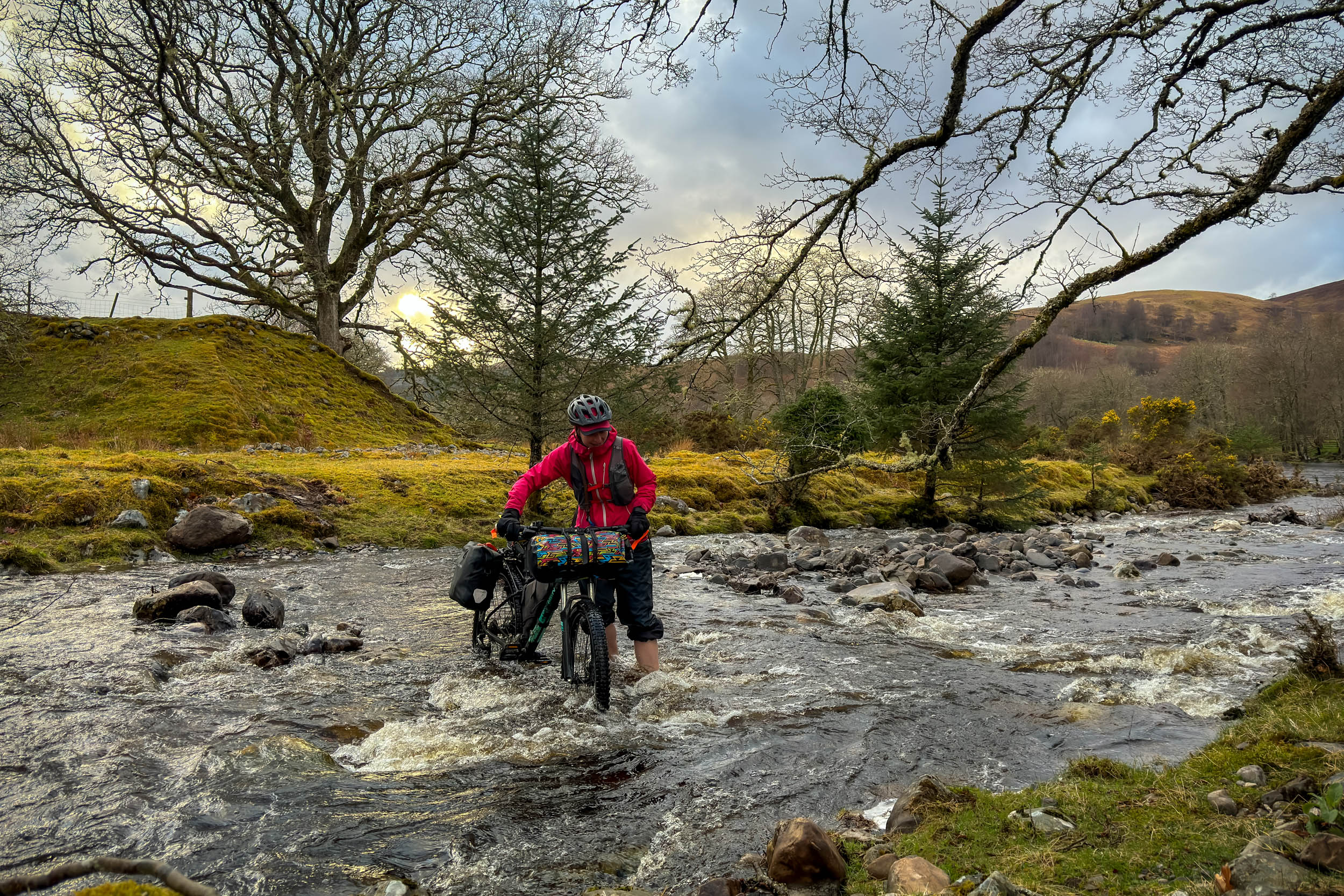
Coming out of Fort William train station, or the car park nearby, you will ride through the streets of Fort William for 1.5 miles before reaching a gravel road. From here, you will ride 21.8 miles through the forest and moorlands of Glen Spean on a mix of gravel roads, singletracks, and some paved roads to a bridge that crosses over River Treig. This section has 695 meters of climbing with an average gradient of 10 percent.(For 15 miles through this section, you have an optional diversion through a higher altitude trail that takes you to an ideal camping spot and back to the River Treig Bridge). You will then carry on riding on mostly gravel roads and some singletracks for 25.5 miles to Laggan. On the way, you will pass Laggan Reservoir and ride along Lochan na h-Earba. Leaving Laggan, you will ride for 1.6 miles on the A86 before coming to a left turn that leads you to Dalnashallag Bothy over a 3.3-mile gravel road. After the bothy and a crossing over the River Calder, you will be riding and pushing on a singletrack through Glen Banchor for 2.25 miles. You will come off the singletrack onto a mix of gravel and paved before turning right to the Wildcat Trail (a local trail in Newtonmore). Now you will be riding for 5.6 miles on a singletrack by the River Spey to Kingussie. In case you find the River Spey flooded, you can take this diversion on a bikeway (mostly) to Kingussie. On leaving Kingussie, you will continue on the singletrack, joining Ruthven Road and passing over the River Spey to Ruthven Barracks Ruins. From these ruins, you will be riding on mostly well-maintained singletracks for 10 miles through the beautiful forests of the Cairngorms to Kincraig, a good spot for a break at The Old Post Office Cafe. Out of Kincraig, you will be riding for 5.8 miles on mostly singletracks along the River Spey and the Highland Main Line to a point where the long and short versions separate (see maps).
Stage 2: Aviemore to Inverness
Short Version
Just before Aviemore, you will take a left turn and ride over a short singletrack by the A9 to a right turn that takes you to the start of a gravel road leading to River Dulnain. This 5.7-mile gravel road includes a 2.5-mile climb with a gradient of 13 percent. After crossing a bridge over the River Dulnain, you can take a left onto a 0.7-mile gravel track to an open hut marked on the map. Otherwise, take a right turn and ride a further 3.6 miles through a beautiful gravel section along the river. You will then come to a left turn and take a gravel road for 6.5 miles to a paved road by the River Findhorn. This 6.5 miles includes 1.5 miles of climbing with a gradient of 12 percent. From here, you will ride 4.2 miles on a mix of paved and gravel roads, crossing a bridge over the River Findhorn, to a left turn which meets the start of a gravel road. This 11.2-mile gravel road will take you to a paved road just outside of Inverarnie. On the way, you will climb a nine-percent gradient ascent, passing through a wind farm. Two miles on a paved road (B851) will take you to a left turn and over the River Nairn to the start of a short hike-a-bike. This 0.5-mile hike-a-bike will bring you to a 2.7-mile singletrack to Milton of Leys with a beautiful view over Inverness. With a lovely descent into the city, you will continue to follow the bikeways and streets of Inverness into the city centre.
Long version
After a short section of paved road through Aviemore, find a right turn that takes you to a singletrack by the River Spey. Here you will ride on 6.6 miles of singletrack and some paved road to Boat of Garten. In case this track (which is right by the River Spey) is flooded, you can take this diversion through Speyside Way to Boat of Garten. After 1.7 miles from here, you’ll get to the start of a four-mile mix of gravel and singletrack through forests to Carrbridge. From Carrbridge, you will continue through a forested area, riding three miles of singletrack to the start of a gravel road. Here you will start an 11.5-mile ride along this gravel road to a bridge over the River Findhorn. The major climb of this section is a two-mile ascent with a 16 percent gradient. Through this section, you will come to two shelters that have been marked on the map (do not count on these as they may be locked). After crossing the bridge, and a short section of paved, you will continue on mostly gravel roads for 12.2 miles to a paved road (B9006). After 0.3 miles on this B-road, you will take a right turn and cycle a further 5.3 miles over a mix of gravel, paved and singletracks to the outskirts of Inverness. From here, you will ride 3.8 miles following bikeways and streets of Inverness to the city centre.
Stage 3: Inverness to Glen Garry
Follow the route by the River Ness to a bikeway that takes you over the Kessock Bridge to North Kessock. From here, you will ride 5.8 miles on a quiet paved road on the north side of Beauly Firth, reaching a junction that crosses the A832. After the junction, 3.2 miles of singletracks and gravel roads will bring you to Muir of Ord. From here, you will ride 3.7 miles of paved roads and bikeways to Lovat Bridge on the River Beauly. Take a right turn just before the bridge and ride 3.3 miles of mixed single and gravel tracks by the side of the River Beauly to Kilmorack Power Station. From here, cycle a mix of paved, unpaved, and singletracks for 2.9 miles to Kiltarlity. You will then ride 12.8 miles of mostly gravel roads to Loch Meiklie in Glen Urquhart. The major climb of this section is a three-mile ascent with an eight percent gradient. After a short section on a paved road, you will cycle for 11.2 miles on mostly gravel roads to Strathglass and Cannich, passing the Corrimony Cairn and riding over the Affric-Kintail Way. Cannich will be your last resupply point until Fort William in the short version, and Inverie in the long version.
Shortly out of Cannich, you will join a 7.7-mile gravel road through Glen Affric to Loch Beinn a’Mheadhoin. Here, you will take a left turn and exit Glen Affric by riding a gravel road for 7.5 miles to Cougie. On the way, you’ll pass Guisachan House Ruins and Plodda Falls. From Cougie, a rough gravel road and singletrack take you over the hills with incredible views for six miles to the crossing of the River Doe (you will find beautiful camp spots by this river). The major climb of this section is three miles with a seven percent gradient. Due to the roughness of the trail, it can be quite strenuous. After crossing the River Doe, you will ride a further 3.1 miles on a gravel road to the start of a 5.2-mile paved section. This paved section is on the A887 and A87 before turning right onto a gravel road. Over this paved section, you’ll see an amazing view of Loch Loyne and the hills that rise in the distance. Off the paved road, you will ride 5.3 miles on mostly gravel roads to Glen Garry and Loch Poulary. Here is the point where the long and short versions of the route divide. In these 5.3 miles, you have a short hike-a-bike and a fence to send your bike over.
Stage 4: Glen Garry to Fort William
Short version
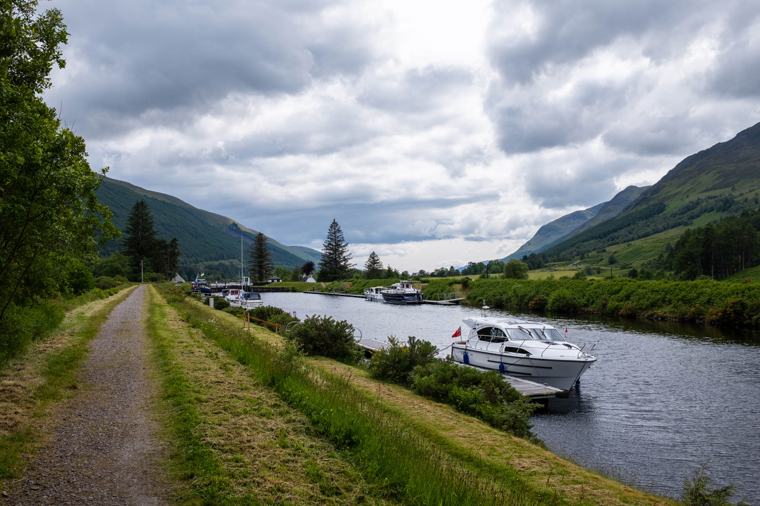
Find the point on the map where the route divides. Take a left turn off the B road and through a gate. From here, you’ll cycle for 15.7 miles over a gravel road through Glen Garry to the Great Glen. Now you are on the home stretch: 24 miles of mostly gravel road through the Great Glen will take you to the finishing point at Fort William. On the way, you will see amazing views of the Great Glen, Loch Lochy, the Caledonian Canal, and Ben Nevis.
Long version
Stage 4 of the long version will take you to the Knoydart peninsula and back to Fort William. This stage includes two ferry crossings and an optional short train journey as an alternative to riding on a main road.
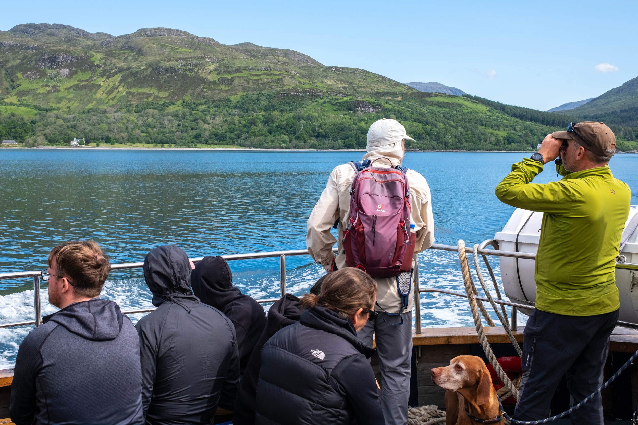
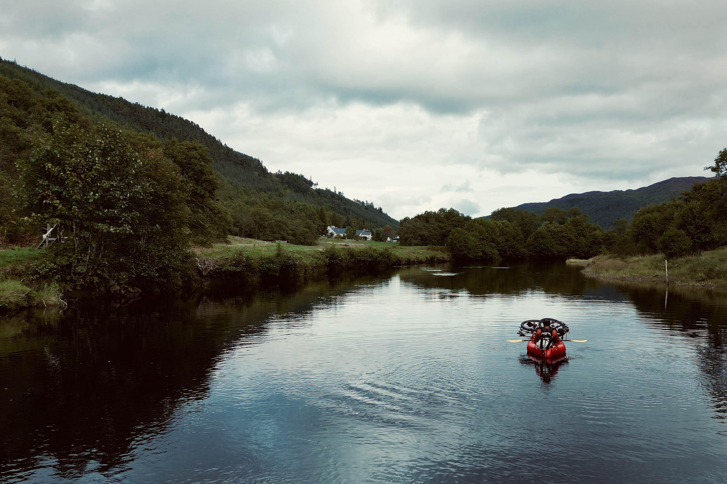
From the route divider point on the map, cycle straight ahead for 10.3 miles on this quiet and incredibly scenic B road until you reach a left turn. Turn left and ride for 1.3 miles with a stream to cross to the start of a hike-a-bike section. A 2.5-mile hike-a-bike by the side of Loch Cuaich will take you to Glen Barrisdale. The last half a mile of this hike-a-bike can be quite challenging. In this section, you will witness some of the best views of this route. Through Glen Barrisdale, you have a mix of riding on singletracks and hike-a-bike for four miles before coming to a gravel road. On the way, you will pass a little loch with incredible views (Loch an Lagain). After 3.3 miles, you will arrive at Barrisdale Bothy. Shortly after the bothy, you will start a push to Mam Barrisdale pass at 443 meters. This 1.4-mile hike-a-bike has a gradient of 20 percent. From the top of the pass, you have a technical singletrack descent for 1.8 miles to a gravel road. On the way, you need to negotiate a broken bridge marked on the map. This 4.15-mile gravel road takes you to Inverie in Knoydart. Congratulations! You have made it to the most remote village in the UK, with no road access.
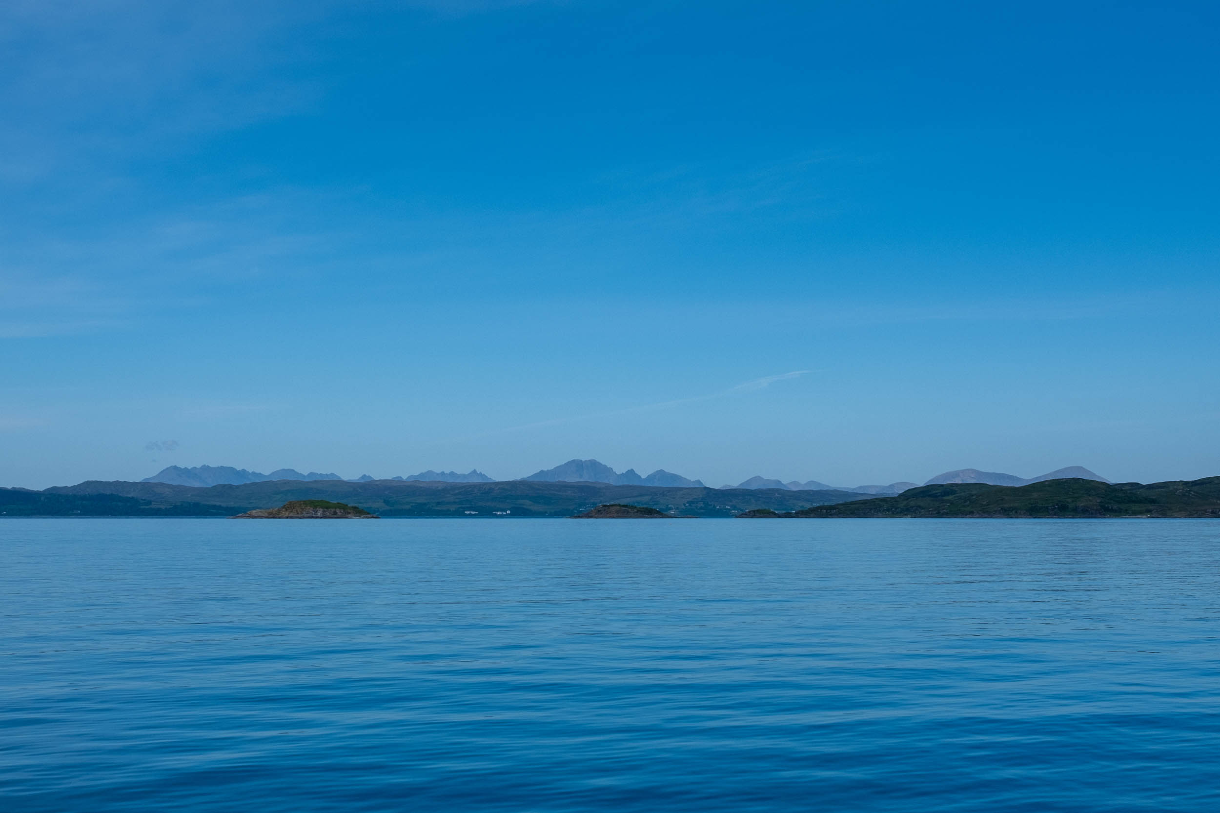
Western Isle Cruises ferry service will take you off the Knoydart peninsula to the coastal town of Mallaig. The duration of this crossing is 30 to 45 minutes. From Mallaig, a 3.8-mile paved bikeway will take you to Morar. Shortly out of Morar, you will turn onto a quiet B road for 6.9 miles to Arisaig and start of a short gravel road. Through this section, you have the beautiful silver beaches of Arisaig on your right side. A further 2.3 miles on gravel road and bikeway will take you to the start of a 15-mile paved road (A830) to Glenfinnan. Cycling is common on the A830 as it’s one of the two ways to get to Isle of Skye for bike tourers. However, if you feel uneasy about riding on a main road, you can hop on a train from one of the two train stations to Glenfinnan. Beasdale Station is shortly after the start of the ride on the A830, and Lochailort Station is 5 miles further on. These two stations are request stops, which means you will need to make yourself visible to the train driver by standing on the platform and extending your arm as if you are hitchhiking (trains reduce their speed significantly before approaching request stops). ScotRail Timetable.
Glenfinnan is a tourist hotspot with Loch Shiel and the Glenfinnan Viaduct, famous for its appearance in the Harry Potter films. Leaving Glenfinnan, follow the map to the Dragonfly Trail and the bridge over the Callop River. Cross over the bridge to a 2.8-mile gravel road, which takes you to the start of a climb to Cona Glen. (Dragonfly Trail bridge is closed for maintenance. For now, take this 1.5 mile diversion to the gravel road). Here, a 2.6-mile singletrack takes you to Cona Glen. The first 0.4 miles of this section is a 17 percent gradient uphill hike-a-bike. Through Cona Glen, a beautiful 9.2-mile gravel road will lead you to Inverscaddle Bay in Loch Linnhe. By the side of the loch, you will cycle on a quiet paved road to Corran Ferry Terminal, passing Ardgour Ales Brewery. Here, the regular five-minute crossing Corran Ferry Service takes you to the other side of the loch. Off the ferry, you will start a 14.5-mile home stretch to Glen Nevis and the finish line in Fort William. This stretch is a mix of gravel road, singletracks, and some paved roads, and includes short sections of hike-a-bike.
Additional Resources
- Scottish Outdoor Access Code
- Saving Wildcats
- National Database (for recording sighting of wildcats)
- Visit Scotland
- Scotrail Timetable
- Corran Ferry Timetable
- Western Isles Cruises (Inverie-Mallaig Ferry)
- MetOffice Weather

Terms of Use: As with each bikepacking route guide published on BIKEPACKING.com, should you choose to cycle this route, do so at your own risk. Prior to setting out check current local weather, conditions, and land/road closures. While riding, obey all public and private land use restrictions and rules, carry proper safety and navigational equipment, and of course, follow the #leavenotrace guidelines. The information found herein is simply a planning resource to be used as a point of inspiration in conjunction with your own due-diligence. In spite of the fact that this route, associated GPS track (GPX and maps), and all route guidelines were prepared under diligent research by the specified contributor and/or contributors, the accuracy of such and judgement of the author is not guaranteed. BIKEPACKING.com LLC, its partners, associates, and contributors are in no way liable for personal injury, damage to personal property, or any other such situation that might happen to individual riders cycling or following this route.
Further Riding and Reading
Here are some connected/nearby routes and related reports...

Please keep the conversation civil, constructive, and inclusive, or your comment will be removed.