


The Wydaho One Hundred
Distance
106 Mi.
(171 KM)Days
2
% Unpaved
77%
% Singletrack
0%
% Rideable (time)
99%
Total Ascent
5,428'
(1,654 M)High Point
7,685'
(2,342 M)Difficulty (1-10)
4?
- 3Climbing Scale Fair51 FT/MI (10 M/KM)
- -Technical Difficulty
- -Physical Demand
- -Resupply & Logistics
Contributed By
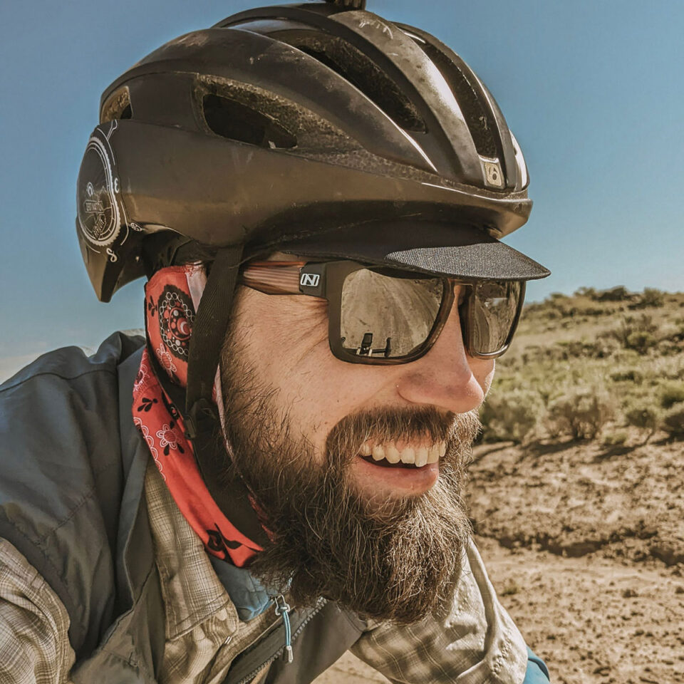
Aaron Couch
Guest Contributor
Aaron Couch is a human-powered adventure enthusiast based in Eastern Idaho. As a wild lands proponent and wildlife advocate, Aaron is passionate about sustainable recreation, conserving our lands, and bringing communities together through cycling. Learn more about his work on DestinationReroute.com and @aaronrcouch.
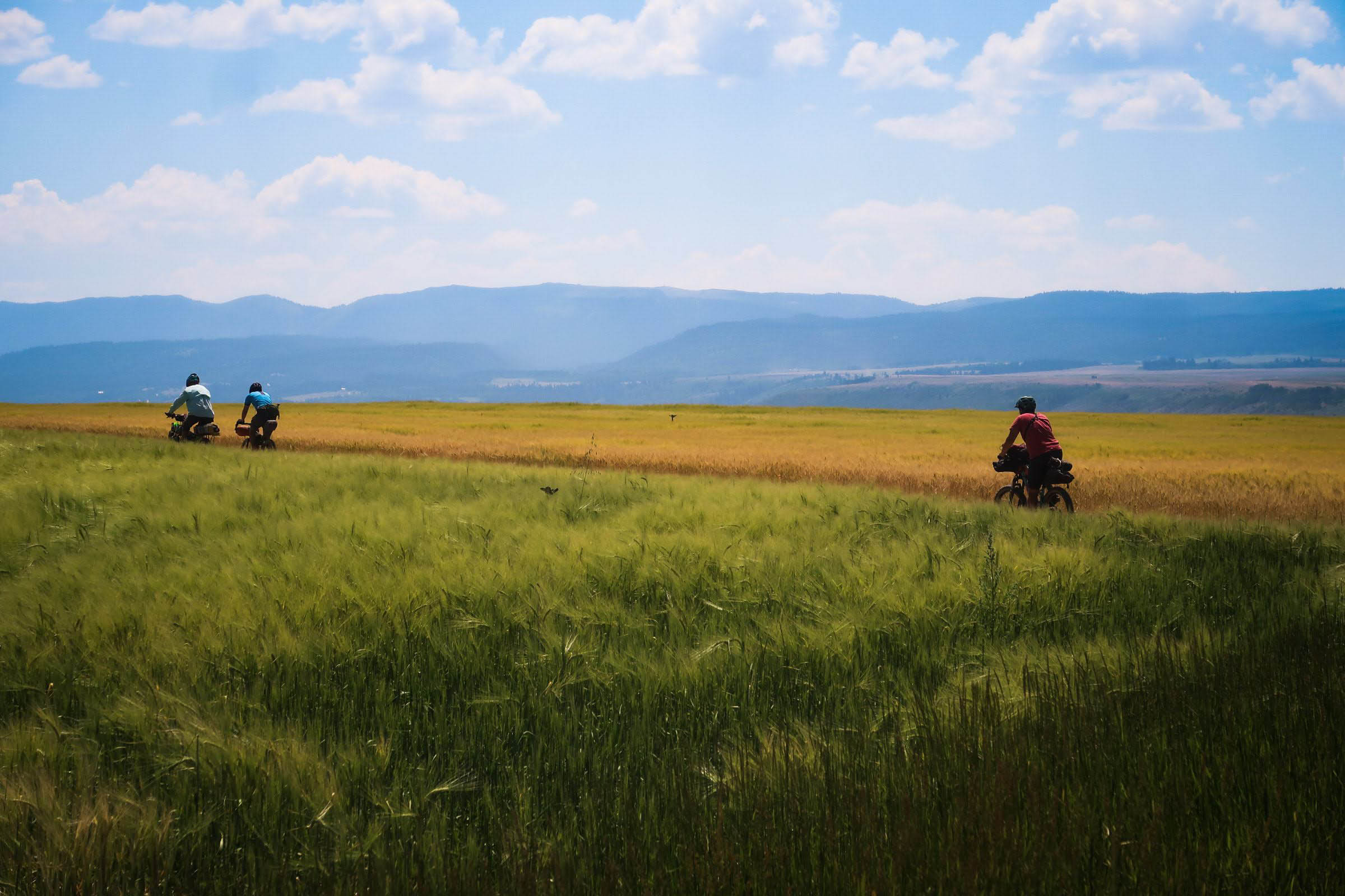
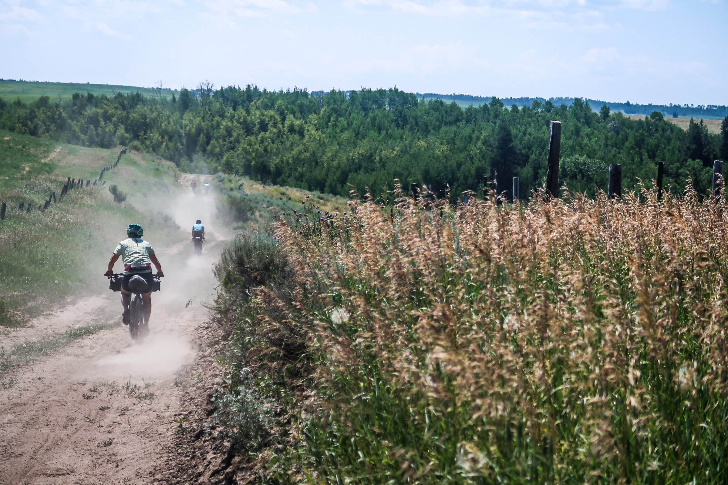
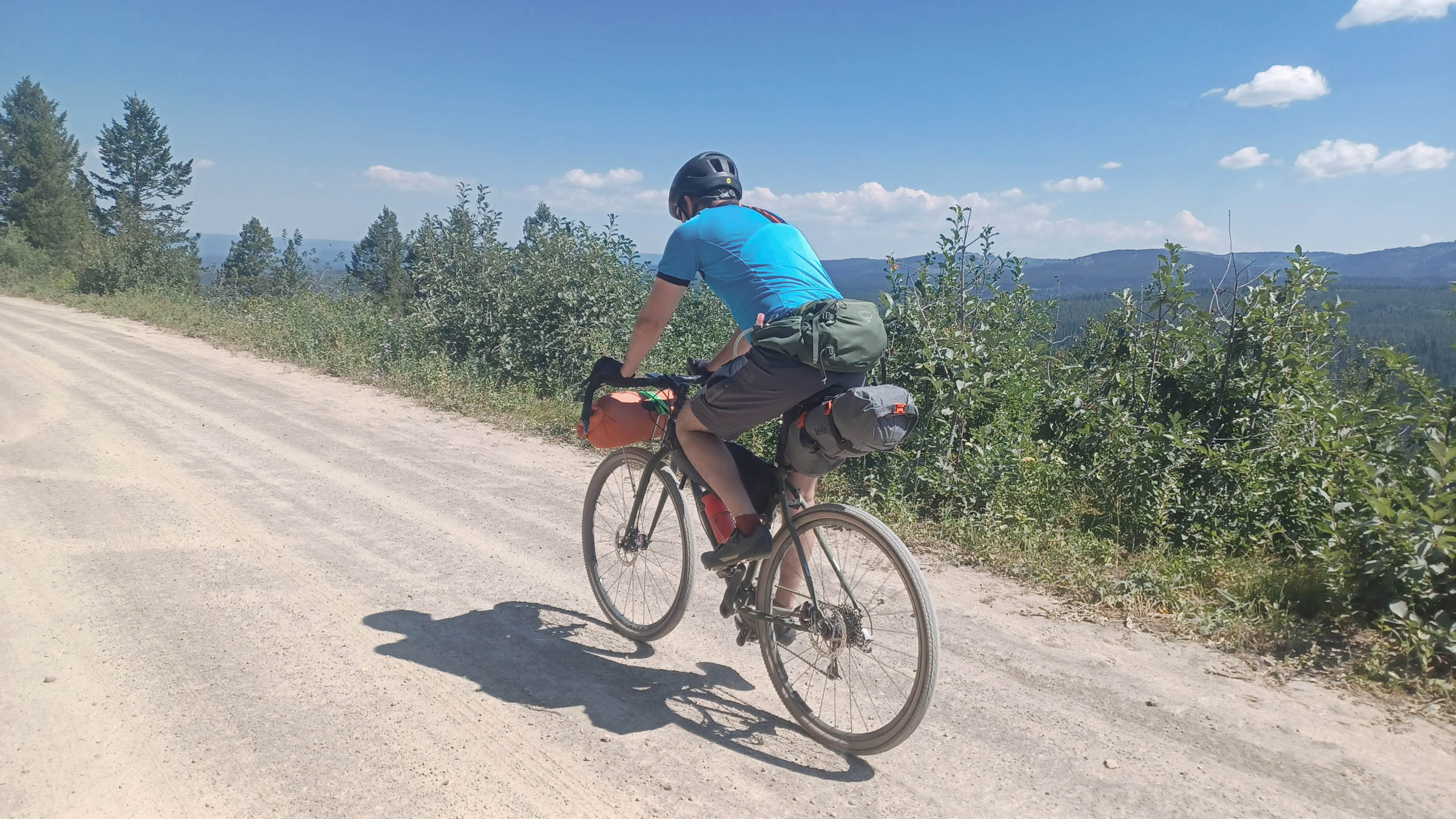
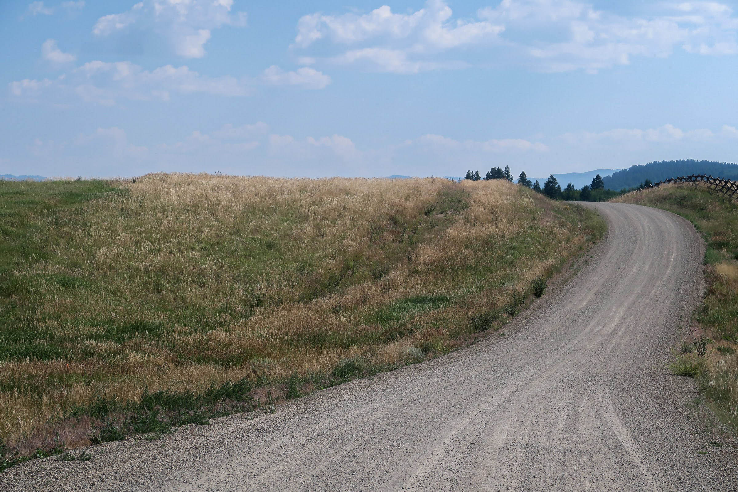
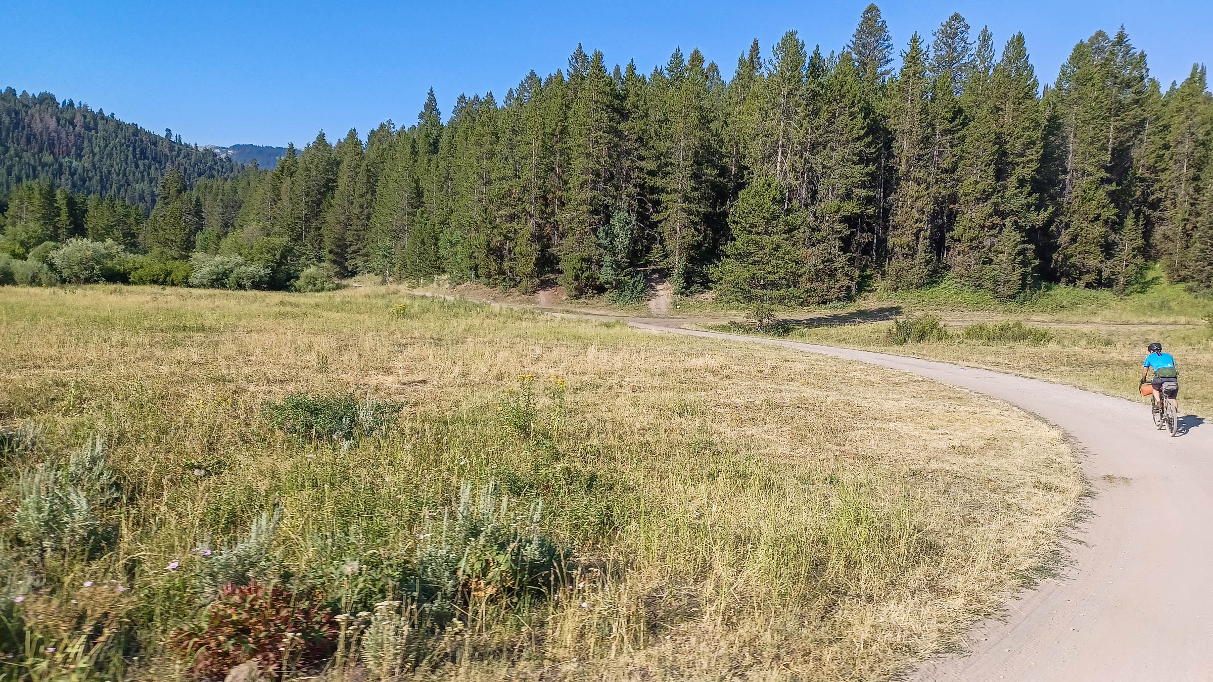
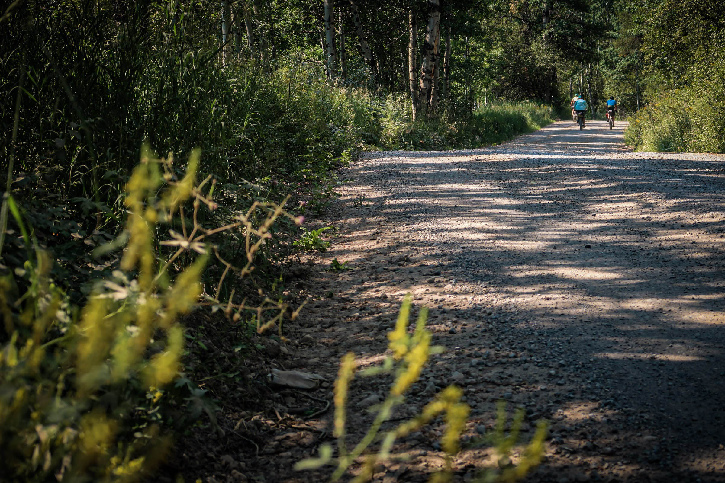
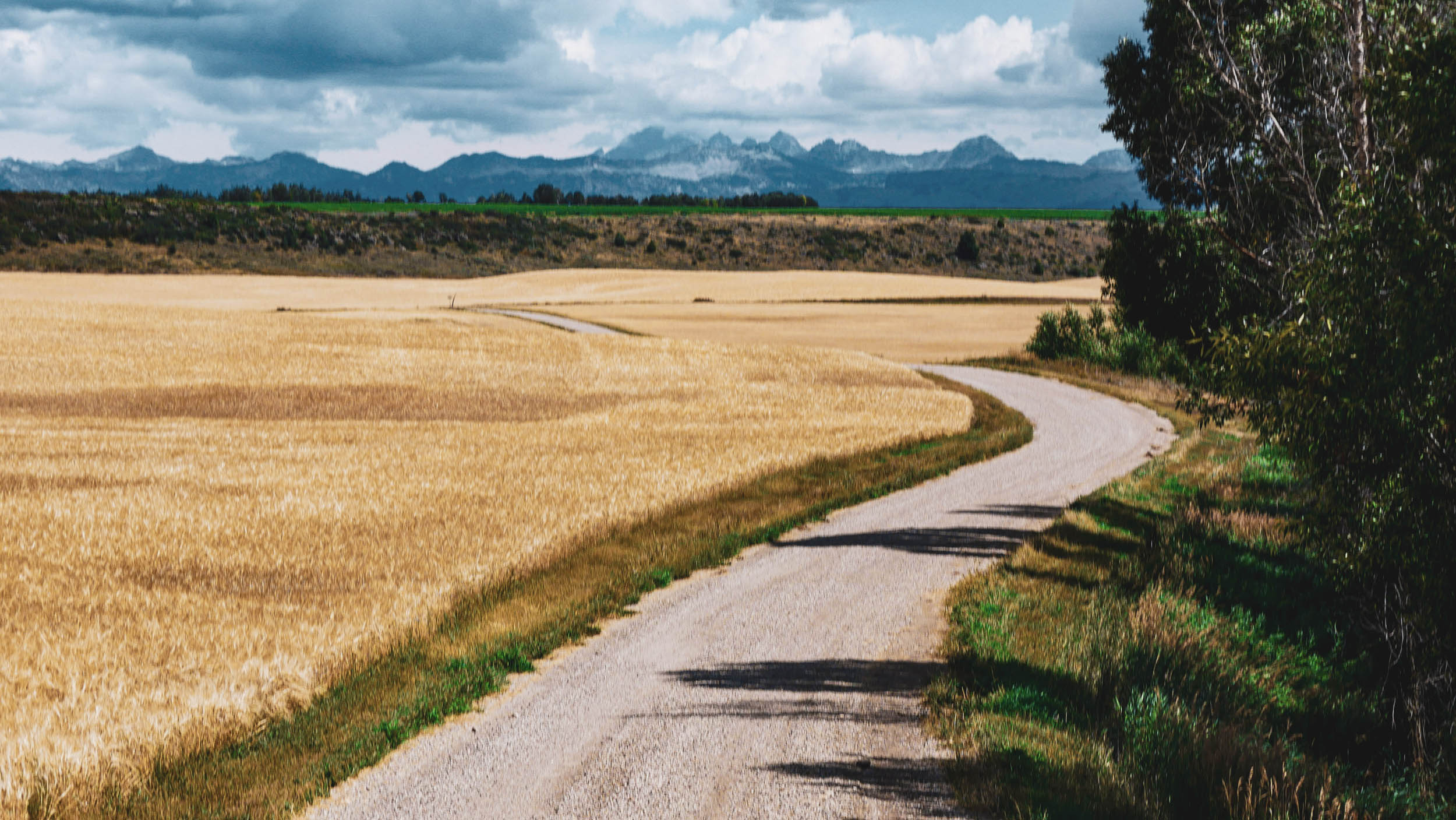
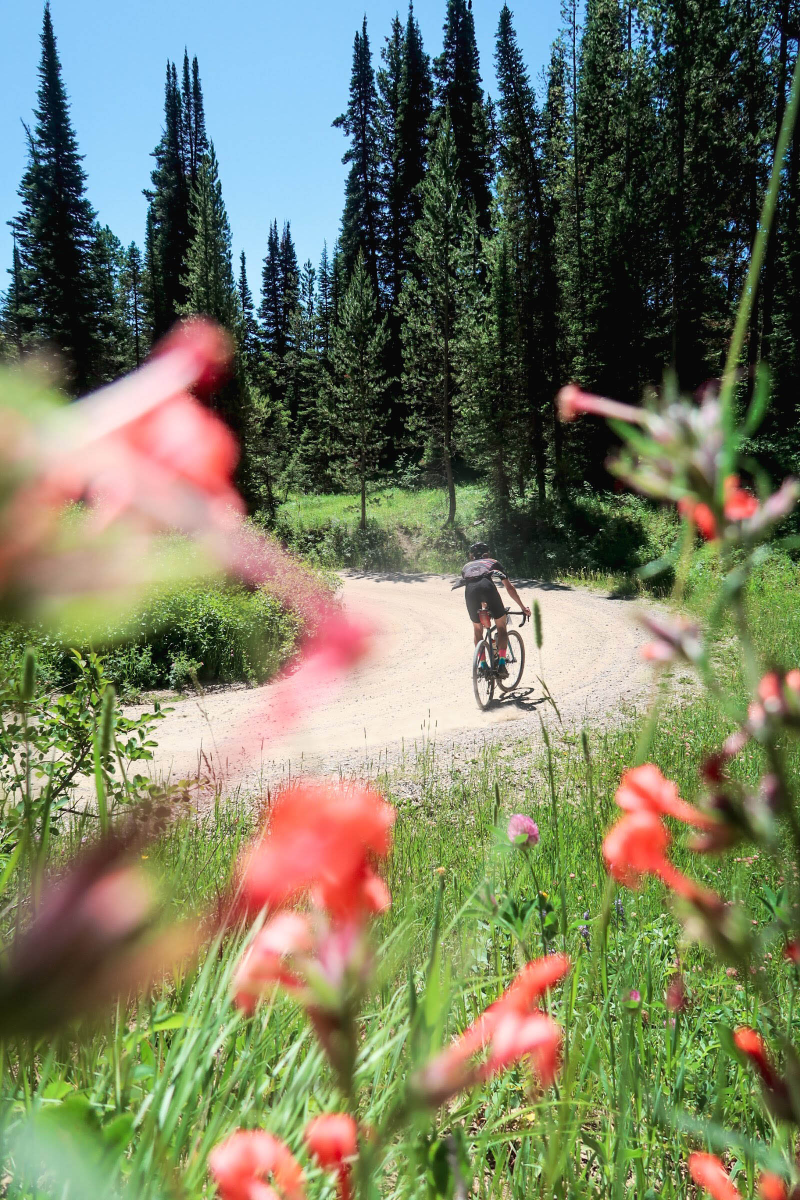
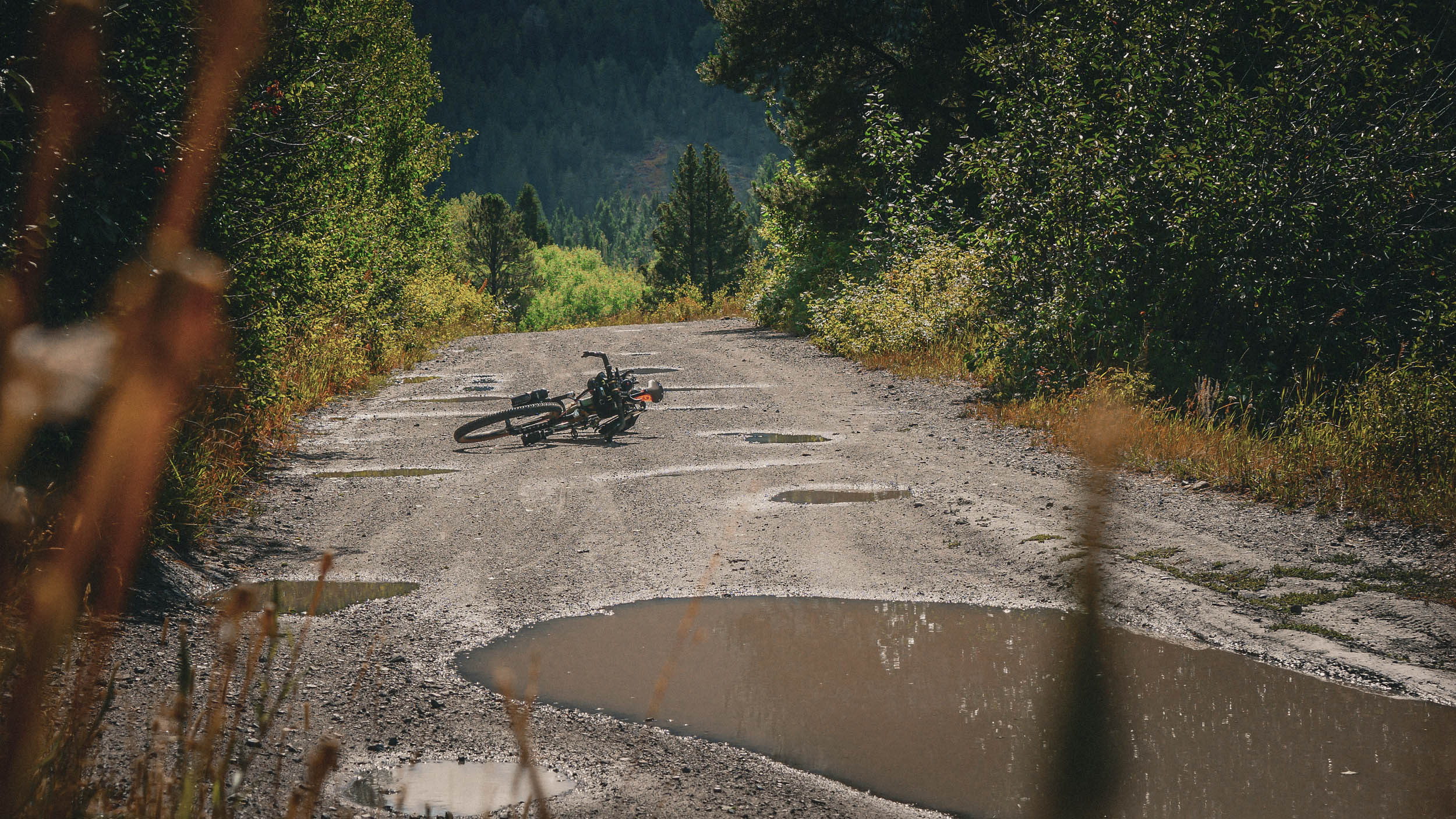
The Wydaho One Hundred circumvents Teton Valley, butting up against the Snake River Range and briefly crossing into the Teton Range and Big Hole Mountains. Known as the “quiet side of the Tetons,” this valley is ripe with open rural landscapes, mountain town culture, and abundant wildlife. This 107-mile loop lies completely within the Greater Yellowstone Ecosystem, on predominately natural surfaces ranging from gravel roads to dirt doubletrack through agricultural land. Roughly 90% of the route sits between 6,000 and 7,000 feet above sea level, and it packs in a few sustained climbs and technical sections.
Much of the route lies along the valley floor, aside from the Rammel Mountain climb to the Jackpine-Pinochle Rim and the traverse along the Packsaddle Bench into Horseshoe-Packsaddle Canyon, where camping and freshwater creeks are abundant. Enjoy the open views from every angle as you make your way around the valley, seeing where you’ve come from and where you’re headed. These quiet backroads offer solitude and the opportunity to settle in and let the mind wander. The Wydaho One Hundred feels remote and beautiful right up to the final mile rolling back into town, and that’s what gives riders of this route such a unique perspective in the Valley of the Tetons.
Route Difficulty
The route as a whole is rated a 4 out of 10. Overall, logistics are simple with the route starting and finishing at the same spot in Tetonia. There are a couple of sustained climbs with potential hike-a-bike sections. Rammel Mountain Road is an infamously steep and rutted climb that may require some hike-a-bike. Agricultural doubletrack roads can be rutted, rocky, or slick with mud. If riding during late summer (Mid-August/Early September), warmer temperatures, exposure, and infrequent water availability in creeks require more water carrying capacity. This route makes a great introductory bikepacking route for those looking to spend two back-to-back 50-mile days on the saddle.
Route Development: The Wydaho One Hundred route was born from an idea to connect Teton Valley by circumventing it on as much dirt as possible. A year later, I created the route as an event to support local cycling non-profits in the valley, such as Teton Valley Trails and Pathways and Mountain Bike the Tetons with suggested donations from participants. The event went on for four consecutive years during my involvement at Fitzgerald’s Bicycles in Victor, Idaho. Since then, I have published the route for all to follow and hosted a beginner bikepacking community event, which successfully introduced several people to spending a night out and two days on their bikes.


Submit Route Alert
As the leading creator and publisher of bikepacking routes, BIKEPACKING.com endeavors to maintain, improve, and advocate for our growing network of bikepacking routes all over the world. As such, our editorial team, route creators, and Route Stewards serve as mediators for route improvements and opportunities for connectivity, conservation, and community growth around these routes. To facilitate these efforts, we rely on our Bikepacking Collective and the greater bikepacking community to call attention to critical issues and opportunities that are discovered while riding these routes. If you have a vital issue or opportunity regarding this route that pertains to one of the subjects below, please let us know:
Highlights
Must Know
Camping
Food/H2O
Trail Notes
Resources
- Grabbing a delicious breakfast at the start of the ride at Badger Creek Cafe.
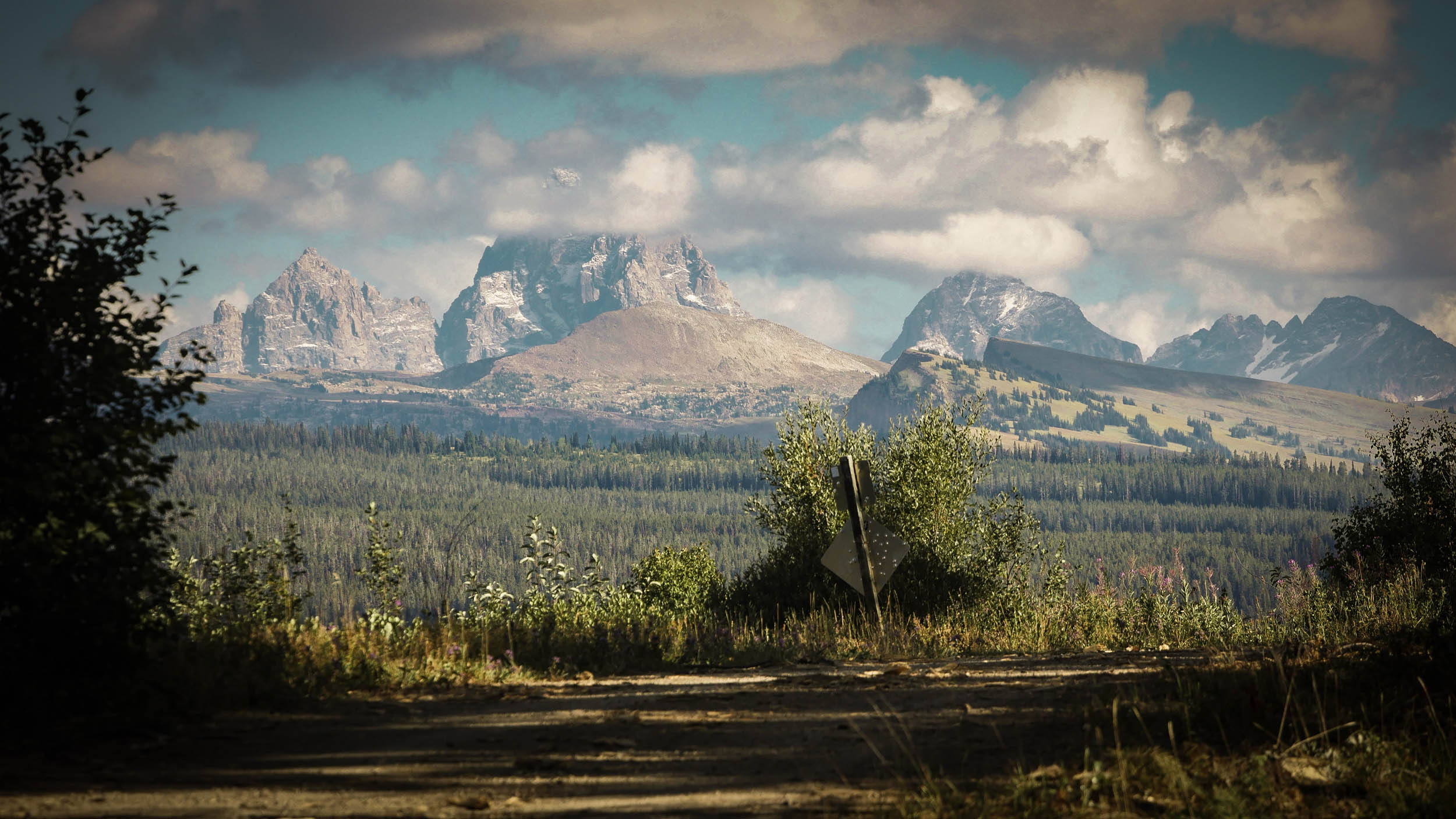
- Cruising along the Jackpine-Pinochle Rim, looking into the Teton Range and its prominent pinnacles.
- The 13-mile descent out of the Tetons on Jackpine-Pinochle Road.
- Enjoying a handful of huckleberries in August or early September.
- Taking a refreshing afternoon dip in the Teton River.
- Camping along Packsaddle Creek in the quiet Big Hole Mountains.
- Cruising through the rowdy Horseshoe-Packsaddle Canyon Road.
- Seeing the valley, its mountain ranges, where you came from, and where you’re going at all angles throughout the ride.
- Experiencing some quaint mountain towns and the wild nature within the Greater Yellowstone Ecosystem.
- When to go: Early June to Mid-October are all great times to ride. By mid-June, most of the snow should be clear and the mud dried (depends year to year). Wildflower season is July and August (and also when dips in the river feel the most refreshing). September and October are great times to ride, offering beautiful fall colors and enjoyable daytime temperatures, though prepare for freezing at night and possible snow, ice, or rain.
- Ideal Bike: A gravel or hardtail mountain bike is recommended with a tire width of 45mm to 2.4″ for the most comfort and control.
- Road Safety: This route takes place almost exclusively on roads open to passenger vehicles. There are several highway crossings and three miles of highway riding. Respect the rules of the road, signal upcoming turns, be in control of your speed, and use front and rear blinking lights.
- Wildlife: Both sections of Jackpine-Pinochle and Horseshoe-Packsaddle Canyon are prime brown and black bear country. Carry bear spray. Proper bear-proof food storage at camp is essential. Wildlife is abundant in this valley. It is not uncommon to see elk, moose, coyote, fox, and even a wolf, cougar, or bear along any of these roads. Ride with awareness and respect the wildlife by giving them space.
- Logistics: This route as a loop is fairly straightforward, beginning and ending in Tetonia, Idaho.
- Overnight Parking: Riders must park at the Ashton-Tetonia Trailhead in Tetonia. Ruby Carlson Memorial Park does not allow overnight parking.
- Many businesses are closed on Sunday and sometimes Monday.
- Getting here: This route is in a small, secluded valley, 3 hours from Bozeman, 4 hours from Salt Lake City, and 5 hours from Boise. Nearby larger towns are Idaho Falls (1.5 hours) and Jackson, WY (1 hour). Public transit includes the Salt Lake Express, and Start Bus from Jackson, WY.
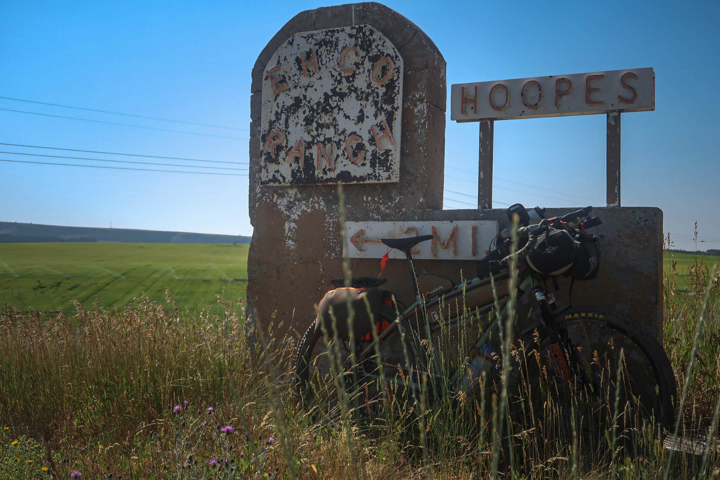
- Private land borders much of this route. Remain on the road through these areas and respect private property boundaries.
- Dispersed camping is allowed along the route only on National Forest land, specifically on the Jackpine-Pinochle road and Horseshoe-Packsaddle road. Off-route dispersed camping can additionally be found in Darby Canyon.
- Lodging/Camping is available en route at the courtesy of a route steward, Lynn Haney. This is bike-in lodging only and is not available to those arriving by car like you would for AirBnB. Email lynn@haney.io ahead of time to reserve.
- Driggs and Victor both have many hotels and lodging opportunities.
- Practice Leave No Trace principles.
- Water on route is limited to filtering or treating with Chlorine dioxide (Aquamira) from creeks.
- Victor is the only opportunity for potable water and food resupply with one market and several restaurants. Grab a milkshake at Victor Emporium!
- Tetonia has limited food options: Badger Creek Cafe (makes for a great pre-ride breakfast or lunch) and is the only option for fresh food. Packaged foods can be found at the Sinclair convenience store.
Route Alternates: You can find several alternates (some of which are mentioned in the guide) on the map here.
Daily Itinerary
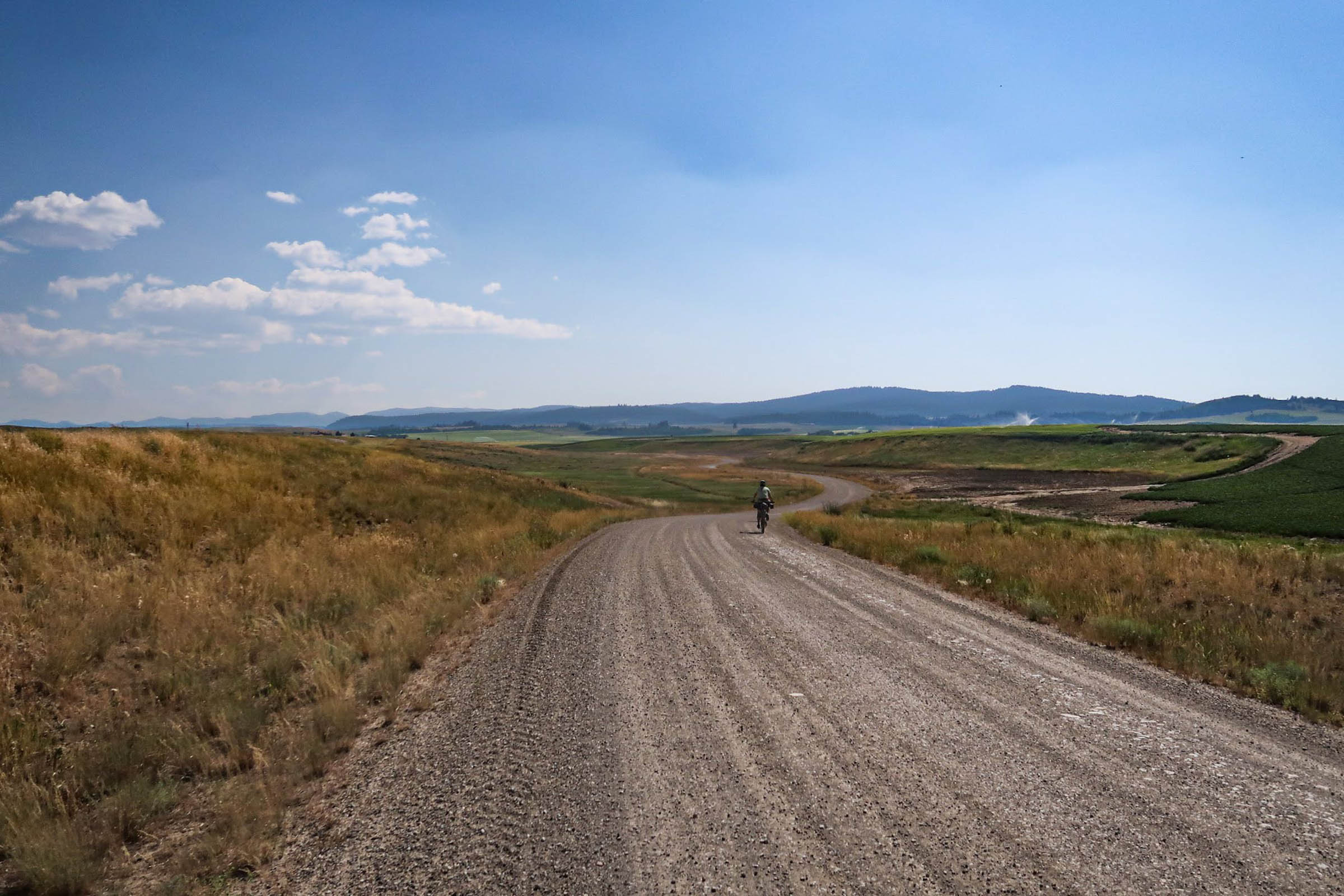
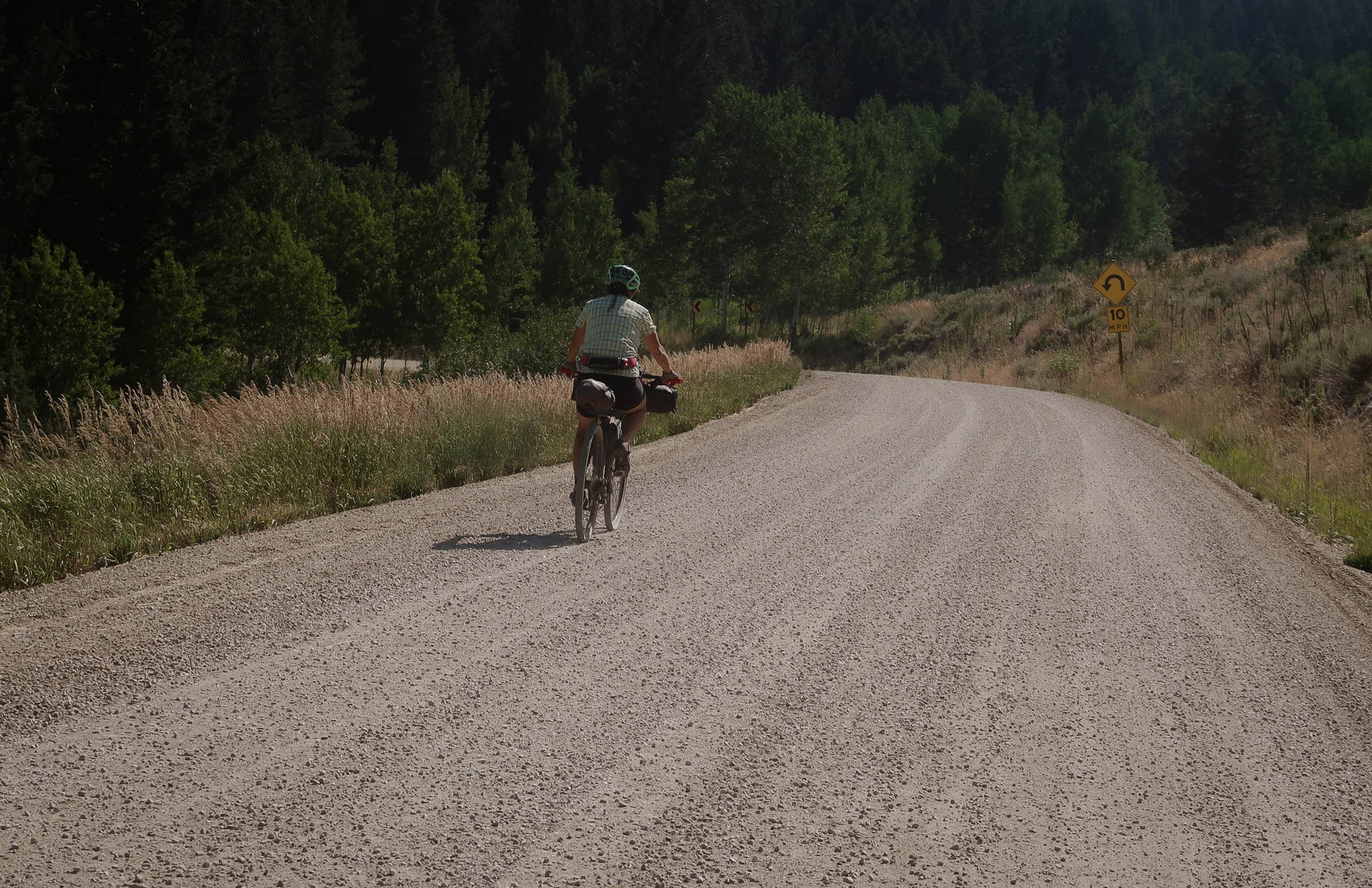
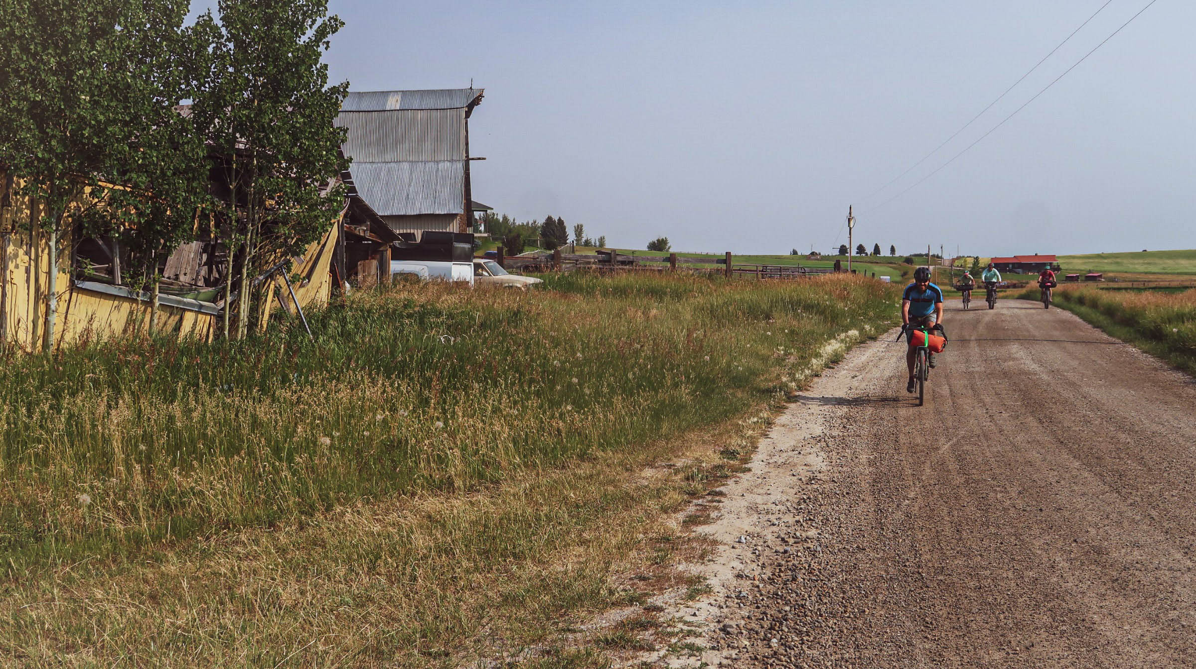
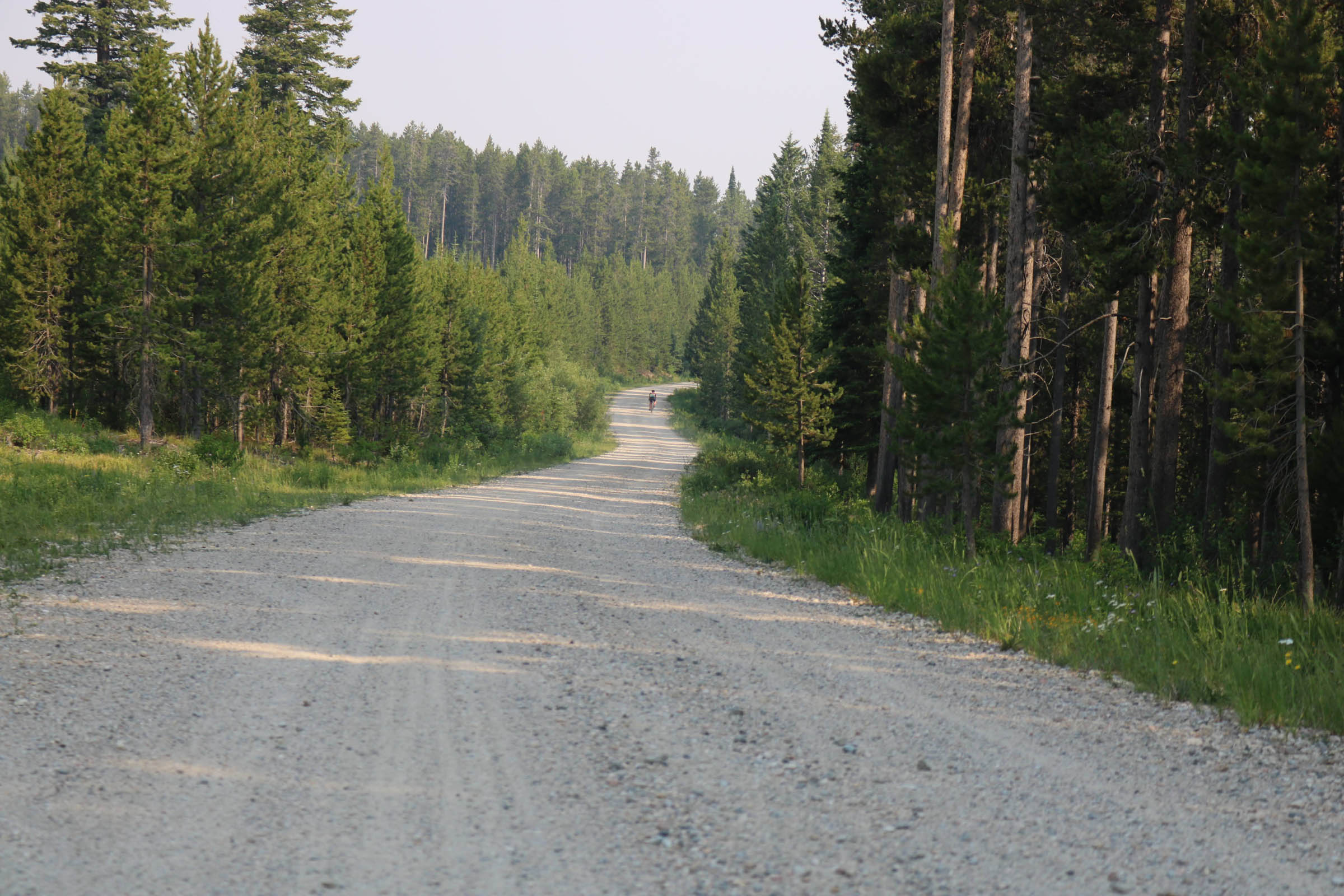
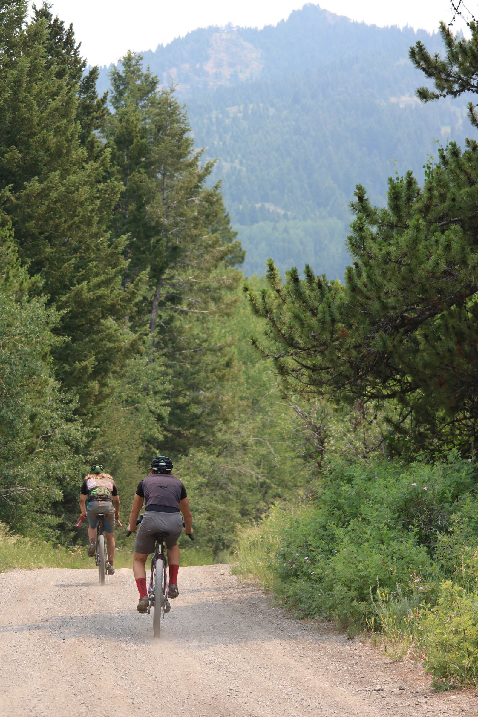
Leaving Tetonia, the route immediately follows rolling gravel roads paralleling open fields, then turning east and winding through the trees, briefly opening up to views of the Teton range and its pinnacles jetting into the sky.
Jackpine-Pinochle Rim
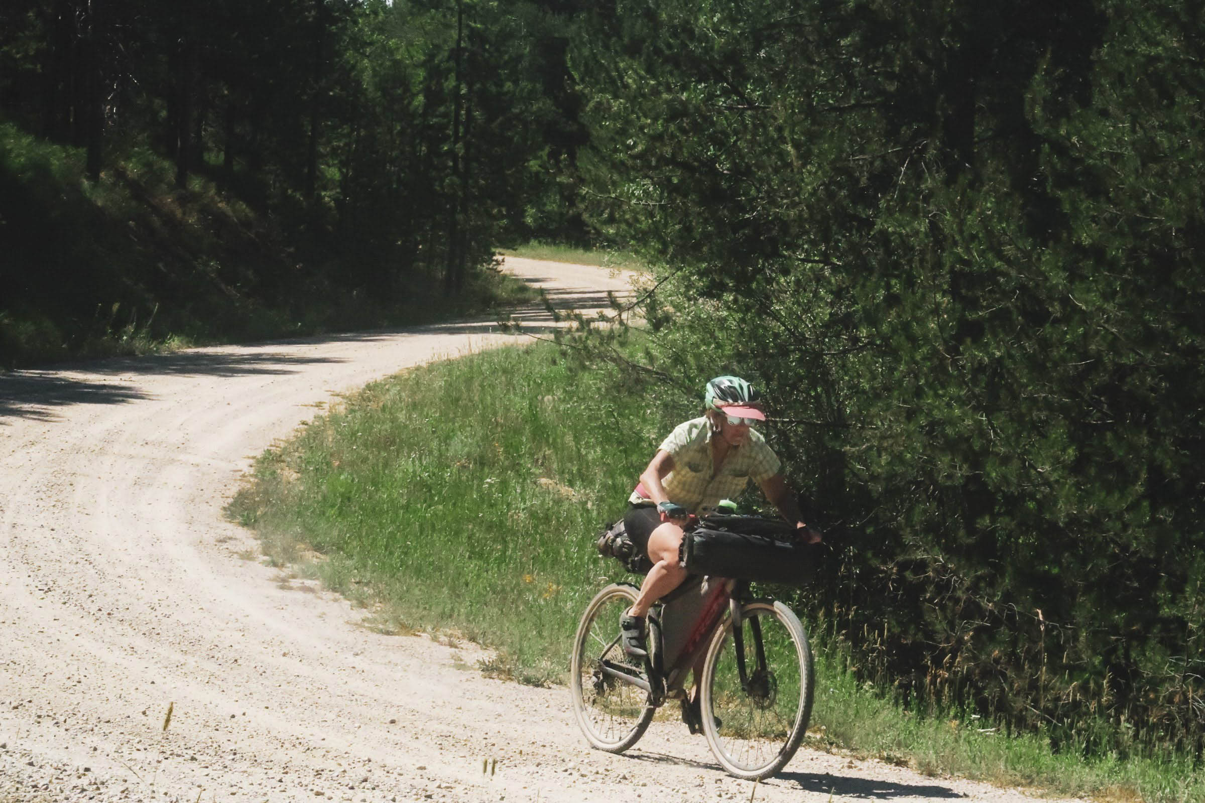
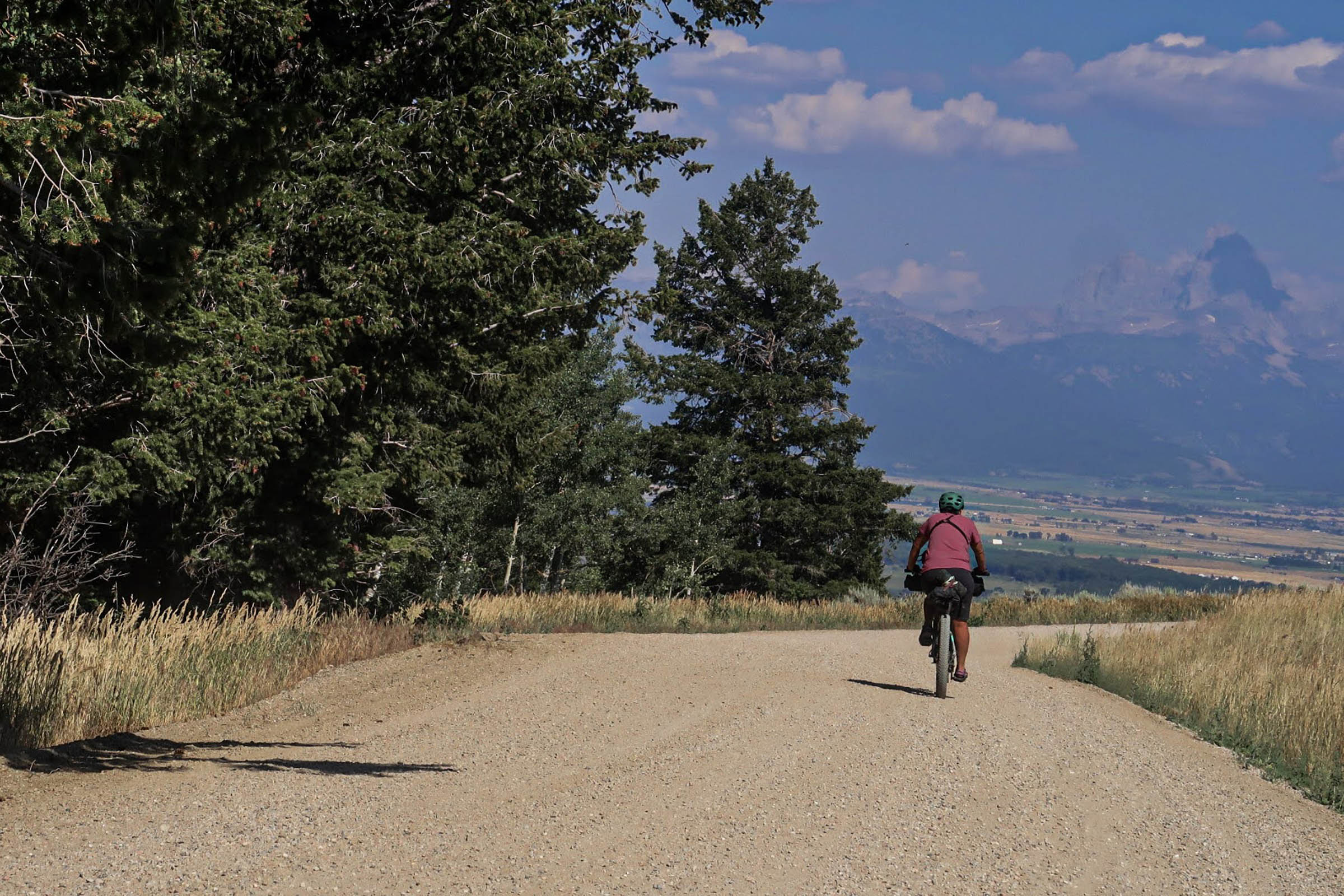
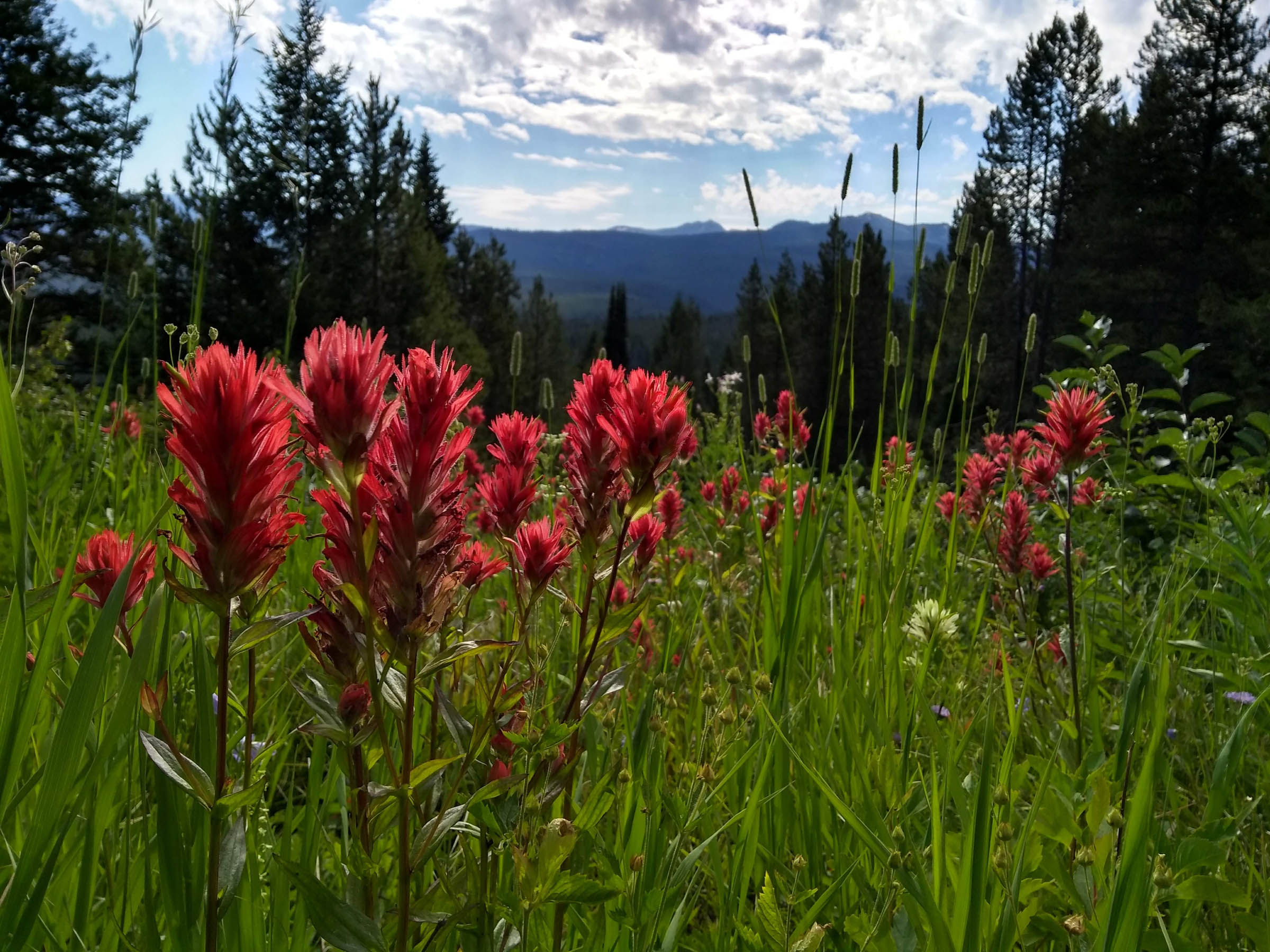
The first big climb leaving Tetonia is Rammell Mountain Road (Forest Road 267) from the valley floor and advancing into the Teton Range. Glimpses of the peaks dance in and out of view as you climb up the treeline and onto the Jackpine-Pinochle rim, Forest Road 266. There is some relief in the gradual decline traversing the rim bordering the vast Jedediah Smith Wilderness. Take note of all the wildflowers blooming along the road and the peaks off in the distance while also being on alert for wildlife.
Rounding the corner and leaving the rim, the road merges into the northern portion of the loop, which descends toward the valley with a few punchy climbs thrown into the mix. This region would make for great dispersed camping if you started in the afternoon or the evening. I recommend a slight detour off route to McRenolds Reservoir, which is the only water on the rim. Expect bugs and mosquitos here in the summer months.
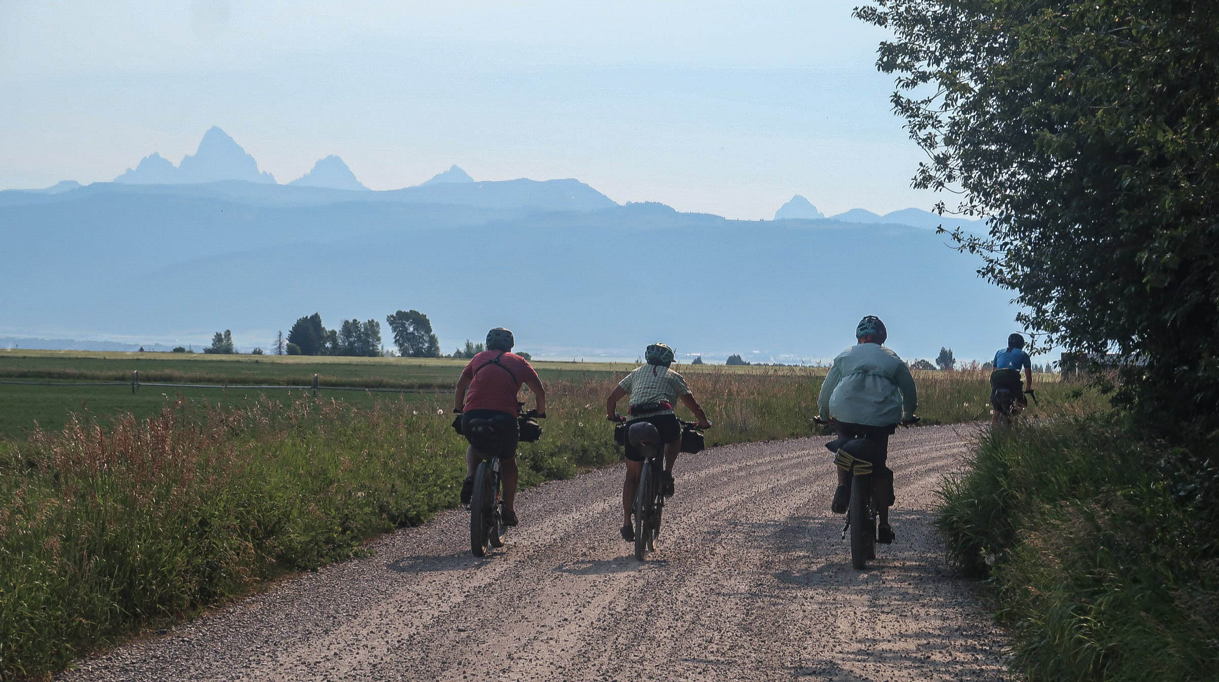
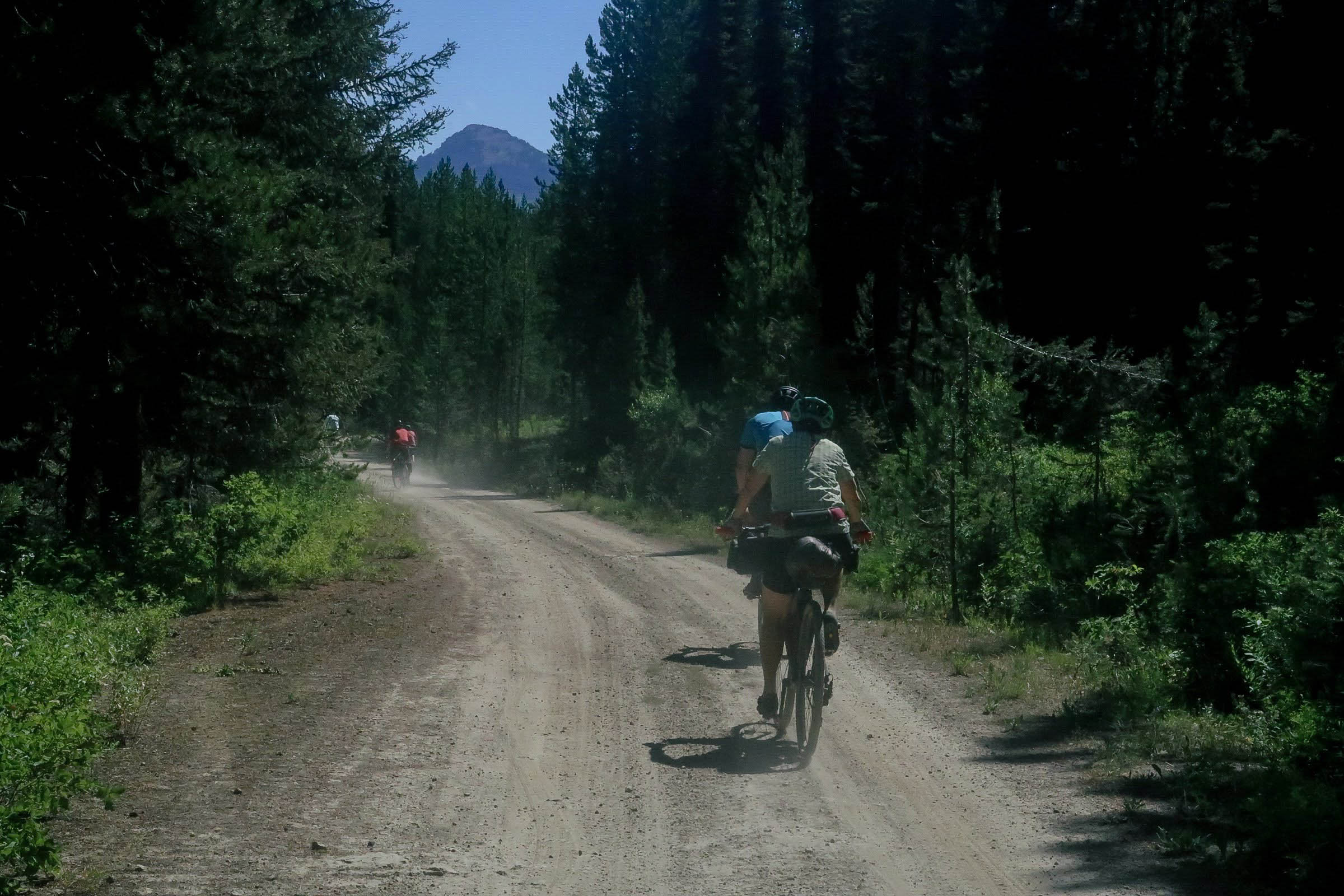
The next 13-mile stretch is a rewarding descent out of the Tetons that will fill you with a rush of adrenaline. Views of the valley below open up, offering glimpses of the Big Hole Mountains where the route is headed, but not before traversing the rolling agricultural land accompanied by rutted doubletrack roads.
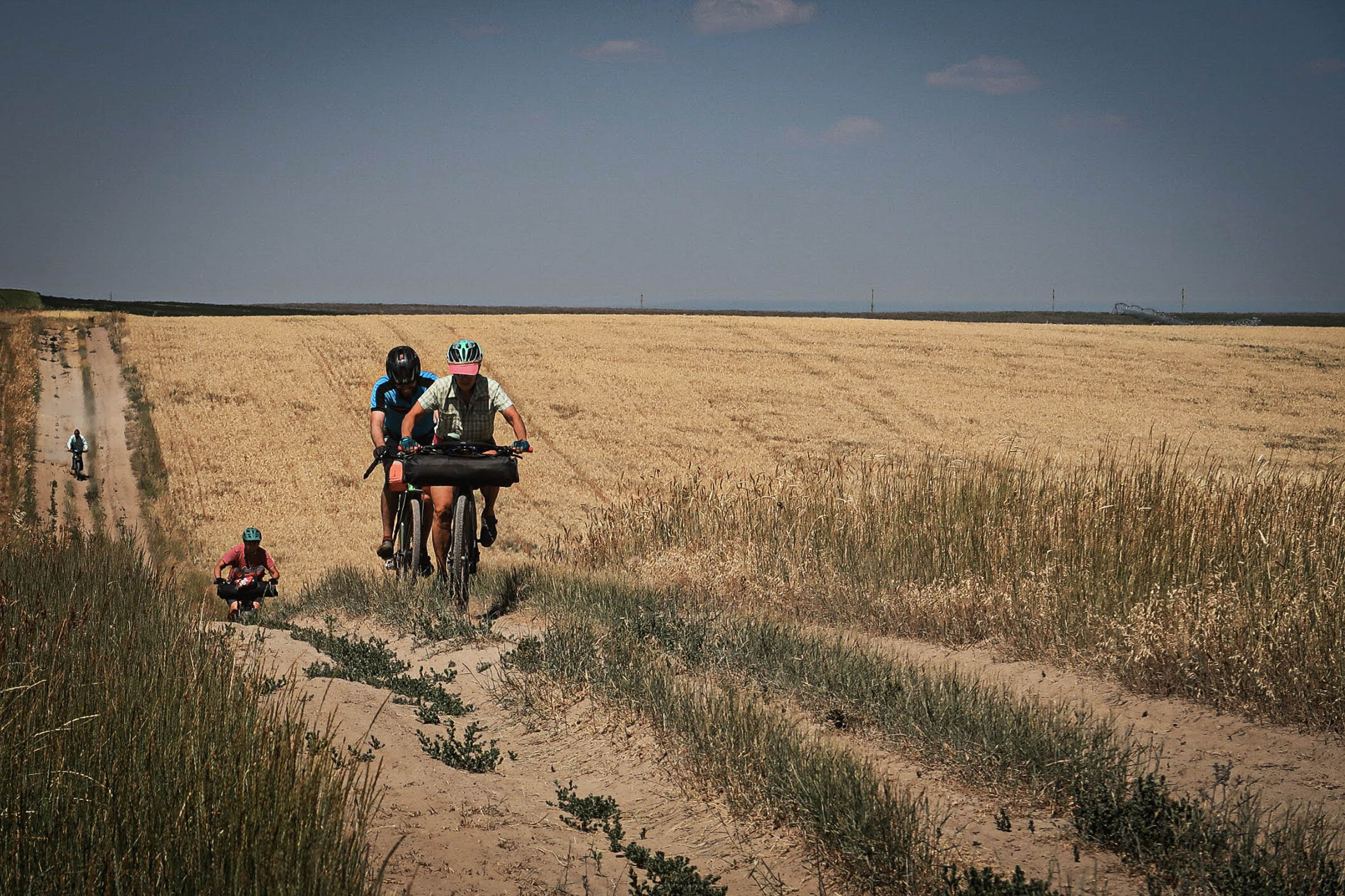
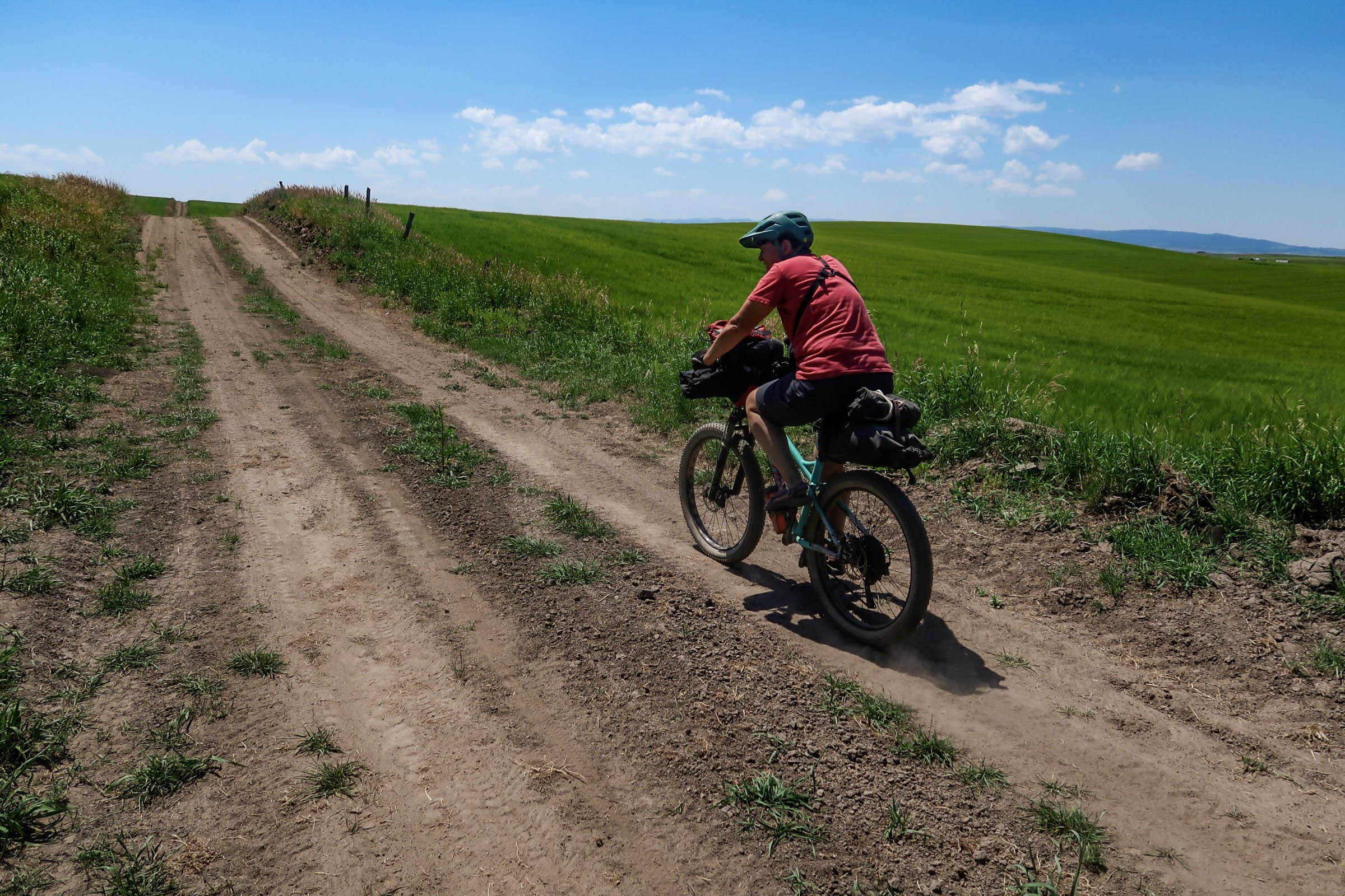
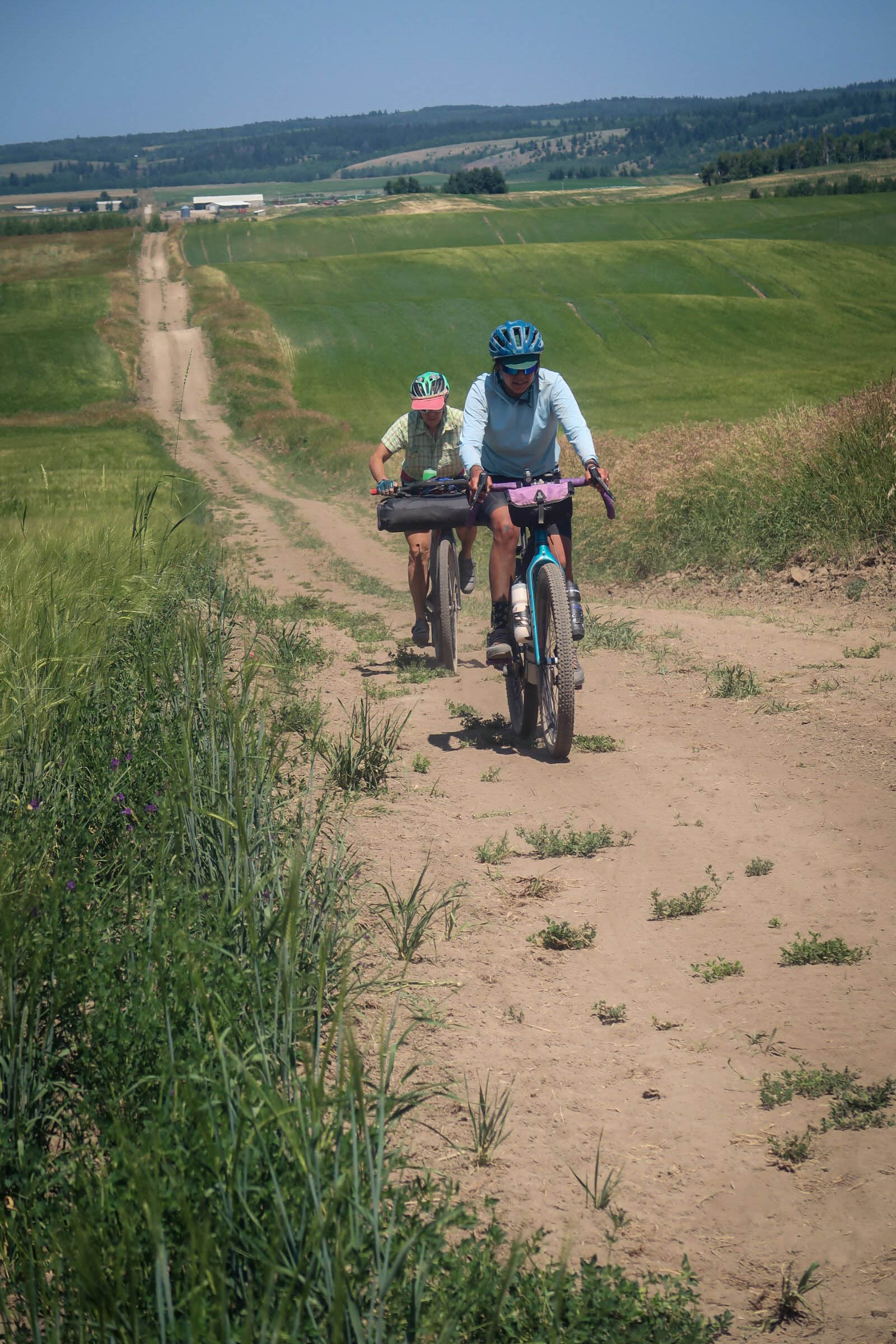
Agricultural Doubletrack
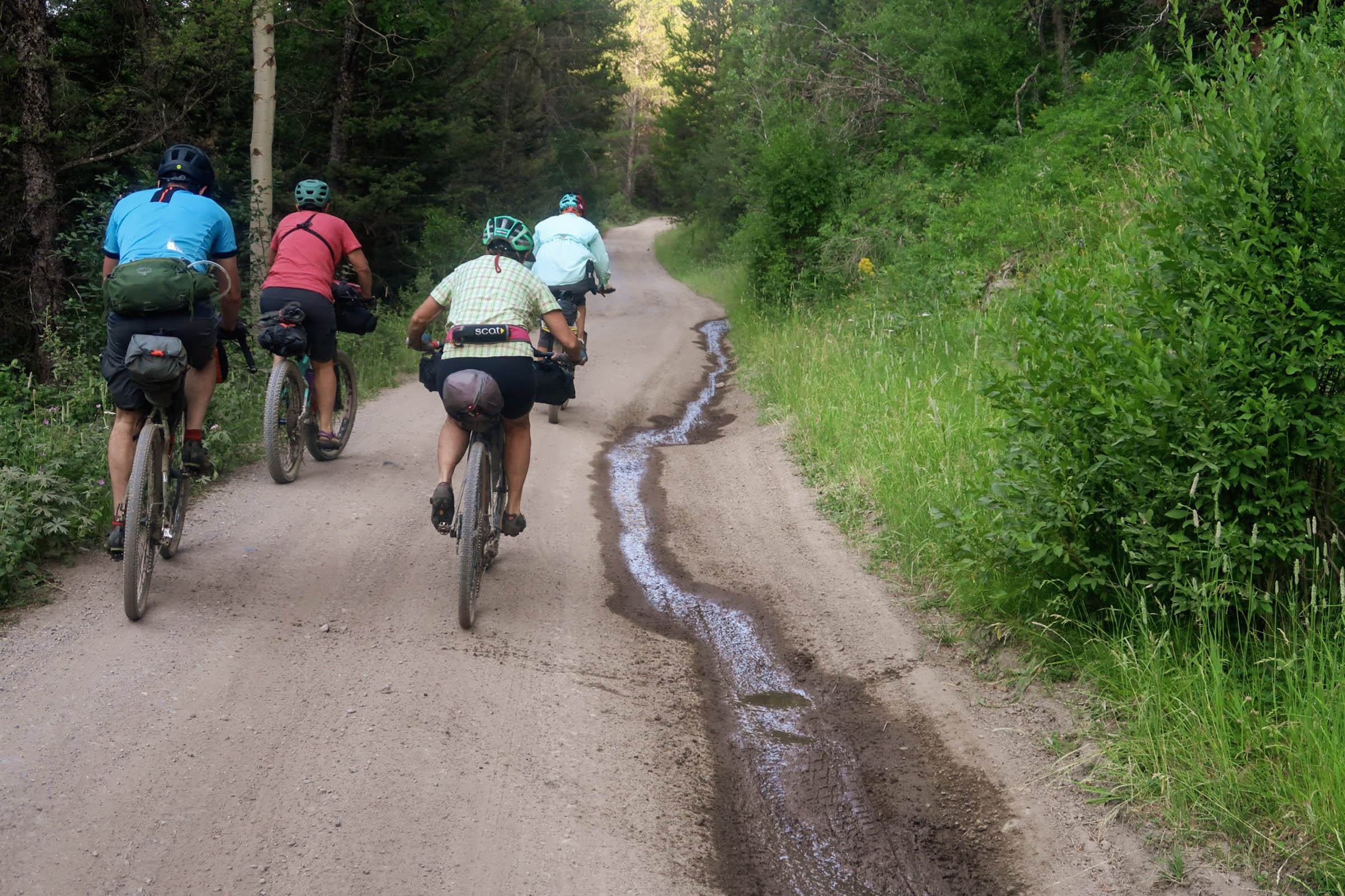
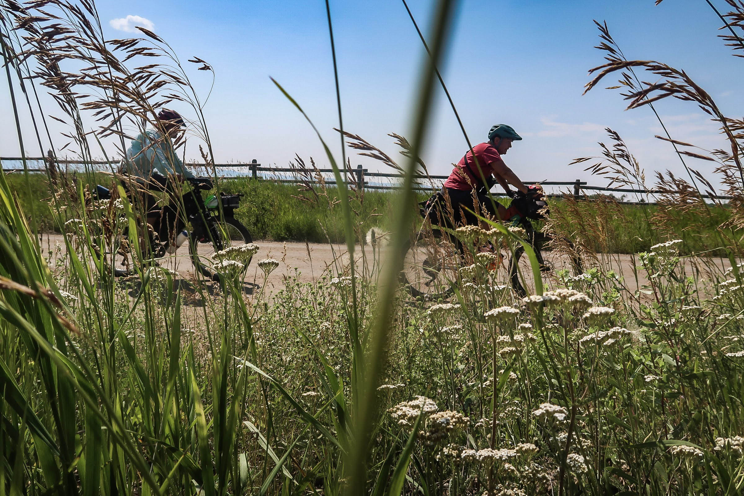
These “roads,” which are seldom traveled by any sort of vehicle other than equipment and ATVs, pass through environmental easements and farmland, providing a unique perspective of the rural landscape and the rugged mountains encompassing it. One should take precautions on these unmaintained roads hammered by cattle, tractors, water, and wind erosion. Be prepared to dodge a stray barbed wire, jagged stone, or deep rut.
Around mile 41 is Harrops Bridge, where the route intersects the Teton River. This is the first reliable water source and is a great opportunity to take a refreshing dunk.
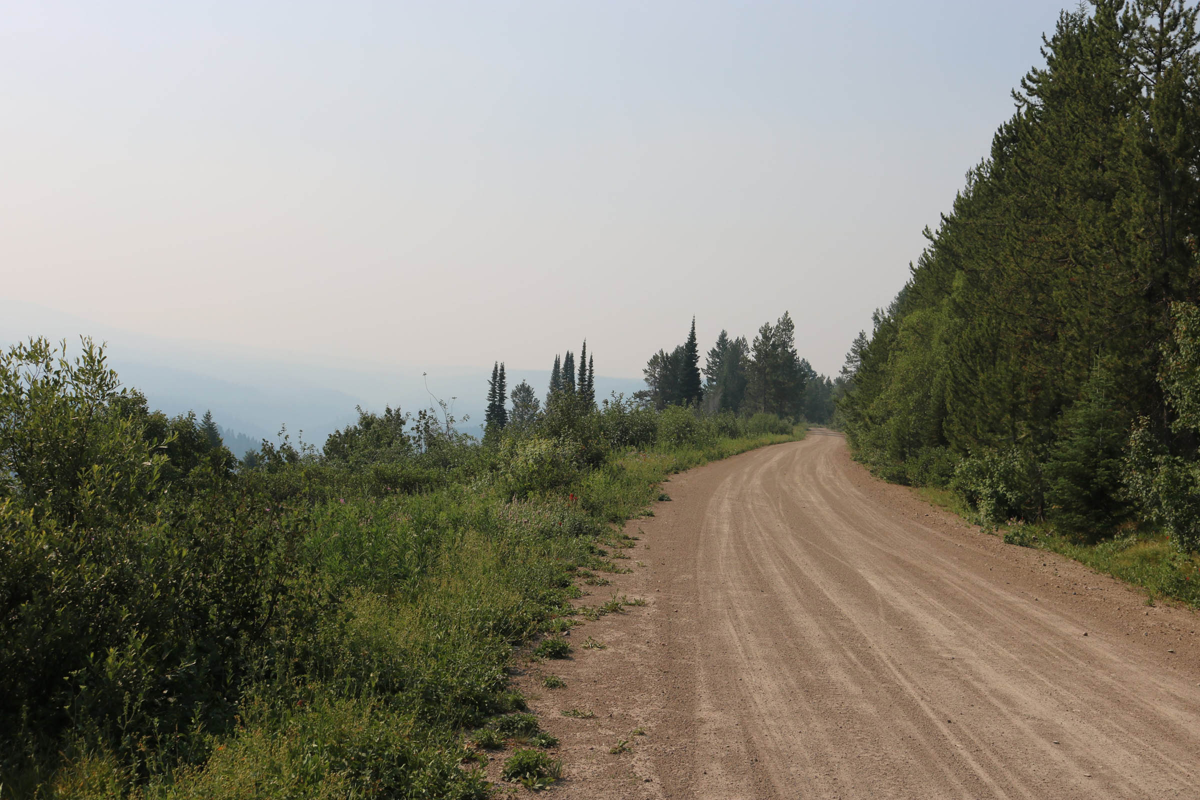
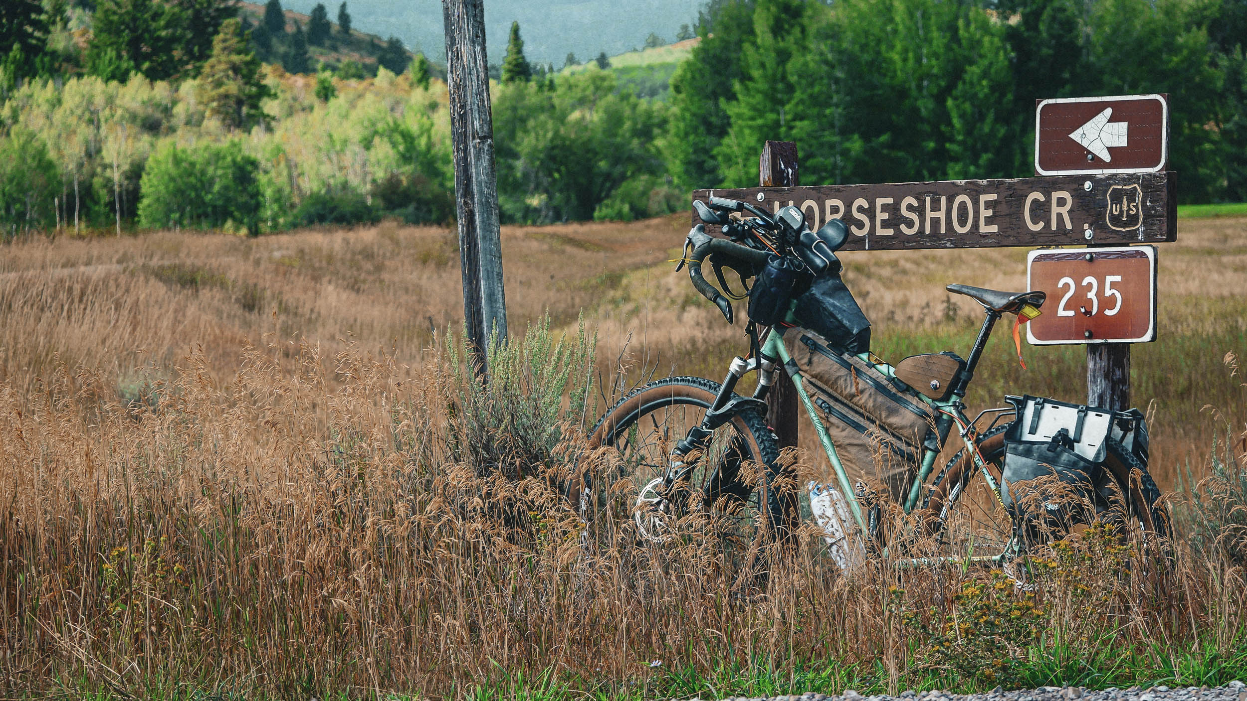
Horseshoe-Packsaddle Canyon
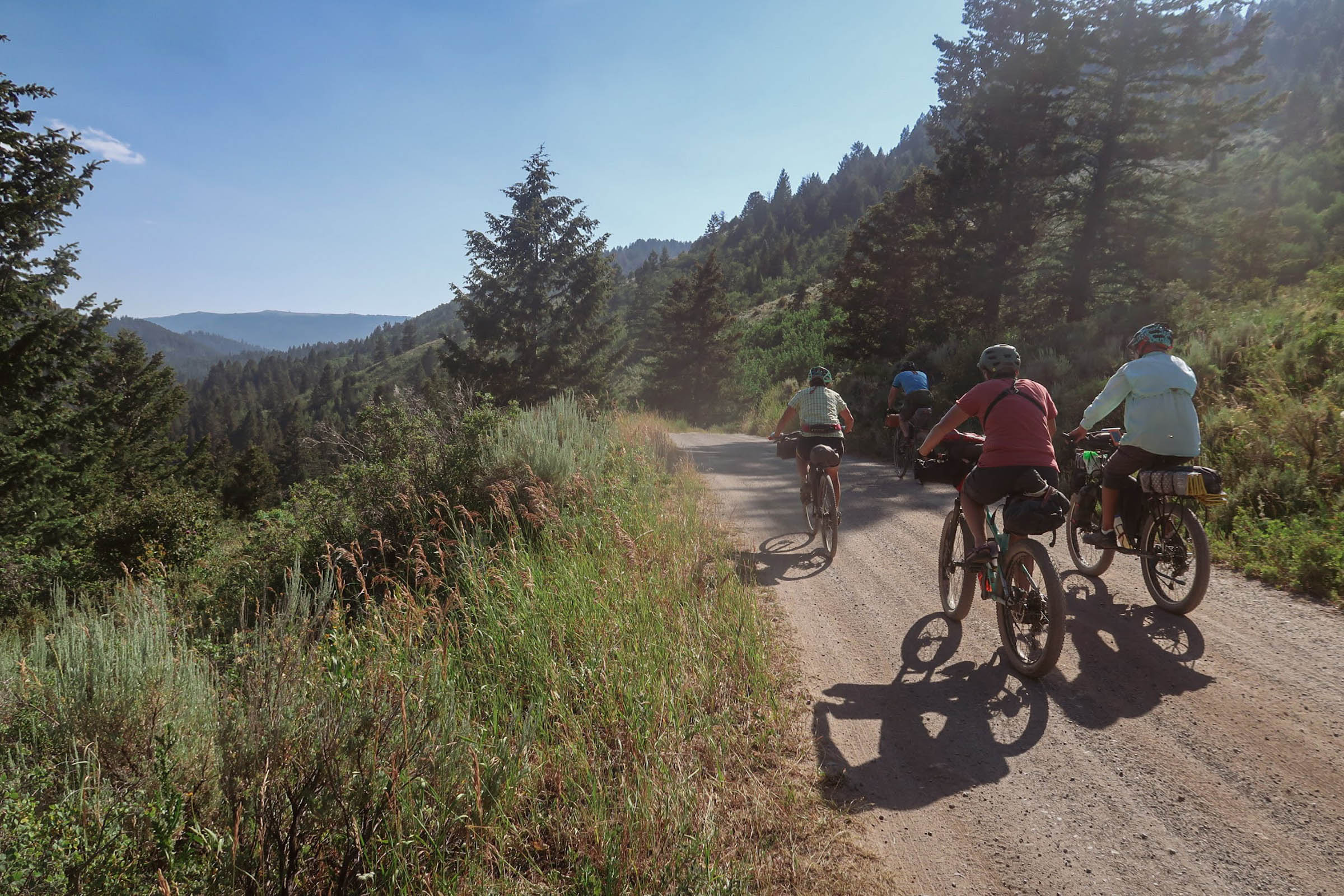
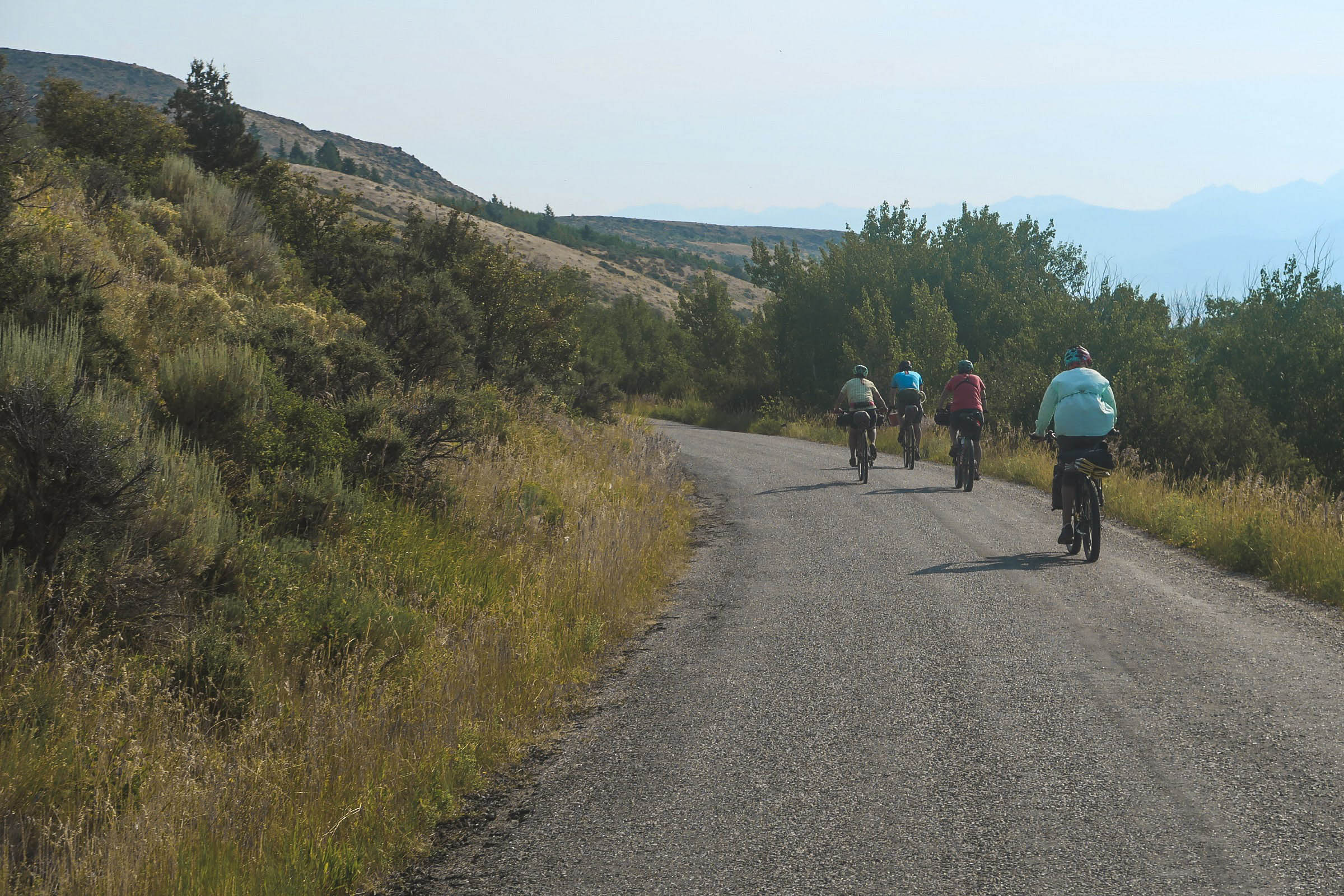
A three-mile paved climb on the highway connects to a mellow, unpaved gradient of the Big Hole Mountains’ sloping northern aspect. Traversing the Packsaddle Bench gives a vantage point to the east where you came from in the Teton Range and across the valley below. The rural landscape transitions into a thick forest of conifers and aspens, with short glimpses of prominent points like Ryan Peak and Mount Manning. Despite its close proximity to pavement flanking the canyon on either end, the Horseshoe-Packsaddle road shouldn’t be underestimated. Expect ruts, large embedded stones, steep descents, hairpin corners, loose rock and dirt, and an occasional downed tree or low-hanging branch. Packsaddle Canyon is a joy to travel through and is abundant with dispersed camping opportunities and water to filter from creeks flowing alongside and adjacent to the road.
Around mile 56, the reward of a second descent comes into view and continues after meeting pavement at the South Fork of Horseshoe Creek. Descending Horseshoe Canyon, there are two cattle guards to be on alert for. Once out of the canyon, the route heads south against the mountains, crossing between pavement and gravel the rest of the way.
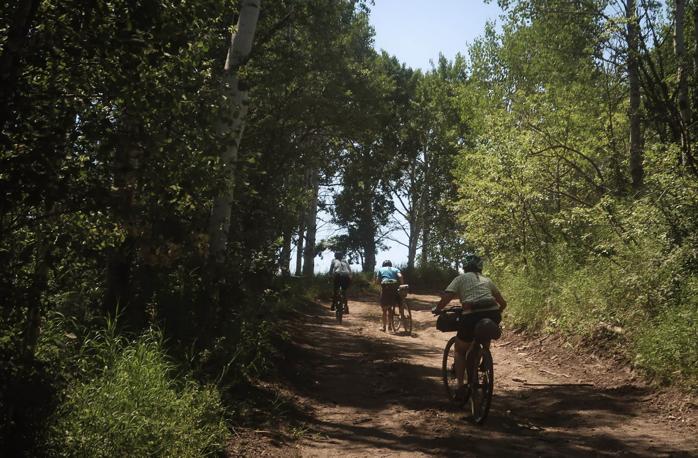
Horseshoe Canyon Singletrack Option: If you’re up the challenge, divert across Packsaddle Creek to the Horseshoe Canyon Trail System for optional singletrack. After a steep, 0.6-mile climb out of the canyon up the Burg Trail, you’ll arrive at a five-way intersection. This trail system is signed, but many may prefer to use an app like TrailForks to navigate more easily. There is no right or wrong way to do this, but I would recommend Shark’s Belly to the doubletrack and out Channel Lock.
Back in the valley
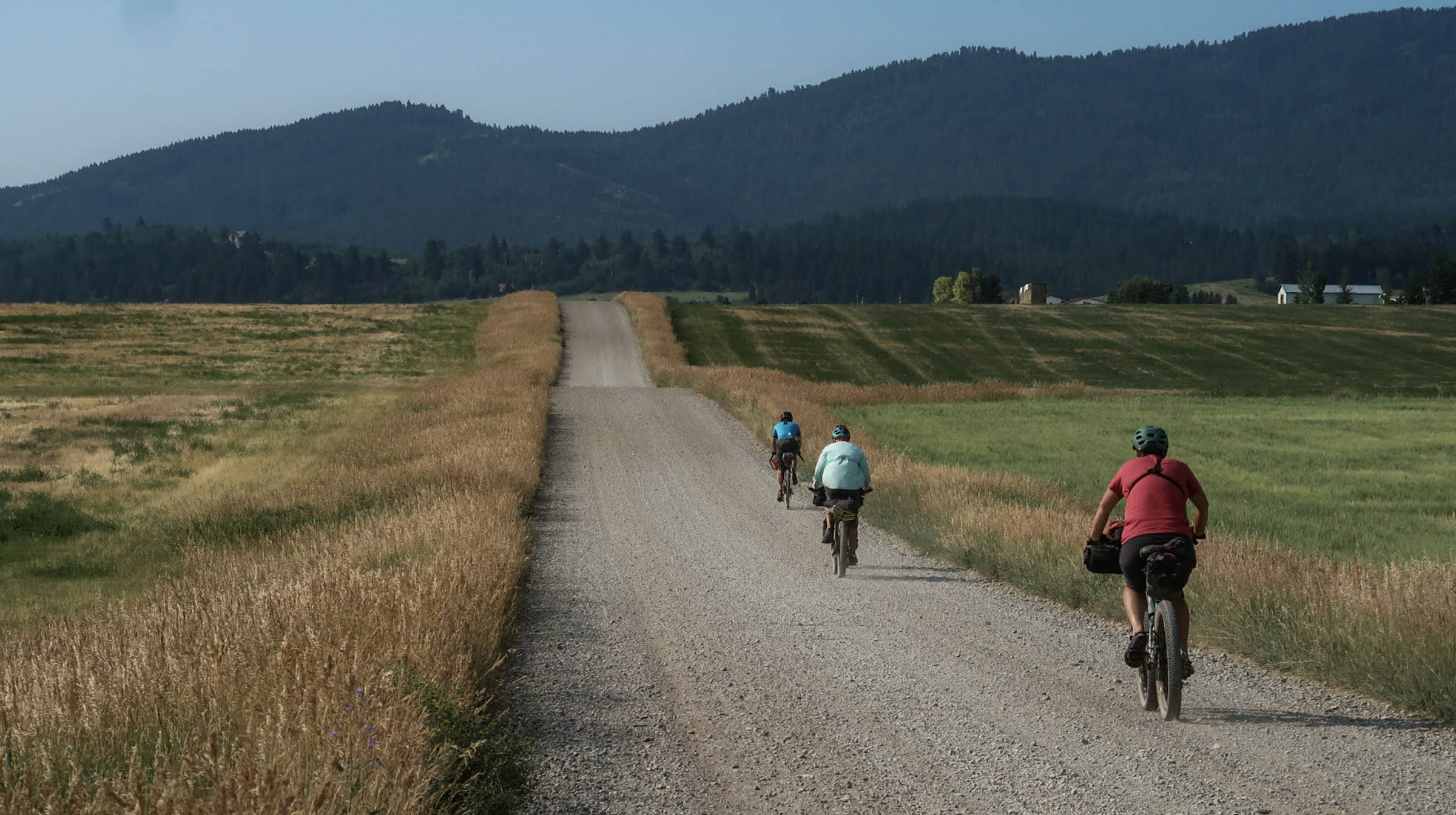
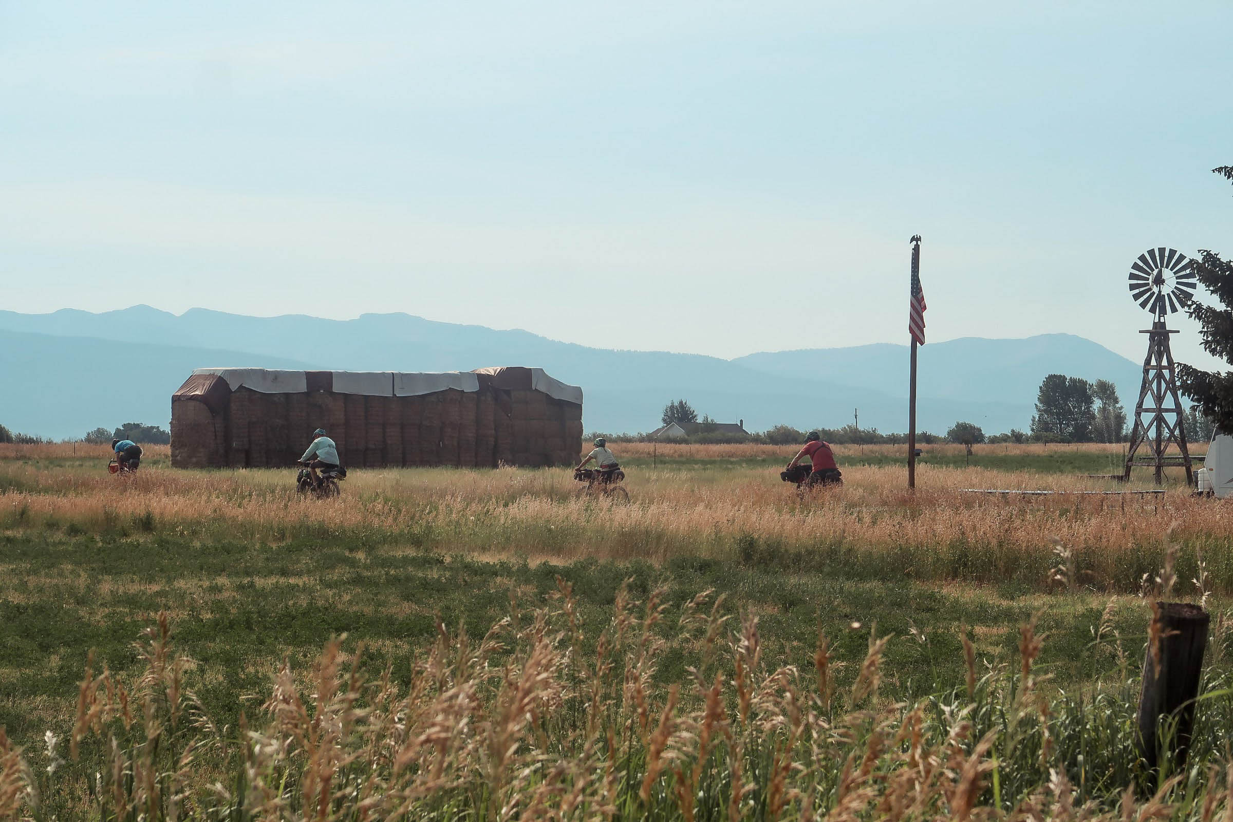
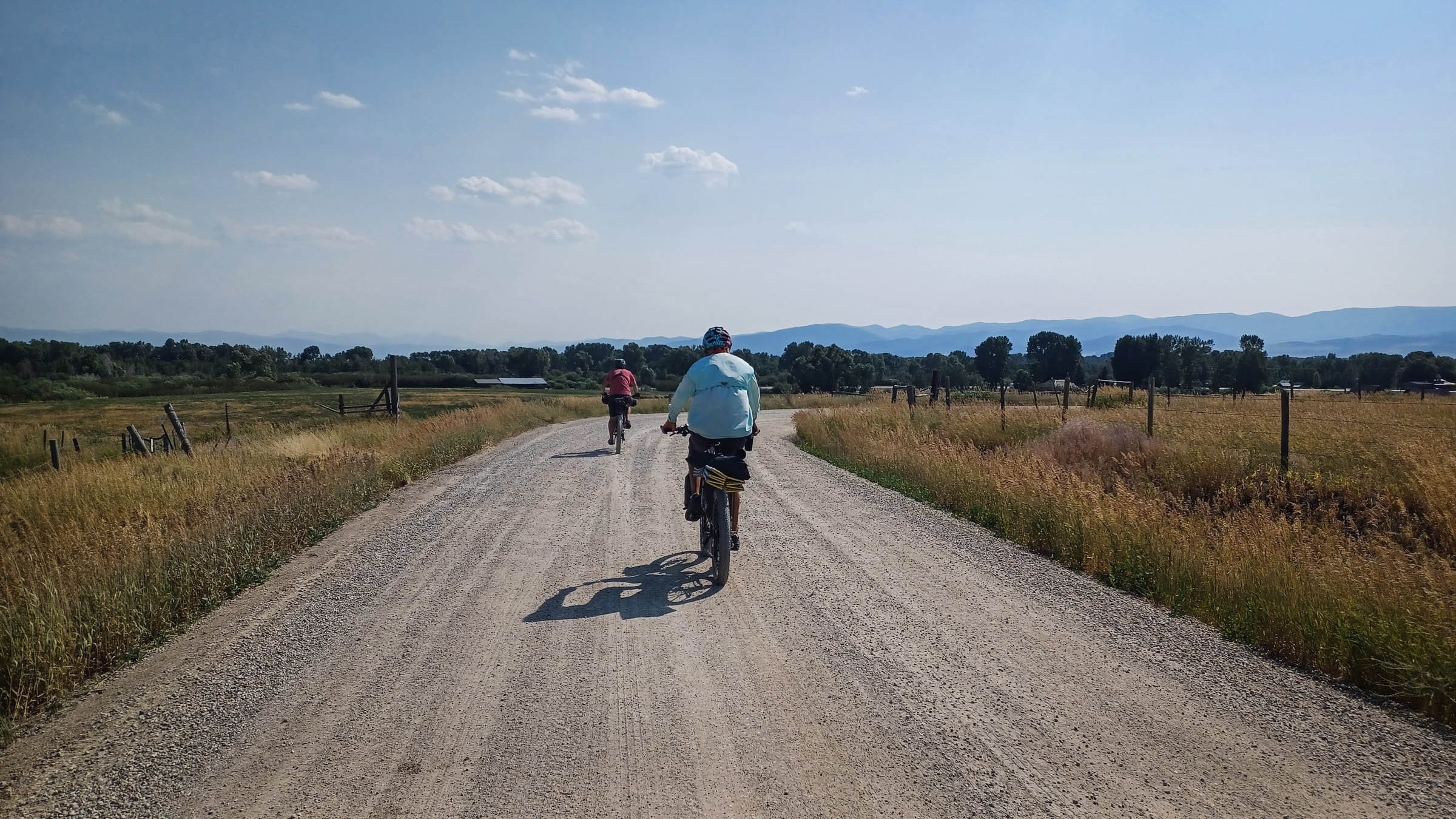
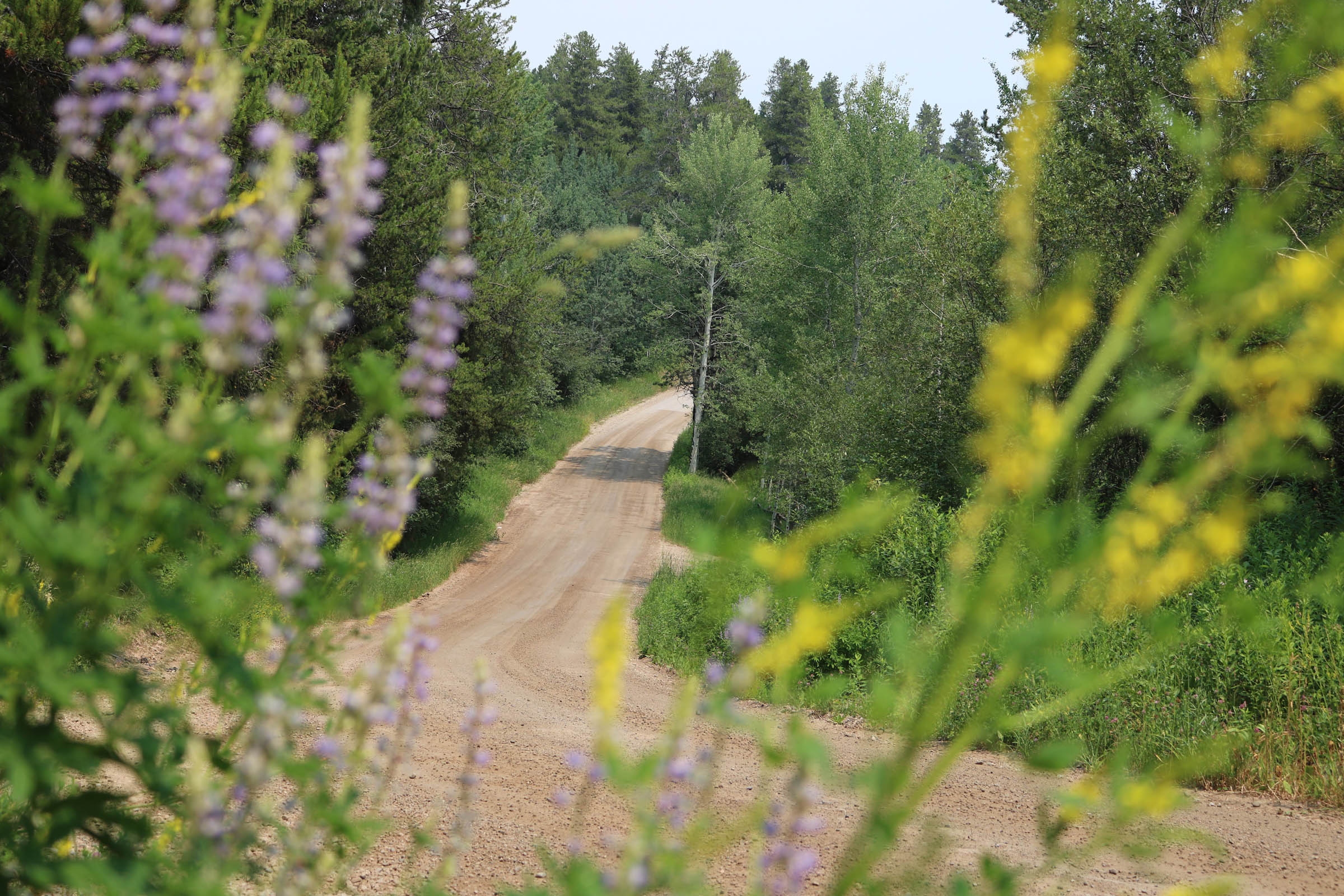
Though the big climbs are behind you, prepare for short, punchy ones on these rolling roads at the base of the Big Holes as you head south toward Victor.
Making your way into town, you remain mostly on gravel roads, broken up by a stretch of quiet pavement where you can settle in and relax a bit. The valley backroads of S 4500 W and W 10000 S are highlights, winding in and out of trees, up punchy climbs, and into brief steep descents. Watch for the doubletrack paralleling the E 9500 S paved road for bonus gravel.
More Singletrack Options
Near the turn onto Baseline Rd is an opportunity to snag more singletrack in the Southern Valley Trail System. There are new underpasses at the Mike Harris Trailhead and Trail Creek Campground, as well as a new bikepath along the highway allowing for an easy merge if you so choose. Otherwise, continue on Baseline and through the narrow tunnel under the highway toward Victor.
Leaving Victor, the route makes its way on gravel and pavement, zig-zagging to the Idaho/Wyoming Stateline, heading north back toward Tetonia. It passes Darby Canyon, the closest off-route camping along the valley’s east end. There are few reliable water sources on this end due to irrigation, especially late in the year. Be sure to top off your water in Victor before heading north to the finish in Tetonia.
- Rideability: All of the route is rideable except for a few sections or possible scenarios. The climb up Rammel Mountain Road has some steep pitches that may require walking. The creek crossing (dry by August) at route mile 29.5 has a brief hike-a-bike out of the creekbed. Agricultural doubletrack roads and Rammel Mountain are prone to mud during rainy weather and will require hike-a-bike.
- Alternate starting points include the Packsaddle Parking Lot (route mile 51.6) and Sherman Park in Victor, both of which permit overnight parking – see route POIs.
- Detouring onto the optional singletrack trail systems the route goes by in Horseshoe Canyon and Southern Valley is easily done.


Terms of Use: As with each bikepacking route guide published on BIKEPACKING.com, should you choose to cycle this route, do so at your own risk. Prior to setting out check current local weather, conditions, and land/road closures. While riding, obey all public and private land use restrictions and rules, carry proper safety and navigational equipment, and of course, follow the #leavenotrace guidelines. The information found herein is simply a planning resource to be used as a point of inspiration in conjunction with your own due-diligence. In spite of the fact that this route, associated GPS track (GPX and maps), and all route guidelines were prepared under diligent research by the specified contributor and/or contributors, the accuracy of such and judgement of the author is not guaranteed. BIKEPACKING.com LLC, its partners, associates, and contributors are in no way liable for personal injury, damage to personal property, or any other such situation that might happen to individual riders cycling or following this route.
Please keep the conversation civil, constructive, and inclusive, or your comment will be removed.