


Tilton Traverse Overnighter
Distance
64 Mi.
(103 KM)Days
2
% Unpaved
85%
% Singletrack
25%
% Rideable (time)
85%
Total Ascent
6,843'
(2,086 M)High Point
12,243'
(3,732 M)Difficulty (1-10)
8?
- 7Climbing Scale Strenuous107 FT/MI (20 M/KM)
- 8Technical Difficulty Difficult
- 9Physical Demand Very Difficult
- 8Resupply & Logistics Strenuous
Contributed By
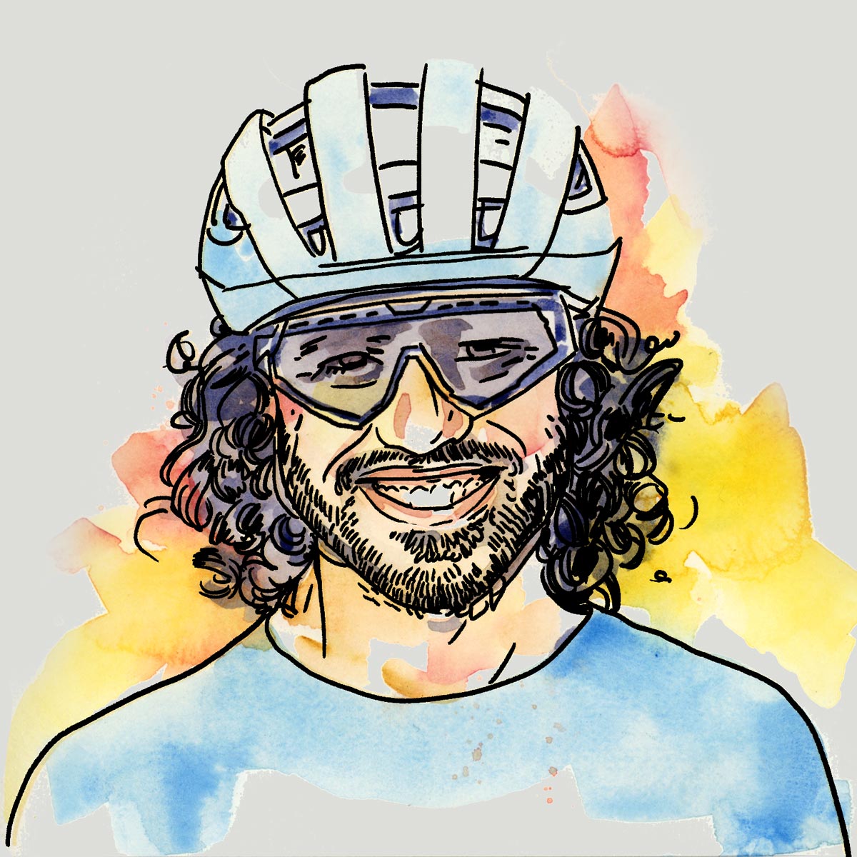
Neil Beltchenko
Associate Editor & YouTube Host
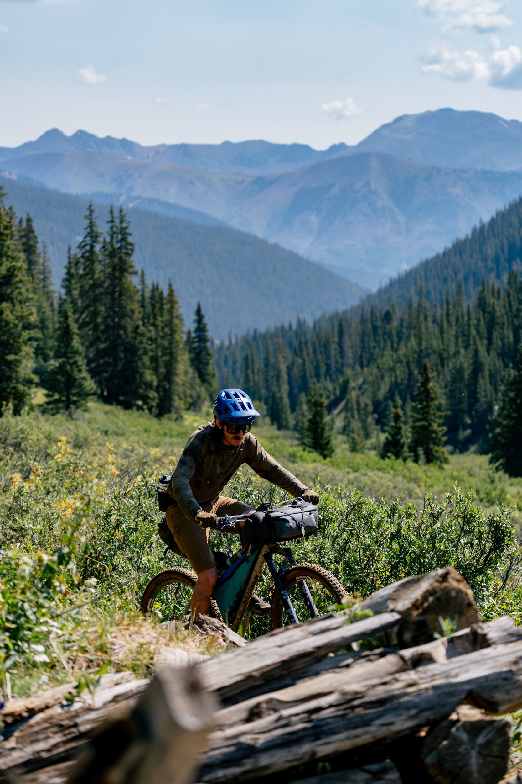
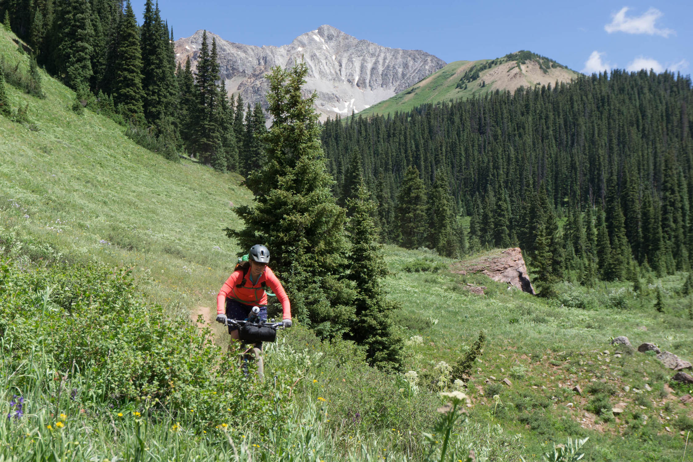
This route is a marriage of all things good in the eastern zone of Crested Butte. You will endure long sustained forest service climbs and descents, make a visit to the northern portion of Taylor Park and the Taylor River Headwaters, climb up rugged singletrack, and descend one of the funnest descents in Colorado, Trail 400. In between all of that, you will pass a variety of old mining claims, fields of native wildflowers, and beauty that is unmistakably Colorado. See Trail Notes for a detailed turn-by-turn itinerary.


Route Difficulty
The Difficulty of this route is rated at an 8 out of 10. A variety of factors contributed to this difficulty level. 1. The route can be technically challenging at times. You’ll encounter dirt roads featuring large rocks and steep off camber sections make them not suitable for cars, and thus challenging to pedal up or down. The second day of riding is much more challenging with technical singletrack, punchy climbs, and steep, technical descending. 2. The physical demands of climbing at 10,000+ feet. Also, there are very few flat spots on the route, which will fatigue the body much faster. 3. The route’s remote nature and lack of resupply (none) also came into consideration with this rating.
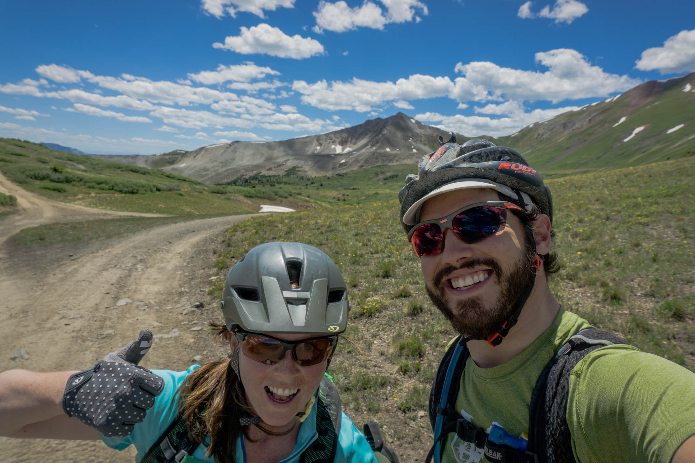
Route Development: My partner Lindsay and I were seeking out an epic, mixed terrain overnighter while exploring new terrain in our own backyard. Trail 400 is one of my favorite descents in the area, so the goal was to build the route to descend that trail. We could have added more singletrack to sub out HWY 135, but this route would then turn into a three day trip, and the goal was to start Saturday morning and finished Sunday afternoon. There are so many variations of this route and so many different routes in the area, but this one is unique because the variety and the amount of terrain it covers in two days. If you want to make it more difficult, you certainly can.


Submit Route Alert
As the leading creator and publisher of bikepacking routes, BIKEPACKING.com endeavors to maintain, improve, and advocate for our growing network of bikepacking routes all over the world. As such, our editorial team, route creators, and Route Stewards serve as mediators for route improvements and opportunities for connectivity, conservation, and community growth around these routes. To facilitate these efforts, we rely on our Bikepacking Collective and the greater bikepacking community to call attention to critical issues and opportunities that are discovered while riding these routes. If you have a vital issue or opportunity regarding this route that pertains to one of the subjects below, please let us know:
Highlights
Must Know
Camping
Food/H2O
Trail Notes
Resources
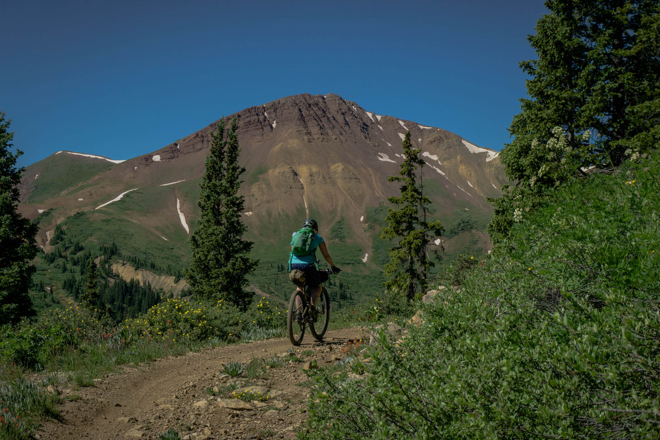
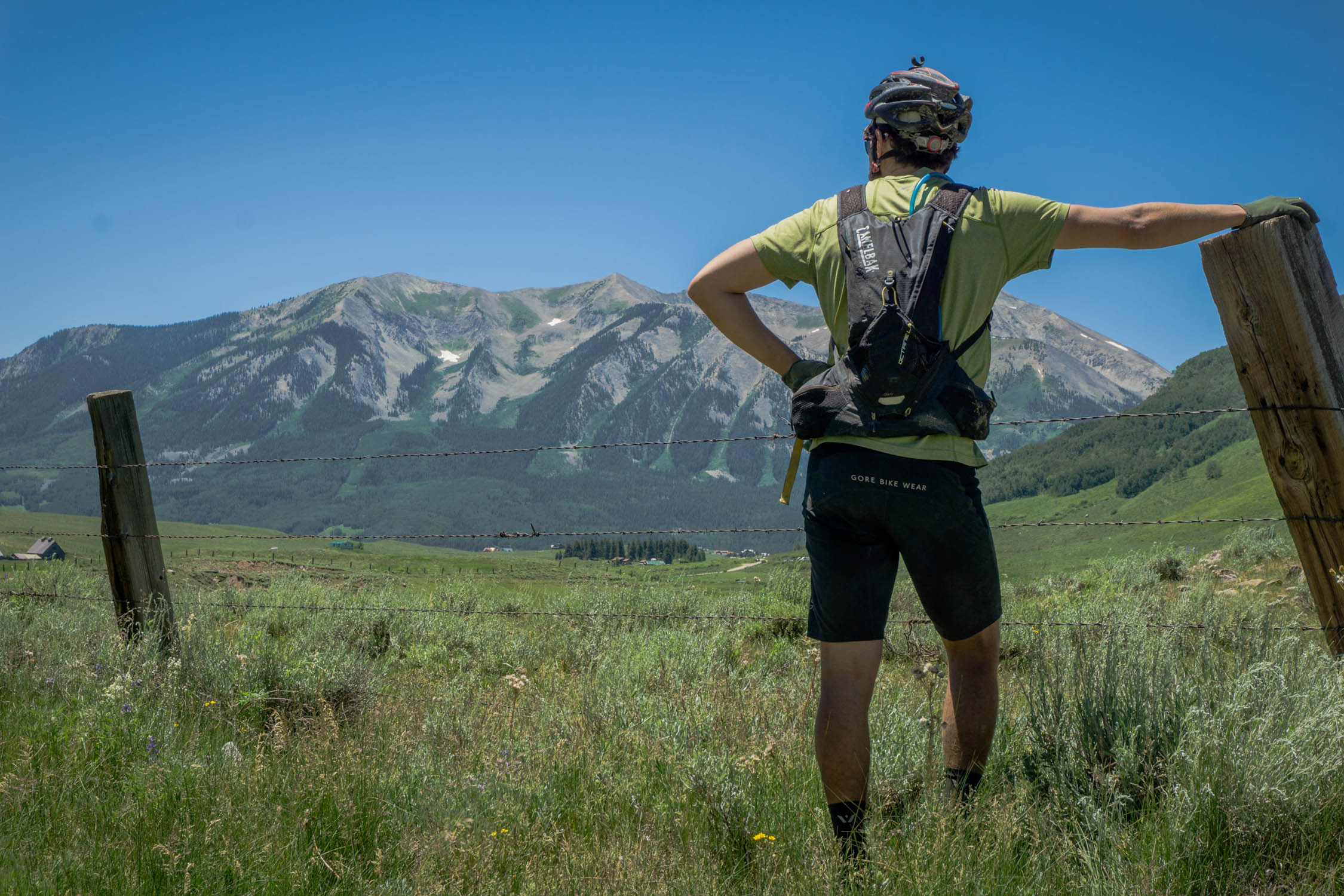
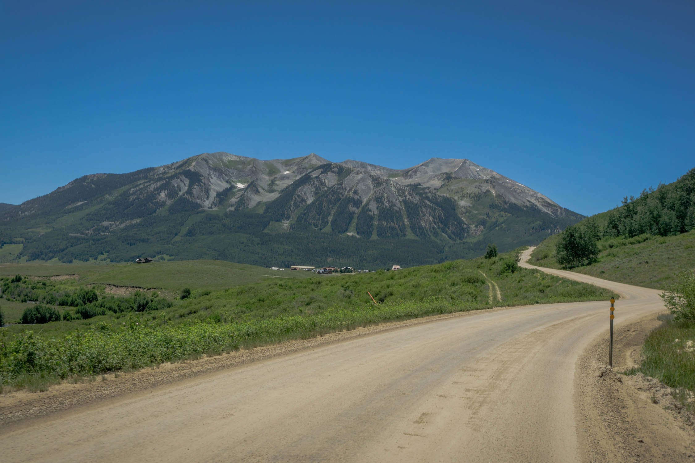
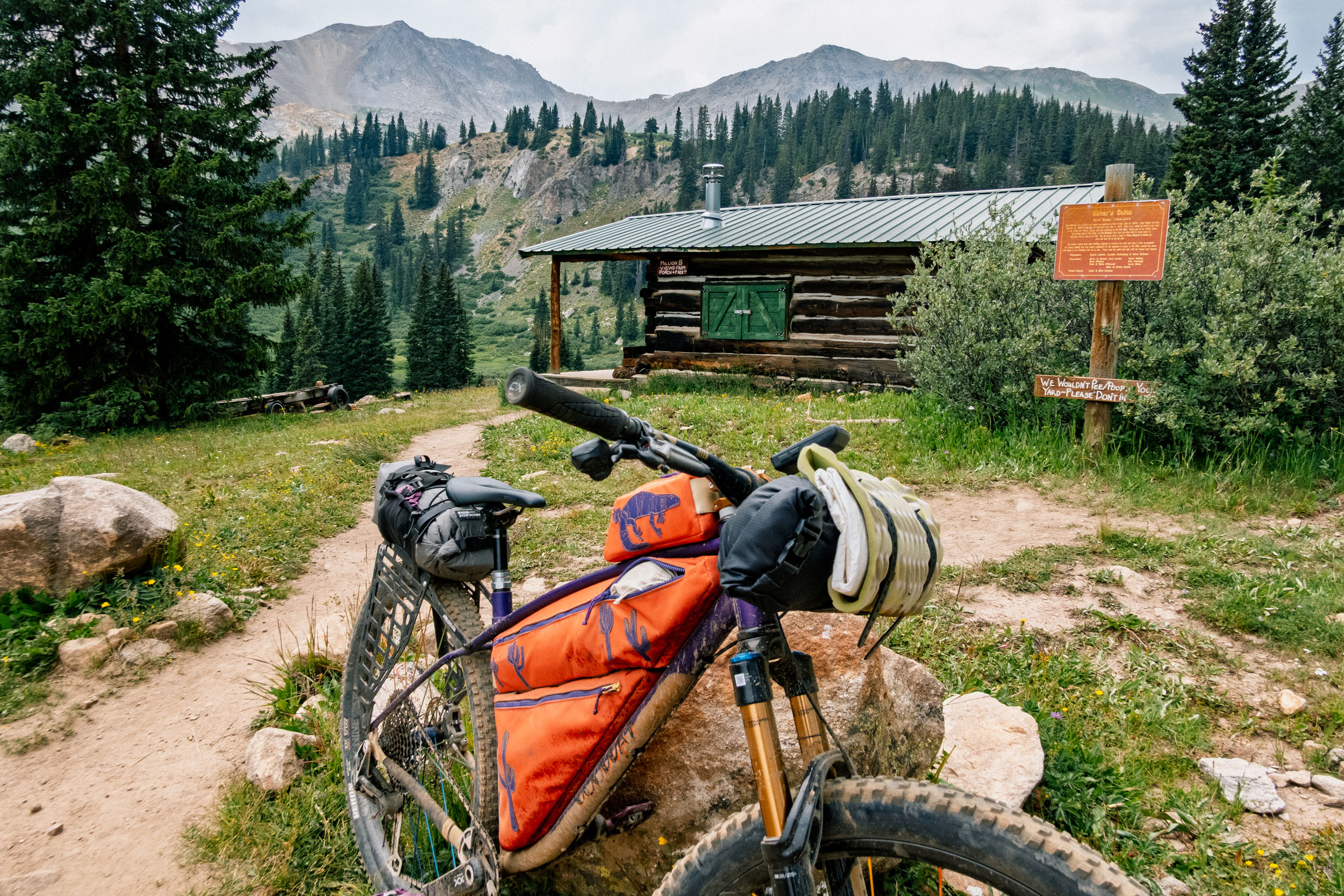
- Million Dollar Views
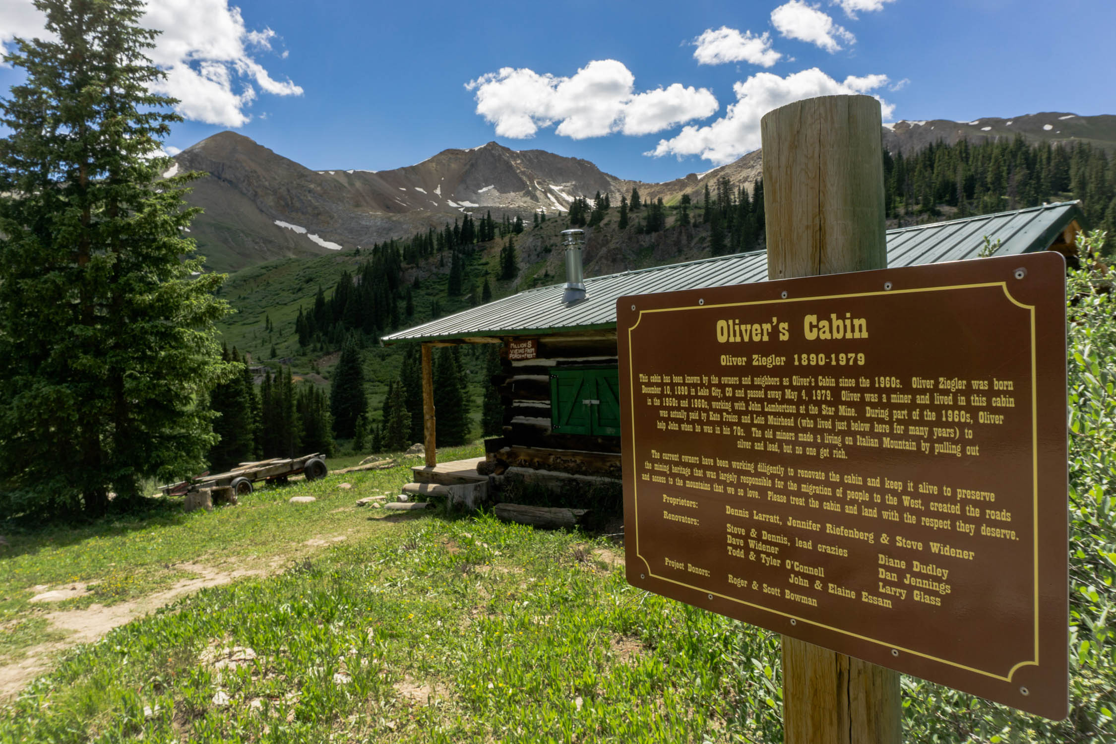
- A scenic 20 mile climb from Cement Creek the saddle of Italian Mountain and American Flag Mountain
- Travel past historic zinc, silver, and lead mining deposits and mining buildings including Oliver’s Cabin
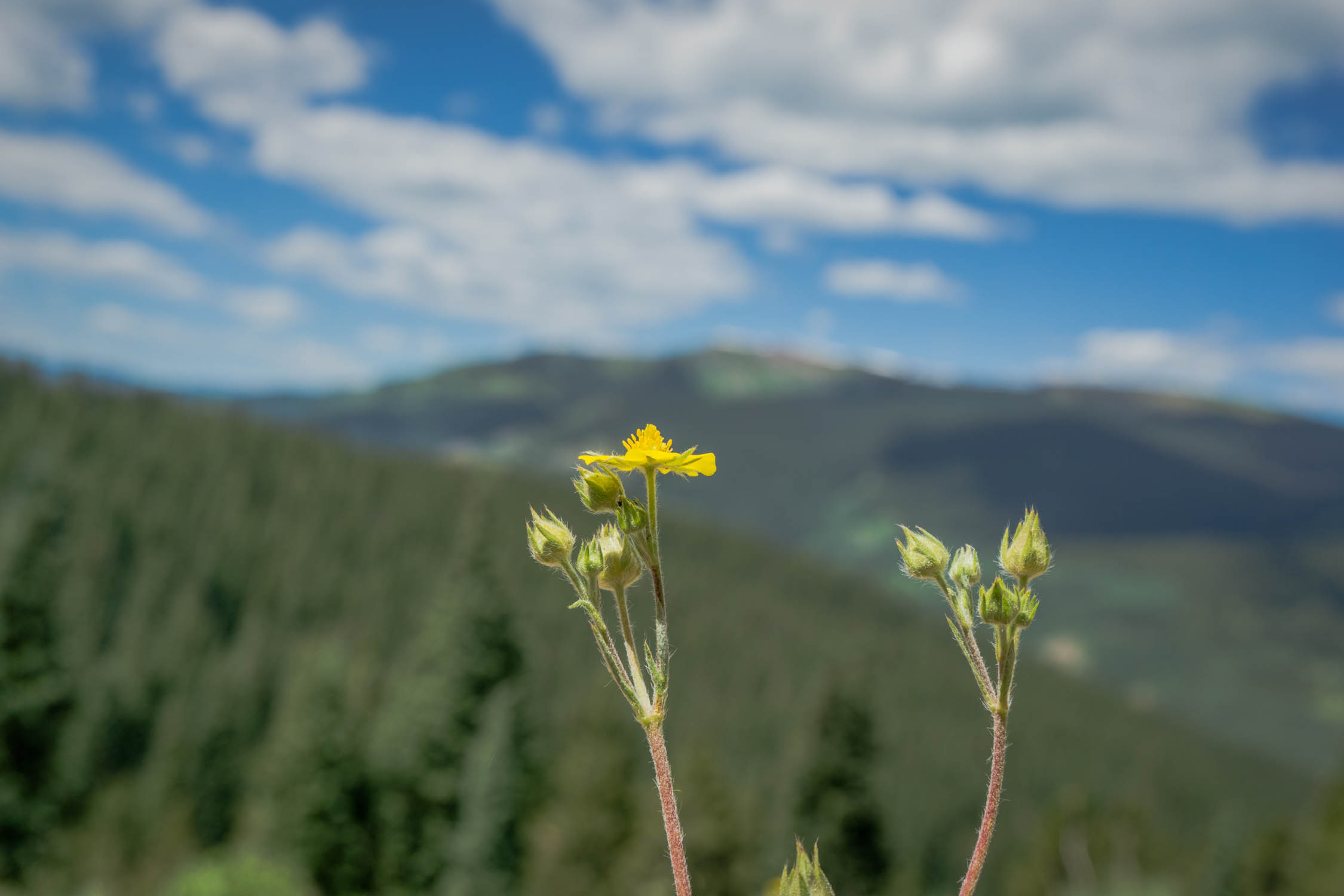
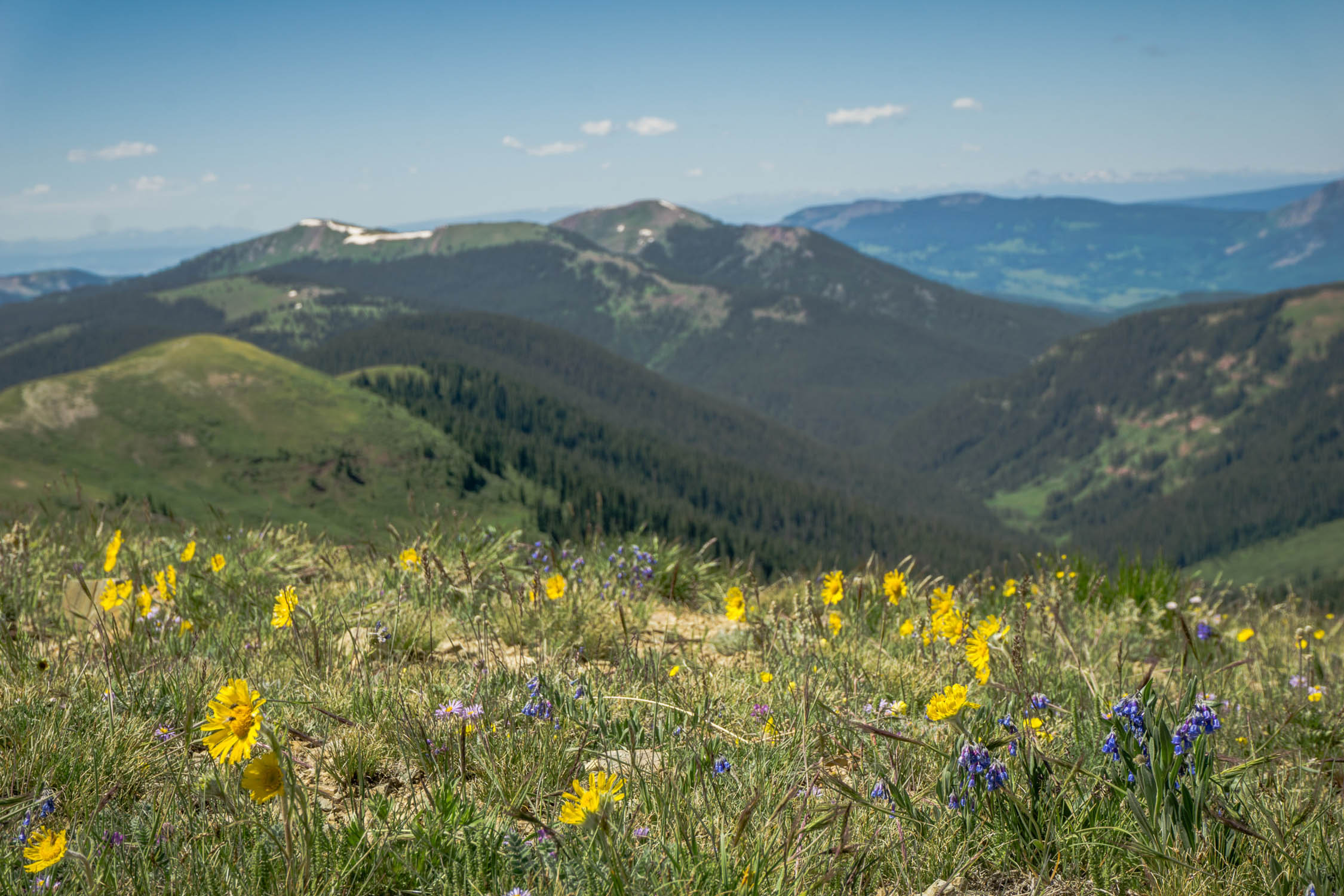
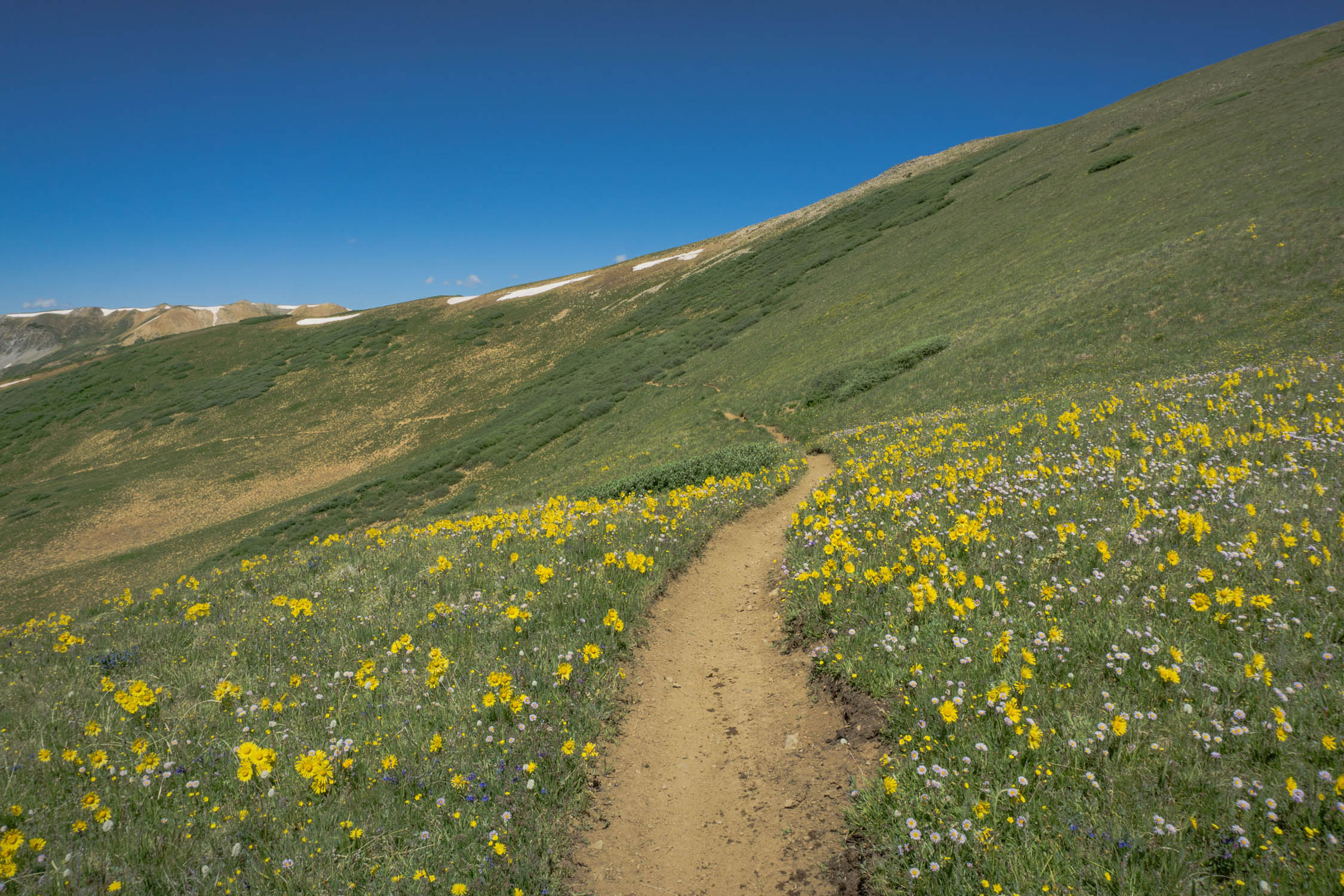
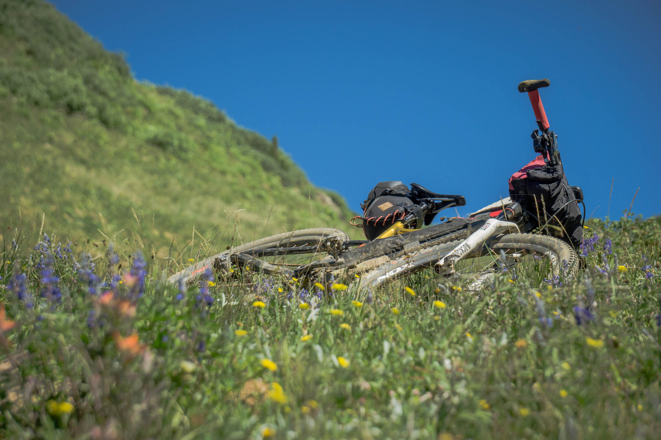
- You will understand why Crested Butte is dubbed the wildflower Capitol of Colorado
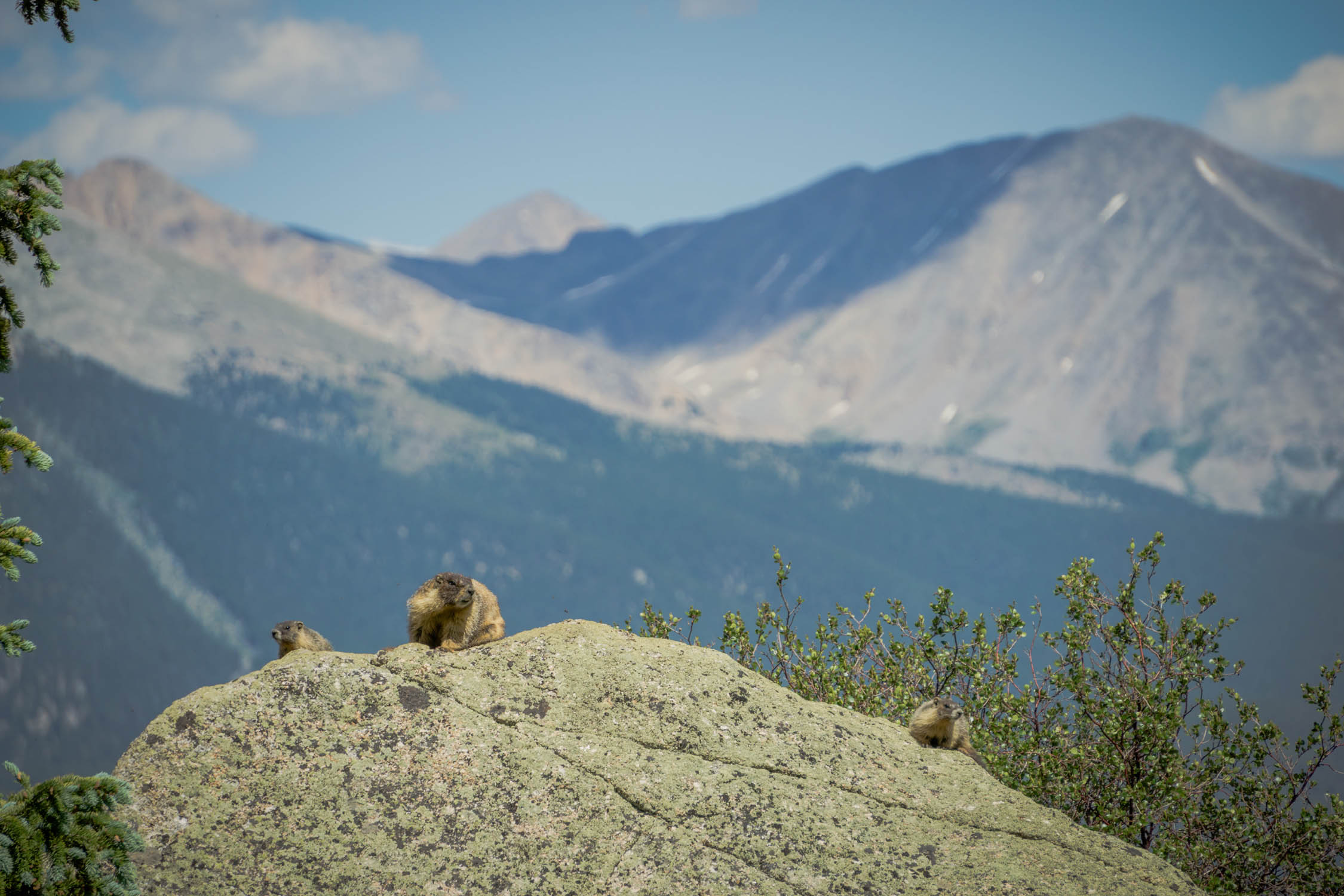
- Marmot, deer, and even moose are not uncommon to see along this route
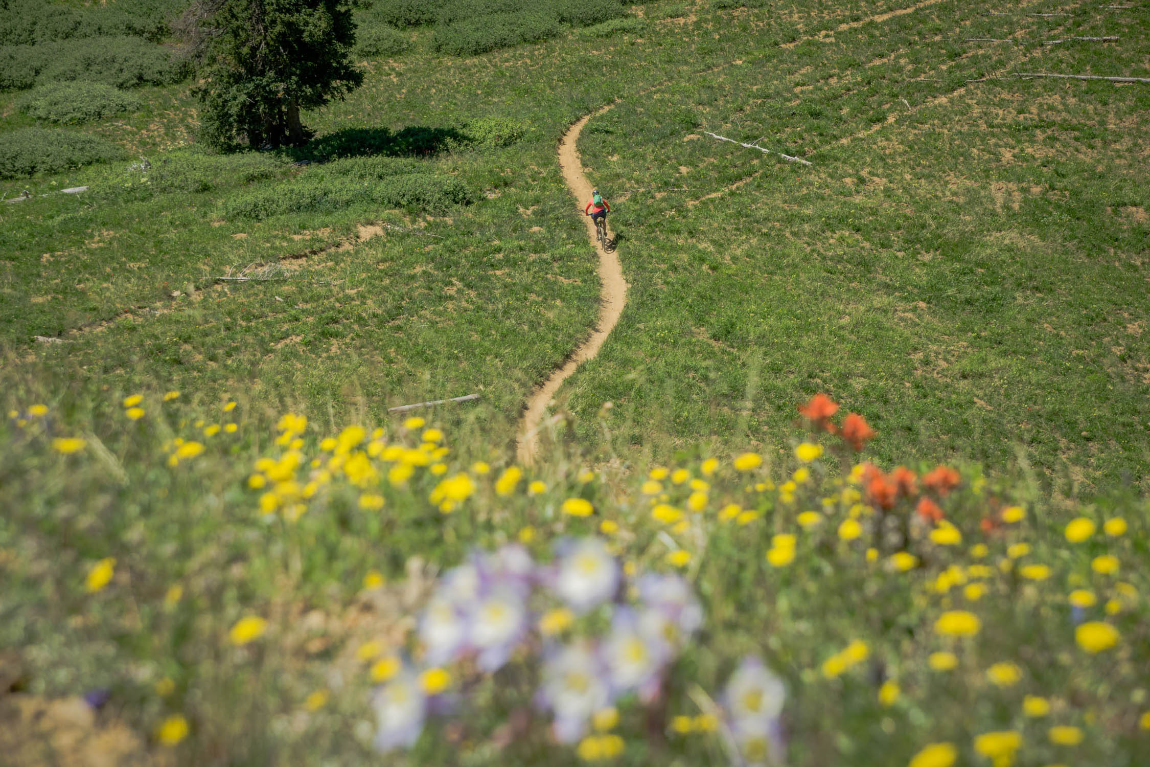
- Star Pass and Trail 400, the routes grand finale
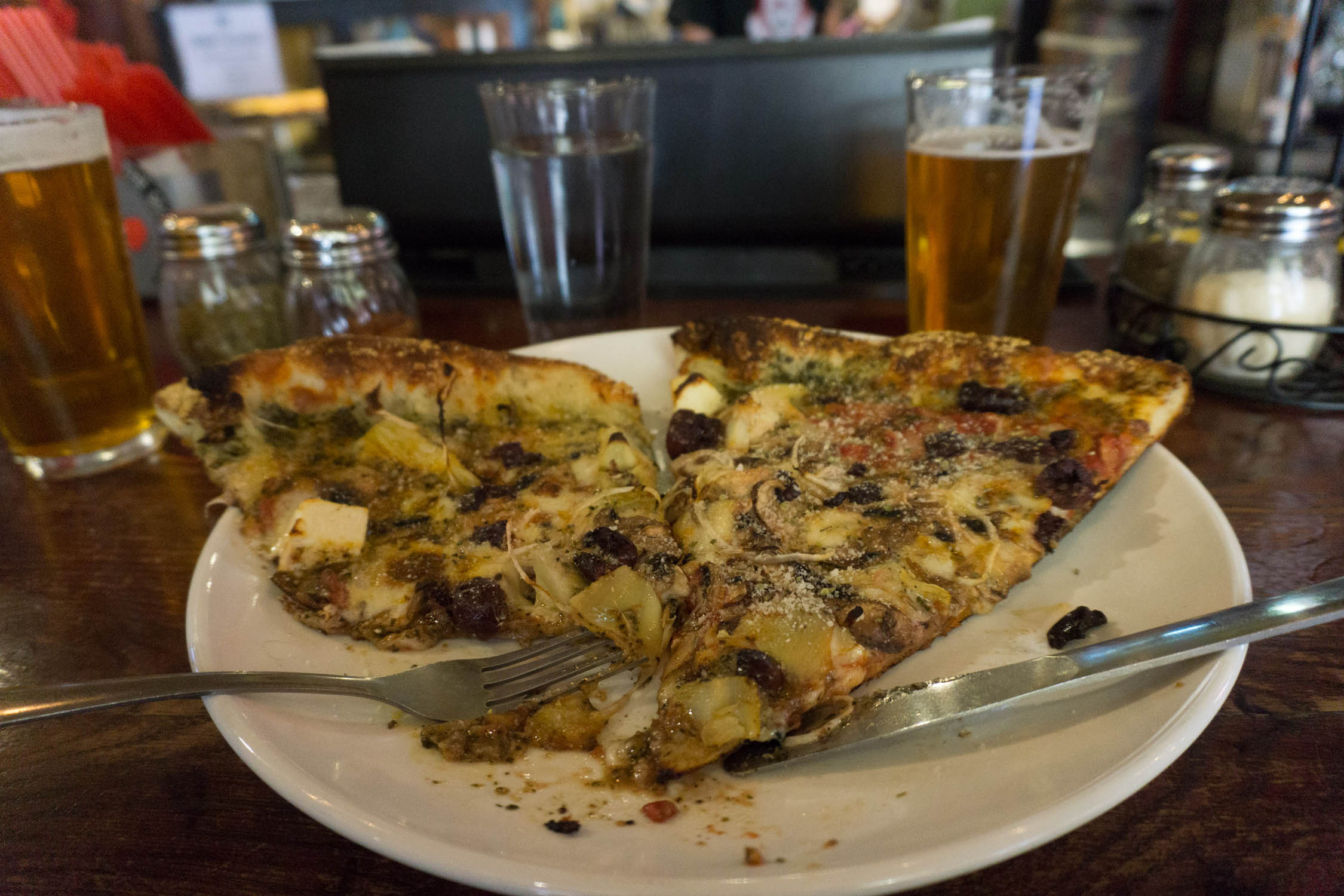
- Ride right into Crested Butte for some good eats; I suggest the Steep
- The best (and only) time to ride this route is July – September (snow dependent).
- Start and end in downtown Crested Butte. Make sure to park your car in an approved overnight parking spot, like the Crested Butte Community School or side streets.
- This is a high altitude route deep into the backcountry, while you may see people, there is no cell service, and the land is very difficult to access.
- Please stay off of private land; there is plenty of camping on public land, and spots to grab water.
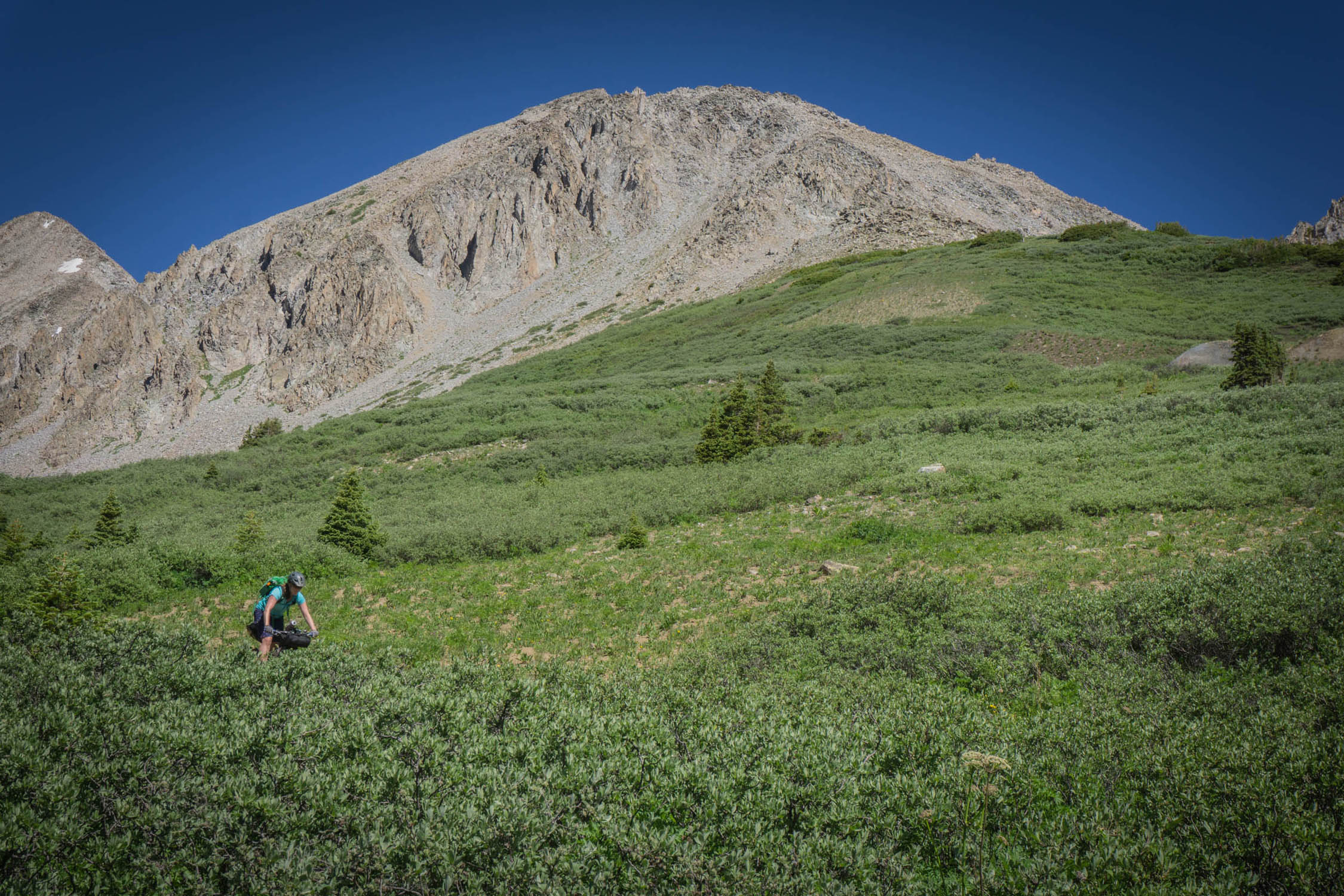
- Like many backcountry rides in this area, you will find yourself hiking your bike, specifically on the singletrack sections, please plan accordingly.
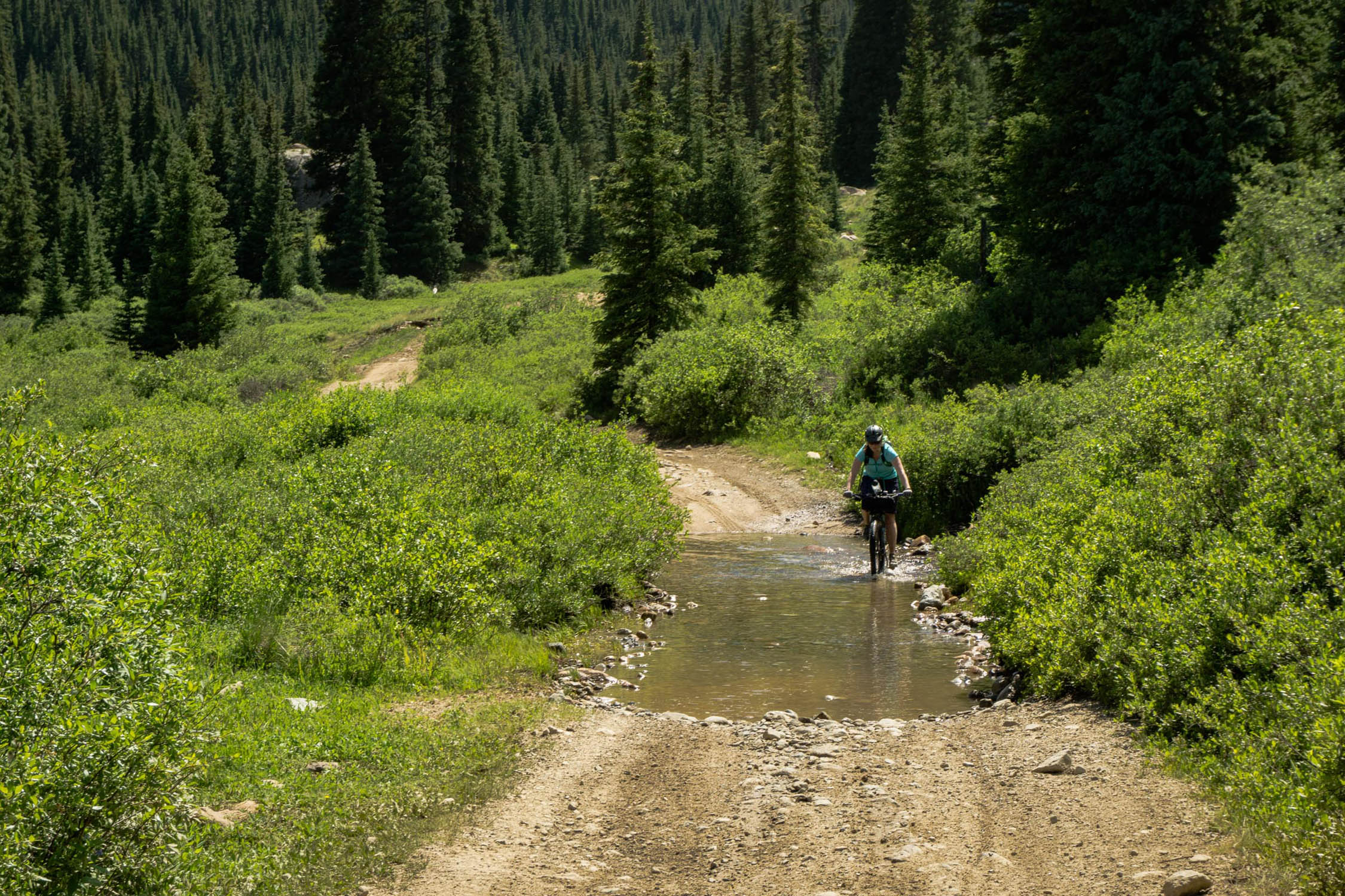
- There are a few creek crossings that you will encounter, the two most concerning would being on Brush Creek Road. These crossings are usually low enough by the time this route is fully melted out, but please take caution when crossing Brush Creek.
- Please yield to dirt bikers, there machines are far heavier than ours, and ultimately, we will do less damage if we need to get off the trail momentarily.
- Alternatives: There are lots of them, after all, this area is a Mecca for mountain biking. One consideration would be to drop in on Star.
- Camping is not allowed on the small portion of private land you will pass through. That being said, there are a bunch of spots for camping along the way, including a variety of spots on Taylor River Road. Taylor River Road can be busy with OHVs, so keep that in mind.
- There are very limited bathrooms on route, please pack a trowel.
- There are zero resupply options on this loop. You will want to pack in all the necessary calories that you intend on eating.
- For the majority of the route, you will either be next to or close to a water source to filter water, excluding the two high points.
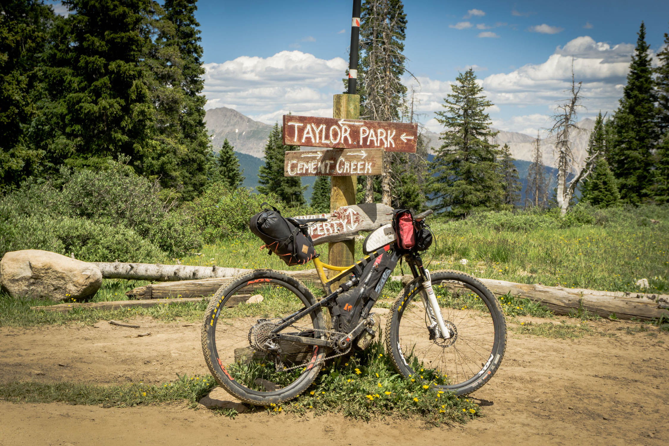
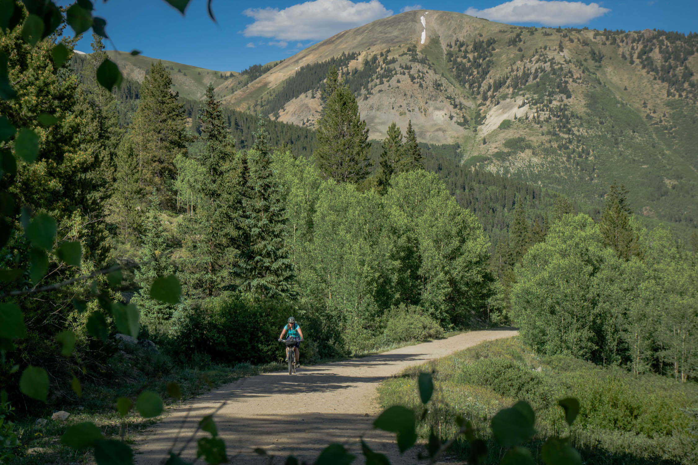
Starting from downtown Crested Butte, the Tilton Traverse overnighter starts with a five mile stretch of pavement before you ride dirt for the remainder of the route until you get back into town. After these gradual five downhill miles, you’ll turn on Cement Creek Road and make your way up to the popular Deadman’s Trailhead where you might encounter other mountain bikers, but they won’t have much strapped to their bikes. The Reno Road – Flag Creek Trail – Bear Creek Trail, and Deadman’s Trail combination makes a fantastic day loop just east of Crested Butte. After passing the Trailhead, the road gets a bit more rough and you’ll eventually hit a fork. Continuing on towards Reno Road, a steep four mile climb will certainly warm up your legs if they aren’t already.
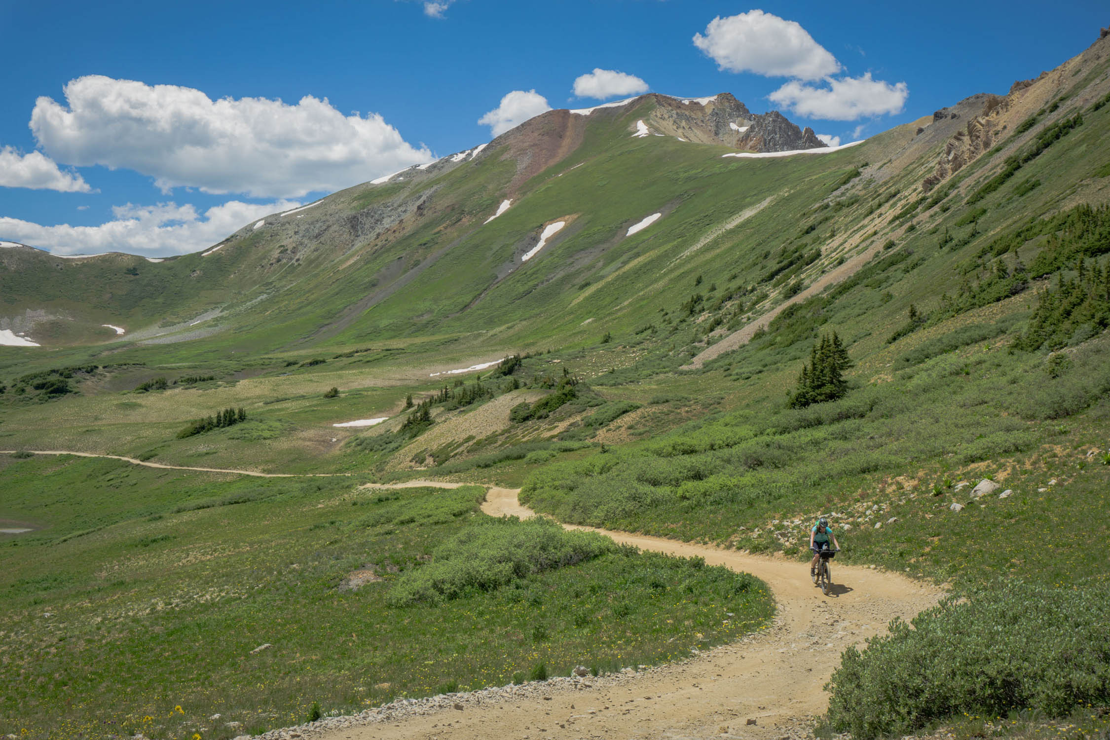
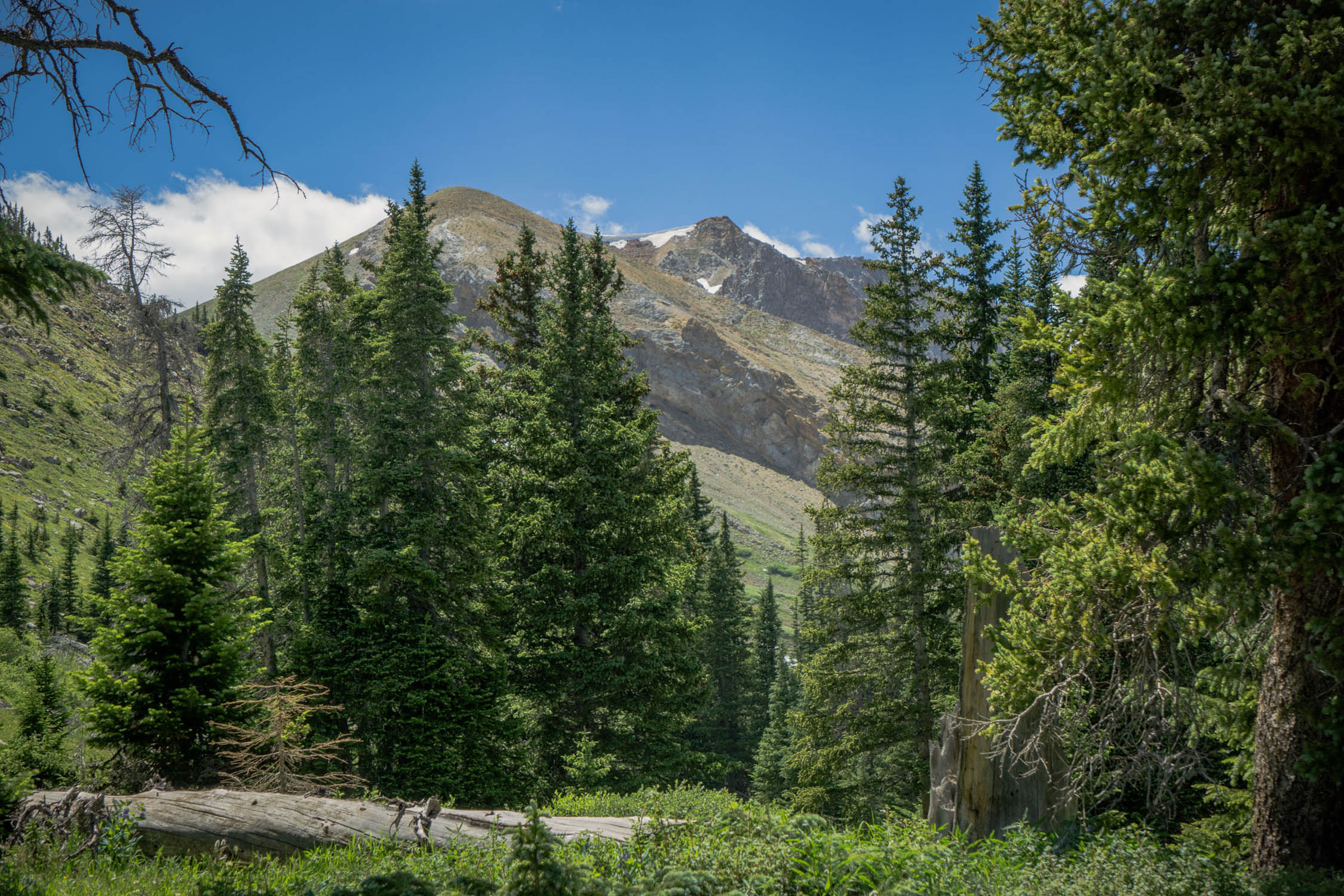
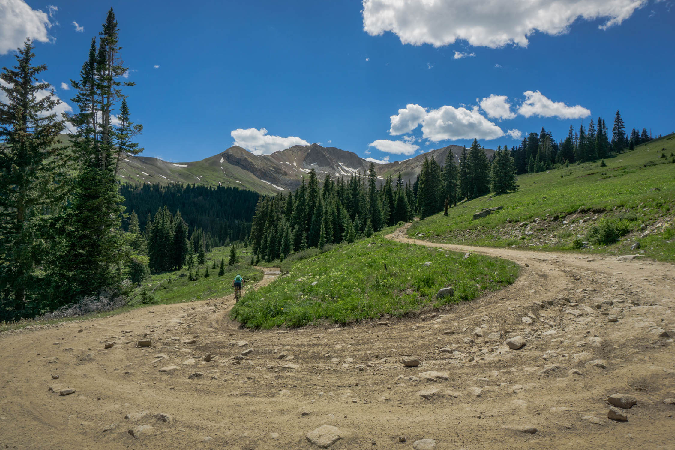
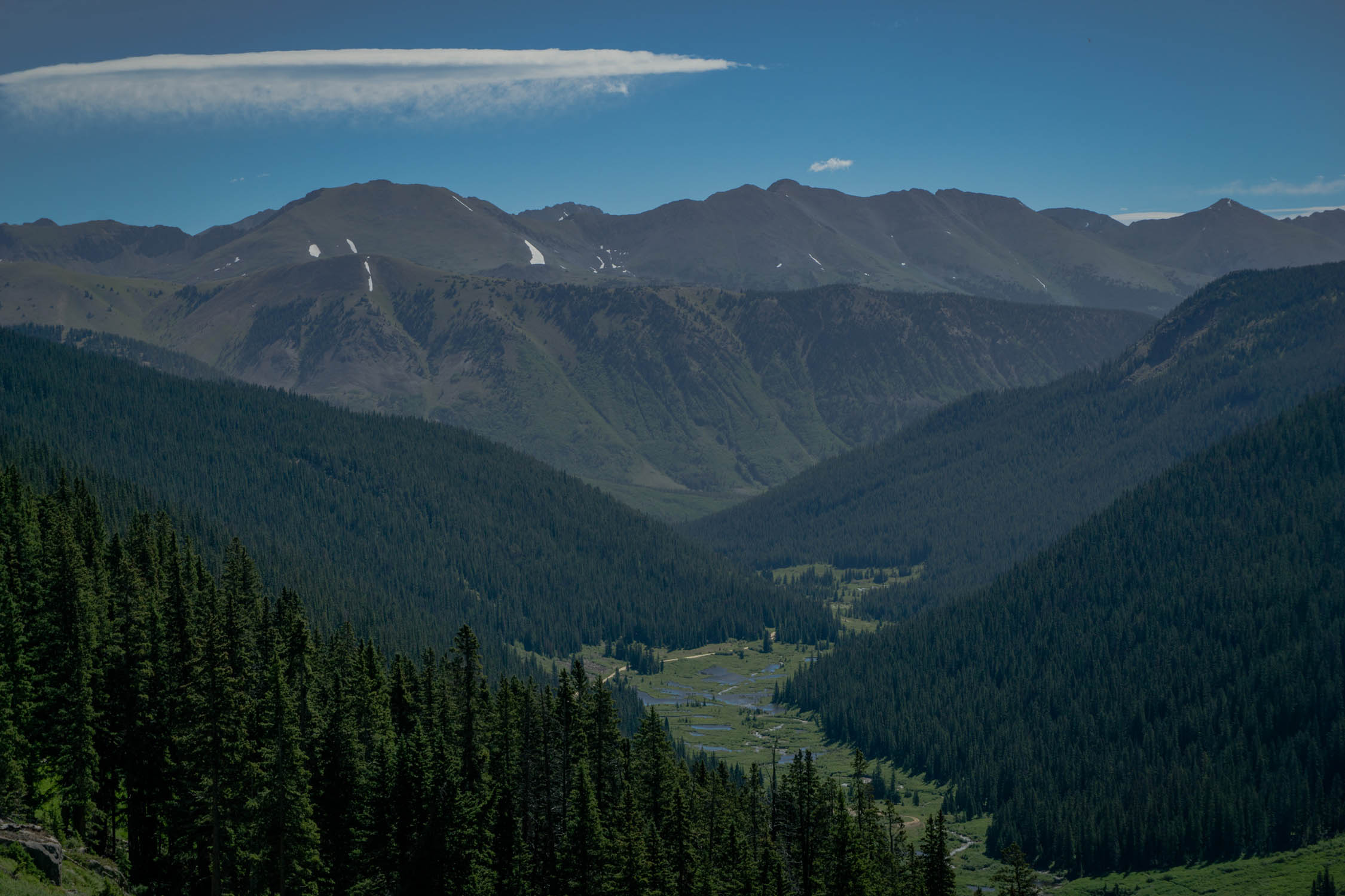
You will then climb up to the five-way intersection that filters into the famous Flag Creek Trail, this is a great snack break location. From there you will continue climbing Italian Creek Road, where, if you are riding on a weekend, the crowd will vanish and the views will open up. There are some tough moments on this stretch, but for the most part it is a steady forest service road with the occasional stretch of rough stuff. You’ll eventually reach the saddle between Italian Mountain and American Flag Mountain at 12,000 feet, another nice perch to kick back and snap a photo or two.
What goes up must come down, in between you and Taylor Park are 2000 feet of descending. As you make your way down, you will pass some old mines and a small community of second home owners. Be sure to stay on the road during this stretch, but they make that clear with all the signage. You have two options to get to Taylor River Road. We took the steep two-track called Lily Pond to save mileage and time. It brought us over a neat bridge where we filtered water. The alternative would be to continue on Italian Creek Road before you intersect with Taylor River Road where you would head north (left)
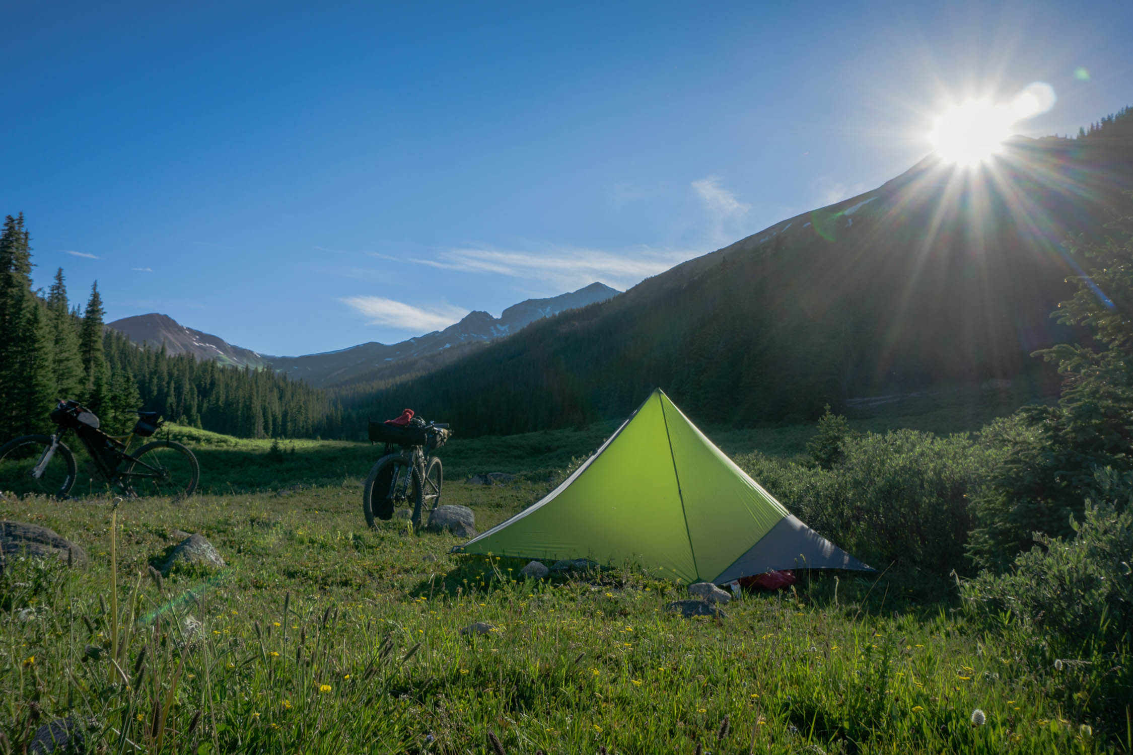
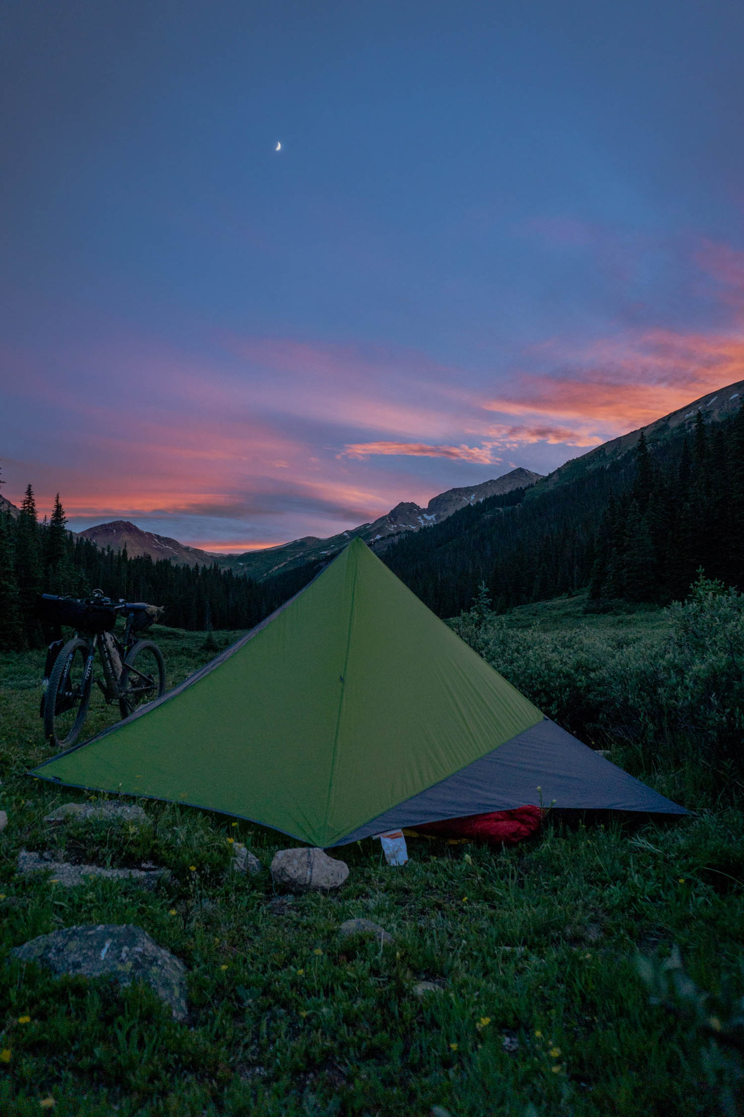
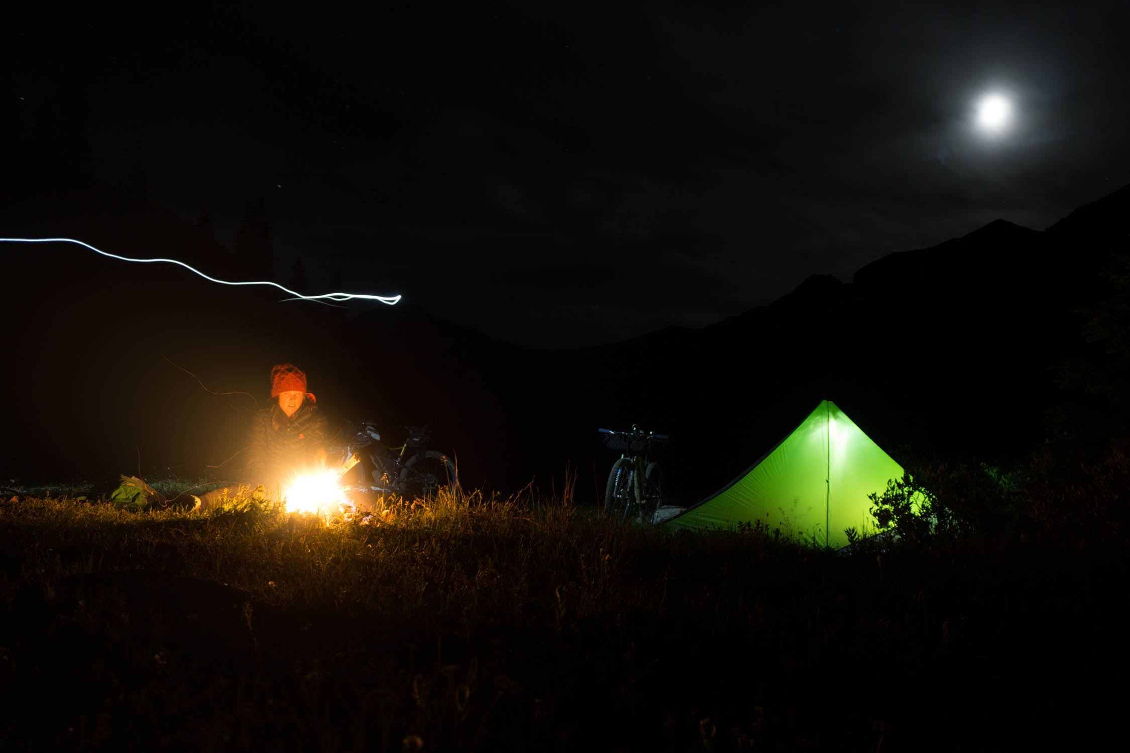
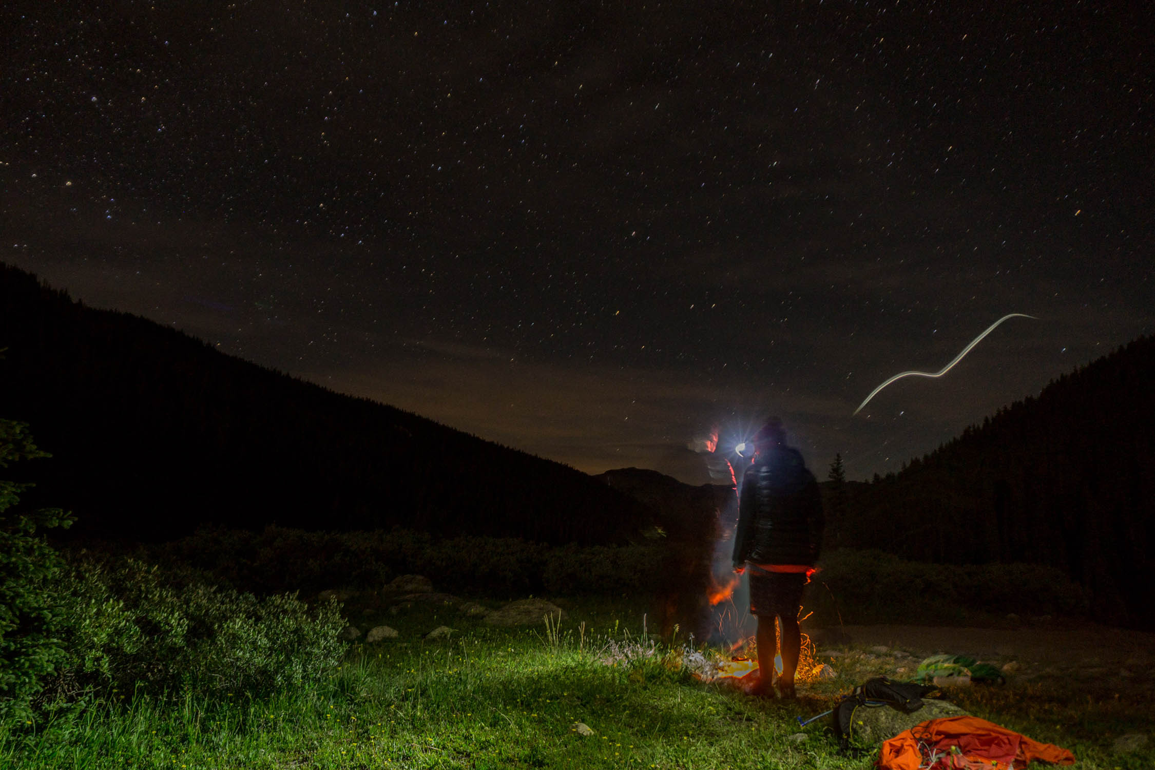
Once you get on Taylor River Road, you will steadily start to climb a nice graded road taken care of by the county. Eventually the road will meander northwest and dead-end at the Mount Tilton Trailhead. You may see a few cars parked here, as its a popular day hike, but once the sun sets, it will empty out. Just past the parking lot is a fantastic camping spot.
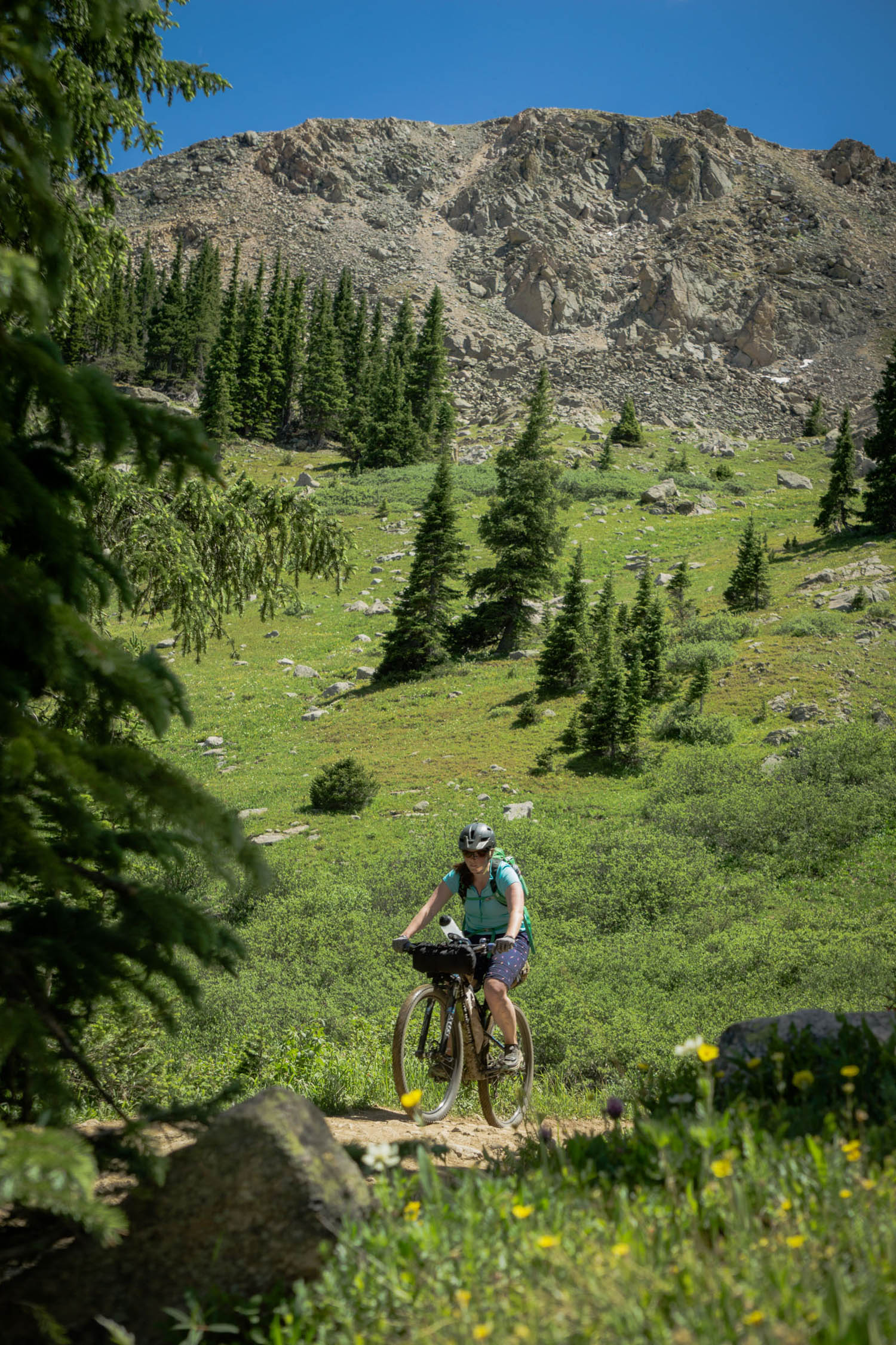
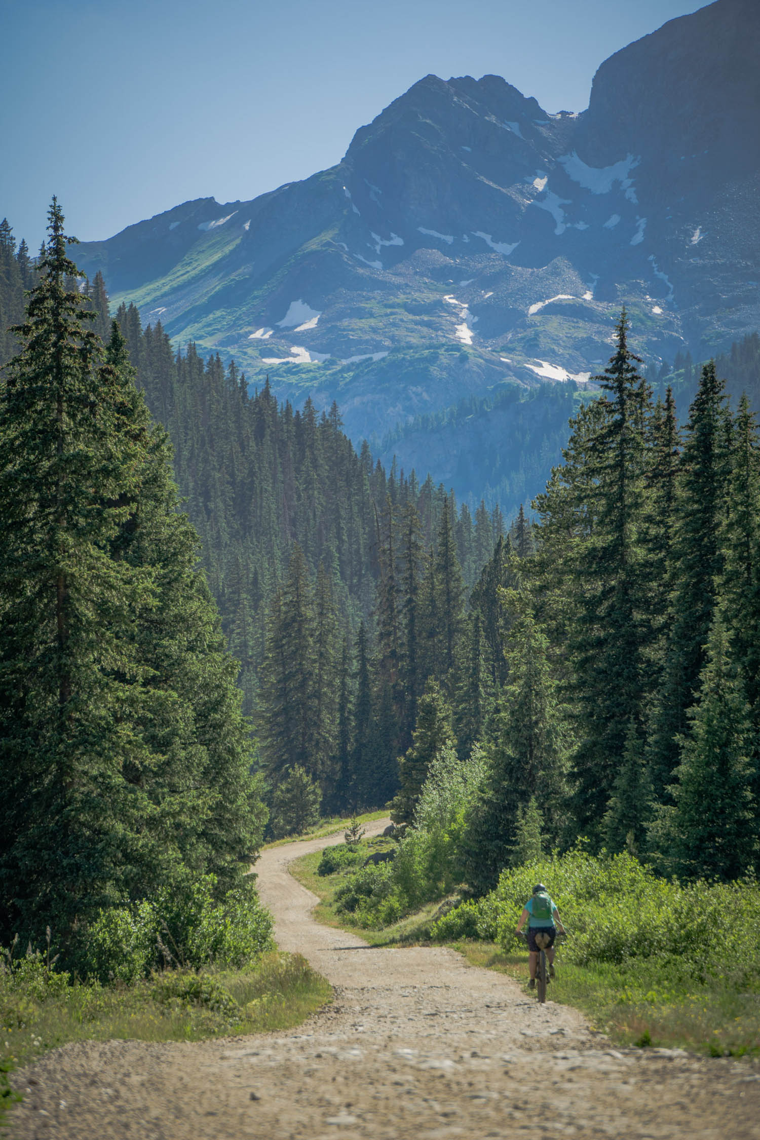
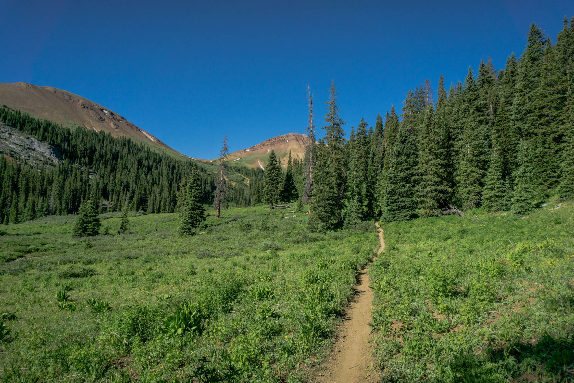
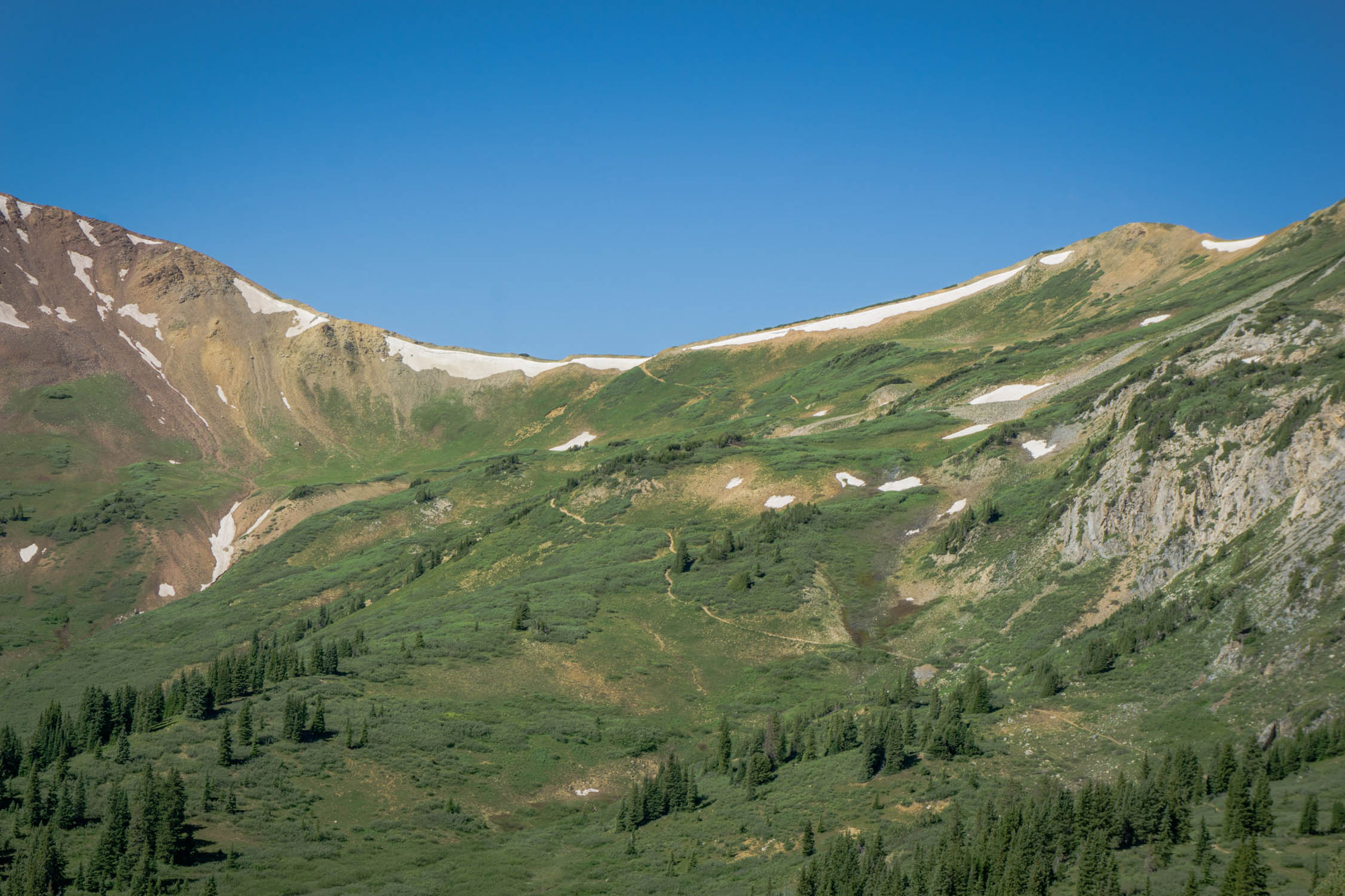
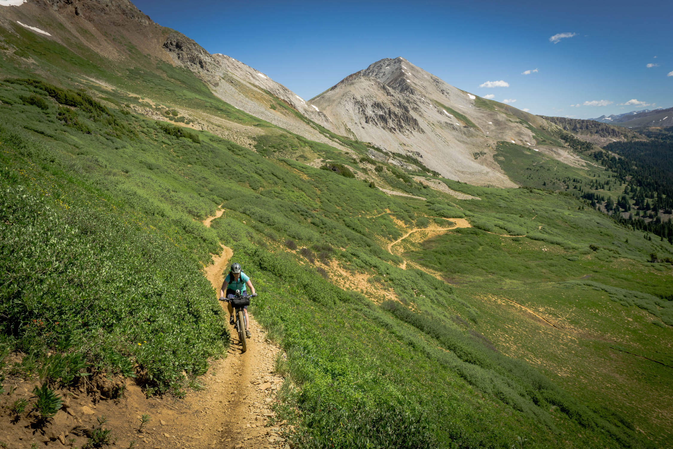
Day two will start with a climb up Mt. Tilton Trail, which is rough singletrack trail that is open to dirt bikes, so keep your ears open for them. The trail can be chewed up in spots, so don’t forget your hiking shoes at home. Once you climb on Mt. Tilton Trail for just shy of 2 miles, you will head right and start climbing Taylor Divide Trail #440 for another mile before the trail junctions with Taylor Pass Divide Road. Here you will head West (left) and travel in the last bit of pines before you reach treeline and eventually make your way to Trail 400. You will continue on Trail 400, descending, passing Crystal Peak trail and one last climb will finally get you up to Star Pass at 12,300 feet.
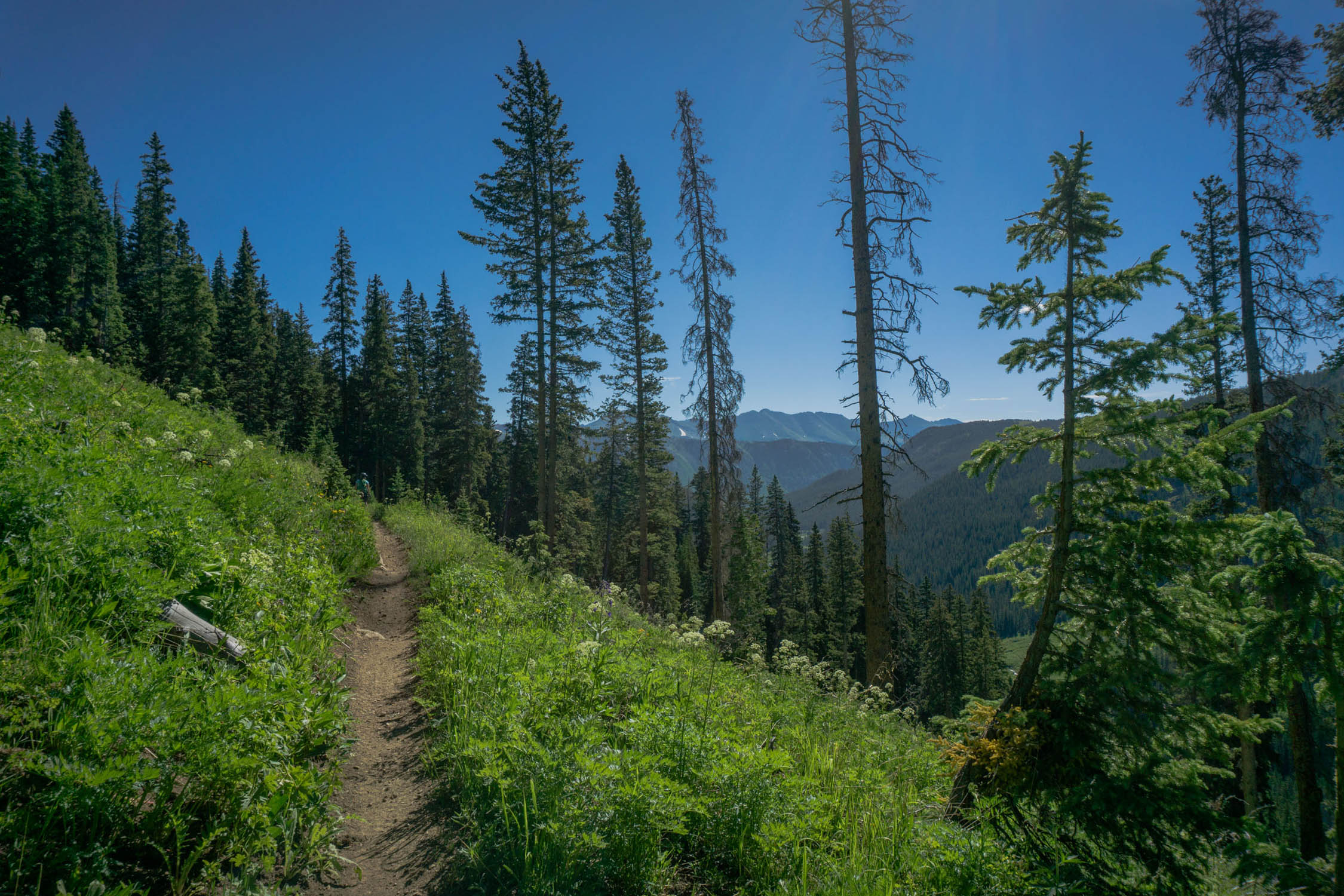
The rest of the trail is nearly all down hill. After soaking in the 360 degree views, you will make your way down Trail 400. Soak this ride in, as it’s one of the best descents in the area from high alpine riding, to rough and rooty chunk, to smooth jedi-fast goodness. Eventually you will hit Brush Creek Road and bear left, down creek. Brush Creek Road will meander along and cross Brush Creek. As the valley opens up, you will enter the East River Valley which will eventually bring you back into Skyland and the Deli Trail which will bring you back into Crested Butte.
Additional Resources
- Please head over to CBMBA.org for updated trail conditions. They have the best possible information on if things are still under snow or not.
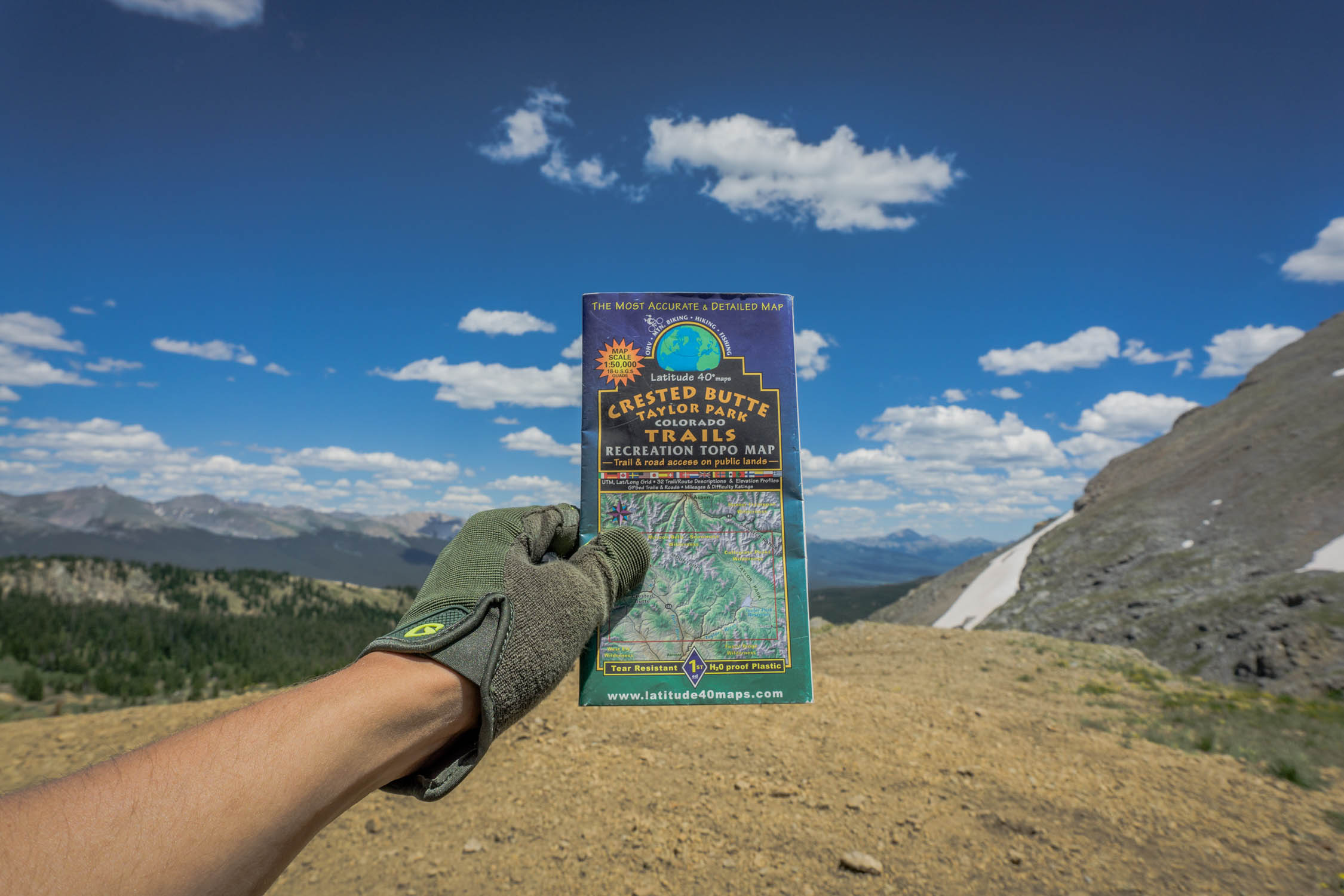
- Crested Butte Taylor Park Map from Latitude 40 is a great resources to carry, you can find it at the Alpineer in town.


Terms of Use: As with each bikepacking route guide published on BIKEPACKING.com, should you choose to cycle this route, do so at your own risk. Prior to setting out check current local weather, conditions, and land/road closures. While riding, obey all public and private land use restrictions and rules, carry proper safety and navigational equipment, and of course, follow the #leavenotrace guidelines. The information found herein is simply a planning resource to be used as a point of inspiration in conjunction with your own due-diligence. In spite of the fact that this route, associated GPS track (GPX and maps), and all route guidelines were prepared under diligent research by the specified contributor and/or contributors, the accuracy of such and judgement of the author is not guaranteed. BIKEPACKING.com LLC, its partners, associates, and contributors are in no way liable for personal injury, damage to personal property, or any other such situation that might happen to individual riders cycling or following this route.
Please keep the conversation civil, constructive, and inclusive, or your comment will be removed.