


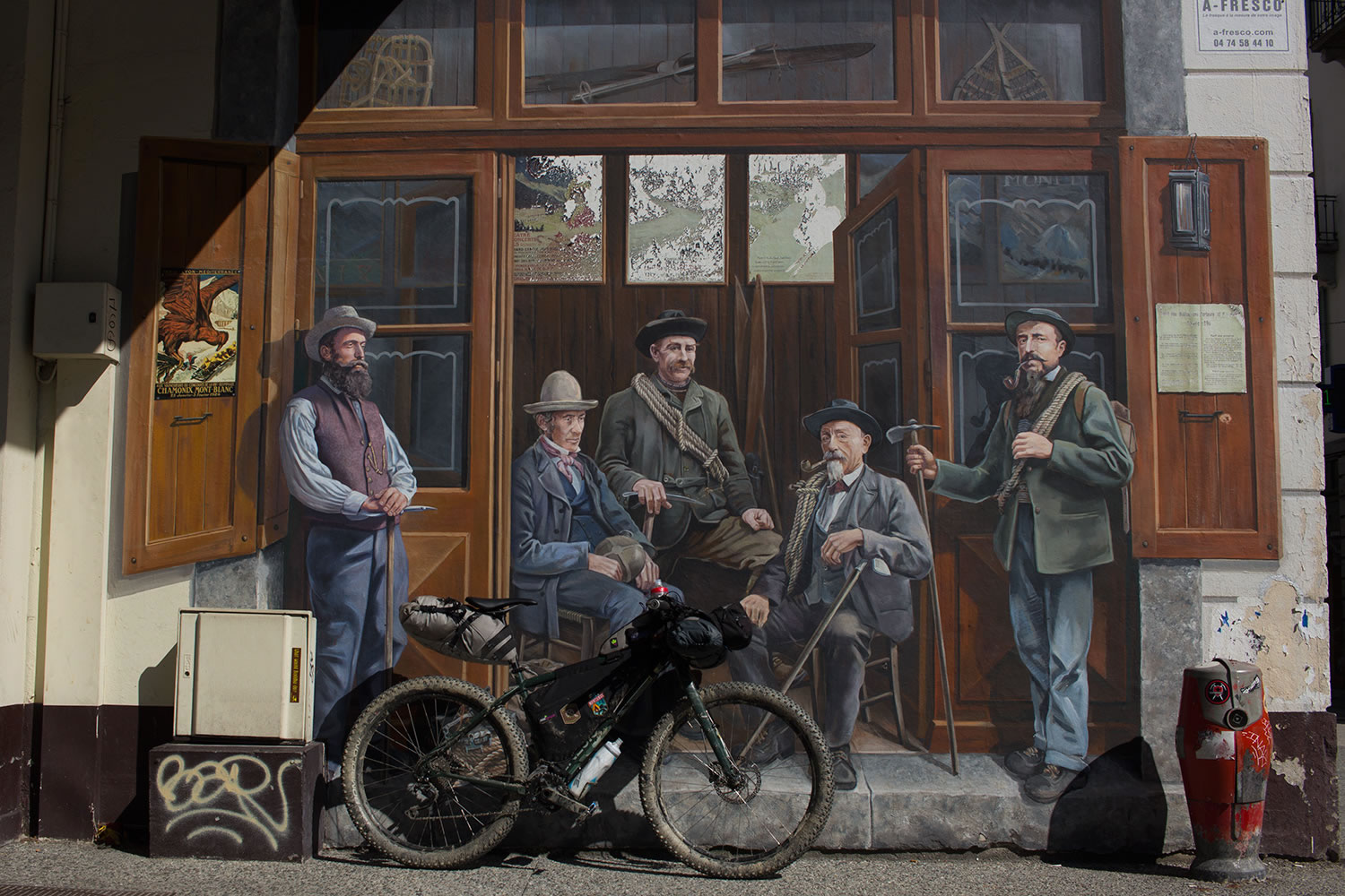
Tour du Mont Blanc
Distance
108 Mi.
(174 KM)Days
5
% Unpaved
81%
% Singletrack
50%
% Rideable (time)
80%
Total Ascent
26,378'
(8,040 M)High Point
8,323'
(2,537 M)Difficulty (1-10)
9?
- 10Climbing Scale Very Strenuous244 FT/MI (46 M/KM)
- -Technical Difficulty
- -Physical Demand
- -Resupply & Logistics
Contributed By
Montanus
The Wild Side
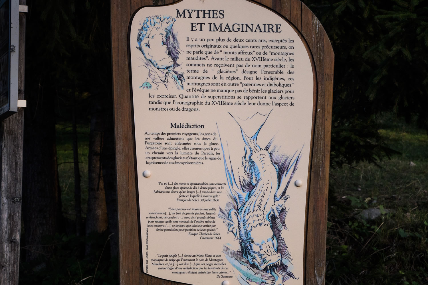
The mountains before the 18th century were considered arcane places, full of dangers, inhabited by monstrous creatures, where huge white dragons (i.e. glaciers) descended from the heights to haul away and devour those who wished to violate their territory. The conquest of Mont Blanc in 1786 marks the beginning of a different approach to the mountains, still an unknown place yet to be explored — the birth of Alpinism.
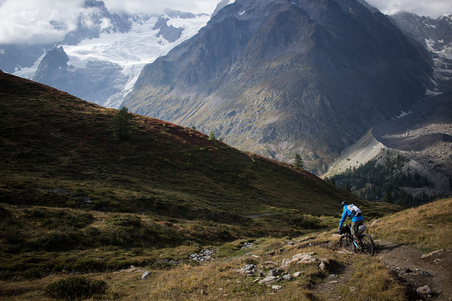
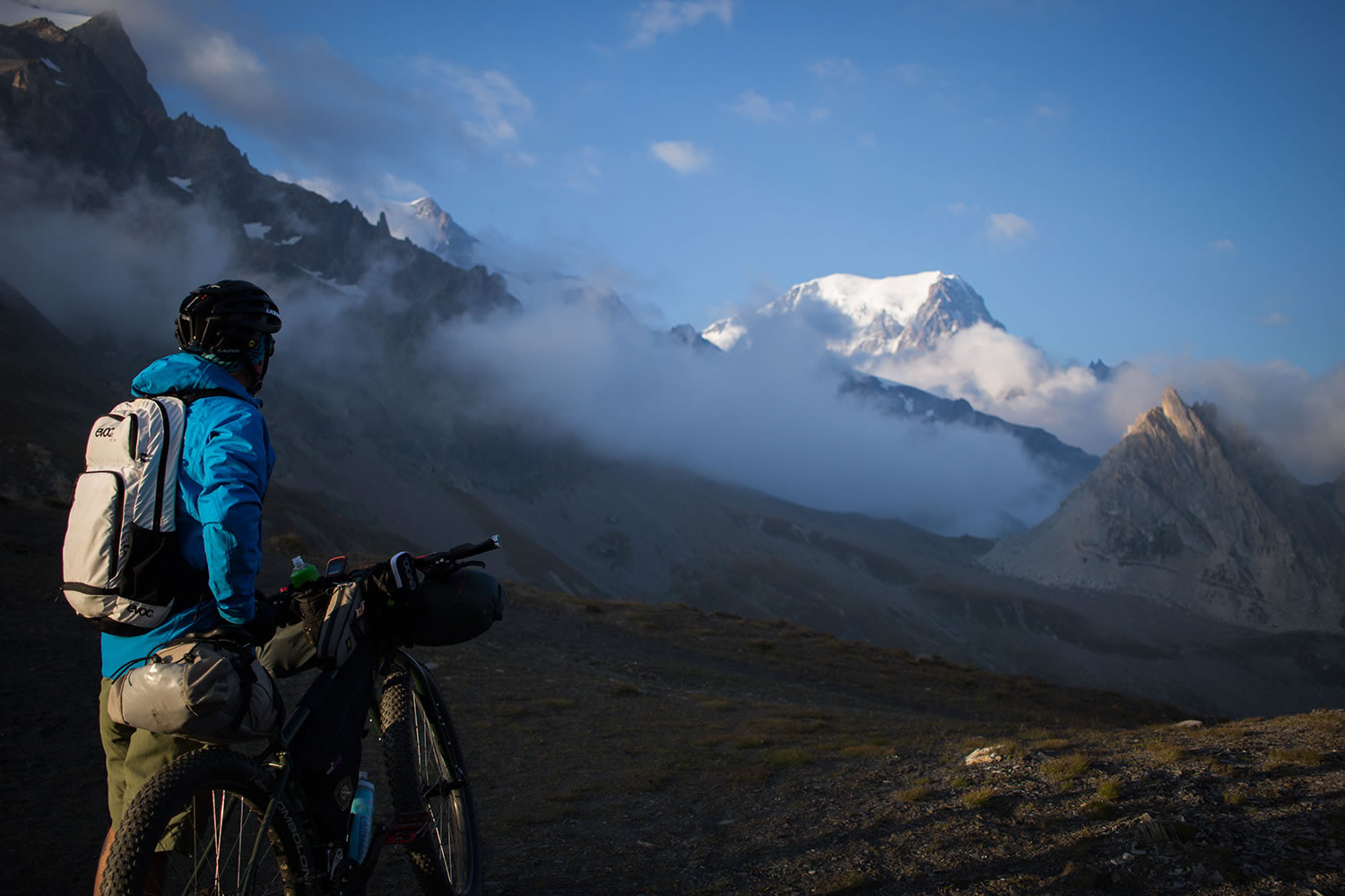
A different approach is also necessary when bikepacking the Tour du Mont Blanc (TMB), one of the most popular long-distance circular treks in Europe. The urge to pedal must meld with the attitude of the mountains and to all that it involves. The Tour du Mont Blanc is an alpine voyage that fills the heart and empties the lungs. For a detailed description of the route, click the Trail Notes tab below.


Submit Route Alert
As the leading creator and publisher of bikepacking routes, BIKEPACKING.com endeavors to maintain, improve, and advocate for our growing network of bikepacking routes all over the world. As such, our editorial team, route creators, and Route Stewards serve as mediators for route improvements and opportunities for connectivity, conservation, and community growth around these routes. To facilitate these efforts, we rely on our Bikepacking Collective and the greater bikepacking community to call attention to critical issues and opportunities that are discovered while riding these routes. If you have a vital issue or opportunity regarding this route that pertains to one of the subjects below, please let us know:
Highlights
Must Know
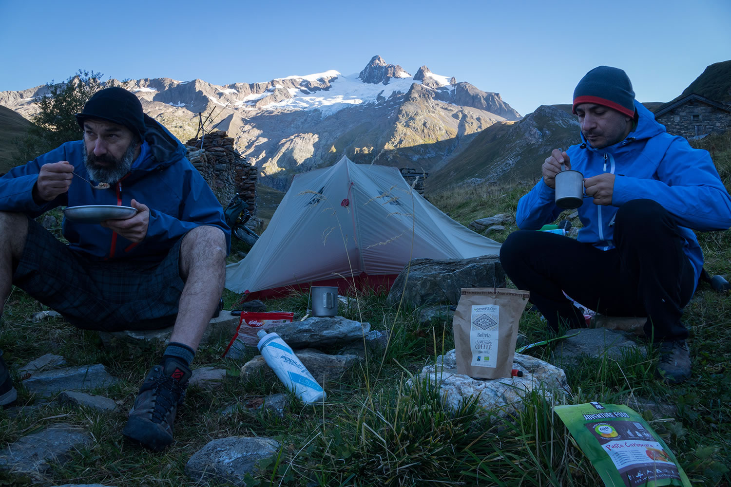
Camping
Food/H2O
Trail Notes
Resources
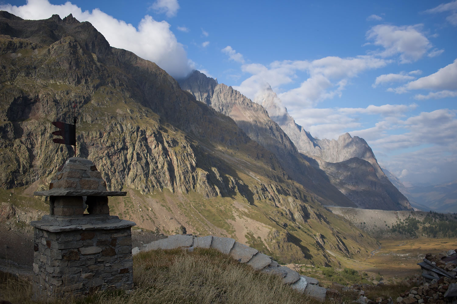
- Amazing views on Val Veny and Val Ferret, two beautiful glacial valleys that run along the entire italian side of the Mont Blanc Massif.
- The monuments of the conquest of Mont Blanc (1786) in the Chamonix square. The first of 1887 is dedicated to Balmat De Saussure and the second was opened 100 years later to return M.G.Paccard about who was the real soul of the undertaking.
- The bearded vulture (Gypaetus barbatus) it’s one of the biggest vulture which nesting in the old continent. It’s possible to spot this rare bird of prey, recently reintroduced on the Alps, in the most mountainous areas of the route.
- The Marmot (Marmota) a sort of large squirrel, will accompany you along most of the route with its typical whistle. It’s a warning signal used to communicate your presence to the others marmots. It’s indeed the cutest animal of the TMB.
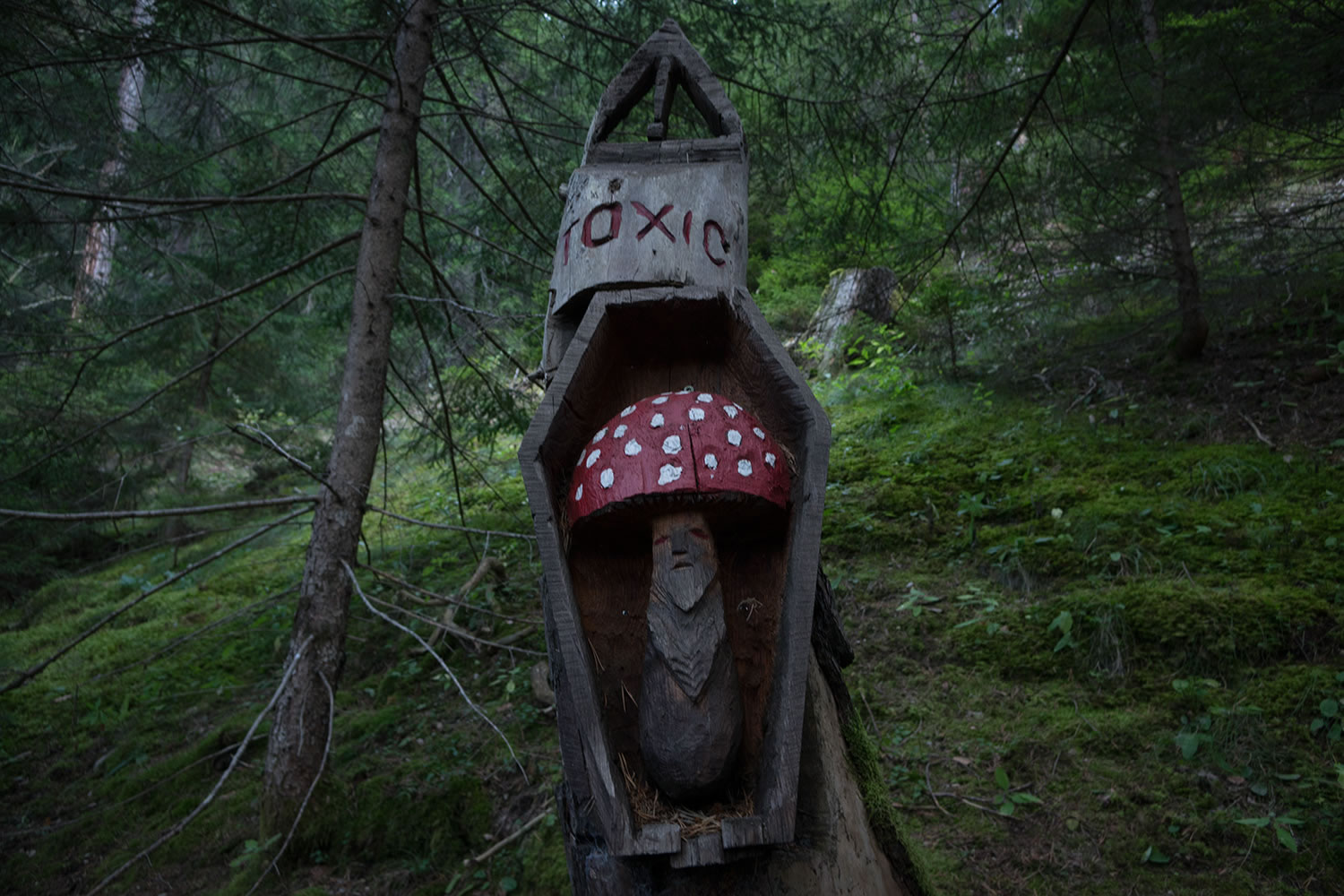
- Weird wooden sculptures along the trail in the wood after Champex-Lac, in Switzerland.
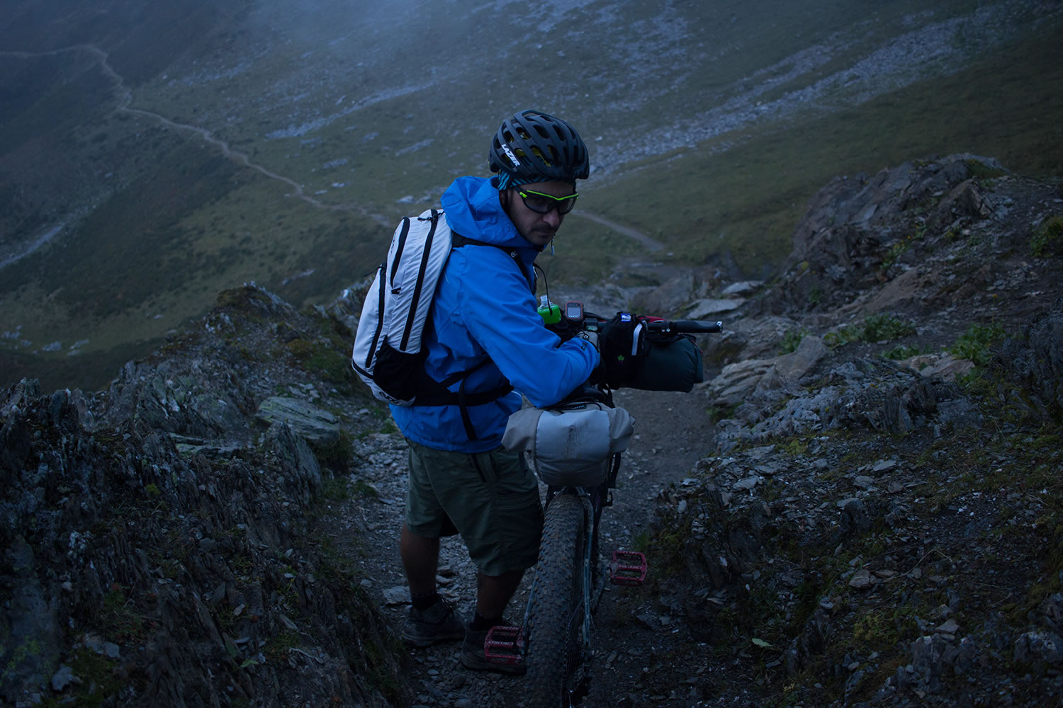
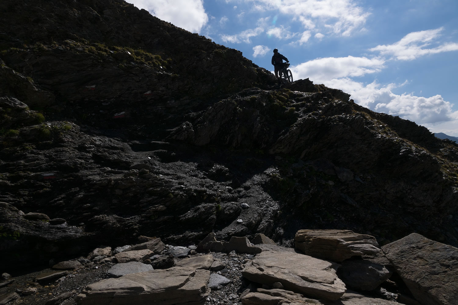
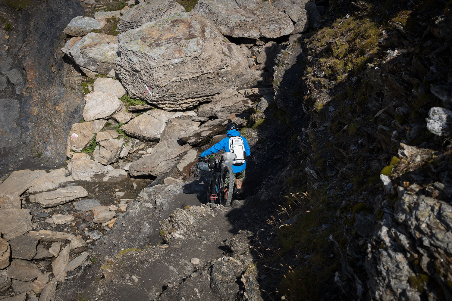
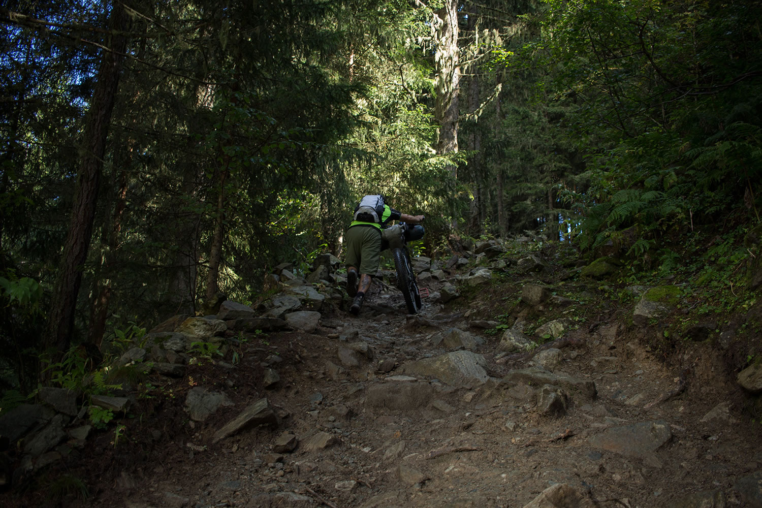
- This route of TMB deviates from the classic route and requires good physical preparation. However, there are several paths to reduce the total ascent and bypass some of the toughest climbs.
- The best time to face the TMB is from mid-June until mid-September. In June the higher mountain passes may still be snow-covered. During July and August the trails are crowded with hikers, while in later September you can experience the TMB in amore intimate way.
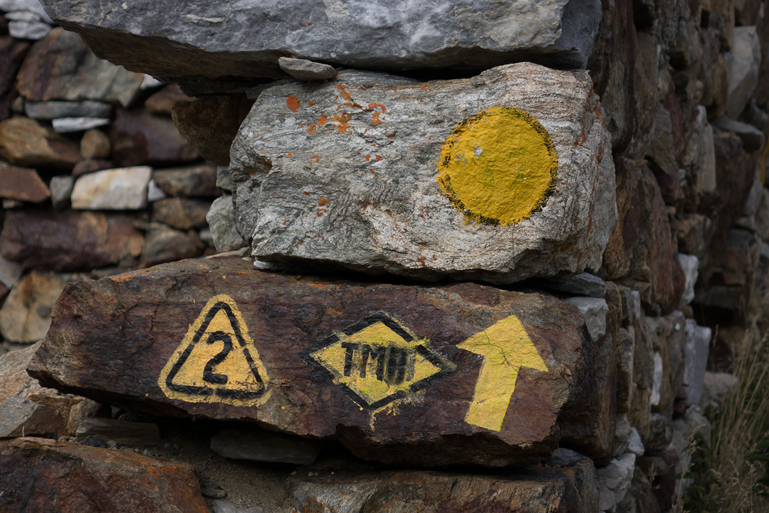
- The TMB can be ridden clockwise or counterclockwise. Many people choose to start from Chamonix or Les Houches in France, others from Courmayeur in Italy, but you can choose any point along the route.
- Take high mountain clothes with you. Abrupt changes in weather can lead to sudden snowfalls even in the summer months.
- Don’t’ forget to wear sunscreen.
- The long, steep descents and the weight of the bike in bikepacking mode devour the brake pads. Take with you at least one spare pair.
- In the towns of Chamonix and Les Houches, there are some well-stocked bike shops.
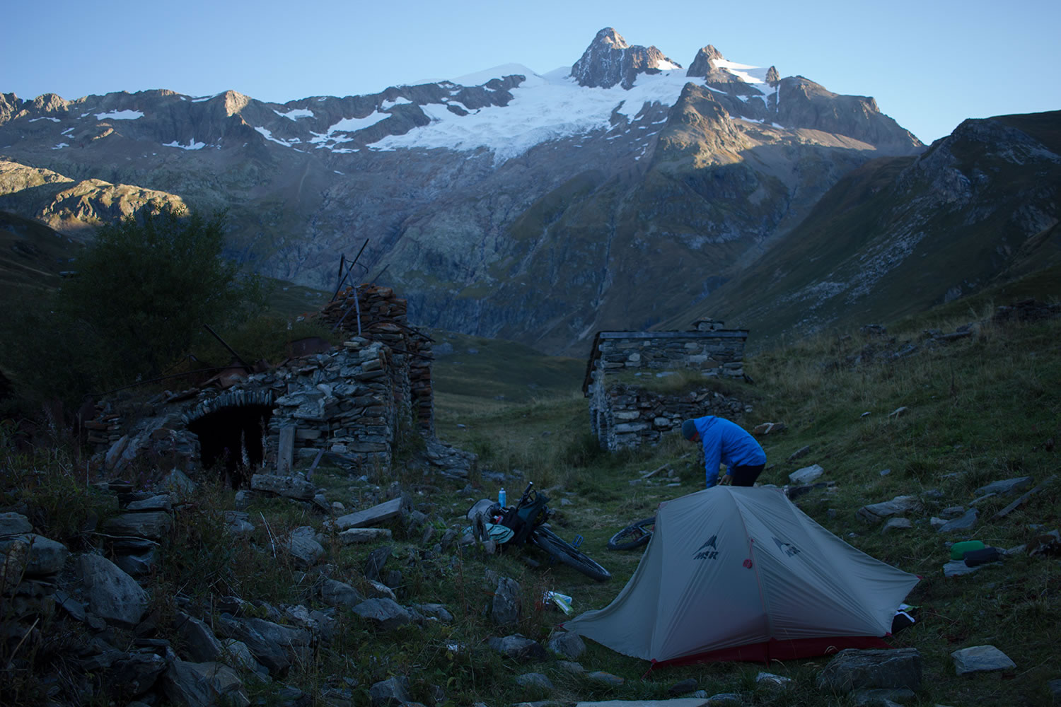
- Wild camping is not generally encouraged, but is tolerated. Set up camp in responsible places. Be discreet. #leavenotrace
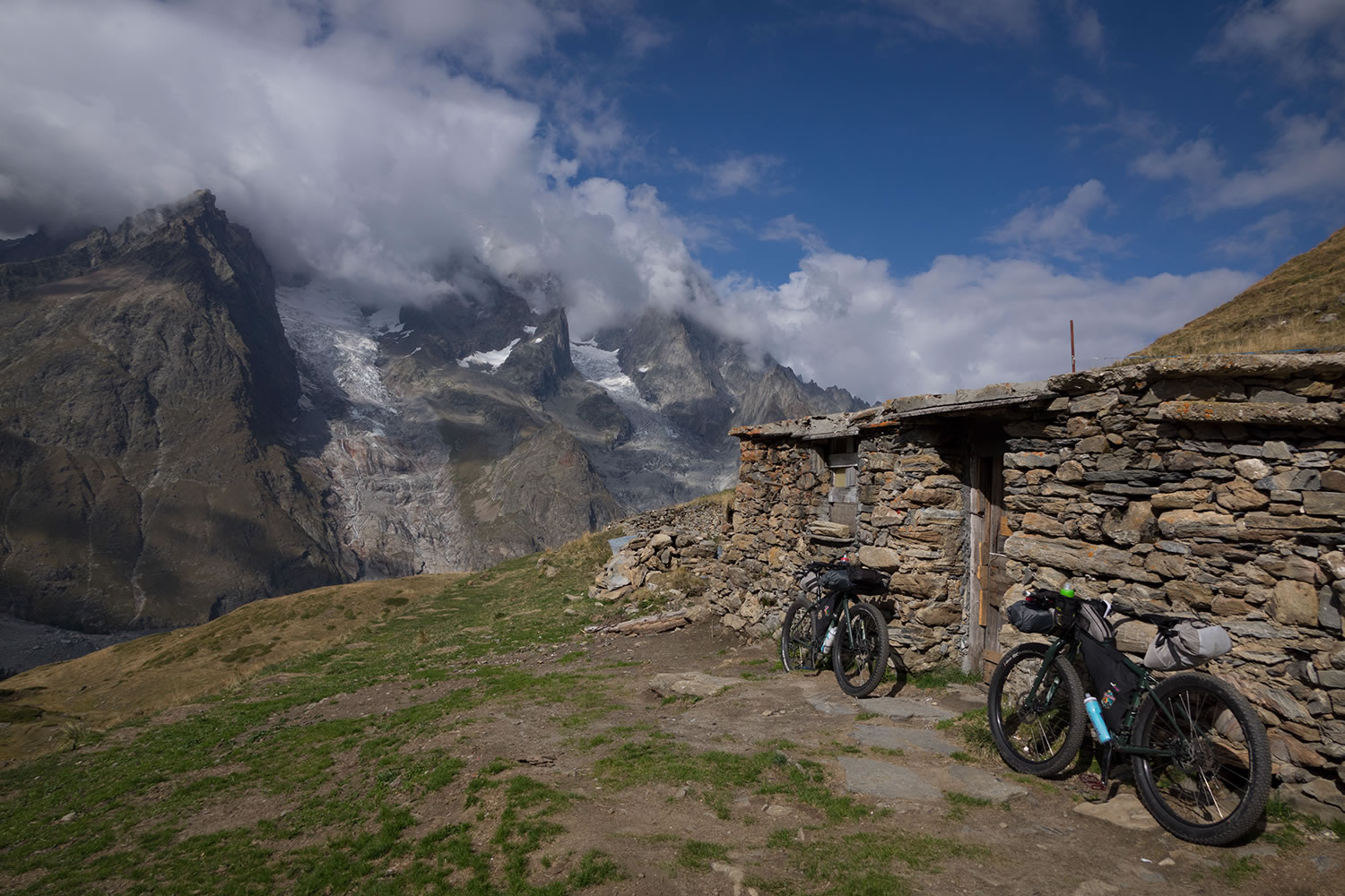
- For those who don’t want to have a self-supported adventure there are many shelters along the route where you can sleep and eat. In the summer months, given the turnout, it’s recommended to book, while from mid-September many of them are already closed.
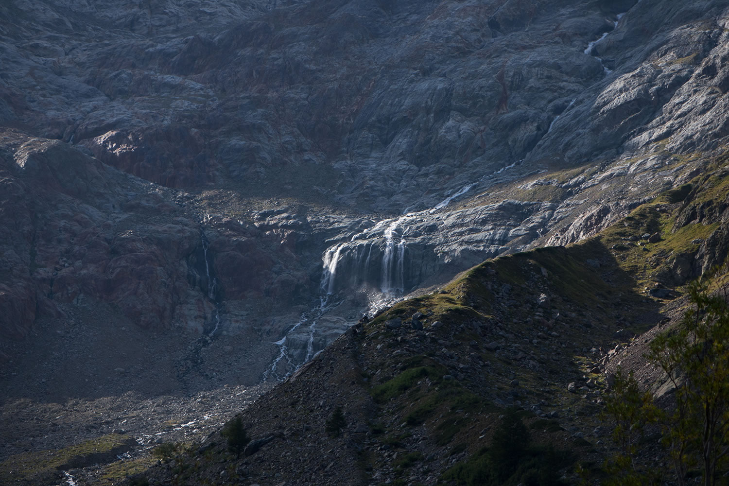
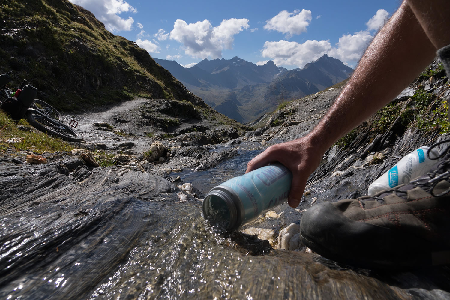
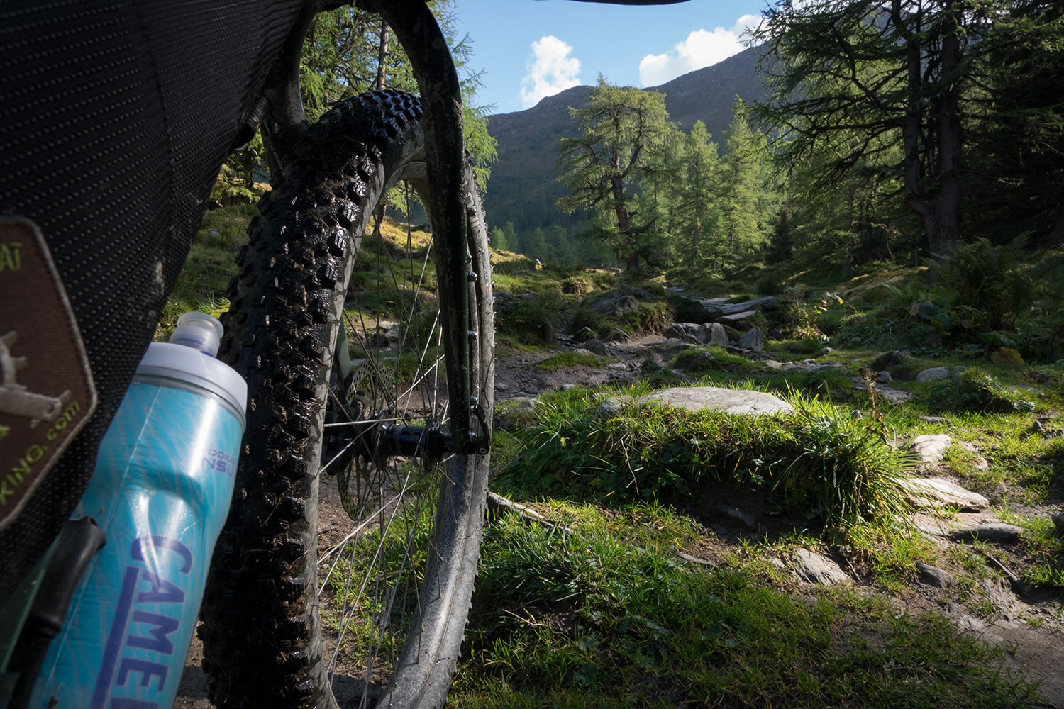
- The massif of Mont Blanc with its glaciers and permanent snow ensures a steady supply of water along the route. (Rivers and creeks in the mountain/ fountains in the villages).
- You can resupply at the general stores in Courmayeur (Italy), Les Houches and Chamonix (France) and in the small village of Le Fouly (Switzerland).
Trail Description
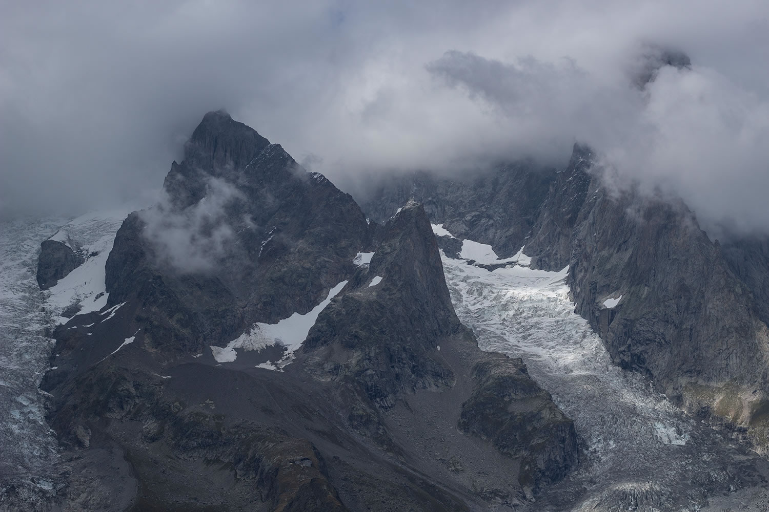
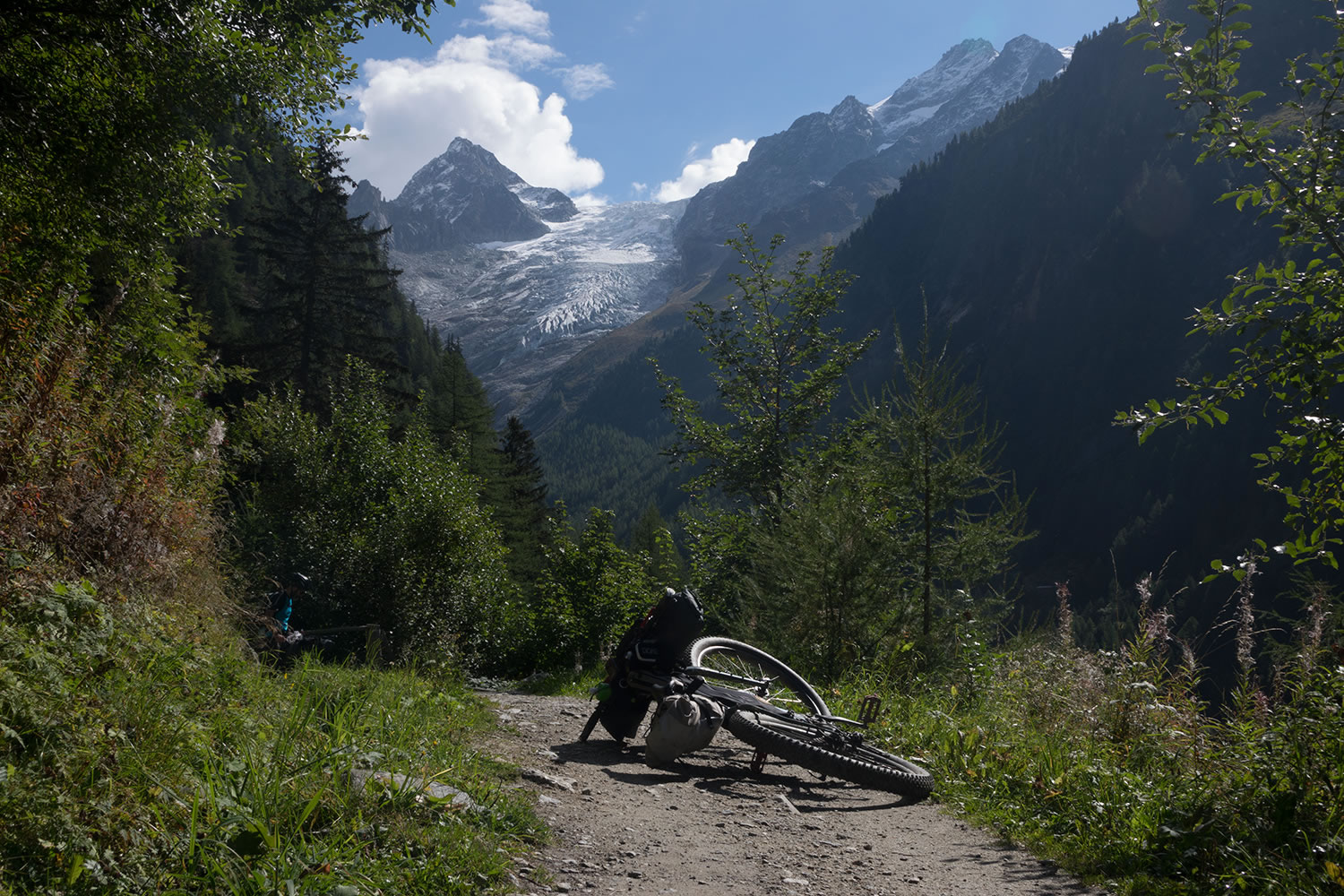
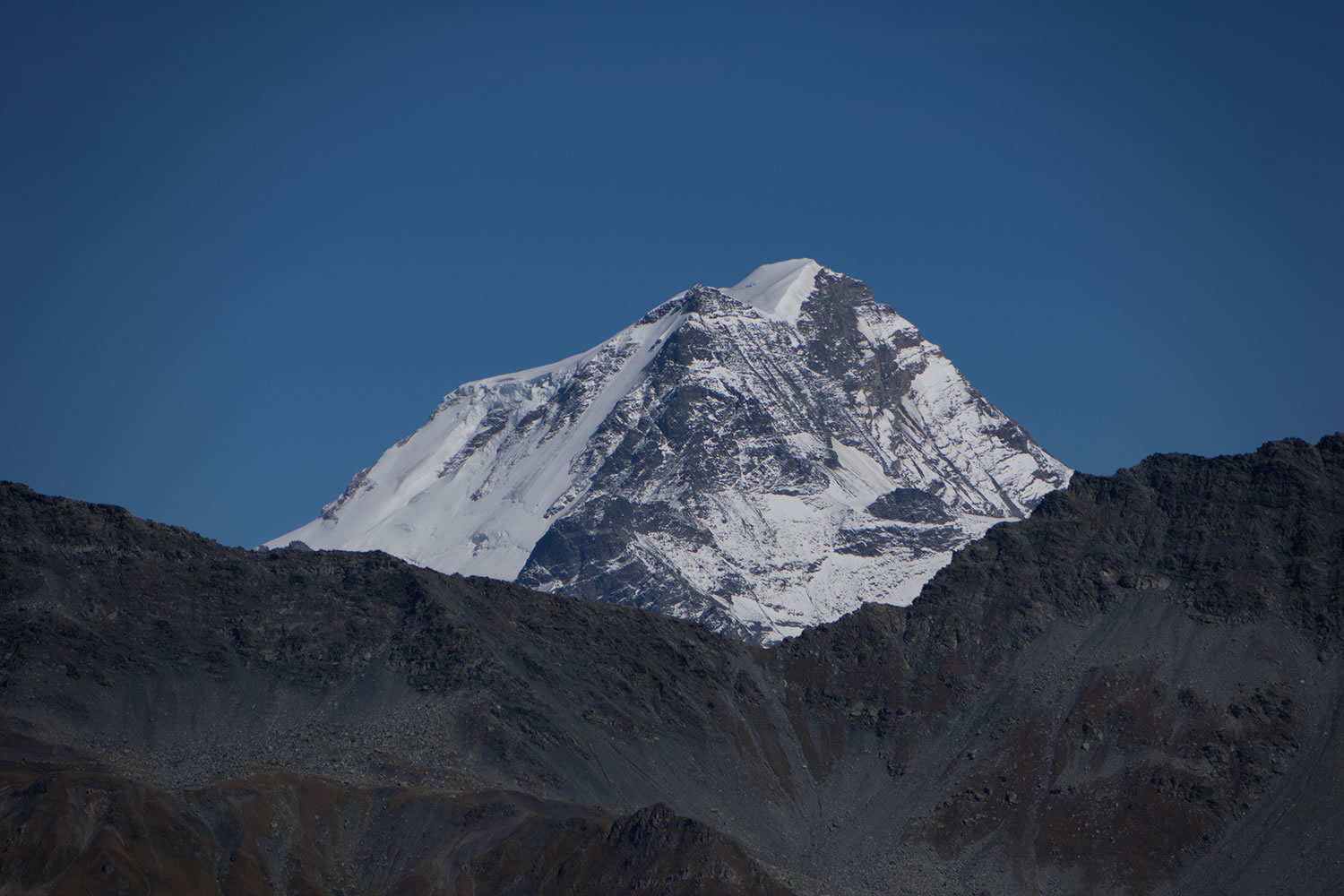
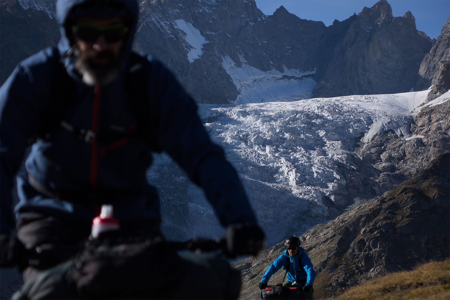
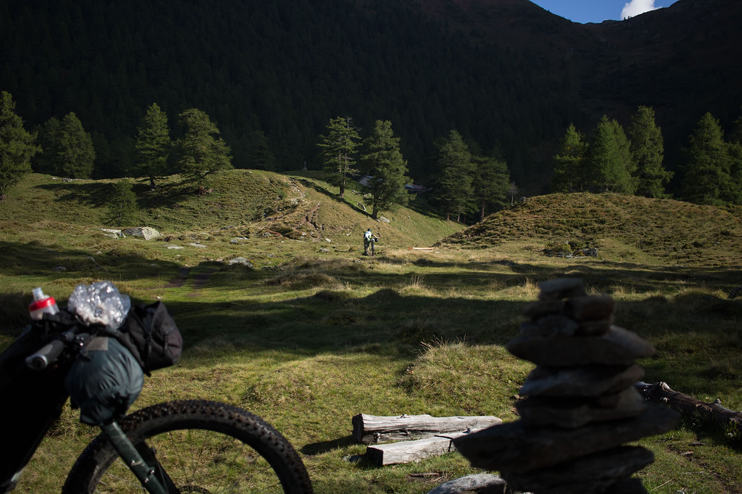
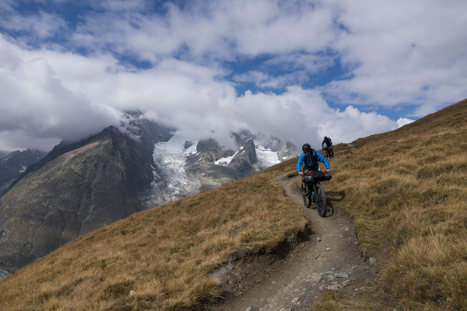
The TMB starts in a clockwise direction from Courmayeur, a small italian town located at the foot of the southern side of Mont Blanc. It quickly reaches 2,000 meters in altitude and the majestic scenery offered by the Aiguille Noire de Peuterey and the mighty glacier of Brenva that flows down valley from the summit of Mont Blanc. By way of a hike-a-bike trail you reach the Mont Favre at 2400mt before falling back to the most spectacular area of the Val Veny, where Dora of Vény river, the incredible Miage glacier, lake Combal, Aiguille des Glaciers and the unmistakable silhouettes of Calcaires Pyramides on the horizon paint an ice-age setting of incomparable beauty.
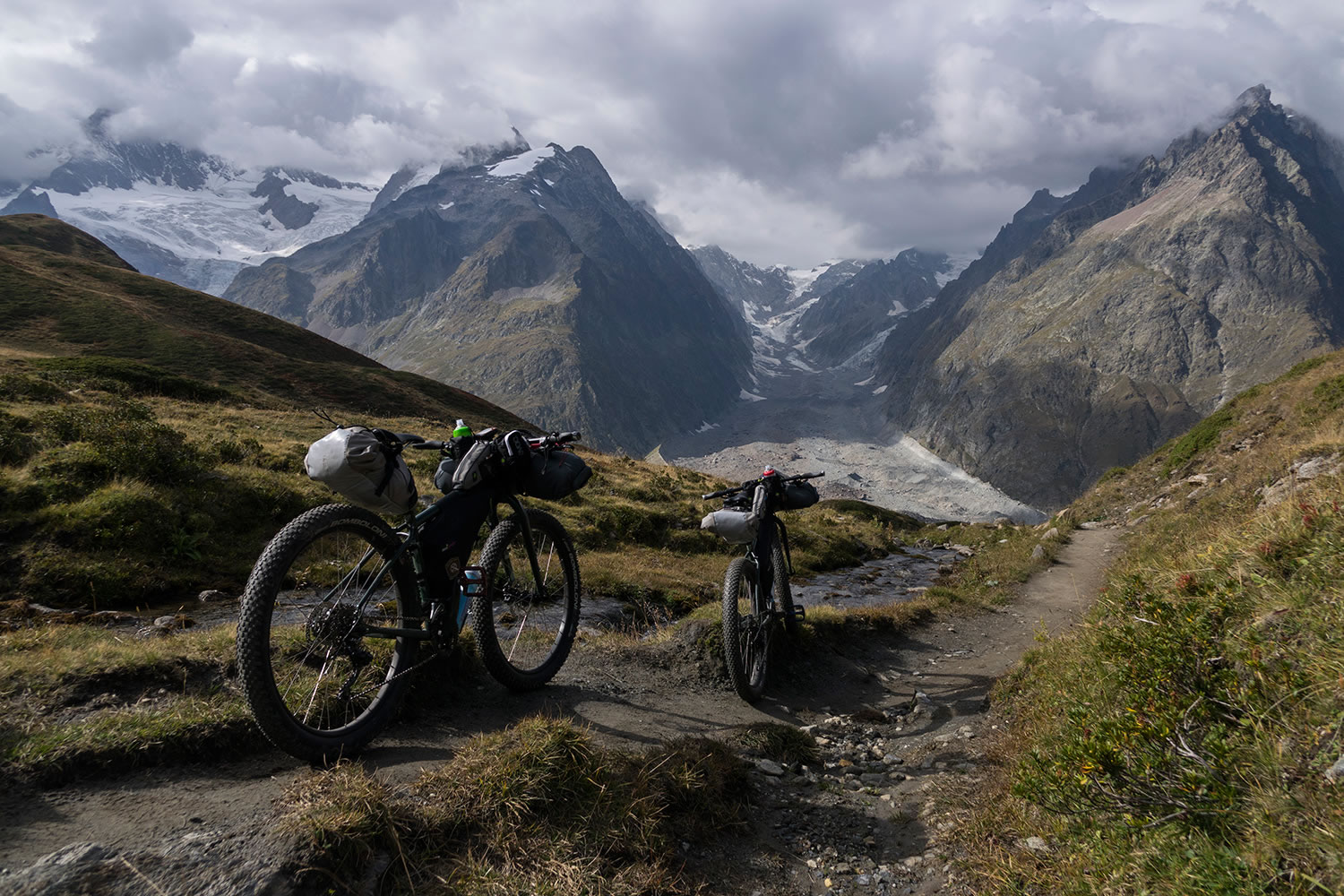
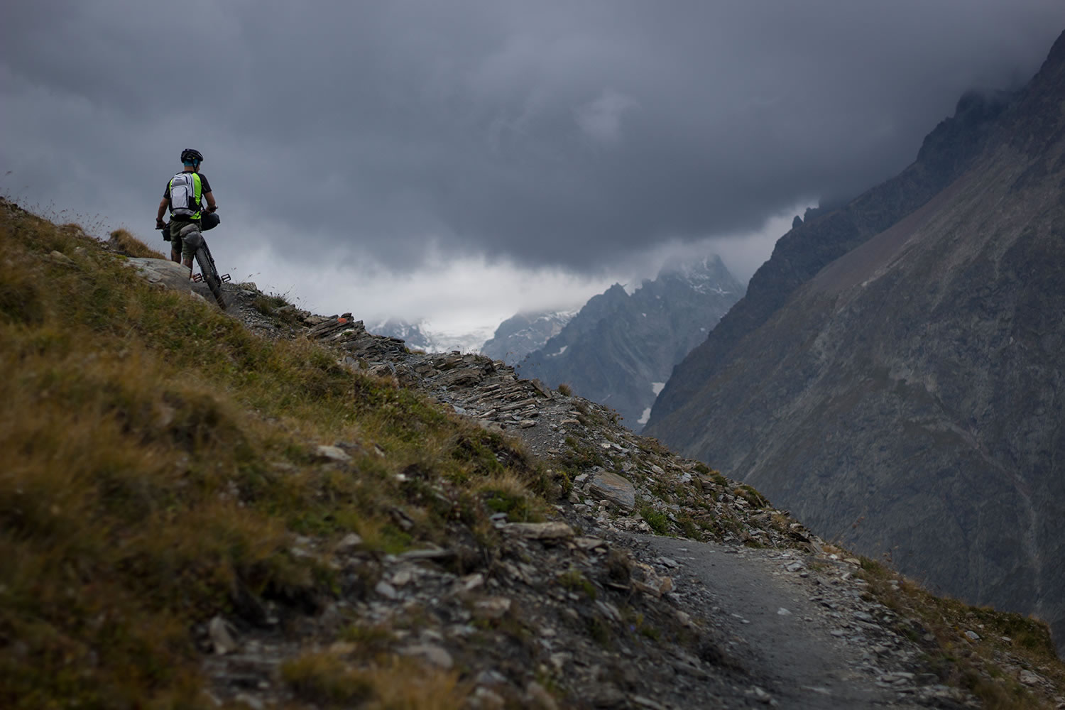
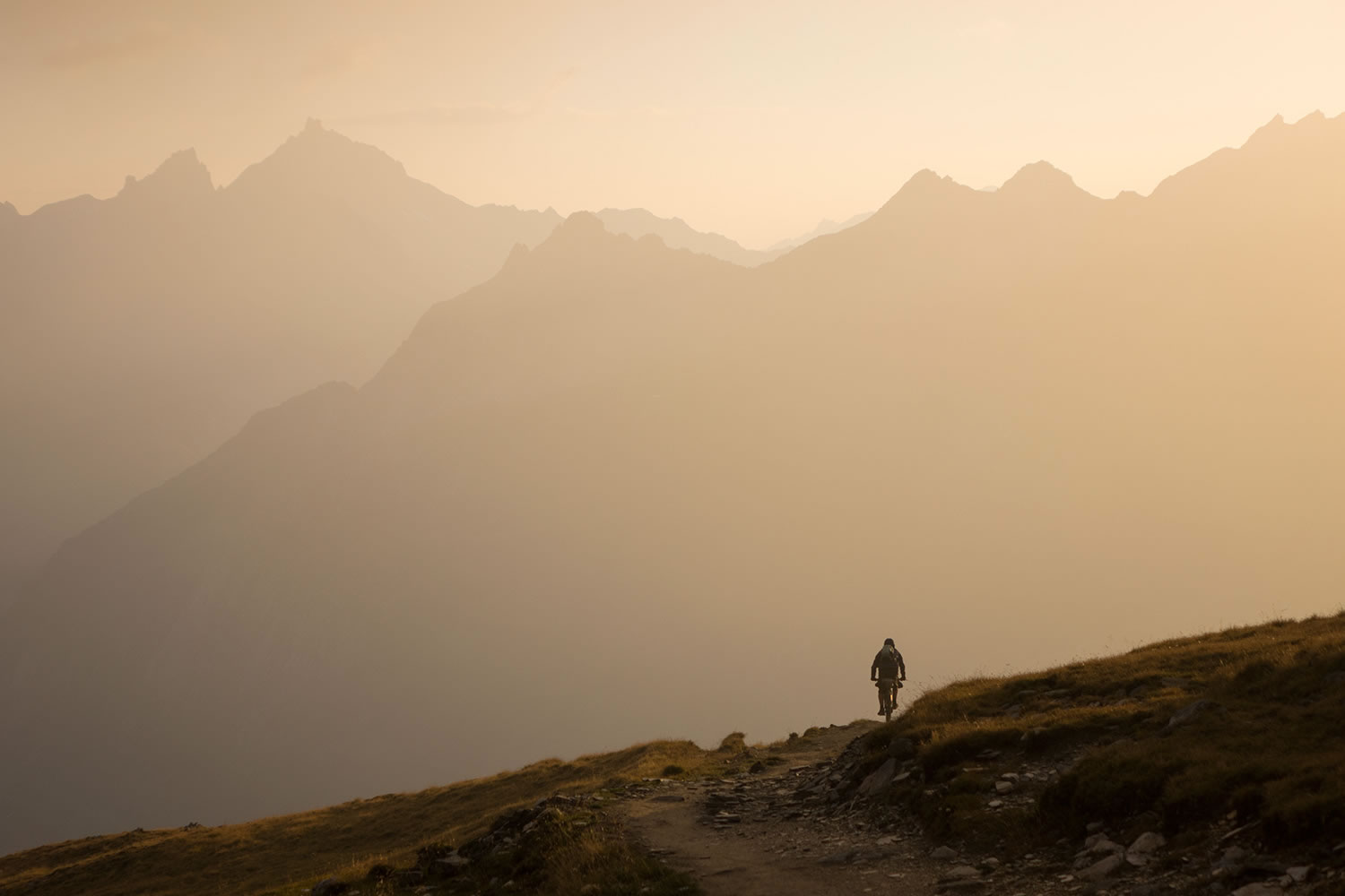
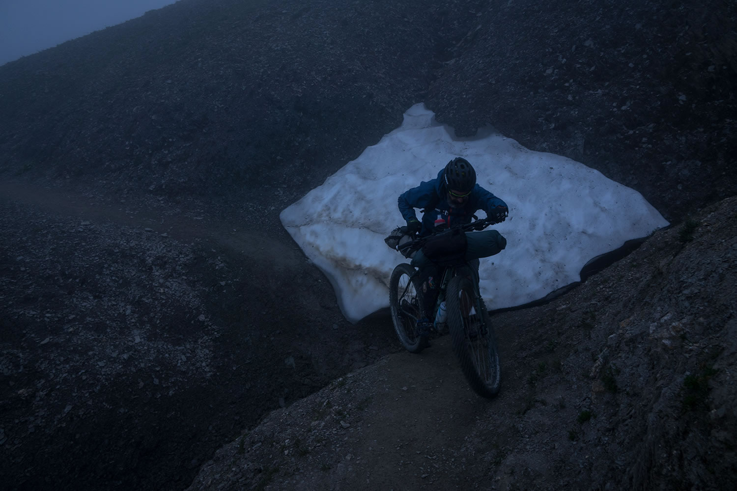
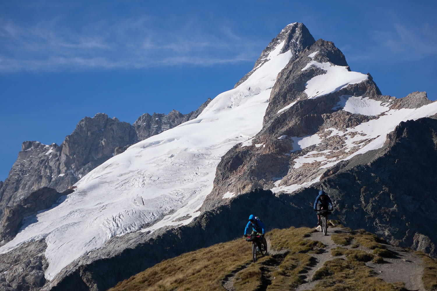
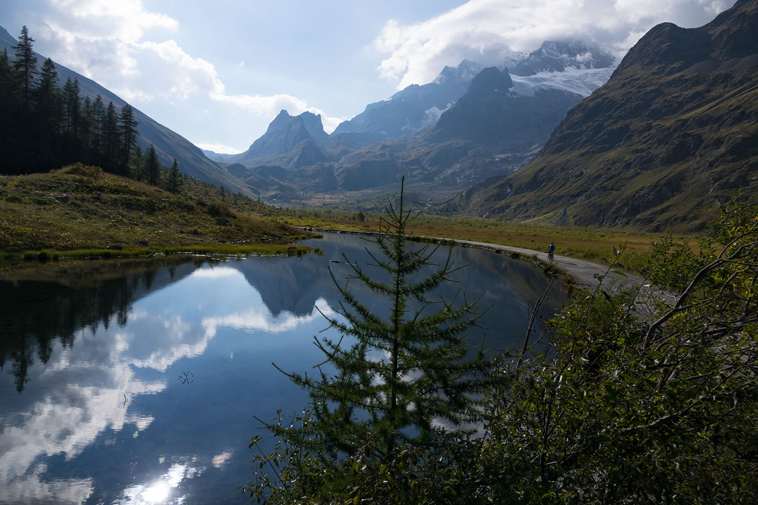
A comfortable gravel road runs through the valley and after passing some dilapidated military barracks, reaches the high Val Veny, a vast isolated plateau that allows you to catch your breath before start to climb again along a trail that leads to the Col de la Seigne (2512mt) on the border between Italy and France. Arriving here just before sunset means you will enjoy the most beautiful descent of the whole Tour immersed in a surreal atmosphere: the sweet flowing singletrack, the Vallée des Glaciers and peaks on the horizon, all is dyed of gold. After losing about 1000 mt in altitude and passed the small village of Les Chapieux, it rises again to face one of the toughest stretches of the TMB, the climb to the Col du Bonhomme (2,483mt) where the narrow, steep and often rough track will make you curse every the added grams loaded on your bike. However, the Alpine environment and the scenic views offered by the surrounding valleys will reward the effort.
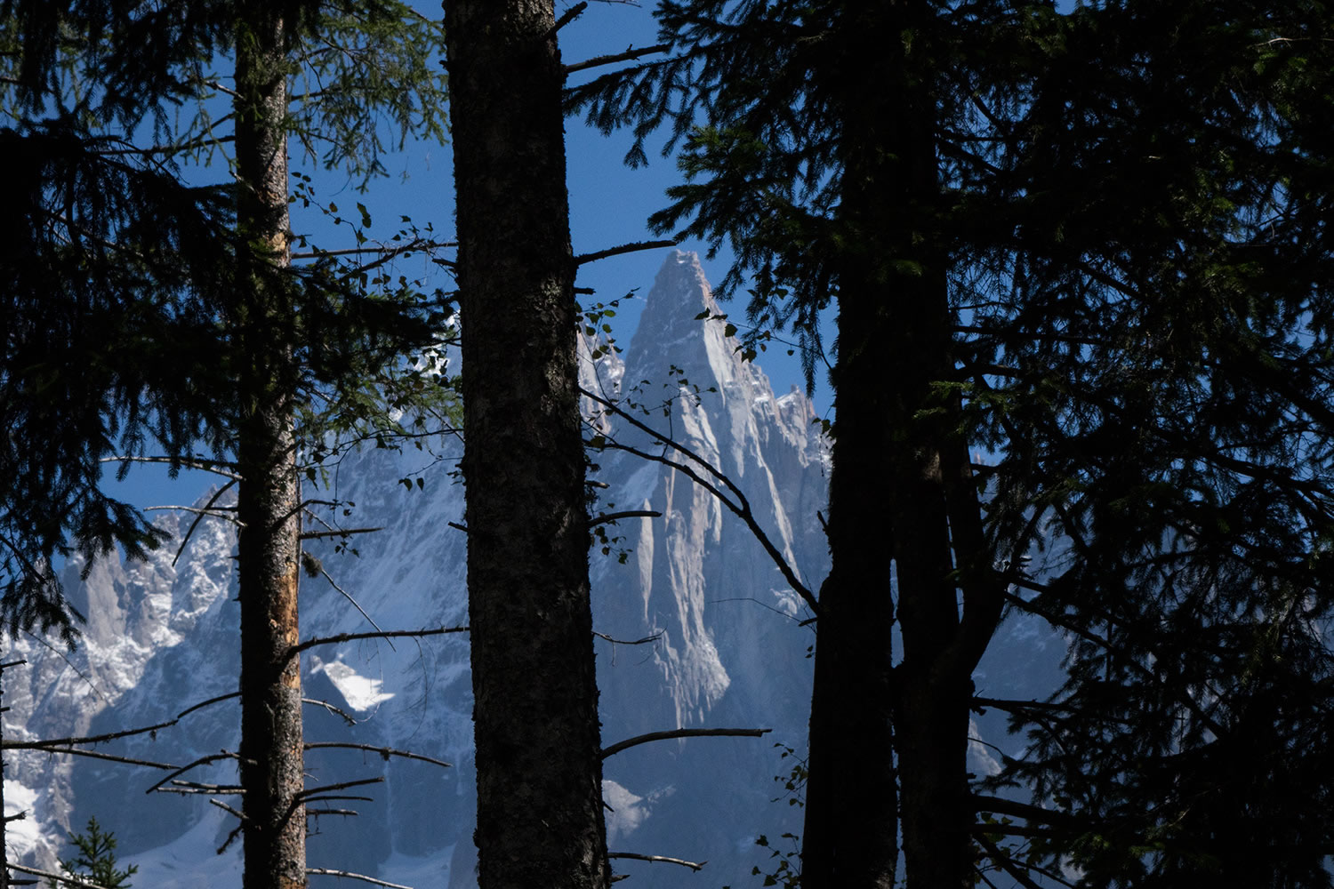
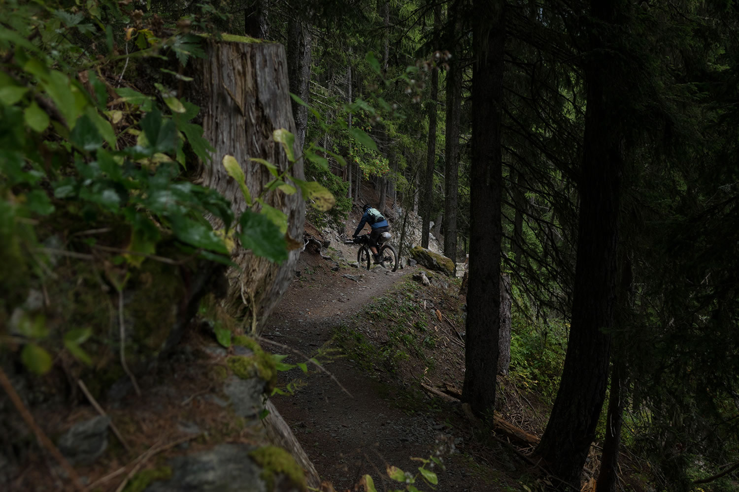
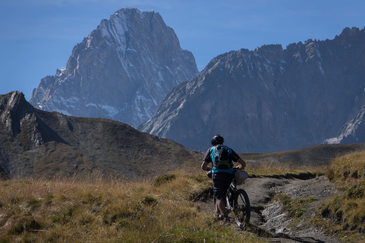
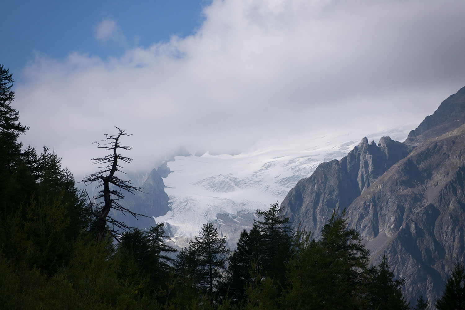
The singletrack descent, initially tight and technical, becomes smoother and comfortable as you get closer to the valley where a gravel road leading into the town of Les Contamines. From here you’ll climb a steep fire road to reach Col de Voza, then cross the tracks of the Tramway du Mont Blanc to go down to the village of Les Houches, along an old school crumbly downhill track. The route continues on singletrack through the forest, running along the north side of the Arve valley, where through the branches of the pine trees, you see the majestic Glacier du Bossom and overhanging peaks of the Aiguille du Midi and the Aiguille du Dru.
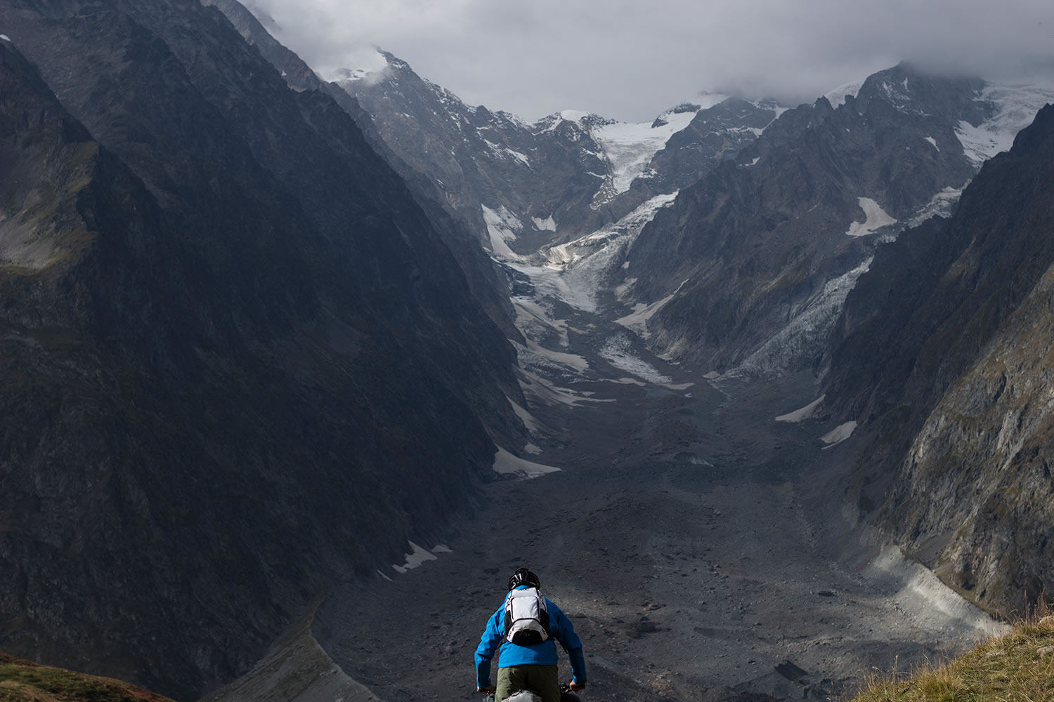
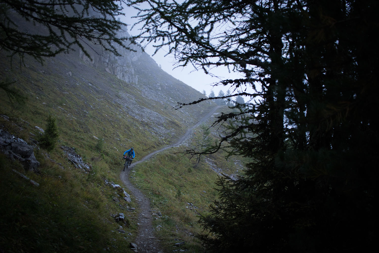
After the traditional alpine village of Chamonix, you will reach the town of Le Tour where a jeep road reaches the Col de Balme at 2195mt on the border of France and Switzerland. From here a long, scenic singletrack runs the west side of the Croix de Fer and then enters the forest, where it becomes rocky and very technical. From the valley of Trient you’ll climb to the amphitheater of the namesake glacier to overcome the glacial river through a wooden bridge and reach the pass of the Col de la Forclaz. A steep narrow path climbs to the Alp Bovine becoming increasingly challenging in the final stretch where boulders along the trail force you to lift the front wheel.
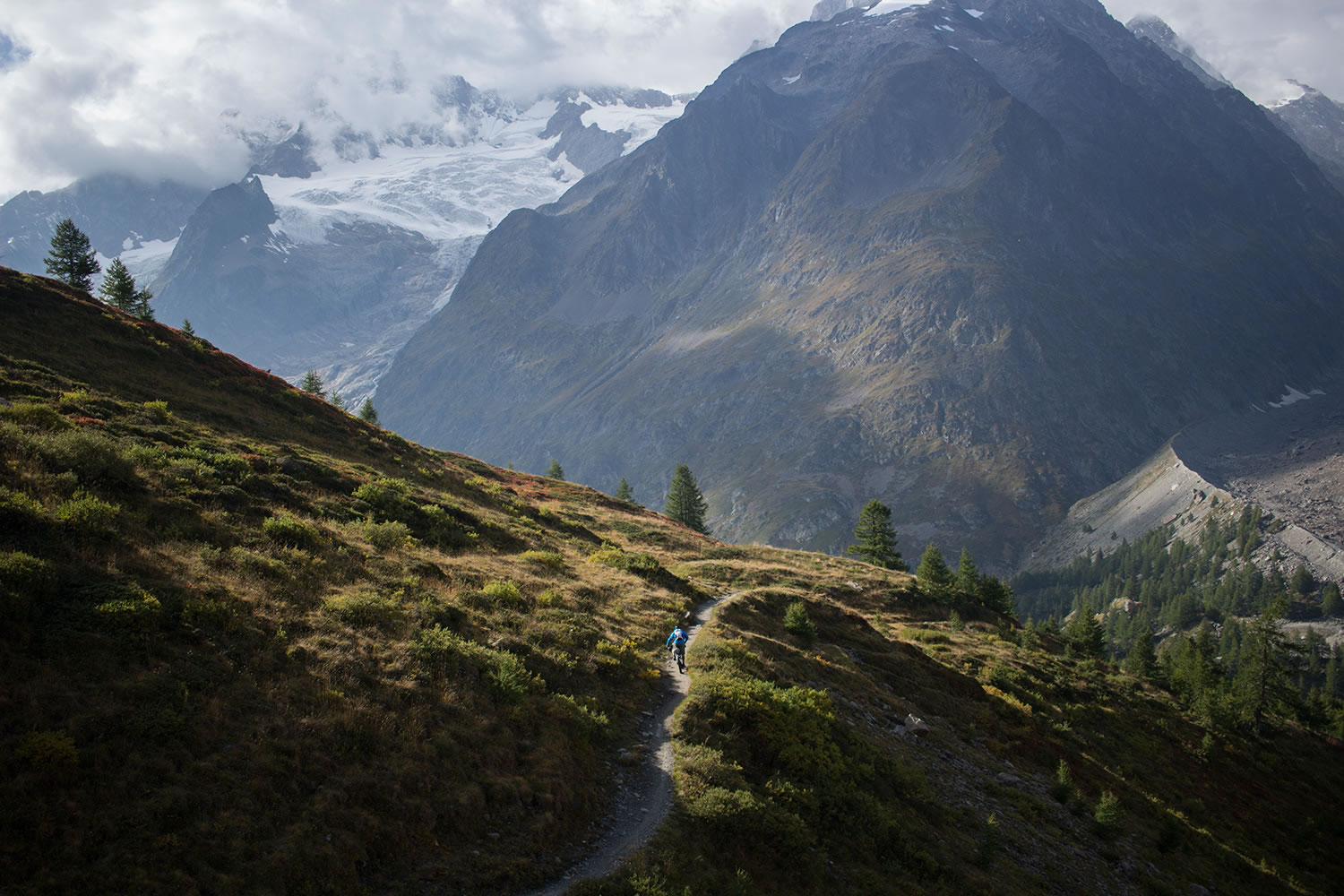
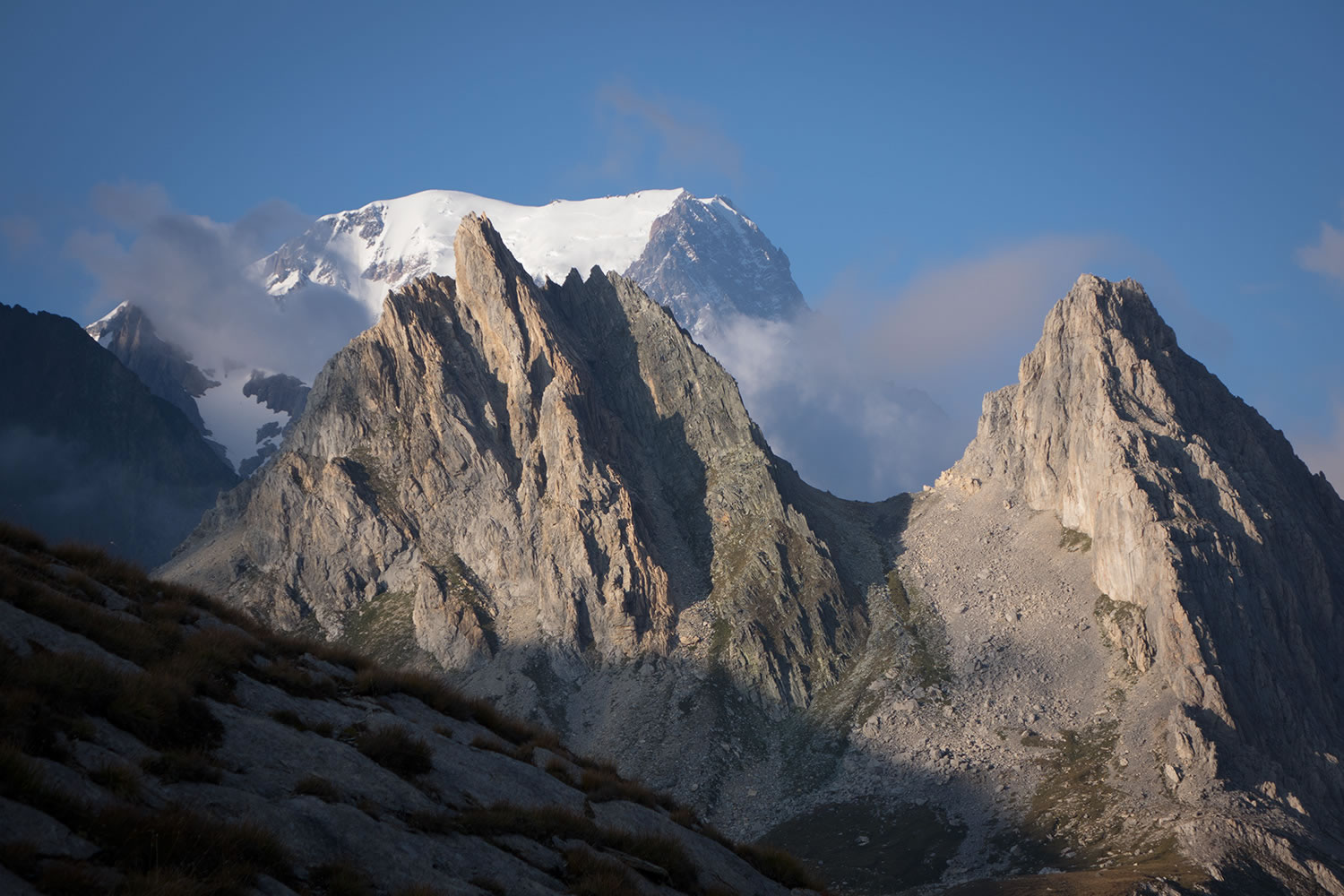
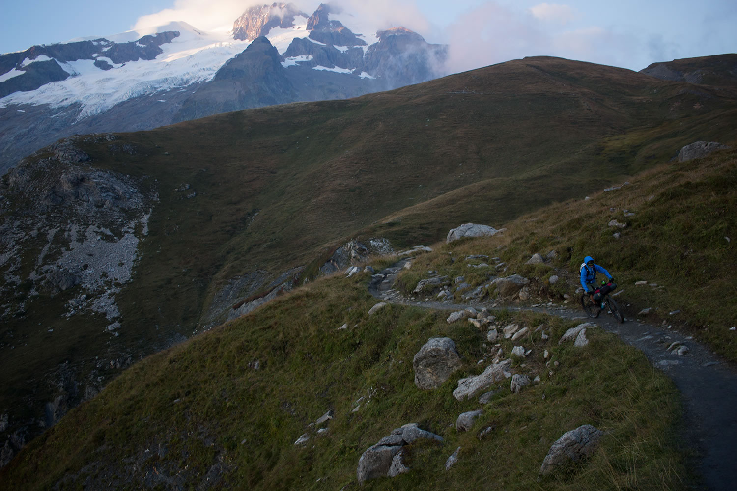
The route continues between alpine pasture and forest to reach the valley bottom through a steep descent on loose rock that winds between boulders and ancient trees uprooted by winter avalanches. Back in the valley you’ll climb the swiss side of Val Ferret, cross the village of Le Fouly and with a succession of trails and fire roads you reach the Col du Grand Ferret at 2,537 mt altitude, on the Swiss-Italian border. From here the view of the Italian Val Ferret is breathtaking. The return to Chamonix is done by traversing the mountain side, a panoramic balcony on the northeastern side of the Mont Blanc massif: from Mont Dolent to the Aiguille de Triolet, from the Grandes Jorasses to the Giant’s Tooth, until the 4810mt summit of Mont Blanc.
With Thanks
Thanks to Adidas Eyewear, CamelBak, EVOC, FiveTen, Genesis Bikes, Madison Clothing, Miss Grape, MSR, Therm-a-Rest, TitanStraps and Vittoria for supporting this trip.
Additional Resources
- autourdumontblanc.com is a site plenty of useful info about the TMB route.
- Visit MontanusWild.com – For the full set of photos from this trip.


Terms of Use: As with each bikepacking route guide published on BIKEPACKING.com, should you choose to cycle this route, do so at your own risk. Prior to setting out check current local weather, conditions, and land/road closures. While riding, obey all public and private land use restrictions and rules, carry proper safety and navigational equipment, and of course, follow the #leavenotrace guidelines. The information found herein is simply a planning resource to be used as a point of inspiration in conjunction with your own due-diligence. In spite of the fact that this route, associated GPS track (GPX and maps), and all route guidelines were prepared under diligent research by the specified contributor and/or contributors, the accuracy of such and judgement of the author is not guaranteed. BIKEPACKING.com LLC, its partners, associates, and contributors are in no way liable for personal injury, damage to personal property, or any other such situation that might happen to individual riders cycling or following this route.
Please keep the conversation civil, constructive, and inclusive, or your comment will be removed.