


The Trans-Uganda
Distance
1,312 Mi.
(2,111 KM)Days
40
% Unpaved
92%
% Singletrack
15%
% Rideable (time)
99%
Total Ascent
85,400'
(26,030 M)High Point
8,160'
(2,487 M)Difficulty (1-10)
7?
- 4Climbing Scale Fair65 FT/MI (12 M/KM)
- -Technical Difficulty
- -Physical Demand
- -Resupply & Logistics
Contributed By

Logan Watts
Founding Editor
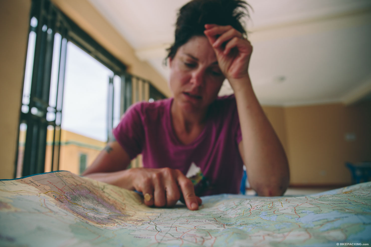
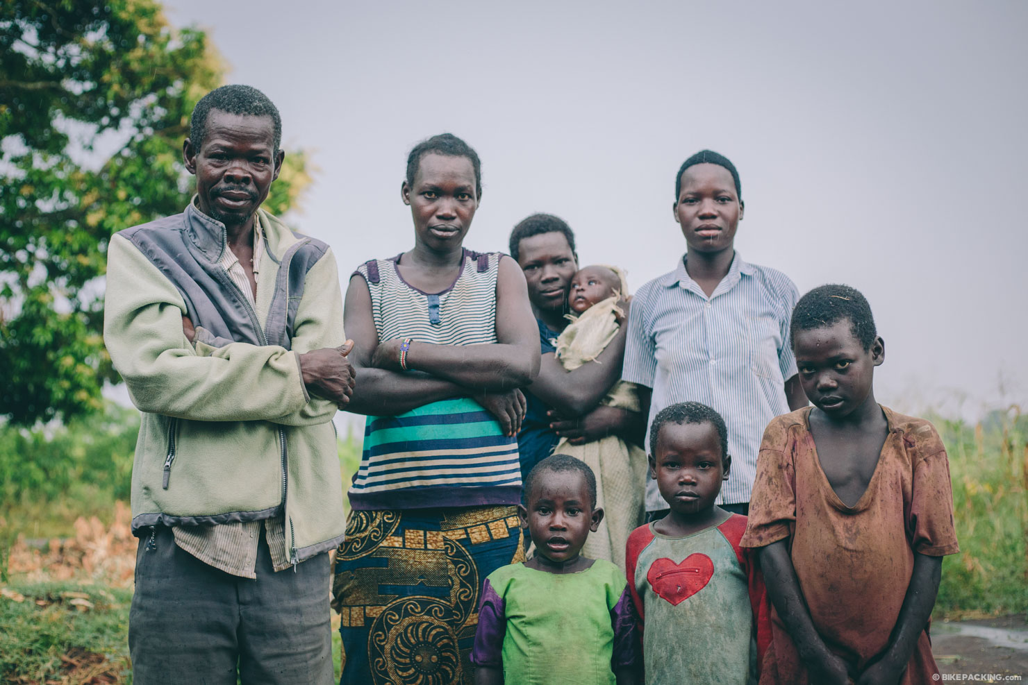
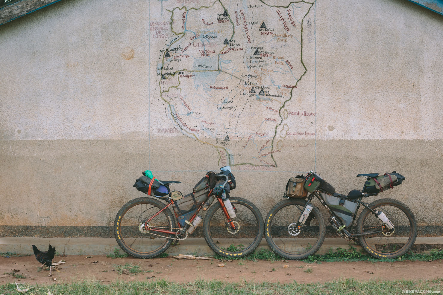
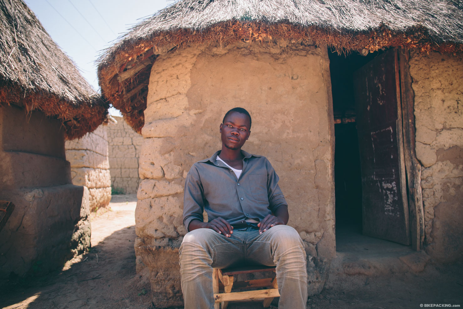
The internet has surprisingly few resources for those planning independent travel in Uganda. The maps we’ve found lack detail and, on a more concerning note, consistency. Ultimately, the Trans-Uganda had to be created while it was being ridden. With a list of “must-see” destinations serving as the backbone, we used a combination of Google Earth, intel from the Kampala Cycling Group, and advice from locals we met along the way to create a route that stitched it all together. It is almost entirely off-tarmac and incorporates a surprising number of hoof and footpaths as well as bike and motorcycle-carved “singletrack,” all the byproduct of the most popular forms of transportation in Uganda.
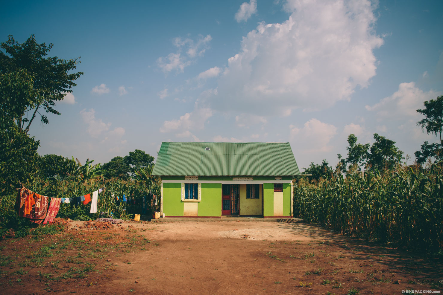
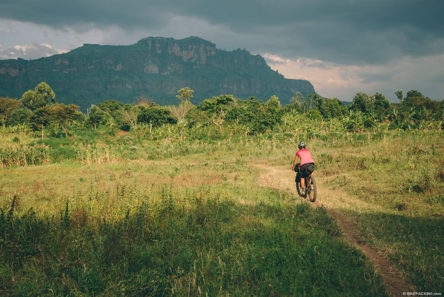
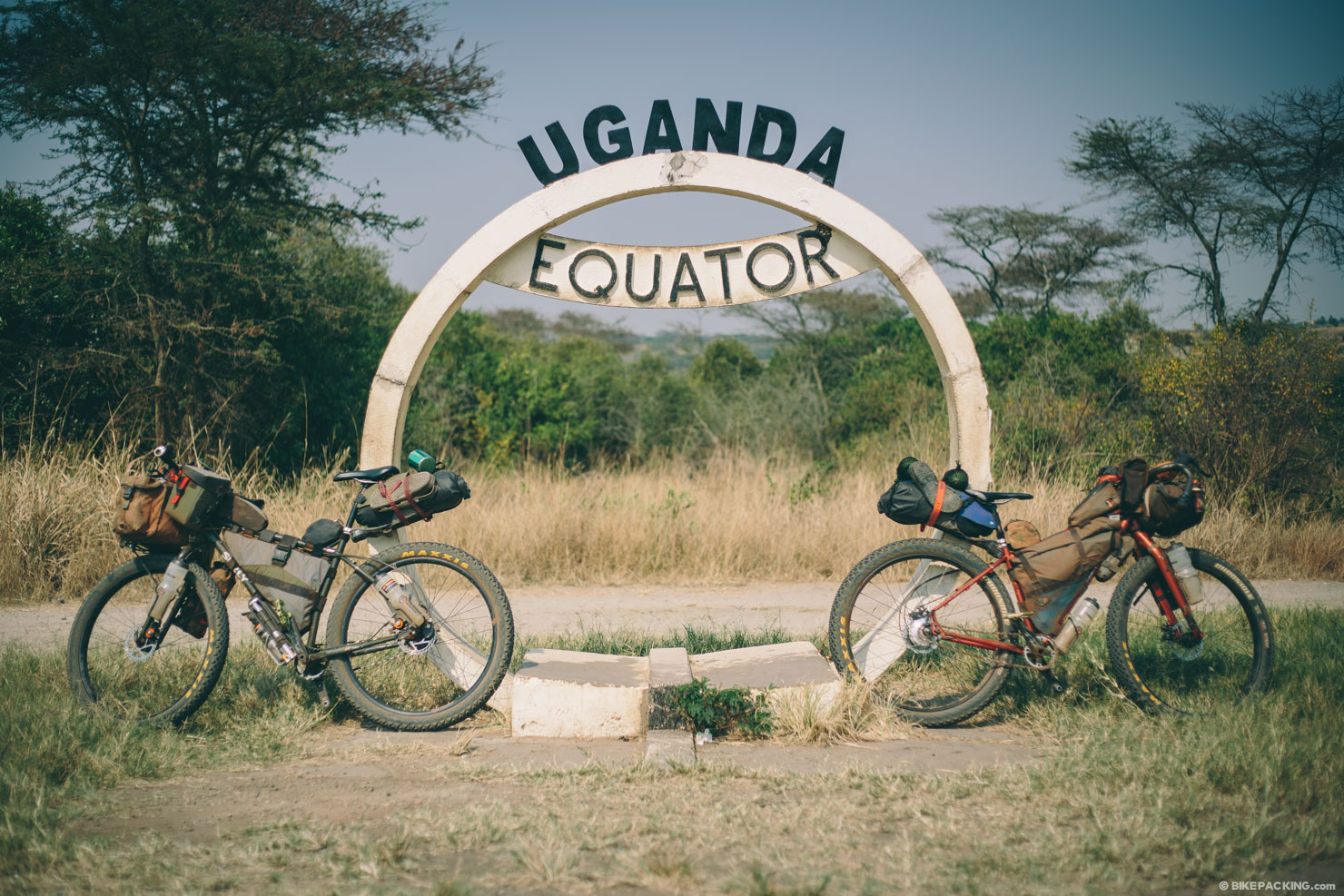
For those unfamiliar with Uganda, here’s a paragraph that sums it up geographically, taken directly from our first story while on the route: Uganda is approximately the size of Utah and sits directly on the equator between Kenya and the Democratic Republic of Congo (DRC). In the south lies Lake Victoria, the largest lake in Africa and the source of the Nile River. To the north of the country, bordering South Sudan is an arid and, at times, dangerous plain flanked by Kidepo National Park. Due east, and crossing into Kenya, is Mount Elgon, a massive 14,177-foot (4,321m) extinct volcano, surrounded by undulating hills and countless waterfalls. In the west lies Rwenzori, the highest mountain range (with the only known glacier) in Africa, aka The Mountains of The Moon and the Bwindi Impenetrable Forest. Lake Albert and Lake Edward take up another part of its western border, and the sprawling Lake Kyoga spawns tributaries and swamps throughout the center of Uganda. All in all, there 10 national parks scattered throughout the country, including the well-known Murchison Falls National Park.
The Trans-Uganda takes in all of it, save Kidepo and the far north. If you’re seeking an adventurous odyssey in East Africa, don’t mind a little attention from friendly strangers, and are up for a challenge, this is a great route. Just don’t underestimate its inherent difficulty. Although the pace may be a bit slow, the climbing less than brutal, and the terrain may not be incredibly technical, the journey can be quite arduous at times.


Submit Route Alert
As the leading creator and publisher of bikepacking routes, BIKEPACKING.com endeavors to maintain, improve, and advocate for our growing network of bikepacking routes all over the world. As such, our editorial team, route creators, and Route Stewards serve as mediators for route improvements and opportunities for connectivity, conservation, and community growth around these routes. To facilitate these efforts, we rely on our Bikepacking Collective and the greater bikepacking community to call attention to critical issues and opportunities that are discovered while riding these routes. If you have a vital issue or opportunity regarding this route that pertains to one of the subjects below, please let us know:
Highlights
Must Know
Camping
Food/H2O
Trail Notes
Resources
- Taking on a challenge that’s unlike anything else on Earth.
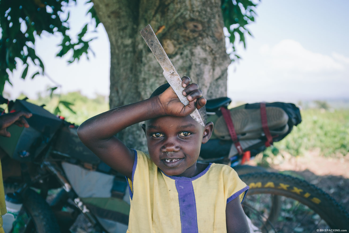
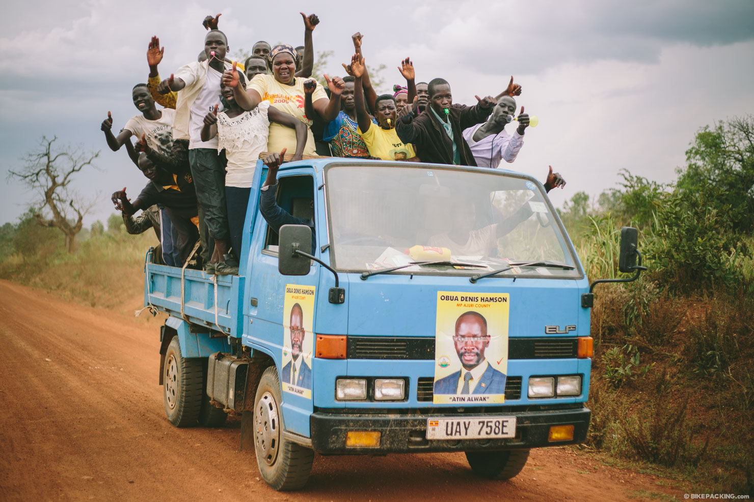
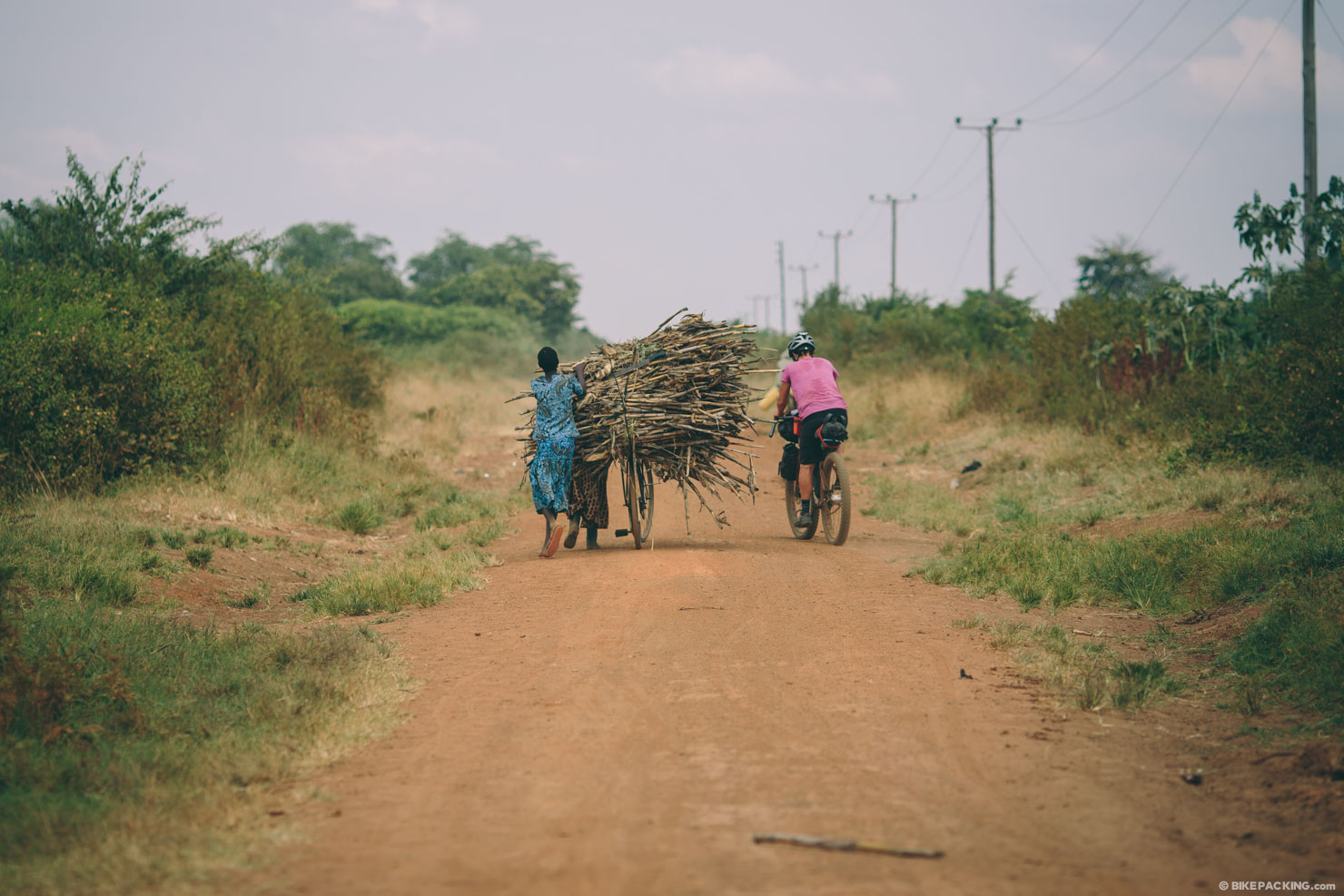
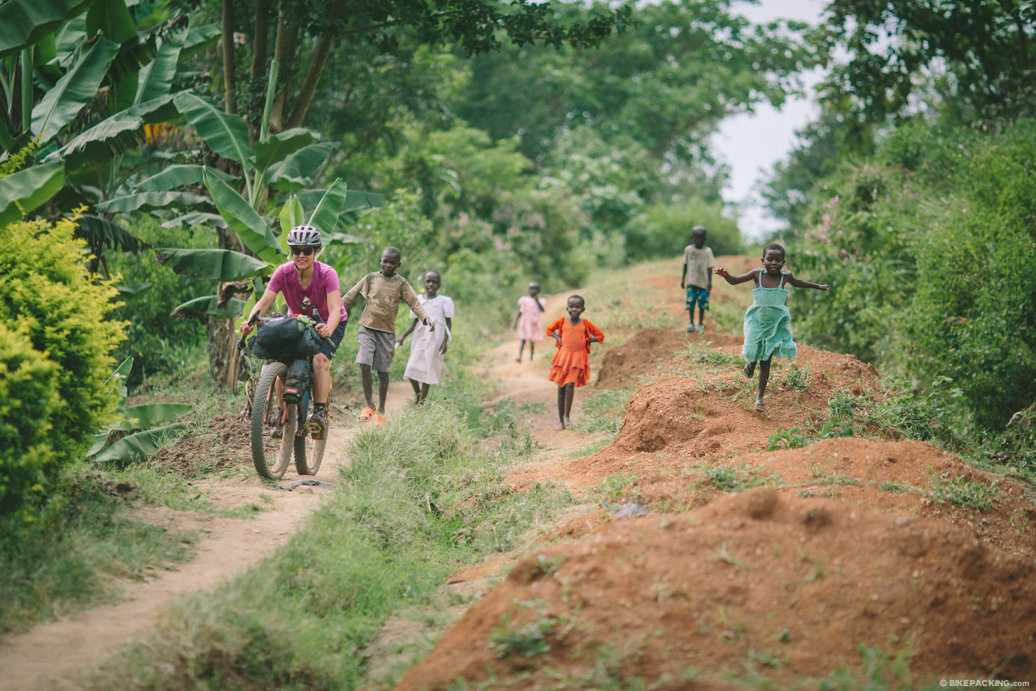
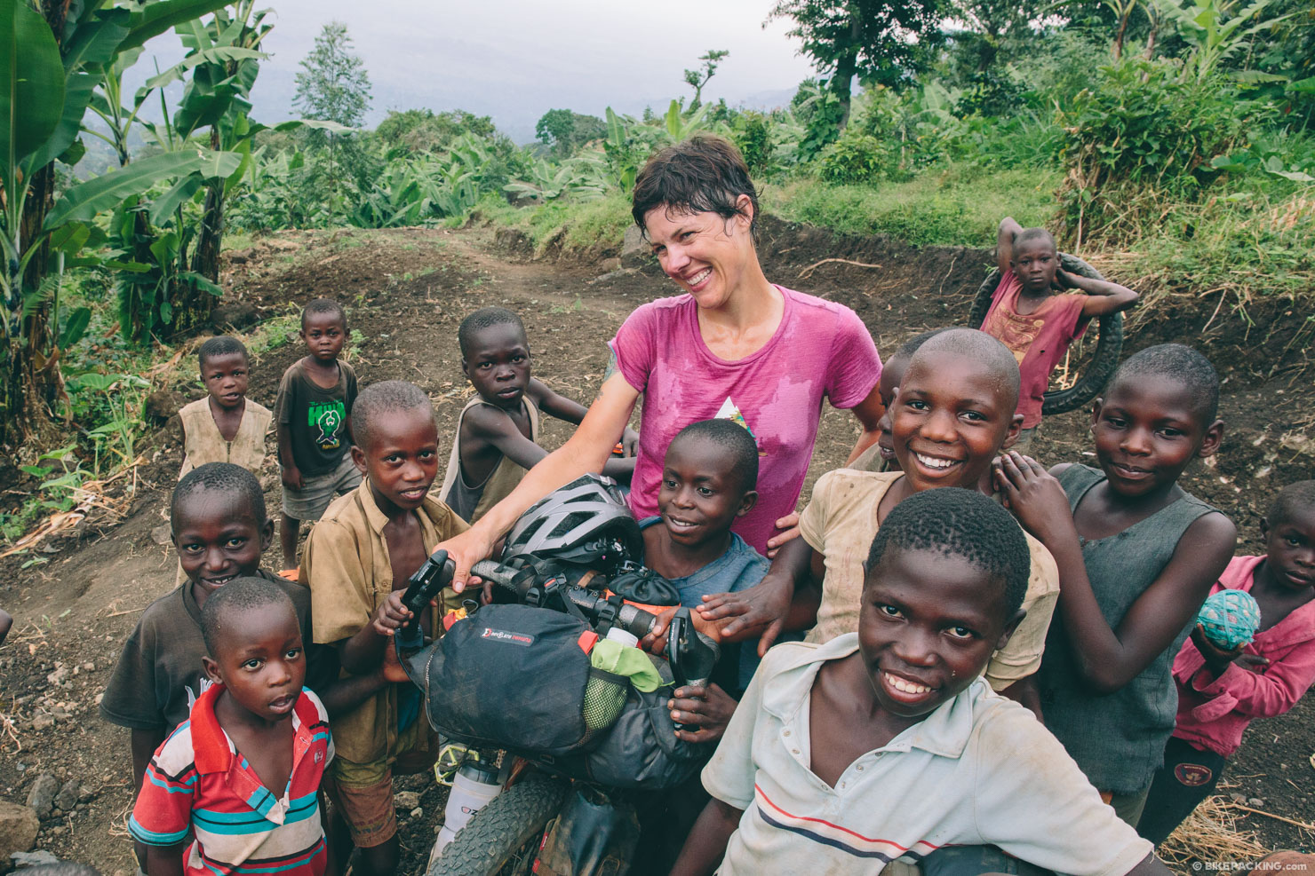
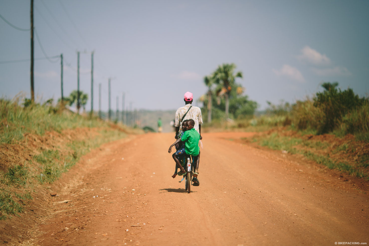
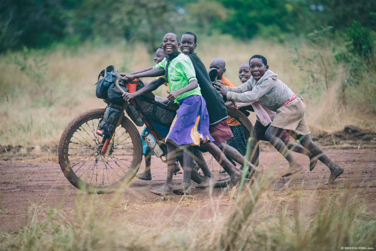
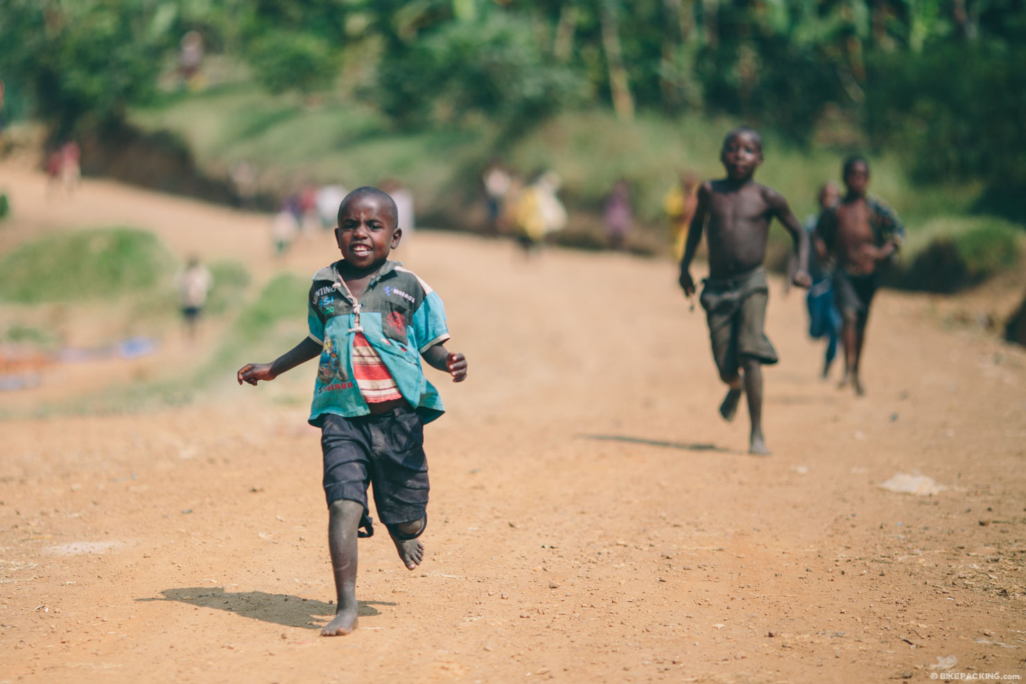
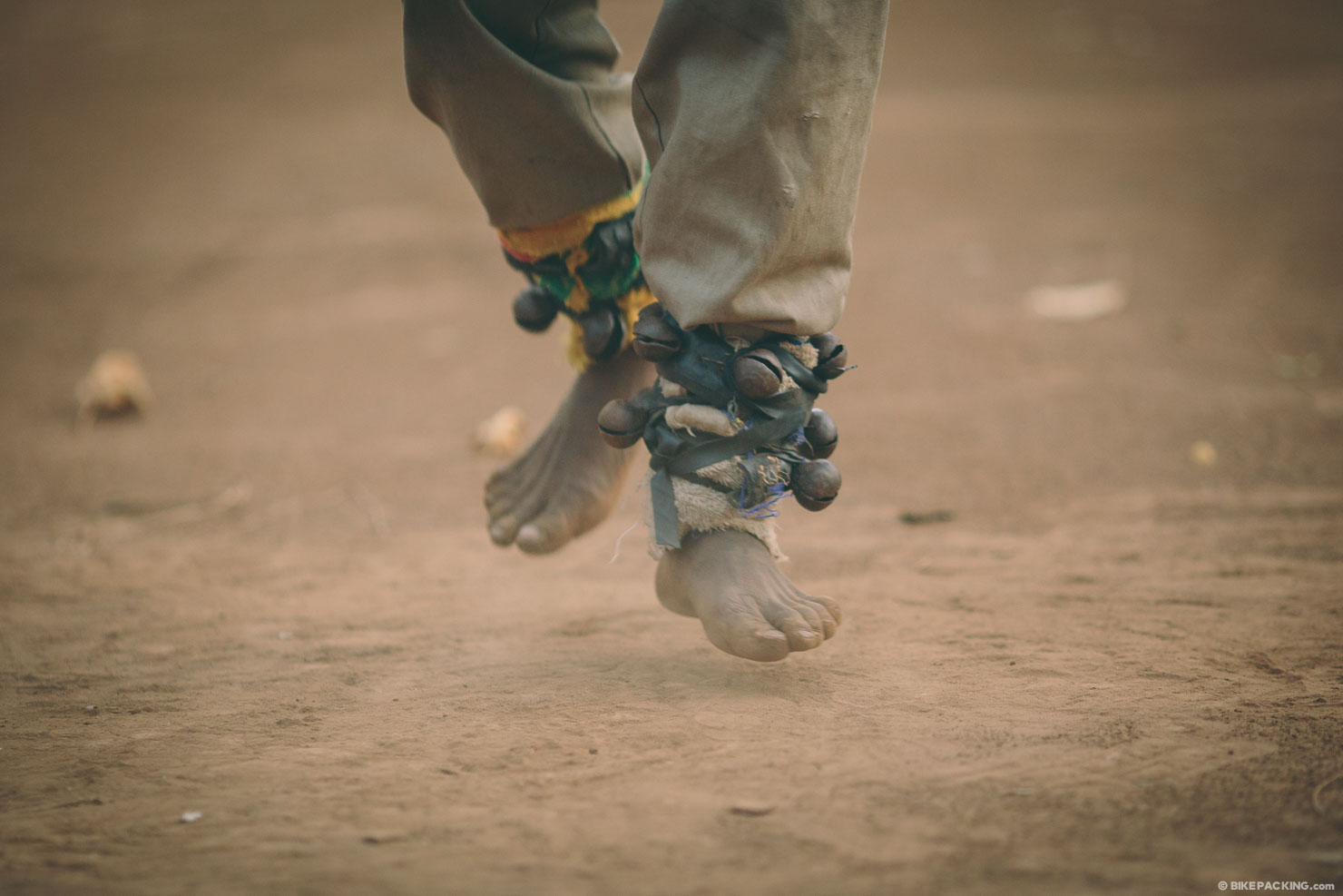
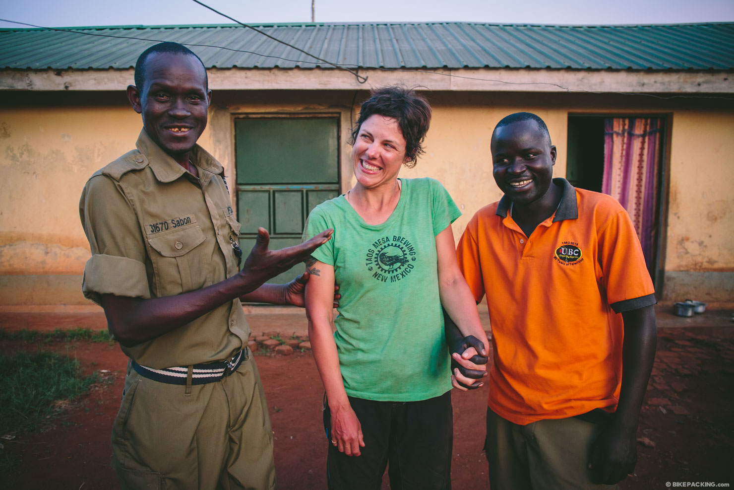
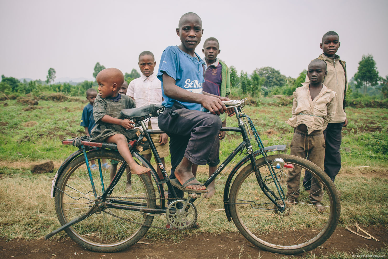
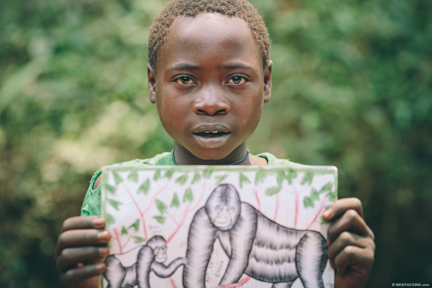
- Interacting with extremely friendly Ugandans.
- The perfect dirt roads on the slopes of Mt. Elgon.
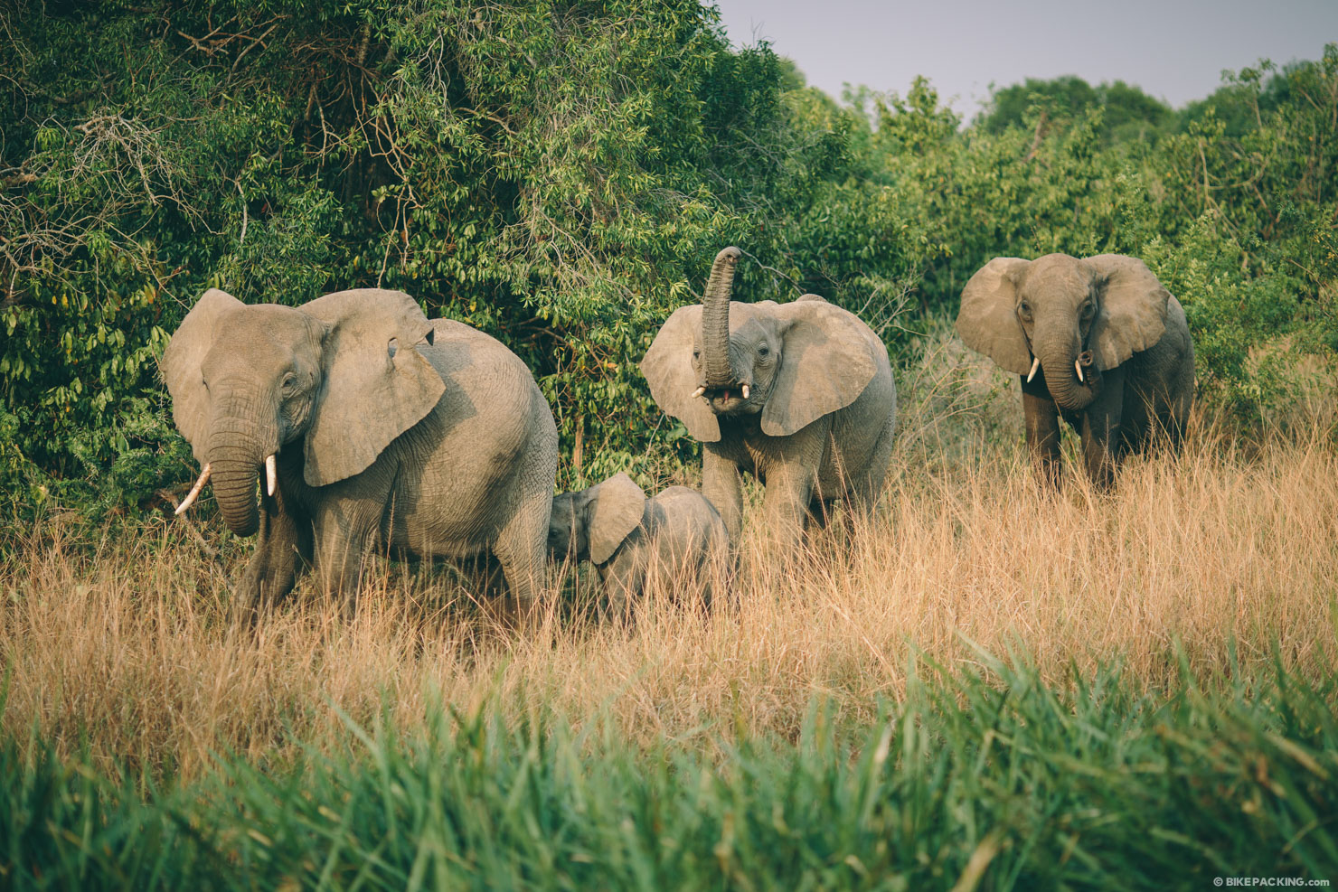
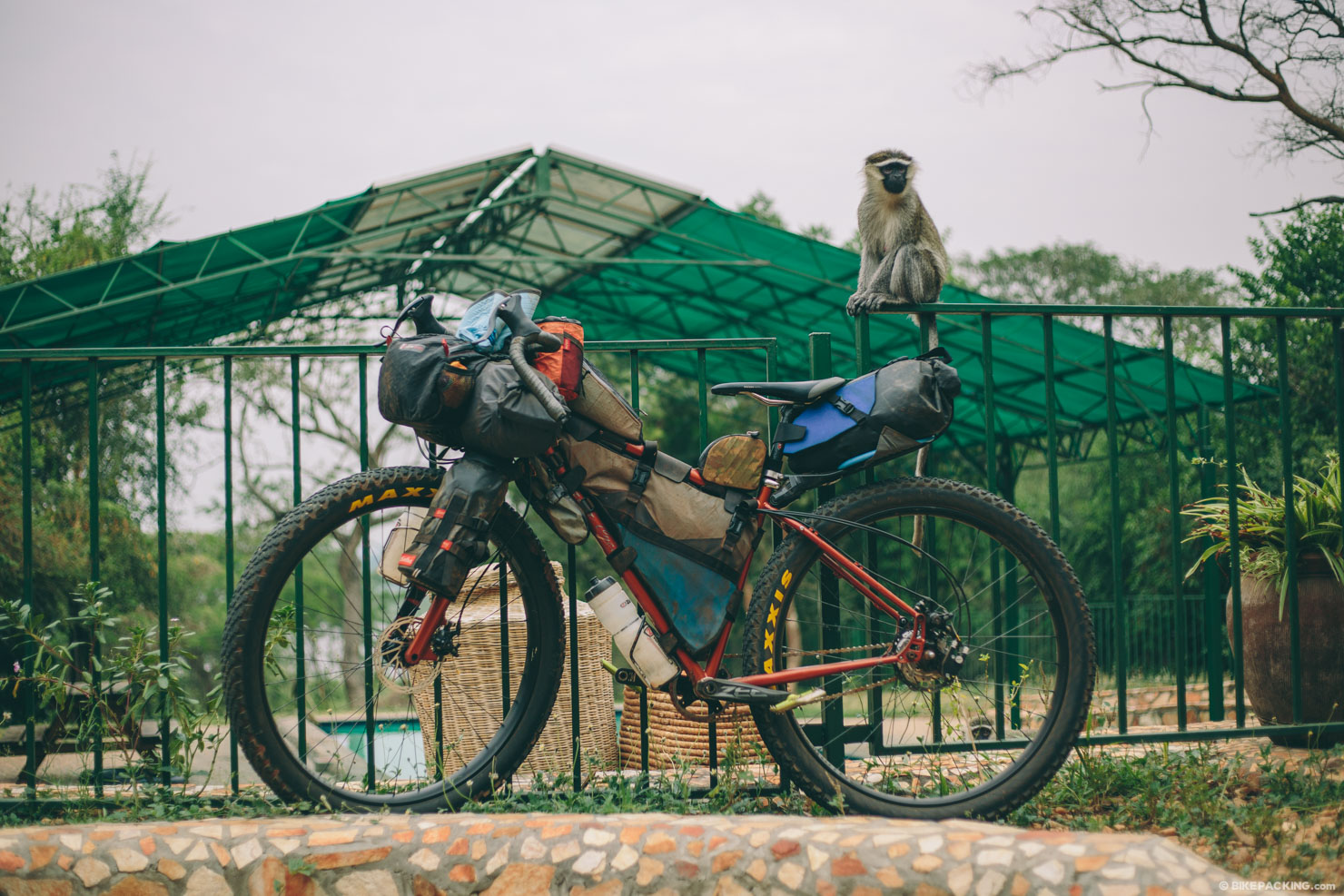
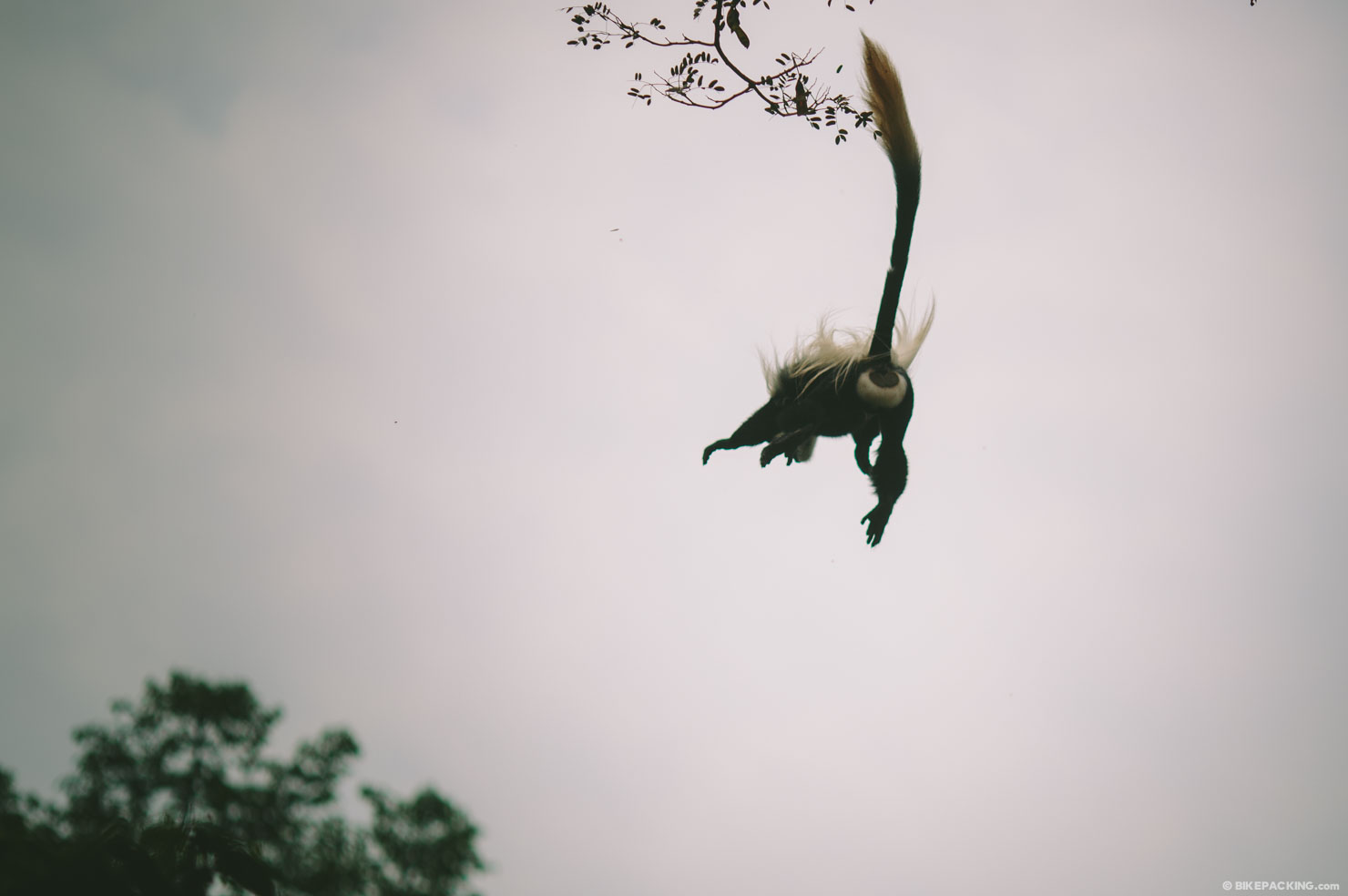
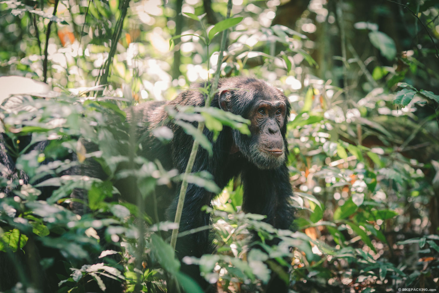
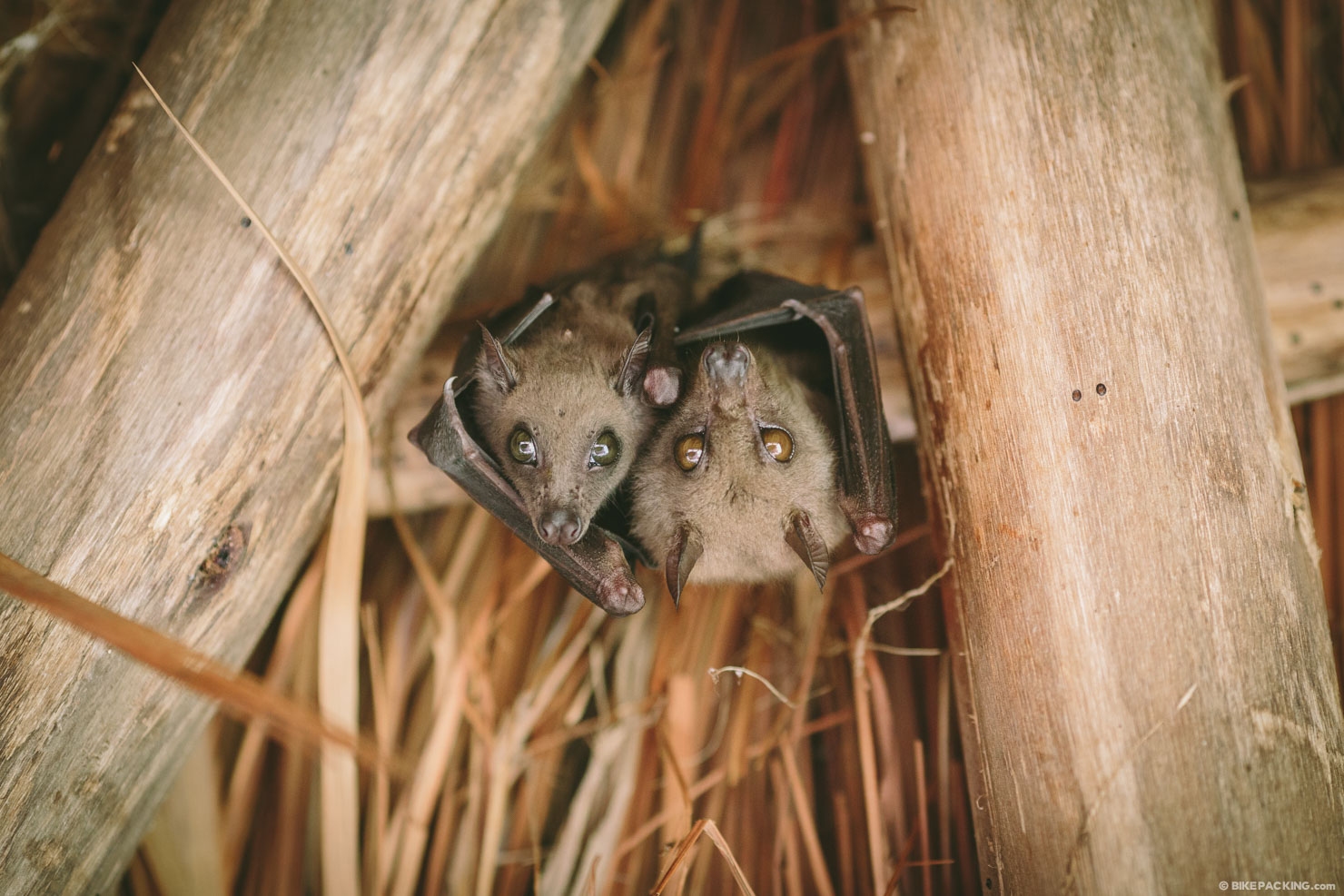
- Navigating the incredible Budongo Forest and spotting native tropical birds, monkeys, and chimpanzees.
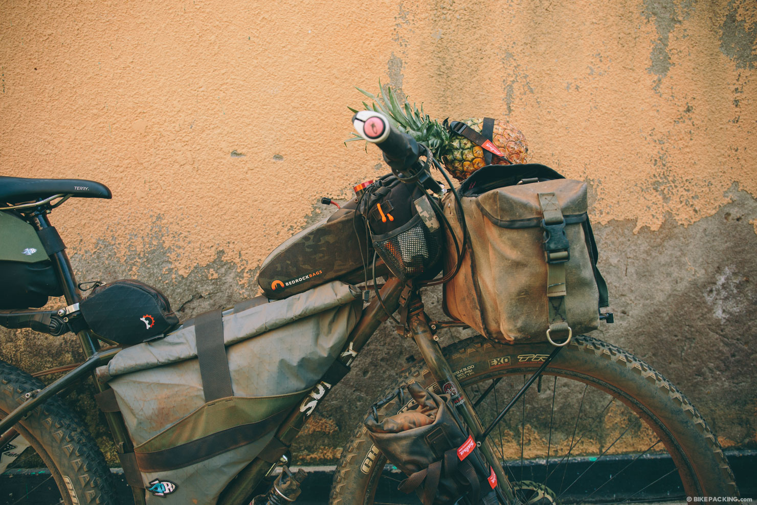
- Being fueled by bananas and fresh pineapples.
- Getting a healthy dose of perspective in relation to difficulty, challenges, and resilience.
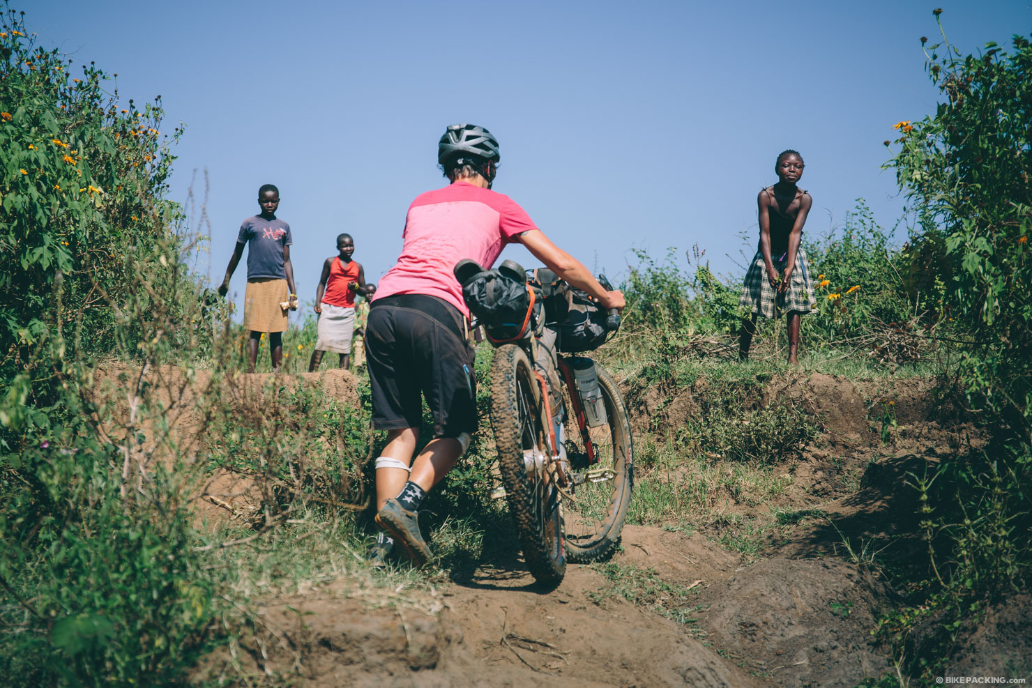
- Village singletrack that brings you in direct contact with locals.
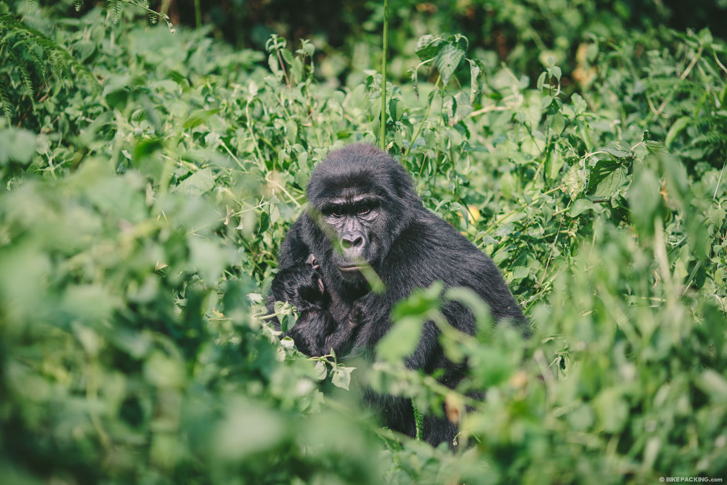
- Spotting mountain gorillas just 30 meters from our tent.
- Being surrounded by 30 Chimpanzees.
- The Rwenzori and the Rwenzori chameleon.
One thing to note about this route, and other routes in developing countries, is that things often change. As of March 2016, the bulk of this route is made up of dirt roads and paths, but that could change. It’s hard to know what might be paved next. On the contrary, in some places where once there was a trail, one may find fields of cassava or corn that require a little bushwalking to navigate. So if you plan on making this trek, make sure to do a little extra research to check the status of the trail and prepare for slight deviations from the course as needed. Also, please update us on any related intel.
Weather and When to Go
- Visit during the dry seasons, from late December through February and from June to September.
- To avoid excess dust and haze, aim for the beginning of the rainy season.
- Bring rain gear just in case; there’s no doubt that you will see showers.
- Evenings can get chilly, especially at higher altitudes. Bring a light jacket or thin thermal layer.
Logistics
- Flying: There are several major airlines that offer regular flights to Entebbe International Airport. Our favorite is Qatar Airways (which doesn’t charge for bikes).
- Staging: Fat Cat hostel in Kampala is a great base. It’s a little pricey compared to a lot of lodging in Uganda, but they have adequate space to assemble/disassemble, storage for bike boxes, a van driver for airport transport, and a good location to start.
Challenges
- It’s not uncommon for children to ask for money or sweets. Our general stance is to ignore these requests. You might think it a kindness to give a small gift, but giving money or sweets to people who see this as a means perpetuates a cycle that encourages people to think of foreigners as a source of money, which in the long run causes many more problems. As a more impactful alternative, there are many great charities and organizations operating in Uganda, and if you would like to help, we would suggest making a donation to one of them instead
- Although most of this route avoids roads with cars, there are a couple of stretches (especially between Hoima and Kagadi) where diagonally oriented trucks and people movers just barely edge by you at blazing speeds. Get off the road before big trucks and vans come by.
- The dust in the dry season can be incredibly overwhelming. Be prepared for the caking on of dirt, and bring a Buff or handkerchief to cover your nose and mouth.
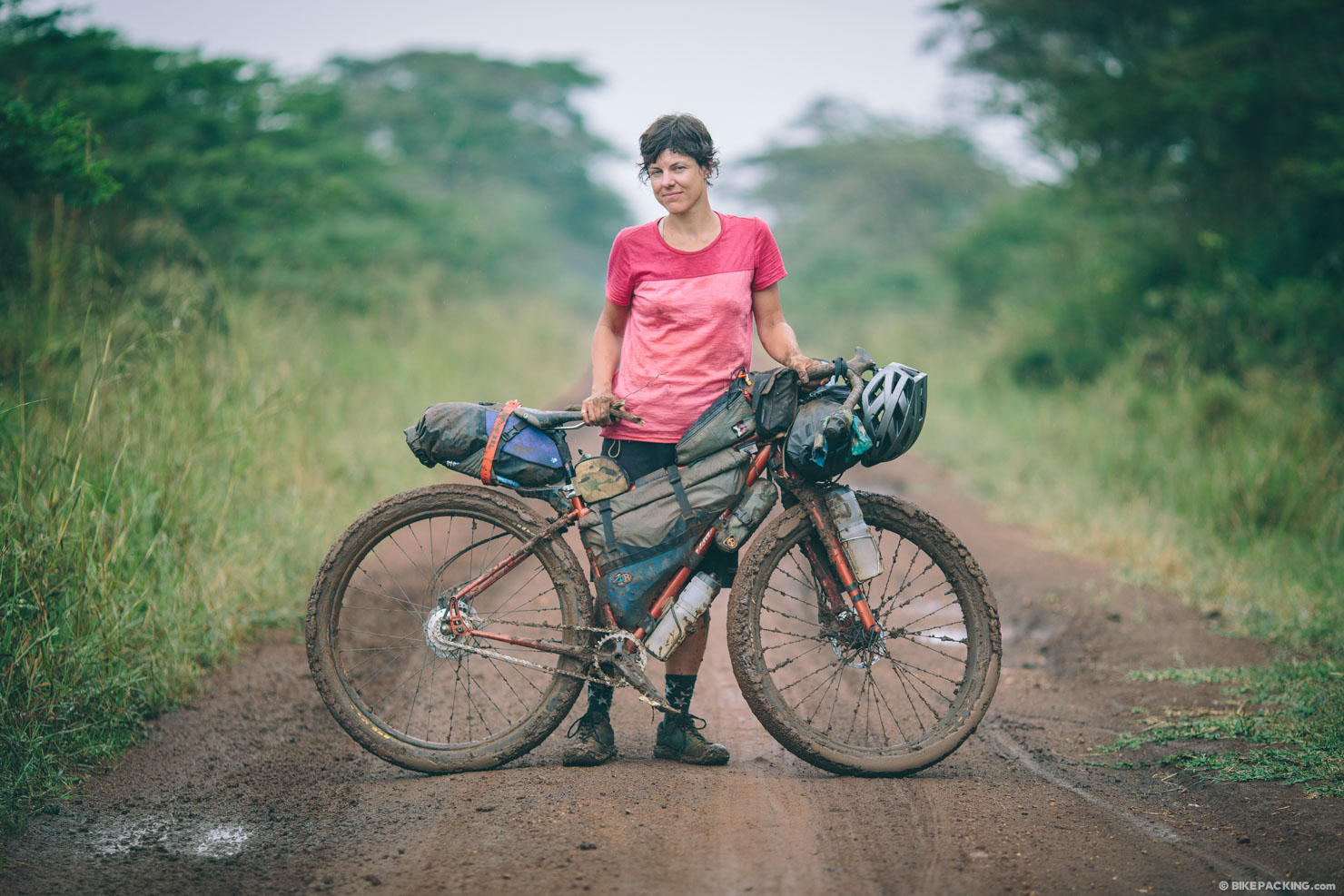
- Conversely, in the shoulder seasons, the mud after a rain can be a death sentence to a day’s ride. Be prepared to stop and be patient.
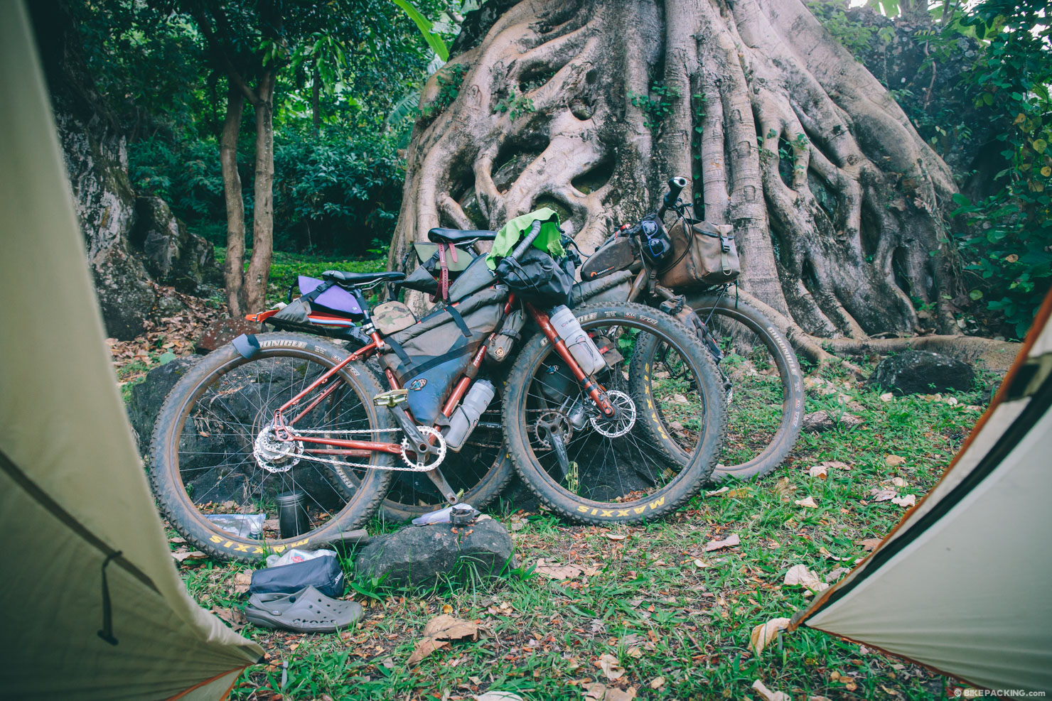
- It’s virtually impossible (except in a few rare spots) to wild camp in Uganda; there are always people around. Instead, if you really need to camp, ask a local if you can pitch in their yard. Other options include police outposts, parishes, or boarding school premises.
- Hotels are a really reasonable option in Uganda. There is usually at least one decent hotel in any given moderately sized town. They range between $10 and $30 US and include a hearty breakfast of fruit, an omelet, bread, and coffee or tea.
- There are a few campgrounds here and there. Typically there will be at least one lodge near each national park that offers a budget camping option.
- Our favorite recommended lodging option is “community” lodges/camps; these are small, budget, community-run campgrounds/lodging facilities that provide employment for members of the community as well as give back through education programs. There are several noted on the GPS map.
- The most important rule regarding water is to assume the worst. Bring a filter… or two. We used a Sawyer Squeeze water filter and a SteriPen Freedom (rechargeable). Water in much of East Africa is known to contain parasites, bacteria, and even amoeba, so take it seriously. We filter our water, no matter the source: a well, tap, or stream.
- It is typically easy to find a bore-hole, a pump well installed by one of several aid organizations, in most locations. However, bear in mind that there are several stretches where this can be a challenge—mostly in the northern part of the loop between Elgon and Masindi and in the extreme southwest of the country.
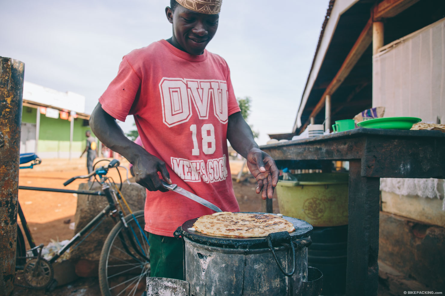
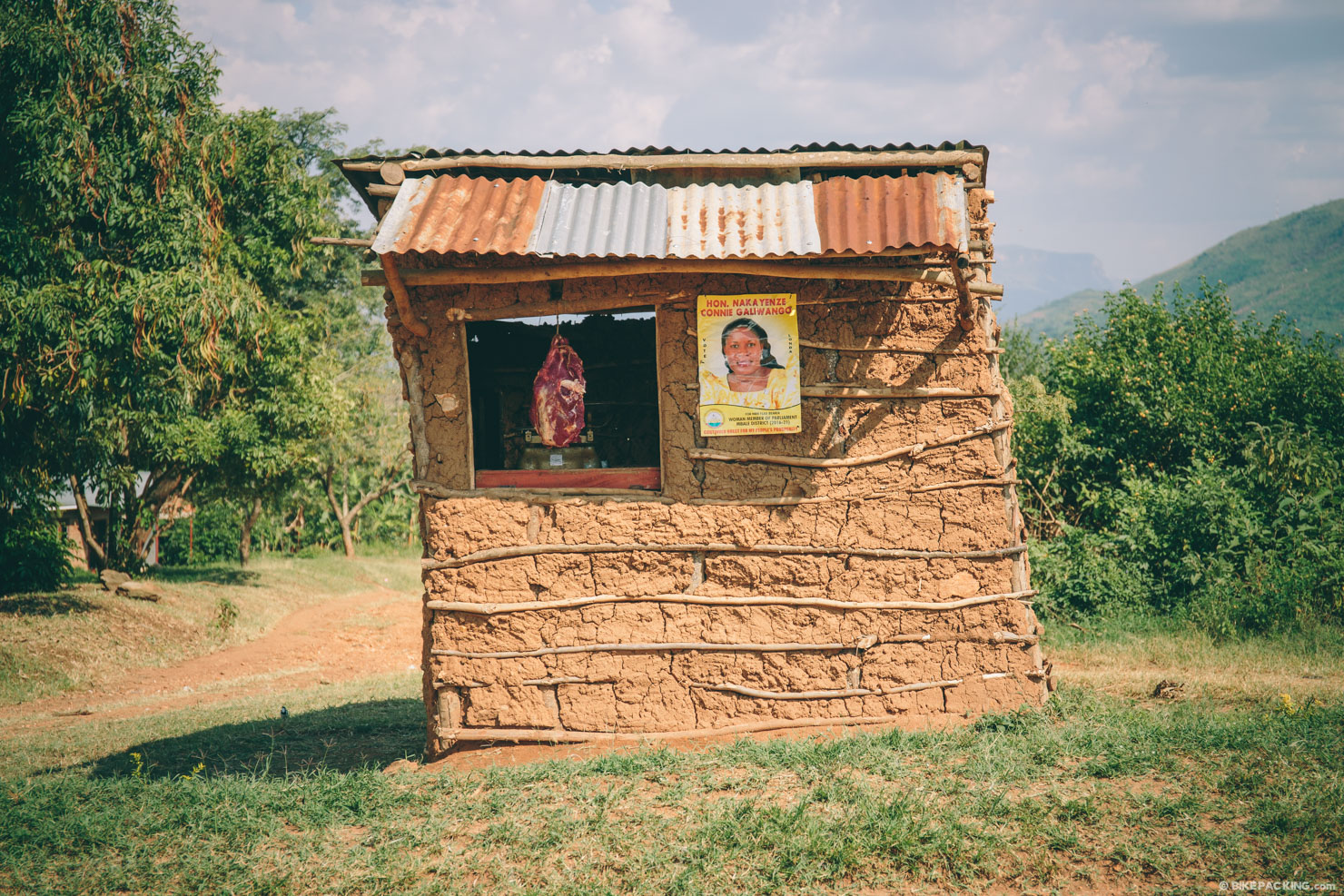
- Food can be tricky on the northern portion of the route. There are usually small shops that will sell some sort of basic sundries, such as biscuits, and, if it’s early in the day, you should be able to find a Rolex (an oily and deliciously filling chapati wrapped omelet) in any trading center.
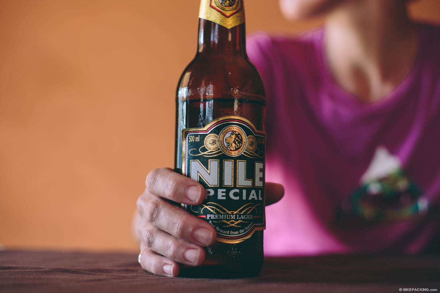
- There is a lot of fruit in Uganda; be prepared to subsist on the best bananas you’ve ever tasted!
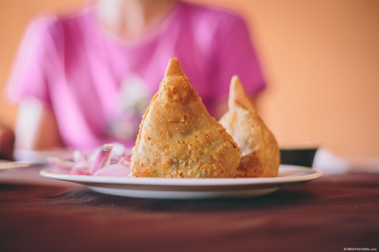
- Most hotels have Indian food options, which can be really good. In fact, some of the Indian food we ate in Uganda was the best we’ve ever had.
- Other staples include chicken or goat stew or beans and sauce on food—food is either pap (ground corn made into a mashed potato-like substance), matoke (smashed green matoke bananas, delicious!), chapati, or rice. If you’re lucky, you get all of the foods with your stew. These meals are really filling and fairly inexpensive (1-3 dollars).
- Most hotels offer complimentary breakfast of an omelet, fruit, bread, and coffee or tea.
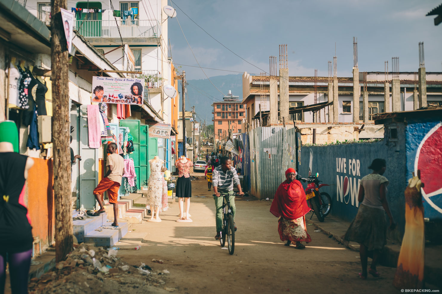
Stage 1 (Kampala-Jinja)
This segment is just a 2 or 3 day ride, but there’s a lot to it. The route out of Kampala will surely induce a bit of culture shock. On day one, riders make their way out of Kampala via a series of dirt roads that traverse through markets and some of the most densely populated neighborhoods in the city. As the route moves through Mabira forest and its surroundings, riders will pass small mud and thatch villages where, if they’re as fortunate as we were, music will emanate from the woods. A nice ride along the Nile River finishes this segment into a relatively touristed town of Jinja where you can catch your breath and soak it all in.
Stage 2 (Jinja to Sipi Falls)
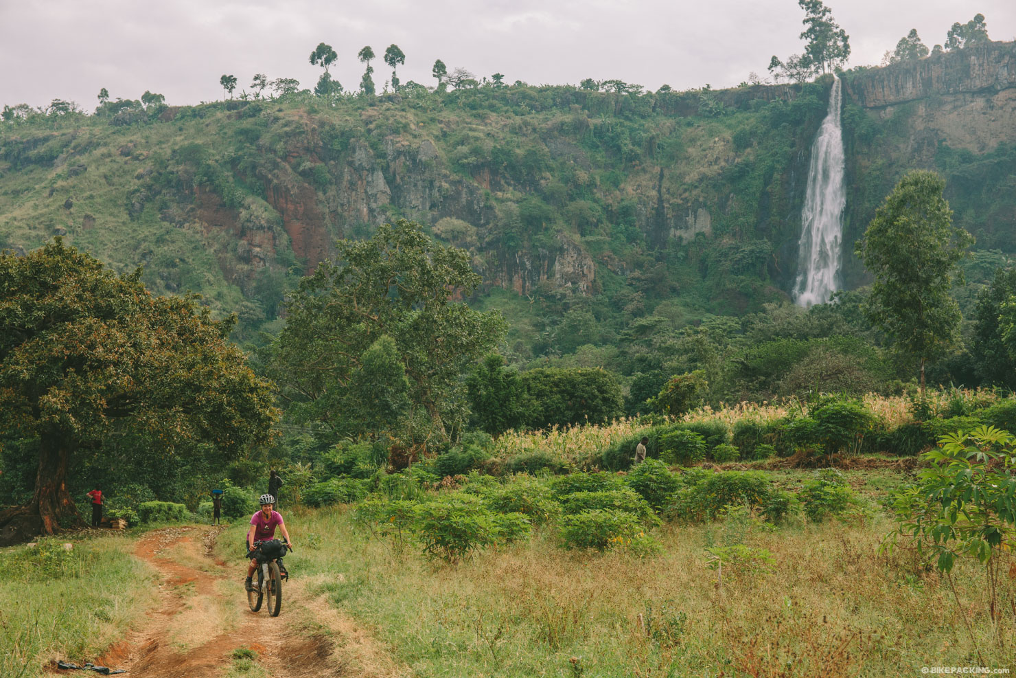
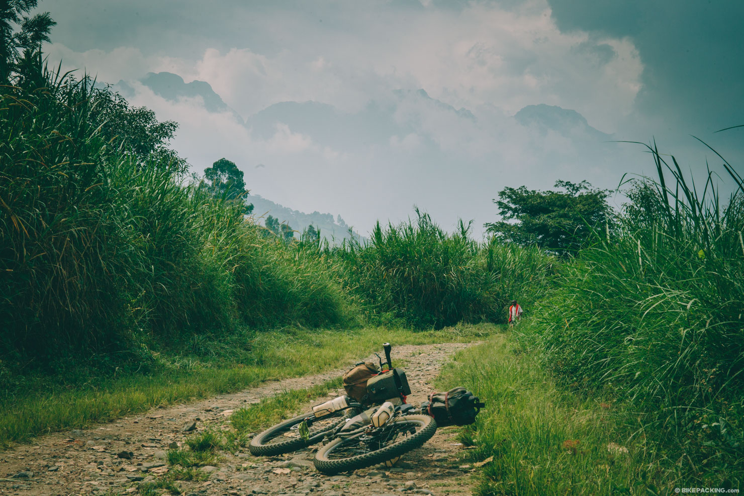
The ride from Jinja works along the sugarcane fields and lowlands before attacking the hills. This is a not-to-miss section of the route that’s highlighted by an incredible ride through roads that traverse the slopes of Mount Elgon. Big climbs and a hike-a-bike or two make it a bit of a challenge, but sights such as Sisiwe Falls and Sipi Falls make it worth the extra work.
Stage 3 (Central Uganda and Murchison Falls)
This leg of the route is probably the most challenging. The terrain is less varied, the communities seem to be more economically disadvantaged, and resupply is more limited. Using a series of dirt roads, paths, and rail trail, the route runs north of Lake Kyoga and takes in a swath of agricultural land rich with friendly communities. After the ferry across Masindi Port, things change as incredible places such as the Budongo Forest, Murchison Falls, and Lake Albert come into play. Note that we recently heard there may be a new mine blocking part of the Budongo Trail. You may try and corroborate this with folks at New Court View in Masindi prior to riding it.
Stage 4 (The West)
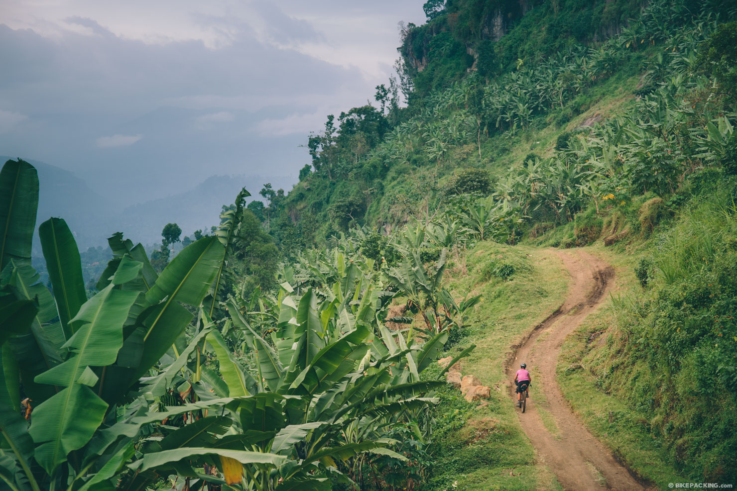
There are several not-to-miss places in Western Uganda. This part of the country is much more touristed (which still isn’t a lot) with people coming to see the chimpanzees, national parks, wildlife, and the Mountains of The Moon. This route takes in the scenic Crater Lakes, Kibale National Park and its chimpanzees, the foothills of the Rwenzori, Queen Elizabeth National Park, and Bwindi Impenetrable Forest and its mountain gorillas.
Stage 5 (The Return)
Highlights include a scenic ride around Lake Bunyoni, Mburo National Park, and a ferry ride to the Islands of Lake Victoria. Should you ride the section along Mburo, check with locals and the Kampala Cycling group prior. There are reports of buffalo here that can be dangerous to cyclists. According to the park, you need to hire a ranger to escort you through. They are $40, and will walk with you. From the nearby lodges you can rent a mountain bike for them to ride with you, (recommended, prices vary $10-15). You can ride all through the park with the zebras, giraffes, elands, warthogs, water buffalo, waterbuck, and more. There are several thousand hippopotami in the lakes, (the lakes only get to about eight feet deep) and a large herd of giraffes. To get there and do it by the books, you’ll need to go to the northern gate via the road south at Nombi.
Additional Resources
- The Call of Mzungu (Feature Story)
- Quasi-Survival (Feature Story)


Terms of Use: As with each bikepacking route guide published on BIKEPACKING.com, should you choose to cycle this route, do so at your own risk. Prior to setting out check current local weather, conditions, and land/road closures. While riding, obey all public and private land use restrictions and rules, carry proper safety and navigational equipment, and of course, follow the #leavenotrace guidelines. The information found herein is simply a planning resource to be used as a point of inspiration in conjunction with your own due-diligence. In spite of the fact that this route, associated GPS track (GPX and maps), and all route guidelines were prepared under diligent research by the specified contributor and/or contributors, the accuracy of such and judgement of the author is not guaranteed. BIKEPACKING.com LLC, its partners, associates, and contributors are in no way liable for personal injury, damage to personal property, or any other such situation that might happen to individual riders cycling or following this route.
Please keep the conversation civil, constructive, and inclusive, or your comment will be removed.