


Trans Verdon, France
Distance
130 Mi.
(209 KM)Days
5
% Unpaved
72%
% Singletrack
32%
% Rideable (time)
97%
Total Ascent
22,572'
(6,880 M)High Point
8,097'
(2,468 M)Difficulty (1-10)
8.5?
- 10Climbing Scale Very Strenuous174 FT/MI (33 M/KM)
- -Technical Difficulty
- -Physical Demand
- -Resupply & Logistics
Contributed By
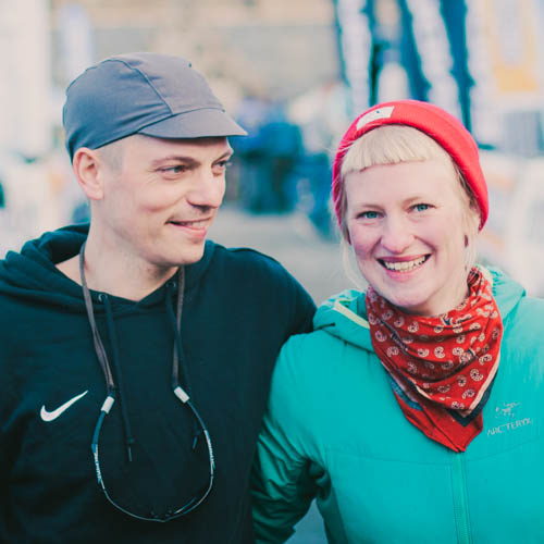
Tales On Tyres
Franzi and Jona
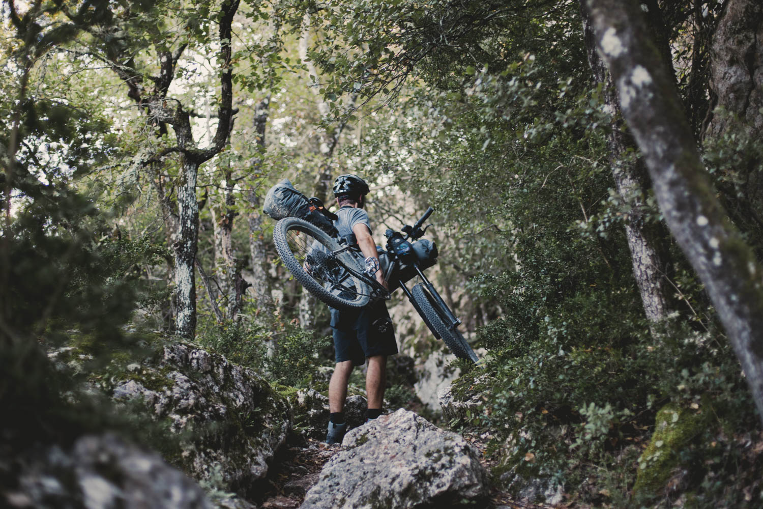
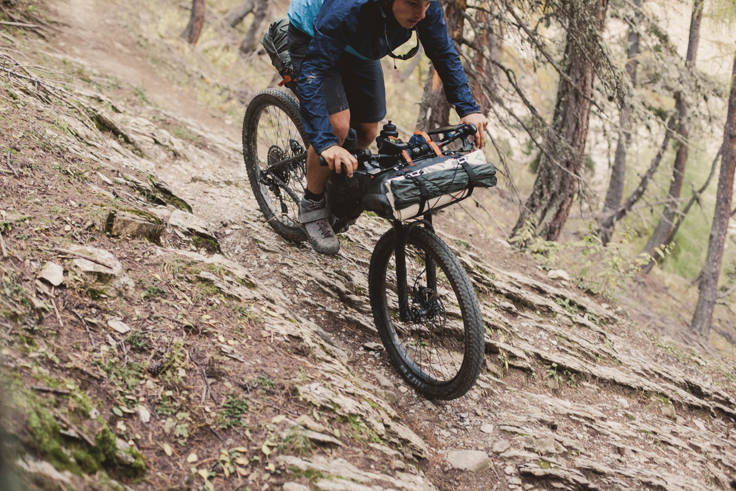
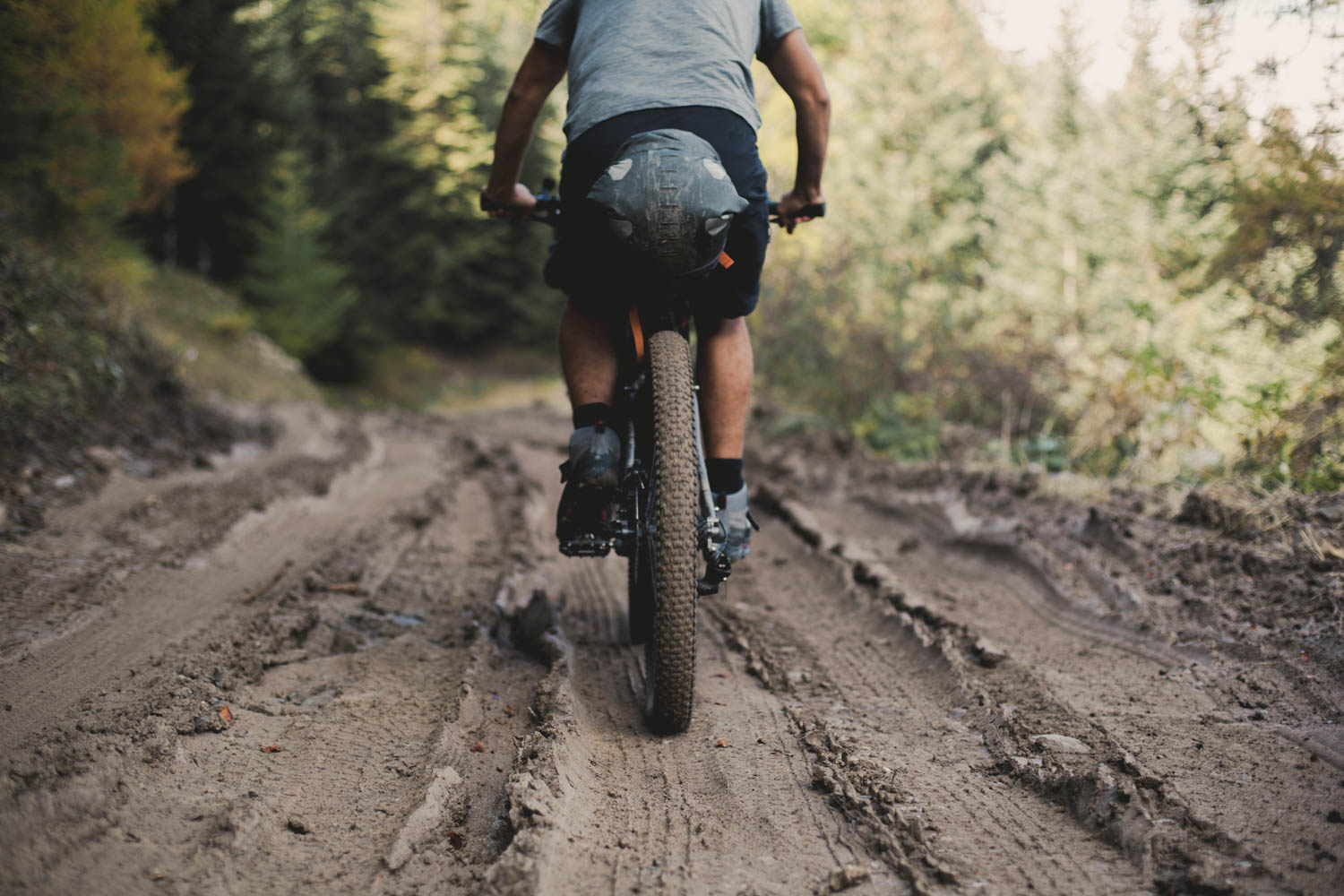
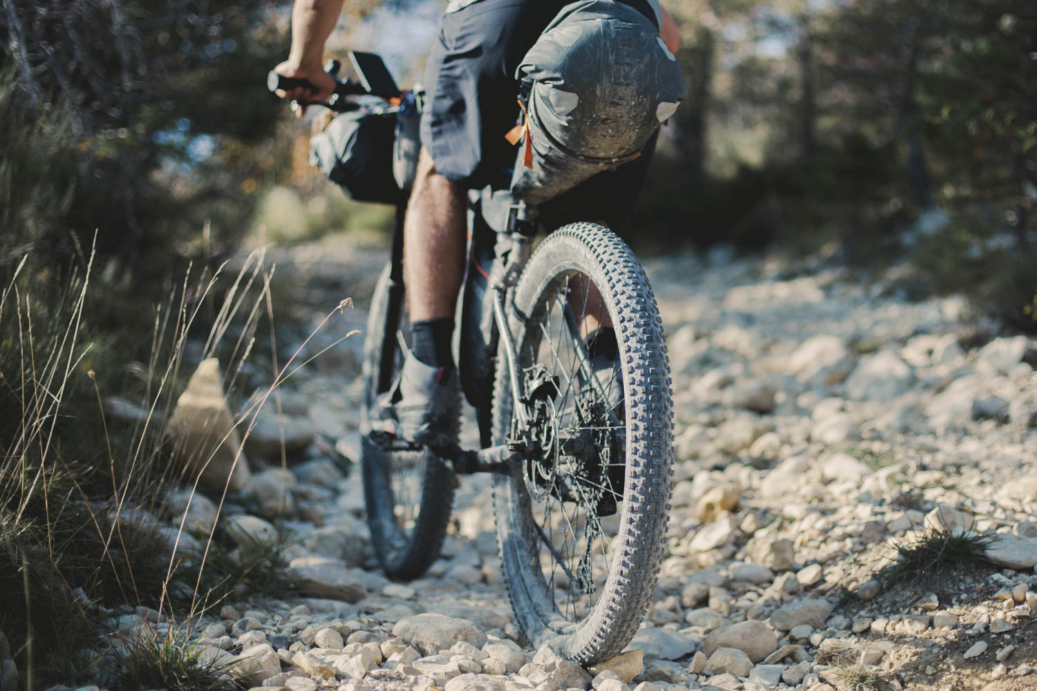
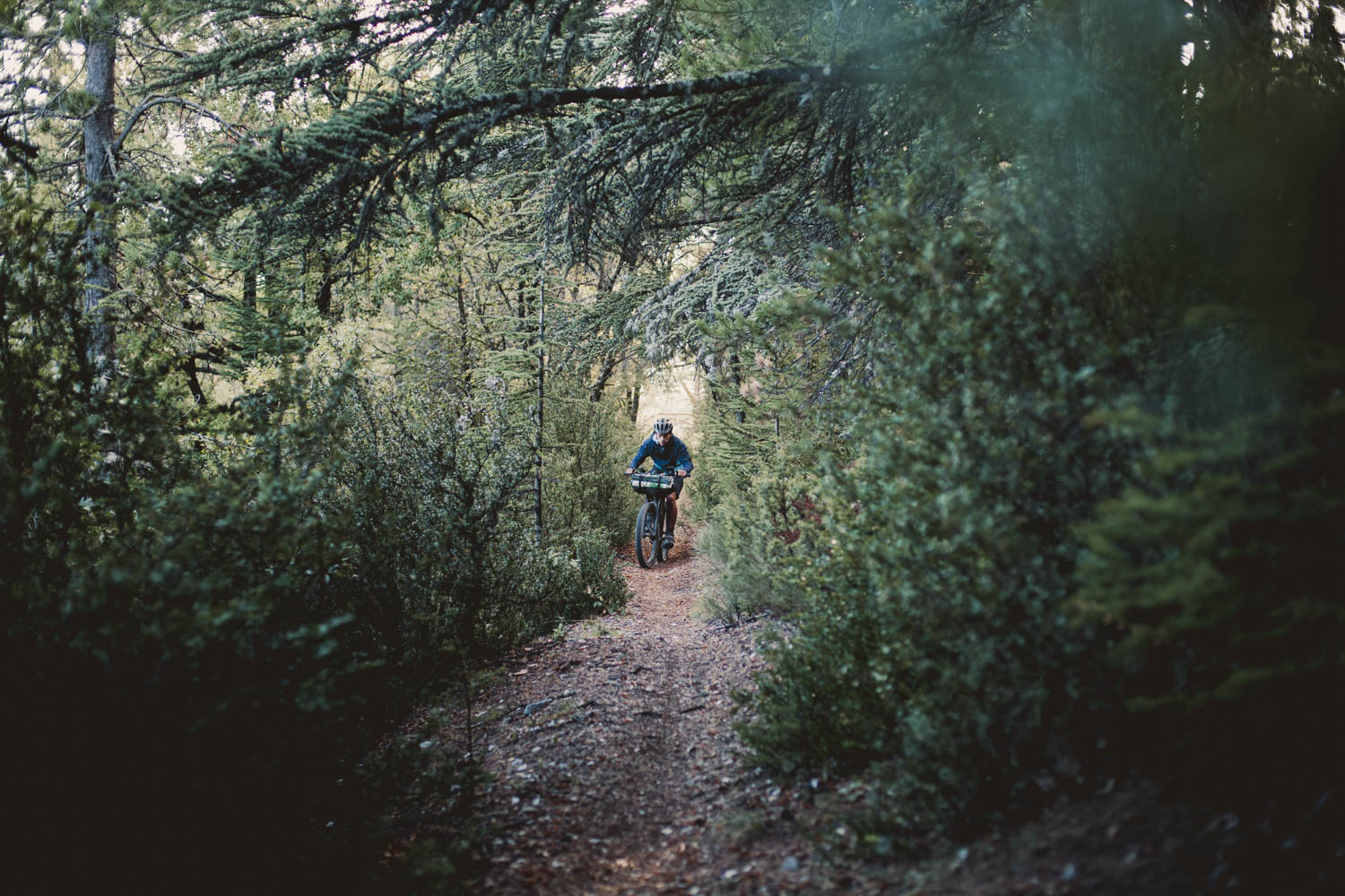
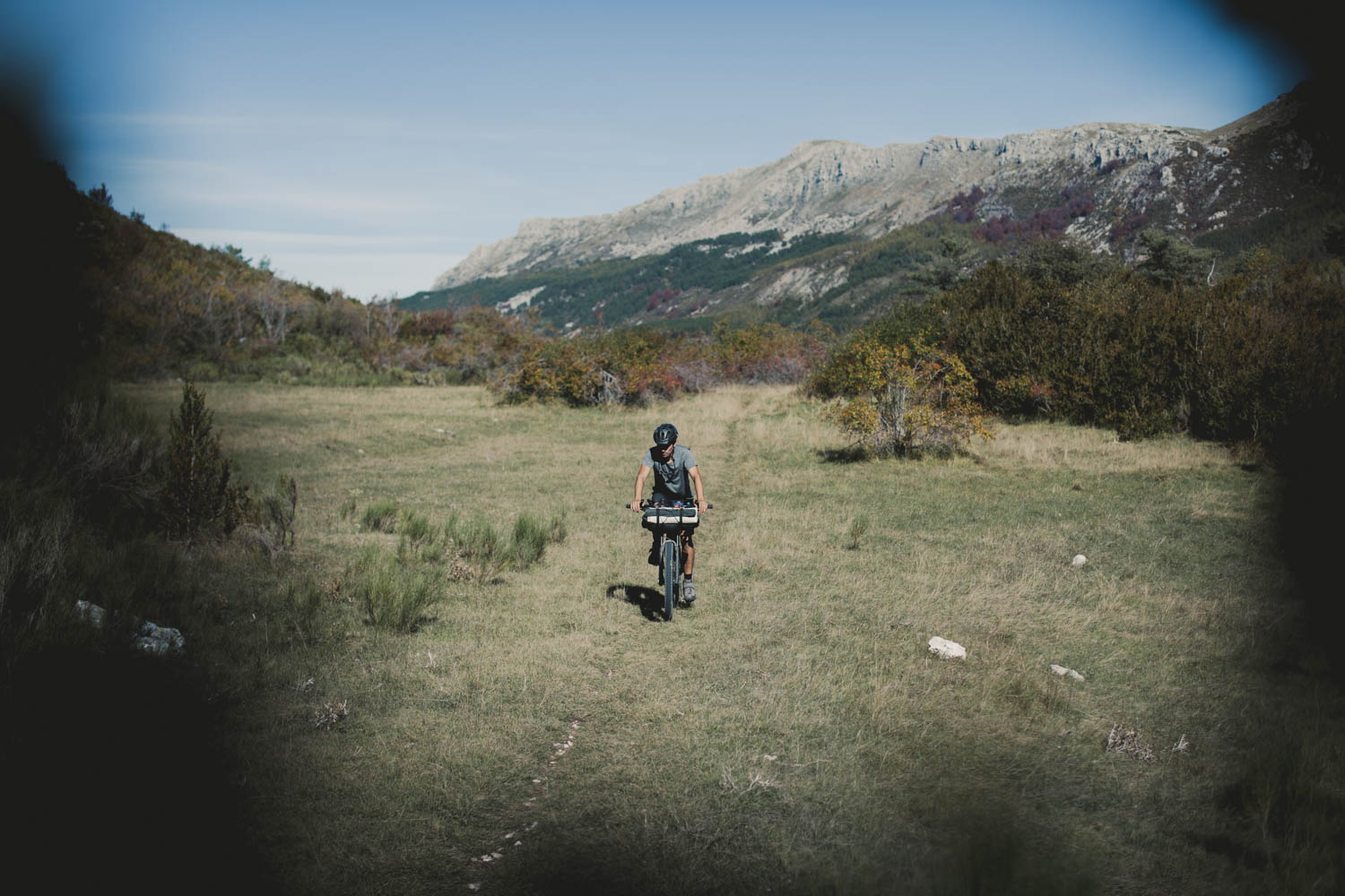
As pictured in Lost and Found, the feature in Issue 02 of The Bikepacking Journal, the Trans Verdon starts from a beautiful and friendly town in South East France. But don’t let yourself be deceived by the beginning of the Trans Verdon as it squiggles its way up a quiet and scenic paved road out of Barcelonette. You’ll soon enough find yourself surrounded by the high mountains of the Alpes Provence, heading into challenging and fun singletrack.
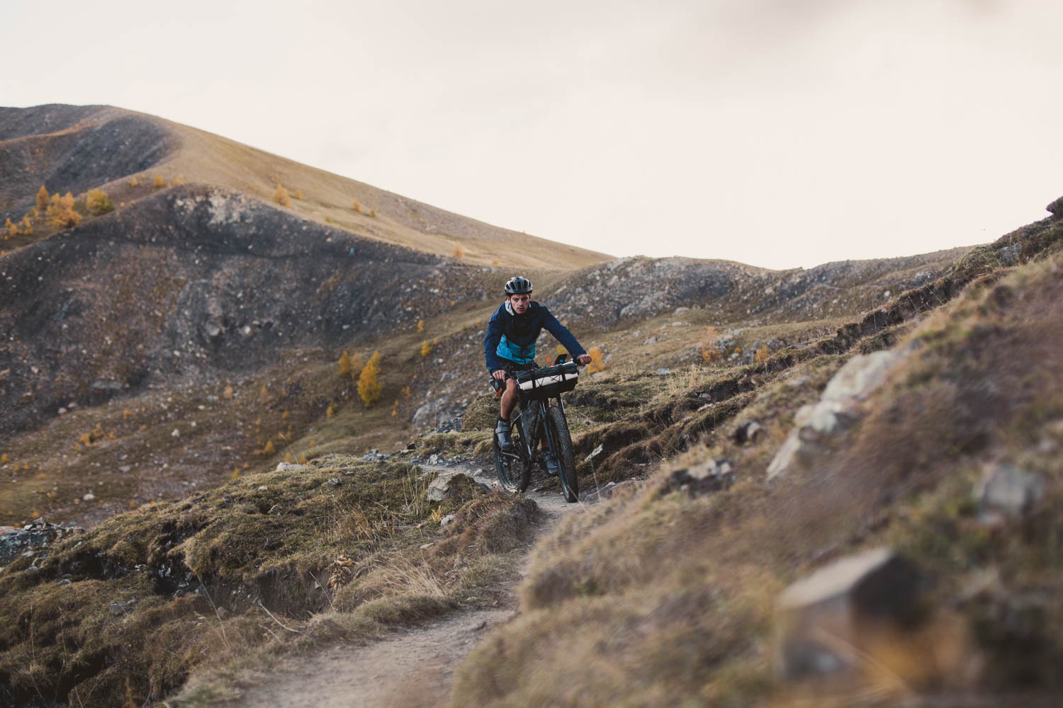
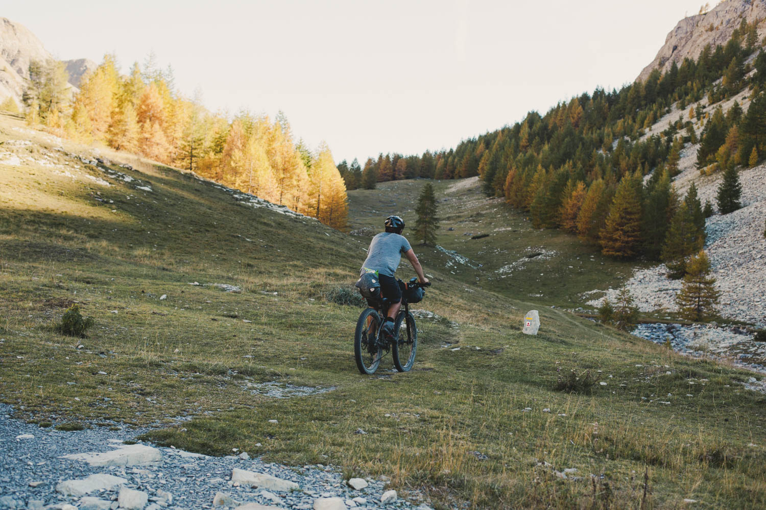
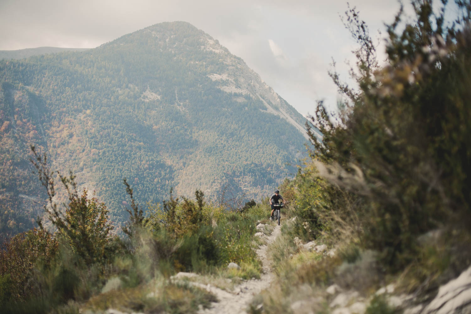
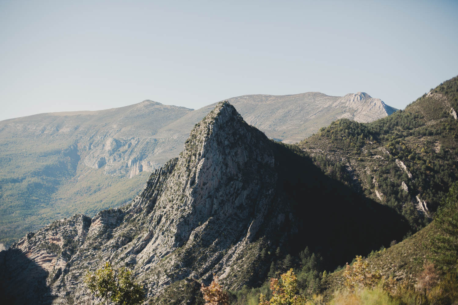
It first crosses a series of alpine mountains before dropping down into the gorge of the Verdon River, making this 210-km route a well-balanced but technical ride. But the effort required is rewarded by varied, spectacular scenery, countless bathing opportunities, and tasty pastries found in traditional villages along the way.
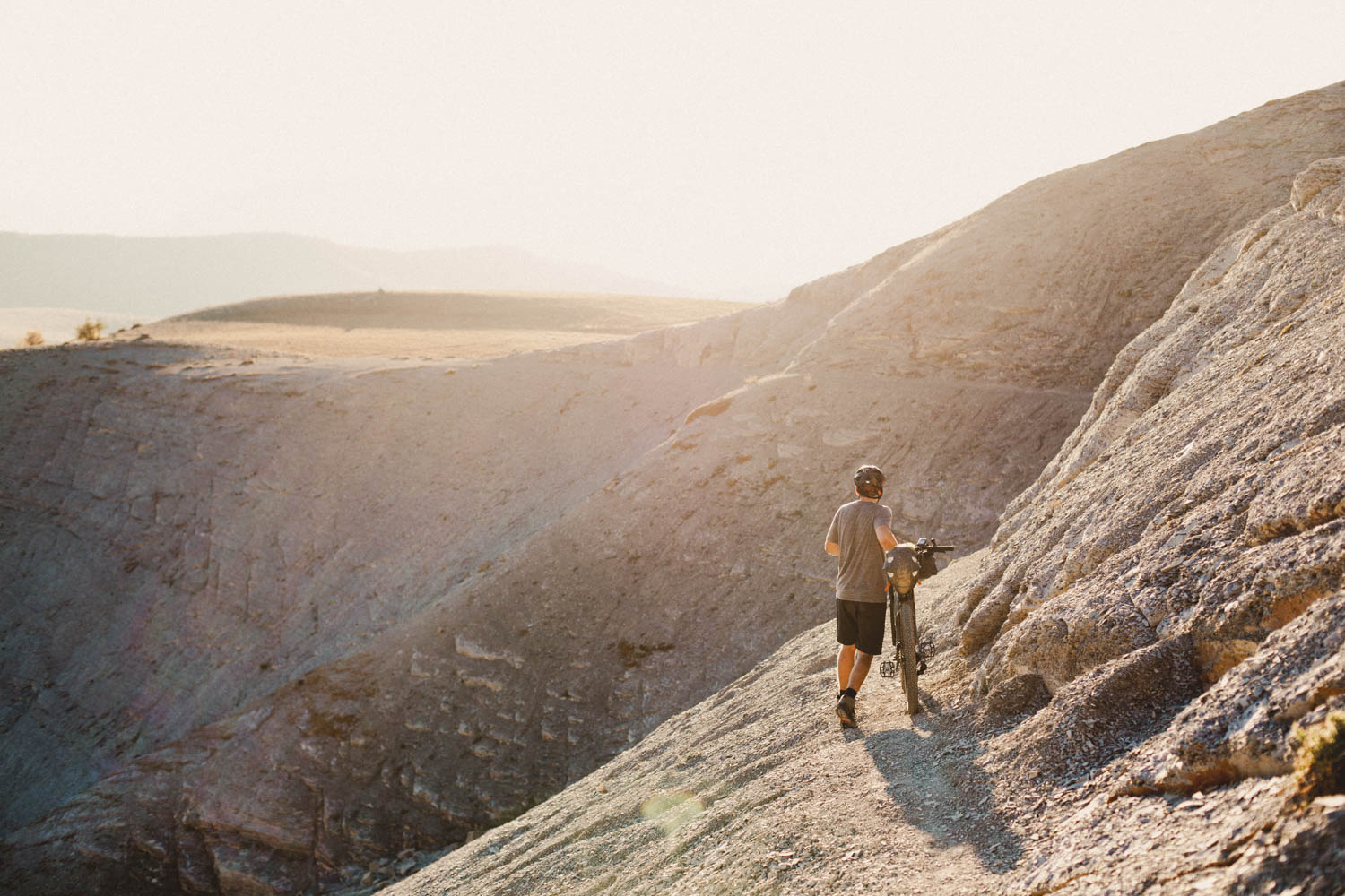
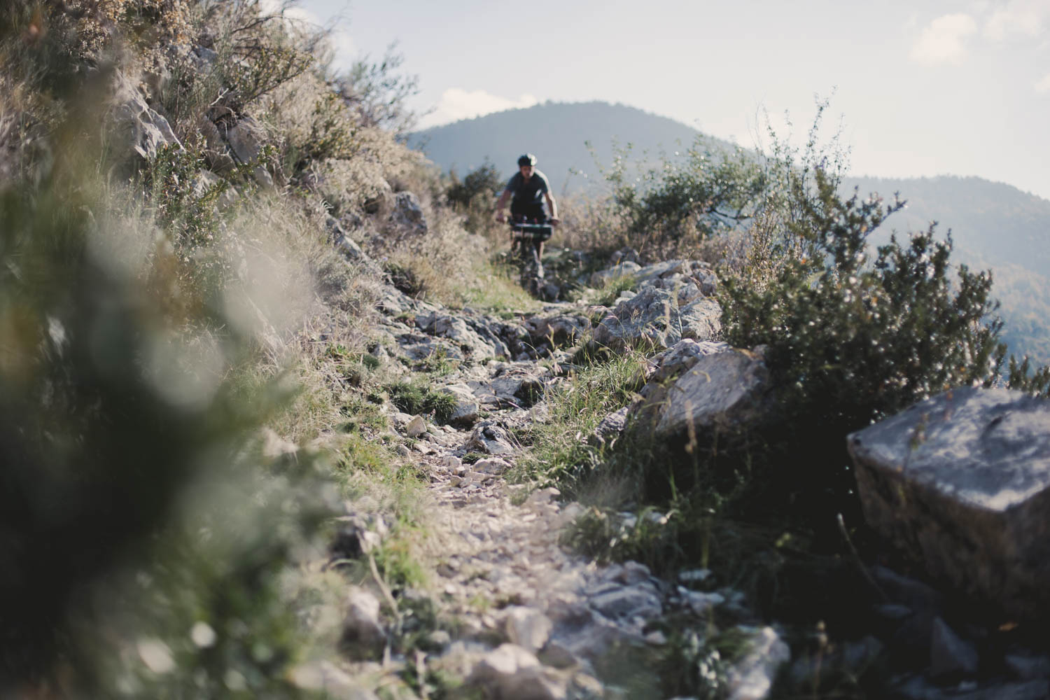
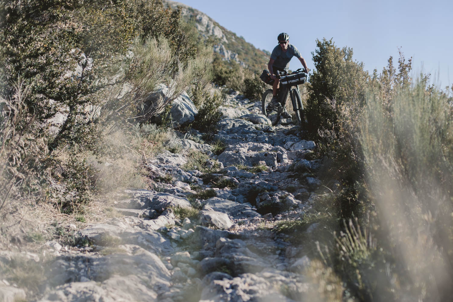
In comparison to its little brother, the Grande Traversée L’Alpes-Provence, the Trans Verdon stays higher up in the mountains, where the trails are rougher and harder to navigate, crossing some unique and rugged alpine landscapes as it goes. Although we have ridden both, it’s impossible to pick a favourite regarding the scenery. However, the Trans Verdon is definitely aimed more at those who love a good challenge, favour technical riding, and don’t mind the occasional hike-a-bike.
The ‘Le Département des Alpes de Haute-Provence’ created this route across the Provence and kindly let us share it.
Arriving in the picturesque and touristy town of Moustier-Sainte-Marie, surrounded as it is by ancient olive groves, is a real treat after some rough days in the saddle. A short walk out of town will provide you with great vistas, overlooking the town and across the valley. From here you can either continue on the official route further south, following some easier rolling paths across the Valensole plateau of Verdon. Or, as we would recommend, wrap up your ride by wandering through the narrow streets of Moustier-Sainte-Marie and then continue your trip elsewhere, or arranging transport up north to start the Grande Traversée L’Alpes-Provence straight away!


Submit Route Alert
As the leading creator and publisher of bikepacking routes, BIKEPACKING.com endeavors to maintain, improve, and advocate for our growing network of bikepacking routes all over the world. As such, our editorial team, route creators, and Route Stewards serve as mediators for route improvements and opportunities for connectivity, conservation, and community growth around these routes. To facilitate these efforts, we rely on our Bikepacking Collective and the greater bikepacking community to call attention to critical issues and opportunities that are discovered while riding these routes. If you have a vital issue or opportunity regarding this route that pertains to one of the subjects below, please let us know:
Highlights
Must Know
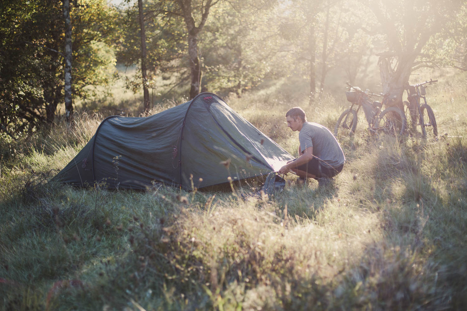
Camping
Food/H2O
Resources
- Flowy, remote track; there’s lots of single trail, making it a real treat for rig and rider.
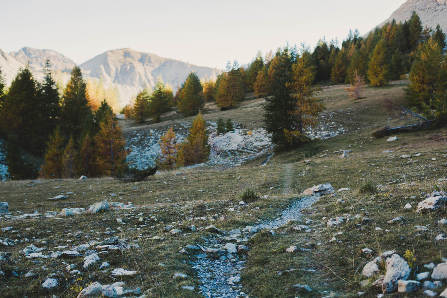
- Spectacular alpine scenery for most of the ride.
- Alpine lakes over 2400m high, surrounded by rugged peaks.
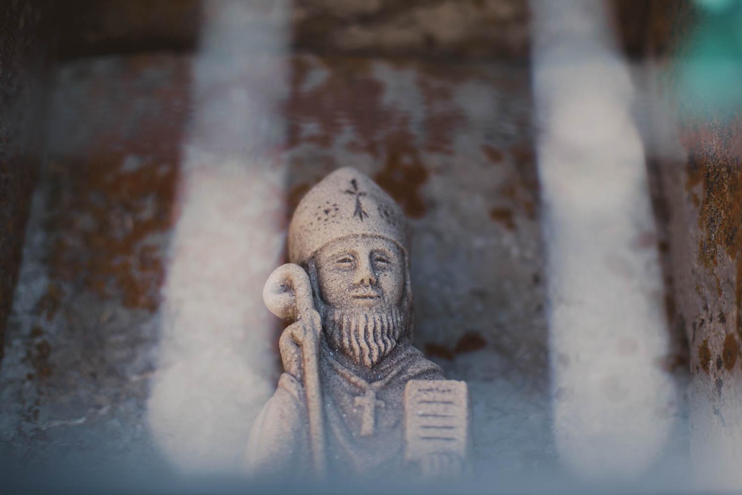
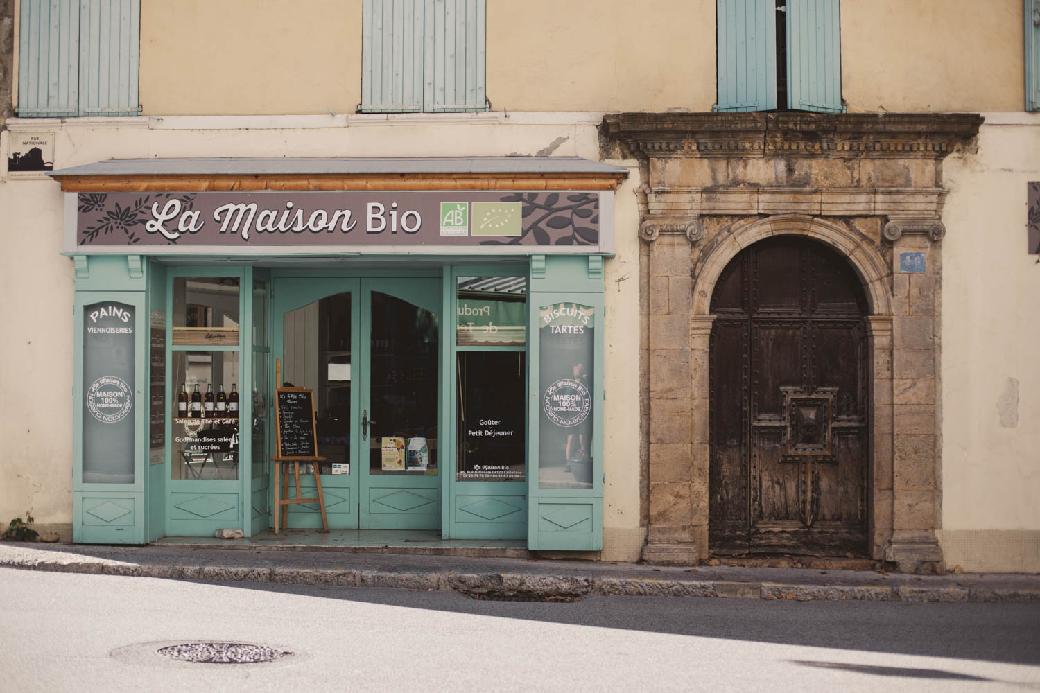
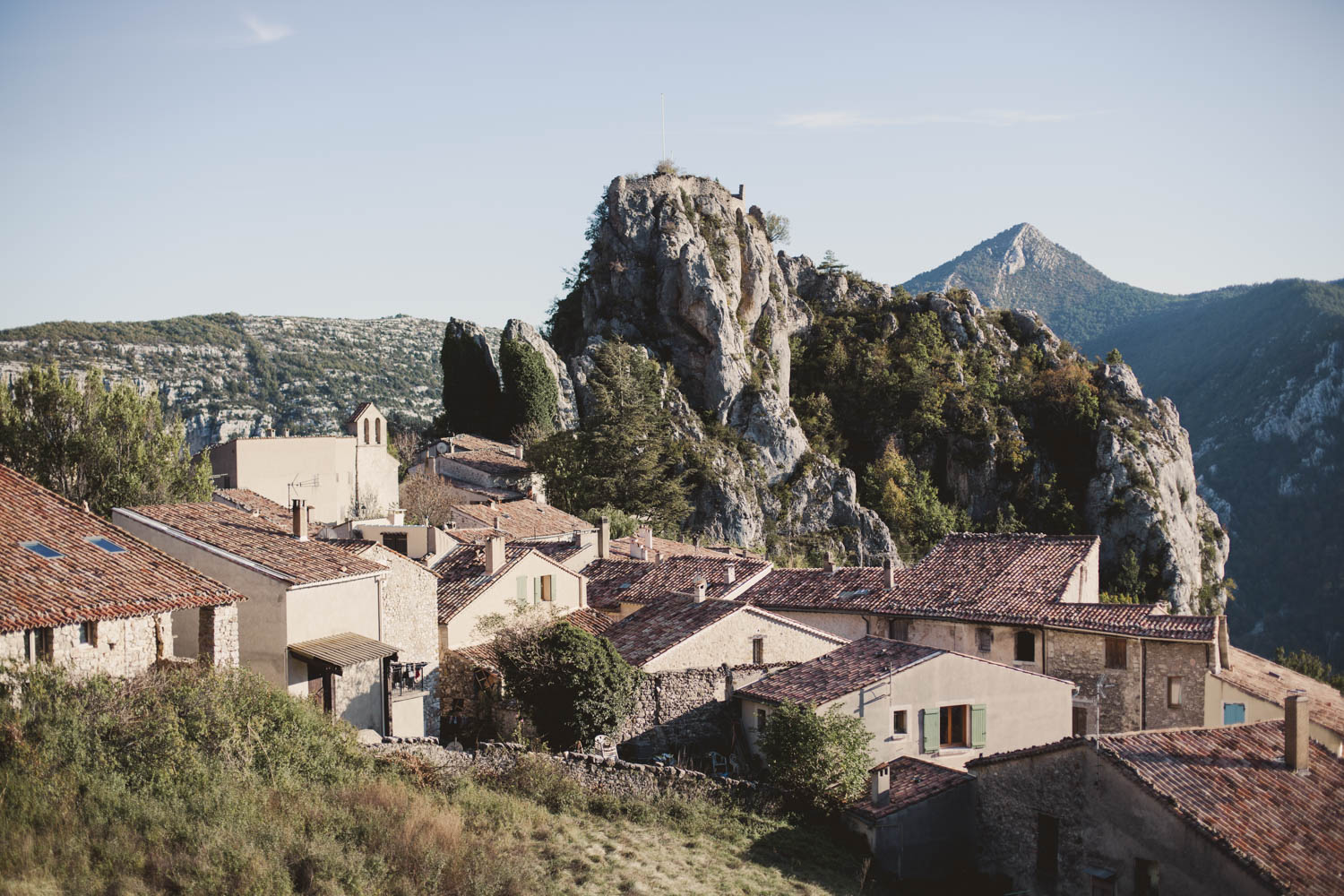
- Picturesque villages and small towns; Provence brims with historic towns featuring narrow cobblestone streets and exuberant flower arrangements hanging from nearly every window ledge.
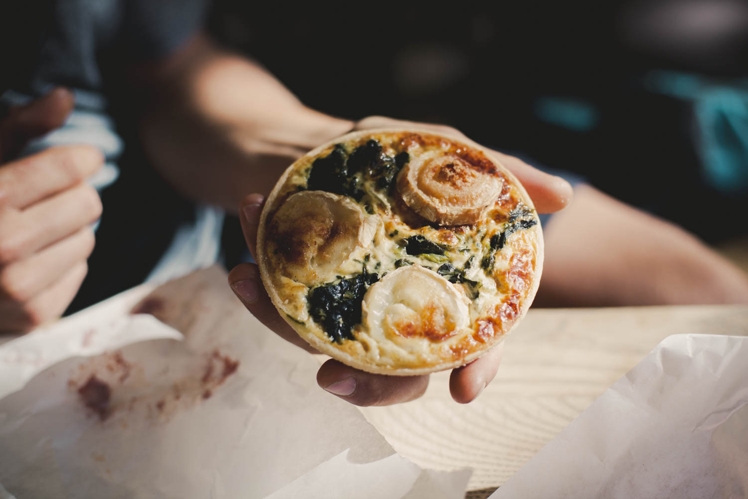
- Traditional patisseries and boulangeries; the display cabinets of the local artisan bakeries are filled with buttery chocolate croissants, juicy almond tartlets, and rustic baguettes and make every cyclist’s heart beat faster.
- Variety; the Haute Verdon valley is a region with many facets and the route takes you across all its contrasting landscapes.
- This route is best ridden north to south. Like it’s sibling, the Grand Traversée L’Alpes Provence, you’re mostly climbing on dirt roads and going down on trails ,which will be unrideable uphill. This also means that connecting the two routes into one loop doesn’t work. However, you could extend your ride by starting at the first section of the Grand Traversée L’Alpes Provence from Col de Larche until Barcelonnette, and then switch to the Trans Verdon.
- After rain, sections can become very muddy. The descent after the high altitude lakes around km 68 is on a steep, loose slope that could be too dangerous to pass in bad weather.
- Electric storms are common in the Hautes-Alpes during the hot summer months. It’s highly advised to leave exposed areas and head immediately below the treeline as soon as you can sense a storm approaching.
- The picturesque and touristy town of Moustier-Sainte-Marie offers all the amenities you’re craving after a few days riding. Although the official Trans Verdon route continues until Manosque from here, we think this is the perfect spot to finish the ride. In our opinion, you’ve passed the most interesting parts, and you could go back by bus from here (see resources). However, the route continues on a more mellow path crossing the Valensole Plateau through lavender fields in the flat. You can find the GPS track on the official website.
- The best time to ride the Trans Verdon is during spring or autumn. During the summer, temperatures can become oppressively hot. In spring, consider the risk of late snow remaining in the mountains.
- Best bike: Taking into consideration that it is officially a mountain bike route, a hardtail featuring a front suspension or a plus bike would be ideal.
- Staying on trails and respecting your surroundings is key because a great portion of the route passes through national parks. A level of respect is necessary if you want them to remain open and accessible by bike in the future for others to enjoy.
- The entire route is pretty well marked and you would have a hard time trying to get lost. Nonetheless, we wouldn’t recommend riding it without a GPS device.
- If you come across a herd of sheep on the high plains, don’t walk right through them, even if the trail leads you that way. Instead, navigate around the herd without disturbing the animals. Makes one happy shepherd.
- Getting to Barcelonnette. We’ve taken the LER bus 28 ‘Marseille-Barcelonnette’ twice now. They usually take bikes, but we wouldn’t recommend showing up with more than two bikes per bus, as space is limited. Coming from Nice, you could probably transfer in Digne-les-Bains. To get an idea of the prices, it’s about 22 € from Manosque to Barcelonnette per person, plus around 6 € per bike.
- Getting to Larche: In case you would like to start the ride in Larche and join at the first section of the Grand Traversée L’Alpes Provence, there is a bus ‘L5’ going from Barcelonnette to Larche, which is smaller but will have room for two fairly disassembled bikes (front wheel out, possibly and seatpost bags off, and perhaps turn handlebars). For schedules, check the resources section. You can use this bus for free.
- Getting back from Moustier-Sainte-Marie: There is bus 27 to Marseille, which we haven’t used yet, so any feedback on this one would be helpful. Although you’ve done the best part of the route until here, there’s always the option to continue on the official Trans Verdon route towards Gréoux les Bains or Manosque. The latter has a train station.
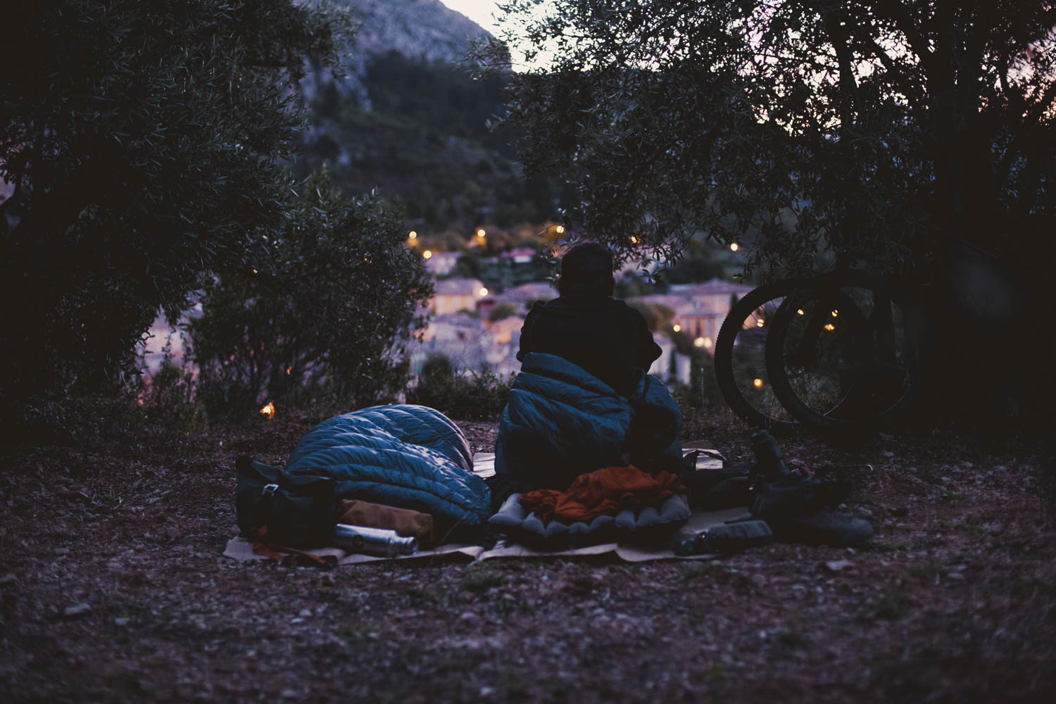
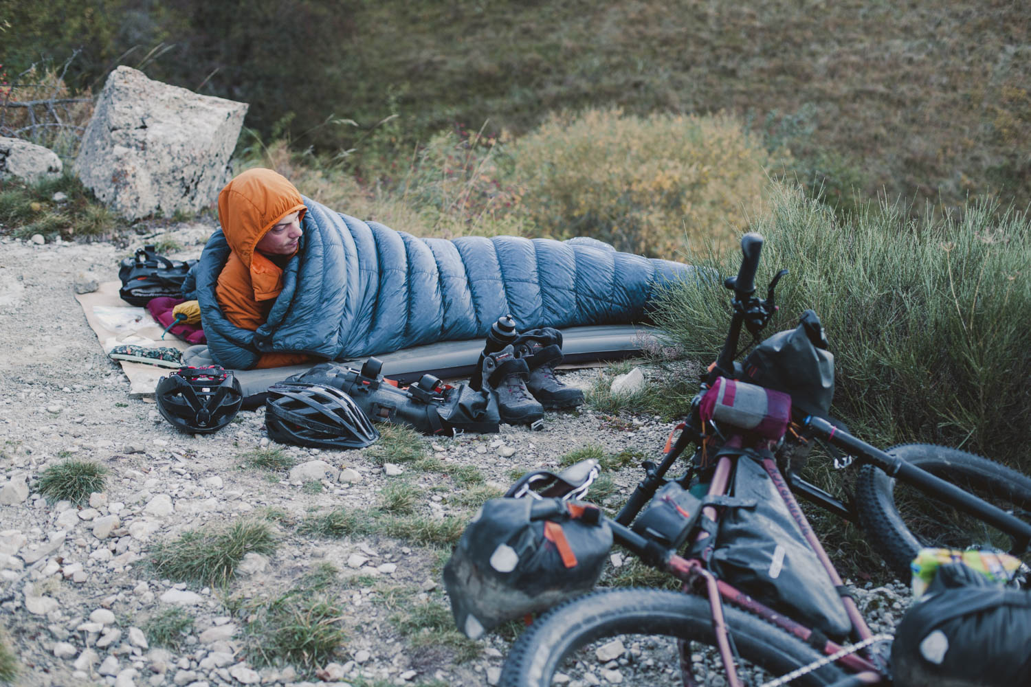
- Wild camping isn’t officially allowed in France, but people are generally friendly and open towards bikepackers, as long as you #leavenotrace and stay clear of protected and delicate areas.
- In the GPS file we marked some nice potential wild camping spots.
- There is a digital pamphlet for the Trans Verdon, published by the official tourist agency, under resources. There, you’ll be able find a list of eco-friendly accommodation. Other options, best tracked down via the local tourist offices, includes hotels, bed & breakfasts, traditional gites, and paid campsites.
- There aren’t any shops between Colmar (km 43) and Sainte-Andre-Les-Alpes (km 132). We recommend carrying at least two days of food for this slow-going stretch. In La Colle Saint-Michel (km 84) you can find accommodation and possibly a meal. After Sainte-Andre-Les-Alpes, you can resupply regularly.
- Most small and medium-sized supermarkets close during lunchtime. Those hours can vary, but usually tend to span from 12:00 – 3:00 PM. Just bear in mind that there’s always the chance stores don’t re-open at any exact time; rather, when the owner has finished their well-deserved afternoon nap. In addition, the only supermarket in Moustier-Sainte-Marie is closed on Wednesday afternoon.
- Shops in France are generally closed on Sundays.
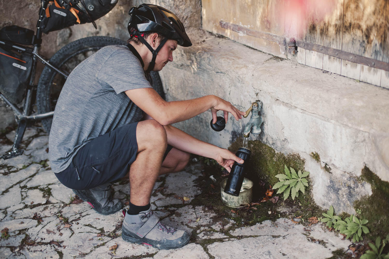
- Water isn’t an issue as you regularly come across small towns and villages, which all have public drinking fountains. Unless it’s clearly marked with a sign stating ‘NON POTABLE’ all water coming out of a tap is safe to drink. Due to the relatively hot climate, we recommend the capacity of carrying at least 2L on your bike.
Additional Resources
The region’s official tourist agency provides very helpful information at the following links:
- A general factsheet of the route.
- A detailed overview of the ride, broken down into smaller sections.
- Information about every section in French, and all the gpx files (including the final section from Moustier-Sainte-Marie to Manosque)
- The website of the Lignes Express Régionales Région Sud (LER) with timetables and information for the busses in the region.
- The schedule for the bus from Barcelonnette to Larche, this bus is free.


Terms of Use: As with each bikepacking route guide published on BIKEPACKING.com, should you choose to cycle this route, do so at your own risk. Prior to setting out check current local weather, conditions, and land/road closures. While riding, obey all public and private land use restrictions and rules, carry proper safety and navigational equipment, and of course, follow the #leavenotrace guidelines. The information found herein is simply a planning resource to be used as a point of inspiration in conjunction with your own due-diligence. In spite of the fact that this route, associated GPS track (GPX and maps), and all route guidelines were prepared under diligent research by the specified contributor and/or contributors, the accuracy of such and judgement of the author is not guaranteed. BIKEPACKING.com LLC, its partners, associates, and contributors are in no way liable for personal injury, damage to personal property, or any other such situation that might happen to individual riders cycling or following this route.
Please keep the conversation civil, constructive, and inclusive, or your comment will be removed.