


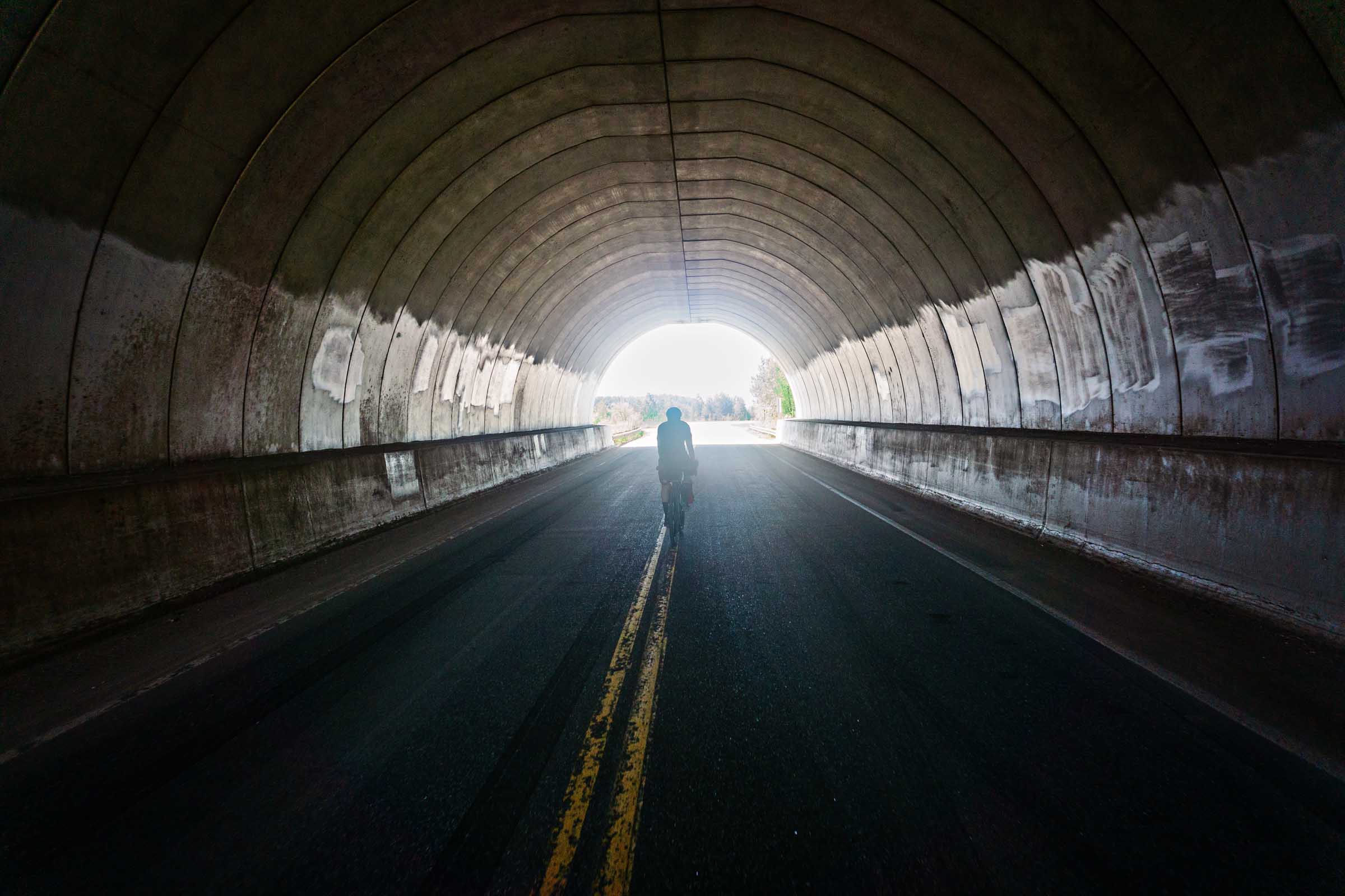
Up North Loop
Distance
240 Mi.
(386 KM)Days
5
% Unpaved
77%
% Singletrack
2%
% Rideable (time)
99%
Total Ascent
6,952'
(2,119 M)High Point
1,639'
(500 M)Difficulty (1-10)
4?
- 2Climbing Scale Easy29 FT/MI (5 M/KM)
- 4Technical Difficulty Fair
- 4Physical Demand Fair
- 3Resupply & Logistics Fair
Contributed By
Scott Haraldson
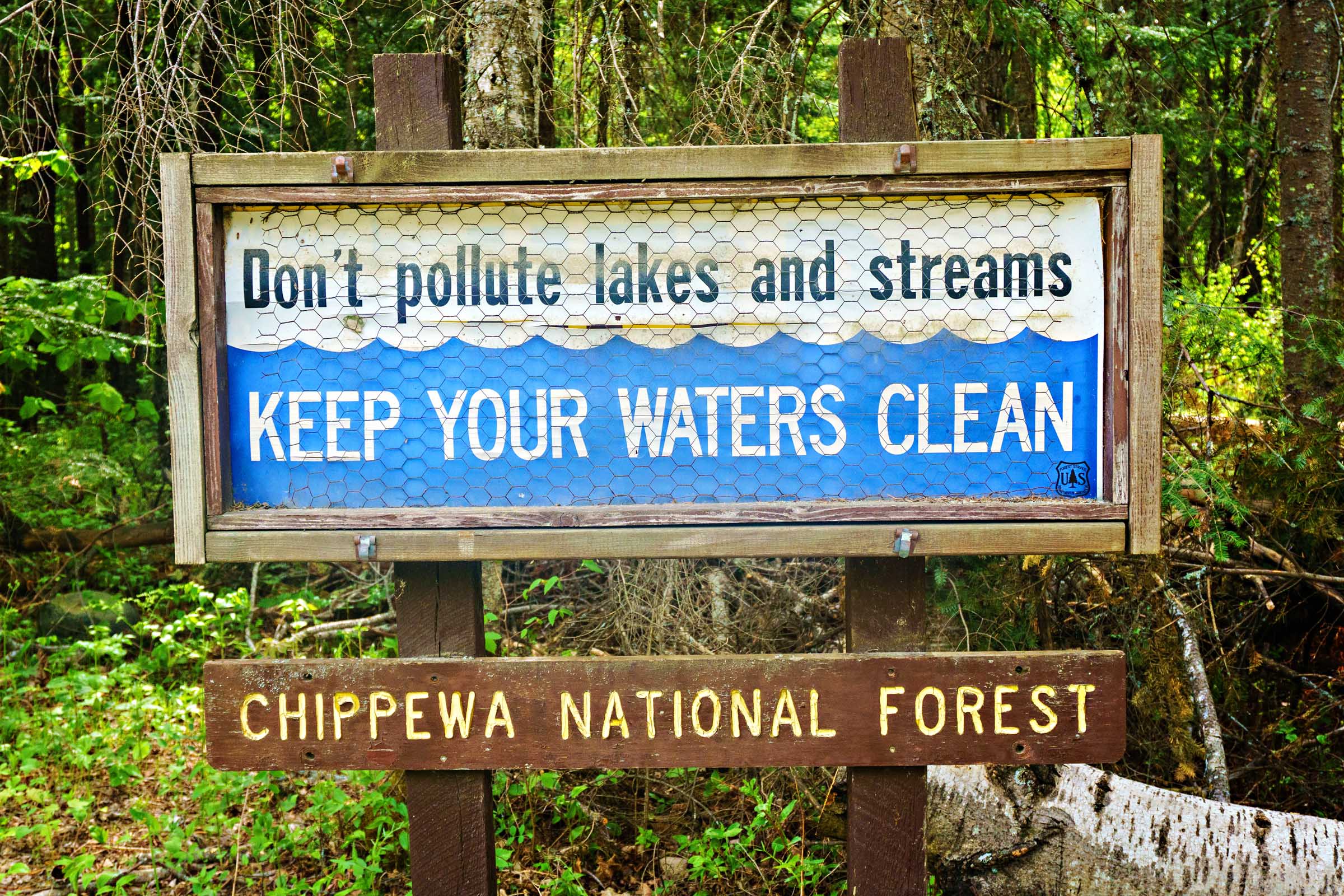
For those raised in Minnesota, “Up North” isn’t about crossing a line on a map. No border sign distinguishes it. Sure, there’s the general notion of heading north, but it’s more like a feeling: memories of childhood days at the lake, evenings spent around a campfire, and long weekends where life slowed down. For many, Up North is less about how far you go and more about how it feels when you get there.
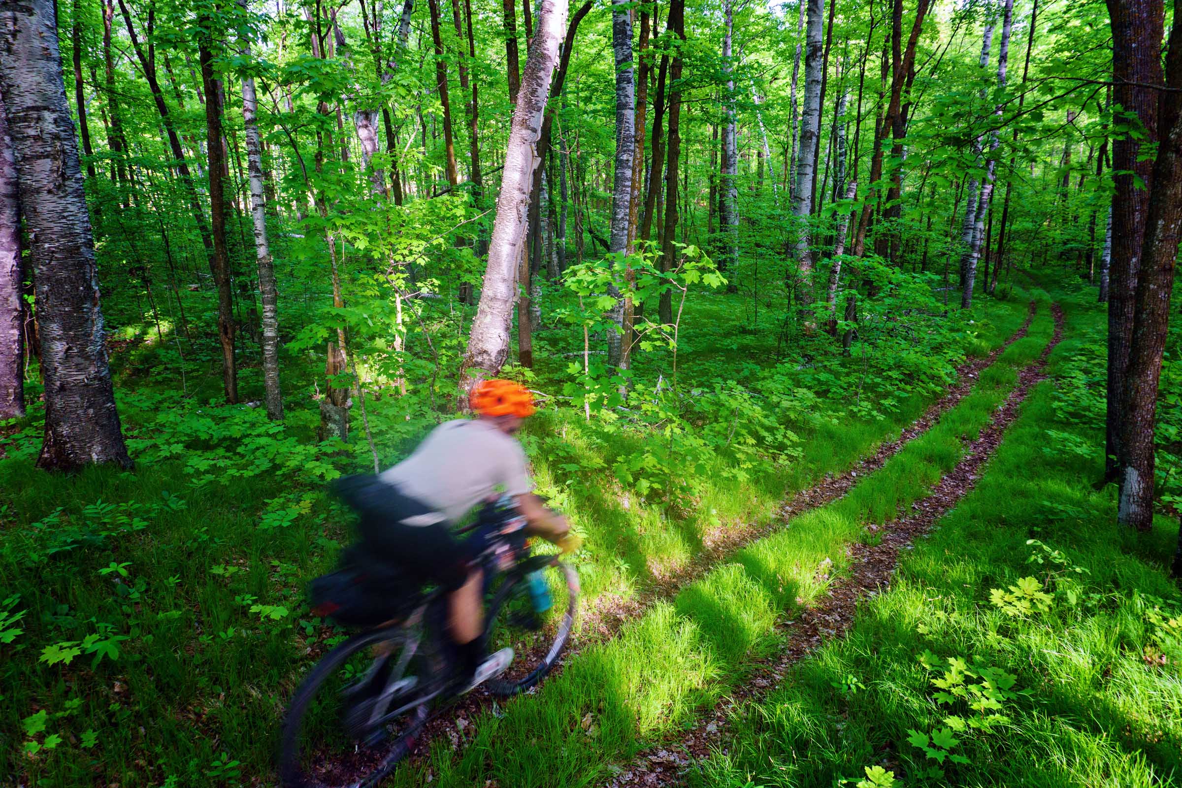
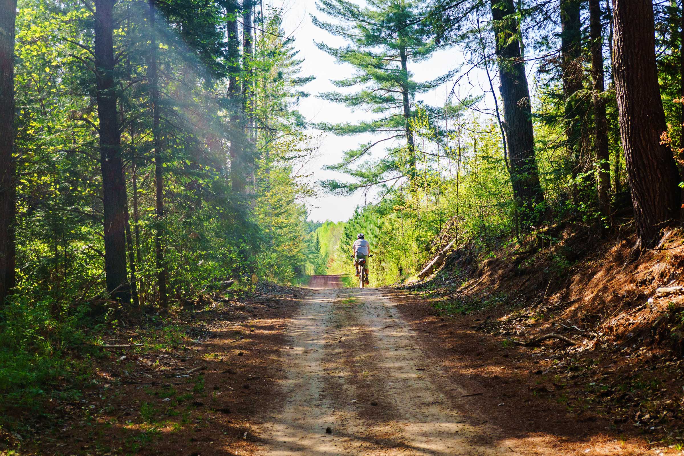
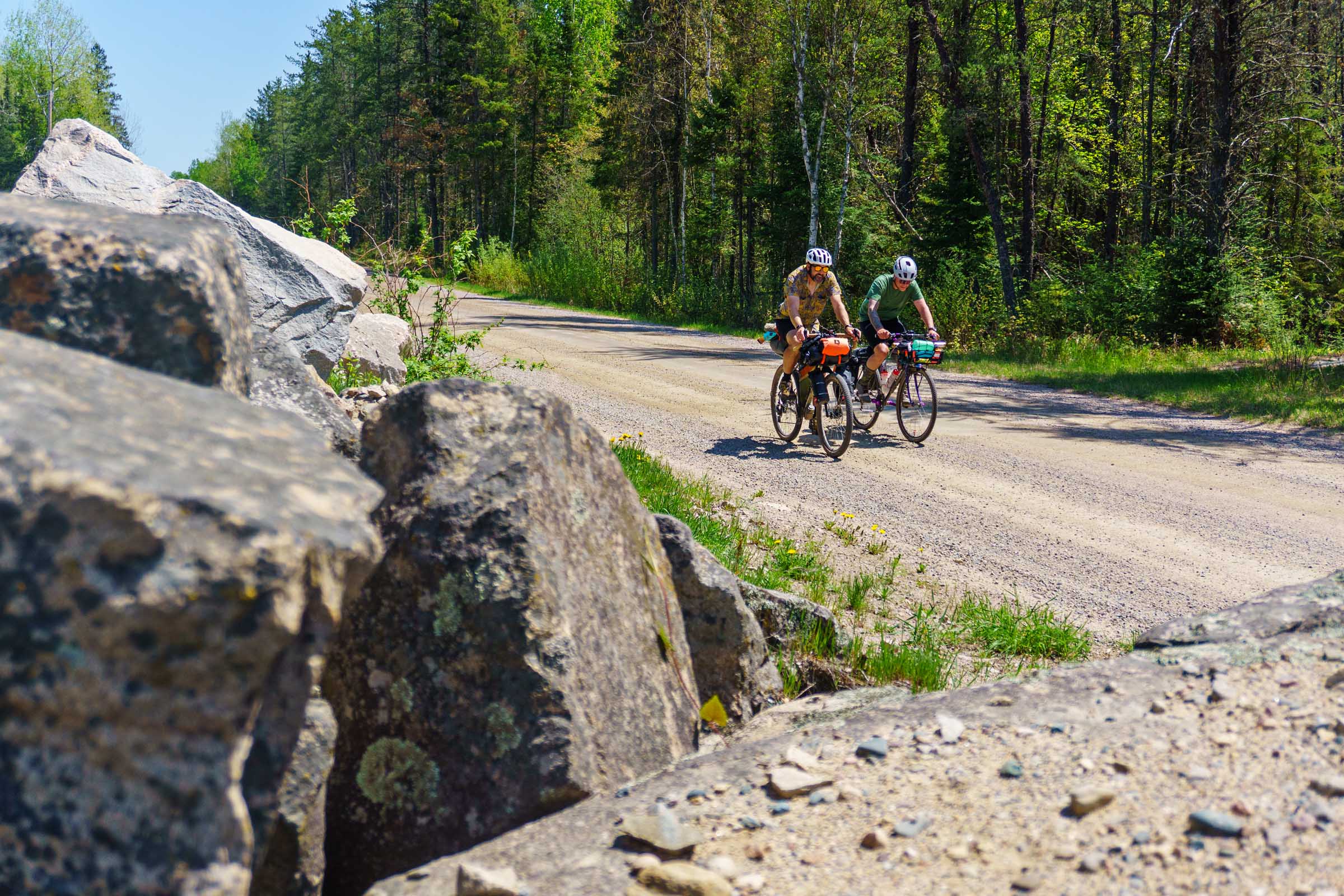
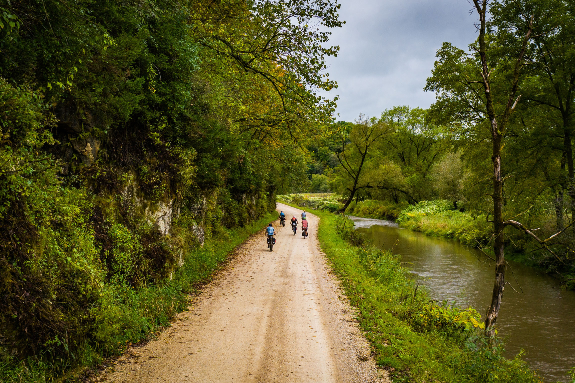
Going Up North means leaving things behind. The same can be said for this route. Watch as pavement gives way to gravel, then to narrower roads, and eventually a nearly forgotten two-track path winding deeper into the woods. This route embraces that progression. Miles will pass with nothing but the soft hum of rolling tires and the wind moving through the hardwoods and pines.


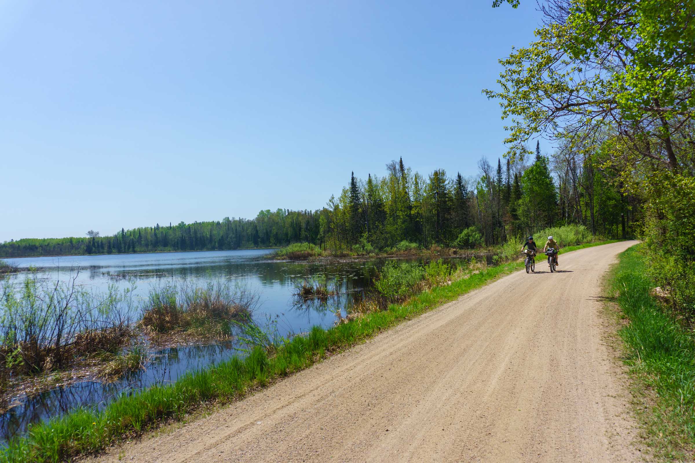
Located primarily in Itasca County, a landscape of vast forests and thousands of lakes, the Up North Loop is designed to be enjoyed at a gentle pace. It winds along lakes and zigzags through small towns marked by handwritten signs selling firewood and by gas stations that double as grocery stores, bait shops, and liquor stores. Beat the heat by jumping into a lake or making a stop at one of the many bars and restaurants along the way, where deer mounts hang above well-worn bars that have stood the test of time.
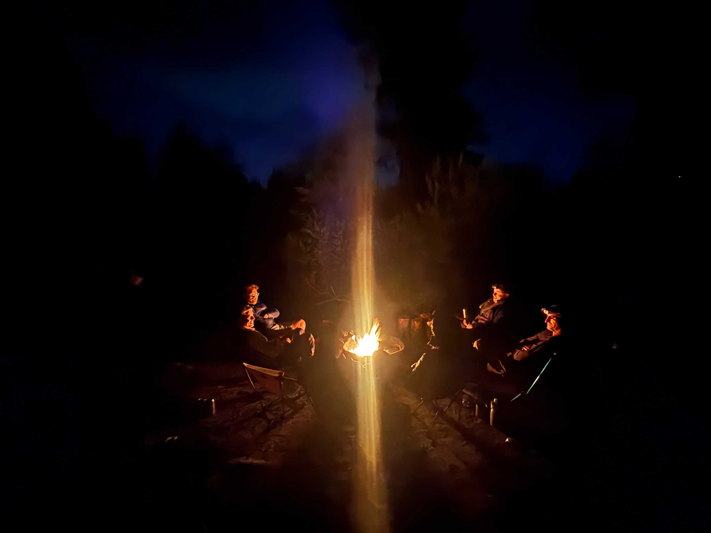
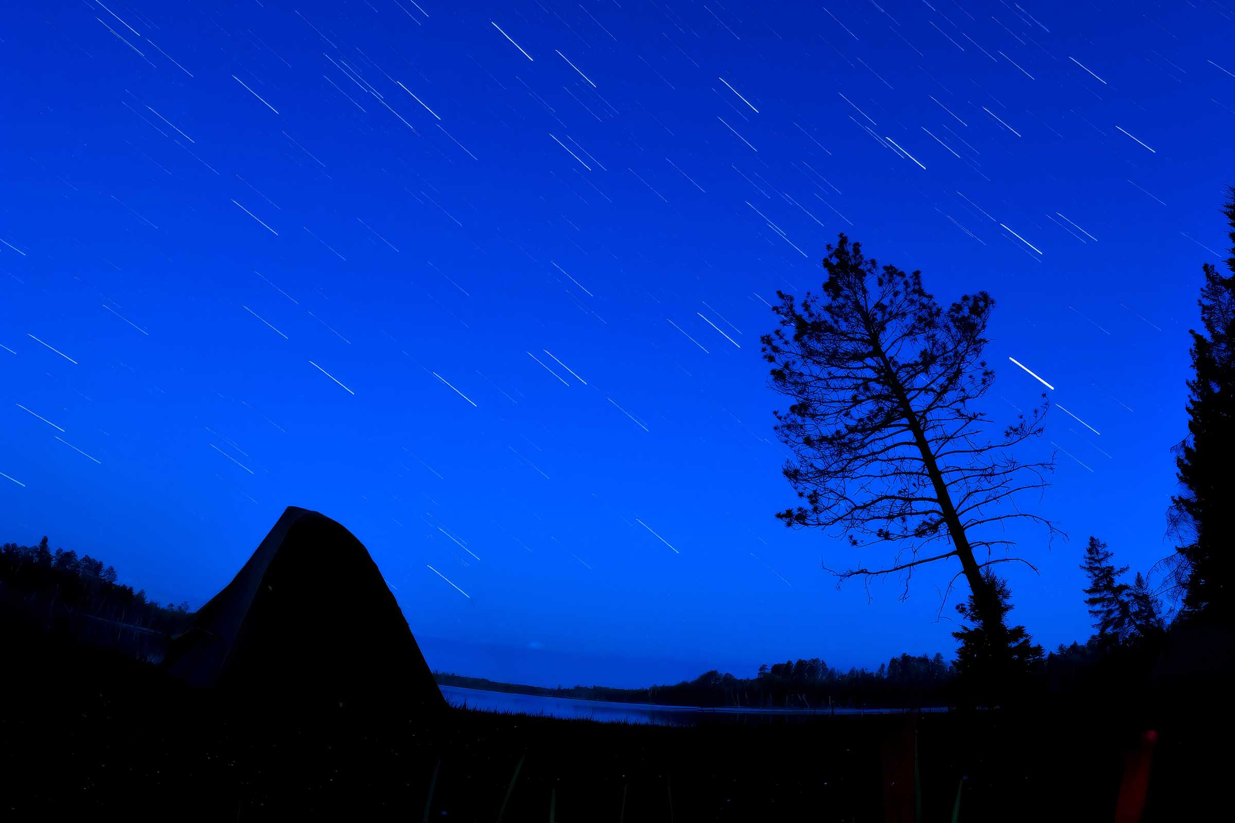
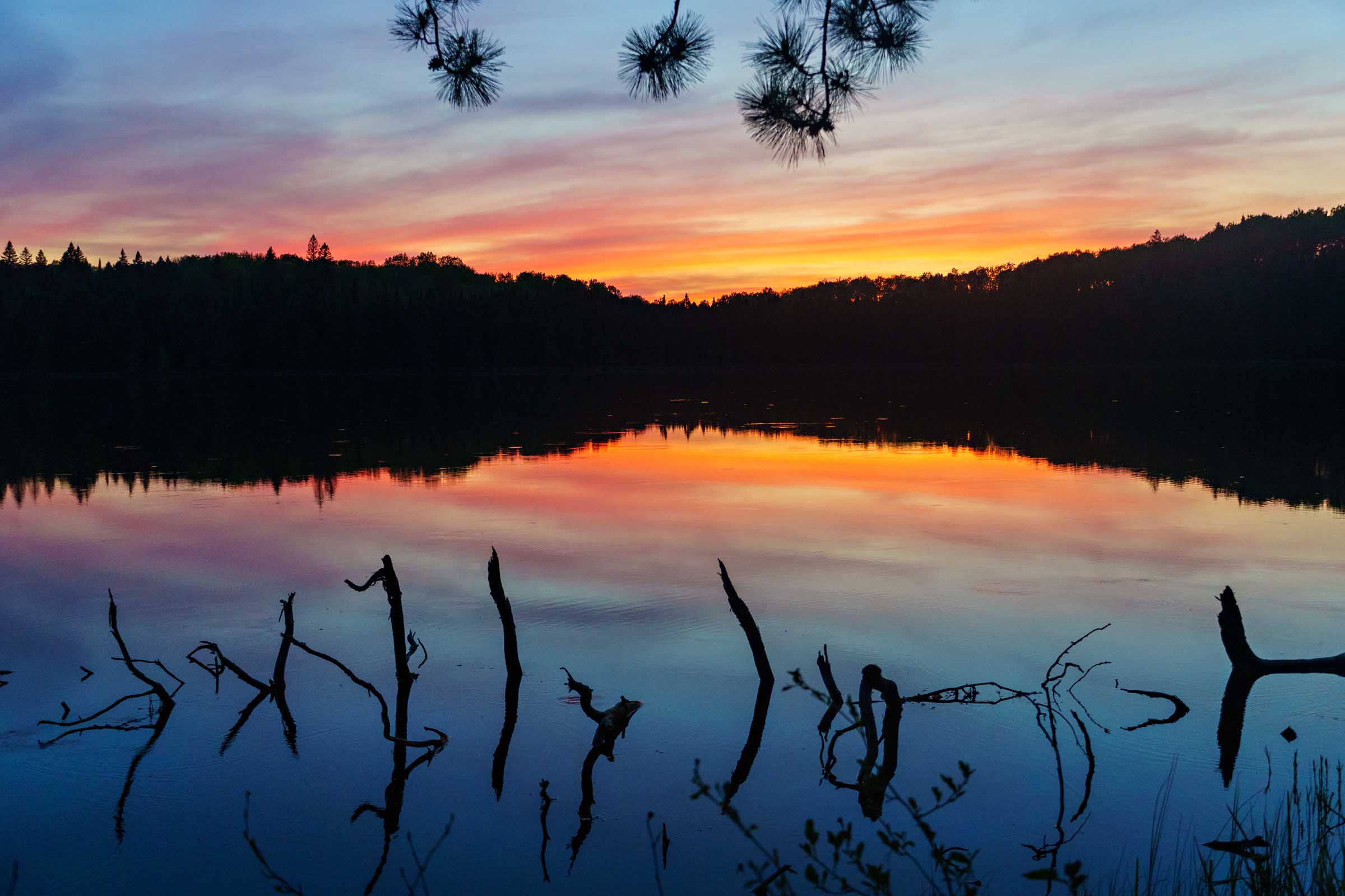
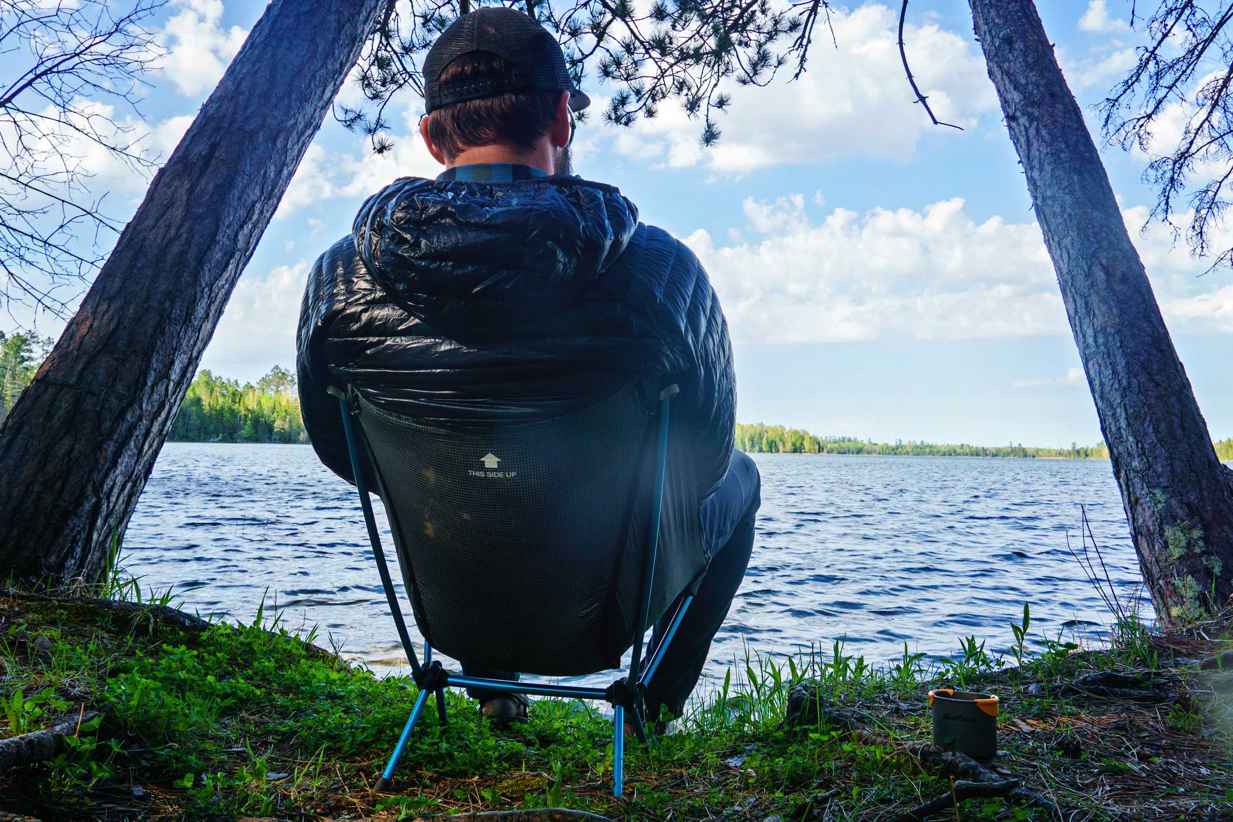
On the Up North Loop, evenings begin and end around a campfire. Kick back and watch as the sun sinks behind the treeline, a ball of fiery red settling over nearly motionless water. In the stillness, sound carries far, the clean, sharp call of a loon cutting through the air. As darkness deepens and the sky turns wide and black, take one last look upward at a sky full of stars before crawling into your tent.
Route Difficulty
The amount of two-track increases the difficulty rating. While not overly demanding, those with less confidence in their bike handling may have a harder time navigating sections of rocky, loose-gravel downhills. The climbs on the route are less sustained and more punchy, with grades reaching upward of 15 percent at times.
Resupply and logistics are manageable with a bit of planning. There are several restaurants and convenience stores spaced throughout the route. Water, however, is always a consideration, especially during hot days when the sun beats down on the more exposed sections. I recommend carrying a water filter; our group used ours every day.
I give the Up North Loop a difficulty rating of 4. For more experienced mountain bikers, it should be decreased by a point.
Route Development
After building routes in Southern Minnesota, I turned my attention farther north after learning about dual-sport motorcycle rides in Itasca County. Seeing where those riders were traveling sparked the idea that the same corridors could be connected into a longer, more remote, bike-focused route.
With a four-night, five-day trip averaging roughly 50 miles per day in mind, I began exploring the terrain north of Chisholm. Starting from town, I linked together gravel roads using Ride with GPS’s gravel-layer tools and keying in on the region’s numerous campgrounds. From there, I dove deeper using Itasca County’s publicly available GIS data, which has become one of my favorite route-planning tools. The high-resolution aerial imagery provides a realistic sense of what is and isn’t passable, while property record overlays make it easy to identify public lands.


I then focused on finding trails and camping opportunities that don’t appear on most public maps. Itasca County maintains 12 designated dispersed camping sites, and I incorporated two of them into the route.
Many sections rely on two-track trails that don’t appear on traditional maps. The area’s long history of snowmobile, ATV, and adventure motorcycle use has created an extensive network of forest roads and connectors. While these corridors are shared with other users, the region’s remote setting keeps traffic surprisingly light. Unlike more popular trail systems elsewhere in Minnesota, you’re unlikely to spend the day listening to the constant buzz of engines.
Bikepacking already has a foothold in the area. In 2023, Josh Rizzo created the Itasca Lakenights Overnighter, demonstrating the region’s potential for bike travel and helping validate the idea of a longer, multi-day route.


Submit Route Alert
As the leading creator and publisher of bikepacking routes, BIKEPACKING.com endeavors to maintain, improve, and advocate for our growing network of bikepacking routes all over the world. As such, our editorial team, route creators, and Route Stewards serve as mediators for route improvements and opportunities for connectivity, conservation, and community growth around these routes. To facilitate these efforts, we rely on our Bikepacking Collective and the greater bikepacking community to call attention to critical issues and opportunities that are discovered while riding these routes. If you have a vital issue or opportunity regarding this route that pertains to one of the subjects below, please let us know:
Highlights
Must Know
Camping
Food/H2O
Trail Notes
Resources
- Swimming opportunities: Minnesota is known as the Land of 10,000 Lakes, and there are abundant options along the route. Each day’s ride finishes near a lake, making it easy to cool off after hours in the saddle. One of the standout spots is the bridge crossing at Wolf Lake, where slightly deeper water makes for an inviting swim and bridge jump.
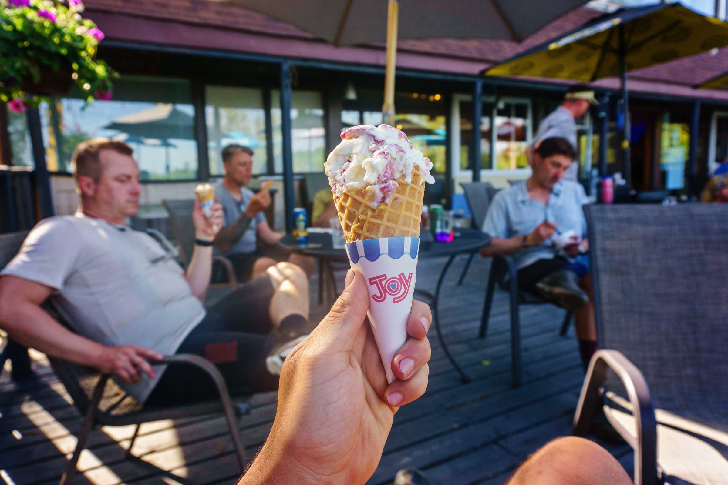
- We treated ourselves to ice cream every day of our trip, and it became one of the highlights of the ride. Make sure to stop at the small convenience stores marked along the route. After a few hours of riding, few things taste better than a hand-scooped cone enjoyed on a shady bench outside the store.
- Antler Lodge is a classic Northwoods resort located along Scenic Highway near Bigfork on the shores of Antler Lake. Established in 1936 by avid hunter Fred Bentz, the lodge was originally a private hunting and fishing retreat. Named for Bentz’s extensive collection of antlers and big-game mounts, it gradually evolved into a public resort.
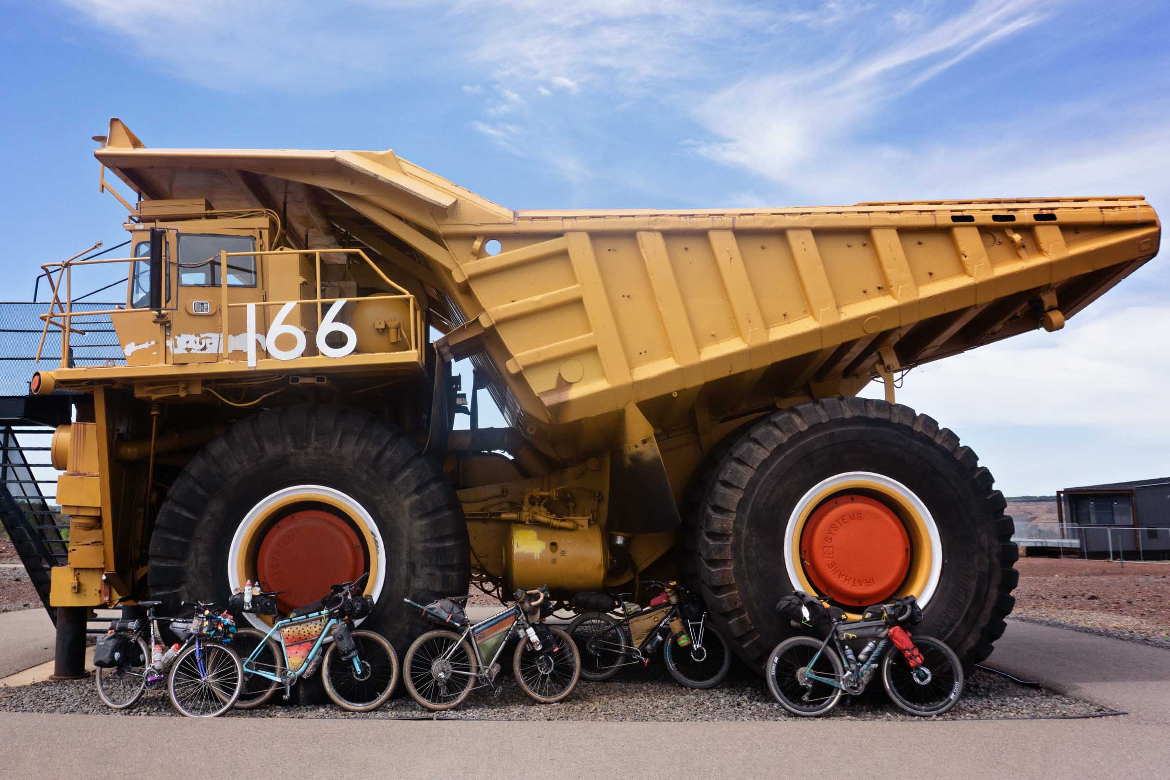
- For more than a century, the Iron Range of northeastern Minnesota has lived by the rhythm of mining. In communities like Chisholm, mining wasn’t just an industry; it shaped the region’s identity. Rather than hiding its industrial past, Chisholm embraced it. Today, former mine lands have been transformed into Redhead Mountain Bike Park, where riders can add a couple of miles of singletrack to end their trip or follow the paved Mesabi Trail back into town to complete the route.
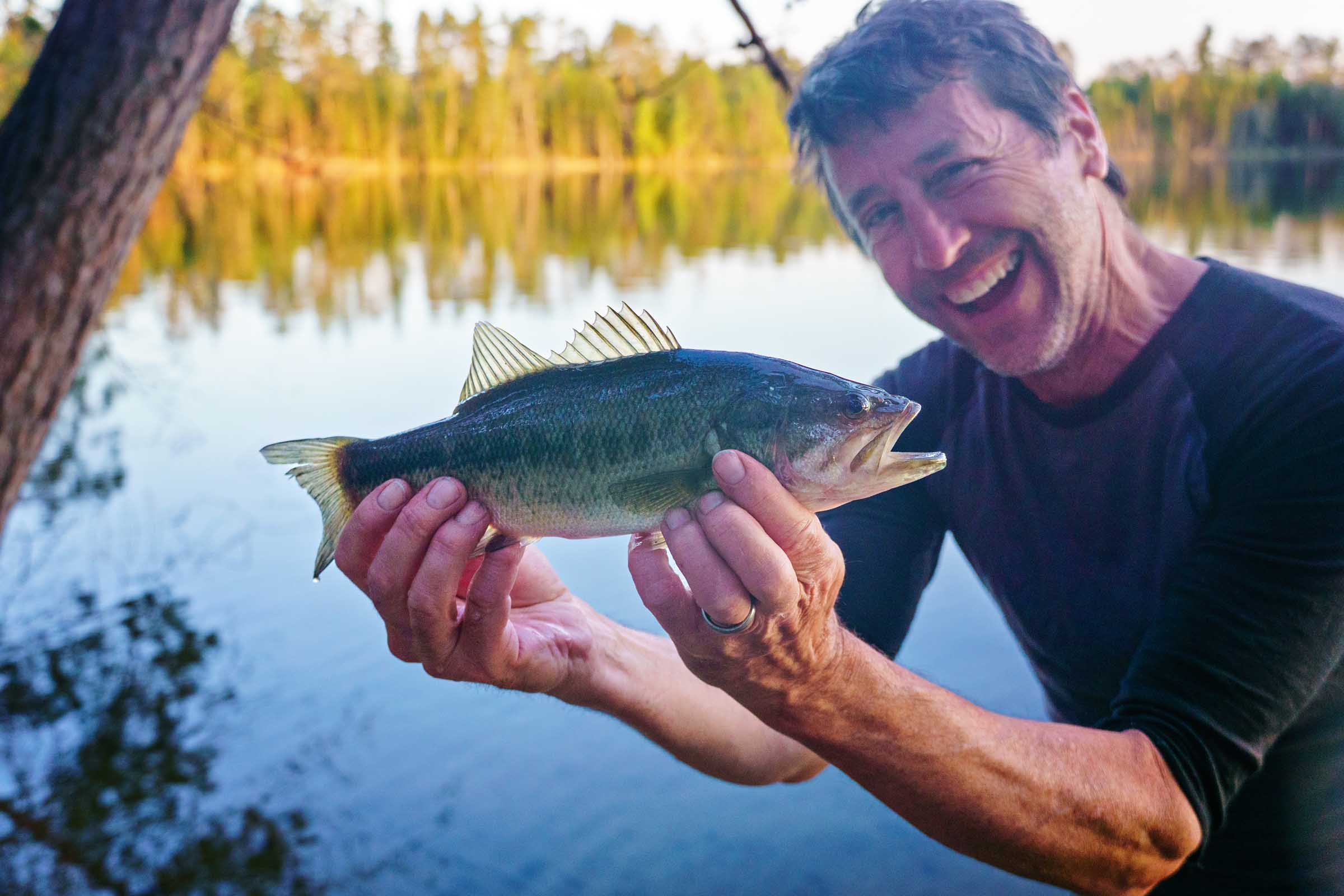
- Fishing opportunities can be found throughout the route, with countless lakes, rivers, and streams providing places to cast a line. Pike, bass, and panfish dominate the waters.
- Park Recreation in Bigfork, Minnesota, is a long-running small-town hangout that mixes classic diner food with an old-school arcade feel. It has an easy, unpretentious vibe where everyone was welcomed into the mix. The daily specials feel like a throwback to a pre-inflation era. On the day we stopped in, $10 covered a double cheeseburger, fries, a 20-ounce drink, and a generous scoop of ice cream.
- You won’t find many bars like Deer Lake Charlie’s. Housed in the lower level of an old red barn, walking through the door feels like stepping back in time. Rough-sawn timbers, walls covered with handwritten messages, and decades of local history give the place a character that can’t be manufactured. Owners Gail and SuZanne have created the kind of establishment where strangers are welcomed like regulars and conversation comes easily.
When to go
- The ideal window for this route is from late May through October. Waiting until later in May helps avoid muddy, flooded trail conditions common during spring thaw. Finishing before November is recommended, as colder temperatures arrive and firearm deer hunting season begins on many public lands along the route.
- Parking: Long-term parking is available at the Chisholm High School football field. Chisholm is approximately 3.5 hours north of Minneapolis by car. Riders arriving the evening before can stay at one of two nearby city campgrounds, both of which can be reserved online, making for an easy roll-out onto the route the following morning.
Logistics
- Route Direction: This route is best ridden counterclockwise, starting in Chisholm. See the Trail Notes tab for a suggested itinerary and mileage markers. While Chisholm is the recommended starting point, the loop can easily be joined from several other locations.
What bike?
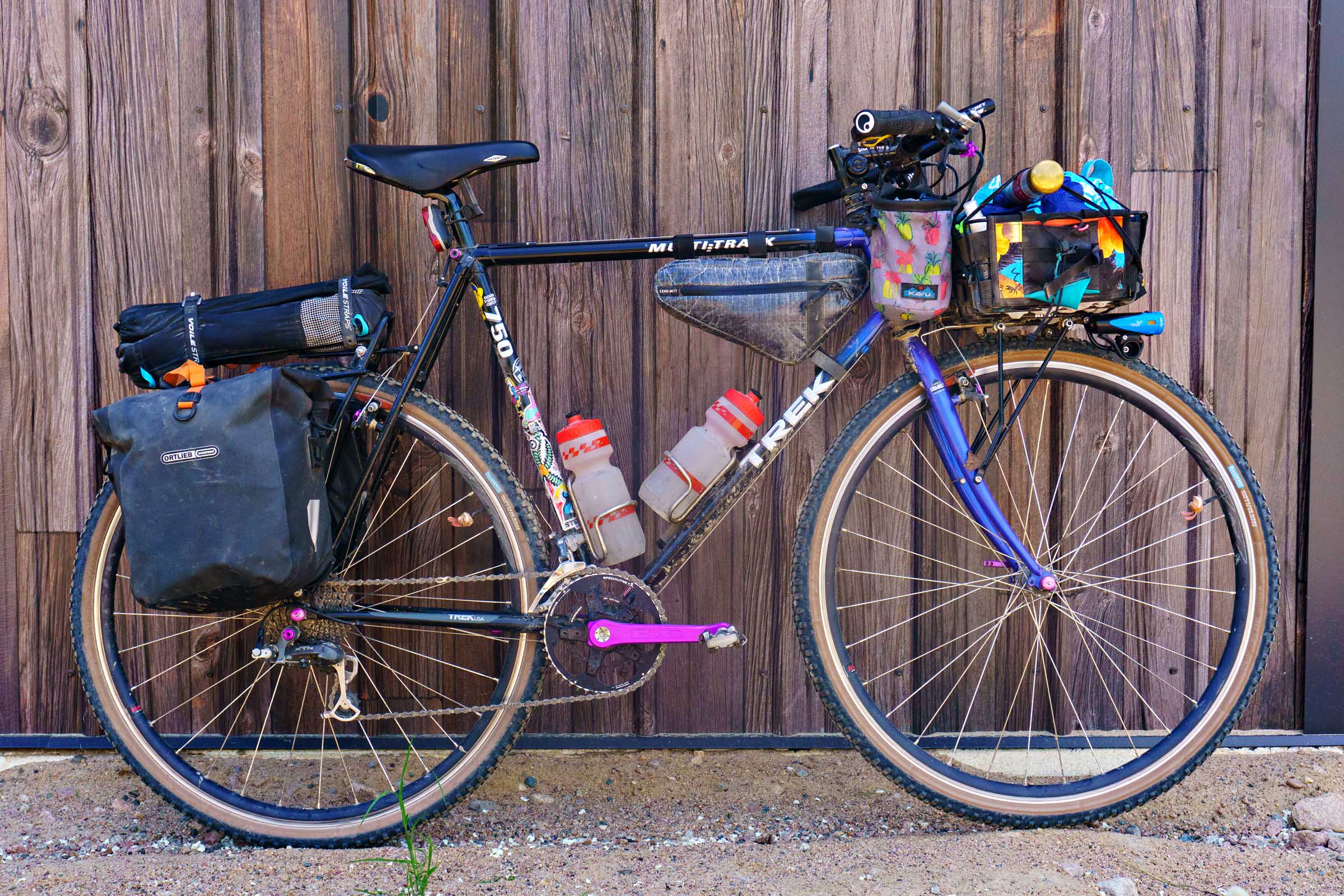
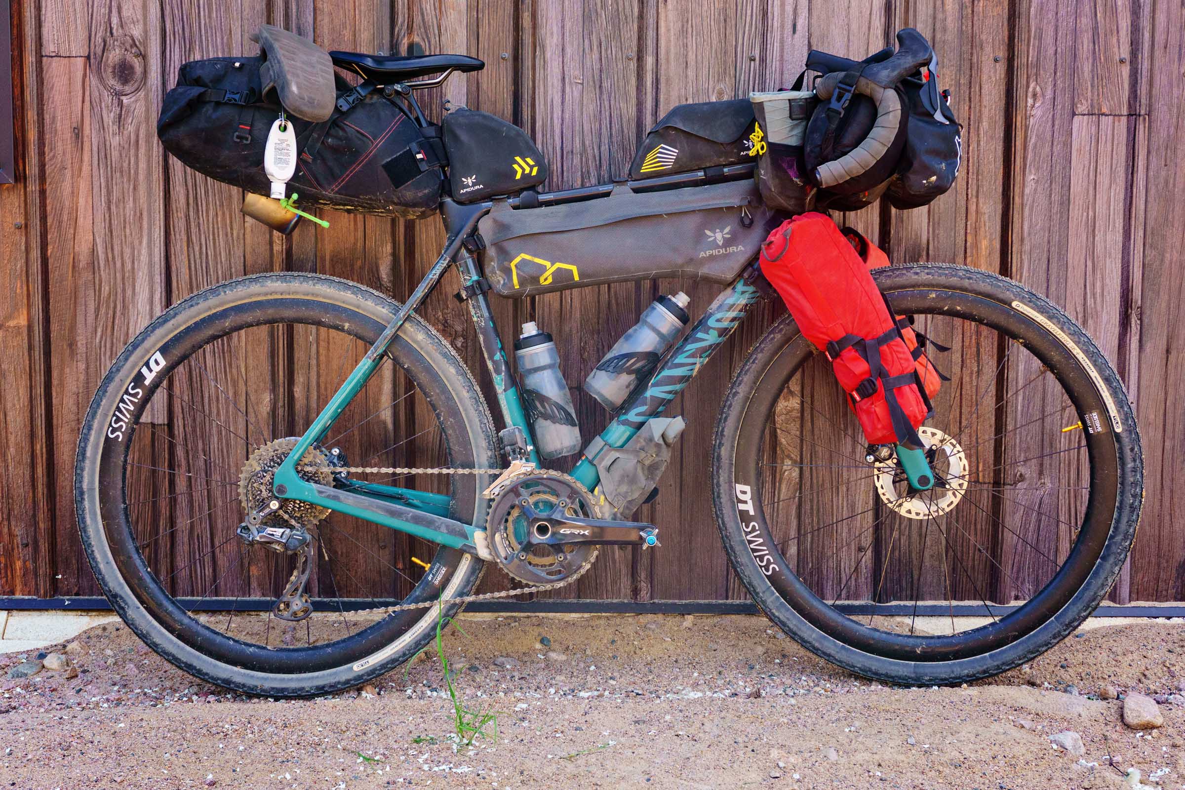
- The route can be completed on a wide variety of bikes, but those that handle rocky terrain with wider tires are recommended. Our group of eight riders used a diverse range of setups, including three Surly ECRs running 29 x 3.0” and 27.5 x 2.8” tires, a Moots Baxter with 29 x 2.1” tires, a Canyon Grizl with 700 x 50mm tires, a Salsa Cutthroat with 29 x 2.4” tires, a Salsa Fargo with 700 x 55mm tires, and a Trek Multitrack 750 with 700 x 42mm tires.


Dangers & Annoyances
- Bugs and Ticks: Northern Minnesota is known for heavy mosquito and black fly activity, particularly during the summer months. Spring and fall offer the most comfortable riding conditions, but regardless of the season, insect repellent is highly recommended. Ticks are also abundant throughout the region. Everyone in our group removed multiple ticks during the ride. Treat clothing and gear with permethrin before your trip and consider wearing long sleeves and pants when off the bike.
- Much of this route travels through black bear habitat, so proper food storage is important. Avoid keeping food, trash, or scented items inside your tent, and whenever possible hang food away from your sleeping area. The backpacking sites at Scenic State Park include a bear box, and while black bear encounters are uncommon, taking a few simple precautions can go a long way.
- Trail Traffic: The route incorporates extensive sections of ATV and off-highway vehicle trail. Despite this, the area’s remoteness means traffic is typically light. Stay alert, especially on climbs and blind corners, and ride on the right side of the trail.
- Trail Conditions: The ATV sections of trails tend to retain moisture and can become muddy after periods of heavy rain. We rode the route in late May and found that most of the mud had dried, with only a few wet areas remaining in low-lying sections. Under normal conditions, these puddles are generally easy to navigate around.
- The bridge across Bear River at mile 43 has long since been removed, and while the river is not very wide or deep, that could change depending upon the season. We managed to cross it without issue, but if you feel better going around, use this reroute.
- Nestled within George Washington State Forest, Thistledew Campground offers 21 sites that include fire rings, picnic tables, vault toilets, drinking water, and trash. The adjacent lake is known locally for walleye and crappie, making it possible to catch your dinner. All sites are first-come, first-served and paid on-site.
- Scenic State Park is one of Northern Minnesota’s quieter state parks, known for its towering stands of old-growth red and white pine. The park features two designated backpacking sites near Pine Lake. We reserved both and found site #2 to be the more desirable option. The main campground offers showers, water, and trash.
- The Itasca County Park System maintains 10 designated dispersed camping sites throughout the region, two of which are incorporated into this route.
- Crooked Lake offers three designated sites. The first two are closest to the main road and provide easy access to the lake, though they have a smaller footprint. The third requires a few short but steep climbs along the service road, rewarding the extra effort with a spacious setting beneath mature pines and access to the lake.
- Wolf Lake features three sites. Locals mentioned the area occasionally attracts weekend gatherings, but we had the campground entirely to ourselves on a Saturday night. If the sites are occupied, dispersed camping is permitted on nearby state forest land approximately one mile back along the route.
- Large portions of the route travel through Minnesota state forest and tax-forfeited land, where dispersed camping is generally permitted unless otherwise posted, providing additional flexibility for riders who prefer to choose their own overnight locations.
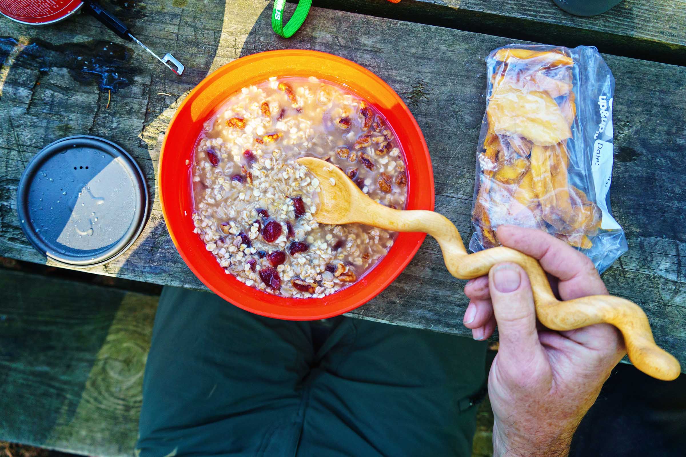
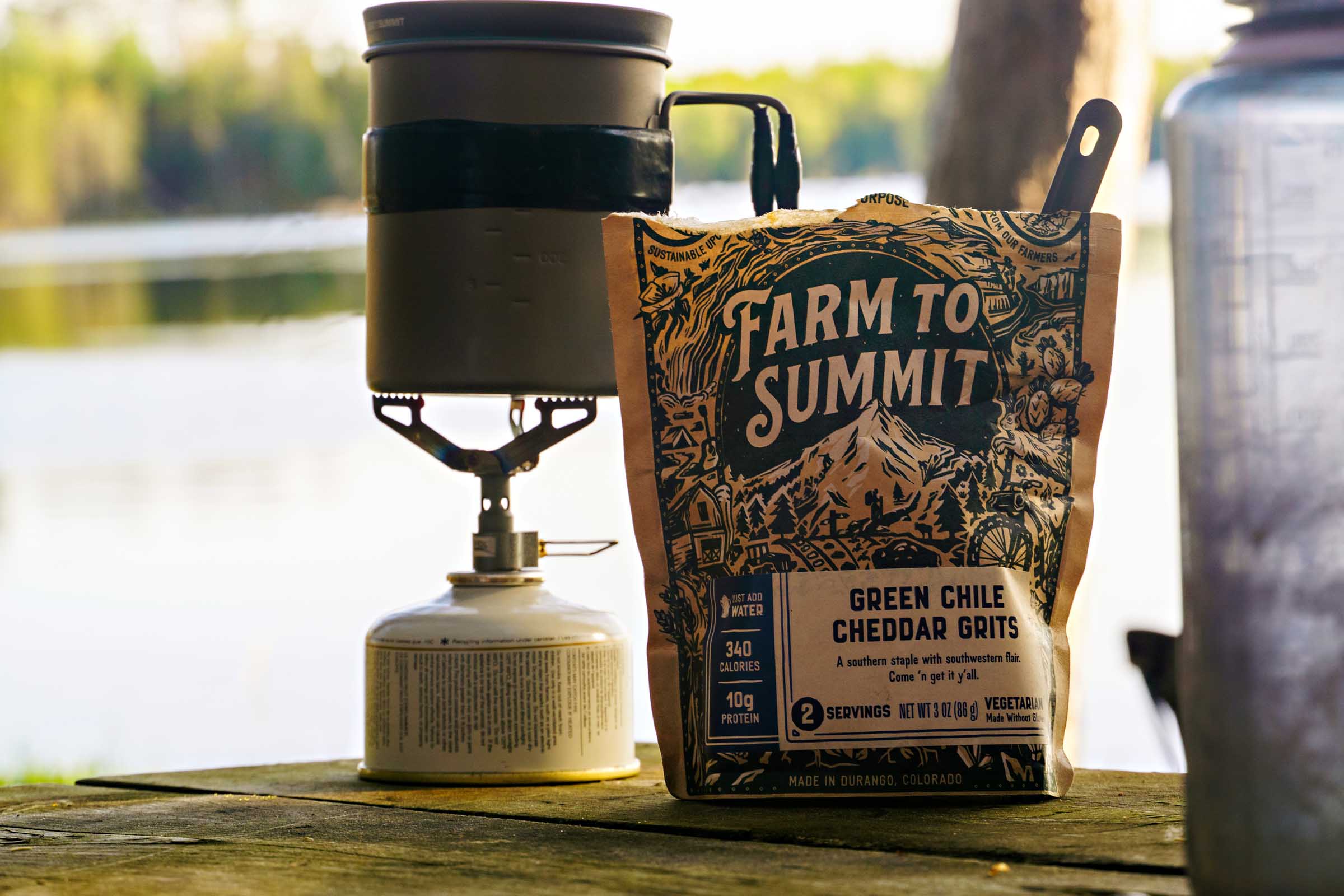
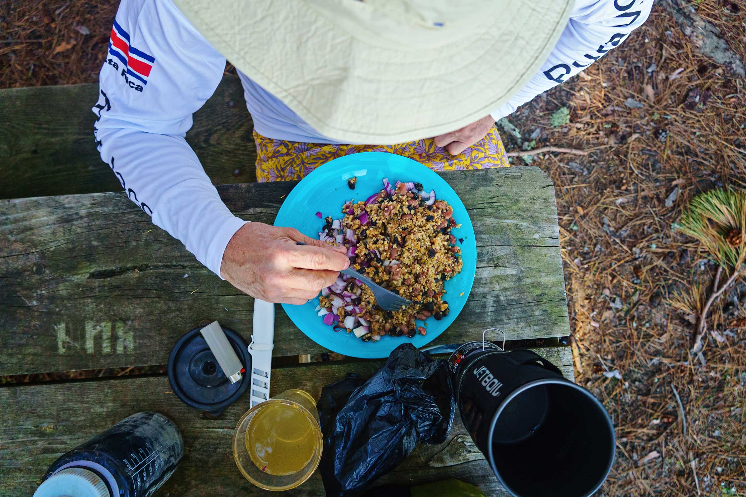
- When planning a trip, I usually try to time my days so I can stop at as many local establishments as possible. Bars, restaurants, and convenience stores along the route provide plenty of opportunities to refuel while supporting the communities you are riding through. Using the trip itinerary as a guide, we still needed to account for breakfast each morning and then a couple of dehydrated meals. Of course, if you prefer to be more self-sufficient, simply pack enough bikepacking meals and bring the stove of your choice.
- For most points of interest, I’ve included the typical operating days for bars and restaurants along the route. However, schedules can change, and online information isn’t always accurate, so it’s a good idea to call ahead if you’re relying on a particular stop being open.
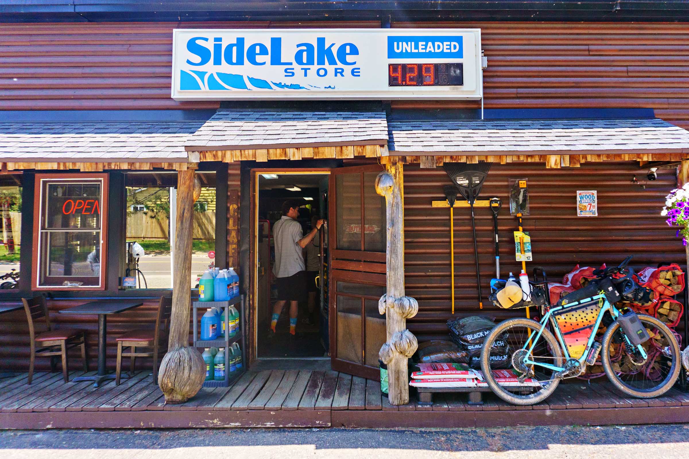
- For resupply, convenience stores can be found at Side Lake Store, Effie Country Service, Little Turtle Lake Store, Frontier Sports, and Antler Lake Store. Kocian’s Family Market offers the route’s most comprehensive grocery shopping options. Several stores also offer hot food, ice cream, beverages, and beer and liquor sales, making it easy to replenish without carrying large amounts of food between stops.
- There is no shortage of water along this route, but much of it comes in the form of lakes rather than spigots. Carry enough capacity to bridge gaps between towns and campgrounds, and plan to filter water regularly. While opportunities to refill bottles do exist, it’s wise to top off whenever you can. We carried two four-liter gravity filters for our group, which made quick work of processing water and keeping everyone supplied throughout the trip.
location Chisholm to Thistledew Campground
Day 1 (49 mi +1,500 ft)
With eight riders, this was the largest group I’ve tackled a bikepacking route with. To simplify logistics, several of us drove to Chisholm the night before and camped at the Iron Trail Campground, while a few others made the early morning drive from Minneapolis. After leaving our vehicles at the high school football field, we rolled into town for breakfast at Black Bear Bakery, fueling up on breakfast burritos, pastries, and coffee before the adventure began.
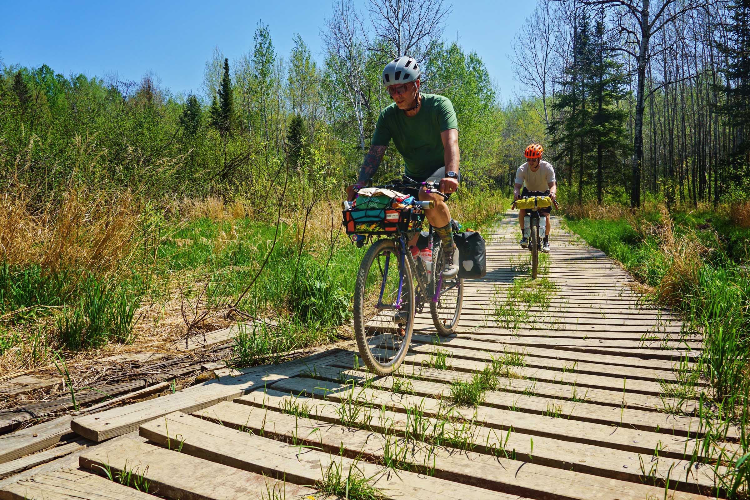
We rolled out, enjoying a couple of easy paved miles before reaching our first gravel roads. By mile 10, the route turned onto the first of many OHV (Off-Highway Vehicle) trails. Unlike some of Minnesota’s sandier ATV routes, these lightly used two-track trails offer punchy climbs, rocky descents, and a fun mix of riding that kept us engaged. The two-track sections are connected by short stretches of gravel road, creating a varied and enjoyable rhythm throughout the day.
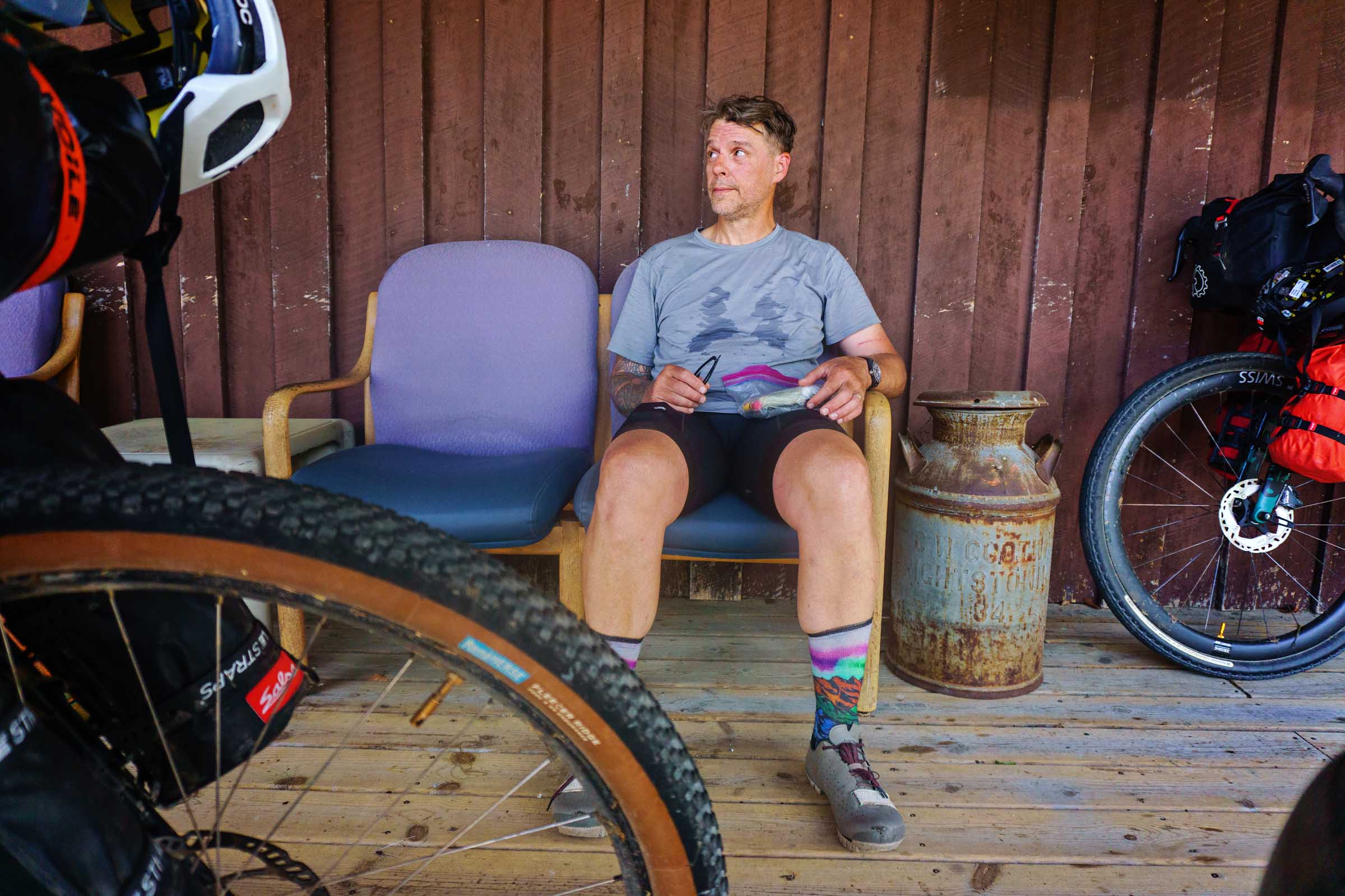
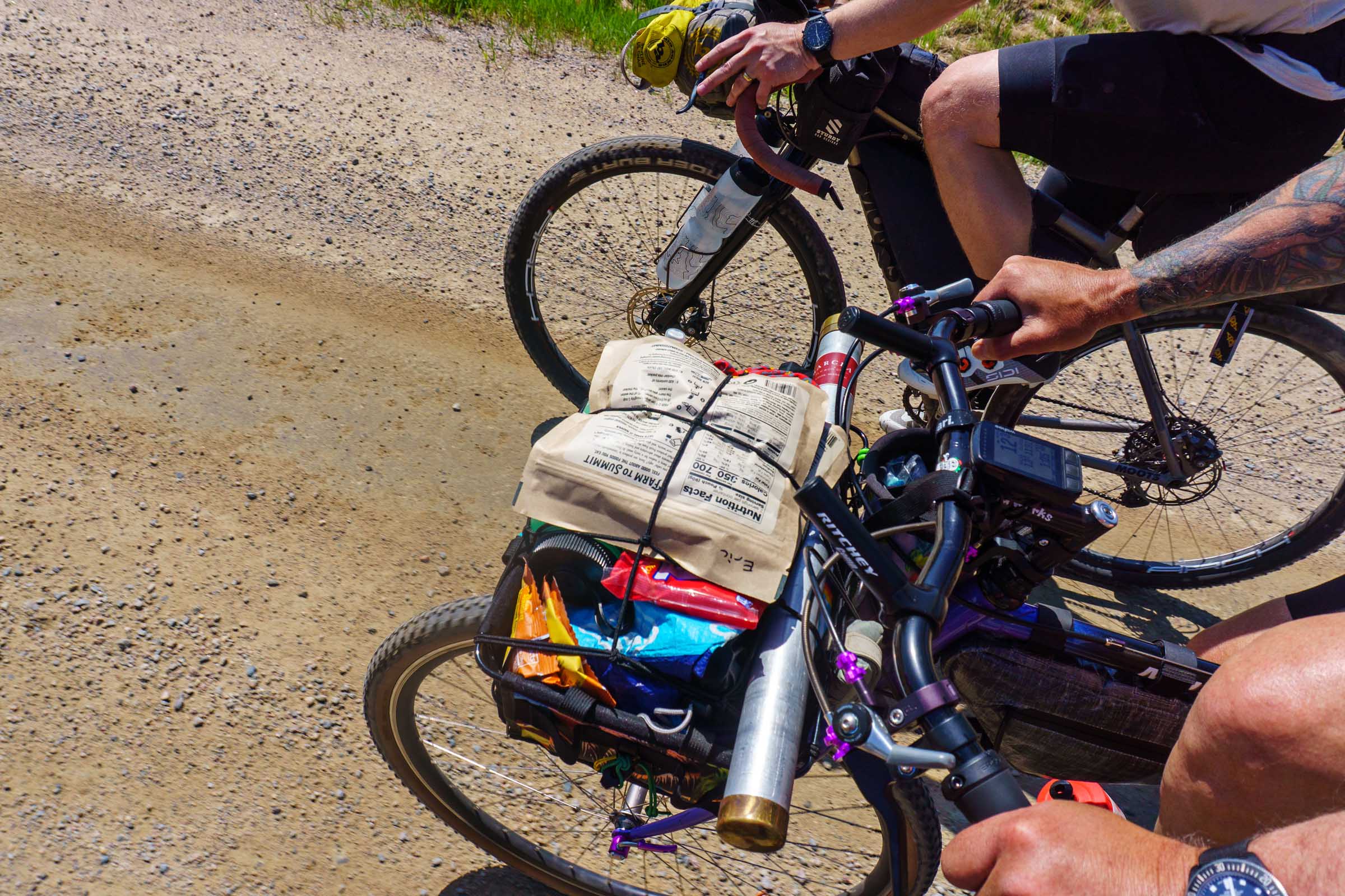
Around mile 30, we came to Bimbo’s Octagon, which was to be our lunch stop and play on their pinball machines. Unfortunately, it is closed Monday through Wednesday, so we continued a mile farther to the Side Lake Store, which turned out to be a perfect resupply stop, offering cold sandwiches and drinks, ice cream, and beer, which we stuffed into our already overstuffed bags. Pro tip: pick up a pack of local Tikes-brand natural-casing hot dogs and buns for a late-night snack.
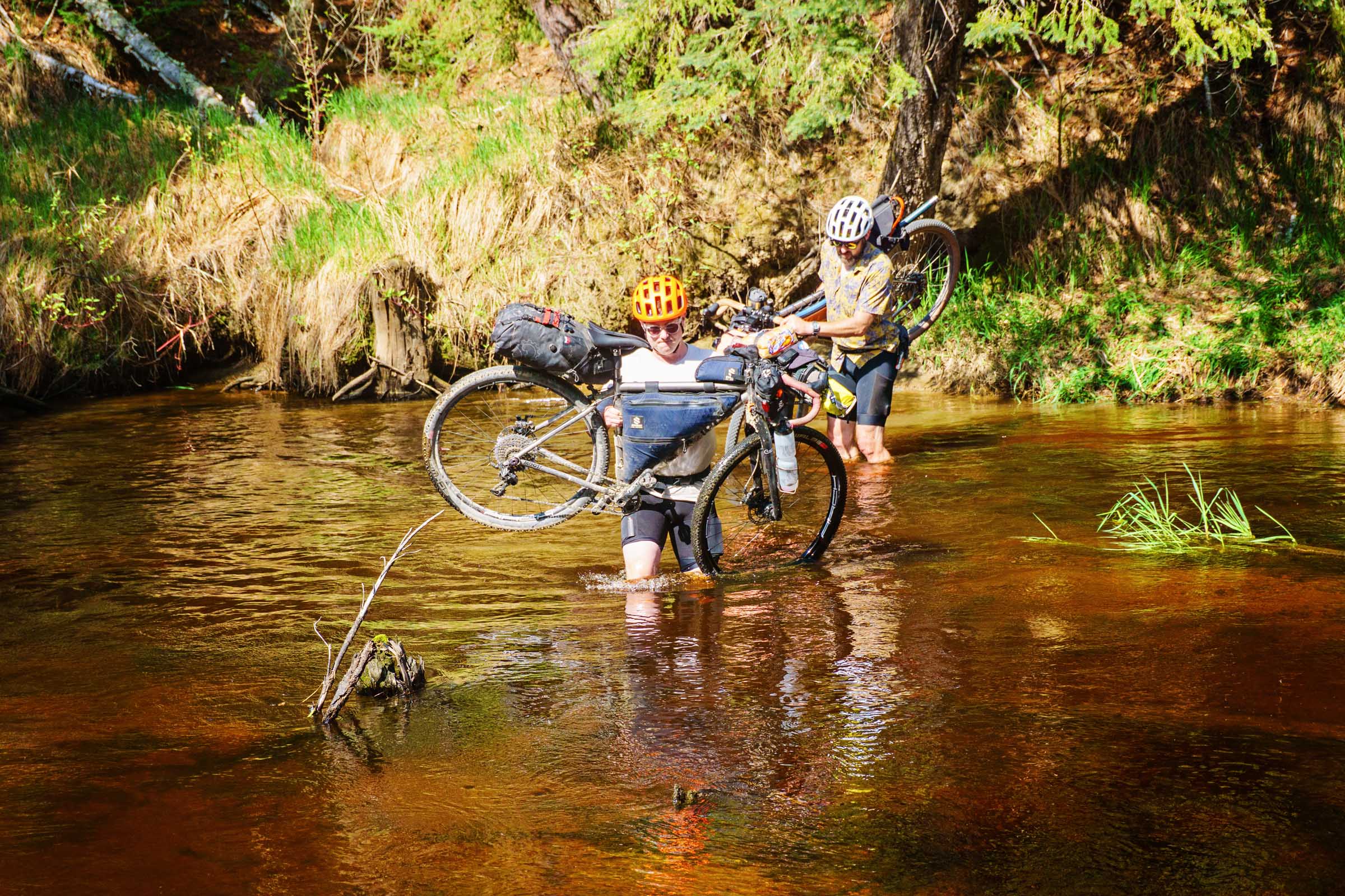
At mile 43, we encountered something I was surprised to not have seen when planning. A river crossing where the bridge had disappeared long ago. The crossing looked manageable, with water levels ranging from knee- to thigh-deep, so we went for it and had no problems. I believe it is worth the three-quarter-mile ride down to it to take a look for yourself. Those preferring to stay dry can follow a reroute (see the Must Know section), which adds approximately six miles.
Beyond the crossing, the route settles into a straightforward mix of gravel roads, two-track, and occasional pavement before arriving at Thistledew Campground. This first-come, first-served campground offers well water, pit toilets, trash service, and access to fishing opportunities for northern pike, largemouth bass, and smallmouth bass; the sites sit right on the water, making an ideal place to settle in after a full day of riding.
locationThistledew Campground to Scenic State Park
Day 2 (50.5 mi, +1,815 ft)
We knew the second day would start slowly, and that was entirely by design. Deer Lake Charlie’s, one of the route’s most memorable stops, doesn’t open until noon and sits only about 10 miles from Thistledew. Rather than rush out, we slept in, spent some extra time casting lines into the lake, and enjoyed a relaxed morning around camp before finally packing up and rolling out.
The day started with more of the excellent two-track we’d come to enjoy, eventually transitioning onto forest roads. Before long, we found ourselves on Rollercoaster Road, a fittingly named stretch that served up a steady series of short climbs and descents, and before we knew it we were at the turnoff for Deer Lake Charlie’s.
The four-mile out-and-back detour was absolutely worth it. We arrived a little early, but Gail and SuZanne welcomed us immediately and were quick to share stories about their bar, which has remained in Gail’s family for nearly 80 years, dating back to the days when a Conservation Corps work camp operated nearby. We settled in with bar-style pizzas and cold drinks while exploring one of the most unique bars I’ve encountered, an eclectic mix of memorabilia, games, and handwritten messages on the wall, all tucked into the basement of an old barn.
Back on the route, the scenery shifted between dense forest and evidence of the region’s active logging industry. We passed several clear-cut areas that offered views across the landscape and a glimpse into how much the local economy still depends on the woods. A short detour to Horseshoe Lake provided another chance to stretch our legs and do a bit more fishing before heading further west.
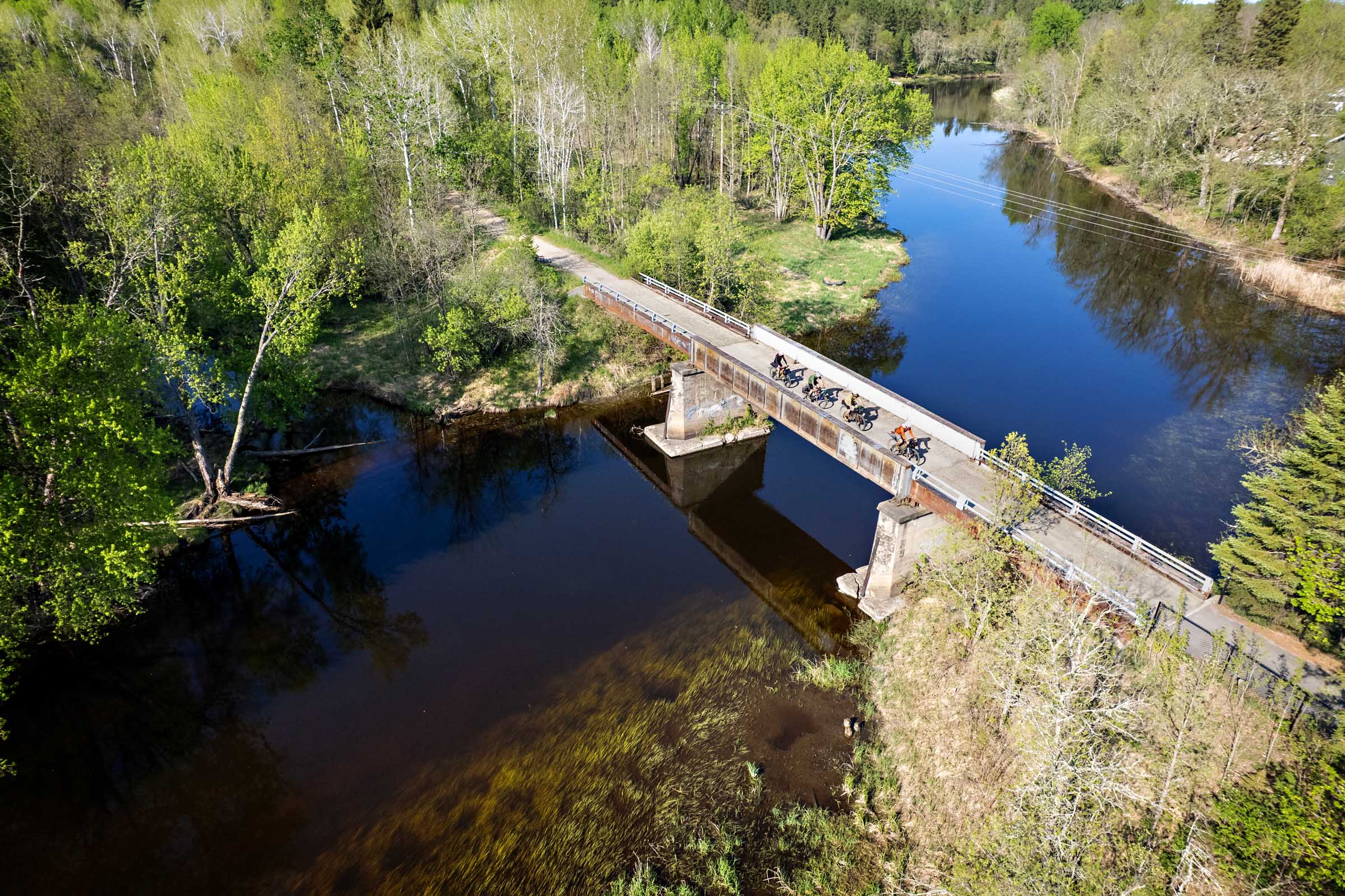
As the miles ticked by, the route gradually transitioned into a more agricultural landscape. Crossing the Big Fork River was another of the day’s highlights. We scrambled down below the bridge and cooled off in the water. The current was surprisingly strong, but the river was shallow enough to stand in comfortably, making it the perfect mid-afternoon refresh.
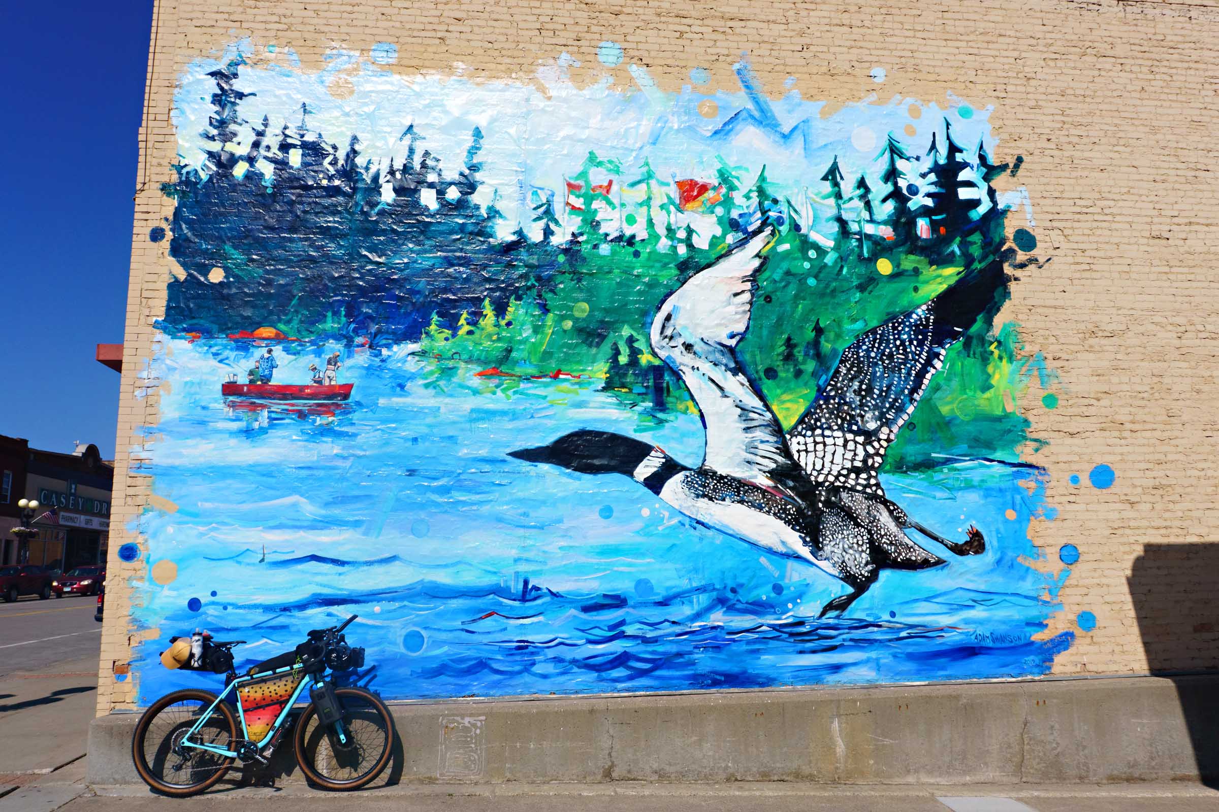
A stretch of pavement provided some time to relax before arriving in the small town of Effie. For some, it was a chance to grab a candy bar from the convenience store, while others opted for a cold drink at the Neighborhood Tavern. If you stop, make sure to find the Up North Loop dollar bill and add the date of your ride to it.
By late afternoon, we rolled into Bigfork, the largest town on the route. The locals gave us a heads-up that dinner at Park Recreation was the best spot in town, and that opening the door felt like stepping back in time, with classic diner fare, friendly staff, and prices that made the meal a big bang for the buck. After stocking up at the grocery store, we pointed our bikes toward the final eight-mile stretch of the day and pedaled into Scenic State Park.
We stayed at the two backpacking campsites at the far northern end of the campground. The sites were very secluded, tucked away from the main campground with plenty of room for tents and a bear box for storing food. After setting up camp, we were treated to an awesome sunset of pink and purple over Pine Lake.
locationScenic State Park to Crooked Lake
Day 3 (51 mi, +1,700 ft)
Leaving Scenic State Park that morning, we were back onto the pavement that had carried us into camp the evening before, but it quickly gave way to some of the most enjoyable forest roads I’ve ever pedaled. Tall pine forests lined both sides of the road, creating long tunnels of shade while the cool morning air drifted through the woods. The gravel was smooth, the traffic nonexistent, and for long stretches the only sounds were the hum of tires and the occasional bird call echoing through the trees. It was the kind of riding that reminds you why northern Minnesota is such a special place to explore by bike.
By mile 21, the warming temperatures had us ready for a break, and Arrowhead Lake provided the perfect excuse to stop. The fish were nearly jumping out of the water as we cast lines from shore. A quick swim helped wash away the accumulating dust, and with a vault toilet nearby, it made for an ideal mid-morning rest stop.
The next eleven miles unfolded across a mix of two-track trails and quiet gravel roads. Gradually, the dense forest gave way to more open farmland, and we found ourselves seeking out every patch of shade available as the afternoon sun settled in. Eventually we rolled into Hayslips Corner, a tiny crossroads bar that served as the perfect little oasis for us to catch our breath, have a few pizzas, and knock back some cold ones.
We lingered at Hayslips Corner long enough to perfectly time a resupply stop at Frontier Sports before tackling what would prove to be the busiest stretch of the entire route. The next mile and a half followed a rolling section of pavement with narrow shoulders and noticeably more traffic than we’d seen all trip. Fortunately, it was over quickly, and before long we were pulling into The Chow Hall & Class VI at Northstar Resort.
Owned by Mike and Rachael Felske, who together have logged more than 32 years of military service, the restaurant’s name is a nod to military life: “chow hall” is where you’d grab a meal, and “Class VI” is the place to pick up alcohol on base. The food more than lived up to its reputation, and as had become something of a tradition on this trip, we capped off dinner with generous scoops of ice cream.
With full stomachs and a little extra energy, we pointed our bikes toward Crooked Lake. The final eight miles featured a mix of gravel roads and faint two-track trails that occasionally seemed to disappear into the grass. More than once we found ourselves wondering if we were still on the route, but the tracks always reappeared just ahead. As the evening light began to soften, the route delivered a few final challenges, including several short but steep climbs. One pitch briefly pushed beyond 20 percent grade according to my cycling computer, drawing a few groans from the group.
Crooked Lake offers three dispersed campsites spread around the lake. The first site sits just off the road and was already occupied when we arrived. We continued to the second site, which provided a quiet place to spend the night and barely enough room for our group to set up. The third site lies on the far side of the lake and requires tackling several additional steep climbs to reach it. By that point, none of us had much interest in adding extra miles, but after scouting it the following morning we all agreed it may have been the best campsite of the three. Sometimes that’s just how bikepacking goes.
locationCrooked Lake to Wolf Lake
Day 4 (42.5 mi, +1,550 ft)
Day four began by retracing the road that led us to camp the night before. Rolling terrain, with equal parts climbing and descending, and more of the red dirt that defines the Iron Range made for a fun start to the day. Once we reached the forest roads, the feeling of remoteness settled in as mile after mile passed without seeing another vehicle.
Around mile 13, we detoured down a short two-track leading to an unnamed lake. The fish weren’t particularly cooperative, but the gentle breeze, quiet shoreline, and opportunity to unfold our camp chairs made it a perfect place to relax for a while.
A few miles later, the gravel gave way to pavement for a four-mile stretch leading to the turnoff for Antler Lodge. This out-and-back is well worth the effort, with some of the best food and friendliest service of the entire trip. Before heading back, be sure to stop across the street at the Antler convenience store for snacks and ice cream.
Leaving Antler Lodge, the route returns to ATV trails. Given the crowd at the lodge, I expected plenty of motorized traffic, but we didn’t encounter a single machine. Instead, we enjoyed miles of fun, winding trail riding.
We continued to the Trailside Restaurant and Bar, the final opportunity for food and drinks on the route. From there, the trail approaches Wolf Lake from the north. While several dispersed camping options are available in the area, our destination was one of the three designated sites on the lake. Each includes a fire ring and access to a latrine, while a small bridge just steps from camp provides the perfect spot for an evening swim and a refreshing way to cool off after another day in the saddle.
locationWolf Lake to Chisholm
Day 5 (45 mi, +1,335 ft)
We struck camp early and got a jump on the day, hoping to make the ride to the finish a little easier and give everyone plenty of time for the drive home. The first sixteen miles rolled by on quiet forest gravel roads with very little traffic. That stretch ends at a small bar and grill which, depending on your departure time, will likely still be closed. Fortunately, there is a water spigot in the parking lot for refilling bottles. If water isn’t a concern, a marked shortcut can trim roughly five miles from the route. This is also a spot where a few members of our crew opted to take the highway back into Chisholm (a 9-mile trip), giving them a head start on their drives home.
Around mile 21, the landscape’s character begins to change as signs of the Iron Range’s mining heritage come into view. Off to the left lies the massive Hull–Rust–Mahoning Mine. The mine supplied as much as one-fourth of all the iron ore mined in the United States during its peak production from World War I through World War II.
As you reach the small neighborhood of Leetonia on the outskirts of Hibbing, you’ll have the option of joining the Mesabi Trail, a paved bike path that provides a direct connection back to Chisholm. The official route, however, stays off pavement and links a mix of gravel roads and two-track trails as it winds toward downtown Hibbing. While in town, consider stopping by Bob Dylan’s childhood home or grabbing one final meal and beverage at BoomTown Brewery.
Leaving Hibbing, a short out-and-back detour leads to one of the best overlooks of the Hull-Rust Mine. The climb is brief but steep, and the view from the top offers a true sense of the mine’s immense scale and the impact mining has had on the region for more than a century. Stretching for miles across the horizon, the mine is a reminder that much of the region’s history, economy, and culture were built around iron ore. The scale is difficult to appreciate until you see it firsthand; terraced walls descend hundreds of feet into the earth while enormous dump trucks travel on the roads below.
As the finish draws near, you’ll face one final route choice. Stay on the paved Mesabi Trail for a smooth ride back to Chisholm, or take the singletrack option through Redhead Mountain Bike Park. The trails are generally approachable for most riders and bikepacking setups, but it’s worth choosing the option that best matches your comfort and skill level.
The final miles bring you into the Redhead trailhead area. If you’re feeling playful, take a lap on the pump track and surprise a few onlookers by sending a fully loaded bikepacking rig around the rollers. From there, it’s a short spin back to where the journey began, completing one last loop through the forests, lakes, and mining country of Northern Minnesota.
Additional Resources


Terms of Use: As with each bikepacking route guide published on BIKEPACKING.com, should you choose to cycle this route, do so at your own risk. Prior to setting out check current local weather, conditions, and land/road closures. While riding, obey all public and private land use restrictions and rules, carry proper safety and navigational equipment, and of course, follow the #leavenotrace guidelines. The information found herein is simply a planning resource to be used as a point of inspiration in conjunction with your own due-diligence. In spite of the fact that this route, associated GPS track (GPX and maps), and all route guidelines were prepared under diligent research by the specified contributor and/or contributors, the accuracy of such and judgement of the author is not guaranteed. BIKEPACKING.com LLC, its partners, associates, and contributors are in no way liable for personal injury, damage to personal property, or any other such situation that might happen to individual riders cycling or following this route.
Further Riding and Reading
Here are some connected/nearby routes and related reports...


Please keep the conversation civil, constructive, and inclusive, or your comment will be removed.