


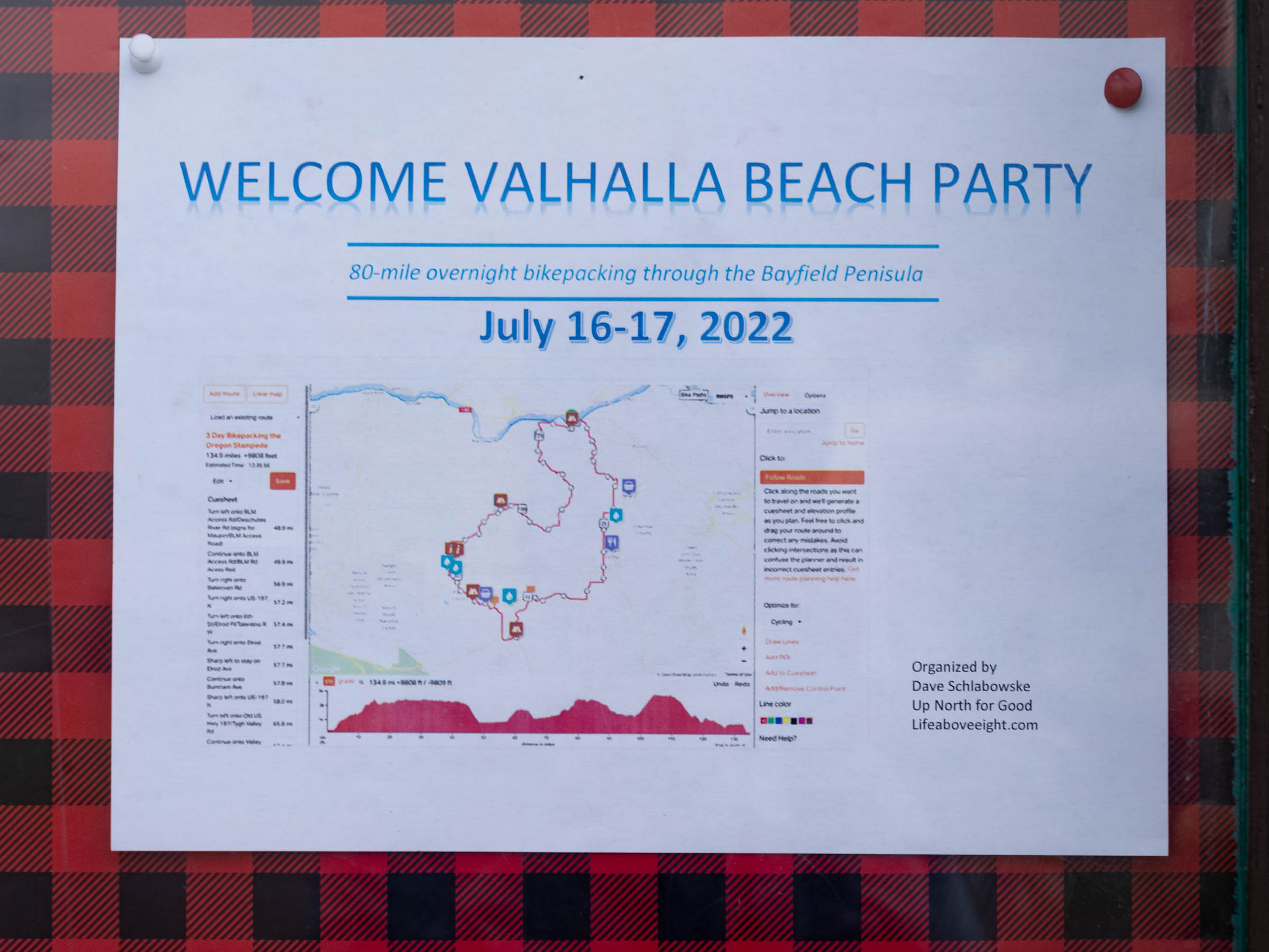
Valhalla Beach Party
Distance
82 Mi.
(132 KM)Days
2-3
% Unpaved
80%
% Singletrack
0%
% Rideable (time)
100%
Total Ascent
4,457'
(1,358 M)High Point
1,362'
(415 M)Difficulty (1-10)
3?
- 3Climbing Scale Fair54 FT/MI (10 M/KM)
- -Technical Difficulty
- -Physical Demand
- -Resupply & Logistics
Contributed By

Dave Schlabowske
Guest Contributor
In December of 2020, Dave retired to Seeley, Wisconsin, after working in bicycle advocacy for 20 years. Before that, he was an editorial photographer working for magazines, newspapers, and wire services. The Tour de Chequamegon route he developed has become extremely popular, as is the guided version of that trip he coordinates with the crew from Fyxation Bicycle Company. He is planning a guided version of this Waterfall route for 2022. Interested people can find out more at his site Life Above Eight.
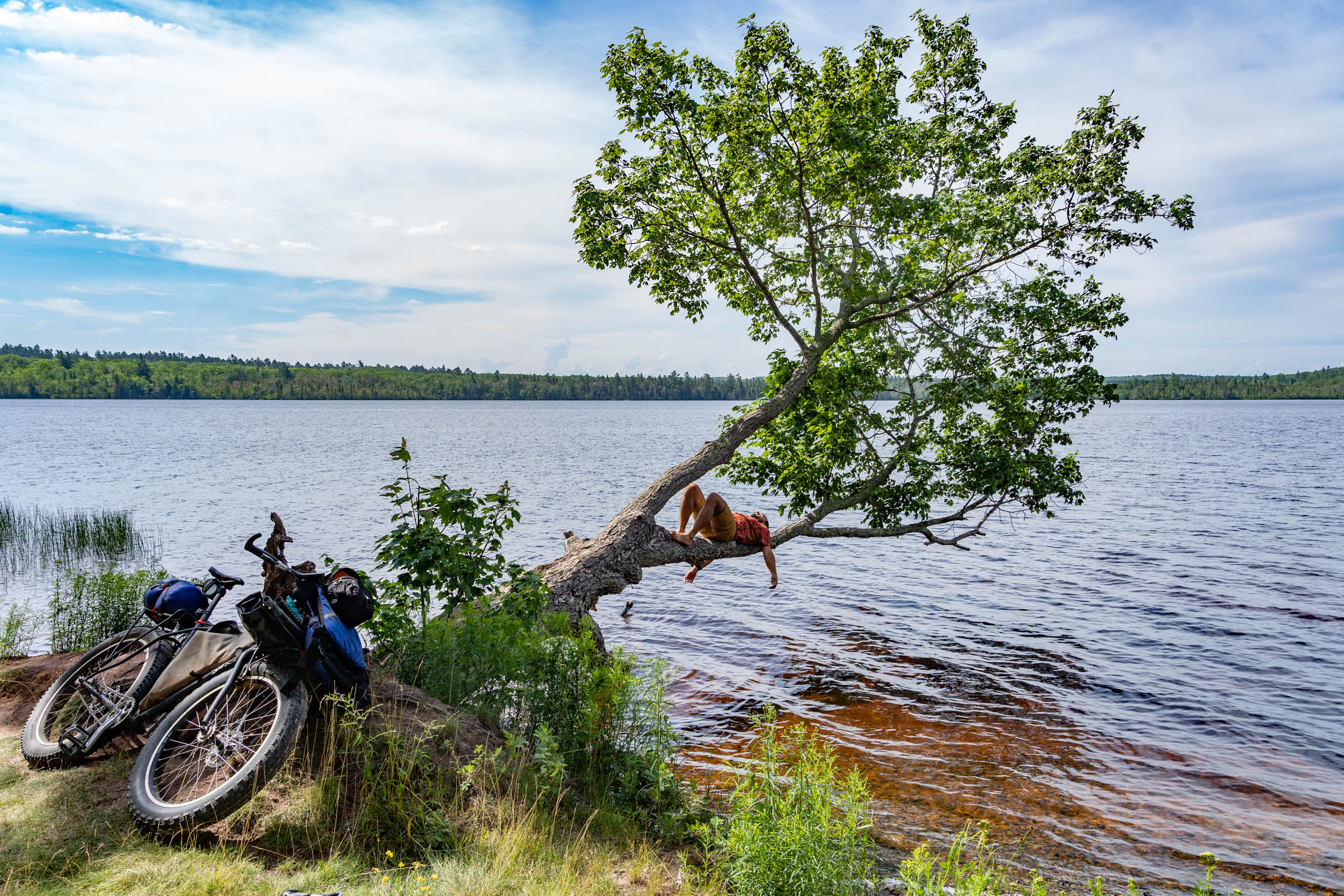
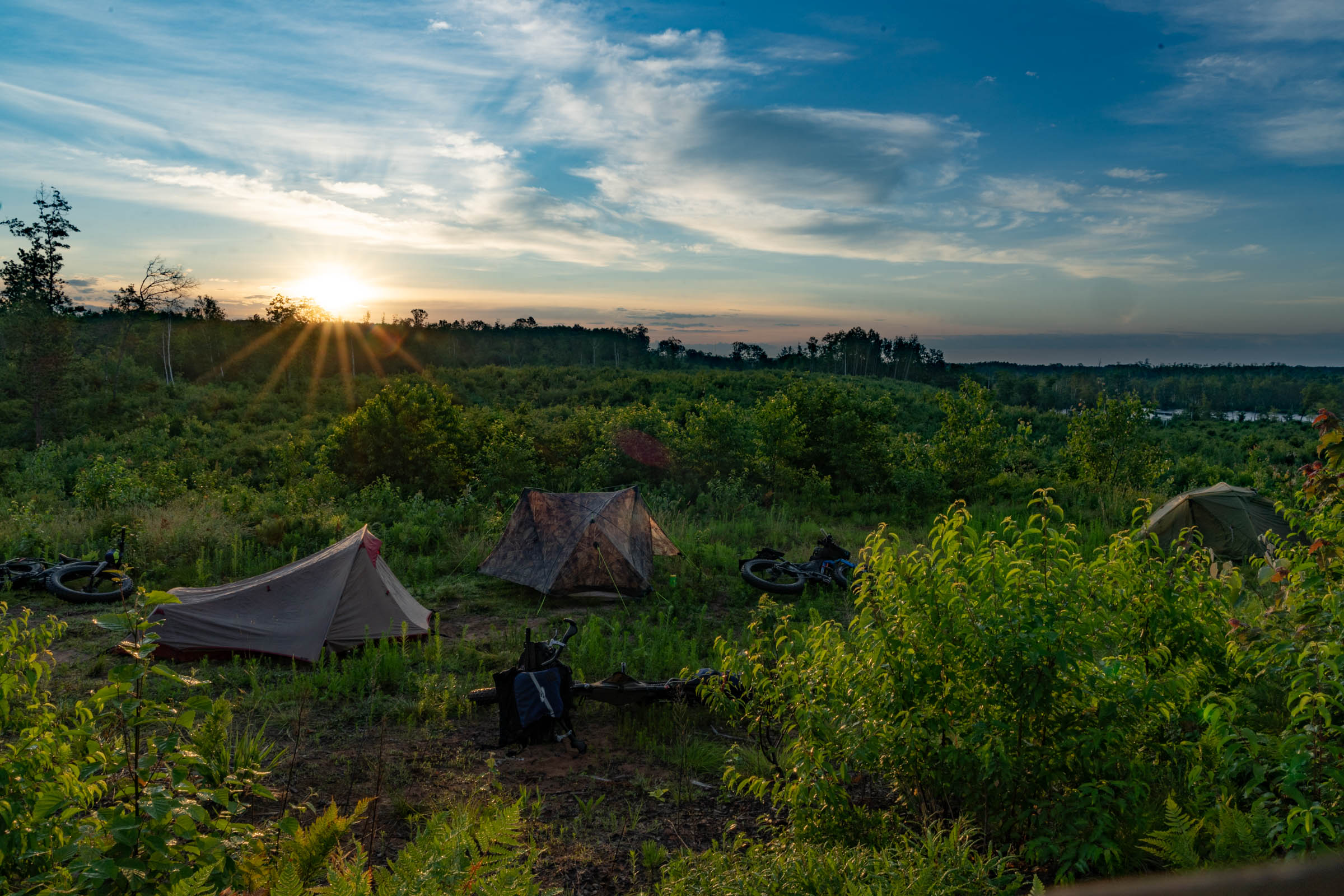
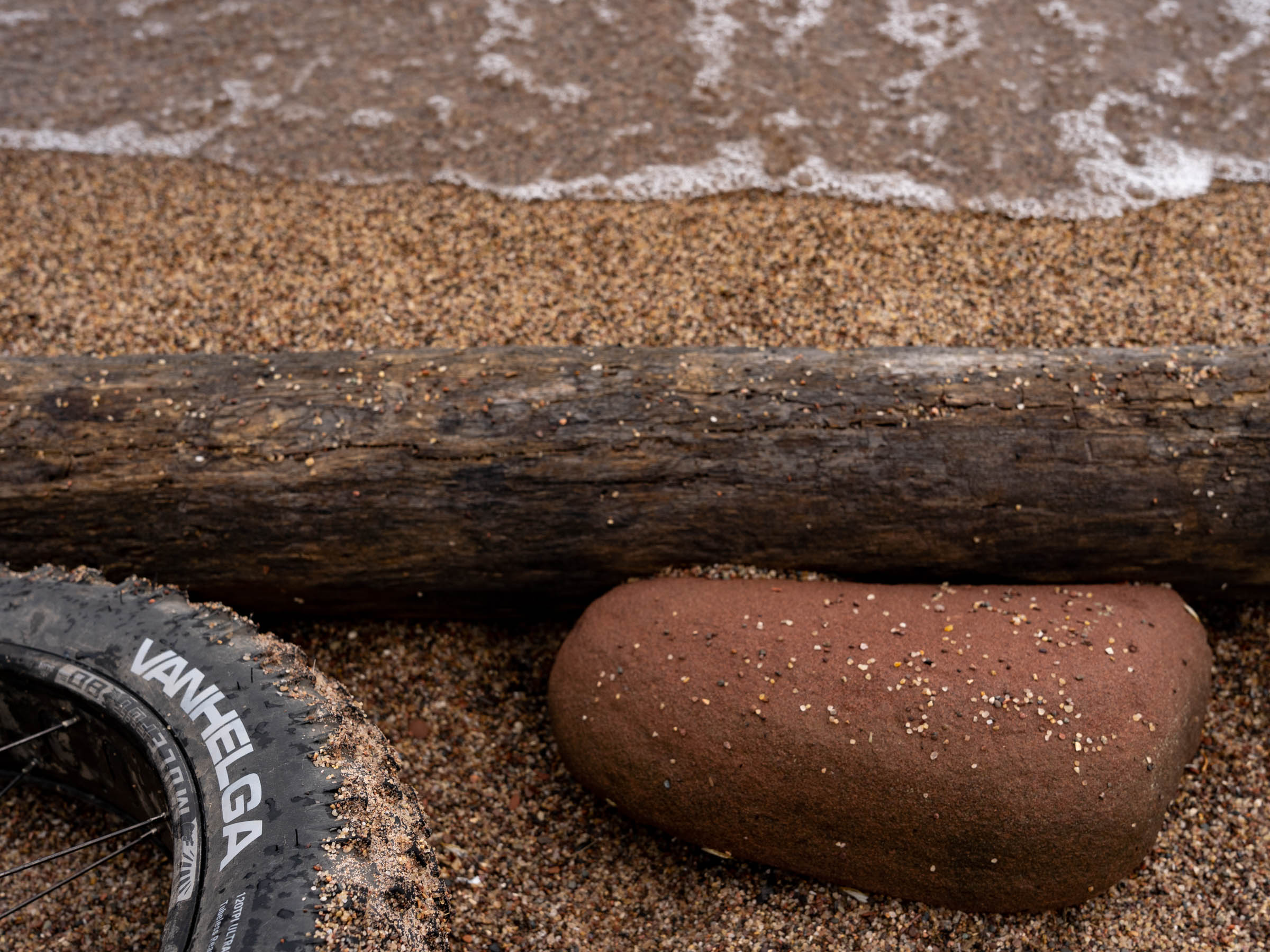
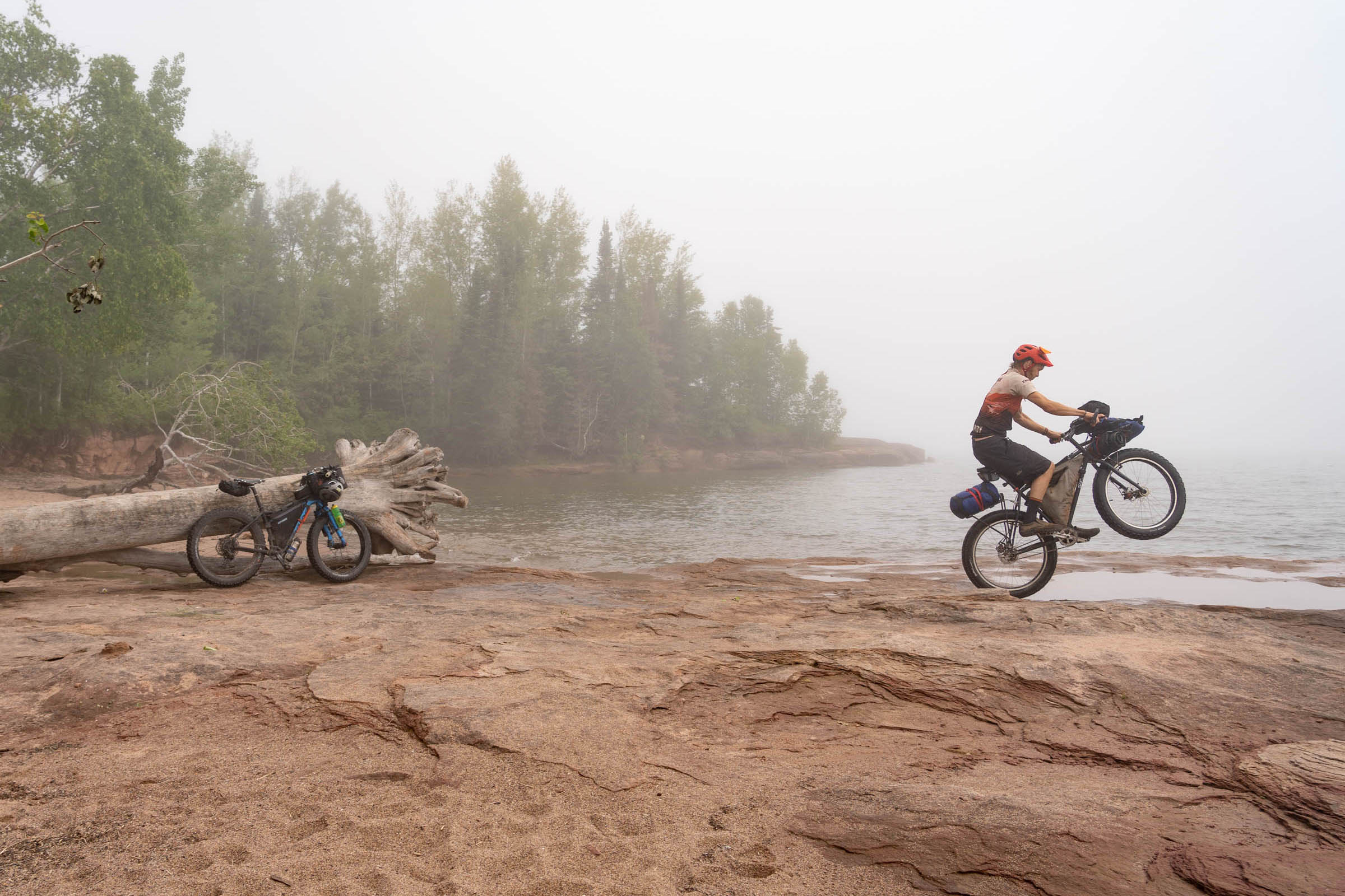
The Valhalla Beach Party is a shorter route that overlaps a bit with the Wisconsin Waterfall Loop and includes a couple of waterfalls, but the highlights of this route are the great beaches and opportunities for swimming. While not exceptionally long, this hilly route includes some sections of soft sand that are best ridden with fatter tires and low pressure. The two beaches on the South Shore of Lake Superior combined with the many small lakes, sand, and gravel left behind by the receding glaciers, make the Bayfield Peninsula a great area to explore bikepacking.
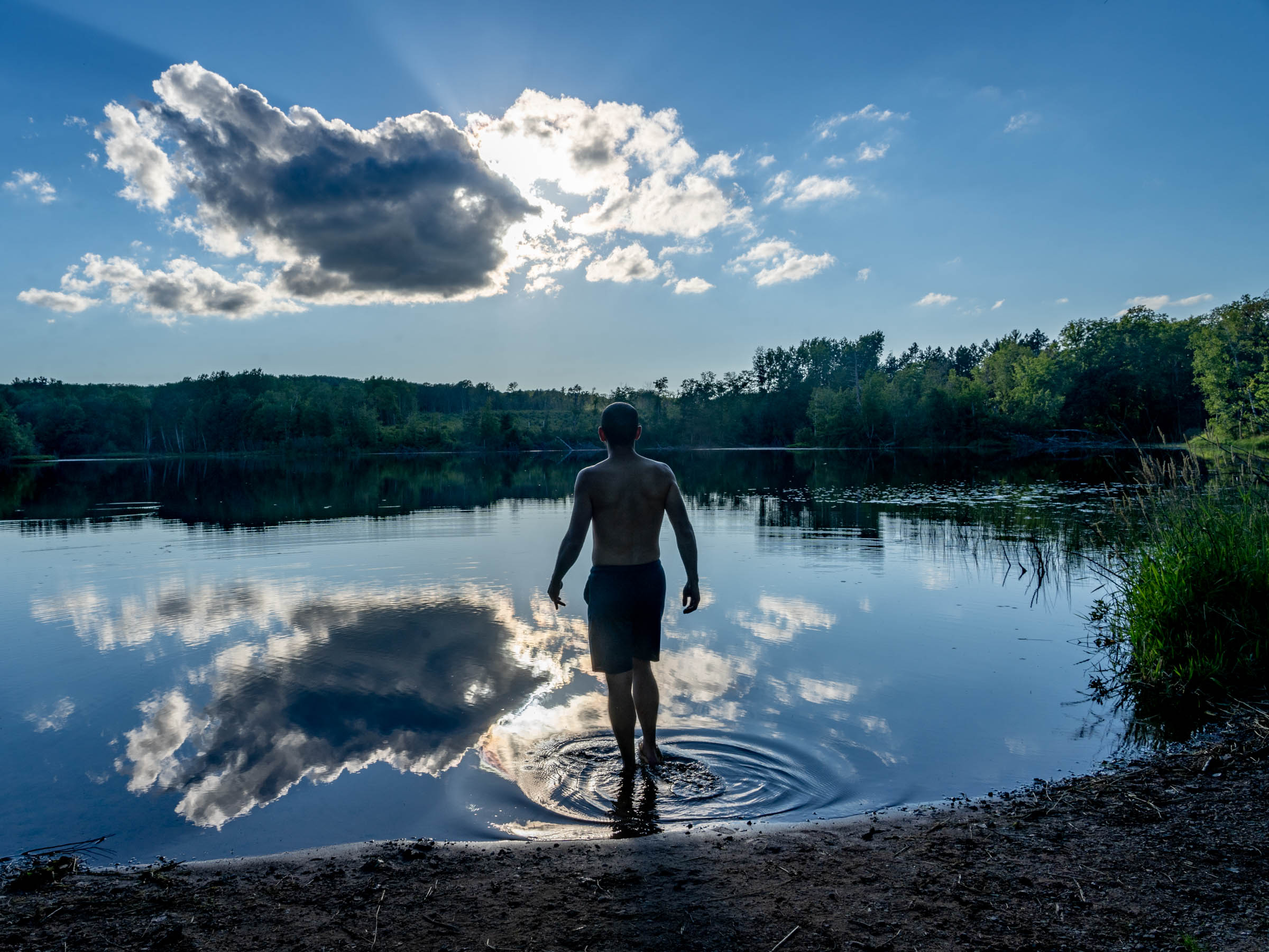
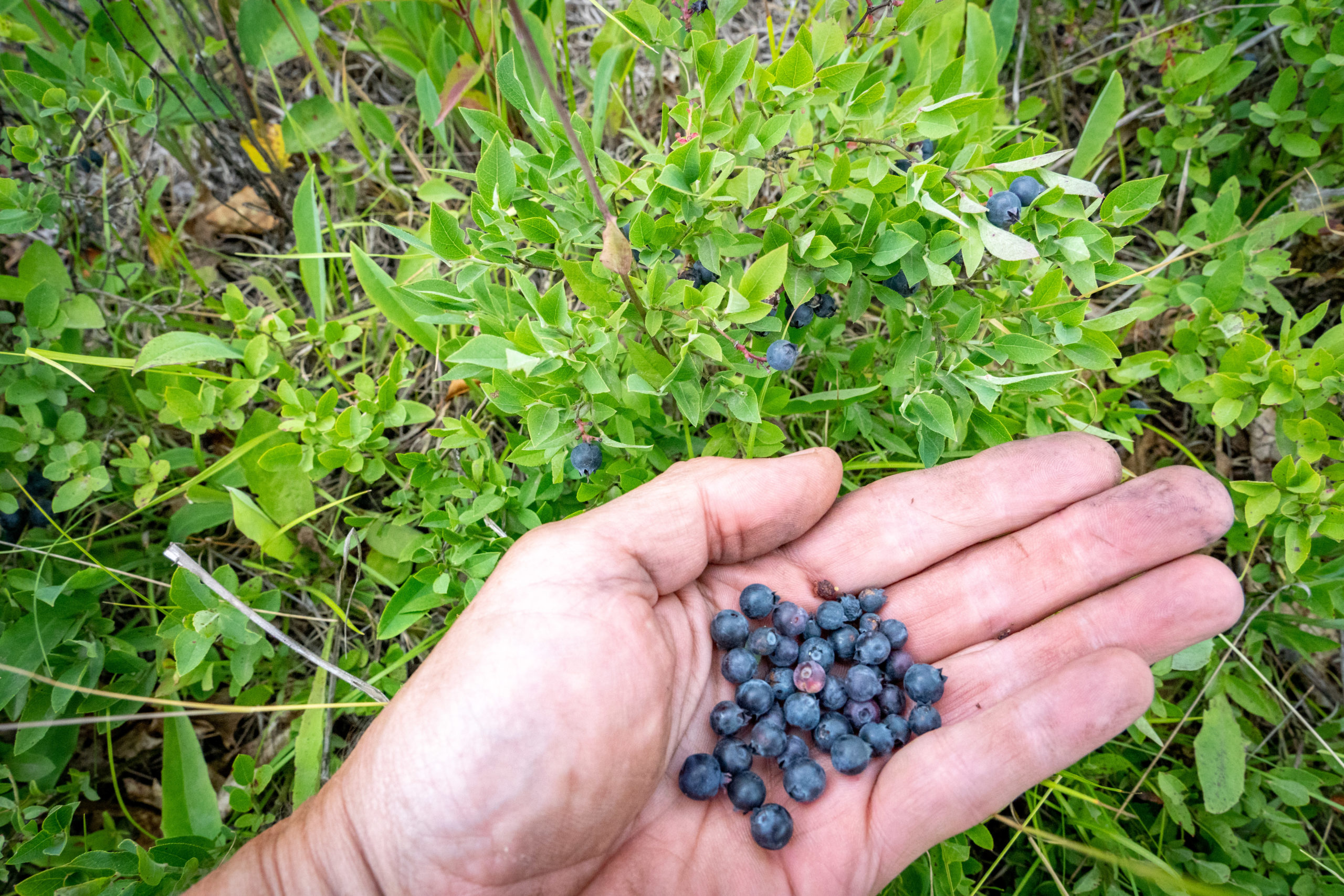
If you go during the early summer, you will find plenty of raspberries, blueberries, and bilberries to pick along the route. Summer can be hot, even in the Northwoods, but it cools off next to Lake Superior. While the great lake can be cold, the beach in Cornucopia and Quarry Beach in Port Wing are shallow and stay warmer. It quickly gets warmer as you ride south from South Shore, and the small inland lakes along this route all have nice beaches where you can cool down, rinse off the trail dust, and get away from pesky black flies!
Route Difficulty
I would rate this route a 3 for difficulty, solely because of the sandy sections and the amount of climbing. A person who regularly finishes in the front group on 100-mile gravel races will find this route easy to finish in less than 24 hours. More casual riders might want to take three days to ride this route. Resupply is easy with good to great restaurants and a couple of Northwoods-style convenience stores at the start, including the Valhalla View Pub N Grub. There are also opporunities in Cornucopia and Herbster. Campgrounds generally have potable water, and the inland lakes offer good places to filter water. A mountain bike with 2.6” tires run tubeless would probably be fastest overall for this route, but riding plus or fat tires guarantees you will be able to ride even the softest sections. And while not extreme, this route is hilly with close to 4,500 feet of climbing over 80 miles, which makes it challenging and best explored over two or three days.
Route Development: While scouting the section of the Wisconsin Waterfall Route in the Bayfield Peninsula, I wished I had more time to stop and swim in the many lakes we were passing. The hot weather and soft surfaces made for tough going on bikes shod with 44mm gravel tires, like the one my friend Tom Schuler was riding, and even I had some hike-a-bikes with the 2.4” tires on my 29er mountain bike. So, I decided to come back with a fat bike and ride a shorter route with more time to take advantage of the great swimming opportunities along the route.
I recently mentioned this plan to Greg Smith (he helped scout some of the route) while I was a guest on the Full Spectrum Podcast he hosts, and the next week listeners Josh Rizzo from The Nxrth and Eric “The Fox” Wenniger from Embark Maple contacted me asking to ride along. The more the merrier, so we planned to do a video of our trip, and sweeten the deal, Eric promised to ride singlespeed, bring his packraft, and ride in his long-underwear fox costume.


Submit Route Alert
As the leading creator and publisher of bikepacking routes, BIKEPACKING.com endeavors to maintain, improve, and advocate for our growing network of bikepacking routes all over the world. As such, our editorial team, route creators, and Route Stewards serve as mediators for route improvements and opportunities for connectivity, conservation, and community growth around these routes. To facilitate these efforts, we rely on our Bikepacking Collective and the greater bikepacking community to call attention to critical issues and opportunities that are discovered while riding these routes. If you have a vital issue or opportunity regarding this route that pertains to one of the subjects below, please let us know:
Highlights
Must Know
Camping
Food/H2O
- Embrace the steep climbs on soft sandy ATV trails!
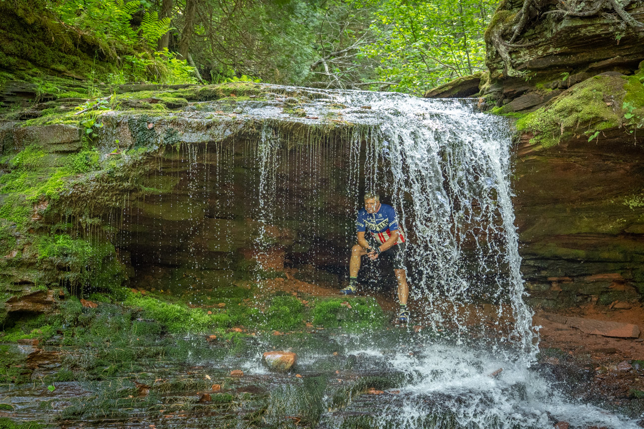
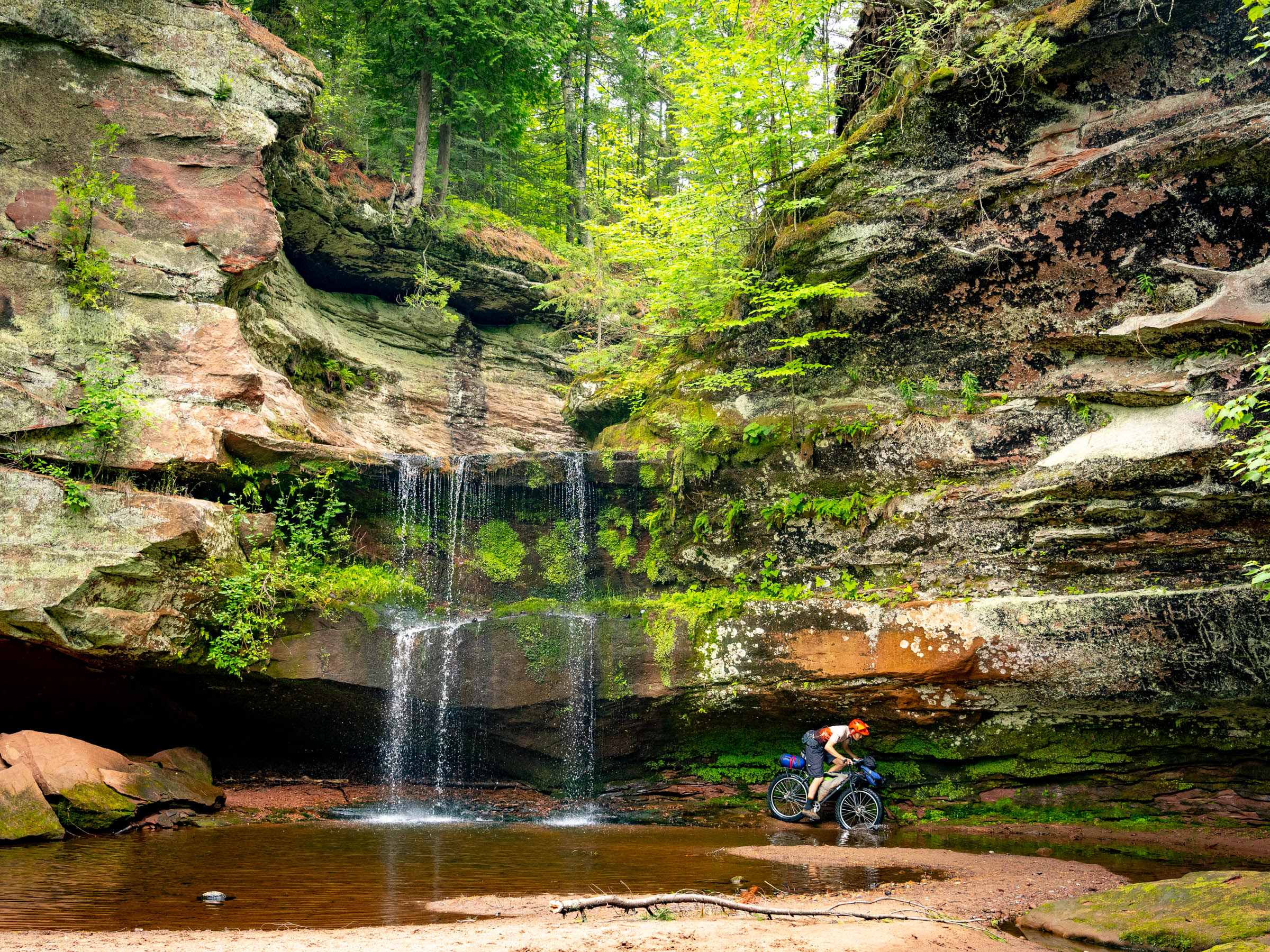
- Siskiwit Falls is a must
- The beach just south of the Cornucopia Marina (not Cornucopia Beach north of the marina) is sandy and shallow so the typically ice-cold Lake Superior water is very swimmable.
- The beach campsites in Herbster on the shore of Lake Superior are amazing.
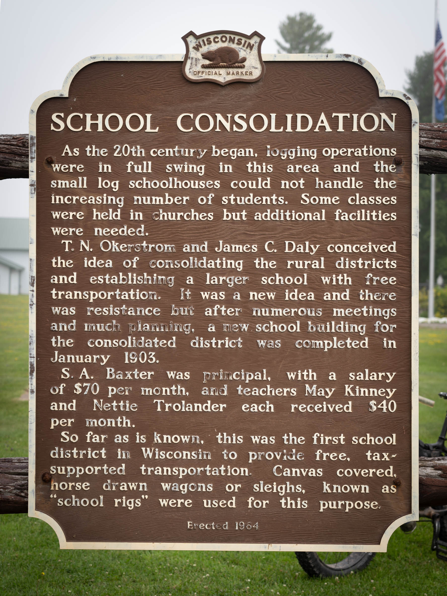
- Spend time in Port Wing at Quarry Beach, Twin Falls, the historic first horse-drawn school buses and try the Salmon Candy at Johnson’s Market.
- The Bayfield Peninsula has a micro-climate ideal for growing berries and fruit, with plenty of wild berries along the route in the early summer.
- When to go: Summer is warm to hot and a great time to enjoy swimming but is also mosquito/black fly season. In September and early October the inland lakes are still warm enough to swim in and the bugs are almost gone.
- Be aware that during the late fall, winter, and early spring, many businesses in the Northwoods reduce hours or shut down.
- Black flies are not deterred by DEET and can fly as fast as you can ride. Bring a summer-weight long sleeve shirt or fishing hoodie to put on if the bugs are bad during the day and for camp at night. The new thin fishing hoodies are ideal, as are guide shirts.
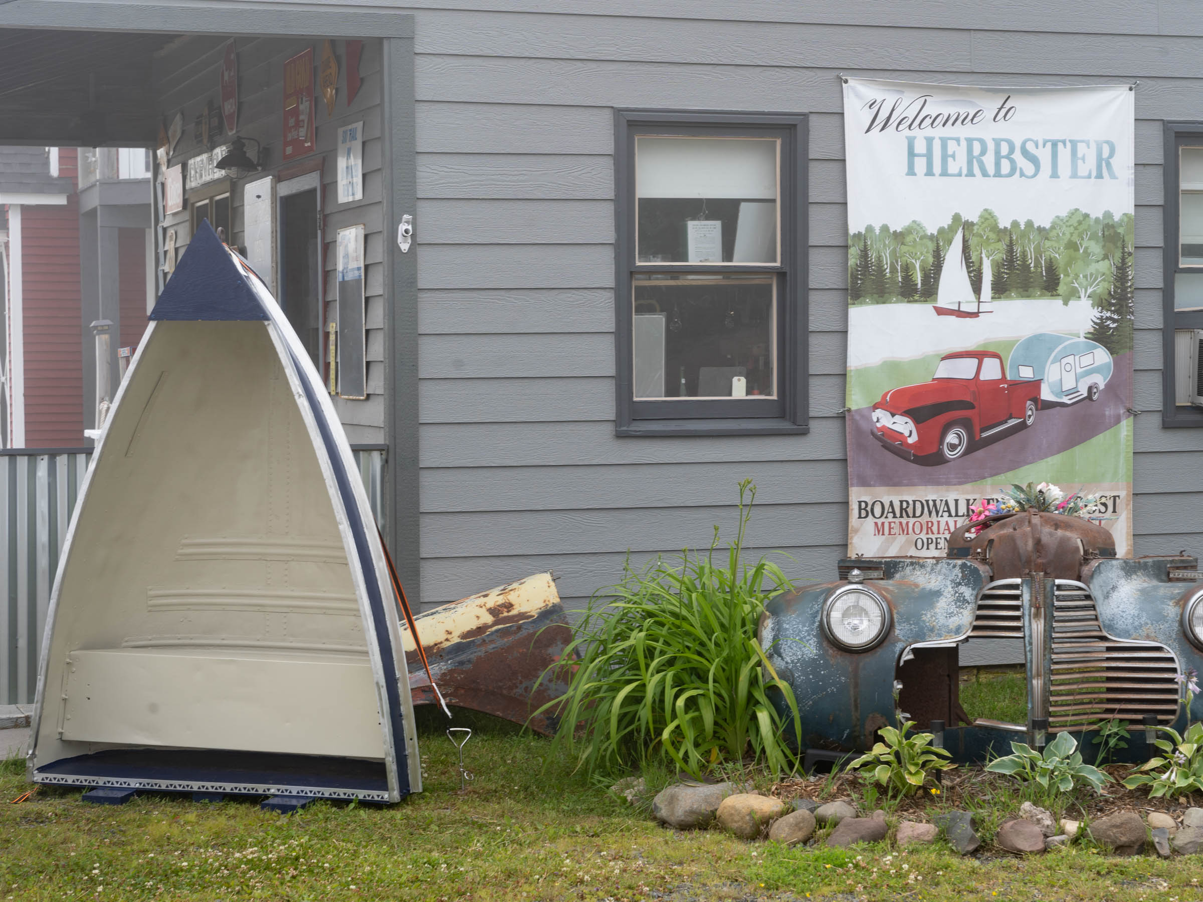
- Logistics: Overnight parking is available at the Valhalla View Pub N Grub. Call ahead and ask for the very nice owner Doug, who will let you park in the grassy area outside his great restaurant. You can also start/finish in Cornucopia and park in the Town Hall/Community Center parking lot or on the north side of Superior Street across from Lost Creek Adventures.
- Rideability: Other than than the paved section between Siskiwit Falls, Cornucopia, and Port Wing, riders will find very little traffic.
- The area around the start/finish have the softest sandy trails, so fat tires and low pressure are the ticket.
- There are plenty of ways to shortcut this loop.
- The Valhalla Cabins are very nice and make a good place to spend the first night if you start and finish at the Valhalla Pub N Grub. They each have two beds, a kitchenette, and a bathroom. To reserve them, call the owners in nearby Washburn: 715-292-7546.
- The National Forest Service and local campgrounds along this route are small and other than the one in Herbster, they don’t take reservations. We found Birch Grove Campground full when we arrived our first night, so we just camped nearby in the forest. Dispersed camping is allowed in both the Chequamegon National Forest and Bayfield County Forest. Campgrounds are generally not full on weekdays.
- You will not need to bring food along other than sports nutrition and maybe camp coffee as there are plenty of places to eat and resupply along the route.
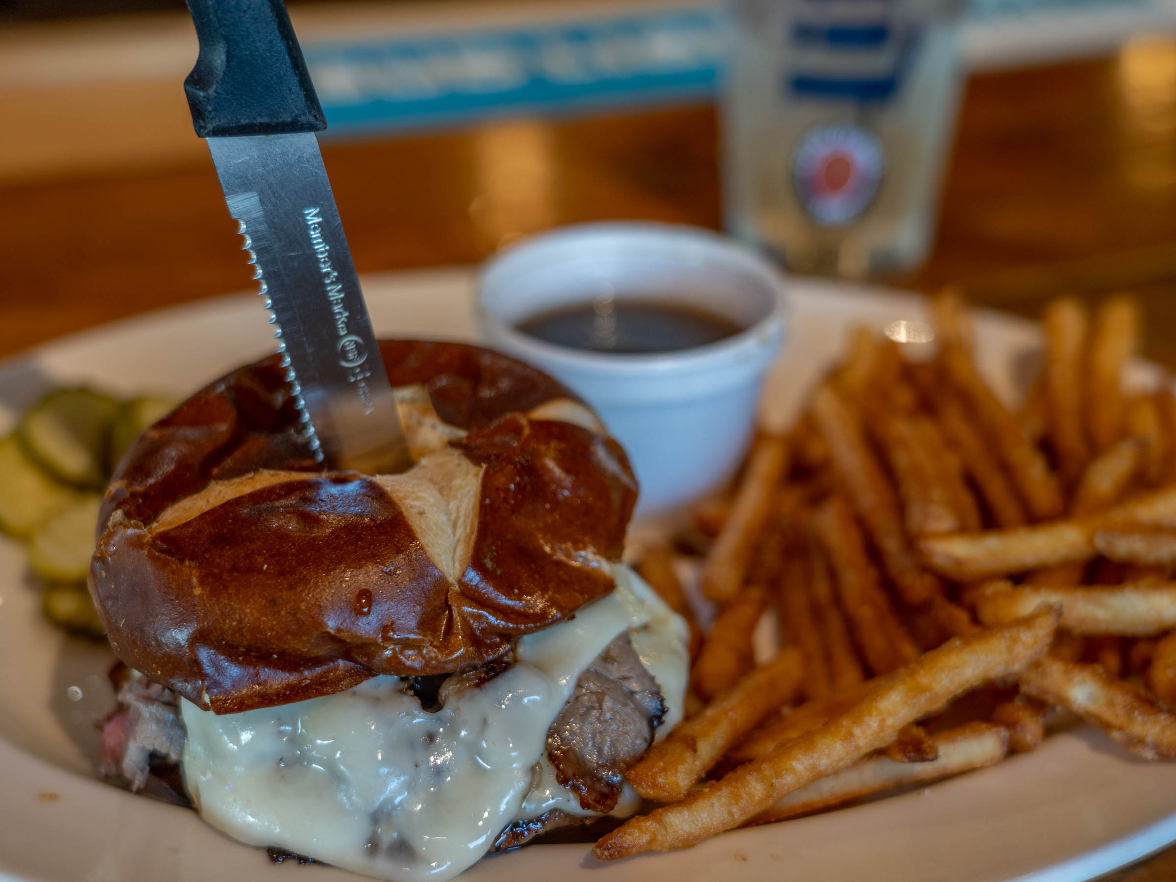
- The Valhalla View Pub N Grub has great food. Weekend specials include whitefish dinners, prime rib, and the Prime Burger, which is ground brisket with shaved prime rib on top.
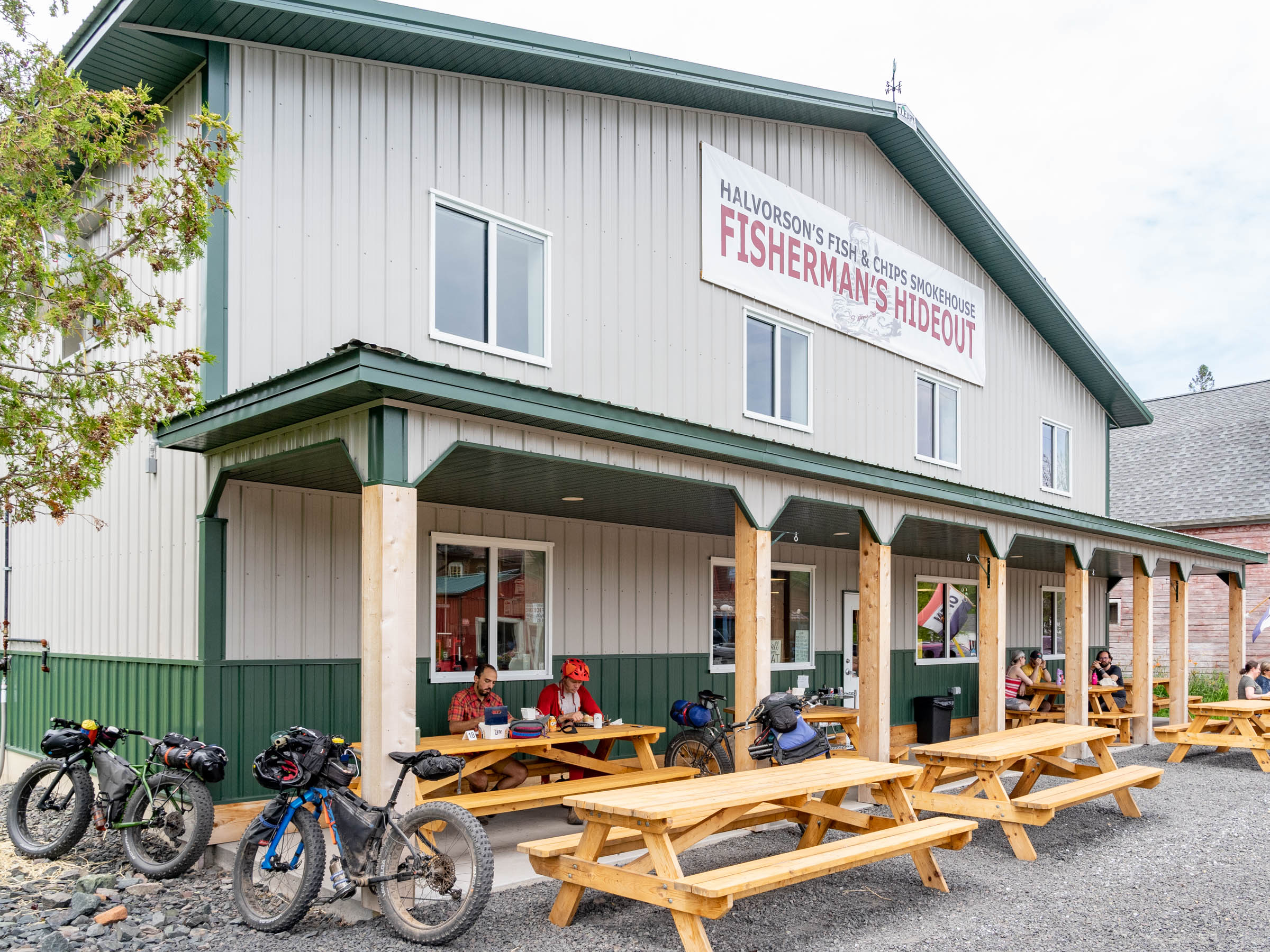
- The tiny town of Cornucopia, population 88, boast some great places to eat with delicious locally caught fish at most, including Halvorson’s Fisherman’s Hideaway, the Corny Fish Shed, Waders Tiki Bar, freshly made carry outs at Ehlers General Store and good bar food at Poncho’s Tavern.
- In Herbster, the food at Superior Over the Cranberry is cheffy and locally sourced meals just west of the campground in Herbster.
- The smoked fish at Johnson’s Store in Port Wing is great (other groceries as well) and Jardine’s South Shore Bar has good bar food.
- Try to stop at the Delta Diner on the way before or after your trip. You will not be disappointed!
- Double-check hours for all businesses, which vary by season.


Terms of Use: As with each bikepacking route guide published on BIKEPACKING.com, should you choose to cycle this route, do so at your own risk. Prior to setting out check current local weather, conditions, and land/road closures. While riding, obey all public and private land use restrictions and rules, carry proper safety and navigational equipment, and of course, follow the #leavenotrace guidelines. The information found herein is simply a planning resource to be used as a point of inspiration in conjunction with your own due-diligence. In spite of the fact that this route, associated GPS track (GPX and maps), and all route guidelines were prepared under diligent research by the specified contributor and/or contributors, the accuracy of such and judgement of the author is not guaranteed. BIKEPACKING.com LLC, its partners, associates, and contributors are in no way liable for personal injury, damage to personal property, or any other such situation that might happen to individual riders cycling or following this route.
Please keep the conversation civil, constructive, and inclusive, or your comment will be removed.