


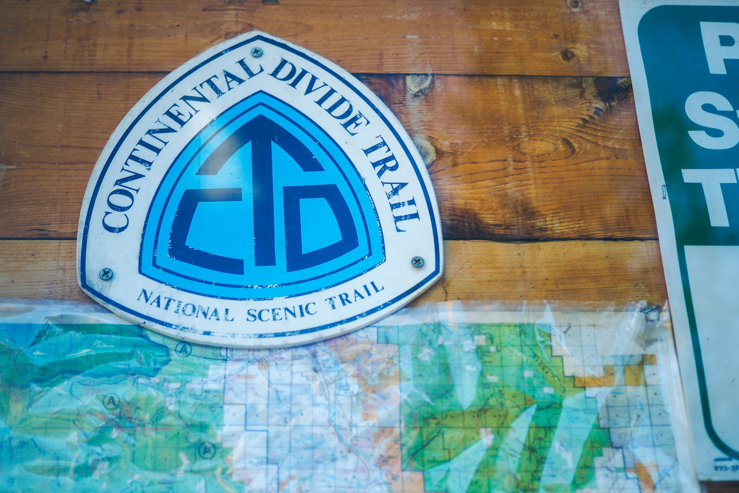
The Vapor Trail
Distance
108 Mi.
(174 KM)Days
3-4
% Unpaved
83%
% Singletrack
40%
% Rideable (time)
95%
Total Ascent
13,386'
(4,080 M)High Point
12,582'
(3,835 M)Difficulty (1-10)
7?
- 8Climbing Scale Strenuous124 FT/MI (23 M/KM)
- -Technical Difficulty
- -Physical Demand
- -Resupply & Logistics
Contributed By

Logan Watts
Founding Editor & Routes Director
Additional photos and input by Miles Arbour
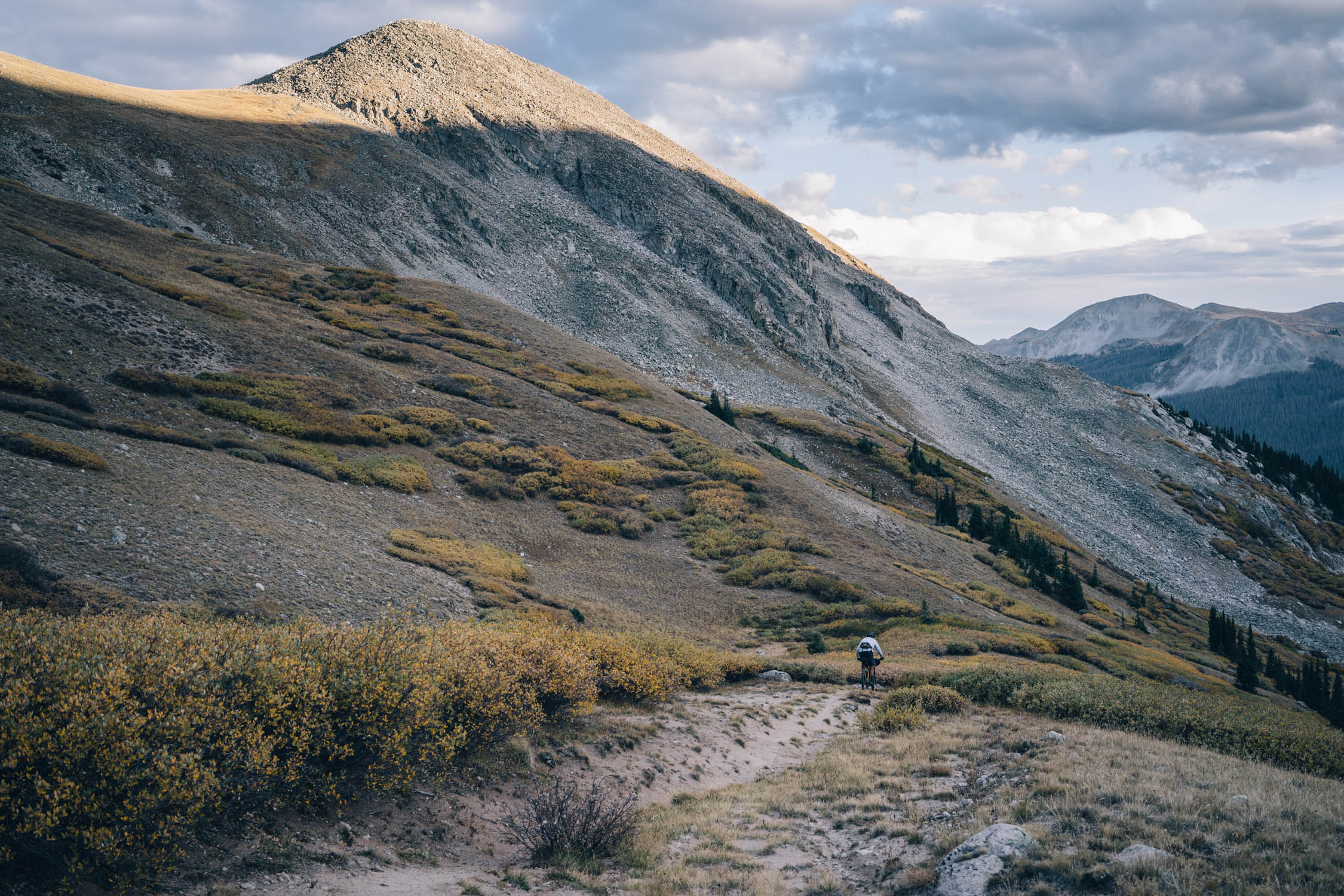
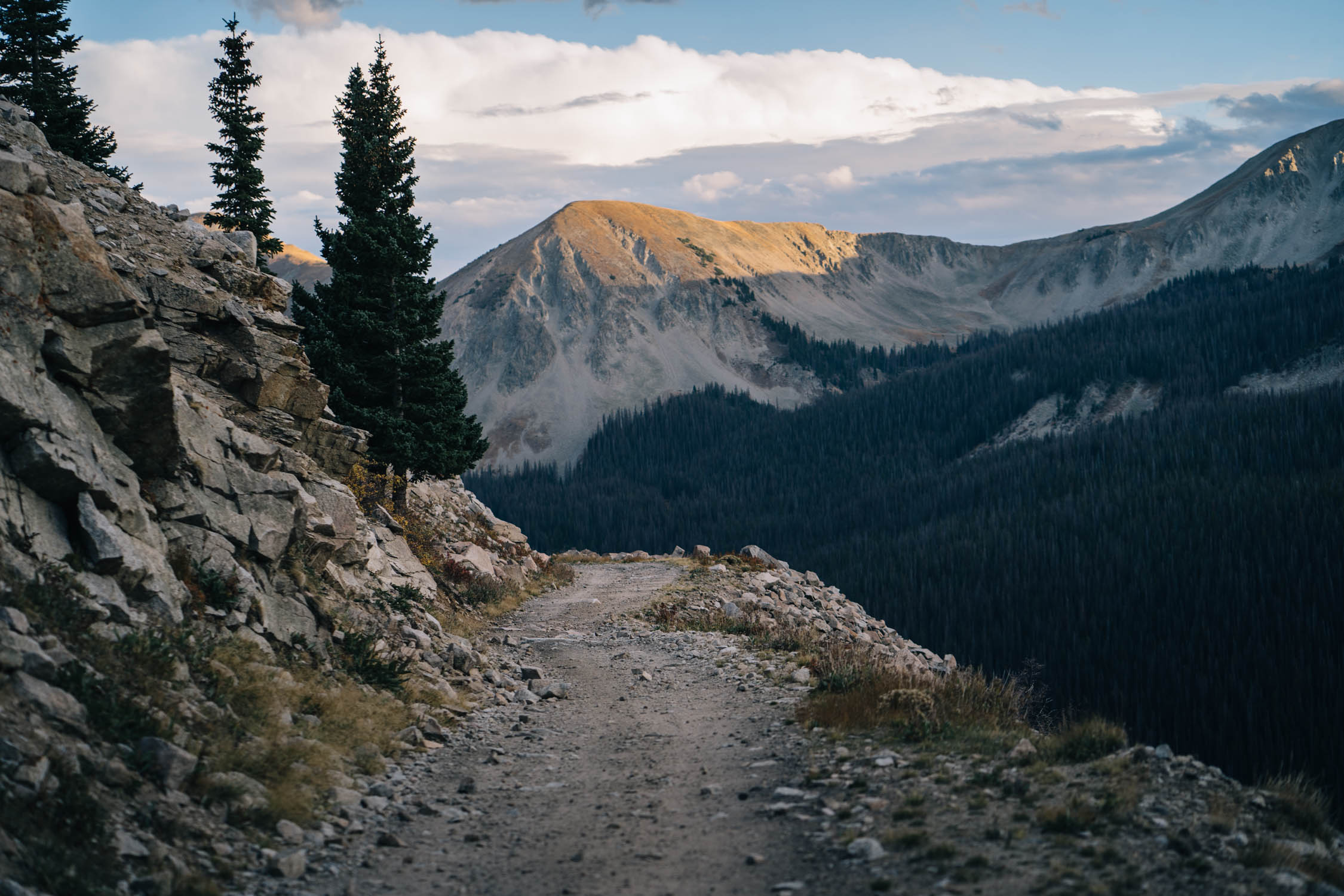
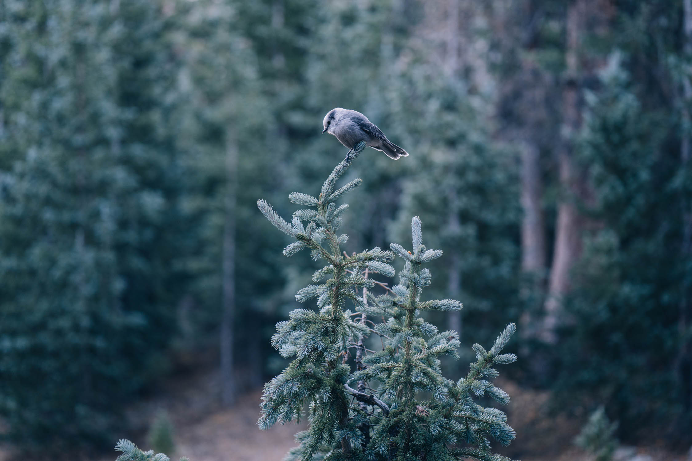
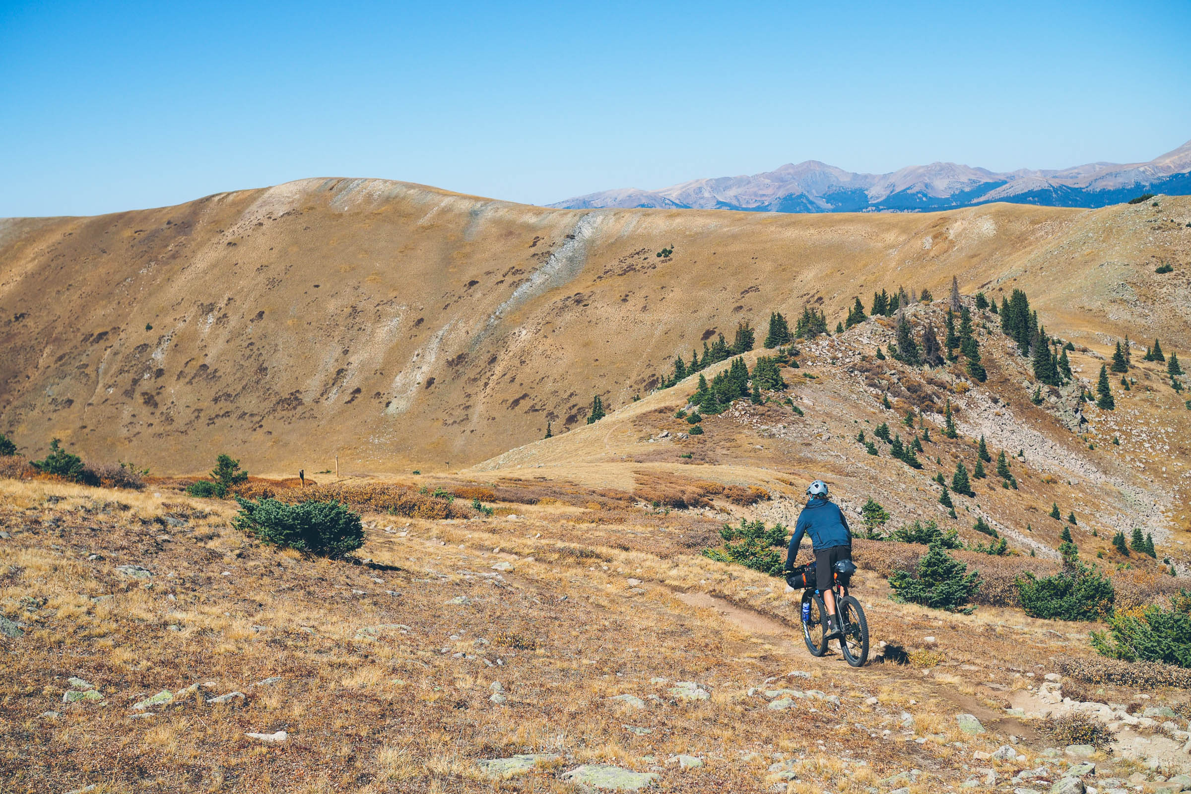
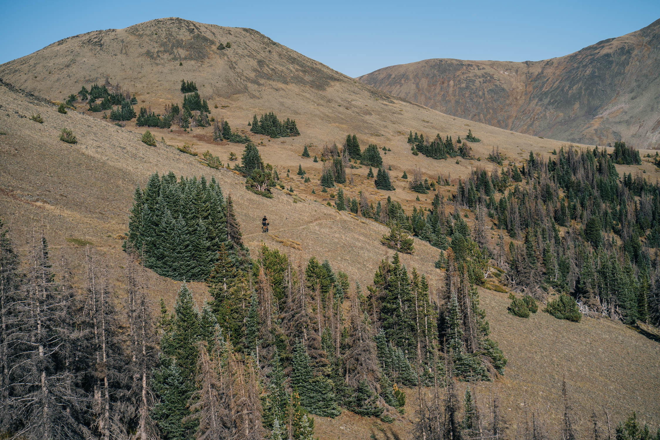
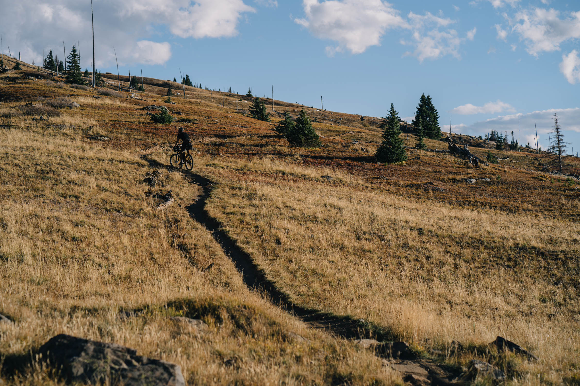
It’s not often that you’ll find a weekend bikepacking route that offers a perfectly balanced mix of forested singletrack, remote, high-altitude backcountry trails, challenging hike-a-bikes, historic rail trails, and scenic gravel roads. The Vapor Trail has all that and more, and is based around a great little town to spend time in before and after the ride.
According to the route creators at Absolute Bikes, the Vapor Trail gets its name from the fact that Salida is in flyover country and often has vapor trails visible in the sky. But, you can’t help but to think that it references the oxygen starved passes along the route. The theme of the ride has nothing to do with either of those points. In fact, it’s based on the railroad history of the area, which can be seen from start to finish. Beginning and ending in Salida, which was was founded as a railroad town, the Vapor Trail uses two old rail grades: the Denver, South Park, and Pacific line to the Historic Alpine Tunnel, and the Denver and Rio Grande grade to Marshall Pass. It’s not all rail grades, though. The route is a fully featured 3-4 day loop that connects these grades with some of Colorado’s finest singletrack along the Sawatch Range and the Continental Divide, catching sections of other popular long distance hiking and biking routes that pass through this region. Find the details under Trail Notes.
Route Development
The Vapor Trail is based on the supported, invitation-only, 125-mile mountain bike race that starts and finishes at Absolute Bikes in Salida every September. The annual Vapor Trail 125 Race started in 2005 and is organized by Absolute Bikes. It was cancelled in 2018 due to a road closure on Forest Road 888 (aka the Tomichi Pass Road) because of a rock slide north of the pass Tomichi Pass. The National Forest Service forbids event use of closed roads even though it’s passable by foot and two-wheeled traffic. Fortunately, this closure doesn’t apply to hikers and bikepackers, so the Vapor Trail bikepacking route you see here is fully rideable as a self-supported route.
The original Vapor Trail 125 route was designed by Andrew Mesesan, a now-professional trail builder who worked to help create Salida Mountain Trails at the time the Vapor Trail was created. Note that the Vapor Trail route shown here is slightly different from the race route and doesn’t include the Starvation Creek/203 loop to Silver Creek and the Rainbow Trail. Instead, this friendlier version drops all the way down Starvation Creek, one of my favorite trails in the area. Many thanks to Shawn Gillis, Earl Walker Jr, Tom Purvis, and Eric Morton from Absolute Bikes for sharing the route details and history.
Route Difficulty: The Vapor Trail has been assigned a difficulty rating of 7 out of 10. Much of the singletrack along the route is semi-technical in nature with some sections that are rocky, and requires confidence and skill to navigate successfully. Even more challenging is the 13,000+ feet of climbing spread across just over 100 miles, much of which takes place in high alpine environments that are prone to sudden weather changes and exposure. Whether you are looking to cram the route into two days or spread it out over a long weekend, The Vapor Trail is sure to challenge even the most seasoned bikepackers. However, with the challenges come great rewards. For the record, the fastest men’s time on the Vapor Trail 125 is held by Josh Tostado (12 hours, 24 minutes). The fastest women’s time was Jari Kirkland Hiatt (15 hours, 55 minutes). Both of these times were set in 2014.


Submit Route Alert
As the leading creator and publisher of bikepacking routes, BIKEPACKING.com endeavors to maintain, improve, and advocate for our growing network of bikepacking routes all over the world. As such, our editorial team, route creators, and Route Stewards serve as mediators for route improvements and opportunities for connectivity, conservation, and community growth around these routes. To facilitate these efforts, we rely on our Bikepacking Collective and the greater bikepacking community to call attention to critical issues and opportunities that are discovered while riding these routes. If you have a vital issue or opportunity regarding this route that pertains to one of the subjects below, please let us know:
Highlights
Must Know
Camping
Food/H2O
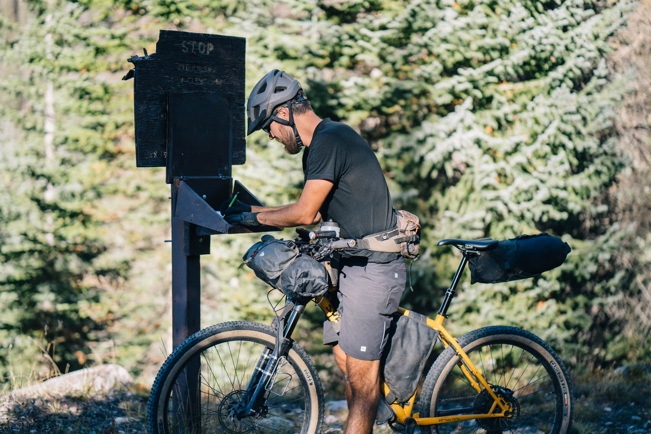
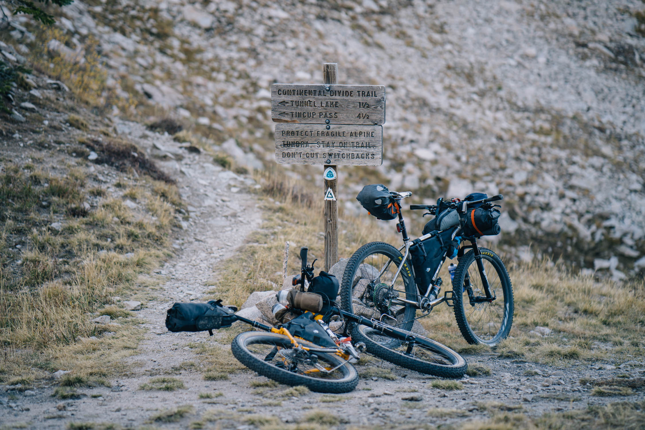
Trail Notes
- The perfect blend of singletrack, gravel, and two-track through a beautiful slice of the Colorado Rocky Mountains.
- Segment 14 of the Colorado Trail offers a nice forested traverse along the flanks of Mount Shavano.
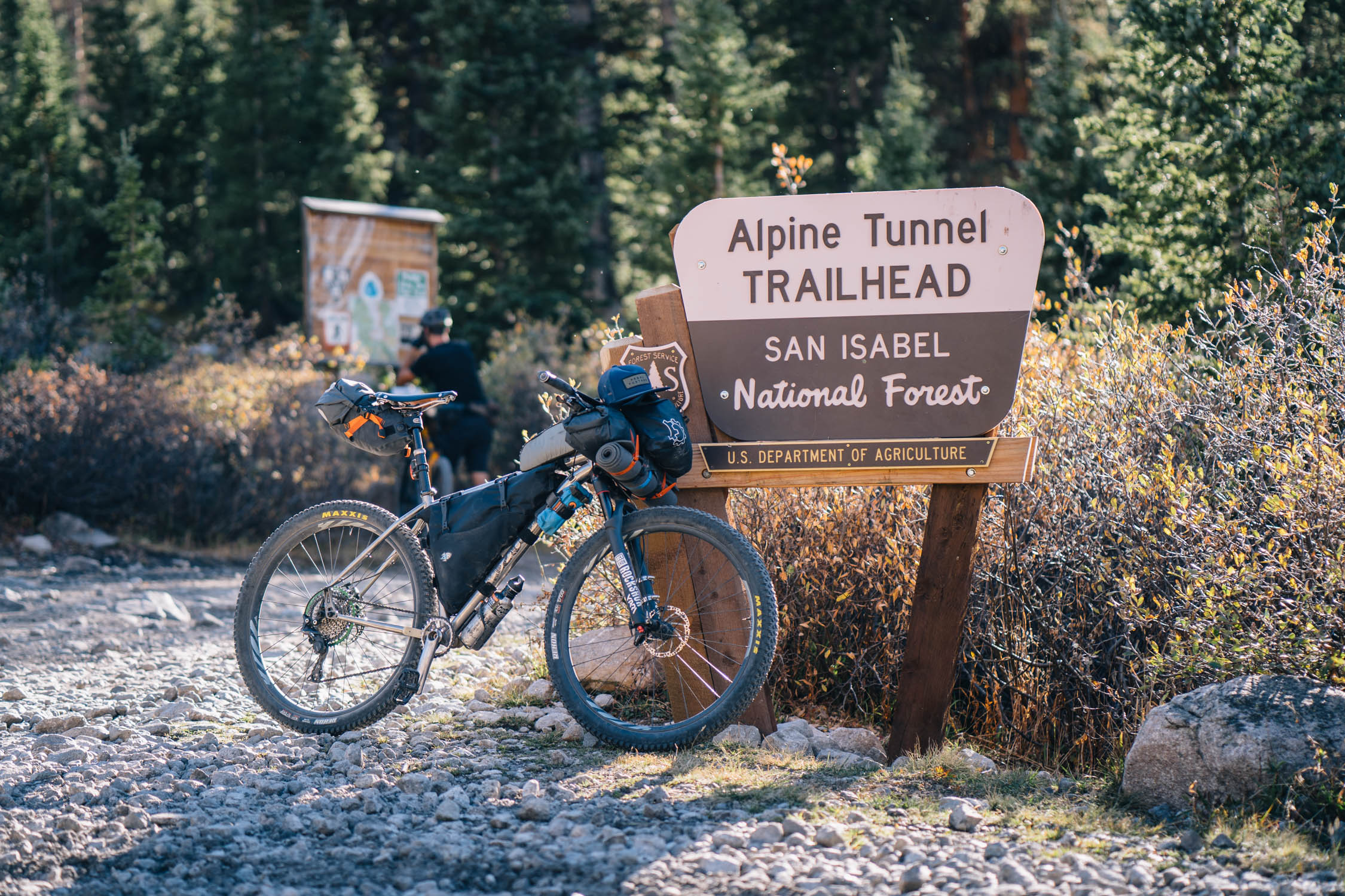
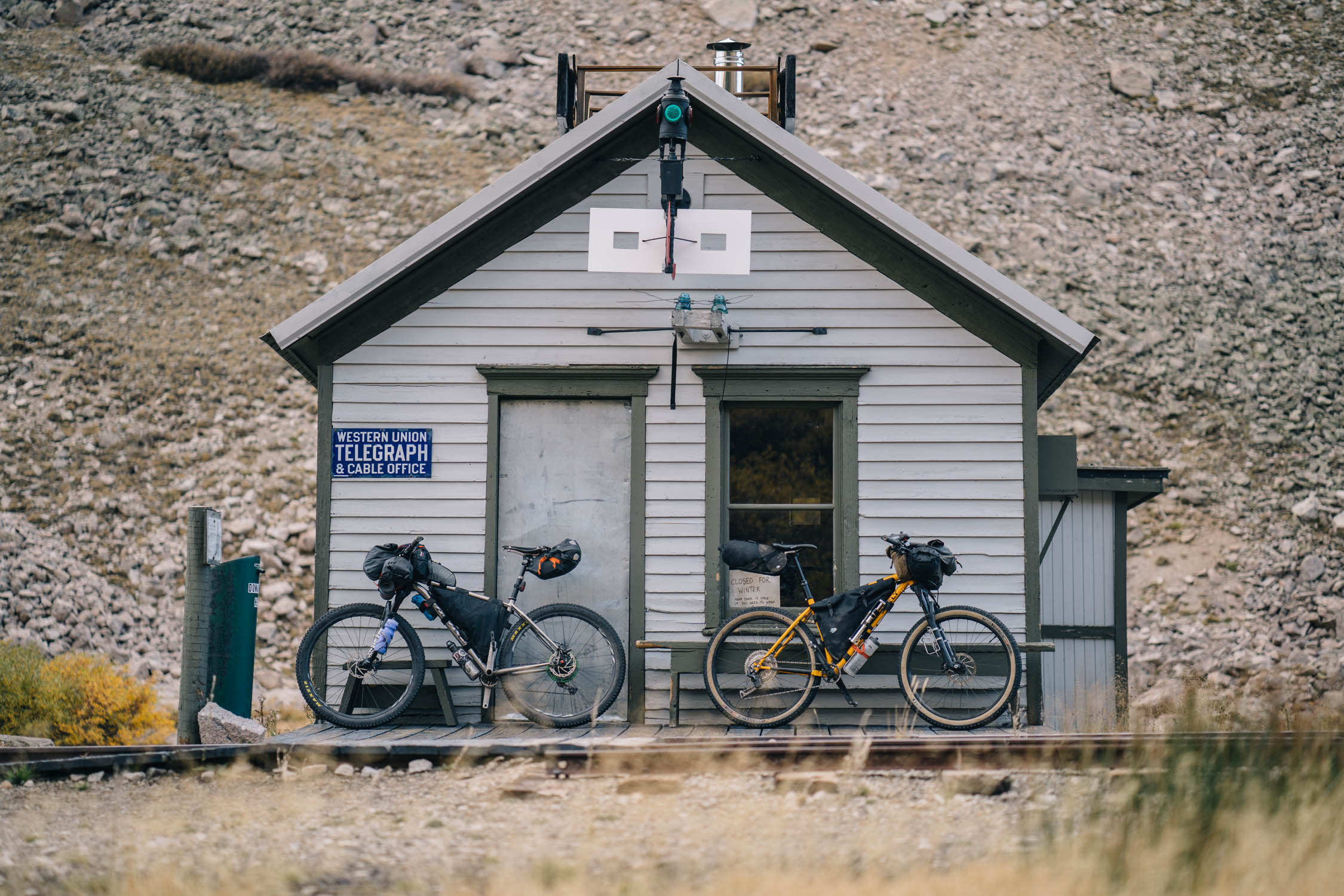
- St. Elmo and the Alpine Tunnel Trail offer a glimpse into the area’s mining and rail history.
- The Vapor Trail finishes on the Monarch Crest Trail, a classic IMBA Epic trail ride following the ridges of the Sawatch Range.
- The town of Salida offers a great start and end point with plenty of restaurants, bars, and local flare. Check out Cafe Dawn for breakfast and WiFi, the Gathering Grounds for heaping portions of biscuits and gravy (vegan or meat-laden), and Amica’s for pizza.
- Stop by Oveja Negra if you need any last minute bags!
- Access to other routes such as Aspen Ridge Overnighter, the GDMBR, and the Colorado Trail.
- The best time to ride the Vapor Trail is between July and October. The route tops out above 12,500 feet in elevation, so the ability to ride it earlier or later in that window depends on snowfall. In 2017, the Vapor Trail was rideable through mid-November.
- Absolute Bikes in Salida has a map available of the Vapor Trail 125. Pick one up before you start.
- Bring proper mountain weather clothing as temps can drop substantially below freezing at elevation.
- Chalk Creek Drive can get crowded with ATV traffic in high season (leaf season) on the weekends. For that reason, the route is best ridden mid-week, or that section ridden early AM.
- The same goes for the Monarch Crest Trail; weekend mountain bike tourist numbers can often make the trail appear crowded.
- There are several options to descend from Monarch Crest. The most popular is the Starvation Creek trail descent, although the official Vapor Trail 125 race route descends the Monarch Crest Trail and uses the Rainbow Trail to maximize singletrack. Note that Starvation Creek is easier and quicker if you are pressed for time.
- Another option to make a “light” version of the route is to shuttle to the Colorado Trail trailhead at Mount Shavano.
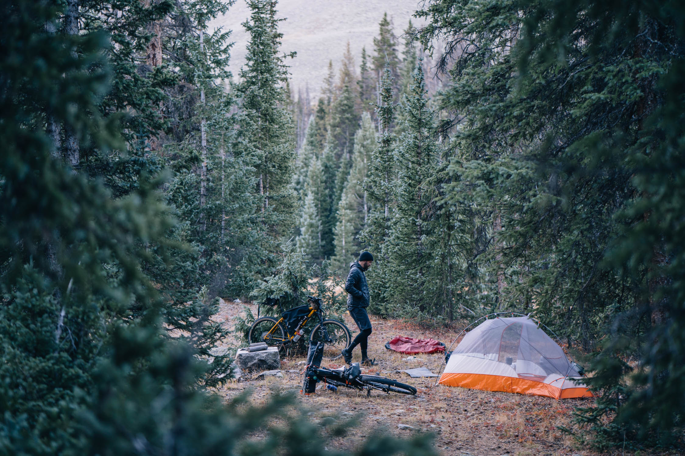
- There are plenty of established campsites where noted on the map.
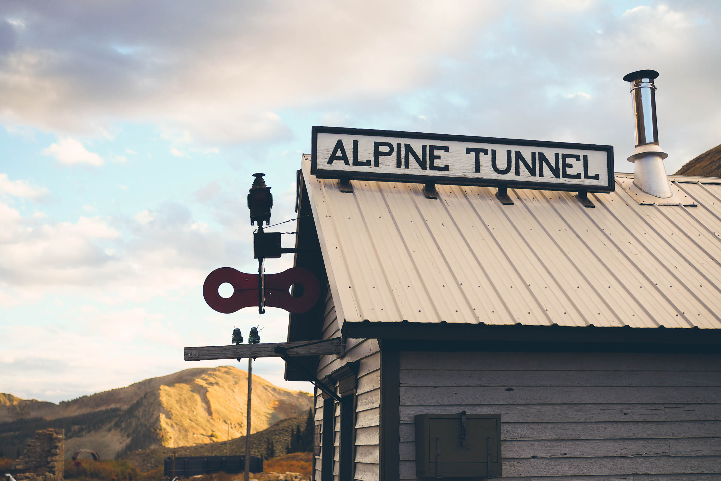
- The restored Alpine Tunnel Station serves as an emergency backcountry shelter and offers a wood stove and water supply out back. The back door was open when we passed, although we opted to camp instead.
- There is also a three-walled shelter on the Monarch Crest trail.
- There are many additional campsites, both established backcountry sites and campgrounds along the way.
- Old Monarch Pass has several pull out sites alongside the road.
- During our ride, there were plenty of streams and springs en route, but definitely bring a filter.
- There are just a couple spots for minor resupply, the St. Elmo store and the Monarch Pass gift shop. Both have a limited selection of snacks and soft drinks. The Monarch Pass store has a small refreshment stand with pretzels, hot dogs, etc.
- There is a good spring on Monarch Crest, just after the shelter before the forested trail opens up.
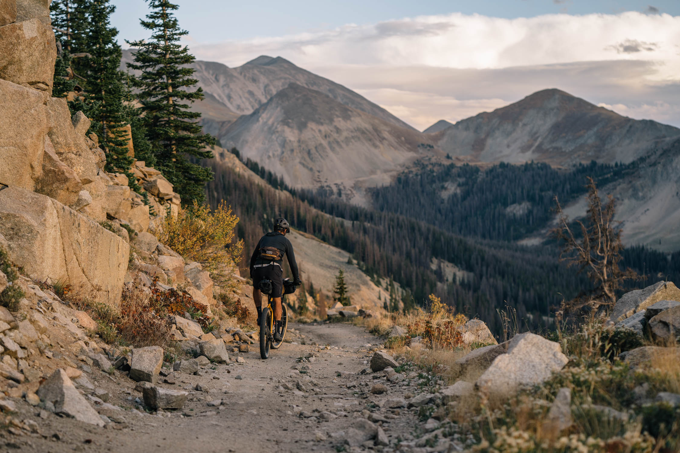
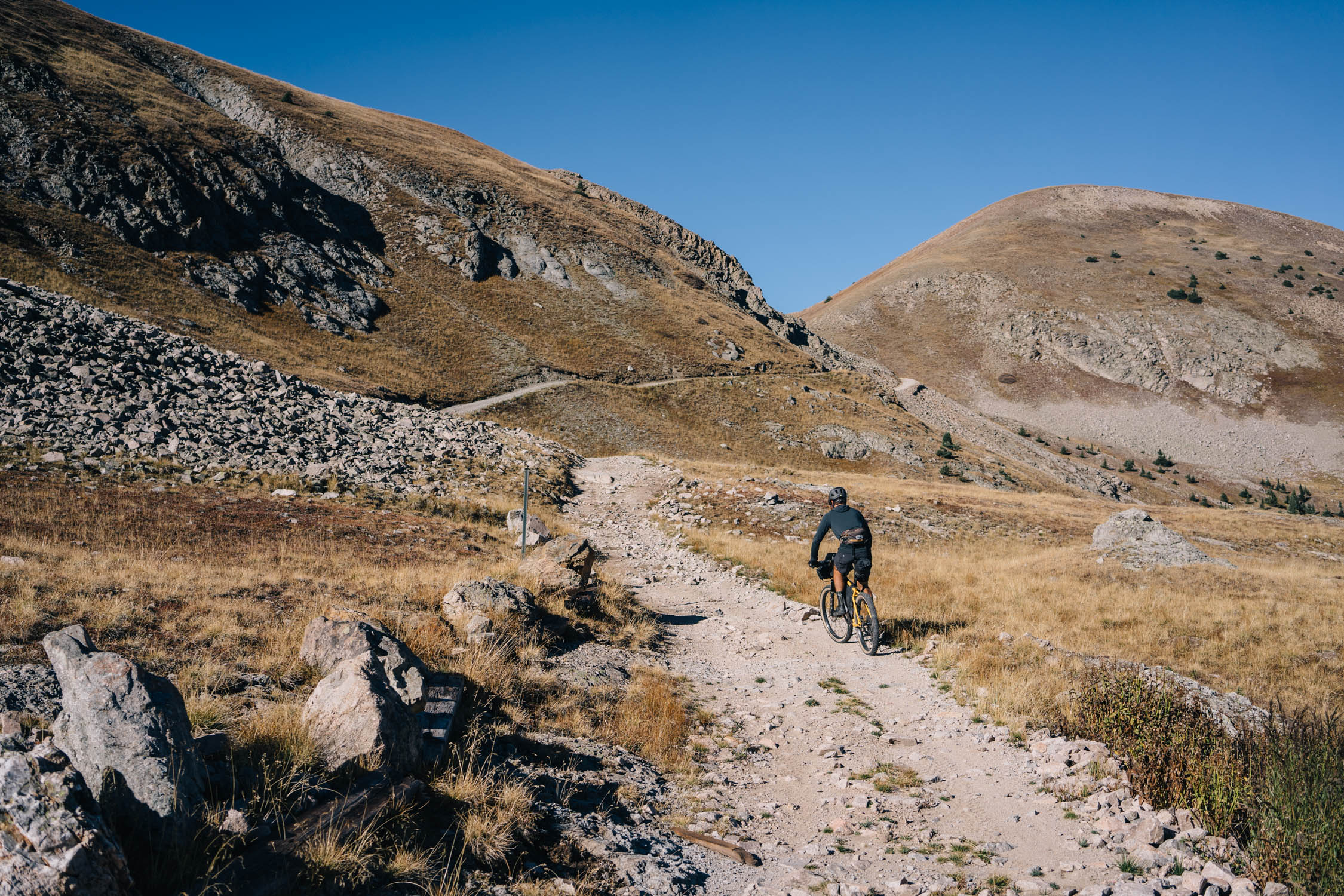
Salida to Chalk Creek
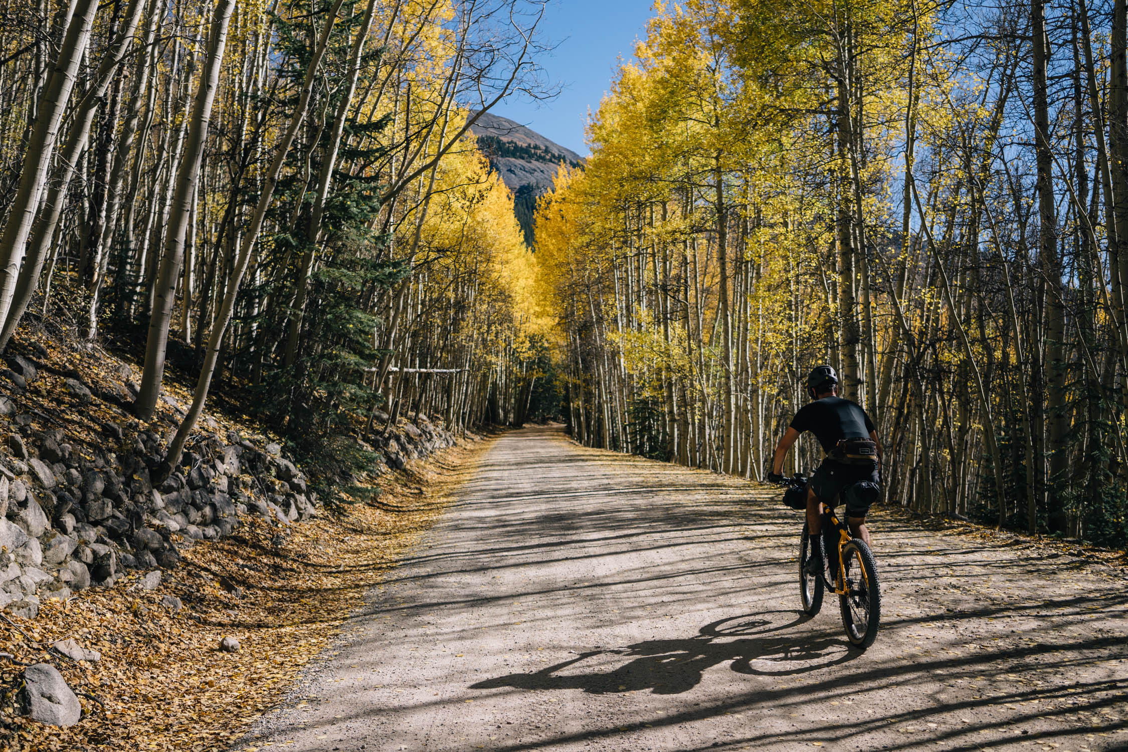
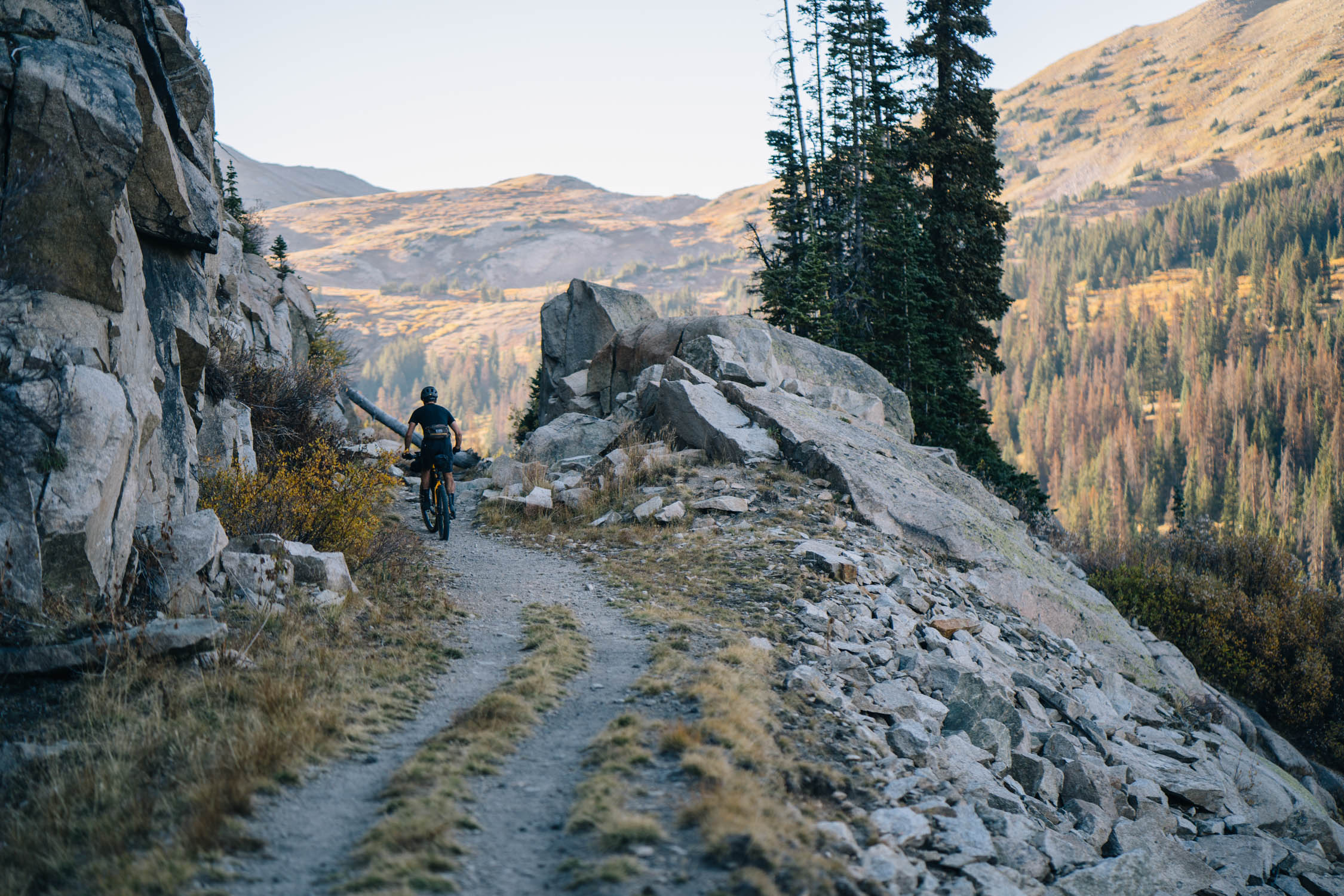
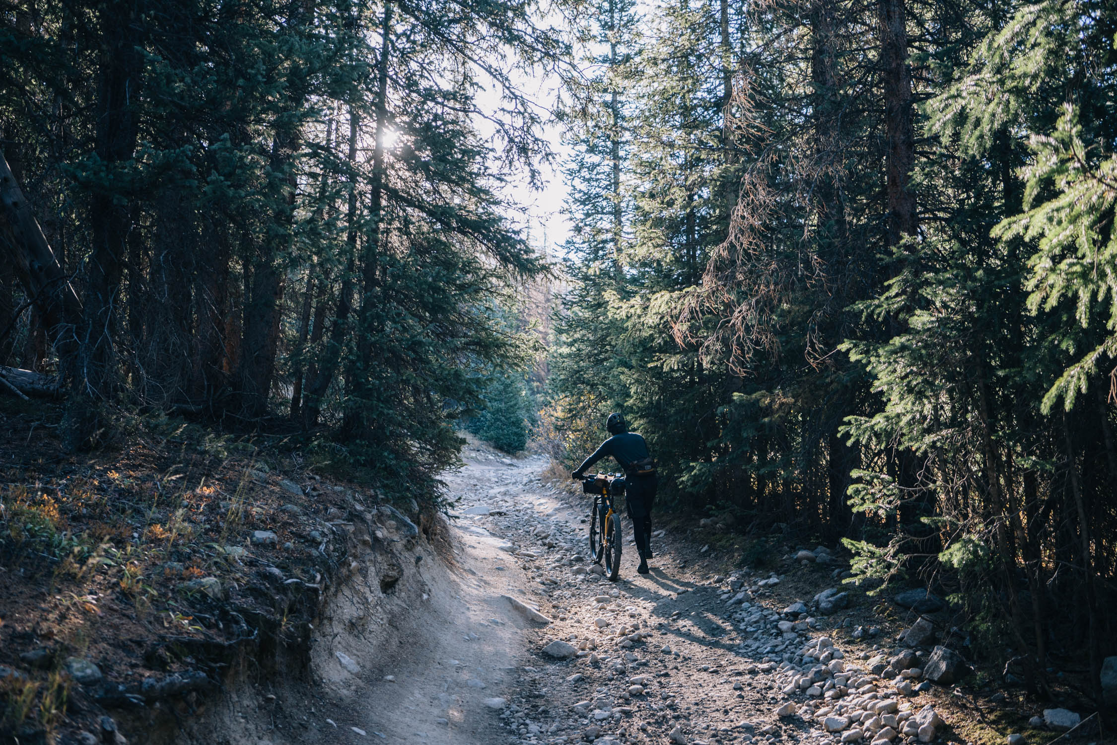
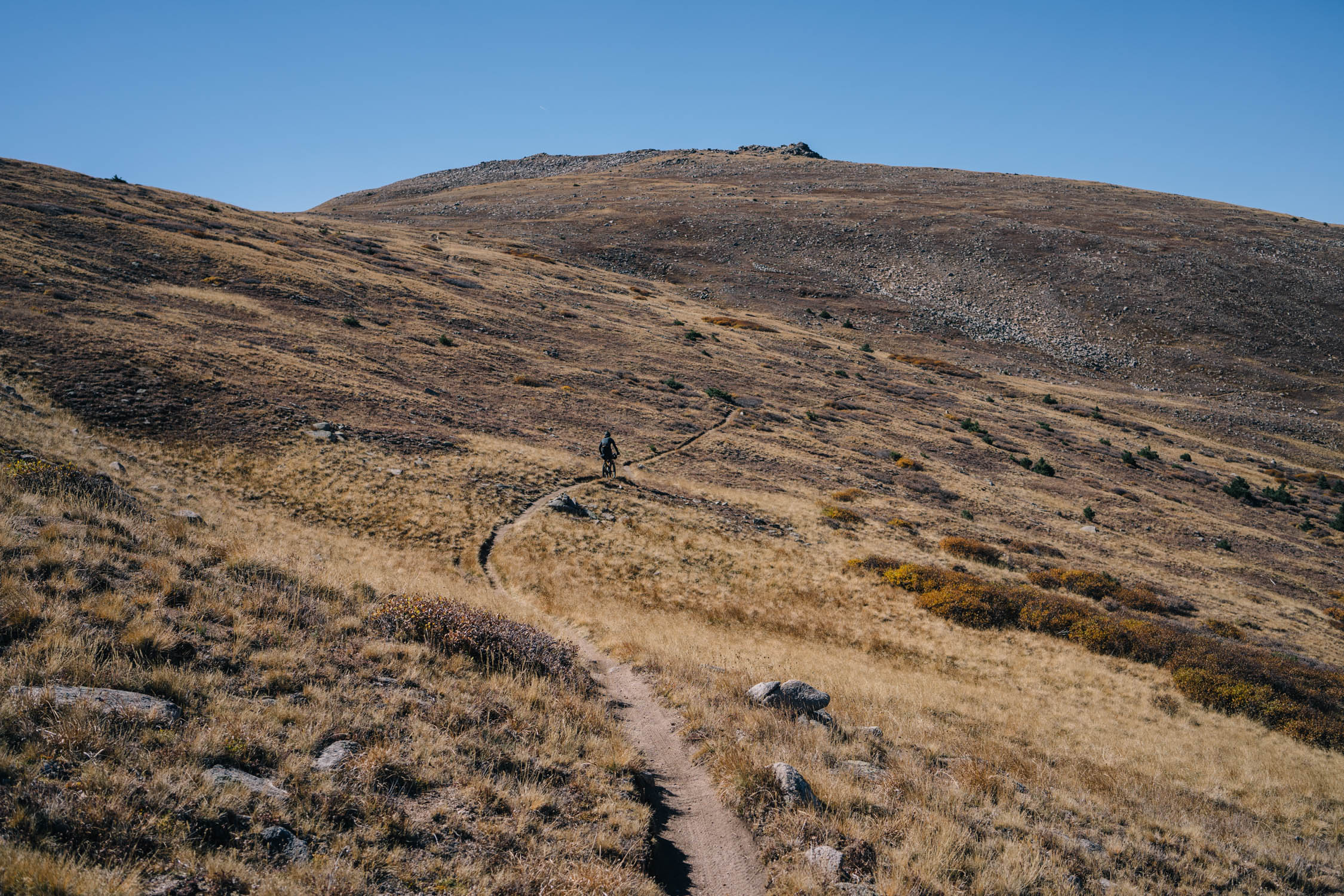
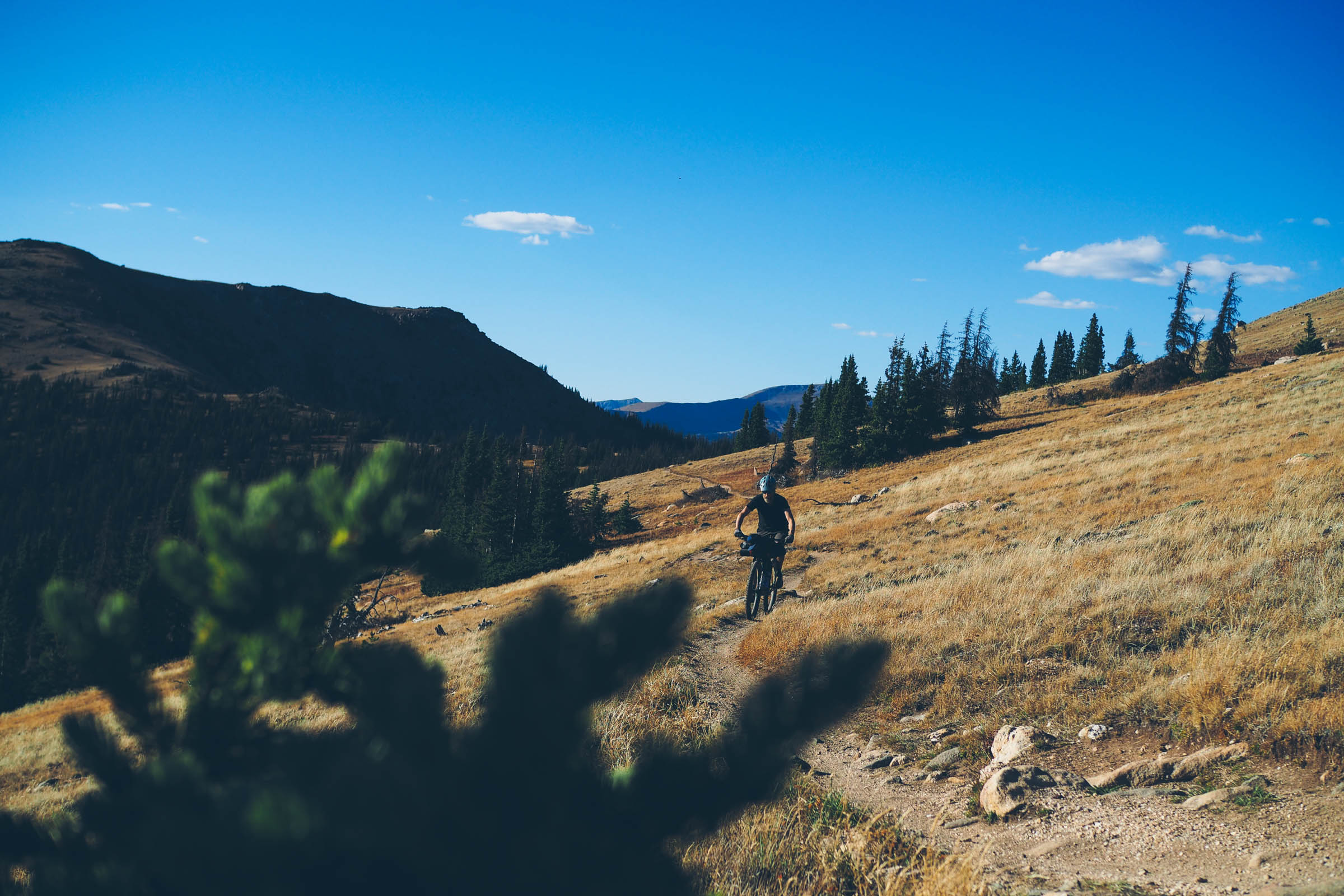
After leaving the town of Salida, the route follows bike paths, county roads, and gravel West towards Segment 14 of the Colorado Trail. The initial push is about 14 miles and 2,750 feet of climbing before joining the Colorado Trail. Once on the CT, chunky singletrack quickly becomes the norm, passing through thick aspen forests, open meadows, and along exposed ridges before a steep, techy descent to join the Narrow Gauge Trail 1432 that parallels Chalk Creek Road.
Chalk Creek to the Alpine Station
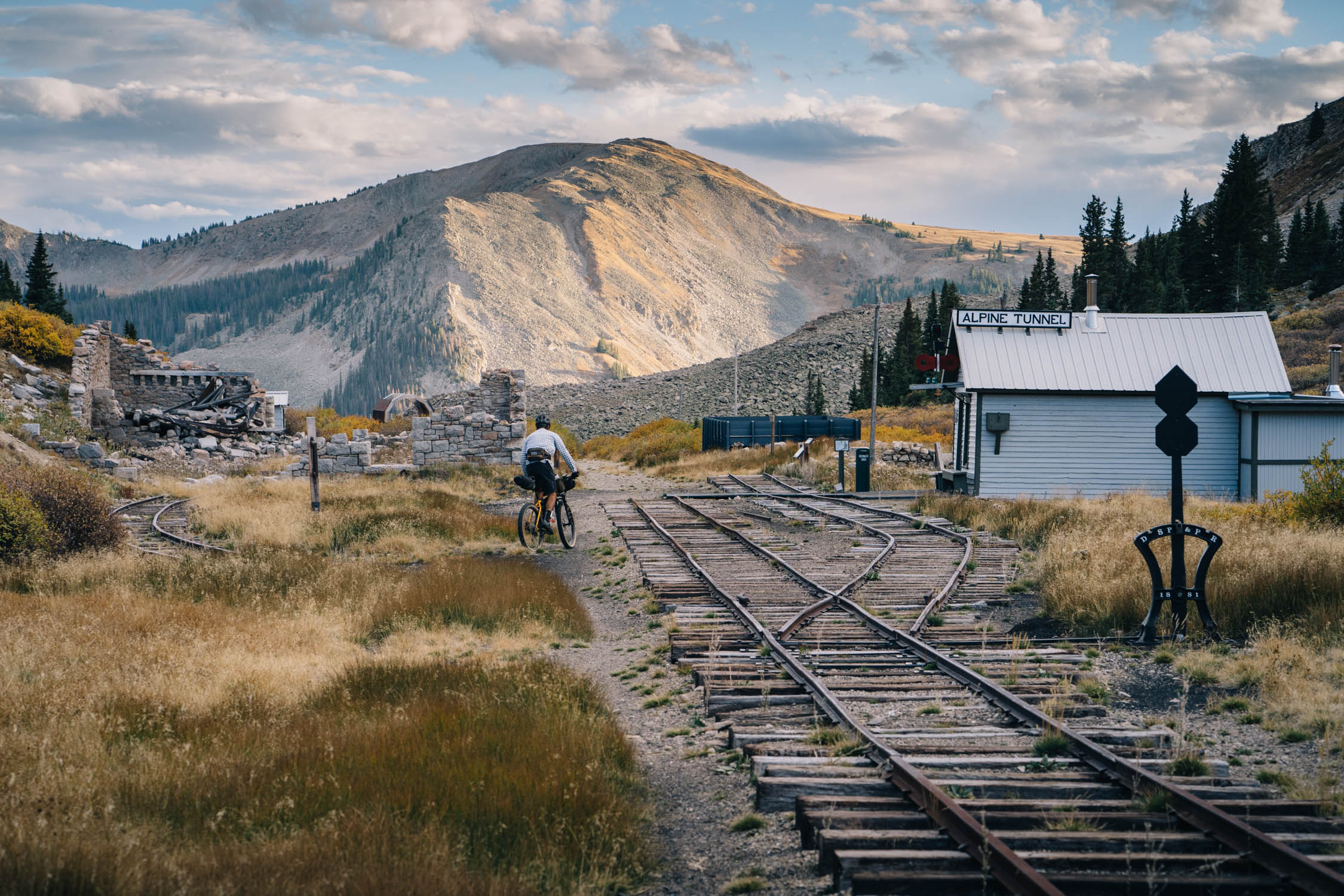
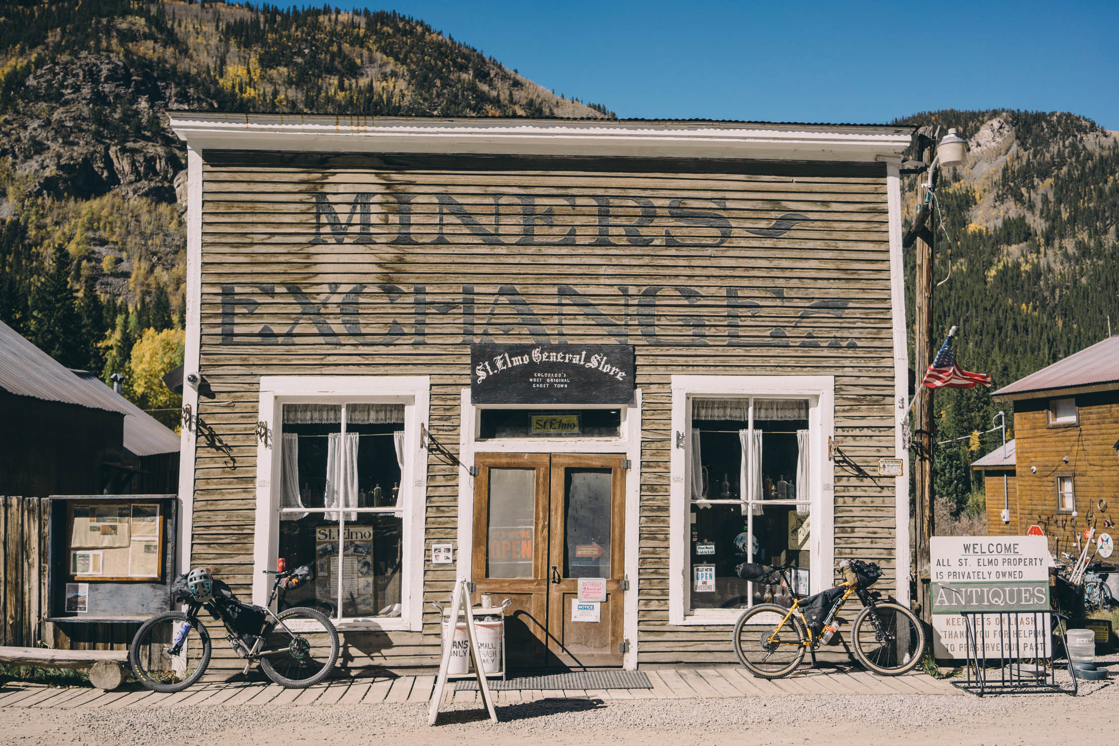
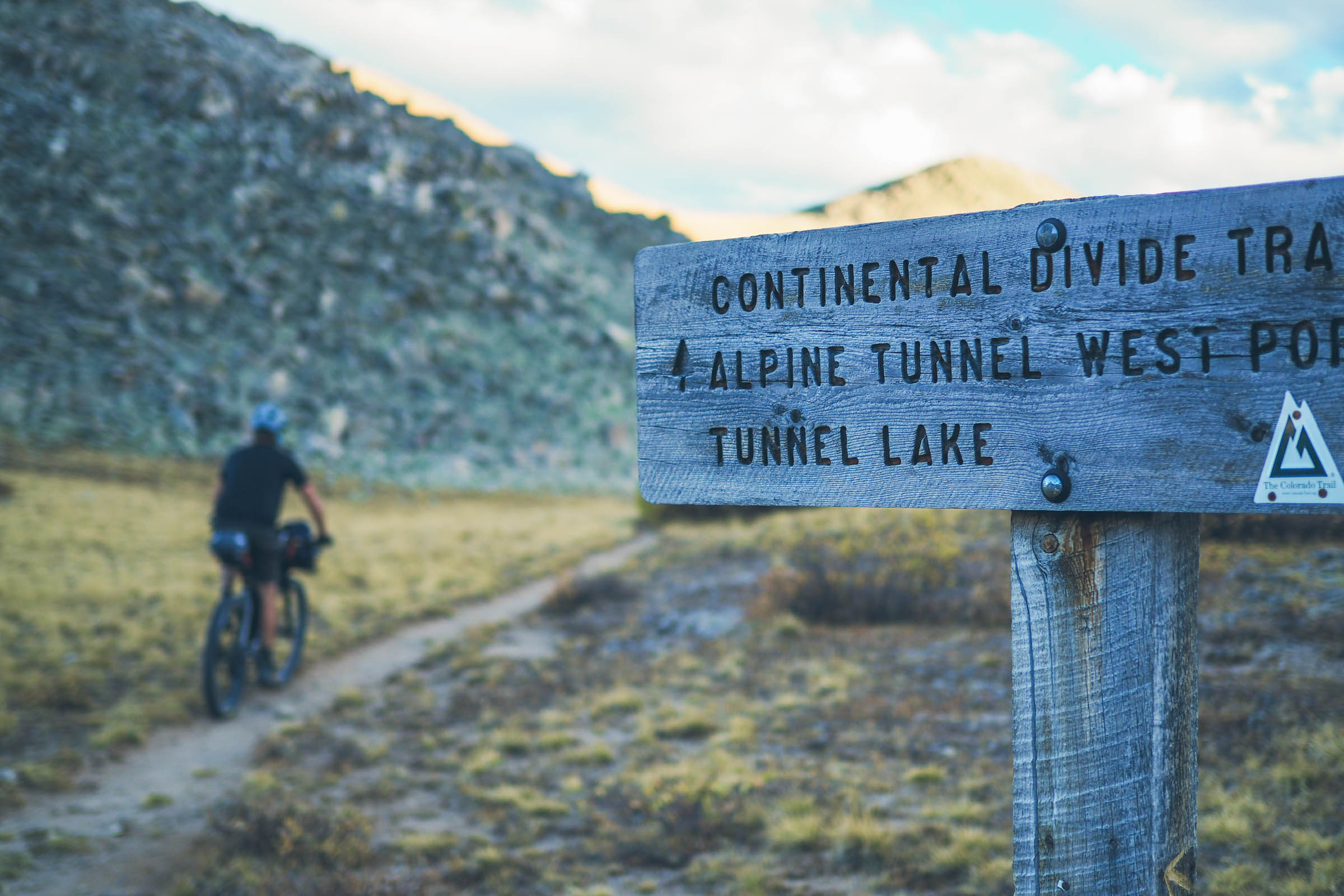
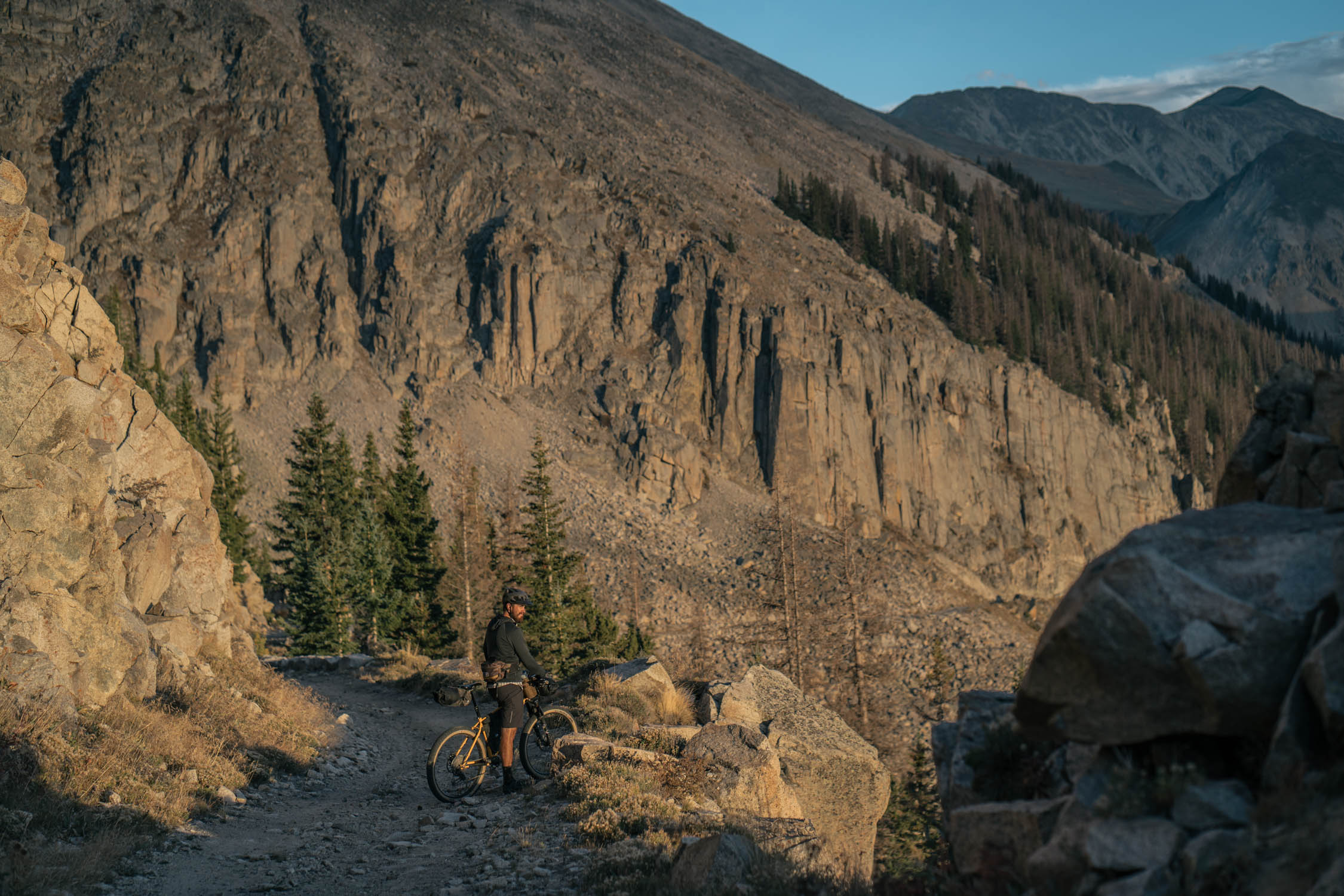
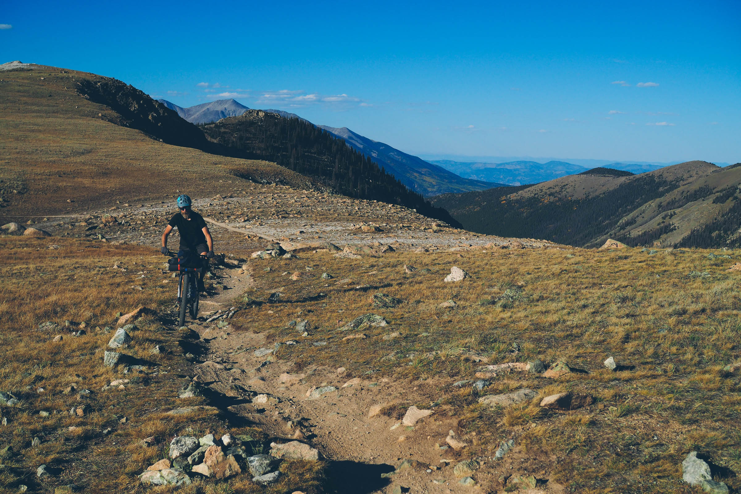
Once on Chalk Creek Road, a seemingly endless gravel climb awaits, leading to the historic ghost town of St. Elmo. Make sure to stop for a gander in St. Elmo and grab a snack at the general store. The climb continues South, past what remains of several smaller ghost towns and old mining camps, before following the Alpine Tunnel Trail up to the Alpine Tunnel Ghost Town. Nestled between Mount Poor and Mount Helmers, the remains of the old engine house, original railroad tracks, and the restored Alpine Station await, providing shelter, a wonderful rest spot, and fantastic views of the mountains to the South.
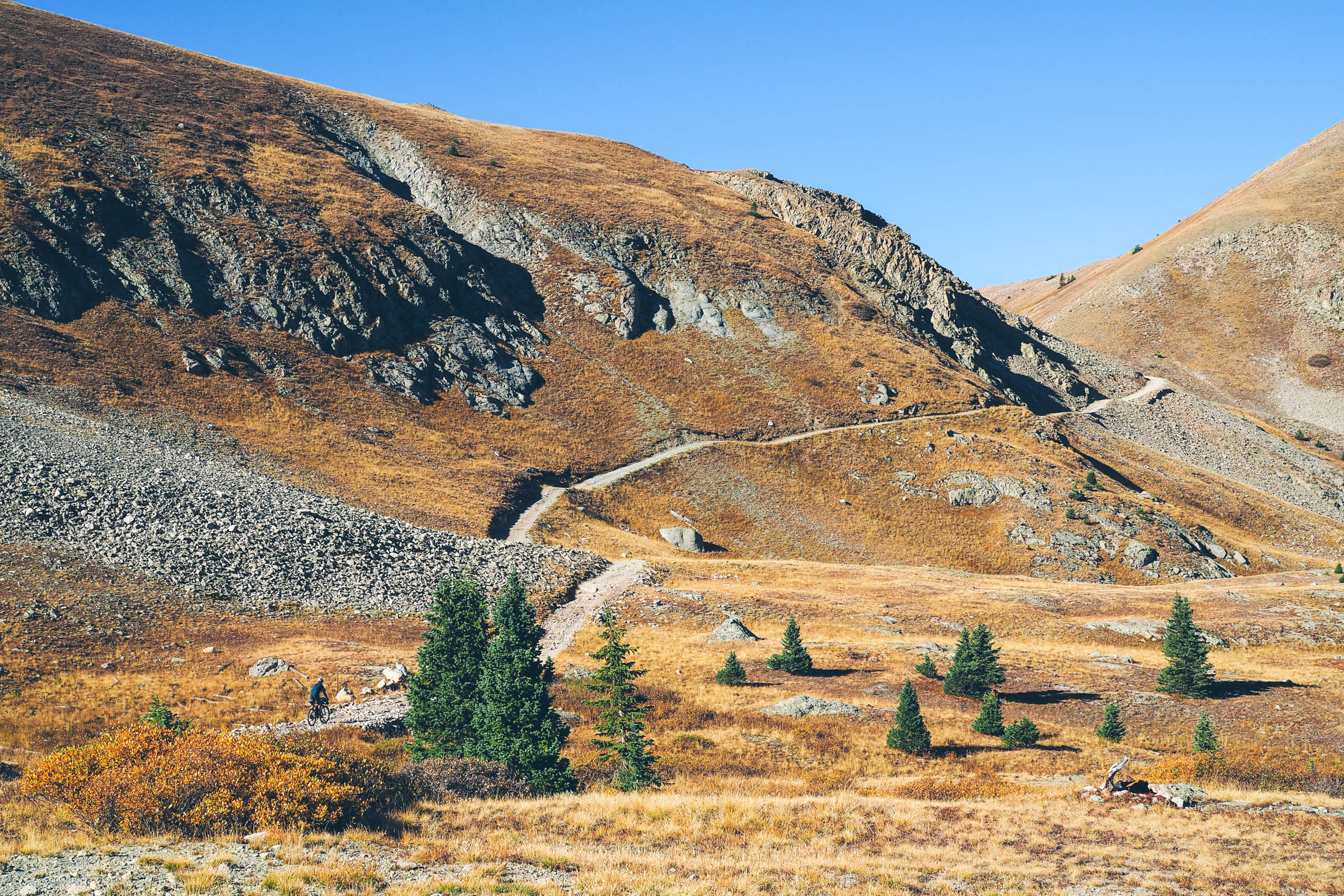
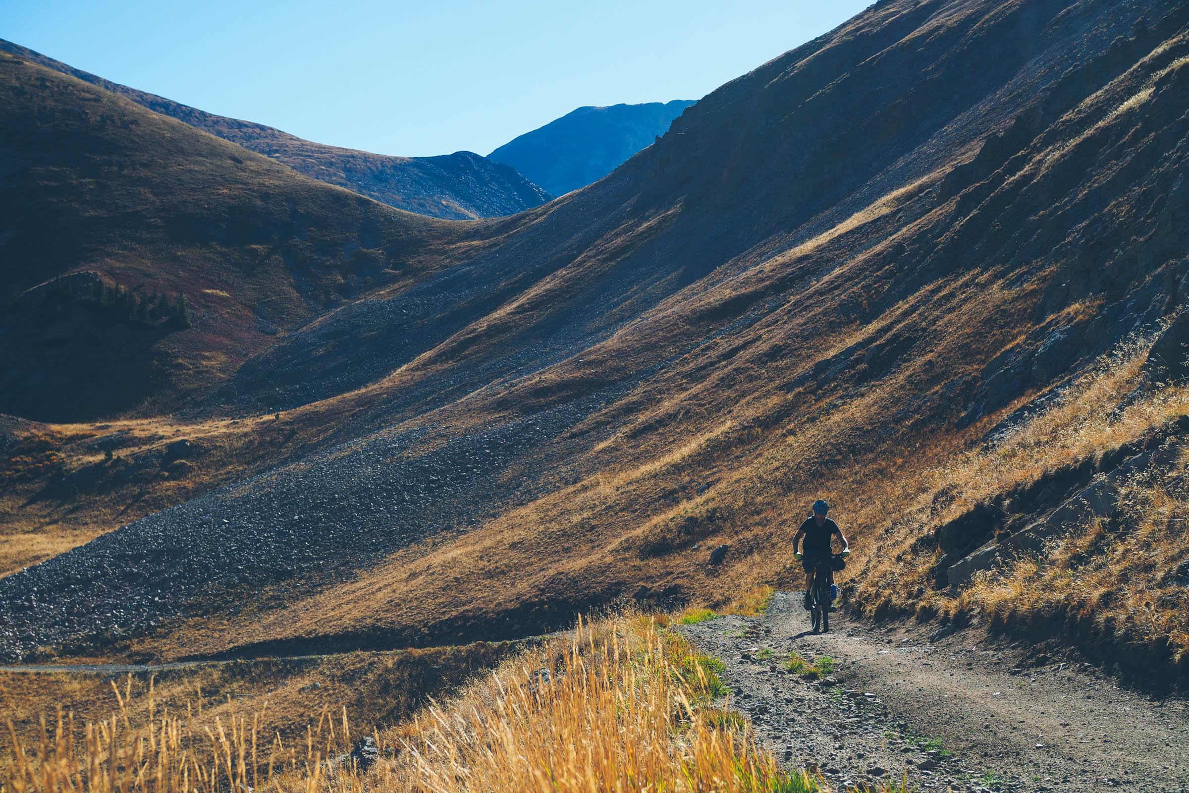
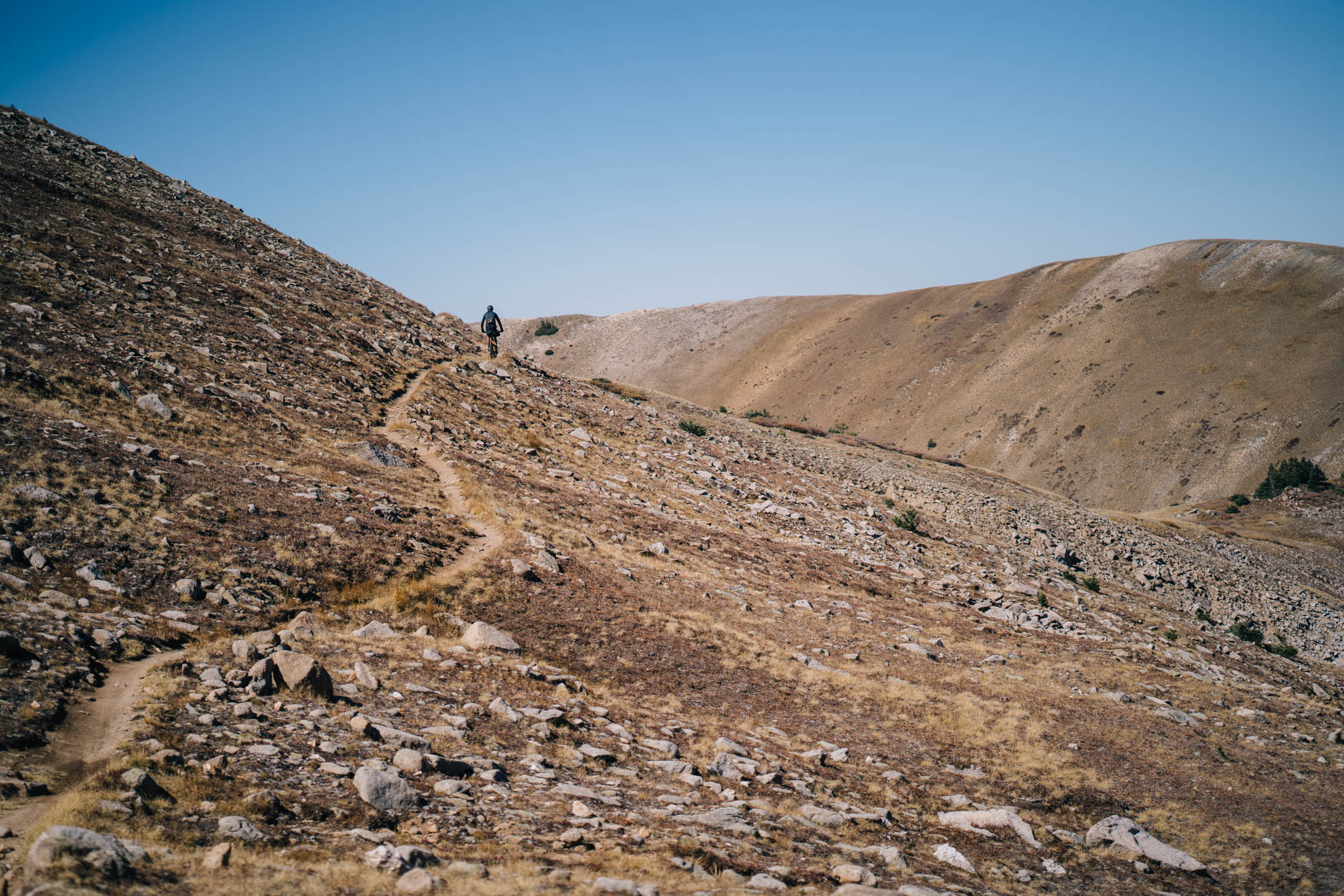
Alpine Station to Old Monarch Pass
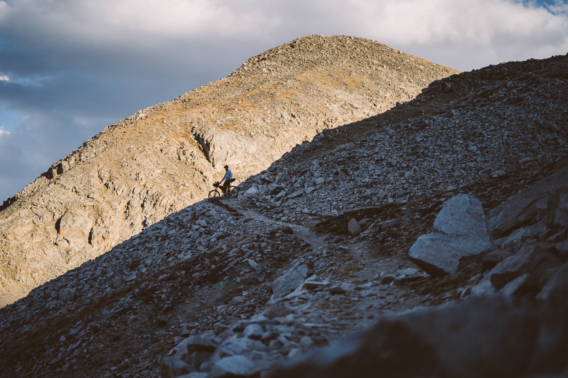
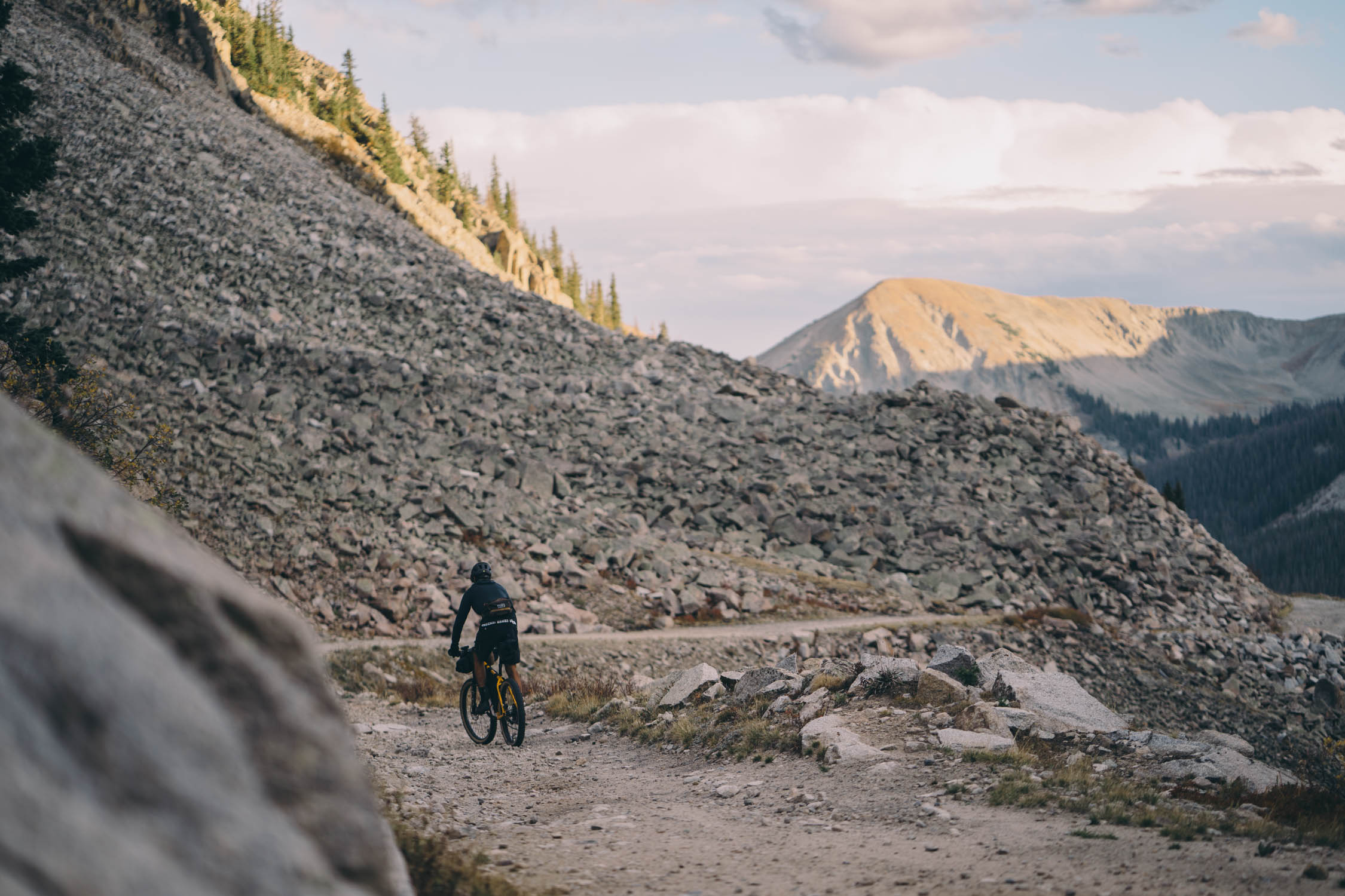
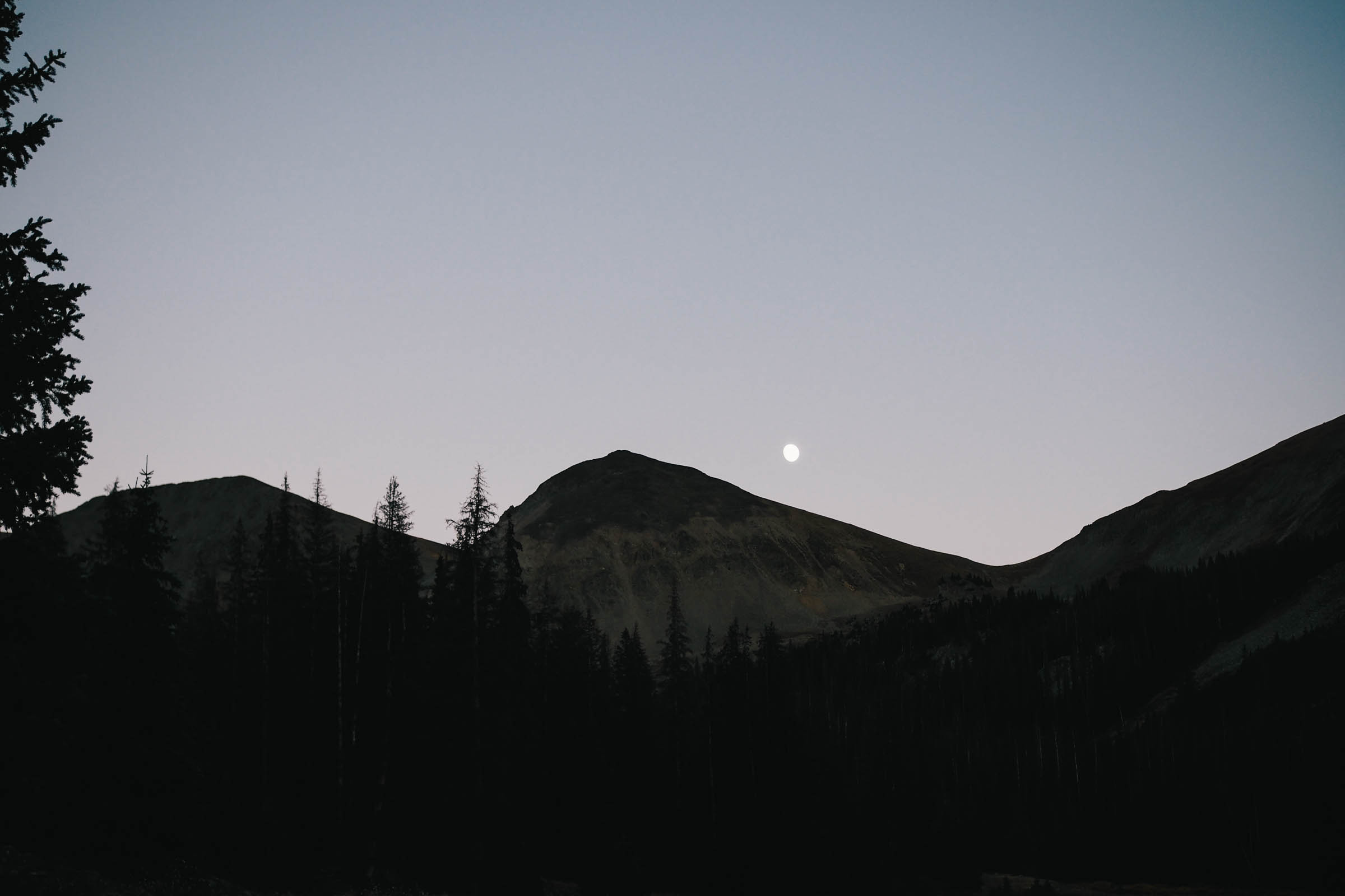
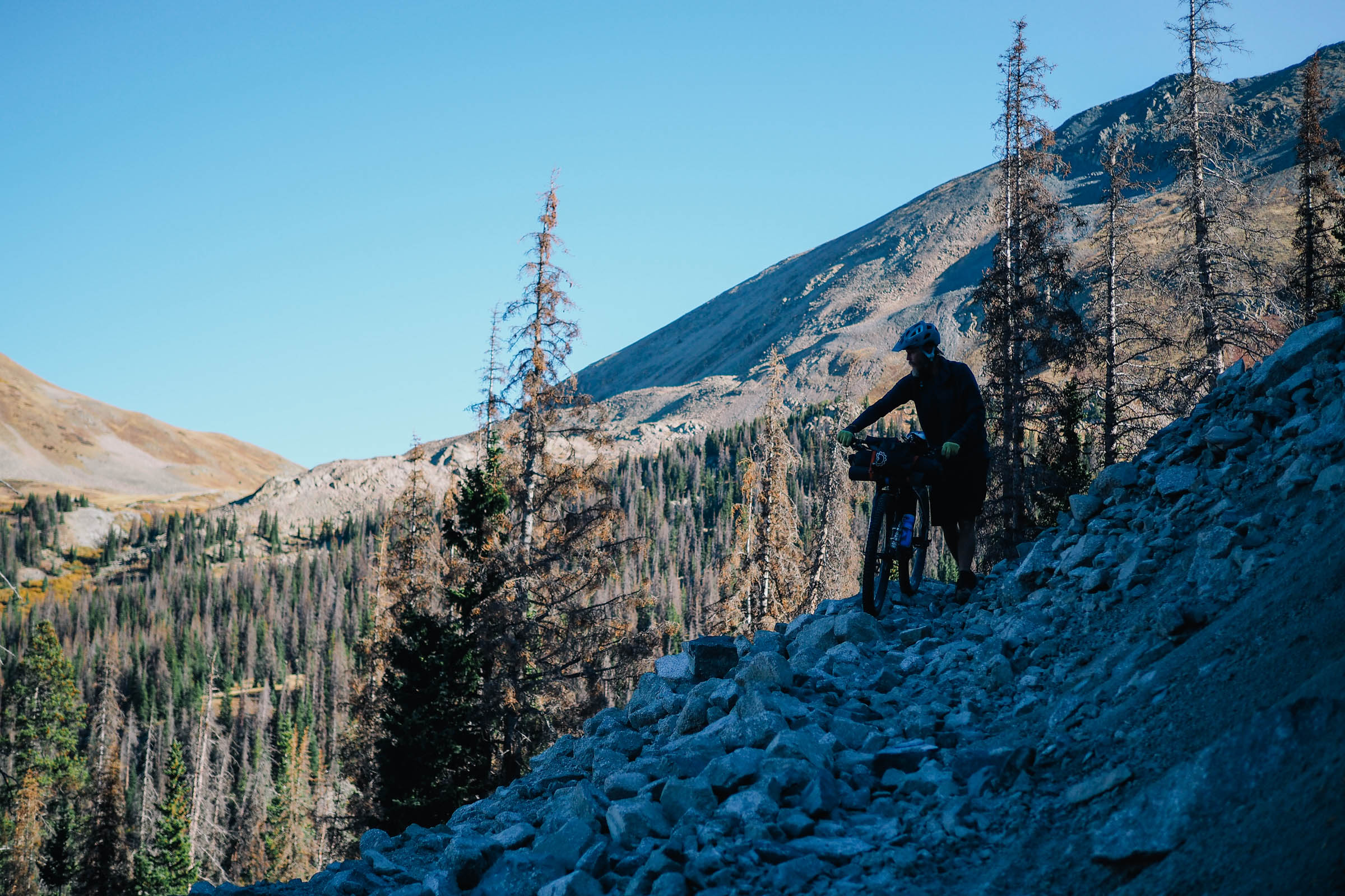
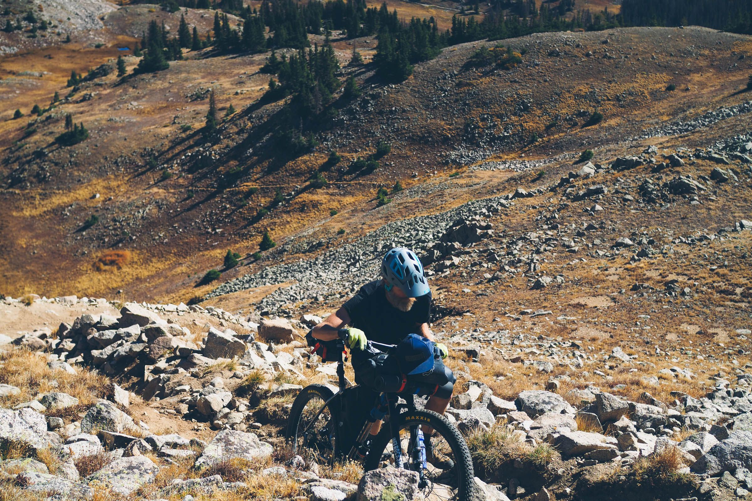
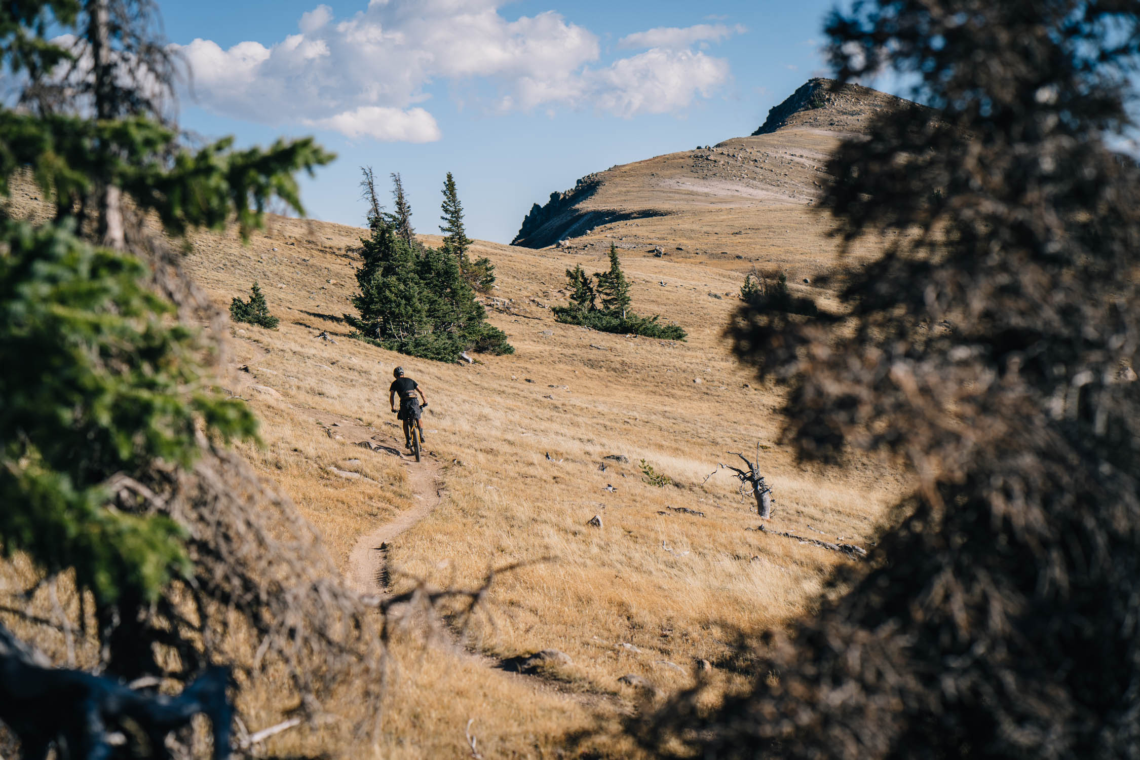
After an awe-inspiring descent along The Palisades trail towards Middle Quartz Creek and some great camping opportunities, another steep climb awaits up and over Tomichi Pass with a high point of well over 12,500’ – the highest point along the route. A fast and occasionally technical descent following Canyon Creek Trail, a popular moto trail, is punctuated with some flowy sections, and a few technical rock gardens for good measure. A short gravel road descent leads to the second longest climb of the route, up and over Old Monarch Pass, ready yourself for over 2,400’ of climbing spread over nine miles of gravel road.
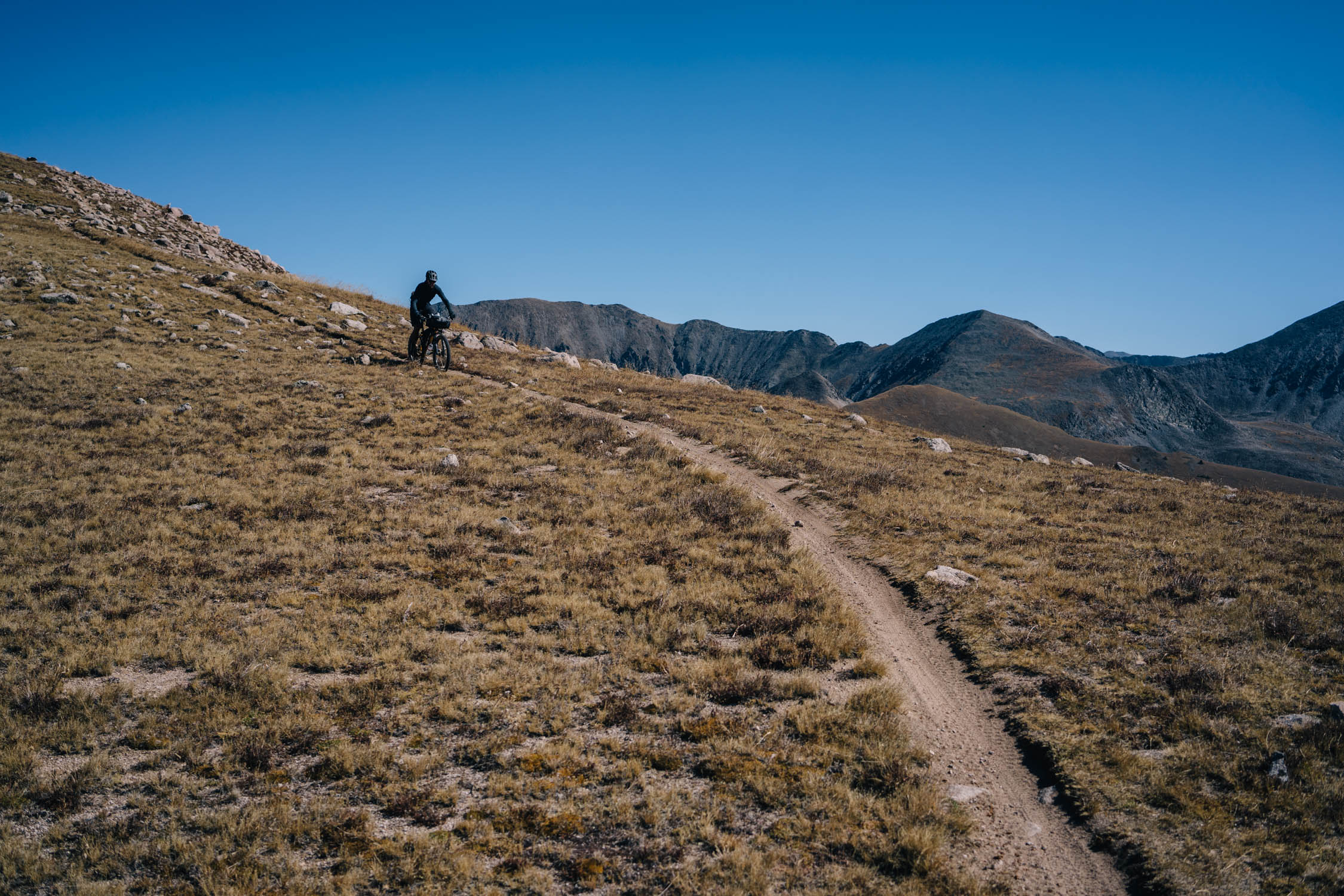
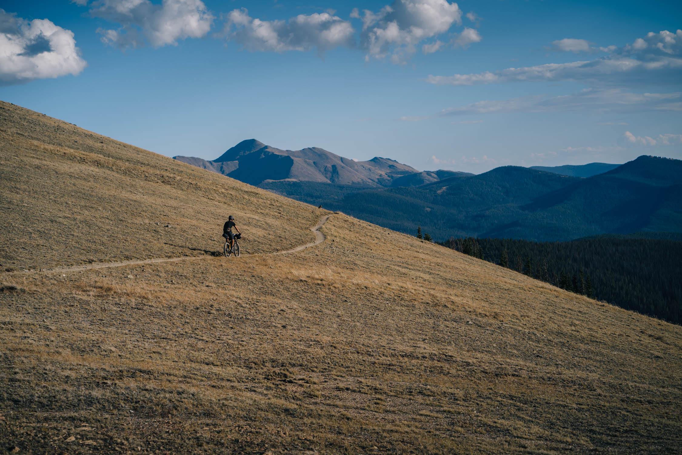
The Monarch Crest Trail to Salida
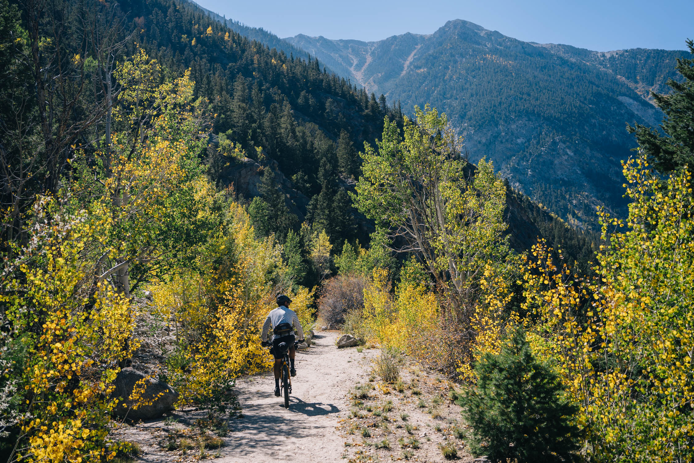
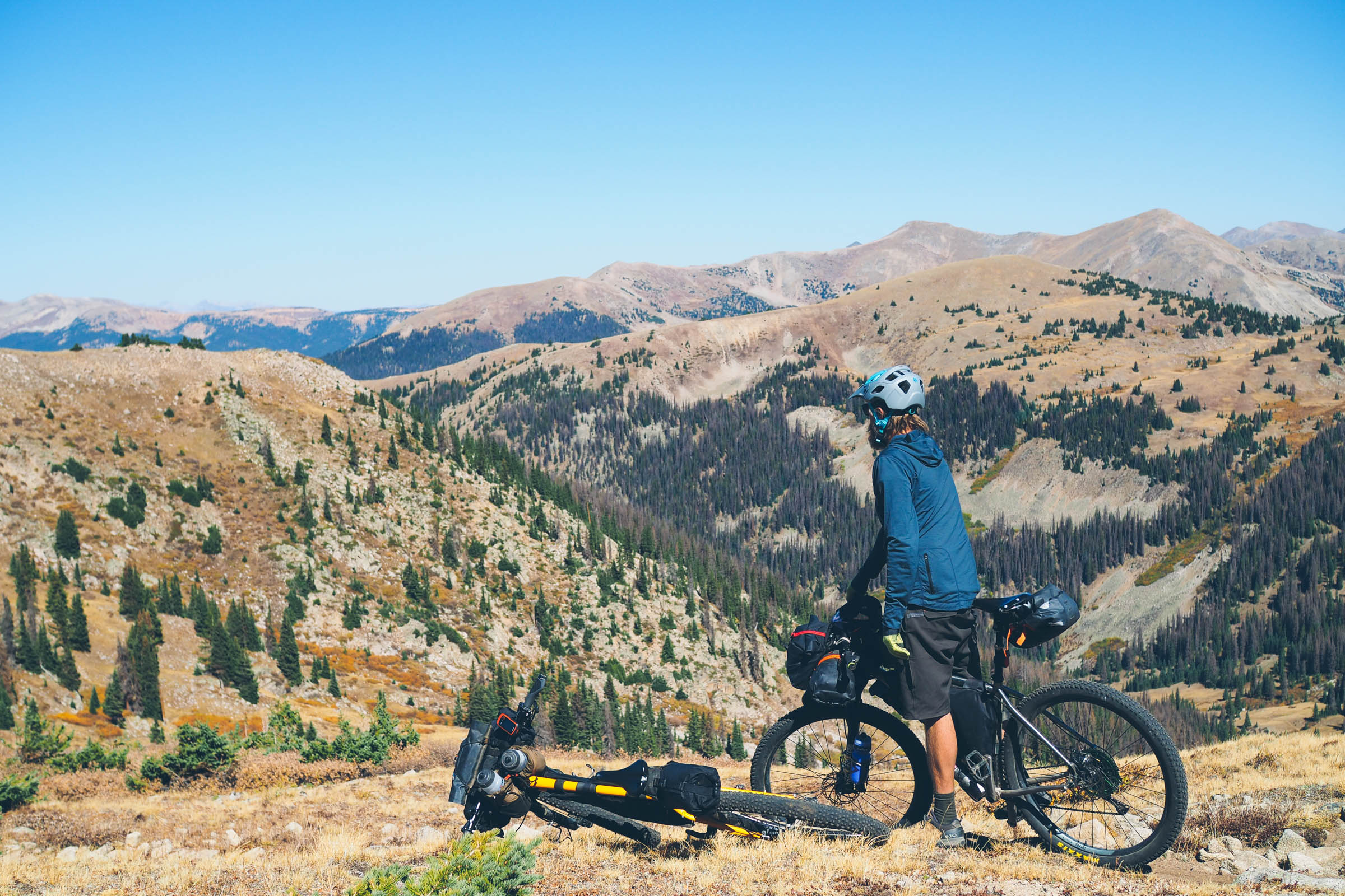
Eventually, sights of Highway 50 and Monarch Mountain will prepare you for a memorable ride along the Monarch Crest Trail. This classic ride is packed full of high alpine ridgeline riding with incredible views of the surrounding valleys and mountains. From the Crest, there are several options to drop down toward Hwy 285. As mentioned, the traditional 125 race route does a loop and includes the fun and challenging Rainbow Trail. However, we decided to finish the route with an incredibly beautiful descent down the Starvation Creek Trail that passes through Aspen groves and follows the creek over pristine backcountry singletrack. Another option, should you find yourself finishing at nightfall, is to take the very long gravel descent down Marshal Pass Road. Each of these three descents funnel down to Mears junction on Marshall Pass Road and require a fast downhill in the bike lane/shoulder on US Hwy 285, which is the typical route for most mountain bikers riding the Monarch Crest to Salida. Hwy 285 eventually dumps you into Poncha Springs, where you join the bike path that will deliver you back to Salida. Make sure to stop at Elevation Beer Company for a post-ride libation. Once back, grab a pizza at Amica’s, some tacos at Gnar Taco, or a giant burrito at Mo’s. You’ll likely need it.


Terms of Use: As with each bikepacking route guide published on BIKEPACKING.com, should you choose to cycle this route, do so at your own risk. Prior to setting out check current local weather, conditions, and land/road closures. While riding, obey all public and private land use restrictions and rules, carry proper safety and navigational equipment, and of course, follow the #leavenotrace guidelines. The information found herein is simply a planning resource to be used as a point of inspiration in conjunction with your own due-diligence. In spite of the fact that this route, associated GPS track (GPX and maps), and all route guidelines were prepared under diligent research by the specified contributor and/or contributors, the accuracy of such and judgement of the author is not guaranteed. BIKEPACKING.com LLC, its partners, associates, and contributors are in no way liable for personal injury, damage to personal property, or any other such situation that might happen to individual riders cycling or following this route.
Please keep the conversation civil, constructive, and inclusive, or your comment will be removed.