


Virginia Mountain Bike Trail (VMBT)
Distance
473 Mi.
(761 KM)Days
10
% Unpaved
75%
% Singletrack
40%
% Rideable (time)
90%
Total Ascent
53,400'
(16,276 M)High Point
4,537'
(1,383 M)Difficulty (1-10)
8?
- 7Climbing Scale Strenuous113 FT/MI (21 M/KM)
- -Technical Difficulty
- -Physical Demand
- -Resupply & Logistics
Contributed By

Logan Watts
Founding Editor
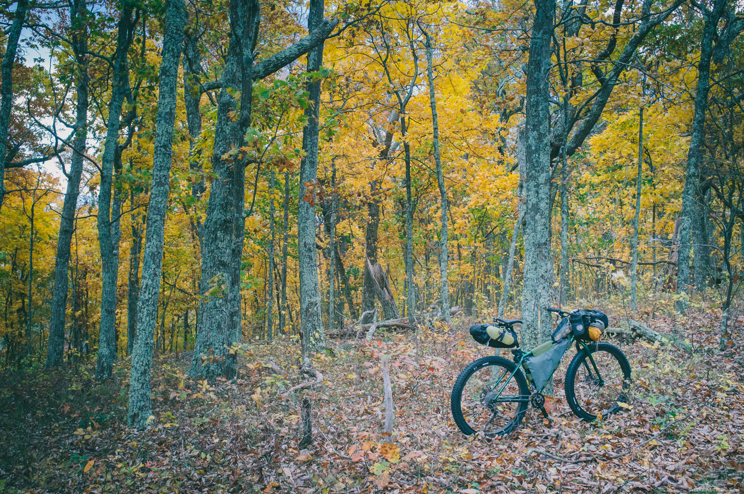
In the fall of 2011, Chris Scott of Shenandoah Mountain Touring and several other cyclists pioneered The Virginia Mountain Bike Trail, an off-road route connecting the length of Virginia’s Allegheny and Blue Ridge Mountain Ranges from Strasburg at the northerly border to Damascus in the southern wedge of Virginia. The result of their efforts is an epic backcountry expedition that links eight major trail systems, beautiful dirt forest roads, and the George Washington and Jefferson National Forests. The route consists of singletrack trails, gravel roads, and dirt tracks that span 430 miles and ascend over 50,000 feet.
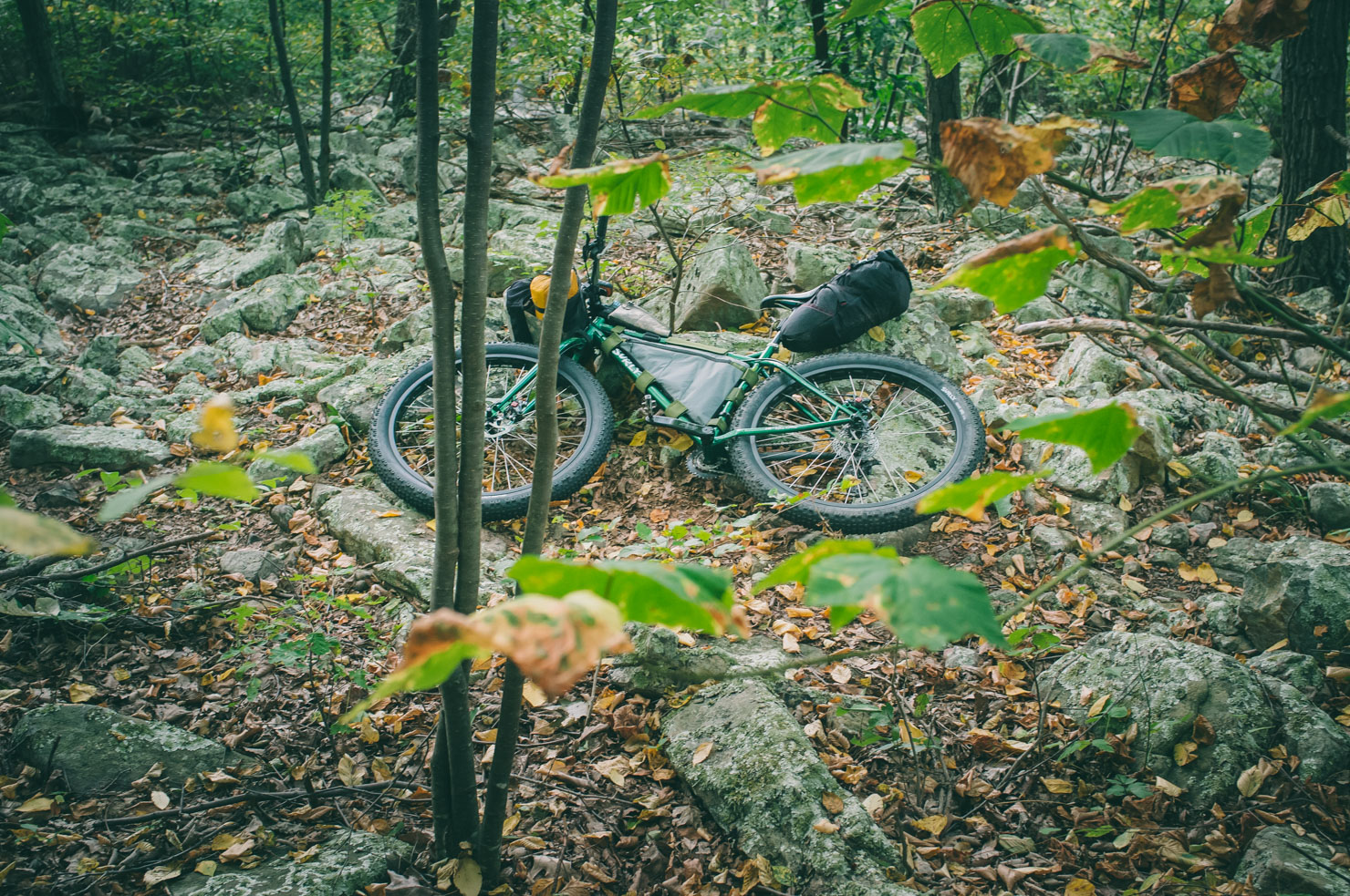
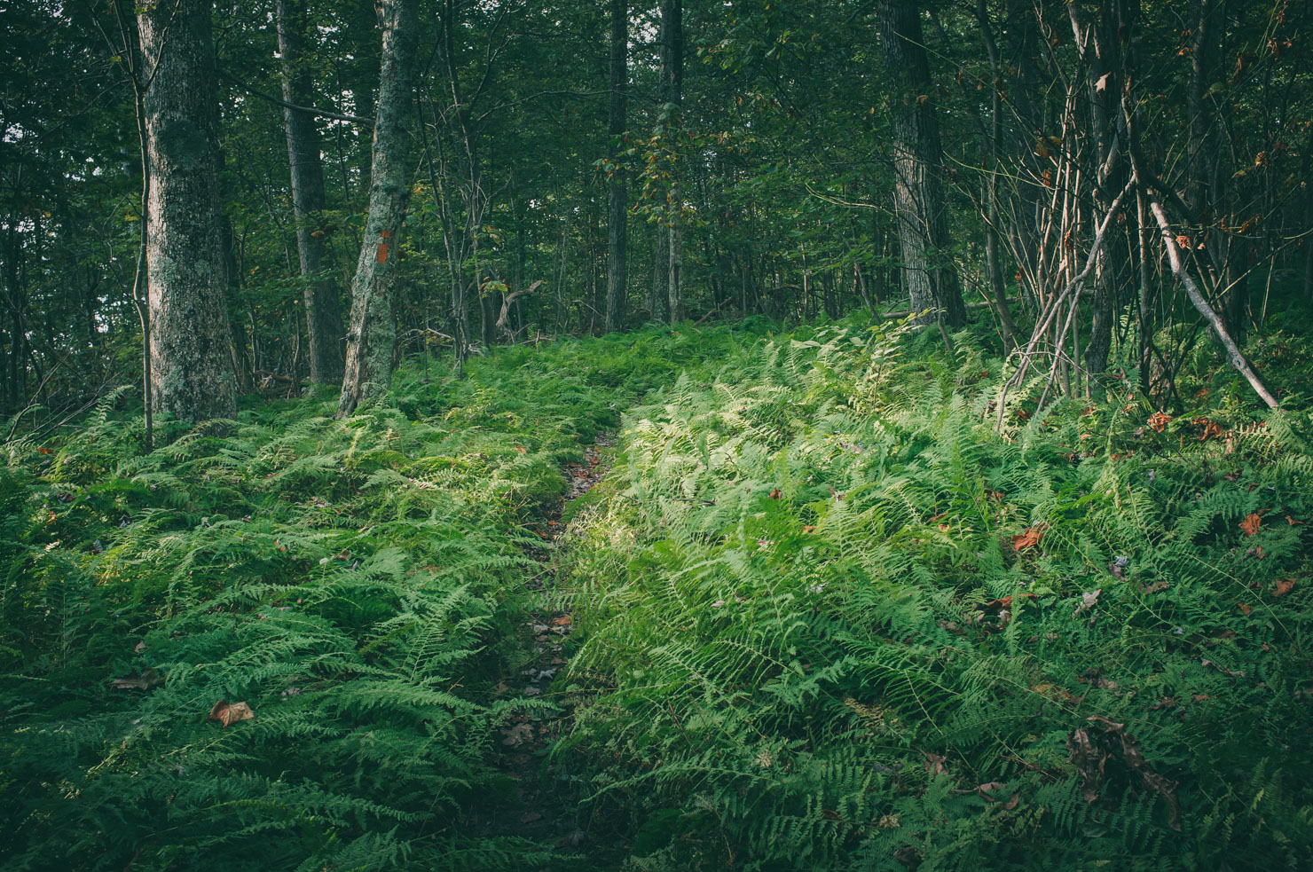
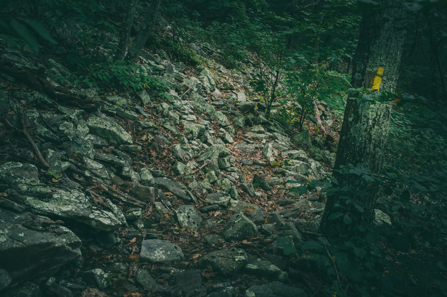
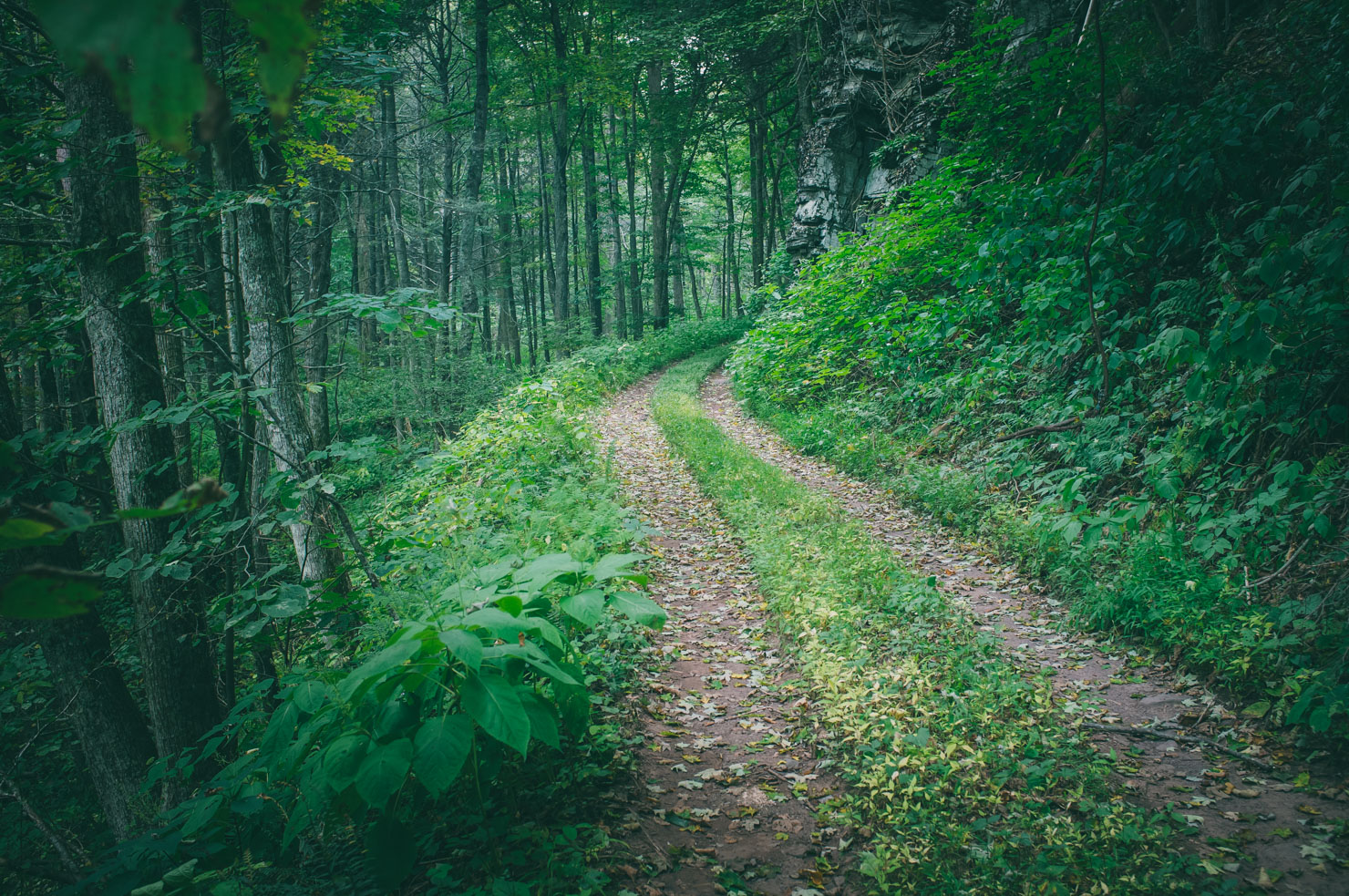
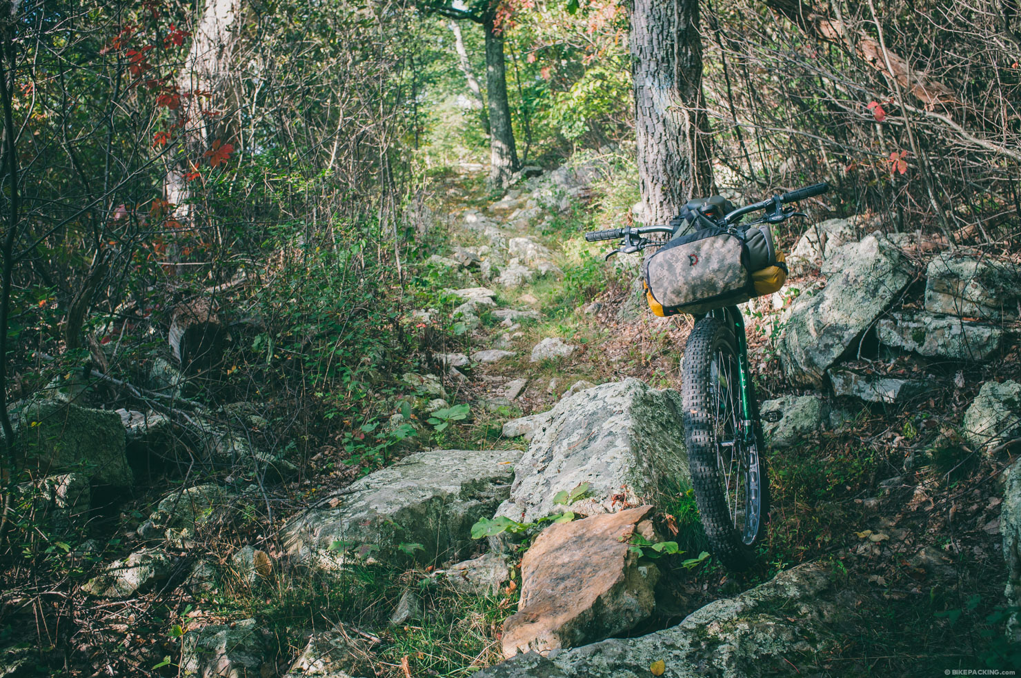
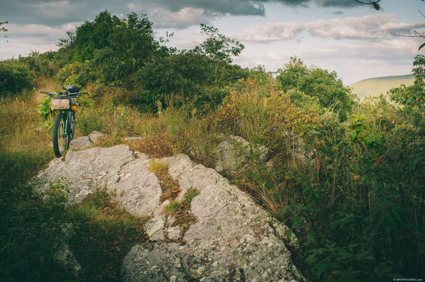
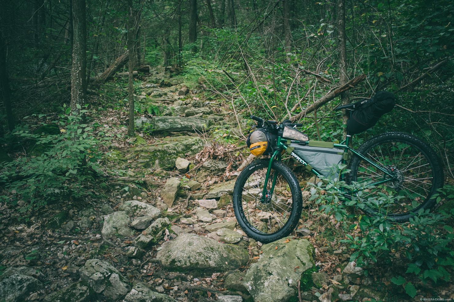
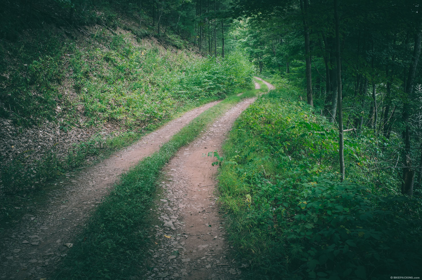
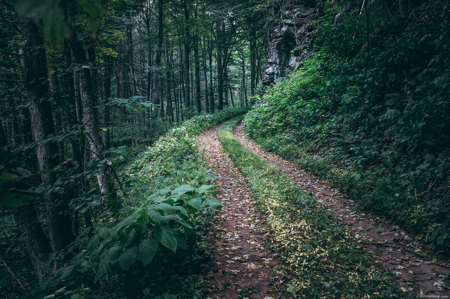
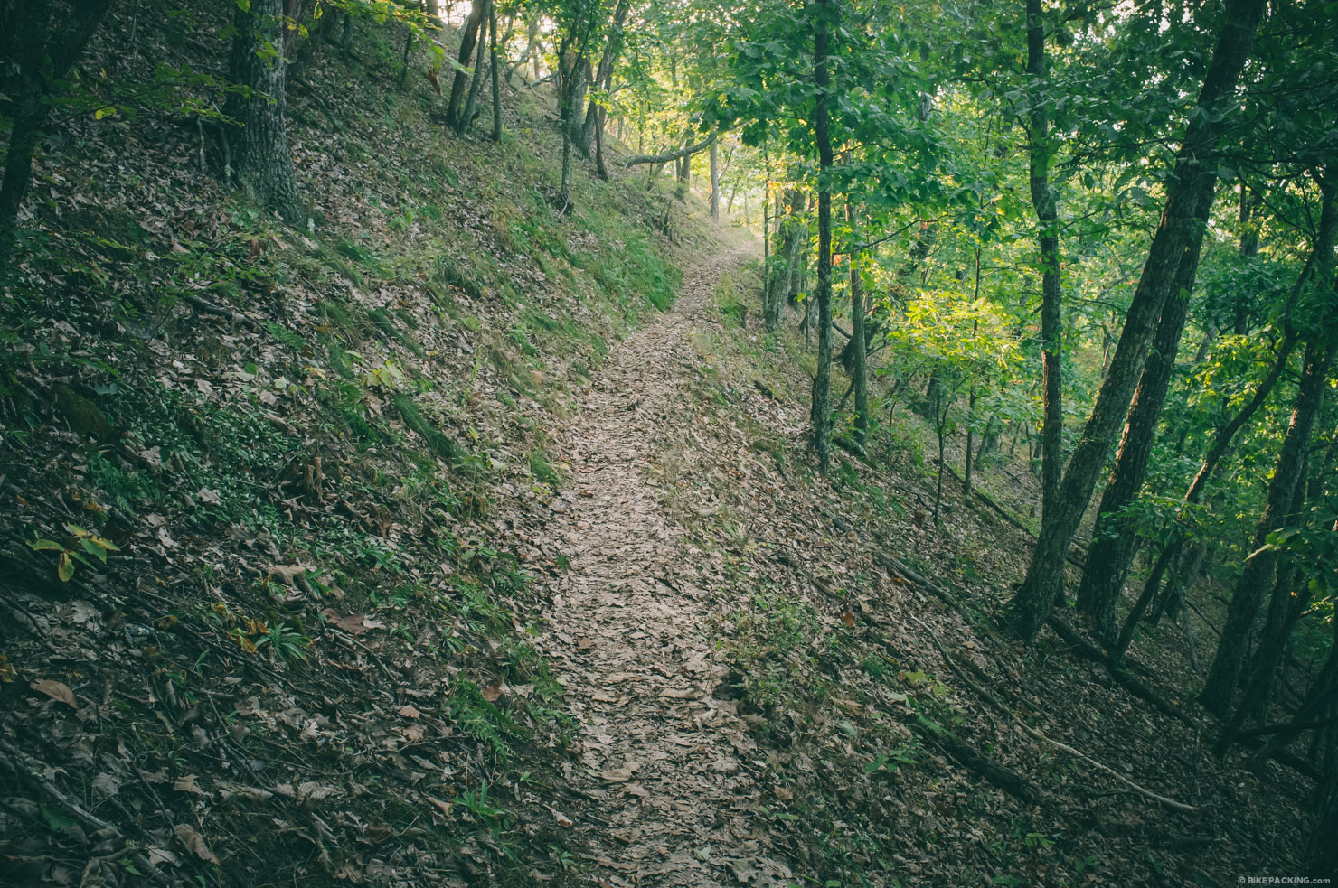
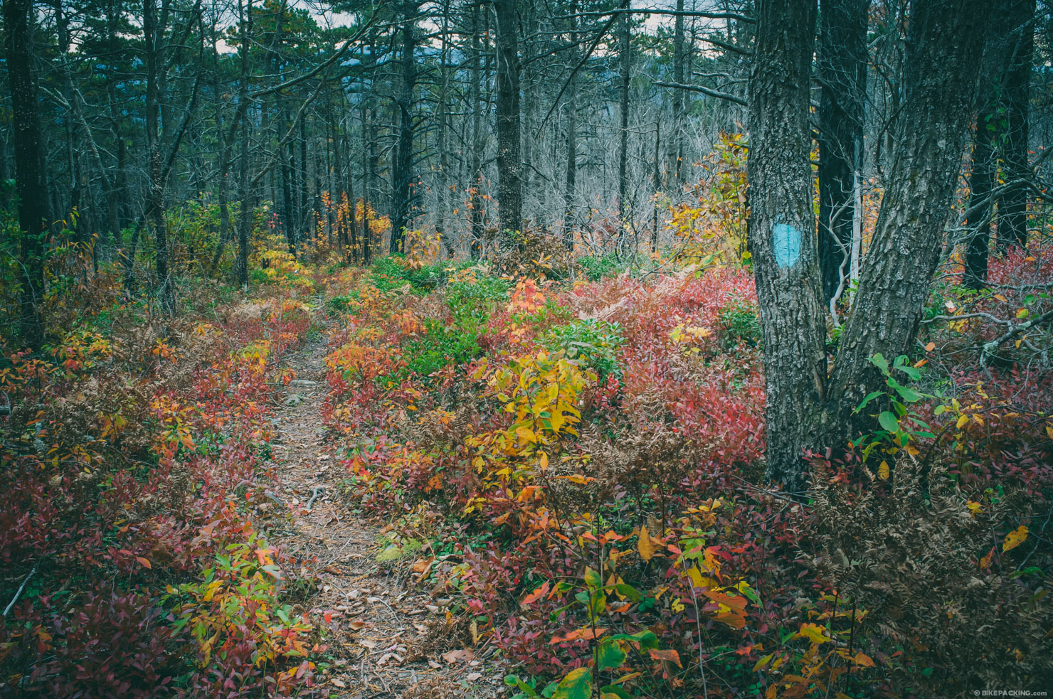
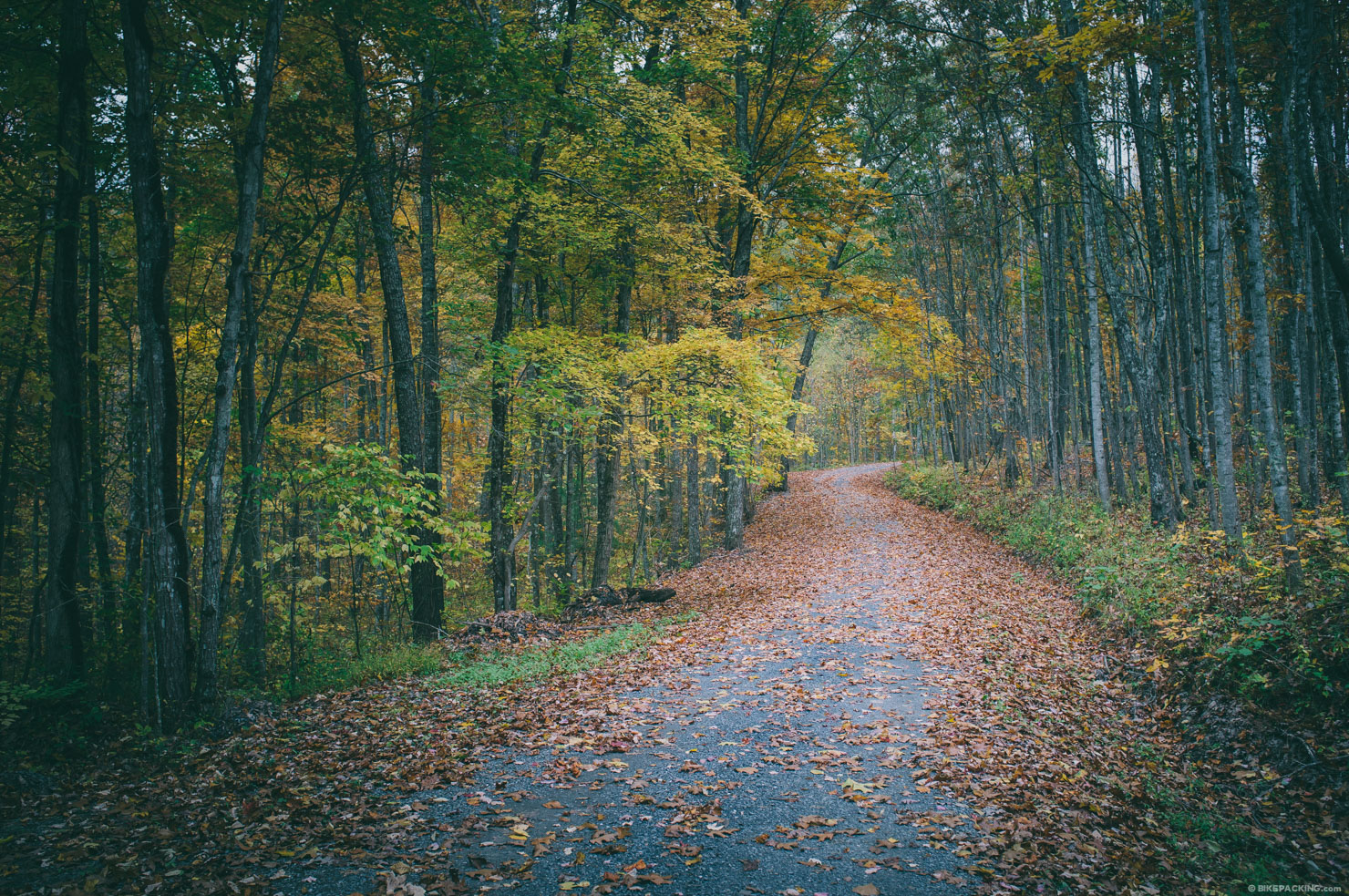
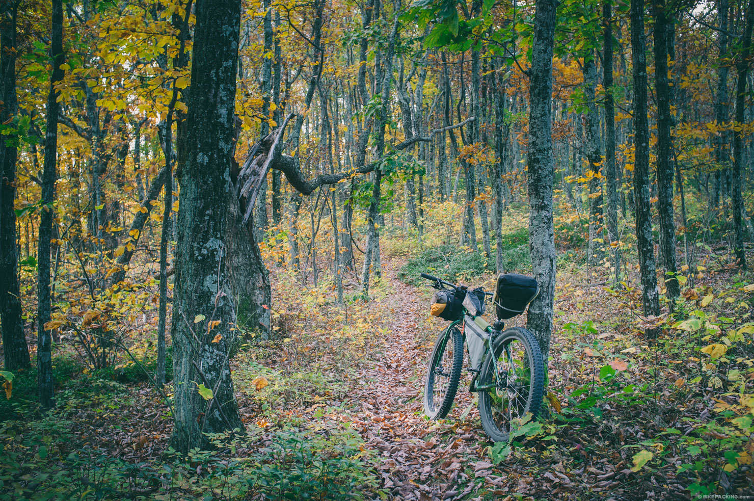
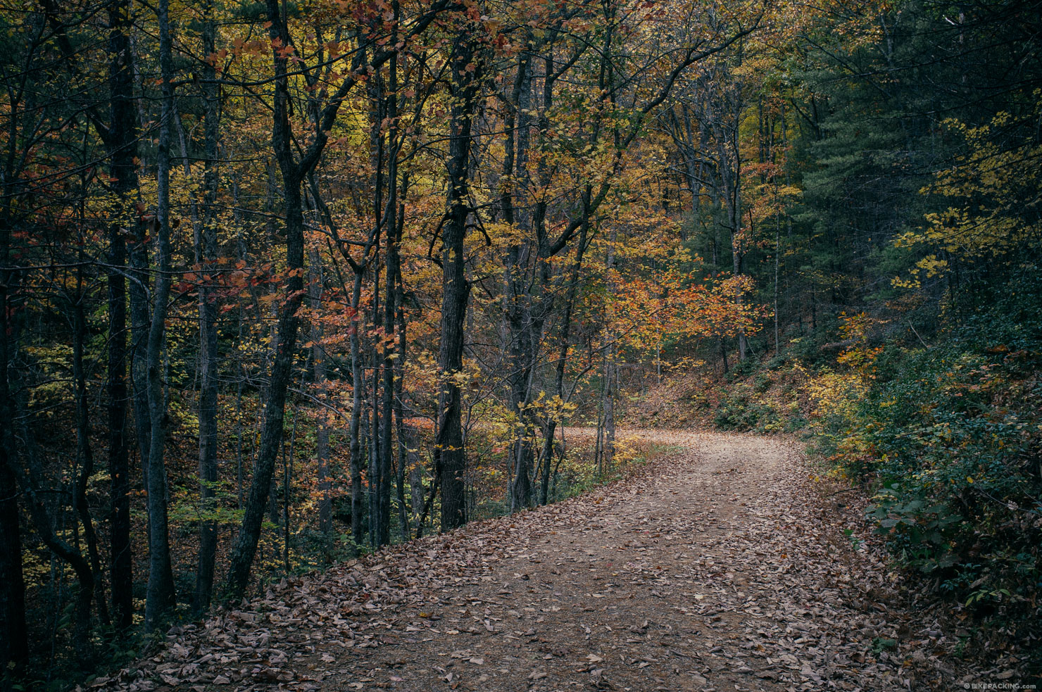
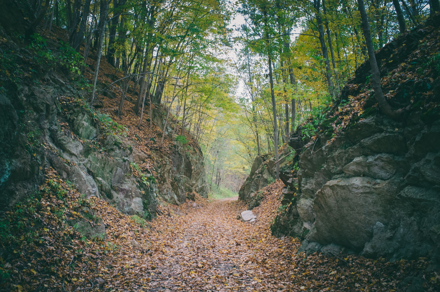
I set out in September of 2014 to cobble together this route, and what awaited me was an extremely challenging bikepacking journey through a remote and magnificent wilderness. This route is truly amazing, but as a warning, amongst these tracks are stretches of difficult terrain that are seldomly travelled and can be extraordinarily rugged, rocky, and at times overgrown. Many of the trails follow ridgelines where it is dry, very rocky, and the riding is technical to say the least. There is also an incredible network of (sometimes primitive) forest roads through the George Washington Jefferson National Forest that offers dirt-road riding at its best. Then there are singletrack gems such as the Wild Oak trail which boasts a flowing downhill that runs the length of the very scenic Chestnut Ridge.
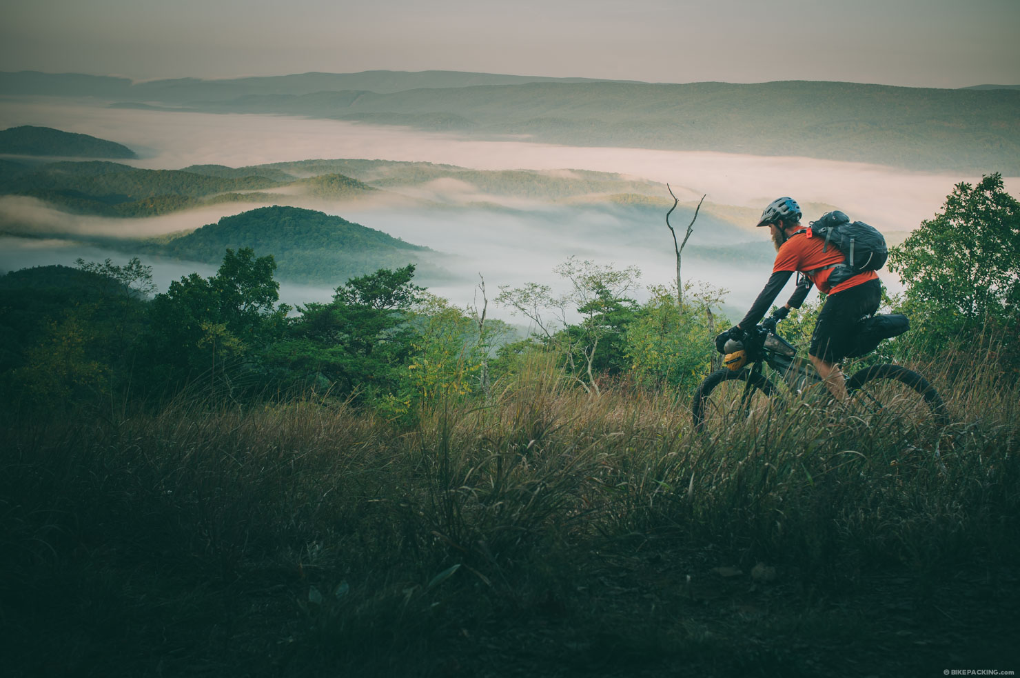
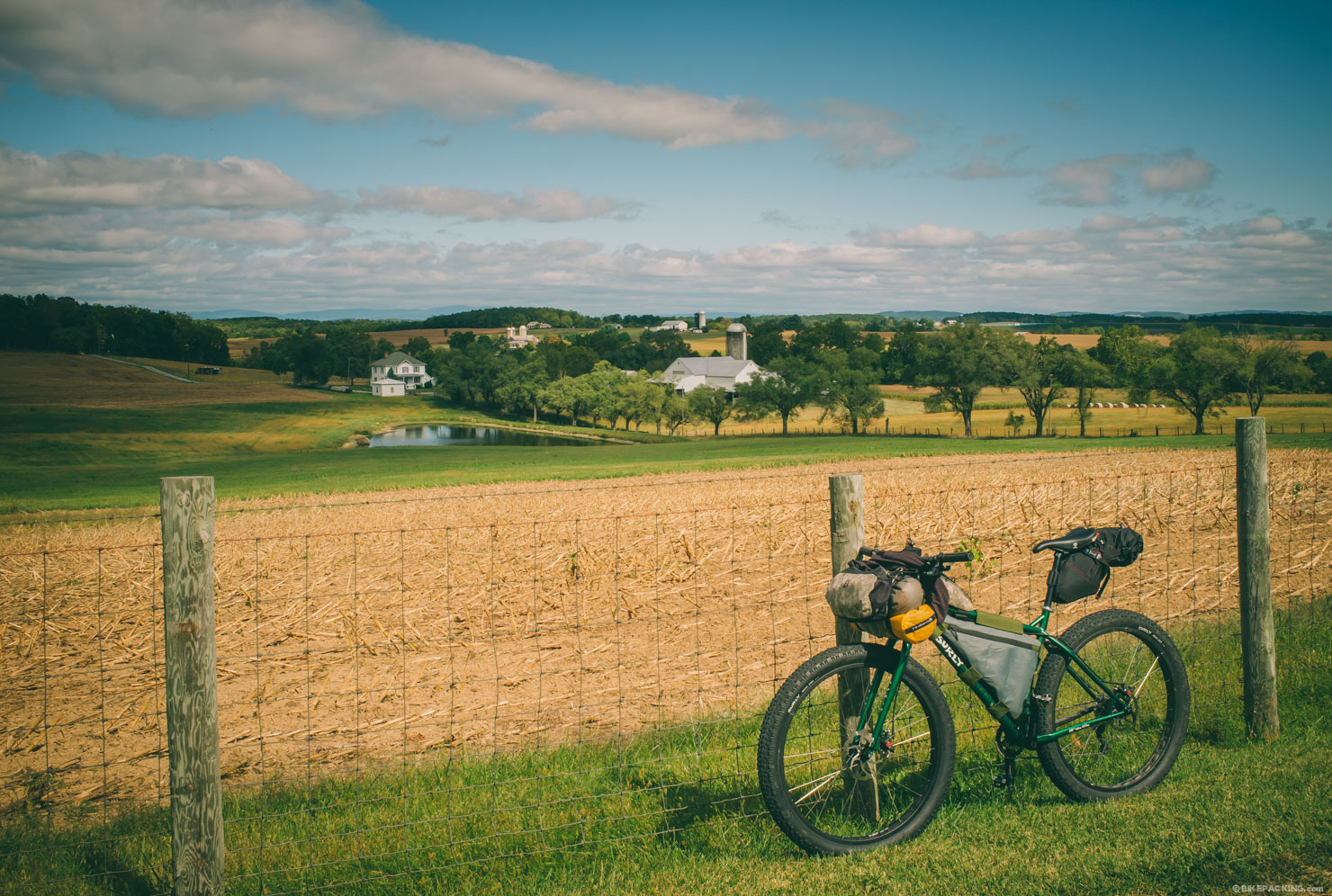
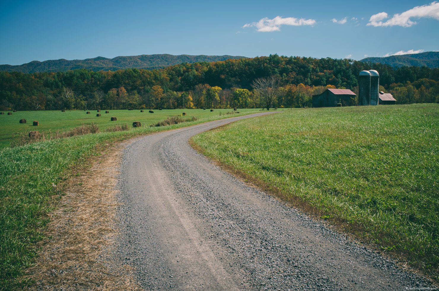
The latter half of the trail winds through scenic farmland, and over more rugged ridge lines including the the epic 14 mile North Mountain trail. It also travels through historic towns such as Clifton Forge, and established tracks like the peaceful 55 mile New River State Park rail trail. It may seem slightly easier than the first half, but it throws plenty of knuckle balls, and delivers a final blow of steep climbs and rugged horse trodden tracks over the last 70 miles in the Mount Rogers highlands. The closing stretch of downhill along the Iron Mountain Trail eventually erases the pain that carried your legs up to that point.
Difficulty: The VMBT is no joke and should only be ridden by mountain bikers who can appreciate a little suffering. As mentioned above, many of the trails follow ridgelines where it is dry, very rocky, the riding is technical, and there are plenty of hike-a-bikes. It gets an 8 for technical, an 8 for physical difficulty and an 8 for logistics. The VMBT is relatively unestablished and unridden, which might intrigue many bikepackers. Other than Chris Scott’s initial ride and Logan’s scout in 2015, only two other riders — that we are aware of — have completed it. For that reason, we also suggest diligent research prior to taking it on. We plan to rescout this route in October, 2017.


Submit Route Alert
As the leading creator and publisher of bikepacking routes, BIKEPACKING.com endeavors to maintain, improve, and advocate for our growing network of bikepacking routes all over the world. As such, our editorial team, route creators, and Route Stewards serve as mediators for route improvements and opportunities for connectivity, conservation, and community growth around these routes. To facilitate these efforts, we rely on our Bikepacking Collective and the greater bikepacking community to call attention to critical issues and opportunities that are discovered while riding these routes. If you have a vital issue or opportunity regarding this route that pertains to one of the subjects below, please let us know:
Highlights
Must Know
Camping
Food/H2O
Trail Notes
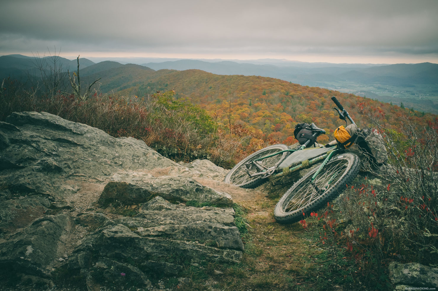
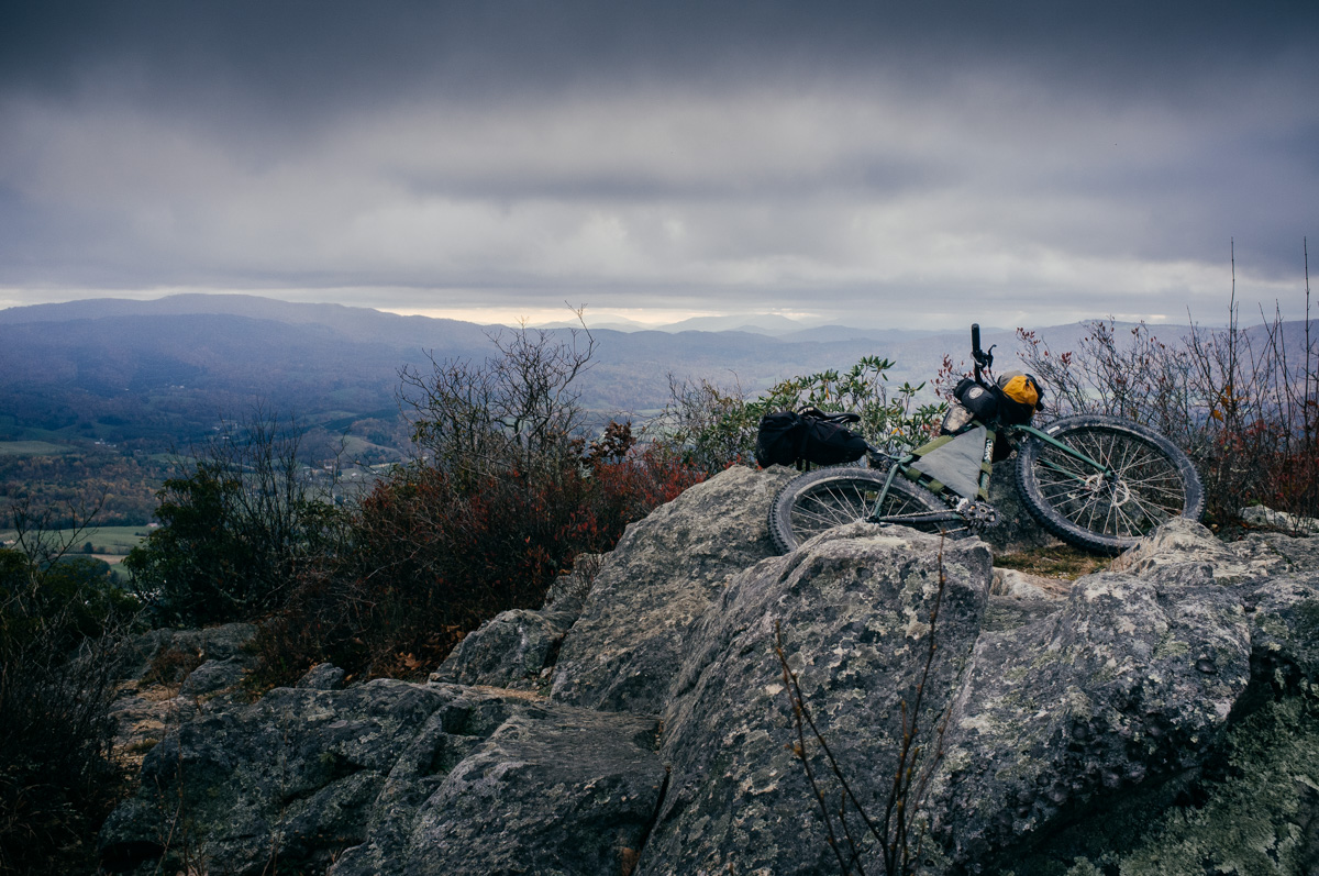
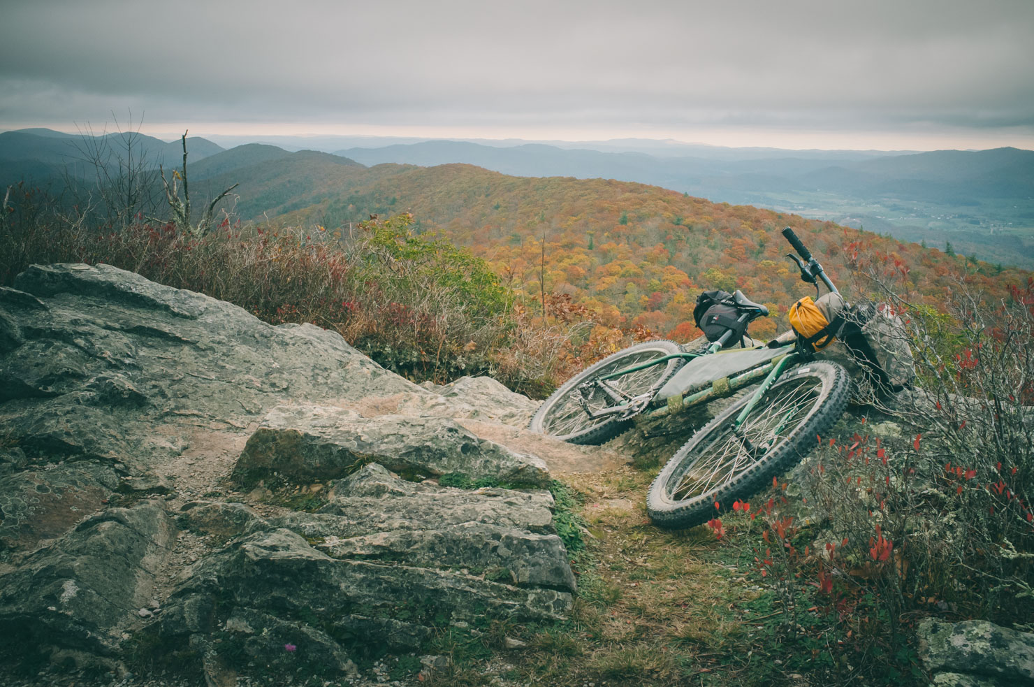
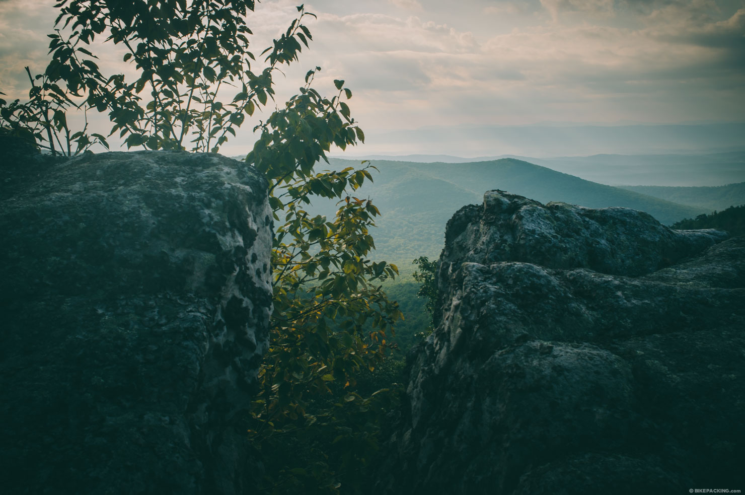
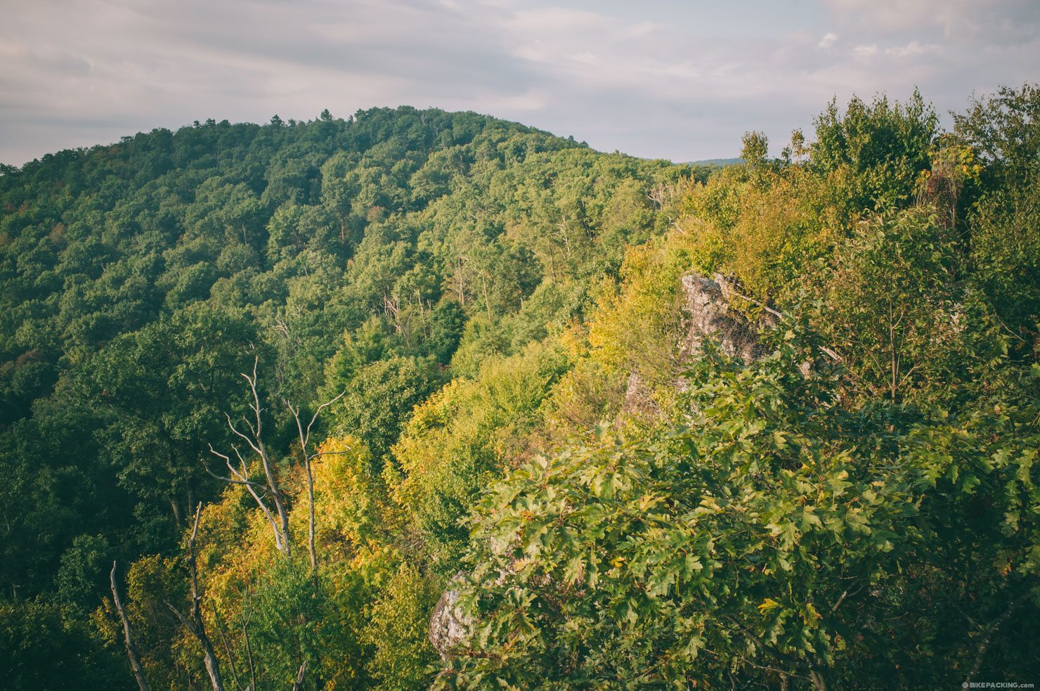
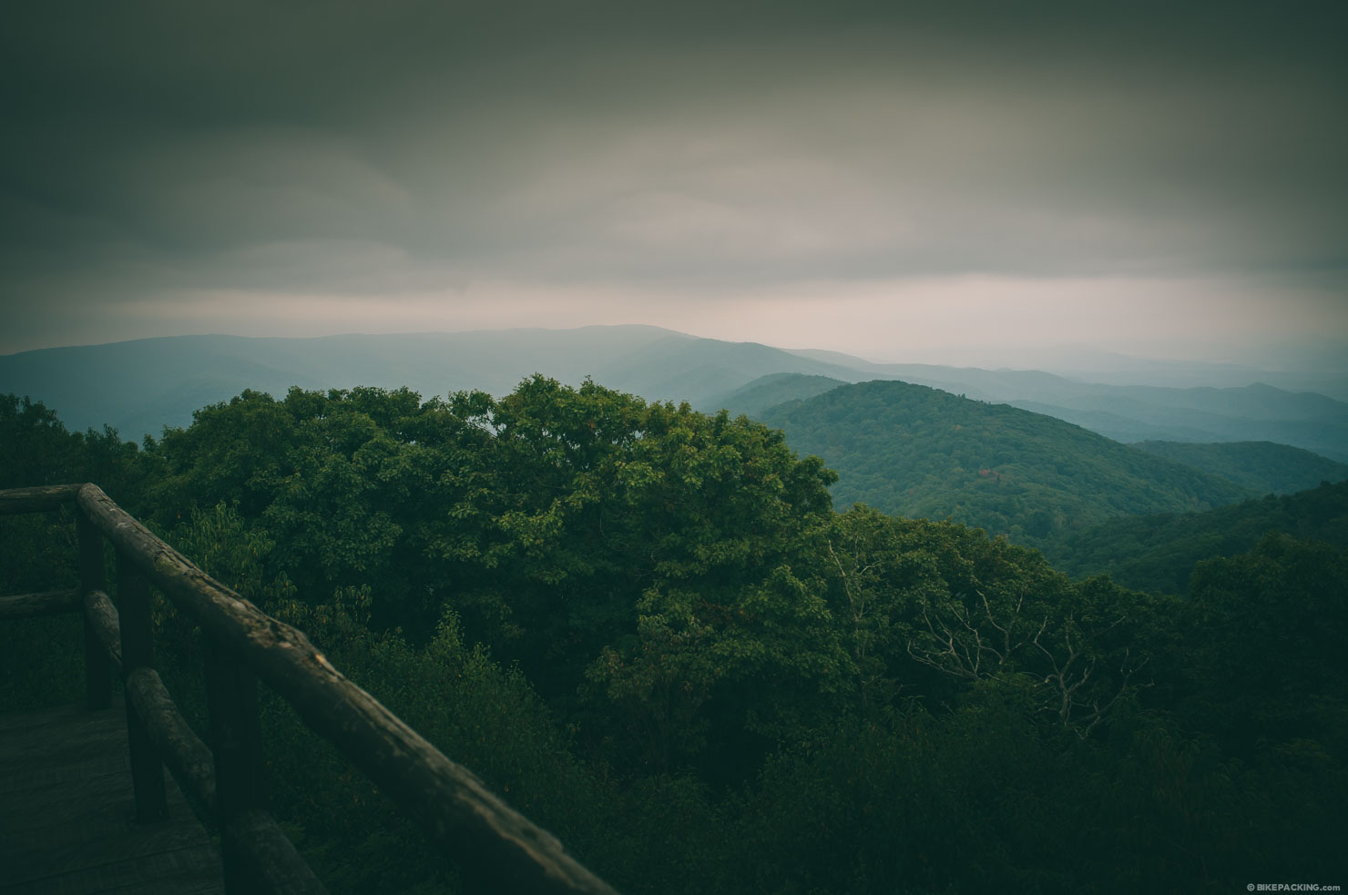
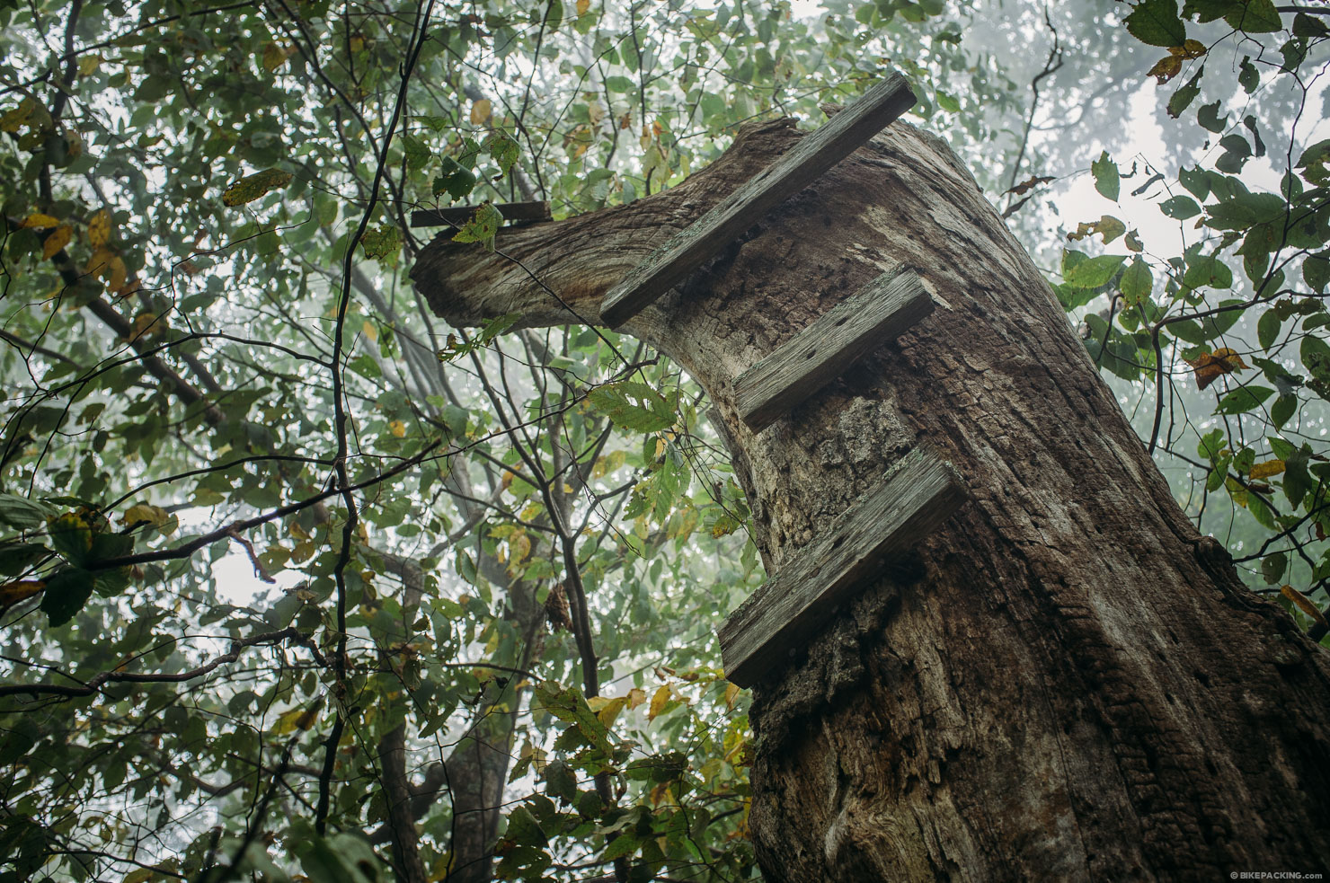
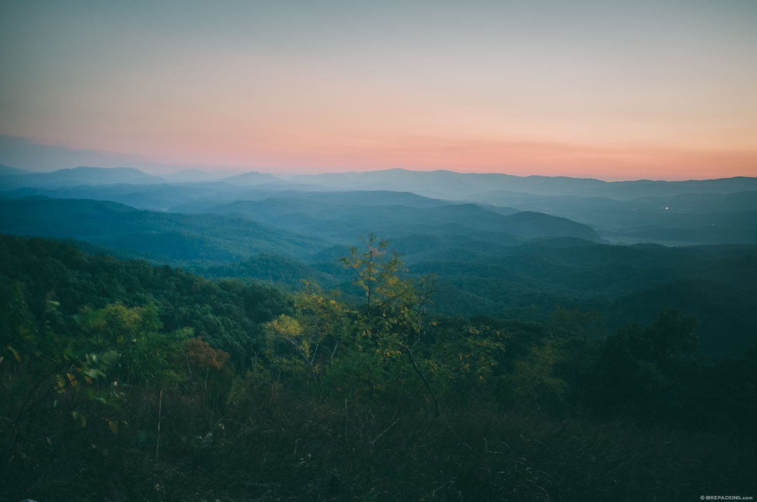
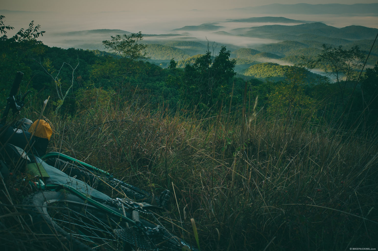
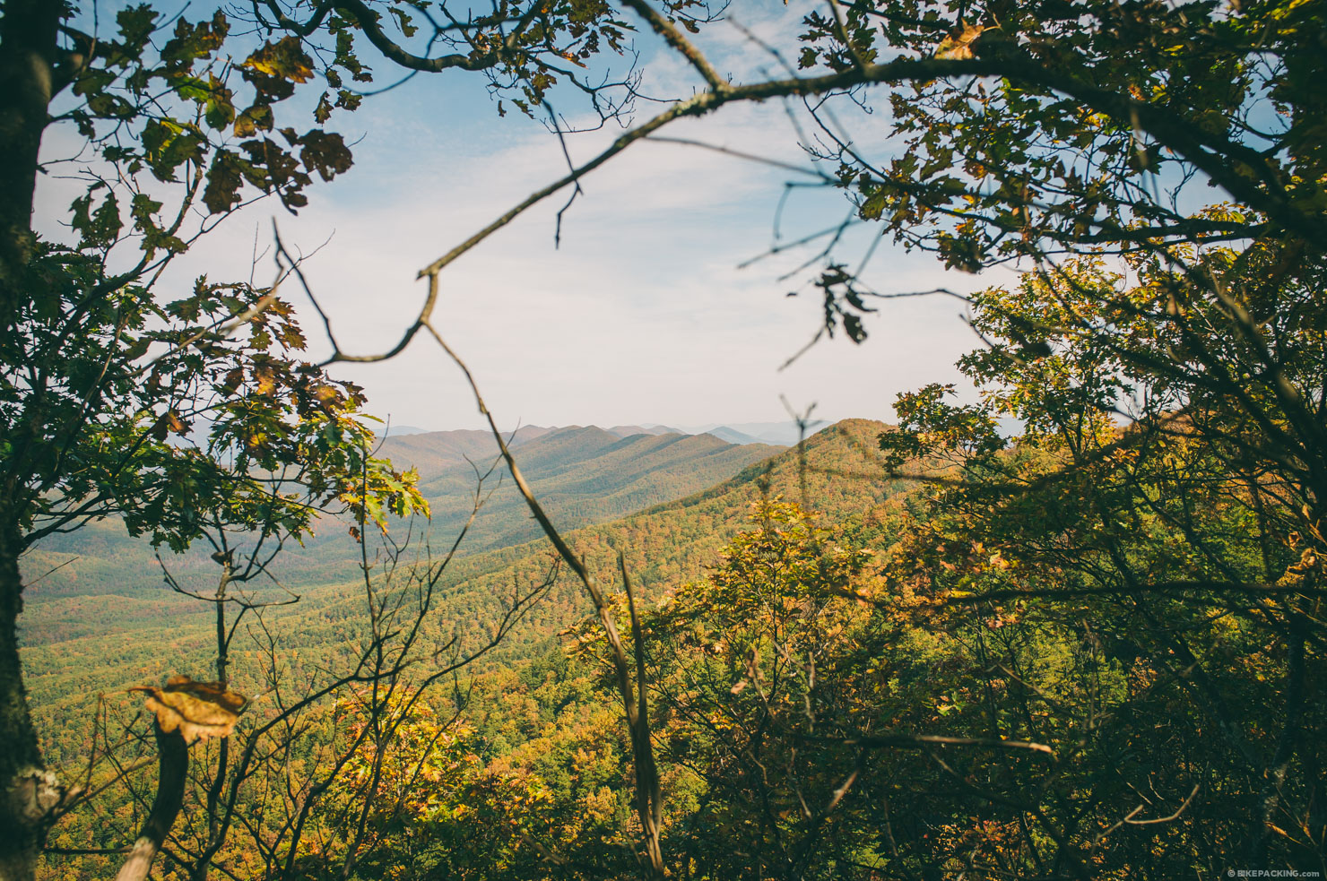
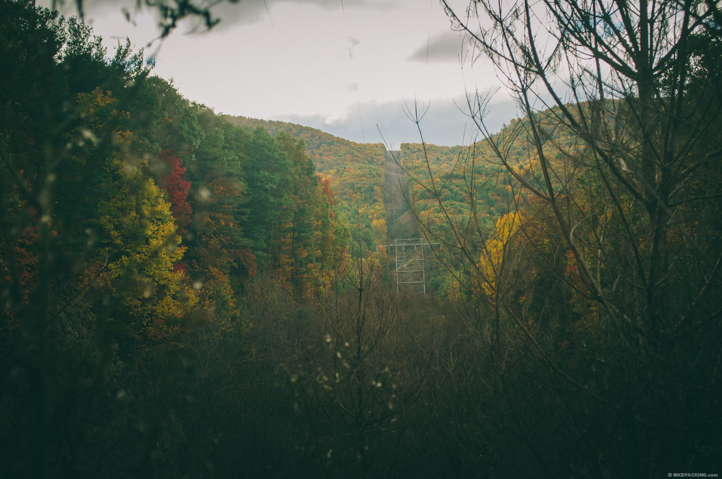
- Incredible scenic views along ridge line trails of the Allegheny and Blue Ridge Mountains.
- The Wild Oak trail, an epic descent on Chestnut Ridge.
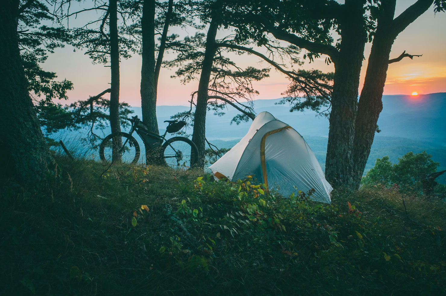
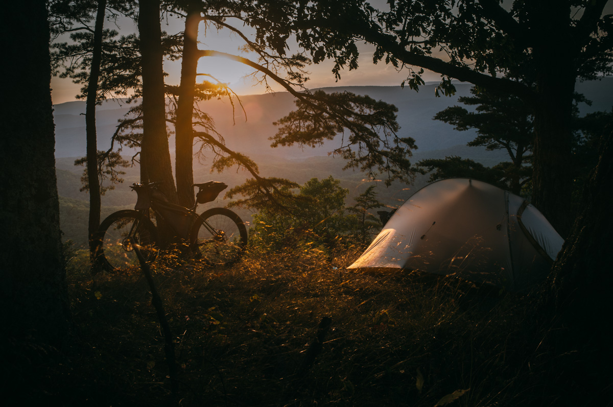
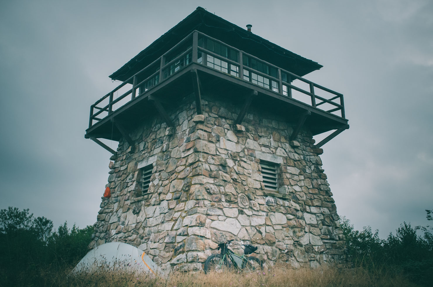
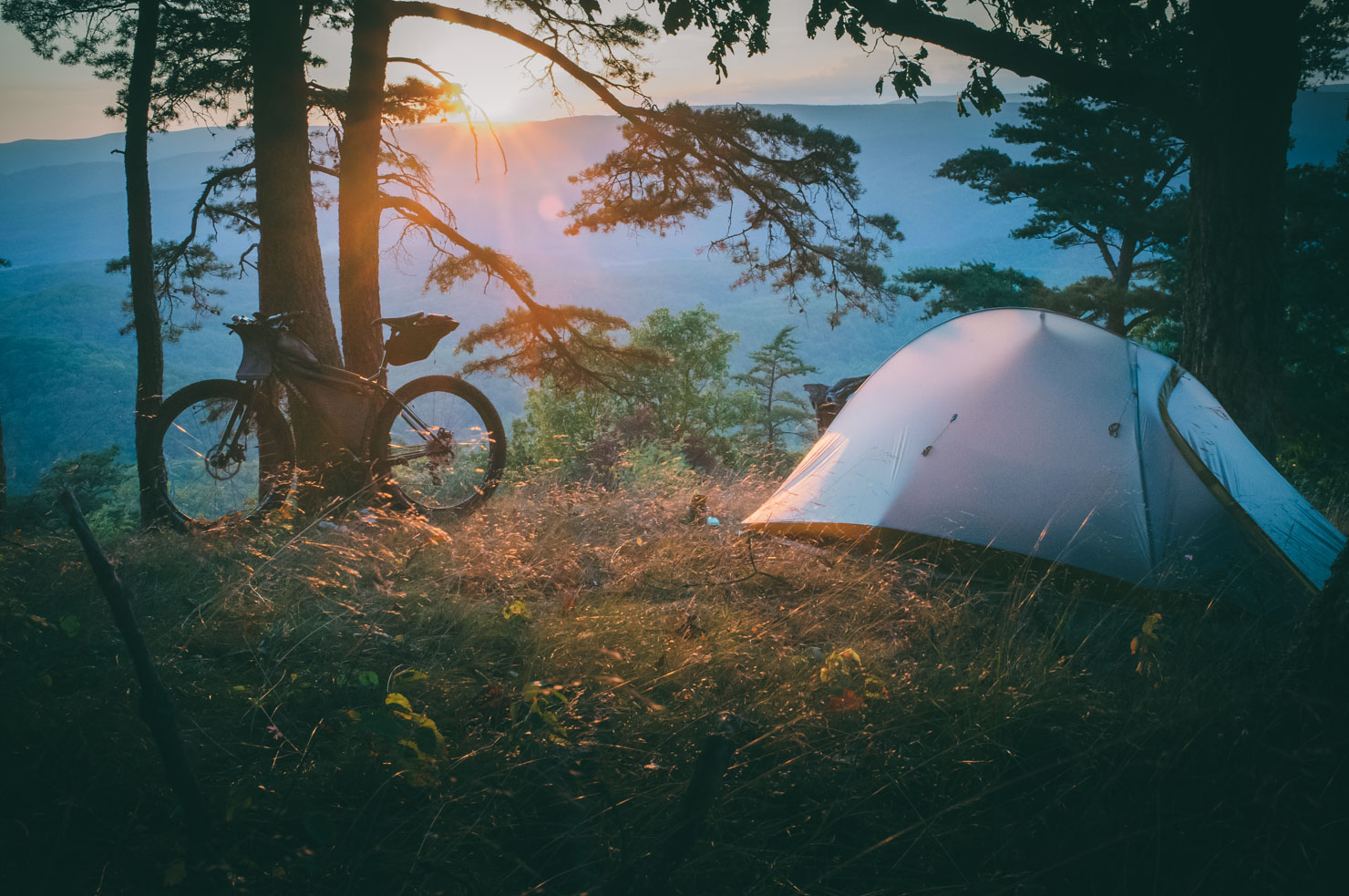
- Camping under an amazing night sky on Sister Knob.
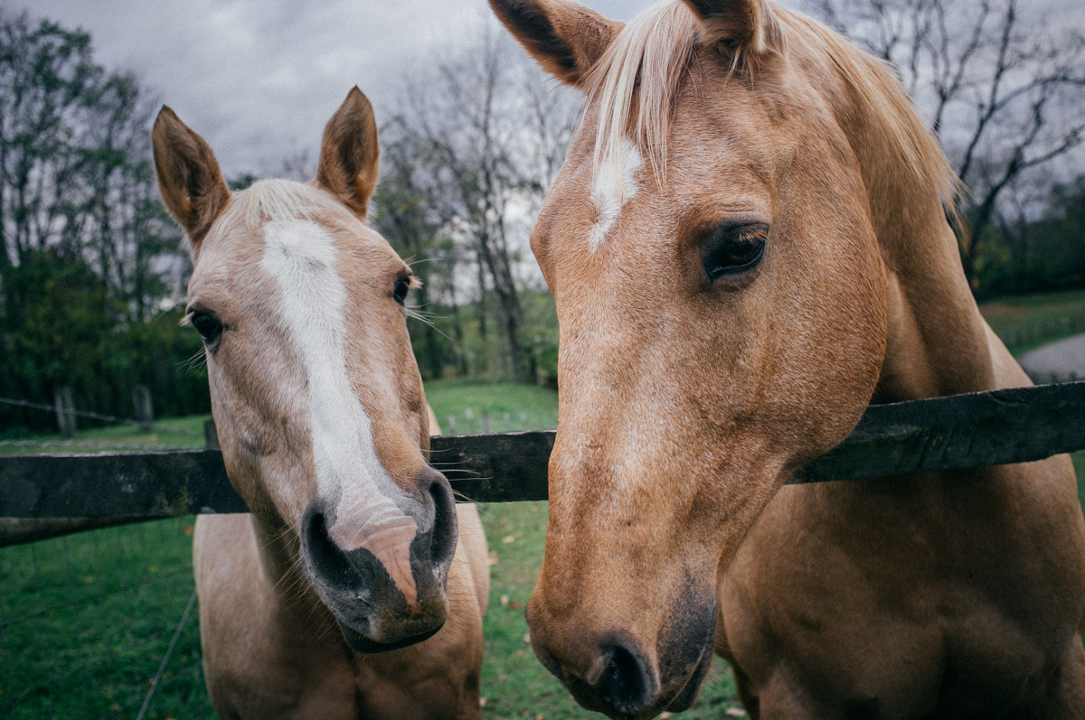
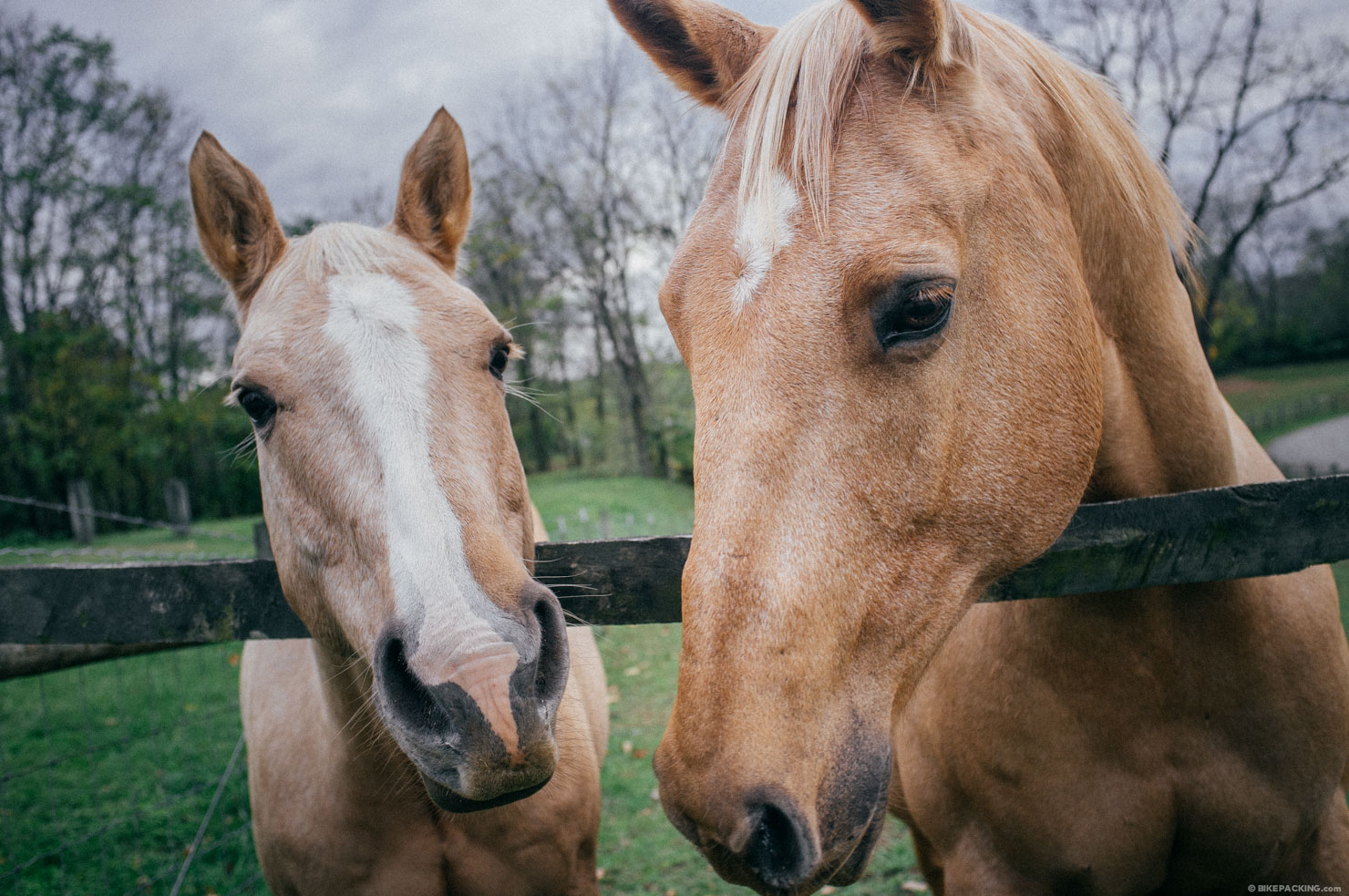
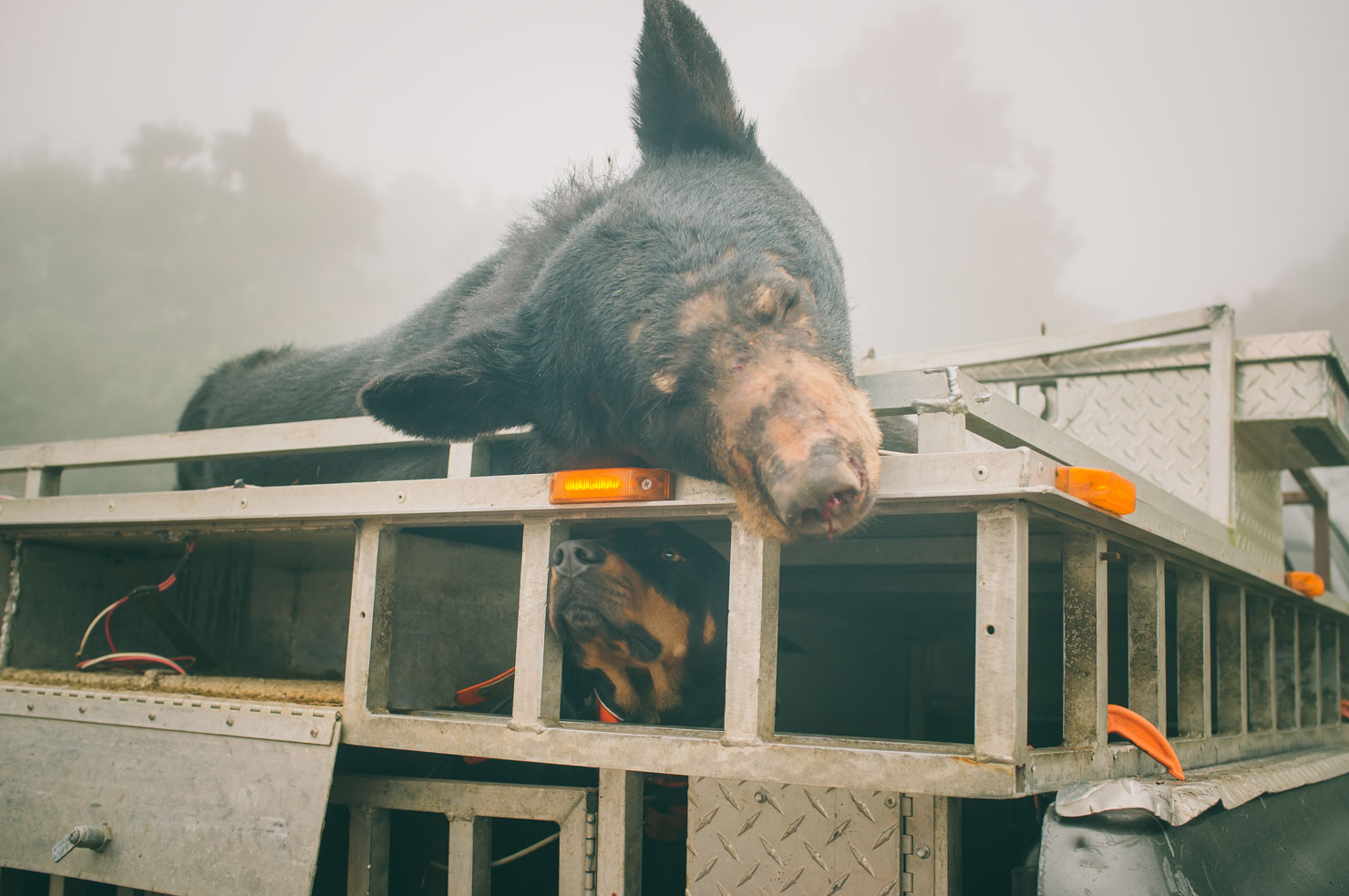
- Spotting wildlife such as black bear, turkey, deer, owl, etc.
- Stoney Run in Douthat State Park.
- The North Mountain Trail, a not to miss rugged ridge line ride.
- The New River State Park Trail: a scenic and peaceful ride along the New River.
- FSR 14, a desolate wilderness track through an amazing forest.
- The view from Comer’s Rock.
- The descent down the Iron Mountain Trail.
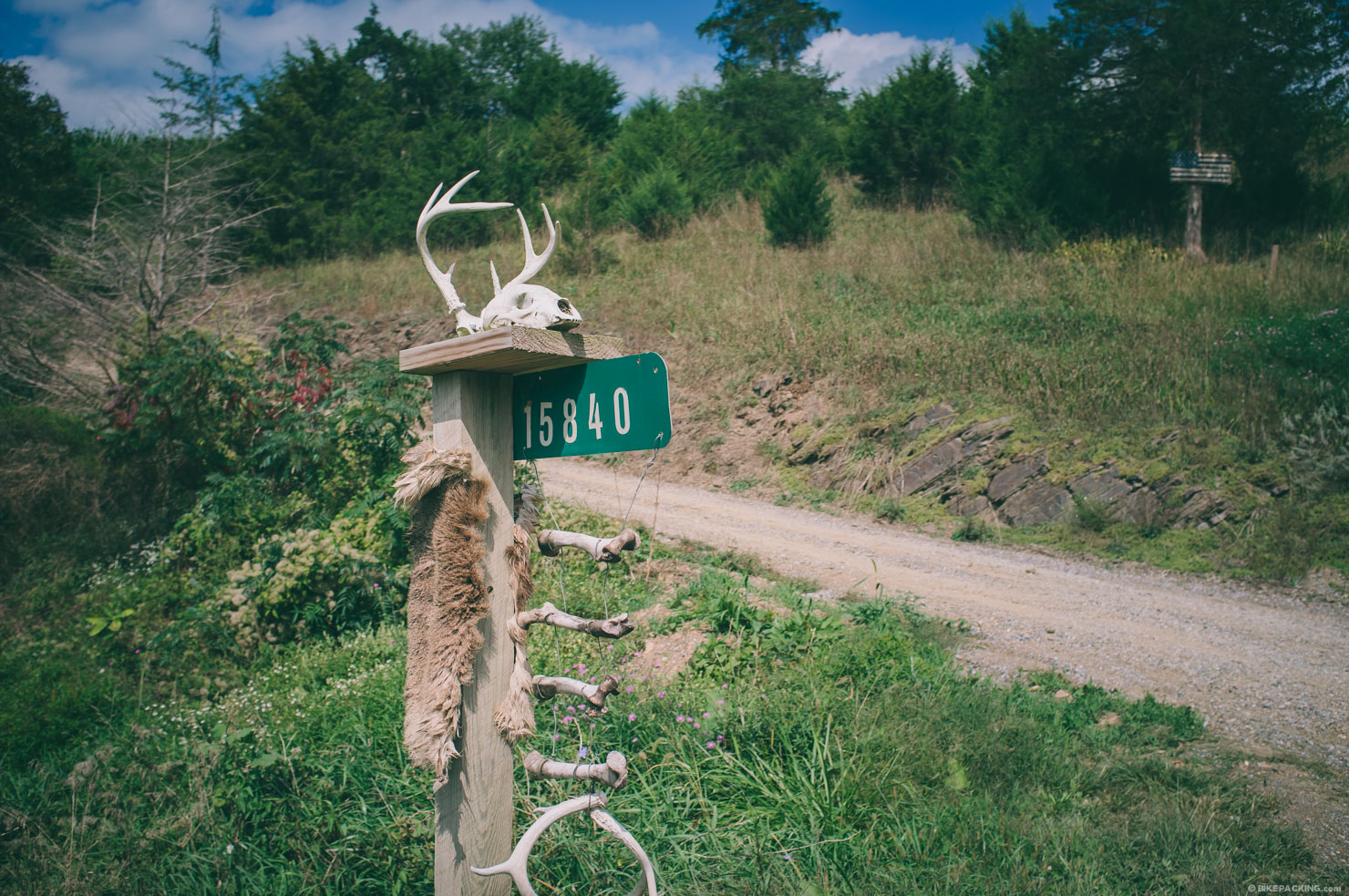
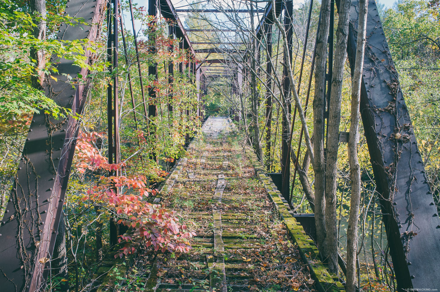
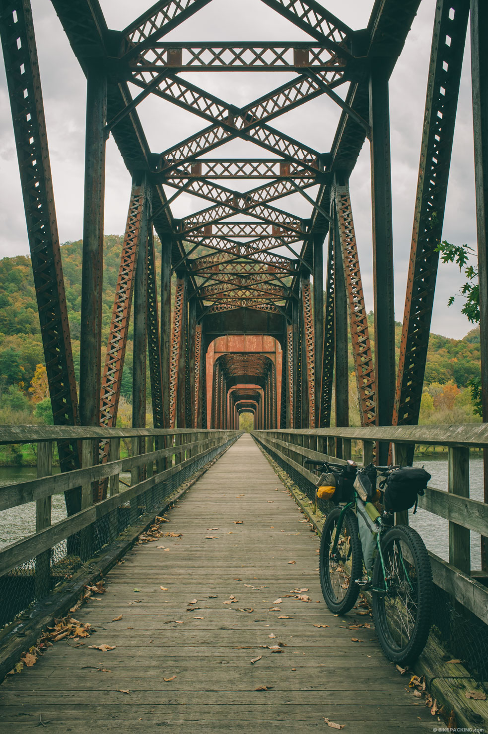
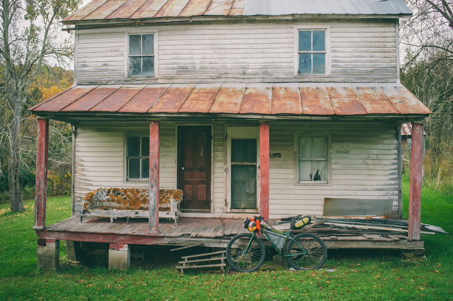
- All of the historic farmhouses, trestles, and artifacts along the way.
- This route follows trails and roads depicted on National Geographic maps 791, 788, and 787. However, these maps are out of date and private property issues are always changing. I highly recommend using both a GPS as well as a map from Shenandoah Mountain Touring that can be purchased by contacting Chris Scott.
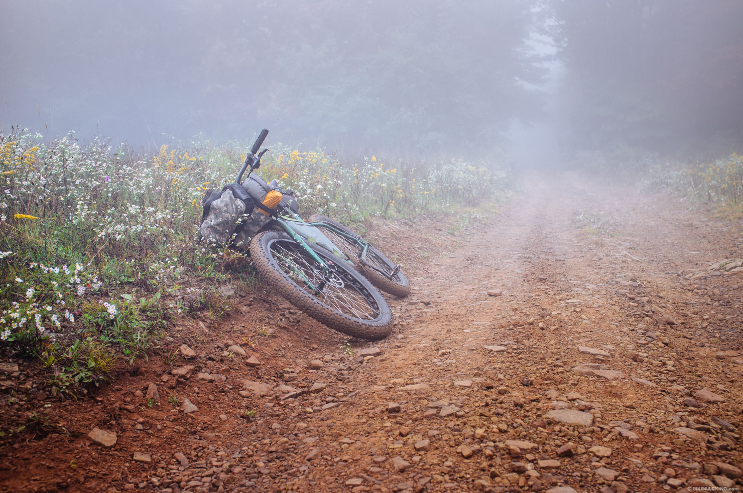
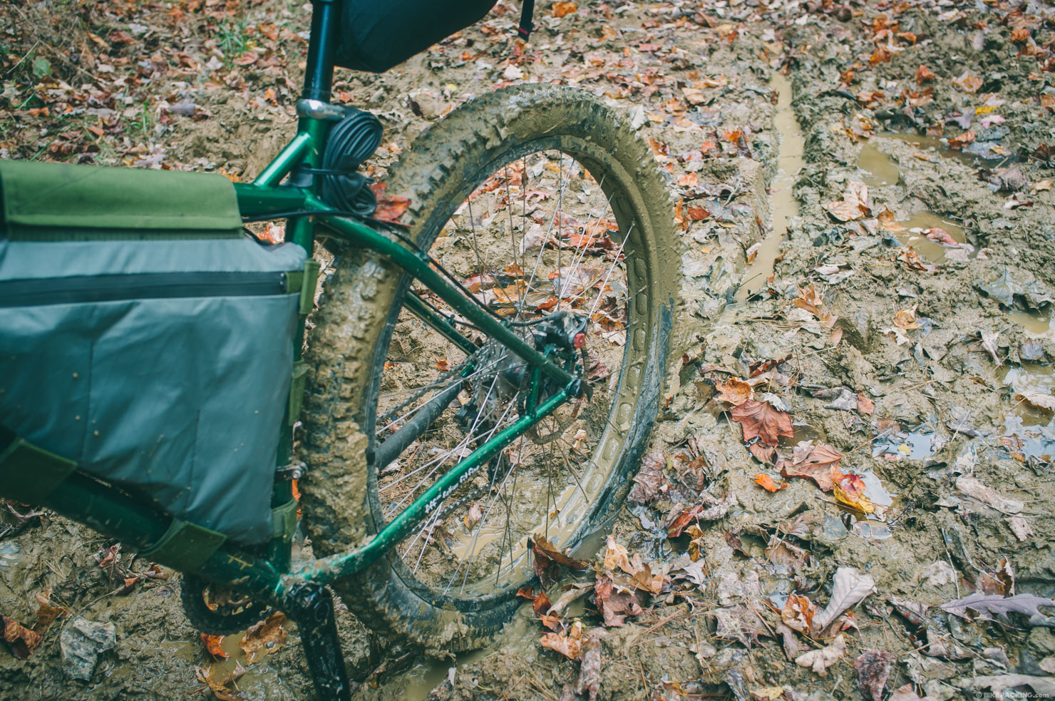
- Make sure you are well stocked with tire repair supplies, there are plenty of thorny plants along the dry ridges; I would recommend a tubeless setup or a couple of squirts of Stan’s in your tubes.
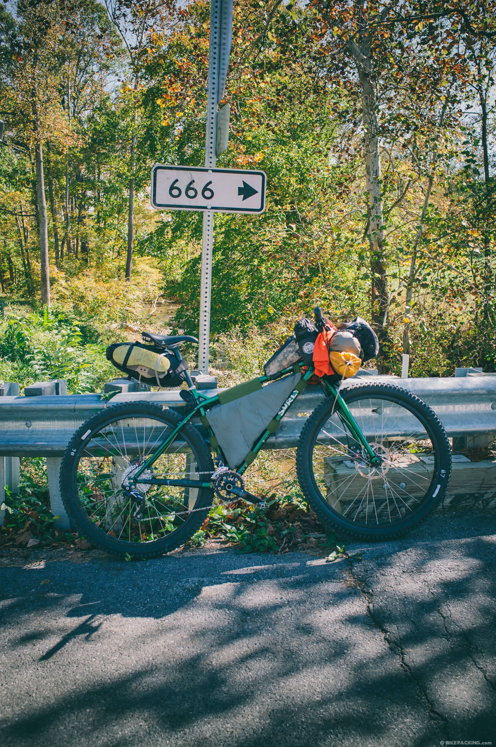
- Hunting is big in these parts. If you choose to ride during hunting season, make sure to pack your blaze orange.
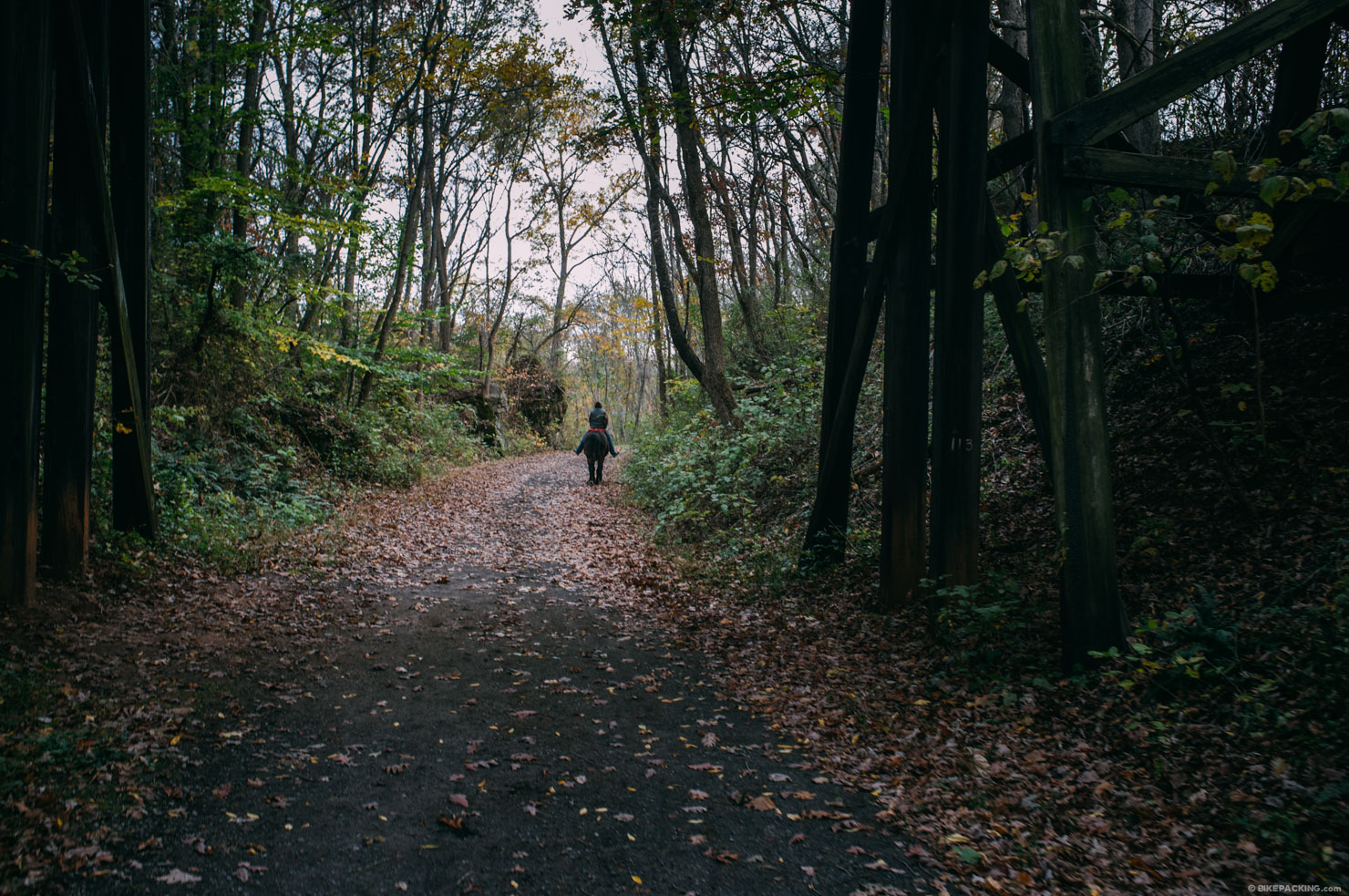
- Some of these trails are very rugged, grown up, and/or seldomly travelled; wear long socks and prepare for some hike-a-bikes.
- Use precaution and realize that at times you will be in extremely remote areas and far away from services or help.
- Use precaution and realize that at times you will be in extremely remote areas and far away from services or help.
- There are campgrounds scattered throughout the route as you come in and out of the George Washington National Forest.
- In both George Washington and Jefferson National Forests, there are sites along the forest roads as well as plenty of backcountry sites.
- There are at times long stretches of very rocky terrain which makes finding a flat spot rather difficult; a hammock is your best option for camping anywhere along the trails.
- Know your water sources; I noted a few in the GPS route, but water can be scarce along these divide ridges; especially along the first half of the route.
- There are food options in and near towns off the trail in various places.
- As noted in the GPS track, there are a few scattered general stores with well stocked supplies.
- Water is much more abundant on the second half of the route.
- The main places where one may fall short with water are along the ridges.
Diversions from the Original Route
- Around mile 253 the original route leads across the river via an old trestle; because of new posted signs I decide to take a paved route instead. However, a more off road option may be doable by taking Craig Creek Road at mile 253 and then 818 to a trail over Patterson Mountain.
- At mile 280, the original route shows wading across the New River to access roads on the other side and work toward the New River Trail. It was cold so I passed on this.
NOTE: for those interested in this route, Shenandoah Mountain Touring will be offering a well-documented map of the full route. I highly recommend obtaining a copy prior to tackling the VMBT; there are many trails and forest roads that can be slightly confusing, and the National Geographic maps (792/791/788) of the area are slightly out of date and do not correctly display water availability, several of the trails, and private land issues.


Terms of Use: As with each bikepacking route guide published on BIKEPACKING.com, should you choose to cycle this route, do so at your own risk. Prior to setting out check current local weather, conditions, and land/road closures. While riding, obey all public and private land use restrictions and rules, carry proper safety and navigational equipment, and of course, follow the #leavenotrace guidelines. The information found herein is simply a planning resource to be used as a point of inspiration in conjunction with your own due-diligence. In spite of the fact that this route, associated GPS track (GPX and maps), and all route guidelines were prepared under diligent research by the specified contributor and/or contributors, the accuracy of such and judgement of the author is not guaranteed. BIKEPACKING.com LLC, its partners, associates, and contributors are in no way liable for personal injury, damage to personal property, or any other such situation that might happen to individual riders cycling or following this route.
Please keep the conversation civil, constructive, and inclusive, or your comment will be removed.