


Gentle Climbs, Big Rewards (Waunita Overnighter)
Distance
64 Mi.
(103 KM)Days
2-3
% Unpaved
85%
% Singletrack
0%
% Rideable (time)
100%
Total Ascent
5,645'
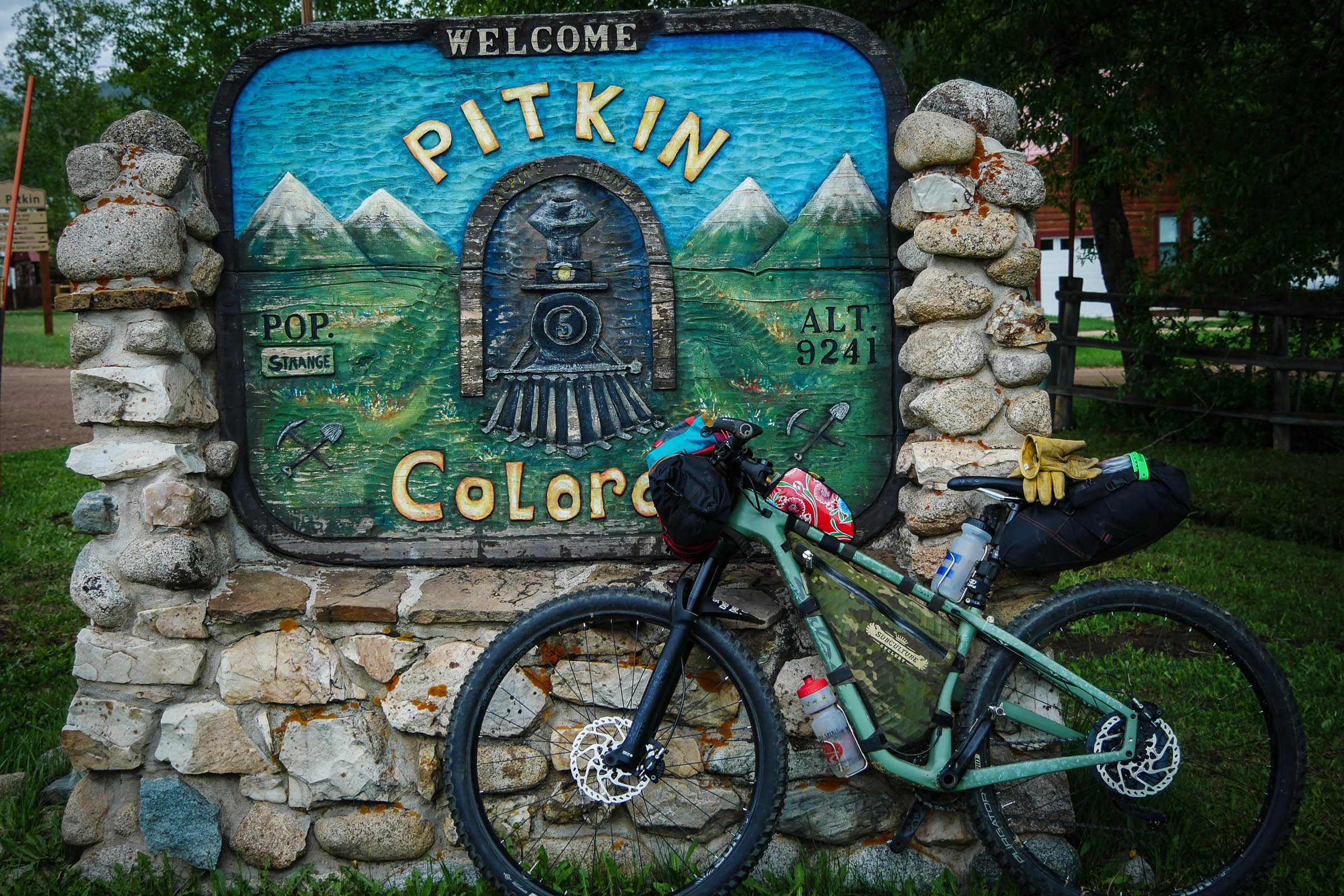
(1,721 M)High Point
9,994'
(3,046 M)Difficulty (1-10)
5?
- 6Climbing Scale Moderate88 FT/MI (17 M/KM)
- -Technical Difficulty
- -Physical Demand
- -Resupply & Logistics
Contributed By
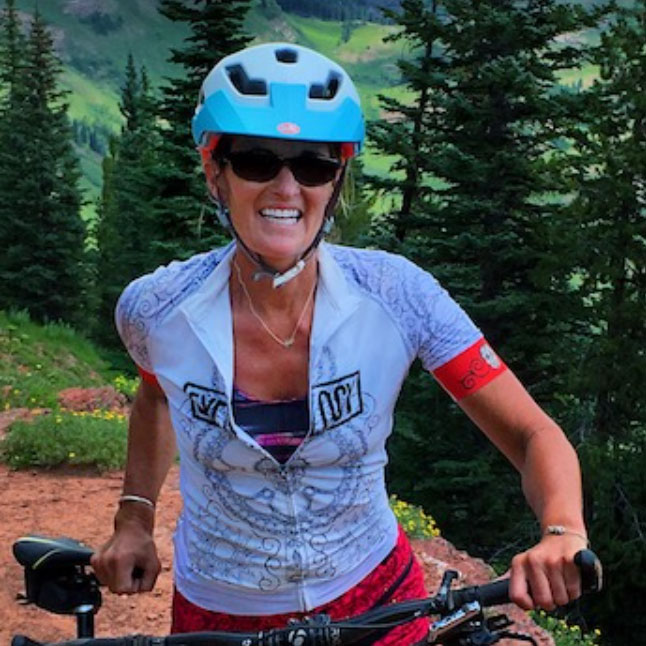
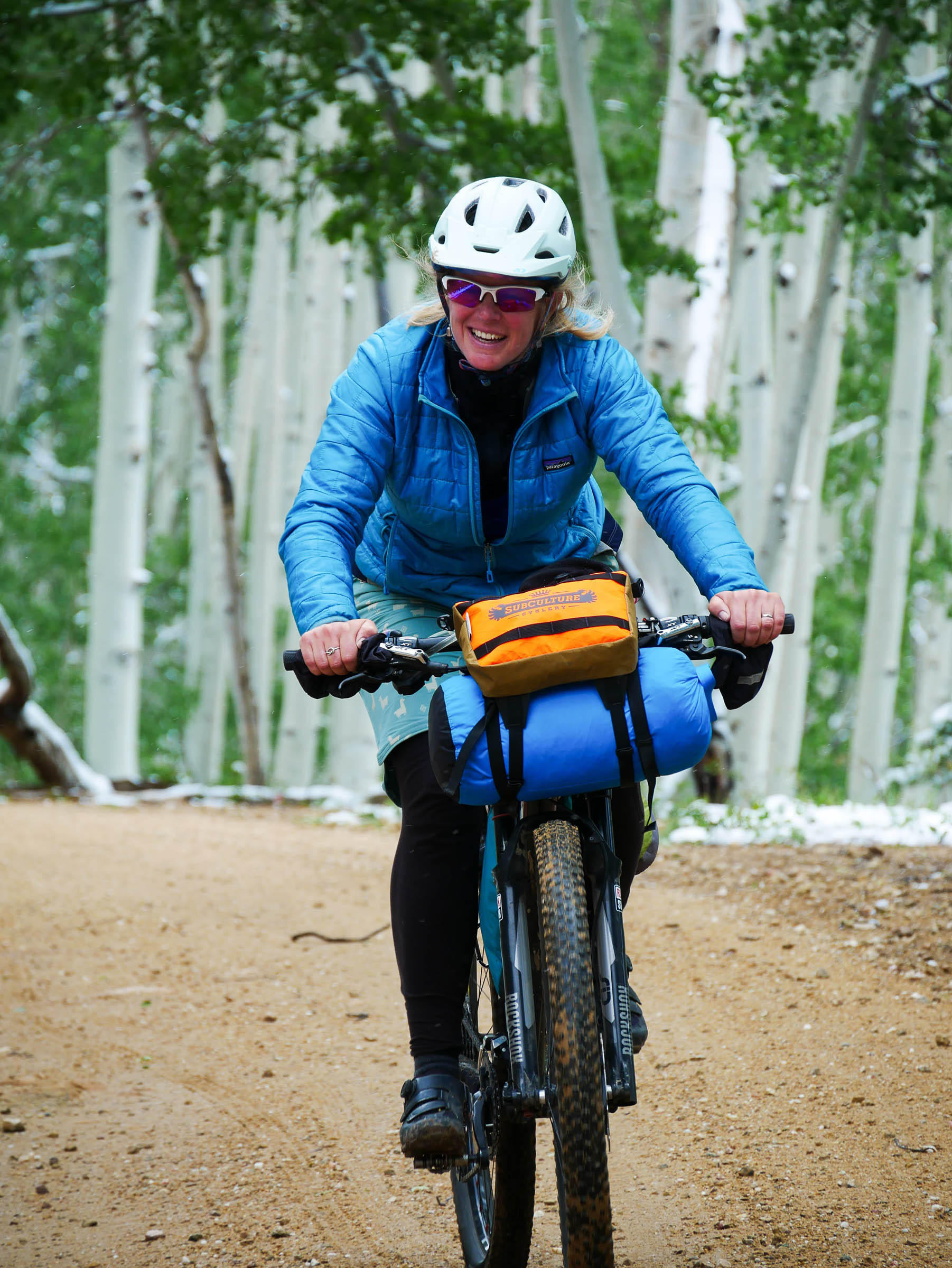
Taf McMurry
Guest Contributor
Taf grew up and continues to live on a working cattle ranch at the base of the Collegiate Peaks in Colorado. A middle school art teacher, photographer, and passionate about all things bikes, Taf lives in a perfect setting for endless bike adventures for any bike! Find more of Taf’s photos on instagram @mtbcowgirl
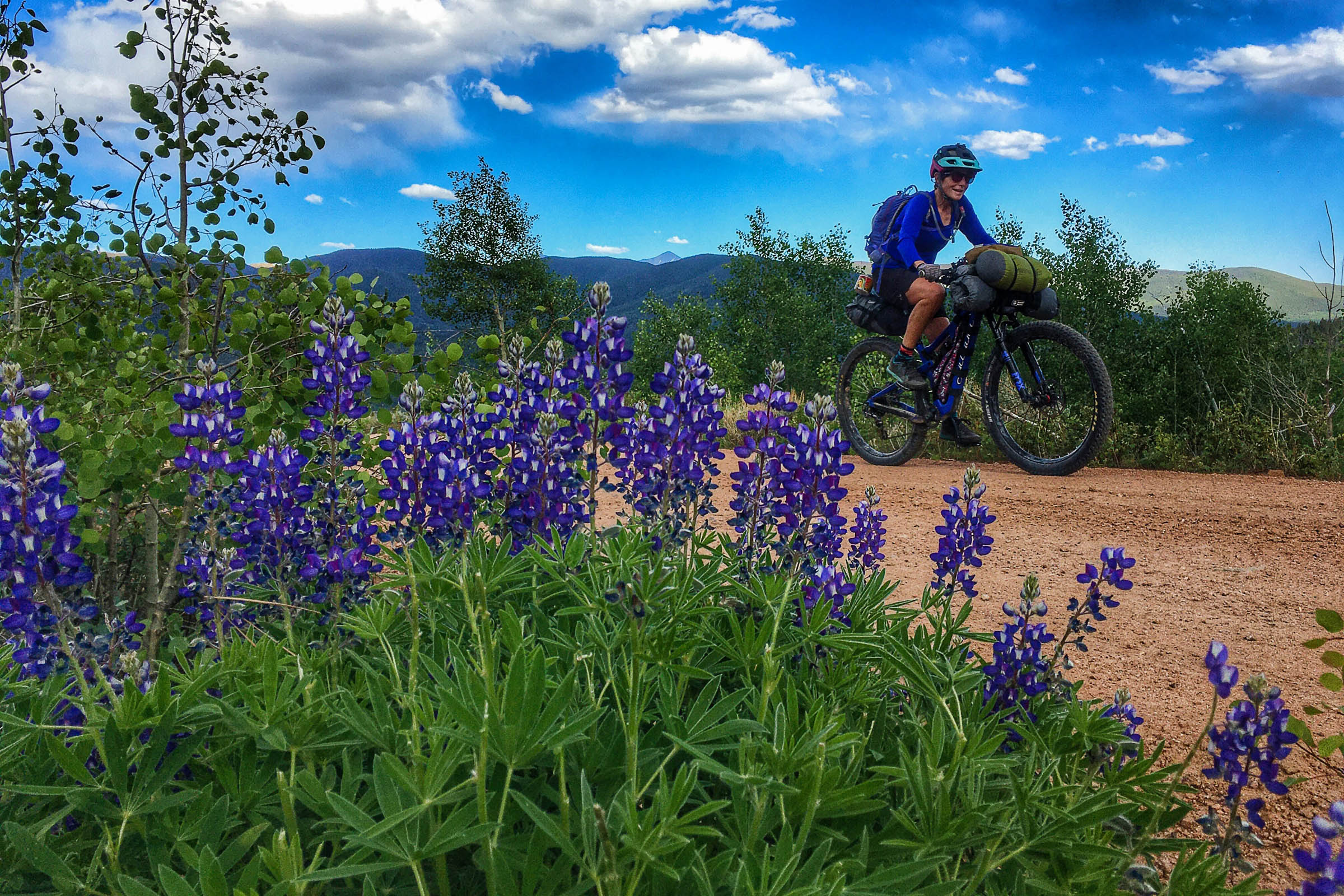
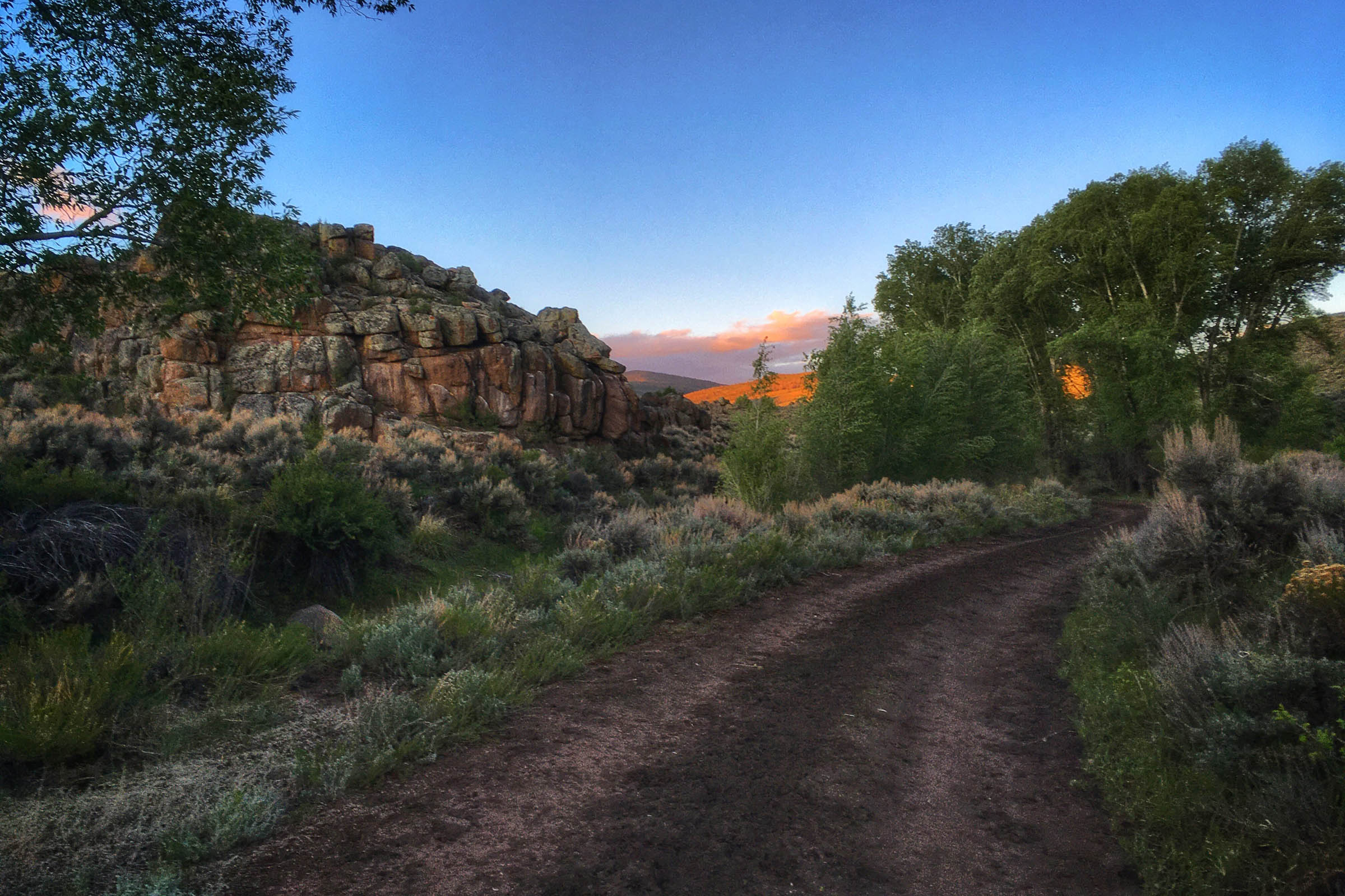
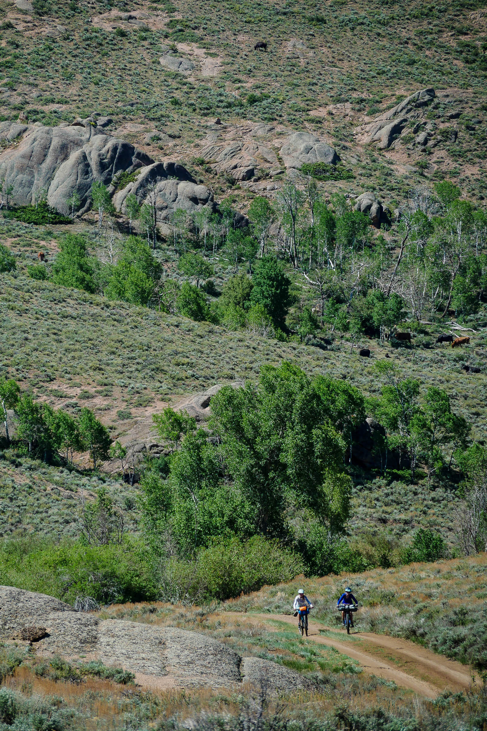
Gentle Climbs, Big Rewards is an overnighter route you won’t want to miss. The dirt road terrain makes it accessible for riders who want some adventure without having to suffer. The area the route goes through is frequently traveled and has an abundance of mining and railroad history.
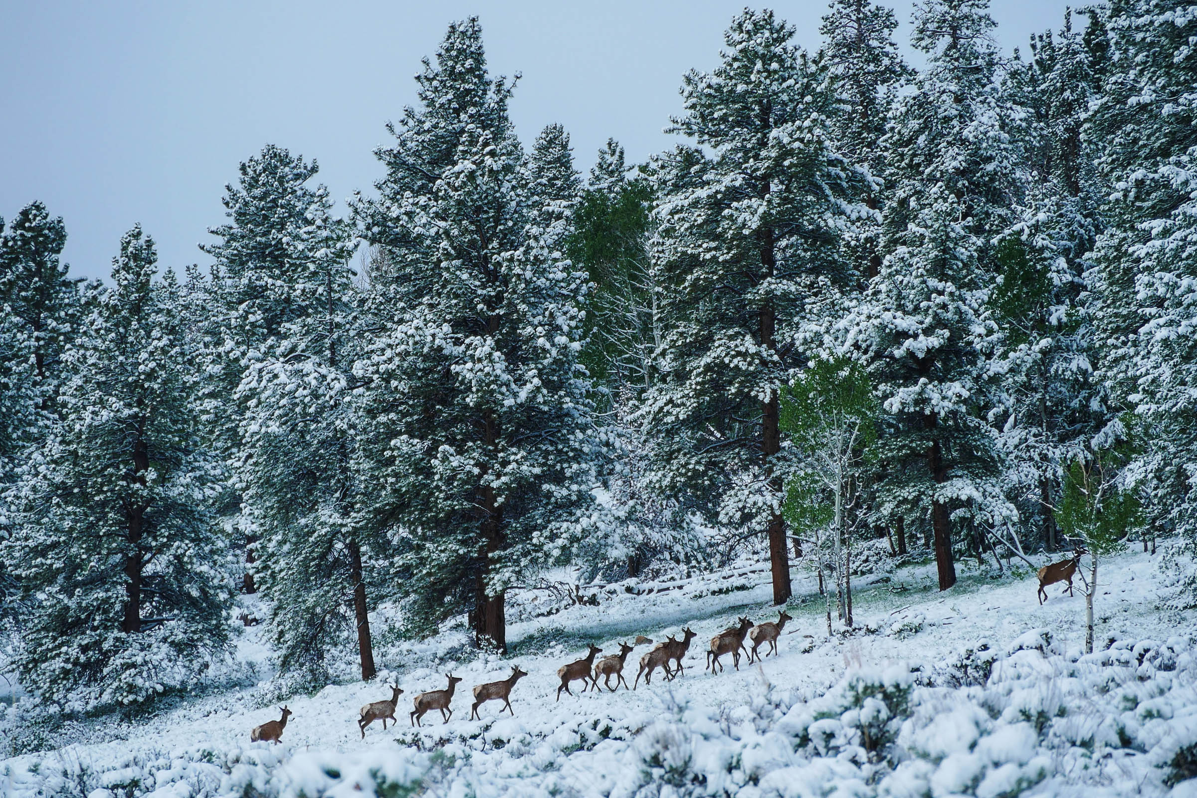
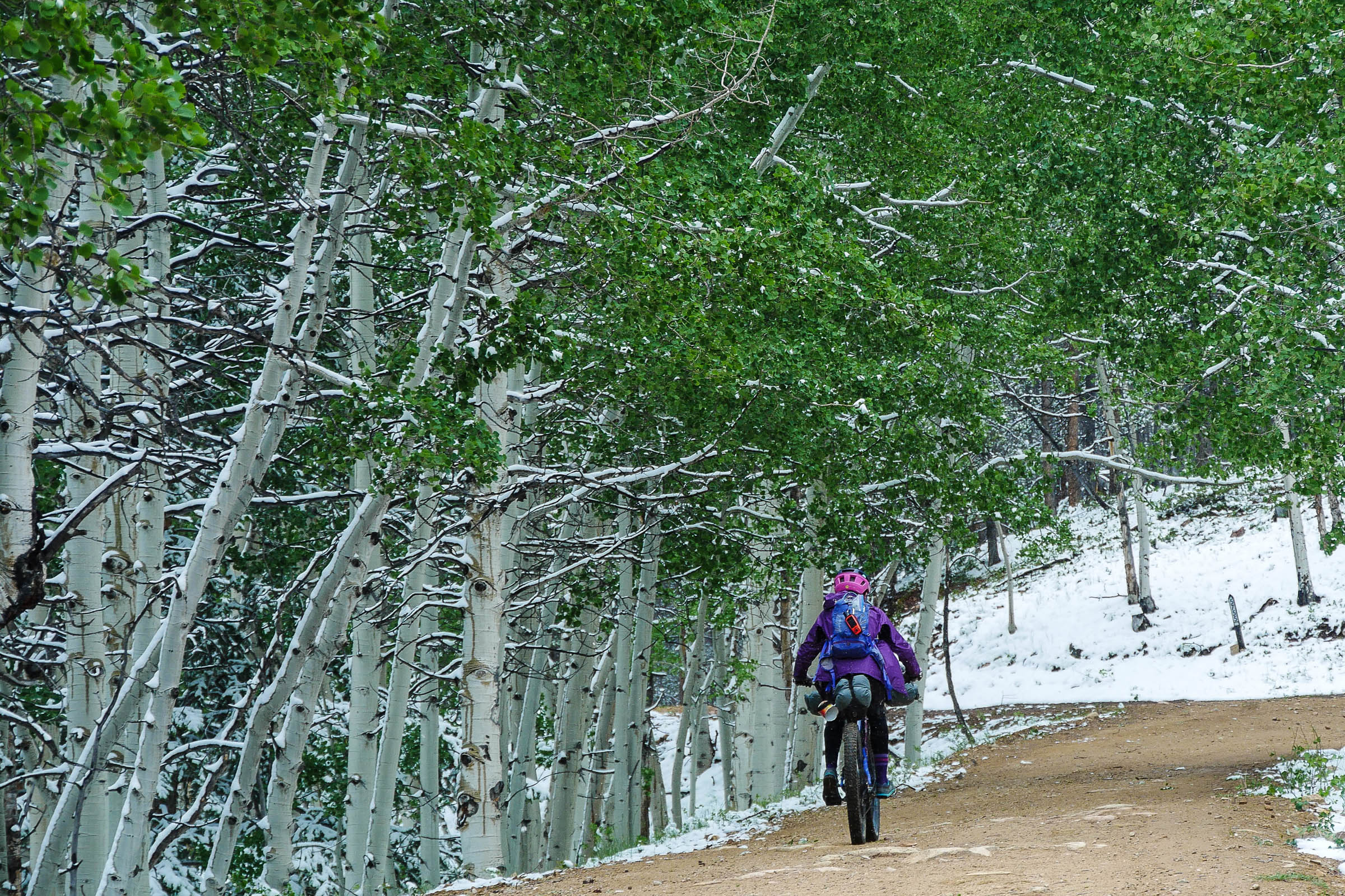
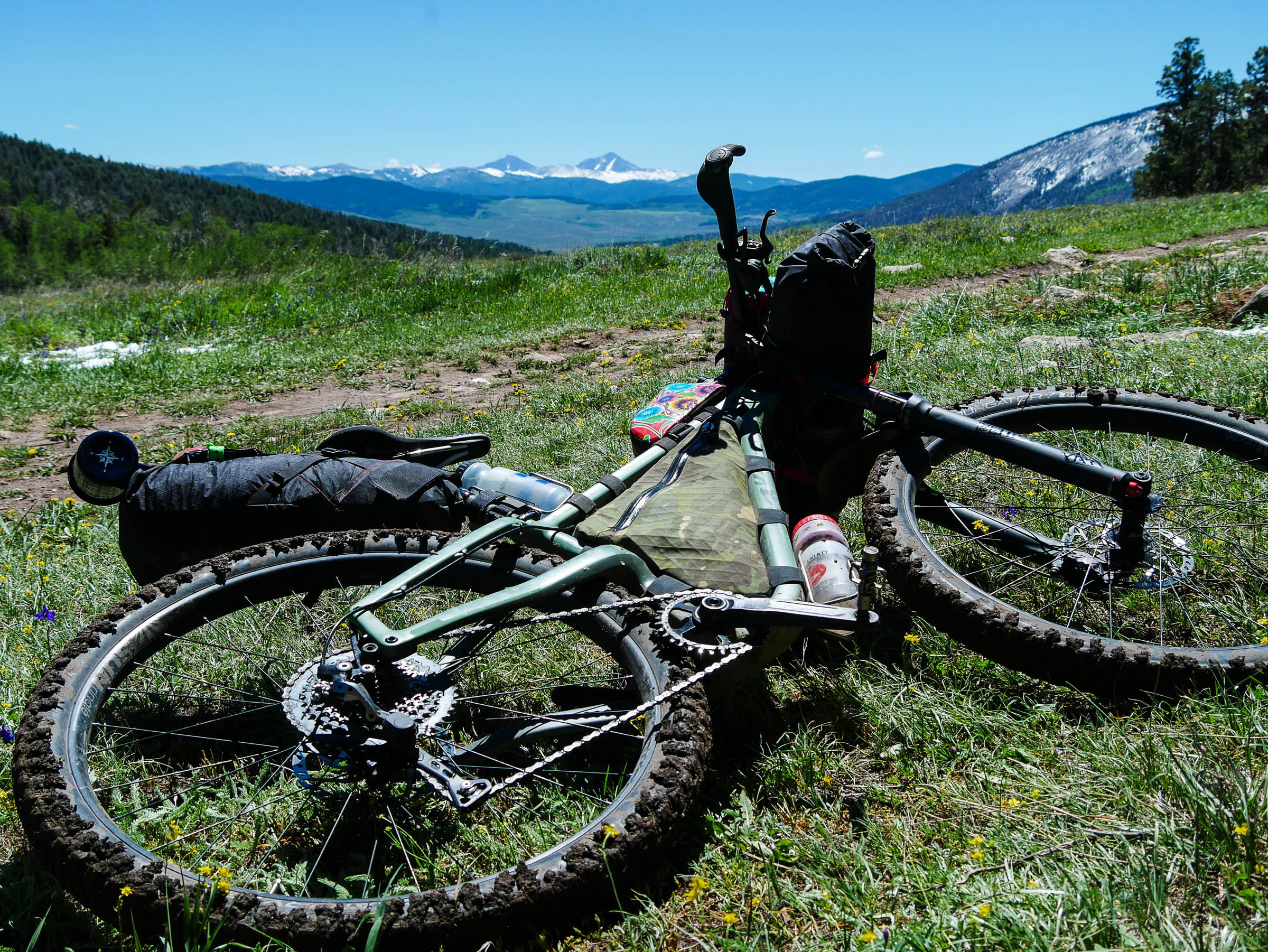
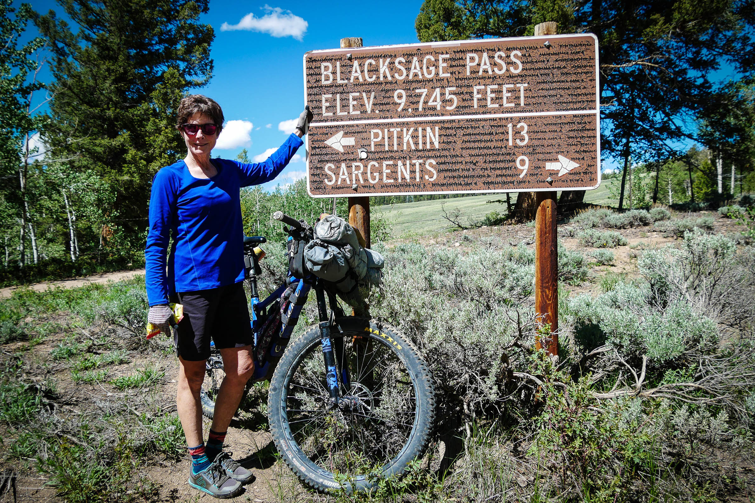
The ride starts with a gentle and rolling paved climb that soon turns to dirt as the view of Tomichi Creek snakes down a green, grassy valley along steep hillsides that are home to many elk. A sharp turn starts up Black Sage Pass, and as you climb into the aspens, keep your eyes peeled for moose in the steep gulleys along the road. Through some large ponderosas, back into the aspen, and in a jiffy you’re at the summit. Make note of the Quakey Mountain Trail sign for your return trip, should you want to choose this tougher option. Within seconds you are out of the aspens and cruising into wide open spaces of the valley and will see Tomichi Dome to the south. The hillsides to the right can have herds of elk in the 200s.
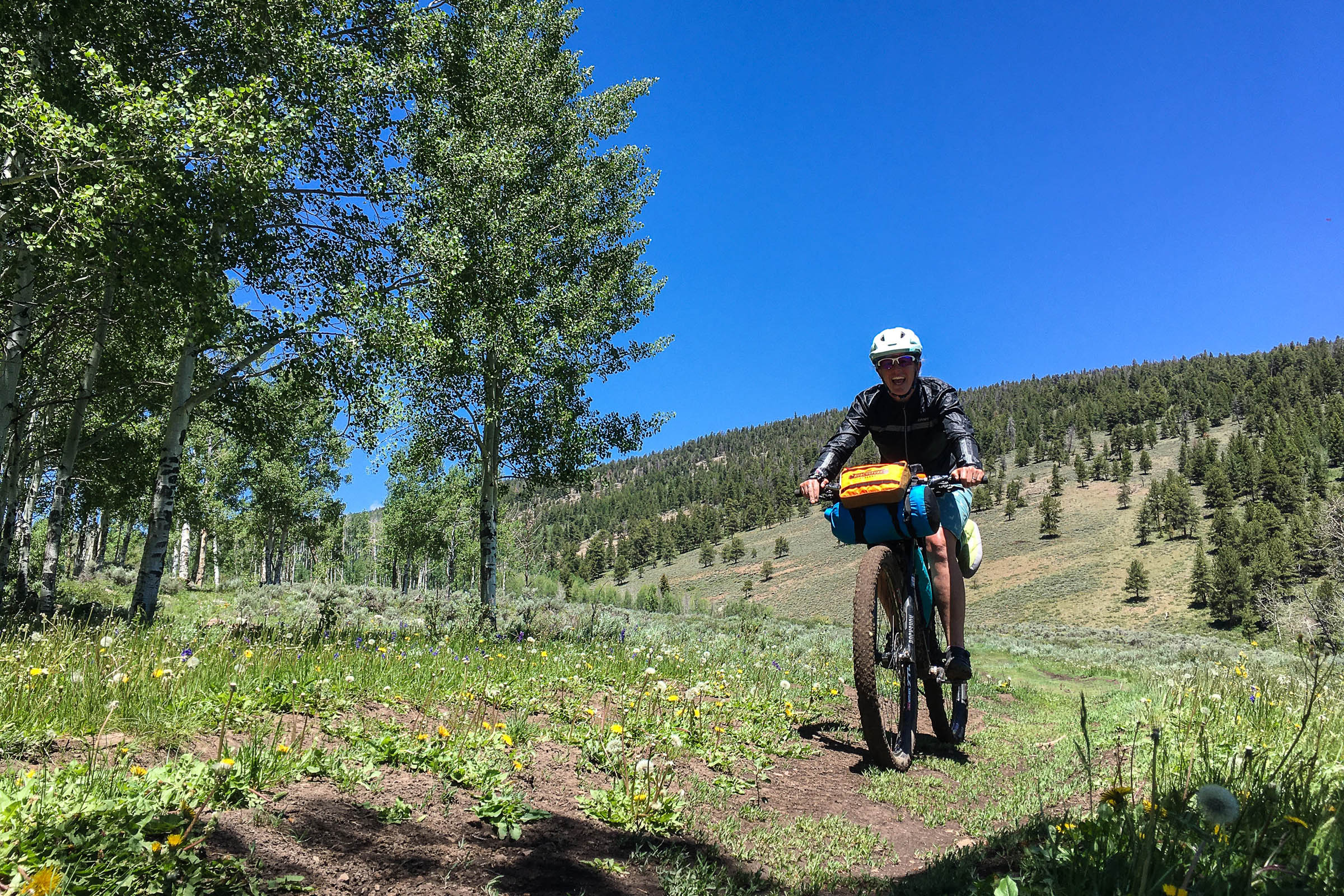
The route is well marked, and in a few short miles a right turn will start your loop with Waunita Pass in front of you. The climb is gentle enough for chatter among your bikepacking pals as you discuss where the best camp will be! Aspen groves and Hot Spring Creek will make your decision hard, depending on the time of day, whether you are doing this as an overnighter or three-day ride, and what your legs say. Camp could just be three miles up the pass.
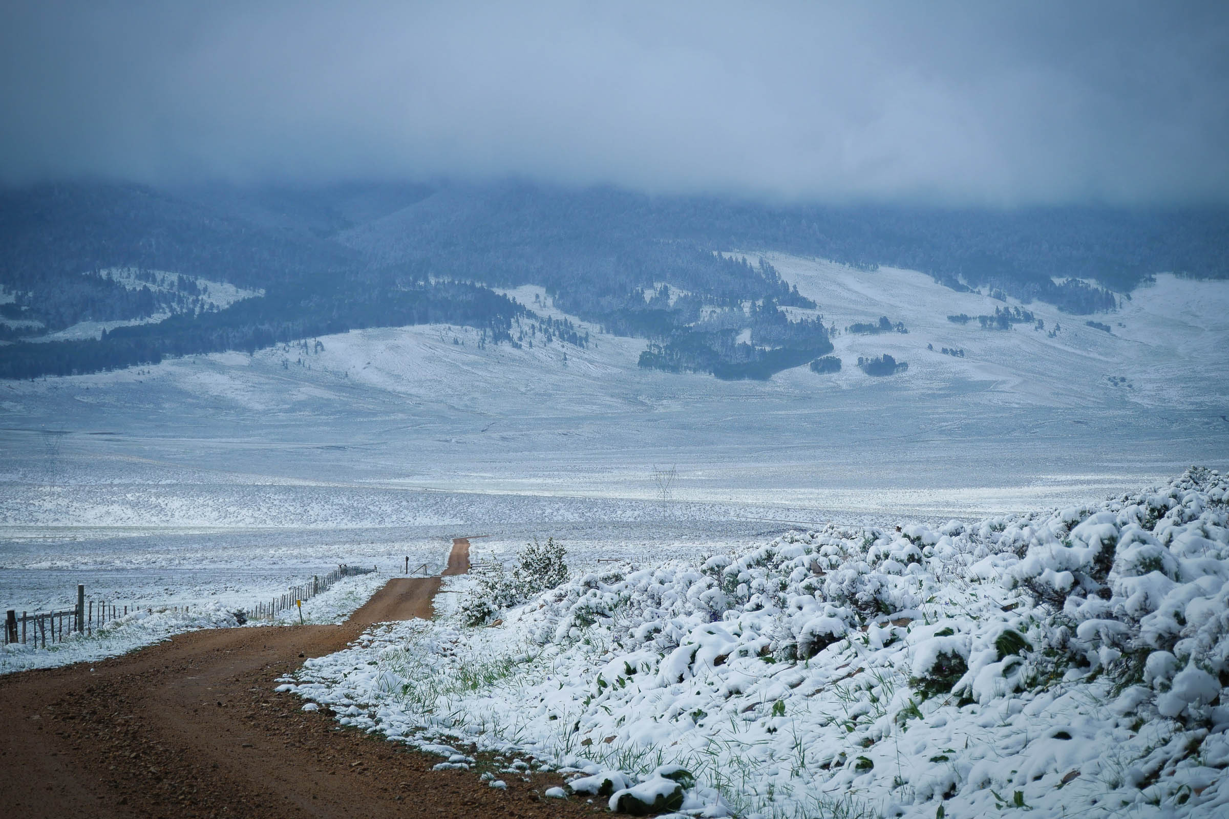
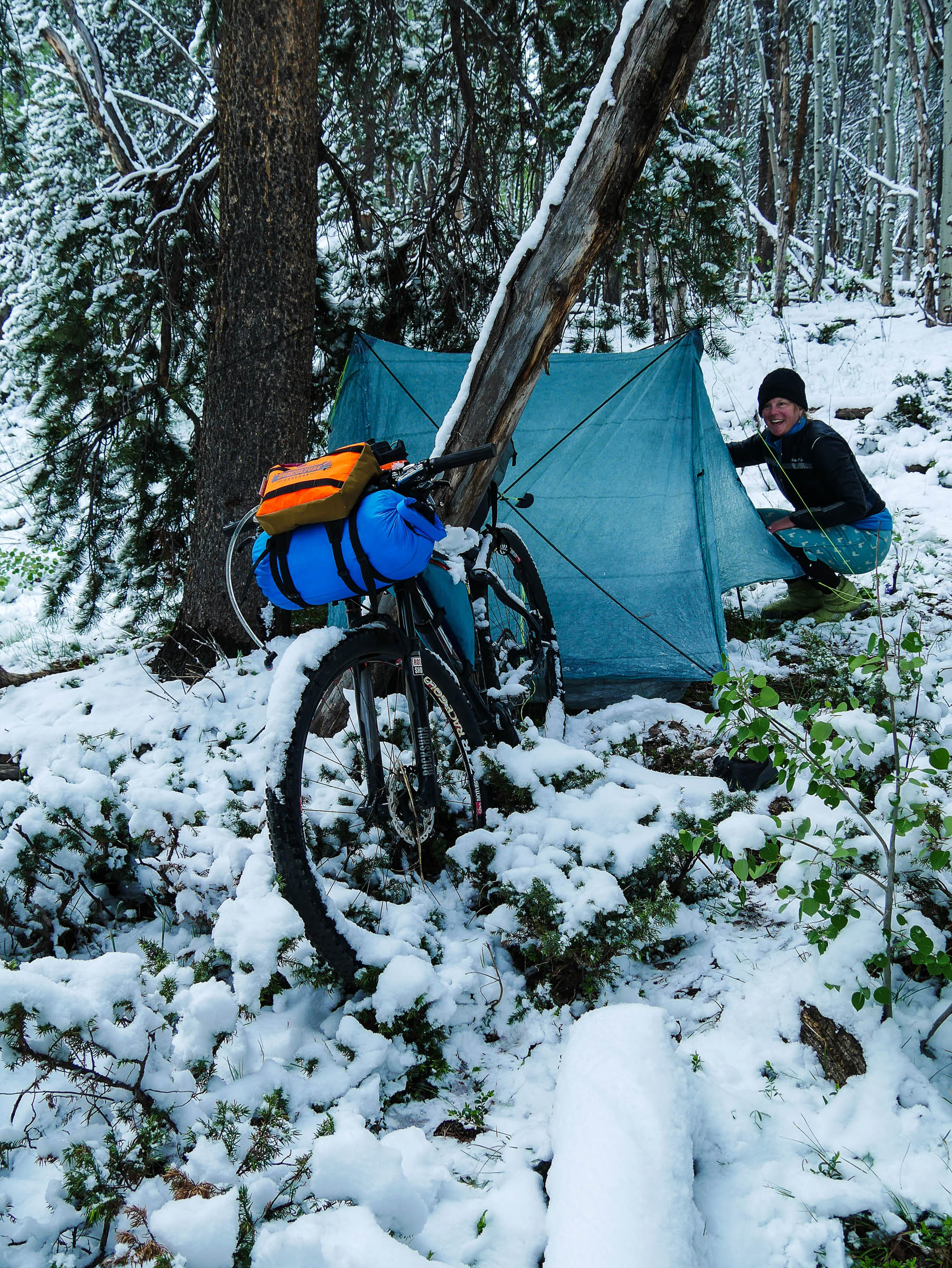
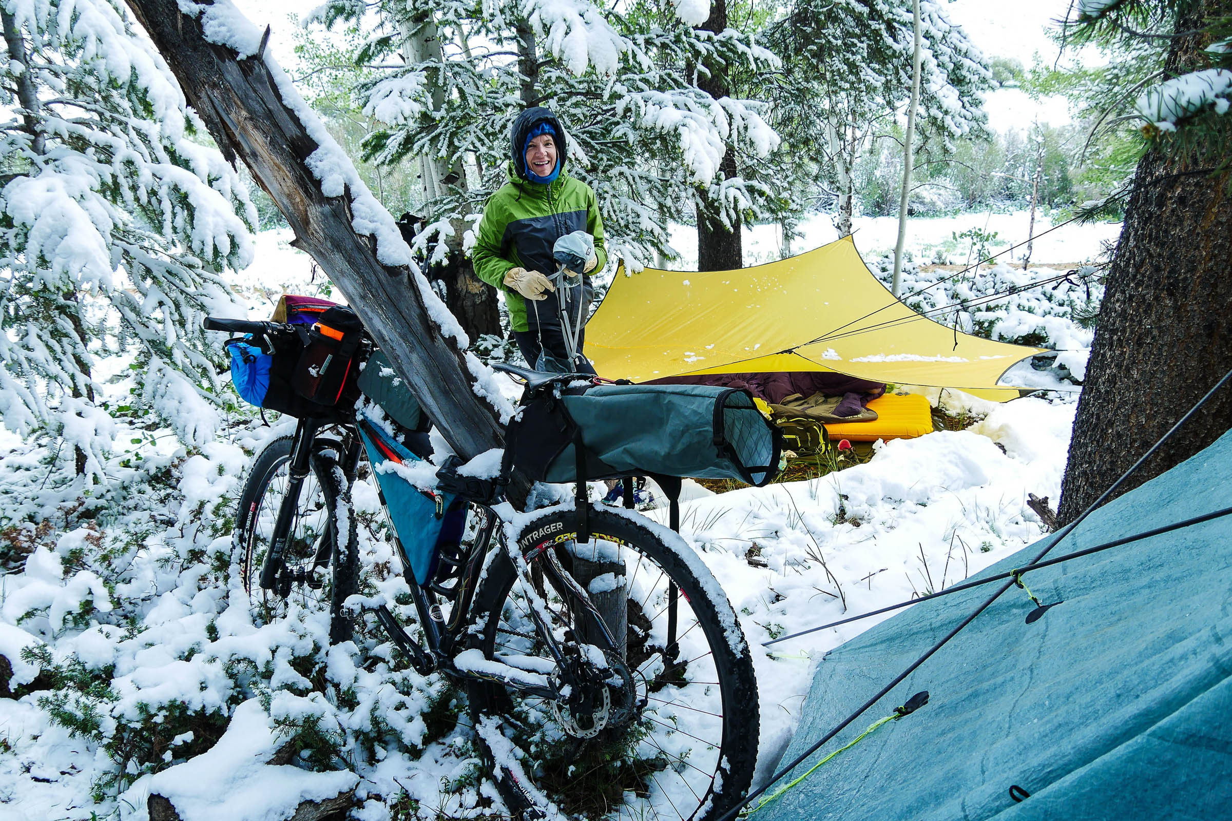
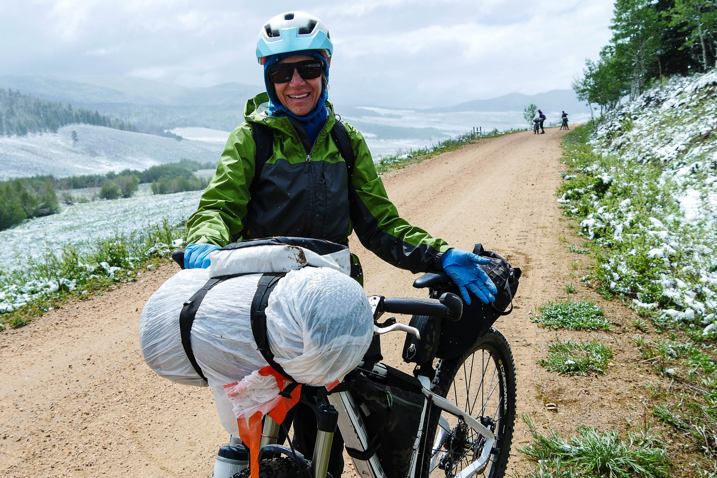
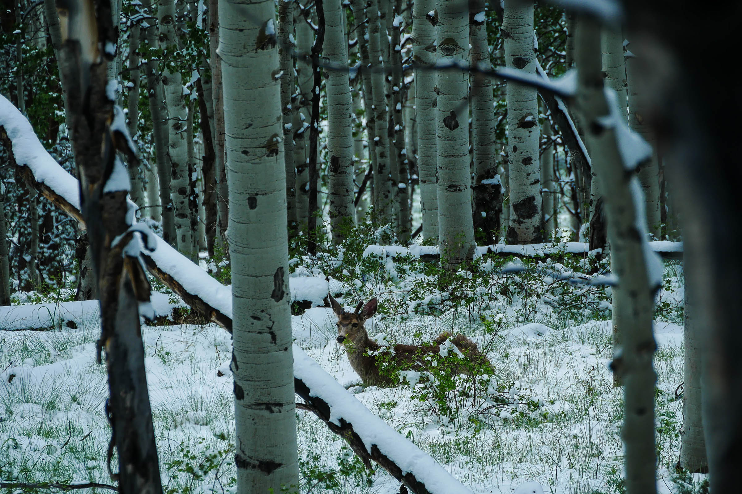
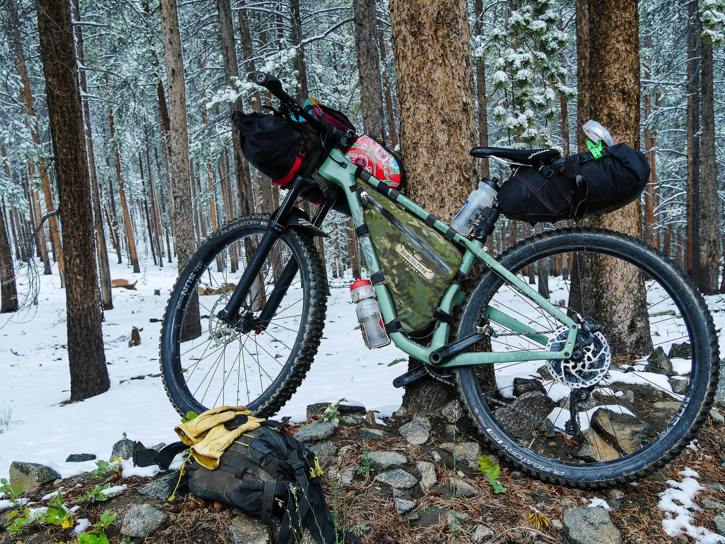
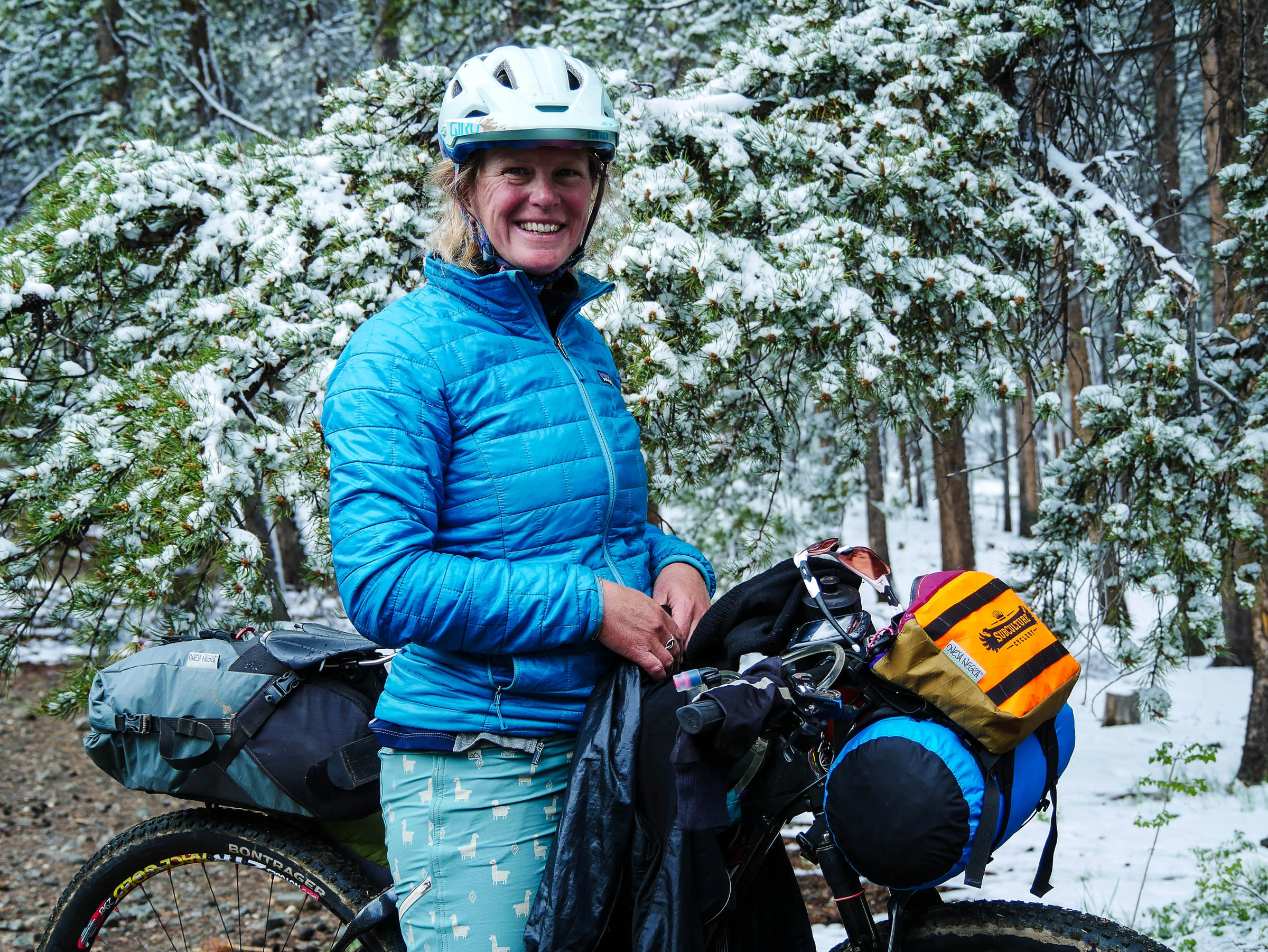
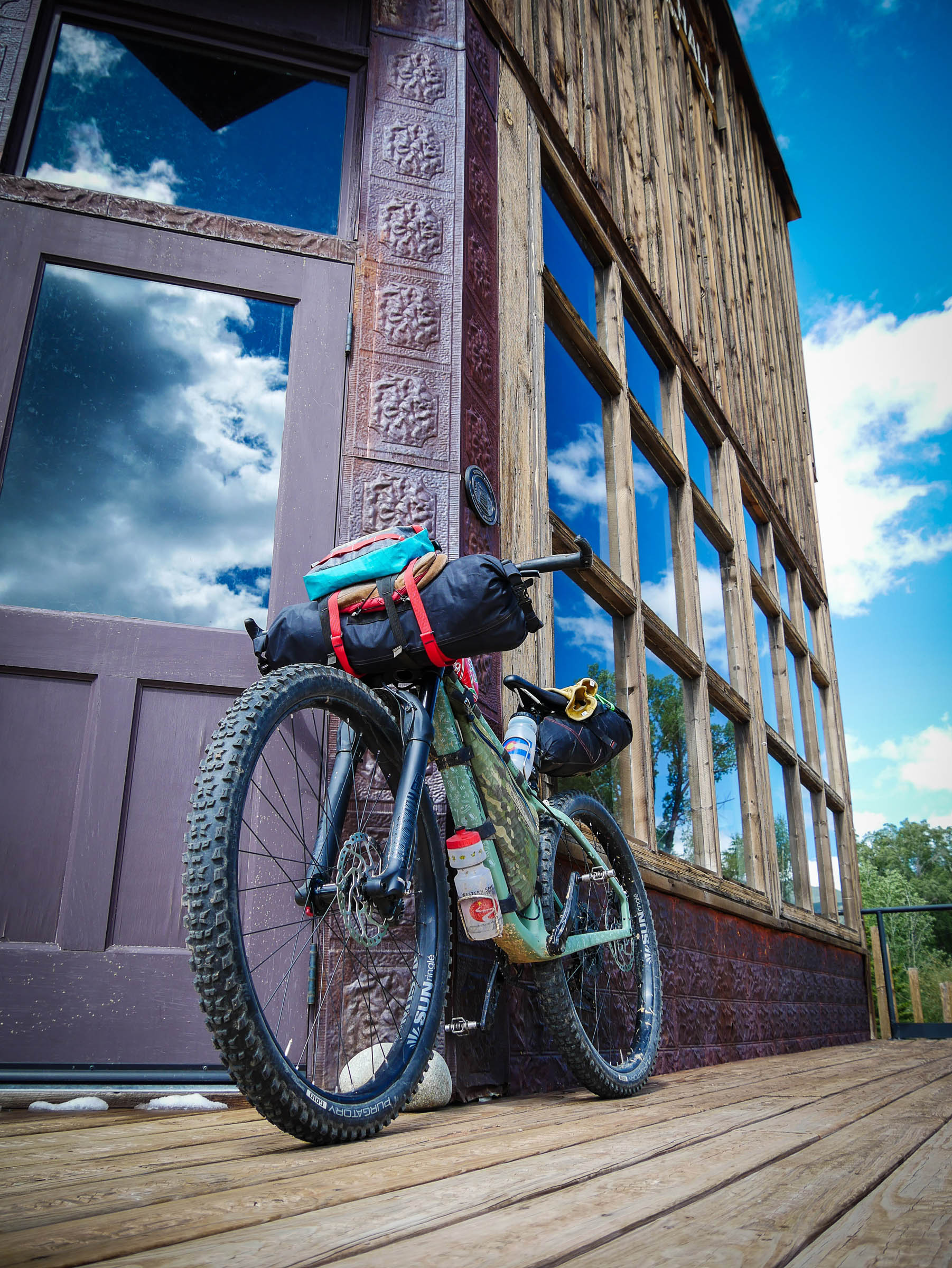
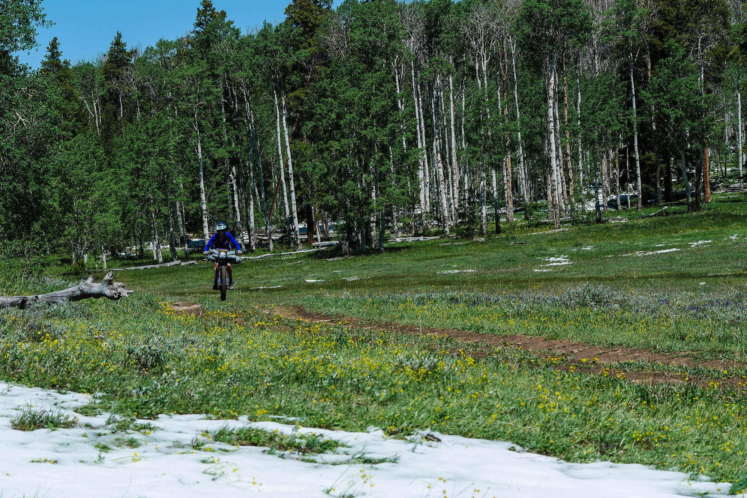
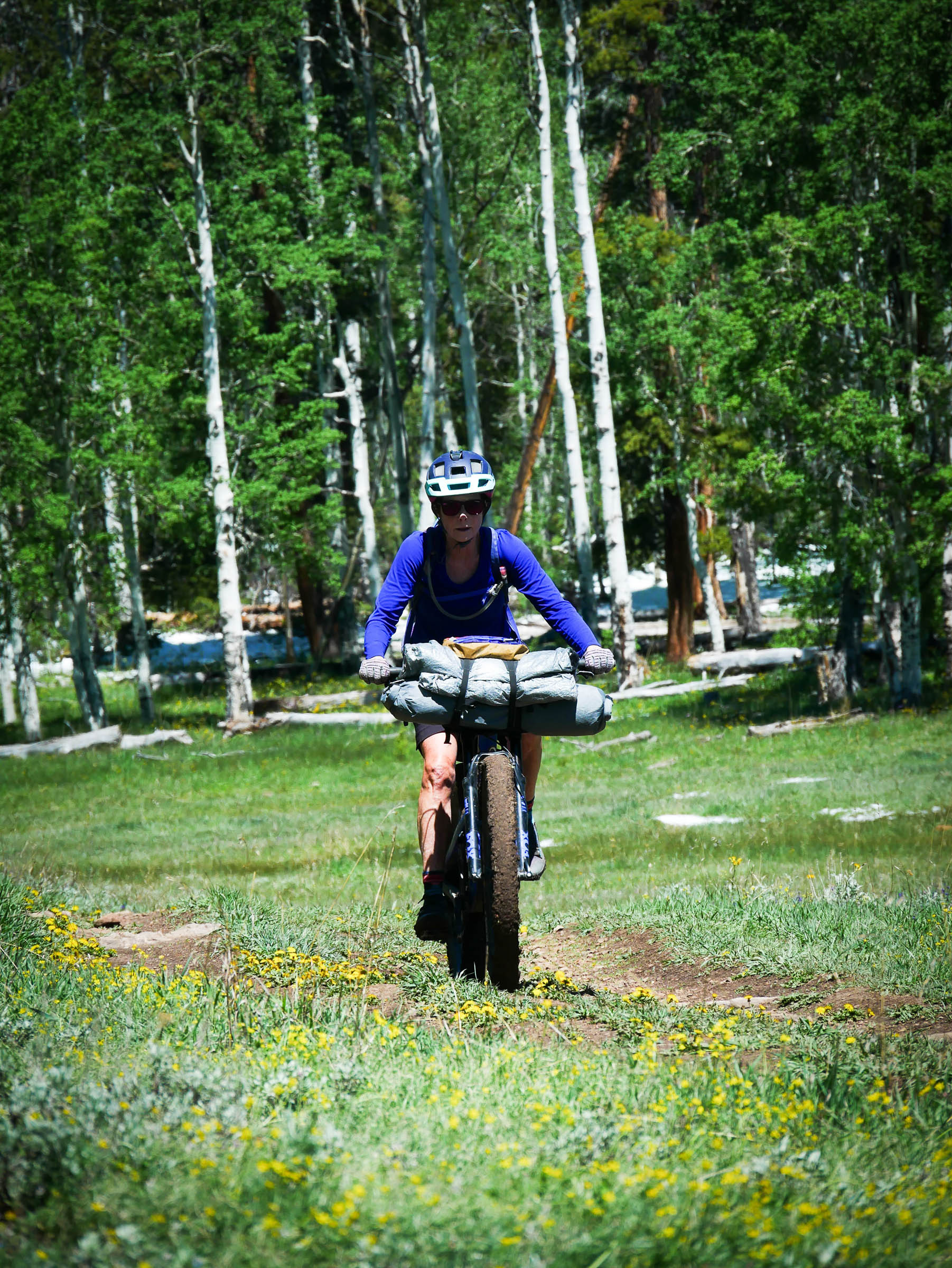
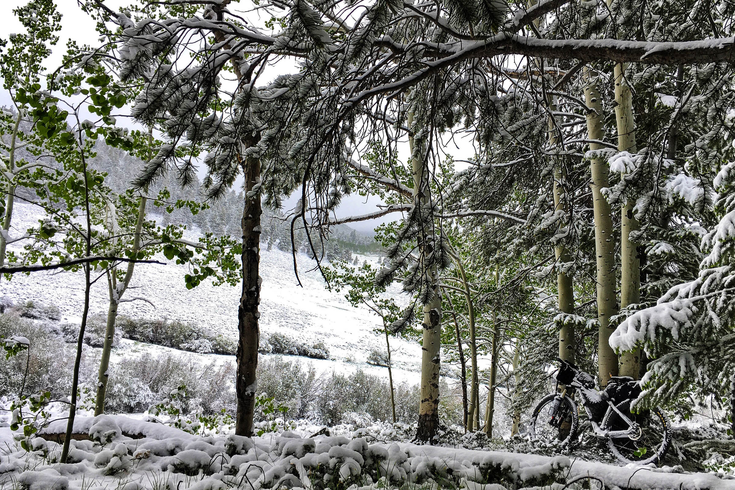
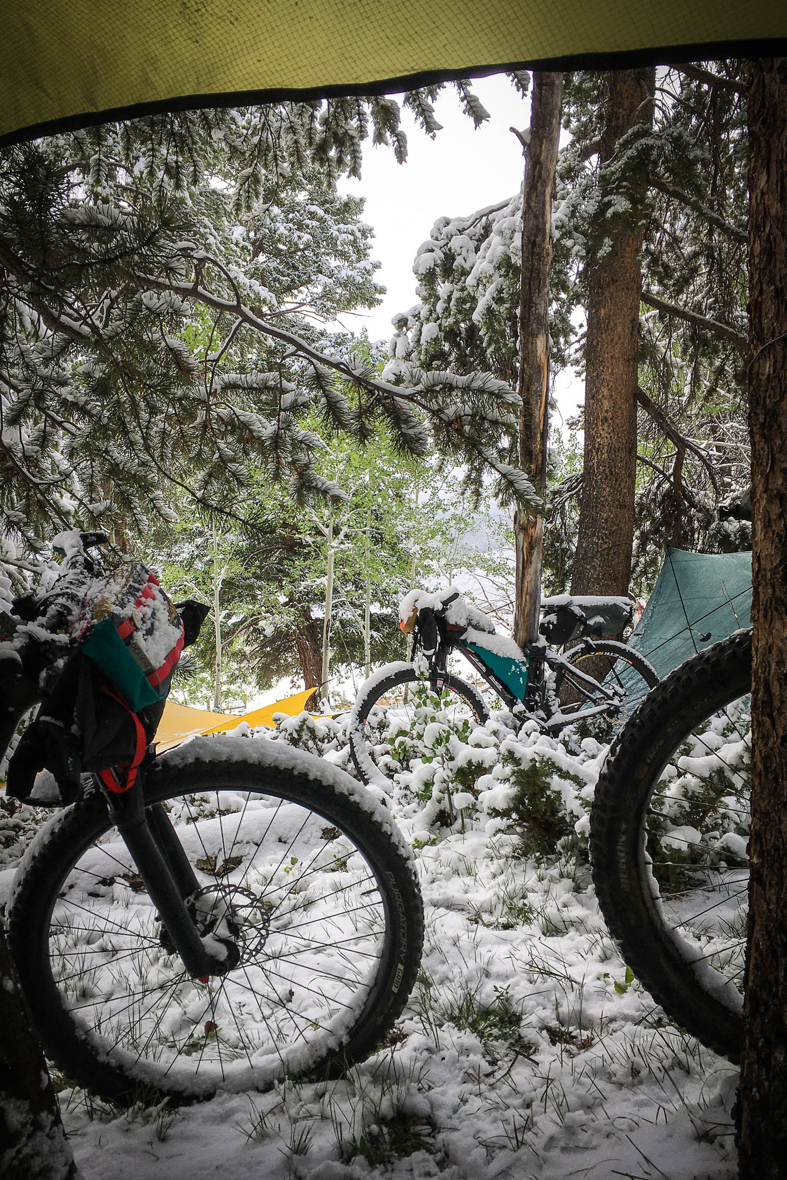
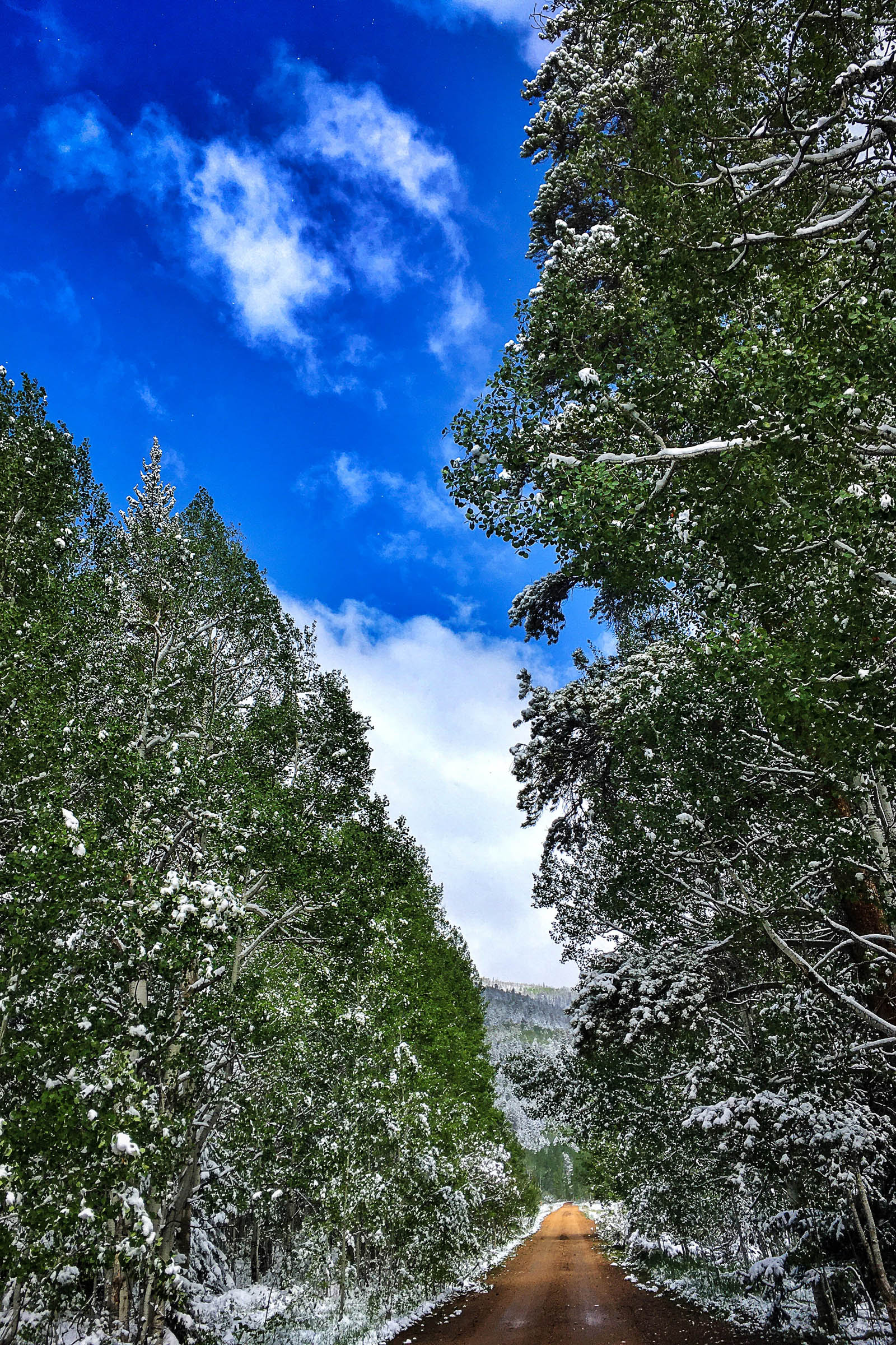
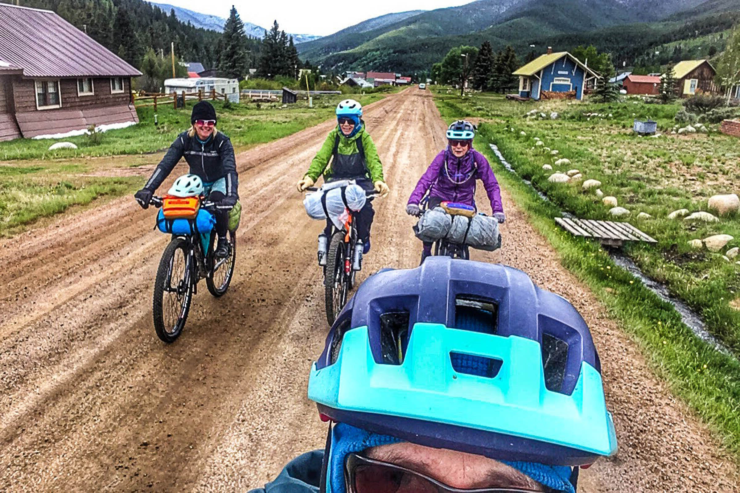
For us, this put day one in the books and on to day two… snow! We woke up to about three inches of June 12th snow. It wasn’t super cold, but definitely wet! As we shook off our tarps, tried to keep out toes dry, had hot drinks, and packed up, we decided to press on and look for sunshine. The sun beat down on our backs and the snow began to melt. Surprisingly, the road was wet but didn’t jam up on our tread, so we pushed on through the quietness the blanket of snow offered. The contrast was dramatic and lifted our spirits. Up through the aspens we saw a small buck in velvet nestled in the brush. Leaving the aspens and entering the dark timber, we crested the top of the pass.
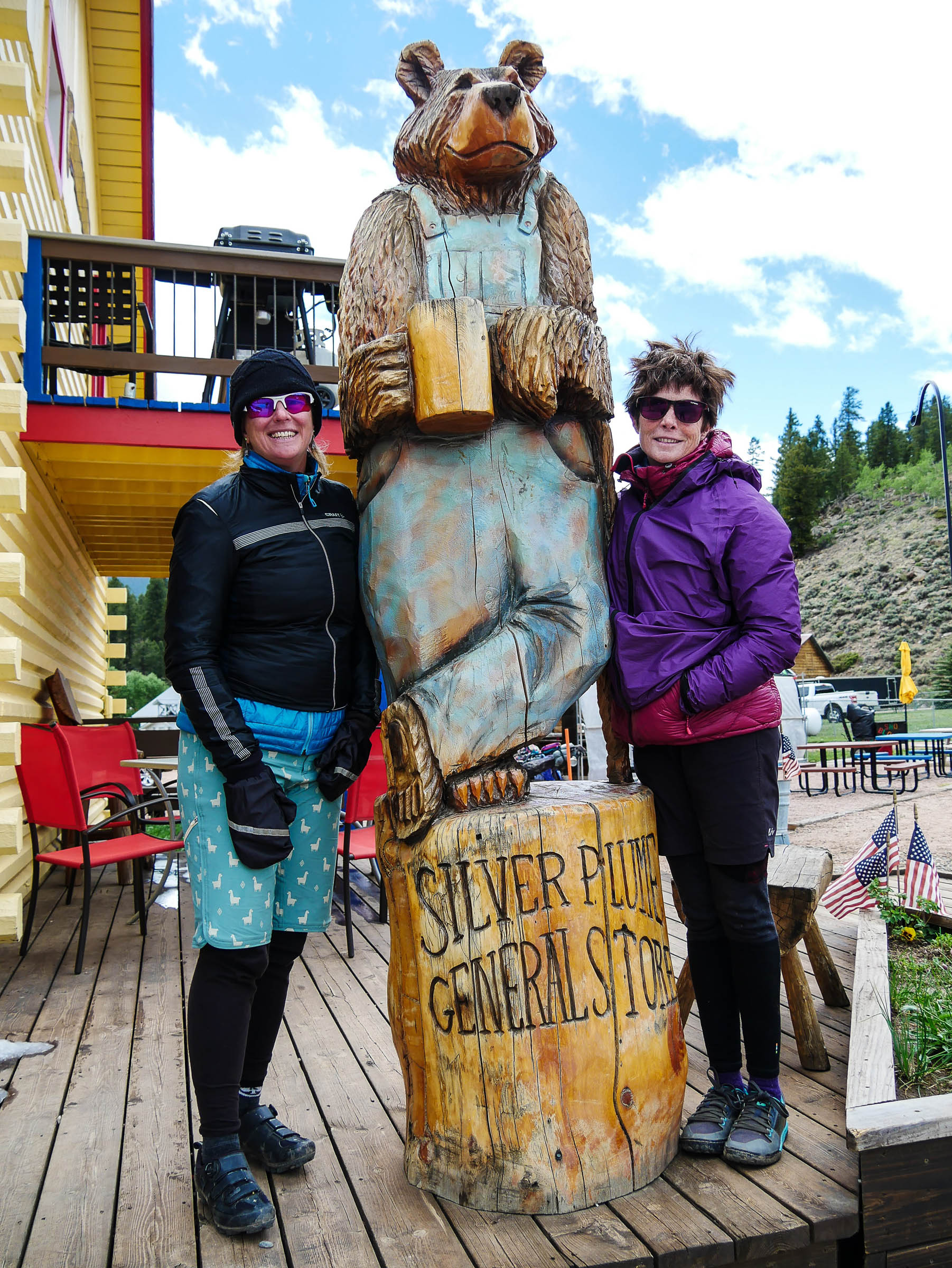
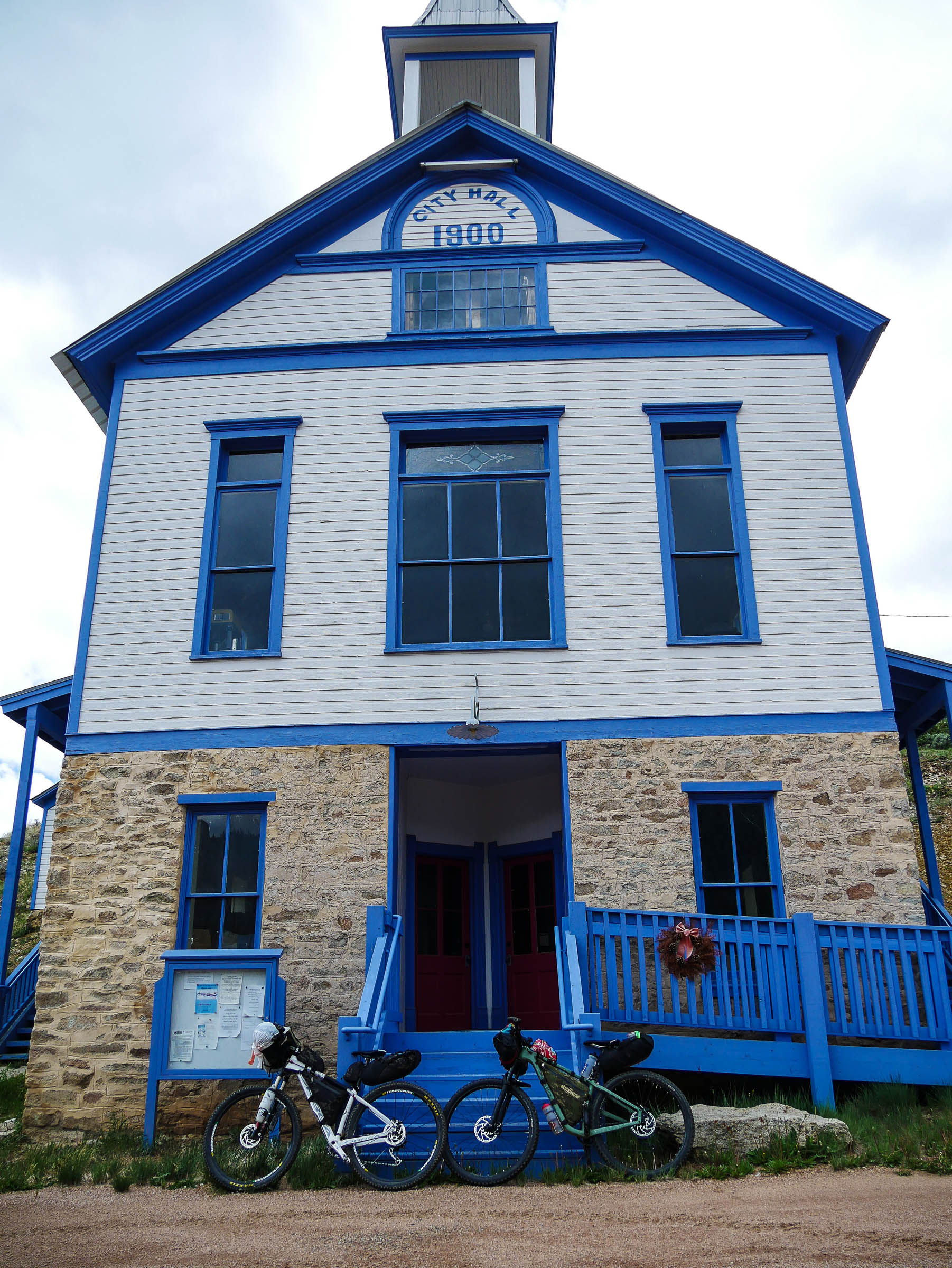
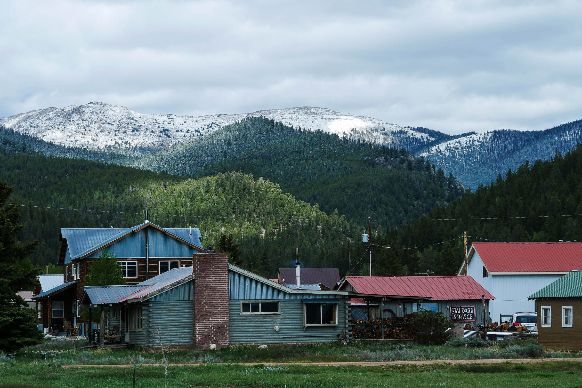
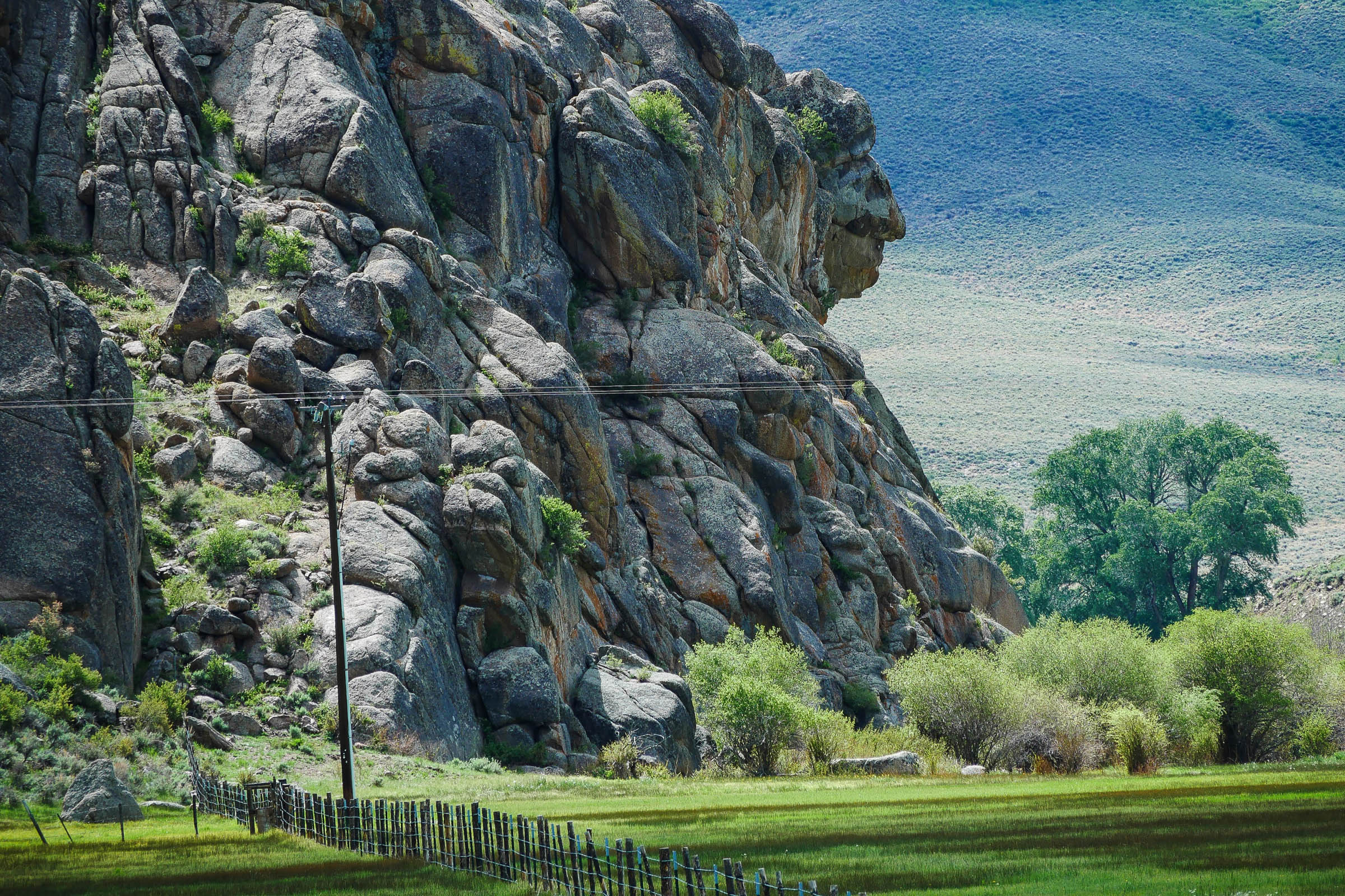
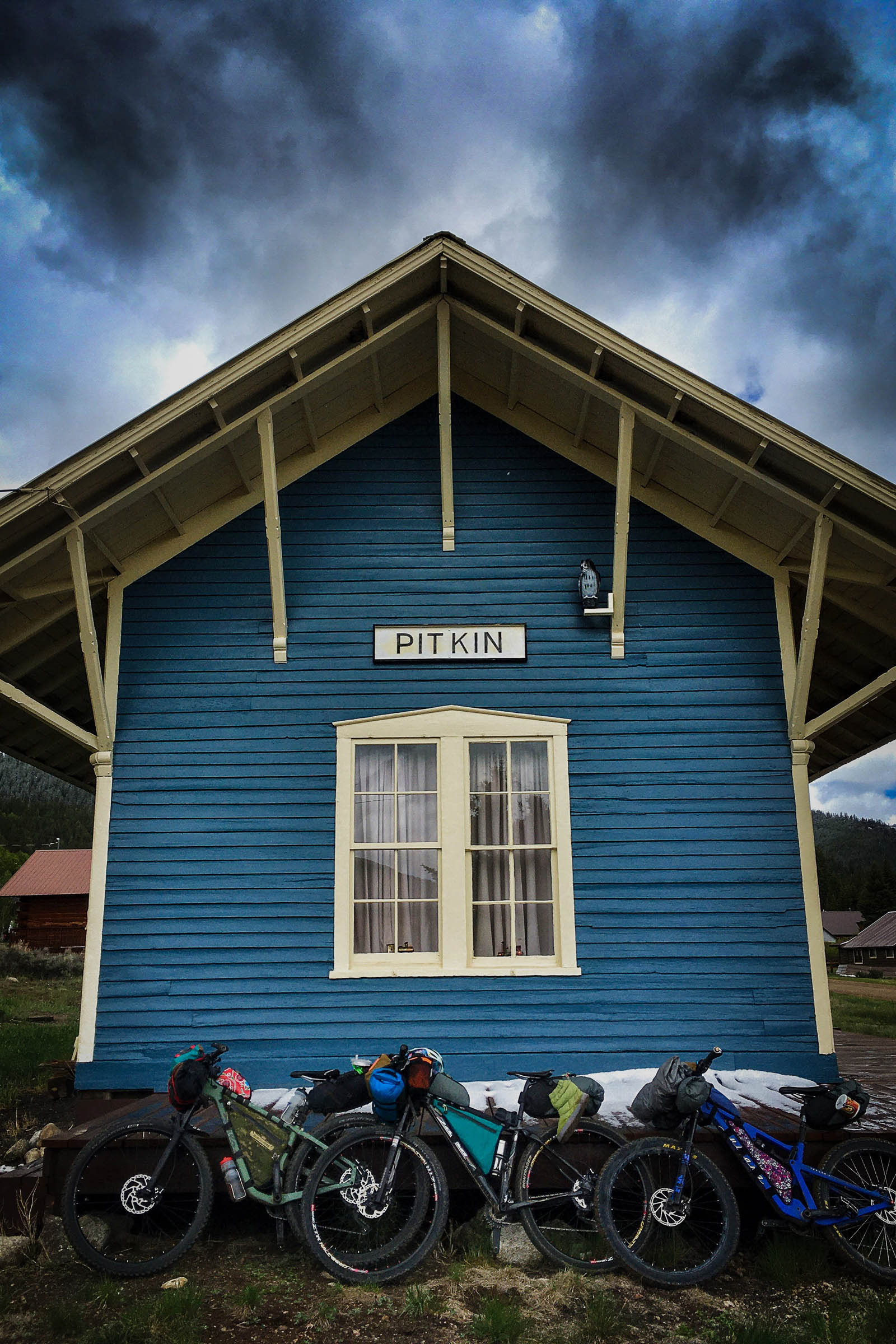
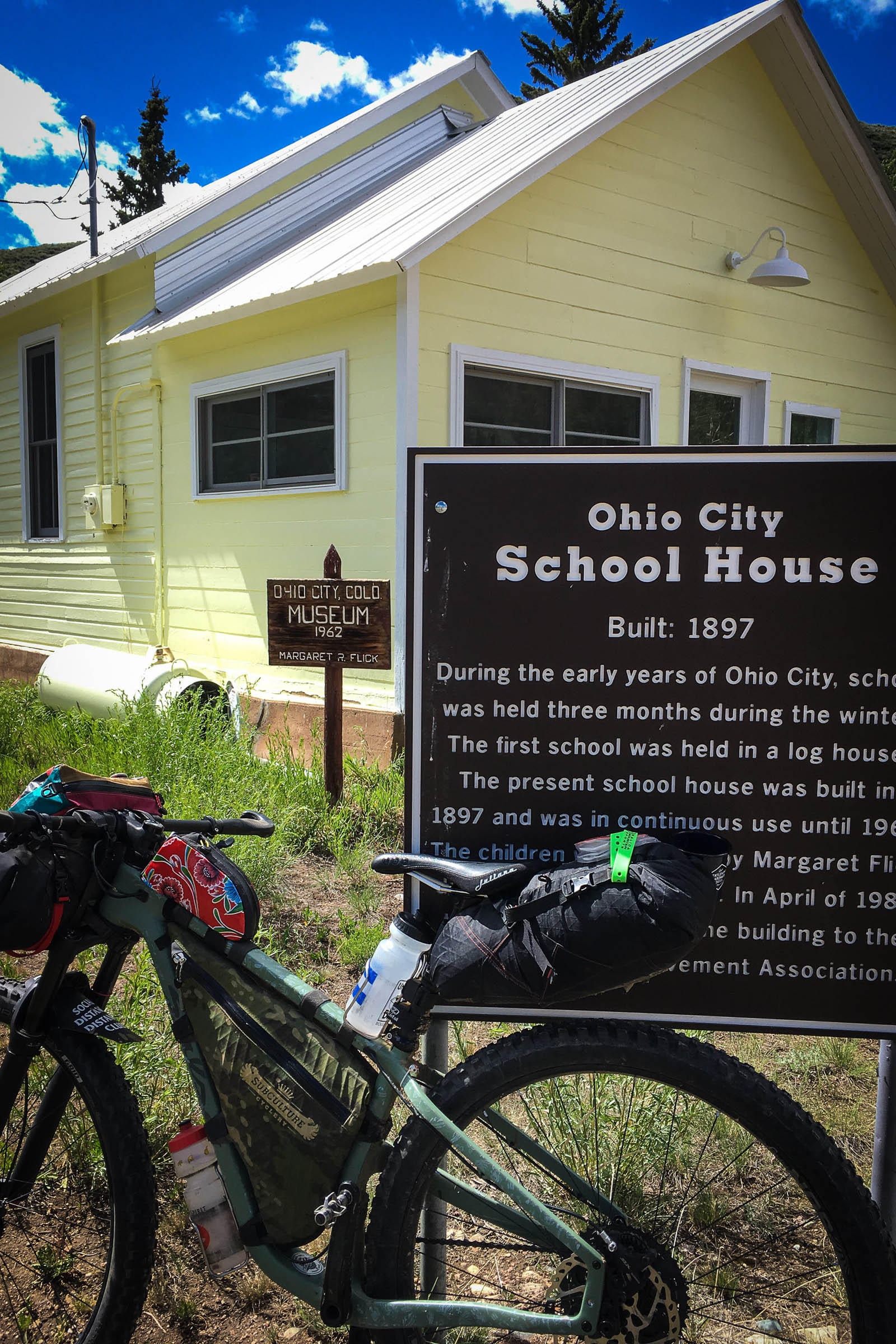
A quick bit and down to the historic town of Pitkin. We ordered burgers at the food tent, pulled out our wet gear to dry in the sun and resupplied with hot drinks, cookies, and conversions with summer locals. Pitkin is full of historic buildings and is worth a cruise about and some photos. Then time to roll outta town down valley, Ohio City is the next stop, be sure to visit the Jailhouse behind City Hall and the old School House. No resupply in this one horse town! Keep moving. The next stop is Indian Head Rock, a landmark that’s conveniently located on the road side and marked by a big sign. The local ranchers are kind and generous, and if you need anything, just politely ask. Take county road 44 to Wood’s Gulch and catch views of Tomichi Dome once again.
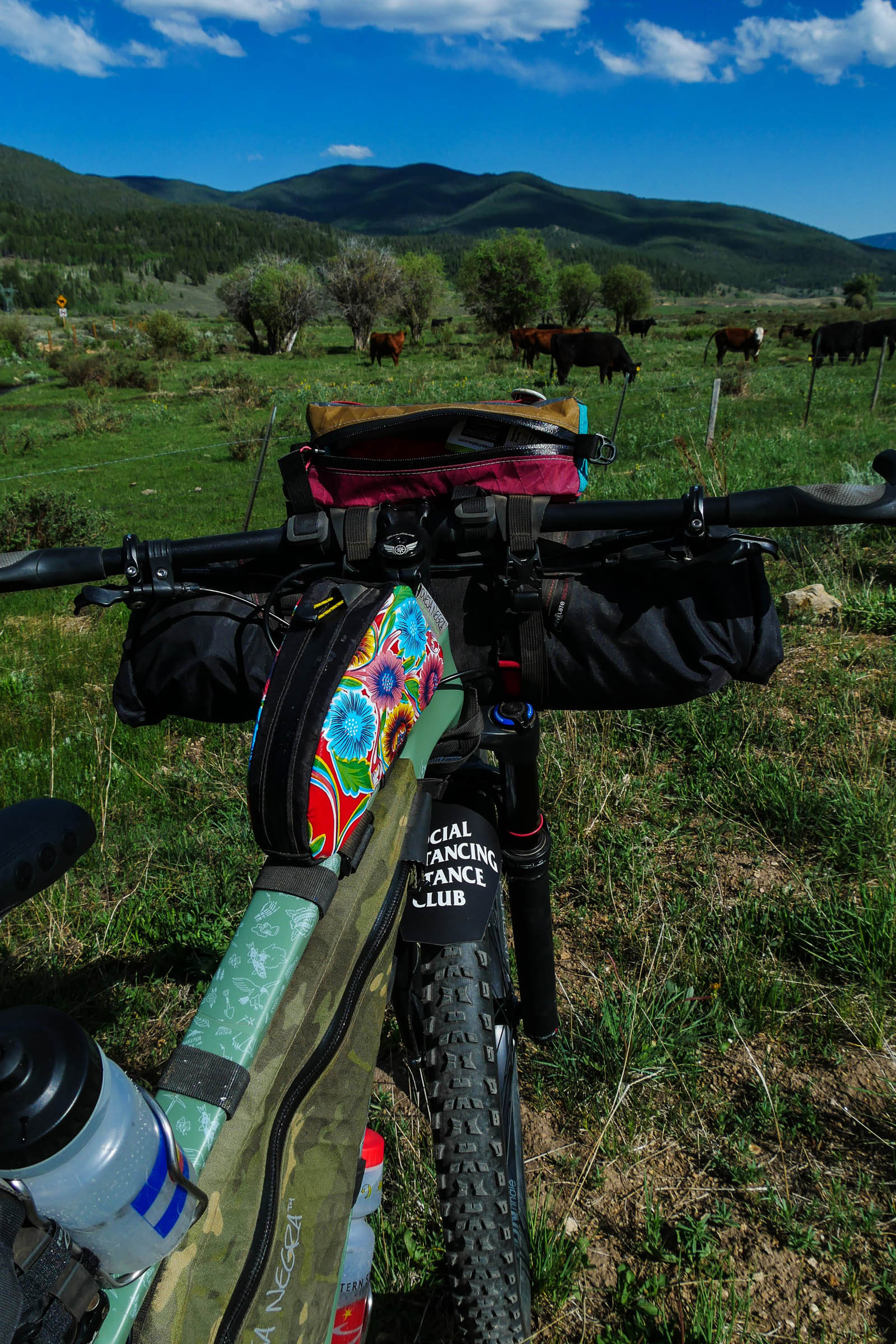
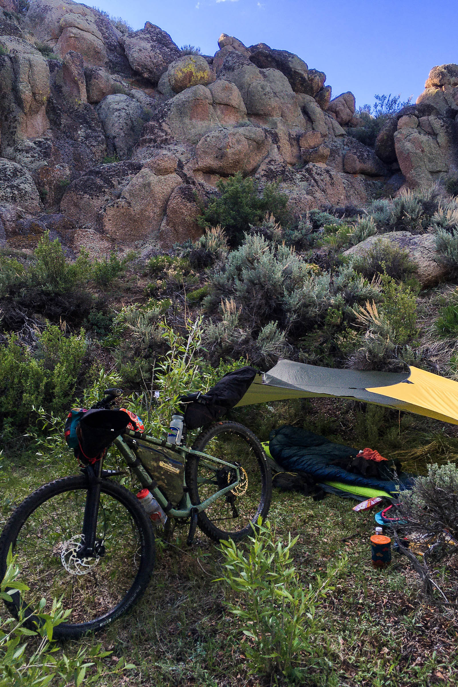
The landscape up Wood’s Gulch is a drastic change, now among fragrant sagebrush and red rock formations, this is the lowest elevation of the ride. Heading up the gulch local rancher’s cattle will be grazing free range. Camps along the road are abundant. Look for shade from cottonwood trees and grassy spots without cow pies.
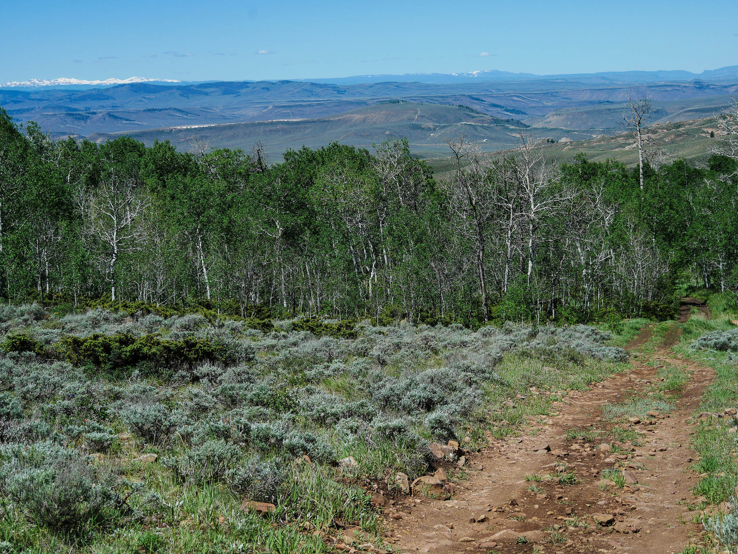
The final segment of the route continues up the gulch, as the road gets a bit steeper just past the cattle guard stop to look around, you will see the Uncompahgre Range to the southwest the the Elk Range to the north west. This road is rideable to some and possibly a short hike-a-bike to others. Take your time, breath in the beauty, and look for wildlife along the way. As the road levels out you will find yourself in a saddle of green grass surrounded by aspens at the top of Greathouse Gulch. Grab a snack and take in another spectacular view of Tomichi Dome and the big mountains in the distance that sit south of Monarch Pass. The doubletrack descent down to Hot Springs Reservoir is a hoot. Once you cross the creek it dumps you on to a main county road. A few miles of pedaling this rolling road and Waunita Hot Springs will be in view. You’ll be glad you called ahead and get in for a quick soak before finishing off the handle of this lollipop loop. The three-mile climb up to Black Sage Pass is a gentle grade and the views of Tomichi Dome are ever changing as you move around it. If you’re ready to put this trip to bed, head down the pass with a rewarding long descent back to the the vehicles. Or, add a bit of challenge by taking the Quakey Mountain Trial if you have some fuel left in the tank. The Tomichi Trading Post will set you up with home-cooked grub and ice cold beers as you swap photos and think about having to return to life as we know it!
Find the full day-by-day route description as ridden over three days under the Trail Notes tab below.
Difficulty
In terms of difficulty, Gentle Climbs, Big Rewards would be a 5 out of 10. Gentle road climbs for the first 40 miles with a 10 mile section of low grade paved downhill. Two-track road climb on day three to start the day, with two-track road descent. The physical demands are easy to moderate, and there a few additional singletrack options that could be added to up the difficulty. Resupply in Pitkin. Water could be difficult, depending on the time of year, late summer and fall. Might have to pack more for the last day and logistics are easy with this lollipop Loop, so no shuttle required.
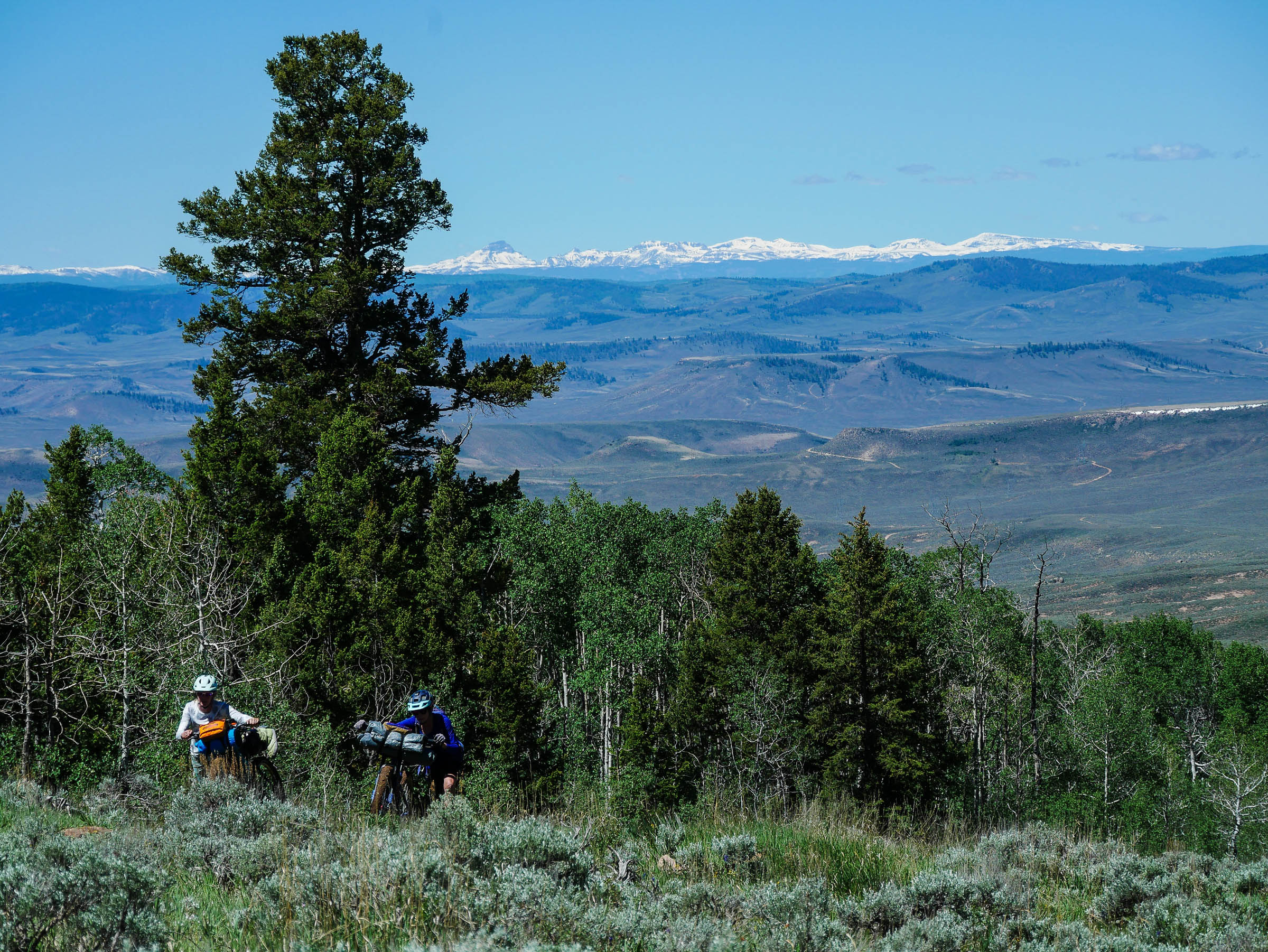
Route Development: My friend Kimberly Griffin is an experienced bikepacker and has created routes all over Colorado and beyond. She came up with this route, and she and I did it as a one-night recon for a more beginner intermediate group of ladies to set out on a two-night trip with manageable miles. It was perfect, with the right amount of miles and elevation to feel challenged and accomplished with great rewards and views along the way!


Highlights
Must Know
Camping
Food/H2O
Trail Notes
Resources
- The view of Tomichi Dome dropping down the west side of Black Sage Pass
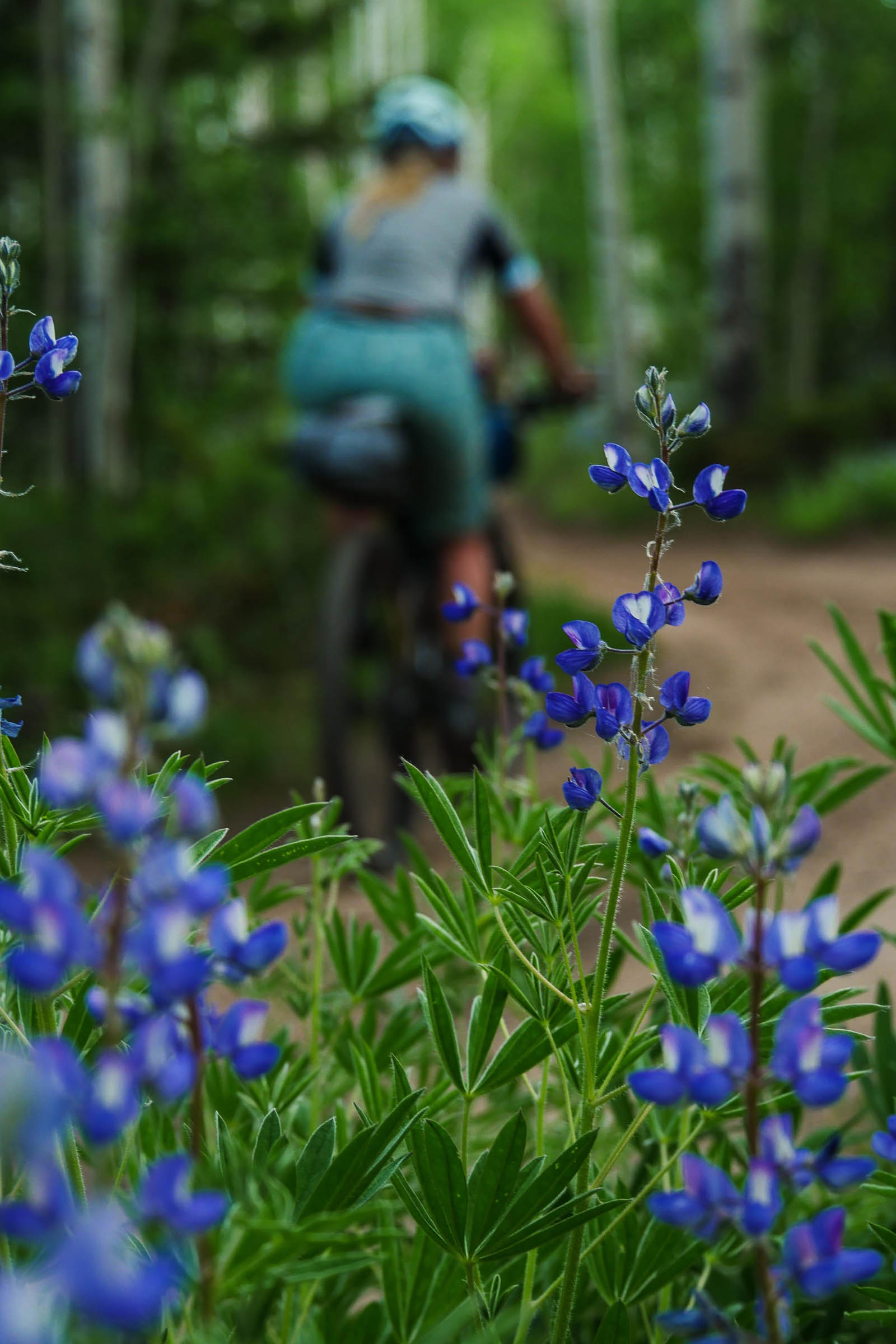
- Aspen Groves on the first half of the route; this would be incredible in the fall!
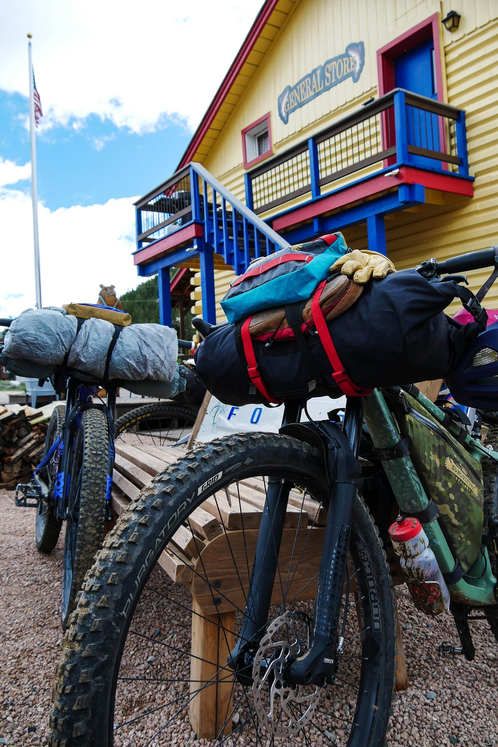
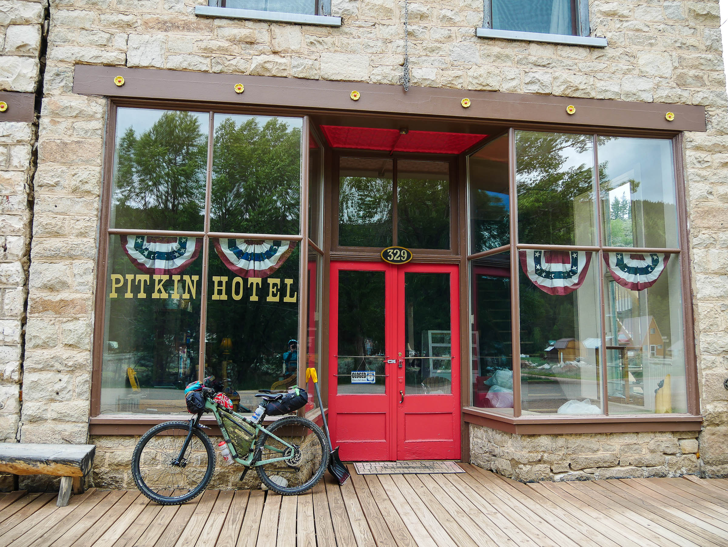
- Historic town of Pitkin, a must stop at the Pitkin Store
- Indian Head Rock landmark
- Riding through lush ranch lands
- Sage Brush and Red Rocks on day three up Woods Gulch
- 360 degree views on Yellow Pine Ridge
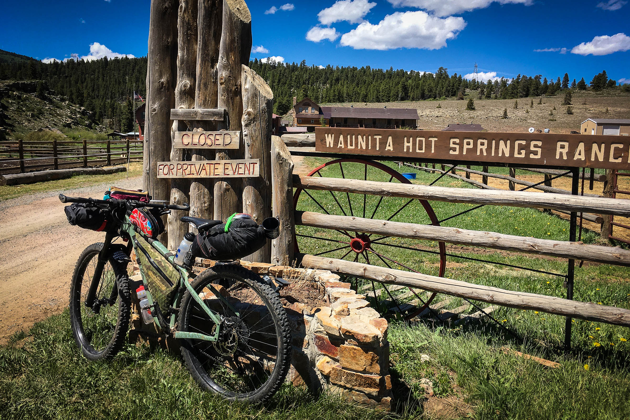
- Waunita Hot Springs for a quick soak
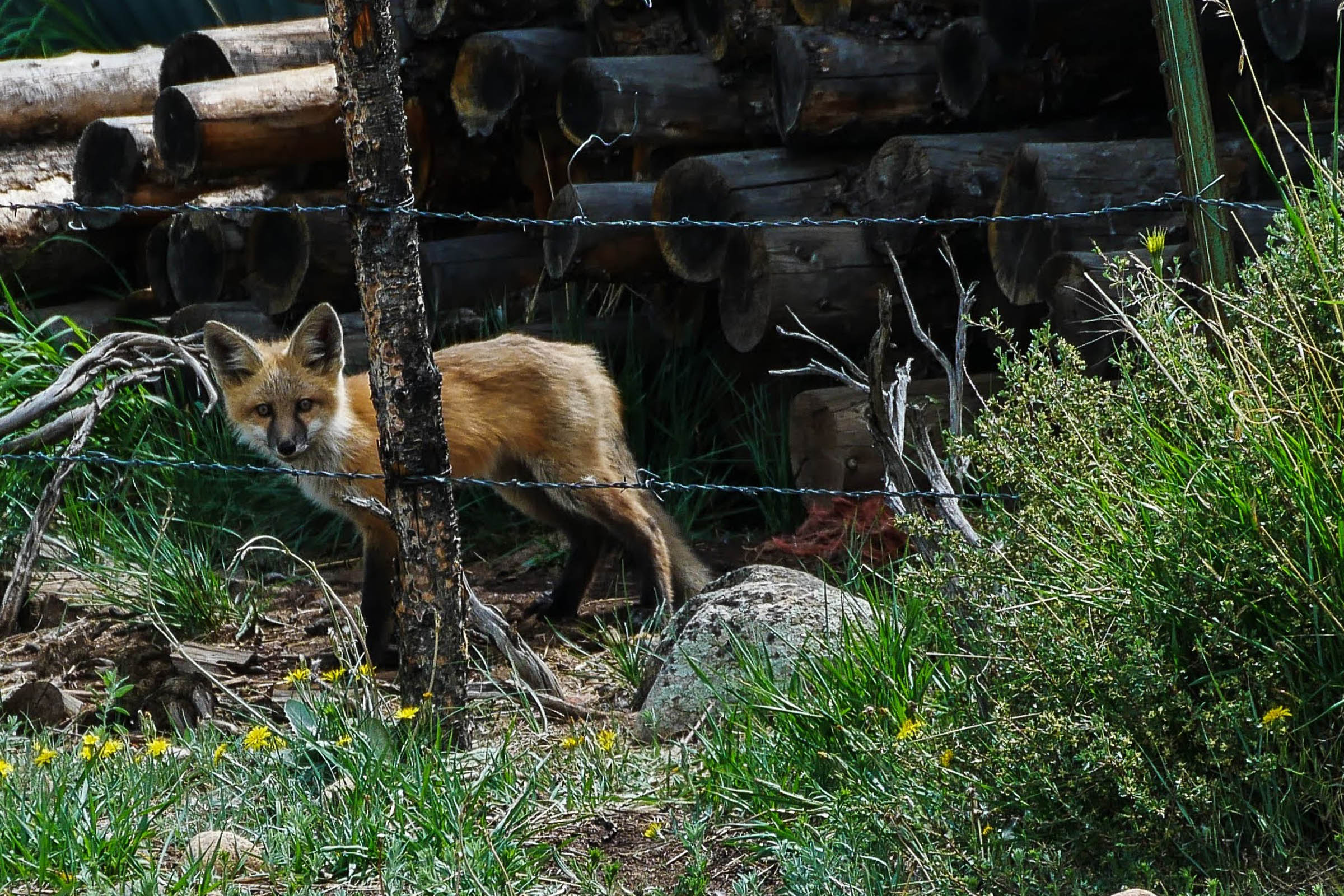
- Large variety of wildlife and song birds
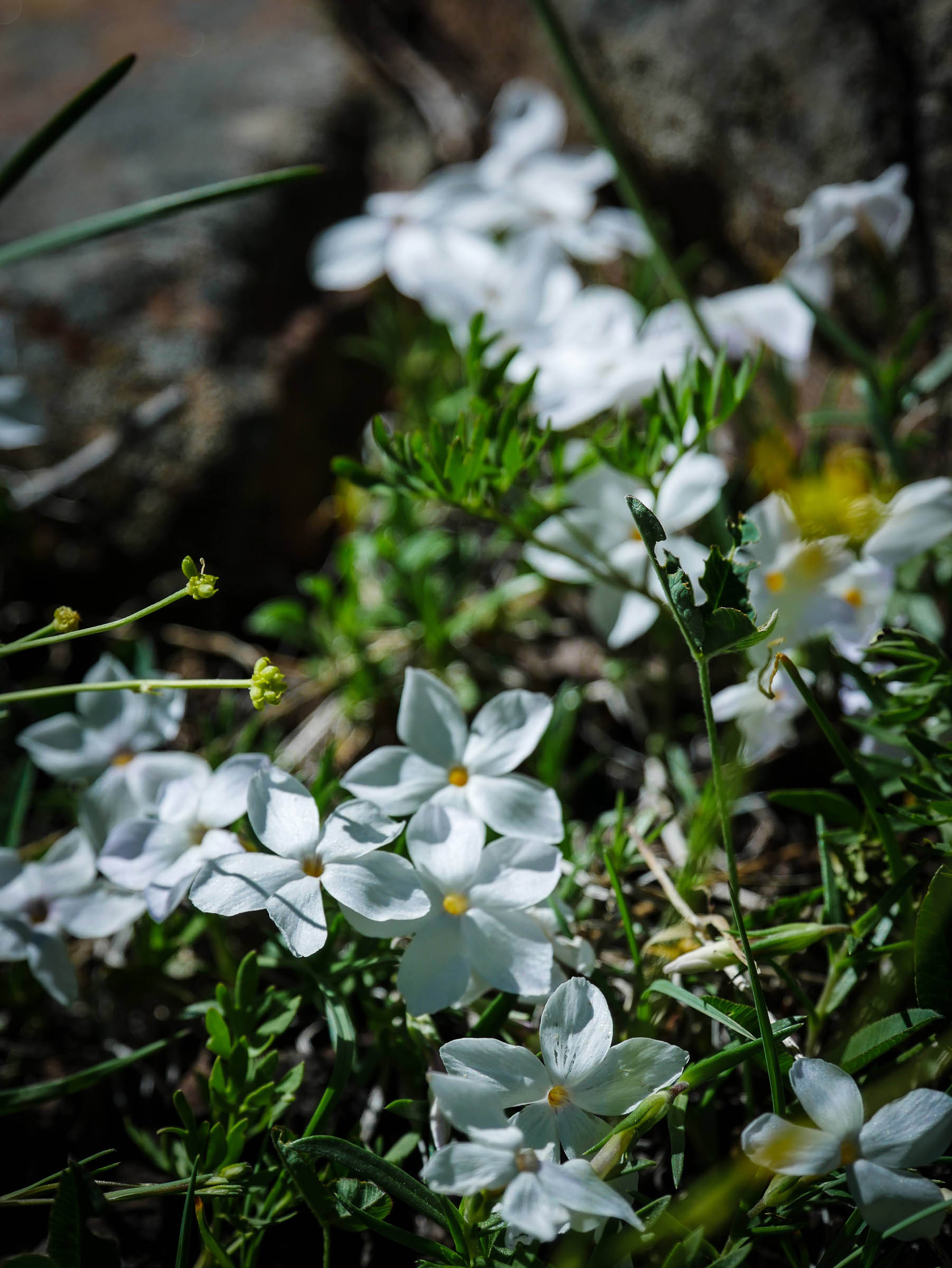
- Wildflowers galore in the spring
- This loop is good late spring thru late fall. Storms are possible, but the elevation is never above treeline. On our spring trip, June 12th brought three inches of snow!
- Start the route just outside of Sargents, Colorado on highway 50, 45 minutes from Salida and 35 minutes from Gunnison. Get last minute supplies or a delicious burger before or after your ride and the Tomichi Creek Trading Post. Park half mile northeast of Sargents at Daley Gulch, just past the CDOT pull outs. The route is on all open county and forest service roads and no permits are required. Bring some cash or credit card for resupply and food in Ptikin, bring a water filter for sure! Logistics
- Bears… have a way to hang your food. We did not have a bear encounter, but we saw plenty of bear tracks. Black Sage Pass and Waunita Pass are open to motorized vehicles, be aware of them.
- A local said careful of mountain lions in the Wood’s Guch area; we saw no signs on our trip.
- Check local fire ban information. We had no campfires on this trip
- Camping for night one options are abundant on the south side of Waunita Pass, with options near a water souce. There are posted areas of private, with most the the pass being US National Forest.
- Woods Gulch has a lot of camping, with fewer options for water, be prepared to dry camp in mid summer or late fall. This area is used by ranchers to graze cattle, you may have some bovie friends nearby.
- Tomichi Creek Trading Post in Sargents, CO is good for any last minute food items.
- Ample water to filter in the valley along Balck Sage Pass and up Waunita Pass.
- Pitkin General Store for food resupply and the food truck next door for a burger or hot meal.
- Be prepared with water and to dry camp up Wood’s Gulch, Quartz Creek parallels the road, so possibility to filter before heading up Wood’s Gulch.
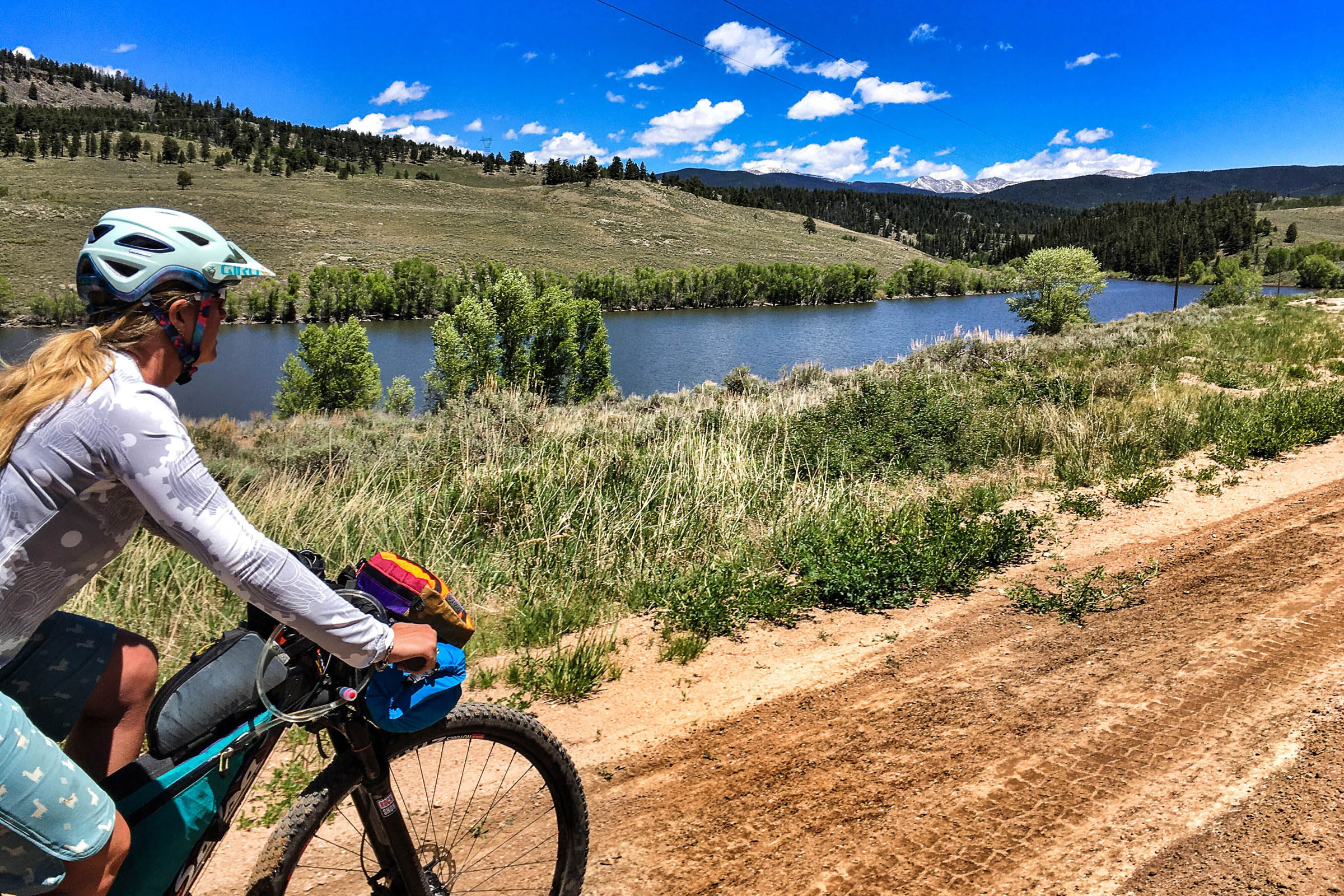
- Waunita Reservoir and Waunita Creek are great options for filtered water.
- Waunita Hot Springs is open to the public, but you should call ahead a if you are wanting to soak. They have water, sodas and snacks, bathroom and pool. Some of the mostly friendly people I have ever met!
Day 1
Late afternoon start, 4:30 pm. Park at Daley Gulch, head up HWY 50 for about 100 yards, take a left on county road 888, head north along Tomichi Creek. This is a great 6 mile warm up along some paved and some dirt road, look for the next left on to county road 887 to turn you towards Black Sage Pass. the climb will gradually send you up into the aspens to top out at 9, 670 in about 3.5 miles. The road comes out of the trees and the vast valley and the looming Tomichi Dome will take your breath away. Enjoy the easy coast down and keep in your head that you be climbing bach up Black Sage Pass in a couple days. After descending to the valley for 4 miles turn left on to cty rd 774A and a quick .5 miles a right on to cty rd 763, Waunita Pass road. There are numerous campsites as you climb up into the aspens and along Hot Springs Creek. Find your prime spot for the night and set camp. Along the west ridge, facing east, if you stay low enough you can get morning sun!!! Our route took us to about 15.5 miles on day one.
Day 2
10AM departure. Wake up , pack up, head up Waunita Pass for 4 miles starting in the aspens and finishing in the dark timber at 9,993. Send it down to Pitkin, where the Pitkin General Store is for refuel. Head out of town on cty rd 76, the next bit is the on a paved cty road with a slight grade down for 12 miles. Look for a left on to cty rd 44, this section has open grazing so watch for cattle and what they leave on the road. This section is a well grade county road for 3 miles take a left on to Wood’s Gulch, forest service road 3097 that turns into 802, you will have to go thru a swinging metal gate. Climb up a couple miles to get into some trees, the further up the road the more likely to find water. Dry camping is a strong possibility. 25-30 mile day depending on where camp ends up.
Day 3
9AM start. Wood’s Gulch will climb up to Yellow Pine Ridge. There are a few intersections along the way, it is well marked with forest service signs. After a cattle guard it will become double track and this will be the steepest part of the entire ride. Rideale to many, hike-a-bike to some. Up into the aspens and then to the saddle and top of Greathouse Gulch, a quick 5-6 miles from camp. Descending Greathouse Gulch for 3 miles will dump you at Hot Springs Reservoir, with a creek crossing at the bottom. It was an easy portage, could change depending on time of year. Up the hill and take a left on to 887, rolling climb will take you to Waunita Hot Springs Resort. Hope you have time for a soak. In half a mile from the hot springs, you will completed the loop and now will finish the stick part of the ride. Stay on 887 and go up and over Black Sage Pass, take a right at cty. Rd. 888 and sail down hill back to Daley Gulch and the vehicles. 24 miles.
Extra Credit Option
Top of Black Sage Pass, turn right on to Quakey Mtn. Trail, 537. It will start as a double track and turn to singletrack, there is a hefty hike-a-bike section and some really fun rideable sections. This will turn back into double track and dump you down Daley Gulch with crossing Tomichi Creek at the bottom. End of May it was quite treacherous crossing the creek, opted out of this addition first of June due to more run off. Would be super safe late summer and fall. This section is 6 miles, it will cut off four miles, but take a little longer.
Additional Resources
- Pitkin, Colorado: pitkincolorado.com
- Ohio, Colorado: uncovercolorado.com/ghost-towns/ohio-city/
- Latitude 40 Map of Crested Butte, Aspen, and Gunnison: latitude40maps.com


Terms of Use: As with each bikepacking route guide published on BIKEPACKING.com, should you choose to cycle this route, do so at your own risk. Prior to setting out check current local weather, conditions, and land/road closures. While riding, obey all public and private land use restrictions and rules, carry proper safety and navigational equipment, and of course, follow the #leavenotrace guidelines. The information found herein is simply a planning resource to be used as a point of inspiration in conjunction with your own due-diligence. In spite of the fact that this route, associated GPS track (GPX and maps), and all route guidelines were prepared under diligent research by the specified contributor and/or contributors, the accuracy of such and judgement of the author is not guaranteed. BIKEPACKING.com LLC, its partners, associates, and contributors are in no way liable for personal injury, damage to personal property, or any other such situation that might happen to individual riders cycling or following this route.
Please keep the conversation civil, constructive, and inclusive, or your comment will be removed.