


Wayne Forest Trail Tour
Distance
65 Mi.
(105 KM)Days
2
% Unpaved
80%
% Singletrack
35%
% Rideable (time)
95%
Total Ascent
6,920'
(2,109 M)High Point
1,150'
(351 M)Difficulty (1-10)
6?
- 7Climbing Scale Strenuous106 FT/MI (20 M/KM)
- -Technical Difficulty
- -Physical Demand
- -Resupply & Logistics
Contributed By

Marco Fantin
Guest Contributor
Marco grew up running under the Alps of Italy and discovered mountain biking and bikepacking only when he moved to Pittsburgh, PA, in 2015. He has since turned a number of runners into bikepacking addicts, including his girlfriend. Find out more about their adventures at twowheelsfewbags.
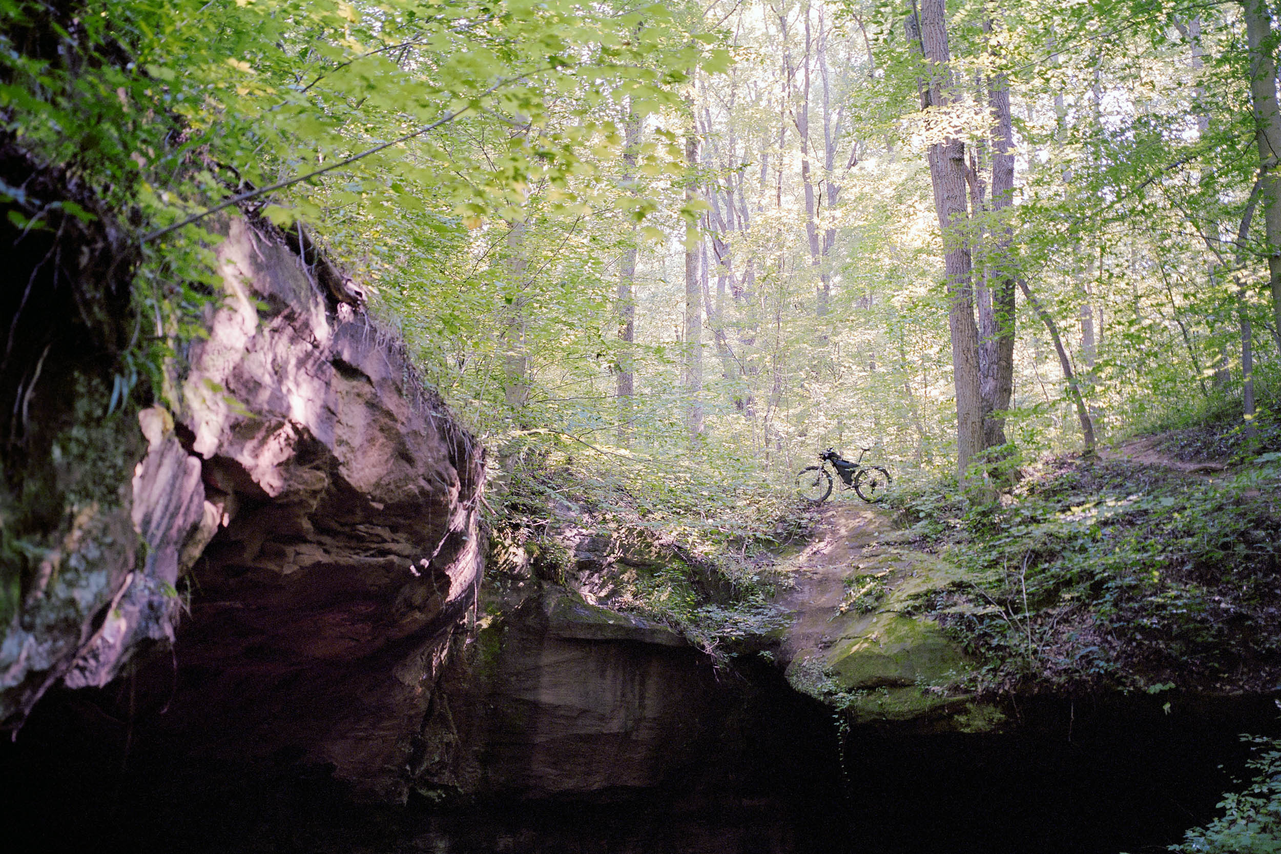
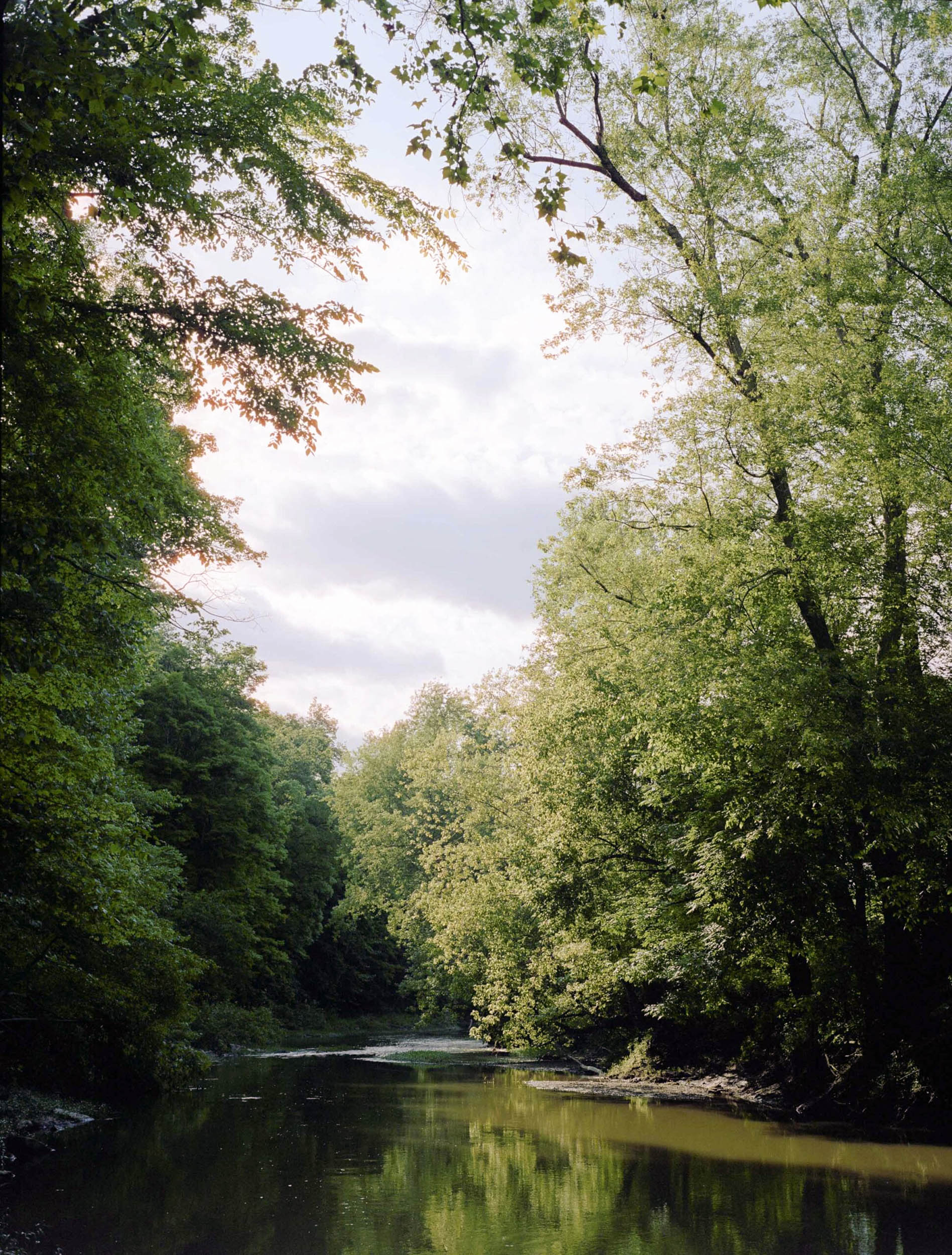
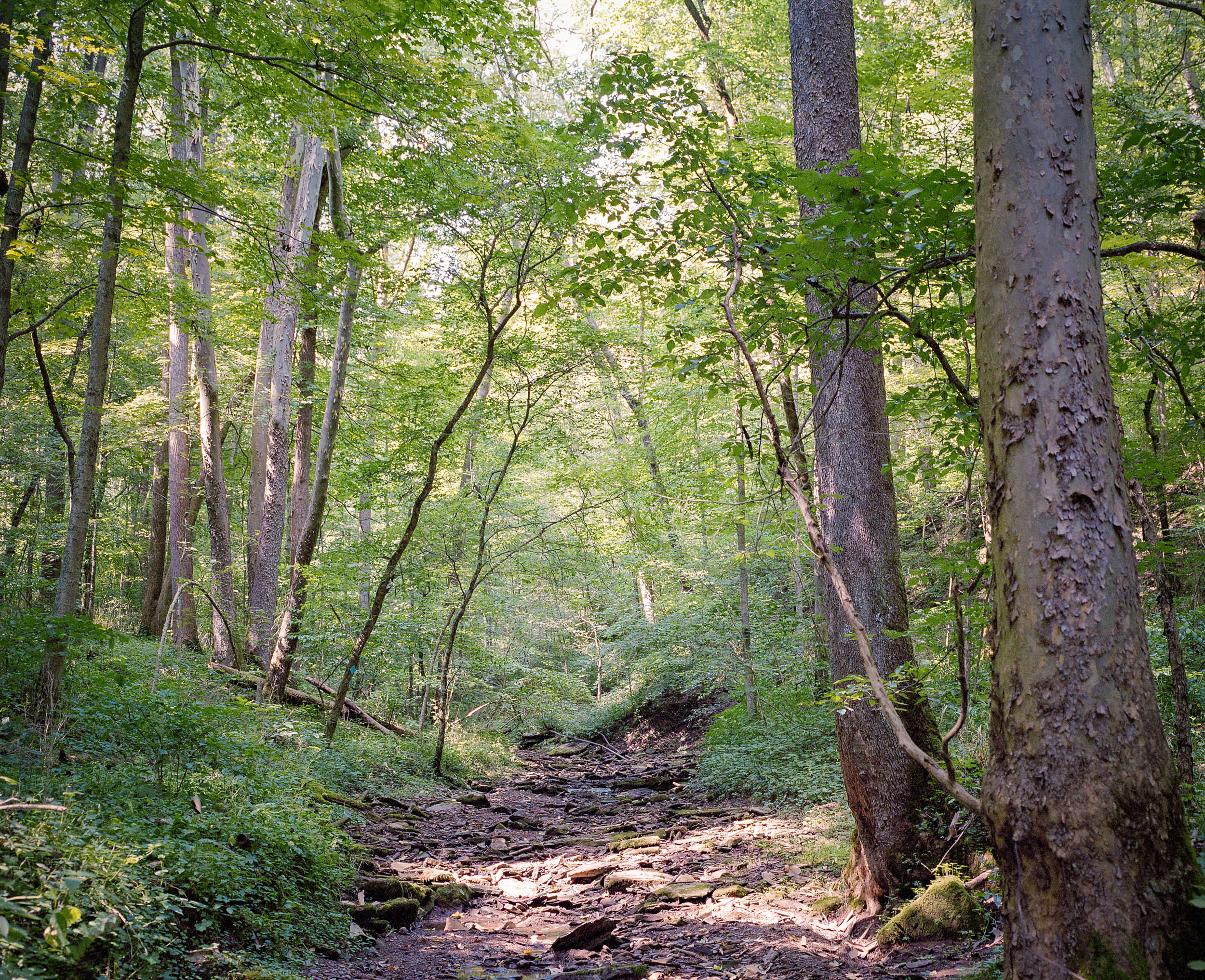
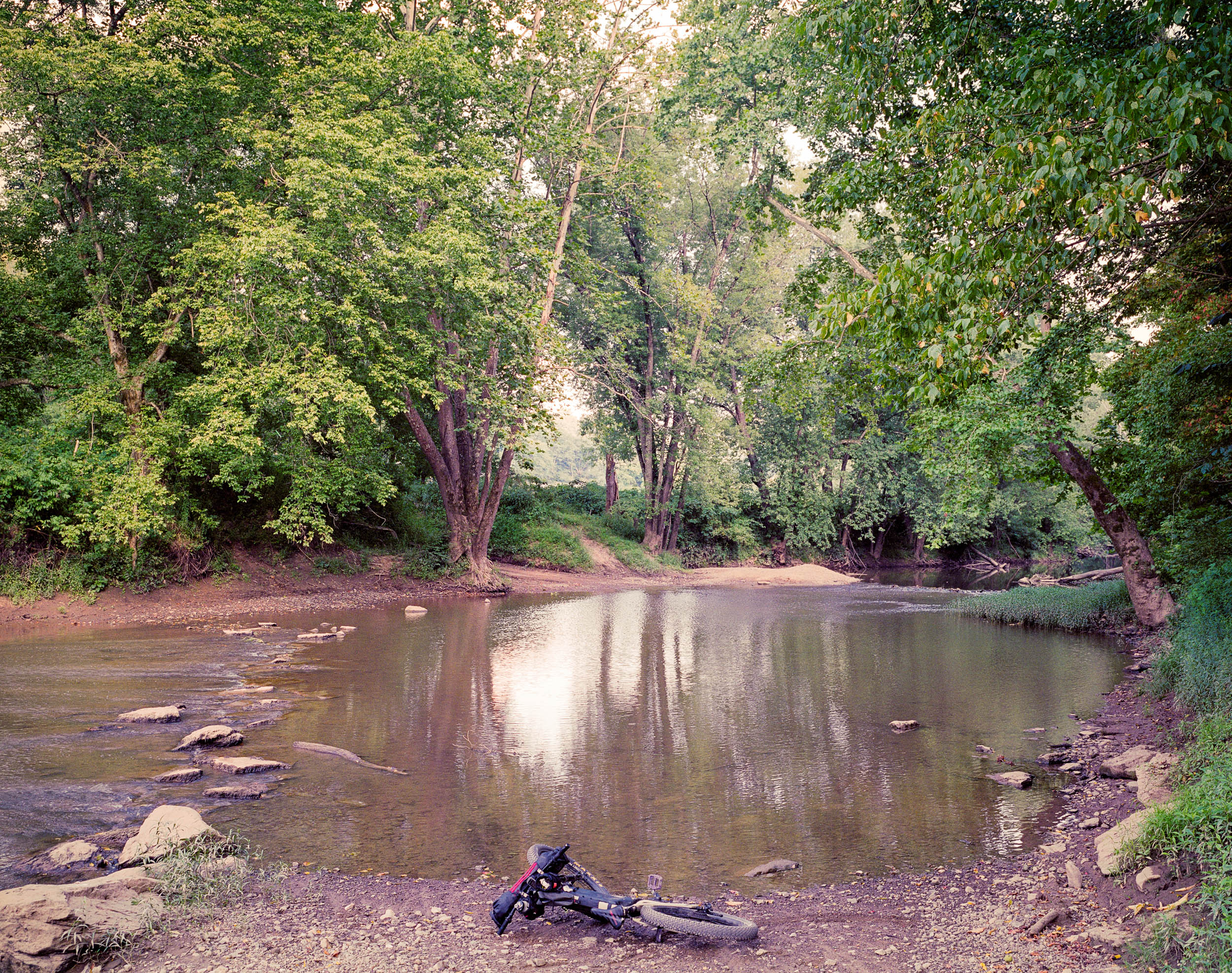
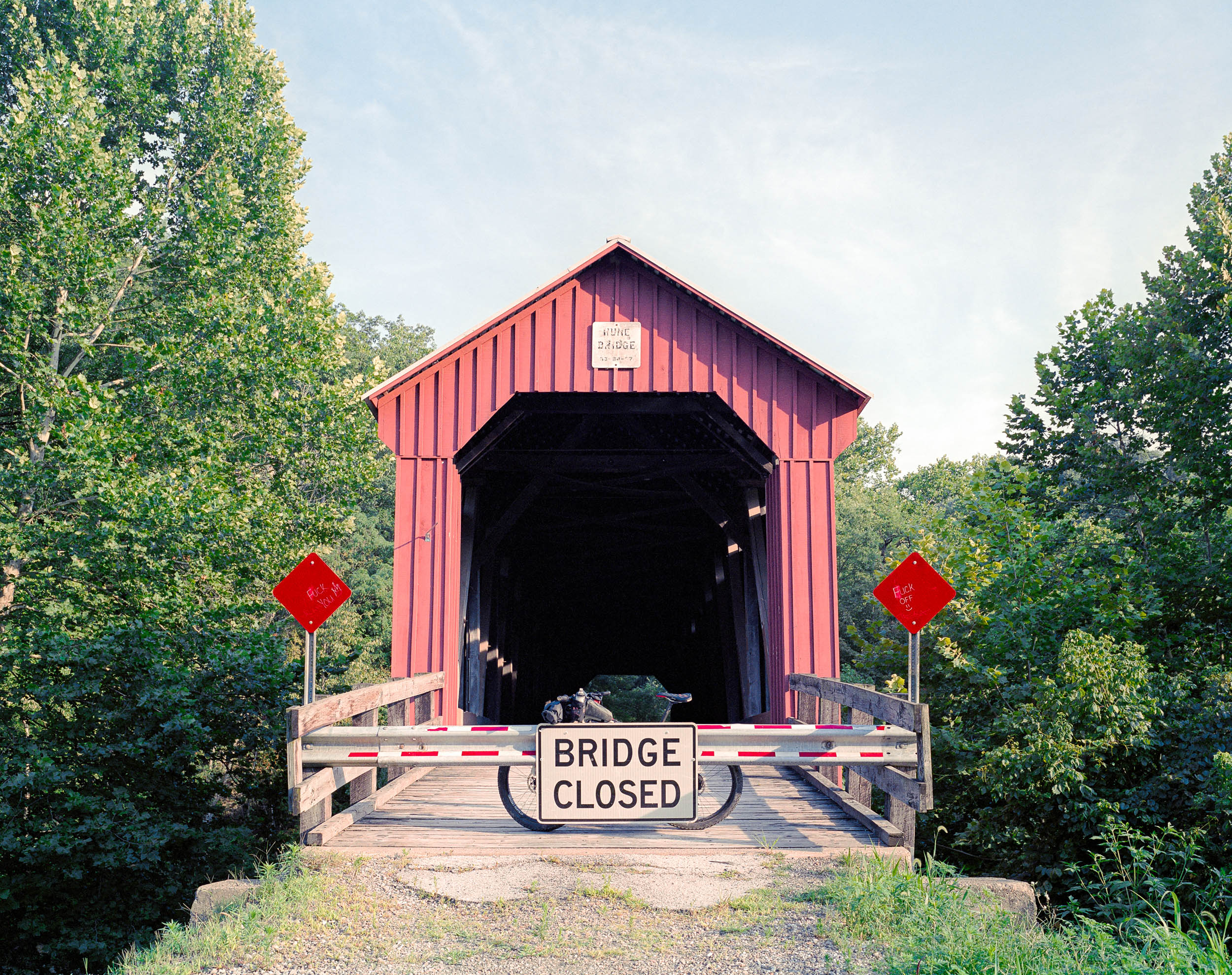
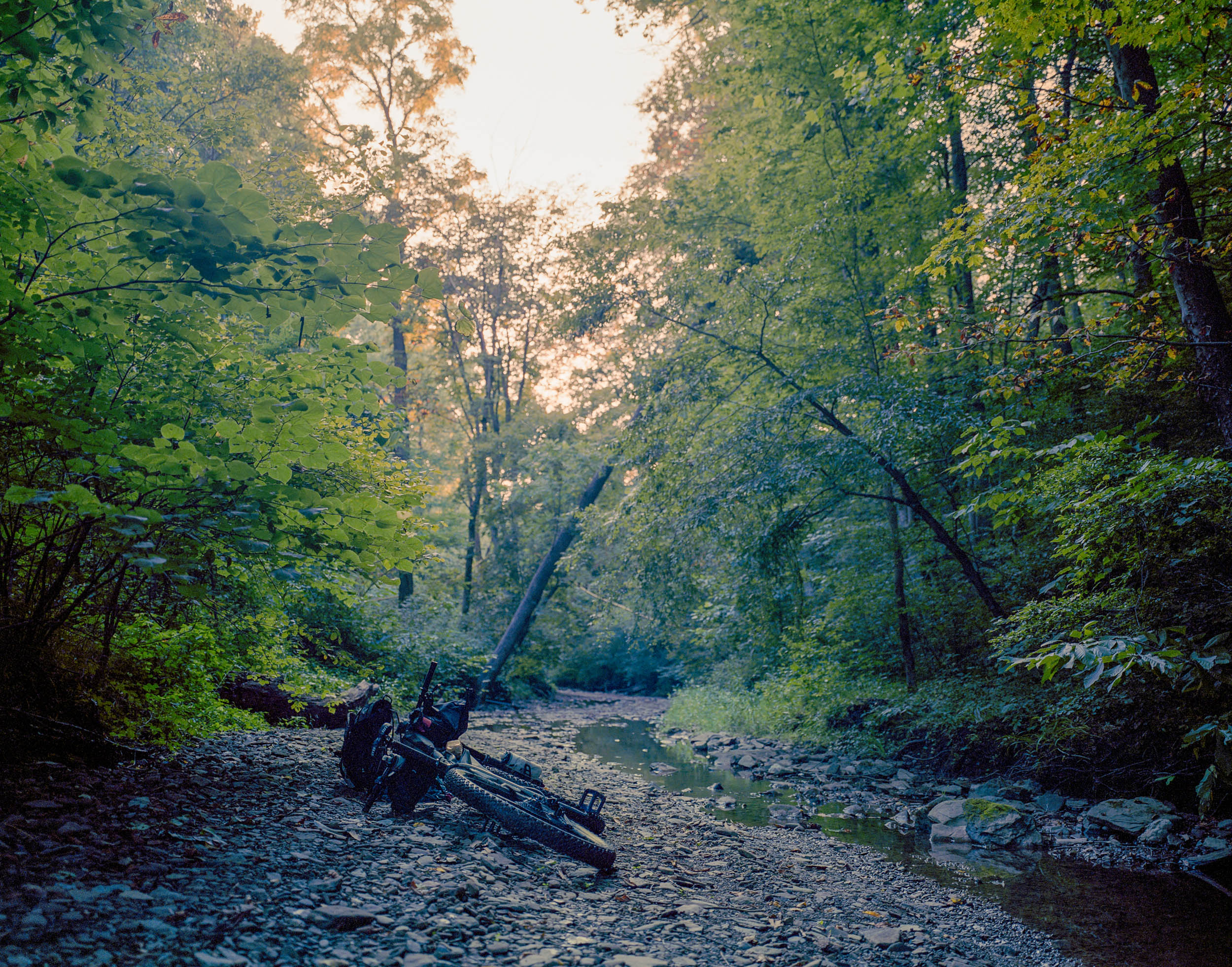
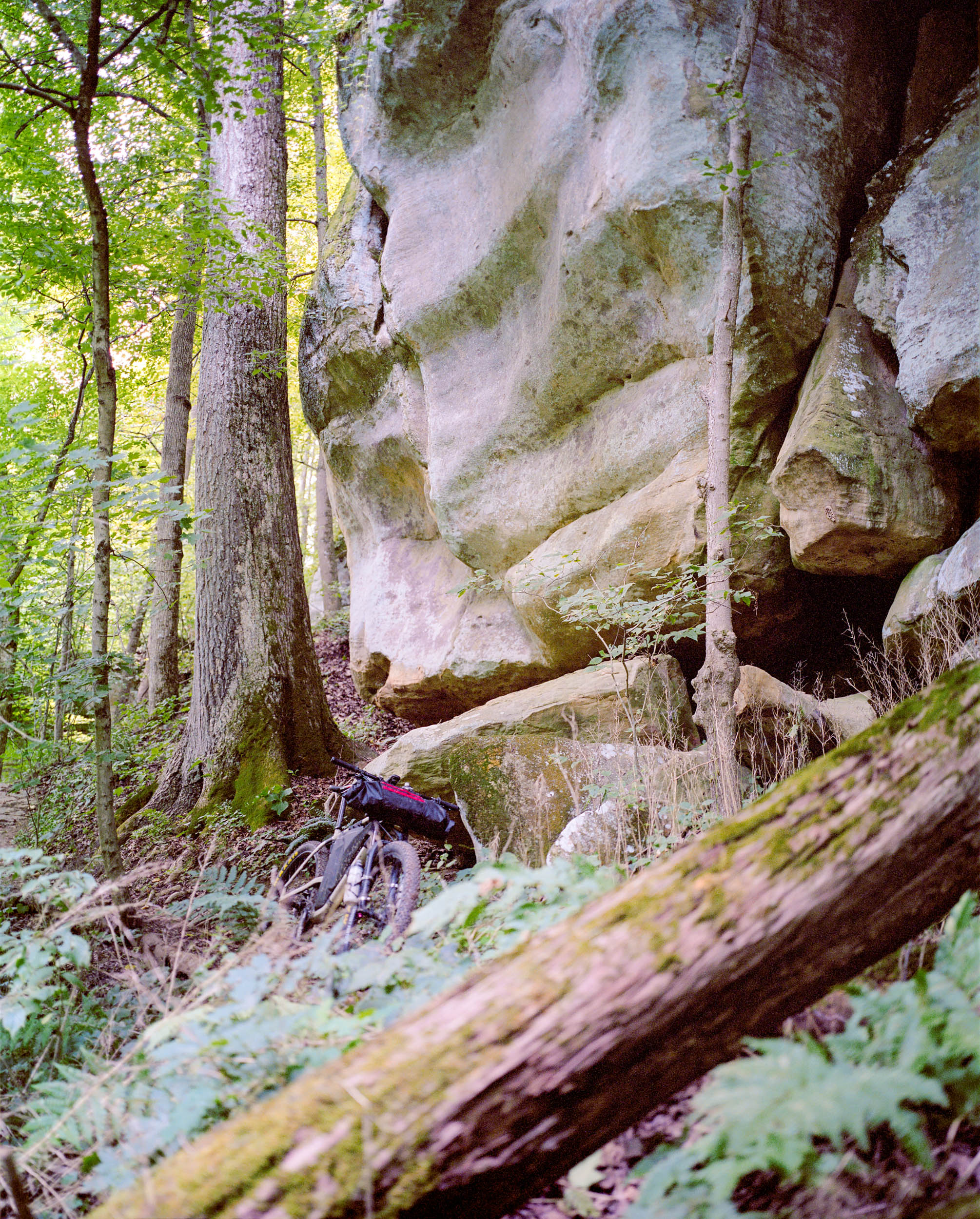
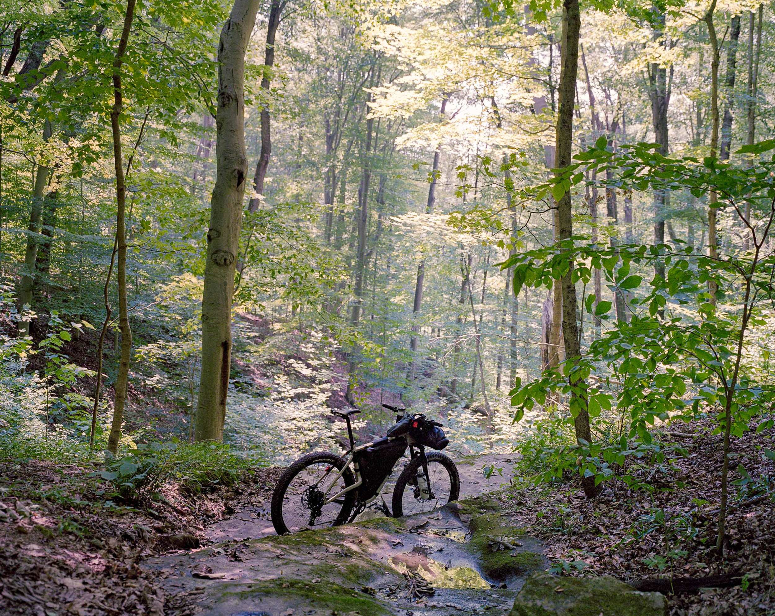
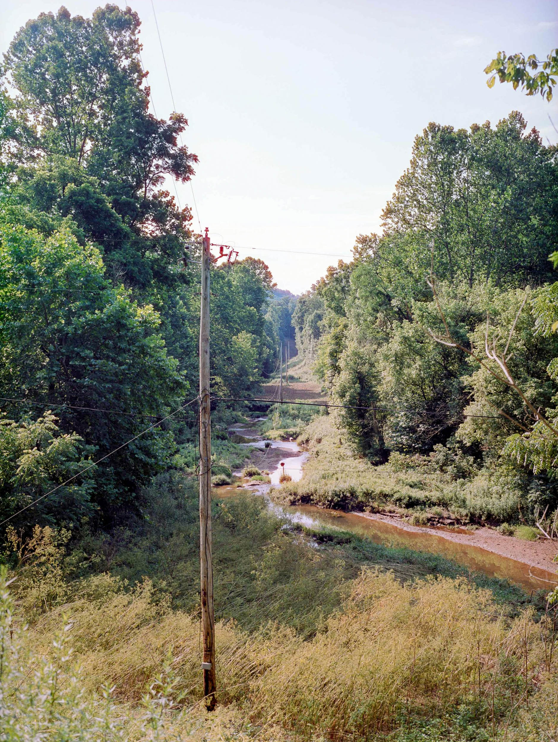
The Wayne National Forest is located on the edges of the Allegheny Plateau, one of the most ancient mountain ranges in the world. This means the topography is far from the stereotypical Ohio flatland. There are, in fact, a lot of hills, steep climbing, and great descents! Almost all the amazing Archers Fork Trail is part of the route, about 15 miles total. Archers Fork is one of the most scenic hiking/biking trails in Ohio, featuring several sandstone rock formations, a great cave, and a rock bridge (see highlights on the trail map). And, yes, there are also a couple of old-fashioned covered bridges to cross. In other stretches along the route, instead, there are no bridges at all, so you will have to get your feet wet over a few small rivers and streams.
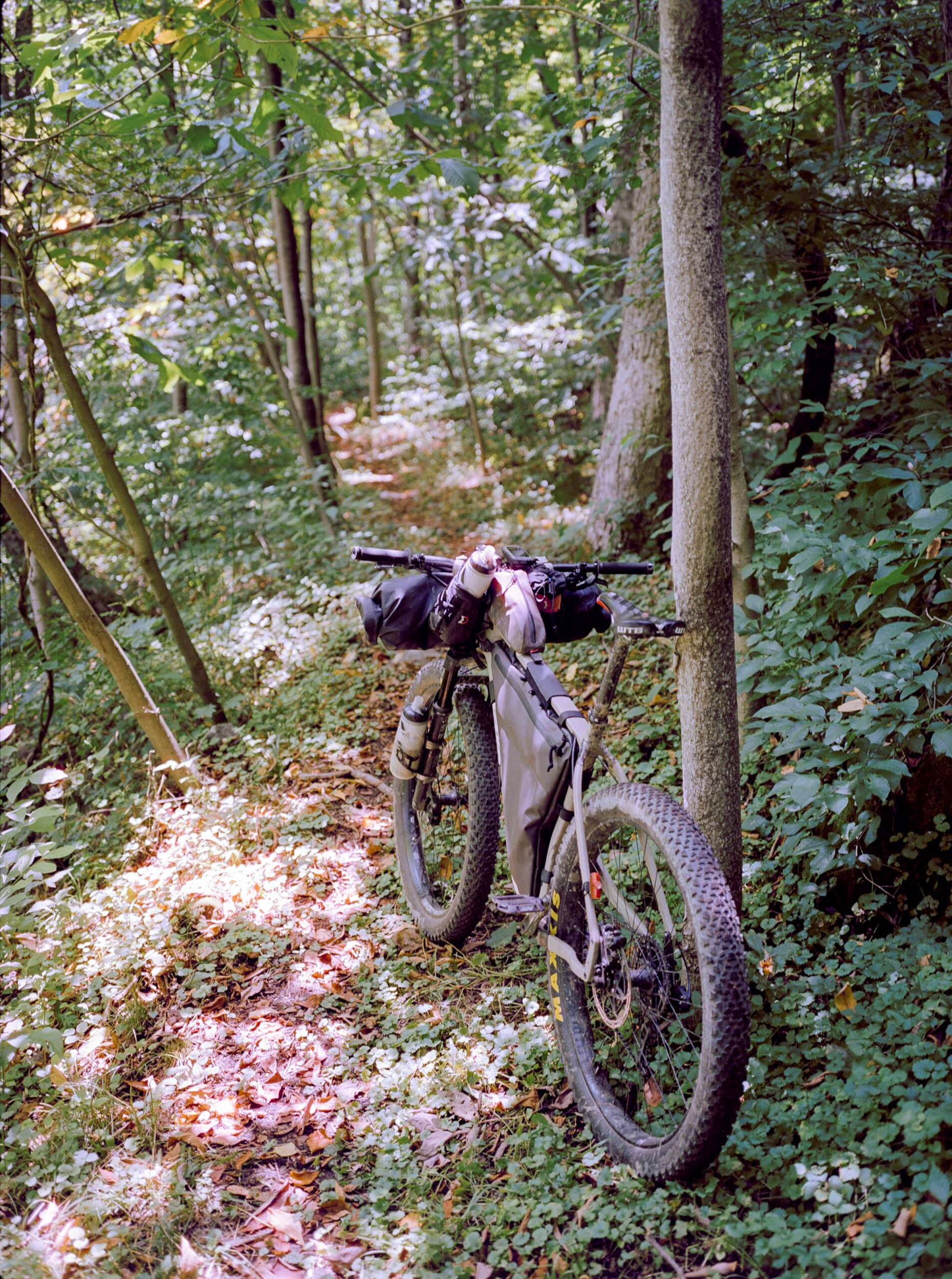
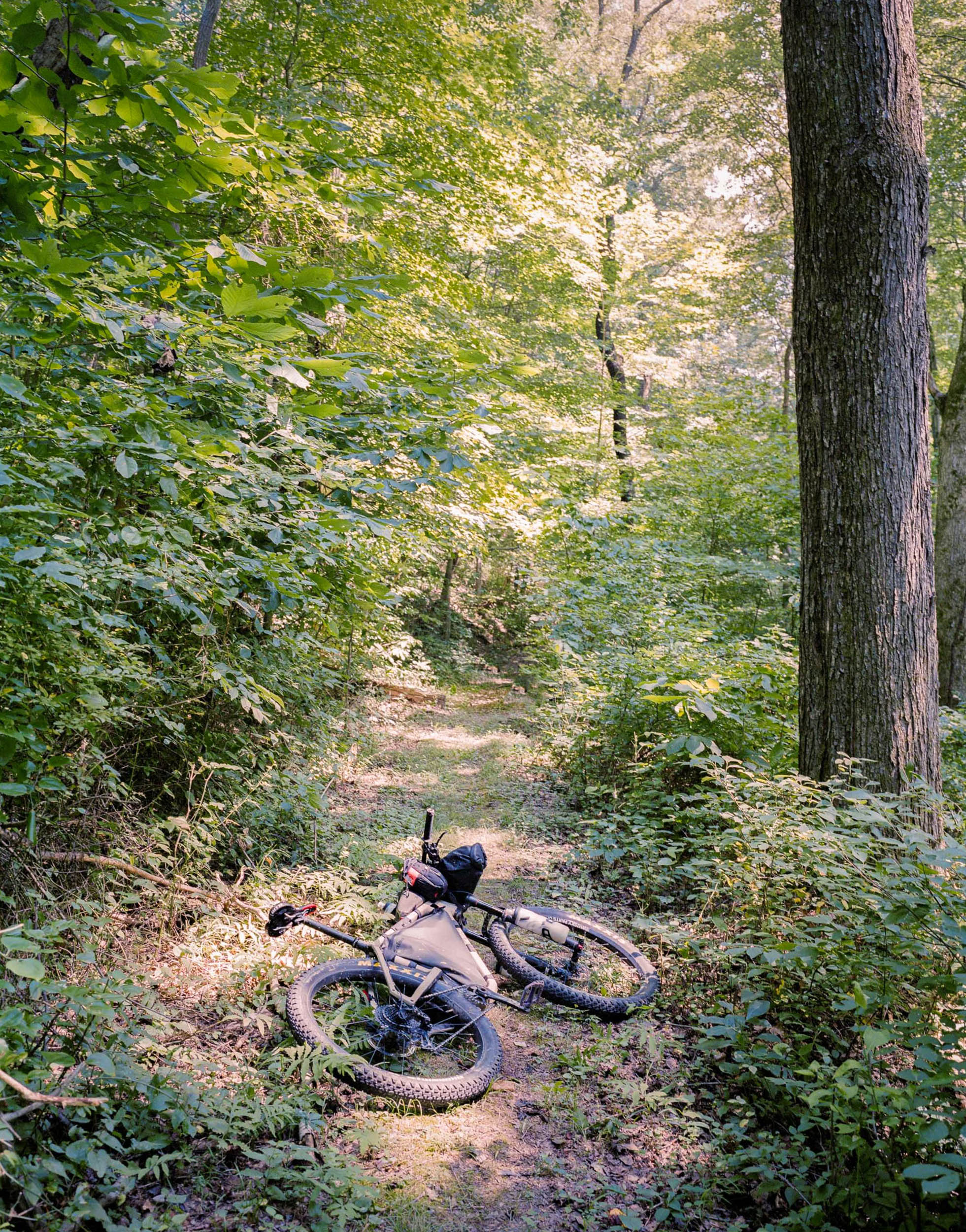
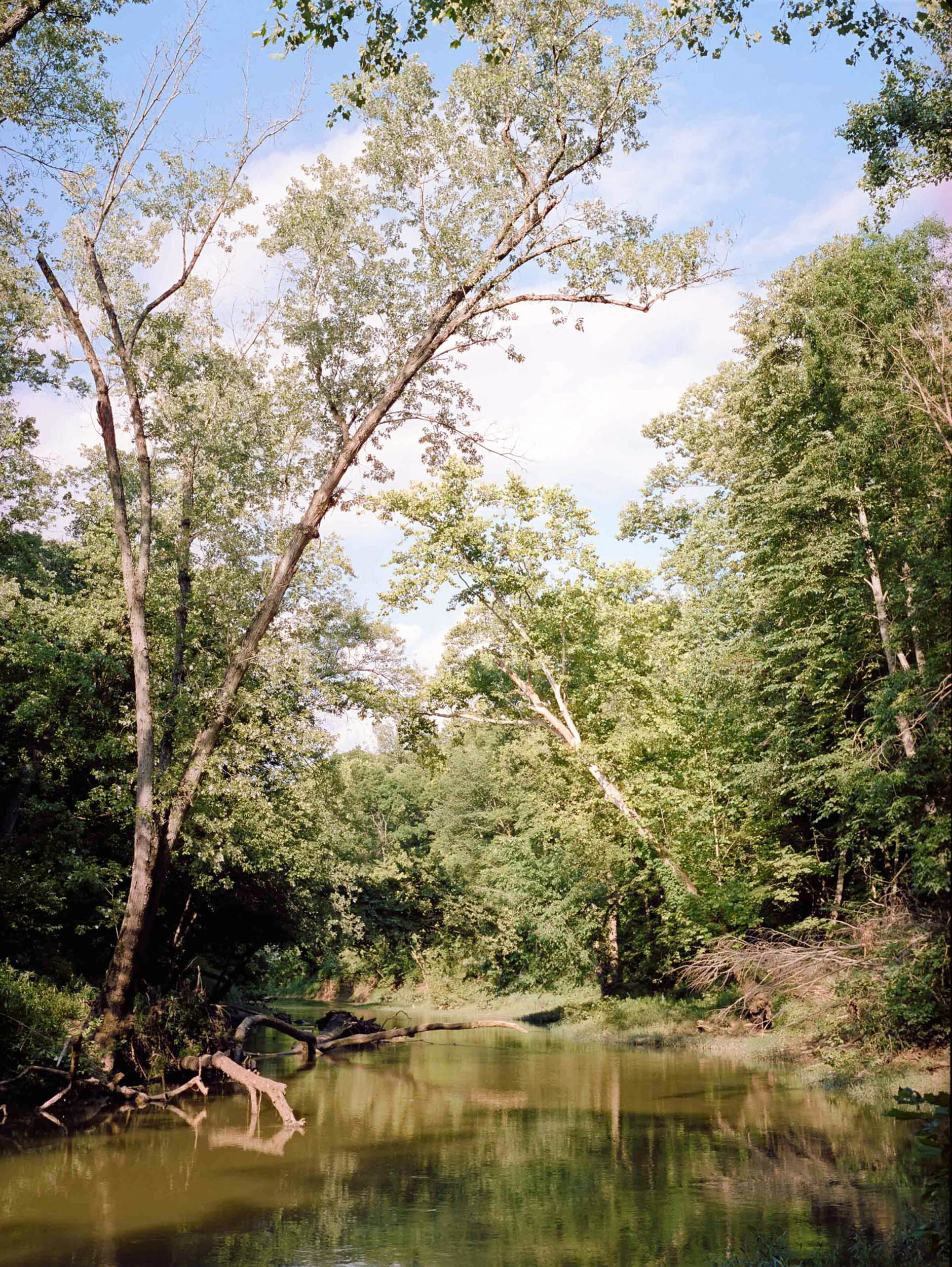
The loop flows between smooth gravel and technical singletrack (intermediate/advanced level), with the occasional paved connection. Archers Fork and the surrounding trails are mostly used as hiking trails. Mountain biking, although completely legal, can be tough at times on steep and rocky terrain. There are two or three hike-a-bikes (too steep to climb) that last about 10-15 minutes each, but otherwise, the trails are almost all rideable. You will meet some hikers on Archers Fork Loop, but for most of the other trails, you can expect to be on your own on minor paths that can be poorly maintained and seldom traveled. You will be led deep into the forest, and in late summer and fall, assume to get at least a few spiderwebs on your face since you will be the first one to ride most of the trails. The landscape opens up considerably toward the eastern side of the route, where there are expansive views of the mighty Ohio River.
Overall, this short route has an epic feel to it that’s difficult to put into words… from the drive on scenic Route 7, to entering the dense Wayne Forest, climbing up the ancient Allegheny plateau, fighting the rough singletracks, sleeping on firefy-infested fields, and diving down Ohio View Trail.
Route Difficulty
This route is rated as a 6, mostly because of the technical riding and steep climbs. This is a rather difficult loop with about 30 miles of technical singletrack of intermediate (blue) and advanced (black diamond) level. I would not enjoy riding it without front suspension. There are two or three hike-a-bikes that last about 10-15 minutes each, but otherwise the terrain is almost all rideable. I would try to pack light to be nimble on the trails and the climbs. There’s water aplenty year-round (with a filtration system), but there is no food resupply along the route.
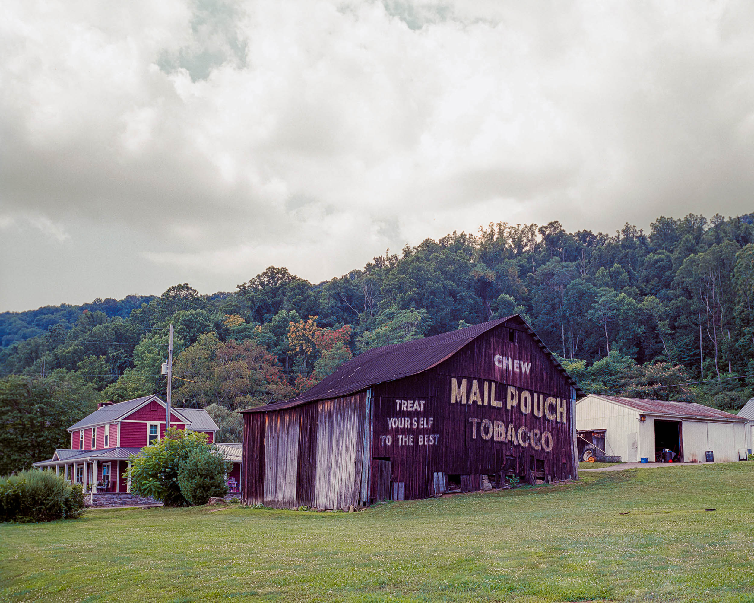
You will see some old abandoned mining equipment lying around. This is part of the area’s industrial past, which was once a mining and lumbering center. The original forest was cleared to make space for these activities, which led to severe erosion and poor soil composition. The Wayne National Forest was started as part of a reforestation program. So, by using these trails, you are making sure they stay public, free, and safe. Visit this site for more information.


Submit Route Alert
As the leading creator and publisher of bikepacking routes, BIKEPACKING.com endeavors to maintain, improve, and advocate for our growing network of bikepacking routes all over the world. As such, our editorial team, route creators, and Route Stewards serve as mediators for route improvements and opportunities for connectivity, conservation, and community growth around these routes. To facilitate these efforts, we rely on our Bikepacking Collective and the greater bikepacking community to call attention to critical issues and opportunities that are discovered while riding these routes. If you have a vital issue or opportunity regarding this route that pertains to one of the subjects below, please let us know:
Highlights
Must Know
Camping
Food/H2O
Trail Notes
- The amazing trail system of Wayne National Forest, including Archers Fork Trail, Greenwood Trail, Pioneer Trail, Ohio View Trails, and many others.
- Ride alongside impressive rock formations, sandstone cliffs, a natural stone bridge, and a great cave.
- Pedal through picture-perfect covered bridges of Rinard and Hune.
- Dive down to the bottom of the valley, with large views of the Ohio River.
- Sleep in one of many primitive and remote campsites. You might be encircled by many beautiful fireflies that look like little fireworks.
- The trails are closed from December 15th to April 15th.
- There are several river crossings that will be dangerous in high water, so riding it during drier weather is recommended.
- The forest is well-connected via the scenic State Route 7 (a recommended drive). From the north, another good access point is the parking at Ludlow Catholic Cemetery.
- There are a few small shallow rivers and streams to cross.
- Ideal bike: a lightweight full-suspension or plus-size hardtail plus sturdy soles for the hike-a-bikes.
- Primitive camping is allowed in Wayne National Forest, but the terrain can be steep or overgrown, so finding a good spot might take some time.
- There are a few good primitive campsites (marked on the map) on Scenic River Trailhead. Some small organized campgrounds are also marked (Leith Run, Haught Run, and Hune Bridge).
- Plenty of primitive campsites are available on Archers Fork Loop, every few miles or so.
- There are plenty of streams to filter water every 5-10 miles or sooner.
- There are no food resupply points along the route.
Here’s a brief synopsis of my last ride on the route:
Day 1
On day one, I parked along Route 7 and then made my way to the trailhead at Leigh Run Campground. I started climbing up (and down) Greenwood Trail and Scenic River trail. Then, Pioneer Trail was particularly rough. Some nice gravel and asphalt brought me to Hune Bridge and the Covered Bridge Trail.
Day 2
On day two, via gravel roads and a stretch of Pioneer Trail, I reached archer’s Fork Trail, the highlight of the loop. After riding (or scrambling) around Archer’s Fork Loop, Jackson Run Trail and Ohio View Trail brought me back down to the bottom of the valley on the banks of the Ohio River.


Terms of Use: As with each bikepacking route guide published on BIKEPACKING.com, should you choose to cycle this route, do so at your own risk. Prior to setting out check current local weather, conditions, and land/road closures. While riding, obey all public and private land use restrictions and rules, carry proper safety and navigational equipment, and of course, follow the #leavenotrace guidelines. The information found herein is simply a planning resource to be used as a point of inspiration in conjunction with your own due-diligence. In spite of the fact that this route, associated GPS track (GPX and maps), and all route guidelines were prepared under diligent research by the specified contributor and/or contributors, the accuracy of such and judgement of the author is not guaranteed. BIKEPACKING.com LLC, its partners, associates, and contributors are in no way liable for personal injury, damage to personal property, or any other such situation that might happen to individual riders cycling or following this route.
Please keep the conversation civil, constructive, and inclusive, or your comment will be removed.