


Westfjords Way
Distance
575 Mi.
(925 KM)Days
6-8
% Unpaved
40%
% Singletrack
0%
% Rideable (time)
90%
Total Ascent
49,300'
(15,027 M)High Point
1,940'
(591 M)Difficulty (1-10)
7?
- 6Climbing Scale Moderate86 FT/MI (16 M/KM)
- -Technical Difficulty
- -Physical Demand
- -Resupply & Logistics
Contributed By

Chris Burkard
Guest Contributor
Chris Burkard is best known for his photographs and films documenting the Earth’s last wild places. When not using his camera, he can be found in the saddle enjoying long days on the bike, usually riding into a headwind with gummy bears close at hand. Explore more of Chris’ work at @chrisburkard.
Photos by Rugile Kaladyte (@rugilekaladyte) except where noted
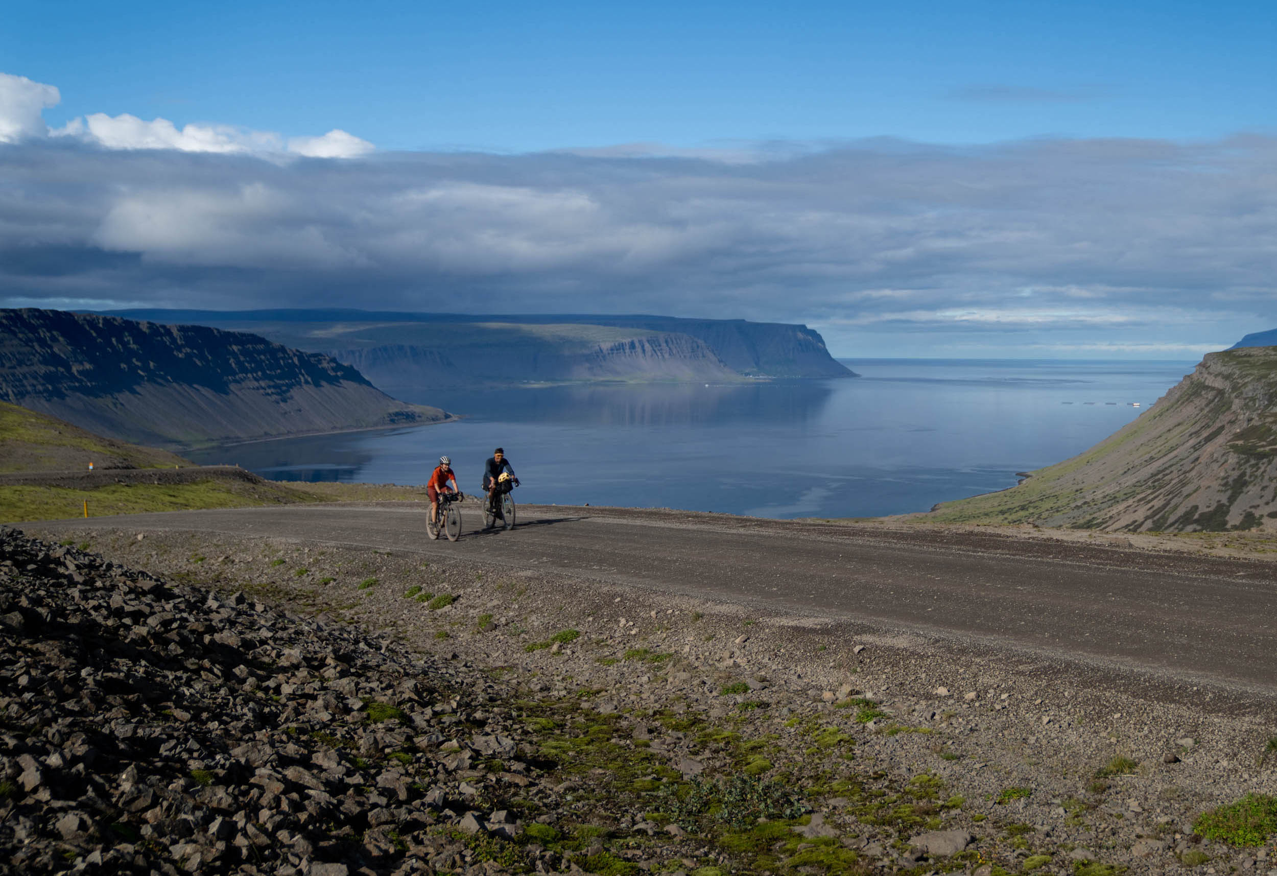
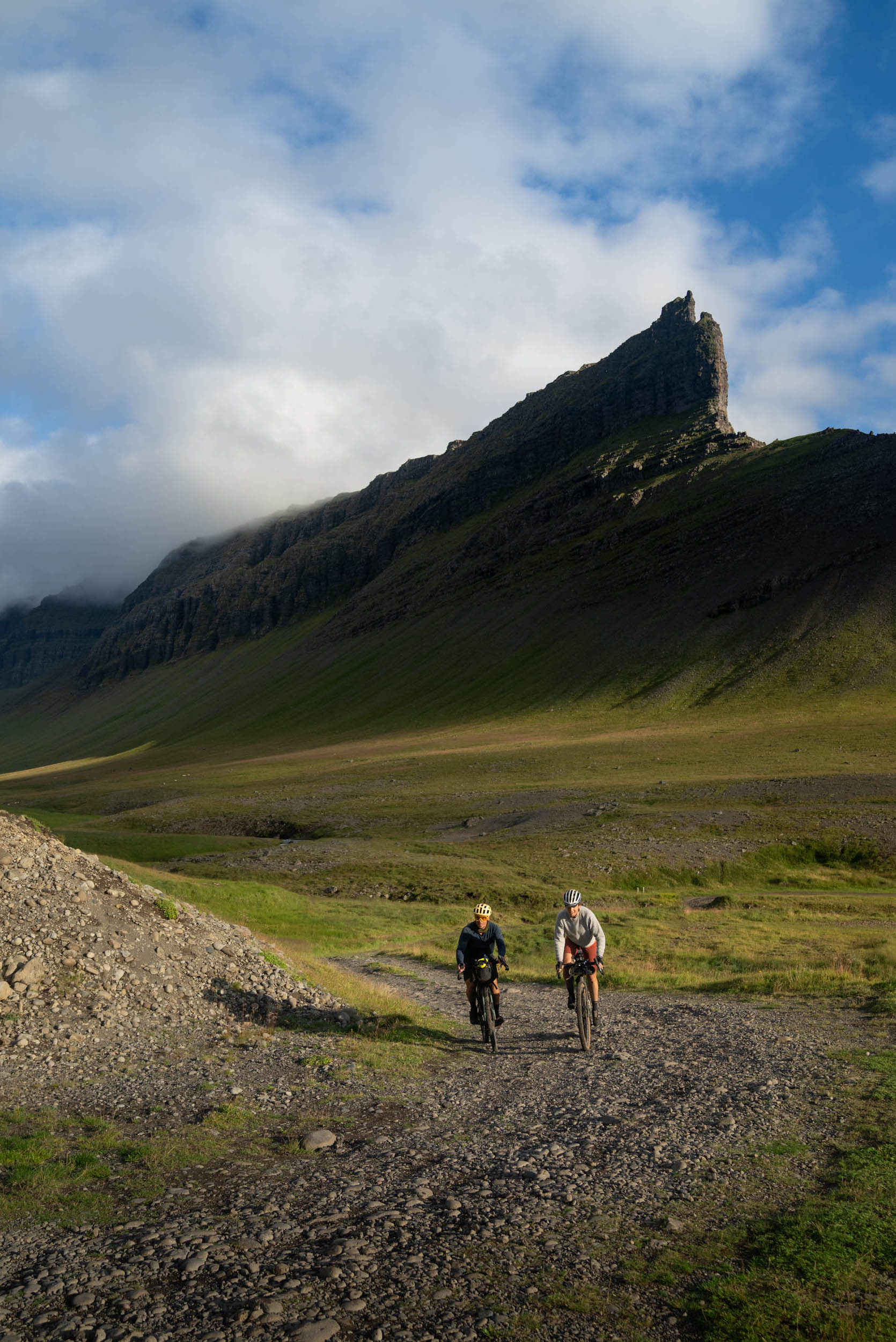
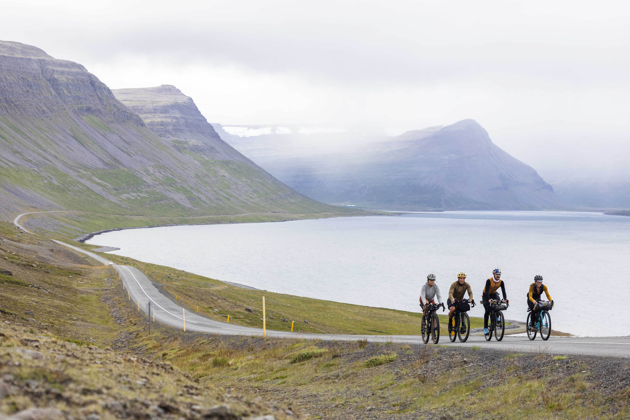
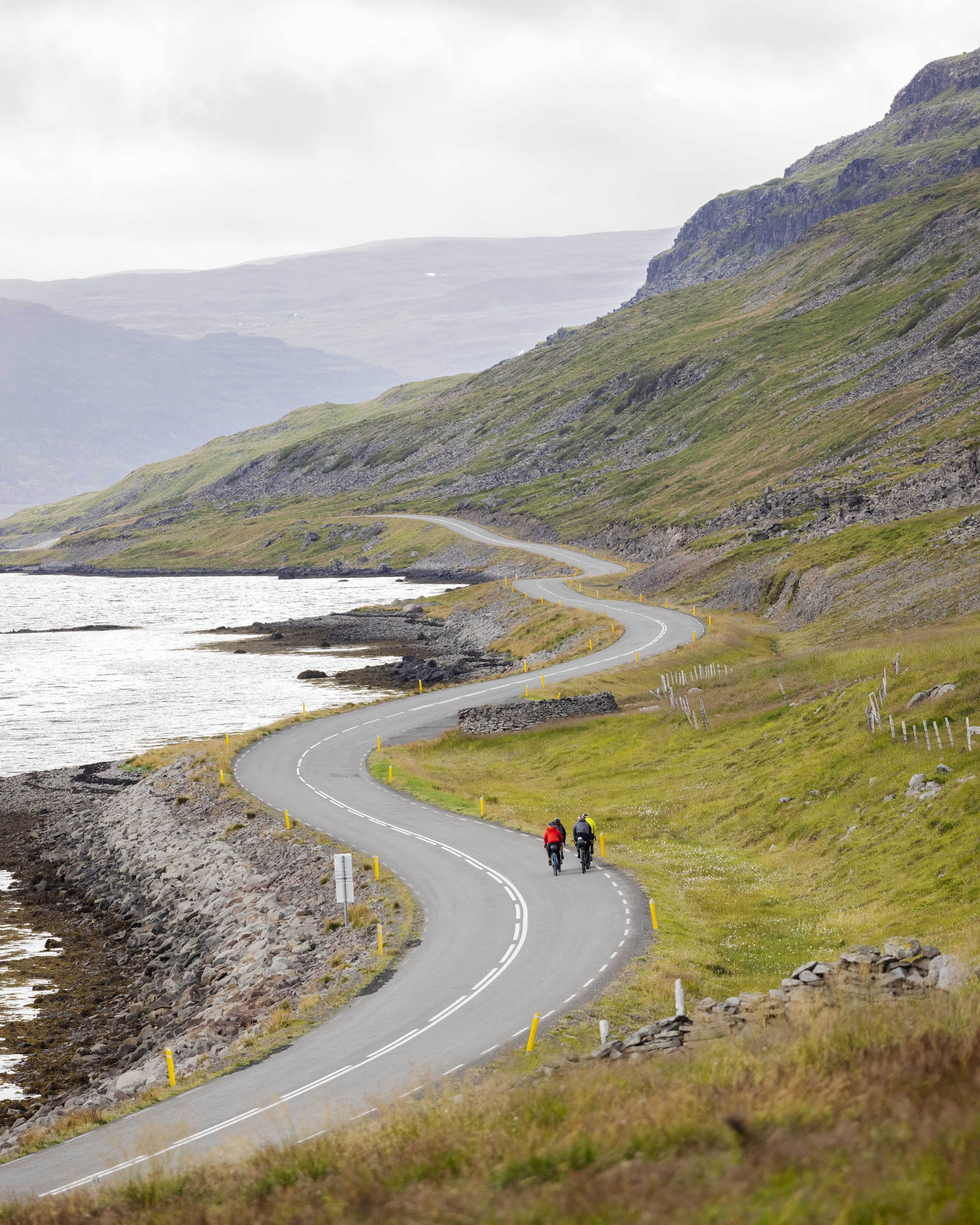
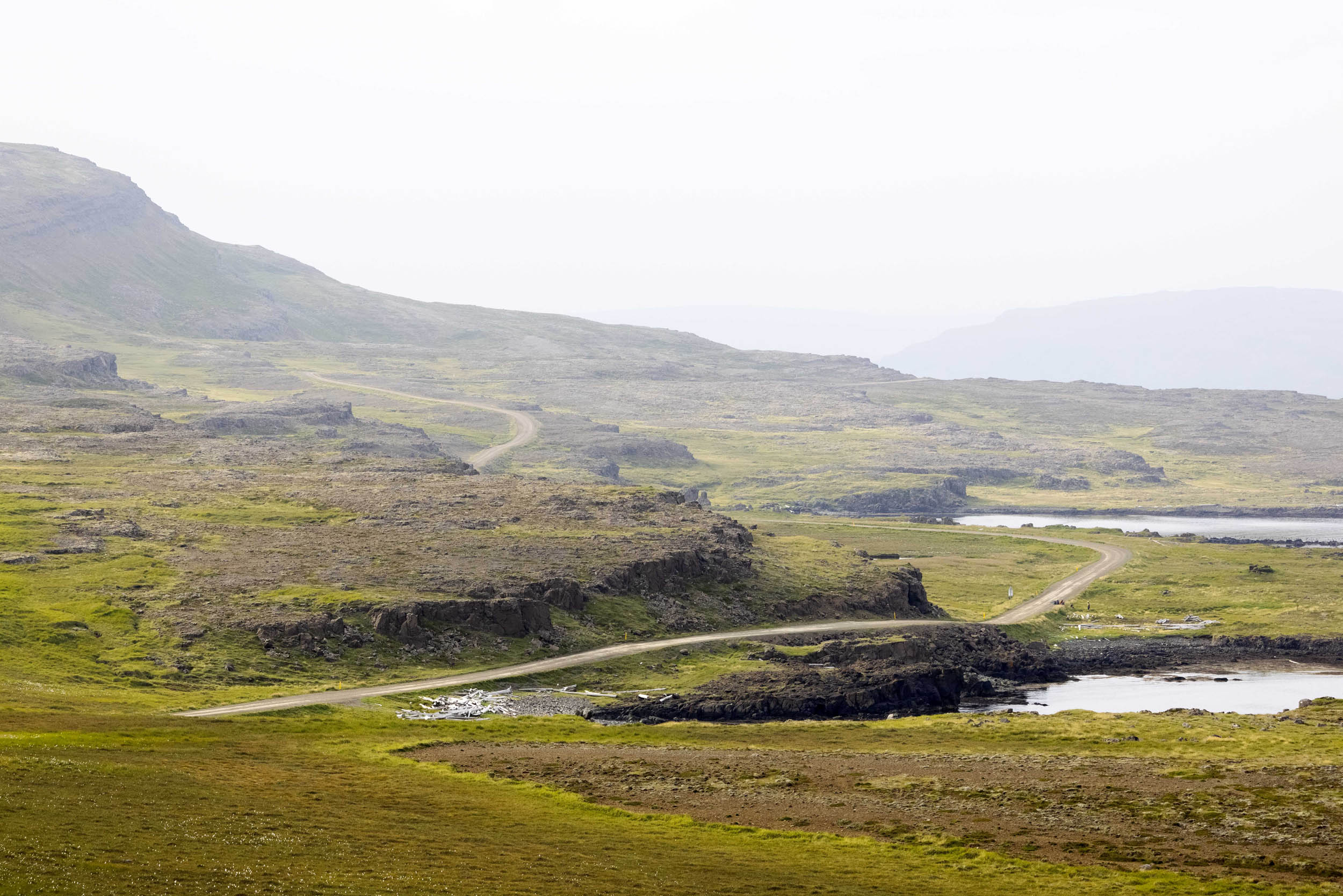
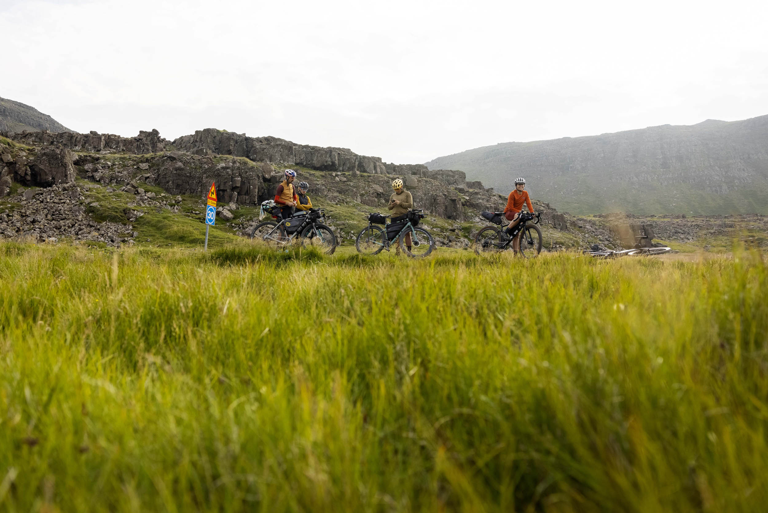
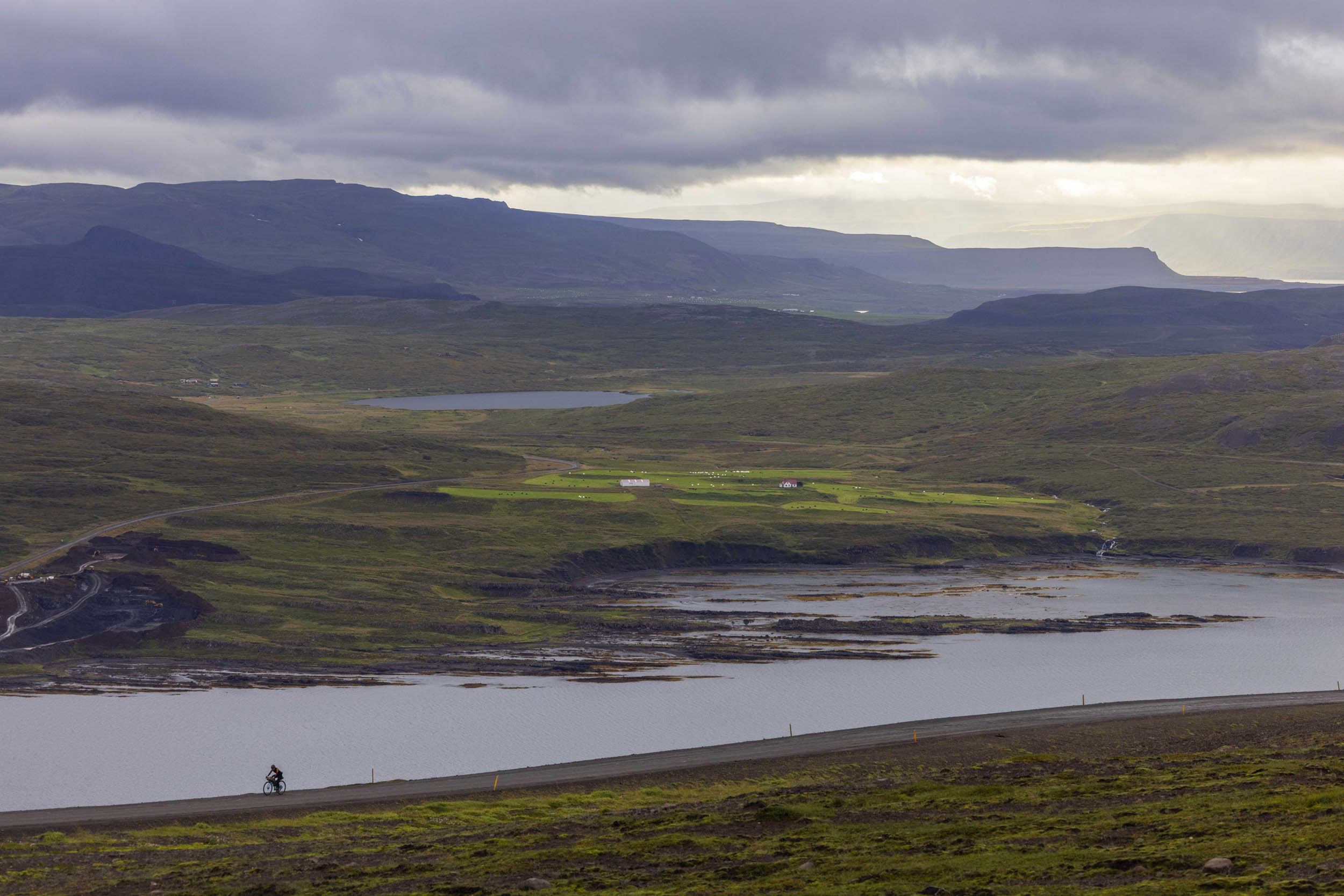
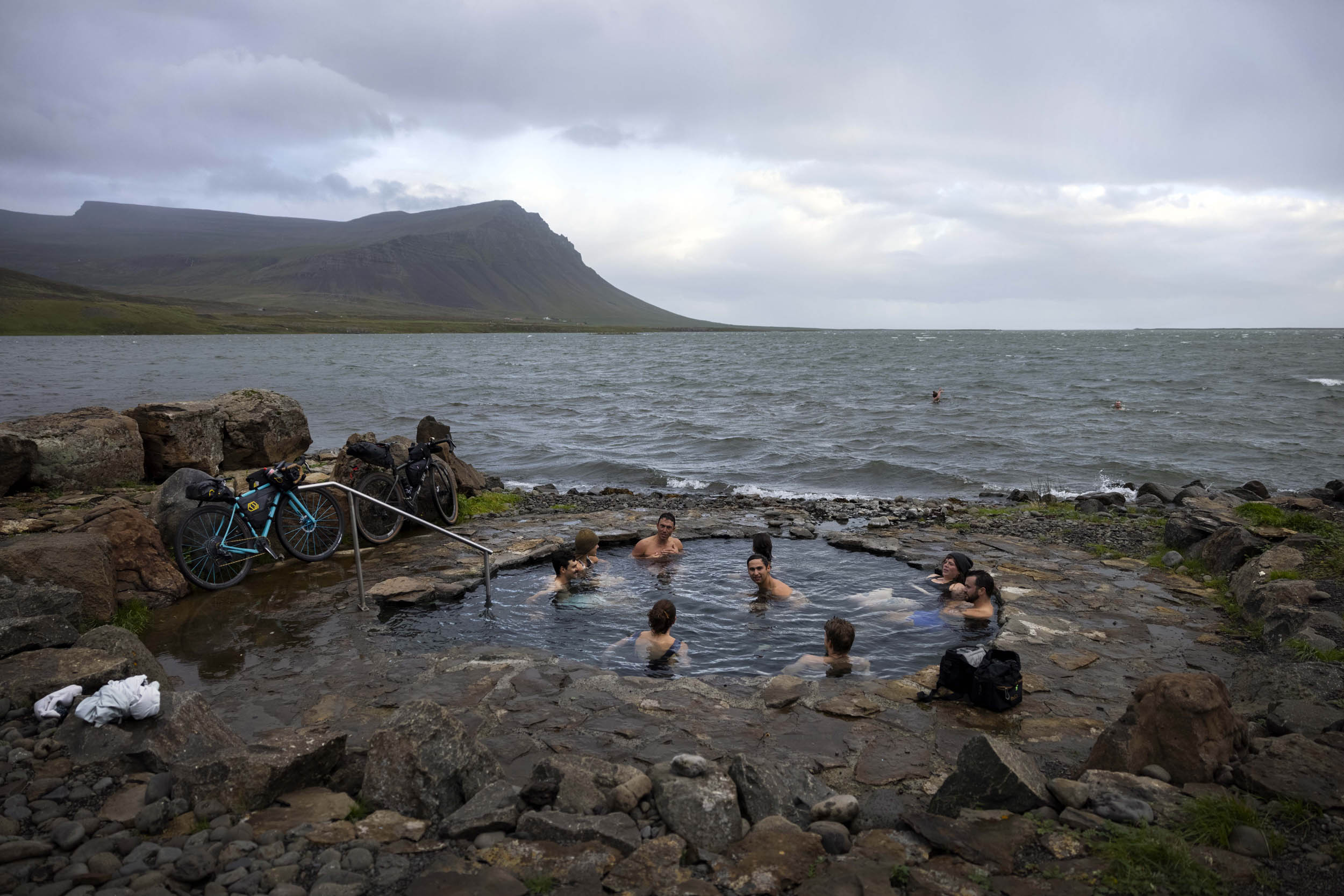
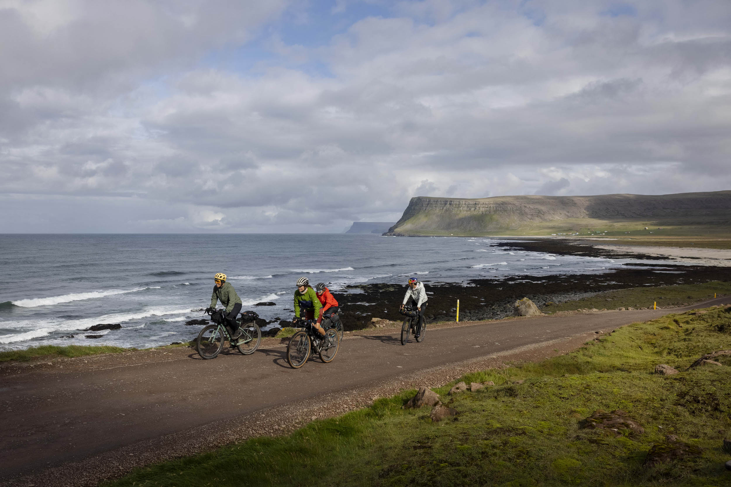
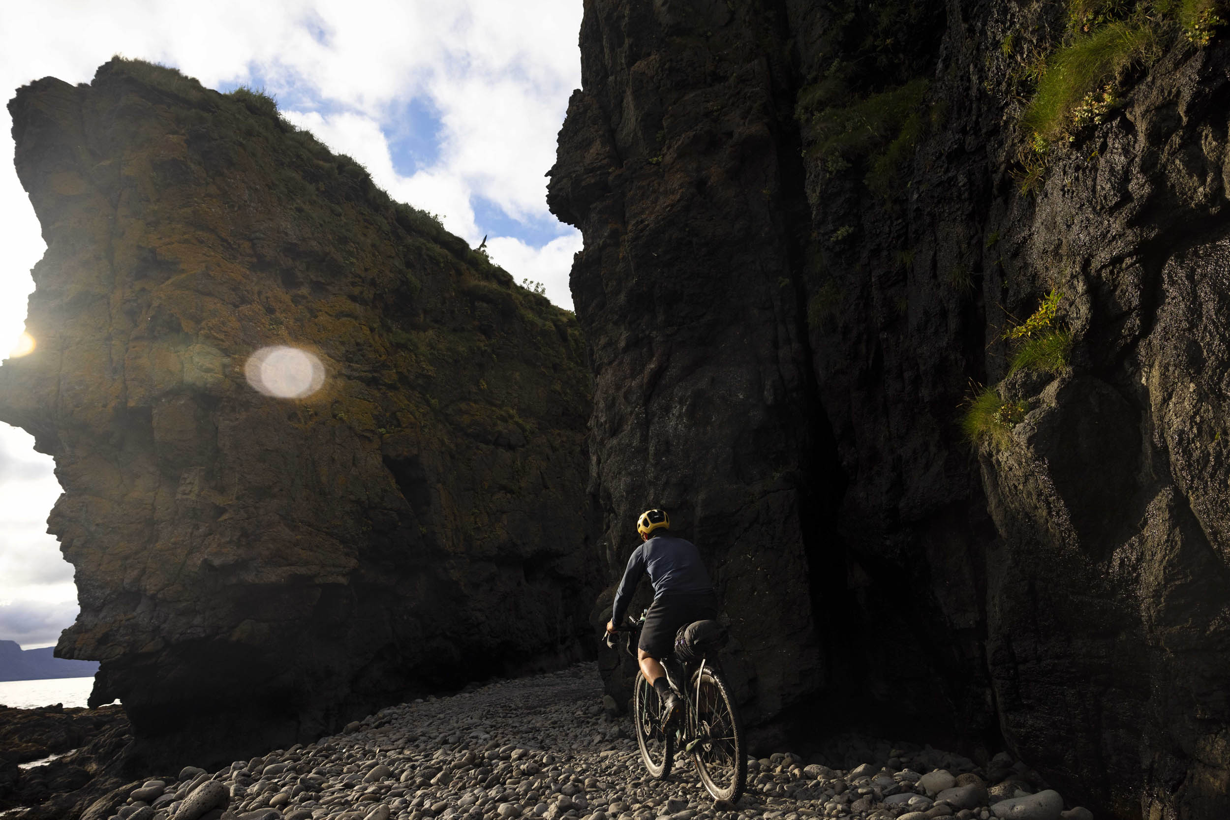
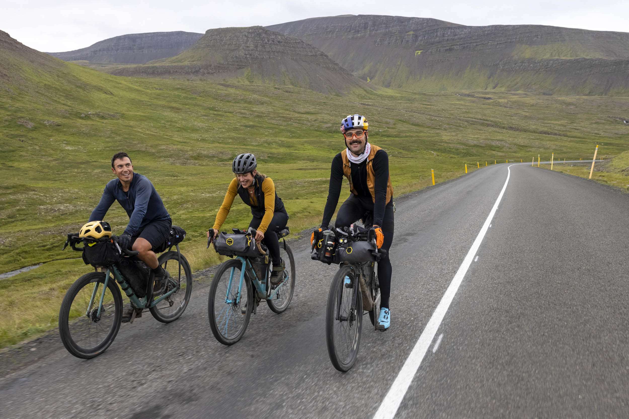
There are few routes that perfectly blend gravel and tarmac into such a mystical concoction. The Westfjords Way is, in our opinion, a superior alternative to the relatively flat and busy Ring Road around Iceland that has become popular among bike tourers. If the Ring Road is your boring uncle, the Westfjords Way is your eccentric aunt. Littered with more hot springs than you could stop at, perfectly spaced towns, ripping gravel descents, and steep, punchy climbs, there’s a little something for everyone.
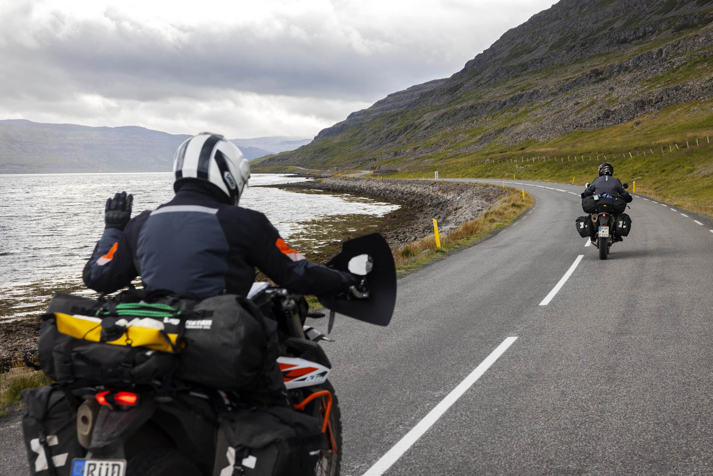
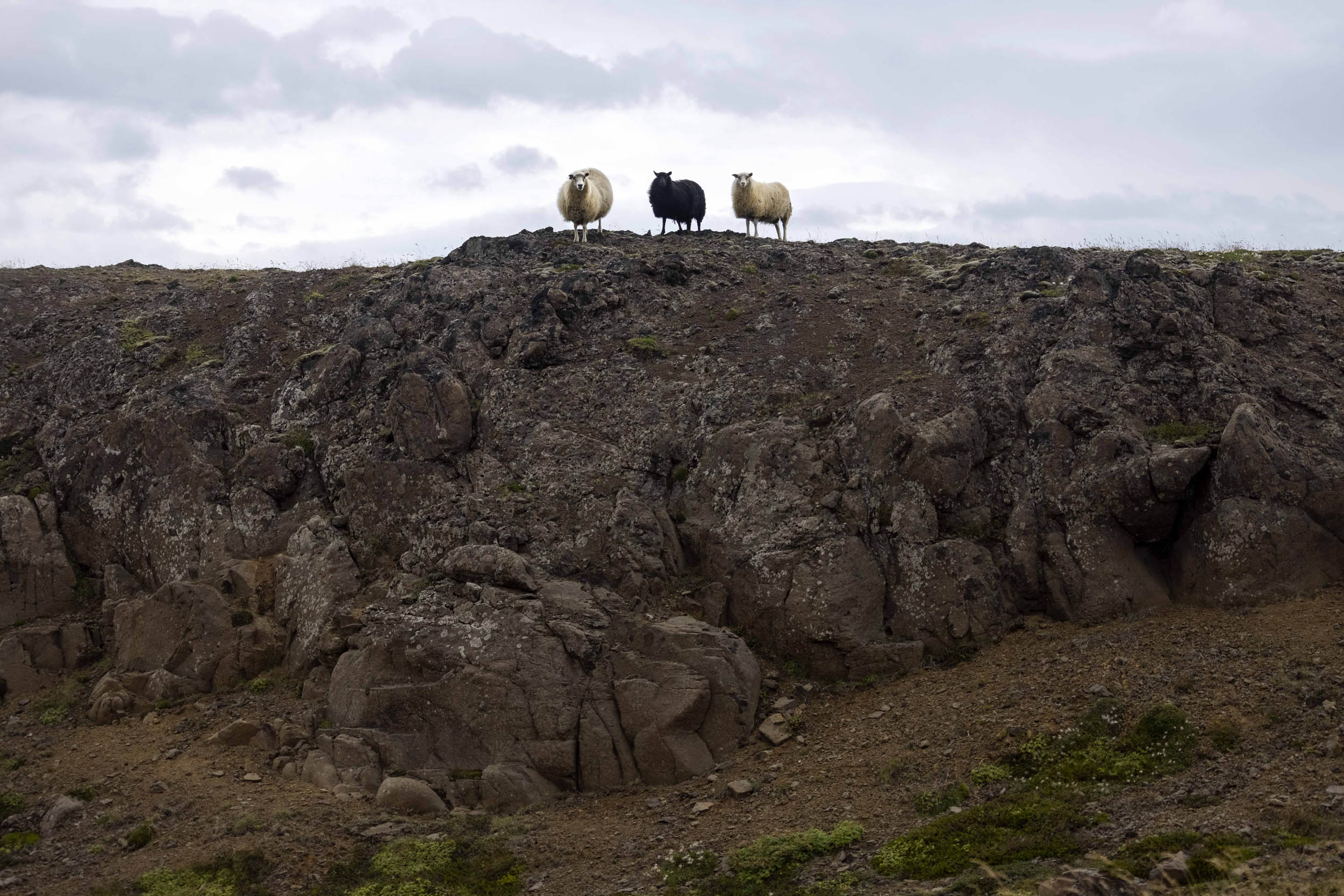
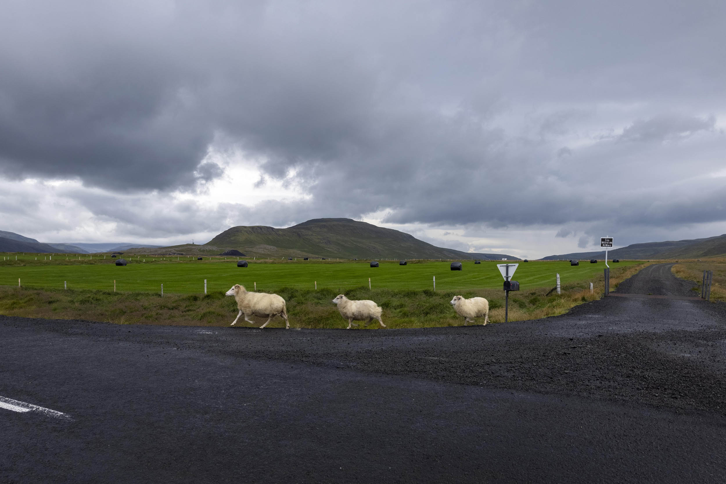
Allergic to pavement? This route may just be the cure. Despite being home to more than 1,000 miles of road, there are only around 7,000 people living in the Westfjords, meaning there’s almost never any traffic to worry about. Sheep outnumber people 20 to 1, and it’s not uncommon to travel an entire day without seeing a car. The beauty of this route is the flexibility of traveling through the midnight sun, where calm winds and the potential for six-hour sunsets exist.
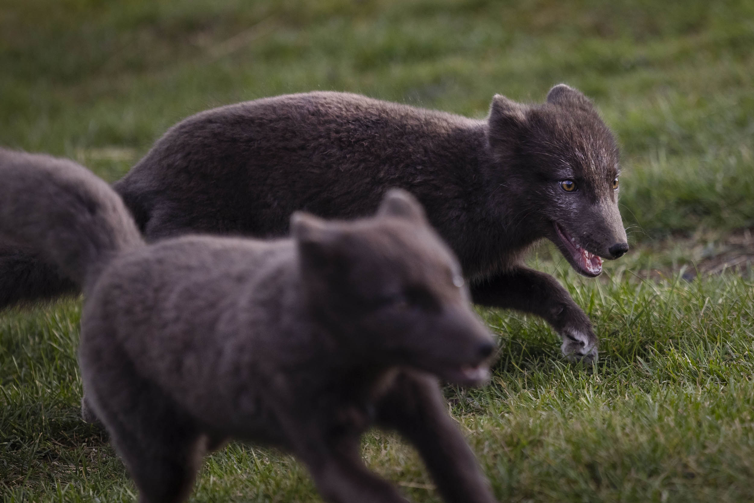
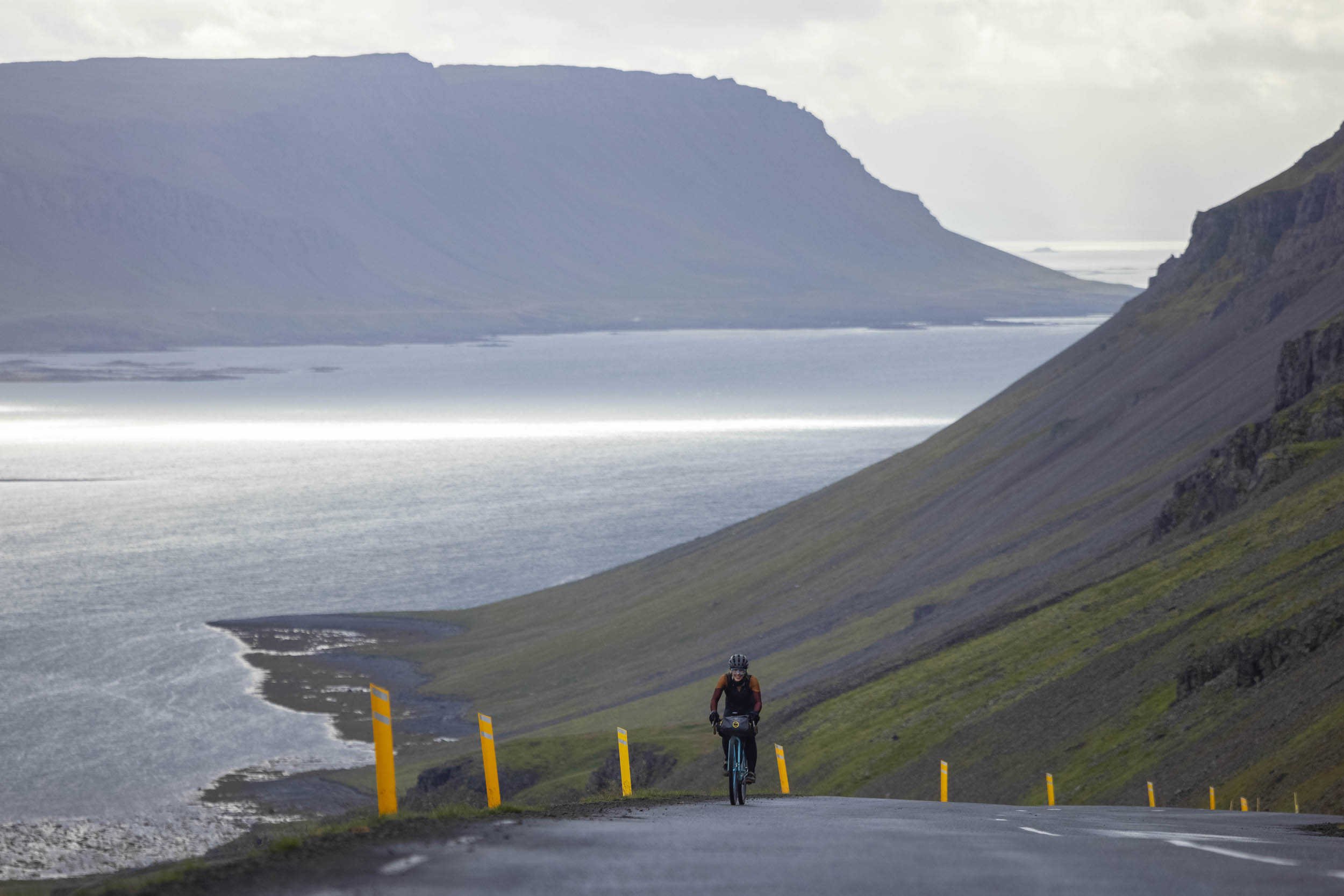
If I can wax poetic for a second, this route has the potential to bring you right back into an awareness of why you love riding a bike, with endless opportunities to explore, taste, smell, and touch a raw environment. For those willing to take it on, be warned: this route will test you and push you. It will get you soaking wet and even potentially hypothermic at times with its absolutely unpredictable weather. The Westfjords are known for their unruly and ever-changing weather systems that will no doubt find their way in front of you for the worst headwind of your life. At other moments, they’ll push you along with an even stronger, scarier tailwind. This route is not for everyone, but for the select few it has the potential to present one of those rare life-affirming experiences. And, if you’re lucky you might even cross paths with the Huldafolk.
ROUTE DIFFICULTY
If camping, the overall difficulty is a 7 out of 10. Subtract one if you plan to sleep inside. In terms of technical difficulty, it’s a 3/10. Physical demand is a 7/10, and resupply and logistics are a 5/10.
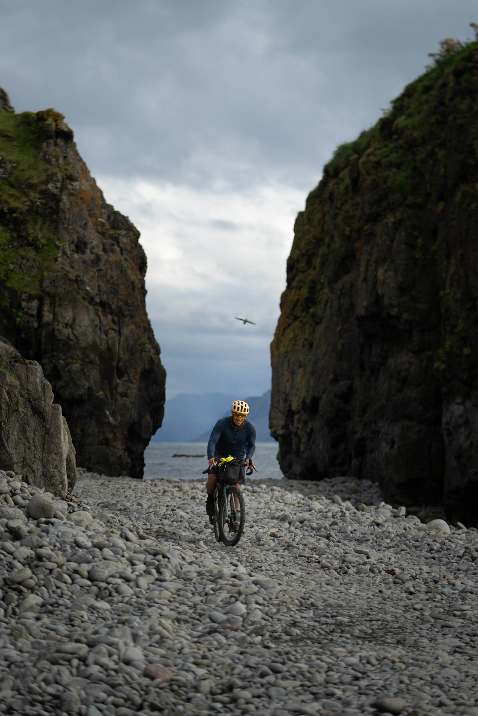
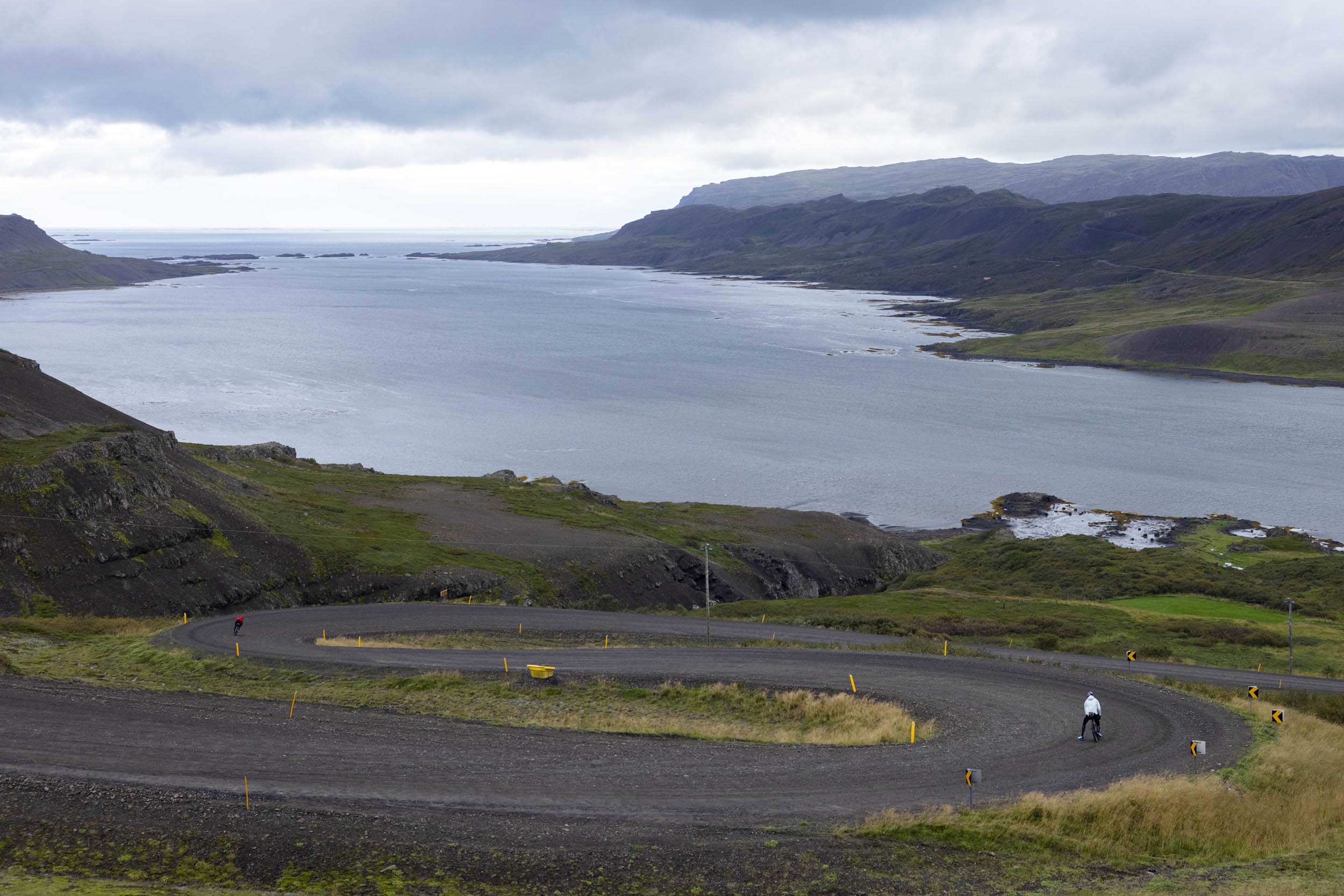
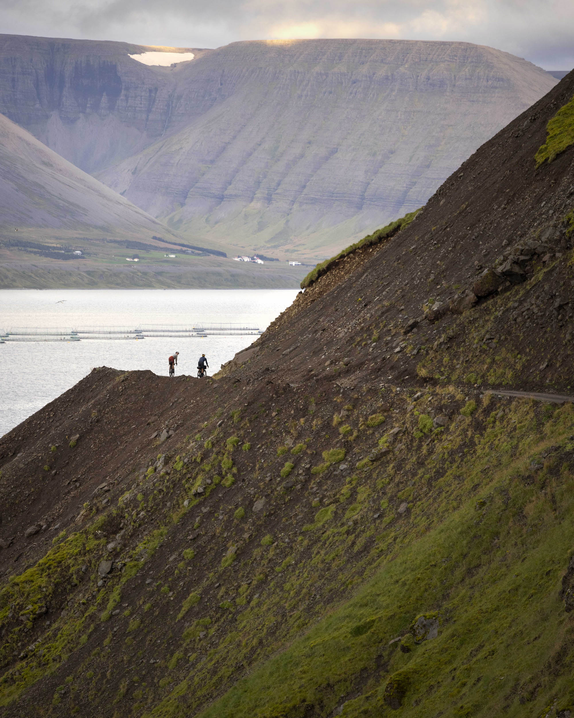
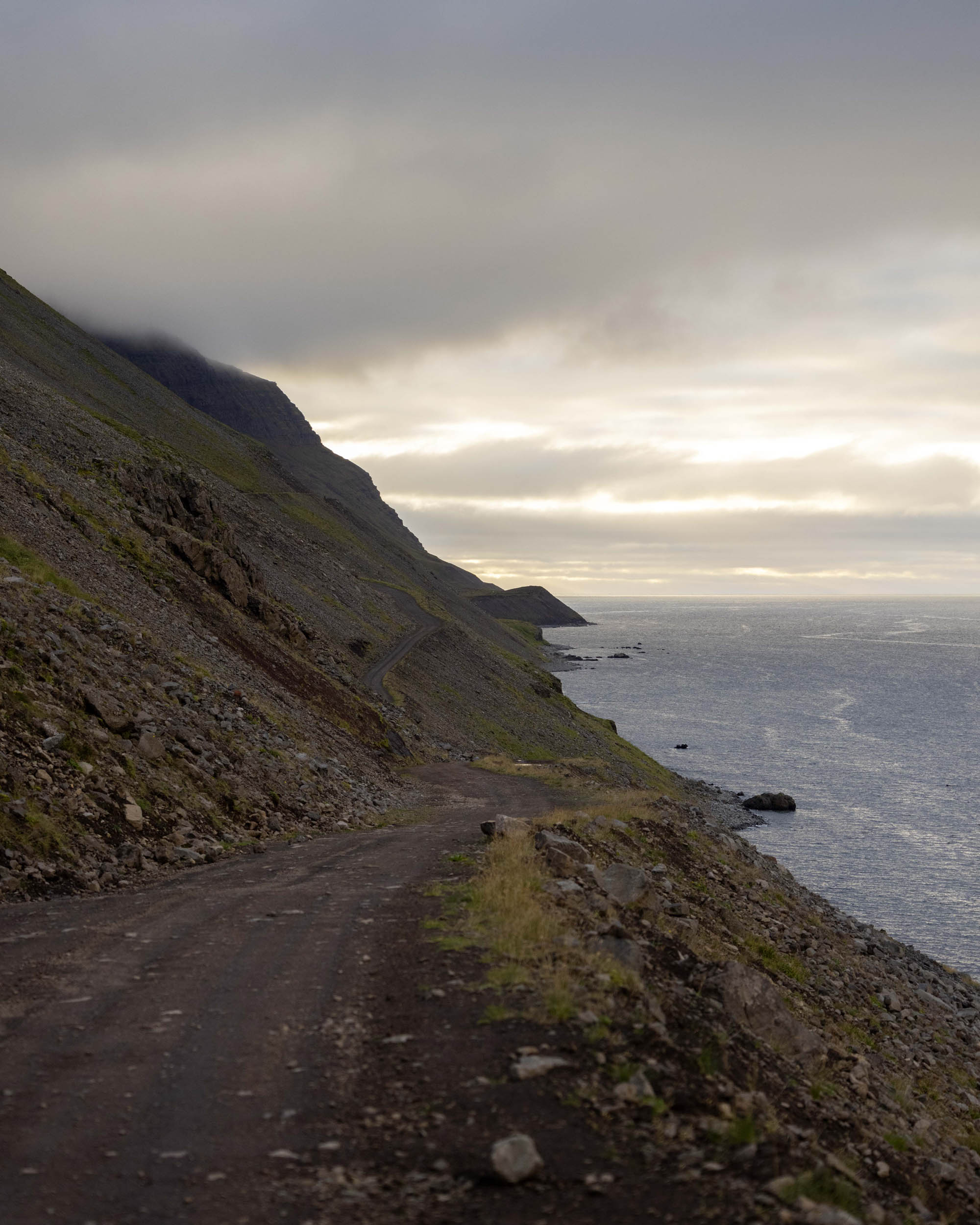
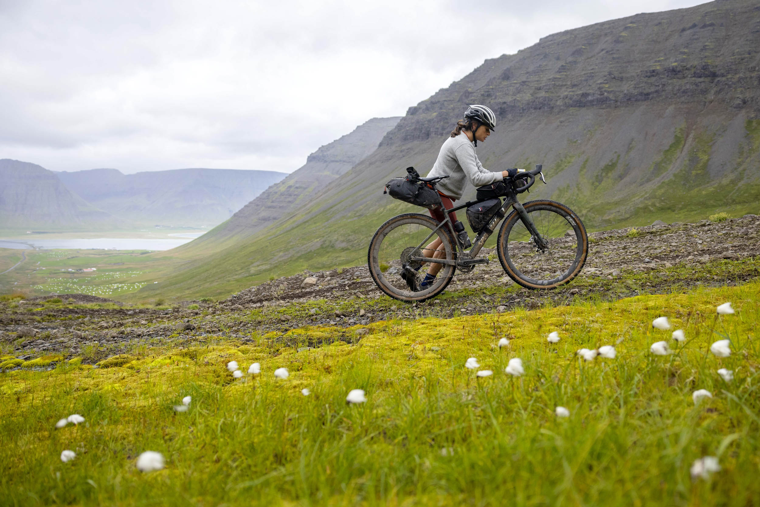
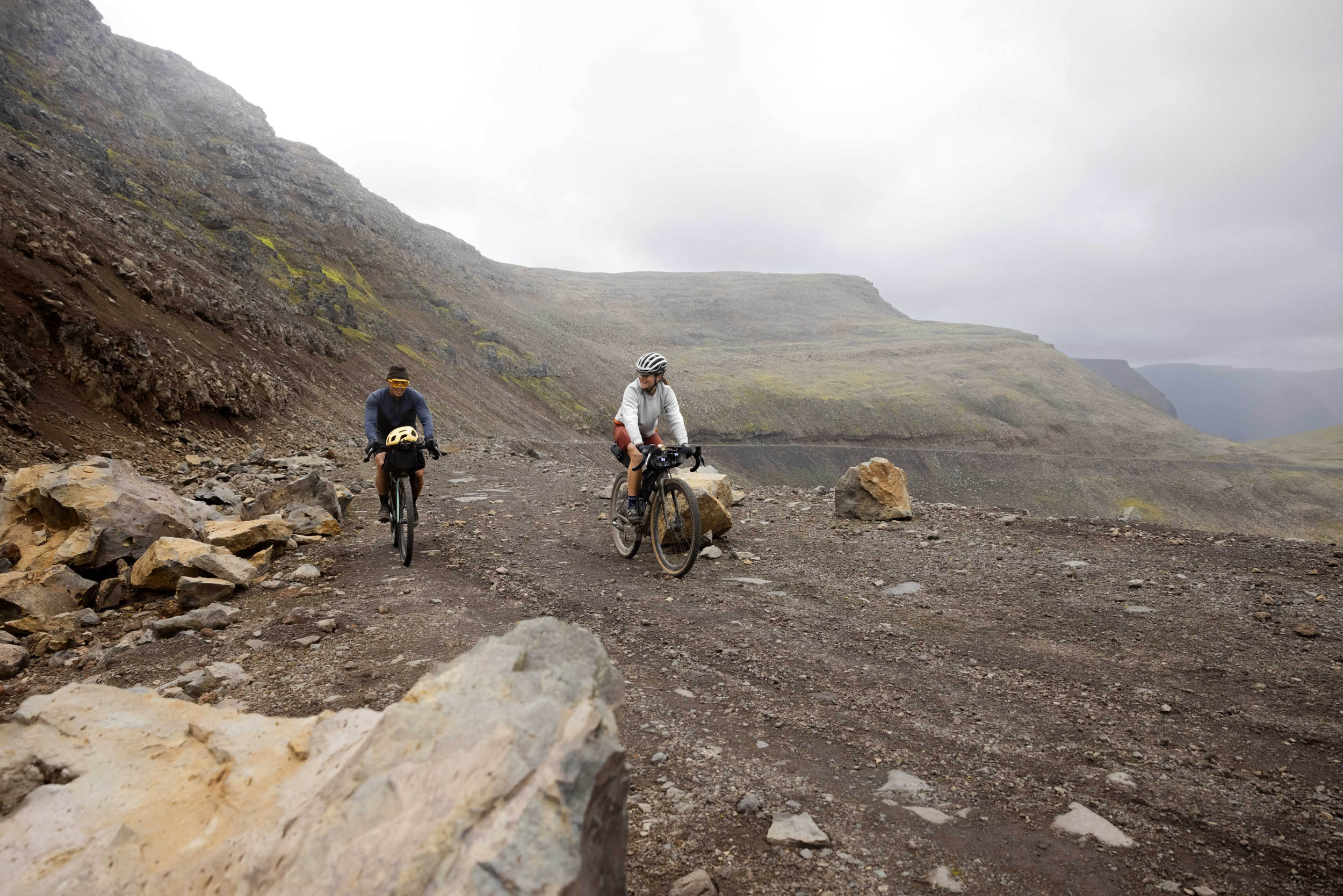
The Westfjords Way is very straightforward. There are some long stretches throughout the route with little to no services, but nothing unmanageable. Water is abundant and the gravel is pretty exceptional if the conditions aren’t too wet. The climbs are often short and punchy, with no single climb over 3,500 feet in length. The route is just hard enough to keep you on your toes and not too challenging. There’s one large portion of that route that takes you along a remote road around a fjord that’s mostly doubletrack but becomes extremely rough in sections and requires a small amount of hike-a-bike.
The major issue with this route and the reason I gave it a 7 is the weather. It can and will kick your ass. Riding in fjords guarantees a headwind and a tailwind. The wind can be so severe that it will push you off your bike or force you to ride very conservatively. When you combine that with rain and the potential for snow (even in August), this route is not to be taken lightly and needs your utmost attention to packing the right clothing and being apprised of the incoming weather.
Route Development: This route was created by Chris Burkard with support from all those who have bikepacked and toured sections and segments of it beforehand. The Westfjords Way bikepacking route is an adaptation of the Westfjords Way auto touring route from Westfjords Tourism. Tyler Whacker bike toured the route in 2020, taking a few slight variations of the route but ultimately helped lay the groundwork for the bulk of the riding. Our new complete Westfjords Way route was supported by Tourism Westfjords to optimize the best locations for camping, hotels, food, and accommodation along the way to create what we feel is the most functional and safe route available to cyclists.
Editor’s Note: This is an atypical route to be published on our site in that it’s comprised of less than 50% unpaved surfaces. However, we thought it was worthy of publication based on the low-traffic roads and scenery. But, make no mistake, this route is geared toward all-road/gravel style cycling.


Submit Route Alert
As the leading creator and publisher of bikepacking routes, BIKEPACKING.com endeavors to maintain, improve, and advocate for our growing network of bikepacking routes all over the world. As such, our editorial team, route creators, and Route Stewards serve as mediators for route improvements and opportunities for connectivity, conservation, and community growth around these routes. To facilitate these efforts, we rely on our Bikepacking Collective and the greater bikepacking community to call attention to critical issues and opportunities that are discovered while riding these routes. If you have a vital issue or opportunity regarding this route that pertains to one of the subjects below, please let us know:
Highlights
Must Know
Camping
Food/H2O
Trail Notes
Resources
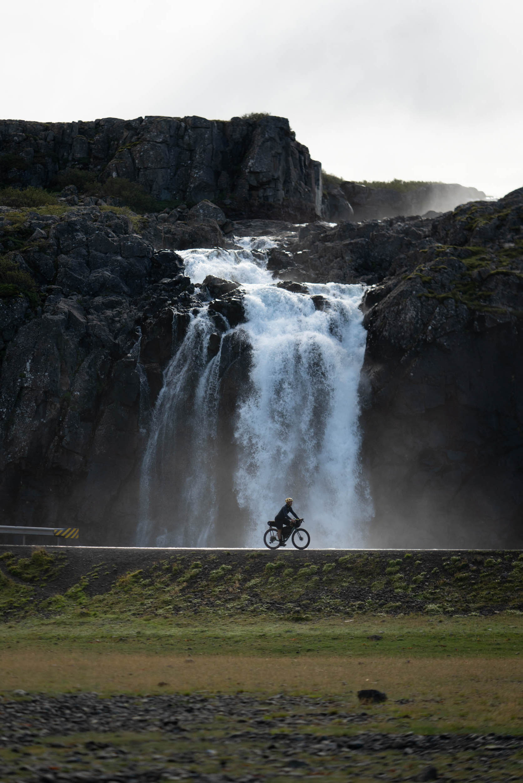
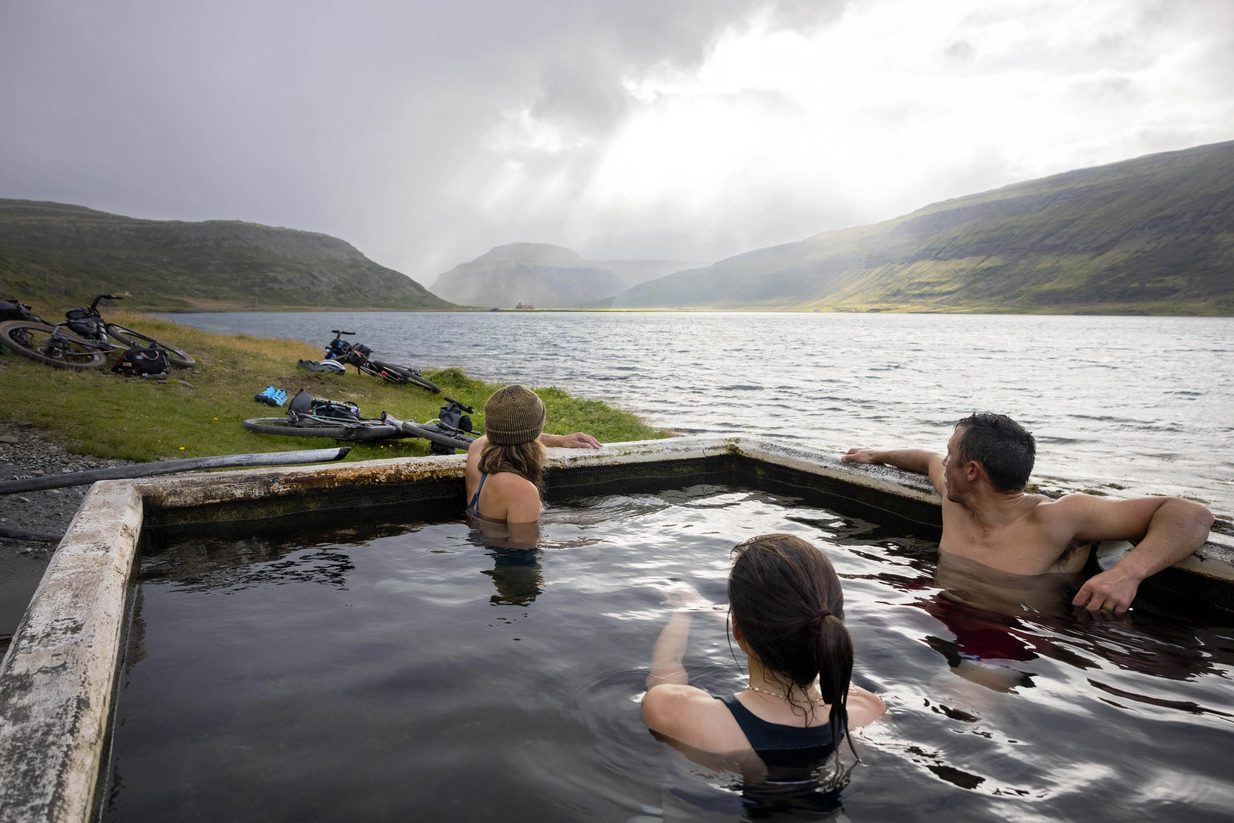
- Dynjandi waterfall, the Westfjords’ largest waterfall. Hike to the top for extra luck.
- Oceanside Hot Springs in Flokulander, halfway through the route and just a stone’s throw from the sea.
- Draggsnes hot springs, a public shower and hot tub near the sea in the town of Draggsnes.
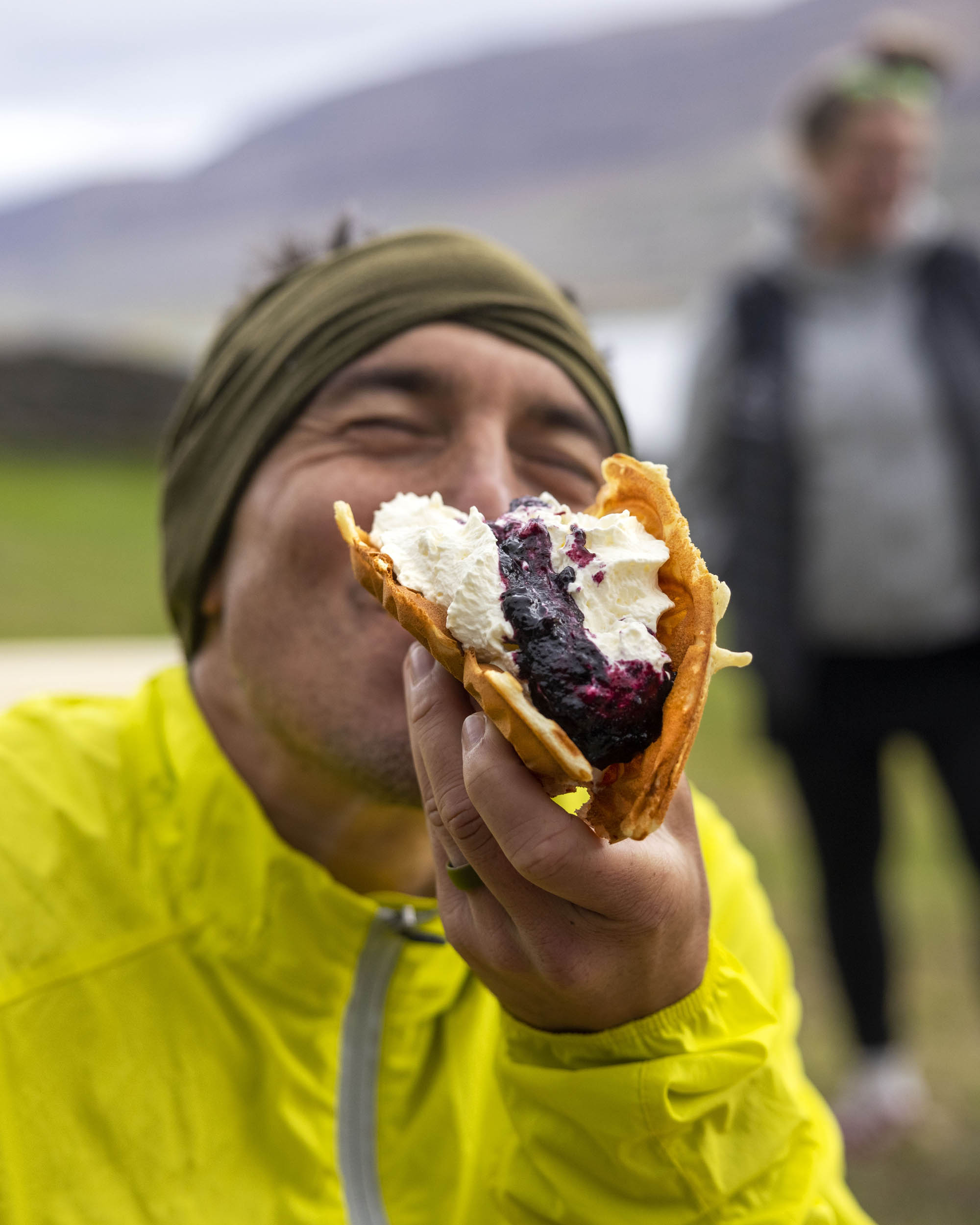
- An Icelandic waffle at Litlibaer, about 30 miles outside of Isafjordur.
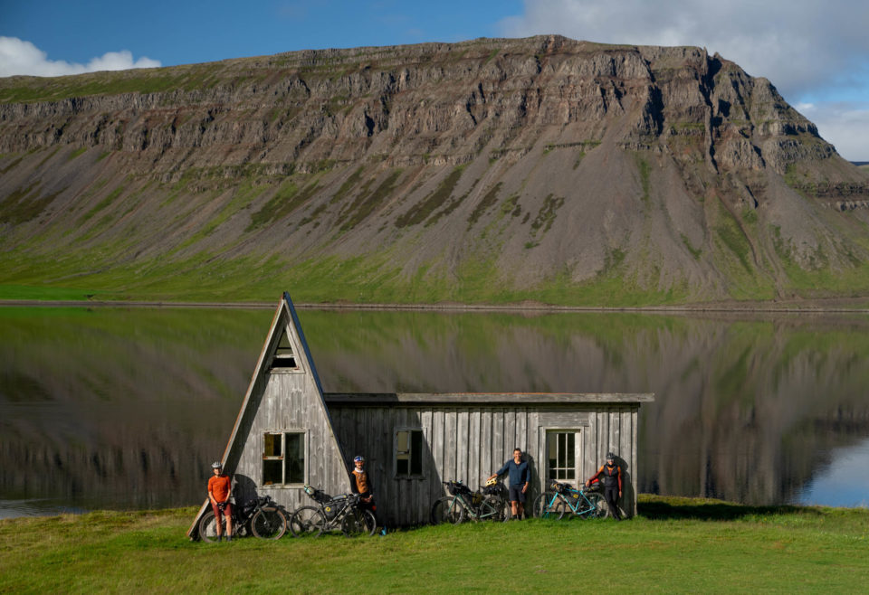
- Icelandic A-frame house in Reykjarfjörður.
- The red sand beach of Rauðisandur, an extra credit climb and mileage but worth it.
- Garðar BA 64, the shipwreck near Patreksfjordur.
- A jump into the Atlantic Ocean from Isafjordur harbor to finish off the route.
- Waffles and resupply after the massive climb from Patreksfjordur in the town of Bíldudalur. The sea monsters museum, too.
- Huldafolk rock formation around mile 50 (65.908644, -22.854857), an ode to Icelandic folklore.
- Stop at every single point of interest on the map. Trust me!
- When to go – June to September
- There are a good amount of river crossings when you ride around the fjord on the way to Þingeyri. It can be muddy and wet, but the biggest danger is wind and weather. It changes dramatically and must be respected.
- It’s recommended to depart clockwise from Isafjordur, but you can always go counterclockwise. This is the typical wind pattern that will be ideal for your route, and it also puts you riding away from the “ocean side” of the road, which can be dangerous when riding past cliffs in high wind.
- The route itself is very straightforward and there is cell service along 90% of it.
- Be advised on wind forecast and use www.vedur.is, the most accurate weather and wind forecast in Iceland.
- If heavy rain presents itself, be cautious on the gravel descents. Some are very steep and with wind can push you off the road without warning.
- Respect the wind.
- Camping locations can be found in every major town along the route. They are well marked and often easy to find with plenty of space. I have never seen one full. Iceland does not participate in most of Sweden and Norway’s common land principles where you can camp anywhere you want. You must camp in designated areas in and around towns.
- That said, there are plenty of roadside pullouts and viewpoints where camping isn’t uncommon.
- As for accommodation, every major town has plenty of Airbnb and hotel options, and you can typically find accommodation just about every 20 miles.
- Many farm stays exist along the route, which provide intimate locations to stay at a family farm and eat a local meal. These are always preferred as they support independent land and business owners. The route is littered with places to stay, and with enough planning, you can pick appropriate distances between camping or accommodation that work for you. I would caution to always have a backup location in case the wind or the weather is savage and you cannot make your mileage.
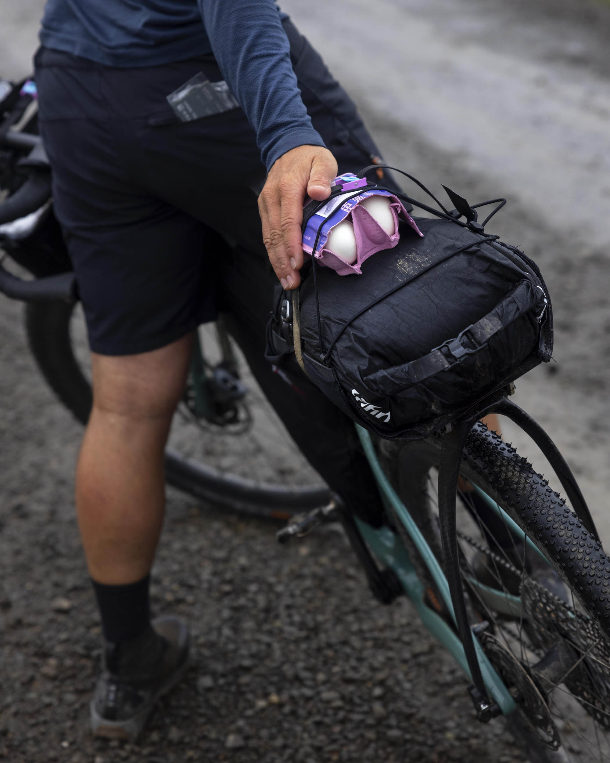
- Water is plentiful. The route is basically one large spring-fed waterfall. The only location you must be cautious of are places where water is downstream from a farm, which is usually only a few miles at a time. We didn’t need to filter any water during our entire trip. All of Iceland’s tap water is also totally drinkable.
- Food and resupply points are listed on the RWGPS file. There are only a couple of sections that have a large distance between resupply options (80+ miles or so). The key is making sure those resupply points are open when you pass through, as June riding or “midnight sun” can mean riding while stores are closed.
- The most heads-up day for us was from Patreksfjoruder to Þingeyri, roughly 100 miles with 85 miles of gravel and 10,000 feet of climbing. You may choose to divide this into two days or more. The 30-mile stretch of gravel/doubletrack/hike-a-bike was built by a farmer with his tractor, who literally dug it into the cliff face. It is to be respected, as it can get dangerous with high surf or high tide. It’s absolutely not a place to be stuck during a storm. I would highly suggest doing your recon for that day before you ride so you feel safe, as it’s a very exposed section. This day will present you with numerous river crossings, so plan accordingly. There are also rock fall sections and a few places that you don’t want to stop riding as it becomes dangerous. You can research this section more by searching for Þingeyri (Thingeyri).
- The two most demanding but worthy detours are the Látrabjarg cliffs and Rauðisandur. They are beautiful but exposed and both add a decent amount of climbing. If the day is nice or if you plan for it, you can easily knock one or both of these out in a day.
Additional Resources
- vedur.is
- westfjords.is
- @_tylervision – Bike tourer living in Westfjords who runs a small bike shop
- Westfjords Way (Matador Network)
- Driving Westfjords Iceland


Terms of Use: As with each bikepacking route guide published on BIKEPACKING.com, should you choose to cycle this route, do so at your own risk. Prior to setting out check current local weather, conditions, and land/road closures. While riding, obey all public and private land use restrictions and rules, carry proper safety and navigational equipment, and of course, follow the #leavenotrace guidelines. The information found herein is simply a planning resource to be used as a point of inspiration in conjunction with your own due-diligence. In spite of the fact that this route, associated GPS track (GPX and maps), and all route guidelines were prepared under diligent research by the specified contributor and/or contributors, the accuracy of such and judgement of the author is not guaranteed. BIKEPACKING.com LLC, its partners, associates, and contributors are in no way liable for personal injury, damage to personal property, or any other such situation that might happen to individual riders cycling or following this route.
Please keep the conversation civil, constructive, and inclusive, or your comment will be removed.