Wild Nephin Way
Distance
56 Mi.
(90 KM)Days
2
% Unpaved
80%
% Singletrack
3%
% Rideable (time)
99%
Total Ascent
2,480'
(756 M)High Point
848'
(258 M)Difficulty (1-10)
3?
- 3Climbing Scale Fair44 FT/MI (8 M/KM)
- 3Technical Difficulty Fair
- 4Physical Demand Fair
- 3Resupply & Logistics Fair
Contributed By
Sean Cassidy
Guest Contributor
Sean grew up on the east coast of Ireland in Co. Meath. Working remotely as a designer allowed him to move out west to Mayo, where he has spent the last two years exploring by foot and by bike. When not cycling, Sean can be found surfing Ireland’s beach breaks or fly fishing on the coast or rivers surrounding his home.
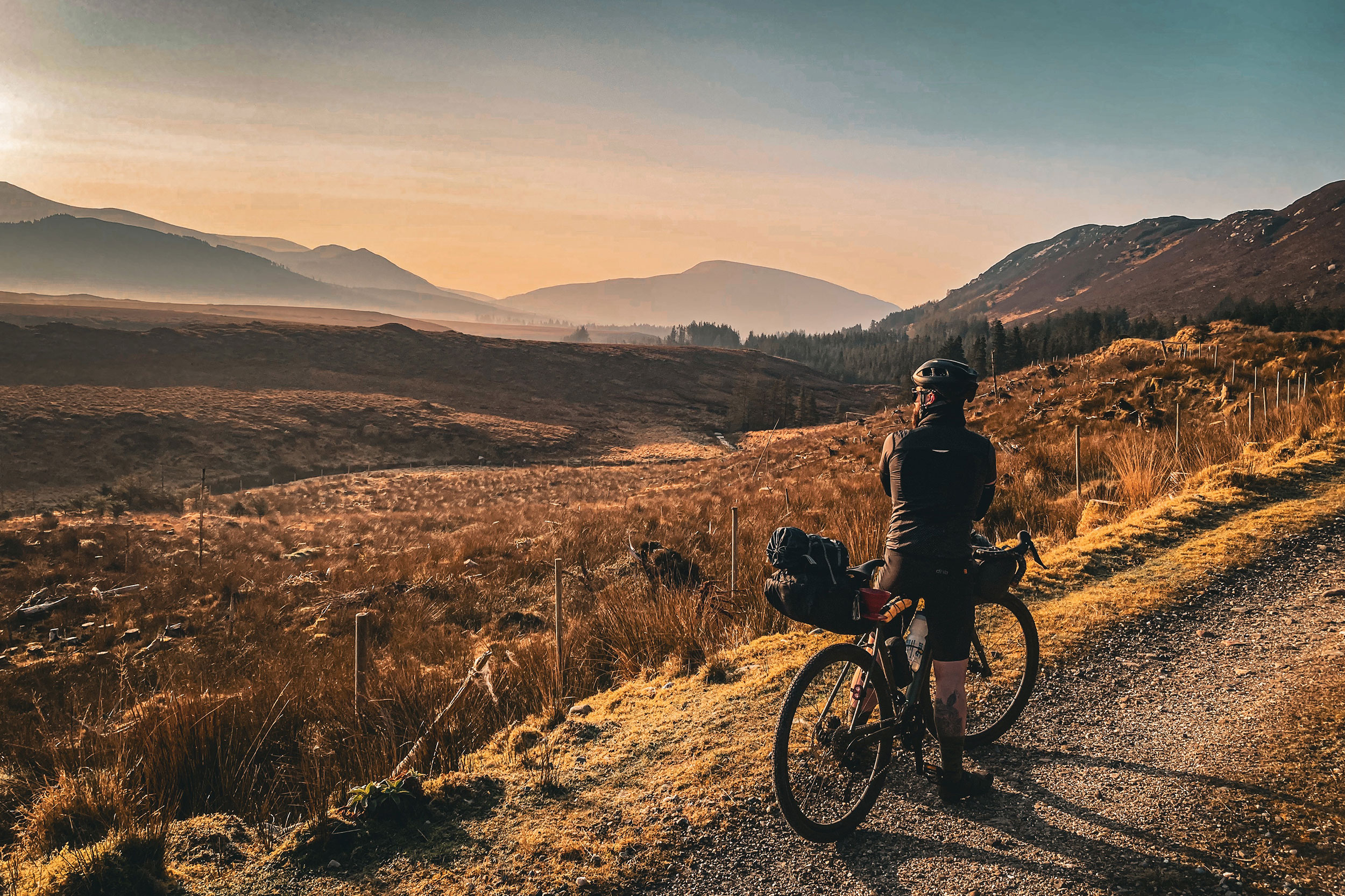
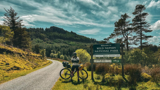
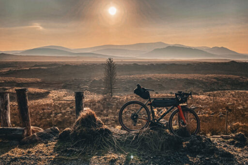
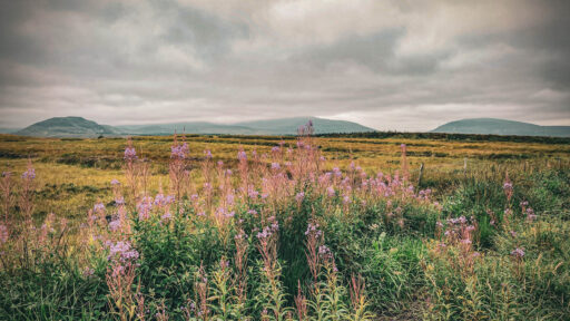
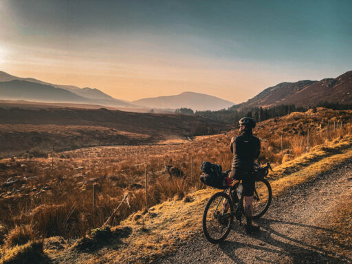
“The loneliest place in the country” were words used to describe the Wild Nephin Wilderness by Robert Llyod Praeger in his 1937 novel recounting his five-year walking journey of Ireland, The Way That I Went. The phrase echoes in the mind throughout much of the route as the path winds its way through Wild Nephin National Park, characterized by pristine lakes, mountains, and wetlands with little to remind of the outside world. It’s a journey into another time and space, given that the area is also one of Europe’s gold tier dark sky reserves.
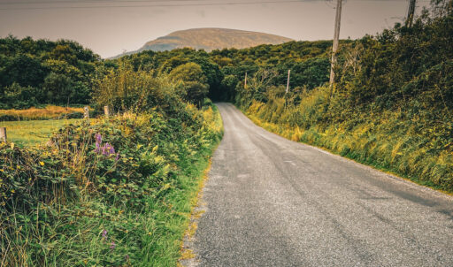
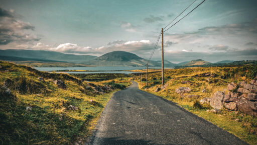
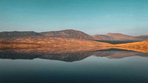
The journey commences at The Point in Westport Quay, where a hot meal and a cold Guinness will give you legs for the journey ahead. Prospective swimmers can bathe in the cold clear waters of the Atlantic under the imposing backdrop of the revered Croagh Patrick mountain. Swiftly merging onto the Great Western Greenway, a 42-kilometer (26-mile) traffic-free cycling path that extends to Achill Sound, the route stretches towards Newport and the last chance to pick up supplies in the shop. Leaving the town, the road marker for Furnace signals the real beginning to the odyssey. A verdant tunnel of trees provides a symbolic corridor to the park entrance, and grassy boreens wander their way in and around small undulating hills with their crests providing elevating vistas over Ben Gorm and the serene expanse of Lough Feagh (Irish: Loch Fíoch).
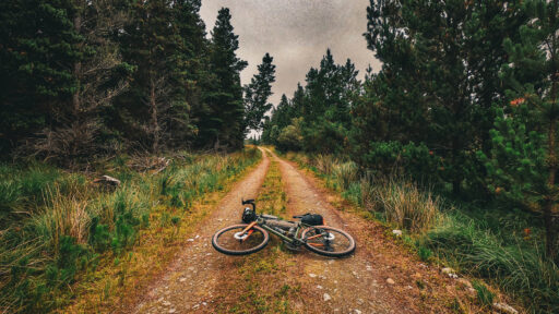
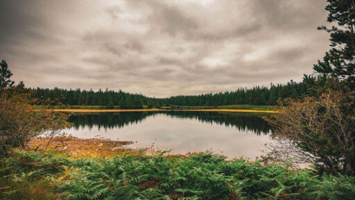
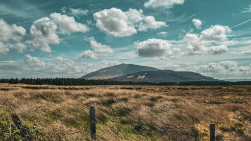
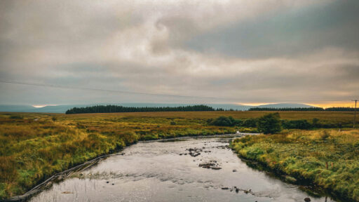
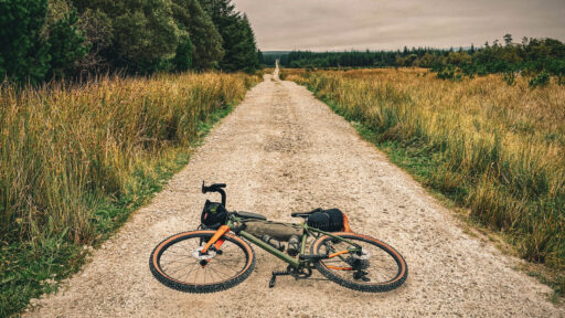
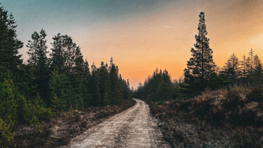
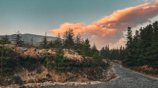
Leaving the rough tarmac behind, a detour into a short section of singletrack uplifts along the periphery of Buckoogh mountain with views over the lough. Chunky gravel becomes predominant at Letterkeen and the whiskey-hued waters of the Altnabrocky River tumble over smooth granite boulders adjacent to the pathway as the trail begins to climb up into the heart of the park. Within its embrace lies the Owenduff bog, western Europe’s most expansive and intact Atlantic blanket bog. The route remains free of diversions for its entirety throughout Ballycroy, but there are multiple offshoots and endless kilometers to explore along the forest service roads. If time is on your side, the curious cyclist will be blessed with some fantastic scenery and enchanting flora and fauna. One such offshoot lays foundation for Altnabrocky Hut, an Adirondack-style wooden shelter that offers an idyllic setting for a night under the shadow of Slieve Carr, Ireland’s most remote mountain and a popular summit for stargazing photographers.
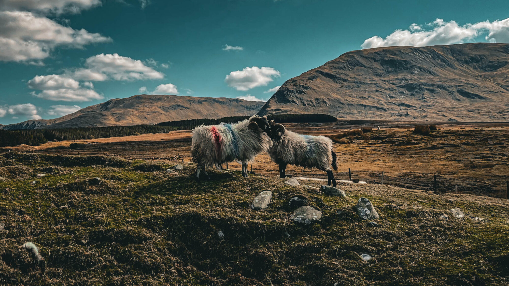
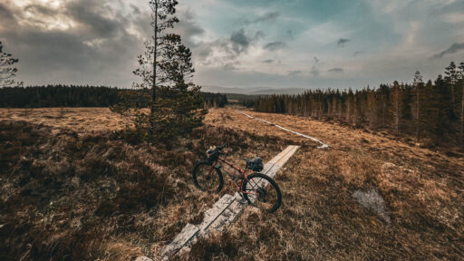
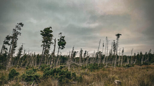
Small lakes and wetlands abound for the remainder of the park trail, and eventually the black and yellow barrier at the end of the path signals the arrival at Mayo’s aptly named Big Sky Country, where an exit from the park along gravel and boreens will lead to a moderate paved section before the entrance to Sheskin. Sheskin Forest is as desolate as it is beautiful, and it harkens back to darker times in Ireland’s history, with evidence of abandoned dwellings from famine times as well as an abandoned hunting lodge inhabited by British writer T.H. White in the early years of WWII. It’s a likely place to encounter some of the native fauna, such as the large red deer and badgers that often venture into the paths on their excursions. A traversable boardwalk and a brace of spicy climbs dominate this section of the route prior to a long appreciated descent into Ballycastle, the closest village to Downpatrick Head and an ideal opportunity to drop into the ever enchanting Healy’s bar for a pint and a moment of reflection.
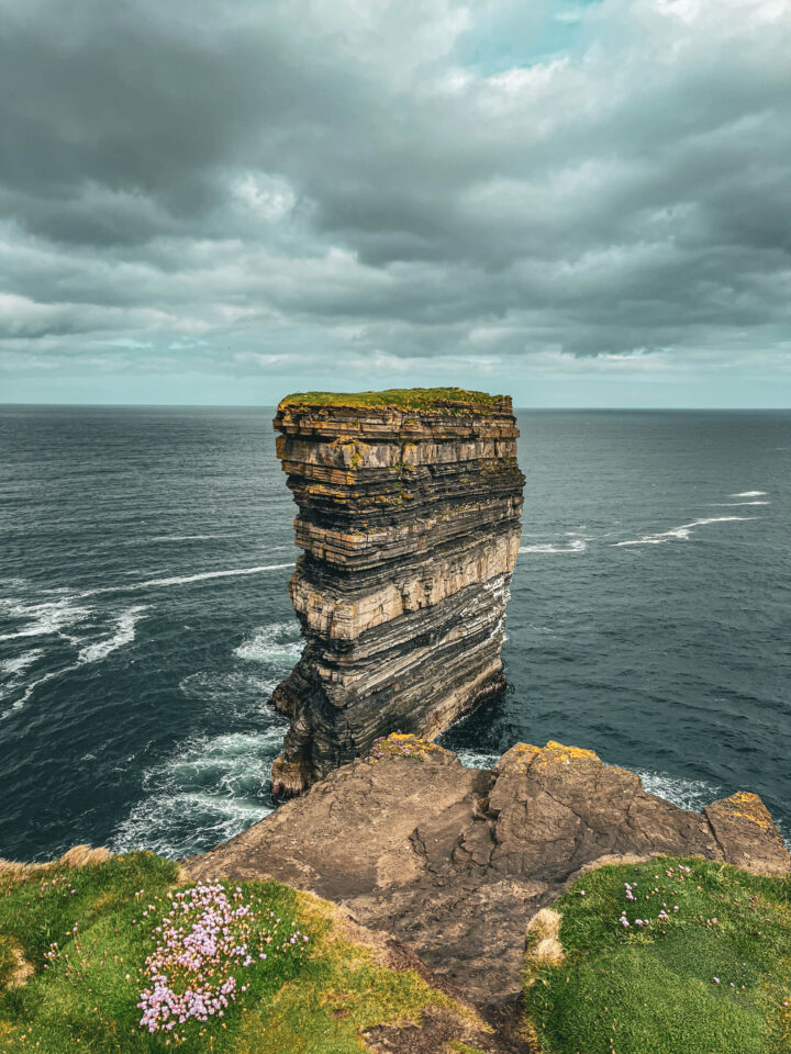
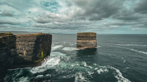
Downpatrick head lies only five kilometers north of Ballycastle, where the spectacular Dún Briste sea stack stands in defiance against the Atlantic and has played host to the Red Bull Cliff Diving World Series. It’s a worthwhile visit and a great opportunity to spot nesting Puffins and Kittiwakes as well as views of the Staggs of Broadhaven, a group of five steep rock islands off the coast. Alternatively, heading west of Ballycastle will usher you towards the Ceide Fields, a system of fields, dwelling areas, and megalithic tombs dating back 6,000 years and the oldest known Stone Age monument in the world.
In the heart of Mayo’s rugged embrace, where time bows to nature’s sovereignty, the Wild Nephin stands as a cathedral of untouched wilderness. Here, as T.H. White eloquently shared in The Godstone and the Blackymor, “The land itself is alive and aware,” a realm where ancient whispers dance with the breeze through heathered moors. Each pedal stroke is a journey backward in time, where the spirit of the land beckons with open arms. May your footsteps etch stories upon the soil, and as Patrick Kavanagh mused, “In wildness is the preservation of the world.” Let this untamed haven ignite the flames of reverence for nature’s grand design.
Route Difficulty
Wild Nephin Way has a difficulty rating of 3 out of 10. The route initially follows a well-maintained greenway alternating between gravel and pavement before hitting the main gravel service roads in the national park, then getting a little rougher through Sheshkin Forest. The boardwalk in Sheskin is mostly rideable with tyres of 50mm and larger to avoid falling between the gap in the two planks. There are a couple of short punchy climbs within the park itself and then a longer steep climb before descending down into Ballycastle. Supply points exist in the towns of Westport, Newport, and Ballycastle. Water can be found in plentiful supply along the route from lakes and streams but should be filtered due to the presence of sheep and possible contamination. Transport to the start in Westport is easy and regular via train or bus, and buses are available in Ballycastle to return to Westport or to the adjacent towns of Belmullet and Ballina. Bear in mind that parts of the route are quite remote by Irish standards, and phone reception can be patchy, especially around Sheshkin.
Route Development: The route comprises a section of the Western Way walking trail that extends from Galway to Sligo, spanning over 200 kilometers. Sections of this route are also used in Gravel Grind West, a gravel race run by Padraig Marrey at RaceFace.
 This route is part of the Local Overnighter Project, which was created to expand our growing list of worldwide bikepacking routes—the first and largest of its kind—and create an independent map and catalog of great bikepacking overnighters, curated by you, from your own backyard. Our goal is to have accessible routes from every town and city in the world. Learn More
Submit Route Alert
As the leading creator and publisher of bikepacking routes, BIKEPACKING.com endeavors to maintain, improve, and advocate for our growing network of bikepacking routes all over the world. As such, our editorial team, route creators, and Route Stewards serve as mediators for route improvements and opportunities for connectivity, conservation, and community growth around these routes. To facilitate these efforts, we rely on our Bikepacking Collective and the greater bikepacking community to call attention to critical issues and opportunities that are discovered while riding these routes. If you have a vital issue or opportunity regarding this route that pertains to one of the subjects below, please let us know:
Highlights
Must Know
Camping
Food/H2O
Resources
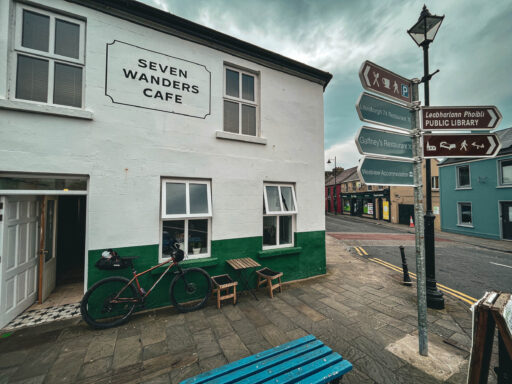
- Before starting or after finishing the route, consider riding out towards Louisburgh from Westport Quay. You’ll pass right by some great alternative gravel routes between 20 and 40 kilometers, the magnificent Croagh Patrick mountain, some stunning beaches, and expansive views over Clew Bays islands and the national park on the far side before popping into Seven Wanders cycling-themed cafe in Louisburgh for some amazing coffee and food.
- There are some fantastic wild swimming spots at the beginning and end of the route, from Westport Quay in the town itself or any of the white sand beaches surrounding it to below the cliffs of Downpatrick head on a calm day.
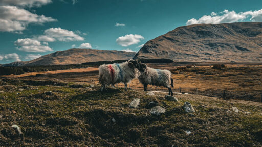
- North Mayo, in particular around Sheskin Forest, is home to large populations of native deer, which are likely to be spotted at some point in the journey alongside foxes, badgers, hares, and ground-nesting birds.
- May and June signify the appearance of swathes of bright pink rhododendron along much of the route.
- Consider the national park section a spine with dozens of short offshoots to explore, each with their own character. From climbs up into the hills to river crossings to bushwhacking overgrown trails in search of hidden lakes, feel free to explore the veins of this inspiring place.
- Most of the mountain lakes and streams contain native brown trout, and bikefishing is a great way to access these wild fish present since the Ice Age.
- T.H. White chronicles his adventures of hunting and fishing around Sheskin Lodge in his 1937 novel The Godstone and the Blackymor.
- Downpatrick Head, a Red Bull Cliff Diving World Series location, lies to the east of Ballycastle along the cliffs. Here, the 43-meter Dun na Briste sea stack lies 50 meters from the cliffs, jutting out into the Atlantic Ocean surrounded by blow holes and sea caves.
- Subject to opening hours, you can access the greenway from Westport Quay through the grounds of Westport House, where you’ll find bike paths and even a short section of singletrack through a wooded area to whet your appetite.
- The route is rideable year round, although weather outside the summer months can be temperamental.
- The train station in Westport town offers direct routes to and from Dublin, and bikes can be taken on board with prior online booking free of charge.
- Bus Eireann also runs regular services to and from Westport, but assembled bikes are subject to a €10 service fee to be carried in the luggage compartment.
- There are both free and pay-and-display car parks in Westport Quay and in the town itself if you’re driving to the start point.
- During the summer months, the ground can dry up considerably, and the 15,000 hectares of Atlantic blanket bog can transform into a very expansive fire hazard as it comprises largely of turf and heather. Please don’t light unnecessary fires outside of the designated fire pits, and make sure fires are fully extinguished after use.
- The Midges in mayo are particularly aggressive and can be a real nuisance as the trail passes through large areas of wetlands. Bivy campers without a midge net may get a nasty wake up call when the sun rises in the summer.
- The boardwalk in Sheskin Forest is the only section where rideability is an issue, but it entirely depends on tyre width. Around 50mm and above is fine, but 2.4” and larger will allow you to confidently cruise between the gaps in the planks without worry. There are a couple of steeper stepped sections and a little bridge that will require walking.
- Wild camping in the national park is permitted, and there are a few designated areas for those who wish to make life easier by camping adjacent to a water source and fire pits.
- There is a stone bothy in the Letterkeen car park upon entering the park and an Adirondack-style mountain hut with a fire pit just a couple of hundred yards off the main trail.
- There’s also a large expanse of gravel and flat land suitable for pitching a tent beside the stream with several fire pits a couple of kilometers from the stone bothy in Letterkeen.
- Westport is a haven for great food and coffee, although many places have limited opening hours outside the busy summer tourist season.
- There are also shops and eateries in Newport and Ballycastle village at the end of the route.
- Water is available from the many loughs and streams along the route. It’s likely fine to drink straight from the source, but I’ve found too many dead sheep in rivers to justify the risk anymore, so I filter all my water.
Additional Resources
Terms of Use: As with each bikepacking route guide published on BIKEPACKING.com, should you choose to cycle this route, do so at your own risk. Prior to setting out check current local weather, conditions, and land/road closures. While riding, obey all public and private land use restrictions and rules, carry proper safety and navigational equipment, and of course, follow the #leavenotrace guidelines. The information found herein is simply a planning resource to be used as a point of inspiration in conjunction with your own due-diligence. In spite of the fact that this route, associated GPS track (GPX and maps), and all route guidelines were prepared under diligent research by the specified contributor and/or contributors, the accuracy of such and judgement of the author is not guaranteed. BIKEPACKING.com LLC, its partners, associates, and contributors are in no way liable for personal injury, damage to personal property, or any other such situation that might happen to individual riders cycling or following this route.
Please keep the conversation civil, constructive, and inclusive, or your comment will be removed.


