


The Wilson’s Ramble
Distance
125 Mi.
(201 KM)Days
3-4
% Unpaved
86%
% Singletrack
17%
% Rideable (time)
98%
Total Ascent
14,000'
(4,267 M)High Point
4,157'
(1,267 M)Difficulty (1-10)
6.5?
- 7Climbing Scale Strenuous112 FT/MI (21 M/KM)
- 4Technical Difficulty Fair
- 7Physical Demand Difficult
- 5Resupply & Logistics Moderate
Contributed By

Logan Watts
Founding Editor
With additional photos by TJ Kearns
Originally published in May, 2021, The Wilson’s Ramble was updated in 2022 and 2023 with a few tweaks to eliminate pavement and tie in the newly refurbished Yancey Ridge Trail.
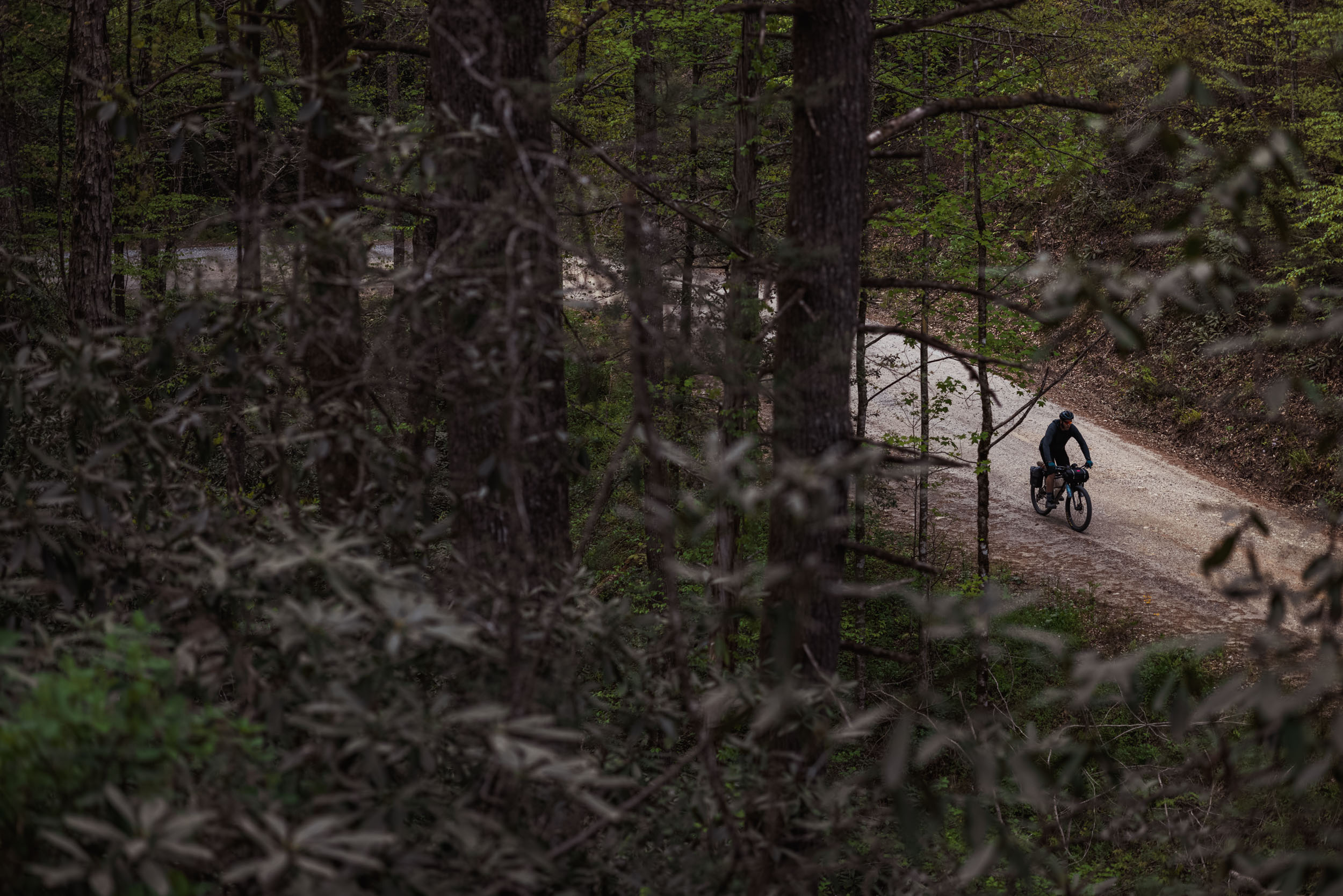
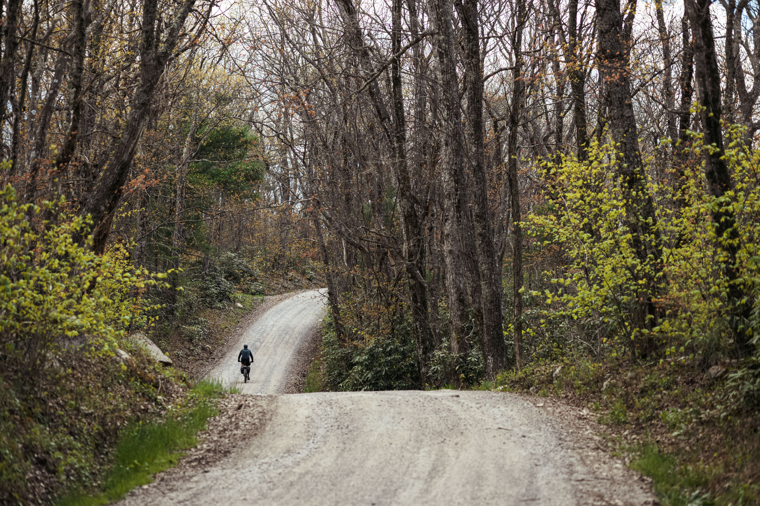
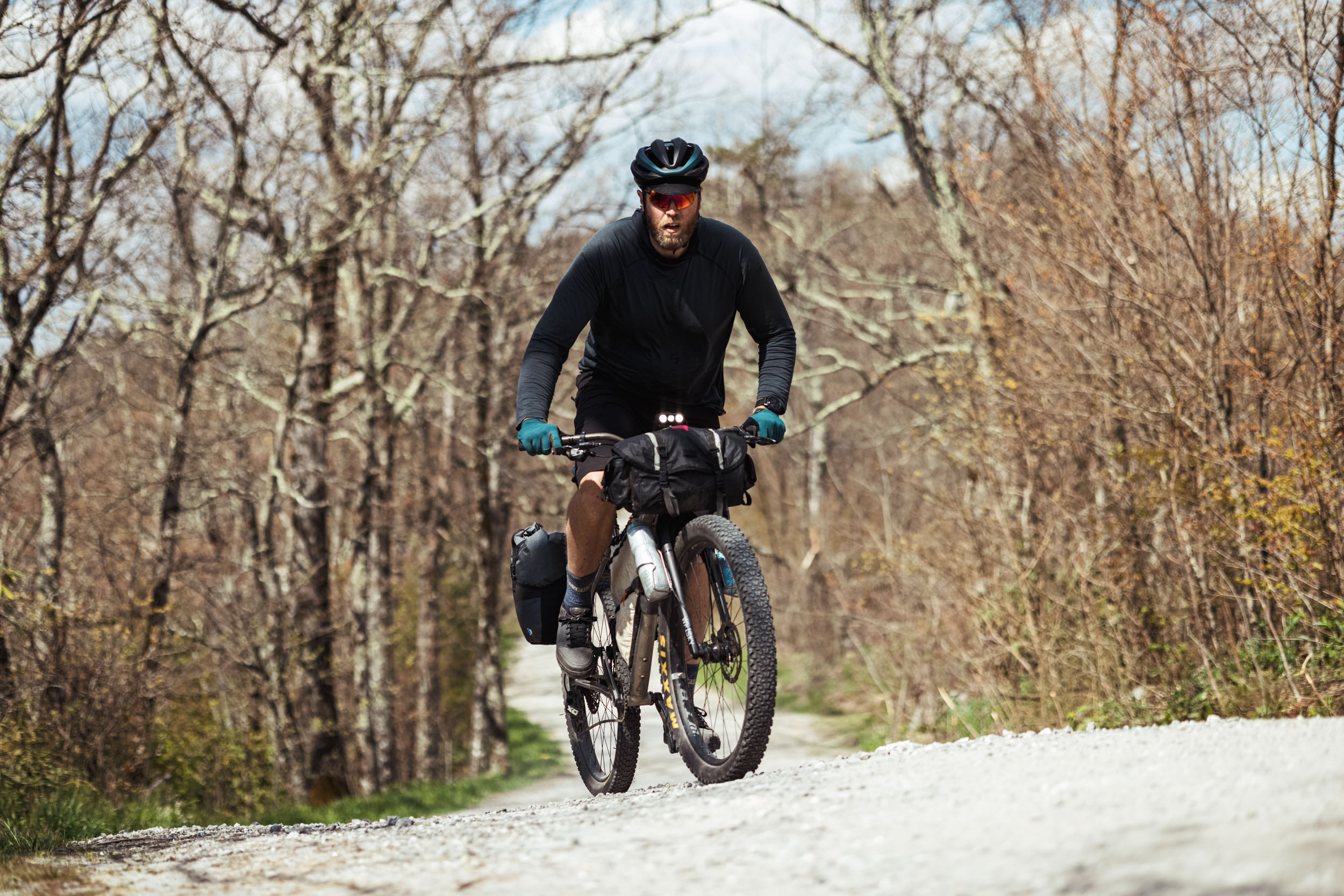
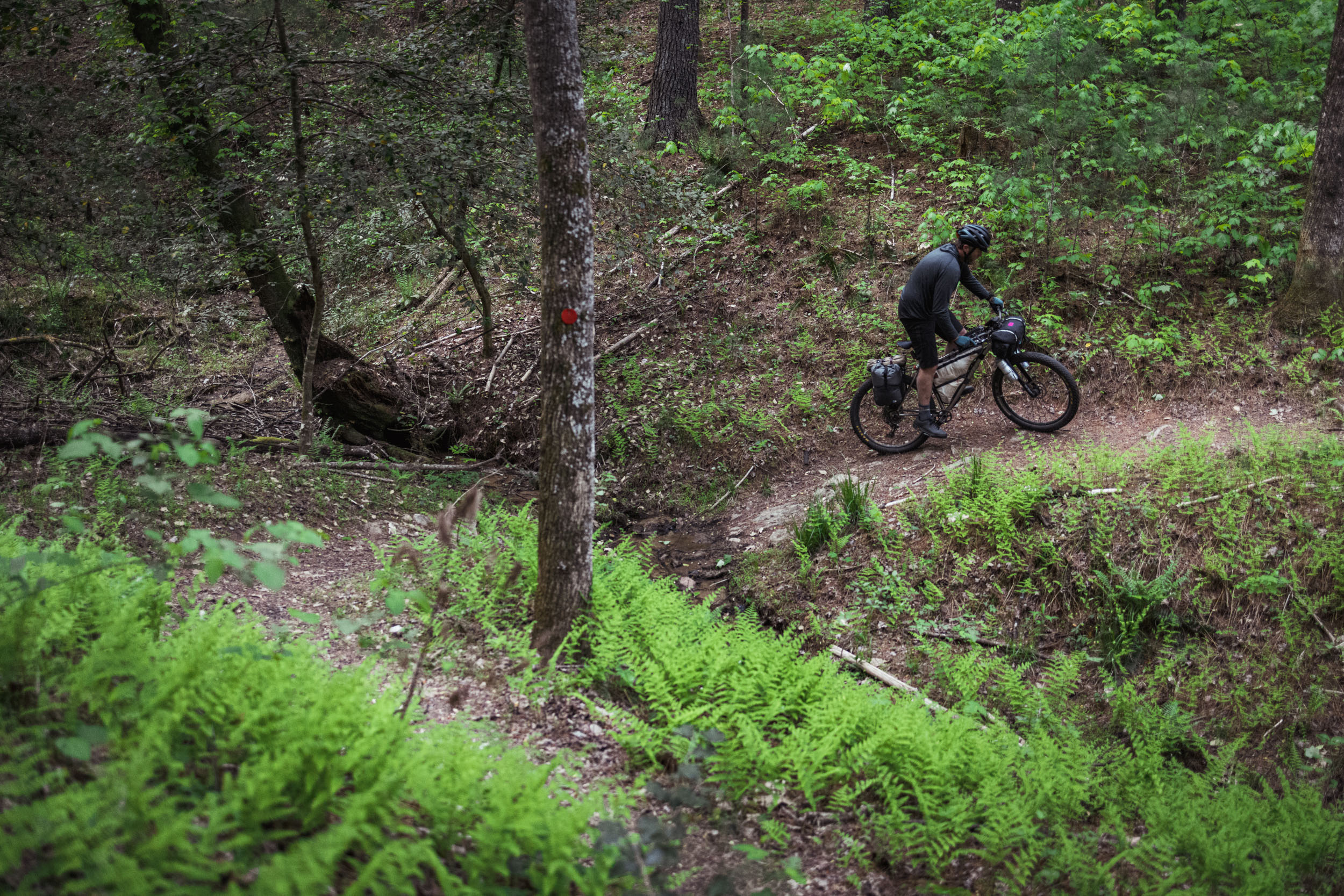
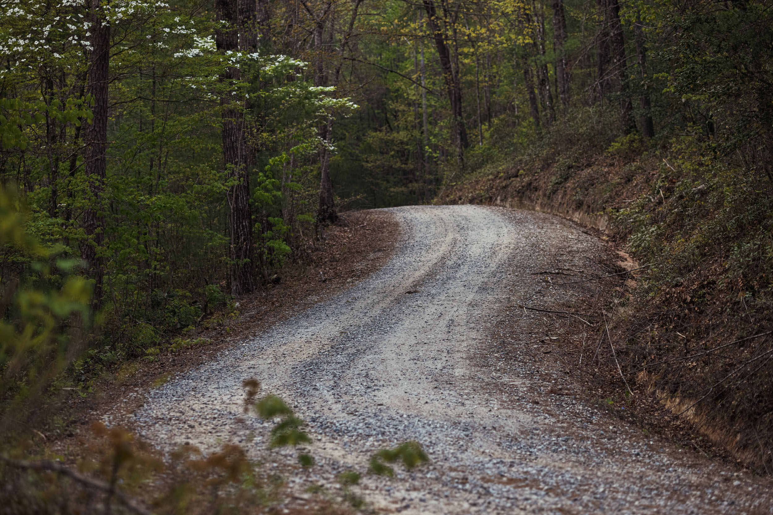
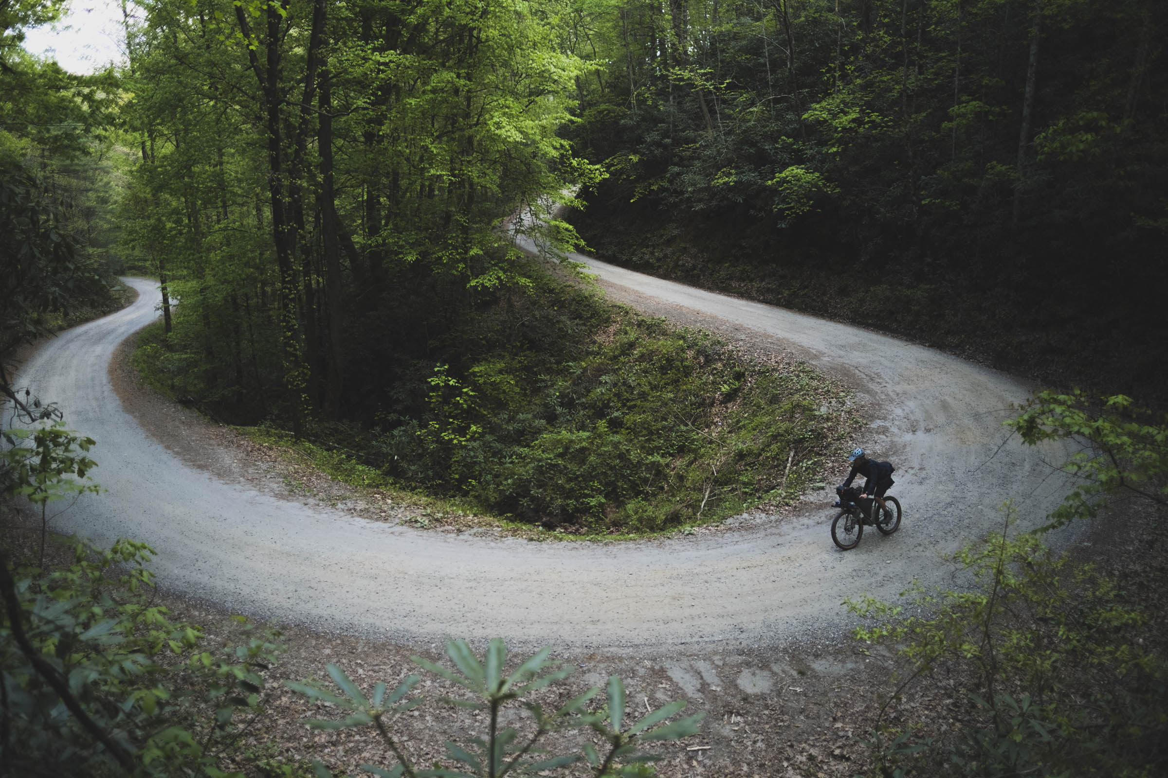
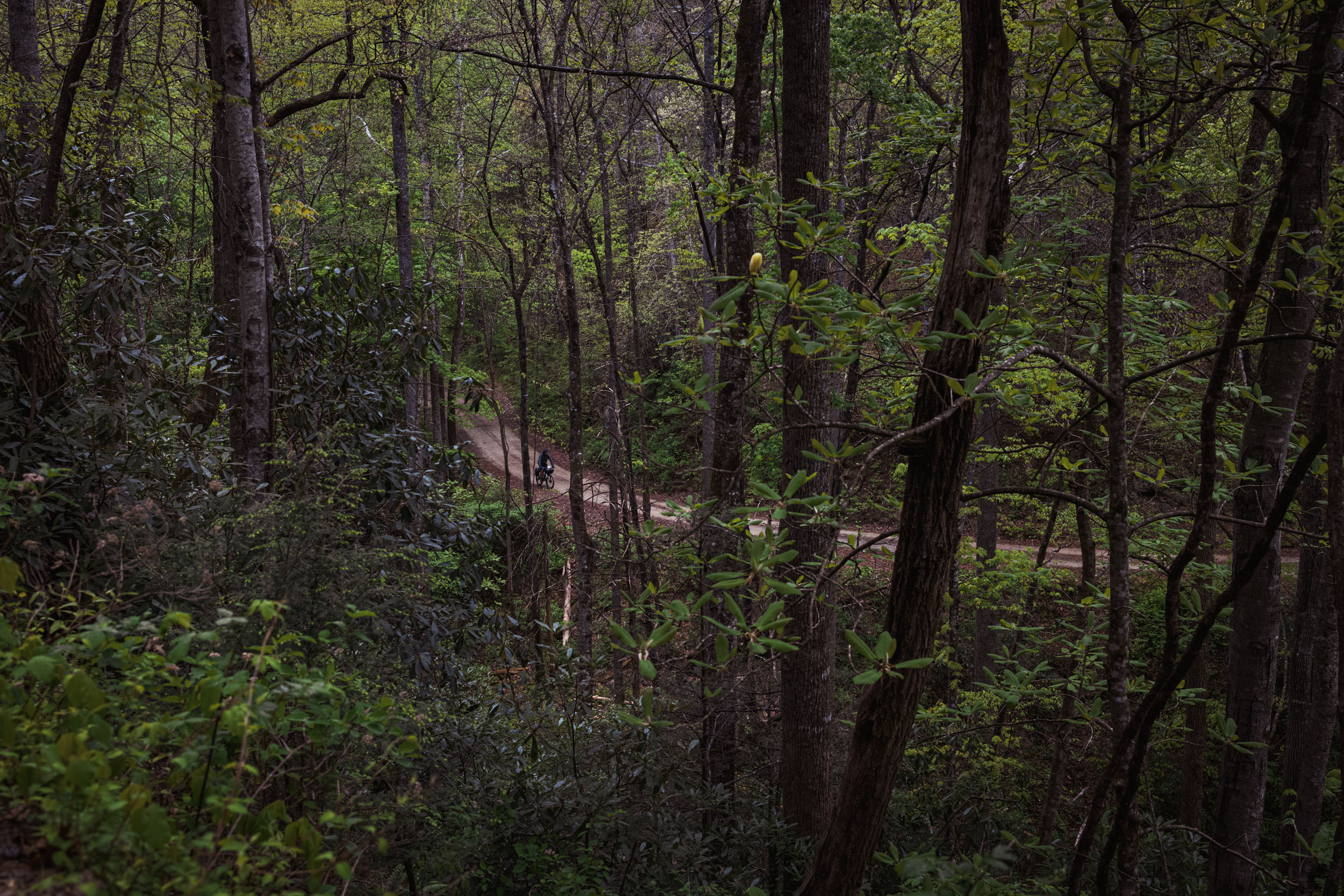
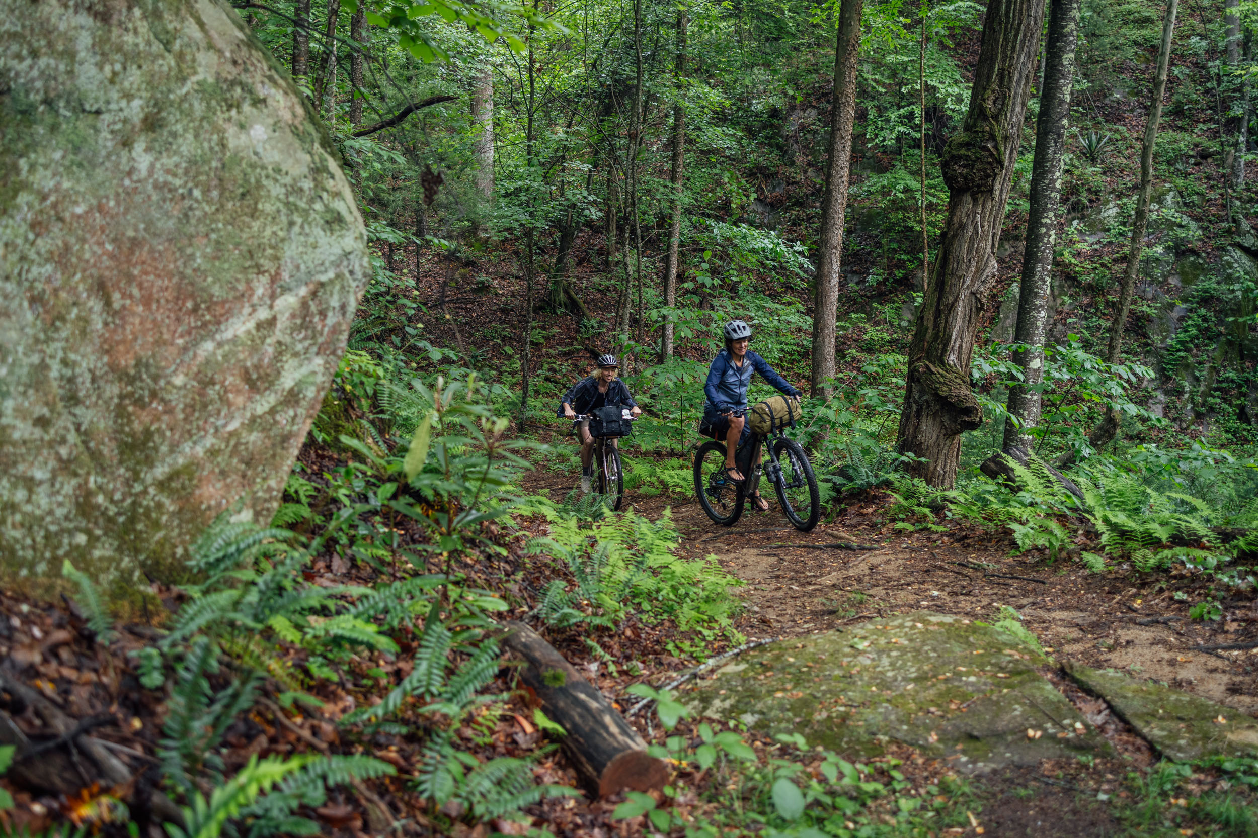
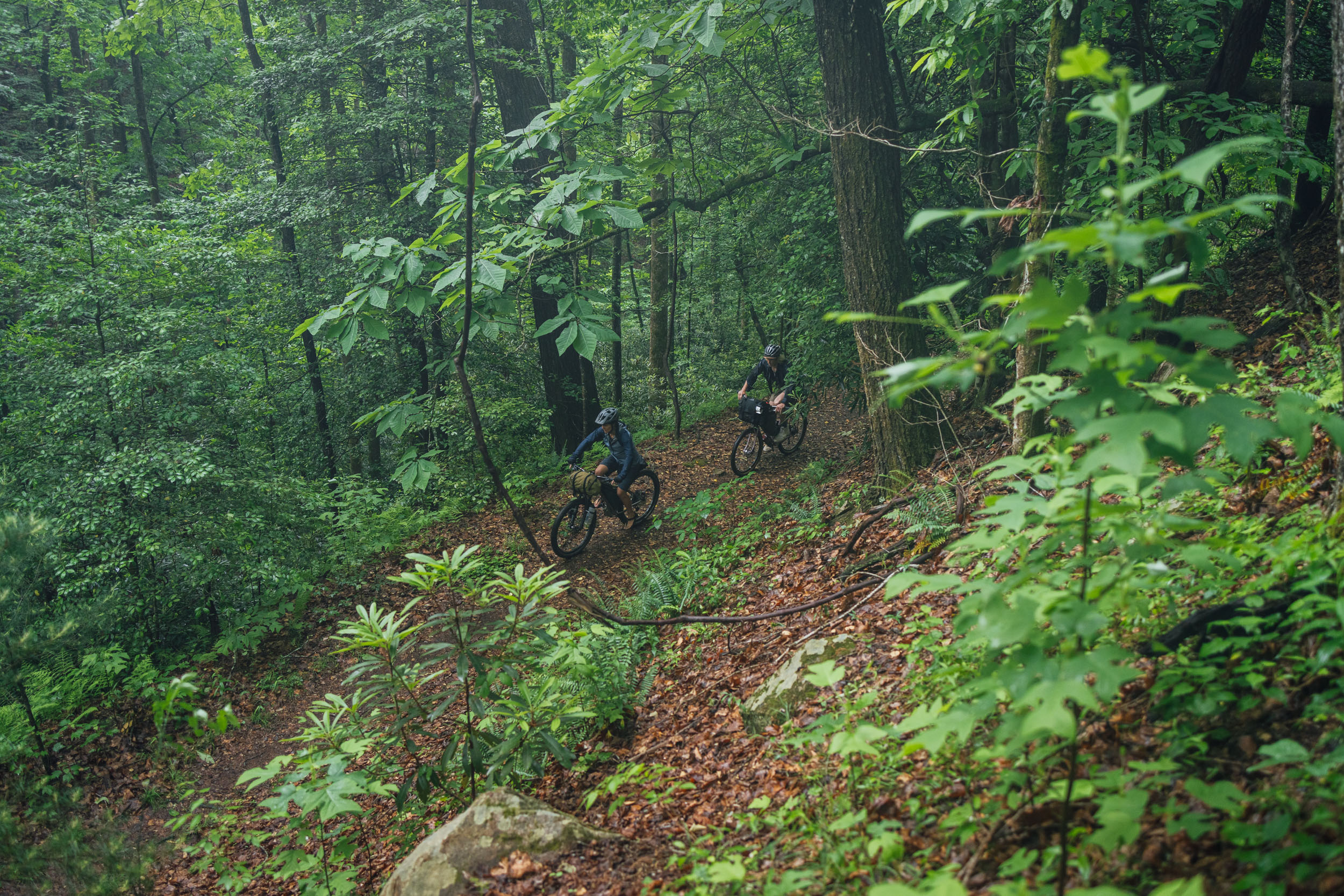
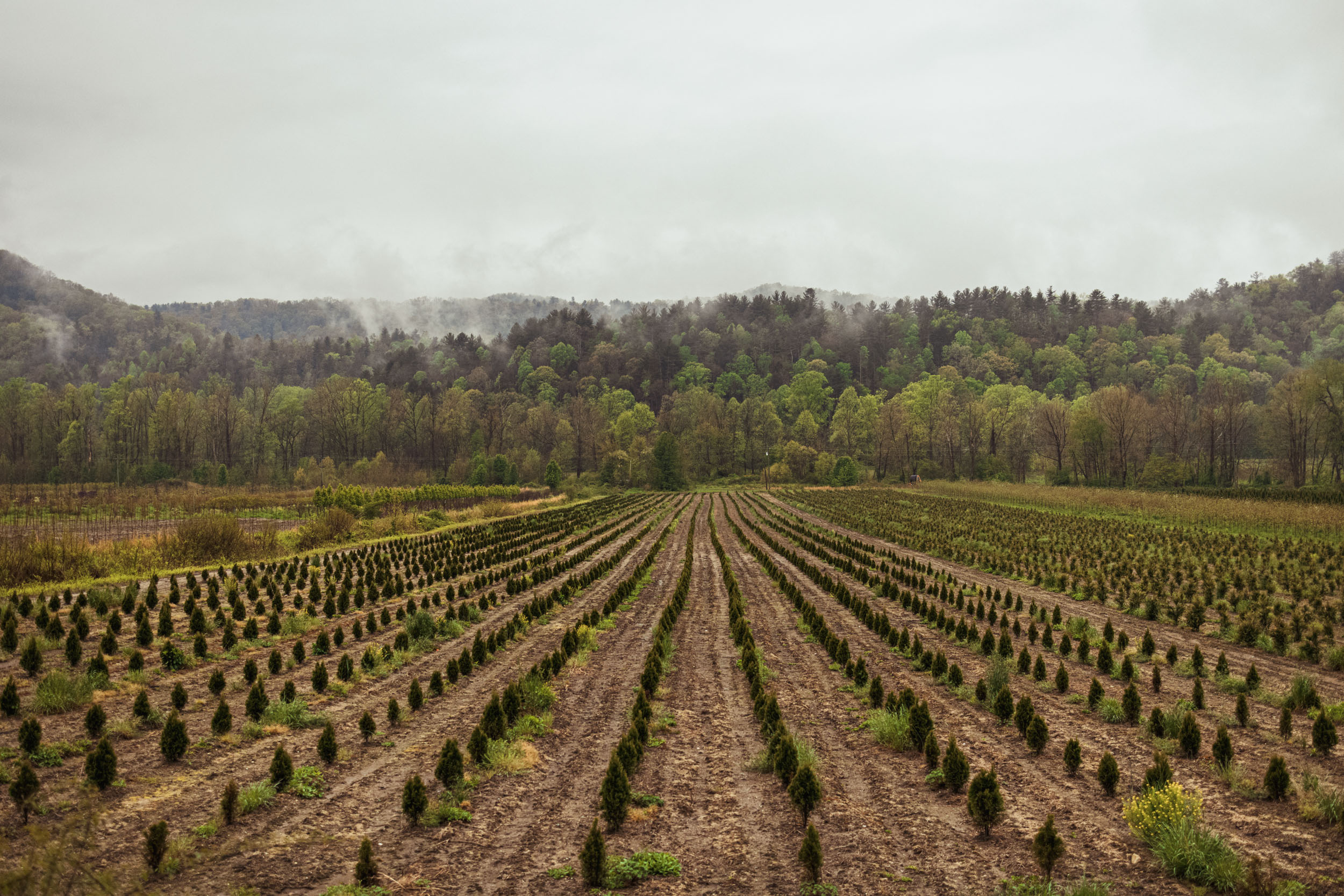
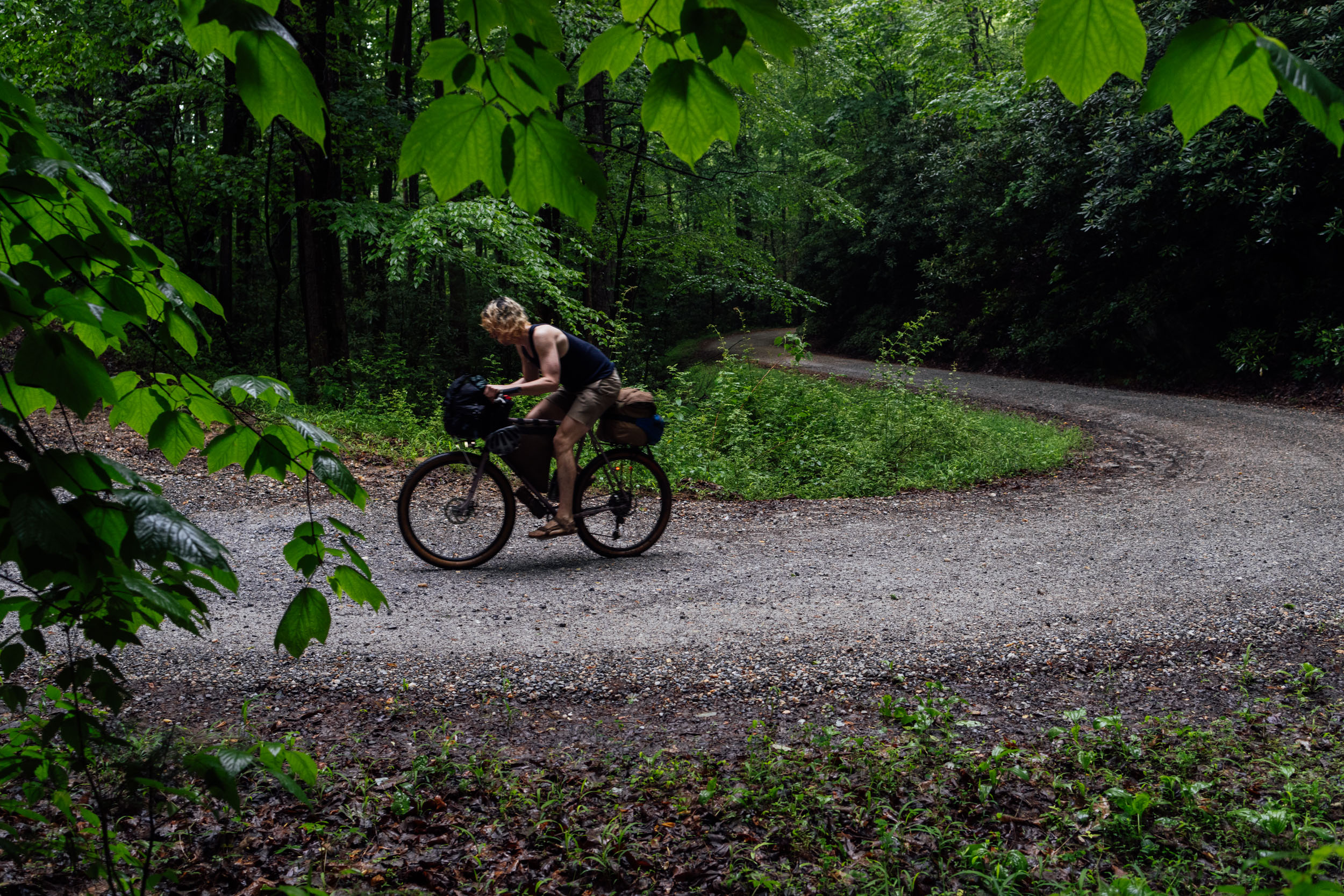
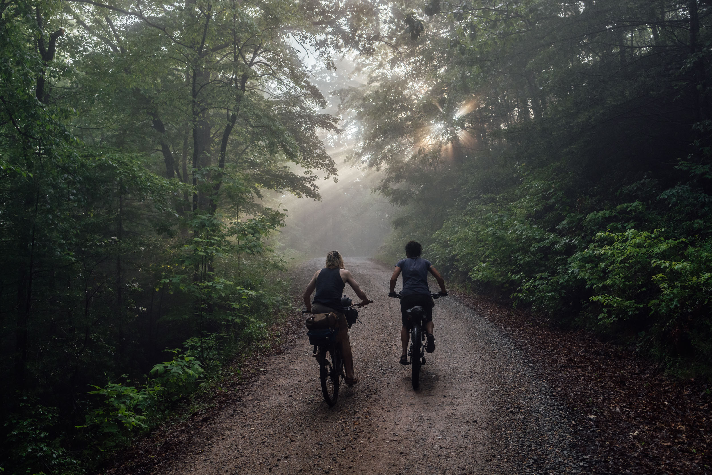
The Wilson’s Ramble long weekend bikepacking route was designed to enable riders to soak in the scenic forests, rivers, and mountains surrounding Wilson Creek, Linville Gorge, and the Grandfather Ranger District in Western North Carolina. The loop takes in the area’s spectacular landscapes—plus an amazing brewery—using an excellent mix of lesser-known doubletrack, bucket list gravel, and a hearty dose of flowing singletrack. In addition to great riding, the Ramble offers plenty of opportunities for trout fishing, swimming, and even rock climbing.
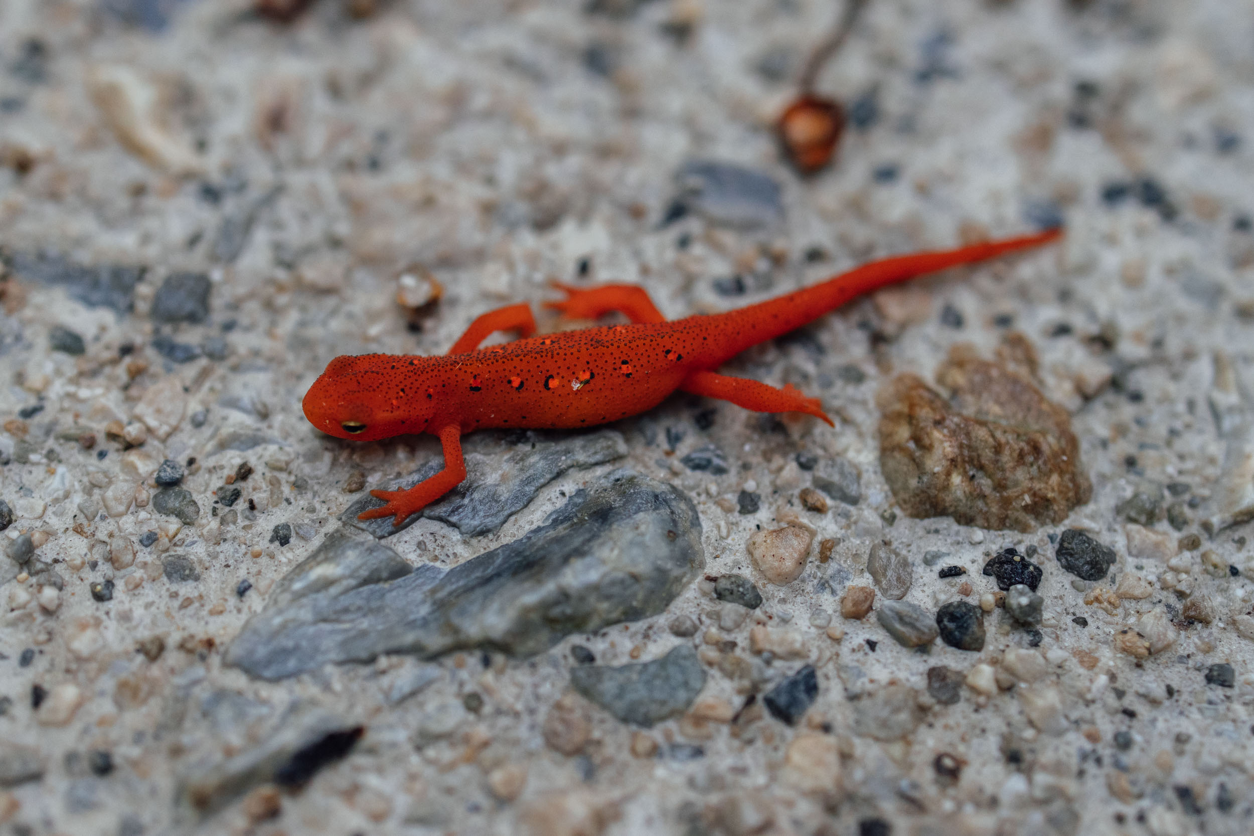
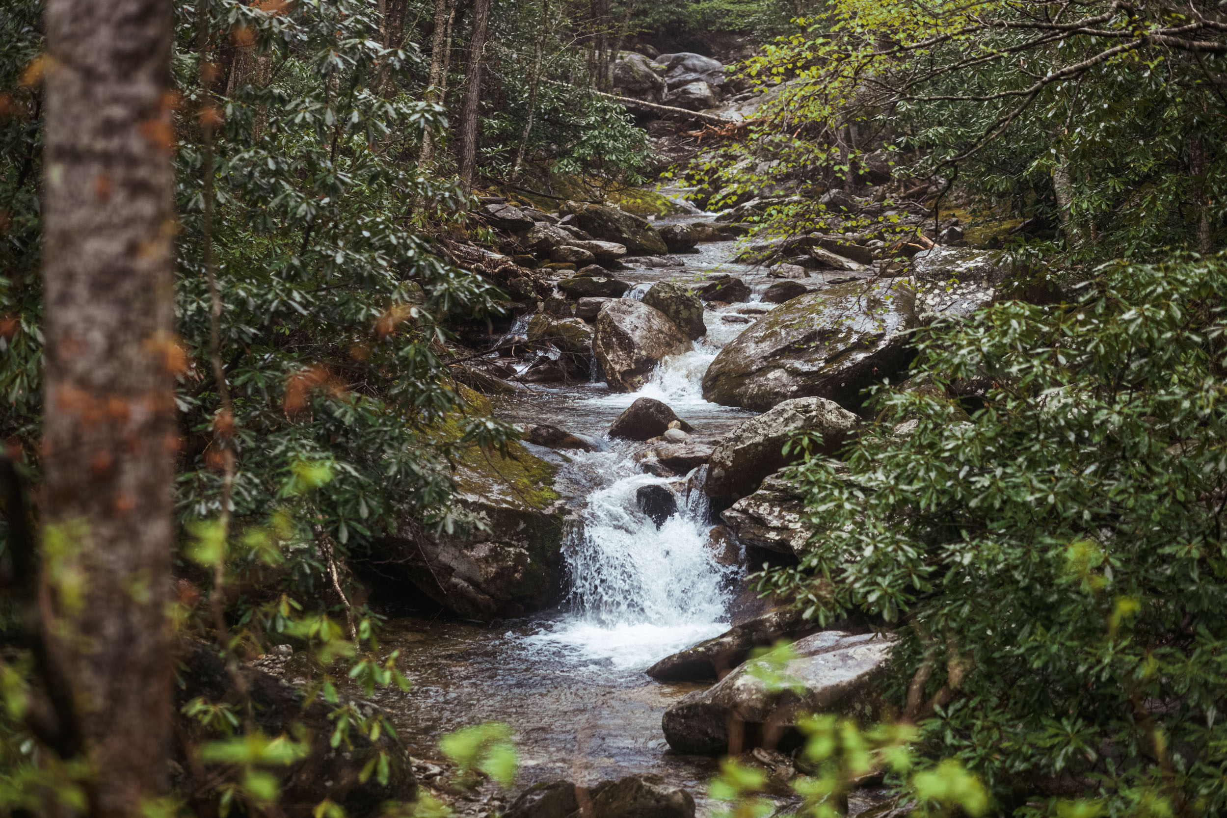
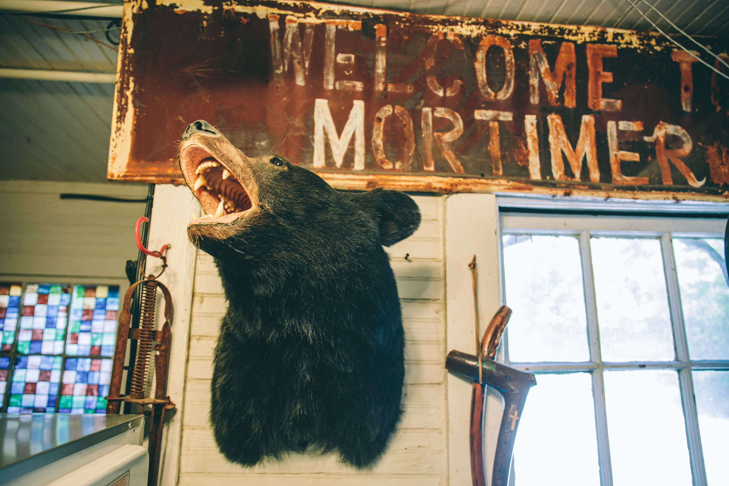
The Wilson Creek and Linville Gorge Wildernesses areas and their surrounds are a steep and rugged region in the Appalachian Mountains that run from the flatter Piedmont in Morganton, NC, up to North Carolina’s highlands on the southern slopes of Grandfather Mountain (5,946′ / 1,812m). These lands are the ancestral home of the Tsalaguwetiyi (Cherokee) and served primarily as their summer hunting grounds before being occupied by settlers in 1750 who began logging operations based in the town of Mortimer, once the largest community in the Wilson Creek area. These zones are characterized by dense hardwood forests and a wide variety of trees and plants along the steep slopes formed by the two dominant rivers and their many tributaries. The fauna is fairly diverse in the area, too, with a dense community of black bears, foxes, coyotes, raccoons, trout, grouse, wild turkeys, owls, hawks, copperheads, and timber rattlers, among others.
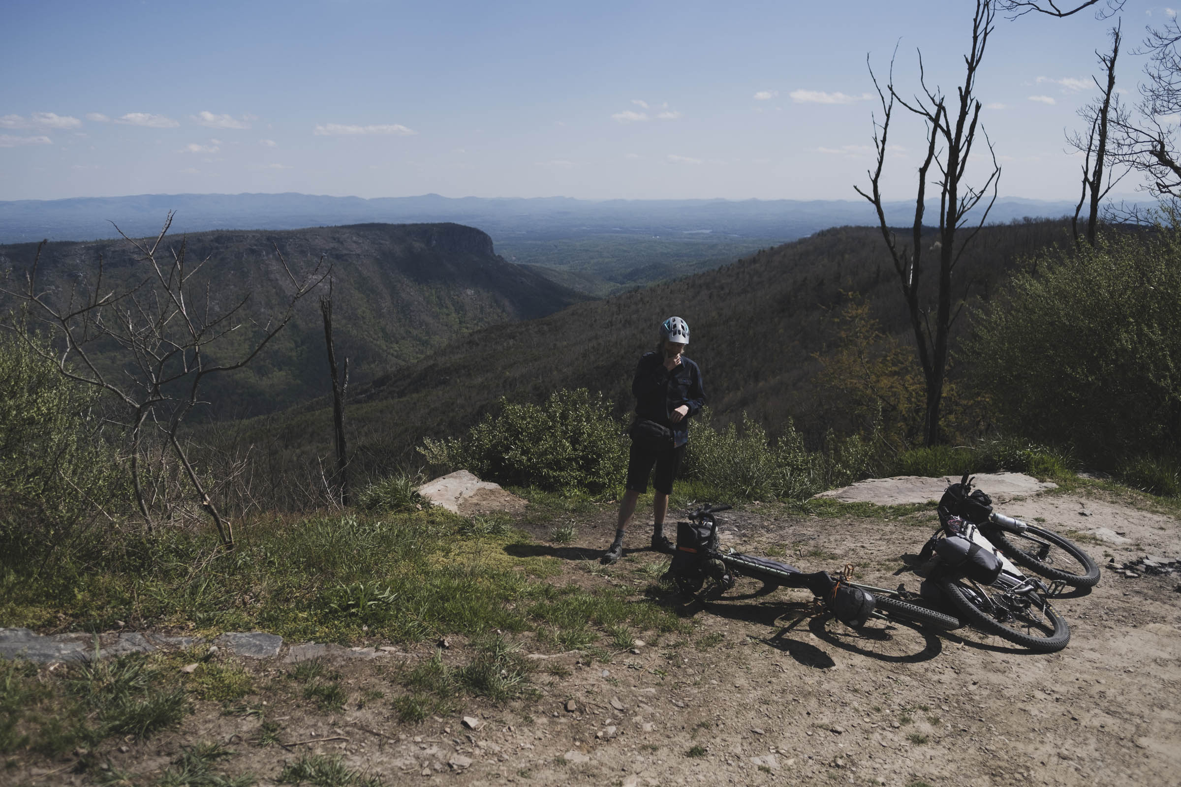
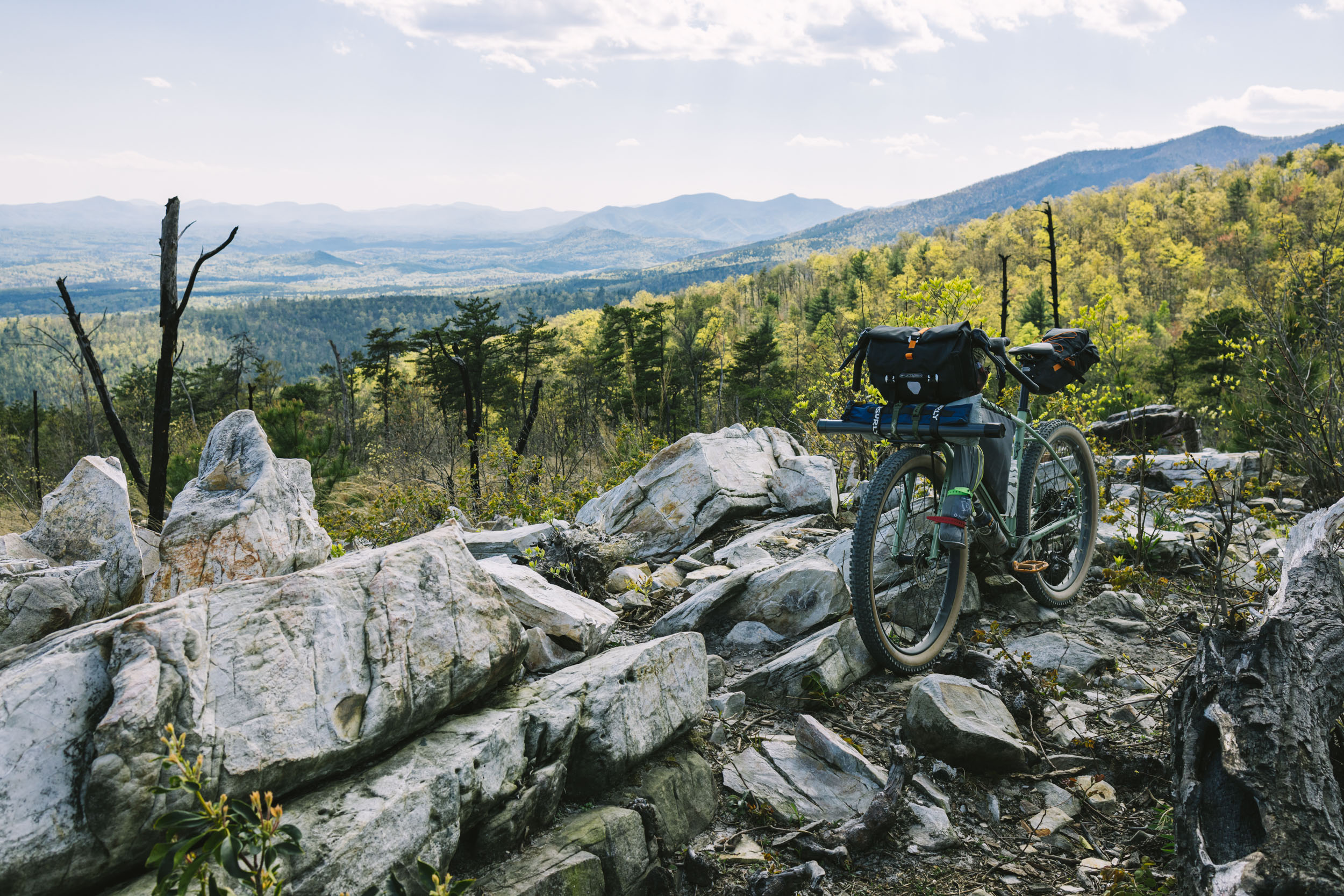
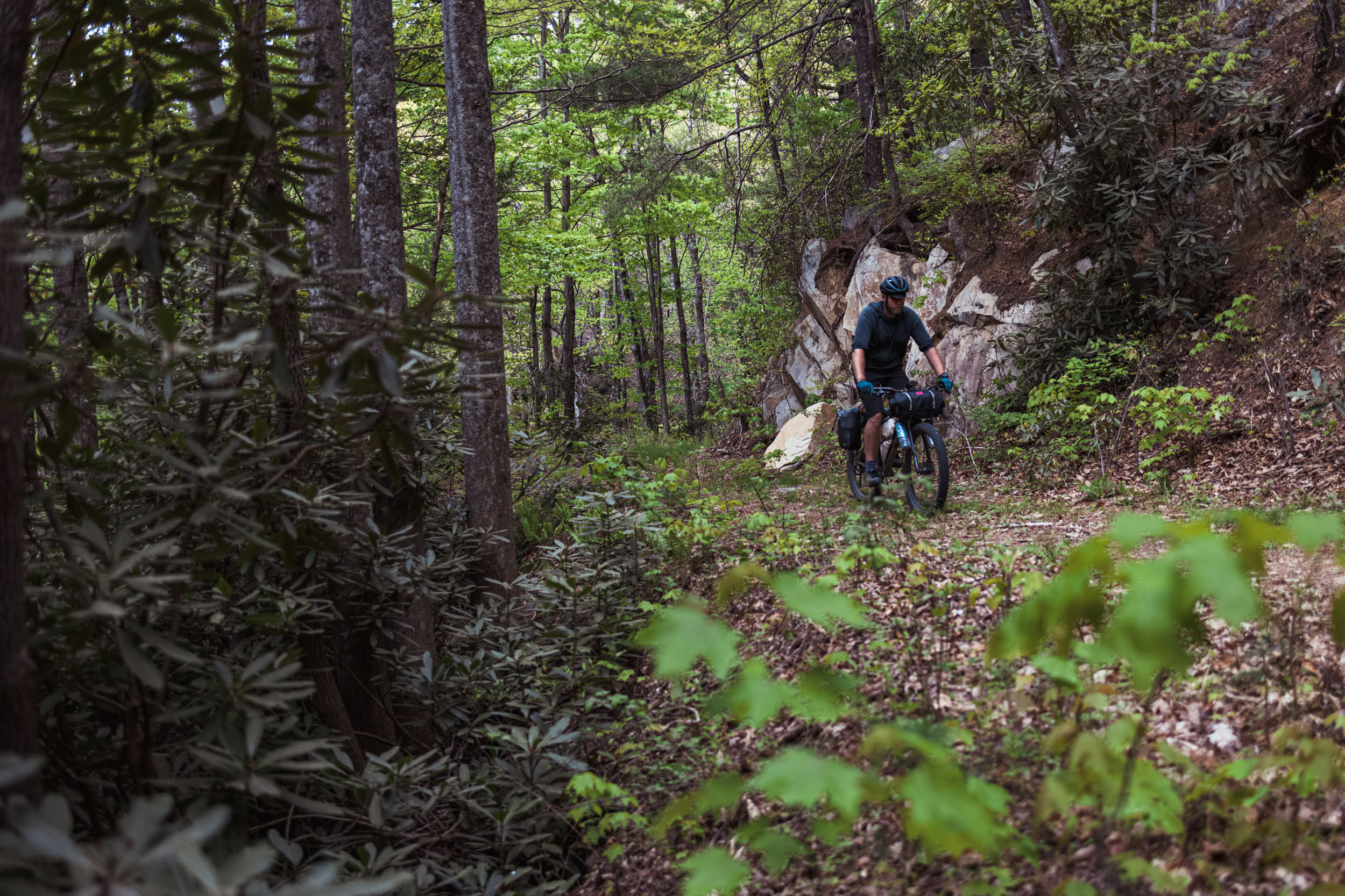
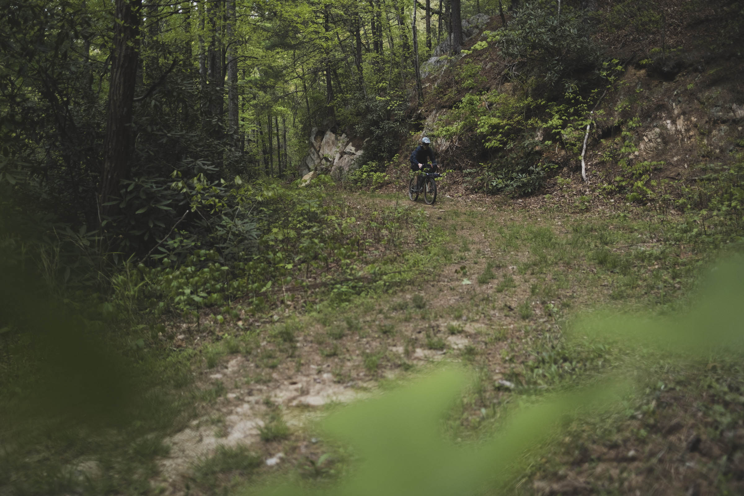
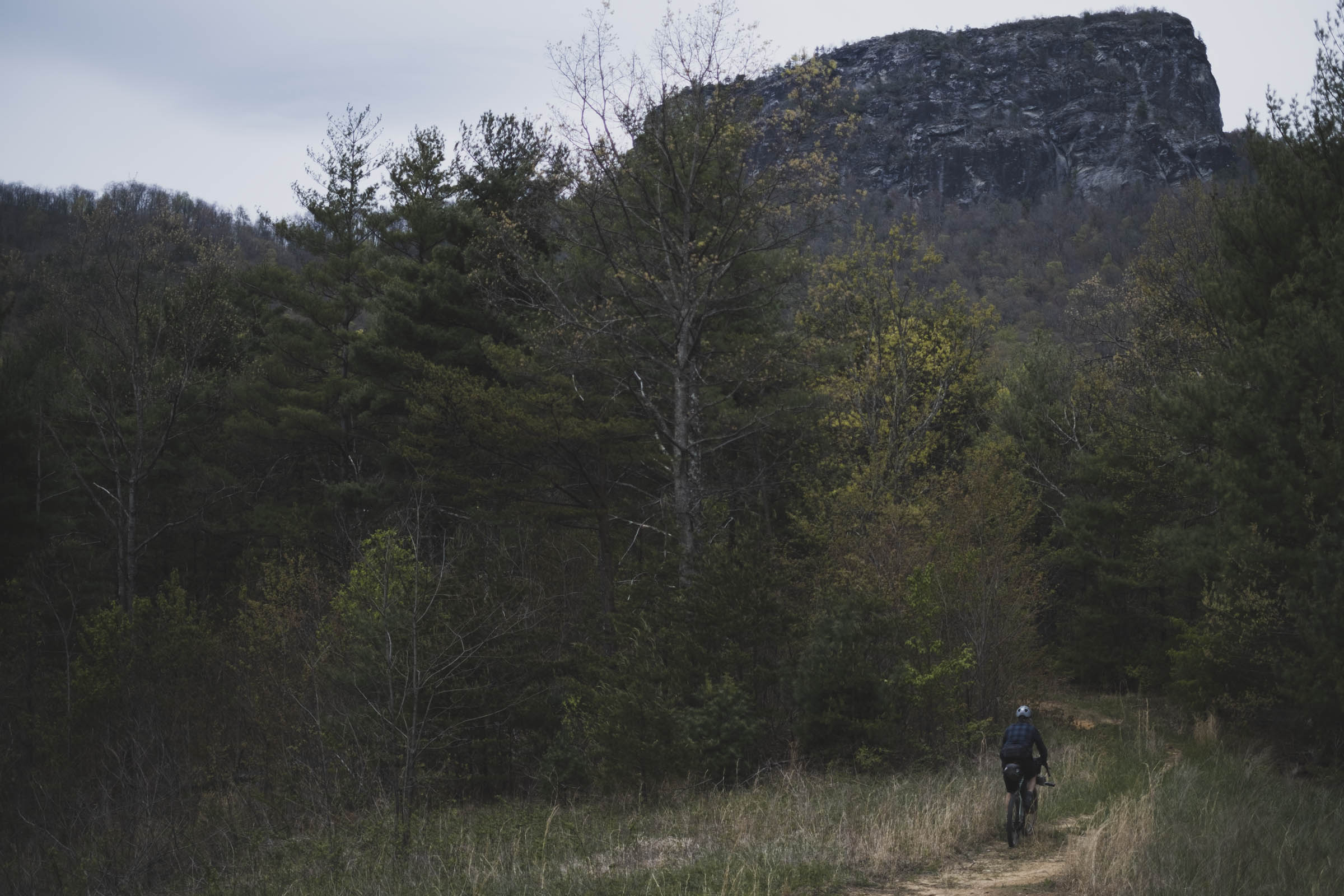
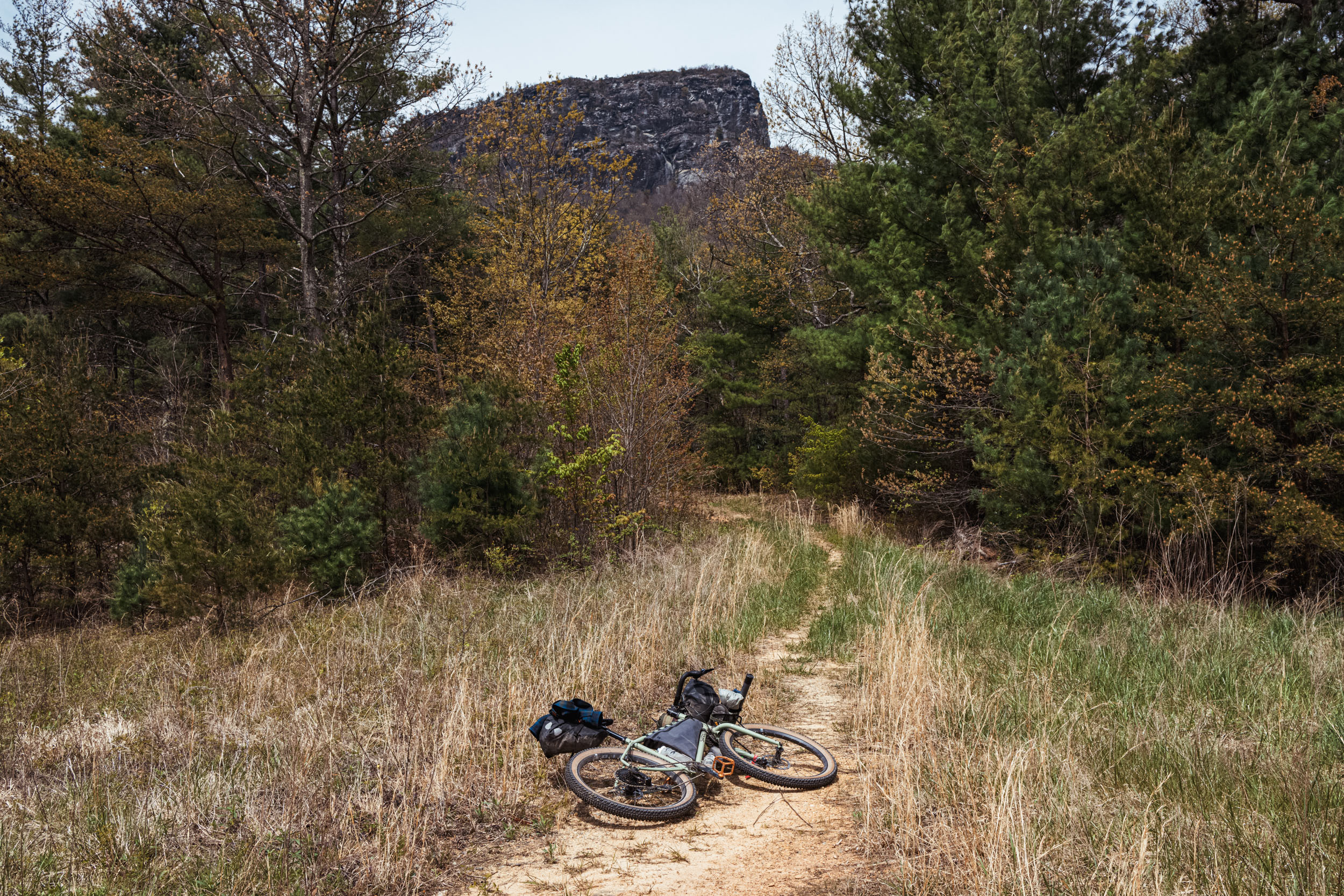
The Wilson’s Ramble utilizes two major geographic features in the area—Linville Gorge and Wilson Creek Gorge—as well as the steep escarpment that defines the district to the east, and Lake James, a large reservoir at the base of the mountains. In summary, the loop starts off at full tilt traversing the western rim of the scenic Linville Gorge Wilderness, often referred to as “The Grand Canyon of North Carolina.” In Cherokee, the Linville River is called Ee-see-oh, meaning “river of many cliffs.” That translation manifests itself visually from the many lookouts along Linville Gorge’s rim.
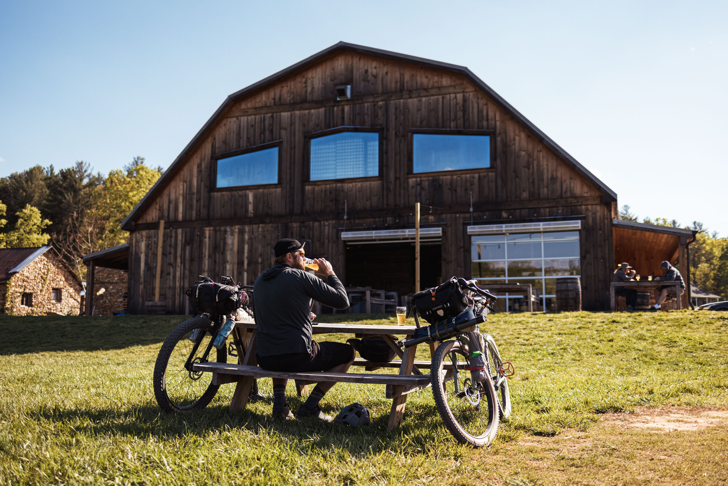
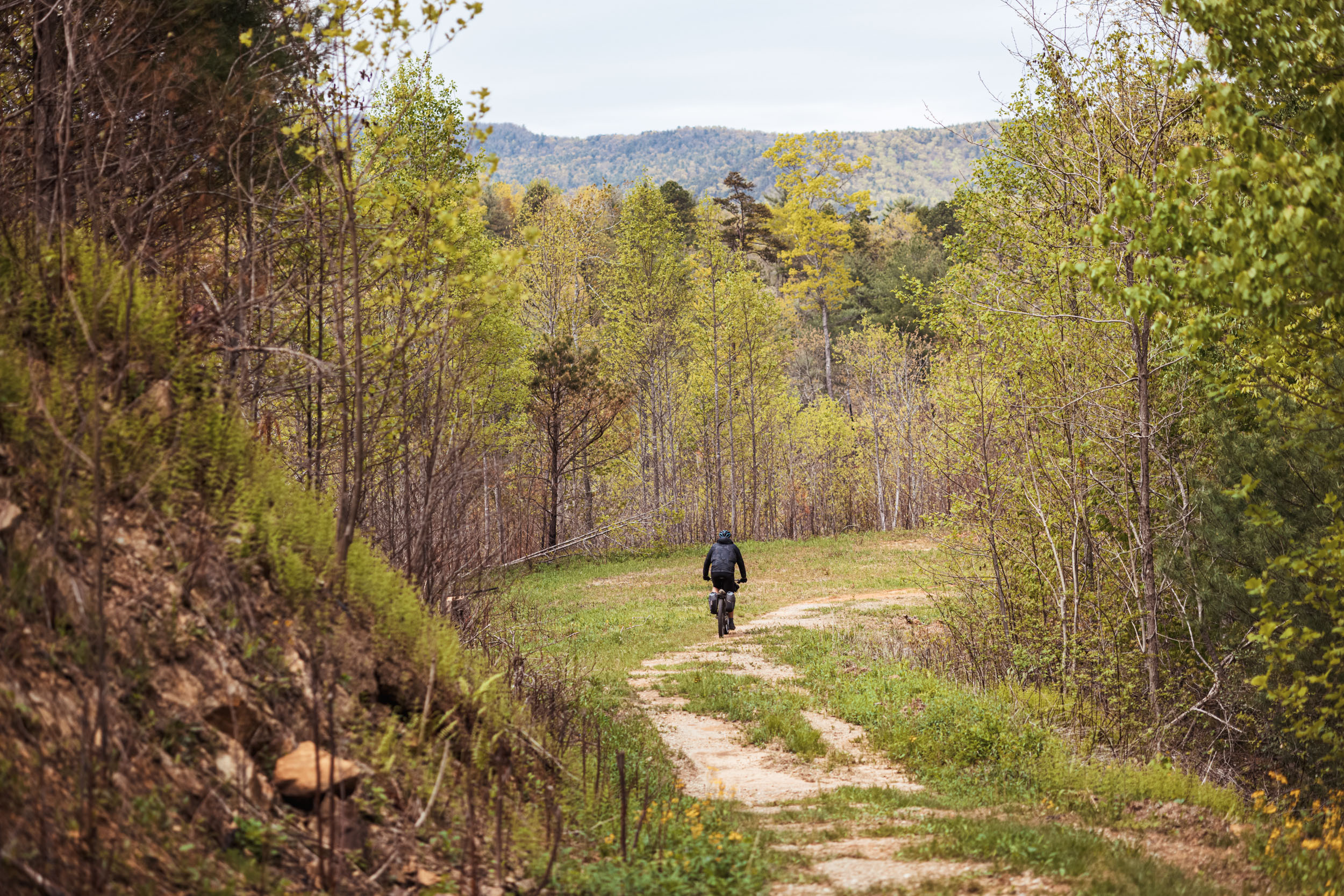
Once at the base of the Gorge, the loop drops riders into the foothills around Lake James and stops off at one of the best craft breweries on the East Coast, Fonta Flora at Whippoorwill Farm. Leaving the farm, the route meanders through Lake James State Park’s flowy singletrack network before climbing back up the eastern side of the Gorge. After a beautiful traverse up toward Table Rock, it then goes over another ridge to drop into Wilson Creek, a 23.3-mile National Wild and Scenic River System that rushes through a 200-foot-deep gorge of granite bedrock.
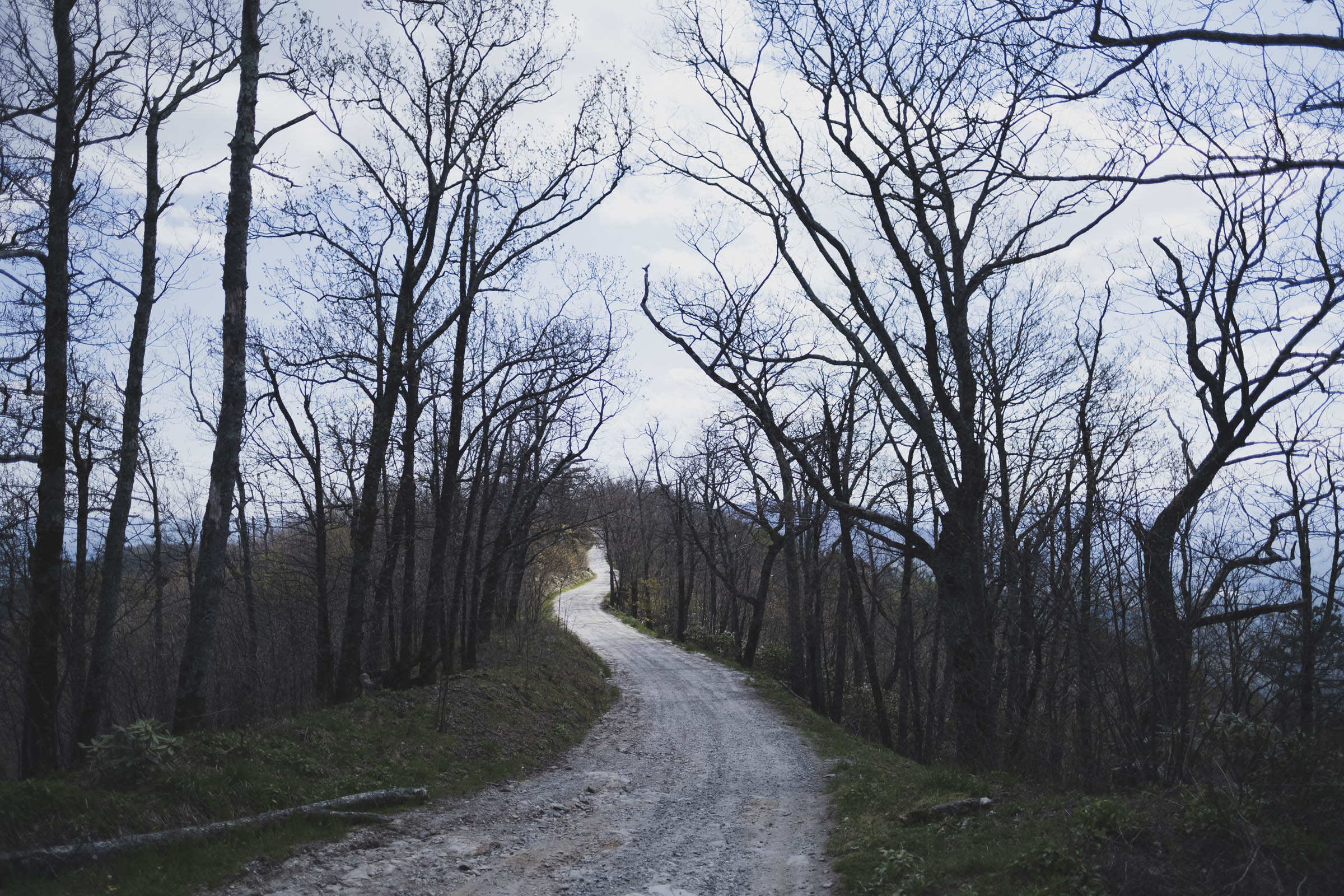
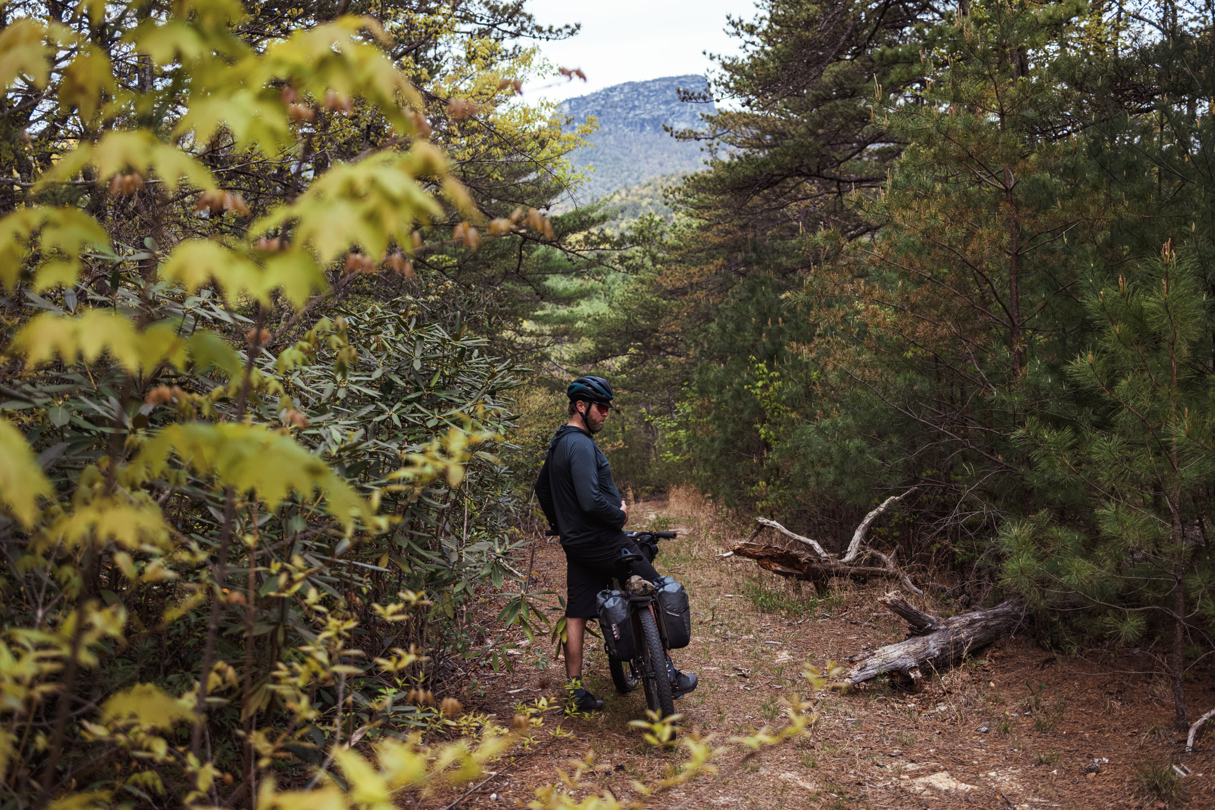
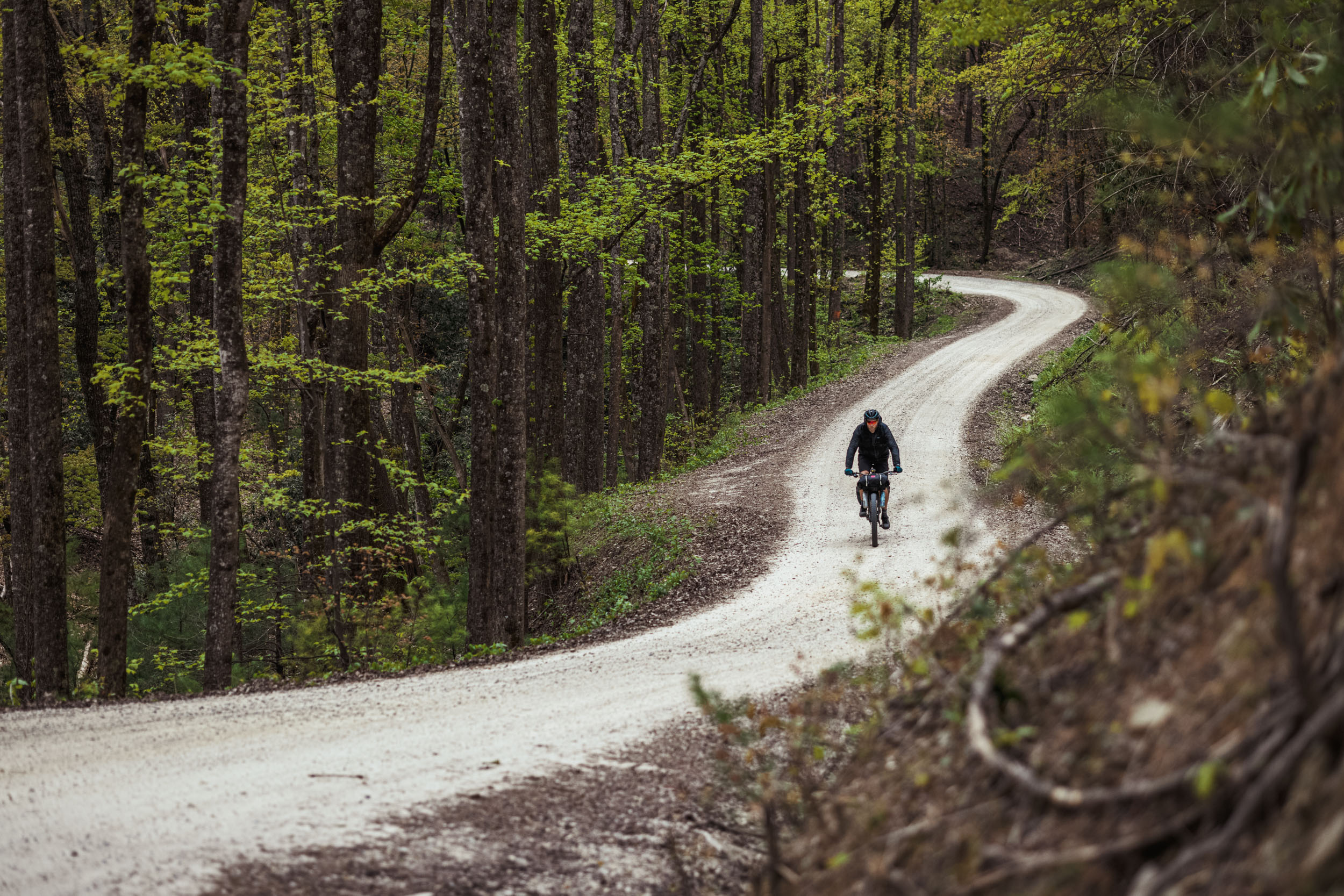
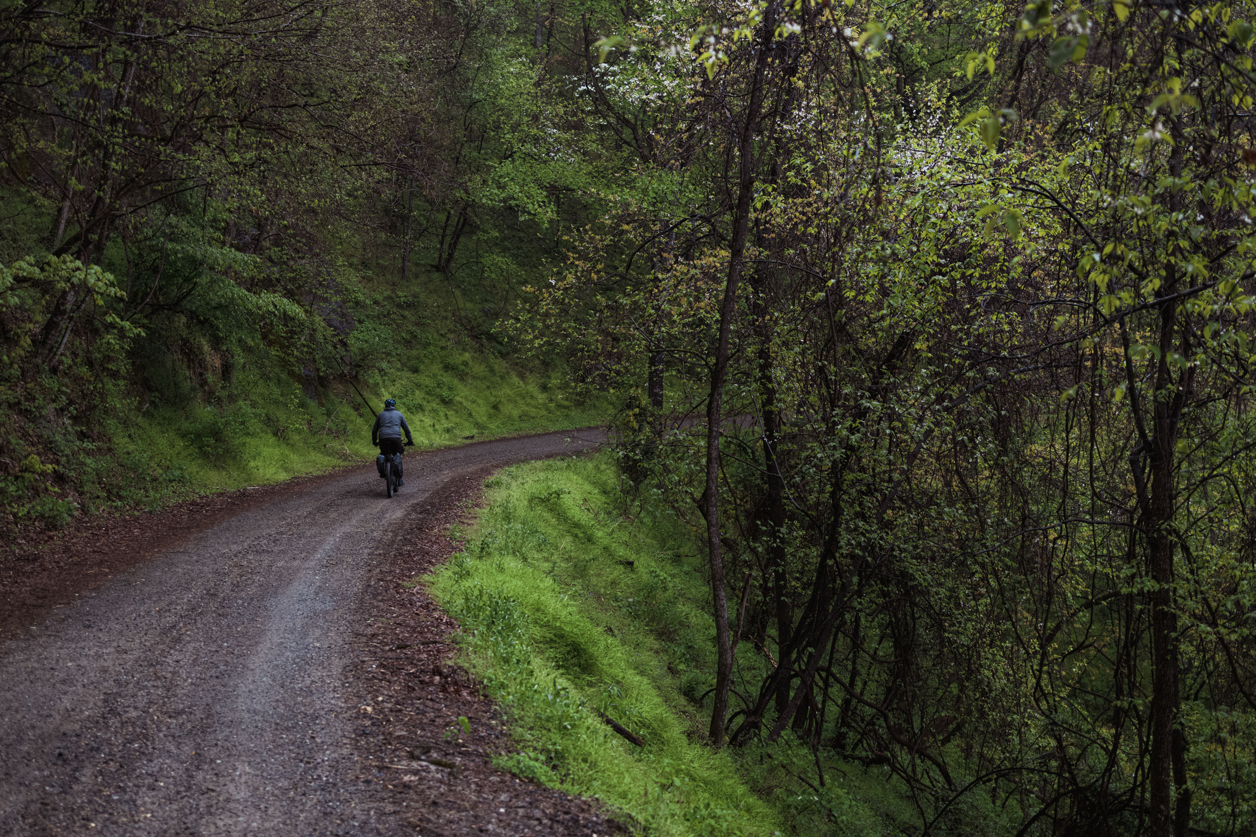
From there, the route continues northeast to tackle the incredibly beautiful Maple Sally, a spiraling gravel work of art cut into a steep east-facing escarpment. After an epic climb to the tiny town of Gragg, the Ramble traverses the many headwaters on Grandfather’s southern slopes and descends the revamped Yancey Ridge trail before marching back up toward Linville Falls. Be sure to read the full itinerary under trail Notes below.
Route Difficulty
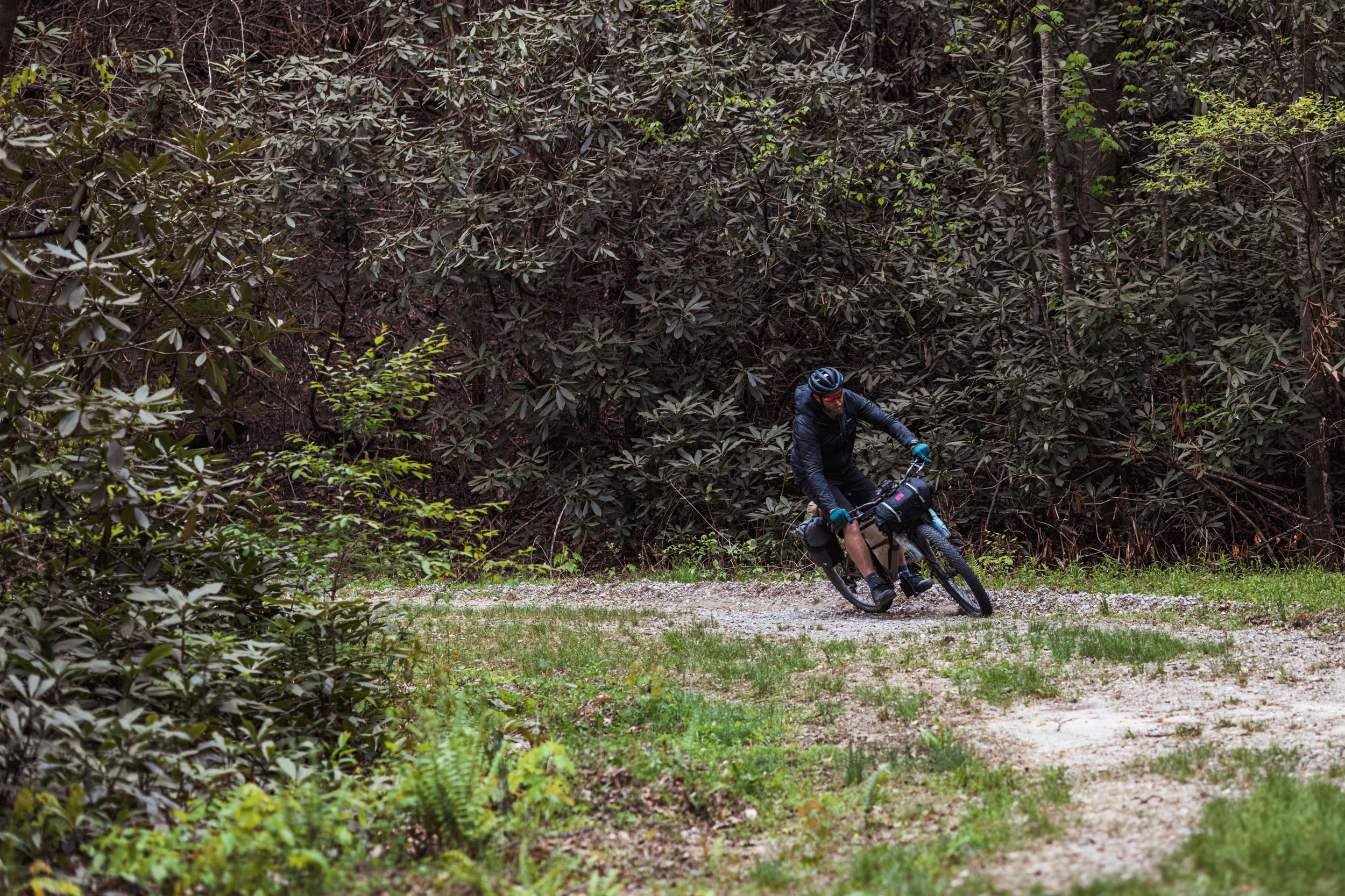
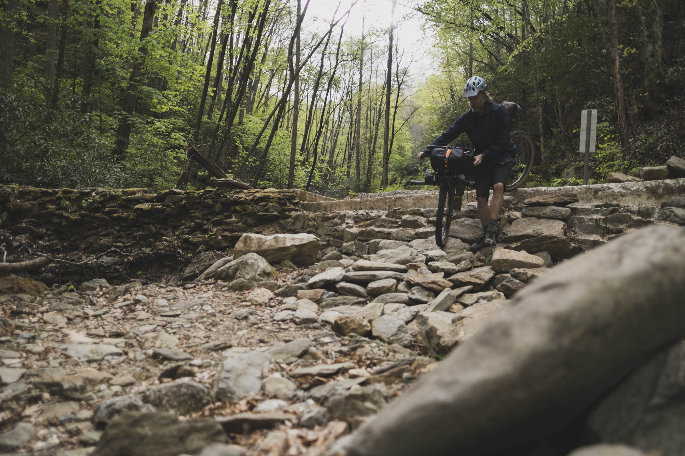
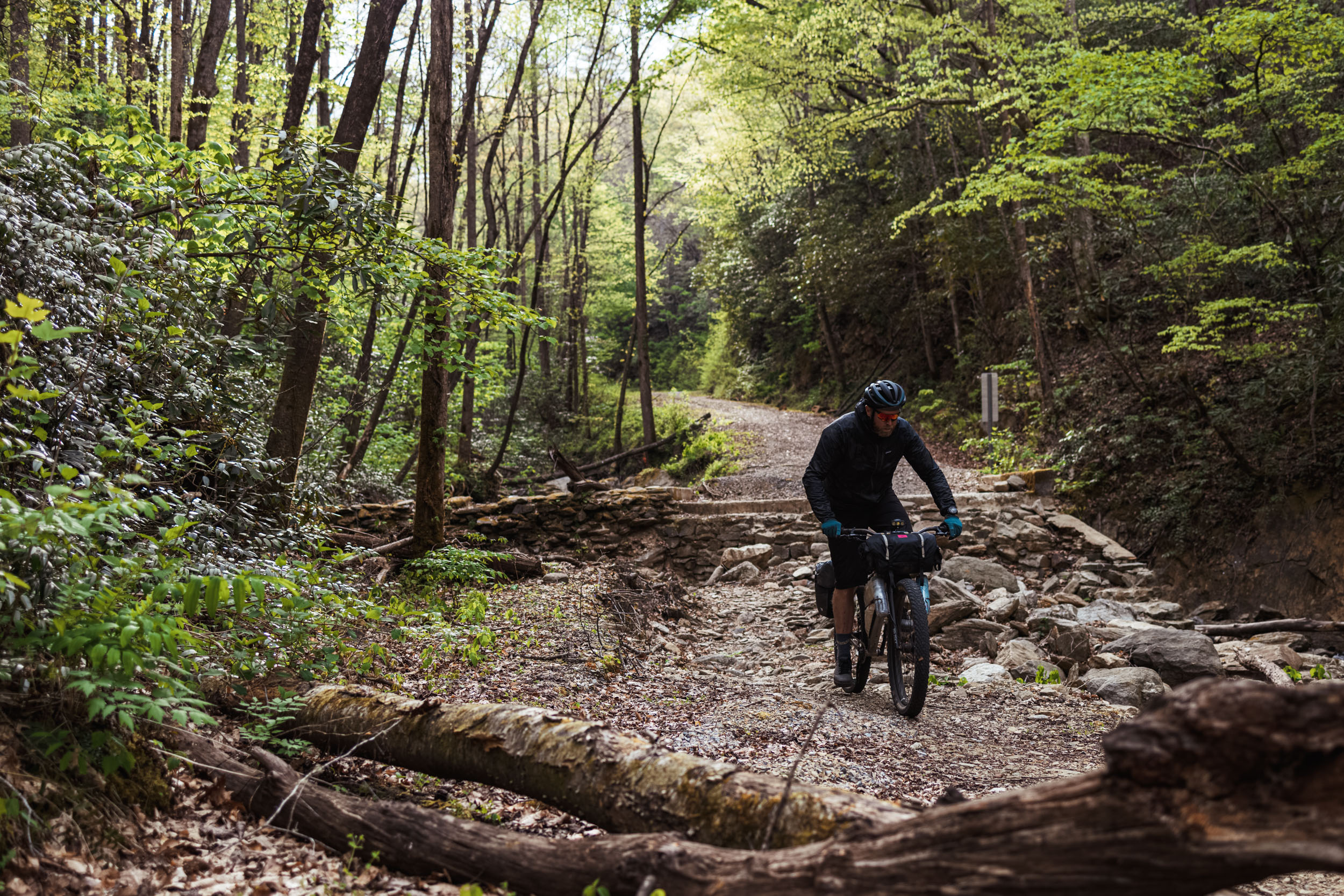
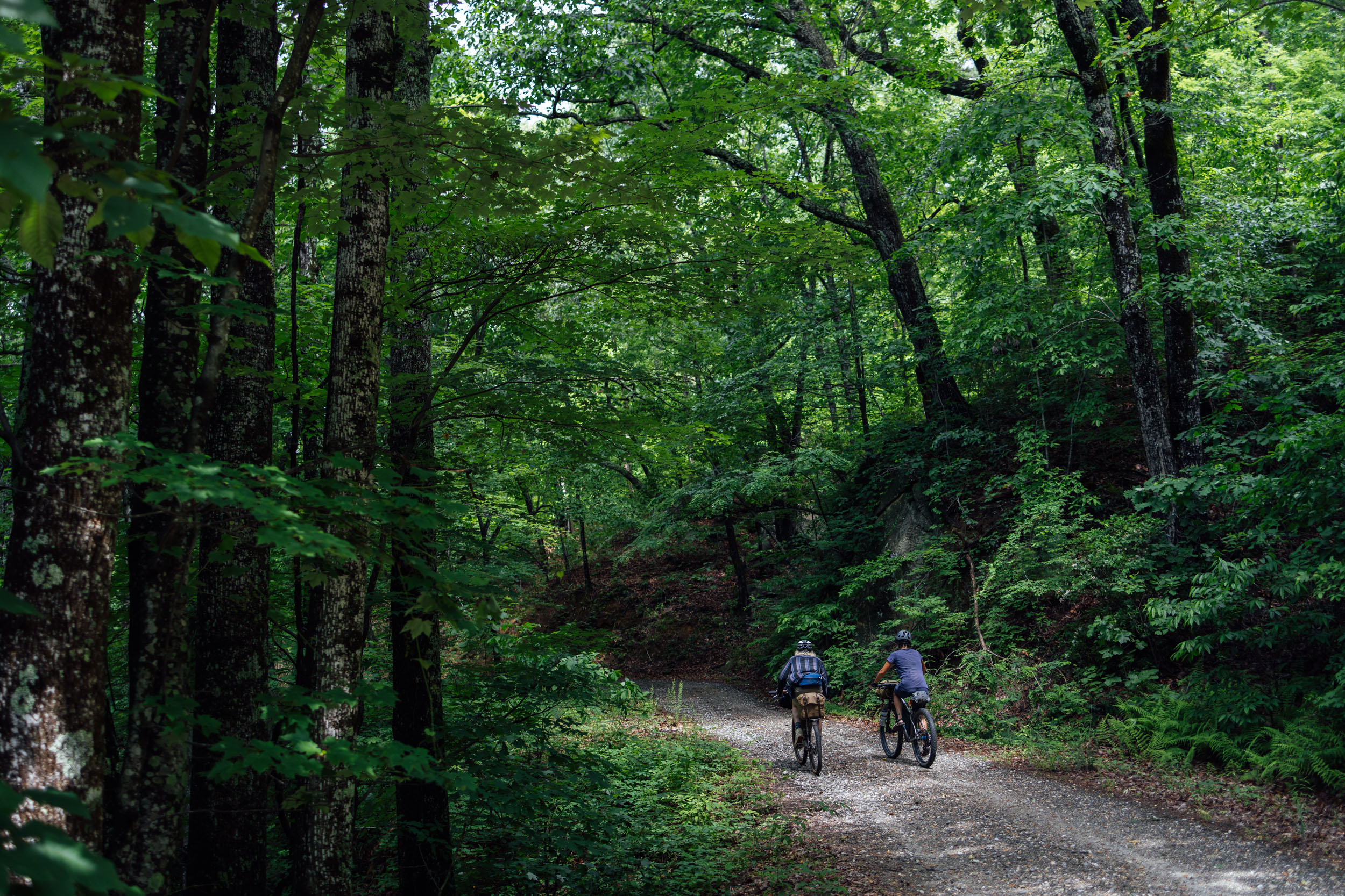
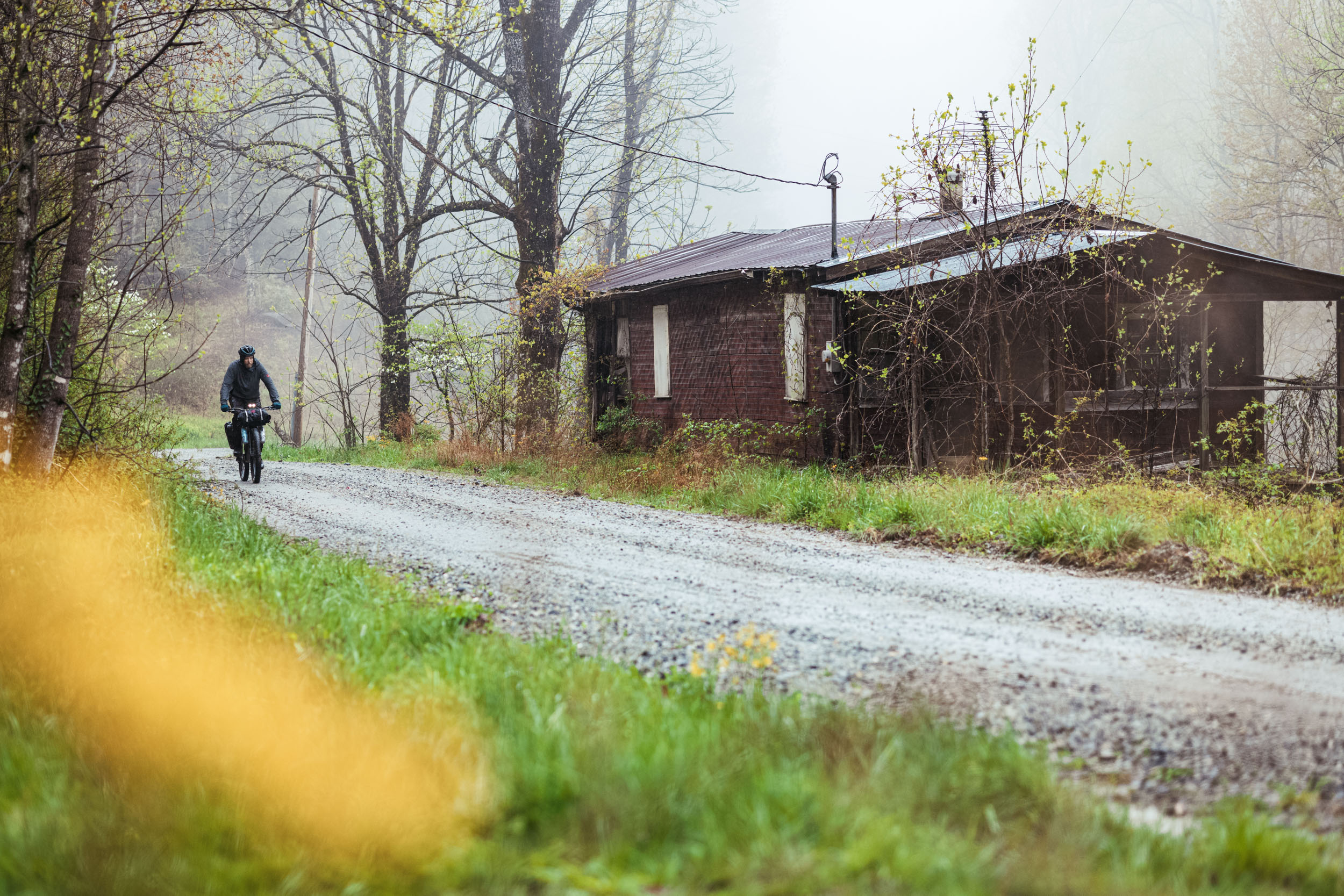
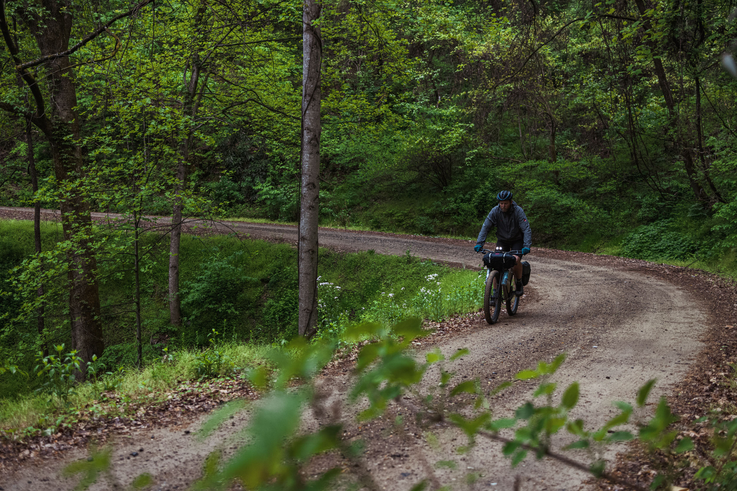
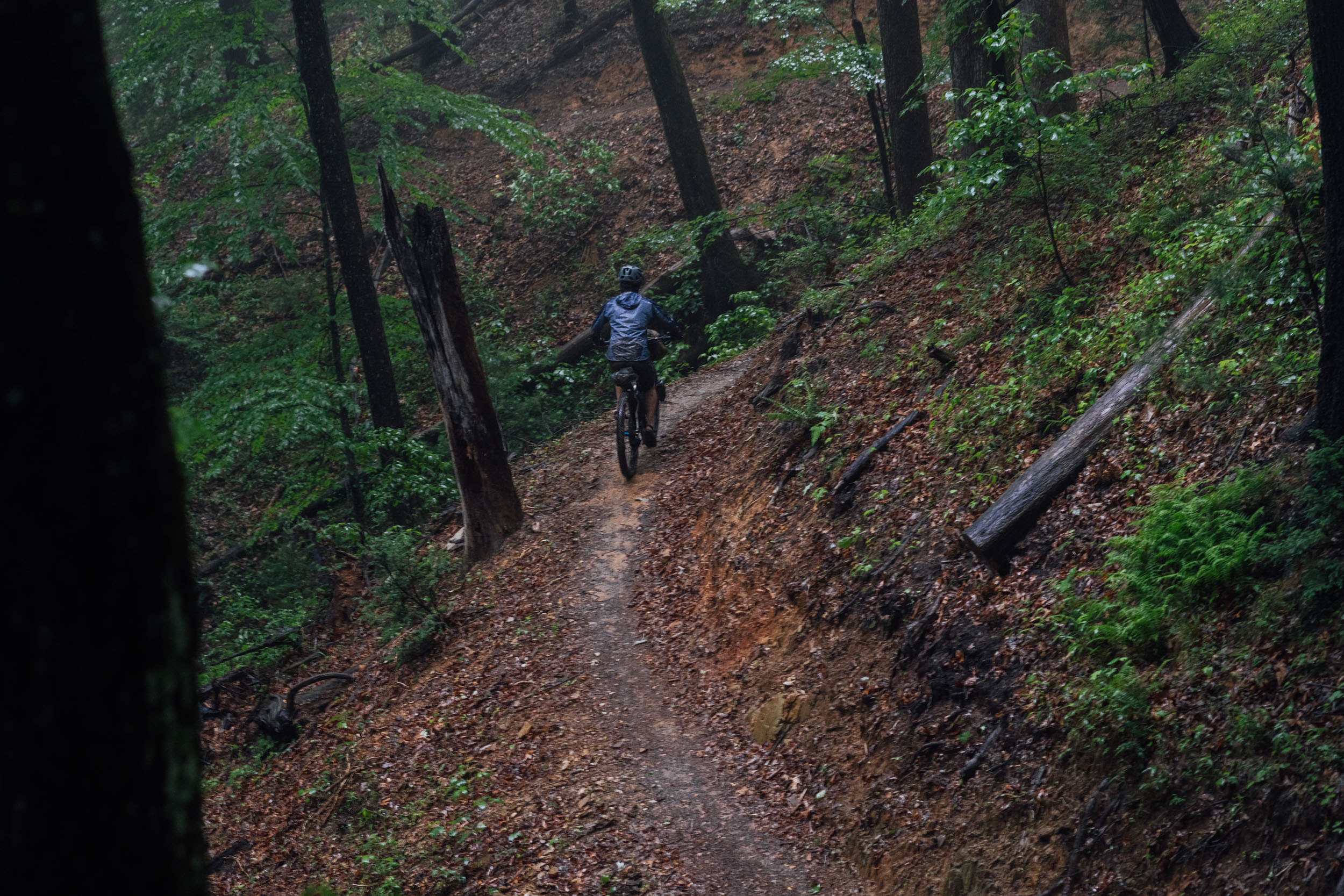
Don’t let the word Ramble fool you, this route isn’t an effortless meander. As evidenced in the nearly 15,000 feet of vertical that our GPS registered during the final scout, it has its challenges—which is where the 6.5/10 difficulty rating comes from. Still, aside from the requisite hike-a-bike on Lower Wilson Ridge, this isn’t an overly technical route. And overall, it doesn’t feel like a strenuous sufferfest by any means. The singletrack in Lake James State Park is mellow, and a large portion of the route is on graded gravel or gated secondary dirt/gravel roads. There are a couple of chunky bits, such as the climb up Old Table Rock Road, the descent (and steep climbs) on Old 105, and the rugged parts of Yancey Ridge. If you try and do it in two or three days, it will be challenging for most riders. Four days will certainly yield a more relaxed ride.
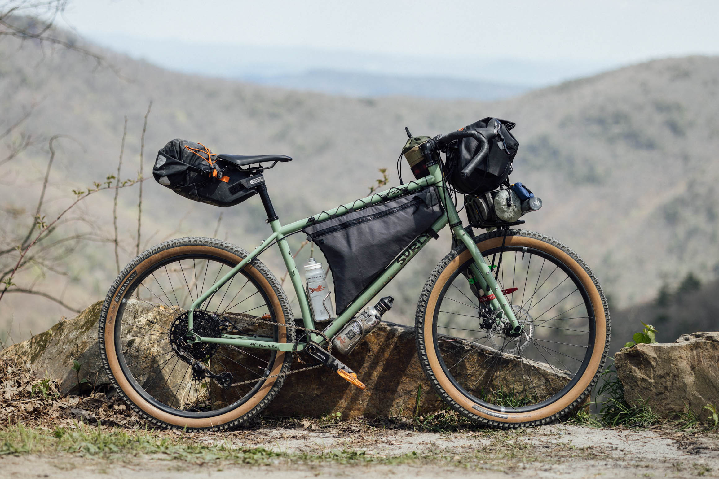
Riders who tackle this route should have enough experience and confidence to tackle rough and uneven terrain. As specified in the Must Know tab, we think the ideal bike for The Wilson’s Ramble is a rigid 29er or hardtail, although you could get away with doing it on a 42mm gravel tire if you enjoy a bit of underbiking.
There’s limited resupply on the route. But, if you time it right, you could utilize the options for meals and snacks. See the Food/H2O tabs below as well as map for details.. That said, it’s best to carry most of your food for the trip as hours may vary. There’s plenty of filterable water on route, aside from a couple of places also noted below.
Route Development: I’ve had this route bouncing around in my head for nearly five years and have been tweaking and planning it for about three. Needless to say, I’m excited to finally publish it and make it available to our readers. The name and initial idea were inspired by Wilson’s Revenge, a 52-mile gravel race that uses a couple of the same roads in the Wilson Creek area. Additional thanks to TJ Kearns for helping plan this route and coming along on a scouting ride. Off the record, I’d love to have an unofficial group start on Wilson’s Ramble one day.


Submit Route Alert
As the leading creator and publisher of bikepacking routes, BIKEPACKING.com endeavors to maintain, improve, and advocate for our growing network of bikepacking routes all over the world. As such, our editorial team, route creators, and Route Stewards serve as mediators for route improvements and opportunities for connectivity, conservation, and community growth around these routes. To facilitate these efforts, we rely on our Bikepacking Collective and the greater bikepacking community to call attention to critical issues and opportunities that are discovered while riding these routes. If you have a vital issue or opportunity regarding this route that pertains to one of the subjects below, please let us know:
Highlights
Must Know
Camping
Food/H2O
Trail Notes
- Scenic views on the west rim of the Linville Gorge
- Having a delicious farmhouse craft beer at Fonta Flora’s Whippoorwill Farm facility, and capping it off with an excellent pizza from the on-site food truck
- Following the flowy singletrack through endless fern gullies in Lake James State Park
- Catching glimpses of The Chimneys and Table Rock along the eastern side of the Gorge
- Excellent fly fishing and swimming in several pristine rivers and creeks, including Steels Creek, Upper Creek, Wilson Creek, Anthony Creek, Gragg Prong, and several others
- Viewpoints along the Wild and Scenic Wilson Creek before heading east
- Bucketlist gravel roads like Maple Sally, a spiraling, scenic ride through a remote section of the Grandfather District
- The reworked Yancey Ridge Trail, is a great backcountry singletrack trail with views and an excellent flow
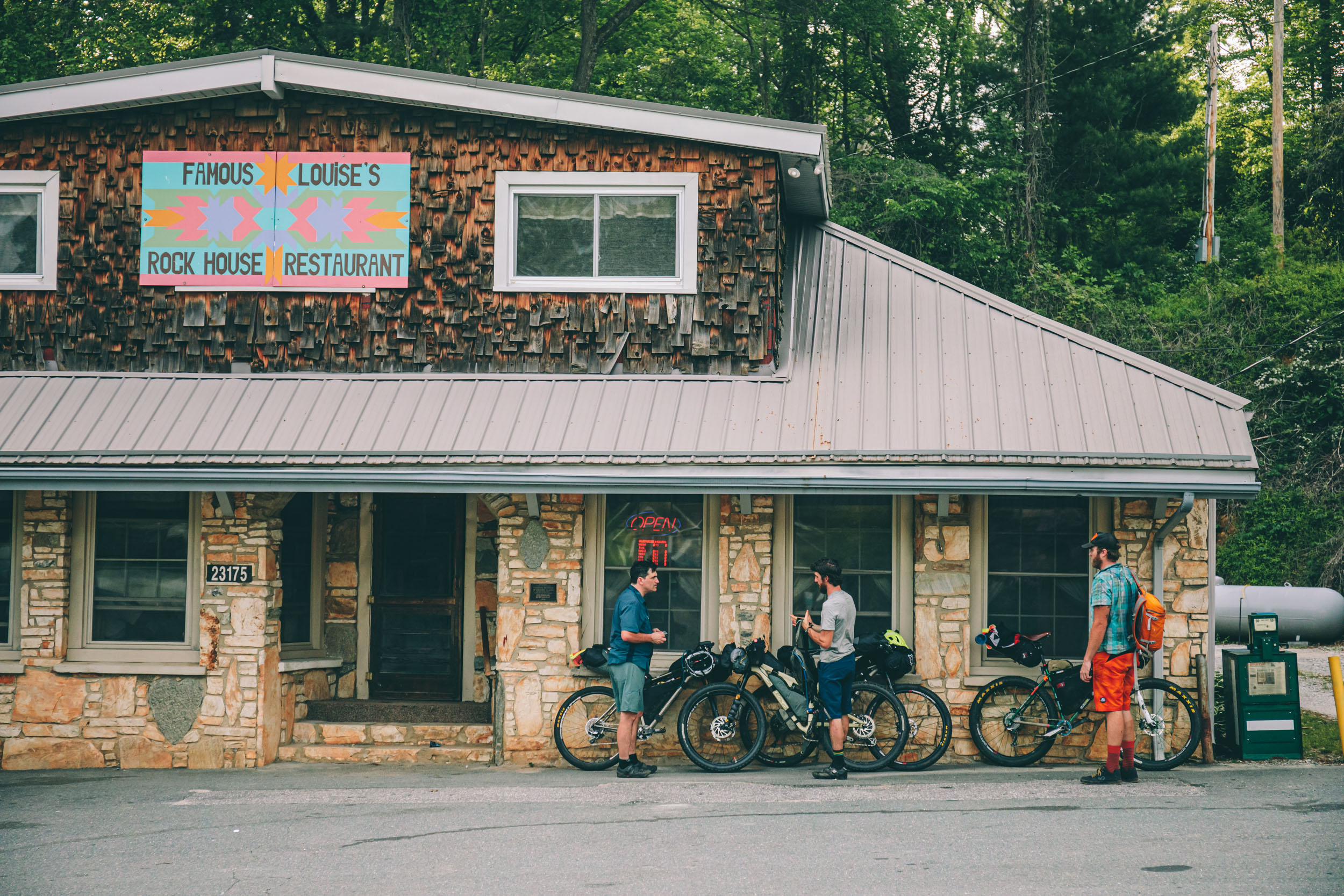
- Breakfast, lunch, or dinner at Louise’s Rock House in Linville Falls
- This route is technically rideable all year, although spring and fall are the ideal seasons; it can get pretty hot and humid in the lower portions of the route mid-summer, and cold and icy (or even snowy on occasion) mid-winter
- The Wilson’s Ramble begins and ends at the Linville Falls parking area. There are other options for a jump-off point, but we found this to be the ideal location for timing a stop at Fonta Flora. Whippoorwill Farm opens at 2 p.m. on Friday and Saturday, which makes a nice late lunch in the spring/summer fall months and would allow you to get into the National Forest in time to camp. Check hours as they may vary.
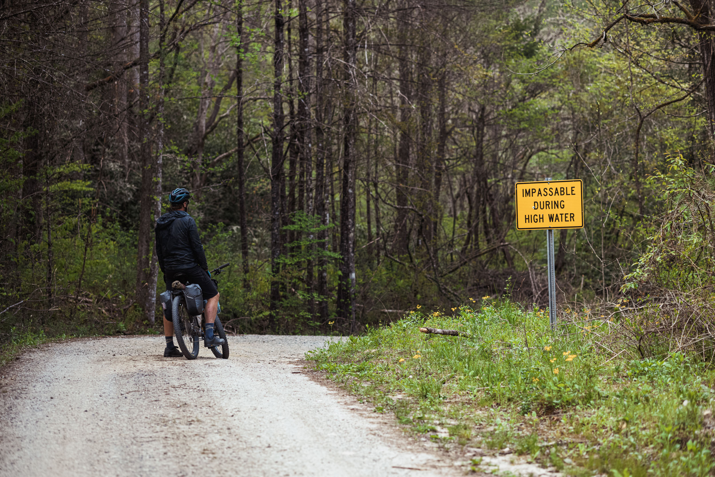
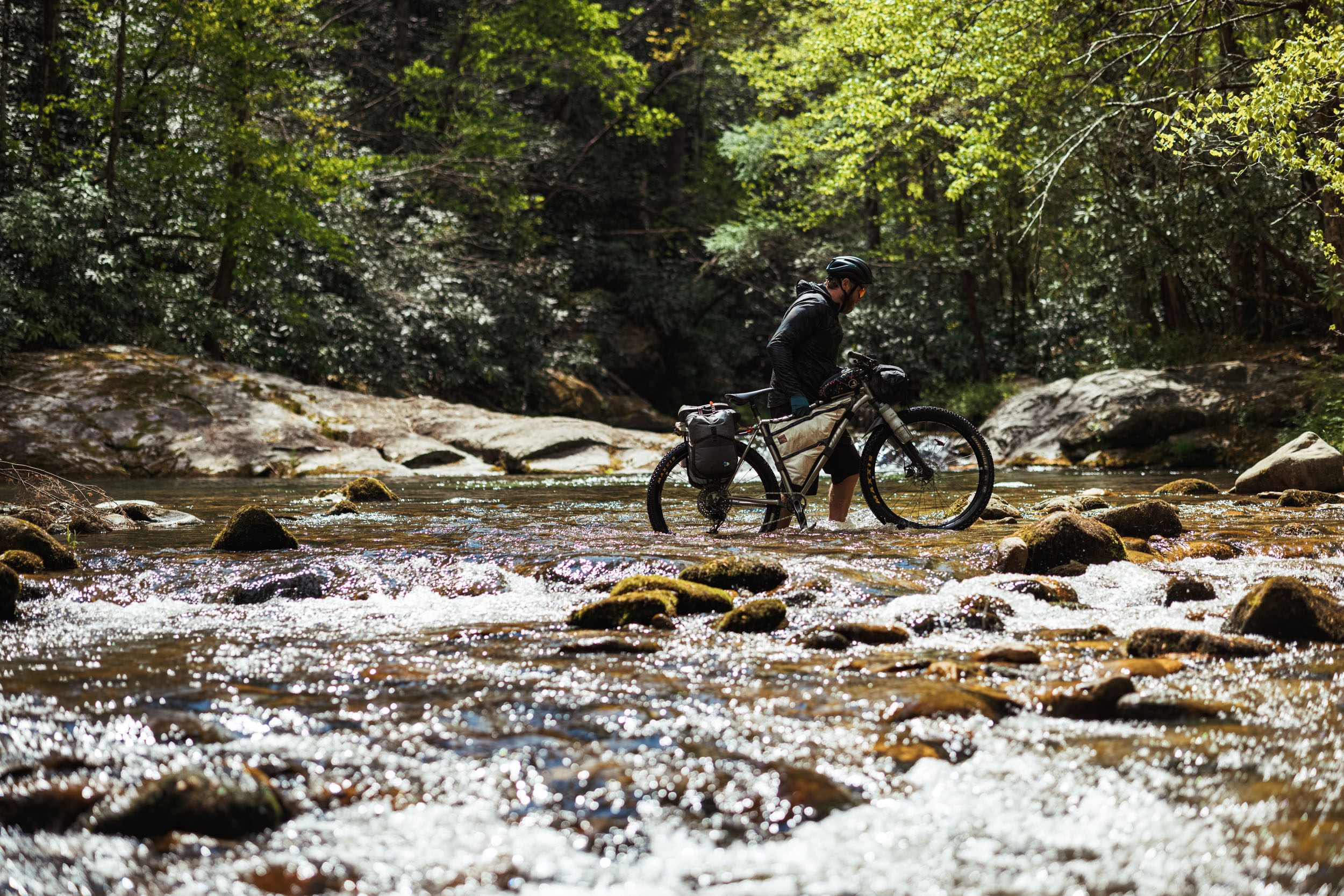
- There is one knee-high creek crossing (Steels Creek) that requires off-the-bike portage. In the event of heavy rain, riders might be required to wait for water levels to subside, or find a workaround.
- Lake James State Park singletrack is directional and changes every year. Therefore, the route you ride from the trailhead marker at the State Park may differ from what’s recorded here as there are two routes, and they flip flop. Using the signage and posted maps, it should be pretty straightforward navigation, either way.
- Lake James State Park trails close after it rain, so during or after a rain event, you may have to skip these and ride the pavement from Whippoorwill Farm to Pea Ridge Road.
- The ideal bike for this route is a rigid 29er with 2.1″ tires. It’s mostly gravel and dirt roads with some buff singletrack, but there are sections that are pretty chunky, particularly the descent from Linville Gorge and the burly-at-times Yancey Ridge Trail, which has some significant ruts, roots, rocks, and off-camber sections. We’ve ridden the bulk of it on a “road plus” 47mm tire, and it would probably be doable on a 42mm tire, but you would be underbiking, no doubt.
- As the route logo suggests, there are plenty of black bears in the area. It’s best to tie your food properly in a bear hang at night. Additionally, there are rattlesnakes and the occasional copperhead in this region, so take proper precautions.
- Weather can be hit or miss in the southern Appalachians. Be prepared for cool nights and hot days, and be sure to bring rain gear.
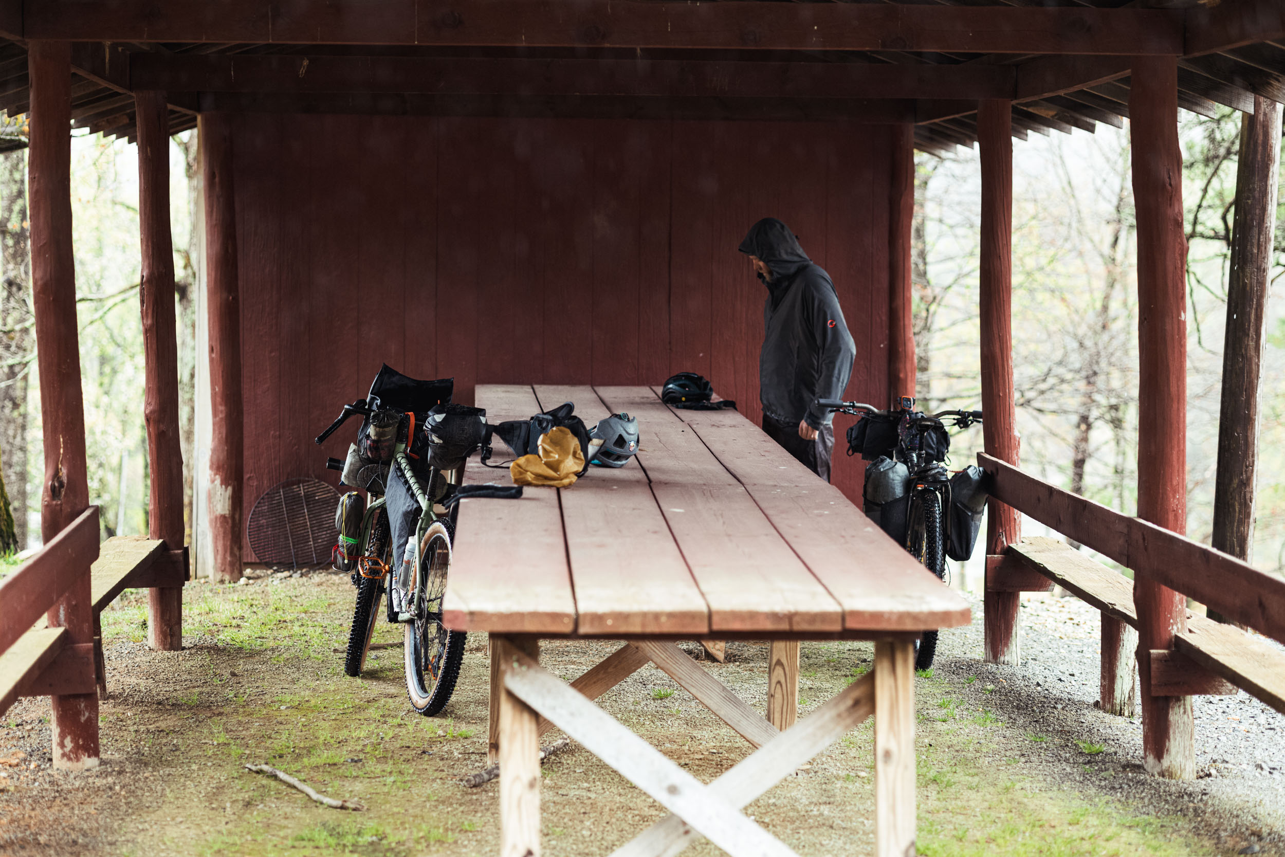
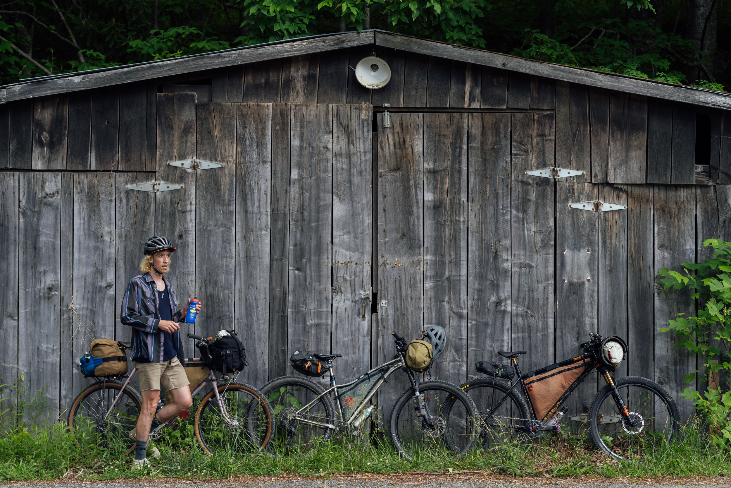
- There are loads of backcountry campsites throughout the route that are marked on the map. Some of the sites accessible from ungated gravel roads might be full on the weekends during high season in the summer. Plan accordingly.
- We also marked a few options for alternative bivy spots along some of the lesser-used gated doubletrack roads. If you must bivy there, be sure to leave no trace.
- There are only a couple of pay campground options, the most convenient being the Lake James State Park Paddy’s Creek Area campground. It is slightly off route after Fonta Flora, so might be a good option if you get a late start. It has 20 walk-in campsites; each reservable campsite has a fire pit, picnic table, and space for a tent. Potable water and washhouse with toilets are on site. Bundles of firewood are available for sale. More info here.
- There are a couple of modest lodges and motels in Linville Falls, as well as a private campground.
- There are plenty of filterable streams and springs along the route with a few exceptions: Linville Gorge West Rim, the climb up Wilson’s Ridge, and the climb up Roseboro Road.
- The only food options on the route are in Linville Falls and Fonta Flora Whippoorwill Farm. There is also no resupply, so you must carry all the food and snacks you need.
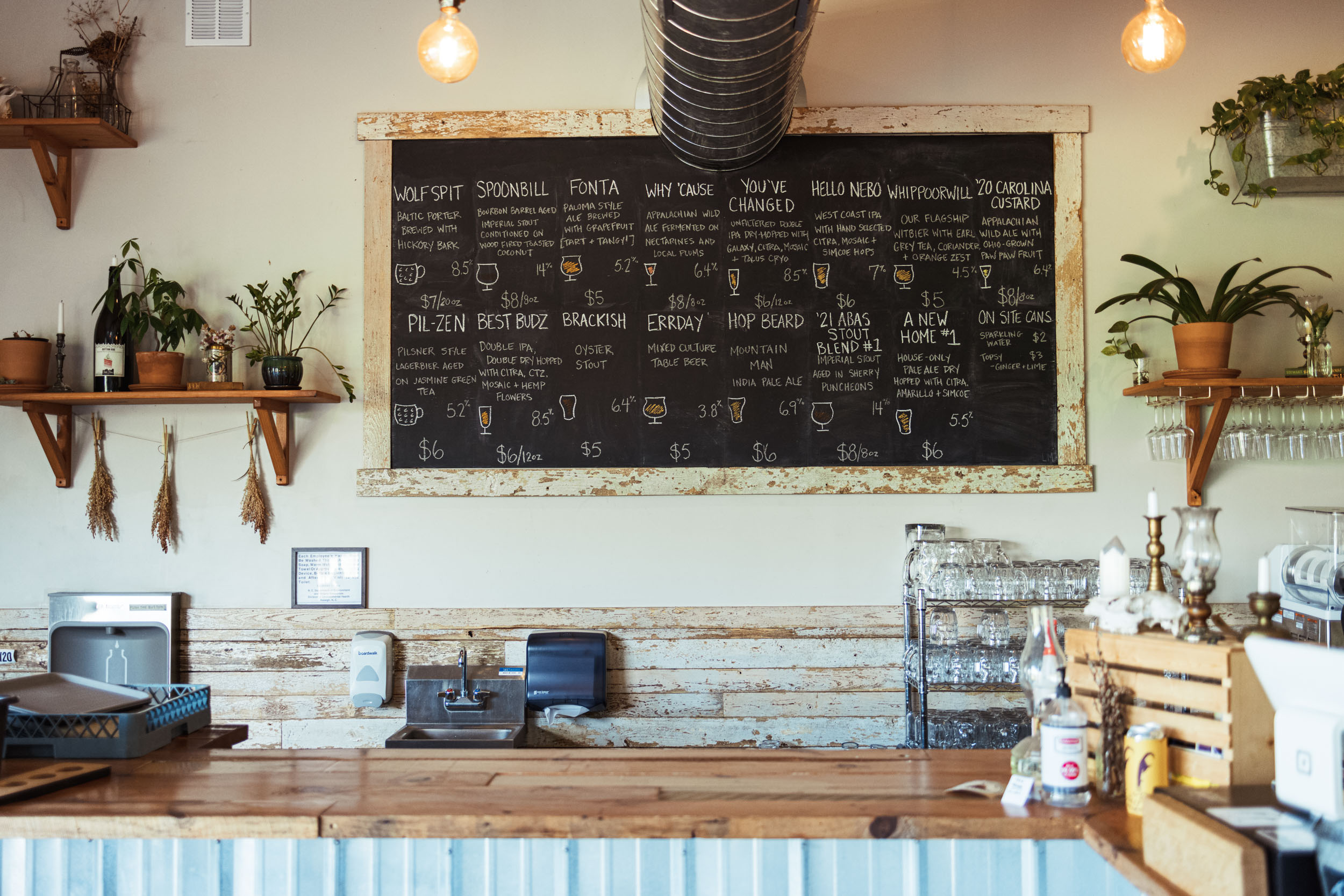
- Fonta Flora is hands down one of the best craft breweries in the Southeast, and perhaps on the East Coast. It’s certainly one of my favorites. The Whippoorwill Farm location is a satellite brewery of their headquarters in nearby Morganton. If you love beer, make sure to time your ride for a stop. Their current operating hours are Thurs-Sun (4pm – 9pm on Thursday, 2pm – 9pm on Friday, and 12pm – 9pm on Saturday and Sunday). Check hours before your departure at FontaFlora.com.
- Another great place to stop is Louse’s Rock House in Linville Falls. This quaint little restaurant offers breakfast, lunch, and dinner with plenty of rib-sticking, high-calorie meals. They are currently open from Wed-Sun 7am to various hours between 7-8pm. Check Google Maps for hours.
3-day Itinerary
The following three-day itinerary reflects our ride, which was slightly hurried due to time constraints. We would probably recommend four days if you plan on fishing, swimming, or relaxing. With a late start on day one, we rode into the dark on two of the three days.
Day 1
From the Linville Falls parking area, the route kicks off with a challenging gravel ride south on Old 105 along the west rim of the Linville Gorge. Old 105 is mostly gravel and has its fair share of steep and punchy climbs. In recent years, it’s gained popularity with overlanders, so expect to see a few jeeps and trucks along the way, particularly on weekends. Note that there are plenty of roadside campsites along the rim. Also, there are a couple of great overlooks. If it’s your first time along the Gorge, be sure to go slightly off-route down to Wiseman’s View for an amazing vista.
All in all, it’s about 17 miles to Fonta Flora Whippoorwill Farm from the start. But don’t underestimate how long that will take as there are some steep climbs and very chunky and steep descents. Use precaution and give yourself plenty of time to enjoy the views. Whippoorwill Farm opens at noon on Friday, Saturday, and Sunday, so ideally you could plan it as a lunch stop on day one, which should give you plenty of time to make it into the National Forest to camp for the night. If not, we noted the Lake James State Park campground on the map and in the Camping tab.
Update: as of August 2025, the East Wimba Trail and Mountains to Sea Connector Trail are still closed due to Hurricane Helene damage. Riders should use the alternate route below to avoid closures. All-in-all, this alternate provides a very similar rider experience, with slightly more lake views.
Day 2
Your target finish for day two will vary greatly depending on where you camp on night one. Due to a late start on day one, we bivied on an old gated roadbed just after Lake James. And on day two we took a long fishing/lunch break at the campsite marked at Steels Creek (which is a good one if you are either moving fast on day one or at a relaxed pace for day two).
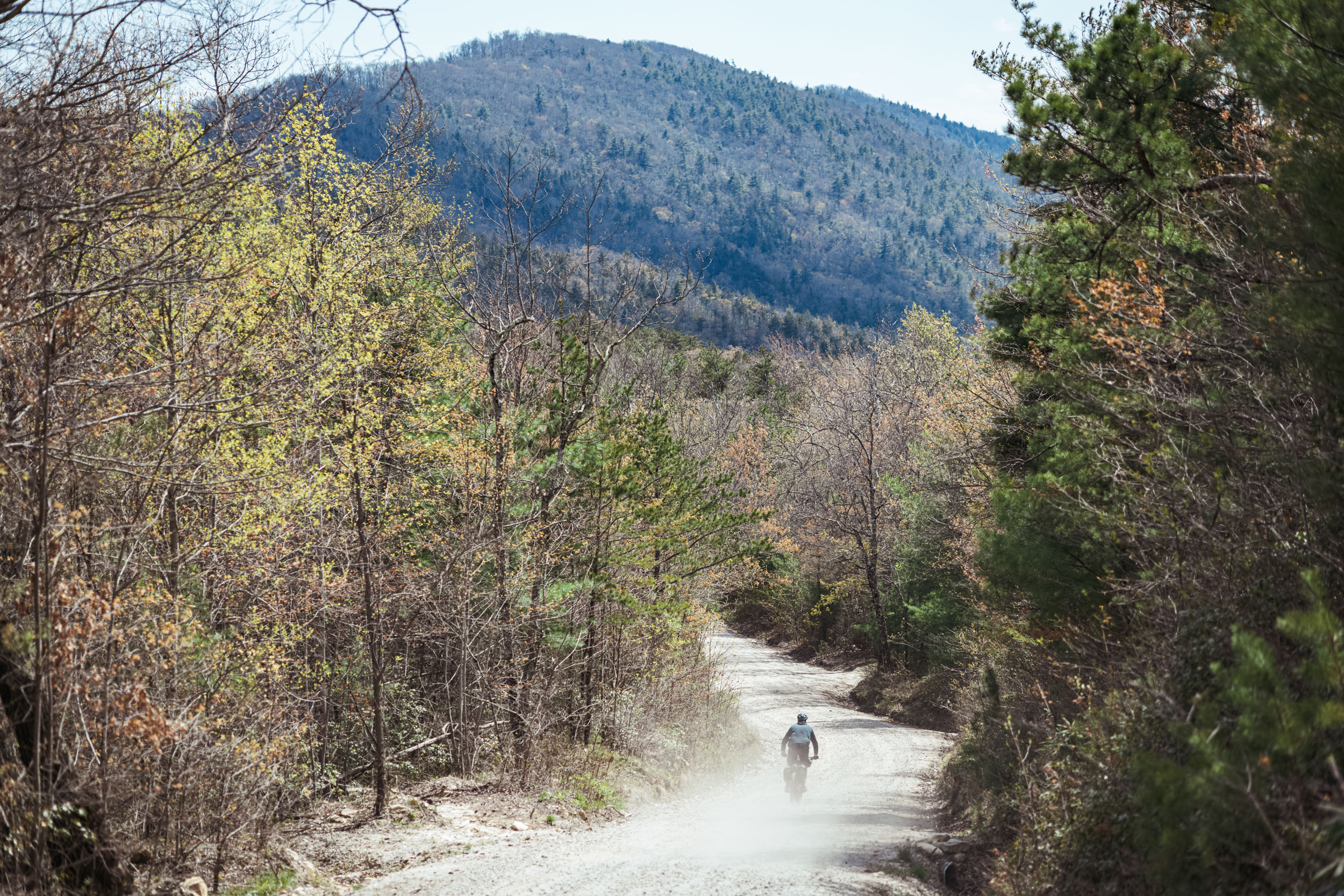
Our day two started with the long climb on gated forest service roads up toward Table Rock, all the while greeted with views of The Chimneys and Table Rock through the new spring green forest. Once at the top, Table Rock looms over another promising campsite that’s also marked on the map, albeit a little brushy and unused. The spiraling gravel descent down Rich Cove below Bandy Cove Mountain is beautiful, with the old forest regenerating after a fairly recent controlled burn.
From there, you veer off on gated 210A which is a little more rugged as you near Steels Creek. This is the only off-bike river crossing on the route and it’s about knee-deep, so take precaution if there was a recent rain. The campsite right at the ford is lovely if you time it right for an overnight stay.
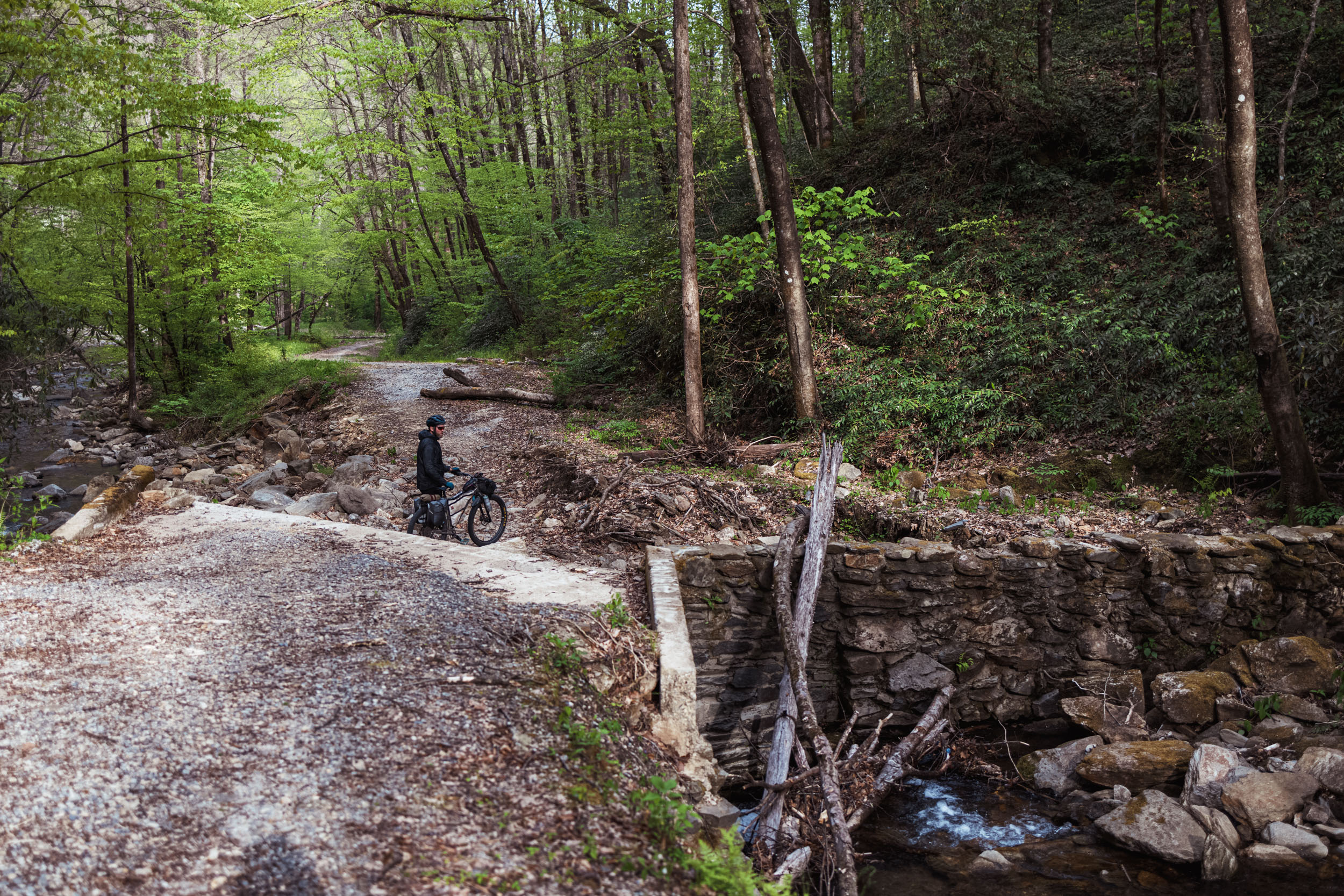
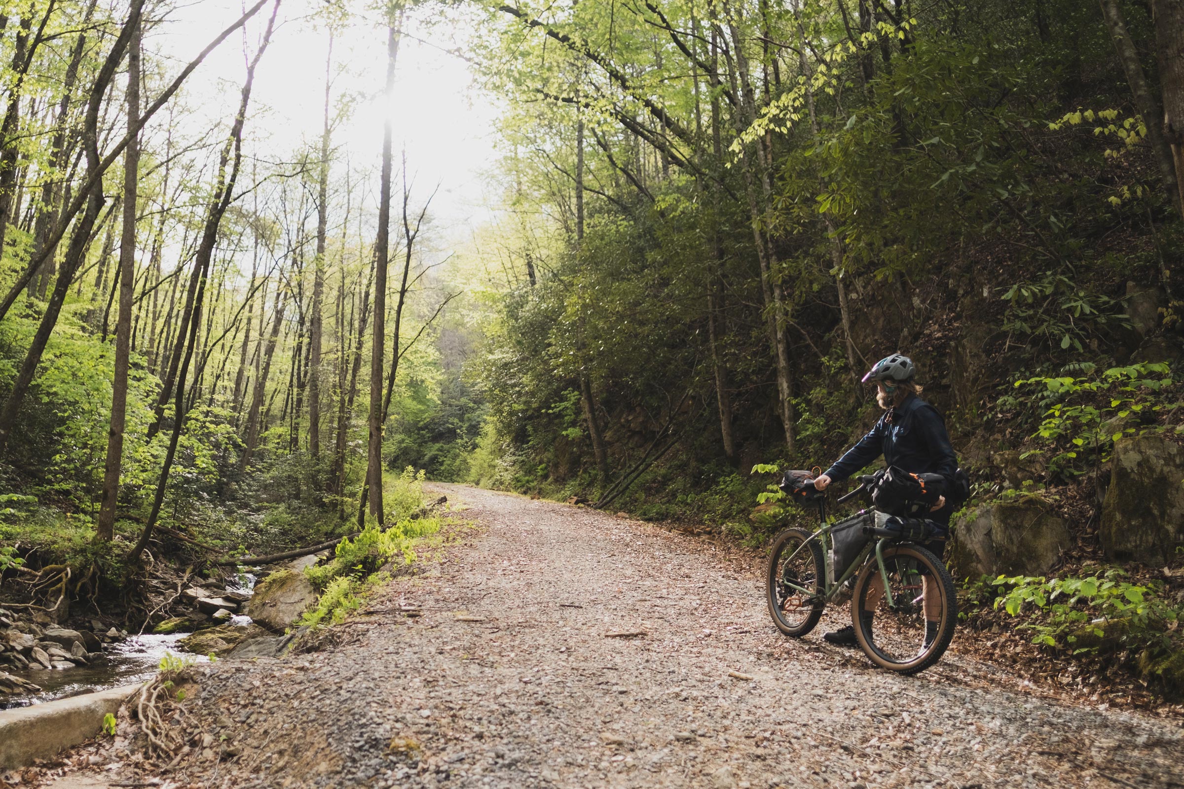
After Steels Creek, you eventually rejoin a main gravel road, quickly jump on Hwy 181, then descend Upper Creek on FSR 982, another great gravel road. Once you bottom out and begin to climb again, the road is gated and there are a couple of good camping options along the creek. After joining Craig Creek, you’ll start to see the signs of the flood devastation from a couple of years ago. There are two places where the gravel road was completely washed out and one requires an easy portage down some impromptu rock stairs. Eventually, you join Brown Mountain Beach Road for a two-mile stretch of the beautiful Wilson Creek Gorge. It’s worth stopping for a snack at one of the beach viewpoints.
Our three-day itinerary took us up and over Lower Wilson Ridge (which requires a brief but steep hike-a-bike), and then onto Maple Sally Road, perhaps one of the most beautiful ungated gravel roads on the East Coast. Maple Sally is also part of the Trans America Trail, a dual-sport motorcycle route. We bivied just off an old gated roadbed where marked on the map.
Day 3
Our day three was a long one of continuous rain and temps in the lower 40s (F). After finishing Maple Sally, we hunkered down in a covered patio at the church in Maple Grove before heading toward Globe. The beautiful graded gravel climb alongside Anthony Creek leads up to Gragg, a tiny town with no services. We took a rest under another church picnic area and then carried on to Edgemont Road, before turning off on FSR 192 toward Yancey Ridge. There are several great-looking campsites along 192, a popular destination among climbers who come for the good bouldering opportunities in the area. Once on Yancey Ridge, things get a bit interesting. This beautiful backcountry trail shouldn’t be missed, but there are options if you’d rather skip the singletrack. Yancey spills onto Roseboro Road where the next big climb awaits along yet another beautiful, bucket list gravel road. At the top, you’ll jump on a couple of roads that take you over Dogwood Knob toward the village of Linville Falls. You can veer off route to Louise’s Rock House for a hearty meal to replenish all those calories you burned!
4-Day Itinerary
A good four-day itinerary might include the following:
- Day 1: 20 miles / ~2,200′ – Camping at Lake James State Park (reservation recommended)
- Day 2: 38 miles / ~3,300′ – Camping at Steels Creek backcountry campsite
- Day 3: 35 miles / ~4,500′ – Camping at Anthony Creek confluence (roadside campsite)
- Day 4: 28 miles / ~4,500′ – Finish at Linville Falls


Terms of Use: As with each bikepacking route guide published on BIKEPACKING.com, should you choose to cycle this route, do so at your own risk. Prior to setting out check current local weather, conditions, and land/road closures. While riding, obey all public and private land use restrictions and rules, carry proper safety and navigational equipment, and of course, follow the #leavenotrace guidelines. The information found herein is simply a planning resource to be used as a point of inspiration in conjunction with your own due-diligence. In spite of the fact that this route, associated GPS track (GPX and maps), and all route guidelines were prepared under diligent research by the specified contributor and/or contributors, the accuracy of such and judgement of the author is not guaranteed. BIKEPACKING.com LLC, its partners, associates, and contributors are in no way liable for personal injury, damage to personal property, or any other such situation that might happen to individual riders cycling or following this route.
Please keep the conversation civil, constructive, and inclusive, or your comment will be removed.