Bikepacking to a Bothy: Silent Adventure in Wales (Video)
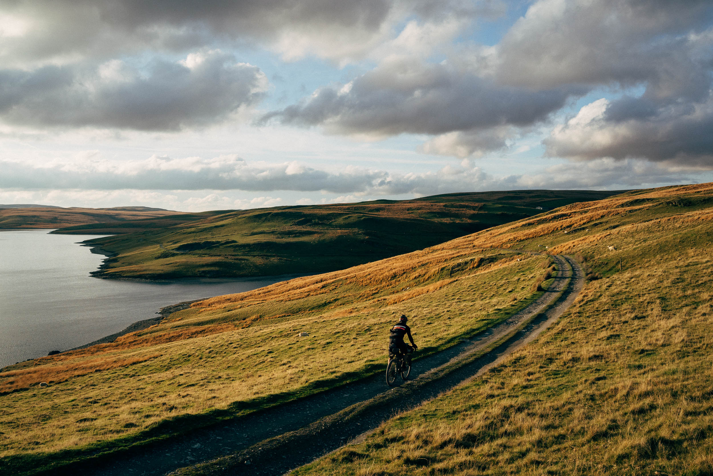
A month ago, Avery Caudill left Land’s End at the far southwestern tip of Great Britain and is pedaling up to John O’Groats in the north. Avery put together a five-minute video documenting a bothy campout experience and some words on how the trip is going. Find it all here…
PUBLISHED Apr 19, 2024
Words and photos by Avery Caudill
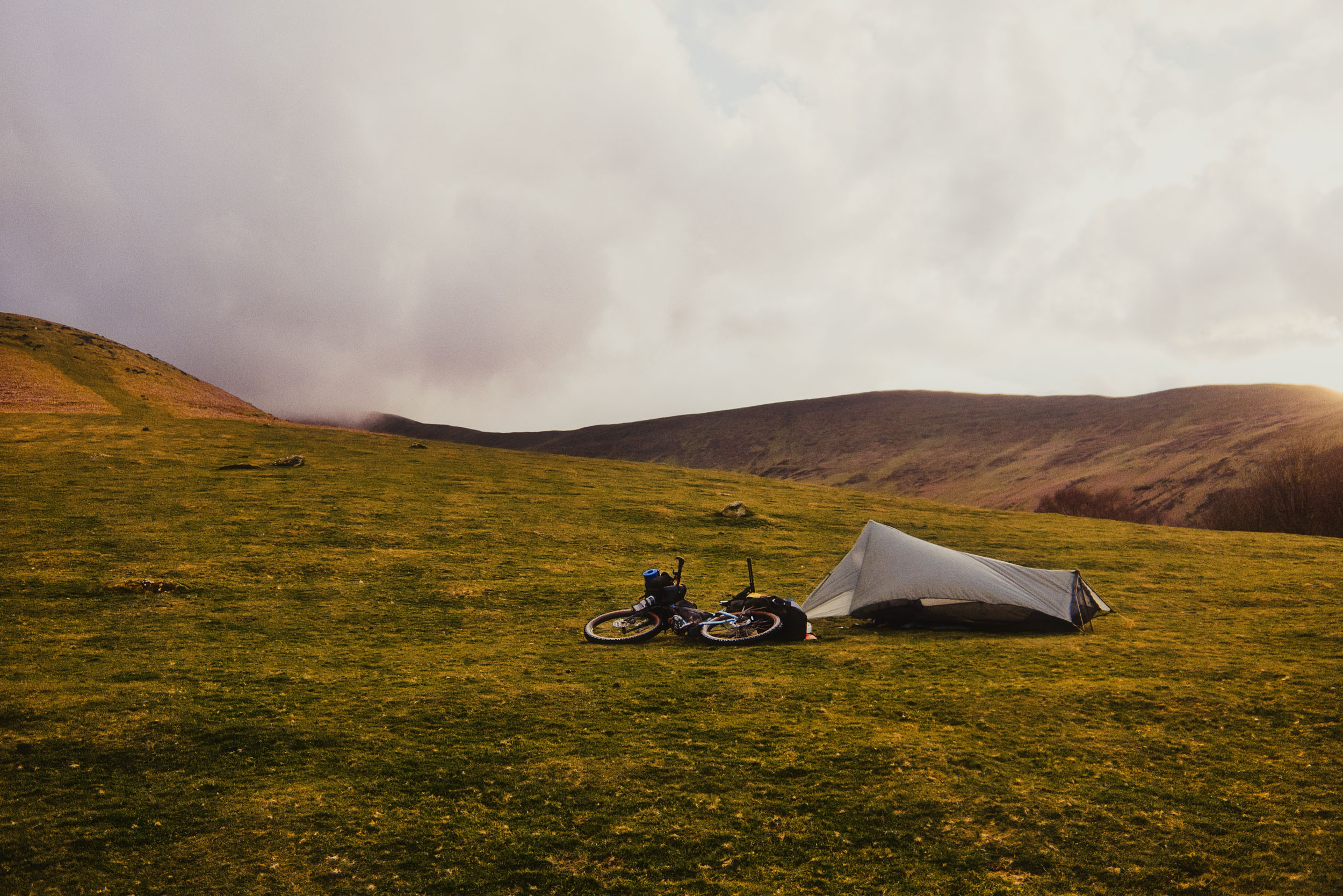
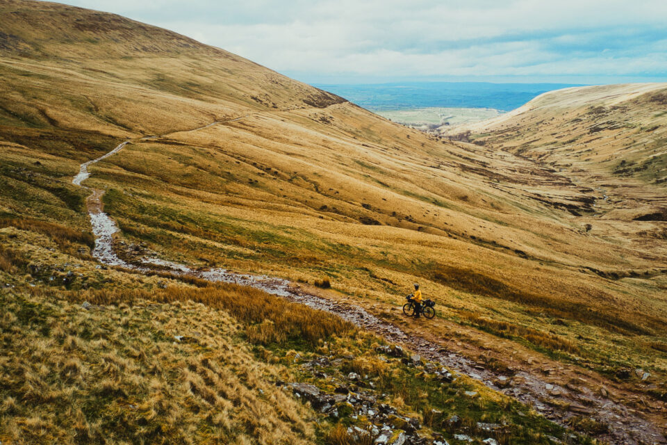
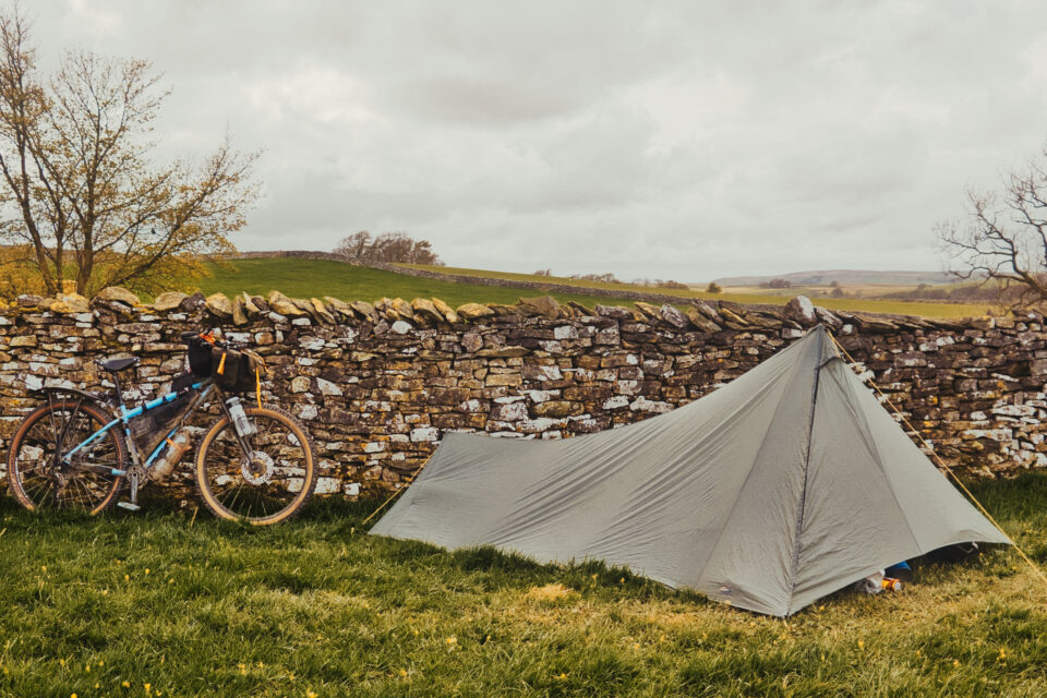
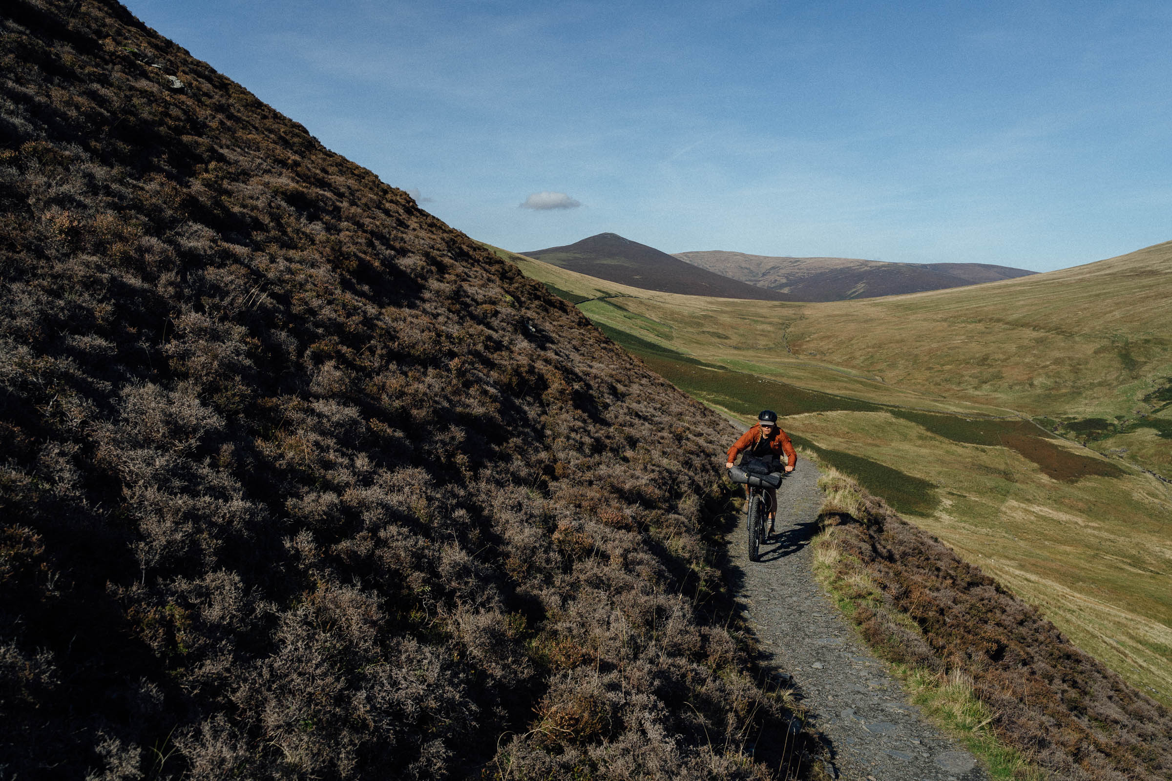
I’ve been on the bike for about four weeks now in the UK, starting from Land’s End, with another 10 days or so to John O’Groats. Since this bike is set up as essentially a world-tourer, it’s very heavy and has been slow going with lots of climbing, often over 1,000 meters a day. Aside from the weight and a rear hub failure that resulted in running a 27.5 up front and a 29er in the rear until I can get new wheels (the new trend, a reverse mullet!), it’s performed really well. I’m planning to head across to mainland Europe this summer and ride east through as many mountains as I can. An off-road-focused world tour is the end goal, though I have no real timeline and may end up completing it in pieces.
The Bothy
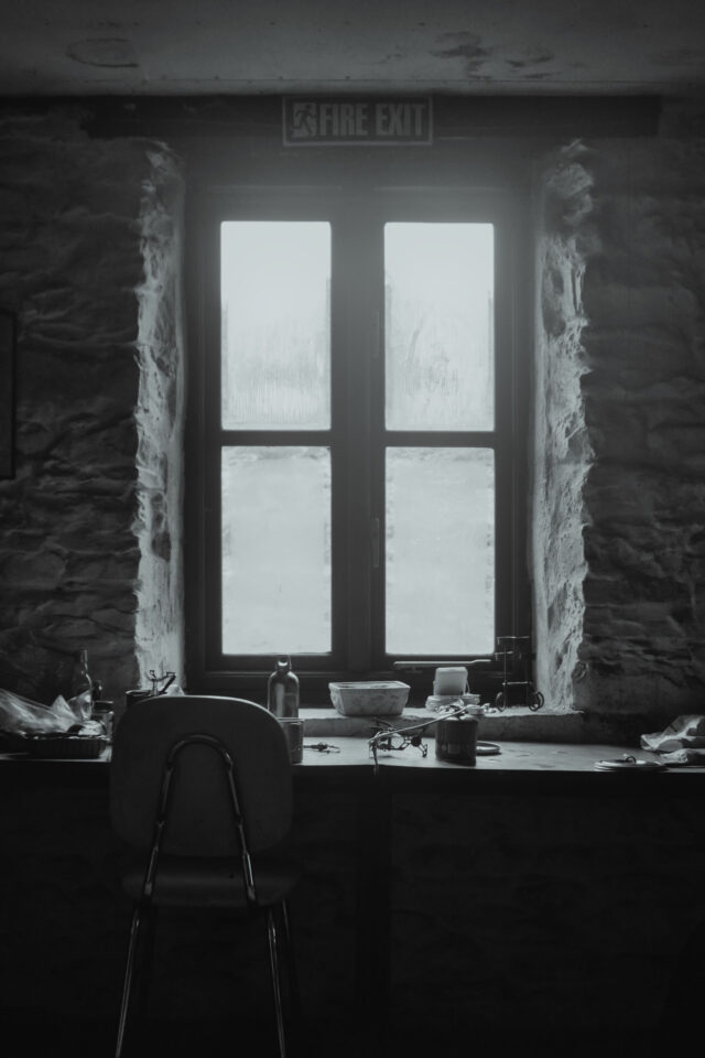
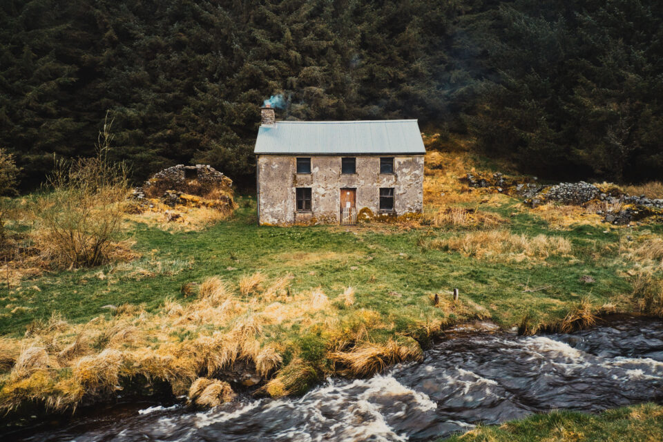
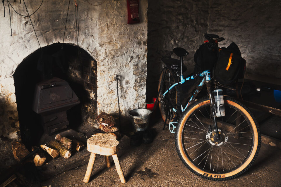
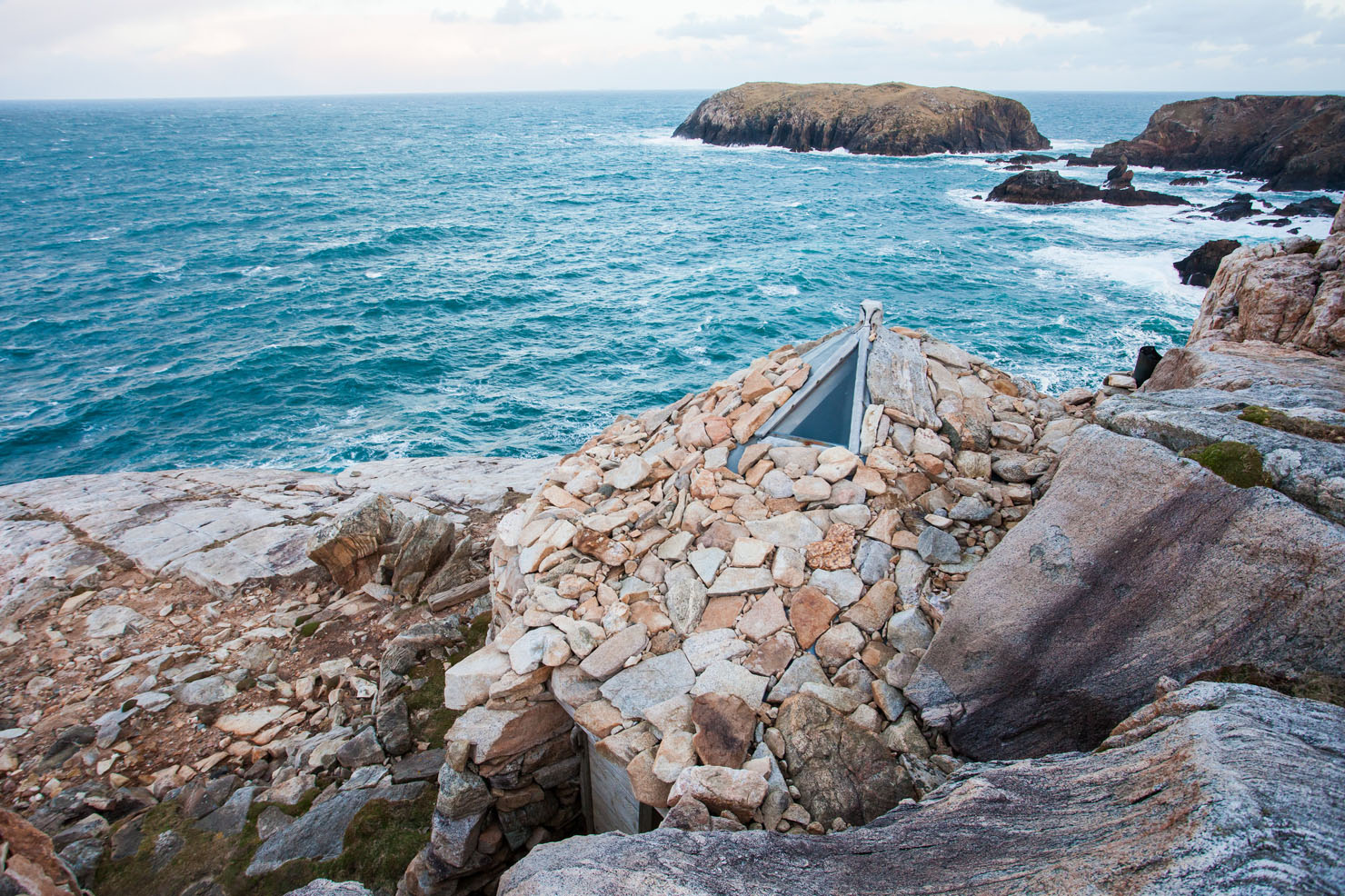
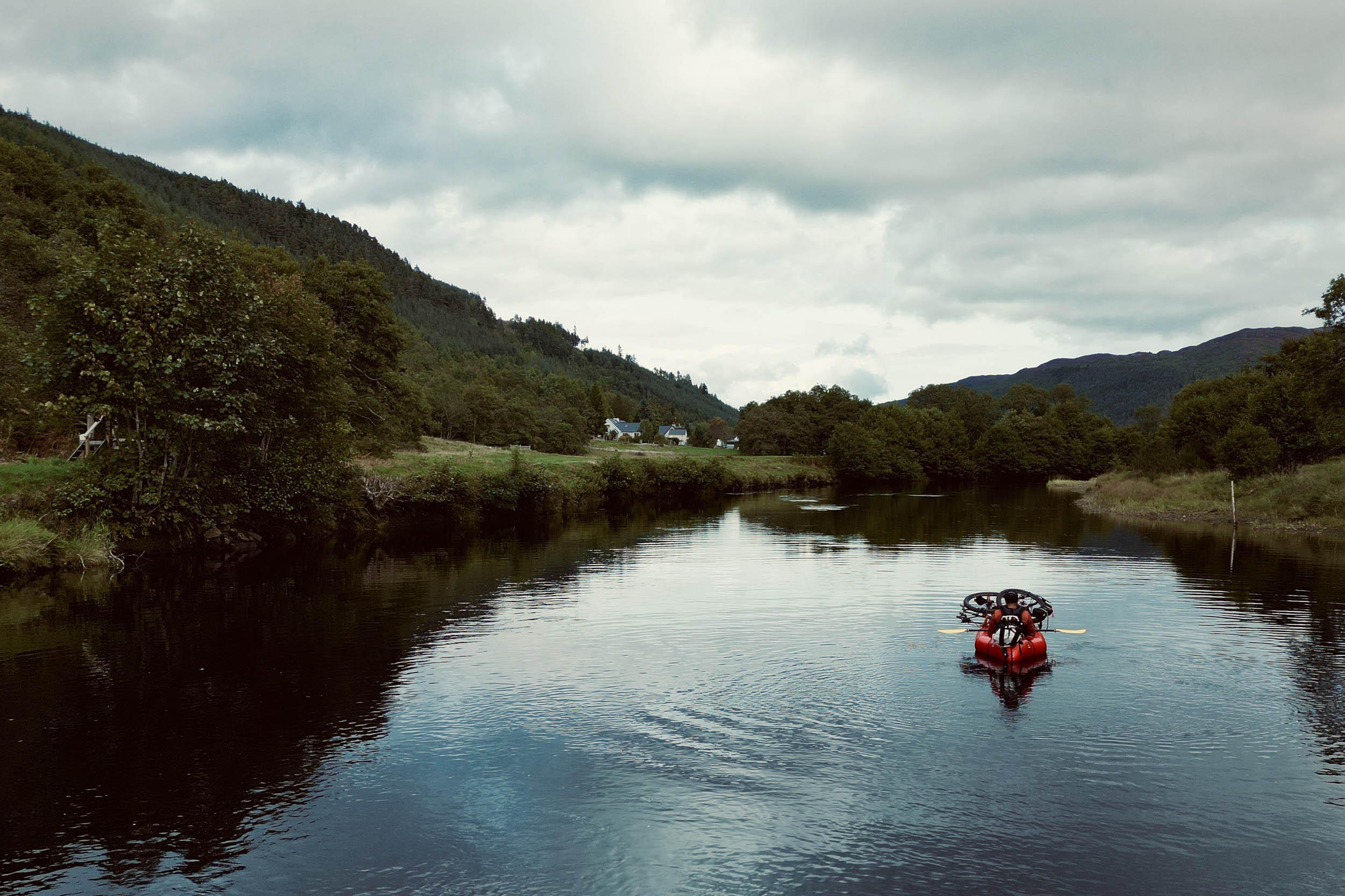
Bothies are free-to-use shelters with very simple facilities, but stumbling into a dry stone cabin after a long day pushing a heavy bike through rivers and carrying it over big rocks, everything feels okay. After drying off and starting a fire, time seems to slow. Stop even. It’s so quiet inside that it becomes easy to quiet the mind too. This Bothy is called Moel Prysgau; I’ll leave it to you to find out more if you want to visit, but of course, please respect the shelter and the volunteers who help maintain it (leave no trace, besides signing the log book!).
The Weather
The weather has been far more challenging than I expected. The UK’s wettest and coldest spring in recent years, mixed with a lot of wind, has made me reconsider this ride more than a few times. It has snowed more than once now, but it always melts quickly and turns back into freezing rain, to which I’d much prefer the snow. The other day, it took seven hours to ride 35 kilometers: a gale-force headwind and rain-hail forced me to a walking pace most of the day, and this was even on pavement!
Thoughts on Mapping and Routes
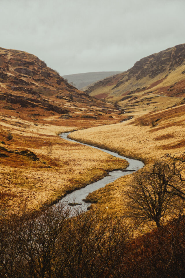
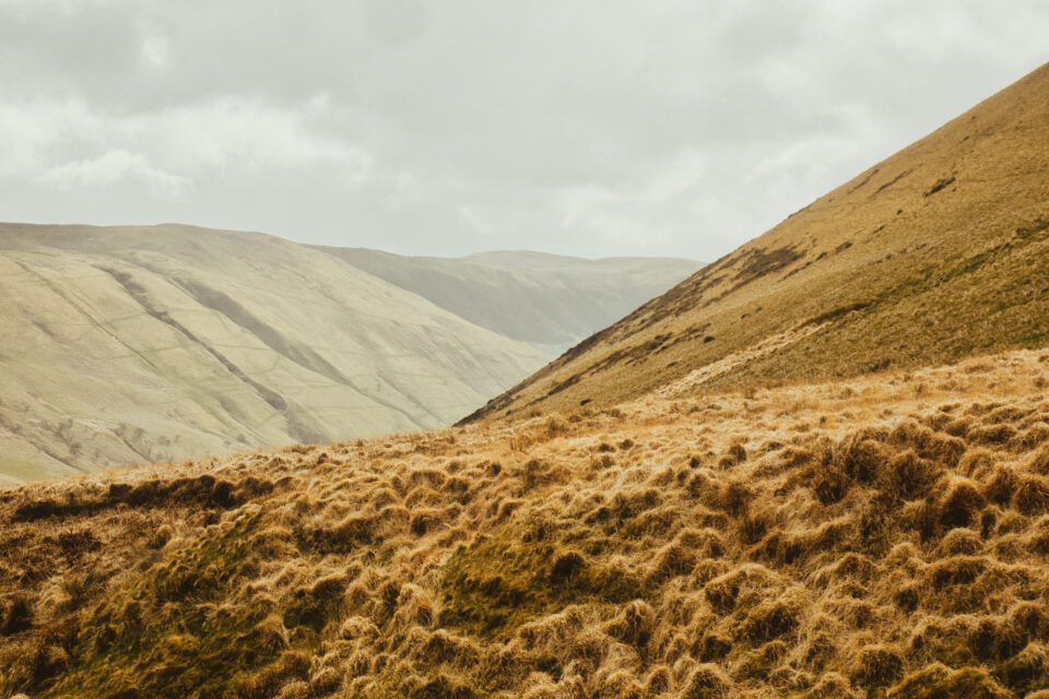
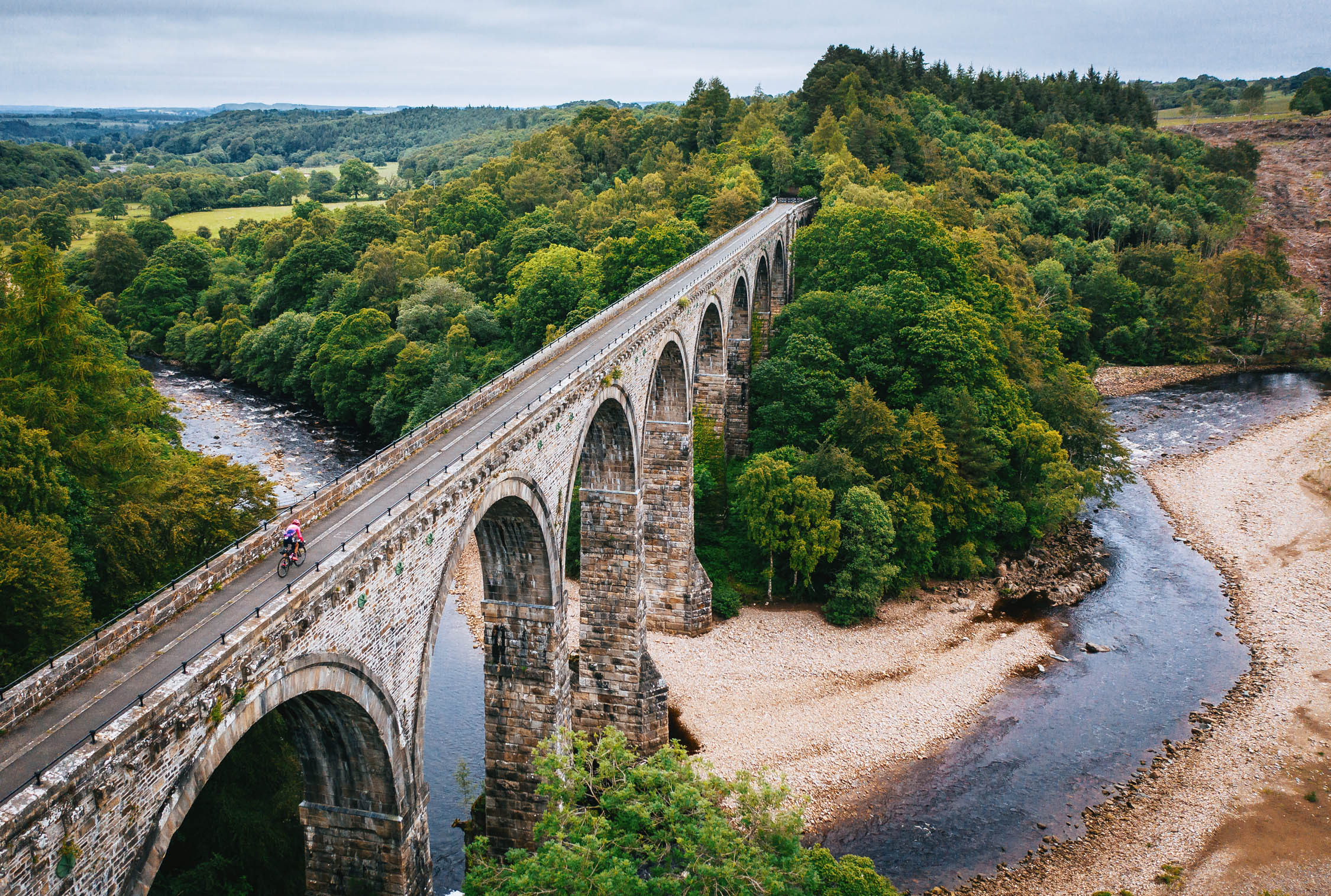
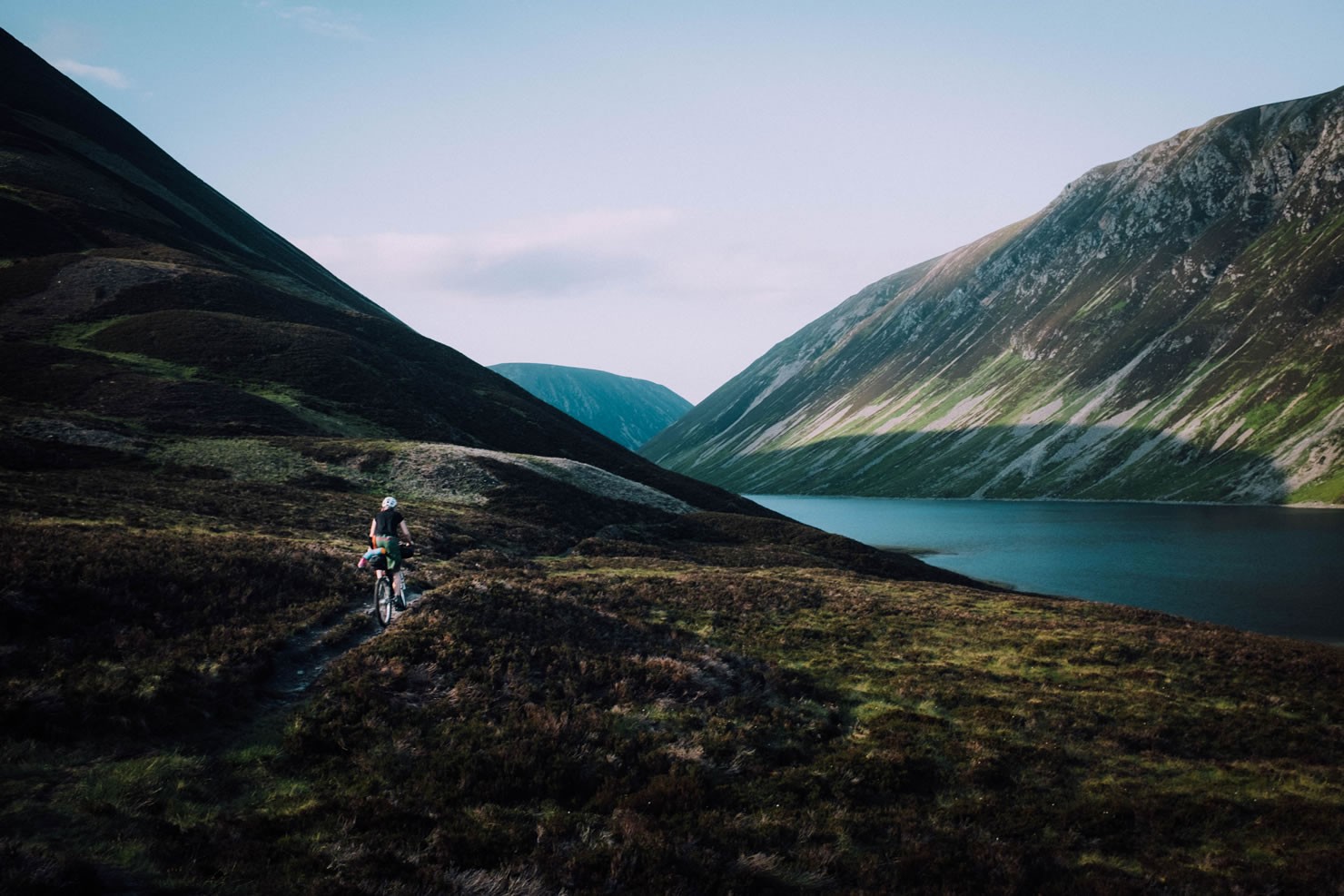
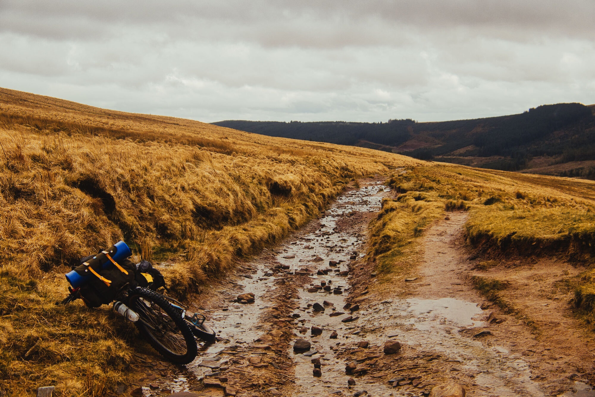
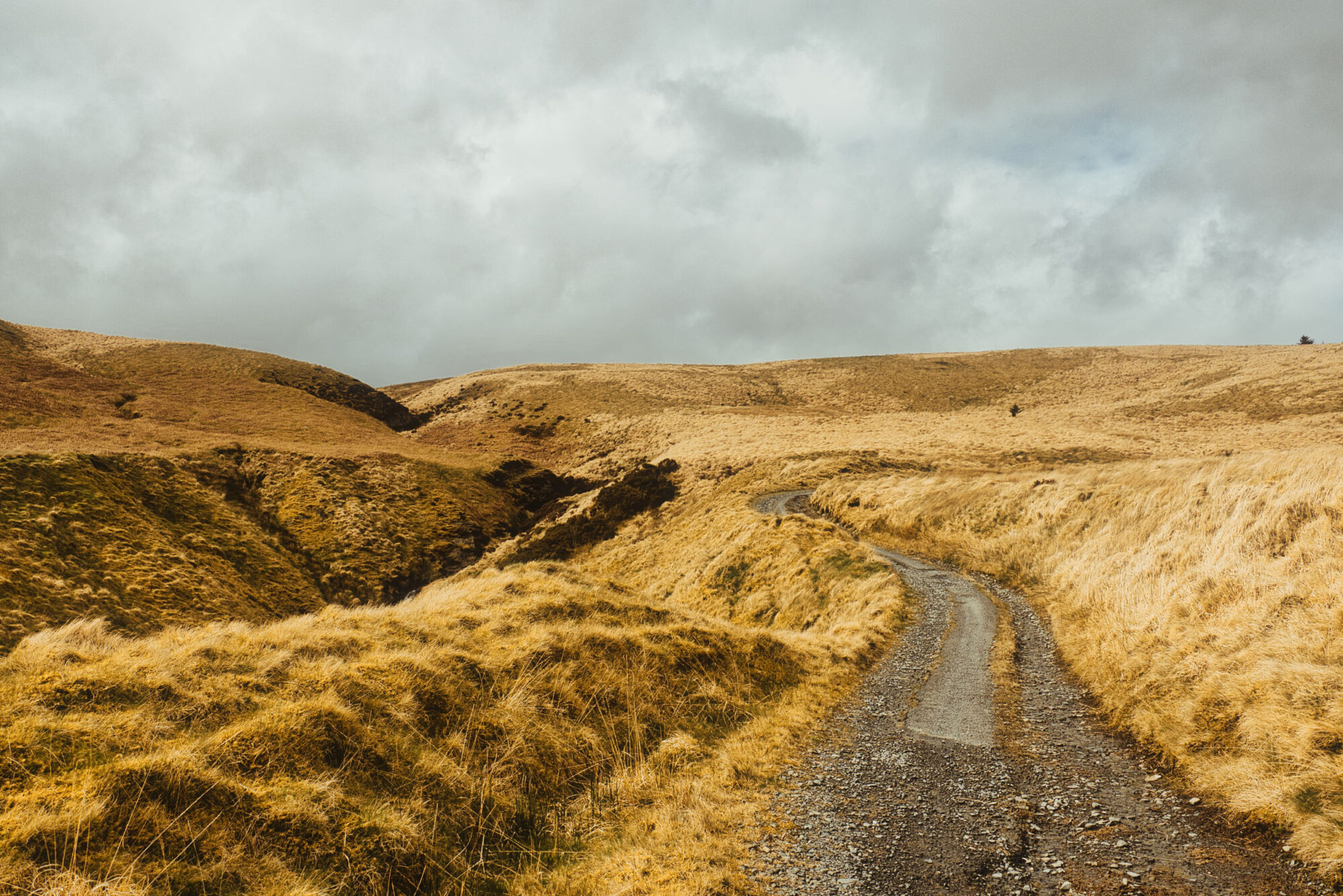
I’ve been roughly following the GB Divide route (as featured here on BIKEPACKING.com) as a test for my new bike set up and as a chance to see Wales and Scotland in particular as I get farther along. My family has Scottish ties, and I’ve always been a sucker for northern climates and highlands. The route was designed to be challenging, and it has certainly proved to be, especially with the weather this spring; most of the bridleways it follows have become knee-deep water and mud or just chunky rock with water flowing over the top. I’m running 2.5” tires and wouldn’t want anything less in these conditions. However, I will say that I was very happy to find a few stretches of really nice gravel in central Wales!
I’ve always been in the school of thought that adapting to the moment is more of an adventure, and that is more or less how I plan and navigate on the bike. I’ll find a route as inspiration, but day to day, I’m flying by the seat of my pants, sometimes plugging in a coffee shop or a waterfall I want to see or an Aldi into Google Maps. Other times, I follow the GPX track exactly, occasionally just following road signs, but mostly using (my favorite free app) Mapy.cz offline to follow off-road tracks to somewhere I’ve pinned that morning that looks like a good camp spot.
Someone I was chatting with just a few days after filming this video asked me if I ever get bored and shout nonsense into the trees and hills while I ride. I laughed, “Can’t say I don’t!”
Further Reading
Make sure to dig into these related articles for more info...
Please keep the conversation civil, constructive, and inclusive, or your comment will be removed.
We're independent
and member-supported.
Join the Bikepacking Collective to make our work possible:


