

 Mountain Bike (MTB)
 Gravel Bike
 All-Terrain Bike (ATB)
 Fat Bike

Through Fire to Snow
Distance
107 Mi.
(172 KM)Days
3-5
% Unpaved
83%
% Singletrack
2%
% Rideable (time)
98%
Total Ascent
6,975'
(2,126 M)High Point
10,875'
(3,315 M)Difficulty (1-10)
6?
- 4Climbing Scale Fair65 FT/MI (12 M/KM)
- 6Technical Difficulty Moderate
- 6Physical Demand Moderate
- 4Resupply & Logistics Fair
Contributed By
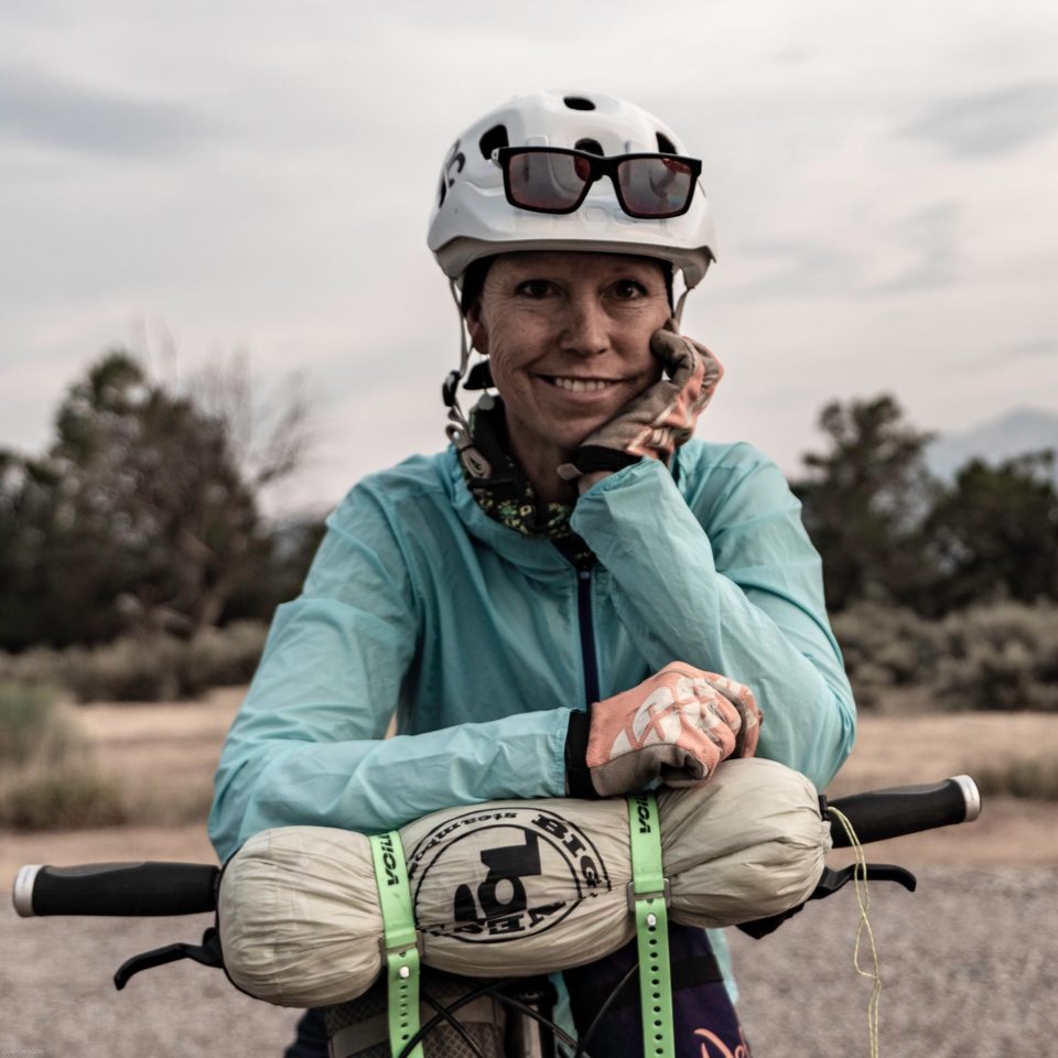
Ann Driggers
Guest Contributor
Originally from the UK, Ann now lives in Colorado’s Roaring Fork Valley, where she is the ultimate weekend warrior, working a full-time job and maximizing pre- and post-work micro-adventures, usually bikepacking. Find more of her adventures on Instagram @anndriggers.
With additional photos by Jeff Kerkove
South-central Wyoming has a character all its own. Big skies stretch over open ranchlands, immense forests, wildfire scars, and rugged mountains. Just a half-day drive from central Colorado, the Medicine Bow Mountains feel worlds away from the busier towns and trails to the south. Through Fire to Snow is a 106-mile lollipop route designed to experience that landscape slowly, linking railroad history, fire-scarred forests, rough mountain roads, alpine lakes, wildflowers, and the dramatic peaks of the Snowy Range.
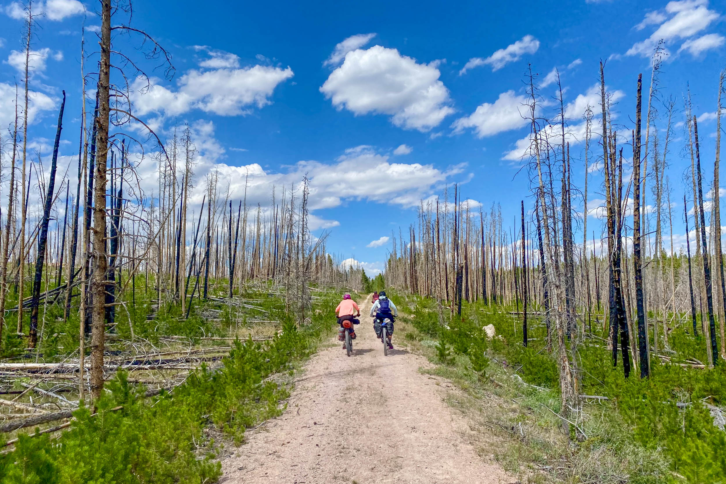
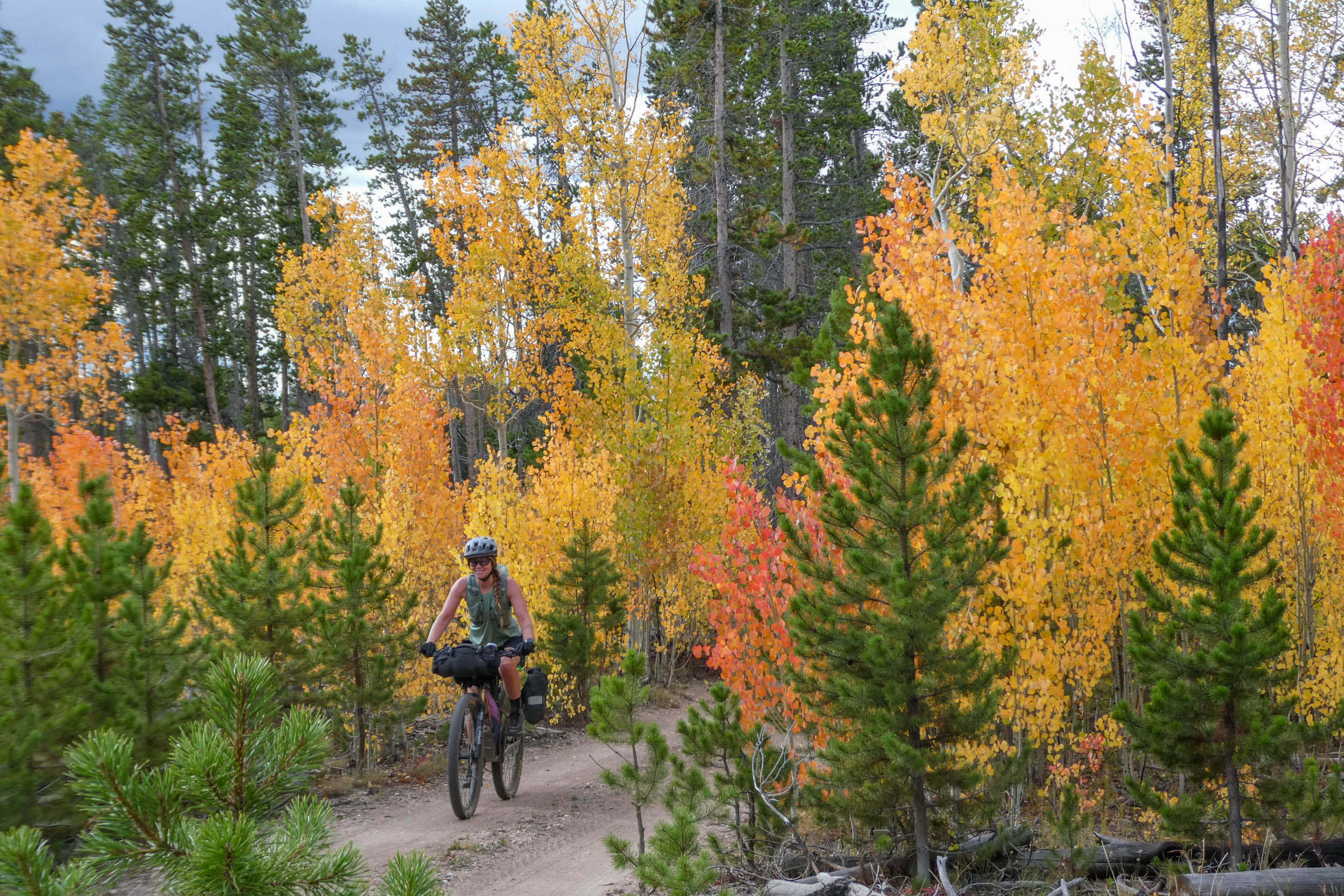
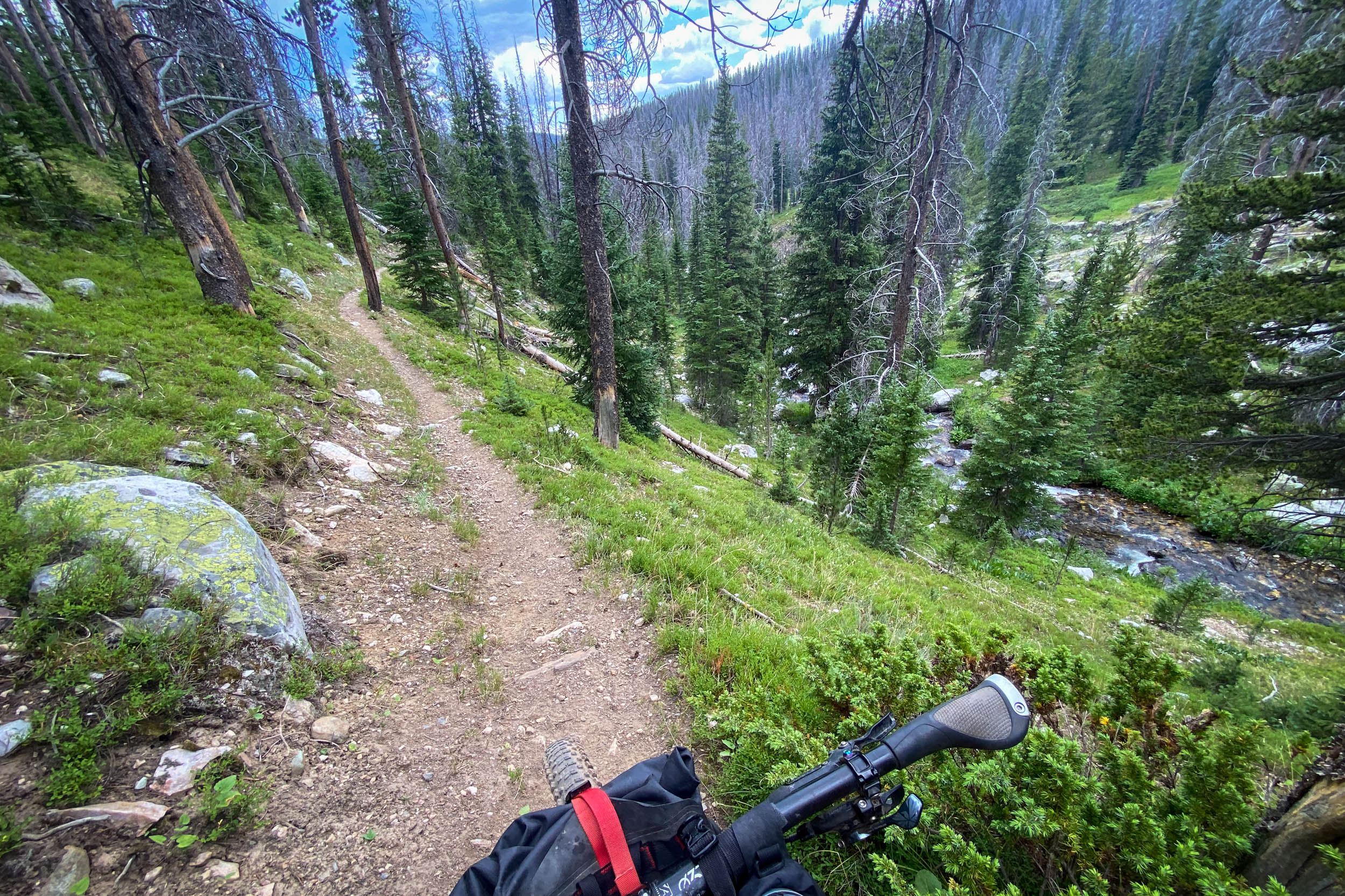
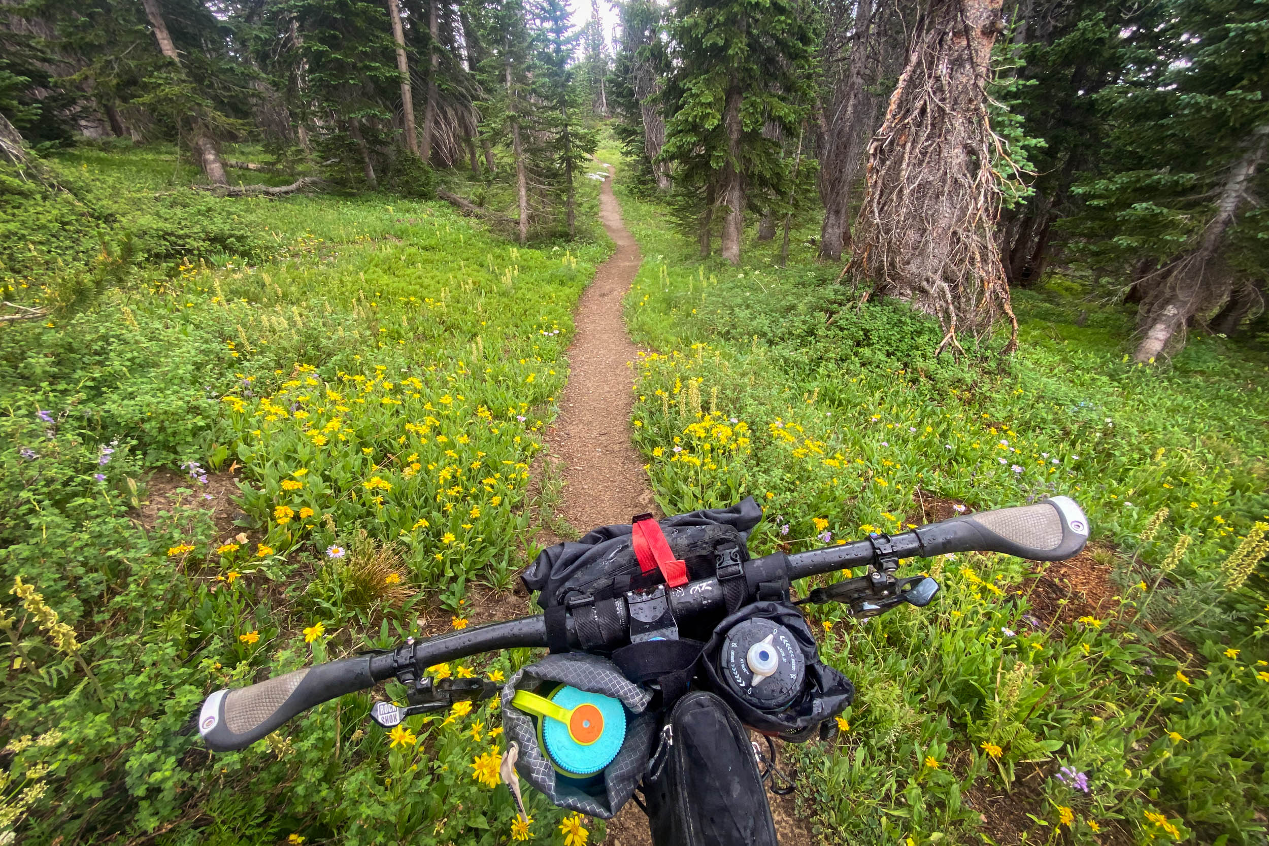
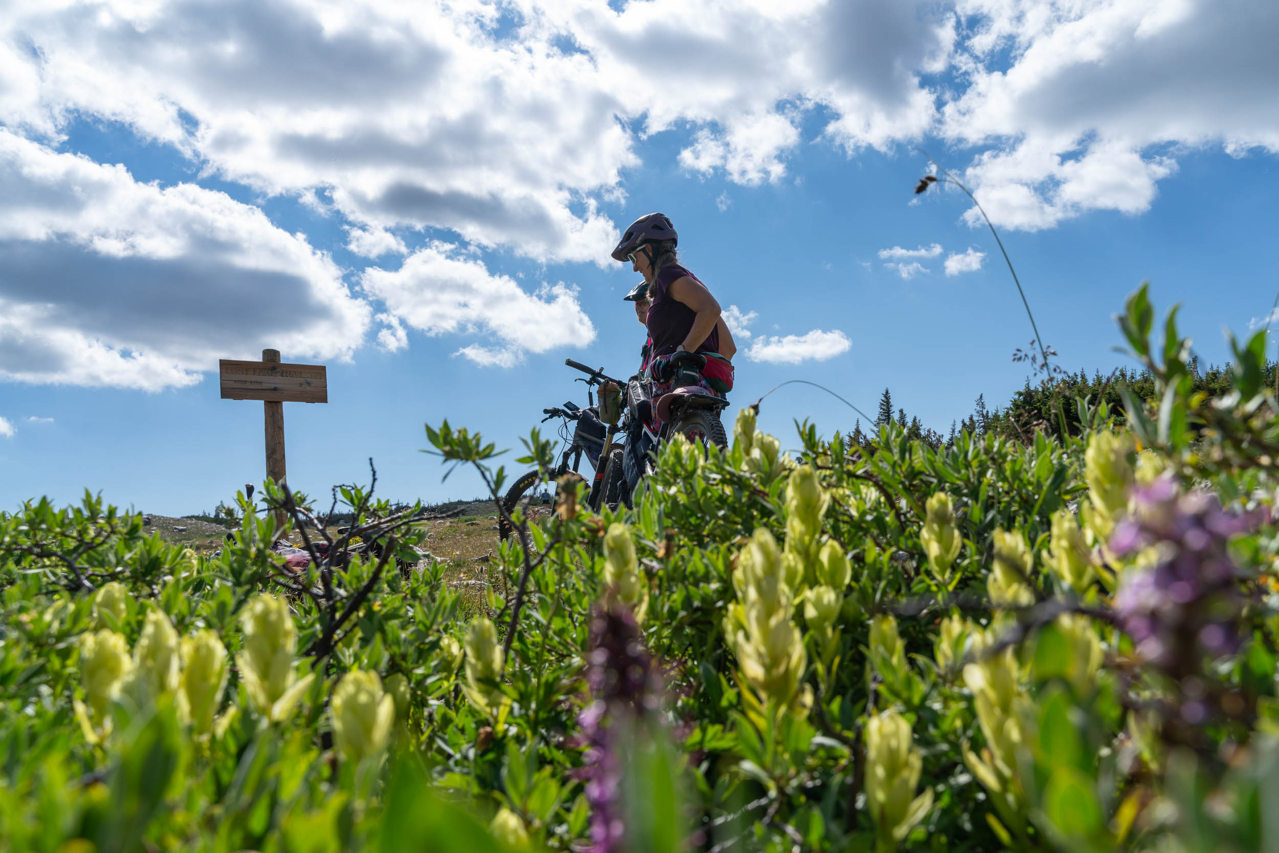
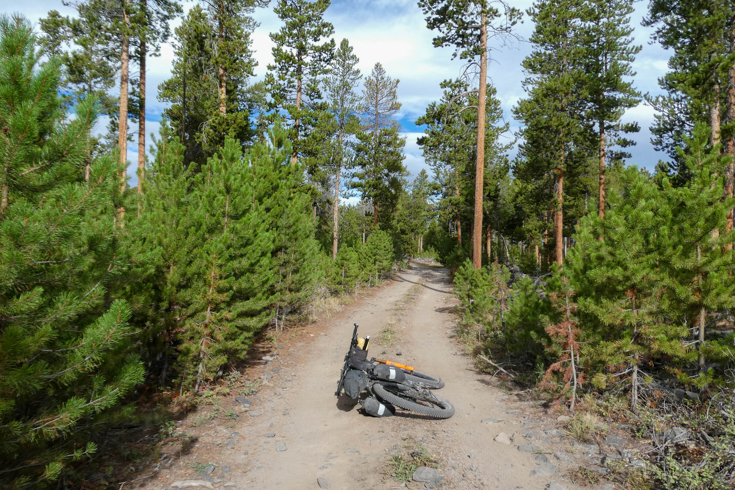
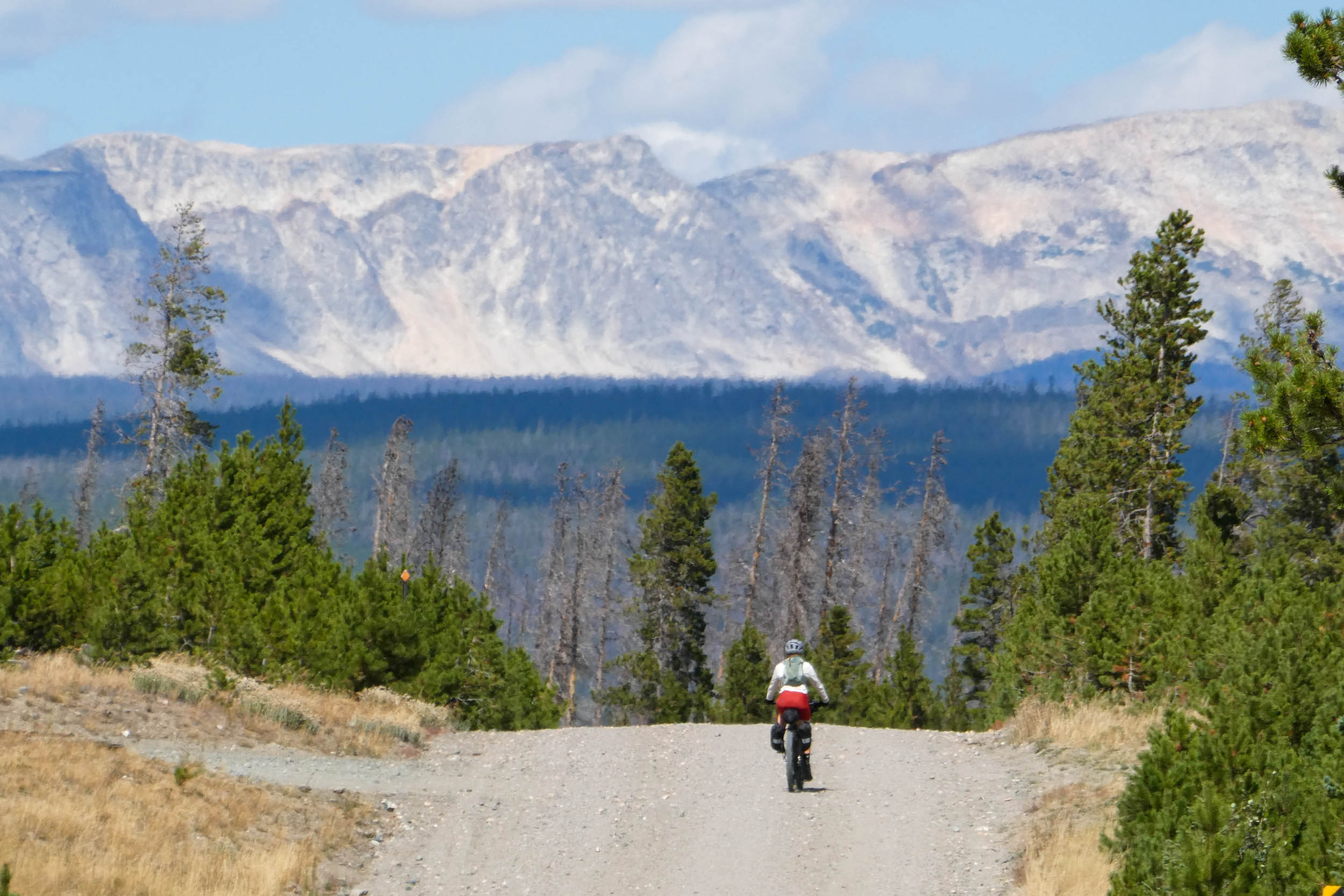
The journey begins along the historic Medicine Bow Rail Trail before turning toward the mountains and into the enormous footprint of the 2020 Mullen Fire, which burned more than 176,000 acres of the Medicine Bow National Forest. Long views open through forests of standing snags while wildflowers and new growth reclaim the ground beneath them. It’s a stark, beautiful landscape; from the recovering burn scar to lingering high-country snowfields, the transformation gives the route both its name and much of its character.
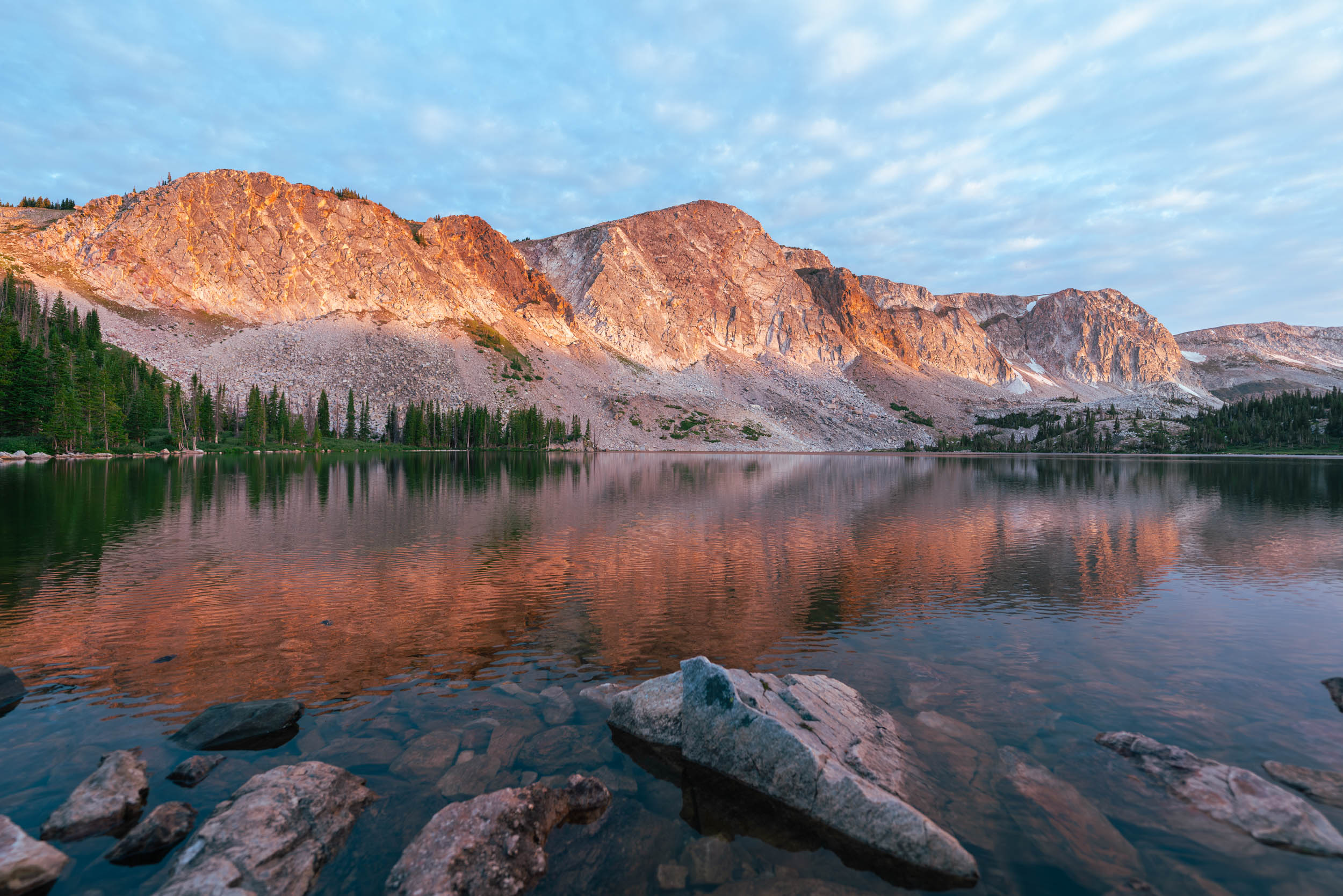
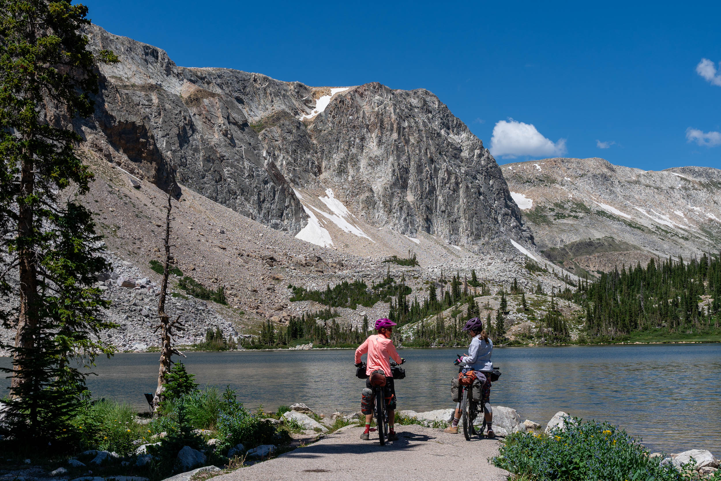
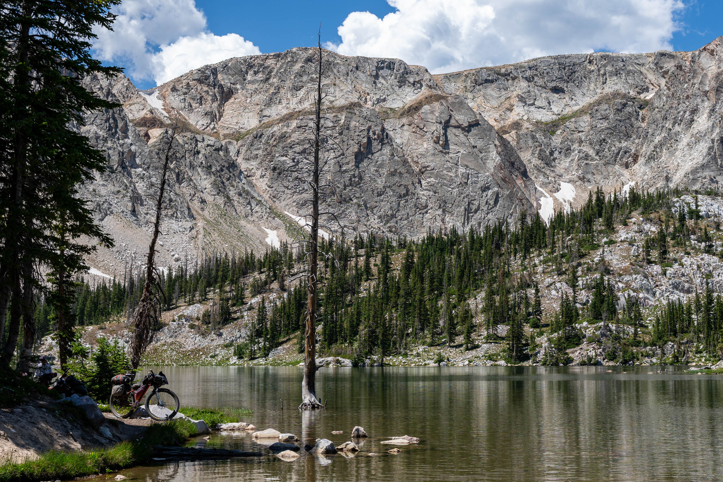
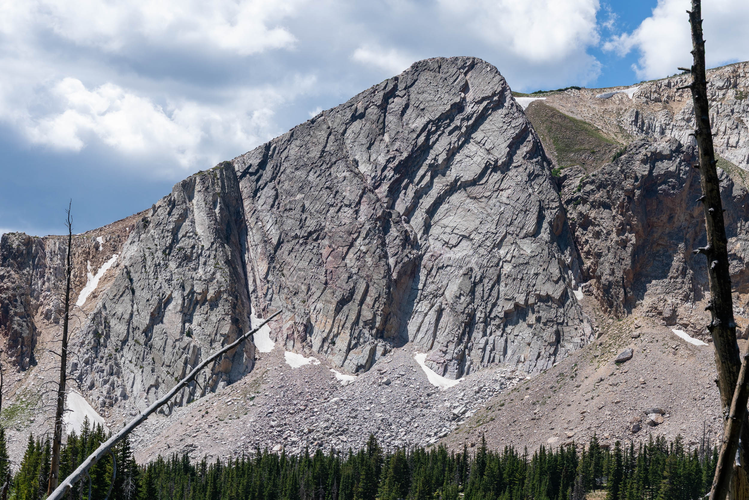
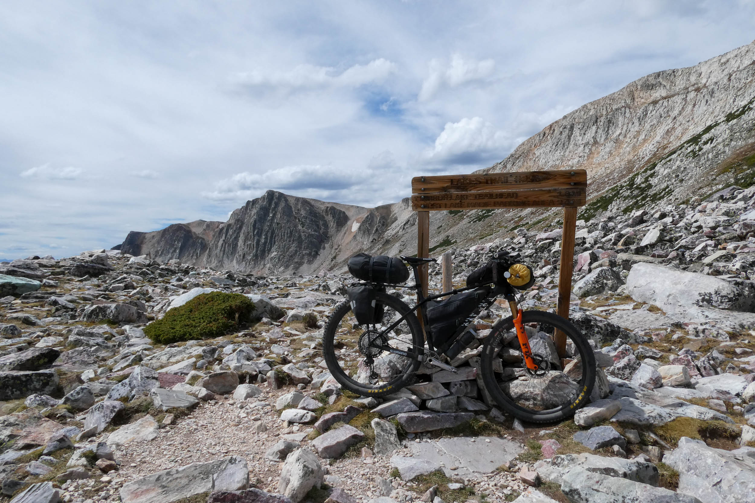
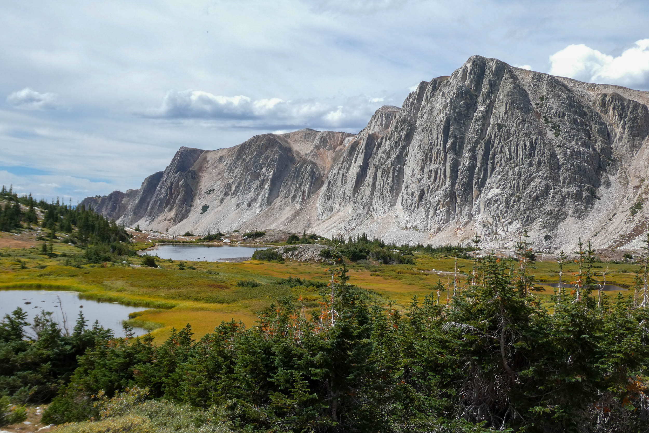
As gravel gives way to increasingly rough doubletrack, the route climbs toward Libby Flats and the Snowy Range, where exposed rock, snowfields, alpine meadows, and countless lakes replace the forests below. The range’s distinctive backbone is built largely from ancient metamorphosed sedimentary rocks, including massive layers of quartzite more than two billion years old, sculpted over time into the craggy ridges, cirques, and lake-filled basins that define the Snowies today.
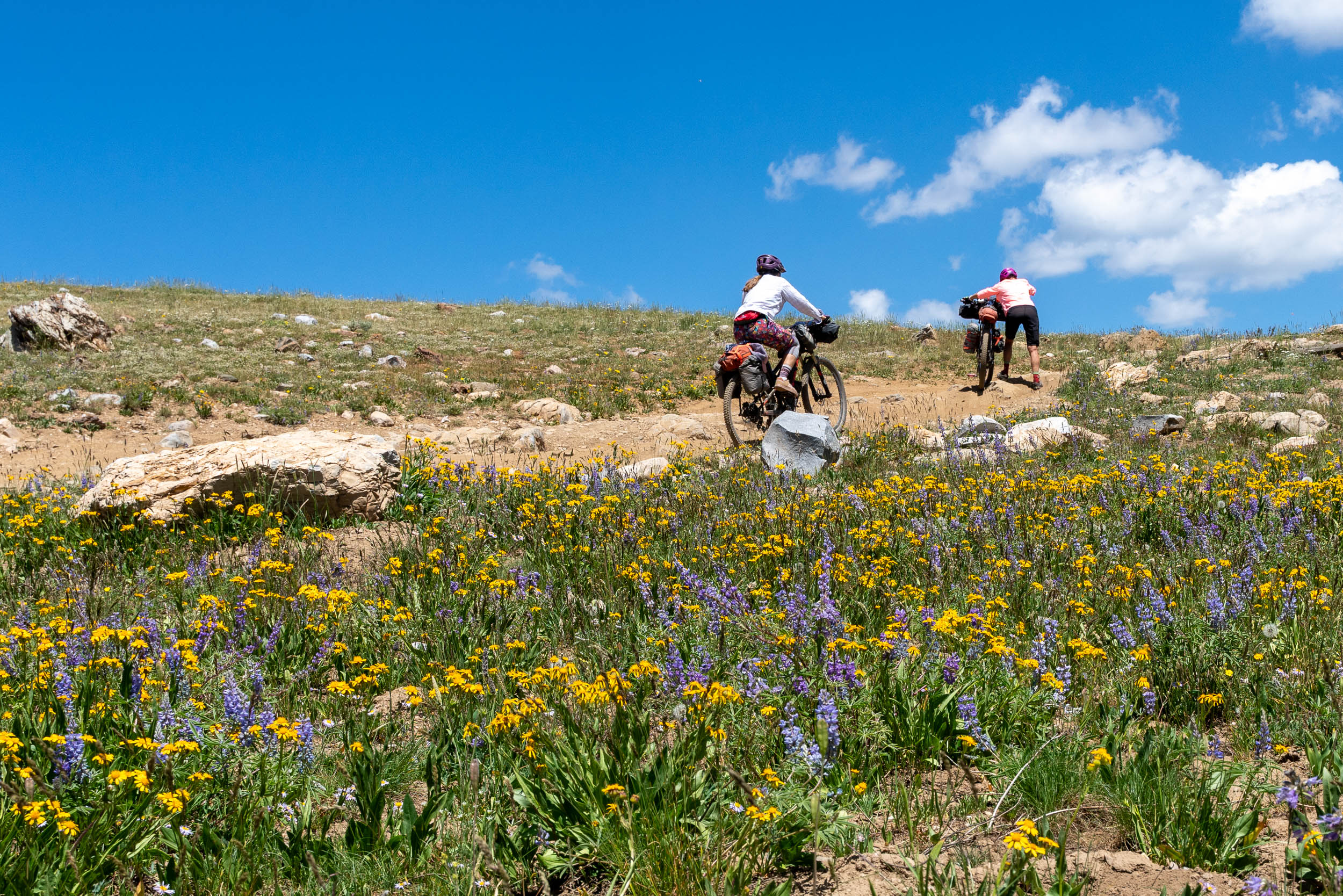
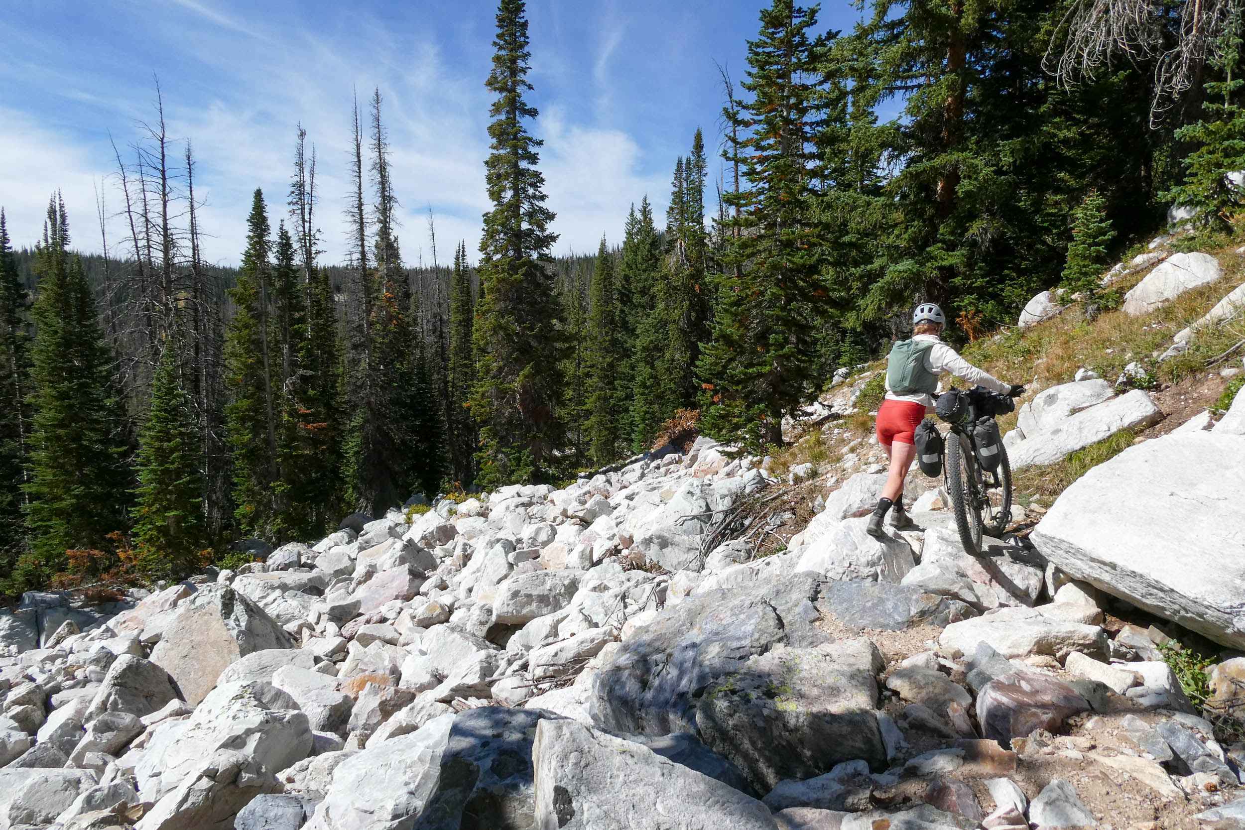
This is also where Through Fire to Snow intentionally slows down. The Snowies aren’t a section to simply ride through for the sake of covering miles. The trails are rugged and technical, and the terrain demands your attention at exactly the moment the stupendous scenery is pulling your eyes up. Instead, establish a basecamp and spend a day experiencing the mountains beyond the loaded bike: ride technical singletrack, hike into the high country, swim in an alpine lake, wander through midsummer wildflowers, or just stay put. The bike gets you into this remarkable landscape; once there, permit yourself to put it down for a while.
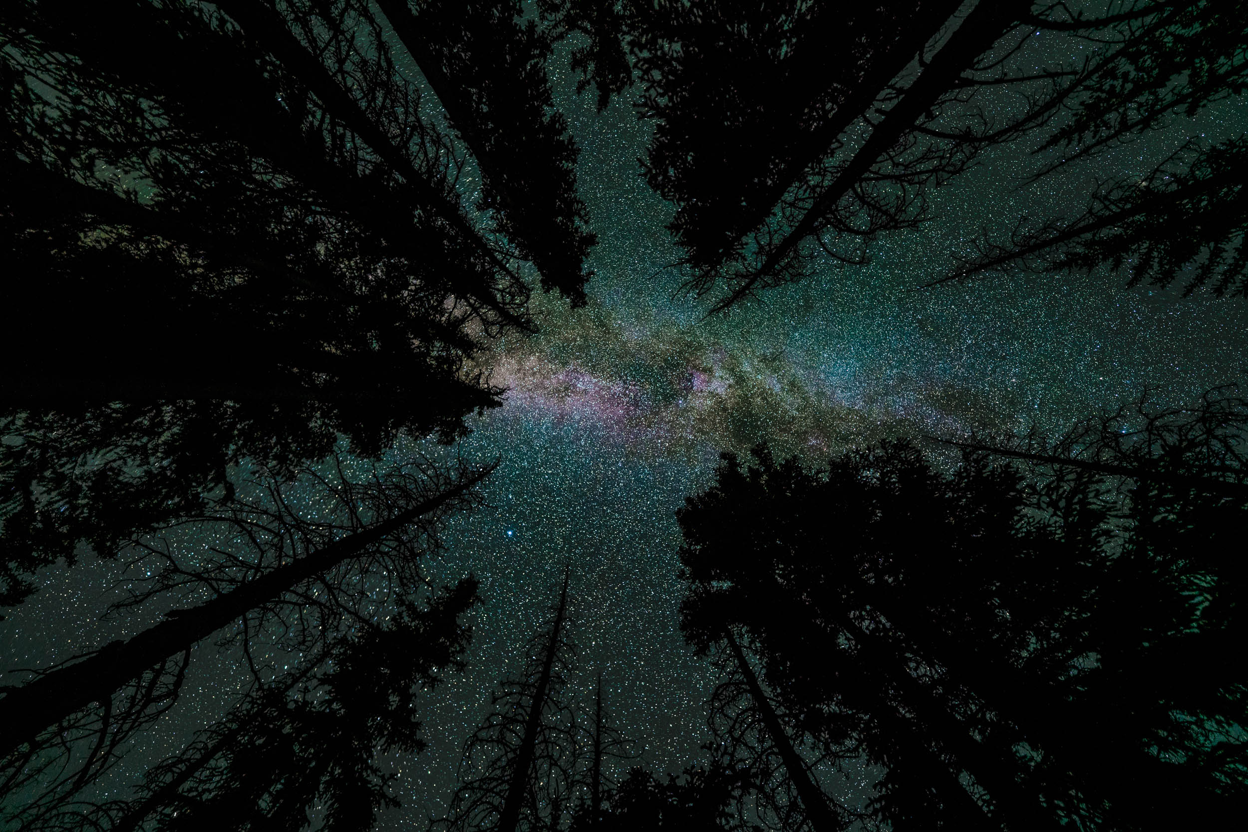
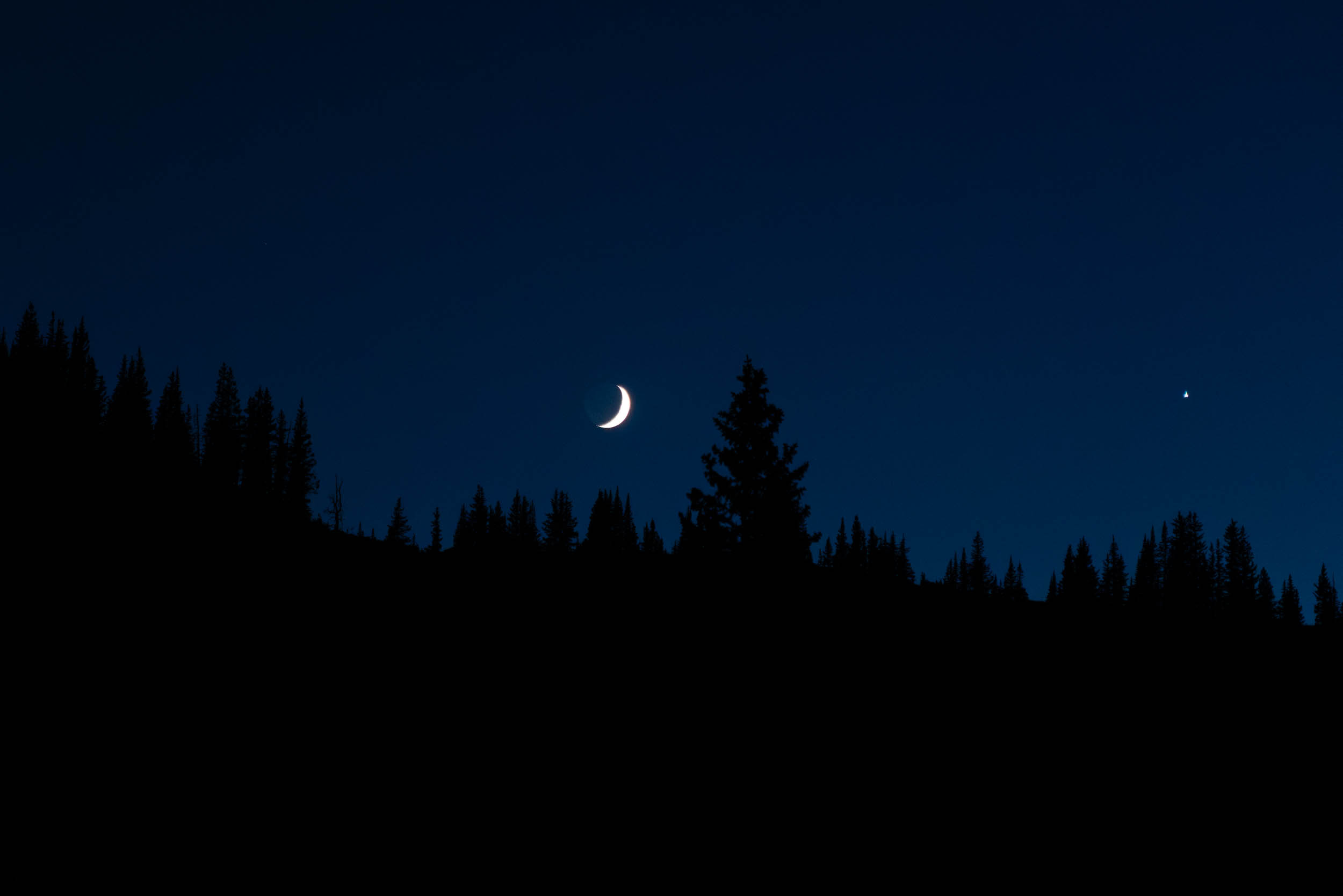
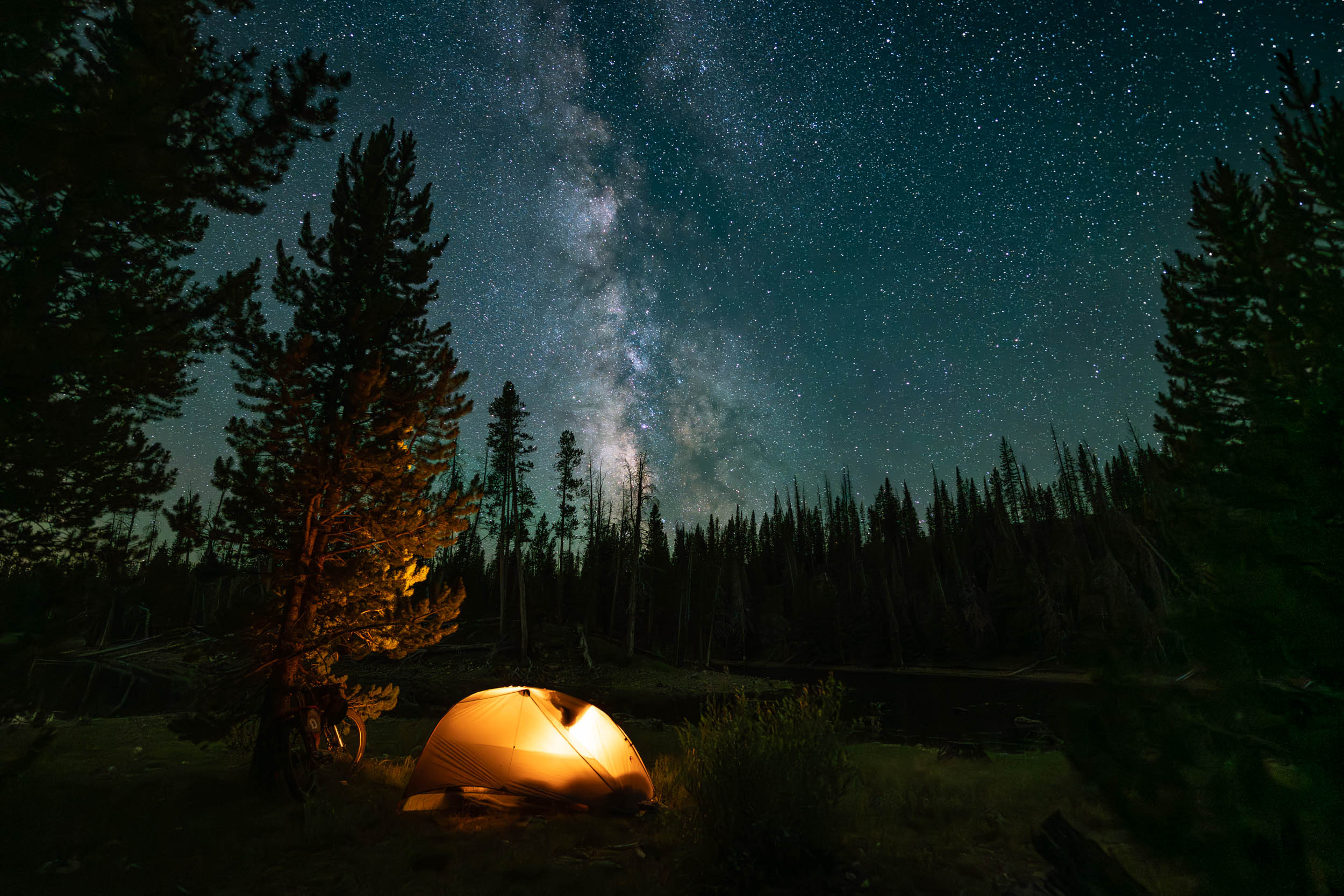
Another reason to linger: far from major population centers and artificial light, portions of the Medicine Bows sit beneath exceptionally dark skies. On a clear, moonless night, the Milky Way stretches overhead with a clarity rarely seen near more populated mountain destinations.
Eventually, the route leaves the high country for tiny Centennial before crossing the broad working ranchlands of the Centennial Valley and reconnecting with the Medicine Bow Rail Trail for the journey south. But the line presented here is ultimately a framework for exploration. A web of Forest Service roads, trails, lakes, campgrounds, and potential side trips makes it easy to build a trip that’s longer, harder, more technical, or simply slower. Through Fire to Snow is less about completing a prescribed line than connecting a series of distinctly Wyoming landscapes and leaving enough time to actually experience them.
Route Difficulty
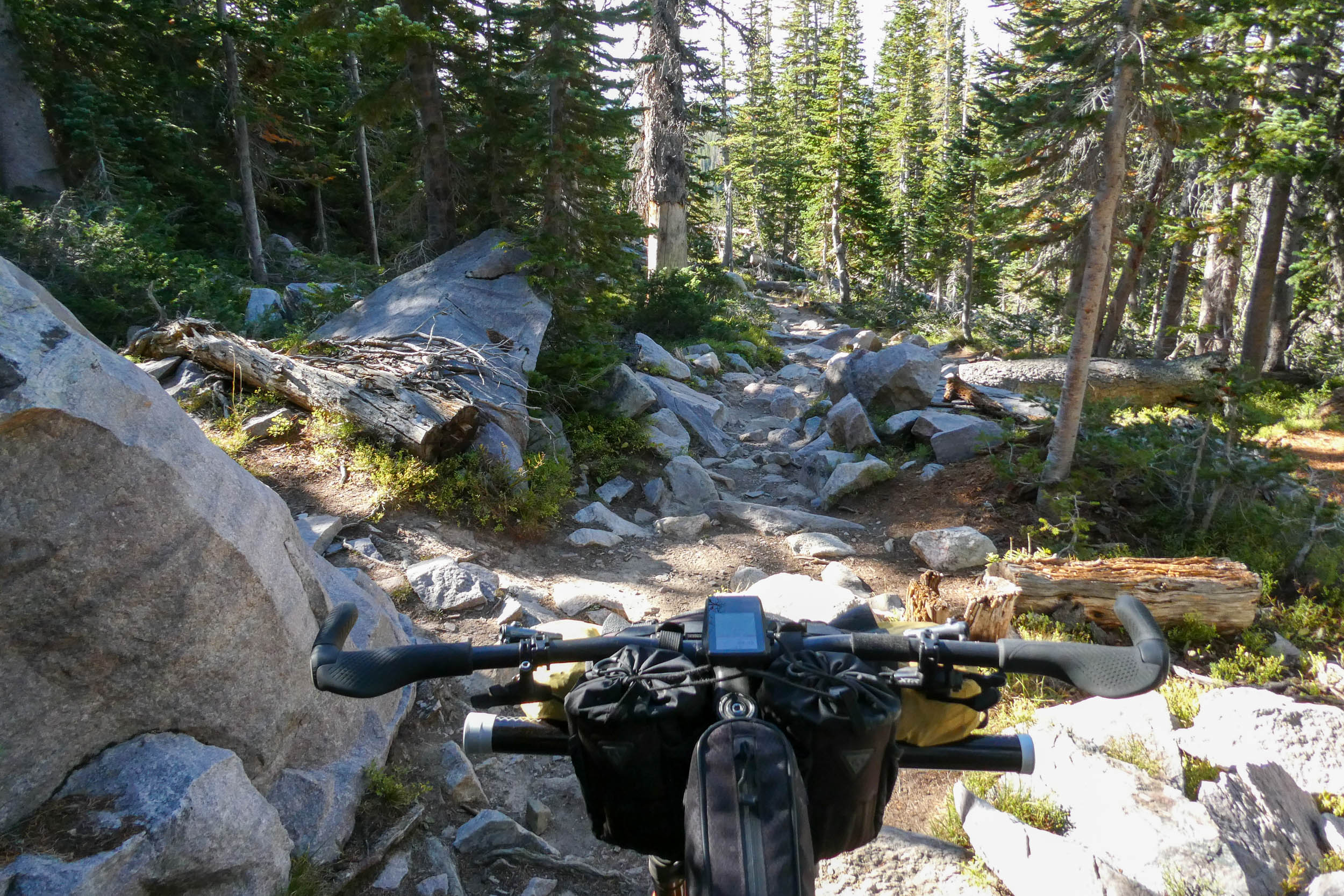
Through Fire to Snow earns an overall difficulty rating of 6/10. Much of the route follows relatively straightforward rail trail, gravel roads, and dirt roads, but the character changes as it approaches the Snowy Range, where rough and sometimes loose doubletrack, sustained climbing, and higher elevations increase both the technical and physical demands. The route tops out near 11,000 feet, and altitude, exposure, rapidly changing mountain weather, and the effort of riding rough surfaces on a loaded bike can make relatively modest daily mileage feel considerably harder. A mountain bike and low gearing will make the rougher sections substantially more enjoyable.
Logistically, the route is relatively forgiving. With plentiful camping opportunities, water is abundant through much of the route, and Centennial offers food and limited resupply. Riders should nevertheless be self-sufficient, as cell service is unreliable, and there are long stretches without services. The 6/10 technical rating applies to the primary route; riders who use the Snowies basecamp to explore the area’s notoriously rugged singletrack should expect the difficulty to jump considerably. These trails can involve highly technical riding, rocks, and hike-a-bike, easily pushing optional excursions into the 7-8 range.
Route Development
Through Fire to Snow grew out of a desire to explore a part of south-central Wyoming that was completely new to me and to connect the places and landscapes that had caught my attention while researching the region. I developed the route from scratch using a combination of maps, a handful of gravel-riding blogs and trip reports, Trailforks reviews, YouTube videos, photography blogs, and historical and recreational resources about the Medicine Bow Mountains and Snowy Range.
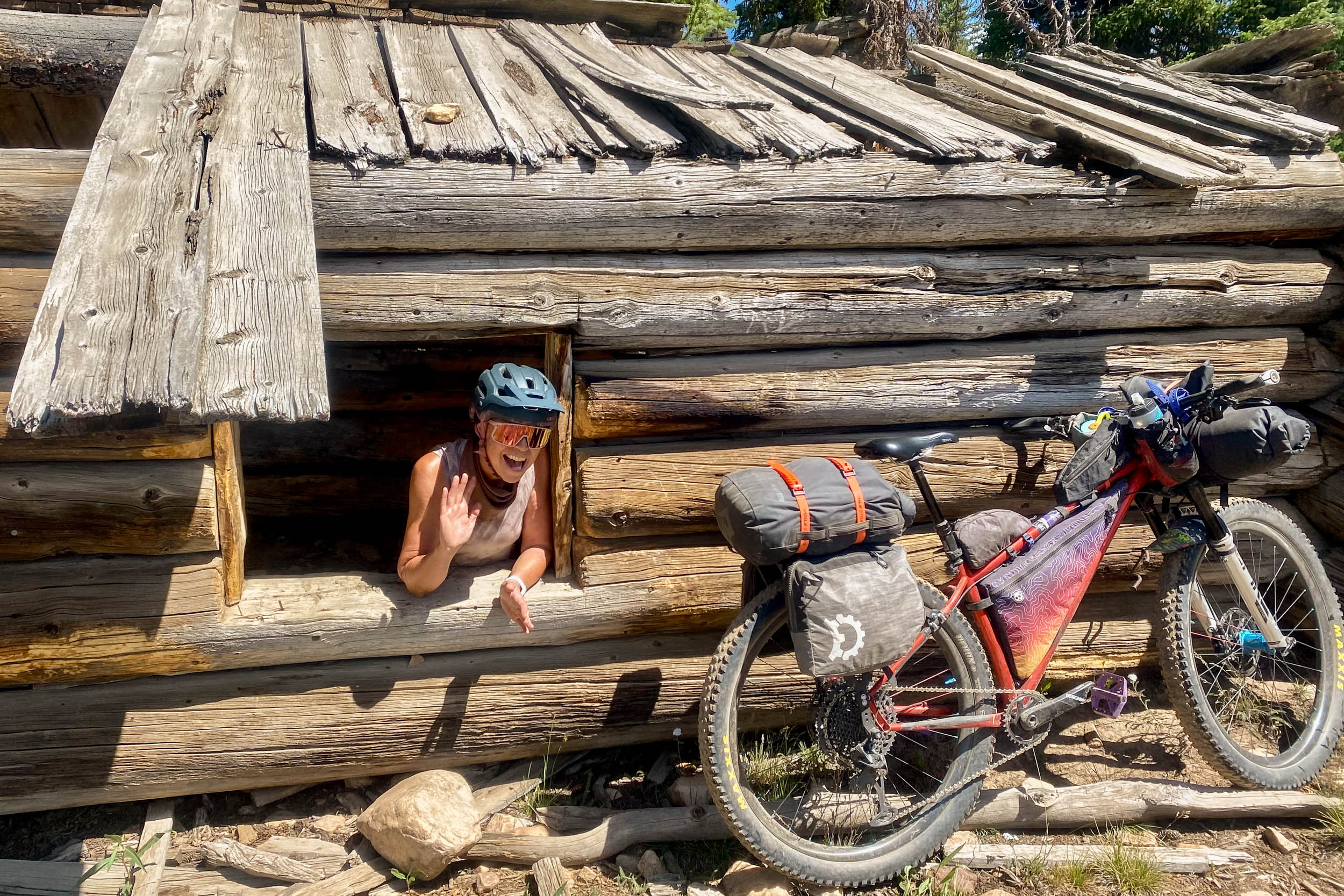
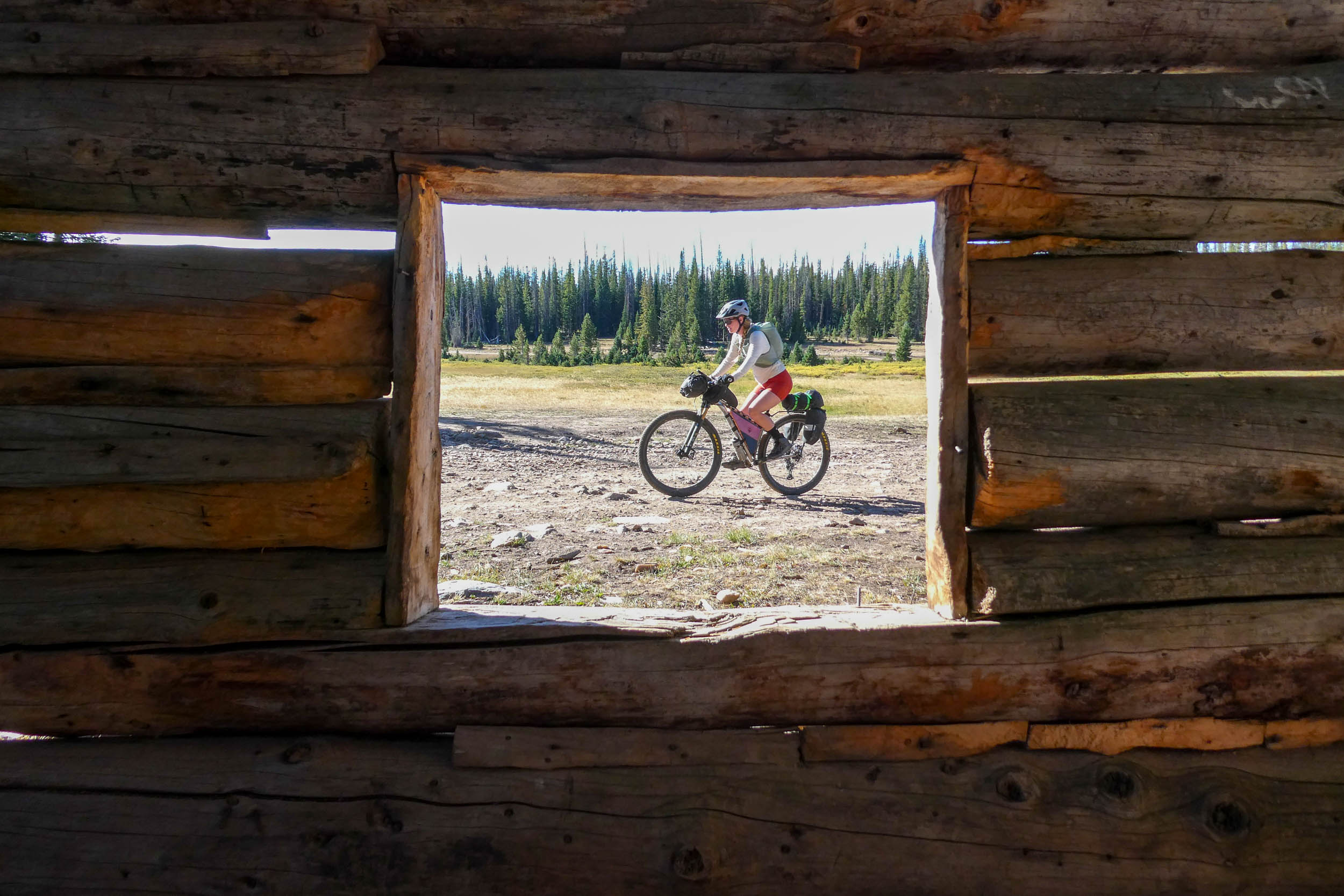
The Medicine Bow Rail Trail was an early anchor for the route, and information from the organization supporting the trail helped me understand its history, access, and potential as both a starting point and a destination in its own right. From there, I identified places I wanted the route to experience, such as the Mullen Fire landscape, historic cabins and fire lookouts, Libby Flats and the Snowy Range, alpine lakes and good camping, a hot meal in Centennial, and the ranchlands of the Centennial Valley. I connected them with an interesting mix of gravel, doubletrack, and singletrack. I also consulted with my friend Jody McGee, who had ridden in the area previously and helped ground-truth some of the route choices before the trip.
Once on the ground, our group used the planned route as a framework, confirming conditions and making small adjustments as we explored. Jeff Kerkove and Bex Howard later shared information from riding a very similar route, which added useful perspective on both the technical difficulty of the Snowies trail network and other ways to structure the trip. The resulting route reflects that research and scouting, with the goal of creating a cohesive journey through the region rather than simply linking together the highest-rated roads and trails.







Submit Route Alert
As the leading creator and publisher of bikepacking routes, BIKEPACKING.com endeavors to maintain, improve, and advocate for our growing network of bikepacking routes all over the world. As such, our editorial team, route creators, and Route Stewards serve as mediators for route improvements and opportunities for connectivity, conservation, and community growth around these routes. To facilitate these efforts, we rely on our Bikepacking Collective and the greater bikepacking community to call attention to critical issues and opportunities that are discovered while riding these routes. If you have a vital issue or opportunity regarding this route that pertains to one of the subjects below, please let us know:
Highlights
Must Know
Camping
Food/H2O
Trail Notes
Resources
- Medicine Bow Rail Trail: A quiet and historic start and finish along a former railroad grade through forests, wetlands, and remnants of the area’s railroad and logging past.
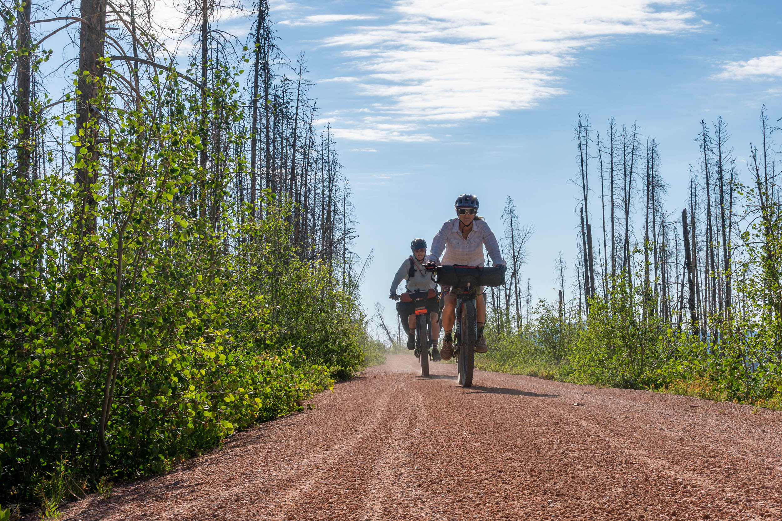
- The Mullen Fire landscape: Miles through the footprint of the 2020 wildfire, where stands of burned timber contrast with expansive views, new growth, and brilliant wildflowers.
- The climb to Libby Flats: – Increasingly rugged doubletrack that marks the transition from forest and burn scar into the high alpine environment of the Snowy Range.
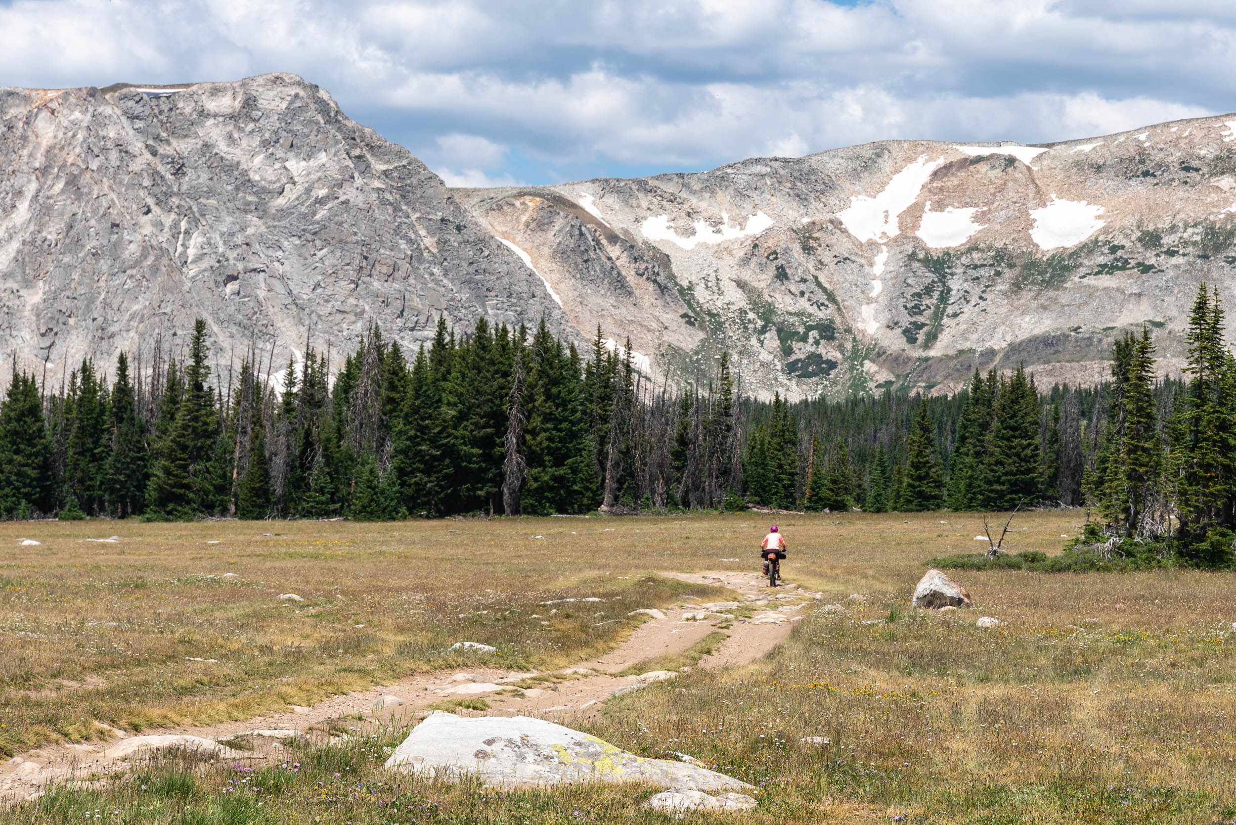
- The Snowy Range: The visual centerpiece of the route, with dramatic quartzite peaks, alpine tundra, lingering summer snowfields, wildflowers, and lake-filled basins.
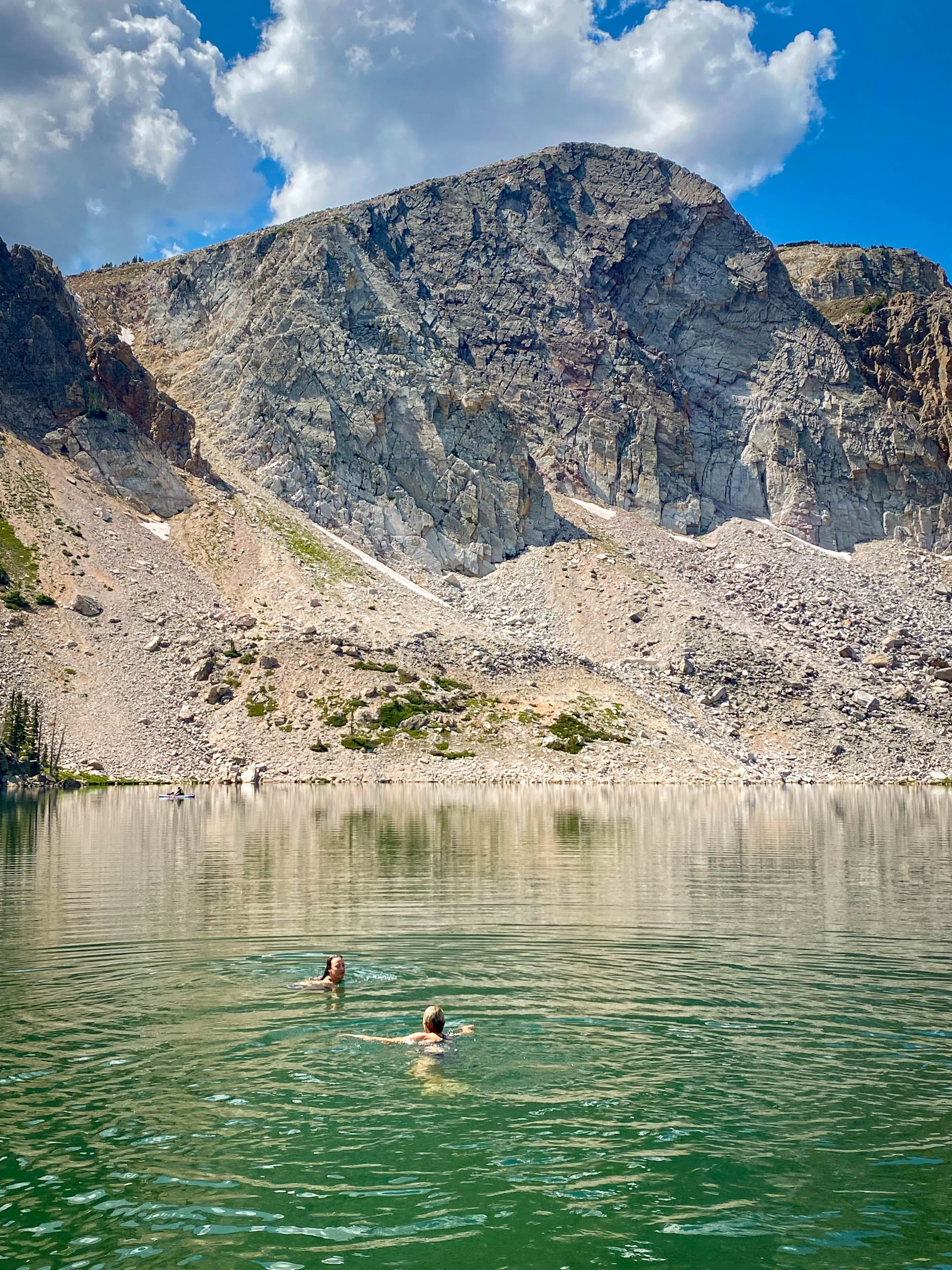
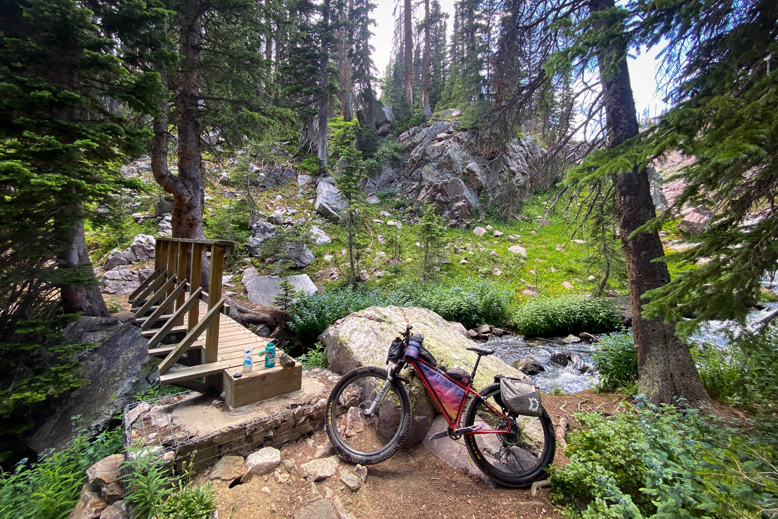
- Alpine lakes and swimming: Lakes and creeks are seemingly everywhere, providing frequent water, beautiful camps, and plenty of opportunities to jump in.
- Exceptionally dark skies: Far from major sources of artificial light, portions of the Medicine Bows sit beneath Bortle 2 skies. On a clear, moonless night, the Milky Way is reason enough to stay up after dark.
- Basecamping in the Snowies: Spend two nights in one place, unload the bike, and explore. Ride technical singletrack, hike into the high country, swim, fish, or simply enjoy a day without packing up camp.
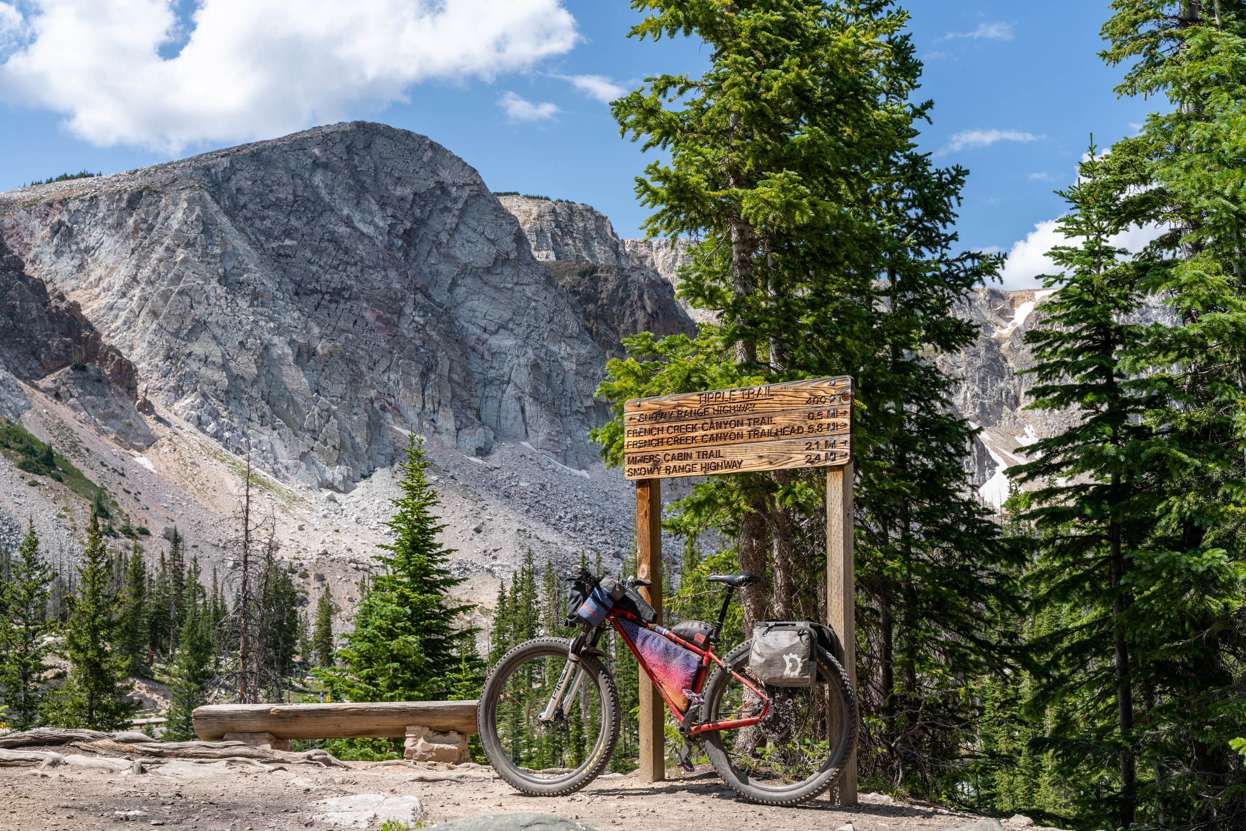
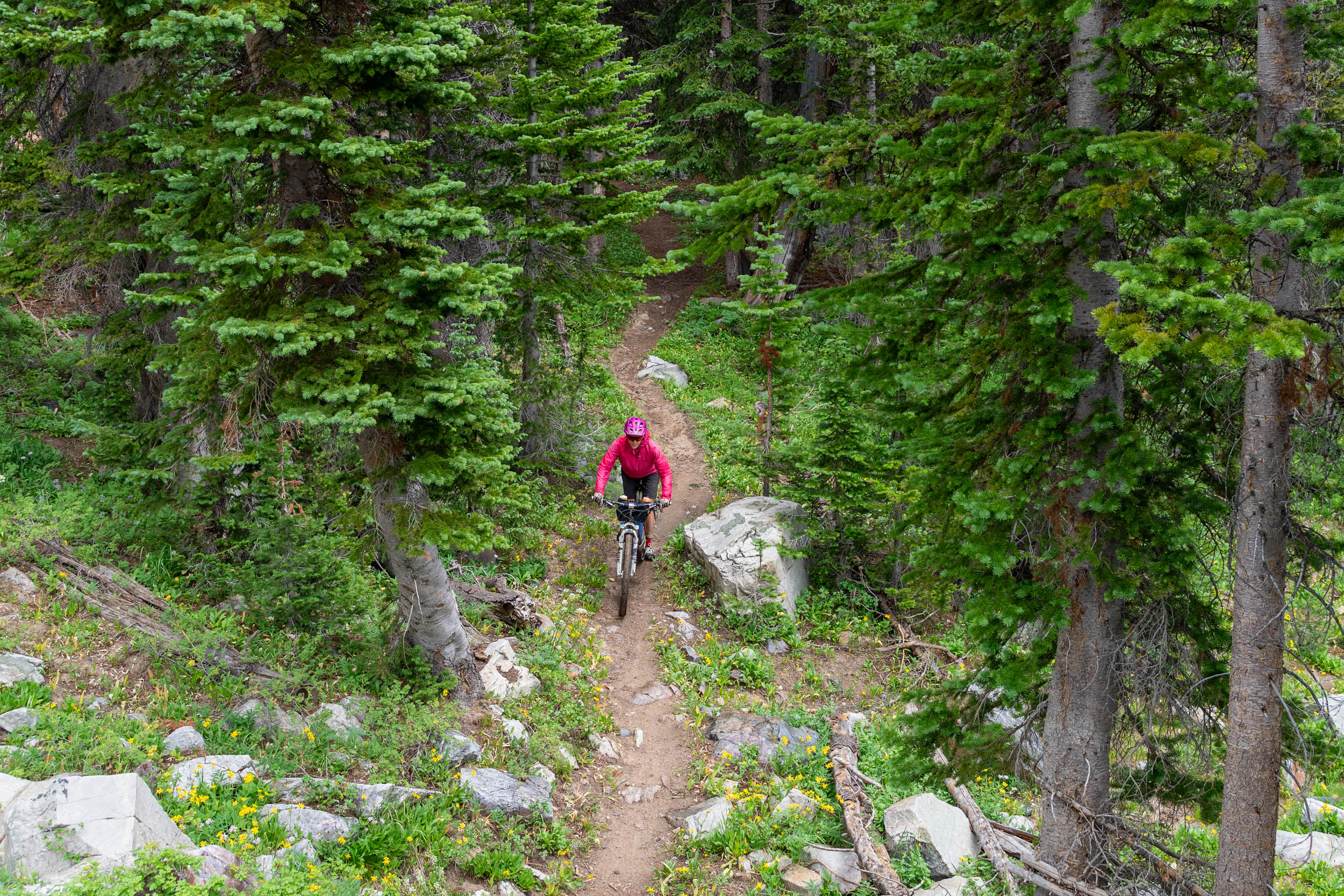
- Optional Snowy Range singletrack: Much of the trail network north of the Scenic Byway is extremely technical, but riders looking for something more approachable can explore Tipple and French Creek Canyon trails. Jeff Kerkove and Bex Howard also recommend North Fork Trail as one of the more forgiving options north of the highway.
- Centennial and Centennial Valley: Drop into tiny Centennial for a restaurant meal, cold beverage, ice cream, and limited resupply before rolling south through the broad working ranchlands of the Centennial Valley beneath enormous Wyoming skies, with the Snowy Range gradually receding behind.
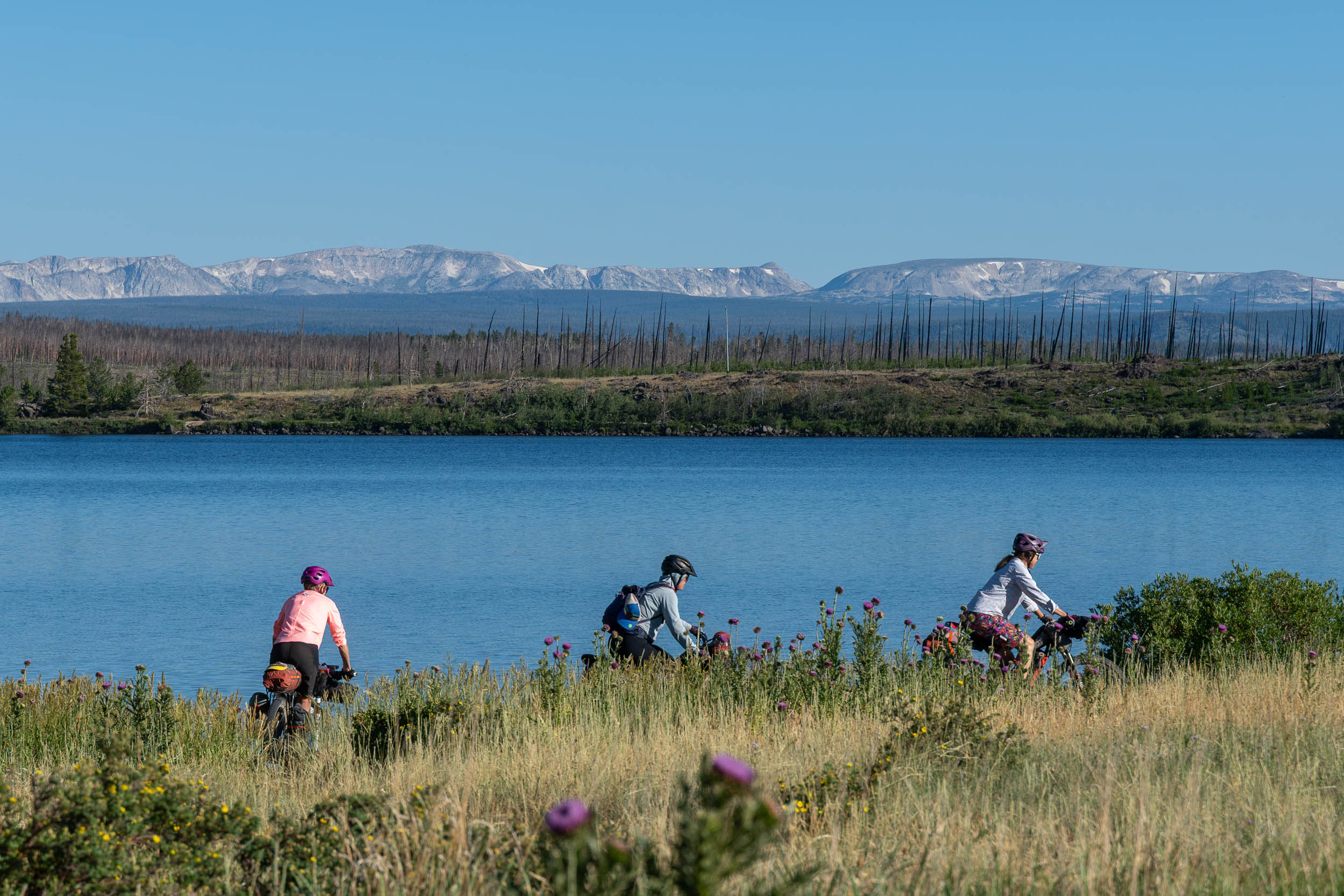
- Lake Owen: A peaceful lakeside setting for the final night, with one last swim and a view back toward the mountains before reconnecting with the rail trail.
When to go
- July through early September is the prime window. The Snowy Range holds snow well into summer, and high-elevation campgrounds generally don’t open until late June or early July. Late July and August offer the best combination of snow-free riding, wildflowers, open facilities, and relatively long days, although conditions vary considerably year to year.
- Expect mountain weather: The route climbs to nearly 11,000 feet, and weather in the Snowies can change remarkably quickly. Afternoon thunderstorms, strong winds, hail, and sudden temperature drops are all possible, even on otherwise beautiful summer days. Start high-elevation excursions early and carry layers and rain protection regardless of the forecast.
Logistics
- Getting there: The route begins on the Medicine Bow Rail Trail near the Colorado-Wyoming border. Laramie is the nearest major community, roughly 30 miles east of the Snowy Range; Centennial is the primary community along the route.
- Long-term parking is available at Pelton Creek Trailhead – the southern terminus of the rail trail.
- Camping: There is a combination of established Forest Service campgrounds and dispersed camping throughout the Medicine Bow National Forest. Developed campgrounds are first-come, first-served, but can be popular, especially in the Snowies. Dispersed campsites are plentiful. Check current Forest Service regulations, restrictions, and fire conditions before your trip. Additional restrictions apply in the Snowy Range, including prohibitions on dispersed camping within 500 feet of the Scenic Byway.
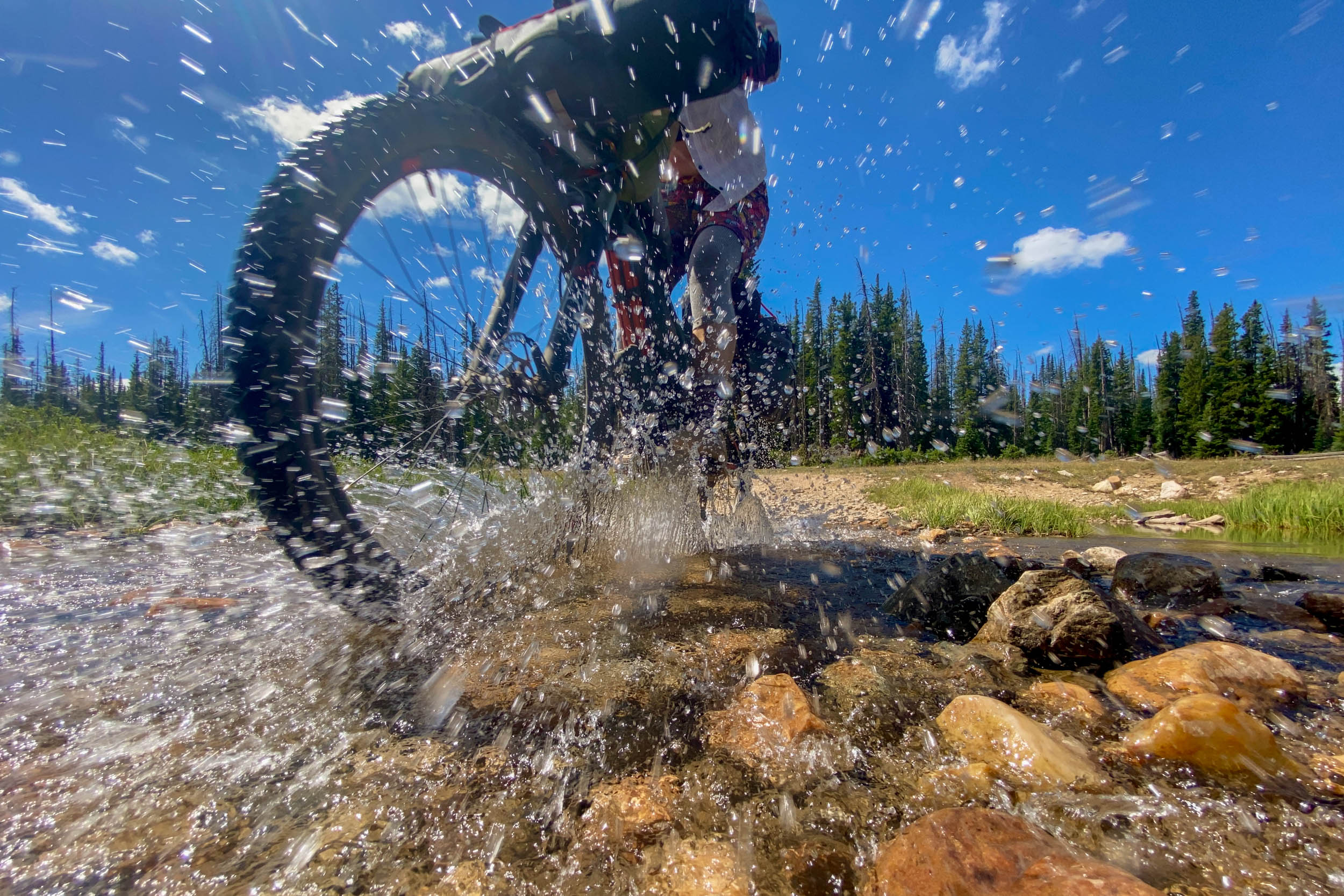
- Water is abundant, but treat it: Lakes, ponds, and creeks are plentiful throughout much of the route, particularly in the Snowies. Carry a reliable filter or purification system rather than relying on developed water sources, and still plan for longer stretches between reliable sources.
Dangers & Annoyances
- Wildlife and food storage: Black bears, moose, elk, deer, and other wildlife inhabit the Medicine Bows. Store food and other attractants appropriately and give wildlife plenty of space, particularly moose and cows with calves.
- Burn area riding: Significant portions of the route travel through the 2020 Mullen Fire footprint. Expect exposed riding with limited shade, standing dead trees, occasional deadfall, and changing trail conditions as the landscape continues to recover. Avoid camping beneath standing snags, particularly in windy conditions.
- Navigation: Cell service can be limited or nonexistent. Download the route and appropriate offline maps before leaving and consider carrying a dedicated GPS device or satellite communicator. The extensive network of Forest Service roads and trails makes exploration easy, but it can also be confusing and makes wrong turns easy.
What bike
- A hardtail mountain bike is probably the sweet spot. A capable drop-bar bike could work for an experienced rider, but the rougher doubletrack and optional Snowy Range singletrack make a mountain bike more versatile and more fun. At least 2.2-inch tires are recommended for the rougher doubletrack and singletrack.
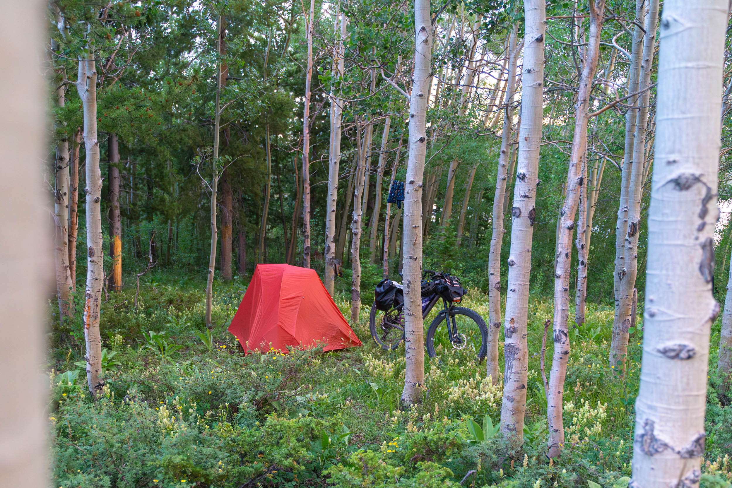
- Camping is plentiful throughout the route. Through Fire to Snow travels through Medicine Bow National Forest, with a combination of developed Forest Service campgrounds and dispersed camping. Established dispersed sites are common along many Forest Service roads. In the Snowy Range, additional protections apply: dispersed camping and open campfires are prohibited within 500 feet of the Snowy Range Scenic Byway, and camping is prohibited within 100 feet of streams and lakes. Check current Forest Service regulations before setting out, as restrictions can change.
- Don’t overlook the developed campgrounds. We initially assumed dispersed camping would be the obvious choice, but some of our favorite camps were in small Forest Service campgrounds beside lakes. Surprisingly, we found some of these quieter than the more popular dispersed camping areas, especially south of the Snowy Range Scenic Byway.
- The Snowy Range is ideal for a two-night basecamp. Rather than breaking camp each morning, consider choosing a high-country campground and staying put. This leaves a full day to hike, swim, explore the area’s rugged trails, or simply enjoy the mountains without a loaded bike.
- Sugarloaf Campground at roughly 10,800 feet near Libby and Lewis Lakes is one particular option for a Snowies basecamp. Check Forest Service information for opening dates, reservations, water availability, and fees.
- Lake Owen Campground makes a particularly nice camp near the southern end of the route and is directly accessible from the Medicine Bow Rail Trail. Its location makes it a natural option for either the beginning/end of the trip or a final night before returning to the Colorado border.
- For an occasional dose of civilization, look for the area’s snowmobile lodges. The Medicine Bows have a long history as a major winter snowmobiling destination, and several lodges scattered through the mountains cater to that community. Some operate beyond winter and can provide an unexpected opportunity for a beer, hot food, or even lodging during a bikepacking trip. Hours can be highly seasonal, so don’t rely on them without checking ahead. The Trailshead Lodge in Albany was one we enjoyed.
- Water is abundant for most of the route. The Medicine Bow Mountains and Snowy Range are dotted with creeks, streams, ponds, and alpine lakes, and finding filterable water is generally straightforward. Carry a filter or other treatment method and don’t assume campground pumps or other developed water sources will be operating.
- Wyoming mountain-town food fits this route perfectly. This is burger, breakfast, and cold-beer country rather than a culinary tour, and after several days of riding, few things taste better. Centennial is the main food stop. The tiny town has quite a few places to eat and drink and makes a great mid-route break.
- Mountain and snowmobile lodges can provide unexpected treats. Several lodges are scattered through the Medicine Bows, and some remain open during summer. We stopped at a couple for food and beer, which made for welcome breaks from bikepacking fare. Seasonal schedules can be unpredictable, so confirm in advance and consider these stops a bonus rather than an essential part of the food plan.
Suggested Itinerary
This route, as written, is two half-days and three full days, allowing for travel to and from the route. Riders with different schedules or goals can adapt accordingly.
locationColorado/Wyoming Border to Rob Roy Reservoir
Day 1 (31.4 mi, +2,119’)
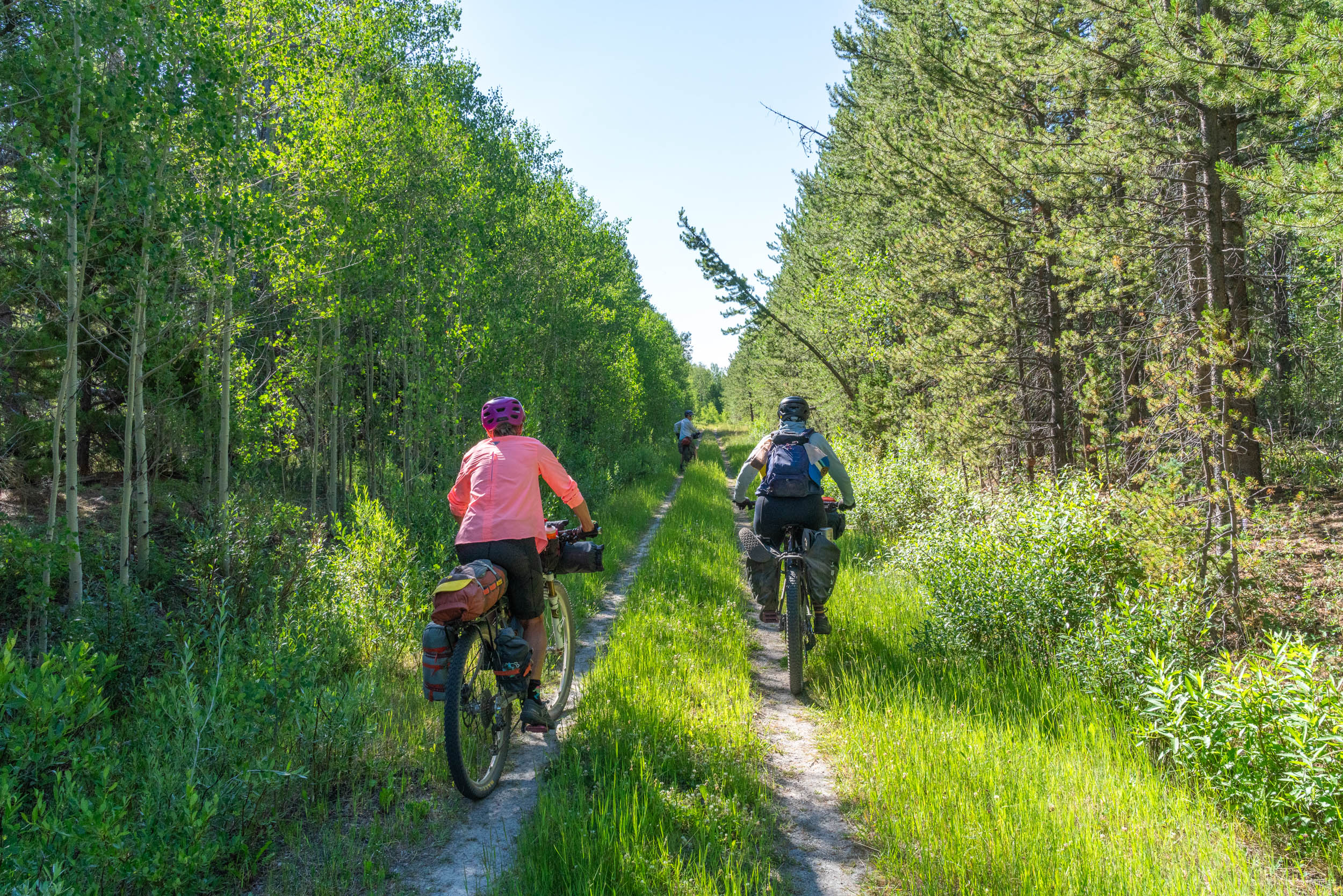
The route begins at the Colorado/Wyoming border and immediately joins the Medicine Bow Rail Trail, providing a mellow introduction to both the riding and the landscape. Following the former railroad grade north, the trail rolls gently through forests and wetlands with remnants of the area’s railroad and logging history scattered along the way. Enjoy the easy miles, though they don’t fully foreshadow what’s coming.
Eventually, the route leaves the rail grade and begins working its way toward the mountains on quiet gravel and Forest Service roads. The landscape becomes increasingly shaped by the 2020 Mullen Fire, with expansive views through the burned forest and remarkable regeneration and wildflowers beneath the standing snags. Finish the day at Rob Roy Reservoir, where the Forest Service campground makes for an easy and scenic first night’s camp with water nearby.
locationRob Roy Reservoir to the Snowy Range
Day 2 (23.5 mi, 2,635’)
This is where the character of the route changes dramatically. Leaving Rob Roy and the Mullen Fire footprint, continue on gravel and increasingly primitive Forest Service roads. The riding gradually becomes rougher as the route turns toward the high country, eventually transitioning to rugged doubletrack for the climb toward Libby Flats.
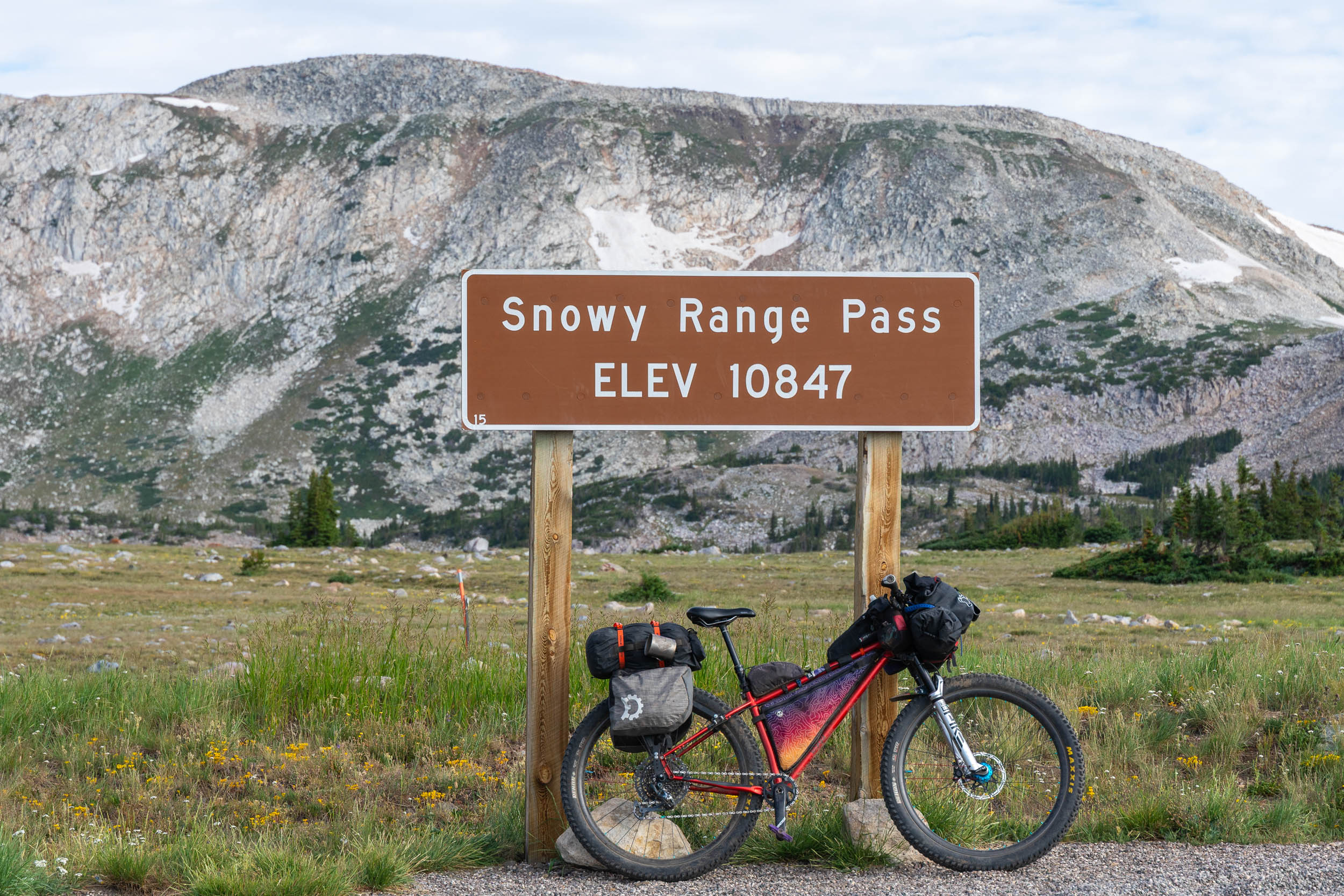
It’s a substantial day on a loaded bike, but also one of the defining sections of Through Fire to Snow. The burned landscape slowly gives way to living forest and then opens into the high country of the Snowy Range. Near 11,000 feet, the views expand dramatically: craggy peaks, alpine tundra, lakes, wildflowers, and snowfields replace the forests below.
Rather than pushing through, stop here. Choose one of the established Forest Service campgrounds or an appropriate dispersed site away from the Scenic Byway and establish a basecamp for two nights. Unpack the bike, go for a swim, and enjoy not having to break camp the following morning.
locationSnowy Range Basecamp
Day 3 (0 mi, 0’)
Day 3 is intentionally left open. The point is to experience the Snowies, not just ride through them. An extensive network of trails surrounds the high country, but riders should know much of the singletrack is genuinely rugged and technical. Expect rocks, roots, hike-a-bike, and Type II fun rather than endless flow on the trails around the Snowies. South of the scenic byway are the Tipple and French Canyon trails, which are more moderate and fun. Spend the day riding unloaded, hiking farther into the high country, exploring the lakes and rocky ridgelines, swimming, fishing, photographing wildflowers, or simply hanging around camp. Riders looking for a bigger challenge can stitch together a substantial technical ride; those looking for something different can spend the day on foot.
locationSnowy Range to Lake Owen via Centennial
Day 4 (31.4 mi, 1,985’)
Pack up camp and descend from the Snowies via Towner Lake and Barber Lake Roads to Centennial, trading alpine tundra and forest for a tiny Western mountain town. Centennial is the primary opportunity along the route for a proper meal, cold drink, and resupply. Depending on timing, that might mean breakfast, as it did for us, or the burger and beer originally envisioned when planning the route. Either way, chase it down with delicious ice cream from the Country Junction.
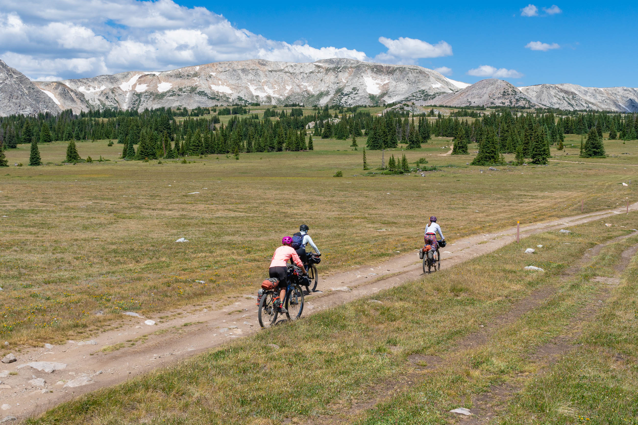
From Centennial, the route changes personality again as it heads through the broad Centennial Valley on gravel and paved roads. Open ranchlands, working cattle country, distant mountains, and enormous Wyoming skies make this section feel worlds apart from the high country you left earlier in the day.
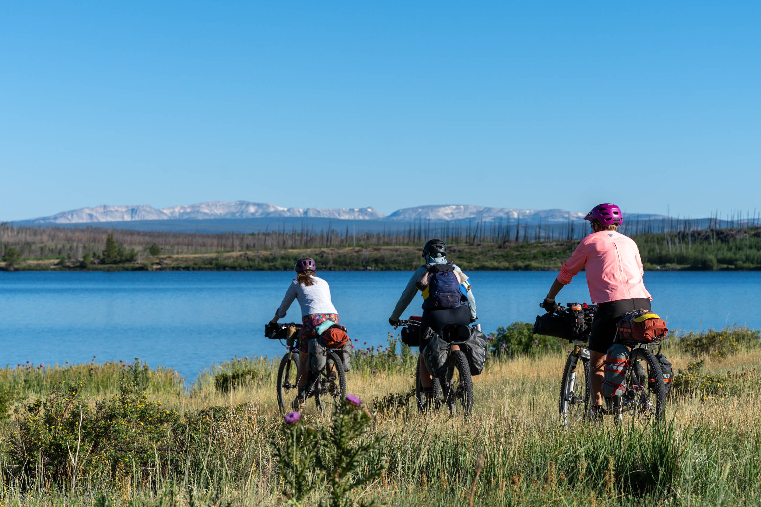
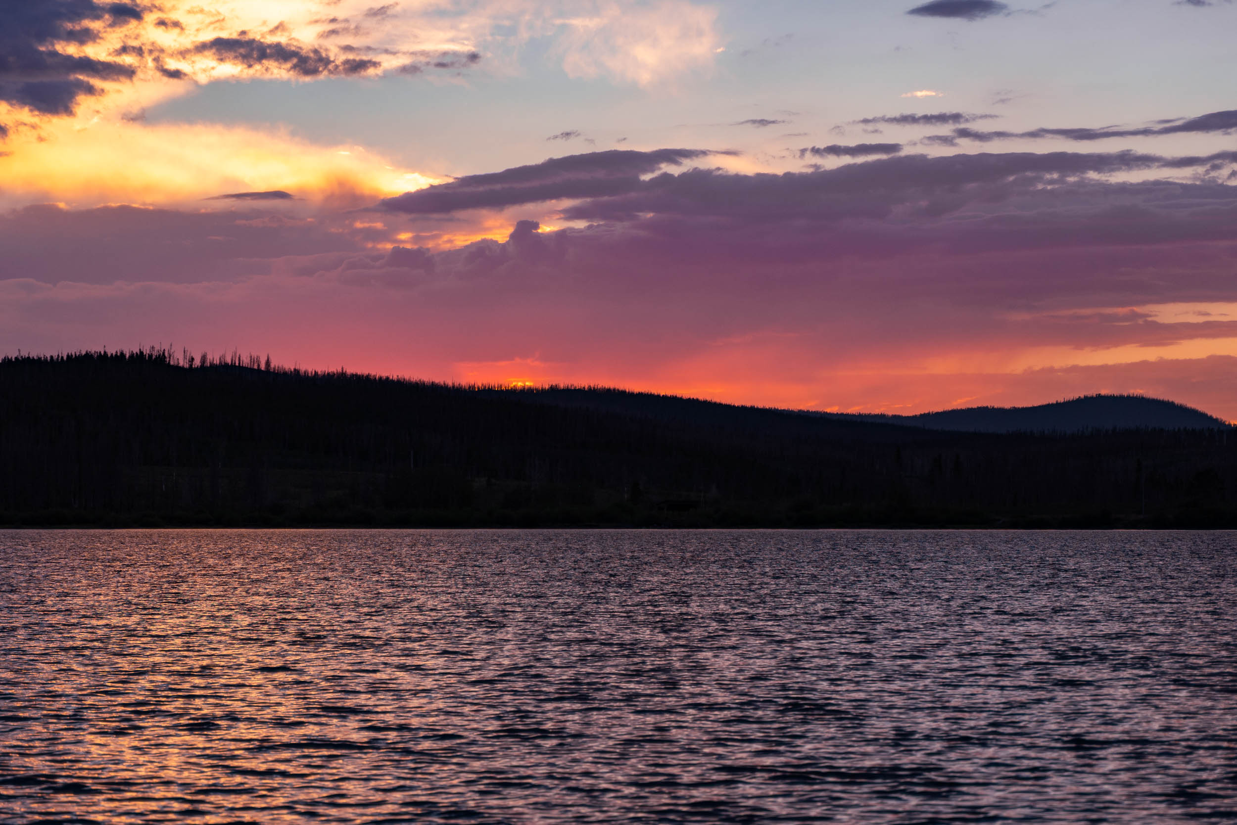
The final destination is Lake Owen, where the Forest Service campground provides a beautiful last-night camp beside the water. But not before stopping at the Trailshead Lodge in Albany for a cold beverage or meal. At camp, take advantage of one final lake swim before settling in for the evening, looking at the now distant Snowy Range.
locationLake Owen to the Colorado/Wyoming Border
Day 5 (19.8 mi, 376’)
From Lake Owen, reconnect with the Medicine Bow Rail Trail and follow the old railroad grade south toward the Colorado border. After the rougher riding and climbing of the preceding days, the relatively gentle rail trail makes for an enjoyable final spin and brings the journey full circle.
Alternates and Options
One of the things I like most about this area is that there is no single “right” way to ride it. The density of roads, trails, campgrounds, lodges, and alternate stopping points makes it easy to adapt the route to different riding styles, abilities, and priorities.
- Make it a four-day trip: Riders with limited time can leave the Snowies on Day 3 rather than spending a second night at basecamp, continuing through Centennial to Lake Owen and returning to the border the following day. Or combine the two half days into one.
- Add more Snowies: At the other end of the spectrum, add another night, or more. The network of trails, lakes, and hiking routes around the Snowy Range makes it easy to turn the route into a longer basecamp adventure without adding many loaded-bike miles.
- Choose your own basecamp: There is no single required Snowies campsite. Developed Forest Service campgrounds provide convenient options, while legal dispersed sites can offer a quieter experience. Observe the area’s dispersed-camping restrictions, including the prohibition on camping within 500 feet of the Snowy Range Scenic Byway and applicable setbacks from lakes, streams, and developed sites.
- Dial the technical riding up or down: The main route provides the backbone of the trip; the Snowies provide the playground. Strong technical riders can add challenging singletrack from basecamp, while riders who aren’t interested in technical terrain lose nothing by hiking, swimming, or exploring the high country on easier roads or hiking instead.
- Keep it flexible: One of the strengths of this area is the density of Forest Service roads and trails. You can shorten a day, add mileage, or change plans in response to weather, trail conditions, or simply finding a lake or campsite that’s too good to leave. Download detailed offline maps before the trip so you have those options when you’re out there.
- Finish via Woods Landing Resort: The historic, 100-plus-year-old resort offers lodging, a general store, food, showers, and a riverside setting that provides an excellent non-camping alternative for the final night. Jeff Kerkove and Bex Howard stayed here while riding a similar route. They recommended it as an affordable option for riders who want a hot meal and a bed or need an escape from Wyoming wind and weather.
Additional Resources
- Medicine Bow–Routt National Forest — Current conditions, closures, fire restrictions, camping regulations, roads, trails, and recreation information.
- Friends of the Medicine Bow Rail Trail — Excellent information on the 21-mile rail trail, including history, maps, trailheads, conditions, and individual trail segments.
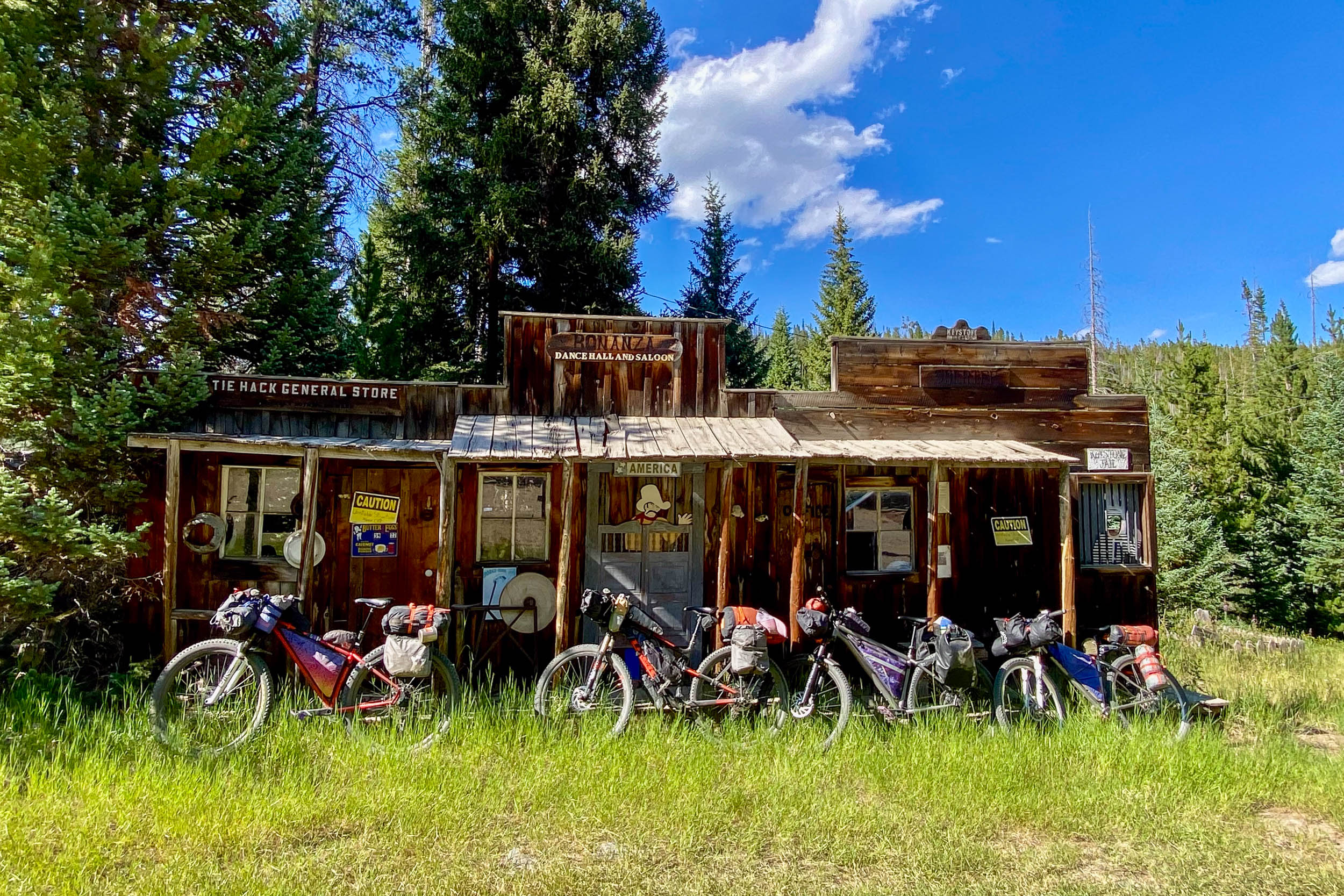
- Recreation.gov – Medicine Bow–Routt National Forest — Developed campgrounds, current fees, facilities, availability, and reservations, including Snowy Range options such as Sugarloaf. Also, Forest Service Cabins available to rent in the area, such as Keystone and the Spruce Mountain Fire Lookout.
- Trailforks — Useful for researching optional singletrack and basecamp riding in the Snowy Range.
- Visit Laramie – Centennial — Current information on Centennial restaurants, lodging, services, and local history.
- National Weather Service – Cheyenne — Weather and recreation forecasts for the region, including a specific Medicine Bow Peak/Snowy Range forecast.
- USFS parking area specifically for the rail trail: https://www.visitlaramie.org/things-to-do/outdoors-and-recreation/hiking/medicine-bow-rail-trail-fox-park-area/





Terms of Use: As with each bikepacking route guide published on BIKEPACKING.com, should you choose to cycle this route, do so at your own risk. Prior to setting out check current local weather, conditions, and land/road closures. While riding, obey all public and private land use restrictions and rules, carry proper safety and navigational equipment, and of course, follow the #leavenotrace guidelines. The information found herein is simply a planning resource to be used as a point of inspiration in conjunction with your own due-diligence. In spite of the fact that this route, associated GPS track (GPX and maps), and all route guidelines were prepared under diligent research by the specified contributor and/or contributors, the accuracy of such and judgement of the author is not guaranteed. BIKEPACKING.com LLC, its partners, associates, and contributors are in no way liable for personal injury, damage to personal property, or any other such situation that might happen to individual riders cycling or following this route.
Further Riding and Reading
Here are some connected/nearby routes and related reports...

Please keep the conversation civil, constructive, and inclusive, or your comment will be removed.