


Ridges, Rivers, and Rails Overnighter
Distance
75 Mi.
(121 KM)Days
2
% Unpaved
65%
% Singletrack
0%
% Rideable (time)
100%
Total Ascent
4,261'
(1,299 M)High Point
1,972'
(601 M)Difficulty (1-10)
3?
- 4Climbing Scale Fair57 FT/MI (11 M/KM)
- -Technical Difficulty
- -Physical Demand
- -Resupply & Logistics
Contributed By
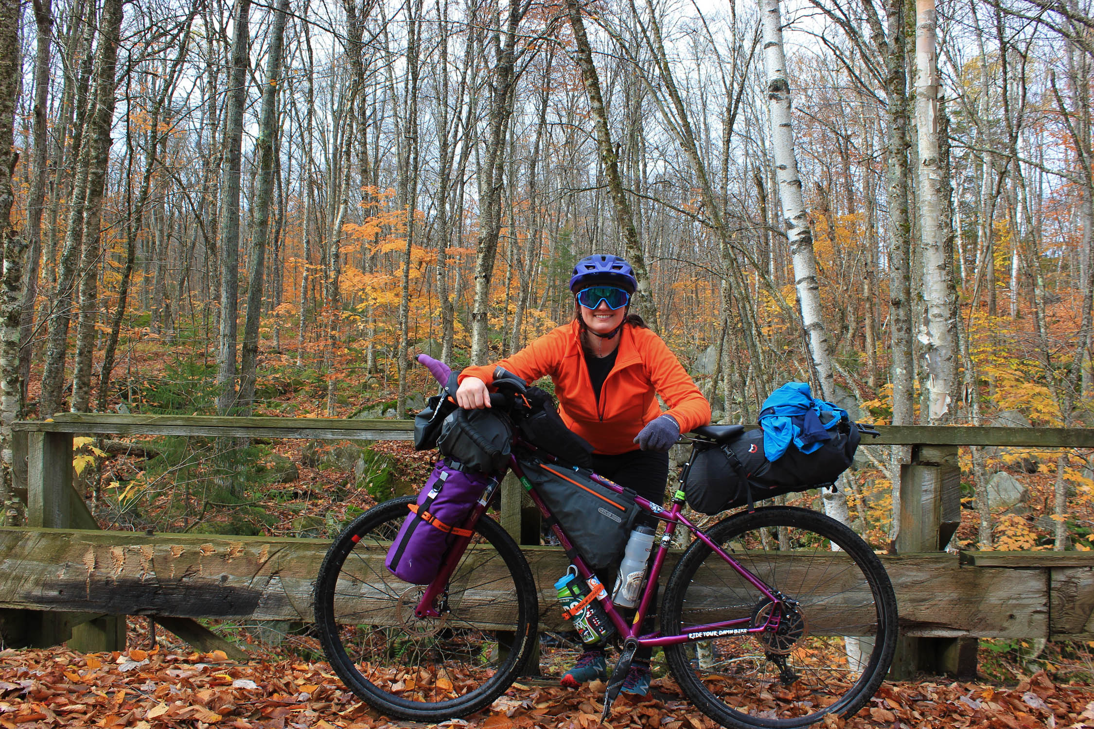
Danielle Blanca
Guest Contributor
Nestled in the heart of the Green Mountains, with access to Class IV roads, classic Vermont Pavé, rail trails, singletrack, endless gravel, and an abundance of micro-breweries, Danielle’s home in Waterbury, VT is a four-season playground… and with some creativity and grit, boundless bikepacking possibilities. Find Danielle on instagram @d.m.blanca
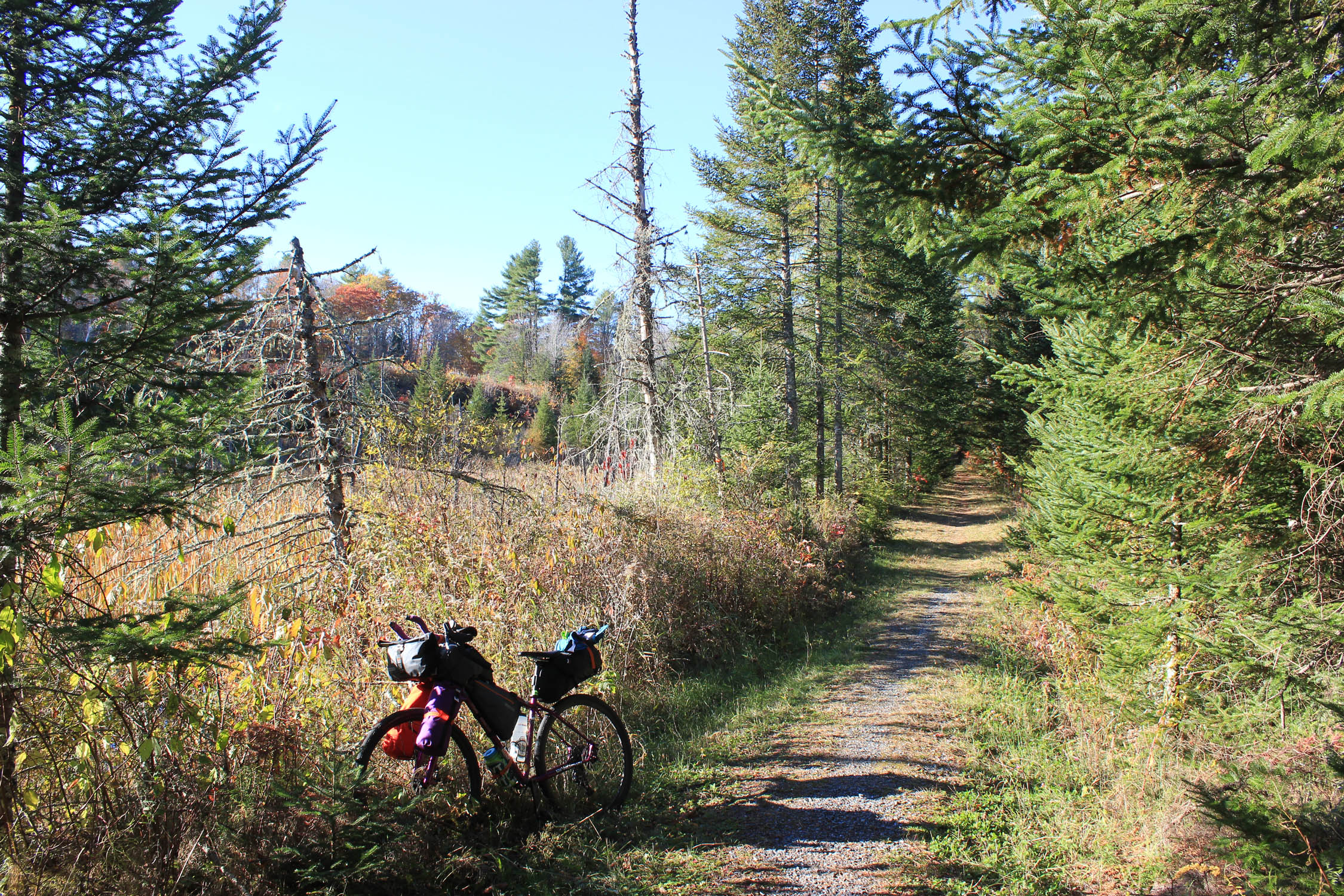
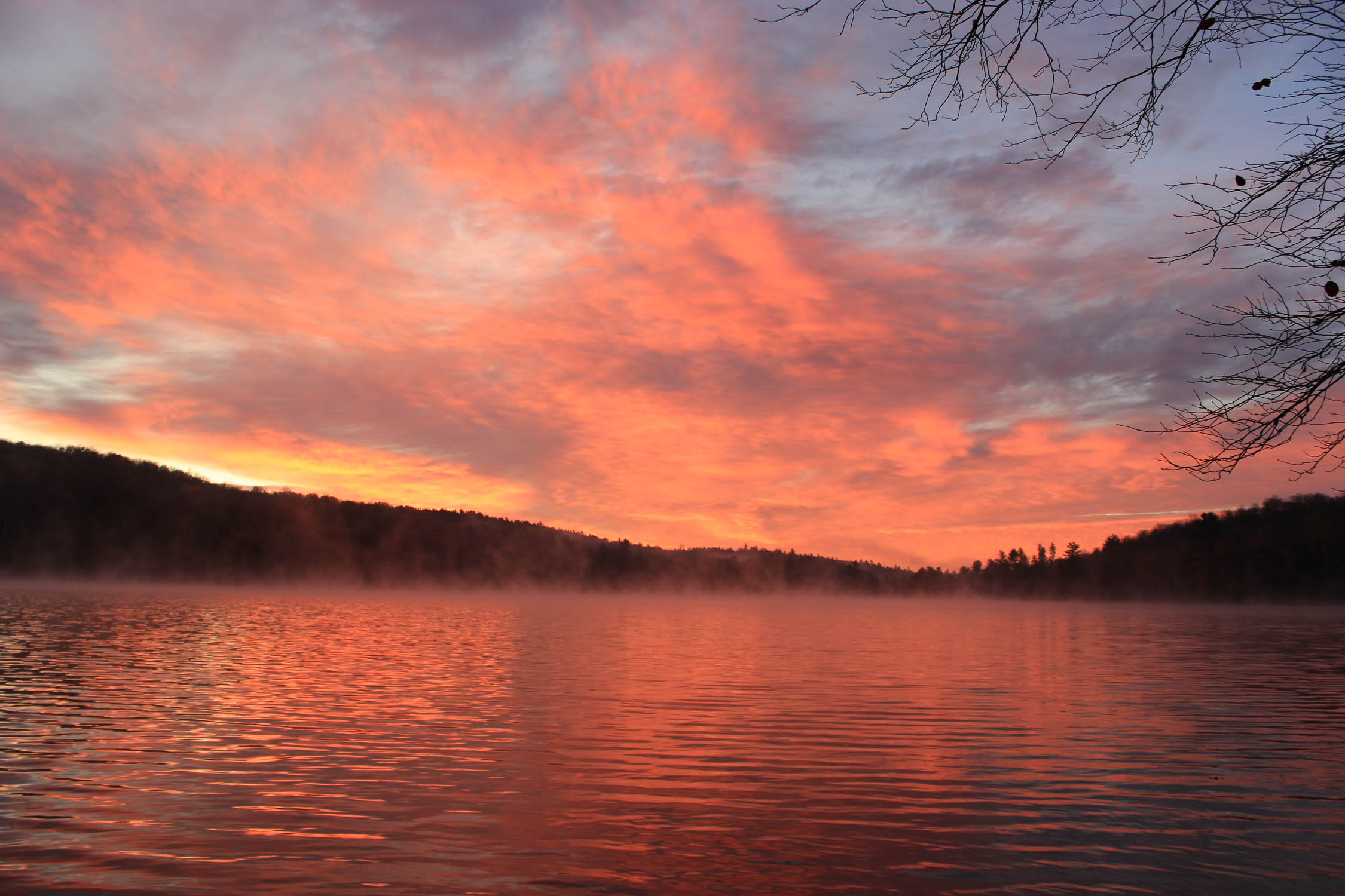
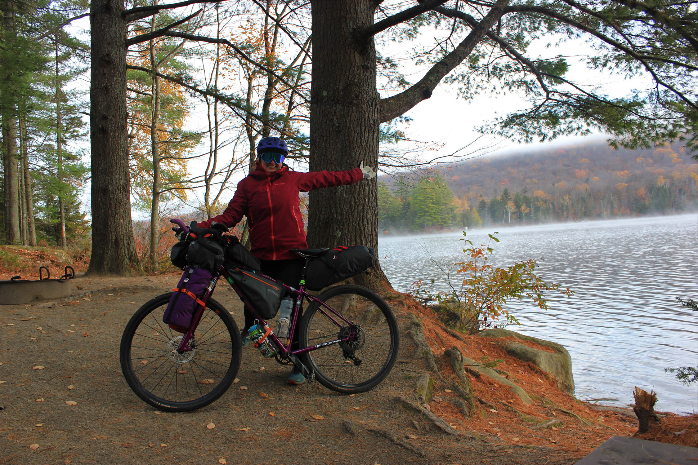
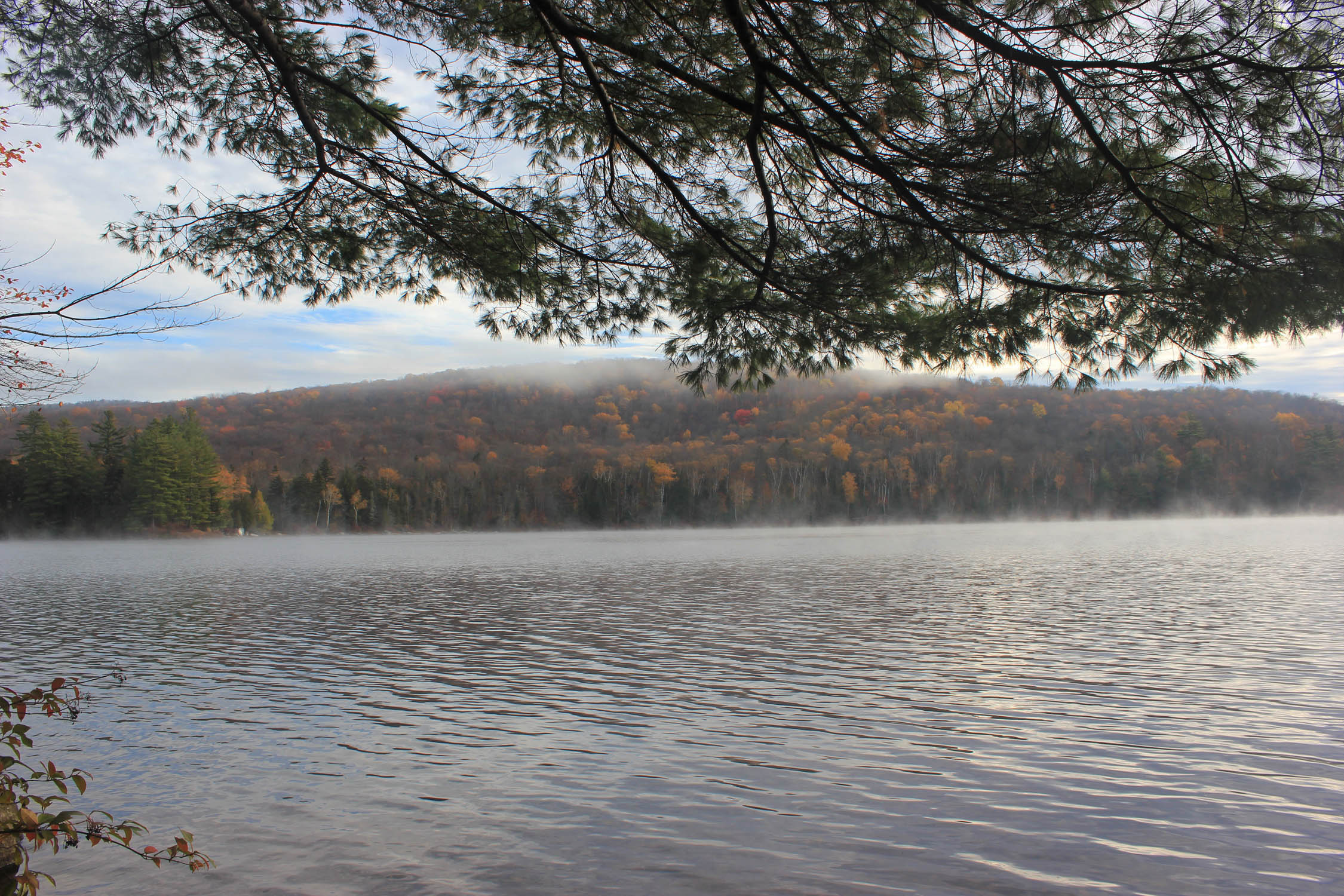
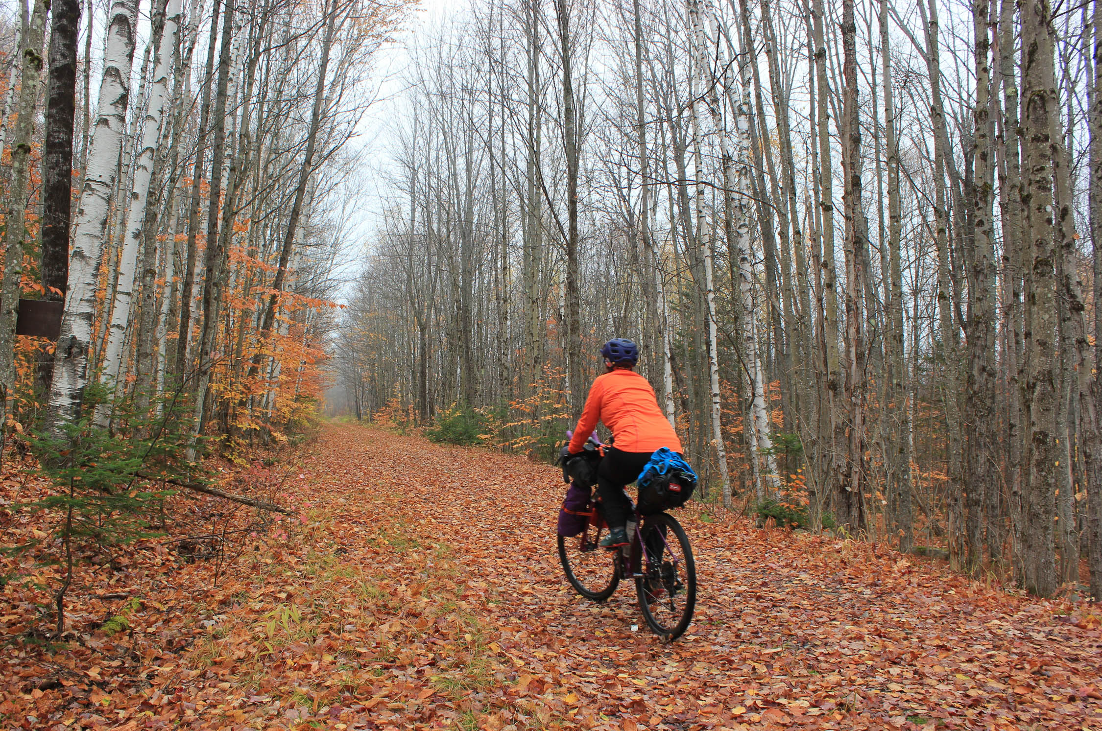
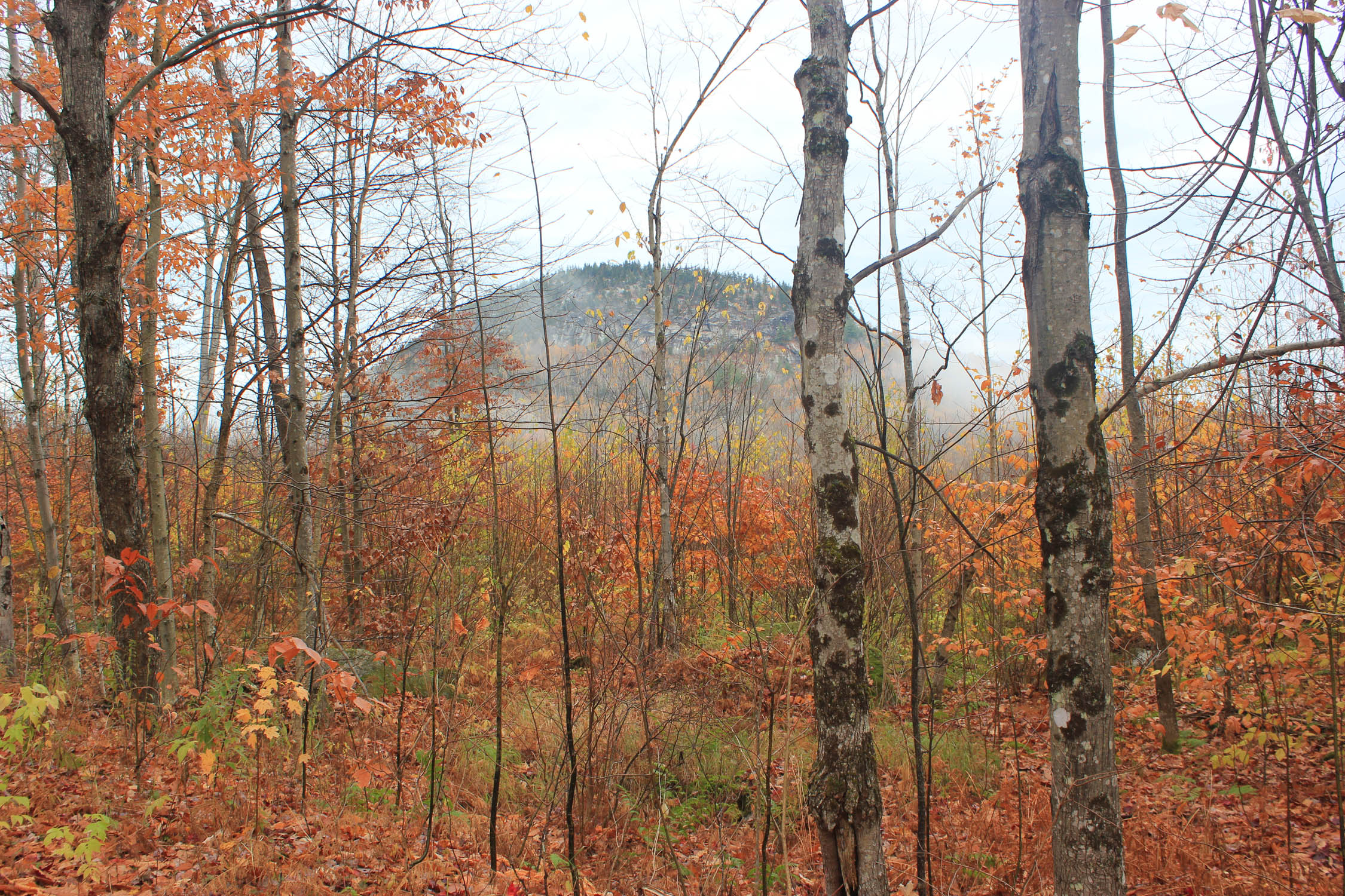
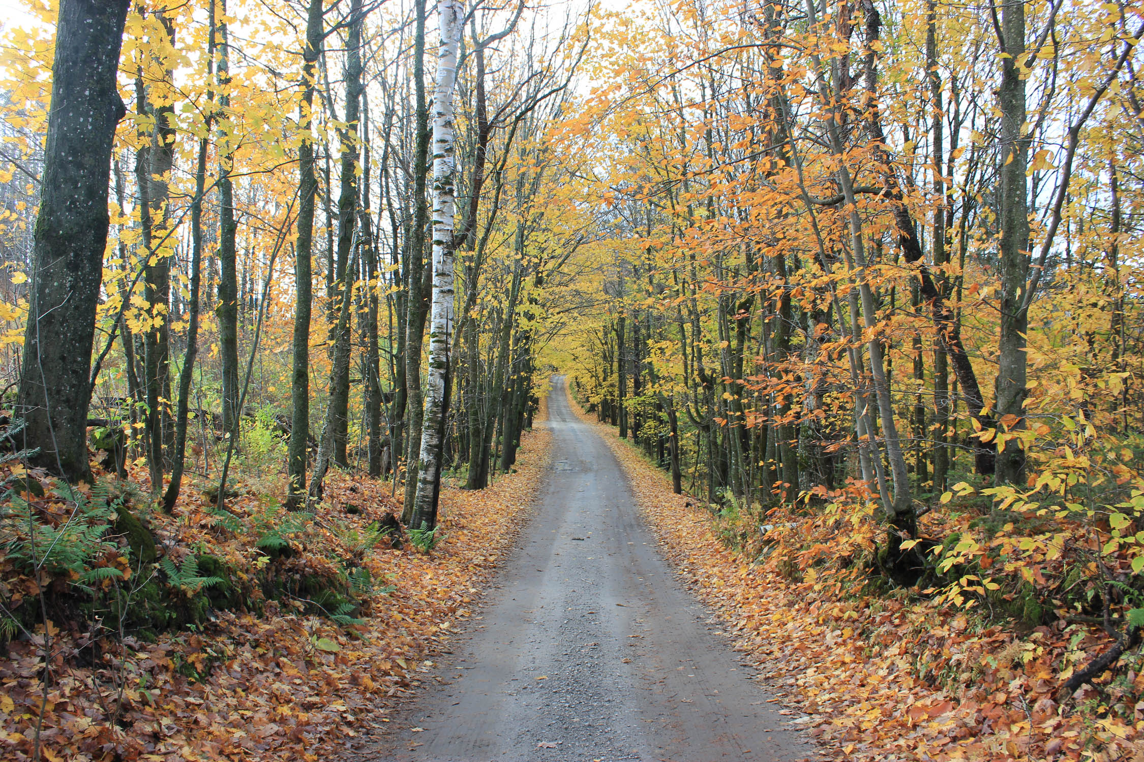
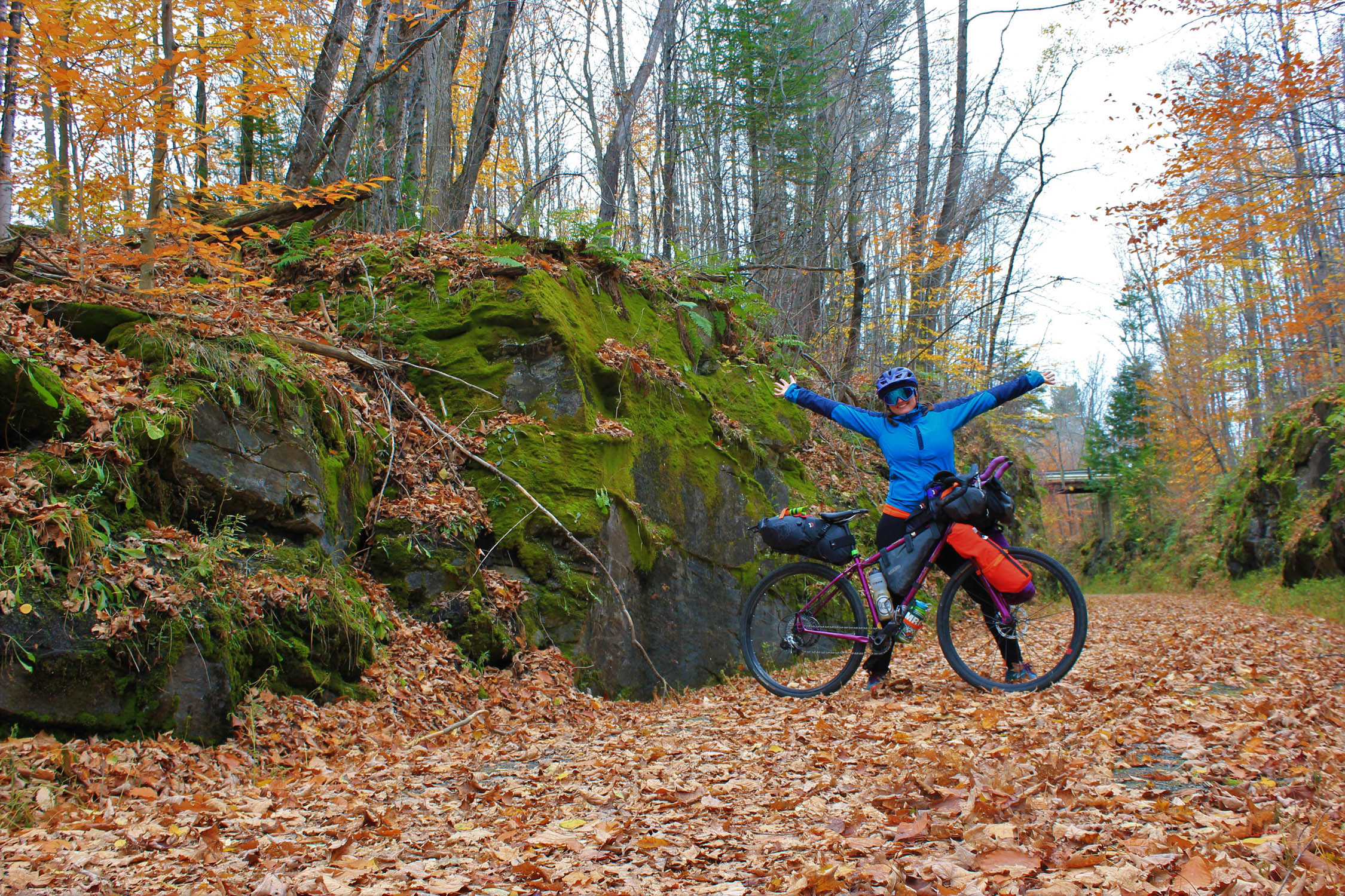
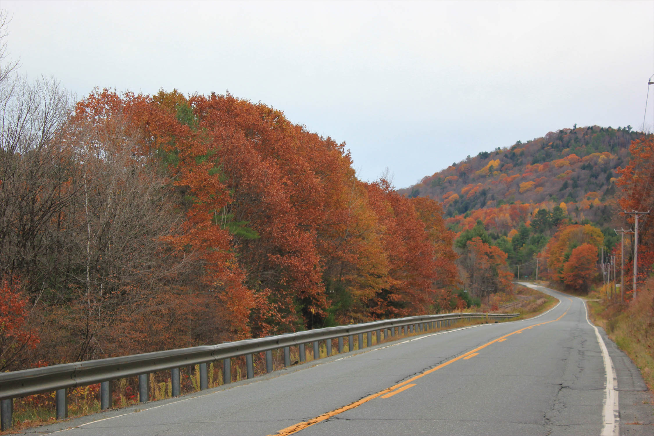
The Ridges, Rivers and Rails route is an 80 mile loop circumnavigating Groton State Forest. This route takes you through a variety of different Vermont ecosystems including lush forests, swamplands, hilly farmlands, and numerous rivers and lakes. The route links the Cross Vermont Trail, The Lamoille Valley Rail Trail, and a short segment of the historic Bayley Hazen Military Road. There are fantastic Views of the White Mountains of NH, The Green Mountains of VT, and on a very clear day, a view of the Adirondacks in NY.
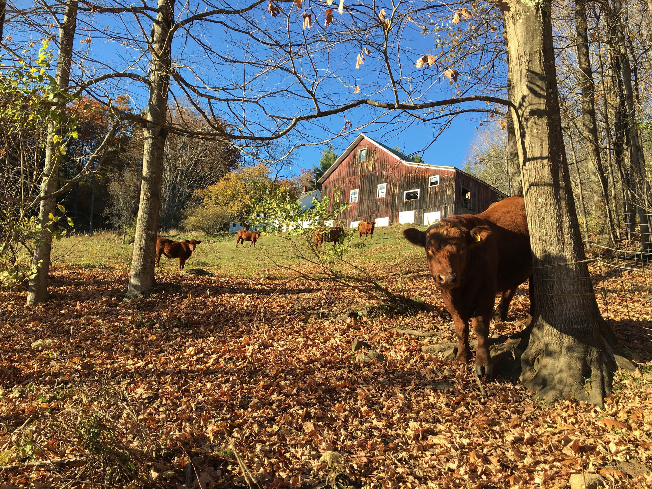
Vermont contains the highest percentage of unpaved roads in the country and this route is a great option for cyclists of all abilities and ages to take in the simple beauty of Vermont along with its vibrant culture and history. Every 10-15 miles you will find yourself in one of the small quirky and quaint towns of Washington and Caledonia counties, where you will find a variety of locally made delicious foods and brews—including a hardware store in Cabot that serves beer!
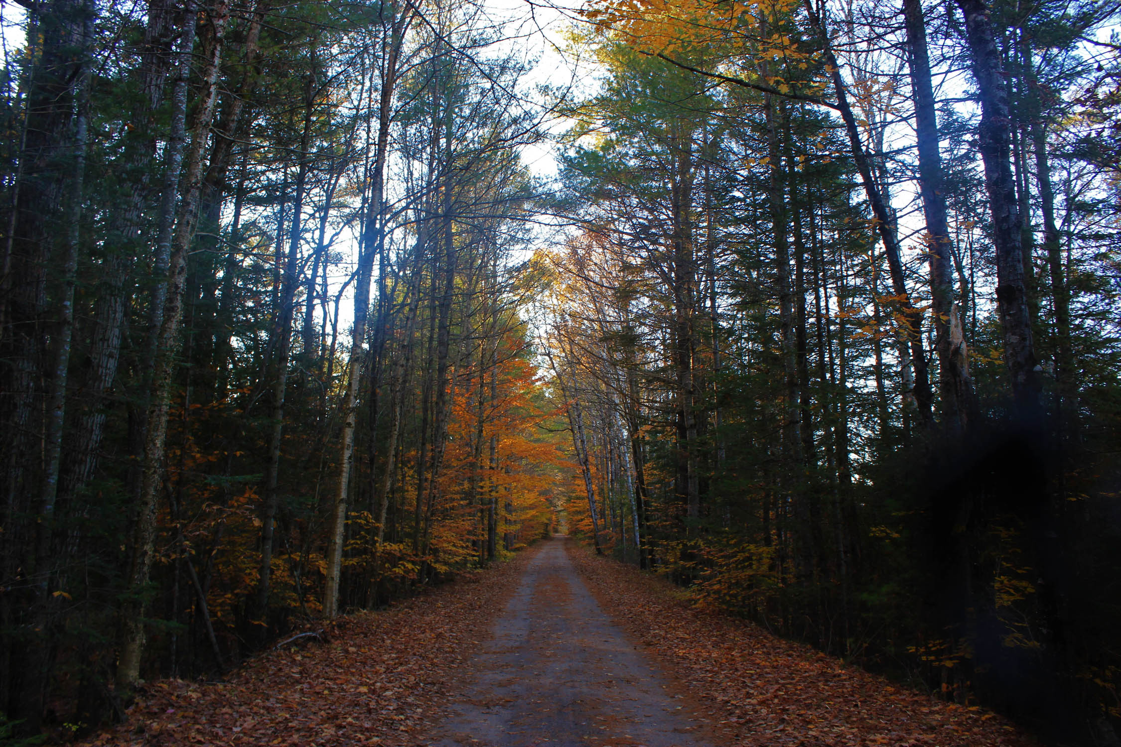
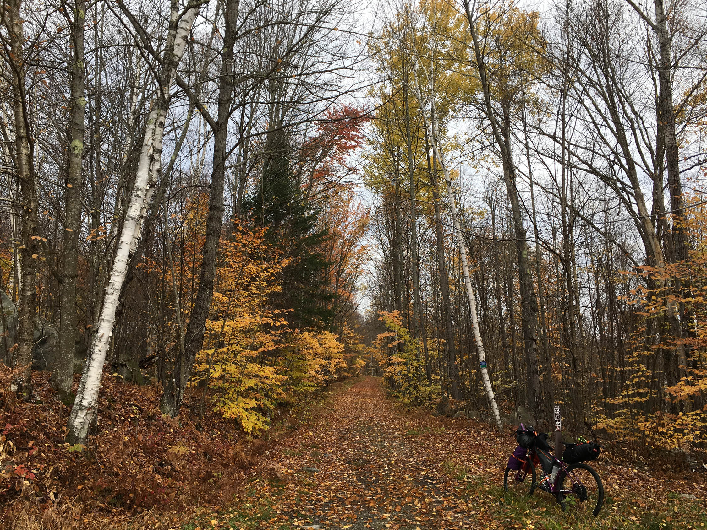
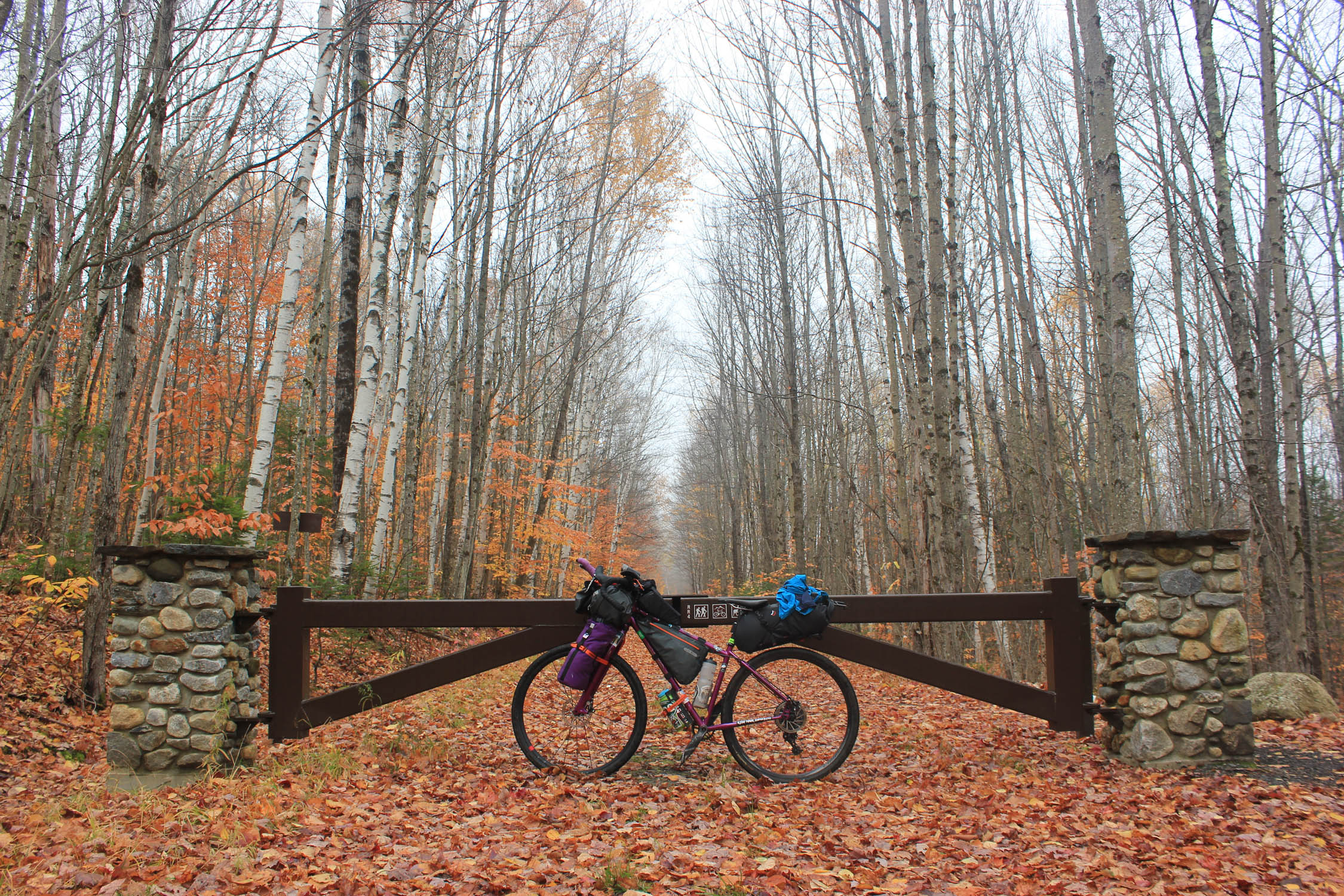
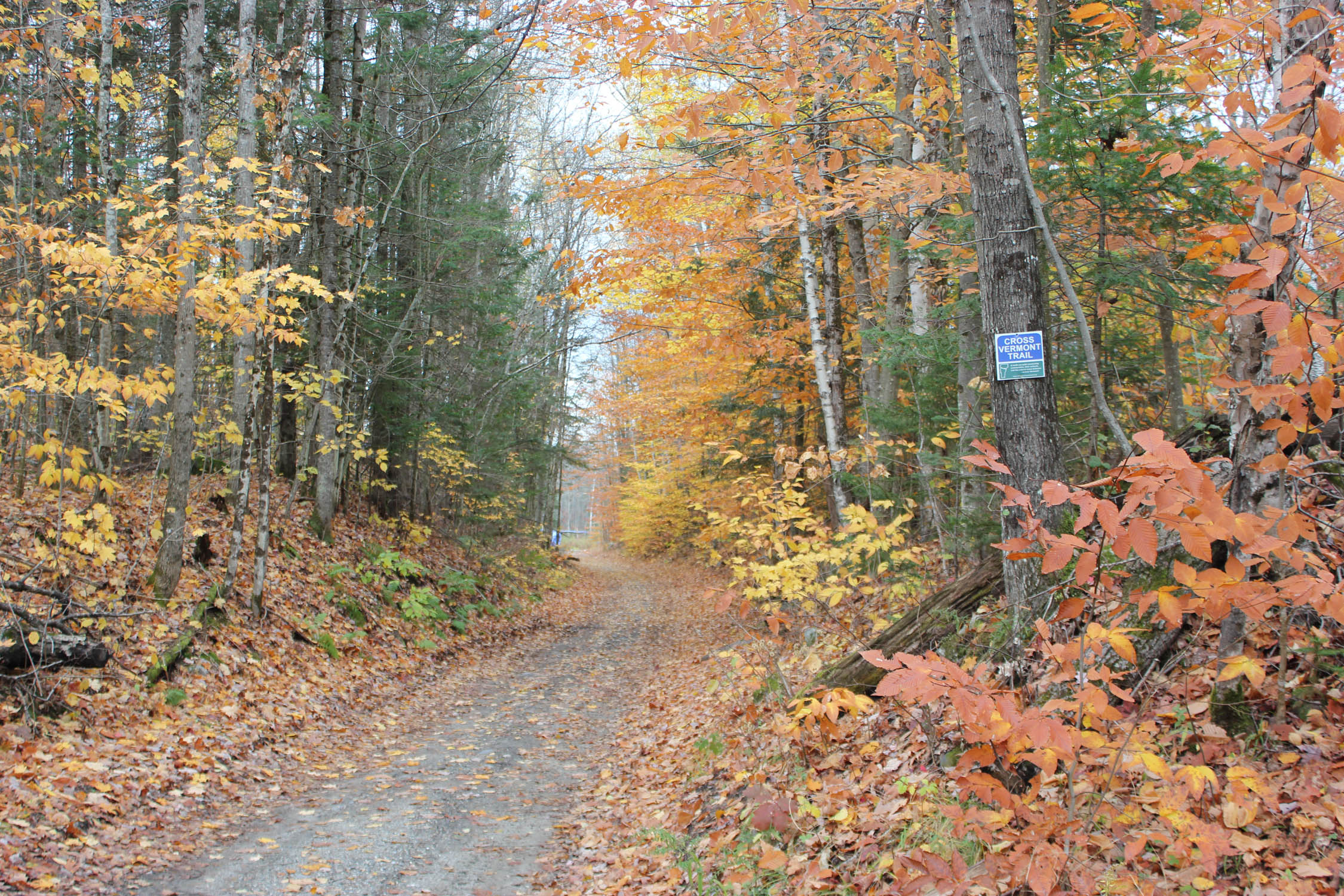
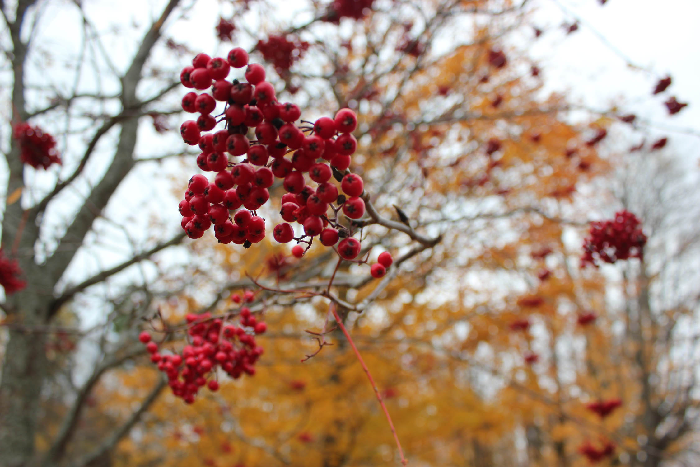
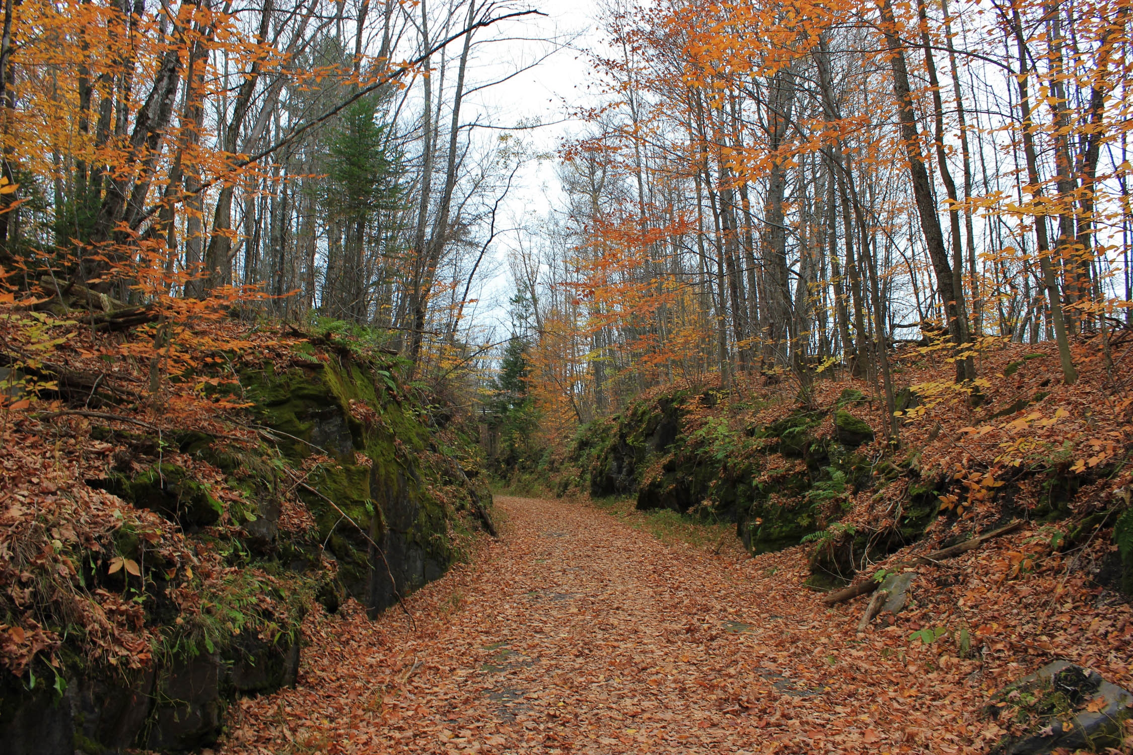
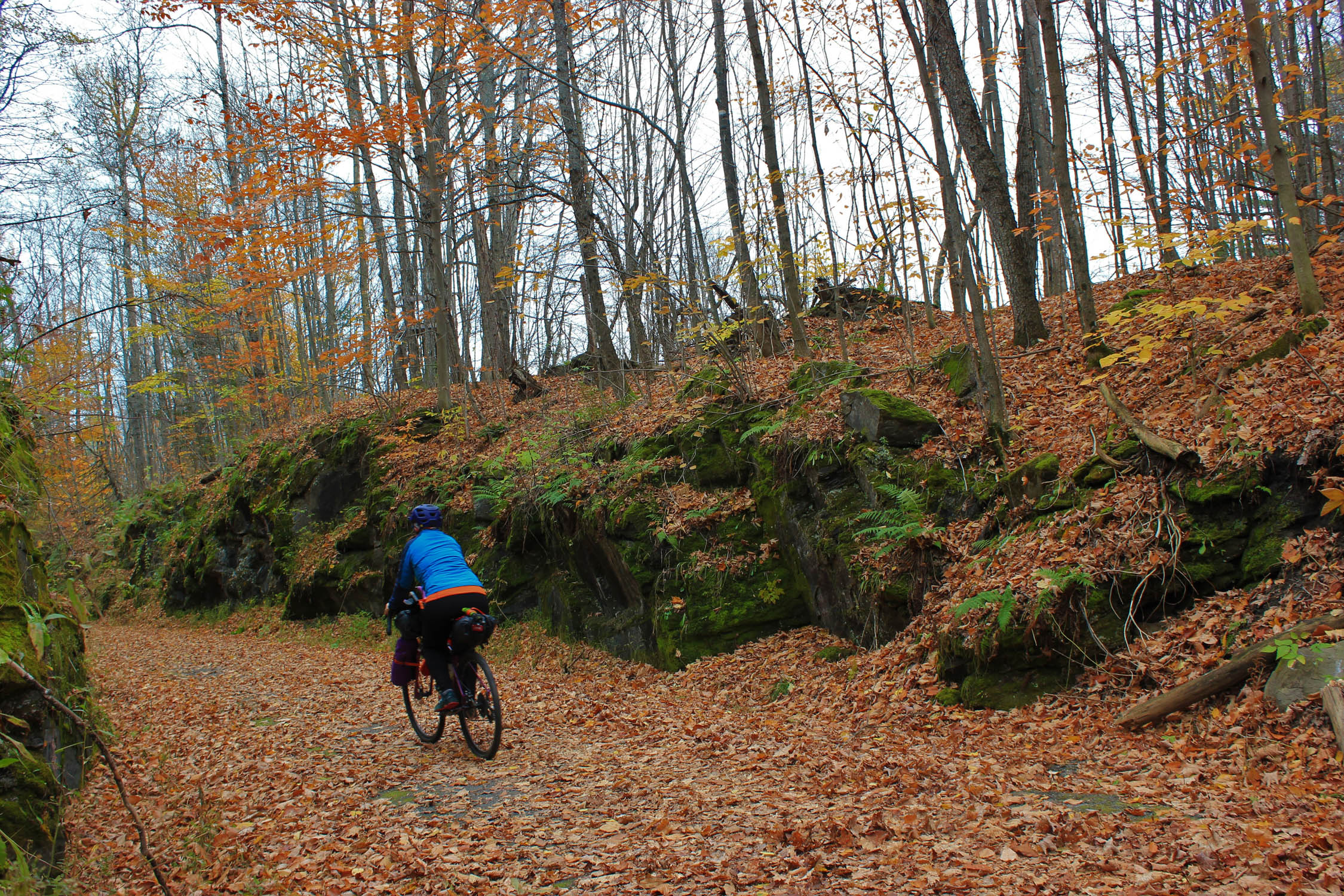
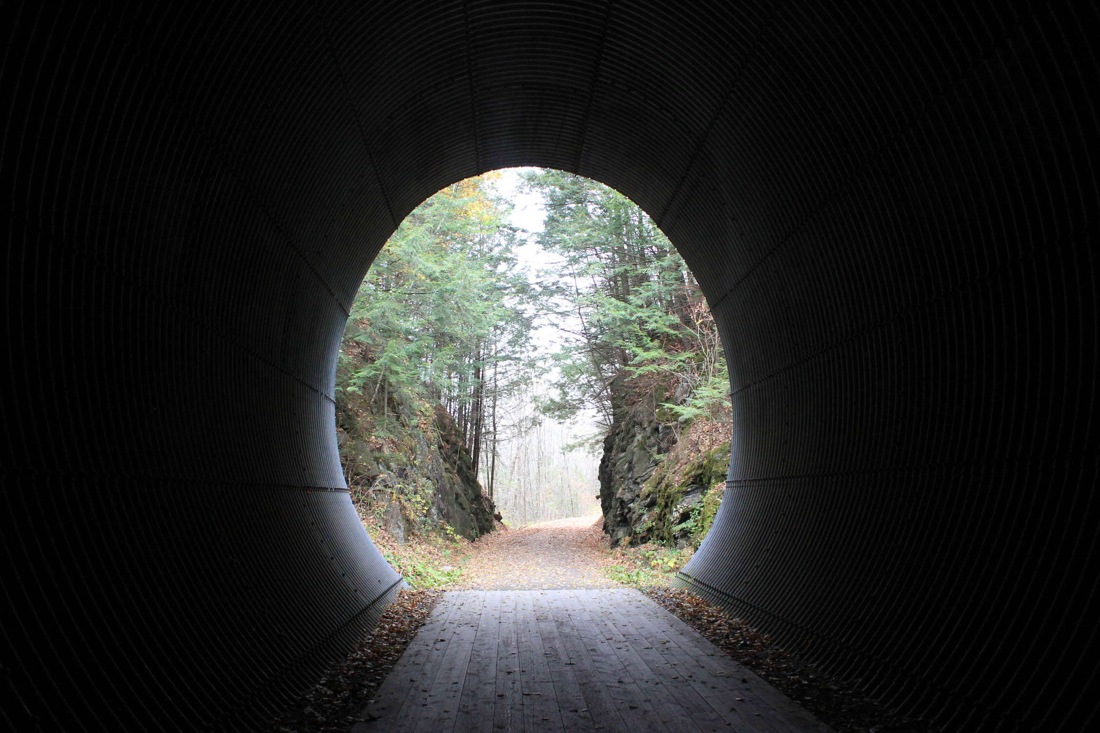
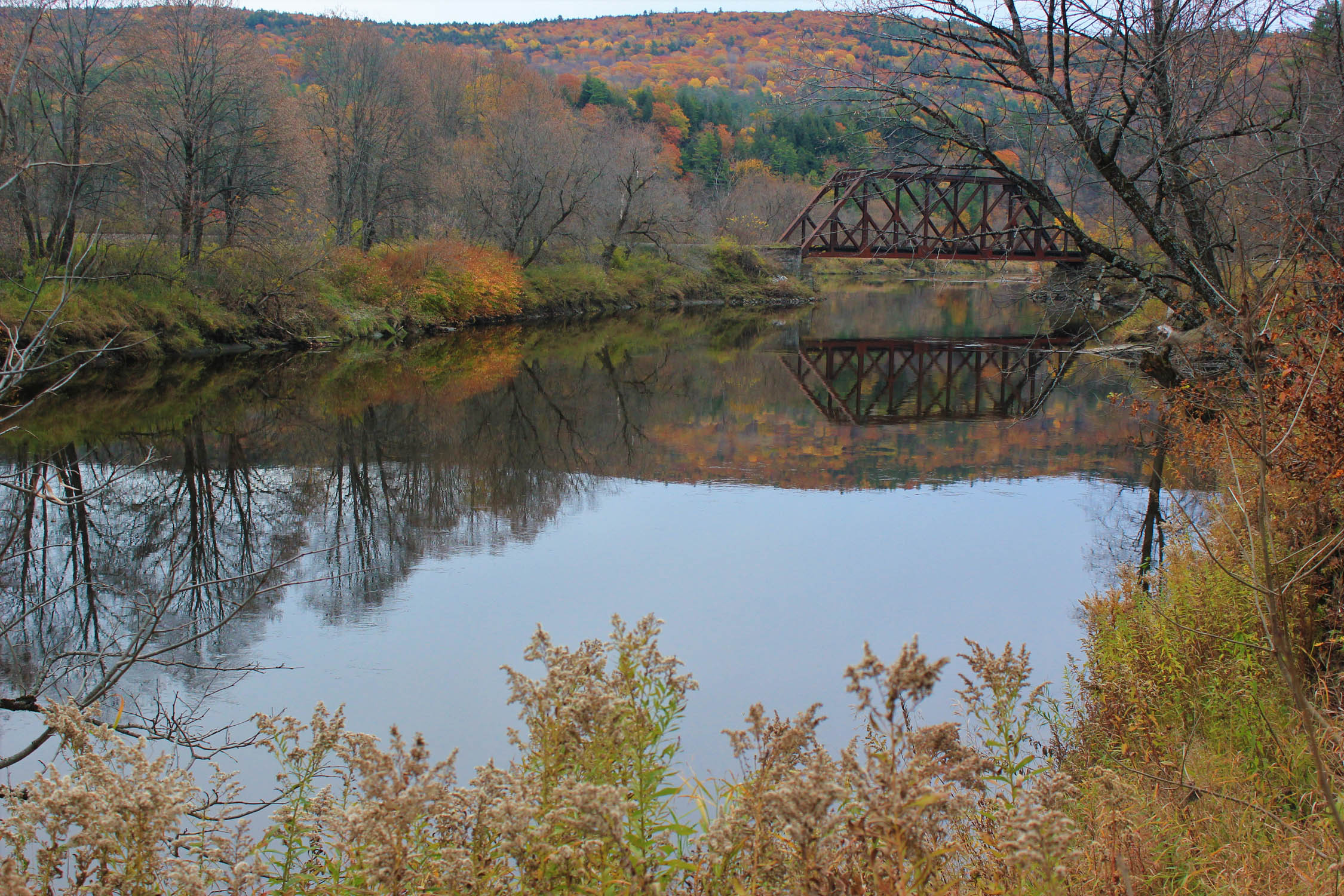
Groton State Forest is home to seven state parks with eight lakes and ponds, streams, ponds, bogs, and wetlands. There is something for everyone to enjoy! The Forest is a multi-use protected area and is managed for timber resources, wildlife habitat, and recreational activities. The historic Montpelier and Wells River Railroad bed was converted to a multi-use trail and is part of the Cross Vermont Trail that runs through the Groton State Forest section of the route. Fishing is permitted within areas of Groton State Forest and along the Connecticut River.
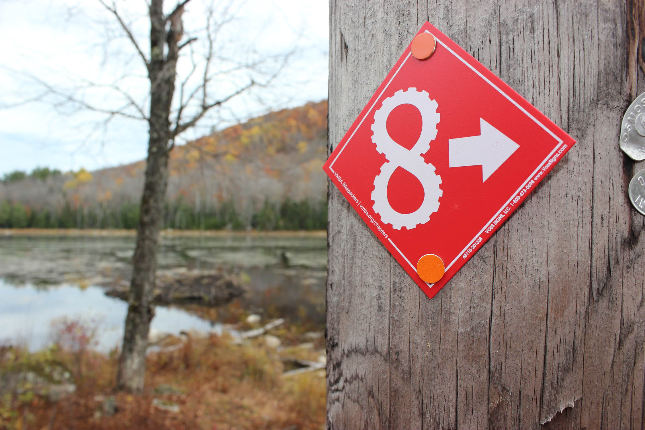
If you’d like to add a little more adventure into your trip, you can easily link up plenty more gravel roads, rail trails, and quiet country roads. For more information and inspiration check out Joe Cruz’s write up of the Green Mountain Gravel Growler. Also, check out VMBA’s Bikepacking Chapter for more route ideas, or to sign up for the Super 8 bikepacking race in September!
Difficulty
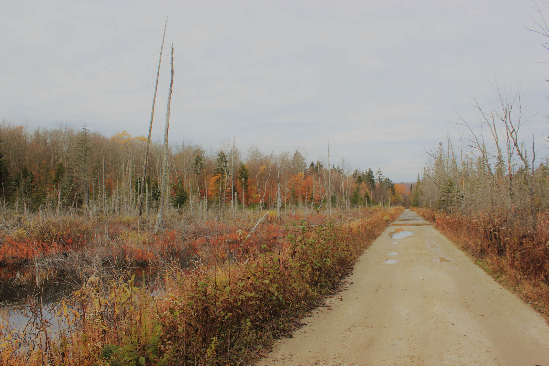
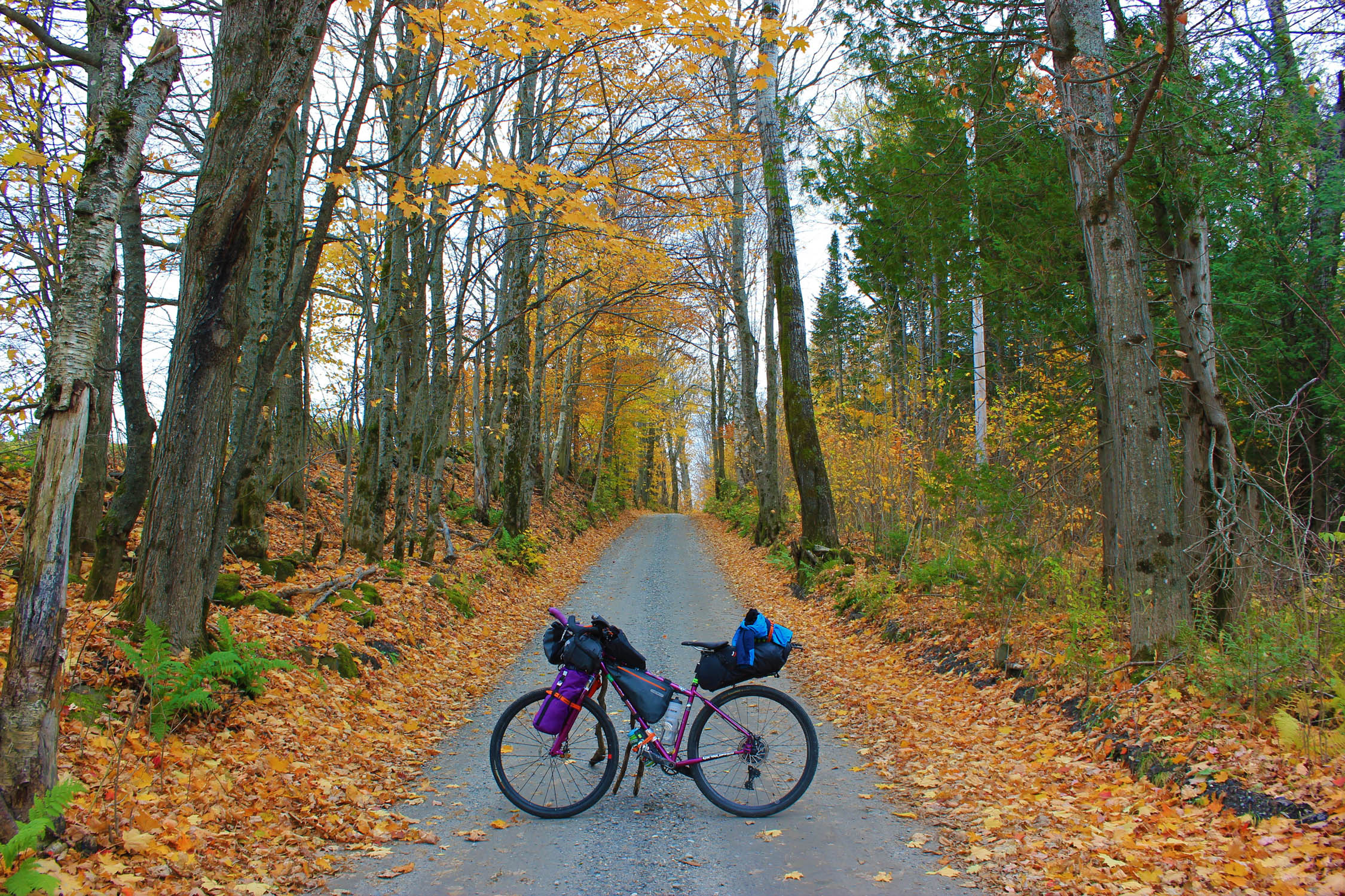
For difficulty, this route is rated 3 out of 10 because of two significant climbs. The availability of food, water, and lodging are good. Most of the trail is on gradual railroad grade, but the challenging section features climbs up through Cabot to the Bayley-Hazen Road. This loop links together rail trails, gravel roads and quiet Vermont countryside paved roads. The entire route is rideable on almost any bike, 32mm tires or larger are recommended due to the nature of the rail trails and Vermont dirt roads.
Route Development: There are many agencies, associations, and organizations that allow for this route to be possible: The Cross Vermont Trail Association, Lamoille Valley Rail Trail, Vermont State Parks, Northeastern Vermont Development Association, and Vermont Department of Transportation. All of these organizations have greatly contributed to revitalizing and maintaining historic roads and paths for the purpose of multi-use access for public recreation, alternative transportation, and awareness of Vermont’s natural and cultural heritage.


Submit Route Alert
As the leading creator and publisher of bikepacking routes, BIKEPACKING.com endeavors to maintain, improve, and advocate for our growing network of bikepacking routes all over the world. As such, our editorial team, route creators, and Route Stewards serve as mediators for route improvements and opportunities for connectivity, conservation, and community growth around these routes. To facilitate these efforts, we rely on our Bikepacking Collective and the greater bikepacking community to call attention to critical issues and opportunities that are discovered while riding these routes. If you have a vital issue or opportunity regarding this route that pertains to one of the subjects below, please let us know:
Highlights
Must Know
Camping
Food/H2O
Trail Notes
Resources
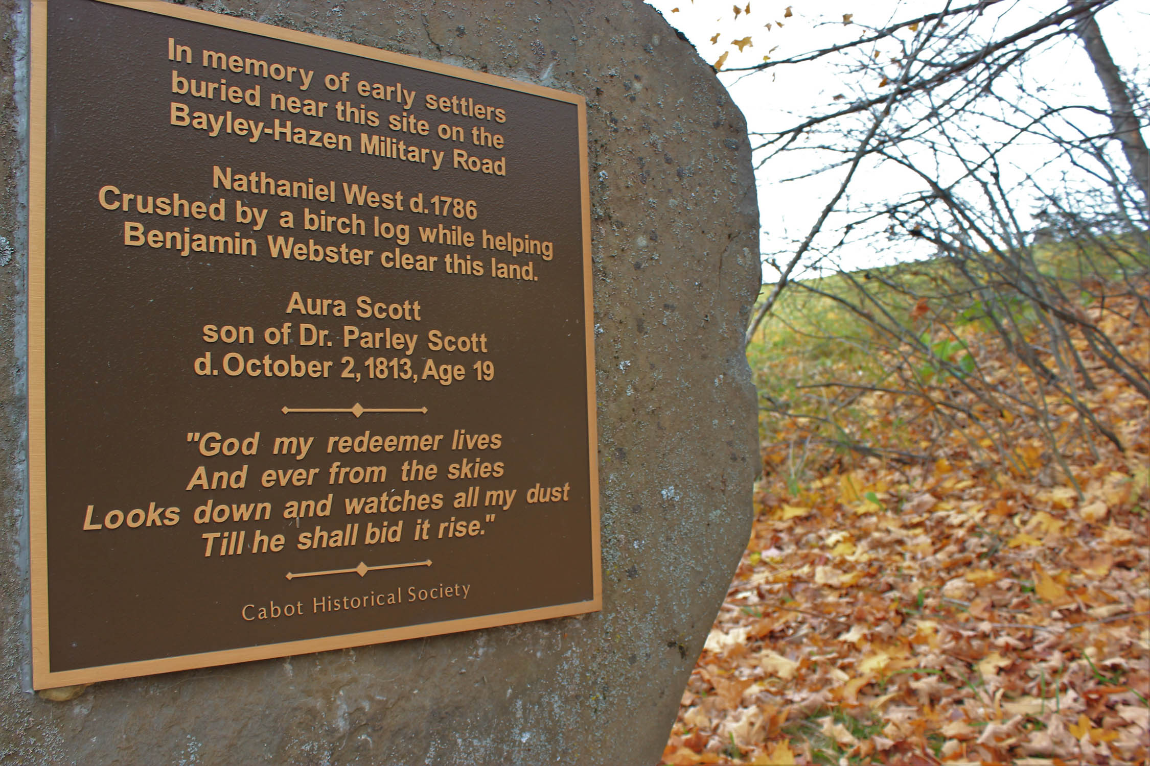
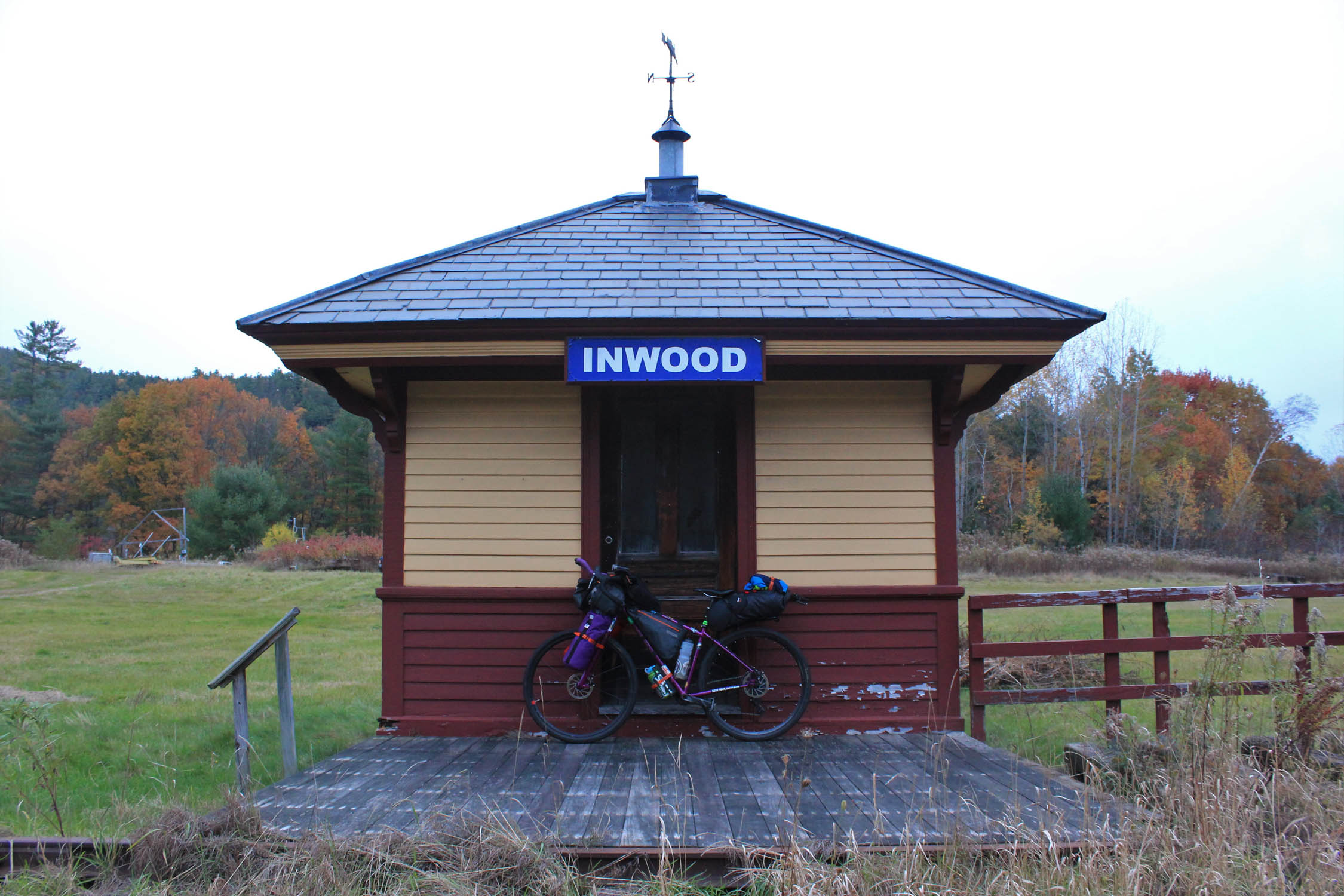
- Historic landmarks scattered throughout the trail, all along the Cross Vermont Trail, Bayley-Hazen Road and Lamoille Valley Rail Trail you will find many historical markers and monuments
- The Lamoille Valley Rail Trail, a four-season, multi-use recreation Path connecting Northern Vermont to the Connecticut River Valley. When completed it will be 93 miles, currently 33 miles are open and has beautiful scenery and delicious stops along the way!
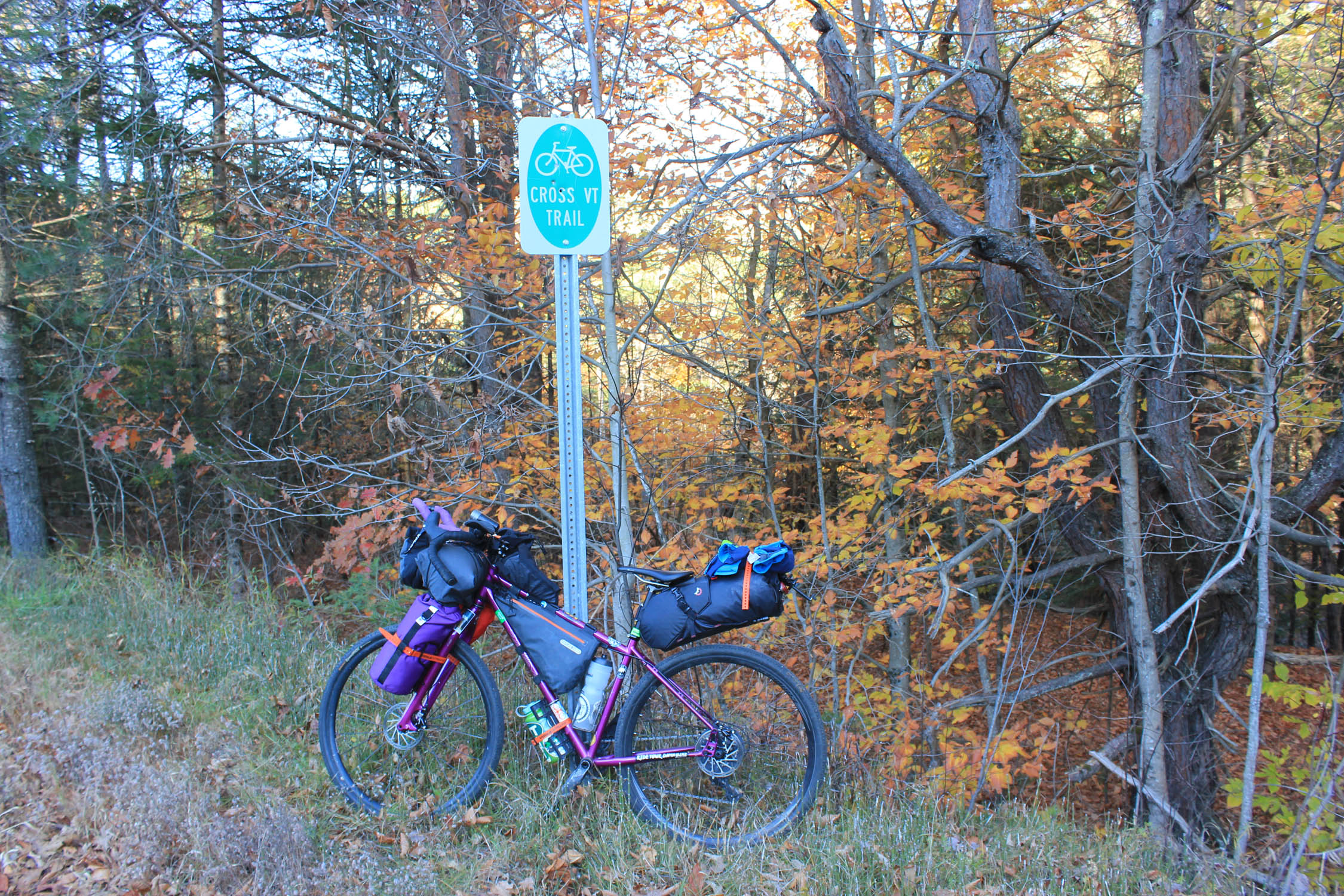
- The Cross Vermont Trail, a multi-use 90 mile path connecting towns, communities and natural areas across North Central Vermont from Lake Champlain to the Connecticut River in New Hampshire. This is also a great route to travel by bike!
- Bayley-Hazen Military Road, constructed between 1776 and 1779 during the American Revolutionary War. After the war, the road was the only road in the area, and became a route for migration and development of the Northeast Kingdom of Vermont. The road is 89 miles with 60% unpaved and is ideal to travel by bike due to the many historical markers and monuments along the way.
- Fishing, permitted within areas of Groton State Forest and along the Connecticut River. A Vermont State Fishing License is valid on both sides (VT/NH) of the Connecticut River
- Hiking, available throughout Groton State Forest. If you have time, take a hike up Owl’s Head (great for sunset). You can ride your bike up the access road and then it’s a quick 10 minute hike up to the overlook with stunning views of Camel’s Hump and the Green Mountains.
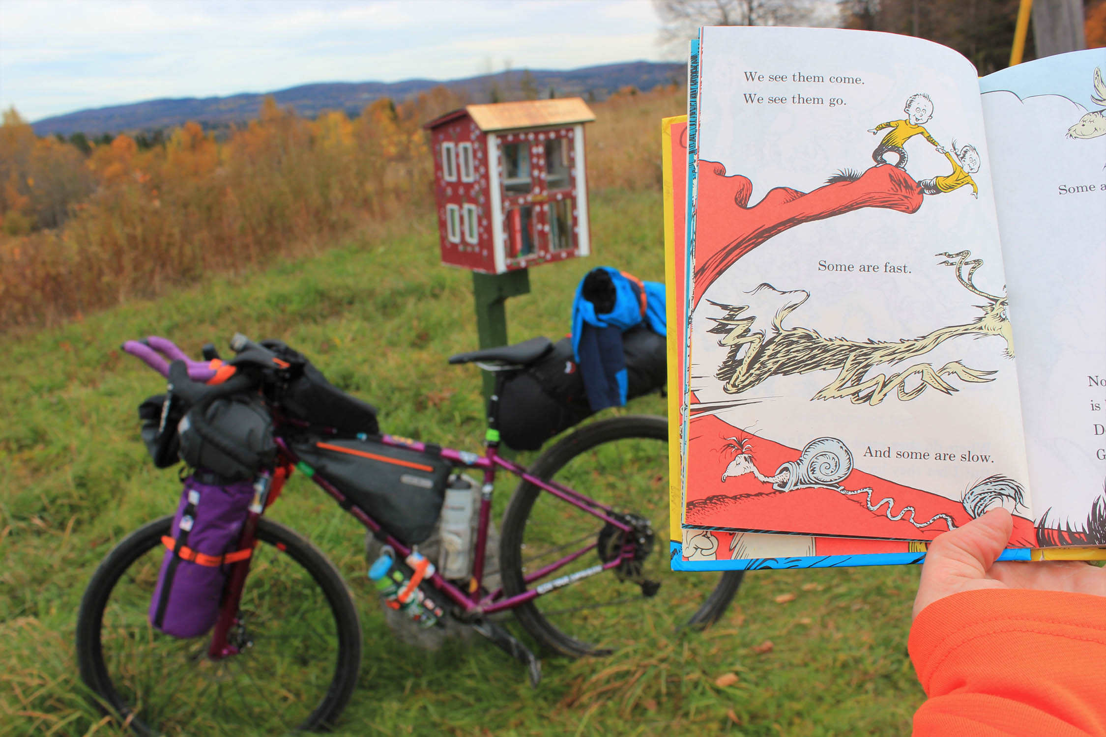
- Free Little Public Libraries, these are scattered throughout the state!
- Cross New Hampshire Adventure Trail, to add some more adventure-pick up this 82 mile west-to-east trail from Wells River, VT. Rail trails, dirt roads, bike paths and quiet paved backroads have been linked together traveling along river valleys and through the northern White Mountains Region of the state.
- When to go: Summer/early fall, June-October
- There are five Vermont Park and Ride locations staggered around this loop to park overnight. The St. Johnsbury, VT trailhead is a two minute drive off of I-91.
- Pay for camping at Groton State Forest, access on the Cross Vermont Trail and Lamoille Valley Rail Trail is free!
- Hunting with high powered rifles takes place September-November. It’s illegal to hunt on the route, but you may come across hunters accessing hunting on most parts of the route, high viz clothing is strongly suggested in fall.
- You may come across horseback riders along this route, please be courteous- some horses can get spooked by cyclists.
- Ticks and Bugs! Yes, they are in Vermont, check yourself (and your friends) and bring tweezers and a lighter to kill them. Bring a bug net for black flies and mosquitos!
- Keep to the trails and paths as many of this route abuts private land. Many of these lands are used for farming, logging and syruping operations.
- Groton State Forest is home to seven State Parks and is recommended for all camping. Get permission from landowners if you do not choose to not camp in designated areas. Practice LNT. Pack it in, pack it out!
- Stillwater State Park (camping, lean-to-sites, fishing, showers)
- Ricker Pond State Park (camping, cabins, fishing, showers)
- Seyon Lodge State Park (Lodge- full amenities)
- Boulder Beach State Park (day use only, fishing allowed)
- Kettle Pond State Park (remote camping, remote lean-to-sites, fishing)
- Big Deer State Park (camping, lean-to-sites, fishing, showers)
- New Discovery State Park (camping/RV, remote camping, remote lean-to-sites, fishing, showers)
- You will come across a town every 10-15 miles on this route where you will find a general store and/or cafe to get food and water. Keep in mind, this is rural Vermont and many places tend to open late/close early!
- Most campsites in Groton State Park have fire pits with grills. Groton State Forest has water when open for the season. You can also filter water in the many lakes and streams you will come across.
- The Wells River Welcome Center is a quick 1 minute stop off the route, bathrooms and water available when open, this is volunteer run by very friendly locals.
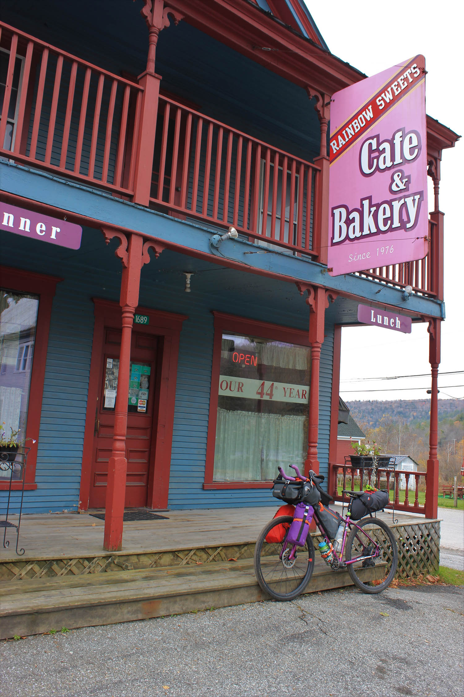
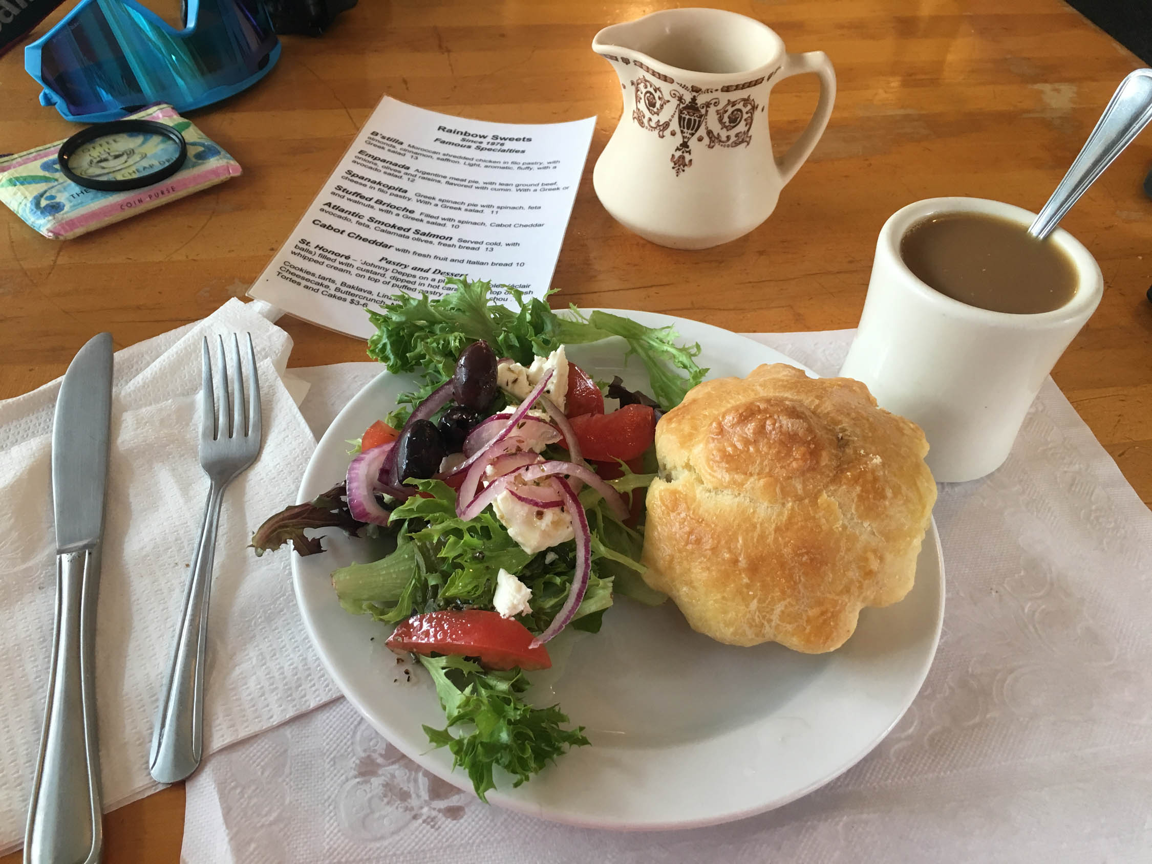
- Rainbow Sweets (Bakery and Cafe), Marshfield VT.
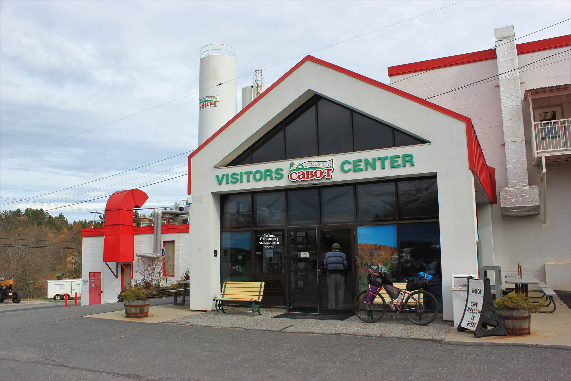
- Cabot Creamery Visitors Center, Cabot VT
- Burtt’s Apple Orchard, Cabot VT
- Harry’s Hardware, Cabot VT. Vermont’s famous hardware store with a bar, they also have live music on most Sunday afternoons!
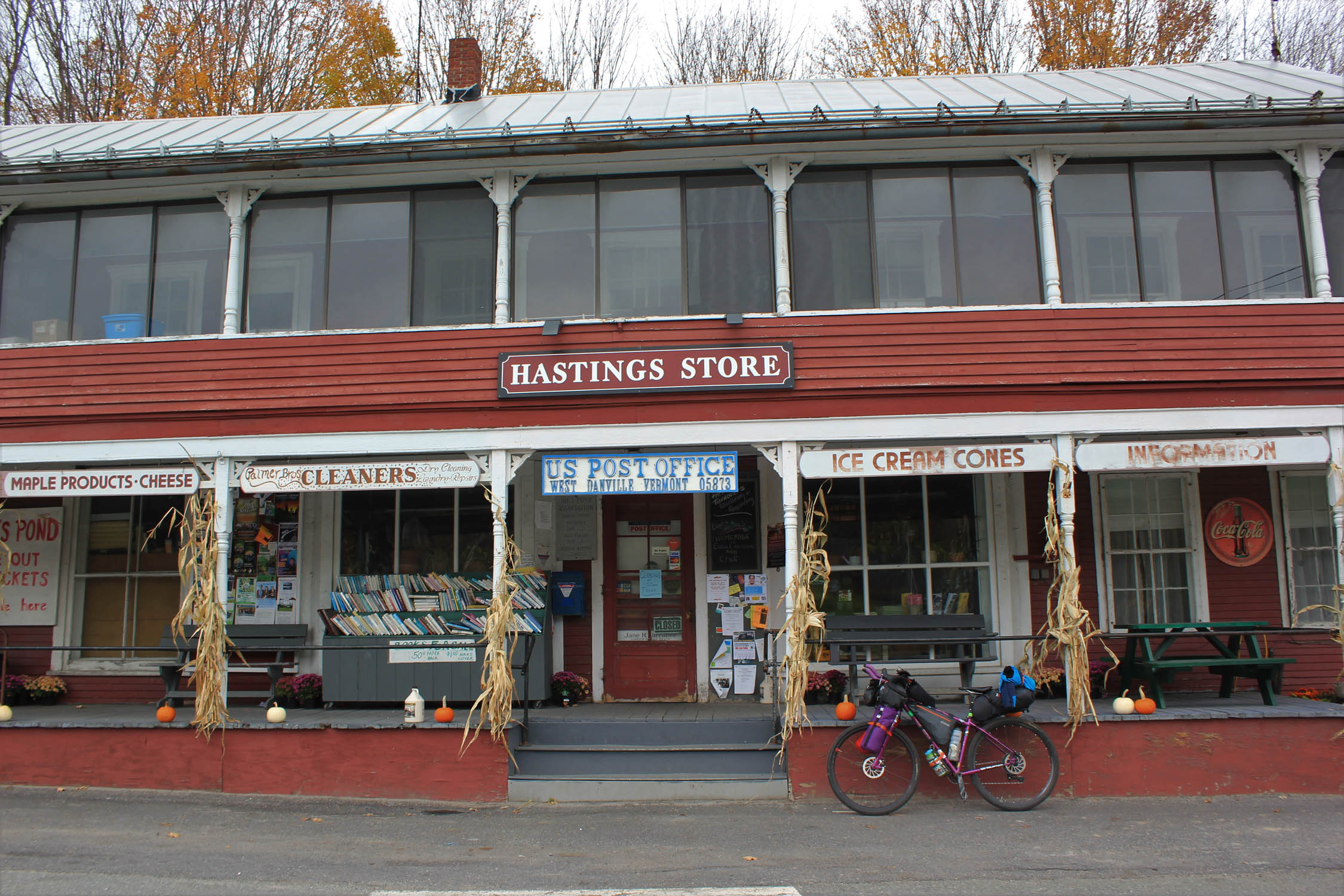
- Three Ponds (Restaurant/Cafe), West Danville VT
- Bread and Butter (Bakery/cafe), St. Johnsbury VT (closed on Sundays)
- Kingdom Taproom, St Johnsbury VT
- Marty’s 1st Stop, (Convenience Store/Deli), Danville VT
- Upper Valley Grill and General Store (last stop to get provisions before camping in Groton State Forest if headed NW) Groton VT
- Marshfield Village Store (last stop to get provisions before camping in Groton State Forest if headed SE) Marshfield VT
- P&H Truck Stop, Ryegate VT (this is 1 mile off route round trip but worth it for their homemade pies!)
100% of the route is rideable! The ideal start is in St. Johnsbury, park at the Park and Ride at the junction of US 2B AND US 2 and start clockwise. You get the paved section of the route done at the beginning, and get to enjoy nice Vermont gravel for the rest of the trip!
Day One
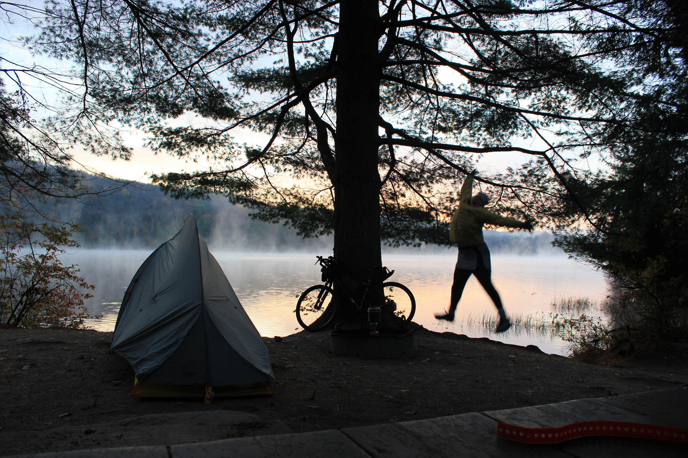
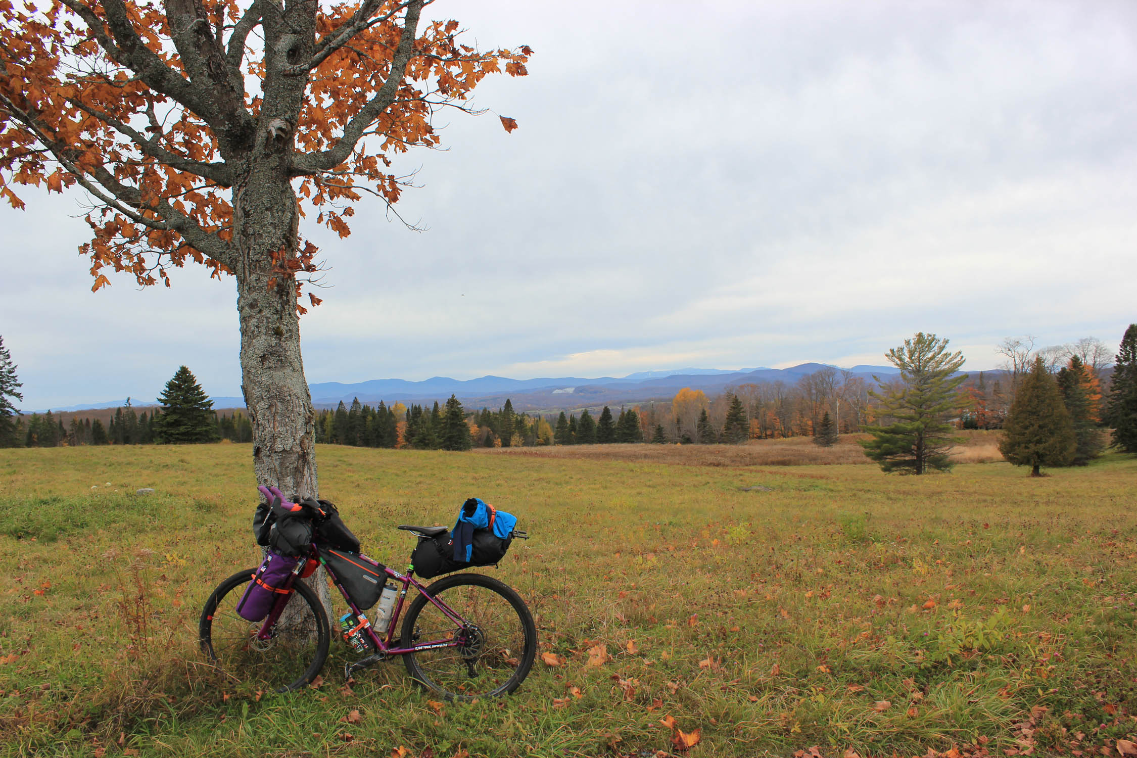
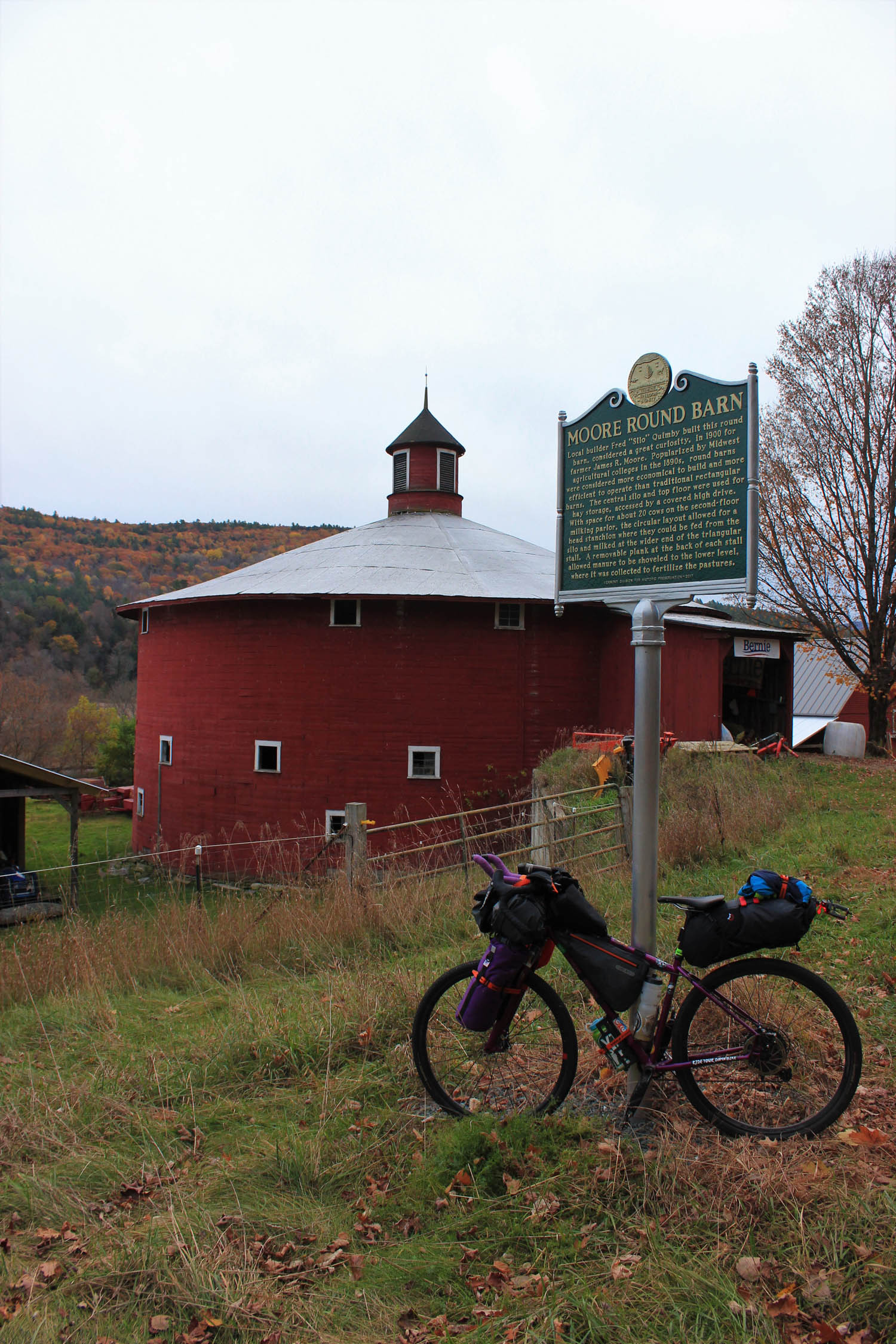
Starting from St. Johnsbury headed clockwise, you will begin with an enjoyable warm up on some quiet, paved, easy grade roads for the first 20 miles before connecting with the Cross Vermont Trail. The road parallels the Connecticut River, for the bikefishers—you can fish for trout, bass, pike and landlocked salmon with a valid fishing license. The Moore Round Barn in Barnet is a great historical landmark stop. As you continue cycling through farmlands with views of the White Mountains, you will enter Wells River, VT where you will pick up the Cross Vermont Trail for the next 20 miles before reaching Groton State Forest. This is a mix of an enjoyable railroad bed and country roads with a slight uphill grade where you will pass through many farms and natural areas. You will continue onto the Cross Vermont Trail, taking a sharp right after the Upper Valley Grill and General Store, and will enter Groton State Forest within a few miles. Pick any of the 7 campsite areas to camp at.
Day Two
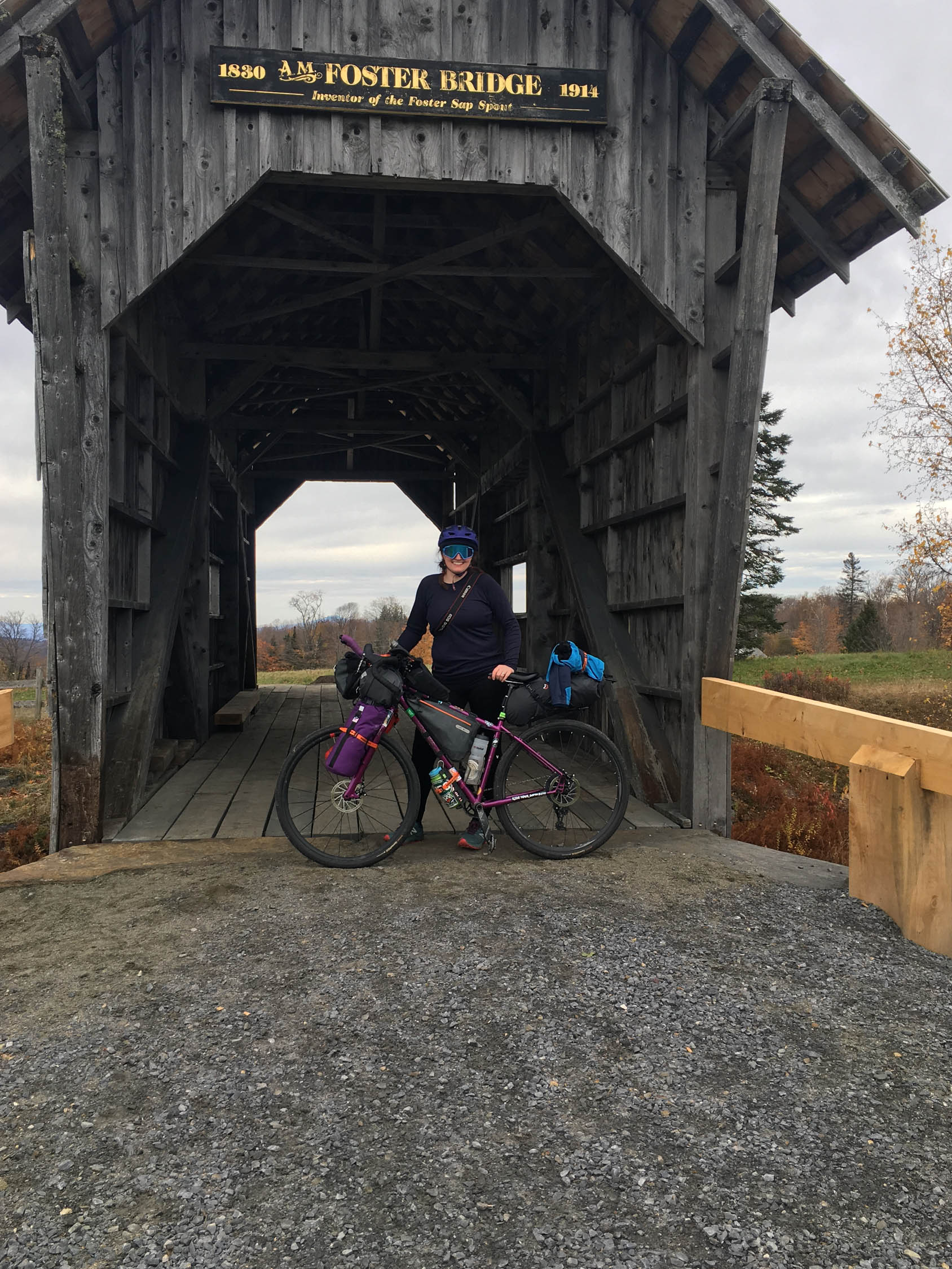
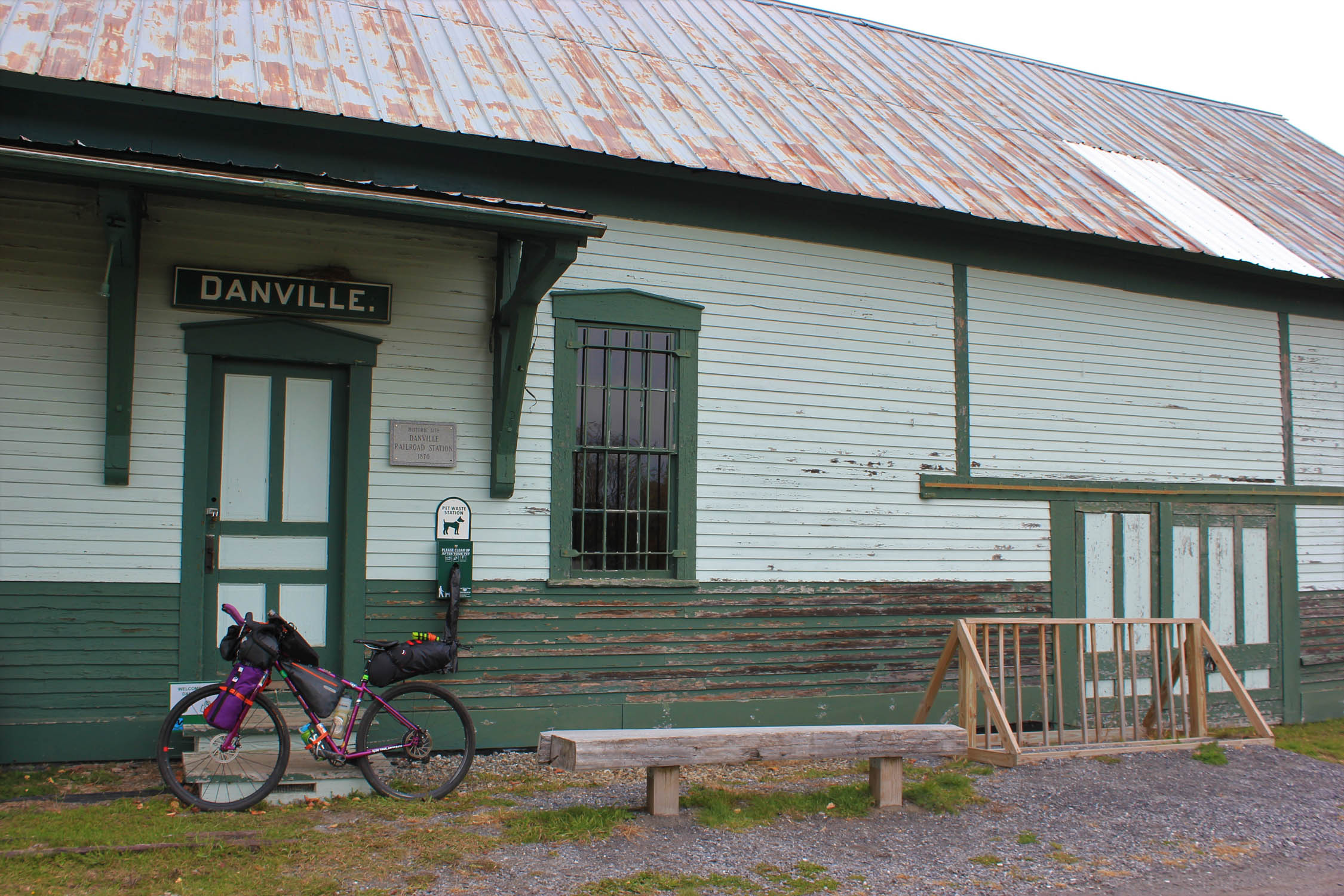
Continue on the Cross Vermont Trail for 10 miles on beautiful railroad grade gravel until you drop down into the town of Marshfield. Make the stop at Rainbow Sweets Bakery and Cafe, they will be opening this spring for their 45th year! Head up to Cabot for a 5 mile paved section headed up to the top of Cabot, these are the only large climbs of the route where farmlands and spectacular views await you. You now will connect to the Bayley-Hazen Military Road for a couple of miles, make sure to stop and read some of the memorials along the way. You will come out to a small hill that will lead you to the A.M Foster covered bridge, and across the way is a little free library! Now you get to enjoy some downhill into Danville, VT where you will pick up the Lamoille Valley Rail Trail. You will have an enjoyable, and slightly downhill, 9 mile ride on rail trail back to St. Johnsbury- make sure to go to the Kingdom Taproom to enjoy some much deserved brews!
Additional Resources
- Cross Vermont Trail: crossvermont.org
- Lamoille Valley Rail Trail: lvrt.org
- Bayley-Hazen Military Road: crossvermont.org (pdf)
- Vermont Park and Ride: parkandrides.vermont.gov
- Vermont Hunting Seasons: vtfishandwildlife.com
- Vermont State Parks: vtstateparks.com
- Vermont Fish and Game: vtfishandwildlife.com
- Tick prevention and information: agriculture.vermont.gov
- Cross New Hampshire Adventure Trail: xnhat.org


Terms of Use: As with each bikepacking route guide published on BIKEPACKING.com, should you choose to cycle this route, do so at your own risk. Prior to setting out check current local weather, conditions, and land/road closures. While riding, obey all public and private land use restrictions and rules, carry proper safety and navigational equipment, and of course, follow the #leavenotrace guidelines. The information found herein is simply a planning resource to be used as a point of inspiration in conjunction with your own due-diligence. In spite of the fact that this route, associated GPS track (GPX and maps), and all route guidelines were prepared under diligent research by the specified contributor and/or contributors, the accuracy of such and judgement of the author is not guaranteed. BIKEPACKING.com LLC, its partners, associates, and contributors are in no way liable for personal injury, damage to personal property, or any other such situation that might happen to individual riders cycling or following this route.
Please keep the conversation civil, constructive, and inclusive, or your comment will be removed.