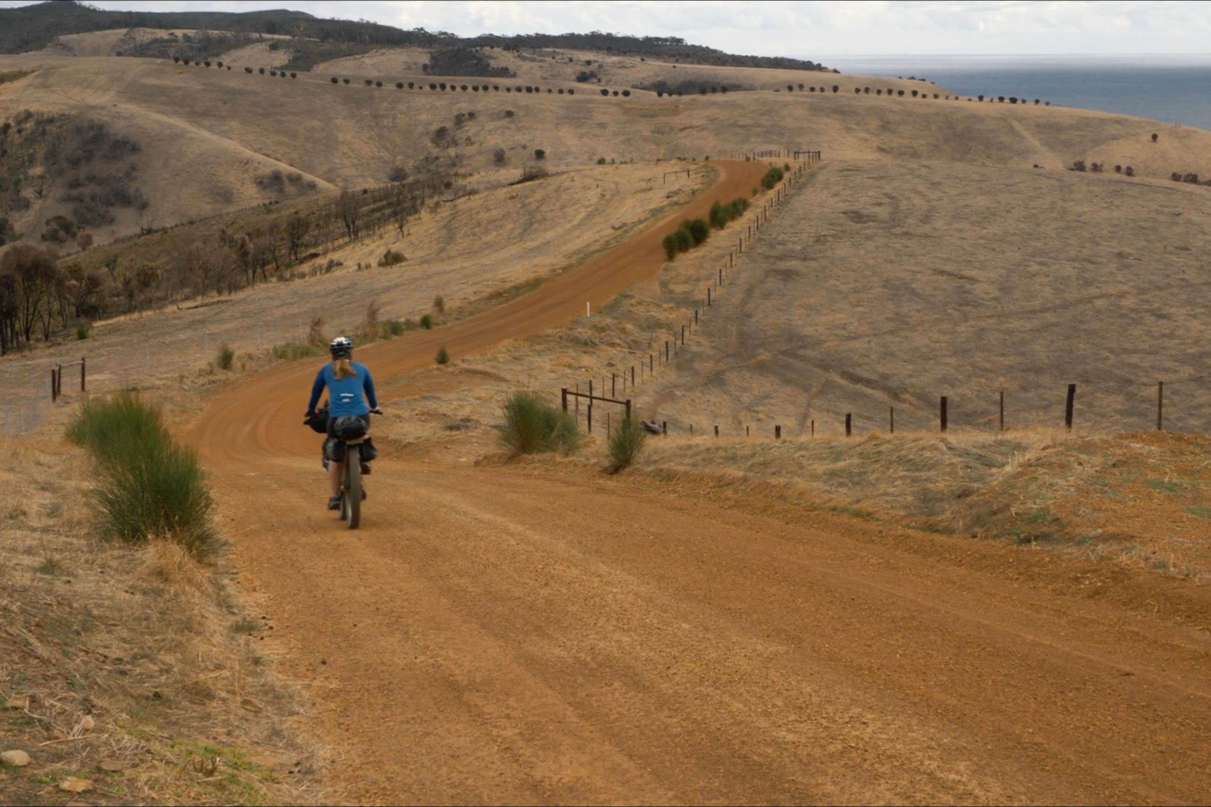
Fools Gold is a new 420km bikepacking event that traverses the Goldfields region of Victoria, Australia. Over 30 riders showed up to the grand depart last month, and we reached out to Jarrod Johnson for his take on the inaugural event. Find his story and photos he shot along the way here…
Words and photos by Jarrod Johnson
Fools Gold is a new event that takes place in the North Western part of Victoria’s Golden Triangle region. Starting and ending in Maryborough, the 420-kilometre loop takes you through 10 parks and reserves and the traditional land of the Dja Dja Wurrung people. Because this was a new route, it attracted a variety of people and bike types at the start line. Although the event creators stressed it wasn’t a race, it was the perfect length to attract a handful of riders willing to challenge themselves with a non-stop cannonball run to the end. On the other hand, there were the casual bikepackers looking to finish the loop in a few days, and then everyone in between.
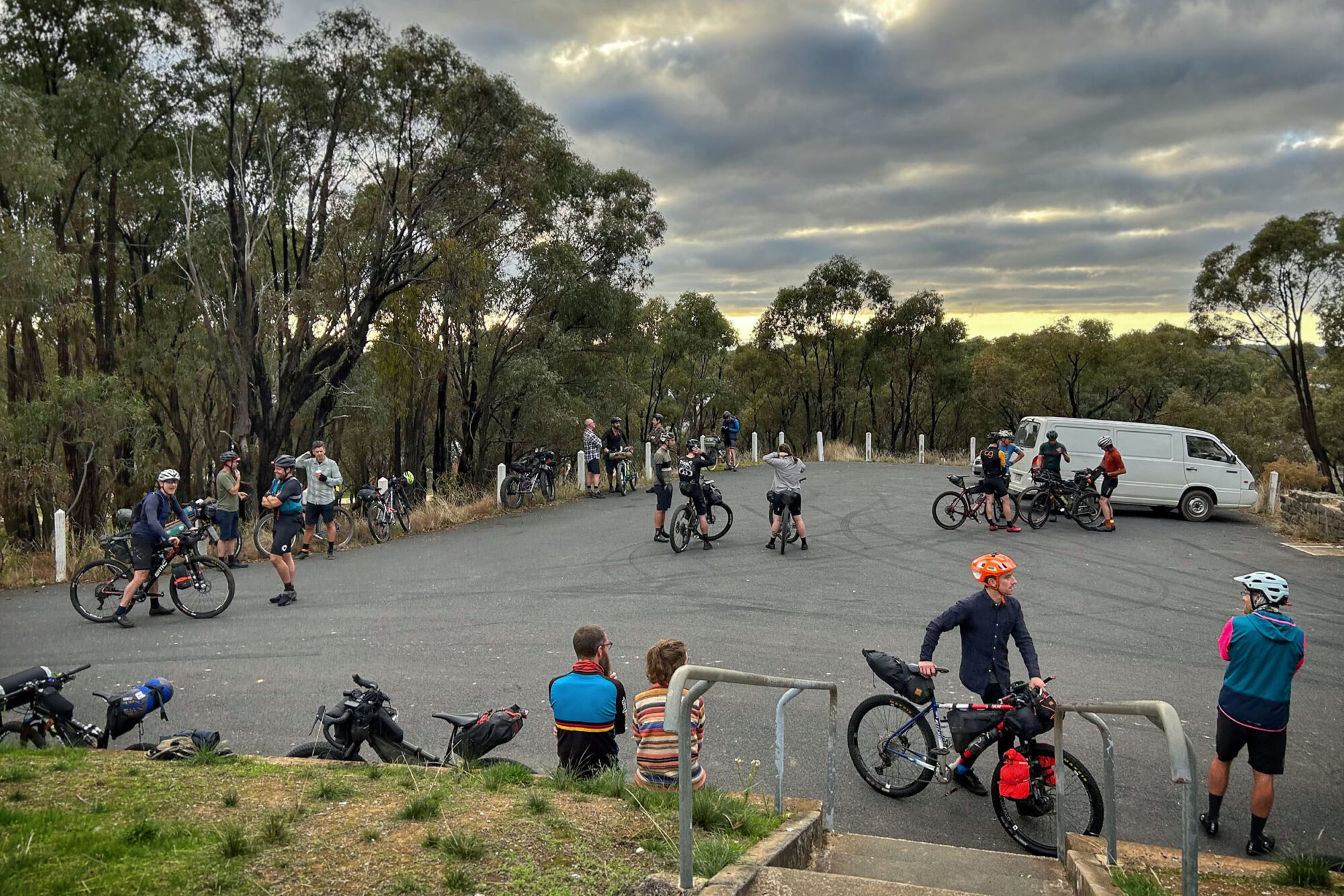
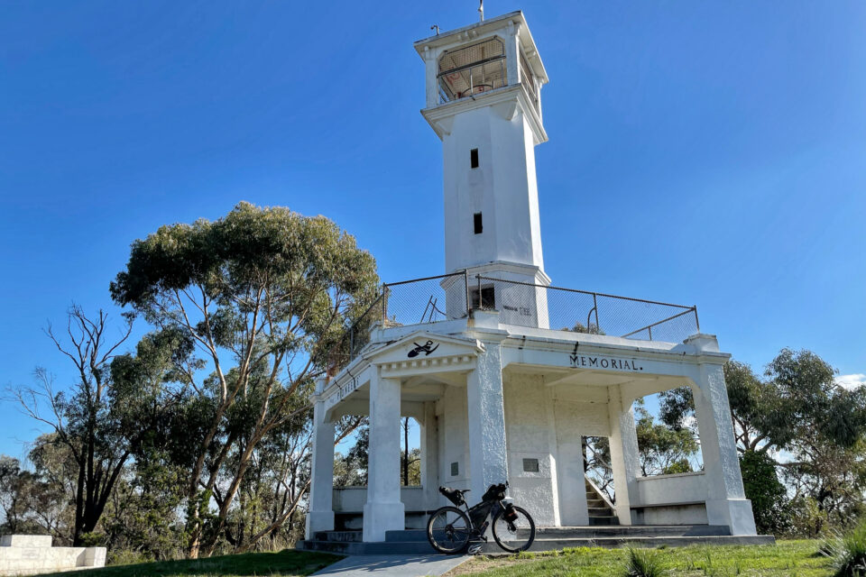
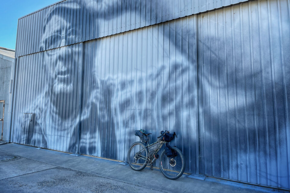
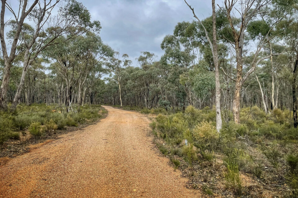
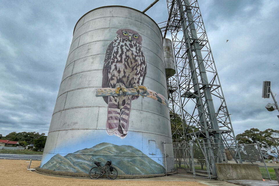
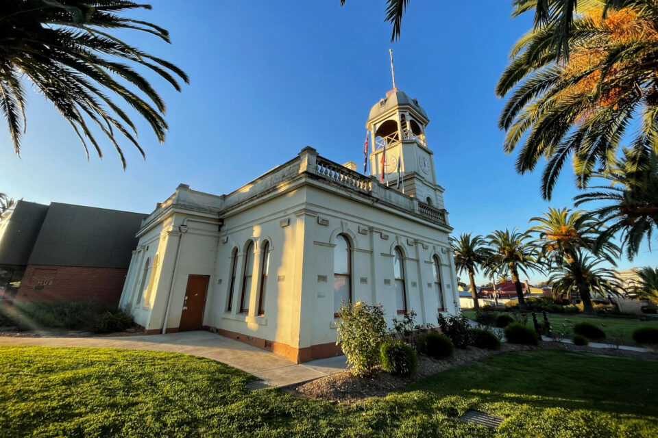
At 8 a.m., 30+ riders rolled out from the Bristol Hill Tower straight into the Paddys Ranges State Park. Travelling through some nice undulating bush trails and occasionally passing the odd farm property, I had myself thinking this was going to be a cruisy ride. Little did I know. Riders reached the first major town of Avoca at the 50-kilometre mark. Painted on the side of a metal grain silo, the huge barking owl welcomes you into town. It’s only early on, so we’re all crossing paths while we scurry to top up water and supplies before heading into the looming Pyrenees range section, the first big challenge of the ride.
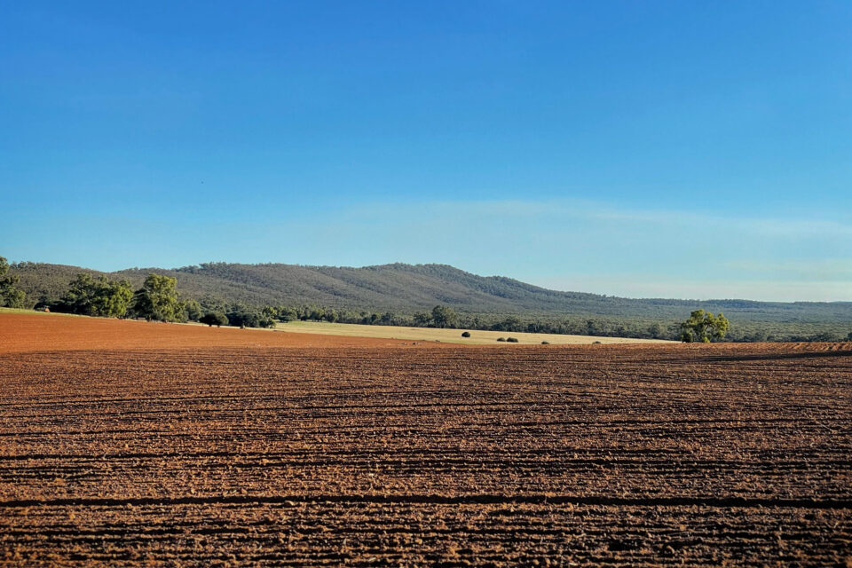
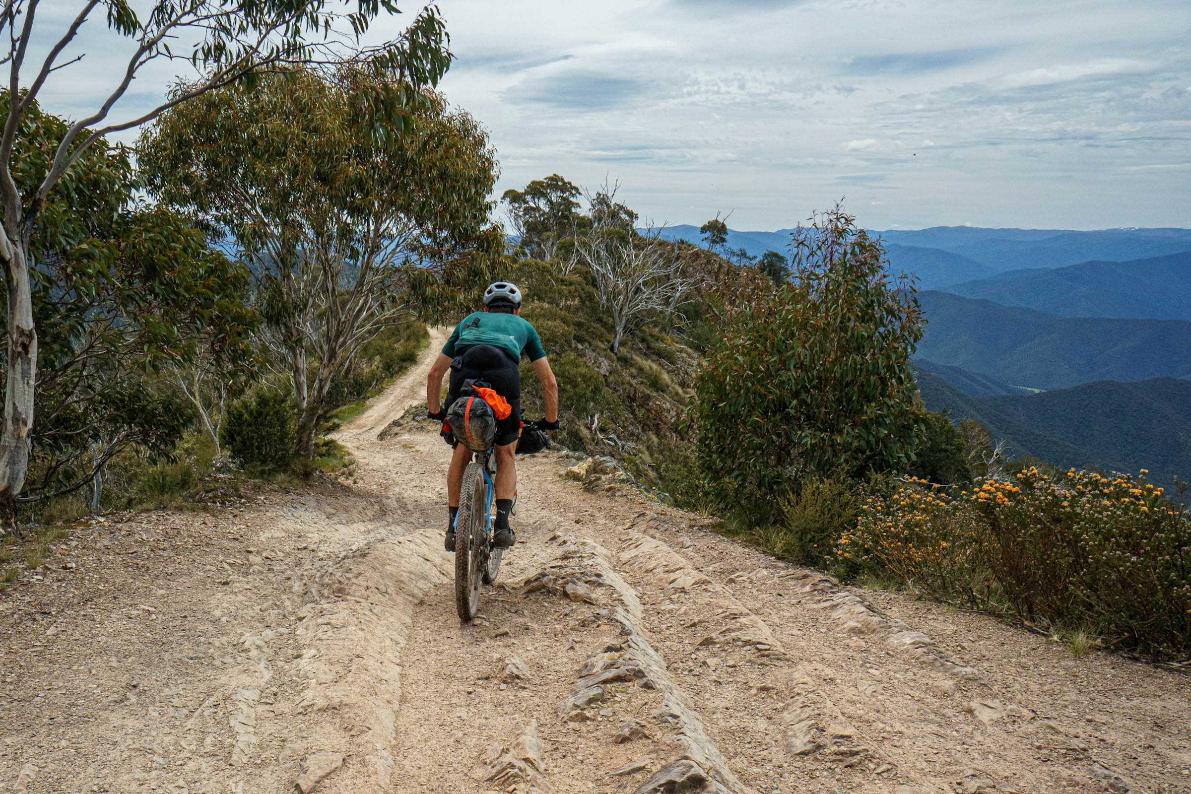
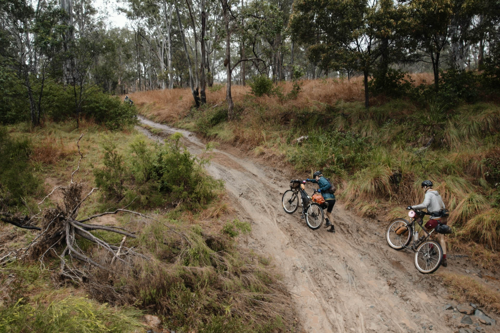
Leaving Avoca, you pass through farms lined with grapevines, circumnavigate a cute little bush loop, and are shot out onto some more flats before starting the climb up Mount Avoca. From here, the route got really wild. We dropped down rutted 4×4 tracks into overgrown gullies, climbed over fallen eucalyptus trees, rolled along a dry creek bed, and trudged through numerous hike-a-bike sections before heading straight back up another steep ascent. It had everyone questioning what the hell they had signed up for. Along this rugged stretch of trail, there were multiple busted tyres that needed fixing, lots of internal summoning of grit, and more than a few of us considered calling it quits. Eventually, at around the 100-kilometre point, those who were brave enough bombed down the final descent of the Landsborough Nature Reserve through the foothills of more wine growers into the small town of Moonambel.
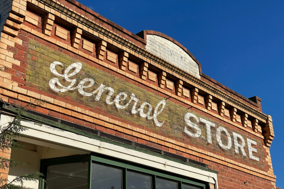
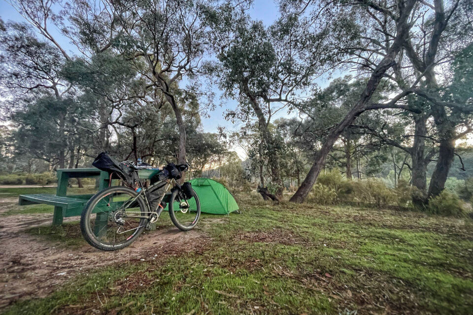
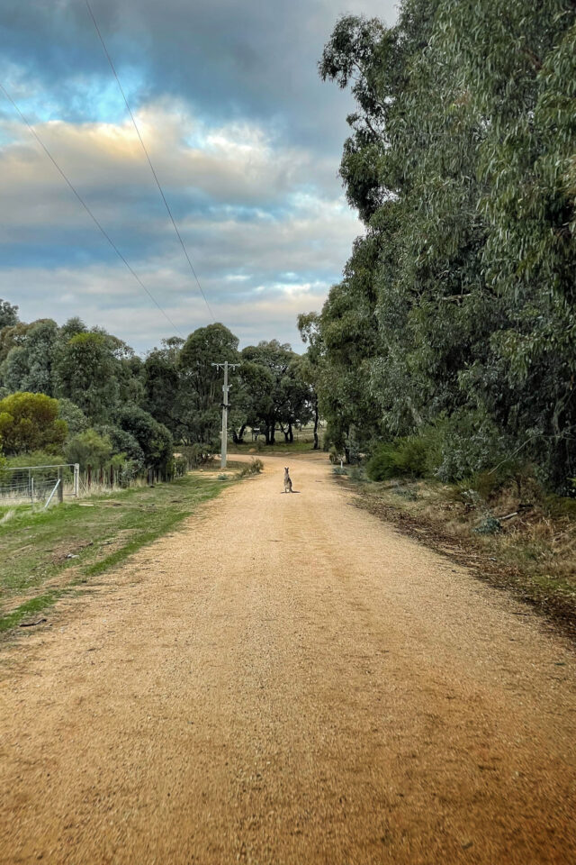
A single kangaroo standing in the middle of the road greeted me. It looked somewhat dumbfounded as I whizzed past. Moonambel boasts a small general store and a classic country pub. Depending on your schedule, riders were either quickly topping up supplies at the store or getting themselves a pub feed (and perhaps a pint of beer) before tackling Kara Kara National Park, a 70-kilometre ridge heading north towards St Arnaud. Light was fading fast, so I quickly headed north tackling more hike-a-bike followed by fast rocky descents heading deep into the national park. Just as the going was getting really tough, a huge masked owl flew right in front of me, spurring me on to the Teddington Reservoir campsite where I set up for the night.
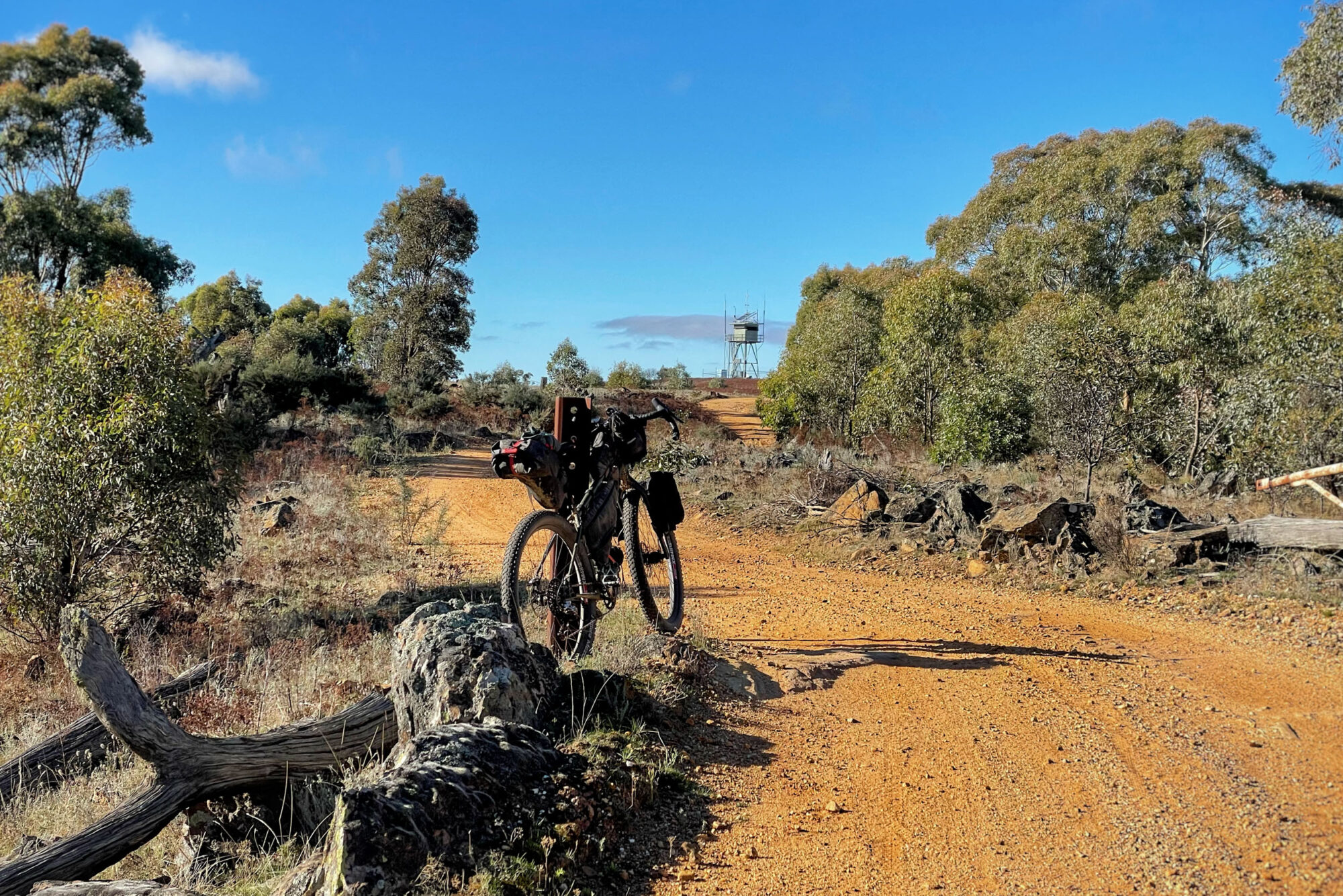
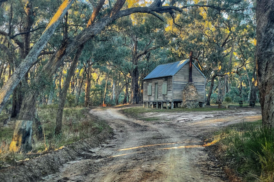
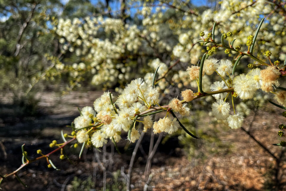
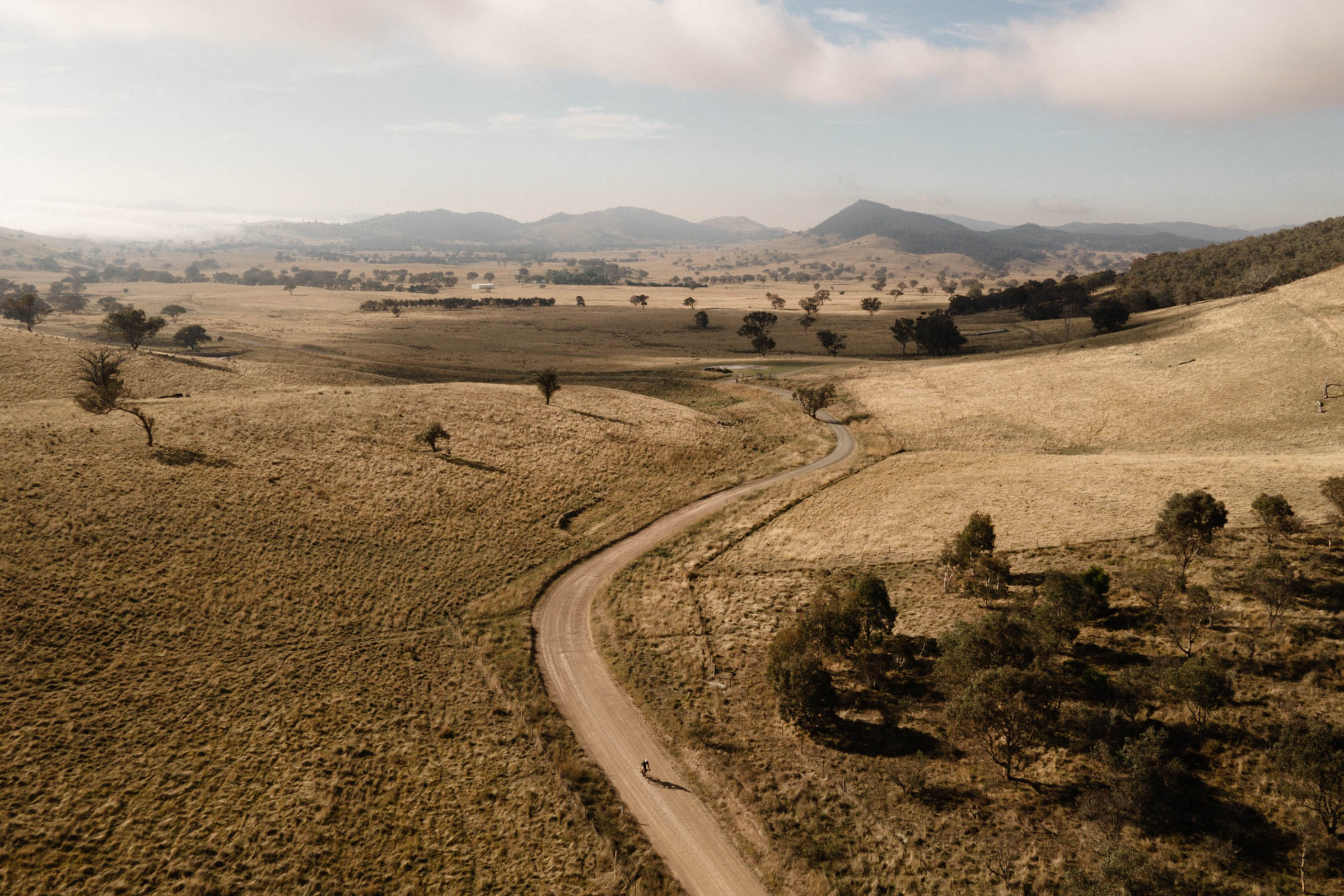
After accidentally sleeping in (rookie mistake) and discovering the other riders had already moved on, I quickly packed up, made use of the water tank at the Teddigton Hut, and pushed on to the West of England fire tower, which offered great views of the surrounding valley below. By now, it was around the 24-hour mark, and the fastest riders were starting to finish the route, having ridden almost non-stop. I, on the other hand, with it being my first attempt at something like this, had a three-day plan that I was going to stick to. Moving north from the fire tower, lined by the year’s first pop of yellow wattle flowers, the trail descended into some fast and flowing grade-A gravel.
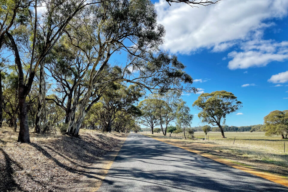
I had a quick lunch and supply stop at the 200-kilometre mark in St Arnaud before heading east along the long straight farm roads, crossing the Avoca River, and entering into Kooyoora State Park. I eventually climbed the tourist road up to the Melville Caves Capground, a popular family friendly area with lookouts and walking tracks amongst huge granite boulders. Continuing east, the trail passes through a section of mallee forest, and I found myself on the lookout for emus. Unfortunately, all I spotted were some footprints left behind in the soft sand. I made it to Inglewood, the last major town for a while, and took advantage of the supermarket. Fully stocked and now riding west into the fading sun, the hills just south of Kingower offered quite the challenge. I startled a heard of feral goats at the top before making the tricky descent into Rheola, where I set up camp trackside for the night.
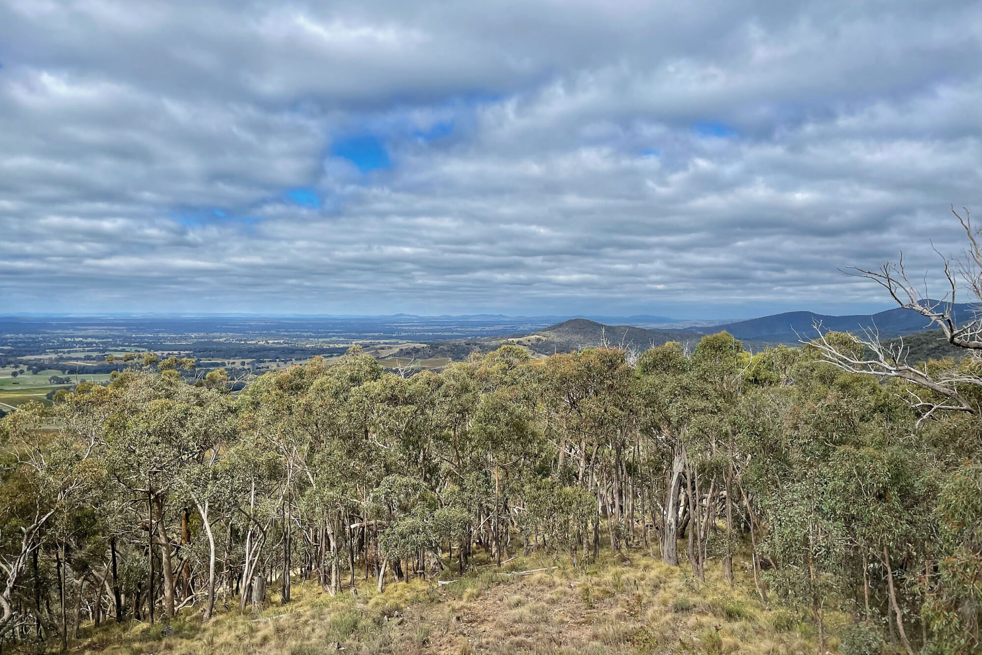
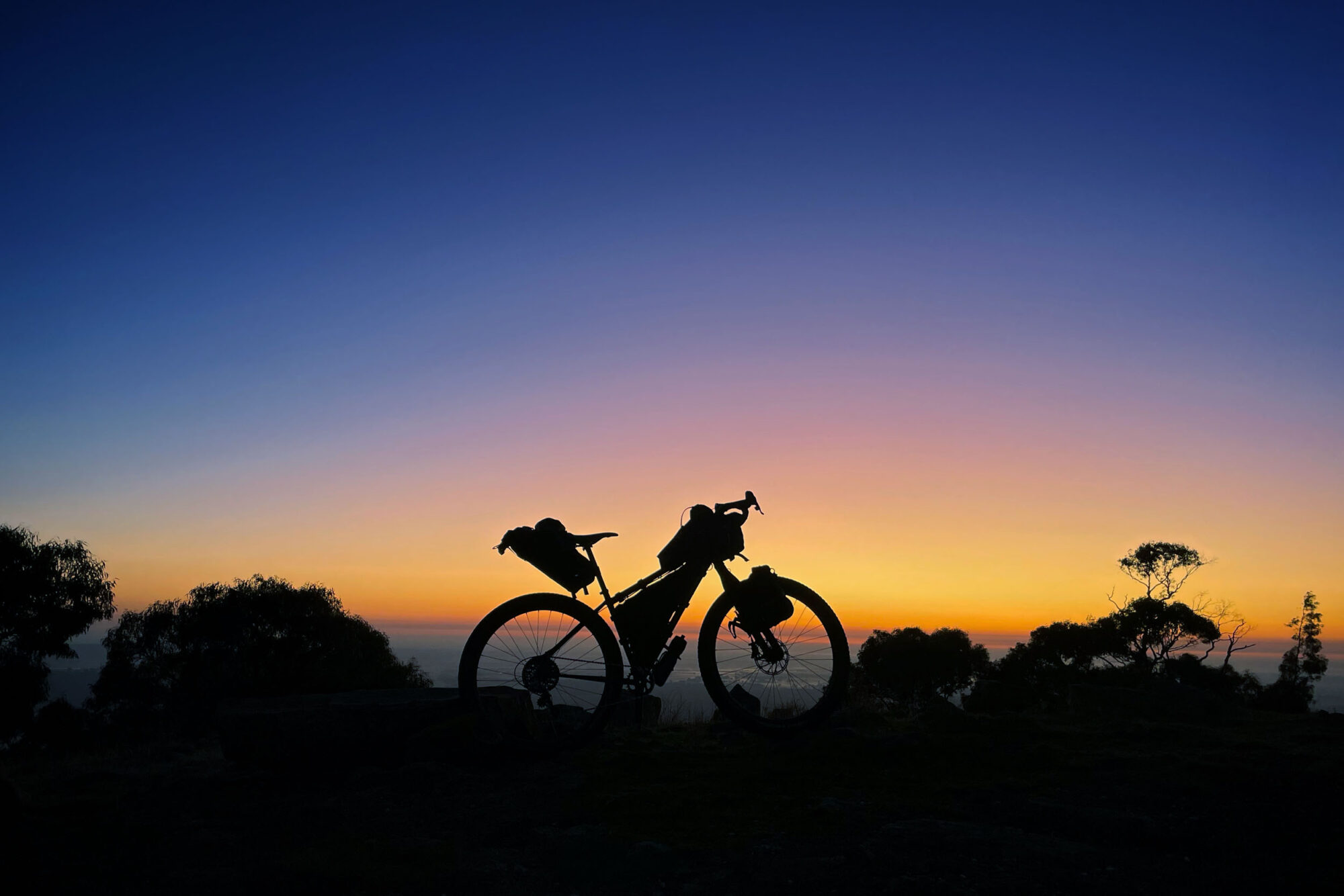
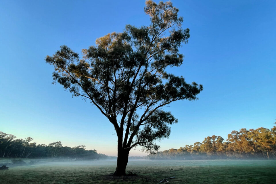
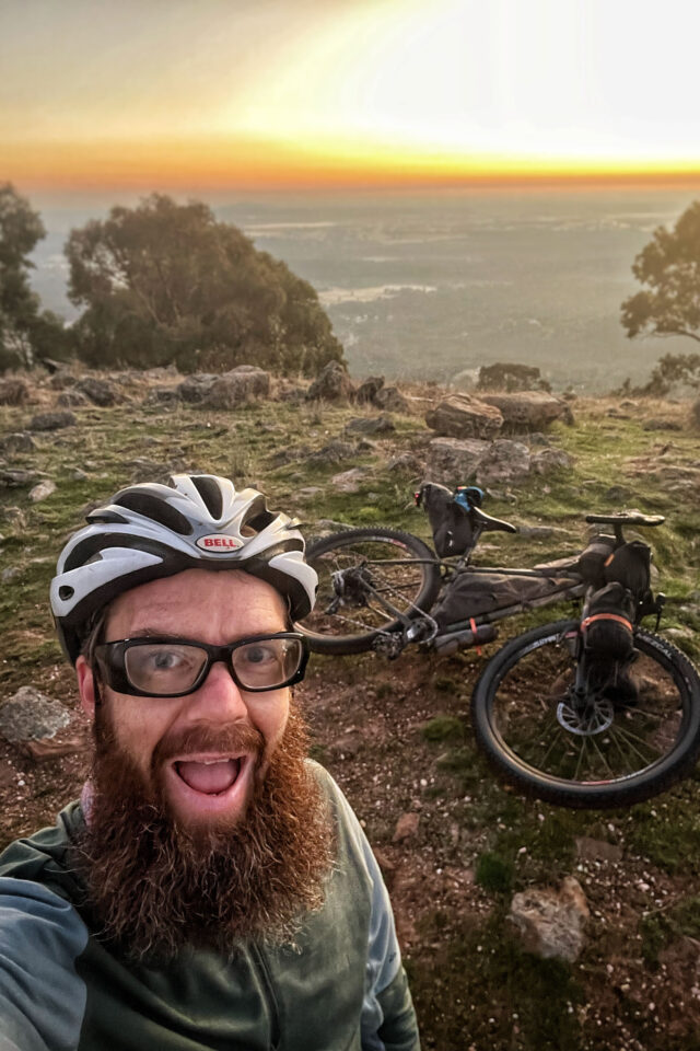
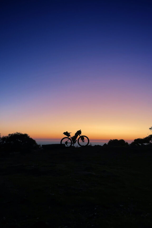
After a broken sleep that was interrupted by hooting owls and screeching possums, I decided to get a jump on the day and head off well before sunrise. The decision to leave early paid off big time. As I headed up Mount Moliagul, the sky was turning orange, silhouettes of kangaroos bounced off into the distance, and I made it to the top just before sunrise. The 360° views from the top as the sky beamed with colour made the early start and lack of sleep worth it. Buzzing with amazement, I followed the route down the mountain passing a monument at the site of the largest alluvial gold nugget ever found, affectionately referred to as the Welcome Stranger. I headed along the bush tracks before another hike-a-bike, this time up Mount Bealiba, which must be steepest of the whole route. The descent was fast and rocky, I’m sure my brakes were cooking all the way down. Next was a questionable set of obstacles and non-existent trail through some random bushland, I’m sure this is where the “fool” in the name Fools Gold must have come from.
Finally back on formed tracks, flowing through the box ironbark forest of Waanyarra Nature Conservation Reserve, I passed through the tired old gold mining town of Tarnagulla before pushing south past the old Mortons Hotel ruins onto Dunolly. I spotted a scruffy looking man with a metal detector trying his luck at finding some gold. The final stretch from Dunolly, passing sheep paddocks and into the Havelock Nature Conservation Reserve, it set in that I was almost at the end. Finally entering the outskirts of Maryborough, riders get a glimpse of the Bristol Hill Tower as they made their way around Lake Victoria before passing through the city centre and up the final climb. I couldn’t help but laugh out loud as I hike-a-biked up the final 10 meters of dirt track before rolling to the finish line, the Bristol Hill Tower, where we all started two and a half days earlier.
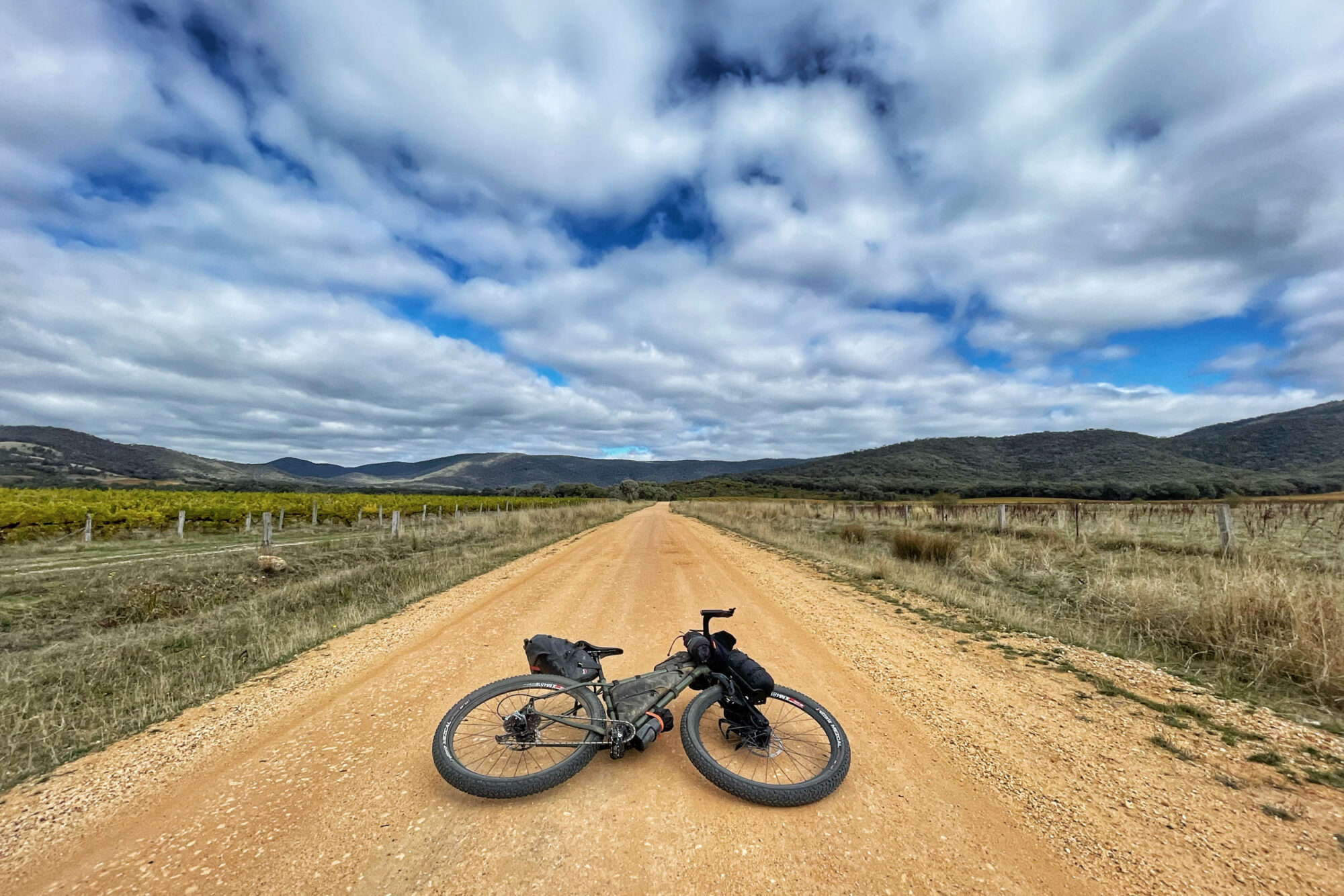
Seeing everyone’s stories on social media the last few days, the inaugural Fools Gold 420 has already entered Australian bikepacking folklore, surely cementing its spot on the yearly event fixture. I already can’t wait for next year. Route creators Will Kerr and Jules Wearne were initially inspired by other Victorian events like the GDT and Gariwerd Wonderland. They wanted to create something in an area that doesn’t see many visitors but has equally stunning scenery. Their key drivers were making it free and inclusive but challenging to complete without focusing on it being a race. You can learn more about the event and route here.
Related Content
Make sure to dig into these related articles for more info...
Please keep the conversation civil, constructive, and inclusive, or your comment will be removed.


