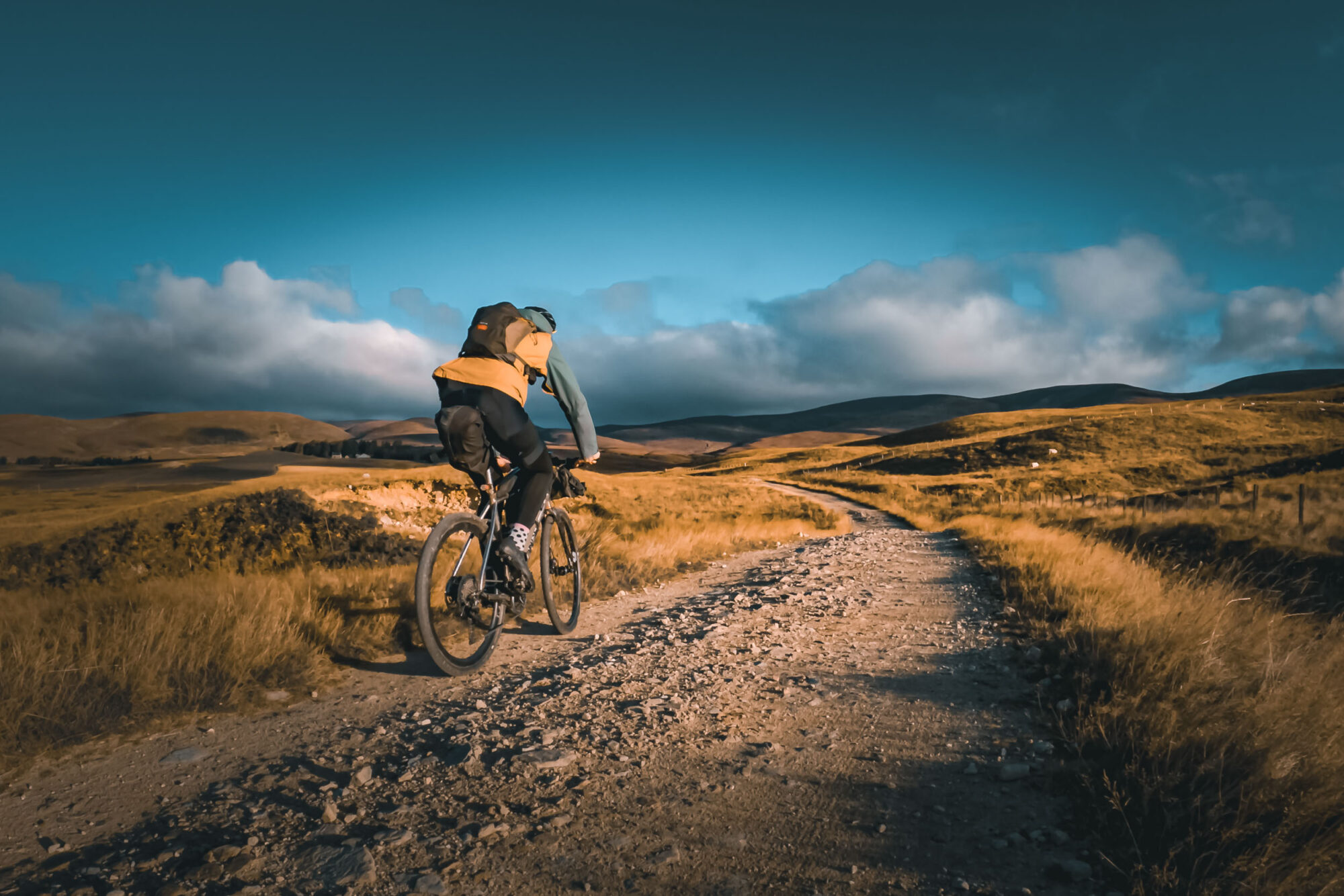
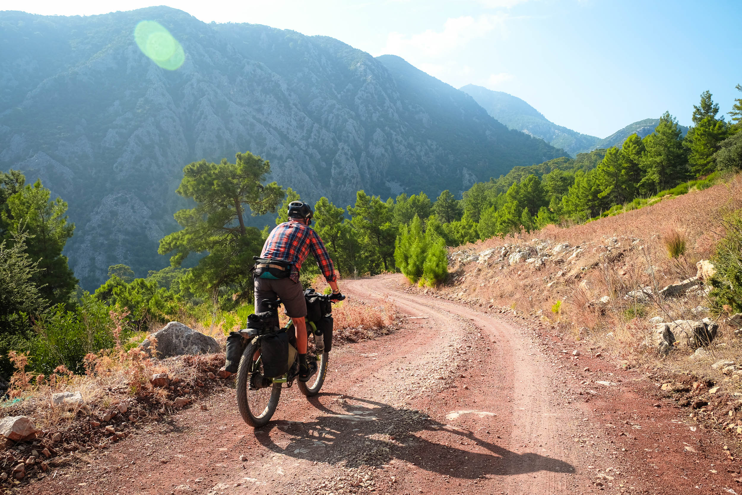
In one of Josh Parsons’ latest videos, he shares his experience of riding Scotland’s Pictish Trail and offers some tips for anyone considering it. Watch the video and find a written reflection from Josh here…
The 750-kilometer Pictish Trail is a mixed-terrain bikepacking route in the east of Scotland that traverses the ancient Pictish kingdoms as it connects the mainland’s most northerly point to the country’s capital, Edinburgh. Josh Parsons of the Keep Smiling Adventures YouTube channel recently tackled the route and put together a detailed video documenting his experience and some tips for folks thinking about giving it a go. Watch the one-hour video below and then scroll down for a short written reflection from Josh plus some additional tips and tricks.
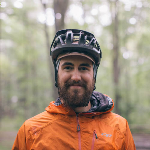
Words and photos by Josh Parsons (Keep Smiling Adventures)
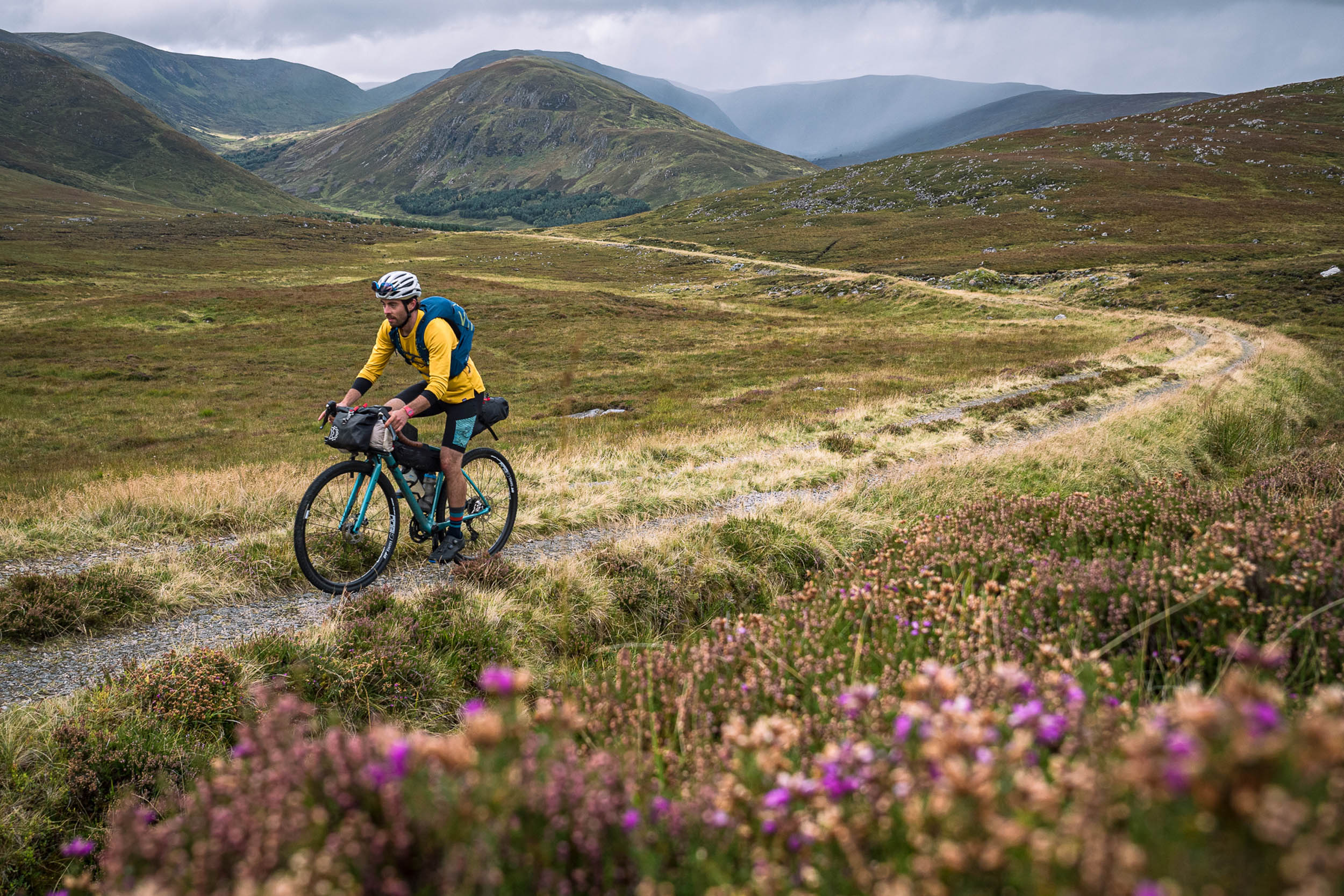
When I first heard about the Pictish Trail, it was added to my list of rides to get on with pretty soon. I had planned to ride it just before summer, and then I decided to crash my bike, land on a boulder, break my ribs, and cut my liver. I had thought that was that, and the Pictish Trail would not happen this year after all. Recovery went pretty well, and I had been on some bikepacking adventures across the UK, but the summer months were ticking by, and I still hadn’t got up to Scotland to take on the Pictish Trail. August came and went, and I had given up on the idea that it would happen, but then I noticed a dry week in September and decided to go for it. There was one caveat to my plan: I couldn’t get all the way to Thurso from the south coast in one go, so I would take on the Pictish Trail in reverse: Edinburgh to Dunnet Head, which turned out to be the best decision. The wind would push me (most of the time), and the trails seemed to flow nicely in this direction with very little hike-a-bike, which is always nice.
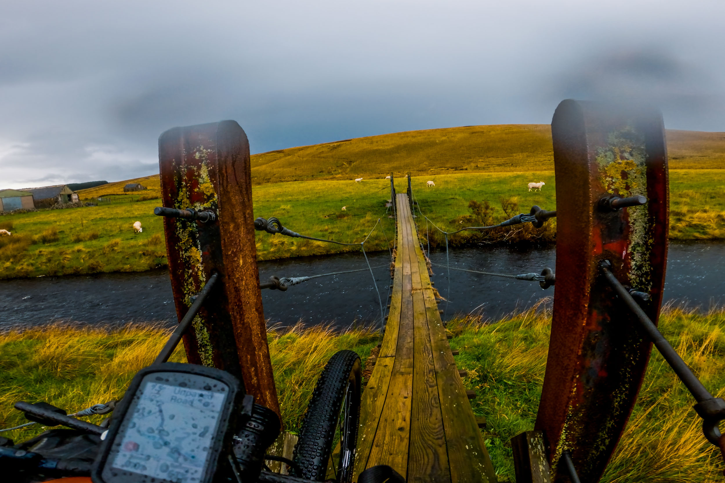
The first day, though, was incredibly windy, and leaving the capital over the Forth Bridge was the first time I cycled across it thinking that those railings are not high enough. It wouldn’t be the first time on this trip that a bridge would scare the life out of me either because, towards the end, a little wooden bridge creaked away as I crossed it. Not only creaky but incredibly slippery. I had to take my shoes off to get some grip. It might be worth carrying some of those beach shoes to help cross that bridge, especially if it’s just rained.
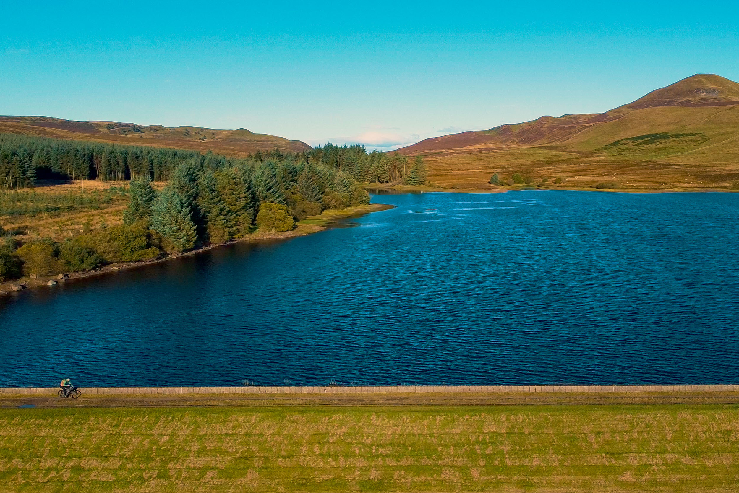
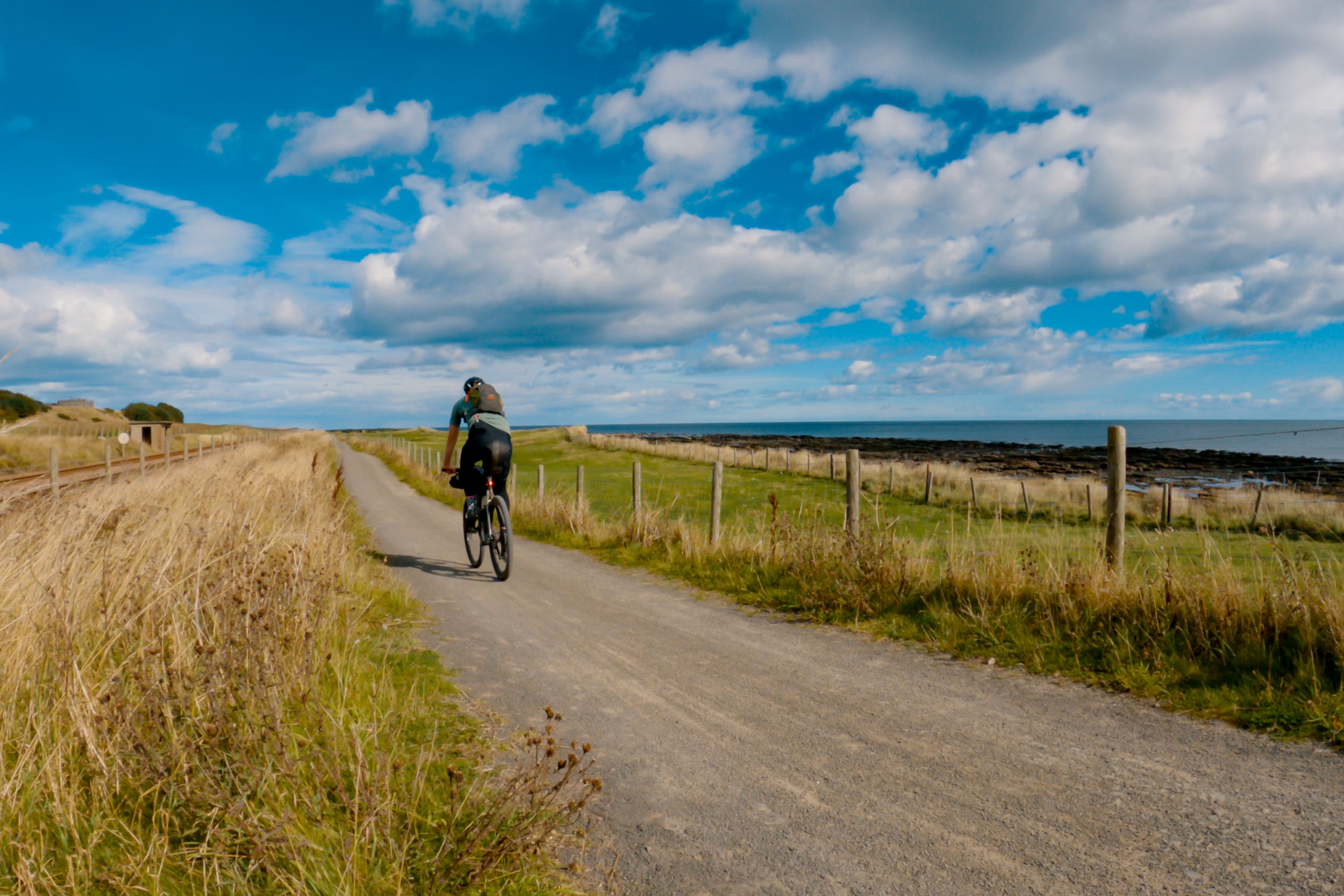
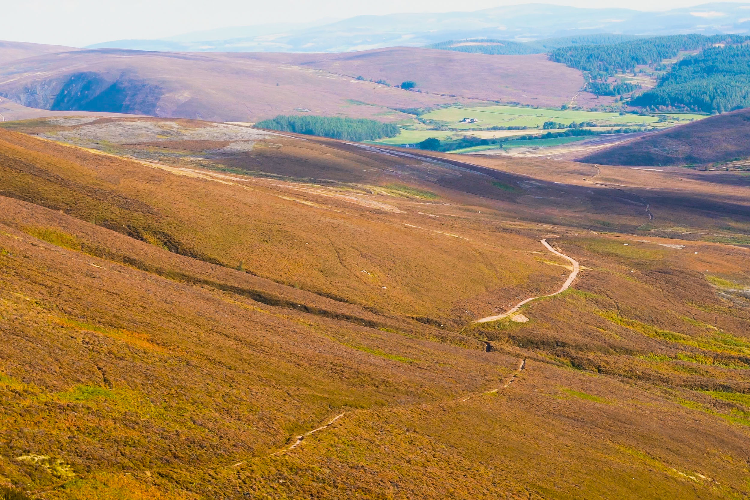
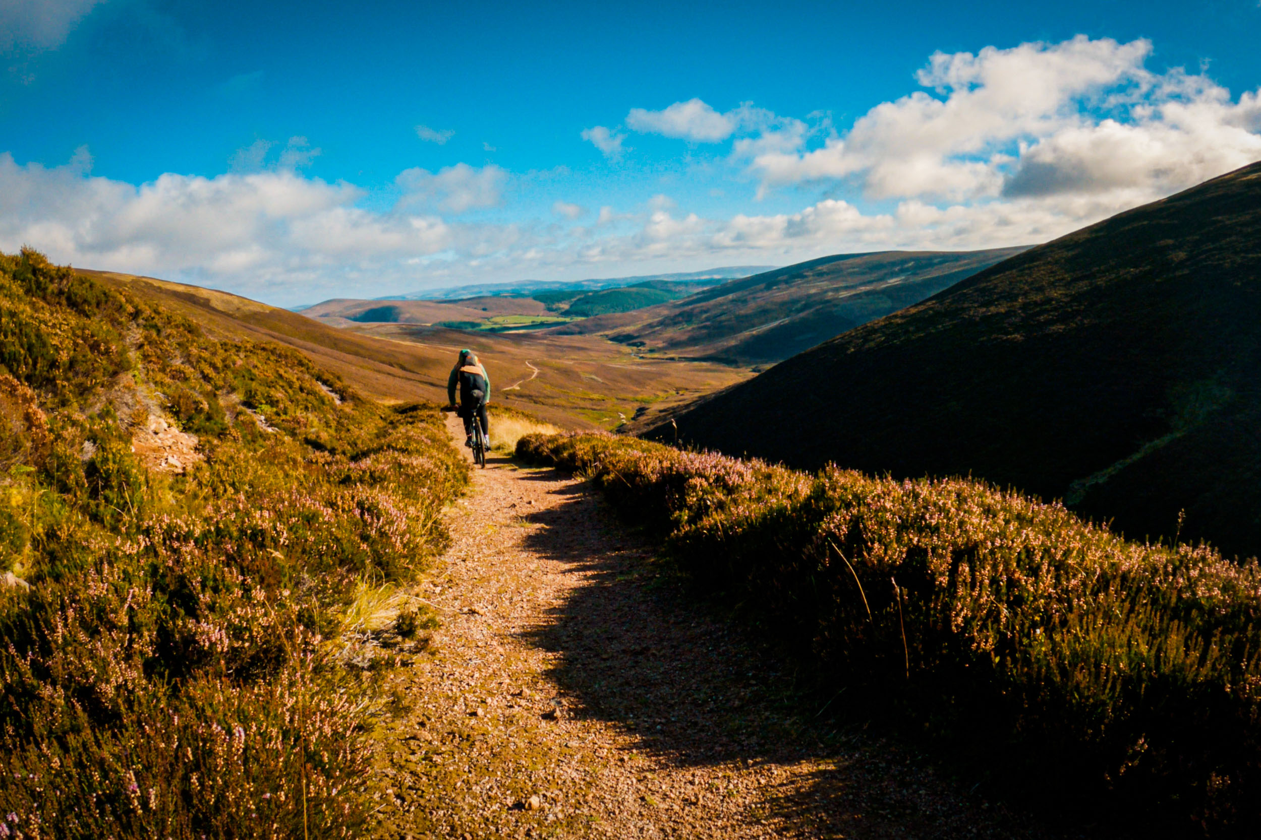
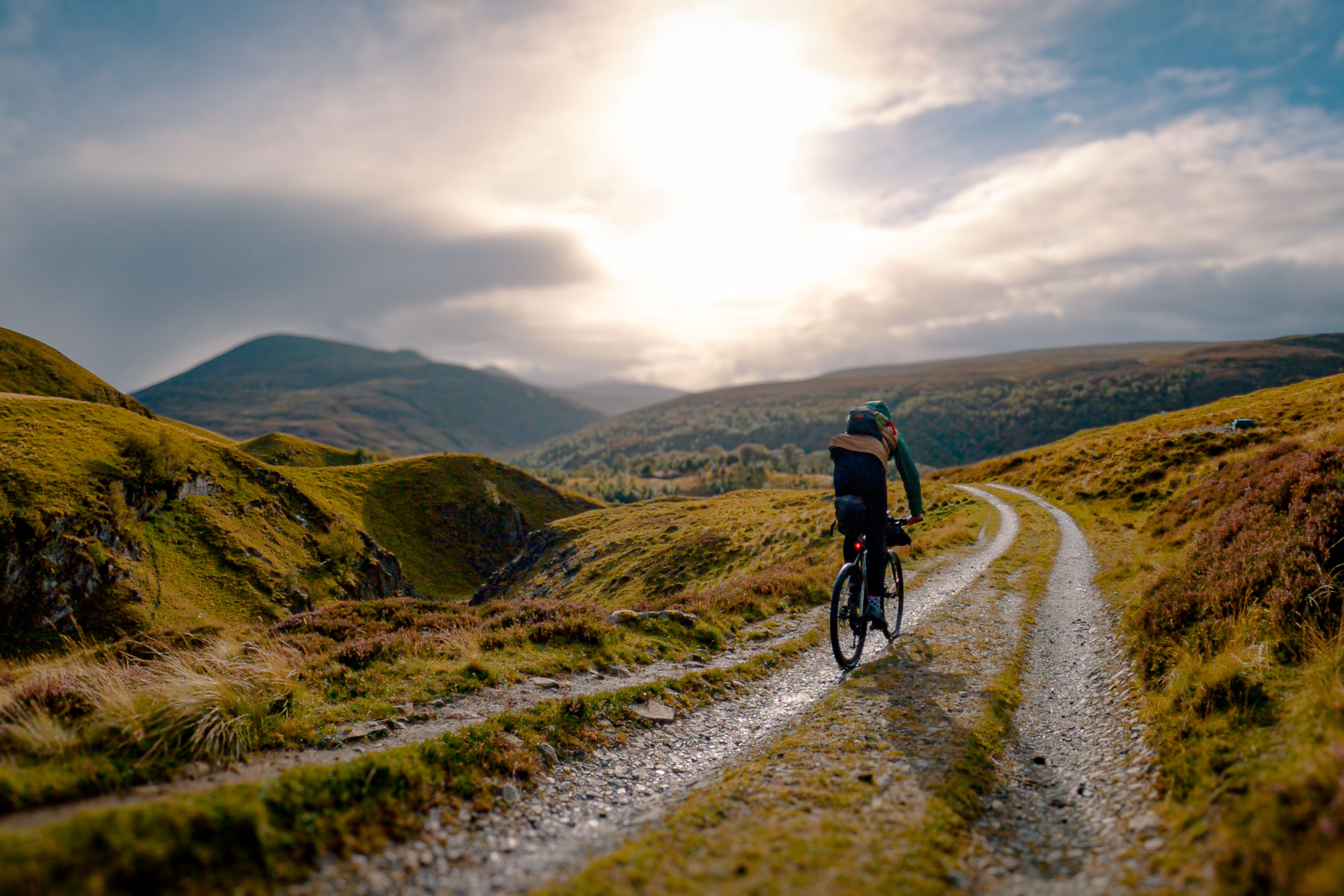
Going in a northern direction up Scotland’s east coast makes this route a little more built-up. I found this route blurs the lines of bikepacking vs touring. It’s not bad, though; it means the route doesn’t always feel hard, and you can enjoy some easy miles. For example, going north meant I had lots of nice, flat miles along the coastline from Dundee to Arbroath, which was a nice cycle path (for UK standards, at least) to the highest point of this ride pretty early on. It gets you up to just under 2,000 feet with some great views as you head towards the Cairngorms. Probably my favourite section of the route, I’d say. The climb up the Fungle Road towards Aboyne was incredible, as was the bloody wind. But I was sure glad to be heading north, up here. Although the wind meant I had to get off and push a bit, the climb up in this direction felt pretty chill and didn’t seem to take too long. Getting over the top meant I was now being sheltered from the wind, and I could really enjoy the descent. Going in this direction is a little rougher on the top, but I think I prefer it that way. It’s easier to descend a rougher trail than climb one. At least, that’s what my legs tell me. The descent soon smoothes out, and let me tell you, the best thing about cycling in Scotland is that those descents seem to go on forever, which is the best feeling in the world. Long descents that you can let go of your brakes and just fly.
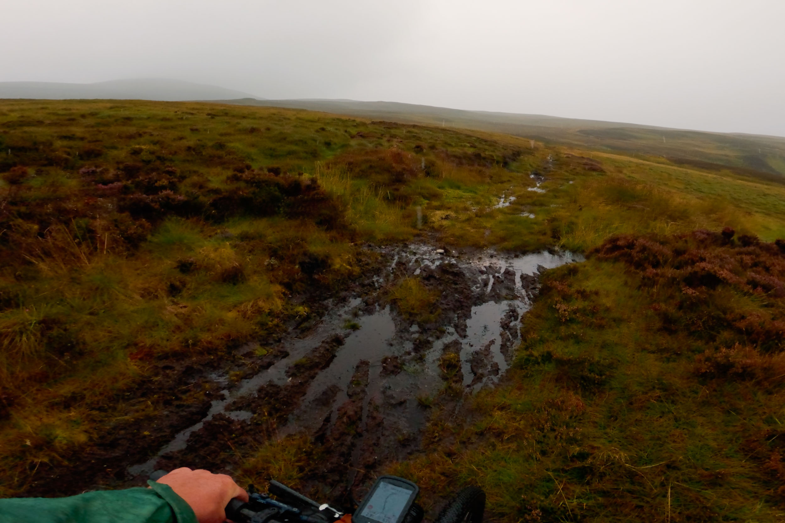
If you are from the UK, you’ll know that actual gravel to ride your gravel bike on is few and far between, but the Flow Country is an absolute gem for some nice gravel riding as you get to pedal through. The Flow Country, surrounded by deep peat and bog pools, holds more than 400,000 hectares of blanket bog, making it the largest expanse of blanket bog in Europe. But don’t worry. The good news is that it’s a good bog that you won’t have to get your feet wet or try to get through because the gravel roads around here are to die for. They are fast rolling and smoother than some paved roads I have cycled. It feels like such an empty, remote place to pedal a bike. It’s also relatively flat.
Overall, it was a really fun adventure I wasn’t sure I would get to do this year. I enjoyed that the route was a mixture of challenges. Some easy riding to get some miles in, and then some tough climbs and slow progress at other times. Sometimes, bikepacking routes can get caught up in everything, which “must be hard, a challenge,” so it’s often nice to find yourself on an adventure that finds a good balance of challenge and reward. It was an enjoyable experience because it had some easy miles that visited some of the built-up towns and villages along the way. This makes these routes a little more enjoyable for more people, and that’s a good thing.
Tips for Bikepacking the Pictish Trail
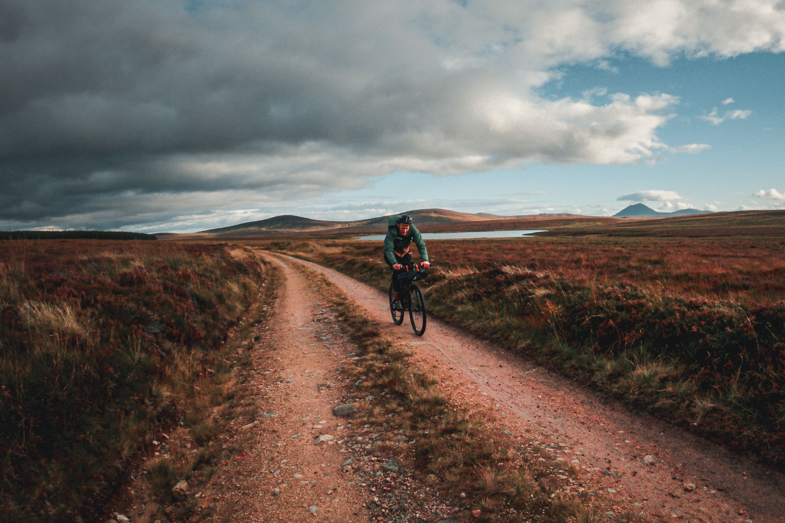
Route Direction: I met quite a few people along this route who were also doing the Pictish Trail but in the official direction, and they all seemed to be grinding along. Maybe it was just potluck that I met them at those sections, but I really did always feel like riding this route in the direction I did (heading north) was a lot more fun and flowy. I think heading north is slightly easier; according to my Strava ride, this route has an elevation gain of around 31,000 feet, just under 9,500 metres. That isn’t nothing, but I actually found most of the climbs along this route in this direction more on the gradual side of things and not often too steep. So, it was nice to get into a rhythm and pedal. I think that is why I found it a relatively easy route and why I would recommend heading in a northern direction.
Route Detour: As much as I enjoyed most of this route, I do think a detour to avoid a busy section of the A9 is a good idea, especially if heading south as you will be joining the A9 at Berriedale and be heading up a 20-percent gradient climb on a busy section of the A9. This will depend on how you feel riding with cars, but the A9 can sometimes be a bustling and fast road. A better option would be to follow the A897 towards Kildonan and rejoin the Flow Country in reverse, then pick up the GB Divide route at the end. This avoids a busy section of the A9 and the only real bit of hike-a-bike on this route, which is also just after the A9.

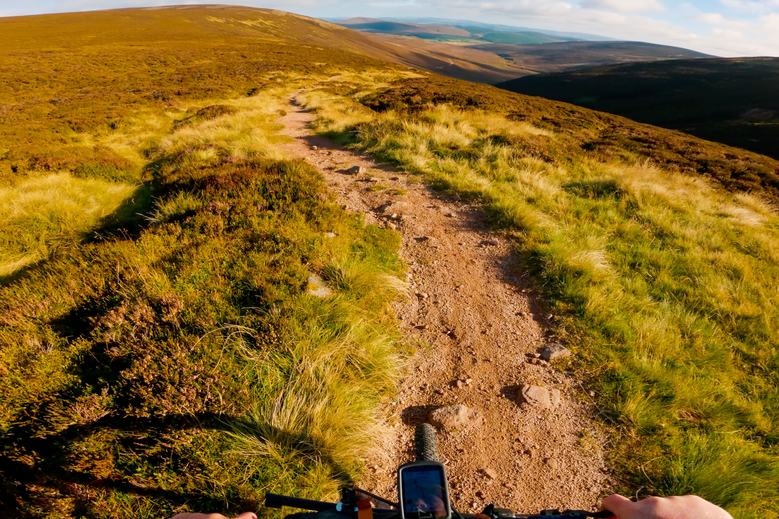
Which Bike: I said this route is actually fairly easy-going with not lots of overly technical sections, but I think in terms of tyre size, a 45mm or bigger is your best bet. Just to give yourself a bit of confidence on the fast descents. But you will 100 percent want something fast-rolling, as there are a lot of flat fast-rolling sections, some of which are along the road but mostly bike paths that are smooth gravel. A gravel bike will be good, or an XC bike, but even an XC bike might be overkill for most of this route. Just bring a bike with a good range of gearing and good brakes that you are comfortable riding. One thing I found was there were some locked gates or kissing gates that I needed to chuck the bike over, so whichever bike you decide to take, make sure you are able to lift it.
Waterproof Jacket: The one crucial item that you really should take on this route is a waterproof jacket. It might not rain all day, but it will probably rain a little on any adventure you go on in Scotland; a good waterproof jacket that you can also double up as a wind jacket is a must. I use the Patagonia Torrentshell 3L, and it has served me well. I prefer something on the thicker waterproof jacket side for Scotland.
Midge: The midges along this side of Scotland shouldn’t be as bad as on the West Coast, but I would recommend some Smidge and a bug net just in case. The good news is, although Scotland is terrible for the little midge fu**krs, Scotland is also normally pretty windy, and the midge are pretty useless in the wind, so if you are trying to set up camp before the midge find you, try to camp up high in the wind if you can. That will give you a better chance of not meeting them. This is not always possible, unfortunately.
Further Reading
Make sure to dig into these related articles for more info...
FILED IN (CATEGORIES & TAGS)
Dispatch
Please keep the conversation civil, constructive, and inclusive, or your comment will be removed.