Ride to the Source: Bikepacking Payahuunadu
Meghan Cason and a group of 15 femme/trans/women/nonbinary riders from Wild Wolf Cycling Collective recently took on a version of the Owen’s Valley Ramble bikepacking route. After the ride, Meghan wrote this reflection that weaves the experience with themes of the region’s complicated history, resource mismanagement, and striking natural beauty. Read it here…
PUBLISHED Jun 6, 2024
Words by Meghan Cason, photos by Kyla, Paula, Ester, Susie, Shea, and Desi
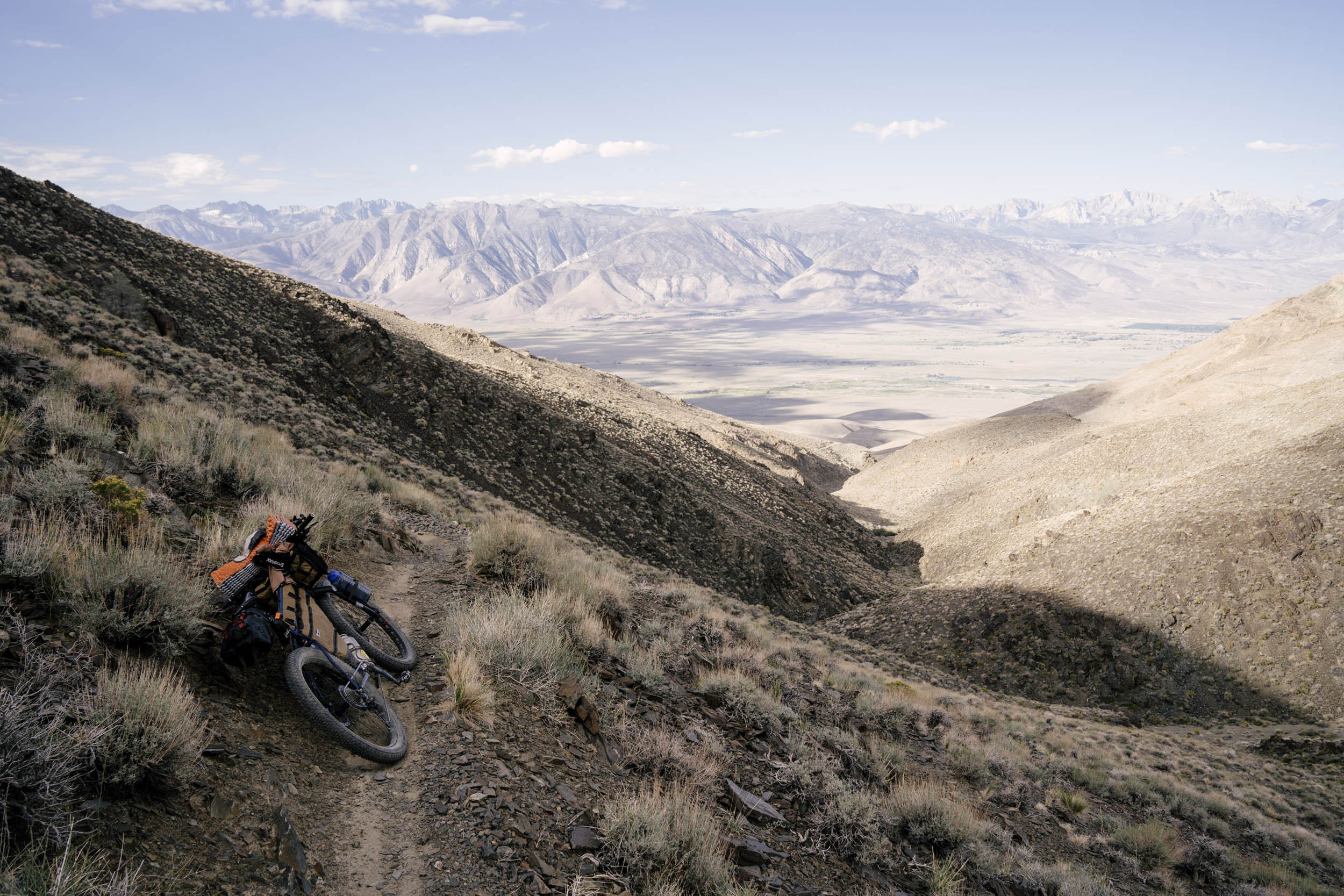
Located about 200 miles north of Los Angeles, Payahuunadü is notorious for the wind that blows through it. More commonly known as the Owens Valley, Payahuunadü is the name used by its original inhabitants, the Nüümü people (Owens Valley Paiute). Payahuunadü means “Land of the Flowing Water,” which might seem incongruous to the casual visitor. At first glance, the Valley floor appears sandy and dry, but a closer inspection offers clues into the region’s history: fences, concrete, canals, and aqueducts. Los Angeles Department of Water and Power (LADWP) infrastructure scars this land. For nearly a century, water has been diverted from Payahuunadü and funneled into Los Angeles, leaving the Valley’s flora, fauna, and human inhabitants parched. Patsiata, the dry lake also known as Owens Lake, is the largest single source of dust pollution in the United States. When the wind blows over the dry lake bed, it picks up dust and scatters it across the region.
Despite LADWP’s attempts to desiccate the landscape, it remains defiantly beautiful. Bordered by the jagged, snow-capped Sierra Nevada Mountains to the west and the White and Inyo Mountains to the east, flowers bloom across the Valley floor in the spring, the fiery orange tips of desert globemallow a beacon to bikepackers and adventure-seekers.
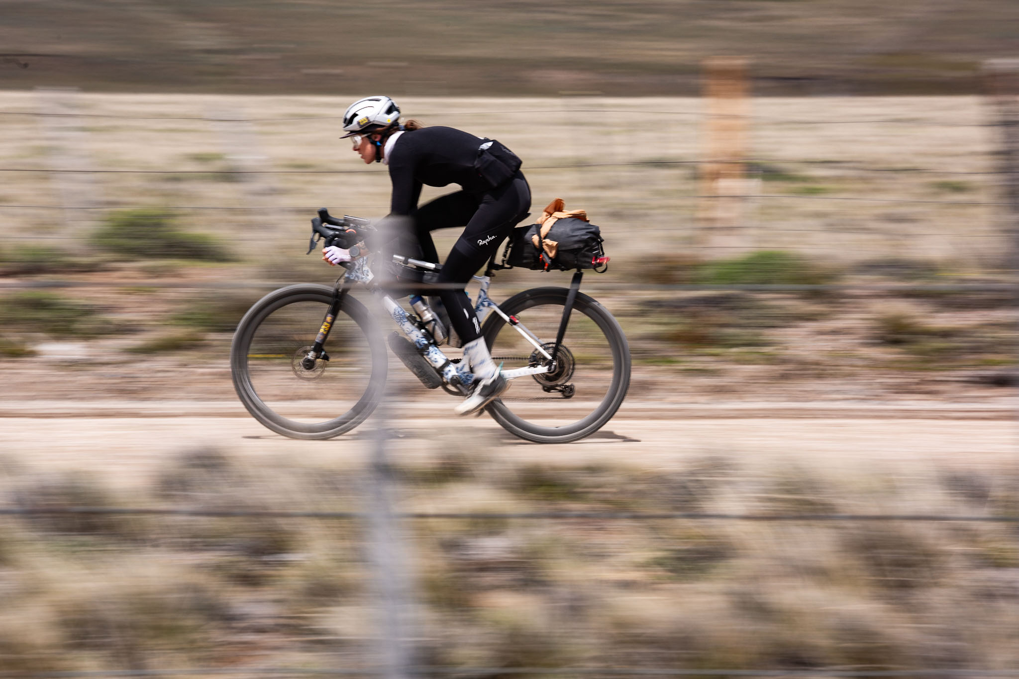
On a warm late April weekend, members of the Wild Wolf Cycling Collective (WWCC) bikepacked a modified version of Jeremy Nolan’s Owens Valley Ramble, which showcases Payahuunadü in all of its complicated glory. Our overnight trip was routed as a point-to-point shuttle, starting west of Independence and ending in Lone Pine, allowing riders to experience the Ramble’s highlights west of the 395 (while avoiding some of the tedium and climbing on day two of the original route). Our group consisted of 15 FTWNB (femme/trans/women/nonbinary) riders and, thanks to a grant from Adventure Cycling Association, WWCC was able to provide a travel stipend to first-time bike campers and emerging riders from underserved communities. This 33-mile, 2,500-foot “classic Wolf route” received our Lizard (dirt/gravel) and Camel (extra sandy) ratings. The majority of riders chose mountain bikes for this adventure, though a couple of intrepid gravel bikes were thrown into the mix to keep things interesting.

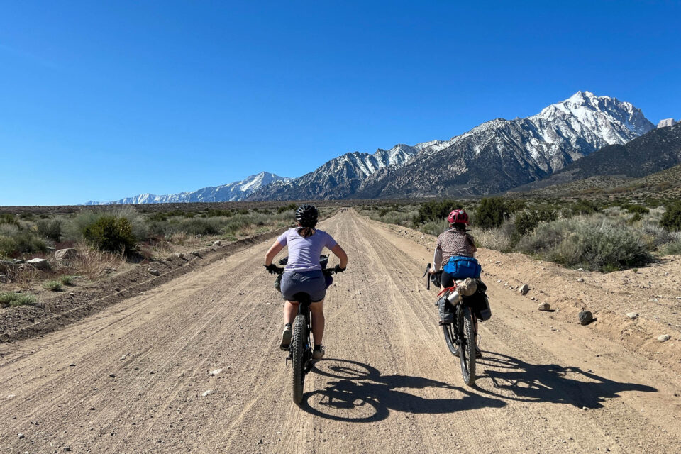
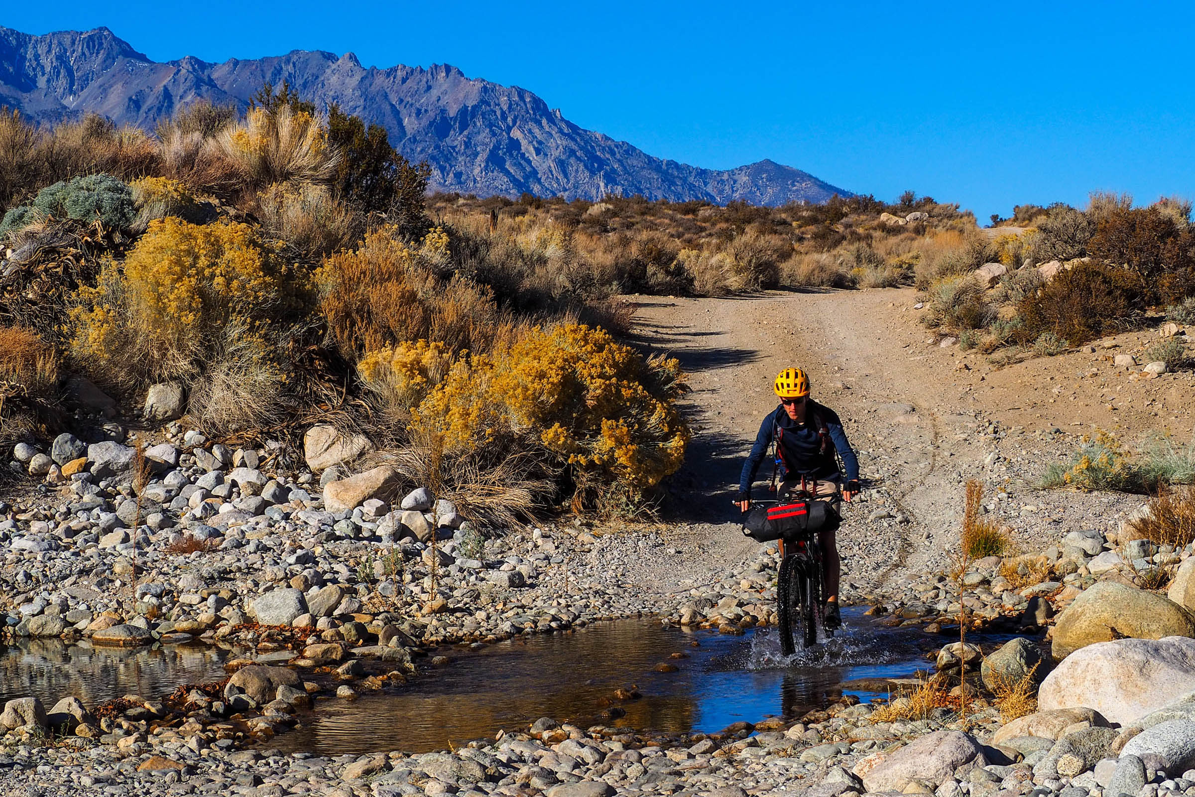
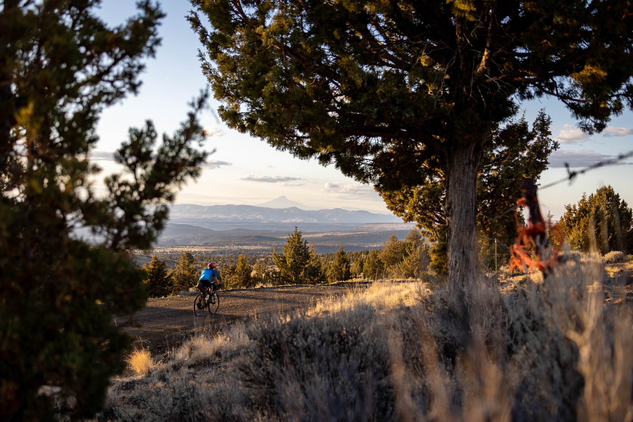
Most of our pack camped Friday night at Lower Grays Campground, five miles west of Independence. From there, it was a quick downhill ride to the route start on Foothill Road, a mellow gravel forest road that parallels the stunning Sierra Nevada and is lined with sagebrush, cactus, and wildflowers. Within the first two hours, we’d made our first water crossing, briefly hiked our bikes through a washout, and fishtailed down a very fun and very sandy jeep road.
Our first stop was the Manzanar Cemetery with its iconic white obelisk marked by Japanese Kanji characters (translation: “Soul Consoling Tower”). The obelisk was designed to evoke the snowy peaks that loom over this one-time concentration camp. Between 1942 and 1945, 150 people died at Manzanar. Today, only six graves remain. After WWII ended and Manzanar’s detainees were freed, many families requested the return of remains.
Later, one of our riders, Michelle, reflected about Manzanar on Instagram: “I thought about my Japanese American family who were brought to the internment camp, and also found love there and married, and had children born there.” With so many people trying to make the best out of a horrific situation, the history of Manzanar is indeed a complicated one. “In order to combat the dust, Japanese Americans resisted their imprisonment by growing fruits, vegetables and flowers, creating beautiful gardens,” said Monica Mariko Embrey in the documentary Manzanar Diverted. “They also fished in nearby streams and lakes, learning the best spots from Native American friends. For the three and a half years that the camp was open, Japanese American industriousness transformed Manzanar into a bountiful garden oasis.”

At the cemetery site, a tiered wooden platform was under construction. Presumably, this is where people would gather during the 55th annual Manzanar Pilgrimage, which was scheduled for the following weekend. As we milled around the plywood, contemplating the sacred site, catching our collective breath, and hydrating, a park service employee rolled up in a pickup truck. After chatting with us for a few minutes, he asked, “Do you mind if I take your picture? No one ever believes the crazy stuff that comes through here.”
Back on our bikes, more climbing and water crossings awaited. Historically, April is the windiest month in Payahuunadü, but we’d been fortunate in that regard; the air was still. Of course, there’s always a trade-off. It was an unseasonably warm weekend for a ride through this exposed, arid environment, and the sun was relentless. The sweat evaporated from our skin before it had a chance to soak through our clothes. As we rode, we could see our agreed-upon lunch spot in the distance, motivating us. It was the tell-tale cluster of trees and flora that indicate water in this region. We pedaled harder.
At first, the creek crossing felt like a small oasis. We dropped our bikes and gathered under the canopy of trees, near the water’s edge. The shade and access to cool water were restorative, and we set about the business of lunch assembly (tuna packs, peanut butter, pickled things, tortillas, lavash, cheese… the classics of bikepacking cuisine were well-represented). It was soon apparent that we weren’t the only creatures enjoying the creek’s amenities. Flies were gathering, surely drawn to our salty, sweaty skin. They buzzed around our heads and limbs and tuna wraps. I performed interpretive dance moves to keep them at bay. It was comical, but we weren’t about to abandon our watering hole, so we dug in. We were committed. Moments like these are bikepacking writ small. Nature doesn’t always cooperate. Things get uncomfortable, but we must accept the circumstances and persevere. Flies be damned, some of us stripped down to our skivvies and immersed ourselves in the flowing water, grateful.
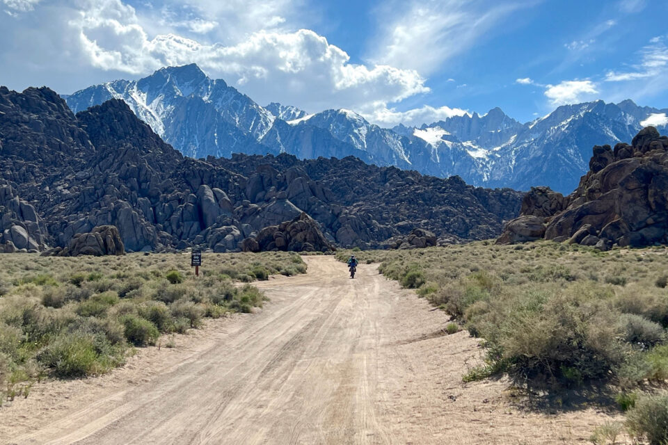
Eventually, we bid the creek and its flies farewell and began the long, sustained climb into the Alabama Hills, which is arguably the showstopper of this route. Undulating far beneath the towering crags of the Sierra Nevada Mountains, the Alabamas are a geologic wonder in their own right. While both ranges were created by the same tectonic forces 100 million years ago, the distinctive arches and round edges of the Alabamas can be attributed to differences in rock composition and patterns of erosion over the centuries. Even if you’ve never visited the area, the Alabama Hills might look familiar. They’ve been a filming location for countless films and television programs, including Django Unchained and the cult classic, Tremors, featuring Kevin Bacon battling colossal, subterranean worms (aka Graboids).
Most riders paused at the hill’s crest to take in the dramatic scenery that spread out in every direction. In the foreground, a wonderland of boulders was stacked in impossible configurations and, beyond that, snow-capped Mount Whitney loomed at 14,505 feet, the tallest mountain in the contiguous United States. Susie was waiting with her camera to film us dropping into the landscape. This was her third time riding this route, so she knew this stretch of downhill was a blast. I followed the tail of Shea’s bike into the sea of rocks, boulders, and arches before us, whooping. I half expected a Graboid to come flying around a bend. Maybe we could ride one the rest of the way to camp?
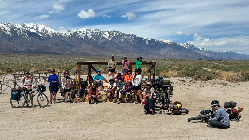
We took an extended break in the Hills, soaking up the scenery, snacking, and climbing the super-grippy rock formations before riding the final five-ish uphill miles to our campsites at Tuttle Creek. At camp, several of us beelined it to the ice-cold creek to soak our feet, chill our beers, and wash the day’s grit away. Chores were done – pitching tents and organizing gear. We made our dinners and built a fire and laughed as the stars popped out overhead.
In the morning, it was a fast, fun six-mile road descent to our final destination, the Alabama Hills Cafe in Lone Pine. The Cafe is a greasy spoon famous for its hiker/biker-sized portions. Susie had said that Tuttle Creek Road was like “riding through the Flintstones,” and I can’t disagree. Big boulders lined the twisty, winding pavement as we flew by, not needing to pedal. The road spit us out into Lone Pine, where pancakes and scrambles and pastries waited.

Outside the cafe, we parked our bikes in front of a bold, colorful mural depicting the places we’d ridden through only the day before: the sandy jeep roads, the creeks, the snowy Sierras in the distance, and the iconic Mobius Arch with Mount Whitney visible through its peephole. It was like a postcard we’d sent to ourselves, a vibrant reminder of all we’d seen, accomplished, and learned. Before this trip, several of our riders hadn’t known the history of Payahuunadü, and now we were all witnesses. A third of our water comes from this region, robbing the Nüümü people of the ability to subsist on their land. We couldn’t unsee the canals, and we knew where they terminated: the lawns and fountains and swimming pools of Los Angeles. For most of us, it was home—where we were headed in just a couple of hours. It had been a wild, beautiful weekend, but like so much in Payahuunadü, it was complicated.
Further Reading
Make sure to dig into these related articles for more info...
Please keep the conversation civil, constructive, and inclusive, or your comment will be removed.
We're independent
and member-supported.
Join the Bikepacking Collective to make our work possible:


