


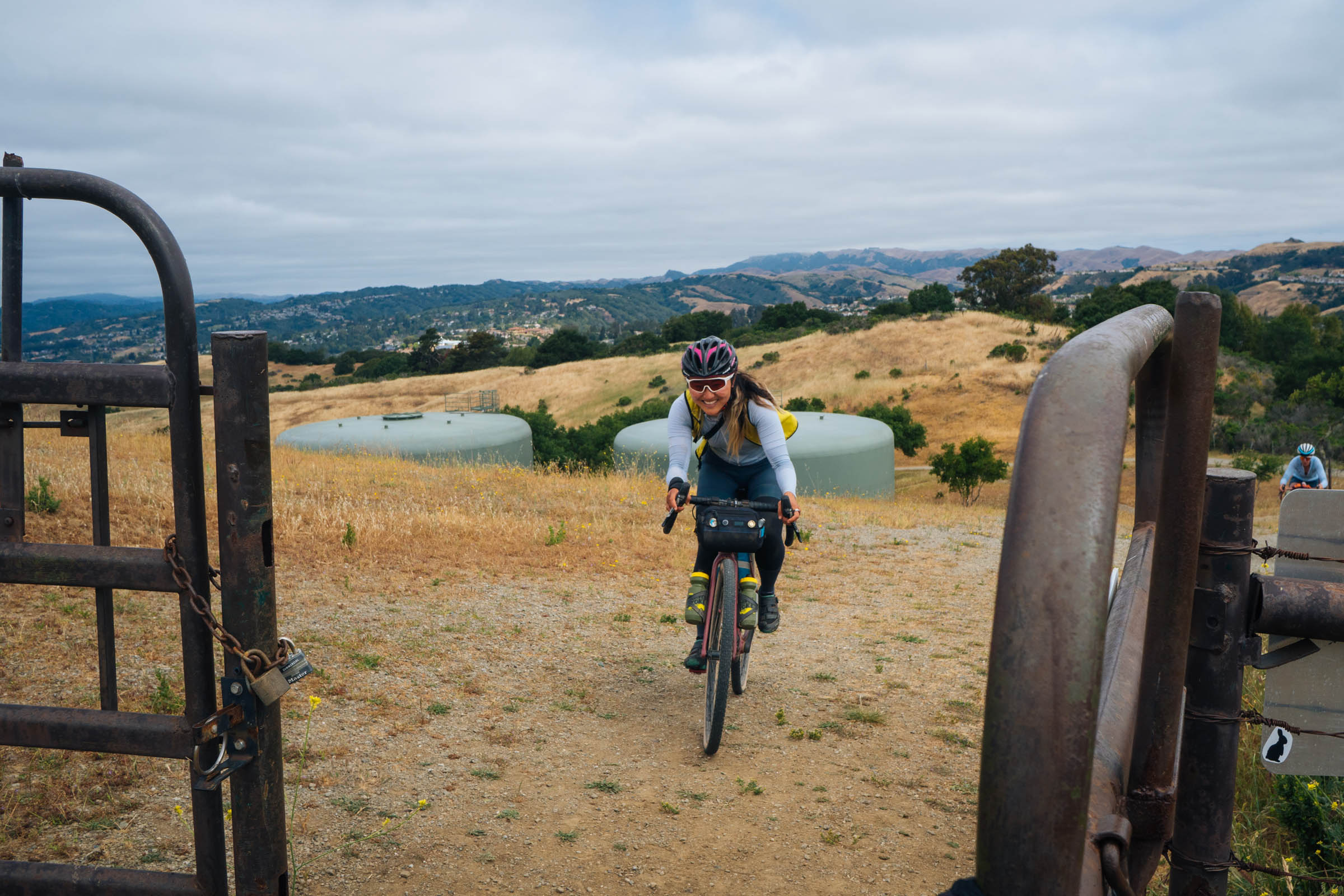
Bay Area Triple Crossover
Distance
161 Mi.
(259 KM)Days
3-4
% Unpaved
65%
% Singletrack
5%
% Rideable (time)
99.9%
Total Ascent
14,860'
(4,529 M)High Point
2,023'
(617 M)Difficulty (1-10)
5?
- 6Climbing Scale Moderate92 FT/MI (17 M/KM)
- -Technical Difficulty
- -Physical Demand
- -Resupply & Logistics
Contributed By
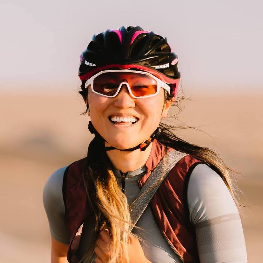
Emily Bei Cheng
Alpinemily
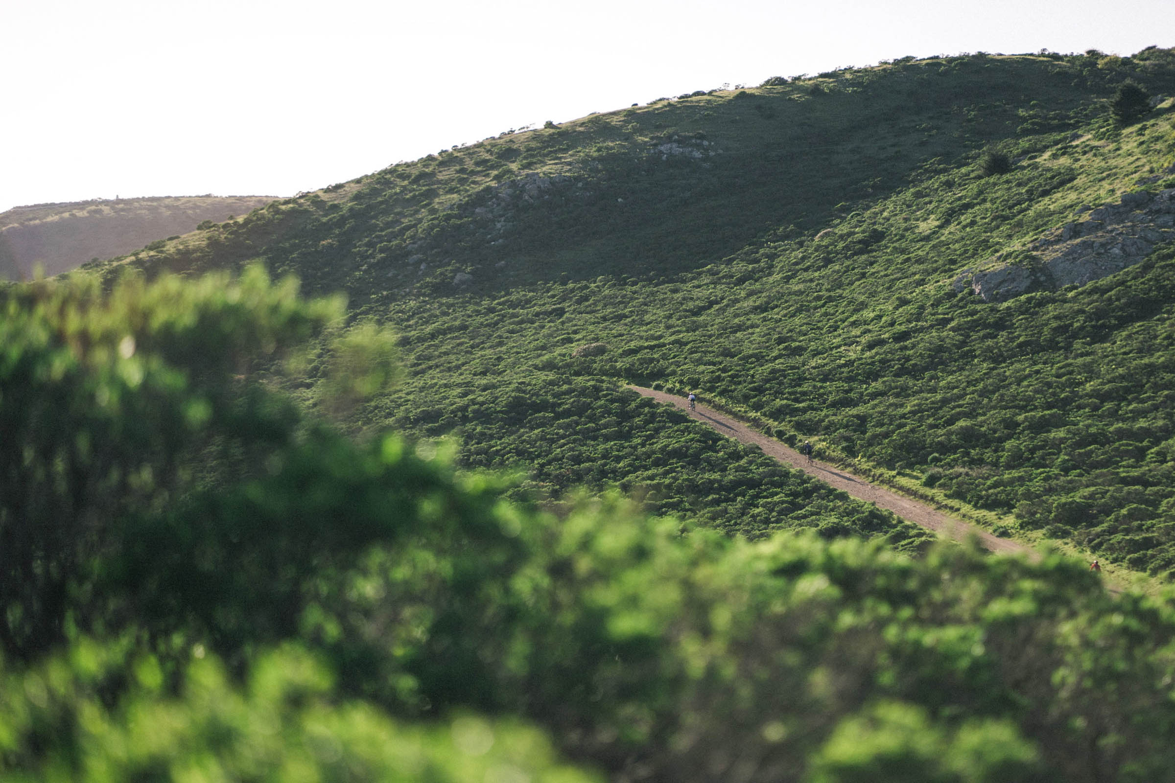
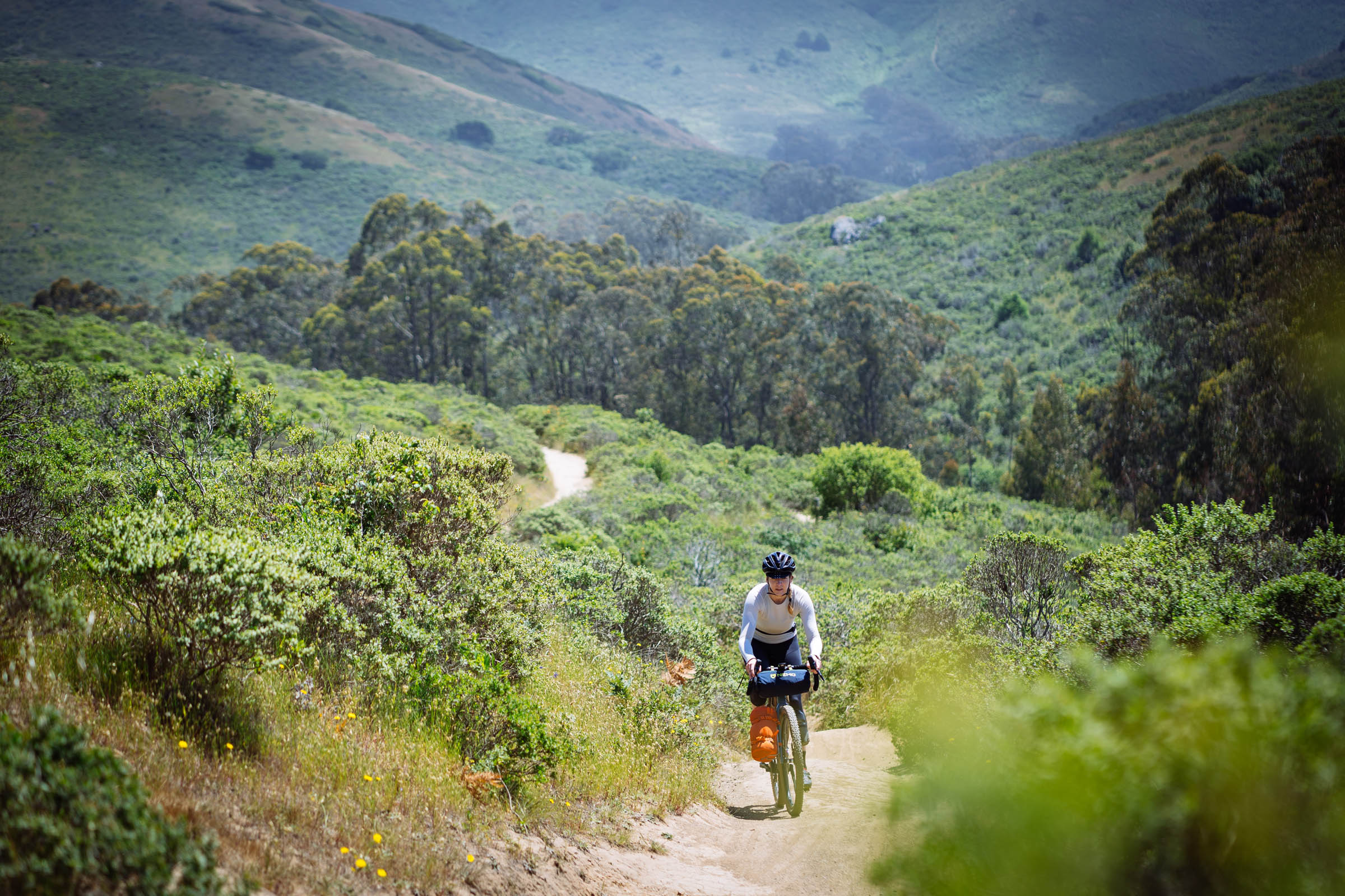
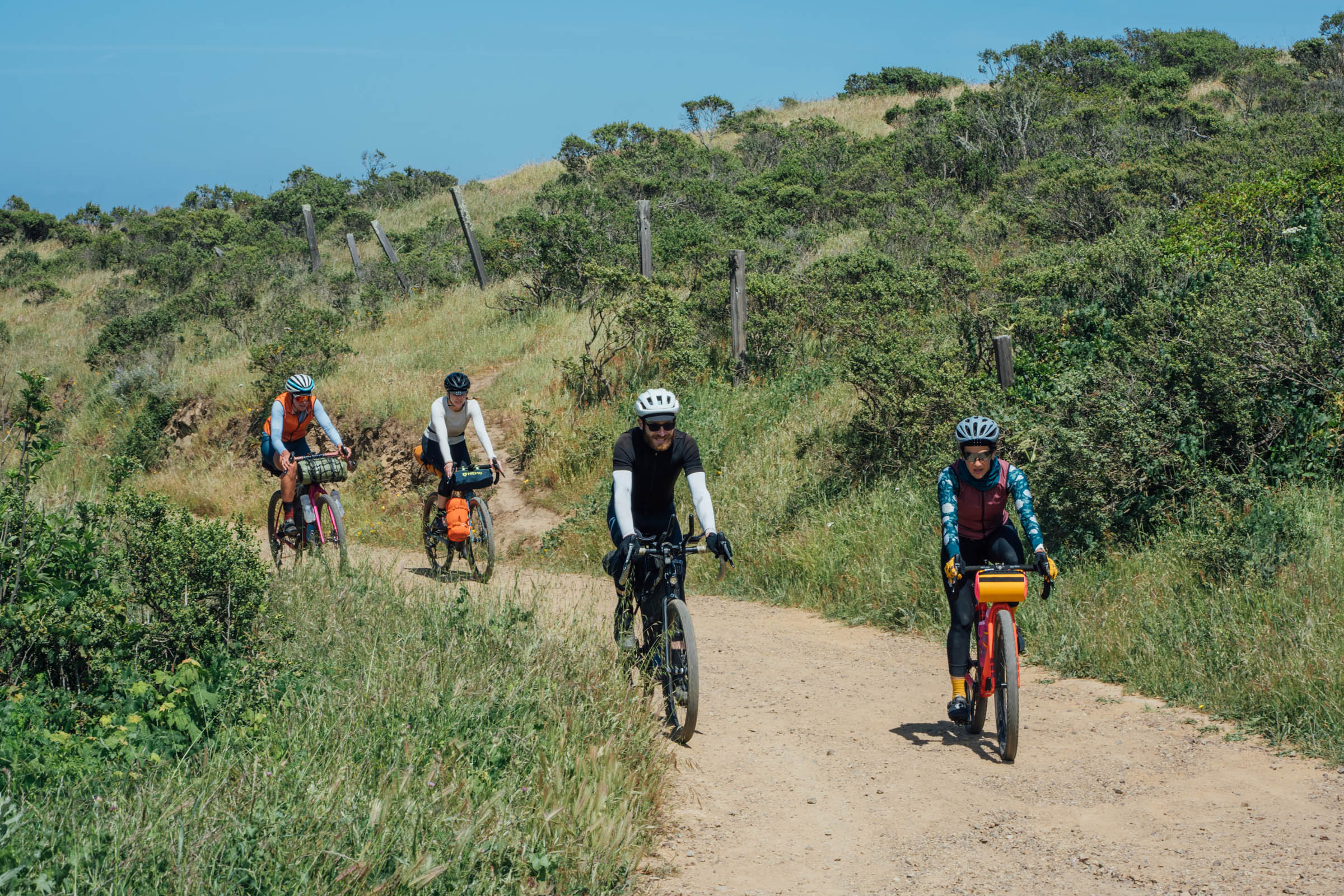
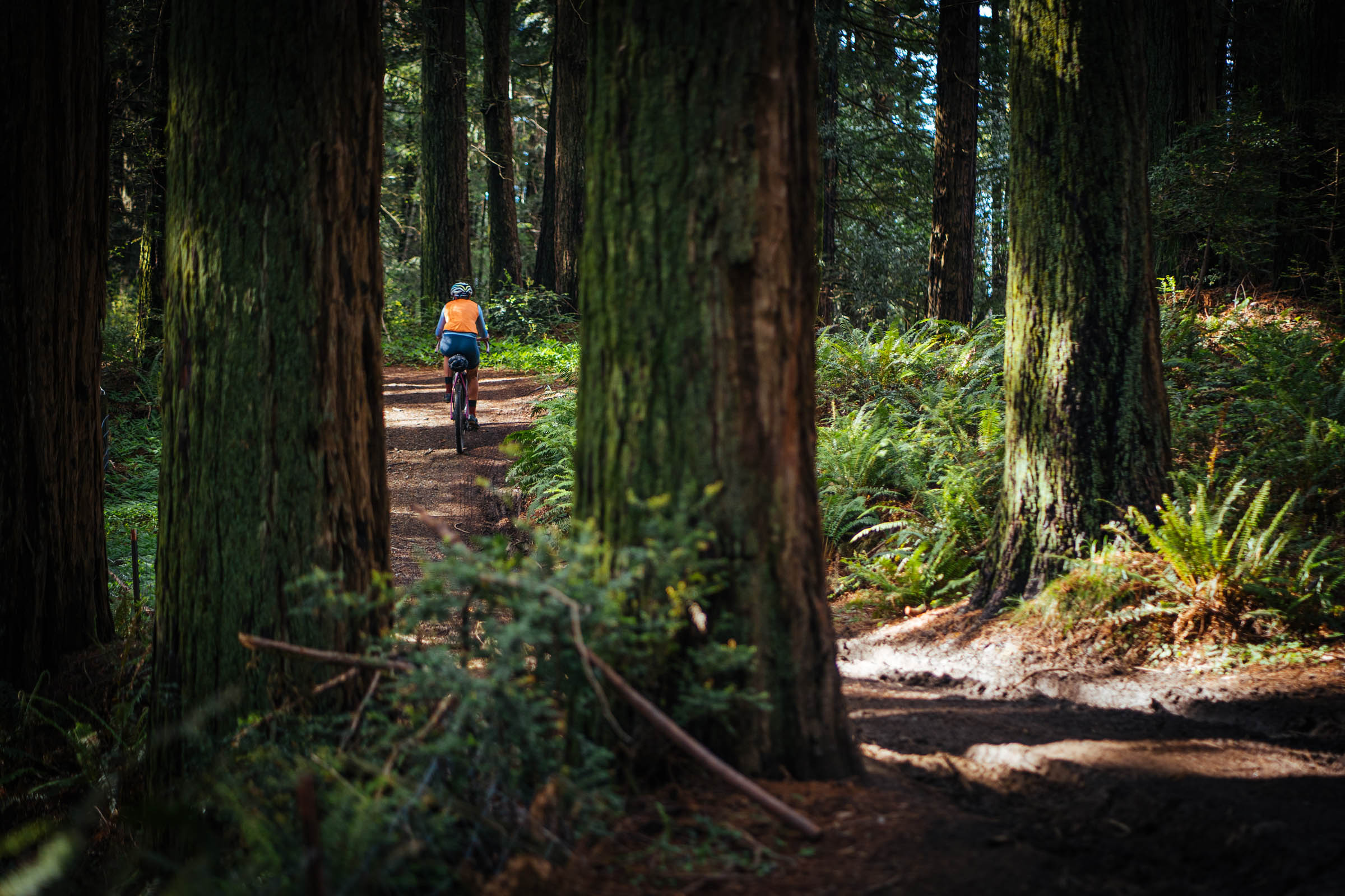
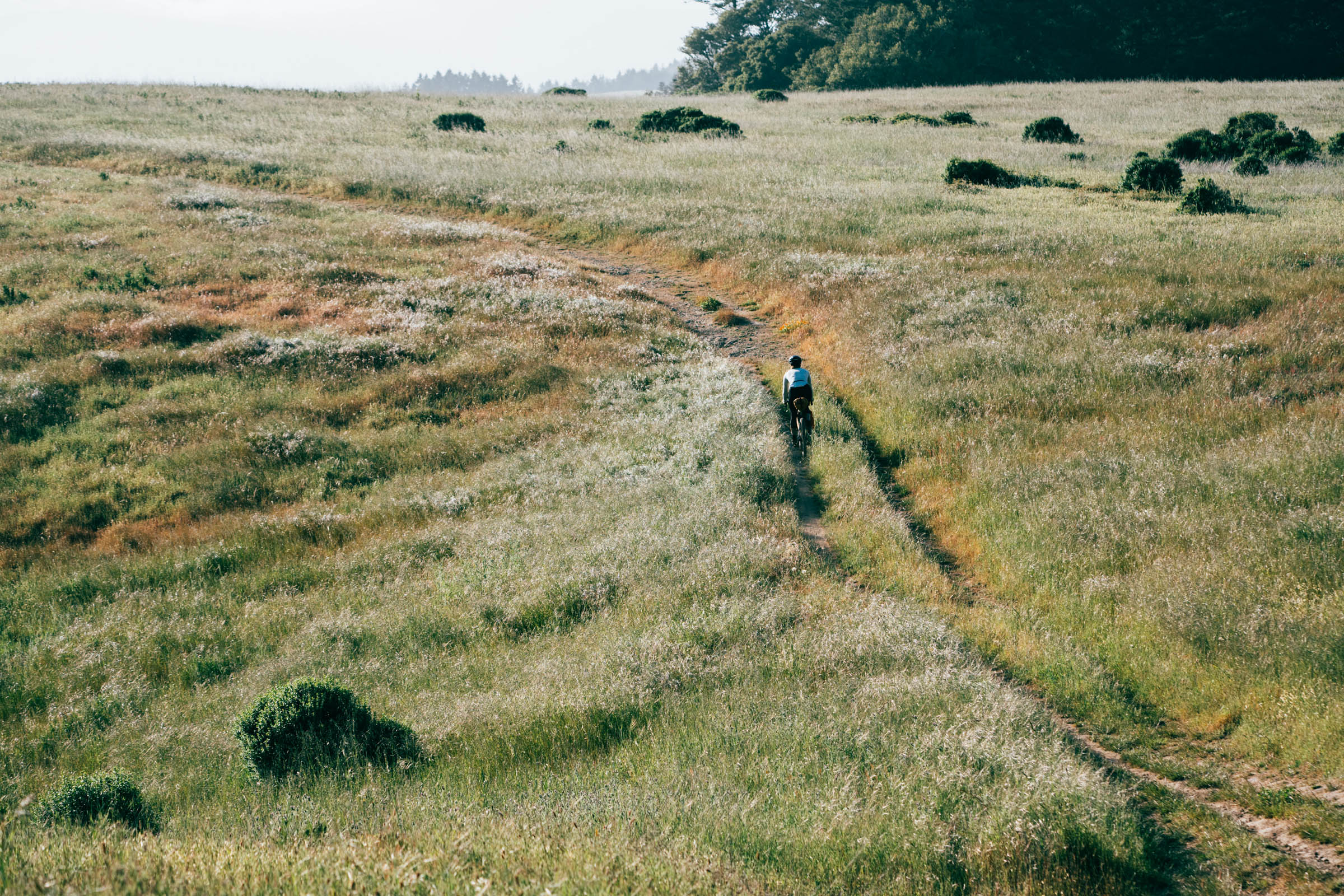
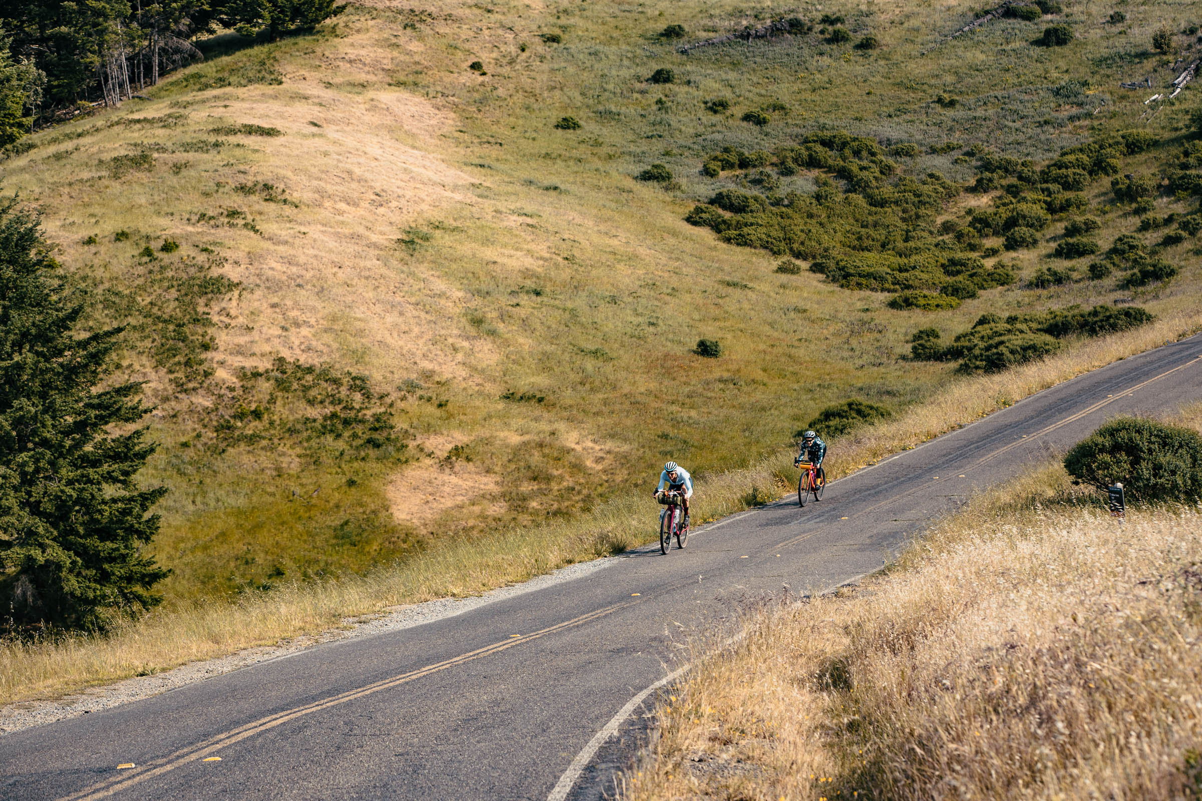
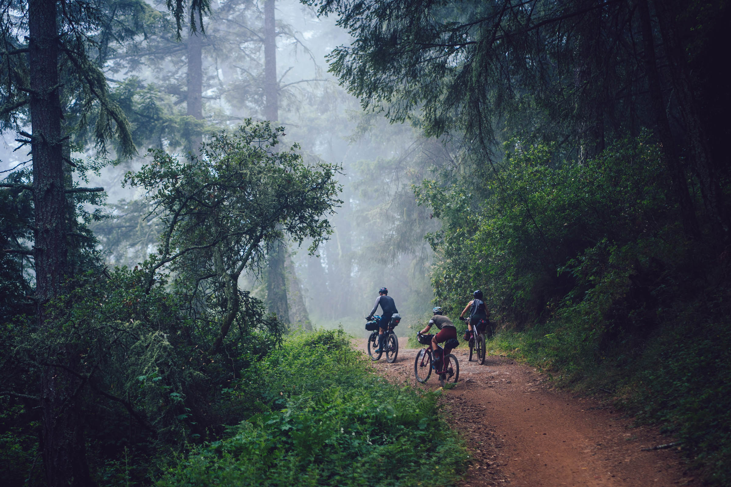
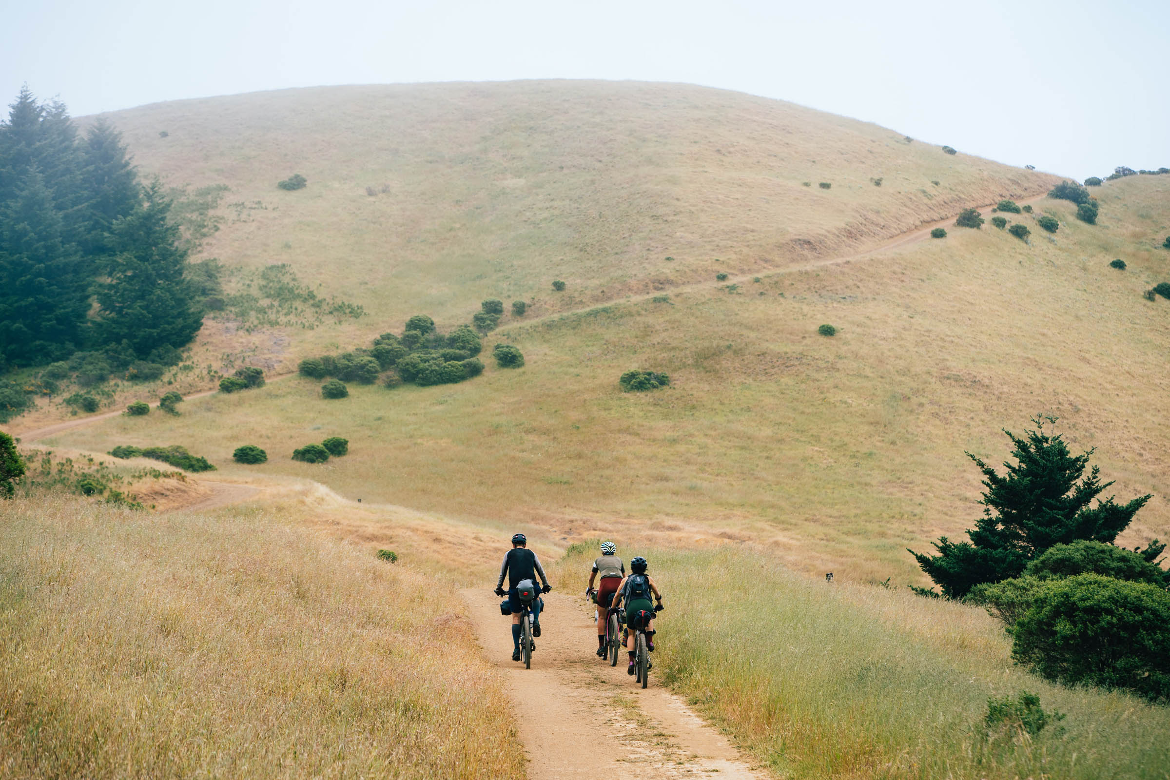
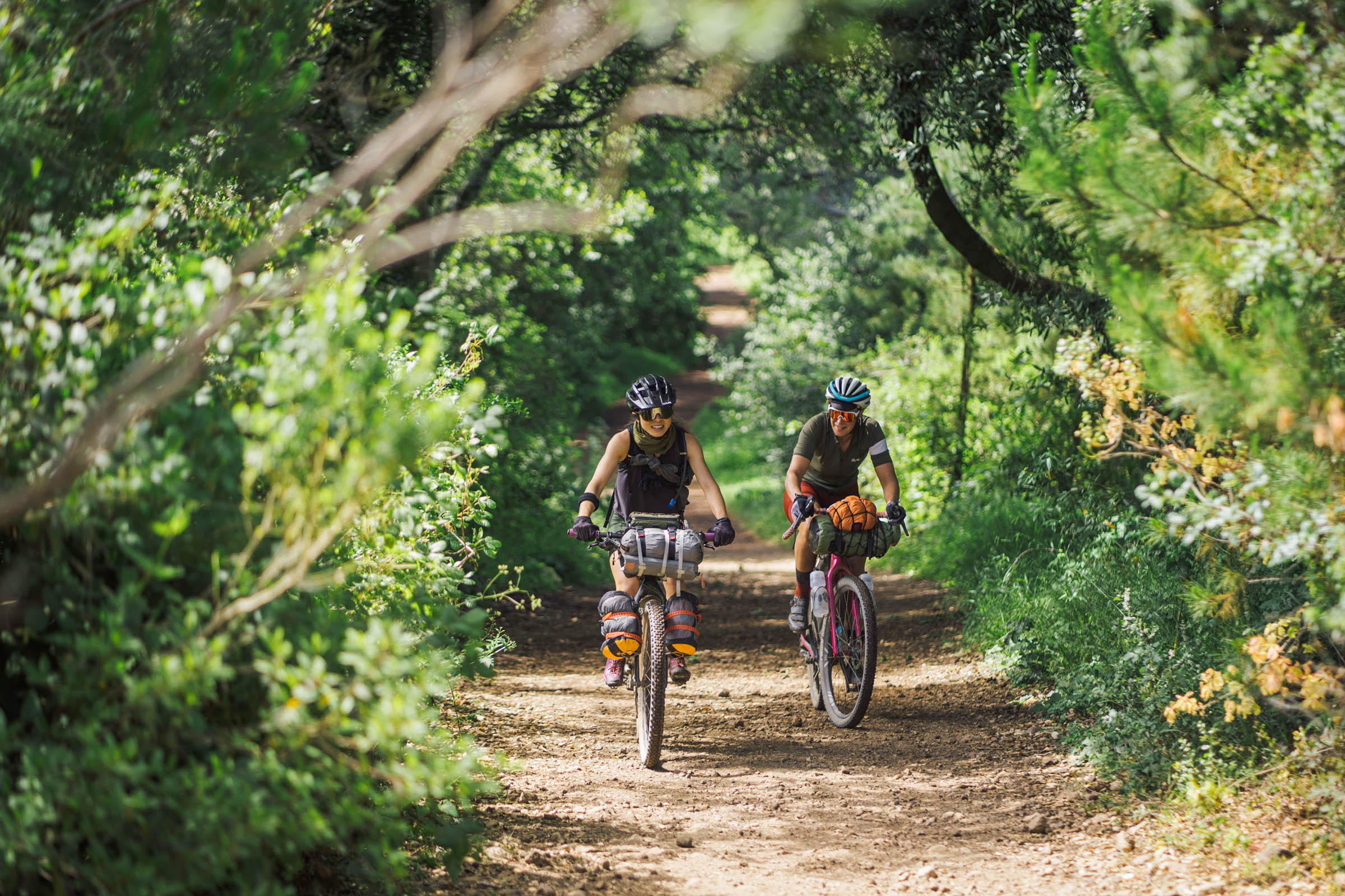
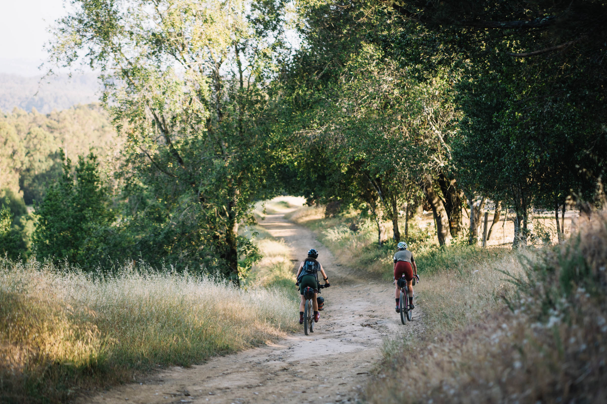
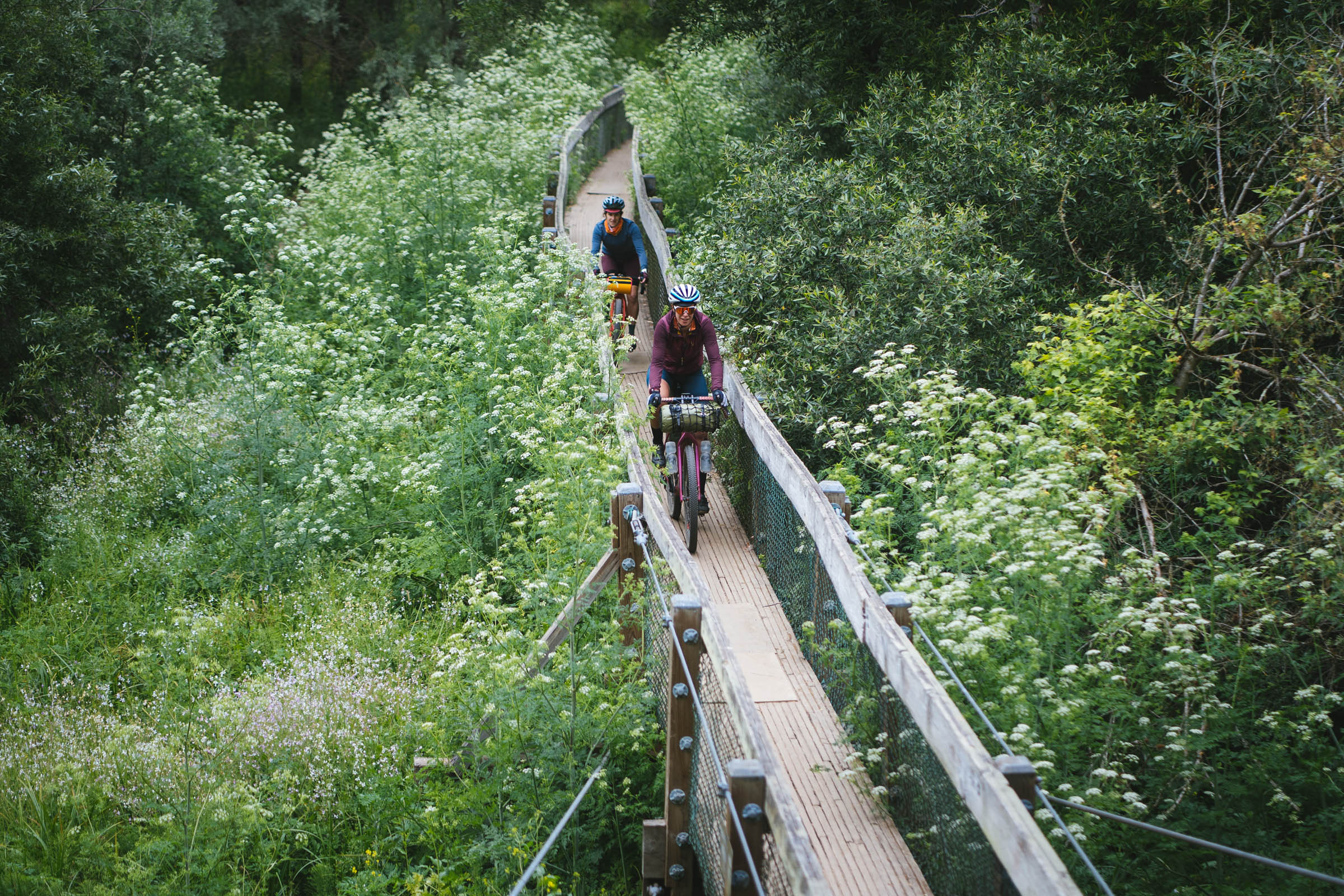
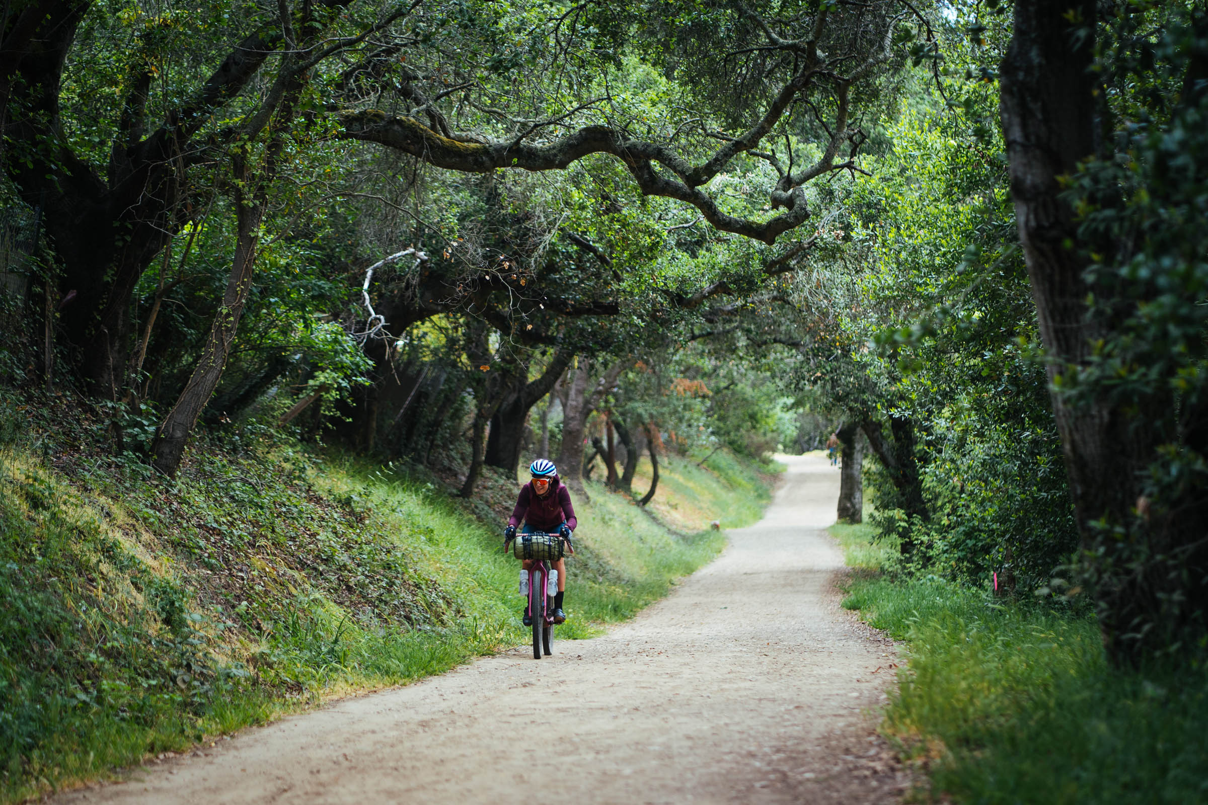
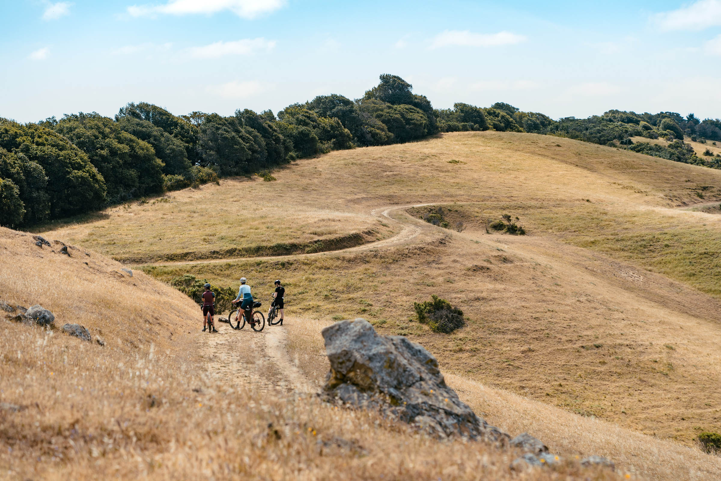
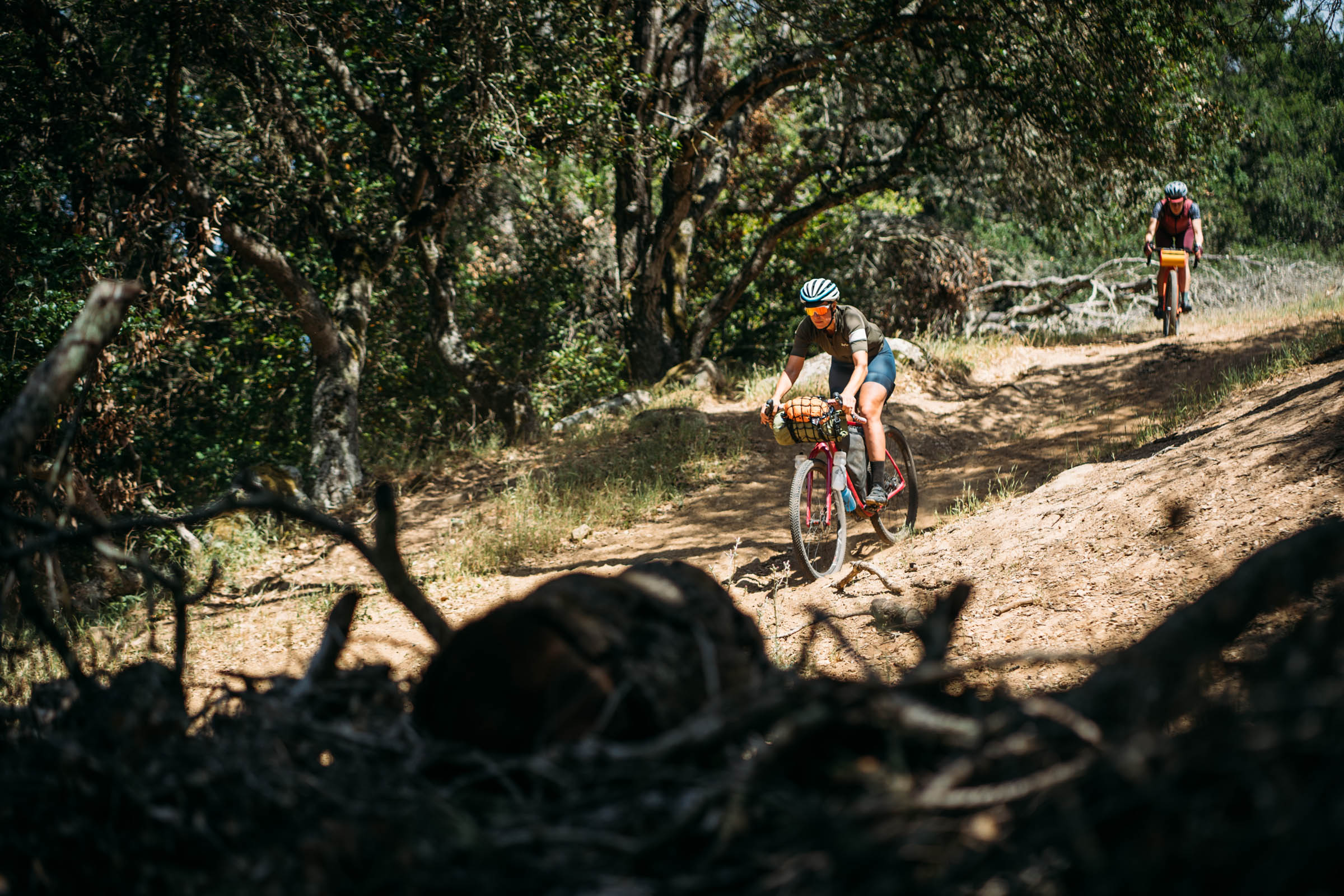
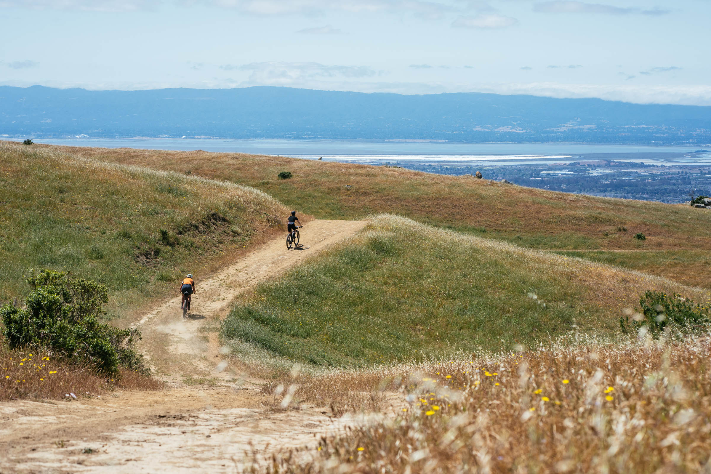
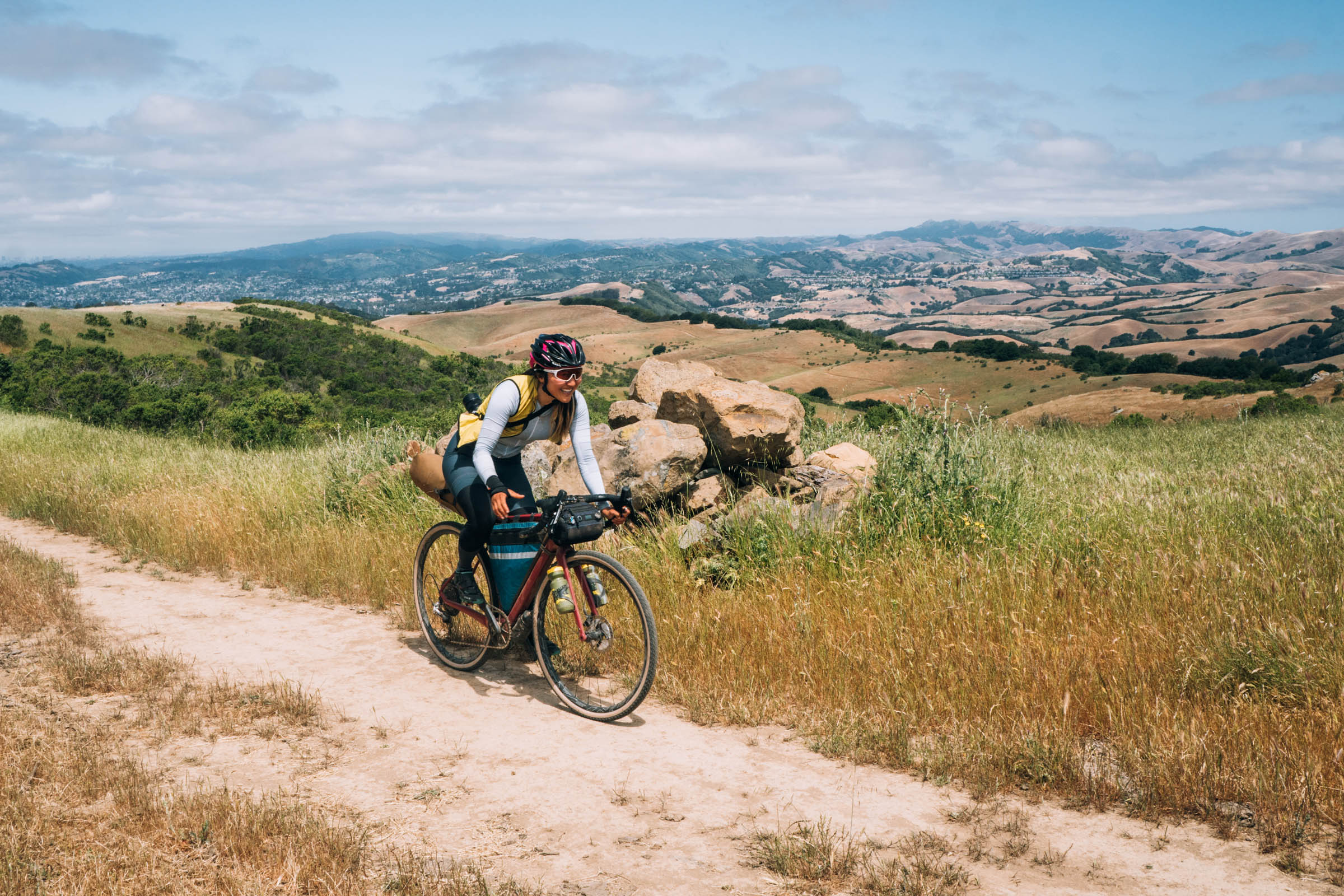
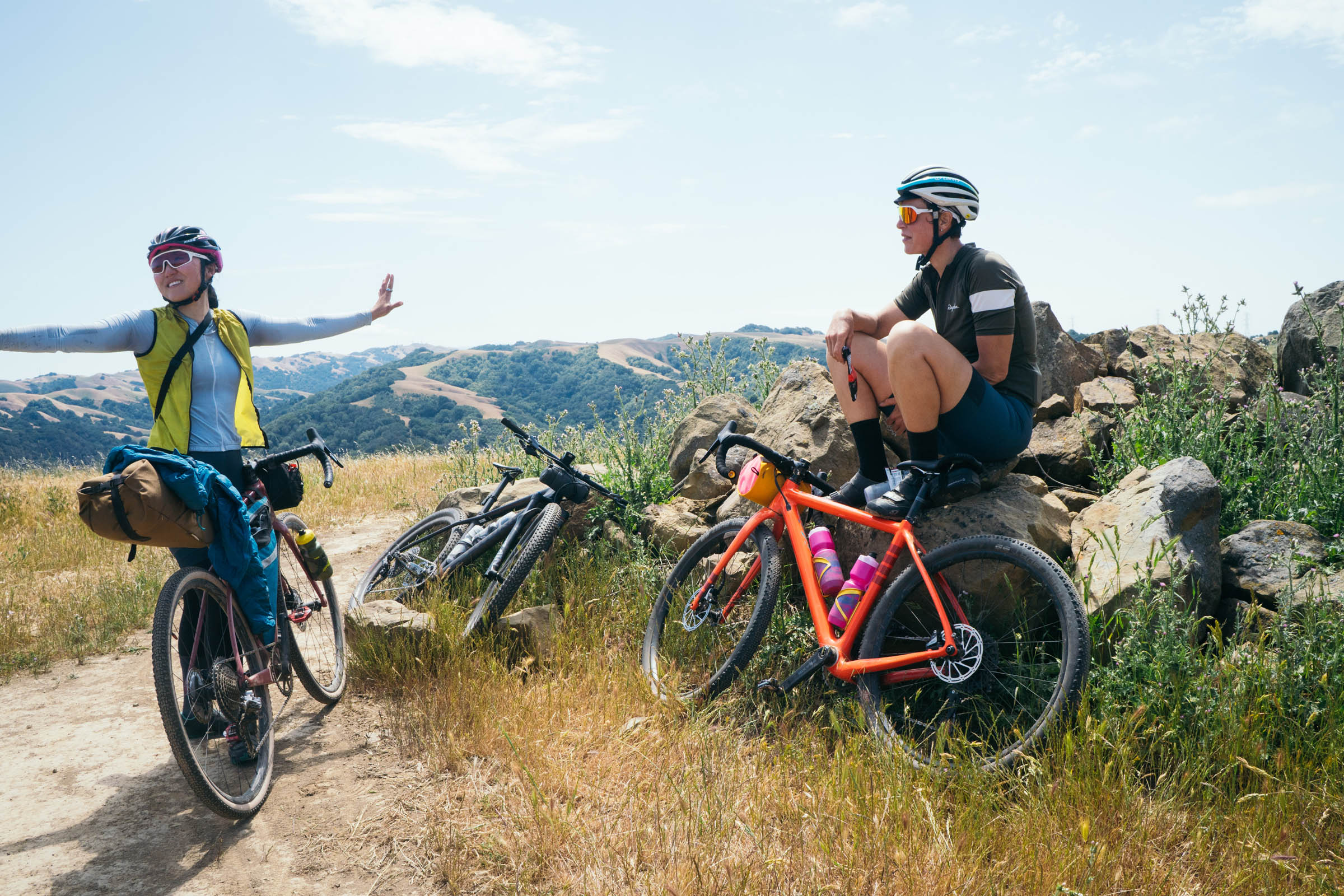
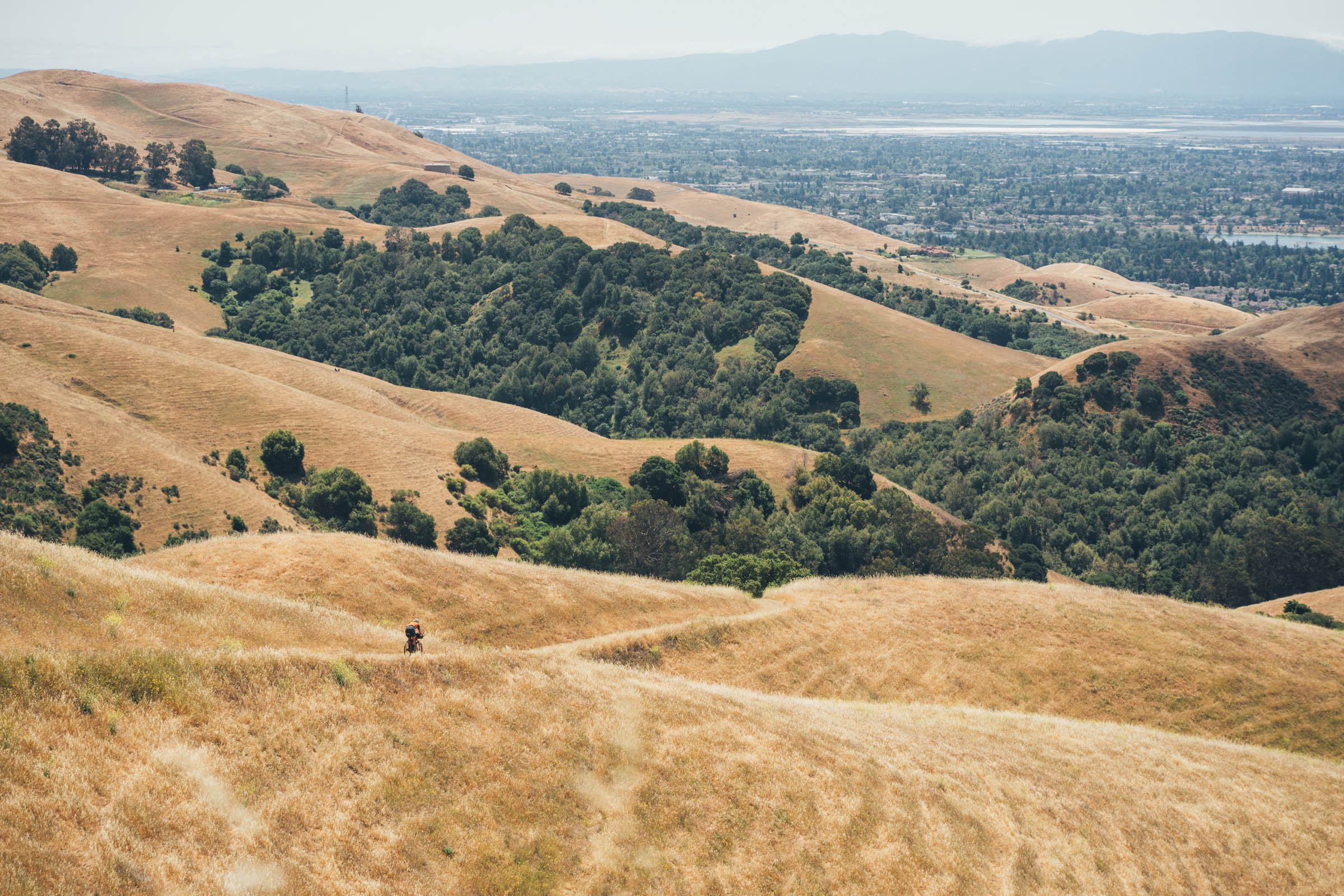
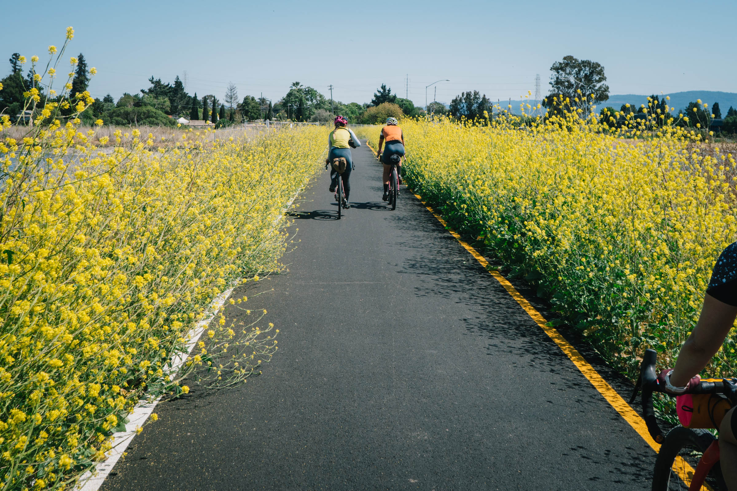
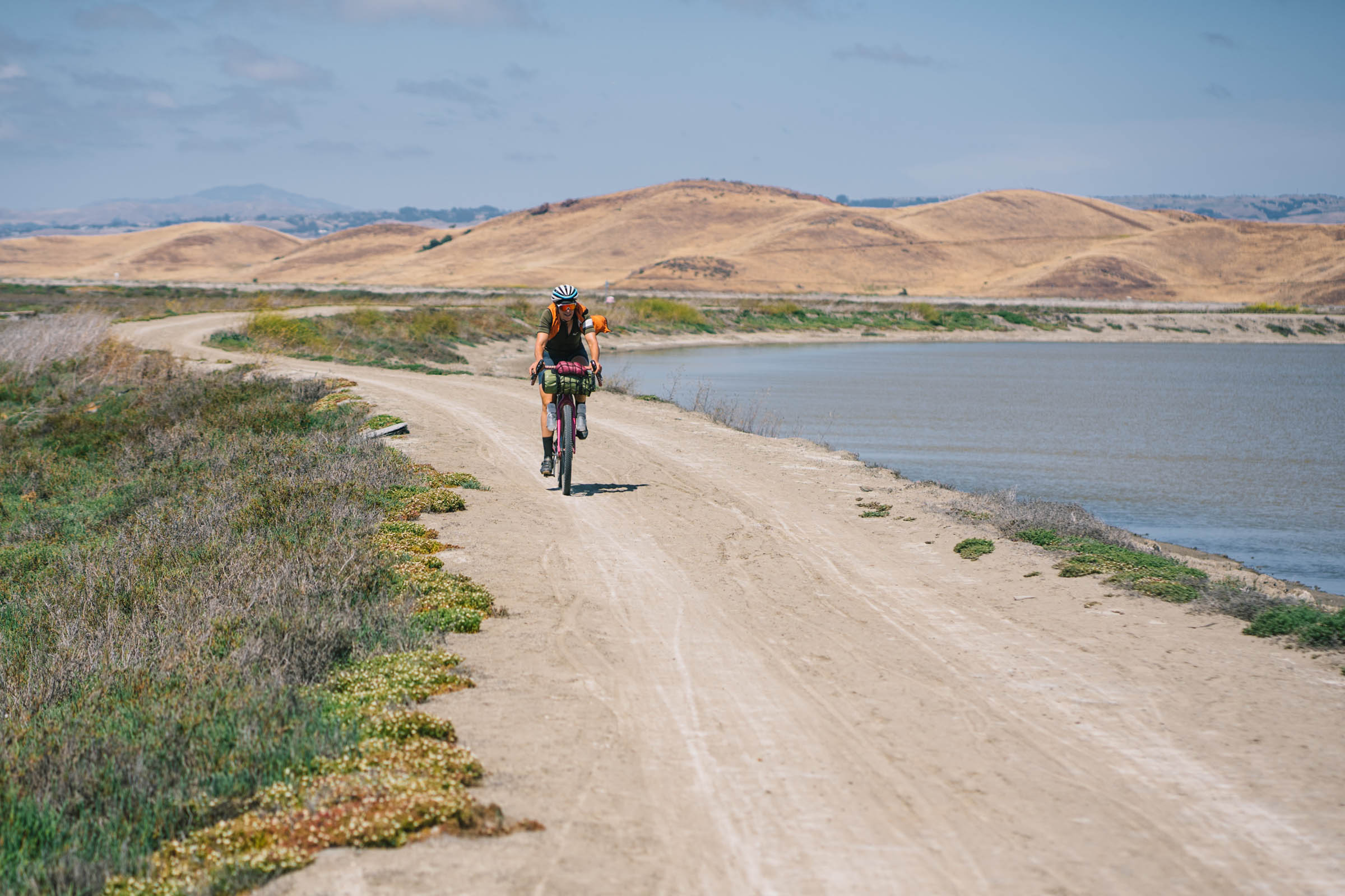
The route begins at the Golden Gate Bridge. After crossing the San Francisco Bay, the first 60 miles travel almost exclusively on peaceful fire roads and singletrack through several ecosystems. Multiple climbs reward the rider with classic California views of the ocean and coastline before the path dips into the shade of redwood and Douglas fir forests. Next, the route crosses the Richmond-San Rafael Bridge, connecting the North and East Bay with 15 miles of bike paths and roads en route to the East Bay hills. Fire roads meander through several regional parks, briefly interconnected by short stretches of paved roads that open up to stunning views over the bay and the San Francisco skyline. The final 20 miles cut through the coastal wetlands, an important habitat for migratory shorebirds. Water flanks both sides of these fast-rolling paths through the salt marshes. Completing the route, riders will have traversed from North Bay to East Bay to South Bay, crossing the land of both the Coast Miwok and Ohlone tribes, with a newfound appreciation for natural land that’s preserved so close to the major cities of the Bay Area.
With plenty of bail-out options via public transport, including trains, light rail, busses, and even ferries, this route is easily adjusted to fit the rider’s needs and energy levels. For those hungry for more miles or more climbing, there are endless options to make day two even bigger, steeper, and more technical by diverting onto the singletrack of the Tamarancho trail system. And if that still isn’t enough, to extend the bikepacking trip a few days, why not tack on part of the “SF Peninsula Traverse” to complete the loop around the bay?
Route Difficulty
Overall, we would rate the route a 5 out of 10. It’s not particularly technically difficult (4/10) as the route mainly follows good fire roads and smooth singletrack, but there are some short and steep sections with some ruts and baby-head sized loose rocks. The route is physically demanding (8/10) with lots of miles and elevation every day. Day two is especially big at 70 miles and 8,500 feet of climbing, but it’s possible to split this into two shorter days (see Trail Notes below). Resupply and logistics are easy with plenty of bail-out options, access to public transportation, and refuel points (2/10).
Route Development
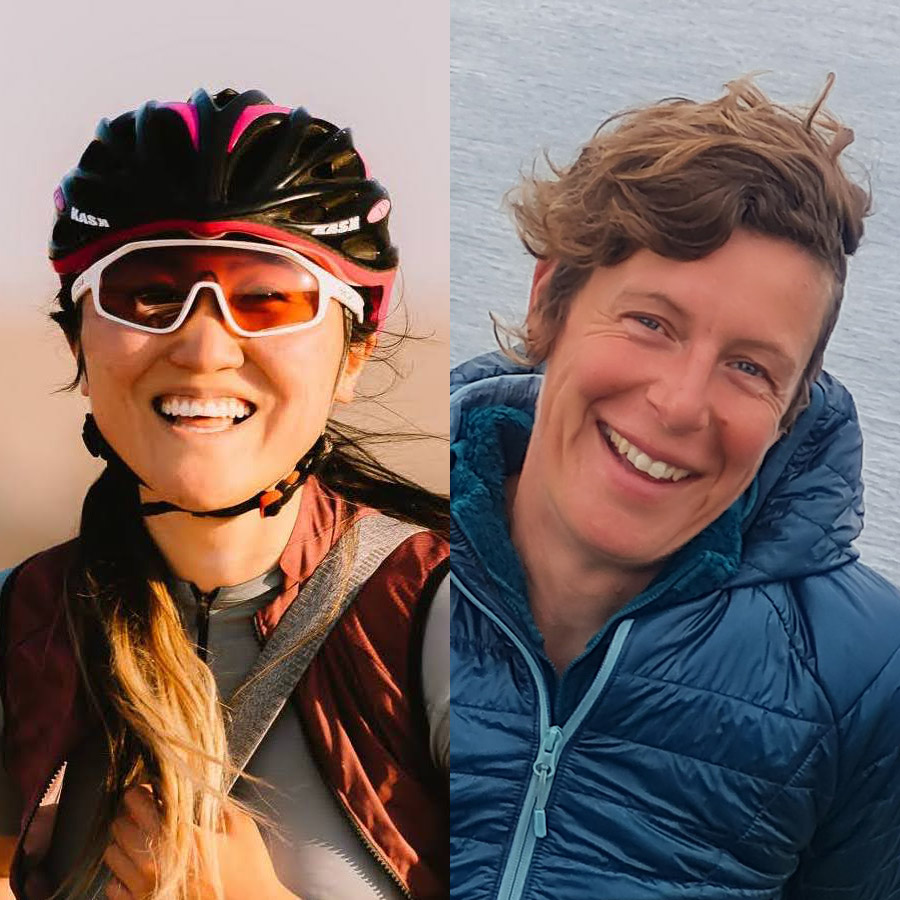 This route was developed by Emily Bei Cheng and Katrin Tomanek. You can learn more about Emily and see her other routes here. Following a decade of rock climbing and mountaineering, Katrin bikepacked her way around California and Oregon and explored California’s Pacific Coast by sea kayak over the past three years. Find more on Instagram @katrintomanek.
Also, a shoutout goes to locals Alan Barbaran, Seth Herr, Silas Patlove, and Mike Solis for their help providing suggestions for the East Bay section of the route. Also, check out the North Bay Overnighter, a one-night route that was developed in tandem with this one.


Submit Route Alert
As the leading creator and publisher of bikepacking routes, BIKEPACKING.com endeavors to maintain, improve, and advocate for our growing network of bikepacking routes all over the world. As such, our editorial team, route creators, and Route Stewards serve as mediators for route improvements and opportunities for connectivity, conservation, and community growth around these routes. To facilitate these efforts, we rely on our Bikepacking Collective and the greater bikepacking community to call attention to critical issues and opportunities that are discovered while riding these routes. If you have a vital issue or opportunity regarding this route that pertains to one of the subjects below, please let us know:
Highlights
Must Know
Camping
Food/H2O
Trail Notes
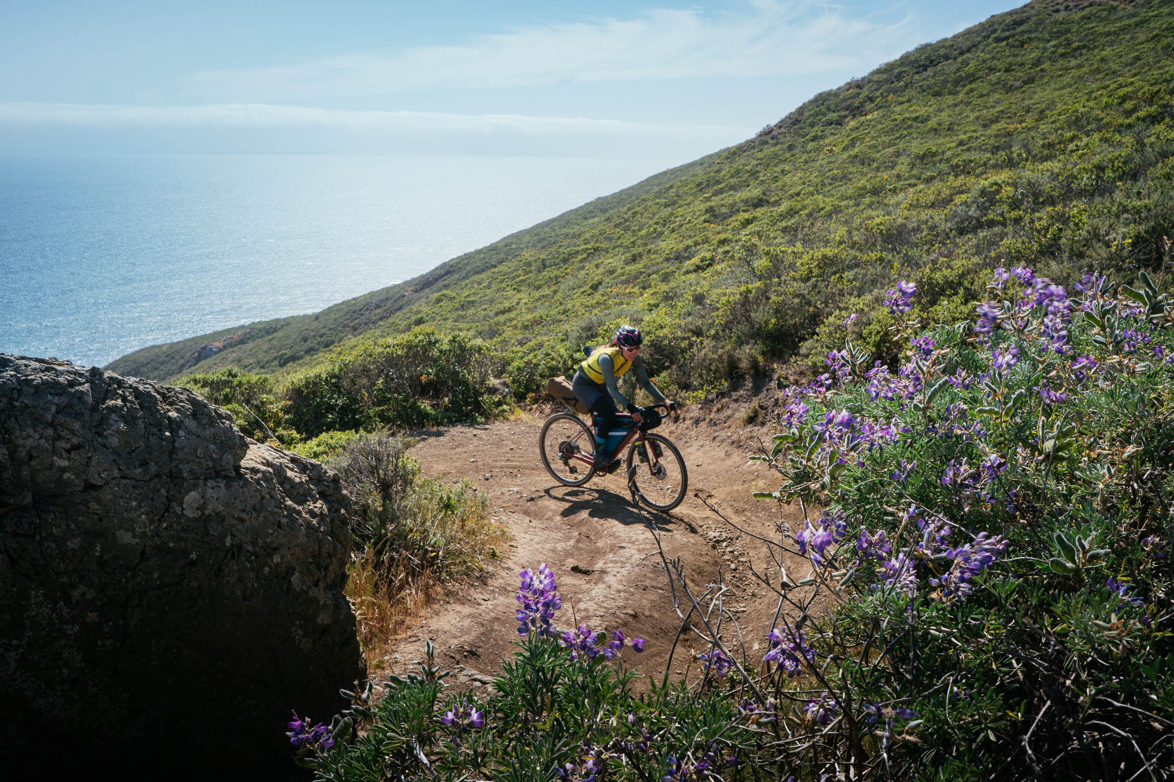
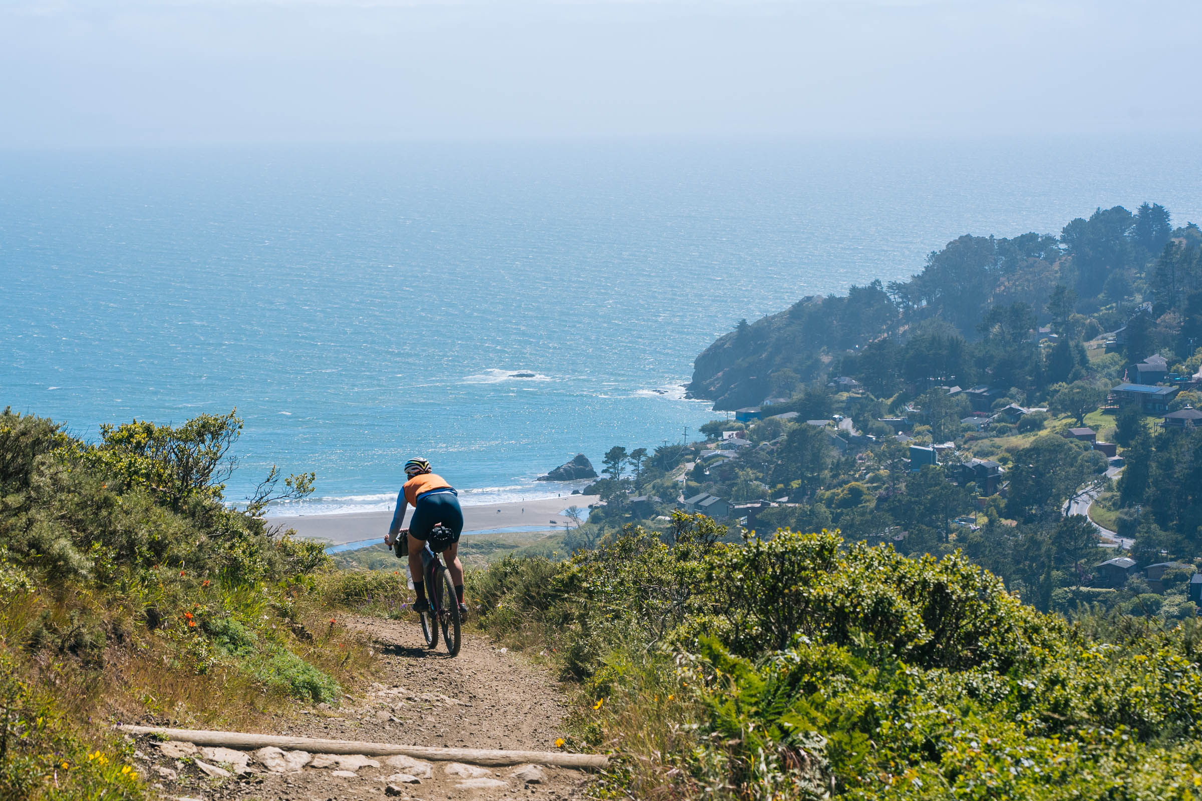
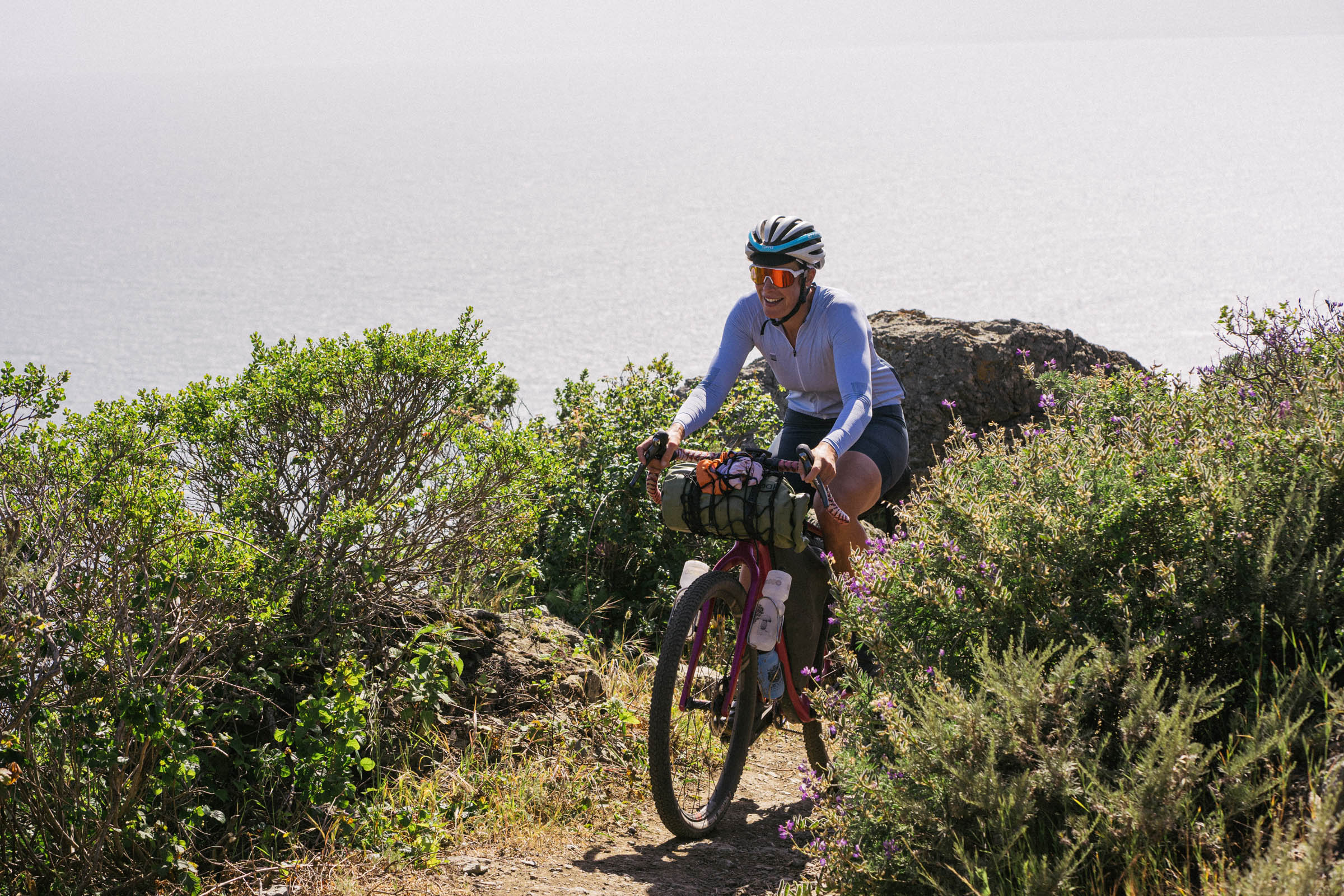
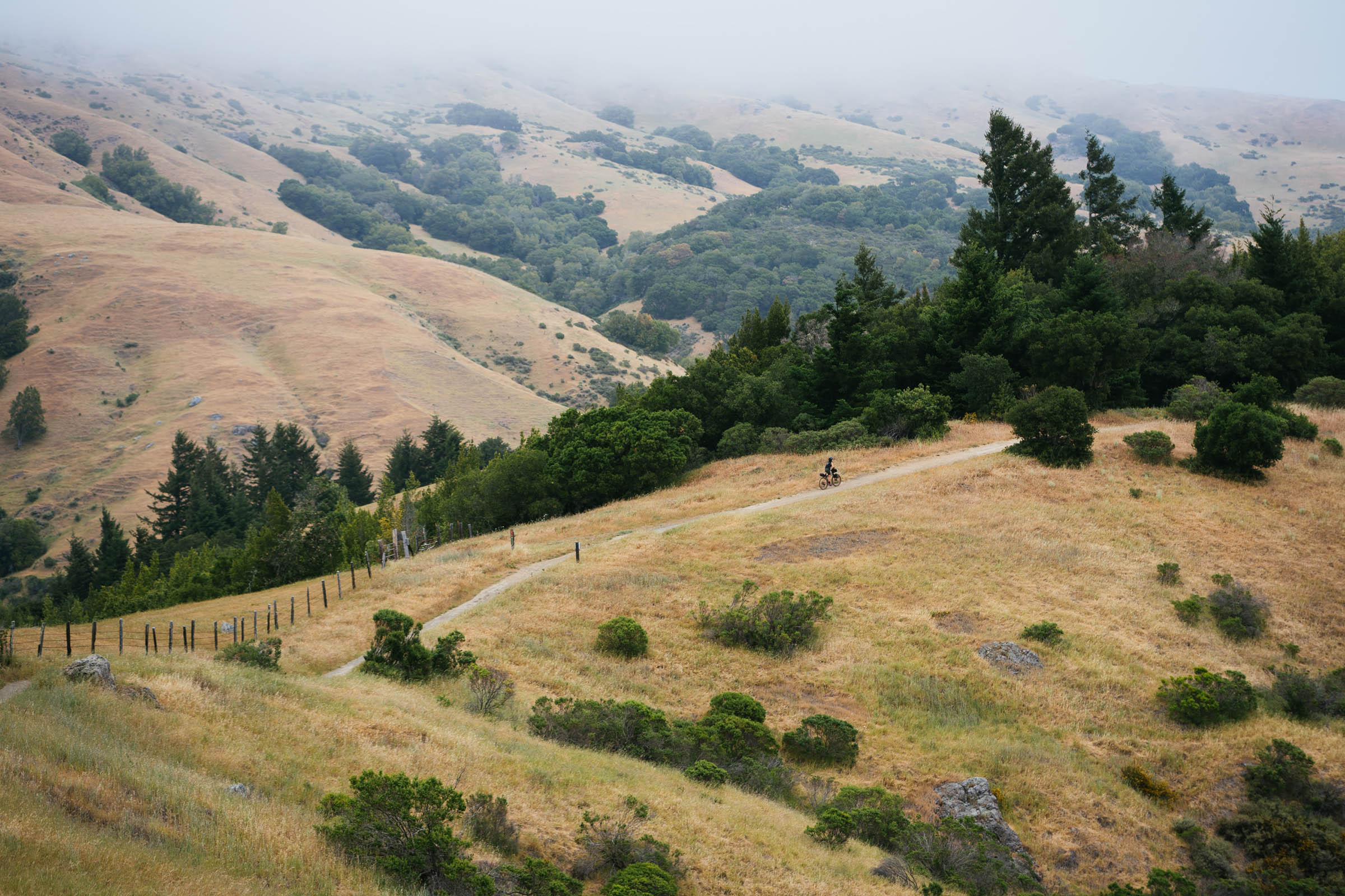
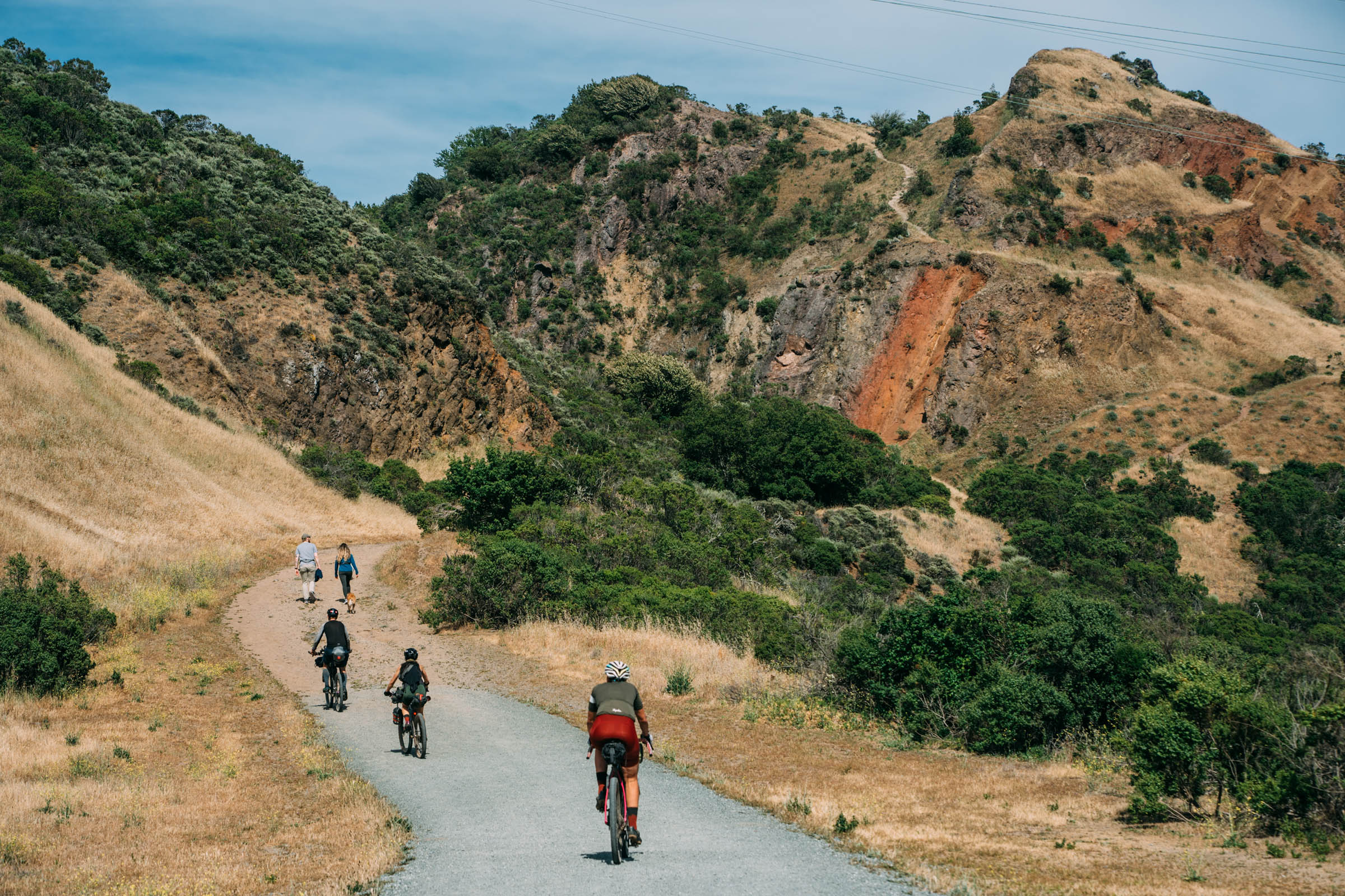
- Dias Ridge Trail and Coast View Trail sport dazzling panoramas of the Pacific Ocean at every turn.
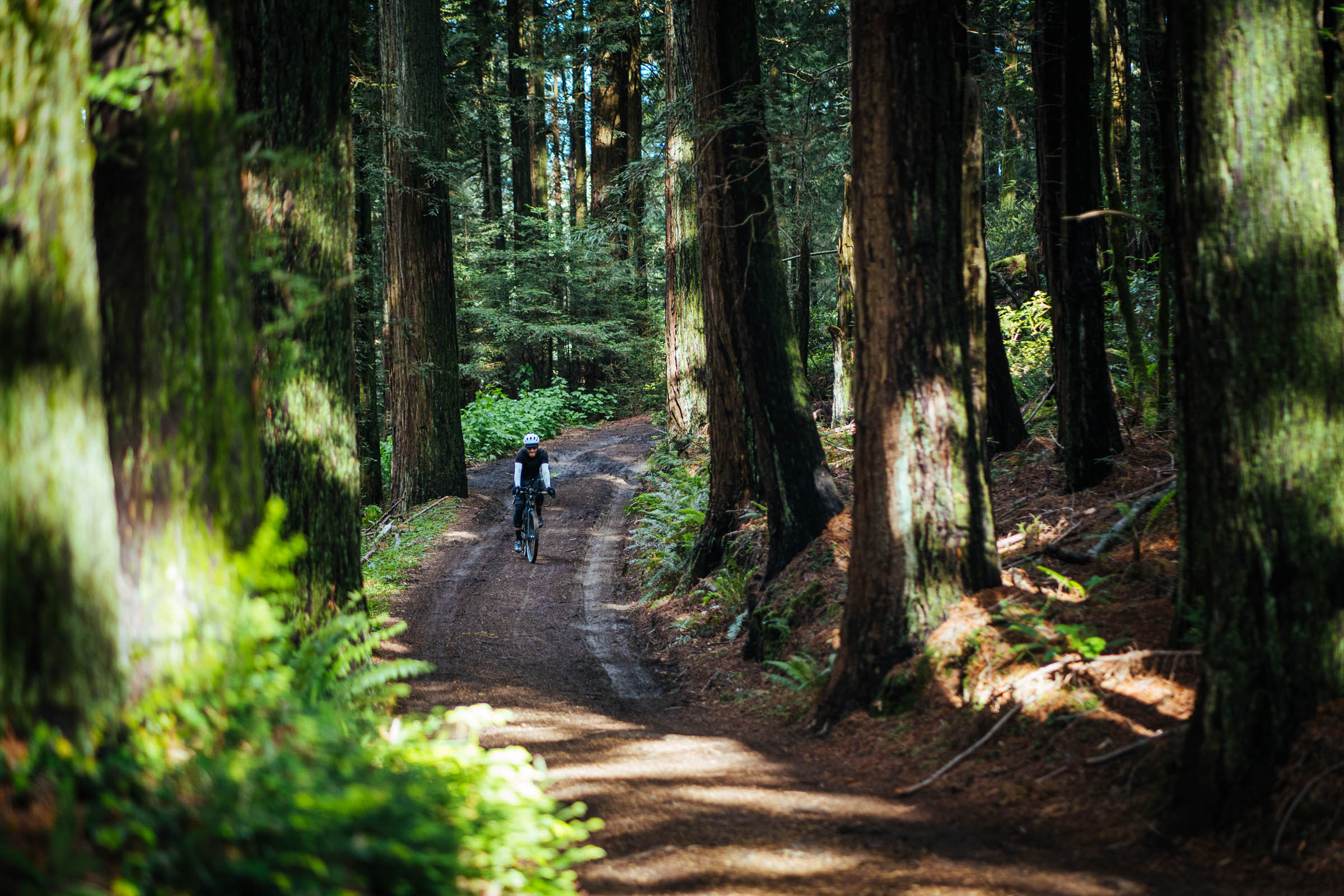
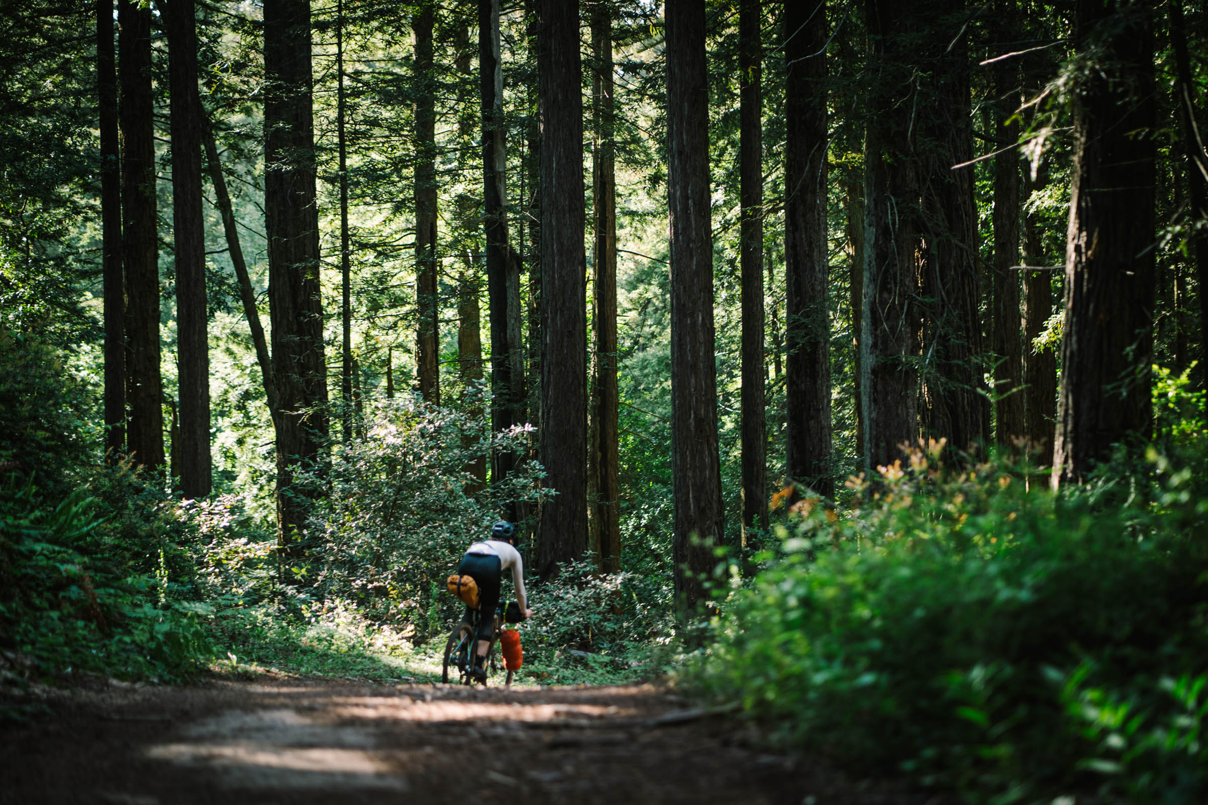
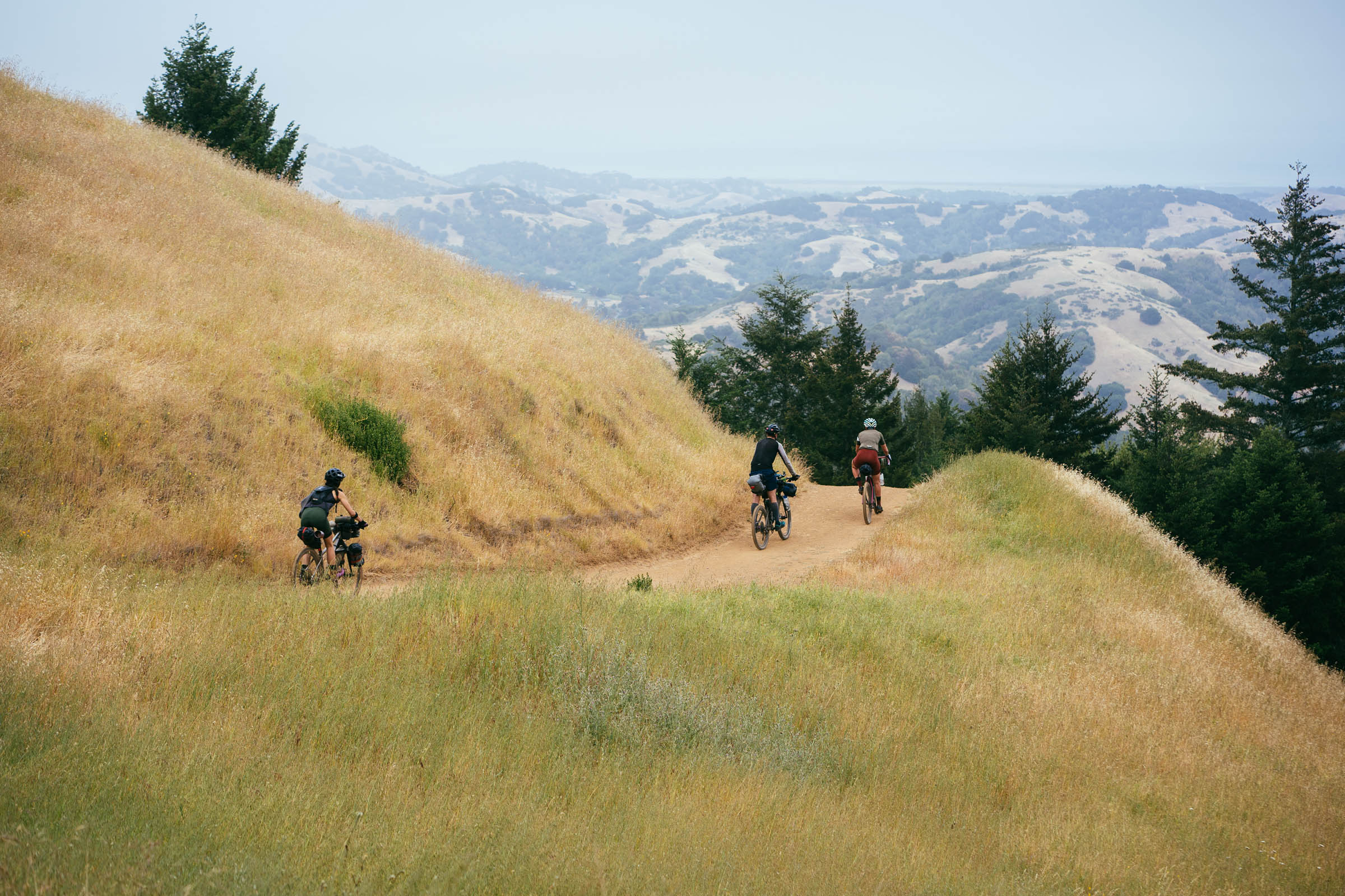
- Paralleling the San Andreas Fault, Bolinas Ridge Trail takes you through a mix of Douglas fir and redwood forests on the south end, to grassy pasture with panoramic views toward Tomales Bay to the north.
- Marin County is the birthplace of mountain biking, and there’s even a museum in Fairfax: the Marin Museum of Bicycling.
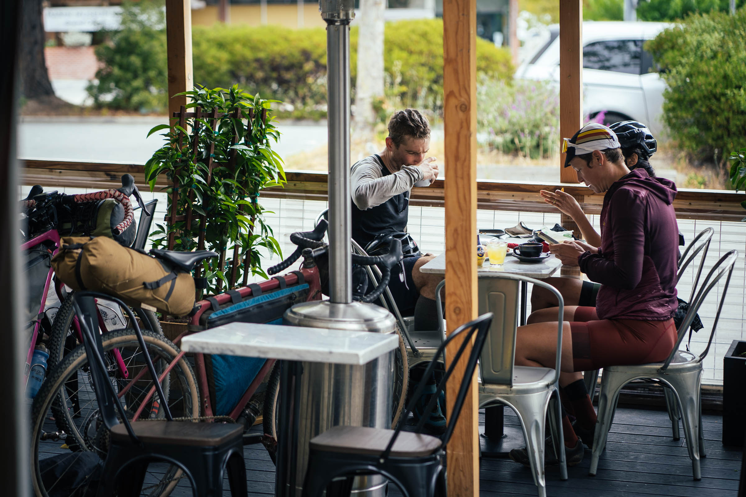
- Grab some sausages and beers at the bike-friendly Gestalt Haus in Fairfax.
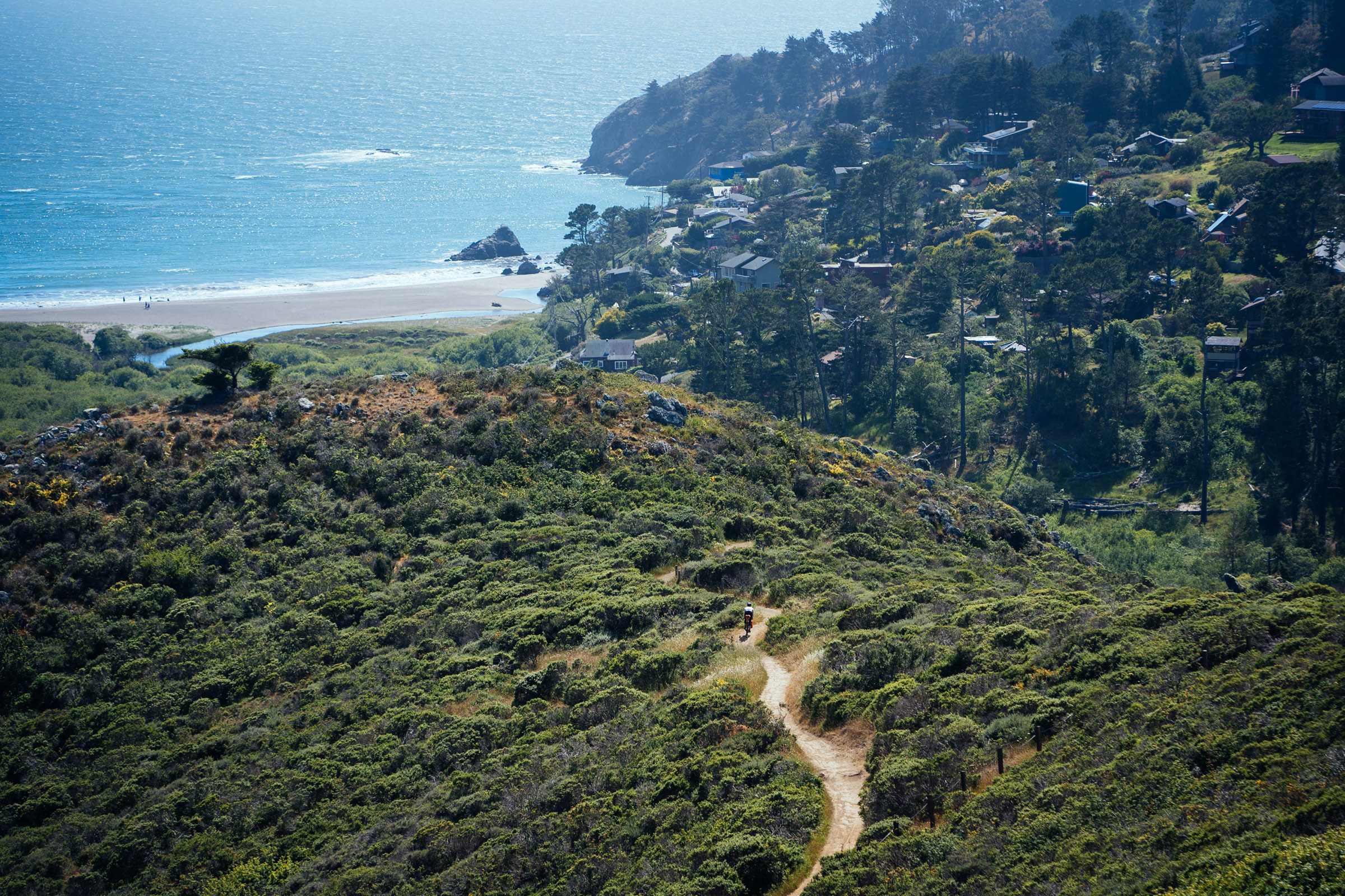
- Chill at Muir Beach. You can get great food at the nearby Pelican Inn.
- Views of the Bay Bridge, Golden Gate Bridge, and the skyline of San Francisco and Alcatraz from Grizzly Peak Overlook.
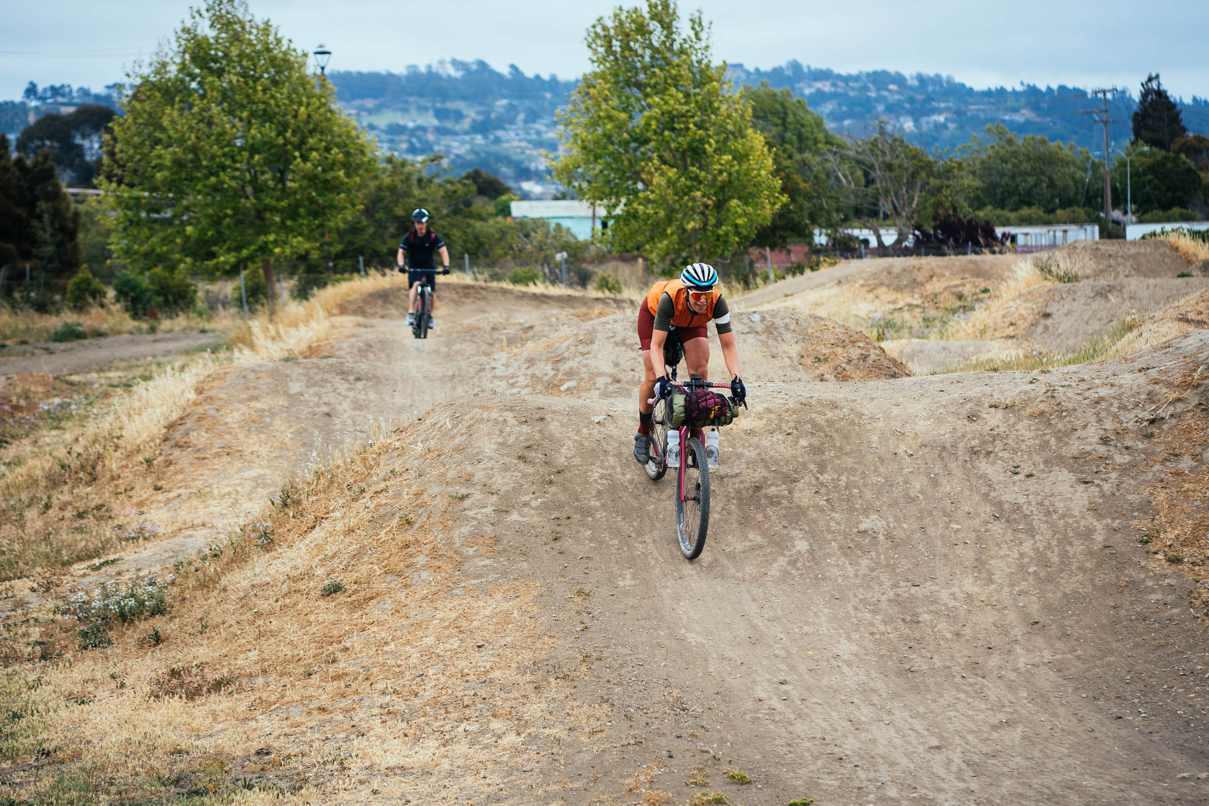
- For a change of pace from nature riding, take a short detour to Richmond’s pump track for a little urban BMX.
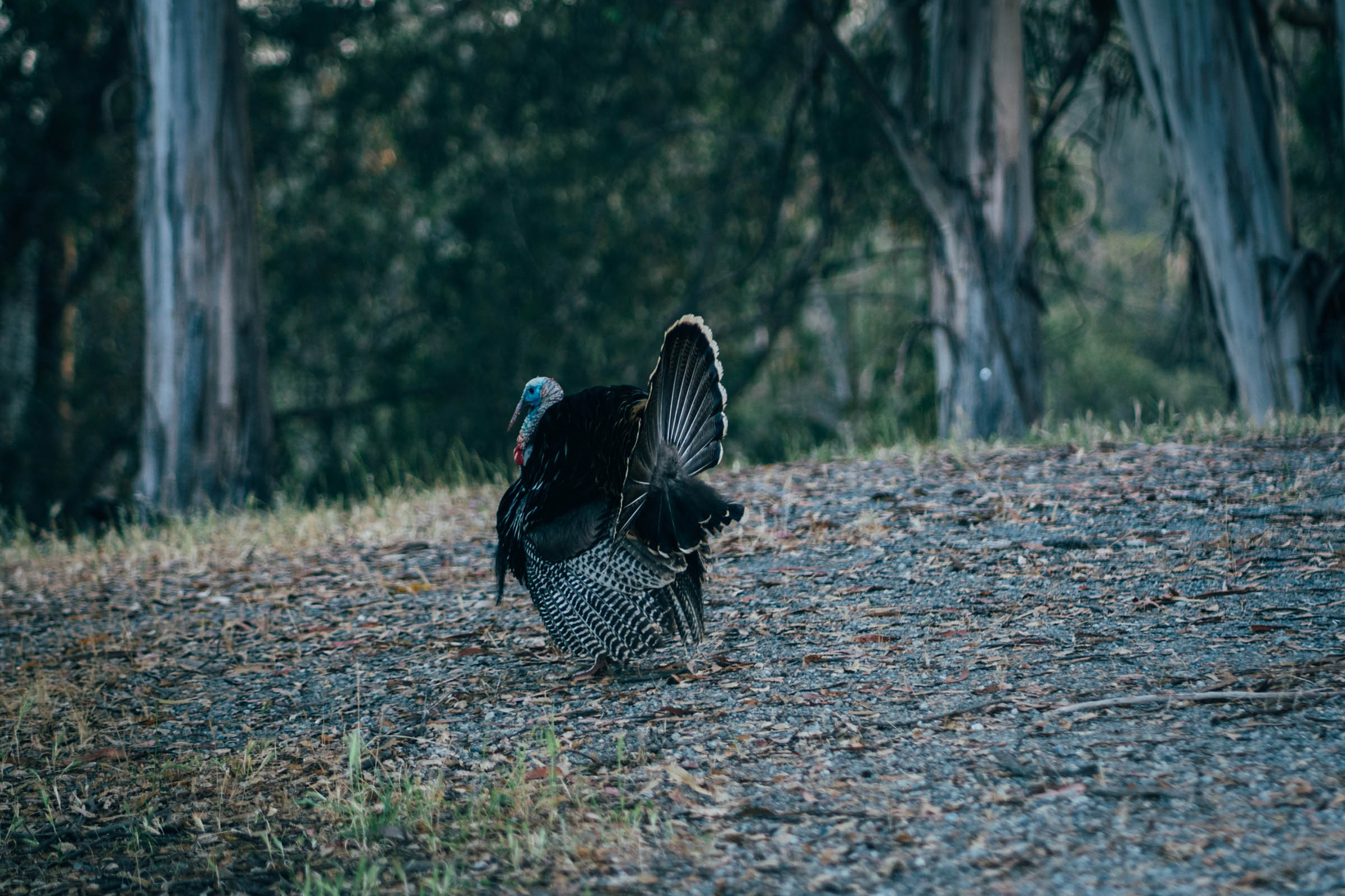
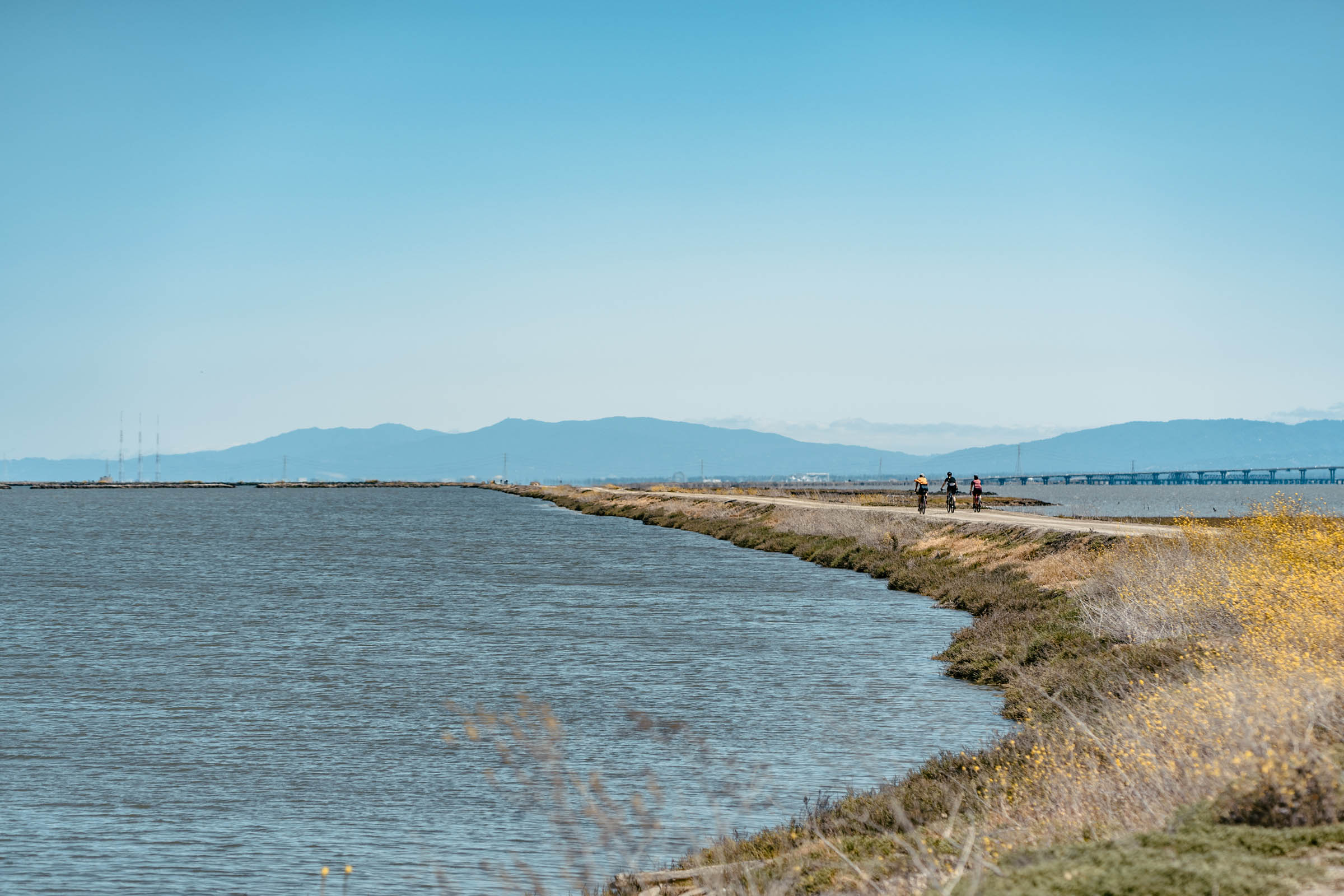
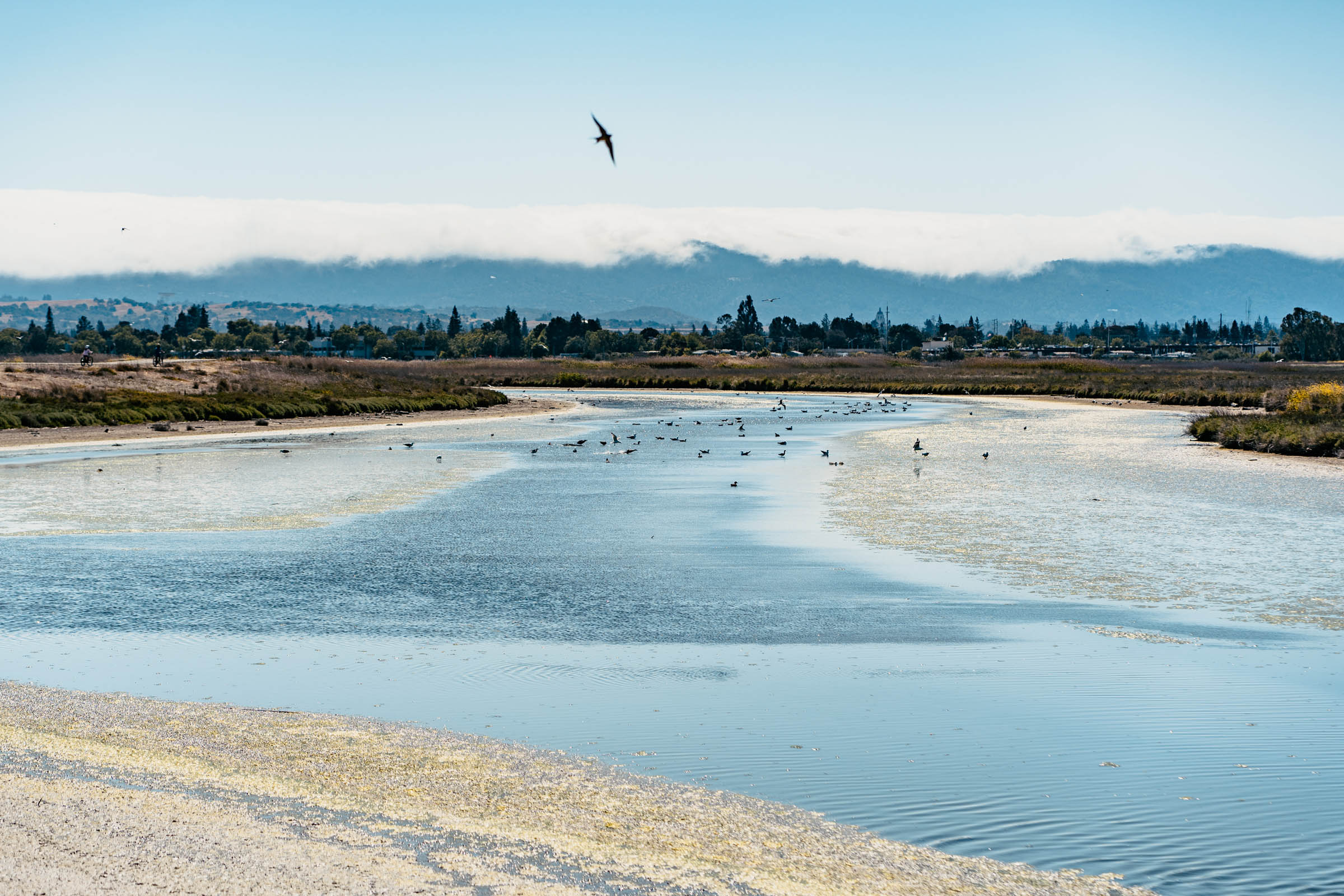
- Don Edwards Bay National Wildlife Refuge has prime birdwatching, riding unique gravel paths that are flanked by water on both sides.
- This route can be done all year round. Bring layers and be prepared for a wide temperature range. The North Bay is often foggy and on the colder spectrum, while the East Bay and South Bay can be very warm.
- Bring cash with exact change to pay the “iron ranger” at the campgrounds.
- A lot of poison oak grows in the Bay Area. The poison oak is avoidable on this route, but make sure you know how to identify the plant. You can also bring Tecnu to get the oils off your skin if there is accidental contact.
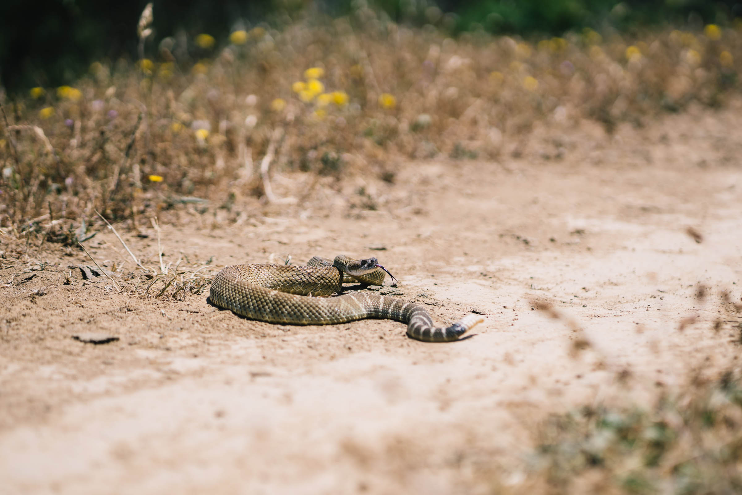
- There are rattlesnakes in the Bay Area! Educate yourself on how to differentiate between a rattlesnake and a gopher snake.
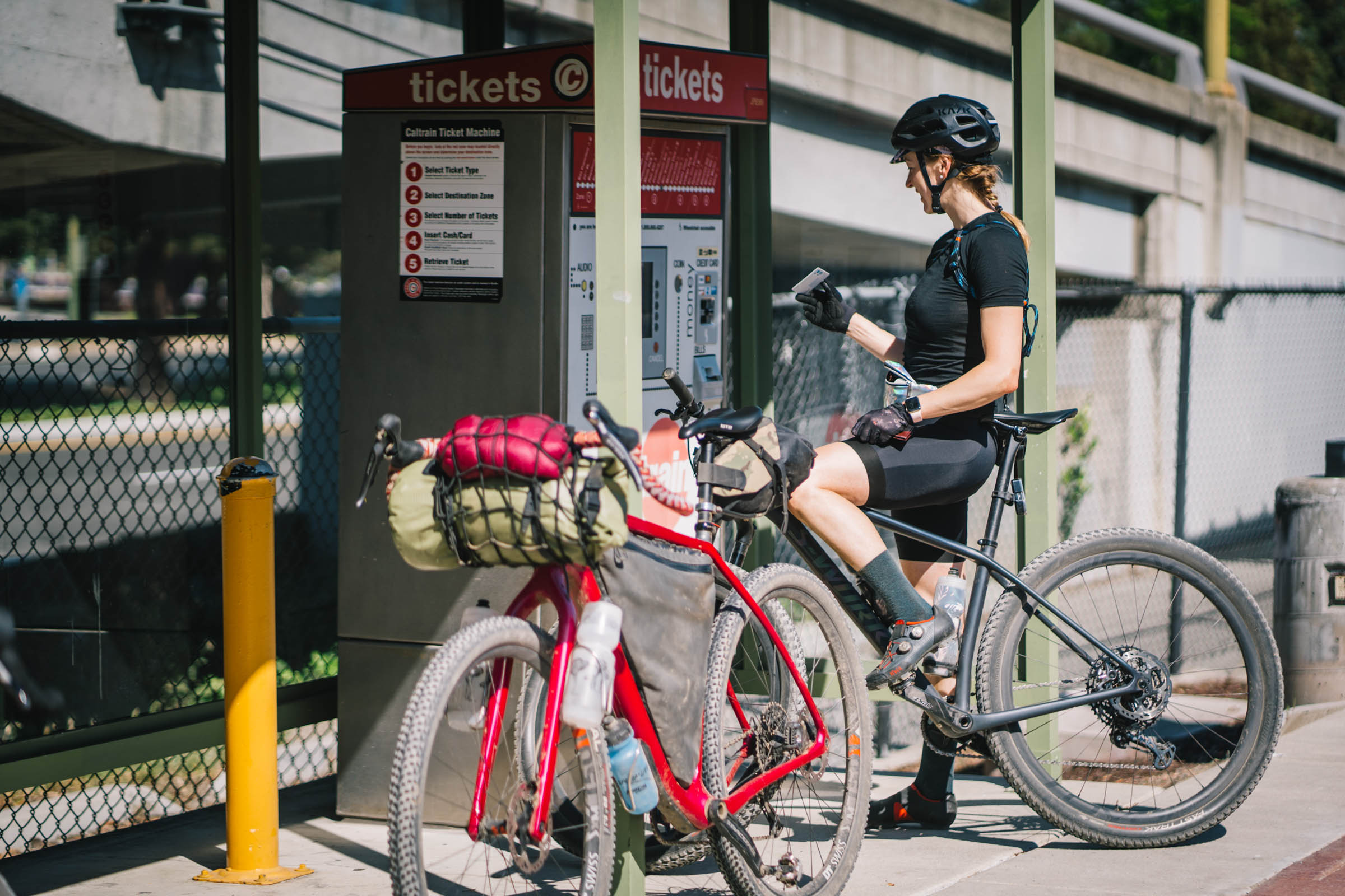
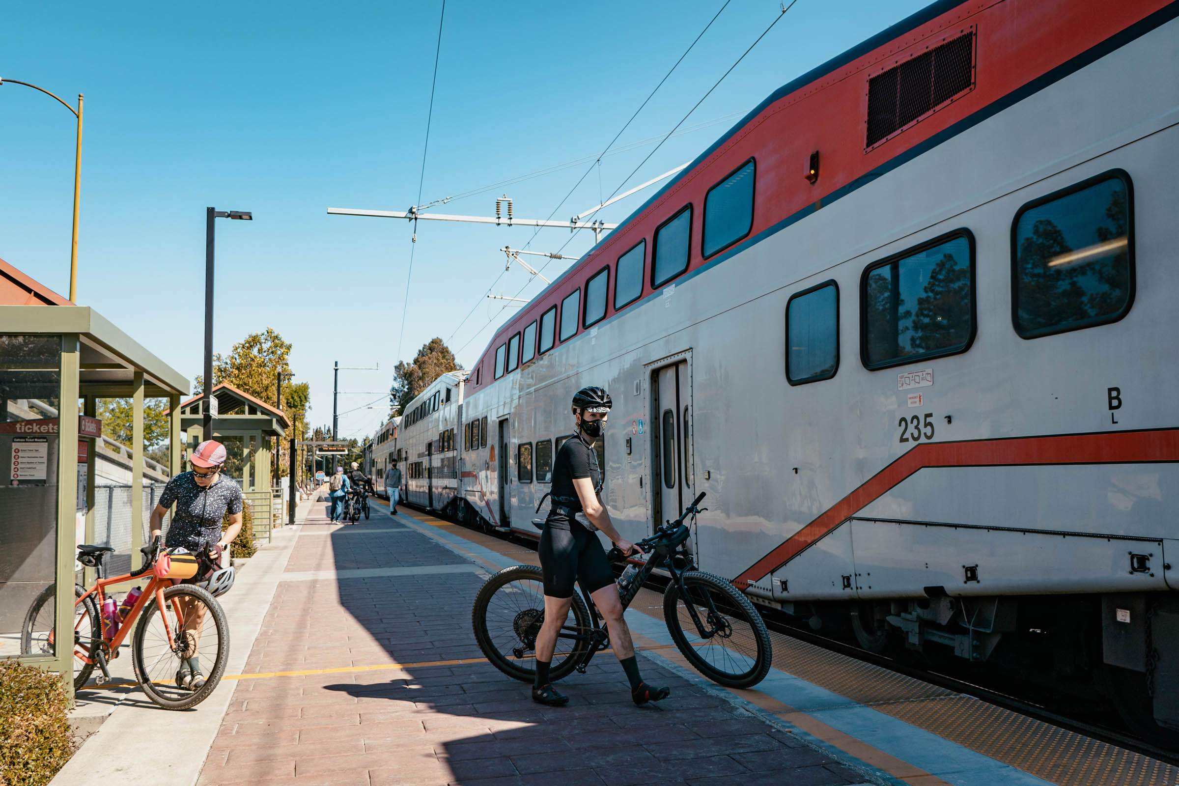
- The route as mapped ends at a Caltrain station. From here, you can take the train northbound back to San Francisco. You are allowed to bring your bike onboard in the bike-specific cars. For more convenient logistics, we recommend parking in Mountain View (street parking in residential areas should be fine for a couple of days) and taking the train to the start of the route in San Francisco. This way, when you ride into Mountain View at the end of your ride, you finish at your car.
- For parking at the start of the route, we suggest finding valid street parking in San Francisco’s Richmond neighborhood (make sure to check for street cleaning days!).
- In the Bay Area, never leave your bike unattended anywhere in town. In a similar vein, make sure no items are visible in your parked car and do not leave hitch mount bike racks out, either.
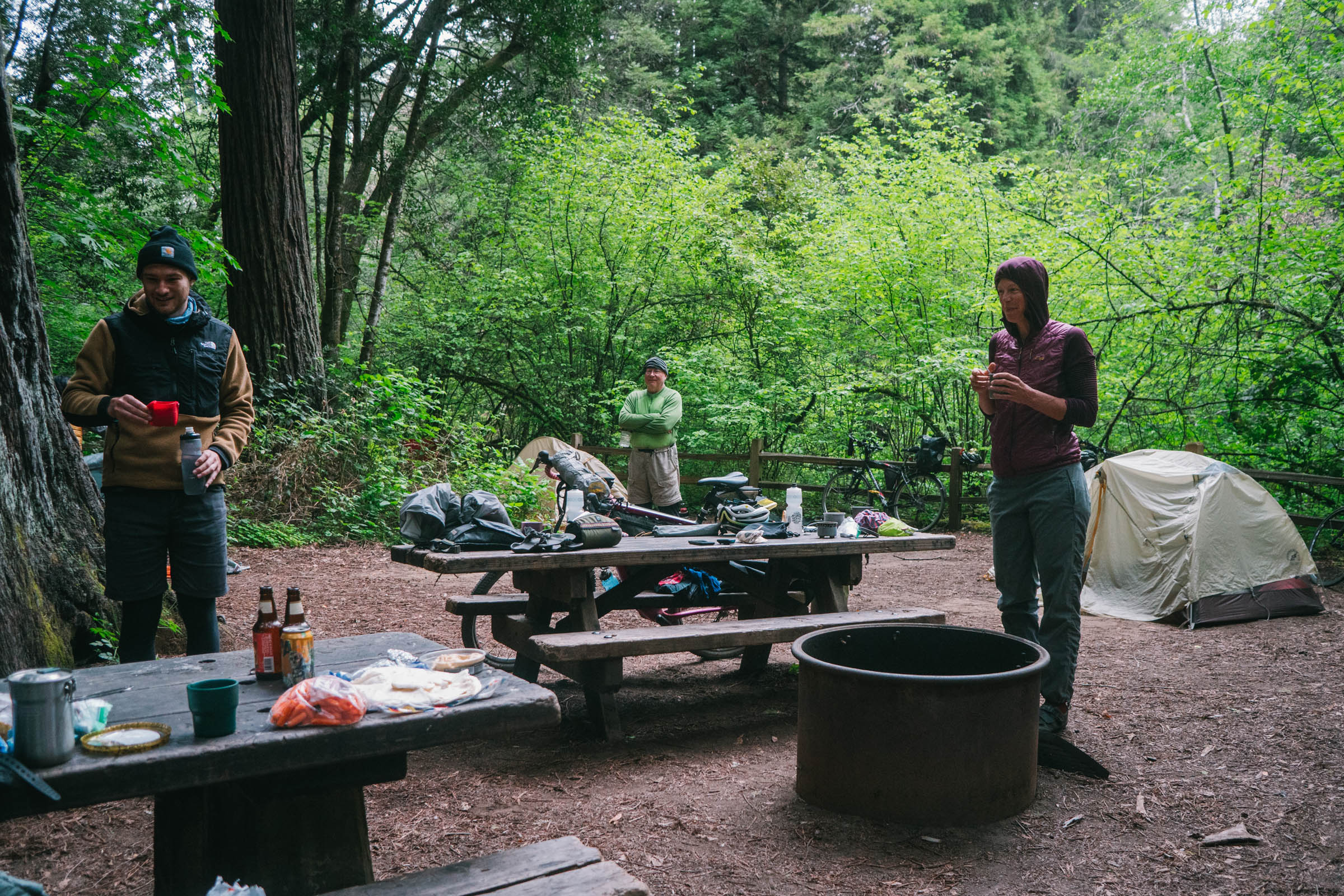
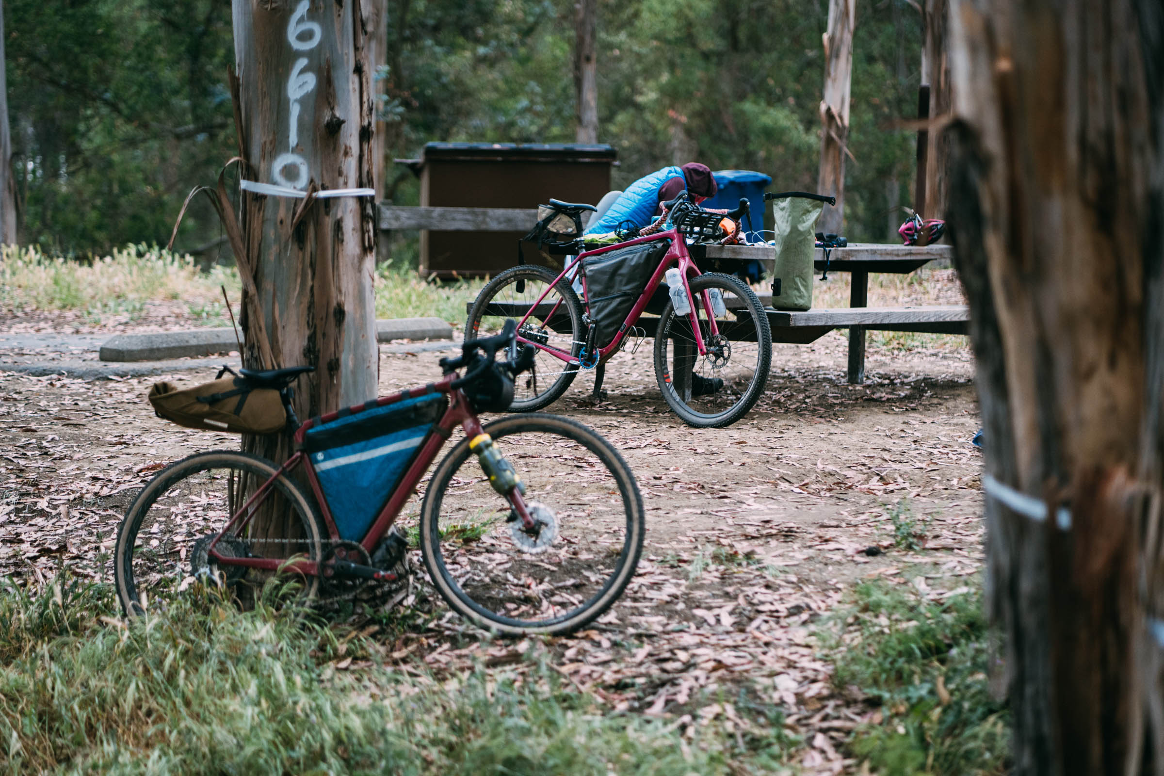
- Pantoll Campground and Samuel P Taylor Campground (aka Camp Taylor) both have hiker-biker campsites for $5 and $7 per person, respectively. The campgrounds have campfire pits, potable water, and bathroom facilities. You can purchase firewood from the camp host. Note that both these campsites are in shaded forest areas, so it gets chilly at night.
- Anthony Chabot Park has 75 campsites that can be reserved in advance online or by phone for $25 per site. There is also a primitive backpackers campground (Two Rocks Backpack Camp) for $5 per person, but you need to phone in to book a spot at the backpacker’s site from 48 hours up to 4 weeks in advance.
- Sibley Backpack Camp is a primitive backpackers campground that fits up to 15 people. It has two picnic benches and a pit toilet. Similarly, you need to phone in to book a spot at the backpacker’s site from 48 hours up to 4 weeks in advance.
- The stretch of riding between Samuel P Taylor Campground and Anthony Chabot Campground on day two is a long day with a lot of elevation gain due to the lack of major campgrounds in between. If you prefer to make day two shorter, Sibley Backpack Camp is your best bet. If that’s not available, then booking an Airbnb or hotel in Richmond, El Cerrito, or Berkeley is also a good option. It is easy to exit from the East Bay regional parks to head into town.
- There are sufficient water fountains at trailheads and along the trail (see map).
- Right at the start of the route, coffee with a view at Equator Coffee is a great way to kick off the trip.
- Food highlights: 17th-century Pelican Inn at Muir Beach, Arti Natural Indian Cafe in Lagunitas, Gestalt Haus in Fairfax, plenty of taquerias in Richmond, and a density of Asian and Southeast Asian food options in Union City.
- There are lots of great coffee shops in Fairfax. We recommend Amélie Café.
- Make sure to stock up in Richmond as this is the last resupply point for about 50 miles heading up into the Berkeley hills.
- There is a cafe at the marina of Lake Chabot. Note that it closes early at 5 p.m.
Day 1
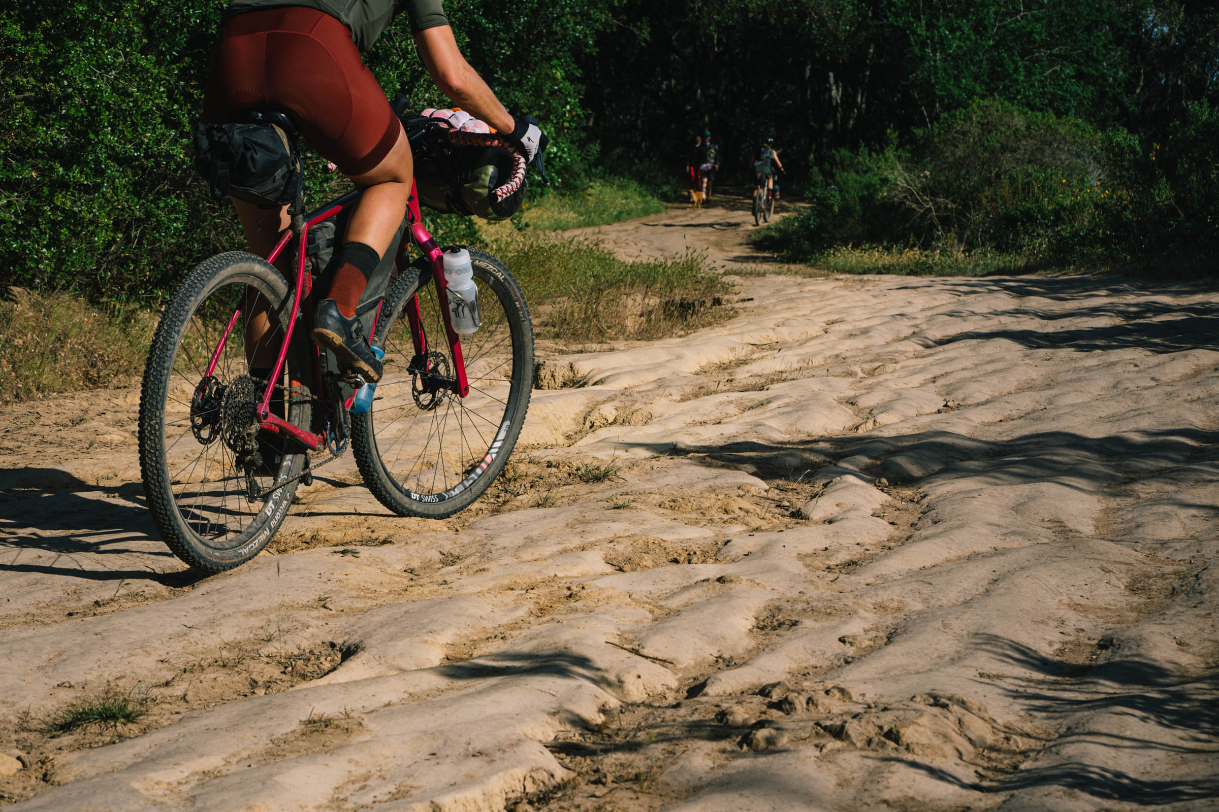
- The day starts with a brief road climb before a fun descent down Coastal Trail into the Marin Headlands. Be mindful that Coastal Trail has sections that are rutted or loose near the bottom.
- When you descend Marincello Trail into Tennessee Valley, you’ll arrive at a horse stable at mile 8. Please respectfully walk your bike through the stable area.
- Another climb will reward you with a fun descent, this time down Dias Ridge and its many hairpins with amazing views of the Pacific Ocean.
- After the ridge, the big climb of the day begins up Coast View Trail, where there are a few ruts to watch out for.
- Pantoll Campground is the perfect midway point water resupply. It’s also a good option for camping if you need to break up this day into two.
- The trail through the redwoods of Bolinas Ridge can get very muddy when it rains or when there’s low-hanging fog. Whether the area is engulfed in fog or not is a coin flip. Don’t be surprised if it feels like a jungle.
- The second half of Bolinas Ridge has some bumpy washboard downhill sections.
- The right turn from Bolinas Ridge onto Jewell Trail is sometimes overgrown by grass and may be faint, so pay attention not to miss this fork (see map).
- Samuel P Taylor Campground is a cool, shaded campground with water, bathrooms, and fire pits. A swimming hole called the Inkwells is nearby. It’s very likely there will be other cyclists sharing this spot, but the hiker-biker site is big and can easily accommodate 10 tents.
Day 2
- There’s basically no warm up and this sets the tone of the day: lots of climbing.
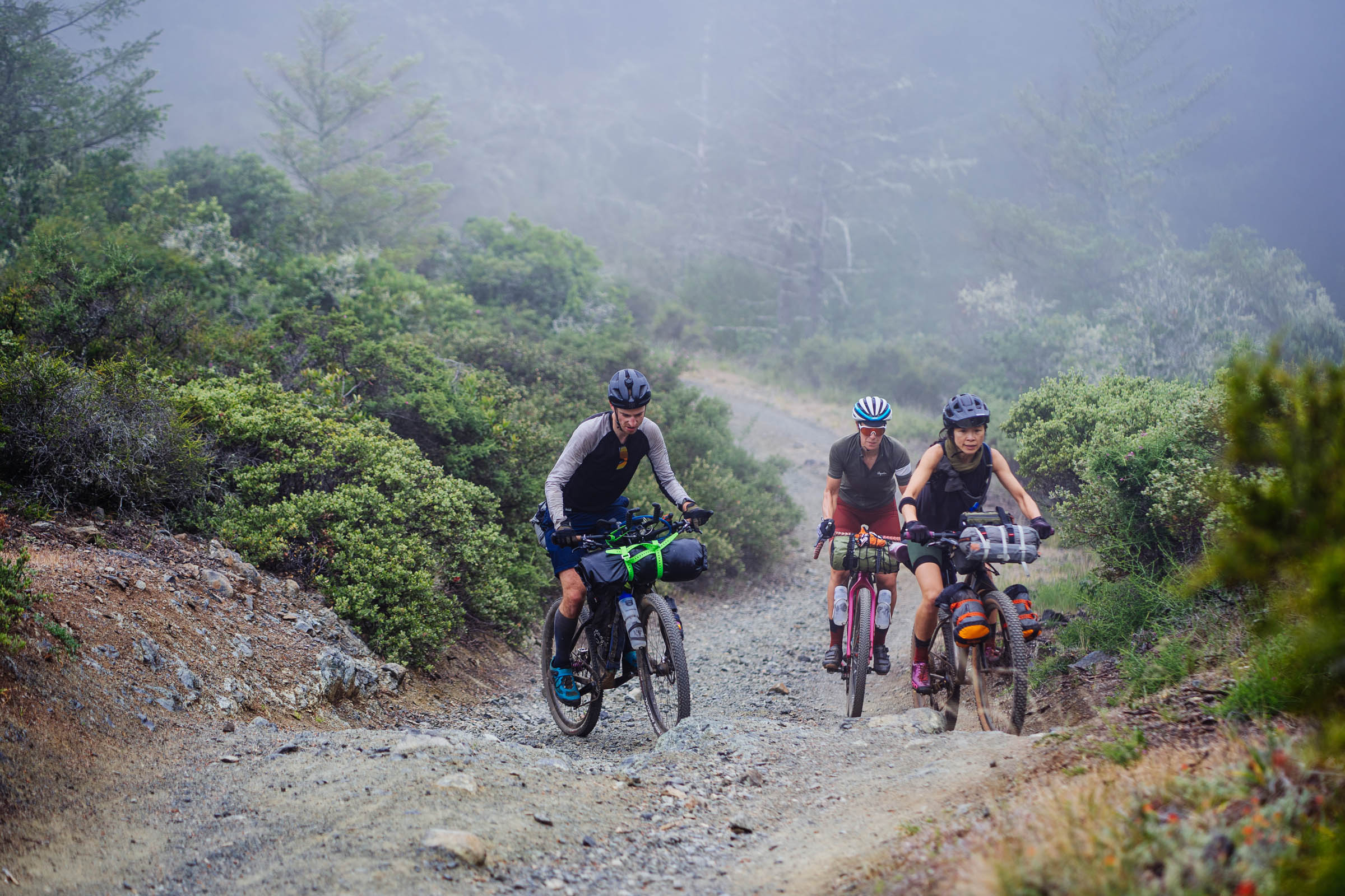
- There’s a section climbing up San Geronimo Ridge that’s a small rock garden, but rideable on gravel bikes with a dose of focused determination.
- Take a turn onto White Hill Road and then continue along the beautiful Porcupine Trail on singletracks. This drops you onto Sir Francis Drake Blvd, which is an easy roller into the town of Fairfax.
- There are plenty of great food and coffee options in Fairfax. To name a few favorites: Gestalt Haus for bratwurst and beer, Splitrock Tap & Wheel for an equally bike-friendly experience but with more gluten-free options, Amelie Cafe for coffee and pastries, and Way Station for BBQ and burgers.
- Leaving Fairfax, head into Deer Park with its extensive trail network (expect lots of hikers and cyclists on a nice weekend day) and past Phoenix Lake, and from there, back into civilization and onto pavement in Ross.
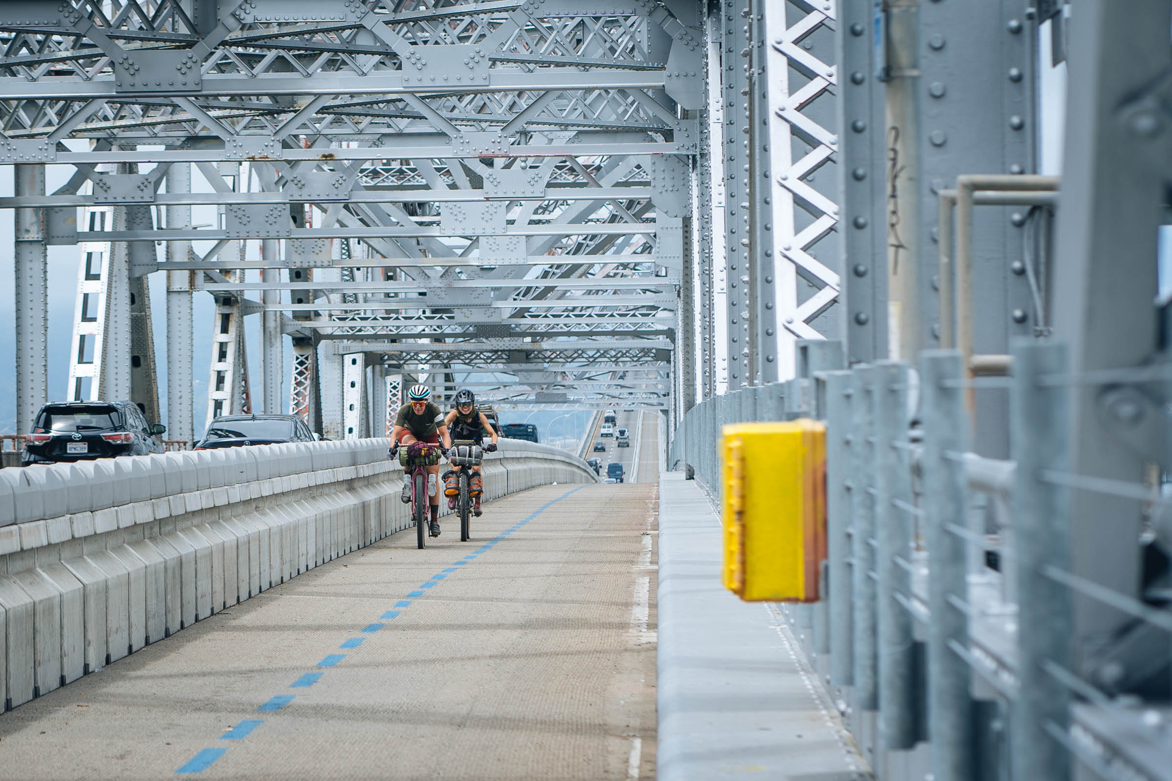
- The next 15 miles are on road, crossing the Richmond San Rafael bridge on a protected bike path (which opened to bicycles in 2020, yay!)
- The city of Richmond is your last real resupply option until the morning of day three in Castro Valley, after leaving Lake Chabot.
- You’ll be getting onto the trail system of the East Bay and Berkeley hills now, connecting several local parks and traversing roughly North to South all the way to Lake Chabot.
- Historical fun fact: Lake Chabot was originally built as a primary water source for the East Bay in the late 1800s. These days, it only serves as standby emergency water supply and is hence open to controlled recreational use. Enjoy viewpoints overlooking the Bay, Marin Headlands, and San Francisco.
- Anthony Chabot Campground sits above Lake Chabot. You’ll be camping between eucalyptus trees in a peaceful setting, notable, considering how close this is to major cities of the Bay Area.
Day 3
- Get ready for a warm day. You’ll be heading into the South Bay, which will likely range from 80-90°F if you’re here between spring and fall.
- You’ll head toward Five Canyons Open Space Reserve, which starts off with a short section of steep hike-a-bike trail for 0.2 miles.
- As you make your way toward Garin Regional Park, your chances of encountering rattlesnakes increase. We found one hanging out in the middle of a wide fire road. The south western part of Garin Regional Park is pretty dry but finishes with a fantastic downhill with great views dropping you into Union City.
- You’ll find plenty of delicious food in this area with a wide array of international cuisines. Get some good lunch!
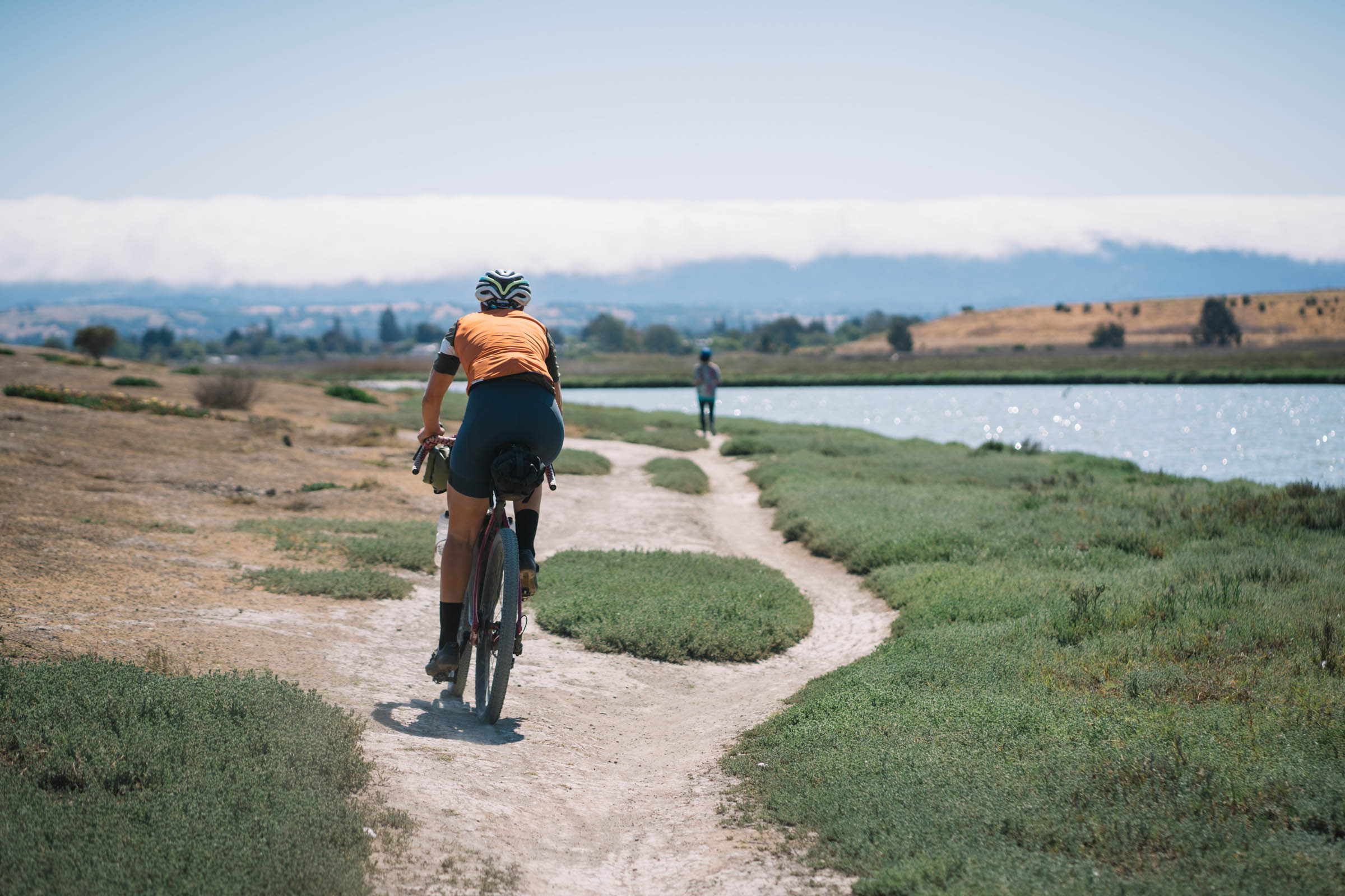
- Get ready for a change of scenery now. We’re headed through Coyote Hills Regional Park into (yes, literally into) the marshlands of the Don Edwards Bay National Wildlife Refuge. The refuge is a prime birdwatching area with unique gravel paths that are flanked by water on both sides. You’ll see many salt ponds that were originally constructed for producing salt. As part of the South Bay Salt Pond Restoration Project, most of these ponds are being restored back to tidal influence.
- Cross the Dumbarton Bridge on a safe bike path separated from the cars to reach the South Bay peninsula region.
- You’re pretty much done with all the climbing now and can enjoy a collection of small doubletrack and quick singletrack trails meandering along the shore all the way to Mountain View. This trail system is part of an impressive 500-mile SF Bay Trail network. Note that the singletrack is easy to miss if you’re not looking out for it: look to the left or right of the main path. Keep an eye out for more rattlesnakes and also birds (and birdwatchers).
- If you parked in San Francisco, you can take Caltrain, the local rail that allows bikes on board, back to the city. Alternatively, you can also bike back to the city via any of the road routes suggested by SF2G. If you want to extend the route even further with more trails, you can connect with the SF Peninsula Traverse and head north to loop back to San Francisco.


Terms of Use: As with each bikepacking route guide published on BIKEPACKING.com, should you choose to cycle this route, do so at your own risk. Prior to setting out check current local weather, conditions, and land/road closures. While riding, obey all public and private land use restrictions and rules, carry proper safety and navigational equipment, and of course, follow the #leavenotrace guidelines. The information found herein is simply a planning resource to be used as a point of inspiration in conjunction with your own due-diligence. In spite of the fact that this route, associated GPS track (GPX and maps), and all route guidelines were prepared under diligent research by the specified contributor and/or contributors, the accuracy of such and judgement of the author is not guaranteed. BIKEPACKING.com LLC, its partners, associates, and contributors are in no way liable for personal injury, damage to personal property, or any other such situation that might happen to individual riders cycling or following this route.
Please keep the conversation civil, constructive, and inclusive, or your comment will be removed.