

 Mountain Bike (MTB)
 Gravel Bike
 All-Terrain Bike (ATB)
 Fat Bike


Beef with the Border
Distance
726 Mi.
(1,168 KM)Days
12
% Unpaved
45%
% Singletrack
5%
% Rideable (time)
92%
Total Ascent
21,760'
(6,632 M)High Point
1,047'
(319 M)Difficulty (1-10)
5?
- 2Climbing Scale Easy30 FT/MI (6 M/KM)
- 5Technical Difficulty Moderate
- 6Physical Demand Moderate
- 2Resupply & Logistics Easy
Contributed By

Alex van Egmond
Guest Contributor
Raised among the tulip fields of the Dutch North Sea coast, Alex grew up in a culture where bicycles are simply part of life. It wasn’t until a few years ago, however, that he discovered bikepacking as a means of exploration and travel. Since then, he has undertaken several long-distance cycling adventures throughout Europe. Off the bike, Alex works as a teacher of Dutch as a Second Language and is always planning his next adventure.
The Netherlands is renowned for its pristine, well-maintained cycling infrastructure, so rugged adventures through remote landscapes likely aren’t the first thing that comes to mind when thinking of the country. Still, Beef with the Border may surprise you. The contrast between the natural dunes of Cadzand-Bad on the North Sea coast and the man-made seawall at Nieuwe Statenzijl is striking.
Between those two extremes, the landscape transforms dramatically. Open meadows in the southwest and northeast give way to moraine ridges in the east and south, punctuated by woodlands, canals, rivers, and farmers’ fields. As the scenery changes, so do the dialects. Many border regions have retained a strong linguistic identity, a testament to the area’s cultural diversity despite the homogenizing forces of modern life.
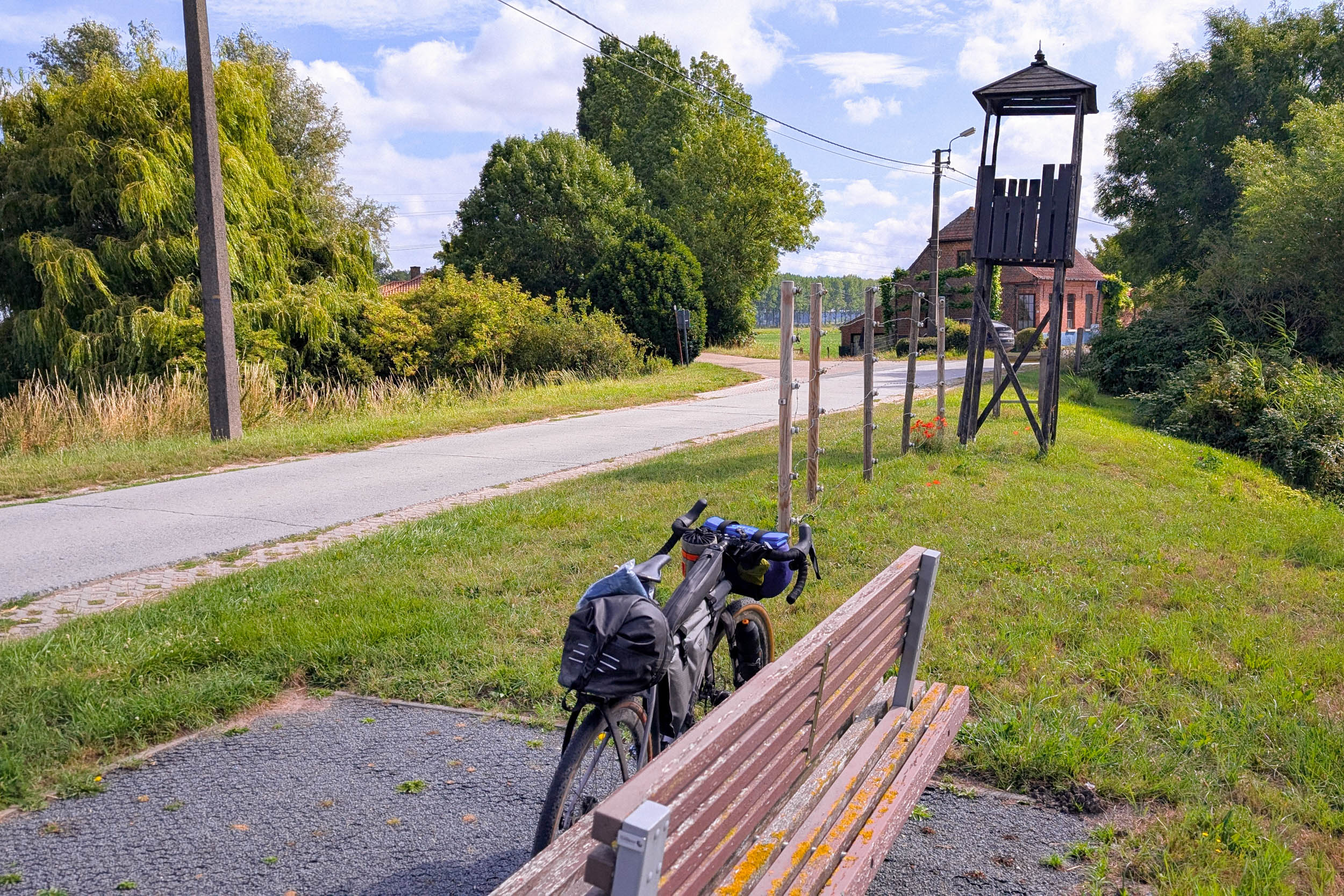
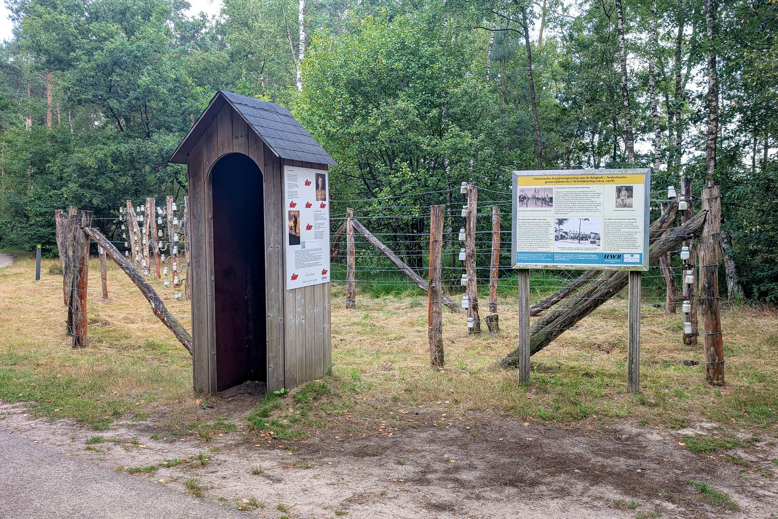
The route passes through several places of historical significance. Among them are the fortifications and redoubts that recall the Eighty Years’ War (1568–1648), during which the Dutch secured their independence from the Spanish Empire and the foundations of today’s borders were largely established. Equally sobering is the story of the Dodendraad (“Wire of Death”), the electrified fence that once separated the Netherlands and Belgium during the First World War. Several reconstructions along the route illustrate the profound impact it had on local communities.
For a lighter historical detour, consider a stop in Zundert, the birthplace of painter Vincent van Gogh. When he was born there on March 30, 1853, no one could have imagined he would become one of the most influential artists in history. The museum now standing on the site of his birthplace explores Van Gogh’s roots in Brabant and the landscapes that shaped his early years. As a young man, he often wandered the surrounding forests in search of inspiration and spiritual renewal.
One of the most fascinating aspects of the route is how clearly the borders reveal themselves. More often than not, you’ll know almost immediately when you’ve crossed into another country. Nowhere is this more apparent than at Vaalserberg, where the borders of Germany, Belgium, and the Netherlands converge. The tripoint is a popular tourist destination, complete with an observation tower and a labyrinth.
Approaching from the southwest, you’ll round the corner at Vaalserberg and suddenly find yourself in a different world. Dutch and Flemish give way to German. The news on TV is different, the laws and regulations change, cultural norms shift, and even the food reflects a different national identity. The long descent from Vaalserberg offers plenty of time to contemplate this sudden shift—and how remarkable it is that such distinct cultures coexist within such a small geographic area.
Route Difficulty
Overall, I’d rate the route a 5 out of 10 in terms of difficulty, though that assessment is inherently subjective. Given its length and varied terrain, Beef with the Border is difficult to fit neatly into a single category.
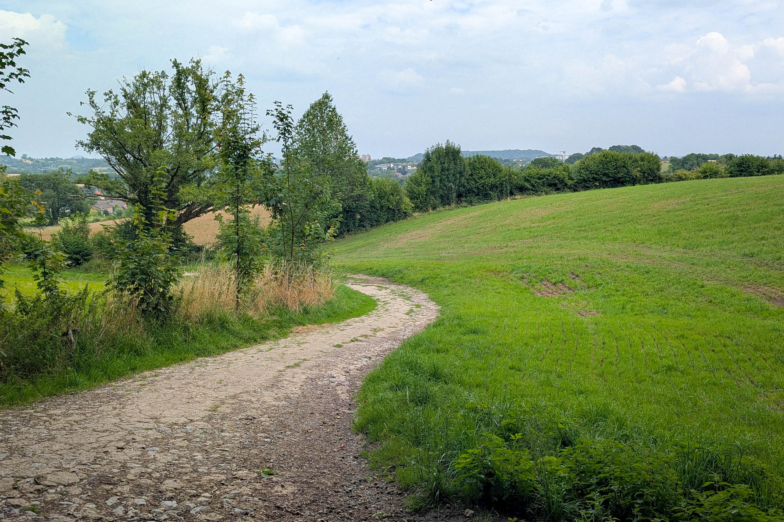
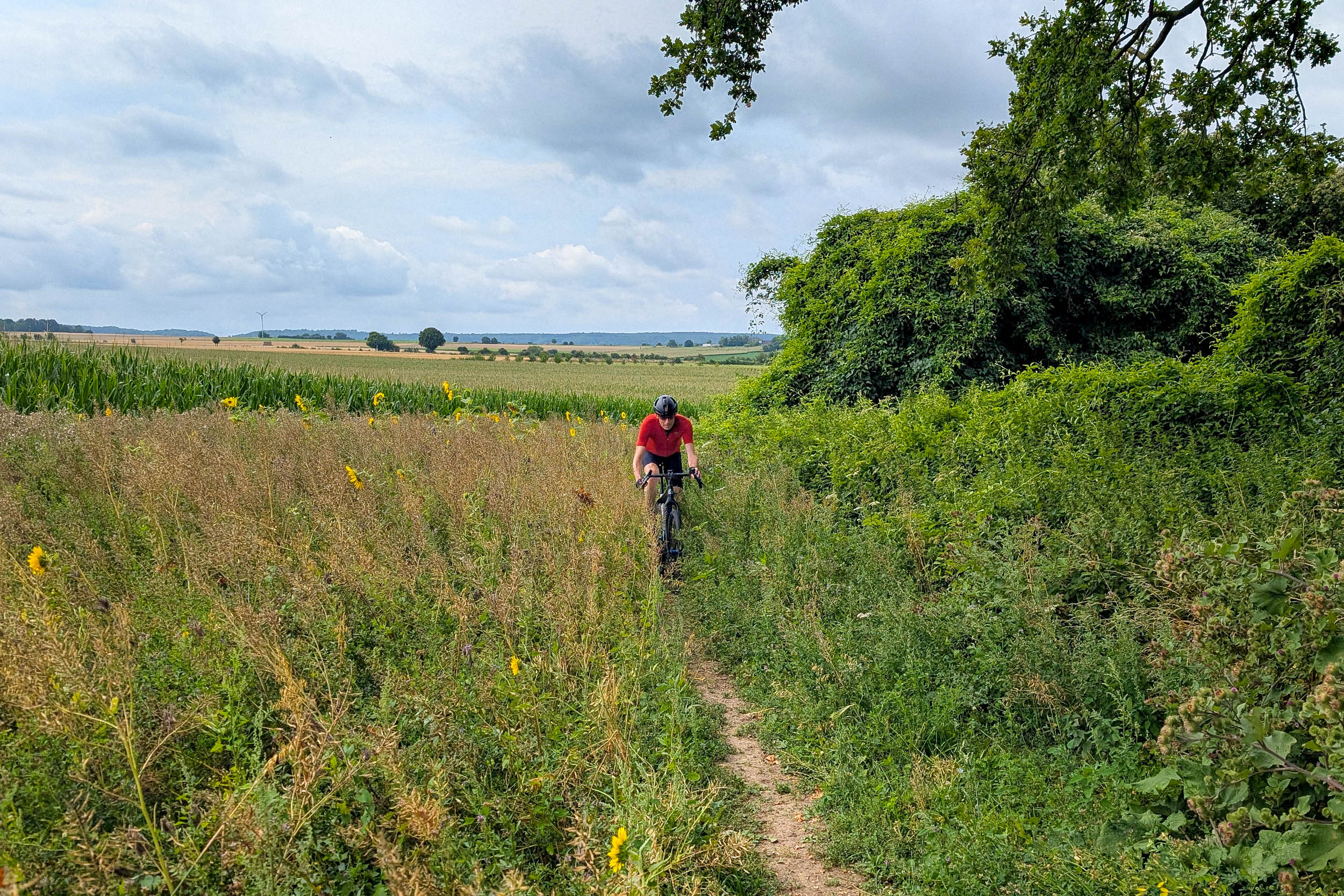
The rolling hills of the province of Limburg can be surprisingly demanding, with steep gradients and loose, rocky surfaces, while the sandy trails of the province of Brabant will put your bike-handling skills to the test. Elsewhere, forest tracks can be rough and rooty, and you’ll occasionally encounter uneven pastureland that can make for slow going.
Not every mile is a challenge, however. Some sections feature smooth gravel roads and quiet stretches of pavement that allow you to settle into a rhythm and cover ground efficiently. As with any route in the Netherlands, conditions depend heavily on the season and the weather. Rain is common throughout the year, so waterproof gear is highly recommended. After prolonged rainfall, many trails can become muddy and difficult to ride. Conversely, extended dry periods often leave sandy sections loose and energy-sapping.
Logistics are straightforward. Frequent train services connect to Vlissingen in the province of Zeeland, where you can catch a ferry to Breskens. From there, it’s a 9.3-mile (15-kilometer) ride to the western start point near Cadzand-Bad. Alternatively, the train station of Knokke-Heist on the Belgian side is just 6.8 miles (11 kilometers) from this starting point.
The nearest train station at the starting point in the northeast is in Bad Nieuweschans. You’ll need to transfer in Groningen. From Bad Nieuweschans, it’s a 3.7-mile (6-kilometer) ride to Nieuwe Statenzijl. You can bring a bike on the train for an additional fee. Bikes are not allowed on the Dutch trains during rush hours, before 9 a.m. and between 4 p.m. and 6:30 p.m.
Food and water are rarely an issue, as the route passes through plenty of towns and villages. One notable exception is Zeeuws-Vlaanderen in Zeeland, where services can be few and far between, making it wise to stock up whenever the opportunity arises.
Route Development
Beef with the Border began taking shape in early 2025 while I was recovering from an injury. Looking for an adventure that felt both ambitious and achievable, I started planning a route that would explore the full length of the Dutch borderlands. After months of research and route building, I set out to scout the entire route in the summer of that year. In April 2026, I revisited many sections, refining the track and making a number of improvements based on firsthand experience.
Of course, riding along the Dutch border is not a new concept. Several established cycling routes follow stretches of the Dutch-Belgian border, and the popular Pieterpad hiking trail is complemented by a cycling variant that traverses the country from north to south. Most of these routes, however, make extensive use of the Netherlands’ excellent cycling infrastructure, favoring smooth, well-marked roads and dedicated bike paths.
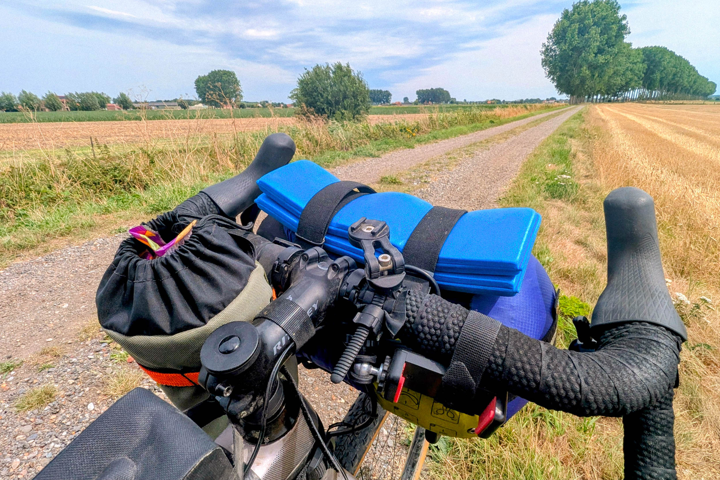
Beef with the Border takes a different approach. Its goal is to uncover the more adventurous side of a country often perceived as flat, orderly, and heavily engineered. By linking gravel roads, forest tracks, sandy trails, and lesser-known backroads, the route invites riders to experience the Netherlands from a different perspective.
More than anything, the route was designed to showcase the versatility of the modern gravel bike and highlight the surprising variety of terrain hidden within one of Europe’s most densely populated countries.
























Submit Route Alert
As the leading creator and publisher of bikepacking routes, BIKEPACKING.com endeavors to maintain, improve, and advocate for our growing network of bikepacking routes all over the world. As such, our editorial team, route creators, and Route Stewards serve as mediators for route improvements and opportunities for connectivity, conservation, and community growth around these routes. To facilitate these efforts, we rely on our Bikepacking Collective and the greater bikepacking community to call attention to critical issues and opportunities that are discovered while riding these routes. If you have a vital issue or opportunity regarding this route that pertains to one of the subjects below, please let us know:
Highlights
Must Know
Camping
Food/H2O
Trail Notes
- National Parks: for example, De Meinweg, Grenspark Kalmthoutse heide, and De Maasduinen are gorgeous to pedal through.
- Historic Fortifications: Retranchement in the southwest and Redoubt Bellingwolde in the northeast both date back to the Eighty Years’ War, 1568-1648.
- The Dodendraad: reconstructions of the electric fence that stood along the border during World War I, locally known as the Great War.
- The Vaalserberg: at 1,056 feet (322 meters), the highest point of the European Netherlands.
- Quaint little towns along the route with plenty of local cuisine to try.
- Zeeuwse Bolus: indulge in this sweet pastry, made with brown sugar and cinnamon. It was brought to the Province of Zeeland centuries ago by Sephardic Jews from Spain and Portugal.
- Brabants worstenbroodje: not great for your waistline, but this 5.9-inch (15-centimeter) sausage roll is irresistible and was even added to UNESCO’s list of intangible cultural heritage in 2016.
- The Dutch mountains: the southern region of the province of Limburg tests your climbing skills on the hilly terrain, while the mighty river Meuse slowly meanders in the valley.
- Typical border crossings with busy supermarkets, outlets, and discount shops, especially at the Dutch-German border.
- Zundert: the birthplace of painter Vincent van Gogh.
- Wielermuseum Hennie Kuiper: a museum dedicated to the legendary Dutch professional cyclist, who had a successful career in the 1970-80s.
- Moraine ridges that formed 150,000 years ago during the last ice age give the otherwise flat nation some elevation.
- Border markers are impossible to miss; on the Dutch-Belgium border alone you’ll find 369 graceful border markers, while the Dutch-German border has a whopping 1,300+ border markers.
- Geographical intrigue: visit the westernmost point of Germany and the easternmost, southernmost, and westernmost point of the European Netherlands.
- Baarle-Hertog, Baarle-Nassau: the weirdest village in the world with 30 Dutch and Belgian enclaves to confuse the hell out of you.
When to go
- While the route is rideable year-round, most campgrounds close during the winter months. For the best experience, plan your trip between April and October, when milder temperatures and longer daylight hours make for more enjoyable riding and simpler logistics.
Logistics
- The northeast starting point is at Nieuwe Statenzijl. The train station of Bad Nieuweschans is conveniently located 3.7 miles from this starting point, while the train station at Vlissingen is just 9.8 miles from the southwest starting point at Cadzand-Bad.
- The route can be ridden in either direction. Both clockwise and counterclockwise approaches work equally well, with no significant differences in difficulty, terrain, or logistics.
- An alternative route bypasses the industrial port area of Antwerp. Instead, it passes through the historic town of Hulst before rejoining the main route near Ossendrecht.
Dangers & Annoyances
- Watch out for ticks on the whole route, especially in forests and high grass.
- The pine processionary caterpillars in oak trees can be a nuisance during the summer months.
- Dogs are usually kept on a leash or behind a fence. That said, some designated areas allow dogs to be off-leash, so be prepared for occasional encounters along the route.
- Be courteous: Follow the road rules, slow down for hikers, share the trail, and don’t forget a friendly greeting as you pass—it’s part of the adventure.
What Bike
- A gravel bike with 40 mm tires and some easy gearing, especially for Limburg, is recommended.
- Wild camping is not permitted in Belgium, Germany, or the Netherlands.
- Bivy camping is possible at some spots in Belgium. Registration is required upon arrival and can be completed online.
- Small, family run farm campgrounds offer an excellent place to pitch your tent. Look for SRV campgrounds for an authentic and affordable camping experience.
- Natuurkampeerterreinen (nature campgrounds) are another excellent option. Access requires a membership card, which can typically be purchased upon arrival.
- Several NTKC campgrounds are located near the route and welcome bikepackers. NTKC is a members-only camping association. If no members are present, access to facilities is unavailable.
- Restaurants, cafés, and supermarkets are plentiful along the route, making it easy to find food throughout the trip.
- Water is rarely a concern. Free drinking water taps can be found at many train stations, and additional refill opportunities are available in most towns and villages along the way.
- Demarrage Coffee at Slenaken. Don’t forget to taste the Limburg vlaai, a sweet crumb pie, at this cyclist café.
- De IJskuip/Erve Kuiper at Noord Deurningen. Taste fresh ice-cream made from locally produced milk. Afterward, visit the museum dedicated to legendary Dutch cyclist Hennie Kuiper.
Suggested Itinerary
locationCadzand Bad – Bivakzone Stropersbos
Day 1 (106 km +246 m)
Starting in Cadzand-Bad, you may want to dust off your German, as this seaside town is a favorite vacation destination for German tourists. Before long, however, you’ll leave the crowds behind and enter the quiet landscapes of Zeeuws-Vlaanderen, the southernmost region of the Dutch province of Zeeland.
A mix of smooth gravel and dirt roads leads past the fortified towns of Sluis and Retranchement, whose origins date back to the seventeenth century. These strongholds played an important role during the Eighty Years’ War, when the Dutch fought for independence from the Spanish Crown.
Part of this section follows the Schipdonk Canal, which was constructed in the mid-nineteenth century after Belgium gained its independence from the Netherlands. Beyond the canal, the route winds through open farmland and vast agricultural landscapes where villages are few and far between.
The industrial town of Zelzate marks the first major resupply point, offering supermarkets, cafés, and other services before the route turns east toward the forests along the Belgian border. End the day at the Stropersbos bivy area, where you can pitch your tent for the night.
locationBivakzone Stropersbos – Chaam (‘t Beekdal)
Day 2 (135 km +532 m)
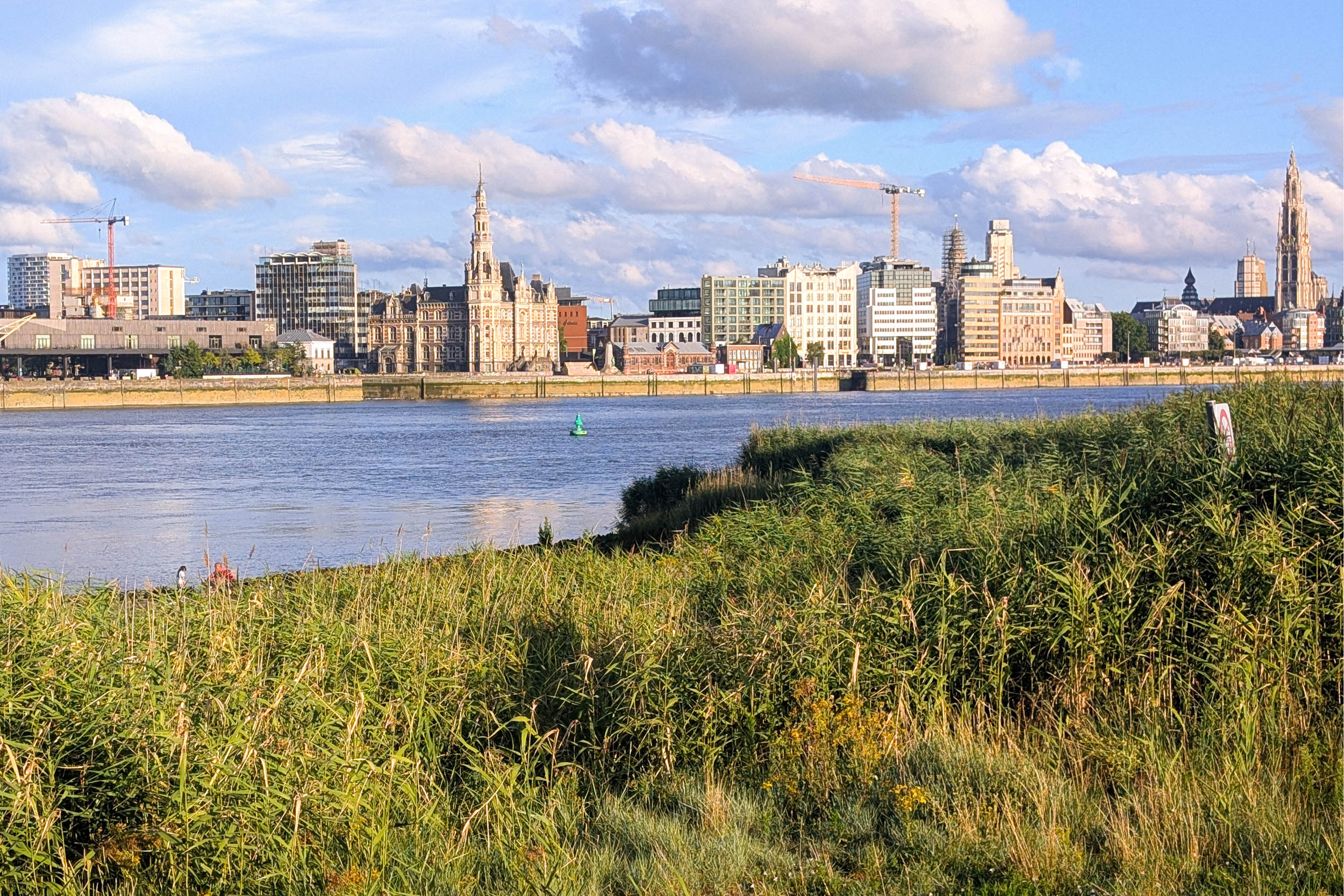
After a quiet night in the forest, the route continues along a straight dirt road atop a dike toward Nieuw Namen. Here, the Dutch-Belgian border cuts directly through the tiny village before continuing northeast toward the Scheldt River. Instead of following the border, however, the route turns east into the sprawling Port of Antwerp, winding through one of Europe’s largest industrial areas. At Fort Liefkenshoek, you’ll board DeWaterbus, a passenger ferry that carries cyclists across the Scheldt (Check the schedule beforehand).
While the Port of Antwerp is undeniably impressive in scale, it isn’t exactly what most riders picture when they think of bikepacking. Fortunately, the scenery soon changes. Near Ossendrecht, nature returns as the route enters De Kalmthoutse Heide National Park. Expect a few stretches of loose sand that may require some extra effort—or even a short hike-a-bike. If you need a break, Restaurant De Bosrust is a welcome stop before continuing toward Zundert, the birthplace of Vincent van Gogh.
Zundert also makes an excellent resupply stop, with several supermarkets and other amenities. After stocking up, take a short detour to the town square, where a sculpture of Vincent and his brother Theo stands in front of the Van Gogh Church. Vincent was baptized here, and his father served as the church’s minister, making it a place that played an important role during the artist’s early years.
Toward the end of the day, leave the route near Meerle and make your way to Nature Campsite ‘t Beekdal, just south of Chaam. With hot showers, laundry facilities, and a fully equipped communal kitchen, it’s an ideal place to recharge before another day on the bike.
locationChaam (‘t Beekdal) – Bergeijk (De Woeste Polder)
Day 3 (117 km +510 m)
Another long day in the saddle awaits, but it’s packed with memorable stops along the way. The highlight is the remarkable border town of Baarle-Nassau/Baarle-Hertog, home to one of the world’s most complex border arrangements. Even before reaching the town, you’ll pass several Belgian enclaves surrounded entirely by Dutch territory. This unusual patchwork of borders dates back to the Middle Ages, when a series of land agreements between local lords and dukes resulted in the intricate boundary that still exists today.
Remarkably, the border was never redrawn or simplified. As a result, houses, shops, and even cafés can straddle two countries, with the location of the front door determining their official nationality. The arrangement still has practical consequences today. During the COVID-19 pandemic, for example, residents on the Dutch side were subject to a nighttime curfew while those just across the border (literally next door) in Belgium were not.
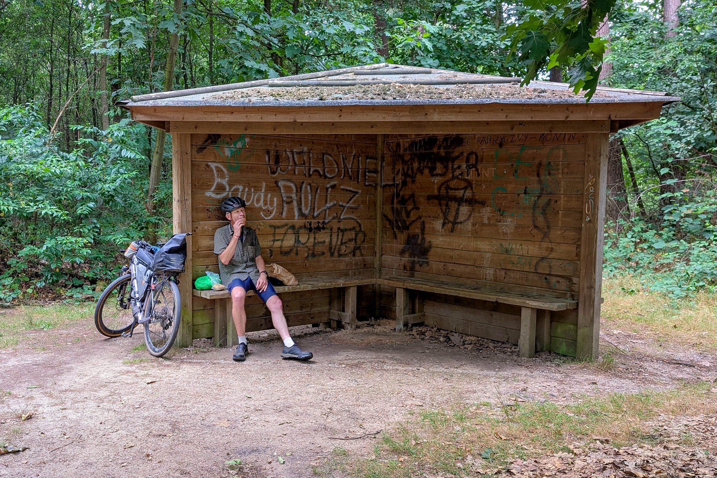
Baarle makes an ideal coffee stop before the route heads back into the countryside. Beyond town, quiet farm roads give way to forest tracks and open heathlands, with a few sandy sections and short hike-a-bike stretches adding to the adventure. Along the way, you can stop at a reconstruction of the Dodendraad, the electrified fence erected during the First World War, or take a short detour to visit the Reuselse Kei, a 2,730-pound (1,240 kg) glacial boulder resting in the Peelse Heide nature reserve.
As evening approaches, treat yourself to dinner at Herberg In het Wilde Zwijn. Their traditional stamppot—mashed potatoes mixed with seasonal vegetables and served with smoked sausage—is a Dutch comfort-food classic. The rustic interior, filled with historical artifacts and old-world charm, is worth lingering over before continuing to Farm Campsite De Woeste Polder, a welcoming overnight stop just off the route.
locationBergeijk (De Woeste Polder) – Maastricht
Day 4 (107 km +483 m)
This section follows the winding border east before turning south along the banks of the Meuse River. Just beyond the forests of Hamont-Achel, you’ll pass another reconstruction of the Dodendraad (Wire of Death), the electrified fence that divided the Dutch-Belgian border during the First World War. Informative displays explain its construction, the smuggling it failed to stop, and its impact on local communities.
Farther along lies De Galgenberg, a former execution site where condemned criminals were hanged until the eighteenth century. Like many gallows hills, it occupies a prominent position in the landscape. Today, the setting is peaceful, although local legends still claim the hill is haunted.
Leave the ghosts behind and continue toward the broad waters of the Meuse. The route follows the river downstream to Maaseik, where you’ll cross onto a gravel track atop the flood dike. The surface is rough in places but soon improves, offering fast riding with wide views across the floodplain. Around midday, Berg aan de Maas makes an ideal stop for coffee before a short ferry ride back into Belgium.
On the opposite bank, quiet gravel roads wind through the villages of Geulle aan de Maas and Kotem. Just outside Kotem stands a Buffalo Mark IV tank, a poignant reminder of the Second World War. During the Ardennes Offensive in January 1945, it sank while attempting to cross the Meuse, taking its four-man crew with it.
End the day at Hoeve De Ploeg, or choose one of the many accommodation options in nearby Maastricht or Lanaken.
locationMaastricht – Vaals (Hoeve de Gastmolen)
Day 5 (69 km +1,099 m)
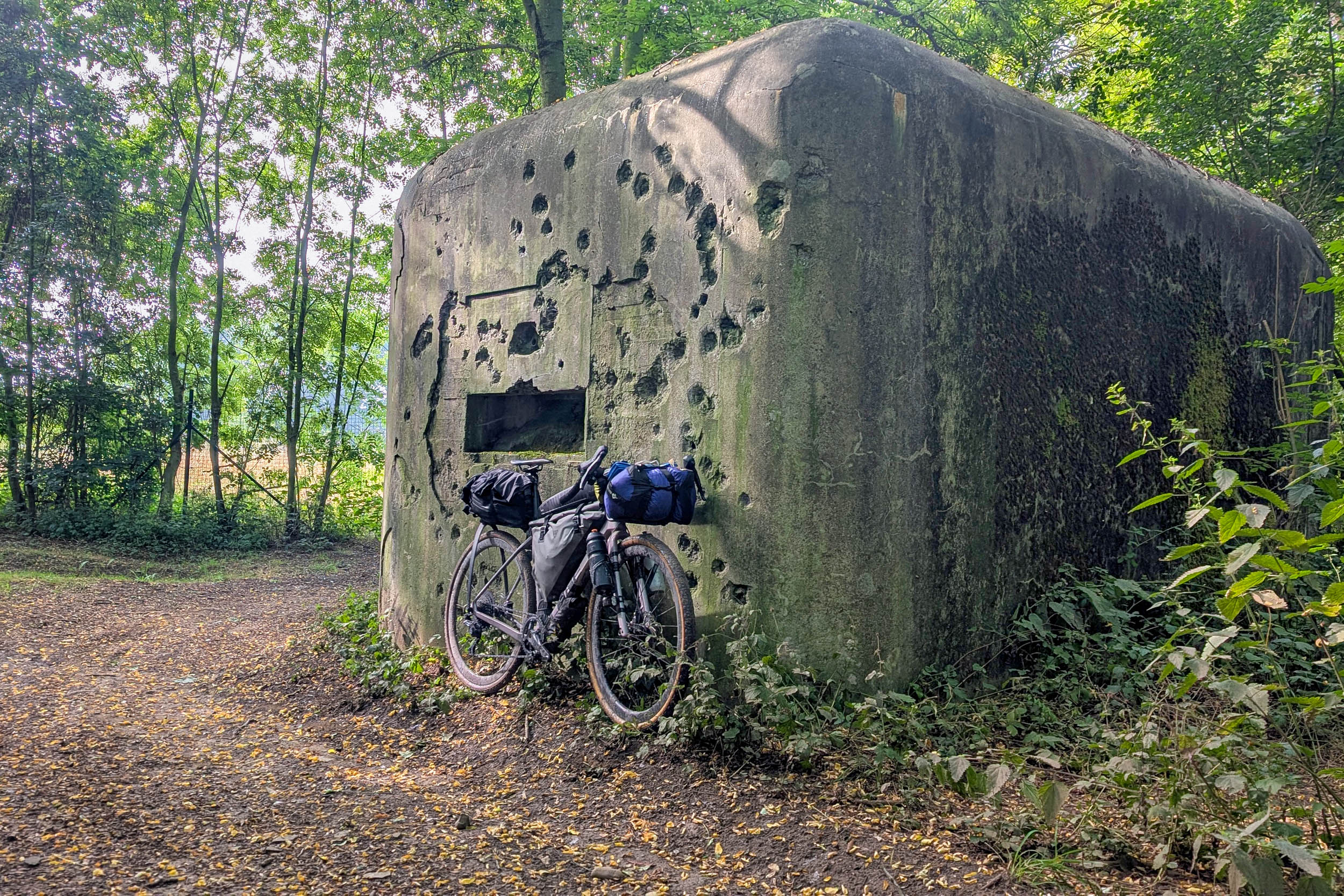
This is the route’s climbing stage. Leaving Hoeve De Ploeg behind, you’ll skirt the outskirts of Maastricht before following the Albert Canal south. Along the way, several World War II bunkers still bear the scars of battle. Near Visé, you’ll cross the Meuse for the final time before the rolling hills of South Limburg rise on the horizon.
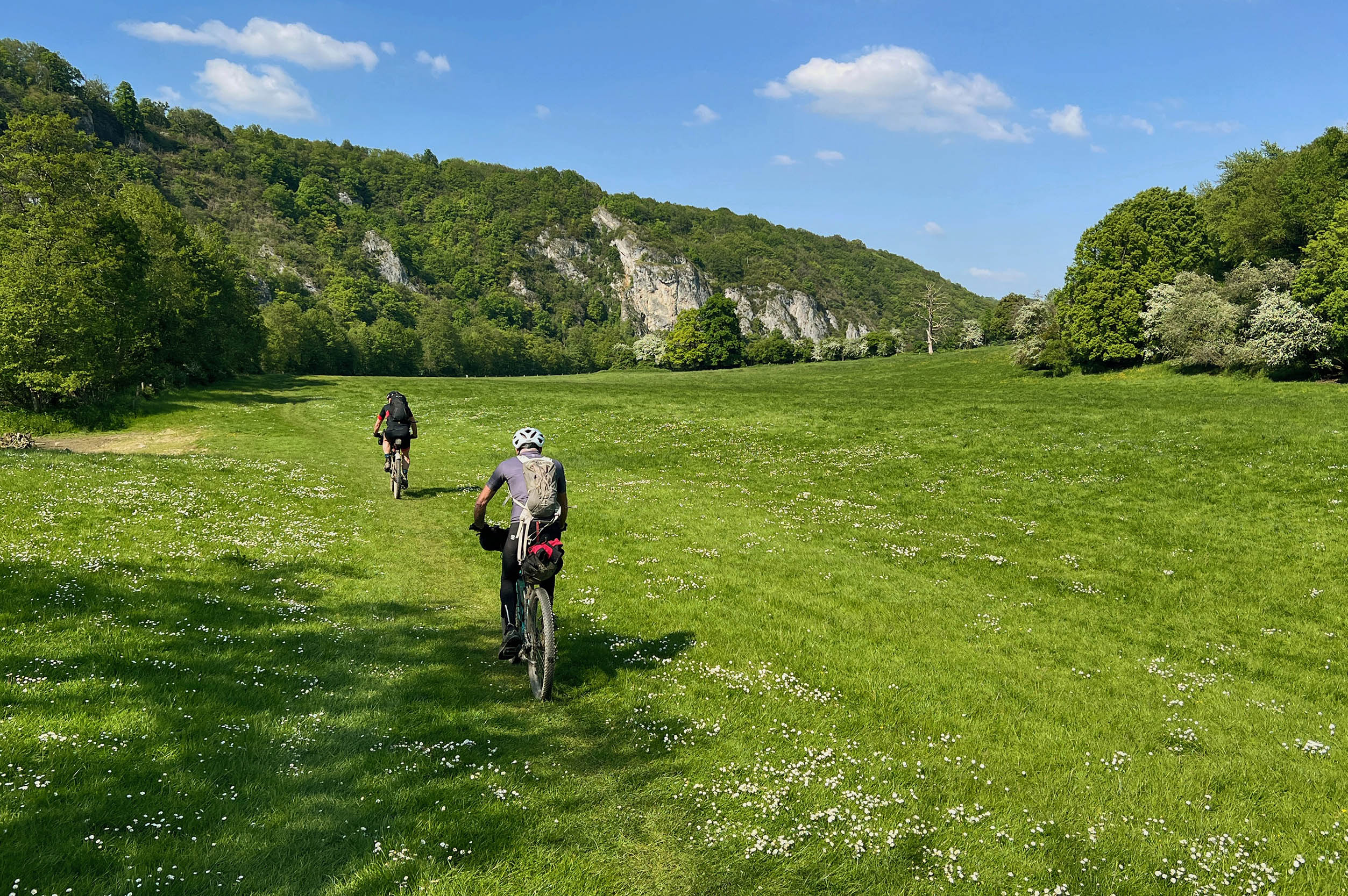
The terrain quickly becomes rougher, with loose gravel and rocky tracks demanding more concentration. In return, you’ll experience some of the finest riding in the Netherlands, where wooded valleys, rolling meadows, and sweeping views replace the country’s familiar flatlands. A fast dirt descent leads into the village of Slenaken, where Demarrage Coffee is the perfect place to recharge with an espresso and a slice of traditional Limburgse vlaai.
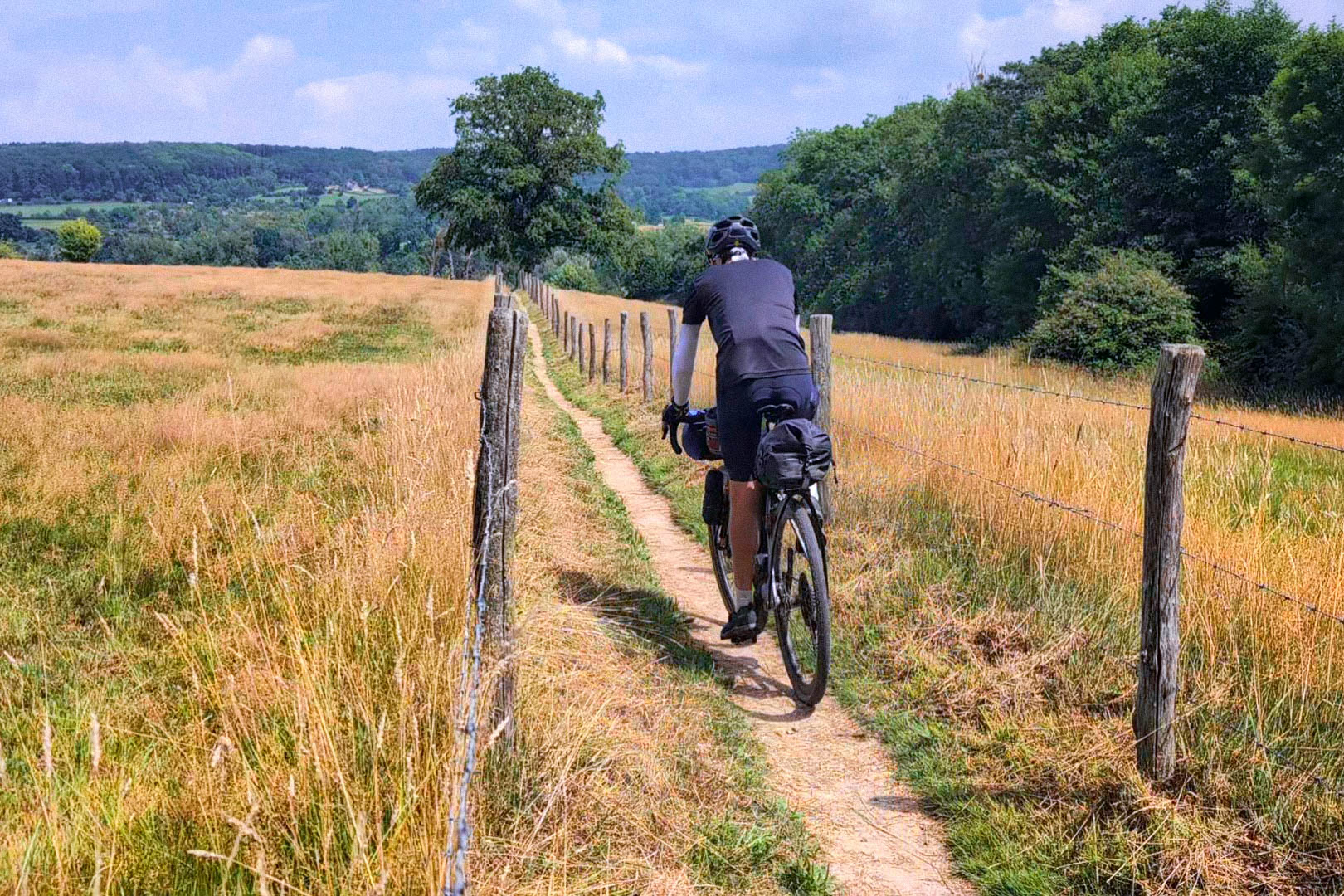
From there, the route climbs steadily toward the Geul Valley. A short detour leads to the southernmost oak tree in the Netherlands, while the main route mixes flowing singletrack with a handful of gates that require a brief lift-over. The toughest climb of the day is Vijlenerbos, followed by the final ascent to the Drielandenpunt, the highest point of the entire route.
The Drielandenpunt is one of the region’s busiest attractions, so expect plenty of company. After taking in the views, descend to Hoeve de Gastmolen for the night. Nearby Vaals offers restaurants, cafés, supermarkets, and a bike shop should you need supplies or mechanical assistance.
locationVaals (Hoeve de Gastmolen) – Swalmen (Aan de Grens)
Day 6 (120 km +853 m)
Start this striking section by rejoining the route just across the German border. A winding singletrack climbs onto the Schneeberg ridge, offering sweeping views across the rolling hills of Limburg. Below the ridge stand the remains of a World War II Panzermauer, a concrete anti-tank barrier built to slow advancing armored vehicles. One of several anti-tank barriers that serve as reminders of the region’s turbulent past.
The route continues over quiet farm tracks and unpaved bike paths toward Herzogenrath. Near the hamlet of Orsbach, it briefly follows an overgrown footpath directly along the border. It’s only a few hundred yards long, so the short hike-a-bike is soon behind you.
From there, the route links together some of the finest natural areas along the Dutch-German border, including Teverener Heide, Wildpark Gangelt, and De Meinweg National Park. Near Teverener Heide, Geilenkirchen NATO Air Base occasionally announces its presence with fighter jets overhead, while farther along, Air Observation Tower 802, closely resembling a modern art sculpture, stands as a relic of the Cold War.
De Meinweg National Park is one of the scenic highlights of the route. Rough gravel roads wind through peaceful forests where deer and wild boar are often spotted. At the edge of the park stands Saint Ludwig, a former Franciscan monastery converted into a hotel, alongside a statue of Saint Louis of Toulouse, who famously renounced his claim to the throne to become a Franciscan friar.
End the day at Farm Campsite Aan de Grens, conveniently located on the route. Nearby, Herberg de Bos serves hearty meals, while several alternative campgrounds are available if you prefer a different overnight stop.
locationSwalmen (Aan de Grens) – Groesbeek (Het Smokkelpad)
Day 7 (114 km +592 m)
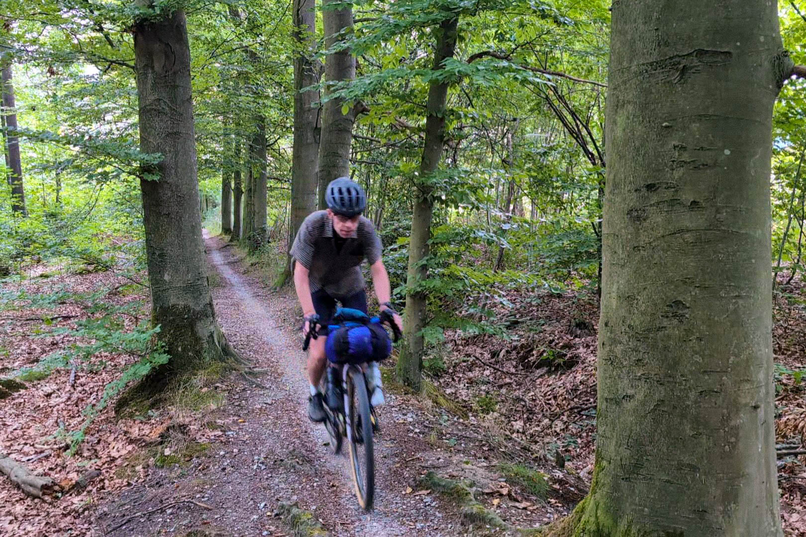
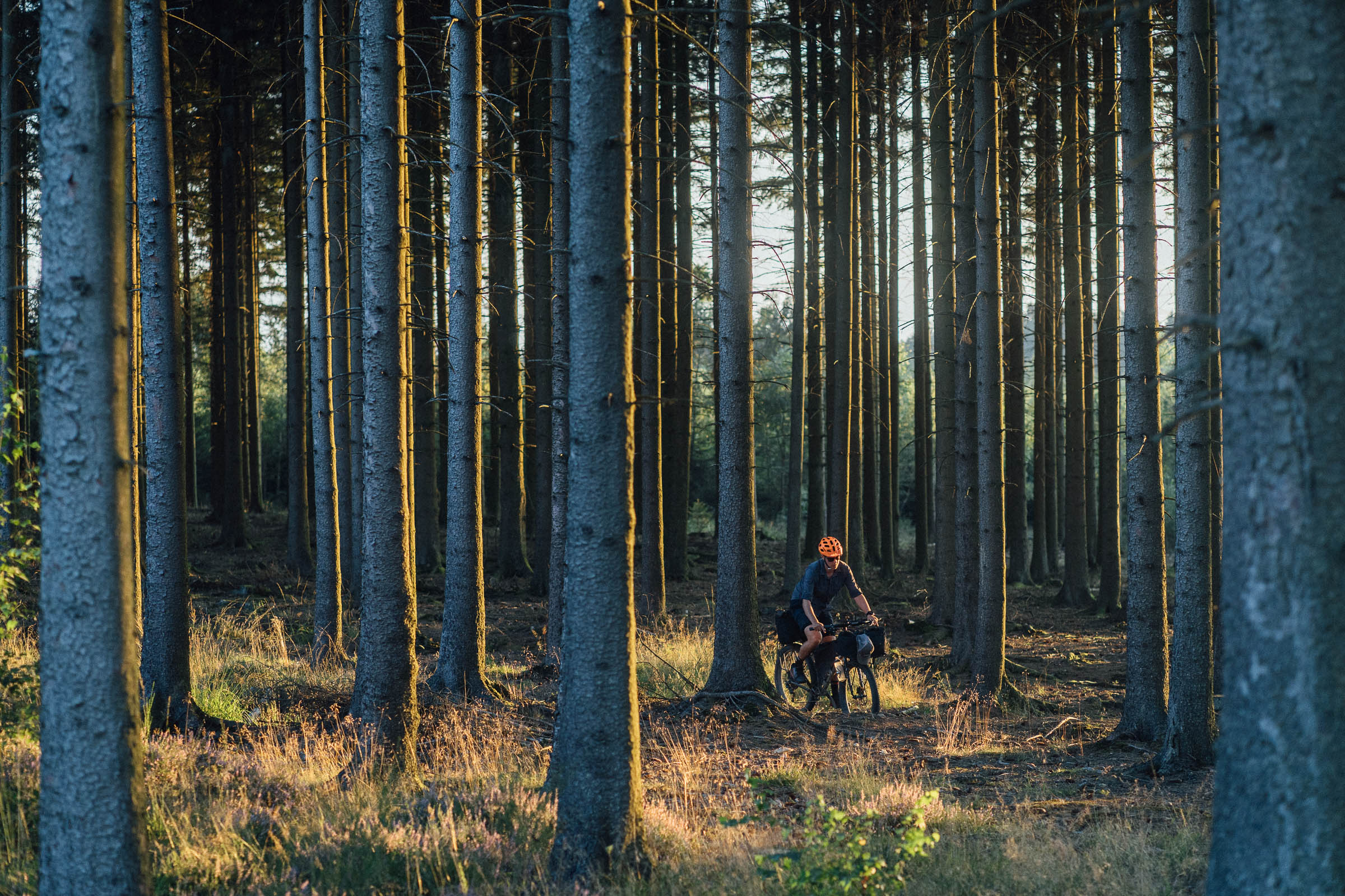
After yesterday’s climbs, today’s stage is all about flowing gravel and endless forests. Brachter Wald sets the tone immediately, with smooth “champagne” gravel alternating with rooty woodland trails all the way to the outskirts of Venlo.
The route skirts the eastern edge of Venlo Airfield before a short hike-a-bike along the perimeter fence of the nearby water treatment plant. The overgrown trail is only a few hundred yards long and soon gives way to easy riding once again.
Beyond Venlo, the forest returns. Fletcher Hotel-Restaurant, just outside Arcen, makes a convenient stop before the route enters De Hamert National Park and, shortly afterward, De Maasduinen National Park. Here, fast gravel roads wind through one of the Netherlands’ largest river dune landscapes. Once you leave the park, the supermarket in Siebengewald is the ideal place to restock.
The final miles climb onto the Reichswald, an imposing moraine ridge overlooking the surrounding countryside. A short detour leads to a well-preserved Celtic field system, while the main route passes a hidden World War II trench—easy to miss, as no signs mark its location.
Descend through the forest to Nature Campsite Het Smokkelpad, where a peaceful setting and spacious campsites provide the perfect end to one of the route’s finest days of riding.
locationGroesbeek (Het Smokkelpad) – Winterswijk (NTKC terrein Masterveld)
Day 8 (123 km +521 m)
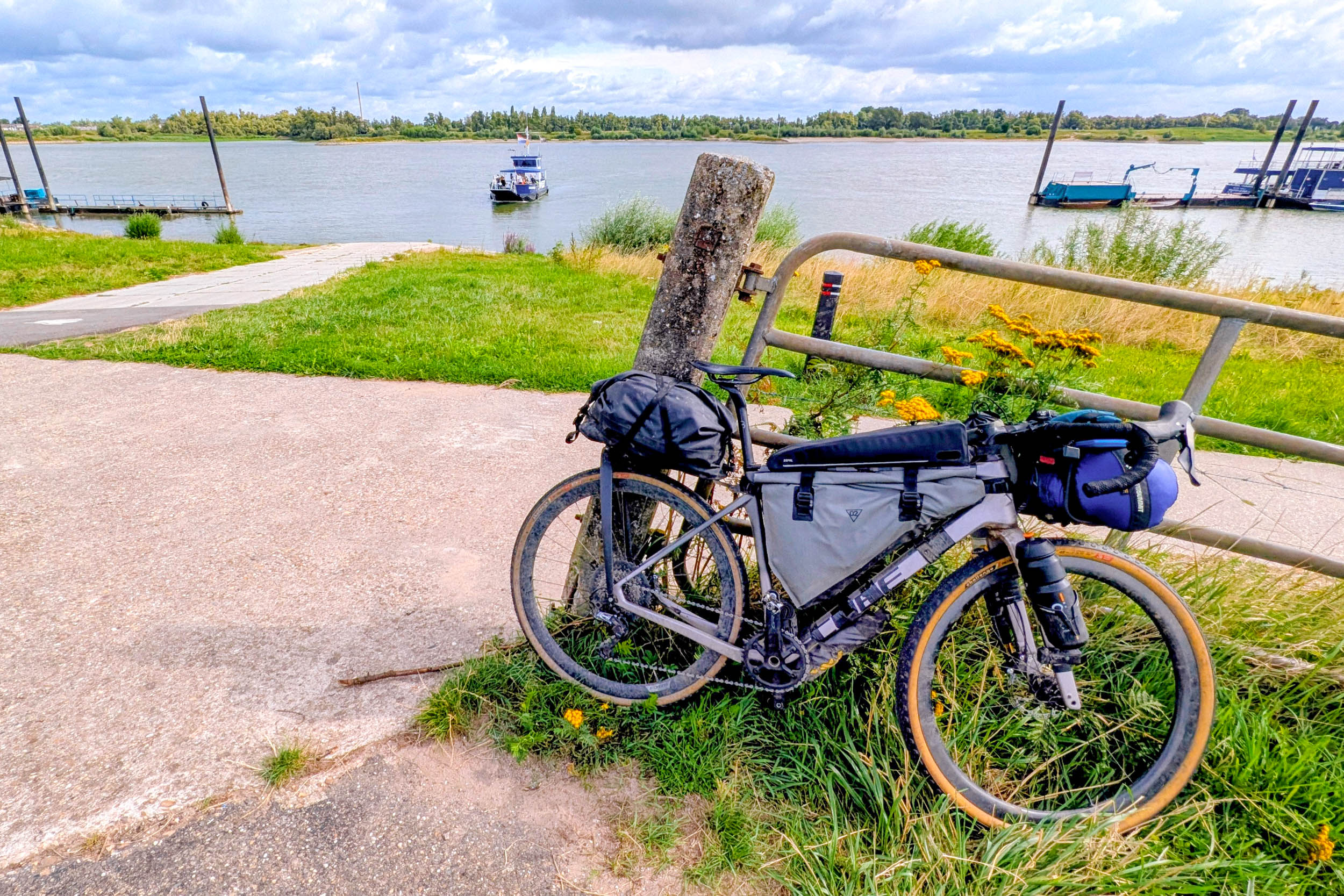
The landscape changes once again as the route enters the Rhine delta. Over thousands of years, the Rhine carved its way through the moraine ridges of the Reichswald and Hochelten, creating the broad floodplains that now define this fertile farming region. A short ferry crossing at Millingen aan de Rijn brings you to the opposite bank, where the route passes through the riverside villages of Tolkamer and Lobith before following another branch of the Rhine.
Dominating the flat landscape is the tower of St. Vitus Church, visible from miles away. You’ll encounter the saint again later in the day in the form of an old border marker carved with his likeness. Once marking the boundary of Elten Abbey’s extensive lands, the stone is a reminder that this landscape was once divided by monasteries and feudal estates rather than modern national borders.
Continuing east, the autobahn near Elten marks today’s border crossing. Hidden in the woods behind the nearby gas station lie the remains of World War I trenches. They’re well worth a short walk, but leave your bike behind—this protected nature reserve is off-limits to cyclists.
Beyond ‘s-Heerenberg, the route crosses wide agricultural plains on quiet country lanes toward Anholt. Winterswijk is the only major town nearby, so Oeding, just across the German border, is a convenient place to stock up on food and supplies before the day ends.
Spend the night at NTKC Masterveld, a peaceful campground just off the route. Facilities are simple but well maintained, reflecting the club’s back-to-basics philosophy. One small tip: members refer to the site as a kampeerterrein (‘campground’), never a ’camping’—a distinction they take surprisingly seriously.
locationWinterswijk (NTKC terrein Masterveld) – Losser (Erve Beernink)
Day 9 (72 km +259 m)
By now, you’re well into the journey, making this a good day to slow the pace and take in the surroundings. The route meanders northwest toward Zwillbrocker Venn, a unique heathland reserve that is home to one of the northernmost breeding colonies of greater flamingos in Europe. Yes, flamingos—in Germany. Spend a little time watching these unexpected residents before heading into the village of Zwillbrock for coffee and a slice of Baumkuchen, the famous layered cake often referred to as Germany’s ‘tree cake’.
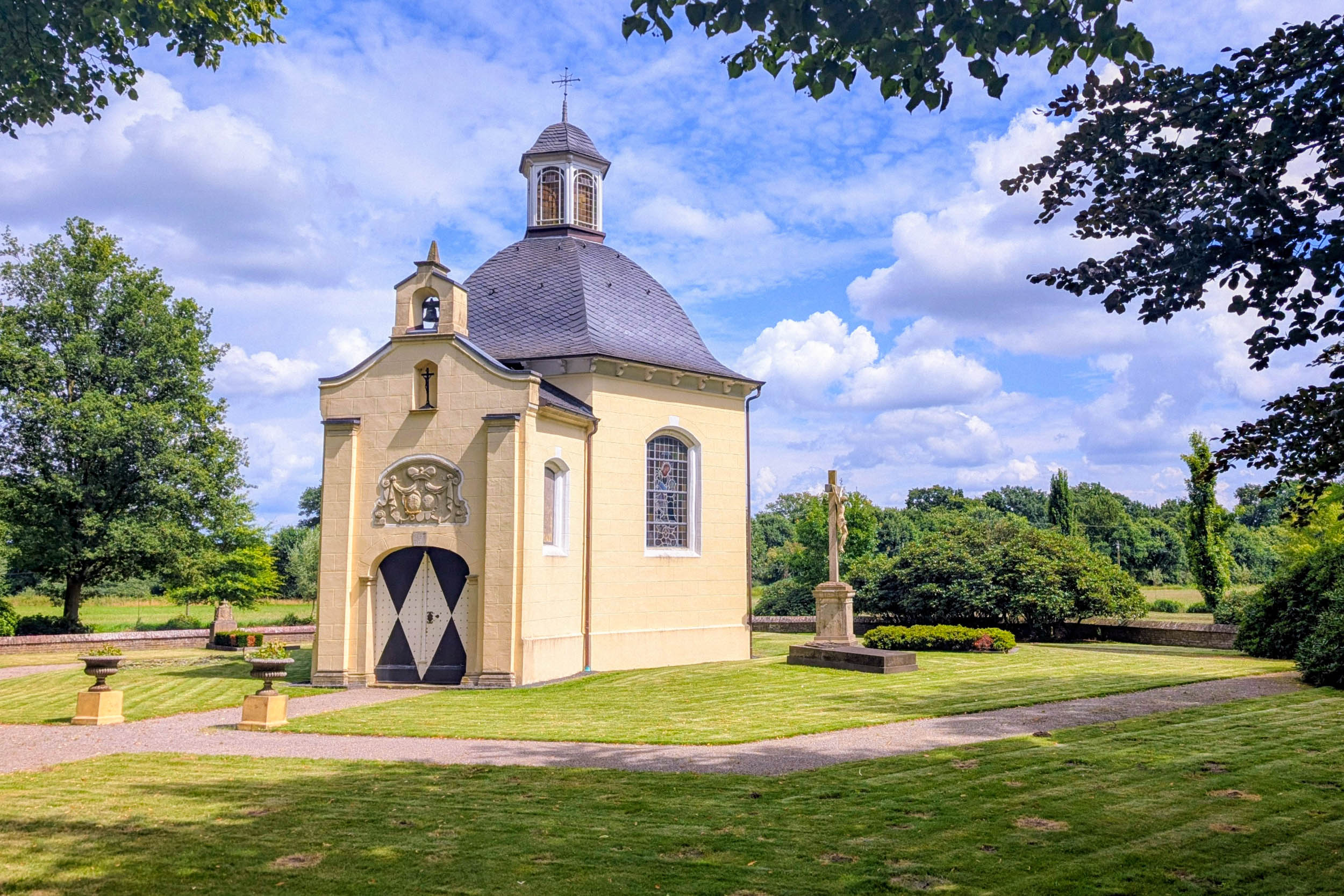
While you’re there, don’t miss the nearby Franciscan monastery. If the church happens to be open, step inside to admire its magnificent Baroque interior, one of the architectural highlights of the region.
A little farther along, GZG Ter Huurne, located between Den Braam and Alstätte, makes an excellent lunch stop. The complex combines a discount supermarket, several shops, and a popular restaurant that attracts visitors from both sides of the border. After hours of quiet gravel roads and secluded trails, arriving at such a lively place feels almost surreal. Chances are you’ll attract a few curious looks in your dusty cycling gear—though you’ll probably be just as intrigued by the crowds as they are by you.
Later in the afternoon, an unpaved bike path follows the Dinkel River into the town of Gronau. Housed in a former textile mill, the Rock’n’Pop Museum traces the history of popular music through interactive exhibits and an impressive collection of memorabilia. It’s one of Gronau’s biggest attractions and well worth a visit. If you’re planning to go inside, be sure to book your tickets in advance, as they often sell out.
The day ends at Camping Erve Beernink, a simple but welcoming farm campground offering excellent value. After a long day on the bike, the on-site laundry facilities are the perfect excuse to give both yourself and your cycling kit a well-deserved refresh.
locationLosser (Erve Beernink) – Radewijk (Grenszicht)
Day 10 (75 km +398 m)
The meandering Dinkel River sets the tone for today’s ride. After crossing into the Netherlands near Gronau, the river winds north through a peaceful landscape of meadows, woodlands, and traditional farms before eventually joining the Vecht. One highlight is Lutterzand, a beautiful nature reserve where the river has carved steep sandy banks beneath towering oak trees. Lutte Hutte, tucked away in the forest, is the perfect place to stop for coffee or lunch.
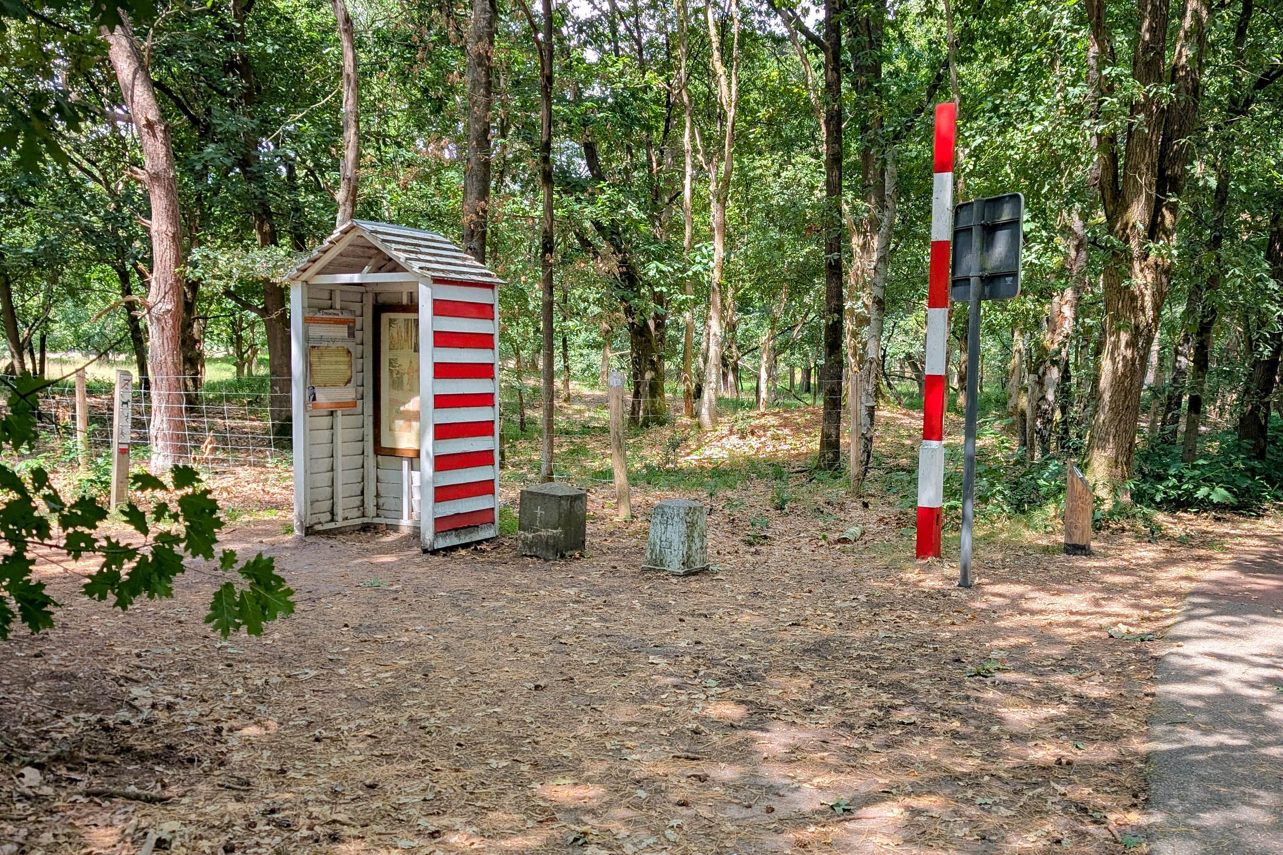
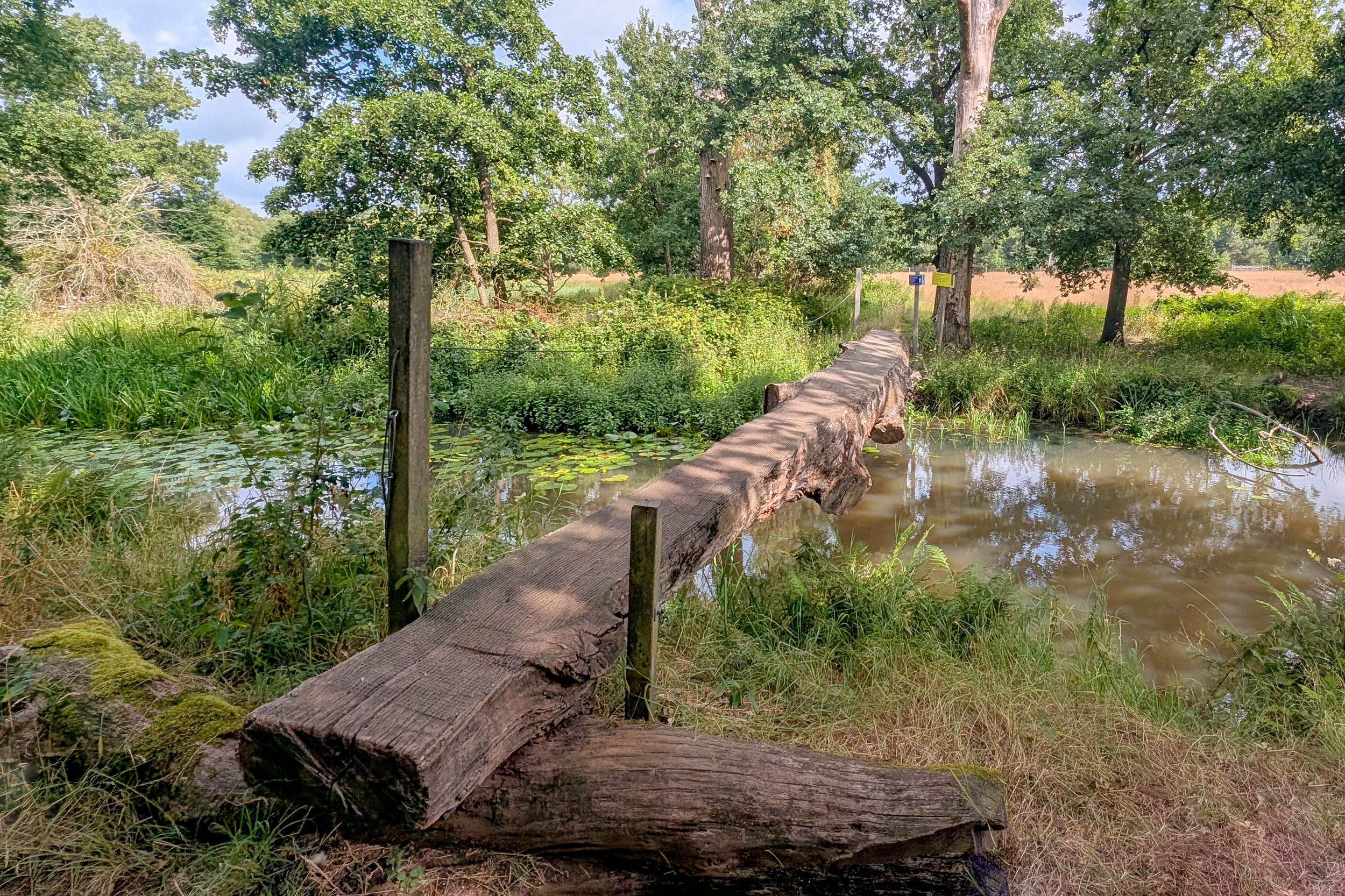
Beyond Lutterzand, a narrow tree-lined trail follows the remarkably straight Dutch-German border toward Nordhorn. Here you’ll ride the Commiezenpad, or ‘Customs Officers’ Path’. During the nineteenth century, retired soldiers were stationed along this isolated frontier to combat smuggling. When not patrolling the border, they sheltered in small, partially buried huts. One of the few surviving customs huts still stands beside the route near Denekamp.
A worthwhile detour awaits just outside Denekamp at De IJskuip / Erve Kuiper. Although it’s about a mile off route, cycling enthusiasts will appreciate the small museum dedicated to Dutch cycling legend Hennie Kuiper. Better known internationally for victories such as the Olympic road race in 1972, Paris-Roubaix in 1983, and the Tour of Flanders, Kuiper grew up on this very farm before launching one of the most successful careers in Dutch cycling. Even if professional racing isn’t your passion, the homemade ice cream, made with milk from the farm’s own cows, is reason enough to stop.
Beyond the museum, the moraine ridge around Ootmarsum introduces gentle climbing and some of the finest forest riding on the route. Flowing singletrack and quiet forest roads weave through the woods, although prolonged rain can leave sections muddy or flooded.
End the day at SVR Farm Campsite Grenszicht near Radewijk. Set in the tiny hamlet of Achterin—literally ‘at the back’—it’s a peaceful place to spend the night and offers excellent facilities for weary bikepackers.
locationRadewijk (Grenszicht) – Sellingen (De Slangenborg)
Day 11 (88.5 km +196 m)
Flat farmland and long, straight roads define the start of today’s ride. Fortunately, that doesn’t last long. Near the tiny village of Laar, the route becomes noticeably more adventurous as it begins to follow the winding Vecht River. Quiet riverside trails alternate with several river crossings, including a charming hand-operated cable ferry just outside the village. After a good workout on the ferry’s pull cable, you’ll continue along the river on rough pasture tracks toward Emlichheim.
Emlichheim is a convenient place to restock, with several supermarkets, bakeries, and cafés. Leaving town behind, the route follows the Coevorden–Piccardie Canal, an important waterway constructed during the Industrial Revolution, before turning north toward the Schoonebeekerdiep. The landscape takes on an unexpectedly Texan feel, with oil pumpjacks scattered across the fields. Beneath Schoonebeek lies the Netherlands’ largest onshore oil field, which still contains an estimated 16 to 20 million cubic meters of recoverable oil.
The trail along the Schoonebeekerdiep is one of the rougher stretches of the route. Expect bumpy tracks, a few hike-a-bike sections, and slower progress. The reward is a peaceful riverside landscape that few visitors ever experience. Farther north, Bargerveen National Park offers a complete change of scenery. Before the seventeenth century, this vast peat bog was an almost impenetrable wilderness. Large-scale peat extraction later transformed the area, but extensive restoration has turned much of it back into an important wetland ecosystem. Today, Bargerveen is one of the Netherlands’ premier birdwatching destinations.
From here, navigation couldn’t be simpler. A smooth gravel path follows the straight Ruiten Aa Canal for miles, making for relaxed riding after the challenges of earlier in the day. End the stage at Nature Campsite De Slangenborg near Sellingen, one of the route’s hidden gems. Beside the campground is a helophyte filter—a natural wastewater treatment system that uses reeds and wetland plants to purify water, a fitting reminder of the close relationship between people and the landscape throughout this journey.
locationSellingen (De Slangenborg) – Nieuwe Statenzijl
Day 12 (38.6 km +54 m)
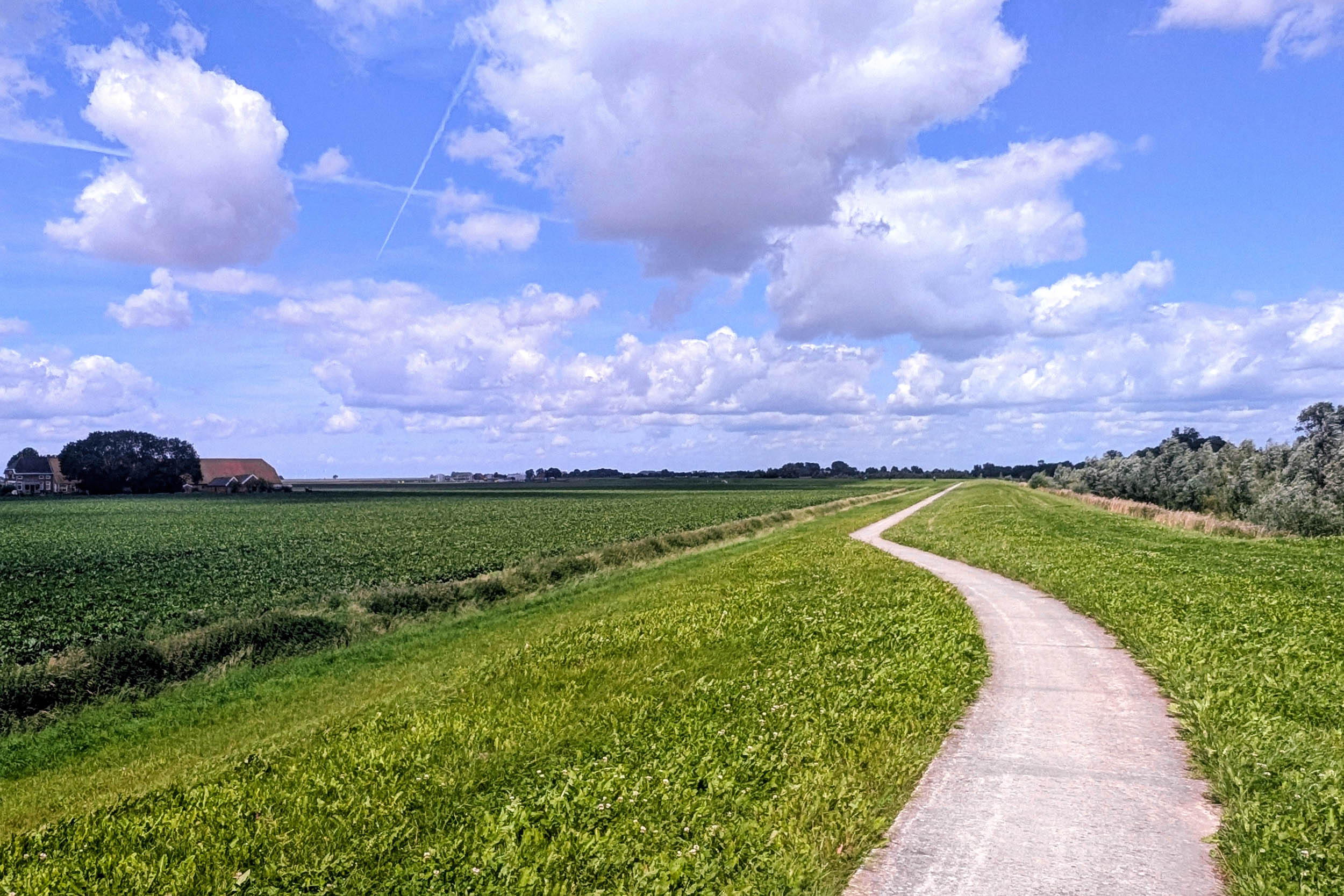
At last, the home stretch. Vast skies, endless farmland, and quiet roads define the province of Groningen, where life has always revolved around water. For centuries, frequent flooding forced communities to build their homes on artificial dwelling mounds known as terpen, shaping both the landscape and the people who call it home.
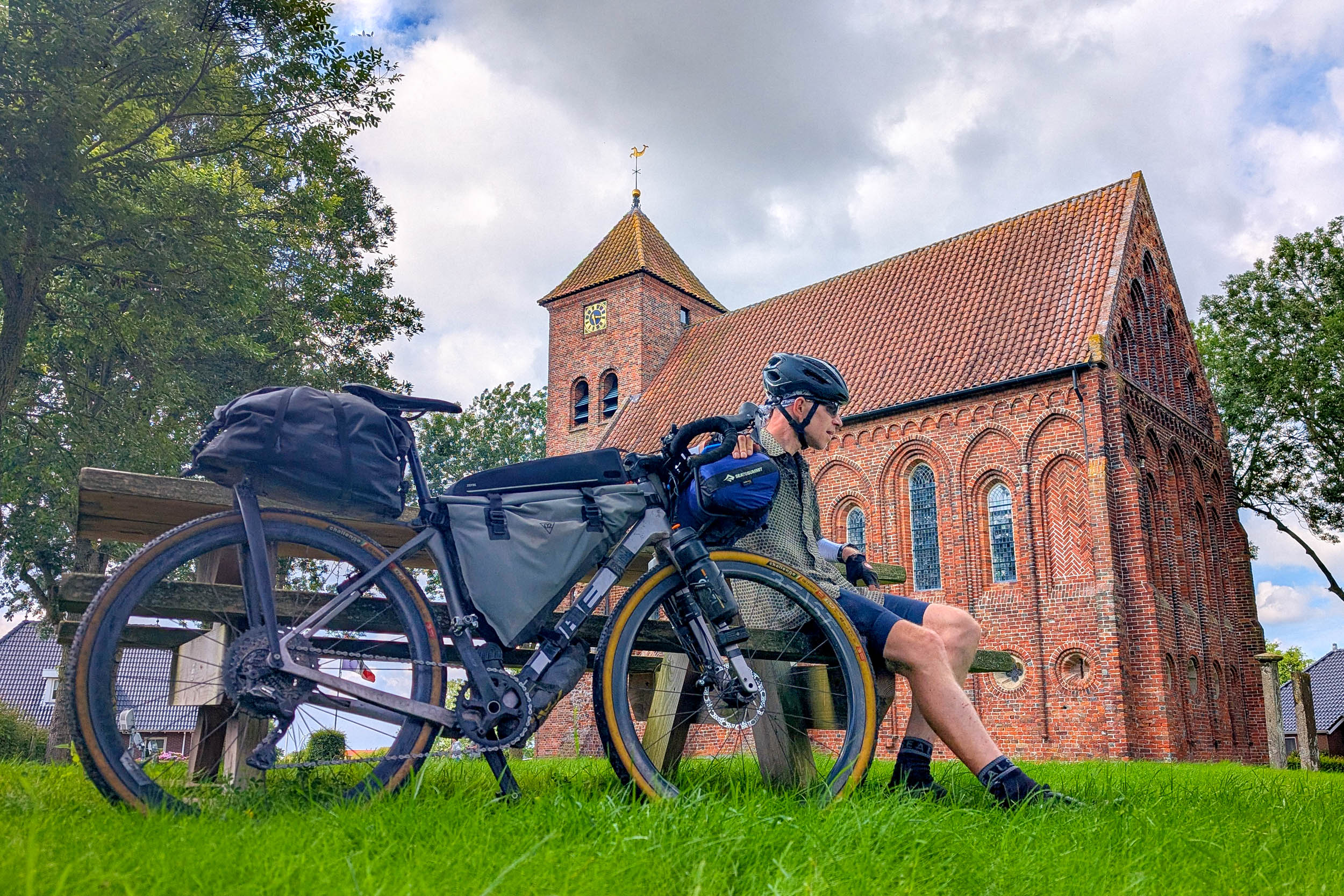
The route continues along the Ruiten Aa Canal on a smooth gravel path that hugs the waterway. If you’re ready for one final coffee stop, cross to the opposite bank at Veelerveen and visit Restaurant ‘t Moment. Housed in the village’s beautifully restored church and largely run by volunteers, it’s known for its excellent apple pie and warm hospitality. The historic interior has been carefully preserved, and the owners, Marianne and Hans, help keep both the building and the village’s history alive.
A mile or so beyond the village, the route leaves the canal for a stretch of unpaved road leading back toward the border. At the Veendijk, a rough farm track brings you to the Bellingwolde Redoubt. Today, it’s little more than a grassy earthwork, but during the Eighty Years’ War it formed part of the defensive line protecting the young Dutch Republic against Spanish forces advancing from the east.
The final miles pass through Bad Nieuweschans, now better known for its thermal spa than its former fortifications. If time allows, it’s the perfect place to soothe tired legs before the last stretch to the finish.
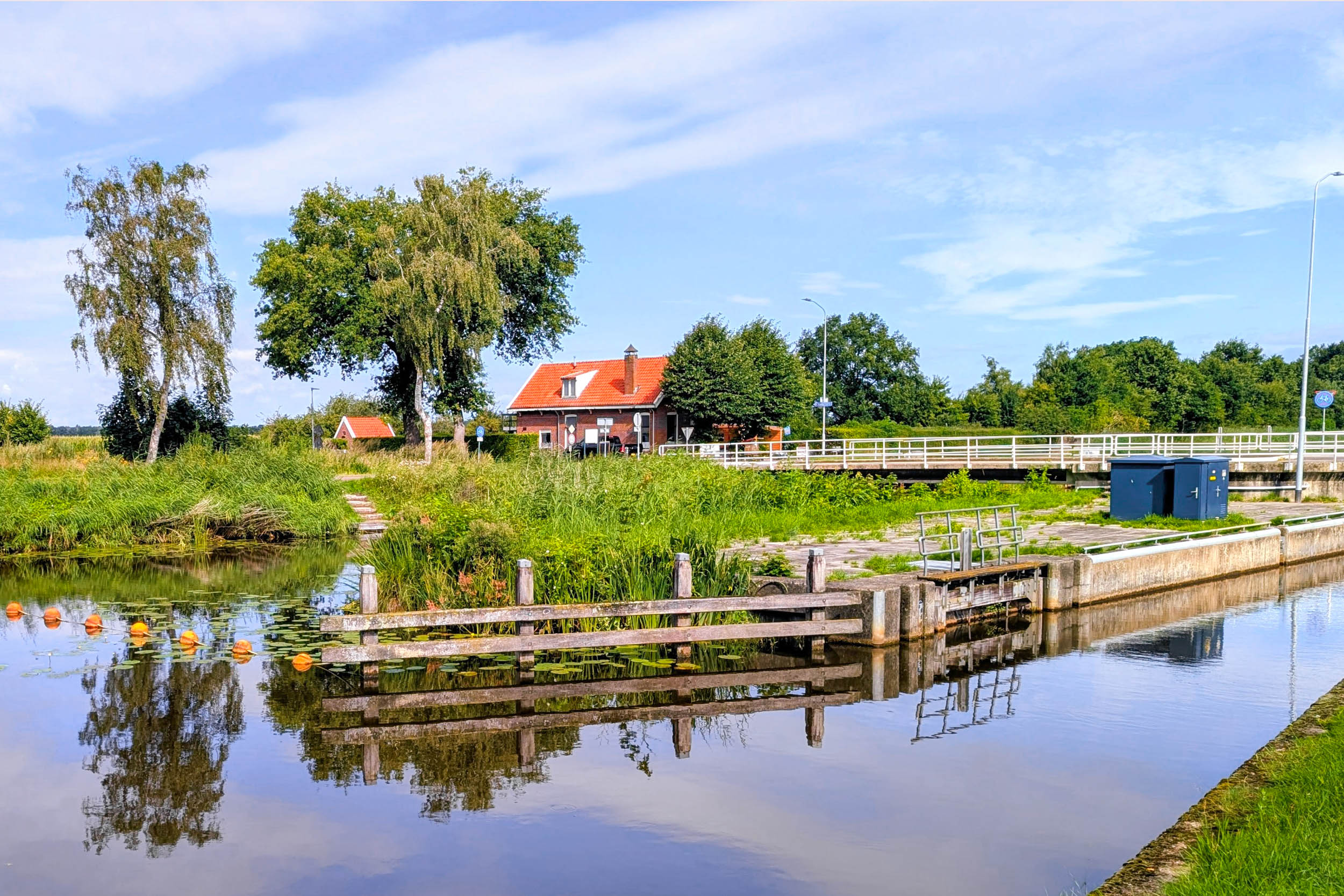
From there, a peaceful bike path follows the Westerwoldse Aa to the lock gates at Nieuwe Statenzijl. Here, Beef With The Border officially comes to an end, even though the actual border lies another 87 yards farther east. Take a moment to pause with a cup of coffee from the small local kiosk, look back on the miles you’ve ridden, and enjoy the quiet satisfaction of completing a remarkable journey along the edges of three countries.

Terms of Use: As with each bikepacking route guide published on BIKEPACKING.com, should you choose to cycle this route, do so at your own risk. Prior to setting out check current local weather, conditions, and land/road closures. While riding, obey all public and private land use restrictions and rules, carry proper safety and navigational equipment, and of course, follow the #leavenotrace guidelines. The information found herein is simply a planning resource to be used as a point of inspiration in conjunction with your own due-diligence. In spite of the fact that this route, associated GPS track (GPX and maps), and all route guidelines were prepared under diligent research by the specified contributor and/or contributors, the accuracy of such and judgement of the author is not guaranteed. BIKEPACKING.com LLC, its partners, associates, and contributors are in no way liable for personal injury, damage to personal property, or any other such situation that might happen to individual riders cycling or following this route.
Further Riding and Reading
Here are some connected/nearby routes and related reports...
Please keep the conversation civil, constructive, and inclusive, or your comment will be removed.