


La Condruzienne
Distance
204 Mi.
(328 KM)Days
4-5
% Unpaved
63%
% Singletrack
5%
% Rideable (time)
97%
Total Ascent
18,512'
(5,642 M)High Point
978'
(298 M)Difficulty (1-10)
6?
- 6Climbing Scale Moderate91 FT/MI (17 M/KM)
- 6Technical Difficulty Moderate
- 7Physical Demand Difficult
- 5Resupply & Logistics Moderate
Contributed By
Carl Smets
Guest Contributor
Raised in the north of Flanders where cycling is almost a religion, Carl has been an outdoor fanatic all his life. He has cycled all over Europe, hiked and cycled twice from Belgium to Rome, and is a fervent mountaineering and skiing lover. In his free time, nothing gives him more energy than inventing and organizing new outdoor adventures to enjoy with his friends and relatives.
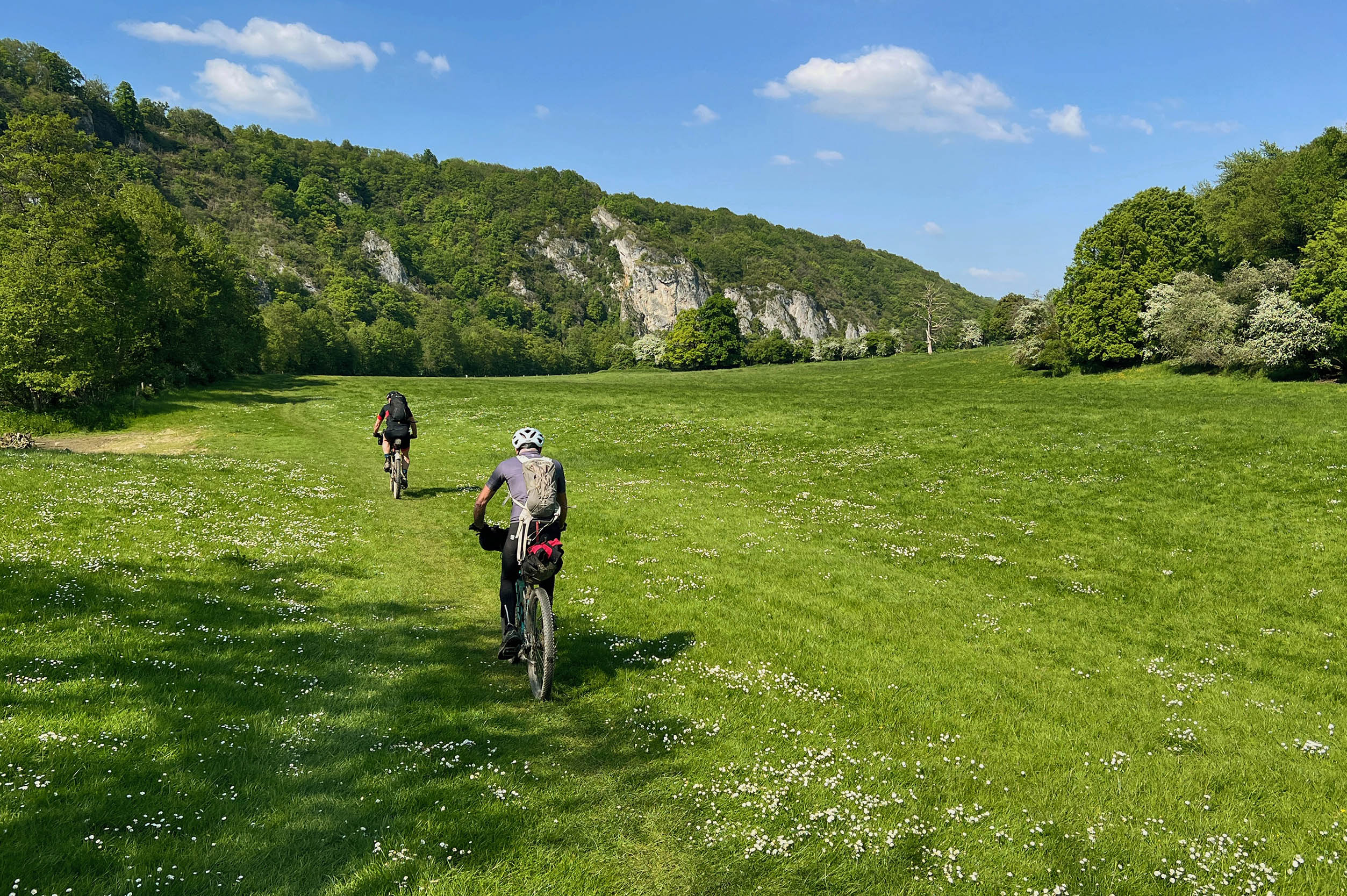
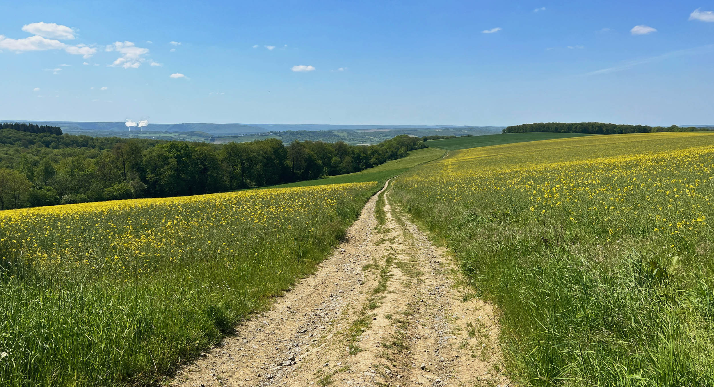
La Condruzienne refers to the Condroz, a particular region close to Namur in Wallonia, the French-speaking part in the south of Belgium. It’s a sparsely populated, agricultural area filled with rivers and low hills of an average height of 200-300 meters. The region preserves the name of the Condrusi, a Germanic tribe that inhabited the area during and before the Roman era.
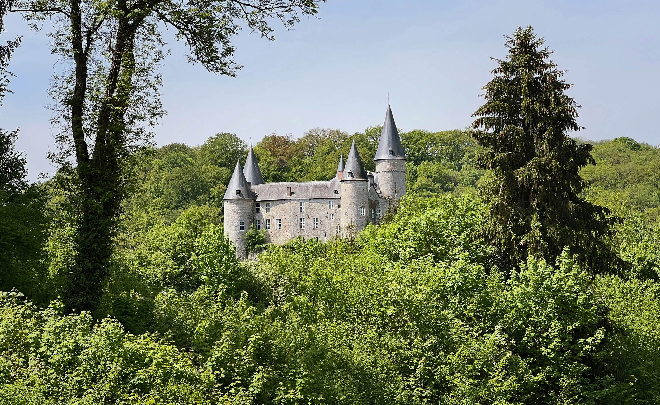
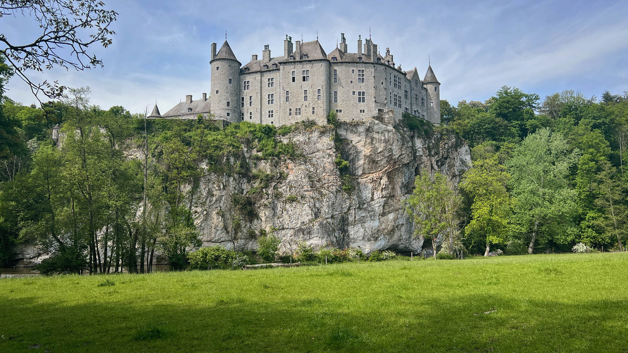
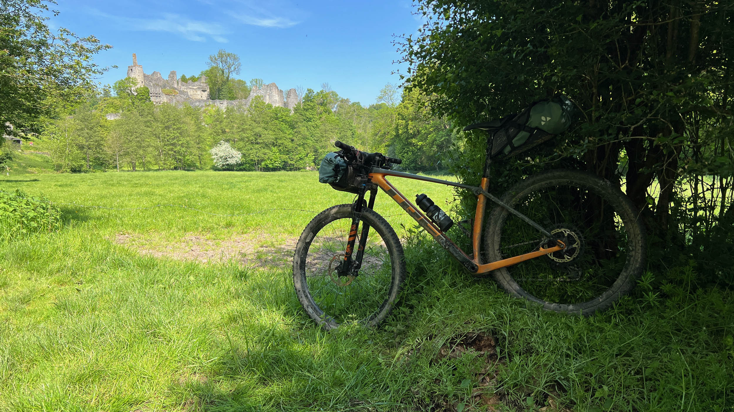
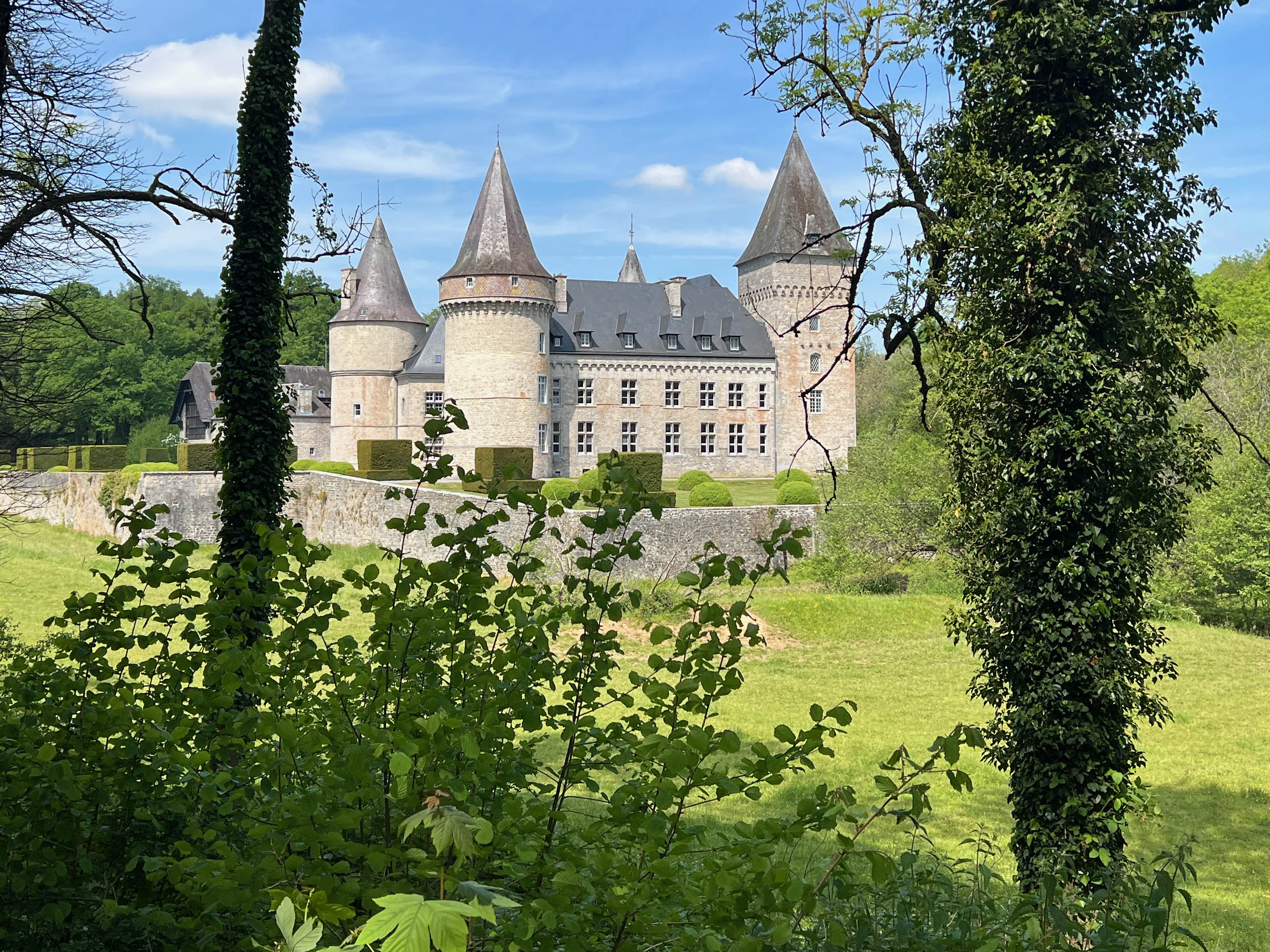
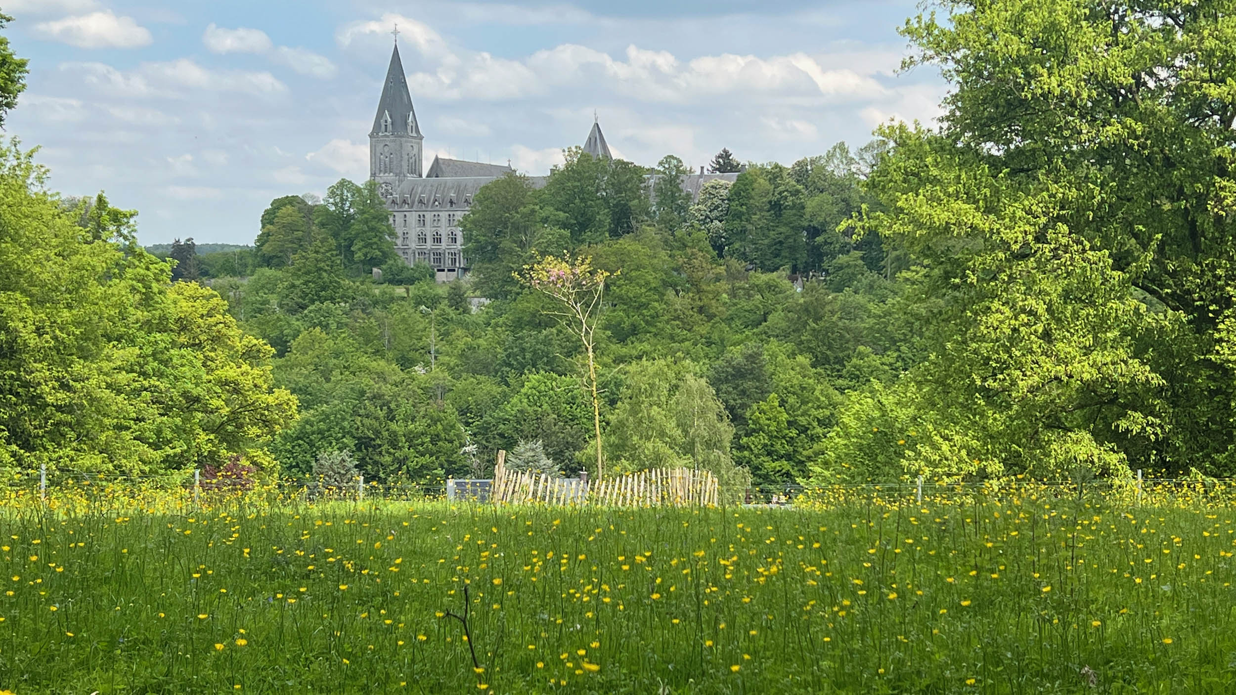
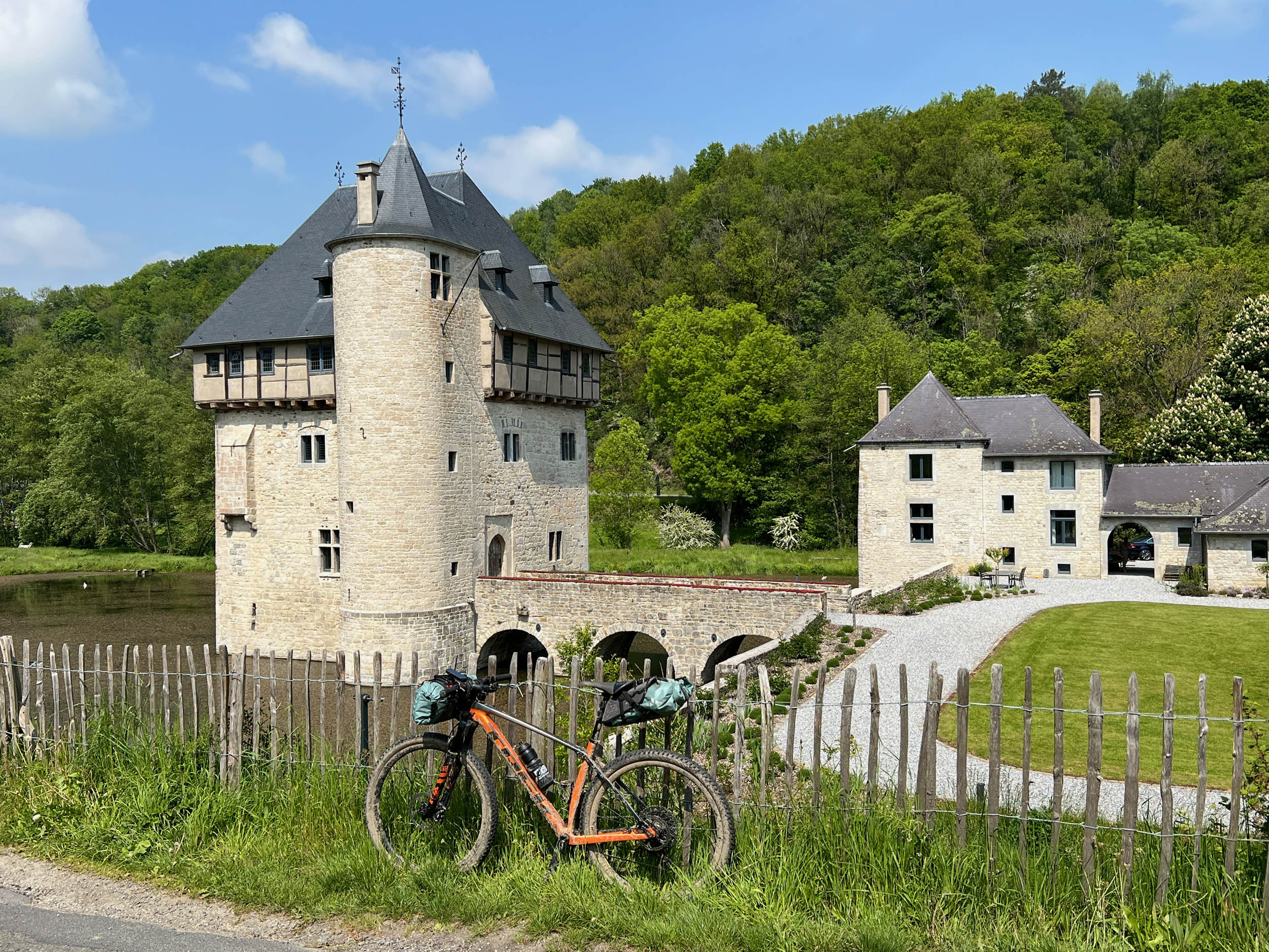
The Condroz has always been quite prosperous, and it boasts an incredible supply of castles dating from the Middle Ages over the era of the French Revolution and the 18 to 19th centuries. You will have the chance to admire many of these on this bikepacking journey.
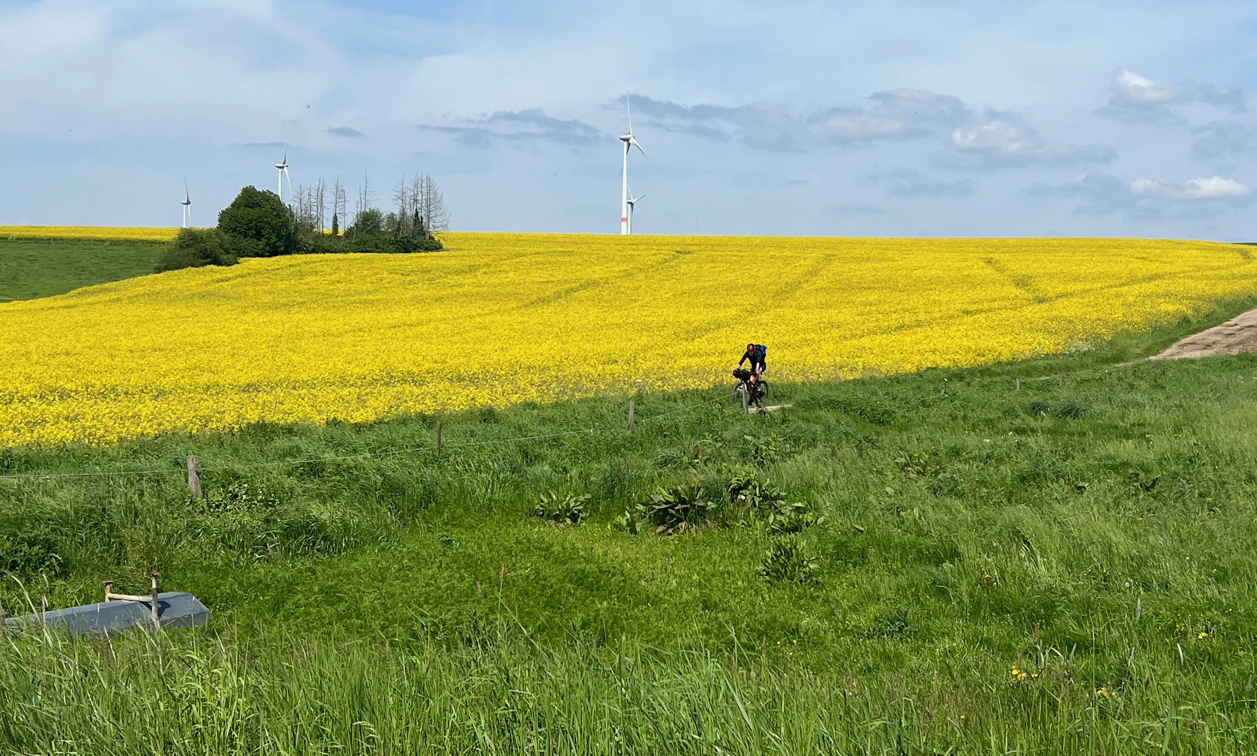
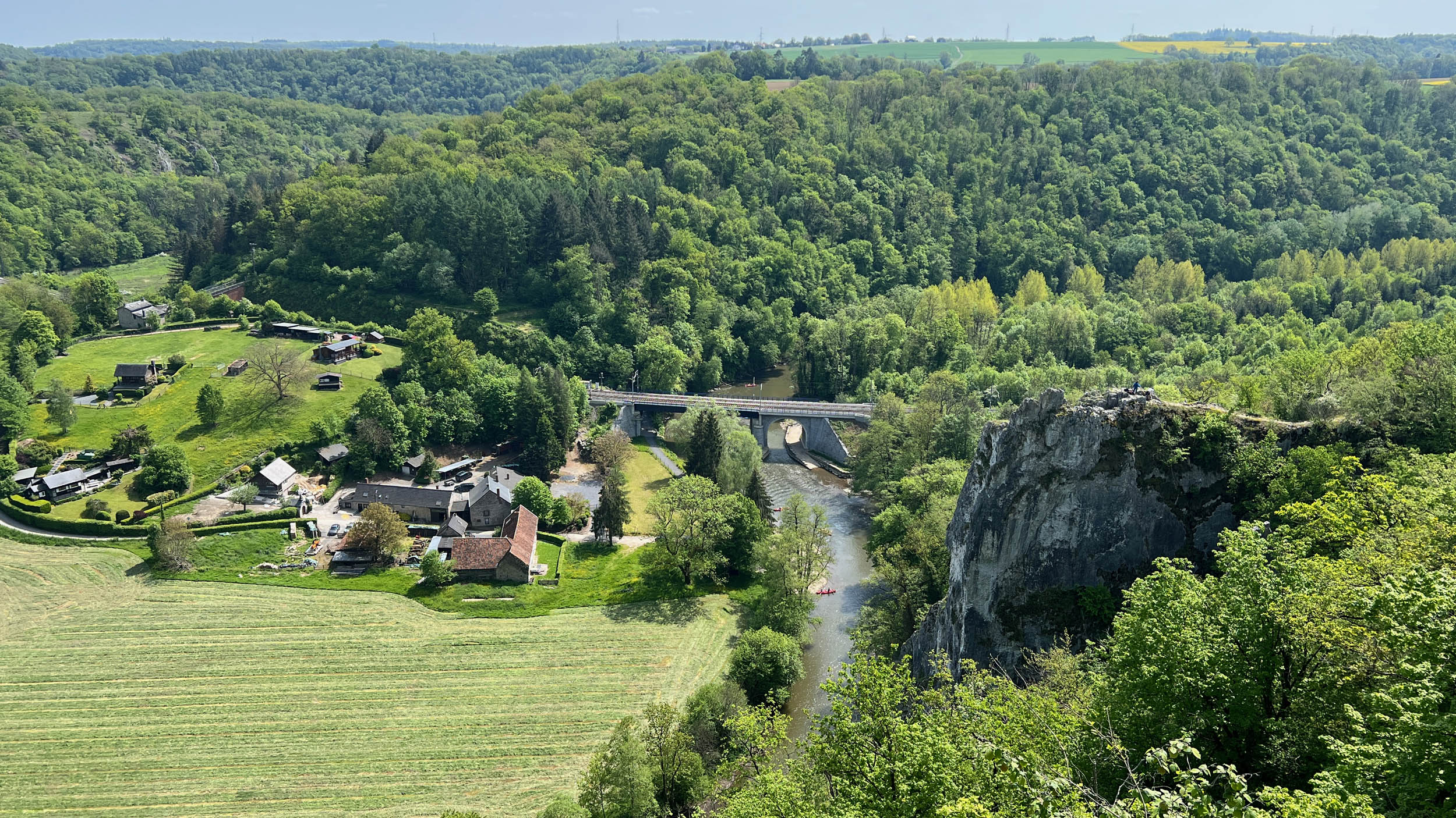
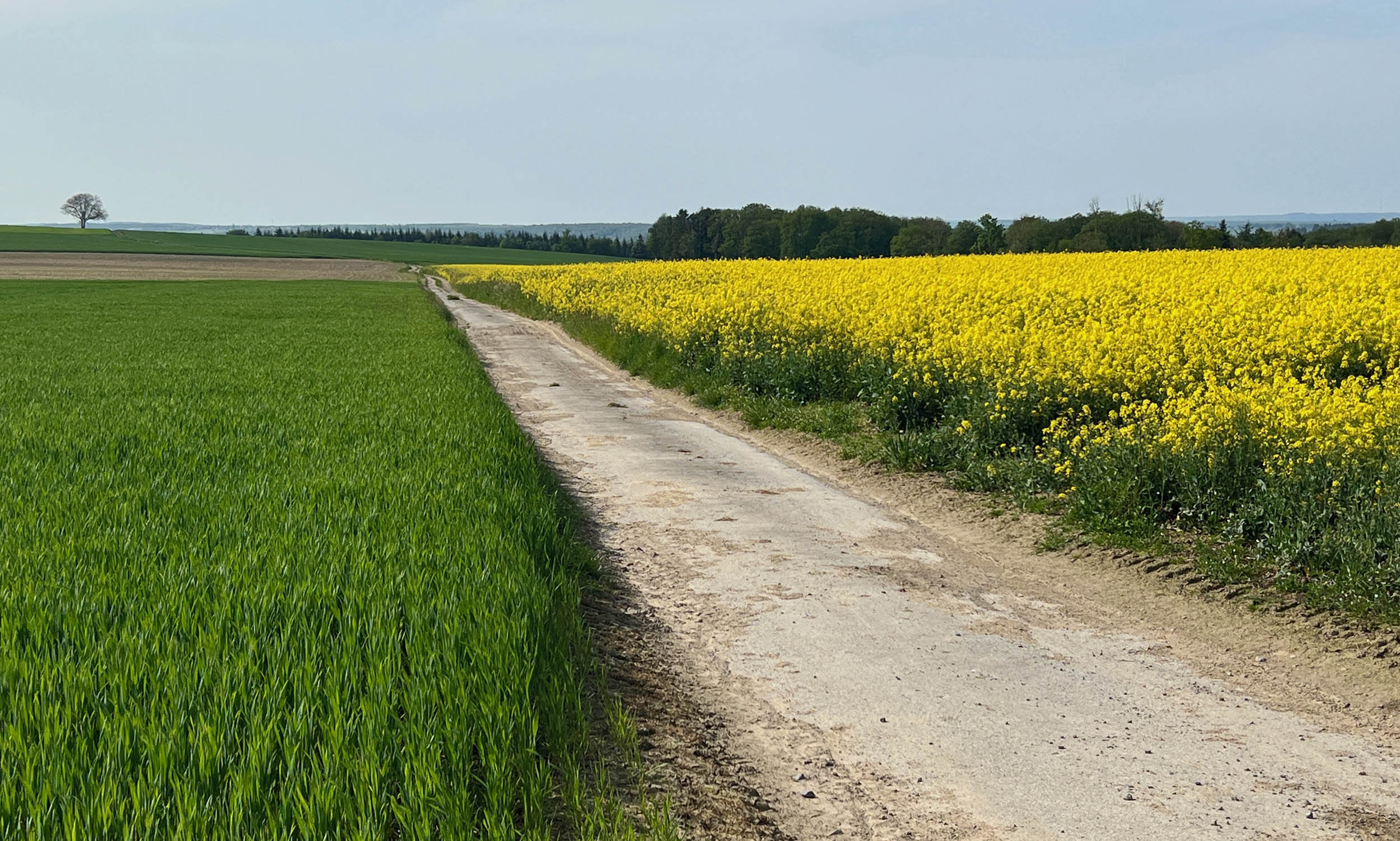
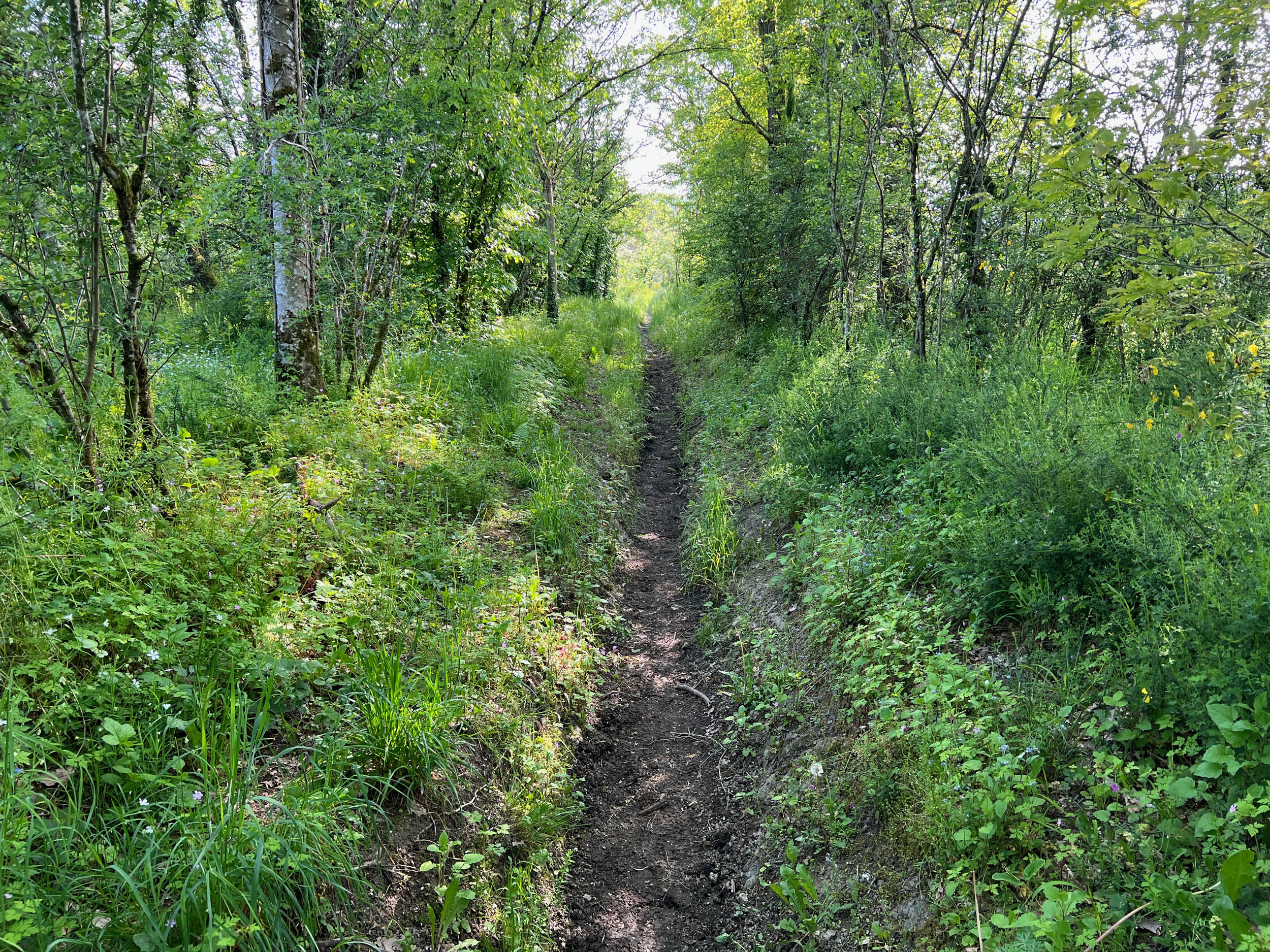
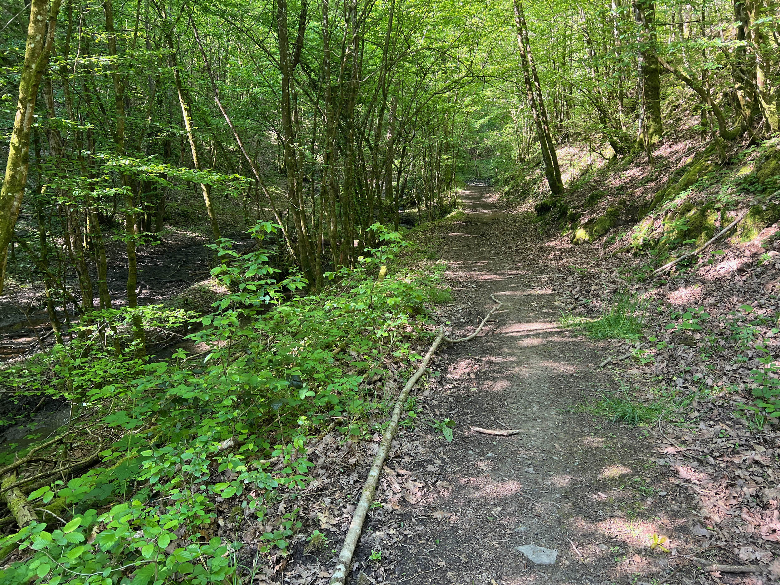
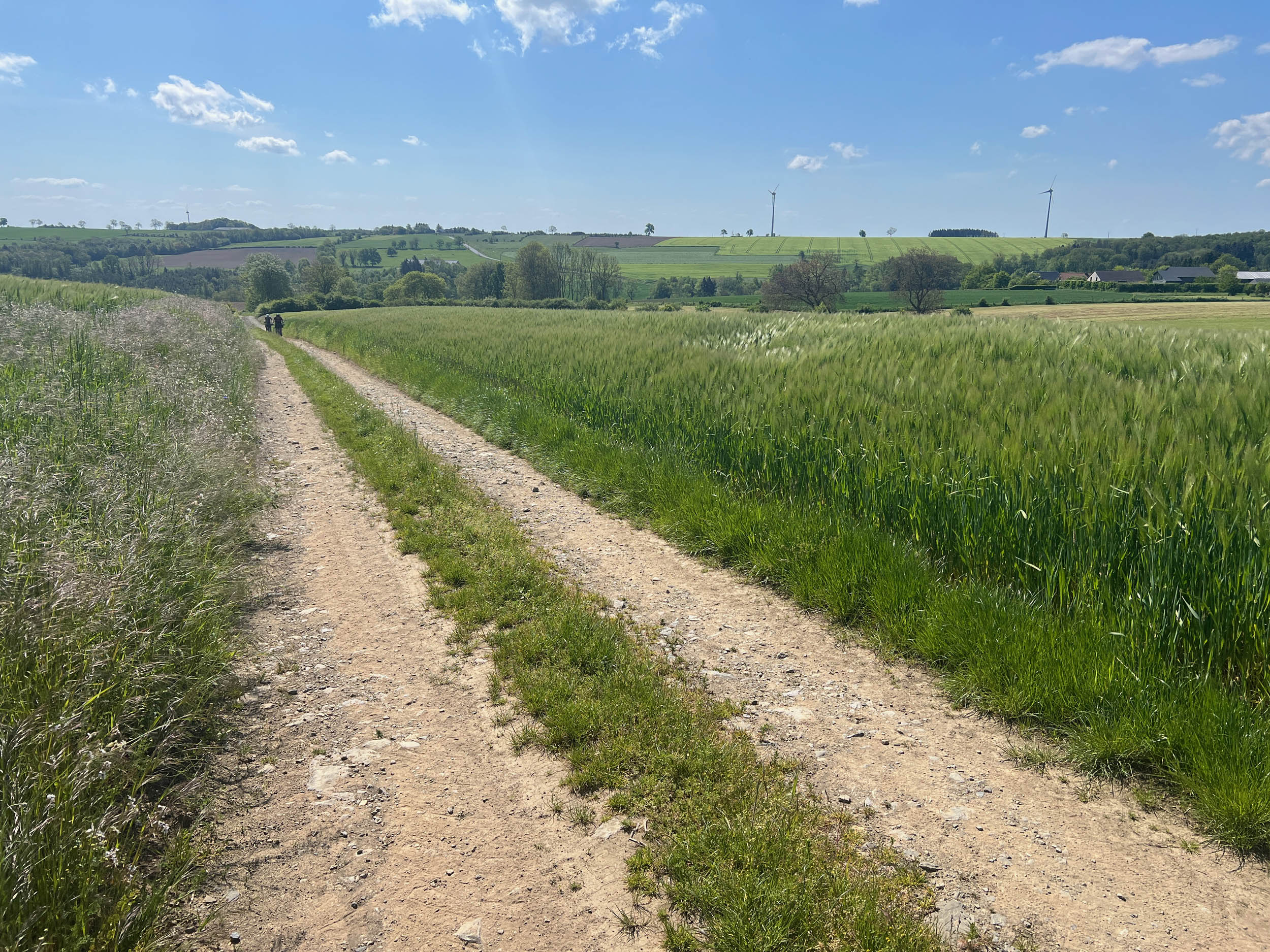
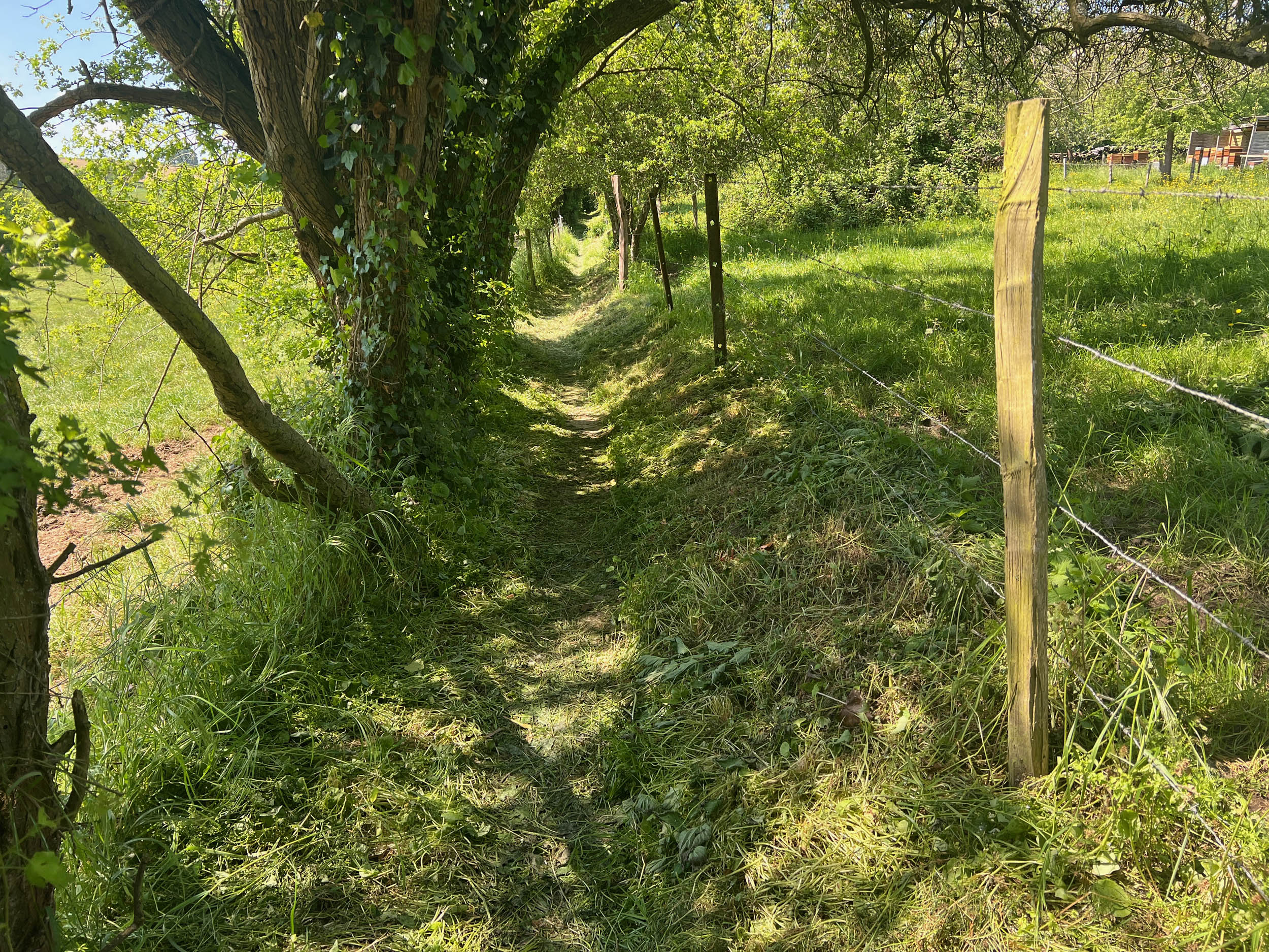
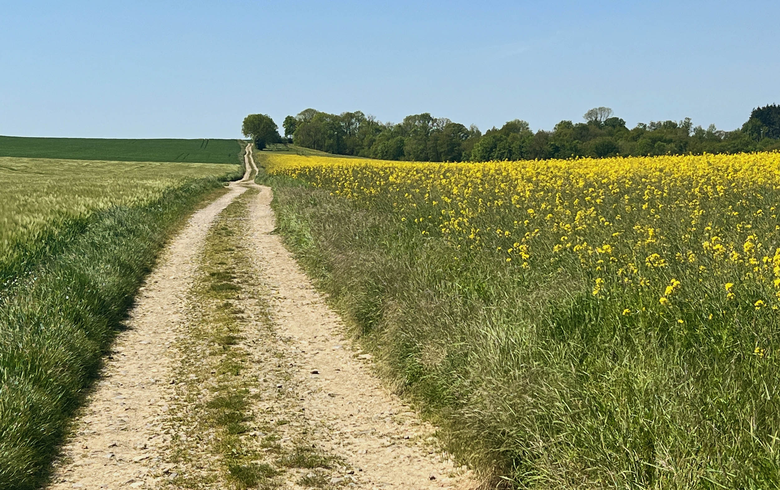
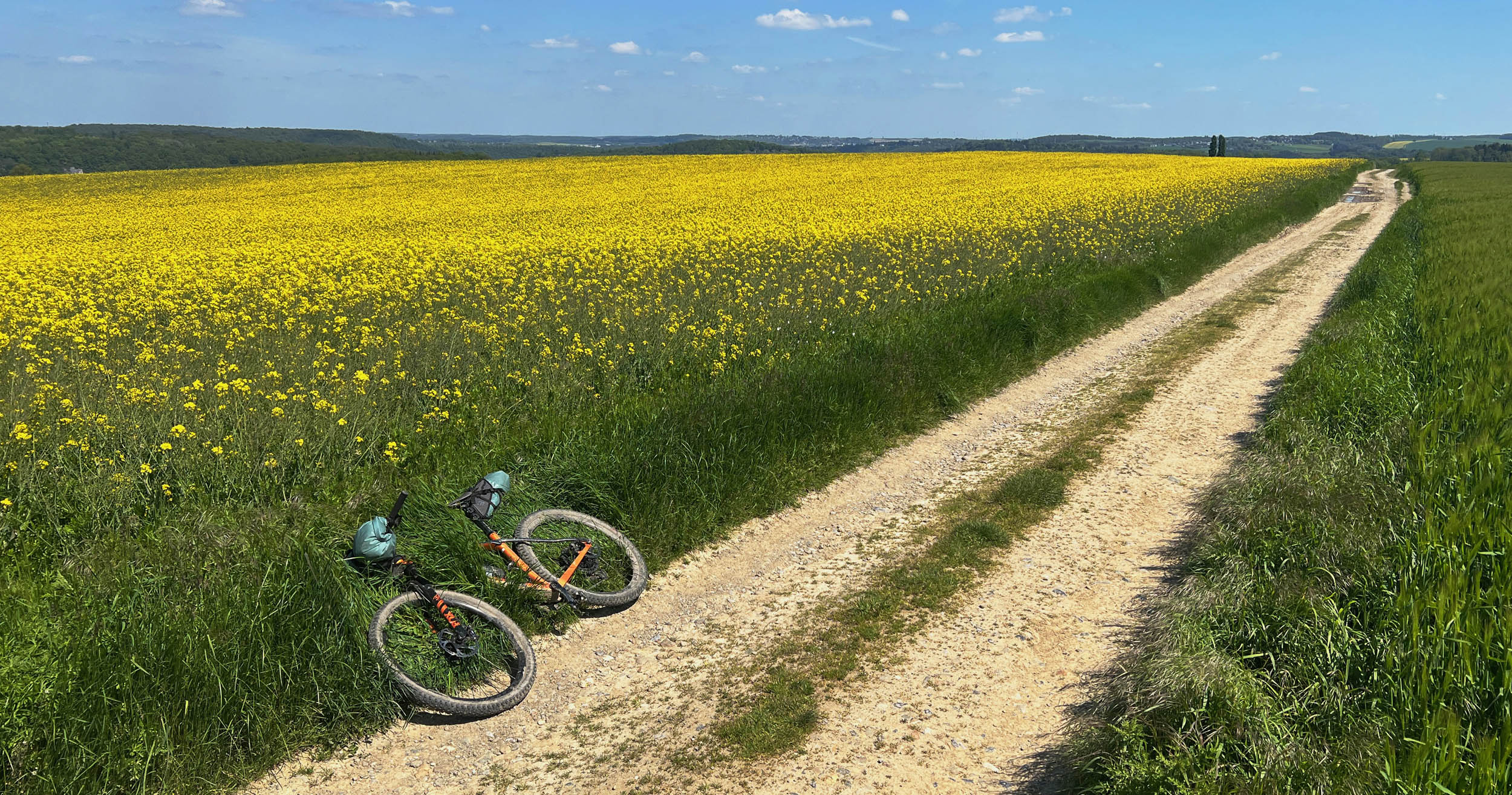
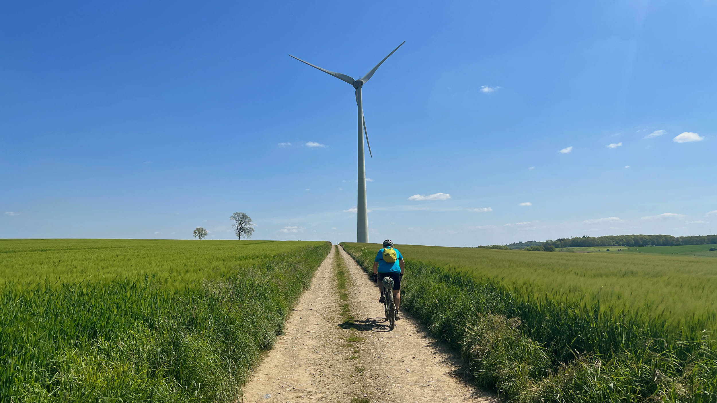
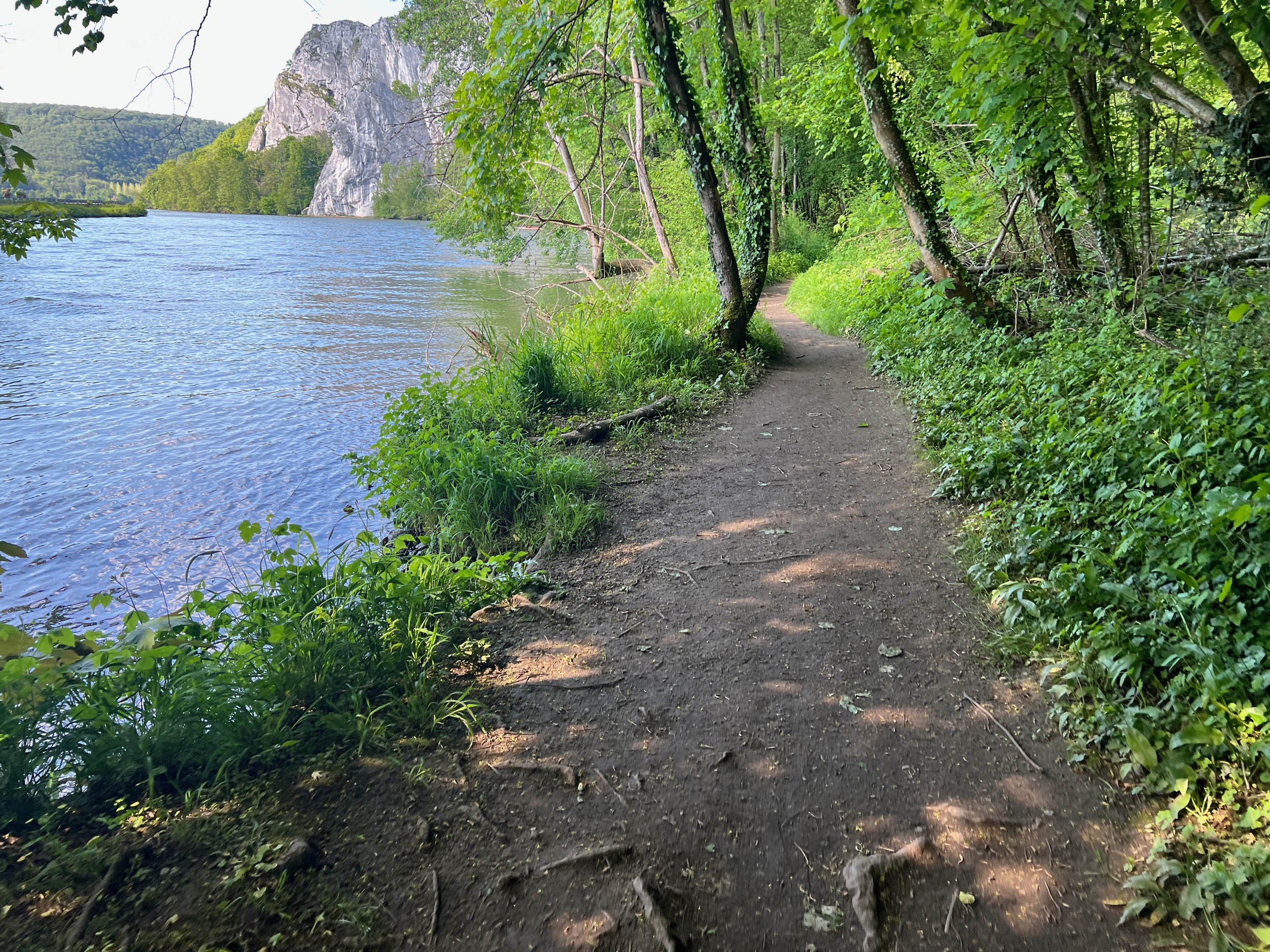
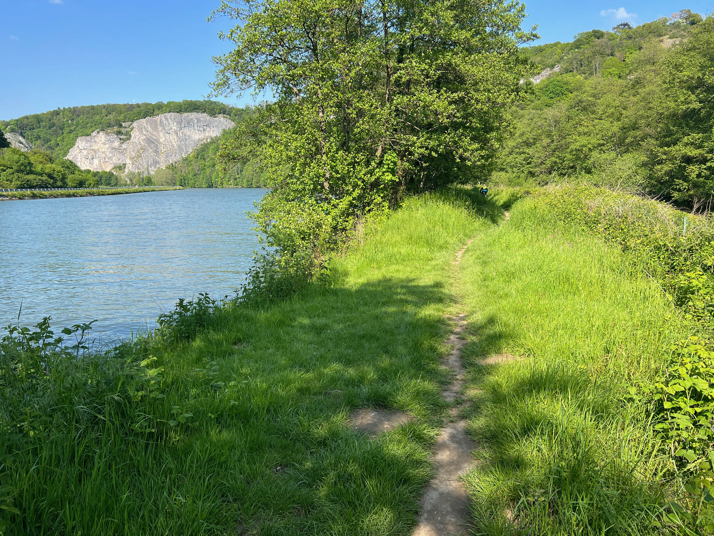
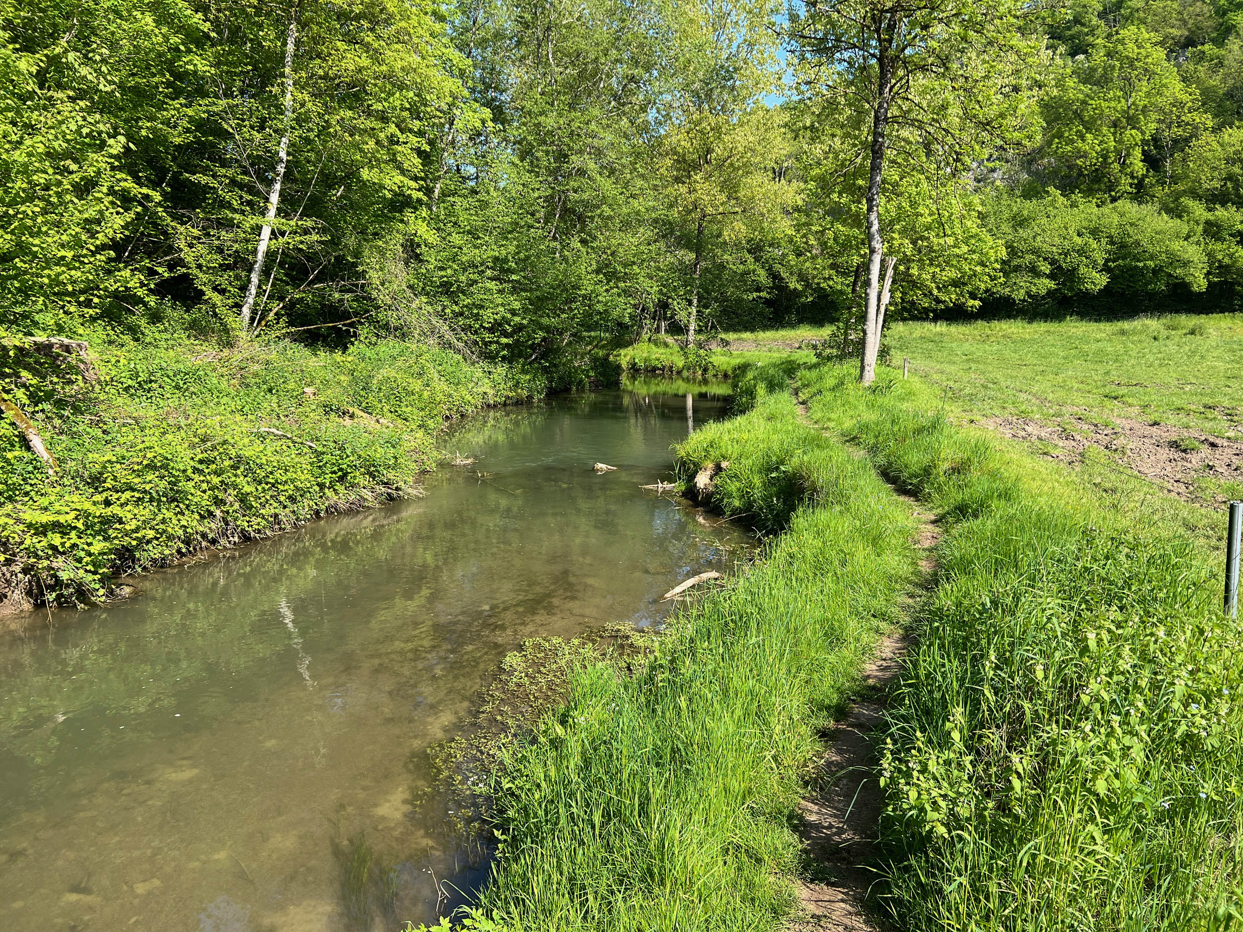
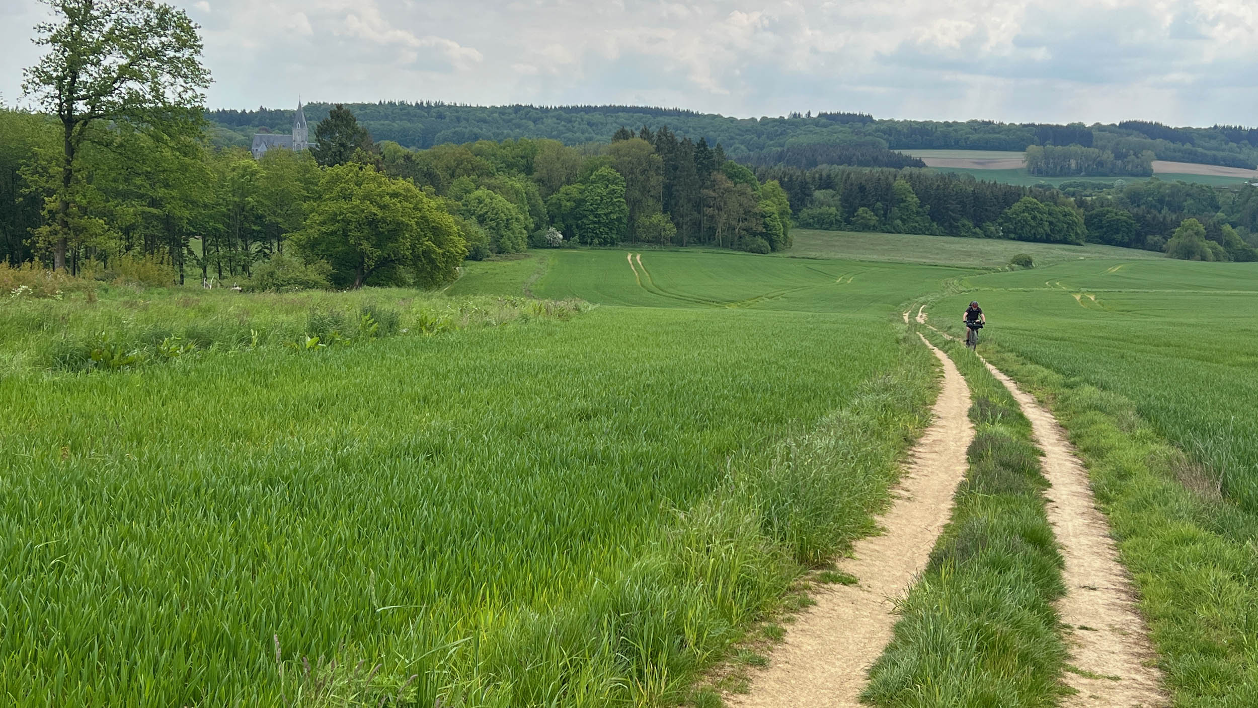
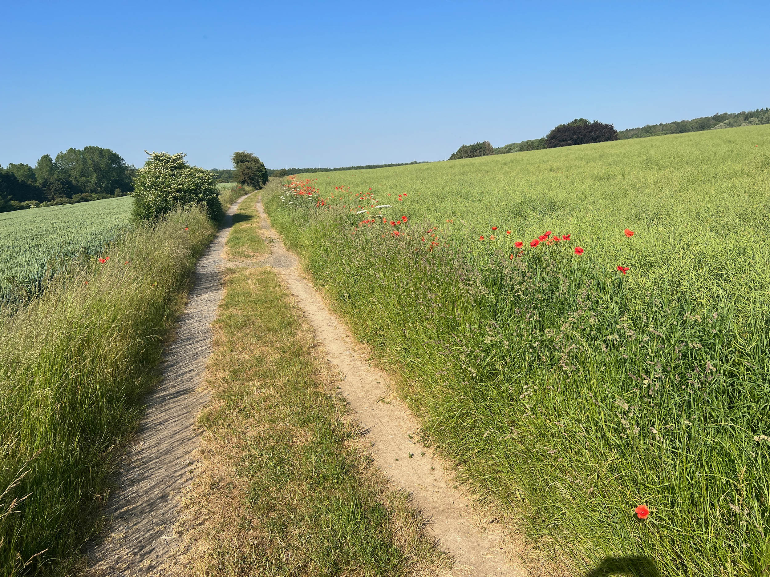
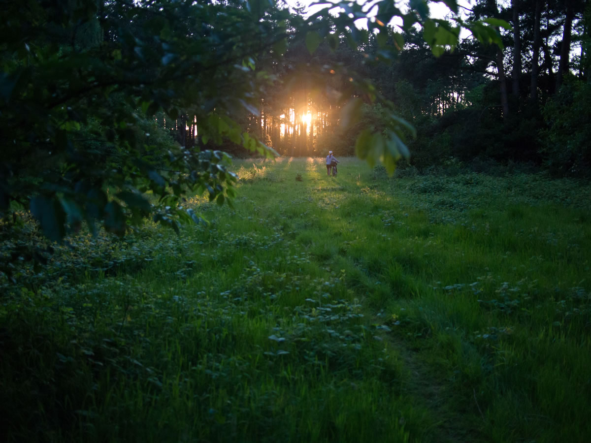
Besides of the cultural aspect, the section of the river Meuse south of Namur is undoubtedly one of the hidden natural gems of Belgium. The many side rivers have carved out small canyons, and rustic places are interspersed with open vistas and long stretches through agricultural areas on the top of the plateau.
The route twists and turns and has been carefully designed to offer the best views of the many castles and rock formations, so shortcutting will deprive you of some rewarding viewpoints. Consider extending your stay and make a stop to visit the Chateau de Veves, the Abbey of Maredsous, or the citadels of Namur and Dinant. Doing so will give you a much better understanding of the rich historical background of this small country in the center of Europe.
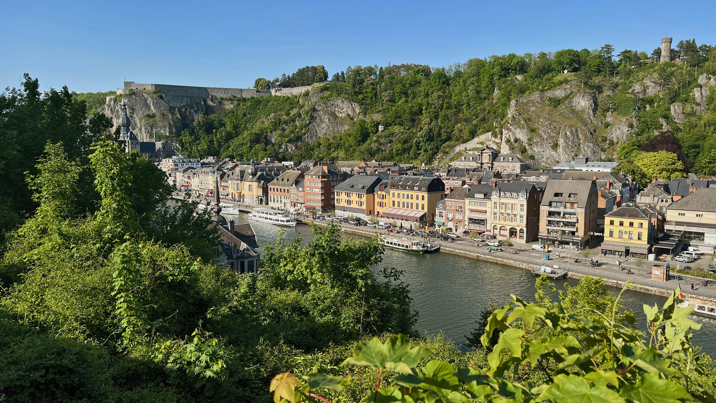
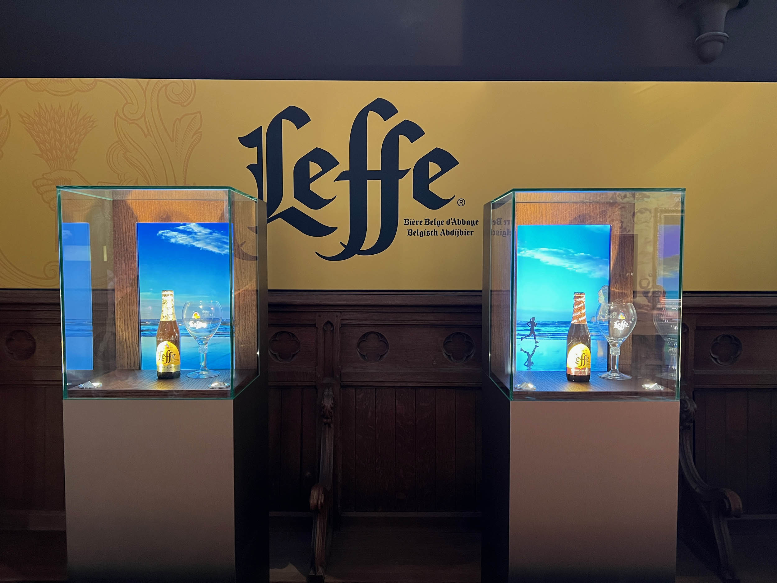
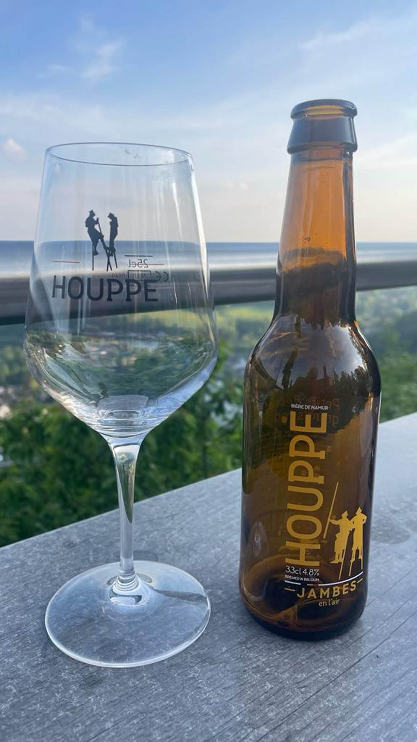
Moreover, with the Maredsous abbey beer, the Blanche de Namur, and especially Dinant as the capital of the famous Leffe beer, you will have plenty of opportunity to enjoy Belgium’s number one export. This ride is nature and culture at their best.
Route Difficulty
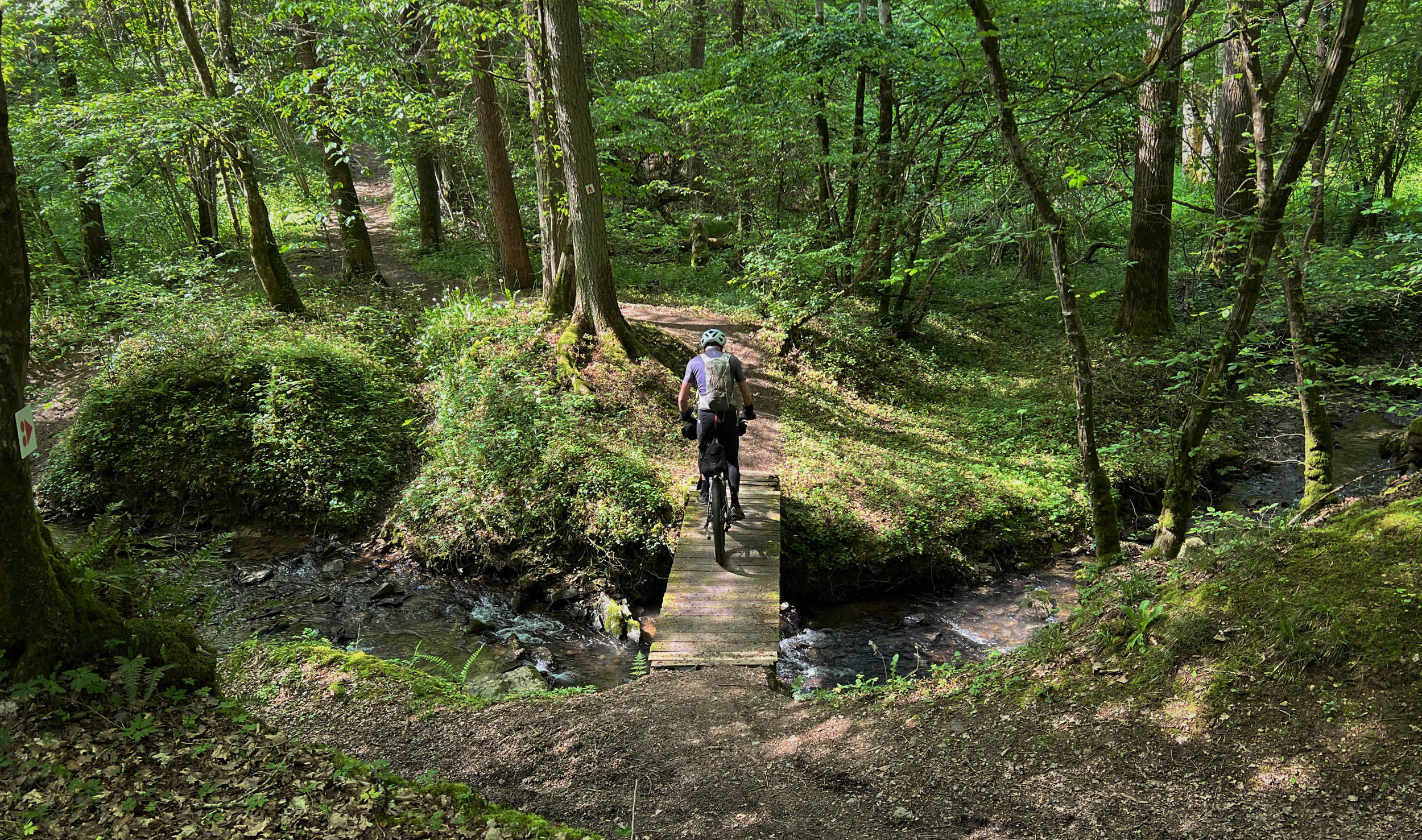
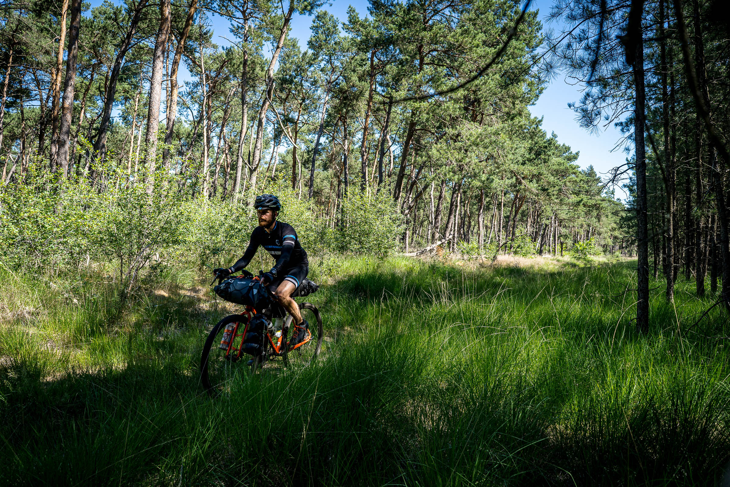
Although there are few technical difficulties, a hardtail mountain bike is preferred. A gravel bike could work in the case of sustained dry conditions. Take into account that riding a fully loaded gravel bike over this terrain requires skill and patience with inevitable hike-and bike sections.
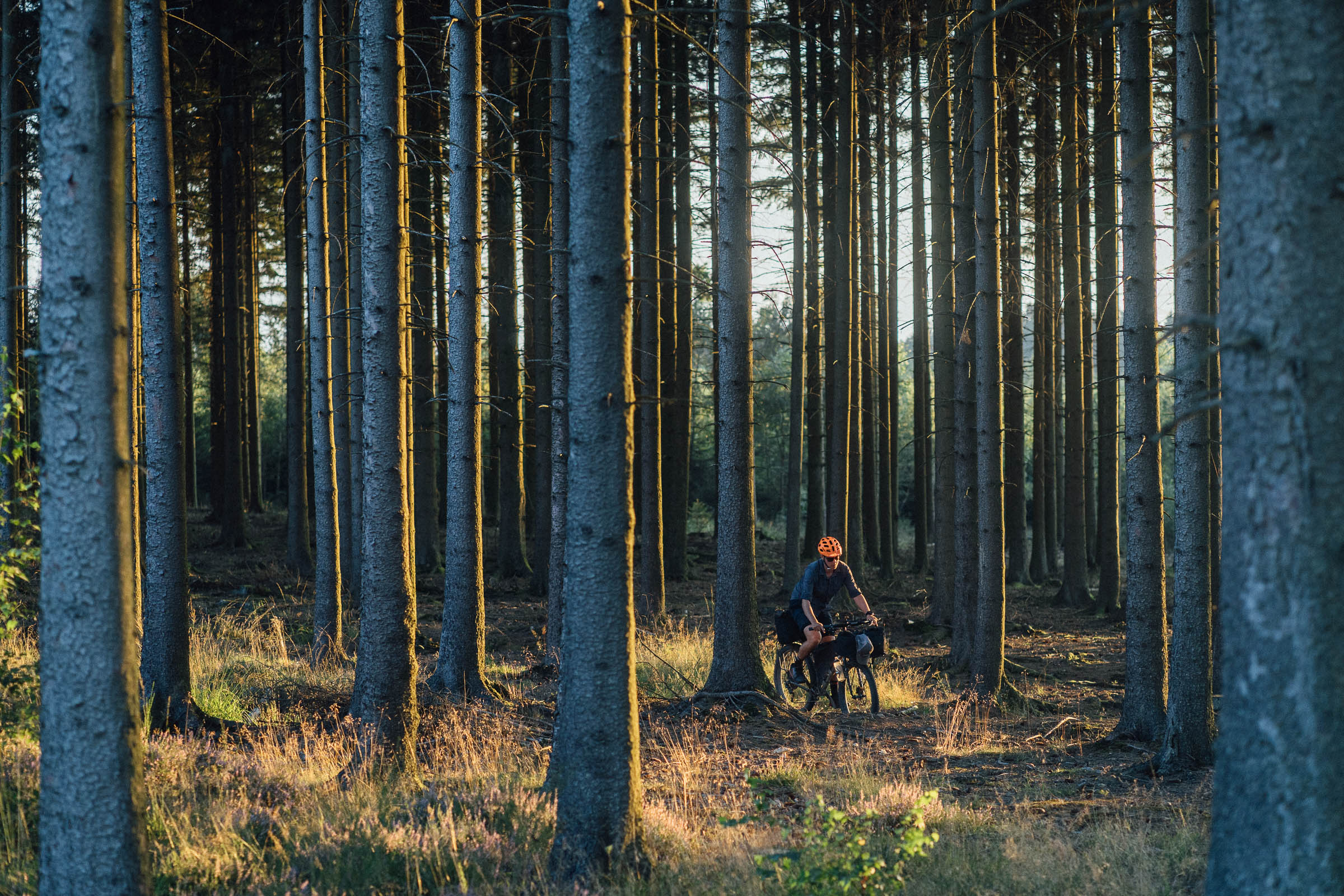
Technical difficulty (6): Except for a handful of short rocky descents and a few easy hike-a-bikes, this route doesn’t require significant technical skills. Most of the off-road sections are on easy forest tracks. The few technical sections can be hiked if needed.
Physical Demand (7): Make no mistake, this part of Belgium is not flat, and the route requires you to be in good shape. With over 17 meters per kilometer of total elevation difference, count on quite a lot of climbing with numerous traverses in and out of the valley valley.
Resupply and Logistics (5): Food, water, and lodging are easy to find. Belgium is well-known for its bakeries, and some of the best ones that deserve a stop are noted on the map. The southern part of the route, especially the 30-kilometer stretch between Heer-Agimont and Hastiere, is fairly remote with limited supplies, so be sure to always carry some spare food and water.
Route Development: The route in its entirety has been developed by the author based on a set of well-documented local MTB and hiking trails. The final route is the result of several test rides with the support of many friends who provided valuable feedback on additions to let you enjoy as many of the special viewpoints in this beautiful region as possible.

Submit Route Alert
As the leading creator and publisher of bikepacking routes, BIKEPACKING.com endeavors to maintain, improve, and advocate for our growing network of bikepacking routes all over the world. As such, our editorial team, route creators, and Route Stewards serve as mediators for route improvements and opportunities for connectivity, conservation, and community growth around these routes. To facilitate these efforts, we rely on our Bikepacking Collective and the greater bikepacking community to call attention to critical issues and opportunities that are discovered while riding these routes. If you have a vital issue or opportunity regarding this route that pertains to one of the subjects below, please let us know:
Highlights
Must Know
Camping
Food/H2O
Trail Notes
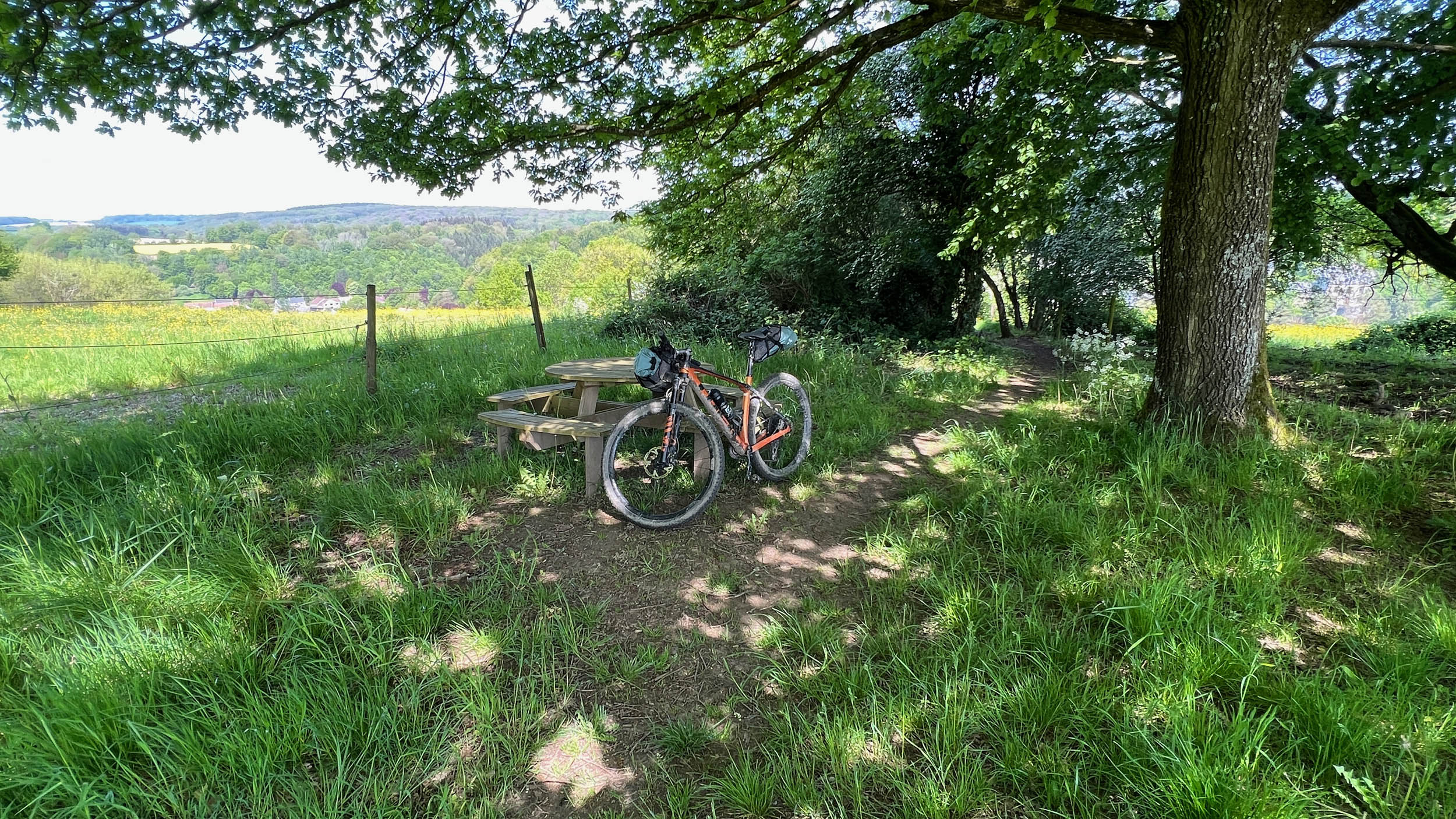
- Nice up-and-down bike riding along the small hidden river valleys in the fairly remote southwest section along the Hermeton and the section of the Bocq between Crupet and Spontin.
- The countless great views on the many castles are noteworthy, but the top ones that will knock you off your feet are the Royal Castle at Walzin, le Chateau de Veves, le Chateau de Crupet, the Abbey of Maredsous, and of course the citadels of Namur and Dinant.
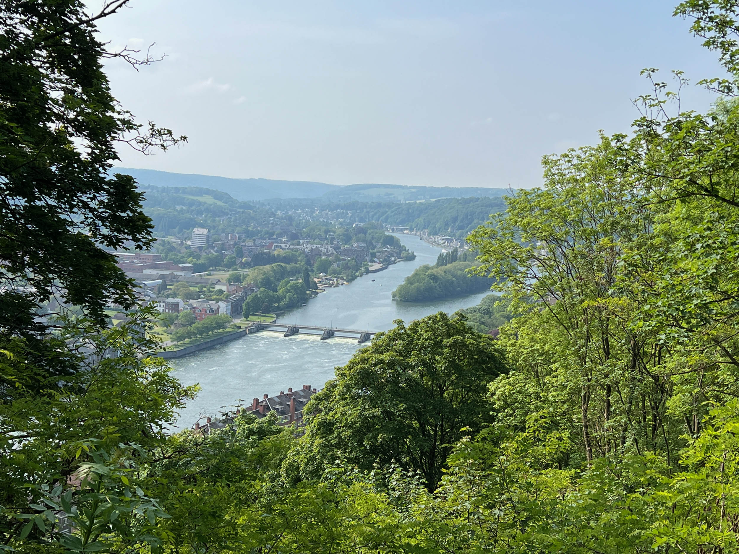
- Stunning viewpoints on the Meuse and La Lesse especially at the Citadelle in Namur and Les Aiguilles de Chaleux close to Furfooz.
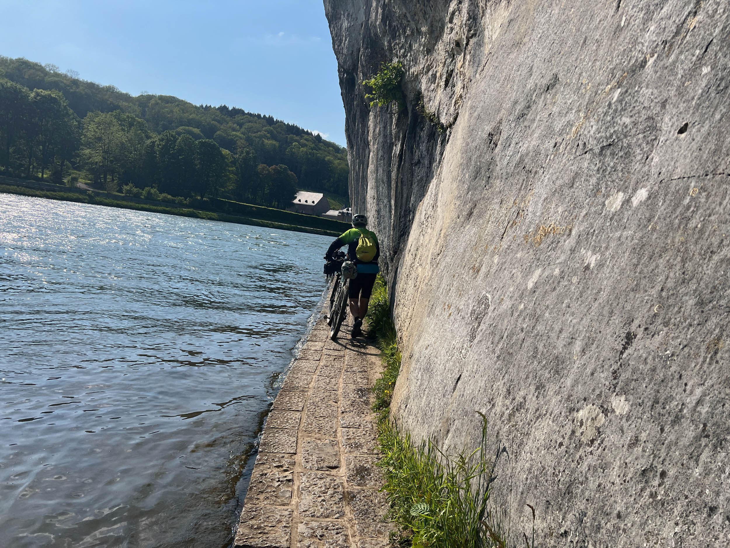
- Strolling section along the borders of La Meuse between Waulsort and Anseremme with the nice views on the Meuse and the Rochers de Freyr.
- The in-and-out section at the start and end of the ride in Namur passing two times through the citadel will definitely be remembered.
- This area has some excellent bakeries that definitely deserve a stop. Taste a great coffee with a delicious tarte and you will have plenty of energy to hit the road again.
- And, of course, the beer. This area counts a lot of little breweries, and nothing beats a great adventurous bike ride than a good beer after. Consider to visit La Maison de Leffe in Dinant, the home town of the famous Leffe beer.
- The best time to ride is between April and October, but March and November are possible in case of limited rain fall. December to February are less recommended as the area will be quite muddy and descents can be quite slippery. Be aware in case of heavy rainfall, as there are several sections that cross or ride along the many rivers in the area. And except during high summer, the Hermeton and Soulmie river passages will likely give you some wet feet.
- The route starts and ends at the Railway station of Namur.
- The Belgian rail system is quite bike friendly, and adding a bike to your ticket costs 7.5 Euro, regardless of travel distance or duration.
- For those coming by car, there are plenty of multi-day parking spots in the area.
- The route brings you out of the city in no time, and you will be surprised how fast you’re out in a rural area in one of the most densely populated countries in the world.
- Some sections are on private property with a right to pass. People are generally friendly as long as you live according to the golden rule: Leave nothing behind except your tire tracks.
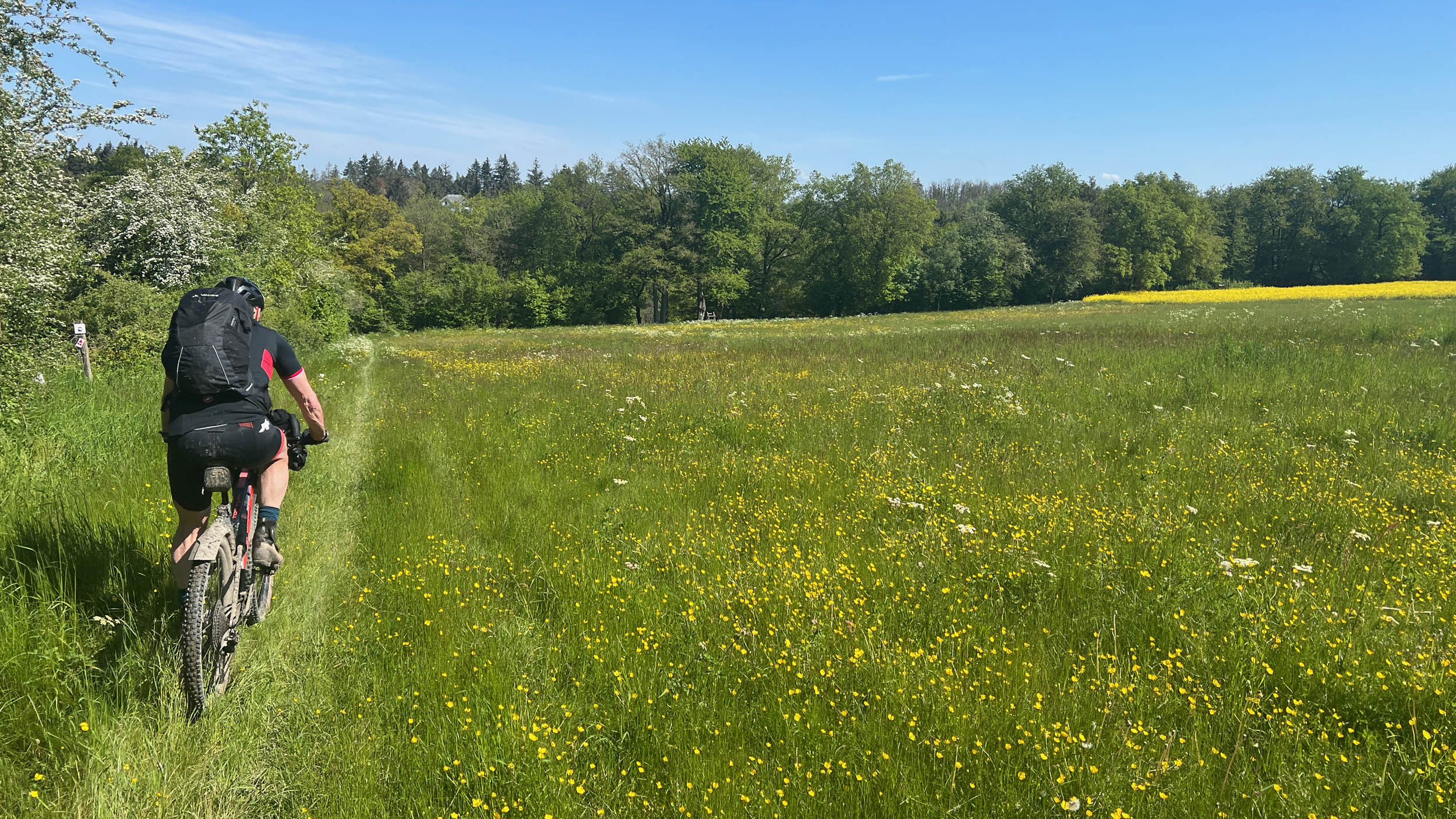
- A hardtail MTB with two-inch, fast-rolling tires is preferred. A gravel bike with 42mm tires can be considered in case of sustained dry conditions if you are skilled enough for the few rocky climbs and descents and you don’t mind some hike-bike sections.
- As the route has many twists and turns and forest track crossings are frequent, a handlebar-mounted GPS with an OpenSourceMap layer is highly recommended.
- The region has several good camping spots. Some are noted on the map.
- Free camping is technically not allowed in Belgium, but there are a few primitive bivy spots in a nice setting where a one-night stay is allowed.
- Alternatively, stealth camping for one night can be considered if you arrive late and leave early. There is frequent ranger patrol to prevent fire break-outs, so be careful and courteous and take all precautions to minimize the risk to disturb anyone. And, as always, leave absolutely no trace you were there.
- Those who want a bit more comfort, the whole region is well equipped with good auberges and inexpensive B&B’s.
- Food is easy to find along the route, and several villages like Anseremme and Heer-Agimont have a small grocery store to resupply.
- Belgium is well-known for its bakeries, and some of the best ones, which absolutely deserve a stop, are noted on the map.
- Drinking water fountains are sparse in Belgium. You are never far from agricultural activity, so you need to purify water when you decide to refill from the small side rivers. Alternatively, don’t hesitate to stop at a local pub or even ring at a local house or a farm. Most people are very friendly and will help you out with water from the tap.
- The southern part of the route, especially the 30-kilometer stretch between Heer-Agimont and Hastiere, is fairly remote with limited supplies, so be sure to always carry some spare food and water.
Below you will find a recommended four-day clockwise itinerary. Counter-clockwise is possible but will deprive you of some nice views. Doing the route in three days is challenging as the many in-out valley stretches should not be underestimated. Doing the route in five days is easy and will allow you to visit some of the castles and fortresses on the route. Bakeries and some possible camping spots are noted on the map.
location Namur – region around Spontin
Day 1 (60-70 km)
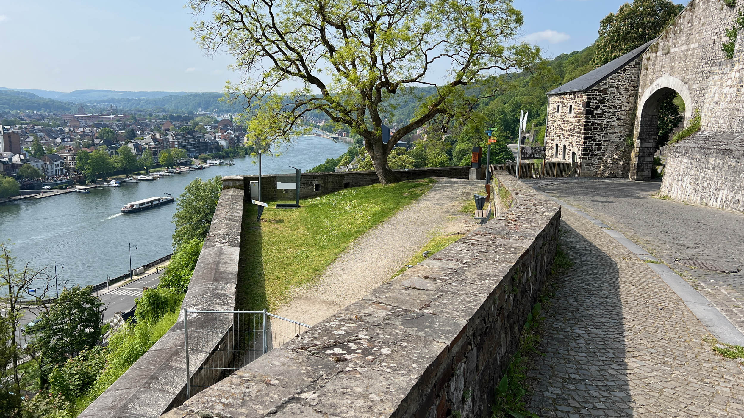
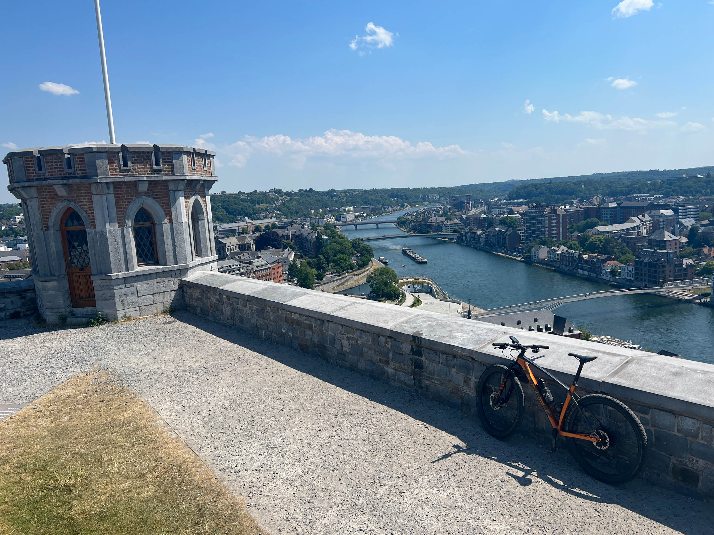
This day is short time-wise and allows for a late start after arriving and getting your gear sorted. The route starts in Namur, the capital of the Walloon Region in Belgium. Right after the start, you’ll be rewarded with the first highpoint of this trip after a nice climb on an ancient footpath leading to the top of La Citadelle, the huge fortress that has covered the whole region since the Middle Ages. The next 40 kilometers bring you out of the Meuse valley up to the plateau before you are dive into the lovely region around the river Bocq with the beautiful Donjon of Crupet and the castle of Spontin.
location Toward the region between Falmignoul and Heer-Agimont
Day 2 (80-90 km)
This day around the river La Lesse will give you stunning views of castles and fortresses and nice singletrack climbs and descents. The Chateau de Veves, the Royal Castle of Walzin, and the viewpoint on Les Aiguilles de Chaleux are likely to be unforgettable experiences.
location Toward the region between Dinant and Anthee
Day 3 (80-90 km)
The section between Heer and Hastiere in the southwest part of the ride is the most remote area of the route where you will follow the side-rivers Hermeton and Soulmie, which will likely bring muddy passages and short river crossings.
After crossing the Meuse in Waulsort, you will follow the river along the largest rock-climbing massif in Belgium before you reach the city of Dinant where the huge Citadel, a fortress with a strong World War I battleground history, oversees the whole region.
location Back to Namur
Day 4 (80-90 km)
The last part of the route guides you along the backyard of the Abbeys of Maredsous and Maredret through farmlands and deciduous forests before reaching Namur again, where you’ll arrive on the esplanade at the top of the Citadel de Namur, where you started a few days ago.


Terms of Use: As with each bikepacking route guide published on BIKEPACKING.com, should you choose to cycle this route, do so at your own risk. Prior to setting out check current local weather, conditions, and land/road closures. While riding, obey all public and private land use restrictions and rules, carry proper safety and navigational equipment, and of course, follow the #leavenotrace guidelines. The information found herein is simply a planning resource to be used as a point of inspiration in conjunction with your own due-diligence. In spite of the fact that this route, associated GPS track (GPX and maps), and all route guidelines were prepared under diligent research by the specified contributor and/or contributors, the accuracy of such and judgement of the author is not guaranteed. BIKEPACKING.com LLC, its partners, associates, and contributors are in no way liable for personal injury, damage to personal property, or any other such situation that might happen to individual riders cycling or following this route.
Further Riding and Reading
Here are some connected/nearby routes and related reports...
Please keep the conversation civil, constructive, and inclusive, or your comment will be removed.