


Blue Blazes: North Country Trail, Bike-rafting the Manistee
Distance
33 Mi.
(53 KM)Days
3
% Unpaved
97%
% Singletrack
43%
% Rideable (time)
63%
Total Ascent
2,000'
(610 M)High Point
1,125'
(343 M)Difficulty (1-10)
4?
- 4Climbing Scale Fair61 FT/MI (11 M/KM)
- -Technical Difficulty
- -Physical Demand
- -Resupply & Logistics
Contributed By
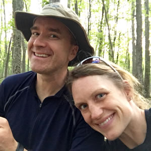
Brian and Kara
Guest Contributor
Brian and Kara, Michigan natives laden with 3 sub-teen boys, manage to break away for the rare event or exploit. Brian is an anesthesiologist by day and wanderlust enthusiast by night. Kara adds a fabric that feeds and tidies everything and still manages to hang with the regulars once the ride starts.
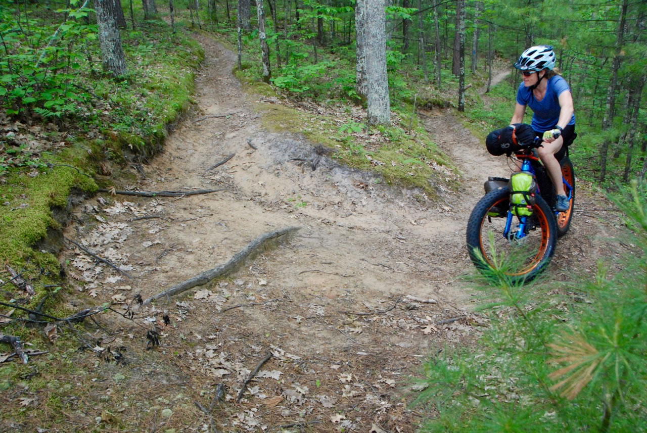
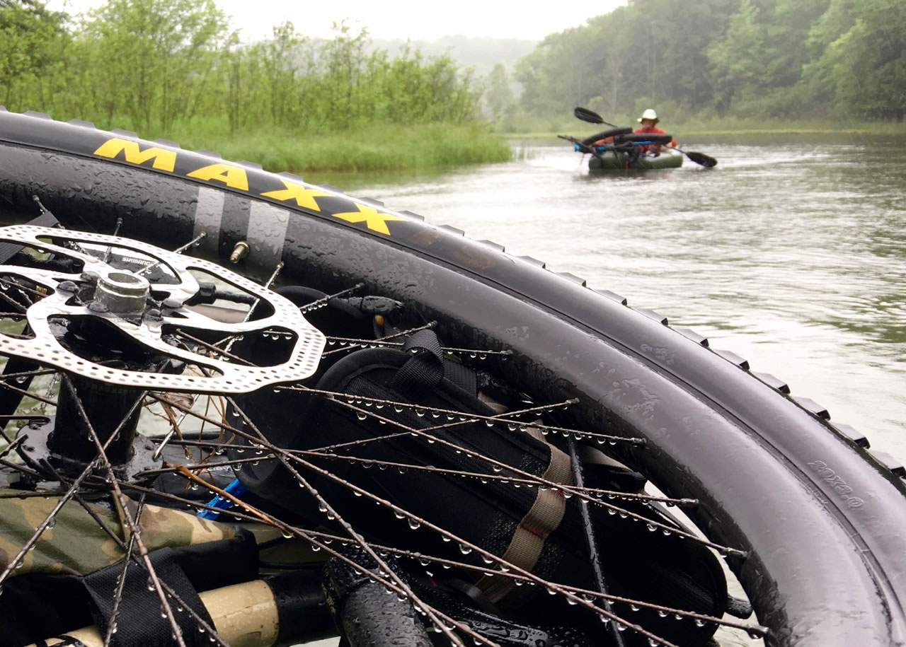
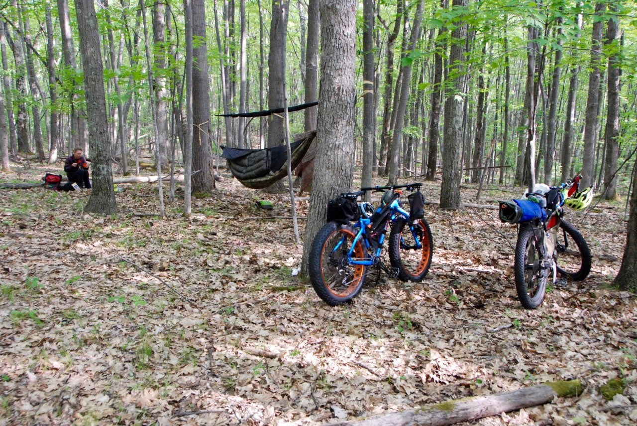
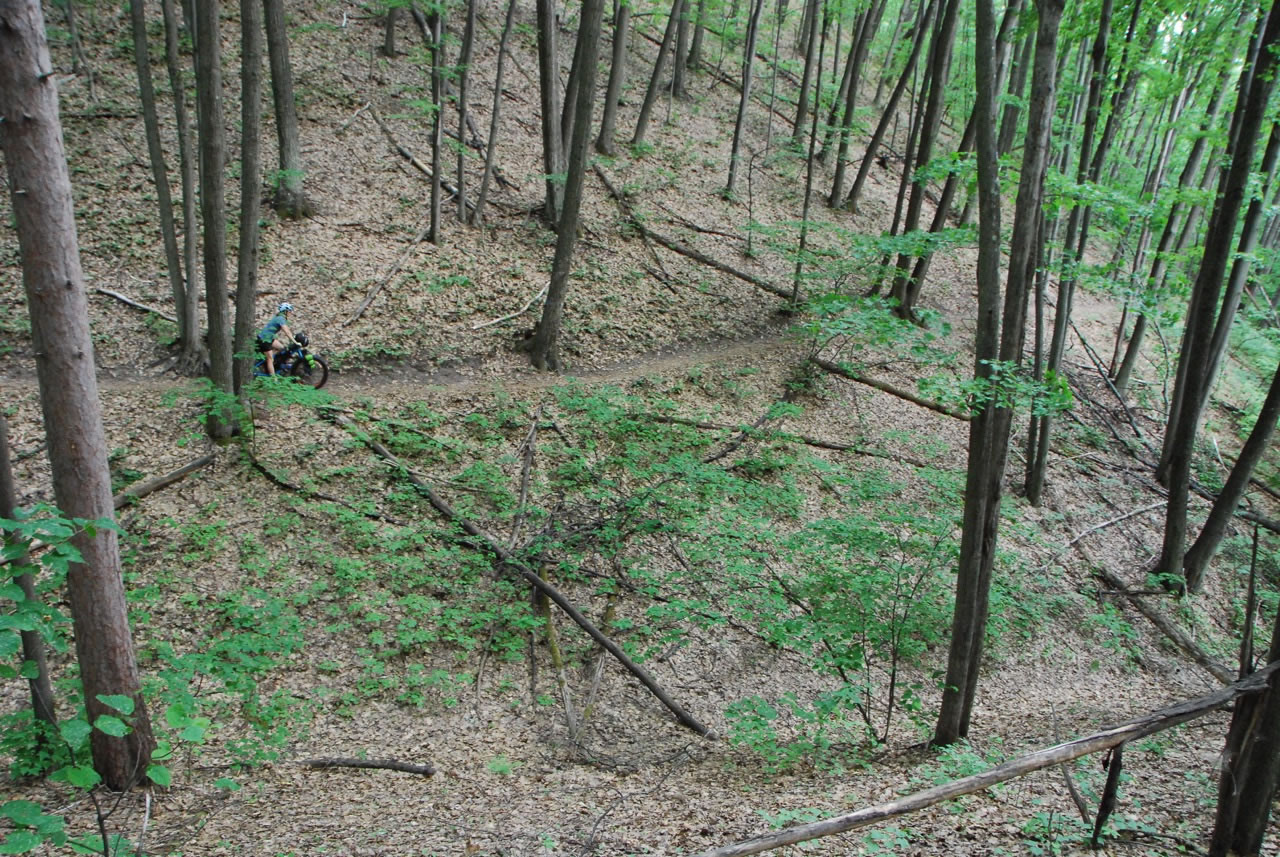
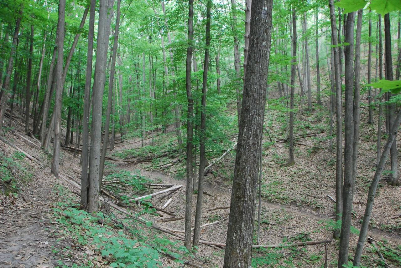
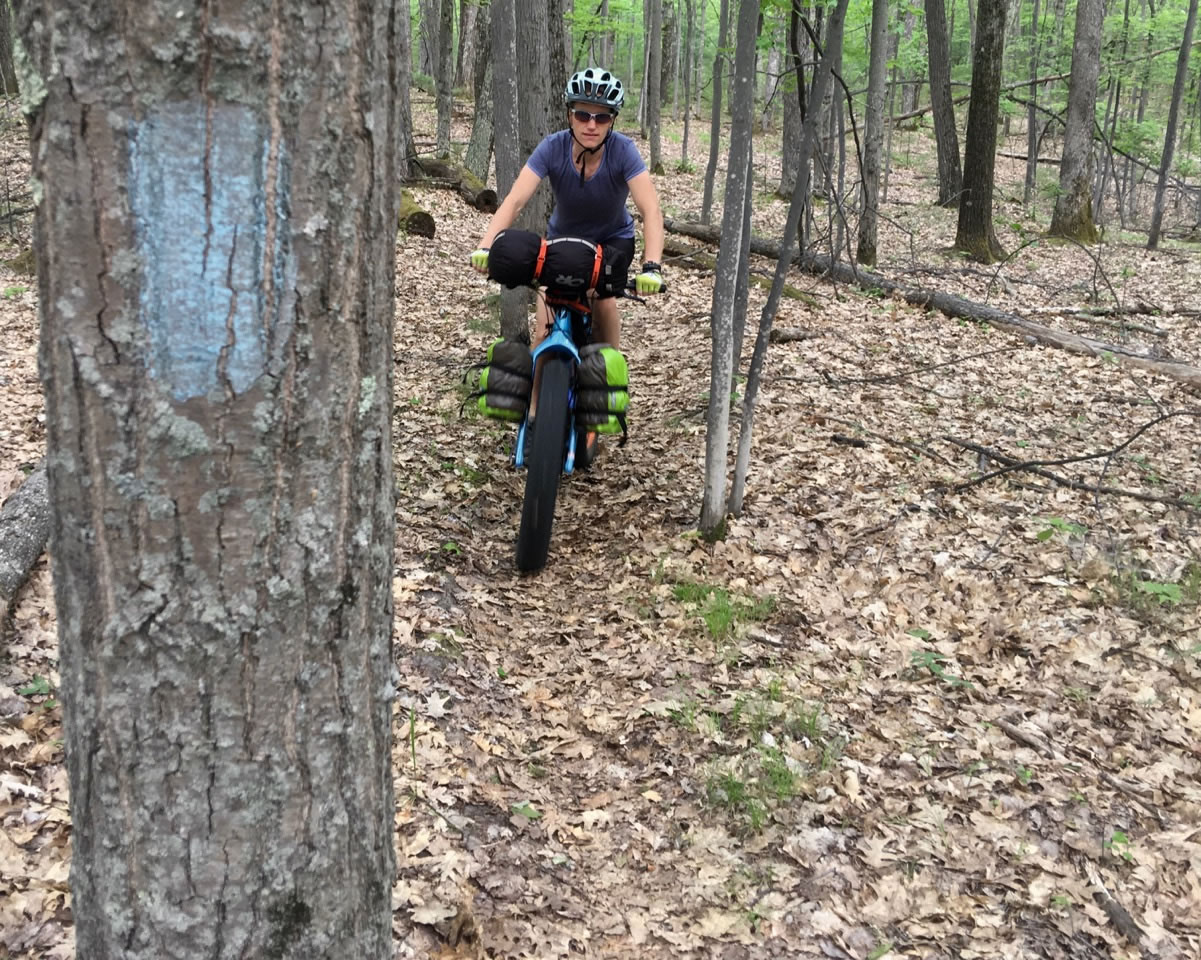
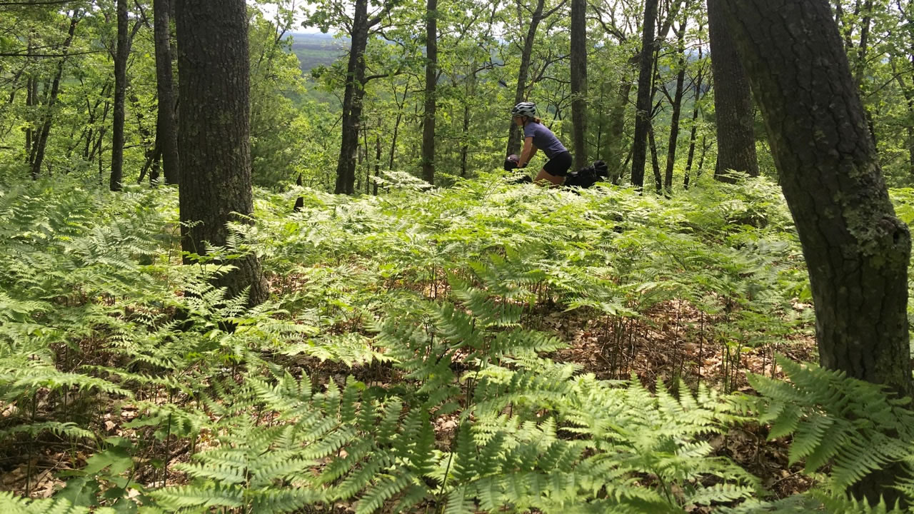
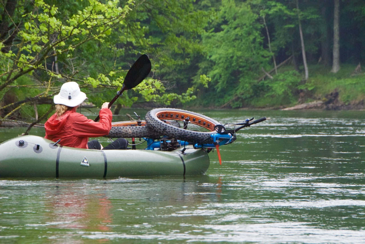
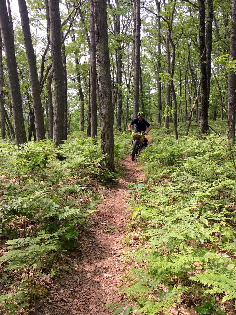
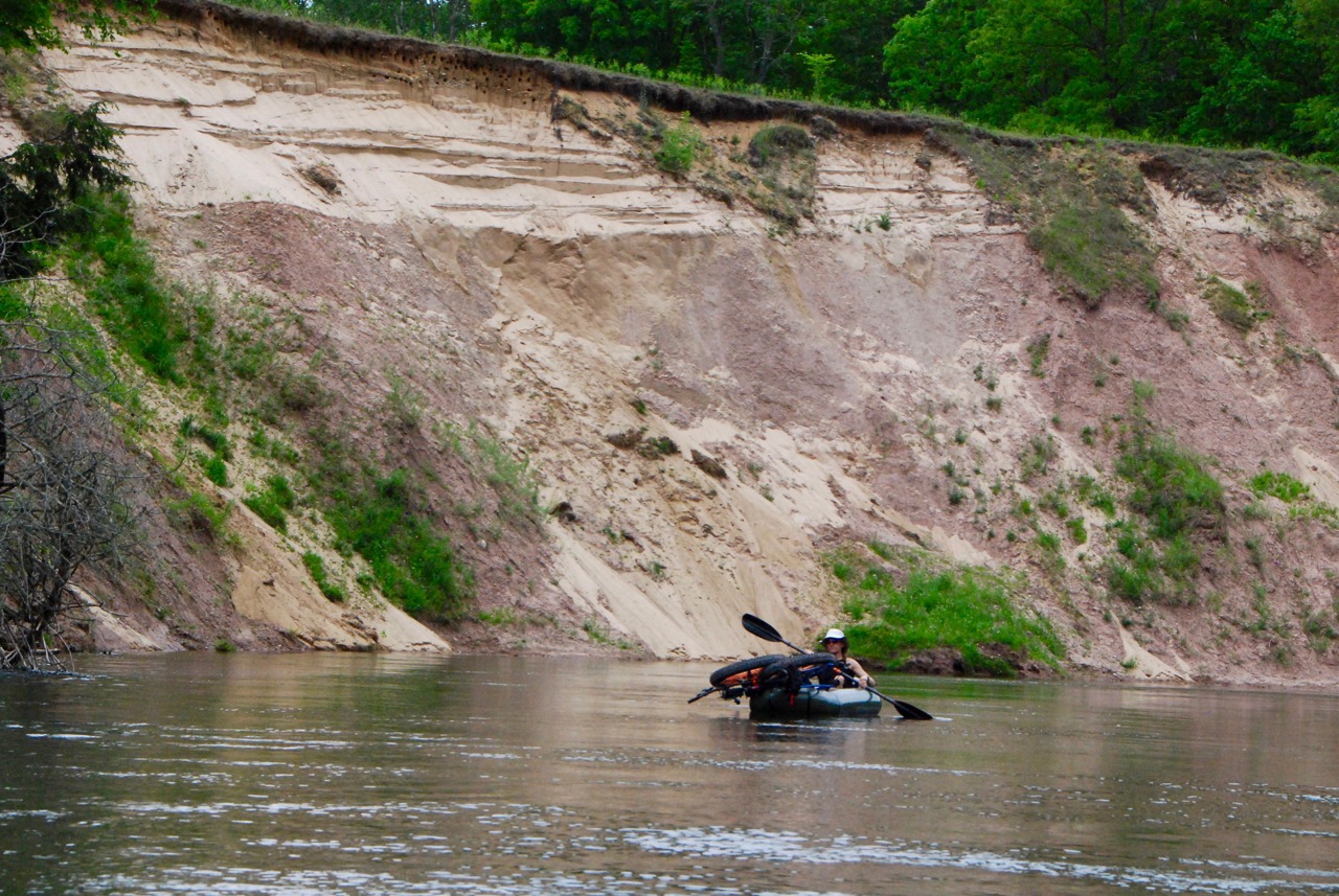
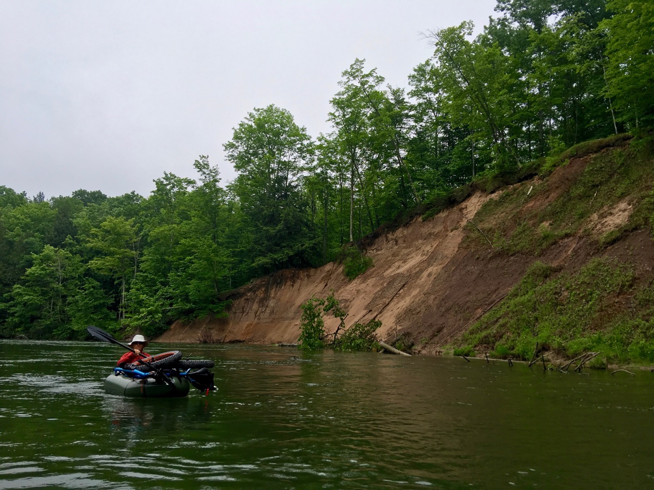
This route lies deep in the hilly terrain of Michigan’s Manistee National Forest. While the jewel of the trip is the gentle flow and crystal clarity of the Manistee River, the riding includes sandy loam single track, fern carpet, and mature hardwoods.
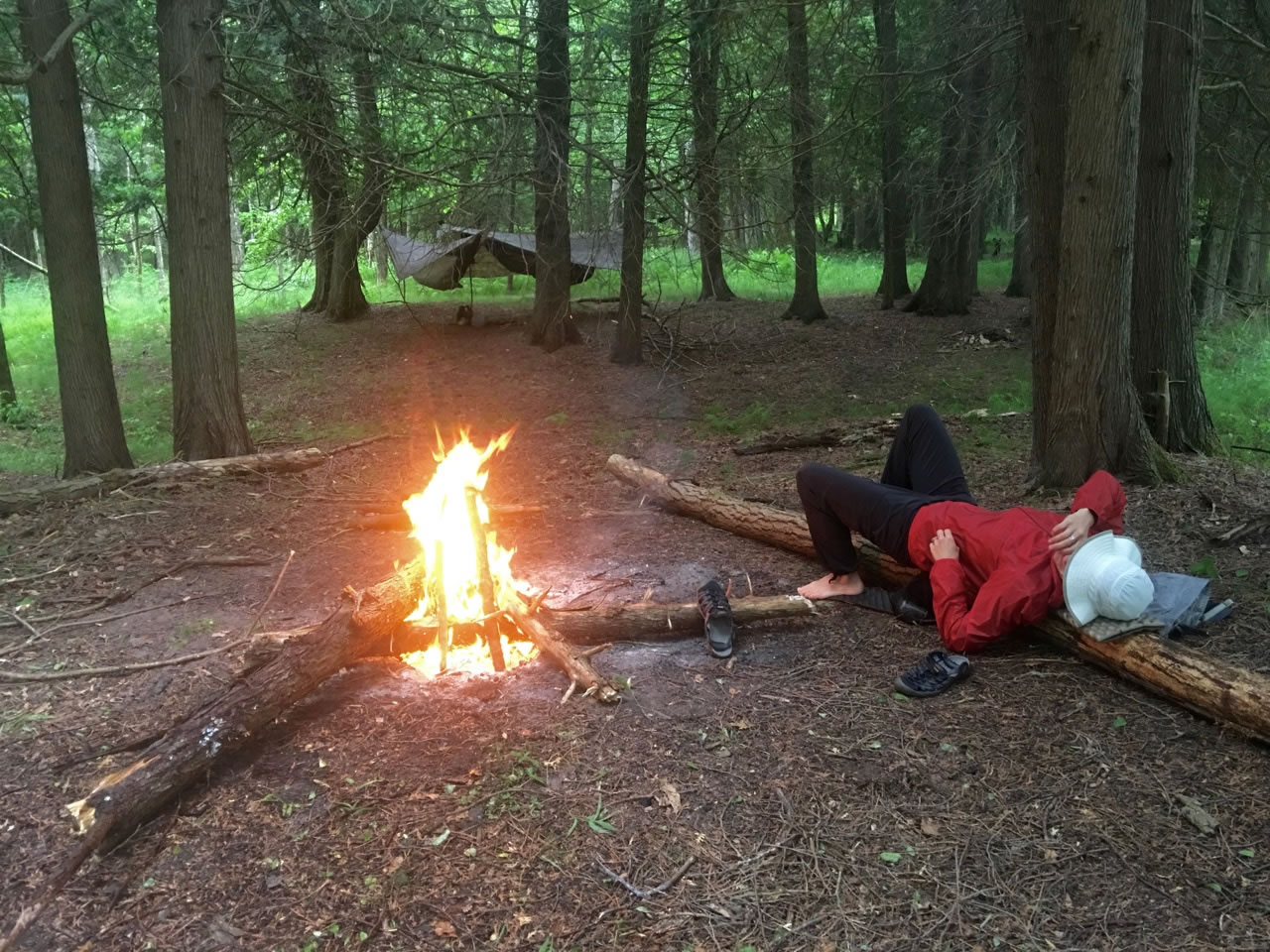
Despite the steep East facing ridge line yielding great views of fall foliage, the gentle contour allows easy ground or hammock camping. Virtually absent of noxious weeds or venomous vermin, only the mosquitos threaten, and this area seems inexplicably light on them. The area is popular with backpackers, but most stay opposite the river on the Manistee River Trail due to easy water access.
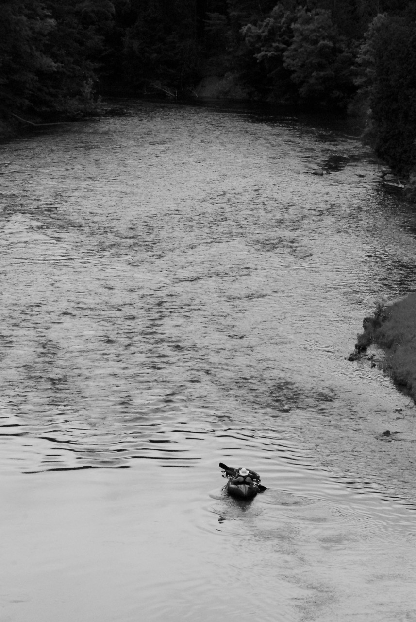
While weekend days host occasional flotillae, the river quiets down at dusk while brown trout feed themselves plump in deep pools. A mid-week trip would be a celebration of solitude in this unique and pristine Michigan playground.
Be sure to check out Trail Notes for the logistical lowdown on how to put this ride together.
A note on the stats for this route:
Given that this is a bikepackrafting trip, 43% of the ride is singletrack and 37% is paddle trail. As a result, 63% is rideable – the remainder requires a paddle craft. In terms of riding, there’s 2000 feet of climbing/descending over 14.5 miles. This route has been assigned a 4/10 in the difficulty scale, due to cumulative elevation gain and remote water access.


Submit Route Alert
As the leading creator and publisher of bikepacking routes, BIKEPACKING.com endeavors to maintain, improve, and advocate for our growing network of bikepacking routes all over the world. As such, our editorial team, route creators, and Route Stewards serve as mediators for route improvements and opportunities for connectivity, conservation, and community growth around these routes. To facilitate these efforts, we rely on our Bikepacking Collective and the greater bikepacking community to call attention to critical issues and opportunities that are discovered while riding these routes. If you have a vital issue or opportunity regarding this route that pertains to one of the subjects below, please let us know:
Highlights
Must Know
Camping
Food/H2O
Trail Notes
Resources
- Mixed evergreens and hardwoods shadow low grass and ferns: deep forest visibility is a hallmark of this area.
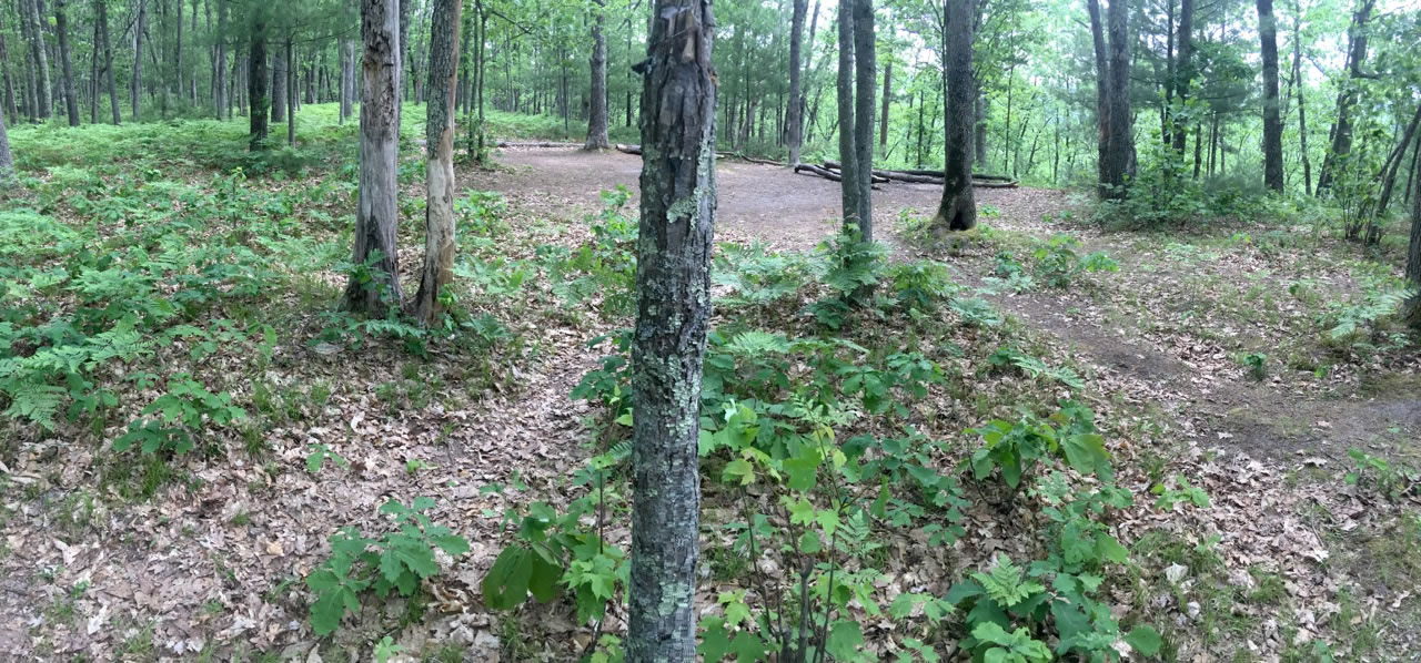
- Open camping with many established sites, both marked and unmarked.
- Several overlook opportunities are best enjoyed during shoulder seasons for maximal visibility.
- Bench cut trail covers significant topography and is maintained by local hiking and MTB volunteers cooperatively.
- Dogs are allowed and often accompany hikers and riders.
- Whitetail deer, waterfowl and raccoons are commonly viewed. Rare sightings of red fox, pine marten, turkey, and porcupine are possible. Only 2 rare species pose danger: the massasuaga rattlesnake and black bear.
- Most foot travel is relegated to the 10.5 mile Manistee River Trail (MRT) as topography east of the river favors water access, but MTB is prohibited.
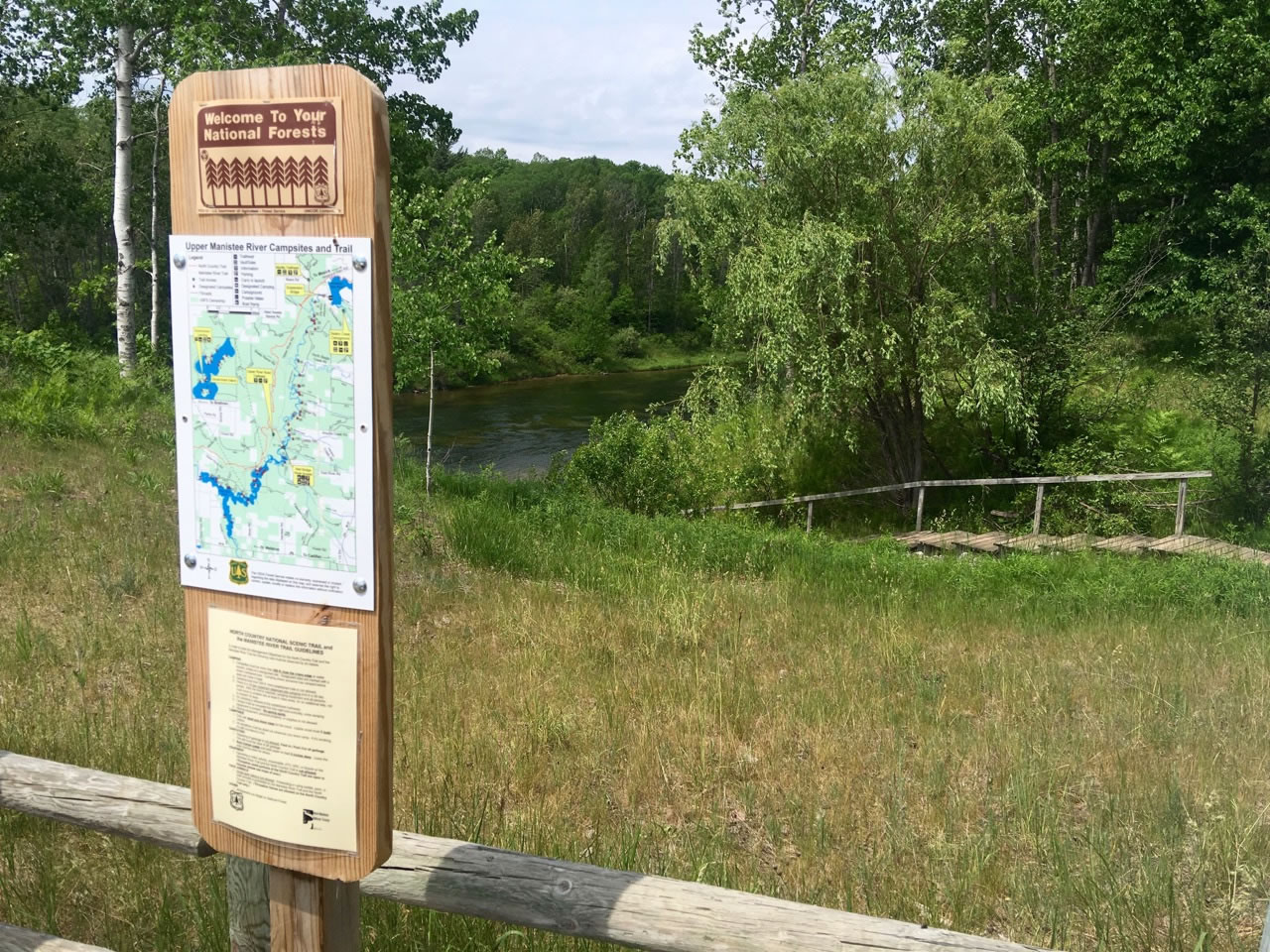
- This Manistee River section is accessed only at Hodenpyle dam (manual launch) and Red bridge (ramp access). With no licensed liveries and only private boating options, riders are ensured a relatively umolested river experience.
- The river holds trophy-sized walleye, rainbow and brown trout; many consider this the best brown trout water in the Midwest.
- River flow is based on upstream volume and varies with weather. Water is released from the surface of the reservoir contributing to comfortable temperatures.
- Camping opportunities abound along the river with marked sites on the river left bank associated with the MRT, leaving the Western bank for unmarked, traffic-free camping.
- When to go: Open all year, the managed season is 5/15-10/31. Though Fall might be ideal, you’re a potential deer rifle target between 11/15-30: dress appropriately! Biting insects don’t eat too much, and they’re most common in spring months following rain, just like everywhere else. 4-season accessibility depends on snow pack & mode of travel.
- Logistics: As National Forest, camping is permitted anywhere provided it’s 100’ from trail and 200’ from water. No permits are required, even for parking at Red Bridge!
- This section of the North Country Trail is a gem for local and visiting riders and should be regarded as a unique product of cooperation between regional hiking and mountain biking clubs. As such, reject any temptation to ride closed sections, particularly the footbridge and trail on the East side of the river.
- Parking and Camping are free at the Red Bridge Access site which offers an ideal staging location for the loop. Security considerations are mandated when departing your vehicle for days at a time, though campers and river access traffic should discourage significant criminal efforts.
- This trail features a remote respite from the farmland monotony of the Midwest, with no resupply options until after you’ve left for home. Proper plans will include not only food but enough water to ride day one and two, as well as cooking/camping needs. Nobody will die of dehydration since the river lies at most 1mi from your location, but don’t expect a trail or other measure of convenience leading you there.
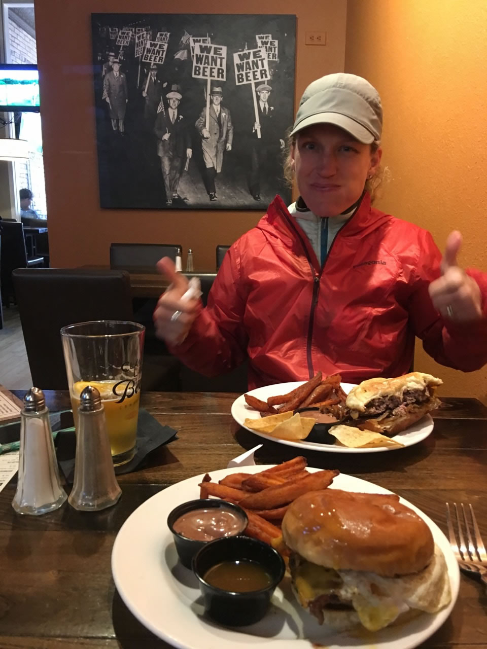
- After packing out, consider stopping by Clam Lake Beer Co. at 106 S. Mitchell Street, Cadillac, MI 49601. If you’re lucky, the build-your-own bloody Mary bar will still have with thick cut bacon, salad chunks, a variety of peppers, and several mixes. The food is nice reward as well.
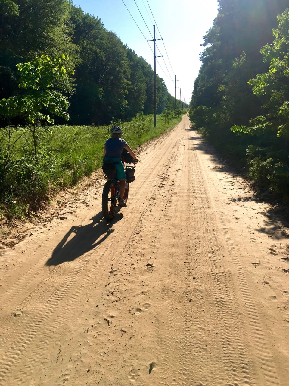
The 33.4 mile loop is conveniently staged by parking at Red Bridge river access, riding 4 miles gravel/sand road, one mile pave then 15 miles of single track to the river. Historically, we approach on a Friday night, ride far enough to get into single track and hang camp. The next day, we roll the trail out, deploy packrafts, and search up a hemlock-sheltered campsite along the river bank (many choices present). Day three involves a 3-5 mile float to the take out beneath an obvious landmark. For those bent on exploit or otherwise inclined to rush things, the route could likely be accomplished as an overnight, or even as a day trip for the truly hasty with the advantage of lighter equipment (there’s no reasonable water access until the river is reached on day 2).
➔ Though not technical, occasional roots, narrow trees, or sandy corners require focus, and the bench-cut trail promises either very short or very long falls. The topography is reminiscent of North Carolina or Michigan’s Upper Peninsula with only rare examples of flat ground during the 2000’ climbing in 14.5 miles.
➔ All segments are rideable with bonus points awarded to manualdropping the last stair step leading to the river (Bikepacking.com shoulders no liability for your poor decision making).
Additional Resources
- NCT Interactive Map
- Spirit of the Woods Hiking Chapter
- NCT MTB
- 2000 MI DNR Ecological Survey
- Manistee River Trail
- Clam Lake Beer Company
- A recent IMBA article.


Terms of Use: As with each bikepacking route guide published on BIKEPACKING.com, should you choose to cycle this route, do so at your own risk. Prior to setting out check current local weather, conditions, and land/road closures. While riding, obey all public and private land use restrictions and rules, carry proper safety and navigational equipment, and of course, follow the #leavenotrace guidelines. The information found herein is simply a planning resource to be used as a point of inspiration in conjunction with your own due-diligence. In spite of the fact that this route, associated GPS track (GPX and maps), and all route guidelines were prepared under diligent research by the specified contributor and/or contributors, the accuracy of such and judgement of the author is not guaranteed. BIKEPACKING.com LLC, its partners, associates, and contributors are in no way liable for personal injury, damage to personal property, or any other such situation that might happen to individual riders cycling or following this route.
Please keep the conversation civil, constructive, and inclusive, or your comment will be removed.