


Bikepacking the Best of the South Chilcotin Mountains
Distance
75 Mi.
(121 KM)Days
3
% Unpaved
100%
% Singletrack
65%
% Rideable (time)
95%
Total Ascent
9,346'
(2,849 M)High Point
7,300'
(2,225 M)Difficulty (1-10)
7?
- 8Climbing Scale Strenuous125 FT/MI (24 M/KM)
- -Technical Difficulty
- -Physical Demand
- -Resupply & Logistics
Contributed By
Skyler Des Roches
Contributing Editor
Updated September 2020
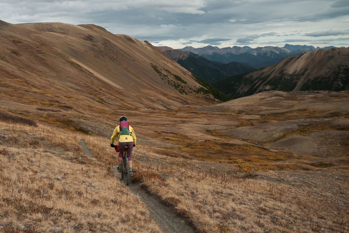
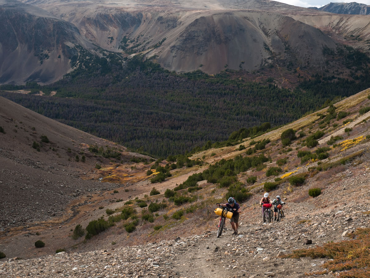
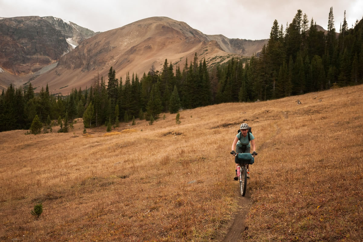
For many mountain bikers living in the Pacific Northwest, a floatplane assisted trip into this wilderness park sits high on the bucket list. But, for anyone who enjoys pedaling, there is no need for a noisy and costly flight. The wide-open Relay and Big Creek valleys offer climbing on top-notch singletrack, and only the climb from Lorna Lake to Lorna Pass requires a short hike-a-bike.
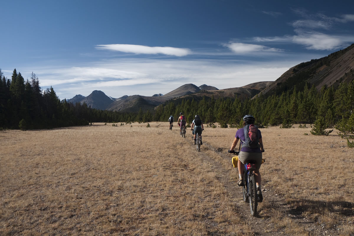
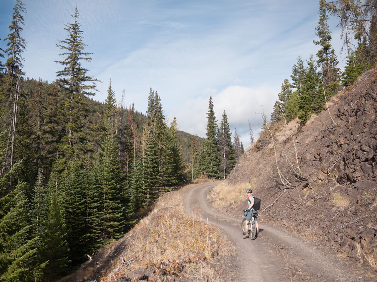
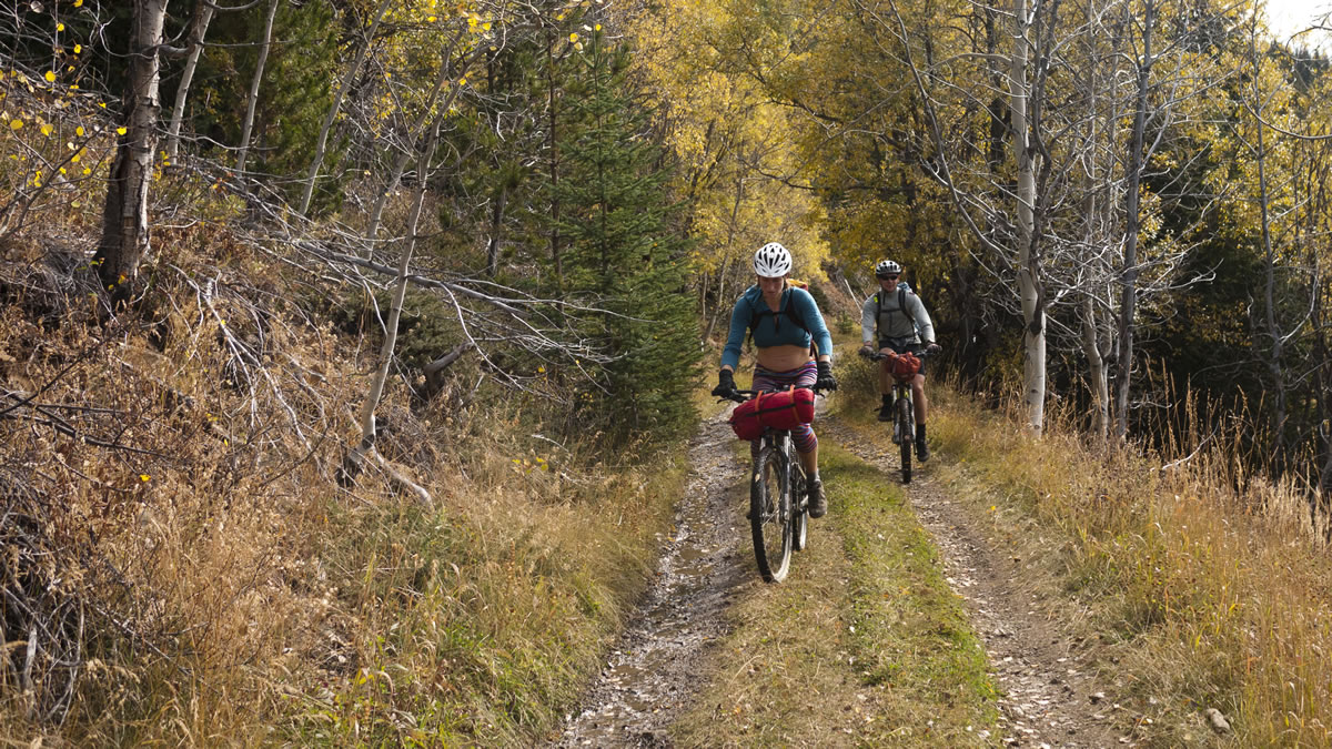
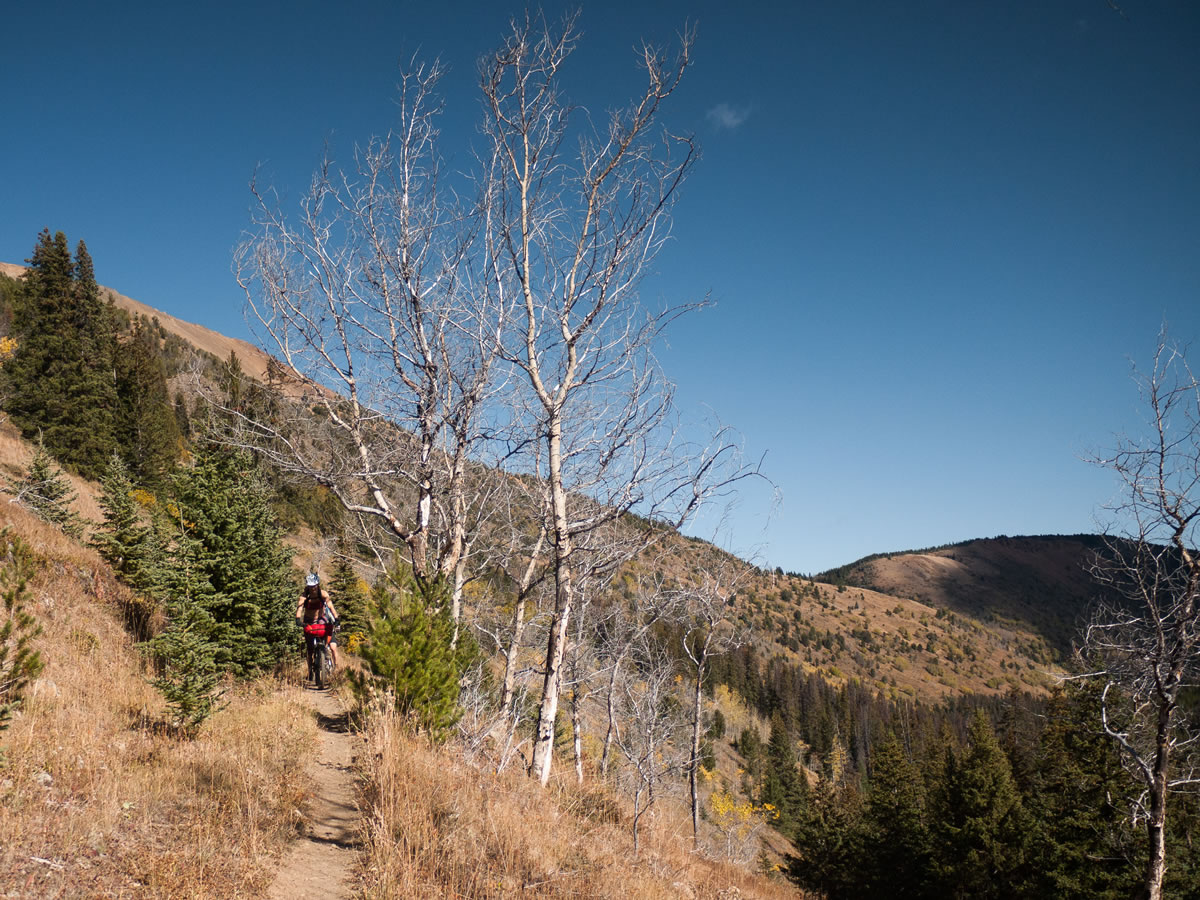
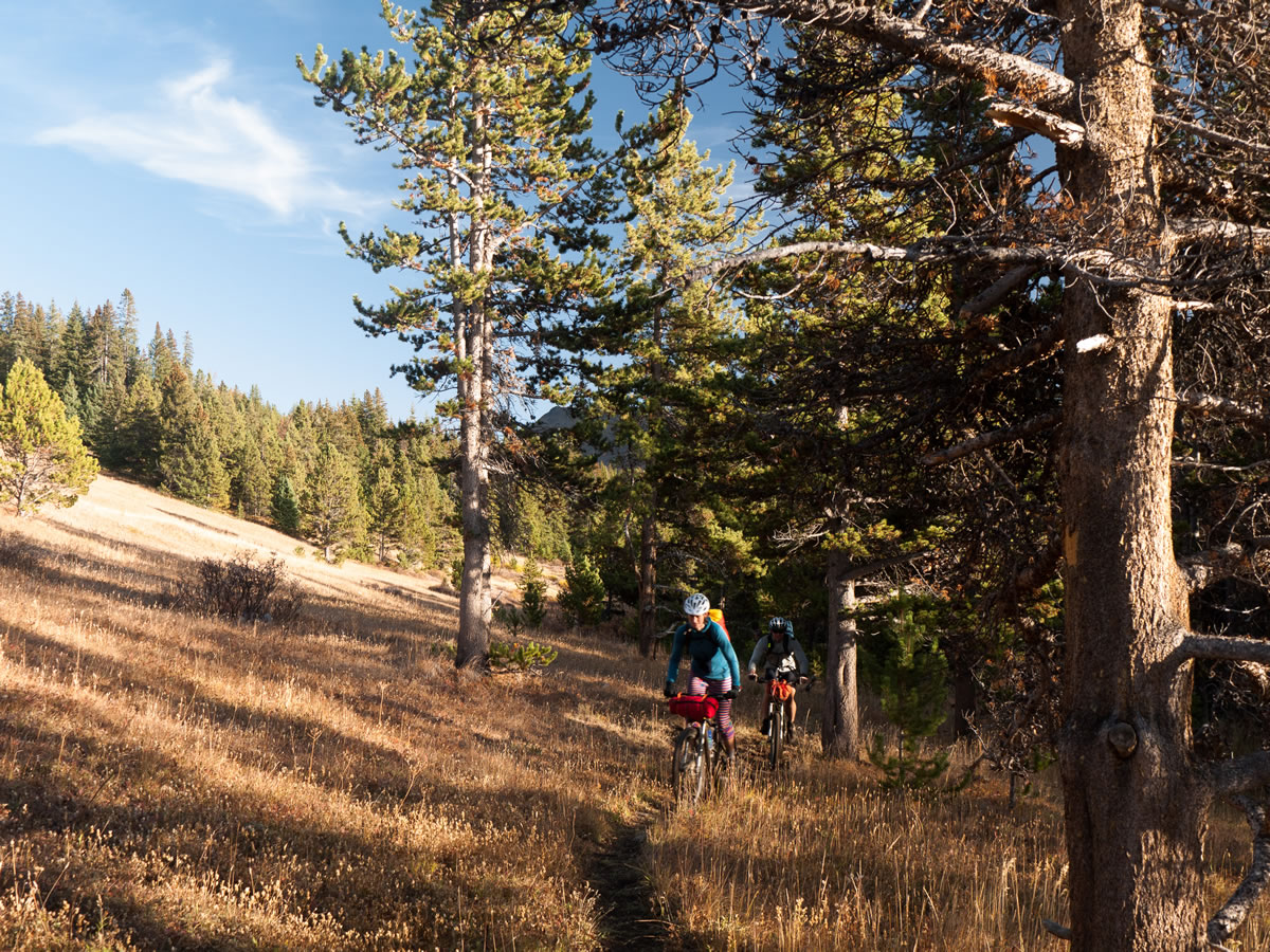
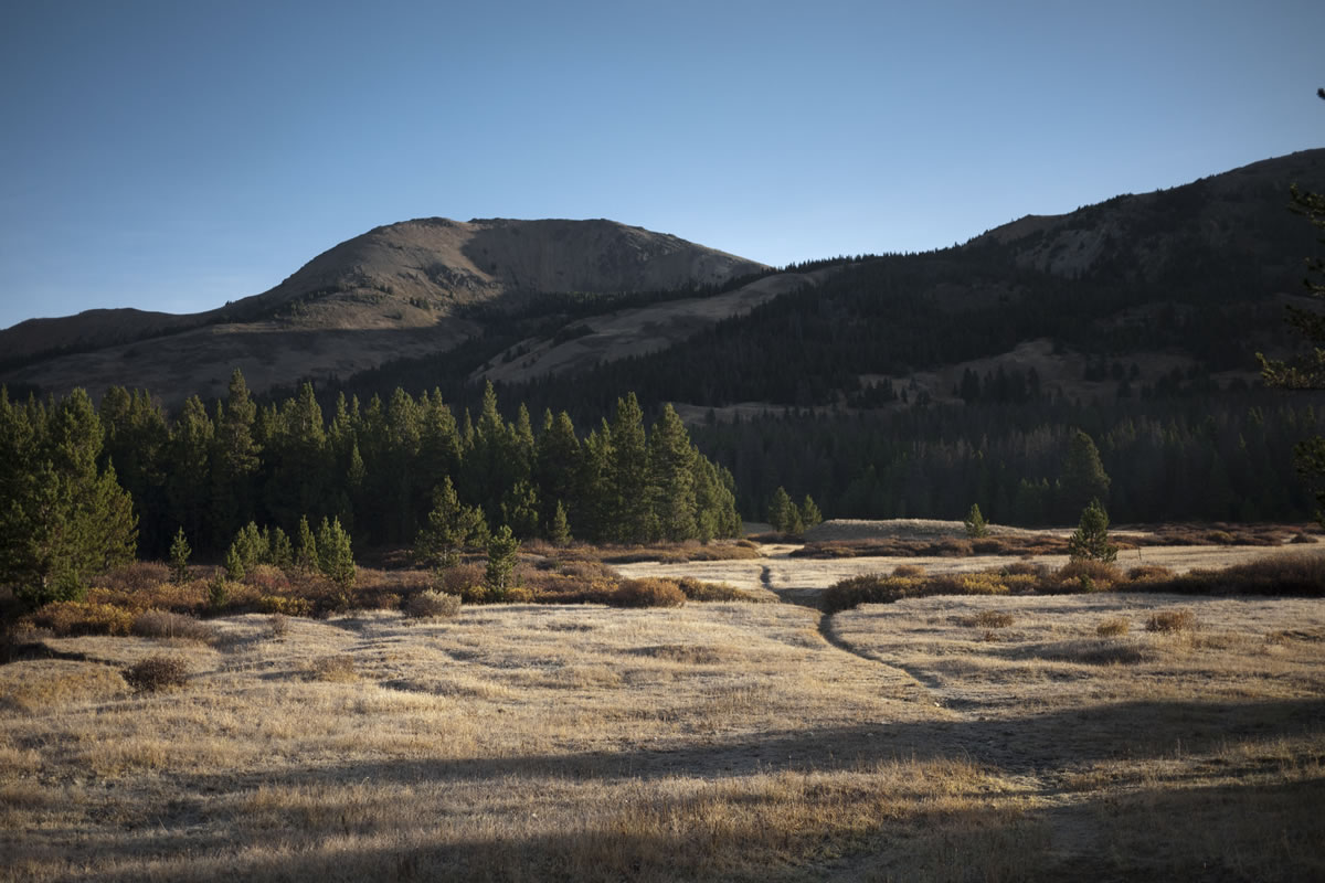
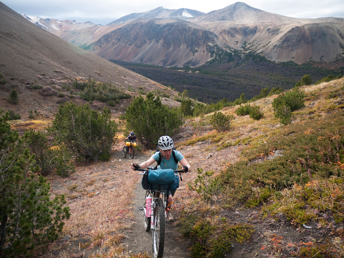
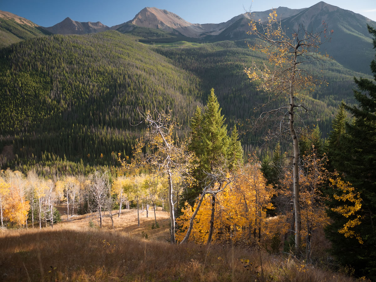
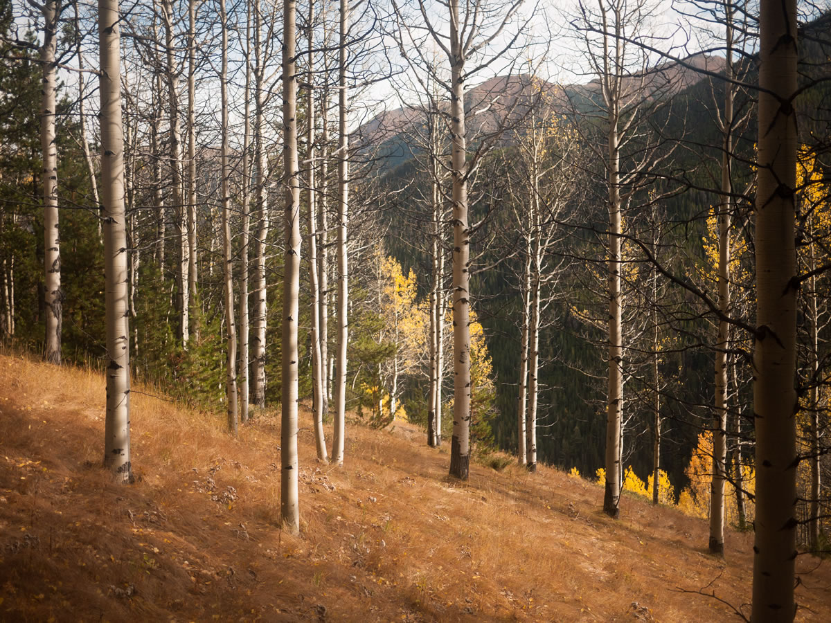
The riding is characterized by generally smooth, fast singletrack through mid-elevation meadows, dry forests and open alpine in an area full of high mountain peaks and subalpine lakes. This route connects many of the best, most continuously rideable trails, with some quiet dirt road riding to close the loop.
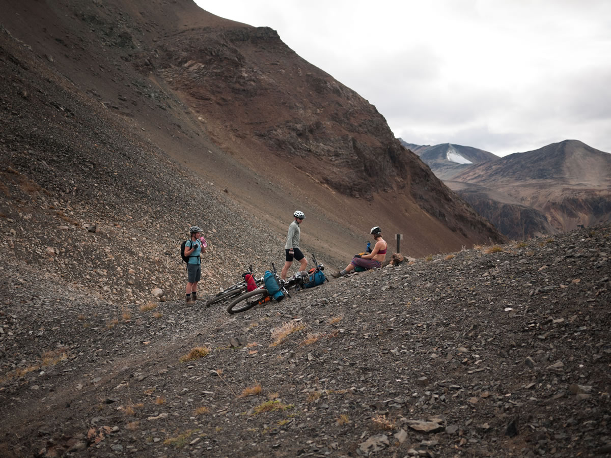
For those looking for an additional challenge, see the Trail Notes below for an alternative route that offers more passes and more difficult trails. No matter what route you choose, expect short sections of rock gardens, exposed routes, and sometimes rutted out trails that will test your mountain bike skills. These challenges are offset by world-class views and terrain that will leave you craving more as soon as you’re done.
Difficulty
Although the route aims to follow the most rideable ‘blue square’ rated singletrack within South Chilcotin Mountains Provincial Park, many of the trails feature exposed roots, fist sized rocks, and rutted out areas that are tedious and slow going. A good level of fitness and mountain bike skills are recommended to enjoy the route, plus the added difficulty of having no resupply, cell service, or roads to hitchhike out on make things somewhat high consequence. Arrive prepared and it could be the highlight of your entire year.
Route Development: As the title suggests, the Best of the South Chilcotin Mountains bikepacking route takes in some of the best trails within the park, creating a loop that can be tackled in a long weekend. Skip the shuttles and float planes and pedal your way into some of the most unbelievable terrain in British Columbia. The route was originally contributed by Skyler Des Roches, but updated in September 2020 by Miles Arbour to include more photos, an alternate route (see trail notes below), and more detailed information.


Submit Route Alert
As the leading creator and publisher of bikepacking routes, BIKEPACKING.com endeavors to maintain, improve, and advocate for our growing network of bikepacking routes all over the world. As such, our editorial team, route creators, and Route Stewards serve as mediators for route improvements and opportunities for connectivity, conservation, and community growth around these routes. To facilitate these efforts, we rely on our Bikepacking Collective and the greater bikepacking community to call attention to critical issues and opportunities that are discovered while riding these routes. If you have a vital issue or opportunity regarding this route that pertains to one of the subjects below, please let us know:
Highlights
Must Know
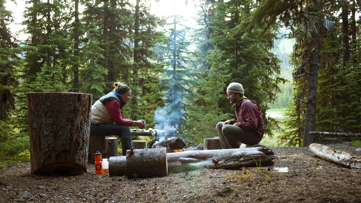
Camping
Food/H2O
Trail Notes
Resources
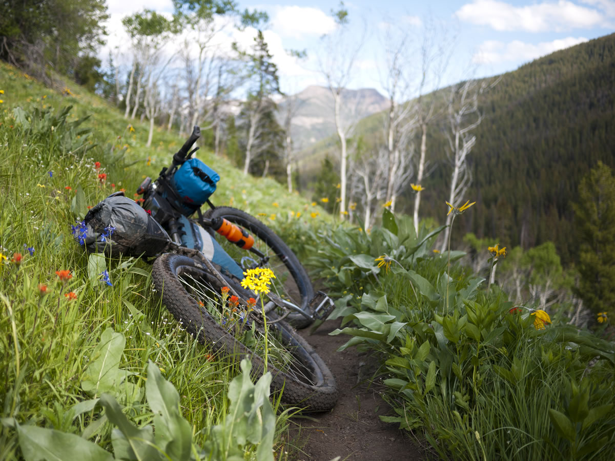
- Long stretches of flowy, captivating singletrack.
- The wide-open views from subalpine grasslands and high alpine meadows.
- Seeing the wildflowers in bloom in June and July
- Tyax Lodge serves as a great start and finish to the route. Their beautiful lodge has beds, showers, and restuarant—plus a campground.
- Challening ascents followed by extremely rewarding descents.
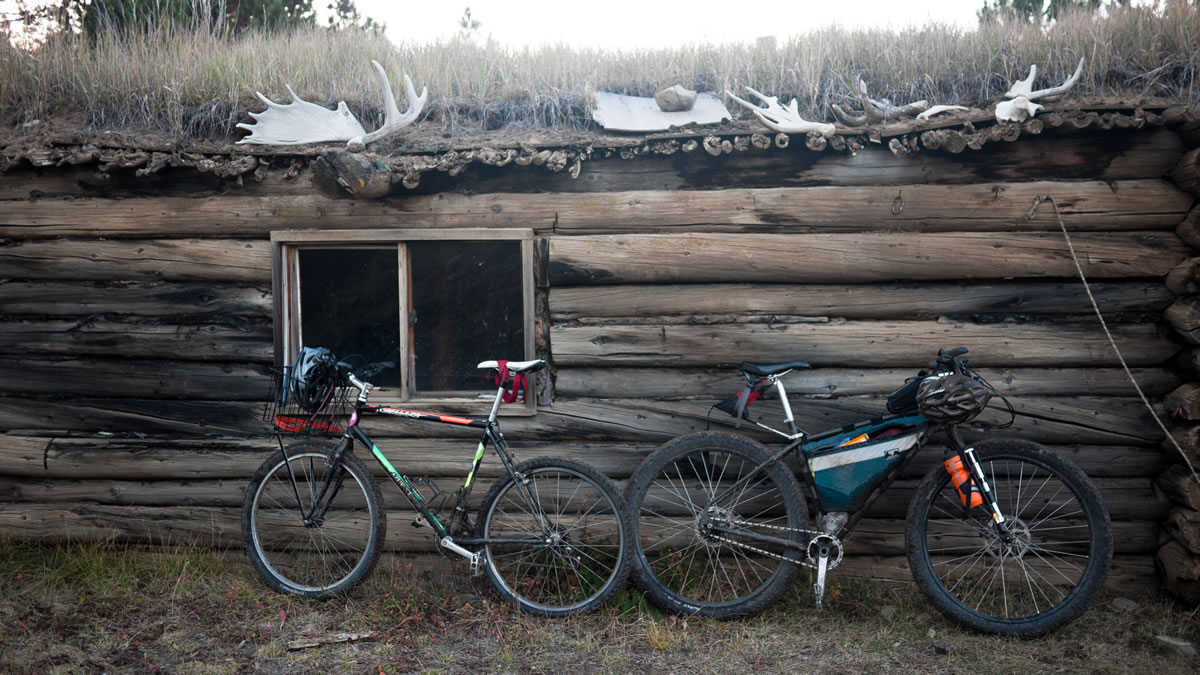
- Insight and remnants of the old cattle farming, ranching and cabins.
- The route is best-ridden in an anti-clockwise direction for maximum trail riding fun.
- Snow covers this area for much of the year. Trails are typically rideable from mid-June to late-October. July and August are the busiest, with enough floatplane traffic near Spruce and Warner Lakes on weekends that the noise pollution can be seriously annoying, though trail traffic remains light. (Be part of the solution, go self-propelled!)
- Bikepackers have permission to leave a vehicle at Tyax Lodge, but since this route is a loop, it can start anywhere on the road section. Other good parking options are at Tyaughton Creek Rec Site or at the end of Gun Creek Rd.
- An excellent map of the area, by Trail Ventures BC, is available for order online or at Mountain Equipment Co-op in Vancouver and the Bike Co. in Pemberton. This map shows all of the campsites, river crossings, and important details that our route map does not include.
- Yield to hikers and especially to horses.
- Long-term mountain bike access to this provincial park is currently under dispute, so be polite and demonstrate how mountain bikers can coexist with other users. Besides, some of the riders on horsepacking trips are novices who have enough trouble controlling their horse without it getting spooked.
- This is bear country. Make noise to avoid an encounter. Carry 14m of 3mm cord in order to hang your food high in a tree at night. Carrying bear spray as a defense weapon, in case of a confrontation, is recommended (and is more effective than a firearm). Leave no food scraps, since bears that have discovered human food become dangerous.
- Driving times from Vancouver are about 4-5 hours via the Hurley FSR (rough 2WD) and an hour longer via Lillooet and Road 40 (mostly paved).
- Ideal Bike: This route is best ridden on a full-suspension or hardtail mountain bike. Wide or plus-sized tires will also be greatly beneficial when riding through rock gardens, mud, and creeks, but are not mandatory.
- Be prepared for sudden weather changes, bring rain gear, and be flexible. Slippery rocks and roots after rain can slow your progress depending on your skill level and it can get cold at night (even in the summer).
- Navigation: Bring a proper GPS with spare batteries or a way to charge, the paper map, and have Trailforks for British Columbia downloaded on your phone—it was very helpful to cross reference when scouting the new optional section.
- Land Acknowledgment: The Best of the South Chilcotin Mountains route travels on the unceded traditional territory of the St’at’imc, Tsilhqot’in Nen, and Secwépemc Nation. Take some time to learn about and respect their people. Head over to the British Columbia Assembly of First Nations website to learn more.
- If you’re coming from far away on an extended weekend, you’ll probably want to drive to the trailhead the night before. There are several established (free) forest service campsites in the area (see Trail Ventures BC trail map).
- The most strategically located forest service campsites are Friburg (Tyaughton Lake), and Tyaughton Creek.
- In the park there are many established campsites (see Trail Ventures BC trail map). Some, like at Spruce Lake, have bear-proof food storage boxes and pit toilets.
- Our favourite campsites are noted as POI’s on the route map above. These have pit toilets, bear-proof food storage boxes, picnic tables and fire pits.
- Bring all the food you’ll need, there are no stores on route, and the store in Goldbridge has limited hours and limited choices.
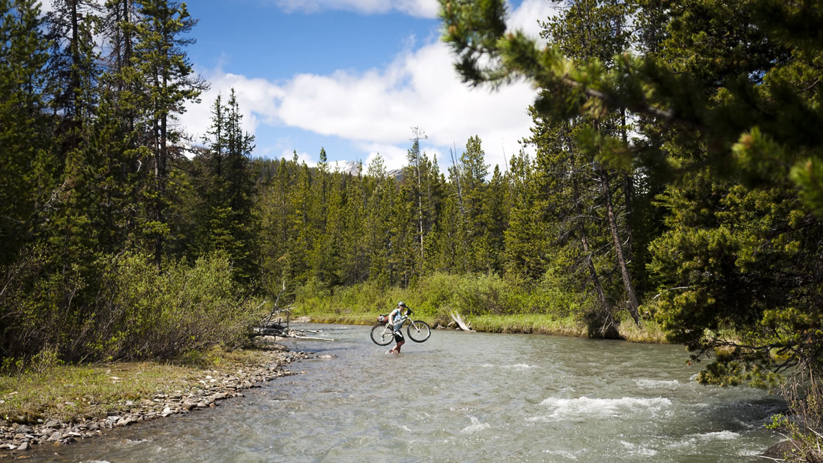
- There are countless creeks and lakes to purify water from along the route. We carried 3L of water each and it was more than enough, some may choose to carry less.
- Post-ride victory meals can be had at Tyax Wilderness Resort or at the Mineshaft Pub in Bralorne.
For those looking for more high alpine riding, elevation gain, and a touch more hike-a-bike, there is the option for an alternate route that follows more challenging trails from Lorna Lake onwards. After Lorna Lake Pass, the route heads south on Deer Pass Trail with a high point of 7,634’, before taking Mid Gun Creek Trail east towards Spruce Lake. From there, the route follows two more passes along High Trail which eventually leads directly back to Tyax Lodge. There are several challenging hike-a-bikes on this section, and trails with higher consequence areas that require decent mountain bike skills. See the trail map below.


Terms of Use: As with each bikepacking route guide published on BIKEPACKING.com, should you choose to cycle this route, do so at your own risk. Prior to setting out check current local weather, conditions, and land/road closures. While riding, obey all public and private land use restrictions and rules, carry proper safety and navigational equipment, and of course, follow the #leavenotrace guidelines. The information found herein is simply a planning resource to be used as a point of inspiration in conjunction with your own due-diligence. In spite of the fact that this route, associated GPS track (GPX and maps), and all route guidelines were prepared under diligent research by the specified contributor and/or contributors, the accuracy of such and judgement of the author is not guaranteed. BIKEPACKING.com LLC, its partners, associates, and contributors are in no way liable for personal injury, damage to personal property, or any other such situation that might happen to individual riders cycling or following this route.
Please keep the conversation civil, constructive, and inclusive, or your comment will be removed.