


The Billy Bunyip Overnighter
Distance
74 Mi.
(119 KM)Days
2
% Unpaved
84%
% Singletrack
0%
% Rideable (time)
100%
Total Ascent
6,382'
(1,945 M)High Point
2,152'
(656 M)Difficulty (1-10)
3?
- 6Climbing Scale Moderate86 FT/MI (16 M/KM)
- 3Technical Difficulty Fair
- 4Physical Demand Fair
- 2Resupply & Logistics Easy
Contributed By

Marlee Harrison
Guest Contributor
When Marlee isn’t riding or building bikes, he can be found with a camera in his hands. Based in Naarm (Melbourne), he enjoys spending time outside, through a variety of landscapes from the ocean to the alpine and everything in between. You can see more of what Marlee is up to on Instagram @marlsharrison.
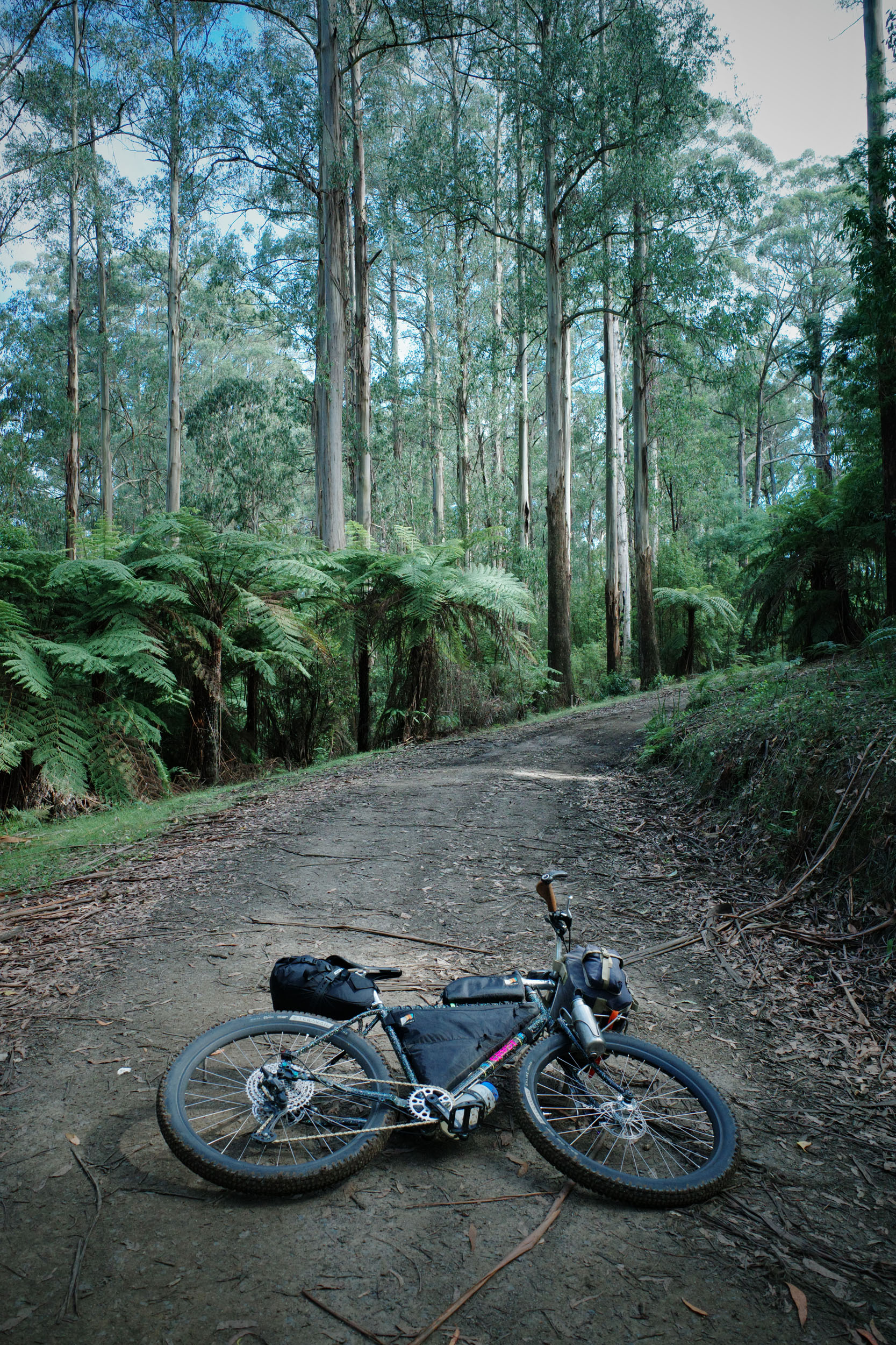
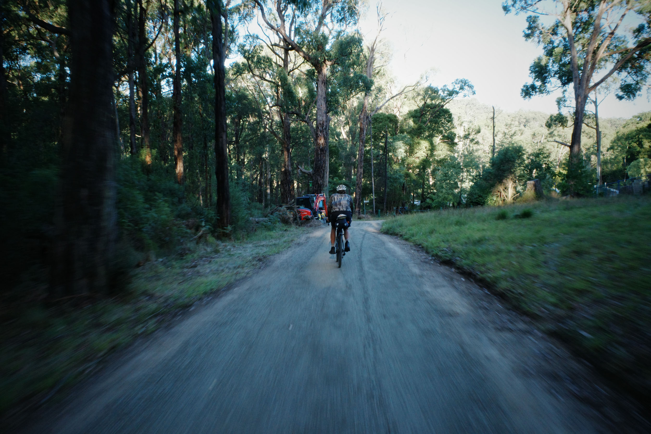
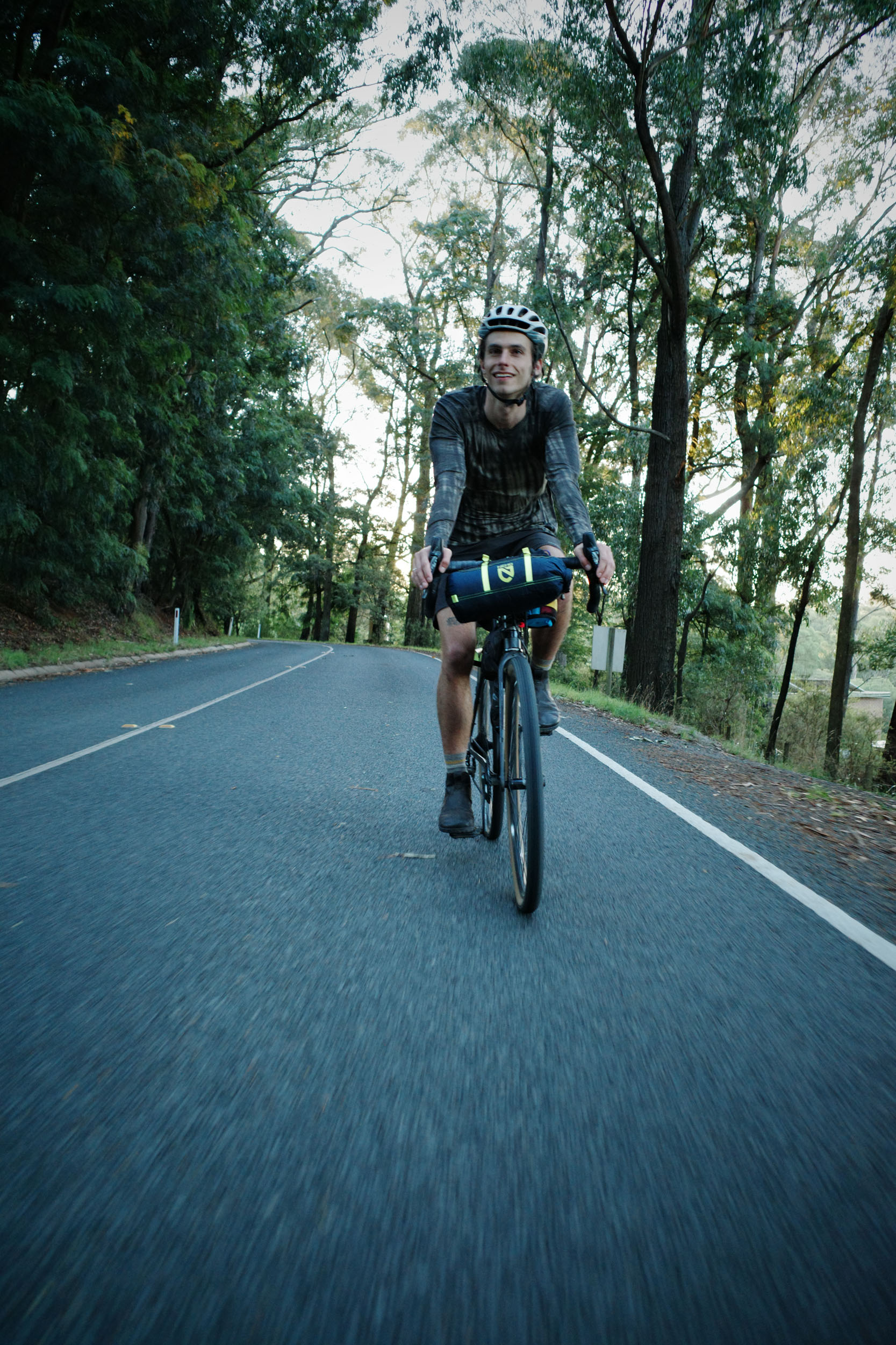
The Billy Bunyip Overnighter connects the lesser-known Eastern Dandenong Ranges Trail (EDRT) with the more popular Lilydale to Warburton Rail Trail, creating a flowing gravel passage through treefern-lined gullies and towering Mountain Ash forests.
Riders can look forward to a mix of smooth rail trails, quiet backroads, steady climbs, chunky gravel descents, and even a glimpse of Puffing Billy, the old steam train, plus plenty of bakeries, cafés, and pubs to refuel along the way.
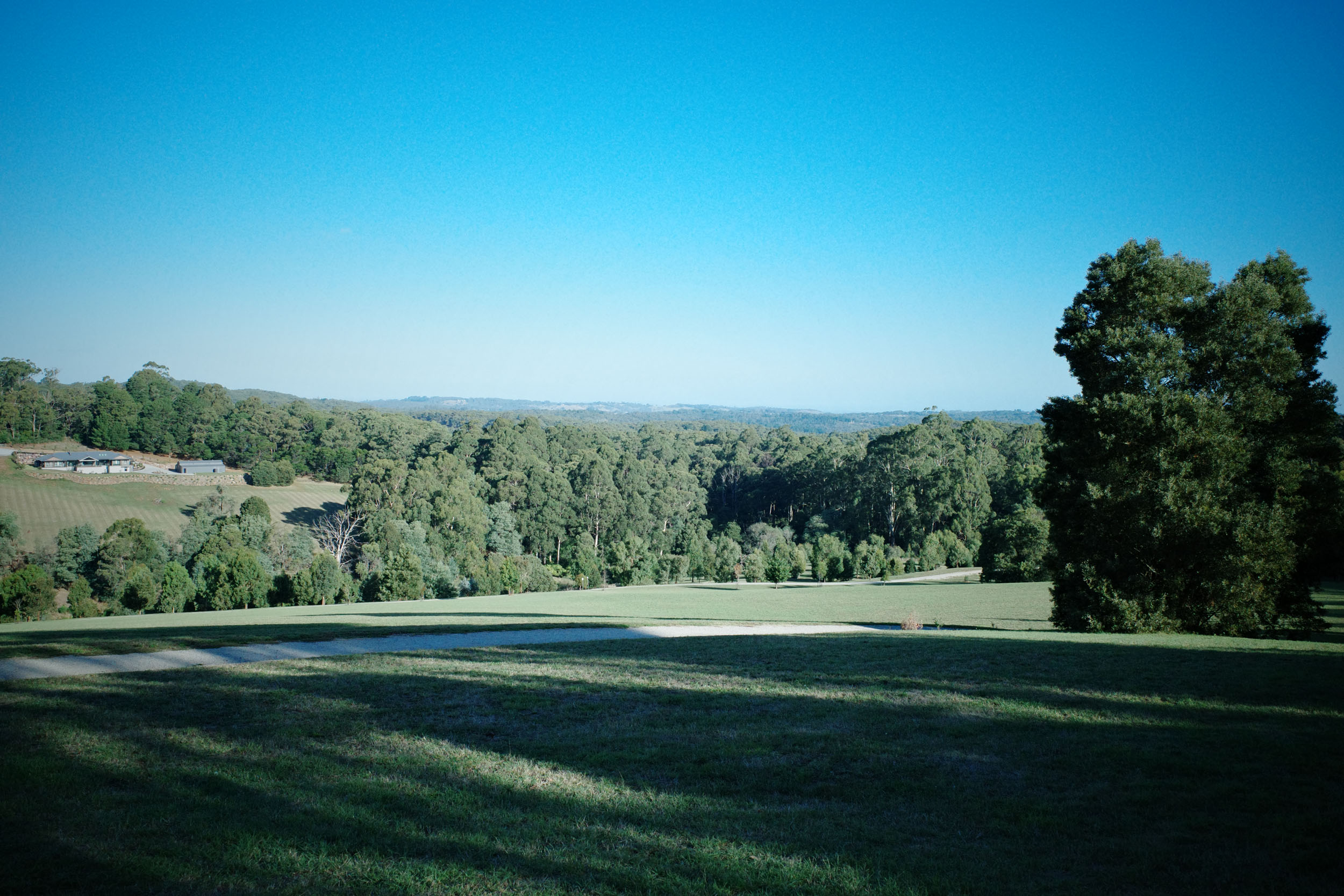
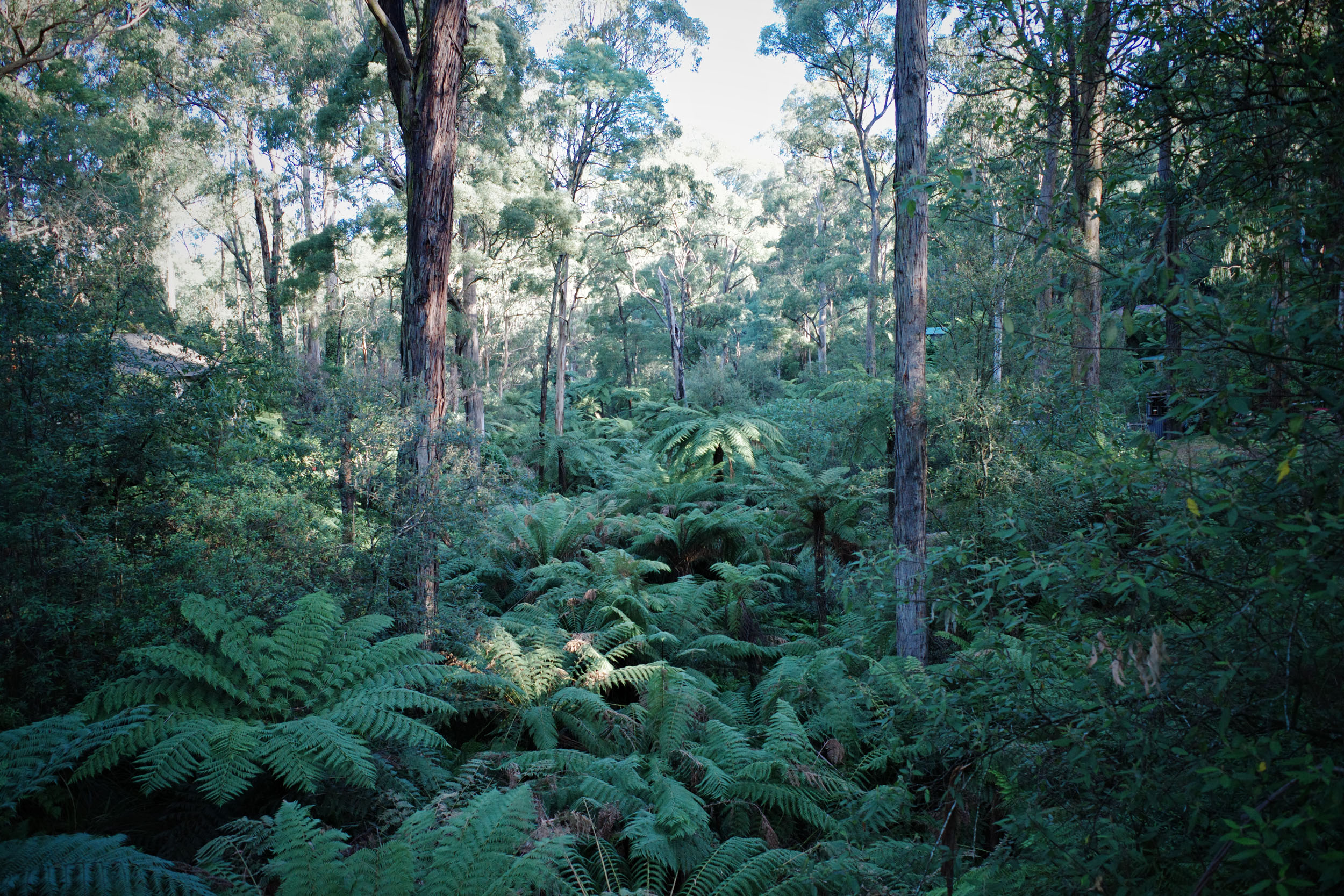
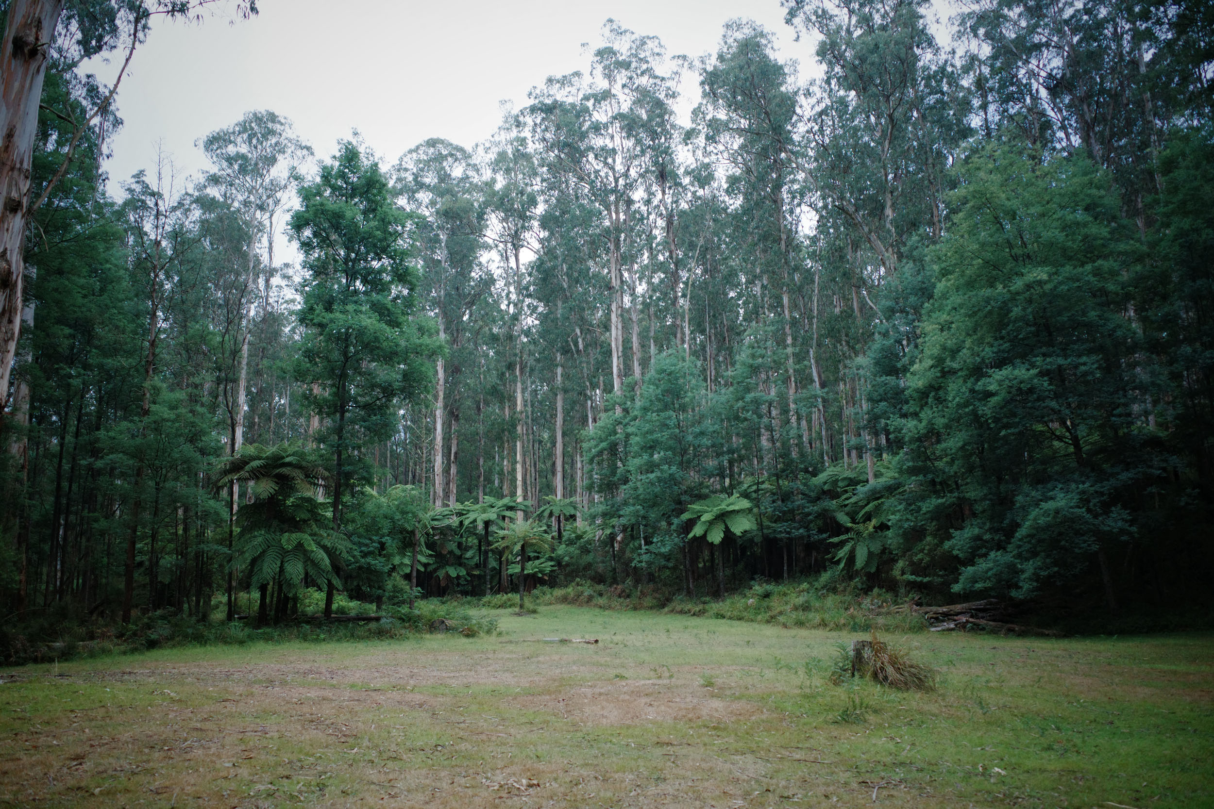
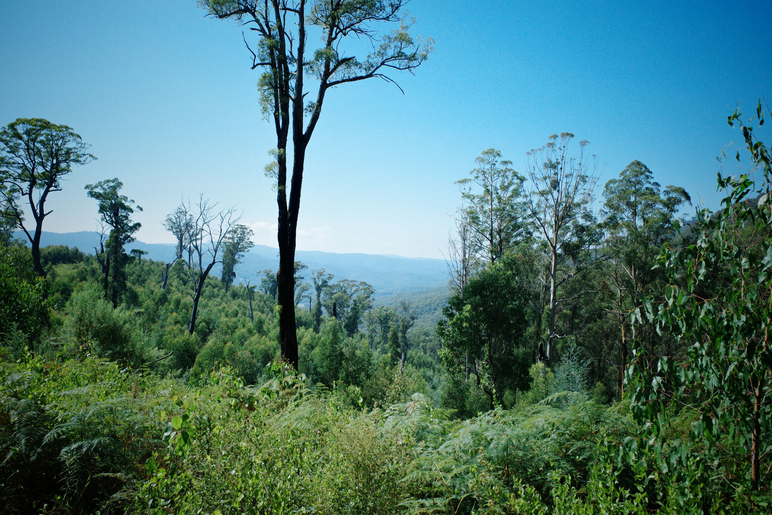
Passing through parts of the proposed Great Forest National Park, the route meanders through carbon-rich Mountain Ash forests, a critically endangered ecosystem that supports unique wildlife, including the Leadbeater’s possum.
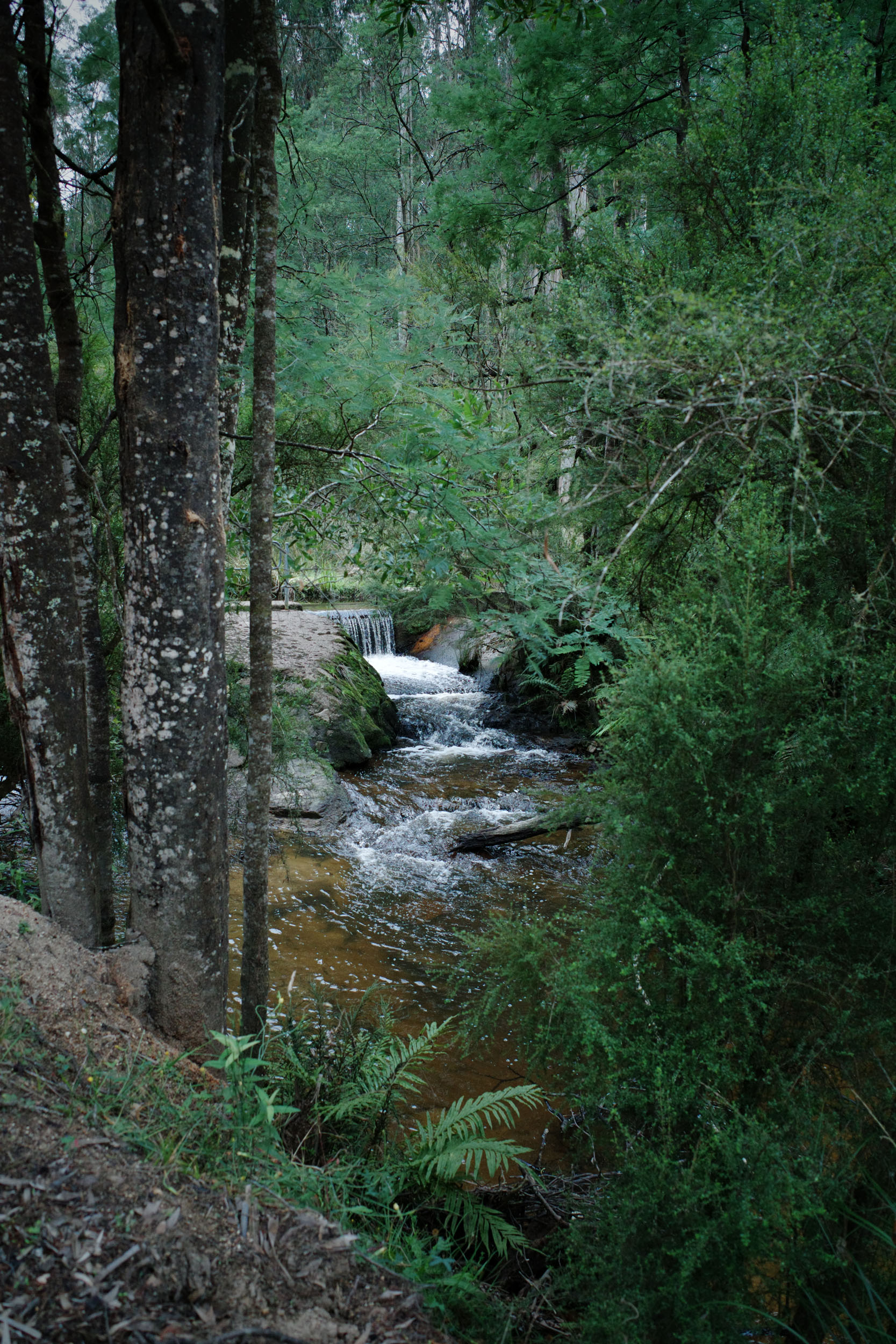
These forests play a vital role in water catchment and climate regulation across the region. Protecting them is essential not only for preserving biodiversity but also for safeguarding the long-term health of the landscapes that make riding here so special. By pedalling through these areas, the route aims to show riders its ecological importance and the ongoing efforts to secure stronger conservation protection.
Route Difficulty
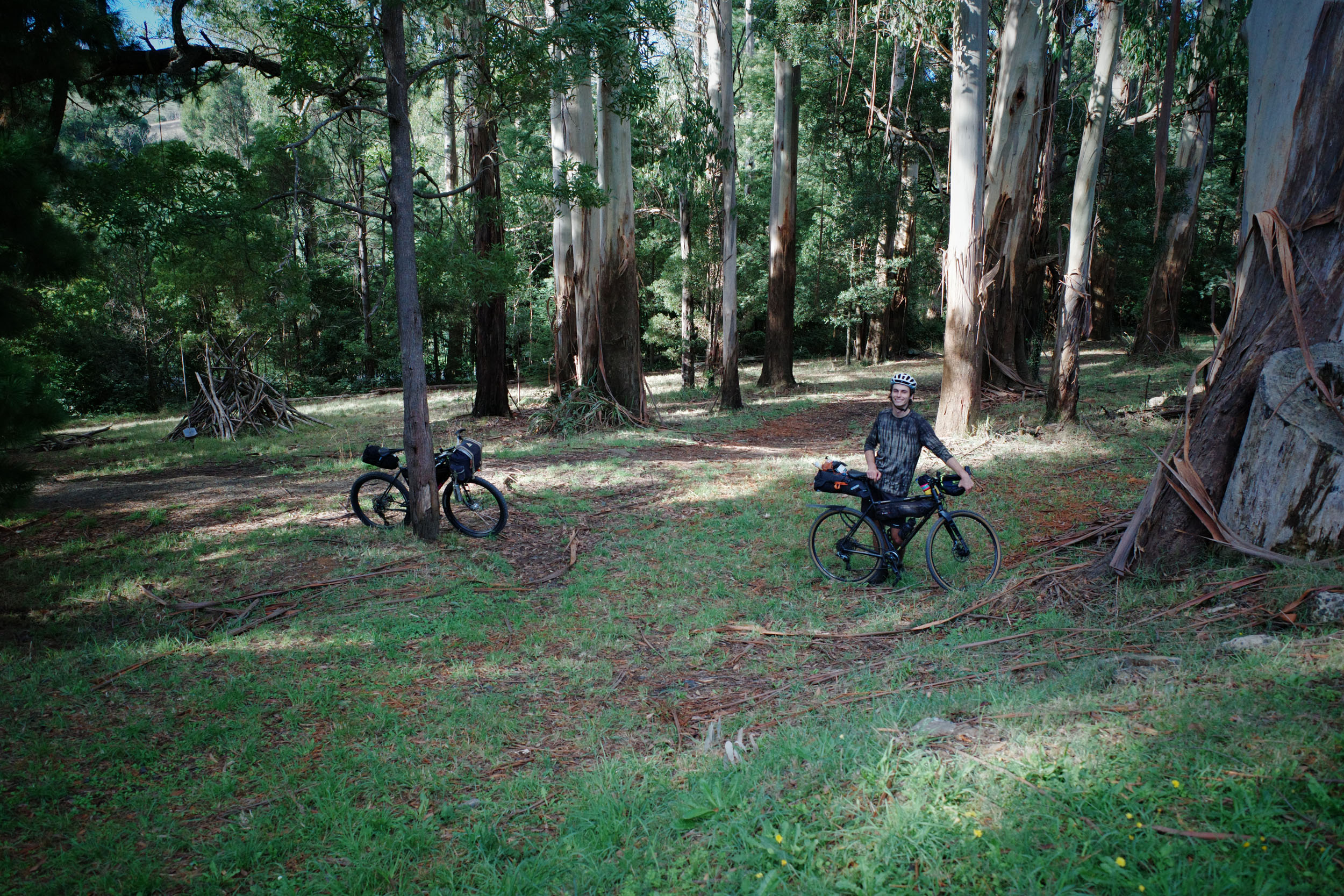
This route was designed with folks new to bikepacking in mind, accessible via public transport, and has plenty of refueling stops along the way. The riding itself is pretty straightforward; there are some solid climbs (notably the climb out of camp on day two), but also some solid descents that should have riders grinning from ear to ear. It’s mostly mixed gravel surfaces with a handful of chunky gravel descents.
Route Development: Naarm has plenty of great bikepacking around, and with interest growing, I wanted to create a route that highlights the beautiful forest areas just a stone’s throw away and gives folks new to bikepacking an easy, accessible overnighter close to the city. Thanks to my friends Leif, Noah, and Izzy for helping me reccy the route. I’d like to acknowledge the Traditional Owners of the lands on which this route travels through, the Bunurong and Wurundjeri people of the Kulin Nation. Always was and always will be Aboriginal Land. If you have the means, please consider a donation to Pay The Rent.


Submit Route Alert
As the leading creator and publisher of bikepacking routes, BIKEPACKING.com endeavors to maintain, improve, and advocate for our growing network of bikepacking routes all over the world. As such, our editorial team, route creators, and Route Stewards serve as mediators for route improvements and opportunities for connectivity, conservation, and community growth around these routes. To facilitate these efforts, we rely on our Bikepacking Collective and the greater bikepacking community to call attention to critical issues and opportunities that are discovered while riding these routes. If you have a vital issue or opportunity regarding this route that pertains to one of the subjects below, please let us know:
Highlights
Must Know
Camping
Food/H2O
Trail Notes
- Cute towns along the EDRT.
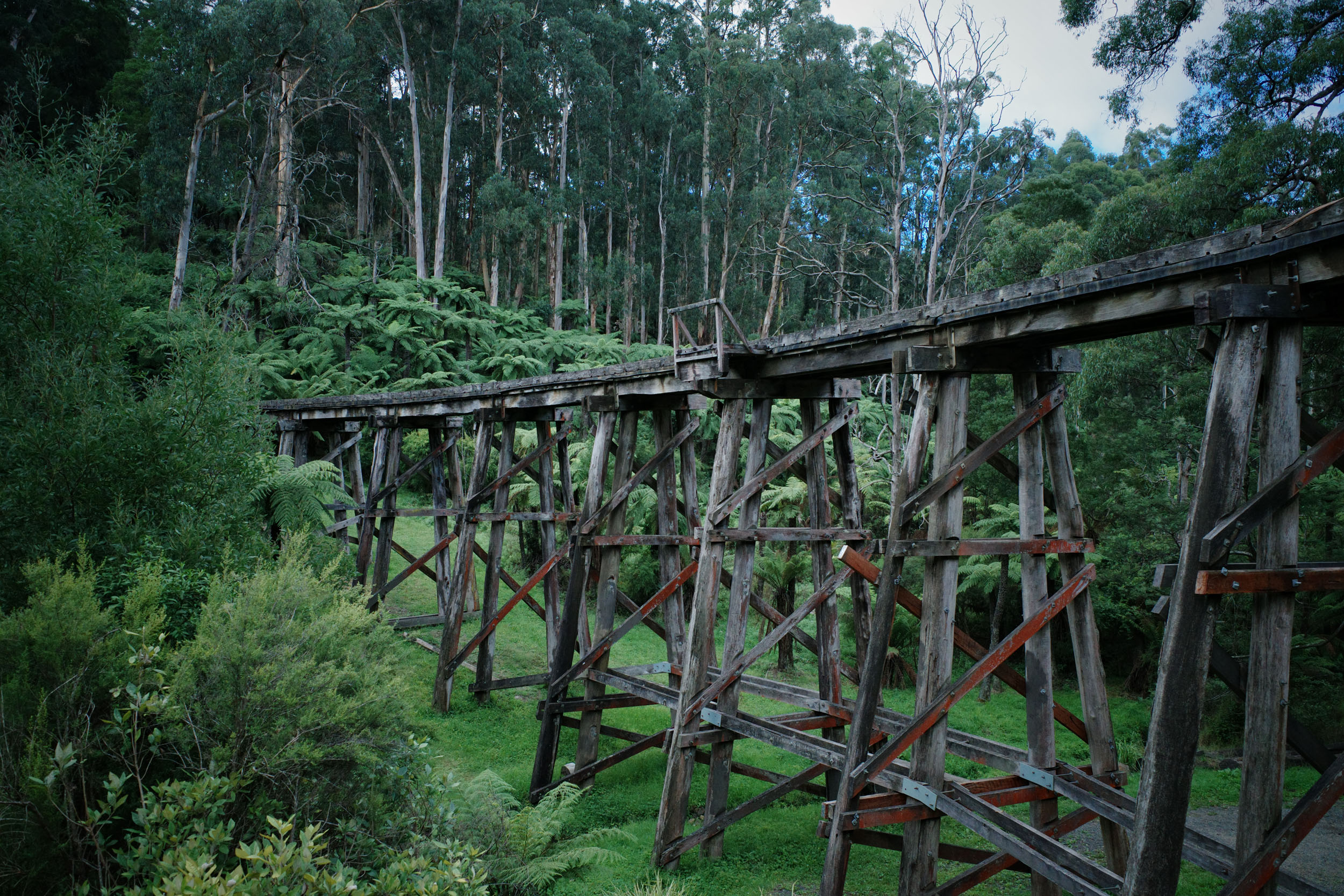
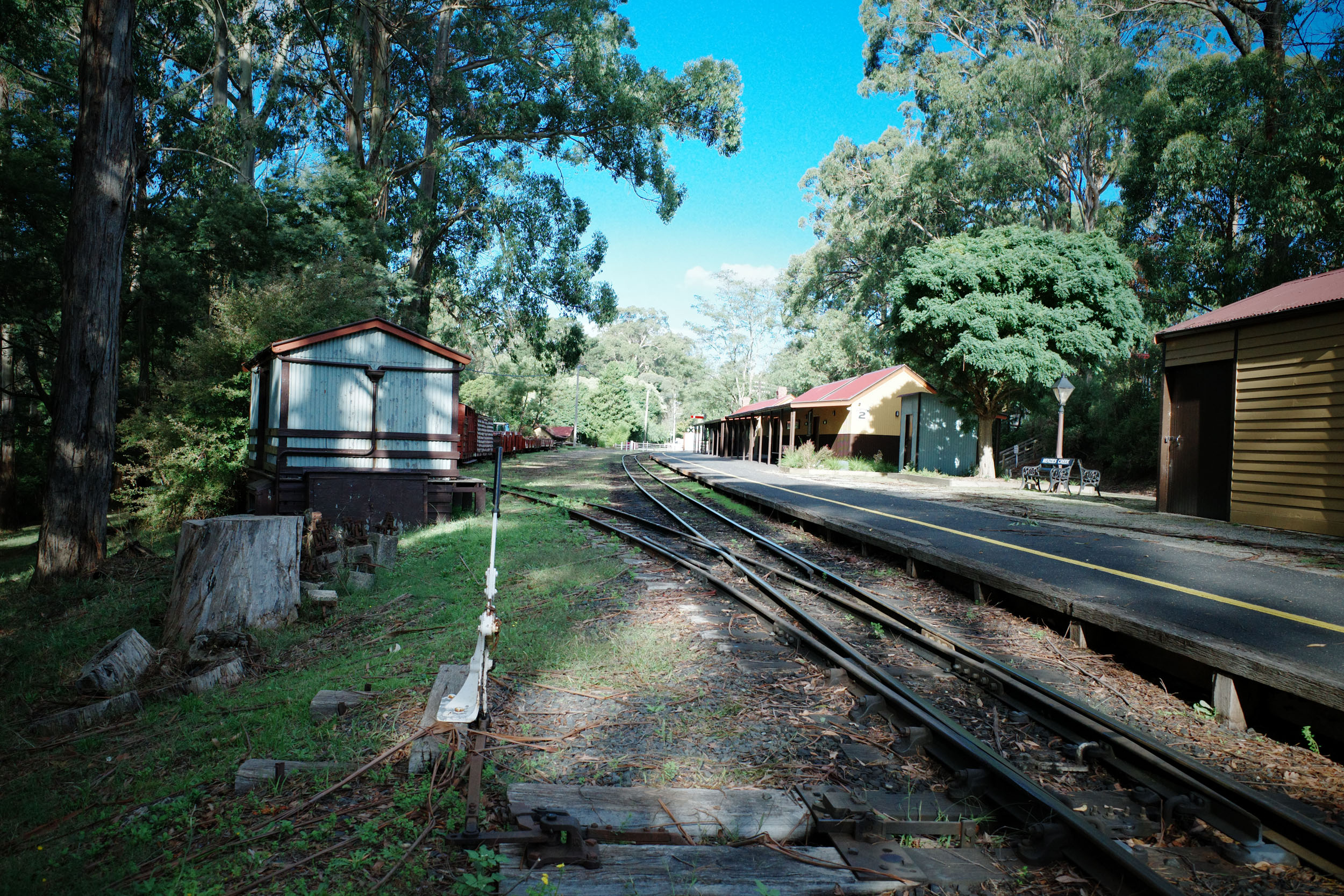
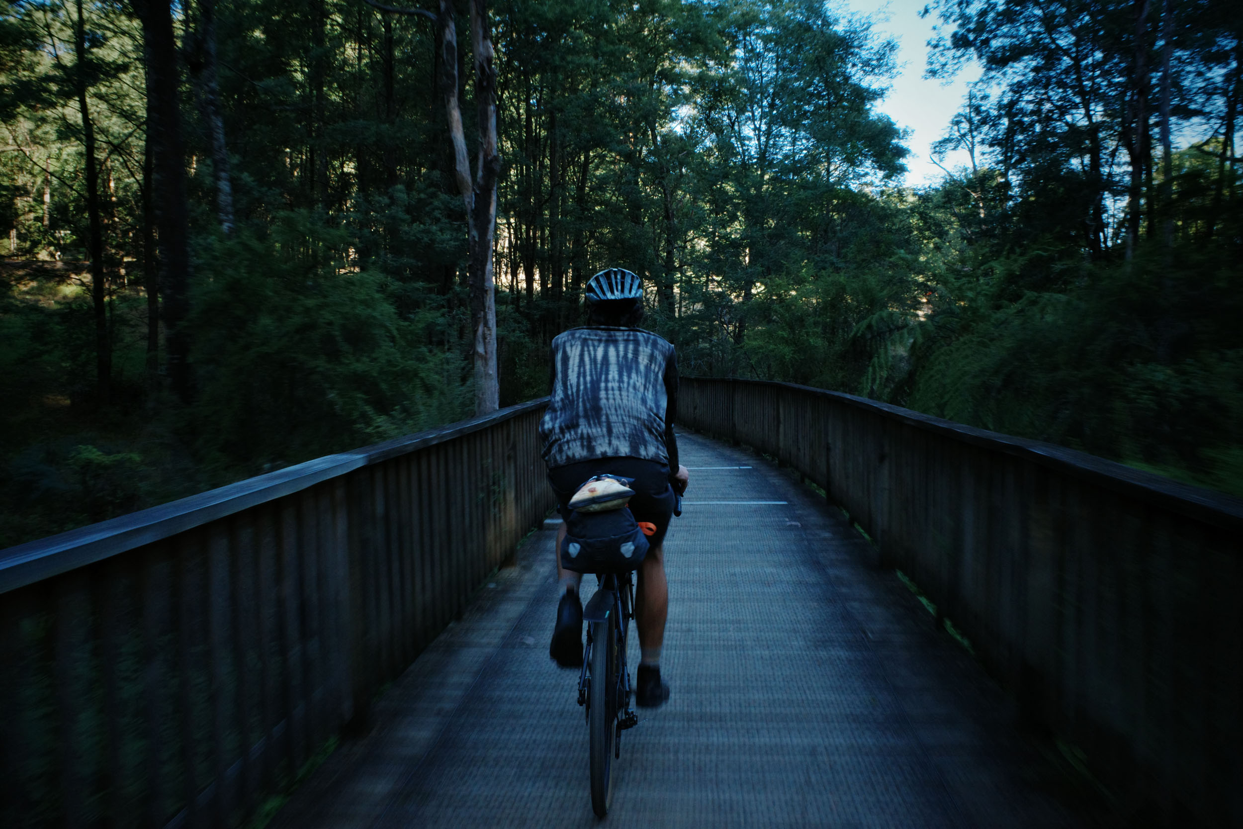
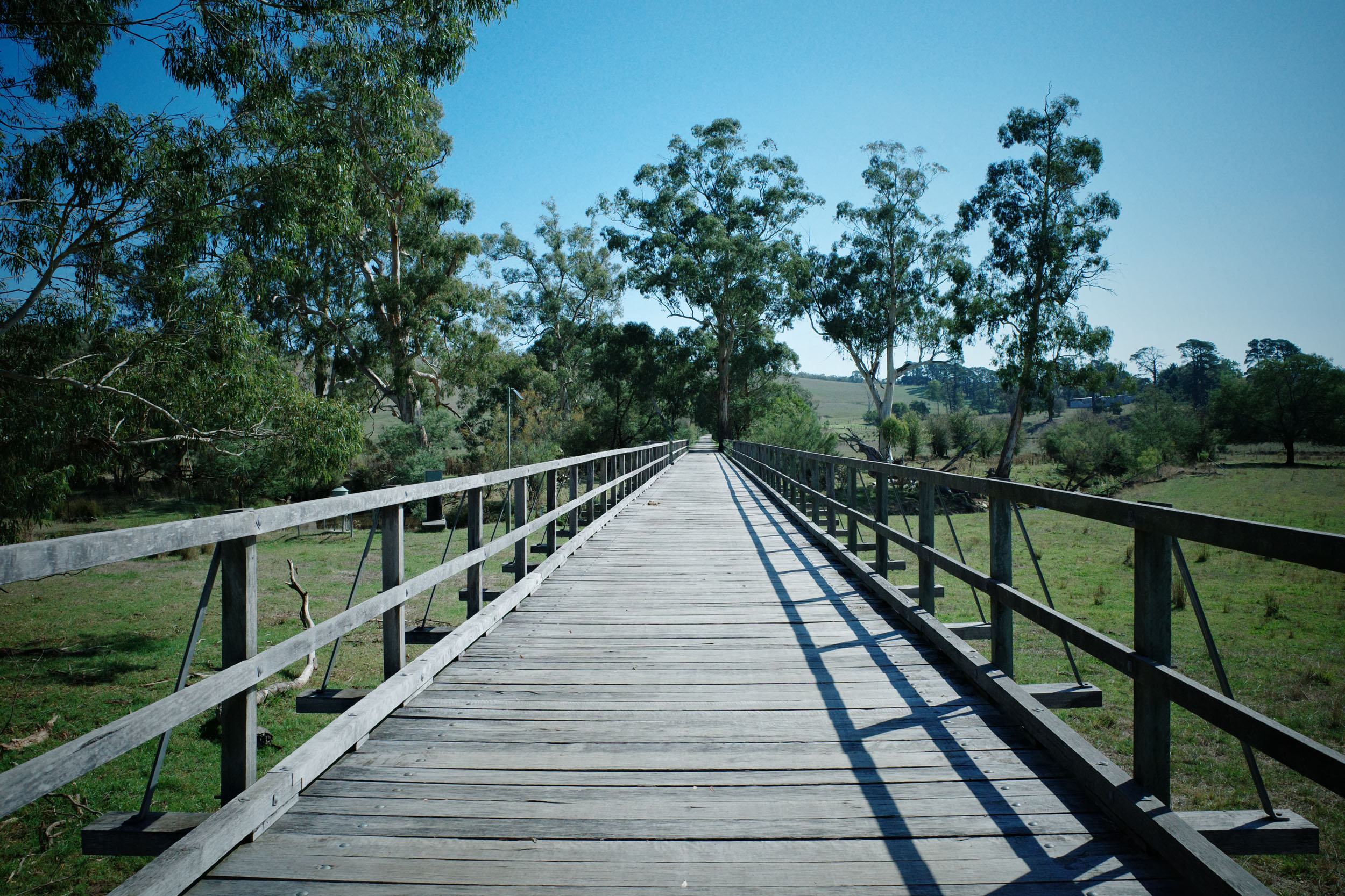
- The Puffing Billy Railway Trestle Bridge is a sight to see, and if you time your start right, you might even get to see Puffing Billy go steaming by.
- Pubs and cafes along the way make for a great spot to have a cold or hot drink.
- Accessible from the start and end points.
- Beautiful scenery, riding through Mountain Ash forest and past big treeferns.
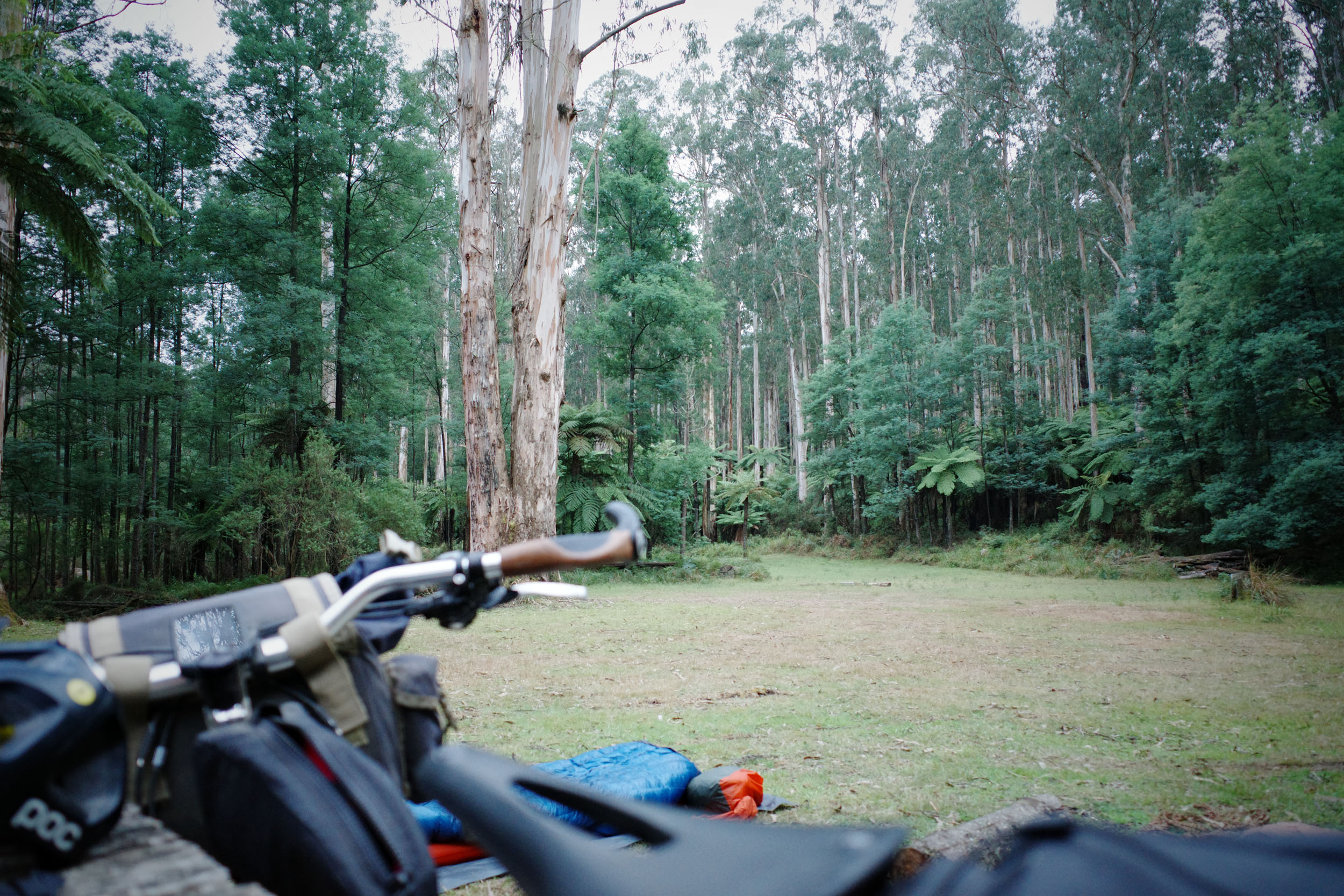
- Free camping at Freeman’s Mill.
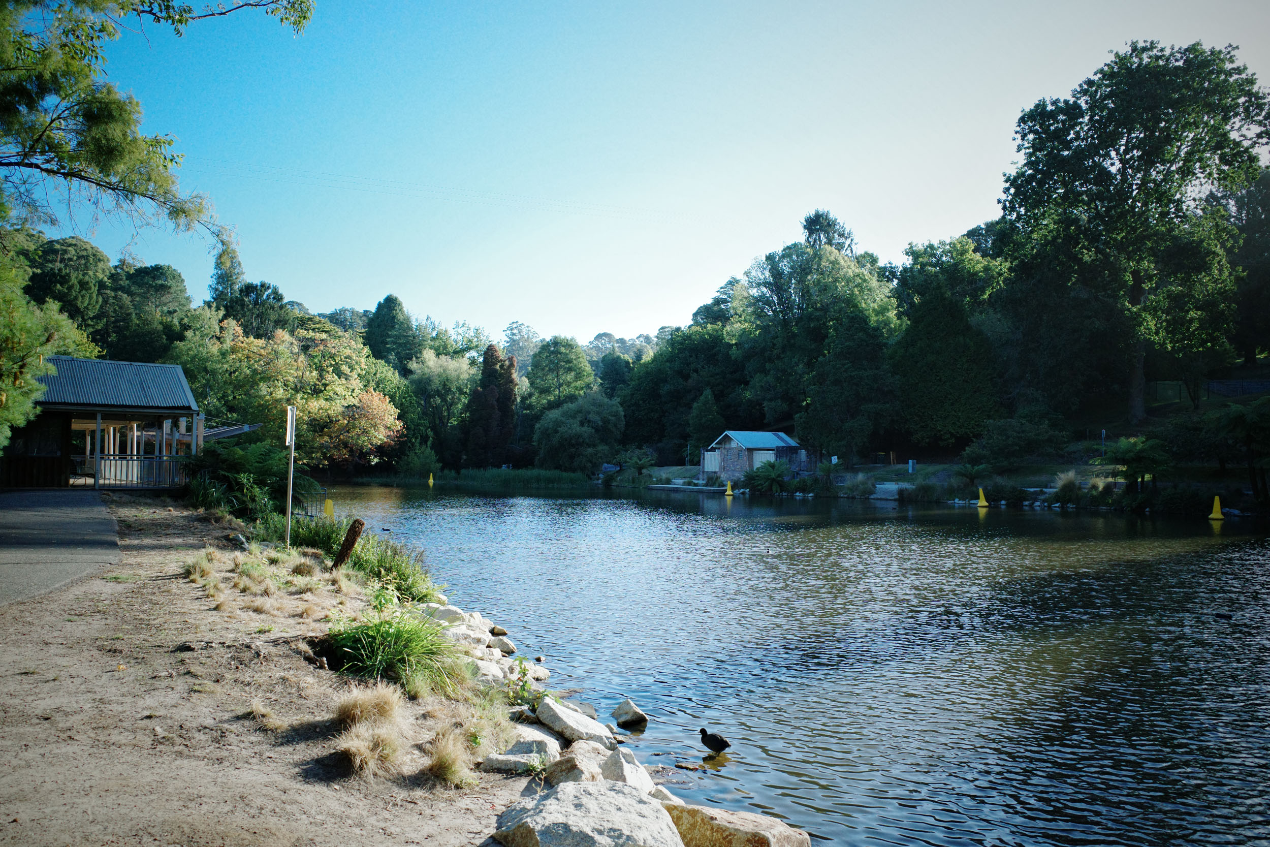
- The route meanders near many wineries on the outskirts of Yarra Junction.
- When to go – Spring to Autumn are the best months, although all year round is also doable if prepared for the cold and wet in winter or the hot and dry in summer (check bushfire rating, etc., in summer).
- To make the route more accessible, it is designed around starting and finishing at Melbourne Metro train stations.
- Catch the train from the CBD via the Belgrave Line to Belgrave. Do the Reverse at the end, train from Lilydale to the CBD via the Lilydale Line. Be sure to check for planned service disruptions, such as bus replacements, before leaving.
- Designed to be ridden south to north, starting in Belgrave and finishing in Lilydale, to catch the steep descents and mellow climbs.
- Find more on the Great Forest National Park here.
- Free camping at Freeman’s Mill Campground. Please note there are no facilities at the campsite, so you will need to treat the creek water.
- Please practice Leave No Trace protocols.
- Belgrave has many large supermarkets, cafes, bakeries, and a great Indian restaurant, Babaji’s.
- Many towns along the way have an IGA, bakeries, and breweries.
- Water is available at public taps/ toilets in towns along the way.
- Water also available at the campground only via the Bunyip River; it will need to be treated/filtered.
location Belgrave Train Station-Freeman’s Mill Campground
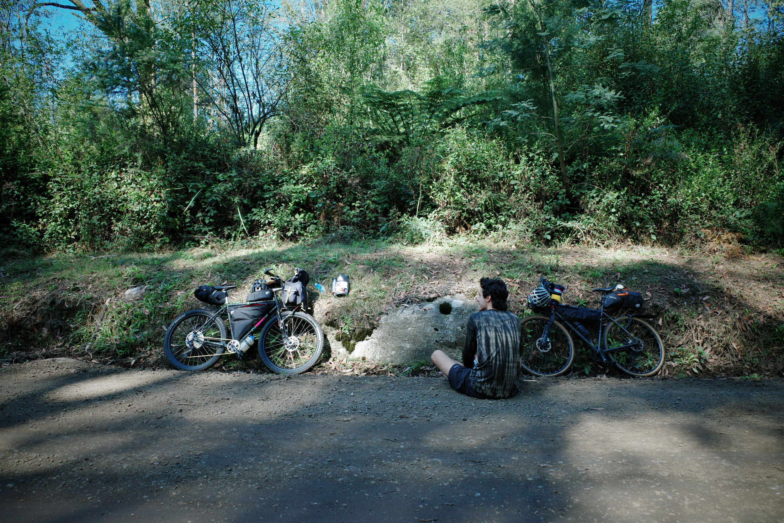
Day 1 (51 km +779 m)
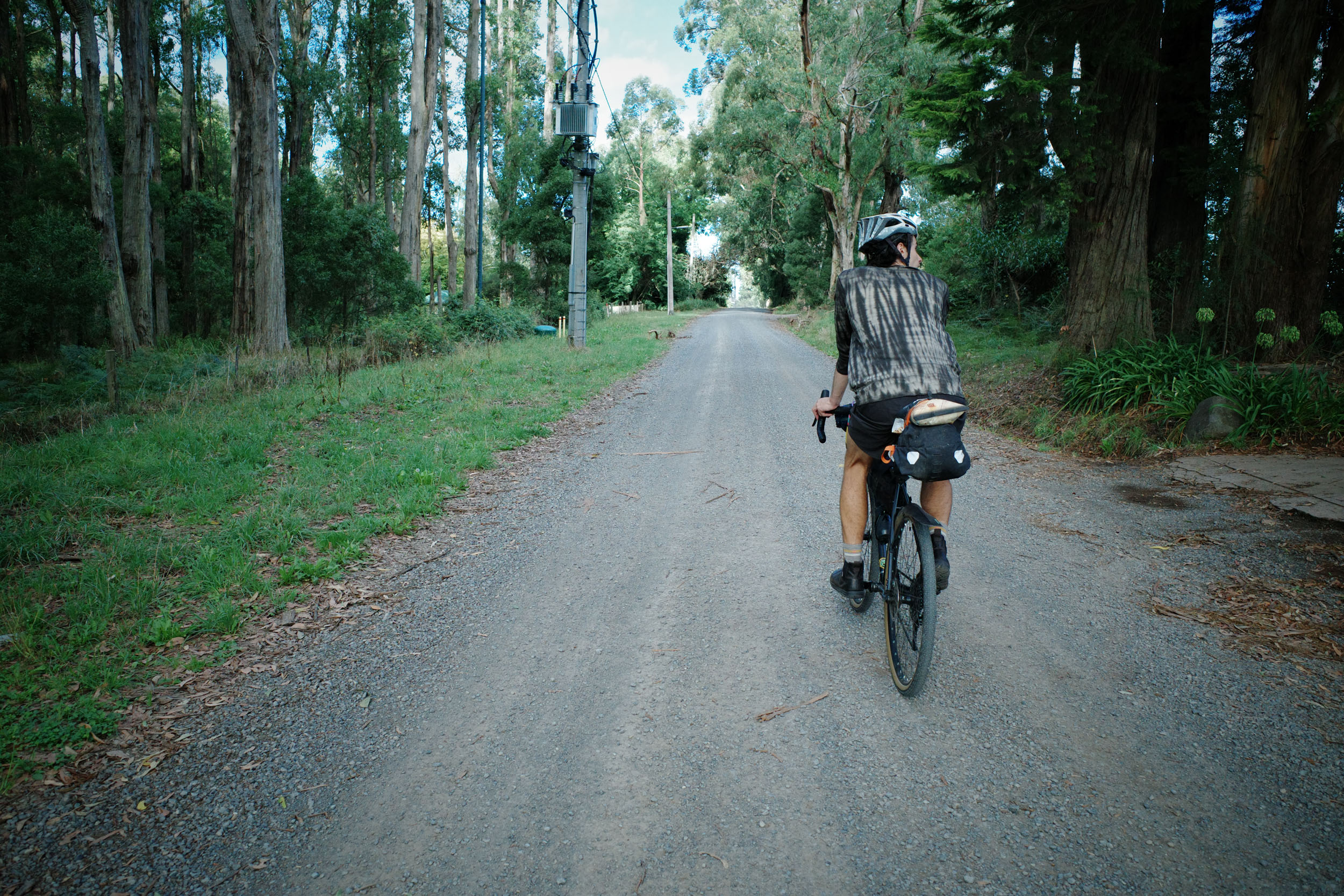
Starts from the Belgrave Train Station, winding through the outskirts of town, past the Puffing Billy railway trestle bridge, and up onto the EDRT. This trail takes you past many small towns; Emerald and Cockatoo both have supermarkets, bakeries, and cafes. After some pretty riding up through the valley, the route then passes through Gembrook, the last town before camp to get supplies. The route then follows a short section of sealed road before jumping back onto gravel and taking riders on a long gravel descent towards camp.
location Freeman’s Mill Campground-Lilydale Train Station
Day 2 (67 km +1190 m)
Leaving Freeman’s Mill Campground in the morning (early if it’s going to be a hot day), the route climbs slowly up and out of the valley. The landscape changes as riders climb higher. From cool, mossy, and fern-covered hills to towering mountain ash forest higher up, it is an absolute sight to see.
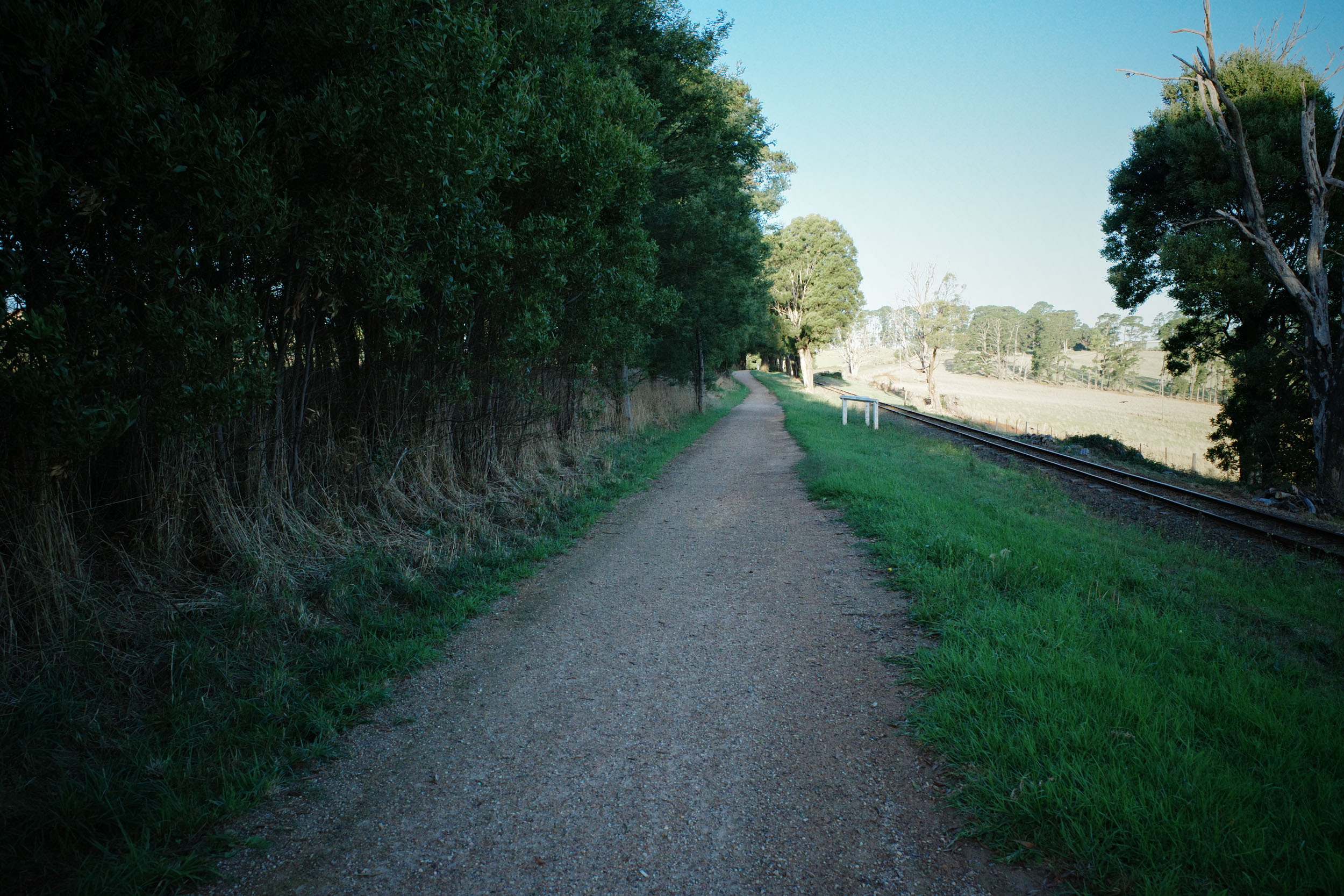
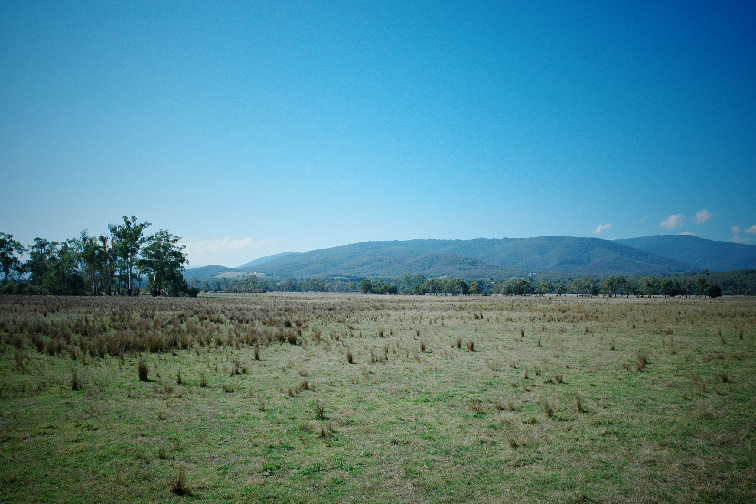
Topping out near Mount Beenak, with the majority of long climbs completed for the day. A few epic descents take riders back down towards Yarra Junction, where they can stock up on food and water and enjoy a break in the shade. The route then joins the Lilydale to Warburton Rail Trail, which takes riders through farmland, sweeping hills, and floodplains back to the Lilydale train station.


Terms of Use: As with each bikepacking route guide published on BIKEPACKING.com, should you choose to cycle this route, do so at your own risk. Prior to setting out check current local weather, conditions, and land/road closures. While riding, obey all public and private land use restrictions and rules, carry proper safety and navigational equipment, and of course, follow the #leavenotrace guidelines. The information found herein is simply a planning resource to be used as a point of inspiration in conjunction with your own due-diligence. In spite of the fact that this route, associated GPS track (GPX and maps), and all route guidelines were prepared under diligent research by the specified contributor and/or contributors, the accuracy of such and judgement of the author is not guaranteed. BIKEPACKING.com LLC, its partners, associates, and contributors are in no way liable for personal injury, damage to personal property, or any other such situation that might happen to individual riders cycling or following this route.
Further Riding and Reading
Here are some connected/nearby routes and related reports...
Please keep the conversation civil, constructive, and inclusive, or your comment will be removed.