


Black Hills Pay Dirt
Distance
127 Mi.
(204 KM)Days
3
% Unpaved
97%
% Singletrack
50%
% Rideable (time)
98%
Total Ascent
11,800'
(3,597 M)High Point
6,213'
(1,894 M)Difficulty (1-10)
7?
- 6Climbing Scale Moderate93 FT/MI (18 M/KM)
- -Technical Difficulty
- -Physical Demand
- -Resupply & Logistics
Contributed By
Justin Hollister
Guest Contributor
Justin’s affinity for the outdoors started with hiking and climbing trips in South Dakota and Montana during childhood summer breaks. Since then he tries to use every free moment exploring somewhere new. He started biking in 2016 as a new way to find adventure. When not wandering he builds custom furniture and welds near the Twin Cities.
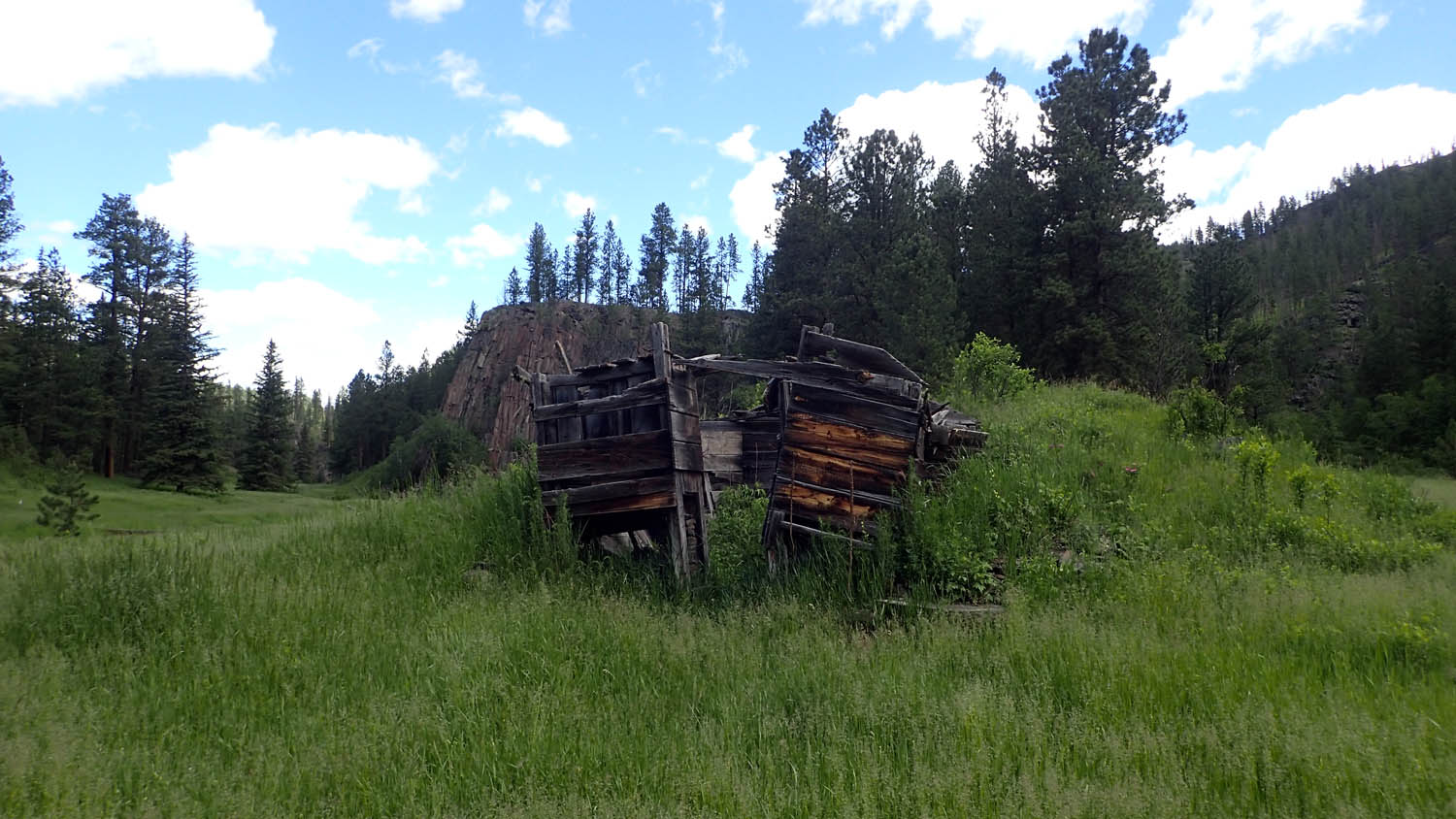
The route starts in the north end of the Black Hills National Forest, where gold towns once boomed and then panned out within a few decades. Unlike its tourist driven east side, there is only a dusting of civilization, and luckily, the art of serving beer and burgers was not lost.
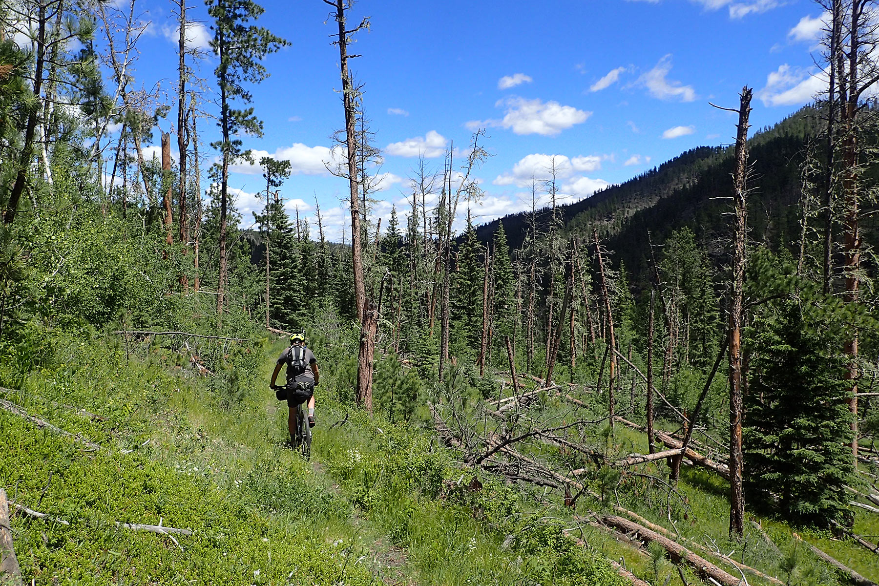
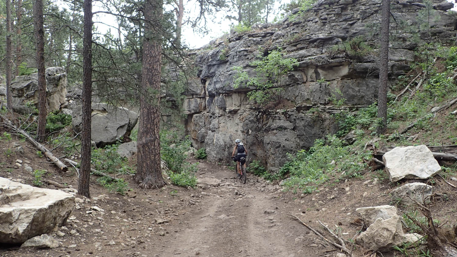
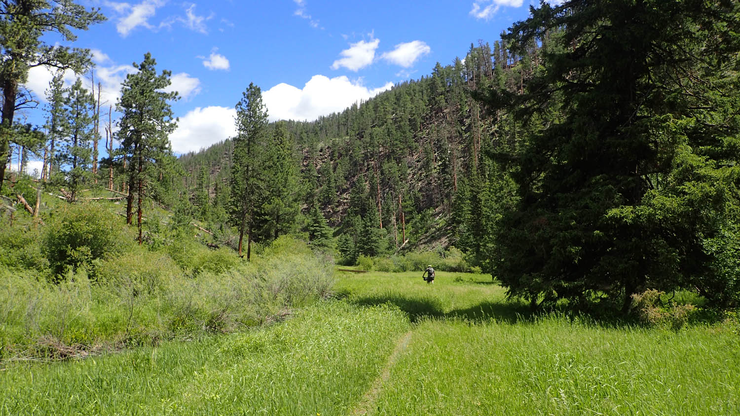
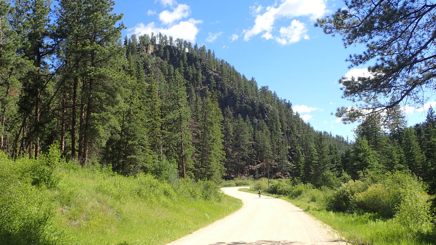
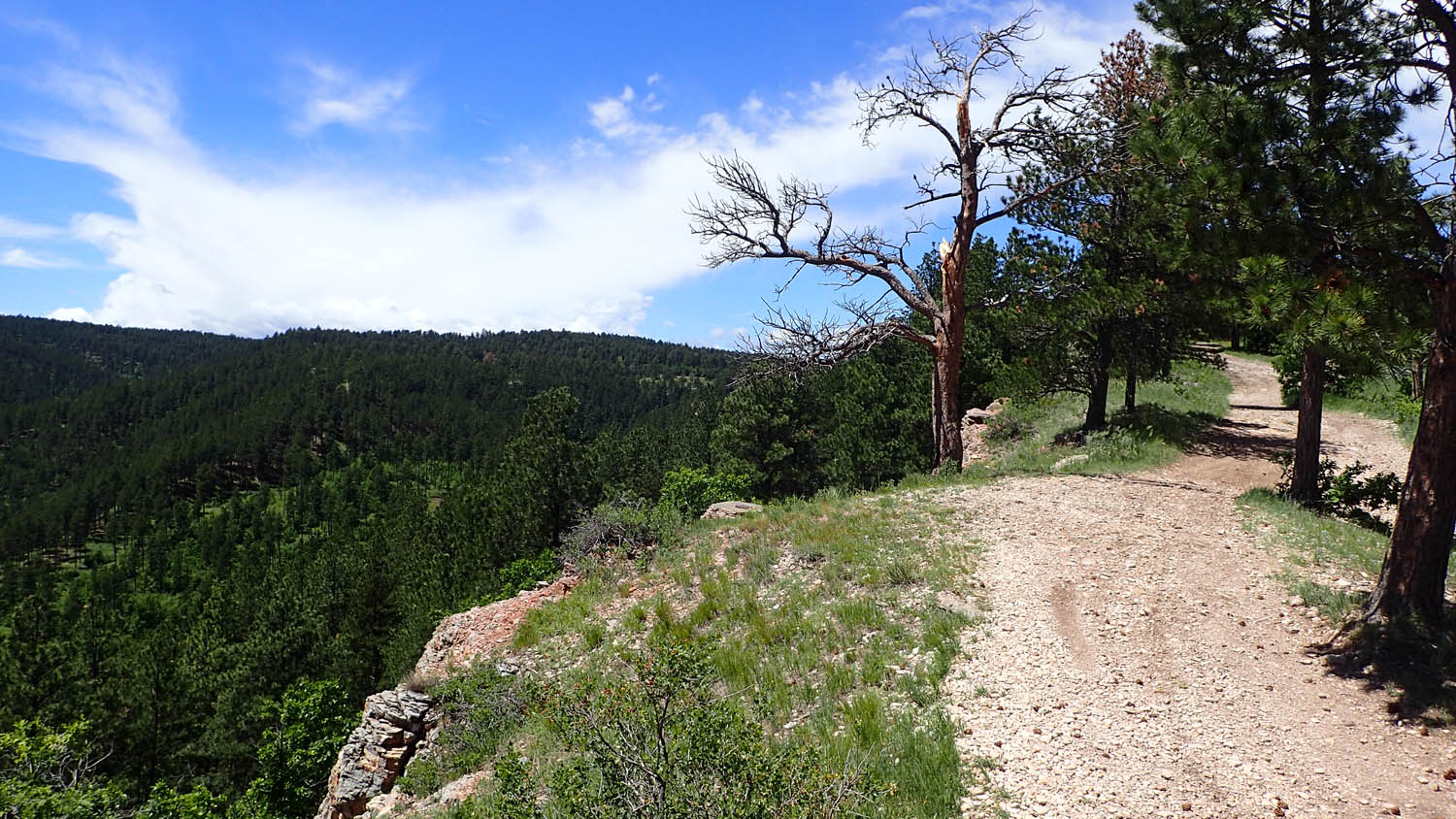
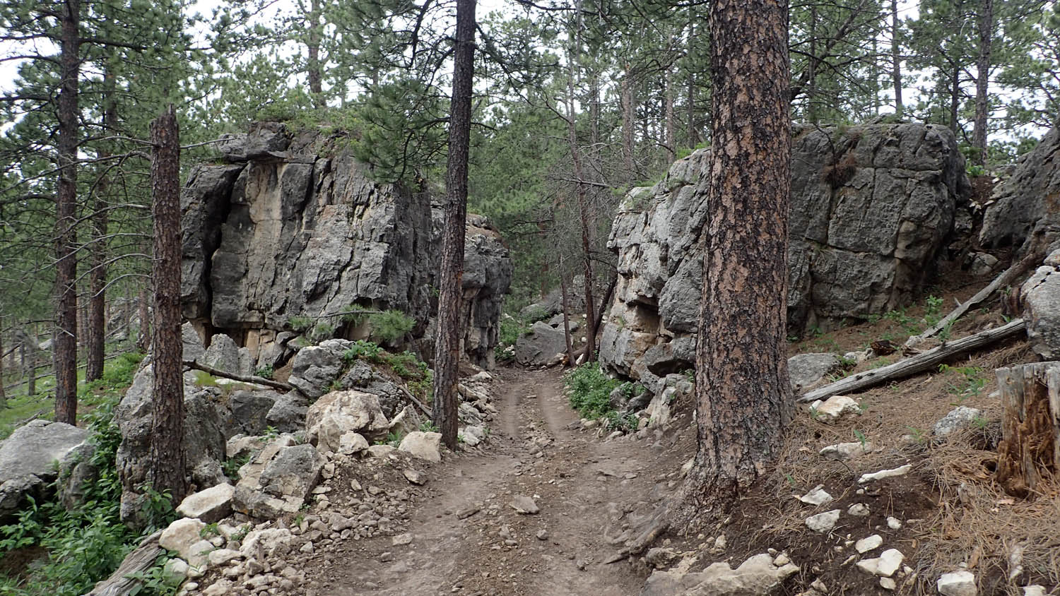
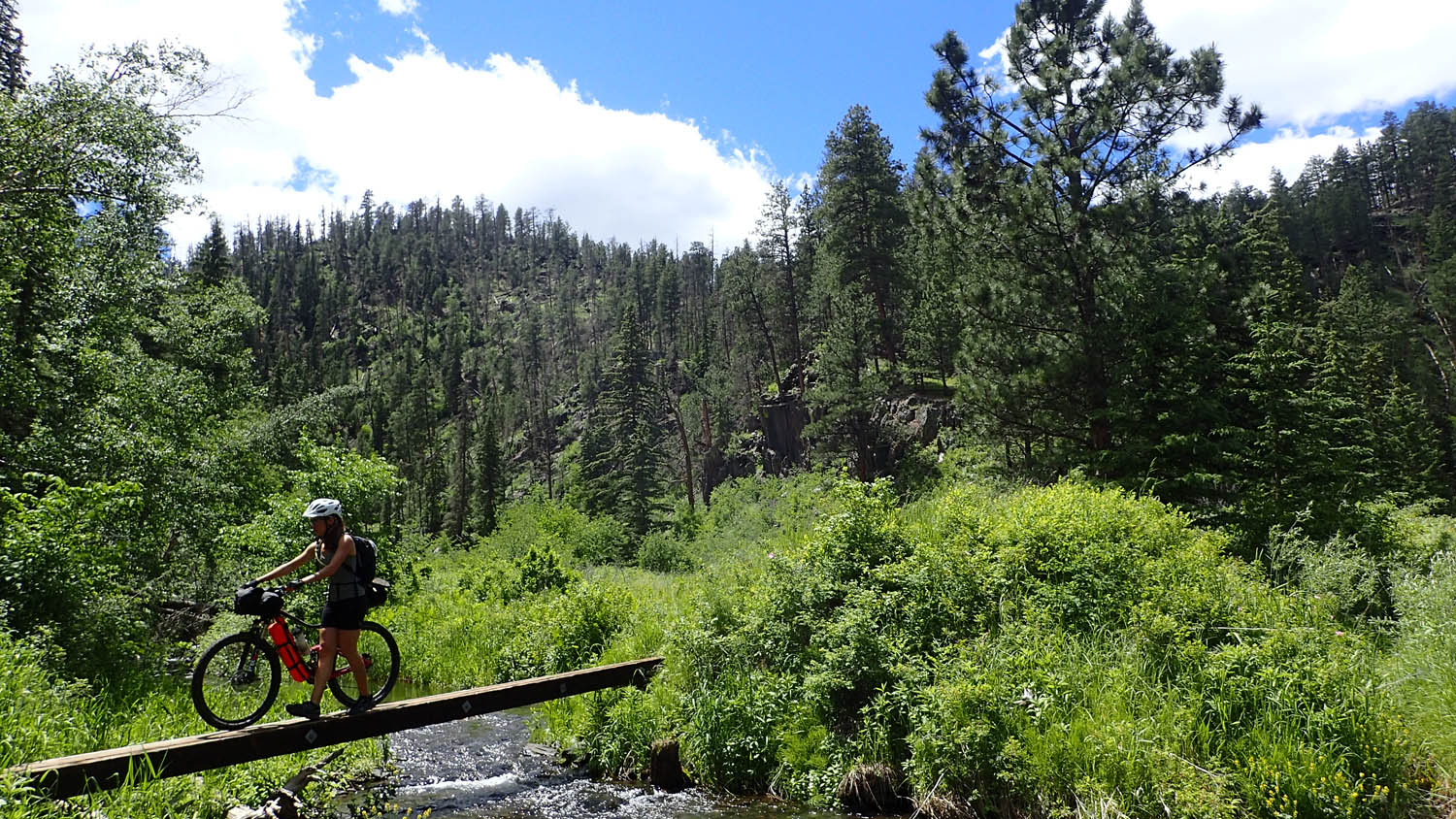
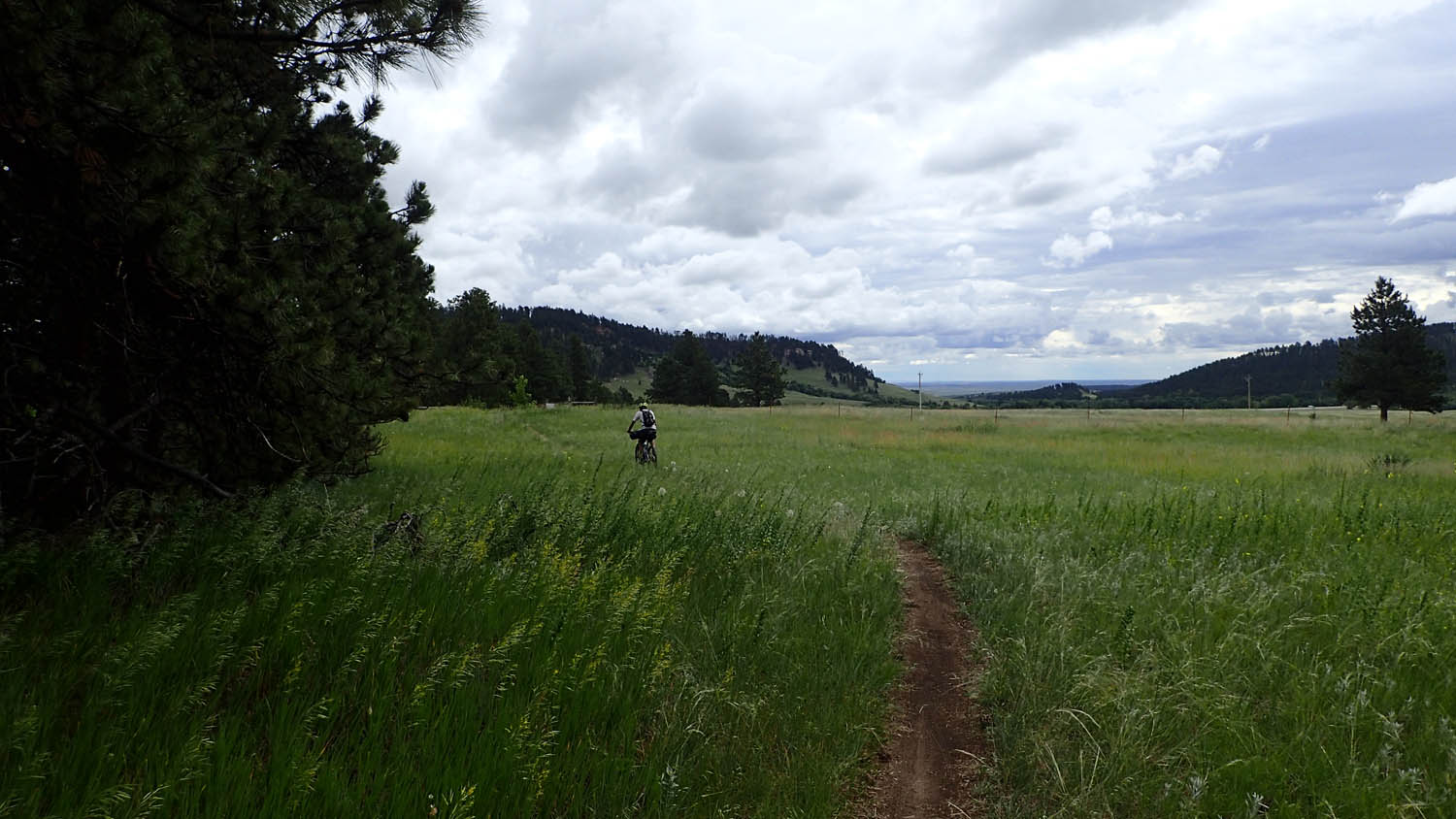
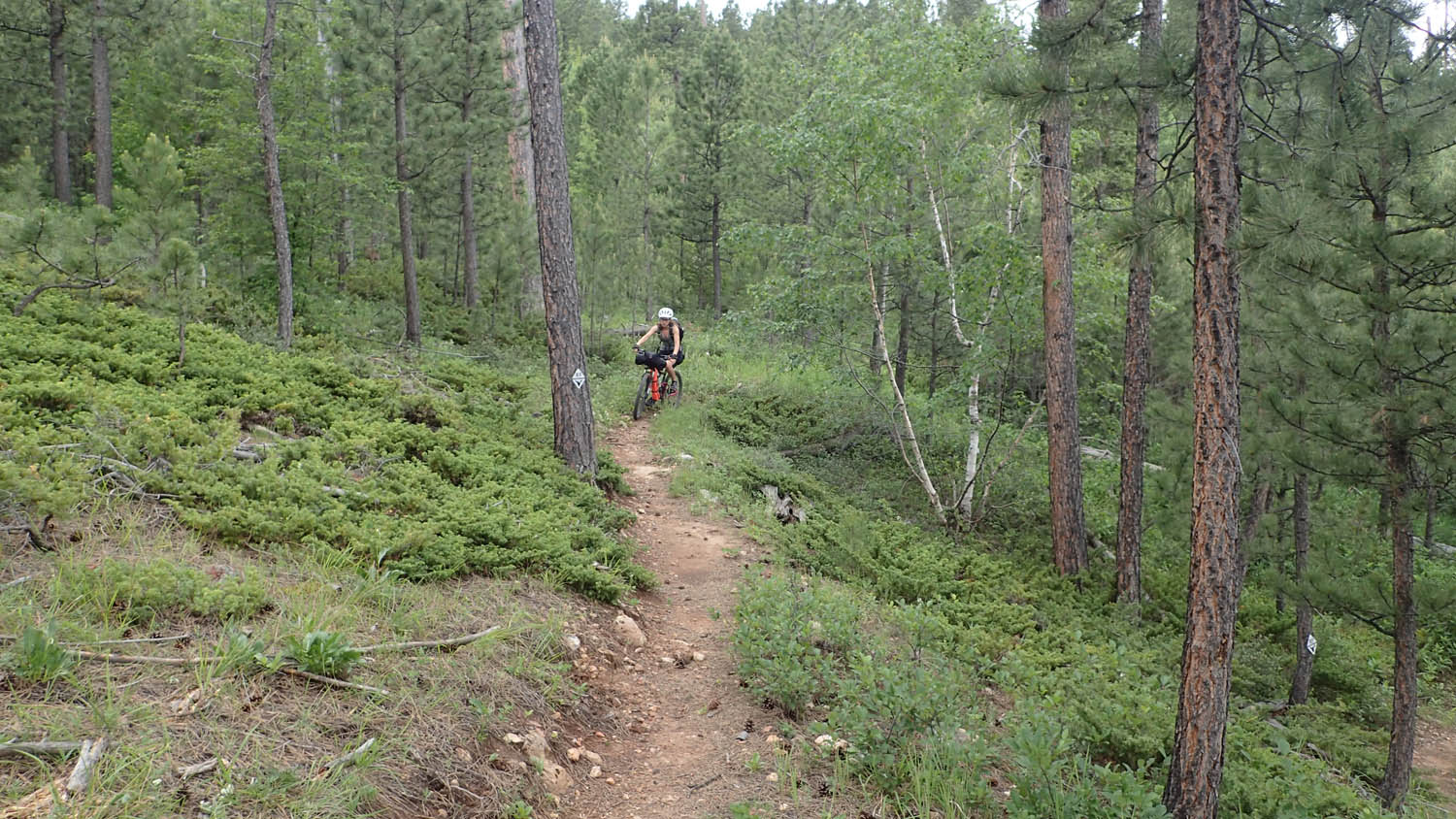
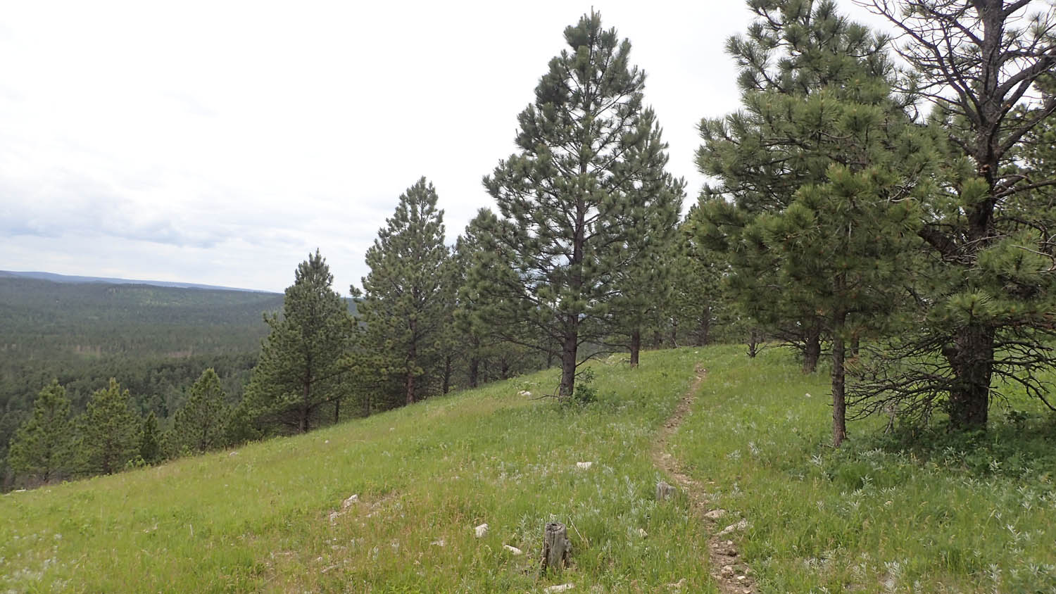
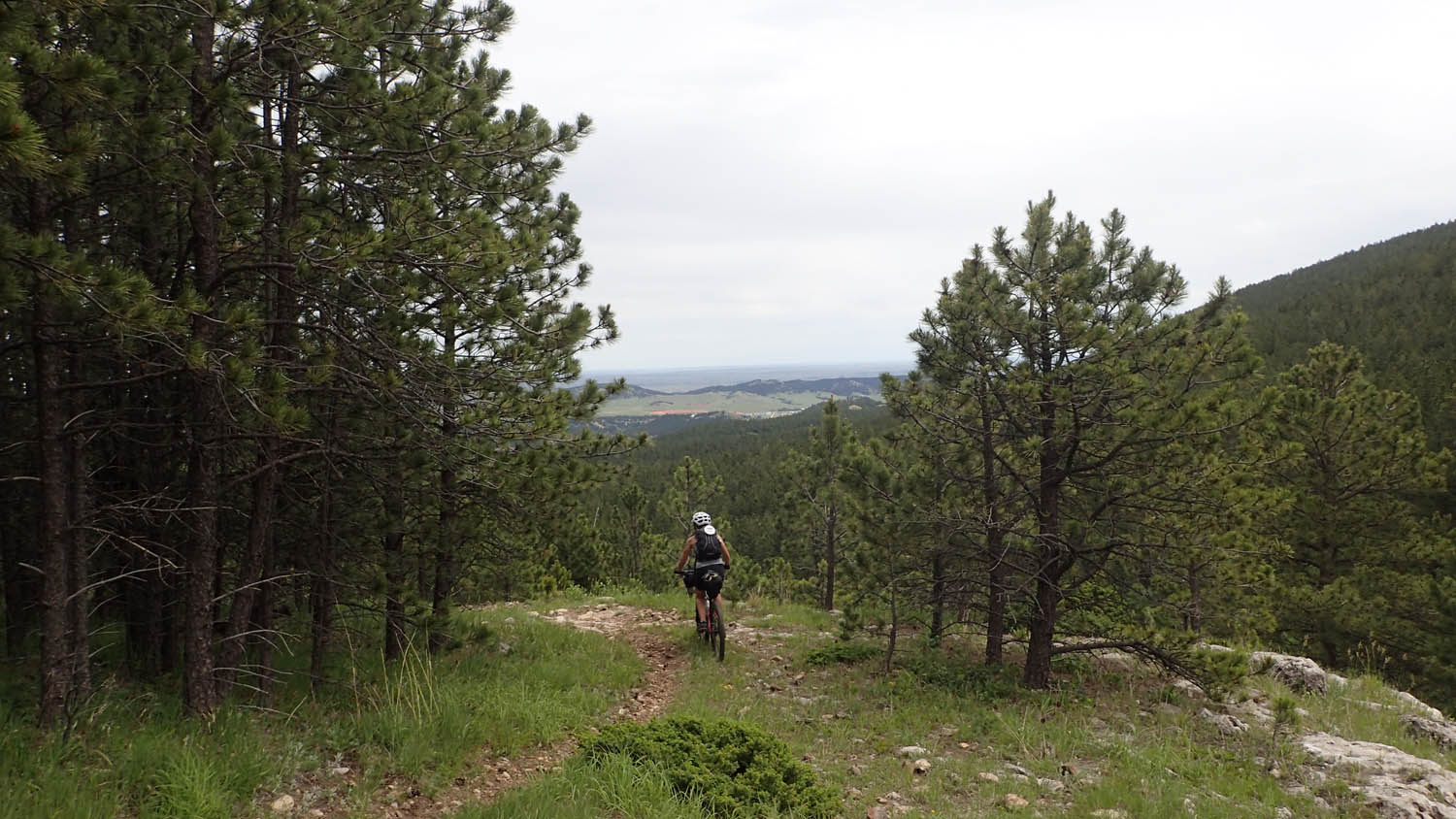
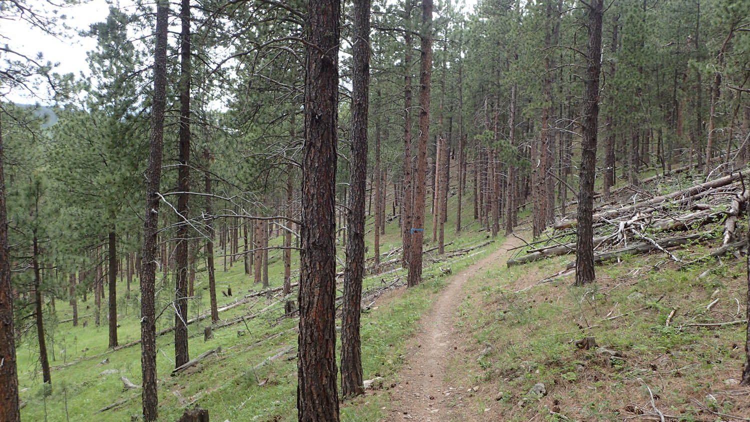
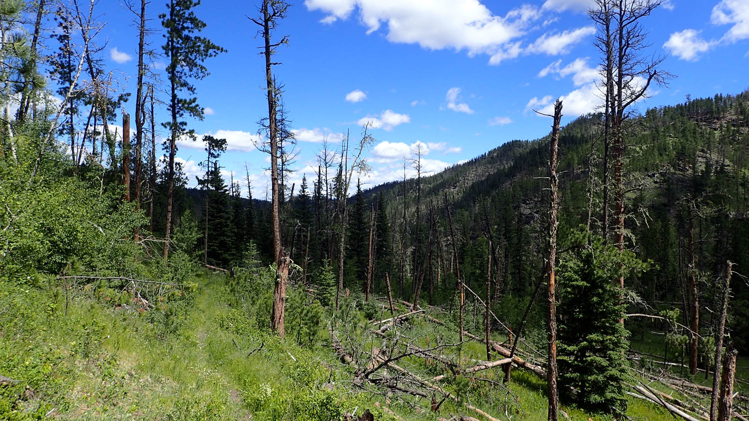
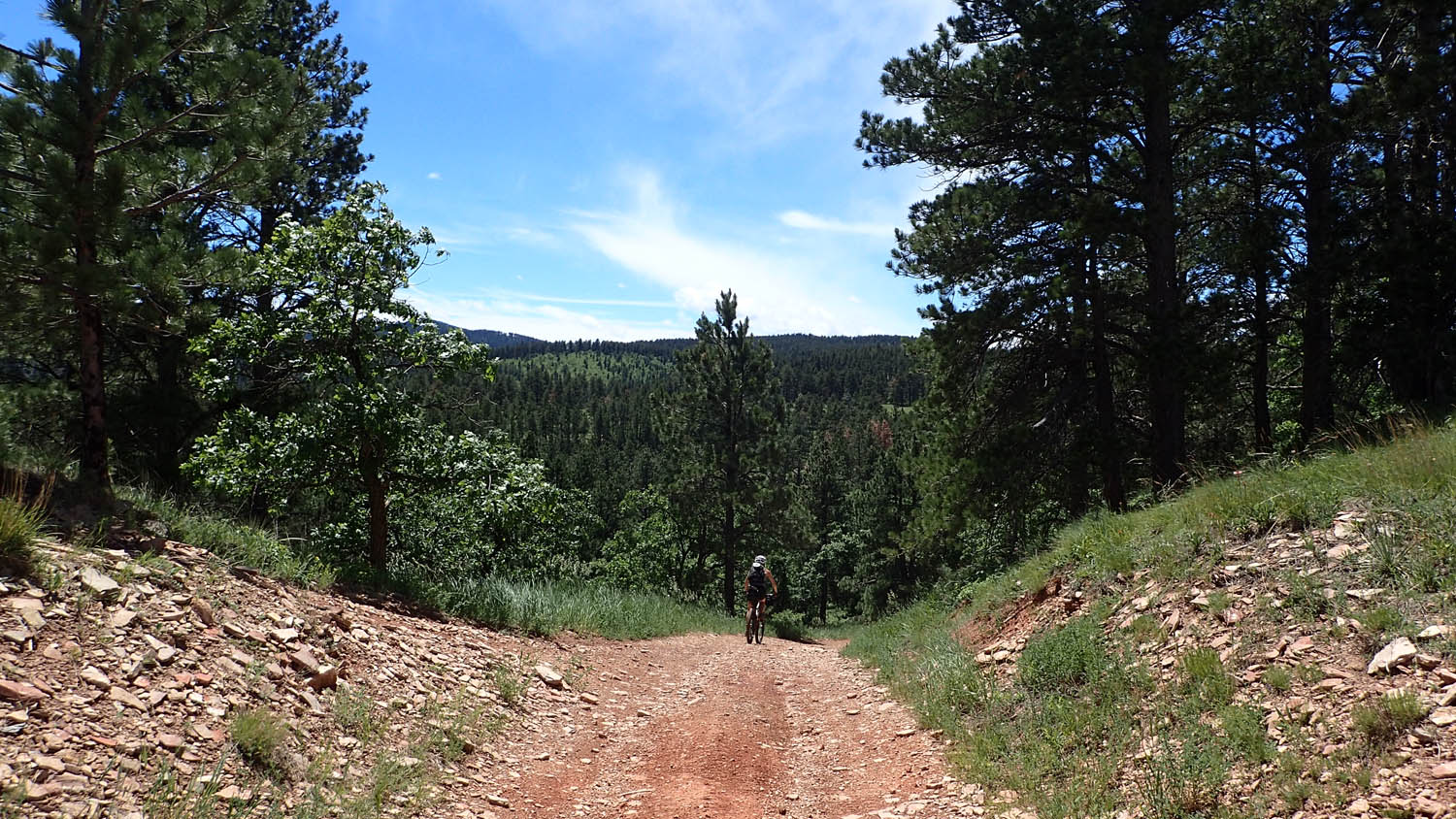
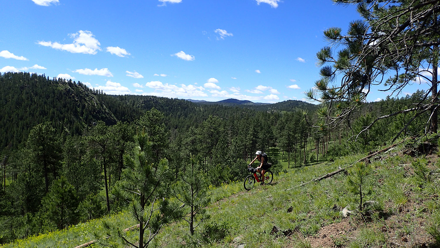
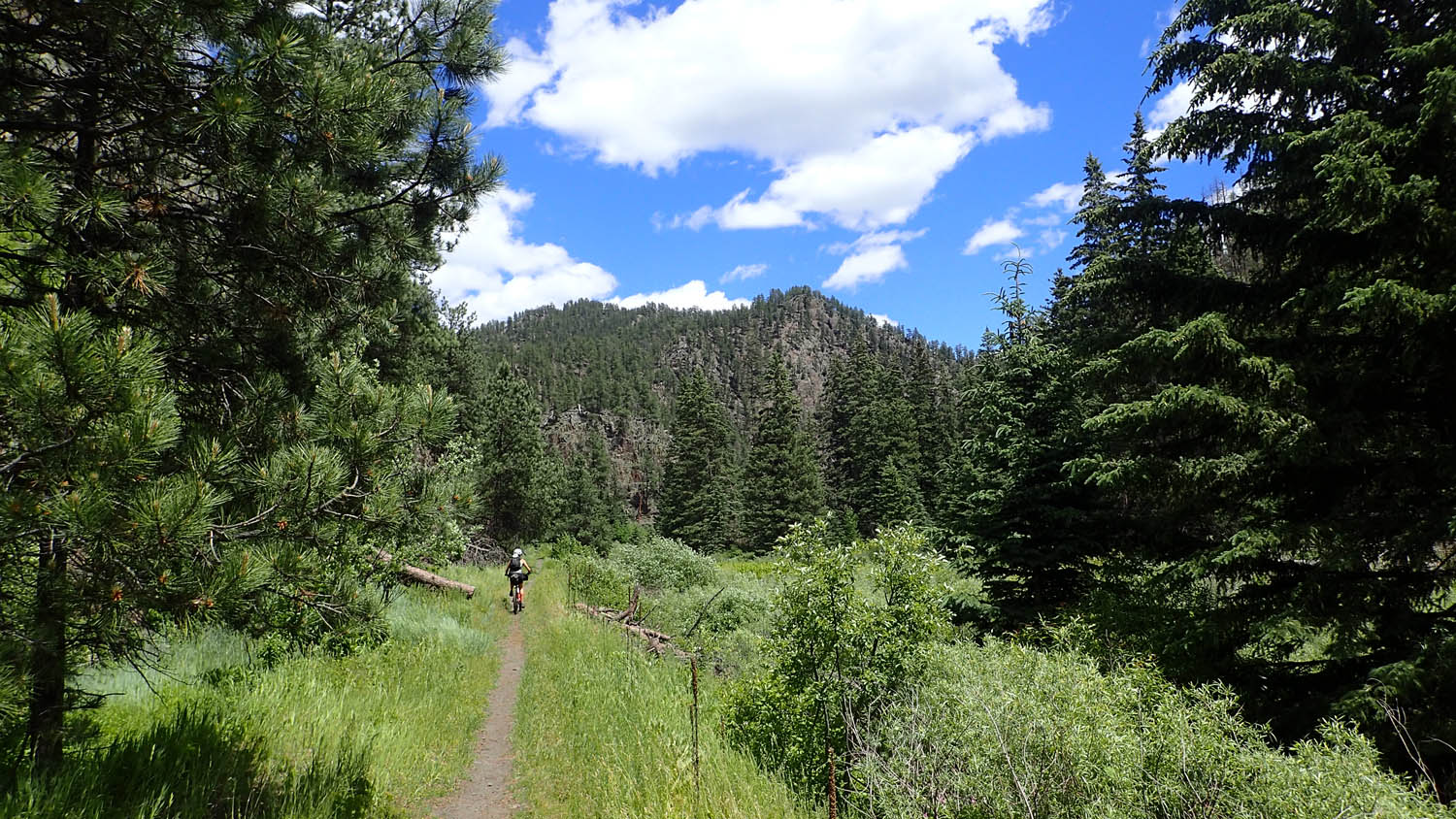
Black Hills Pay Dirt starts along the Centennial Trail, which was built for South Dakota’s 100th year to showcase the beauty and diversity of the Black Hills. It offers a disconnect from the modern world; throughout the route roads and people are seldom seen, flowing double track becomes single, and the forest beckons to be explored. Backcountry camping is allowed nearly everywhere along this trail. Ride through a forest flecked with tough hills, tight switchbacks, and brake burning descents to your first nugget of civilization.
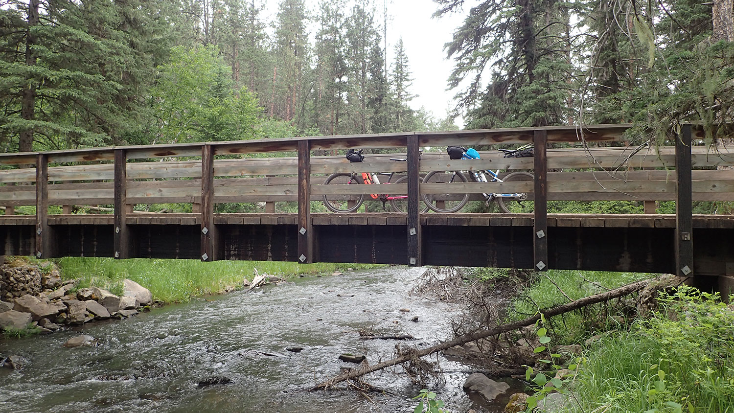
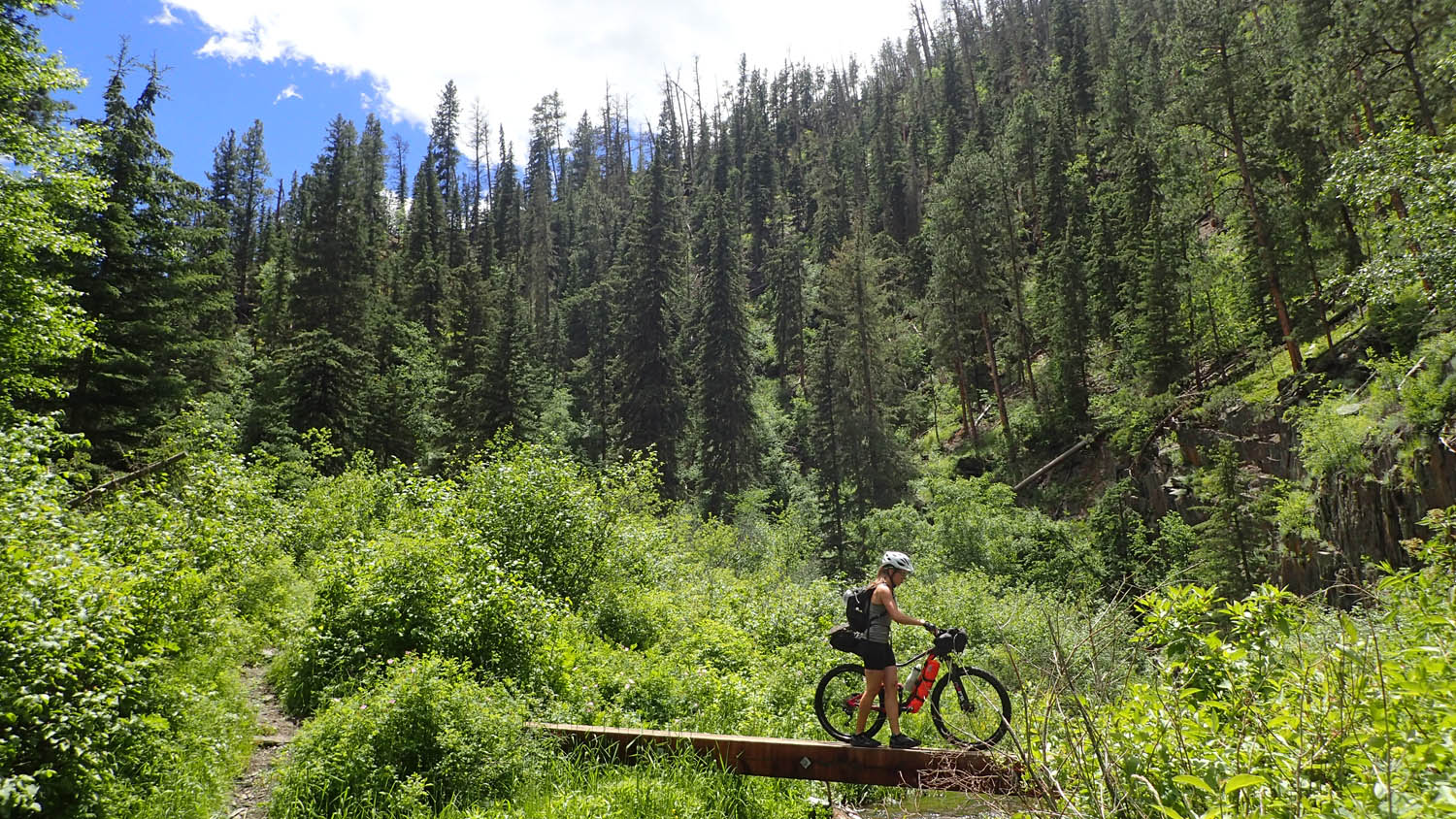
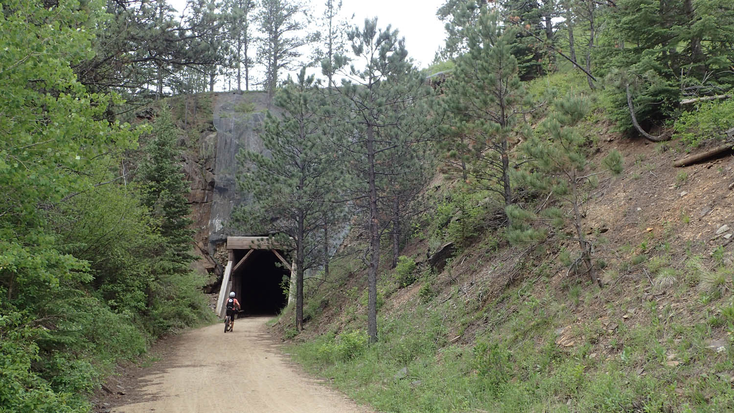
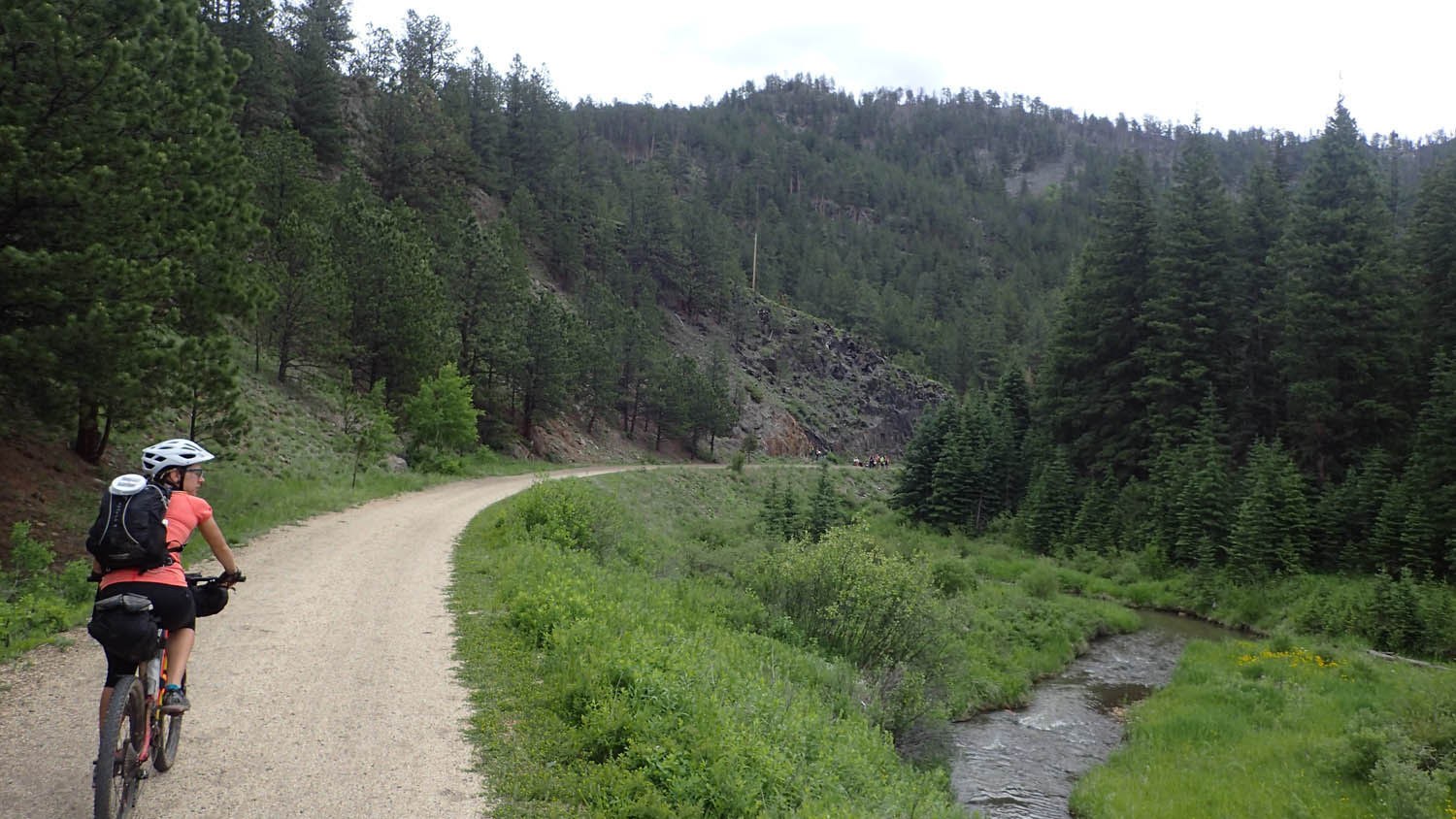
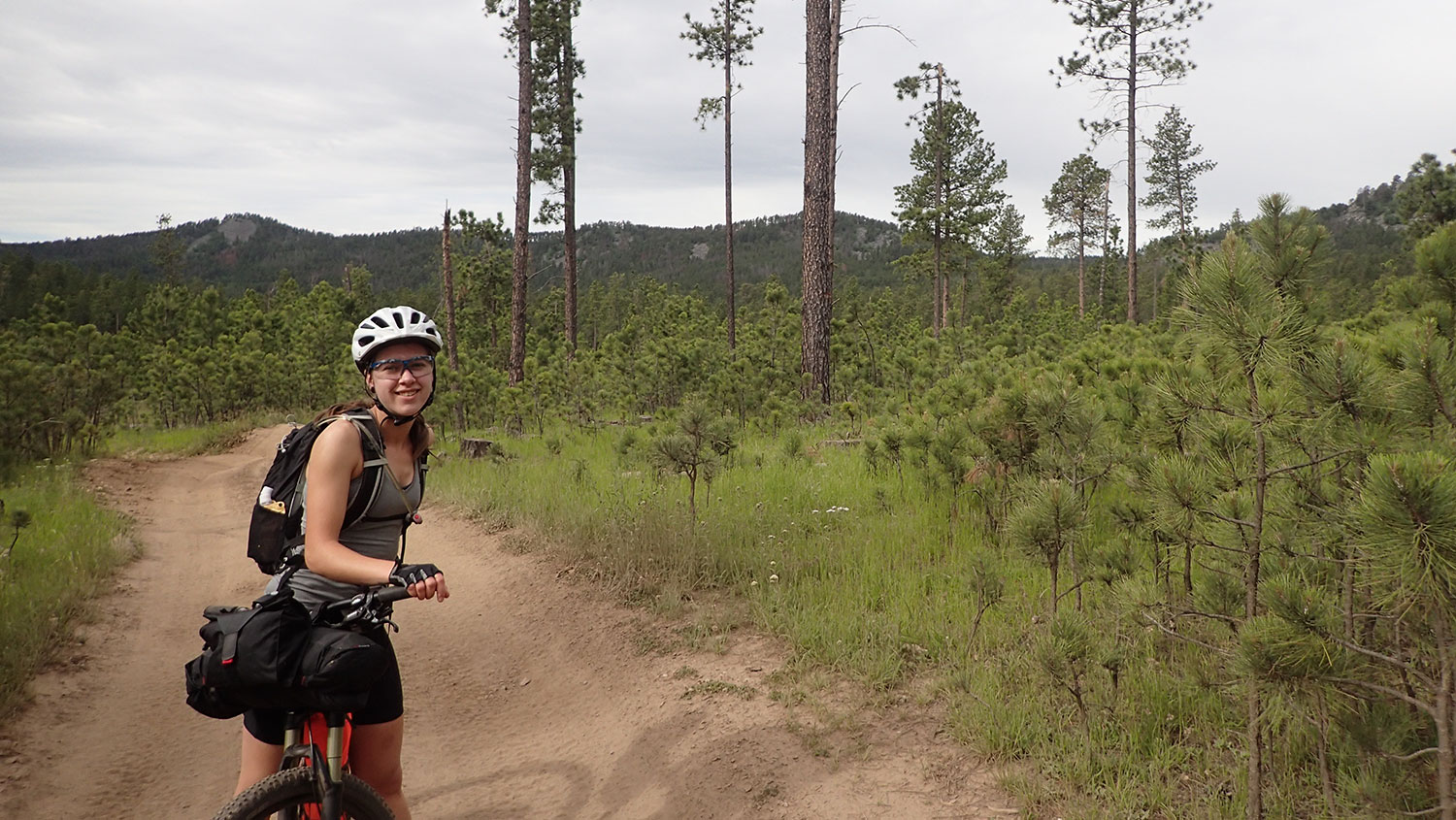
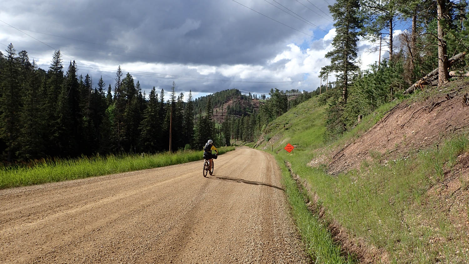
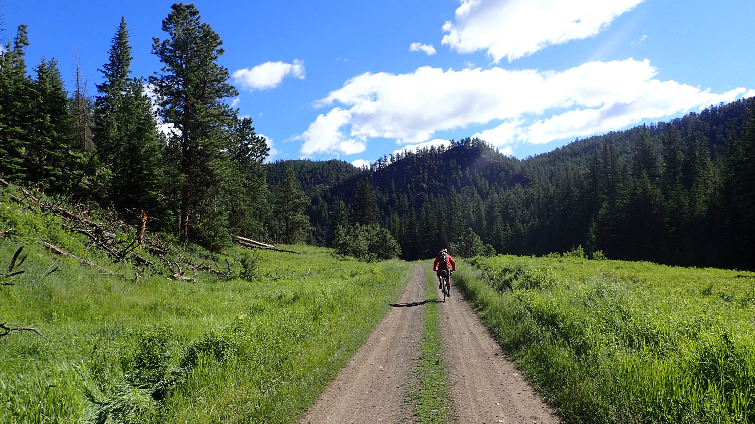
From Sturgis you’ll grind through hours of gravel on old forestry roads with miles of views. The road connects up with the George S. Michelson Trail, a retired railroad bed turned gravel bike path that uses the old train bridges to pass over canyons and tunnels to cut through cliffs. You will have plenty of opportunity to wash off all that gravel on your way back to the trailhead with the many stream crossings on Deerfield trail.
Route development: Over the past three years we have ran trail races on the Centennial, and biked the Michelson, and looked to join them with as little pavement possible. Black Hills Pay Dirt was awarded in our ROUT3 contest.


Submit Route Alert
As the leading creator and publisher of bikepacking routes, BIKEPACKING.com endeavors to maintain, improve, and advocate for our growing network of bikepacking routes all over the world. As such, our editorial team, route creators, and Route Stewards serve as mediators for route improvements and opportunities for connectivity, conservation, and community growth around these routes. To facilitate these efforts, we rely on our Bikepacking Collective and the greater bikepacking community to call attention to critical issues and opportunities that are discovered while riding these routes. If you have a vital issue or opportunity regarding this route that pertains to one of the subjects below, please let us know:
Highlights
Must Know
Camping
Food/H2O
Trail Notes
Resources
- Beautiful views along the Centennial as it follows the high ridge lines above the plains.
- Crystal clear trout streams dot the entire National Forest.
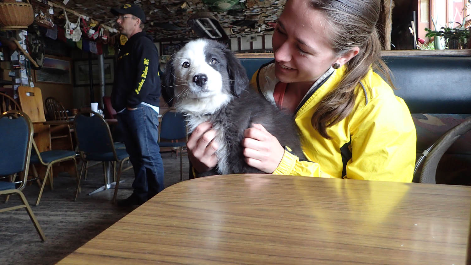
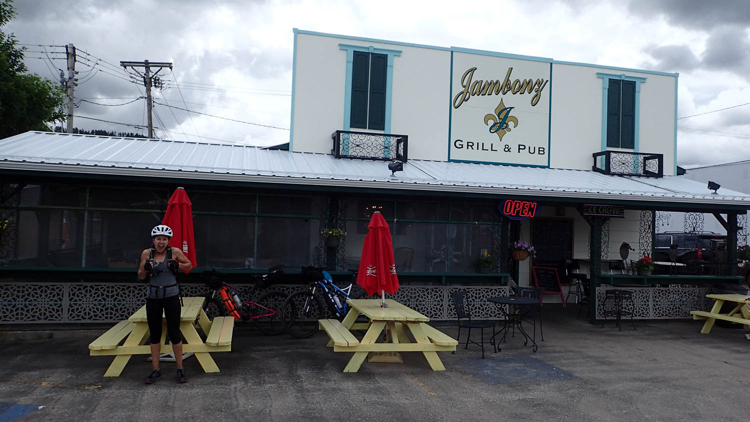
- Jambonz grill in Sturgis has anything you could want 7am-8pm
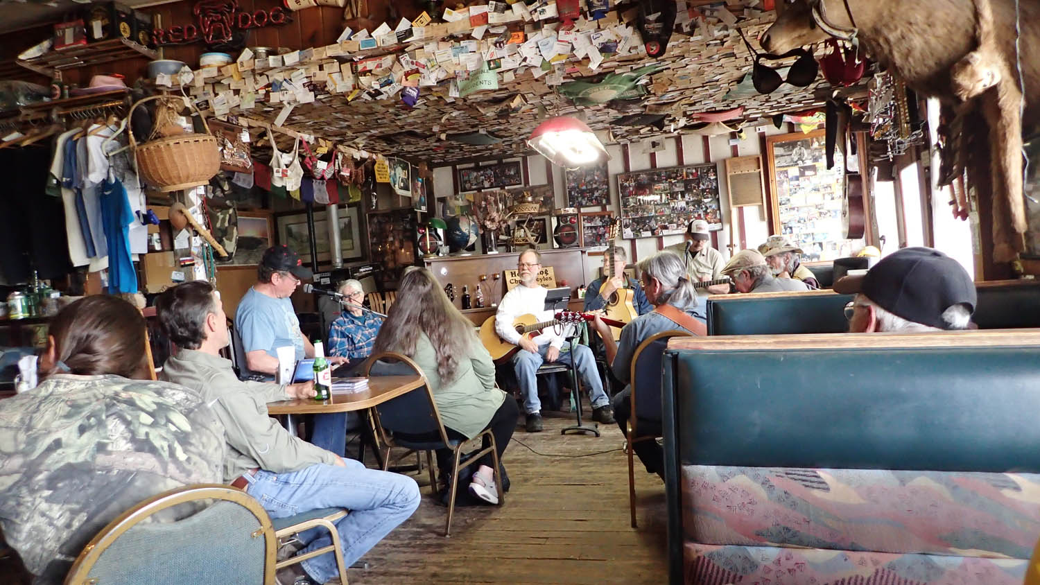
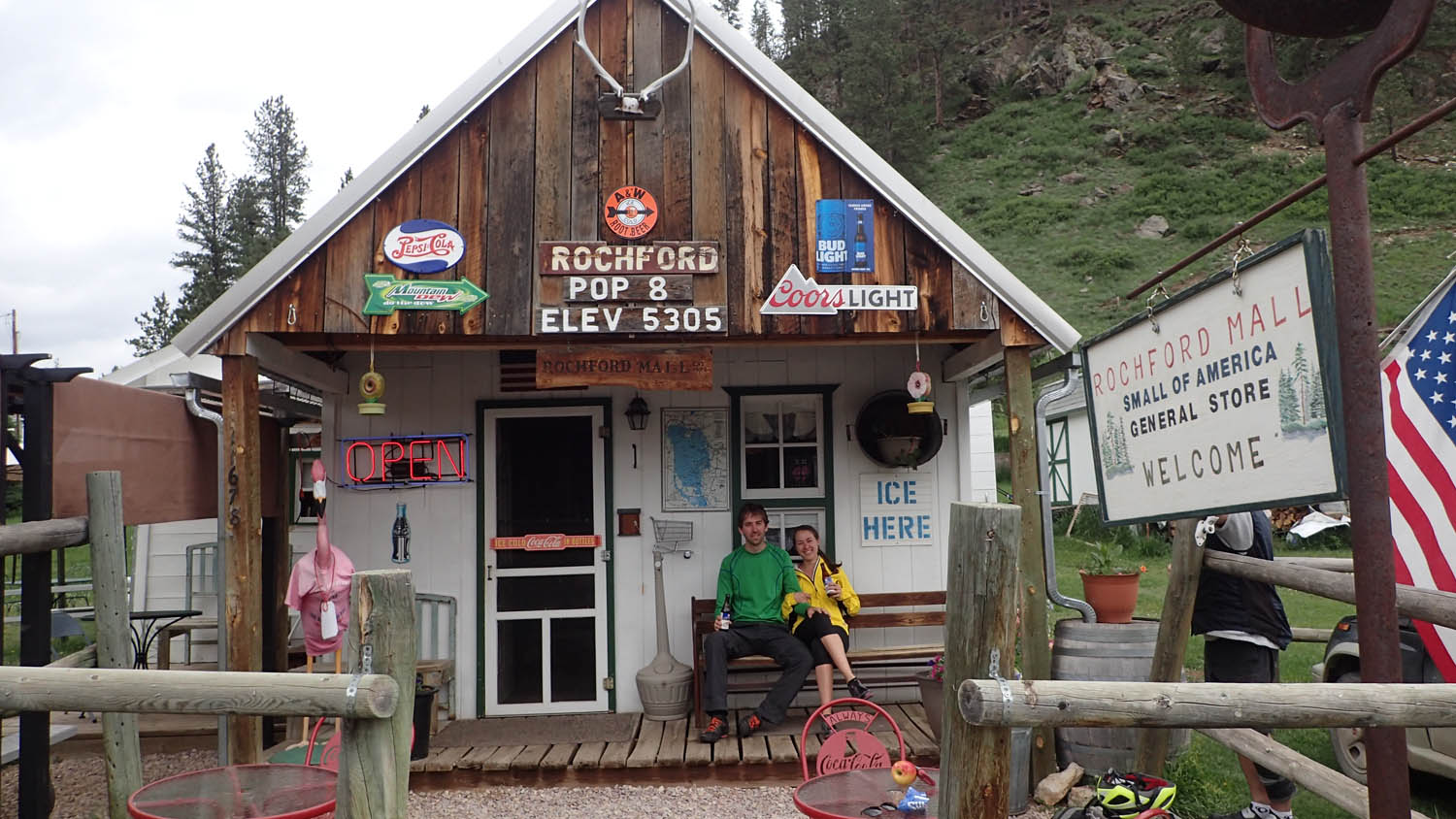
- Sunday’s at 3:00-6:00 musicians get together at Moonshine Gulch in Rochford for a folk/bluegrass music jam. Rochford Mall had ice cream bars.
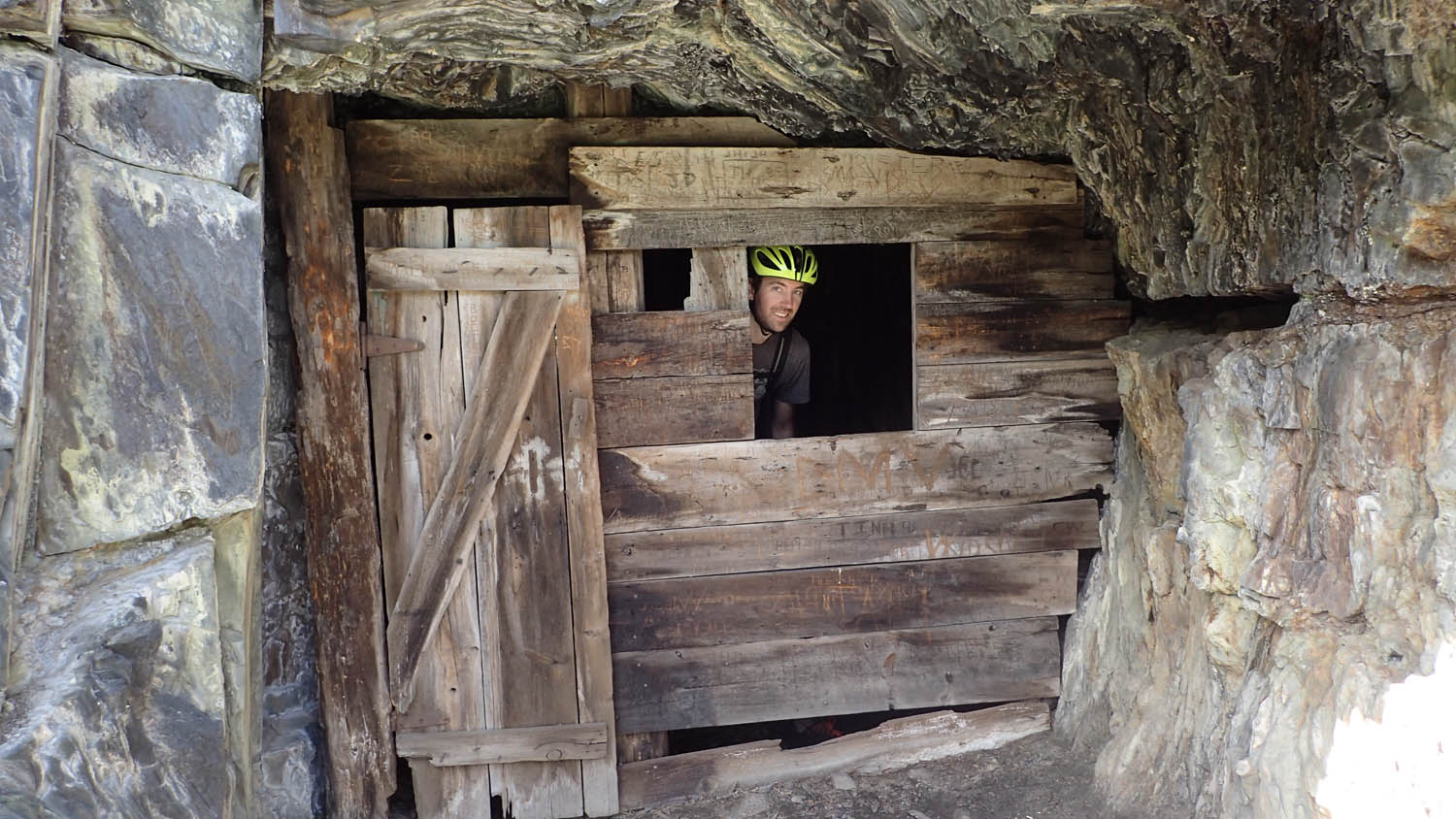
- Exploring the abundant gold mining/ historical sites.
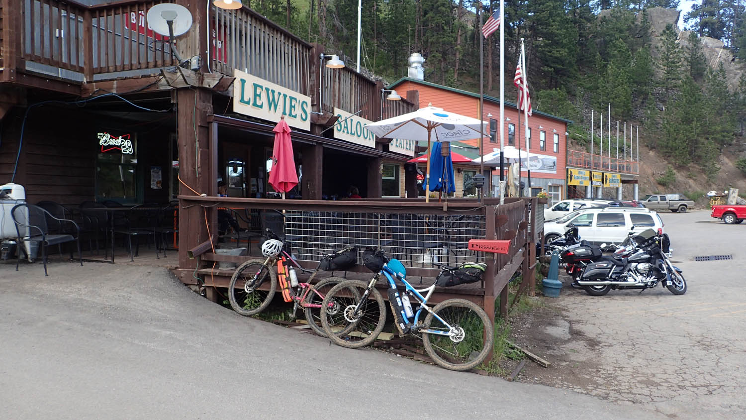
- Louis grill in Lead makes a great burger.
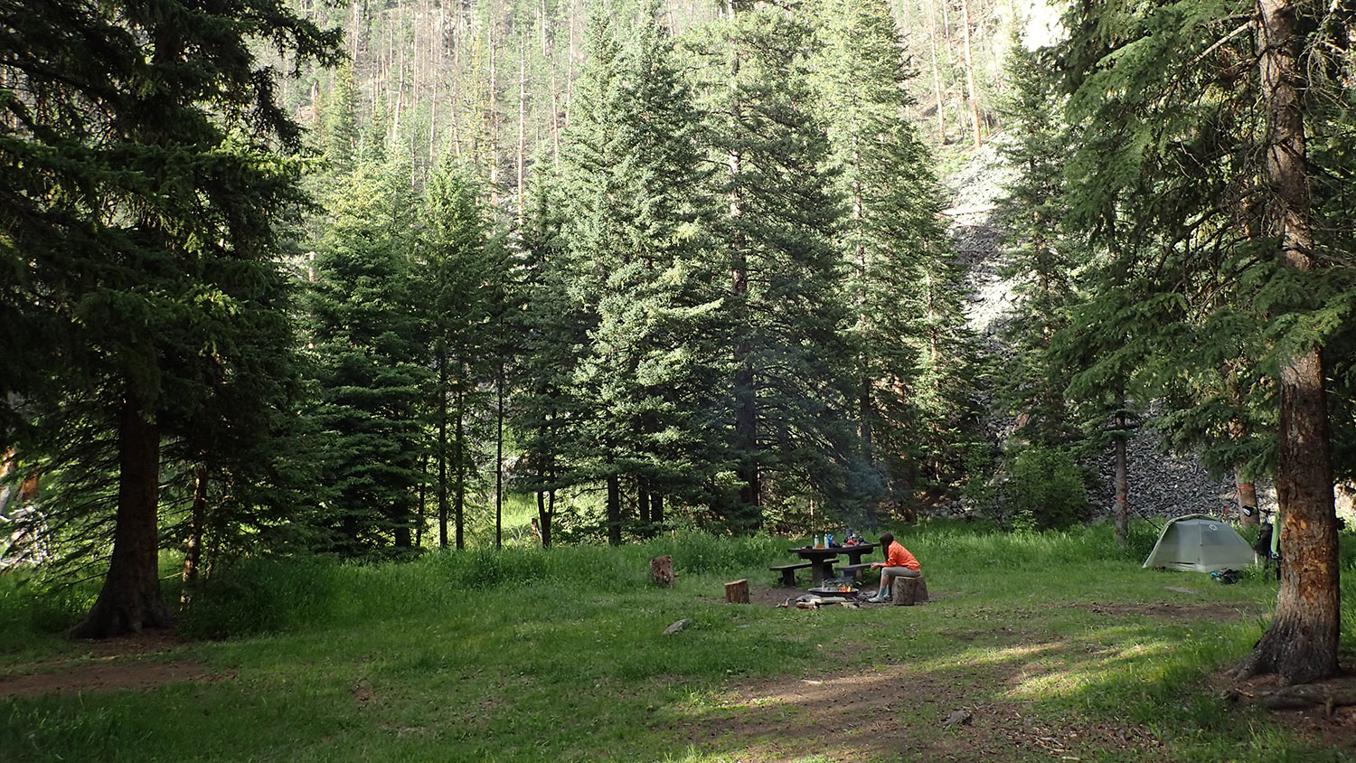
- Castle Peak campground is beautiful beyond words.
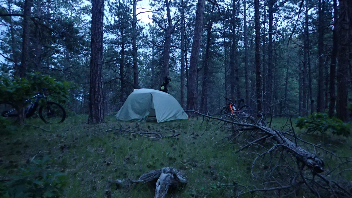
- Dispersed camping is plentiful in the national forest, and highly recommended.
- Reaching Mach 1 on Big Lead Hill Road.
- Solitude
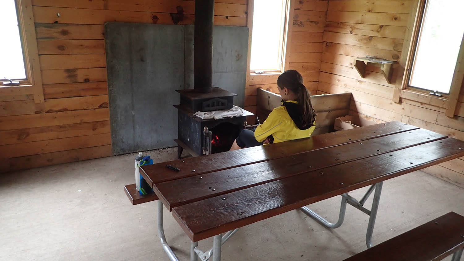
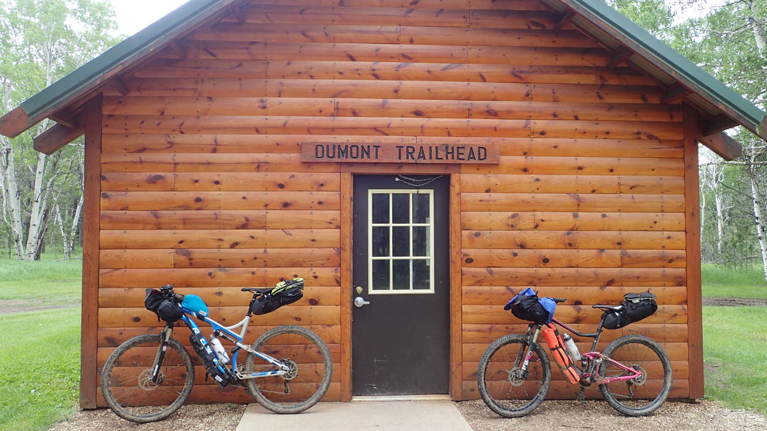
- Dumont trailhead shelter along the Michelson has a wood stove if you’re cold or wet.
- May-September is the best time to tackle the route. Normally this means warm days and cool nights
- Daily trail permit needed for Michelson trail. Purchased at any trailhead for $4
- Some cattle may be found along north and west portions, Close any cattle gates behind you.
- There are a few shallow water crossings along Deerfield Trail without bridges, so prepare to get your feet wet.
- Open fires are prohibited outside of campgrounds.
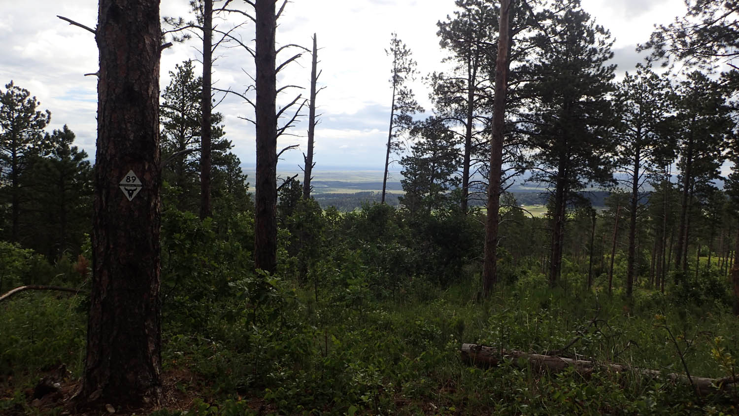
- The Centennial Trail is marked with “89”. Deerfield Trail is marked with “40”.
- It’s worth noting that miles 4-14 are shared trails with atv, and on weekdays these trail see little to no use.
- Hosted campgrounds at Dalton Lake and Alkali Creek. (noted on GPS map). $18 night
- Free, dispersed camping in the national forest.
- Backcountry camping is allowed nearly everywhere along this trail (read the rules here).
- Castle Peak campground $16
- There are plenty of streams throughout the route, but bring a water filter.
- Filterable water is more scarce between Dalton and Alkali creek camps
- Sturgis and Lead have grocery and restaurant
- Rochford mall has fruit, beer, and junk food
- Dalton and Alkali camps have potable water
We recommend four days for riding Black Hills Pay Dirt.
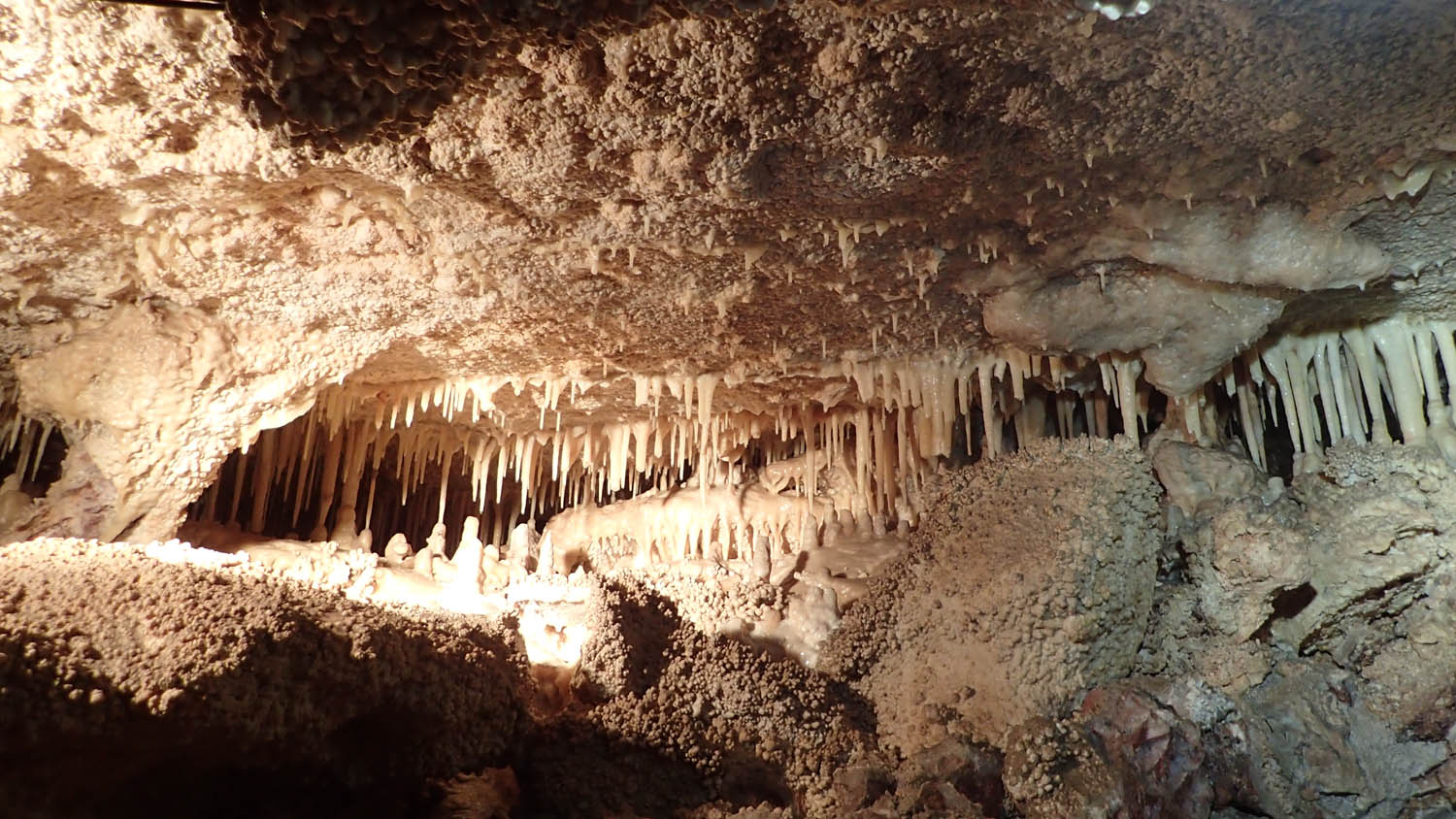
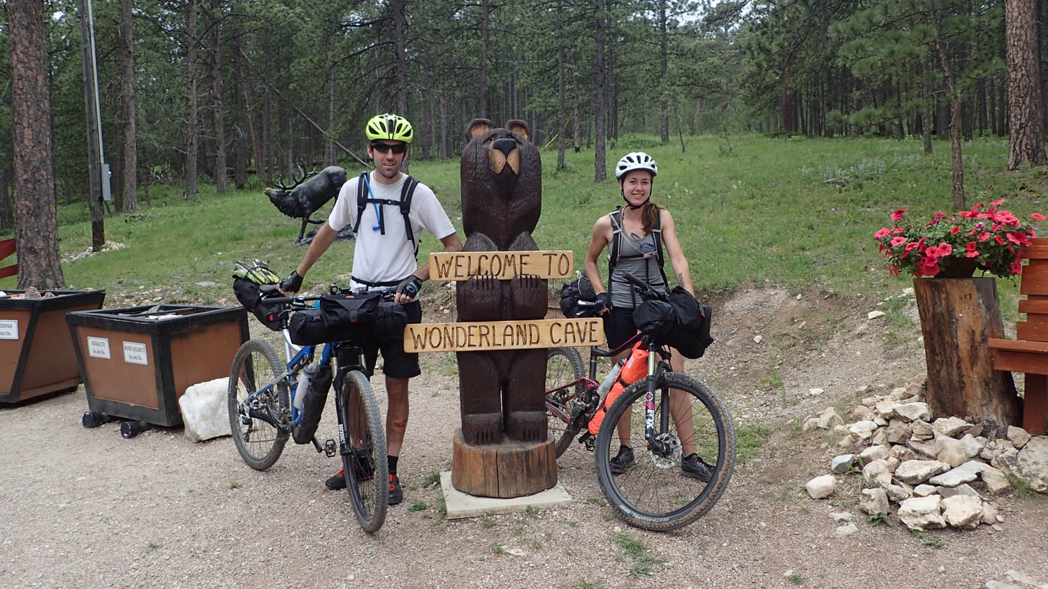
Wonderland Cave via Alpine road is optional; if you choose to go visit it, ask owners for shortcut back to trail. This is rideable up, with a gnarly shortcut back down. There is filterable water at the well.
The route is 98% rideable. There is some singletrack hills that are too steep to pedal; Deer Creek Trail #40 was too rutted to ride in a few spots. There are also over a dozen stream crossings to walk.
Bring a map or download base maps. Cell phone service is unreliable.
Additional Resources


Terms of Use: As with each bikepacking route guide published on BIKEPACKING.com, should you choose to cycle this route, do so at your own risk. Prior to setting out check current local weather, conditions, and land/road closures. While riding, obey all public and private land use restrictions and rules, carry proper safety and navigational equipment, and of course, follow the #leavenotrace guidelines. The information found herein is simply a planning resource to be used as a point of inspiration in conjunction with your own due-diligence. In spite of the fact that this route, associated GPS track (GPX and maps), and all route guidelines were prepared under diligent research by the specified contributor and/or contributors, the accuracy of such and judgement of the author is not guaranteed. BIKEPACKING.com LLC, its partners, associates, and contributors are in no way liable for personal injury, damage to personal property, or any other such situation that might happen to individual riders cycling or following this route.
Please keep the conversation civil, constructive, and inclusive, or your comment will be removed.