


Blue Ridge Wrangler
Distance
158 Mi.
(254 KM)Days
3-4
% Unpaved
76%
% Singletrack
16%
% Rideable (time)
99%
Total Ascent
19,987'
(6,092 M)High Point
3,500'
(1,067 M)Difficulty (1-10)
5?
- 8Climbing Scale Strenuous127 FT/MI (24 M/KM)
- -Technical Difficulty
- -Physical Demand
- -Resupply & Logistics
Contributed By
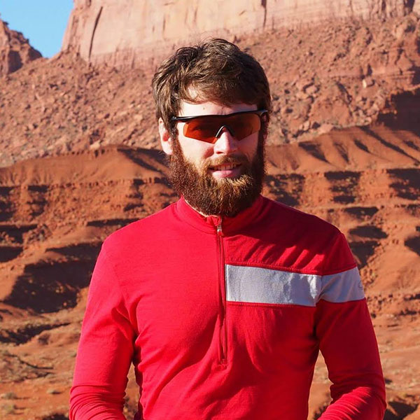
Paul Kane
Guest Contributor
Paul rediscovered the joys of cycling in the late 2000’s after a 20-year hiatus. Since then, he has spent most of his free time studying, building, repairing, photographing, and even riding bikes. He occasionally makes time for longer trips, but you’re more likely to find him astride his 8-speed commuting rig on his way to work.
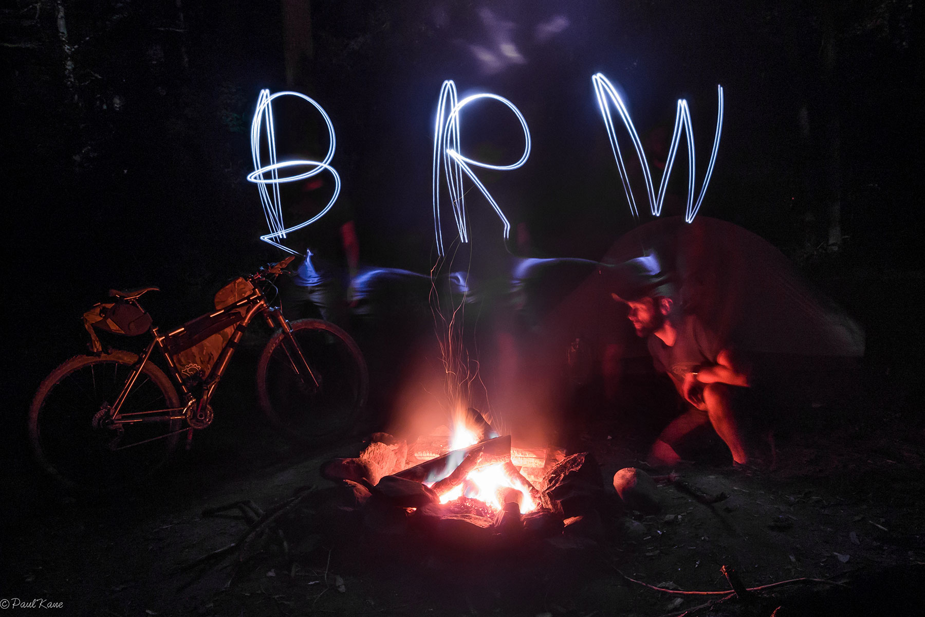
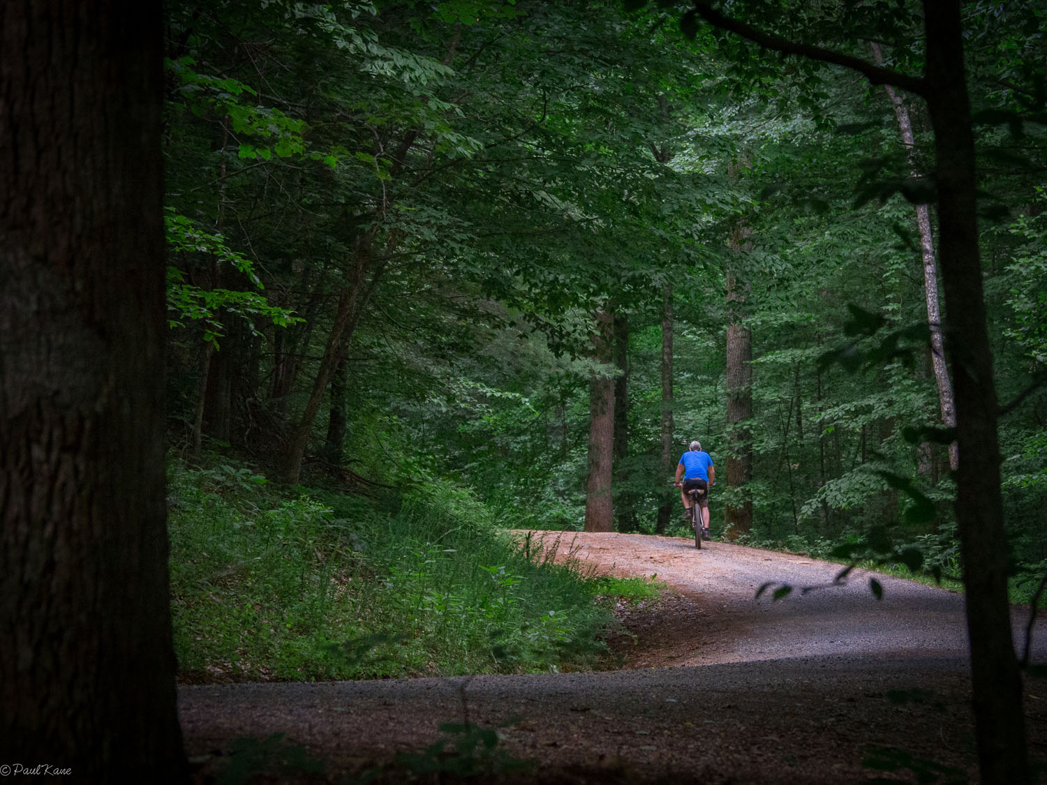
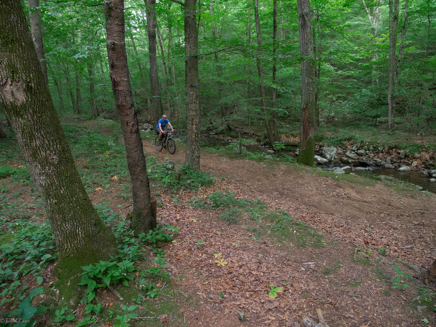
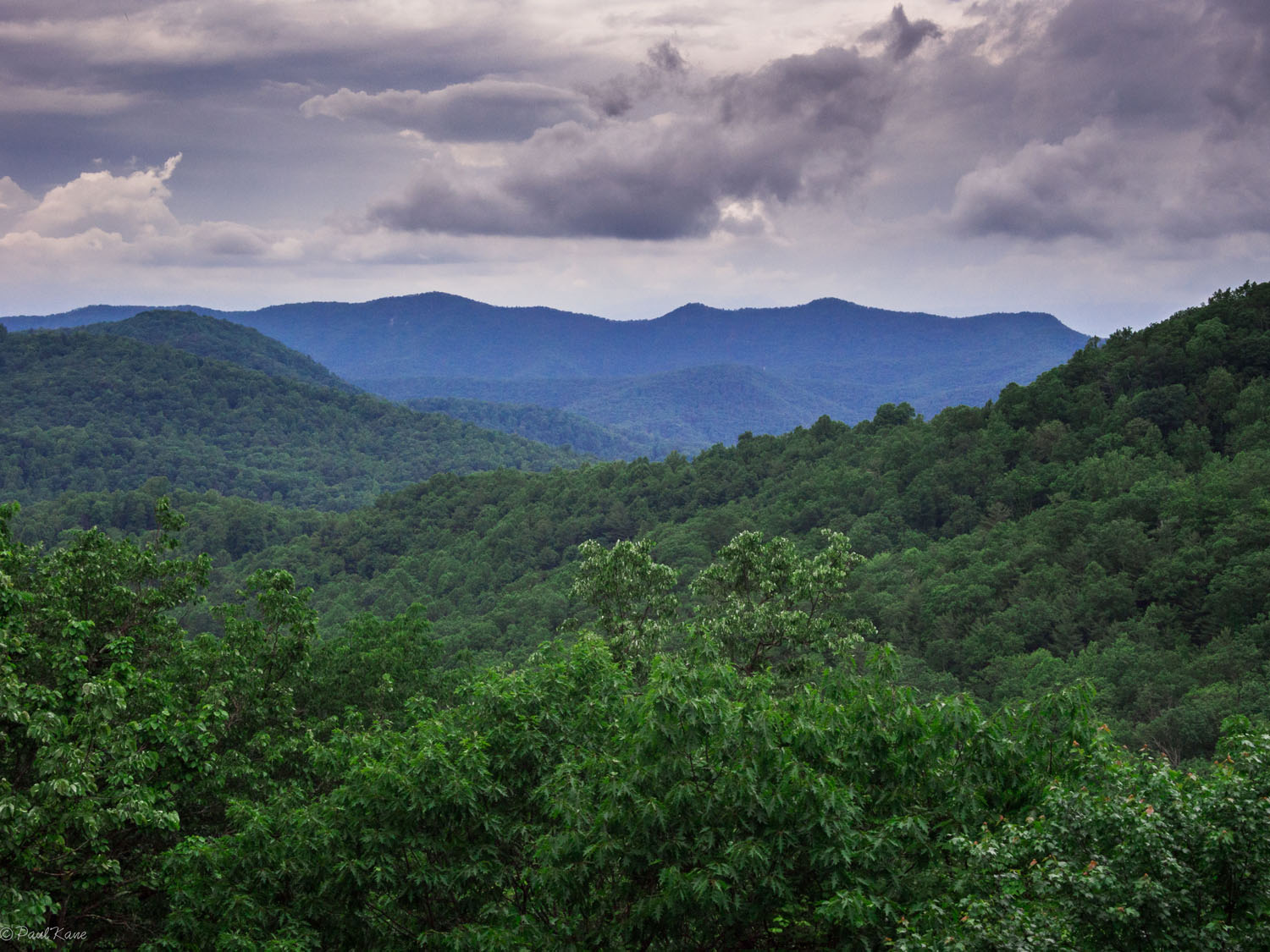
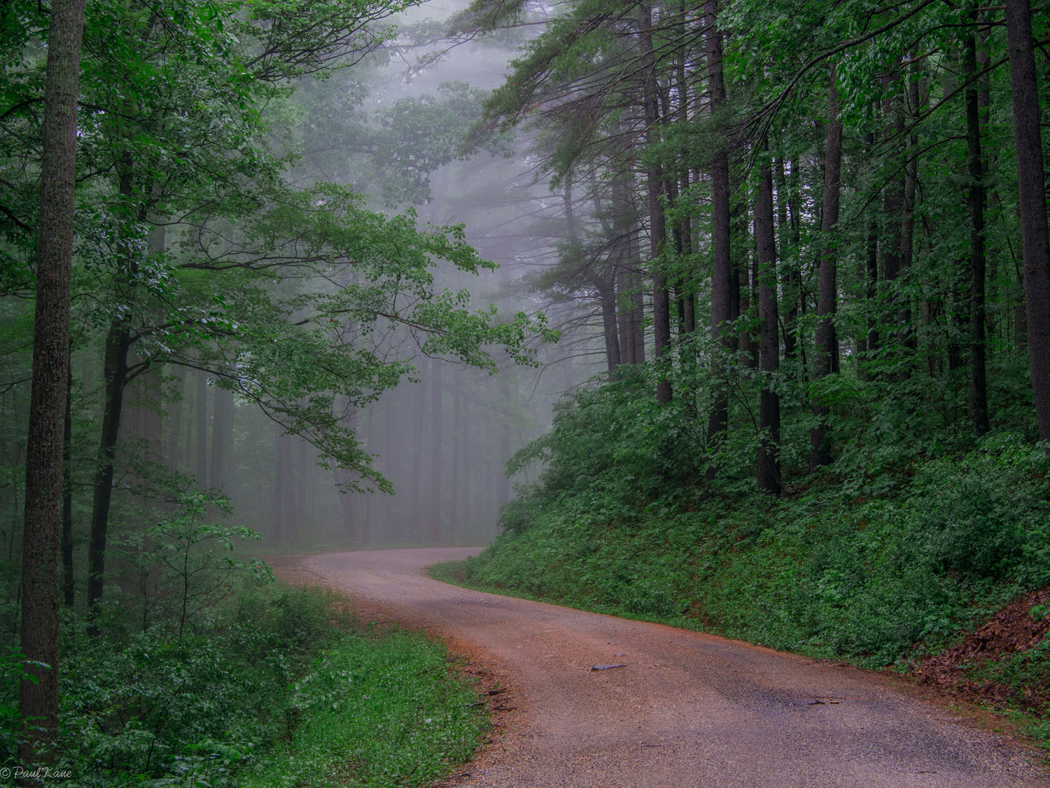
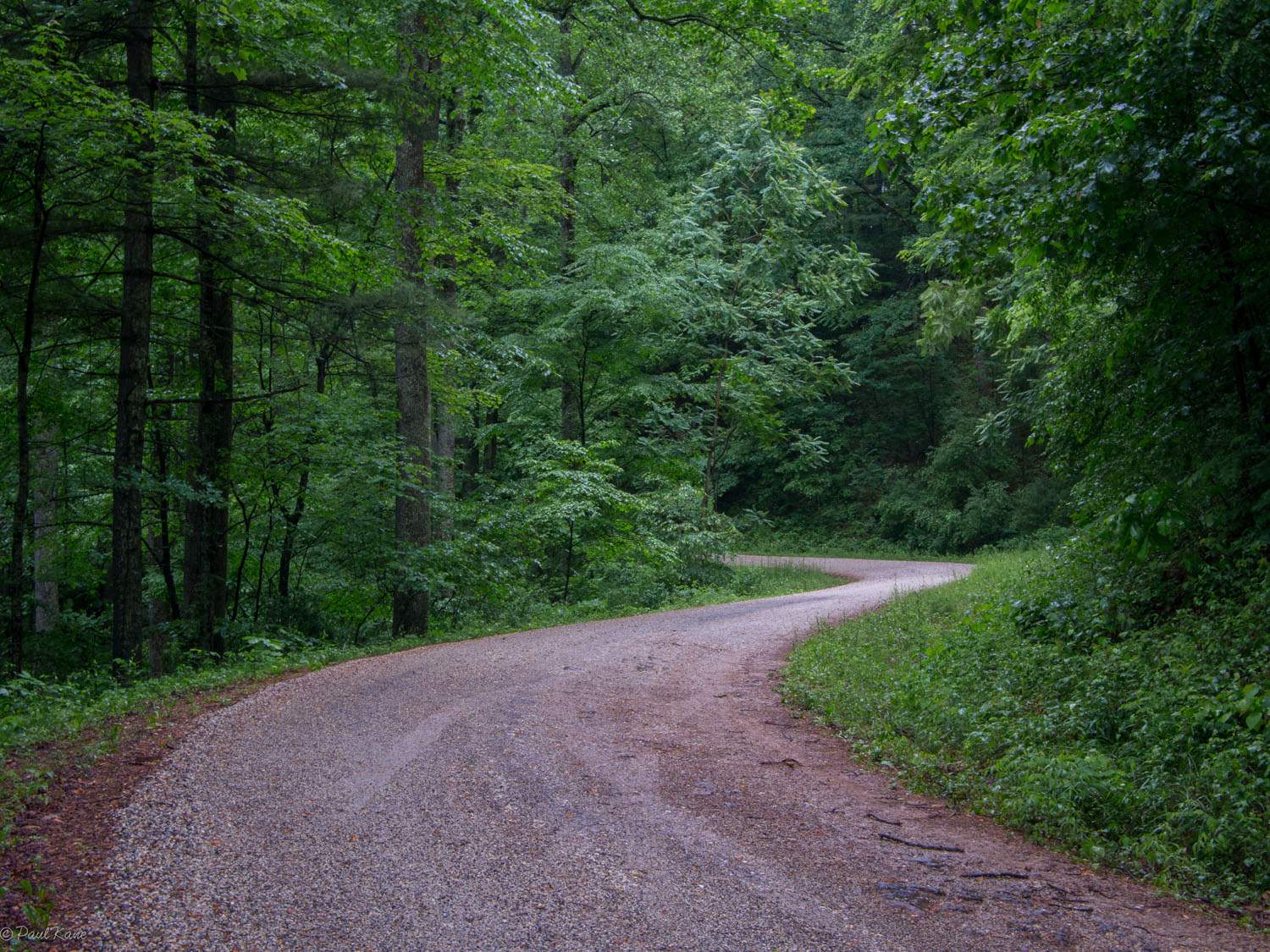
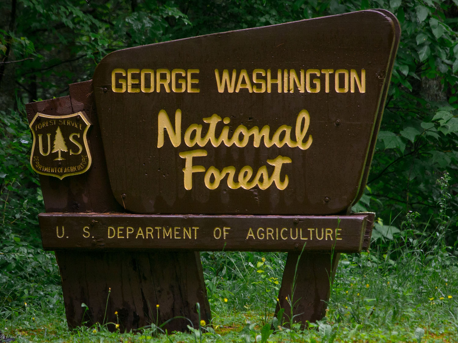
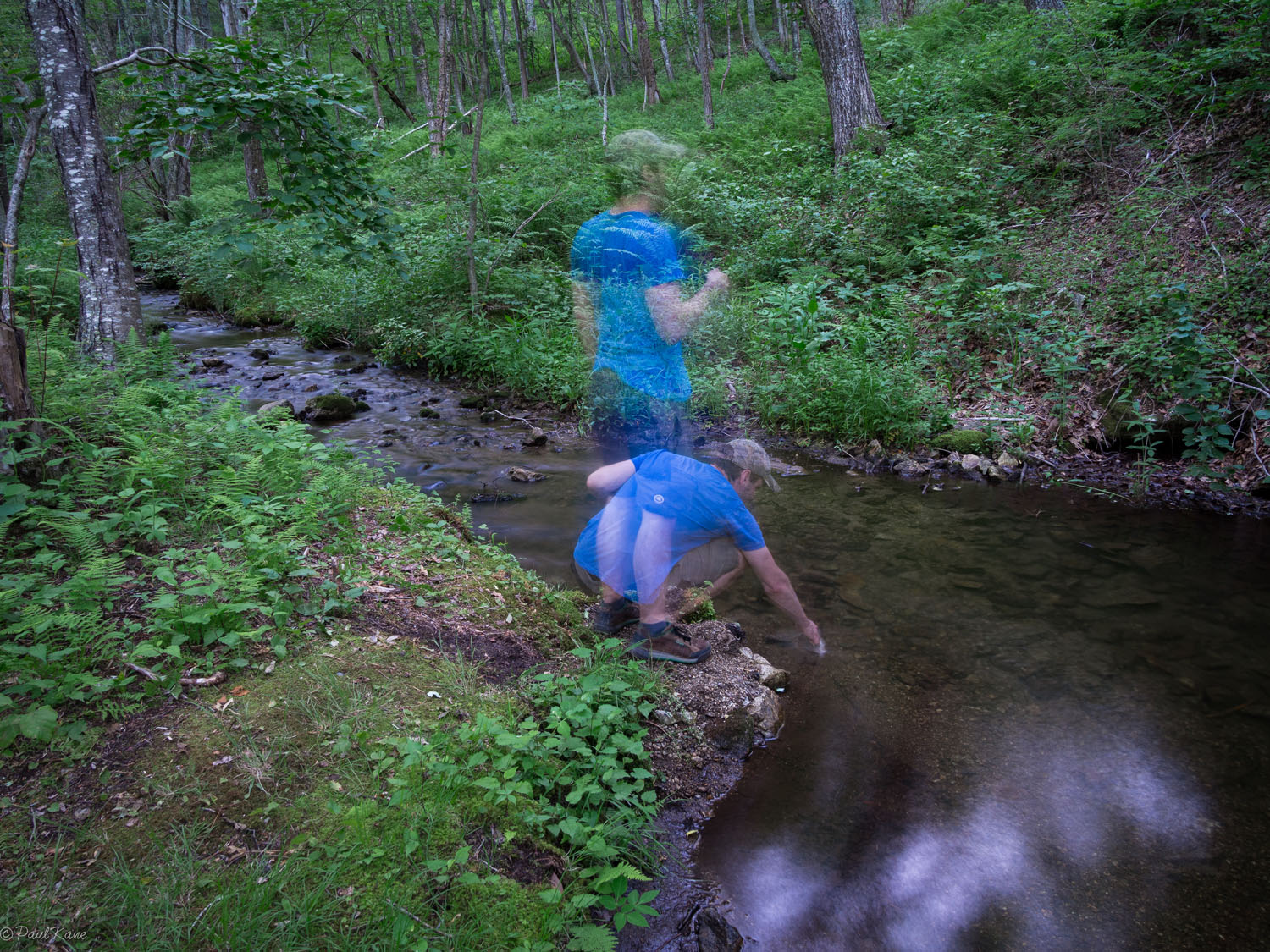
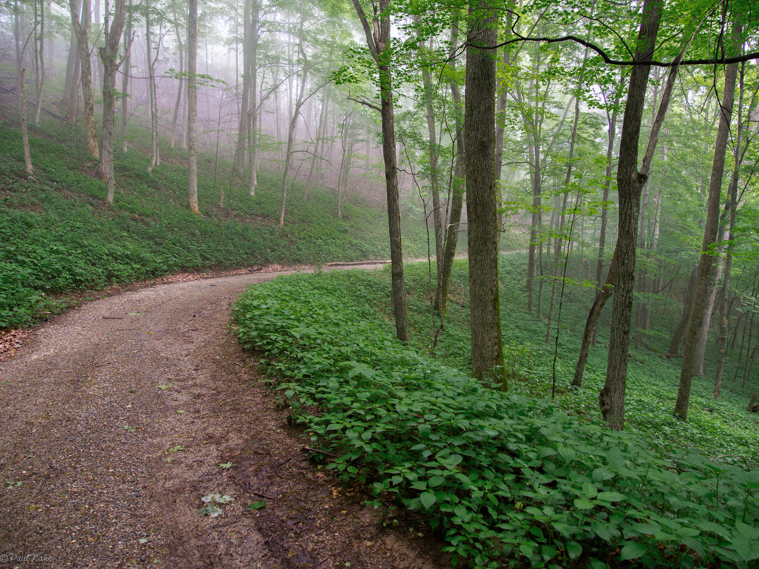
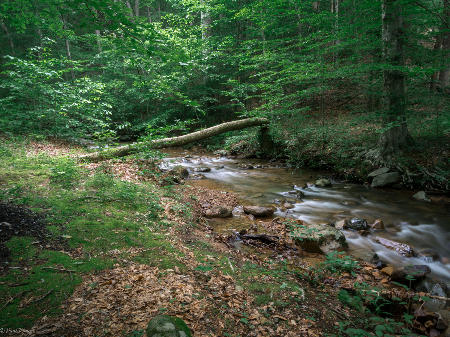
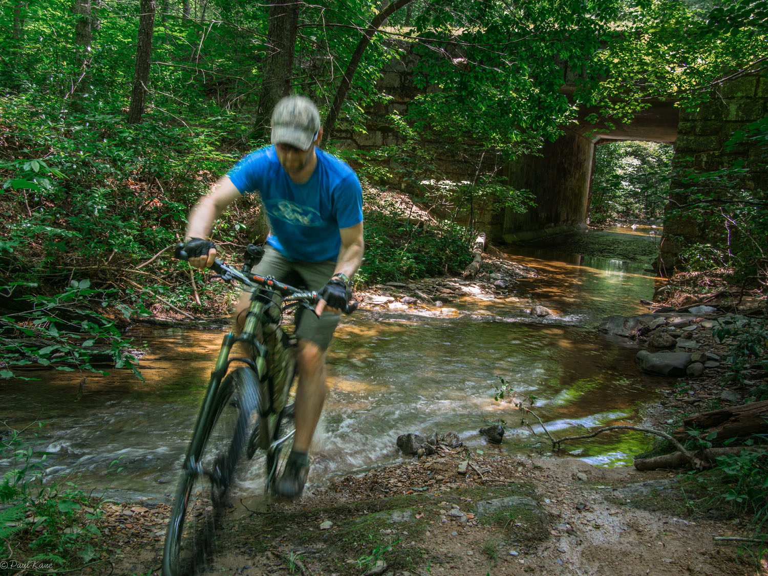
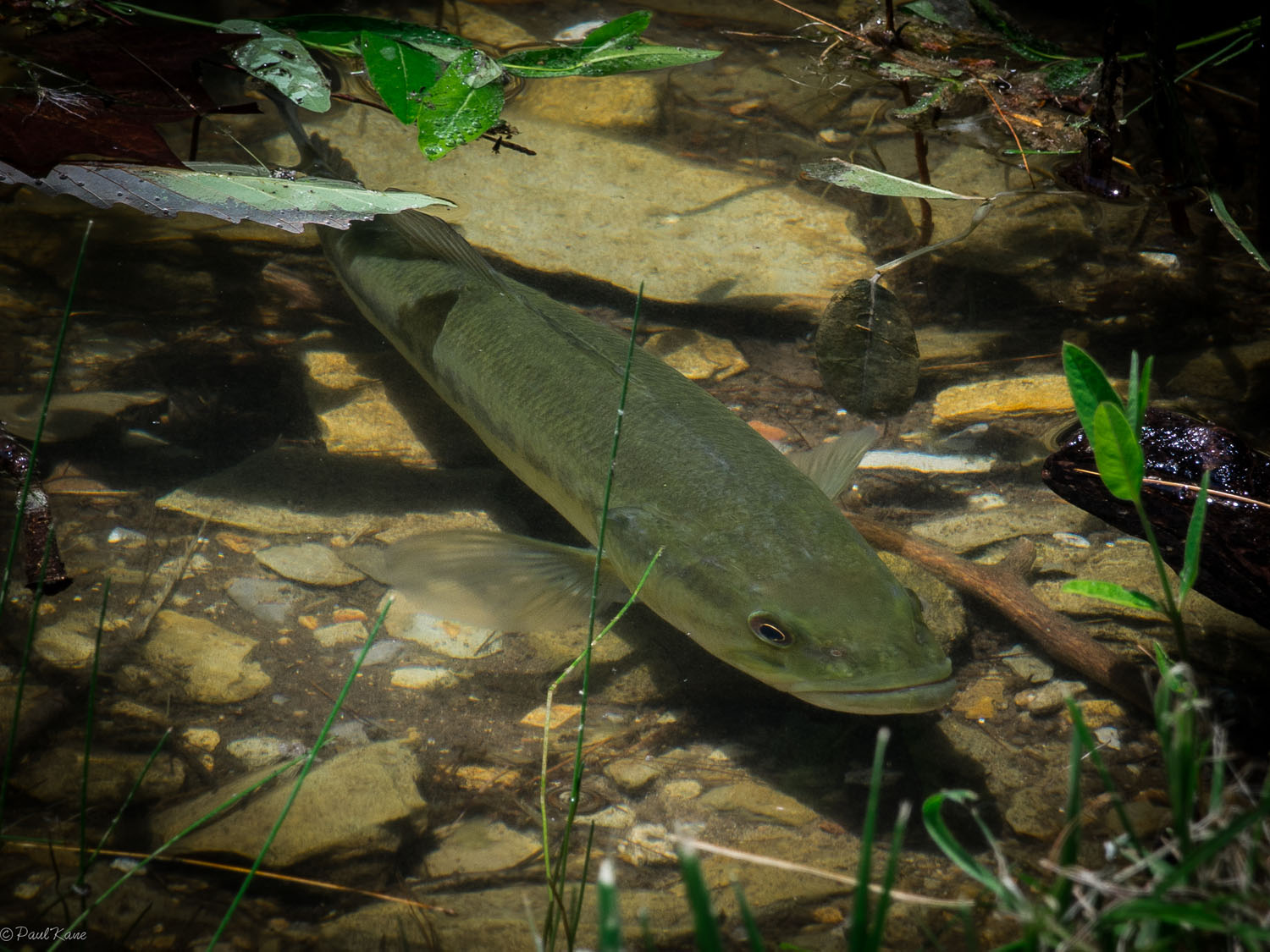
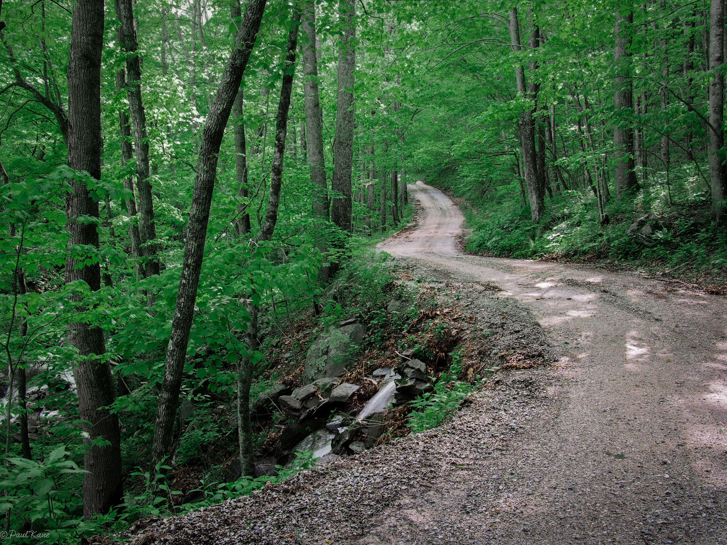
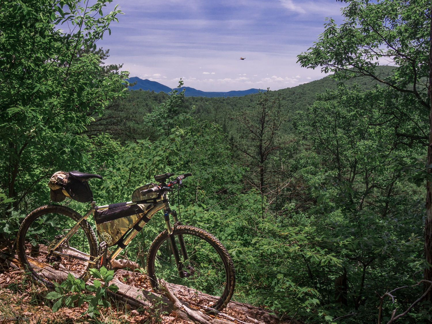
The Blue Ridge Wrangler (BRW) is a circumnavigation of the Glendwood-Pedlar Ranger District, in the eastern reaches of George Washington National Forest. This physical and emotional rollercoaster of dirt, gravel, and singletrack bobs and weaves for 158 miles across the undulating ridge lines that radiate out from the front range of the Blue Ridge Mountains. Along the way you’ll pass campsites nestled in lush undergrowth and flanked by streams stocked with brook, rainbow, and brown trout. The trout are easier to hook in cooler temperatures during the spring and fall, but in the heat of the summer the area’s rivers and waterfalls provide a welcome opportunity to cool down and wash away the day’s accumulation of dust and mud.
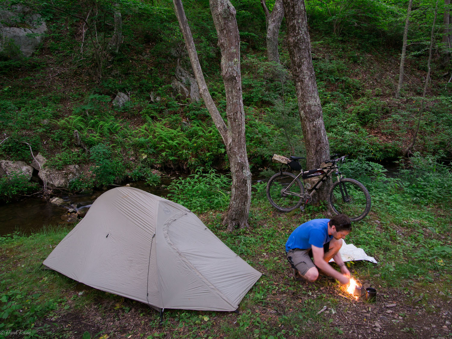
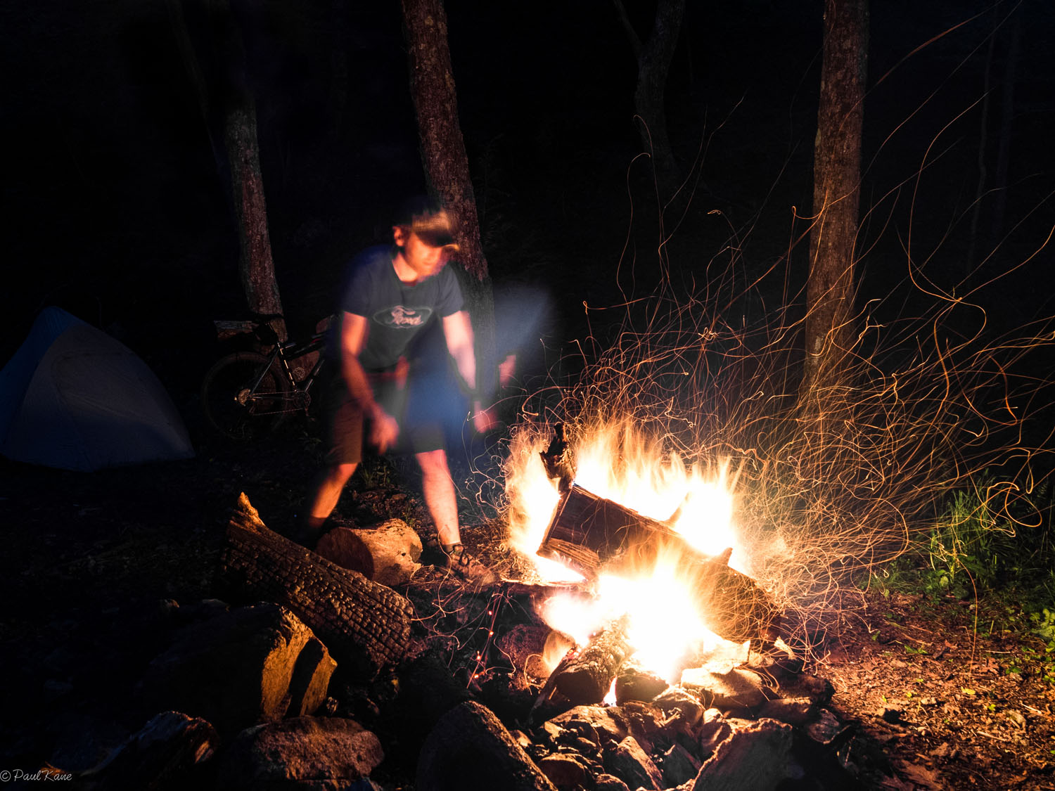
Abundant streams also eliminate the need to carry more than a liter or two of water, which is something you’ll appreciate as you tackle the route’s 20,000 feet of elevation gain on a mixture of short steep singletrack climbs and longer slogs on gravel backroads. You can lighten your load further by leaving the stove at home and cooking on an open campfire, an essential part of the BRW experience.
Bountiful wildlife and the absence of cellular reception in many areas make the route seem remote, but in reality it’s only about a two and a half hour drive from Washington DC to the parking area near Waynesboro, VA. Despite the close proximity to a healthy population of cyclists, there seem to be relatively few riders along the BRW, aside from a few mountain bikers at Sherando Lake and the roadies who ply the Blue Ridge Parkway.
Many hours were spent researching the Wrangler, and the journey is well documented, but there are still ample opportunities to make the trip your own. The route outlined here is crisscrossed by myriad old logging tracks and forest service roads that may lead to undiscovered swimming holes, pristine campsites, or productive trout waters. Likewise, riders will feel a deeper sense of appreciation if they take it upon themselves to uncover some of the vestiges of local history hiding in plain sight. Let the BRW serve as a general guide for your adventure, but not a template.
Difficulty: The BRW was assigned a 5 out of 10 overall, with a 5 for Technical Difficulty, 7 for Physical Demand, and 3 for Resupply/Logistics. The route is mostly non-technical; water is plentiful; and it’s short enough that a bikepacker can carry enough food to complete the loop without a resupply detour into either Montebello or Buena Vista. On the other hand, the singletrack at Sherando Lake and along Whetstone Ridge are punctuated with some tricky technical riding, and the Appalachian topography throughout the route will cook your quads to medium rare.


Submit Route Alert
As the leading creator and publisher of bikepacking routes, BIKEPACKING.com endeavors to maintain, improve, and advocate for our growing network of bikepacking routes all over the world. As such, our editorial team, route creators, and Route Stewards serve as mediators for route improvements and opportunities for connectivity, conservation, and community growth around these routes. To facilitate these efforts, we rely on our Bikepacking Collective and the greater bikepacking community to call attention to critical issues and opportunities that are discovered while riding these routes. If you have a vital issue or opportunity regarding this route that pertains to one of the subjects below, please let us know:
Highlights
Must Know
Camping
Food/H2O
Trail Notes
- Bomb down loose gravel descents, creep along fading dirt tracks, and pick your way through rock gardens on ridge-lines with panoramic views to both sides.
- Stop to forage for trailside blackberries and raspberries in July and August.
- Broil the catch of the day on an open campfire… and take pride in knowing your a better fisherman than at least one of the riders who has gone before you.
- Cool down and clean up under one of the three waterfalls along the route.
- Worm your way through the lush vegetation in the warmer months and return in October to see the hills wrapped in a mosaic of fall colors.
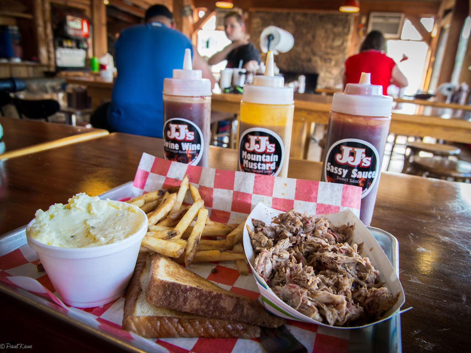
- Refuel on Virginia BBQ and pizza from a wood-fired oven at JJ’s Meat Shack in Buena Vista.
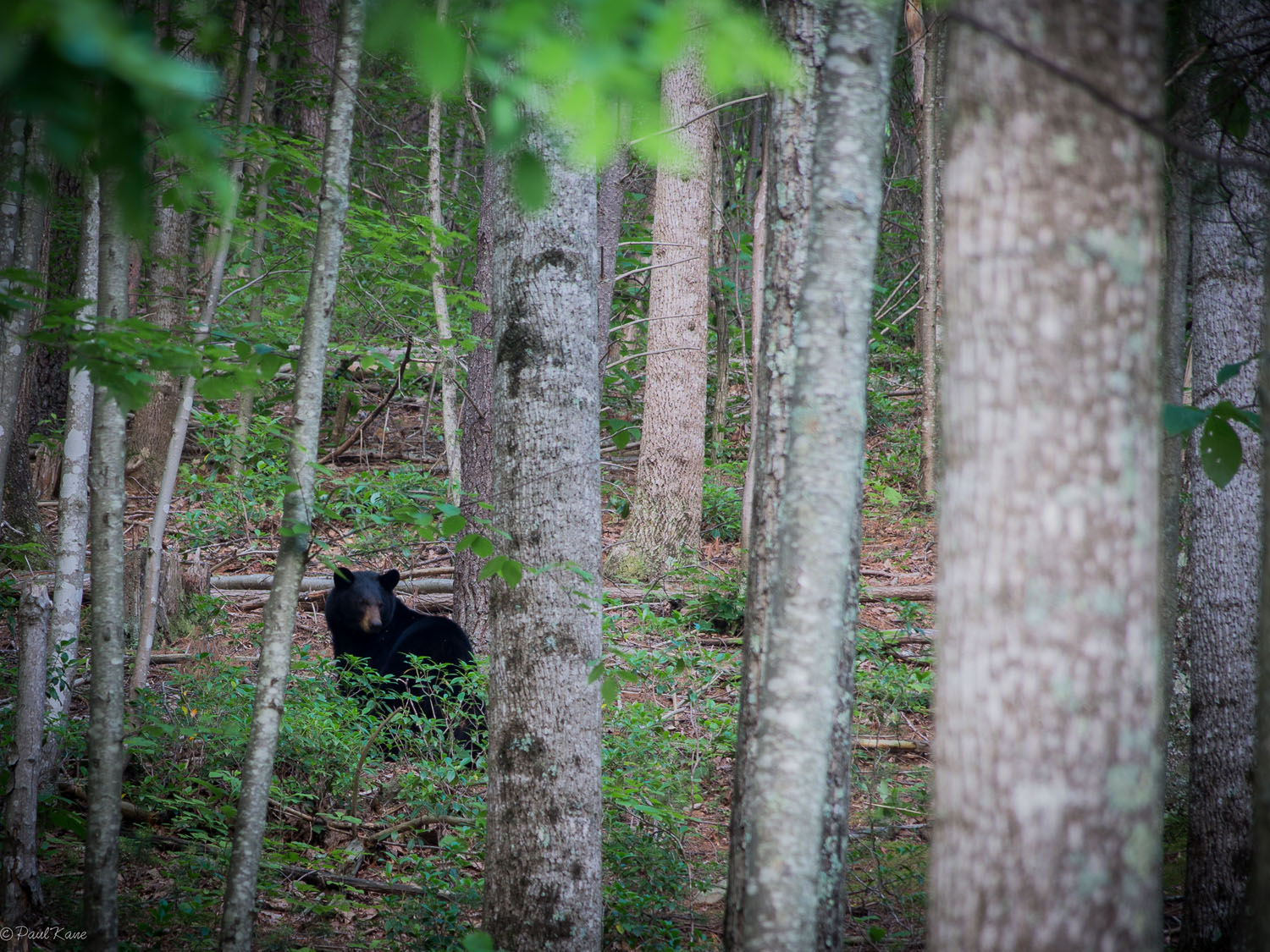
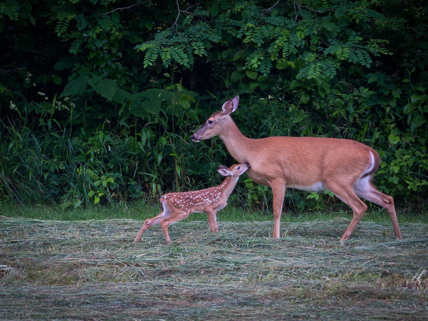
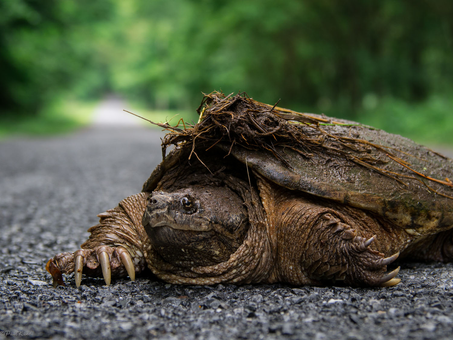
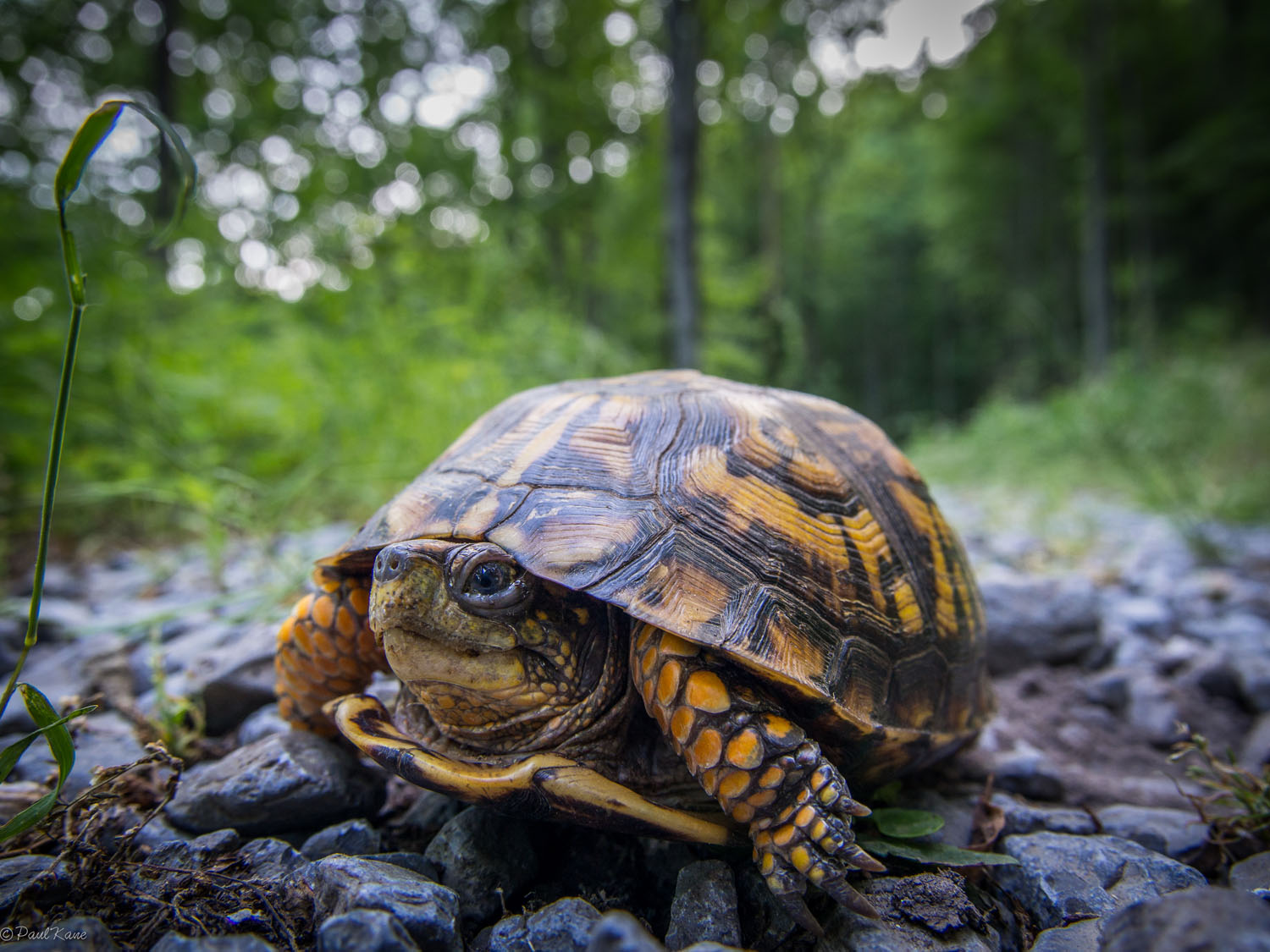
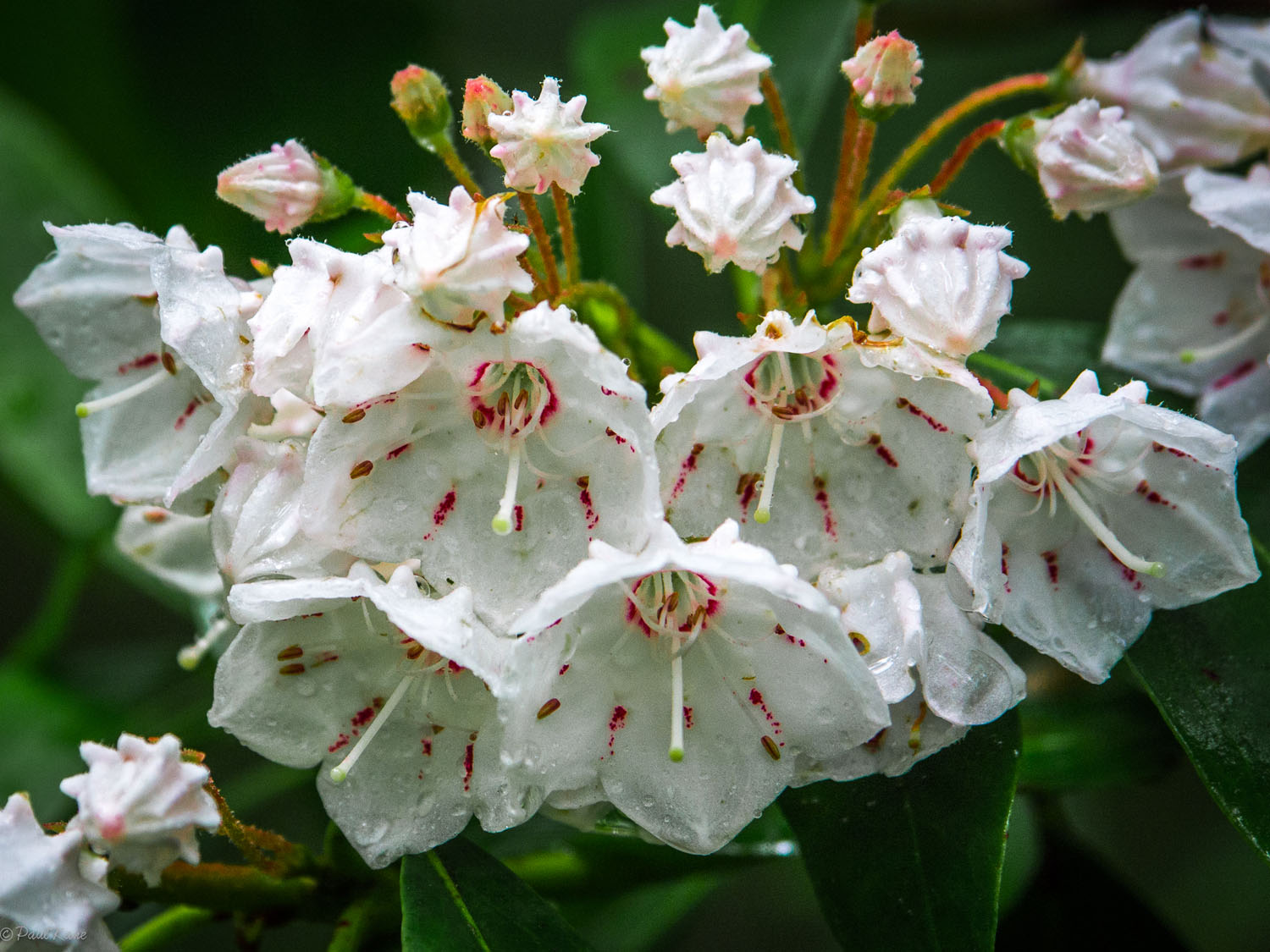
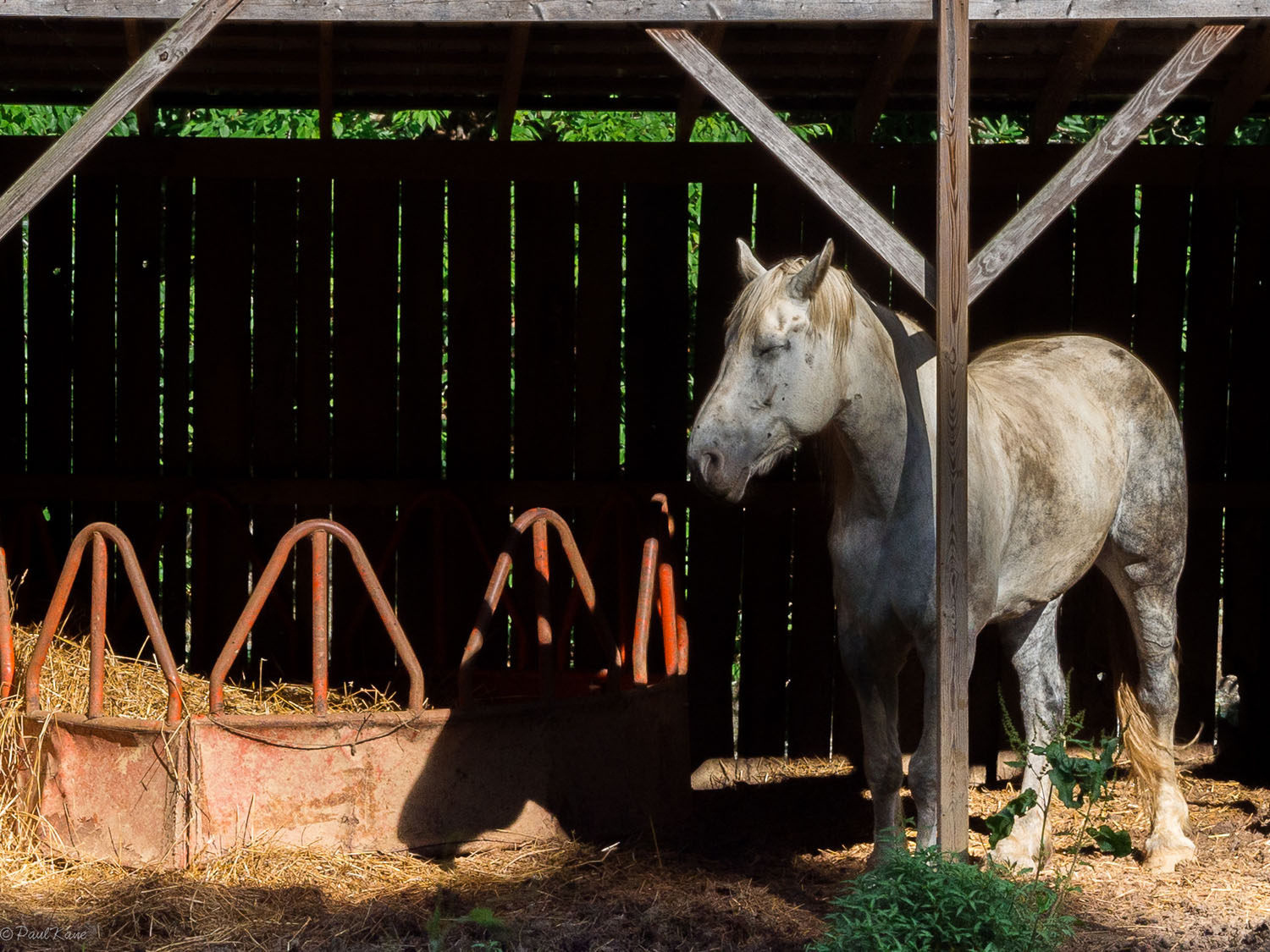
- Marvel at the Appalachian wildlife, including black bear, gray and red foxes, wild turkeys, the ubiquitous whitetail deer, and a range of small birds, reptiles, amphibians, and insects.
- Take a break at the Montebello Fish Hatchery, where you can get a close look at three species of trout.
- When to go: The ideal riding season would fall between April and October, but March and November can also be nice in mild years. Summers can be hot and humid, but you’ll survive. The blackberry crop begins to ripen around early July. Trout fishing is best during the Spring and Fall.
- Logistics: The parking area and point of departure for the BRW is at the intersection of Coal Road and Turkey Pen Ridge Trail, just south of Sherando, VA. You will need a private vehicle to reach the start of the route. The ride is a complete loop, so there is no need to worry about transport back to your vehicle.
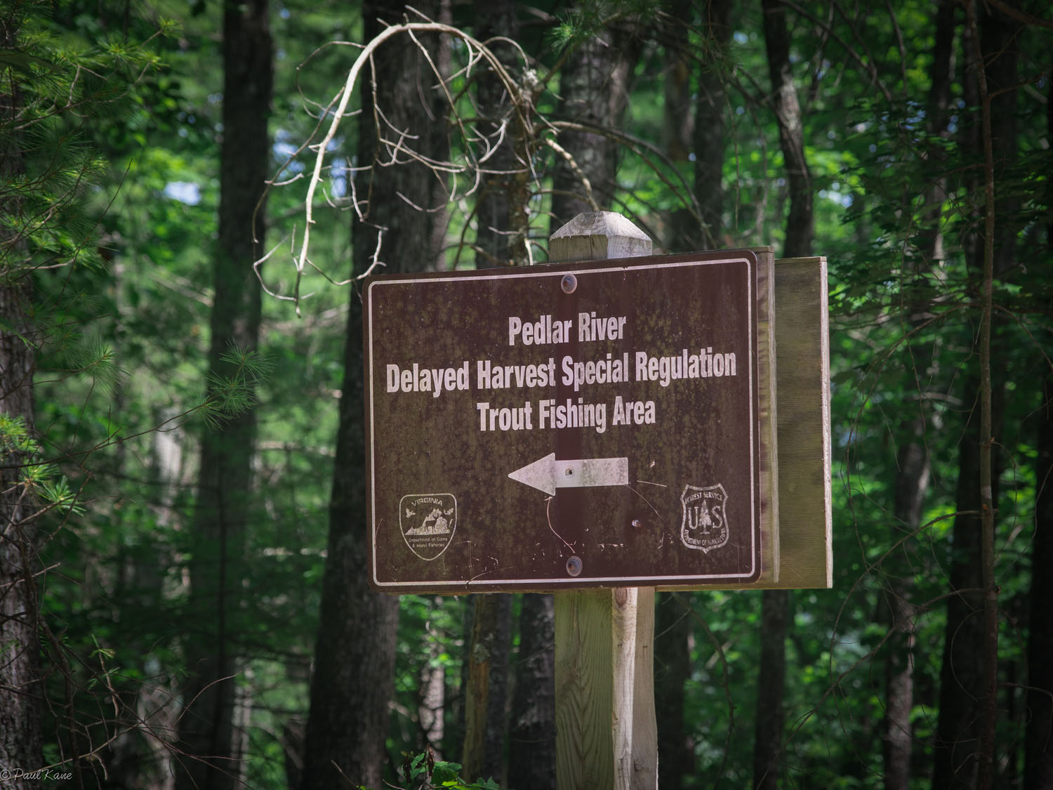
- Fishing Permits: Fly fishermen and spin fishermen casting for trout will need (1) a Virginia fishing license with (2) a trout stamp and (3) a National Forest stamp. Fishing in the Pedlar River Reservoir requires (1) a Virginia fishing license and (2) a Lynchburg Reservoir permit, available in the city of Lynchburg for $4. For more information on fishing permits, consult the Virginia Department of Fish and Game and the City of Lynchburg.
- Dangers and Annoyances:
- There are black bears and the occasional copperhead along the route, so hang your food at night and watch your step.
- The biggest threat from wildlife is the least menacing and most likely to be overlooked: carry tweezers and check yourself for ticks daily. Lyme disease and other tick-borne illnesses are prevalent in Virginia.
- Be careful if you venture onto the rocks at the top of Stantons Creek Falls. They can be very slick.
- Poison ivy is common throughout the area. Learn to recognize it before you go.
- Wear bright colors during the fall hunting season.
- All of the campsites marked on the RWG route are free, easily accessible, and adjacent to a water source.
- You may build campfires on National Forest land with dead or down wood.
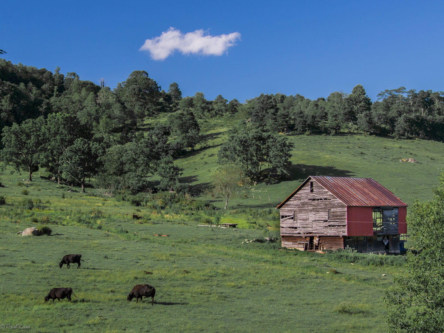
- There are many other potential campsites along the route that are not identified on the RWG route. However, significant portion of the land in the national forest is actually private, and most appear to be well marked. Heed all posted signs.
- There are lodging options in Waynesboro, should you need a place to stay on the way to or from the route.
- Buena Vista offers a few accommodation options. The Buena Vista Motel appears to be the best kept.
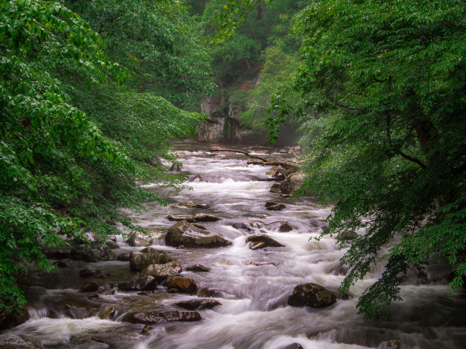
- Water is plentiful along the entire route. You will rarely go more than a few miles without encountering some sort of flowing water. The driest stretches are along the ridge lines (Whetstone Ridge, Torry Ridge, the Blue Ridge Parkway).
- The first food source is the Montebello Country Store, which offers convenience store staples, plus locally sourced preserves, honey, and fudge. The adjacent restaurant serves breakfast and lunch.
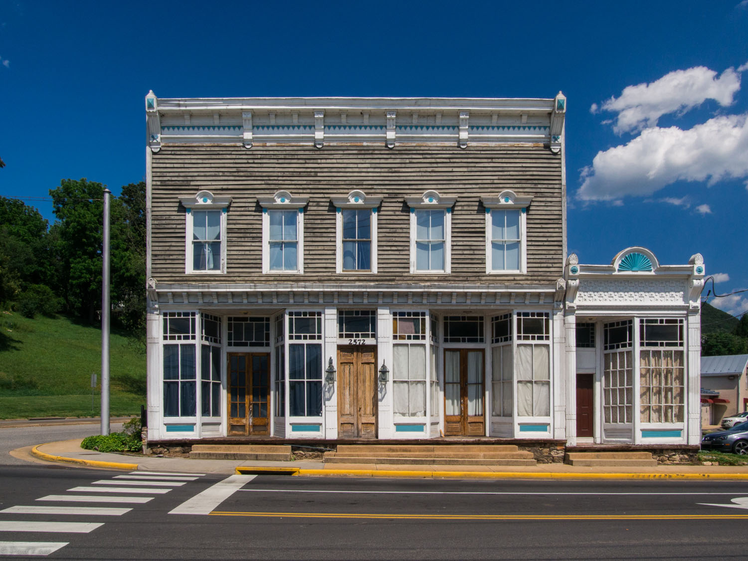
- The second resupply opportunity is in Buena Vista, around halfway through the ride. JJ’s Meat Shack is a popular Virginia BBQ joint with a full complement of roasted and smoked meats, in addition to a wood-fired pizza oven. There are also convenience stores and a number of other restaurants in town.
The Wrangler begins at a nondescript intersection ten miles from the town of Waynesboro. Heading south on a closed forest service road you’ll soon connect with the route’s first singletrack for the climb along Torry Ridge to the Blue Ridge Parkway. (The 469-mile parkway connects Shenandoah National Park with Great Smokey Mountains National Park in North Carolina, and is touted as America’s longest linear park. It is a popular cycling destination in its own right.) From there you’ll descend 1,600 feet on a serpentine but well-graded dirt road to the banks of the Tye River, which will guide your course for the 10-mile, 2,000-foot climb to the Montebello Country Store, where you can browse a variegated offering of pickled vegetables, homemade jams, and locally sourced honey among conventional convenience store fare. The nearby Montebello Fish Hatchery is a convenient lunch spot and offers a chance to view some of the 60,000 pounds of trout that the state disgorges by the truckload into local rivers and streams every year.
Pedal away from Montebello on a gravel track that deposits you at the beginning of the route’s longest stretch on a sealed road, an exhilarating descent to the Pedlar river. You’ll pass Wigwam Falls and Stanton’s Creek Falls along the way before beginning the gravel climb to one of the best camps in the area: an idillic trailside site nestled in a ravine bristling with ferns. This is the first recommended stop if you’re completing the route in three or more days.
The next day begins with a short climb to the highest point of the trip (3,500 feet) before beginning an almost continuous 2,500-foot descent to the Pedlar River where it meets the Lynchburg Reservoir. The former is stocked with trout, while the latter also harbors blue gill, crappies, and bass, some of which are visible from the shoreline. (Fishing in the reservoir requires a $4 permit, available in the city of Lynchburg.) Campsites on the bank of the Pedlar River north of the reservoir will tempt you to linger for an extra day to try your luck casting for the resident bass.
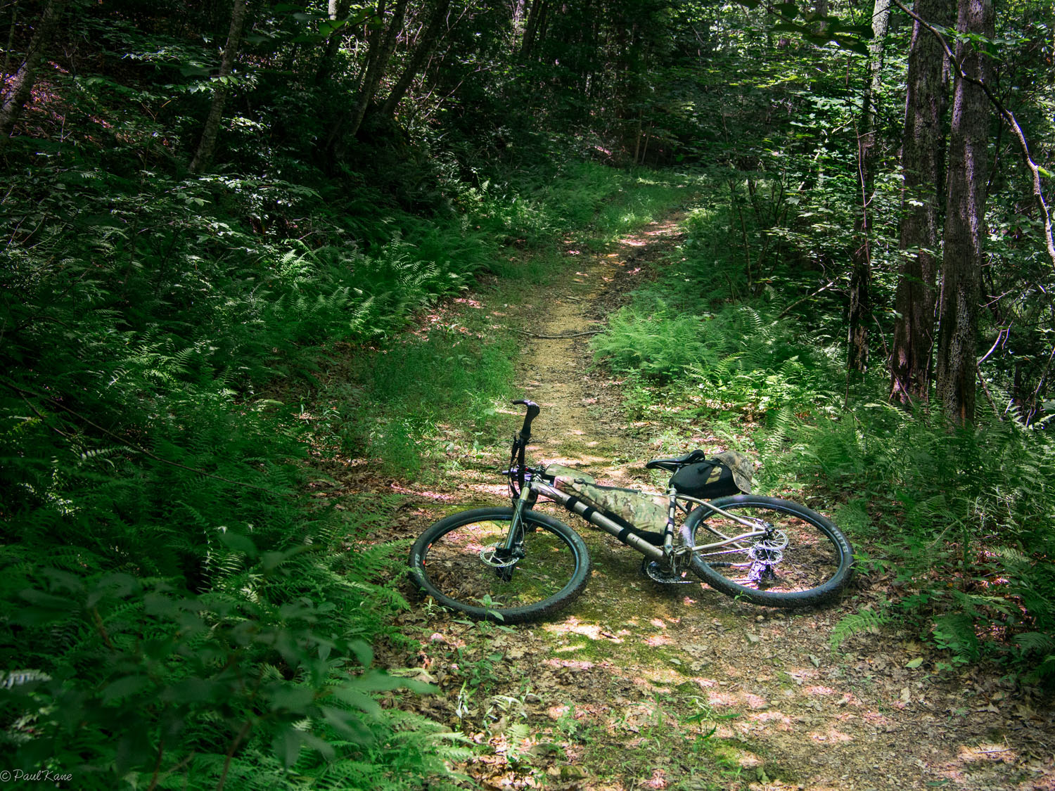
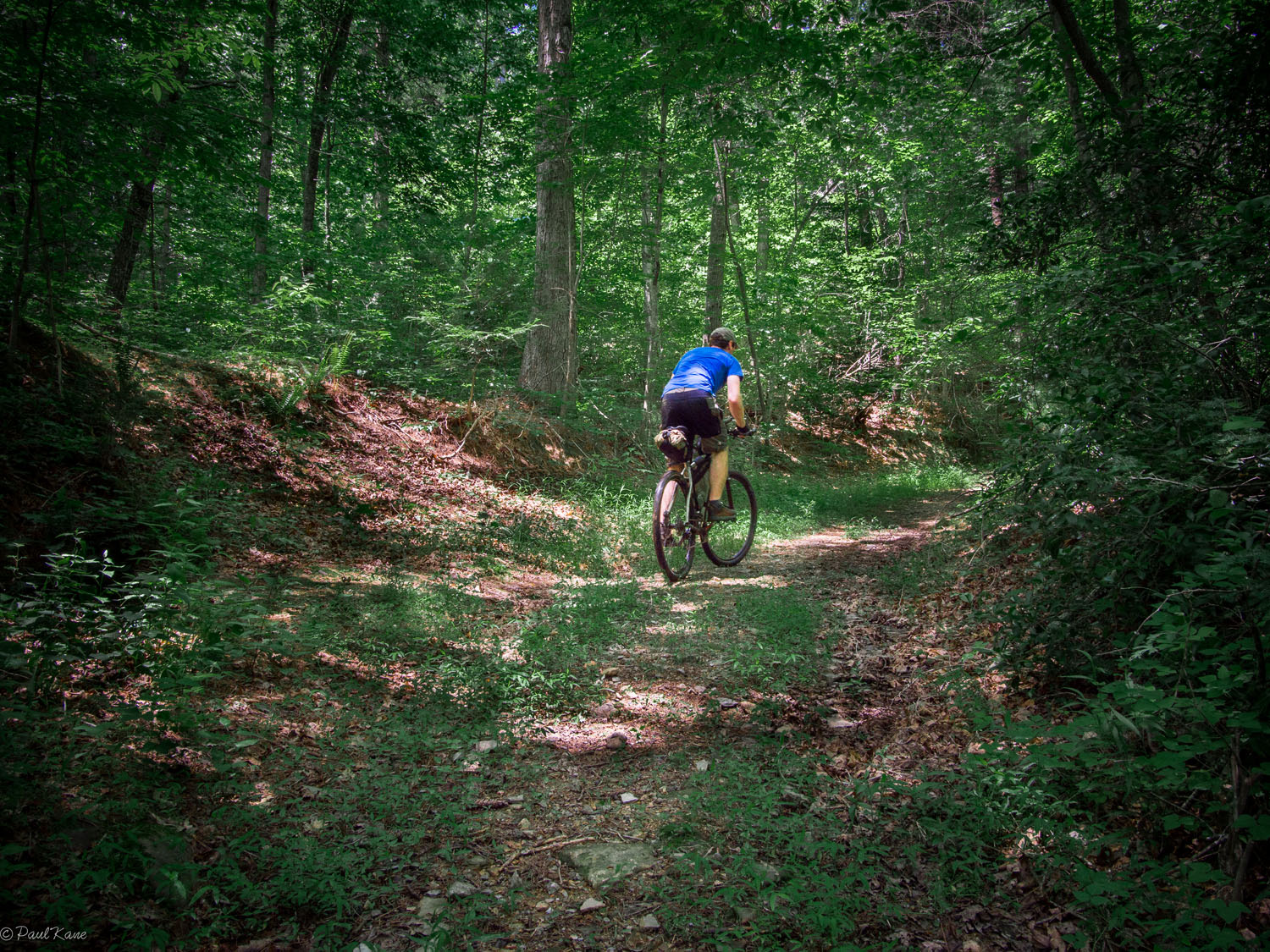
After leaving the reservoir, the BRW meanders across dirt and the occasional patch of asphalt before plunging into a warren of closed fire roads that are slowly being clawed back by the forest. The more well-traveled stretches present a distinct trail worn in by hikers, equestrians, and the occasional wayward cyclist, but keep an eye to your GPS, as you will often be following the road less traveled, and more obvious paths will lure you off course. This is one section of the route that could justify riding a fatbike, although by picking your lines carefully and taking it slow you’ll manage on a 2.1-inch WTB Nano. (You’ll be singing praises of a svelte, fat-free tread on the miles of nontechnical dirt road riding, too.) Masochists on a two day schedule and those following a more leisurely four day itinerary will both bed down for the night in this area, around mile 80.
The next day, a stiff climb on gravel brings you to a crossroads: go left for an out-and-back foray into the town of Buena Vista for some Virginia BBQ, or go right, forgo the opportunity to resupply, and spend your time cooling off in the Pedlar River at Panther Falls. The swimming hole below the falls is quite popular with locals, some of whom may, on occasion, enjoy a drunken, late-morning swim. Bikepackers in search of a solitary experience will prefer the more private—albeit shallower—pool near a campsite a few miles before the turnoff for Panther Falls. Riders following the three-day itinerary will spend their second night here.
Following your swim, you’ll ascend to the Blue Ridge Parkway, which comes as some relief after many rough and dusty miles. Continue along the ridge until you reach Nettle Creek Road where you begin a five and a half mile descent along Nettle Spring Creek and then Irish Creek. The latter appears to be well-stocked with trout given the number of fishermen who make camp on the narrow strip of land between the road and water’s edge. You may be in good company if you choose to stay here on the last night of the four day itinerary.
Even if you don’t camp at Irish Creek, it makes a good spot to rest and refill your water bottles before confronting the most remote and technical section of singletrack the BRW has to offer: the Whetstone Ridge Trail. Once a source of sharpening stones for European settlers and mountain men, Whetstone Ridge now provides an opportunity to hone your mountain biking skills as you navigate 12 miles of flowing singletrack replete with rock gardens, ledges, and sheer descents. It’s almost all rideable, though, even for a rider who is often stymied by suburban singletrack courses. Still, most folks should expect to wrestle their bikes up and down a few knobs along the ridge-line before emerging at the trailhead.
With Whetstone behind you, clock a few more miles on the Blue Ridge Parkway—with a dirt road interlude through a deep gully—before bidding farewell to the Parkway’s bitumen for the last time at Forest Road 162, a rough track popular with 4×4 drivers. In a few places along the route the jeeps have created mud wallows that span the full width of the road. Navigate around the pits and a series of switchbacks to Coal Road, a dusty, rolling gravel path that will carry you back to the start of the route.
If you have the time and energy to celebrate, consider making your way to the Devil’s Backbone Brewing Company, ten miles to the southwest in Roseland, VA, where you can enjoy a local craft beer and reflect on the ride.


Terms of Use: As with each bikepacking route guide published on BIKEPACKING.com, should you choose to cycle this route, do so at your own risk. Prior to setting out check current local weather, conditions, and land/road closures. While riding, obey all public and private land use restrictions and rules, carry proper safety and navigational equipment, and of course, follow the #leavenotrace guidelines. The information found herein is simply a planning resource to be used as a point of inspiration in conjunction with your own due-diligence. In spite of the fact that this route, associated GPS track (GPX and maps), and all route guidelines were prepared under diligent research by the specified contributor and/or contributors, the accuracy of such and judgement of the author is not guaranteed. BIKEPACKING.com LLC, its partners, associates, and contributors are in no way liable for personal injury, damage to personal property, or any other such situation that might happen to individual riders cycling or following this route.
Please keep the conversation civil, constructive, and inclusive, or your comment will be removed.