


Caminos del Sol
Distance
201 Mi.
(323 KM)Days
6
% Unpaved
50%
% Singletrack
1%
% Rideable (time)
99%
Total Ascent
22,533'
(6,868 M)High Point
3,736'
(1,139 M)Difficulty (1-10)
6?
- 7Climbing Scale Strenuous112 FT/MI (21 M/KM)
- 4Technical Difficulty Fair
- 6Physical Demand Moderate
- 3Resupply & Logistics Fair
Contributed By

Tristan Bogaard
For me, the word “Spain” has always promised sunshine. From the first time I experienced the country to my frequent visits these days, its coastlines and mountainous interior hold allure for me when I’m looking to ride under the sun. For others, it’s all about going on a well-deserved vacation in one of Spain’s many famous beach towns. One such stretch of coast between Gandía and Alicante is high on the list of most visited for such activities, to the point that entire communities of foreigners have settled to enjoy their pensions on a Spanish budget, defining the demographics of some places. You may have heard of Oliva, Benidorm, and Calpe.
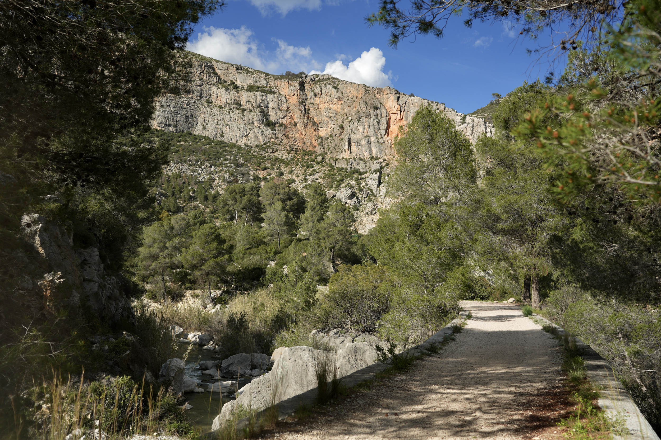
One day, while driving south over the national highway bordering these vibrant towns, I was taken by the immense rock formations on my right in the afternoon sunshine. Looking through the front windshield, I wondered what it would be like to ride among those peaks. Last April, I found myself there, looking down at the coast from far above, relishing the feeling of seeing the busy beachfront while riding in complete solitude above it all.
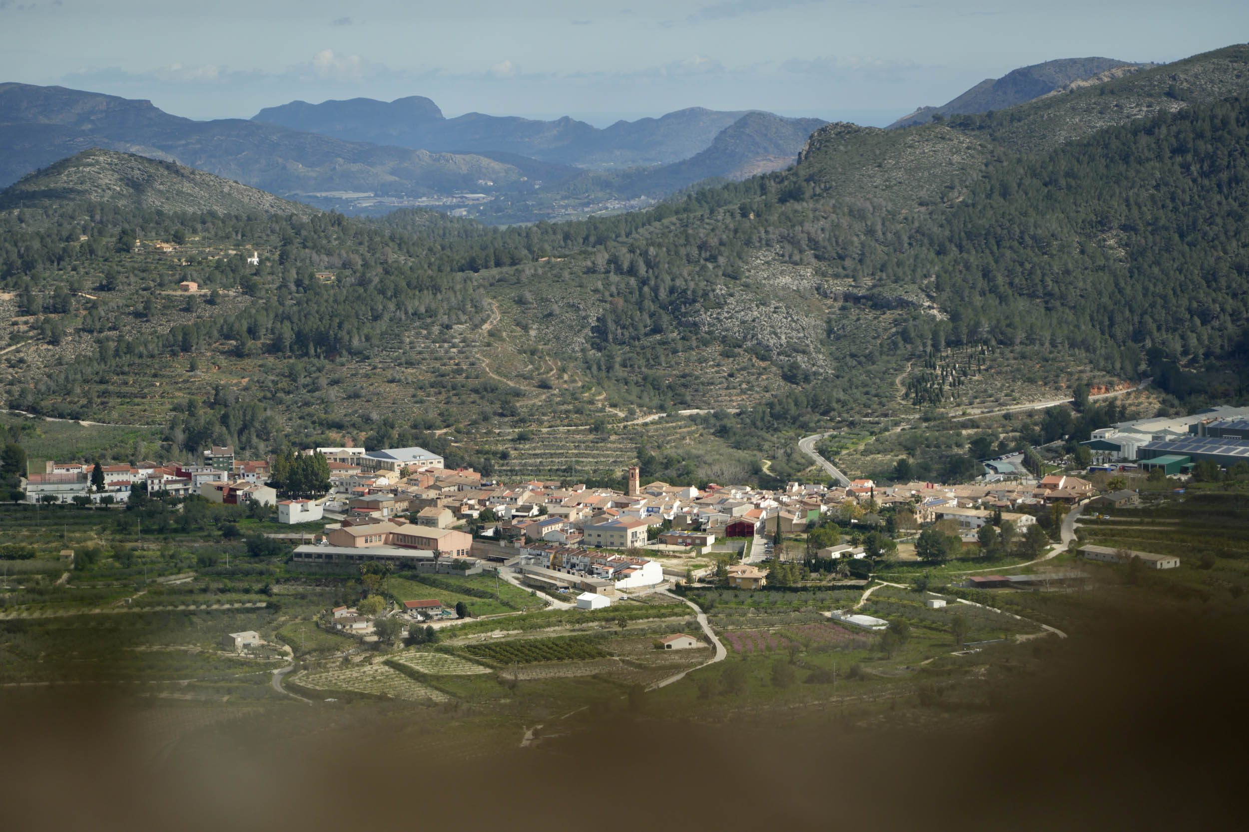
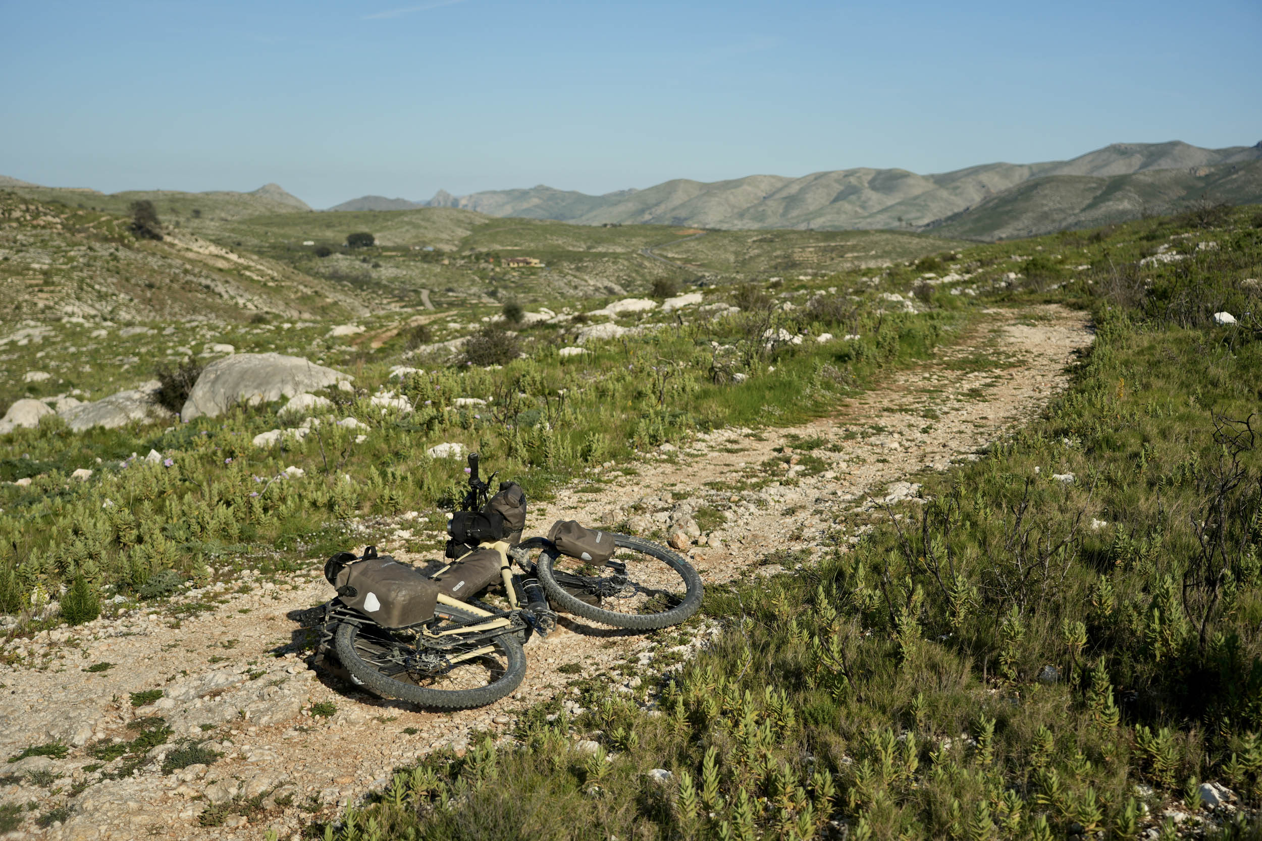
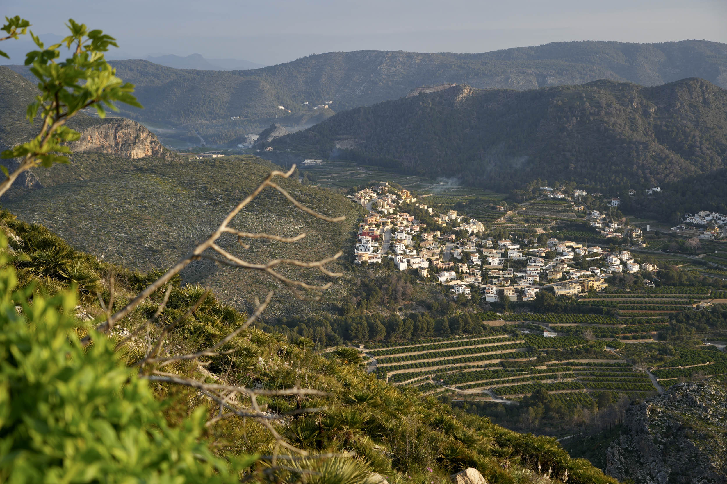
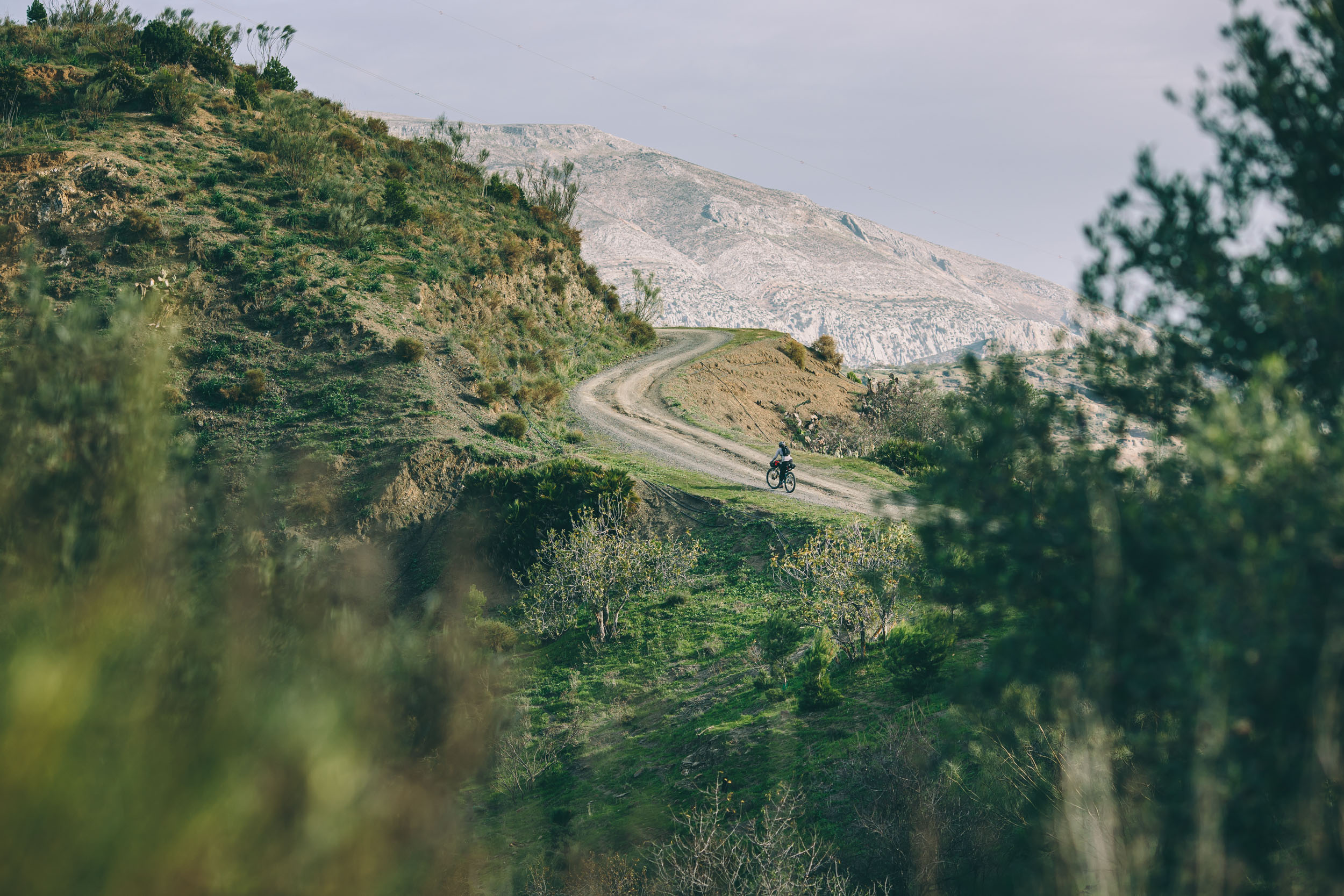
This is exactly what makes Caminos del Sol special, as the route constantly conveys this feeling. Most of the time, you’ll be following pathways leading to or connecting old villages loaded with inherited Spanish and Moorish architecture, depicting recent and distant history. Their central plazas will almost certainly contain life year-round, and the weather is famously stable in this part of Spain. Many cyclists ride here from the coast to enjoy the quieter town life and excellent paved and unpaved tracks that form the connecting grid between huertas, urbanizaciones, and pueblos. The Comunidad Valenciana radiates an environment meant to delight in.
My focus in creating Caminos del Sol was to offer riders an entry-level route that wouldn’t require much physical strength and followed easily ridable segments of connected vías verdes (protected bike lanes through nature, usually converted from old train tracks), forest pistas (condensed dirt or gravel tracks), and valley backroads of larger towns in the region. Plus, I wanted it to show a different side of this otherwise highly touristic part of Spain—one you’ll be glancing over from up high.


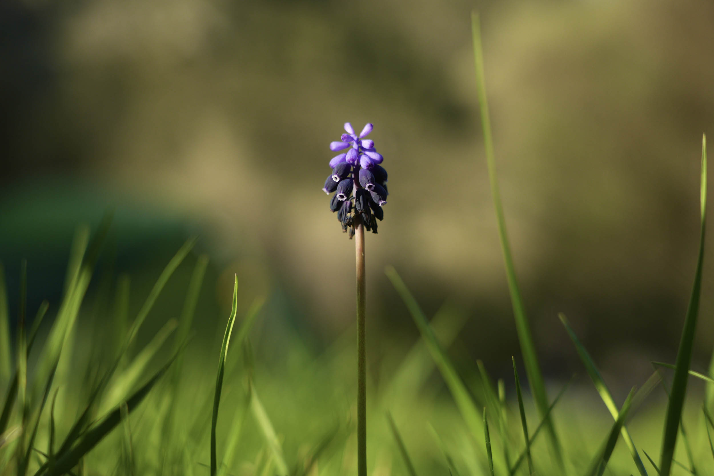
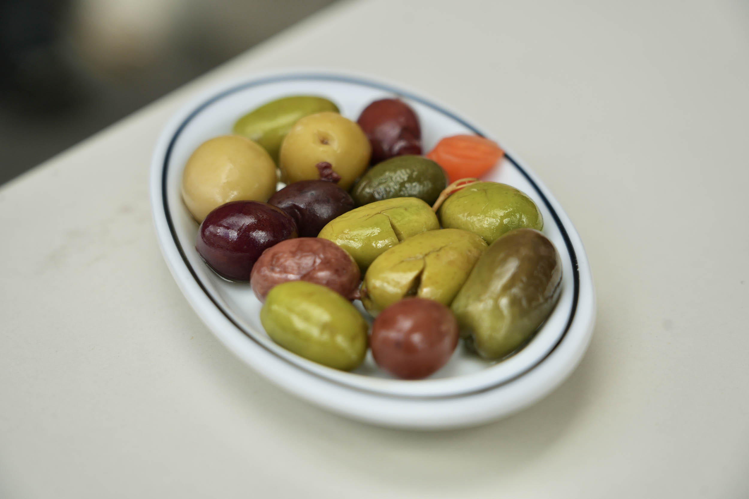
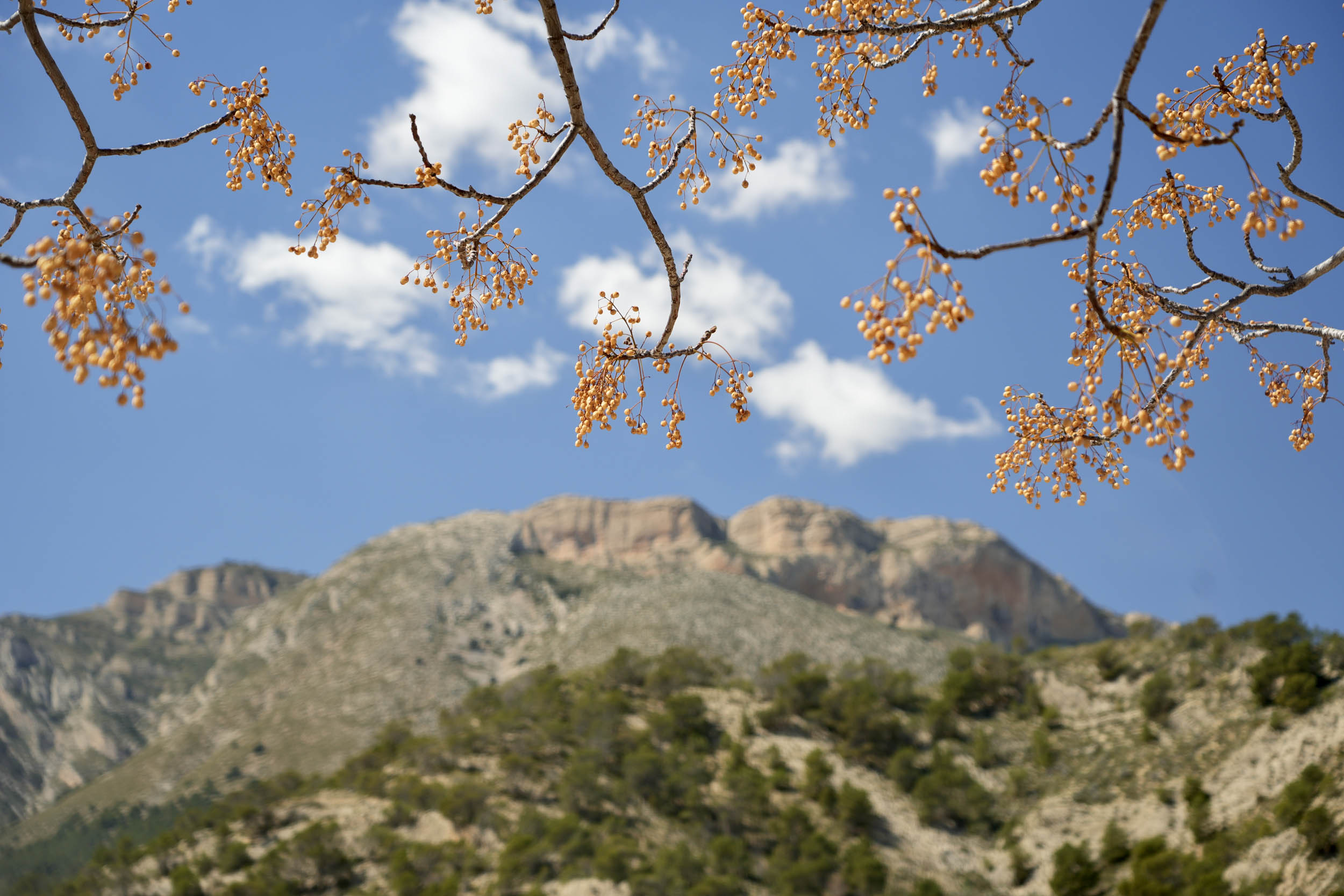
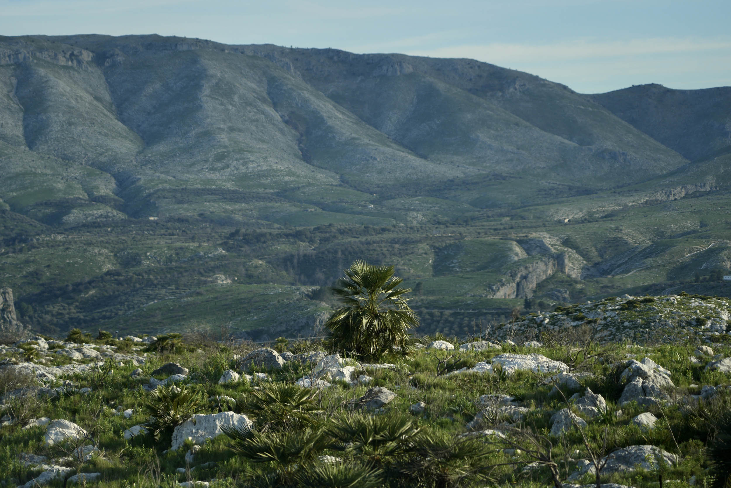
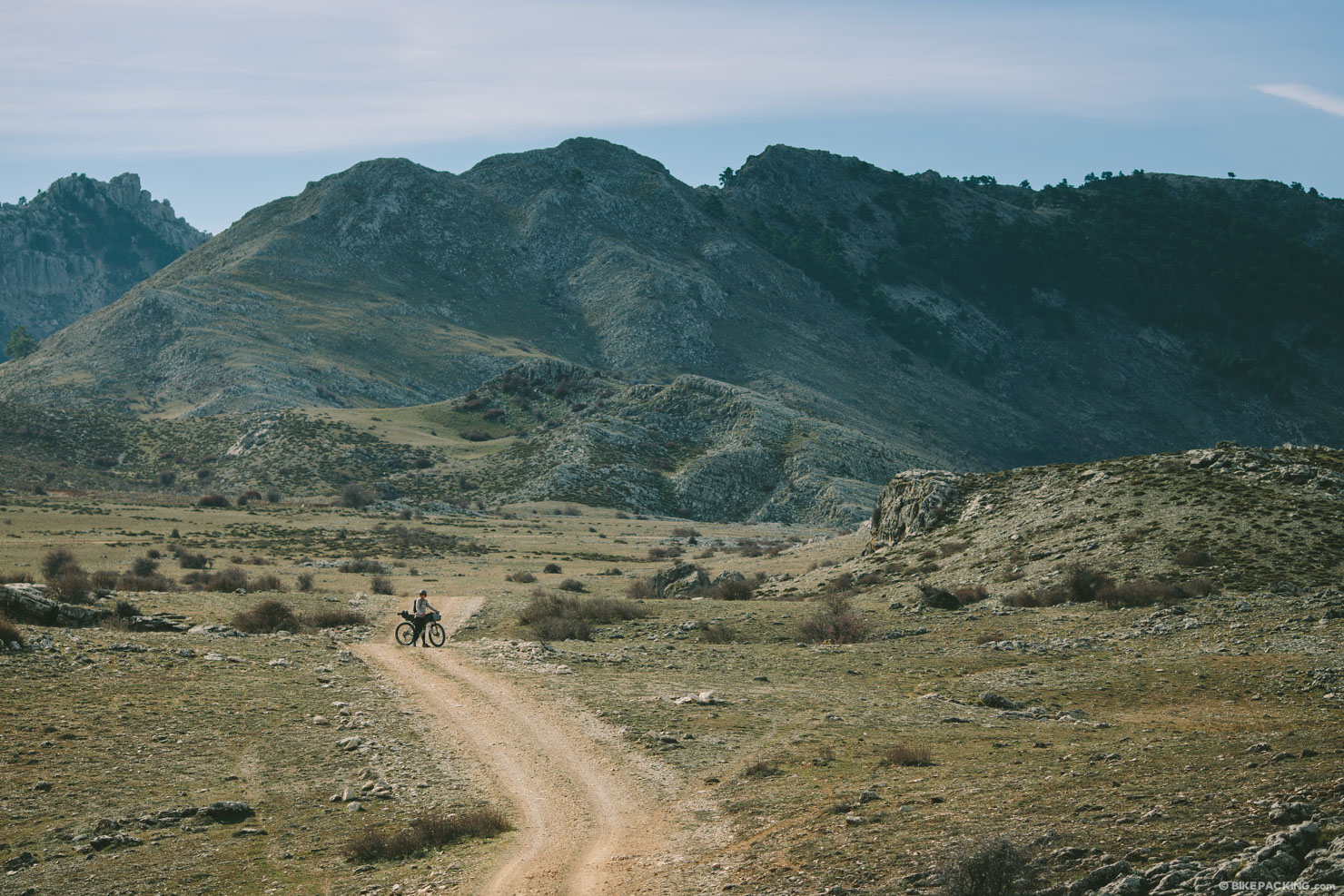
The landscapes along these caminos vary from agricultural valleys filled with groves containing breeds of almond and orange trees needing very little irrigation to typical pine forests and dry grasslands that are prone to fire. As such, you’ll see many signs showing the high levels of drought and risk of fire along the entire route. Low-growing shrubs, palm trees, and a variety of your favorite Mediterranean herbs can be found at pedal height. Large mountains make a formidable backdrop, adorned by castles and fortifications you can often spot on their peaks and slopes. Ancient towns, such as Bocairent, Sax, and Jijona, will offer the chance to discover their small and proud Valenciano-speaking communities. Food along this route is as good as anywhere in Spain, but bocadillos (large sandwiches) with all sorts of meats, cheese and my personal favorite, tortilla de patatas, are the staple of every breakfast and lunch. Of course, great coffee, tostadas, roasted barley malt beer, olives, and the affordable menu del día on weekdays present more than a few reasons to take it slow.
In a nutshell, Caminos del Sol is a bikepacking route focused on the pleasant perks of customary Spanish life, its weather, and the beating heart that lies beyond the hot shores.
Route Difficulty
Even though the surfaces of this route are a mix of either smooth gravel or paved B-roads, the elevation gain is rather strenuous, especially if you attempt to ride this route in fewer than five to six days. Most climbs are long yet steady, with vías verdes, quiet backroads, and a tiny bit of singletrack here and there as hidden valley passages. Resupply and logistics, on the other hand, are as laid back as the whole theme of this route. At a leisurely pace, you’ll still find that you can easily depend on local bars for breakfast and/or lunch, and there are many accommodations in the many towns you’ll pass along the way.
Route Development: Founded on the concept of chasing sunshine in a window of time initially dedicated to another route, Caminos del Sol was my way of making sure I’d get what I came to Spain for. Over the years, I’ve become pretty familiar with the entire Comunidad Valenciana through visiting often and riding in several parts of the province. But I’d never seen its southern mountains up close, and with the time on my hands to finally do so, I set out to create a loop. In my primary design phase, I focused on connecting each village containing a castle and then tried to find as much dirt as possible to connect them. The region is highly paved, which made this a challenge. Where I could, I’ve included Eurovelo 8 and other vías verdes to make roaming the valleys a safe and enjoyable undertaking. The result is Caminos del Sol, a looped collection of paths and calm roads between Gandía and Alicante that permanently bake in the abundant sunshine the region receives year-round.


Submit Route Alert
As the leading creator and publisher of bikepacking routes, BIKEPACKING.com endeavors to maintain, improve, and advocate for our growing network of bikepacking routes all over the world. As such, our editorial team, route creators, and Route Stewards serve as mediators for route improvements and opportunities for connectivity, conservation, and community growth around these routes. To facilitate these efforts, we rely on our Bikepacking Collective and the greater bikepacking community to call attention to critical issues and opportunities that are discovered while riding these routes. If you have a vital issue or opportunity regarding this route that pertains to one of the subjects below, please let us know:
Highlights
Must Know
Camping
Food/H2O
Trail Notes
Resources
- Following Rio Serpis’ magnificent gravel path over what once was a railway. The water flowing downstream, with its dark tunnels and lush natural environment, is a pleasure for all senses.
- Castles, many of them! Usually positioned at the highest point of a village, city, or mountain, these towers made out of old rock have stood strong for centuries and are a telling part of local and national Spanish history. I encourage you to take an informational dive into the reasons behind their existence.
- The concept of the “vía verde”, or greenway. An initiative of the Fundación de los Ferrocarriles Españoles in cooperation with the Ministry of Transport, vías verdes have seen a rise in popularity in Spain and continue to be created. Caminos del Sol follows several of them as they’re an undeniably efficient and beautiful way to see what motorized vehicles cannot.
- Taking in the beauty of Bocairent’s old centre. After a steep climb following its iconic bridge, you’ll find yourself in the main square, where you can sit down for some food and drink while taking in the atmosphere of this town and its historical elements. Going back as far as the Arab domination of nearly the entire Iberian Peninsula, this town’s story is one worth delving into.
- In Banyeres de Mariola, at Casa Toni, for lunch on Wednesdays only, you can try a special dish served there for the last 30 years, “coca frita.” It’s a fried bread base with a topping of your choice. Usually meat, but they made a delicious vegetable one for me. I ordered one to go, too!
- Riding the Eurovelo 8 segment of Rio Serpis, as well as the one north of Agost. The Eurovelo organization does an excellent job at choosing its routing, always utilizing ways that are as bike-friendly as possible.
- When in Jijona (Xixona in Valenciano), you must try helado de turrón. Turrón is an almond, honey, and sugar-based, marzipan-like paste that is sold all across Spain, especially during Christmas. As it was originally made in Jijona, the ice cream shop in town sells turrón ice cream year-round, and it’s simply delicious!
- The climb out of Jijona, through little alleyways and dusty dirt tracks, leads you out of town with some spectacular views to be savored while entirely avoiding the busy and unpleasant main road up to Port de la Carrasqueta viewpoint.
- Sipping on a cerveza zero tostada after a long ride. This zero-alcohol beer has experienced a surge in popularity in Spain and is sold in even the smallest of pueblo bars. The roasted barley malt gives it a distinct flavor that goes particularly well with any bocadillo.
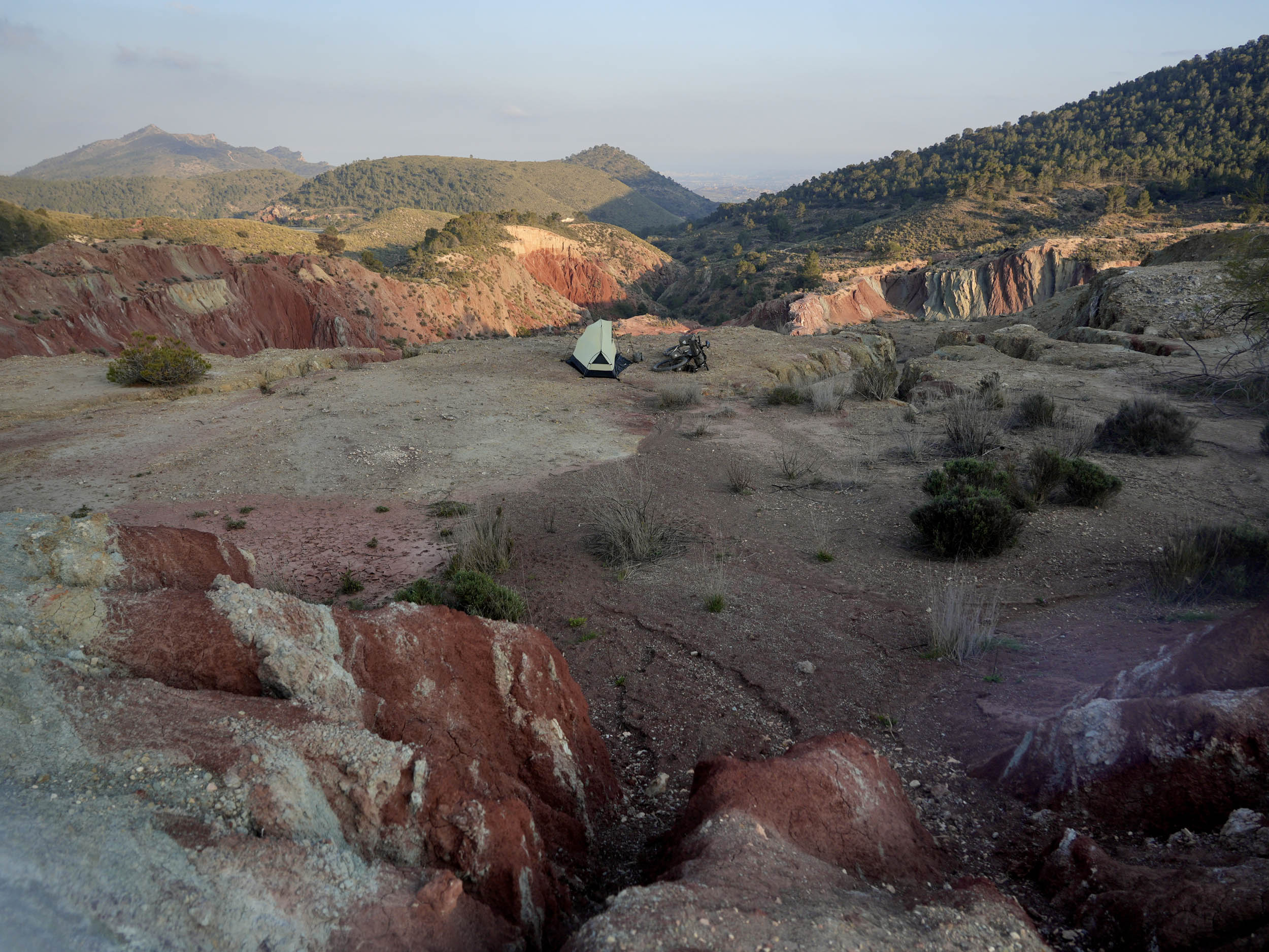
- Sleeping under the stars in the valley leading up to Pas del Comptador. Climbing up from Sella, you’ll slowly start hearing fewer and fewer human noises, ending with just the sound of grit underneath your tires. Finding an overnight pitch isn’t difficult, and it’s worth a stop. The overwhelming silence I experienced at night there was beyond satisfying.
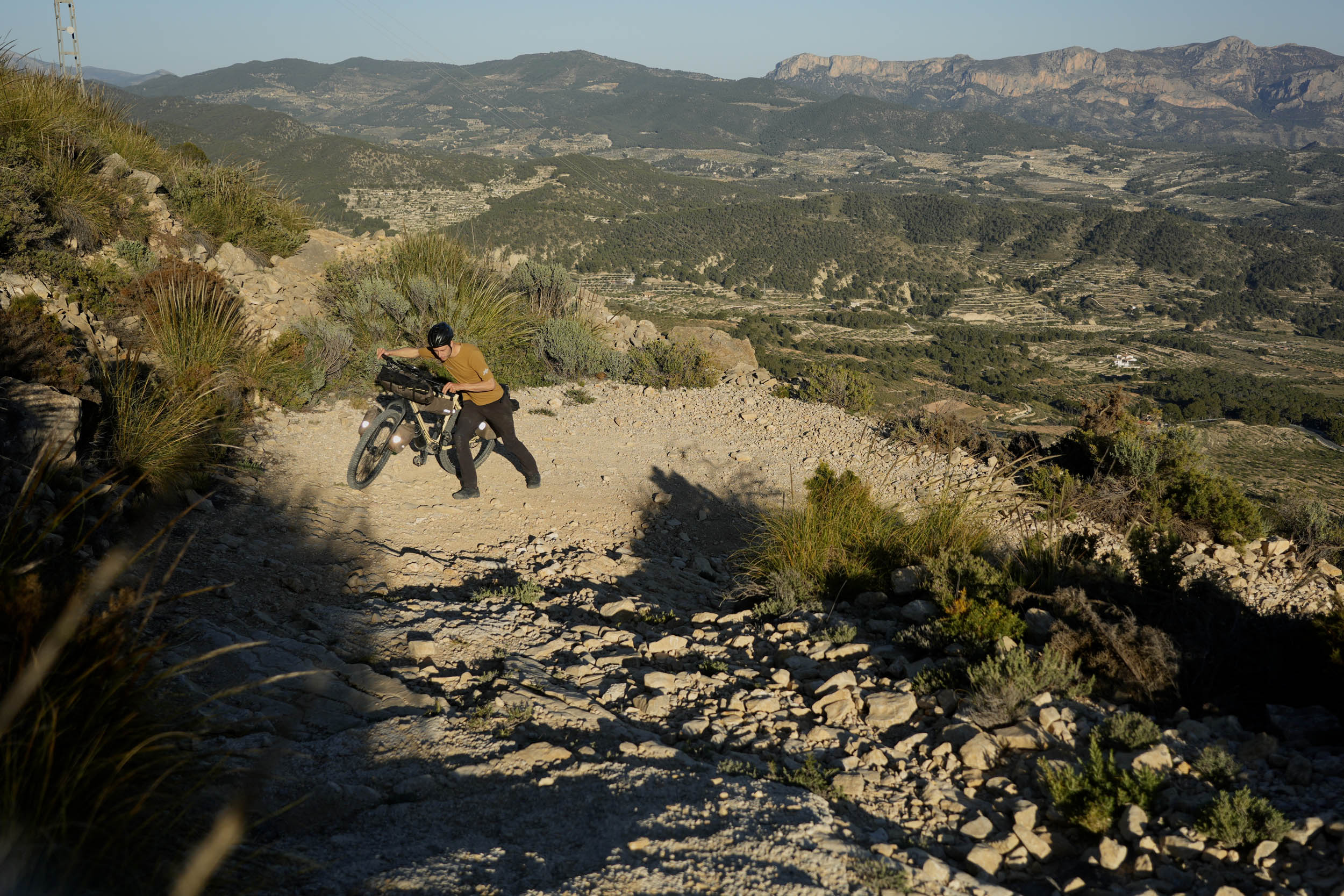
- Pas del Comptador (947 meters) has an unpaved ascend that probably requires you to push your bike to the top. It’s a very doable and beautiful push, offering a view back to Sella, and on the opposite side of the pass, you’ll see the distinct white nets used in agricultural production in the valley of Altea below.
- Riding along Embalse de Guadalest, a large water reservoir guarded by an impressive dam. Like many Spanish embalses, its water levels can be quite low nowadays, signaling the ever so slightly dystopian dependency on rain in an area receiving very little of it. I’ve included a link to a public domain that’ll show you its current level, past capacity, and more.
- Seeing the effects of fire in an area susceptible to drought between Quatretondeta and l’Atzúbia. Forest fires can scar an otherwise peacefully looking landscape. Here, many leafless trees and fresh shrubs show an ongoing life cycle.
- A surprising and breathtaking view over the escarpment down toward the sea at kilometer 293. Following this descent, you’ll be treated to an equally splendid view over the switchbacks down to l’Atzúbia.
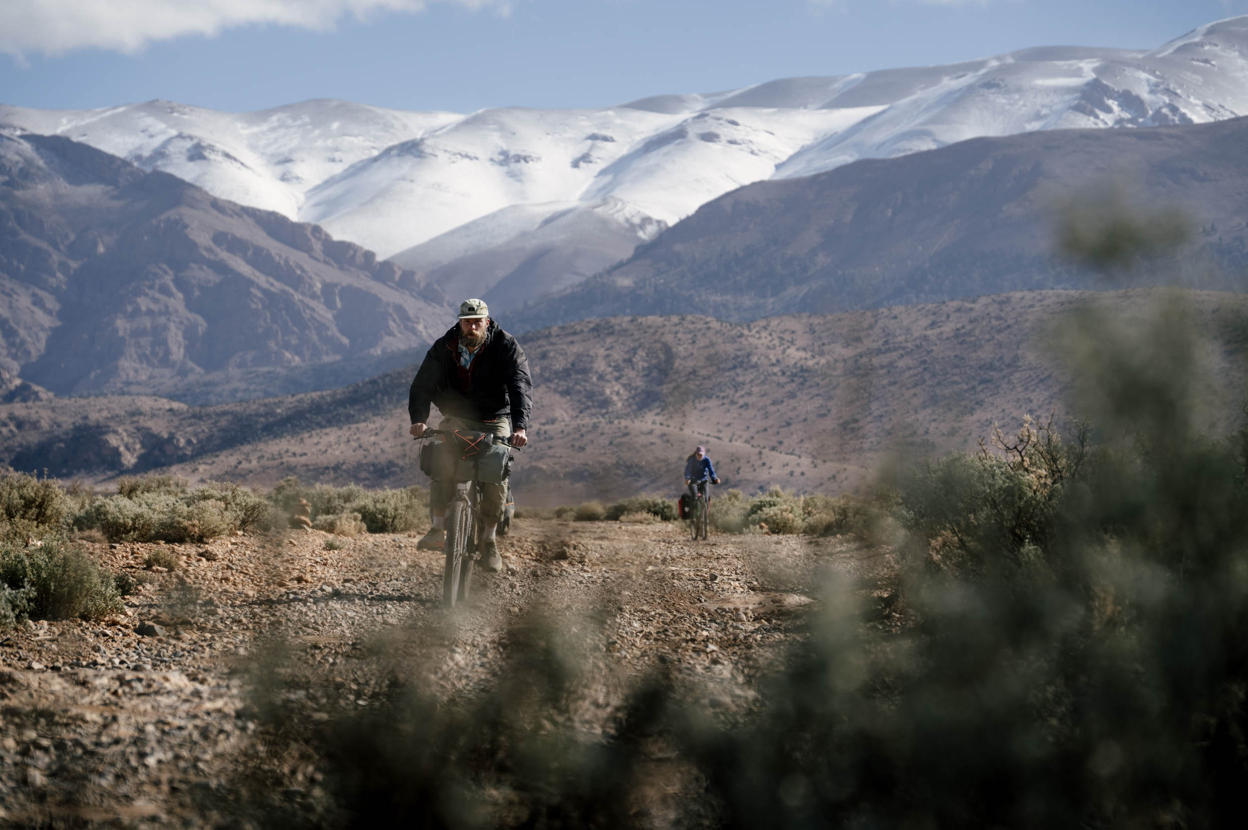
- When to go: July and August can bring exceptionally hot days, not to mention masses of summer tourists, which is why I’d recommend riding this route anytime between late September and early June. Keep in mind that during fall, winter, and even spring, as soon as the sun dips behind the horizon, nights can get really frigid. You’ll be fine in a T-shirt during the day but will appreciate an extra warm layer at night.
- What bike: Even though it seems obvious to recommend a gravel bike for this route, I would argue that there is some sense in riding it on a rigid mountain bike. You’ll be more comfortable on the rough sections, and if you spec all-round tires, you wouldn’t slow down on the many paved sections either. Nevertheless, a gravel bike with a minimum of 40mm tires will do just fine. There’s no real need for suspension.
- Important gear: Due to the tunnels on several vía verde segments, I highly recommend taking separate red and white lights to see the surface in front of you and alert people behind you of your presence. No vehicles are allowed on these paths, but without lights, other cyclists or pedestrians may not see you coming.
- Travel basics and logistics: If you’re coming from anywhere outside of the European Union, you may need an EU visa to enter Spain. The most efficient nearby transport hub to get to this route is Valencia.
- Getting there by flight: If you’re arriving from overseas, you may opt to fly to Madrid or Barcelona and connect via high-speed rail, but Valencia would be most convenient as a single metro will connect you from the airport to direct commuter trains taking you to Gandía.
- Getting there by bus and train: Cities in the Comunidad Valenciana are well connected by a network of cercanías (commuter trains), and the direct C1 train connects Valencia Nord with Gandía for a flat fee of €5.80 per way. Bicycles are carried for free on this line. Conveniently, when traveling by high-speed train from other cities, some tickets include a free regional ticket for the last leg to Gandía. However, keep in mind that high-speed trains generally do not allow assembled bicycles and will most likely also require you to pass a security scan, which could cost you your cooking knife, gas canister, and other items deemed dangerous. If you prefer to travel by bus instead, make Valencia Nord your destination and transfer to the C1 cercanía train there.
- Getting there by car: Arriving in Gandía by car is simple and fast, thanks to car privilege in Spanish infrastructure. To park, I recommend the free parking lots on Av. dels Esports by the river, as you can quite literally roll onto the route from each of them.
- Getting there by bike: As easy as it is fun, riding to the route by bicycle would allow you to enter from pretty much anywhere, whether you ride up from Alicante, Benidorm, or one of the many cities and towns surrounding the route. The Eurovelo 8 between Valencia and Gandía also offers an uncomplicated connection to the start.
- Cooking: As the natural environment is particularly dry here year-round, plan to cook as little as possible if you are wild camping. I made simple meals that just needed heating up to avoid a lengthy process or just ate cold baked beans. The last thing you want is to be the cause of a forest fire! I avoided making breakfast altogether by planning each day so I’d only have to ride down to the nearest bar the following morning, and I did the same for lunch.
- Weather conditions: The Comunidad Valenciana receives sunshine nearly year-round, often rivaling any weather patterns further inland through its warm Mediterranean waters. With climate change affecting this relative stability, you may experience intense rainstorms that come seemingly out of nowhere, so a rain jacket should be on your gear list, as well as sufficient layers for temperature swings, such as after sunset.
- Steepness: The tracks of Caminos del Sol are rarely so steep or narrow as to force you off your bike, but some sections require extra attention. I’ve marked them on the map as caution points. Overall, the route promotes a steady flow, mixing paved and unpaved surfaces to ease your passage and physical input.
- Other remarks: I recommend carrying a day’s worth of snacks and meals, stressing the fact that not all bars and restaurants are open every day of the week. Some are open only during the morning or not at all on certain days, and online opening times can also differ from reality, so you may not always be able to count on the next food stop. Prepare for this by carrying enough to last you a full day.
- Finding accommodation along Caminos del Sol shouldn’t be a lengthy process as you’ll often pass villages, some of which will have lodging available. Due to the sporadic and unclear opening times of these establishments (especially outside of the summer months), I’ve made the decision to leave them off the route map. If you choose to travel without a tent, I’d recommend to always book your stays ahead of arrival to avoid a mixup between online opening times and offline reality.
- Wild camping isn’t legal in Spain, but I’ve never heard of a cyclist not finding a quiet and safe place to pitch for the night. The country’s empty interior offers excellent chances to do so, but I can’t always say the same for the region of Alicante. If, like me, you prefer to sleep in your tent, I’d recommend to do so above the valleys, and to always be mindful of the dry foliage around you when cooking. There’s a serious risk of fire all around the route, and you should be considerate this when choosing between cooking and eating cold food.
Finding delicious Spanish comfort food around the route is no issue, as long as you don’t have a problem with a bread-based diet. It’s the main staple of breakfast and almuerzo, a kind of late-morning snack. Otherwise, the menu del día is an affordable option to eat a three-course meal, with an appetizer, main course, dessert, and a drink for less than €15 per person (on weekdays only).
- For breakfast: I always camped close to the next village so I could roll down to the closest bar and sit down for breakfast. Tostadas (toasted bread with either butter and jam or mashed tomato, olive oil, and salt) or bocadillos (large sandwiches with a variety of toppings) are the options usually available alongside a hot cup of coffee.
- For lunch: As a foreigner, you may expect lunch to be available at midday, but Spanish people don’t start making lunch until at least 2 p.m. Almuerzo is usually served until 12, like a late morning snack, and consists of the treasured bocadillo. If you feel like taking another break by 2 p.m., and it’s a weekday, you should try whatever menu del día you can find.
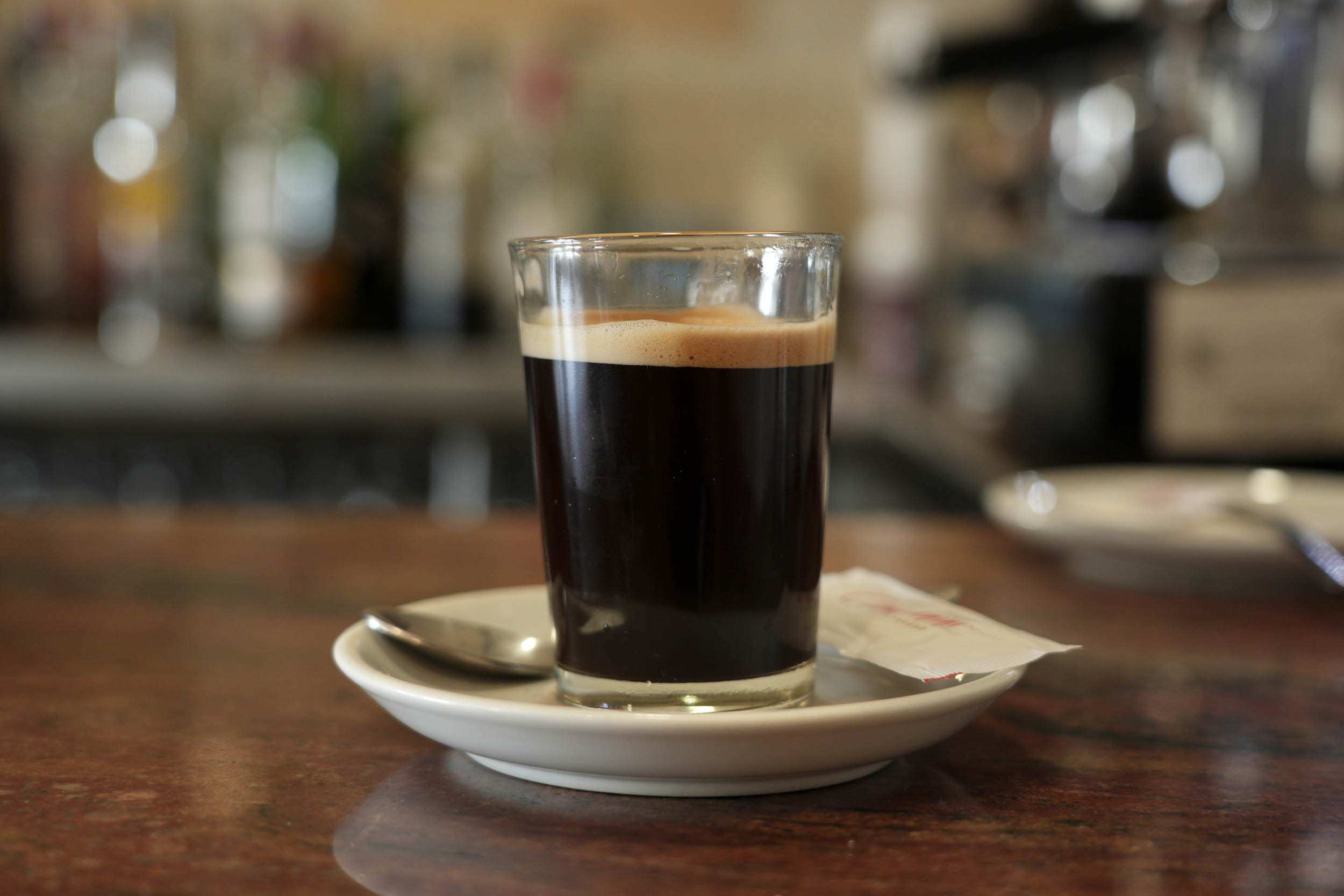
- Chef’s recommendation: You may believe Italy serves better coffee than Spain, but the multitude of delicious options to try rival my inner Milanese. From cortado to café bonbon, to cremaet and the humble americano served in a tall glass, they’re all worth taking an extra break for.
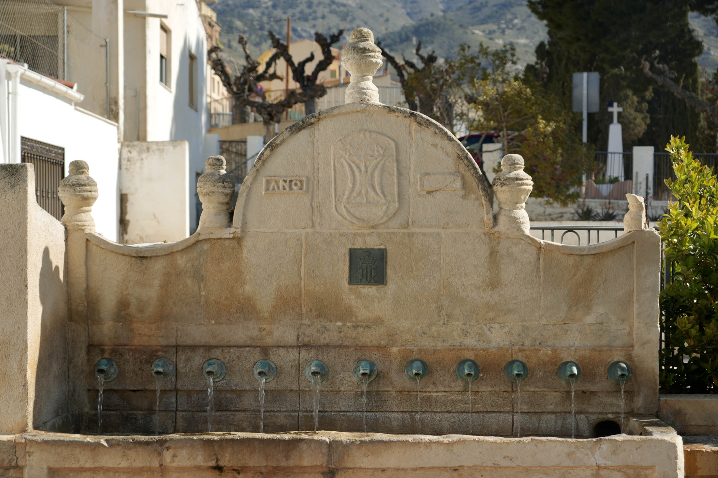
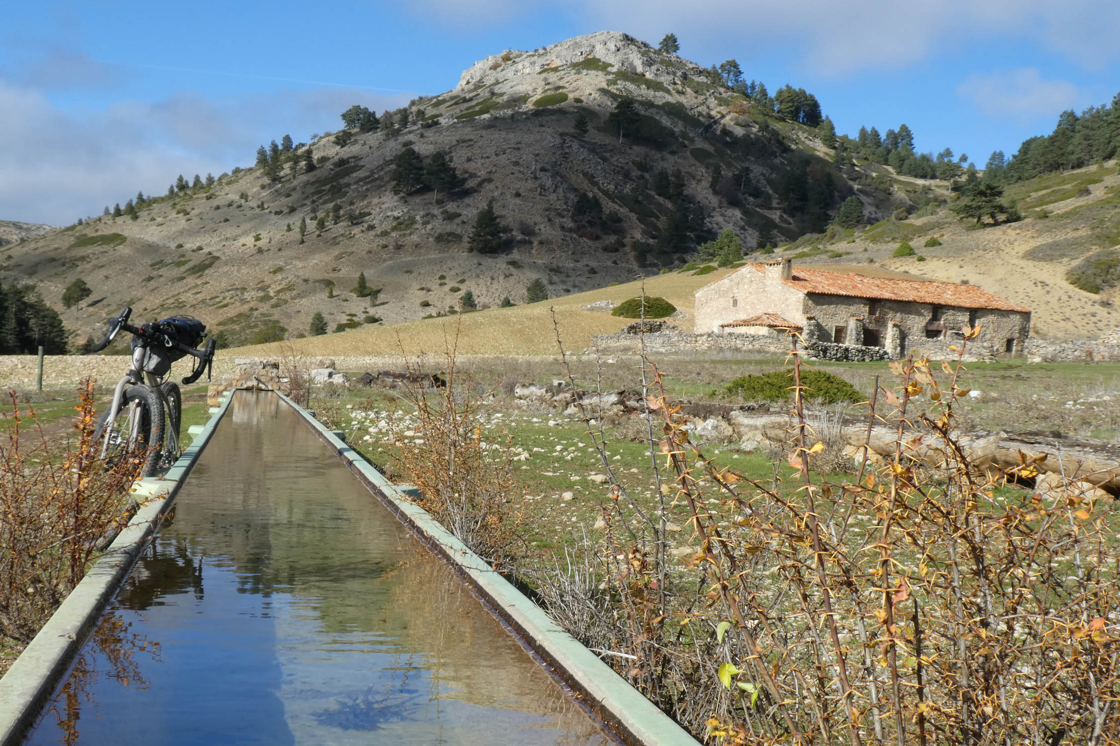
- Water: Spain’s public fountains rarely fail and are one of my favorite bikepacking perks here. Every village has at least one public fountain, usually in the main square, to fill up all your drinking water. I brought 2.5 liters of space and always had enough that way. I’ve marked the working fountains I came across on the route map and GPX file.
- Stocking up: You’ll come across several small supermarkets at points marked on the route map and GPX, which will always offer a selection of bread, fruit, vegetables, canned and fresh food, and snacks.
Day-by-day summary
Starting the route on a Tuesday, riding from Gandía along the Rio Serpis and finishing near Atzetena d’Albaida, allows you to cross Banyeres de Mariola around lunchtime on Wednesday, when Casa Toni’s special fried bread dish “coca frita” is served hot. Continuing along the mountains, you could get as far as Area Recreativa Rincón Bello and call it a night. On Thursday, having passed a gorgeous section of Eurovelo 8 and the climb and descend to Jijona, I recommend staying the night in town. This way, you’ll climb to Port de la Carrasqueta (1,020 meters) and over the highest point of the route during the cooler morning hours on Friday, coming down to Torremanzanas for almuerzo/lunch. Passing Relleu and Sella, you should pitch up high in the valley just before the last push to Pas del Comptador, or if you’re willing to push over, stay the night at Hostal Restaurante El Pirineo in Confrides. From here on out, the route surface will ease to paved more often, allowing you to finish either on Saturday or Sunday, depending on if you want to stop early or maintain a relaxed pace to experience a leisurely Spanish weekend.
Route alternatives or shortcuts
Thanks to Eurovelo 8, serving both as an uncomplicated alternative and a shortcut down the middle, you could opt to keep following it after arriving in Beniarrés. South of Castalla, you can tag along the route to Tibi again or keep on following the vía verde all the way to Alicante’s coastline and, potentially, Cadiz!
Additional Resources


Terms of Use: As with each bikepacking route guide published on BIKEPACKING.com, should you choose to cycle this route, do so at your own risk. Prior to setting out check current local weather, conditions, and land/road closures. While riding, obey all public and private land use restrictions and rules, carry proper safety and navigational equipment, and of course, follow the #leavenotrace guidelines. The information found herein is simply a planning resource to be used as a point of inspiration in conjunction with your own due-diligence. In spite of the fact that this route, associated GPS track (GPX and maps), and all route guidelines were prepared under diligent research by the specified contributor and/or contributors, the accuracy of such and judgement of the author is not guaranteed. BIKEPACKING.com LLC, its partners, associates, and contributors are in no way liable for personal injury, damage to personal property, or any other such situation that might happen to individual riders cycling or following this route.
Further Riding and Reading
Here are some connected/nearby routes and related reports...
Please keep the conversation civil, constructive, and inclusive, or your comment will be removed.