


Carolina Sandhills Overnighter
Distance
67 Mi.
(108 KM)Days
2
% Unpaved
86%
% Singletrack
0%
% Rideable (time)
99%
Total Ascent
4,000'
(1,219 M)High Point
585'
(178 M)Difficulty (1-10)
3?
- 4Climbing Scale Fair60 FT/MI (11 M/KM)
- 3Technical Difficulty Fair
- 4Physical Demand Fair
- 3Resupply & Logistics Fair
Contributed By
Tanner Arrington
Guest Contributor
Tanner is a native of Texas with roots in New Mexico, now living in South Carolina. Most of his miles are to and from work. Neighborhood cruises with his family and seeing the bike-born joy on his kids’ faces is his favorite kind of riding. If he’s not on a bike, he might be on the river or at a baseball game. He makes maps for work at FreewheelMaps.com.
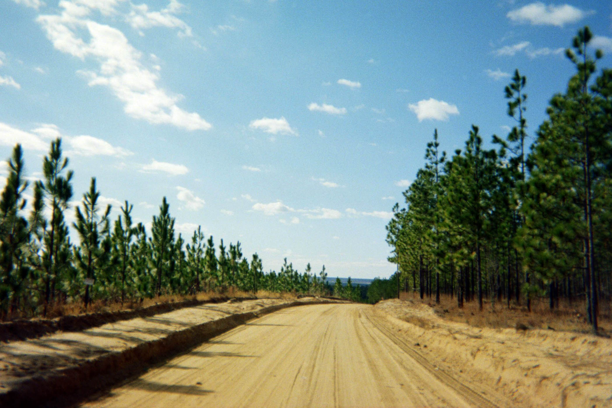
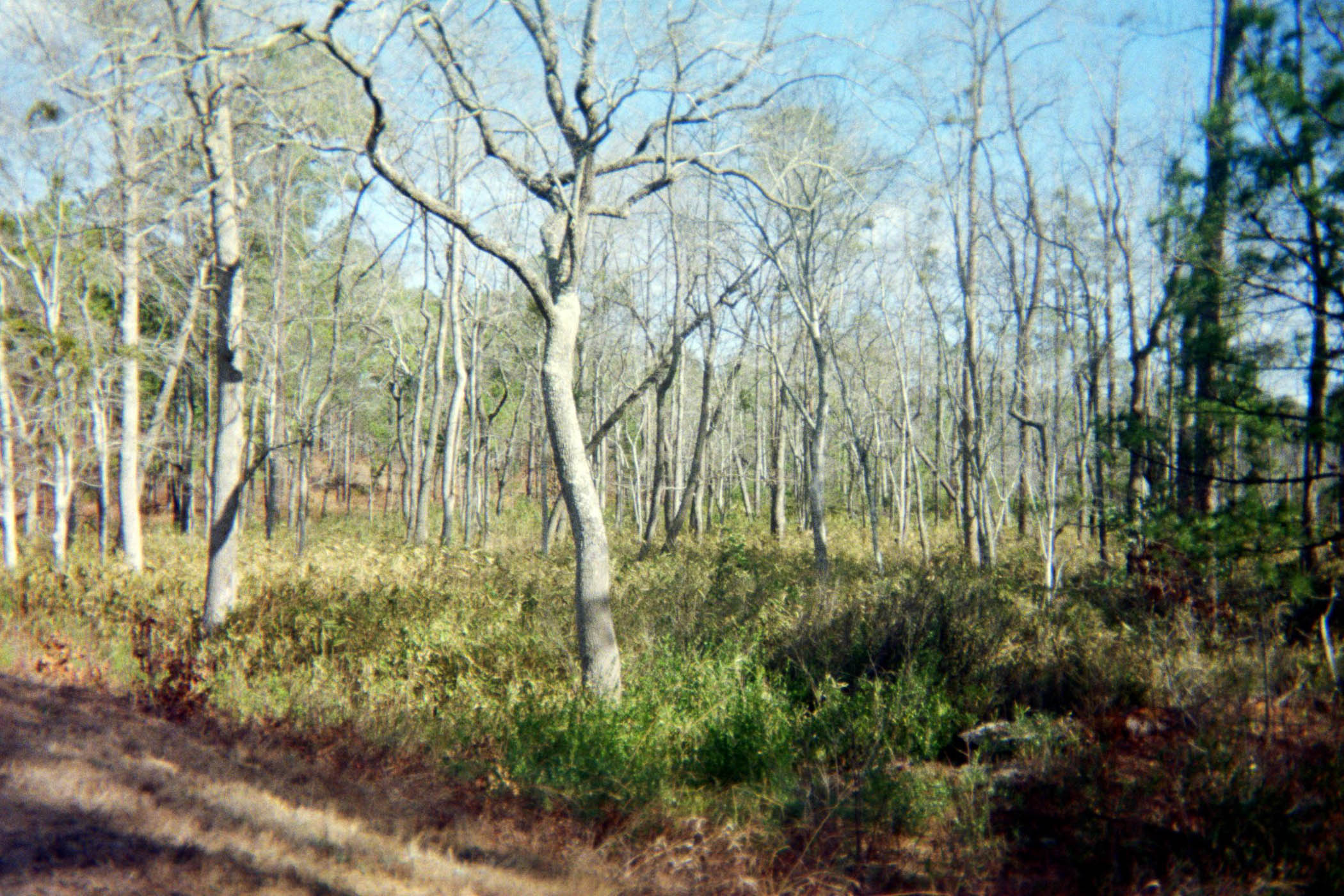
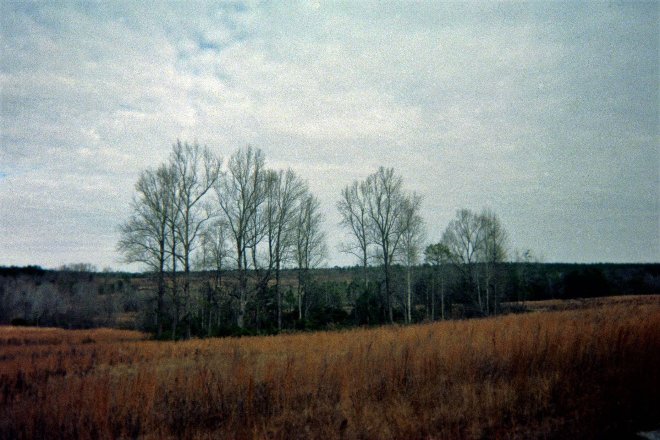
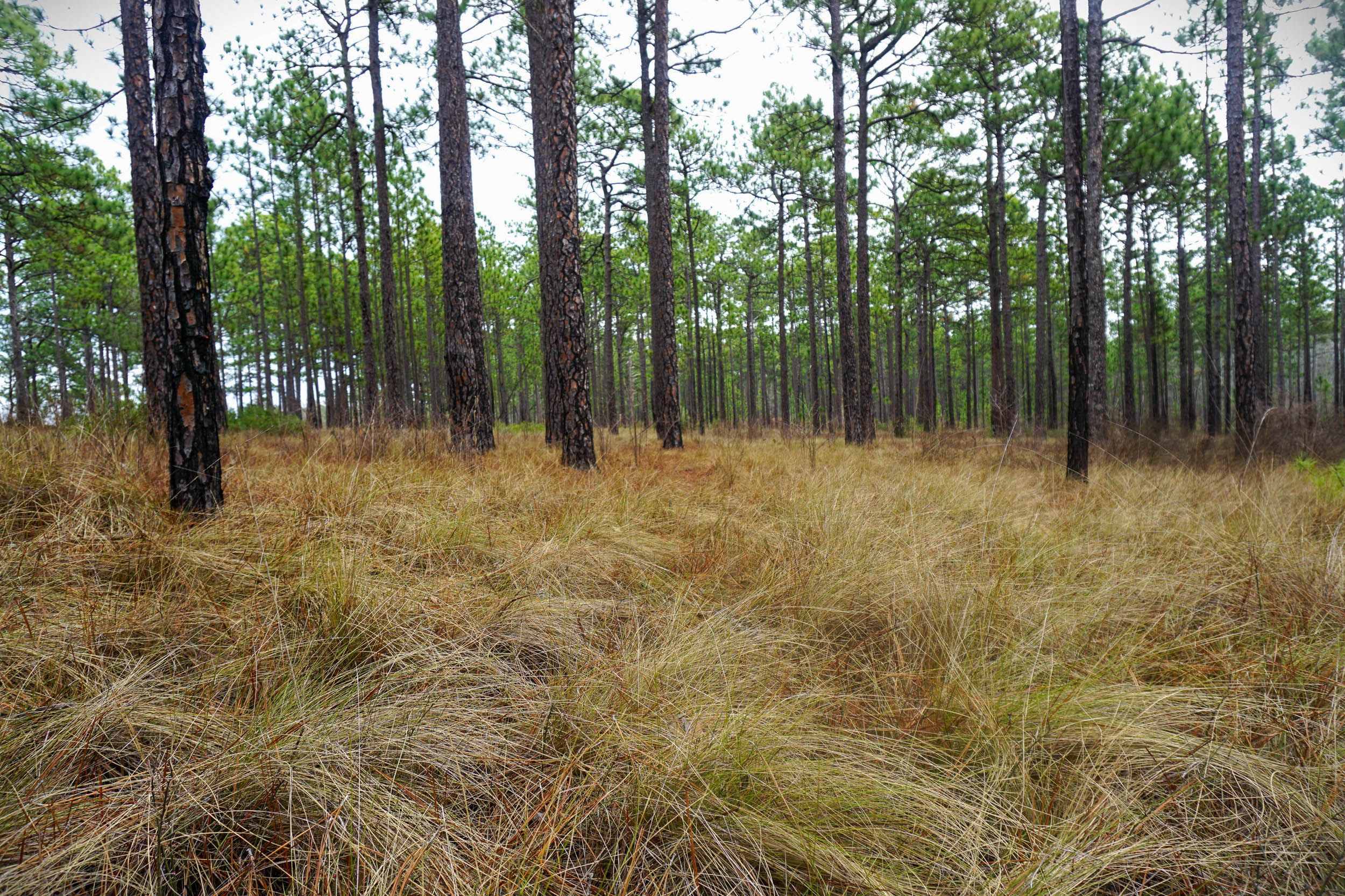
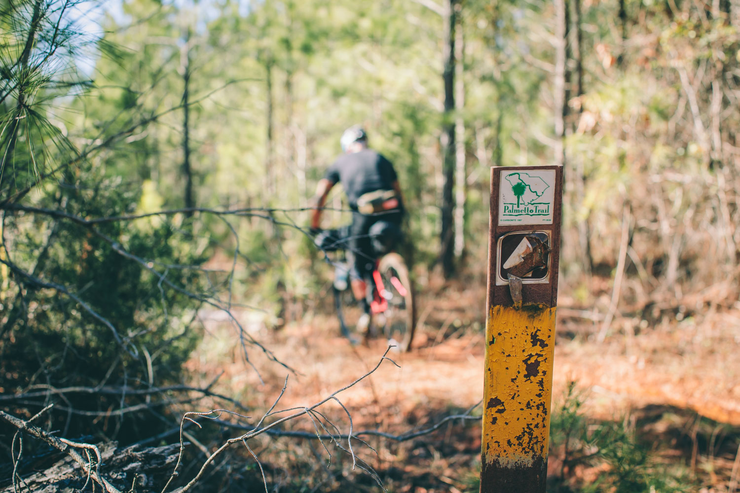
The Carolina Sandhills Overnighter is a treat for bicycling naturalists. It showcases one of the most interesting and underappreciated landscapes in the Carolinas: the Carolina Sandhills. The route takes advantage of the 140 miles of dirt roads in the Carolina Sandhills National Wildlife Refuge—many of them closed to vehicles—that wind through one of the largest remaining remnants of longleaf pine savanna landscapes, an ecosystem that once covered 90 million acres of the southeastern United States and has been reduced to just five percent of its historic range.
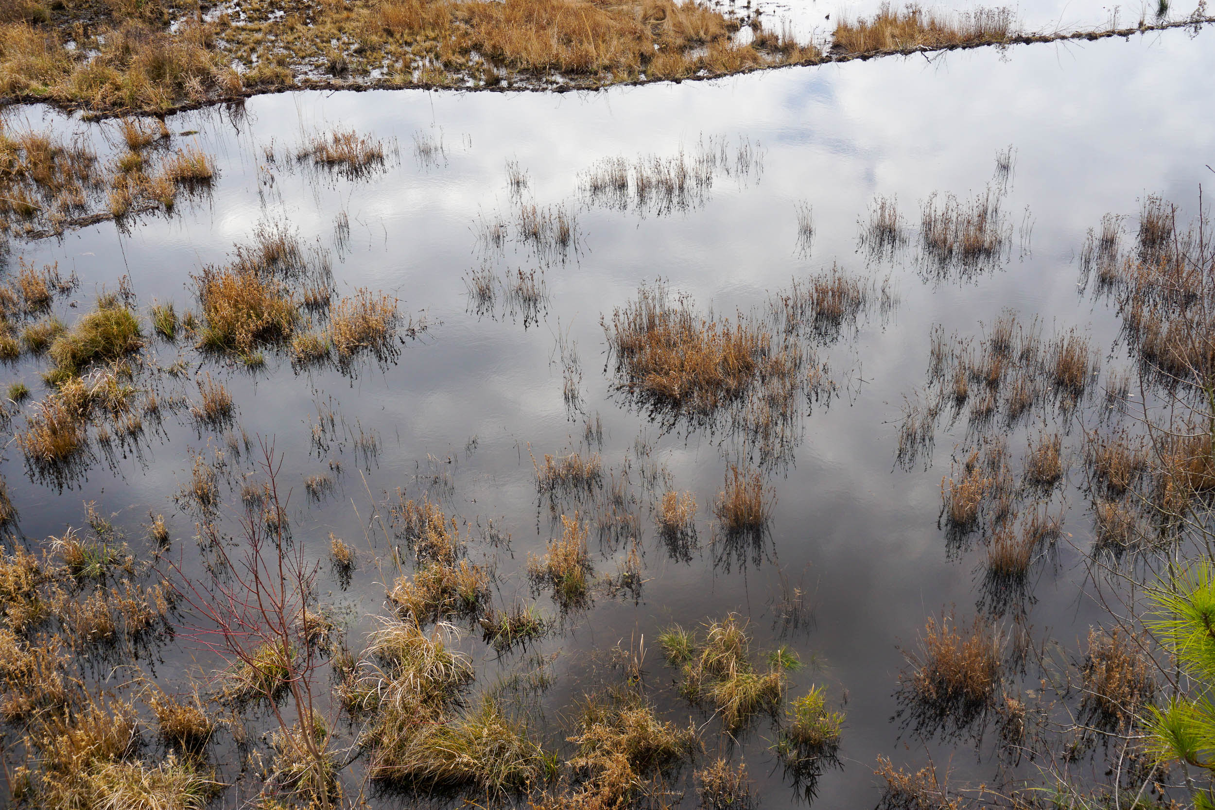
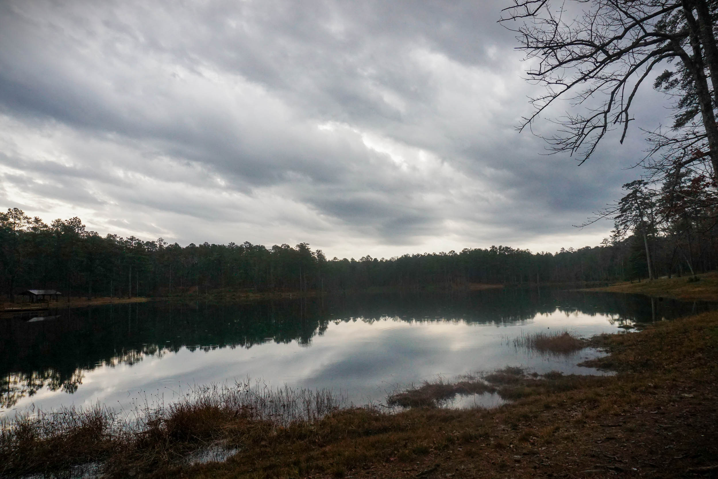
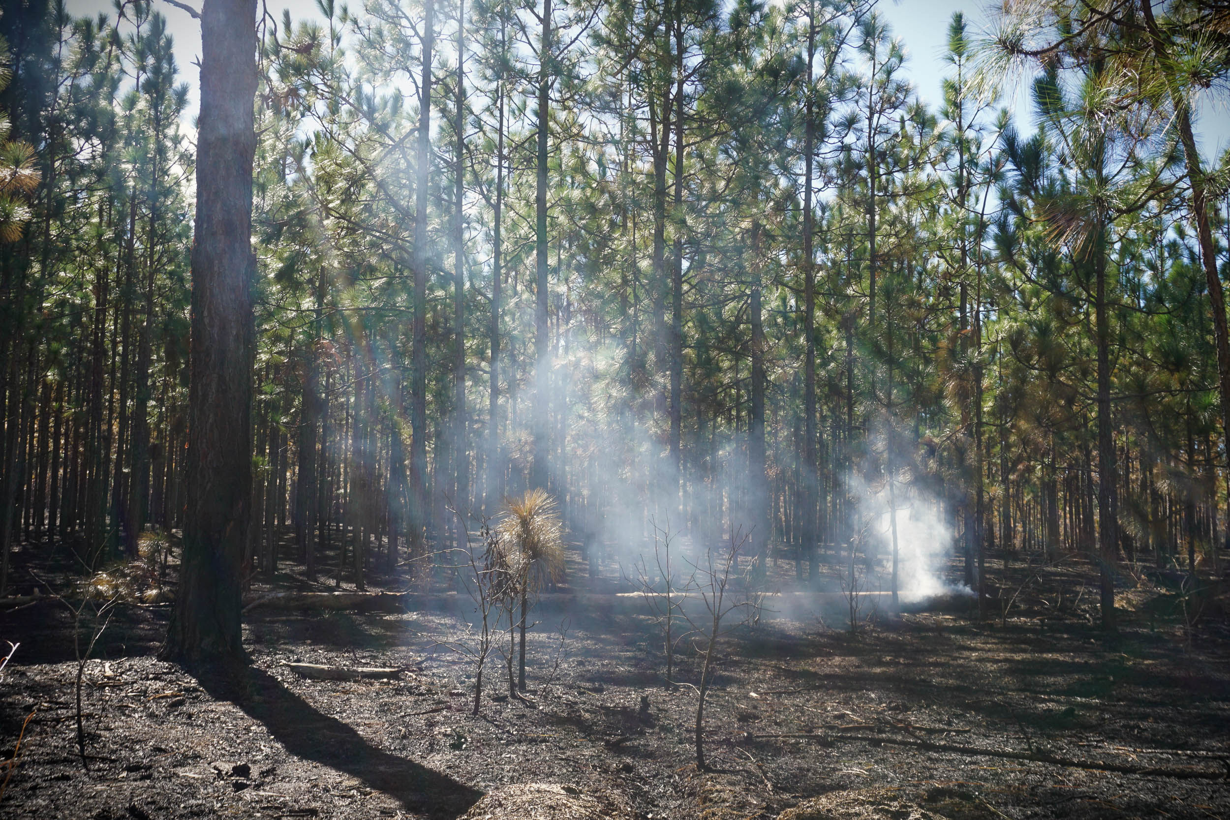
The route’s quiet, primitive character invites ample time for observation and reflection. The fire-adapted longleaf pine ecosystem supports the federally endangered red-cockaded woodpecker, among many other interesting bird species. Open grasslands and wetlands offer opportunities to observe waterfowl, bobwhite quail, and raptors like the northern harriers that swoop across the gently rolling contours of the landscape. Cretaceous sandstone outcrops (considered the source of the sandy soil) poke out of the ground in unexpected places. Rare and interesting plants are found throughout, like carnivorous pitcher plants found in the area’s “pocosins” (hillside swamps). The ecosystem is maintained by prescribed fire, and the sweet smell of the smoke lingers as you ride past freshly burned stands. Altogether, riding through this landscape feels like being lost in something unfamiliar. And for much of the route, you will likely find yourself alone, taking it all in.


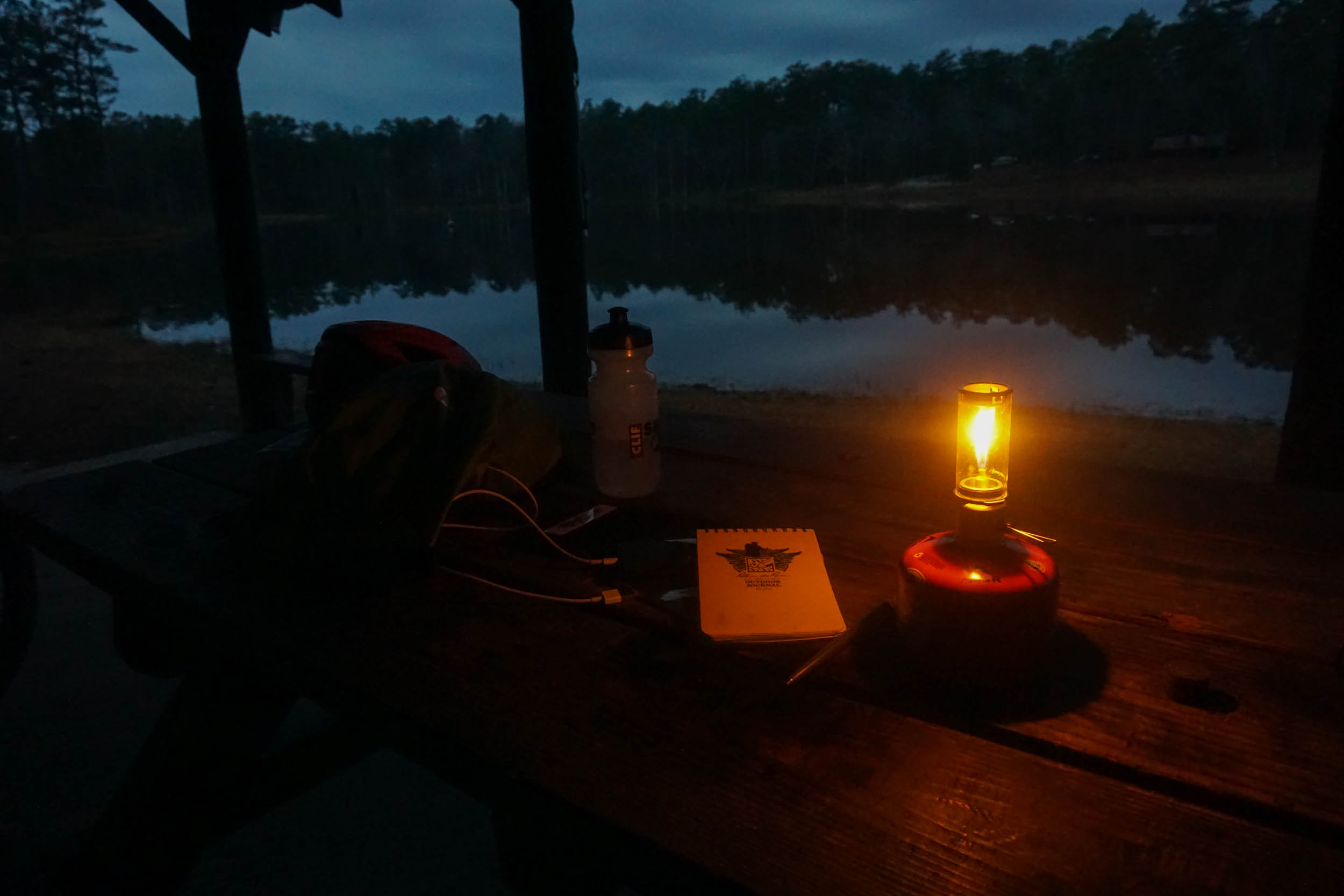
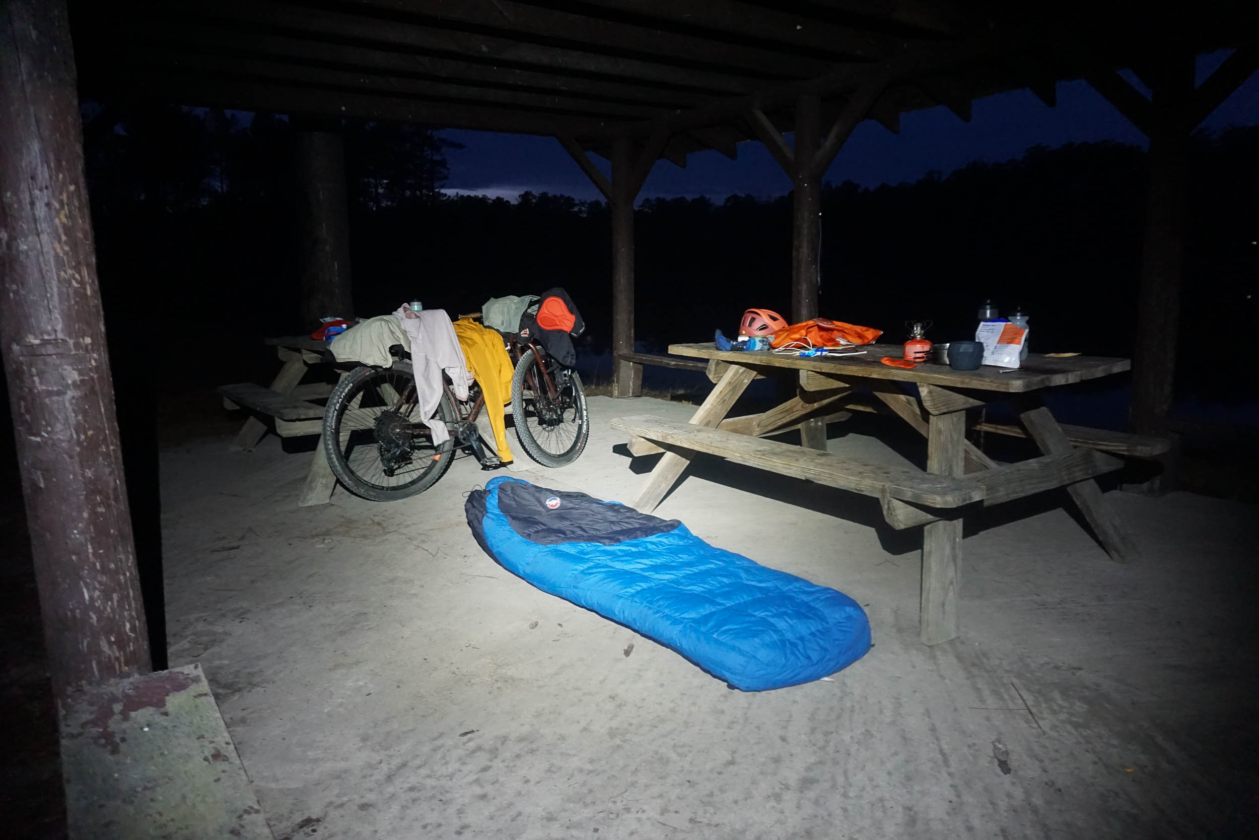
The camping options provided by Sand Hills State Forest are also hidden gems in the state. While the campsites are primitive (no running water or facilities), many are on or near ponds, most have shelters, and some have large stone fireplaces. Reservations are required through the South Carolina Forestry Commission, but you’re guaranteed a nice place to sleep for the night.
There are many roads that cross the wildlife refuge and the state forest. This route samples only some of them to connect scenic areas, points of interest, and campsites, but there are many options for customizing it to your desired length. Take a look at maps from different sources (many roads are shown correctly online), and you can easily plan a modified route. This may be necessary in some cases if prescribed fires close some roads along the route; be prepared to figure out alternate routes on the fly.
Route Difficulty
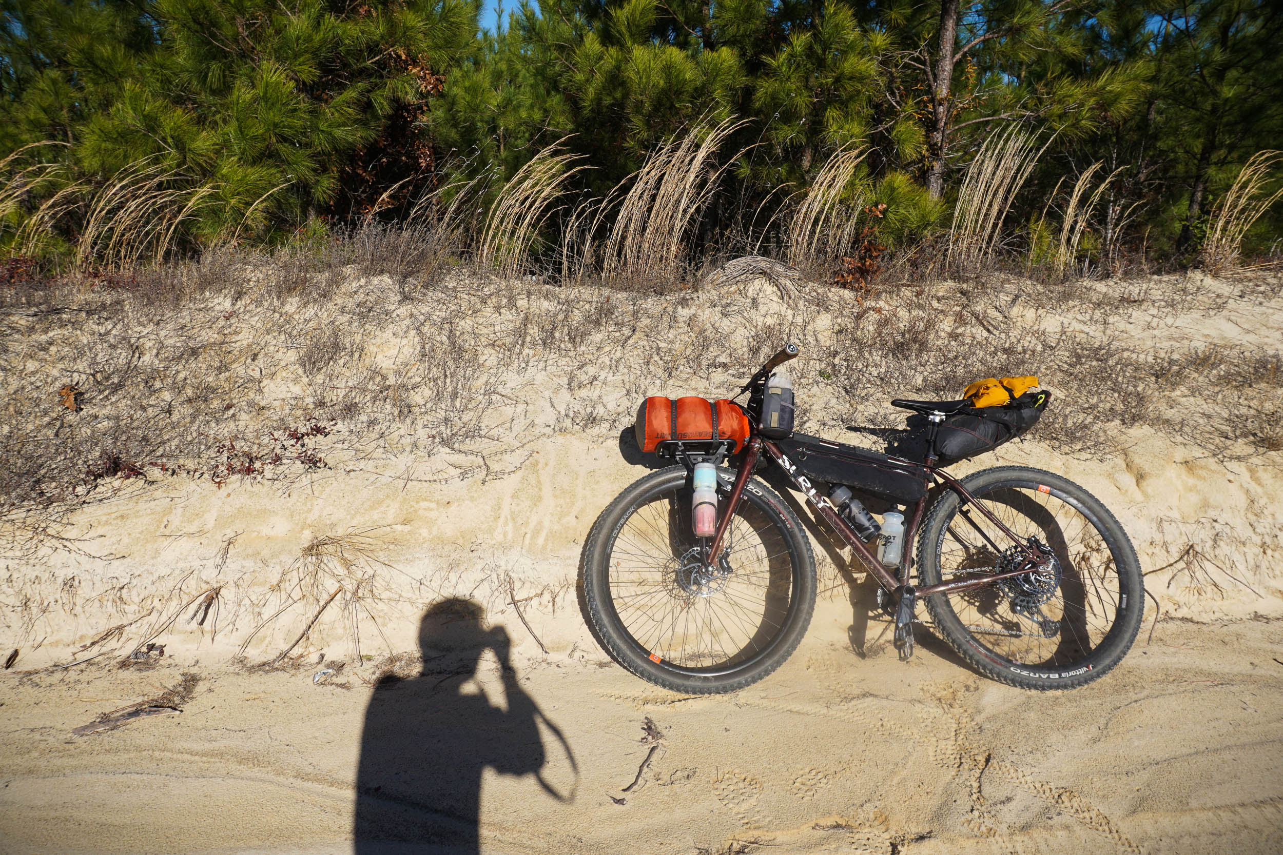
The route is an overnighter and not particularly long or tough, giving it an overall difficulty rating of 3. However, there are a few caveats that add to the difficulty; some very sandy stretches of road increase the physical and technical demands, and the relative lack of people makes for a considered approach to bike repair, maintenance, and supplies.
Route Development: While this route was developed from my own meanderings in the area, I am certainly not the first person to ride bikes through the wildlife refuge (as shown on the Ride with GPS heatmap). The Carolina Sandhills NWR website advertises the road network for bicycling, and staff at Carolina Sand Hills State Forest helped me confirm which roads in their network are open to bicycles. Finally, I need to thank a person named Glenn Hanna, who has driven and photographed nearly all the drivable roads in the area (and others in the state) in 360 degrees and uploaded the results to Google Street View. I don’t know, Glenn, but I’ve found it quite fascinating to drop the little Google Street View icon on random dirt roads and find Glenn’s name along with confirmation of the road’s condition while scouting this route. Thanks, Glenn!
Submit Route Alert
As the leading creator and publisher of bikepacking routes, BIKEPACKING.com endeavors to maintain, improve, and advocate for our growing network of bikepacking routes all over the world. As such, our editorial team, route creators, and Route Stewards serve as mediators for route improvements and opportunities for connectivity, conservation, and community growth around these routes. To facilitate these efforts, we rely on our Bikepacking Collective and the greater bikepacking community to call attention to critical issues and opportunities that are discovered while riding these routes. If you have a vital issue or opportunity regarding this route that pertains to one of the subjects below, please let us know:
Highlights
Must Know
Camping
Food/H2O
Trail Notes
Resources
- Riding through vast longleaf pine forests,with their open park-like savanna understories.
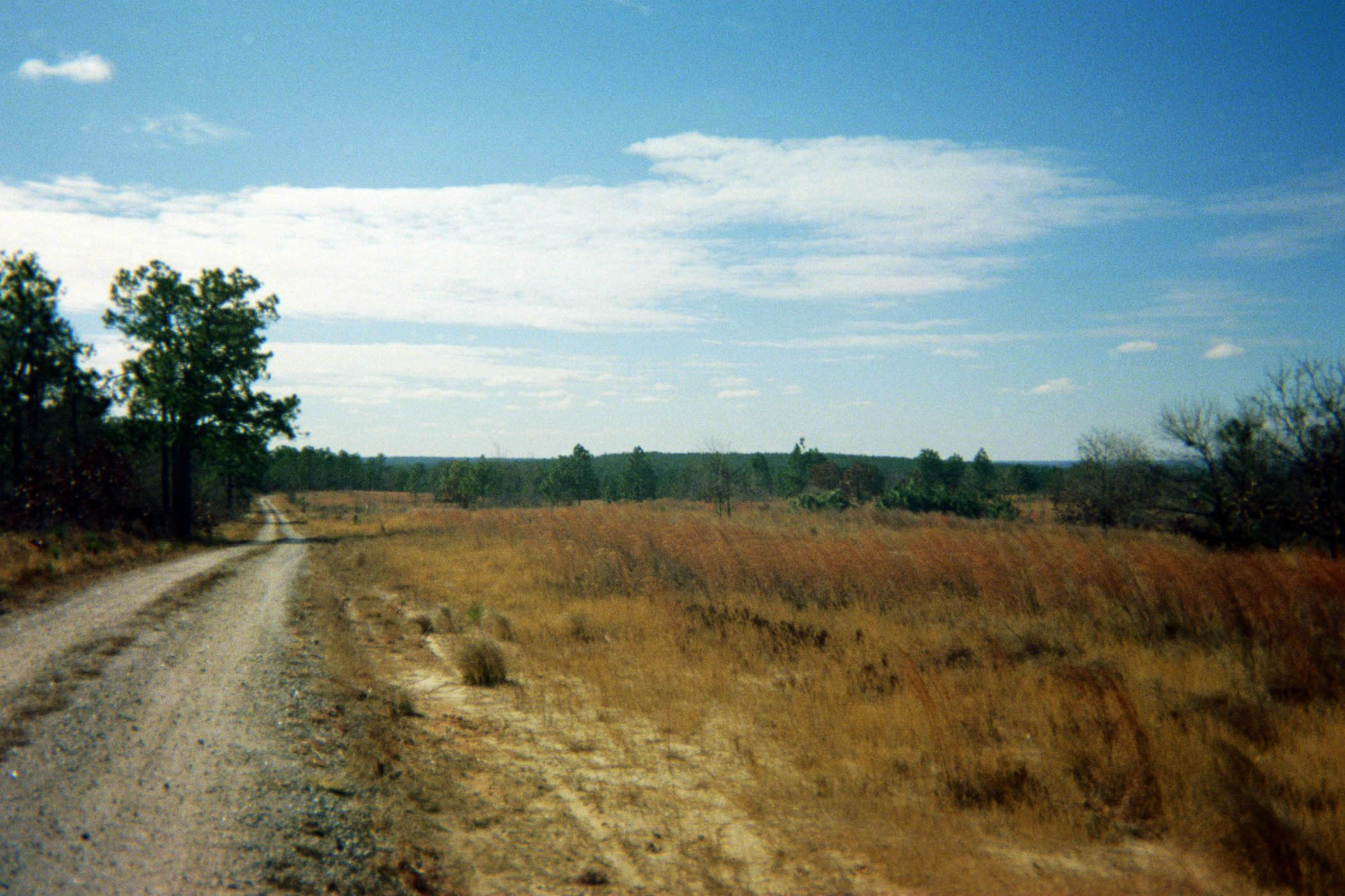
- The solitude; miles of quiet dirt roads far away from other vehicles and people.
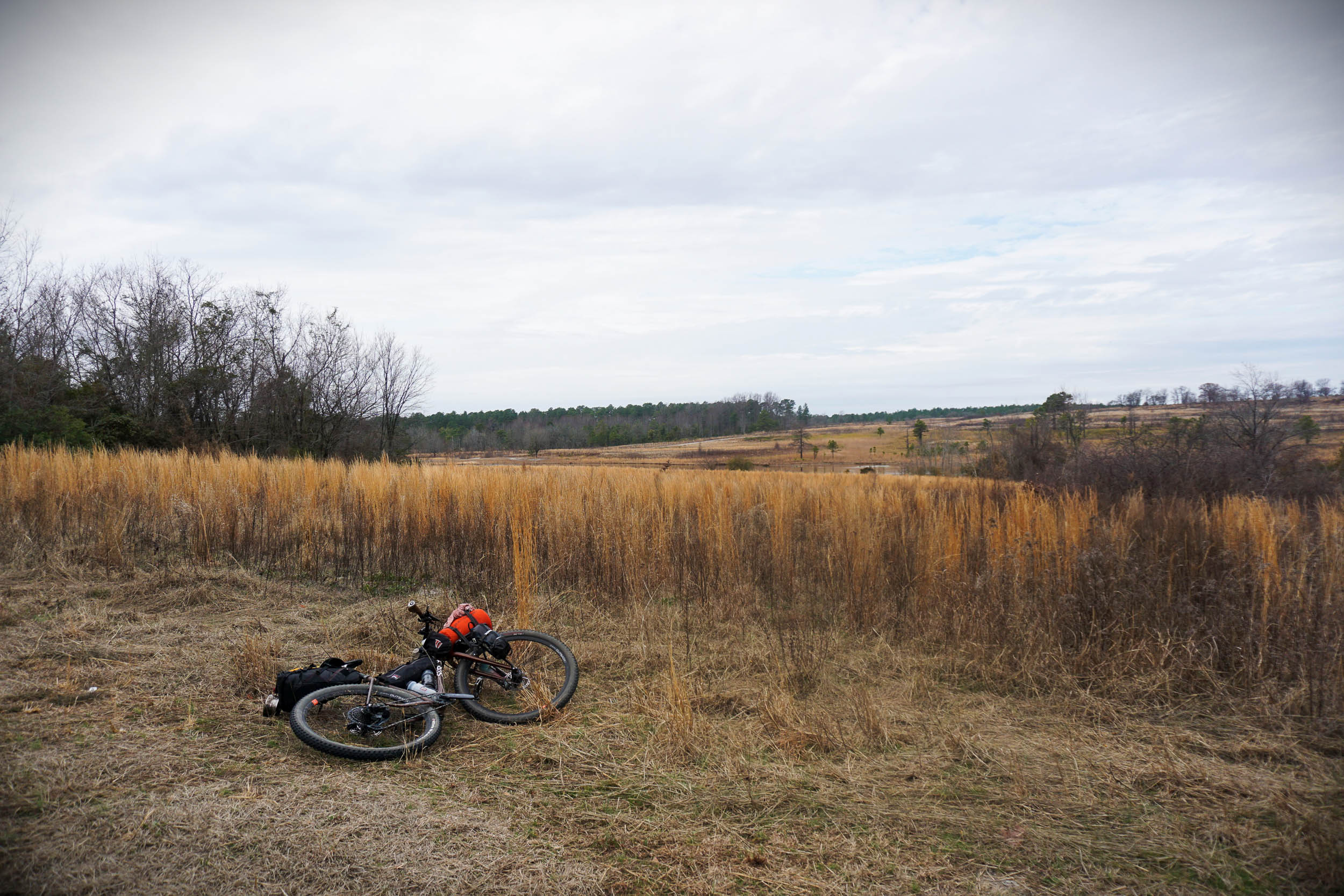
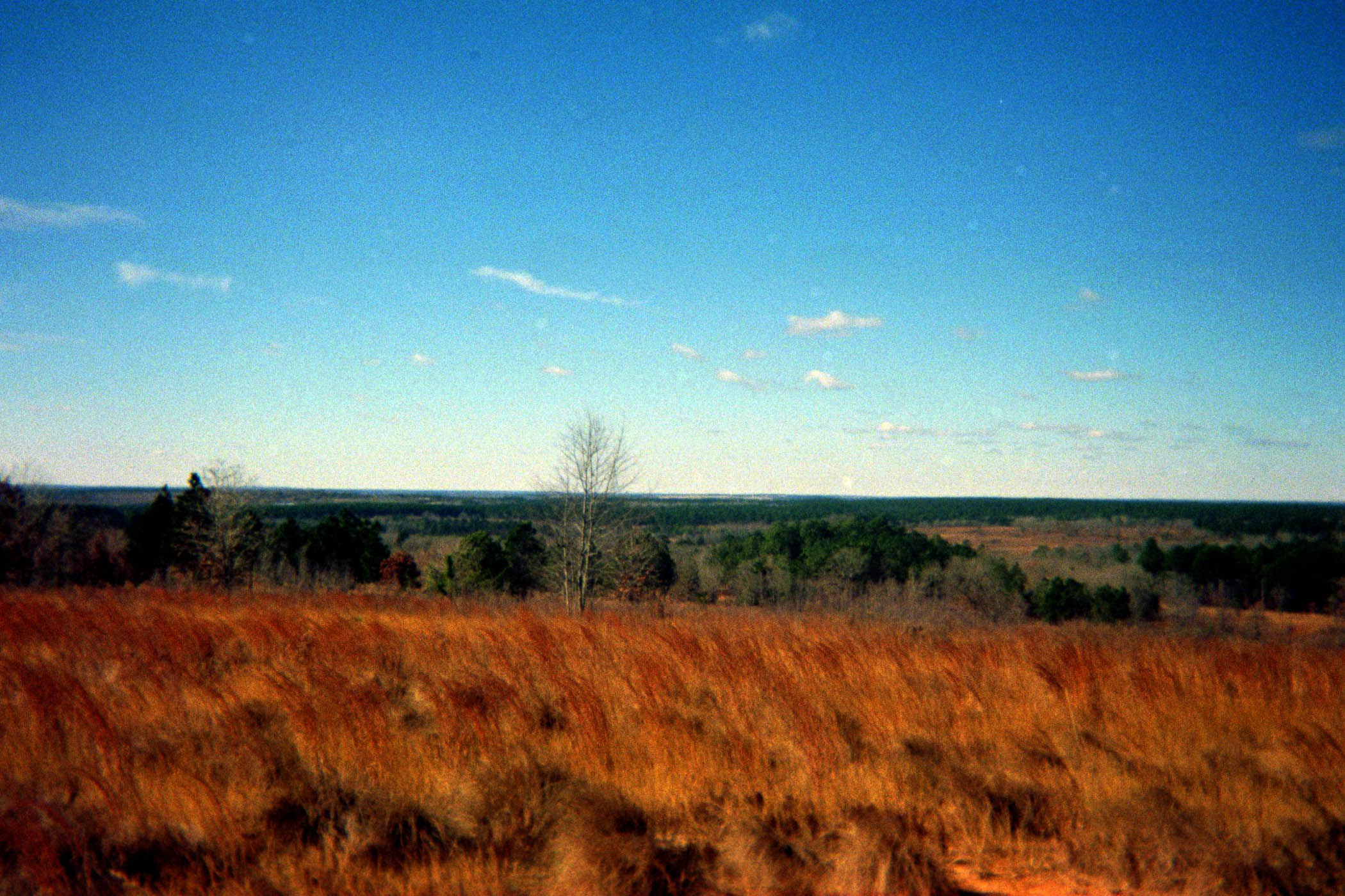
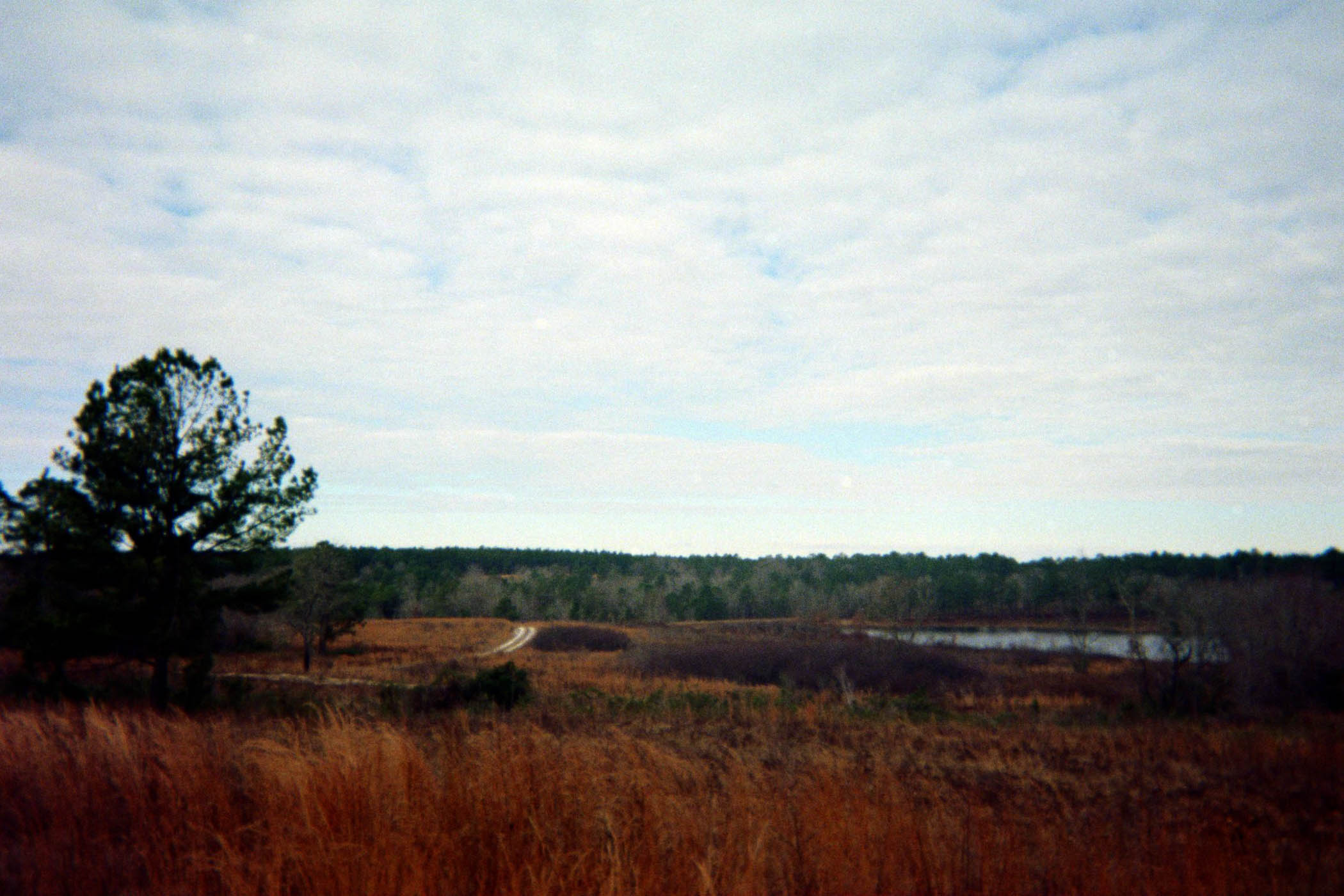
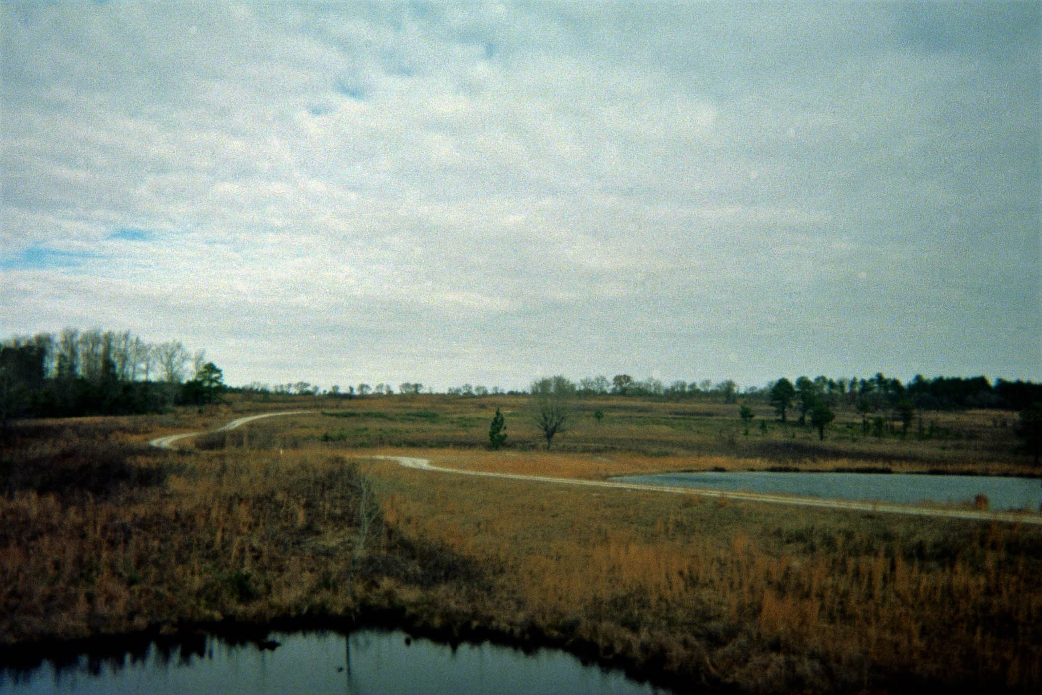
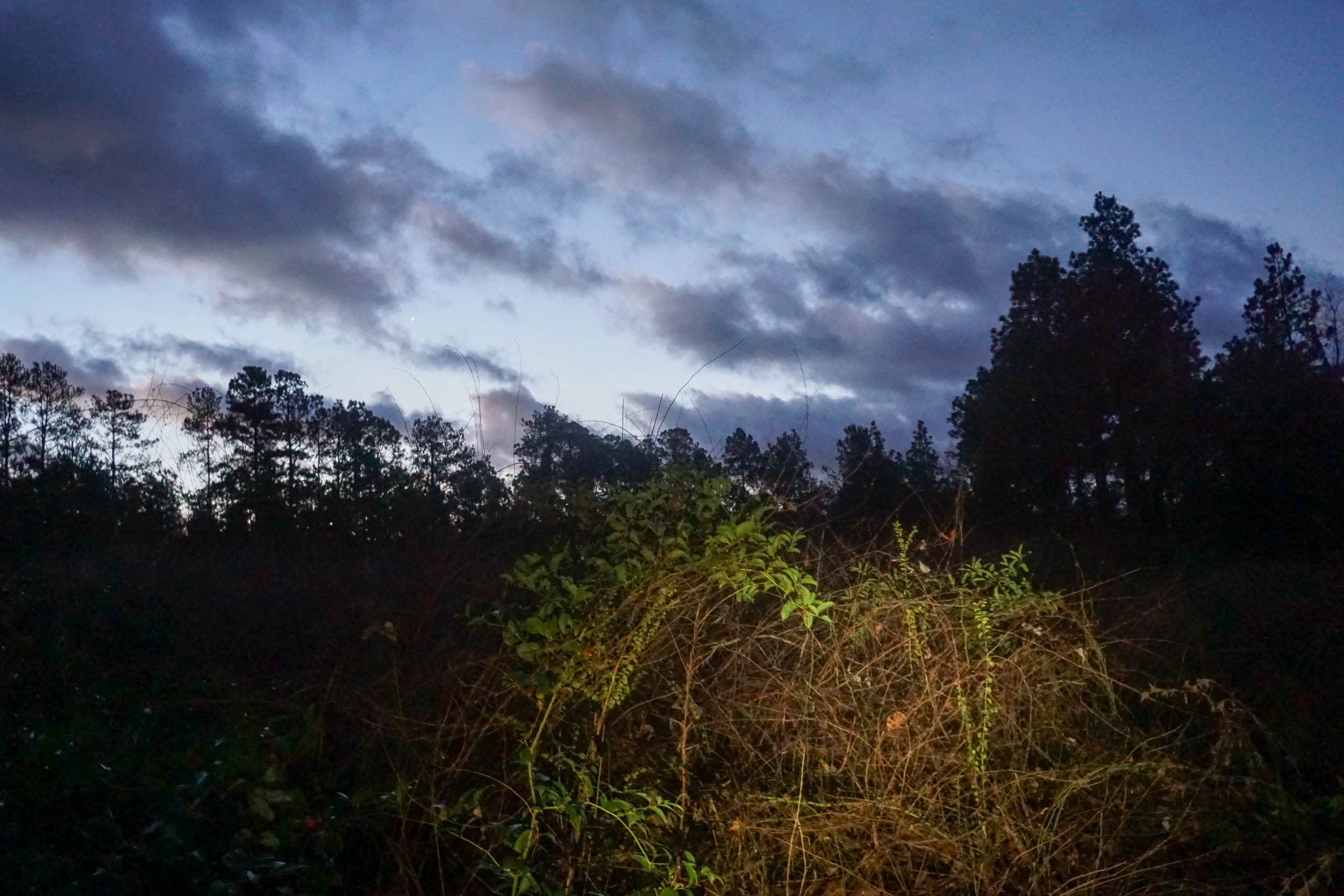
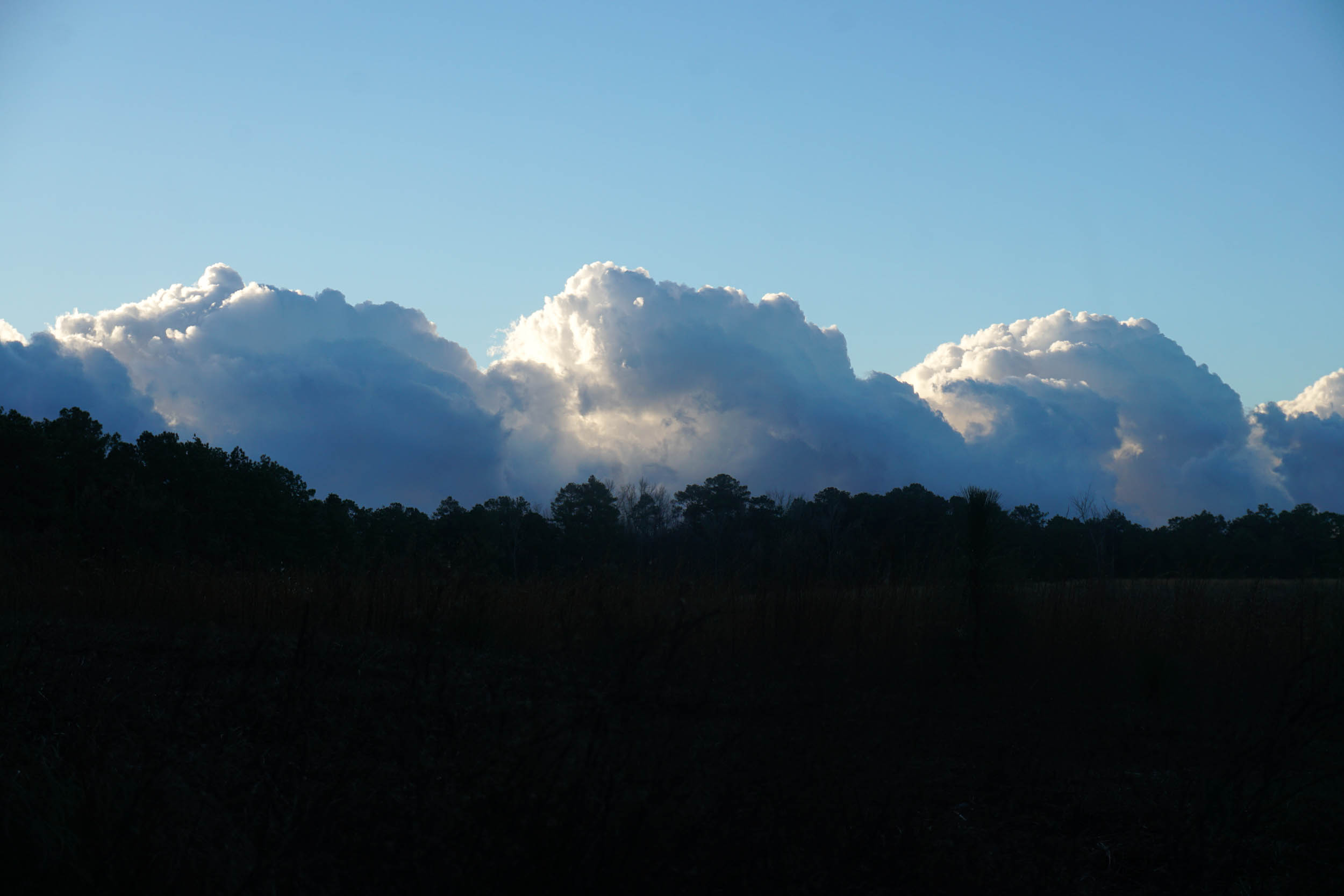
- Open grasslands and wetlands, with big sky views and excellent bird watching.
- Riding and camping among a strong population of federally endangered red-cockaded woodpeckers.
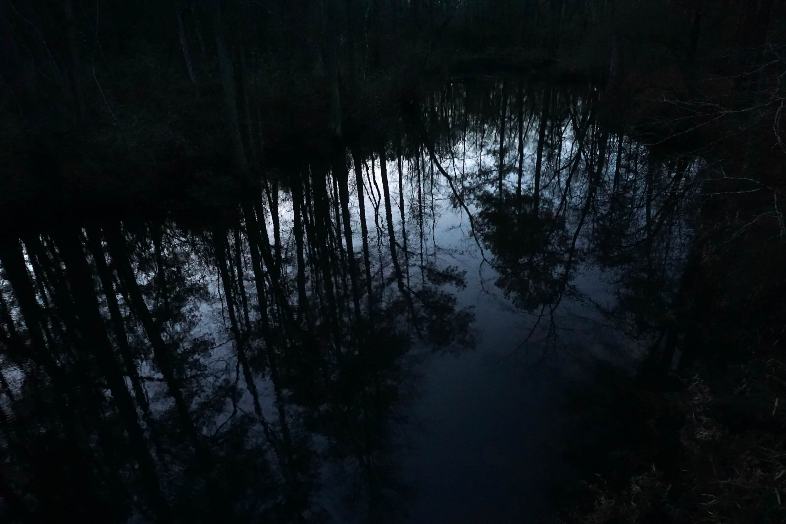
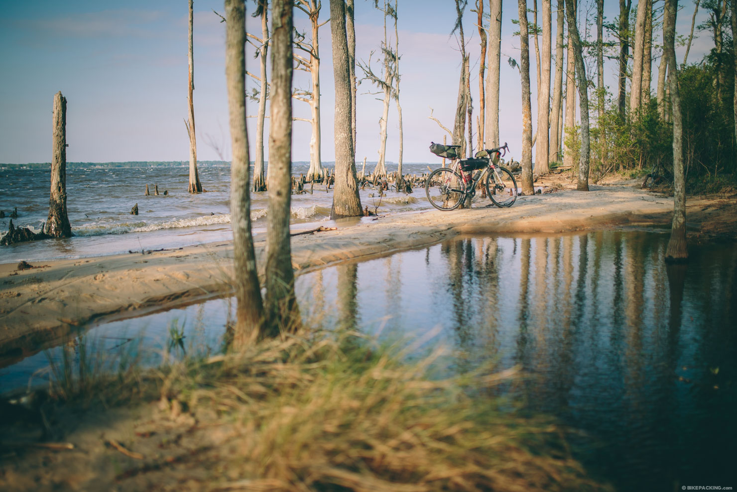
- Blackwater floodplain forests and ponds that cut across the sandhills for a change of scenery that keeps it interesting.
- In the right season, carnivorous pitcher plants at the Oxpen area.
- Excellent campsites, some with shelters and fireplaces.
- The sweet smell of a stand of forest that has been recently burned (via prescribed fire).
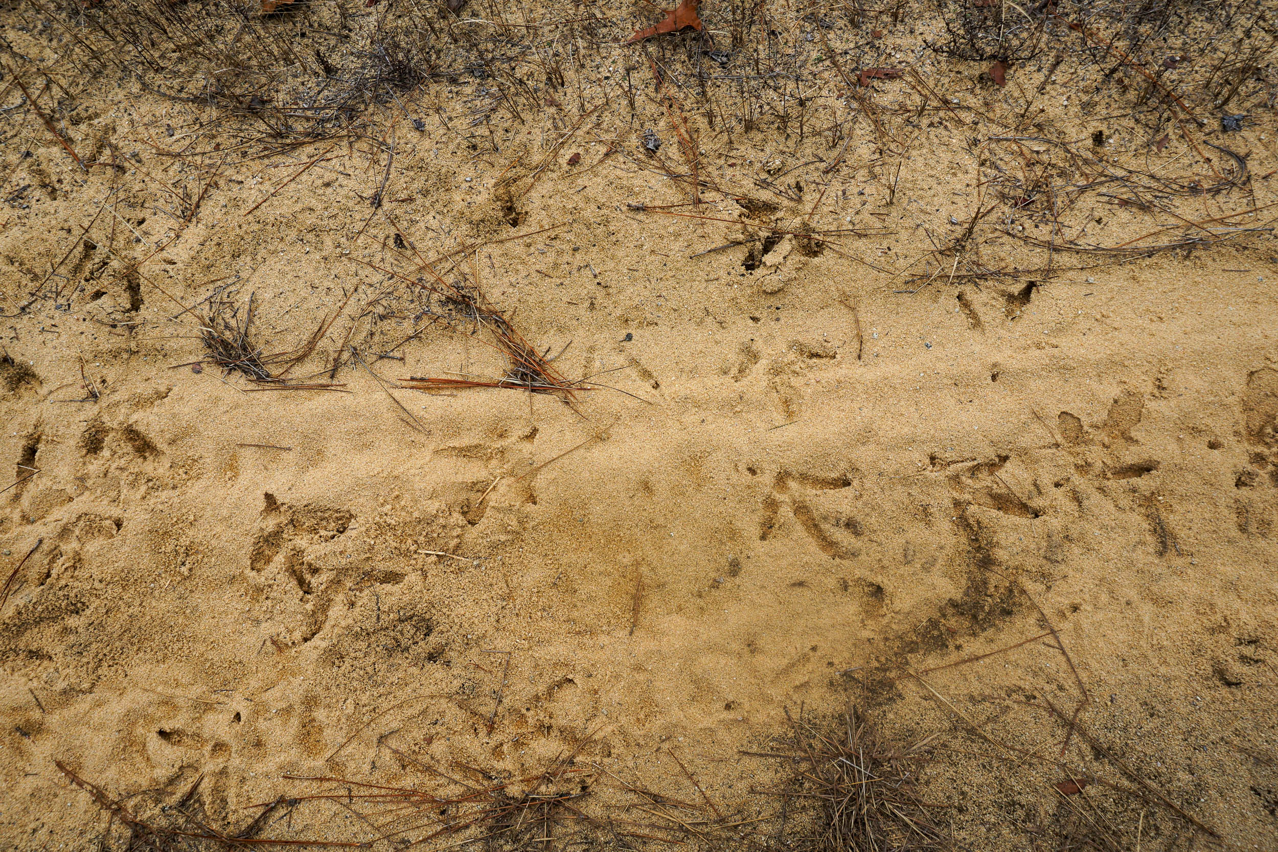
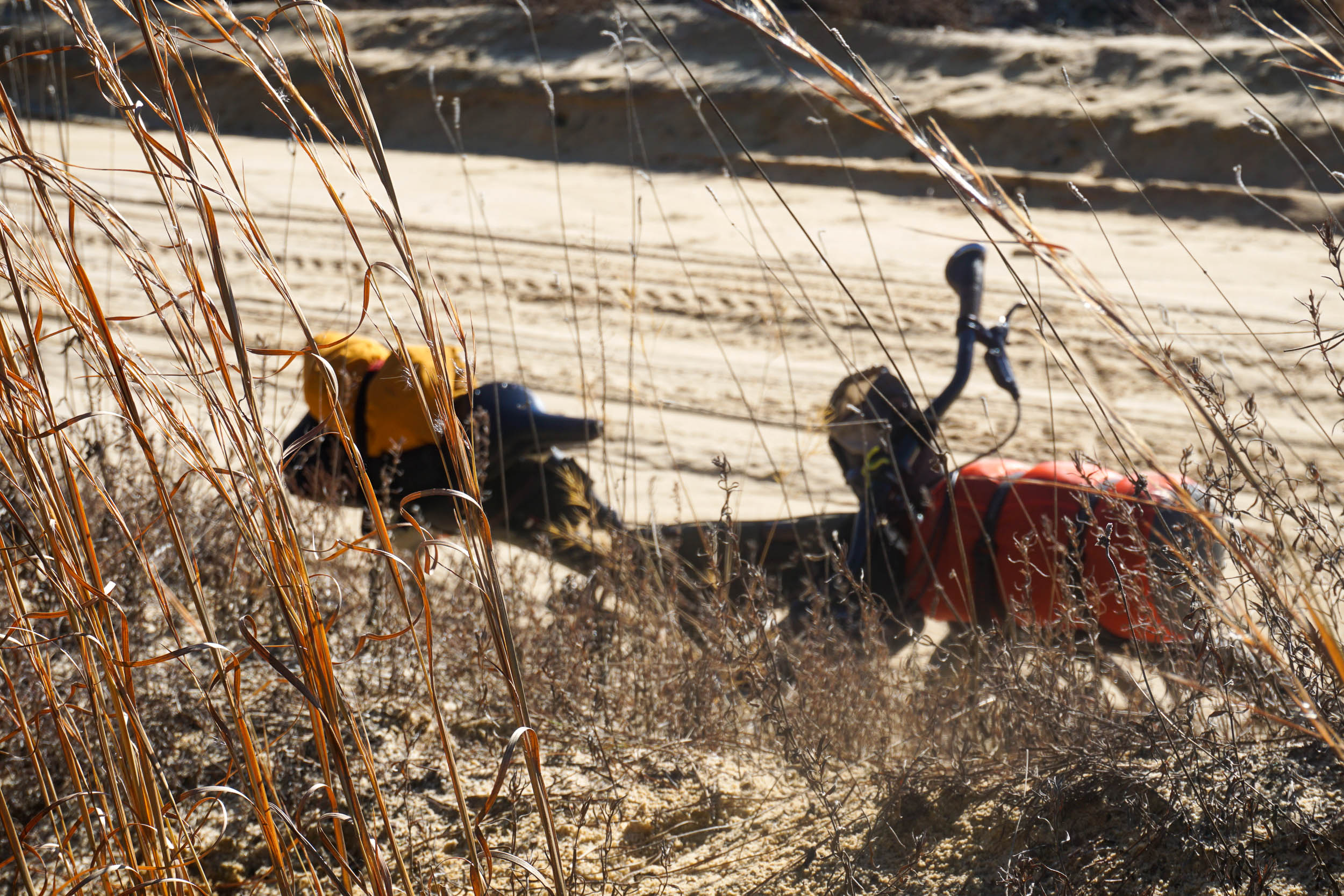
- Animal tracks in the sugar sand roads; turkey, deer, coyote, raccoons, and others.
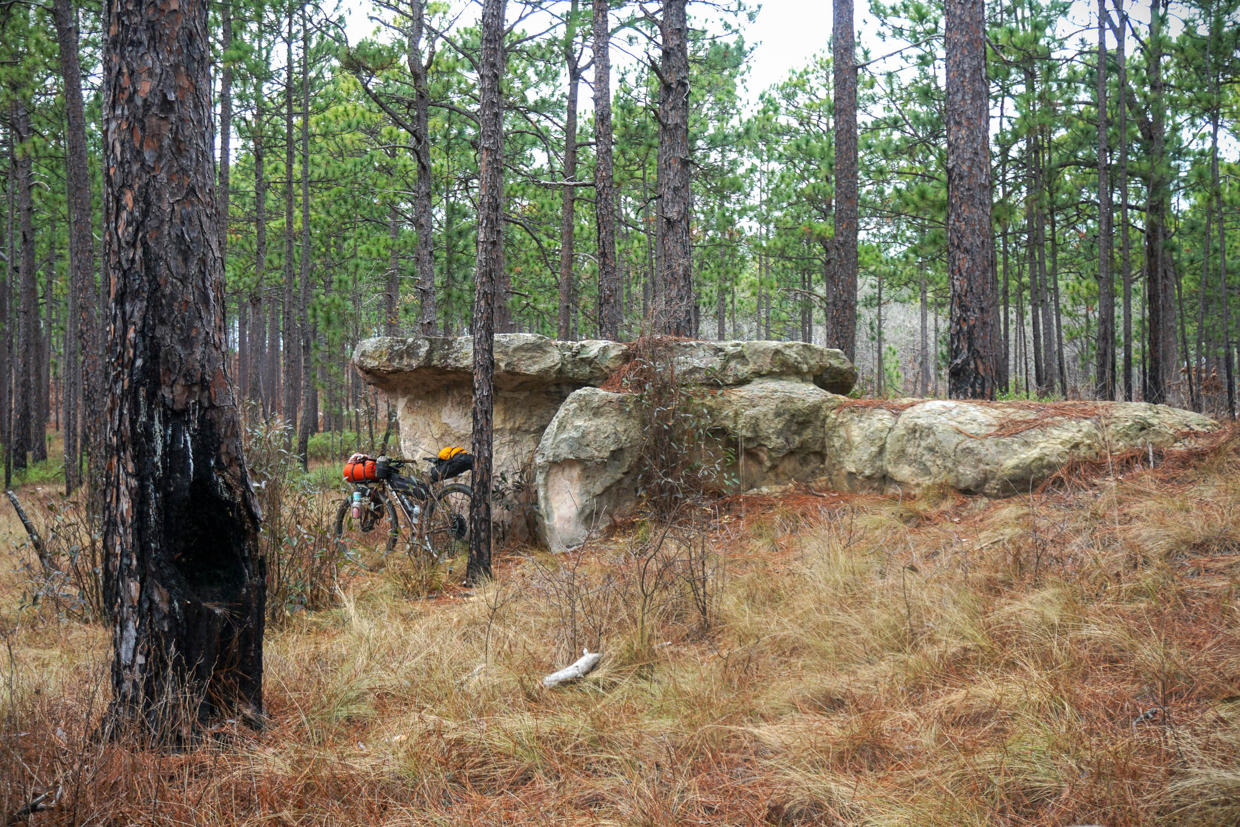
- Sandstone outcrops and boulders popping up in unexpected places.
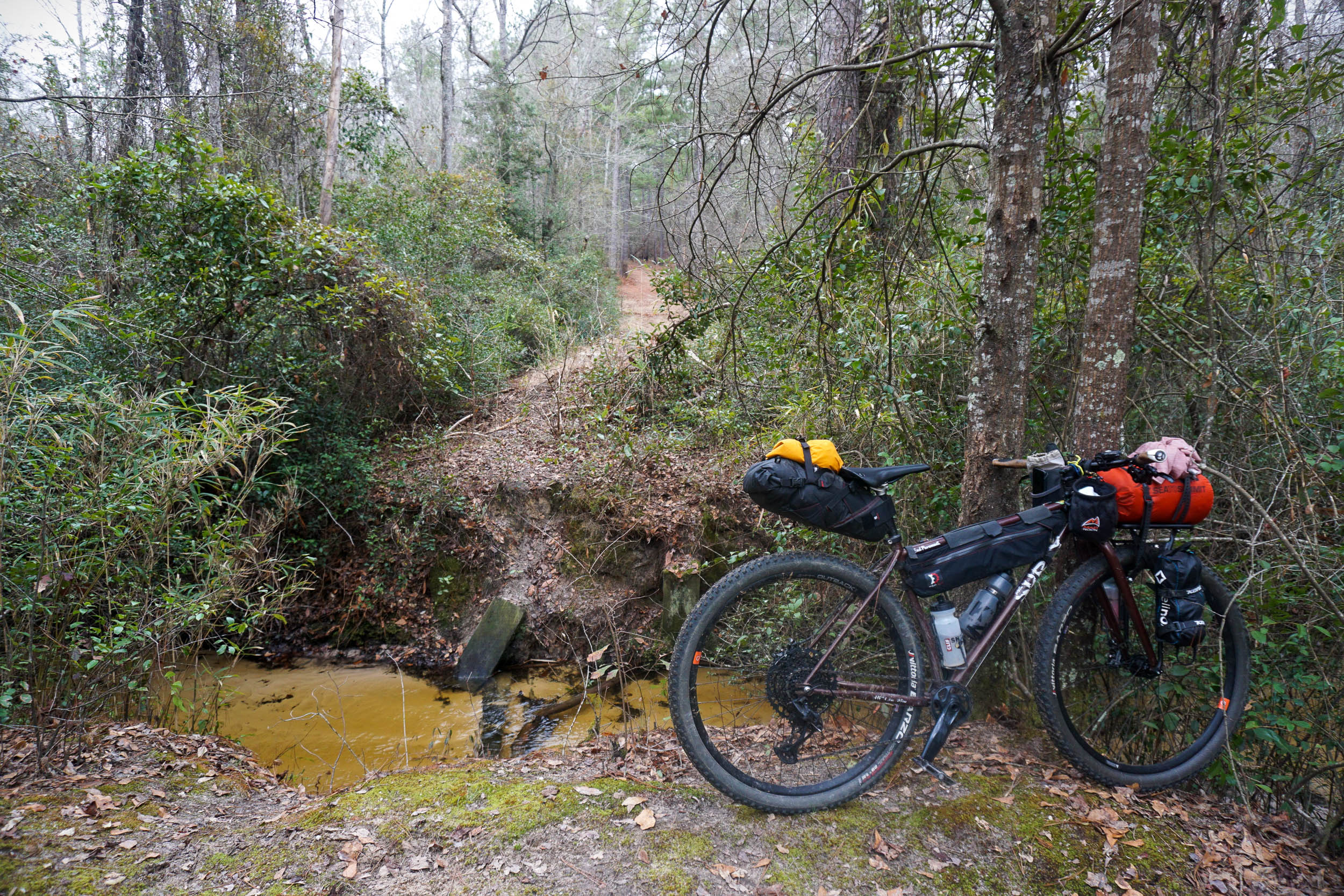
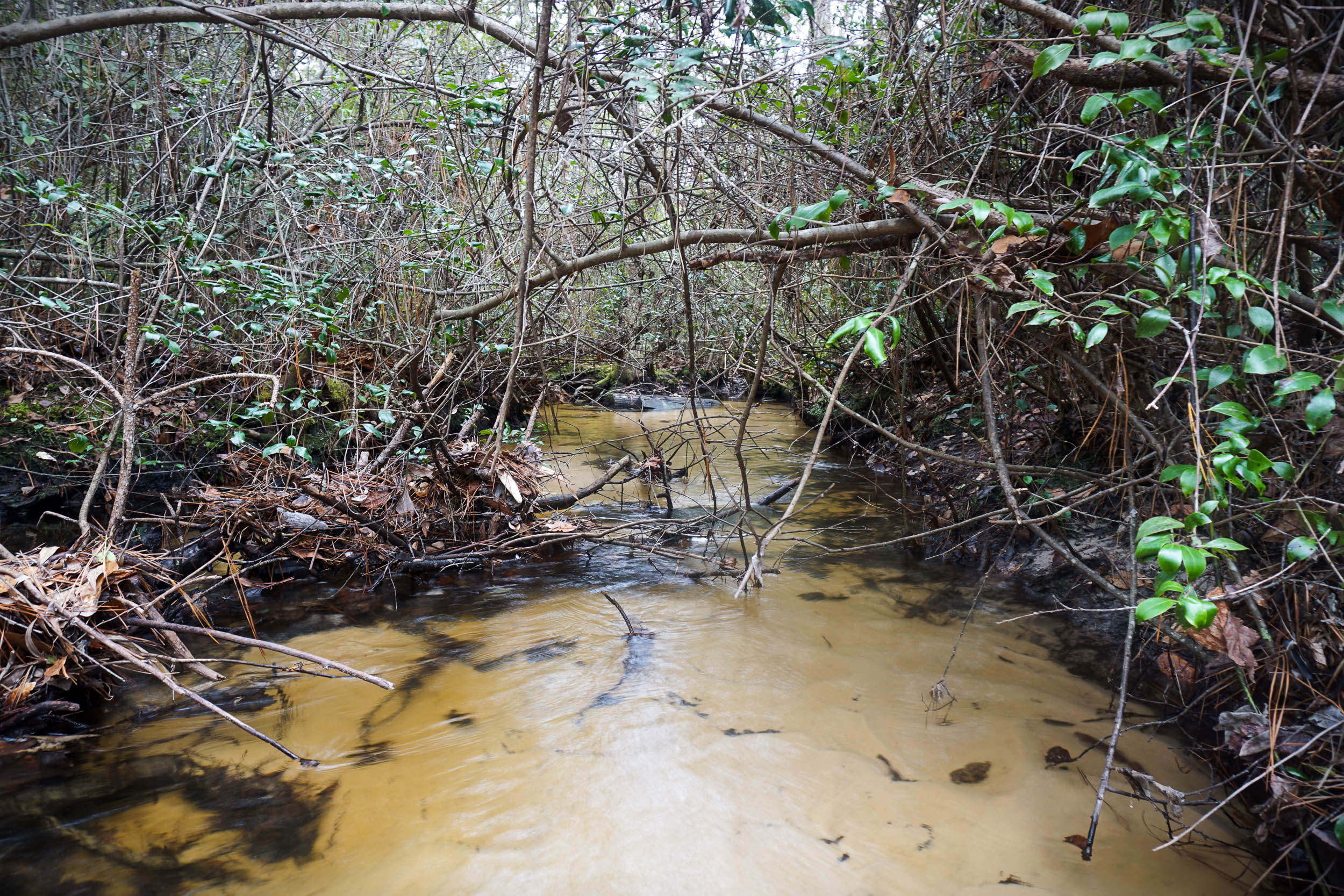
- The creek crossing halfway through the first day. While you could route around this, why not add a little spice?
When to go
- When to go: Fall, winter, and spring are the best seasons. Winters can be mild, but that’s not a guarantee (as anyone who lives in the Carolinas knows, you never know what you’re going to get). Avoiding the summer is probably a good idea for comfortable sleeping. See below about seasonal management activities on the refuge and state forest.
Logistics
- Parking: The start and end of the route (as shown here) is a Sexton Pond with a campsite on Sandhills State Forest property. While I have not had any problems parking here overnight, it is in a rural area. Be aware of what you leave in the car. It is recommended to call Sand Hills State Forest and let them know where you will be parking; you have to call them to reserve a campsite anyway.
- While most roads in the area are open to bicycles, if you are planning a modified route, it is a good idea to check the state forest and wildlife refuge road maps for accurate road information.
Dangers & Annoyances
- There are two seasonal considerations for this route: hunting seasons, and prescribed fire.
- Hunting Seasons: hunting is allowed on the wildlife refuge and state forest during the general period of September to April. Different hunting seasons have different regulations and permitted areas. But as a general rule, during this time, it is recommended to wear brightly colored clothing or have international orange draped across your bike in some way.
- Prescribed fire: The landscape is managed by prescribed fire, usually in the winter and spring. Check with both land agencies for prescribed fire plans and be prepared to alter the route on the fly if any section is closed for these management activities. Thankfully, the many roads in the area make it easy to change the route on the fly.
- There is a creek crossing on the route at mile 20. It is usually very shallow, but it will require some wet feet and a steep climb up and down the bank with the bike. To skip this crossing, look for some of the other roads farther south to cut off this section.
- The State Forest hosts a rally car race in the late winter called the Sandblast Rally. Check the race dates, as some roads on the route will be closed this weekend.
- Camping is on Sand Hills State Forest land. These campsites must be reserved in advance by calling the Sand Hill State Forest office. The cost is minimal ($10-15). There are campsites along the route from mile 38 to 45 (plus a few others off the route). Check out the state forest website to see what each campsite looks like.
- The Sugarloaf Mountain Recreation Area at mile 38 has 8 campsites. Six have shelters, and two of those are adjacent to Mountain Pond and have stone fireplaces. At Sugarloaf, there is a nature trail, a short hike up Sugarloaf “Mountain,” and a population of red-cockaded woodpeckers.
- Also on the route are the Lee Pond and Hunter Pond campsites.
- The route begins at Sexton Pond, which has a campsite. This could be used for a night before or after riding the route, or as the overnight site with a modified start location.
- There are no resupply options along this route, so carry the food that you need.
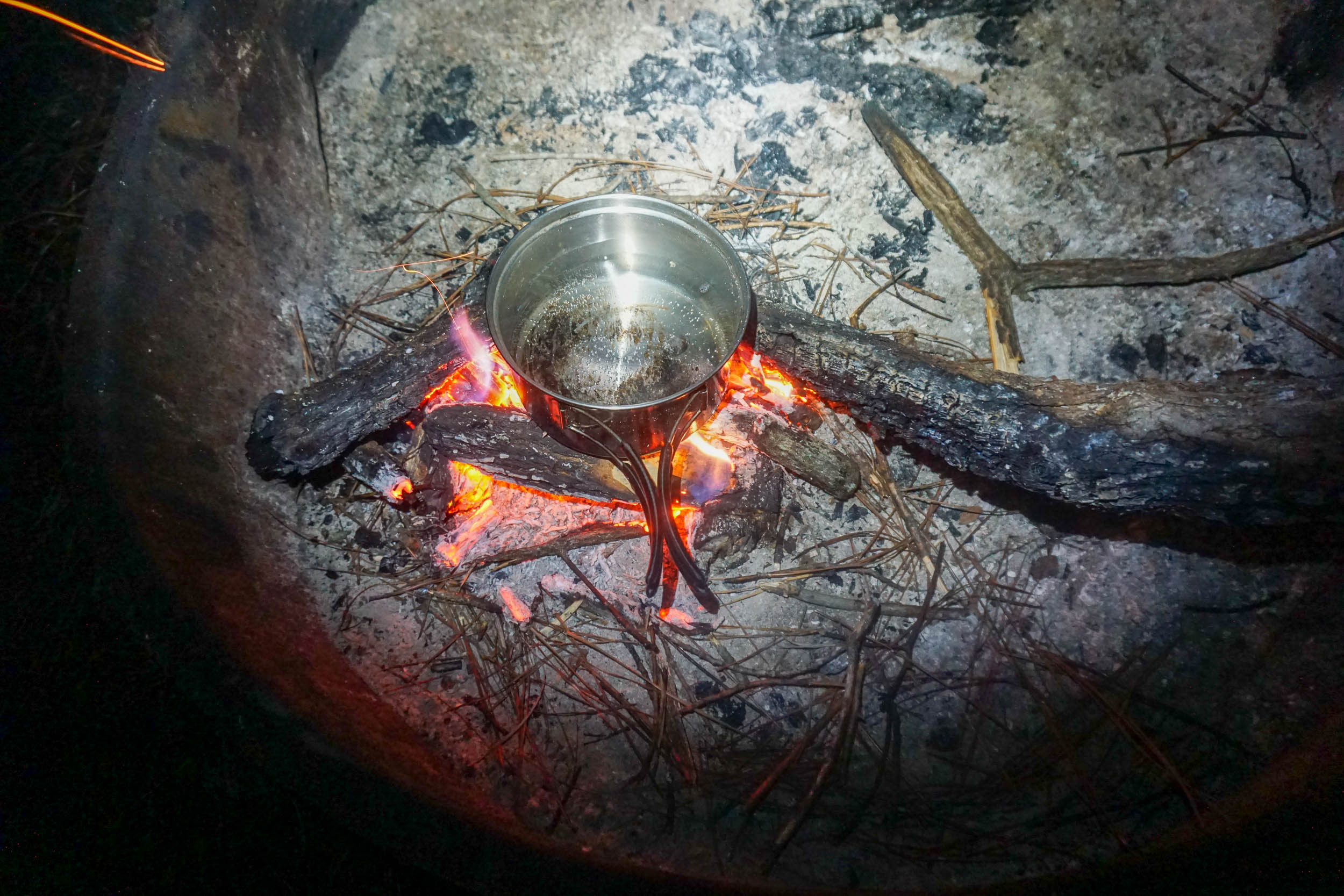
- Water can be filtered from natural sources (creeks and ponds) along the route.
- Campsites near ponds are helpful if you need water for cooking or to filter for the next day’s ride.
locationSexton Pond to Sugarloaf Mountain
Day 1 (38.5 mi +2,463′)
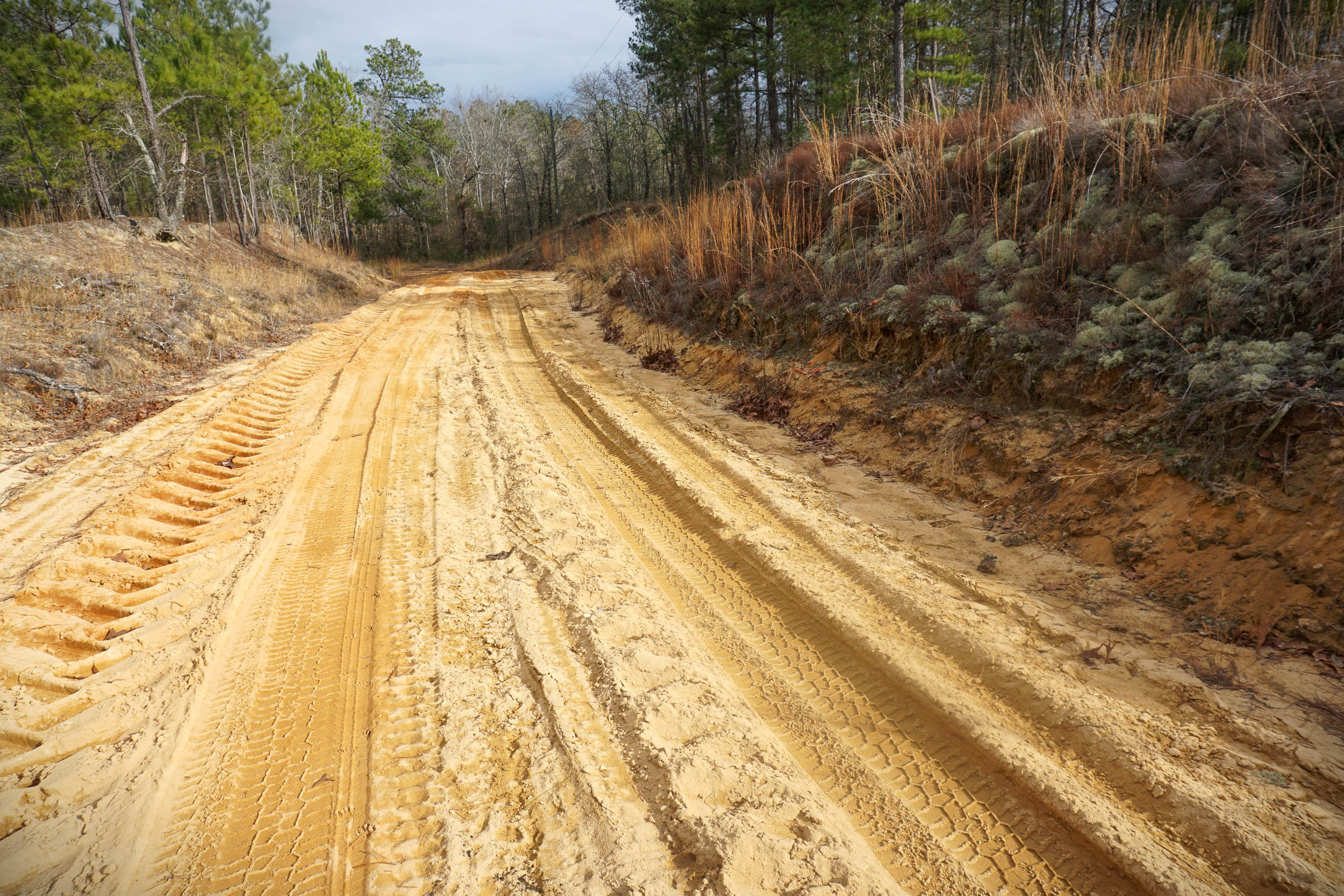
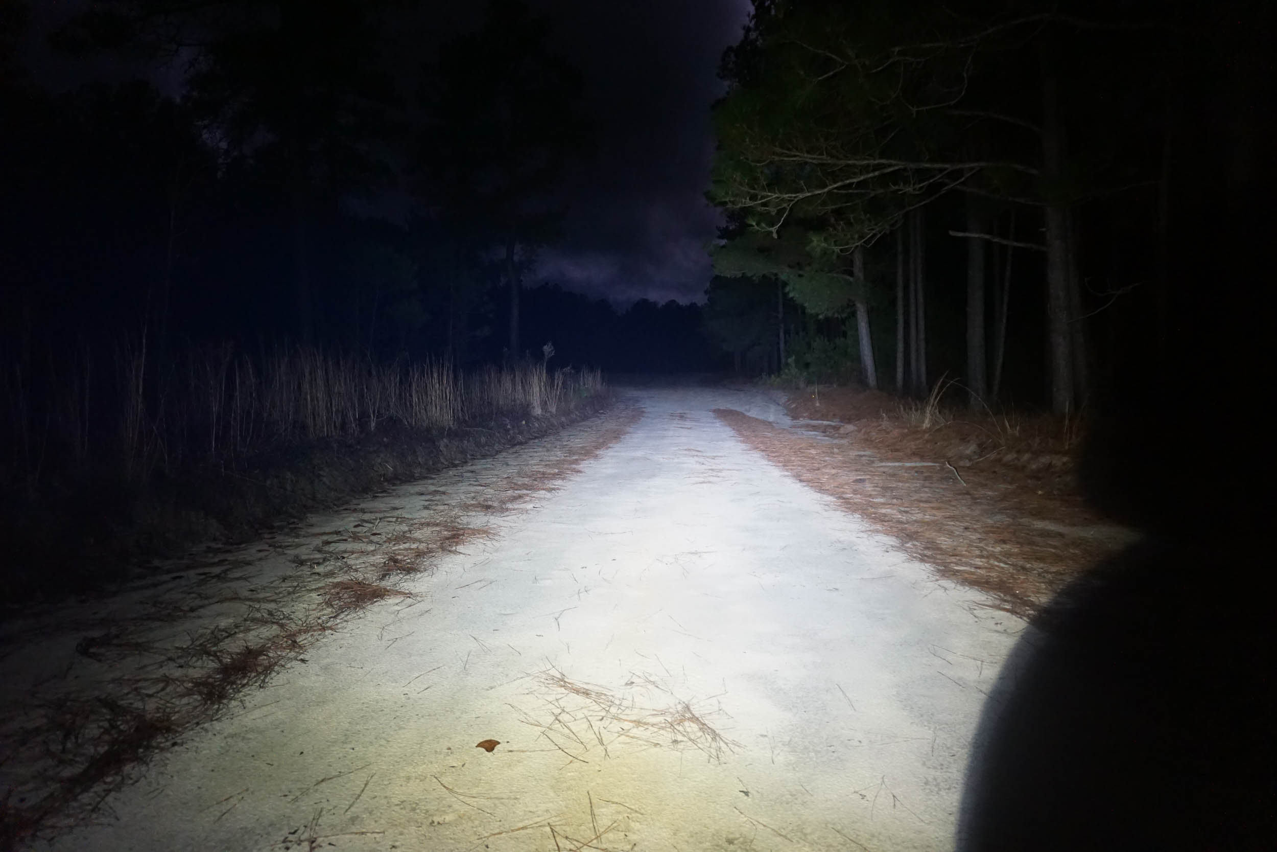
After a quick pavement warm up, you’ll soon hit the sugar sand roads and the National Wildlife Refuge around mile 2. Some items of interest on day 1:
- A quick detour to a small pond at mile 11 takes you to a nice spot to take a break and have a snack.
- Plan to spend some time around the Oxpen area at mile 15-16. Open grasslands, ponds, and wetlands make for good bird watching, cloud watching, and plant identification. In the right season, you can find a large population of carnivorous pitcher plants in bogs near the ponds.
- At the creek crossing at mile 22.5 You will have to scramble down the bank, cross the creek, and scramble back up. If this isn’t your idea of fun, you can shortcut this section at mile 18.5.
- At mile 25.5, there is a nice sandstone outcrop among a very nice longleaf pine and wiregrass savanna. This is a very nice, very quiet place for a stop.
- Just after mile 28, take a quick detour to a clearing that is the high-point of the route. Here you will find views over the grasslands above the Oxpen area, and way beyond.
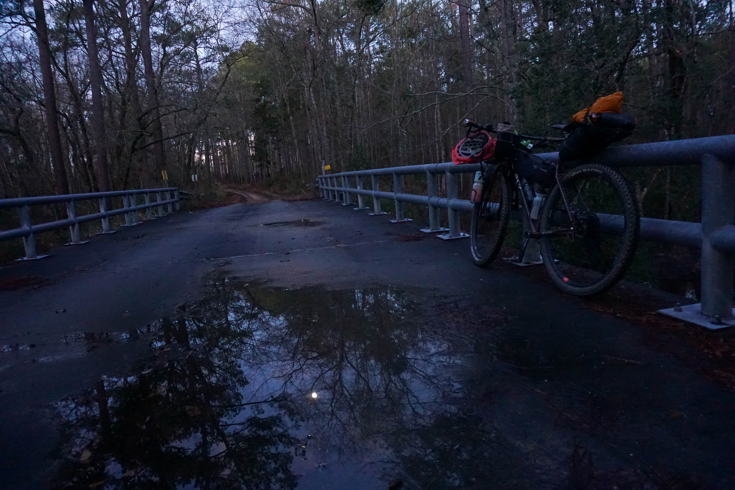
- You will leave the Refuge at mile 35.5, at the bridge over Black Creek.
- After a quick trip down pavement, you’ll turn into Sand Hills State Forest and the Sugarload Mountain Recreation Area. Here you will find a very visible population of Red-cockaded Woodpeckers, some short hiking options, a nice pond, and the Sugarloaf Mountain campsites (see the camping section).
locationSugarloaf Mountain to Sexton Pond
Day 2 (29 mi +1,600′)
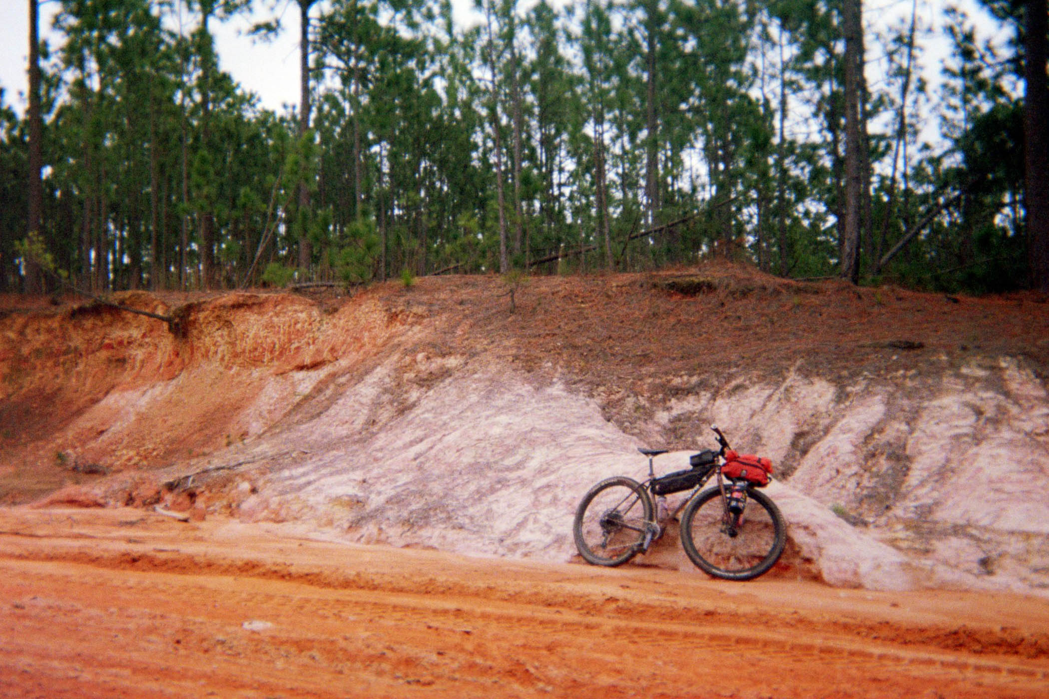
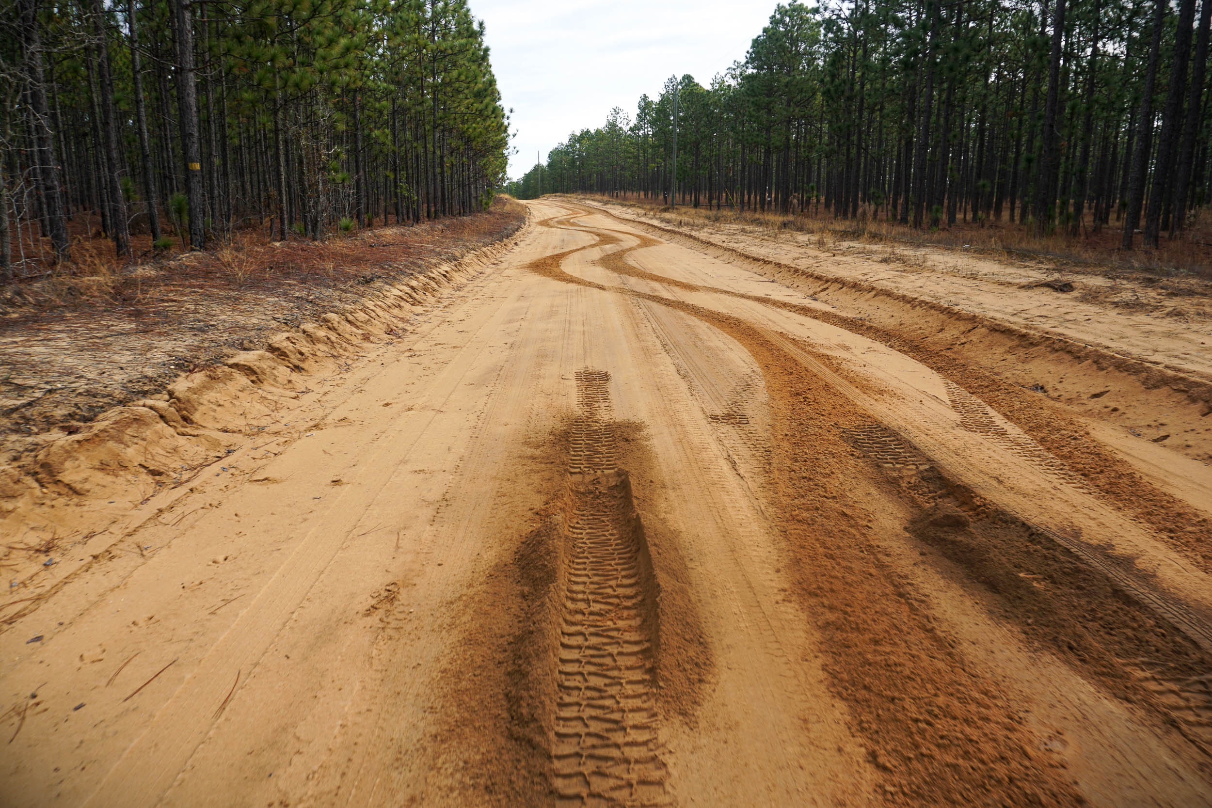
- The first 11 miles of day 2 are on state forest lands, which are primarily loose, sugary sand. Be prepared to pedal in a low gear, go slow, and look for animal tracks.
There is a stream crossing at mile 45.5, but it’s a road crossing and usually you can ride right through it. - Enter the National Wildlife Refuge again just after mile 51, and enjoy bottomland at the crossing over Black Creek.
- At mile 52.5, there is a turn to the right where you can add plenty of additional miles in the refuge, if you want to make your ride longer. Check the map.
- At mile 54, find another quiet meadow and wetlands view. Look for sleek northern harriers (or marsh hawks) gliding over the contours of the meadows.
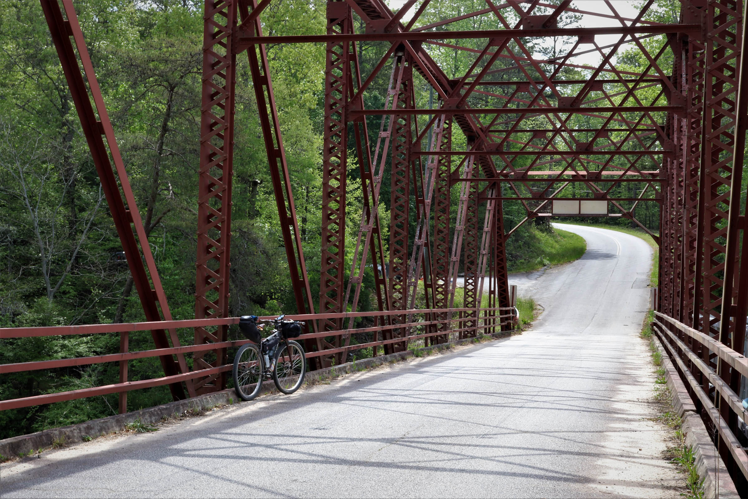
- At mile 55-59, take a break from the sand and dirt on the paved Refuge Visitors Dr. Traffic is very light, and there is no lack of beauty along this section of pavement.
- The route ends with more sugary sand, a pass through peach orchards, a quick trip through McBee, and finally back to the pond where you started.
Additional Resources
- Carolina Sandhills National Wildlife Refuge
- Sand Hills State Forest
- State Forest camping information
- Prescribed Fire Map – keep an eye open for planned and current prescribed fire.


Terms of Use: As with each bikepacking route guide published on BIKEPACKING.com, should you choose to cycle this route, do so at your own risk. Prior to setting out check current local weather, conditions, and land/road closures. While riding, obey all public and private land use restrictions and rules, carry proper safety and navigational equipment, and of course, follow the #leavenotrace guidelines. The information found herein is simply a planning resource to be used as a point of inspiration in conjunction with your own due-diligence. In spite of the fact that this route, associated GPS track (GPX and maps), and all route guidelines were prepared under diligent research by the specified contributor and/or contributors, the accuracy of such and judgement of the author is not guaranteed. BIKEPACKING.com LLC, its partners, associates, and contributors are in no way liable for personal injury, damage to personal property, or any other such situation that might happen to individual riders cycling or following this route.
Further Riding and Reading
Here are some connected/nearby routes and related reports...
Please keep the conversation civil, constructive, and inclusive, or your comment will be removed.