


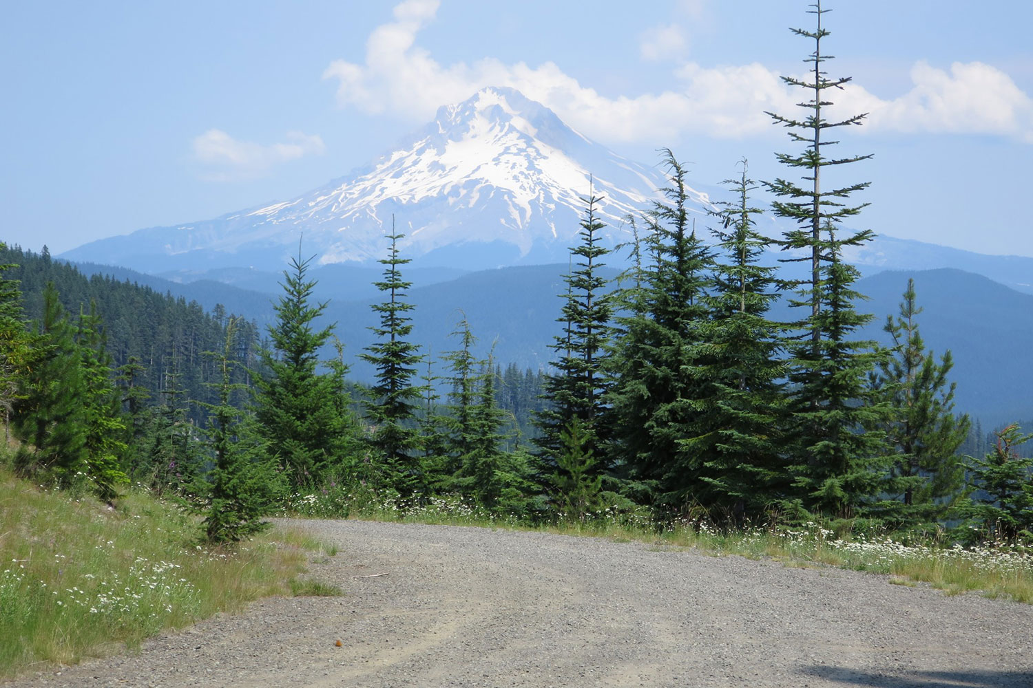
The Cascade Skyline, Oregon
Distance
173 Mi.
(278 KM)Days
4
% Unpaved
75%
% Singletrack
0%
% Rideable (time)
99%
Total Ascent
15,172'
(4,624 M)High Point
5,664'
(1,726 M)Difficulty (1-10)
5?
- 6Climbing Scale Moderate88 FT/MI (17 M/KM)
- -Technical Difficulty
- -Physical Demand
- -Resupply & Logistics
Contributed By

Donnie Kolb
Velo Dirt
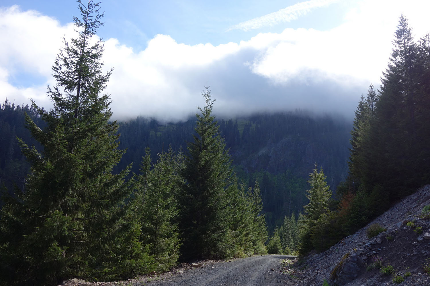
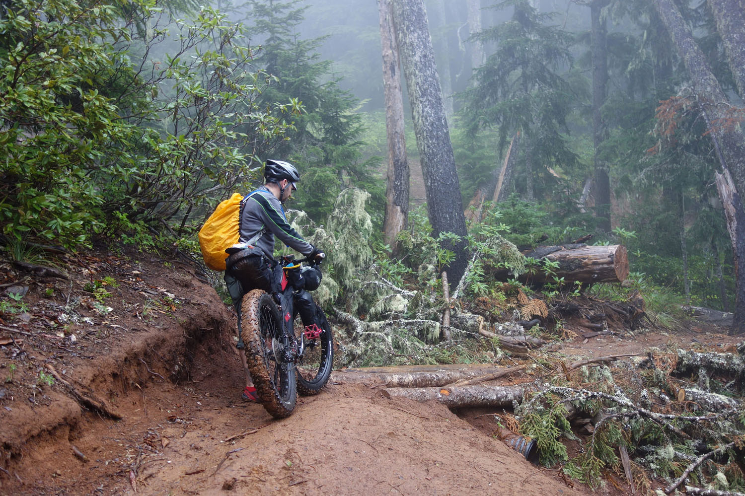
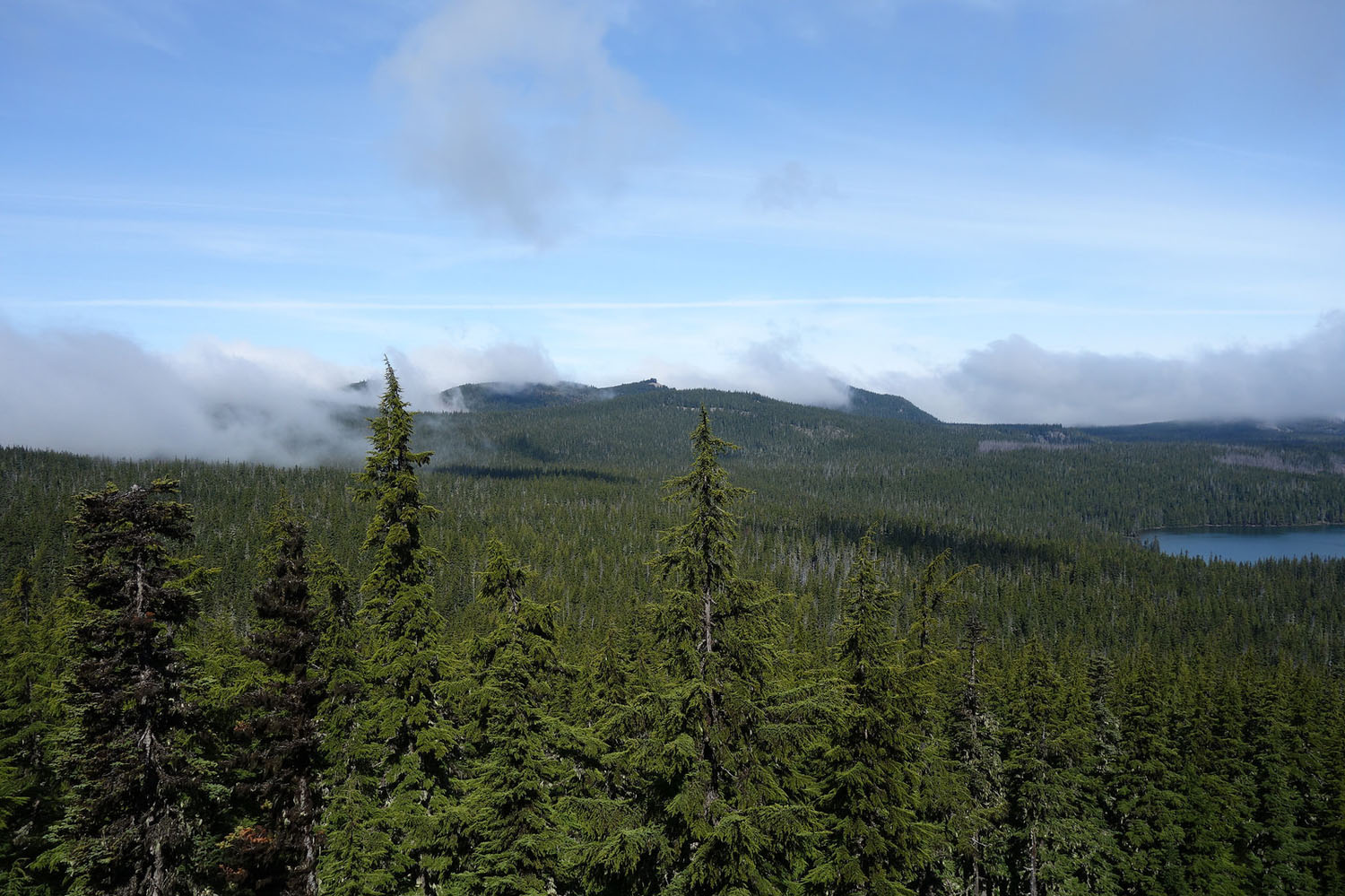
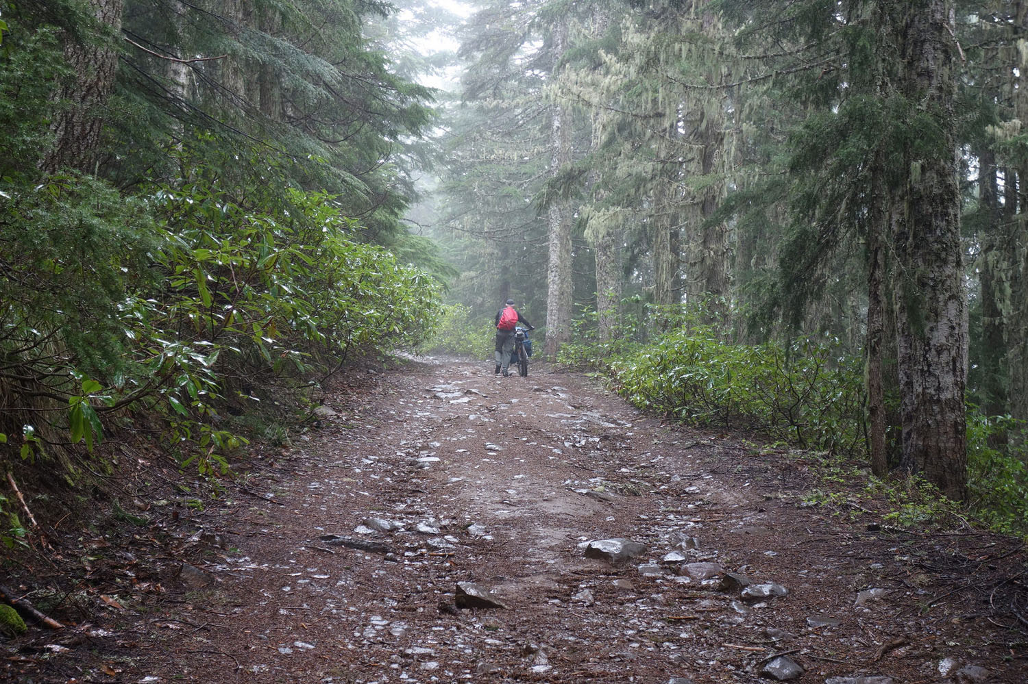
Although this is just a snippet of the all the riding options within the entire Cascade Range, this is a great introduction to Oregon’s most iconic area – you know – big mountains and evergreen trees for days. Expect lots of big climbs, but as with most mountain routes your rewards will be a multitude of spectacular views and killer descents.
The Cascade Skyline links up the best riding between Mt. Hood and Mt. Jefferson. Of particular mention are the high ridge section along FS-4610 (Abbott Road), the Olallie Scenic Area and the Opal Creek Scenic Rec Area. All three are worthy of day rides if you can swing them, but linking them all together in one route makes for a pretty amazing bikepacking trip.
The horseshoe shaped route may look a bit wonky and includes some unwanted paved miles, but the idea was to create a route that can be done without driving from Portland, connecting via great public transport.
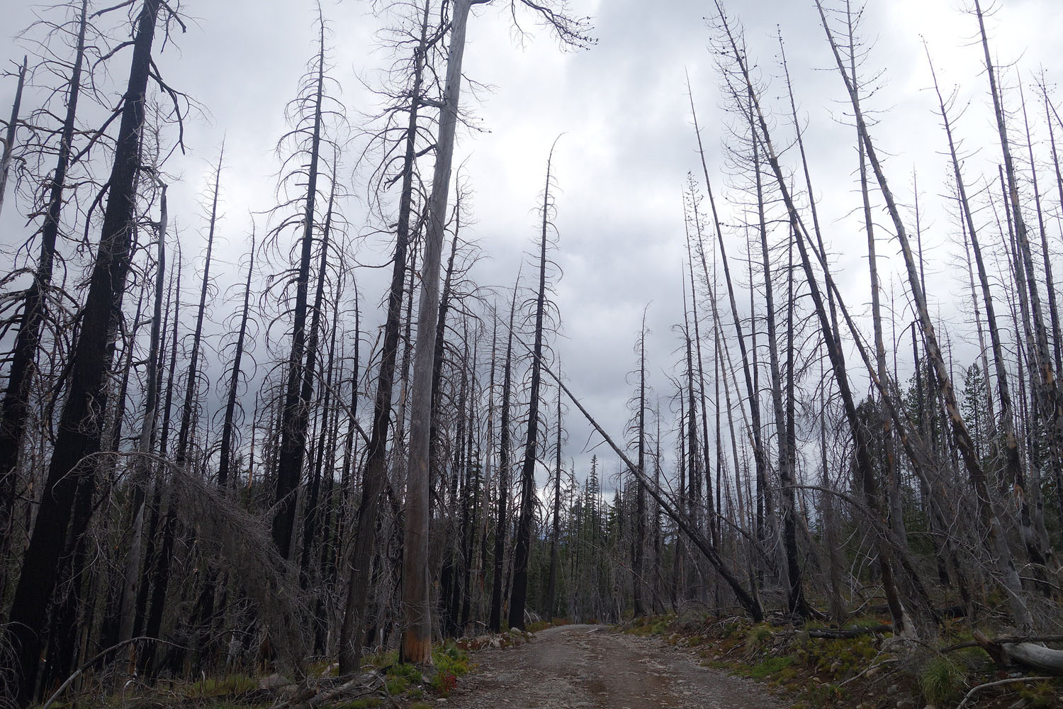
Alert: This route may currently be affected by the Whitewater wildfire. Though it’s not directly on route, it is close to the southern end near Detroit. More here.


Submit Route Alert
As the leading creator and publisher of bikepacking routes, BIKEPACKING.com endeavors to maintain, improve, and advocate for our growing network of bikepacking routes all over the world. As such, our editorial team, route creators, and Route Stewards serve as mediators for route improvements and opportunities for connectivity, conservation, and community growth around these routes. To facilitate these efforts, we rely on our Bikepacking Collective and the greater bikepacking community to call attention to critical issues and opportunities that are discovered while riding these routes. If you have a vital issue or opportunity regarding this route that pertains to one of the subjects below, please let us know:
Highlights
Must Know
Camping
Food/H2O
Trail Notes
Resources
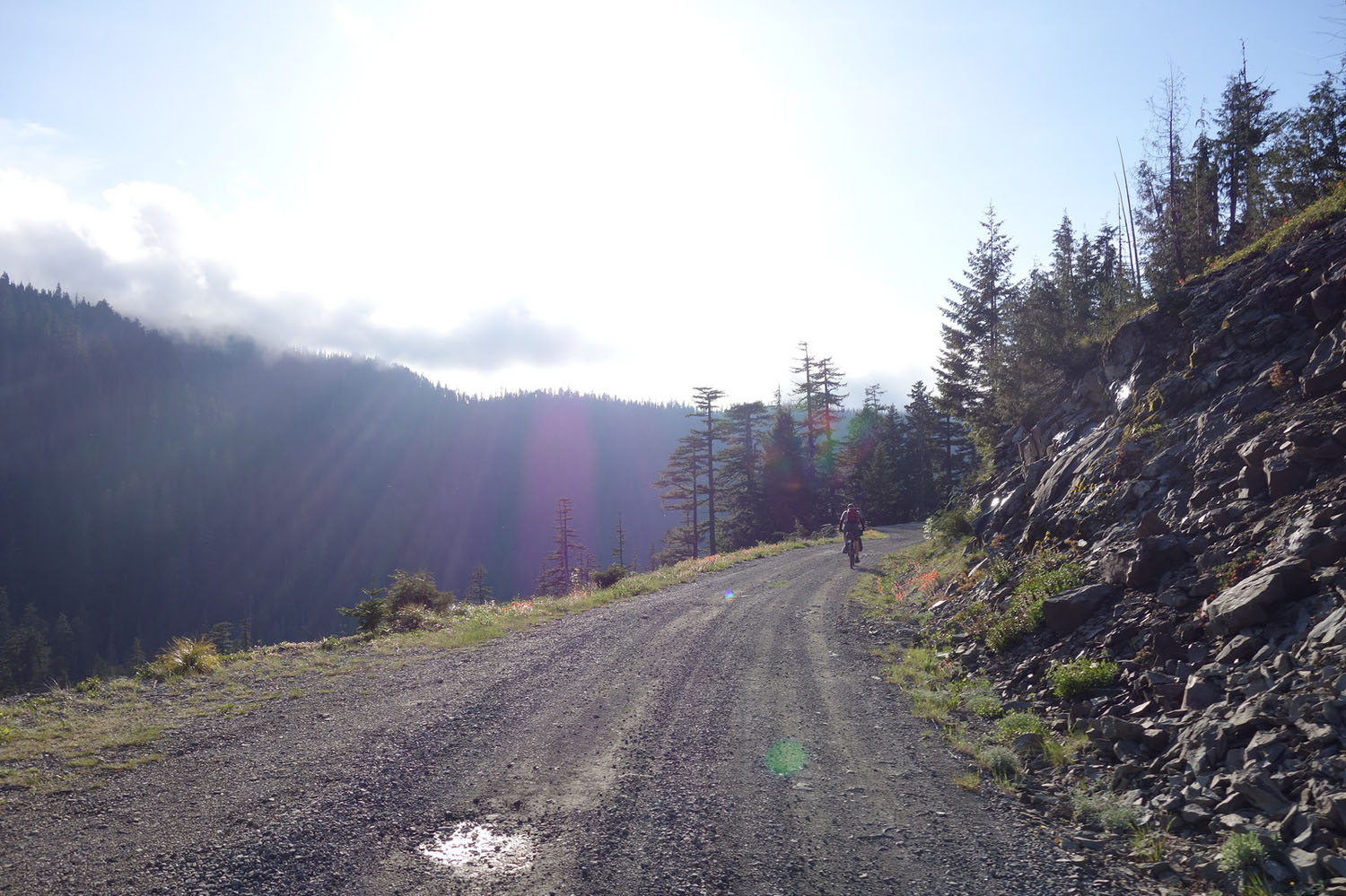
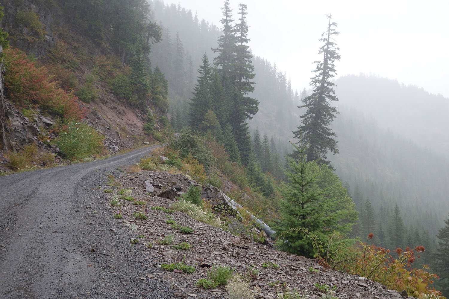
- Stellar ridge roads
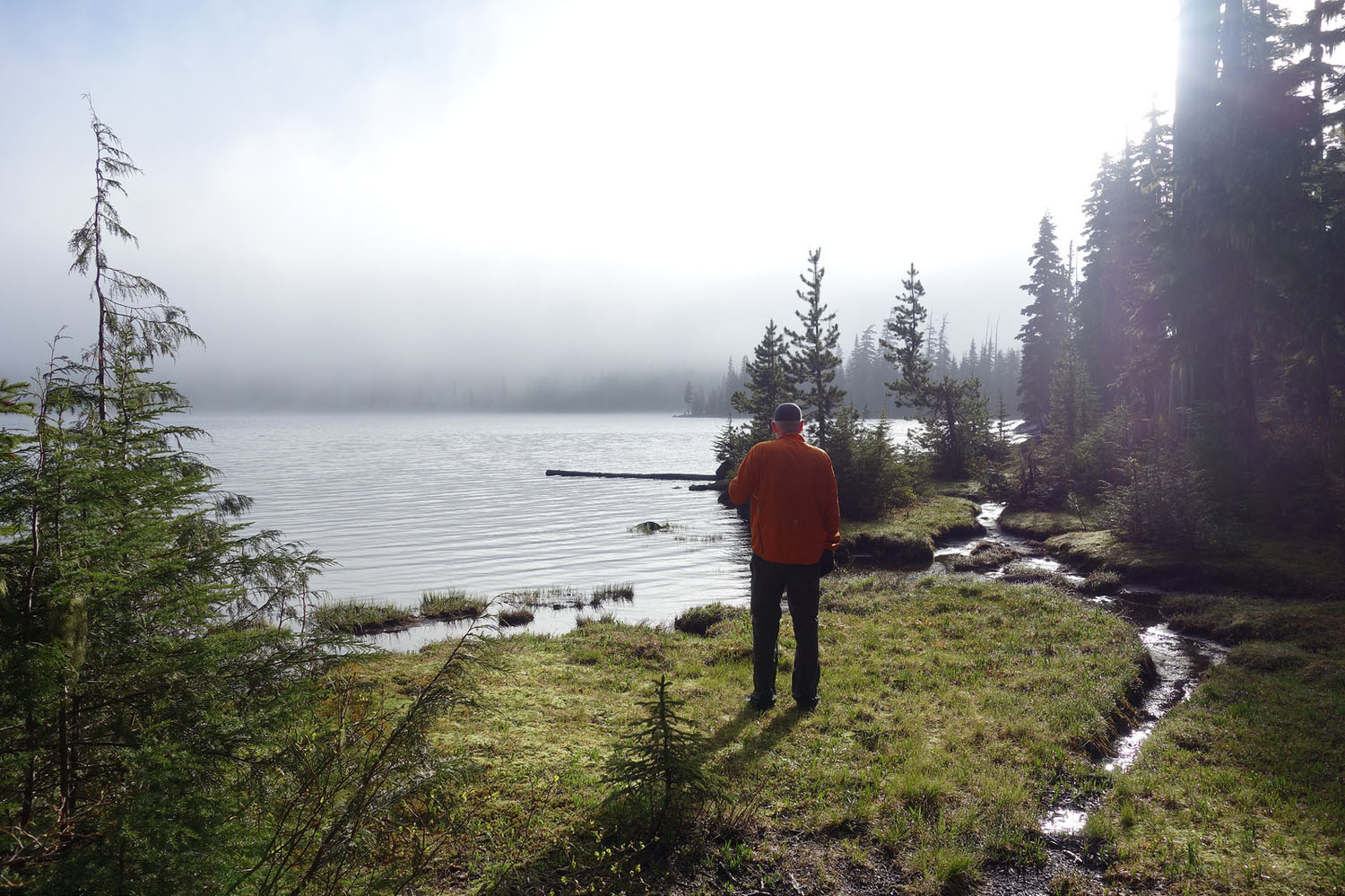
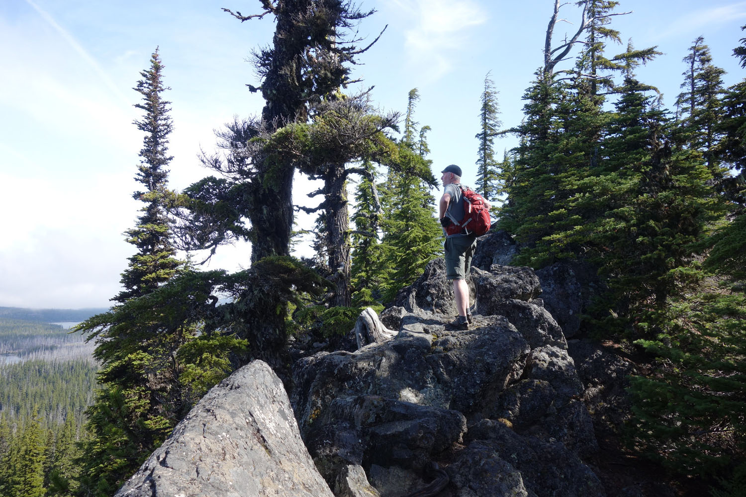
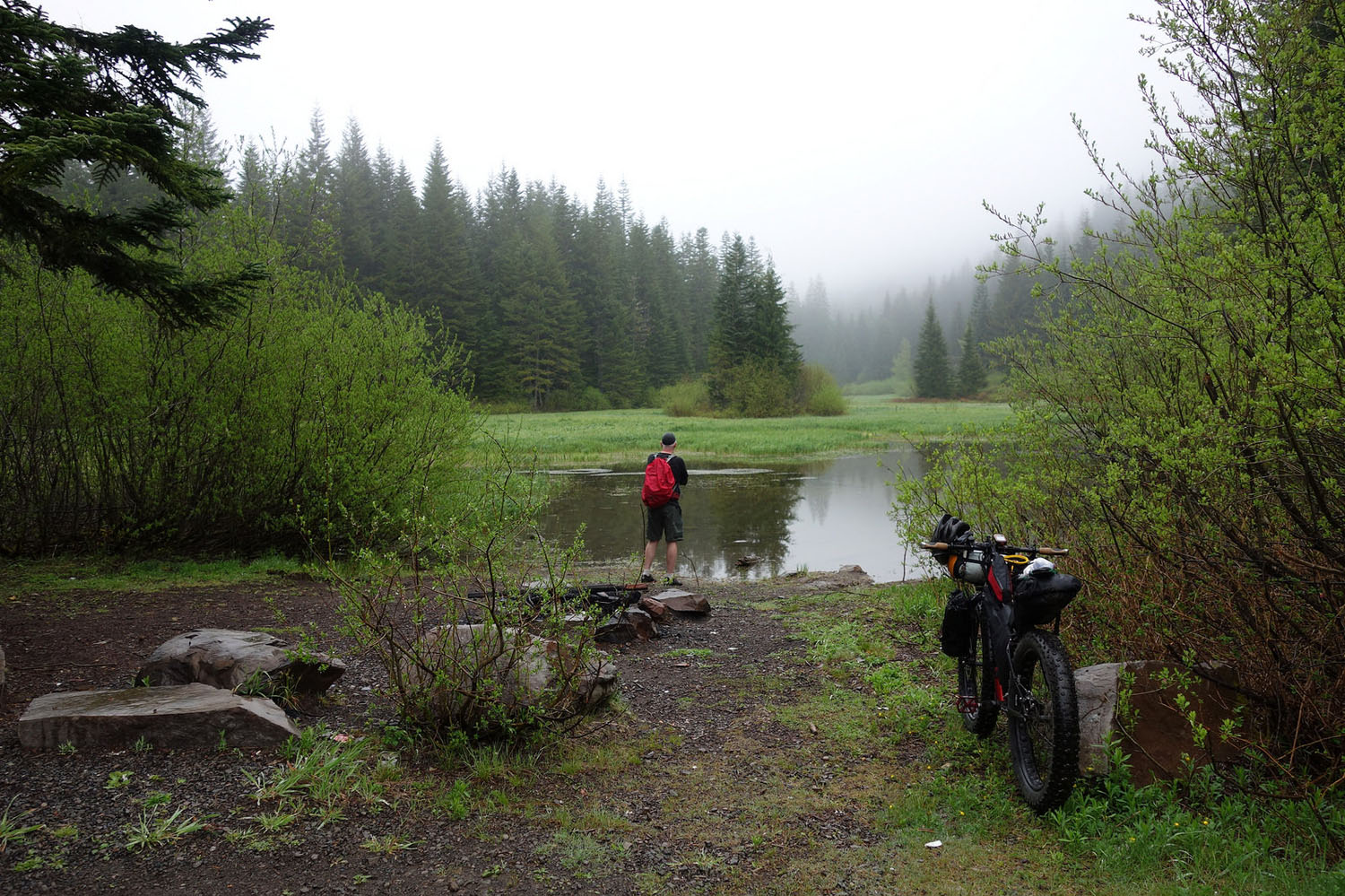
- The high alpine lakes of the Olallie Scenic Area
- Riding forgotten segments of the historic Skyline Trail
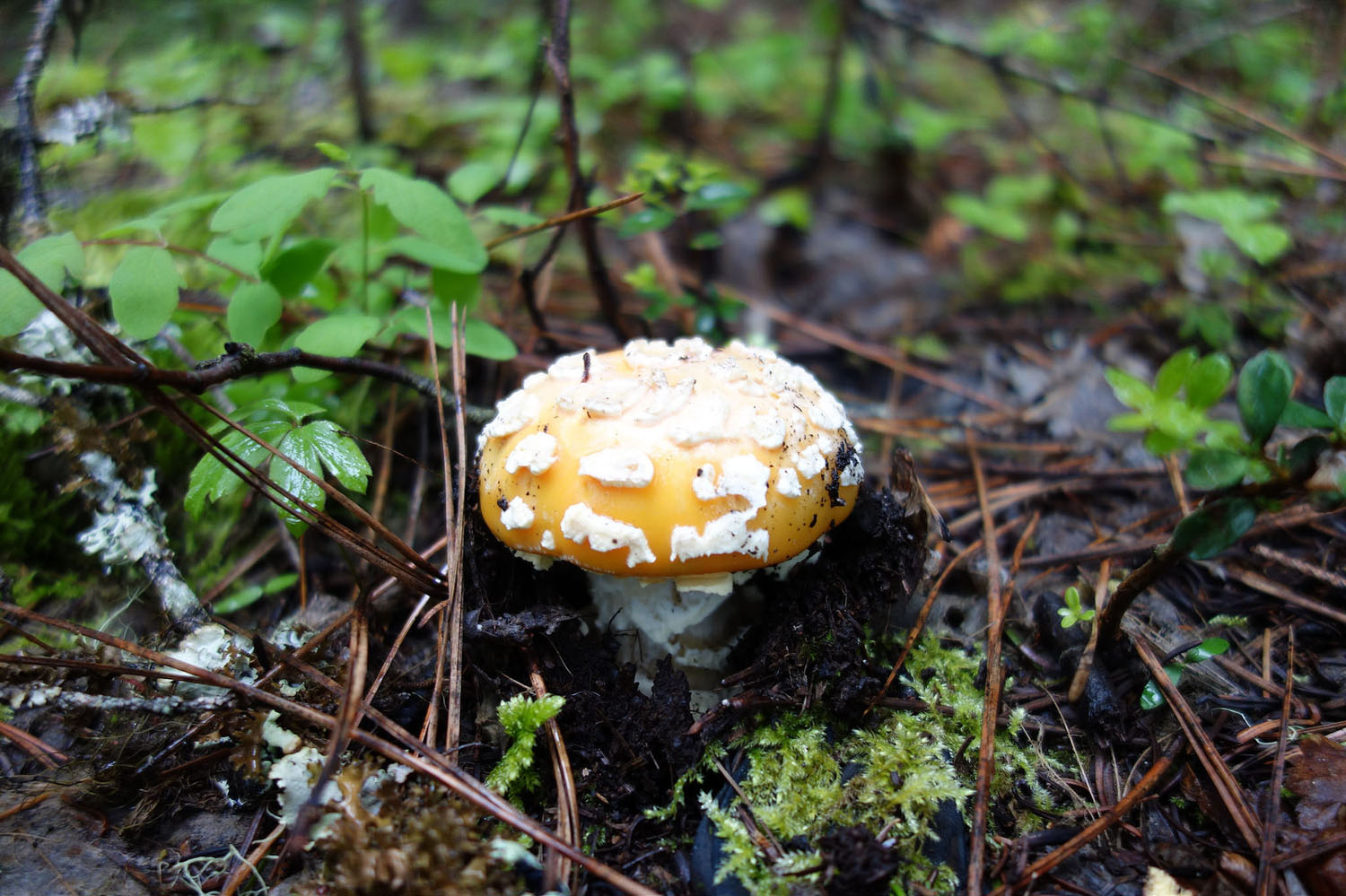
- Continuous options for fishing, berry picking and mushroom hunting
- Breitenbush Hot Springs
- The route technically begins in Estacada, which has regular TriMet bus service from Portland and the route ends in Salem, which has regular bus and train service back to town. (Note: No bus service to/from Estacada on Sundays)
- The route can be ridden in either direction. The only strong reason for doing it as mapped is that the climb up to the Olallie Scenic Area would be significantly harder. There are also more bus/train options from Salem than Estacada, so it might be easier to show up unplanned in Salem and catch a timely ride back to Portland.
- Snow levels will dictate how early you can get on the route. May will probably be the earliest it’s ride-able and by June things should be good-to-go. The downside of early season riding is if you are anywhere near the snow line the mosquitoes will be deadly. The route is typically ride-able into October and possibly November, again dependent on snow levels. The best months will be July through September.
- Cell service is spotty on the entire route. Expect service near Timothy Lake and Detroit, with little-to-no service elsewhere until you drop down into the Willamette Valley on the approach to Stayton and Salem.
- You will probably see references to FS-4610 being washed out or closed past a certain point. Unless things have changed, you can ignore this – cars can’t get through but bikes and some motorcycles can.
- Navigation: We recommend using a GPS, the Mt. Hood National Forest Map, and the Benchmark Oregon Road & Recreation Atlas.
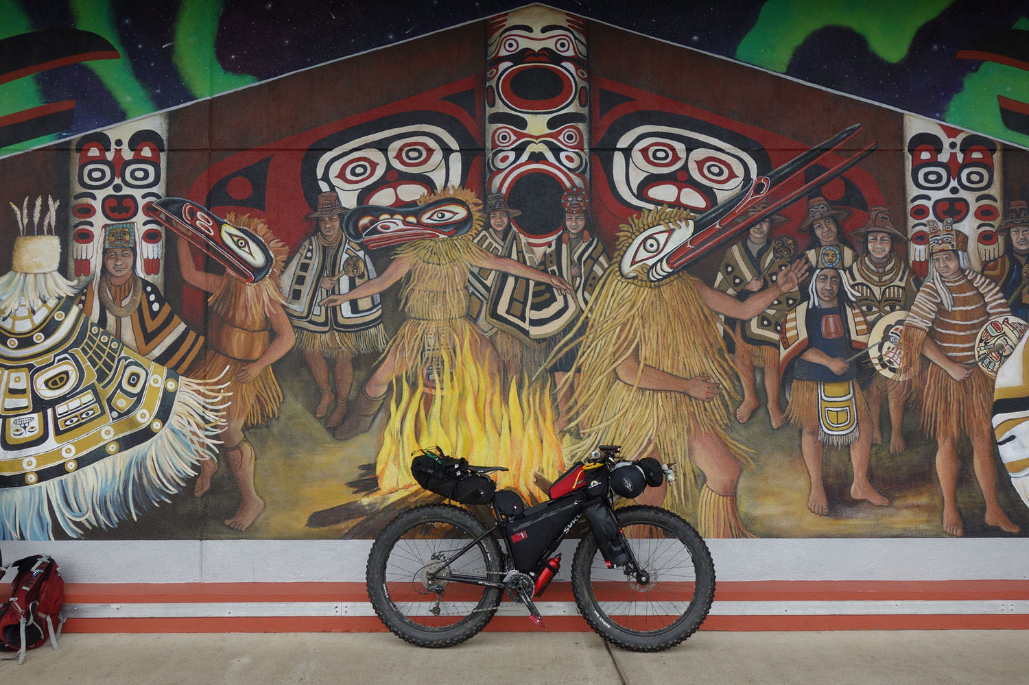
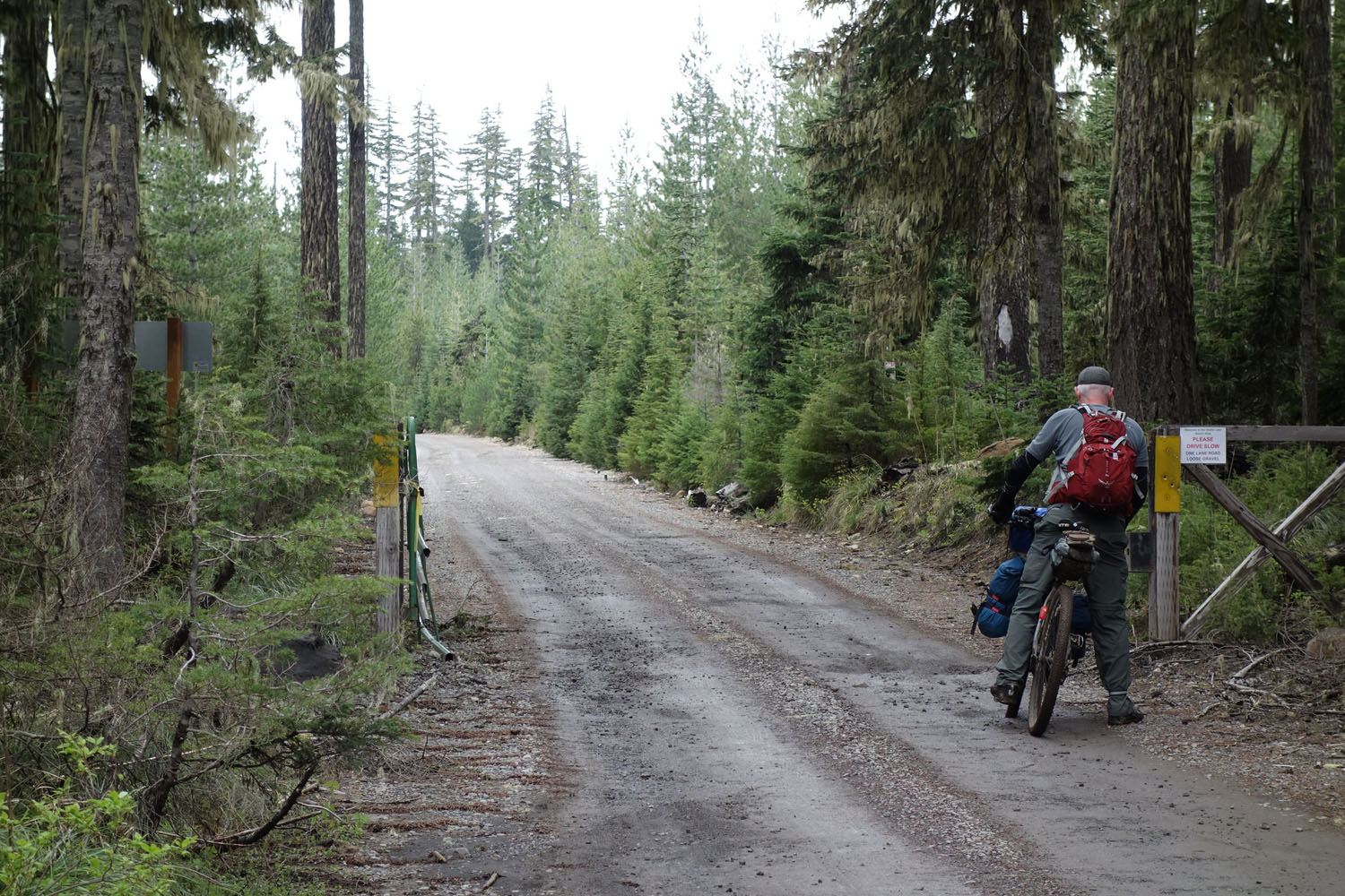
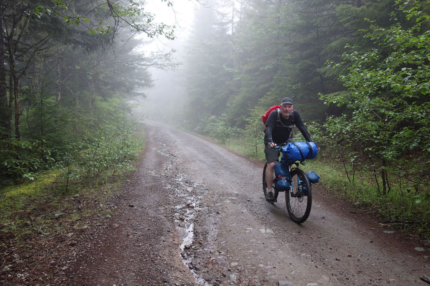
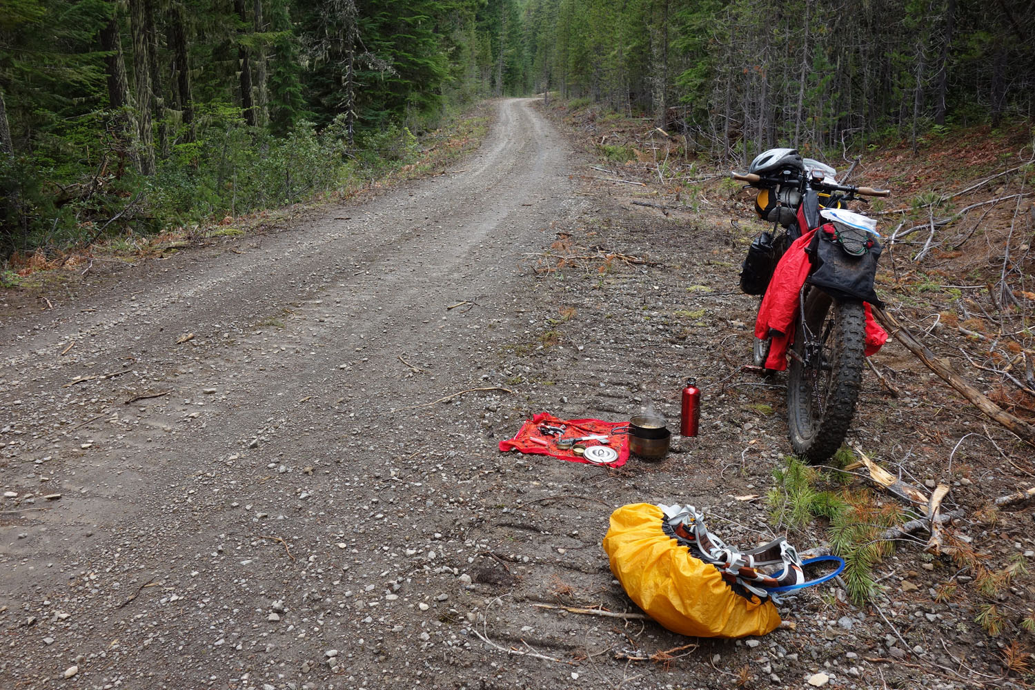
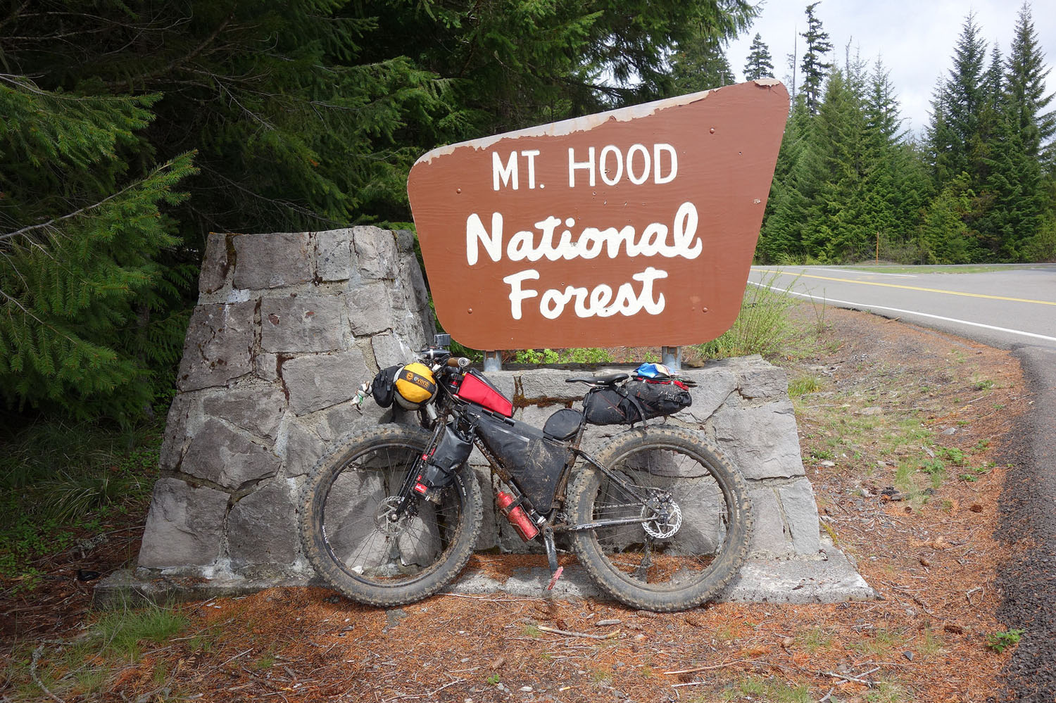
- Bike & Tire Selection: We strongly caution against trying to ride this route on anything smaller than 2” tires. A rigid 29er (or similar) with ~2” tires with some tread is ideal. Going fatter (29+ or 27.5+) would not be a bad thing.
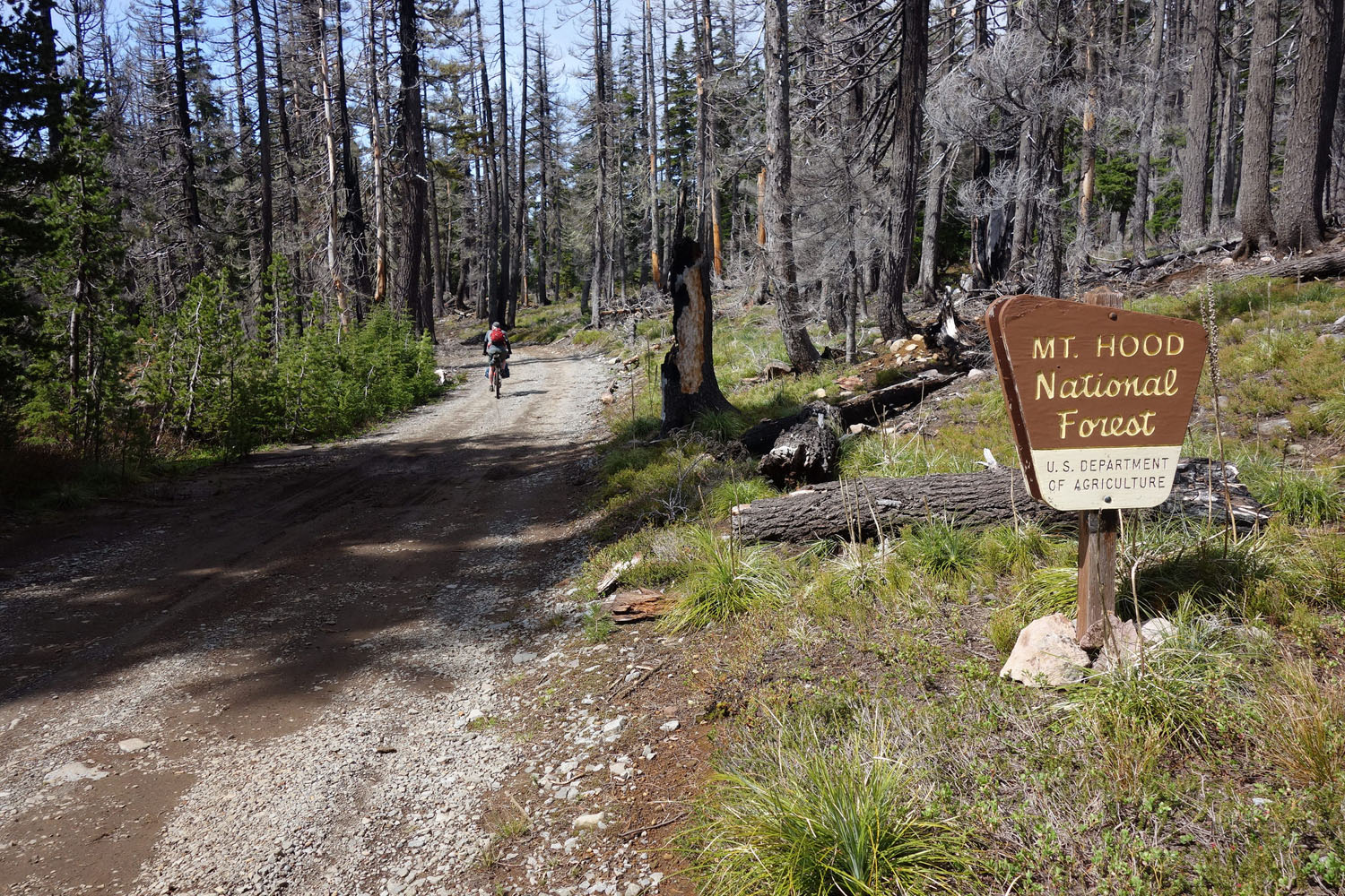
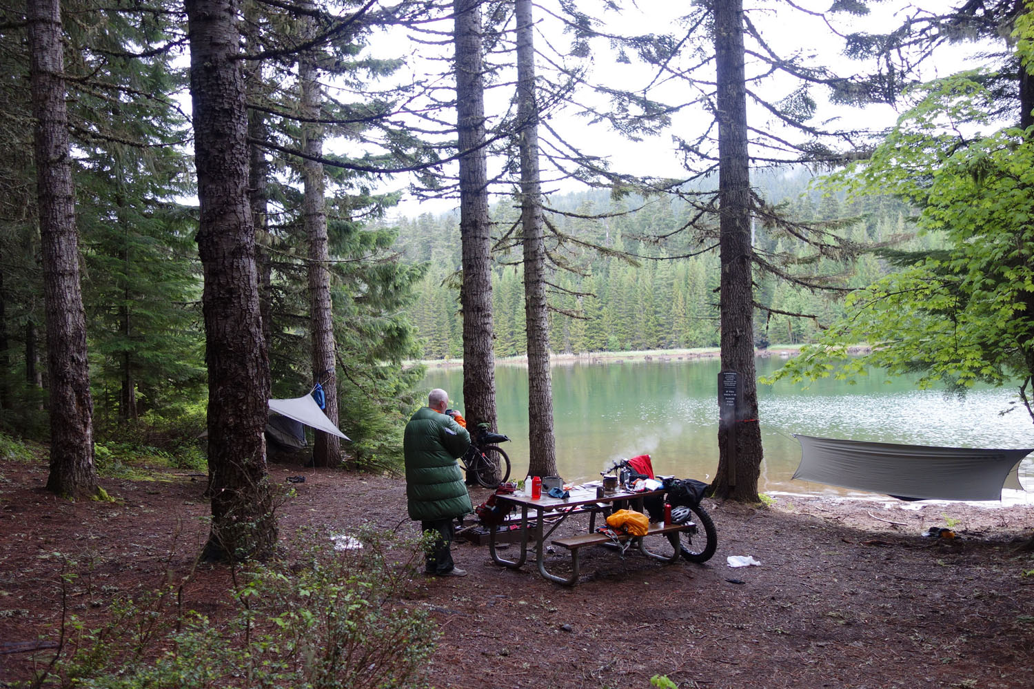
- The route passes through significant sections of National Forest land, so camping options will be limited by your imagination and available water sources.
- If you prefer established campgrounds, there are several at Timothy Lake, several in the Olallie Scenic Area, and a couple as you drop down near the Opal Creek Wilderness. See the Benchmark Oregon Road & Recreation Atlas or Mt. Hood National Forest Map for all the legit options. Keep in mind these campgrounds are extremely busy during the summer months, especially on weekends.
- The last campground in the Olallie Scenic Area at Breitenbush Lake is in the Warm Springs Indian Reservation. Specific tribal and federal rules apply – please be respectful.
- While it might look like an attractive option, don’t bother to try and camp at Opal Lake. I was unable to find any decent camping options and technically it’s wilderness, so no bikes allowed.
- You could conceivably link up the cabins at the Olallie Resort with accommodations near Detroit and skip carrying camping gear altogether. It wouldn’t be bikepacking exactly, but it could be fun…
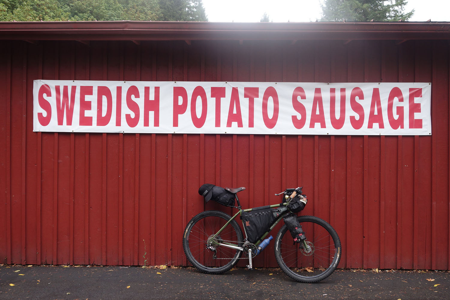
- Services are limited to a couple spots along the route. The first will be a welcome treat as it’s in the middle of nowheresville – the Olallie Lake Resort at mile 77. The resort is only open a few months of the year, so I’d definitely check the website to make sure they’re open when you’re heading through. Options are limited, but you can get cold beer, candy bars and some limited camp-food options. This is a regular stop for PCT thru-hikers.
- The second option is Detroit at mile 105. Detroit has full services – a grocery store, several well-stocked convenience stores and a couple restaurants.
- You will also have some food options as you drop into the Willamette Valley around Stayton at mile 152 and into Salem.
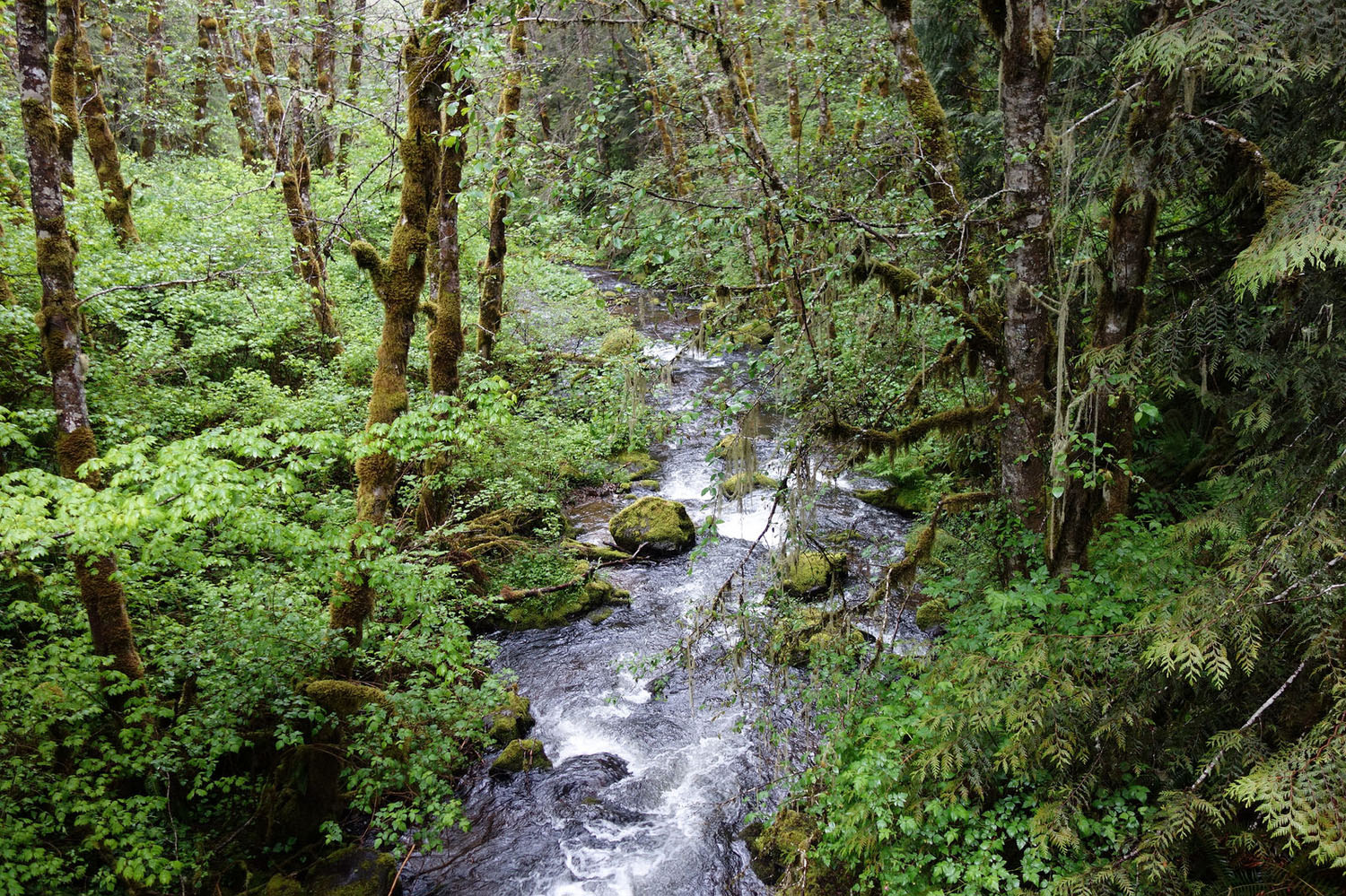
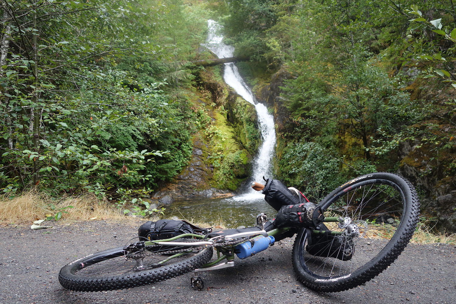
- This route stays on the wet side of the Cascades, so expect to find water almost everywhere. We won’t bother to mark exactly where on the map because the options are too numerous. Be smart about it and you should have no problem.
- The only tip I’ll give is don’t expect to find water on the high ridges, which can be the hottest, most exposed places on the route.
- A Steripen or other water sterilization method is ideal for this route. Most water sources are clear so a pump-style filter is not necessary.
Route Alternatives
This area is ripe with options for changing up the main route. One simple option would be to route up Still Creek Road to Government Camp and loop around to Timothy Lake and pick up the route from there.
There are also options for skipping the Opal Creek area and looping back along Rhododendron Ridge to Estacada. We haven’t ridden these roads, but hope to this coming summer and will update this section if we find anything particularly worthy. The benefit to this would be a loop and a quicker trip home.
One last option we’re working on is linking up logging roads from Elkhorn back to Estacada, likely routing through Mollala. This may work, but may not be worth all the extra effort. It’s an easy, paved, downhill-to-flat ride to Salem from Elkhorn.
History
Part of the route’s name comes from the Skyline Trail, the “highest quality mountain trail ever built”, constructed in the 1920’s as a touring route along the crest of the Cascades. The trail was a precursor to the Pacific Crest Trail and parts of it were later turned into an automobile touring route. Very little of either the original “trail” or “road” exists and most of the history of the camps and ranger stations has disappeared.
We recommend checking out Green Cascadia’s post on the Skyline Trail, and Trail Advocates brief write up and downloadable trail maps, both of which include a lot of the history, some old maps, and attempts to locate some of the original trail. If that whets your appetite, you can download free historical maps of the area that show the full Skyline Road on USGS.gov – we like the 1930-era maps the best.
Those of you who’ve driven through this area may have noticed that FS-48 is referred to as Skyline Road. This is a bit of a misnomer, as the road only follows a few short sections of the original Skyline Road. Our route includes much more of the original road than FS-48.
Other Activities
Breitenbush Hot Springs is just off the route as you approach Detroit. Check out their website for all they offer – remember reservations are required for all visits.
We’re not sure how good they are, but Timothy Lake, Opal Lake, and all of the lakes in the Olallie Scenic Area are presumably good for fishing. You’ll also travel along the Breitenbush and North Santiam Rivers, so carrying gear may be worth it. We’ve also had really good luck along the route with berry picking in summer and early fall and mushrooming in fall.


Terms of Use: As with each bikepacking route guide published on BIKEPACKING.com, should you choose to cycle this route, do so at your own risk. Prior to setting out check current local weather, conditions, and land/road closures. While riding, obey all public and private land use restrictions and rules, carry proper safety and navigational equipment, and of course, follow the #leavenotrace guidelines. The information found herein is simply a planning resource to be used as a point of inspiration in conjunction with your own due-diligence. In spite of the fact that this route, associated GPS track (GPX and maps), and all route guidelines were prepared under diligent research by the specified contributor and/or contributors, the accuracy of such and judgement of the author is not guaranteed. BIKEPACKING.com LLC, its partners, associates, and contributors are in no way liable for personal injury, damage to personal property, or any other such situation that might happen to individual riders cycling or following this route.
Please keep the conversation civil, constructive, and inclusive, or your comment will be removed.