


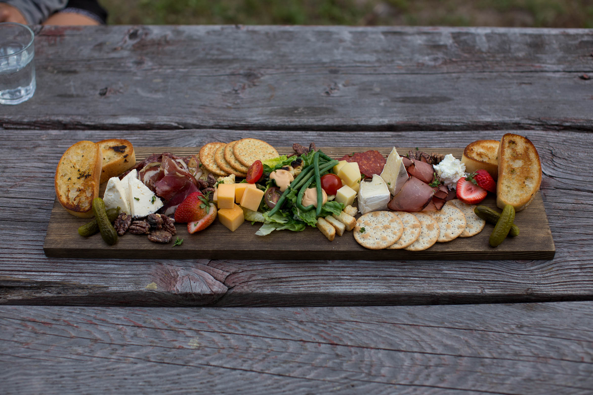
Chute Lake Charcuterie
Distance
64 Mi.
(103 KM)Days
2
% Unpaved
82%
% Singletrack
25%
% Rideable (time)
97%
Total Ascent
5,124'
(1,562 M)High Point
4,101'
(1,250 M)Difficulty (1-10)
5?
- 5Climbing Scale Moderate80 FT/MI (15 M/KM)
- -Technical Difficulty
- -Physical Demand
- -Resupply & Logistics
Contributed By
Miles Arbour
Associate Editor & Events Manager
There’s a lot to keep you busy in the Okanagan Valley. From world famous wine tours to enjoying Lake Okanagan, the areas surrounding Kelowna are popular tourist destinations for a reason. For cyclists, the opportunities for adventure are nearly endless. Several well-developed trail systems will entertain new and experienced riders alike, and with close proximity to a bounty of logging roads and the Kettle Valley Rail Trail, Kelowna serves as a great hub for larger bikepacking trips that have the opportunity to span the entire province.
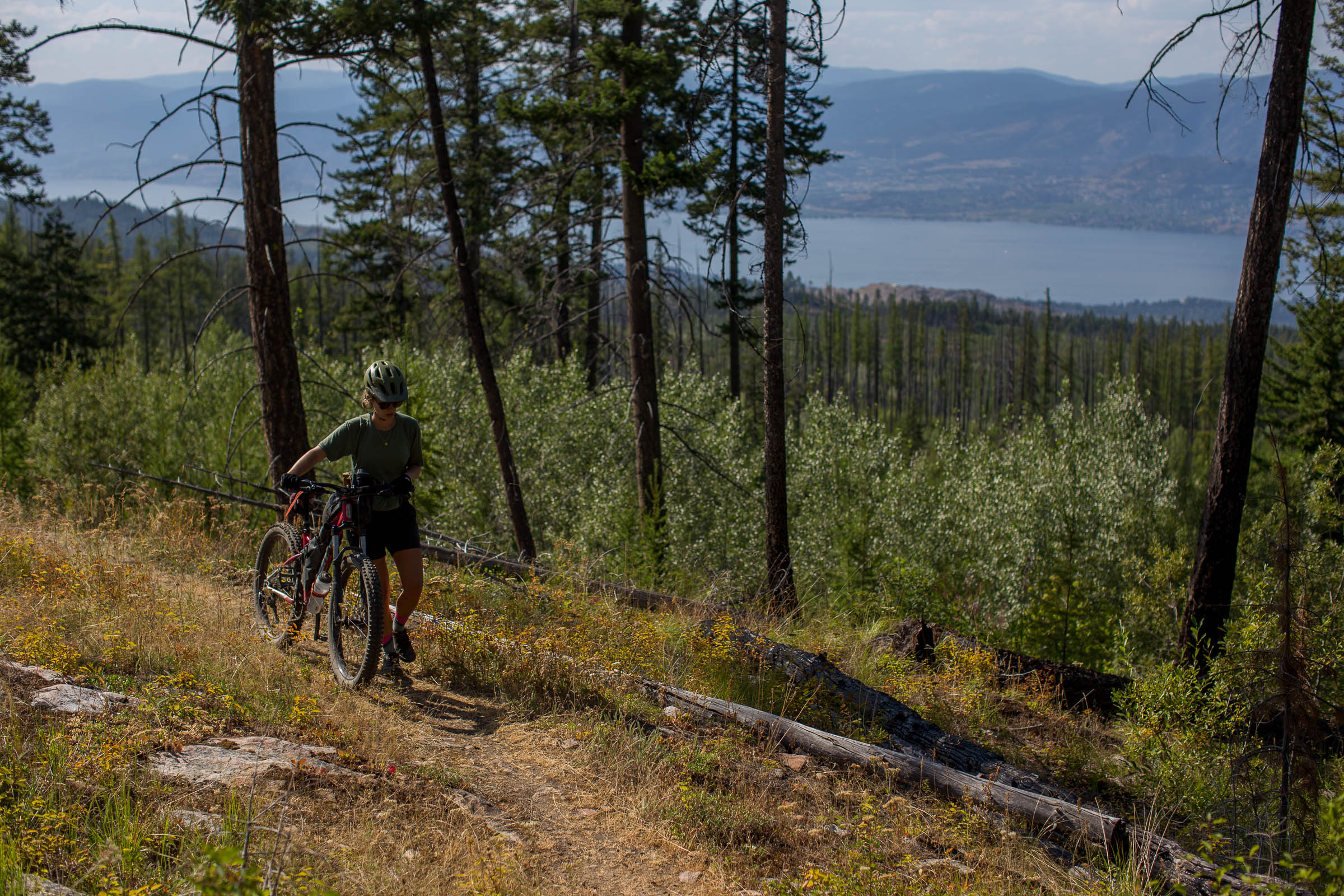
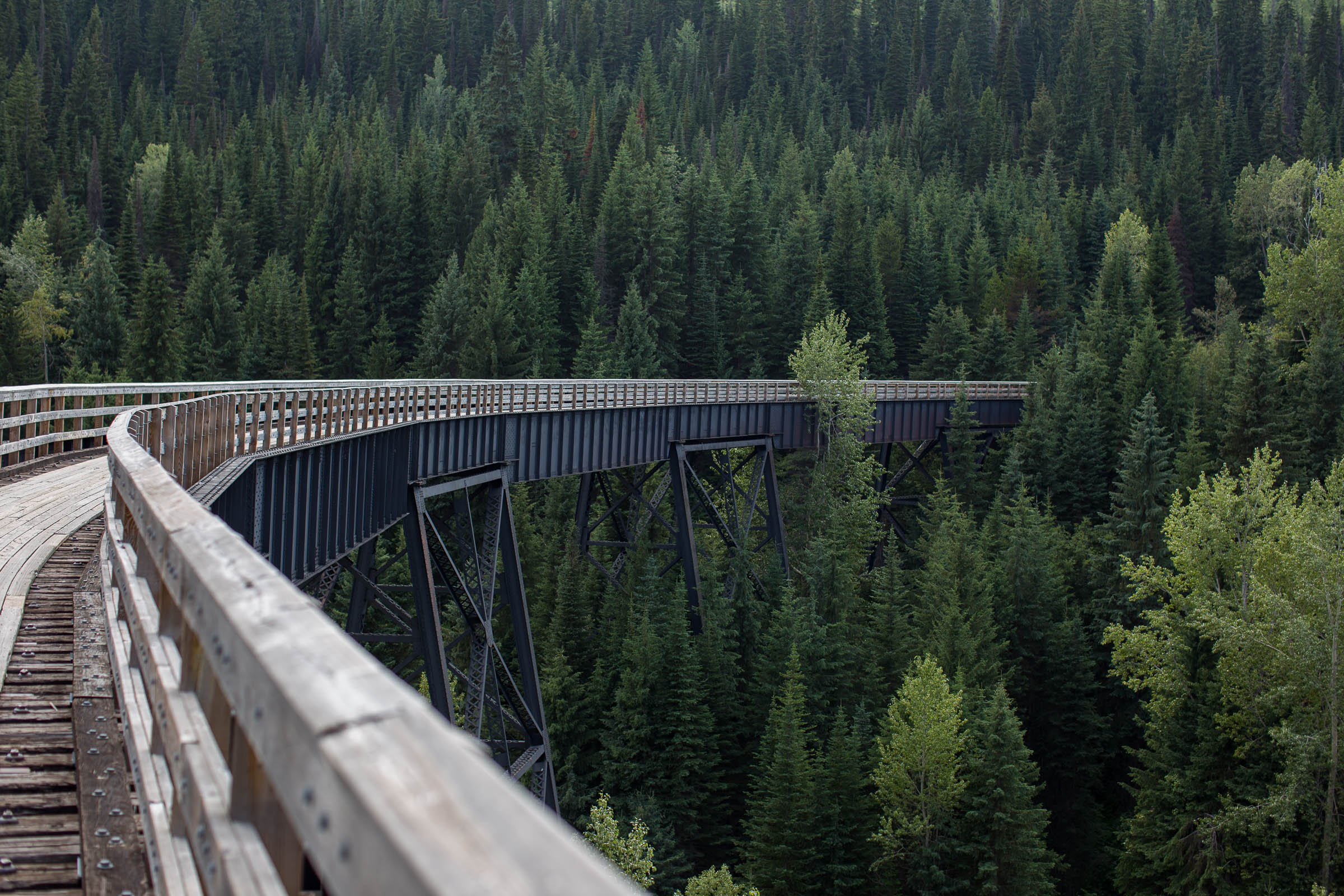
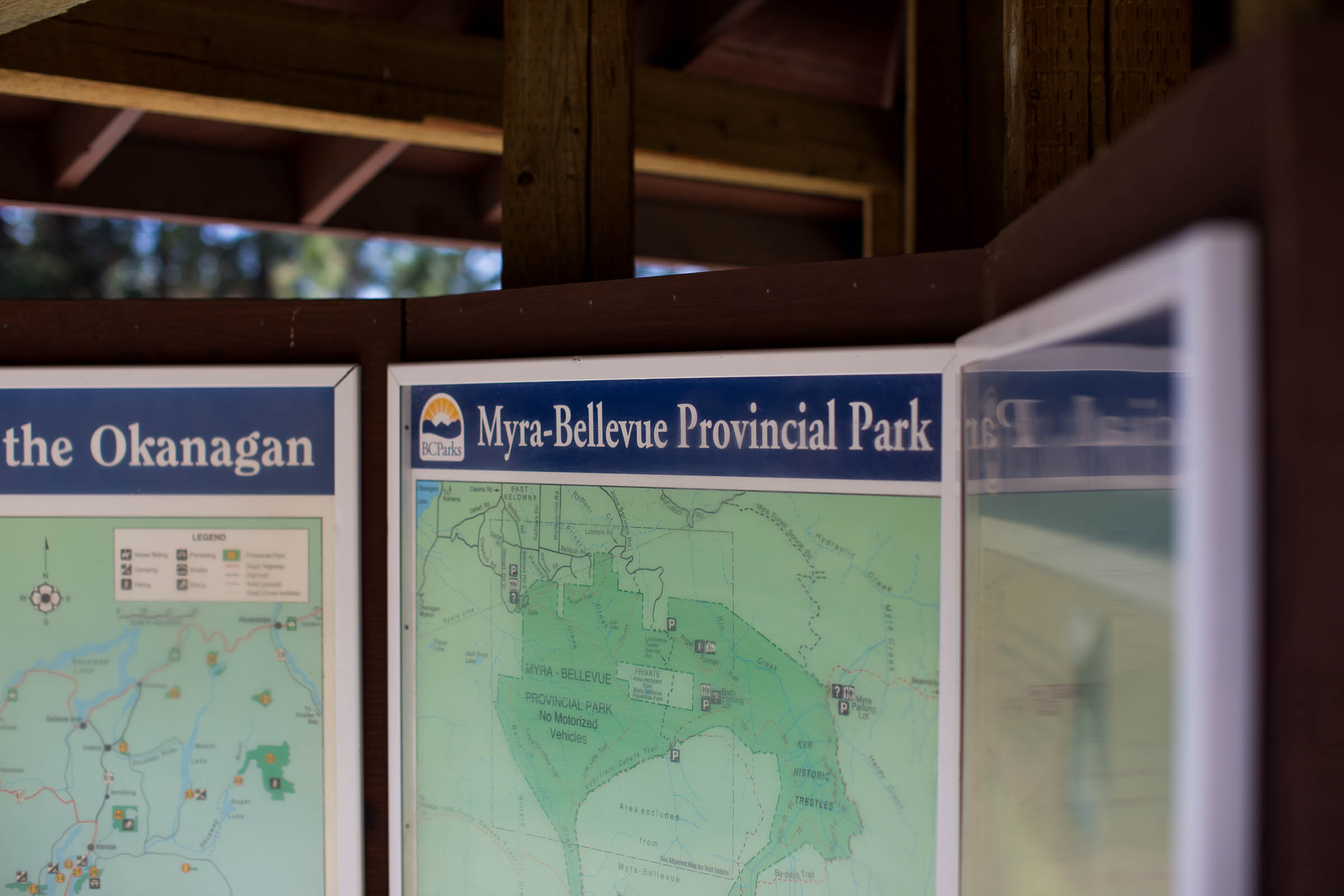
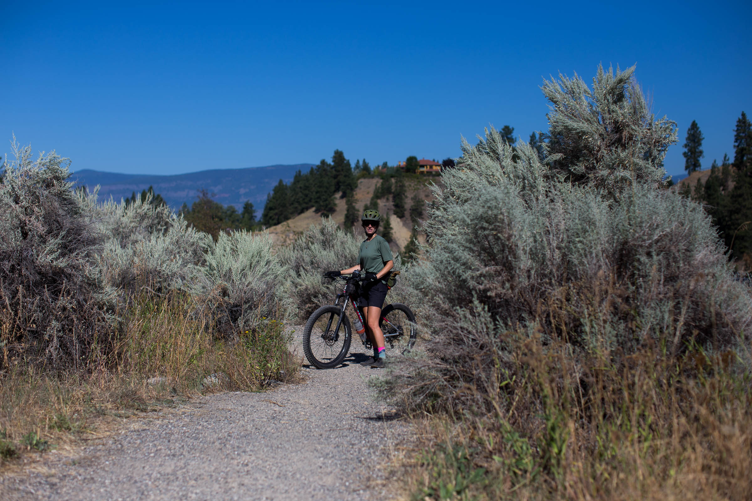
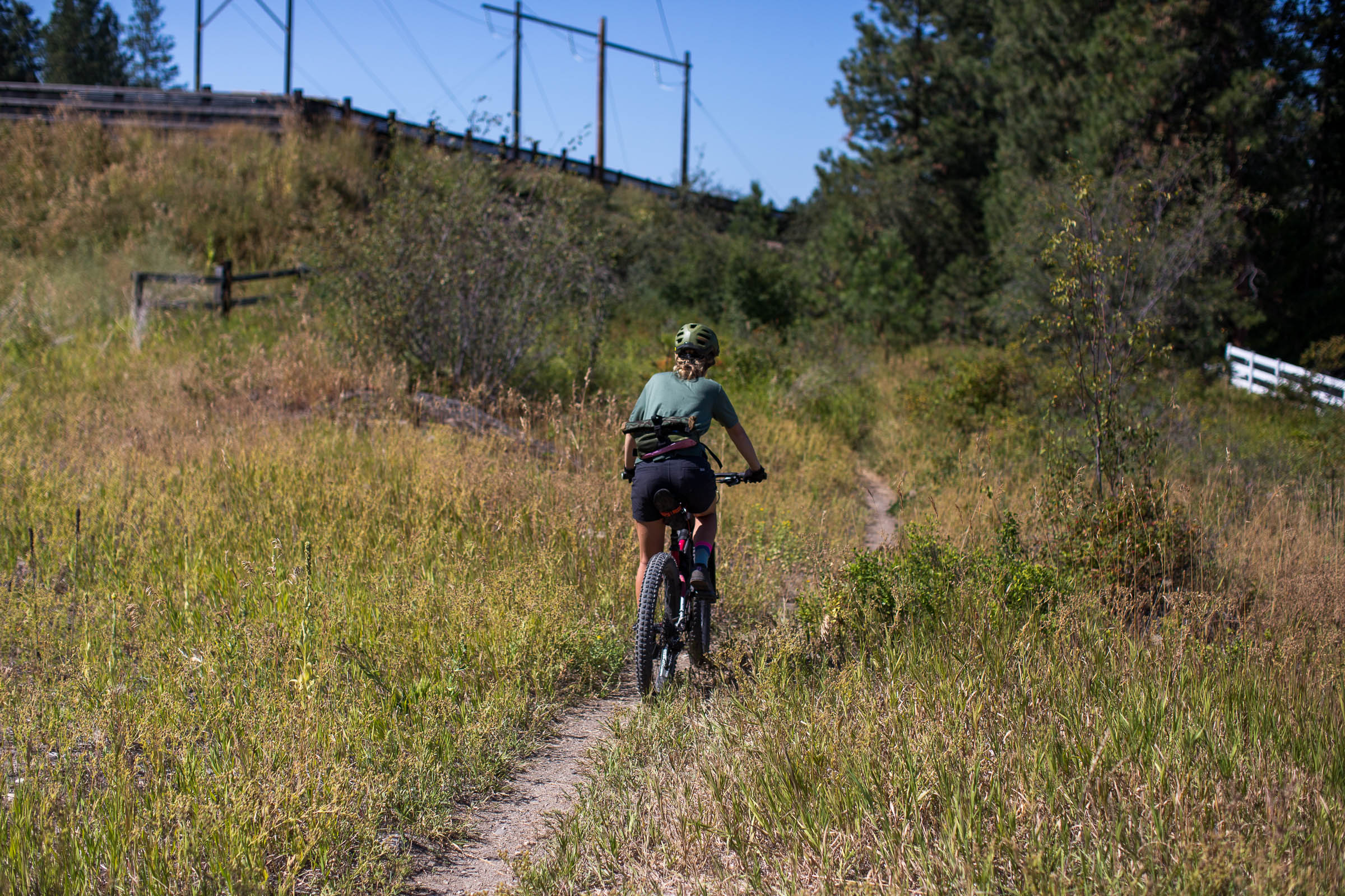
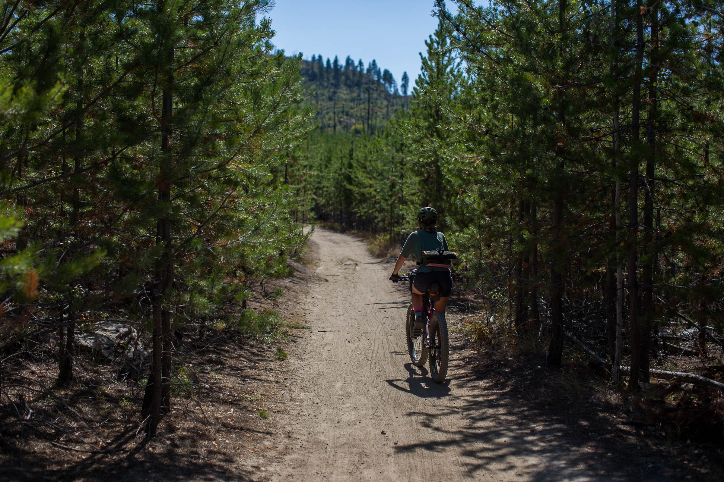
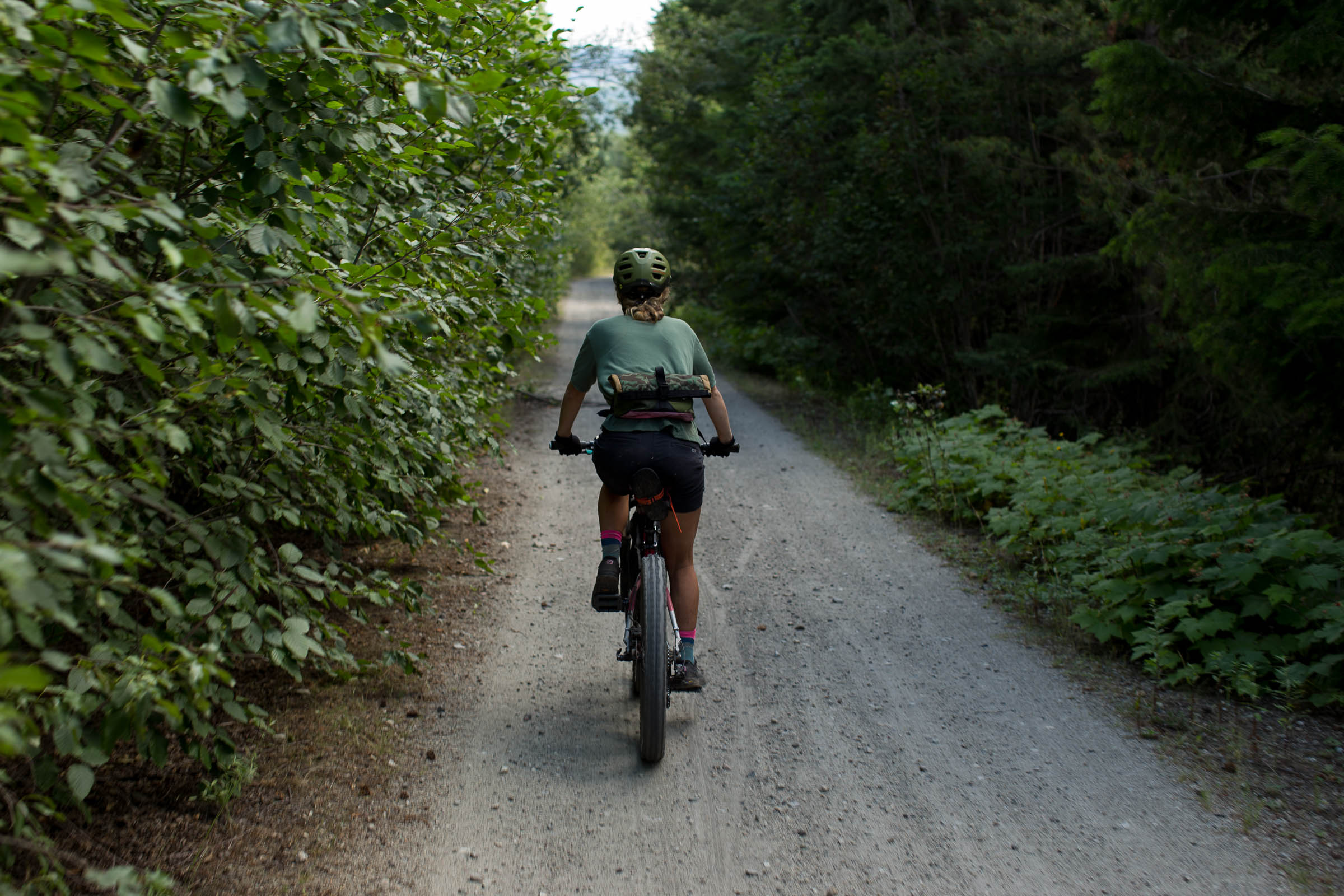
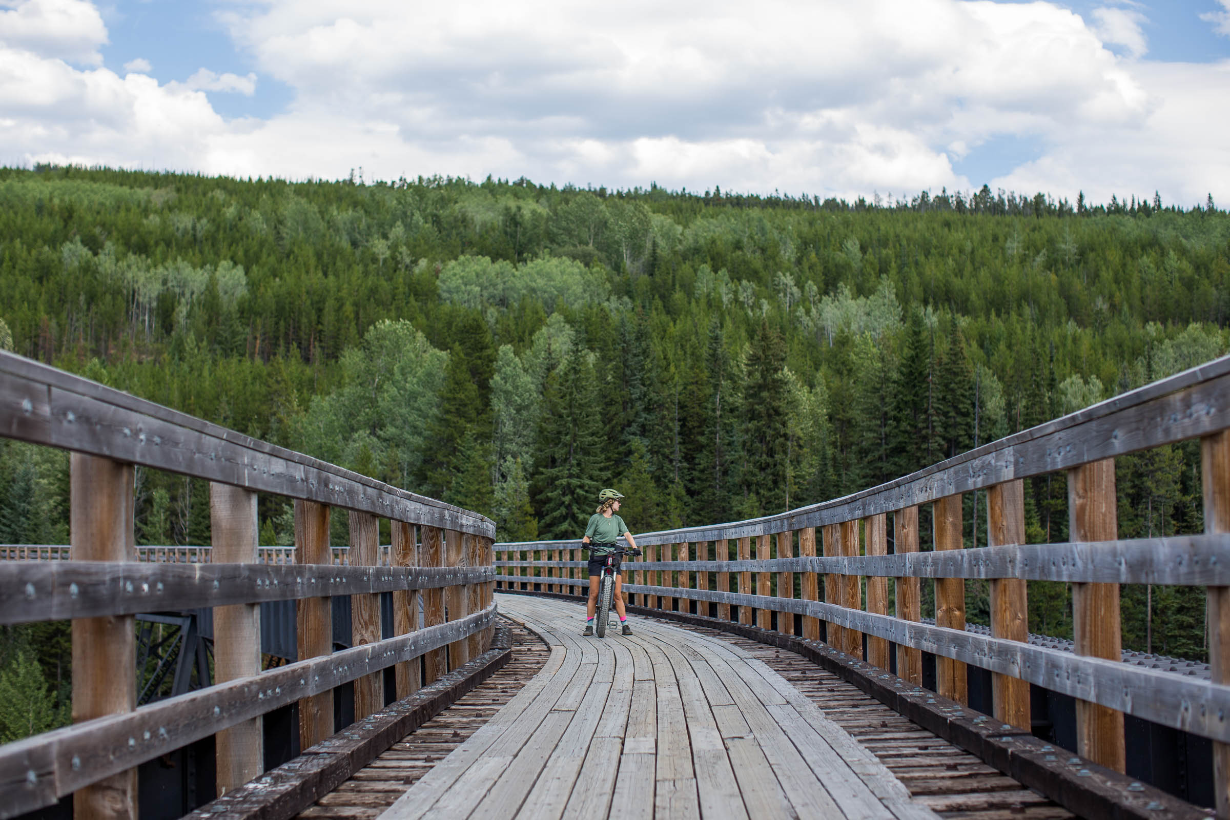
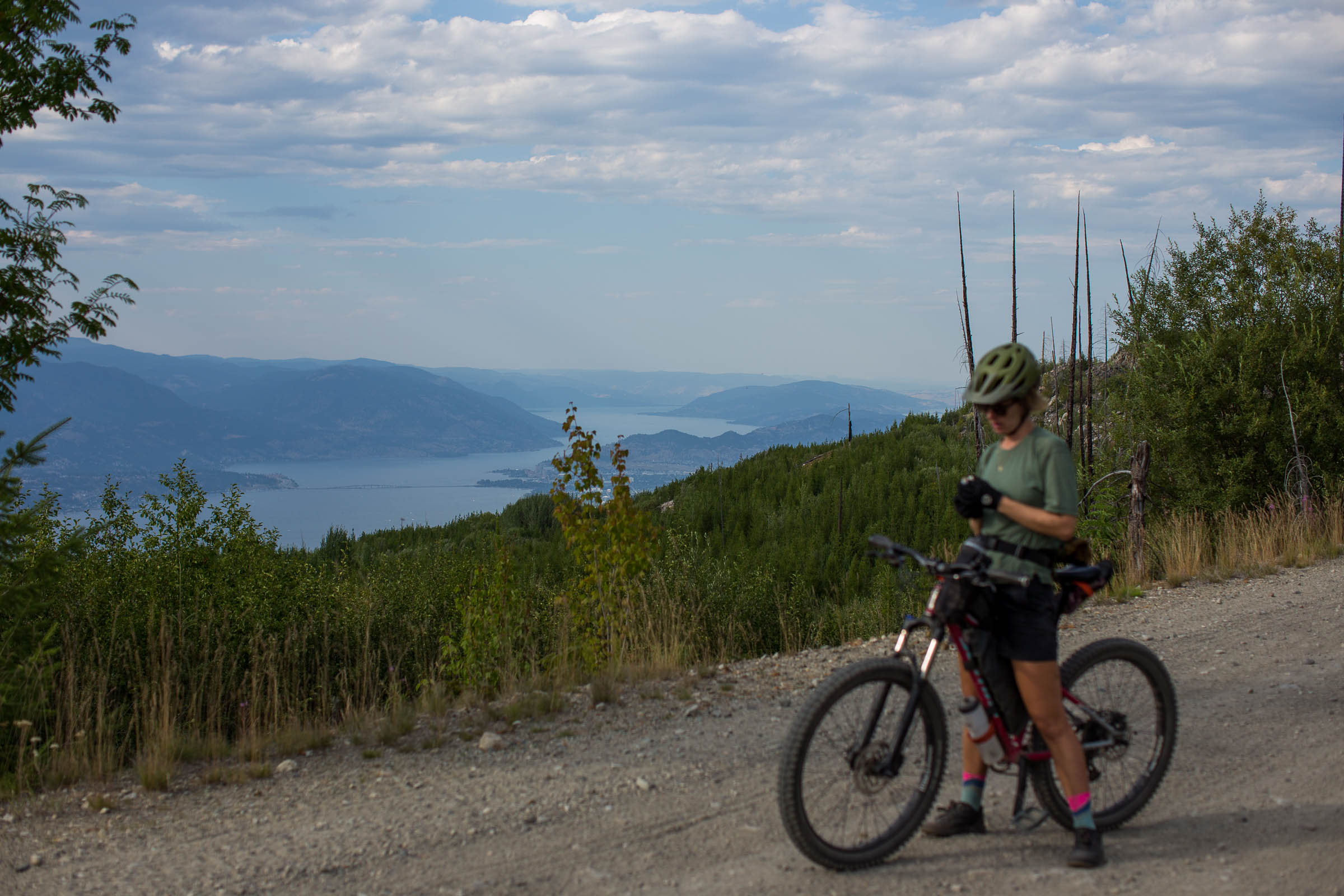
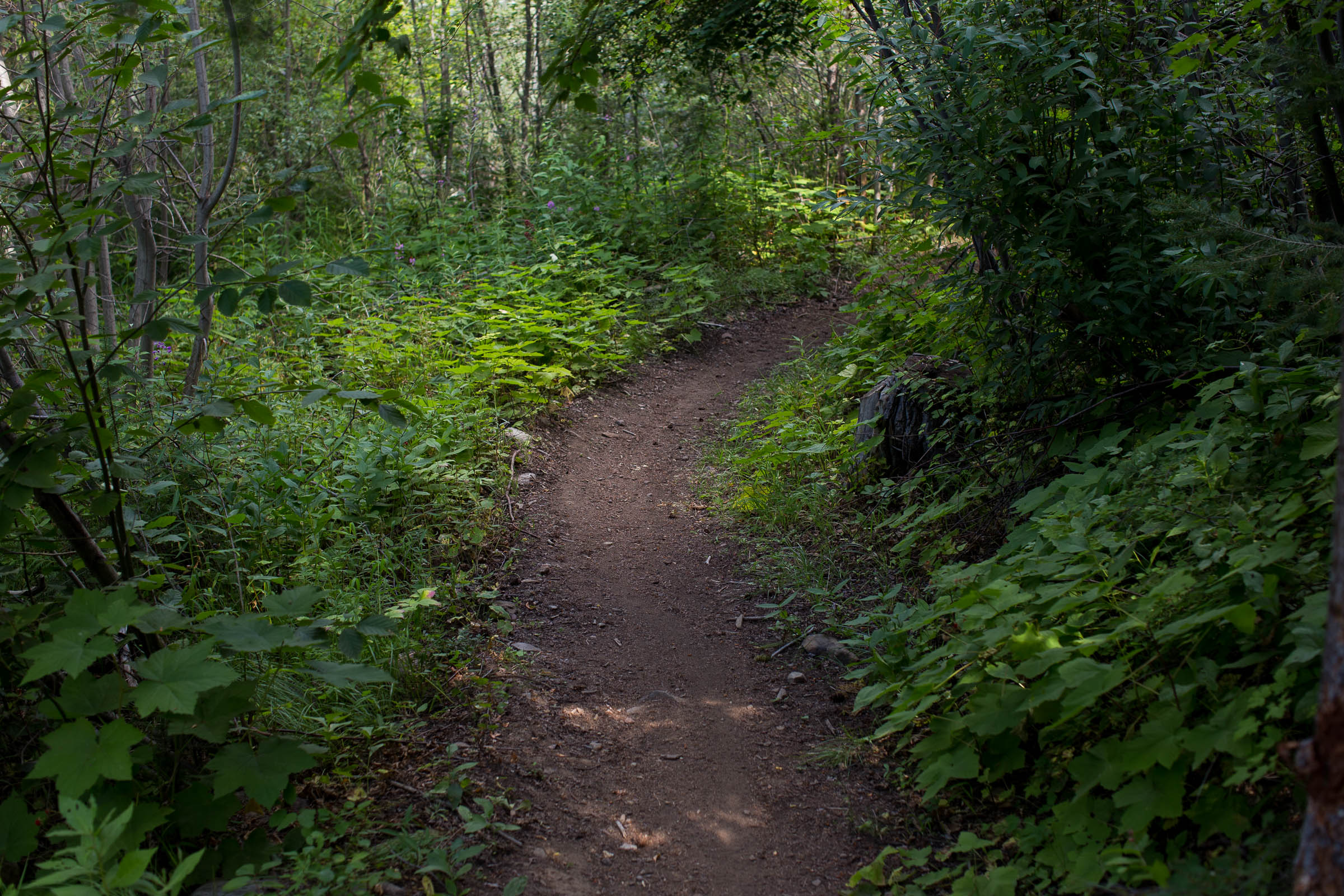
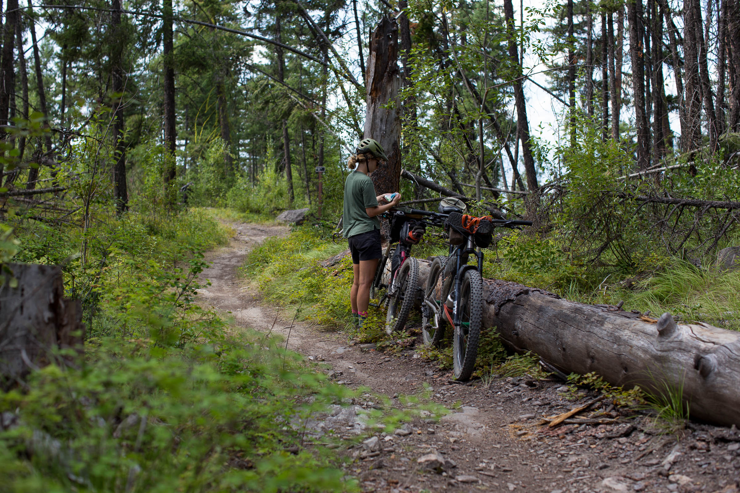
One of the most rewarding (and popular) ways to experience Kelowna is from high above the city—from the Myra Canyon Trestles along the Kettle Valley Rail Trail. Coincidentally, the Myra-Bellevue Provincial Park Trails, also known as Crawford, provide a fantastic singletrack approach on purpose-built mountain bike trails that are easily linked with the Mission Creek Greenway for a quick escape from the city.
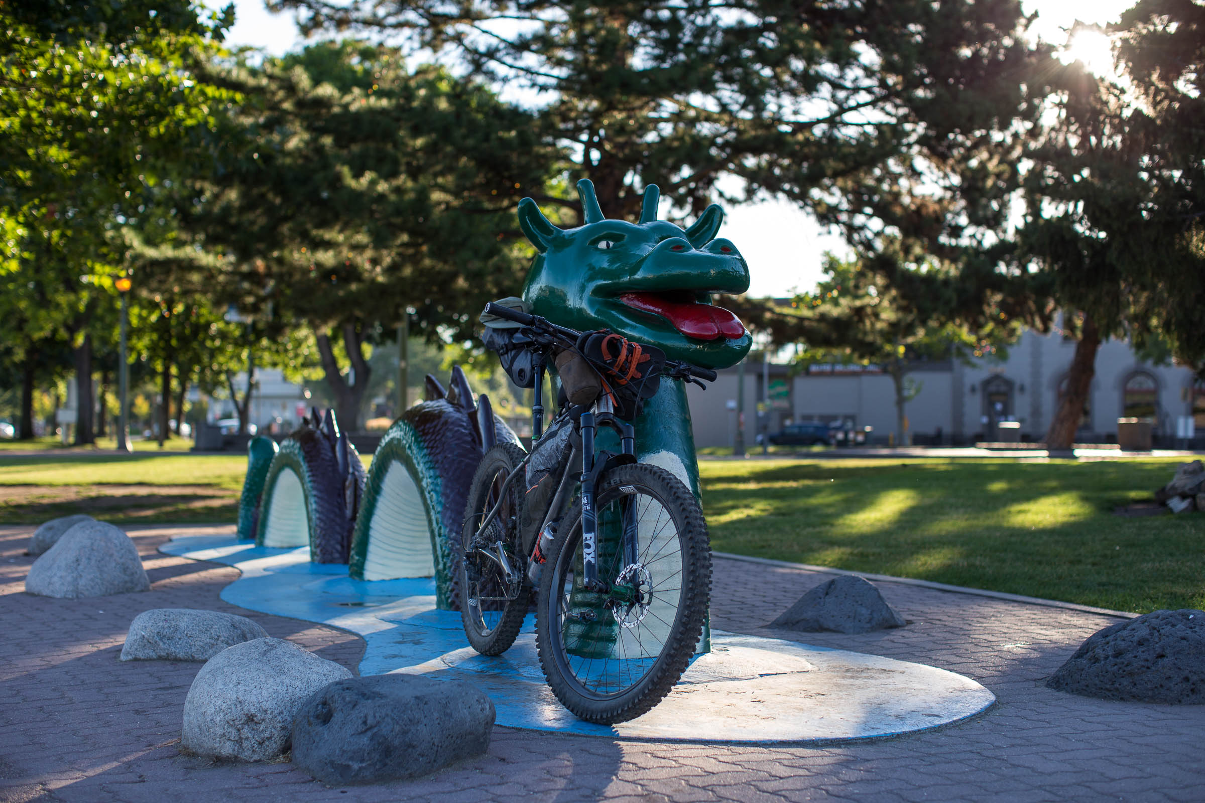
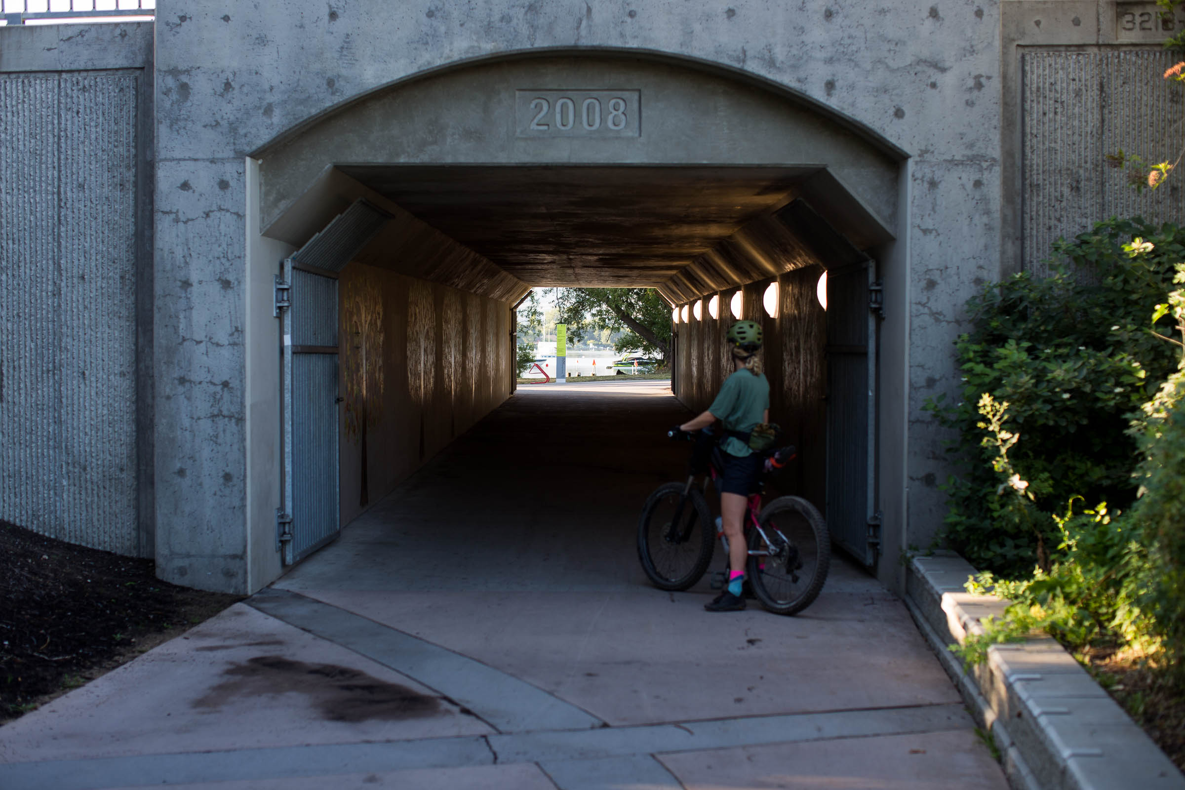
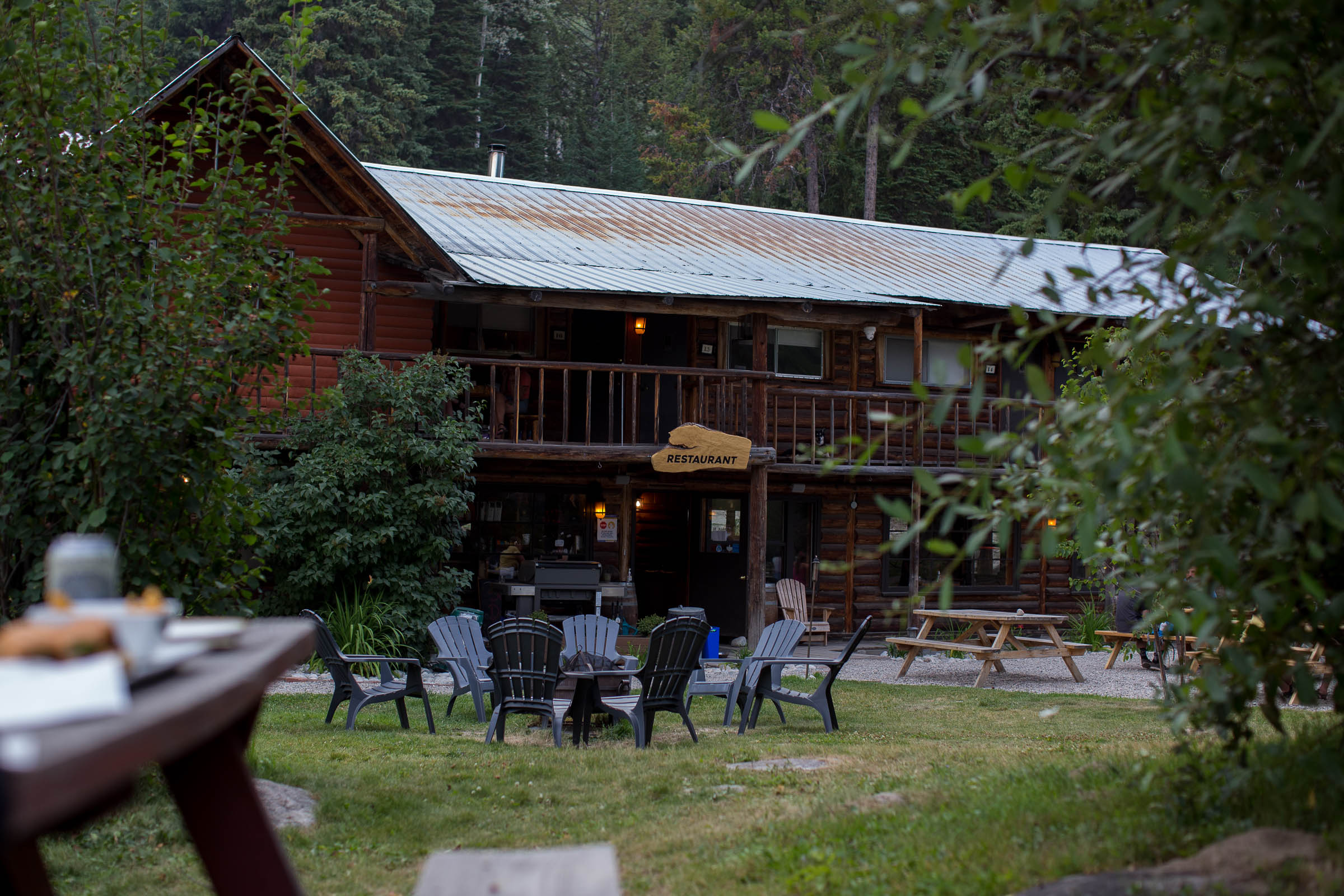
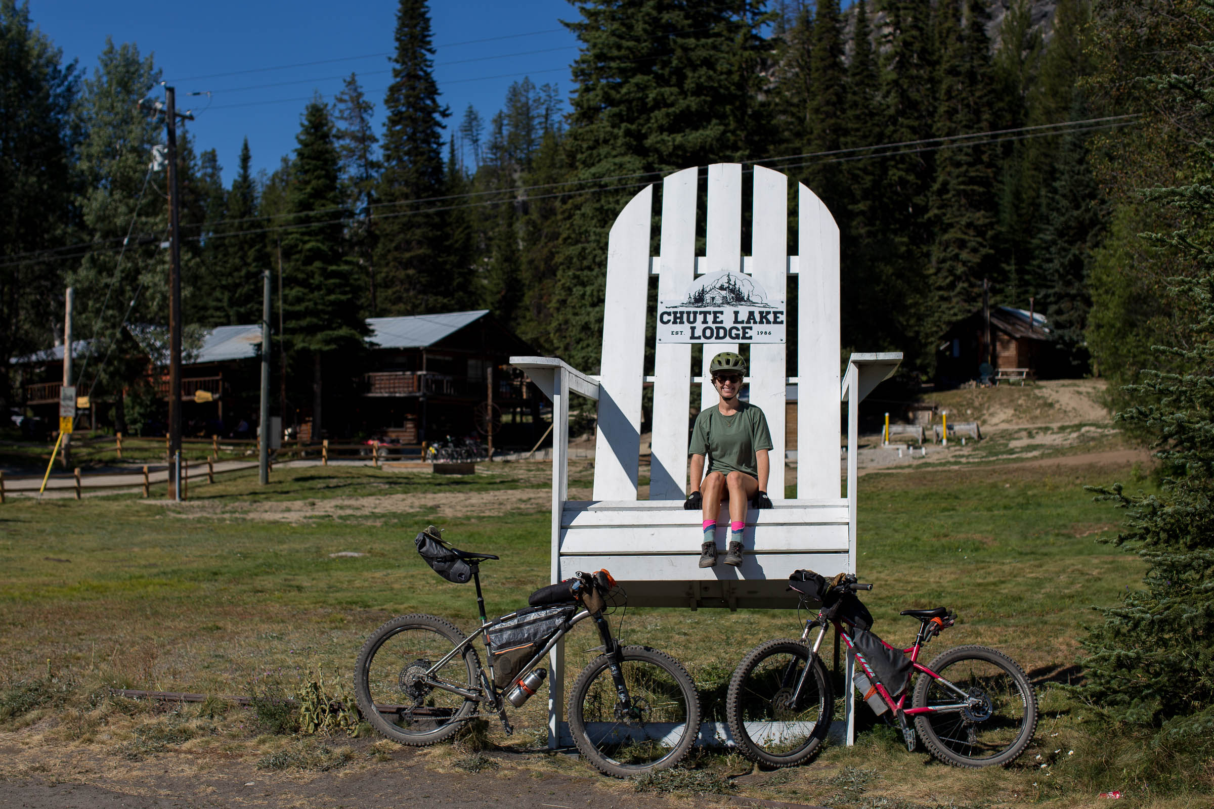
Designed specifically to be ridden as an overnighter, with the halfway point being Chute Lake, riders have the opportunity to glamp at the Chute Lake Lodge or camp for free at the neighbouring BC recreation site. Chute Lake Lodge offers high-quality meals and lodging for those looking for a lightweight escape from the city, and booking one of their glamping tents or yurts can serve as a special night out for mountain bikers looking to give bikepacking a shot. No matter where you sleep, the ride back into town follows downhill-specific trails that will leave you grinning from ear to ear as you make your way back to City Park in downtown Kelowna.
Difficulty
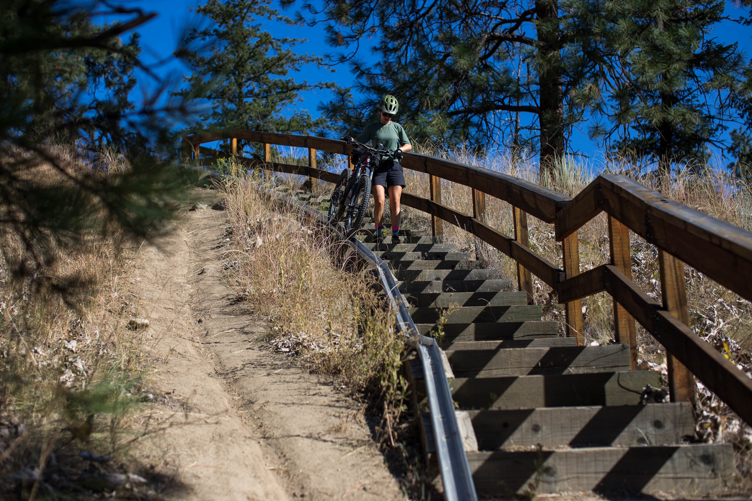
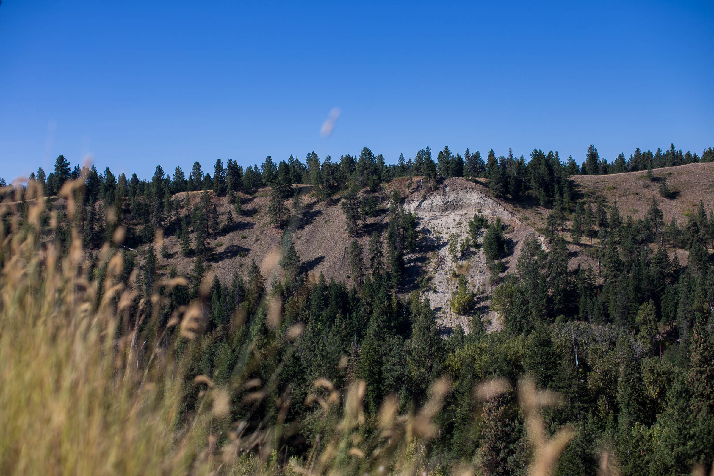
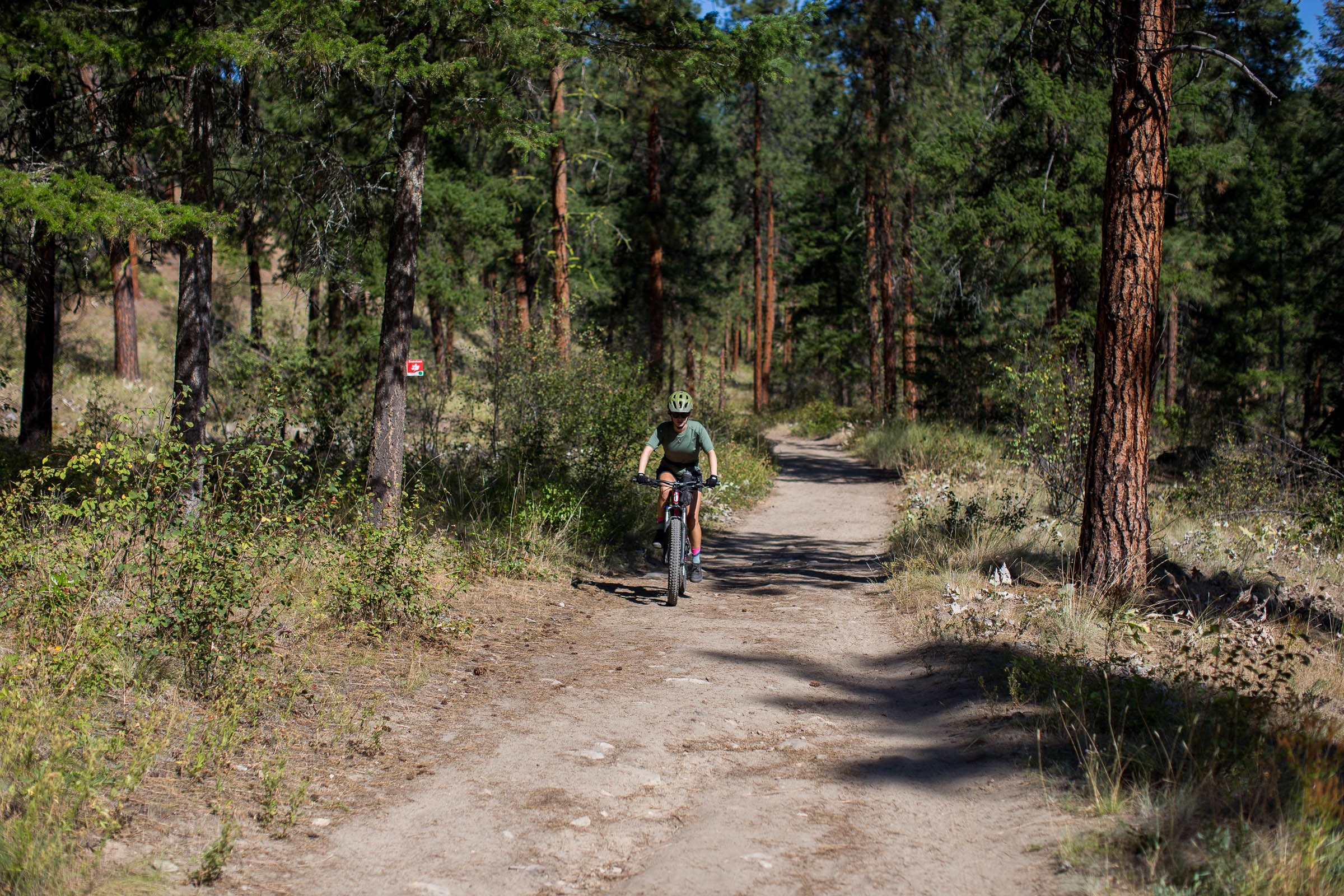
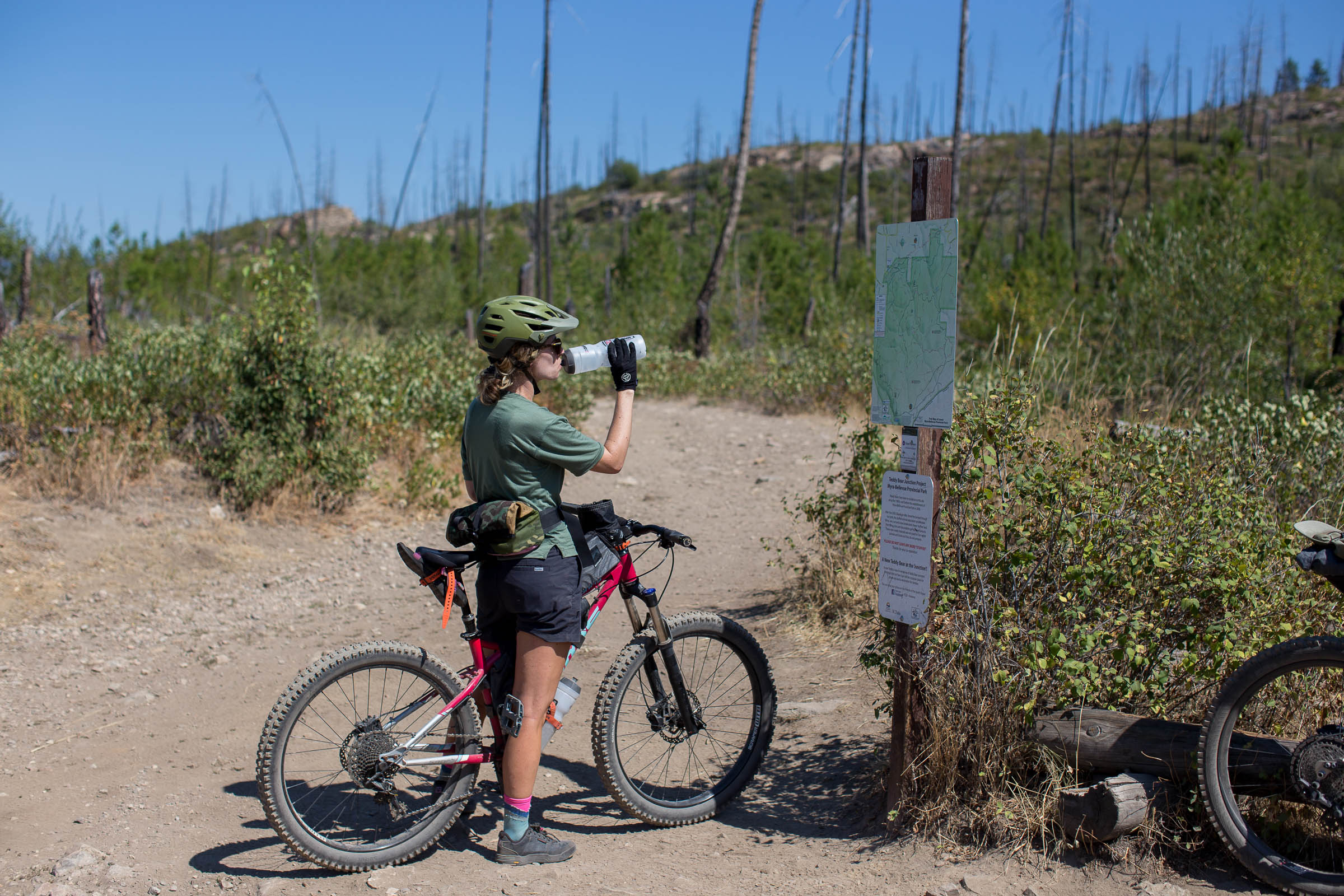
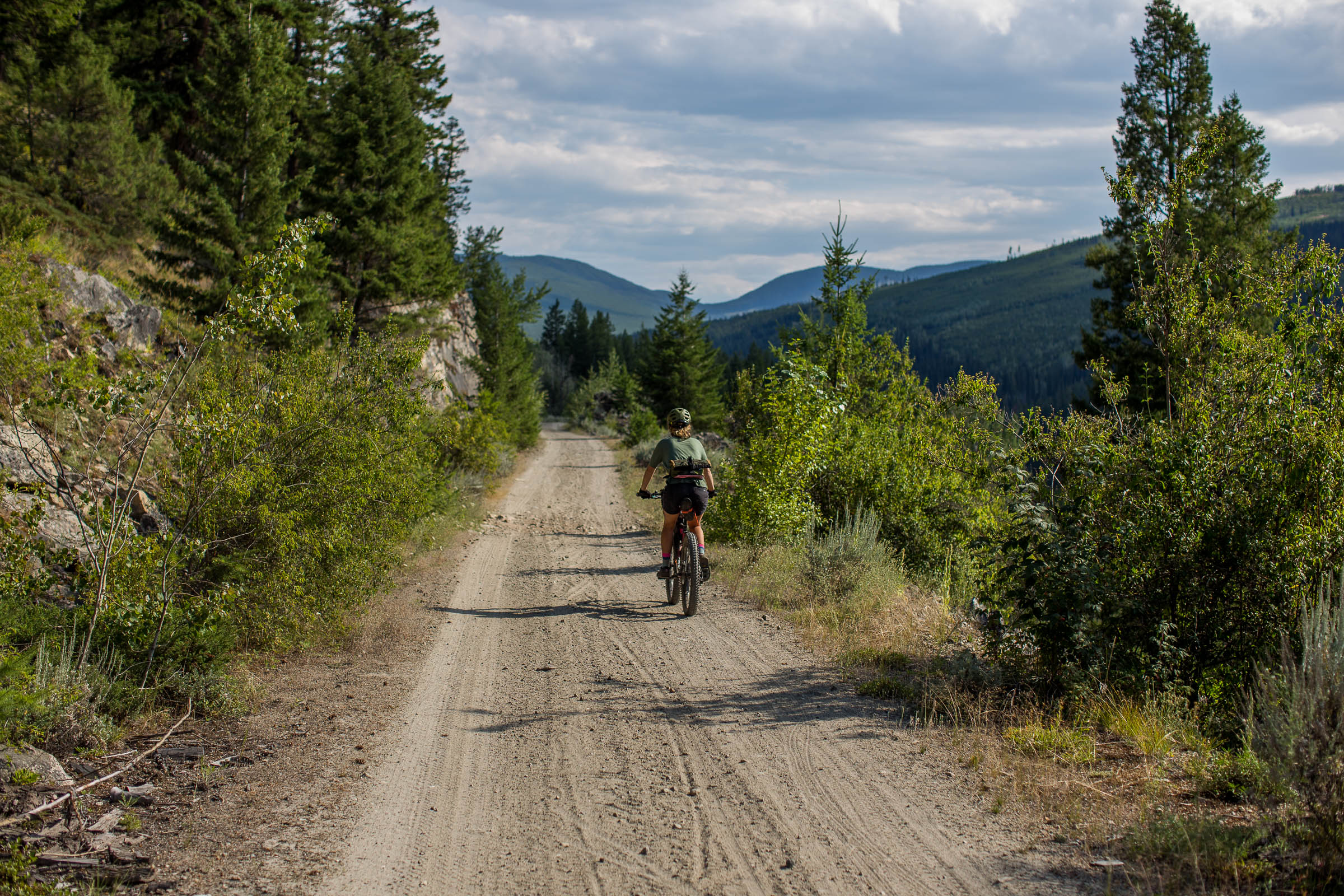
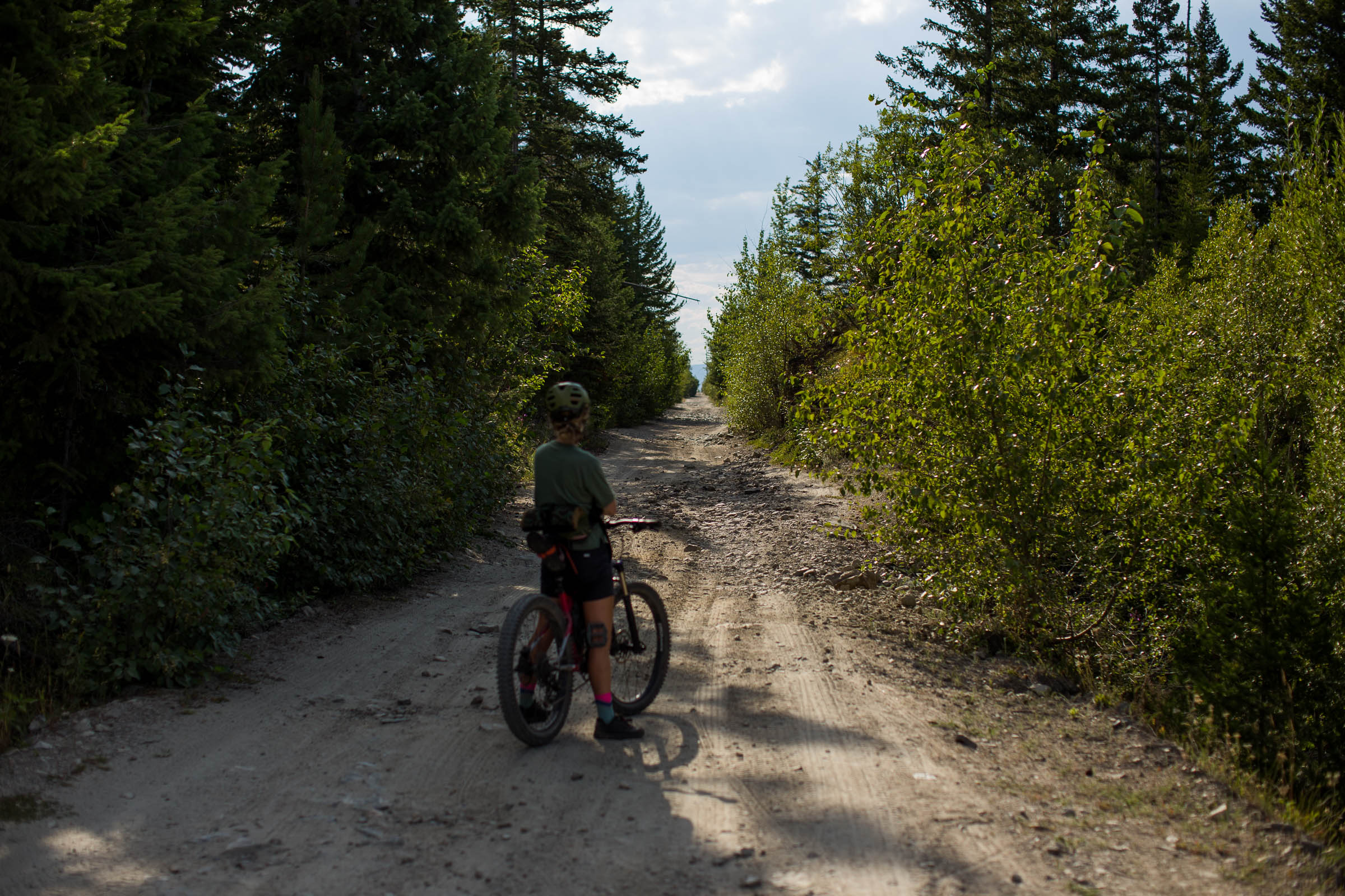
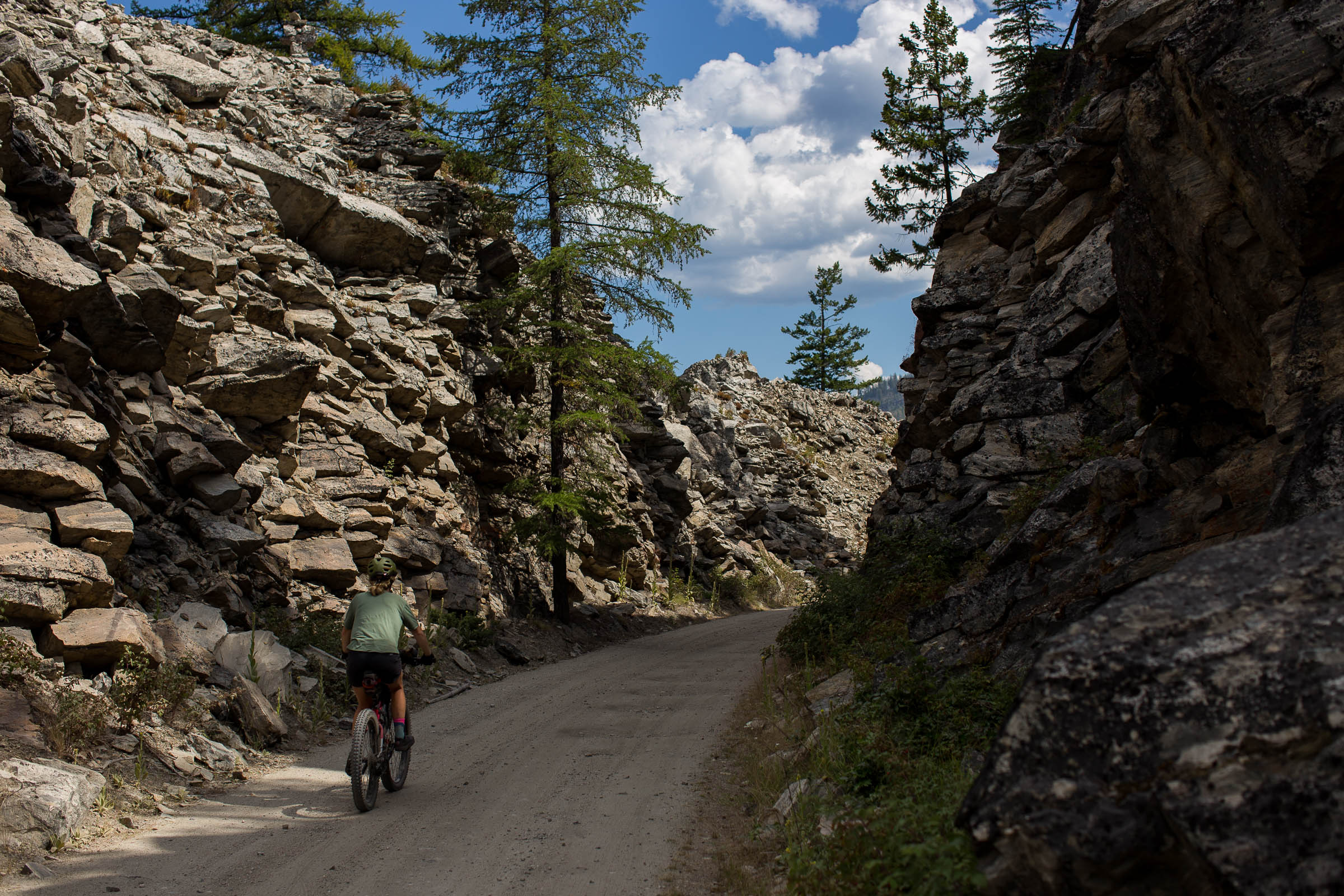
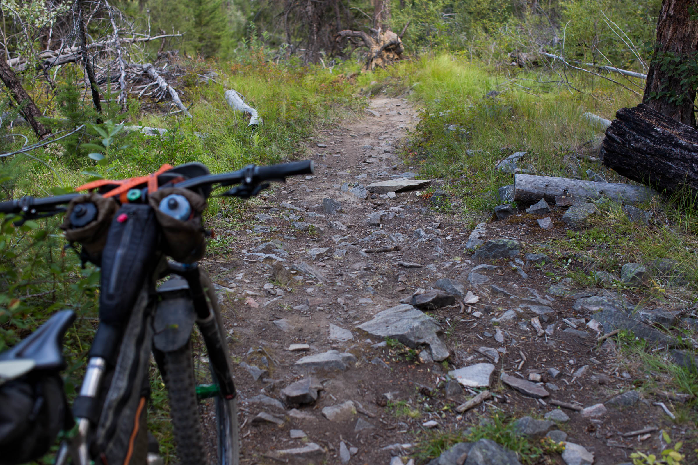
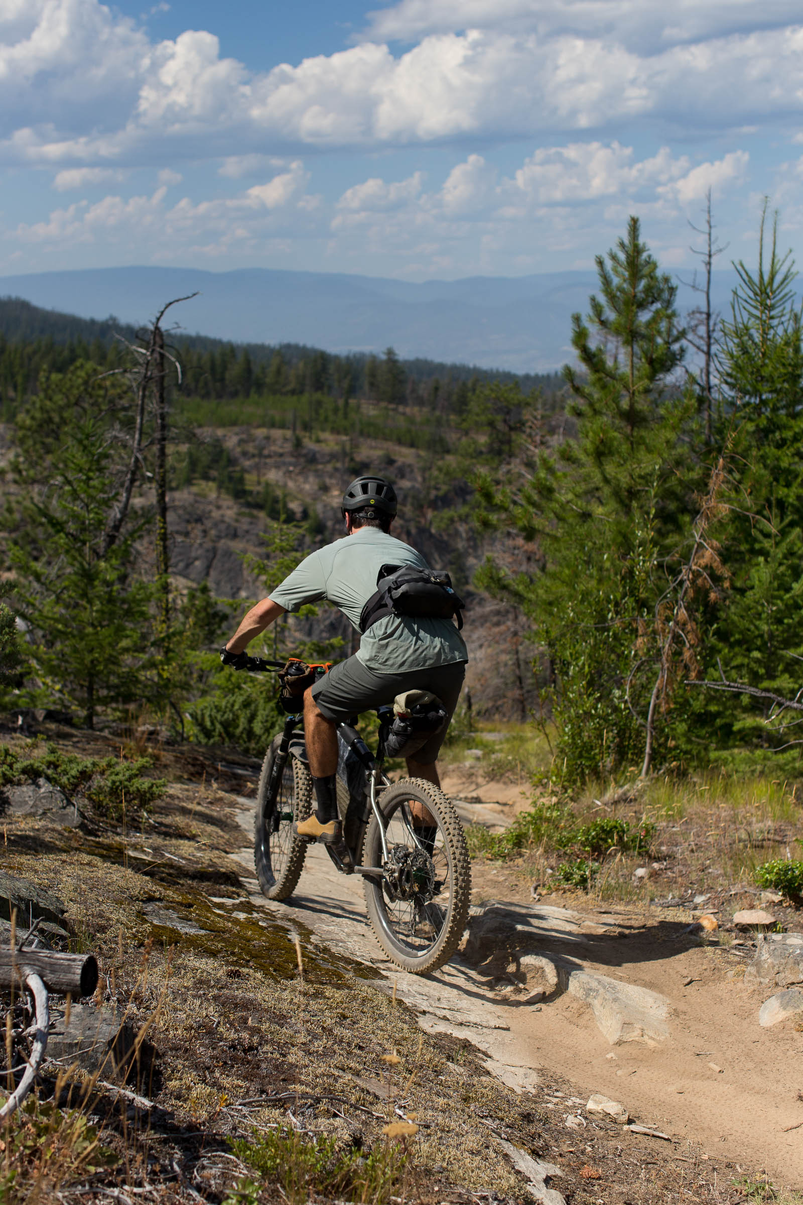
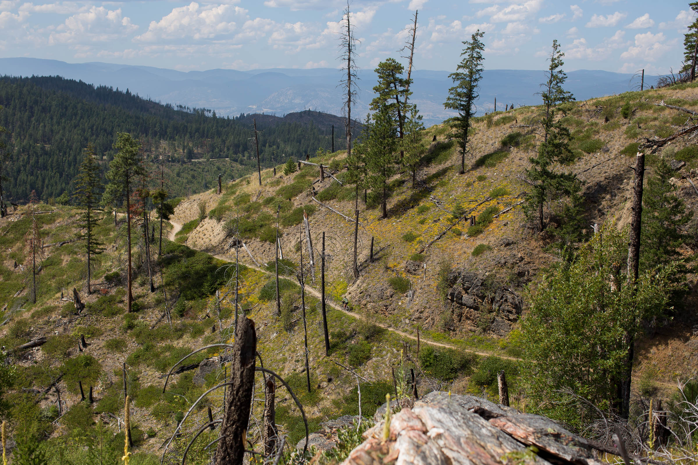
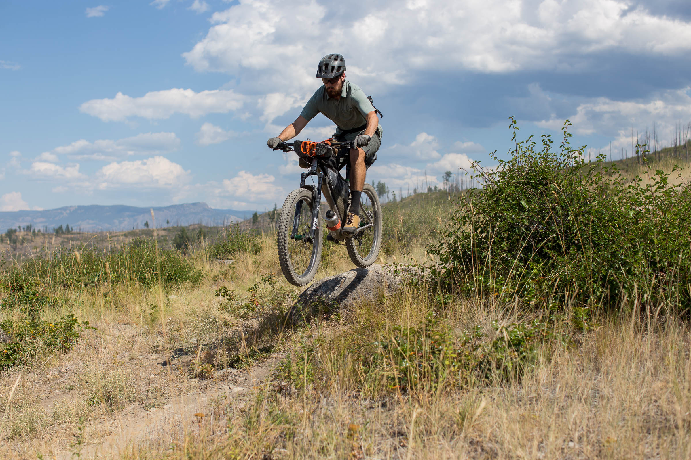
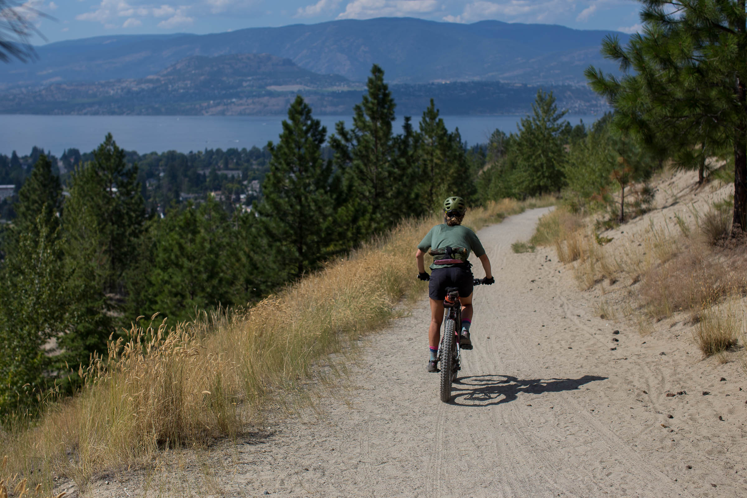
Although the bike paths and gravel trails exiting and entering the city are mostly flat, wide, and smooth rolling, the singletrack and rail trail closer to Chute Lake can be rough and technical. The trails within Myra-Bellevue Provincial Park are primarily blue rated, and climb over 3,000’ up to the Kettle Valley Rail Trail. Much of this section is exposed to direct sunlight and can get quite hot in the summer months. The Kettle Valley Rail Trail from the Bellevue Bridge to Chute Lake sees more off-road traffic that has formed potholes and can be sandy. This ~17km section may be slower than you think. To properly enjoy this route, a hardtail mountain bike with front suspension is recommended, but it can be ridden on a rigid bike with plus-sized tires as well. You should be comfortable with some short sections of a hike-a-bike and technical mountain bike trails that are steep, loose, and often washed out in places.
Route Development: Myra-Bellevue and the Kettle Valley Rail Trail are the gateway to all kinds of adventures by bike. Chute Lake Charcuterie was designed as a mountain biker’s introduction to what’s available, mixing local singletrack with the amenities of Chute Lake Lodge, and touching on local tourist attractions like the Bellevue Trestle, KVR, Crawford Canyon Falls and Kelowna’s downtown waterfront. This same route can serve as a starting point for much longer bikepacking trips, including The BC Trail towards Alberta or linking together with routes on the coast. Let your imagination run wild!


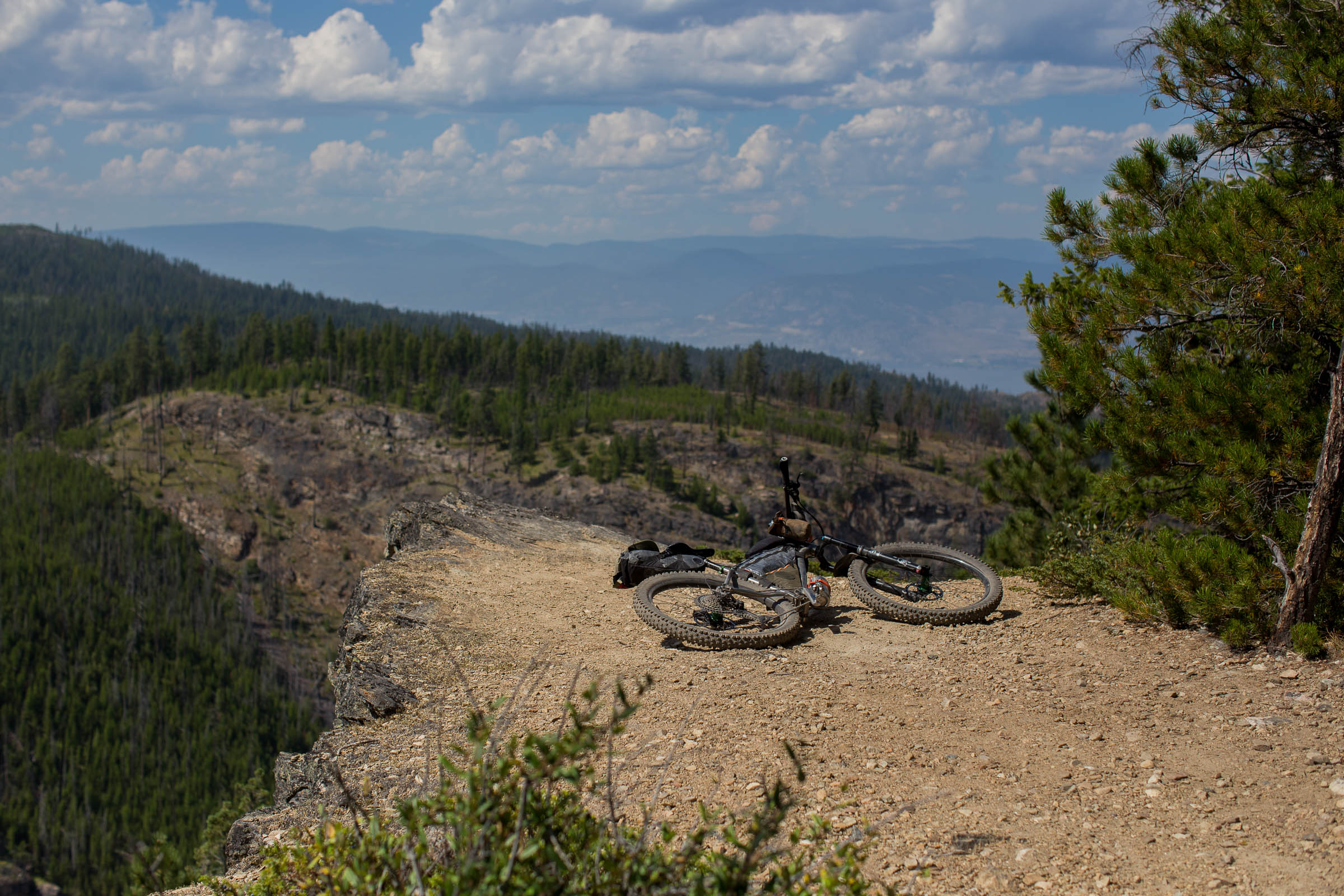


Highlights
Must Know
Camping
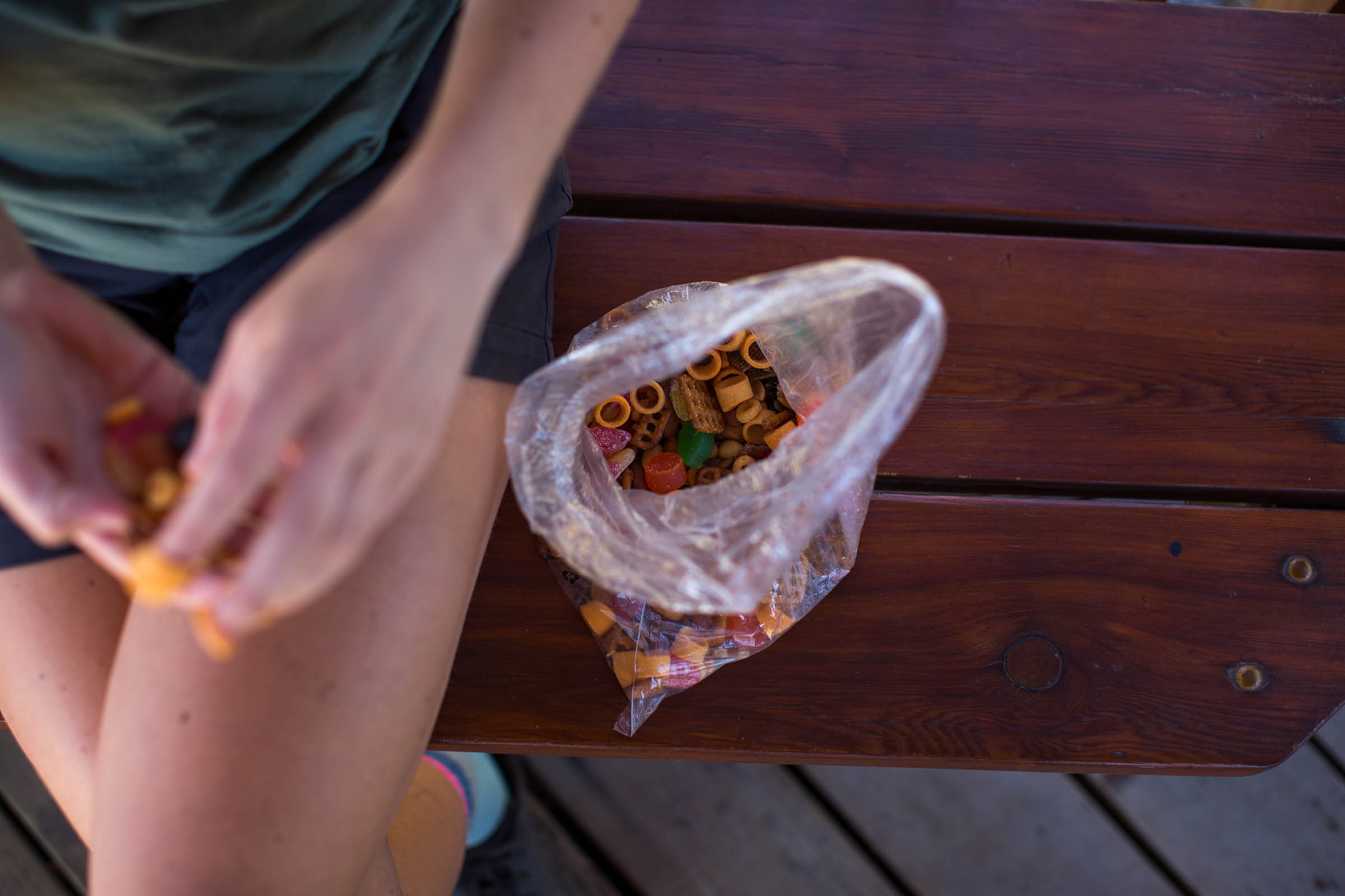
Food/H2O
Trail Notes
Resources
- Escaping the city via the Mission Creek Greenway.
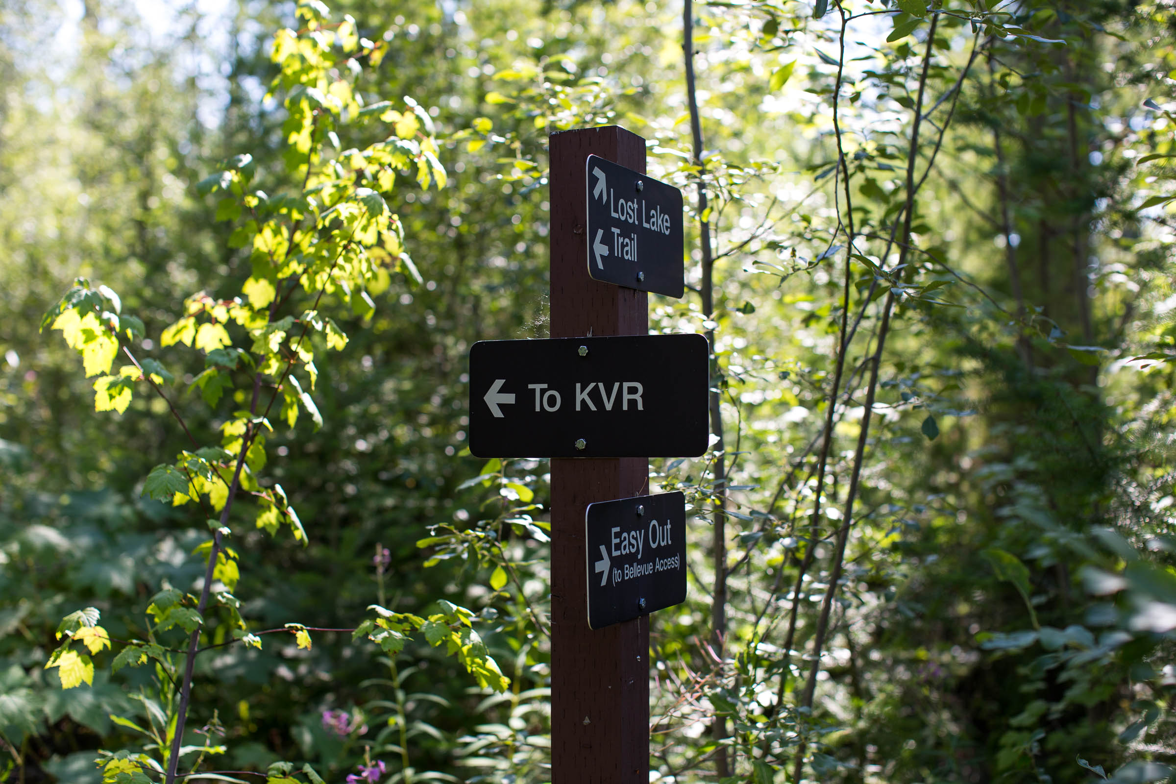
- Climbing Lost Lake Trail right up to the Kettle Valley Rail Trail.
- Chute Lake Lodge—the food, accommodations and overall vibe make for a great place to spend the night before the return trip to Kelowna.
- The flowy yet challenging 7km singletrack descent via Crawford Trail to Crawford Canyon Falls.
- Beaches, restaurants, and breweries in downtown Kelowna.
- Sobering reminders of the effect and power of forest fires while riding through old burn zones in Myra-Bellevue Provincial Park.
- Ideal Bike: A mountain bike with front suspension or rigid with plus-sized tires is ideal. Although the route follows some wider, smooth gravel paths—the singletrack descent is technical at the start and the KVR is full of potholes and fist-sized rocks closer to Chute Lake. Looking to avoid the singletrack sections? See the Trail Notes.
- When to ride: Fall is the ideal time to ride the route since daily temperatures will be lower and the nights cooler at Chute Lake. Spring has the benefit of more water runoff in some of the creeks, but the trails and KVR often don’t drain well and can form deep puddles—plus the ticks can be really bad. Summer is also fine, but hot weather is normal (35°C and higher) and water resupply is that much more scarce.
- Getting here: Kelowna has an international airport for those flying in, and can either take a cab, public transportation, or ride the Okanagan Rail Trail south into the city. For those looking to shorten the first day, BC Transit has a two bike rack and the Crawford Route can get you pretty close to the bottom of Lost Lake Trail.
- Route Direction: This route is best ridden clockwise due to one-way mountain bike trails, and was designed to be ridden this way.
- Land Acknowledgment: The Chute Lake Charcuterie travels on the unceded traditional territory of the Syilx and Okanagan Nation. Take some time to learn about and respect their people. Head over to the British Columbia Assembly of First Nations website to learn more.
- There are bears and cougars on this route. Make noise and carry bear spray to avoid startling any wildlife.
- Wildfire risk is a serious concern during the drier summer months. Be smart and familiarize yourself with local restrictions.
- Chute Lake Lodge offers glamping tents, yurts, tent spots, and rooms that are reservable online. It’s a fun experience with a good vibe that’s worth experiencing.
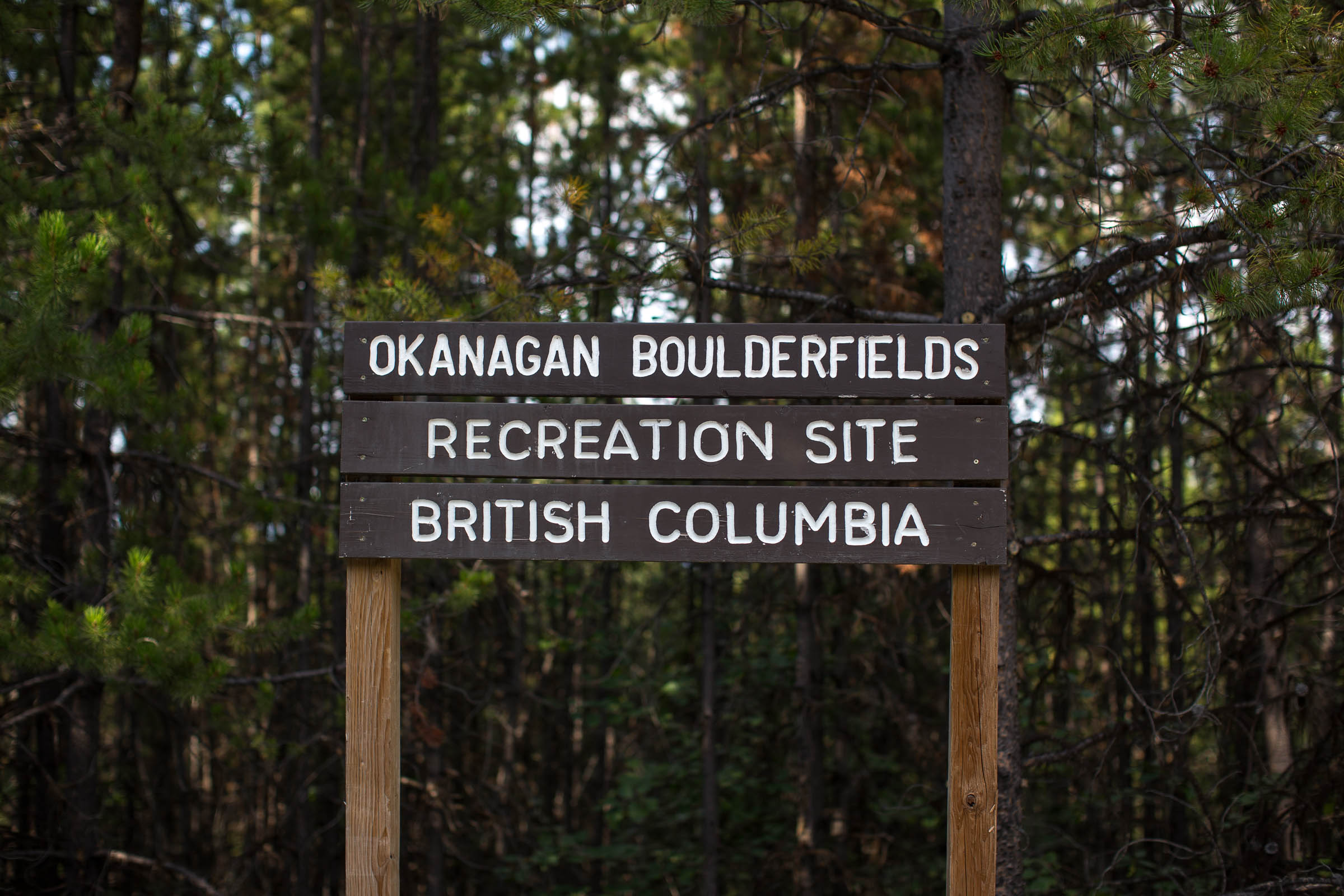
- Chute Lake Rec Site is a free BC recreation campground on the south end of Chute Lake. No reservation needed.
- There is no wild camping permitted along the rest of the route, so getting to Chute Lake is the ultimate goal.
- Kelowna has an amazing selection of grocery stores, restaurants, breweries ,and cafes. Make sure to stock up with everything you need before heading out.
- There are no resupply options along the route, but Chute Lake Lodge does have a great restaurant to take care of dinner and breakfast.
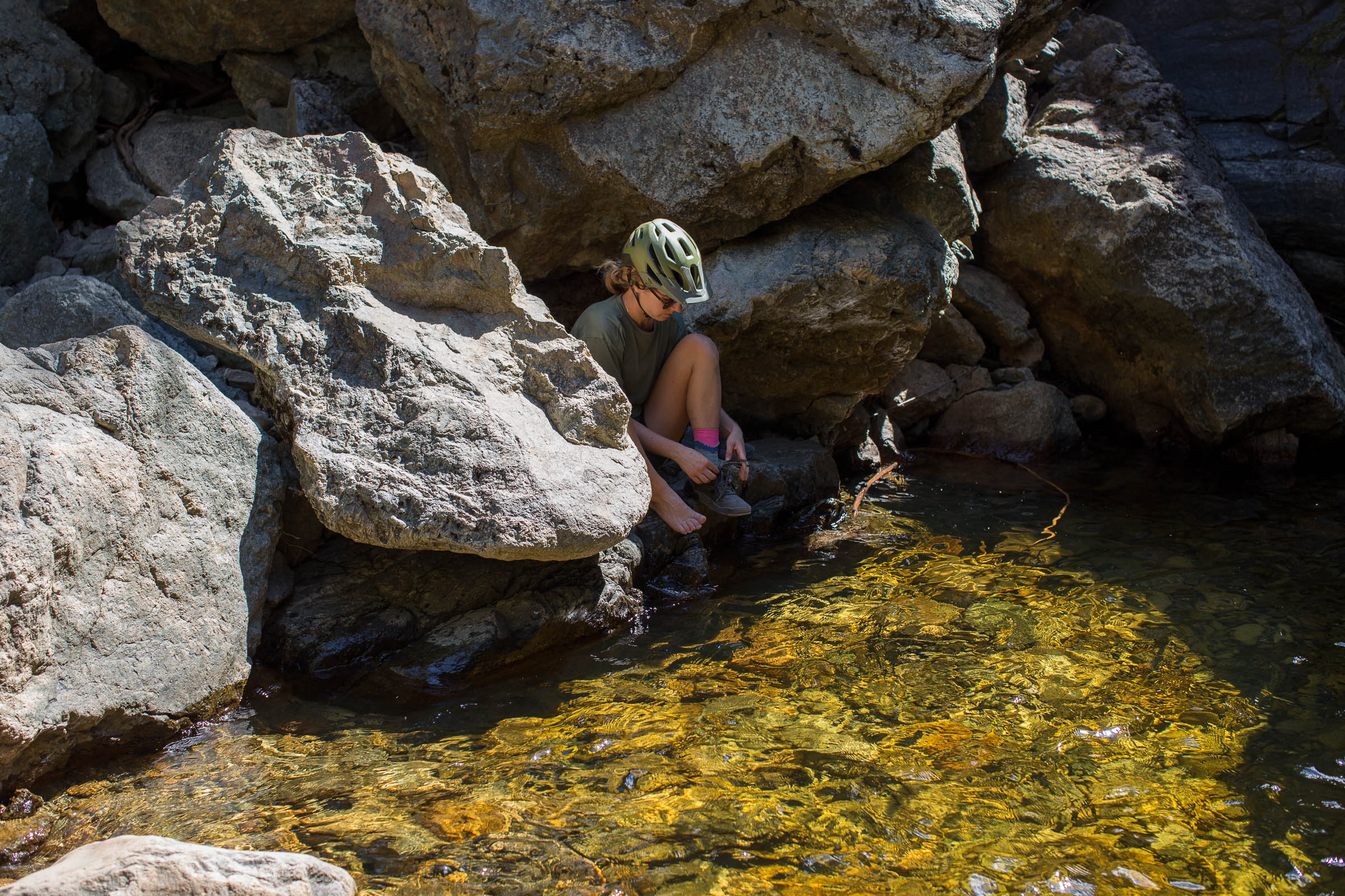
- Water is scarce on the route, so purify and fill up when possible. Carry at least 5L of water, and if you drink a lot, carry more.
Gravel Alternative Route
Although the Chute Lake Charcuterie is designed for mountain bikers seeking a rewarding local bikepacking experience from Kelowna, there are options to create a more gravel-friendly route, eliminating the vast majority of singletrack and rerouting the climb up the Myra Forest Service Rd. to the Myra Canyon Trestles parking lot instead. The climb up is still quite challenging and requires proper gearing and good fitness to avoid hours of hike-a-bike. This road is also the route people drive up to the Myra Canyon Trestles, so some traffic should be expected. The route continues to avoid trails and descends via Gillard Forest Service Rd. See the route map below.


Terms of Use: As with each bikepacking route guide published on BIKEPACKING.com, should you choose to cycle this route, do so at your own risk. Prior to setting out check current local weather, conditions, and land/road closures. While riding, obey all public and private land use restrictions and rules, carry proper safety and navigational equipment, and of course, follow the #leavenotrace guidelines. The information found herein is simply a planning resource to be used as a point of inspiration in conjunction with your own due-diligence. In spite of the fact that this route, associated GPS track (GPX and maps), and all route guidelines were prepared under diligent research by the specified contributor and/or contributors, the accuracy of such and judgement of the author is not guaranteed. BIKEPACKING.com LLC, its partners, associates, and contributors are in no way liable for personal injury, damage to personal property, or any other such situation that might happen to individual riders cycling or following this route.
Please keep the conversation civil, constructive, and inclusive, or your comment will be removed.