


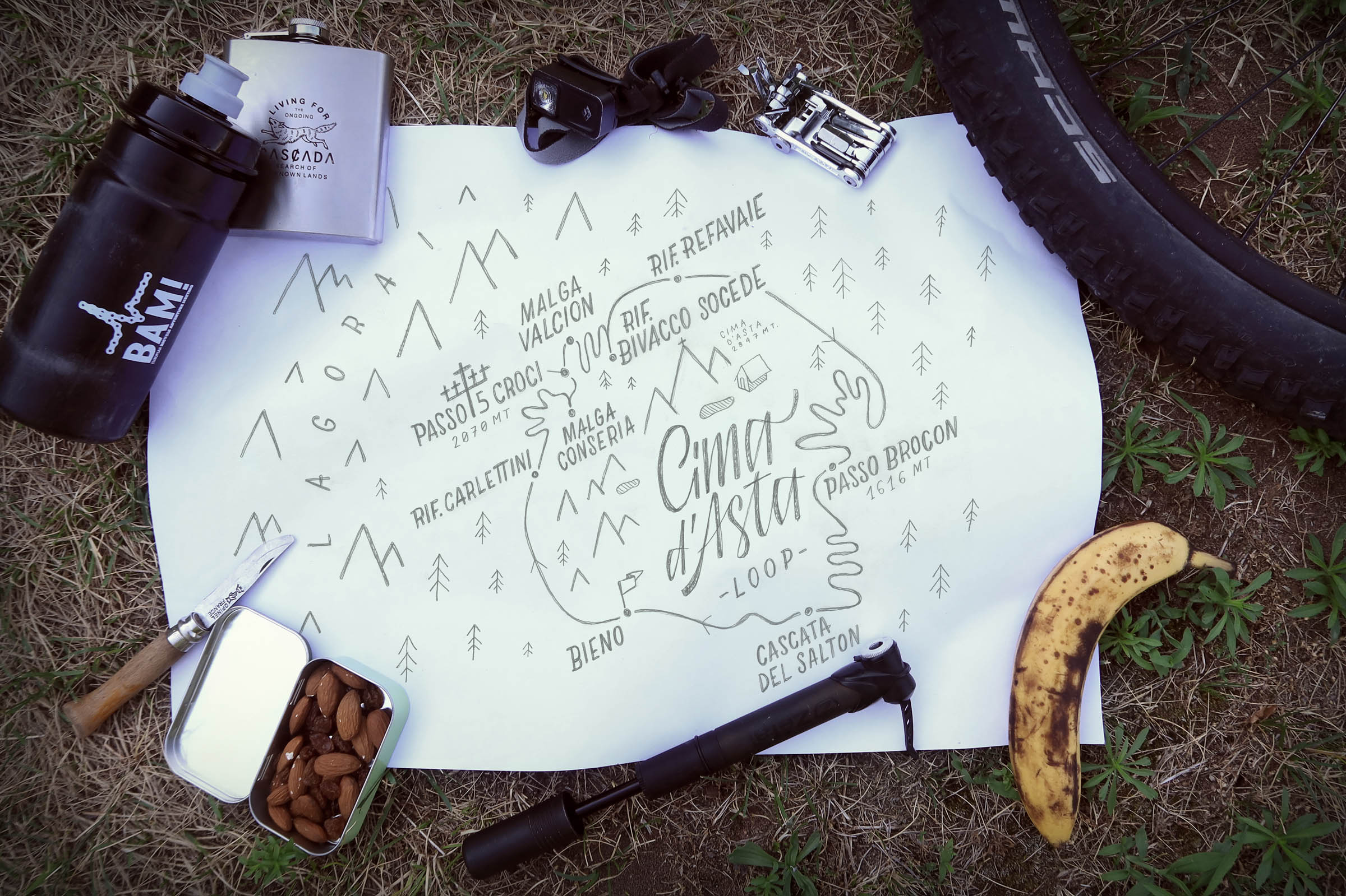
Cima d’Asta Loop
Distance
56 Mi.
(90 KM)Days
2
% Unpaved
50%
% Singletrack
5%
% Rideable (time)
100%
Total Ascent
8,450'
(2,576 M)High Point
6,560'
(1,999 M)Difficulty (1-10)
6?
- 10Climbing Scale Very Strenuous151 FT/MI (29 M/KM)
- -Technical Difficulty
- -Physical Demand
- -Resupply & Logistics
Contributed By

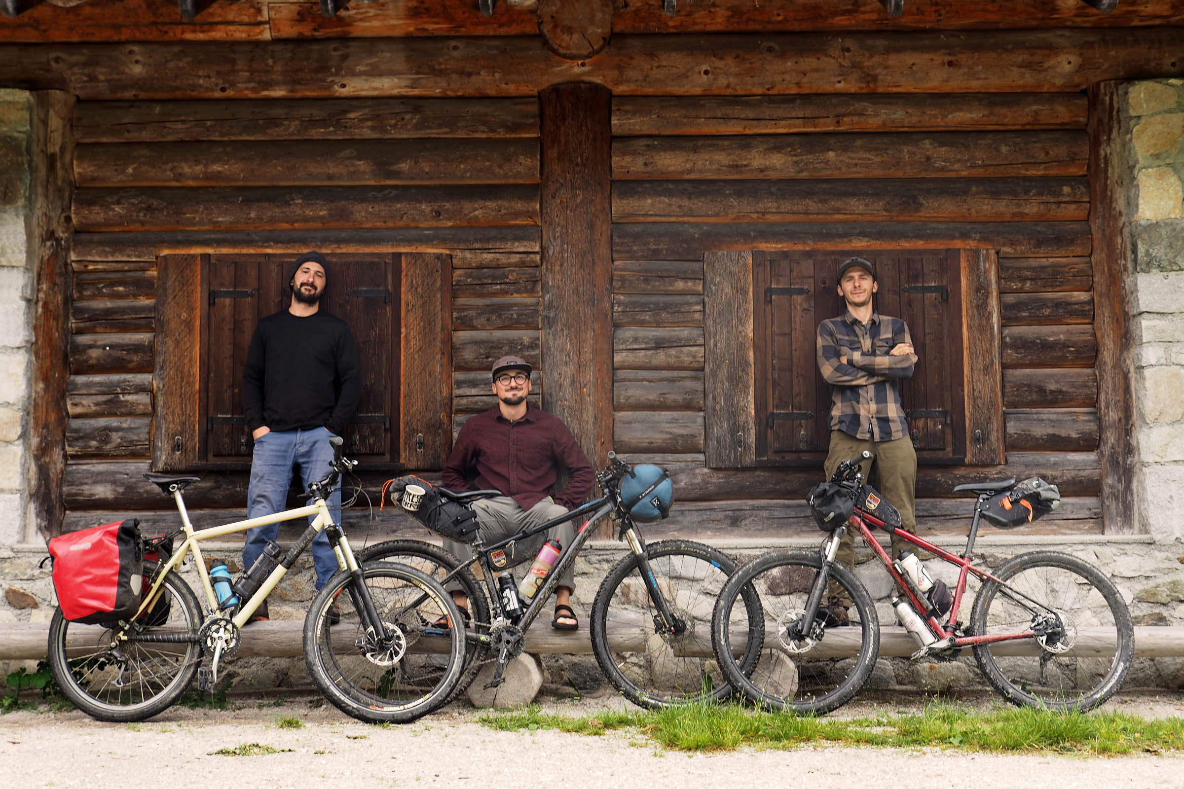
Francesco and Denis
Guest Contributor
Long-time friends and mountain enthusiasts, based in Trentino, Italy, Francesco Bonvecchio and Denis Sassudelli discovered cycling a few years ago, first through road touring, and then MTB bikepacking to truly enjoy the mountain environment of their homeland. The two also share a passion for route planning and storytelling. Denis never leaves home without his camera and Francesco often translates the tours into graphic maps and illustrations (@bonvecchiofrancesco).
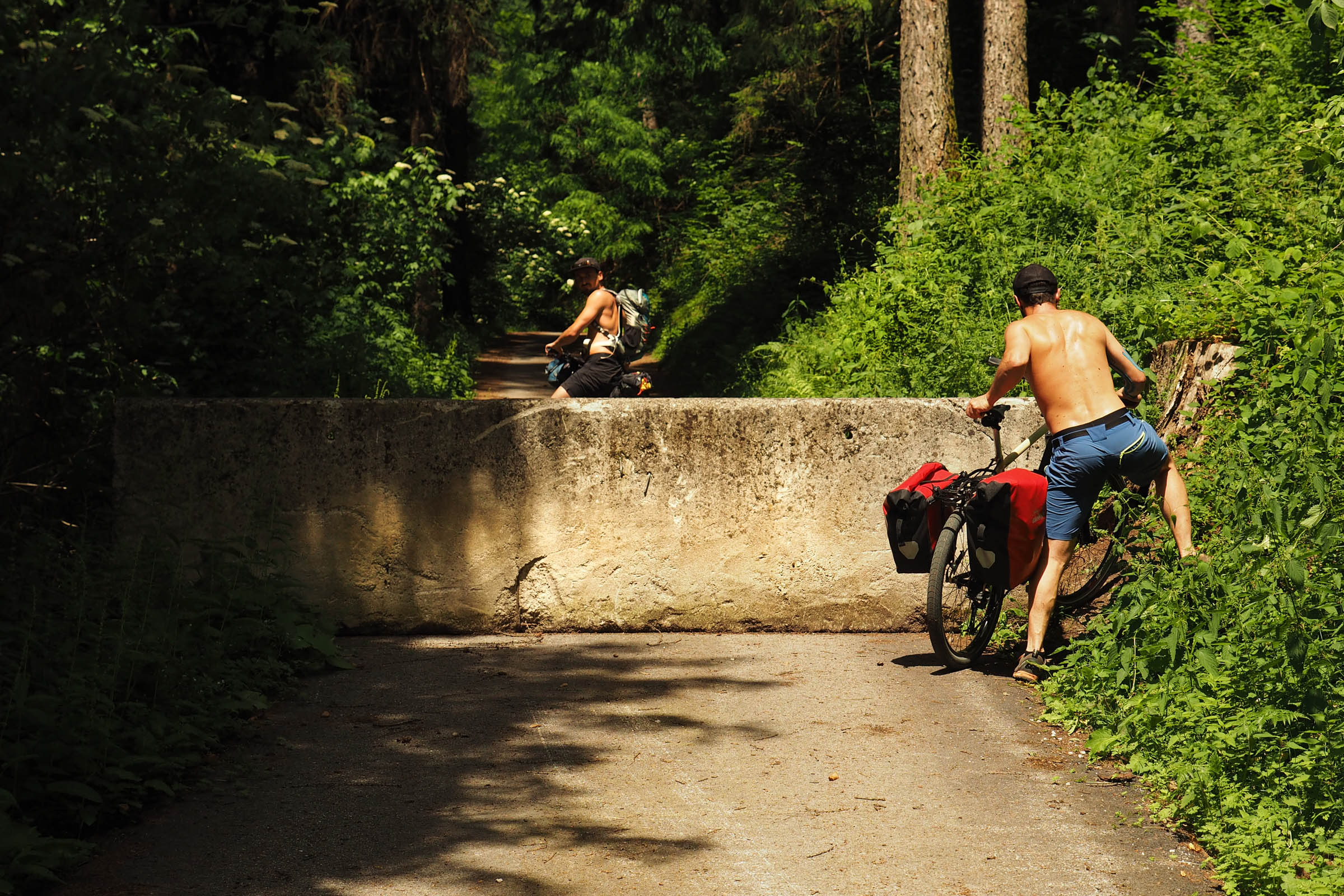
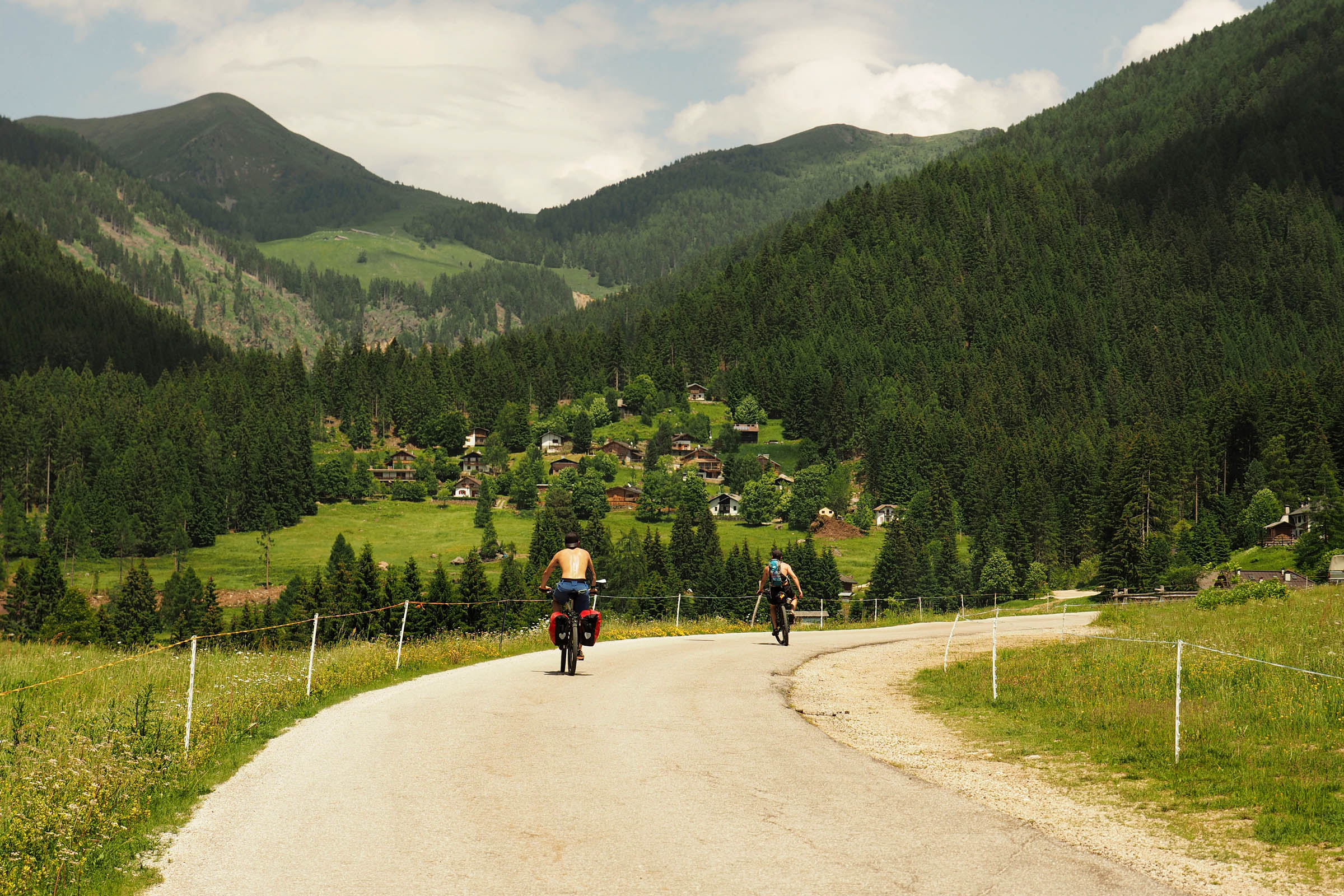
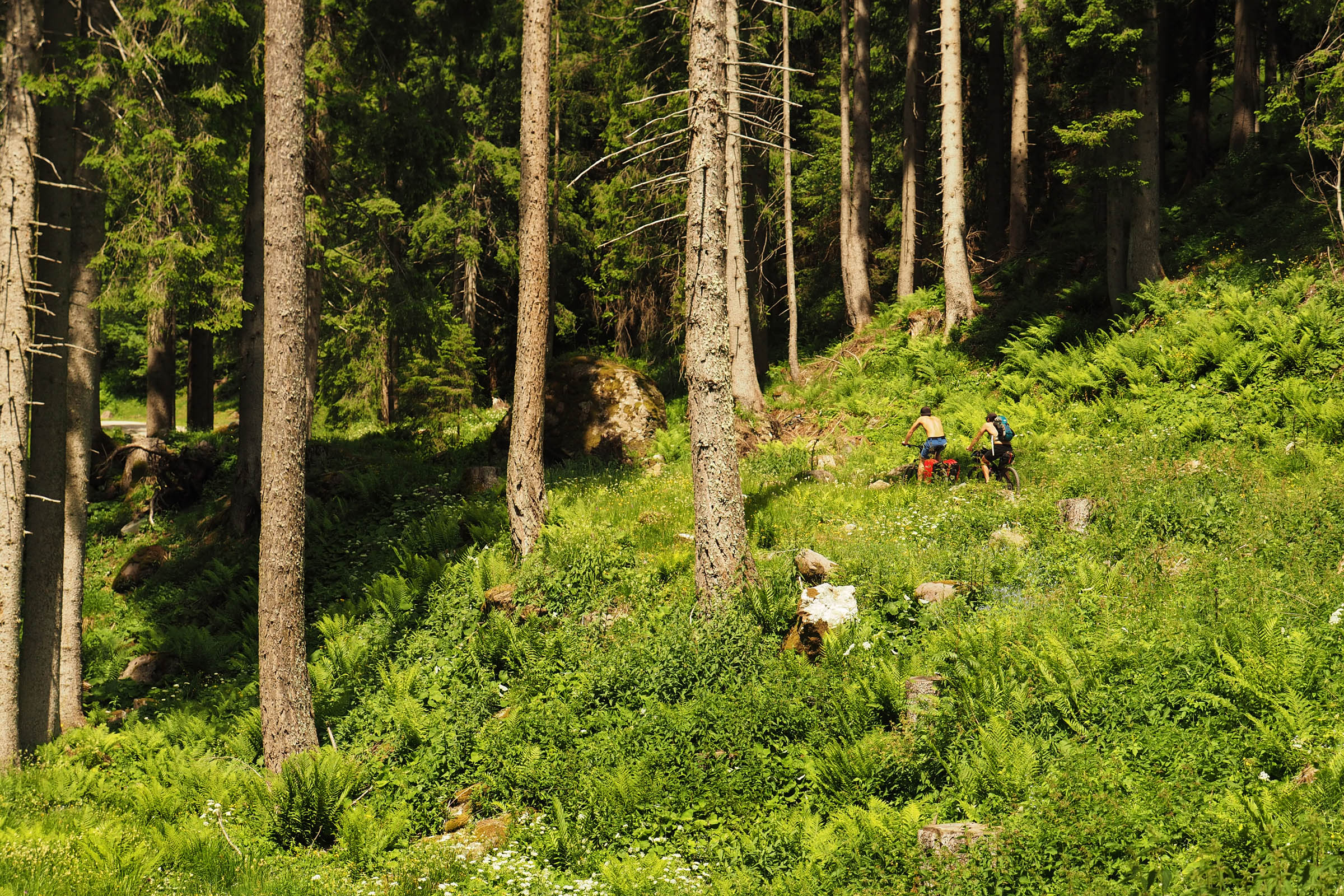
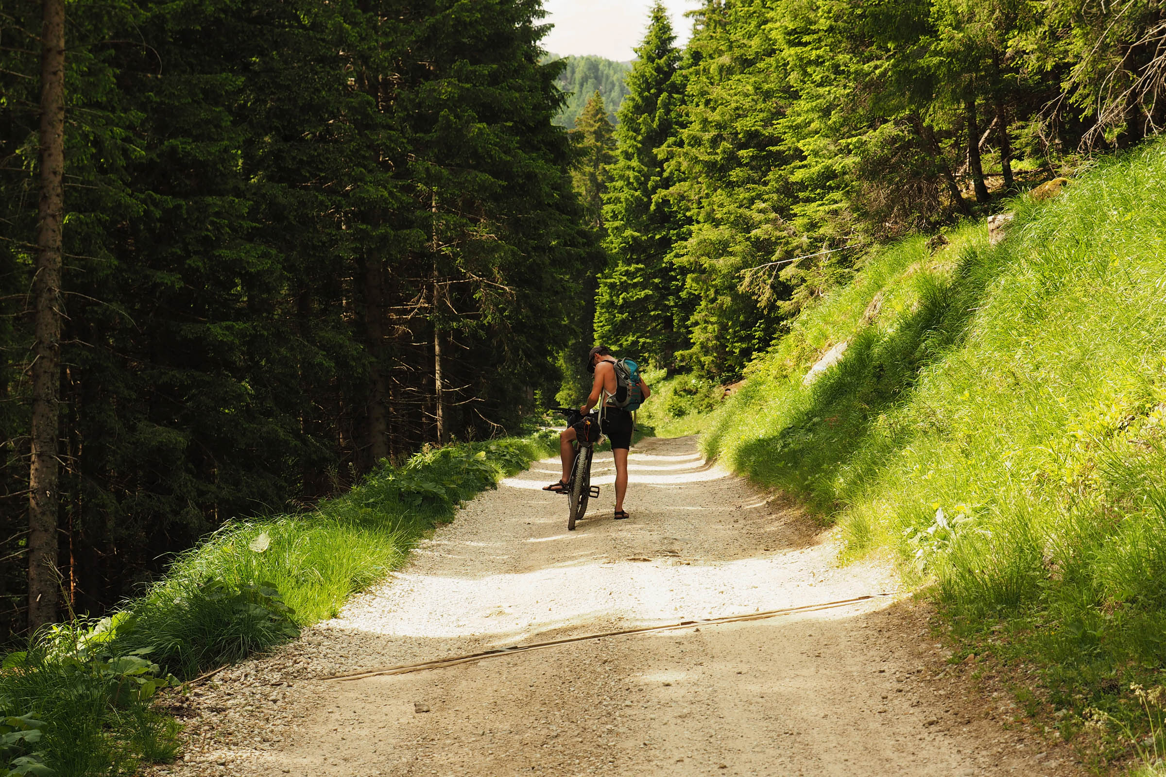
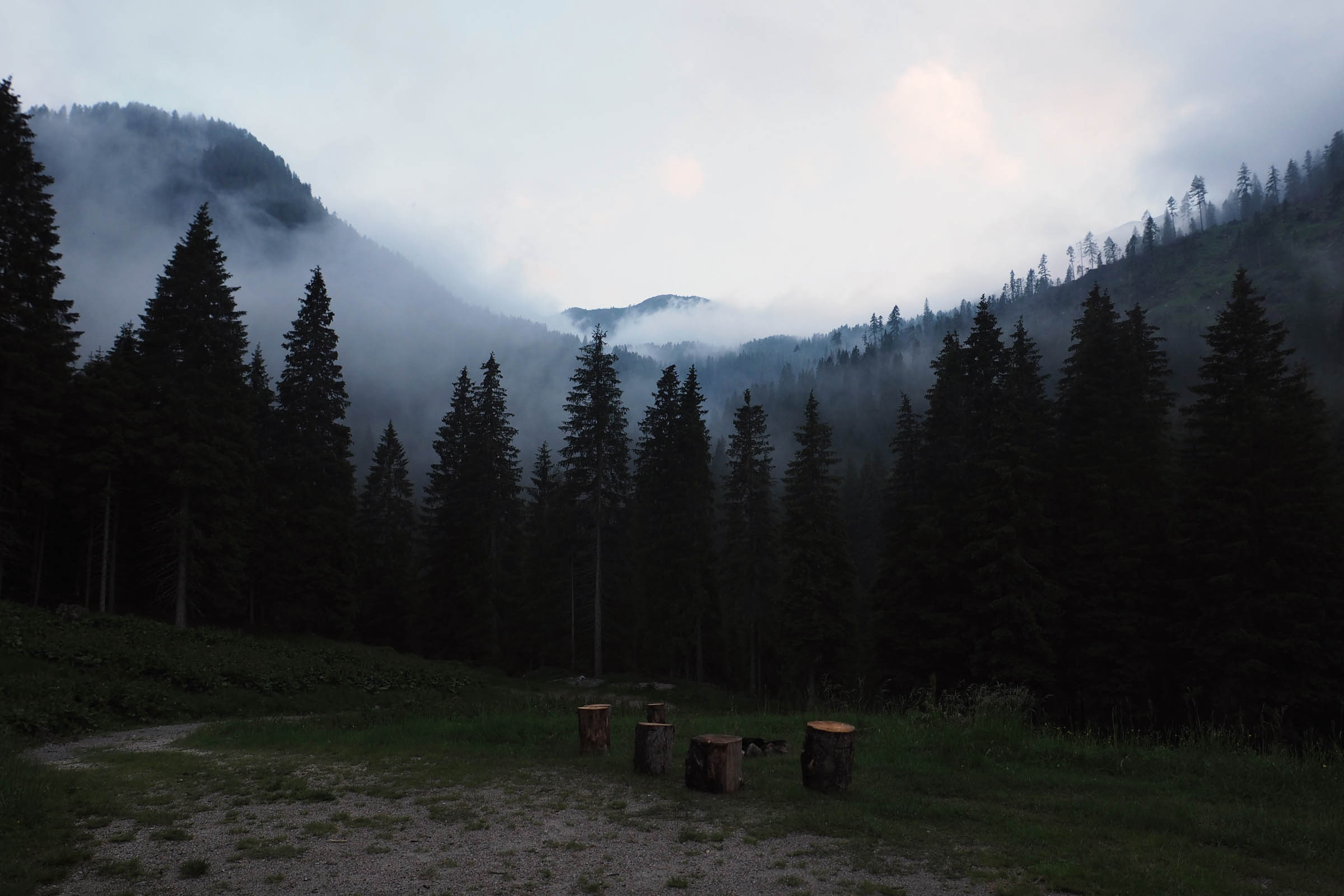
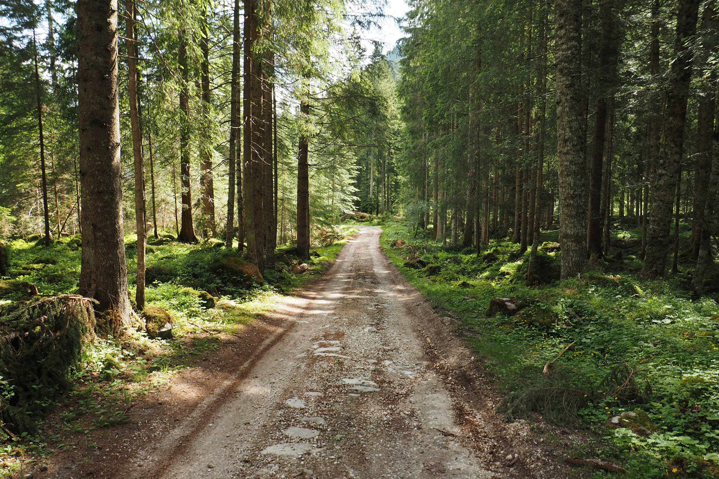
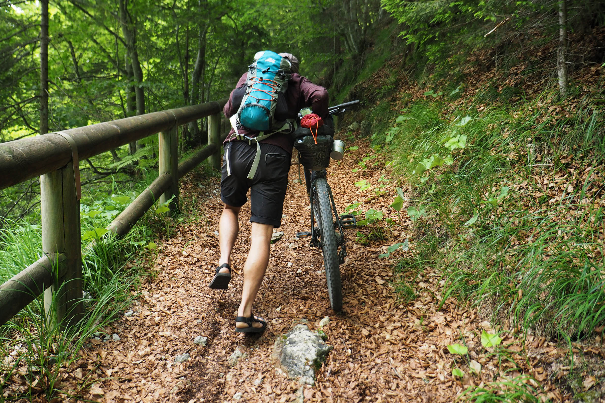
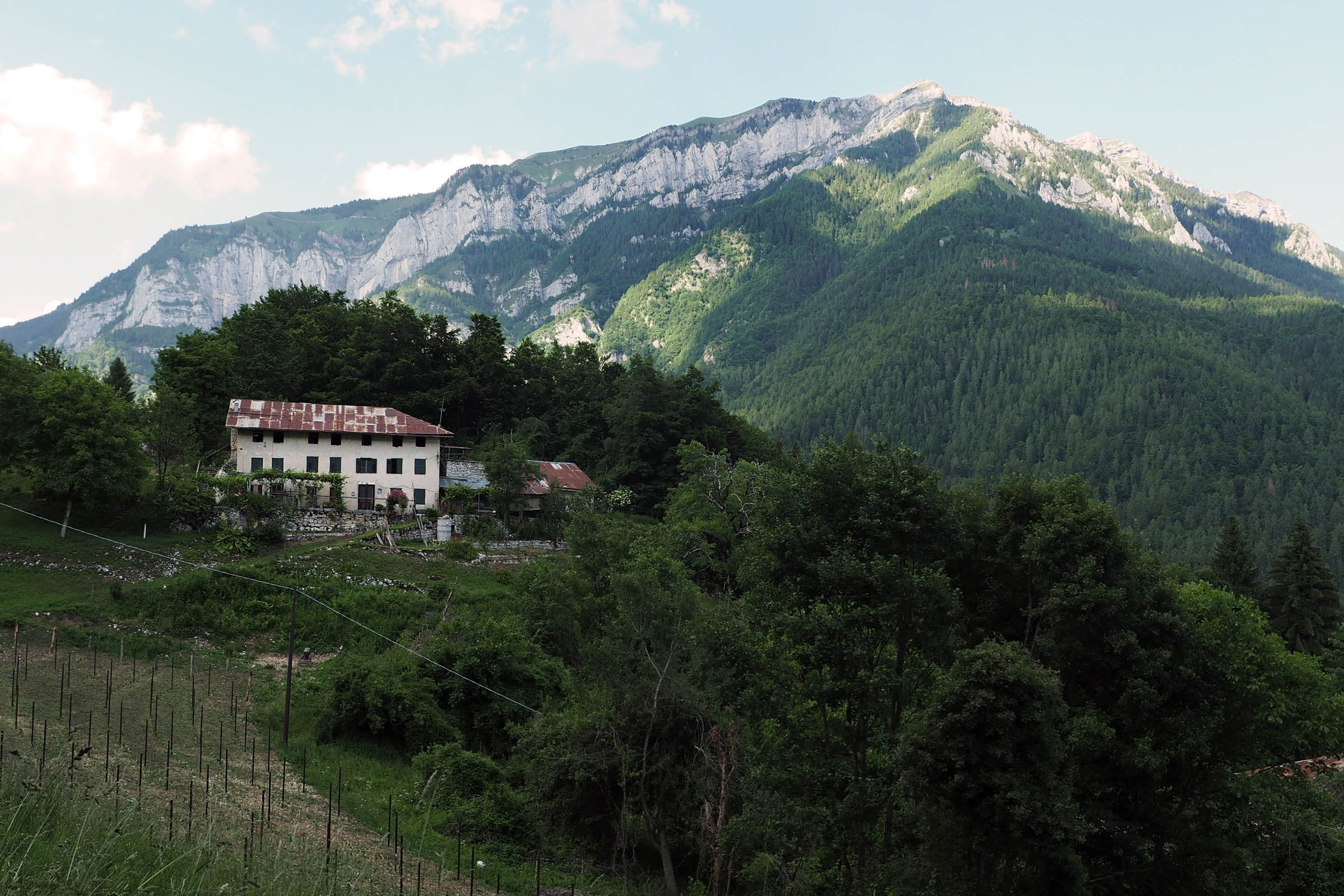
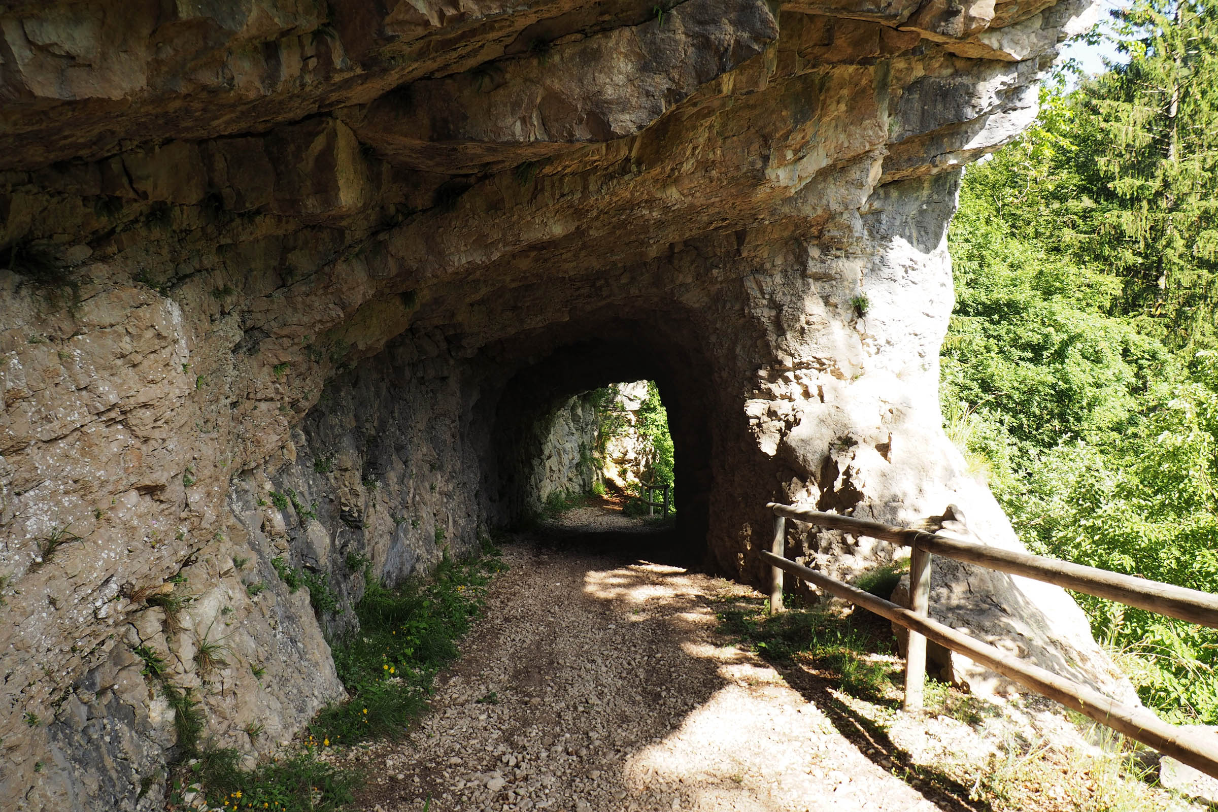
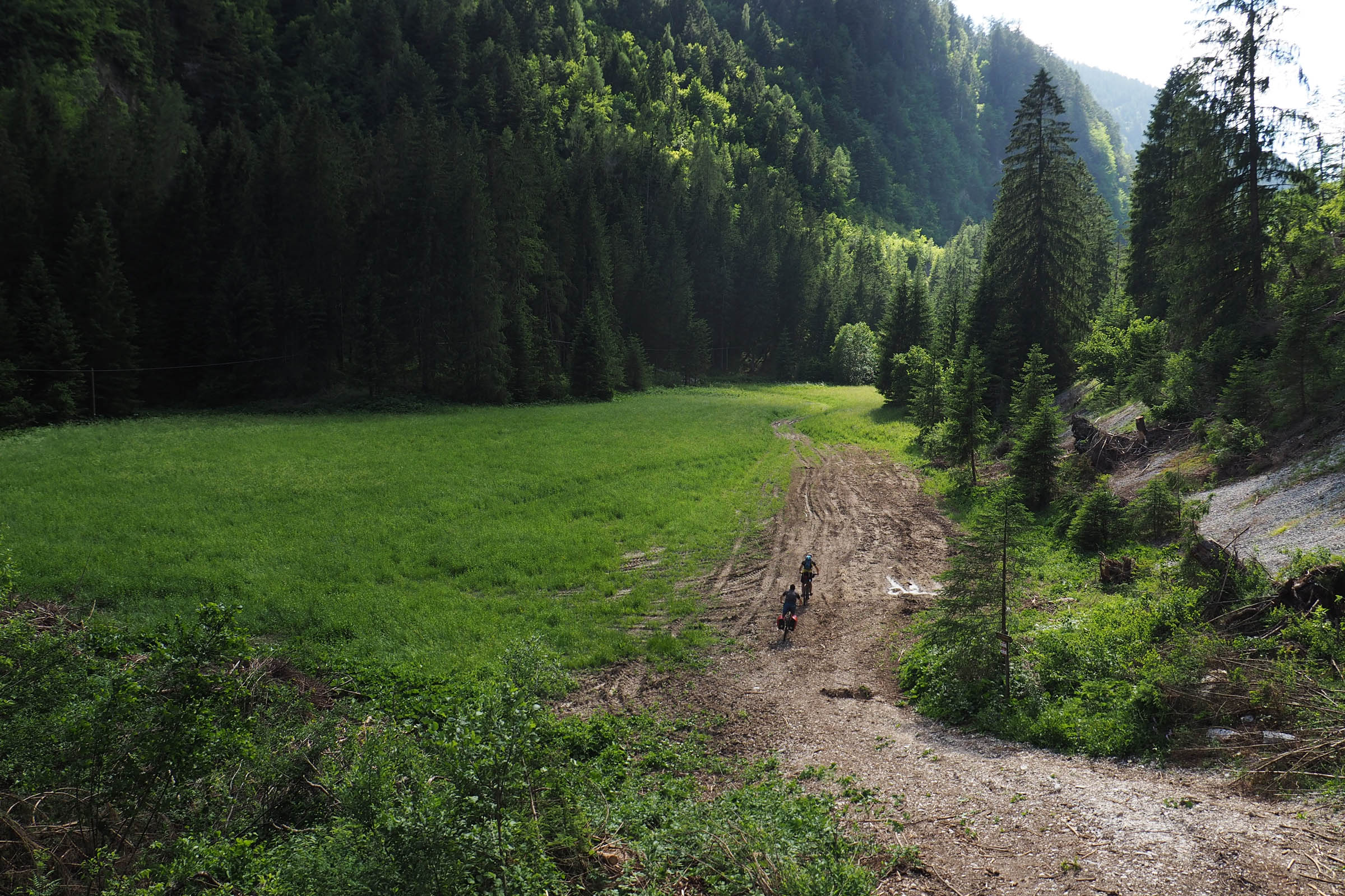
The Cima d’Asta Loop is the most logical overnighter loop in the magnificent Lagorai mountain range. The route is mainly on secondary and unpaved roads, with the highpoint at 5 Croci Pass, in view of the majestic Cima d’Asta. After the lower Brocon Pass, it goes back to the Valsugana Valley using flowy and fun singletrack trails.
In summary, the route starts very close to the city of Trento where you can begin the day with an espresso in the scenic old town, ride out to enjoy a starry night in the wild mountain environment, and then return the next afternoon to watch the sunset with a fresh beer on Lake Caldonazzo.
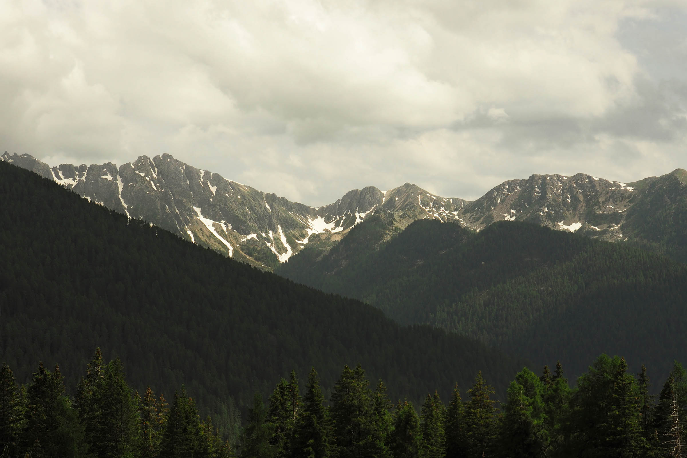
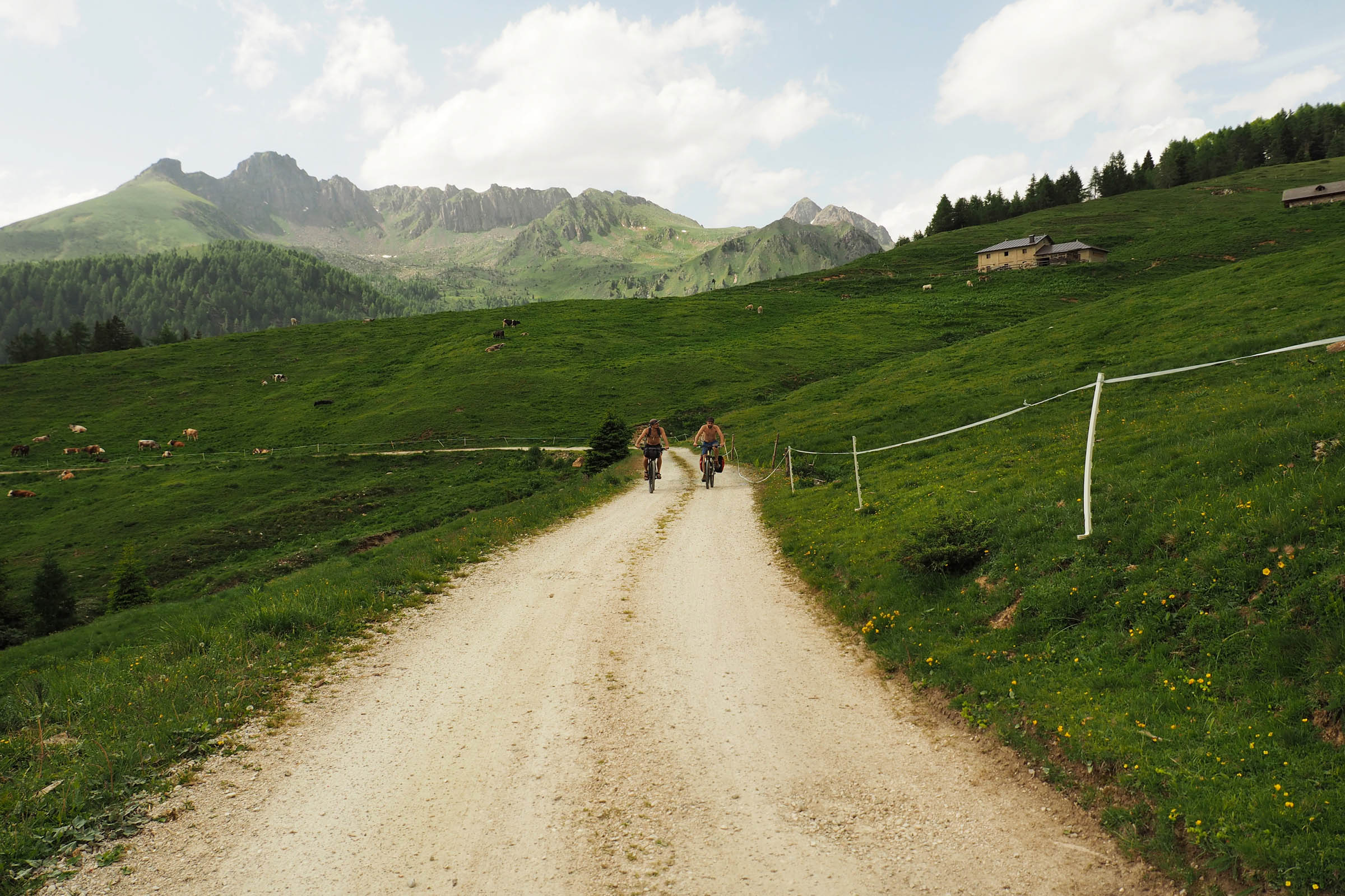
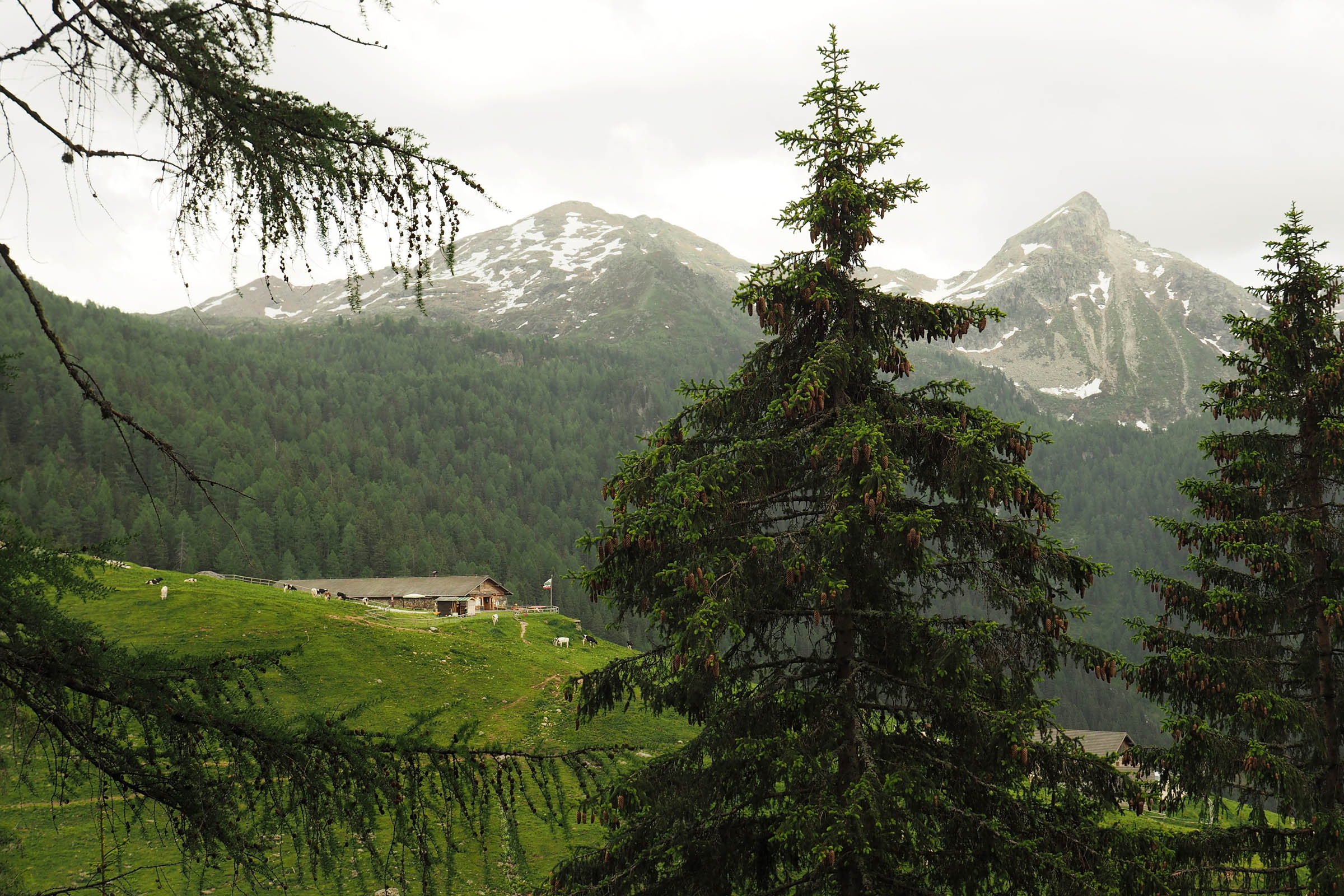
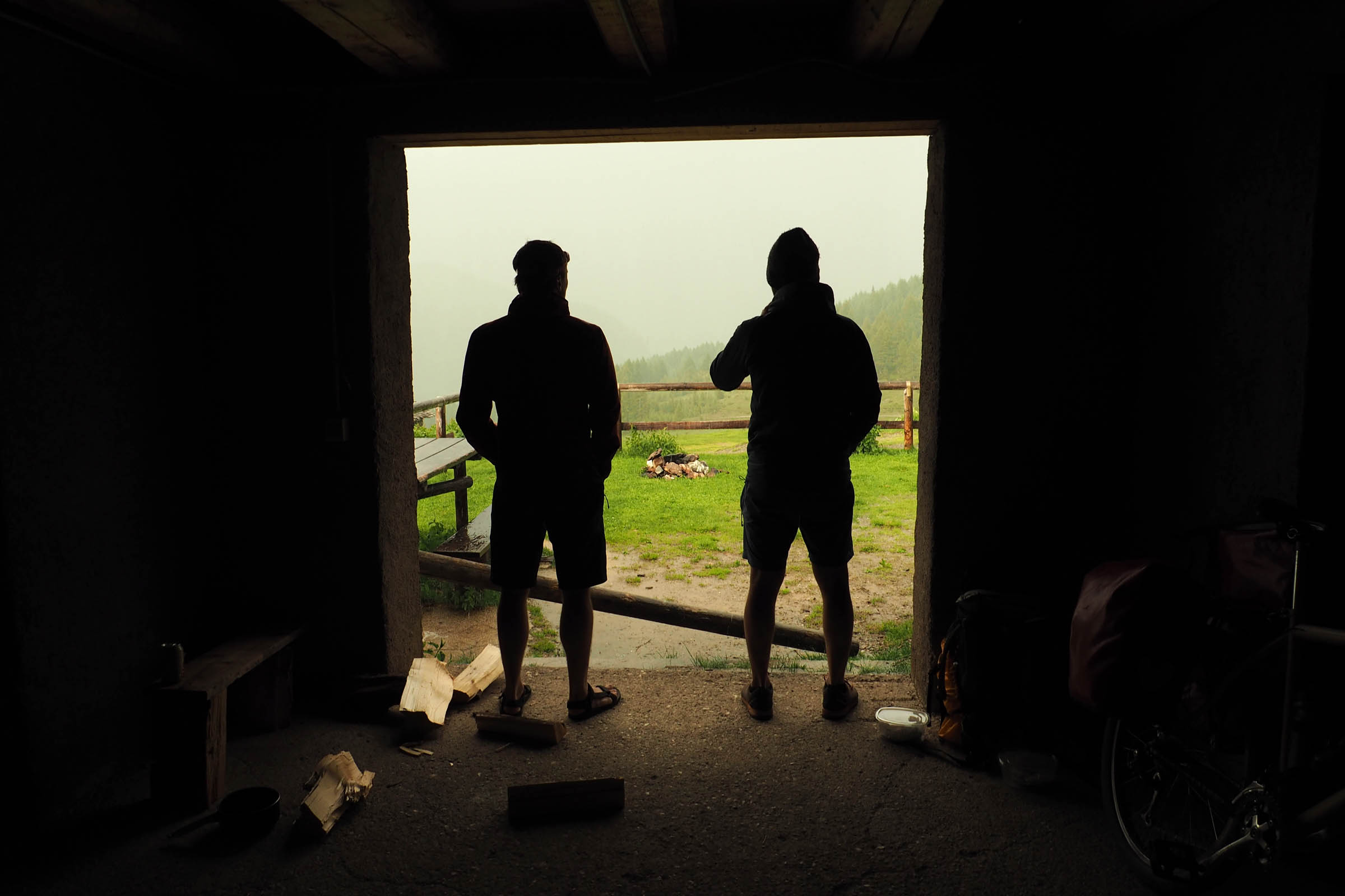
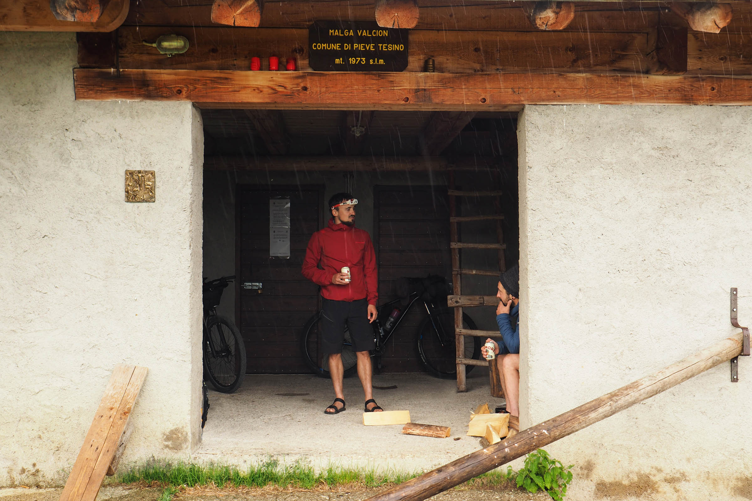
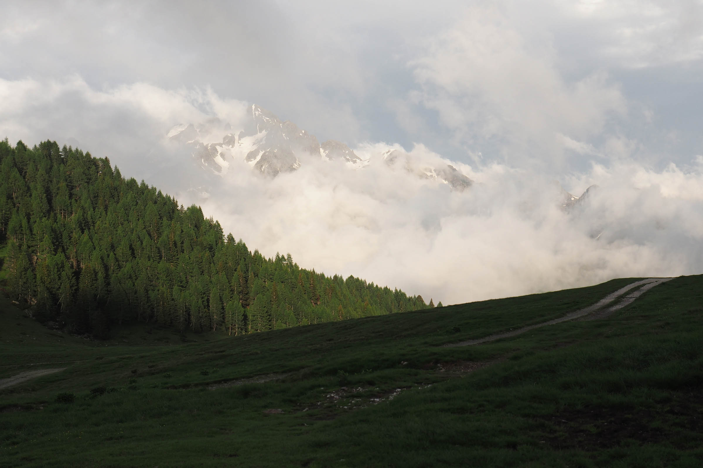
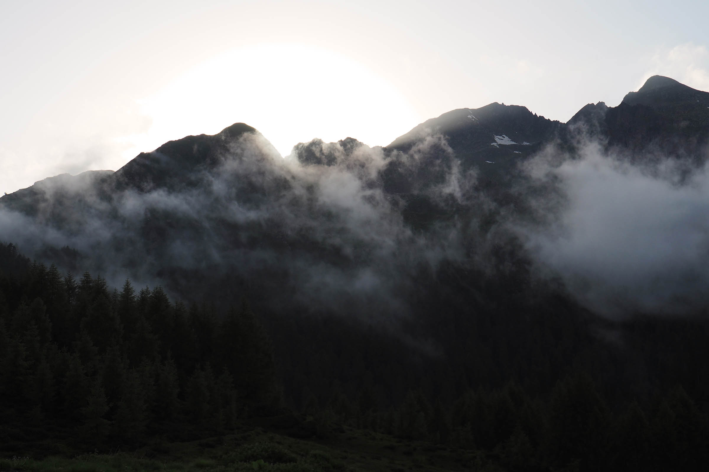
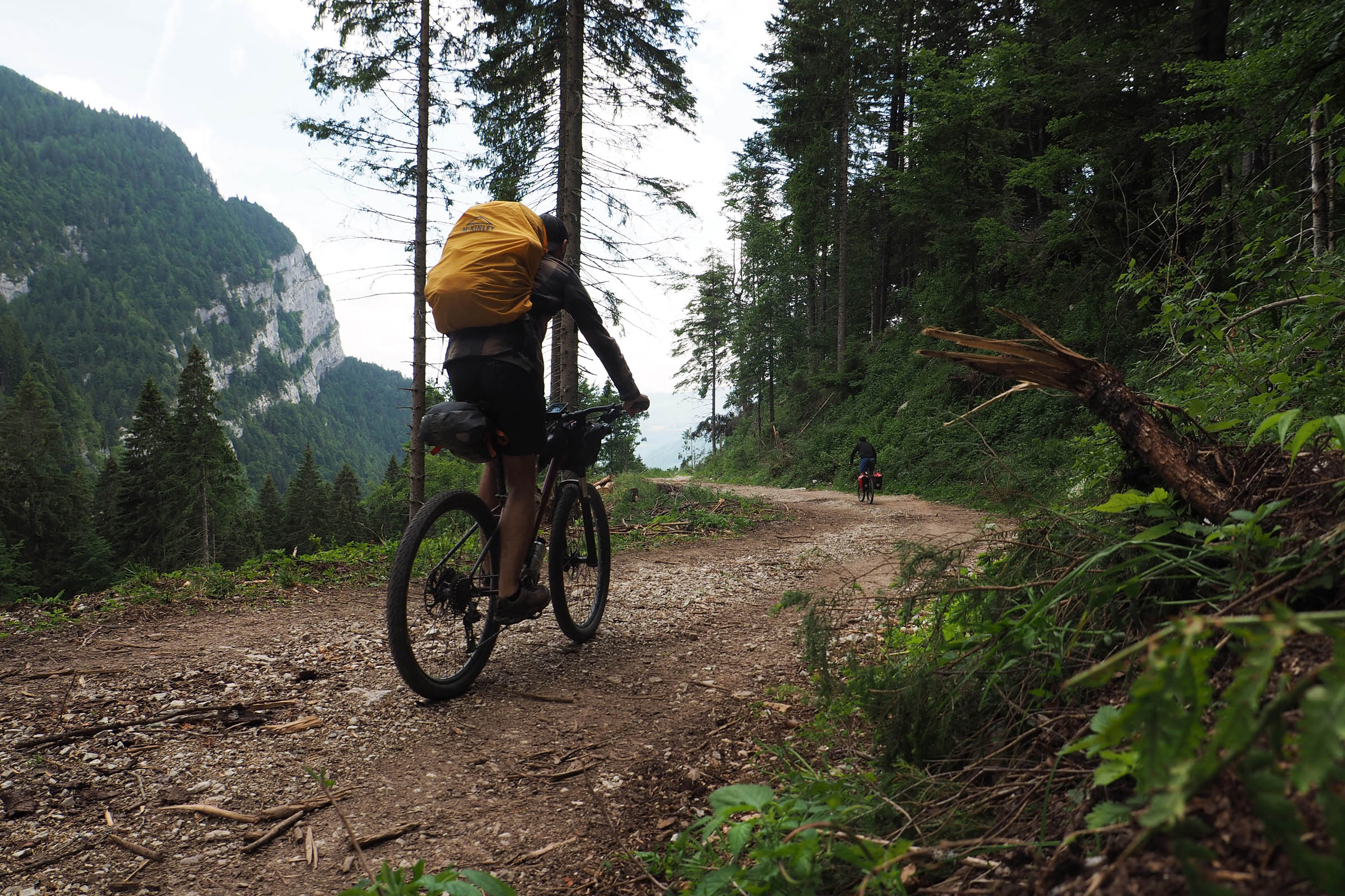
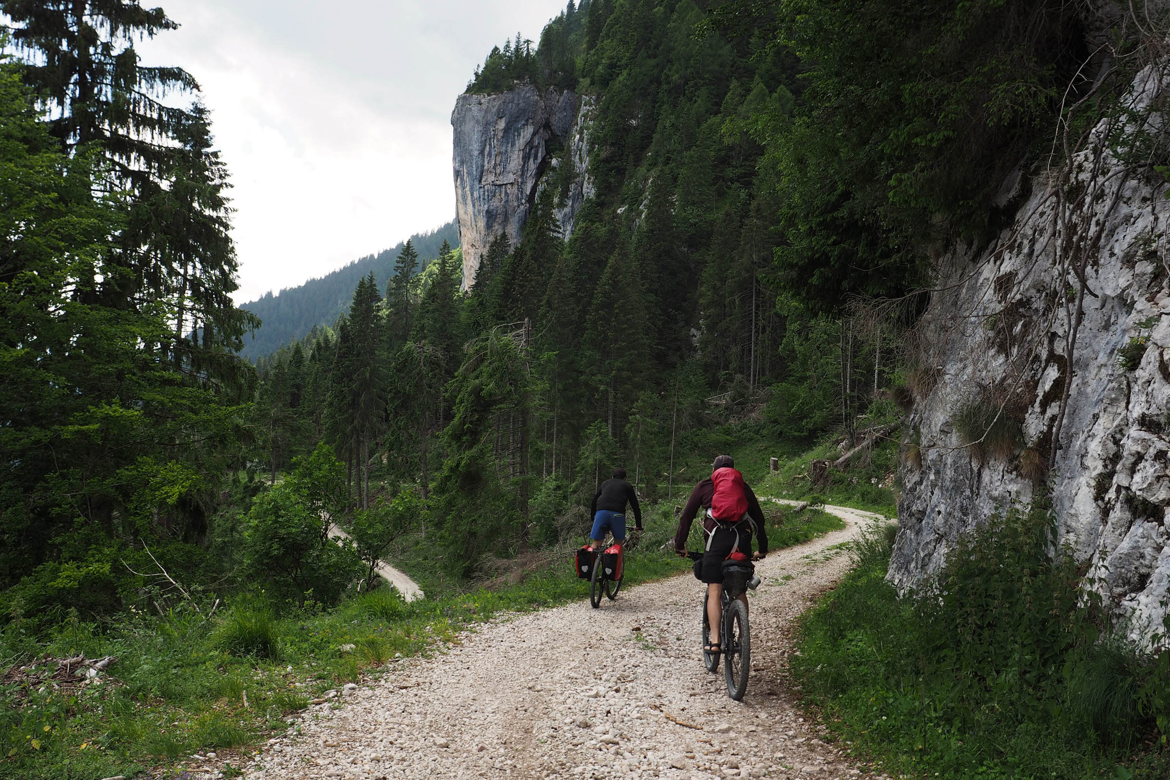
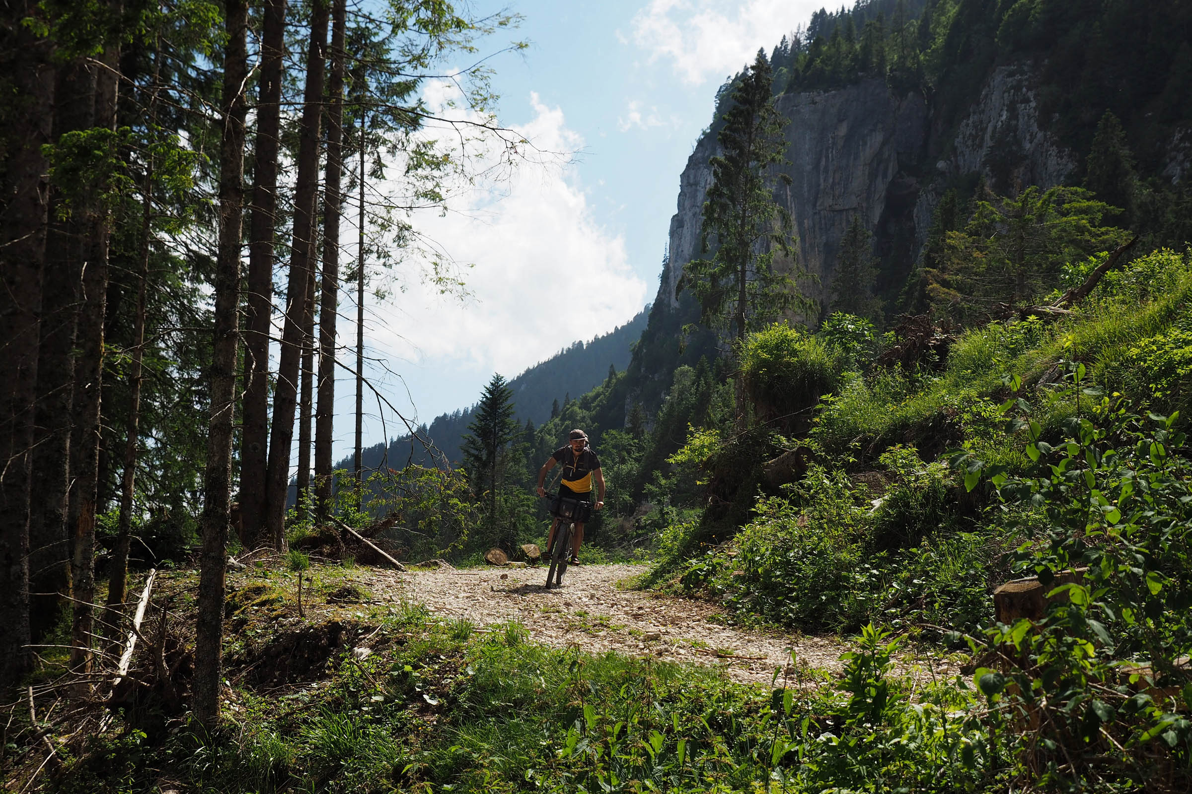
The climb starts in Valsugana Valley, traversing Campelle Valley on steep and shady secondary roads until Conseria Bridge. Here, a gravel road keeps climbing through dense woods and wide lawns where horses and cows graze peacefully. Right before the end of the climb, Malga Conseria is the perfect place to take a break, have a beer, or enjoy a local lunch—or just a slice of their delicious peach pie. Ten more minutes of climbing on the loose gravel road lead up to 5 Croci Pass, the highest point of the ride at 2,070 meters, offering a majestic view of Cima d’Asta’s peak. Shortly after the pass, the road, now flat and flowy, runs along Malga Valcion. There, you’ll find a rustic (and quite dirty) shelter with a fountain, which is also a good place to stay dry in case of a sudden shower.
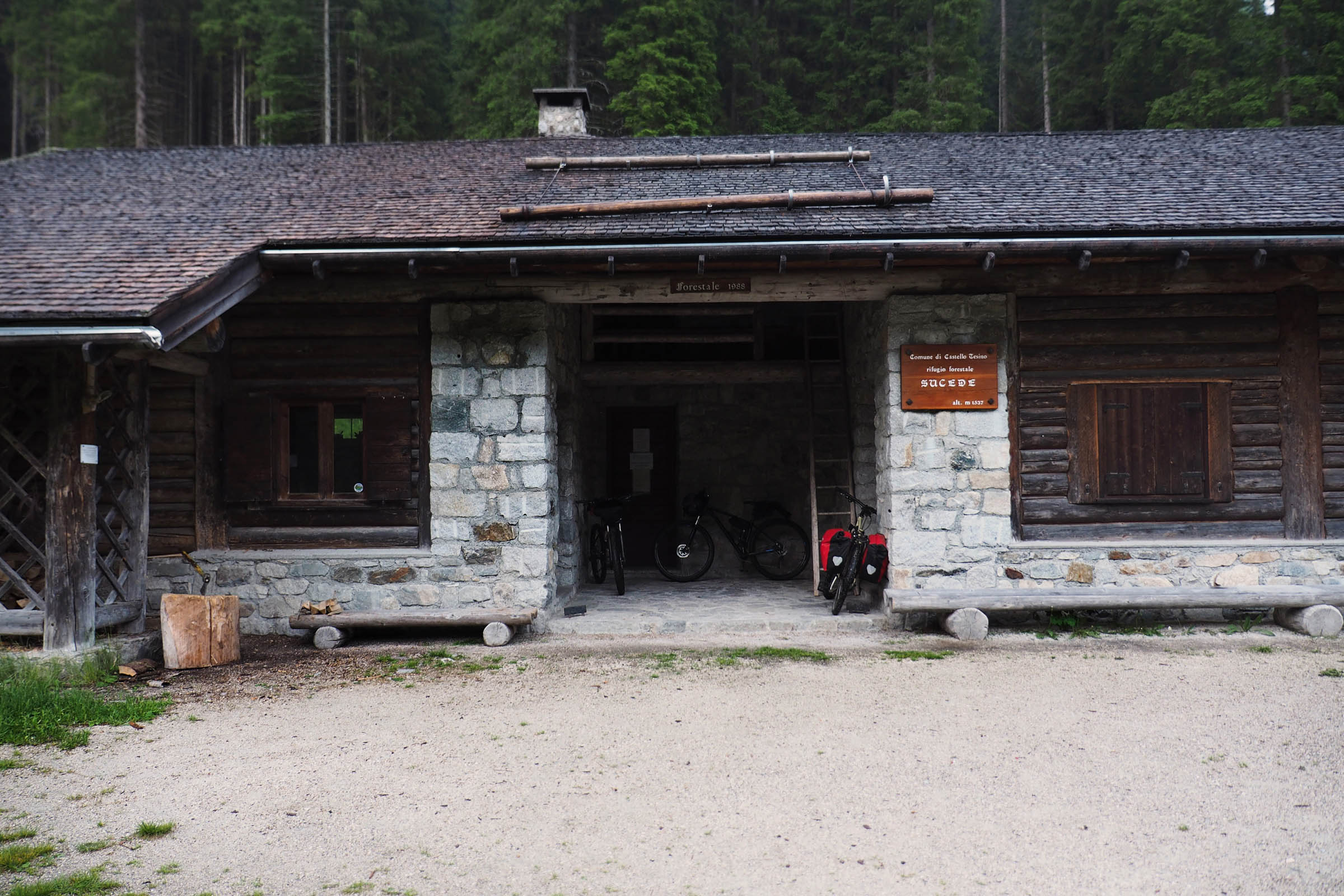
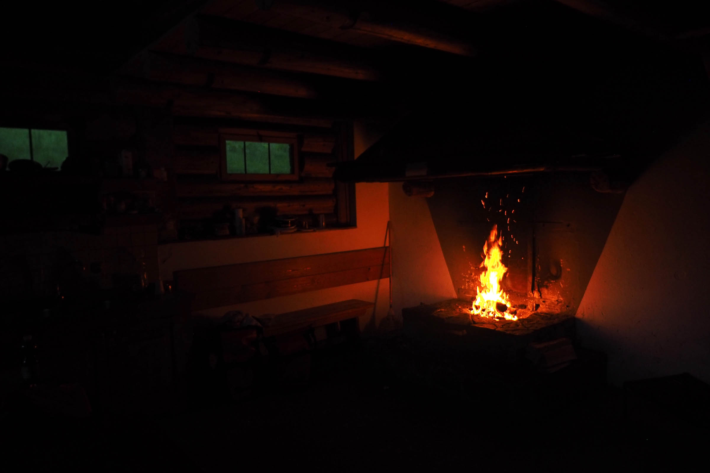
After that, the route begins a long descent on a dirt road that leads to Bivacco Sucede at 1,537 meters, a five-star shelter that makes a great place to spend the night. It’s big, comfortable, clean, and equipped with a fountain, a huge open fireplace, lots of dry wood, and some mattresses to sleep on.
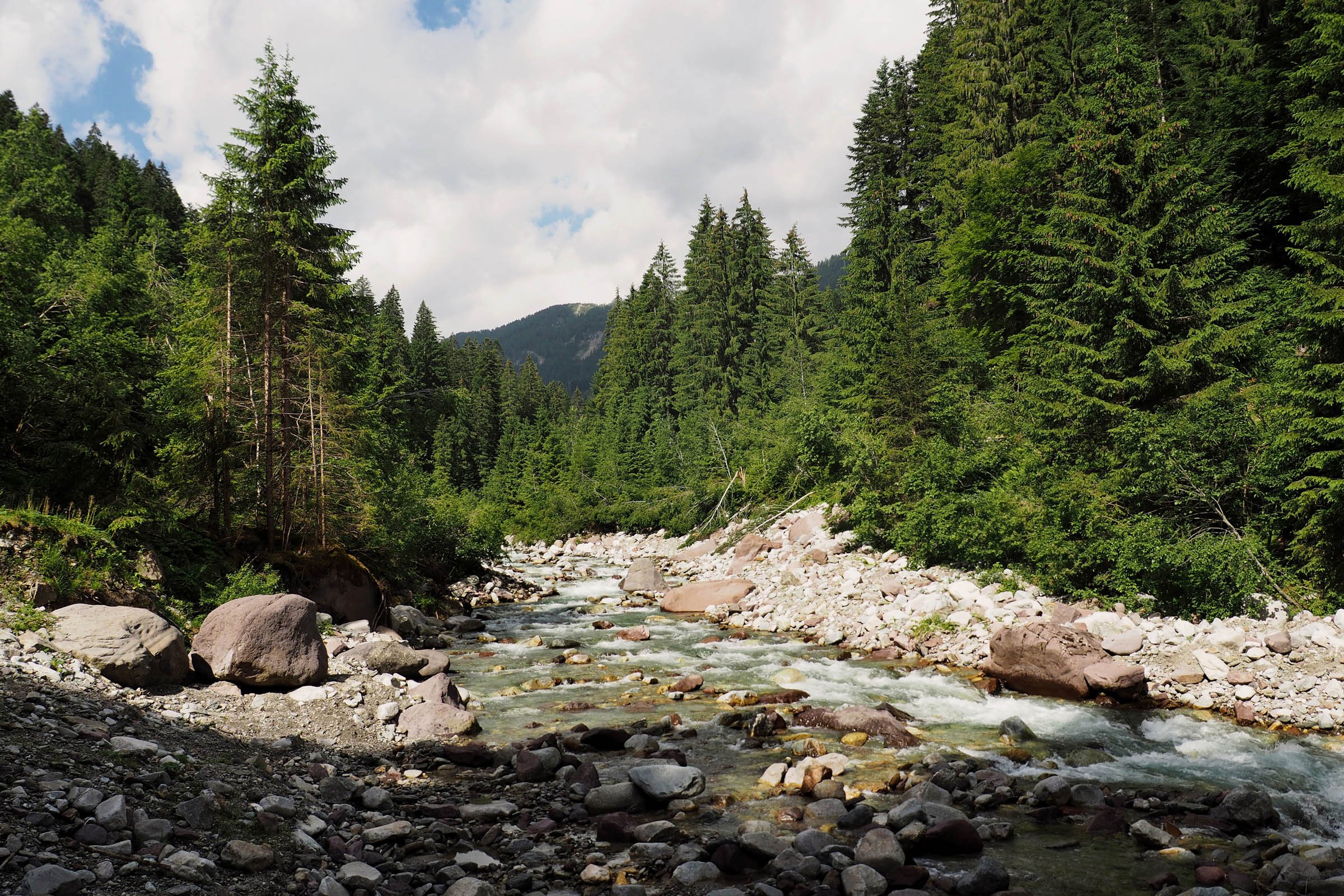
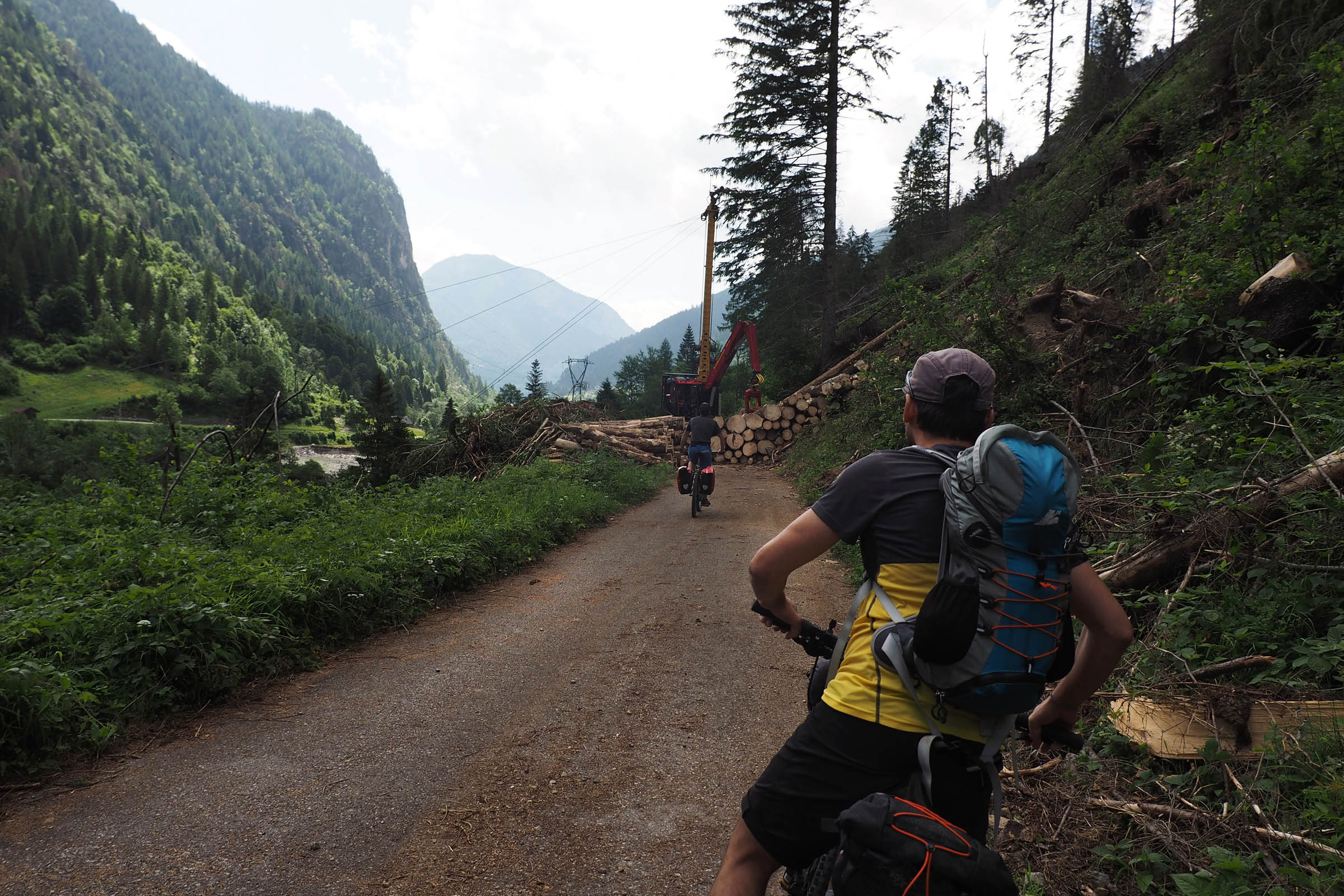
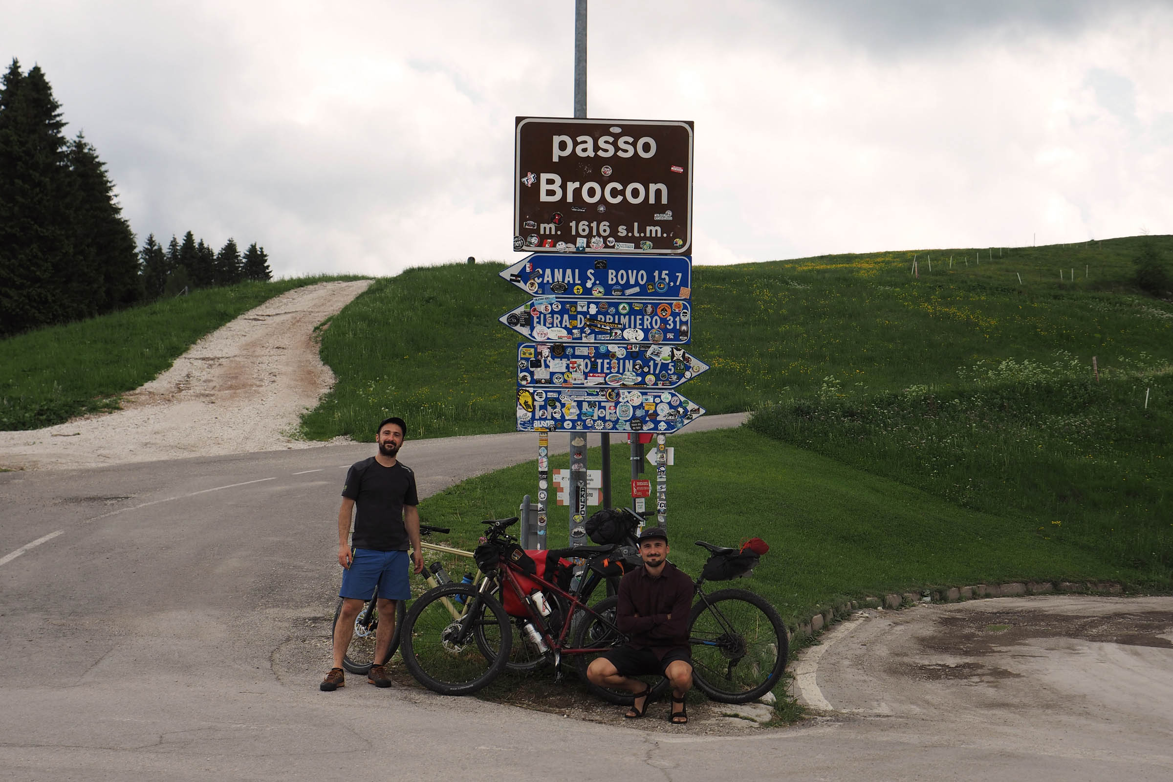
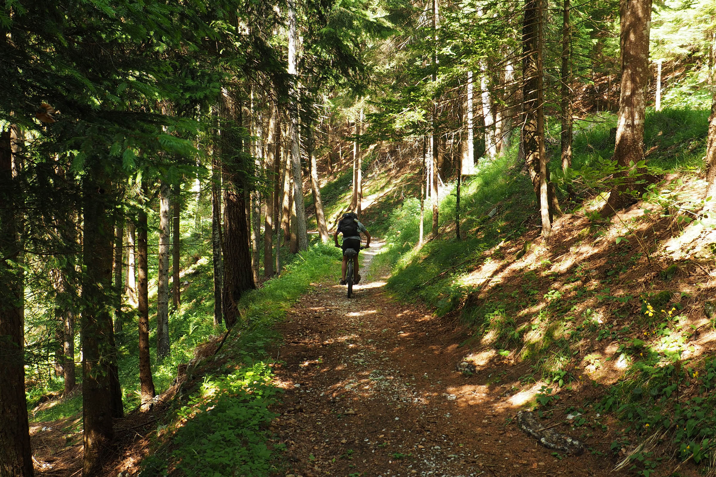
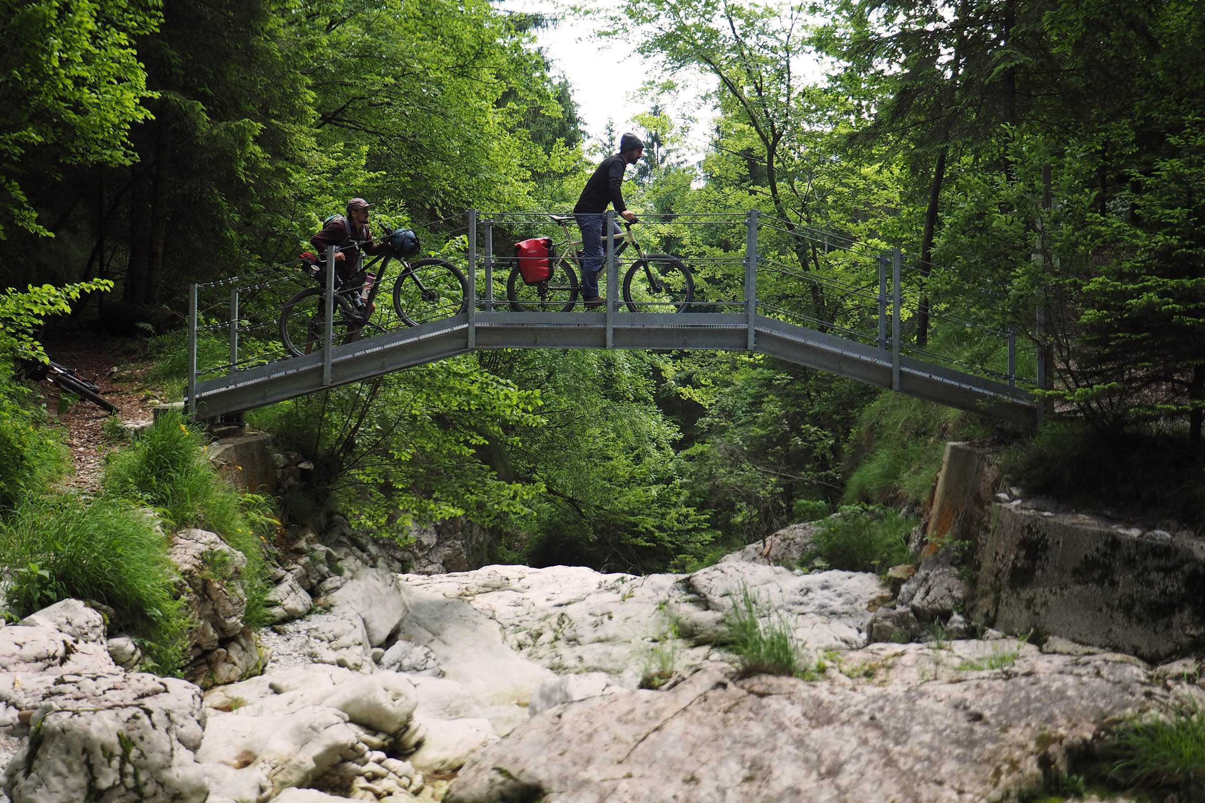
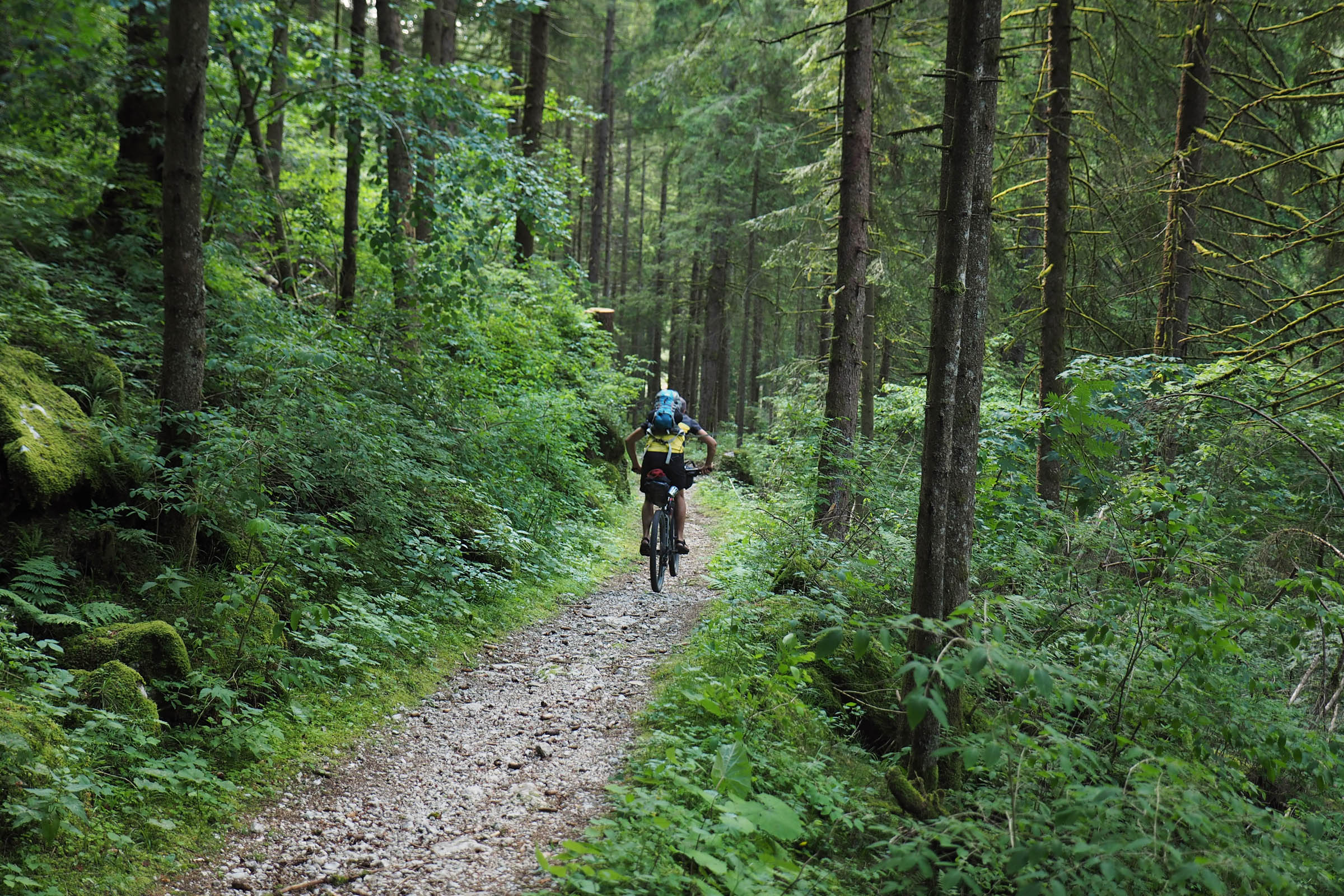
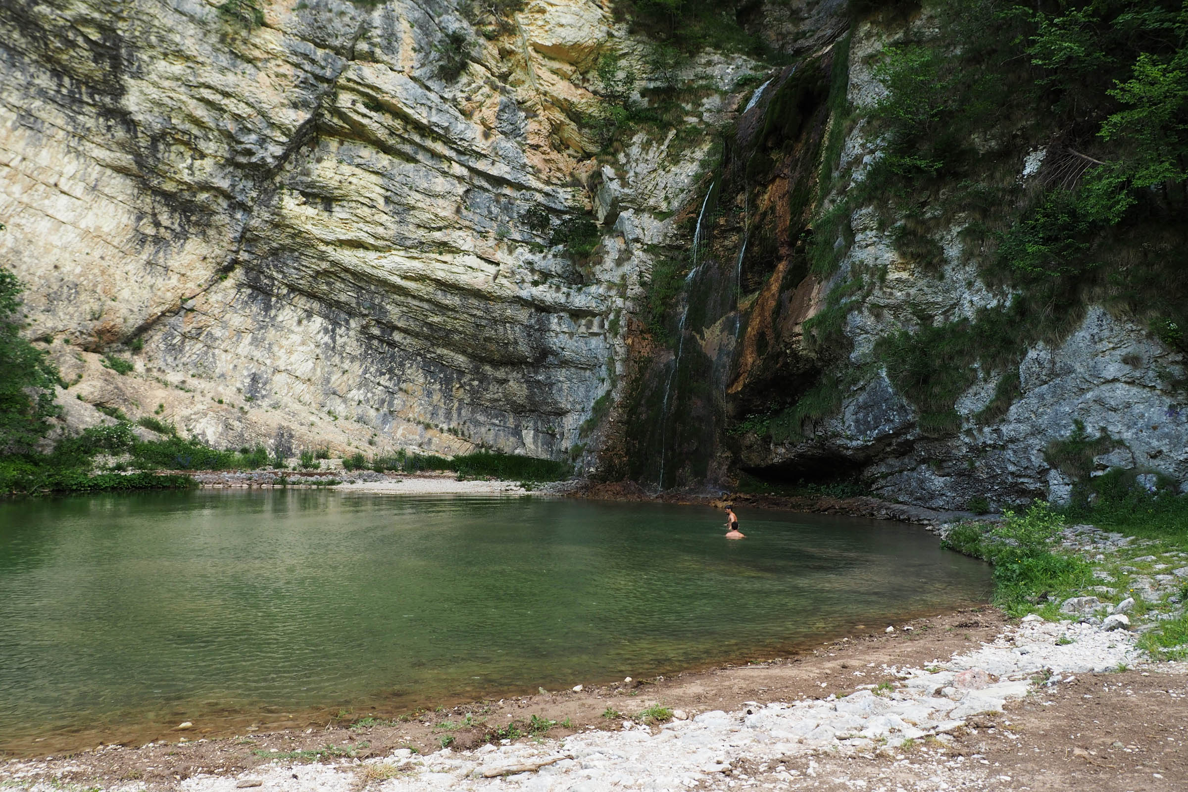
The second day starts with an easy descent along Vanoi Creek through the Cia Valley, where the signs of the 2018 Vaia windstorm can still be seen. The last long, winding, and gentle climb ends at the decadent Brocon Pass, where the fun begins: the longest downhill, from raw dirt road at first to flowy singletrack. Right at the end of the downhill, a dive into Salton Waterfalls’ clear and cold waters is a must.
Route Difficulty
Our difficulty rating is based on a summer mountain bike tour. Riding it off-season or on a different bike could make it more difficult. The tour doesn’t involve any technical sections, and the length and elevation gain are not extreme, but the loop goes through mountain landscapes where the weather can be a variable. During winter and spring, 5 Croci Pass is covered in snow and probably not ridable. In the summer, the loop is full of support points where you can eat/sleep without carrying the camping gear, but we definitely recommend sleeping at the shelters to have the full experience.


Submit Route Alert
As the leading creator and publisher of bikepacking routes, BIKEPACKING.com endeavors to maintain, improve, and advocate for our growing network of bikepacking routes all over the world. As such, our editorial team, route creators, and Route Stewards serve as mediators for route improvements and opportunities for connectivity, conservation, and community growth around these routes. To facilitate these efforts, we rely on our Bikepacking Collective and the greater bikepacking community to call attention to critical issues and opportunities that are discovered while riding these routes. If you have a vital issue or opportunity regarding this route that pertains to one of the subjects below, please let us know:
Highlights
Must Know
Camping
Food/H2O
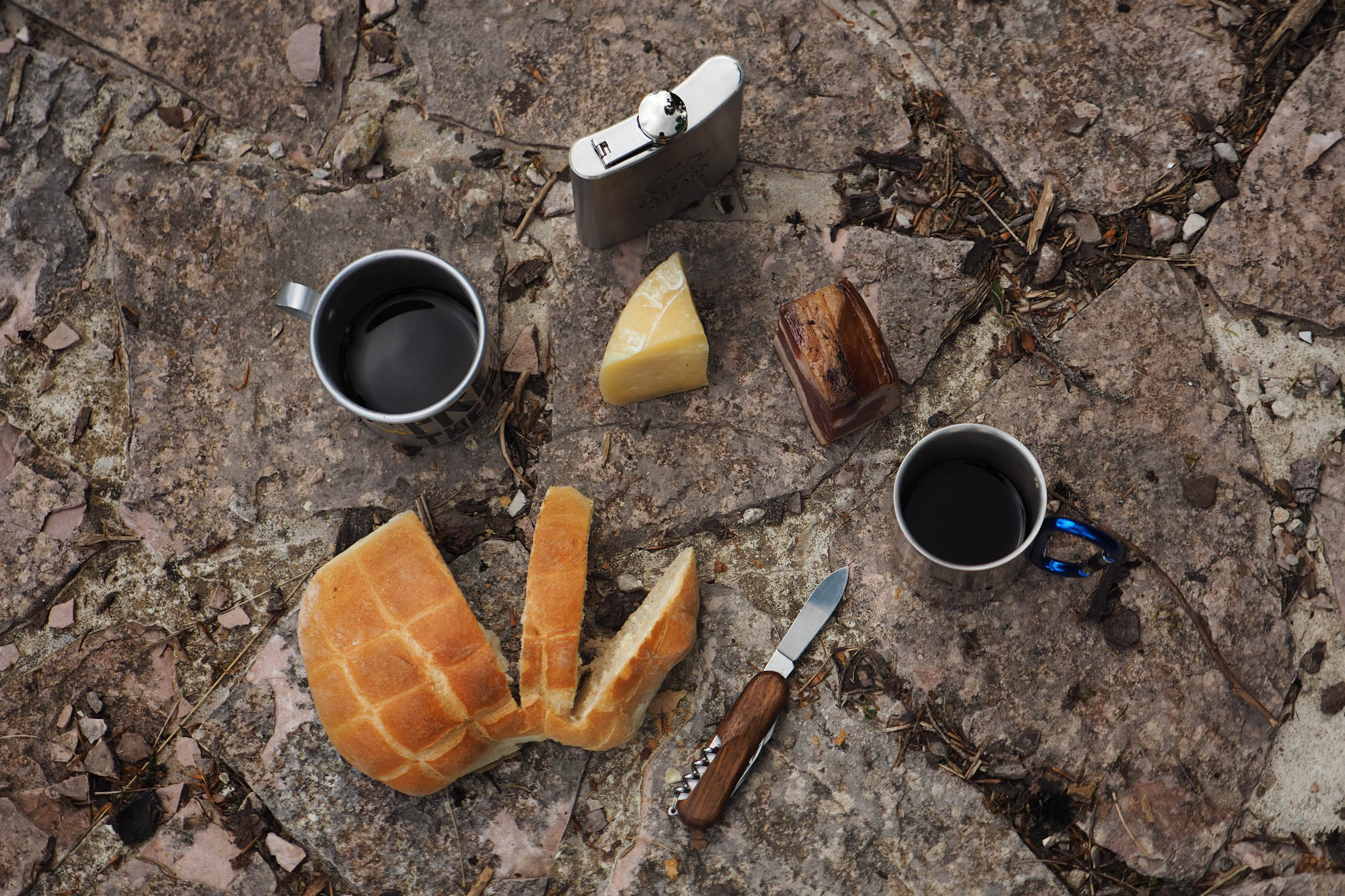
- MALGA CONSERIA: A beautiful hut. Stop for a local cheese tasting, fresh beers, and an amazing peach cake (we recommend taking a slice to go for breakfast).
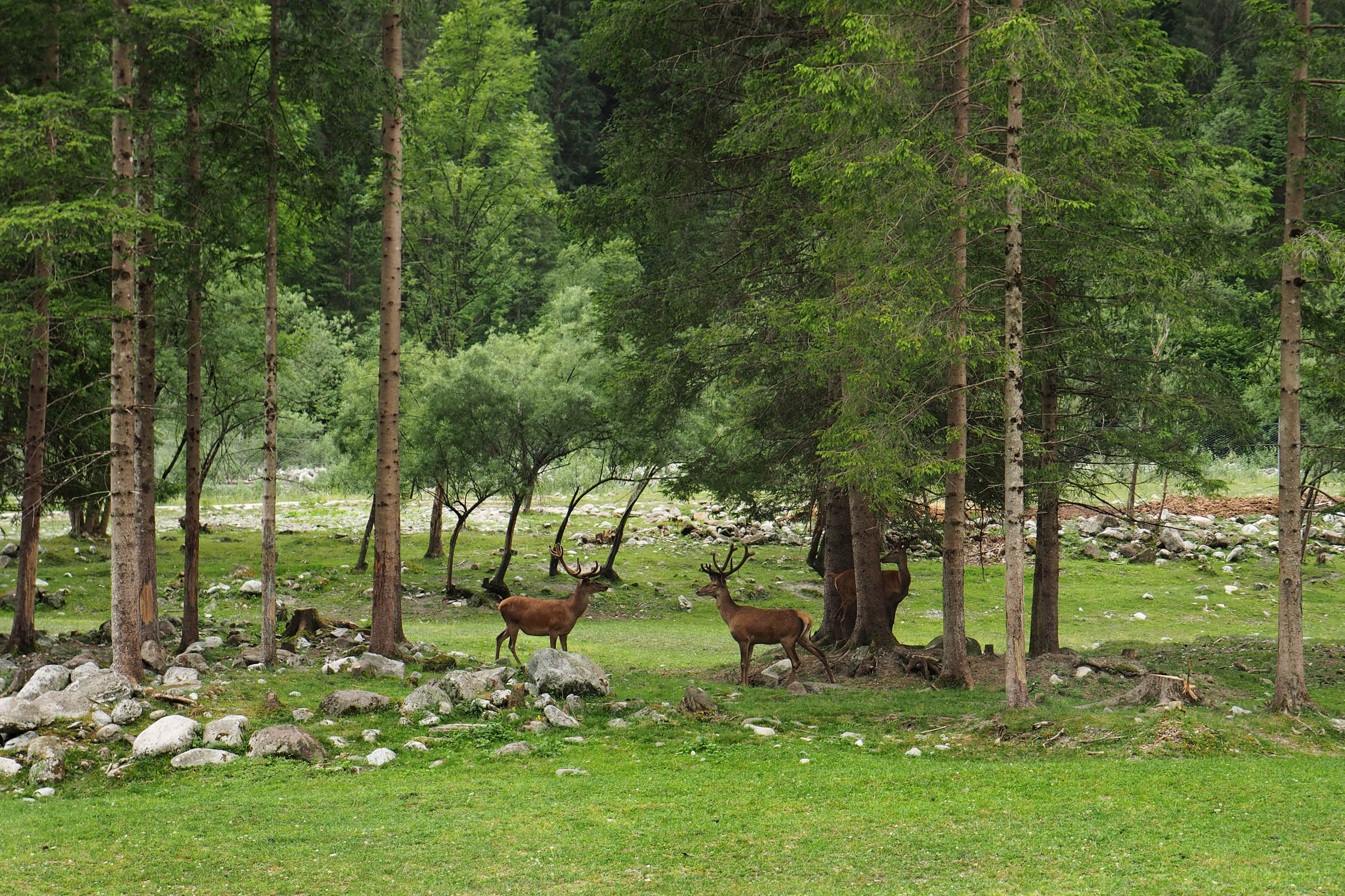
- 5 CROCI PASS: The highest and the most panoramic point of the loop; it’s common to come across grazing cows and horses.
- VIEW OF CIMA d’ASTA (2,847m): The highest peak in the Lagorai range; a scenic view, especially during early summer when it’s still snow-covered.
- MALGA VALCION: Close to 5 Croci Pass, an unkempt shelter room and fountain that can be a good spot to stay dry during a summer storm (as we did).
- BIVACCO SUCEDE: Five-star shelter with a less panoramic setting, but really clean and it offers plenty of pre-cut wood, two big fireplaces, fresh water, some basic crockery, and mattresses for the night.
- SALTON WATERFALLS: Scenic and perfect for a refreshing bath at the end of the dusty singletrack segment.
- WHEN TO GO: From early summer to late autumn, it all depends on the snow coverage.
- LOGISTICS: The easiest way to reach the start of the loop is by car. However, you can also take a train from Trento towards Bassano del Grappa and get off in Borgo Valsugana (1h) but starting from there will increase the loop’s length and elevation gain.
- BEST BIKE: A mountain bike with front suspension is the best way to enjoy the ride.
- WARNINGS: Currently, a couple of sections are still affected by the fallen trees due to the huge 2018 Vaia storm. You may find lumberjacks cleaning the trails, but it is possible to ride all the loop.
- Technically, free camping is not allowed, but it is widely tolerated if you respect the landscape and leave no trace.
- The two free shelters are an excellent reason to leave the tent at home (Malga Valcion is really rustic but Bivacco Sucede is very cozy and comfortable). Both are marked on the map.
- If you want to travel ultralight, it makes sense to sleep in the fully furnished Malga Conseria or at Refavaie Hut, but you will lose the true spirit of the overnighter.
- There is plenty of water along the ride: by the refuges, some fountains along the road, and many streams.
- During summer, you can find delicious food by the huts (Carlettini, Conseria, and Refavaie) and at Casoria’s grocery store.


Terms of Use: As with each bikepacking route guide published on BIKEPACKING.com, should you choose to cycle this route, do so at your own risk. Prior to setting out check current local weather, conditions, and land/road closures. While riding, obey all public and private land use restrictions and rules, carry proper safety and navigational equipment, and of course, follow the #leavenotrace guidelines. The information found herein is simply a planning resource to be used as a point of inspiration in conjunction with your own due-diligence. In spite of the fact that this route, associated GPS track (GPX and maps), and all route guidelines were prepared under diligent research by the specified contributor and/or contributors, the accuracy of such and judgement of the author is not guaranteed. BIKEPACKING.com LLC, its partners, associates, and contributors are in no way liable for personal injury, damage to personal property, or any other such situation that might happen to individual riders cycling or following this route.
Please keep the conversation civil, constructive, and inclusive, or your comment will be removed.