Cohutta Cat
Distance
286 Mi.
(460 KM)Days
5
% Unpaved
60%
% Singletrack
15%
% Rideable (time)
99%
Total Ascent
32,764'
(9,986 M)High Point
3,034'
(925 M)Difficulty (1-10)
6?
- 8Climbing Scale Strenuous115 FT/MI (22 M/KM)
- -Technical Difficulty
- -Physical Demand
- -Resupply & Logistics
Contributed By
Daniel Jessee
Guest Contributor
Born and raised in Atlanta, Georgia, Daniel has been exploring the North Georgia mountains his entire life. His background in ultra running, rowing, mountaineering, cycling and adventure racing taught him a love of exploring the world under his own power. Bikepacking was a natural progression of that. When he’s not bikepacking Daniel oversees REI’s Outdoor Programs and Outreach efforts in the Atlanta market.
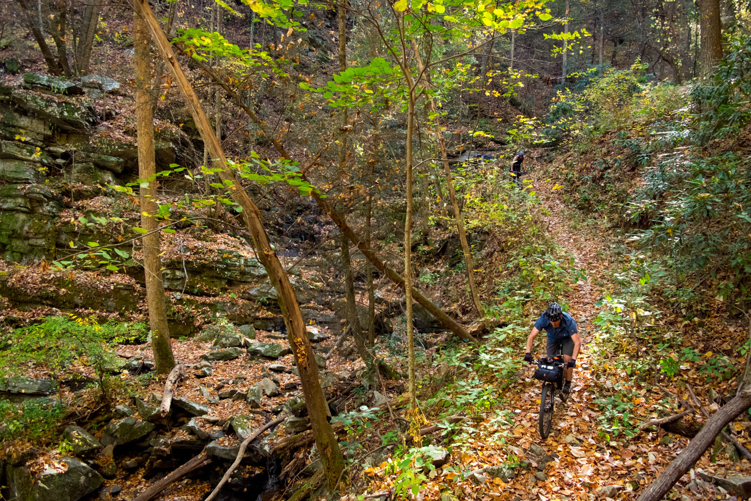
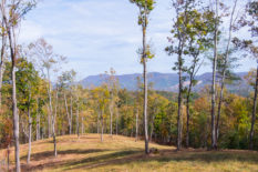
Growing up in Georgia, the Cohutta Cat is an effort to share the most beautiful, gnarly natural areas and the kind people of my home state with the rest of the bikepacking world. Whether you blast the route wide open in two days or less, or take your time fishing the blue ribbon trout waters you’ll be passing along the way, the Cat is an amazing opportunity to experience the wild side of this region. The route is named after the most vicious feline you’ve ever met, a resident house cat at the Mulberry Gap Adventure Basecamp. The cat can be cute and lovable one minute, and the next he will be stalking the many dogs that call Mulberry Gap home, or watching you eat your dinner from the rafters. That’s precisely what this route is: warm and fuzzy with amazing scenery one second; thigh-busting climbs and lengthy segments between resupply the next. Throughout the ride you’ll be alternating emotions fairly quickly. What’s that saying? If you don’t like the weather, wait 15 minutes? That applies to the Cat too.
The vision was to create a route that would be a shorter alternative for the Trans North Georgia. Thus the route avoids as much of the TNGA corridor as possible. Another key component of the Cohutta Cat vision is to promote mountain bike tourism in the central mountains of North Georgia. From supporting Mulberry Gap to visiting the breweries in the town of Blue Ridge, the route shows off some of the best that our state has to offer.
Route developed byDaniel Jessee; photos by TJ Kearns
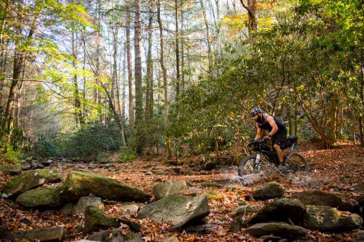
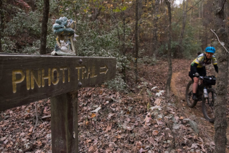
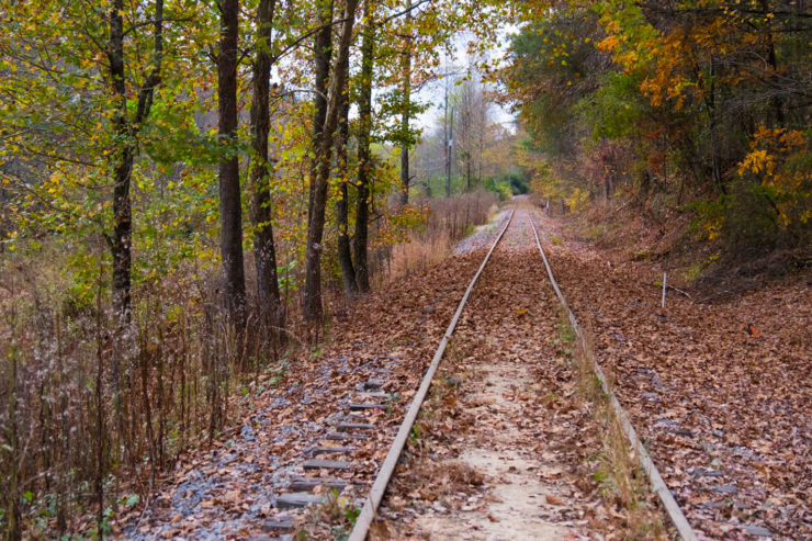
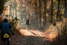
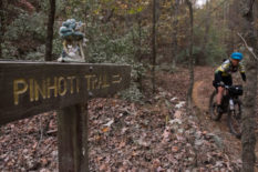
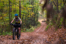
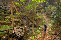
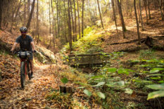
The Cat forms a 290-mile figure-8 loop in the mountains North Georgia and Eastern Tennessee. It’s designed to start and end at Mulberry Gap. From there it is designed as a clockwise progression that takes riders through parts of the Pinhoti Trail, Fort Mountain State Park, around the Cohutta and Big Frog Wildernesses, through singletrack past the Ocoee Whitewater Center, past old mining sites, through the adventure town of Blue Ridge, around Lake Blue Ridge, through the Bull and Jake Mountain singletrack complex, past the Appalachian Trail, along the singletrack of Green Mountain and along steep, twisting cabin access roads to an amazing singletrack descent back to the finish.
As my friend put it, the balance is really great – you’re ready for a change every time you hit it. It’s rare that you will even be really sick of the pavement as it provides good scenery and nice opportunities to pick up some speed. The longest pavement is from just east of Watson Gap to Lower Star Road which is about 20 fast miles.
That said, the Cohutta Cat is no joke. With 33,000 feet of elevation gain in 290 miles, it’s one of the most physically strenuous mile-for-mile routes around. Riders who finish the route will receive a Cat Patch chosen by the organizers to prove they didn’t get scratched by the Cohutta Cat!
Submit Route Alert
As the leading creator and publisher of bikepacking routes, BIKEPACKING.com endeavors to maintain, improve, and advocate for our growing network of bikepacking routes all over the world. As such, our editorial team, route creators, and Route Stewards serve as mediators for route improvements and opportunities for connectivity, conservation, and community growth around these routes. To facilitate these efforts, we rely on our Bikepacking Collective and the greater bikepacking community to call attention to critical issues and opportunities that are discovered while riding these routes. If you have a vital issue or opportunity regarding this route that pertains to one of the subjects below, please let us know:
Highlights
Must Know
Camping
Food/H2O
Resources
- Riding past the 1996 Olympic Whitewater venue – after camping on the shore of Lake Ocoee or along the river, stop for a Coke and watch the rafters paddle by.
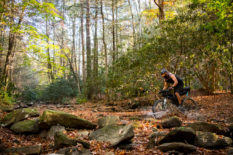
- Buttery singletrack – after bombing the singletrack of Thunder Rock Express, you’ll be stoked for the endless flow of Brush Creek along the shores of a lake.
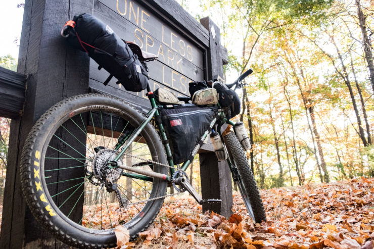
- Mulberry Gap Mountain Bike Getaway – A serene mountain bike lodge with incredible home-cooked food, cabins, camping, hot tubs, and craft beer.
- Exceptional breweries in Blue Ridge – there are three downtown!
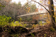
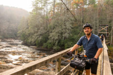
- 270-foot long suspension bridge over the Toccoa River – the only mandatory hike-a-bike in the ride, you’ll be glad you are forced to slow down for this one!
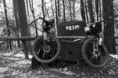
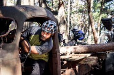
- Bull Mountain – part of an IMBA Epic ride, keep your eyes out for the old moonshiner’s truck
- The final descent on the P2 section of the Pinhoti Trail – after all the climbing, enjoy a 2-mile payoff before returning to the luxuries at Mulberry Gap!
- The best time of year to do the ride is in Autumn from early October to mid-November or Spring from March through early May. Though it can be ridden any time depending on the weather and your comfort with cold or heat.
- While you can start the route anywhere, I highly recommend starting and finishing at Mulberry Gap Mountain Bike Get-a-Way near Ellijay. This serene mountain bike lodge has incredible food, cabins, camping, hot tubs, craft beer and any other bike bits you might forget or need.
- You could also start and finish in downtown Blue Ridge at one of the great breweries and make Mulberry Gap your target during your ride. With a start at Mulberry or Blue Ridge, you have lodging and resupply precisely at the half-way mark.
- At the end of Forest Service Road 816 (mile 174) you MUST hike your bike for about ½ mile until the next gravel road. This is a hiking-only trail (Benton Mackaye) and we do not want to break that rule.
- Check the hunting seasons and wear hunters orange should it be in season.
- For a unique alternate start or side trip, take FS 46 at Nimblewill Gap to/from Amicalola Falls State Park and the highest waterfall in Georgia. Long-term overnight parking at the park requires a long slog up a VERY steep paved road. However, if you ask they may let you park near the top of the falls. There is free dispersed camping just beyond the state park on FS 46.
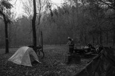
- Camping is pretty easy to find along the route, but the best sites are Cottonwood Patch, a primitive site on Lake Ocoee, Thunder Rock Campground, Skeenah Creek Campground, primitve sites by the Toccoa River, Jones Creek, and Sandy Bottoms. All of these are noted on the map.
- Lodging is available in Ducktown, Blue RIdge, and of course Mulberry Gap.
- The first 90 miles are some of the toughest with no useful resupply on route. Fort Mountain has some snacks and there’s a Coke machine at the Whitewater Center. But the first reliable resupply is in Ducktown at mile 105.
- After Morganton, there is no resupply on route for 92 miles (The Iron Bridge Cafe). If they are open, it shouldn’t be missed! There’s also the Toccoa River Restaurant another ¼ mile down the road if you need a fancier meal.
- After you leave Blue Ridge the second time, there is no more resupply on route
- I recommend the Fightingtown Tavern. It’s right on route with a great patio for bikes and a solid local beer selection.
Additional Resources
- The 2017 Cohutta Cat group ride start is scheduled for November 3.
- Learn more about Mulberry Gap Mountain Bike Getaway.
- The official Cohutta Cat website.
Terms of Use: As with each bikepacking route guide published on BIKEPACKING.com, should you choose to cycle this route, do so at your own risk. Prior to setting out check current local weather, conditions, and land/road closures. While riding, obey all public and private land use restrictions and rules, carry proper safety and navigational equipment, and of course, follow the #leavenotrace guidelines. The information found herein is simply a planning resource to be used as a point of inspiration in conjunction with your own due-diligence. In spite of the fact that this route, associated GPS track (GPX and maps), and all route guidelines were prepared under diligent research by the specified contributor and/or contributors, the accuracy of such and judgement of the author is not guaranteed. BIKEPACKING.com LLC, its partners, associates, and contributors are in no way liable for personal injury, damage to personal property, or any other such situation that might happen to individual riders cycling or following this route.
Please keep the conversation civil, constructive, and inclusive, or your comment will be removed.


