


Deeside Trail
Distance
138 Mi.
(222 KM)Days
3
% Unpaved
85%
% Singletrack
30%
% Rideable (time)
95%
Total Ascent
13,457'
(4,102 M)High Point
2,287'
(697 M)Difficulty (1-10)
6?
- 6Climbing Scale Moderate98 FT/MI (18 M/KM)
- -Technical Difficulty
- -Physical Demand
- -Resupply & Logistics
Contributed By
Adam Wallace
Guest Contributor
Adam started mountain biking as something to do in winter when there wasn’t enough snow for skiing. Now he realizes it’s the perfect way to explore Scotland all year round. Adam is normally stuck in front of a computer all day so loves getting out to be a classic weekend warrior. Find Adam on Instagram @adamwwallace.
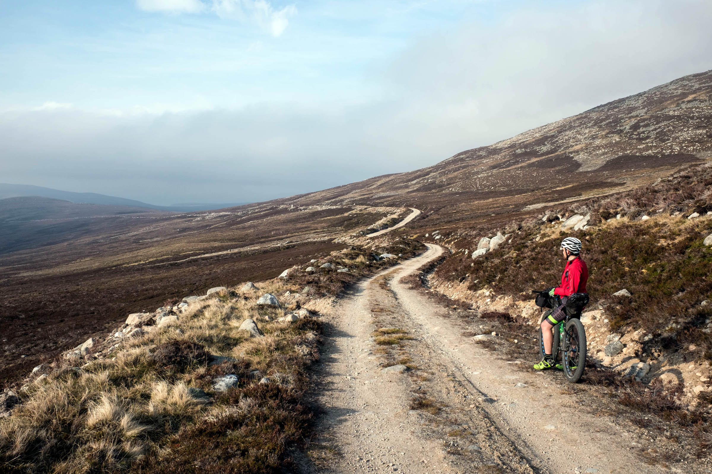
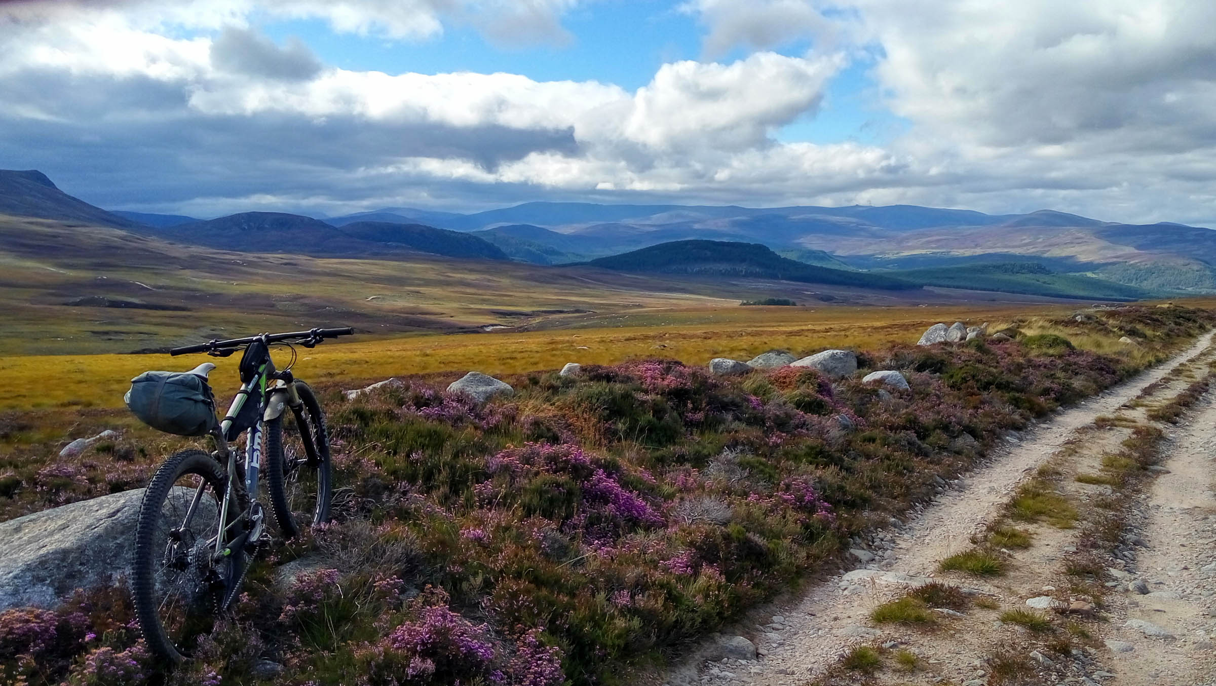
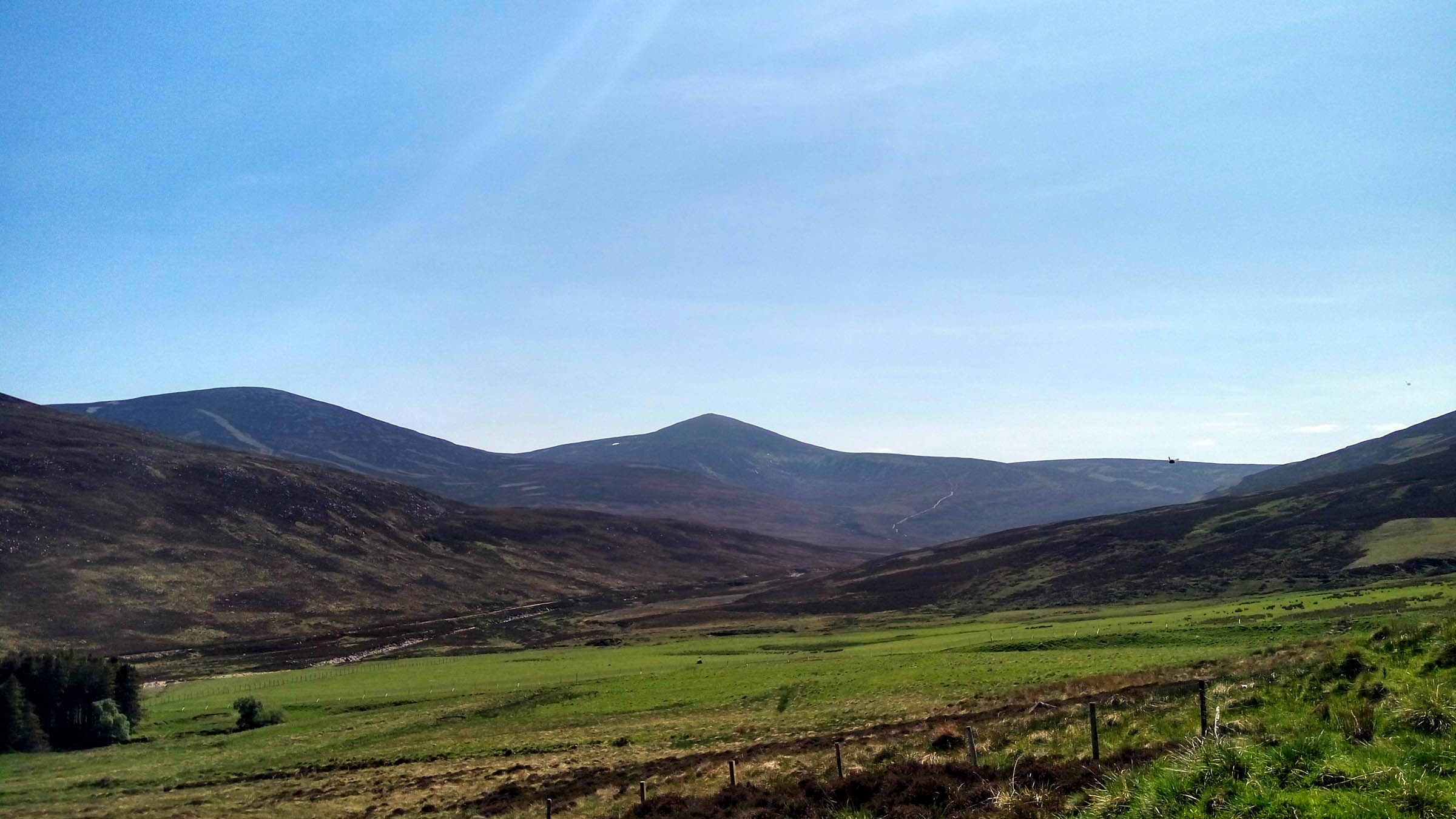
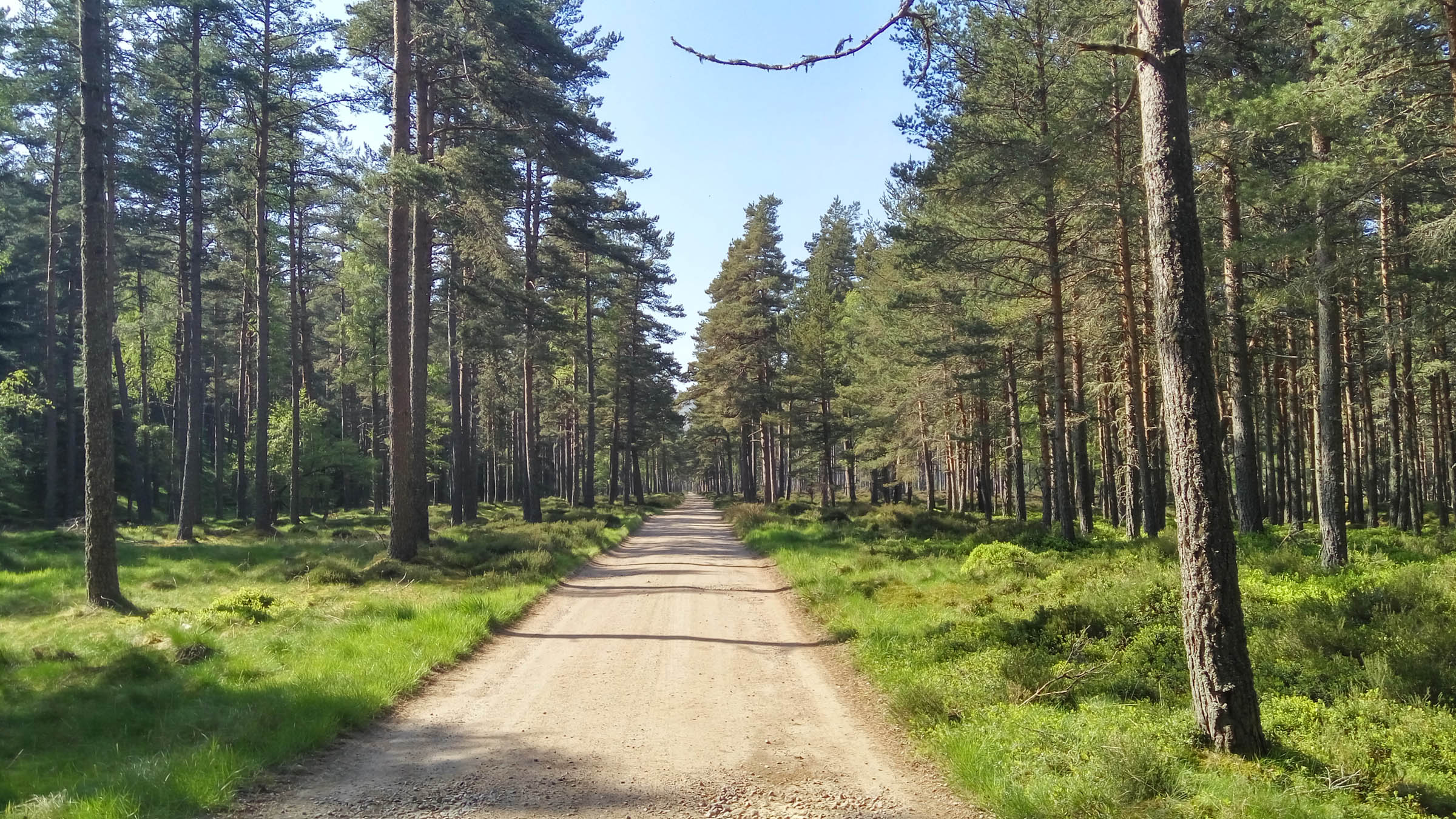
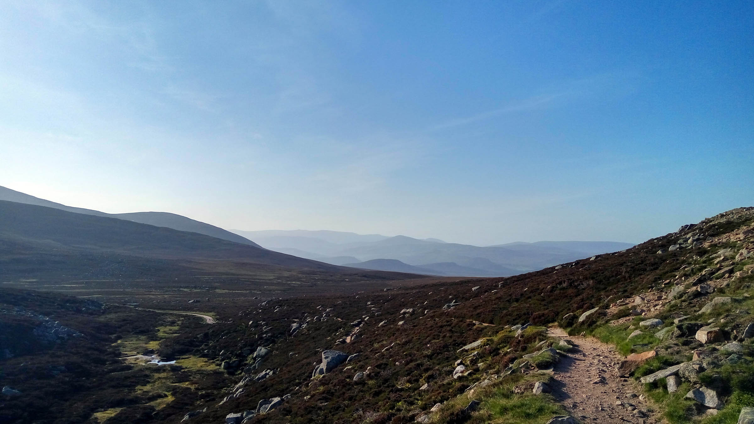
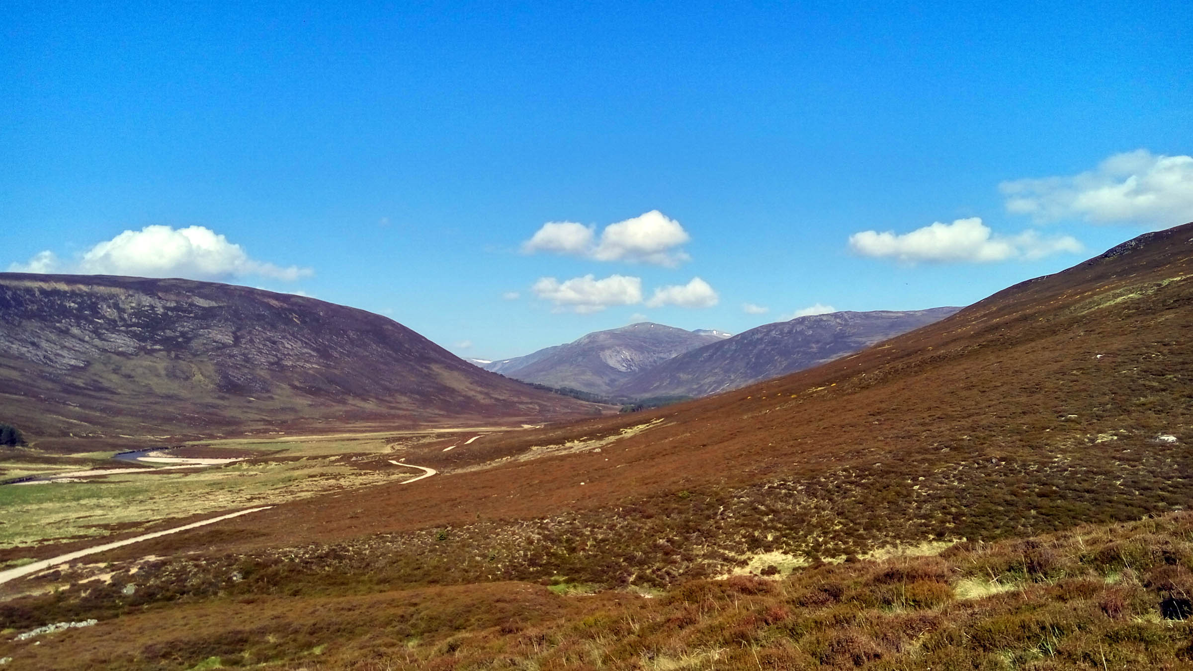
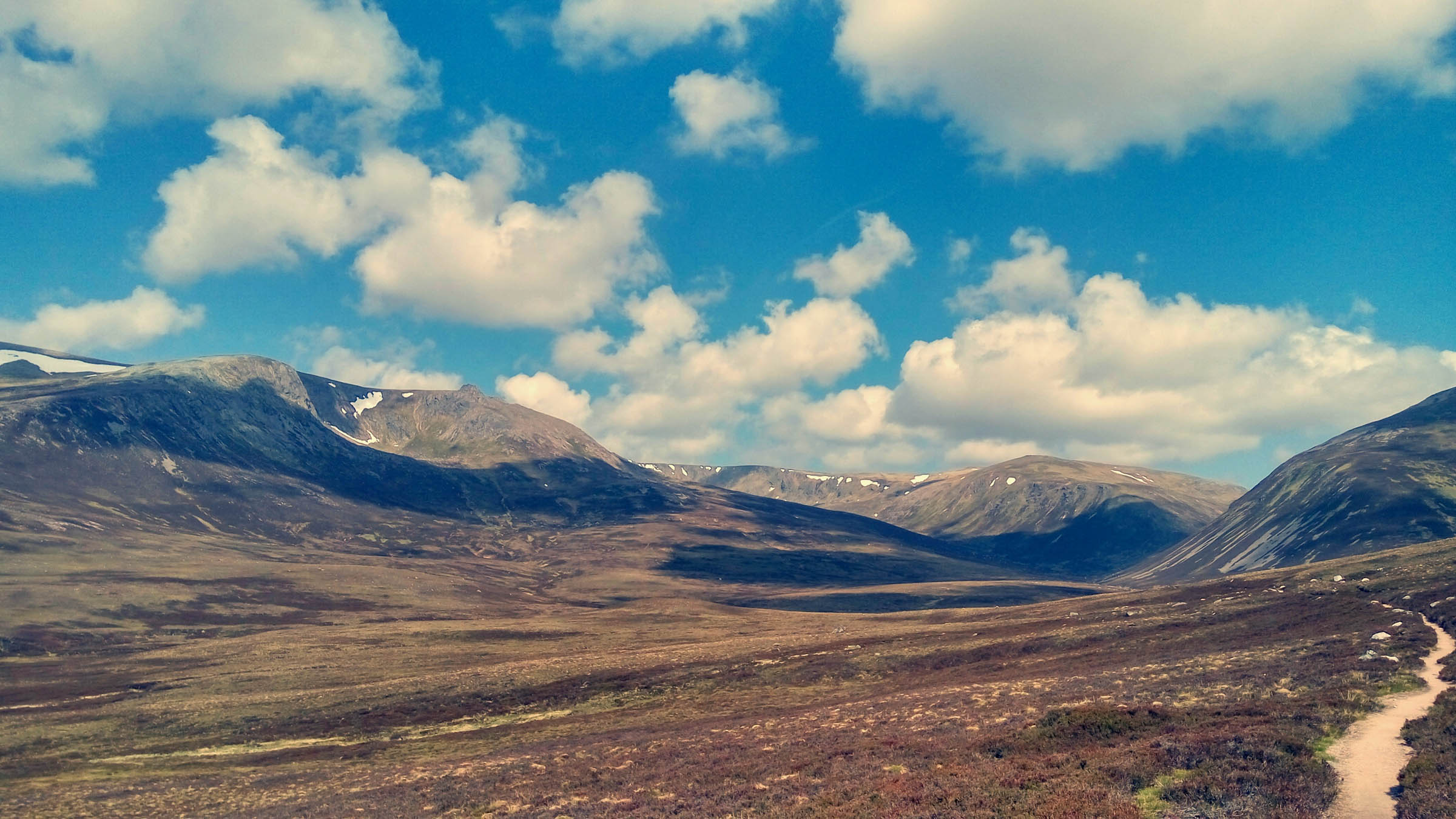
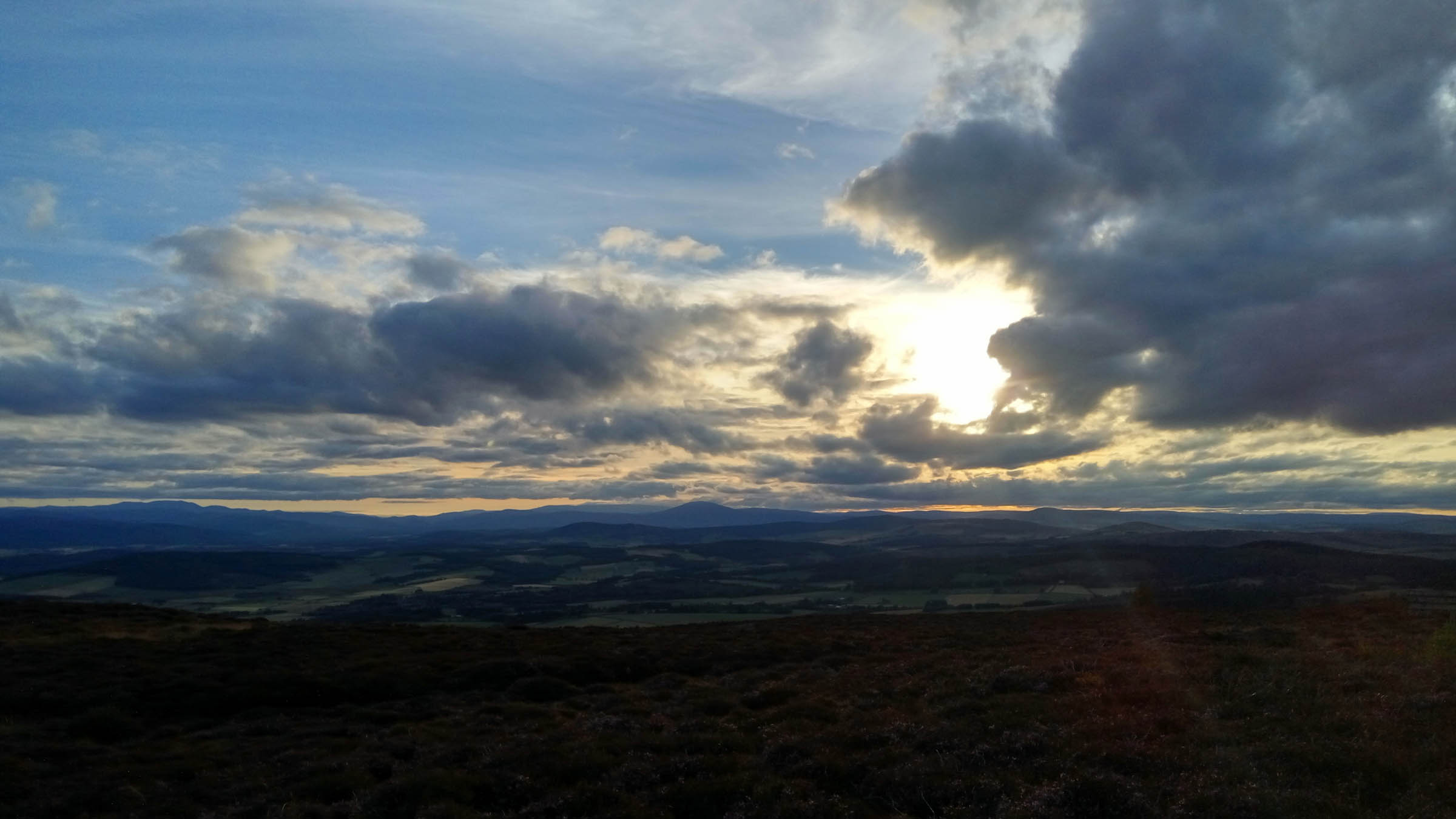
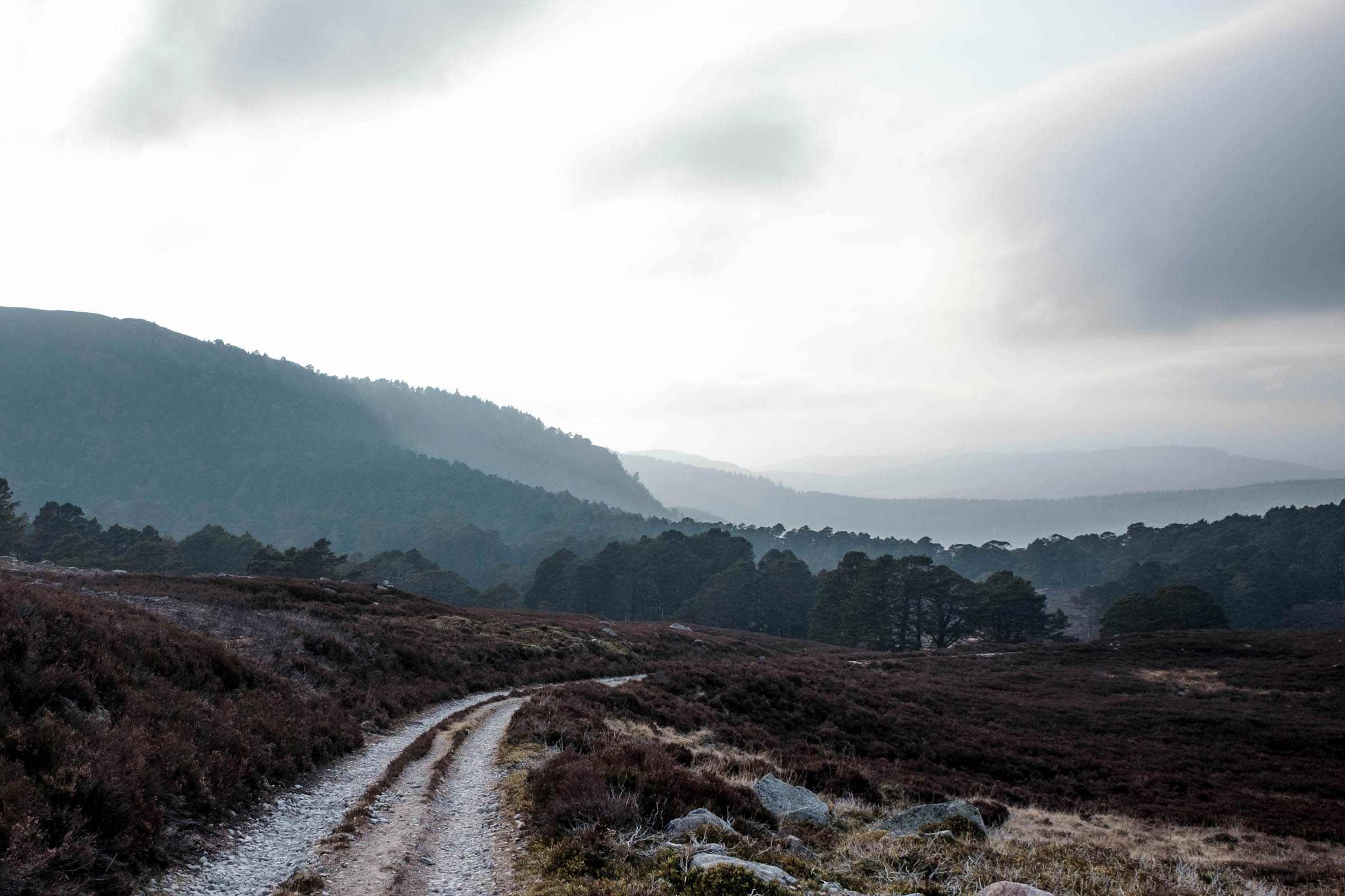
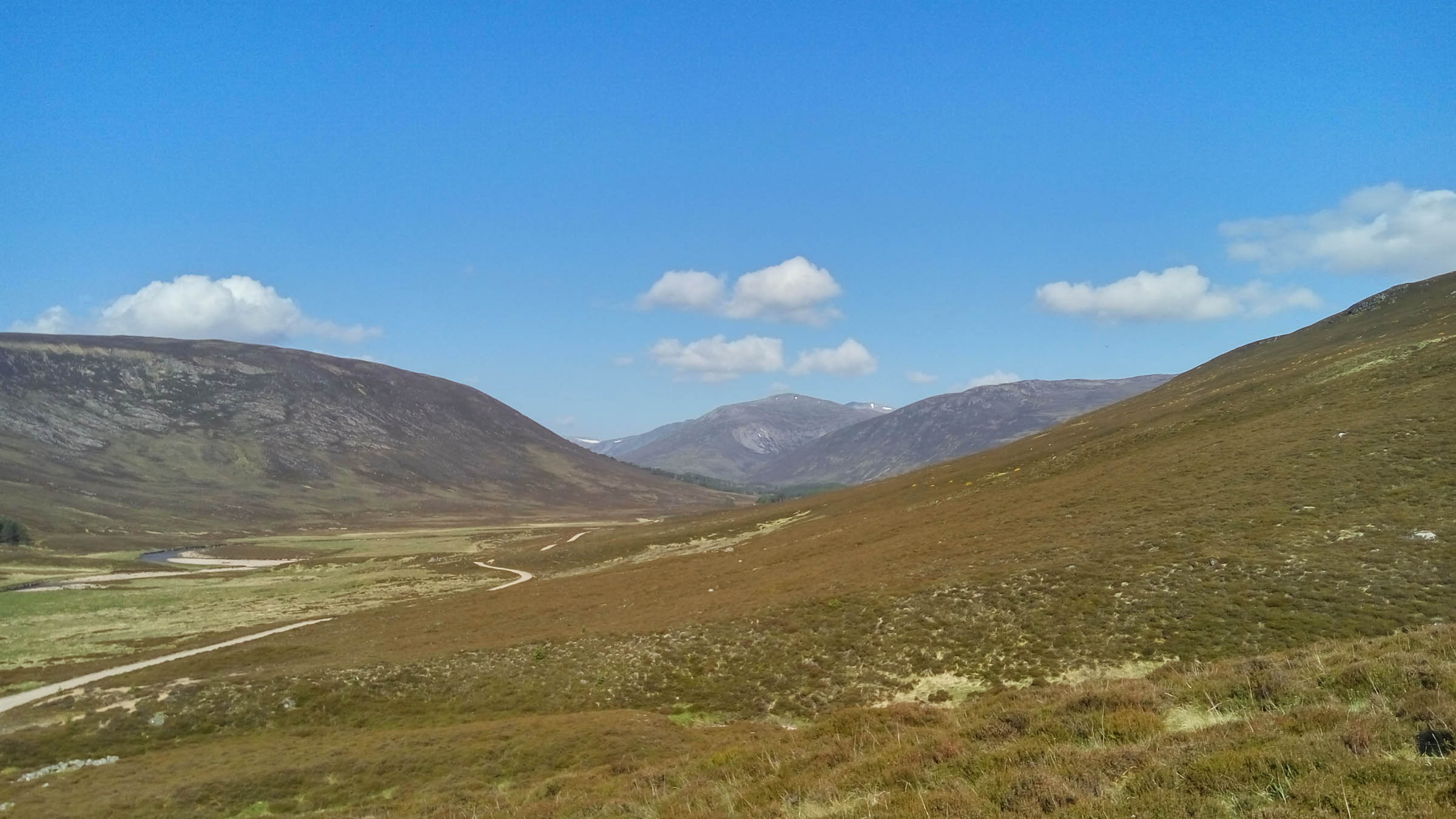
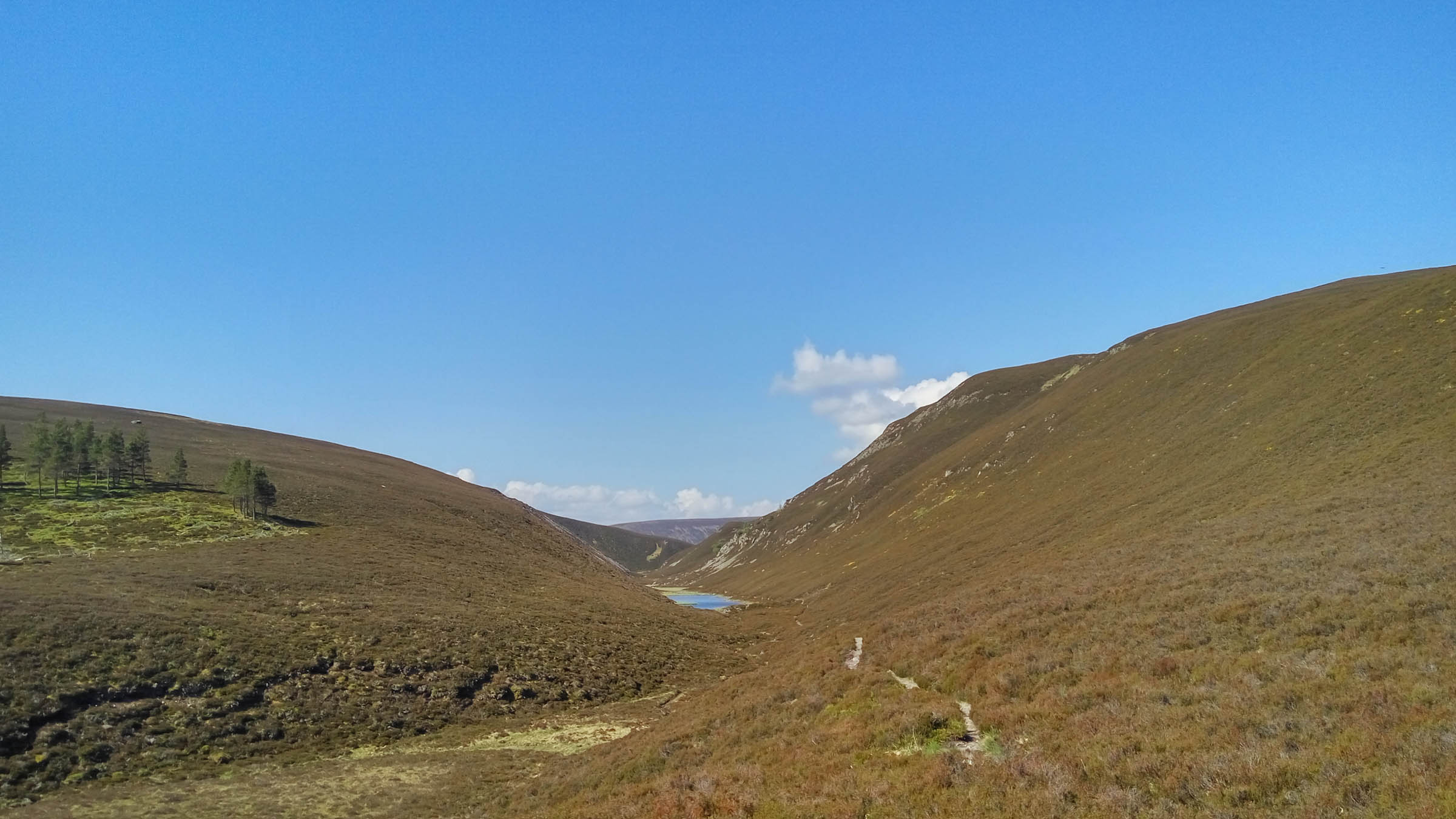
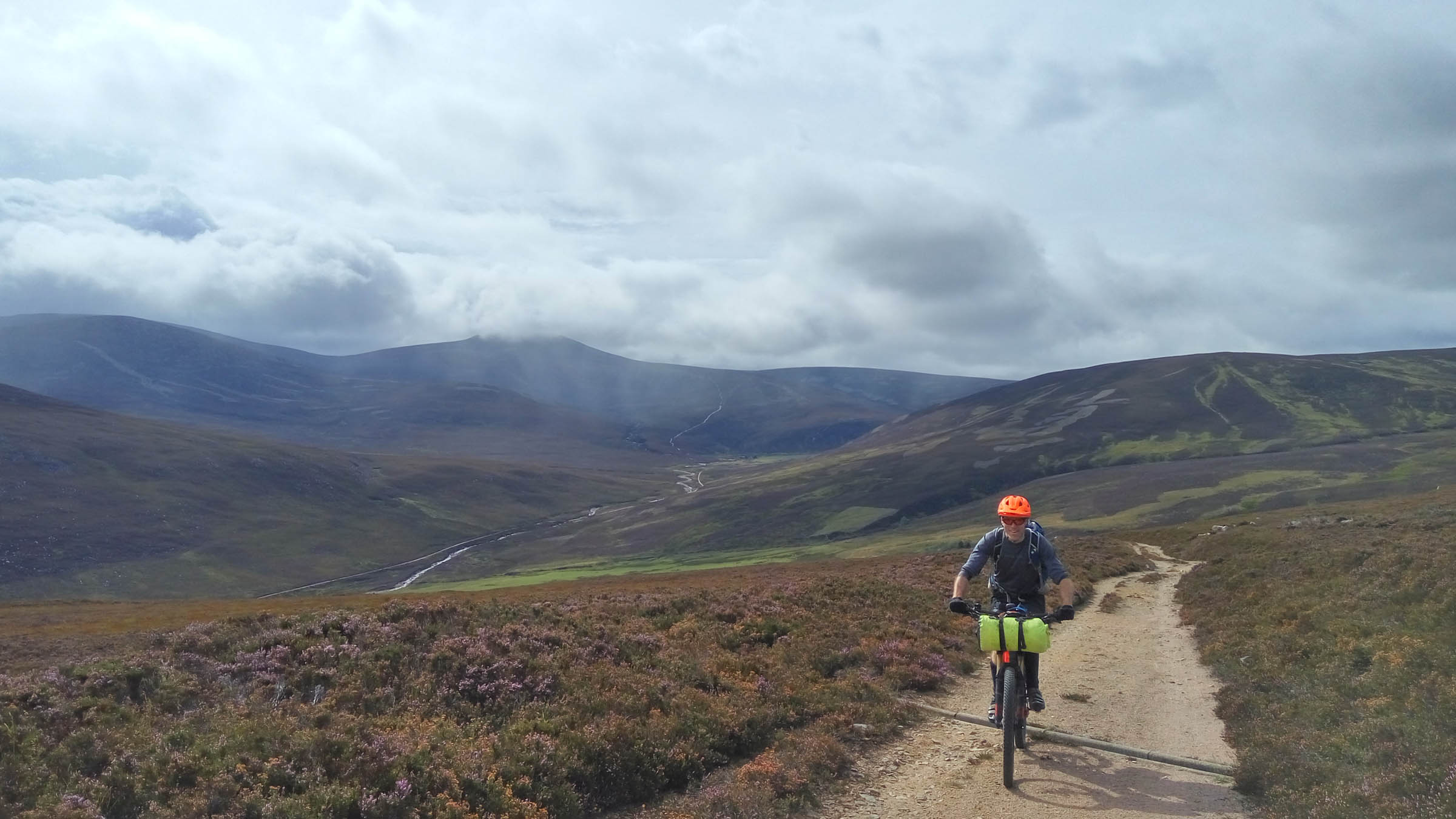
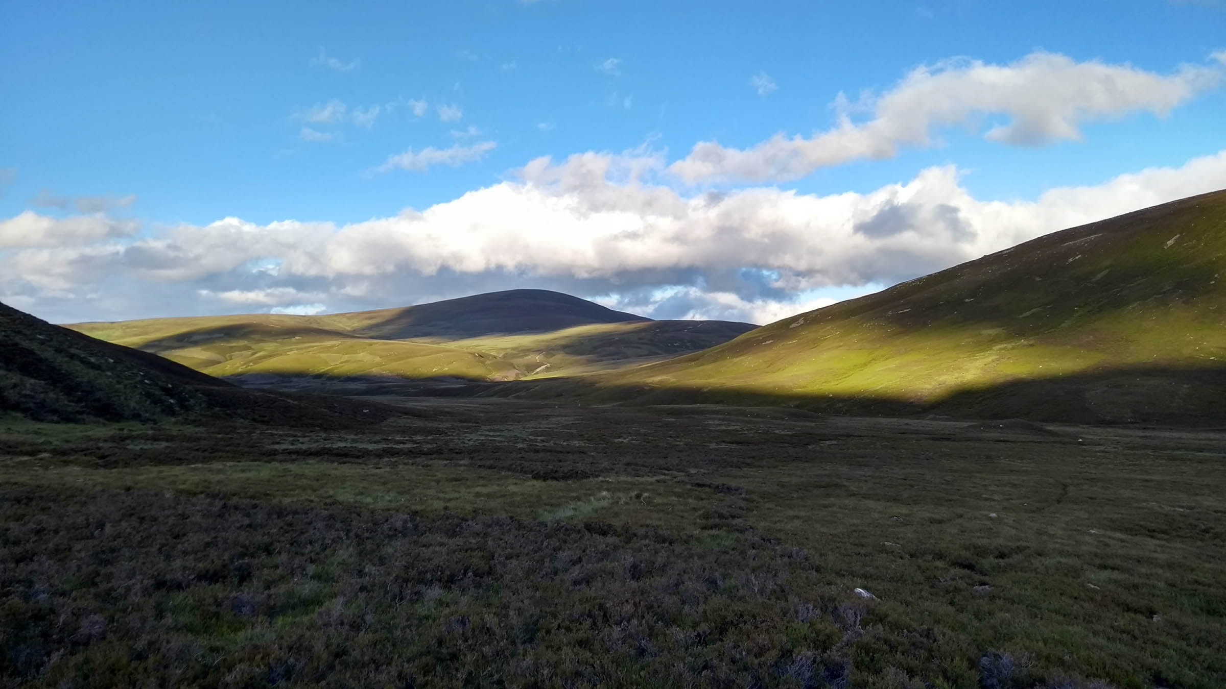
It’s easy to miss the North East of Scotland when planning a mountain biking trip – the Borders, Lochaber and the North West grab headlines but the hills of the Eastern Cairngorms are tucked away on the other side of the A9. The area is packed full of big mountain riding opportunities in the heather covered hills and ancient pine forests. The hills themselves are rounded and massive, eroded by glaciers in the last ice age. They’re at their best on days when light and shade contrast sharply and the colours of the land are ever changing. The erosion by ice and water left behind wide glens between 1,000-meter high peaks and narrow gullies cutting down the hillsides.
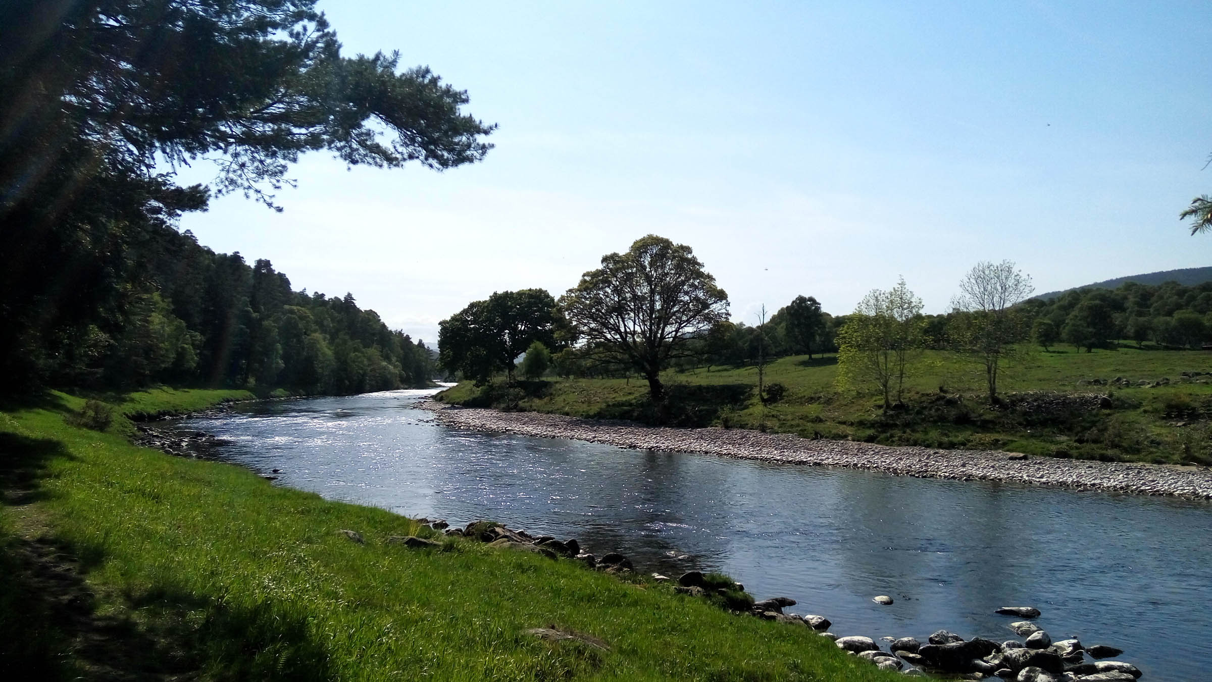
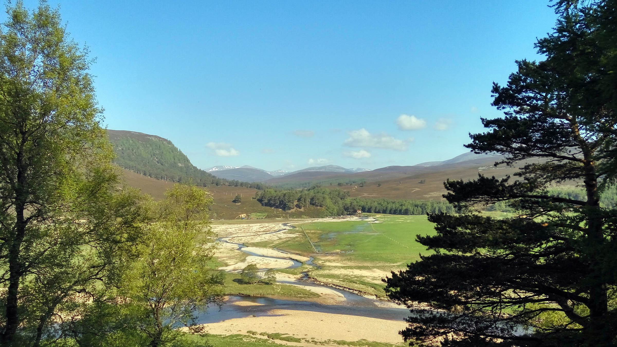
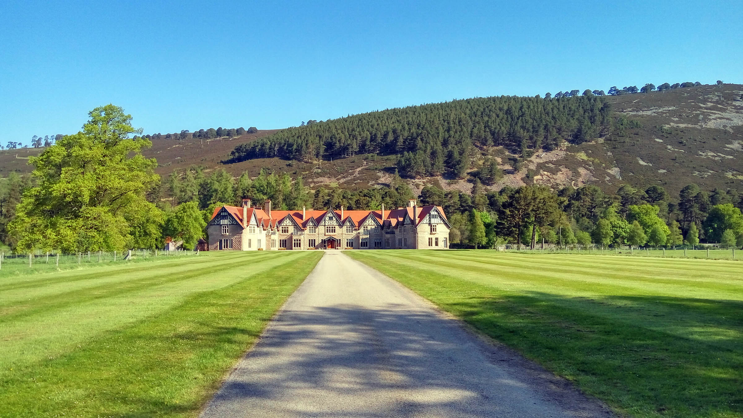
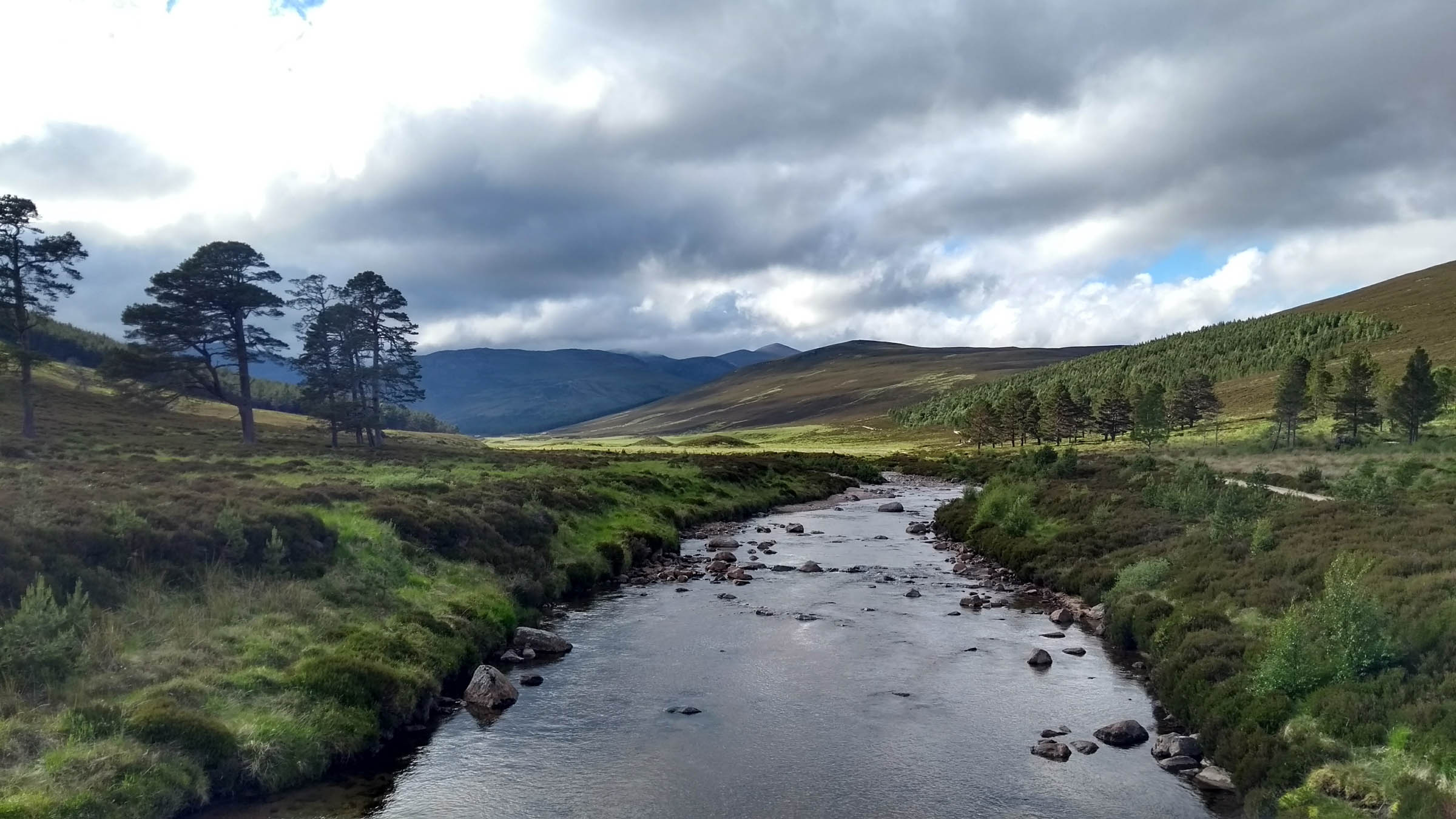
The River Dee is the heart of the area, starting at an altitude of 1,200 meters on the Cairngorms Plateau and giving its character to the land as it flows 90 miles eastwards to meet the North Sea at Aberdeen. It passes through Upper Deeside with its Royal and highland estates, widening out as the land opens up, supporting some of the finest farmland in Scotland. Traditions are strong in the area; especially poetry, music and the Doric language, plus the villages along the Dee still host their annual Highland Games each summer. There’s only one small distillery in the area, Royal Lochnagar, but it produces a fine lightly peated single malt.
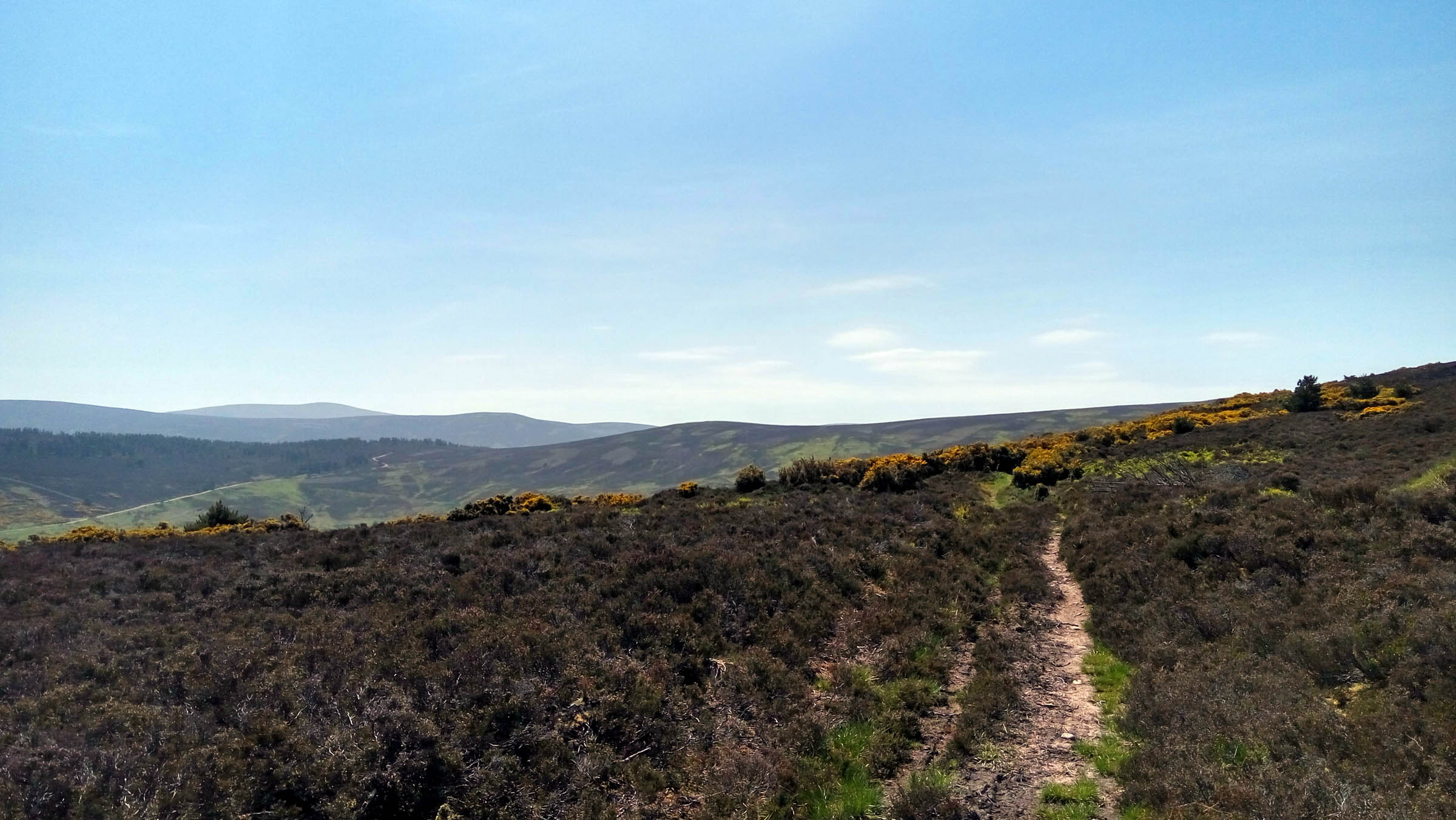
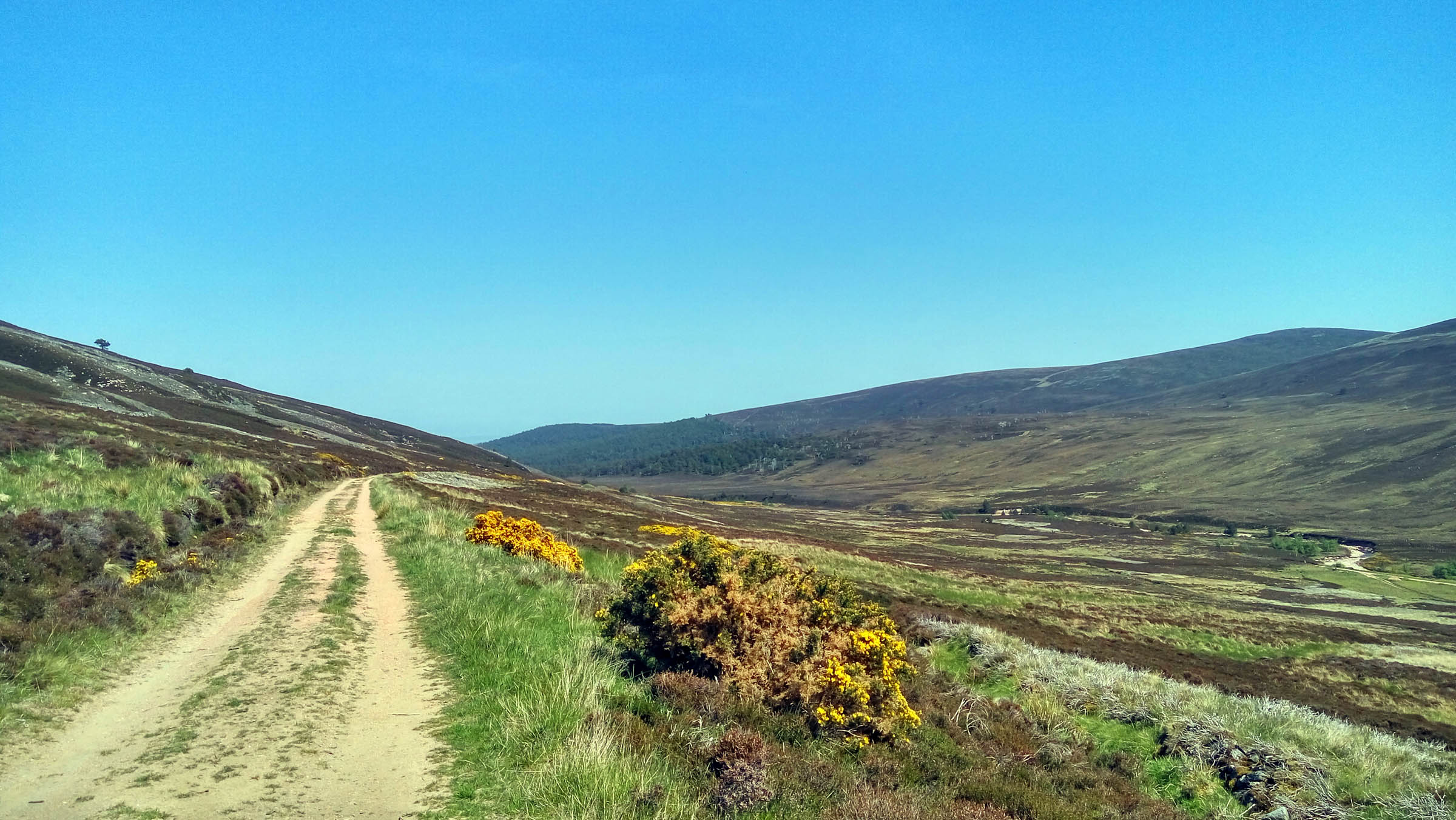
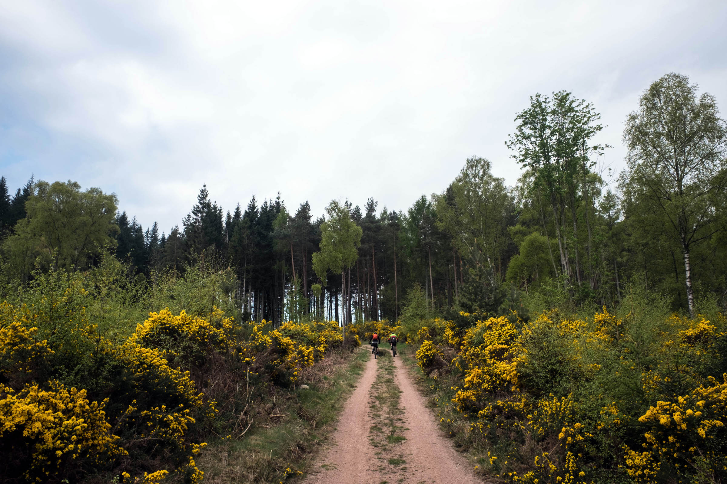
The route follows the Dee westwards from Banchory where the Aberdeenshire hills slowly rise out of the farmland, 25 miles inland from Aberdeen. You cross the river 10 miles from its source, travelling back on the other side of the river to where you started. Sometimes it follows the banks of the river but is often high above it, traversing a mix of forestry trails, ancient drove roads and technical singletrack. The local trail advocacy group, the Aberdeenshire Trail Association, reckons that there are over 400 kilometers of rideable mountain bike trails in Aberdeenshire and some of these are real Scottish classics; day rides and multi-day epics over Munros. There are also great pockets of local hand built enduro style trails throughout the area, in particular at Banchory, Aboyne, and Ballater.
The route picks out a bit of all of these, leaning towards the technical side of bikepacking. There’s quite a bit of climbing and the odd bit of hike-a-bike, but to counter this, you’re rarely far from re-supply and a bailout route. Despite this, along much of the route you’re unlikely to see anyone else for hours. Like the area itself, you have to put a bit of effort in to get there, but the reward is more than worth it.
Route Difficulty
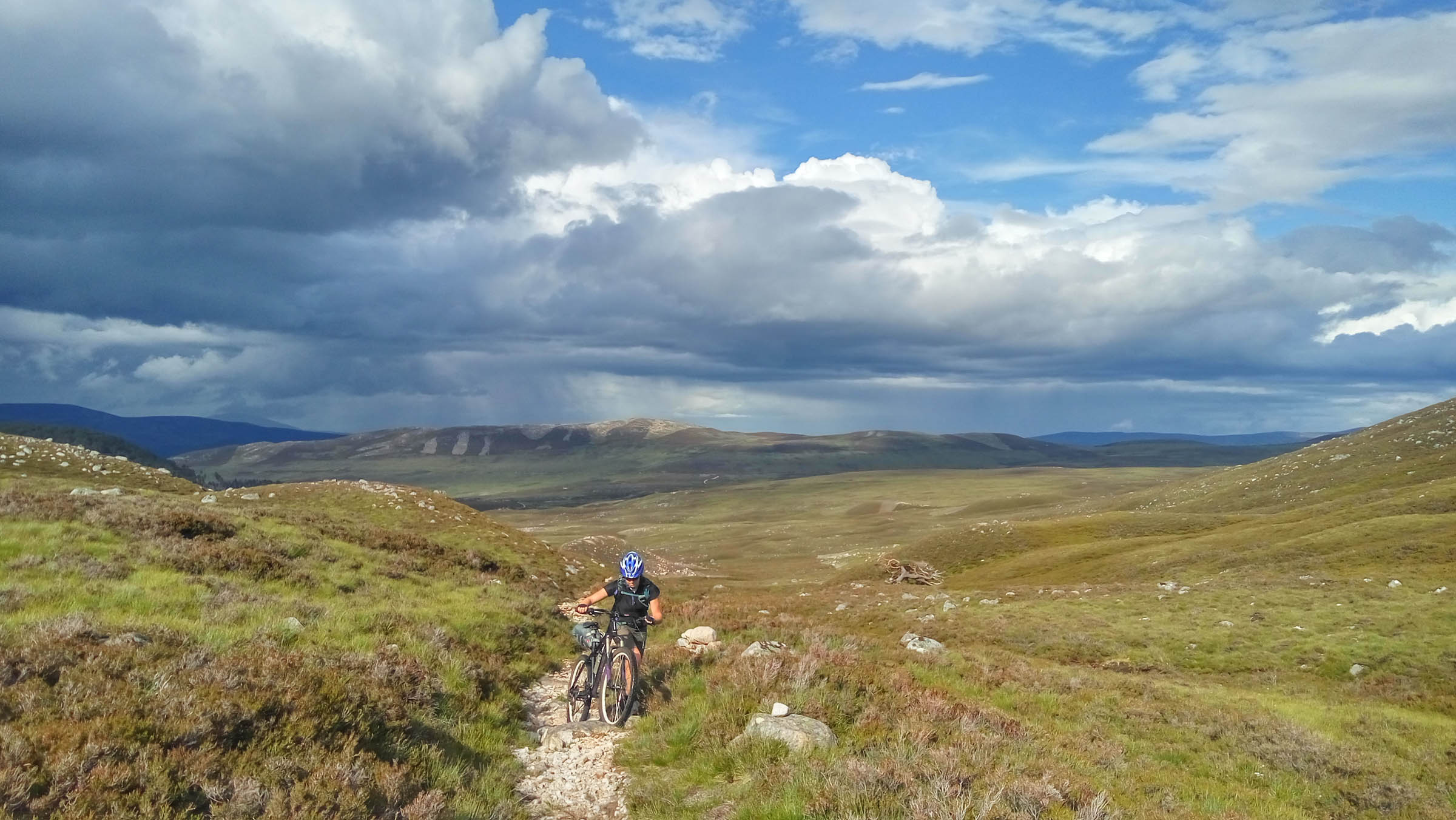
The route is a mix of doubletrack and singletrack with a number of rough, challenging, and technical descents which should be treated carefully when fully loaded. This is definitely a route for a mountain bike, but you could use a gravel bike if you like punishment. Many of the climbs are sustained and can involve up to an hour of pushing. The last section from Tarland to the finish has a lot of climbing and shouldn’t be underestimated. Fortunately logistics is quite easy with frequent supply stops and bail out routes except for the long section from Braemar back to Ballater. Overall difficulty is 6/10, with 8/10 for technical difficulty, 7/10 for physical demand, and 3/10 for logistics and resupply. Doing it in two days is quite a challenge; three days is suitable for most people.
Route Development: The route was developed in 2016 as a mountain bike ITT route, following along the lines of the Capital Trail, Cairngorms Loop, and Highland Trail 550. The route borrows slightly from the Round of Alford by Gordon Watt and also overlaps briefly with the Cairngorms Loop route near Braemar.


Submit Route Alert
As the leading creator and publisher of bikepacking routes, BIKEPACKING.com endeavors to maintain, improve, and advocate for our growing network of bikepacking routes all over the world. As such, our editorial team, route creators, and Route Stewards serve as mediators for route improvements and opportunities for connectivity, conservation, and community growth around these routes. To facilitate these efforts, we rely on our Bikepacking Collective and the greater bikepacking community to call attention to critical issues and opportunities that are discovered while riding these routes. If you have a vital issue or opportunity regarding this route that pertains to one of the subjects below, please let us know:
Highlights
Must Know
Camping
Food/H2O
Trail Notes
Resources
- Contouring round Carnferg on a sheep track through metre high gorse bushes
- Watching the capercaillie and grouse in Glentanar
- The 5 mile descent under Lochnagar through Balmoral Estate and the ancient pines in Ballochbuie forest
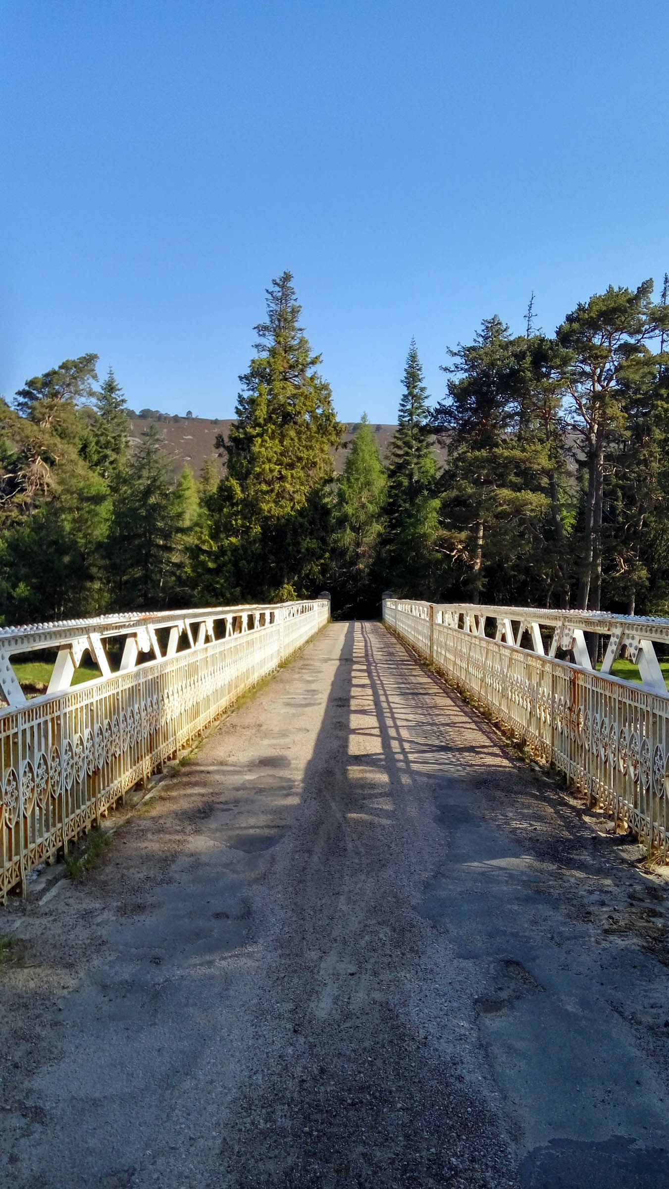
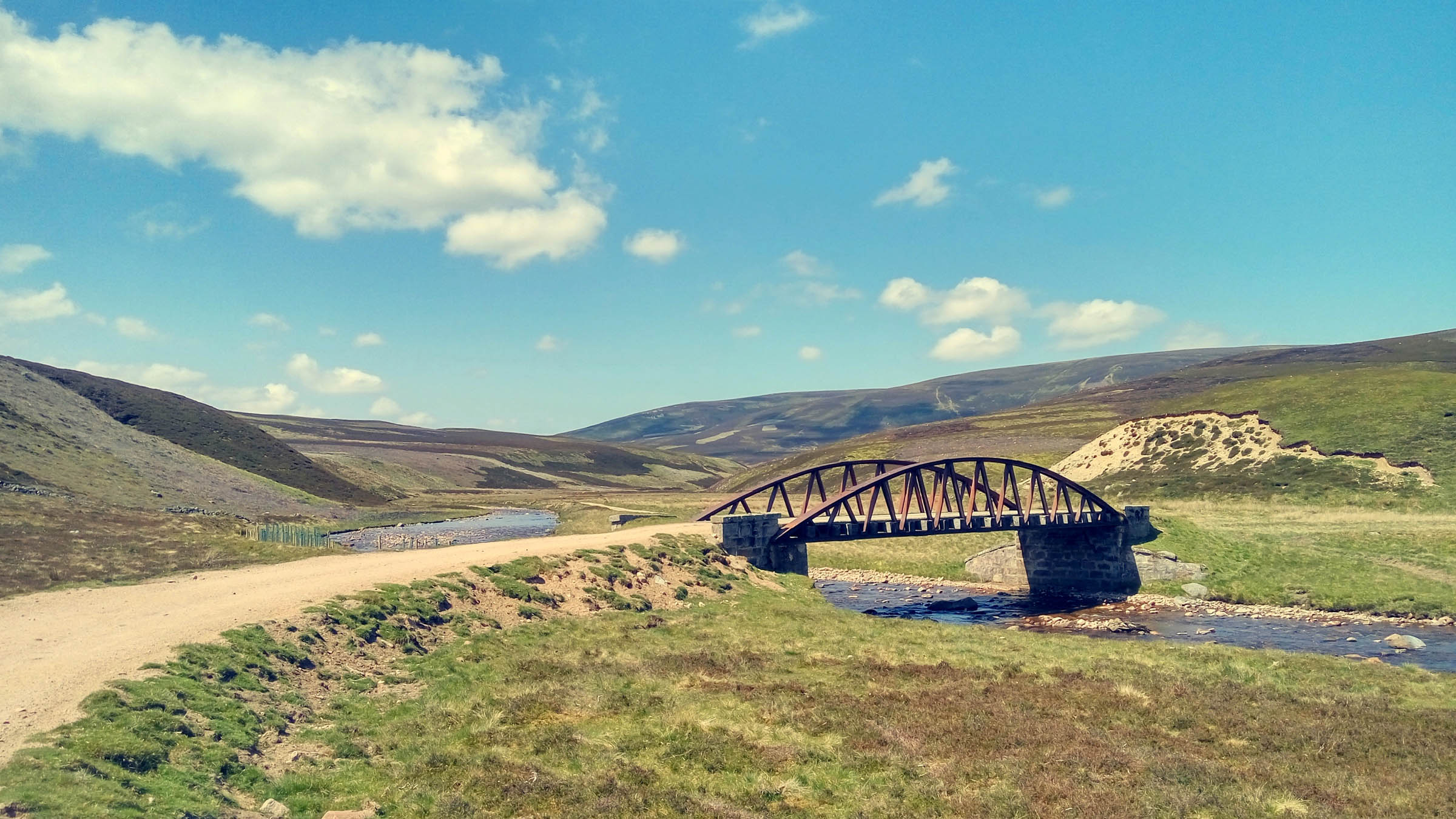
- Crossing the arched bridge over the Dee at Invercauld, built in 1859
- The huge portions of fish and chips from the Hungry Highlander in Braemar
- The remote and technical singletrack through Clais Fearnaig, Glen Quoich and Glen Gairn
- Passing Pictish standing stones at Loch Kinord
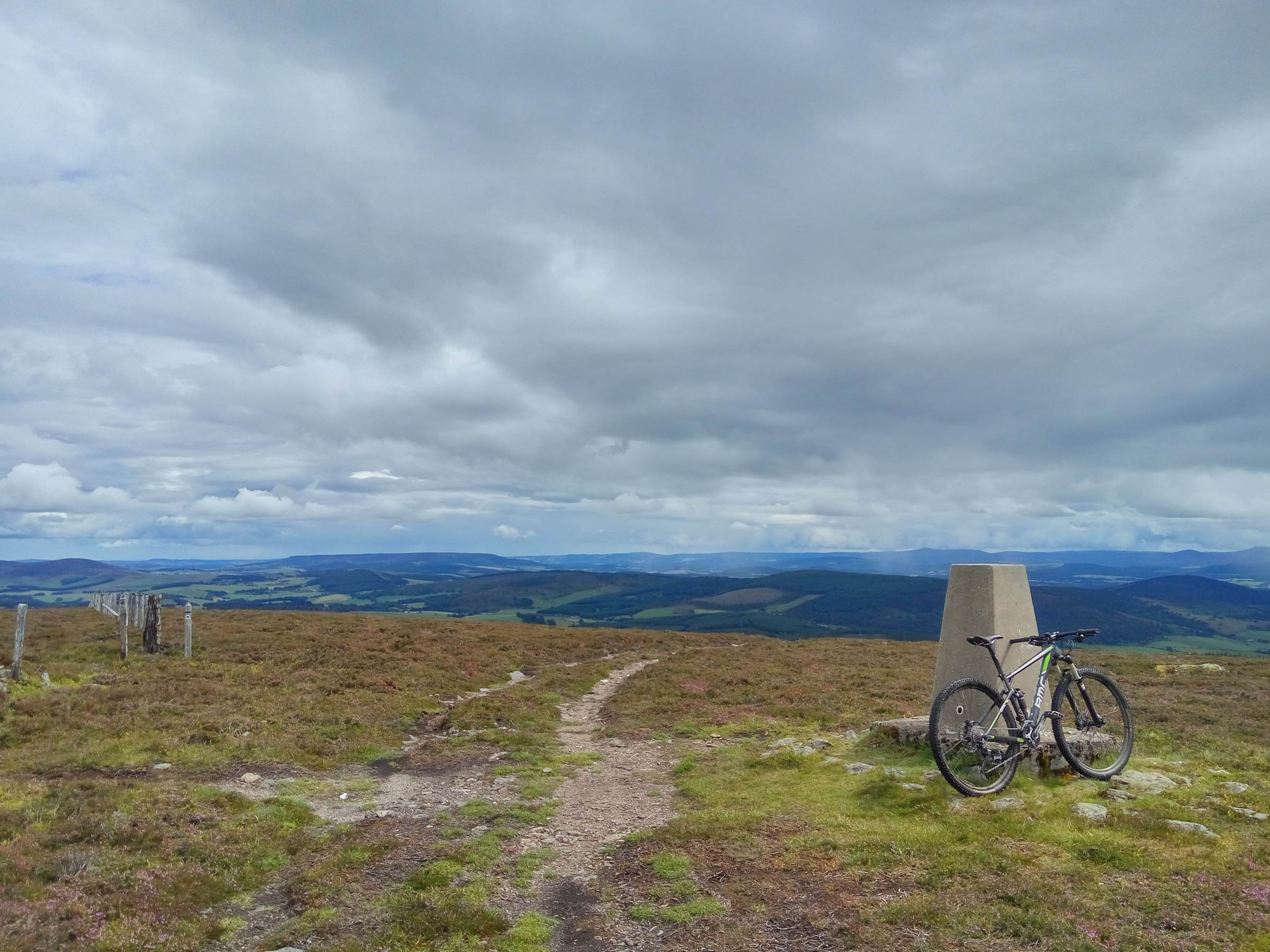
- The big sky views of Deeside and Donside from the top of Pressendye
- Parking is available at Bellfield car park in Banchory. The southern section of the car park is free and the northern section is paid so make sure you park in the correct section.
- Late spring/early summer is best before the midges get going and the vegetation isn’t too overgrown.
- Ticks are common throughout the route, especially in lower Deeside in the long grass and bracken. Consider wearing long bottoms, take a tick puller and regularly check yourself.
- The route should be passable in all but the depths of winter but is not advisable if there has been recent rain as the sections in the Cairngorms are very boggy and heavy going even in the dry – in the wet it would be particularly unpleasant.
- There is only one serious river crossing – the Gairn and this is about 30m long through knee deep water. If unpassable then you can continue on the North side of the river but you’ll have to climb a few deer fences.
- The route isn’t marked in any way, so it’s easiest to navigate by following the GPS track
- There a few different places you could start the route – Braemar and Ballater would also work well
- Be prepared for some pushing and hike-a-bike – there’s nothing that’s so technical that you need to carry your bike, but there are a few steep climbs that may require a sustained push for 30 mins to an hour in places.
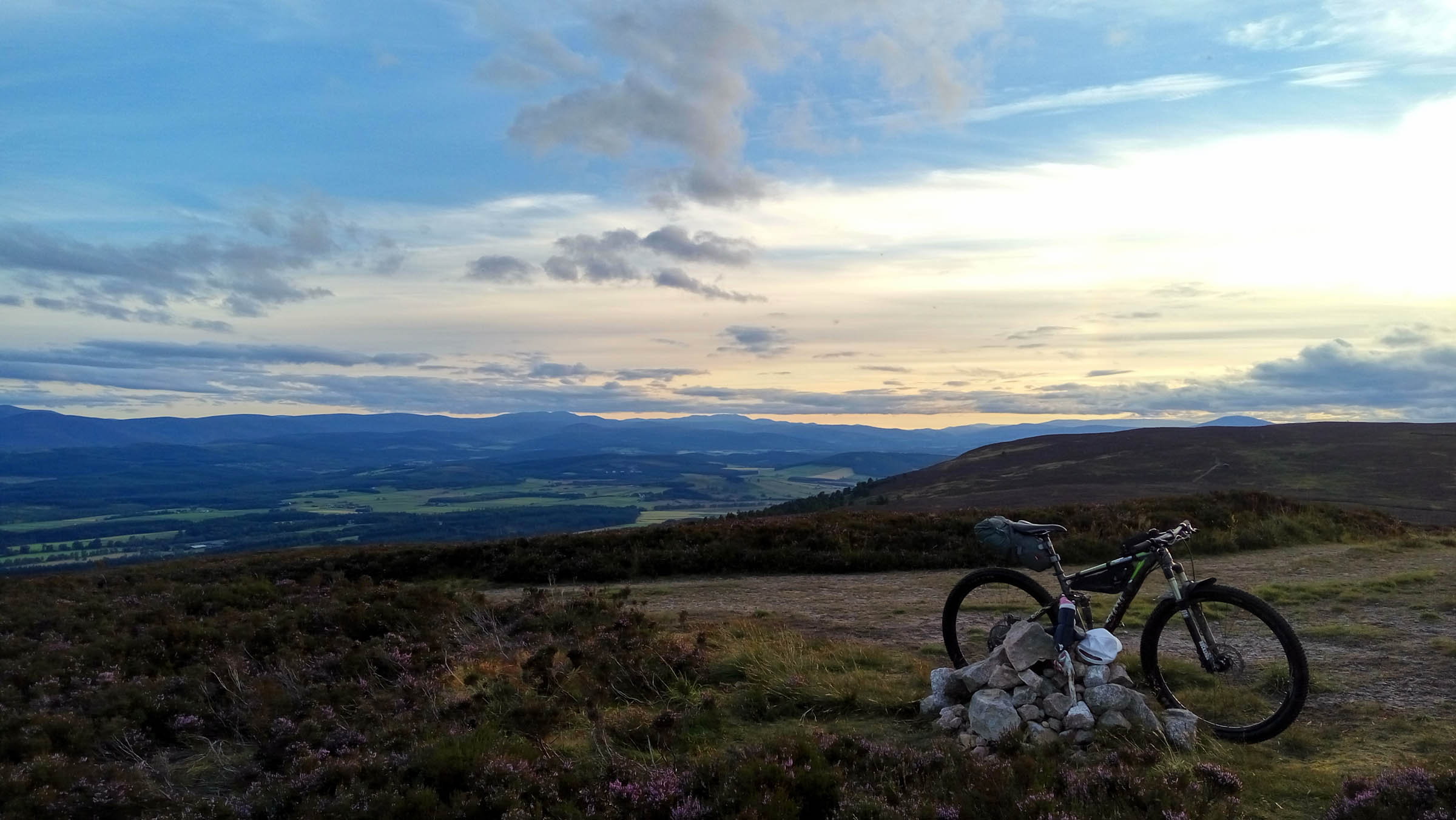
- Expect a confident and fit person who mountain bikes at weekends to take around 24h moving time to complete the route – this gives you two 12h days, stopping around but ideally well after Braemar, three 8h days stopping at Ballater twice, or four 6h days, stopping at Ballater, Braemar, and Ballater or Tarland.
- There are a number of bothies near the route about 10 miles before or after Braemar.
- Camping is allowed virtually anywhere on the route, be sure to follow the Scottish Outdoor Access Code.
- Paid accommodation is available in most towns along or near the route. Banchory, Ballater, Braemar, and Tarland are most suitable.
- Banchory – Supermarkets, pubs, cafes, restaurants, etc
- Ballater – Co-op open 7am-10pm, pubs, cafes, restaurants, etc
- Braemar – Co-op open 7am-10pm, chip shop closes at 8pm on Saturdays
- Tarland – Shop closes at 2pm on Sundays, small cafe and pub otherwise (take cash)
- Lumphanan – Shop closes at 3pm on Sundays, small cafe and pub otherwise (take cash)
- Water: There are frequent streams for first 3/4 of route. After Ballater there is no fresh running water on the route – fill up in Tarland or Lumphanan shops/pubs/cafes.
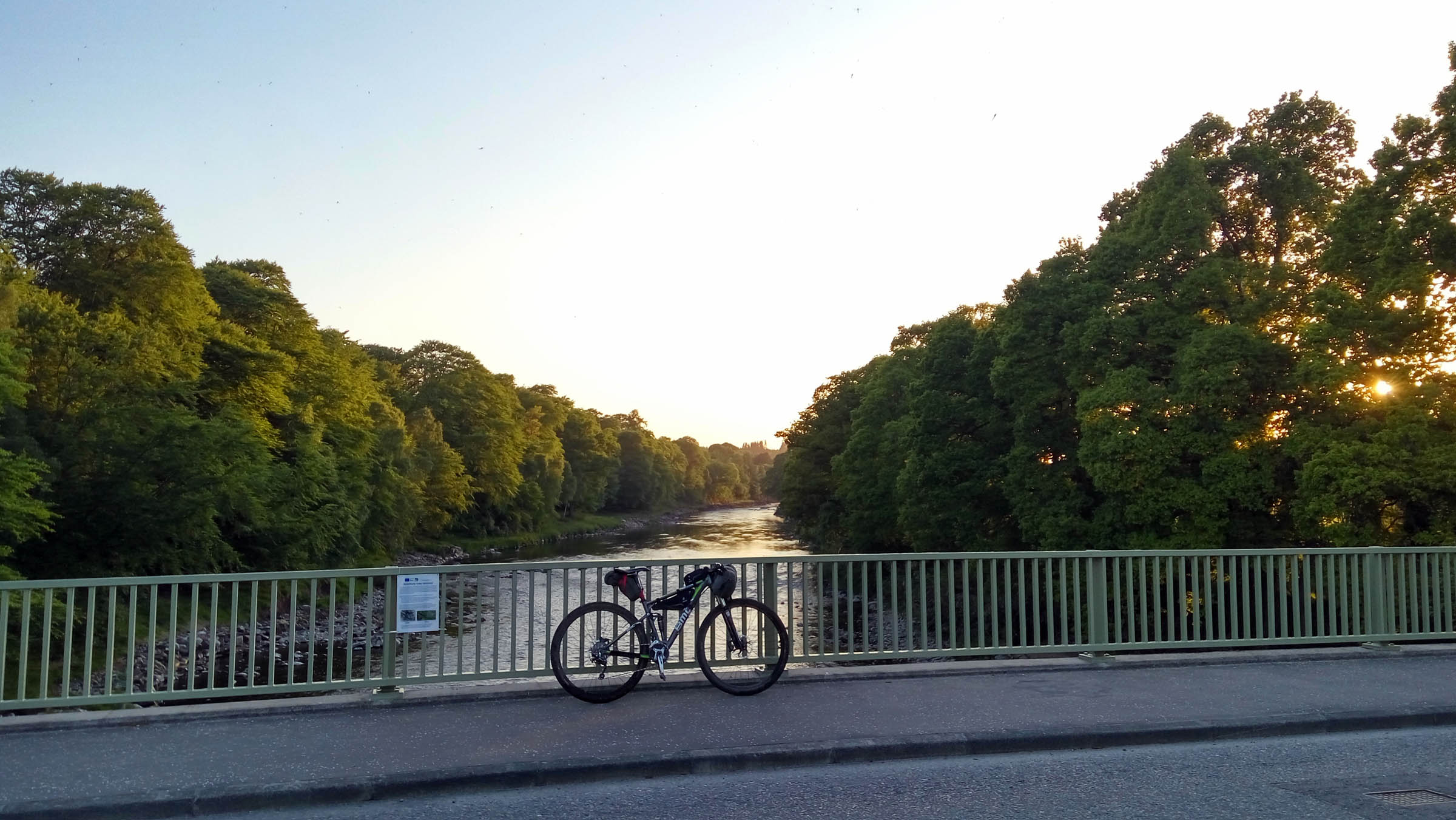
Starting on a bridge over the River Dee, the first half of the route picks out singletrack descents on ancient drove roads like the Fungle Trail and through Caledonian pinewood in the National Nature Reserve at Glen Tanar. The climbs and descents follow in quick succession, passing under the dark cliffs of Lochnagar and the Royal estate at Balmoral.
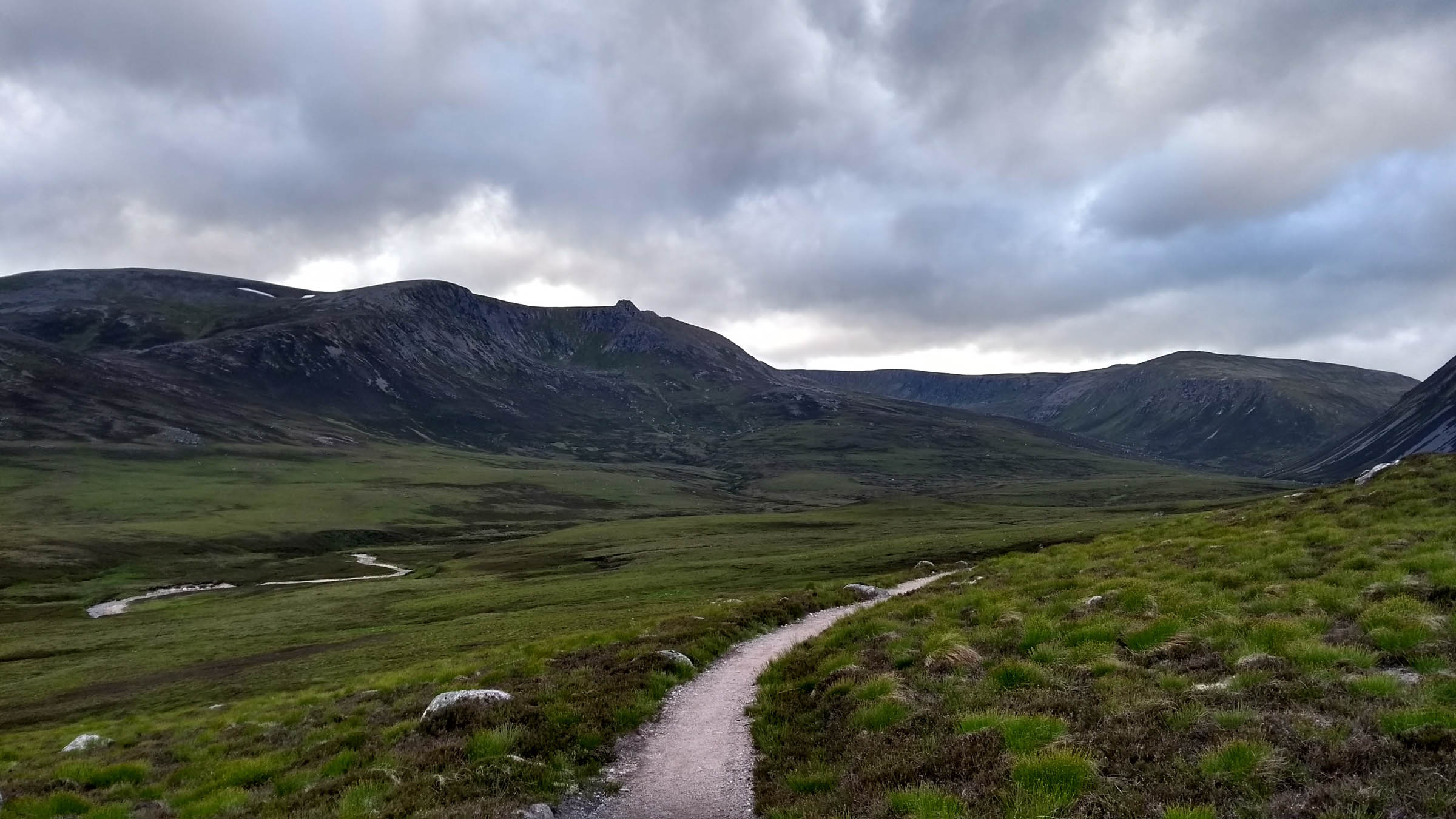
Braemar offers a chance for a resupply, before passing Mar Lodge and starting the mid section of the route. This is the most dramatic and isolated part of the route, cutting through the edge of the central Cairngorms before turning east for miles of rocky, rooty, technical singletrack. It’s not all easy going though, with payback in the form of miles of bog and landrover track before passing Ballater for the second time.
You’re soon on a singletrack rollercoaster and passing Pictish standing stones at Loch Kinord. The Tarland Trails are a fun distraction before some serious hike-a-bike puts you on a long ridge high above the Rivers Dee and Don. The final climb up the Hill of Fare rewards you with an almost full length view of the route you’ve just done, and a final descent down back to the River Dee to finish.
Additional Resources
- Deeside Trail – Site for the ITT version of the route
- Mountain Bothies Association – Listing of MBA bothies
- Aberdeenshire Trail Association – Local trail maintenance heros


Terms of Use: As with each bikepacking route guide published on BIKEPACKING.com, should you choose to cycle this route, do so at your own risk. Prior to setting out check current local weather, conditions, and land/road closures. While riding, obey all public and private land use restrictions and rules, carry proper safety and navigational equipment, and of course, follow the #leavenotrace guidelines. The information found herein is simply a planning resource to be used as a point of inspiration in conjunction with your own due-diligence. In spite of the fact that this route, associated GPS track (GPX and maps), and all route guidelines were prepared under diligent research by the specified contributor and/or contributors, the accuracy of such and judgement of the author is not guaranteed. BIKEPACKING.com LLC, its partners, associates, and contributors are in no way liable for personal injury, damage to personal property, or any other such situation that might happen to individual riders cycling or following this route.
Please keep the conversation civil, constructive, and inclusive, or your comment will be removed.