


Delaware County Catskills Dirt Circuit
Distance
117 Mi.
(188 KM)Days
2-3
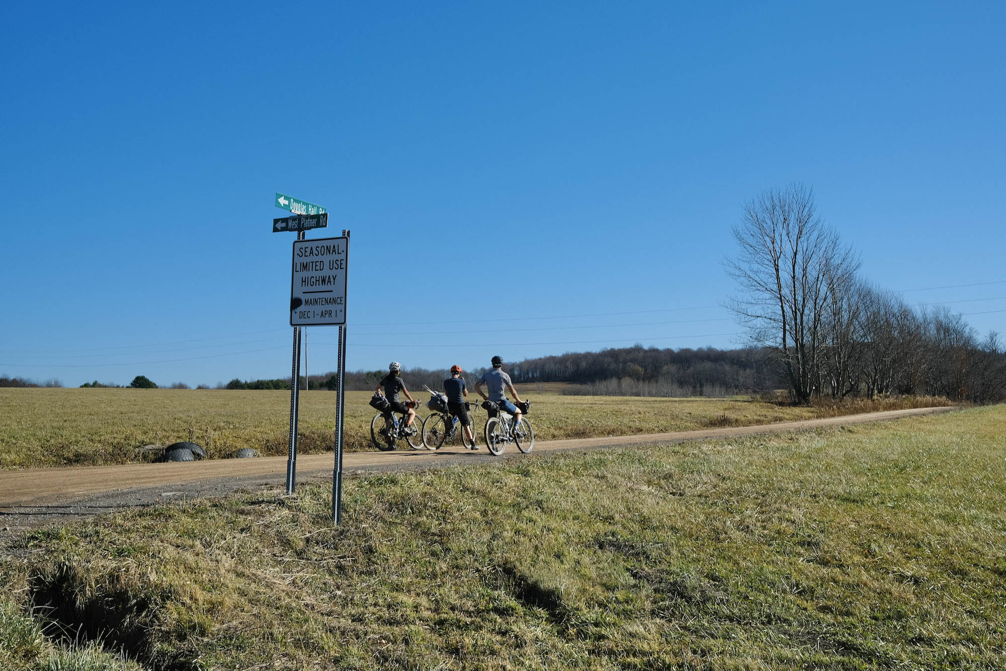
% Unpaved
50%
% Singletrack
0%
% Rideable (time)
99%
Total Ascent
12,700'
(3,871 M)High Point
2,370'
(722 M)Difficulty (1-10)
6?
- 7Climbing Scale Strenuous109 FT/MI (21 M/KM)
- -Technical Difficulty
- -Physical Demand
- -Resupply & Logistics
Contributed By

Joe Cruz
Contributing Editor
Route by Joe Cruz and Nick Gigliotti
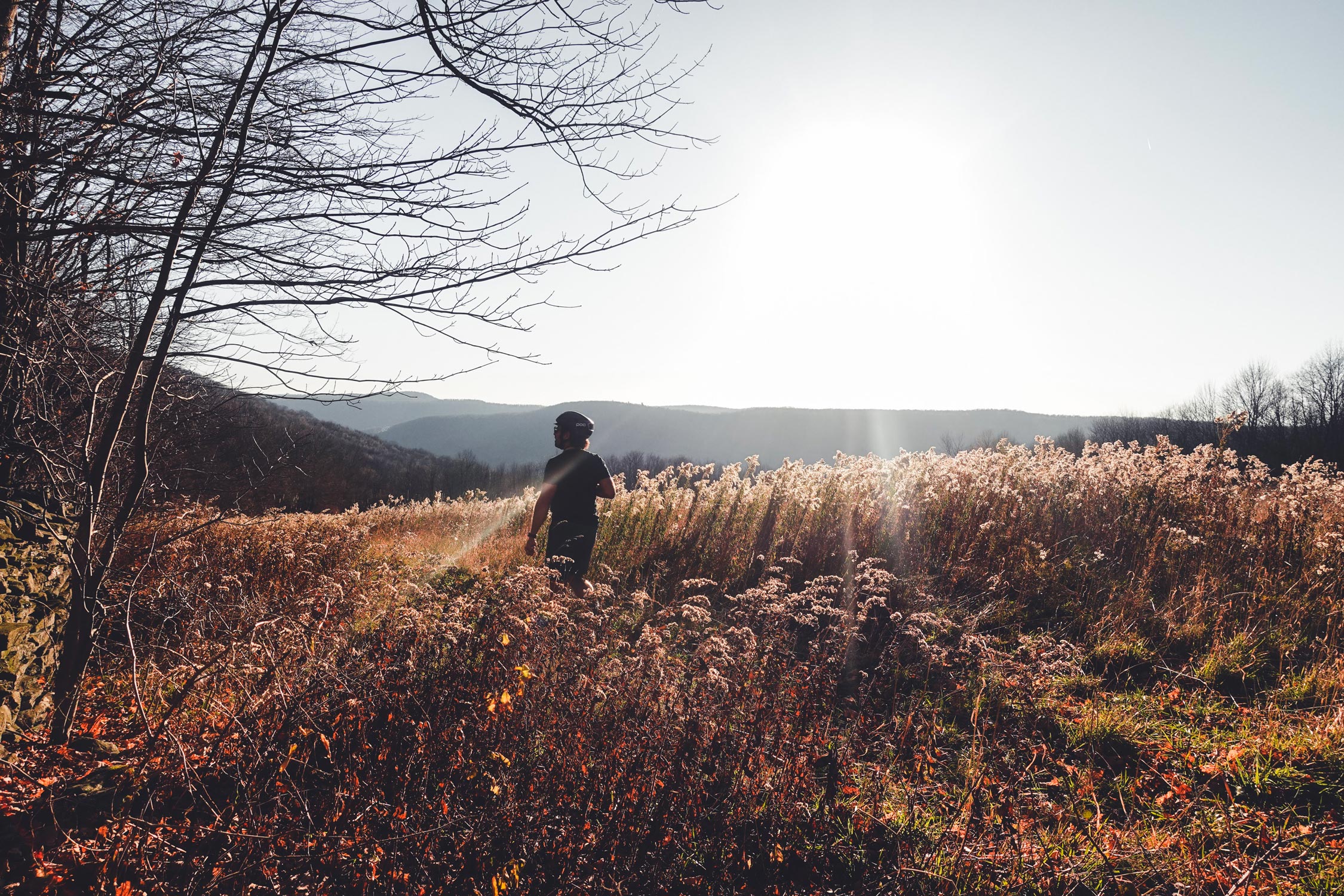
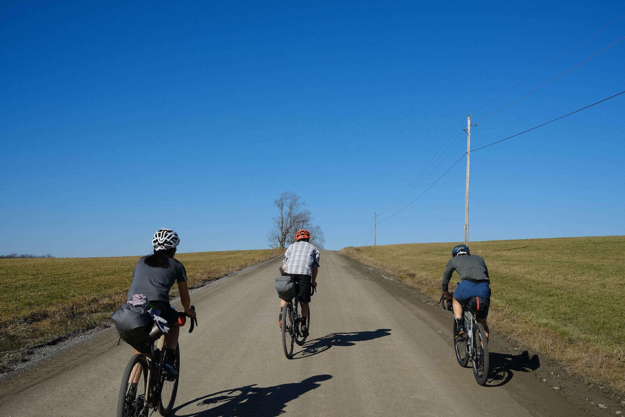
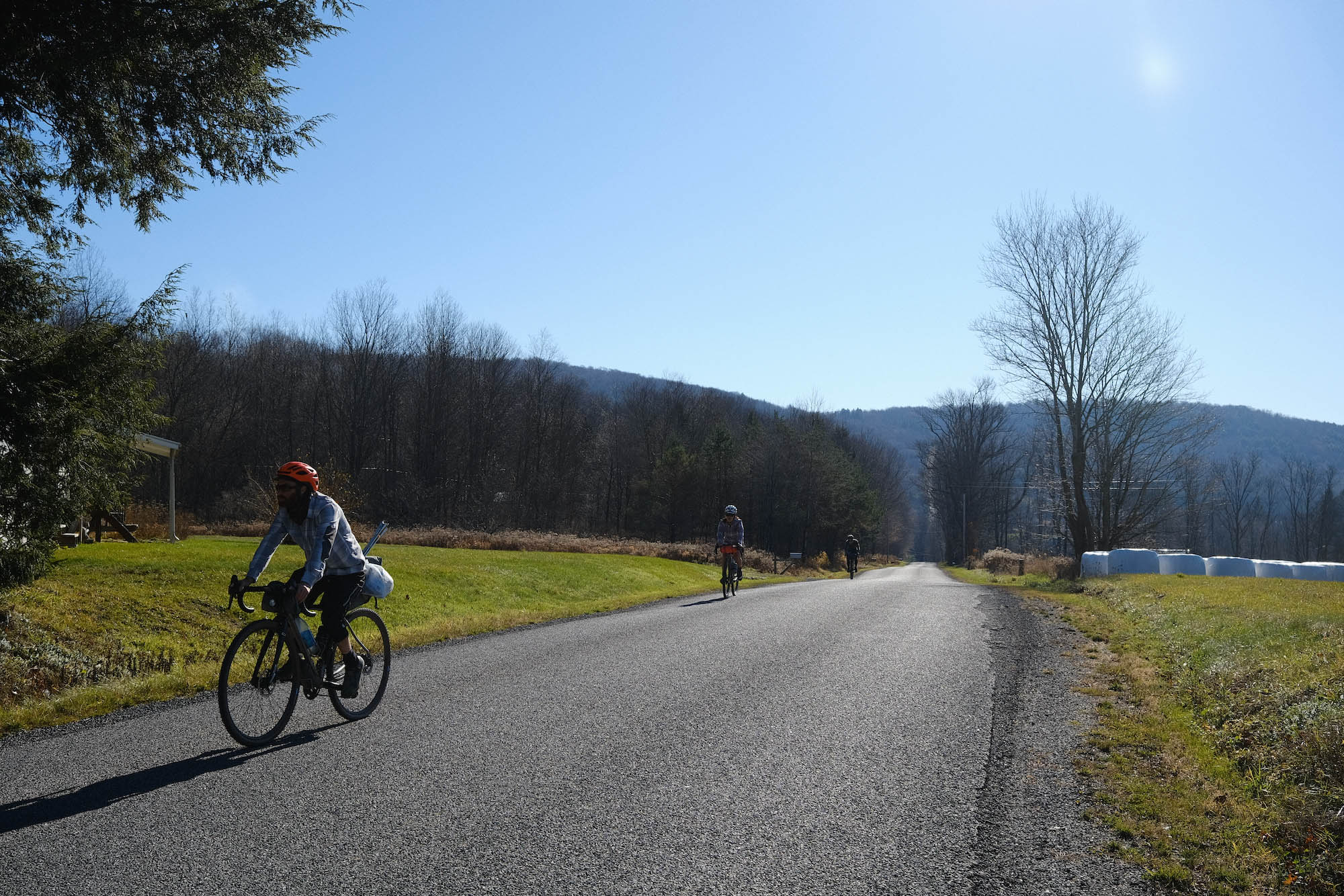
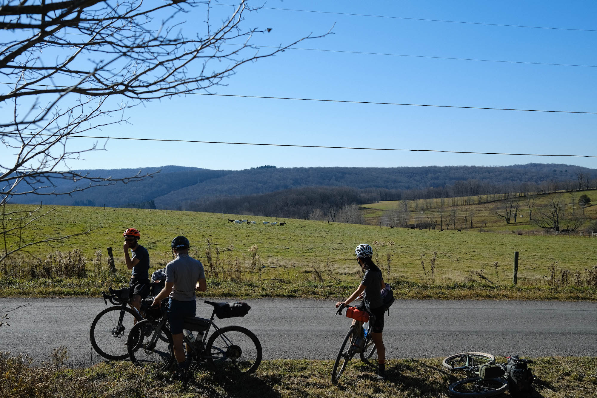
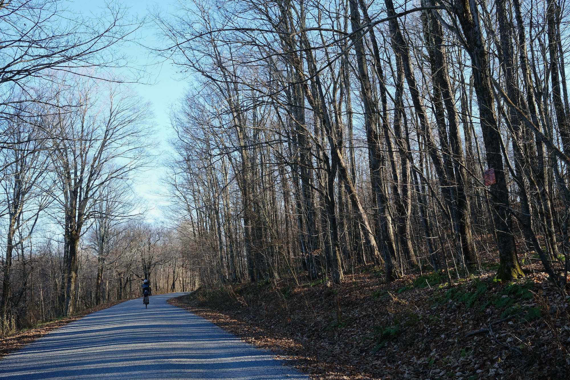
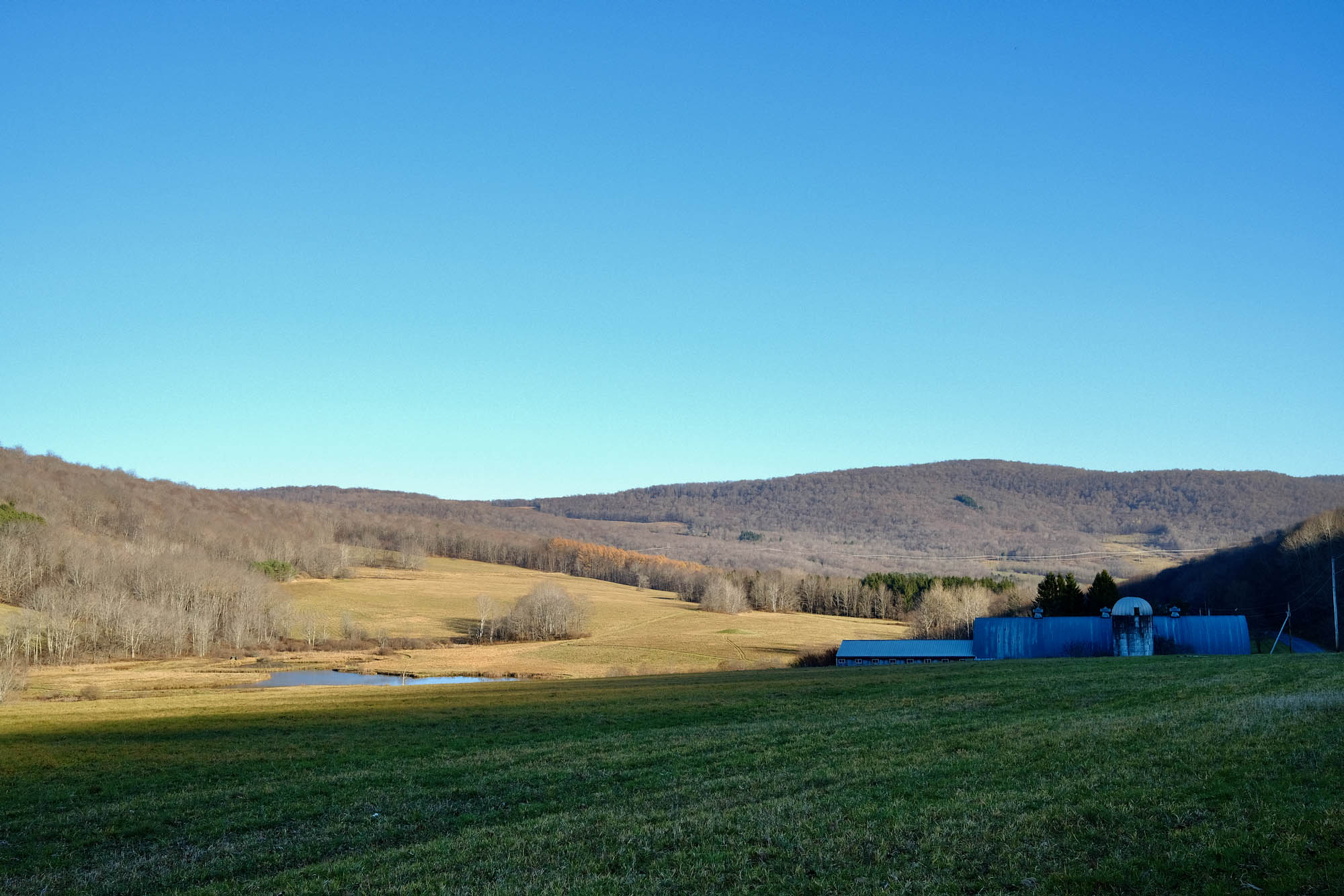
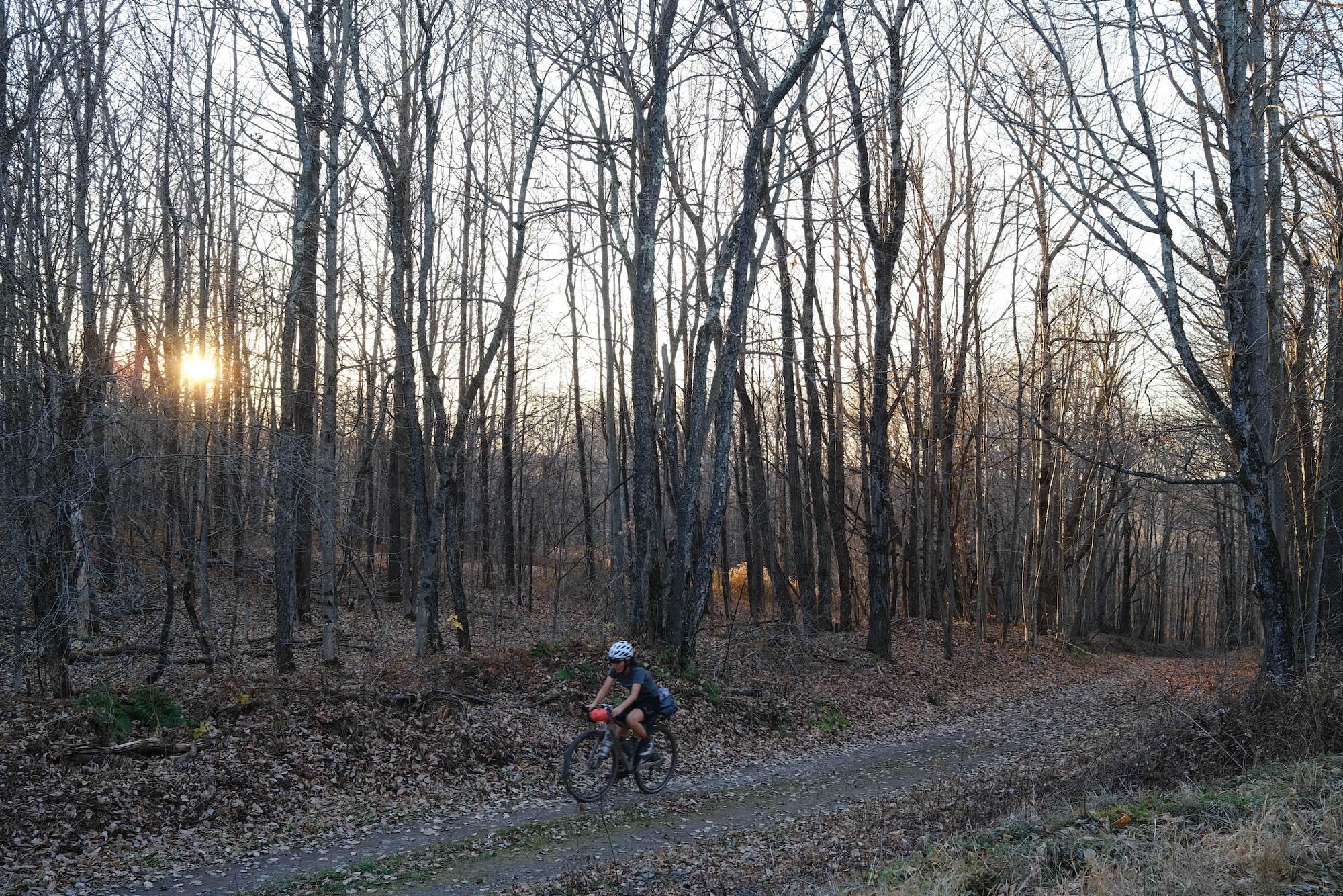
The county is named after the Delaware River to the south, and is home to the Pepacton Reservoir, the largest reservoir serving New York City and providing 25% of the city’s water. It’s the least densely populated county in New York outside of the Adirondacks, and the feeling is rural and spacious. The riding in this area is sublime, with rolling, open fields against the backdrop of stacked hills.
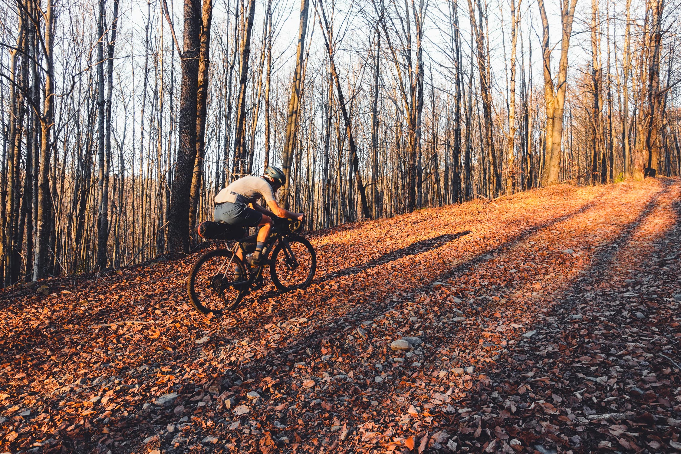
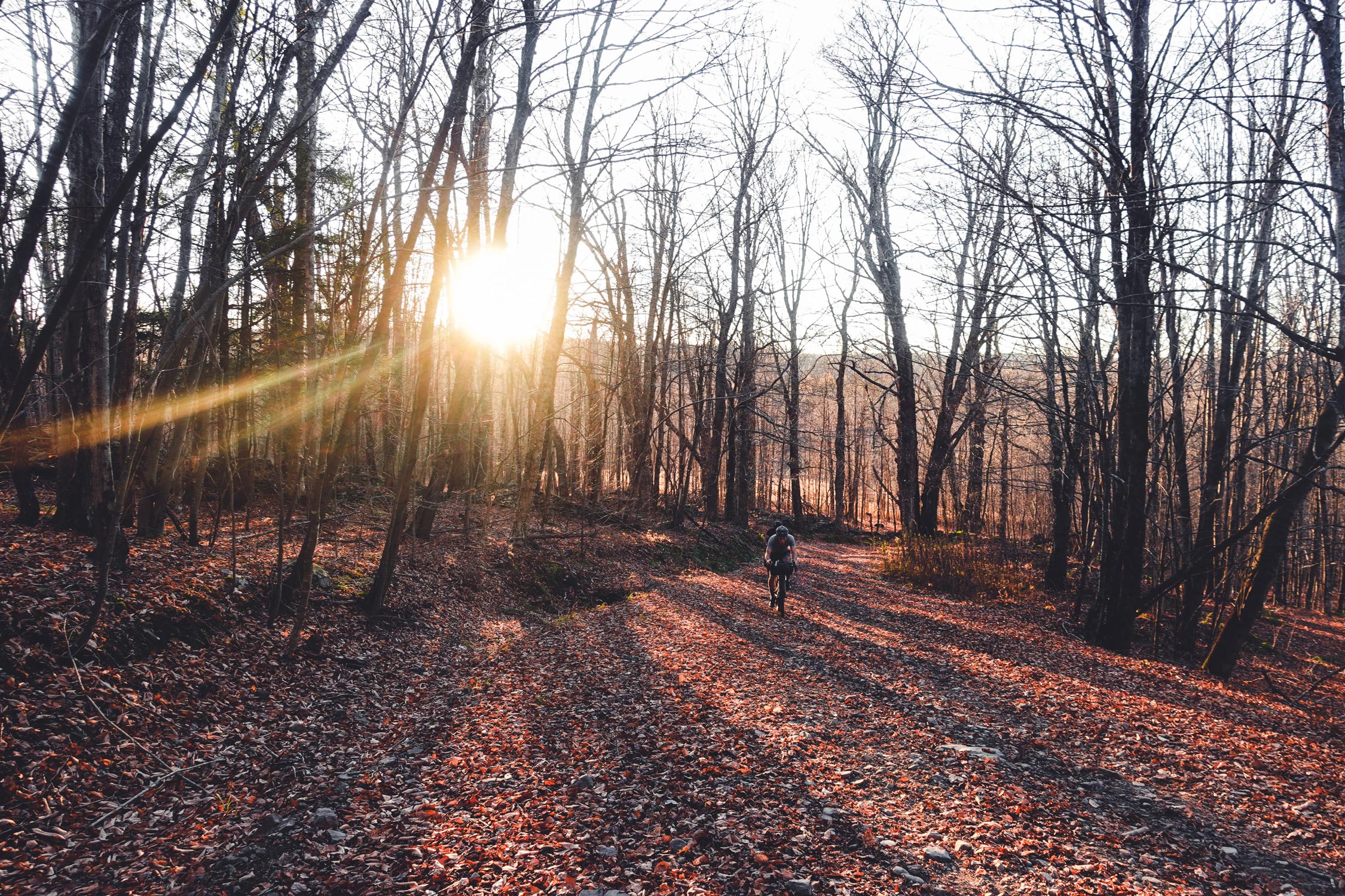
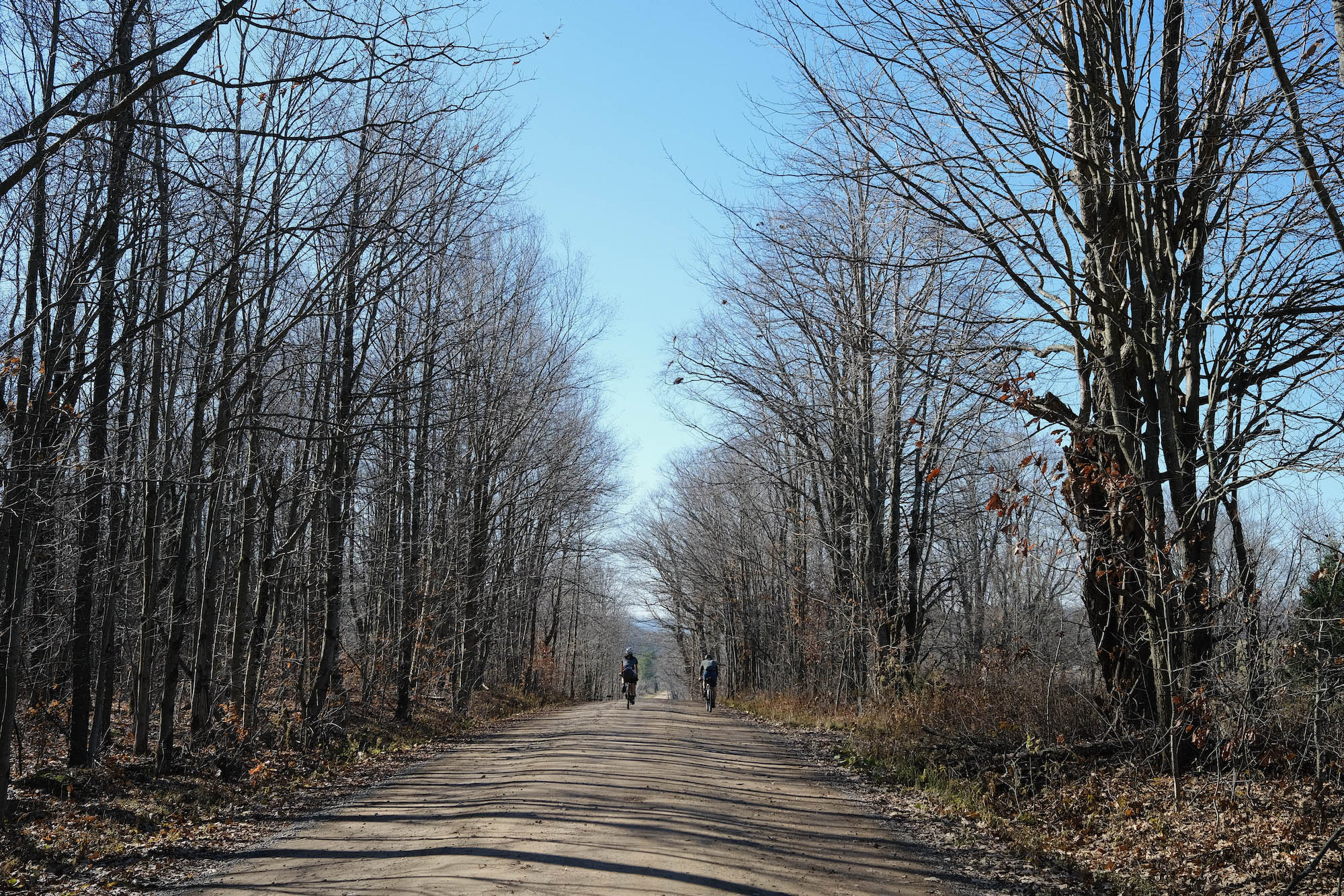
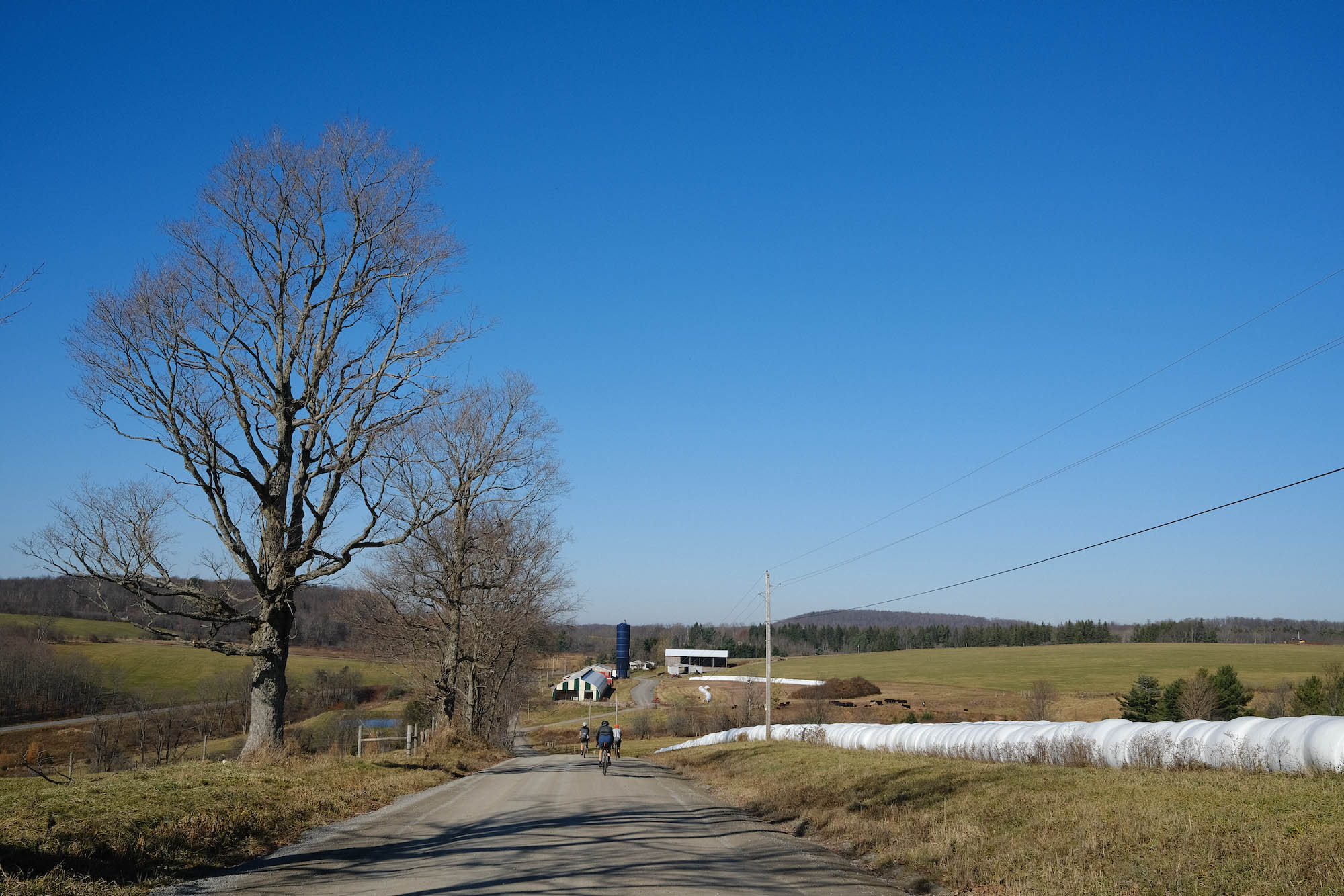
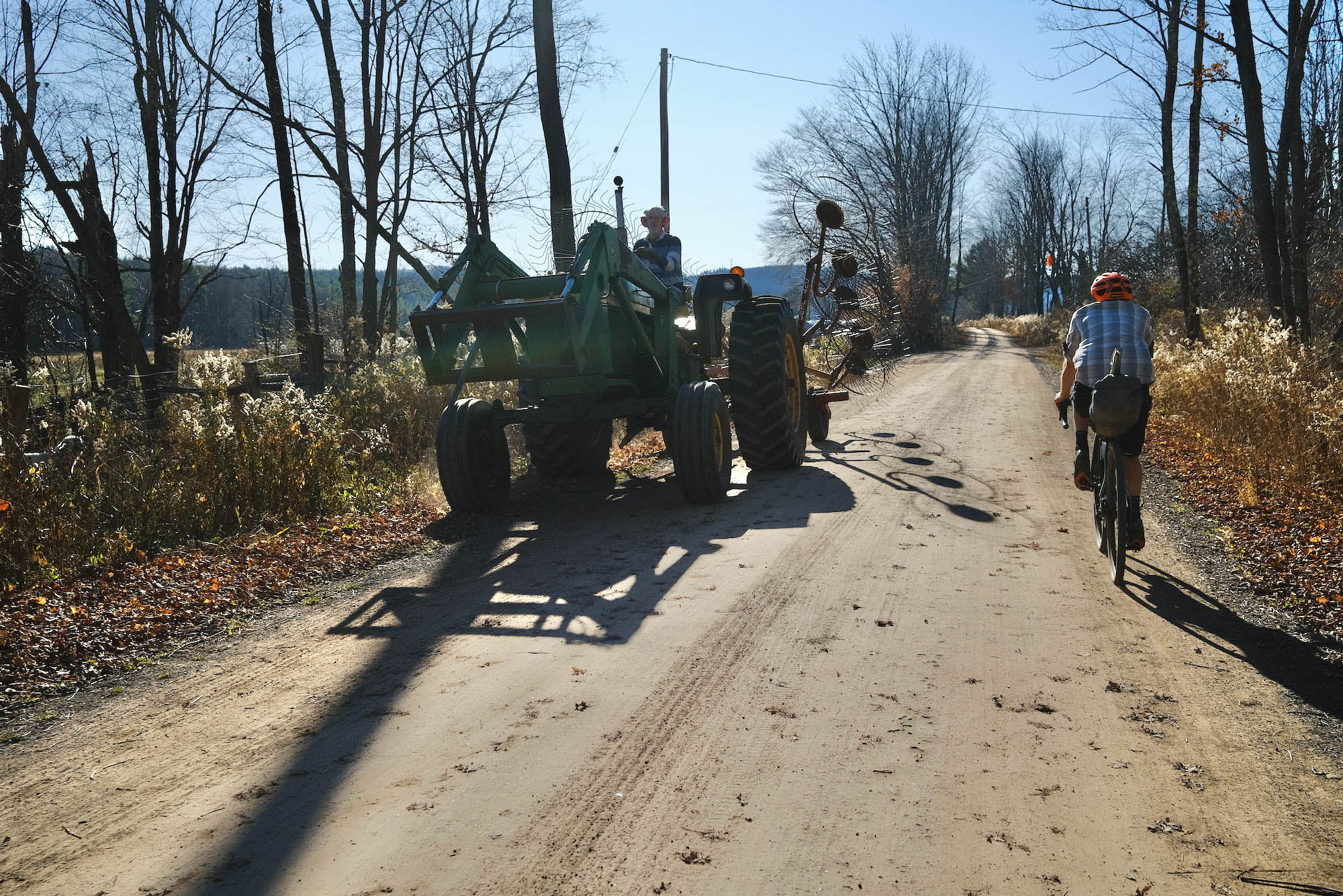
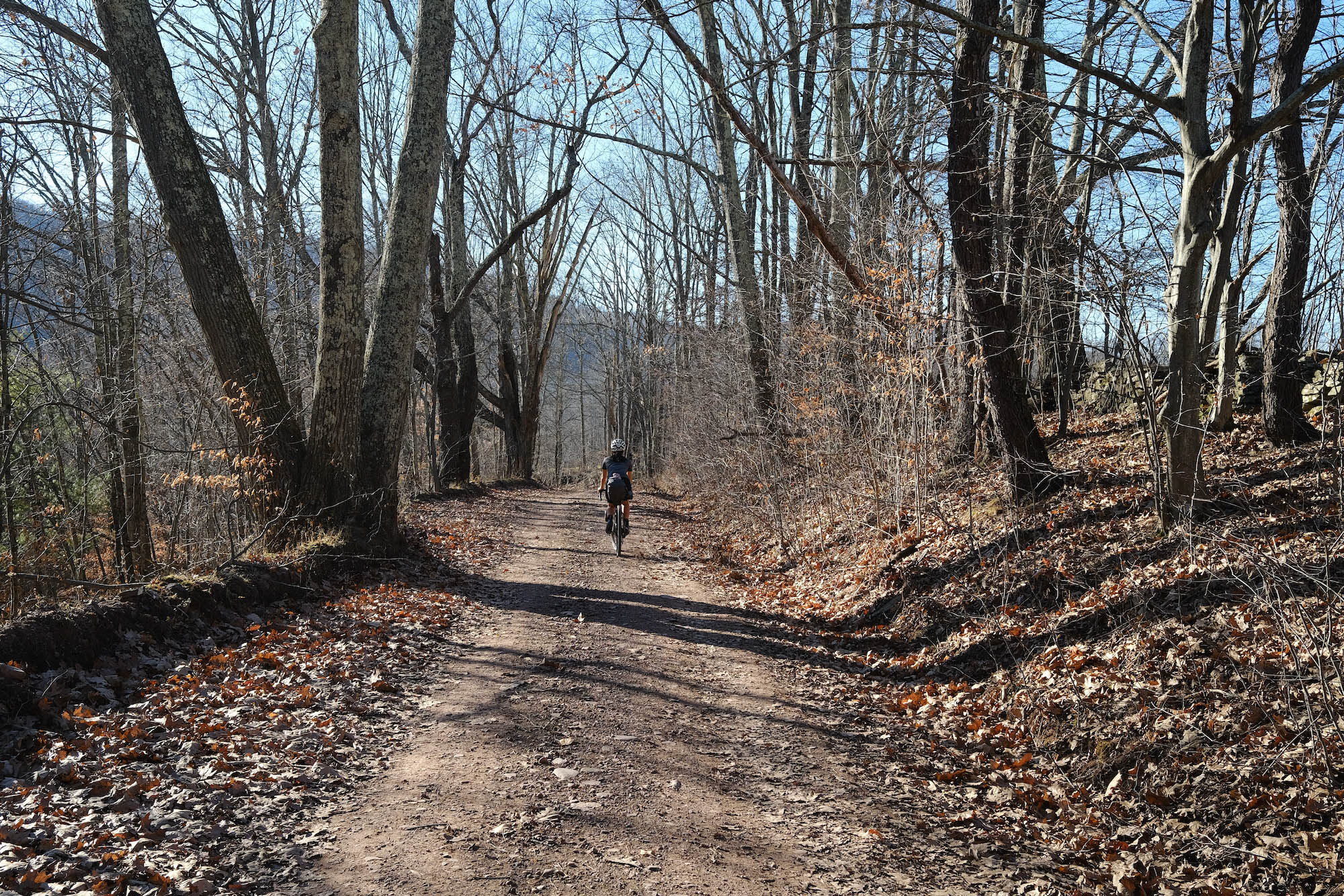
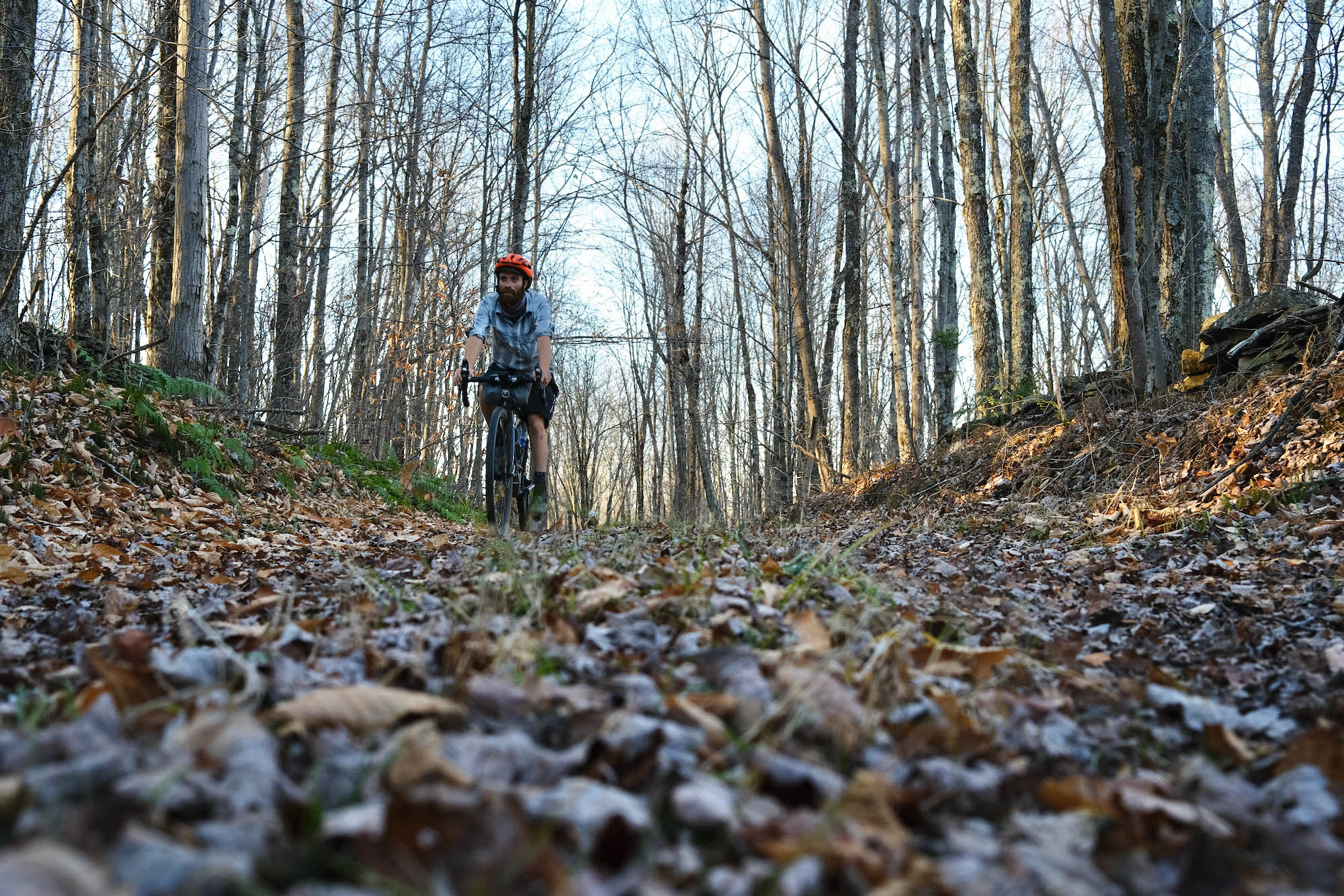
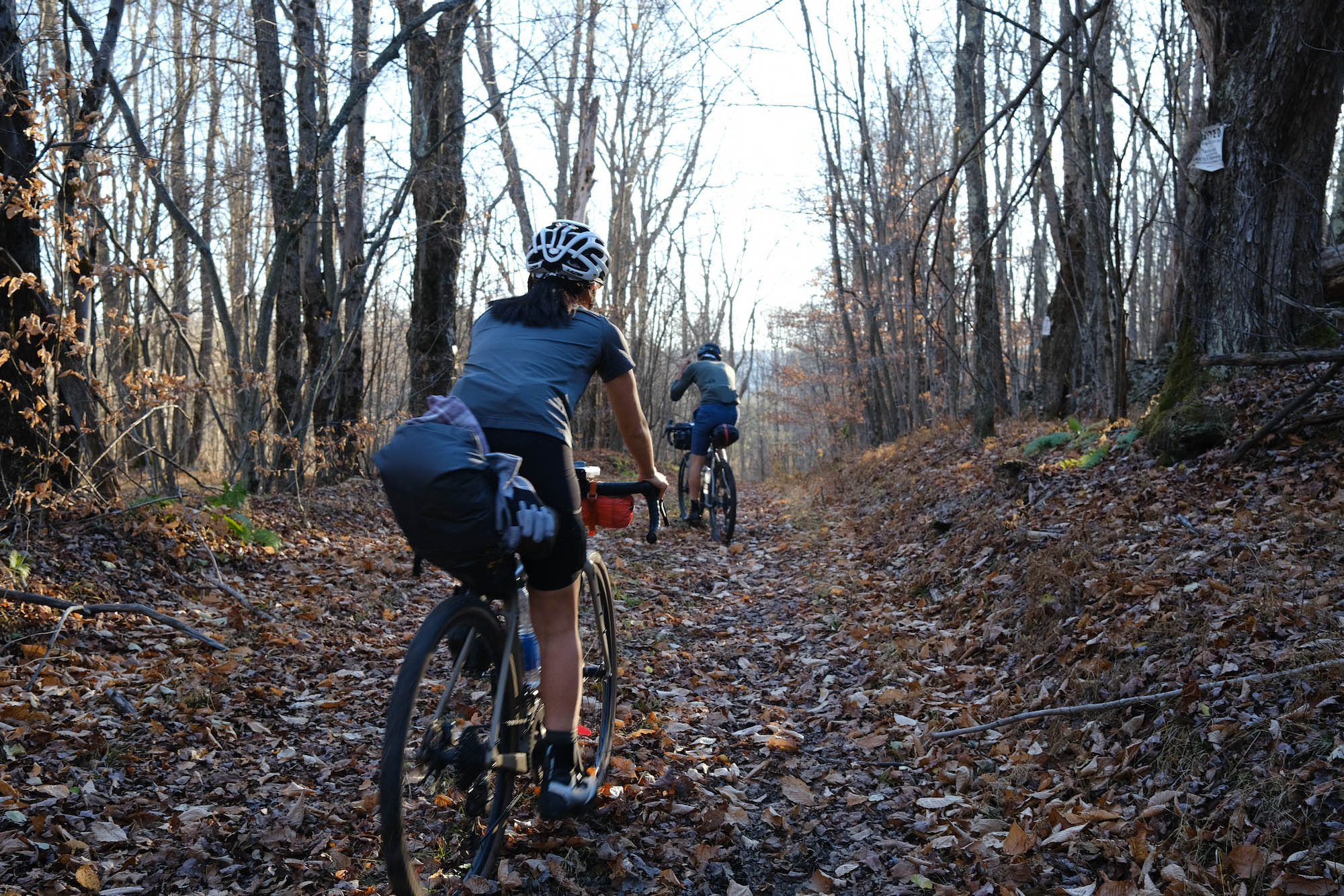
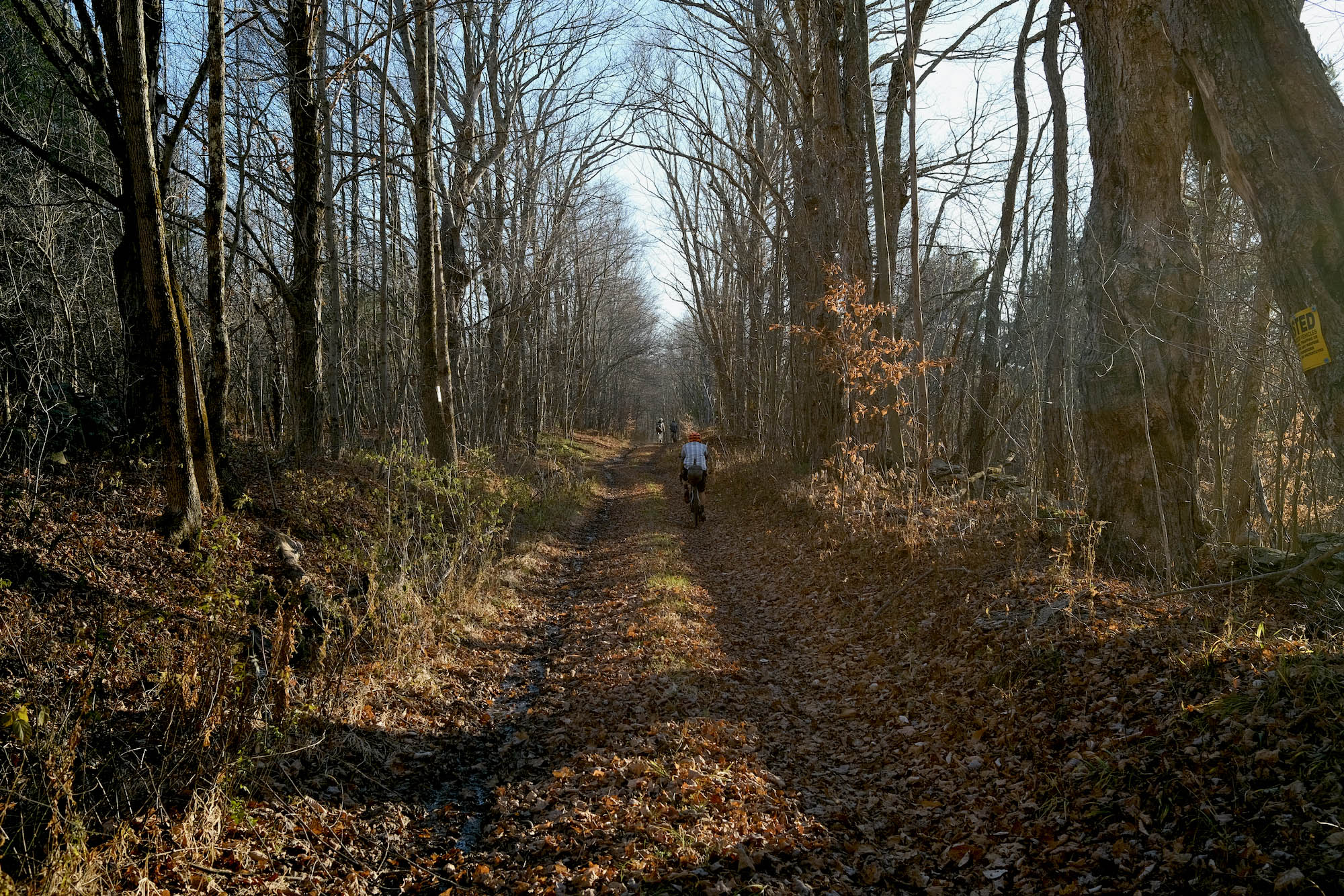
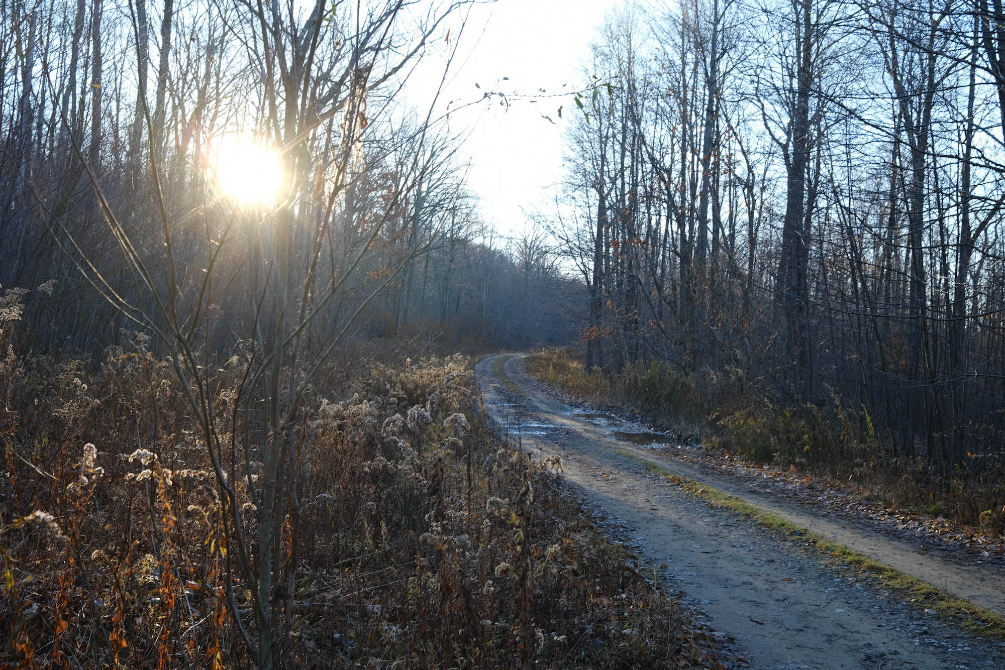
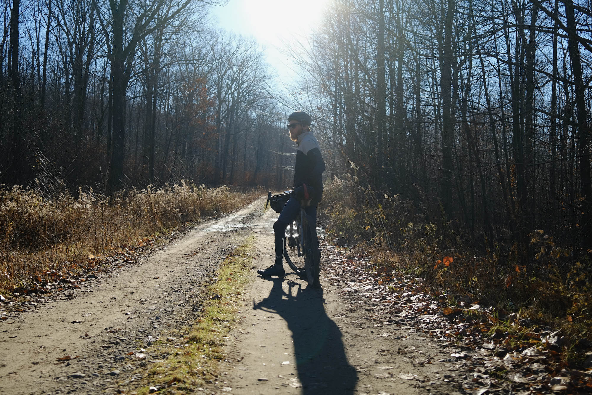
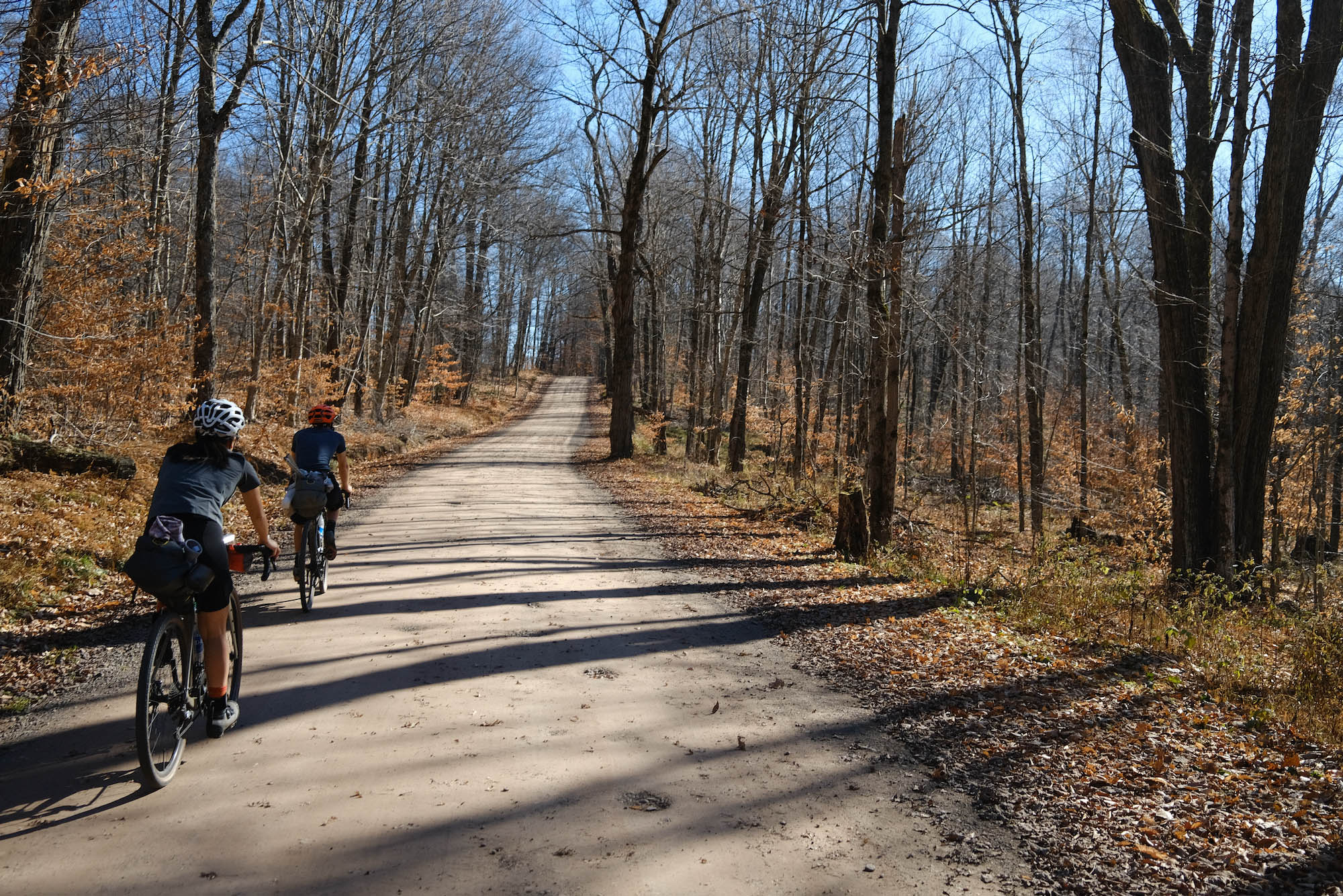
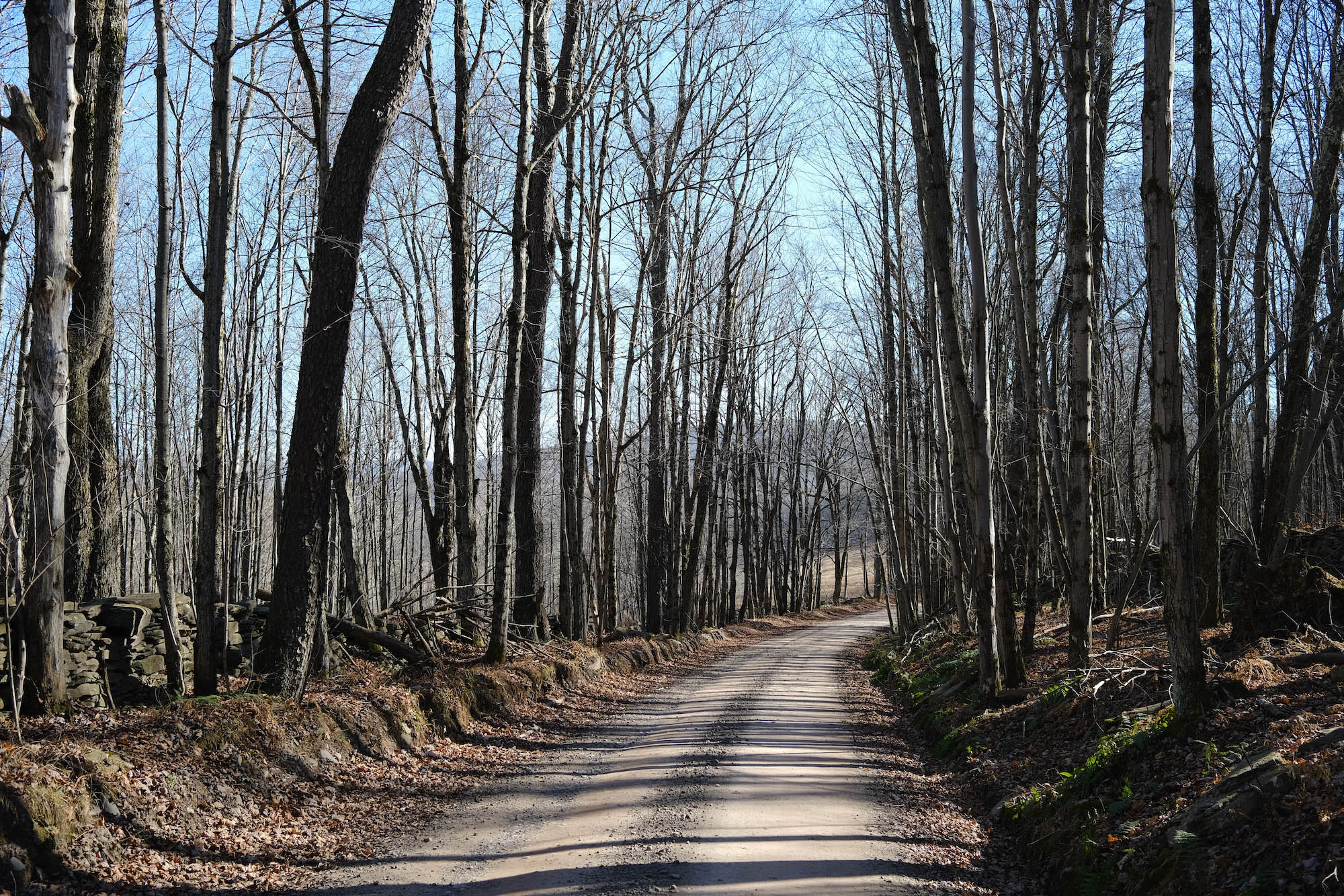
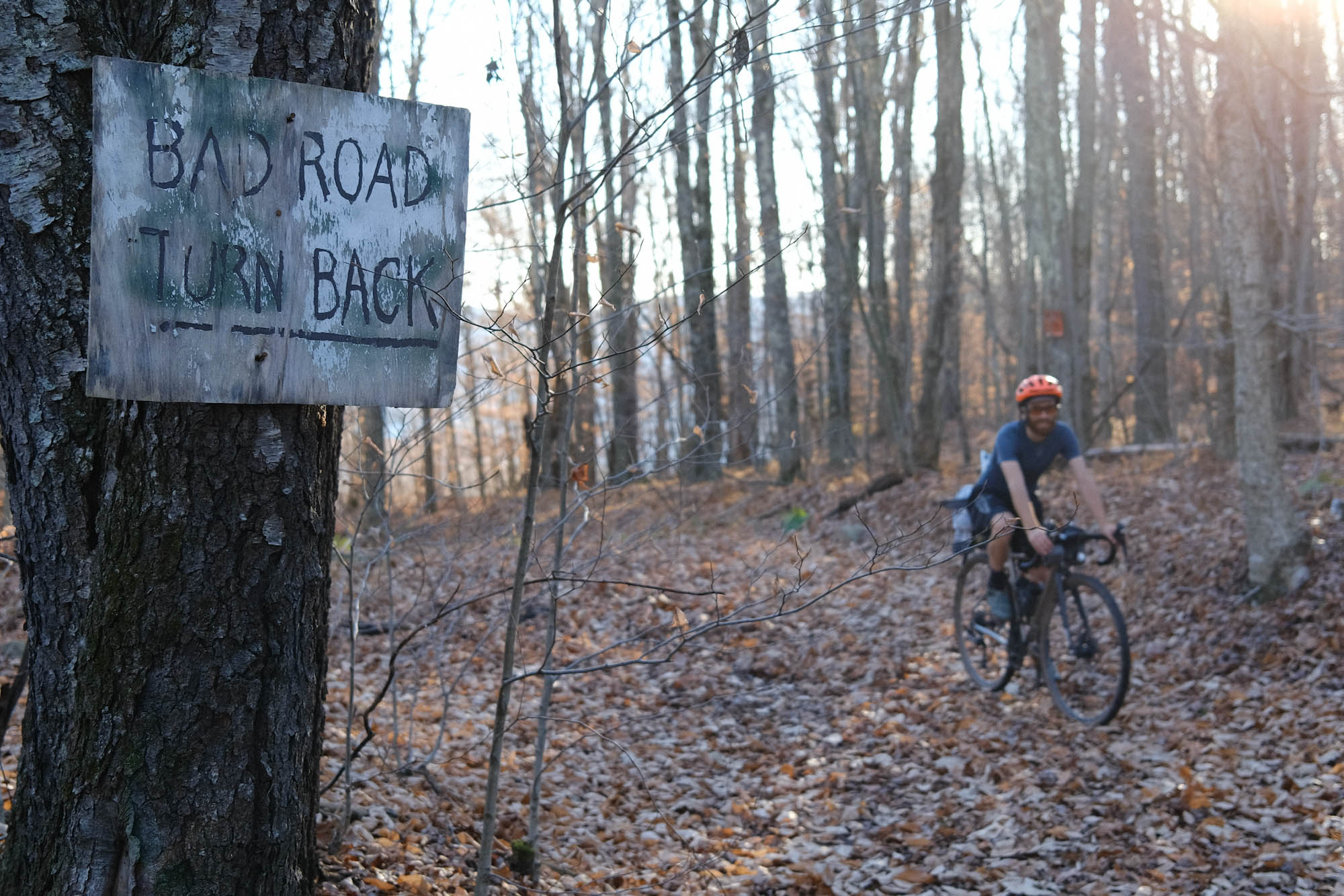
The majority of the route is on dirt roads through the woods and between working farms. You’ll see tractors and dairy cows and people on horseback riding for work or relaxation. Barn silos, peaked roof houses, and paddocks abound. Mornings and evenings are mist and light. There’s less of a closed in, riding-in-a-tunnel-of-trees feeling than in many places in the Northeast, but the route does have sections of unmaintained roads through regrowth, and these are pleasant leafy interludes.
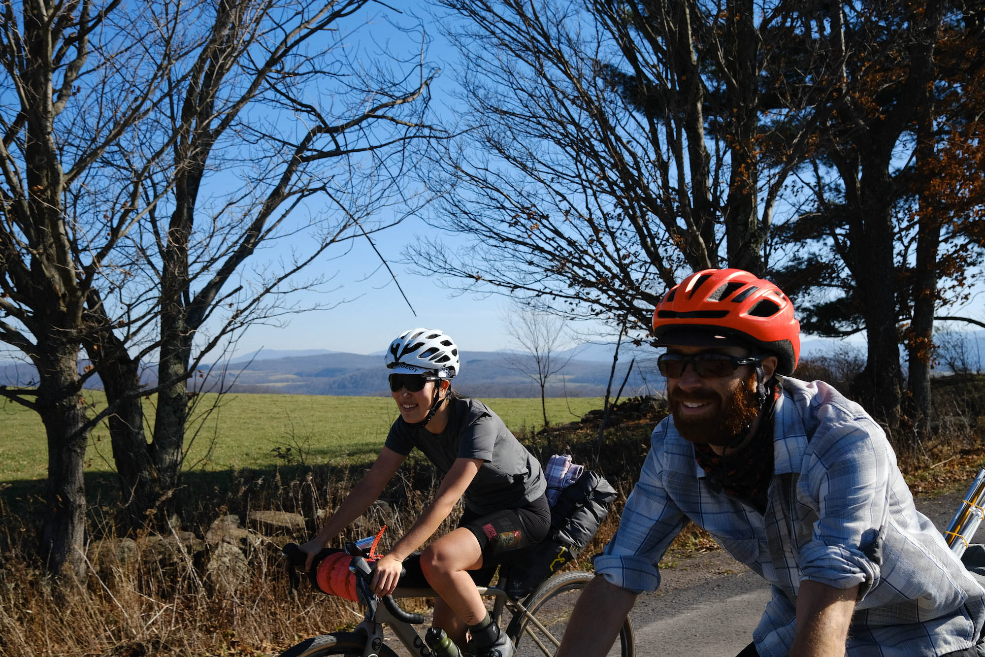
Villages in Delaware County are usually just a few dozen historic buildings huddling along a curving crossroad. Artists have achieved a coexistence in these communities not by taking over and transforming the character of the place, but instead by responding to it, collaborating with it, and respecting it. Creativity can be found everywhere, from artisans making stained glass, to innovative cooking to satisfy serious foodies, to furniture making and antique restoration, to craft ciders.
Thanks to a span of mild weather, we snuck in this ride during the second weekend of November, which is fairly late in the plausible riding season. The county is beautiful year round, with a green and bright spring and summer, and autumn colors to rival anywhere. There is plenty to see and do off the bike, and it would be worth it to make a long weekend of the trip by spending two days doing this overnighter and then the extra day poking around from a base in one of the towns such as Margaretville, Andes, or Bovina. The Delaware County Catskills aren’t a big soaring landscape, but a more continuous interplay between private and public, expressive and agricultural, quaintness and the hard effort of cultivating land. These are what keep us coming back to the area.
Route Difficulty
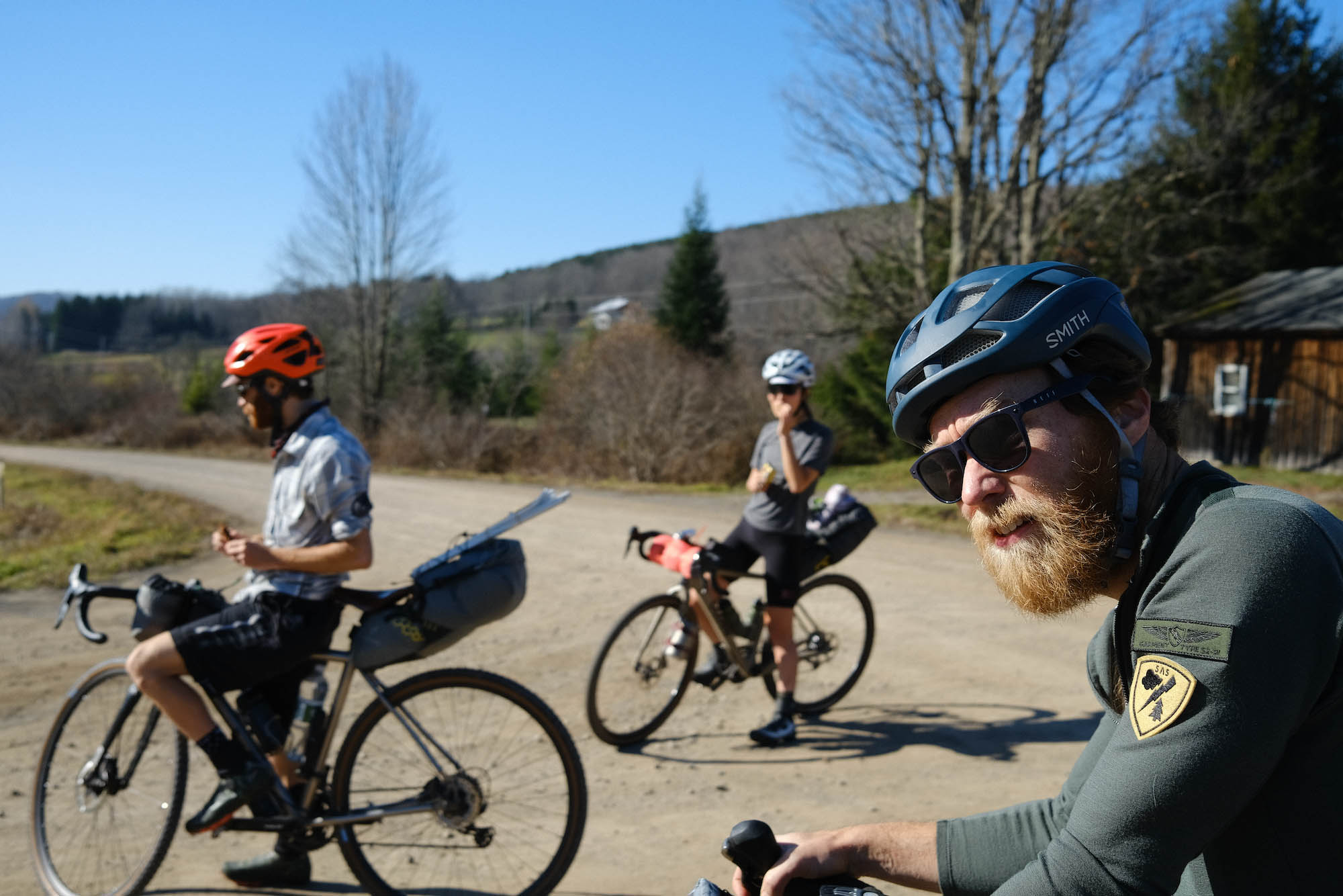
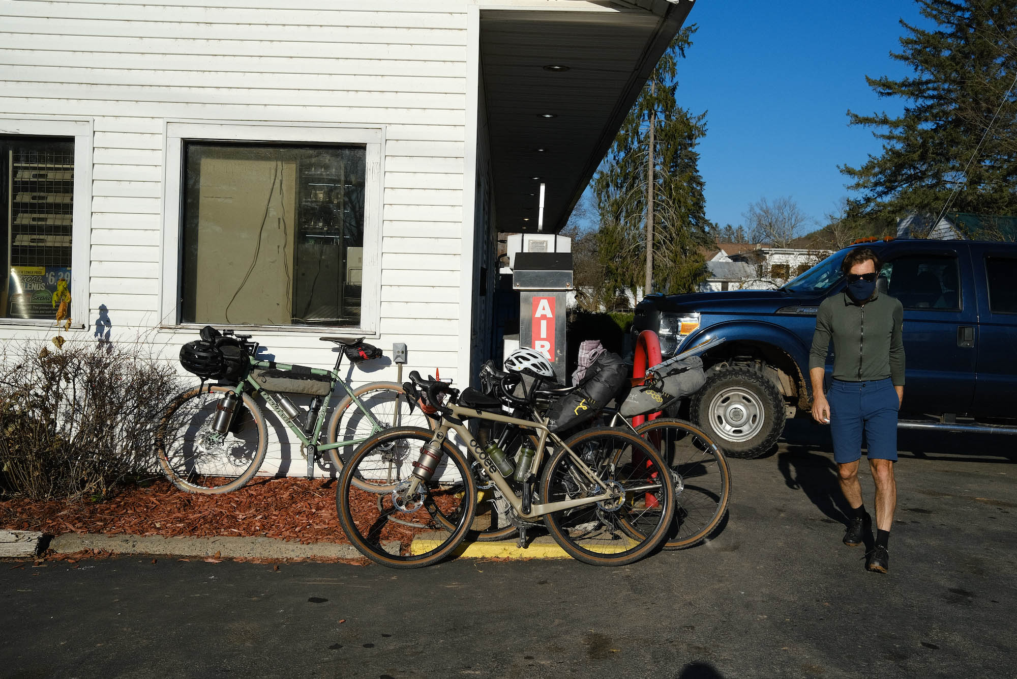
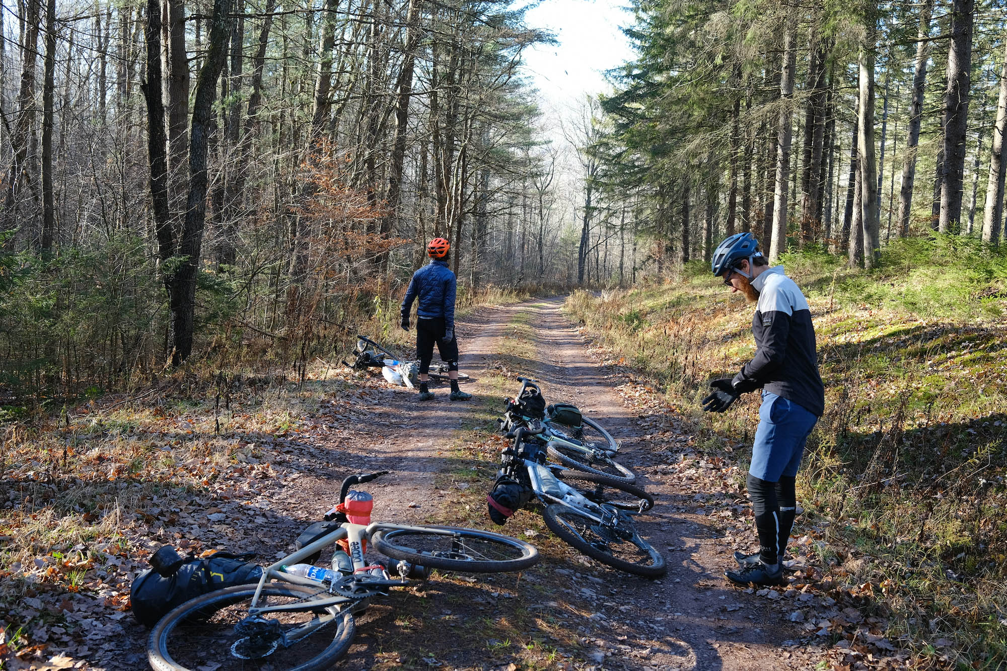
The riding on this route isn’t particularly technical but there are a few doubletrack sections where a narrow-tire bike—say, a gravel bike with 38s—will get bucked around a bit. On an overnighter you are likely to be carrying all your provisions from the start, but it is easy to resupply at the two options marked on the map (confirm opening times). Still, the route earns a 6 in difficulty for its two 60 mile / 96 km days and the non-stop climbing. There are very few flat sections for cruising. Only a handful of the climbs are crazy steep, though, and if you do end up walking a bit of rocky doubletrack, it won’t be more than a minute or two before you find traction again.
Route Development: Co-authored by Joe Cruz and Nick Gigliotti. Special thanks to Mick Weigand, Karen Yung, and Donalrey Nieva for advice and input.

Submit Route Alert
As the leading creator and publisher of bikepacking routes, BIKEPACKING.com endeavors to maintain, improve, and advocate for our growing network of bikepacking routes all over the world. As such, our editorial team, route creators, and Route Stewards serve as mediators for route improvements and opportunities for connectivity, conservation, and community growth around these routes. To facilitate these efforts, we rely on our Bikepacking Collective and the greater bikepacking community to call attention to critical issues and opportunities that are discovered while riding these routes. If you have a vital issue or opportunity regarding this route that pertains to one of the subjects below, please let us know:
Highlights
Must Know
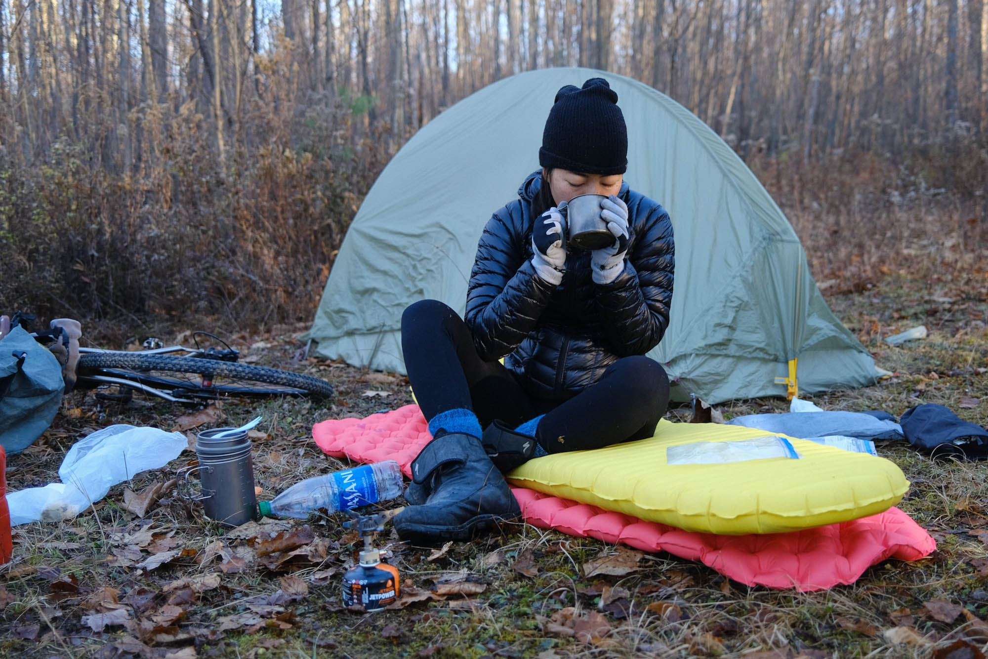
Camping
Food/H2O
- Low-traffic dirt roads in gorgeous rolling valleys and woods.
- Open farmland vistas.
- Notably lovely hills all around.
- A sprinkle of cute Catskills towns, and plenty more for relaxing before and after the ride.
- A festive finish with food and drink at Wayside Cider.
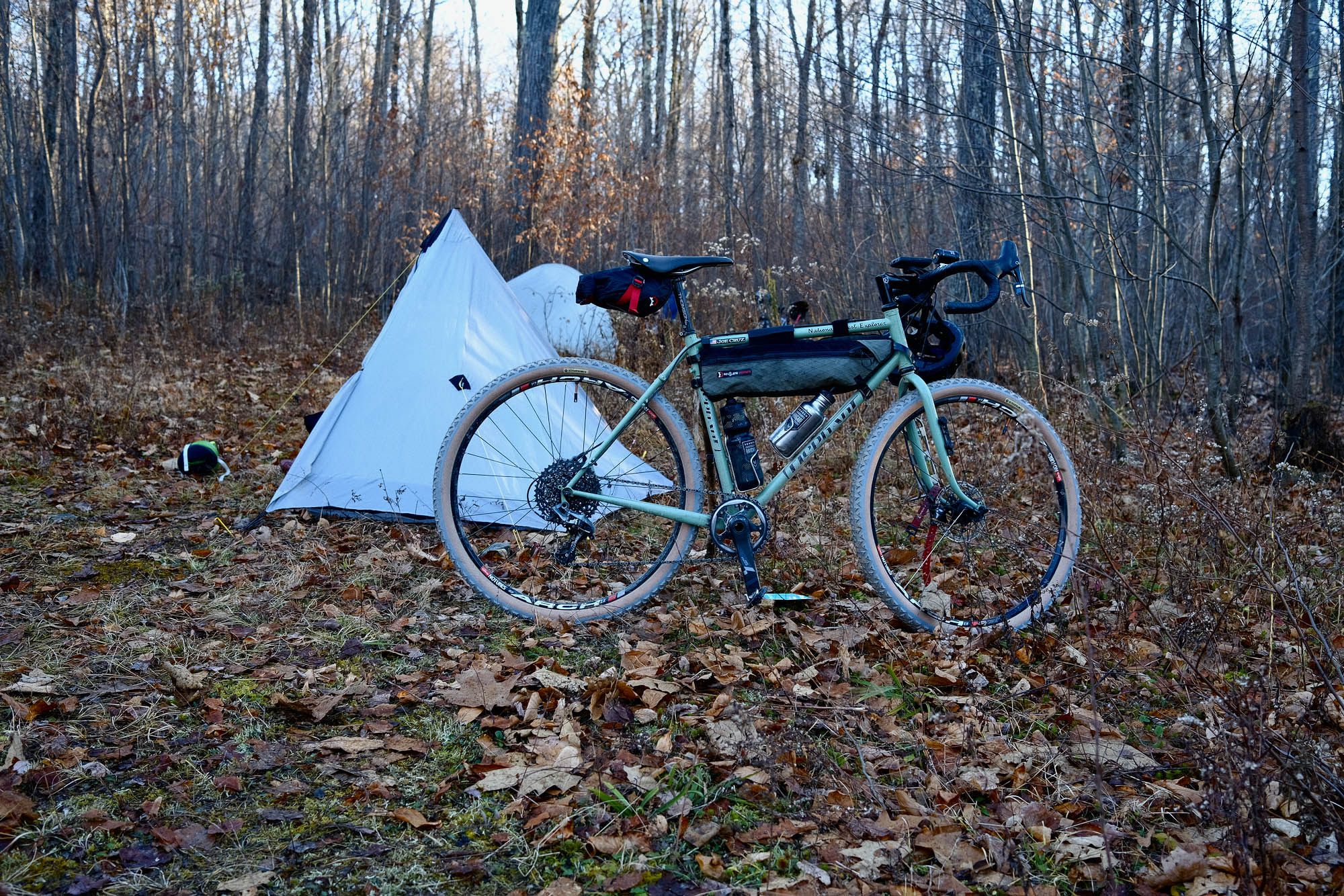
- Suitable and conceived for a gravel bike, 700c x 42mm or 650b x 47mm tires recommended.
- Panniers on a touring bike with wide tires will be fine if you have experience riding that format on steep and very occasionally chunky doubletrack.
- Recommended timing is from about the middle of June to the middle of November, assuming there hasn’t been significant snowfall.
- Riding in reverse would be fun but perhaps somewhat more difficult due to the cumulative pitches of the ascents in that direction. On the other hand, the absolutely steepest slope on the ride—which comes at about mile 100 / km 161 in this published version—would then be an early downhill.
- We street parked overnight in Bovina Center.
- At mile 7 / km 11 in Bloomville, the route passes the western terminus of the Catskill Scenic Trail, a very pleasant and easy track that heads east. The trailhead here is another plausible place to park.
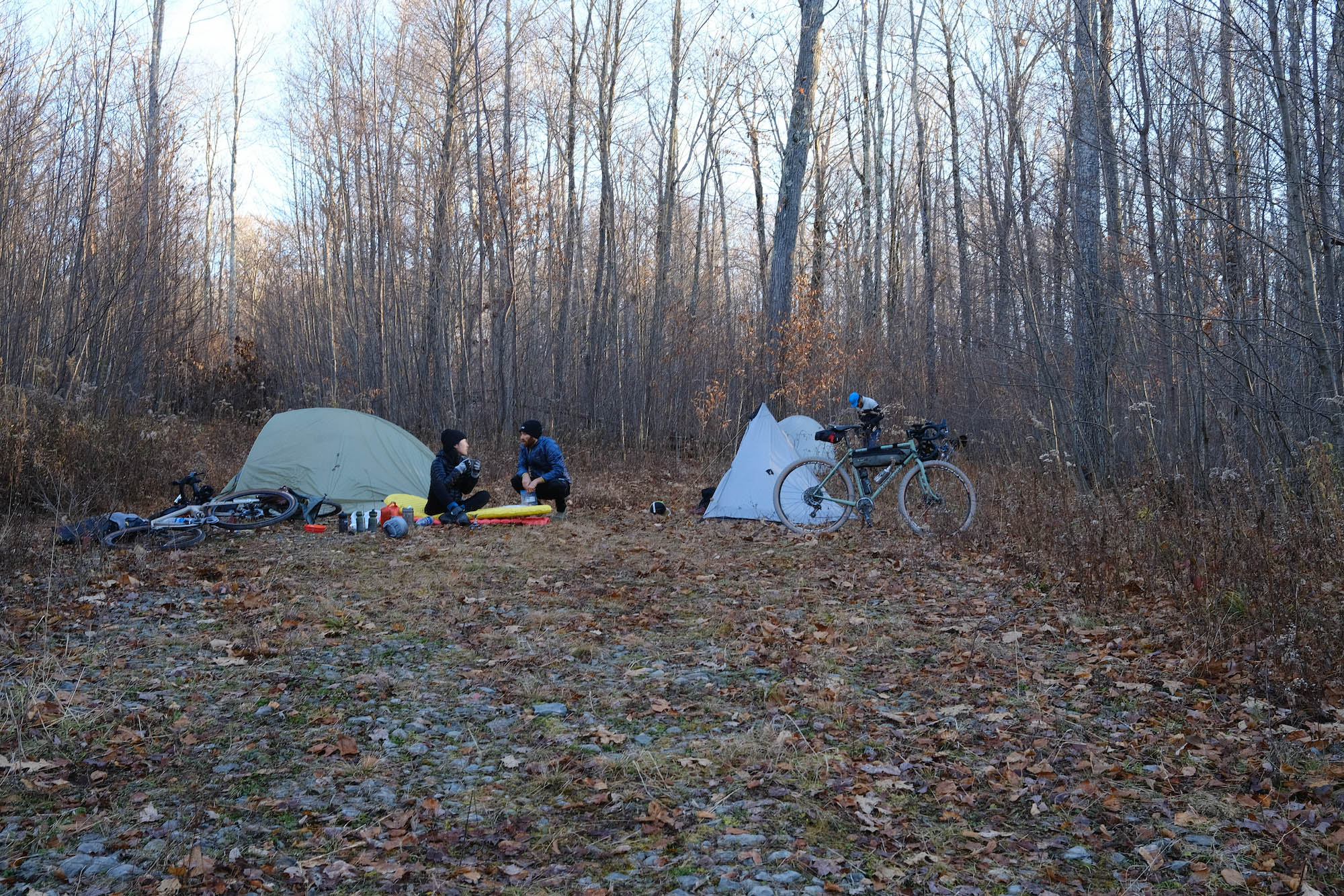
- Steam Mill State Forest at mile 60 / km 96 is the route destination for overnight primitive camping. Select an established spot or an at-large clearing 150 ft / 45 m away from a road, trail, or body of water. Leave no trace.
- Be tick-aware.
- Black flies are present from late spring to about mid-July, but they are comparatively mild since there is not as much standing water in the Catskills as, say, the Adirondacks.
- Be mindful and respectful of hunters in the fall, and consider riding with a blaze orange vest. In season, you’re likely to see hunters camping in Steam Mill State Forest.
- If it’s the weekend, start with breakfast at Russell’s General Store.
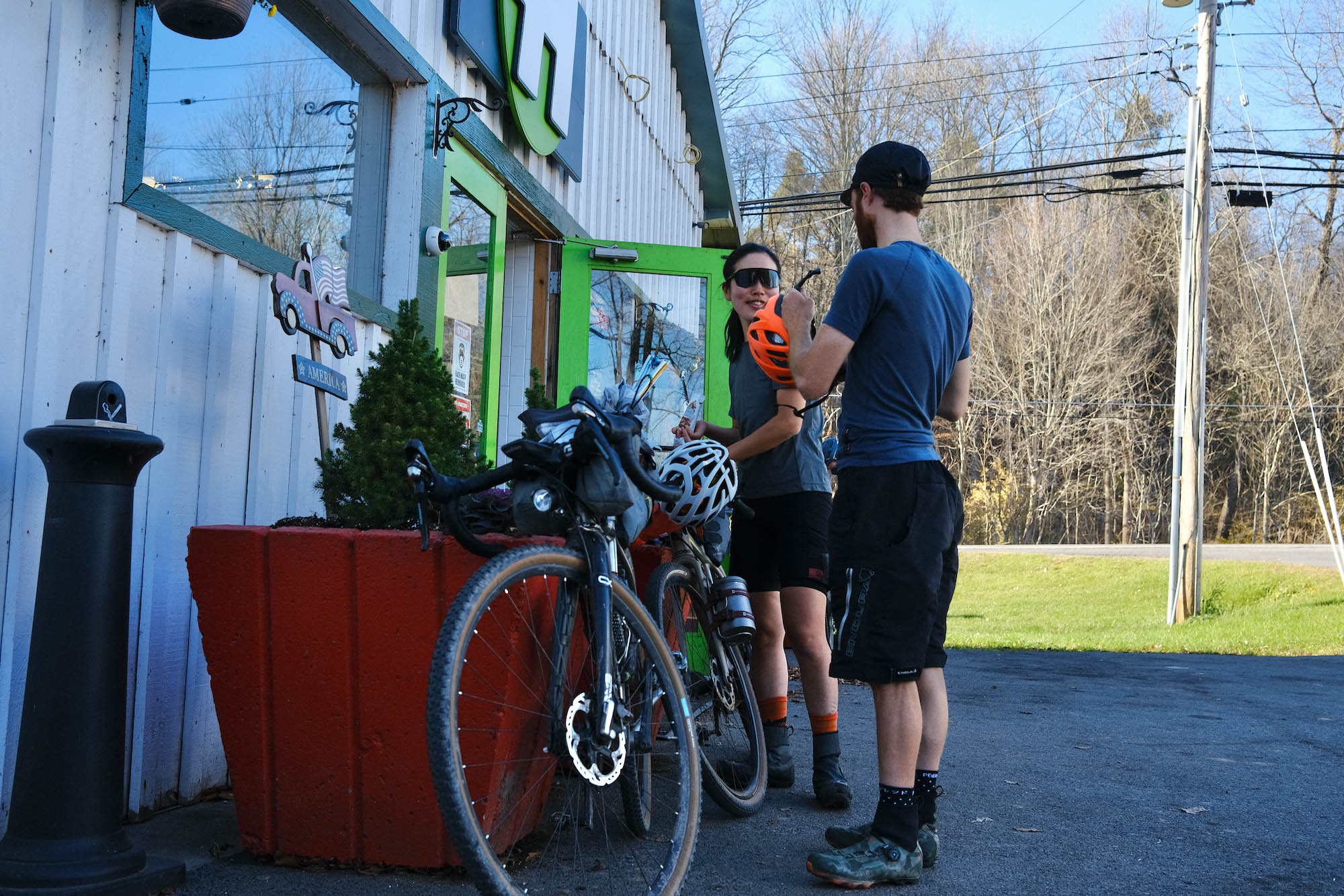
If needed, two resupply options are marked on the map. - Refill bottles at resupply stops or ask to use a hose at a farmhouse.
- There are occasional opportunities to filter water from streams and rivers, but the overnight campsite in Steam Mill State Forest is likely to be dry. Plan accordingly, which means filling your bottles before starting the climb to the state forest at mile 56 / km 90.
- At the end of the ride, load up bikes and head over to the town of Andes
(7 miles / 11 km from the start/finish) for festive food and drink. Wayside Cider is a favorite. - While riding the eastern lobe of the loop, the most accessible bigger town is Delhi (“DEL-high”), usually within 10 miles / 16km.


Terms of Use: As with each bikepacking route guide published on BIKEPACKING.com, should you choose to cycle this route, do so at your own risk. Prior to setting out check current local weather, conditions, and land/road closures. While riding, obey all public and private land use restrictions and rules, carry proper safety and navigational equipment, and of course, follow the #leavenotrace guidelines. The information found herein is simply a planning resource to be used as a point of inspiration in conjunction with your own due-diligence. In spite of the fact that this route, associated GPS track (GPX and maps), and all route guidelines were prepared under diligent research by the specified contributor and/or contributors, the accuracy of such and judgement of the author is not guaranteed. BIKEPACKING.com LLC, its partners, associates, and contributors are in no way liable for personal injury, damage to personal property, or any other such situation that might happen to individual riders cycling or following this route.
Please keep the conversation civil, constructive, and inclusive, or your comment will be removed.