


Eagle-Hardscrabble Overnighter
Distance
32 Mi.
(51 KM)Days
1
% Unpaved
100%
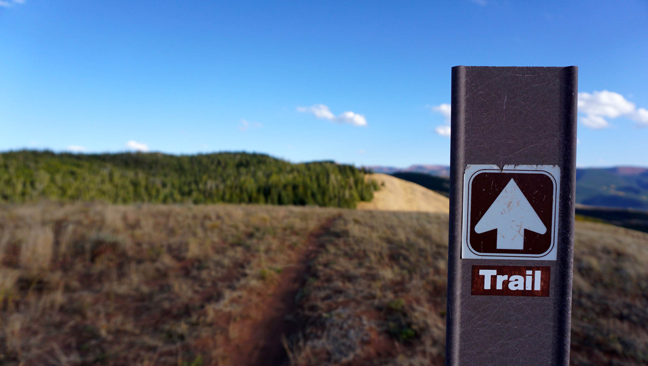
% Singletrack
60%
% Rideable (time)
95%
Total Ascent
5,409'
(1,649 M)High Point
10,800'
(3,292 M)Difficulty (1-10)
6?
- 10Climbing Scale Very Strenuous169 FT/MI (32 M/KM)
- -Technical Difficulty
- -Physical Demand
- -Resupply & Logistics
Contributed By
Jeff Kerkove
Guest Contributor
Jeff grew up amongst the corn fields of northern Iowa. Working full-time in the bike industry and pedaling bikes as much as possible, Jeff now calls the adventure basecamp town of Eagle, Colorado home. Find more of Jeff’s photos on instagram @jeffkerkove
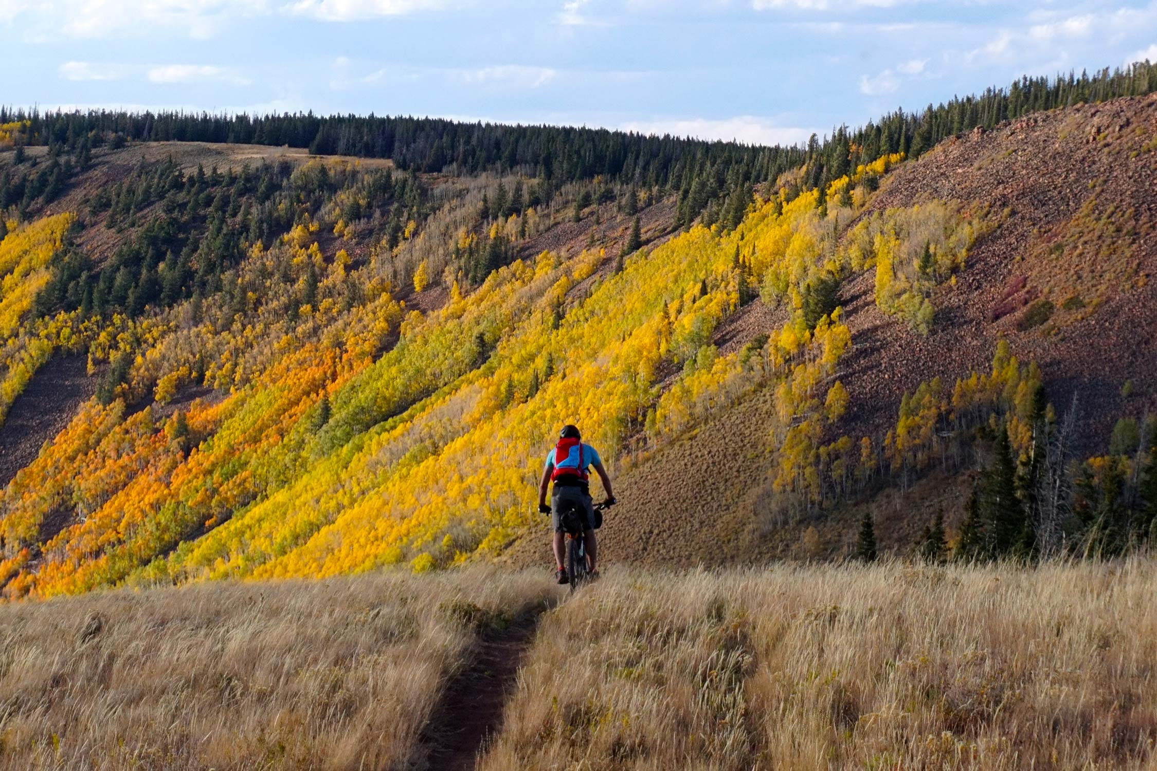
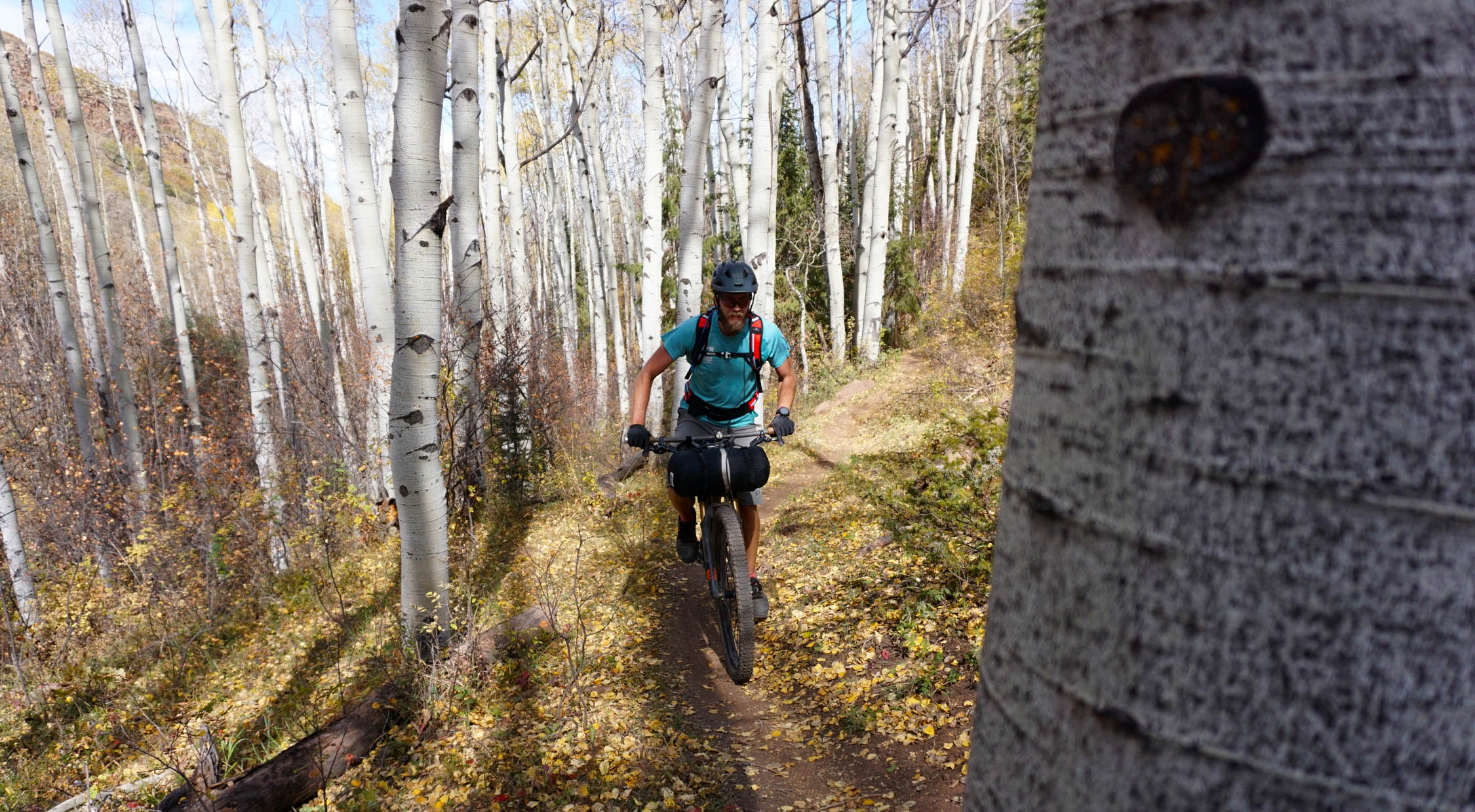
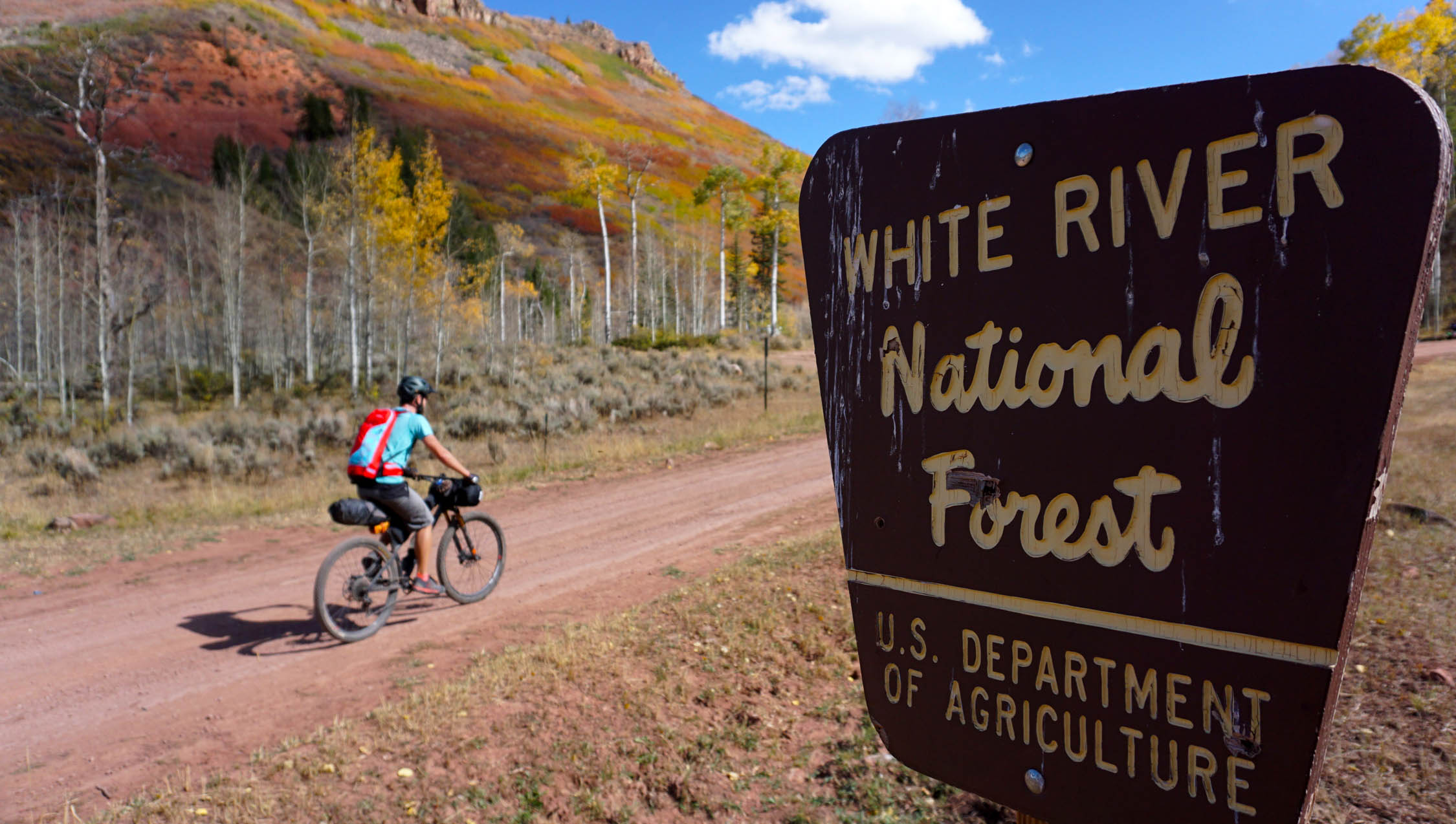
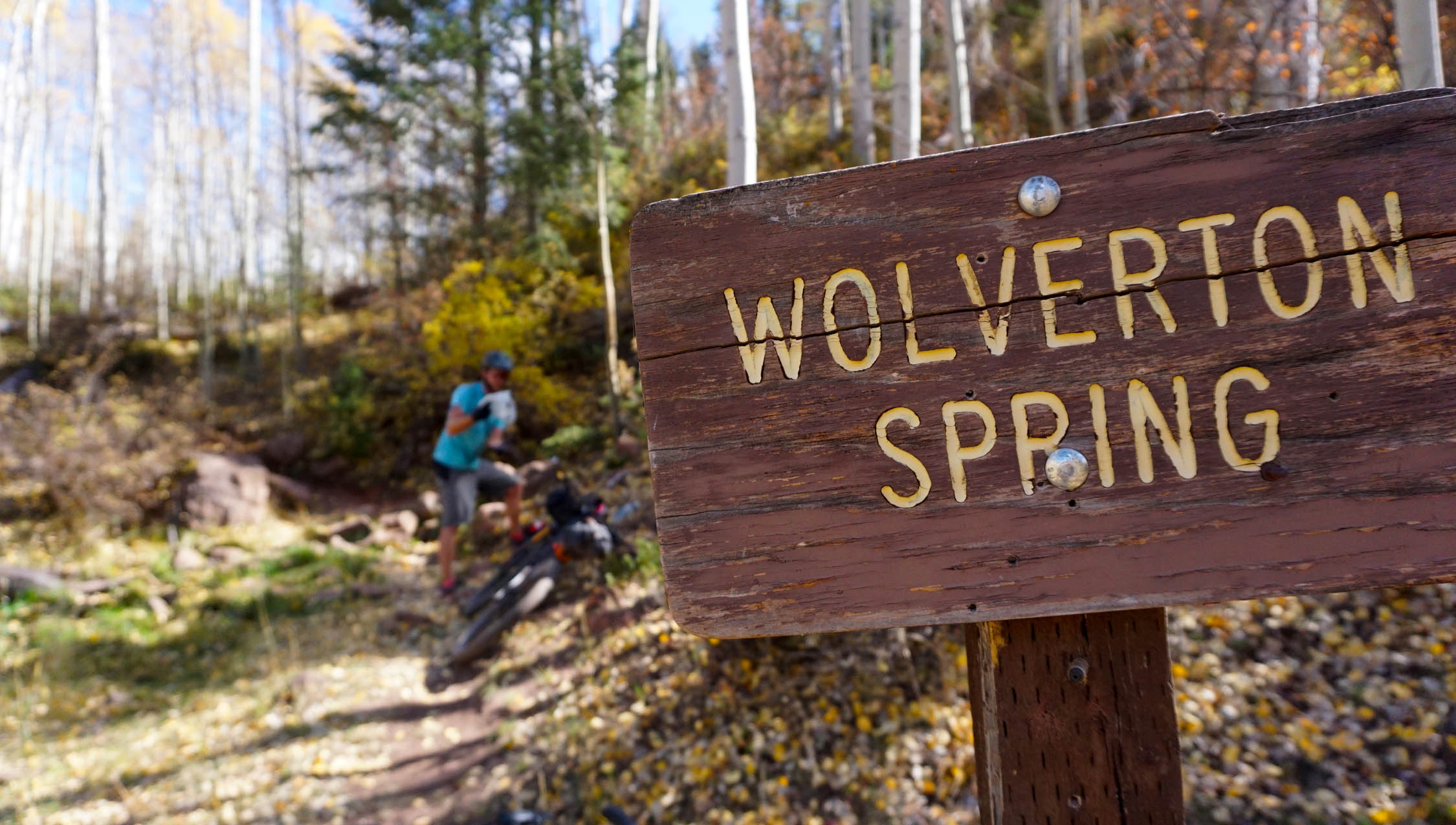
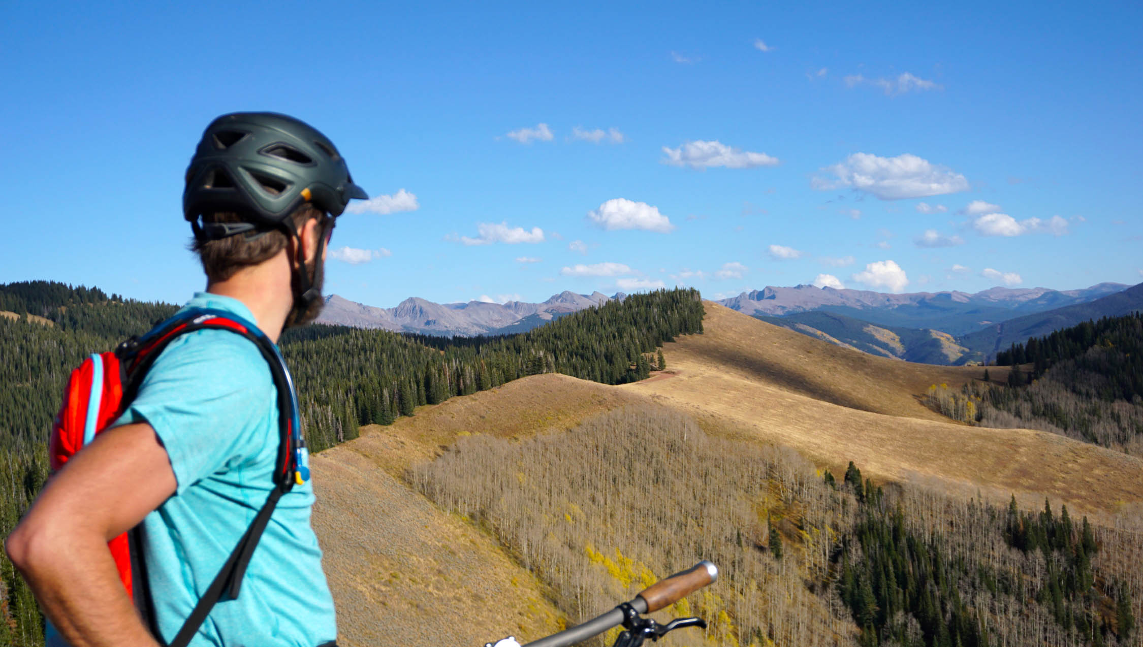
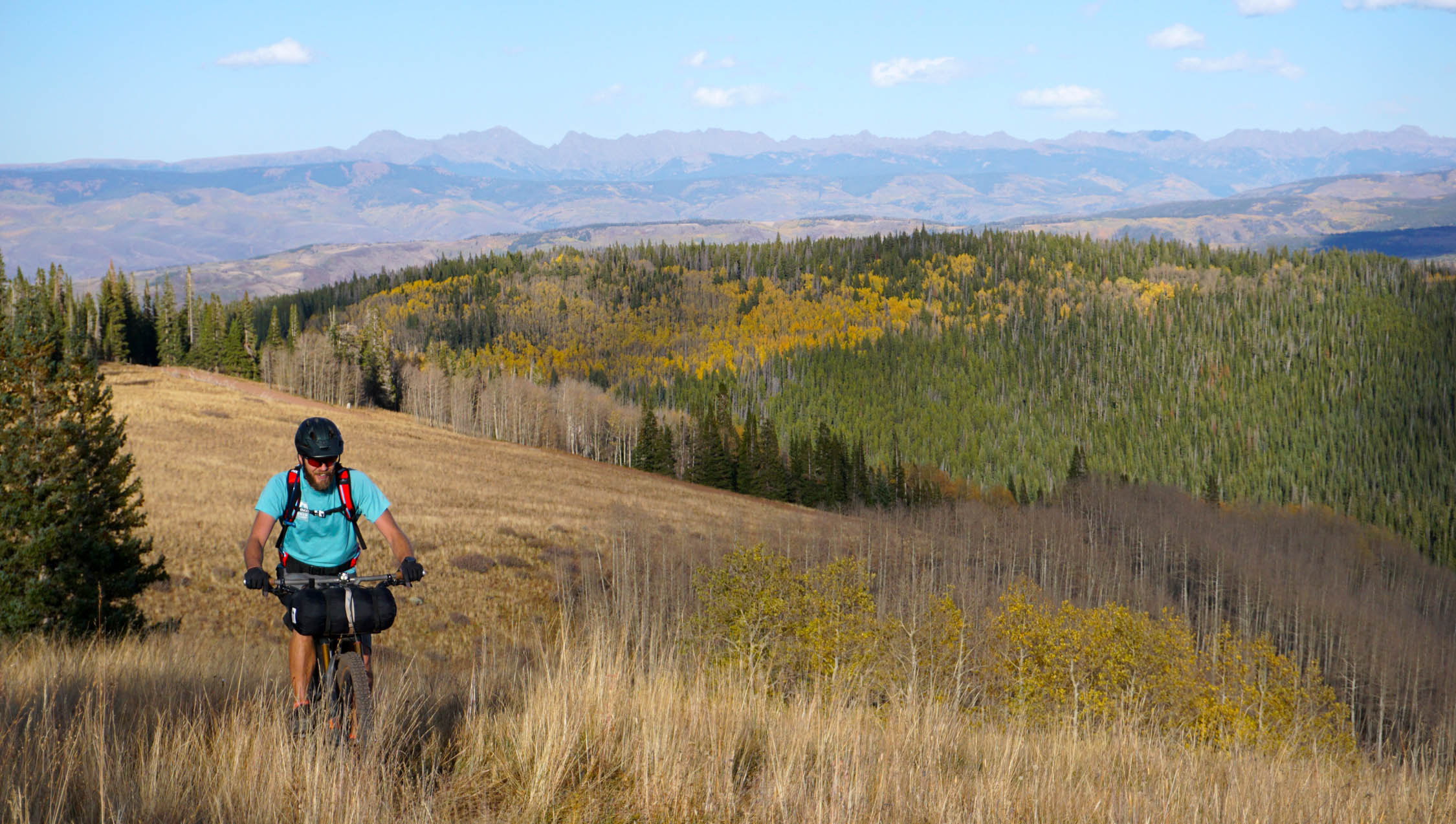
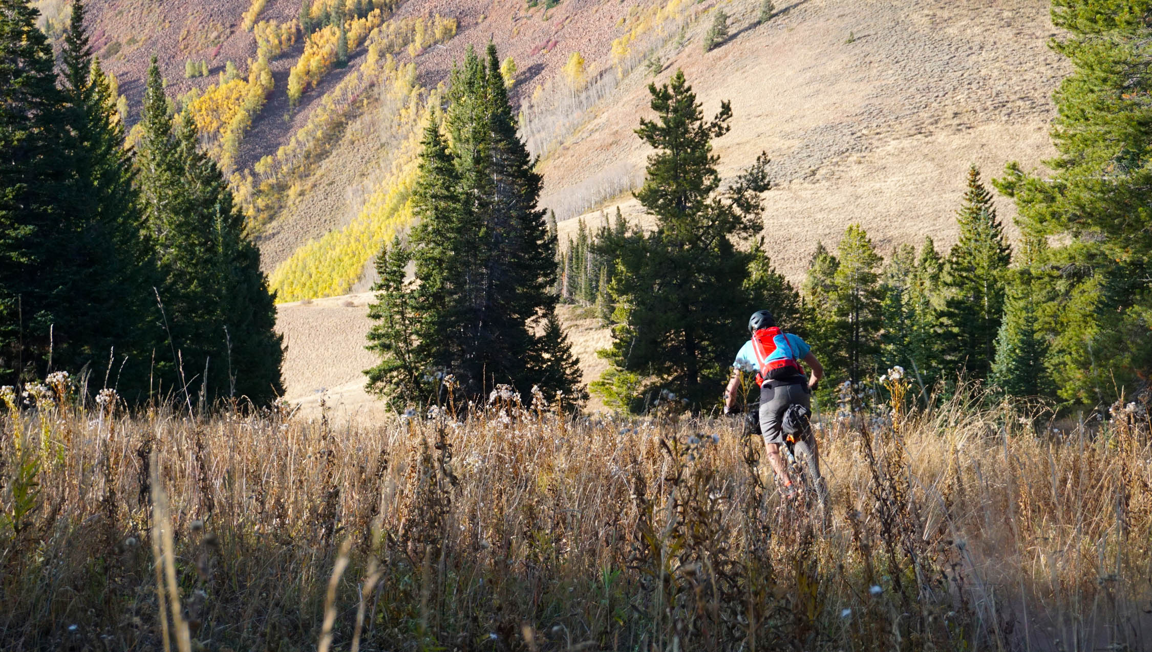
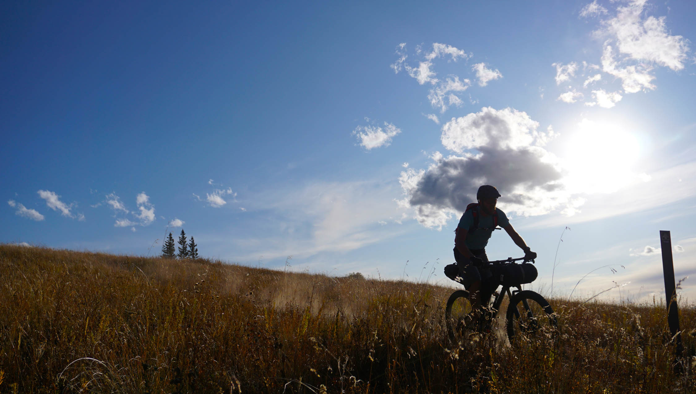
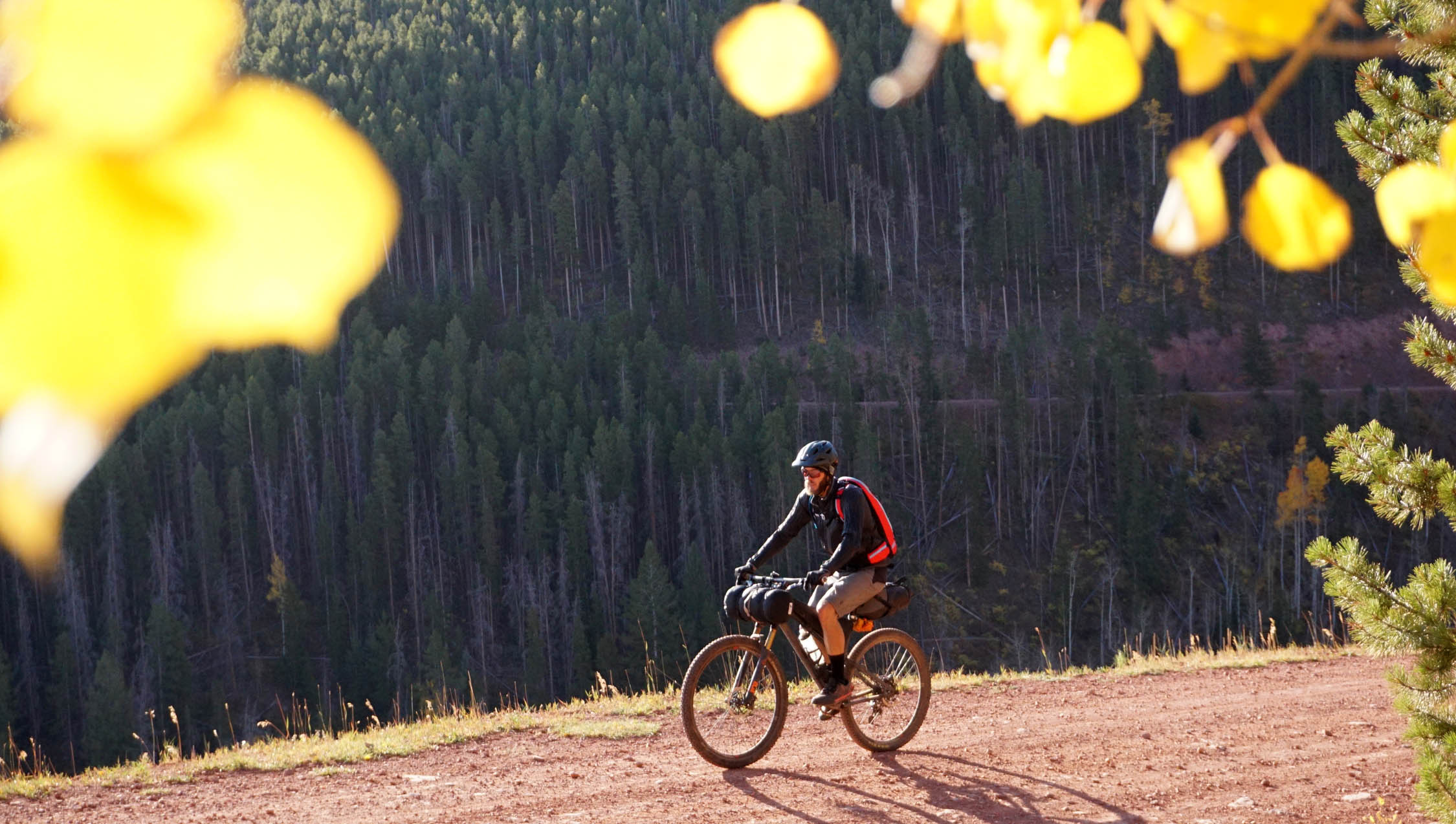
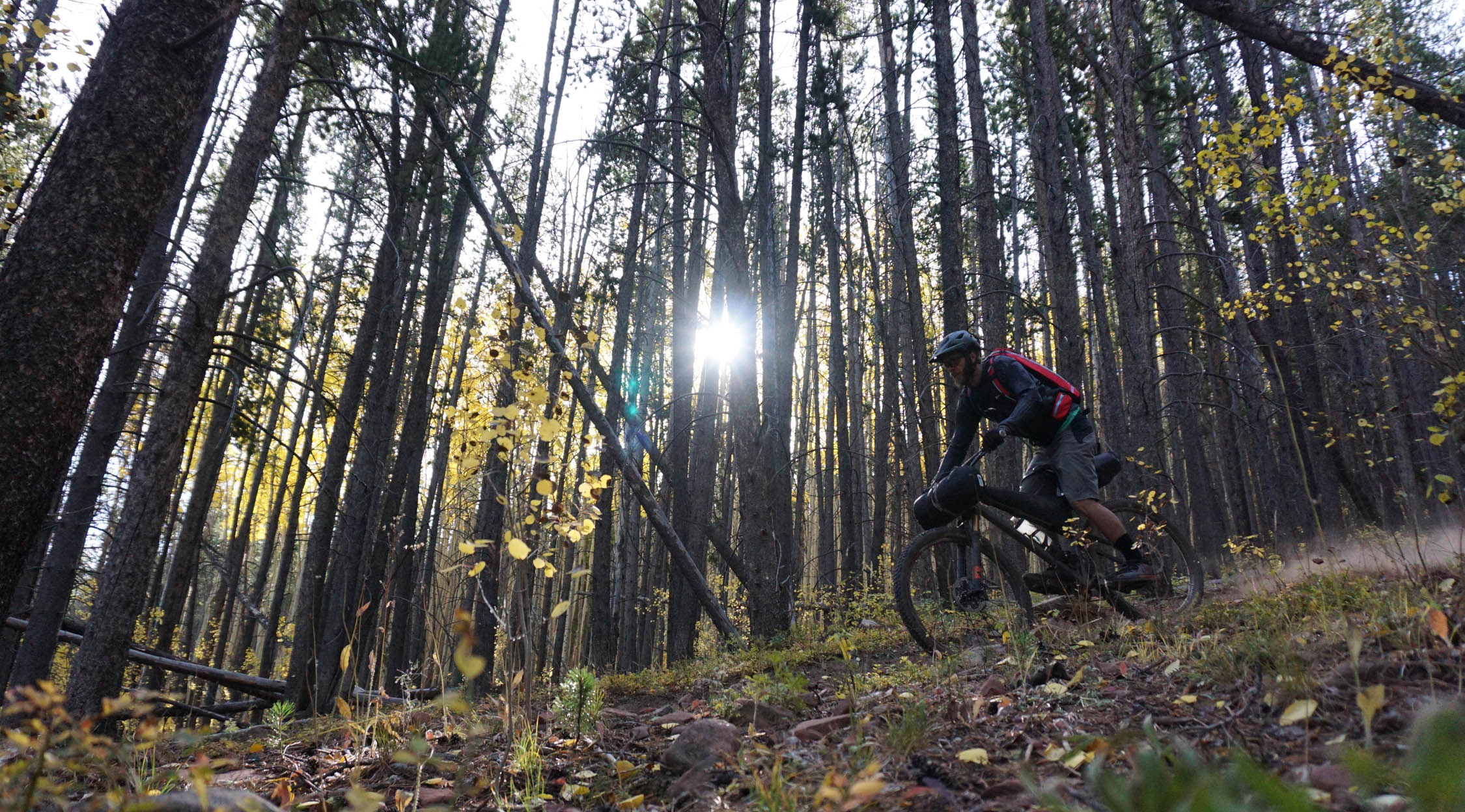
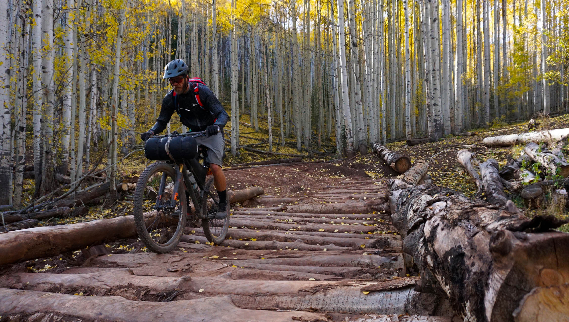
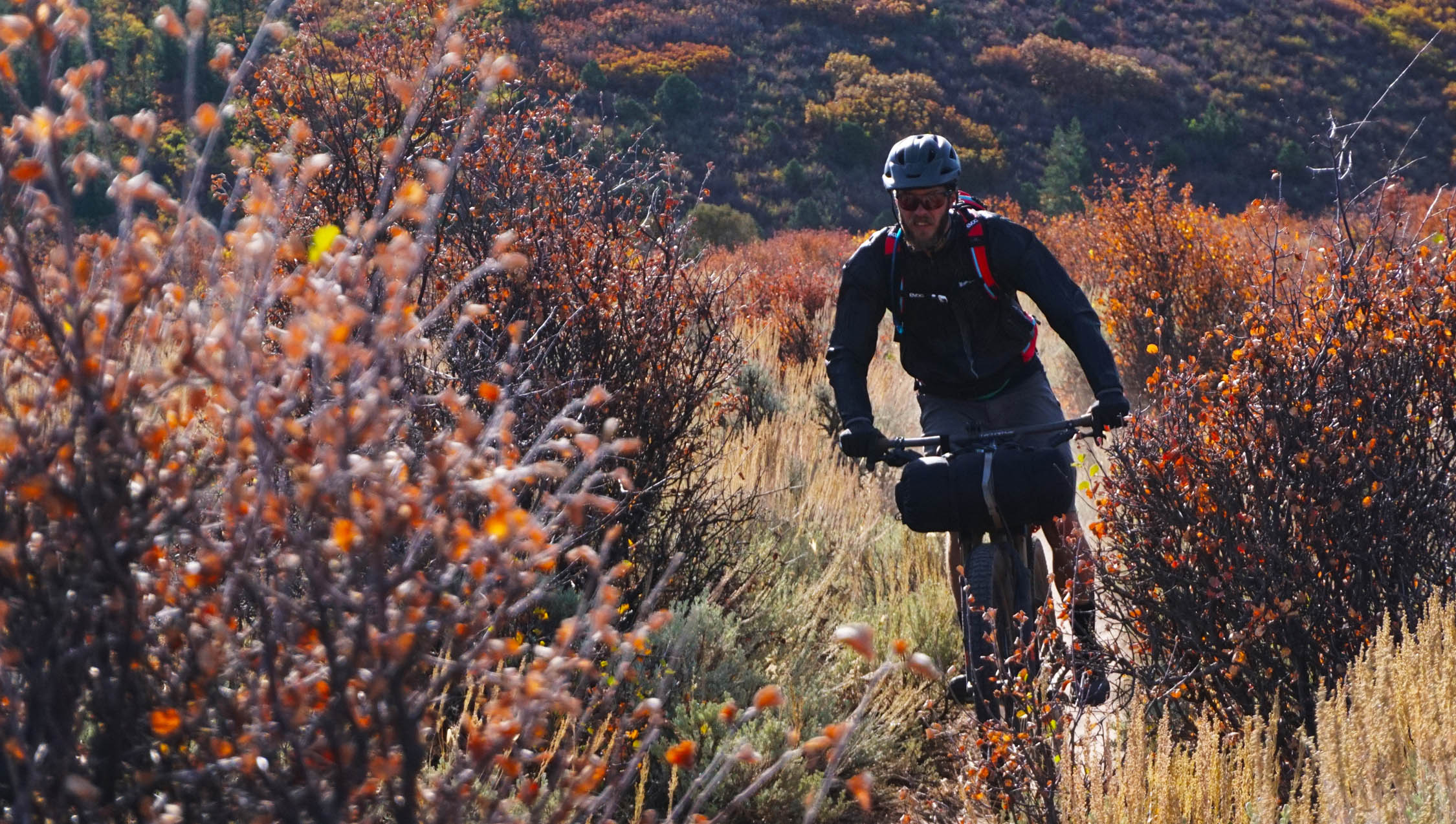
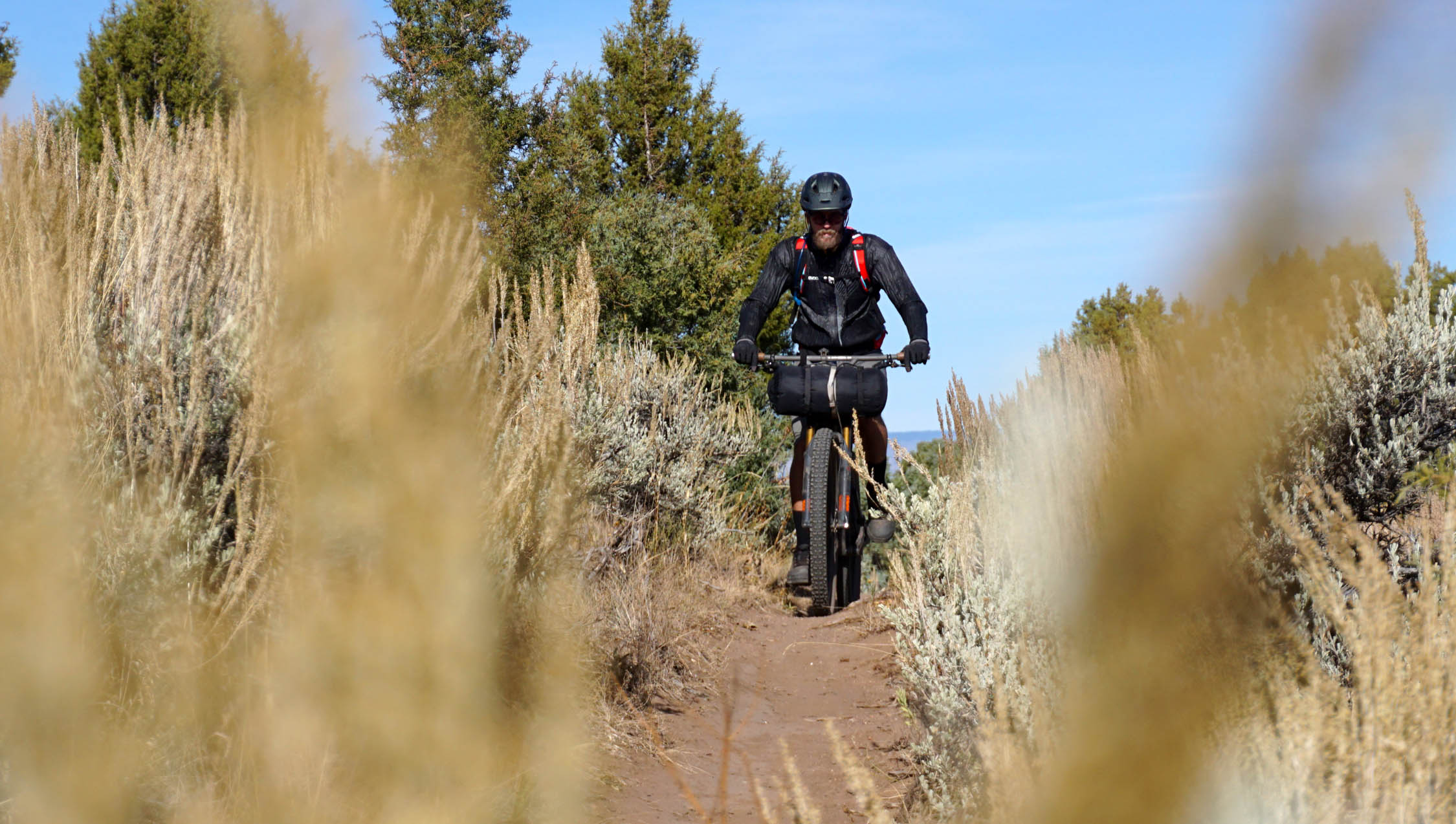
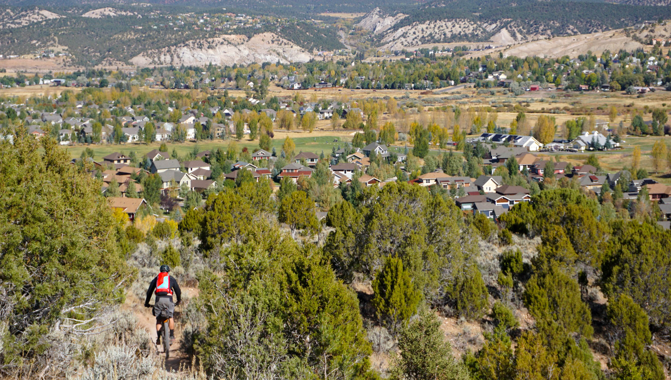
This sub-24 hour bikepacking trip up to Hardscrabble Mountain and Sawmill Trail showcases some of the best adventurous mountain bike opportunities in the higher terrain surrounding Eagle, CO. Starting in the small mountain bike friendly community of Eagle, riders begin their journey gradually climbing singletrack and doubletrack through the sage littered lunar hills of the Colorado high desert. The high desert doesn’t last long as the terrain gradually transitions into the aspen groves and thick pine trees Colorado is known for. Continuing to climb, riders pedal their way up Hardscrabble Rd (USFS 413) to access the Sawmill Trail. During this long, but steady, climb up Hardscrabble road, riders are distracted colorful aspen trees (in the fall), big mountain views and the occasional wildlife sighting (bear, elk, and deer).
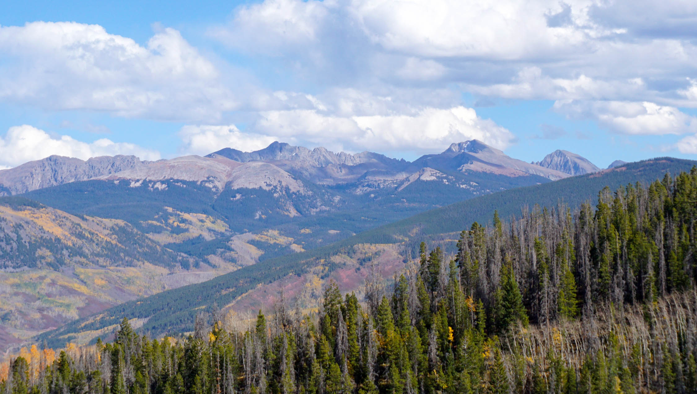
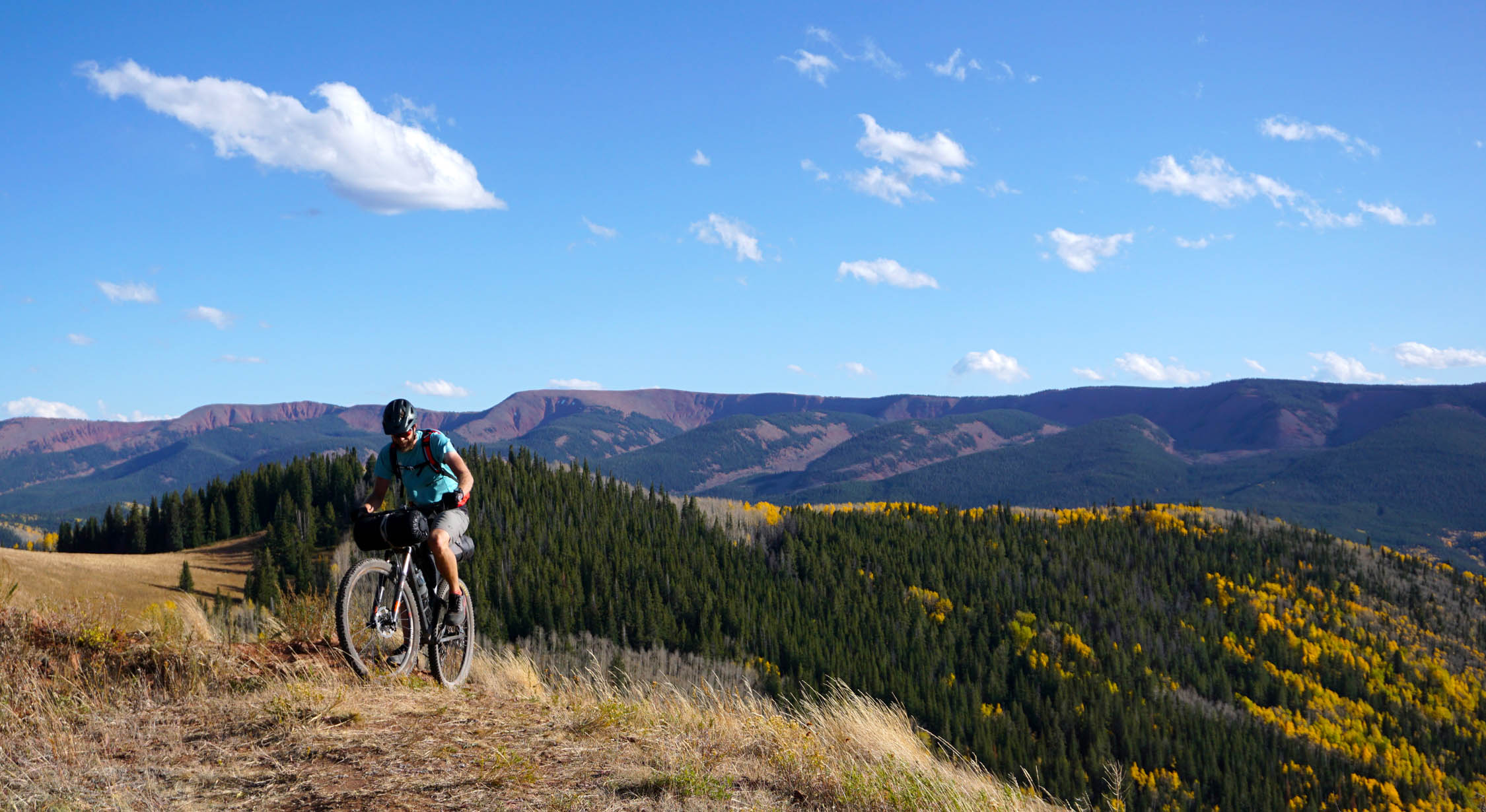
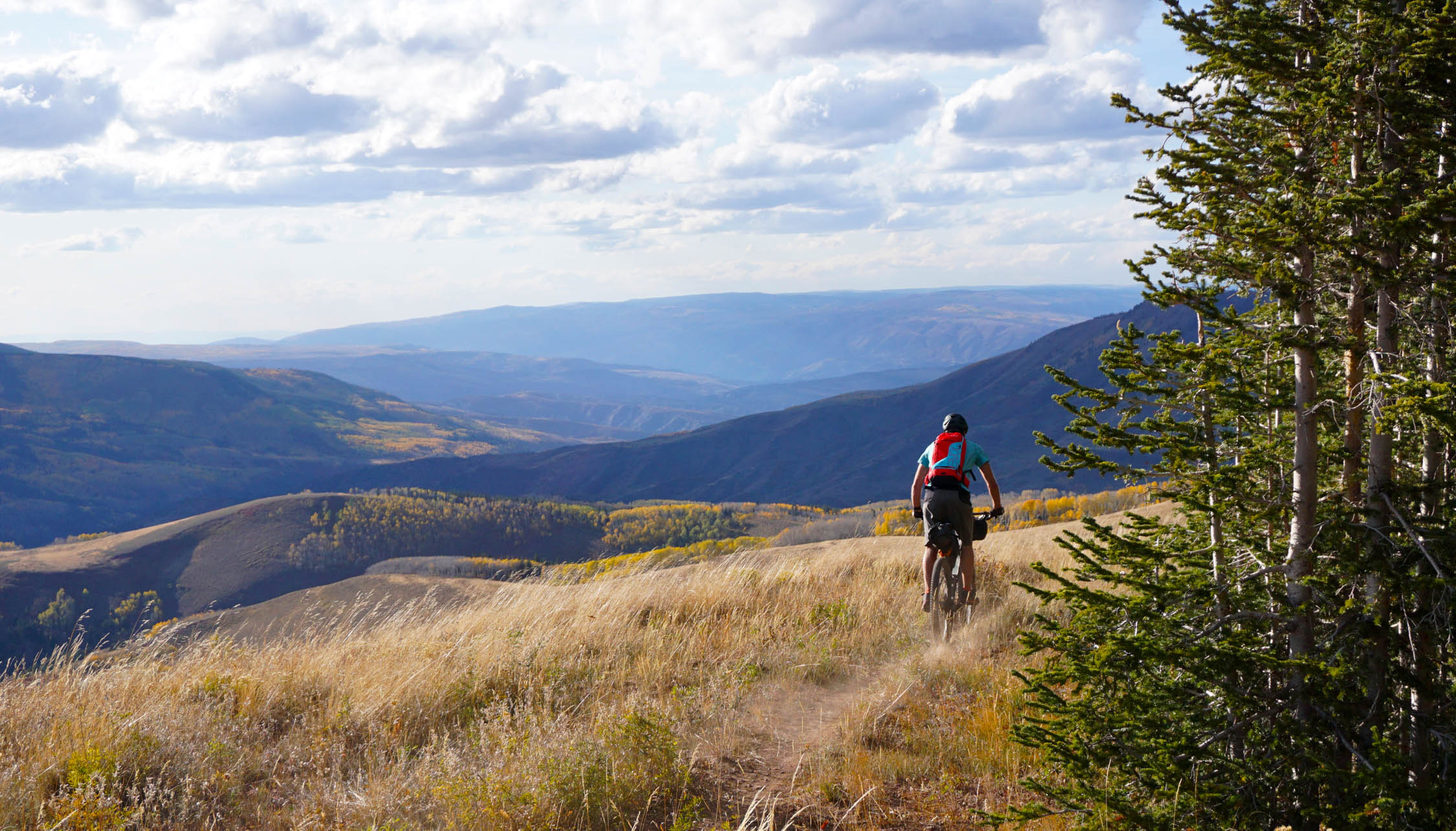
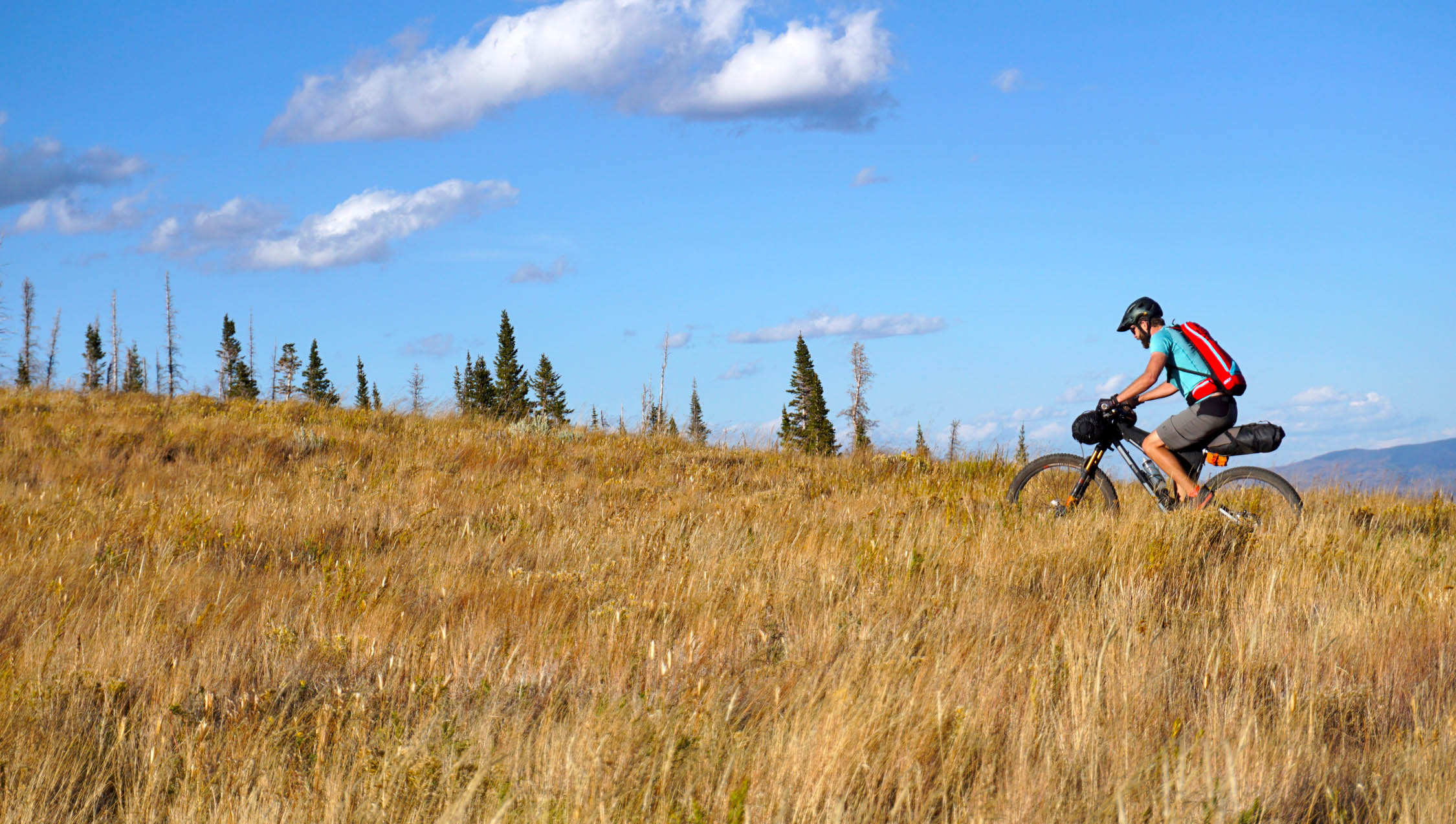
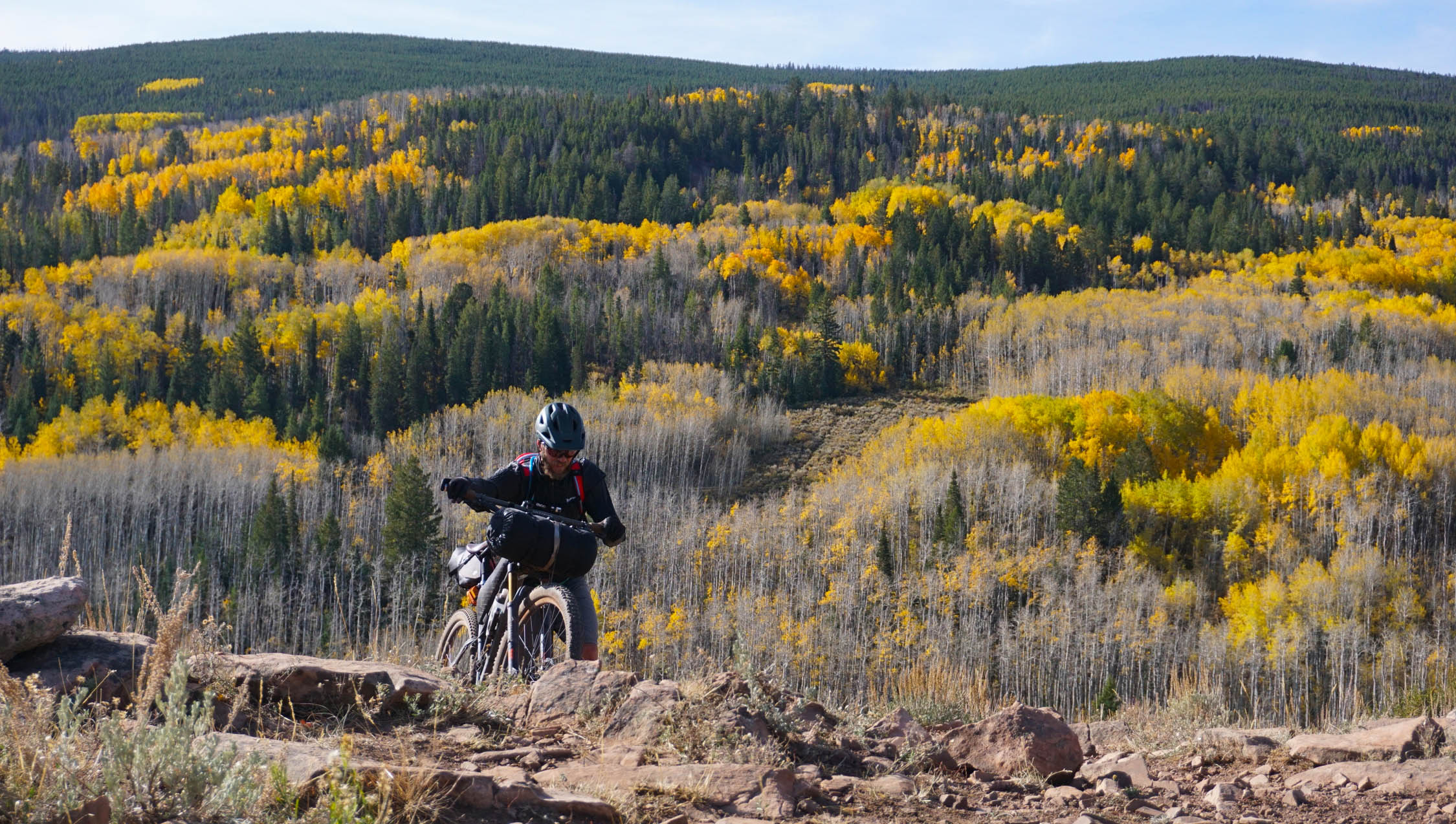
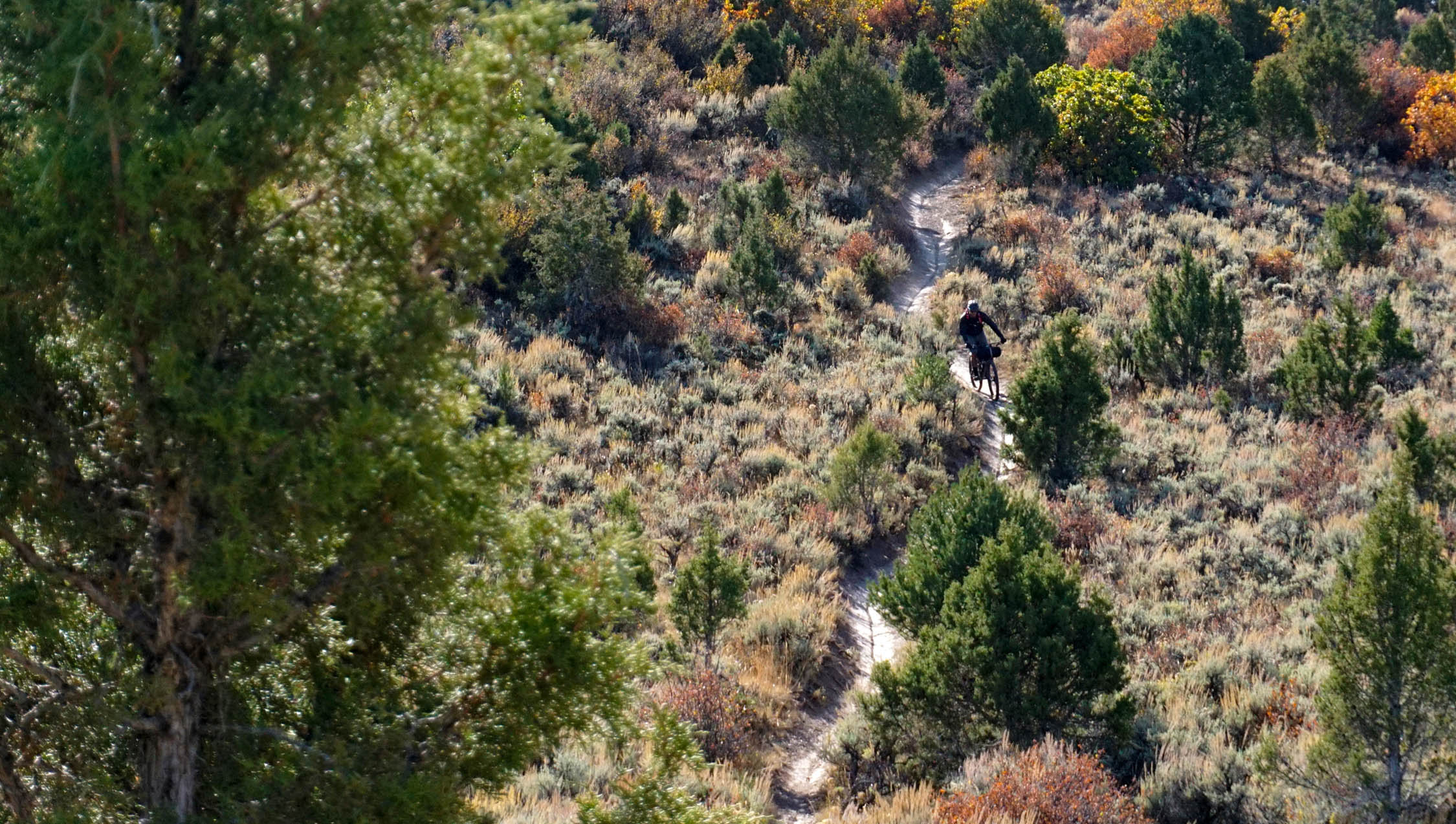
Sawmill Trail gives riders an unforgettable ridgeline traverse at 10,000 ft. Views of the mighty Gore Range near Vail, CO, the New York Mountain Range and Red Table Mountain all backdrop this 3-mile traverse along Hardscrabble Ridge. Camping is encouraged on the ridgeline. Riders a rewarded with unrestricted sunset views when they camp at 10,500 ft.
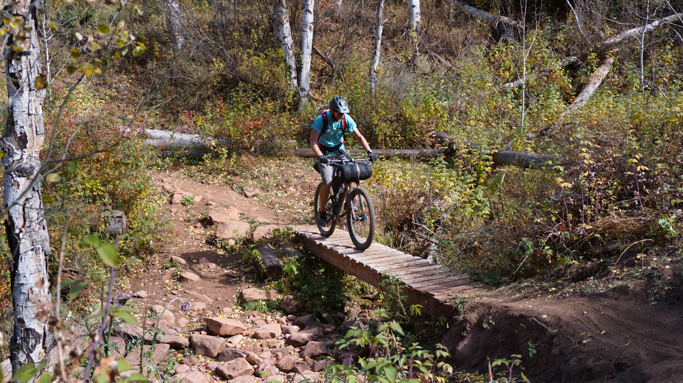
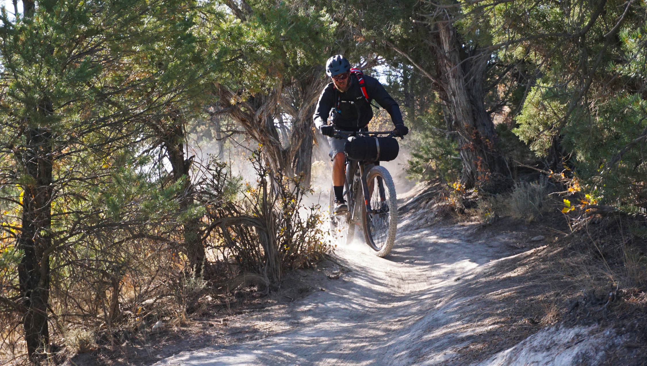
On the return trip, be ready to point it downhill! The end of Sawmill Trail funnels riders into a steep rocky gulch that will test the best of bike handlers. After a brief shake-out of the hands and a dirt road pedal down Sawmill Rd (USFS 451), get ready for the short and iconic hike-a-bike up to Mike’s Night Out. Short, steep and blown out, this hike-a-bike rewards riders with over 7-miles of twisty flowy singletrack descending back to Eagle.
Difficulty: The route as a whole is rated as a 6 out of 10. Overall, logistics are simple with the route starting and finishing at the same spot in Eagle. But, it’s definitely at high altitude and it has some sustained climbing with a few spots of technical terrain. And, there’s no food resupply on route. The route is suitable for the seasoned bikepacking vet or first time bikepacker with good general mtb skills. Riders should plan to carry all food for the adventure. Water is available along the route and it is suggested to filter it.


Submit Route Alert
As the leading creator and publisher of bikepacking routes, BIKEPACKING.com endeavors to maintain, improve, and advocate for our growing network of bikepacking routes all over the world. As such, our editorial team, route creators, and Route Stewards serve as mediators for route improvements and opportunities for connectivity, conservation, and community growth around these routes. To facilitate these efforts, we rely on our Bikepacking Collective and the greater bikepacking community to call attention to critical issues and opportunities that are discovered while riding these routes. If you have a vital issue or opportunity regarding this route that pertains to one of the subjects below, please let us know:
Highlights
Must Know
Camping
Food/H2O
Resources
- Camping on Hardscrabble Ridge and the amazing sunset views!
- Miles of rolling ridgeline riding followed by ½ mile of gnarly rocky descending down Sawmill Gulch.
- Before starting your journey grab a can(s) of beer for evening camp at Eagle’s popular Bonefire Brewery.
- Don’t want to carry a stove? Grab sandwiches and burritos to-go from Red Canyon Cafe.
- Massive big mountain views of the Gore and New York Mountain ranges.
- Iconic bright yellow fall colors will greet riders who take on the route in late September through early October.
- Enjoy Eagle’s most popular singletrack: Pipeline, Mikes Night Out, Sawmilll, Scratch and Abrams Ridge.
- On a clear night, enjoy dark skies filled with glimpses of the Milky Way.
- When to go: July – October. Earlier or later, riders will deal with snow.
- Logistics: No permits needed. Easy and free overnight parking in the large paved lots around Boneyard, 7-Hermits Brewery, Color Coffee and the movie theater. There are 2 bike shops in Eagle to grab any last minute bike supplies. At a leisurely pace, plan on 4-5 hours to get from Eagle up to Hardscrabble Ridge and your camp spot for the night. Pack it in, Pack it out.
- Dangers and Annoyances: Bring along all food for your trip. You’re in bear country, so practice safe food storage during camping. Eye to the sky in the summer as thunderstorms can roll in. Be ready for temps in the mid-20ºF at night later in the season in the high country. Be aware of any and all Fire Restrictions (https://www.fs.usda.gov/alerts/whiteriver). Cell service is spotty at best. It is best to avoid the route when wet – Eagle’s lower terrain soil turns to peanut butter.
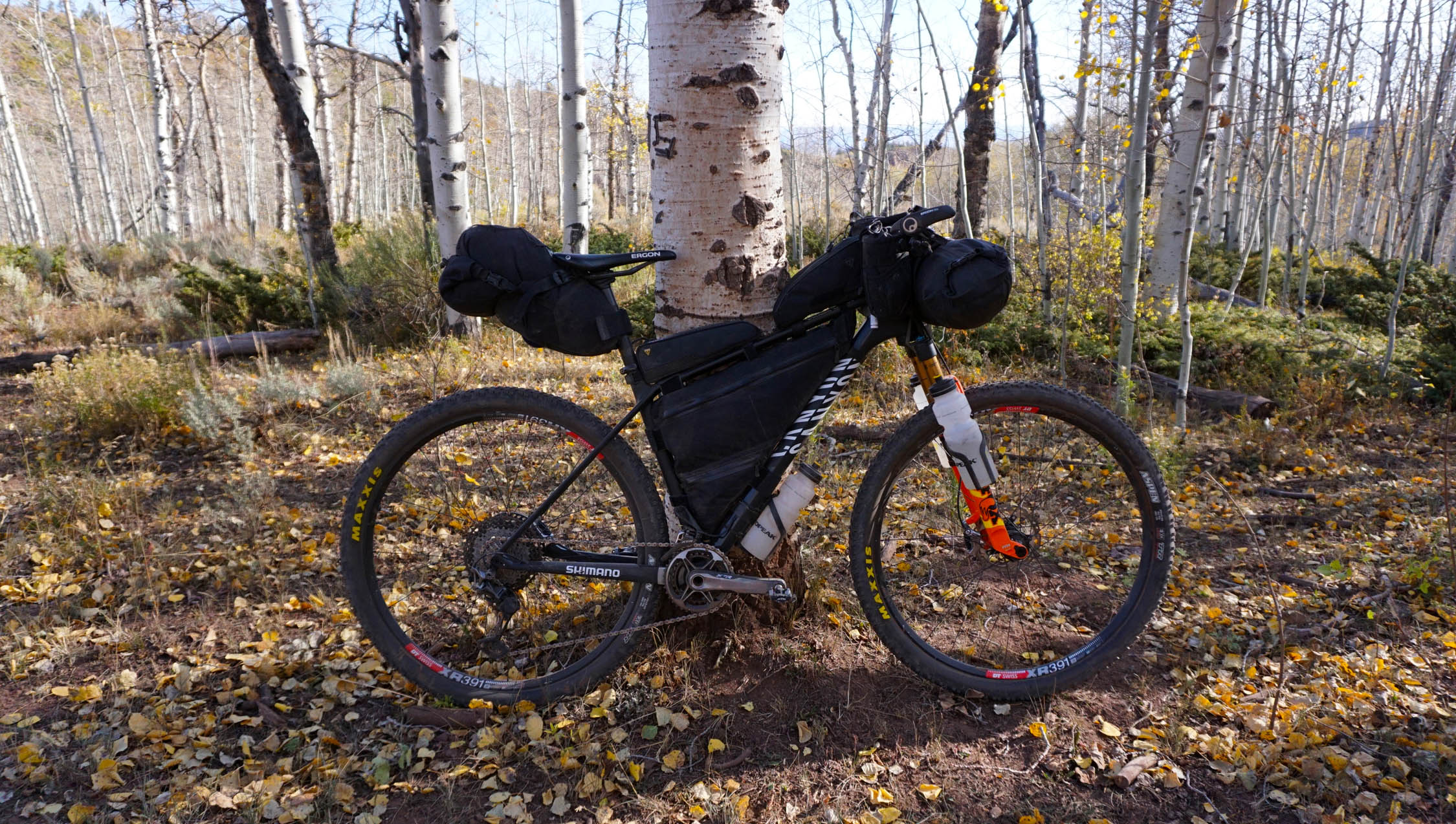
- Ideal Bike: We rode hardtails with 120mm of front suspension. In reality any well functioning mtb will result in an enjoyable trip!
- A majority of the route is on BLM and US Forest Service land. Camping opportunities are endless.
- Be sure to carry out all trash and put out all fires.
- If you have a fire, be aware of any and all Fire Restrictions currently in place (https://www.fs.usda.gov/alerts/whiteriver).
- The highlight camping spots, which include Hardscrabble Ridge, are marked on the route map.
- All food must be carried from start to finish. It is advised to carry all water as well. There are water sources along the route, but the timing of coming to these sources is not ideal to traveling light on water. It is suggested to carry a minimum of 150 oz of water for the full trip and camp, more in the summer months. You’re in bear country, so practice safe food storage during camping.
- Wrap up your trip with brunch at Color Coffee, lunch at Boneyard or bellied up to the bar at 7-Hermits Brewery. All these locations are within a short walk of the suggested route overnight parking.
Additional Resources
- Information on visiting and recreating in Eagle – eagleoutside.com
- Eagle’s MTB resource – mountainbikeeagle.com
- Hardscrabble Trails Coalition – A volunteer organization committed to maintaining and improving high-quality non-motorized trail experiences in the Eagle area


Terms of Use: As with each bikepacking route guide published on BIKEPACKING.com, should you choose to cycle this route, do so at your own risk. Prior to setting out check current local weather, conditions, and land/road closures. While riding, obey all public and private land use restrictions and rules, carry proper safety and navigational equipment, and of course, follow the #leavenotrace guidelines. The information found herein is simply a planning resource to be used as a point of inspiration in conjunction with your own due-diligence. In spite of the fact that this route, associated GPS track (GPX and maps), and all route guidelines were prepared under diligent research by the specified contributor and/or contributors, the accuracy of such and judgement of the author is not guaranteed. BIKEPACKING.com LLC, its partners, associates, and contributors are in no way liable for personal injury, damage to personal property, or any other such situation that might happen to individual riders cycling or following this route.
Please keep the conversation civil, constructive, and inclusive, or your comment will be removed.