


El Camino del Diablo
Distance
130 Mi.
(209 KM)Days
3
% Unpaved
96%
% Singletrack
0%
% Rideable (time)
100%
Total Ascent
2,563'
(781 M)High Point
1,841'
(561 M)Difficulty (1-10)
5?
- 2Climbing Scale Easy20 FT/MI (4 M/KM)
- -Technical Difficulty
- -Physical Demand
- -Resupply & Logistics
Contributed By
Scott Morris
Topo Fusion
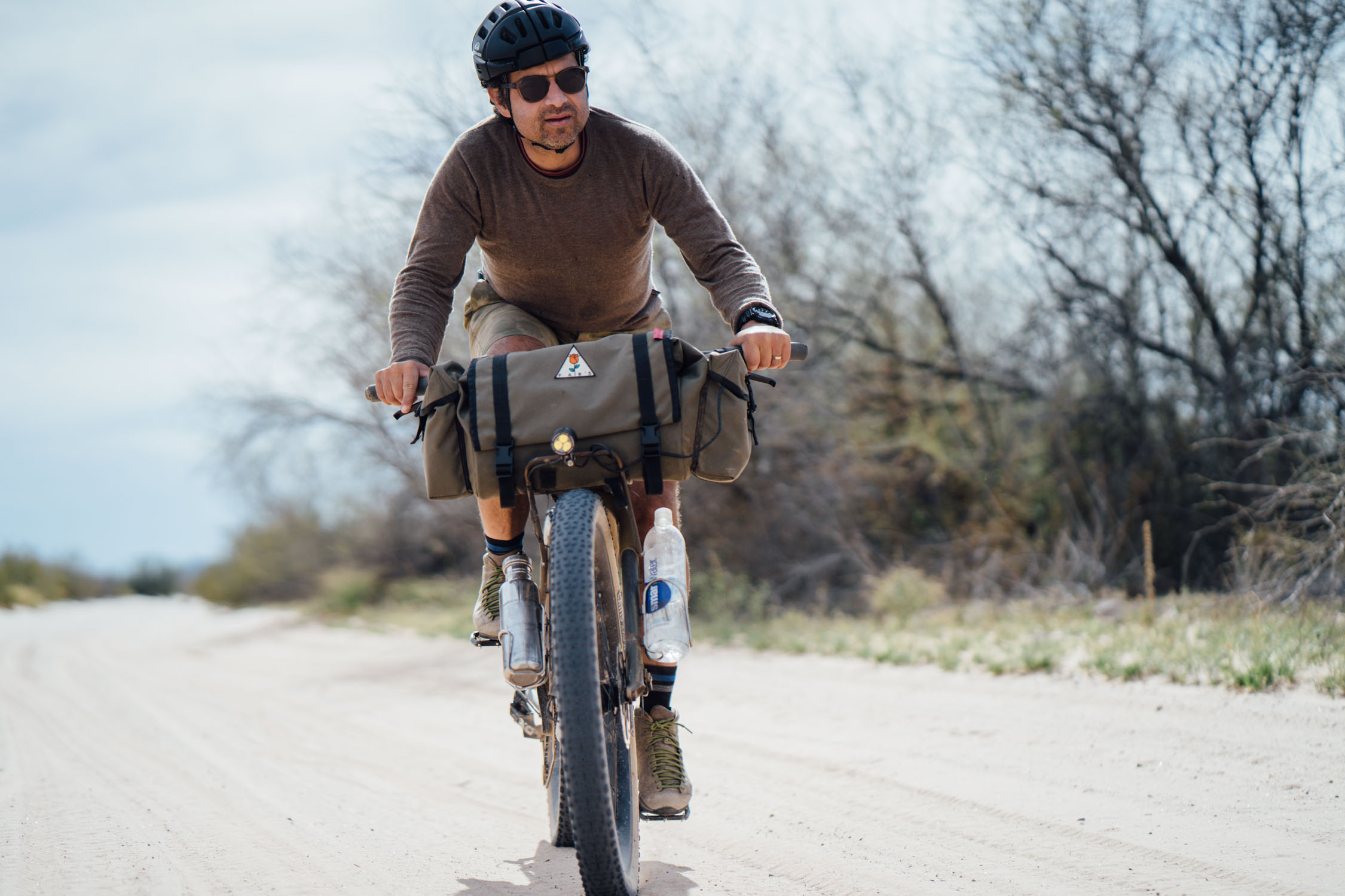
UPDATE: El Camino del Diablo was originally contributed by Scott Morris in 2015. In March 2019, it was ridden and re-documented by Logan Watts and Joe Cruz. Photos and text by Logan.
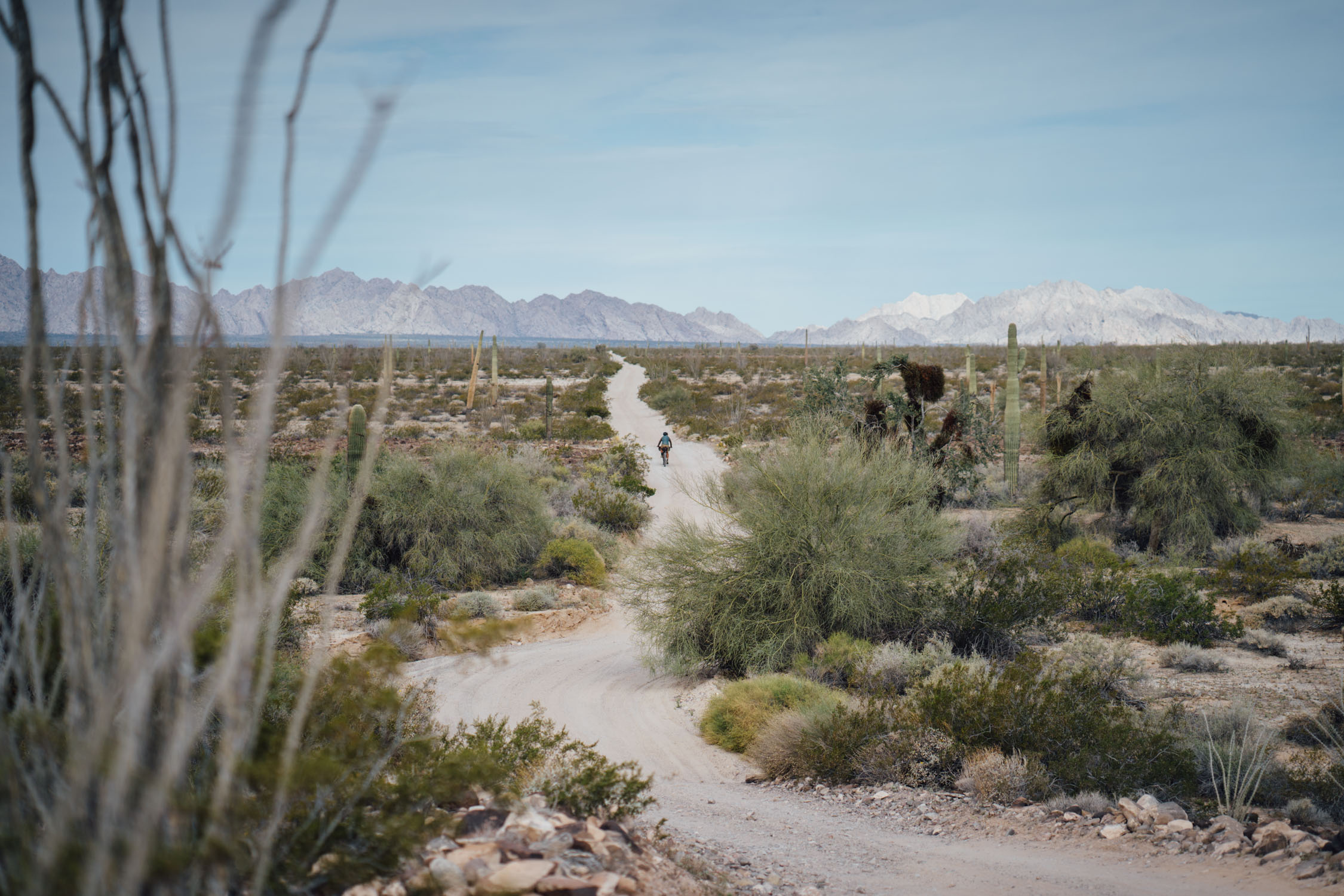
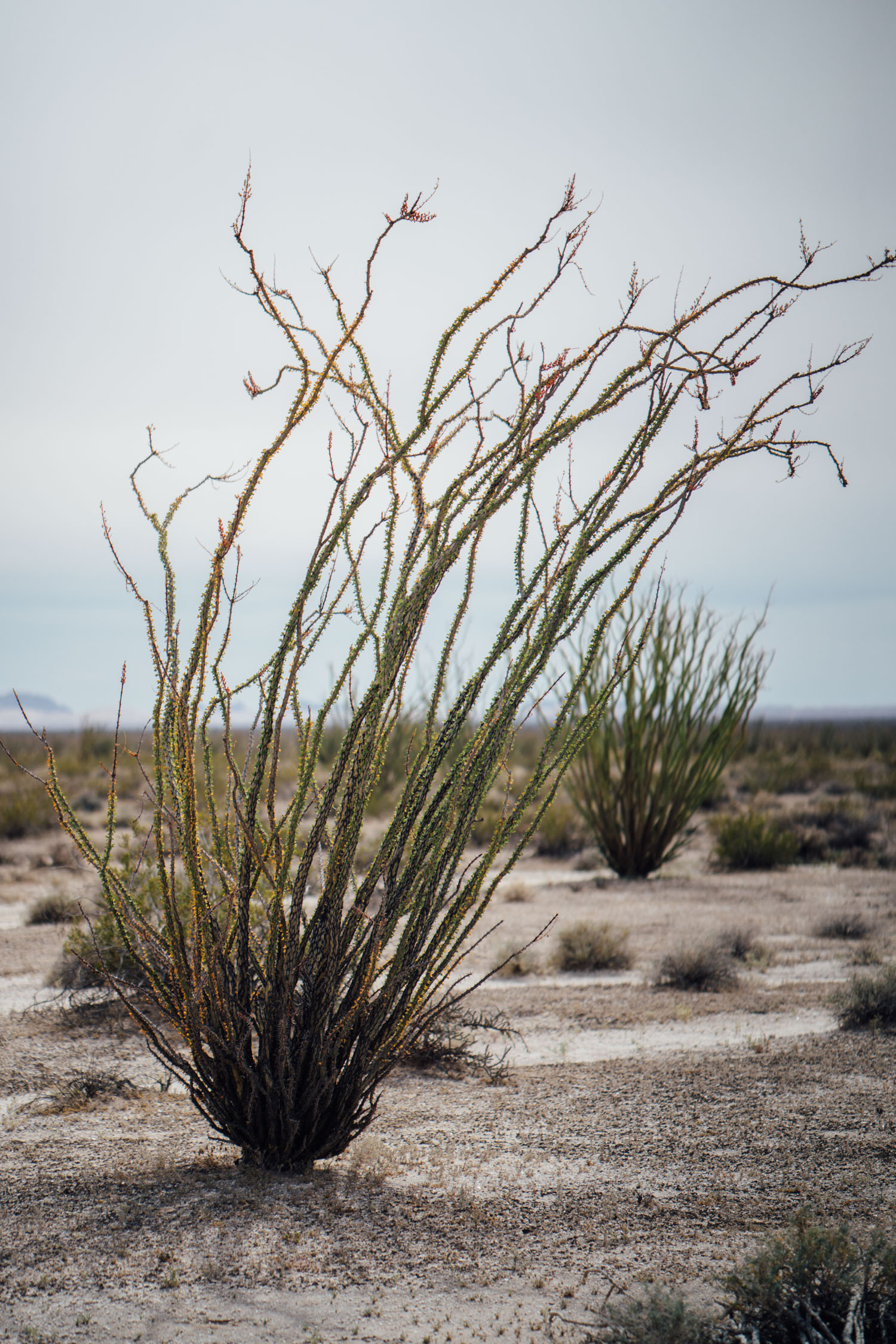
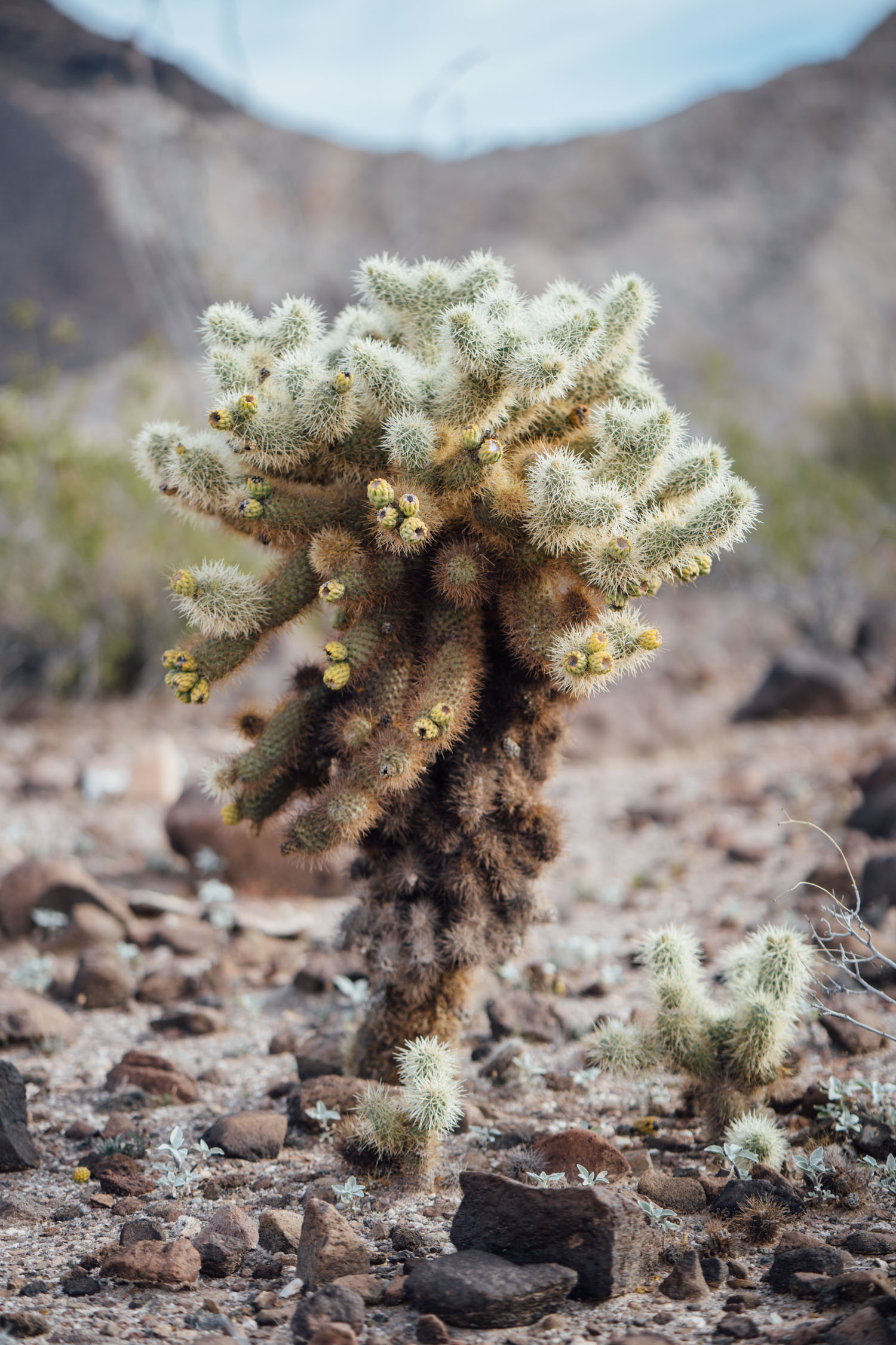
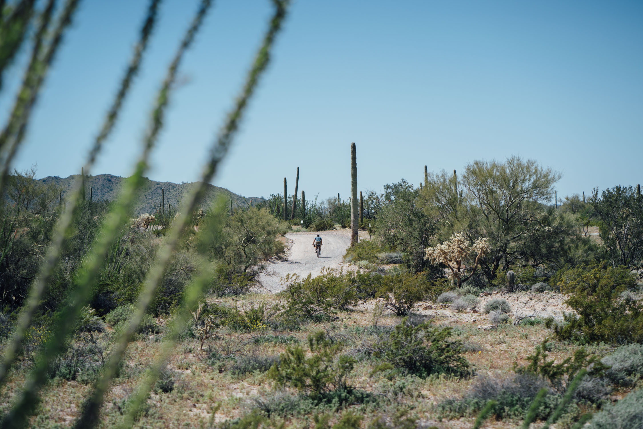
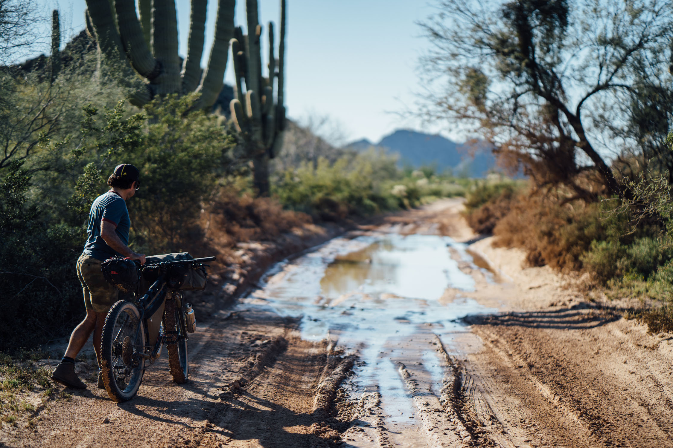
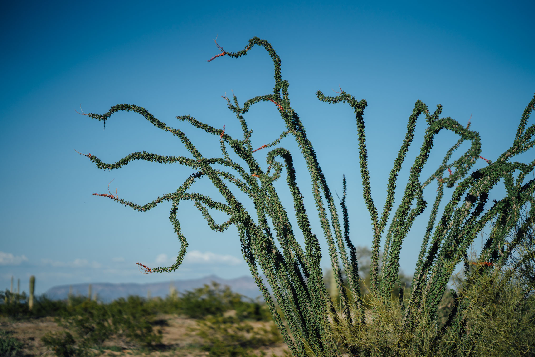
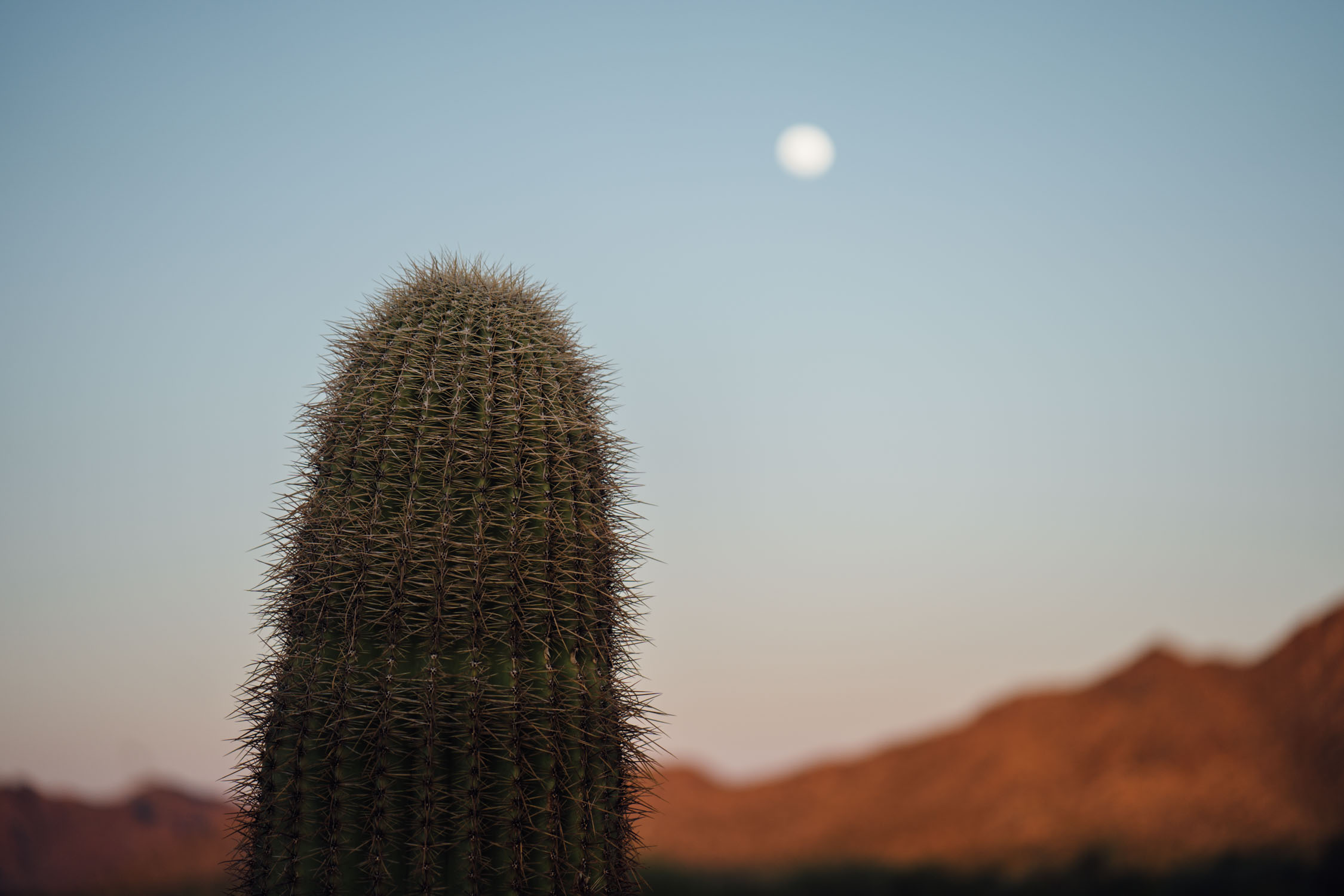
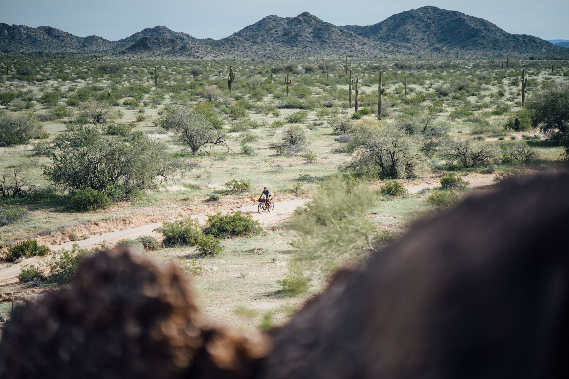
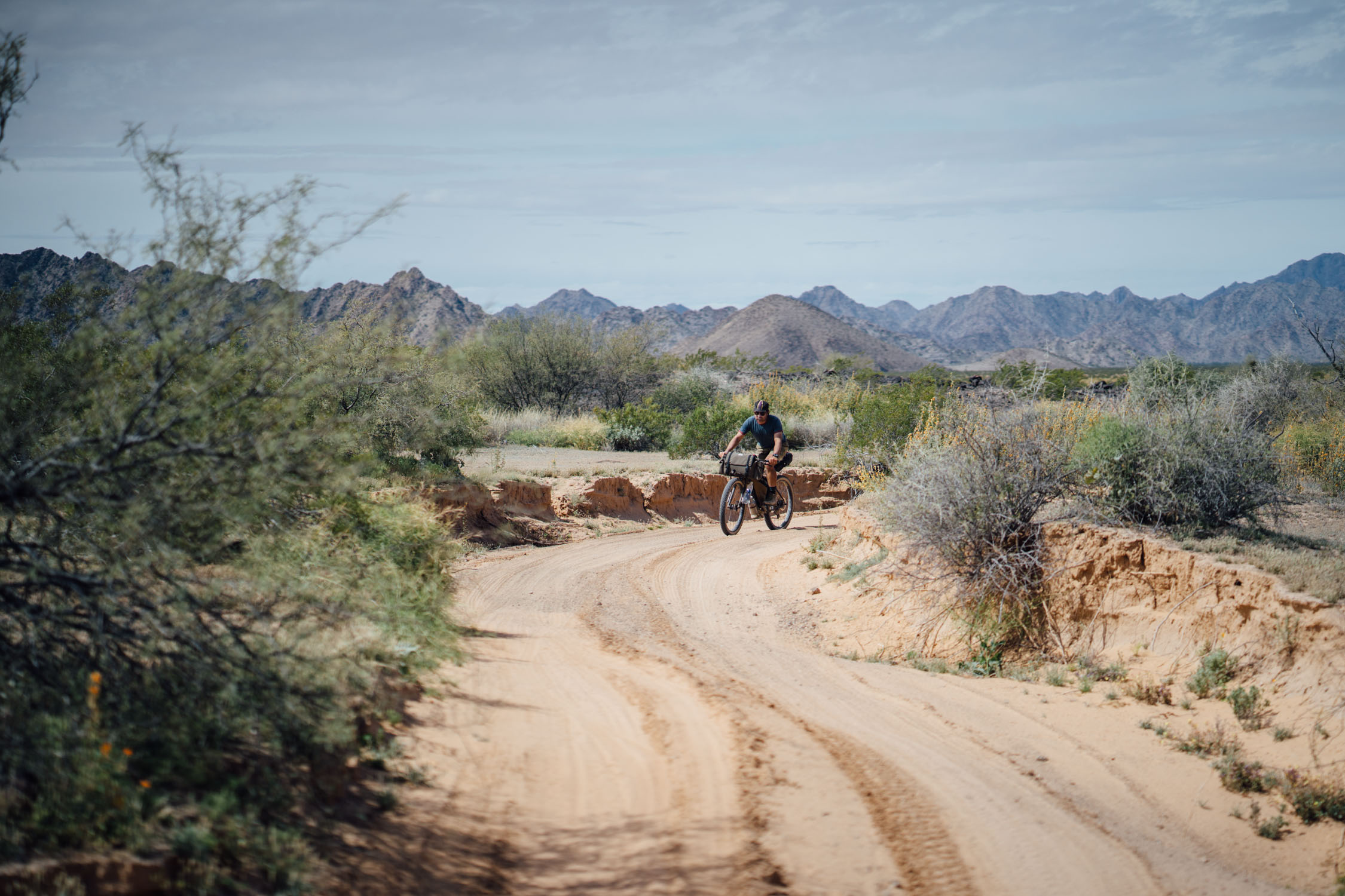
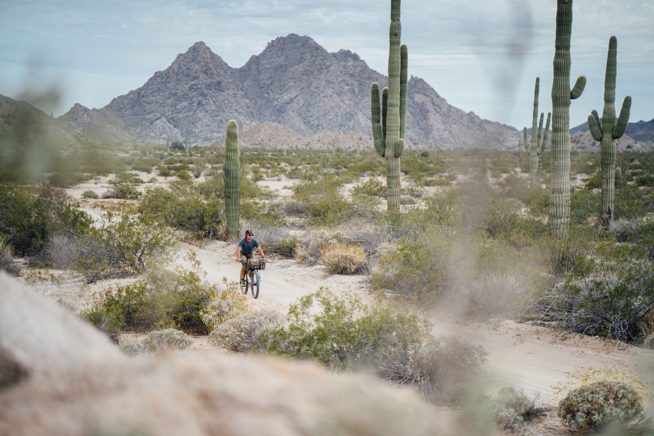
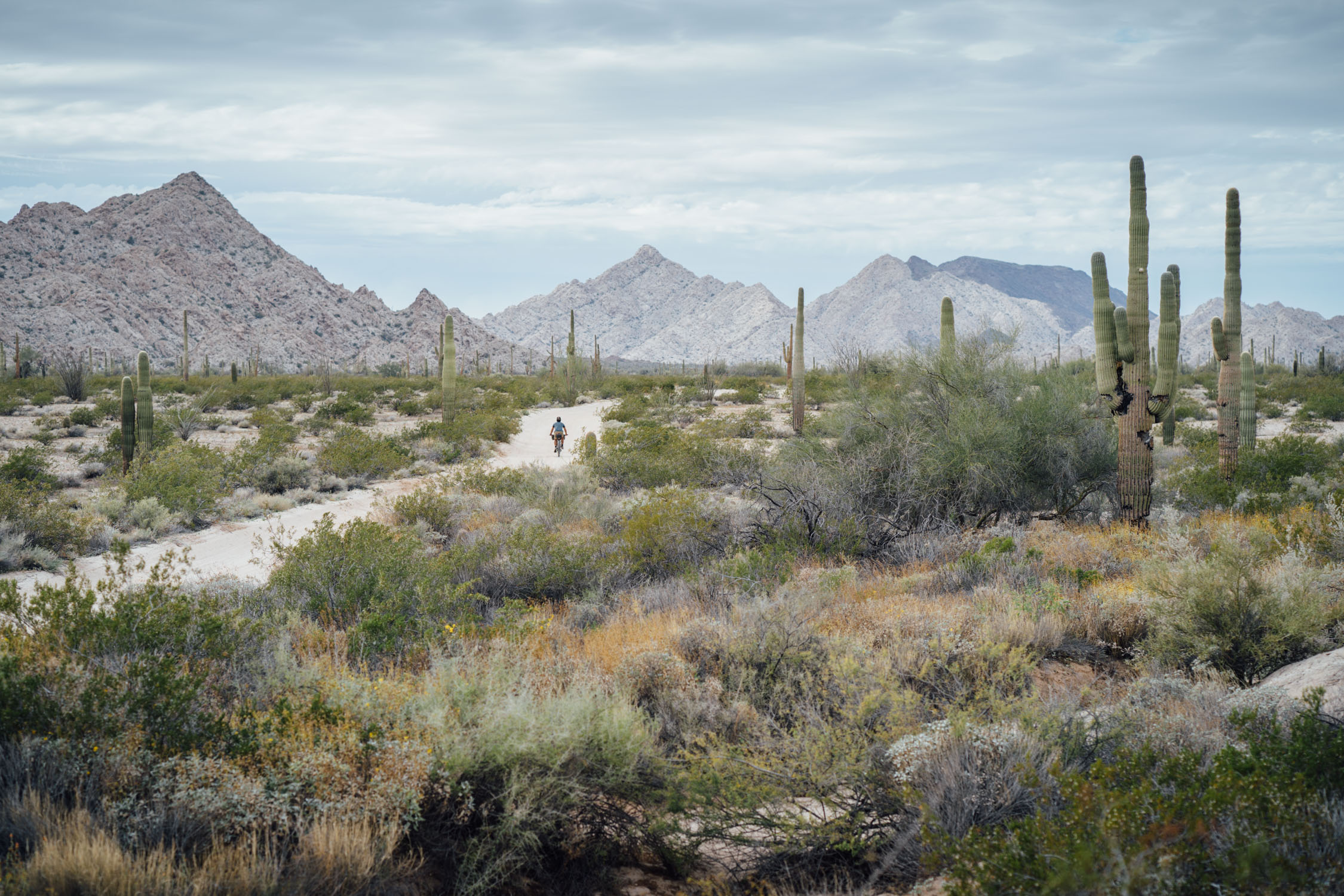
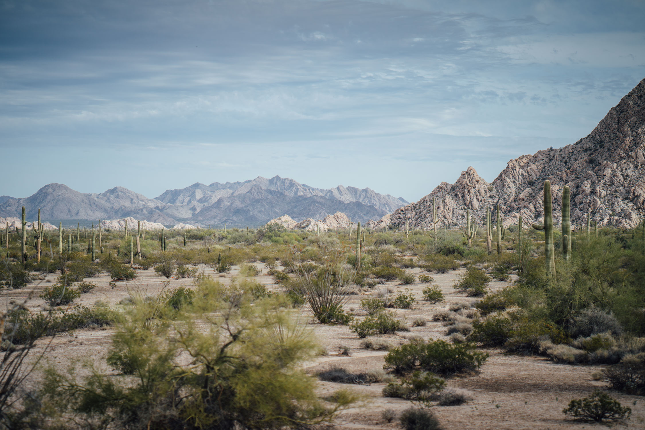
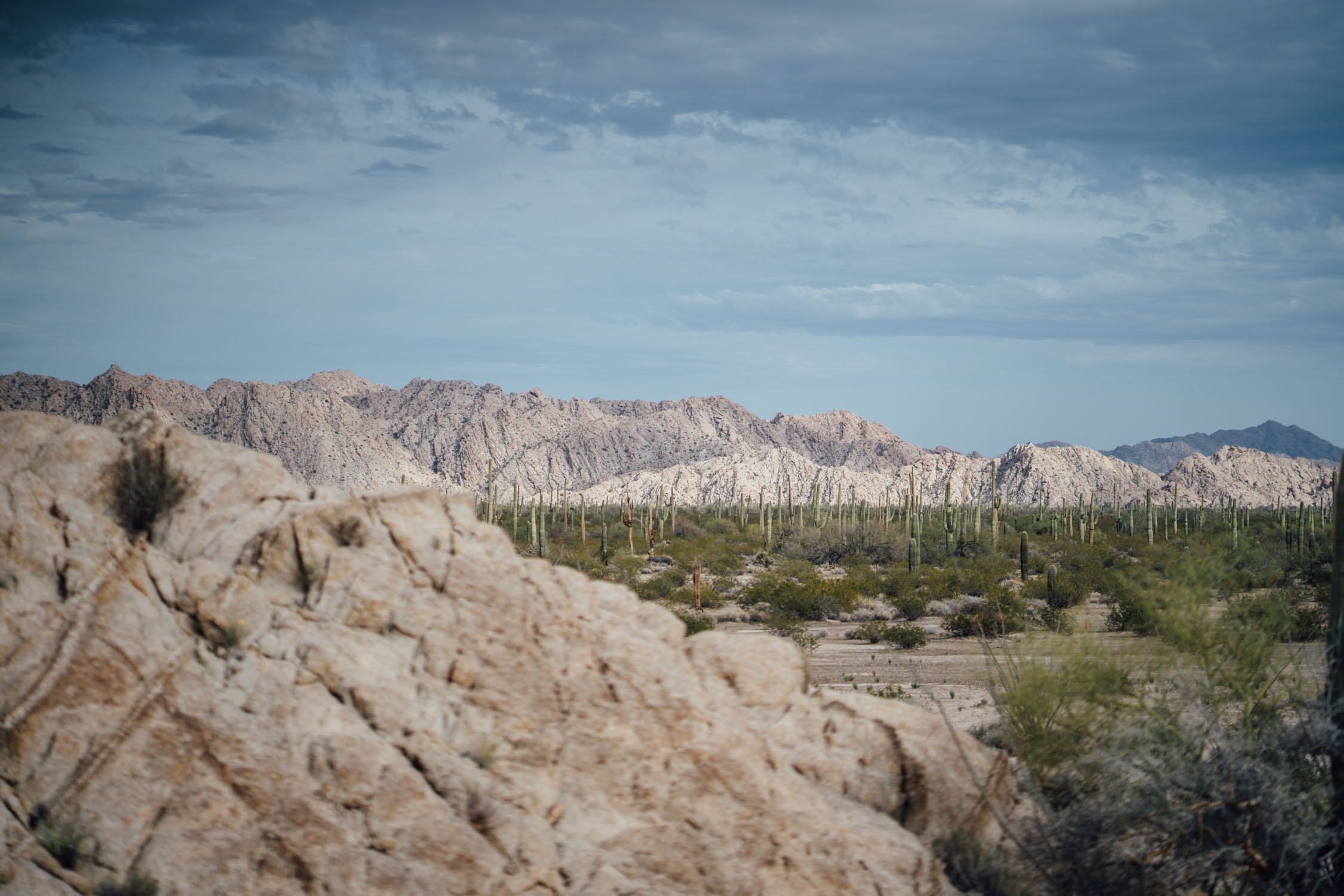
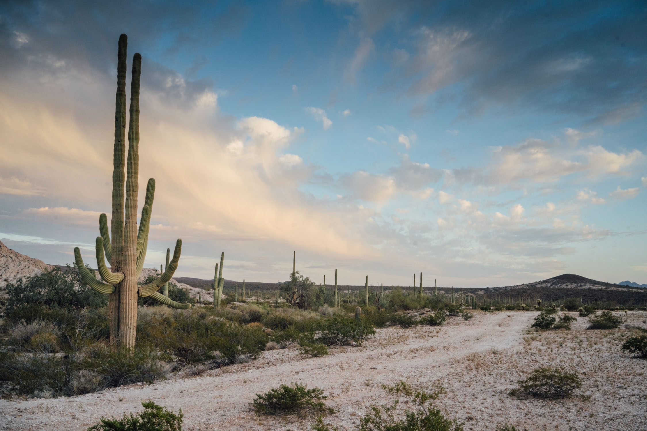
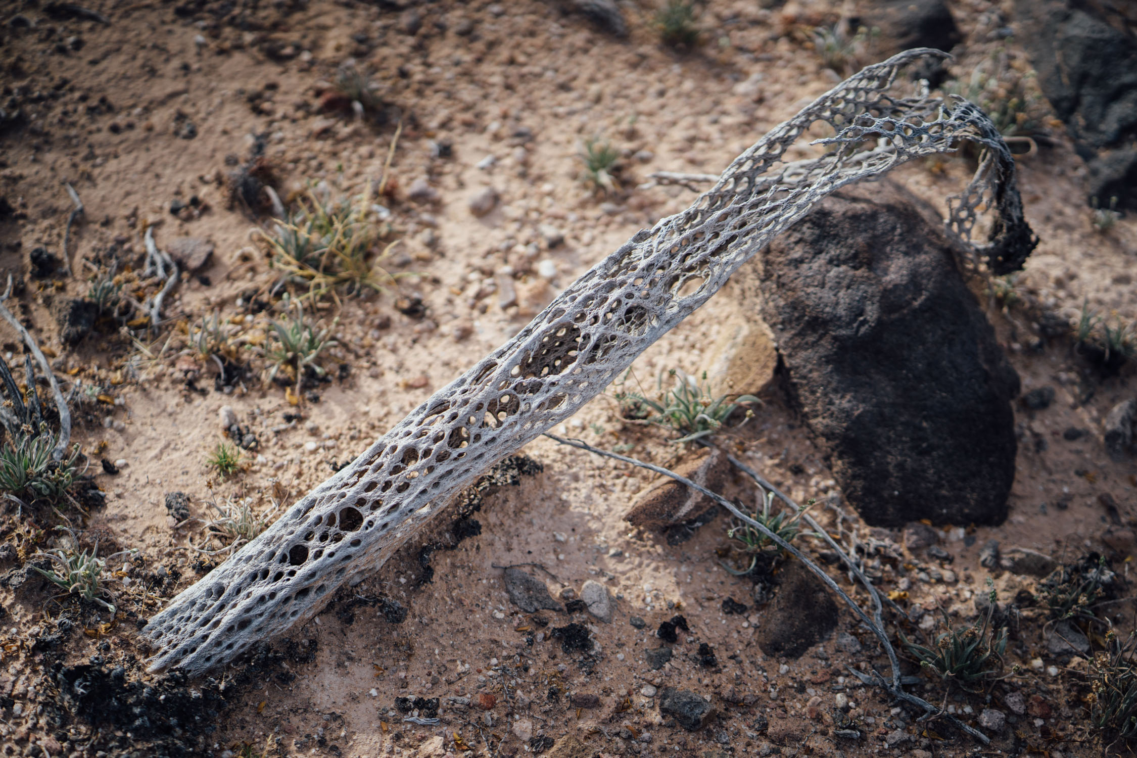
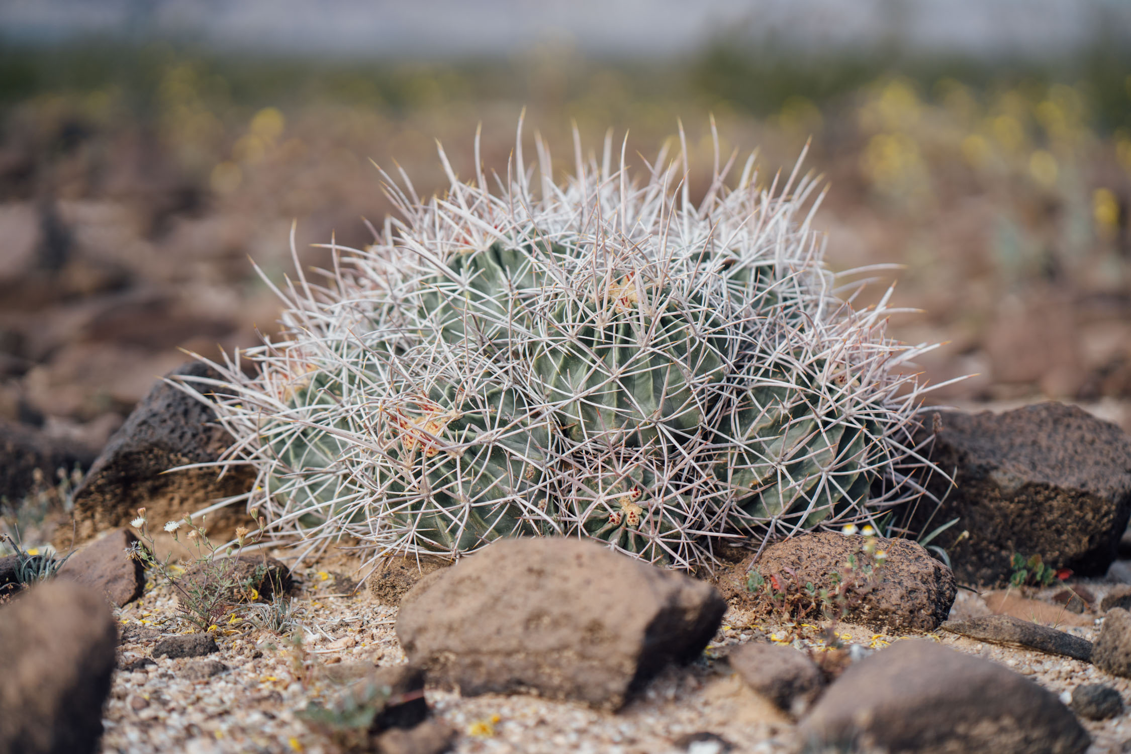
El Camino del Diablo is an historic road that currently extends through some of the most remote and arid terrain of the Sonoran Desert in Pima County and Yuma County, along the Arizona/Mexico border. However, it’s also full of wildlife and an incredible array of Sonoran cacti. The Devil’s Highway traverses several unique mountain ranges, wide basins, and some of the most starkly beautiful landscapes in the US. However, this route isn’t for everyone. It often features very sandy roads and requires careful attention to water. Be sure to review the Must Know section and other details below.


In use for over 1,000 years, the Camino was once a link between the northwestern frontier of Mexico and the colonies of California. It is believed to have started as a series of footpaths used by desert-dwelling Native Americans. From the 16th to 19th centuries, the road was used extensively by conquistadores, explorers, missionaries, settlers, prospectors, miners, and cartographers. Use of the trail declined sharply after the railroad reached Yuma in 1870. In recognition of its historic significance, El Camino del Diablo was listed on the National Register of Historic Places in 1978. It has also been designated a Bureau of Land Management Back Country Byway.
Nowadays, El Camino del Diablo is used mostly by 4×4 enthusiasts, border patrol, and the occasional bikepacker. The route passes through several mountain ranges and the Cabeza Prieta Wilderness. See the Trail Notes for a detailed description.


Submit Route Alert
As the leading creator and publisher of bikepacking routes, BIKEPACKING.com endeavors to maintain, improve, and advocate for our growing network of bikepacking routes all over the world. As such, our editorial team, route creators, and Route Stewards serve as mediators for route improvements and opportunities for connectivity, conservation, and community growth around these routes. To facilitate these efforts, we rely on our Bikepacking Collective and the greater bikepacking community to call attention to critical issues and opportunities that are discovered while riding these routes. If you have a vital issue or opportunity regarding this route that pertains to one of the subjects below, please let us know:
Highlights
Must Know
Camping
Food/H2O
Trail Notes
Resources
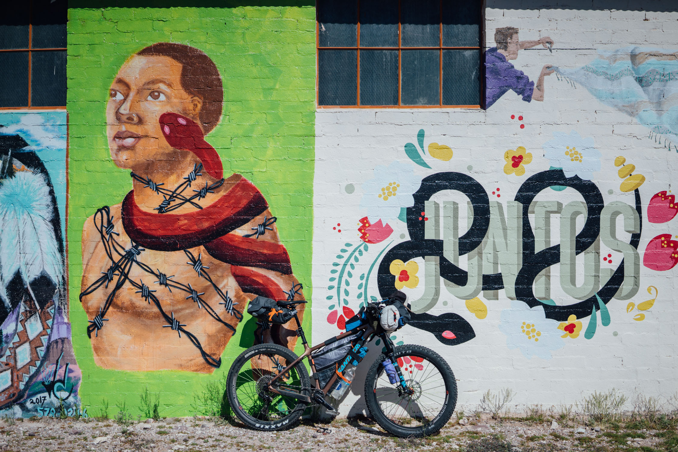
- Murals and statues in the quirky town of Ajo, plus the best hatch chili breakfast burrito ever at the 100 Estrella Restaurant.
- Getting a glimpse of the organ pipe cacti during the route’s 13-mile traverse of the northwest corner of Organ Pipe National Monument.
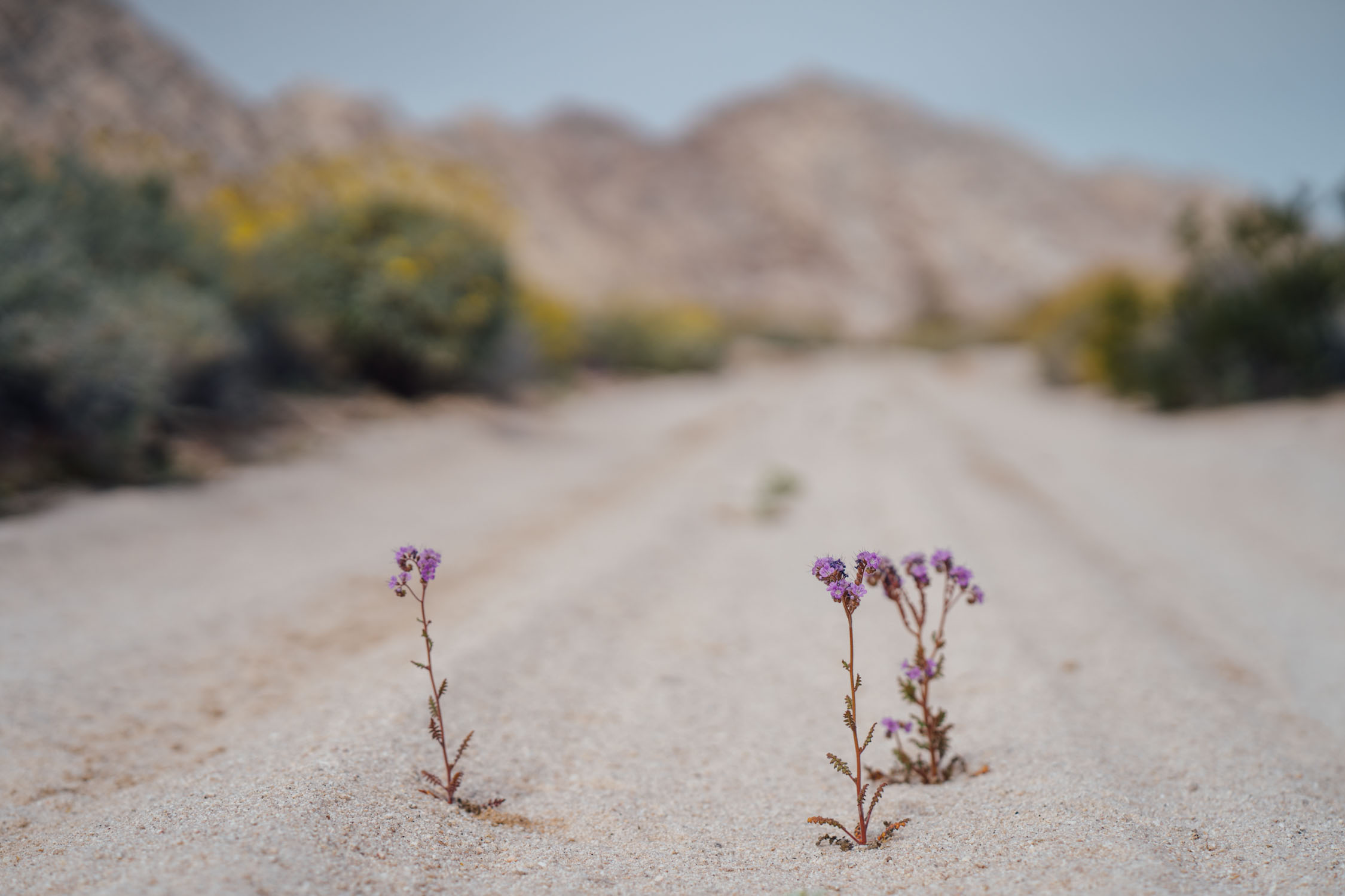
- Timing the ride with the desert spring display of wildflowers, typically in March; we rode the Diablo during the third week of March and the Sonoran desert was in full bloom.
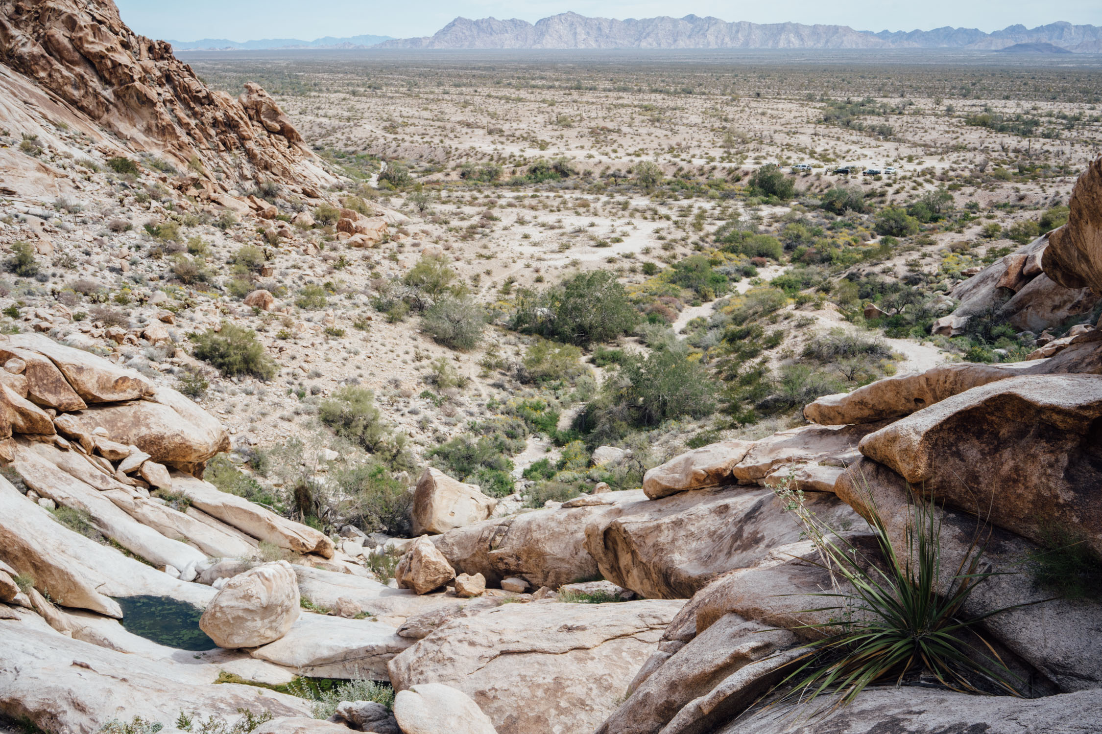
- Crossing several unique mountain ranges, such as the Cabeza Prieta, which are comprised of large boulders and caves that give them an otherworldly appearance.
- Being fully immersed in the Sonoran desert’s magical array of cacti and animals, with the possibility of seeing desert bighorn sheep, pronghorn, and many other animals unique to this region.
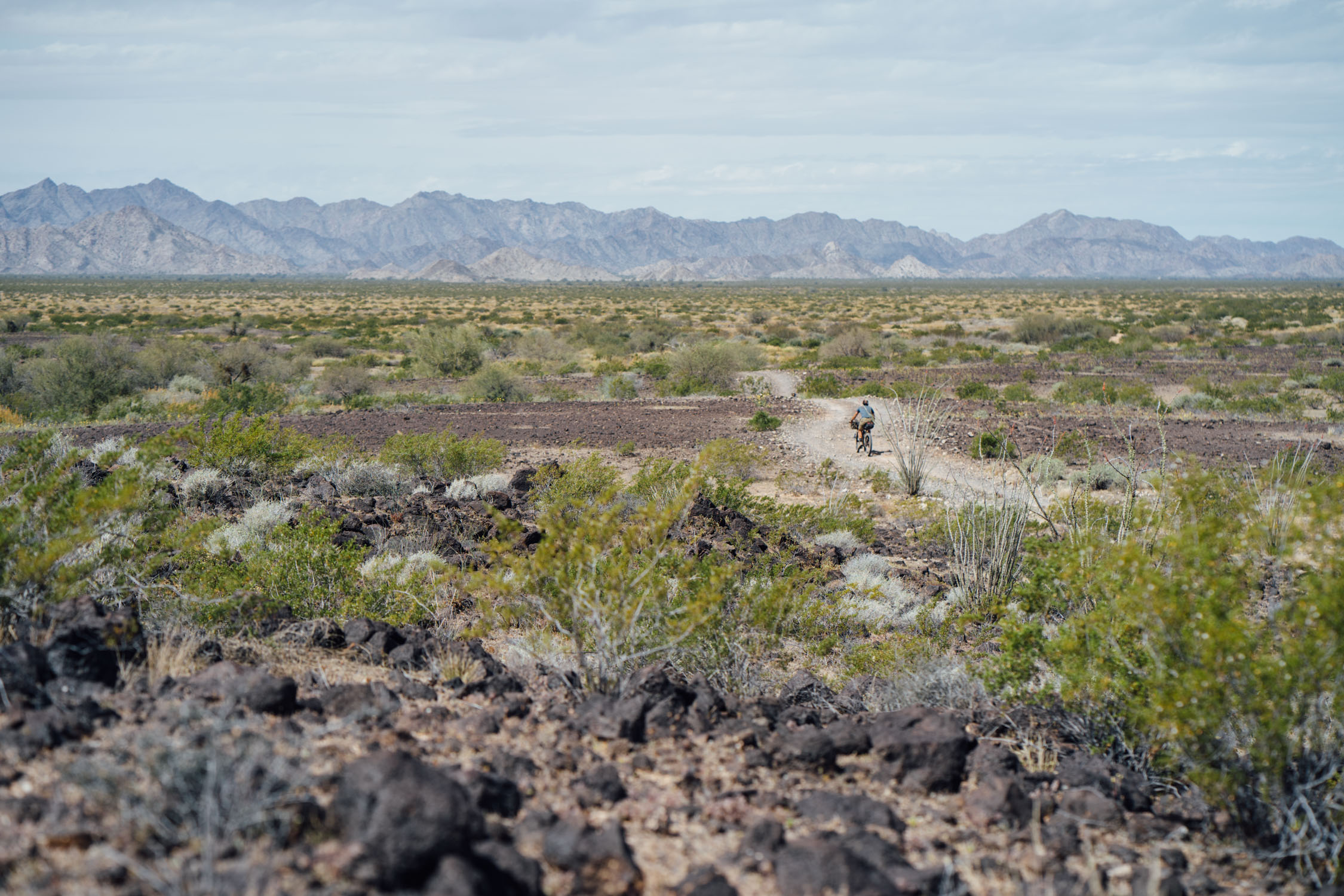
- Crossing the Pinacate Peaks lava flow, where the Camino changes briefly from pure sand to rough and rocky terrain with black volcanic rocks.
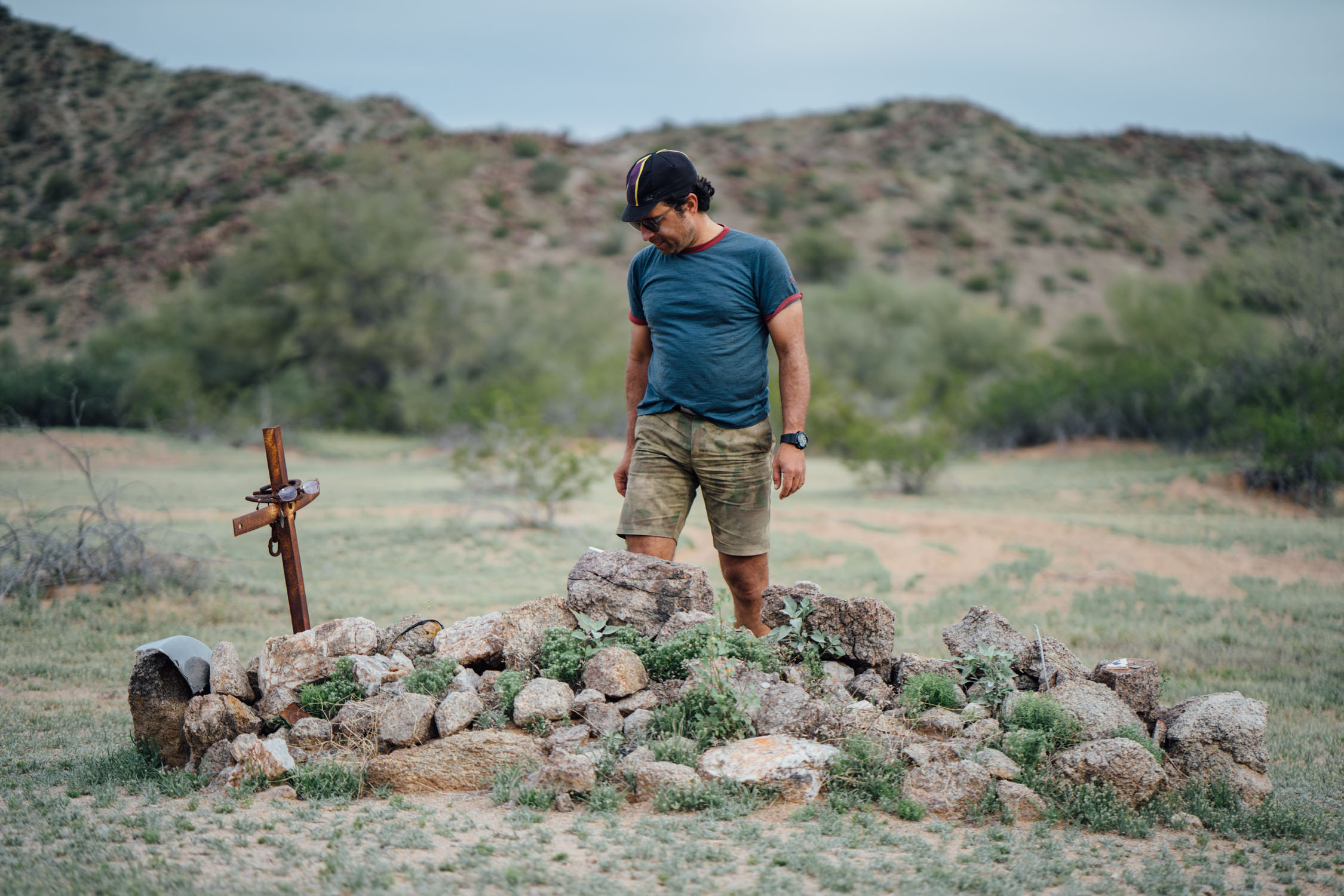
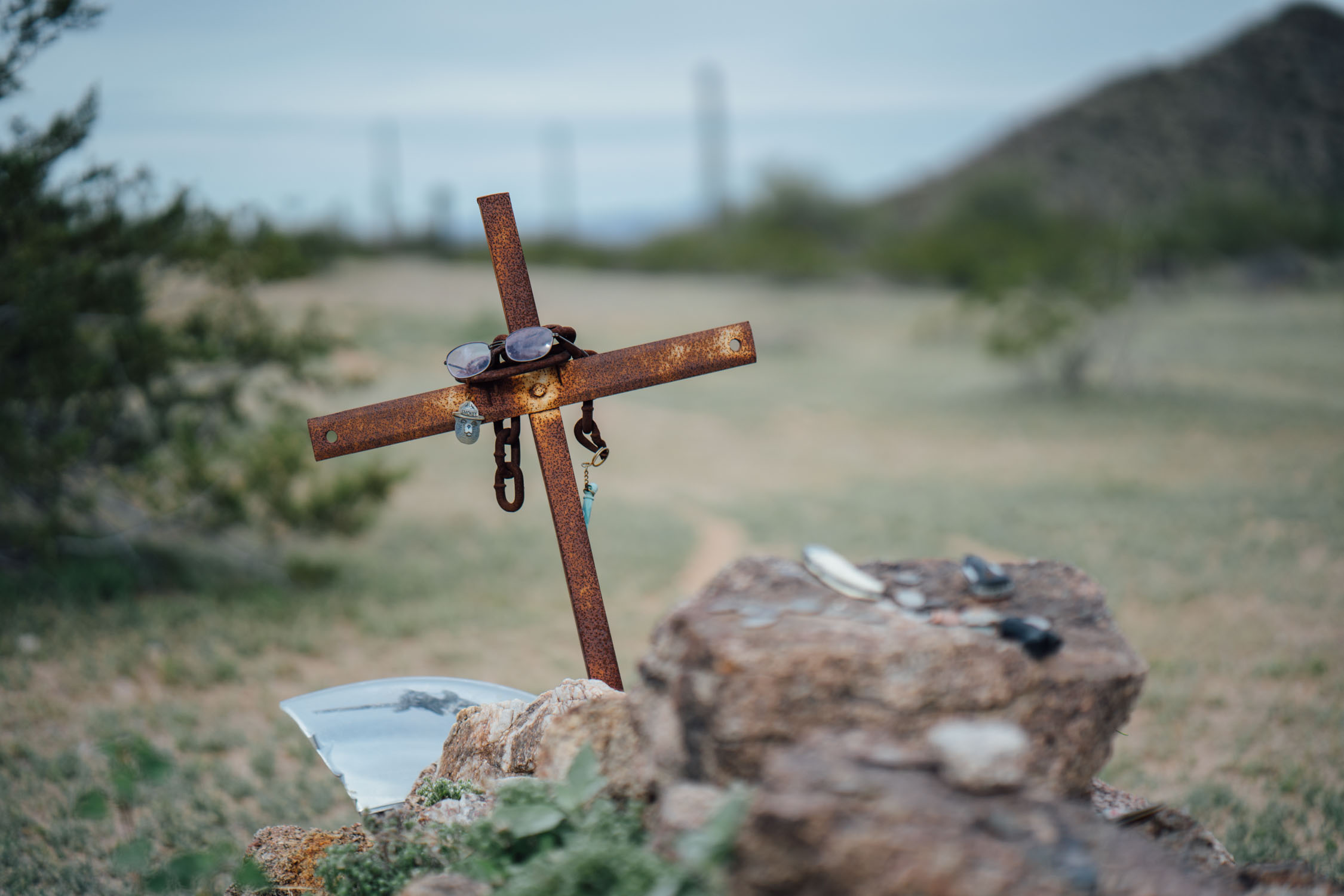
- Visiting O’Neill’s grave, one of the many graves of pioneers and others along the Devil’s Highway. Donate a penny for safe passage on the Camino. This is the final resting place for David O’Neill, a pioneer who supposedly died after his burros wandered off, possibly in 1916.
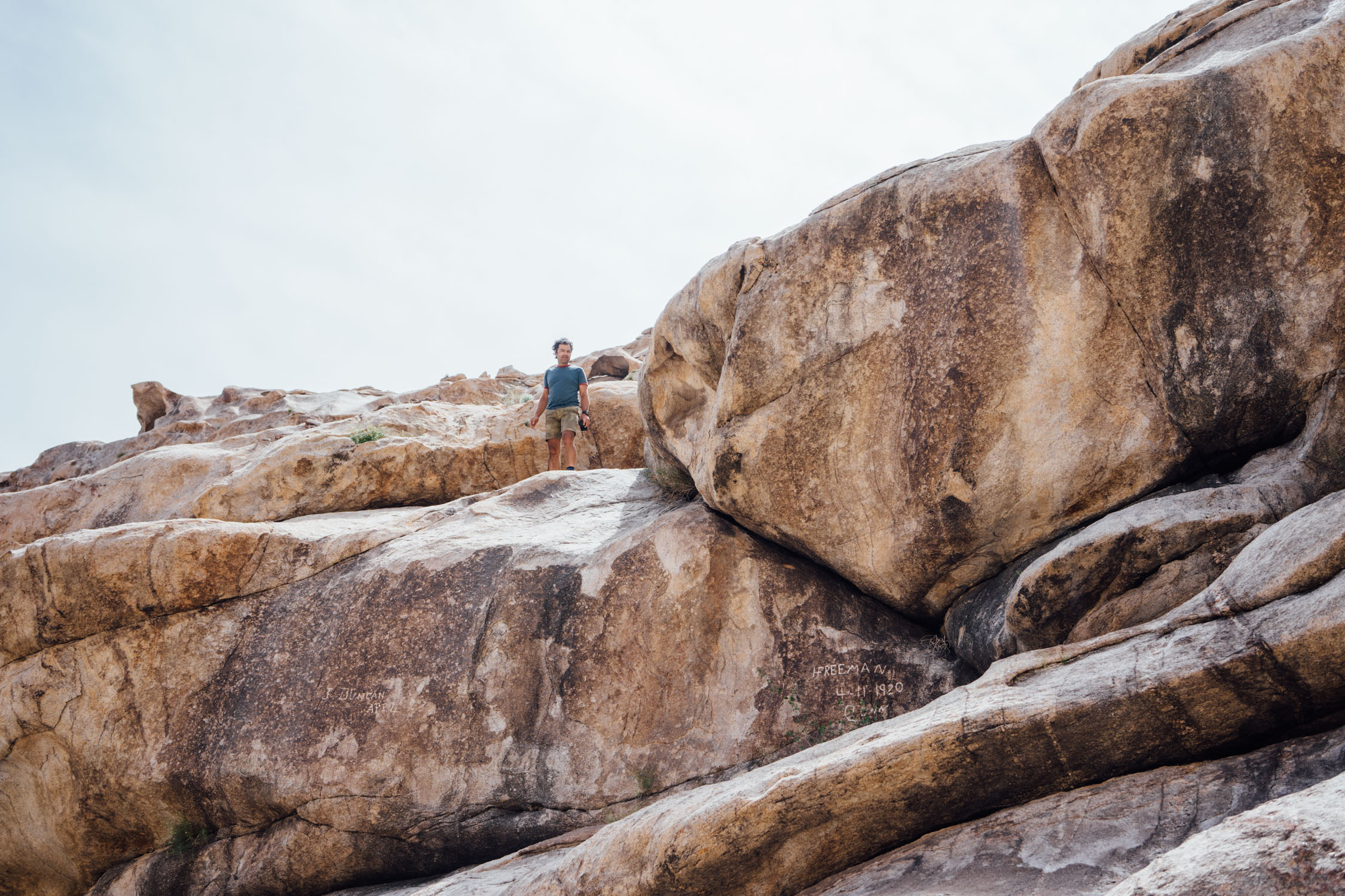
- The Tinajas Altas or “high tanks” are deep pools in sheer rock faces that hold water year round. Climb up and get a peek, read the historical graffiti carvings dating back to the turn of the century, and fill up your bladders. Legends say some travelers expired at the base of the climb to the Tinajas, lacking the strength to climb to the water they desperately needed.
- The best time to ride El Camino del Diablo is during the winter. Technically, it can be ridden in late fall or early spring (November-April), but is best December-March, the latter of which will offer the best chance of seeing the Sonoran spring bloom.
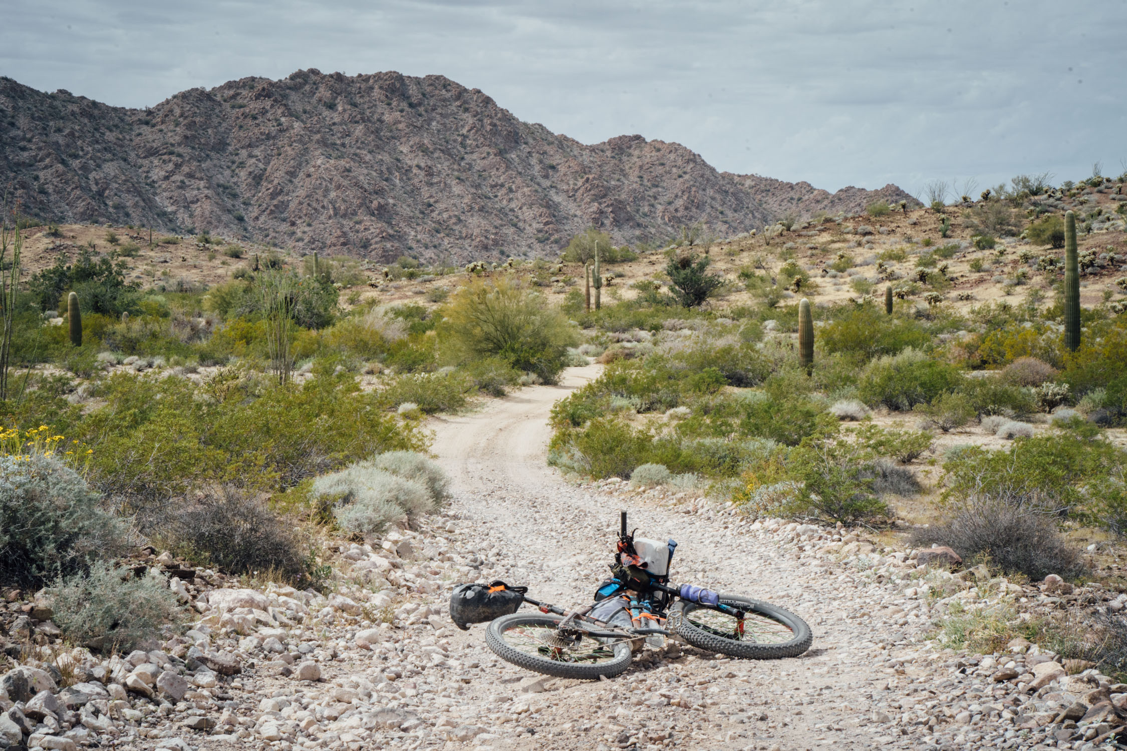
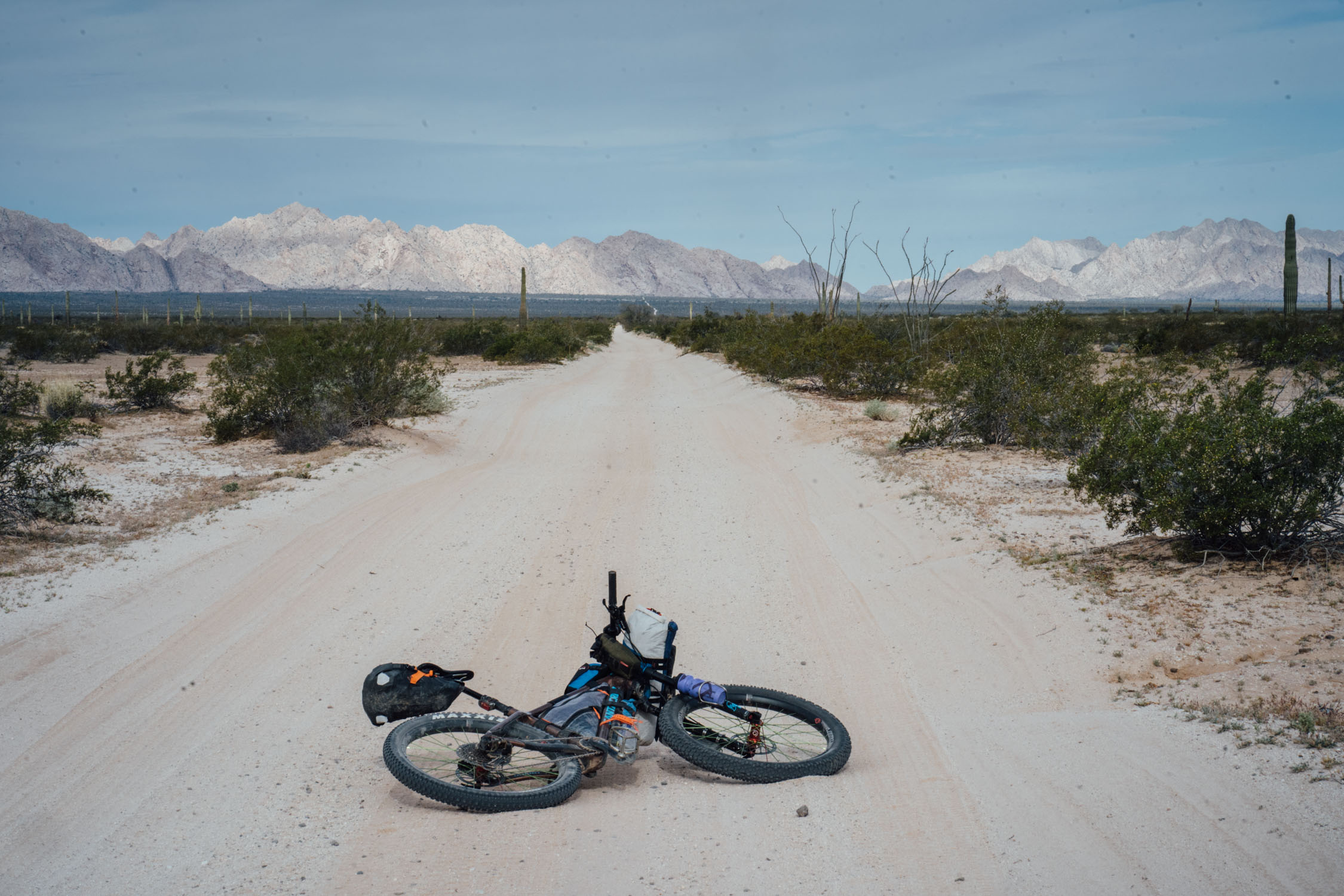
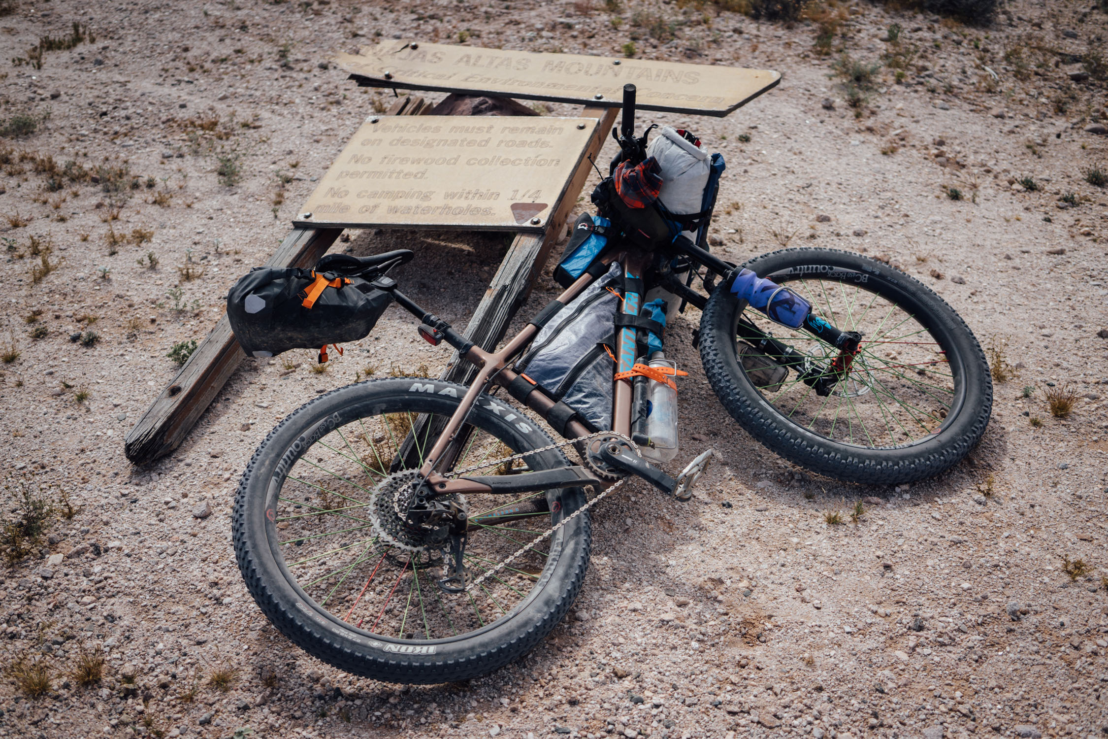
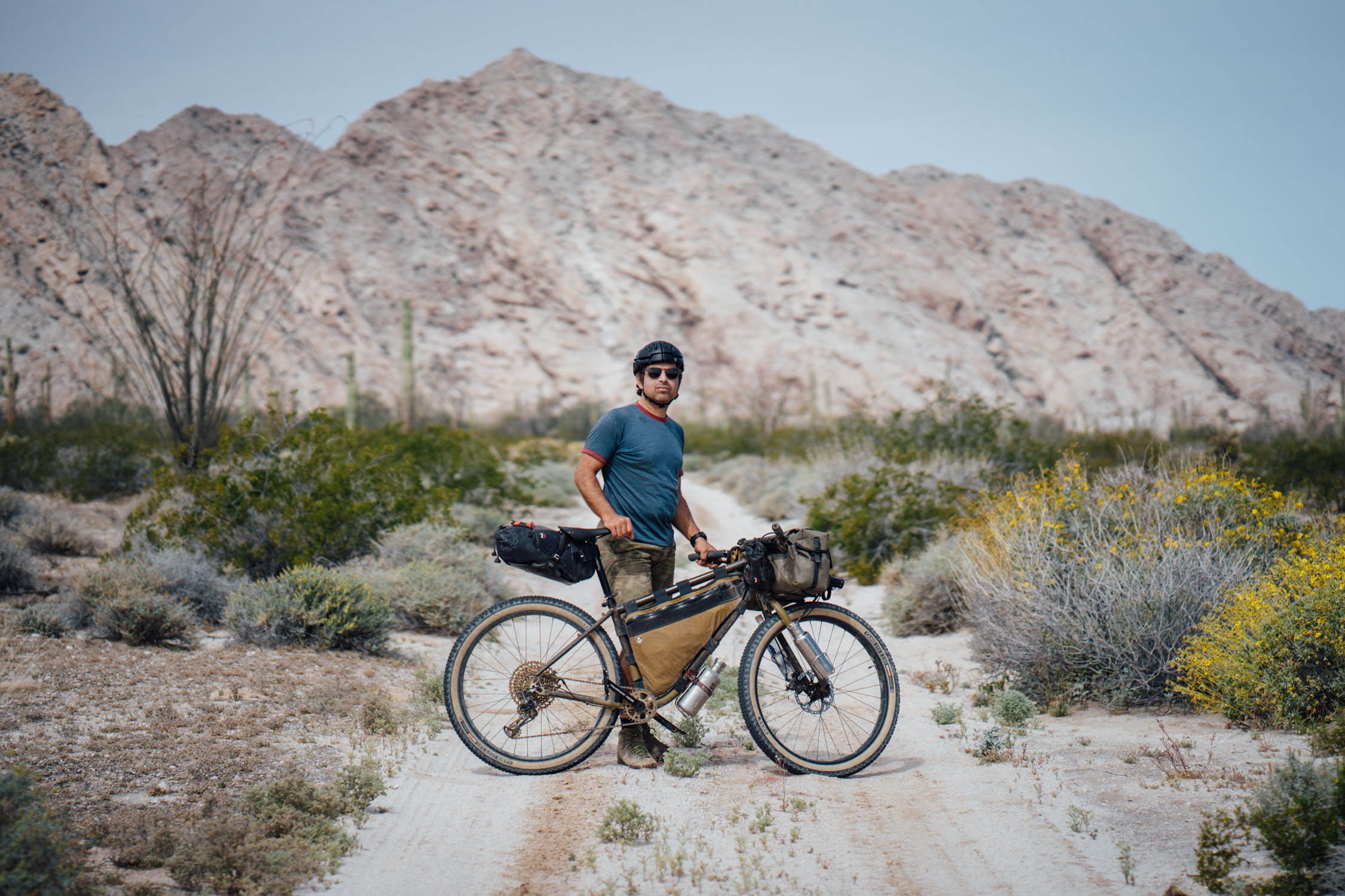
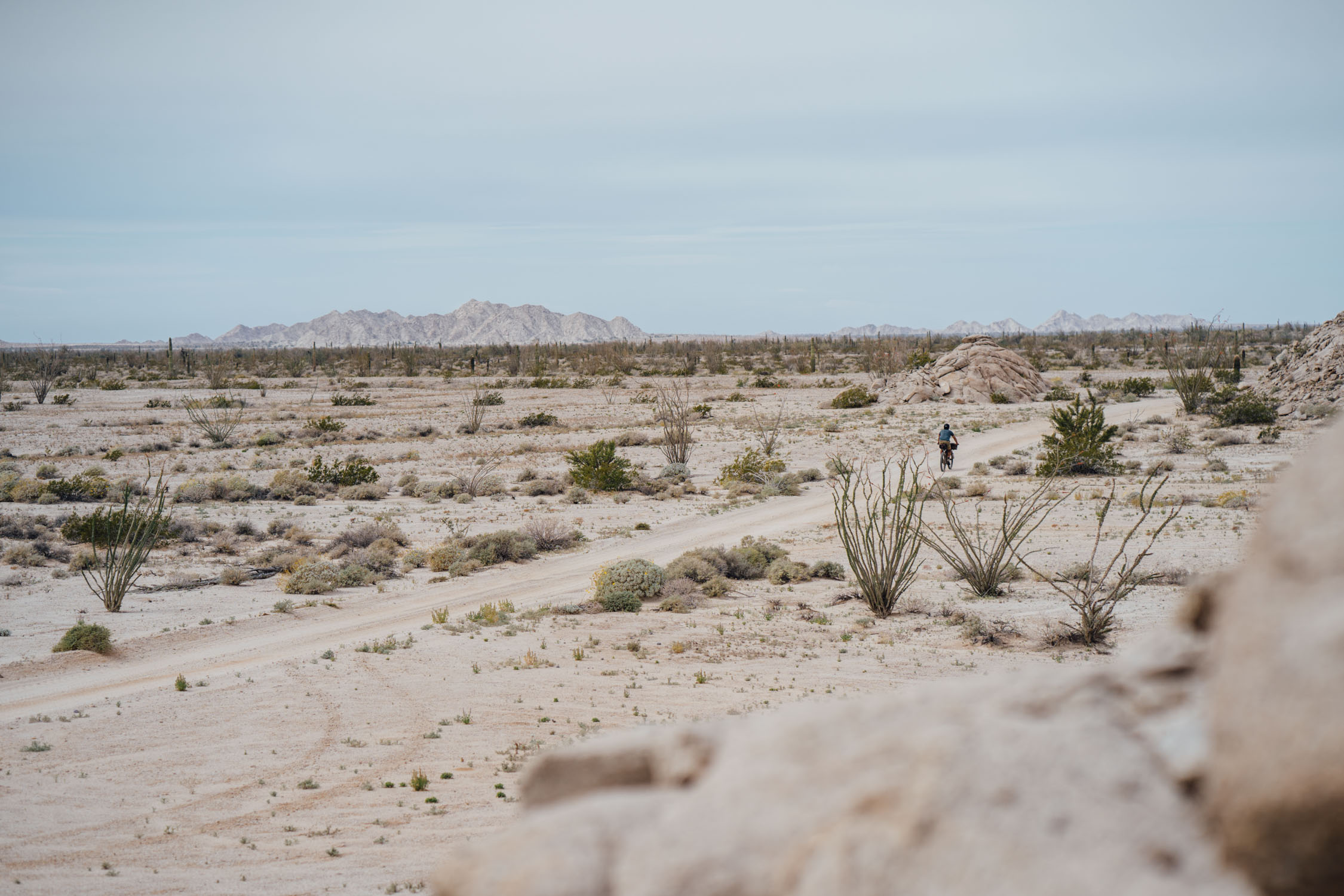
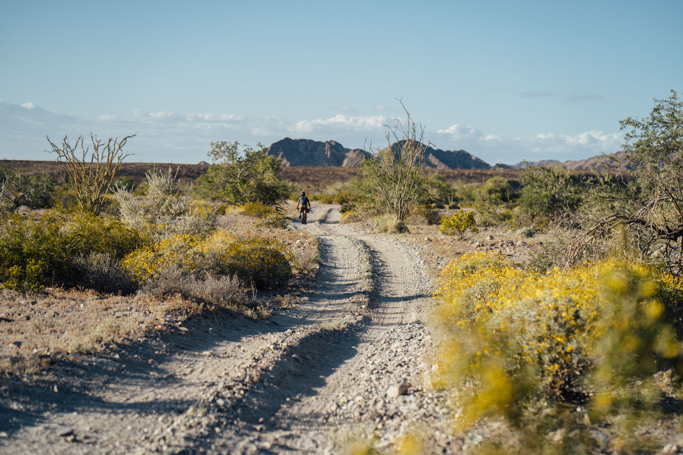
- The route has a significant amount of rubbly gravel but is made up of 50-60% sand road. As such, we recommend at least 2.8” tires, although it might be even better with fat tires, and largely doable with ‘wide trail’ tires. We rode it with 2.8” tires and pedaled the entirety of the route.
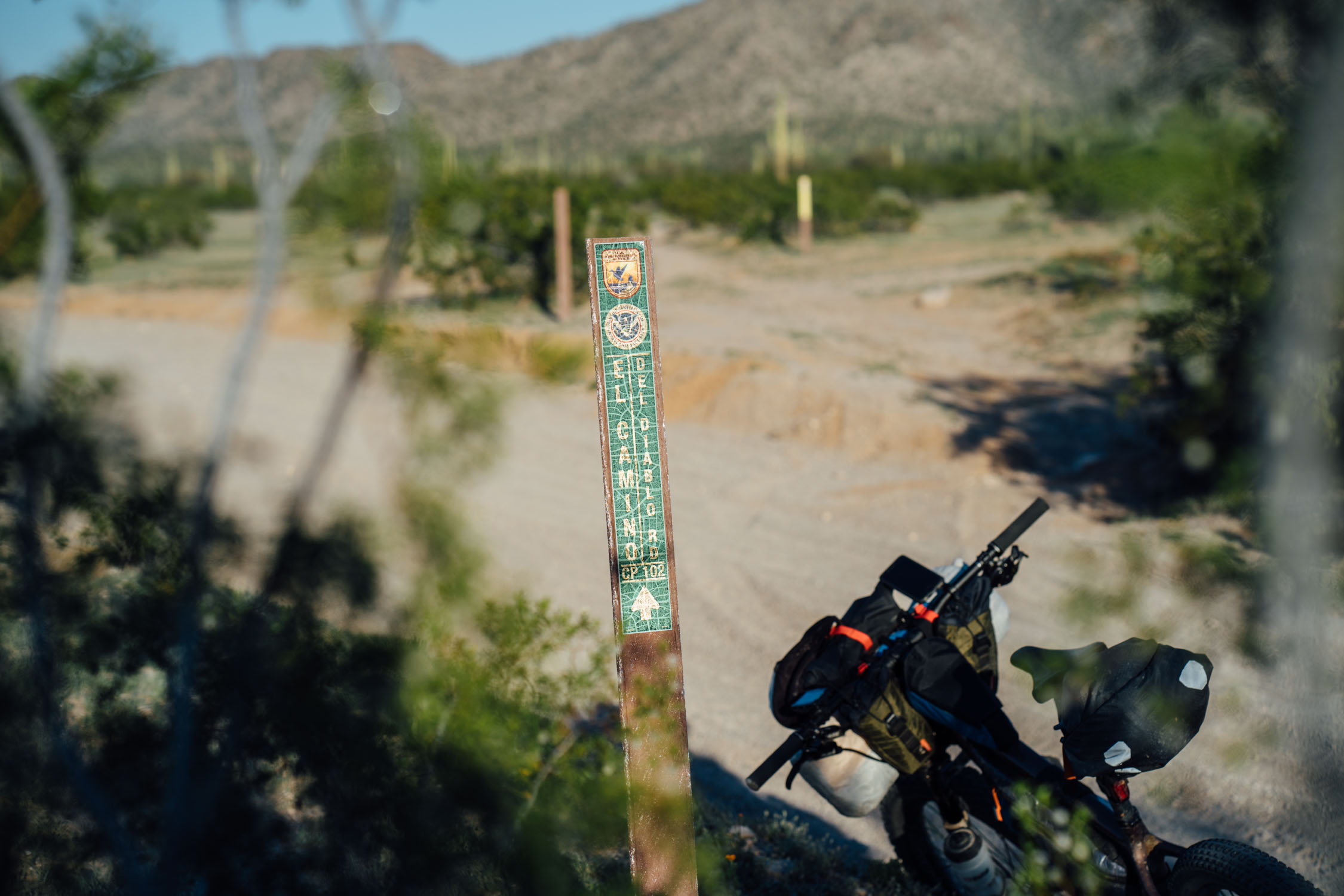
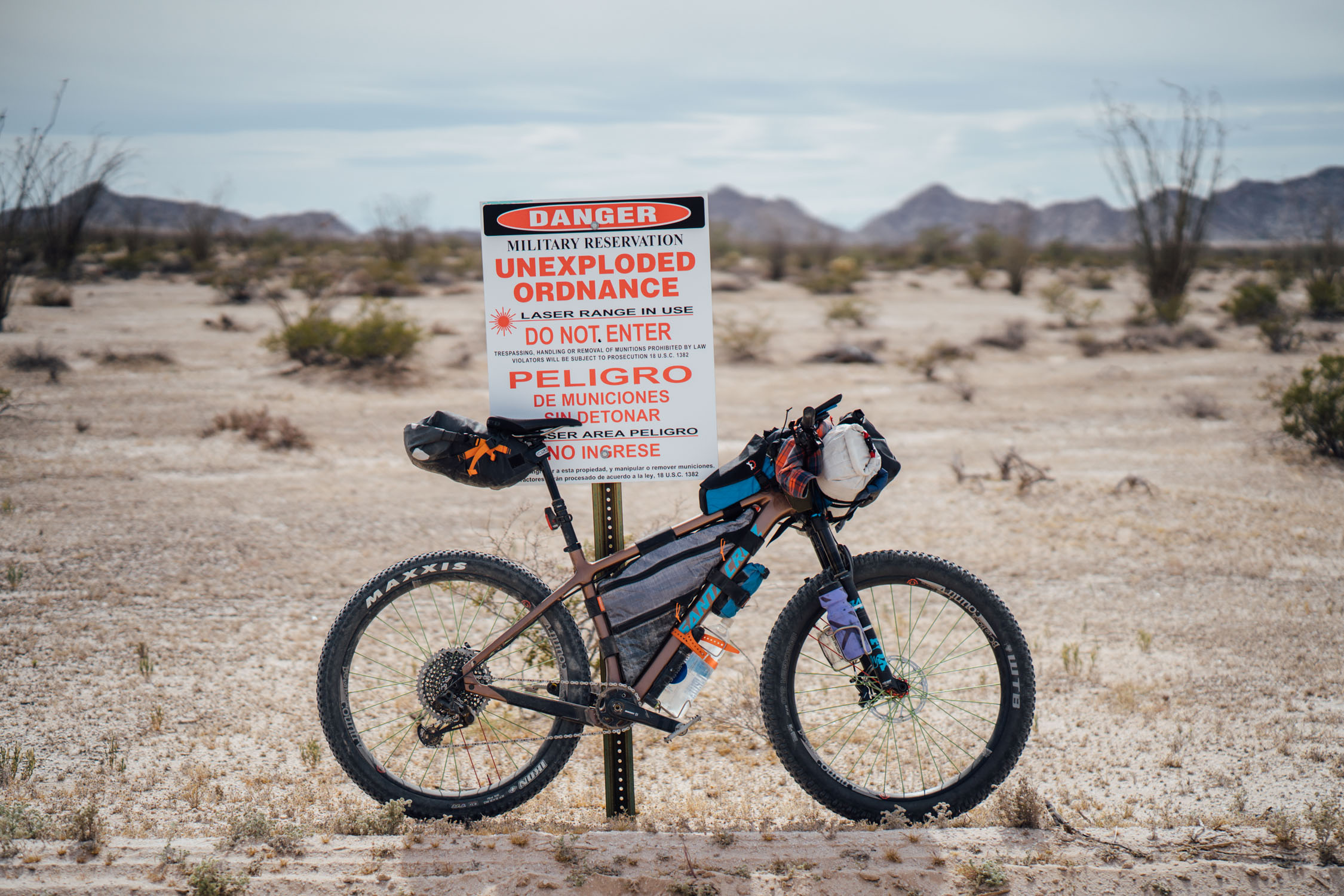
- A permit is required to enter the Cabeza Prieta National Wildlife preserve and Barry M. Goldwater Range, which covers most of the Camino. A permit is available from the Cabeza Prieta National Wildlife Refuge office in Ajo or online here (you’ll need coverage for CPWR and BMGR blocks A and B).
- An $15 entrance fee (cash or CC details) is required to traverse the Organ Pipe National Monument. There are envelopes and a slot at the entrance.
- The Cabeza Prieta is a designated wilderness area on both sides of the Camino (100 feet from the center of the road), so plan to stay on the main travel route.
- Being close to the international border, be aware that immigration and smuggling are concerns. The area is generally safe and patrolled by the border patrol.
- Transport for shuttling the El Camino del Diablo is somewhat complicated. You can either use two cars (leave one in Yuma and start in Ajo at the Cabeza Prieta Visitor’s Center), or, as we did, leave our car at the visitor’s center, then rent a car in Yuma to be returned to Tucson or Phoenix. There may be shuttle options in Yuma from a bike shop, but we did not enquire.
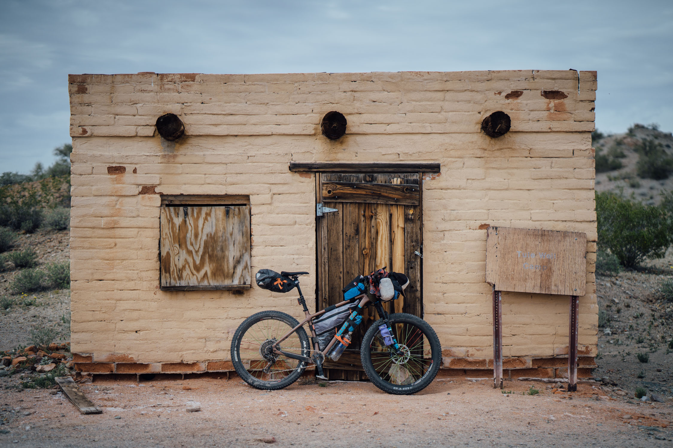
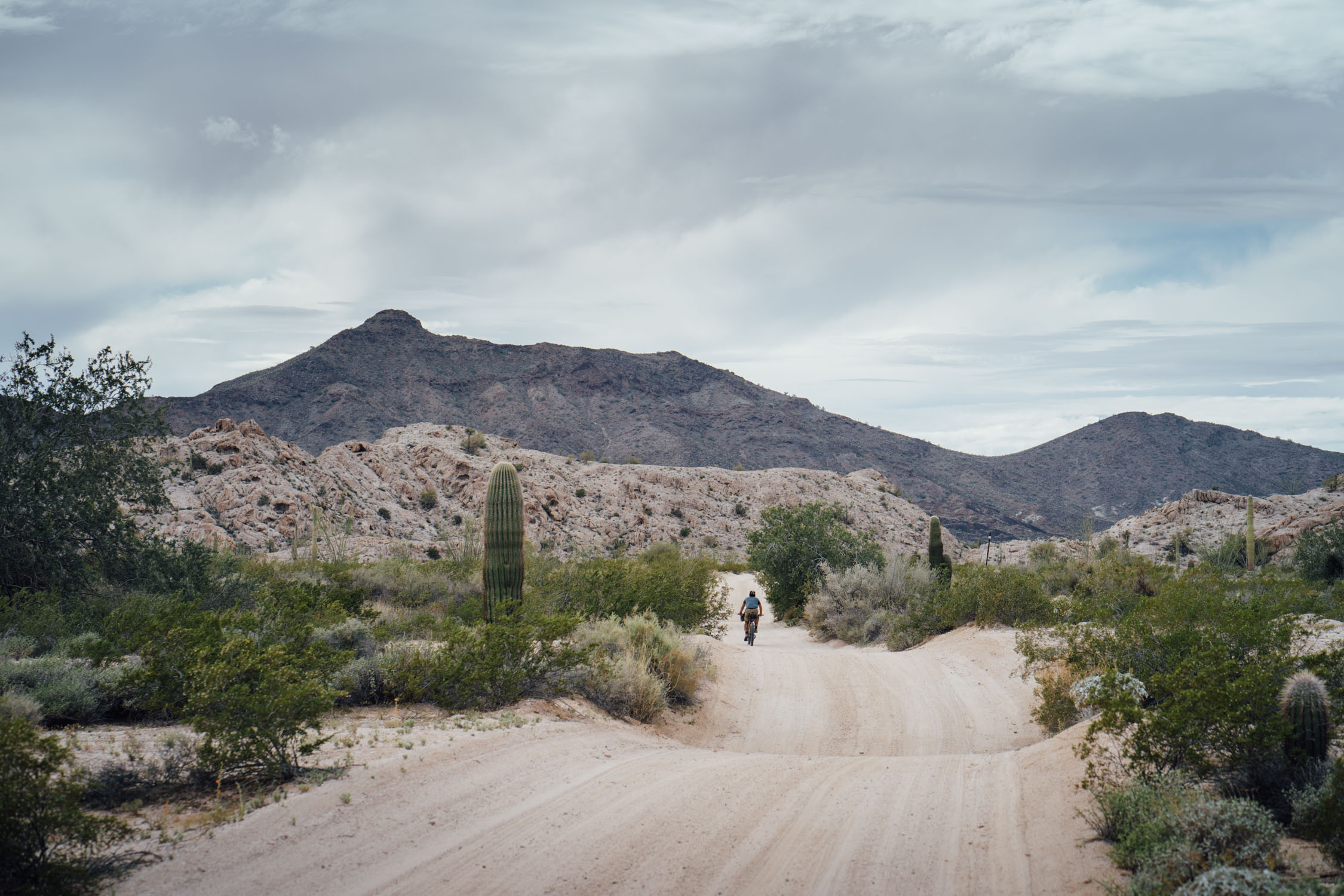
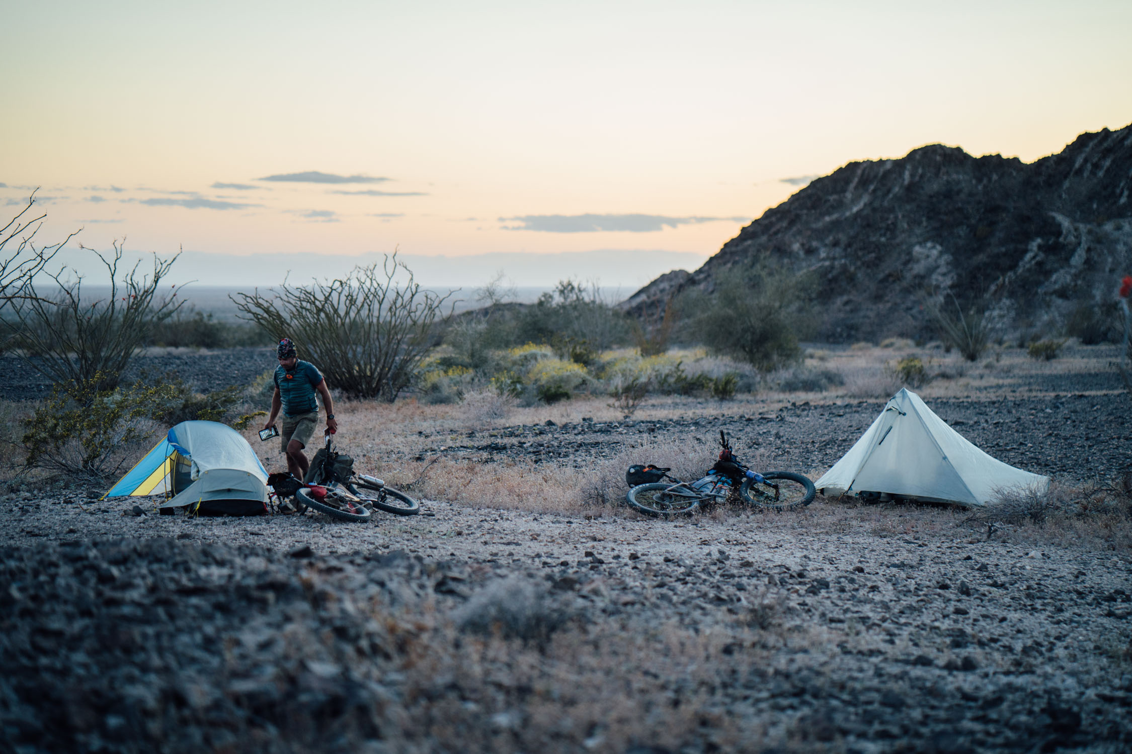
- There are two established and free campgrounds on the route at Papago Well and Tule Well. Picnic tables and fire rings are provided. However, these areas might attract border-related traffic due to the potential availability of water. As such, it’s recommended to informally camp elsewhere. We camped at the Papago Wells campground, but out of sight from the main campground and road.
- Technically, camping is allowed anywhere along the Camino, but the Cabeza Prieta Refuge is designated wilderness (100 feet from the center of the road), so plan to stay close to the road; there are plenty of options.
- After Tule Wells, much of the desert surface is made up of cryptobiotic soil. Don’t camp on it or disturb it. Find a rocky spot, or if there is no rain in the forecast, anywhere nearby! There are plenty of sandy washes where camping is an option. Leave No Trace.
- There are no services available along the Camino. It can get extremely hot, even in the winter, so dehydration is a very realistic possibility. Carry as much water as you need.
- Two possible water sources are Papago and Tule Wells. Both of these are fairly reliable, but not always accessible (turned on). Both were full and on during our trip at the end of March 2019. Don’t count on either of these sources; ask the rangers at the Cabeza Prieta office in advance. And, be sure to filter.
- A more reliable source are the Tinajas Altas near the Yuma side. If you climb up to the deep pools in the rock, they hold water year round. The water is full of algae, so bring a filter.
- There are several humanitarian aid stations along the way; these are for emergency use by immigrants and NOT for use by bikepackers.
We chose to begin this route from the town of Ajo, Arizona. The current El Camino del Diablo technically begins 21 miles (34 km) southwest of Ajo, at the Organ Pipe Cactus National Monument and Cabeza Prieta National Wildlife Refuge boundary. From there, it continues west past San Cristobal Wash, following the northern edge of the Agua Dulce Mountains, to reach Papago Well. Papago Well often has water in the winter months and there’s a campground nearby.
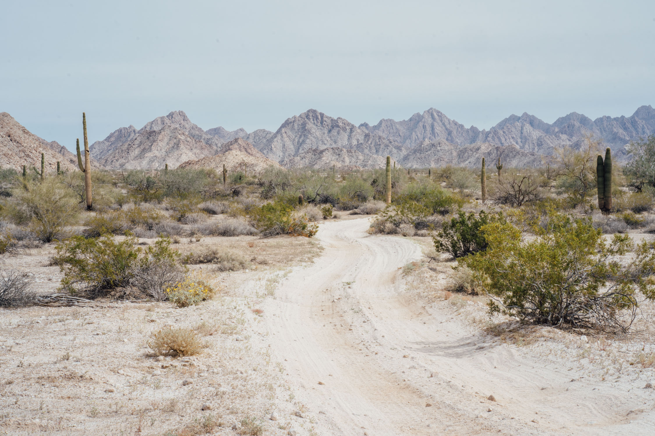
From Papago Well, the road passes Camp Grip border patrol station, then runs south of the Sierra Pinta as it passes through the Pinta Sand Dunes and then the Pinacate Volcanic Field. From there, the road passes through the Tule Desert and Tule Mountains, and into Tule Tank Canyon to reach Tule Well, where the road intersects with Christmas Pass Road.
The Camino then passes through the magnificent Cabeza Prieta Mountains, then the Lechuguilla Desert, just south of Tordillo Mountain, before finally reaching the Tinajas Altas Mountains. At Tinajas Altas, the road forks, where you can take a shorter route that heads north through the Barry M. Goldwater Air Force Range, passing east of Raven Butte and Cipriano Pass and following the eastern border of the Gila Mountains, before finally reaching Interstate 8 and the Gila River at Wellton, Arizona. Alternatively, we chose a longer route that more closely follows the original route. This route crosses the Tinajas Altas Mountains and continues in a northwestern direction, passing west of Raven Butte and Cipriano Pass. It then follows the western border of the Gila Mountains, passing by the abandoned Fortuna Mine, before finally reaching the small community of Fortuna Foothills, Arizona.
- Scott Morris’ 2014 trip report
- There are several books on El Camino del Diablo, including The Last Water and this photographic exploration.
- Sierra Club offers this mile-by-mile account from 2011.


Terms of Use: As with each bikepacking route guide published on BIKEPACKING.com, should you choose to cycle this route, do so at your own risk. Prior to setting out check current local weather, conditions, and land/road closures. While riding, obey all public and private land use restrictions and rules, carry proper safety and navigational equipment, and of course, follow the #leavenotrace guidelines. The information found herein is simply a planning resource to be used as a point of inspiration in conjunction with your own due-diligence. In spite of the fact that this route, associated GPS track (GPX and maps), and all route guidelines were prepared under diligent research by the specified contributor and/or contributors, the accuracy of such and judgement of the author is not guaranteed. BIKEPACKING.com LLC, its partners, associates, and contributors are in no way liable for personal injury, damage to personal property, or any other such situation that might happen to individual riders cycling or following this route.
Please keep the conversation civil, constructive, and inclusive, or your comment will be removed.