The Englishman River Overnighter
Distance
32 Mi.
(51 KM)Days
1
% Unpaved
63%
% Singletrack
30%
% Rideable (time)
99%
Total Ascent
1,520'
(463 M)High Point
598'
(182 M)Difficulty (1-10)
3?
- 3Climbing Scale Fair48 FT/MI (9 M/KM)
- -Technical Difficulty
- -Physical Demand
- -Resupply & Logistics
Contributed By

Miles Arbour
Associate Editor & Events Manager
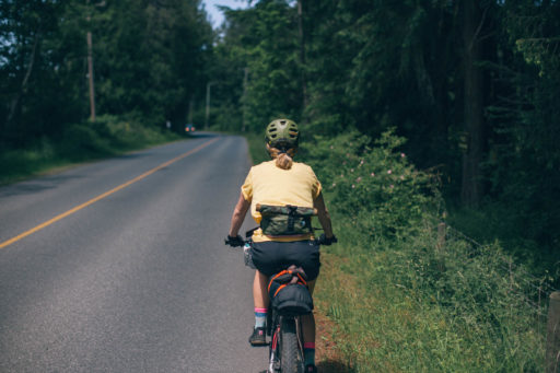
Vancouver Island locals have found creative ways to explore the unending maze of logging roads and doubletrack that’s strewn about the island. Although a big portion of the island is owned by private logging companies, there are endless opportunities for bikepackers looking to experience the island on two wheels, and The Englishman River Overnighter serves as an introduction to what’s available.
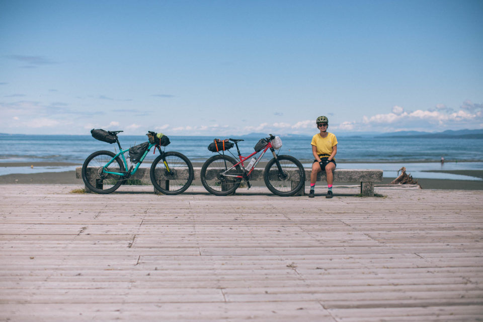
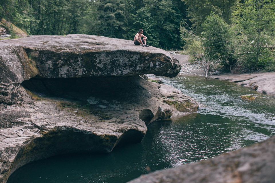
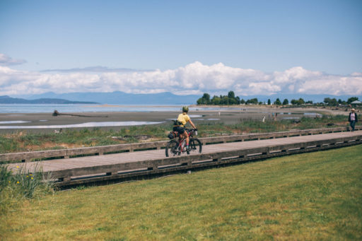
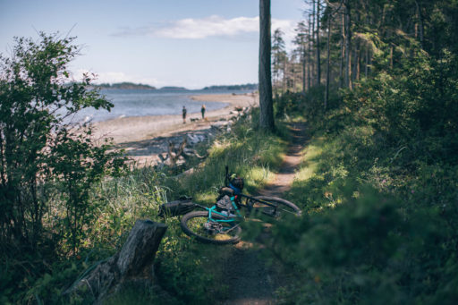
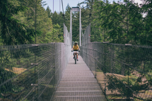
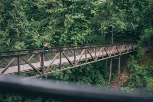
Designed to be easily ridden in less than two days and logistically straightforward, The Englishman River Overnighter starts and ends in the small town of Parksville, BC. The route begins at the Parksville Community Park and beachfront, with extraordinary views of the Sunshine Coast’s mountains across the Strait of Georgia. On the way out of town you’ll explore several local trail systems and multi-use paths, including Rathtrevor Beach Provincial Park and the Top Bridge Regional Trail. It won’t be long before you reach Top Bridge Community Park and suspension bridge, a perfect spot to have a snack, play on the rocks, and take a dip in the river below.
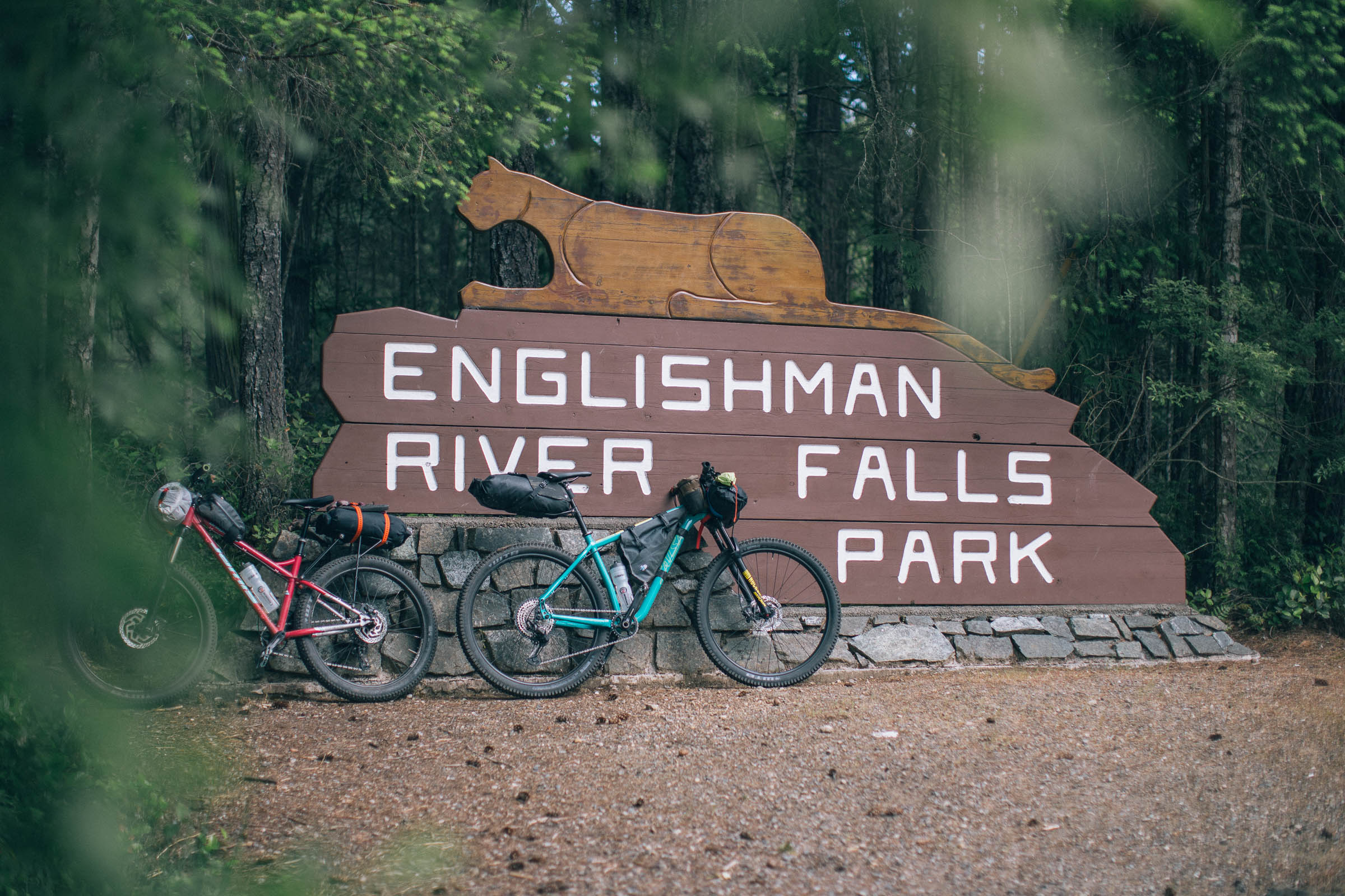
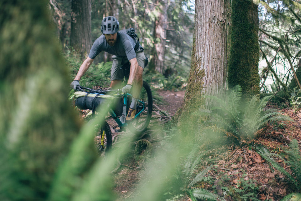
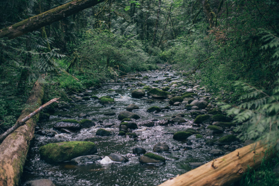
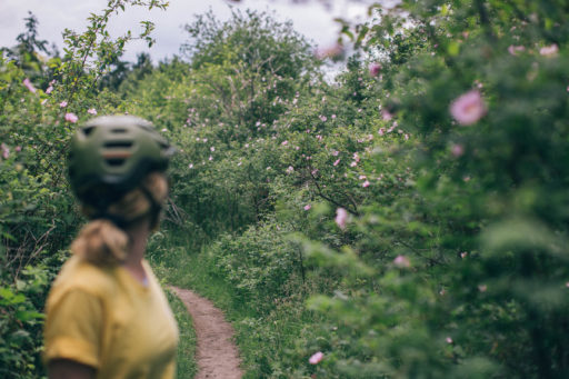
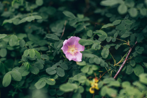
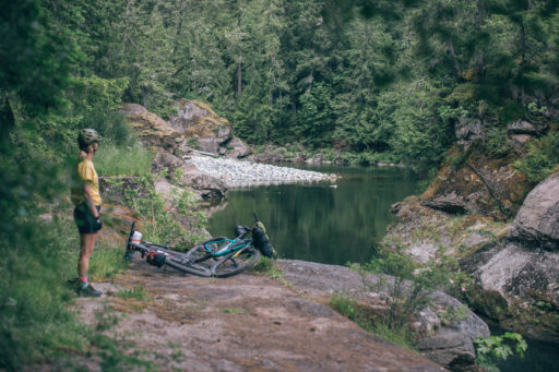
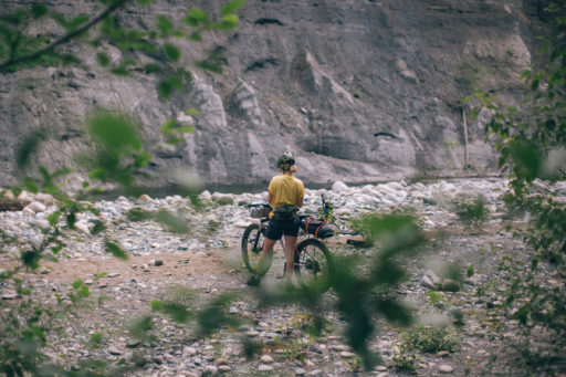
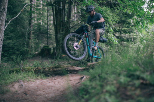
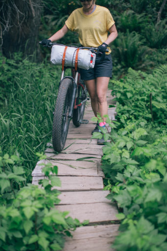
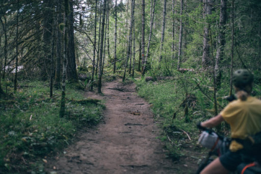
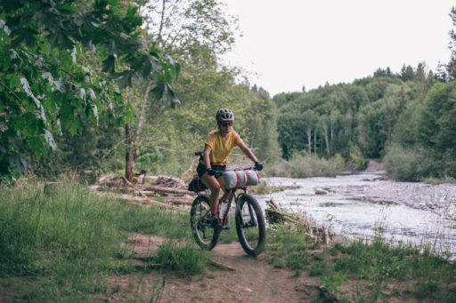
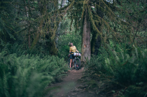
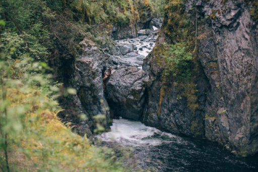
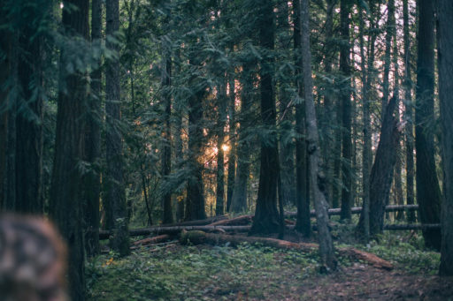
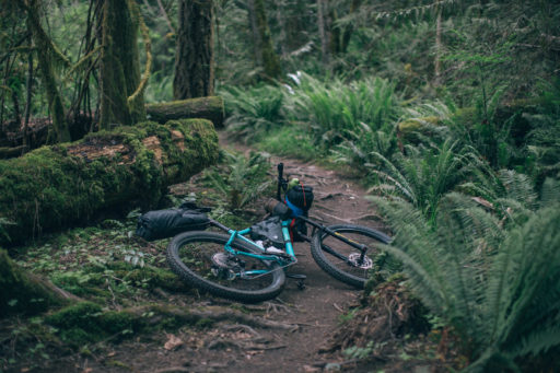
The route continues to head south along the Englishman River, following the Allsbrook Trail, providing options for both singletrack and gravel doubletrack, depending on how you’re feeling. This area is incredibly scenic, full of mossy logs, rich green ferns, and several access points to the river for a quick break. Although the trails progressively get less used and a touch more technical, a short paved section arrives before long; linking these trails to the provincial park, home to two stunning waterfalls and a deep canyon. For those keen on mixing more singletrack into the route, a lap or two at the Hammerfest trail system is a great way to start day two or to extend the route into a weekend trip.
The majority of the route travels through the unceded traditional territory of the K’ómoks and Snuneymuxw First Nations. As reminder, respect the land and the people you interact with on the route. And as always, #LeaveNoTrace.
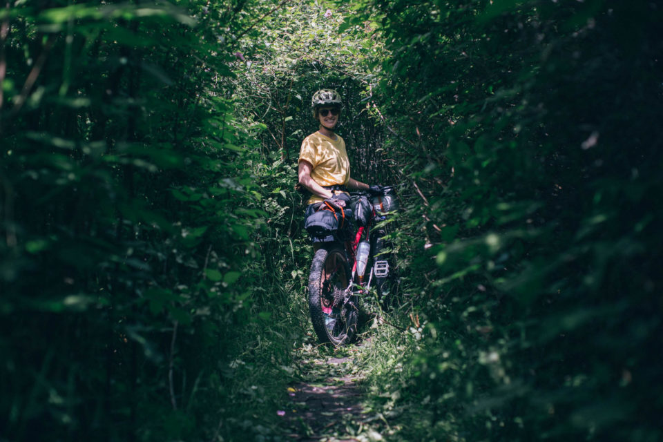
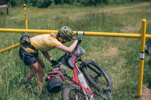
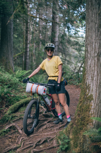
Route Difficulty: The majority of the route follows multi-use trails used by hikers, dog walkers, and cyclists, and is non technical in nature. The only trails that might give some riders problems are found between Top Bridge Community Park and Englishman River Road. Large exposed roots and steep banks aren’t uncommon along this stretch, where some front suspension can help out. Otherwise, the route is straightforward and logistically quite simple.
 This route is part of the Local Overnighter Project, which was created to expand our growing list of worldwide bikepacking routes—the first and largest of its kind—and create an independent map and catalog of great bikepacking overnighters, curated by you, from your own backyard. Our goal is to have accessible routes from every town and city in the world. Learn More
Highlights
Must Know
Camping
Food/H2O
Resources
- Downtown Parksville waterfront is both beautiful and well equipped as a starting point.
- Logistically simple. Reserve your campsite online and go.
- Englishman River serves as a natural corridor towards the Provincial Park.
- Top Bridge Community Park is a hot spot for locals on weekends and is worth enjoying for an hour or two.
- Hammerfest mountain bike trails can be accessed from the Provincial Park. Those comfortable riding blues and blacks should definitely check them out!
- Lush and diverse terrain is exciting and enjoyable to travel through, creating a very special route considering its length.
- Englishman River Falls at the provincial park is a short but beautiful hike, perfect to stretch your legs once at camp.
- New multi-use trails at Englishman River Falls Provincial Park. Very flowy and entry-level trails to explore. See map here.
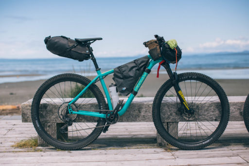
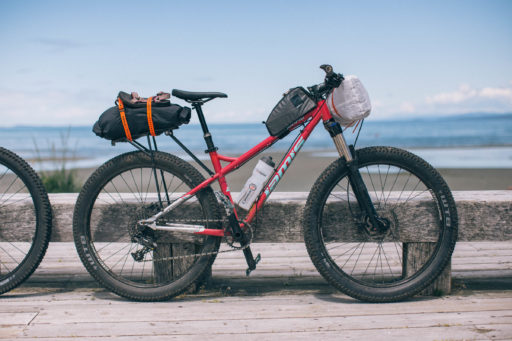
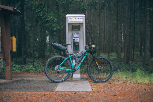
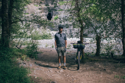
- Ideal Bike: A gravel bike with knobby tires can handle the entire route, but the trails south of Top Bridge are much more fun to ride on a hardtail mountain bike with suspension. For those looking to skip most of the singletrack riding, there’s a beautiful service road from mile 9.7 to mile 11.9 that will really speed things along. It runs parallel to the provided route, just slightly northwest.
- When To Go: The provincial park is only open for camping between May 1st and September 30th.
- Parking: 24-hour on street parking is allowed in town, unless signage says otherwise. The lot behind Arrowsmith Bikes is another great option.
- Fishing in the Englishman River is legal outside of the Provincial Park. You’ll find Steelhead Trout, Pink Salmon, and Cutthroat Trout—make sure you follow the Freshwater Fishing Regulations in BC.
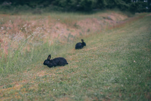
- There are black bears and other wildlife living on Vancouver Island, although spotting a bear on this route is uncommon, you should still be prepared.
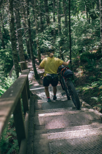
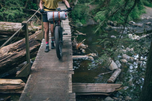
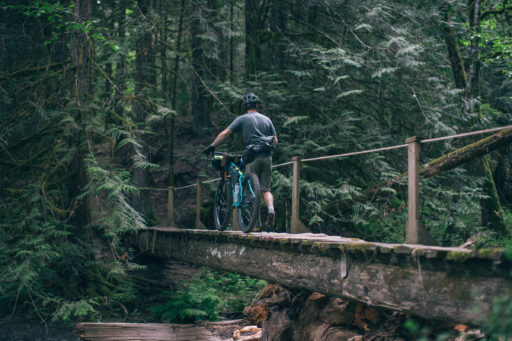
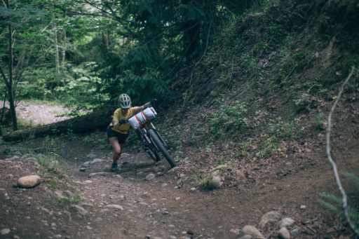
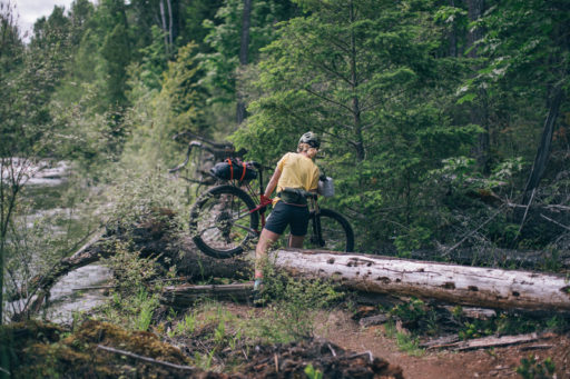
- Although we gave the route a 3 out of 10 difficulty rating, slick roots and rickety bridges are not uncommon, and there are a few short sections where you may need to lift your bike over fallen trees or up steep embankments. These challenges are short lived and provide a fantastic introduction to more challenging (and longer) bikepacking routes.
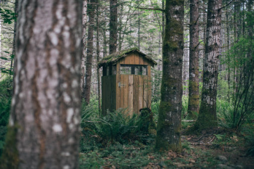
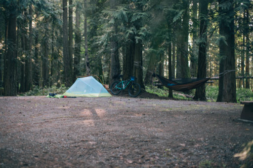
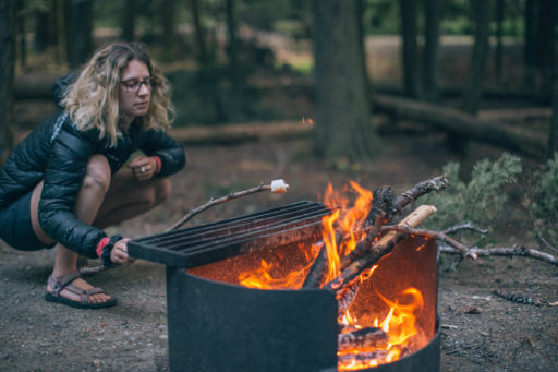
- Englishman River Falls Provincial Park is the primary camping option on the route. It’s a semi-serviced campground that provides drinking water, pit toilets, and campfire wood for a fee. Reservations must be made online, or paid by cash for drop-in. Booking ahead is strongly recommended.
- Rathtrevor Beach Provincial Park is another option, but is only a short ride away from town and is therefore much busier.
- There is no wild camping along the route.
- No services along the route, so buy what you need in town for the entire trip.
- Water access from the Englishman River. Bring a water purification device.
- Water available at both Provincial Parks.
- Naked Naturals in Parksville is a great locally-owned grocery store with mostly organic / bulk offerings.
Terms of Use: As with each bikepacking route guide published on BIKEPACKING.com, should you choose to cycle this route, do so at your own risk. Prior to setting out check current local weather, conditions, and land/road closures. While riding, obey all public and private land use restrictions and rules, carry proper safety and navigational equipment, and of course, follow the #leavenotrace guidelines. The information found herein is simply a planning resource to be used as a point of inspiration in conjunction with your own due-diligence. In spite of the fact that this route, associated GPS track (GPX and maps), and all route guidelines were prepared under diligent research by the specified contributor and/or contributors, the accuracy of such and judgement of the author is not guaranteed. BIKEPACKING.com LLC, its partners, associates, and contributors are in no way liable for personal injury, damage to personal property, or any other such situation that might happen to individual riders cycling or following this route.
Please keep the conversation civil, constructive, and inclusive, or your comment will be removed.


