


Ephraim’s Grave Scenic Route
Distance
54 Mi.
(87 KM)Days
2
% Unpaved
72%
% Singletrack
18%
% Rideable (time)
100%
Total Ascent
5,420'
(1,652 M)High Point
7,544'
(2,299 M)Difficulty (1-10)
4?
- 7Climbing Scale Strenuous100 FT/MI (19 M/KM)
- 4Technical Difficulty Fair
- 4Physical Demand Fair
- 5Resupply & Logistics Moderate
Contributed By

Oliver Hulme
Guest Contributor
Oliver grew up in a bike-centered home in the Wasatch Front and now resides in the quaint town of Logan, Utah. Oliver fills his free time with bikes whenever possible, whether it be loaded bikepacking, singletrack, or winter fat-biking. Oliver loves all things bike related, especially when he makes the time to work on hand-built bike frames for friends and family. Find Oliver’s whereabouts on the ‘gram @oliver.hulme
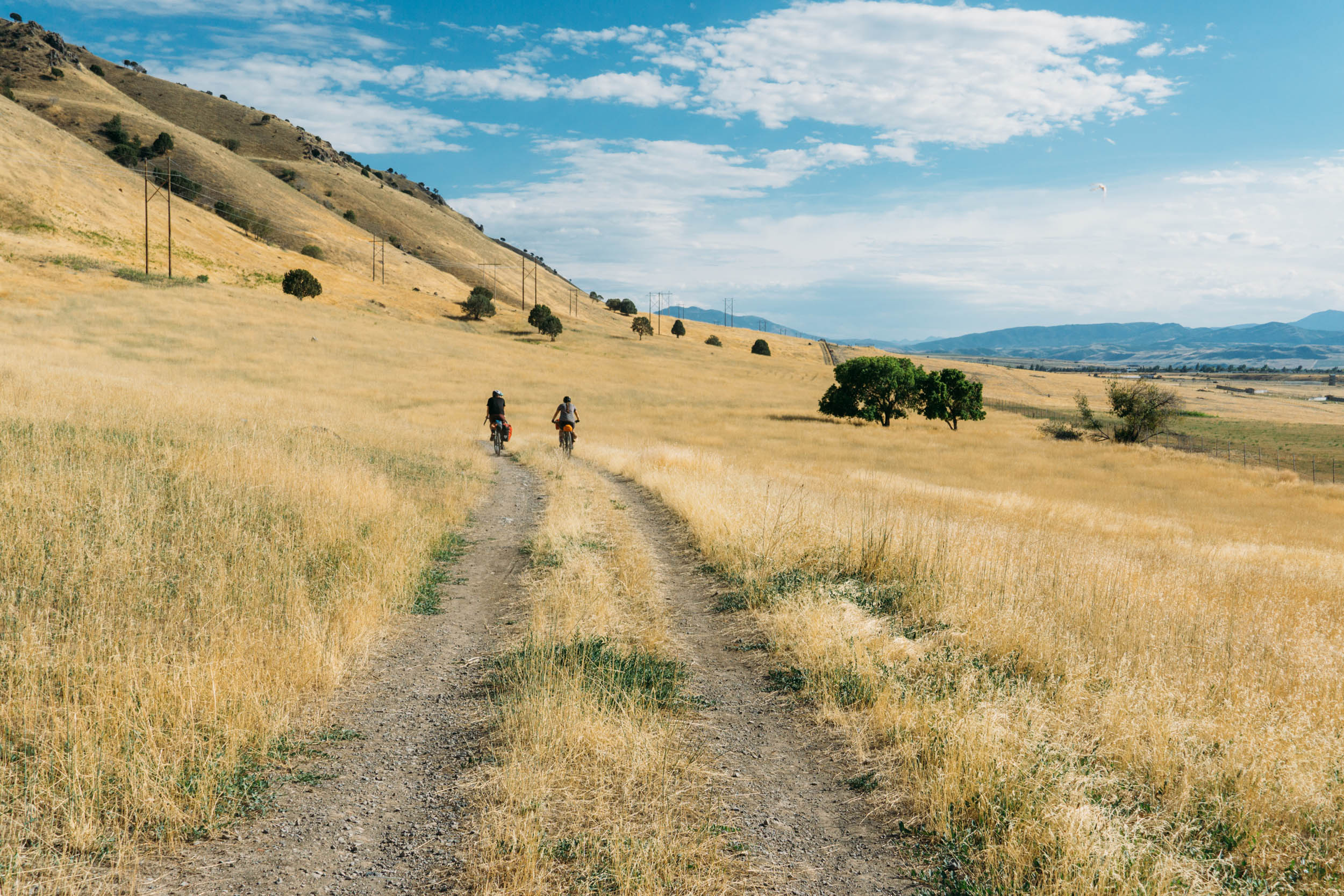
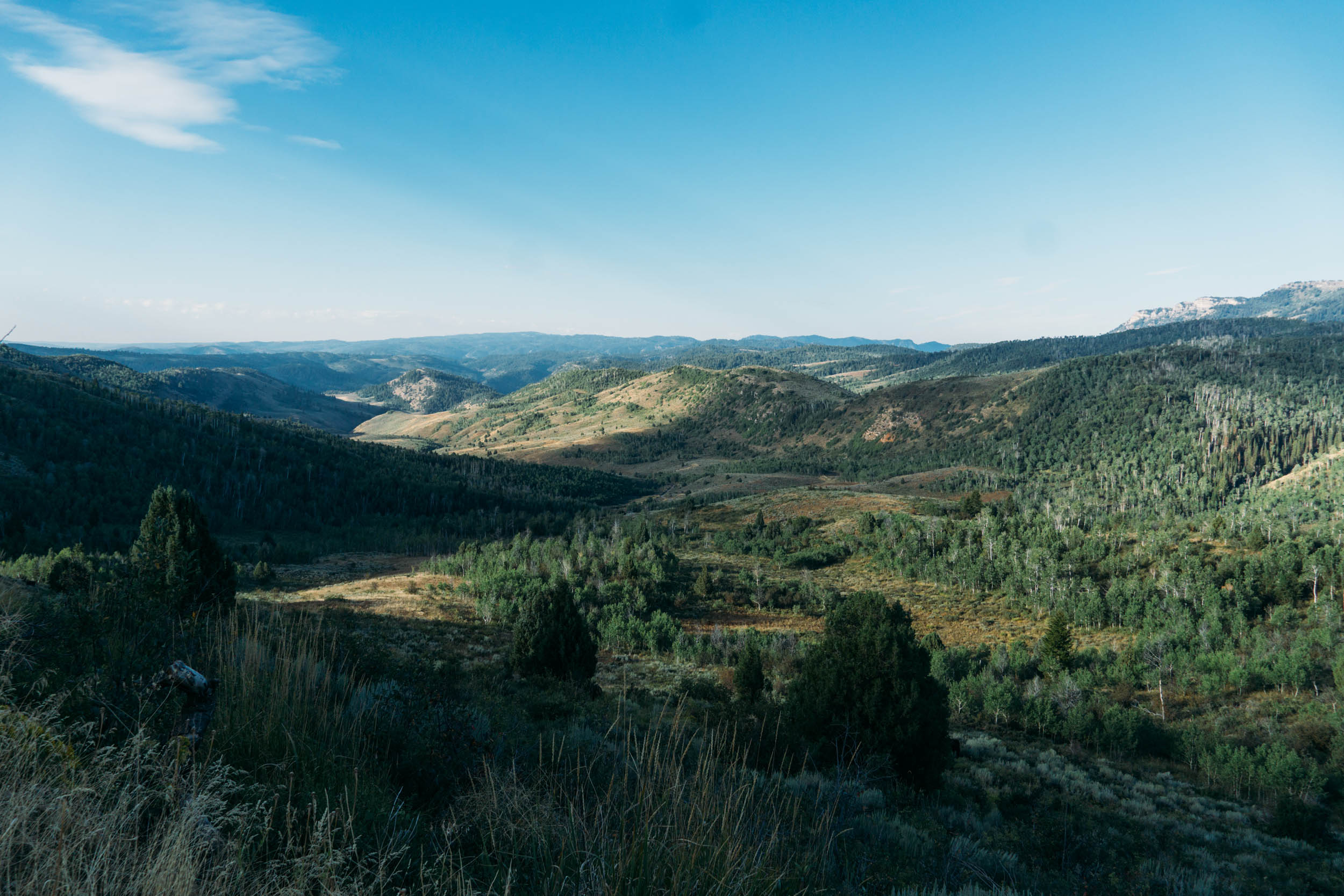
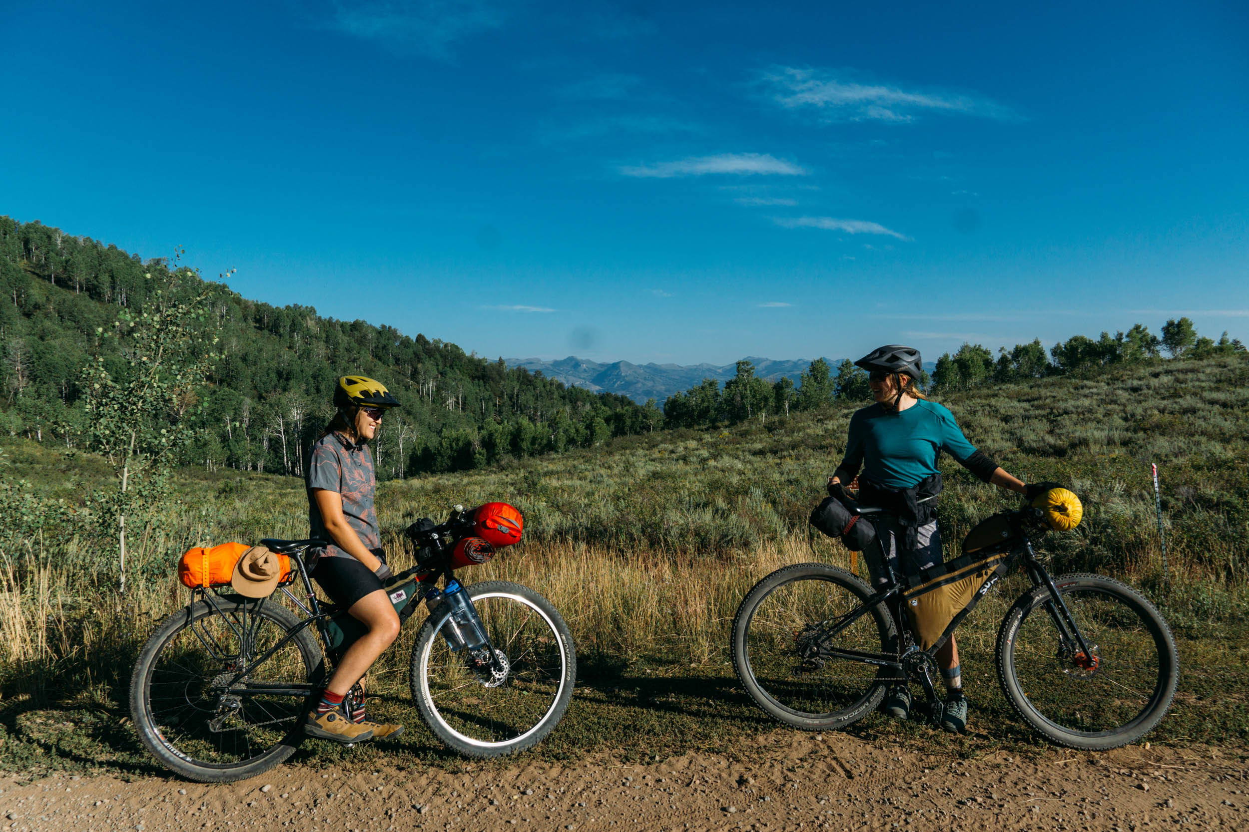
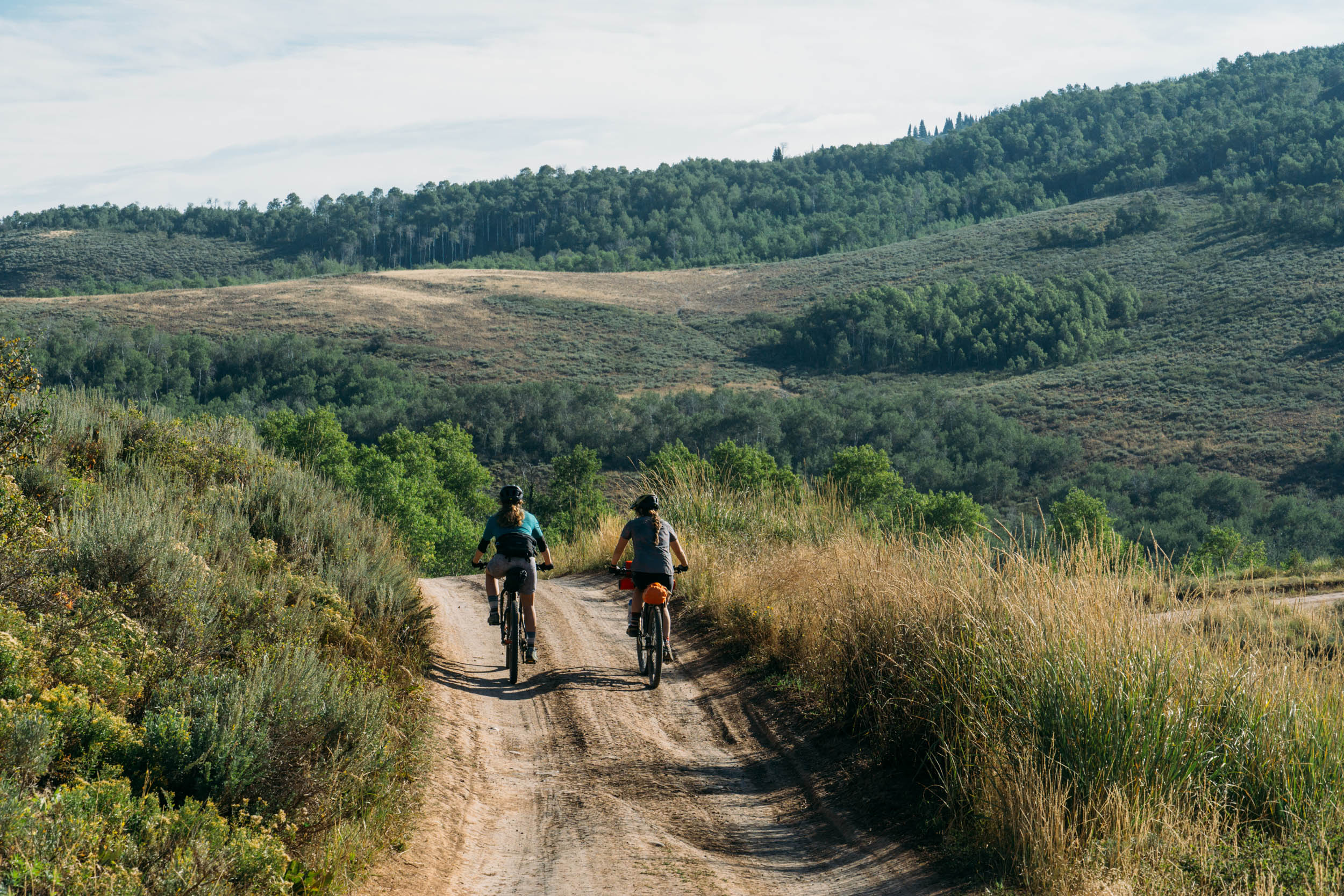
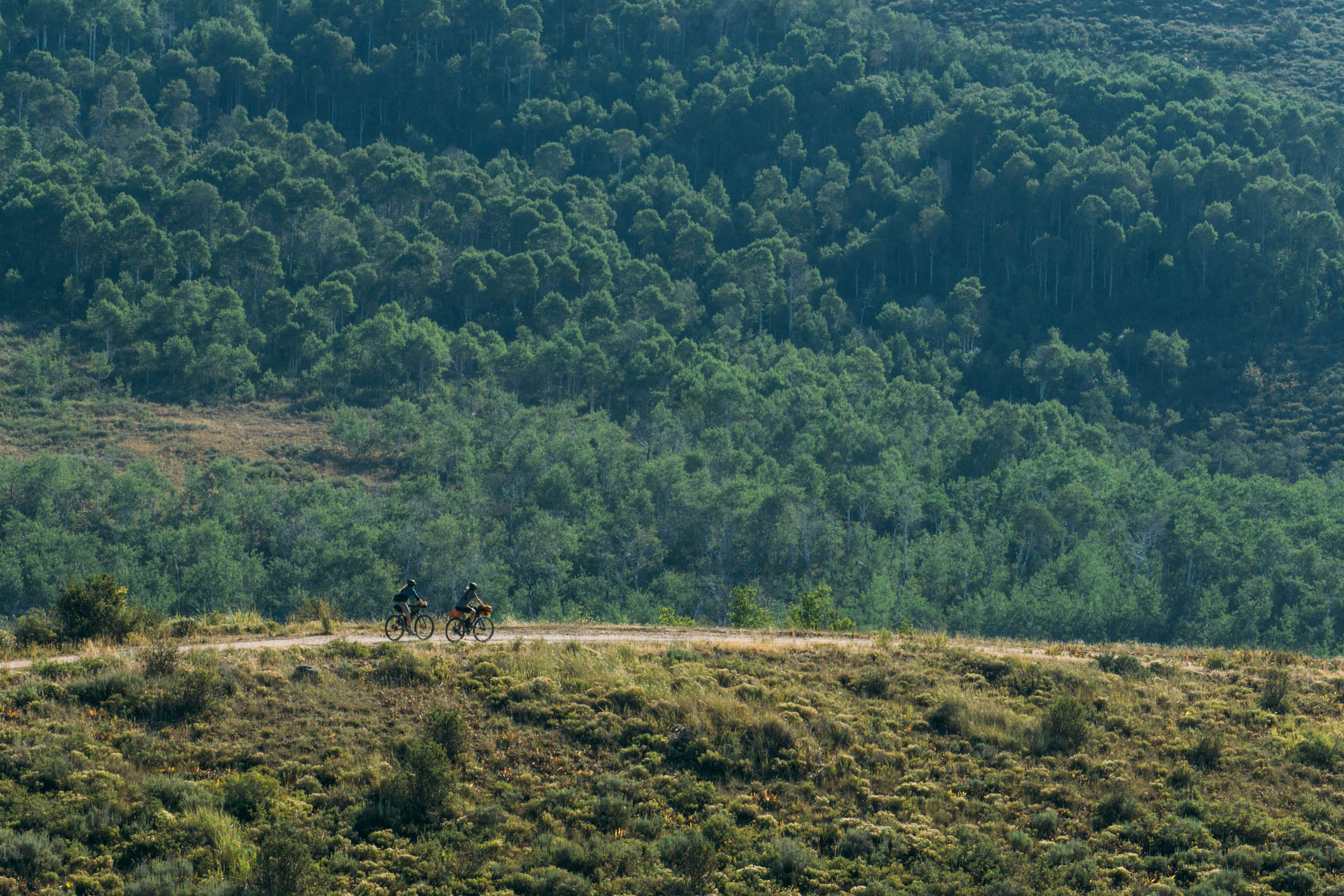
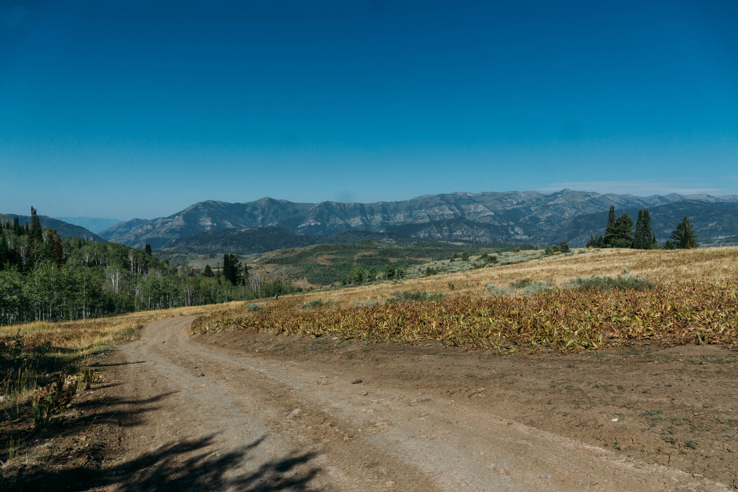
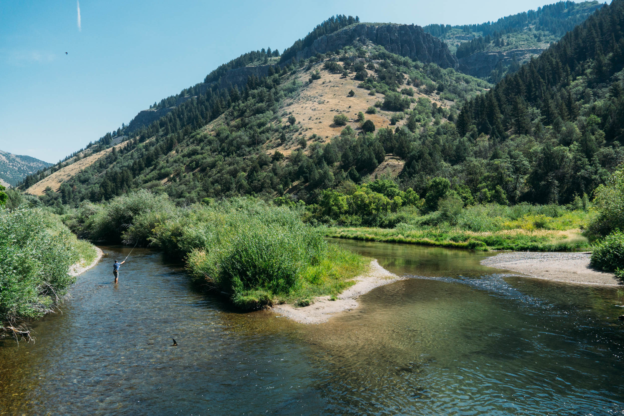
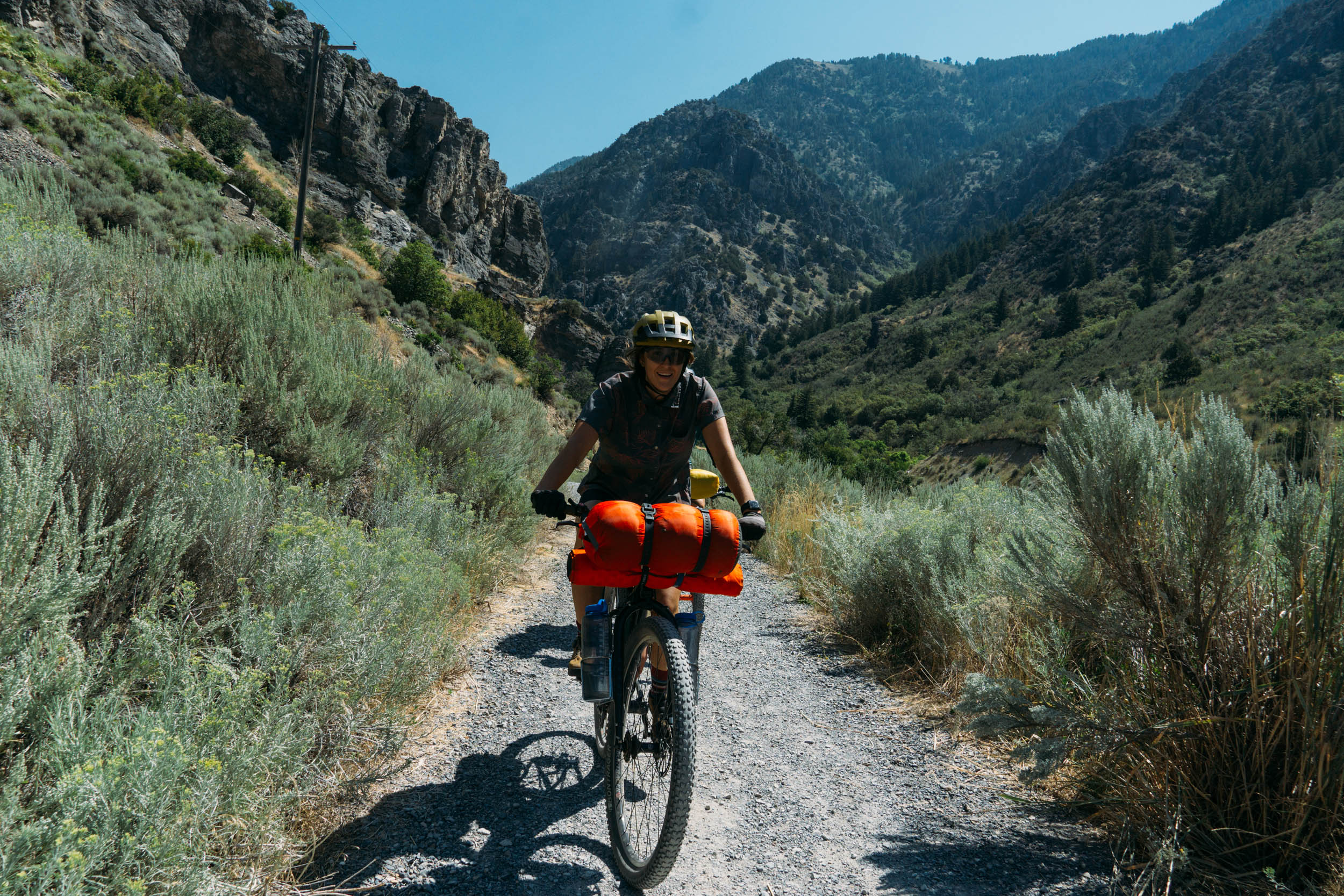
Ephraim’s Grave Scenic Route dives into locally roasted coffee, snacks, and Logan’s first and only brewery. Riders quickly escape the city and enter Cache Valley’s expansive backcountry, mostly on dirt roads and flowy singletrack. The route passes several sections of river with filterable water, dozens of primo campsites (both reservable campgrounds and free dispersed camping,) and unbeatable views of the Wellsville and Bear River Mountains.
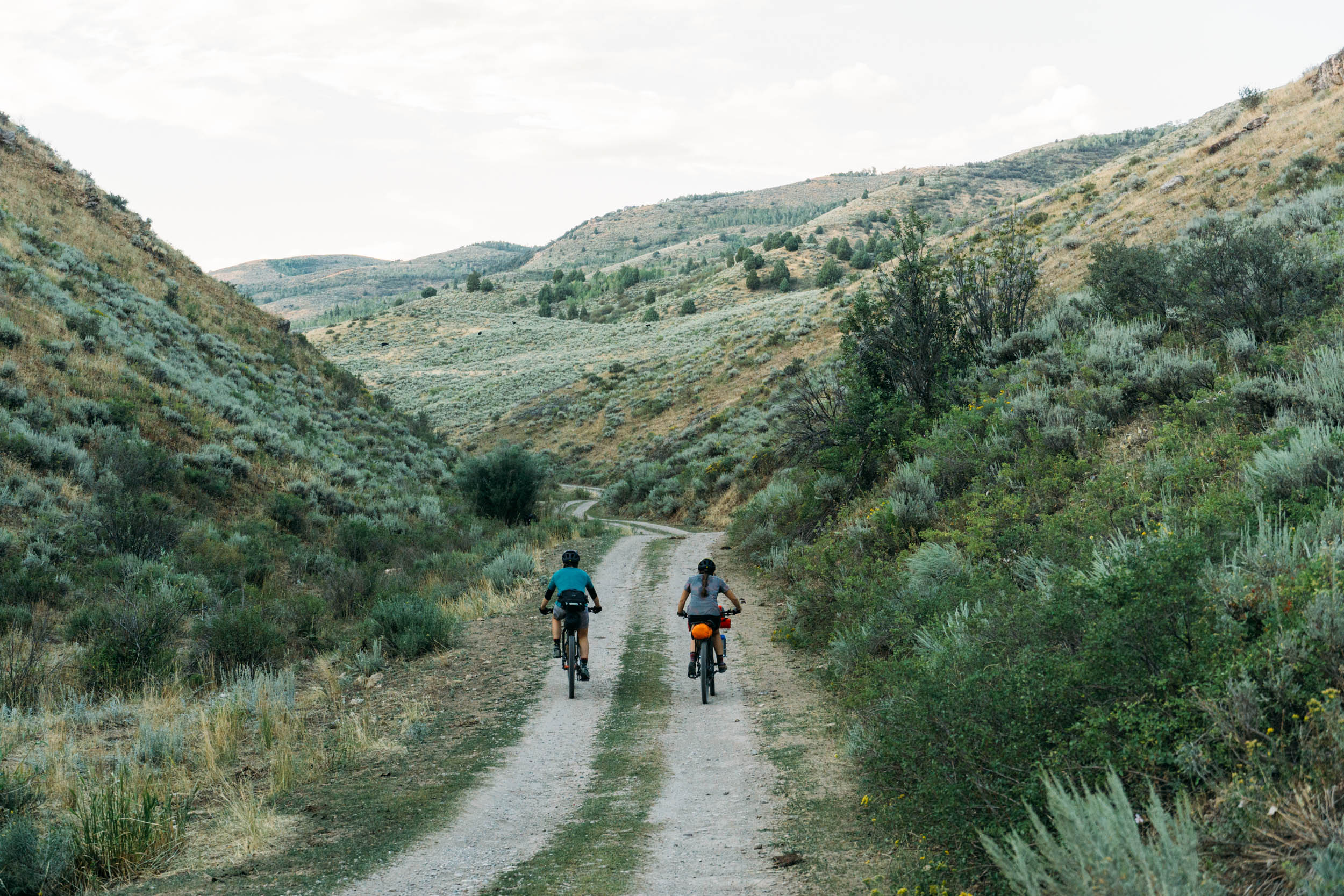
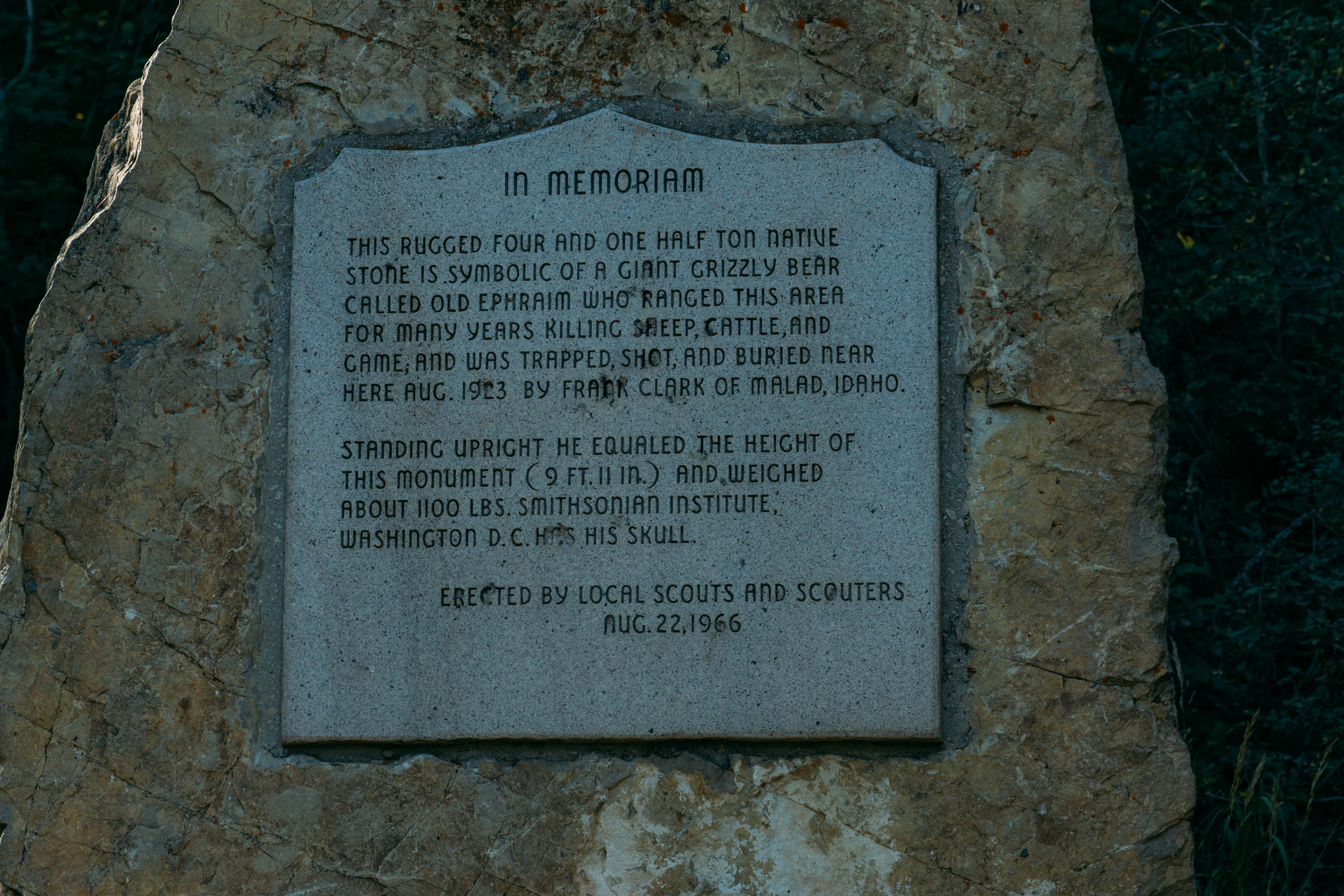
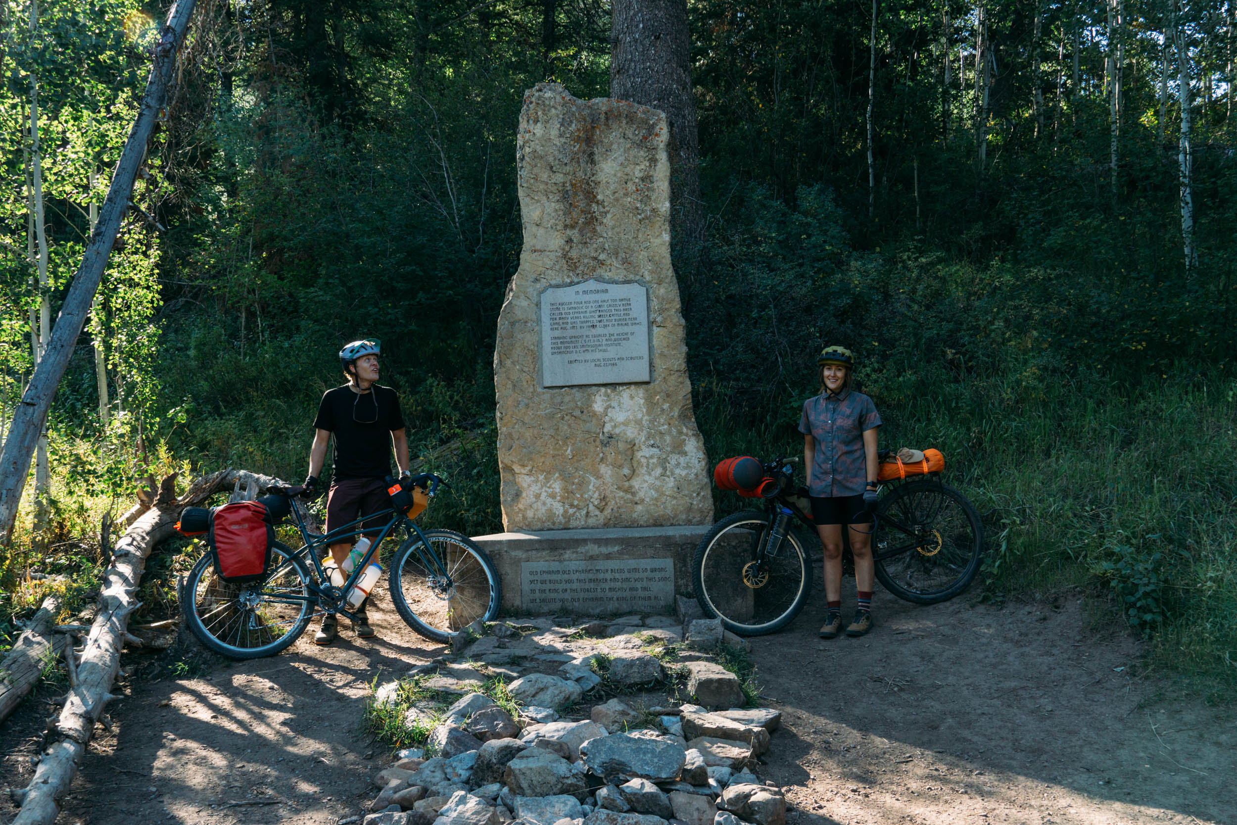
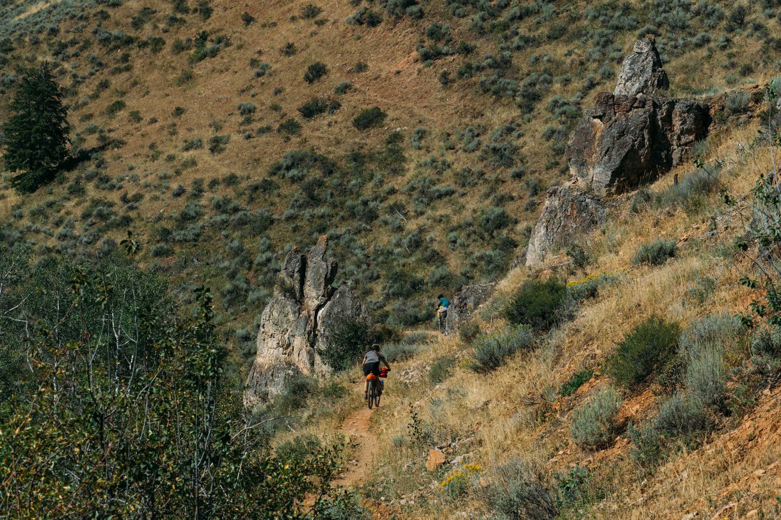
This route starts with a jumble of terrain leading into a manageable climb to the “four corners” area. The areas along the route allow for infinite additions and variations depending on skill level, allotted time, and desired singletrack percentage. Midway through the route lies Old Ephraim’s grave—a jaw-dropping monument honoring a 1,100-pound grizzly bear that was killed by a rancher in 1923.
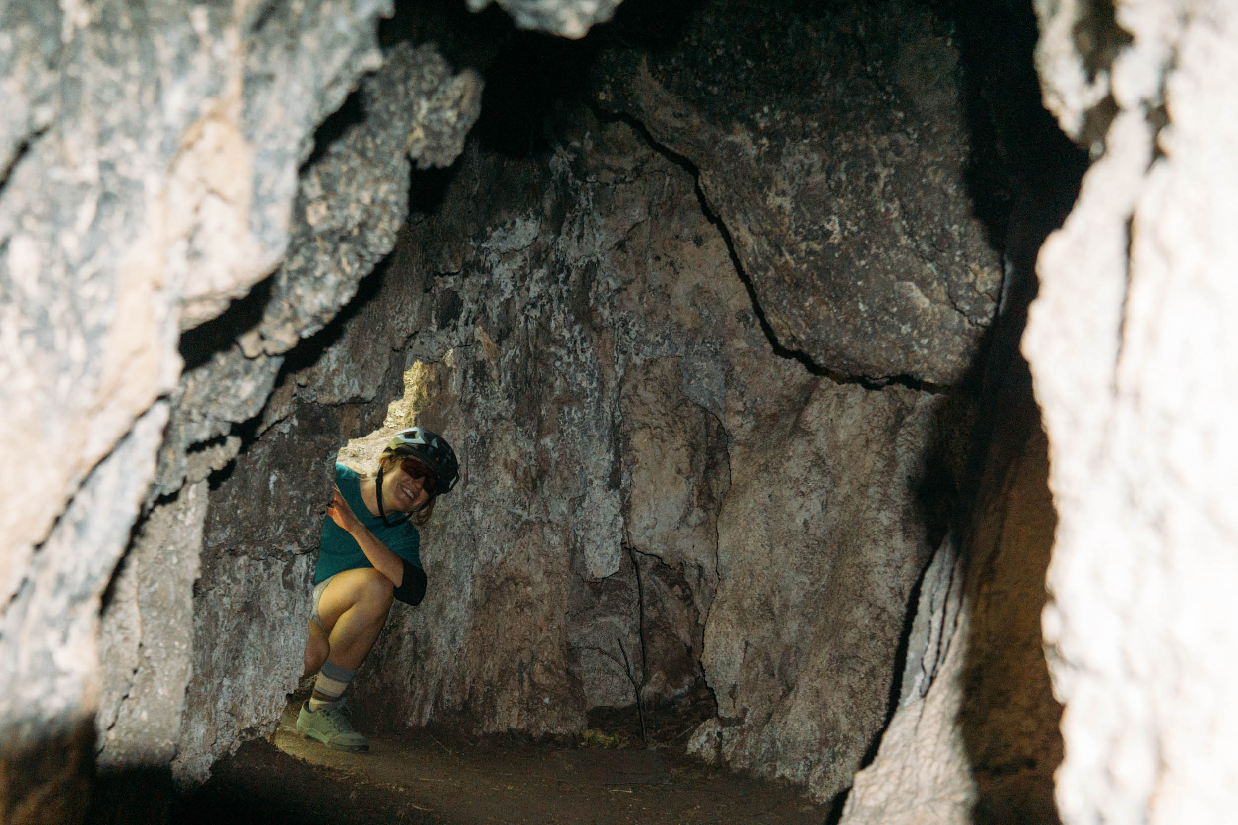
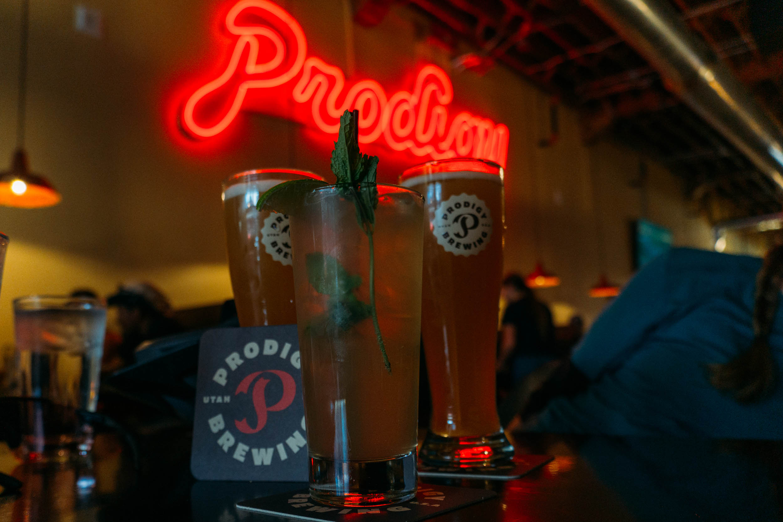
The final miles of this route are blessed with a long, well-earned descent down Willow Creek singletrack. Following Willow Creek, the roads lead to an easy stopping point for water and a snack at some limestone caves called the Hobbit Caves. The caves make for a good final stopping spot for a little horseplay in the rocky caverns. After the caves, the route meanders down Logan Canyon below towering peaks and cliffs. The last miles end on some rolling hills on a gravel bike path, finishing with ease near a local brewery and other local fare.
Route Development
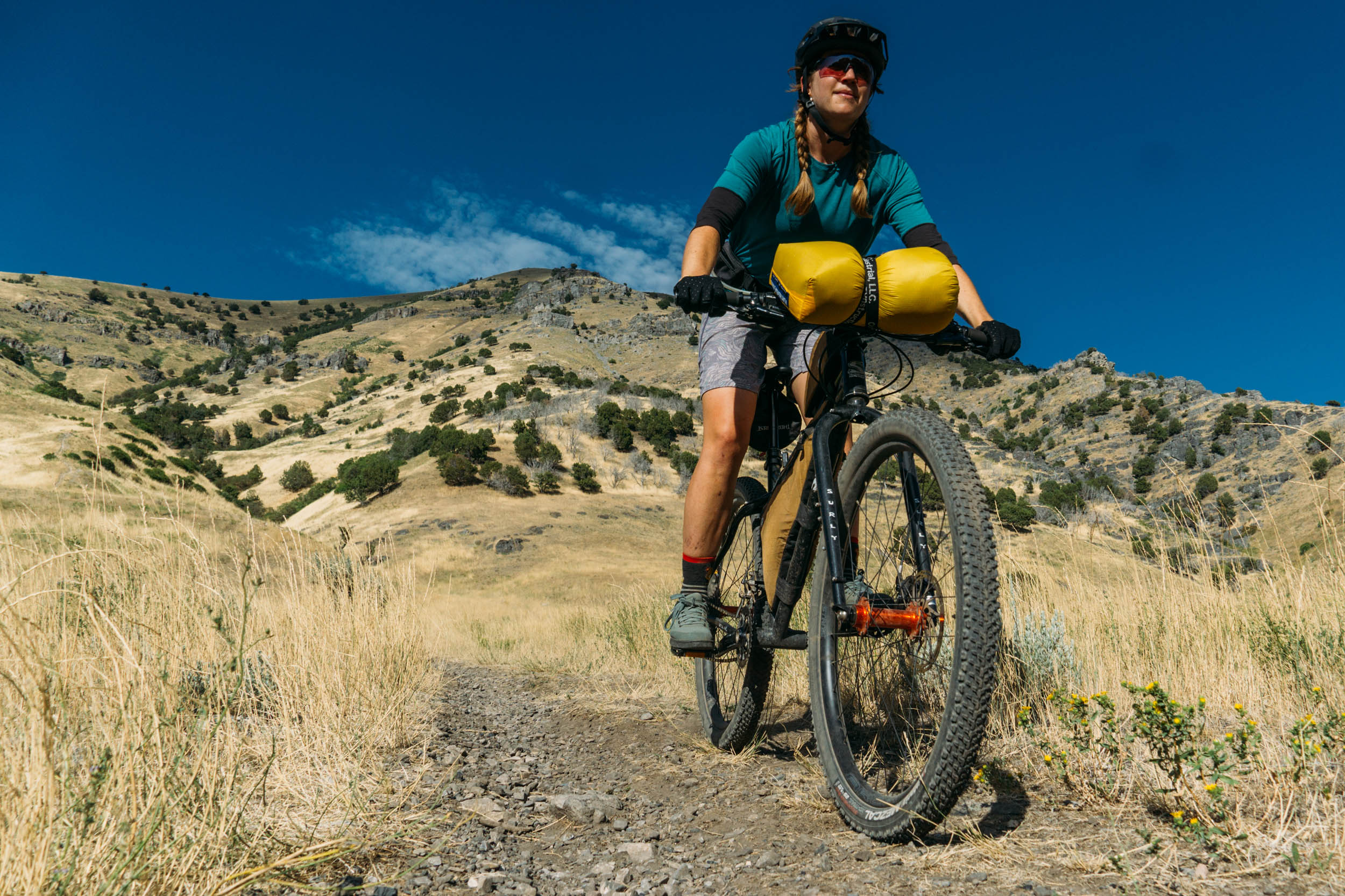
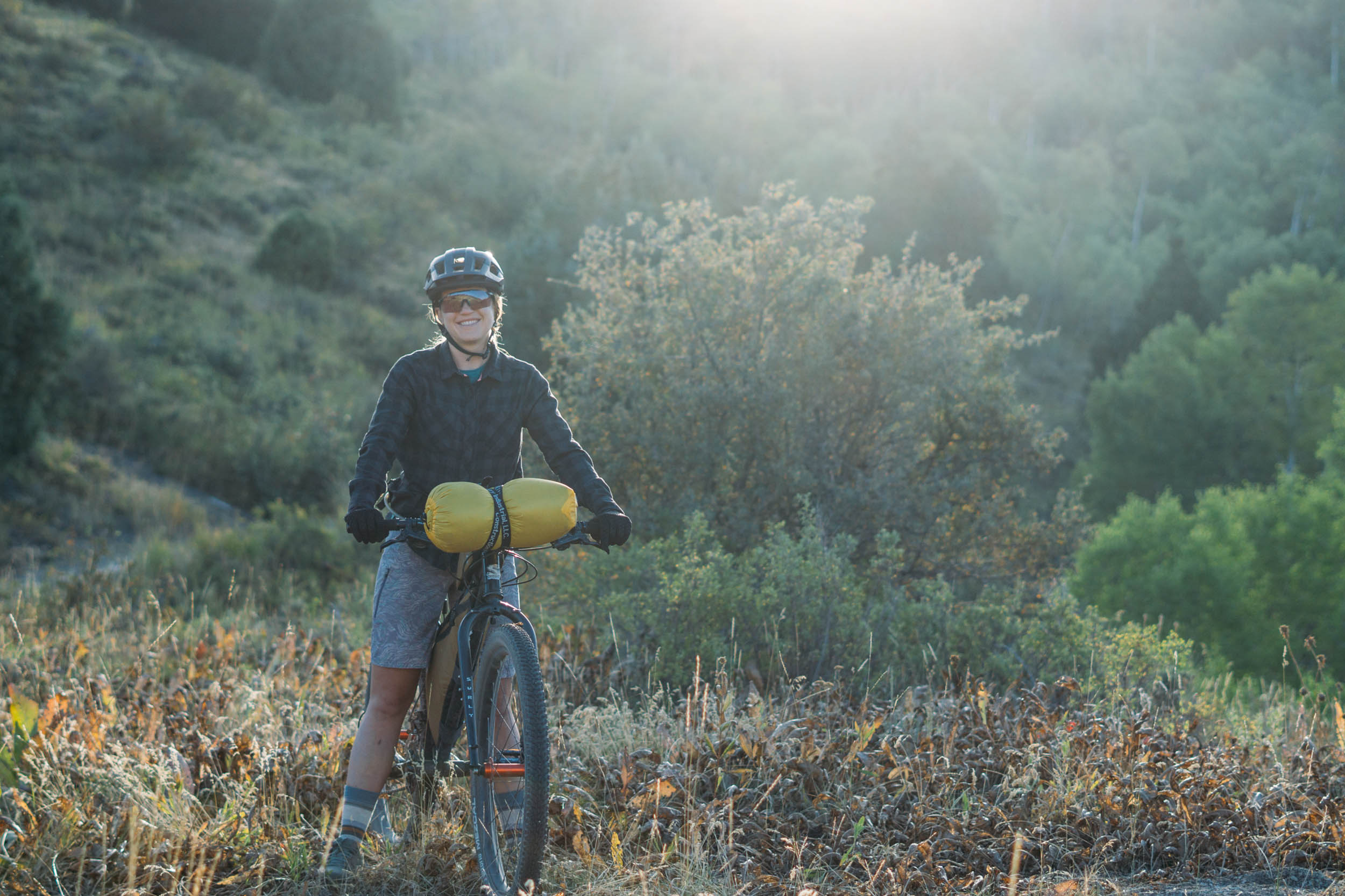
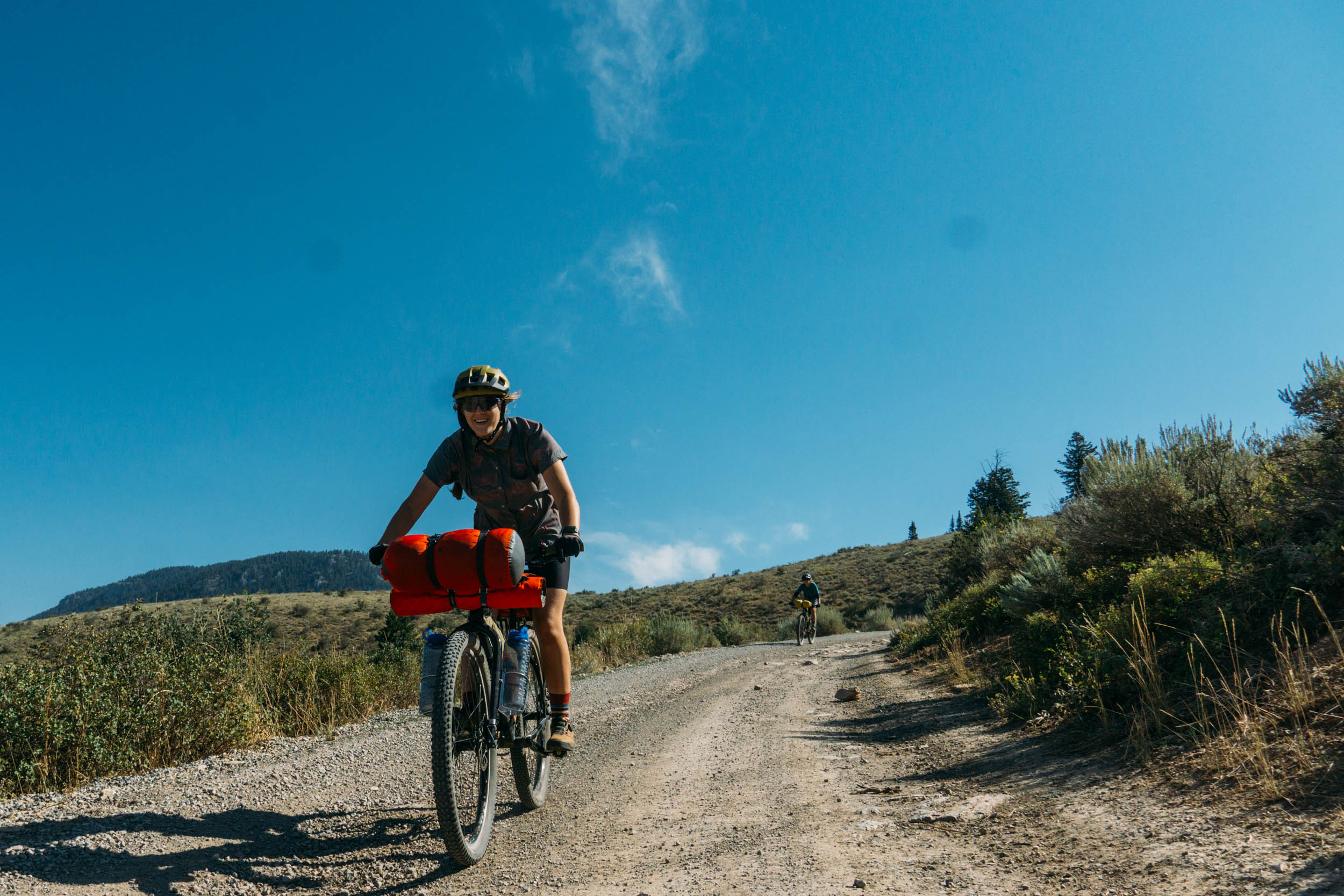
This route includes a fair amount of climbing, some moderate singletrack, and no resupply points outside of the start and finish of the route. All of the terrain is rideable for folks who are used to long days in the saddle on a loaded bike, and there are no mandatory hike-a-bike sections or exposure.
Route Development: The four corners area is a hub for gravel biking, mountain biking, ATVs, hikers, and bikepackers. This route used a base from a common gravel loop and turned it into a bikepacking-focused overnight micro-excursion.


Submit Route Alert
As the leading creator and publisher of bikepacking routes, BIKEPACKING.com endeavors to maintain, improve, and advocate for our growing network of bikepacking routes all over the world. As such, our editorial team, route creators, and Route Stewards serve as mediators for route improvements and opportunities for connectivity, conservation, and community growth around these routes. To facilitate these efforts, we rely on our Bikepacking Collective and the greater bikepacking community to call attention to critical issues and opportunities that are discovered while riding these routes. If you have a vital issue or opportunity regarding this route that pertains to one of the subjects below, please let us know:
Highlights
Must Know
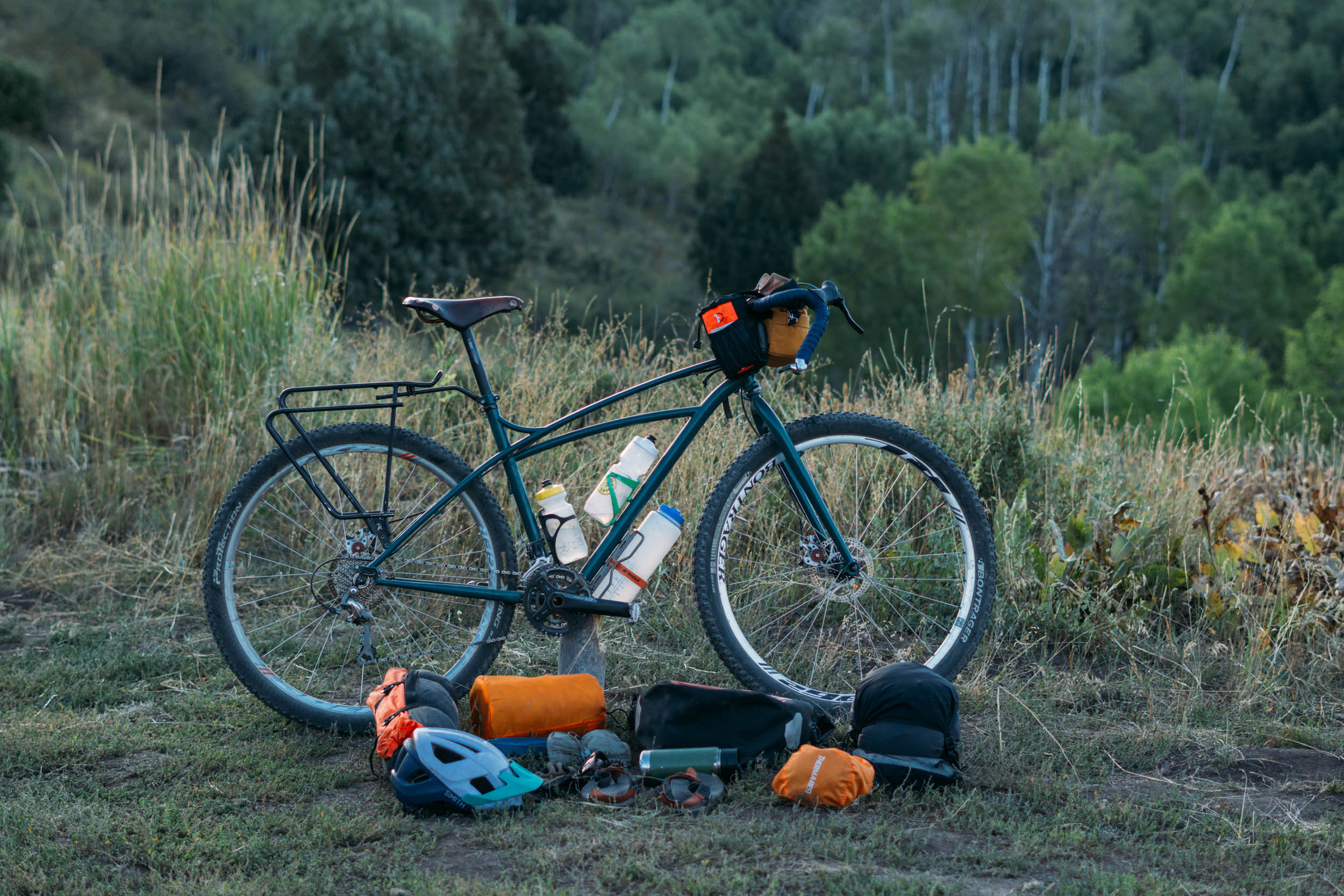
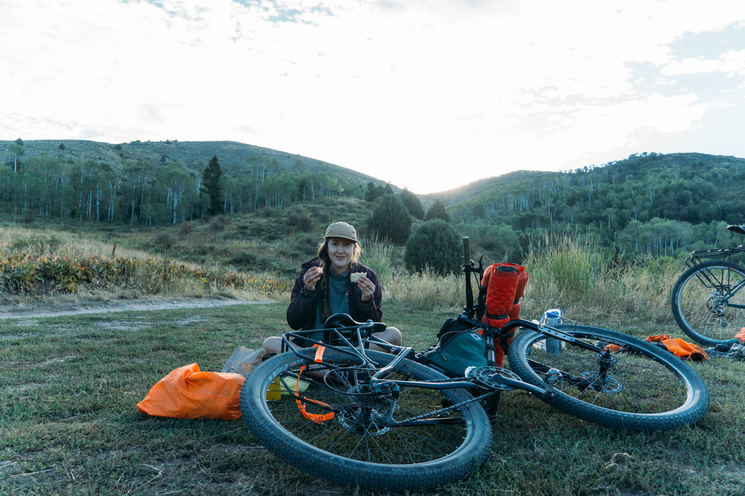
Camping
Food/H2O
- Start with a coffee and snack from Westside Coffee or Cafe Ibis
- The meandering climbing and descending across the Bonneville Shoreline Trail gives excellent views of the Wellsville Mountains
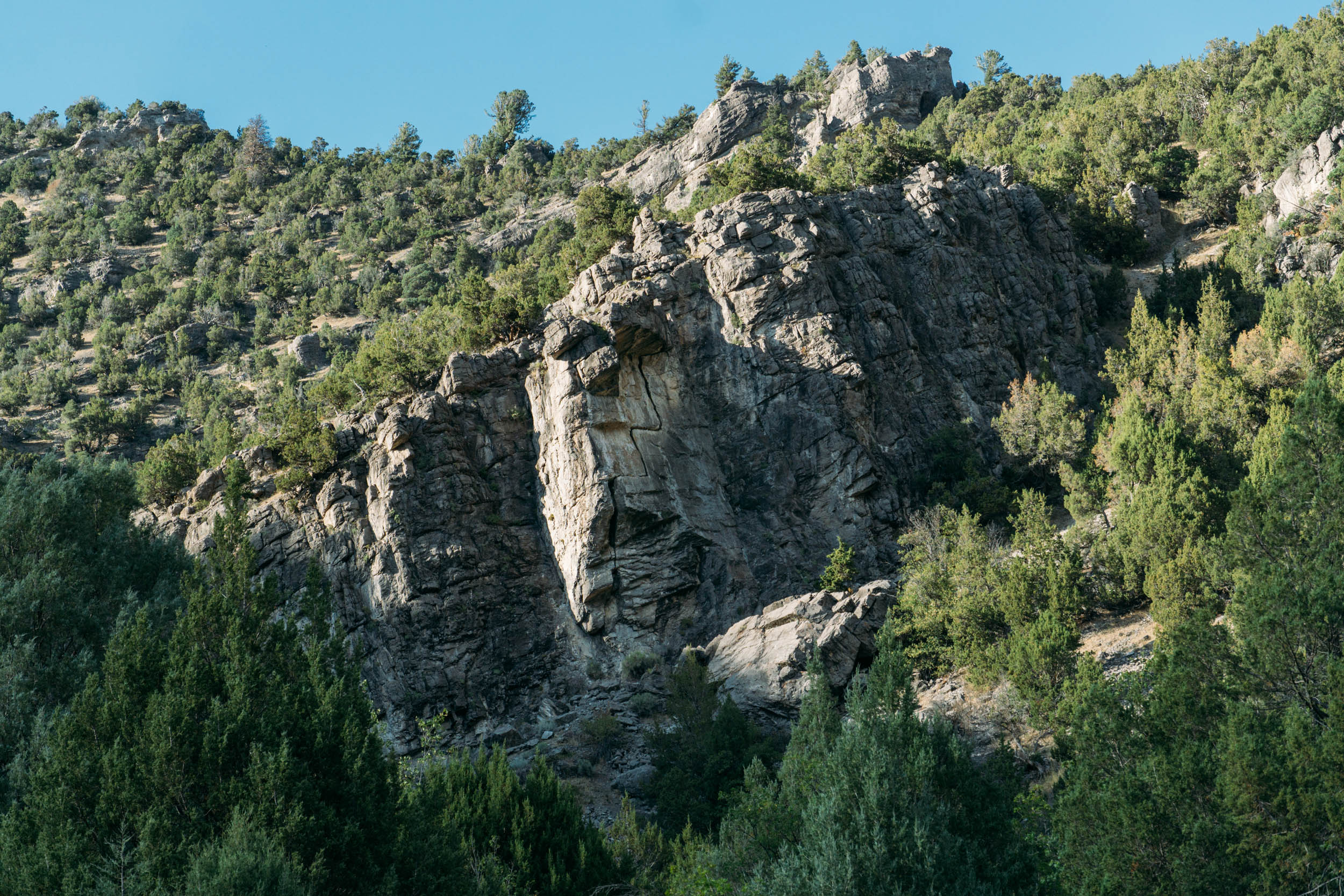
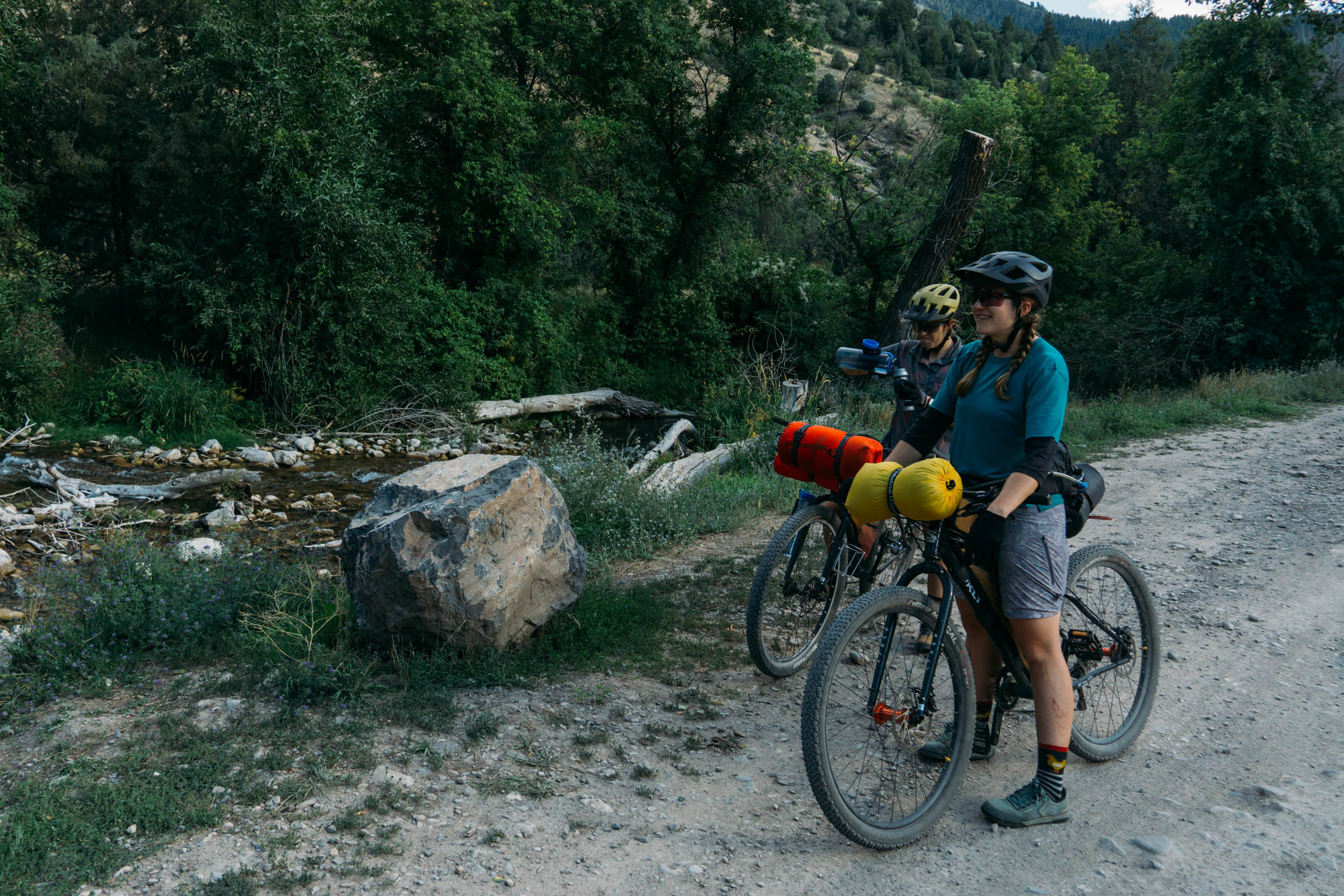
- Epic views of limestone cliffs near the Blacksmith Fork River, Logan River Right Hand Fork, Left hand Fork, and Logan River Main
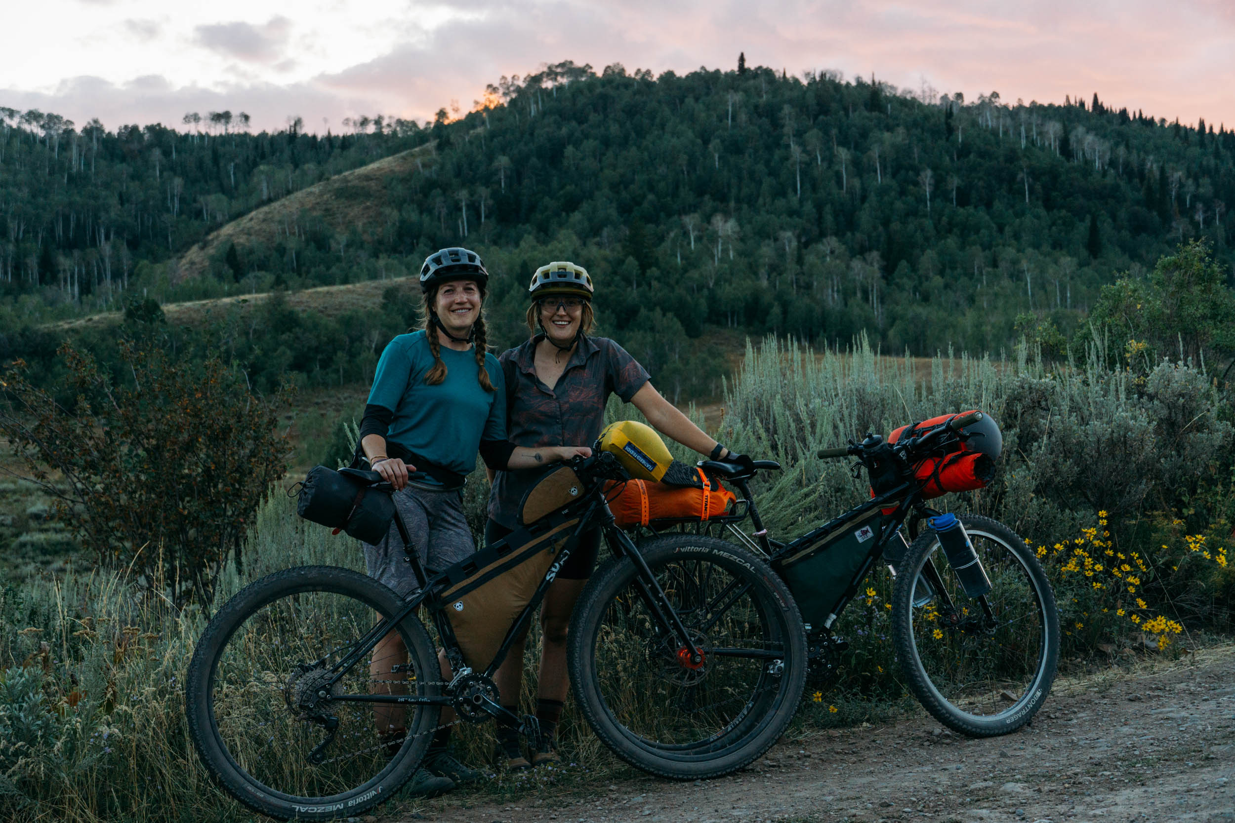
- Gorgeous campsites starting in Left Hand Fork and continuing all the way to Willow Creek singletrack
- Ephraim’s Grave, a beautiful monument to a famous grizzly bear
- Fast and flowy descent with lovely views of Temple Peak (9,720 feet)
- Fast, flowy descent down the Willow Creek singletrack
- Exploring the naturally formed hobbit caves and taking a break near the river
- Stunning views of Logan canyon
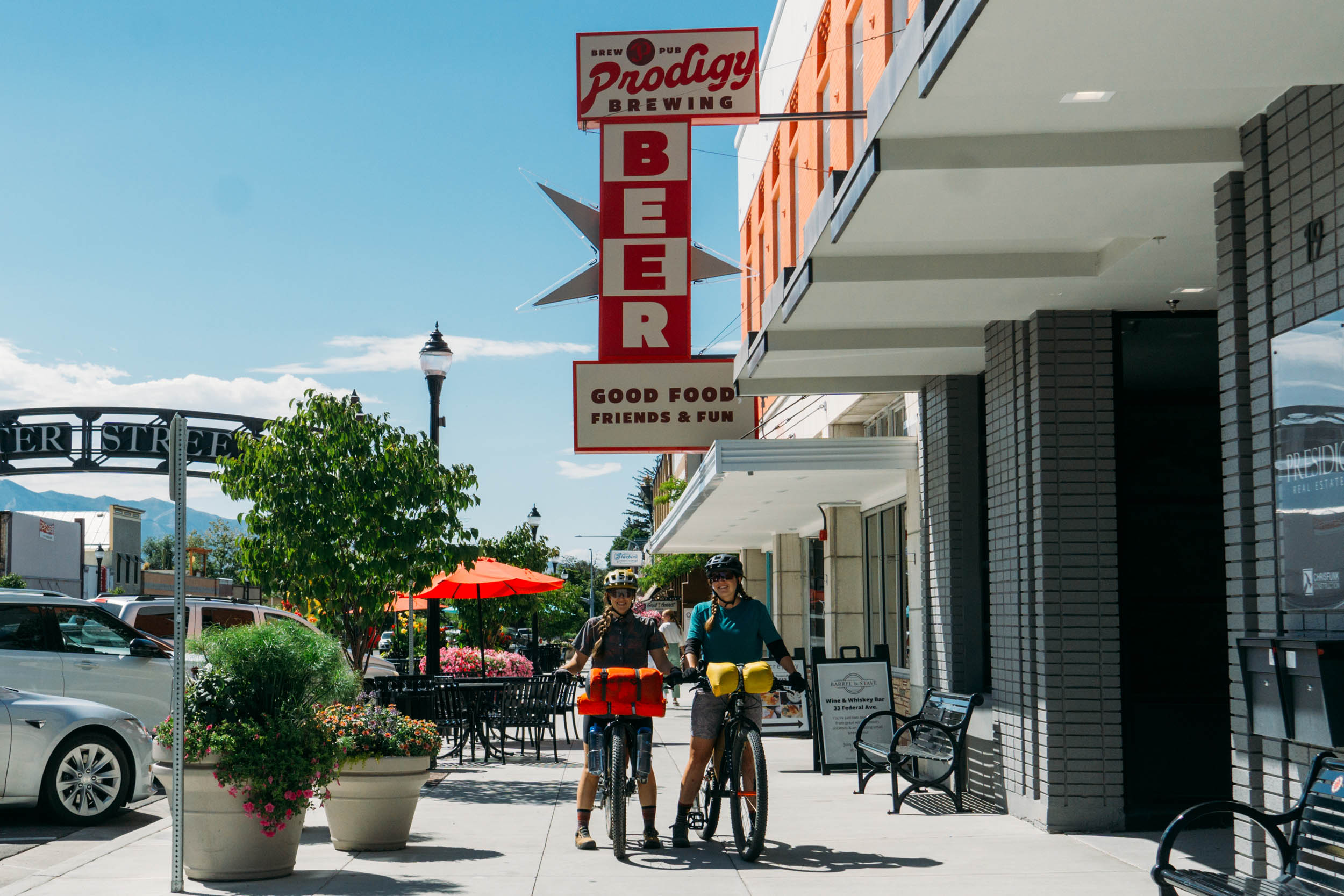
- Finishing with a tasty bite, brew, or beverage at Logan’s first brewpub, Prodigy Brewing
- When to go: The Logan area experiences four distinct seasons. This route is accessible between spring and fall, with limited to no access in snow-covered winter months. Favorite months would include September to October for fall colors and mid-April to June for moderate temperatures and a lesser chance of rain.
- Logistics: Check for parking regulations where you start/begin your ride if accessing via car. Logan is a college town and has parking restrictions in certain neighborhoods. If needed, either of the Smith’s grocery stores would be a secure place to leave a vehicle at the start/end of the trip.
- Dangers and Annoyances: The high-altitude mountains are home to a variety of wildlife, such as deer, moose, elk, snakes, and many others. Always give wildlife space, and be aware of your surroundings. In the summer months, you will likely find grazing cattle and occasionally sheep.
- Travel basics: All public transportation (high-capacity buses) are free to use. Visit the Cache Valley Transit District site for routes and schedules.
- Most trails in Logan go up then down, with very little variation. This route is no different. The first 28 miles are mostly climbing, followed by some mellow ups and downs. Once you hit the Willow Creek Trail, there is little pedaling remaining.
- A bike with 2″ tires or greater is advised. Most of the roads include some loose gravel, and some extra tire girth will help with traction and staying on top of the rocks. A traditional gravel bike with around a 700 X 38mm would be the smallest tire I would advise for this route.
- Friendship Campground and Spring Campground are reservable in advance if you know the dates you will be camping. These campgrounds are in the 17 to 21-mile range for camping from the start. They can be reserved through the Recreation.gov site.
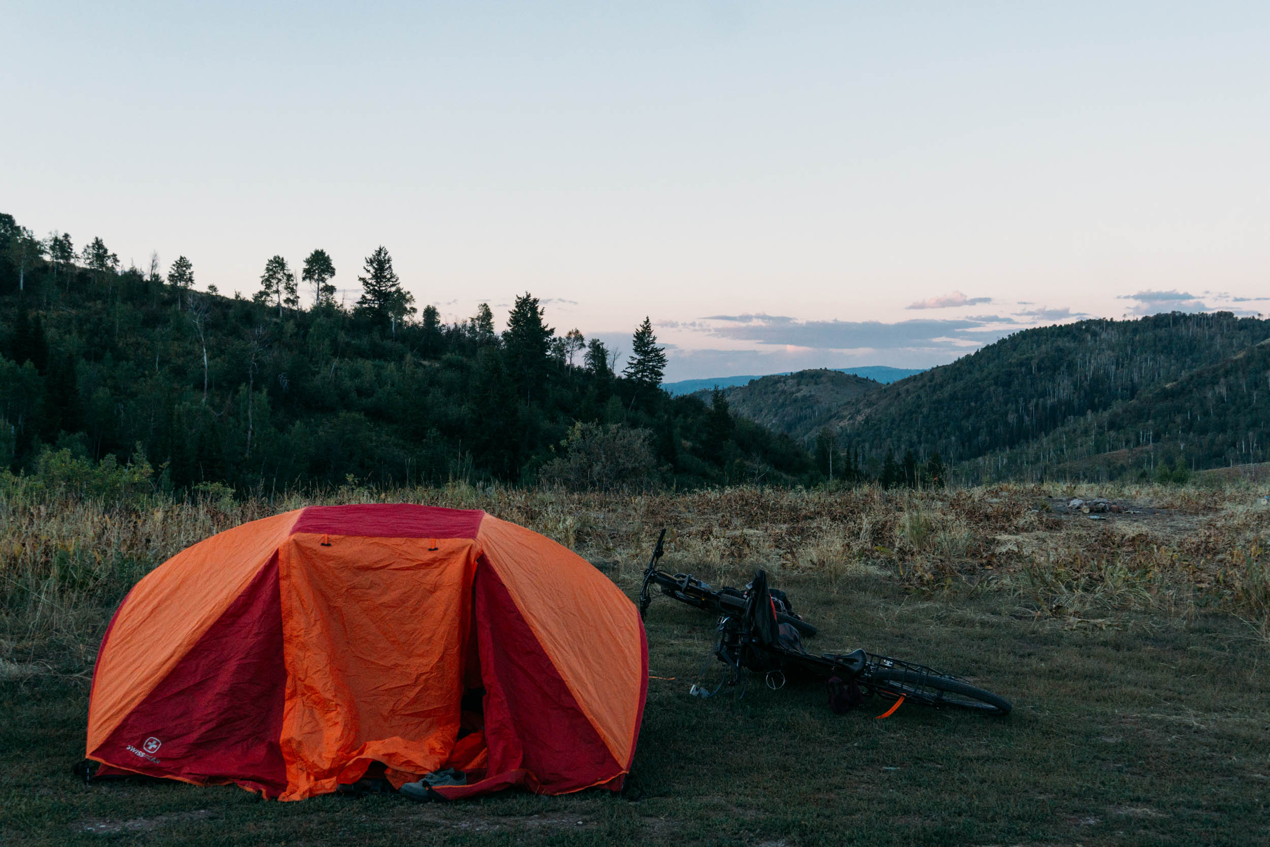
- There are several dispersed camping locations at the four corners mark and beyond. Be respectful of public lands, keep the areas clean, put out fires completely, and please respect closures and other forest service regulations.
- Miles 27 to 37 all have easy-to-access dispersed camping and many offer great views of the surrounding canyons.
Most water sources run year round, and riders should have frequent access to water. Filterable water when the route is ridden counterclockwise:
- Providence Canyon Creek
- Blacksmith Fork River
- Left Hand Fork River
- Willow Creek
- Right Hand Fork River
- Logan River (main) accessed once in Logan Canyon
There are no food options outside of the first couple of miles while still in town. If you’re looking for a bite to eat before or after a ride, local favorites include:
- Prodigy brewing
- Rancheritos for excellent burritos (the bacon breakfast burrito is a local favorite)
- Tandoori Oven or Himalayan flavor for delicious Indian food
- Westside Coffee (coffee and lunch/breakfast)
- Cafe Ibis (coffee and pastries)
- The route passes the Island Market on Center street, a good option for last-minute food items or coffee before entering the canyons


Terms of Use: As with each bikepacking route guide published on BIKEPACKING.com, should you choose to cycle this route, do so at your own risk. Prior to setting out check current local weather, conditions, and land/road closures. While riding, obey all public and private land use restrictions and rules, carry proper safety and navigational equipment, and of course, follow the #leavenotrace guidelines. The information found herein is simply a planning resource to be used as a point of inspiration in conjunction with your own due-diligence. In spite of the fact that this route, associated GPS track (GPX and maps), and all route guidelines were prepared under diligent research by the specified contributor and/or contributors, the accuracy of such and judgement of the author is not guaranteed. BIKEPACKING.com LLC, its partners, associates, and contributors are in no way liable for personal injury, damage to personal property, or any other such situation that might happen to individual riders cycling or following this route.
Please keep the conversation civil, constructive, and inclusive, or your comment will be removed.