


Kane Creek Pritchett Canyon Loop, Moab
Distance
57 Mi.
(92 KM)Days
2
% Unpaved
80%
% Singletrack
0%
% Rideable (time)
98%
Total Ascent
3,831'
(1,168 M)High Point
5,675'
(1,730 M)Difficulty (1-10)
5.5?
- 4Climbing Scale Fair67 FT/MI (13 M/KM)
- 7Technical Difficulty Difficult
- 5Physical Demand Moderate
- 1Resupply & Logistics Easy
Contributed By

Logan Watts
Founding Editor
Originally published April 2015; recently updated April 2024
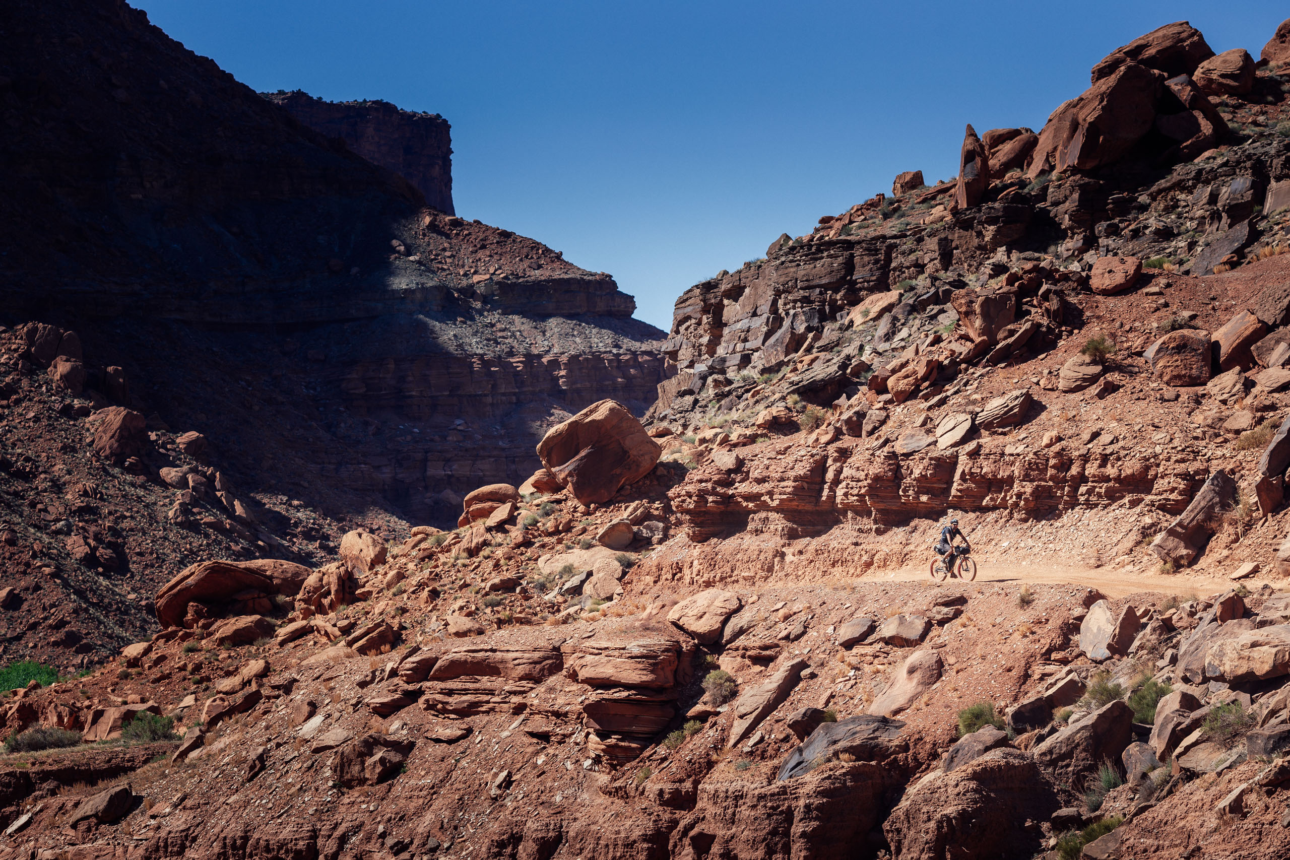
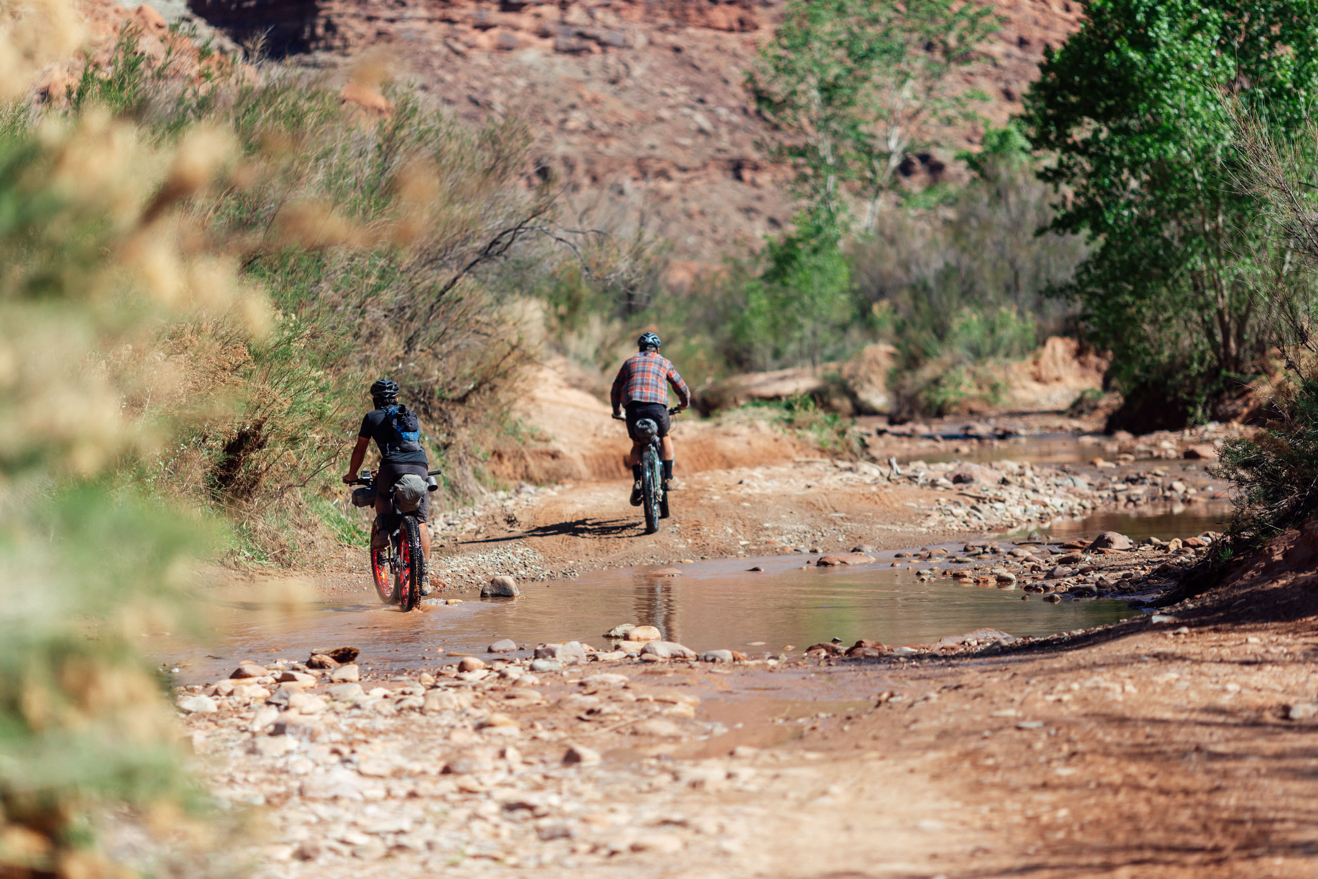
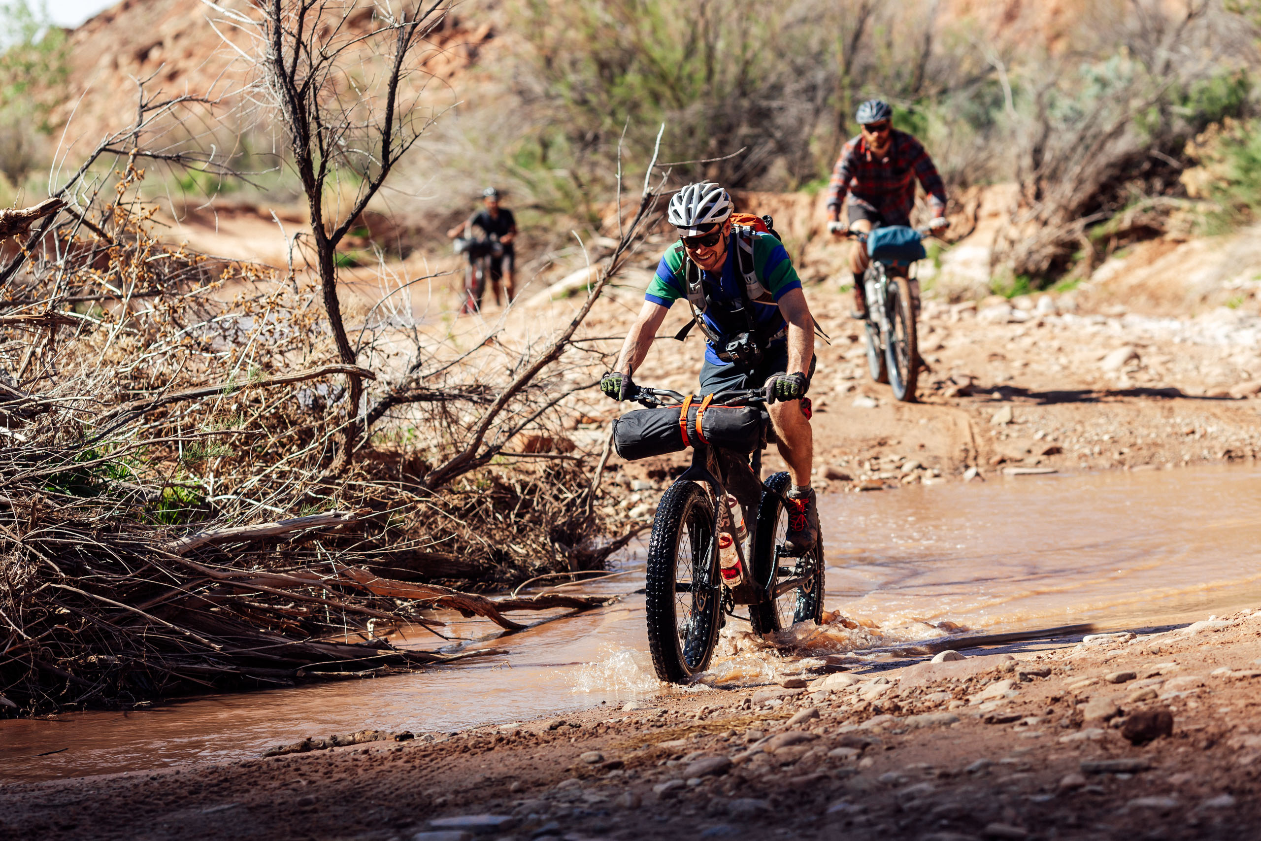
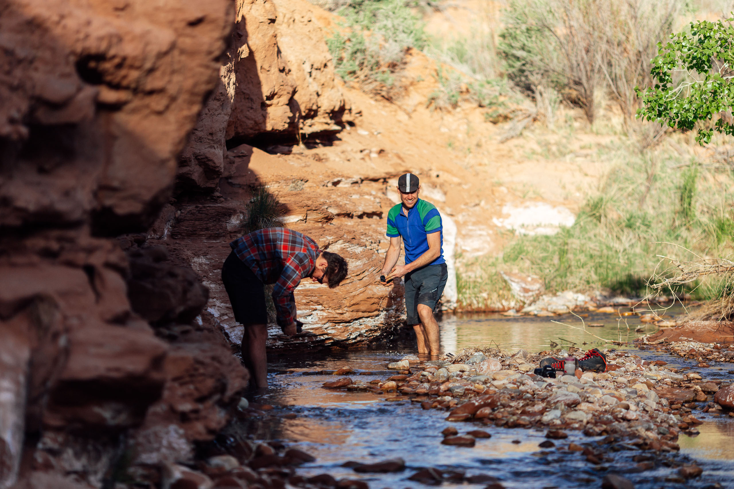
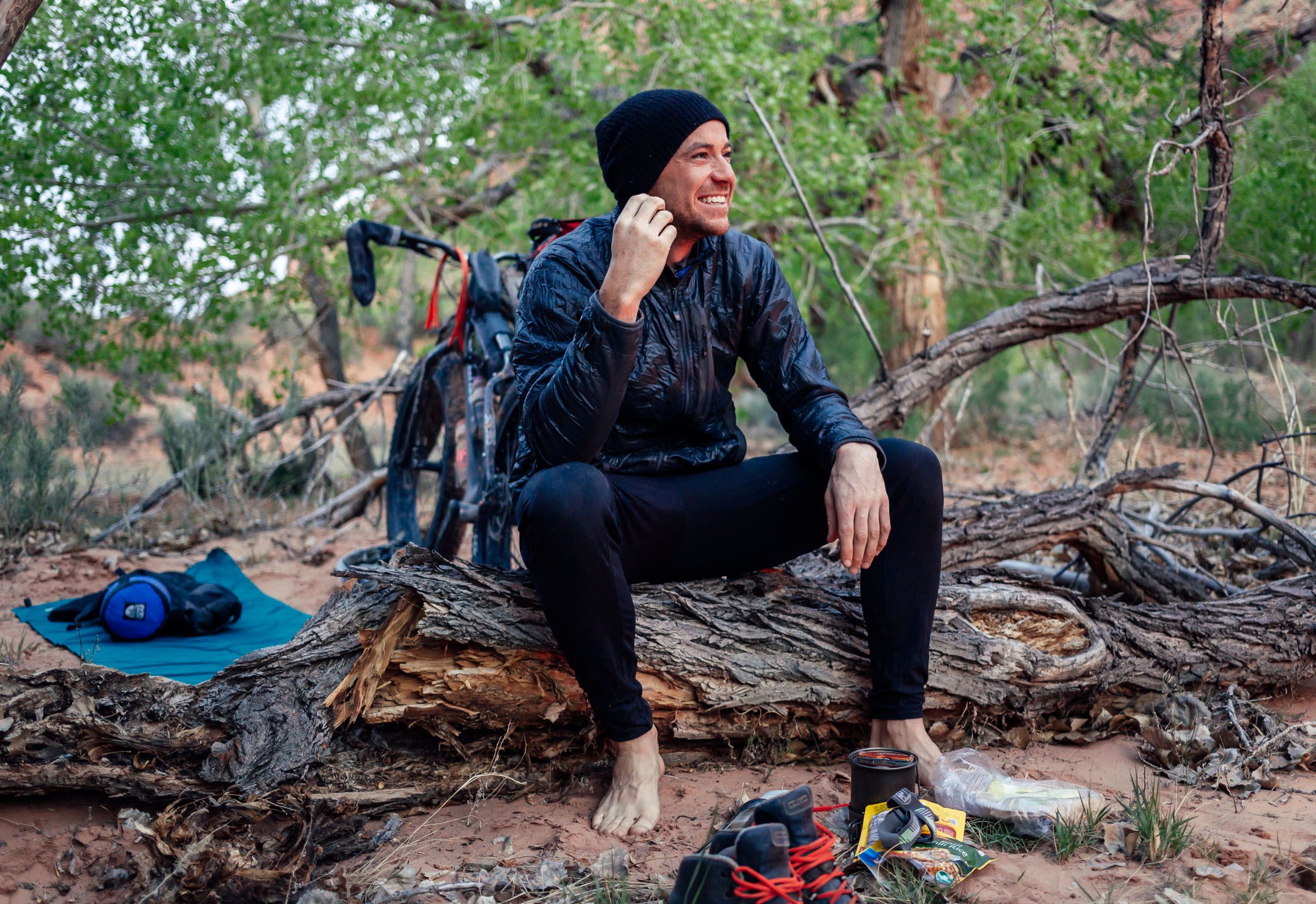
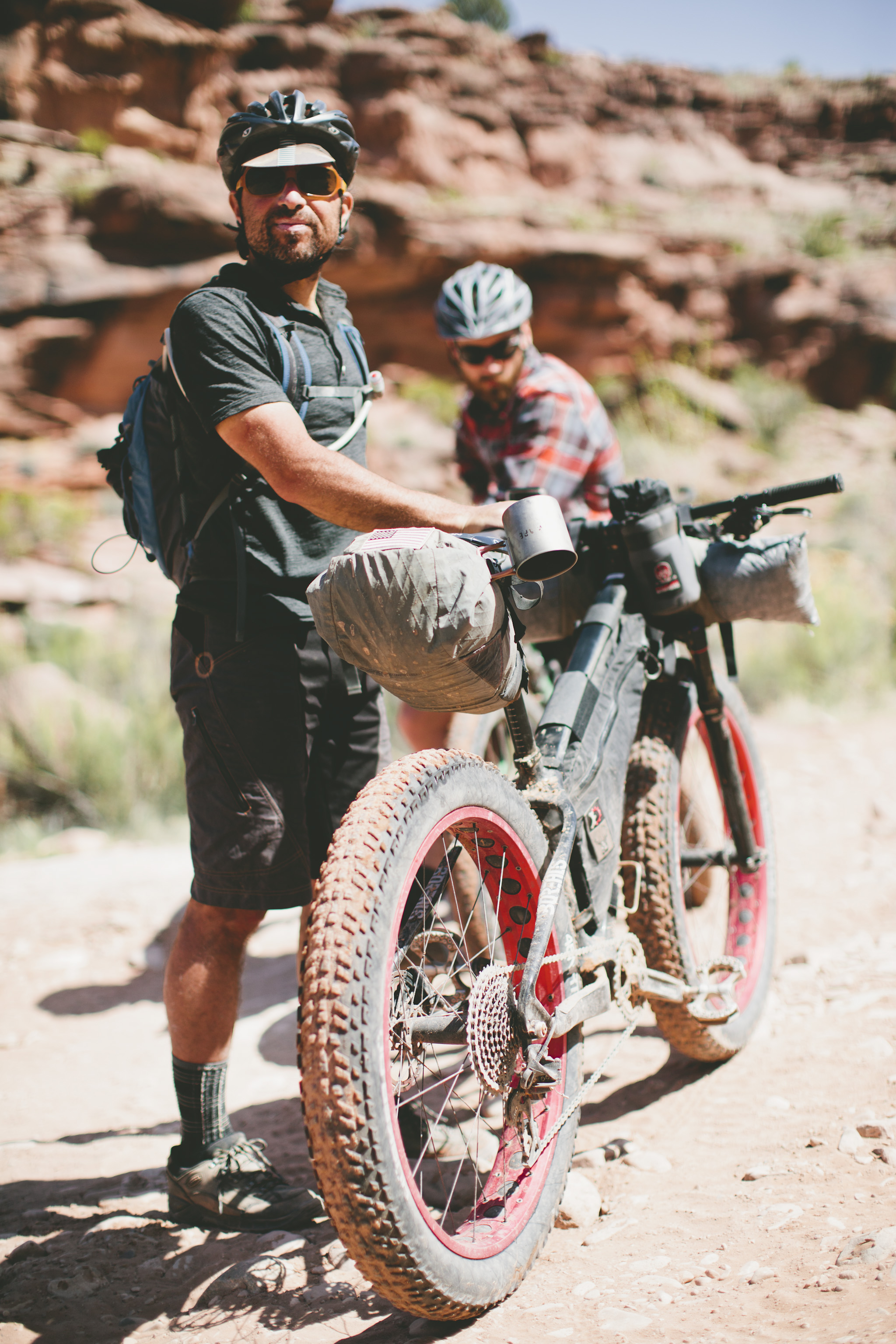
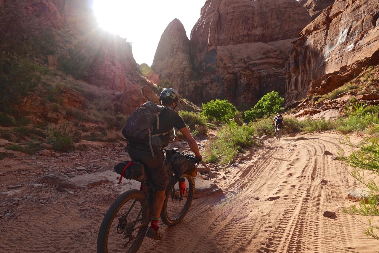
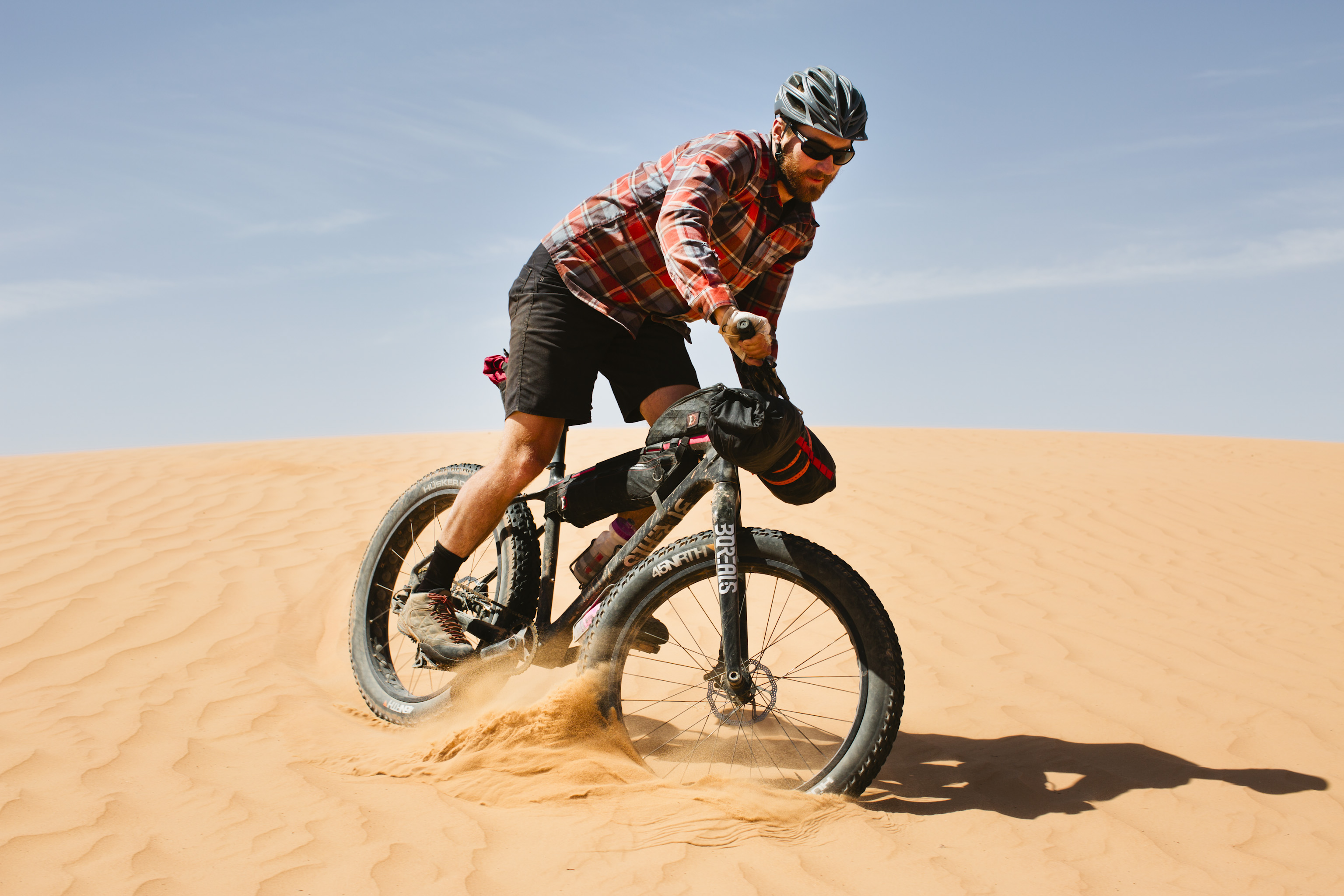
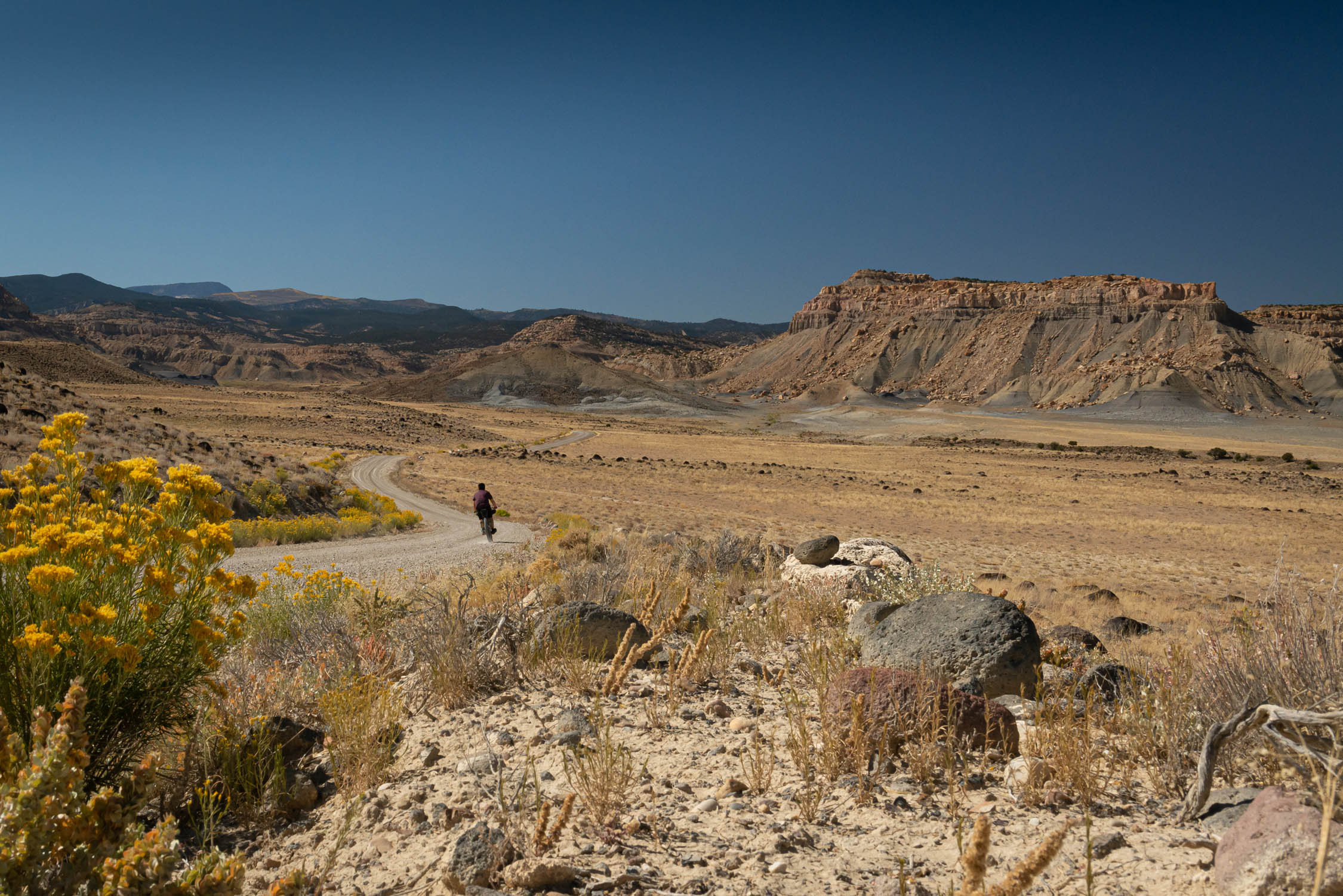
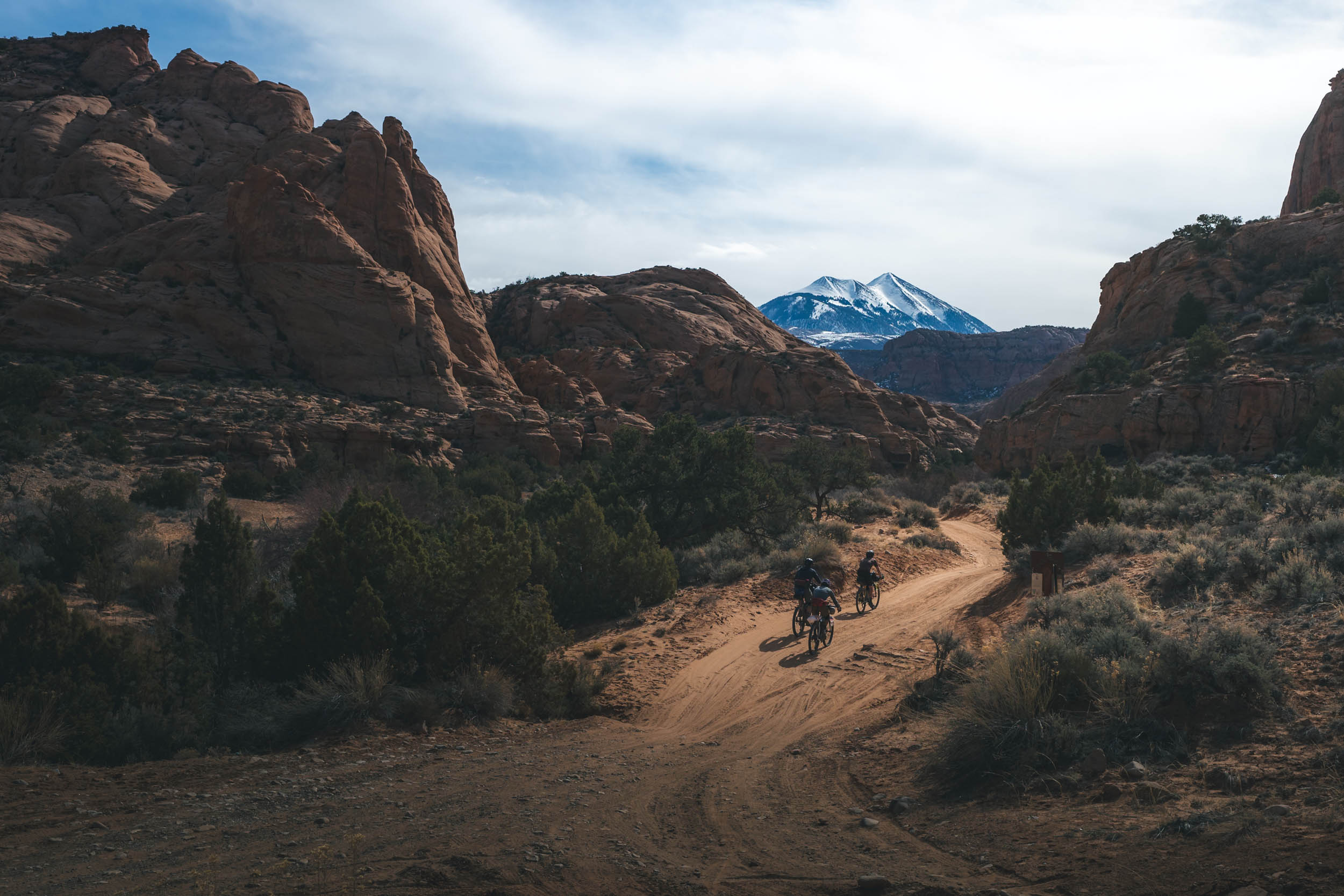
The Kane Creak Pritchett Canyon Loop begins and ends in downtown Moab and follows Kane Creek Blvd out of town and along the river into the canyons. After a quick pavement ride, you’ll pass the route exit at Pritchett Canyon. Continue for another mile and the track will become dirt and follow a southerly direction away from the river along Kane Springs Creek. The off-road ride follows a classic desert jeep road through the canyon with a long slow climb along Kane Creek. The road may be very sandy and there will be countless creek crossings and at times, the track is the creek… enjoy the cool water.
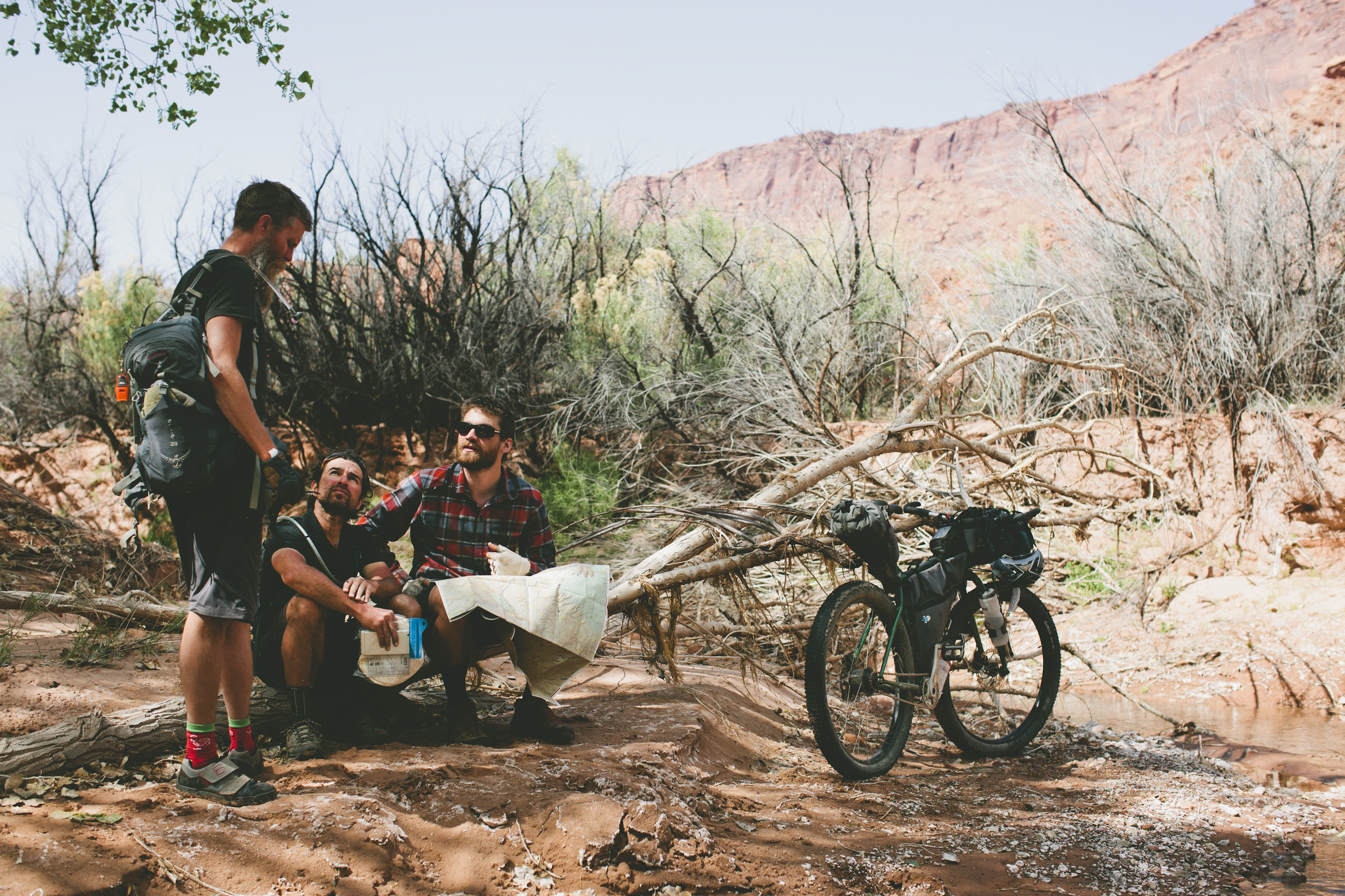
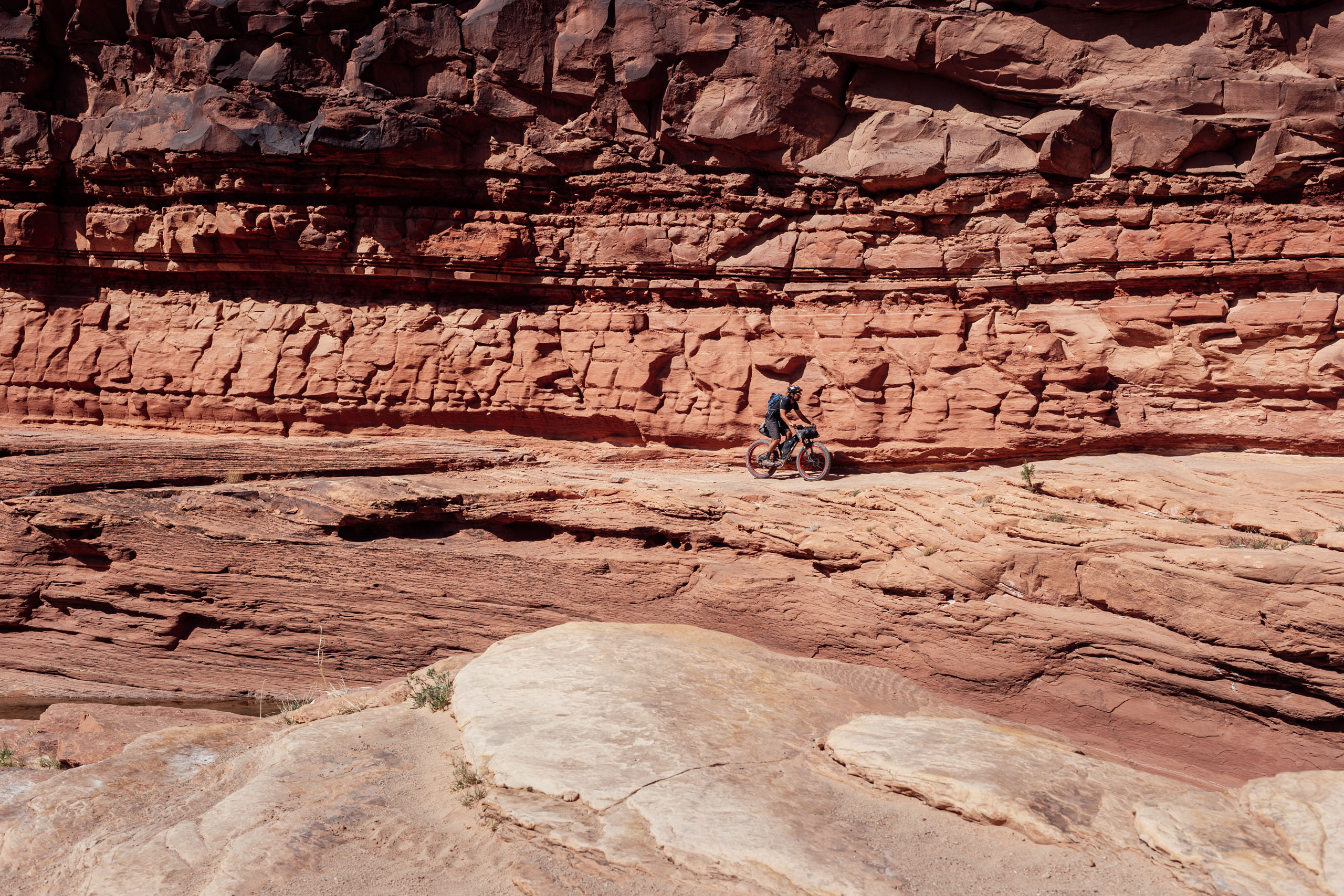
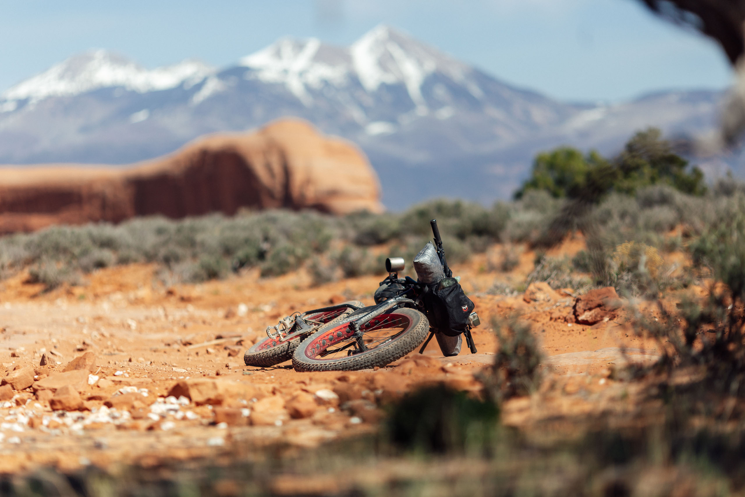
After the climb out of the canyon, you’ll turn north on 191 for a short paved ride; use caution. After a short stint on 191, you’ll exit on a dirt road to the right to bypass the more dangerous part of the highway. This leads to the Behind the Rocks intersection. Follow the GPX here and along this part of the route as there are a few turns not to be missed. After a little less than thjree miles, there will be a natural dune on the right of the track and there are several arches in this area to stop and admire. The route culminates with a long and incredibly scenic descent down Pritchett Canyon… keep your wits about you!


Submit Route Alert
As the leading creator and publisher of bikepacking routes, BIKEPACKING.com endeavors to maintain, improve, and advocate for our growing network of bikepacking routes all over the world. As such, our editorial team, route creators, and Route Stewards serve as mediators for route improvements and opportunities for connectivity, conservation, and community growth around these routes. To facilitate these efforts, we rely on our Bikepacking Collective and the greater bikepacking community to call attention to critical issues and opportunities that are discovered while riding these routes. If you have a vital issue or opportunity regarding this route that pertains to one of the subjects below, please let us know:
Highlights
Must Know
Camping
Food/H2O
- Seeing the desert come to life from the waters of Kane Springs Creek.
- Riding through the rocky bottom of Kane Creek.
- Incredible views of Kane Springs canyon.
- Stopping to check out several arches along the way.
- The epic, scenic, and at times technical descent down the Pritchett Canyon.
- This route is best ridden in spring and fall months.
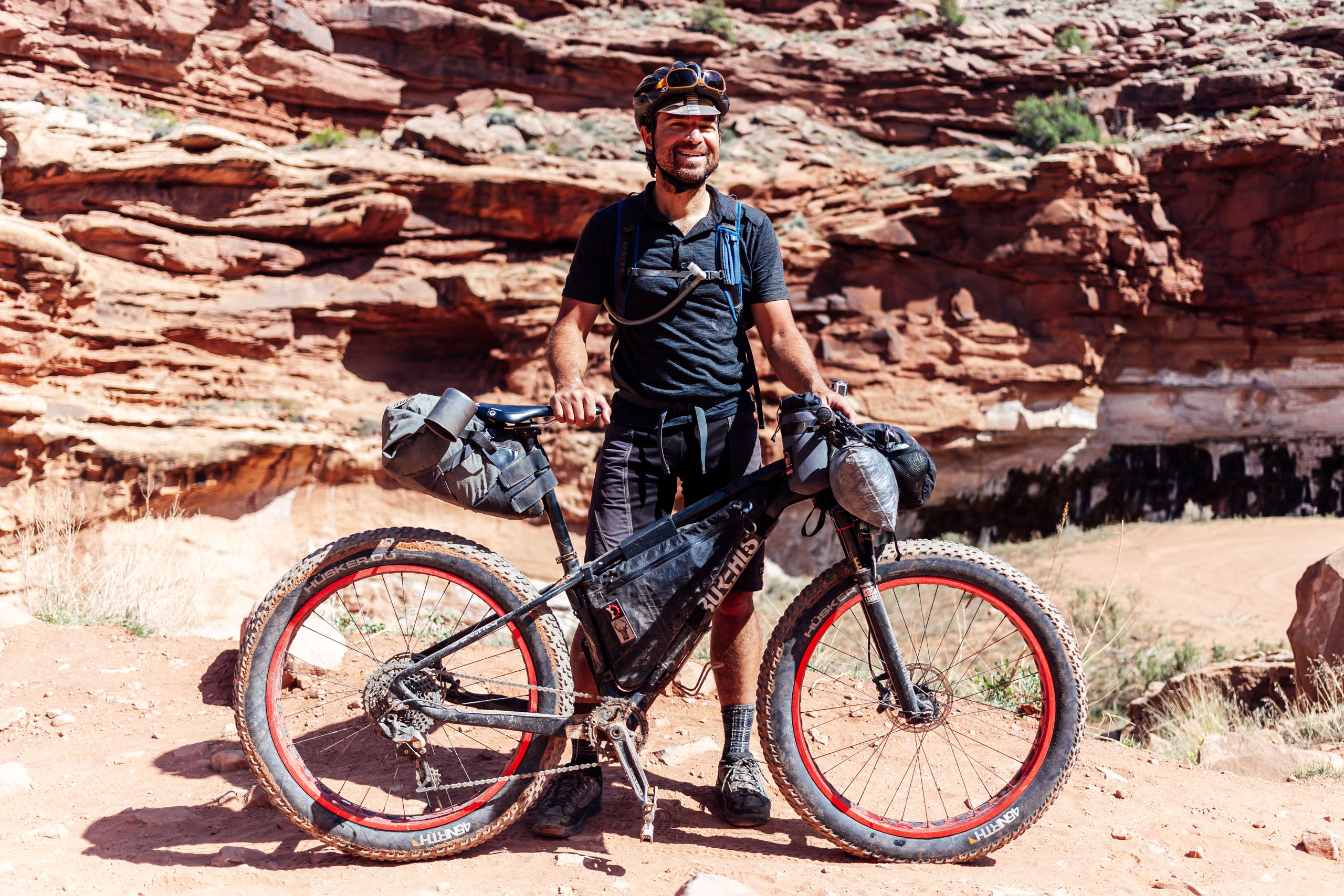
- Sand can be very deep along Kane Creek Canyon, so larger 2.6-3.0″ tires are highly recommended, although skilled sand riders may be able to pull it off on ‘normal’ tires.
- A good place to leave a car is at the Information Center in Moab; make sure to leave your name and license plate number at the desk.
- You must pack out your poop. Moab is a highly-visited area and the area’s desert soil is not conducive to decomposition. Moab’s tourism authority clearly states on their website, “When developed facilities are not available, all solid waste should be packed out in approved waste bags.” Learn how here.
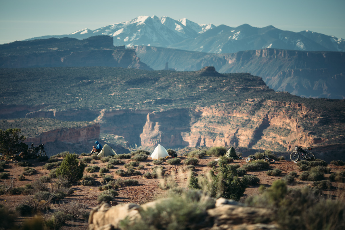
- More than likely you’ll end up camping along Kane Creek. Most of this is BLM land and there are several good options for camping along the creek.
- For a bigger day one, there are also some developed campsites in the Behind the Rocks area.
- There is plenty of water along the route before leaving Kane Creek; bring a filter or purification tablets.
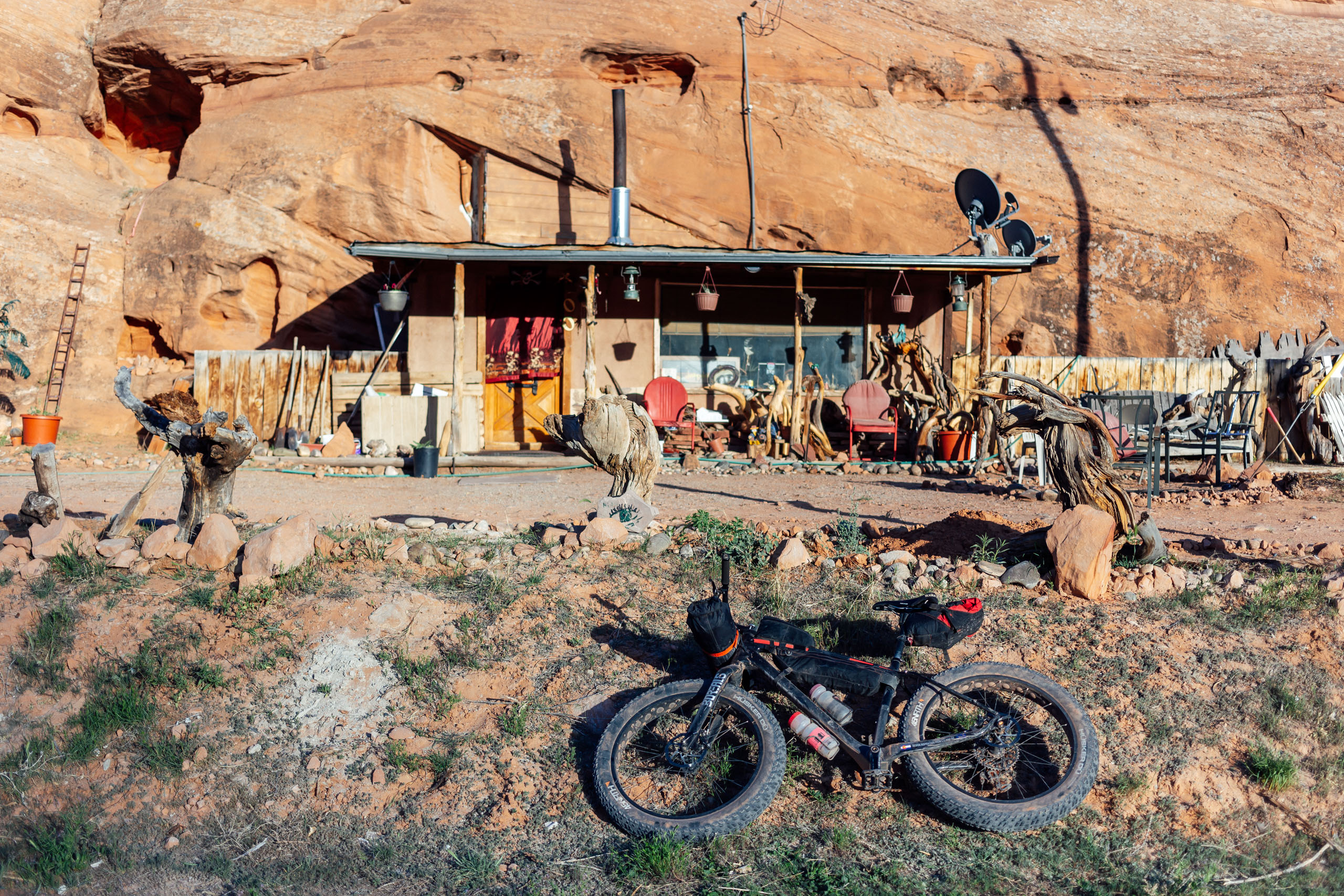
- Hole in the Rock is located midway along the route and is open seven days a week from 9-5. Check hours to be sure at theholeintherock.com.


Terms of Use: As with each bikepacking route guide published on BIKEPACKING.com, should you choose to cycle this route, do so at your own risk. Prior to setting out check current local weather, conditions, and land/road closures. While riding, obey all public and private land use restrictions and rules, carry proper safety and navigational equipment, and of course, follow the #leavenotrace guidelines. The information found herein is simply a planning resource to be used as a point of inspiration in conjunction with your own due-diligence. In spite of the fact that this route, associated GPS track (GPX and maps), and all route guidelines were prepared under diligent research by the specified contributor and/or contributors, the accuracy of such and judgement of the author is not guaranteed. BIKEPACKING.com LLC, its partners, associates, and contributors are in no way liable for personal injury, damage to personal property, or any other such situation that might happen to individual riders cycling or following this route.
Further Riding and Reading
Here are some connected/nearby routes and related reports...
Please keep the conversation civil, constructive, and inclusive, or your comment will be removed.