


Flint Hills Oz Overnighter
Distance
123 Mi.
(198 KM)Days
2
% Unpaved
80%
% Singletrack
0%
% Rideable (time)
100%
Total Ascent
6,734'
(2,053 M)High Point
1,492'
(455 M)Difficulty (1-10)
4?
- 4Climbing Scale Fair55 FT/MI (10 M/KM)
- 3Technical Difficulty Fair
- 4Physical Demand Fair
- 4Resupply & Logistics Fair
Contributed By

Frank Hammond
Guest Contributor
Frank grew up in Miami, Florida, before living in Missouri, Rhode Island, and now Kansas. He has a great appreciation for all things nature and loves to explore his world via bicycle. Frank is also an artist and professor of Landscape Architecture at Kansas State University, and he’s lucky enough to have the endless gravel roads of the Flint Hills in his backyard. Find more of Frank’s photos and art on instagram and follow his adventures on Strava or
Instagram.
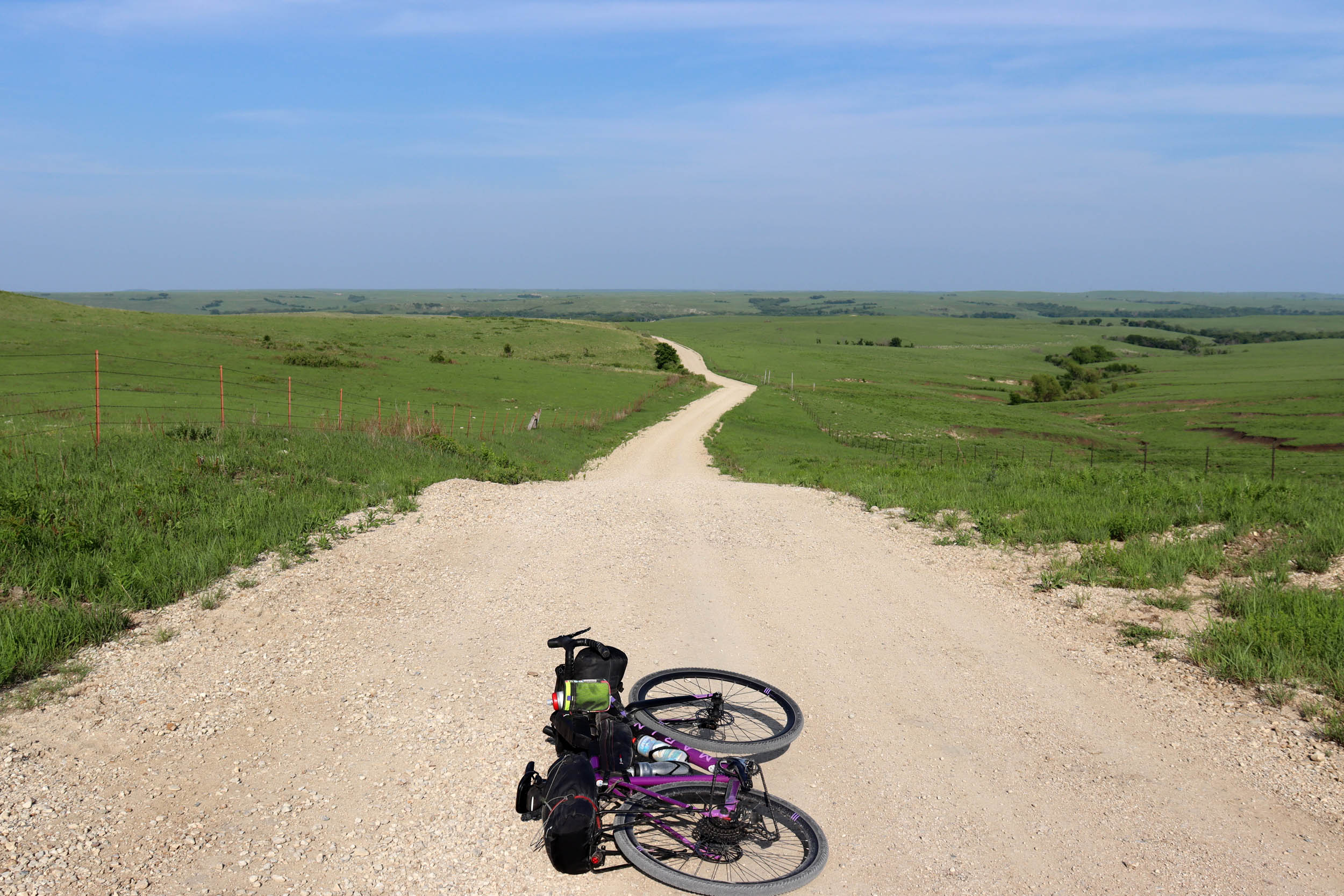
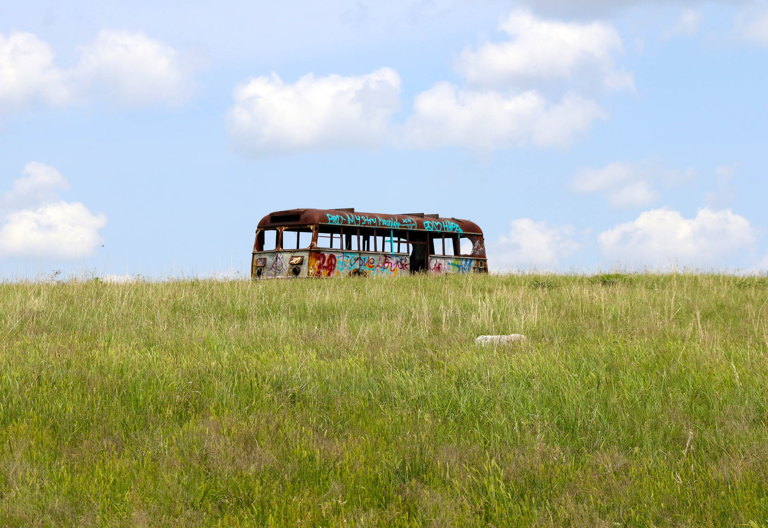
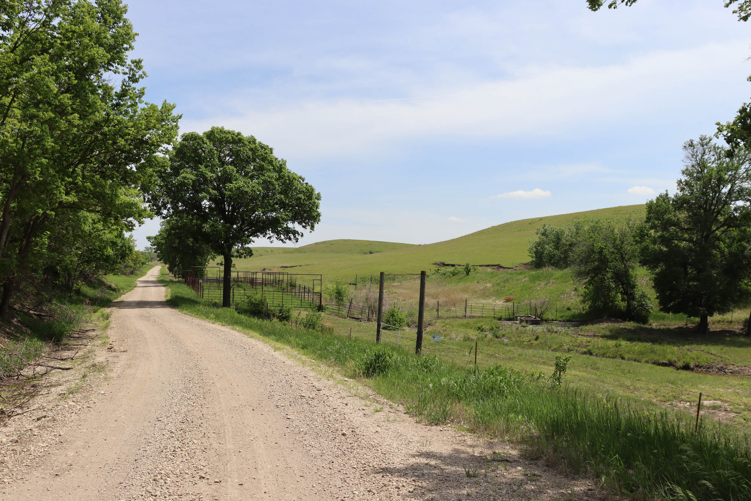
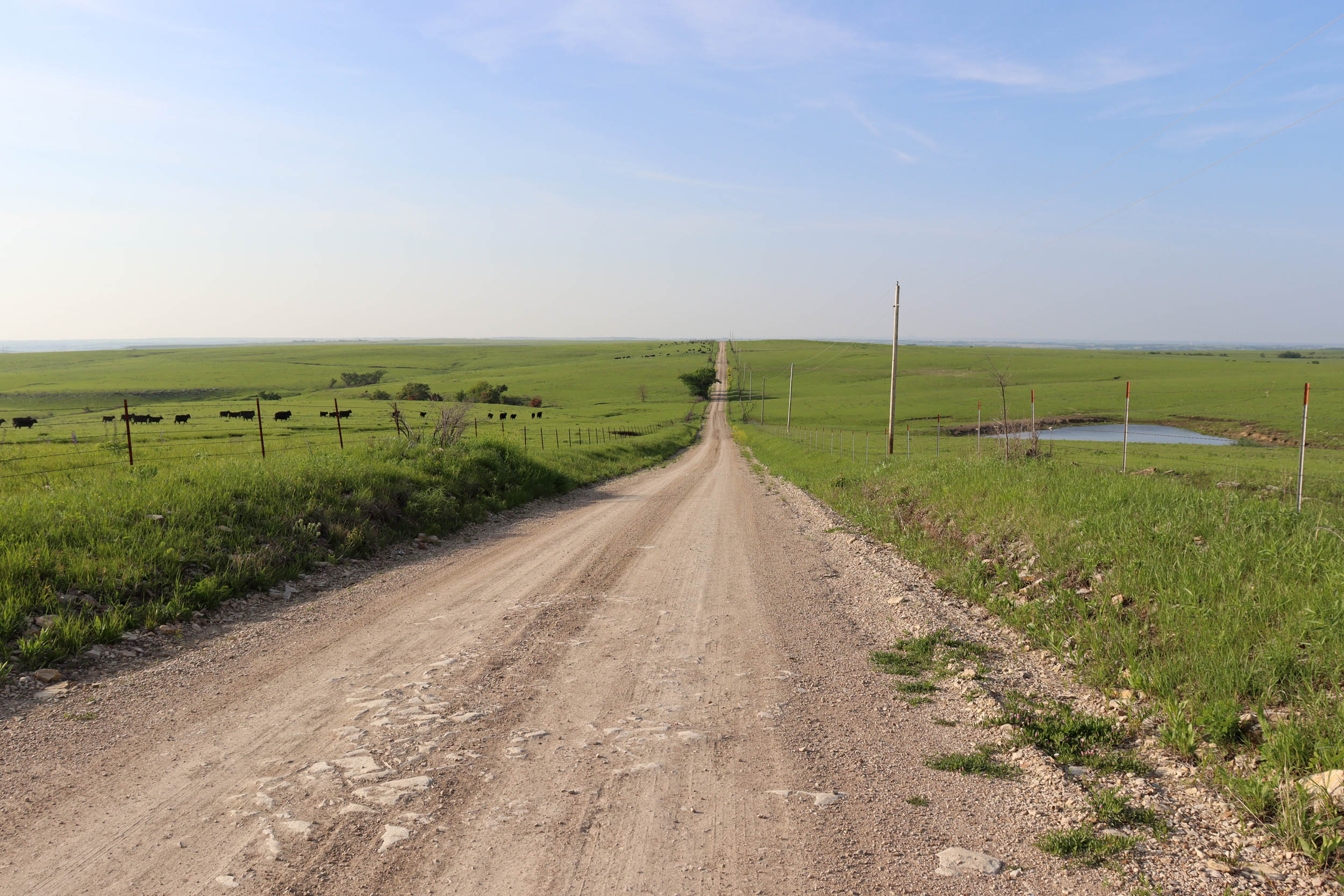
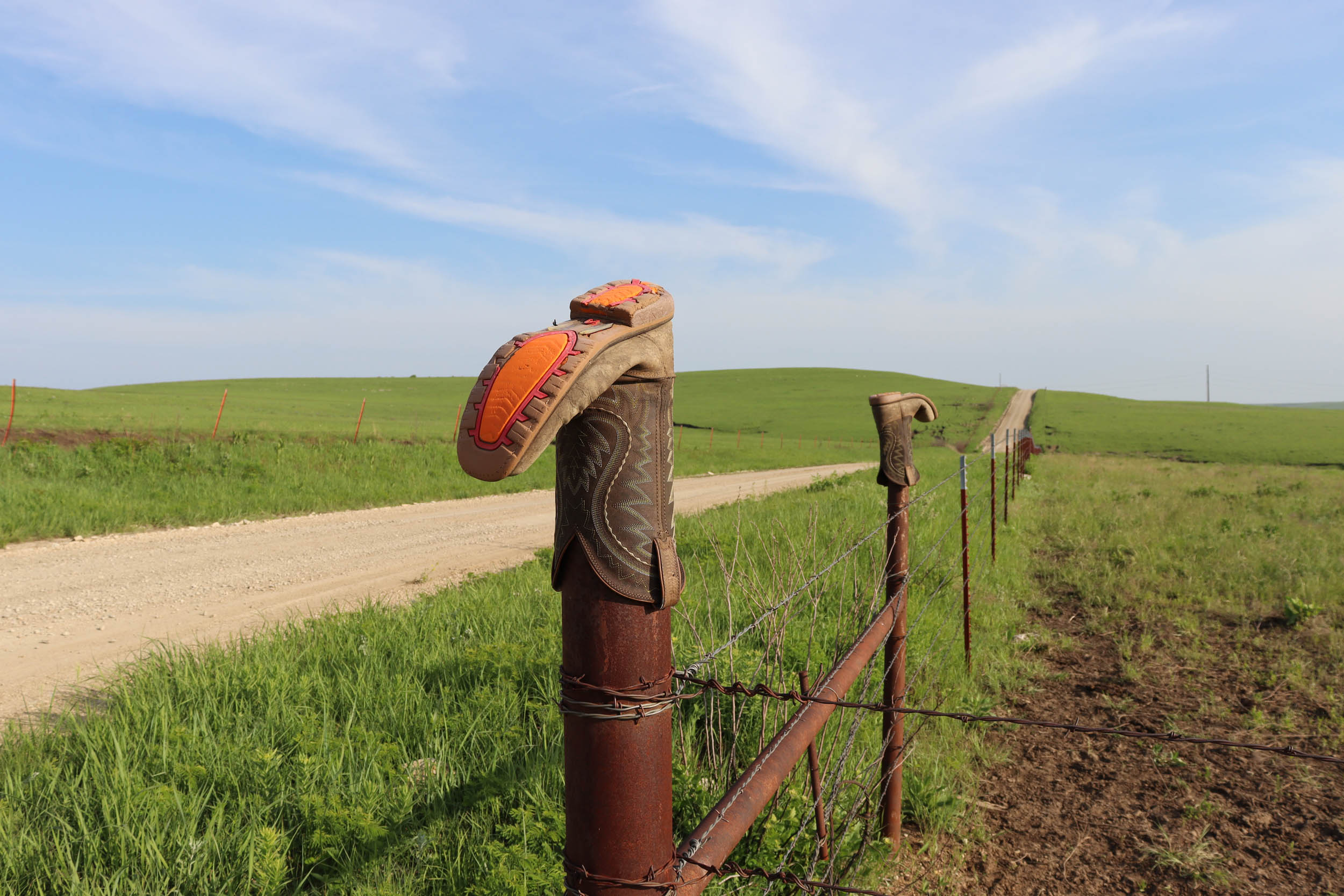
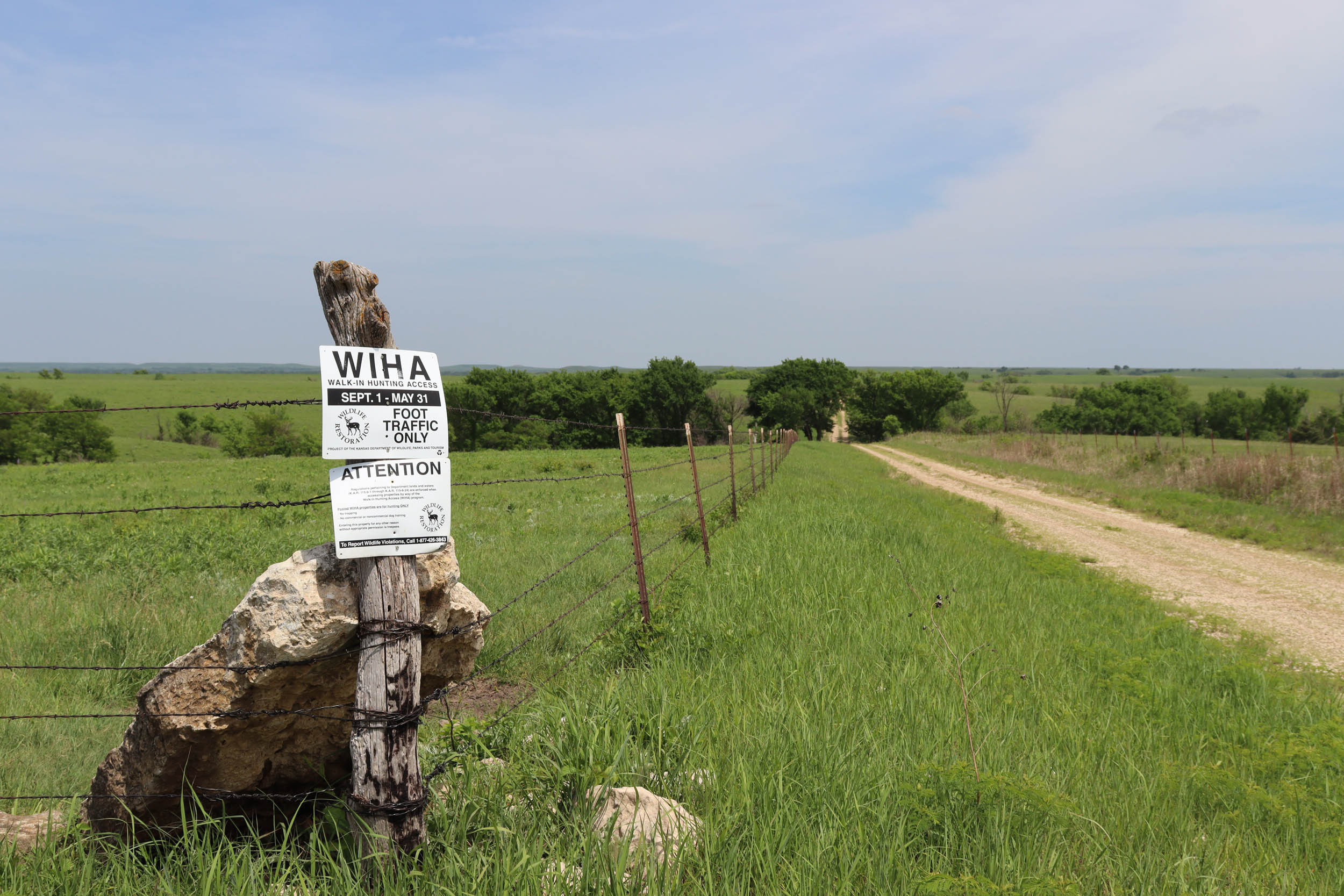
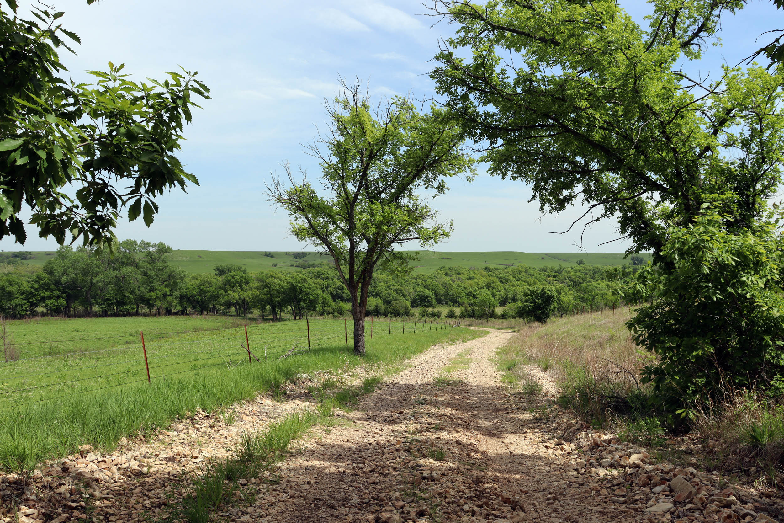
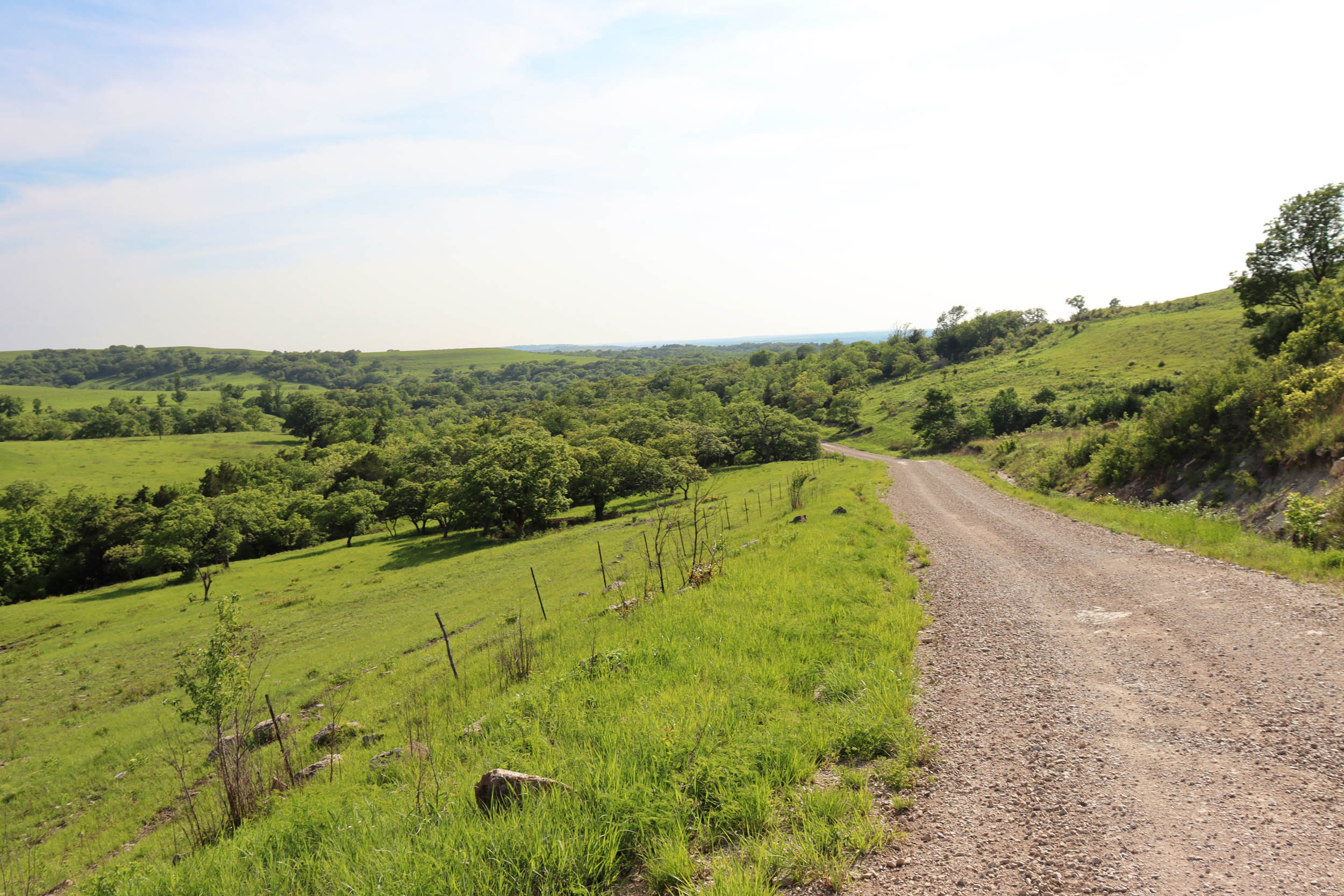
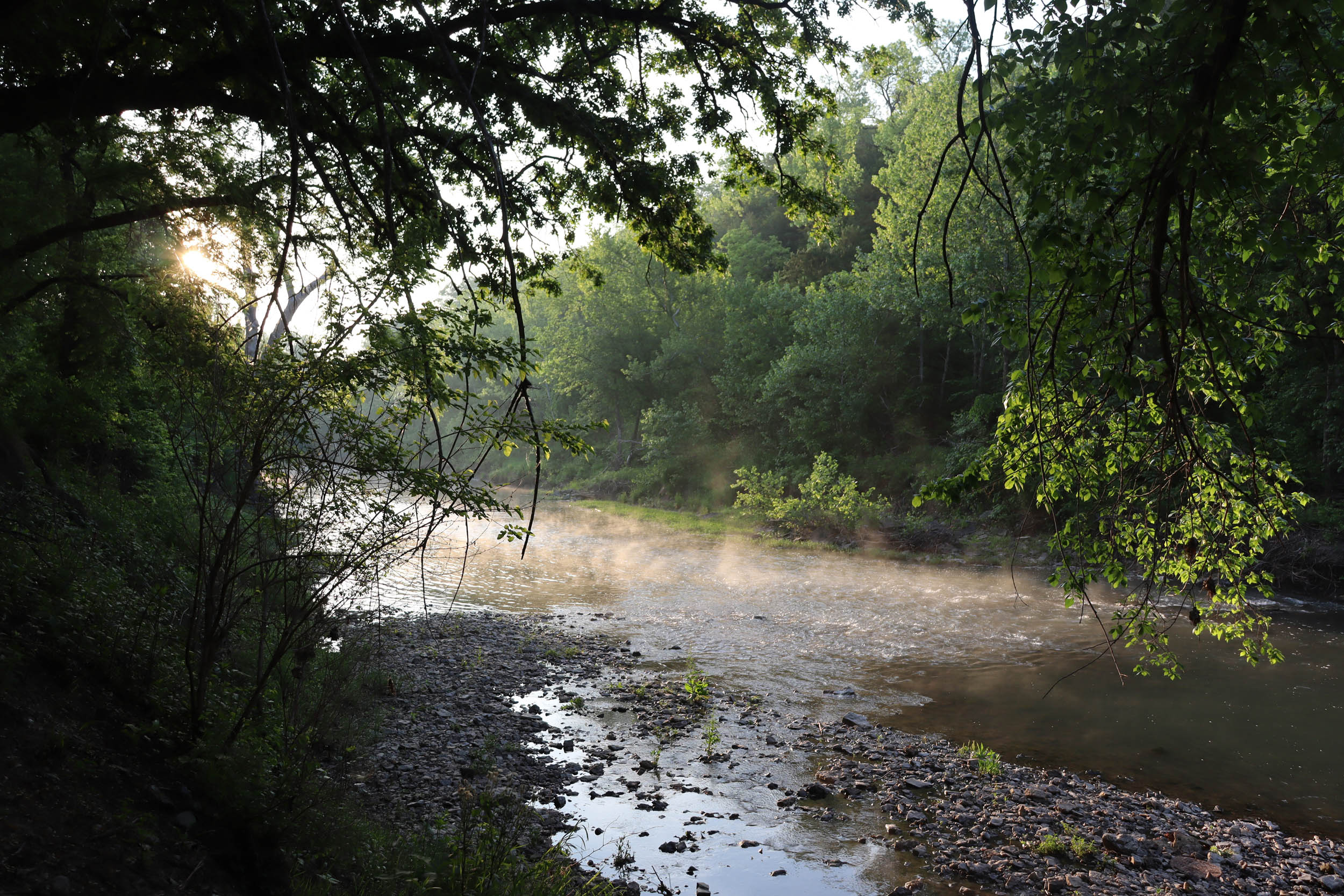
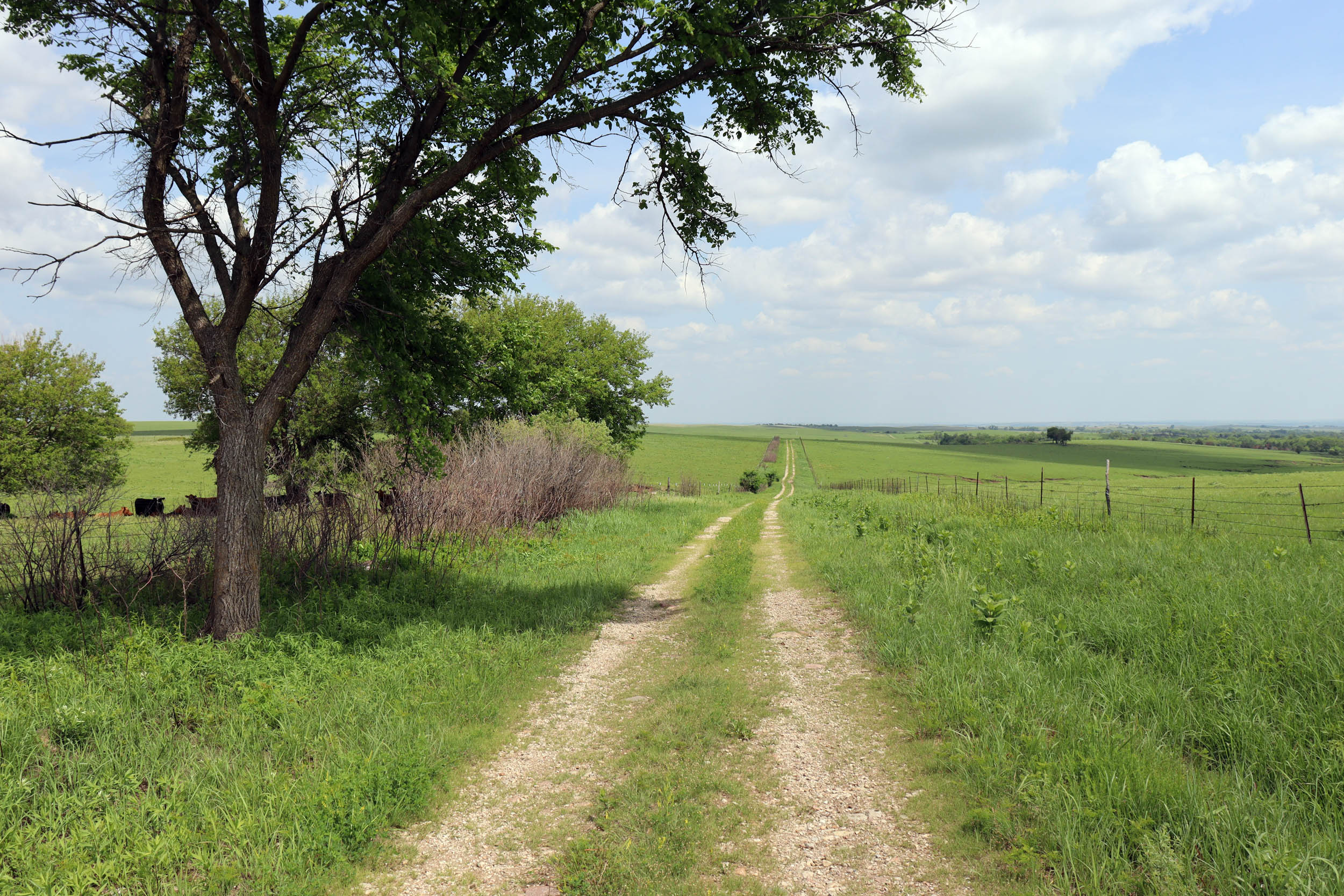
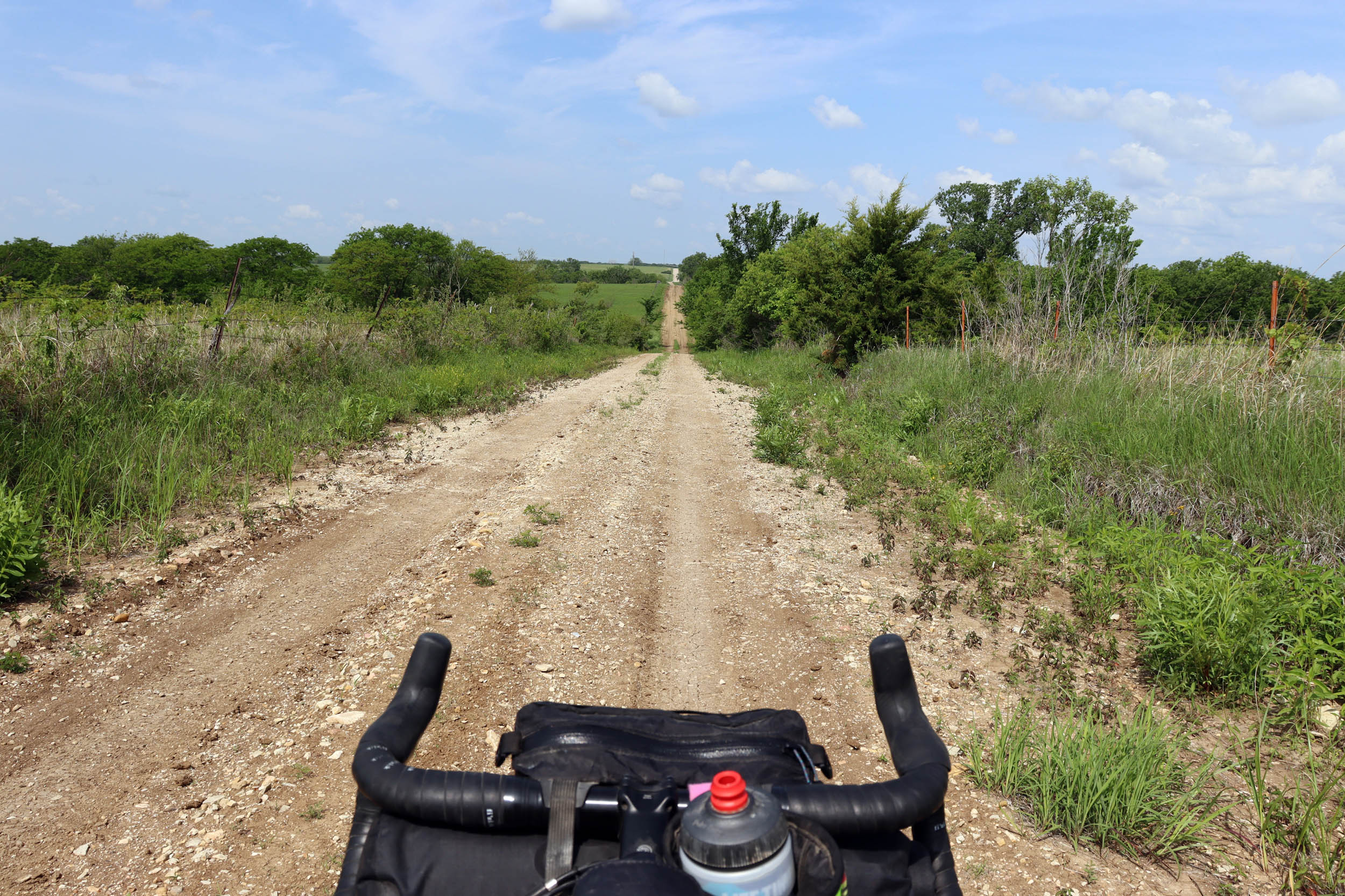
The Flint Hills Oz Overnighter is designed to provide riders with a sample of some of the most beautiful backcountry roads and the remote nature of the Flint Hills region of Kansas. Starting and finishing in the college town of Manhattan, Kansas, at The Pathfinder (the local bike shop/gear store), the route explores the remote, hilly, and diverse roads of the Flint Hills and several small communities that dot the landscape. The Flint Hills region is a unique and scenic landscape that covers roughly 10,000 square miles and is characterized by a vast expanse of tallgrass prairie, which is among the last remaining examples of this ecosystem in the world.
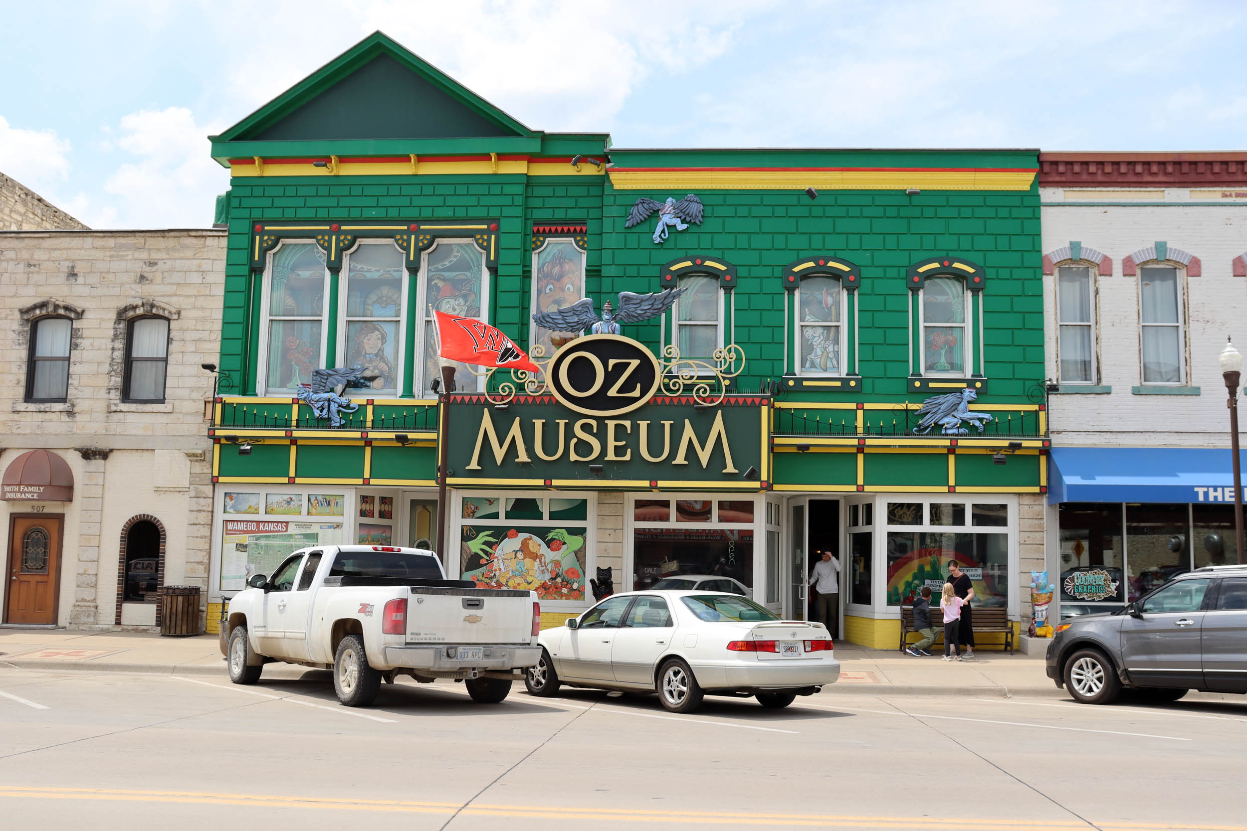
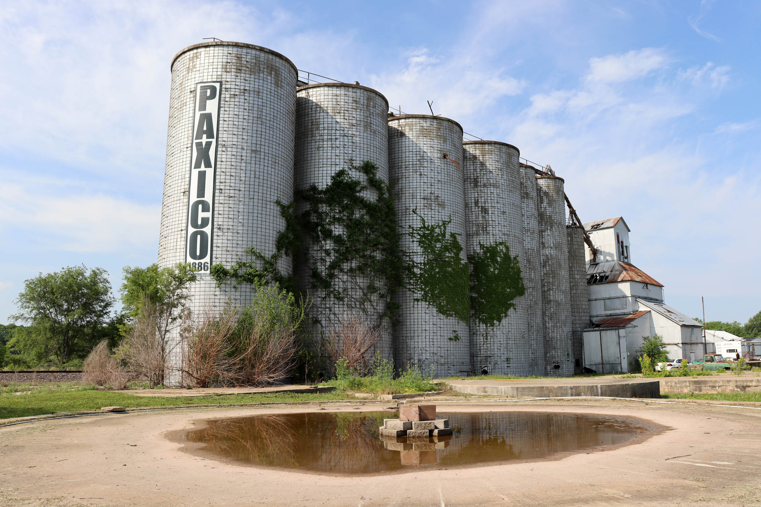
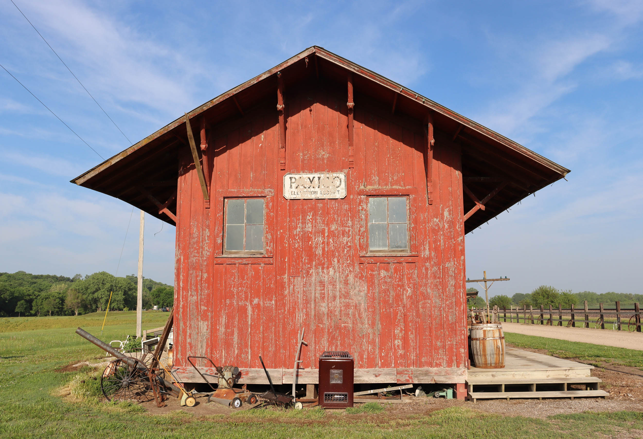
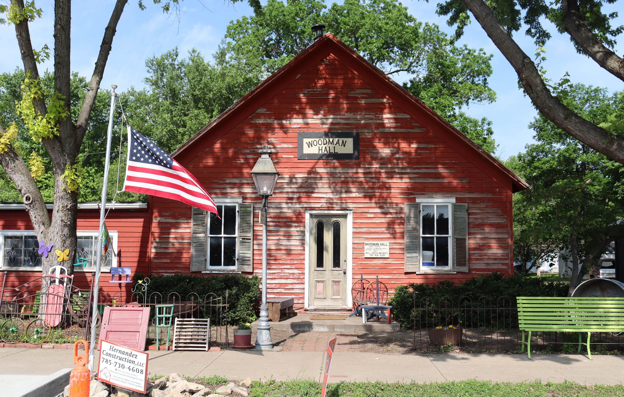
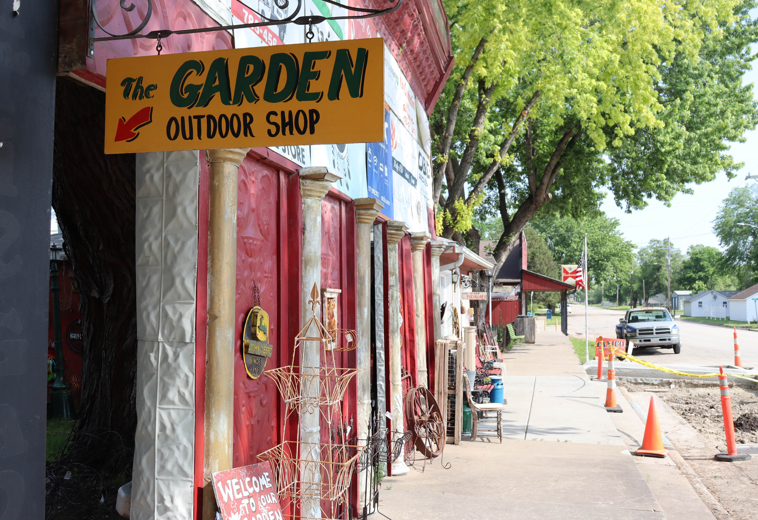
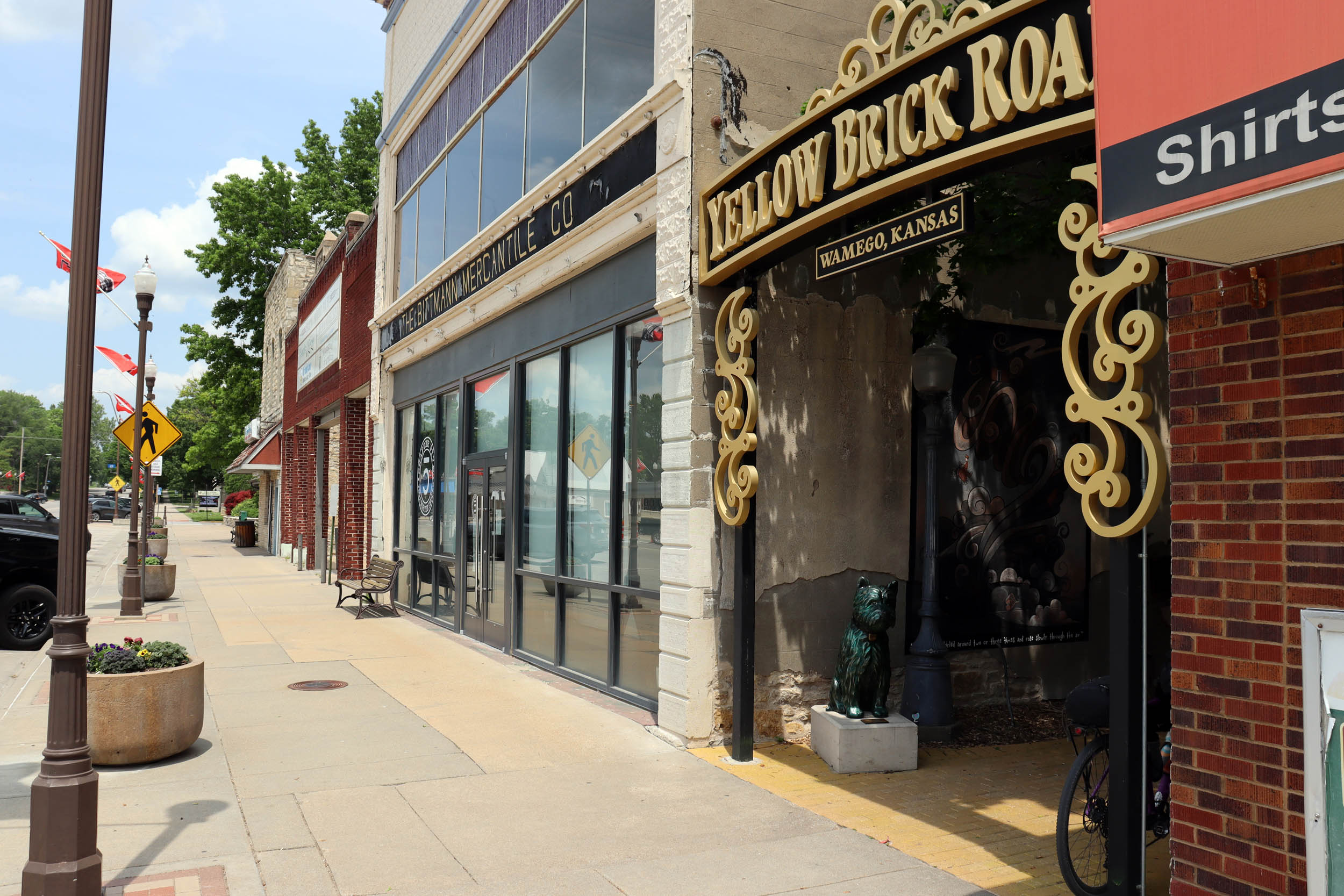
The Oz Overnighter is named “Oz” after the Wizard of Oz Museum, located in the small town of Wamego, which the route passes through. Another eccentric town that this route highlights is Paxico, which has an artsy feel and an eclectic array of antique shops and quirky buildings. It’s also located nearby to a couple of local wineries. The camping is located on the outskirts of this town along the peaceful Mill Creek. Also, if you have time, check out the Flint Hills Discovery Center in Manhattan to learn more about the ecosystem and history of the region.
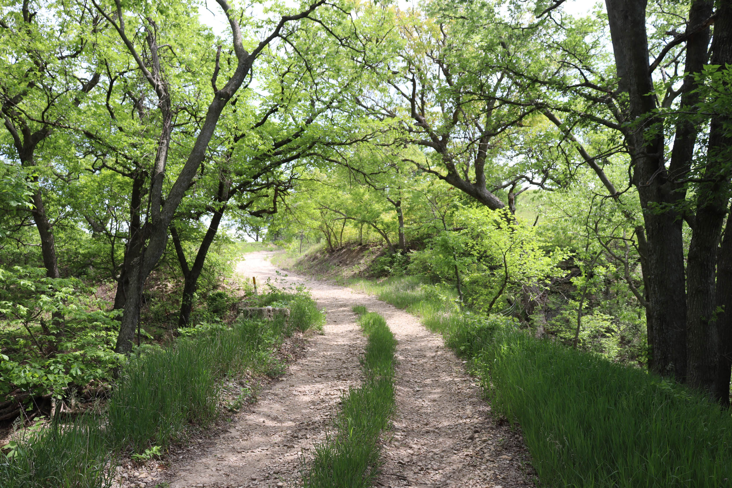
The route follows some of the best local gravel roads and MMRs (minimally maintained roads) of the region that are well-traveled by many of the local cyclists. Several of the roads and sights on this route have also been featured on the world-renowned Unbound Gravel race, including the infamous Little Egypt Road and the Volland Store, a local art and community space housed in a restored historic brick building.
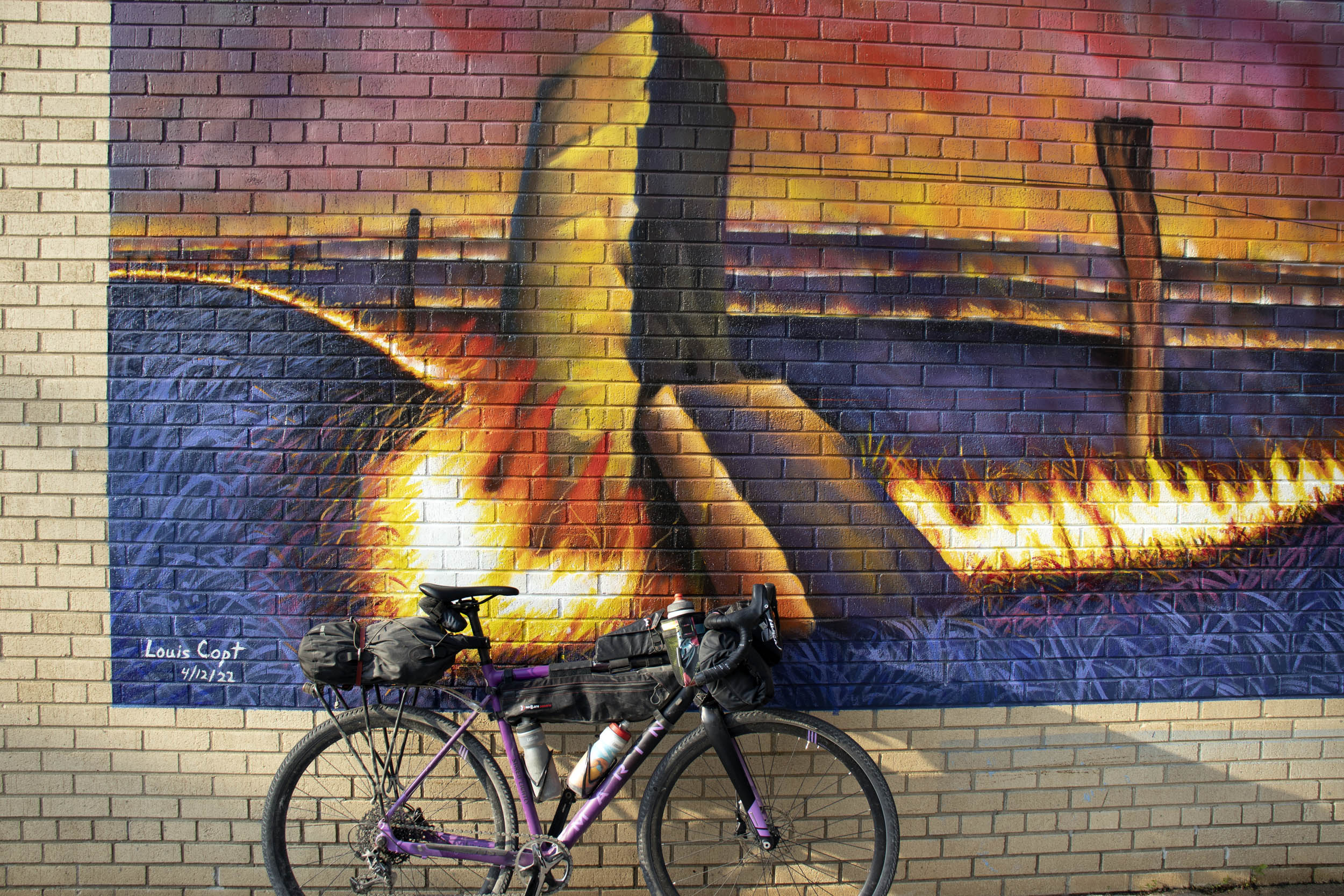
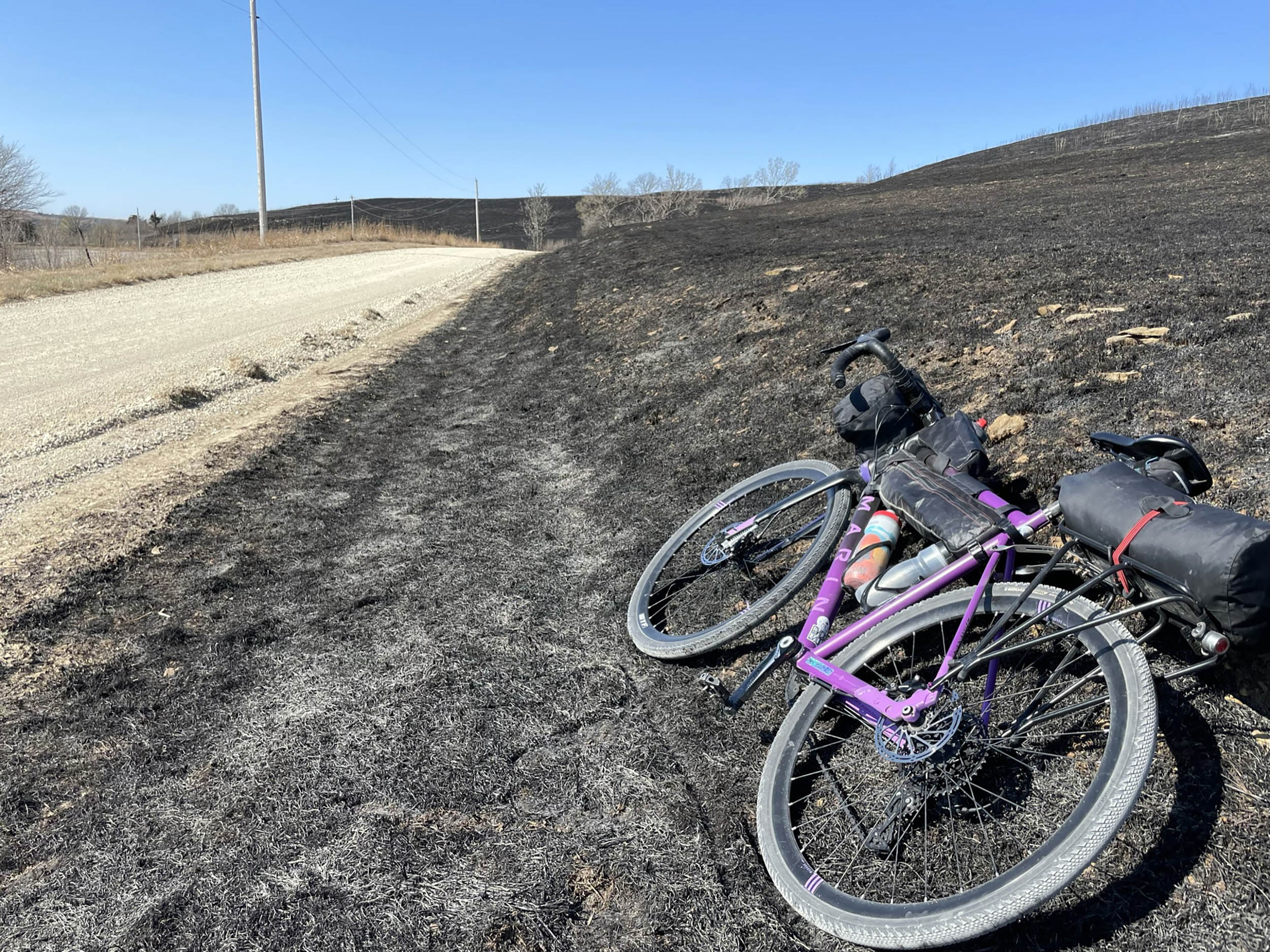
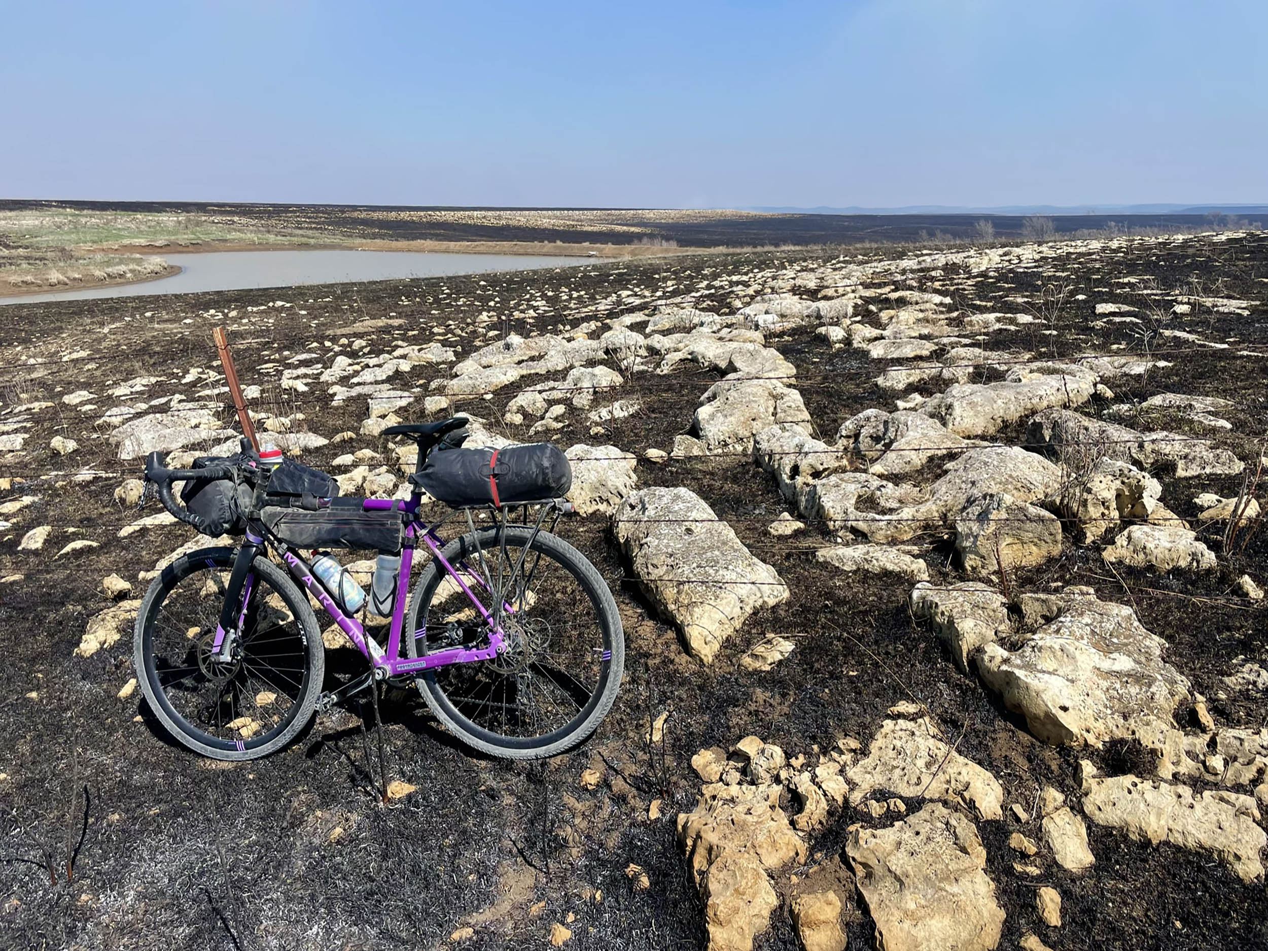
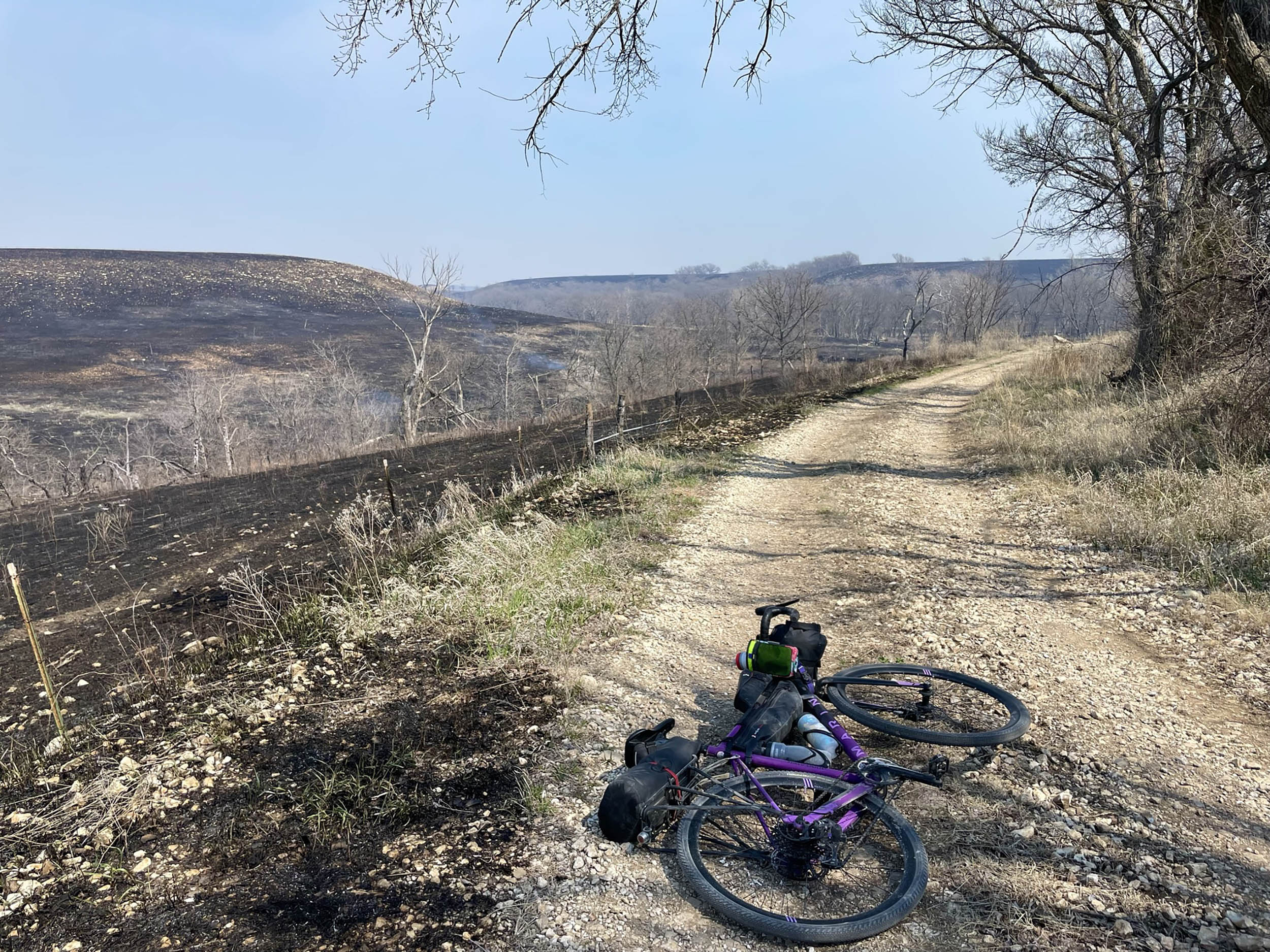
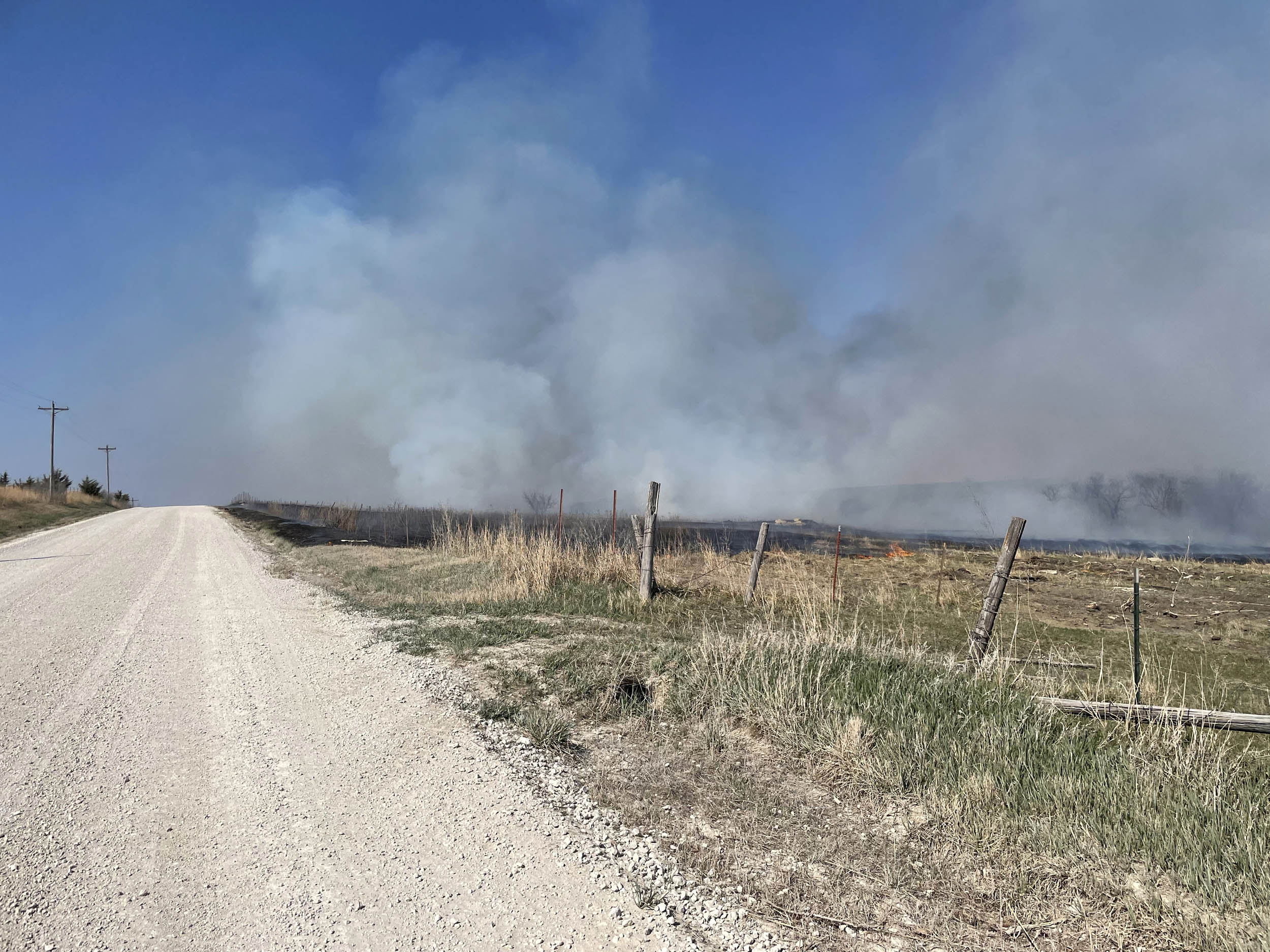
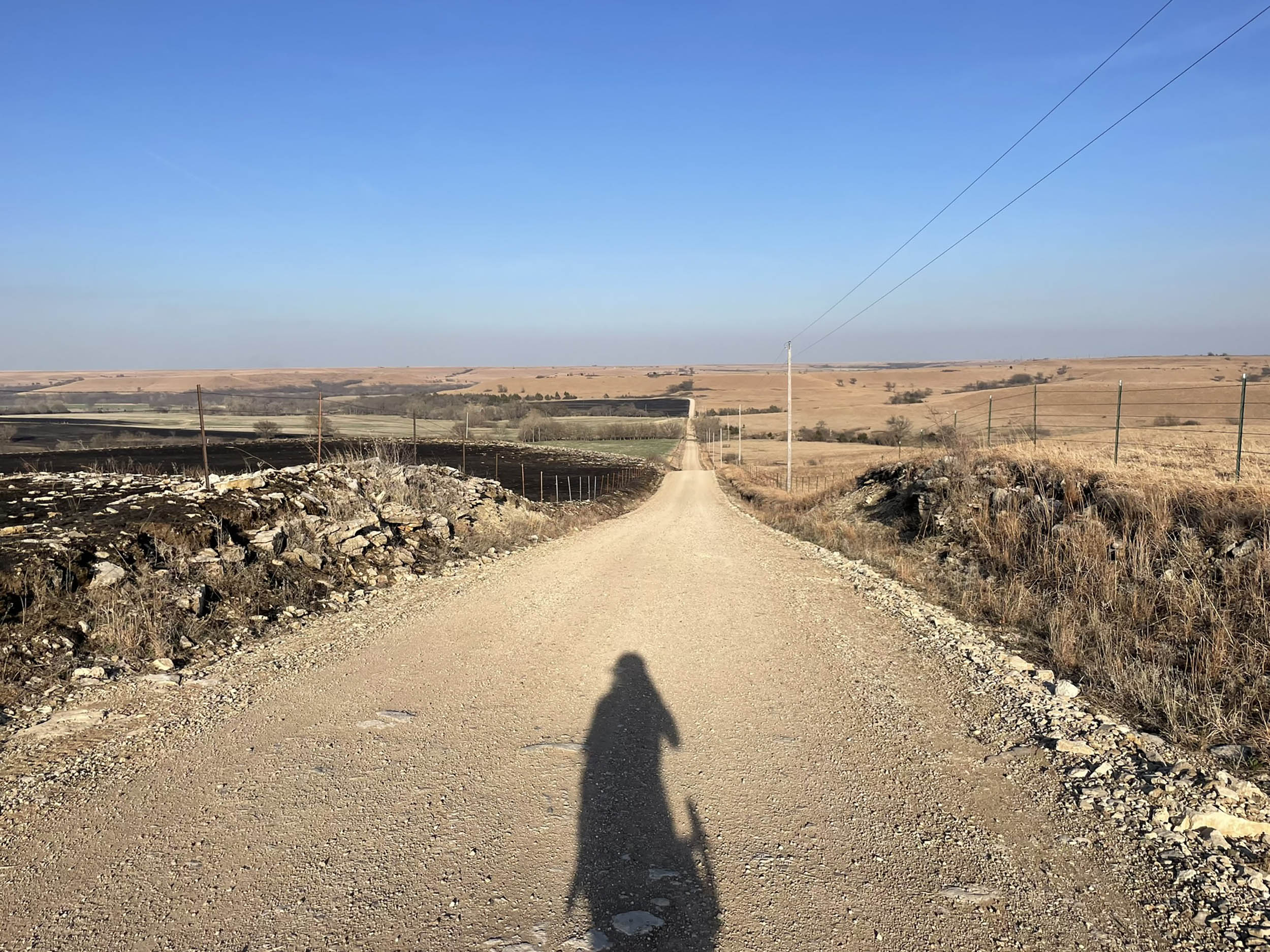
The roads and vistas included in this overnight route aim to bring awareness to the region’s beauty, rich history, and sensitive and unique ecosystem. Controlled burning plays an important role in cultural and historical preservation, as it helps to maintain the distinctive landscape of the Flint Hills and supports traditional land management practices that have been used by Native Americans and ranchers for centuries. Conservation is a critical issue in the Flint Hills, and the efforts to protect and restore the region’s natural resources and cultural heritage are essential to ensuring its long-term sustainability and vitality.
Route Difficulty
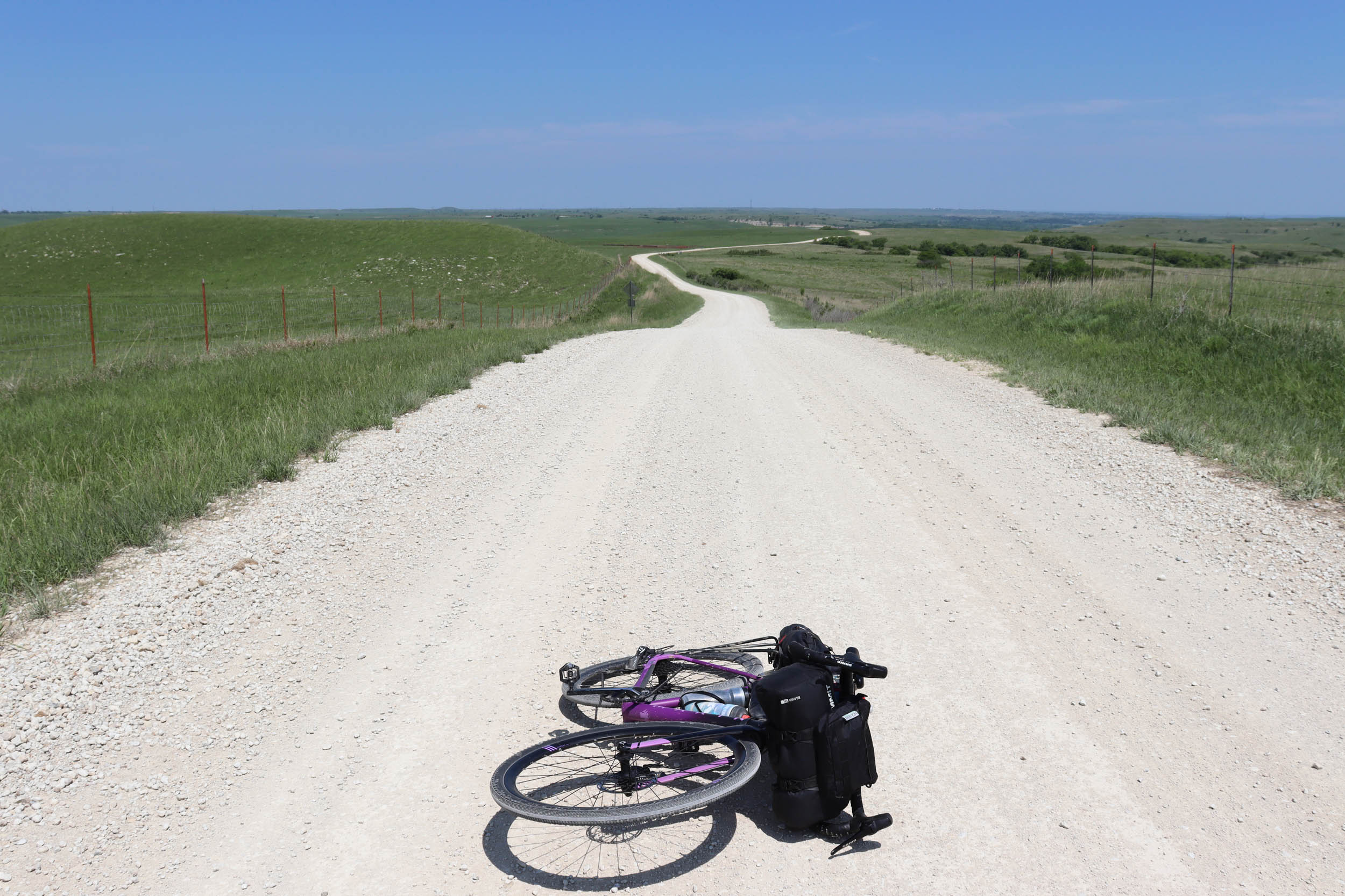
The Flint Hills Oz Overnighter roughly has a difficulty rating of 3.5 out of 10. The hills and gravel roads of this region are seemingly endless, and although it’s remote at times, there are plenty of resupply points and small towns evenly spaced along the route. All the gravel roads are rideable, and they range from perfect hard-packed “hero gravel” to very rocky and rough minimally maintained roads. Some of these MMRs may be unrideable in part after a heavy rain. The real challenge of this route can be the weather. Kansas weather can be brutally hot, windy, and cold, and severe thunderstorms can pop up randomly almost year round. There is also a long stretch without water or resupply from Manhattan to Alma (unless the Volland Store is open), so be prepared with enough food and water during this stretch. Additionally, the first day is a 66-mile journey to the campsite (and 50 miles to the first resupply point) with the most challenging hills of the route. However, anyone with at least 38mm tires and some fitness should be able to handle most of the roads (42mm or larger is recommended). If you plan ahead and are aware of the weather conditions, this should be a relatively easy route, but it’s challenging enough to make for a fun adventure.
Route Development: This route was inspired by some of the roads on local gravel races such as The Bleeding Kansas Gravelduro and “Unbound” as well as many rides with friends from Manhattan. Many thanks to all the awesome people at The Pathfinder, those who I’ve ridden with on these great backroads, and all the cyclists from this region who came before me and inspired me to discover the beauty of the Flint Hills.
Submit Route Alert
As the leading creator and publisher of bikepacking routes, BIKEPACKING.com endeavors to maintain, improve, and advocate for our growing network of bikepacking routes all over the world. As such, our editorial team, route creators, and Route Stewards serve as mediators for route improvements and opportunities for connectivity, conservation, and community growth around these routes. To facilitate these efforts, we rely on our Bikepacking Collective and the greater bikepacking community to call attention to critical issues and opportunities that are discovered while riding these routes. If you have a vital issue or opportunity regarding this route that pertains to one of the subjects below, please let us know:
Highlights
Must Know
Camping
Food/H2O
Trail Notes
Resources
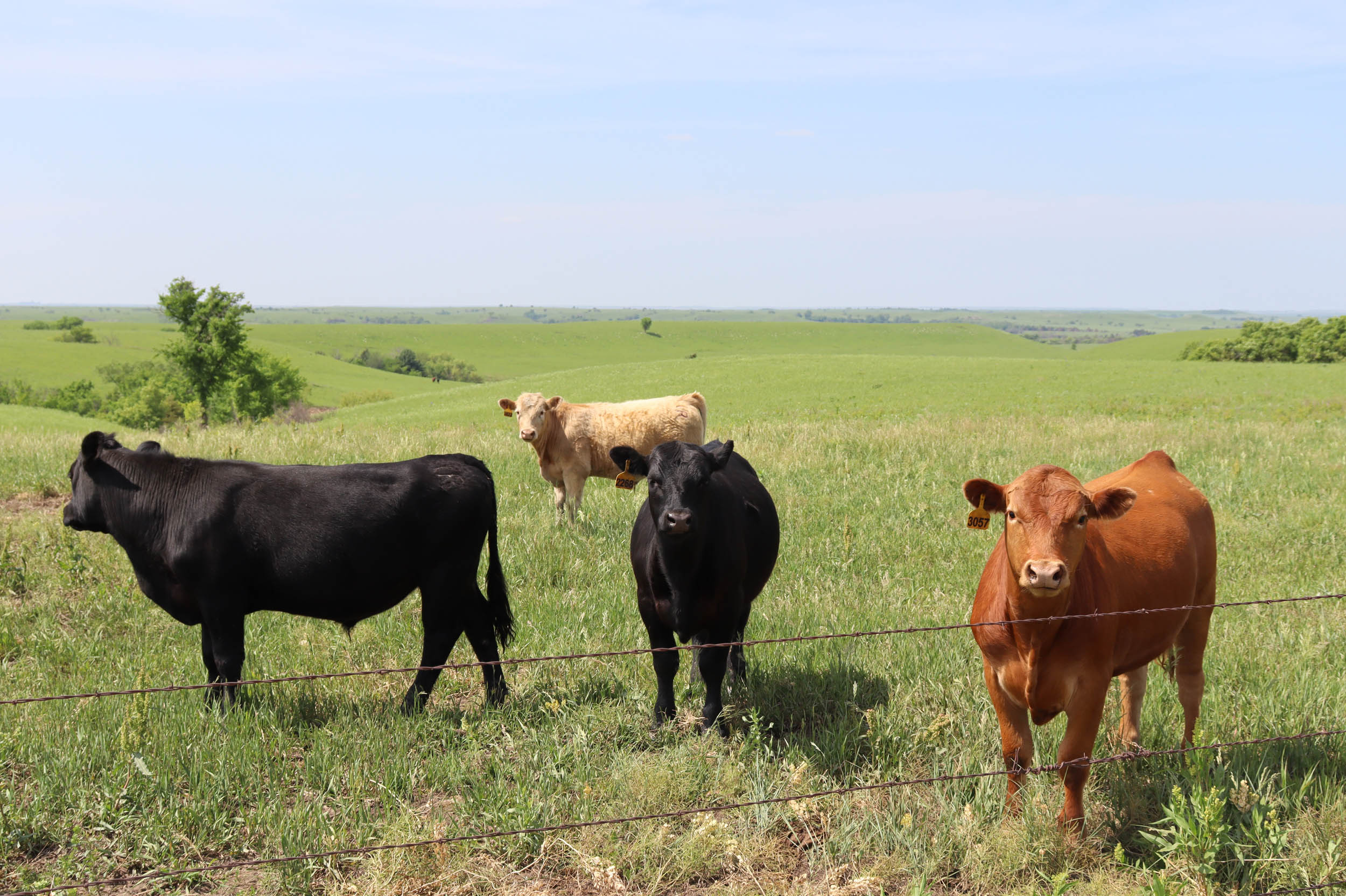
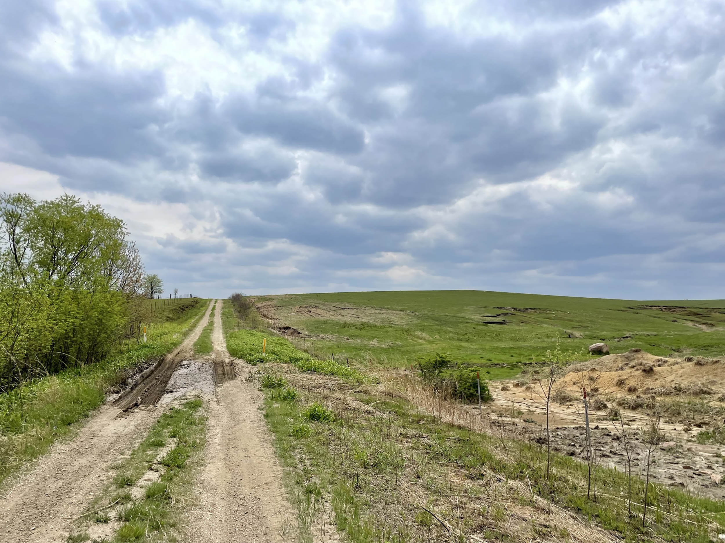
- Experience the tallgrass prairie of the Flint Hills with numerous wildlife and endless unspoiled views.
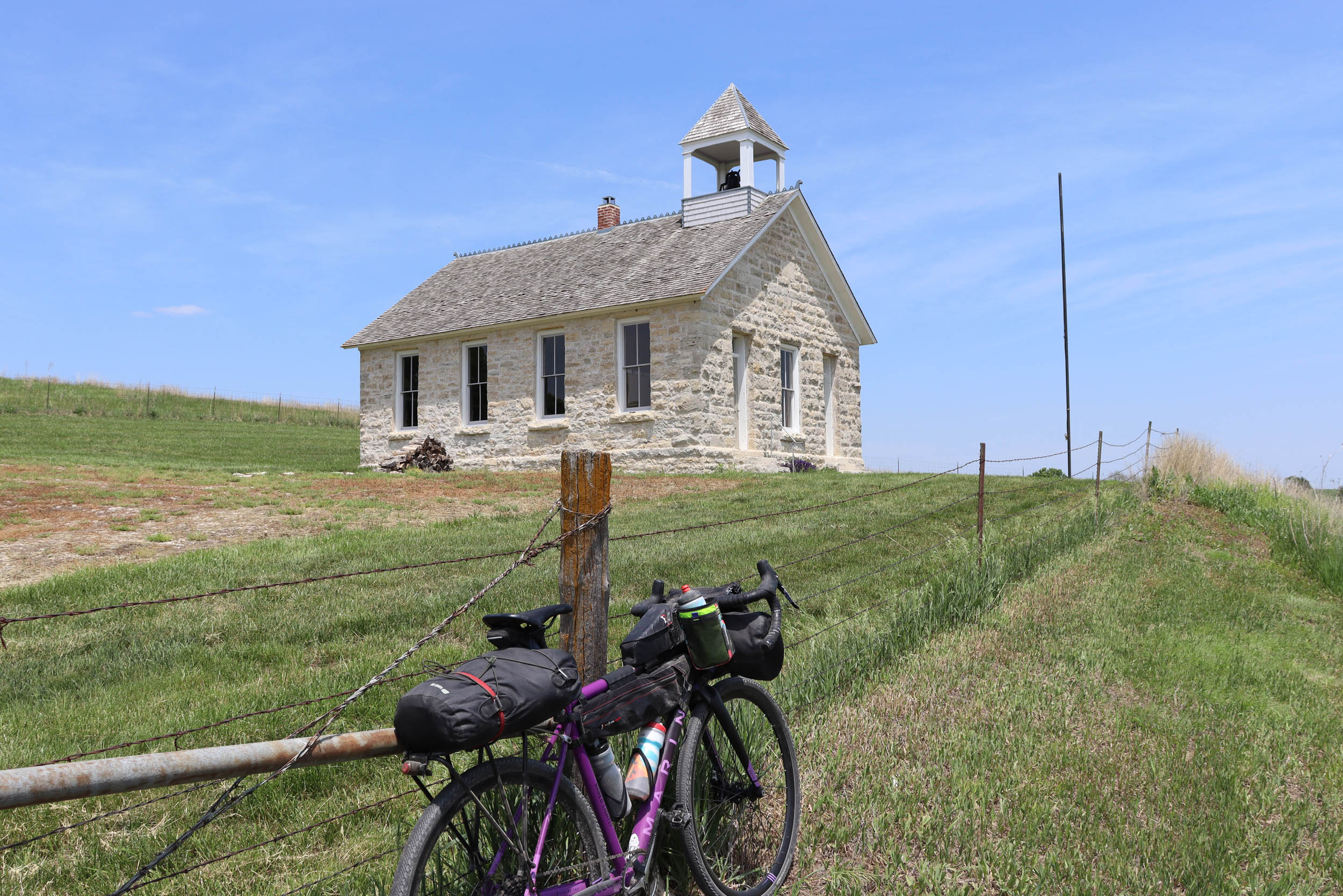
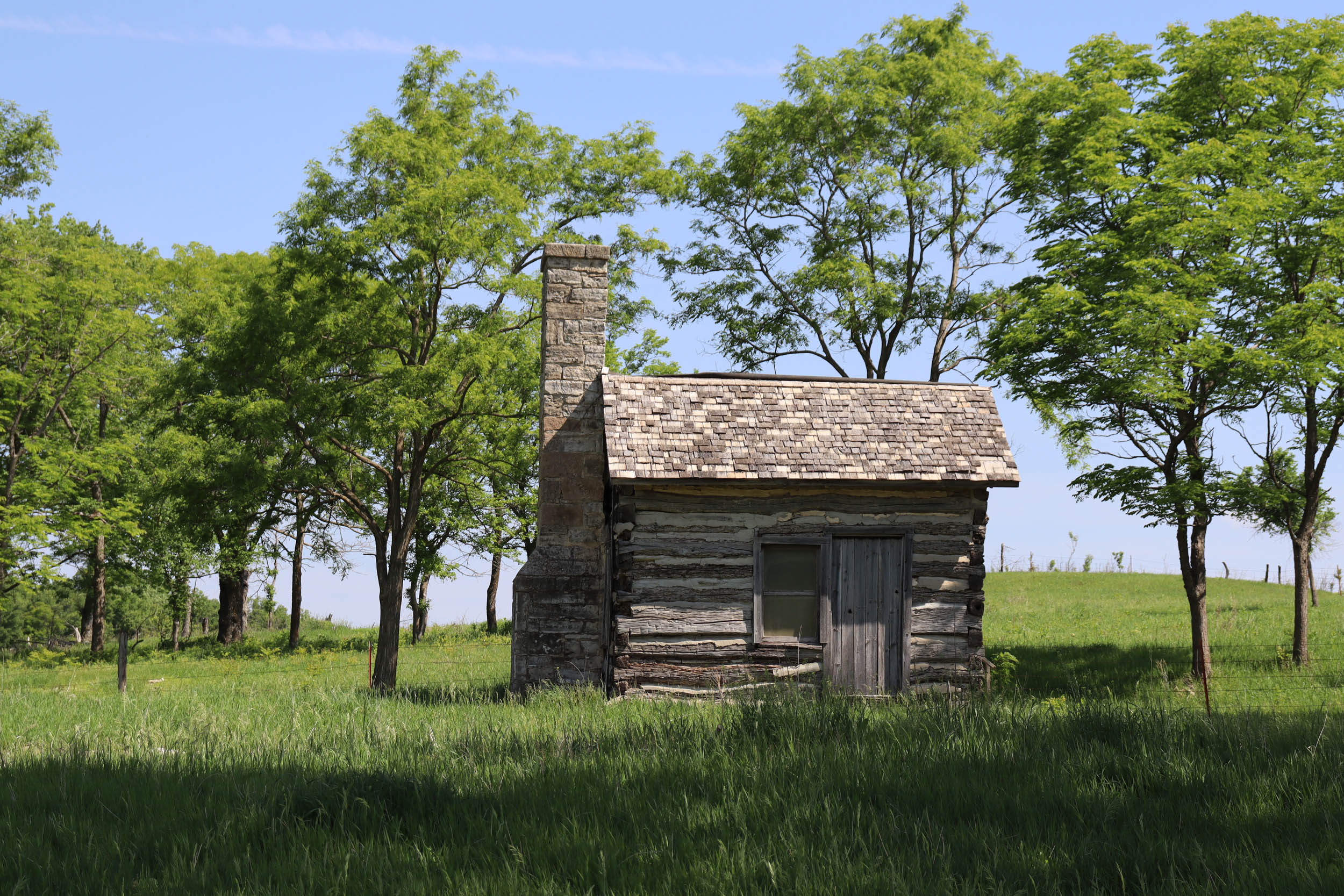
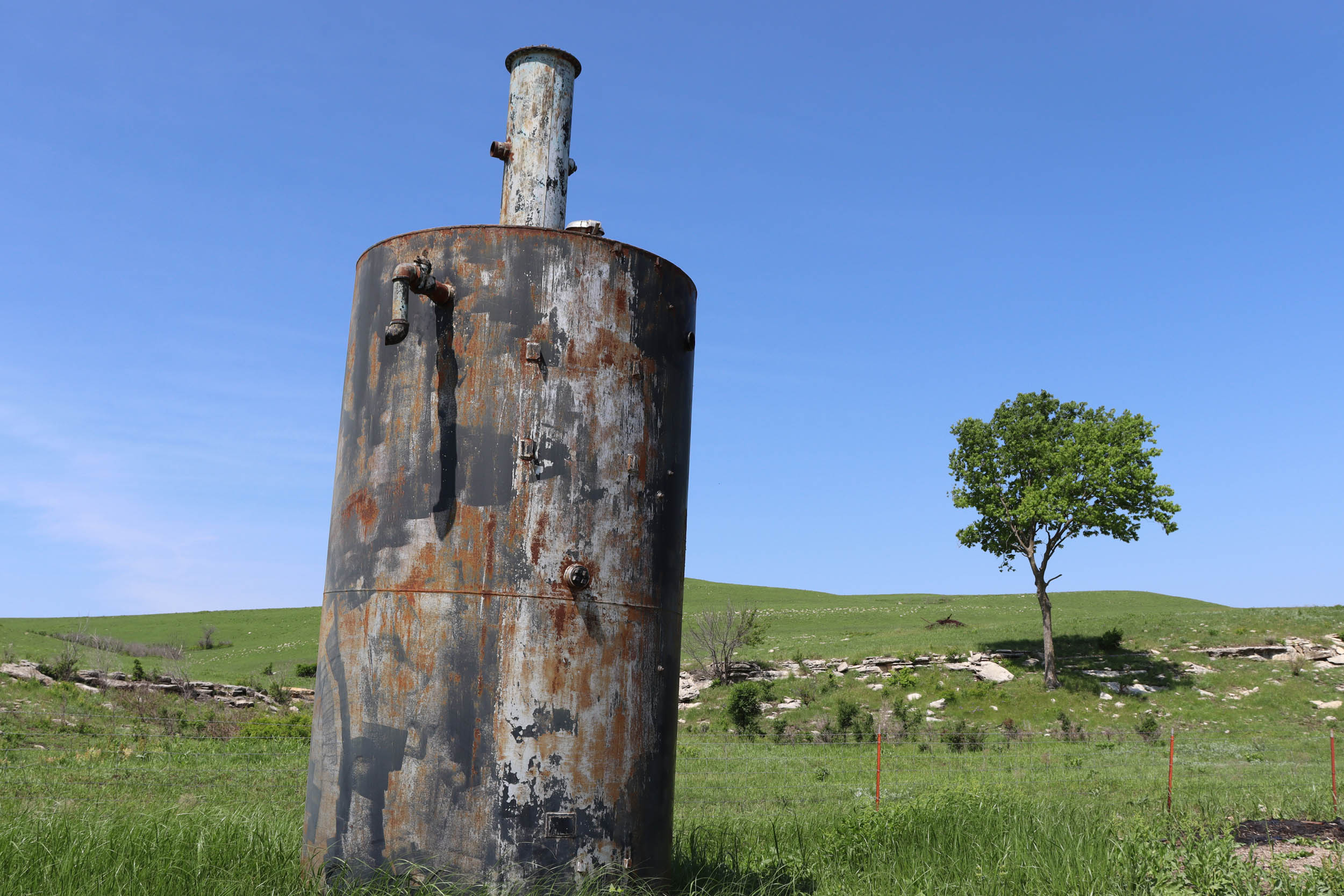
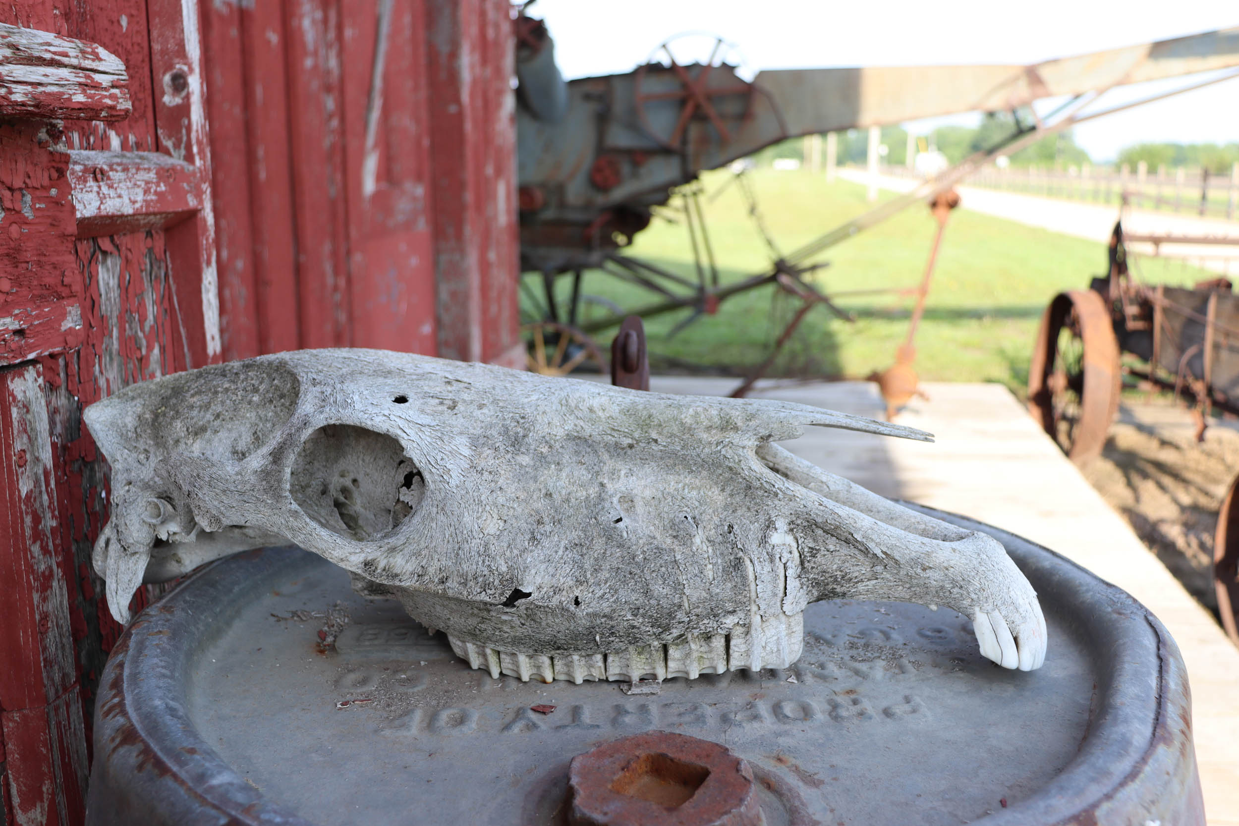
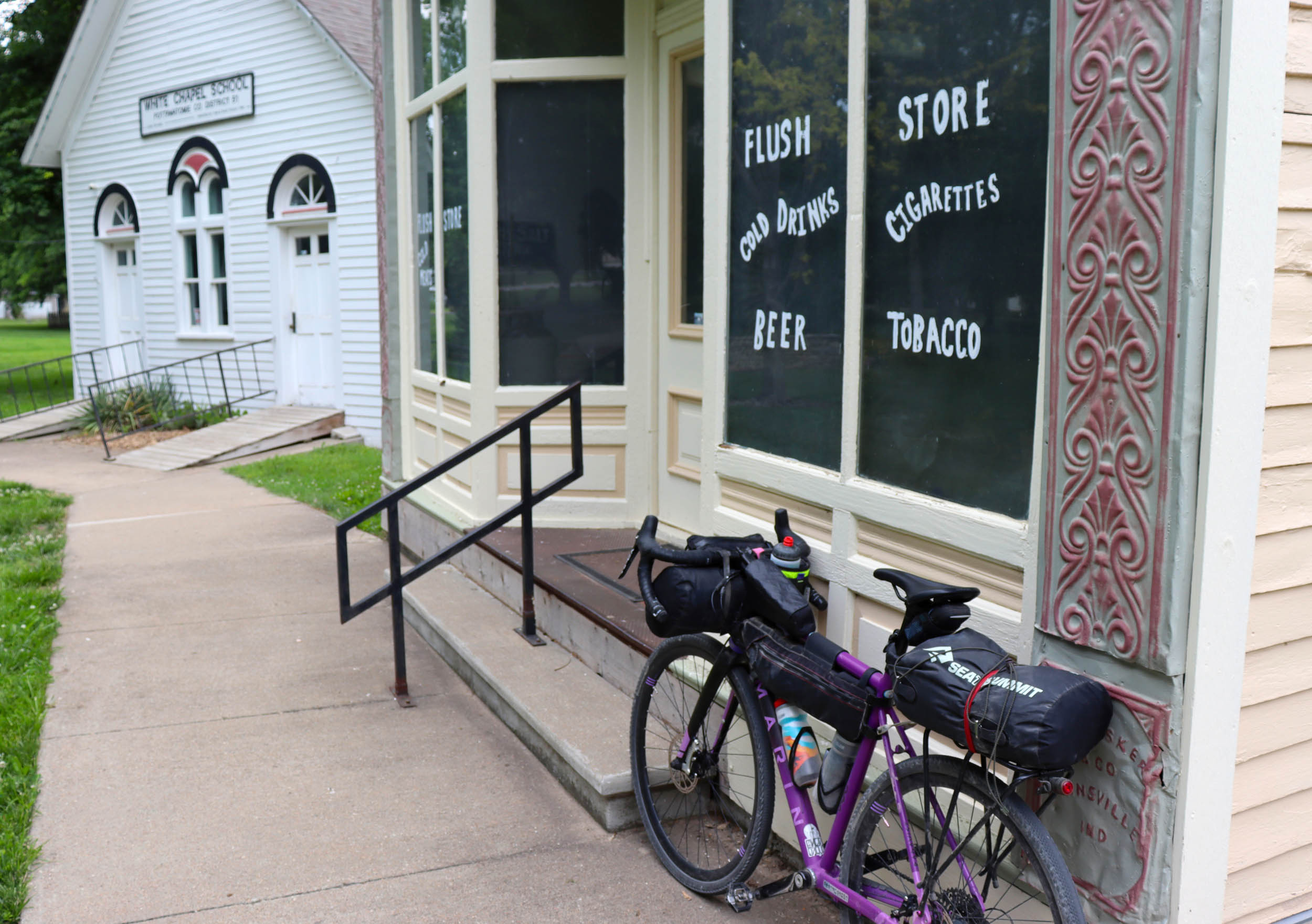
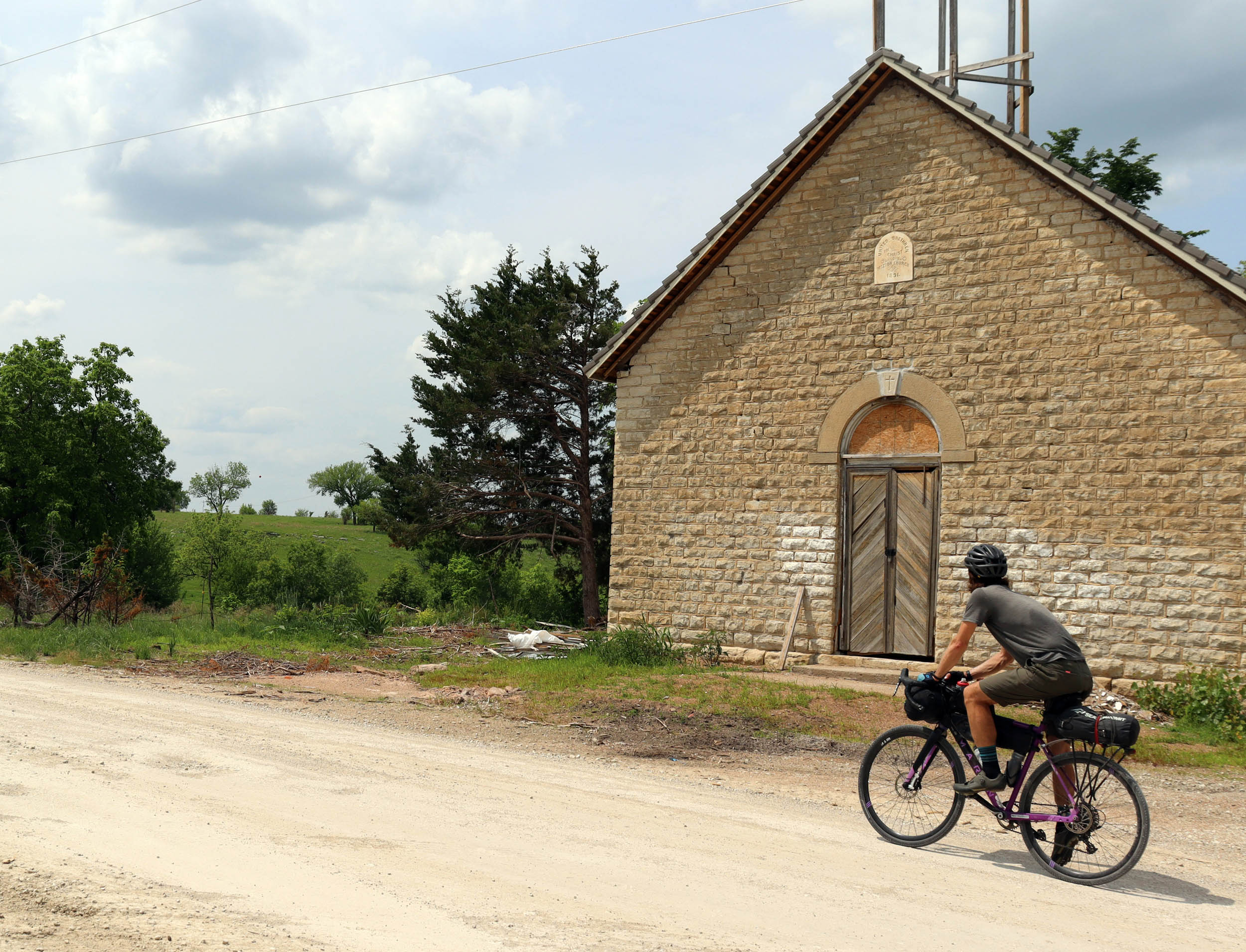
- See numerous historic churches and old structures along the route, including Chris Barr’s cabin, built in 1863.
- Wildlife sightings could include coyote, hawks, bald eagles, numerous other bird species, deer, horses, jack rabbits, racoons, turtles, snakes, and lizards, as well as lots of cows and horses.
- Excellent star gazing and awesome sunsets.
- Stop at the Volland Store, a refurbished general store built in 1913 that now serves as an art gallery, event center, and community gathering place.
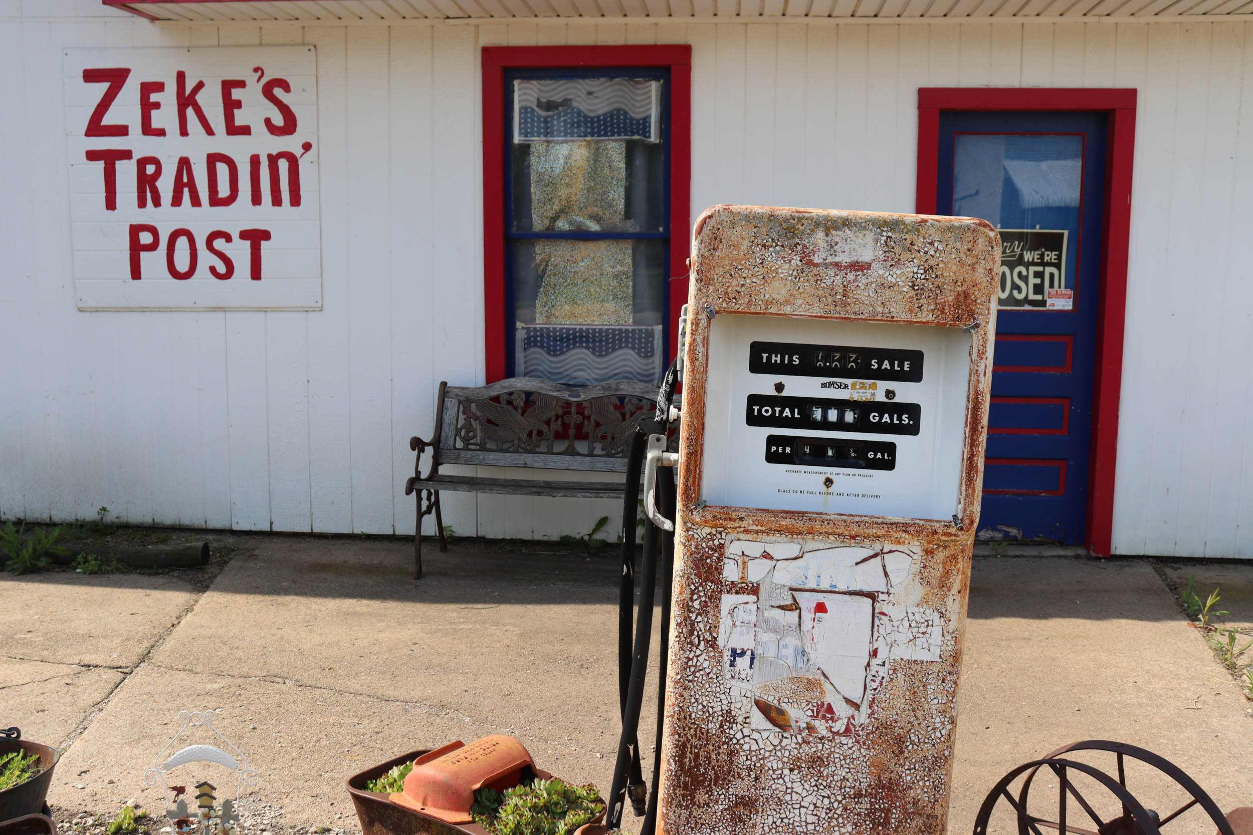
- Explore the quirky and artsy small town of Paxico with its numerous antique stores.
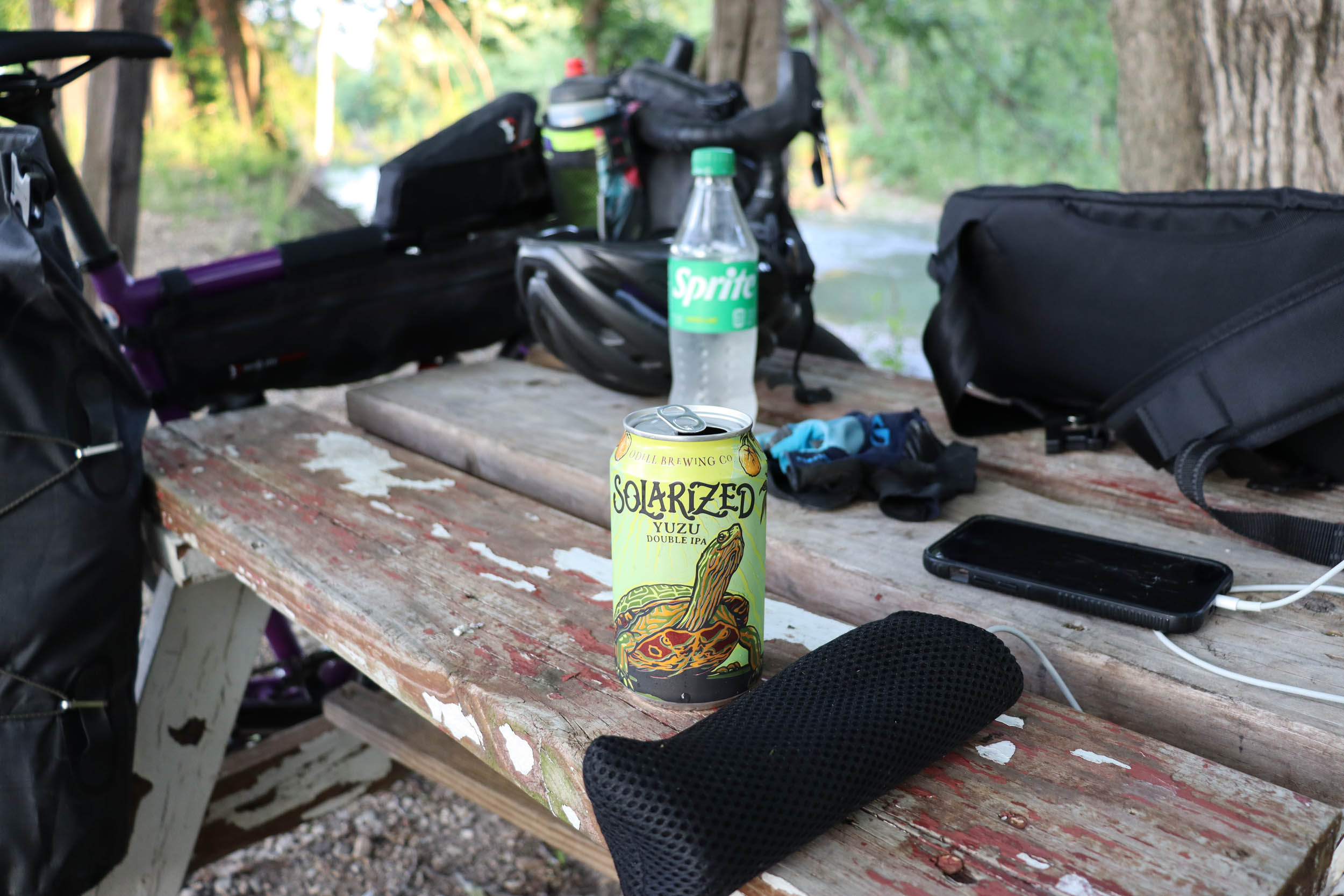
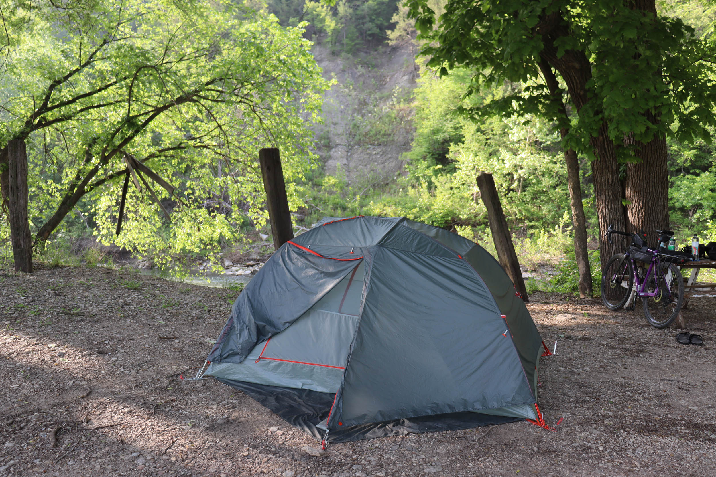
- Camp along the scenic Mill Creek in Paxico.
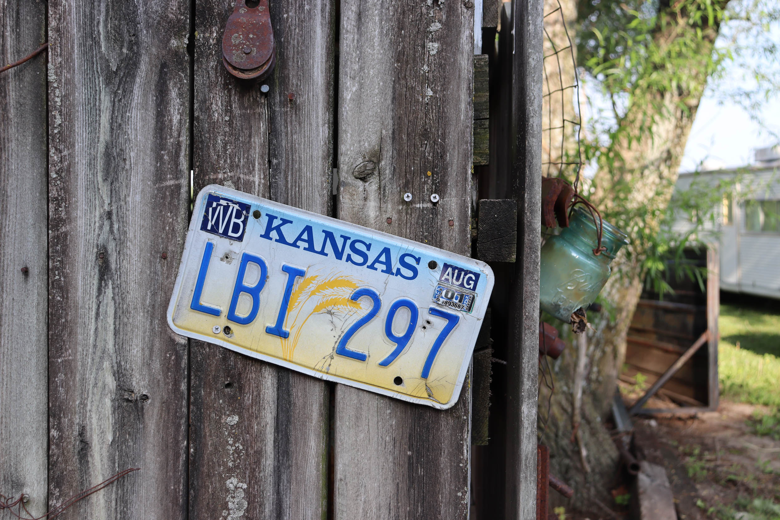
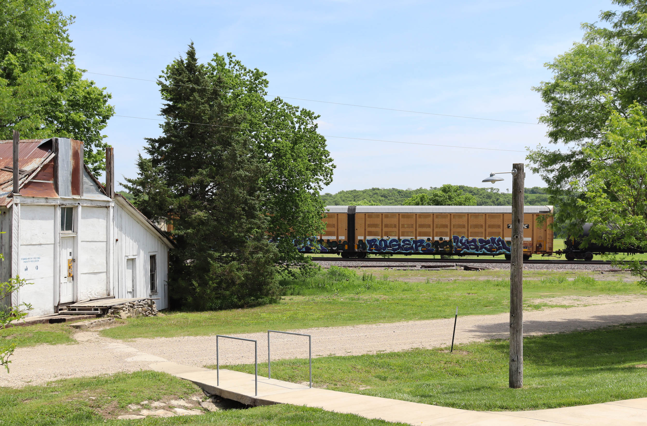
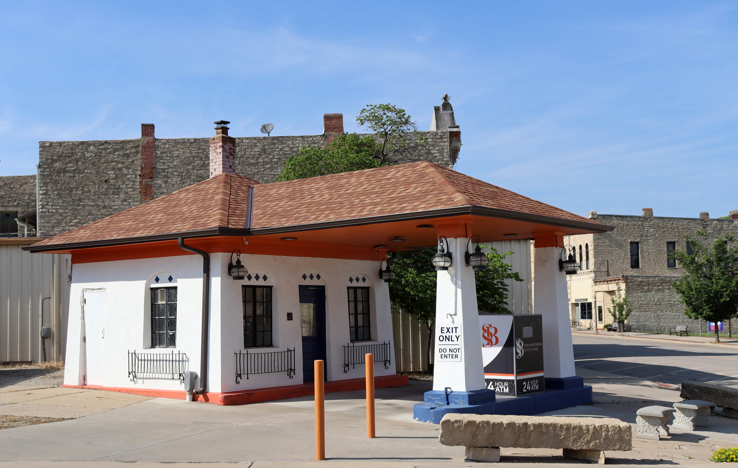
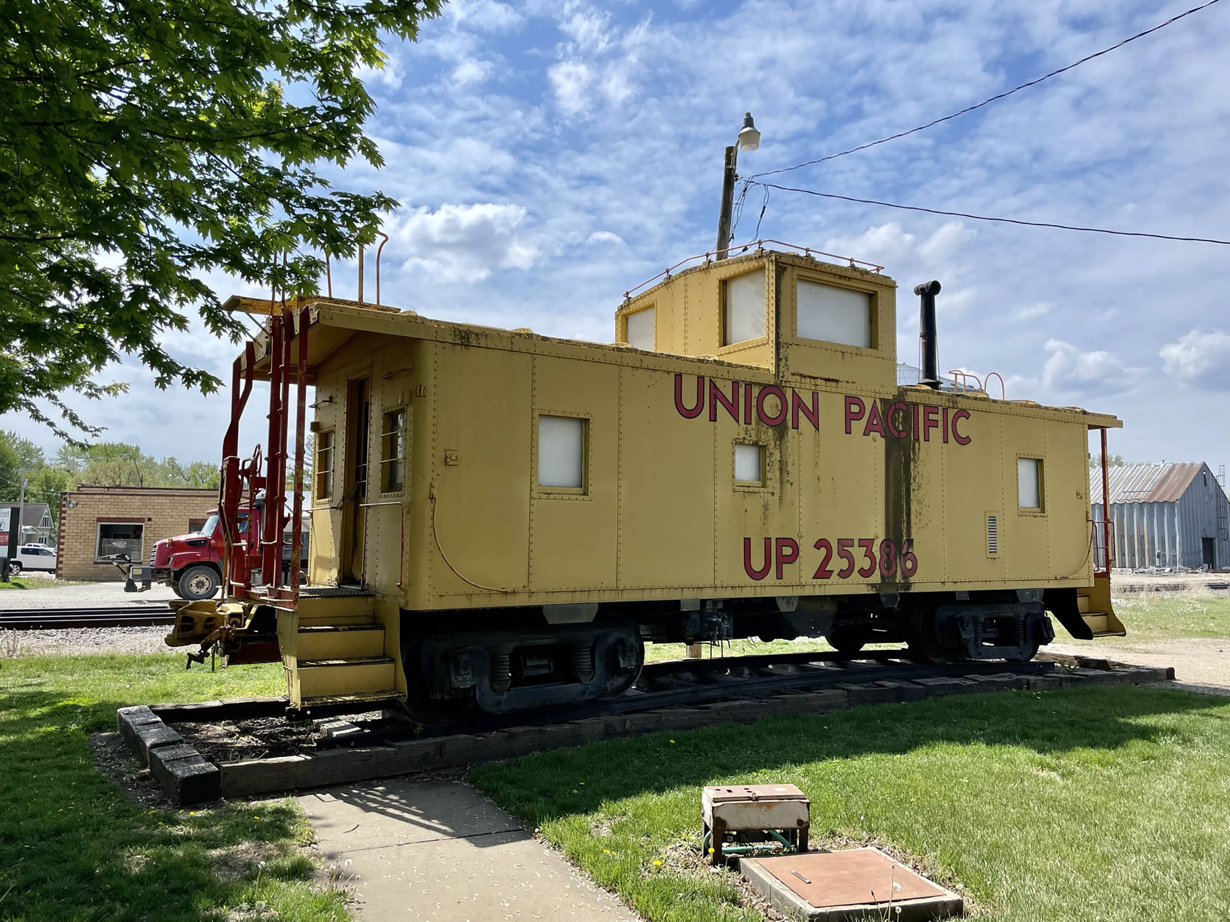
- Visit well-preserved historic small towns such as Alma and Wamego.
- Experience some local wineries such as Prairie Fire Winery, and Wyldewood Cellars.
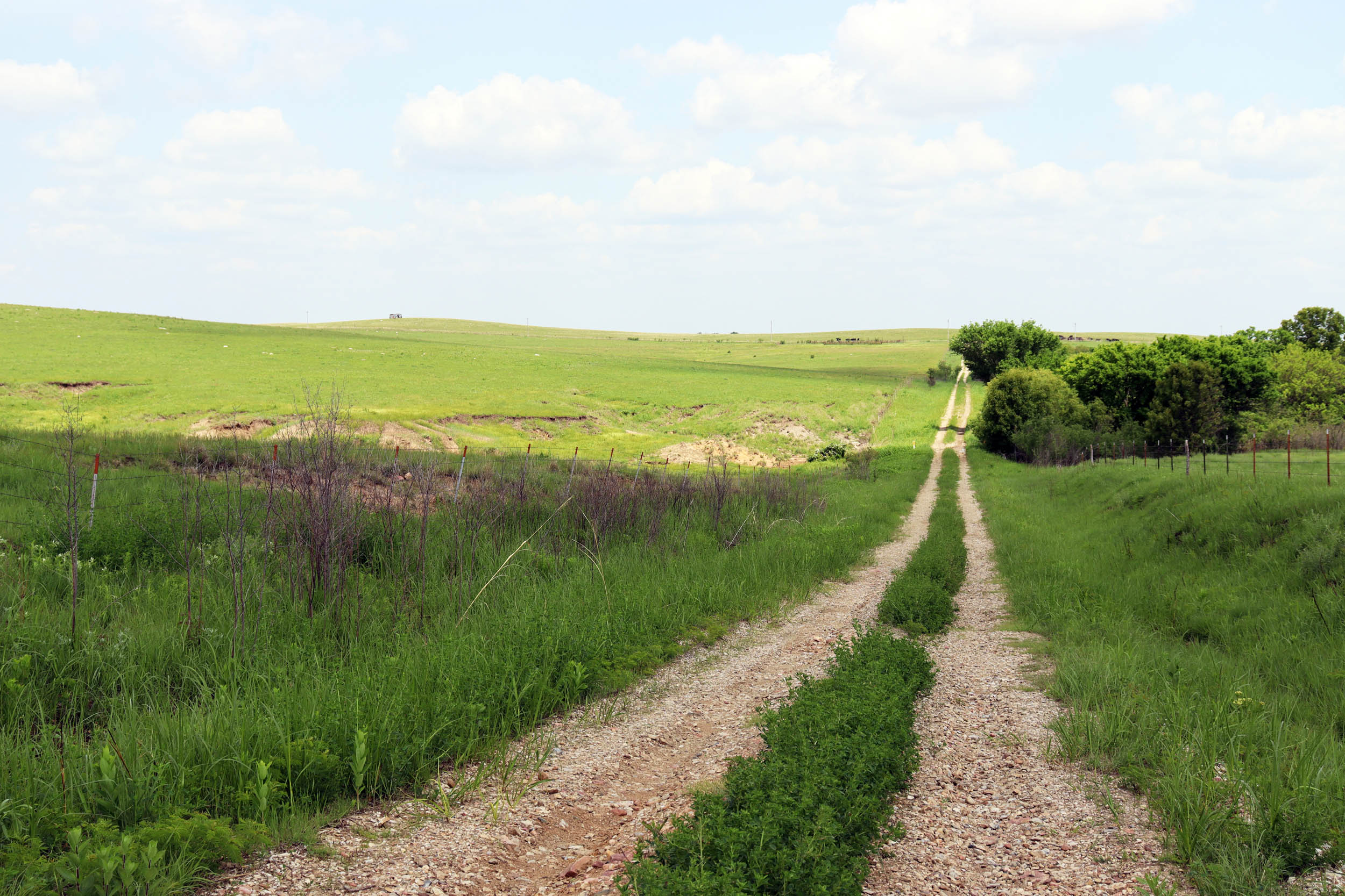
- Ride on scenic and rough “gravel” roads such as Little Egypt Road (one of the best from Unbound) and Coldwater Road.
- Visit The Flint Hills Discovery Center in Manhattan to learn more about the history and ecology of the Flint Hills tallgrass prairie.
- Visit The Wizard of OZ Museum in Wamego.
- Spring to fall are the best times to go (March to October), although with a bit of luck and preparation, it could be ridden any time of the year.
- Watch out for smoke from controlled burns in April.
- Begin at The Pathfinder in Manhattan, KS, (you can park in a free lot behind it). There is ample free parking in downtown Manhattan. The recommended riding direction is counterclockwise, but you could go clockwise if you wanted (wind direction may play a role in this decision).
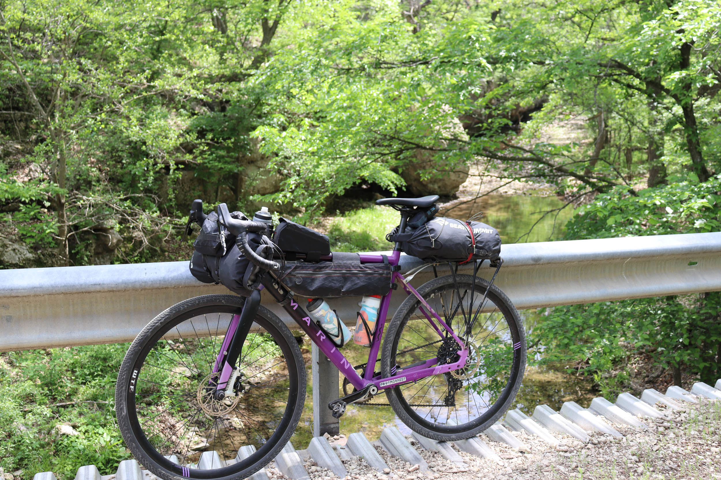
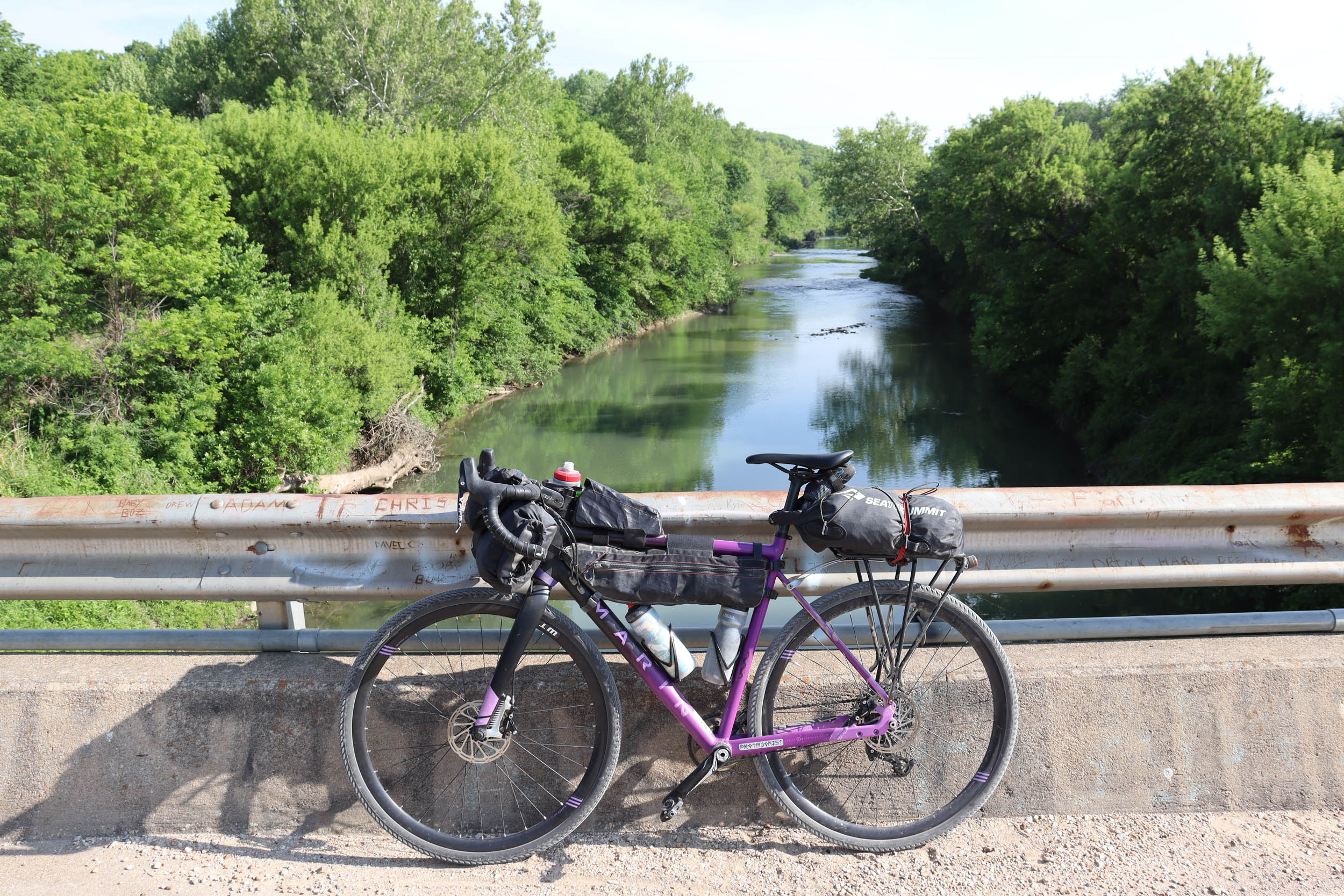
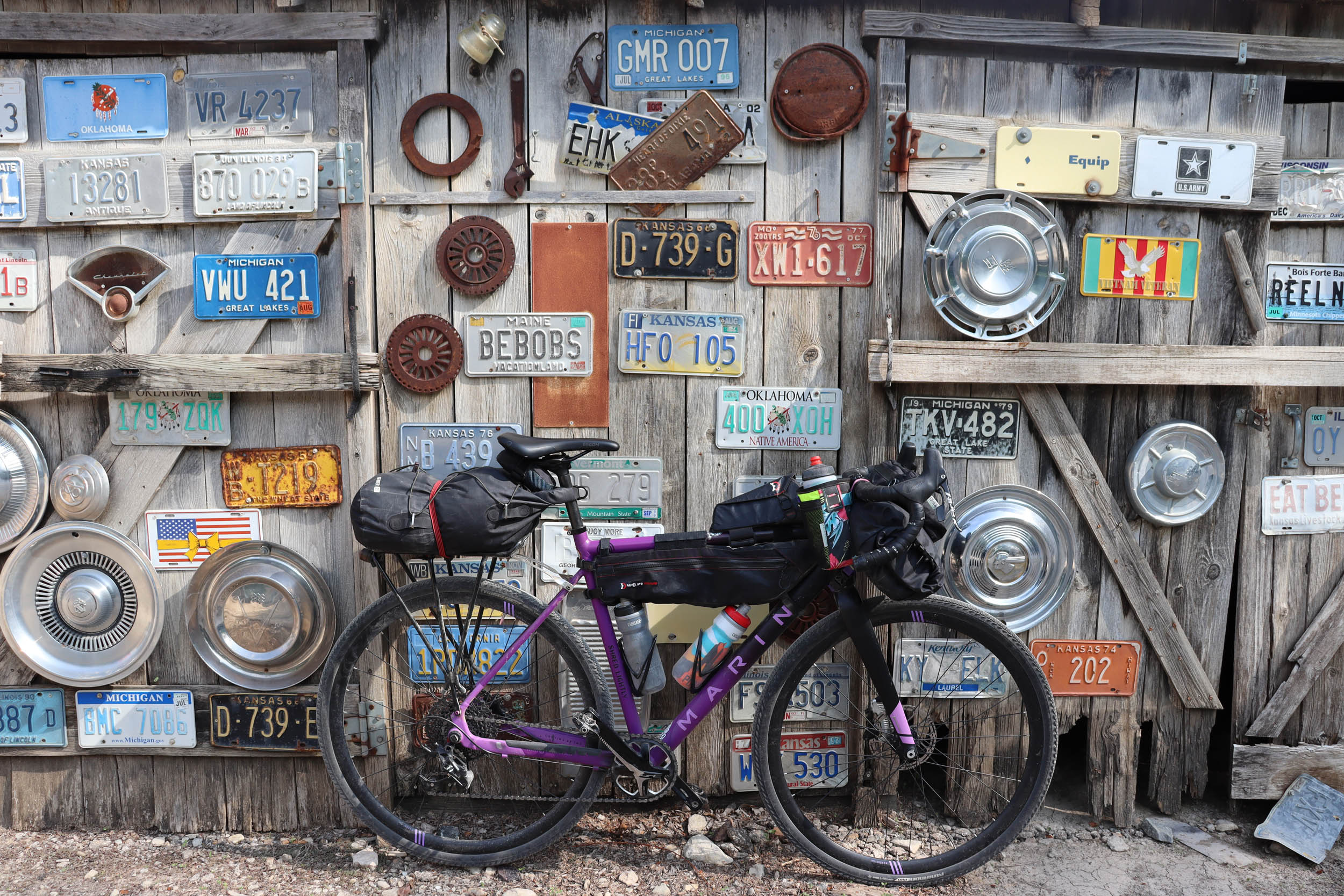
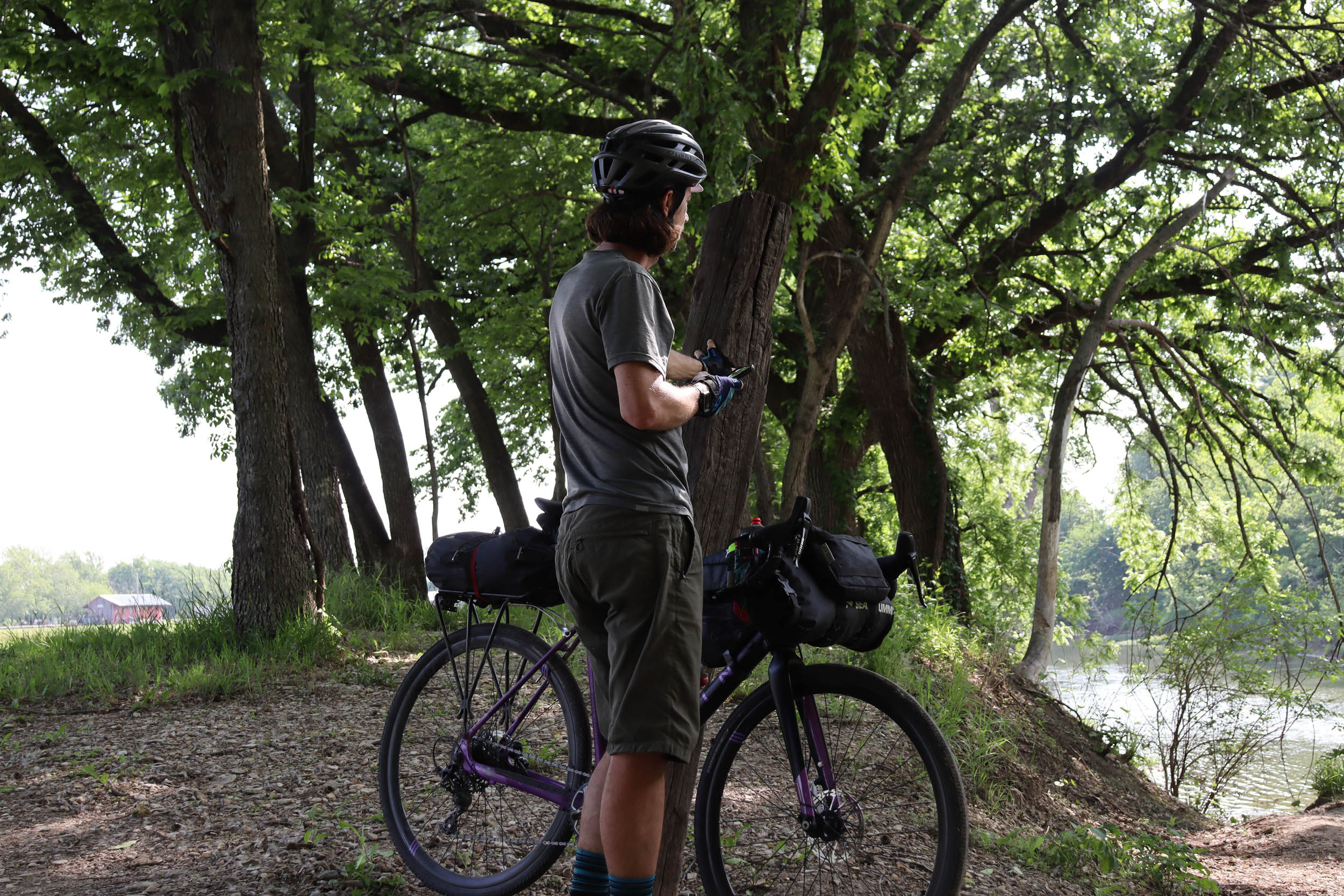
- This route is perfect for a drop-bar gravel bike with at least 38mm tires and is 100% rideable.
- Access to the route is easy via car since it’s never too far from I-70 (although there are some remote and rough sections of road).
- Camping is at the Mill Creek Campground in Paxico (halfway along the route). This is the intended stopping point for the overnight route. They have small cabins for rent (call ahead) and ample tent camping along the river (they have bathrooms and showers as well).
- There are also many hotel rooms in Wamego and Manhattan.
- Additionally, there is great camping at Tuttle Creek State Park just off the route near Manhattan.
- Most of the rest of the land is private and camping would likely not be welcome.
- Start in the town of Manhattan, where there are numerous restaurants, coffee shops, bars, and grocery stores. Highlights include The Manhattan Brewing Company, Tallgrass Taphouse, AJ’s Pizza, Arrow Bodega and Cocktail Lounge, Flight Crew Coffee, Radina’s Coffee, and El Patron Mexican restaurant, to name a few.
- Pop into The Pathfinder to get last-minute gear, a quick tune-up, bike-specific nutrition, and say hi to the friendly group of local riders who work there.
- There is an Aldi and Hy-Vee grocery store less than a half mile from the starting point.
- The route passes by a Dara’s convenience store in the first mile, where you can stock up on water and all the food you’ll need to make it to Alma.
- The Volland Store, at mile 28, has water but is open on very limited hours (mostly just weekend afternoons).
- Alma, at mile 51, has several restaurants and places to resupply water and food. Your best options would be the Phillips 66, and if you’re hungrier, try the El Corral Mexican restaurant.
- There are two wineries just outside of Paxico that could be worth stopping at if you arrive early enough. The campground at Paxico has water and some snack and drink options in the main office.
- Check out the Paxico Steakhouse (closed on the weekends).
- Wamego has numerous restaurants, cafes, and gas stations to refuel. Some highlights include 4th and Elm Bar and Grill, Paramour Coffee, and Smokin’ Willies BBQ.
- I highly recommend stopping at The Little Grill Jamaican restaurant less than a half mile north of the route near Tuttle Creek State Park.
- This route is intended to be ridden counterclockwise so that the bigger day is first (mileage and hills), but it could easily be ridden in either direction.
- The route is entirely rideable unless there has been a lot of recent rain or snow, and then there will be a few muddy sections, but nothing too long. Roads to watch out for include: Little Egypt Road, Coldwater Road, and Hopkins Creek Road.
- During the month of April, beware of controlled burning throughout the Flint Hills. The sight can be beautiful and mesmerizing, but the smoke can be a real nuisance and make the air quality very unhealthy to breathe.
- Ride on the right side of all gravel roads and be aware of vehicles on all roads.
- There are seemingly endless gravel roads in this region so you could easily lengthen or shorten the route as needed (you could probably ride to Mexico or Canada from here on mostly unpaved roads). This route just showcases some of the best roads in a fairly challenging but achievable overnighter.
- On day two, you could easily shorten the route by heading directly west back toward Manhattan from Wamego.
- Be aware that sometimes bridges may be out due to maintenance. You will likely find a re-route on gravel, but it may add a few miles to your journey.


Terms of Use: As with each bikepacking route guide published on BIKEPACKING.com, should you choose to cycle this route, do so at your own risk. Prior to setting out check current local weather, conditions, and land/road closures. While riding, obey all public and private land use restrictions and rules, carry proper safety and navigational equipment, and of course, follow the #leavenotrace guidelines. The information found herein is simply a planning resource to be used as a point of inspiration in conjunction with your own due-diligence. In spite of the fact that this route, associated GPS track (GPX and maps), and all route guidelines were prepared under diligent research by the specified contributor and/or contributors, the accuracy of such and judgement of the author is not guaranteed. BIKEPACKING.com LLC, its partners, associates, and contributors are in no way liable for personal injury, damage to personal property, or any other such situation that might happen to individual riders cycling or following this route.
Please keep the conversation civil, constructive, and inclusive, or your comment will be removed.