


The Foret Ouareau Loop
Distance
175 Mi.
(282 KM)Days
2-3
% Unpaved
50%
% Singletrack
0%
% Rideable (time)
99%
Total Ascent
5,955'
(1,815 M)High Point
1,641'
(500 M)Difficulty (1-10)
6?
- 2Climbing Scale Easy34 FT/MI (6 M/KM)
- -Technical Difficulty
- -Physical Demand
- -Resupply & Logistics
Contributed By
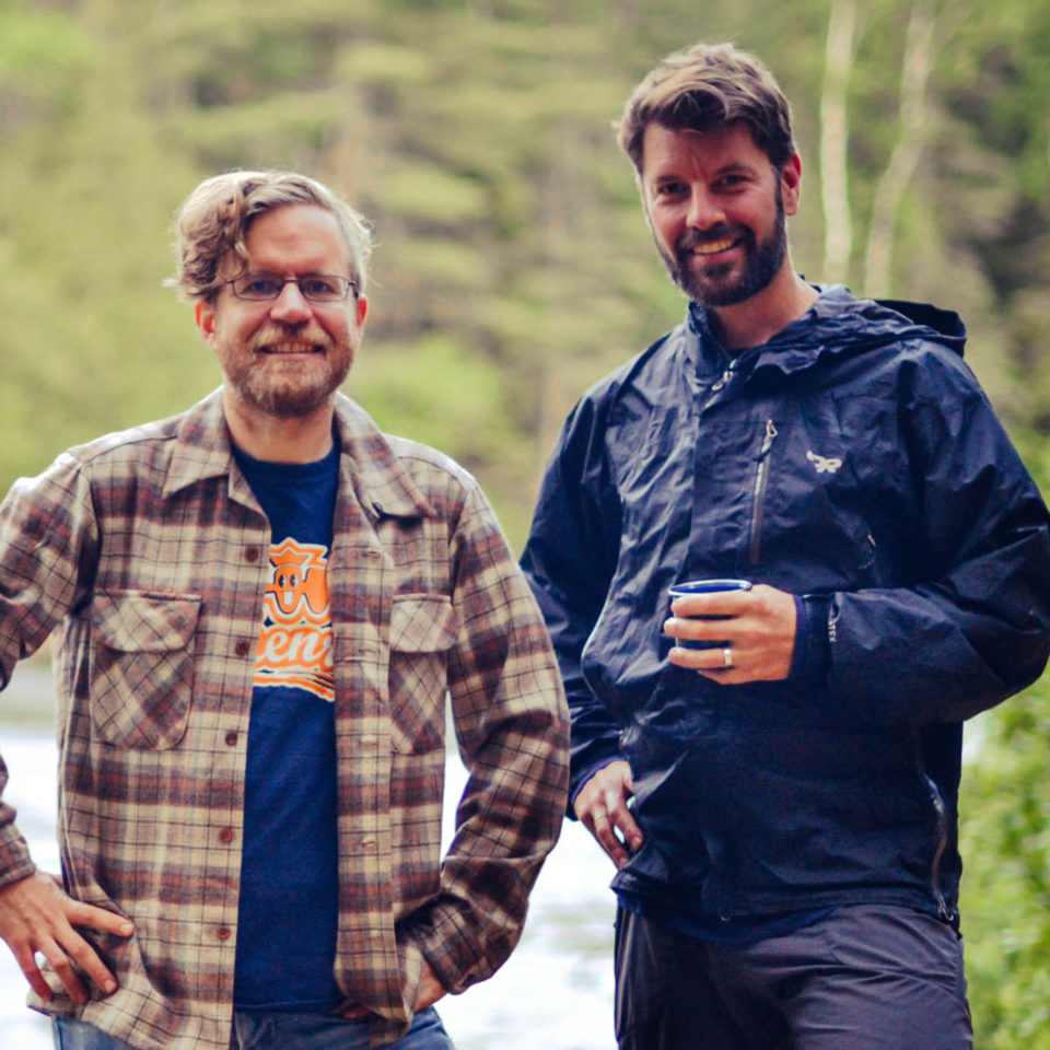
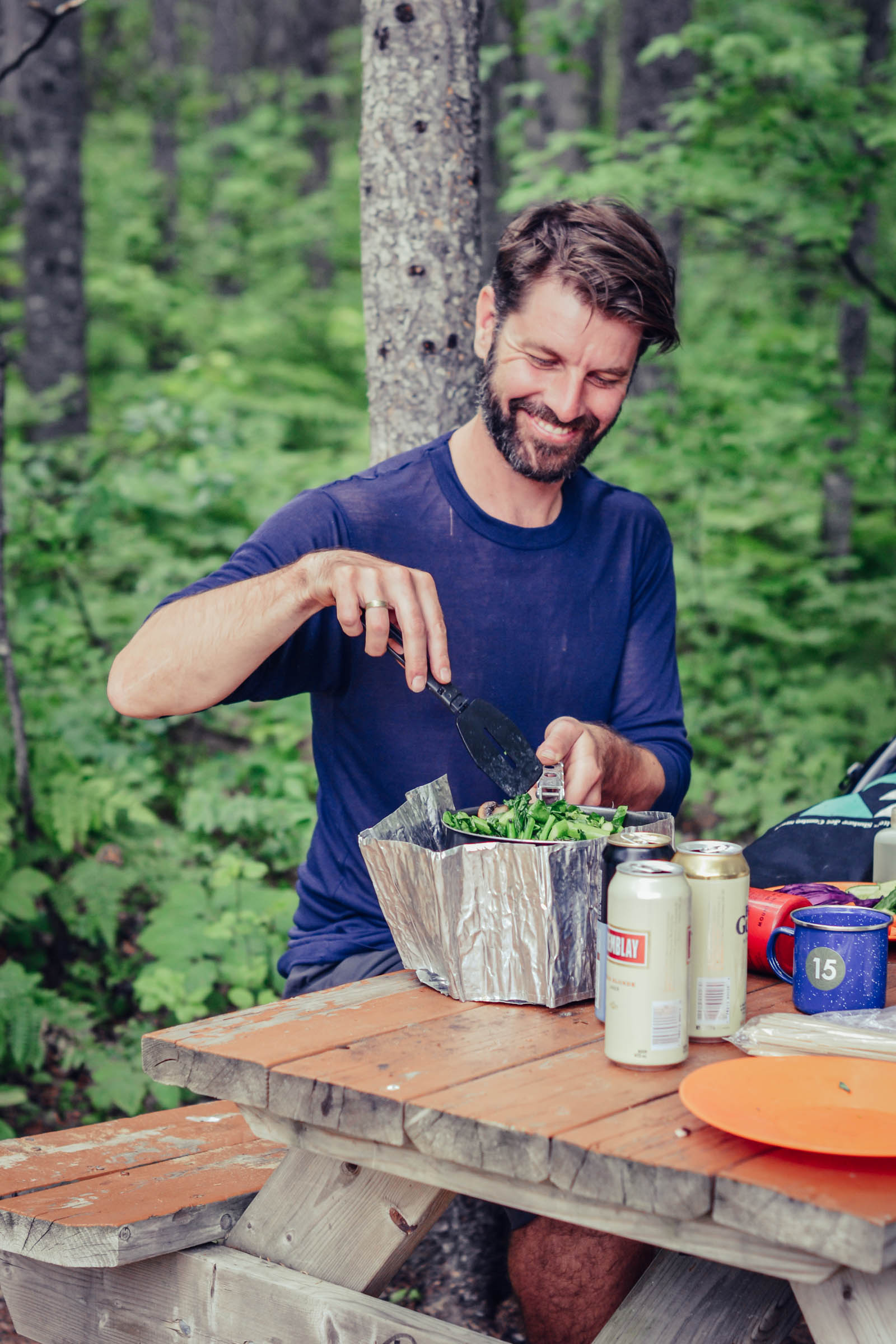
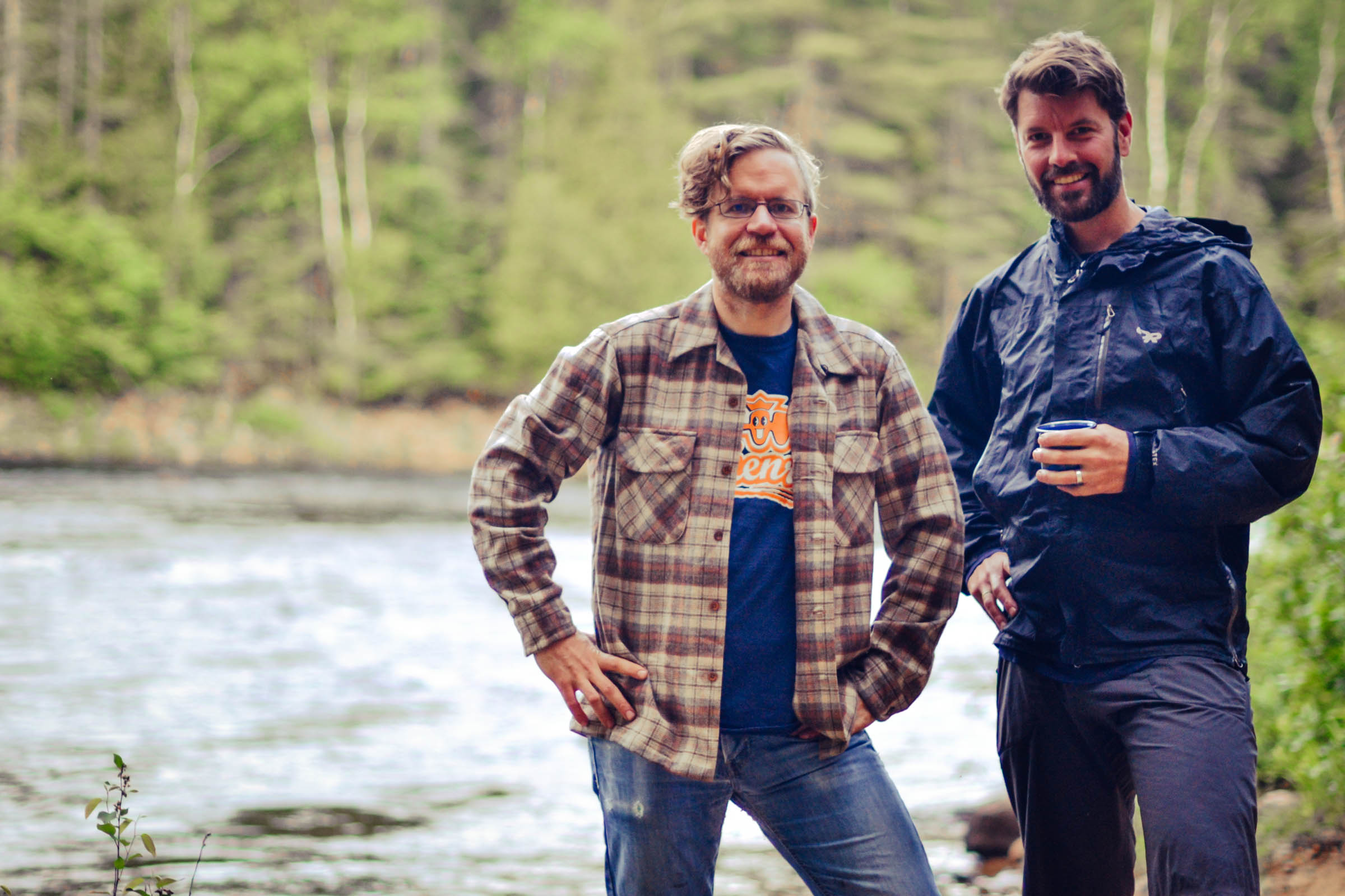
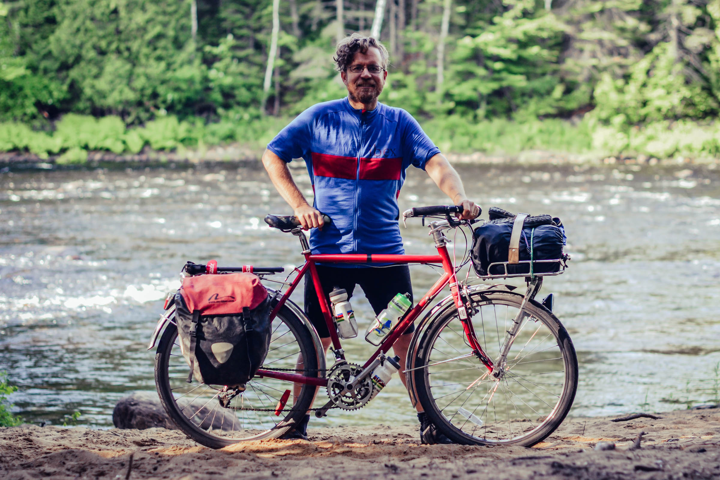
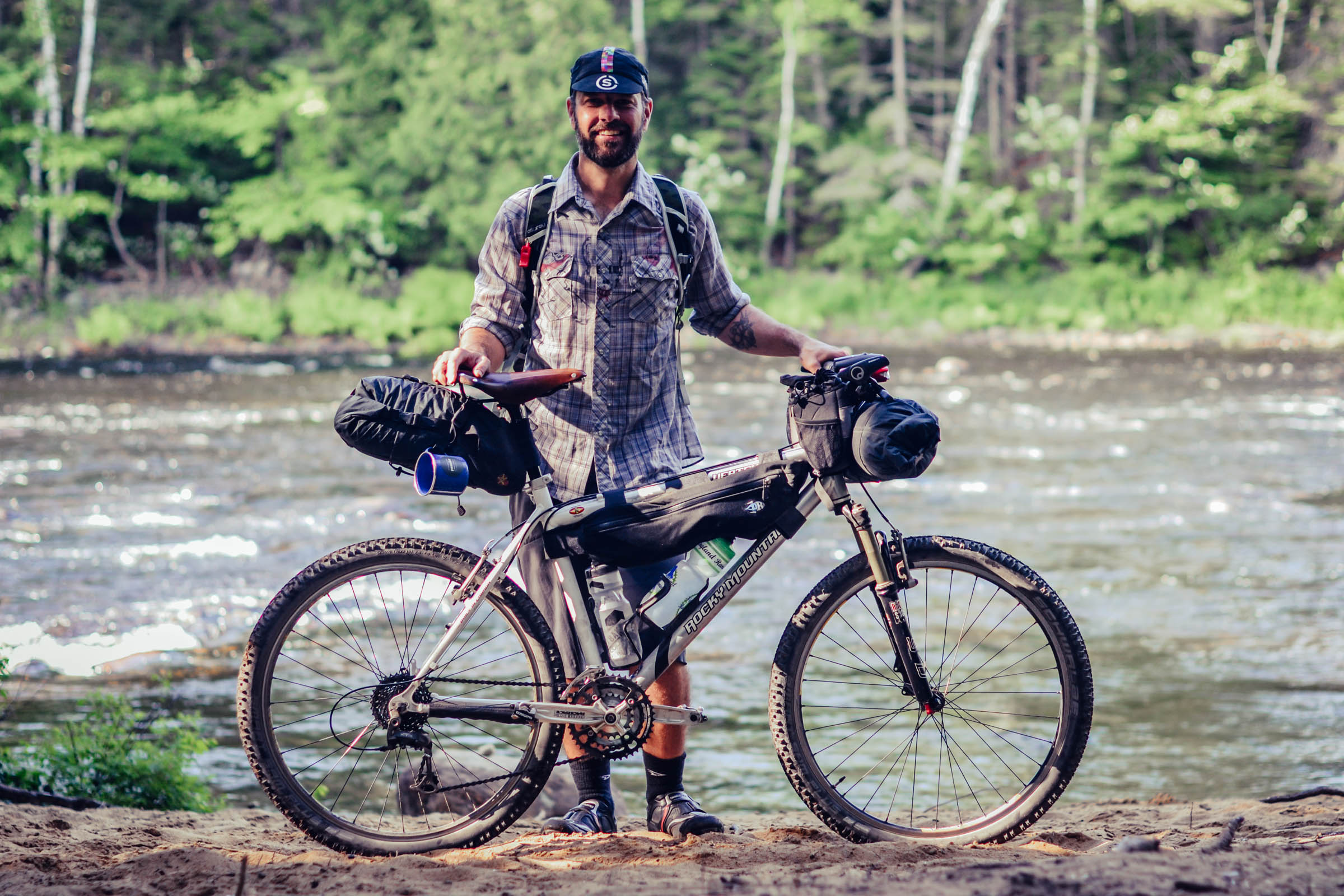
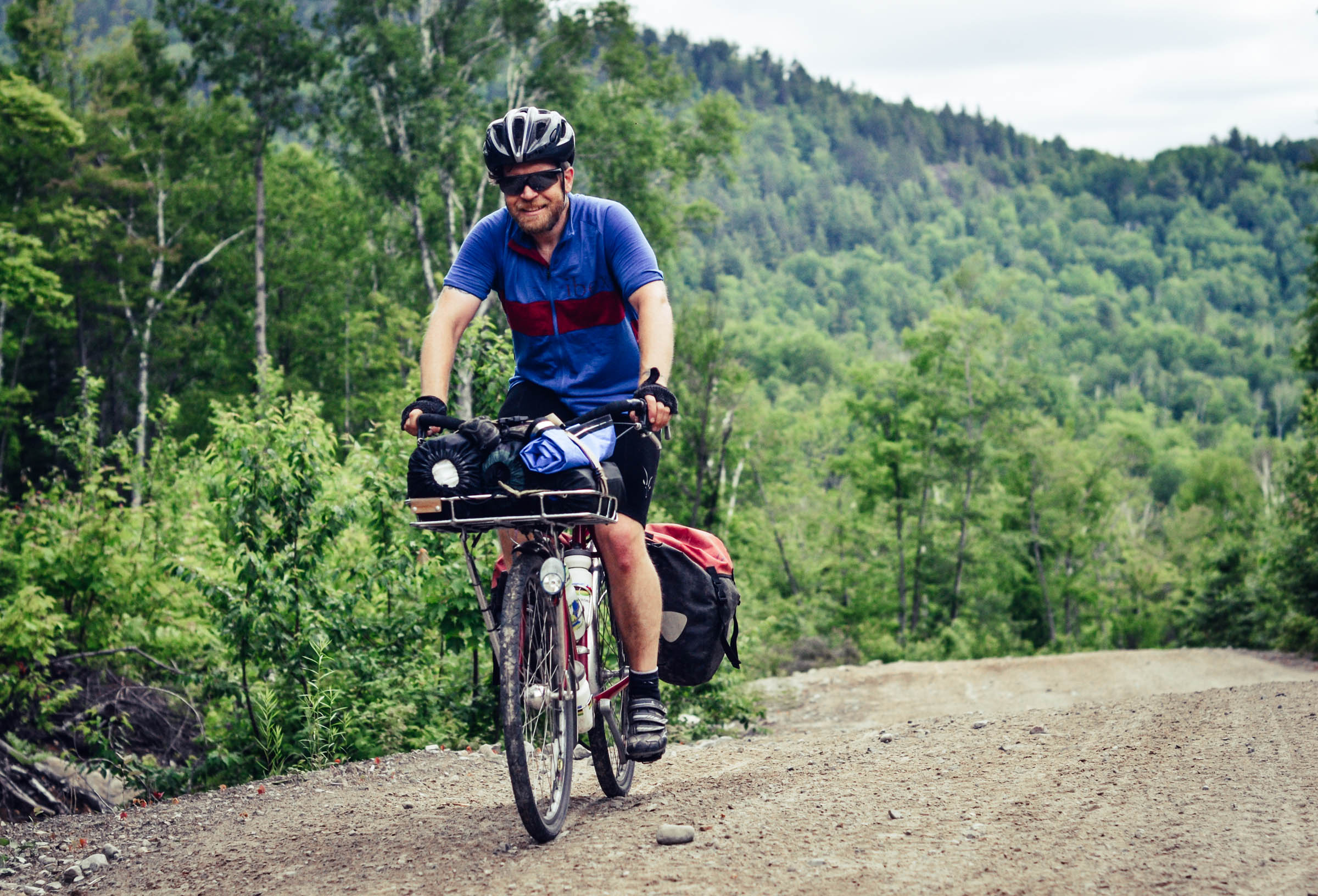
Trevor Browne and David Huggins-Daines
Guest Contributor
Trevor Browne was born a stone’s throw from the Rockies of Alberta. He now resides in Montreal with his family of four where he is a multimedia producer and a curator at Messkit Magazine. Follow him on Instagram @messkitmagazine.
David is originally from Calgary, Alberta, David Huggins-Daines now lives in a small town north of Montreal, where he spends most of his free time exploring the forest on foot, on bike, and on skis. You can follow his adventures on Instagram at @dhdaines.
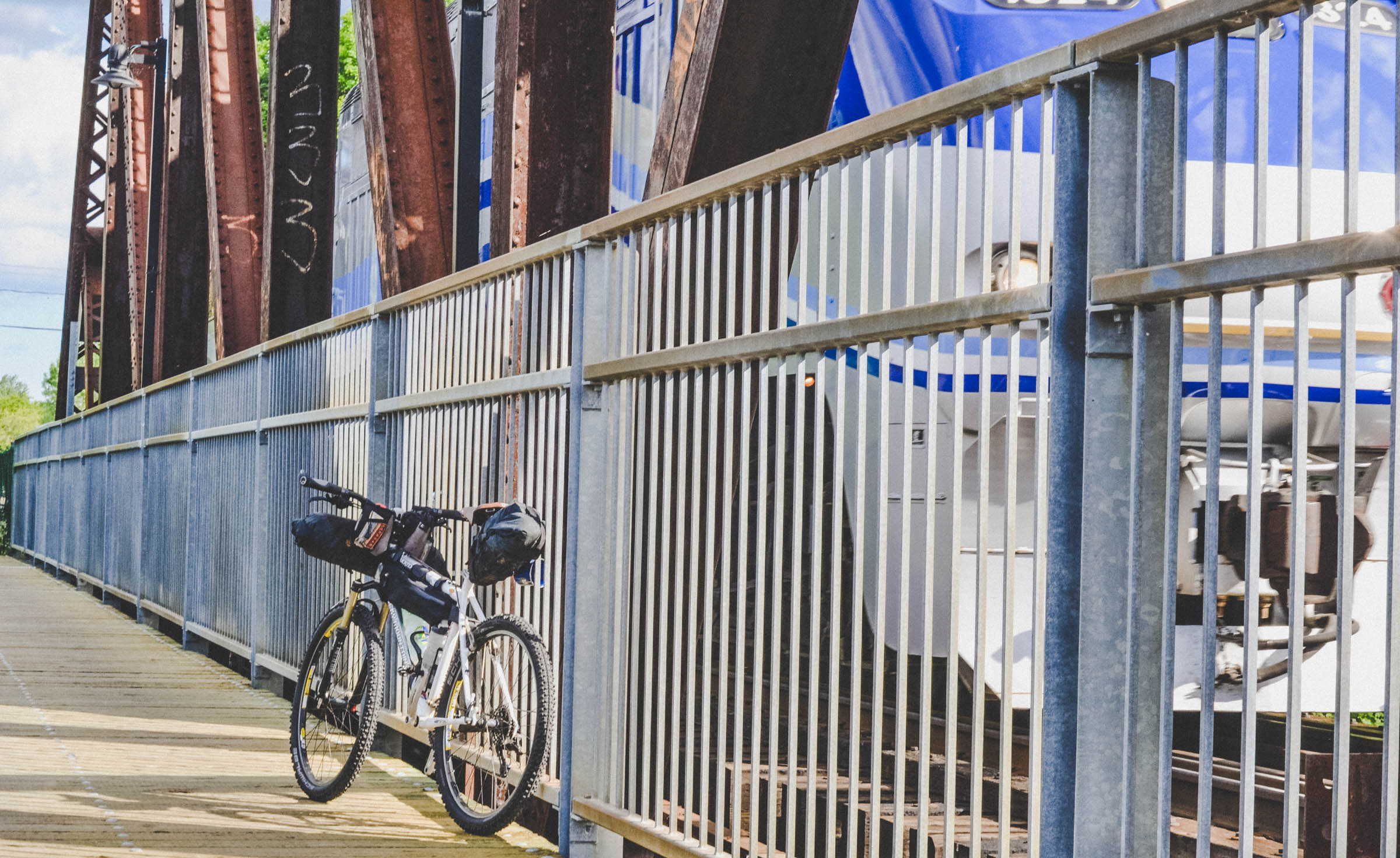
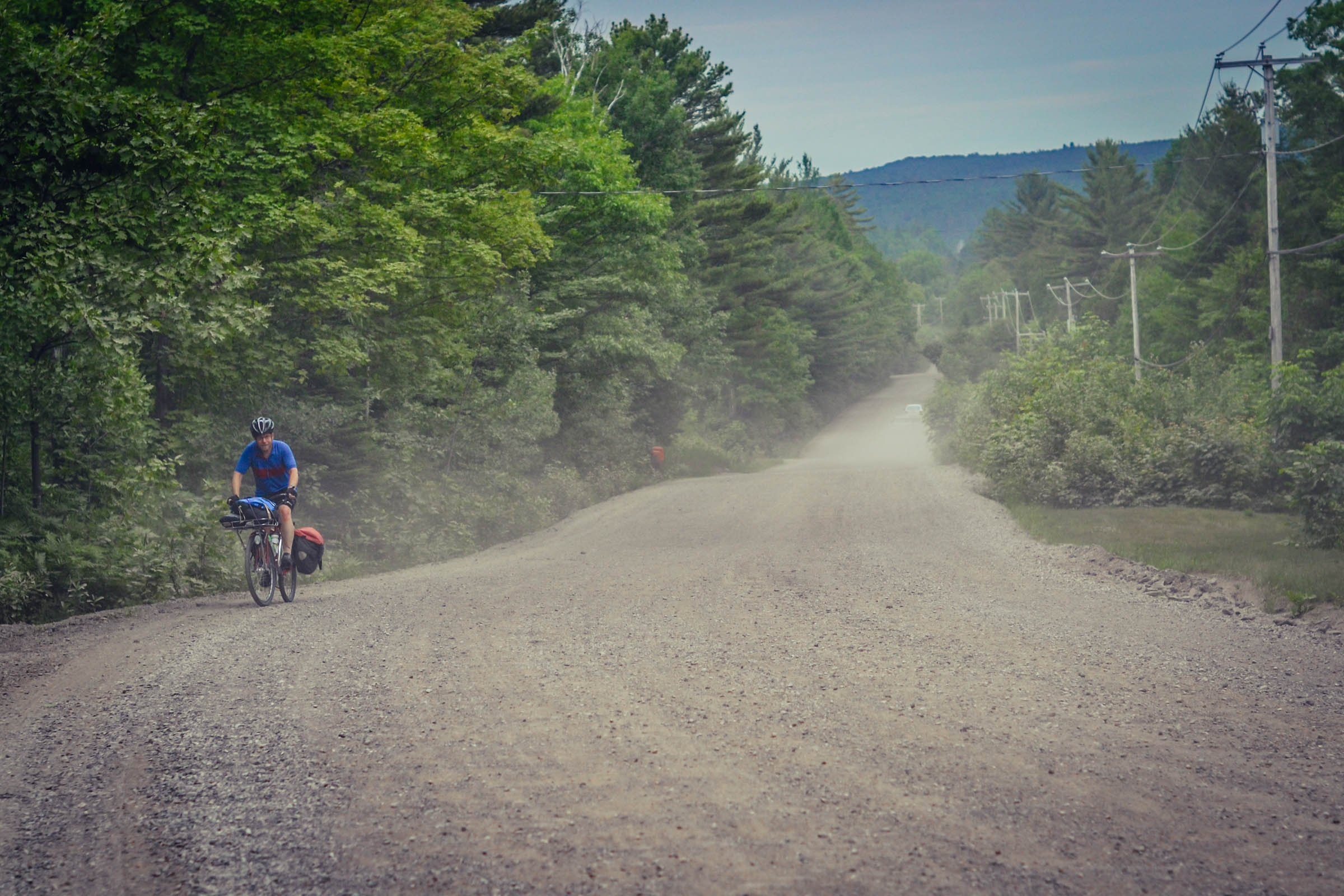
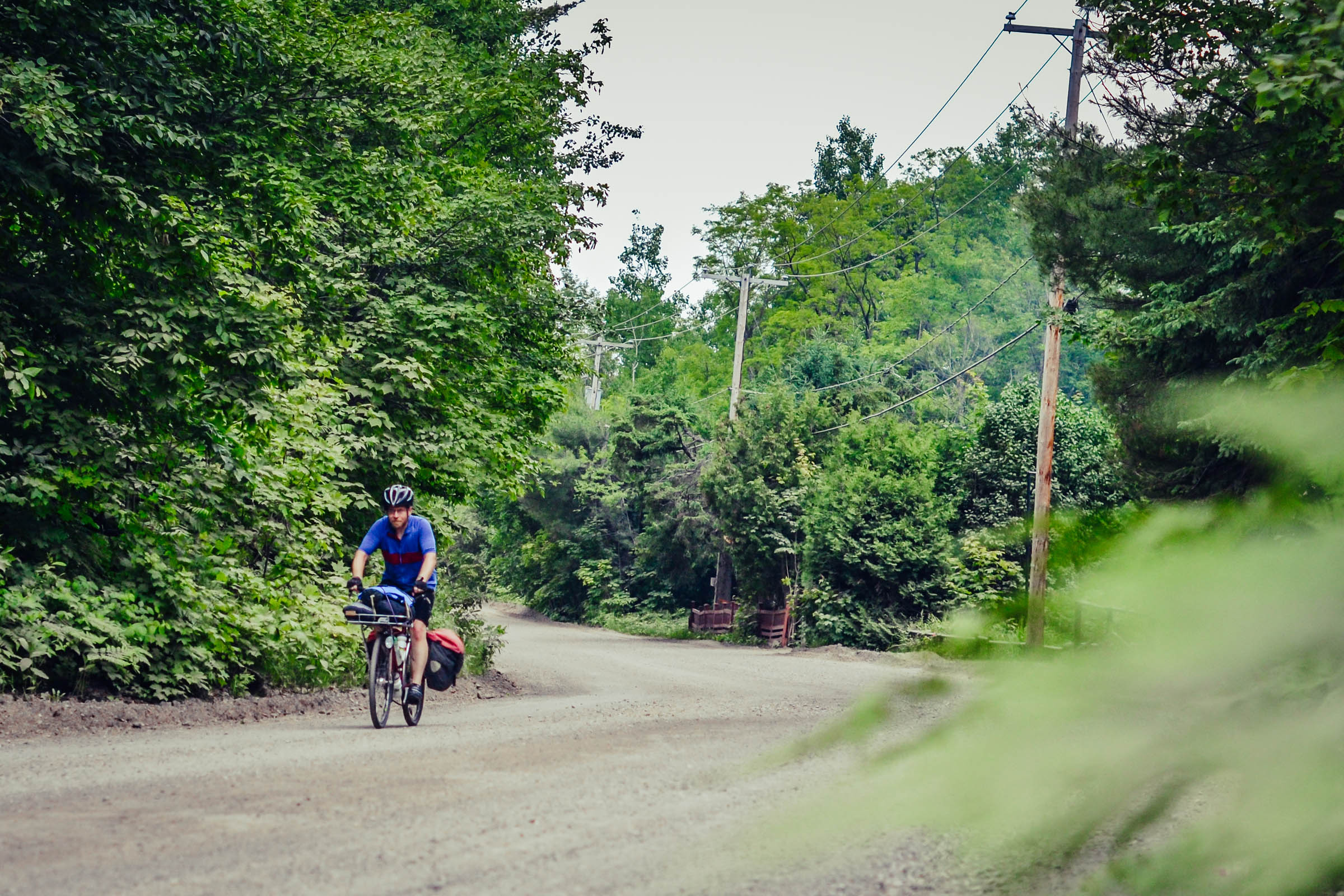
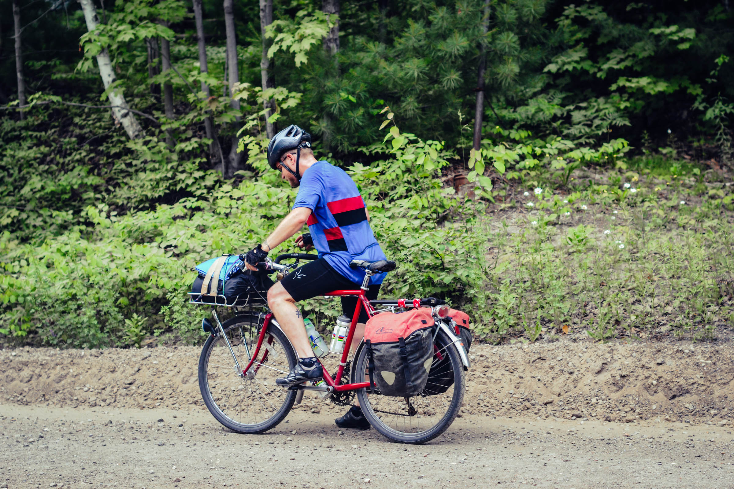
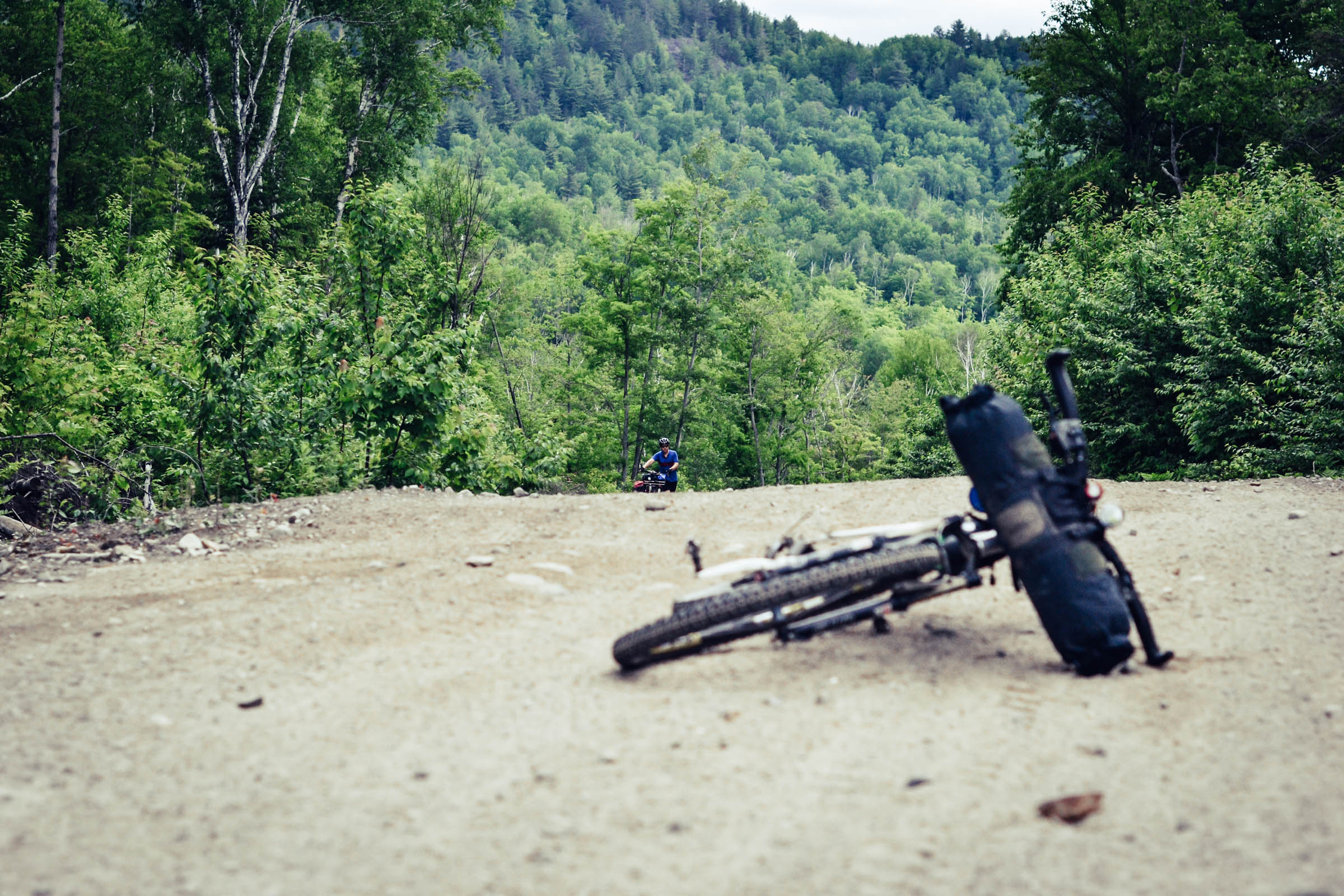
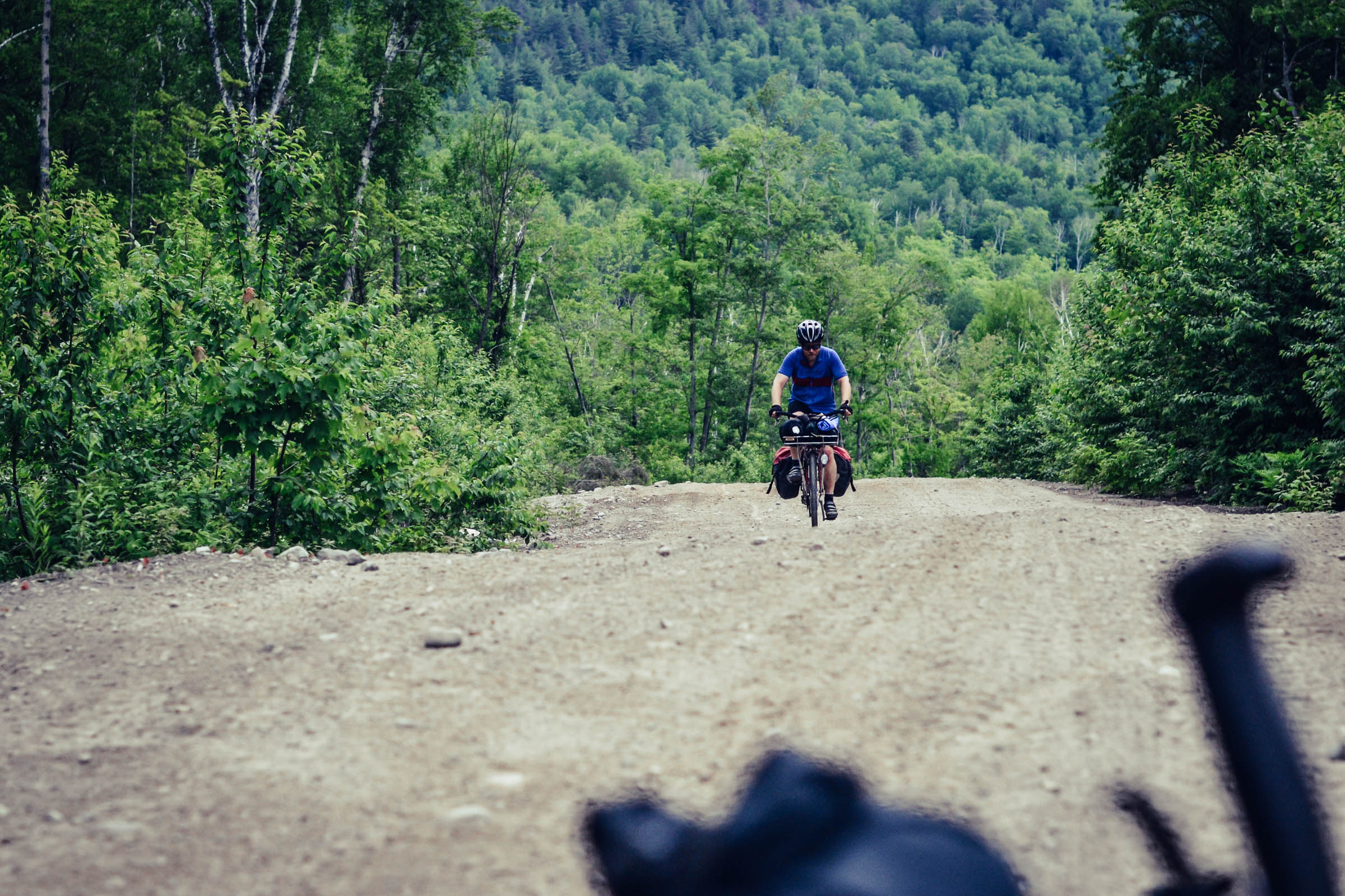
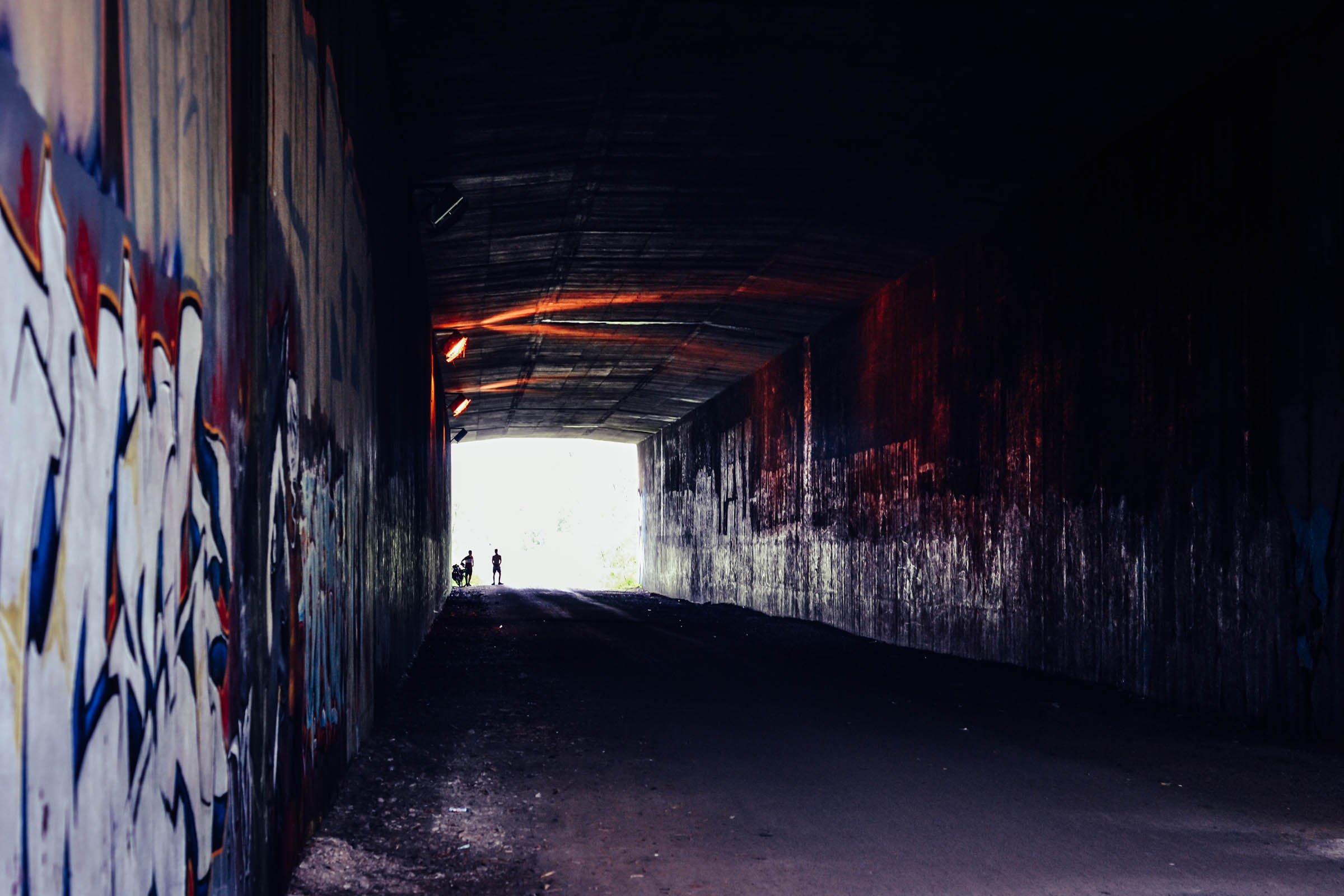
The Forêt Ouareau Loop is roughly a 280 kilometre route that departs from the center of Montreal, Quebec, and heads northwest up into the Laurentian Mountains before rambling through the Forêt Ouareau Regional Park. This trip connects the Route Verte cycling route, sections of pavement, quiet country lanes, rolling gravel roads, sandy ATV trails, rough doubletrack, and incorporates the P’tit Train du Nord gravel rail trail for a satisfying and challenging bikepacking experience.
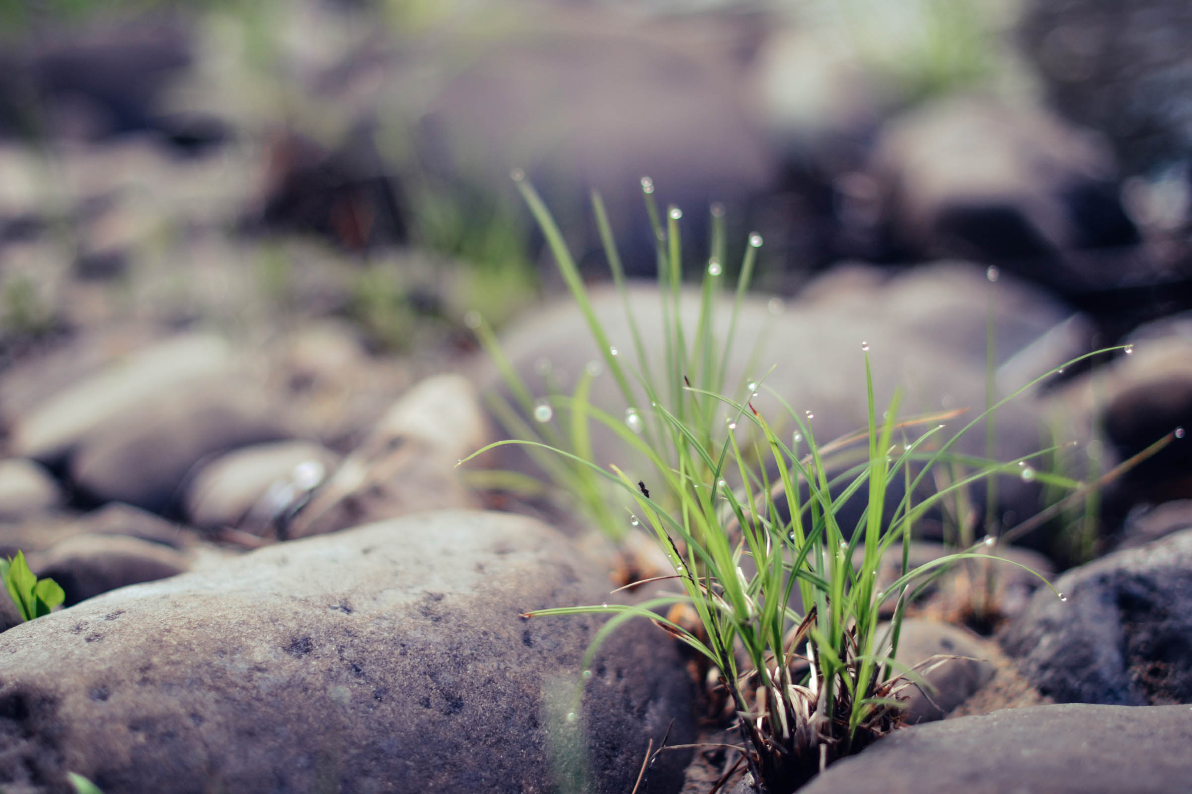
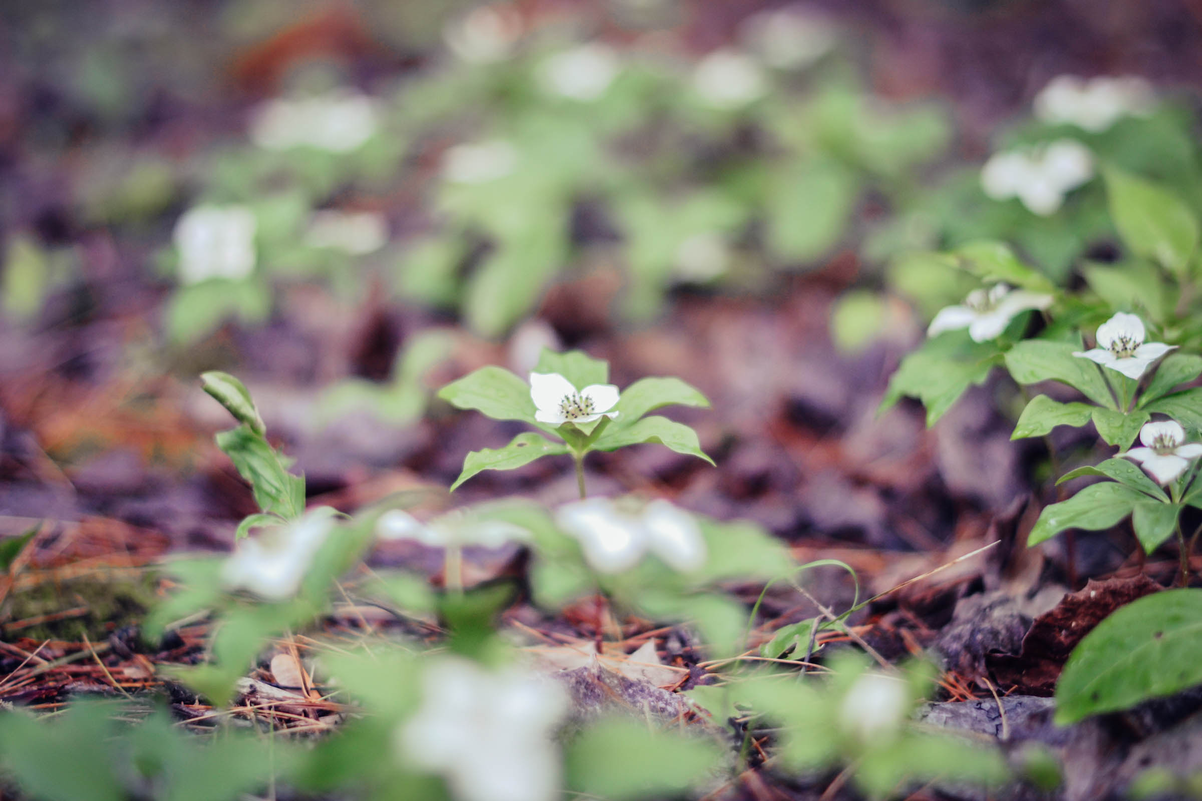
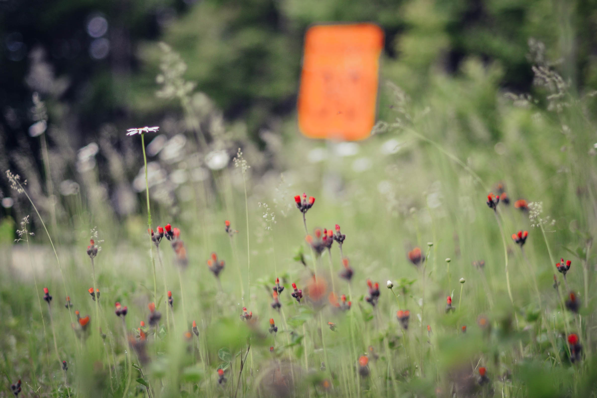
It passes by numerous rivers, lakes, farmlands, and maple and birch forests to create a breathtaking overview of Quebec’s diverse landscape. Not only that, but you also pass through a few quaint small towns that pepper the countryside, which is ideal for food, water, and lodging resources. As a bonus there are even a few microbreweries on route to quench your thirst. The best part is we left from our doorsteps and immediately onto a bike path, no car needed!
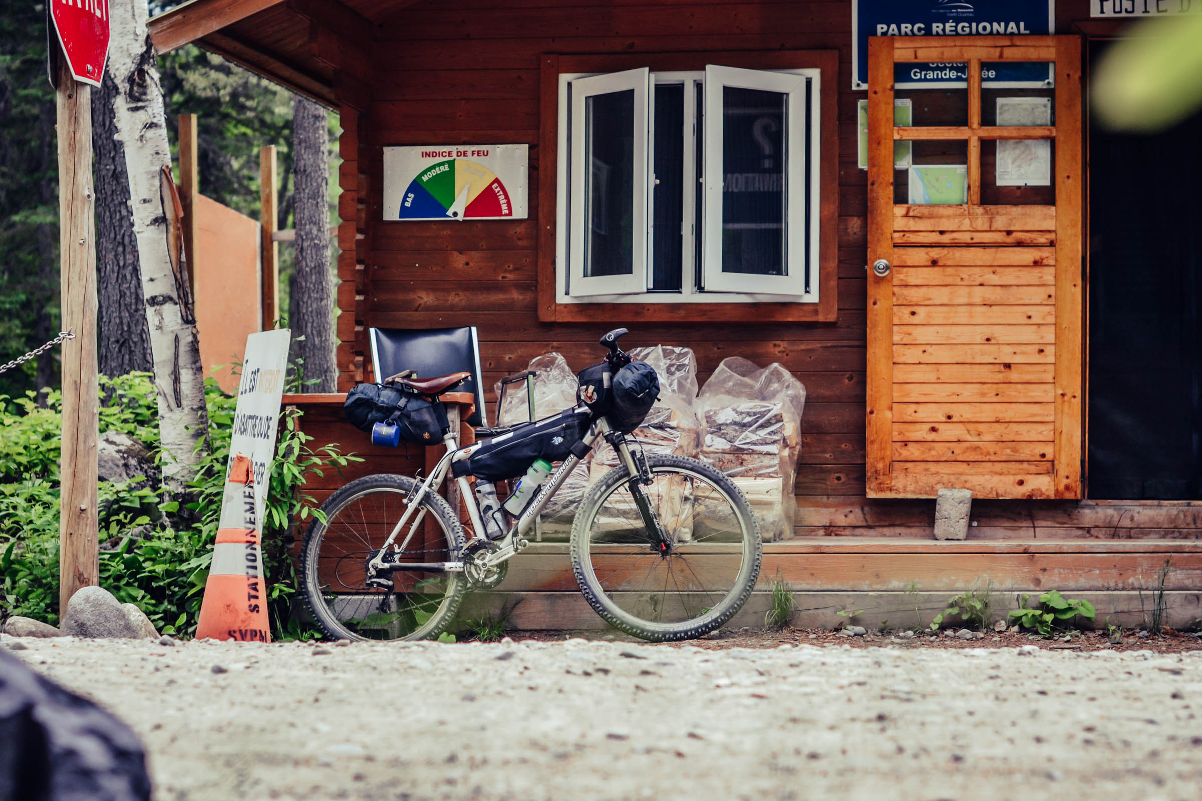
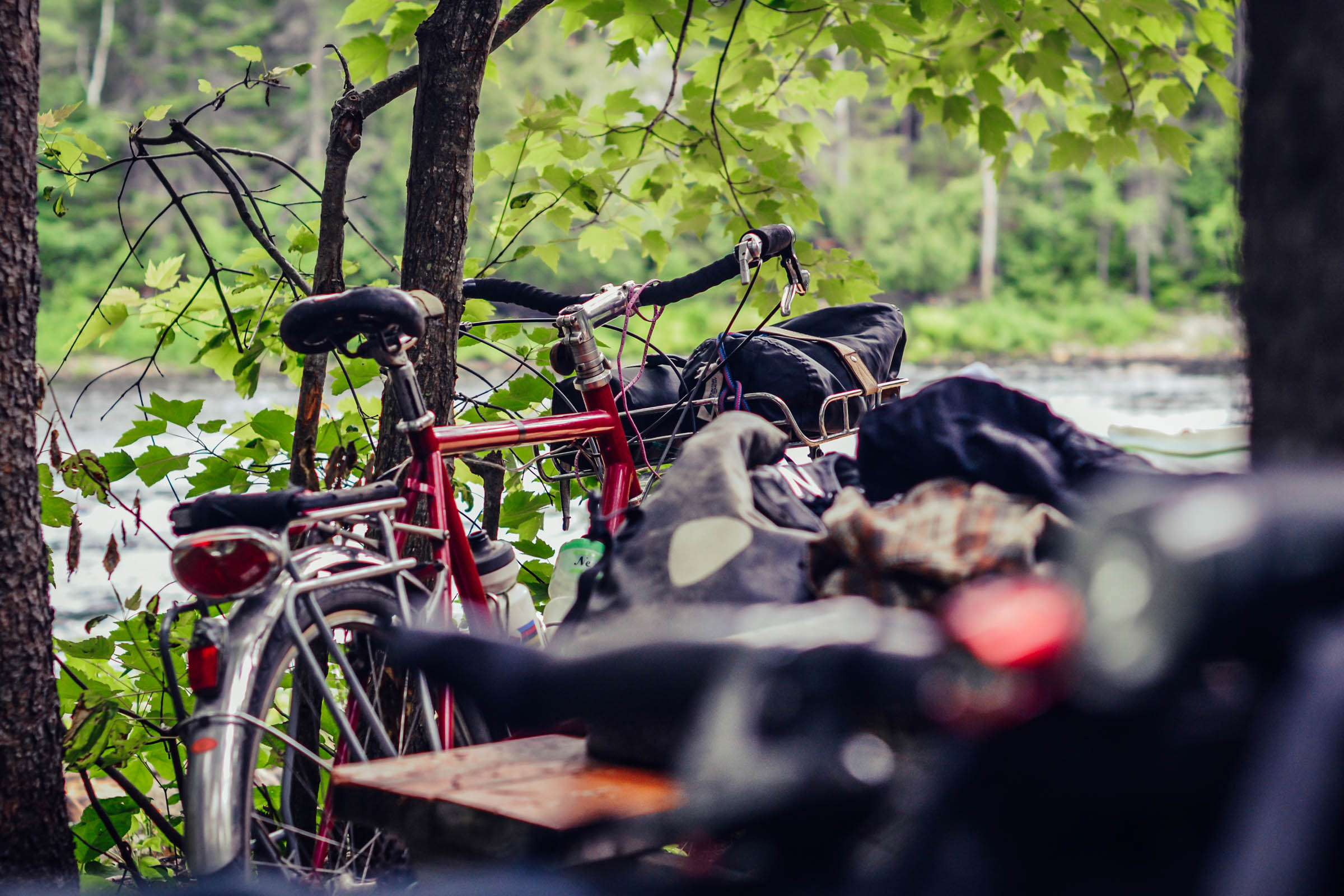
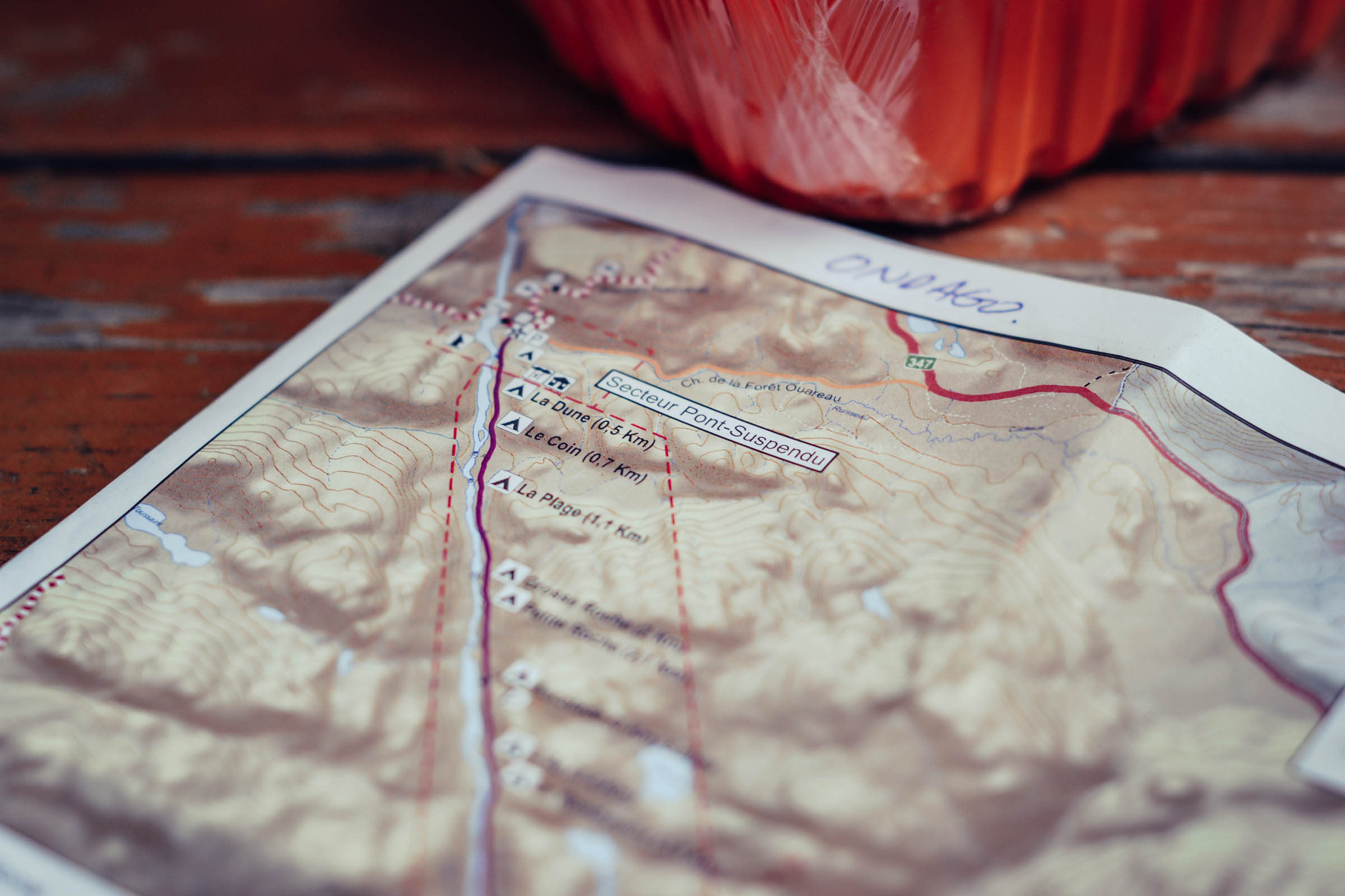
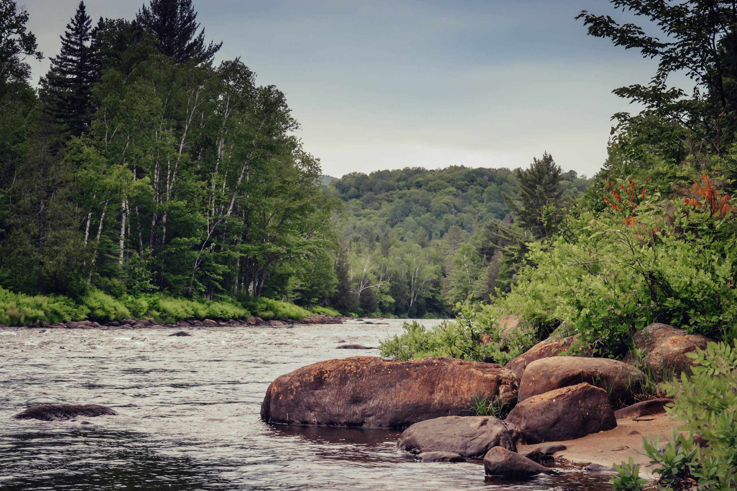
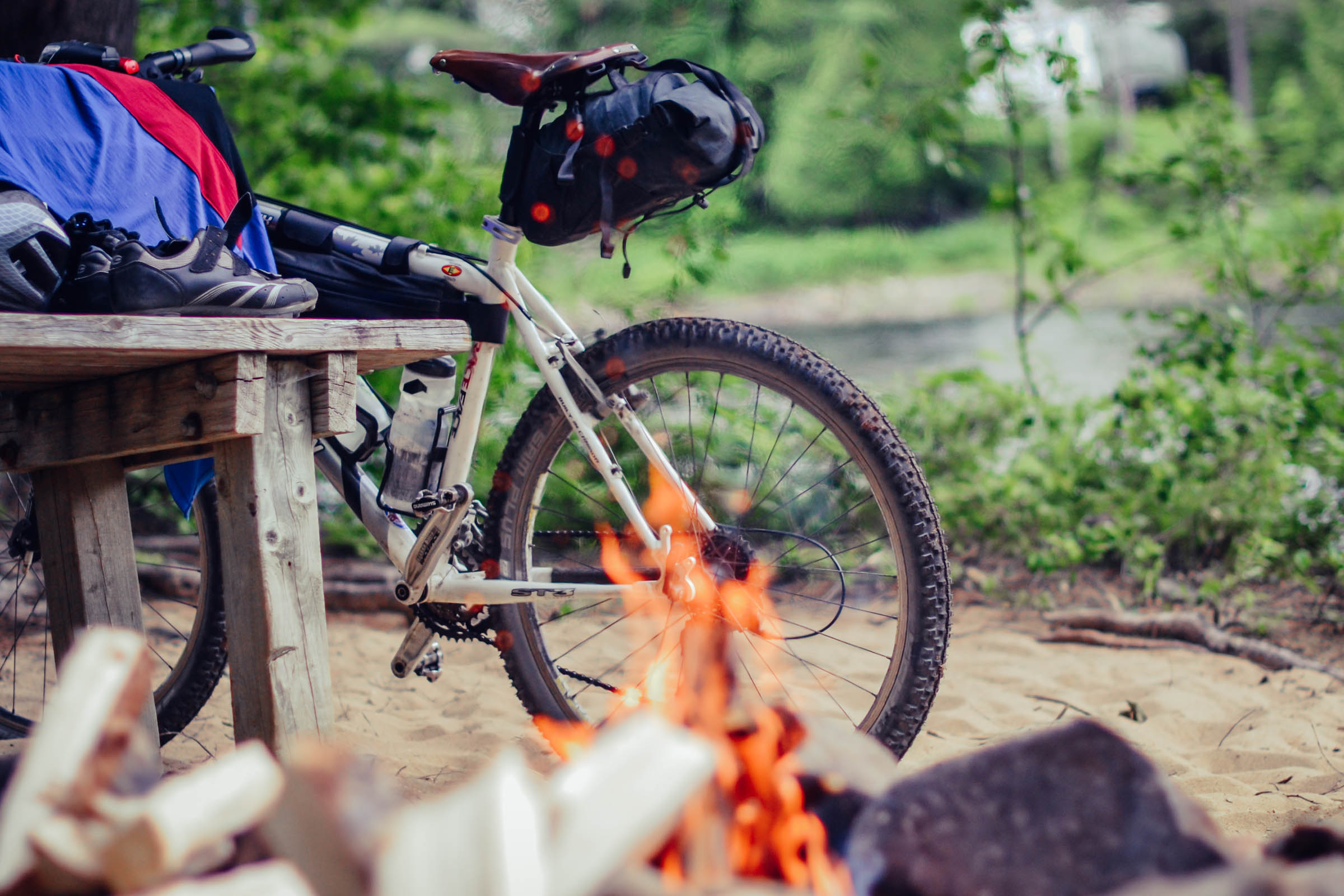
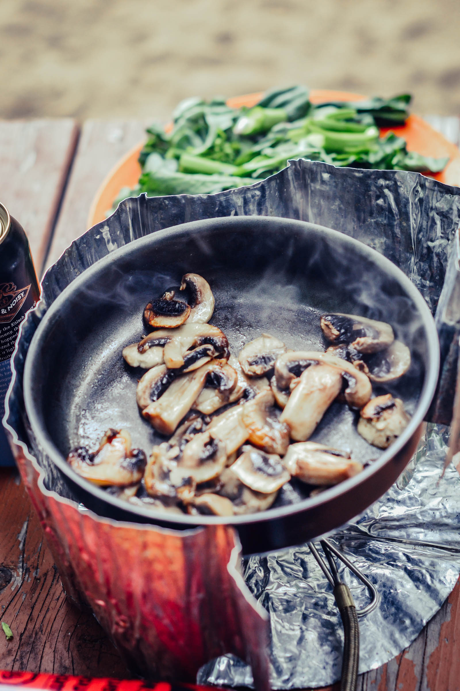
We rode the route over two days, but it could easily be stretched out for some extra nights of camping, swimming in the abundant warm lakes and rivers, or exploring local roads and hiking trails that traverse the Ouareau region. Forêt Ouareau Regional Park is an amazing place to spend the night. Ideally located beside the Ouareau River, the camping is very secluded amongst the lush forest, on a quiet beach with water that’s cool enough to swim in and keep your beers cold. Phoning ahead to reserve a spot is highly recommended (see contact details in the map below).
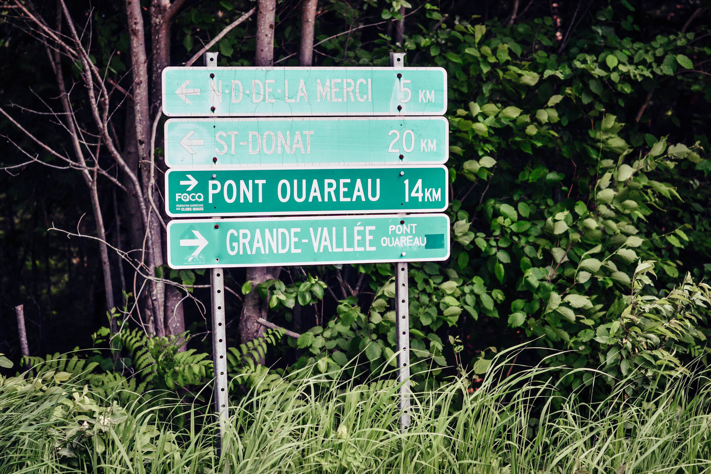
After leaving the Ouareau park, you wind your way back to civilization through more small villages and hamlets that dot the lush green Laurentian landscape. As you make your way home along the P’tit Train du Nord rail trail you follow the Riviere du Nord, which is ideal for fishing or cooling down with a swim. Most of the small towns also have ice cream stops, cafes, bakeries, and breweries for you to sample and experience a taste of Quebec. At the last stop on the Rail Trail there is also a train station where you can hop on and hitch a ride into Montreal if you desire to take it easy on the last 50 kilometres into the bustling city.
Difficulty
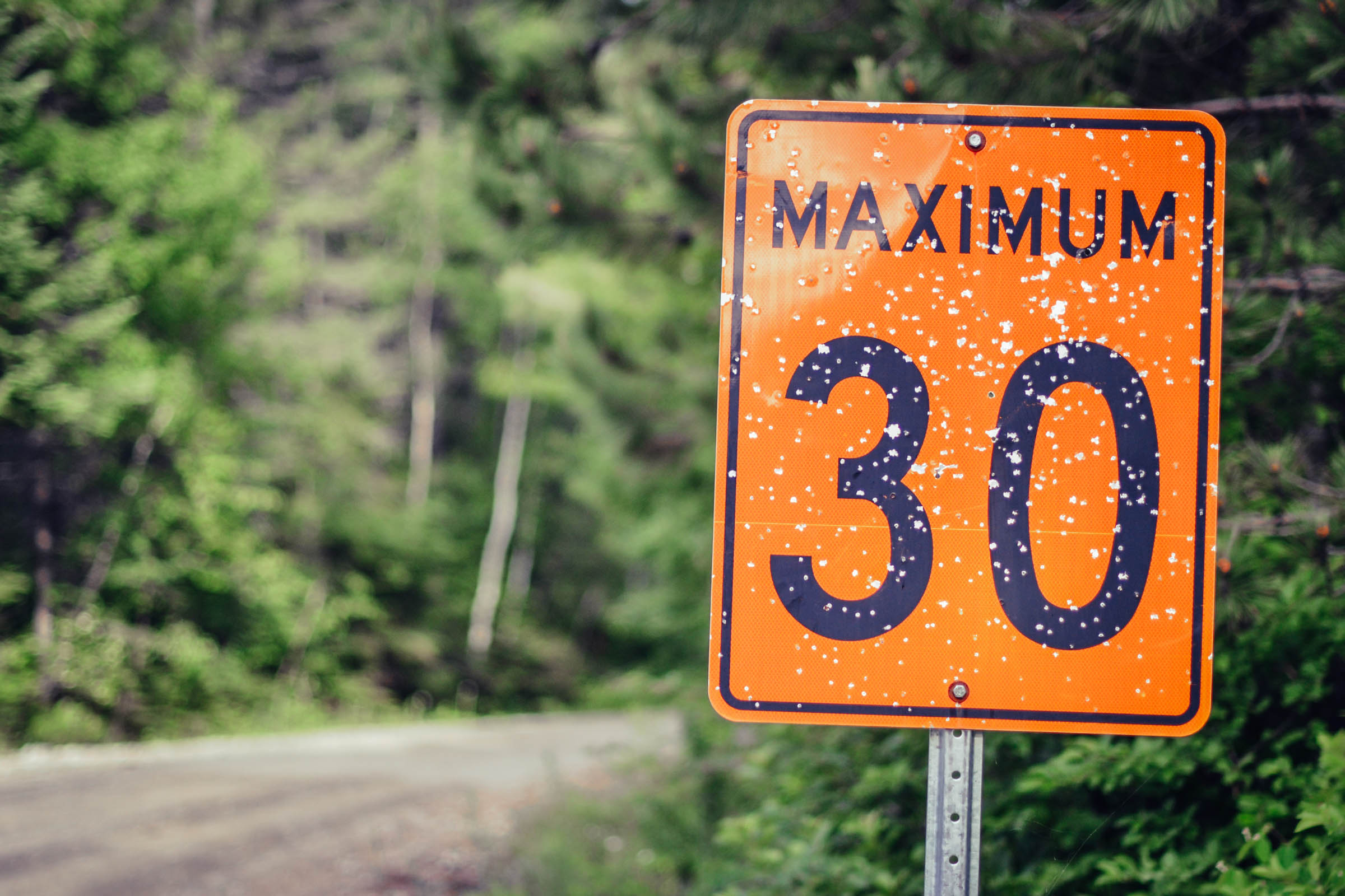
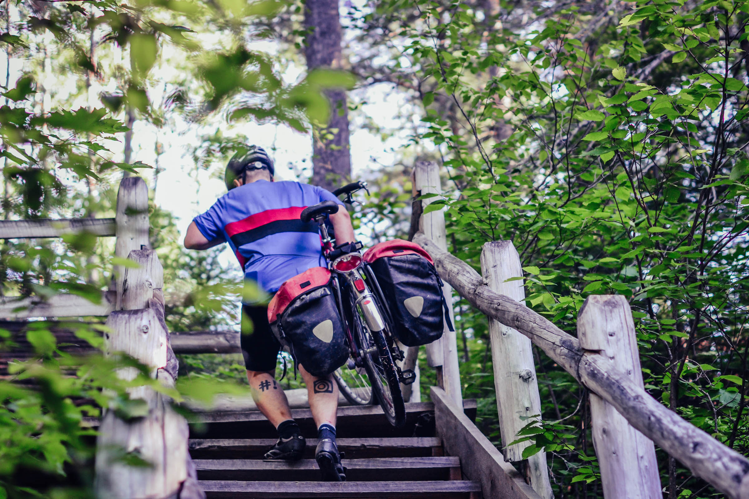
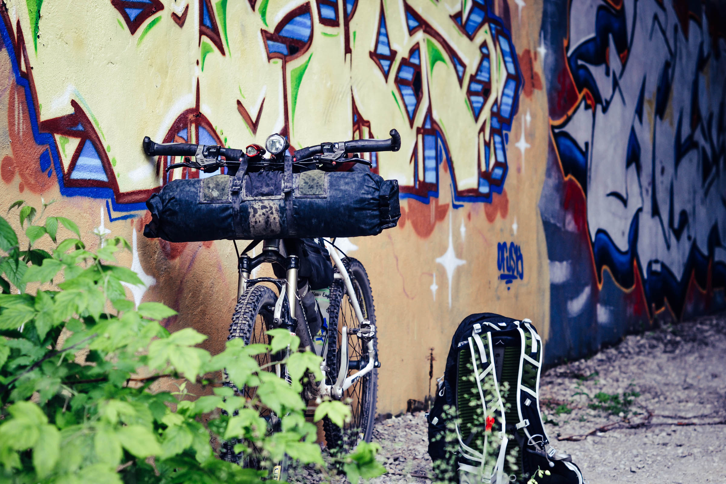
In terms of difficulty, we would rate the trip 6 out of 10 because of the rough and rocky tracks along with some steep, punchy, and sometimes sandy climbs that are located in the Forêt Ouareau area. Be prepared to do a couple of hike-a-bikes depending on your fitness. Other than that, the gravel is fine and there’s not a whole lot of traffic on the route so you can really enjoy cruising along. We would recommend tires no smaller than 700C x 45mm / 650B x 47mm. We used 26ers, one with front suspension, and the other without, with no difficulties on either set-up. This route is also very accessible if you are just starting out in bikepacking due to its easy pace, sources of food/water, and closeness to civilization, but will also keep the seasoned rider entertained and satisfied. Logistically it’s an easy way to travel as you start and end in the center of Montreal, no car needed, and with all the little towns along the way you are never far from a depanneur (corner store), grocery store, or brewery. Water is also abundant in the Laurentians, although treating the water is always recommended.
Route development: David Huggins-Daines had the original idea for this route. We had ridden various sections of this on our own, but we really wanted to stitch everything together and create a route with various surfaces and have some fun. After a little research and digging into some maps we decided to have a go at it on our annual summer solstice ride. We weren’t disappointed and we’ve been back many times, discovering and exploring new trails in the Ouareau area.


Submit Route Alert
As the leading creator and publisher of bikepacking routes, BIKEPACKING.com endeavors to maintain, improve, and advocate for our growing network of bikepacking routes all over the world. As such, our editorial team, route creators, and Route Stewards serve as mediators for route improvements and opportunities for connectivity, conservation, and community growth around these routes. To facilitate these efforts, we rely on our Bikepacking Collective and the greater bikepacking community to call attention to critical issues and opportunities that are discovered while riding these routes. If you have a vital issue or opportunity regarding this route that pertains to one of the subjects below, please let us know:
Highlights
Must Know
Camping
Food/H2O
Trail Notes
- Starting off in Montreal without a car is a treat as you bounce through all the little neighbourhoods getting a real sense of the city and its people.
- The country lanes are relaxing and quiet and allow you to see the mountains unfolding in the distance that you’ll soon be climbing.
- Things start to get more rugged after you pass through the town of Rawdon and start in on the flowing gravel roads.
- Passing through the lush valley along Riviere du Nord right before you enter the Ouareau Park is magical and really lets you know that this place is special.
- Camping in the Ouareau is perfect. Its quiet and rustic appeal may suck you in with its beauty. It’s not a bad idea to book an extra night to allow yourself to explore the area more or just relax on the sandy shores and wade in the refreshing river.
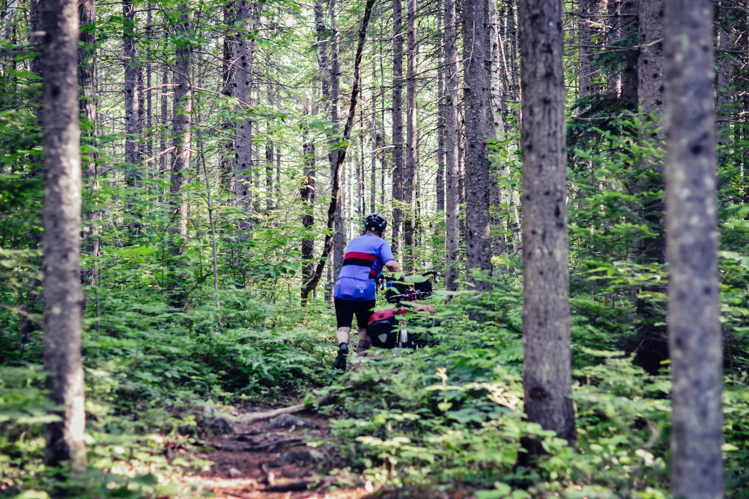
- The rugged trail between the camping and Notre Dame de Grace is rough, challenging, and exciting. Riding amongst the ancient hills will leave you a bit breathless.
- The section between Notre Dame de Grace and the P’tit Train du Nord can be challenging. It’s a rollercoaster of a road that can be rough as it isn’t maintained, but that just adds more charm to it.
- Once you arrive in Val David check out the Baril Roulant Microbrewery for some great beer and food. It’s located beside the river and has a great patio to put your feet up and chill off your bike after a challenging ride.
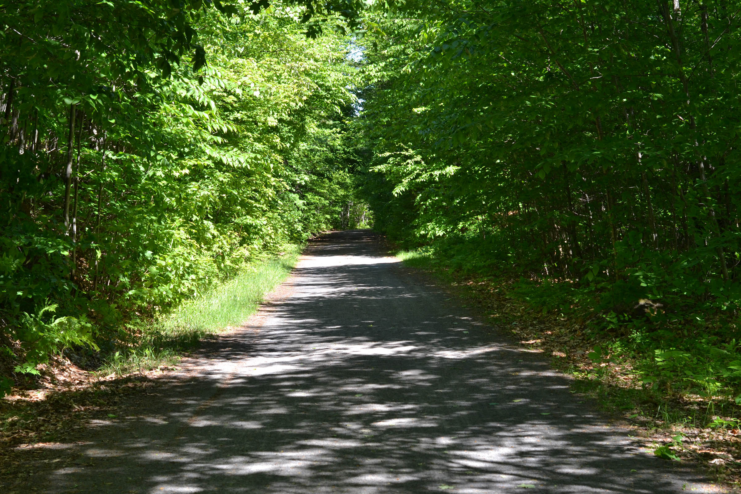
- The P’tit Train du Nord is a well-maintained gravel rail trail that connects the Laurentians with the St. Laurence river valley. There is a slight incline down as you wind your way through small towns and lush deciduous forests. Take advantage of the shade and cool river that follows the trail as it can get hot in the Quebec summer.
- When to go: May to October would be great. Be aware that in early spring there are MANY black and deer flies in rural Quebec. Fall would be amazing with the maple trees changing color.
- Logistics: Because the trip is a loop and starts in the center of Montreal, you are never far from a bus stop or metro. There is a parking on the street where it starts, just be aware of the parking rules for times. At the start there is even a bike cafe with tools, a tire pump, and great coffee.
- Dangers and Annoyances: Montreal is a sprawling city. It does take some time to get out of and back into the city through the suburbs. But there is an amazing bike path system while in the city and you’re never on busy streets or highways. It’s cool to see all the little pockets and experience some real Quebecois life.
- Travel basics: Parlez-vous francais? A little knowledge of French is always an asset while travelling in Quebec, but not totally necessary. Most people are bilingual and friendly enough to help you on your travels. The more you know, the more you can learn about the culture.
- All information about camping in the Ouareau is found here.
- Check the website prior to visiting for any changes or specific rules due to COVID-19. There is a $7 fee to stay in the park. Camping fees, which you can book online, are around $30.00 per night. You must book ahead of time online to make sure you get a spot. The sites are well spaced out, rustic, and located along the river. Firewood is provided, but again, check for fire safety depending on the season you visit. The camping sites are located along the picturesque Riviere du Nord, great for wading and relaxing. There are outhouses, fire pits, and tables.
- The route starts from a Velo Cafe, so you can begin well caffeinated and do any last-minute adjustments on your bike with a tool stand and pump outside. See velo.qc.ca
- You can grab amazing local produce and food from any of the fresh farmers markets Montreal has to offer (marchespublics-mtl.com) before you head out.
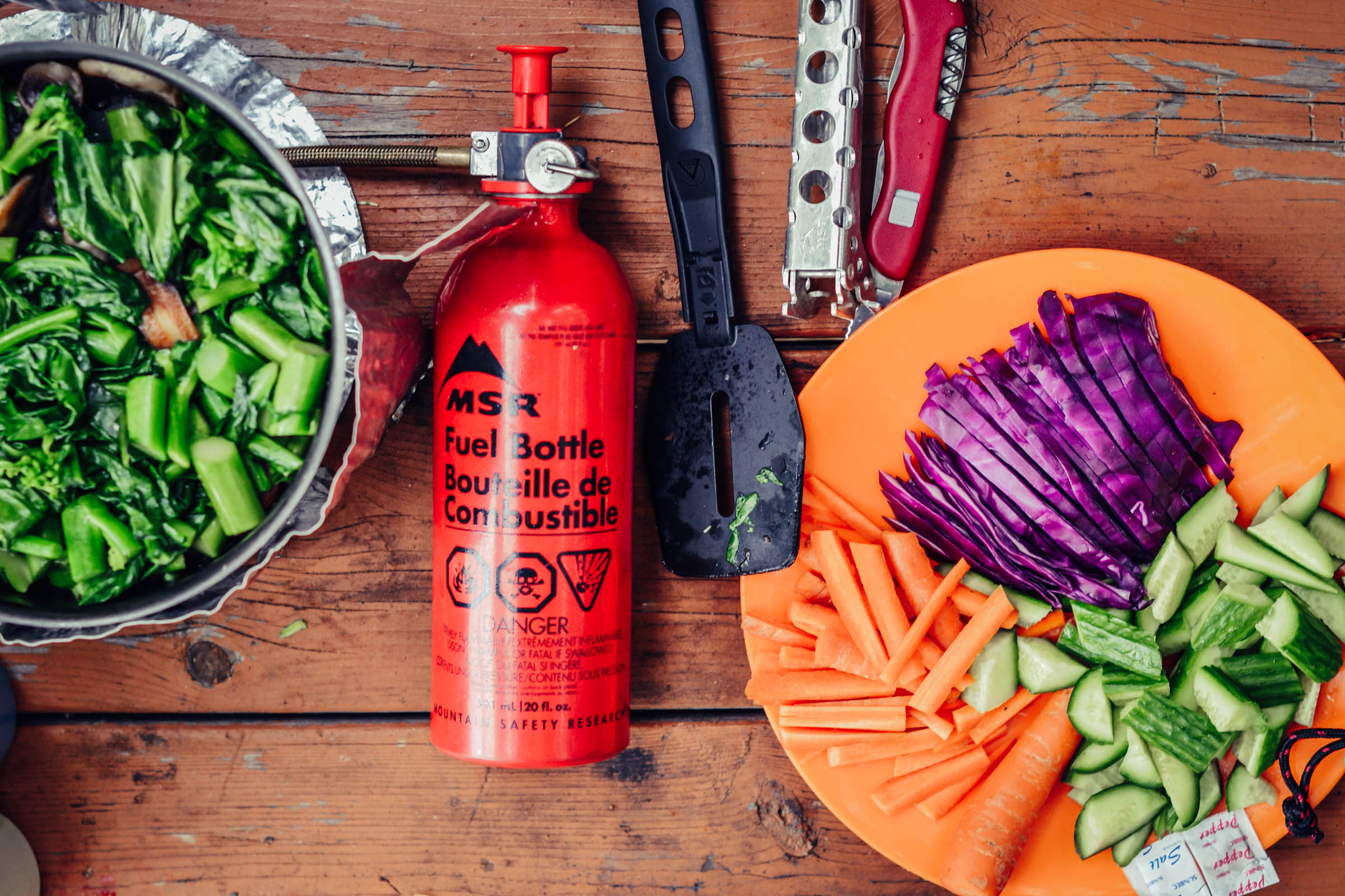
- Because the route heads through many small towns before and after the night of camping food is never far away. Before the night of camping there is the town of Rawdon which has a couple grocery stores, liquor stores, hardware stores (for fuel), etc., which will fill any of your needs if you wish to get supplies there instead of carrying all your goods from Montreal.
- The Laurentian Mountains are criss-crossed in lakes and rivers that are suitable for drinking once treated/filtered. Plus great for long lazy afternoon swims!
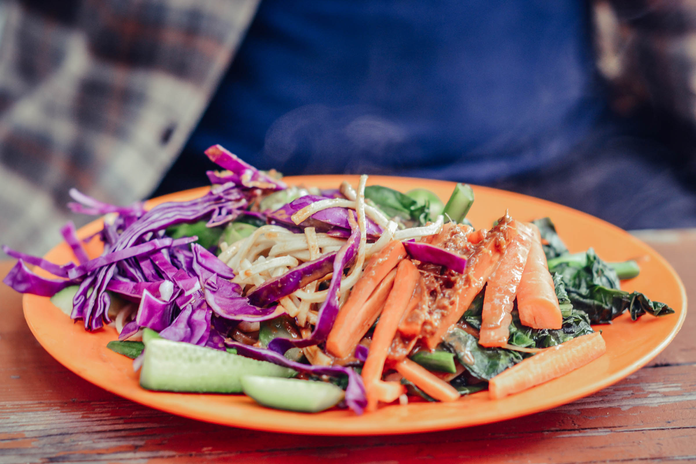
- Don’t miss the poutine that every little town greasy spoon has to offer. Poutine is a local quebecois treat made from fries, gravy, and melted cheese curds with a thousand different varieties offered by each restaurant.
- Microbreweries abound in Quebec so local beer is never far away. Most depanneurs (corner stores) offer a wide variety of local brews and there are even three microbreweries along the route on day two (Baril roulant in Val David: barilroulant.com; Shawbridge in Prevost: shawbridge.ca; and Dieu du Ciel in Saint Jerome: dieuduciel.com
- Day one: You start off riding through the city on a well-marked bike path (Route Verte), rambling through the countryside and getting into some great gravel before hitting the Ouareau region. You are heading from Montreal, pretty much at sea level, and up into the Laurentian mountains, so get ready for some gently rolling hills and a bit of elevation gain. Take your time. Once camp is set up feel free to explore the ATV and hiking trails in this area. If time permits, I would suggest spending an extra day as there is lots to explore.
- Day two: This is where the fun really begins. You pretty much camp beside the road you need to head out on and are smack dab in the rough stuff. This area starts off on sandy gravel and gets rougher on the ATV trails you will be following. Larger rocks and steep pitches start jumping out at you. Be cautious of the friendly ATV folks who share this trail on motorbikes, etc., giving them plenty of space to pass. Once through this rough section you head out on a highway with a generous shoulder into a very small town called Notre Dame de Merci where you will find a gas station to get your fill of snacks and water. From there, follow the highway a short way until you cut off onto some more unmaintained gravel/sandy roads with some big climbs and descents through beautiful valleys. After some sweaty riding you eventually get into more habitable areas with calm lakes and pass through more quiet country gravel roads and the odd paved section. You eventually end up at the P’tit Train du Nord rail trail that takes you all the way to Jerome, passing through many quaint towns, rivers, and beaches ready to be explored. At Saint Jerome you head back onto the well-marked Route Verte bike path back into Montreal.
- Route options: Feeling tired at Saint Jerome? Feel free to jump on the EXO train (https://exo.quebec/en/trip-planner/train) and finish the last 60 km in style. Check the schedule ahead of time for arrival and destination times. The train literally starts at the end of the P’tit Train du Nord trail. Cost is $9.00 and you can hop on with your bike easily beside you in your seat.
- Rideability: 99% is rideable depending on your fitness level. The sand and punchy climbs in the Ouareau region can be tricky!


Terms of Use: As with each bikepacking route guide published on BIKEPACKING.com, should you choose to cycle this route, do so at your own risk. Prior to setting out check current local weather, conditions, and land/road closures. While riding, obey all public and private land use restrictions and rules, carry proper safety and navigational equipment, and of course, follow the #leavenotrace guidelines. The information found herein is simply a planning resource to be used as a point of inspiration in conjunction with your own due-diligence. In spite of the fact that this route, associated GPS track (GPX and maps), and all route guidelines were prepared under diligent research by the specified contributor and/or contributors, the accuracy of such and judgement of the author is not guaranteed. BIKEPACKING.com LLC, its partners, associates, and contributors are in no way liable for personal injury, damage to personal property, or any other such situation that might happen to individual riders cycling or following this route.
Please keep the conversation civil, constructive, and inclusive, or your comment will be removed.